Tasmania East Coast Photo Gallery |
||||
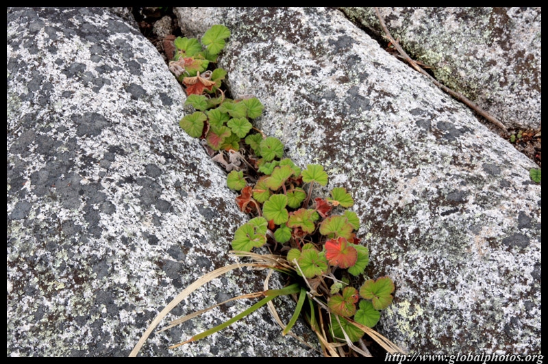
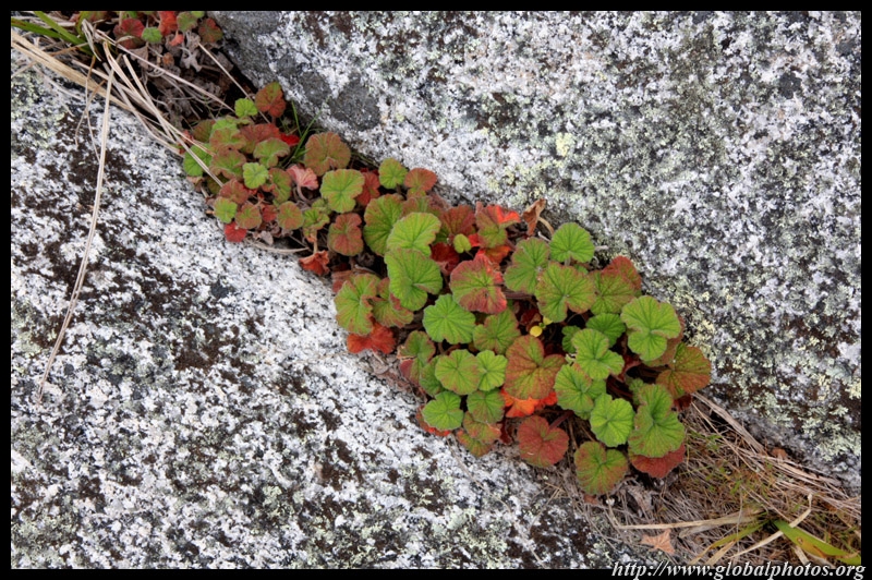
Tasmania is a short flight from Sydney and is a very reasonable weekend getaway. It's not possible to cover all the key sights in such a short period of time, so I focussed on the east coast and Hobart on this trip. |
||||
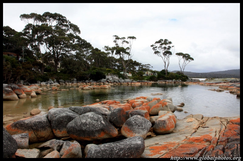
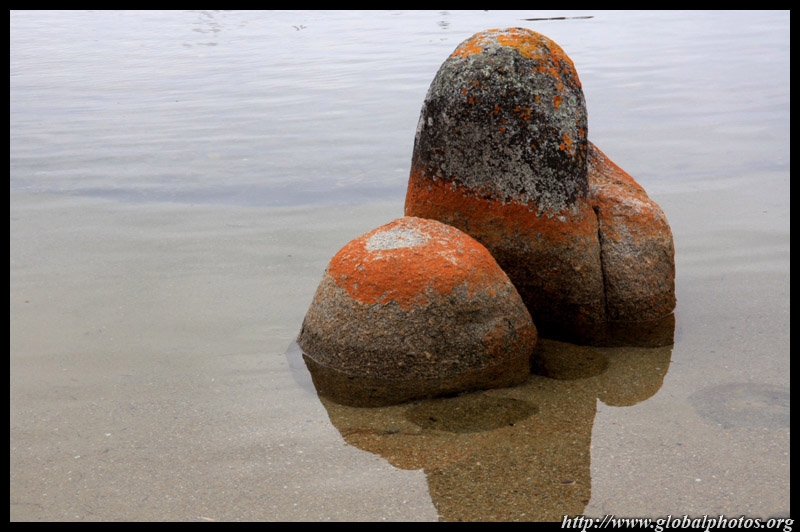
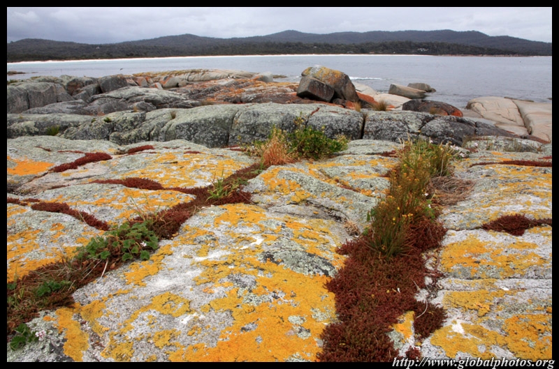
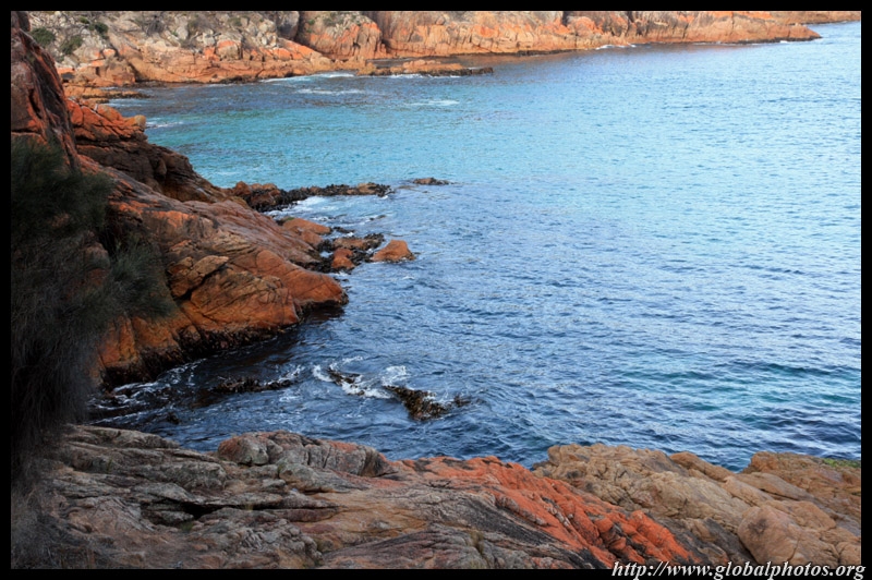
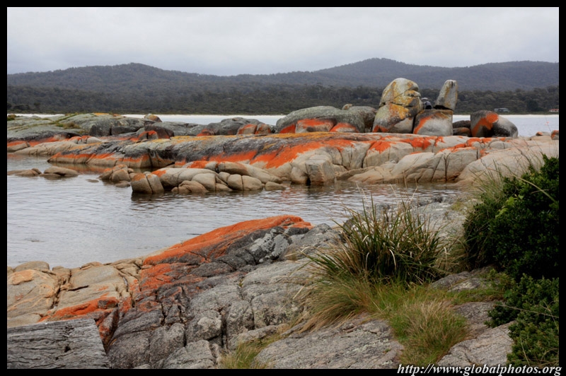
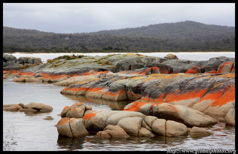
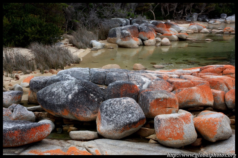
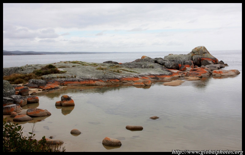
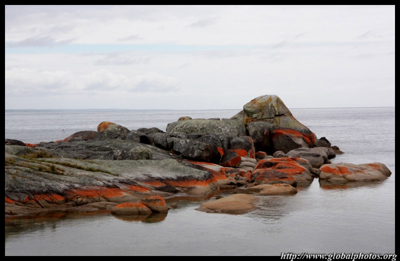
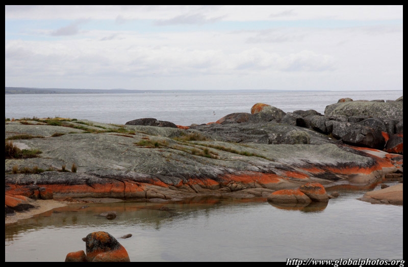
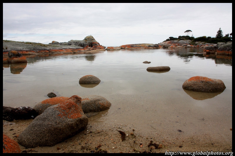
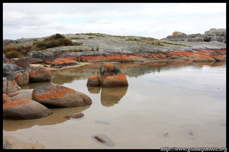
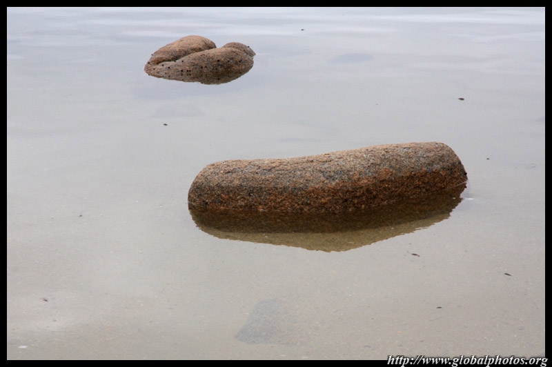
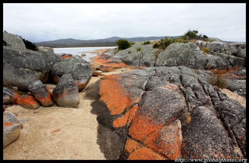
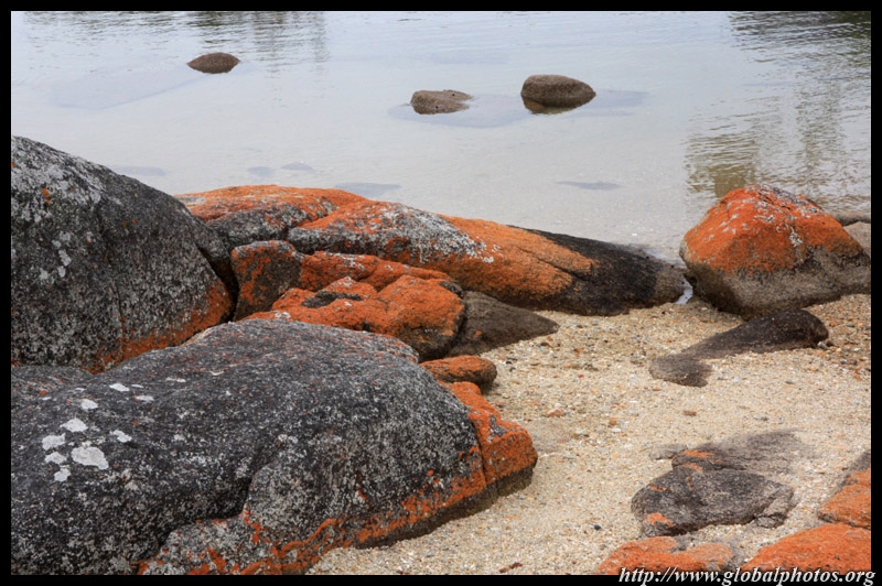
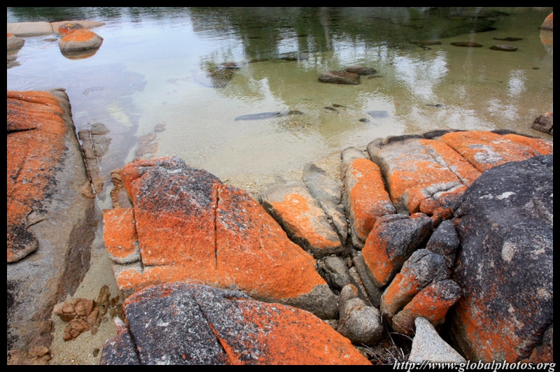
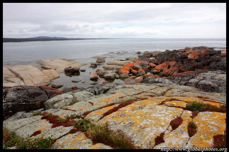
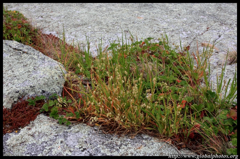
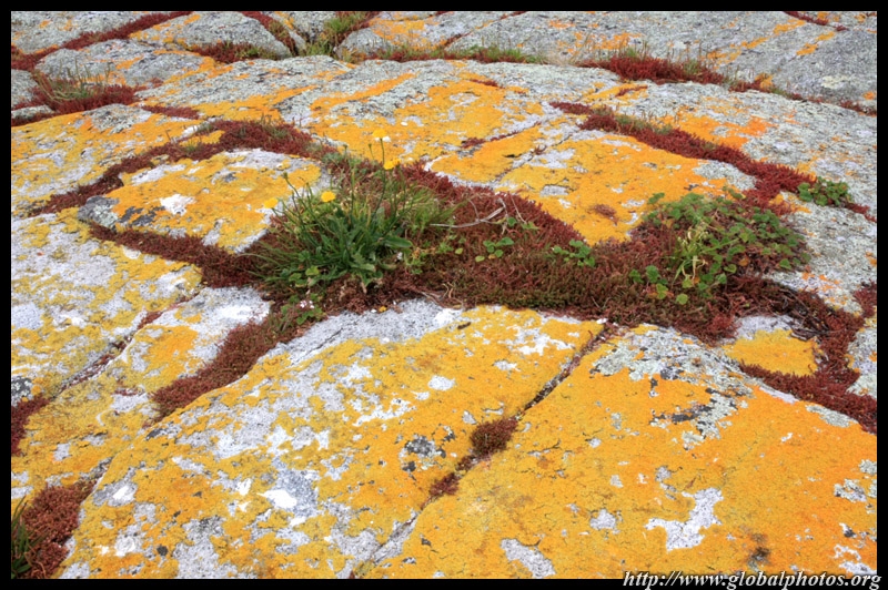
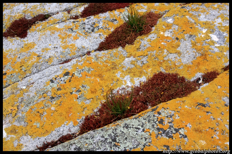
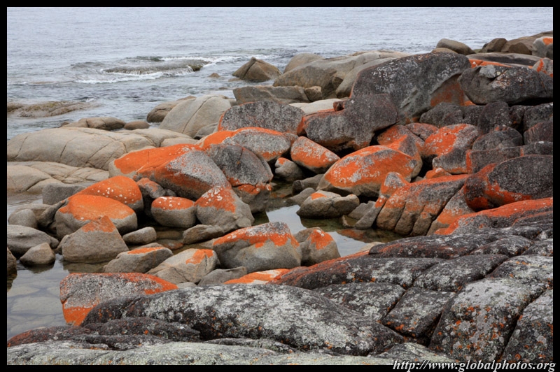
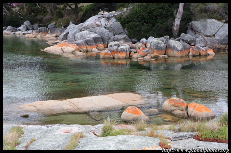
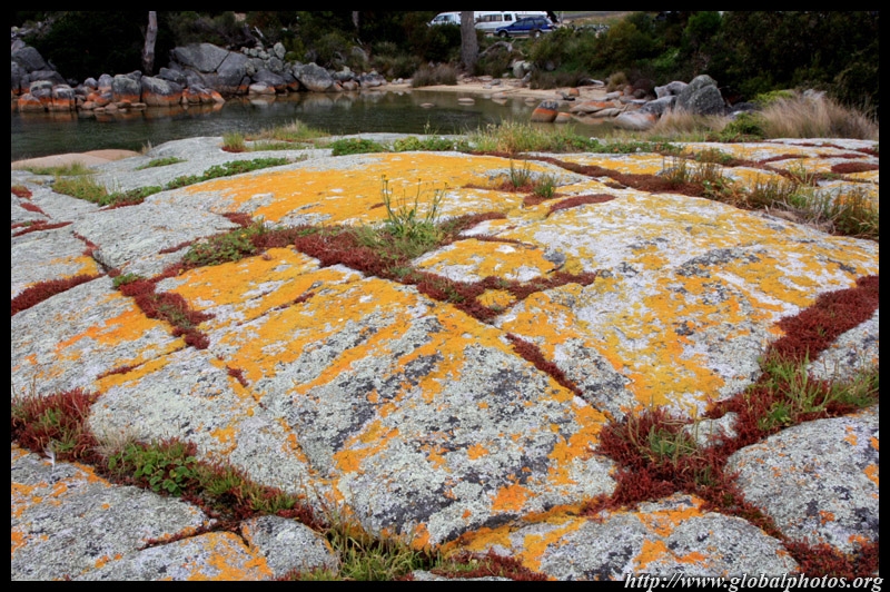
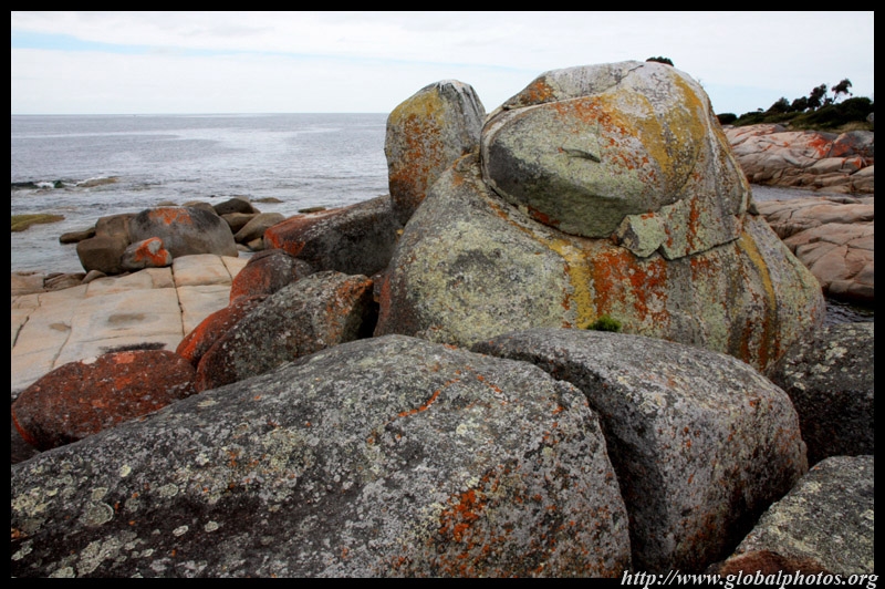
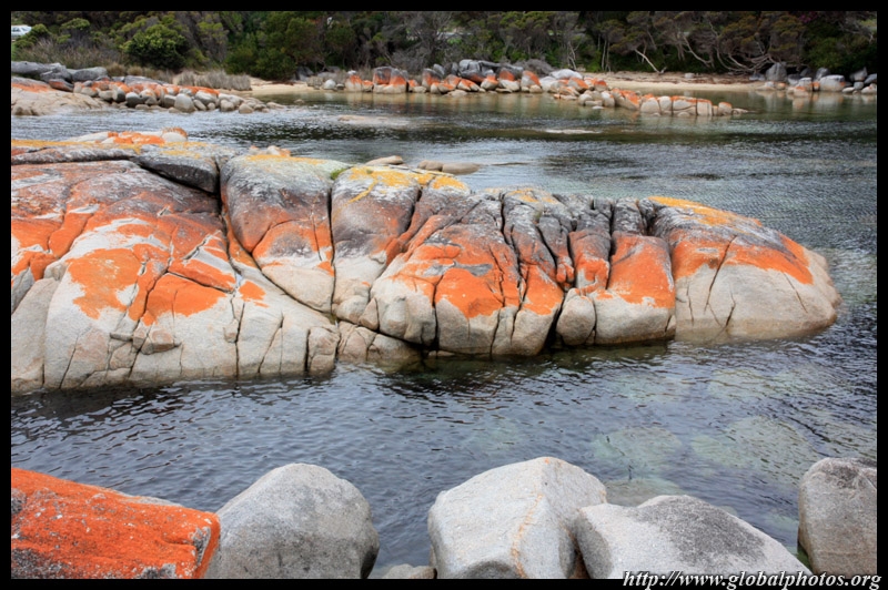
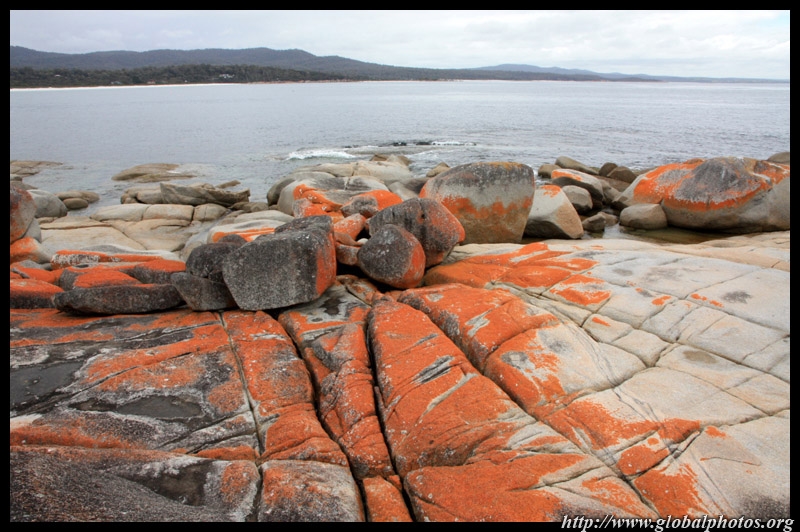
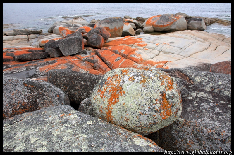
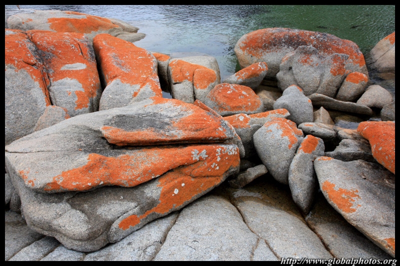
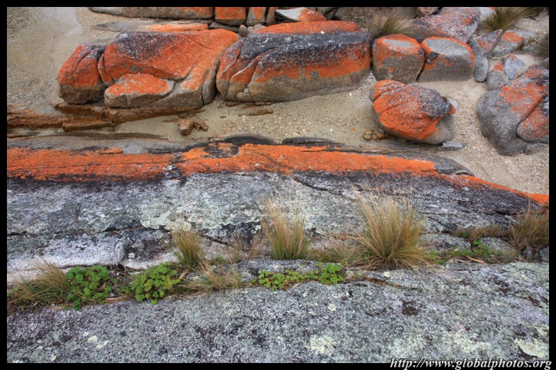
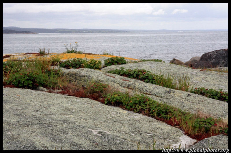
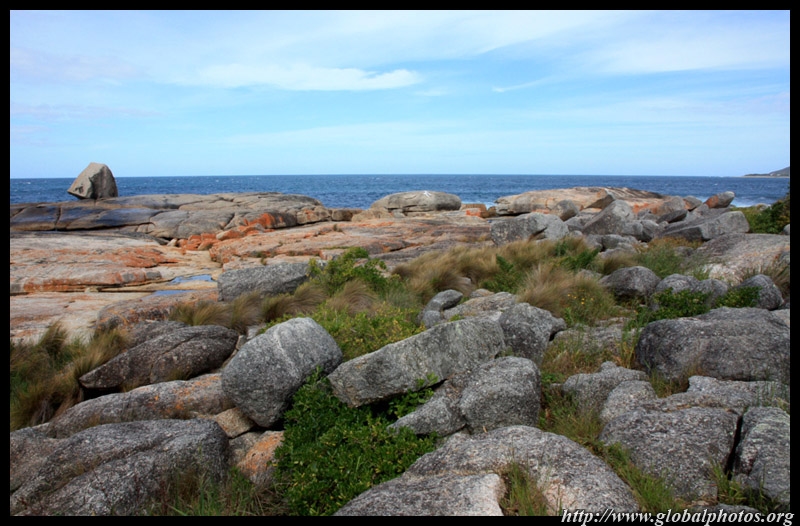
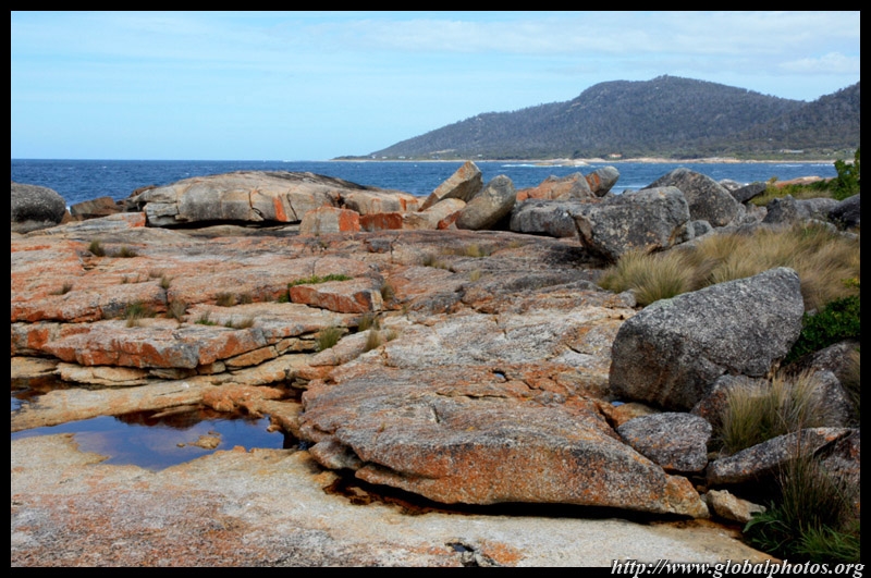
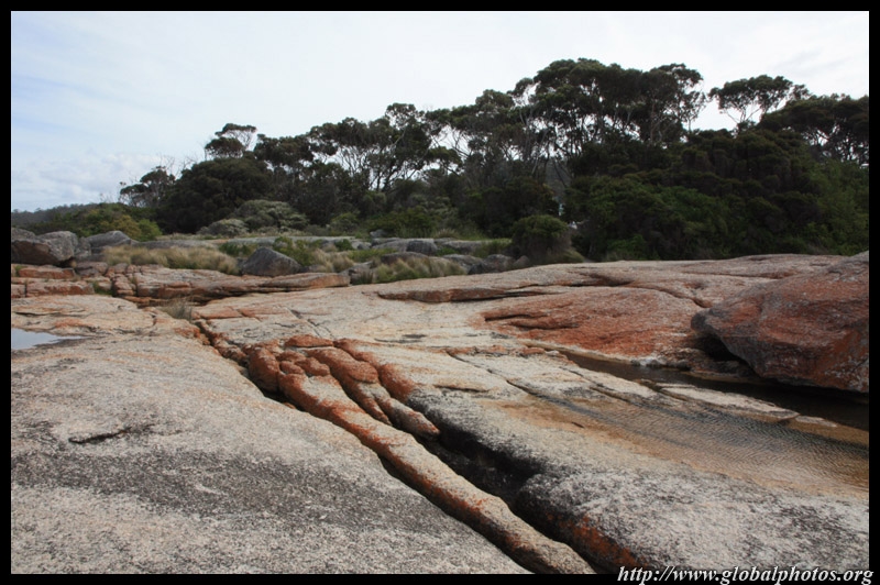
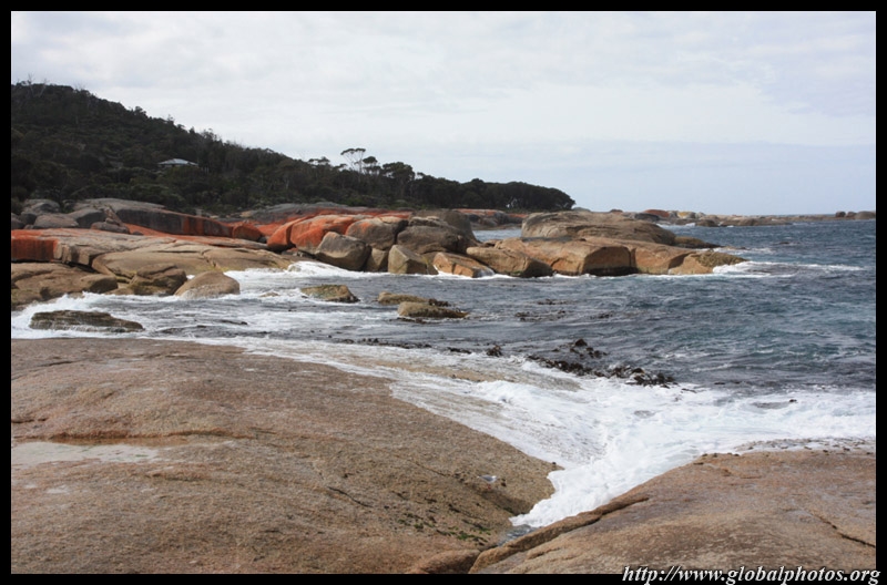
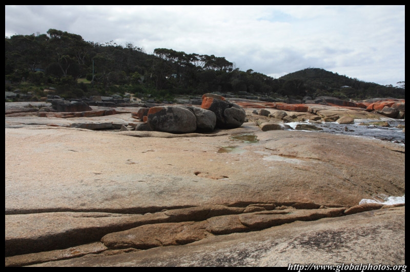
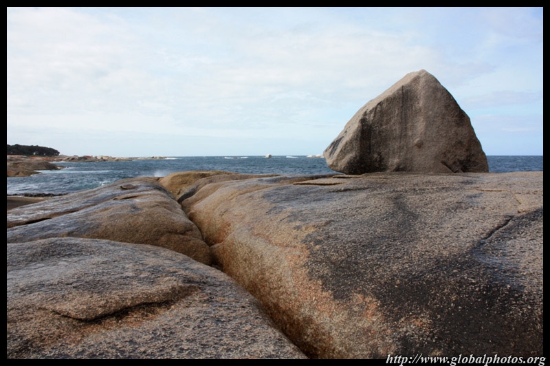
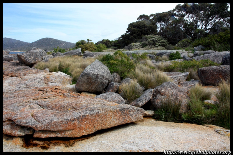
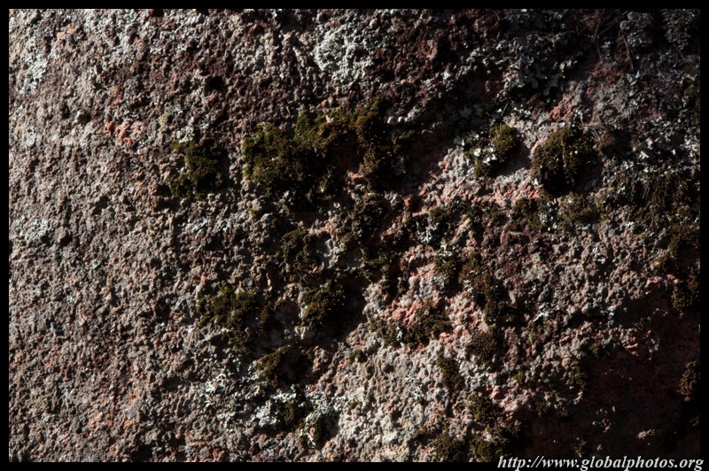
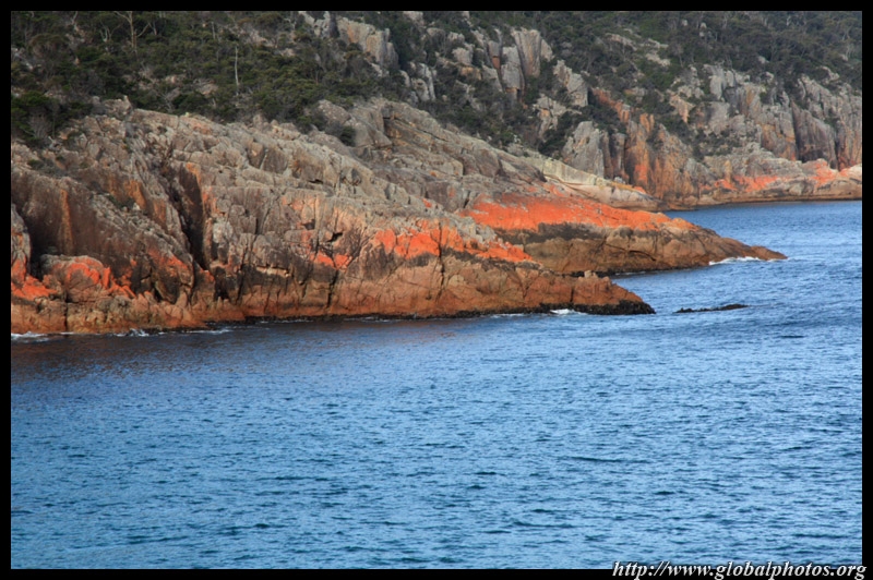
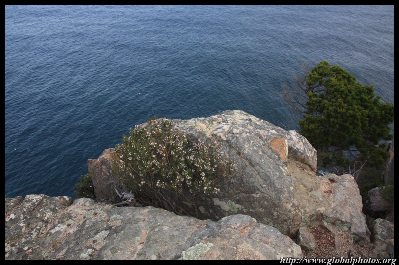
Binalong Bay is at the northern end of the Bay of Fires, a beautiful coastline of rocks with orange lichen.
|
||||
|
|
|
|
|
|
|
|
|
|
|
||||
|
|
|
|
|
|
|
|
|
|
|
||||
|
|
|
|
|
|
|
|
|
|
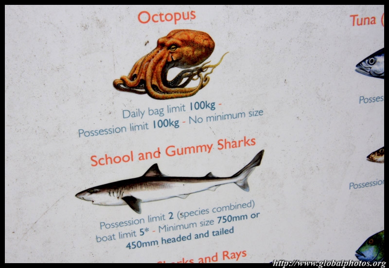
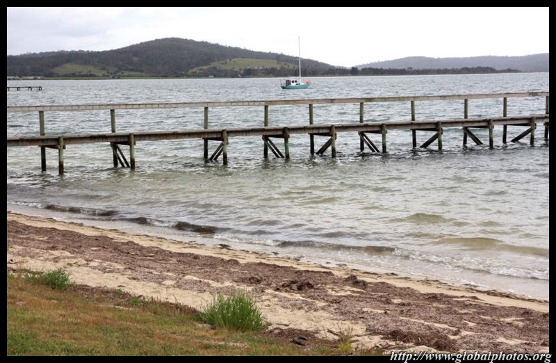
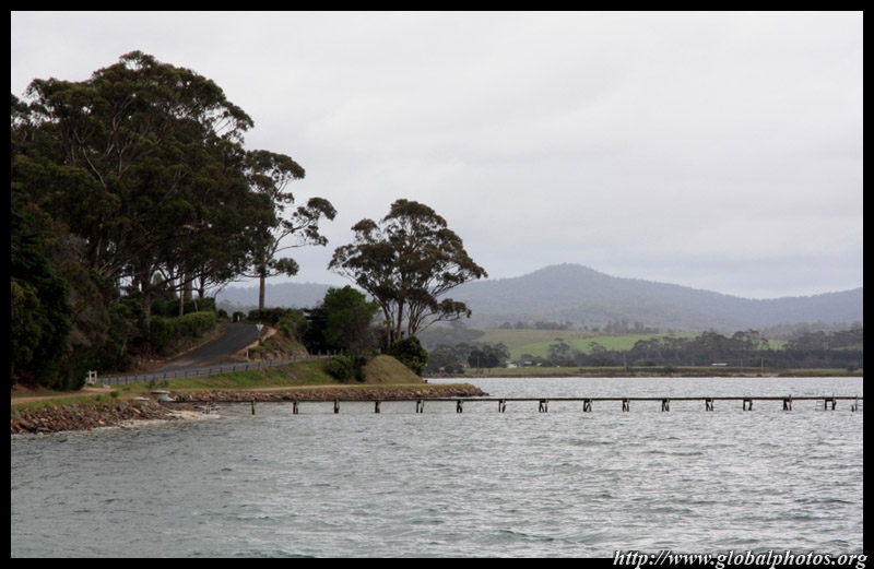
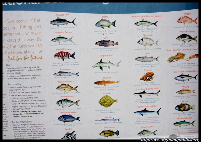
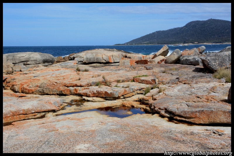
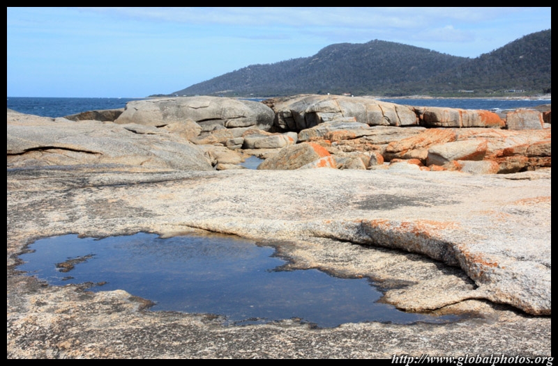
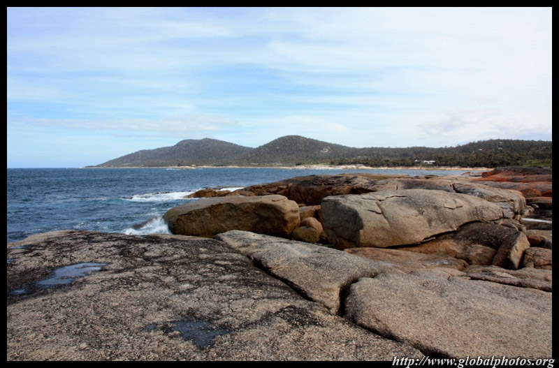
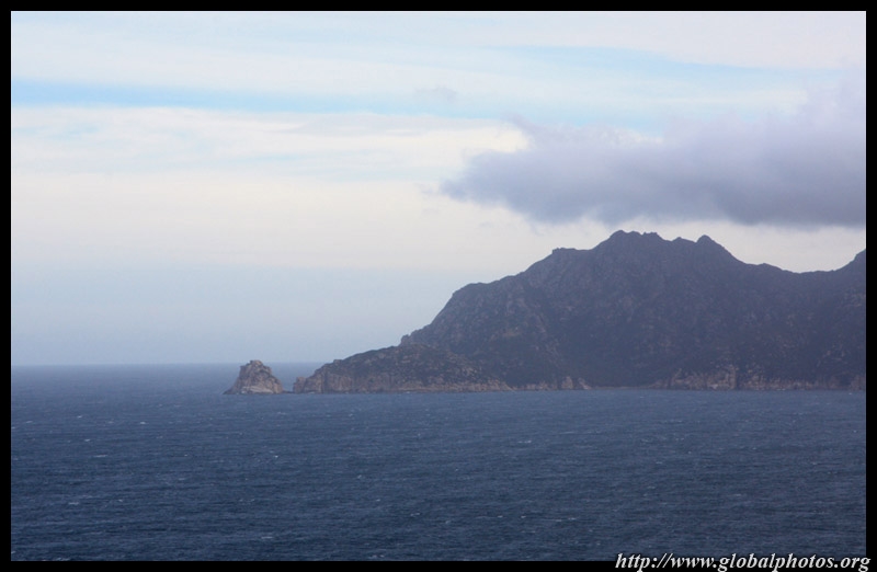
Heading south further along the east coast, we noticed the local fishing limits were rather lax. This part of the Tasman Sea appears very healthy. Don't think it's possible to consume so much octopus in one day.
|
||||
|
|
|
||
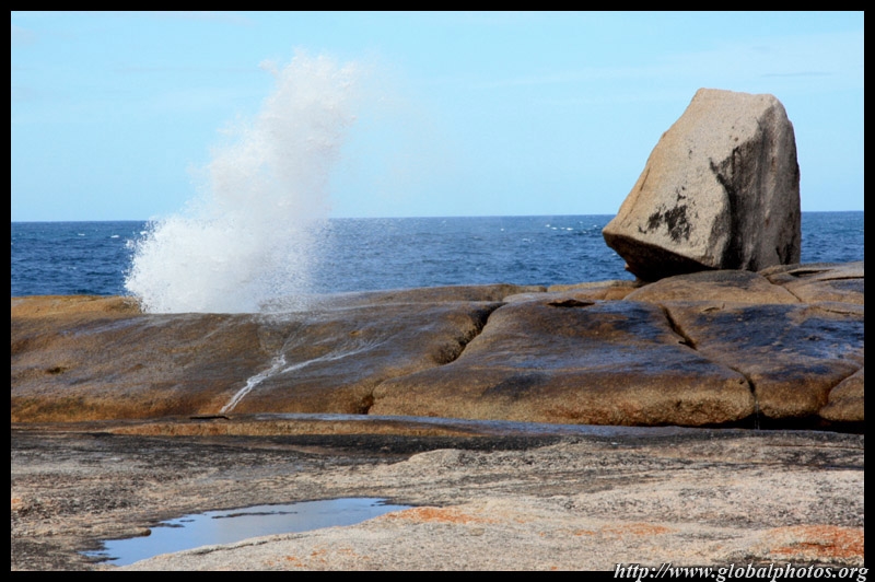
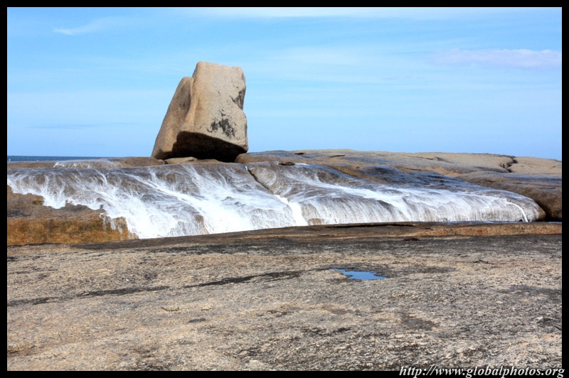
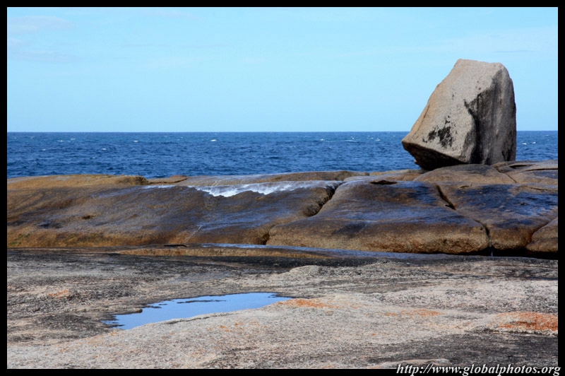
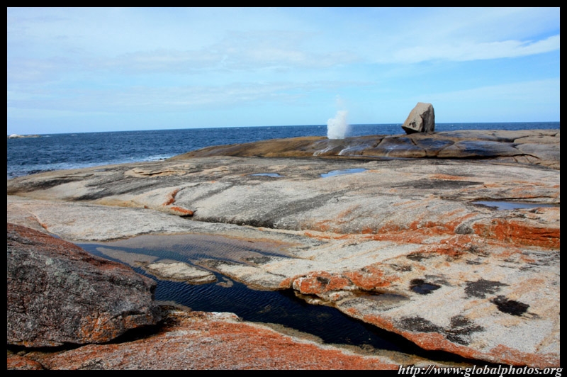
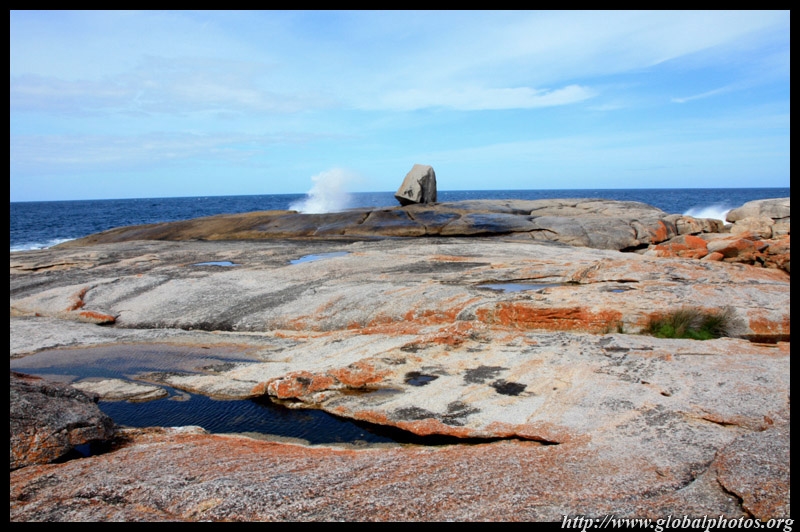
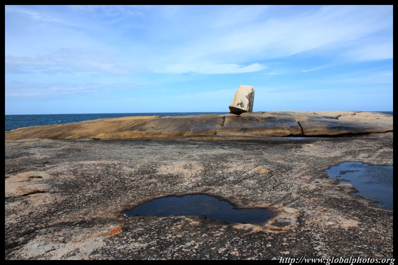
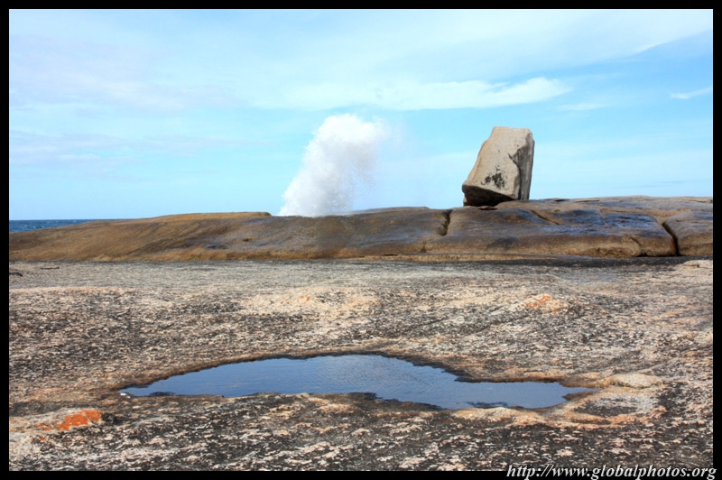
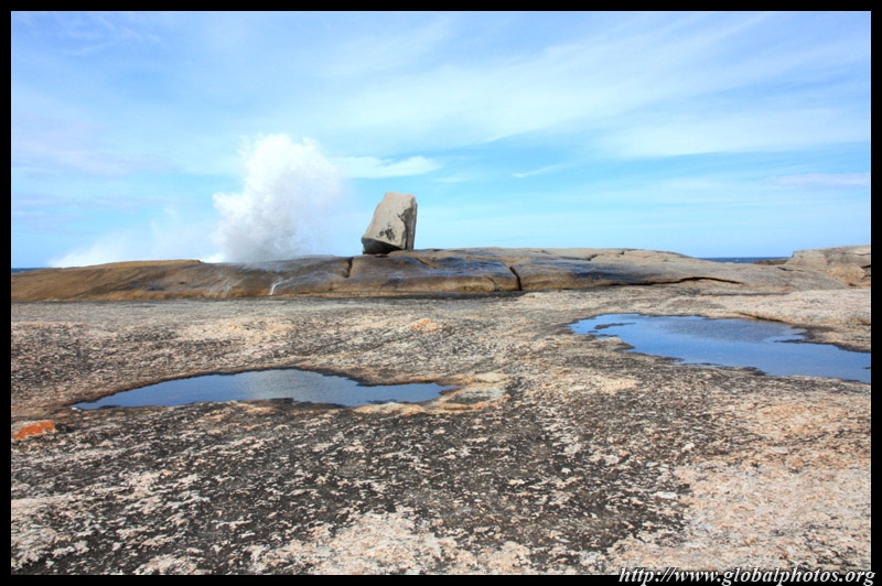
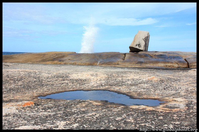
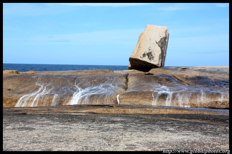
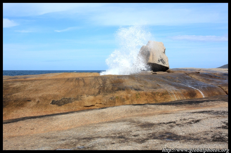
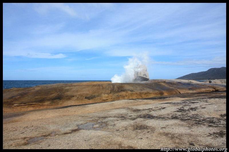
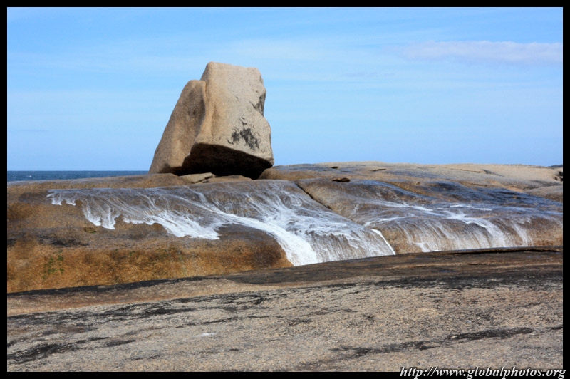
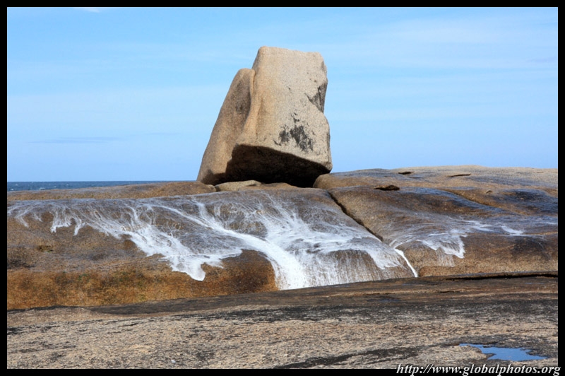
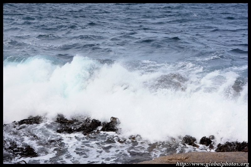
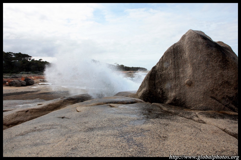
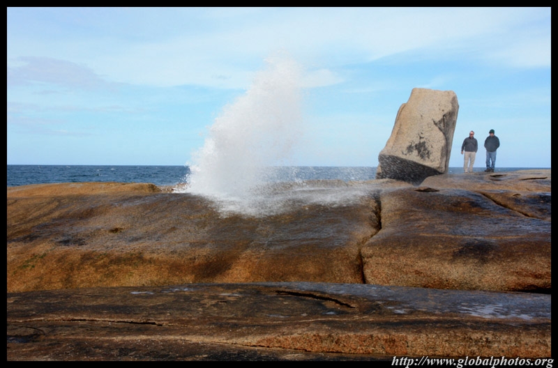
Bicheno was founded in 1803 as a whaling centre. Coal added to the town's prosperity but the tides turned when gold was discovered in Victoria. The blowhole pictured here is a natural attraction where smashing waves reach inland through various cracks in the rocks, making a spectacular splash along the way.
|
||||
|
|
|
|
|
|
|
|
|
|
|
||||
|
|
|
|
|
|
|
|
|
|
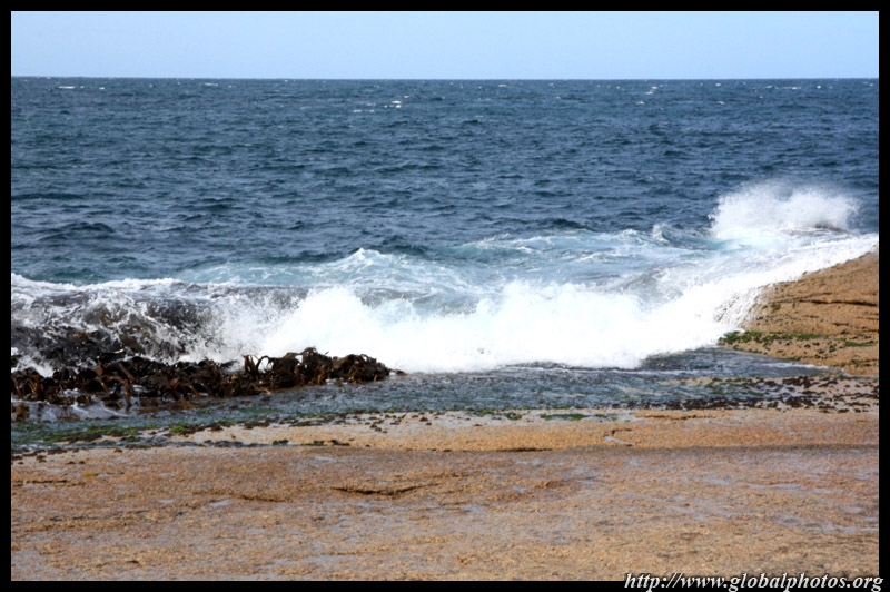
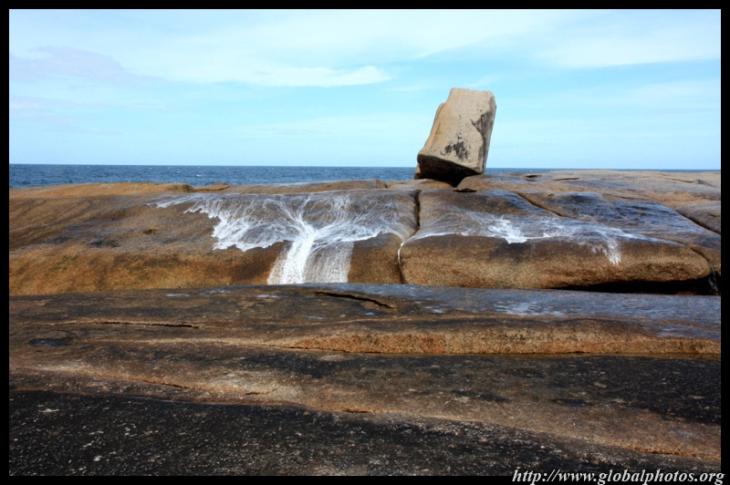
Stand at the wrong place, and you will get wet.
|
||||
|

|
|
|
|
|
|
|
|
|
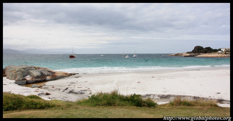
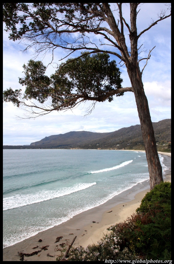
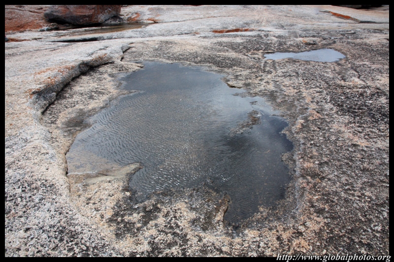
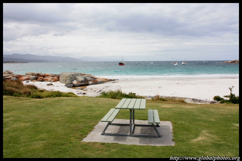
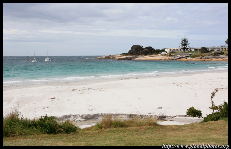
Nearby, the beaches are beautiful.
|
||||
|
|
|
||
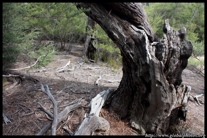
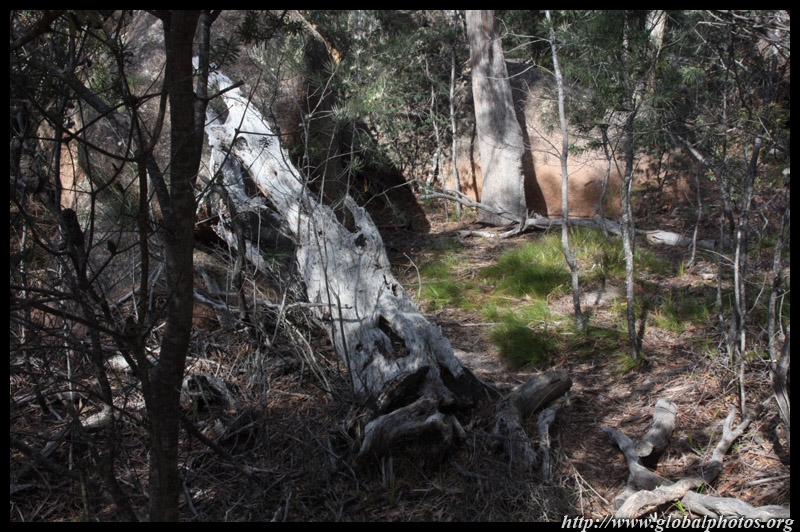
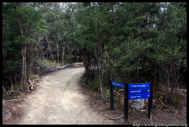
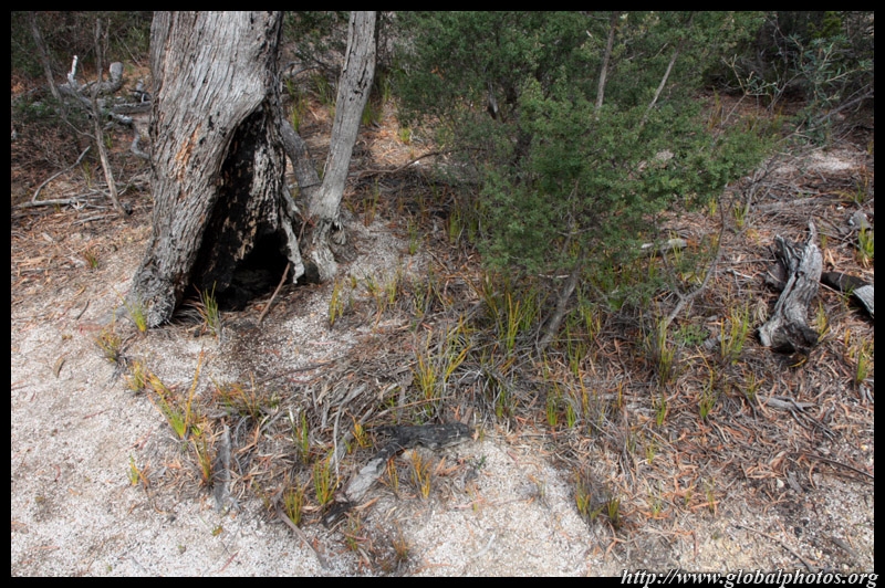
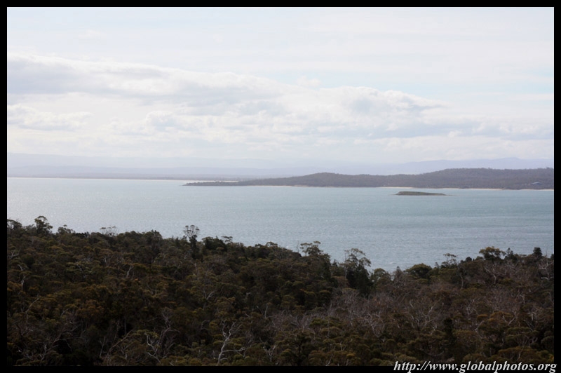
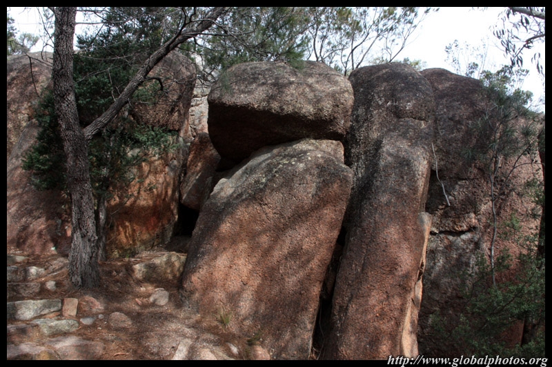
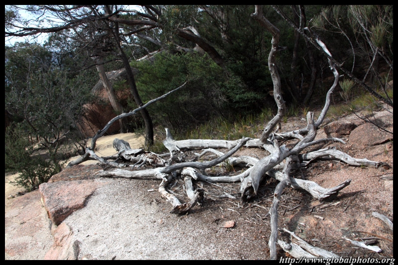
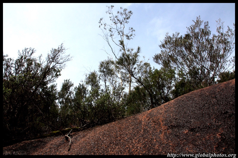
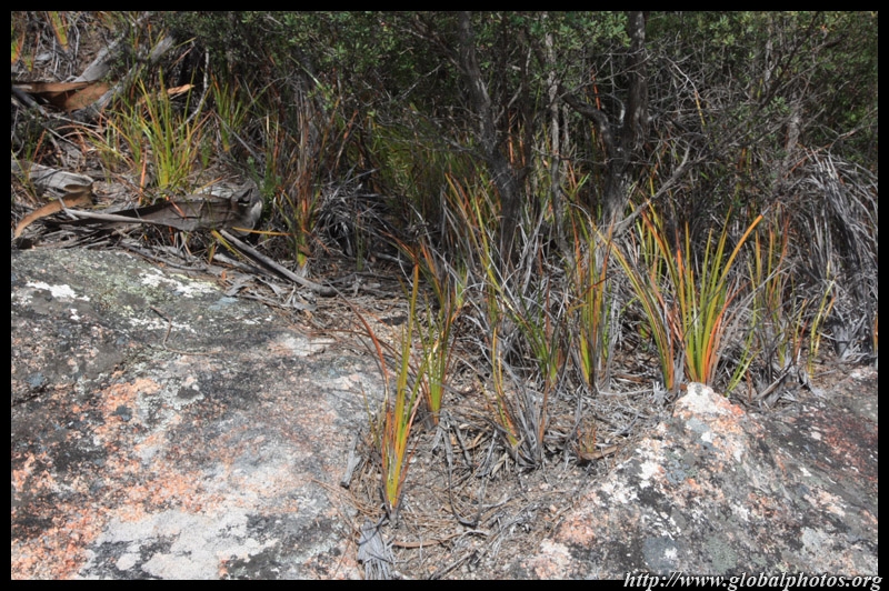
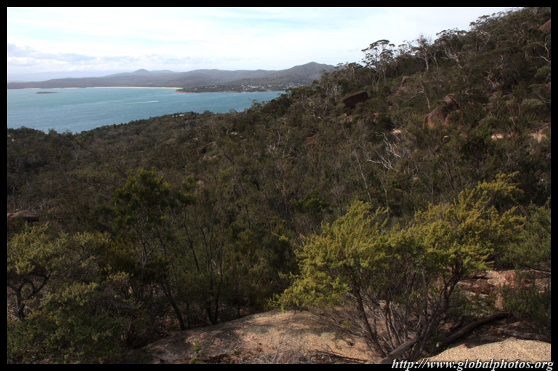
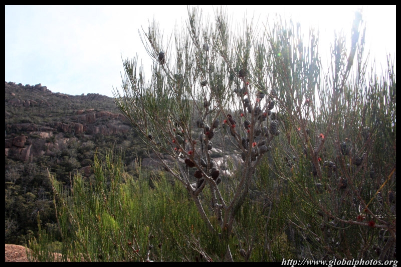
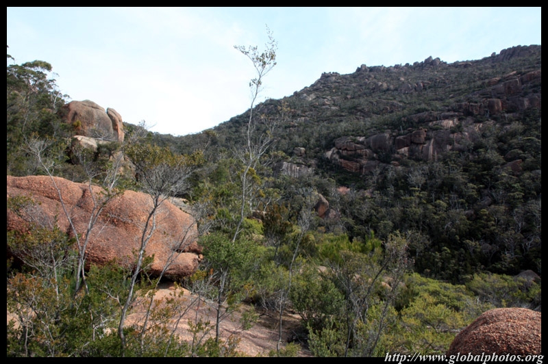
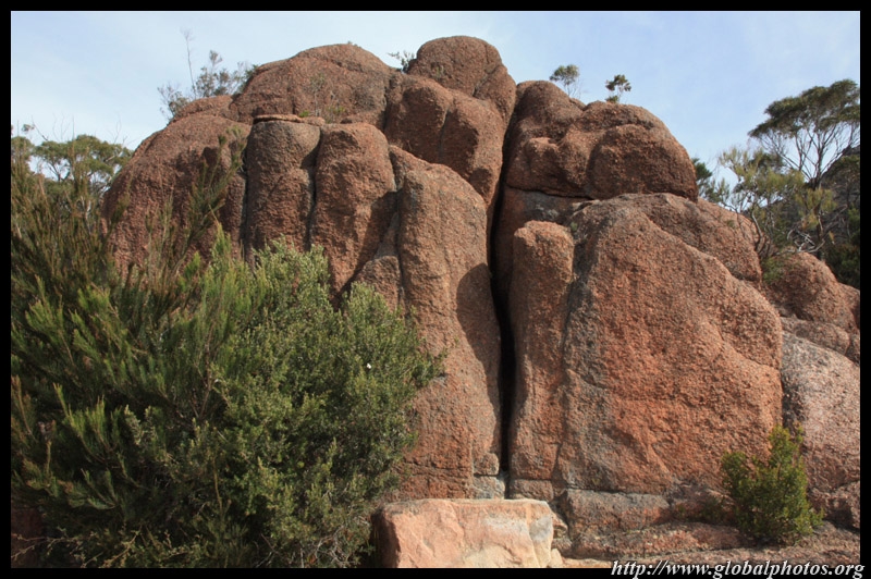
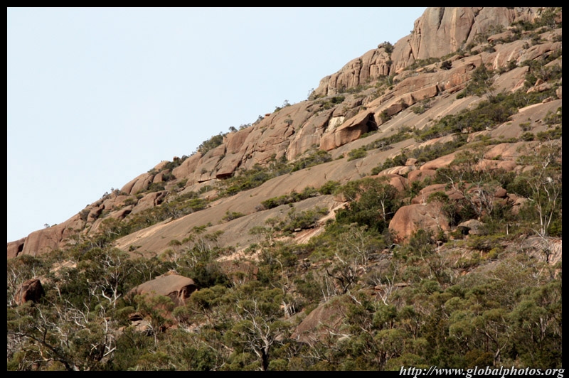
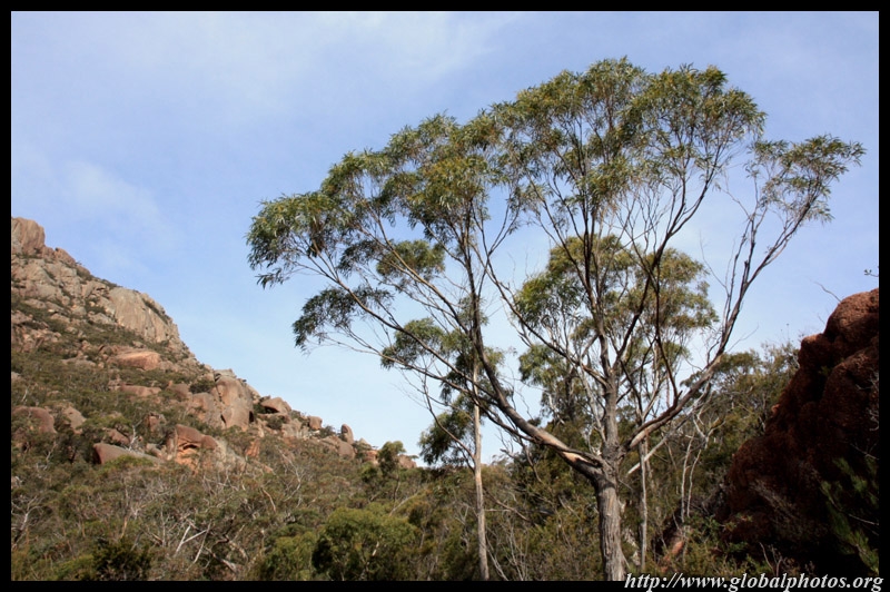
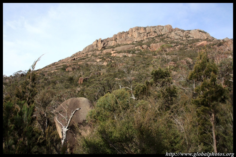
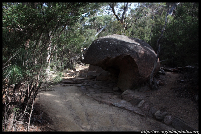
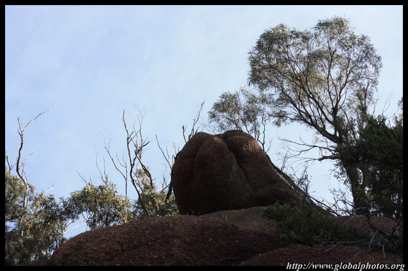
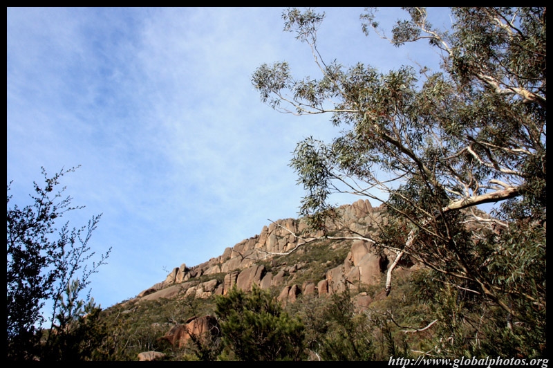
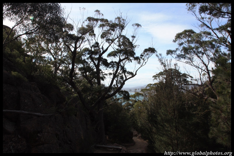
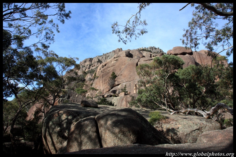
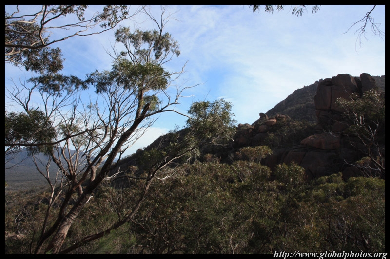
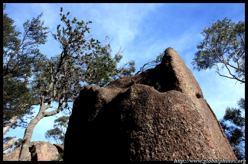
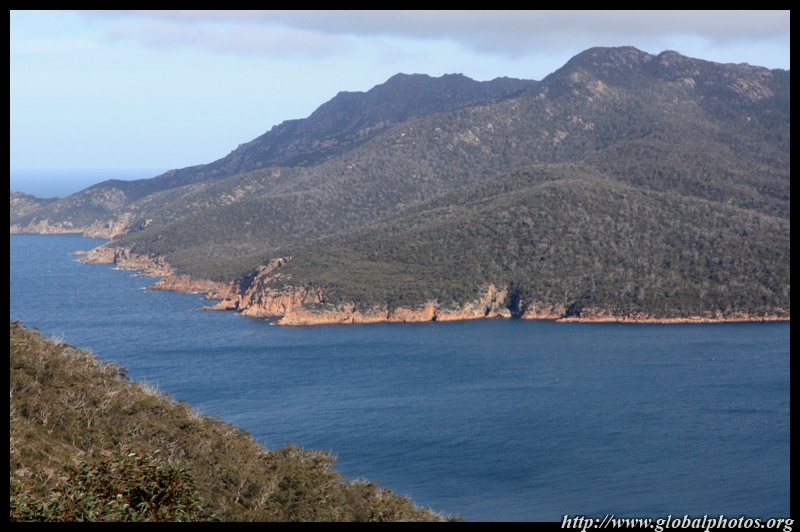
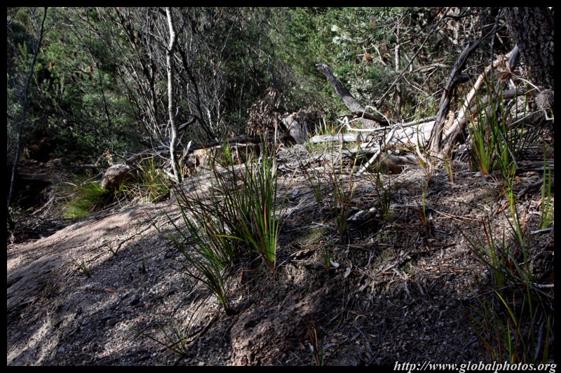
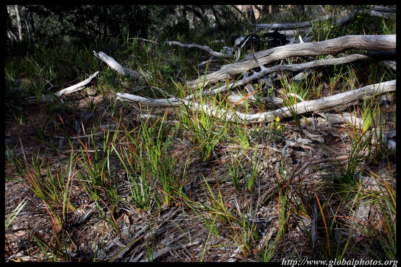
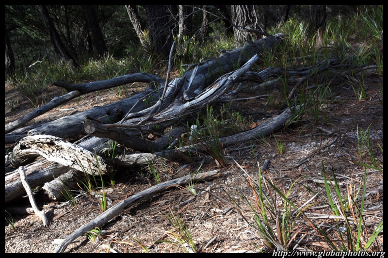
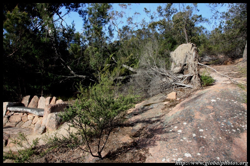
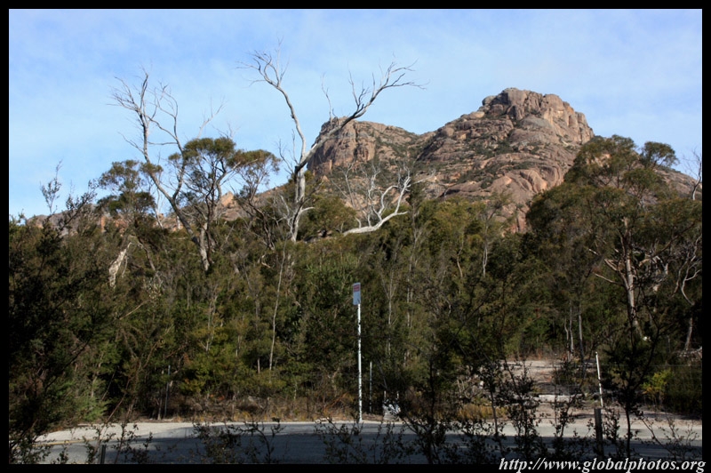
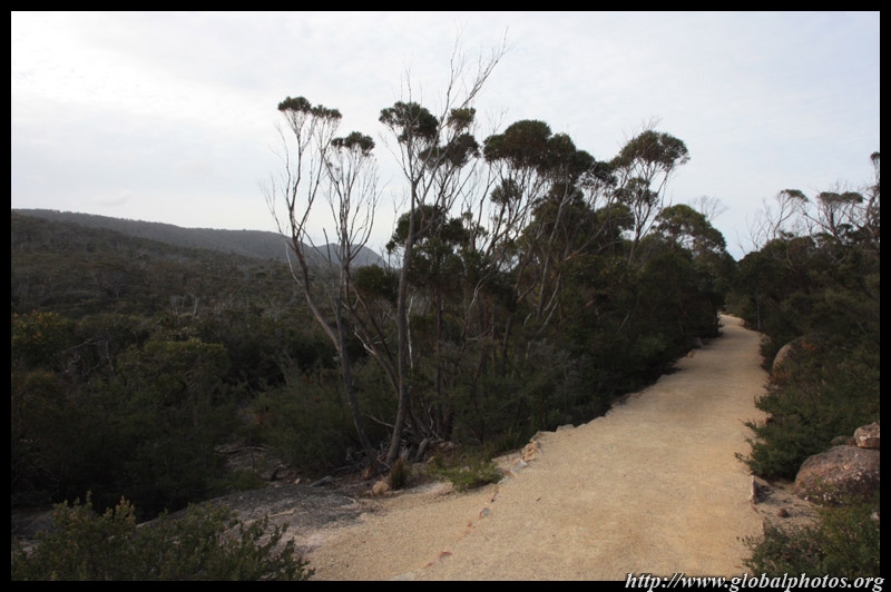
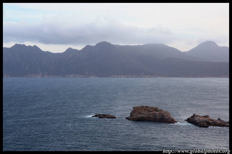
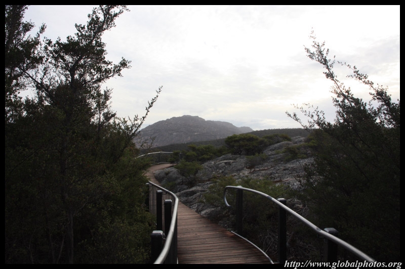
Freycinet National Park stretches along a long peninsula and offers many easy hikes with lovely views of the Tasman Sea.
|
||||
|
|
|
|
|
|
|
|
|
|
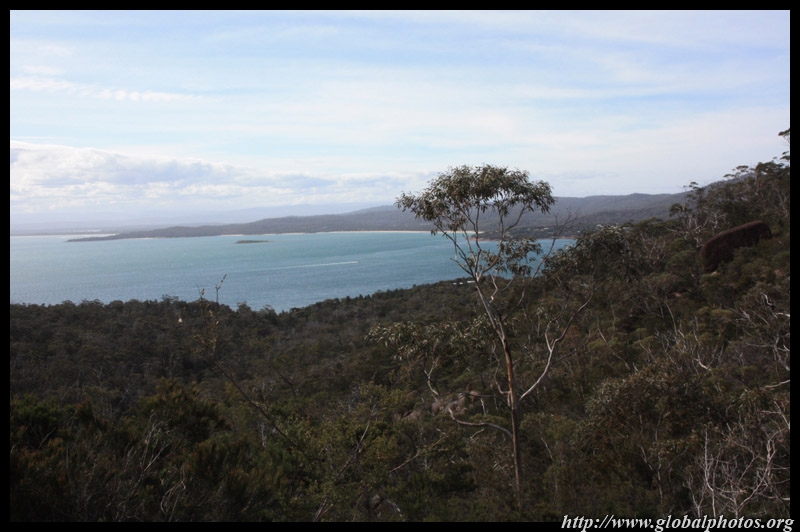
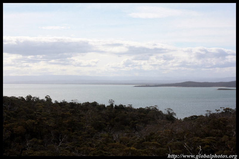
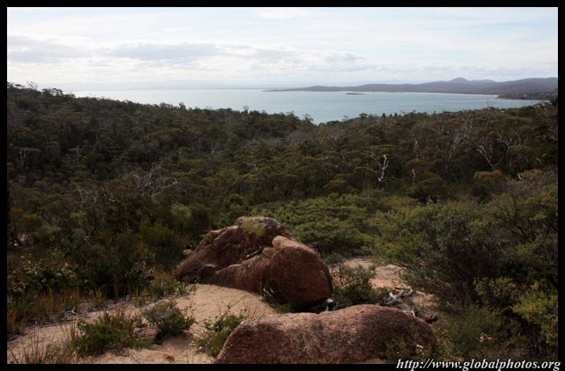
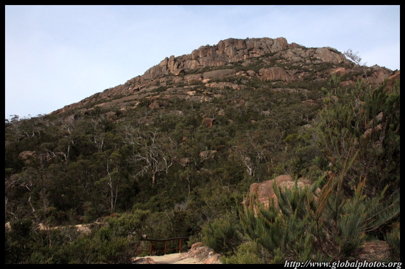
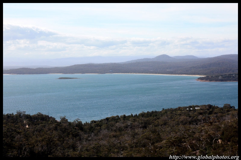
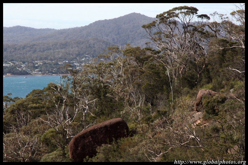
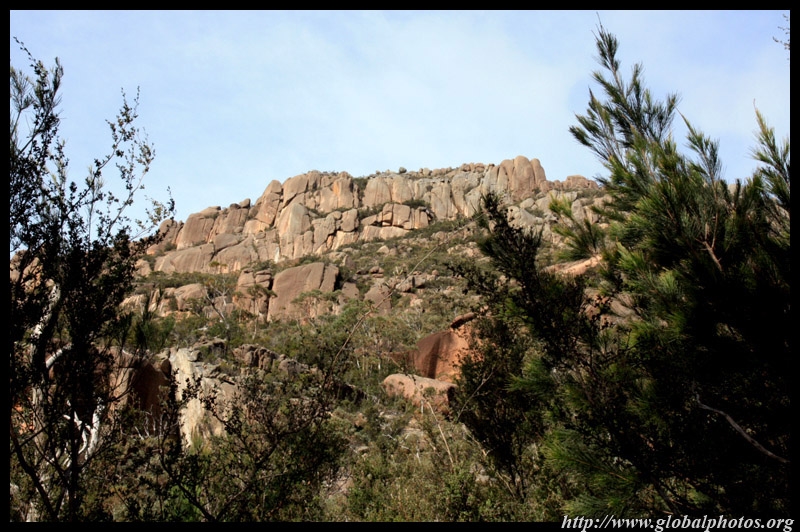
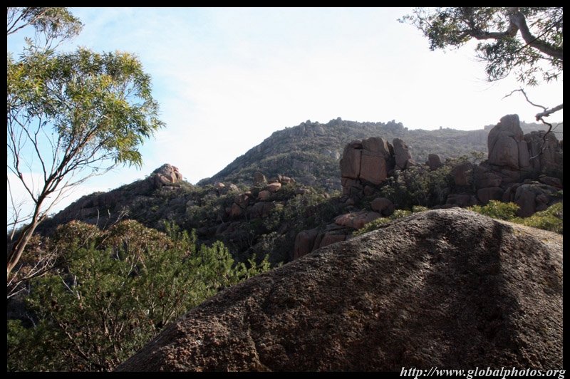
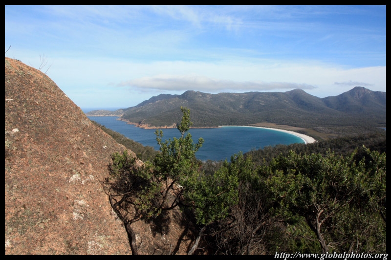
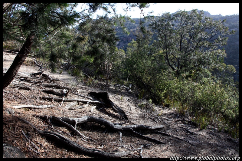
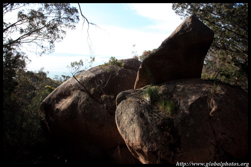
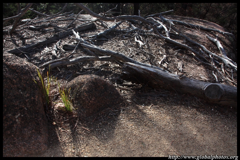
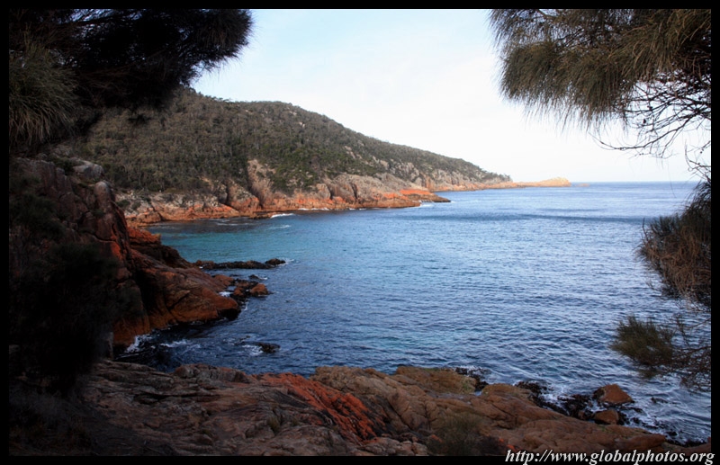
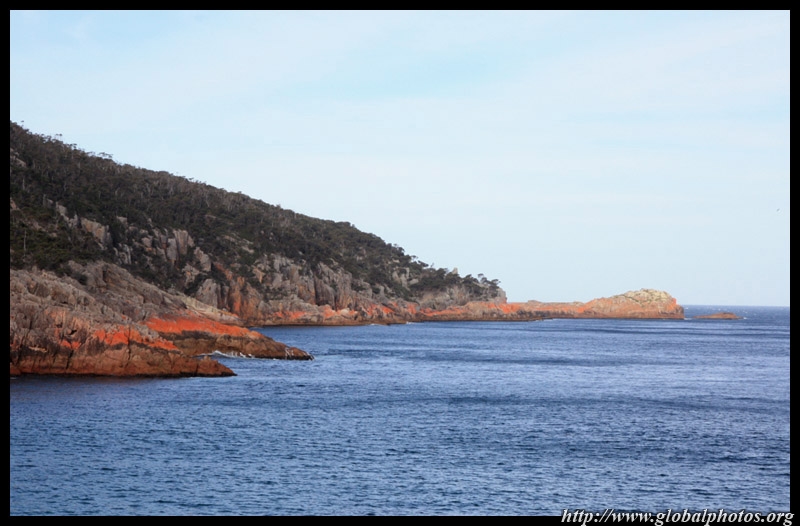
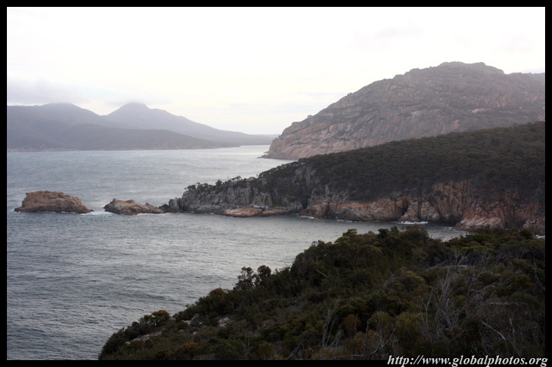
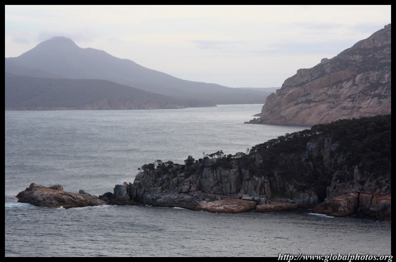
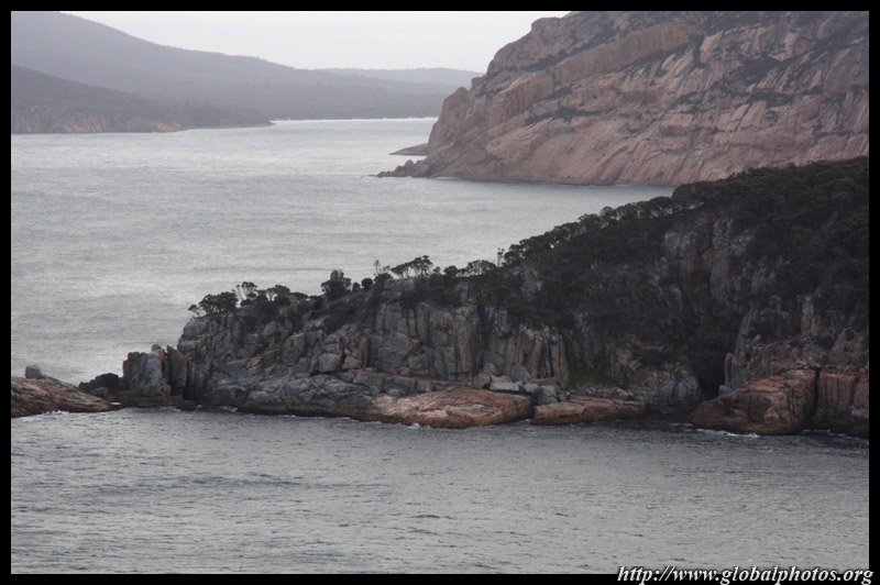
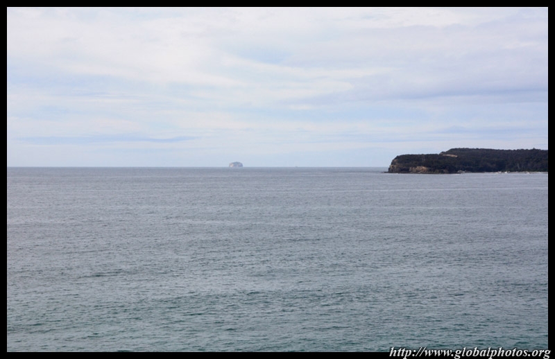
The hike to the Wineglass Bay lookout takes less than an hour. Since the national park juts out along a peninsula, there are ocean views on both sides. This is the west side.
|
||||
|
|
|
|
|
|
|
|
|
|
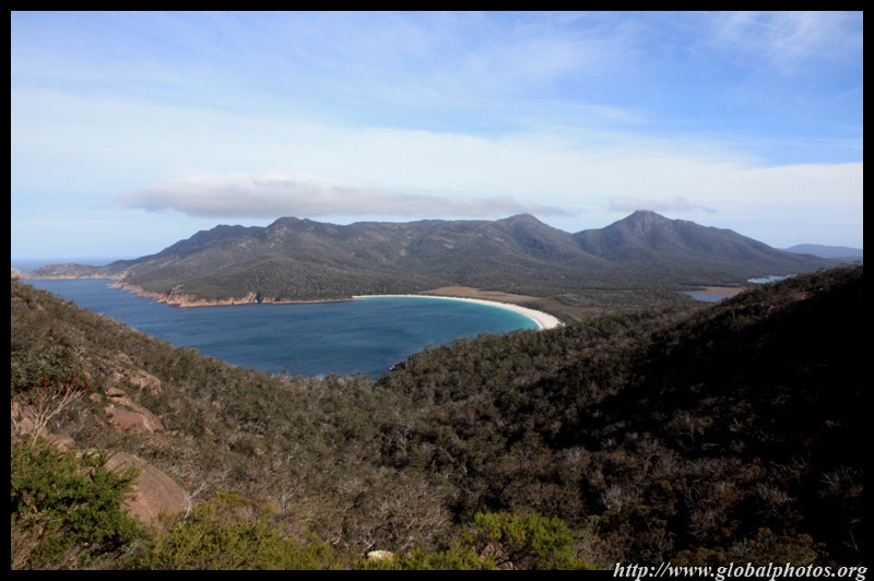
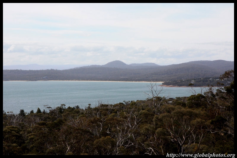
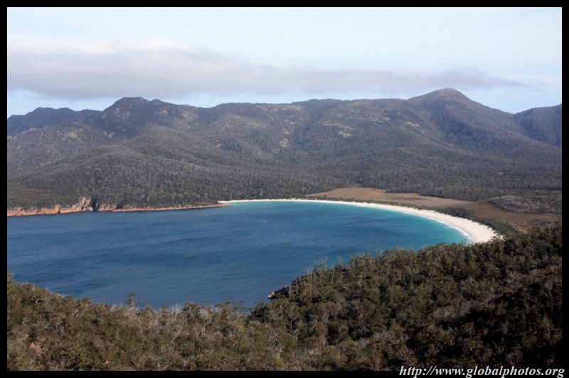
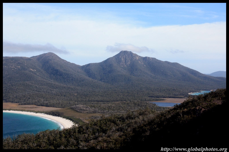
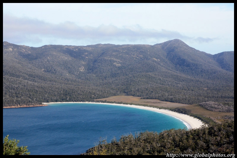
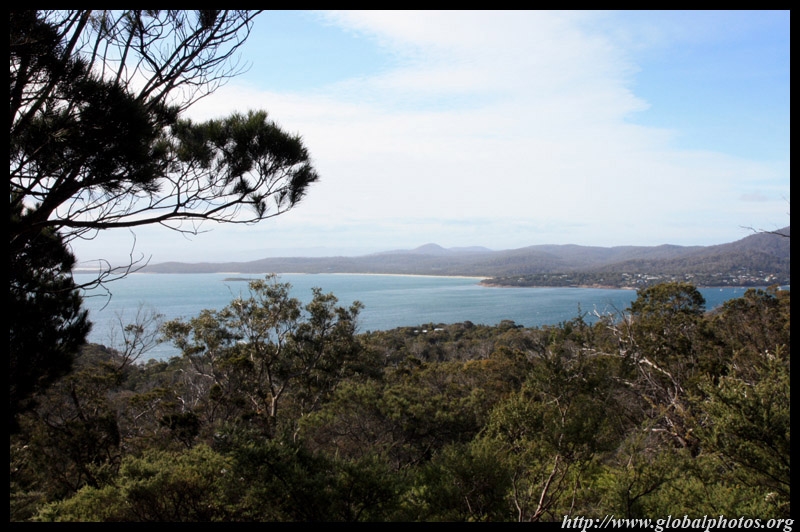
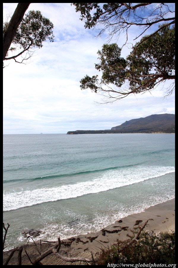
Wineglass Bay is on the east side and features a white sandy beach set against green hills and the blue ocean.
|
||||
|
|
|
|
|
|
|
|
|
|
|
||||
|
|
|
|
|
|
|
|
|
|
|
|
|
|
|
|
|
|
|
|
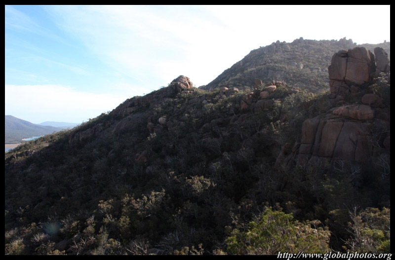
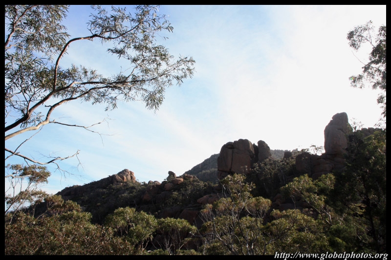
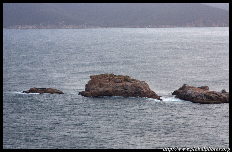
After the productive yet not exhausting hike, we continued by car to Sleepy Bay for more views of rocks and the ocean.
|
||||
|
|
|
||
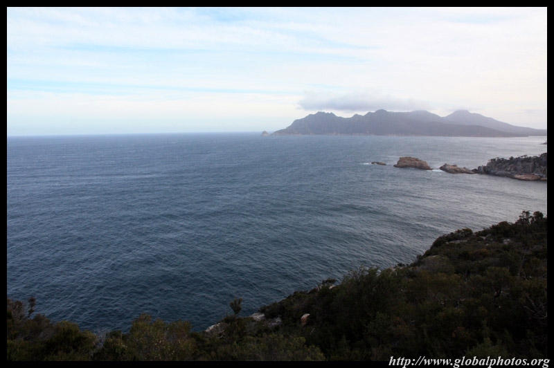
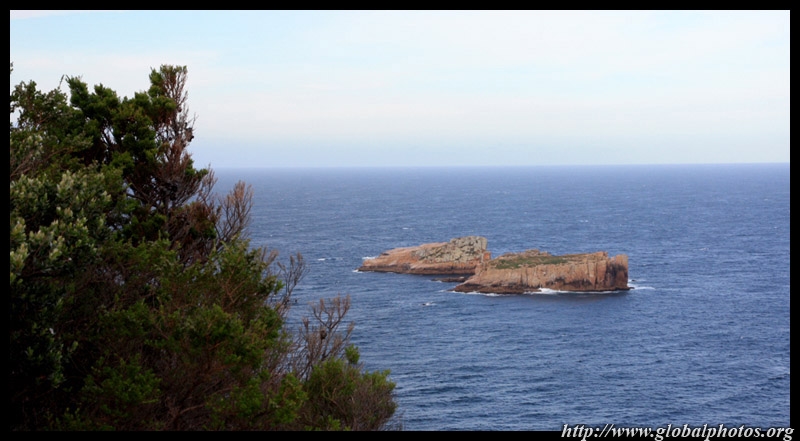
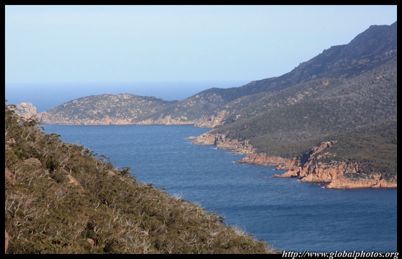
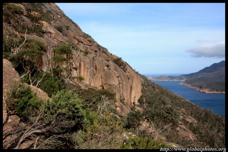
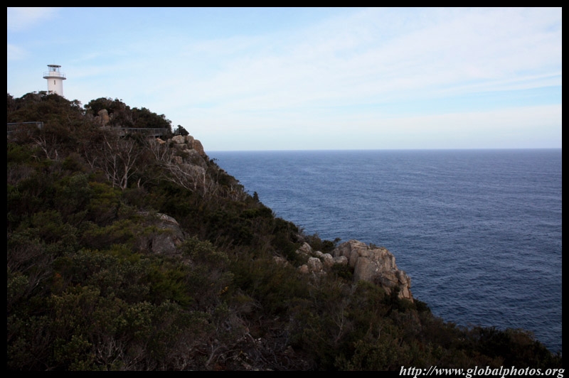
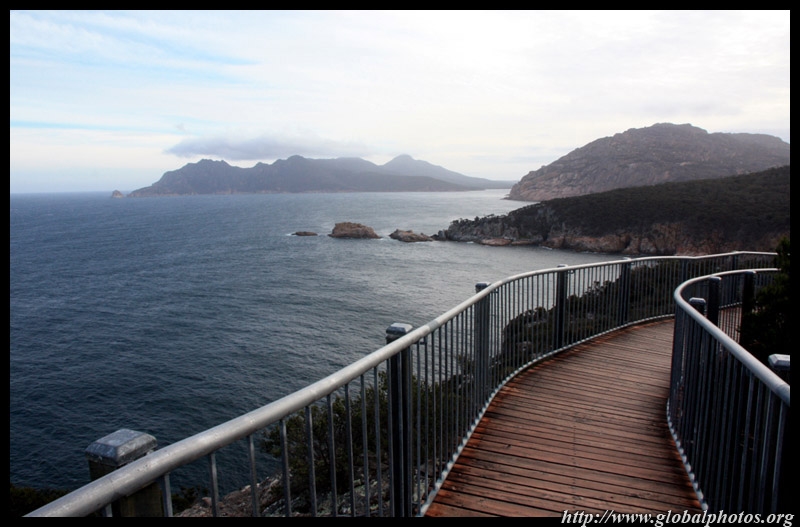
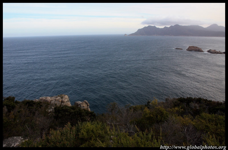
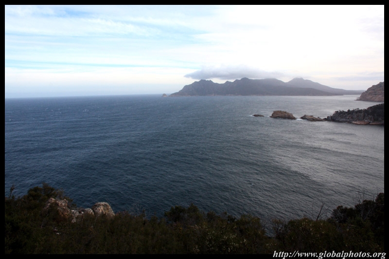
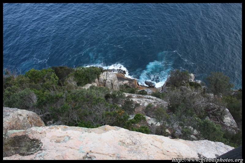
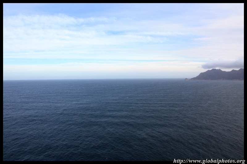
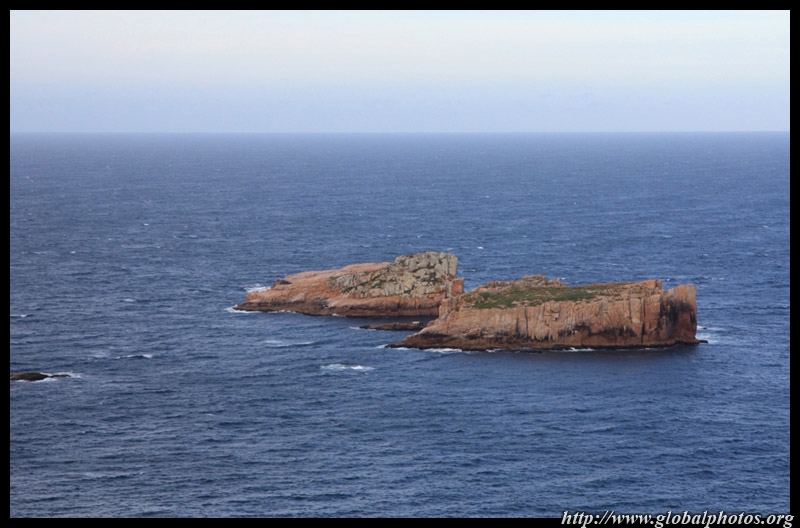
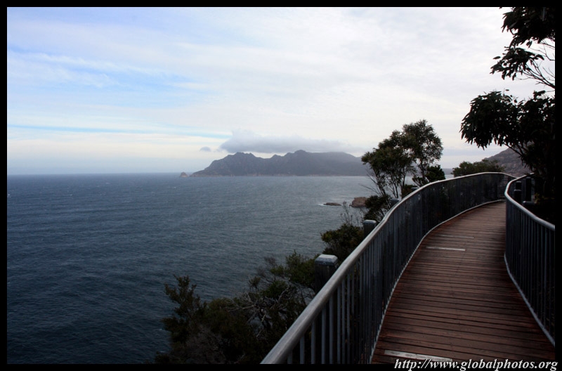
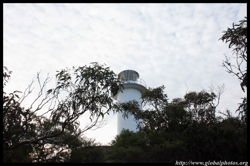
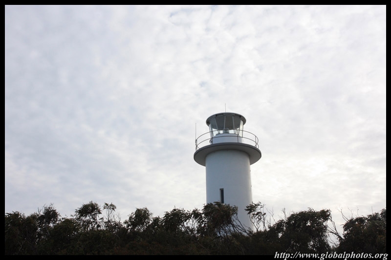
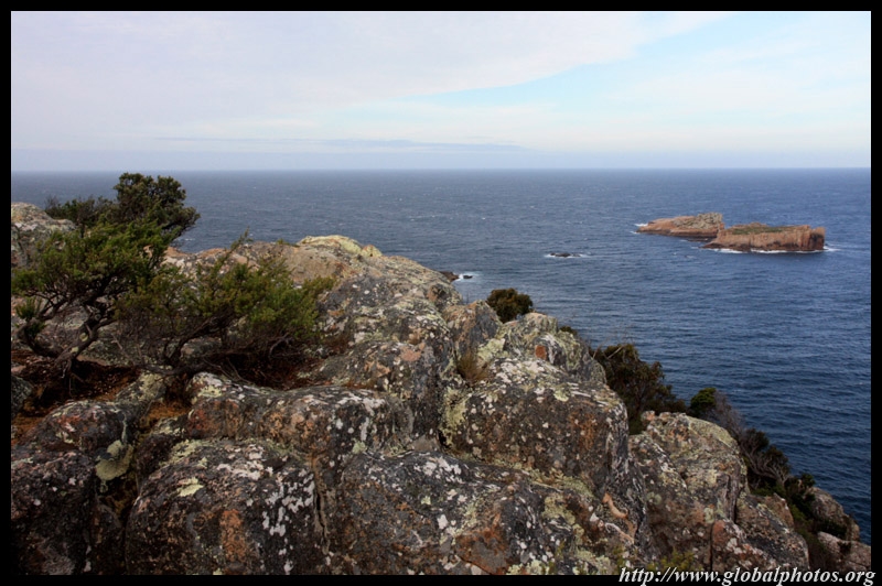
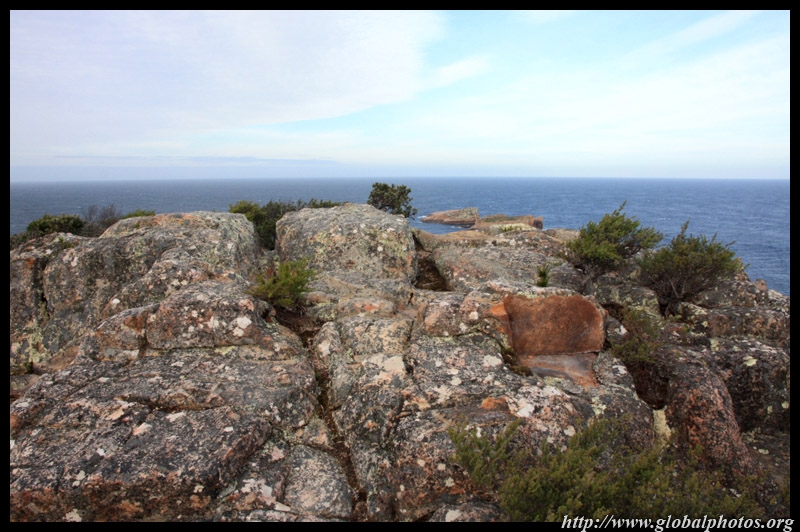
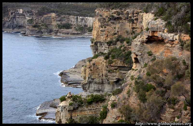
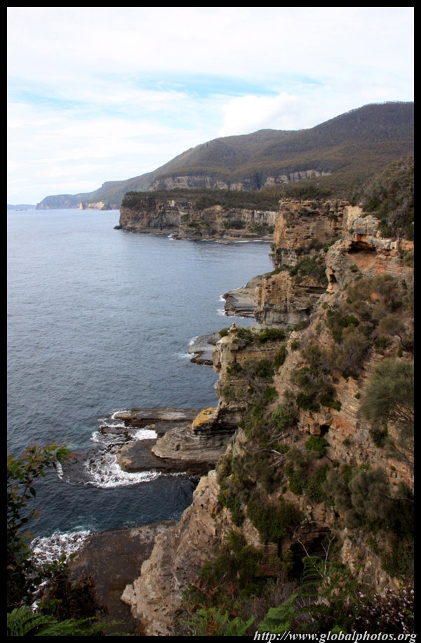
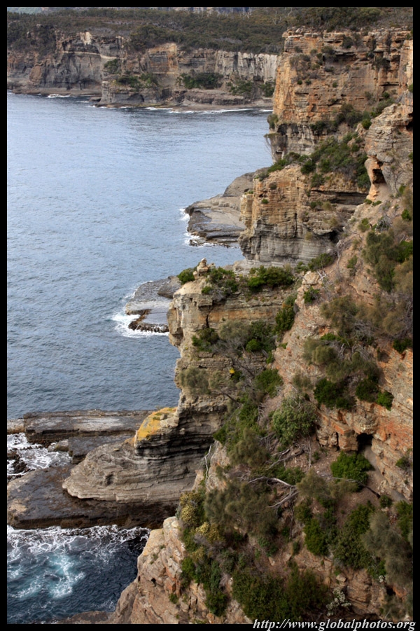
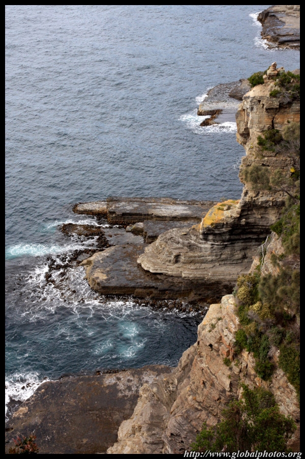
Our final stop in the national park is the walkway around the Cape Tourville lighthouse. Being elevated on top of the hill, the vantage point offered a very different perspective of the Tasman Sea.
|
||||
|
||||
|
|
|
|
|
|
|
|
|
|
|
||||
|
|
|
|
|
|
|
|
|
|
|
||||
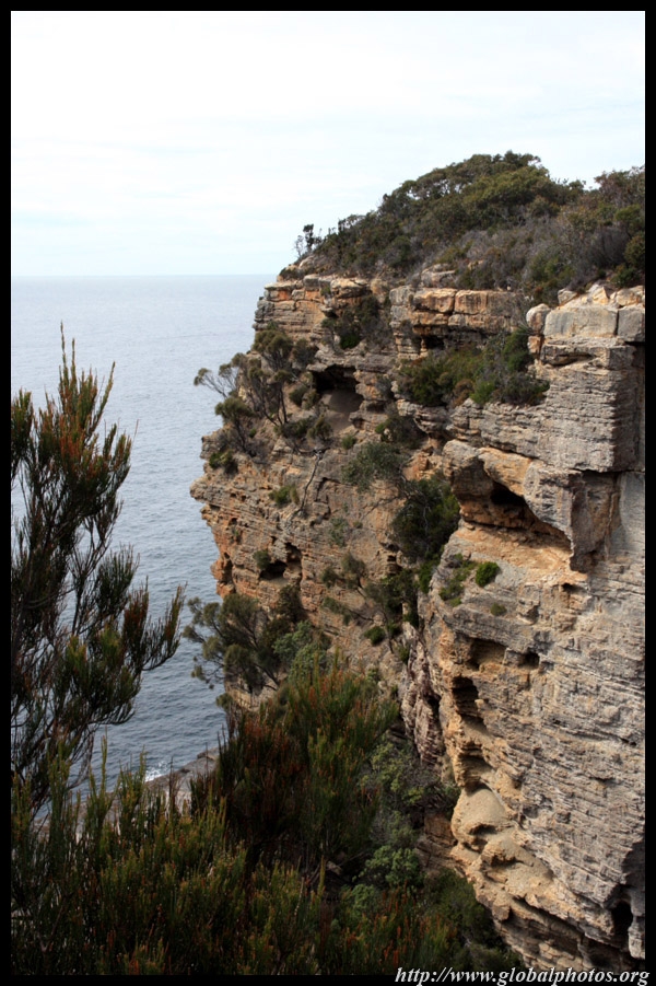
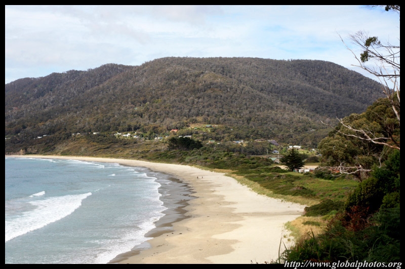
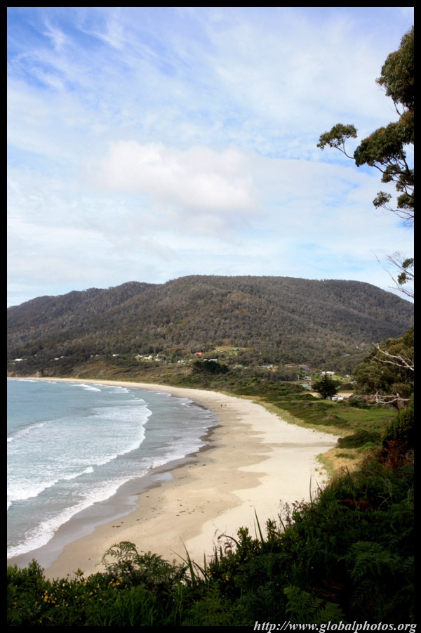
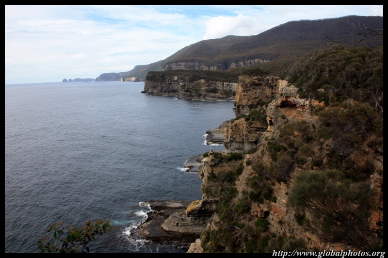
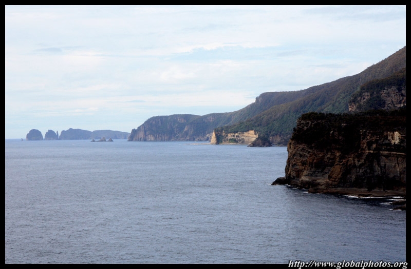
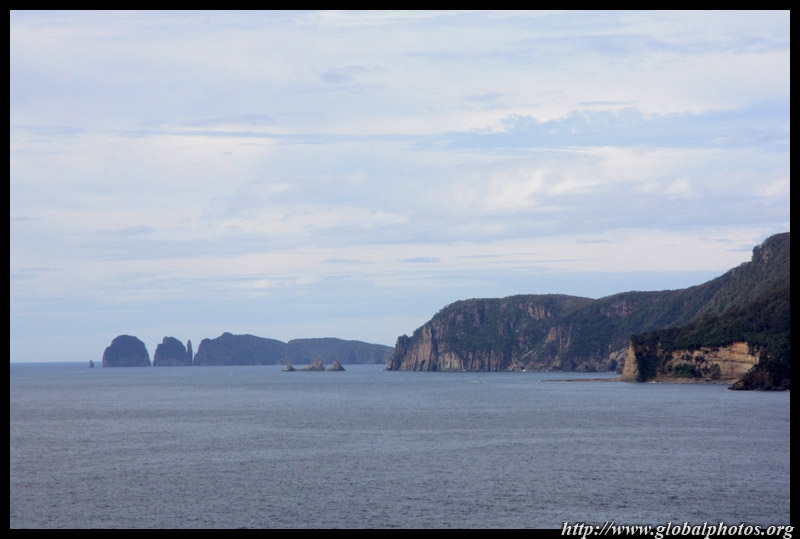
Eaglehawk Neck is an isthmus connecting the Tasman and Forestier Peninsulas. More untamed sandy beaches await.
|
||||
|
|
|
|
|
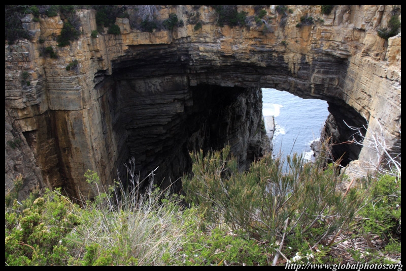
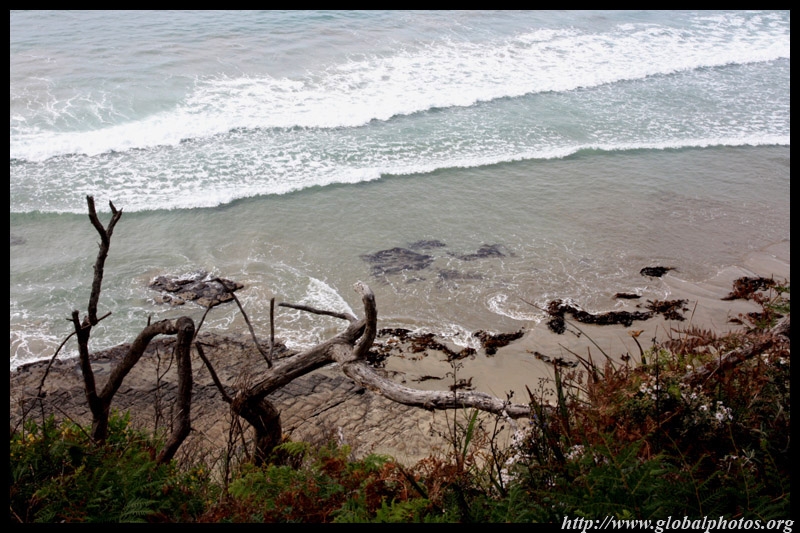
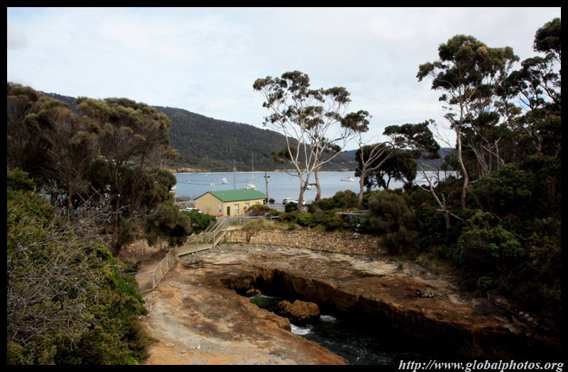
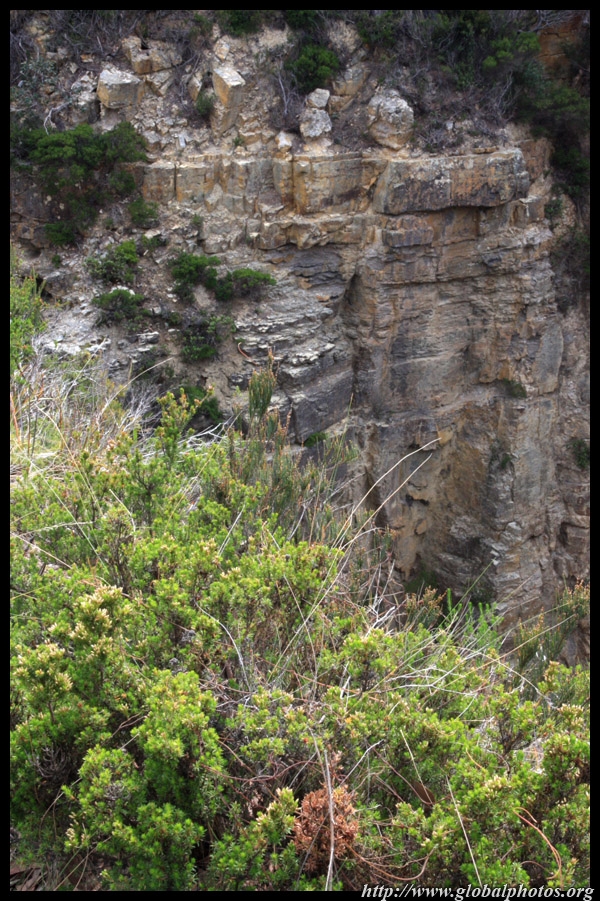
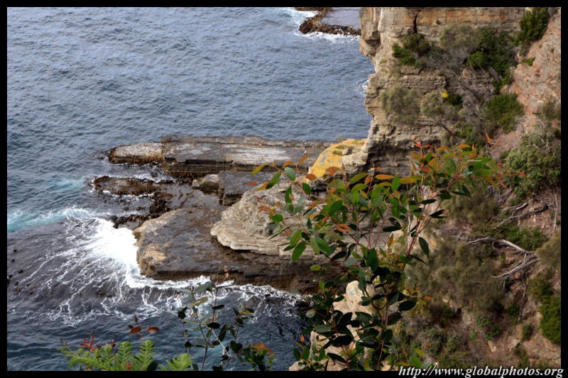
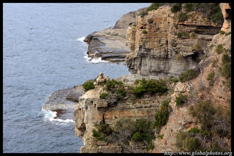
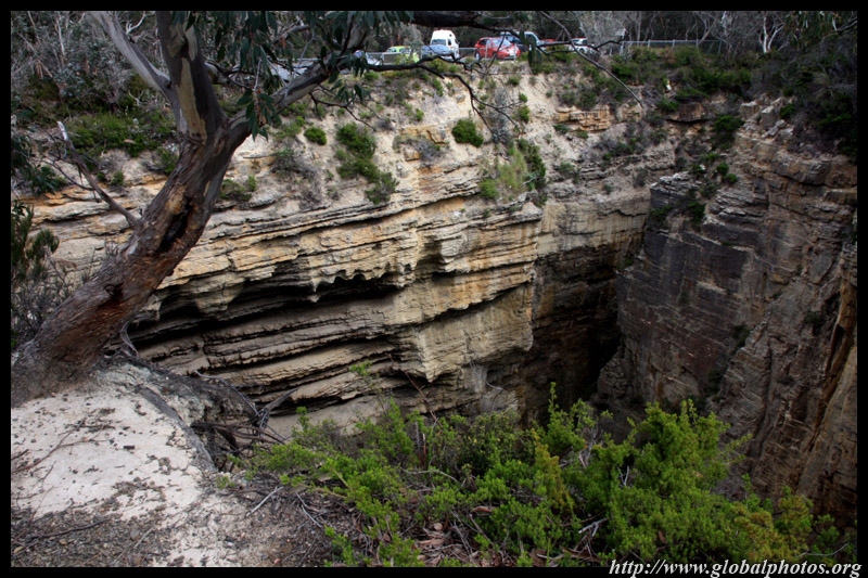
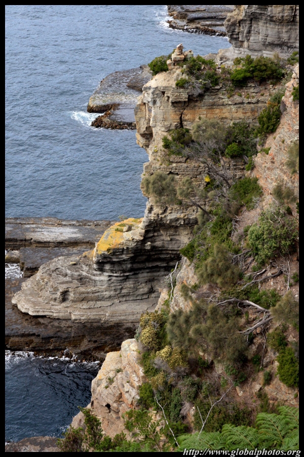
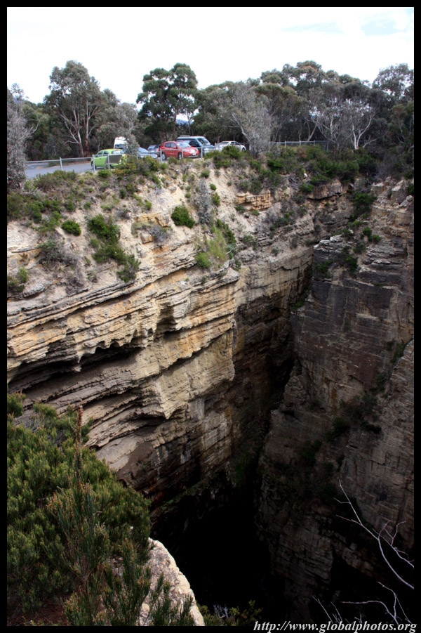
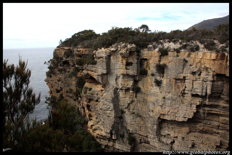
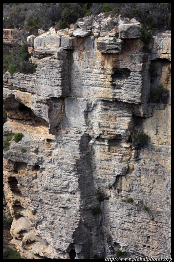
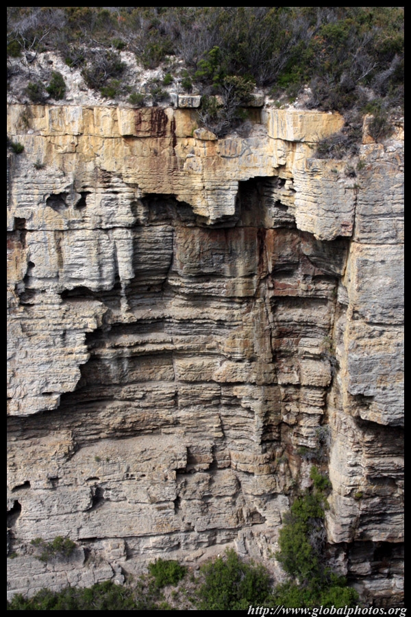
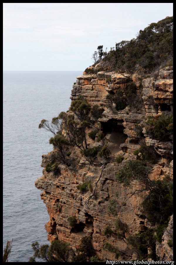
Several rock formations lie near Eaglehawk Neck. The first one is the Blowhole, although it was not ready to give a spectacular performance this morning. I prefer the Bicheno one, which looked more dramatic, being right next to the ocean. |
||||
|
|
|
|
|
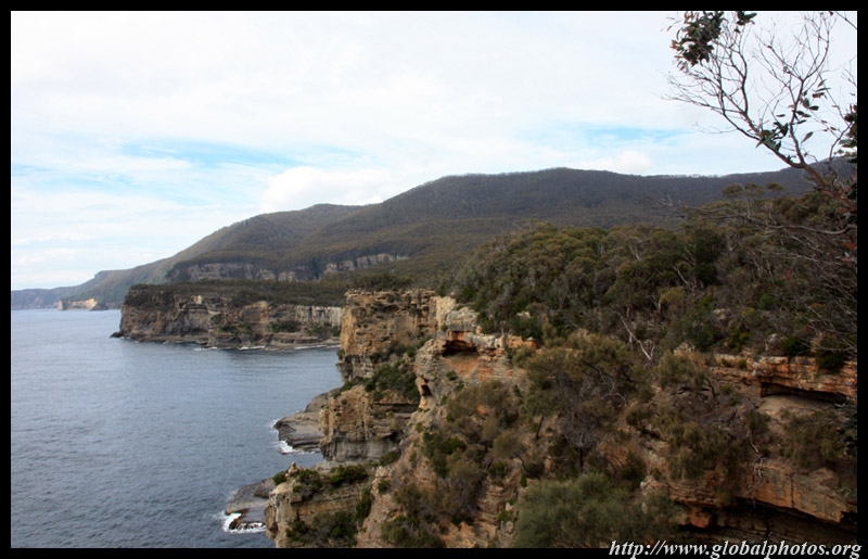
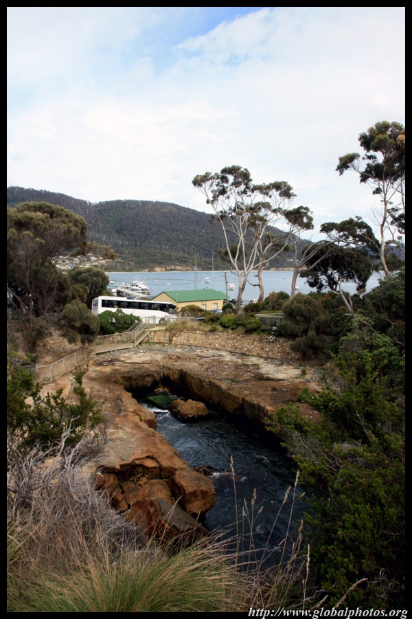
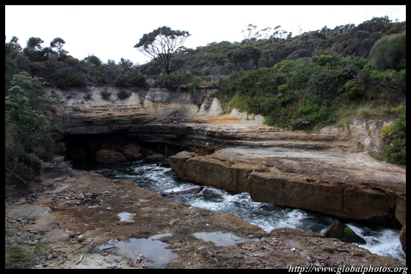
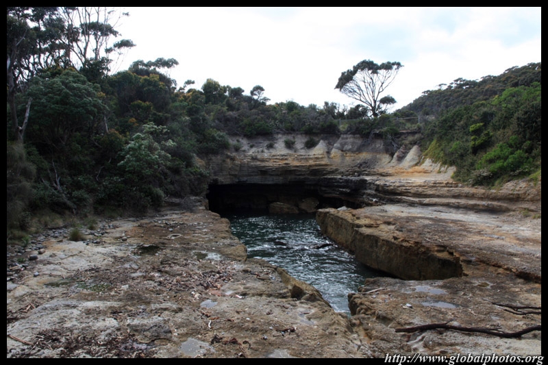
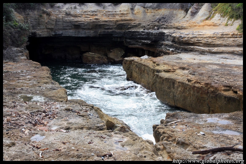
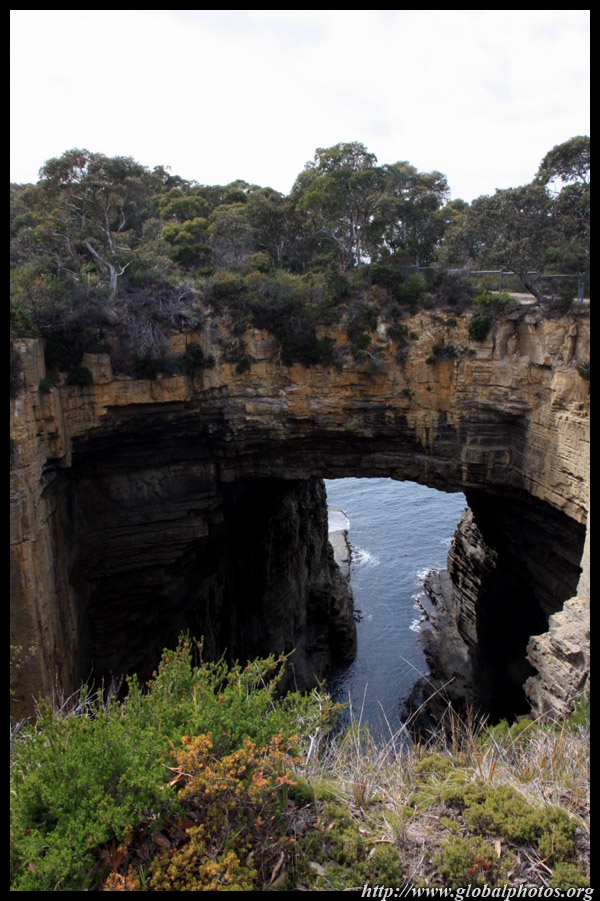
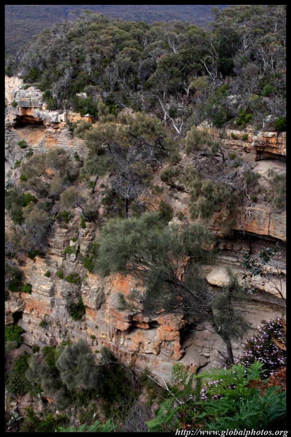
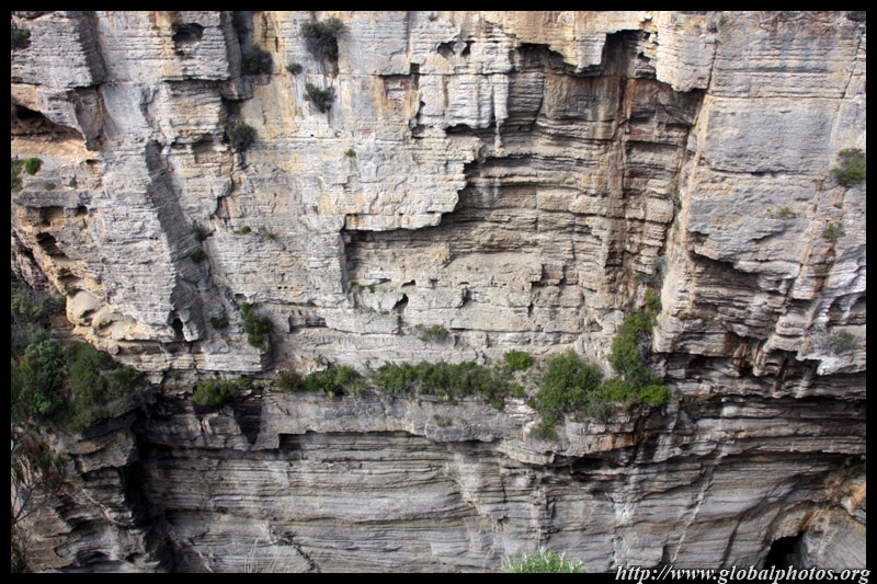
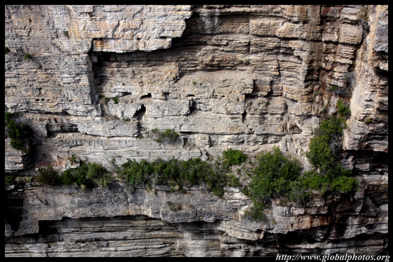
The Tasman Arch is the renant of a sea cave created by the force of water over time. Further erosion will eventually cause the arch to collapse.
|
||||
|
|
|
|
|
|
|
|
|
|
|
||||
|
|
|
|
|
|
|
|
|
|
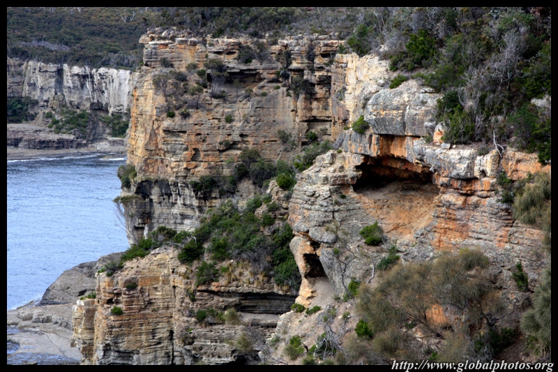
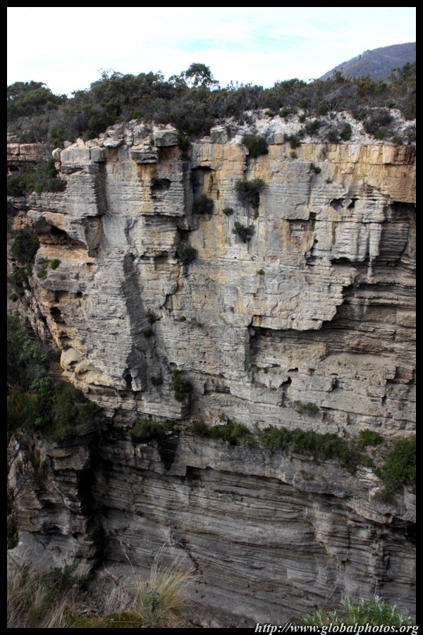
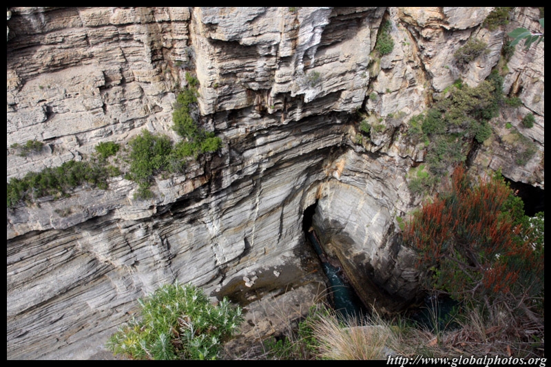
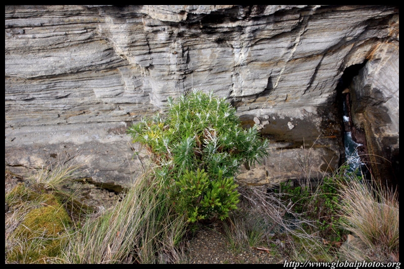
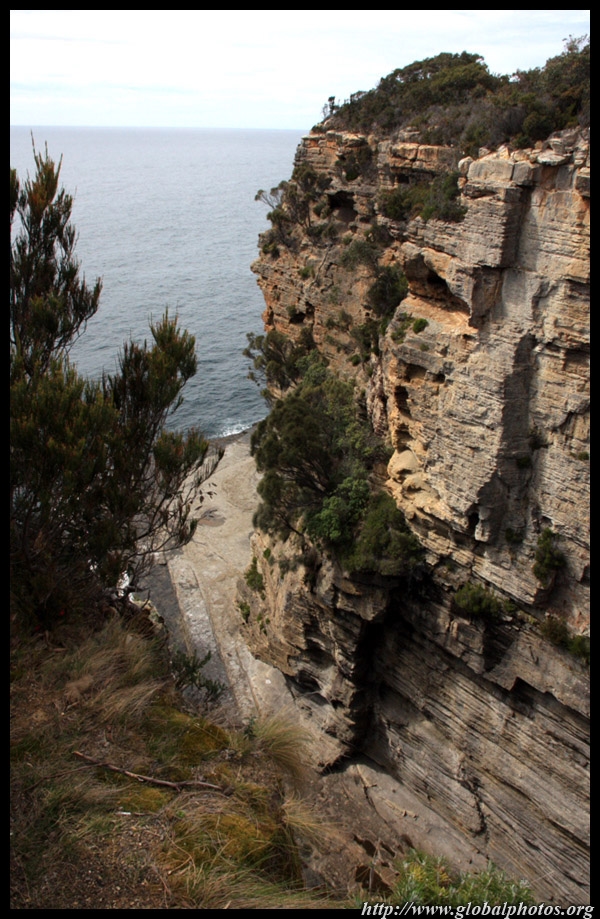
Below here is the Devil's Kitchen, which is what the Tasman Arch would look like after it collapses. From this angle, the narrow strip of water below is not visible at all.
|
||||
|
|
|
|
|
|
||||
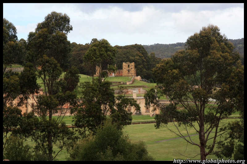
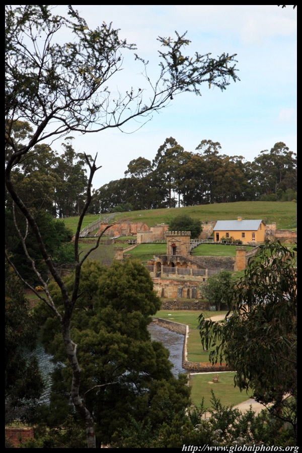
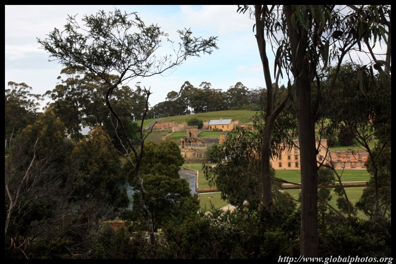
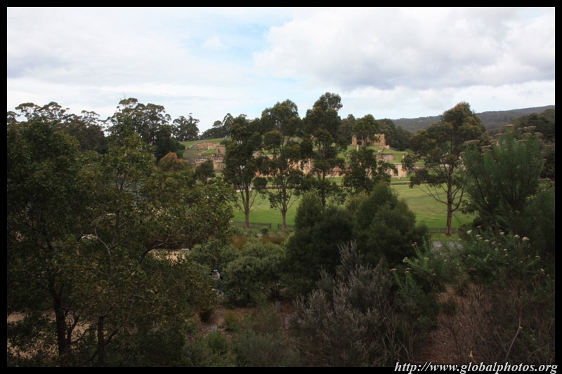
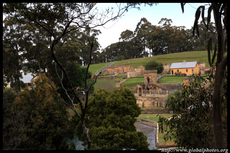
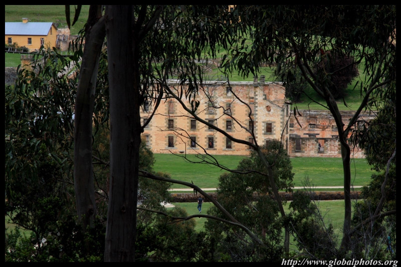
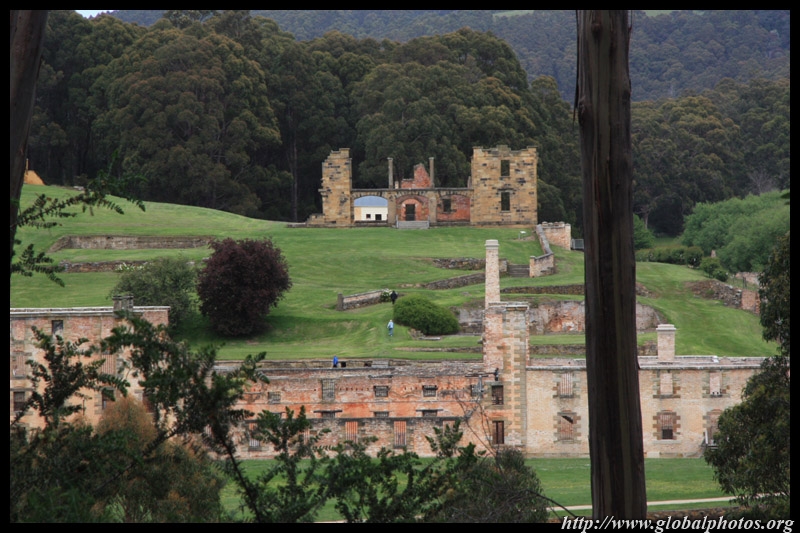
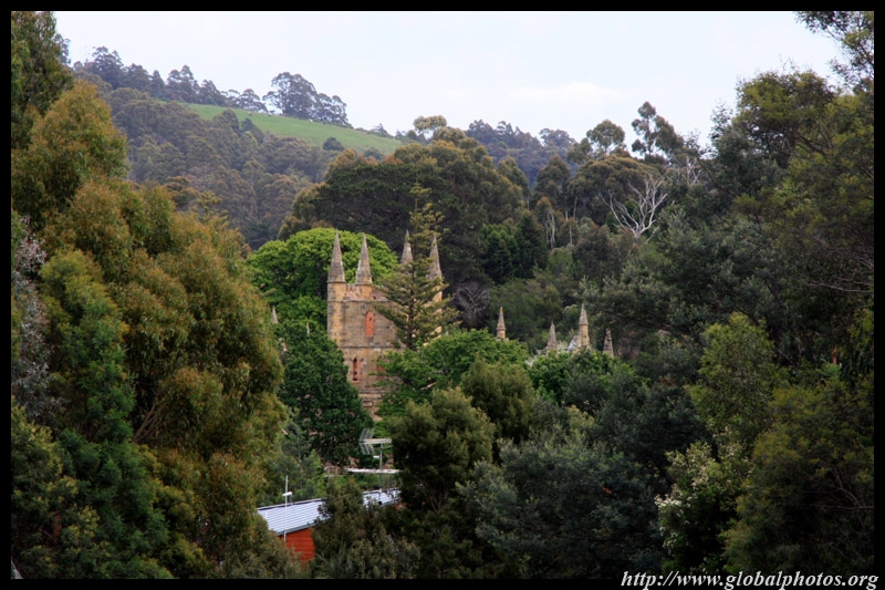
Australia's convict sites were included as UNESCO World Heritage in 2010. Port Arthur is one of these sites and has about 30 buildings dating from the 19th century. Its convict history did not scare me, but the steep admission did.
|
||||
|
|
|
|
|
|
|
|||
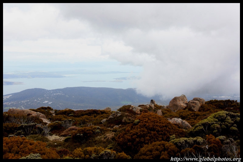
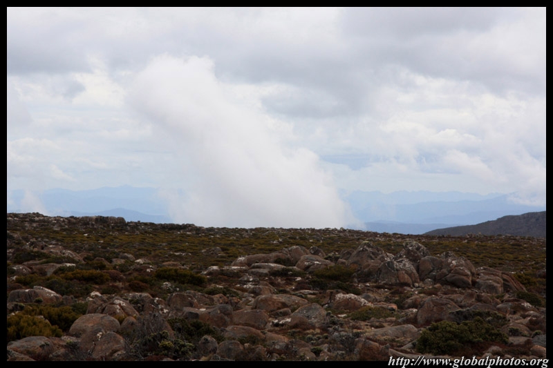
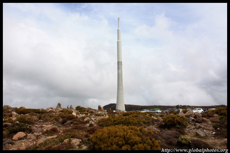
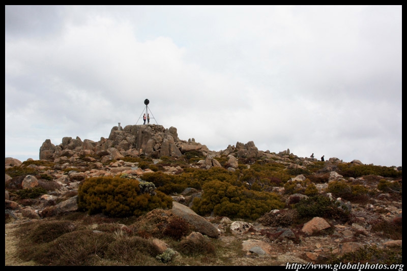
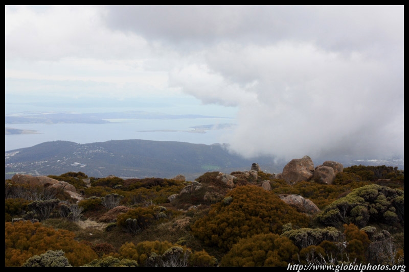
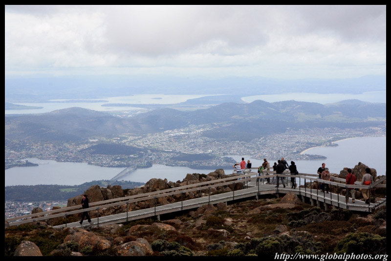
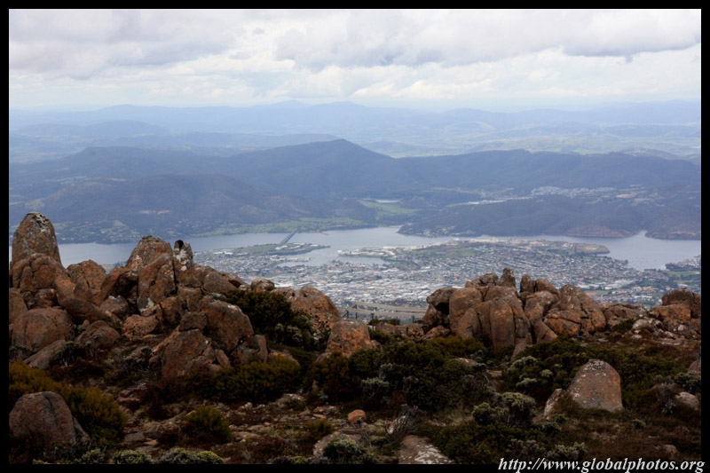
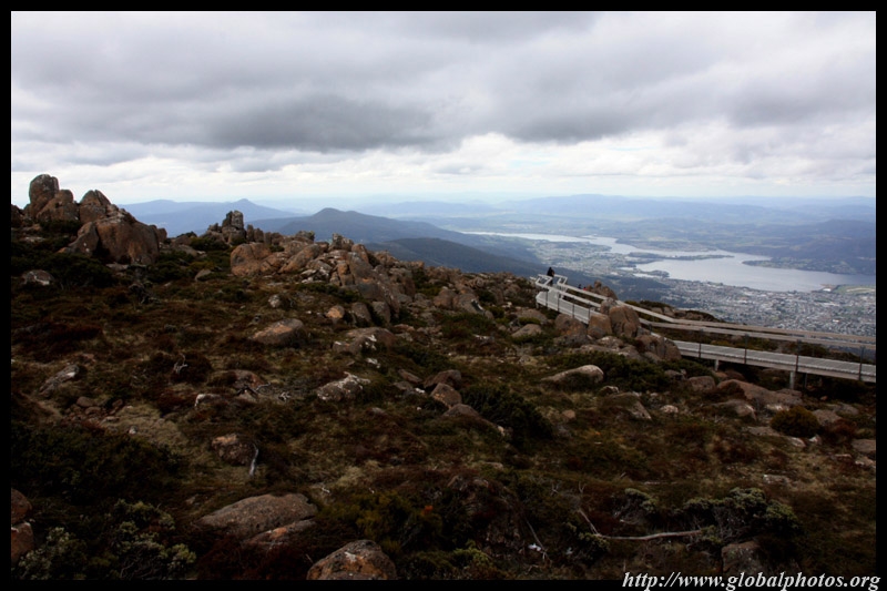
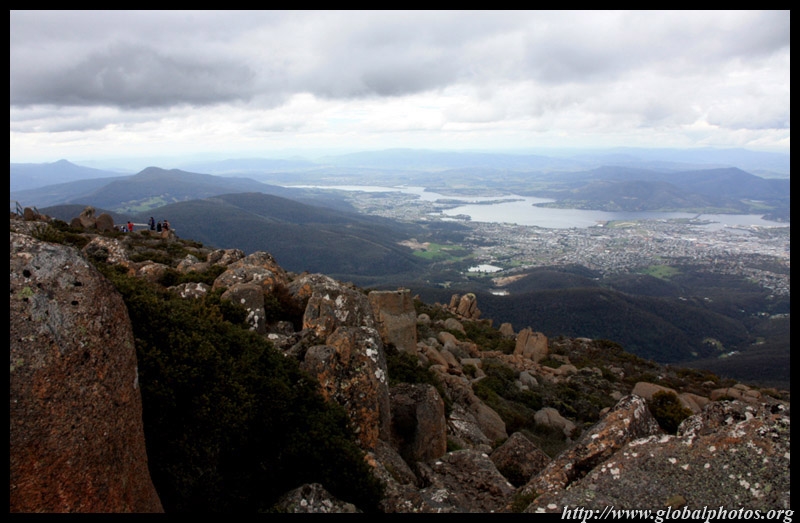
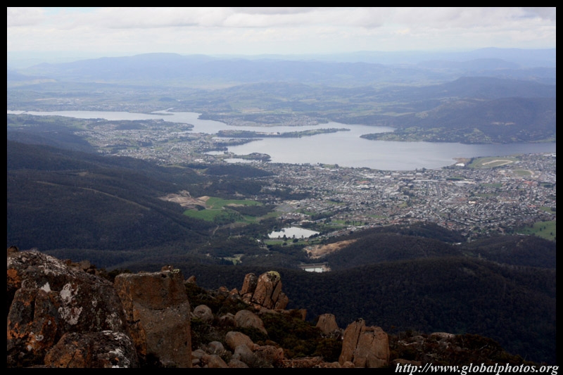
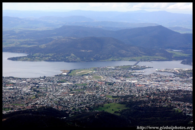
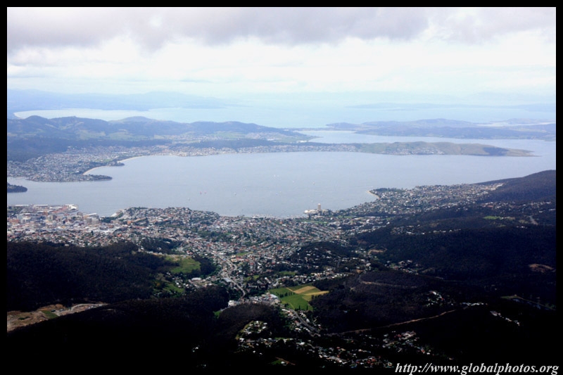
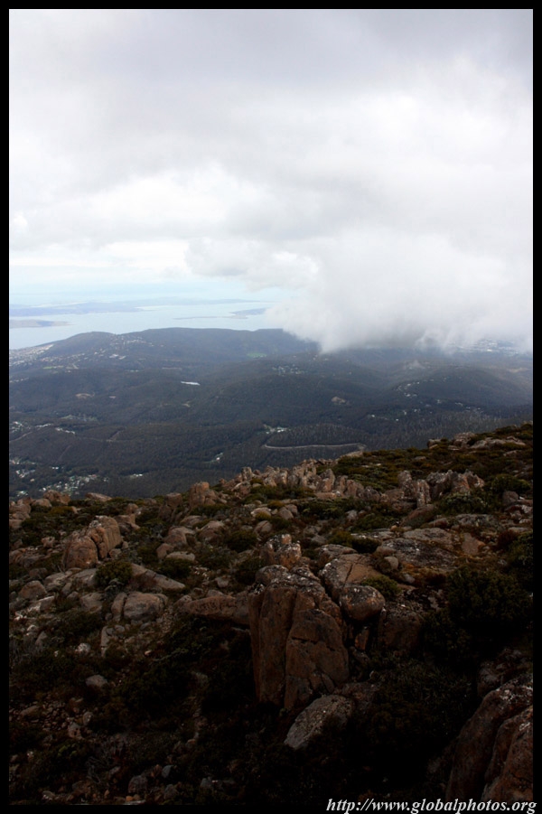
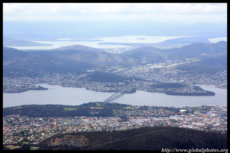
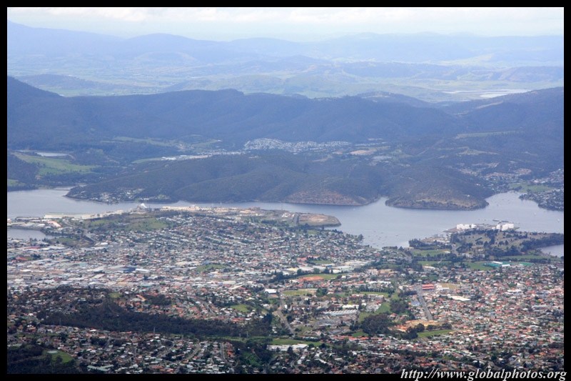
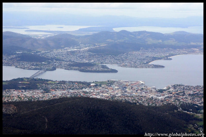
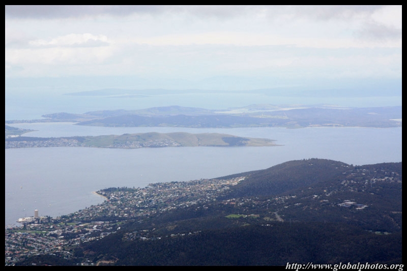
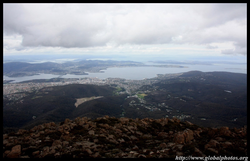
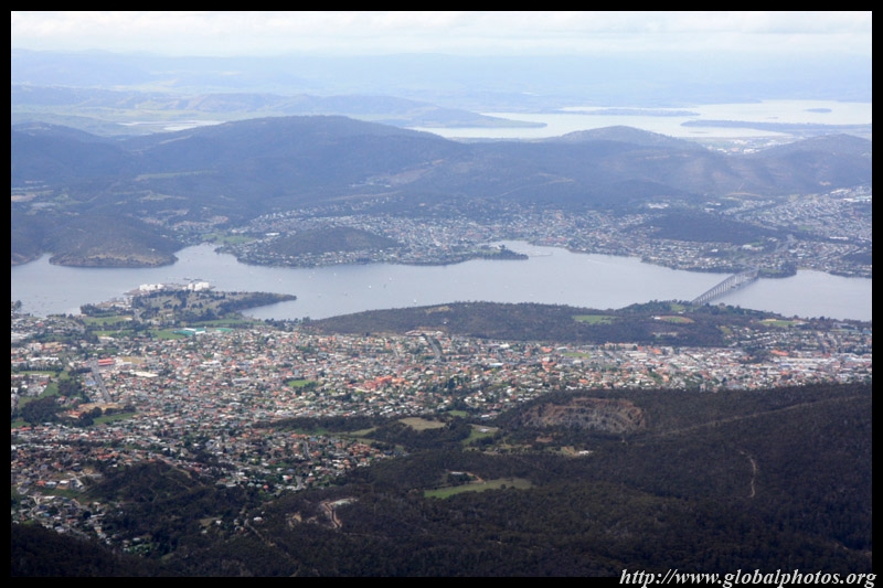
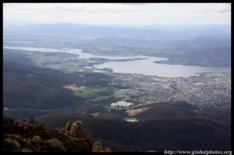
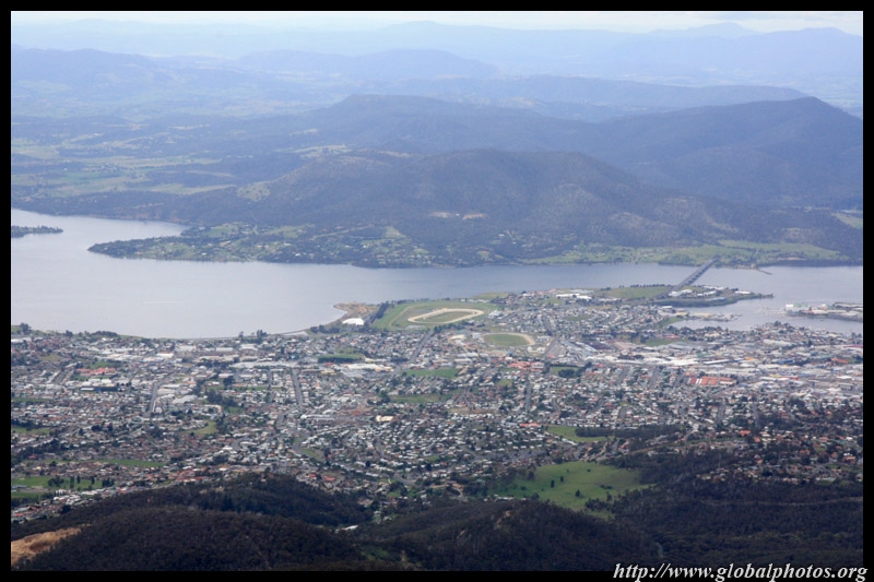
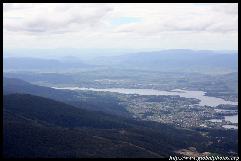
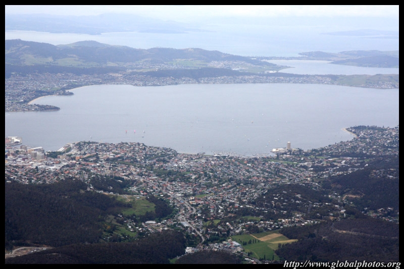
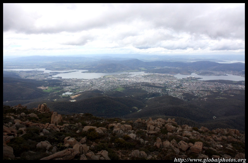
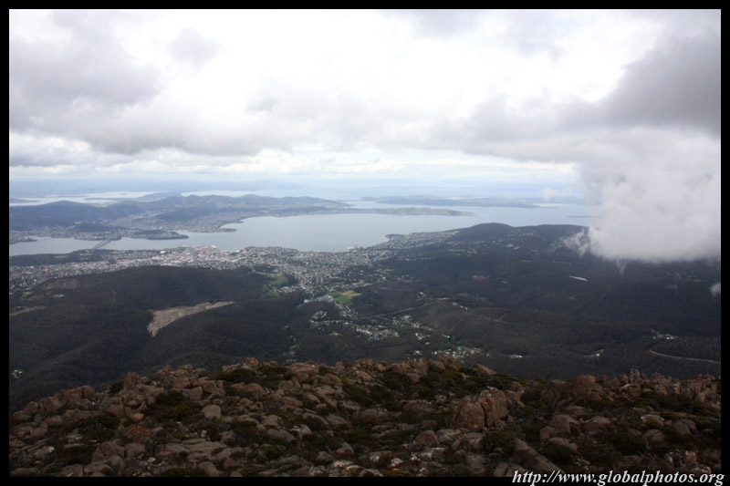
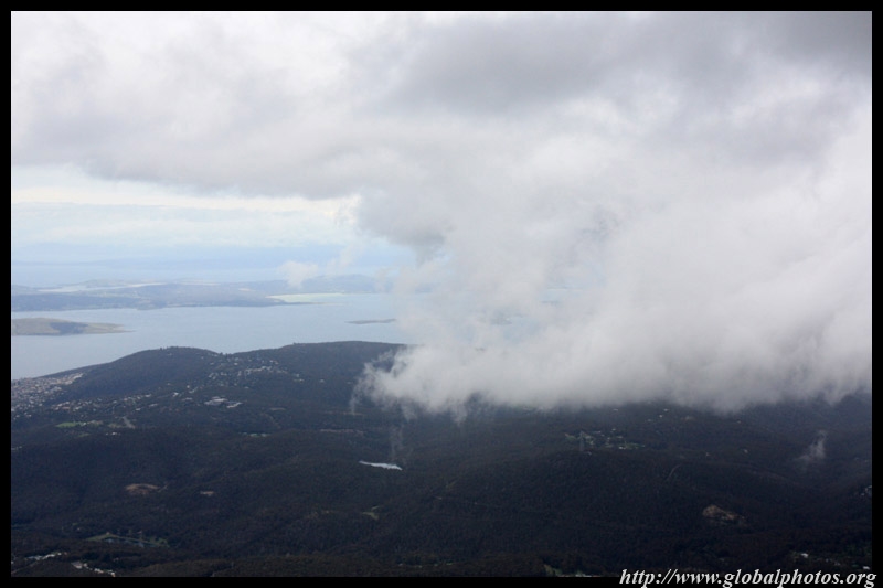
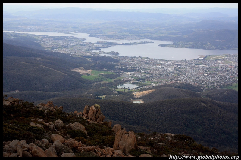
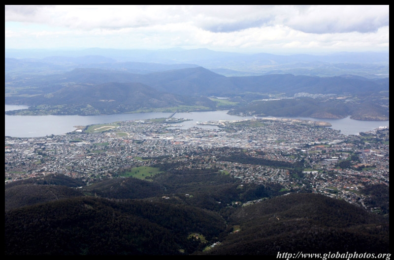
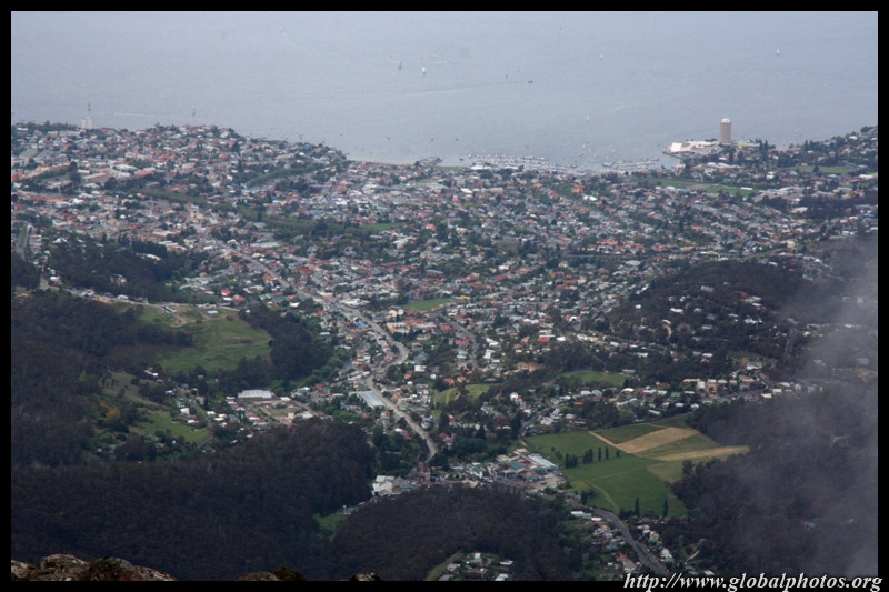
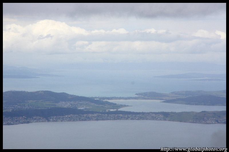
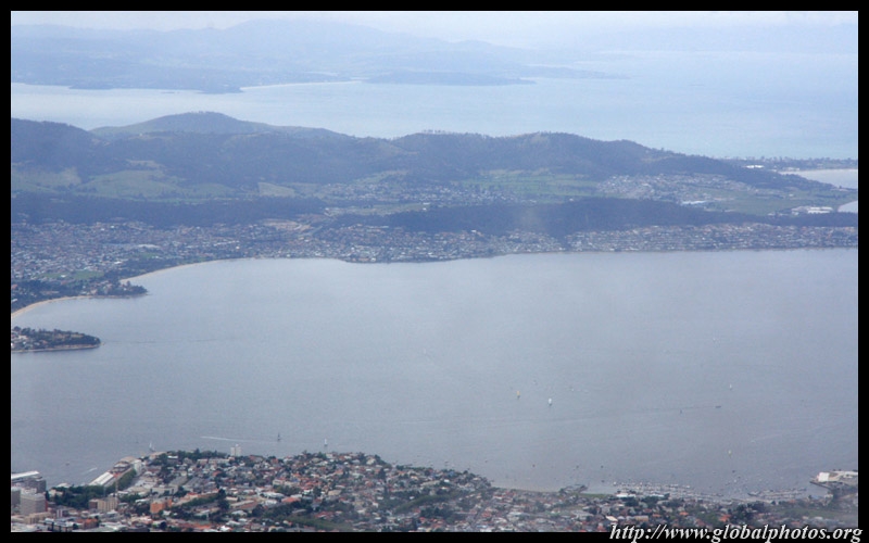
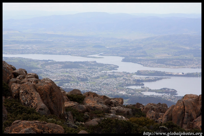
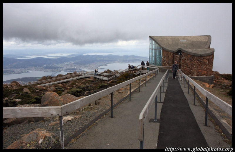
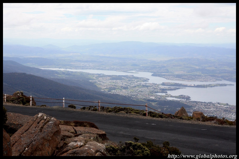
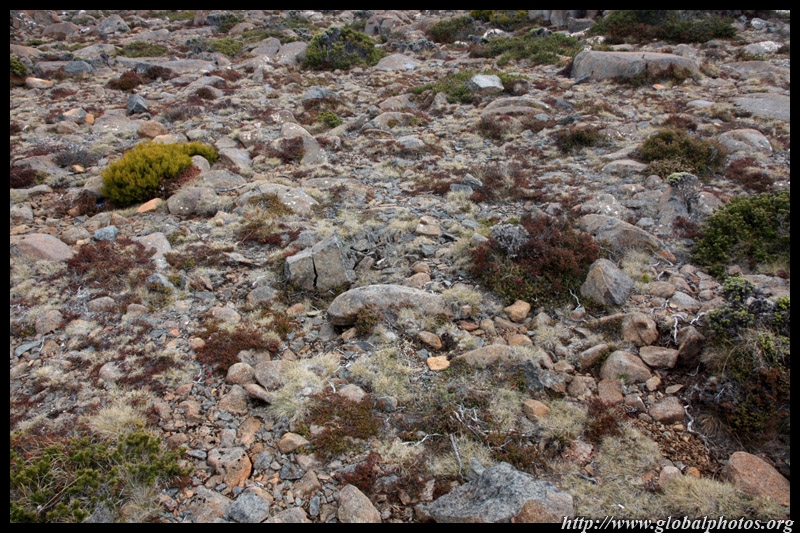
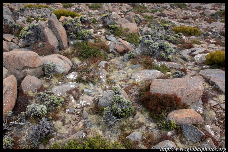
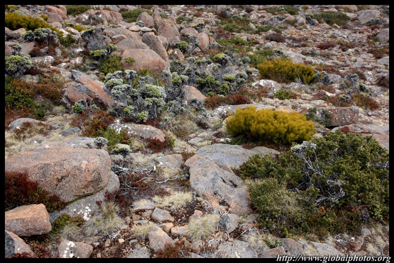
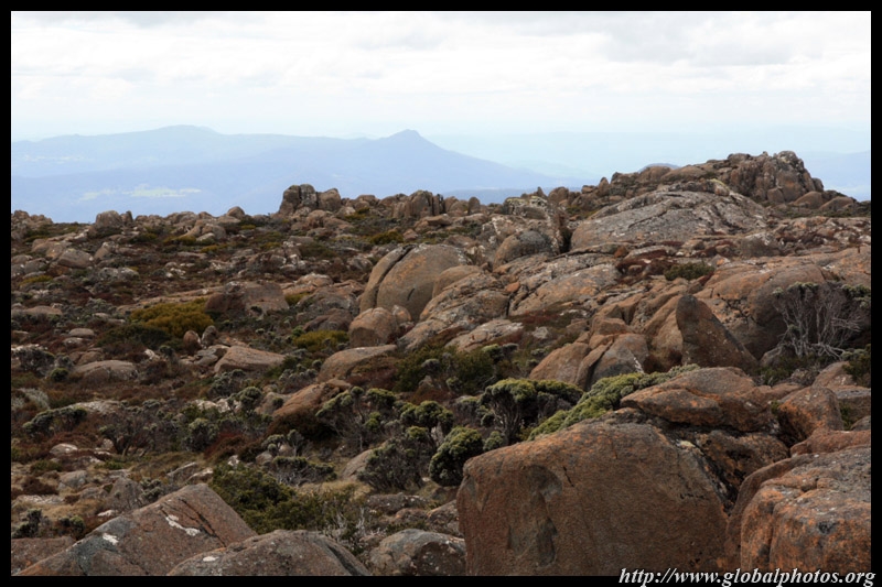
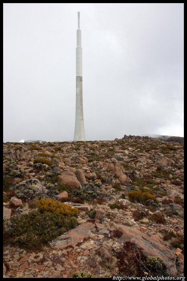
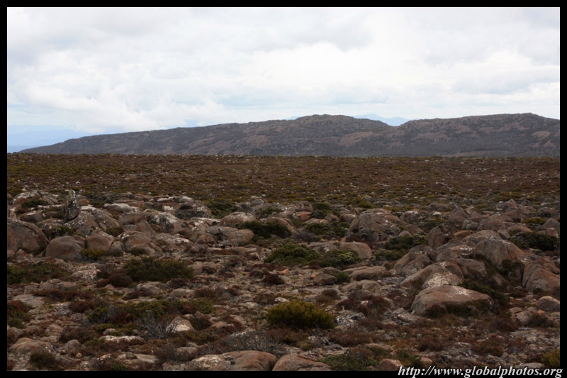
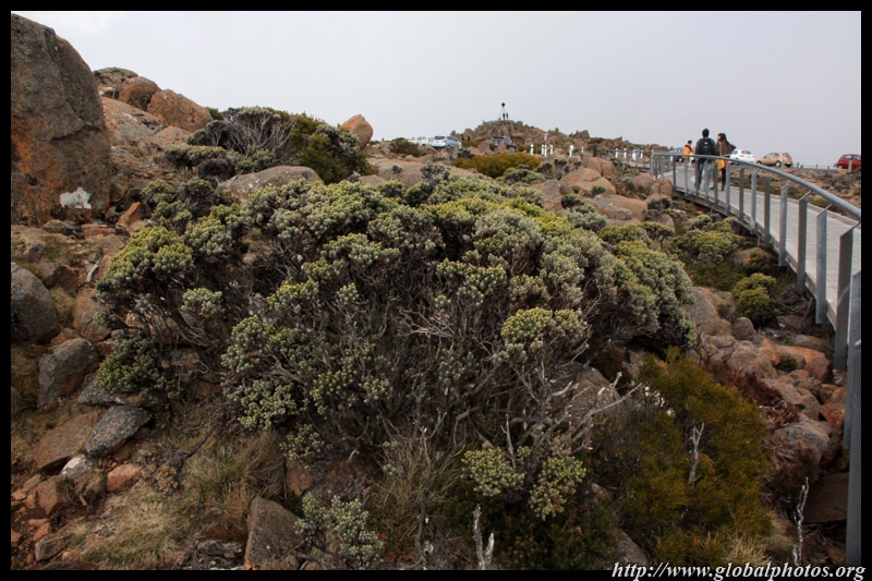
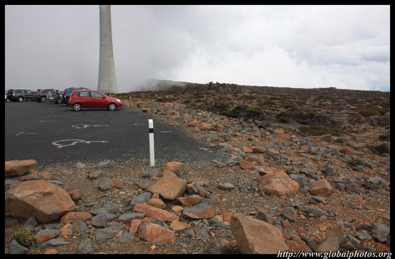
The road to Mount Wellington's Pinnacle is narrow but paved. After a long winding way up, we reached cloud-level, and could not believe the aerial views that awaited us.
|
||||
|
|
|
|
|
|
|
|
|
|
|
|
|
|
|
|
||||
|
|
|
|
|
|
|
|
|
|
|
|
|
|
|
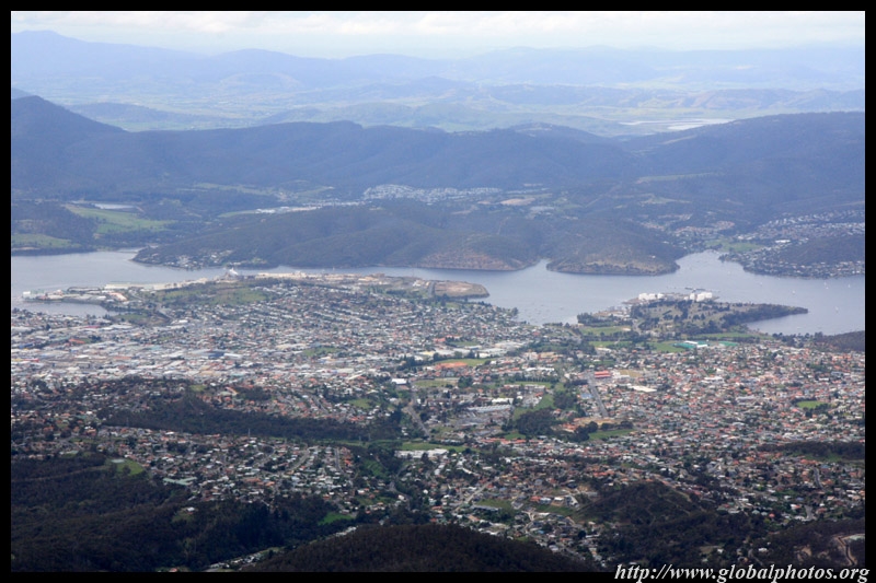
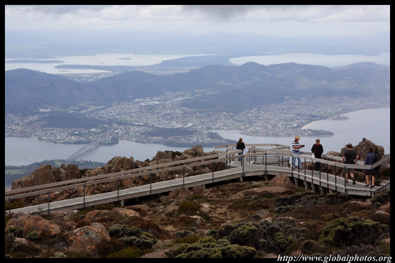
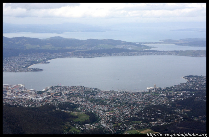
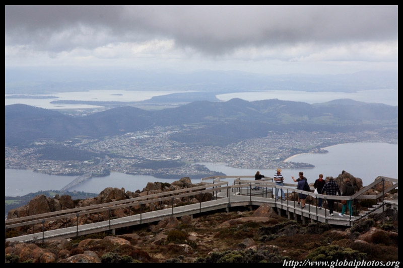
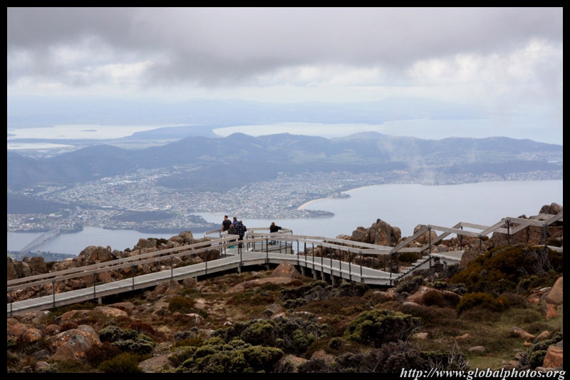
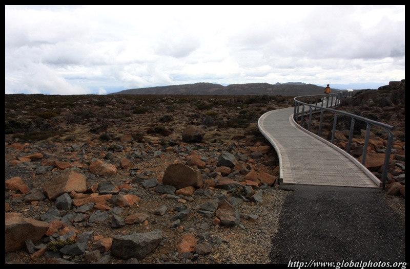
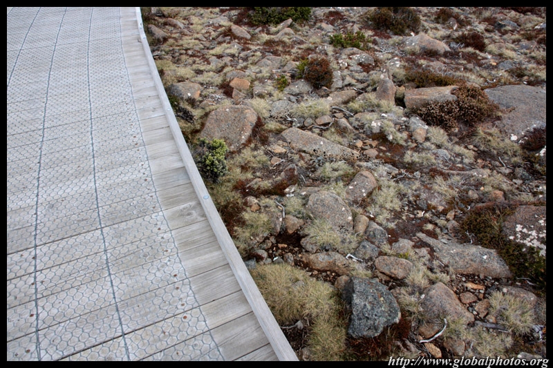
A long walkway stretches along the best part of the summit so visitors could enjoy the views of Hobart and its beautiful natural surroundings. It is so high up that it feels like winter has arrived.
|
||||
|
|
|
|
|
|
|
|
|
|
|
|
|
|
|
|
||||
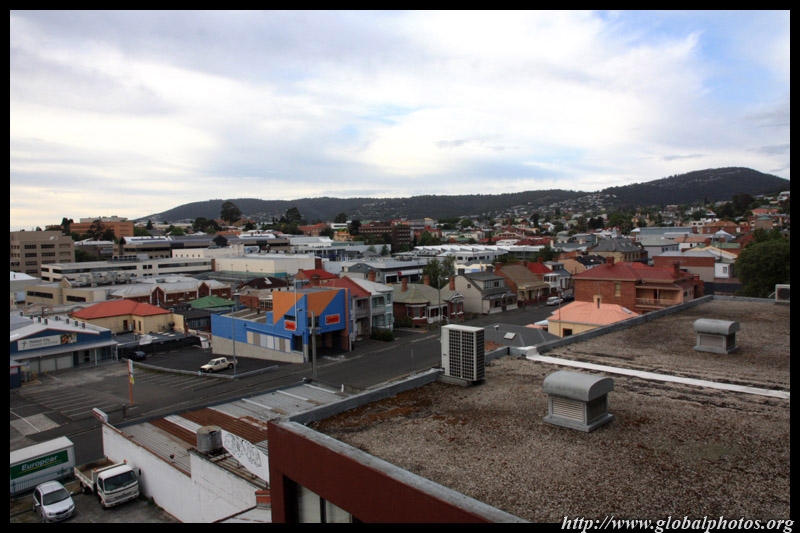
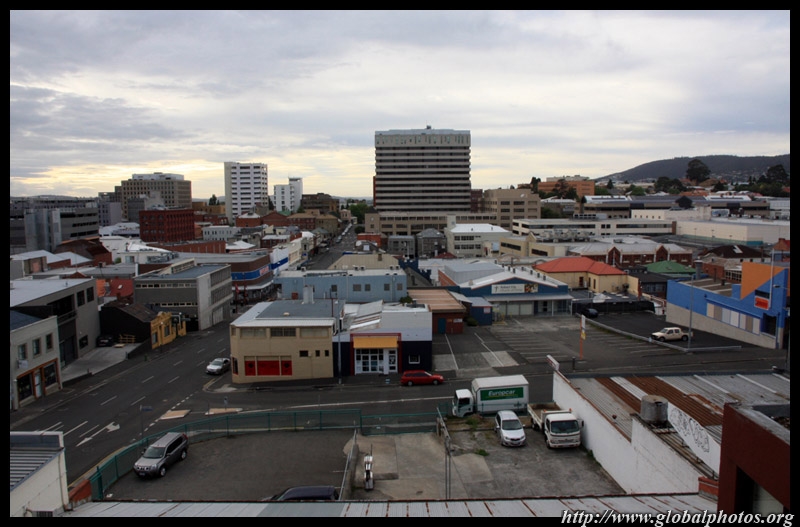
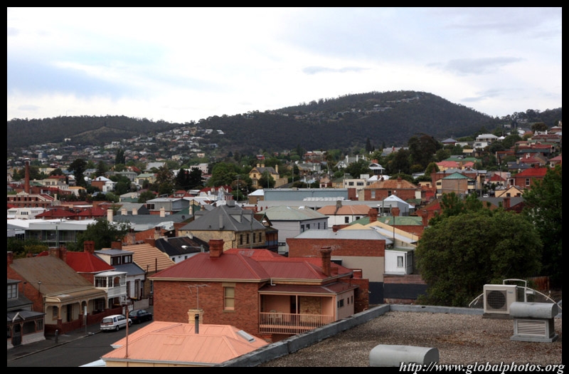
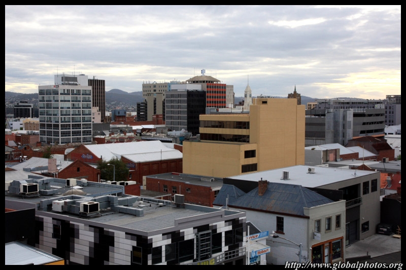
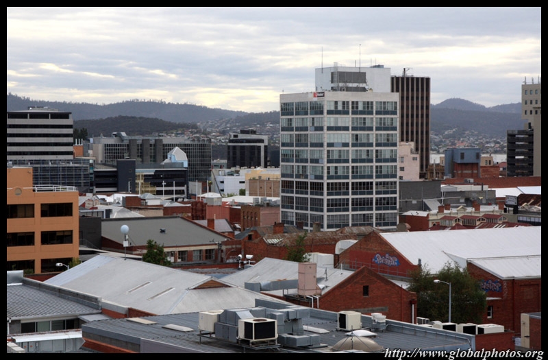
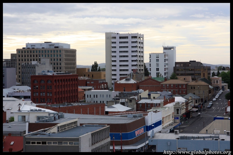
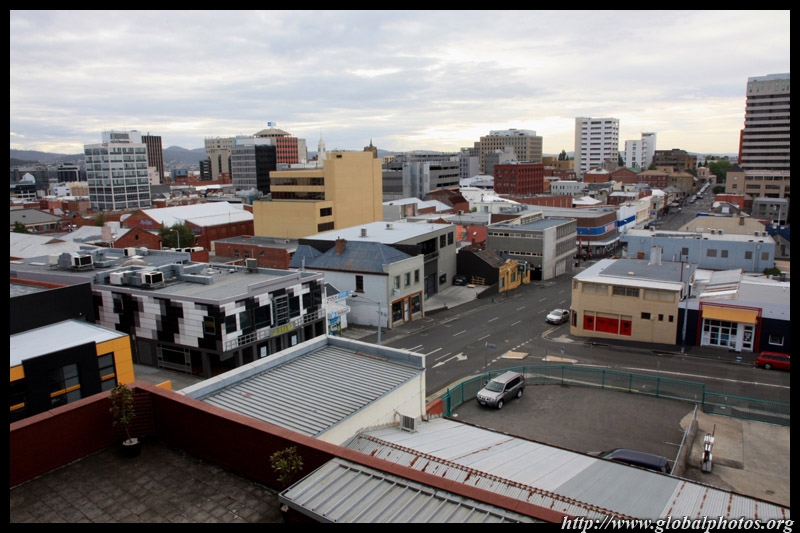
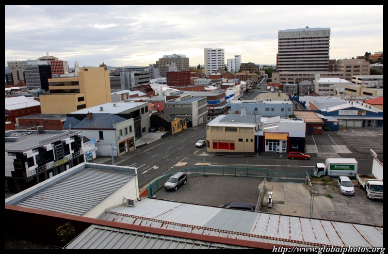
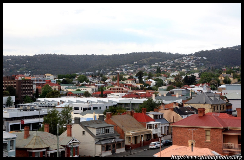
Back near sea level, Hobart is the smallest state capital in Australia. The early Sunday morning was especially serene and quiet.
|
||||
|
|
|
|
|
|
|
|
||
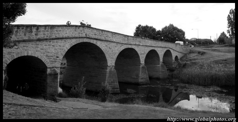
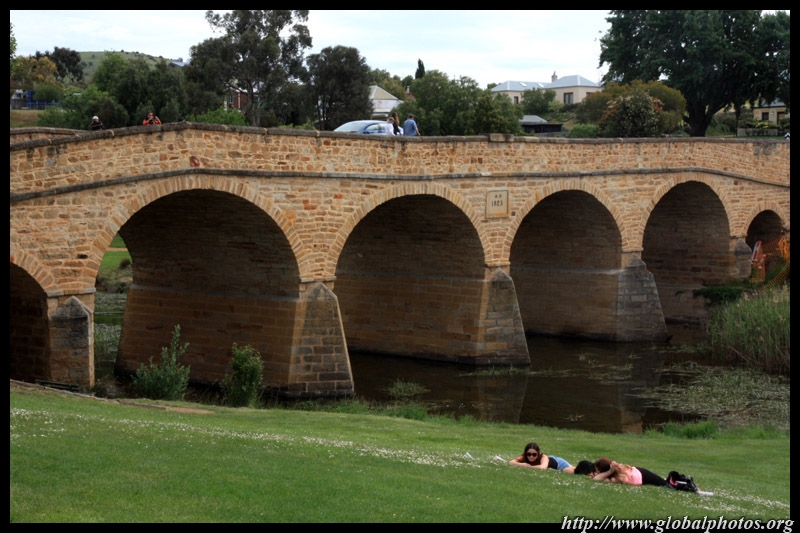
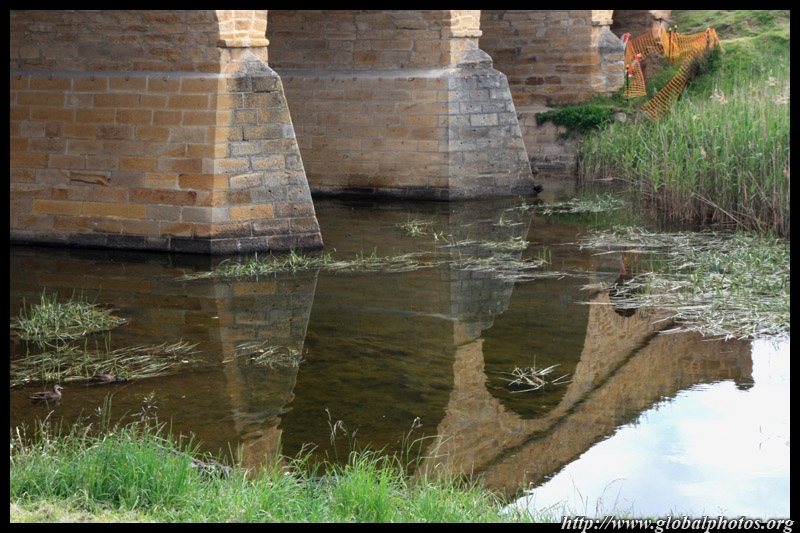
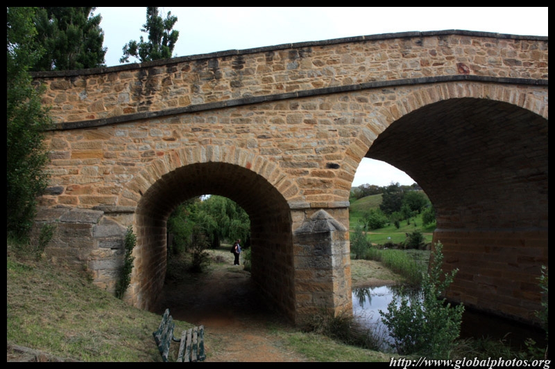
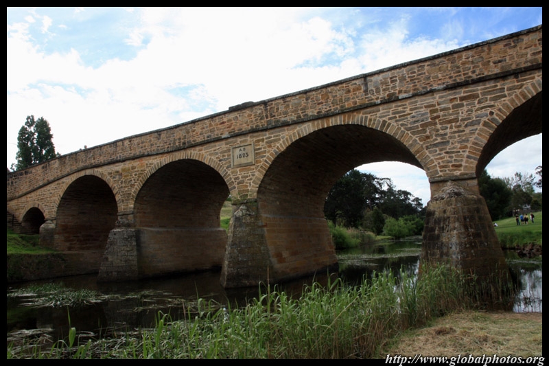
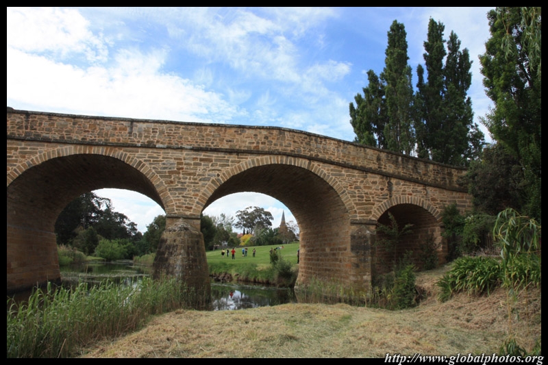
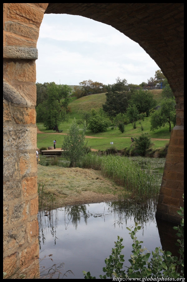
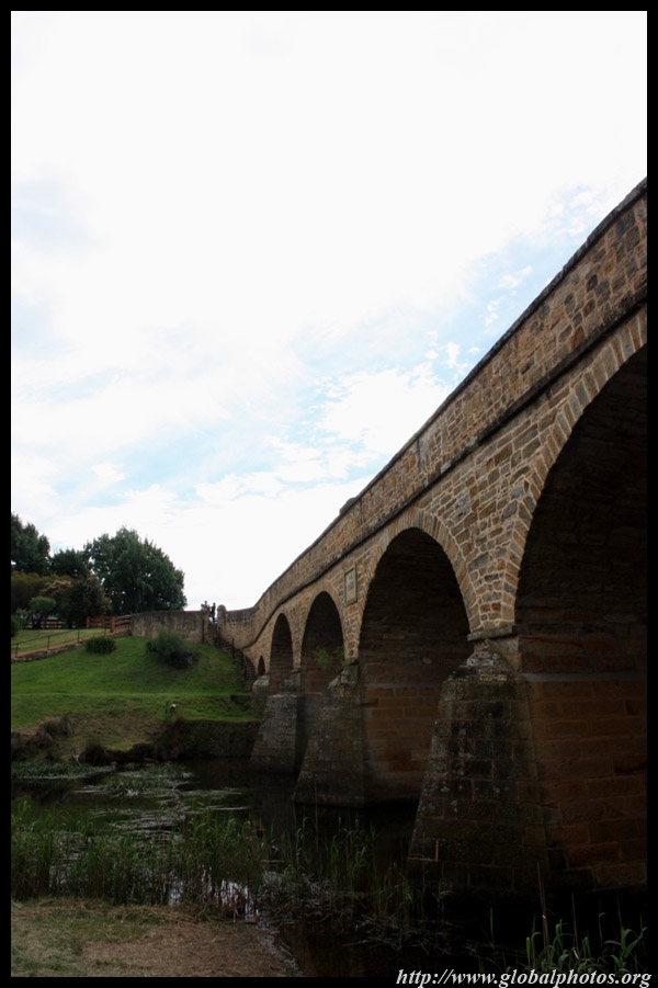
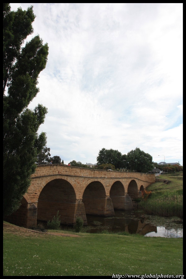
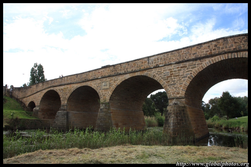
Richmond was a major convict station and military outpost during the colonial days. Many buildings from the era have survived and all this is only a short drive from Hobart. Pictured here is Australia's oldest bridge, which was completed in 1825 by convict labour.
|
||||
|
|
|
|
|
|
|
|
|
|