Toronto Photo Gallery - Central Waterfront
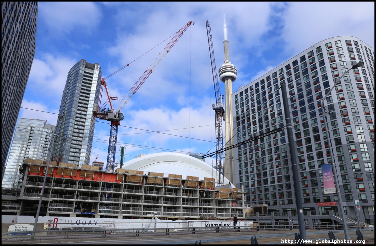
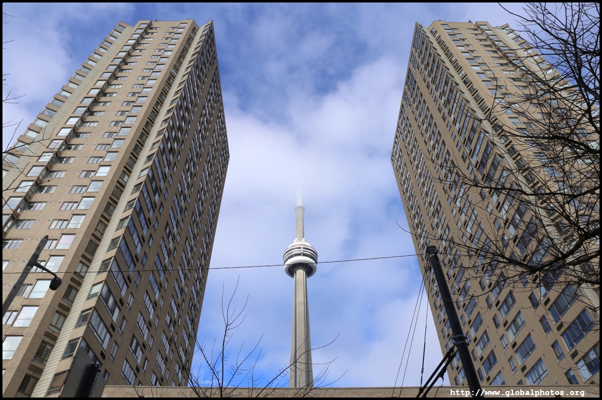
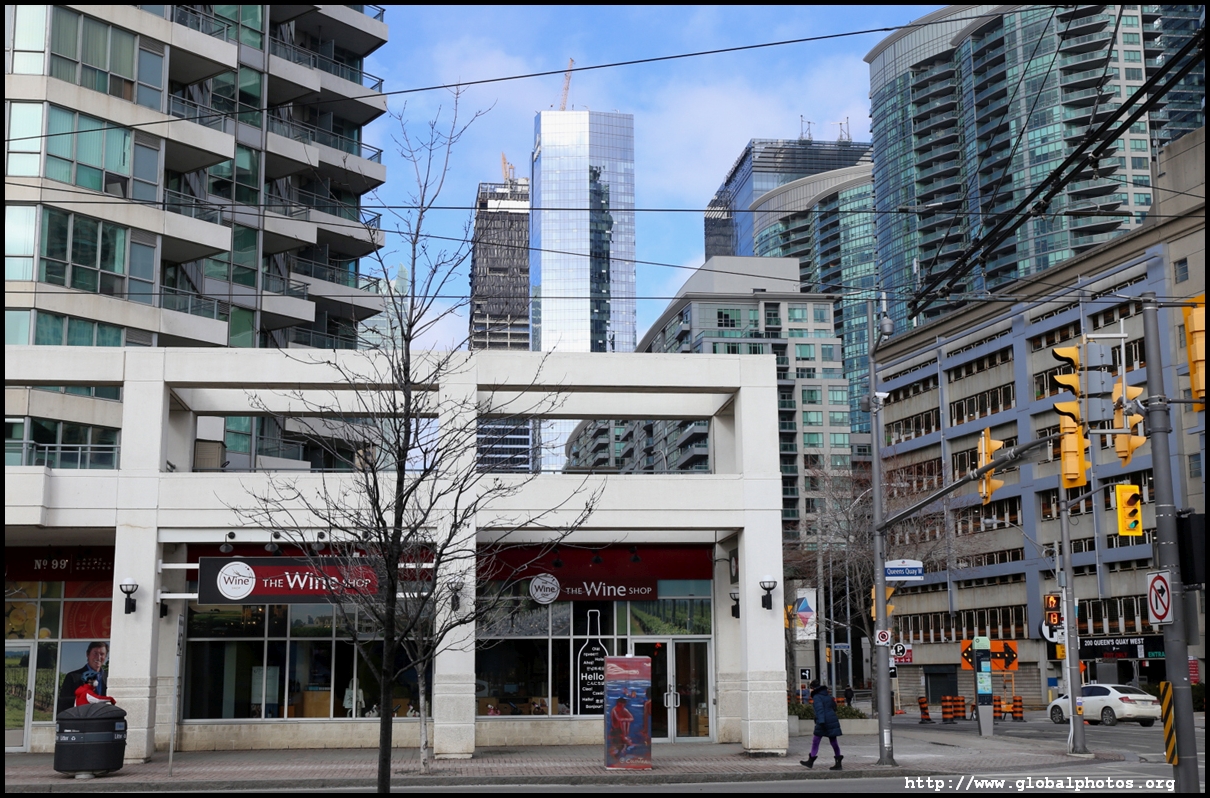
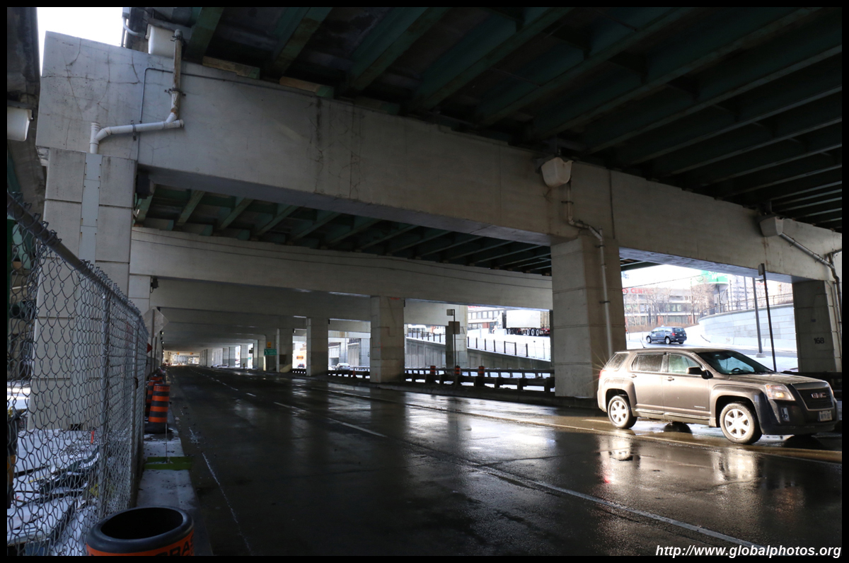
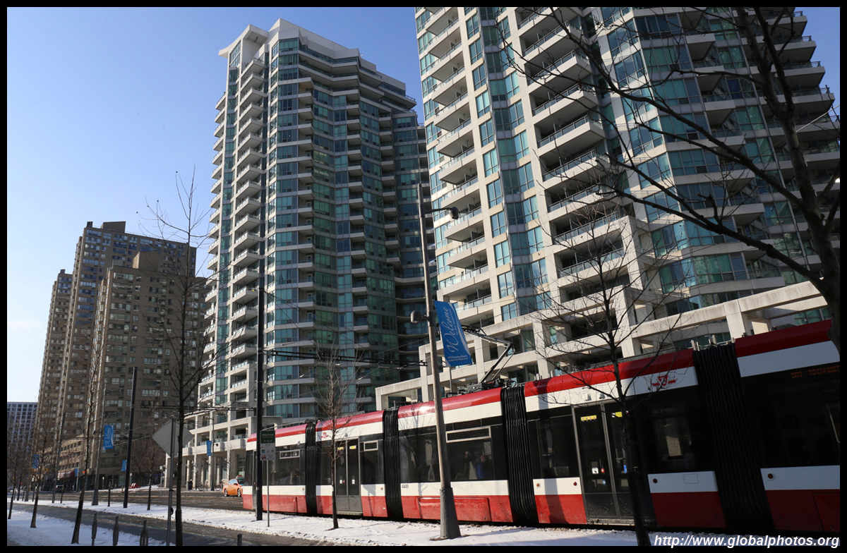
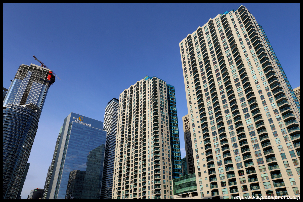
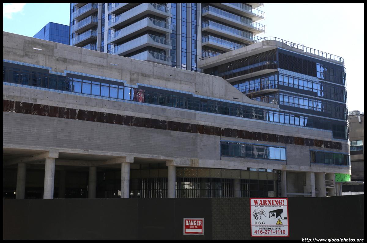
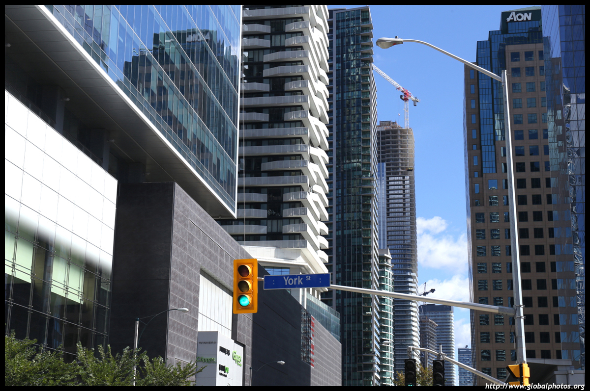
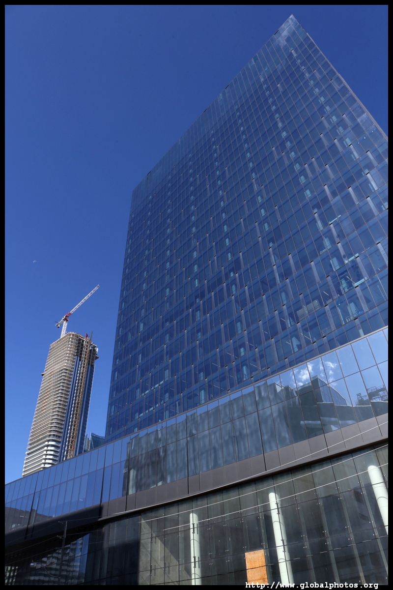
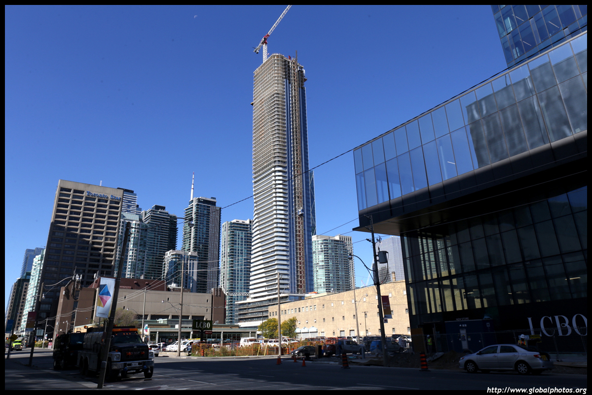
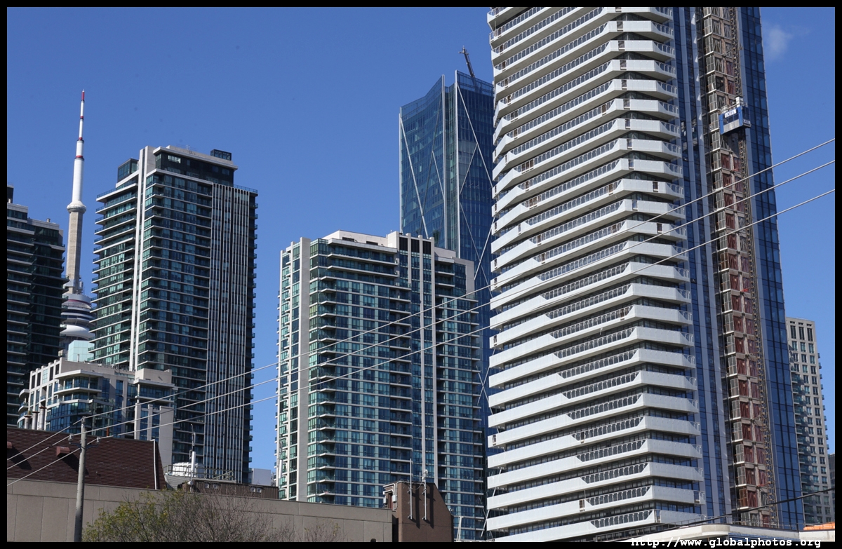
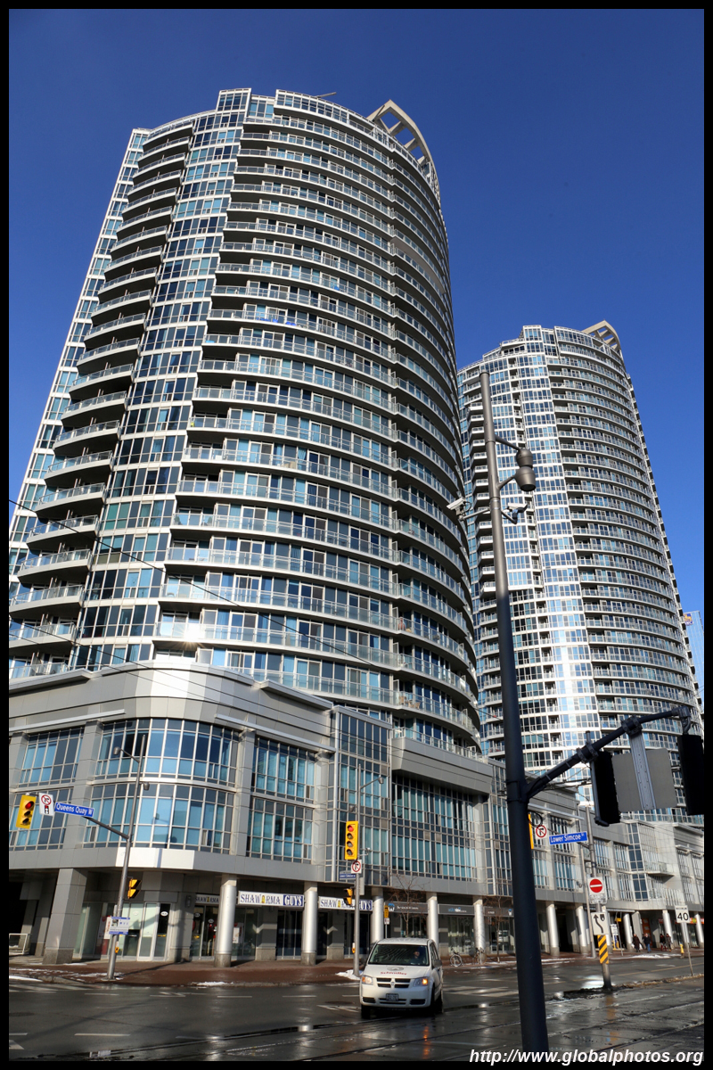
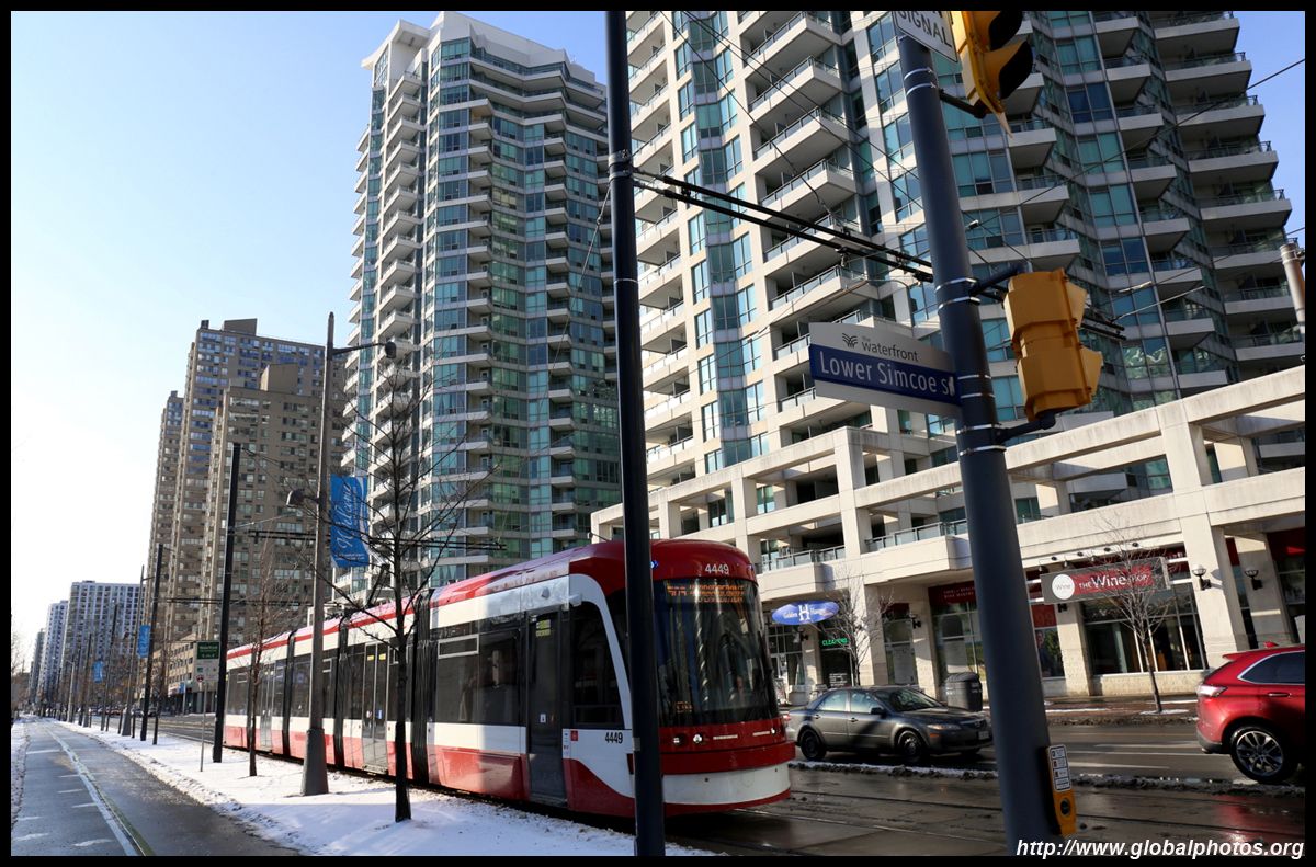
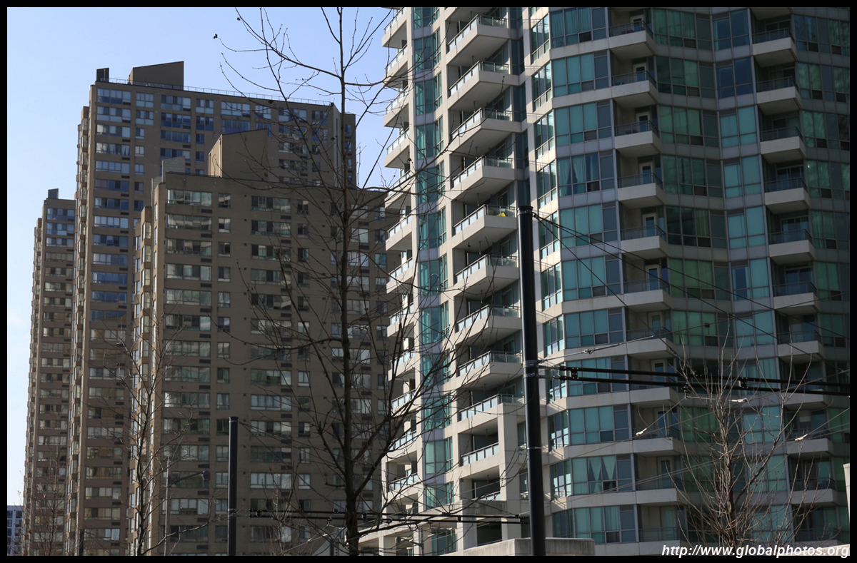
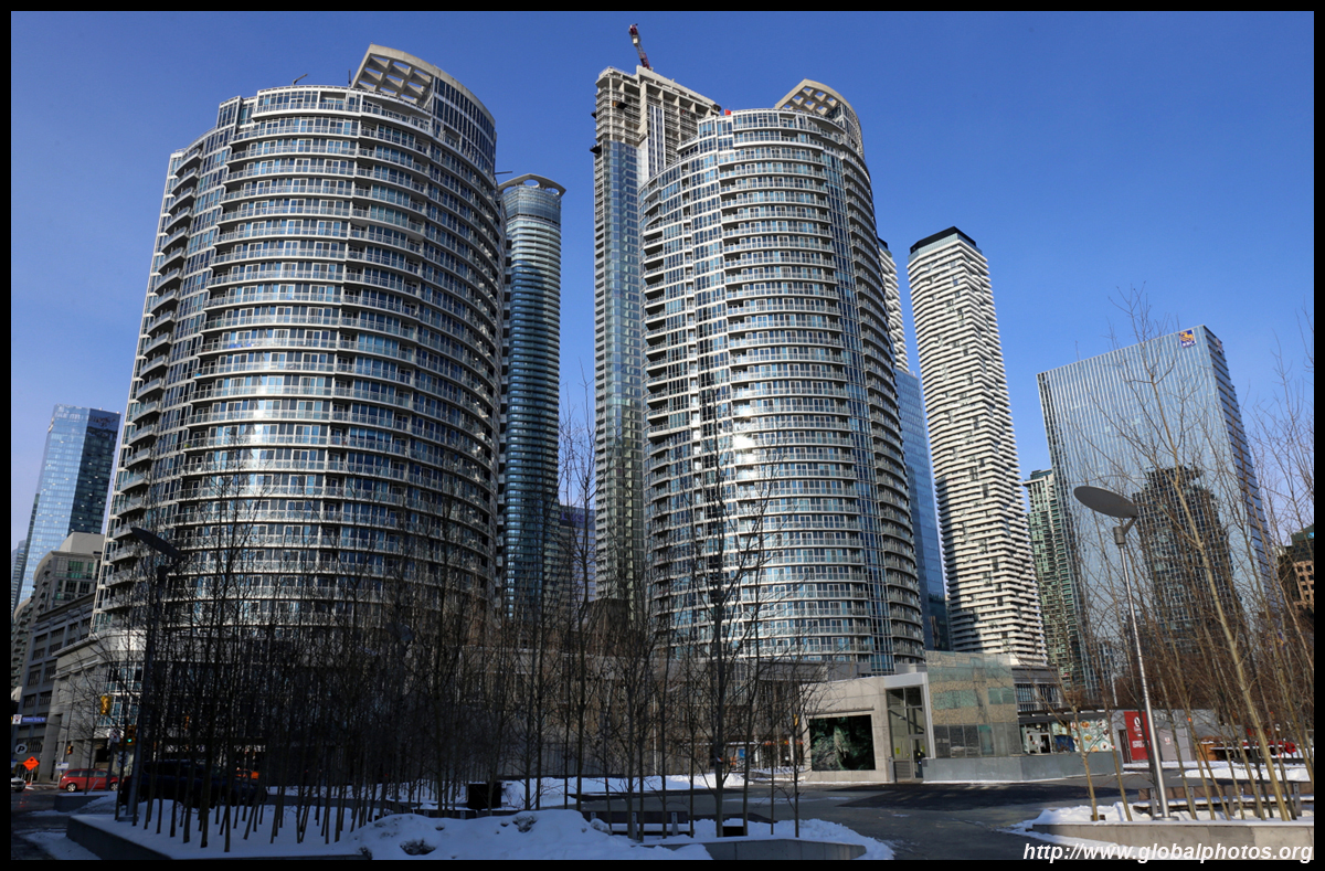
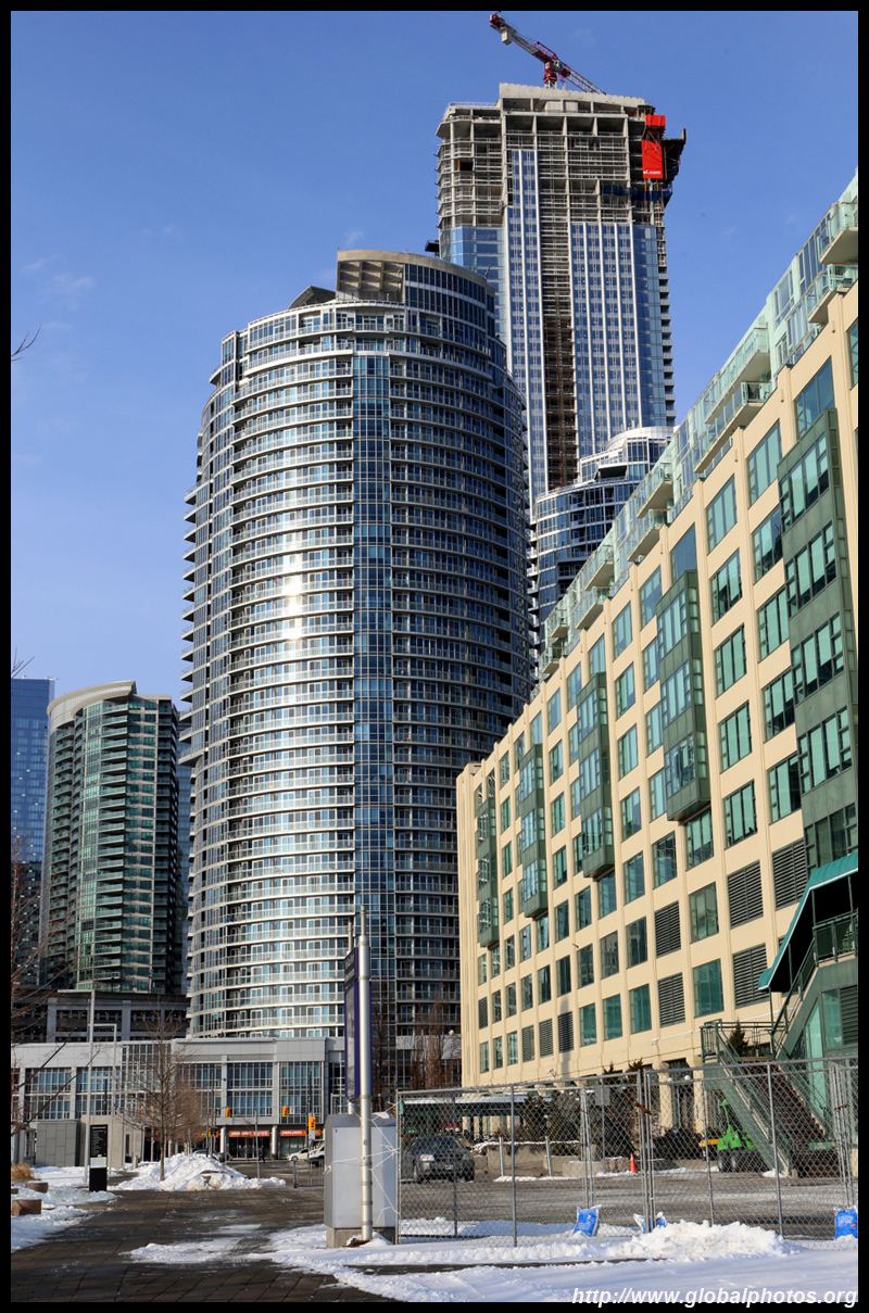
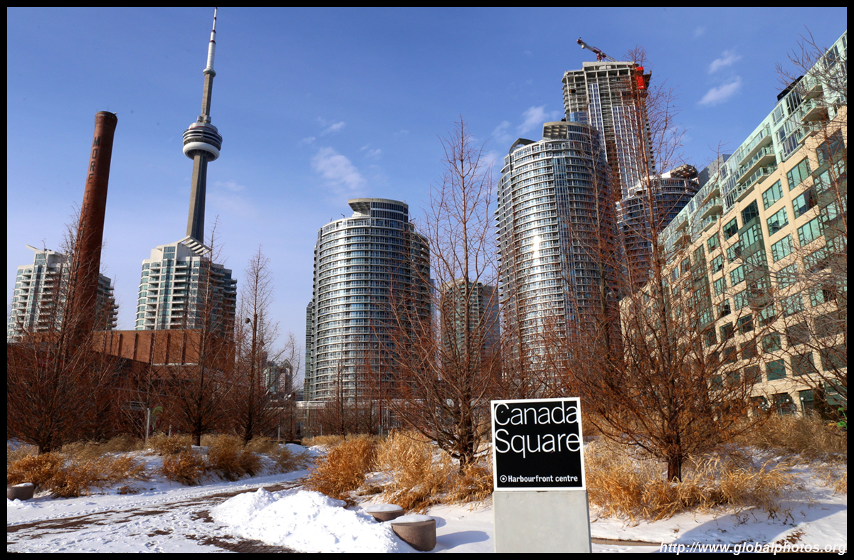
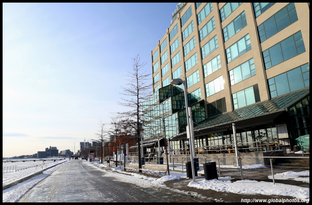
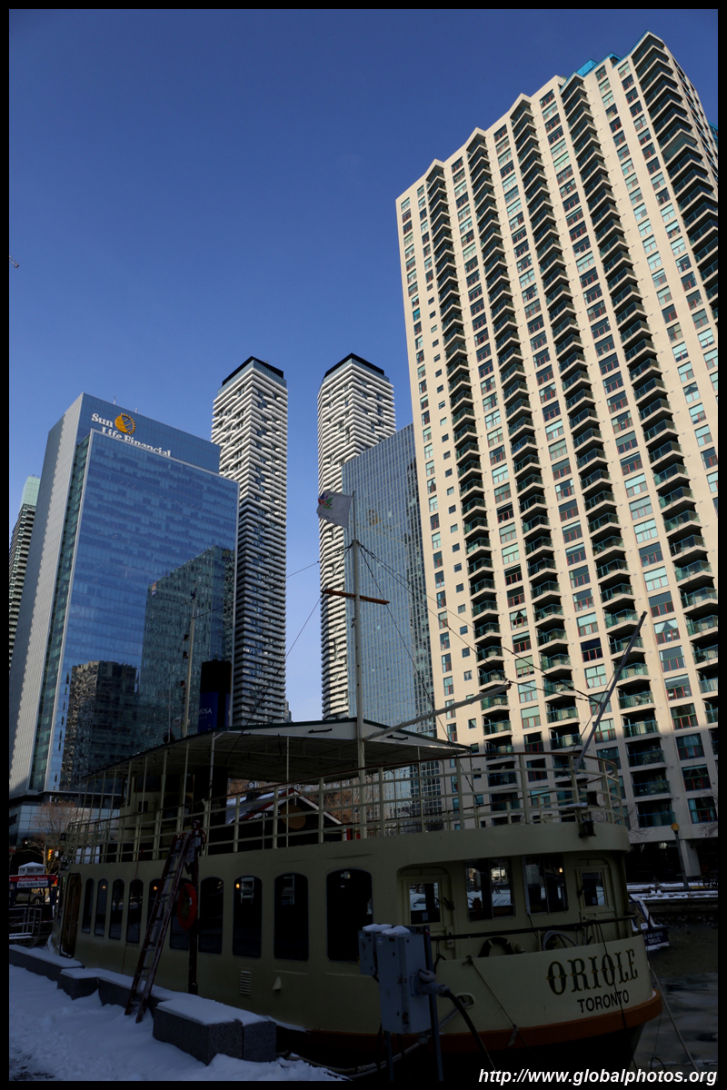
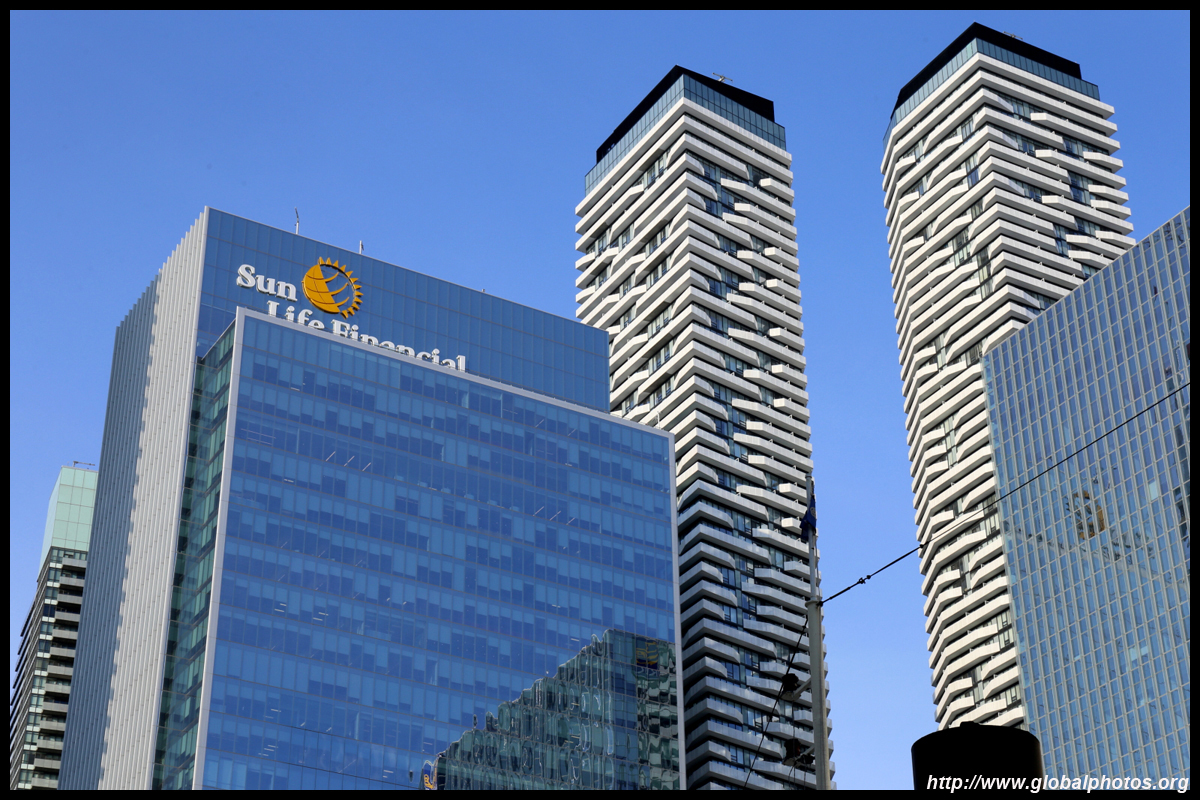
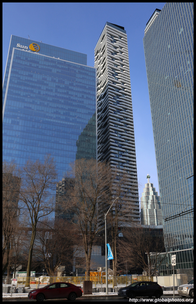
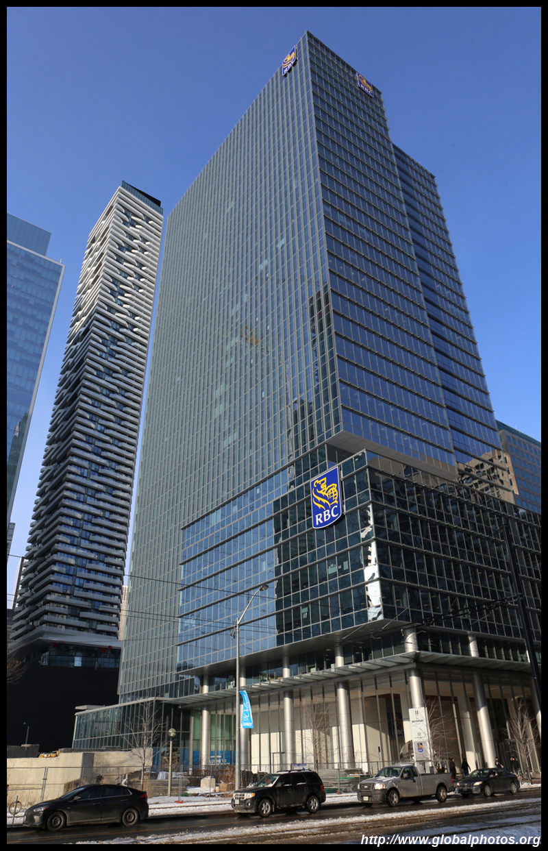
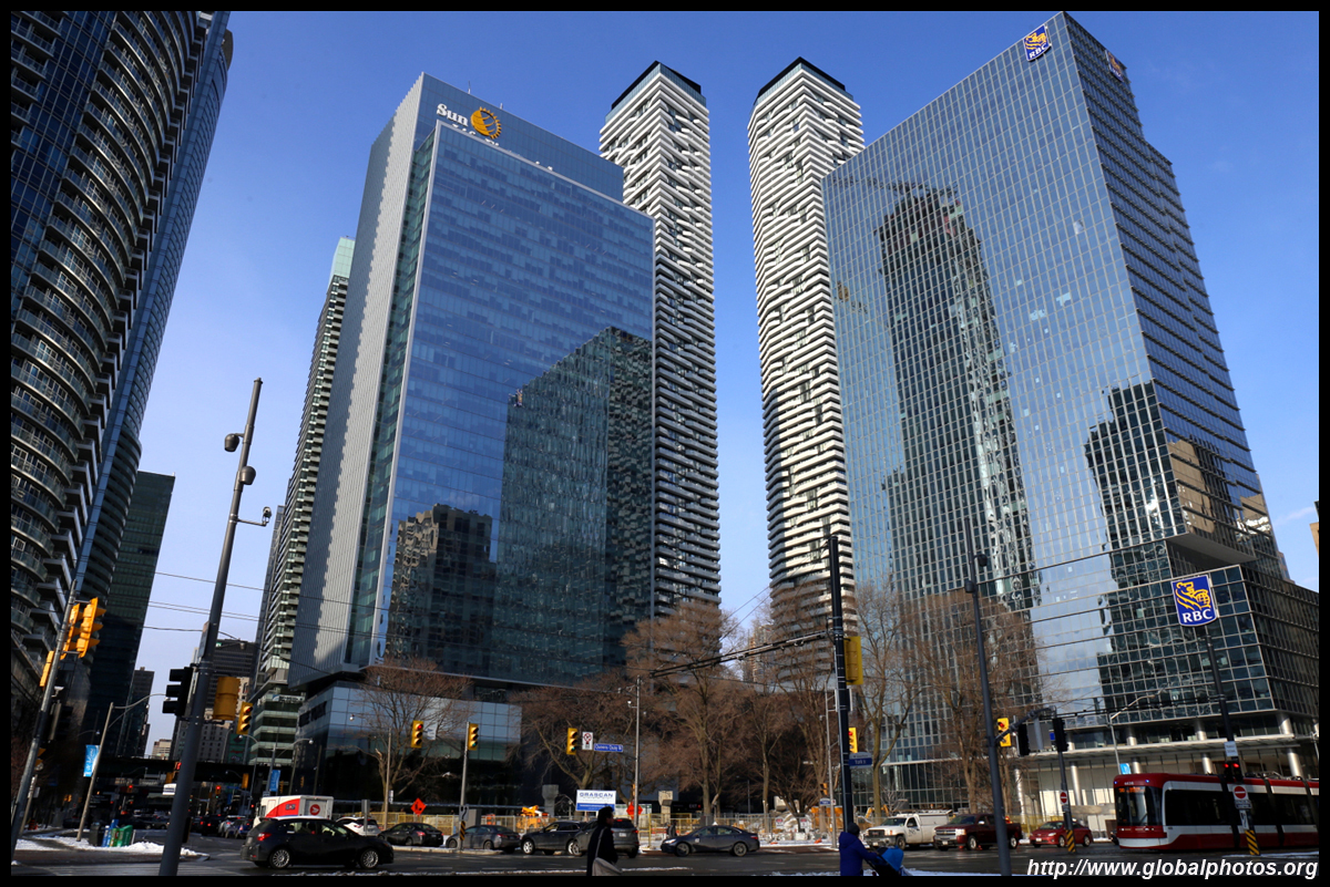
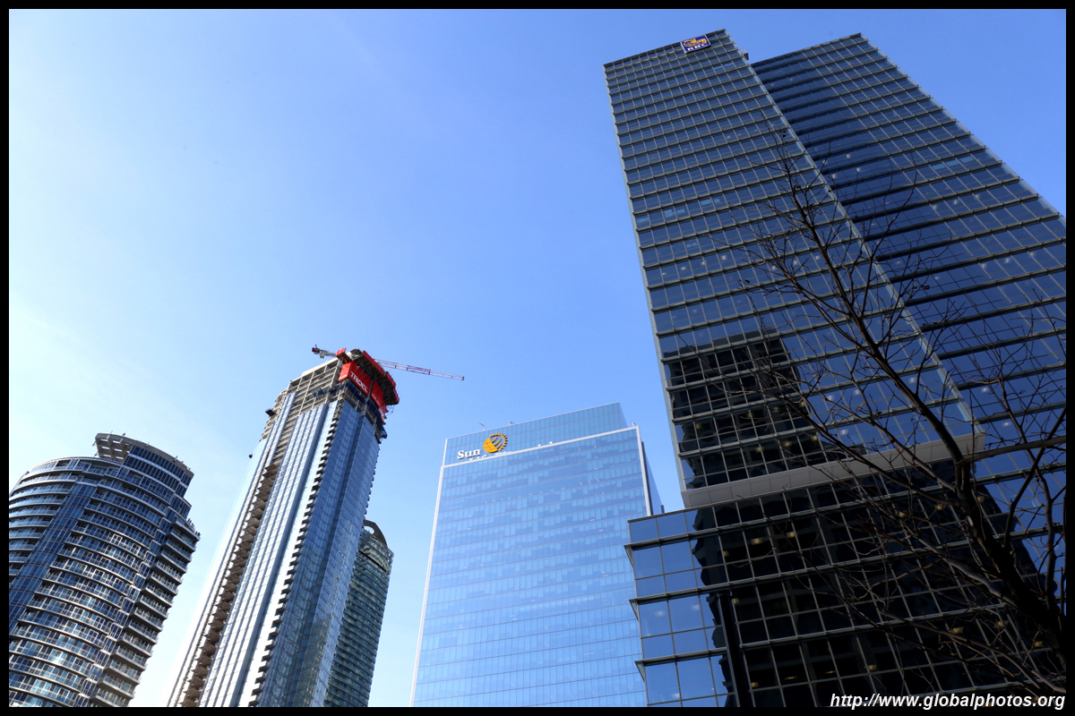
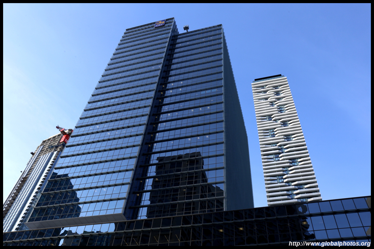
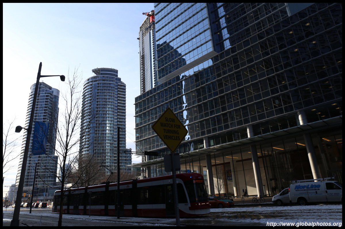
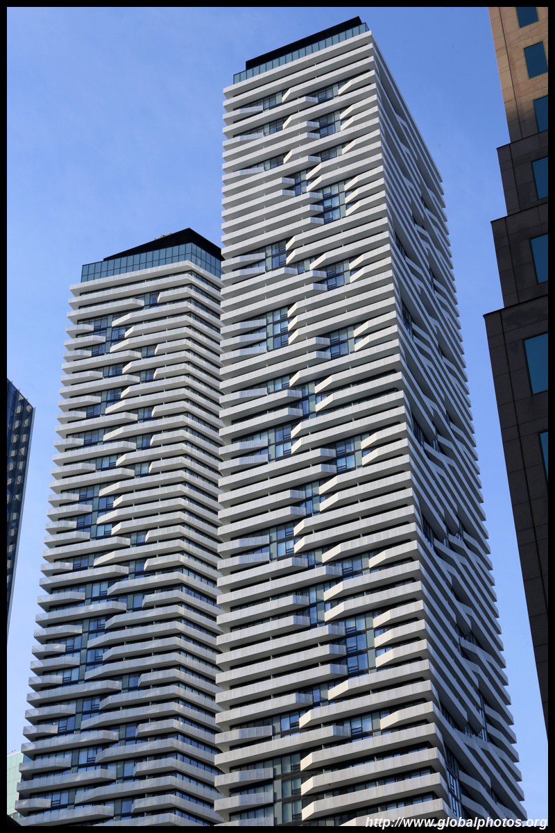
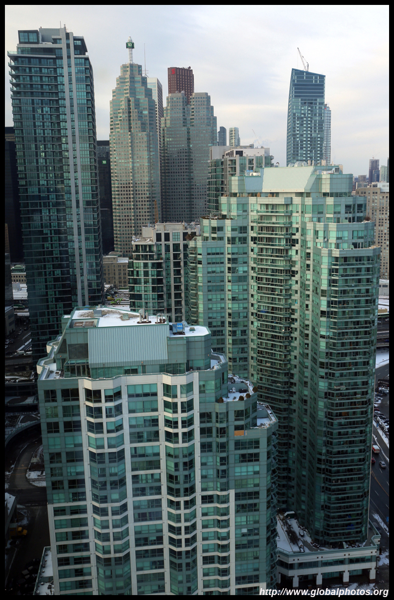
The Central Waterfront was once the city's shipping hub. Reclaimed from Front Street south over the past 2 centuries, the industry's decline gave an opportunity to revitalize the area into a residential district with the streetcar line running through Queens Quay. Stretching 2.5km from Bathurst to Lower Jarvis west to east, this oasis begins on the other side the crumbling Gardiner Expressway, which continues to form a barrier between the city and waterfront. Originally proposed to be demolished, that doesn't seem will materialize and if it does, construction will be difficult with more buildings approaching close to it.
| |||
 |
 |
 |
 |
 |
 |
 |
 |
 |
 |
 |
 |
 |
 |
 |
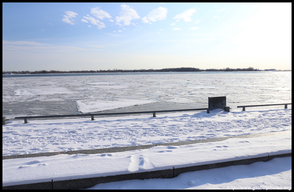 |
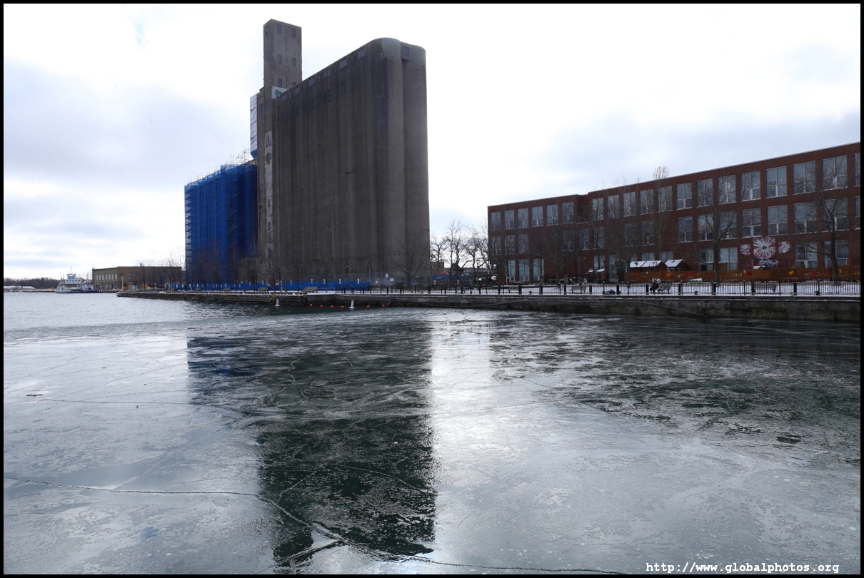
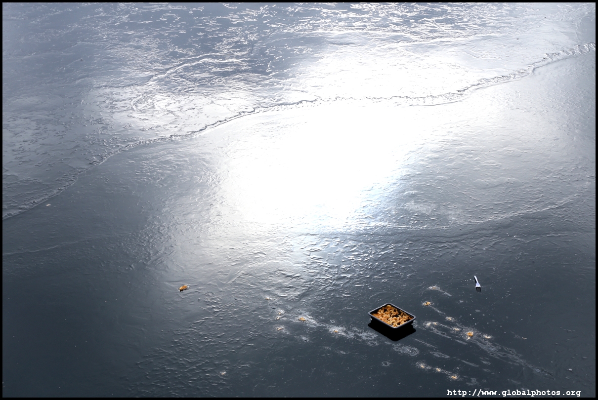
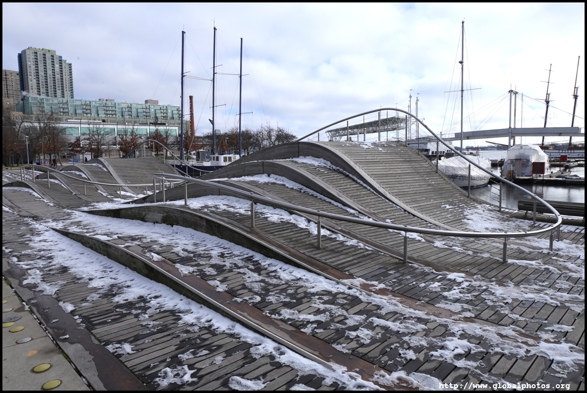
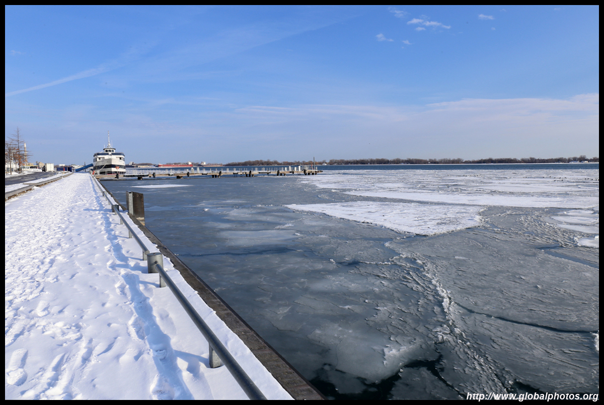
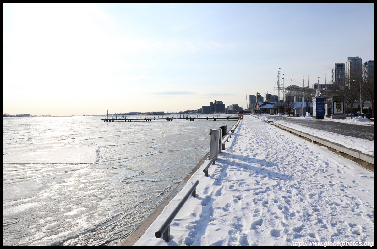
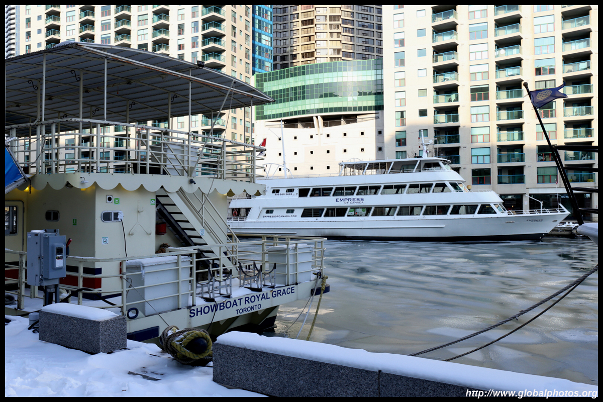
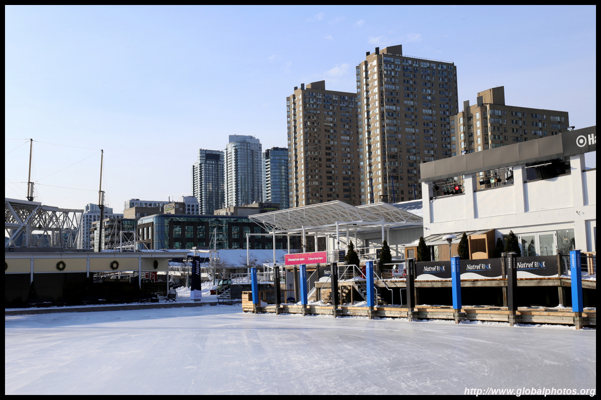
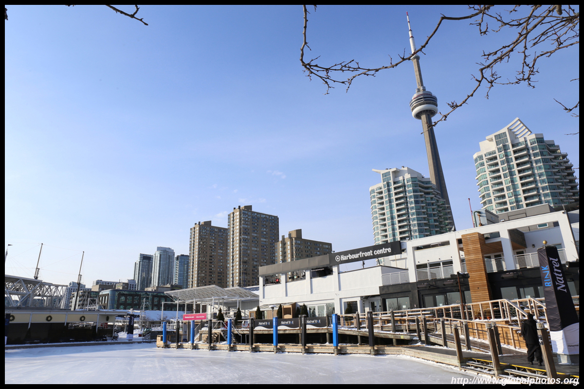
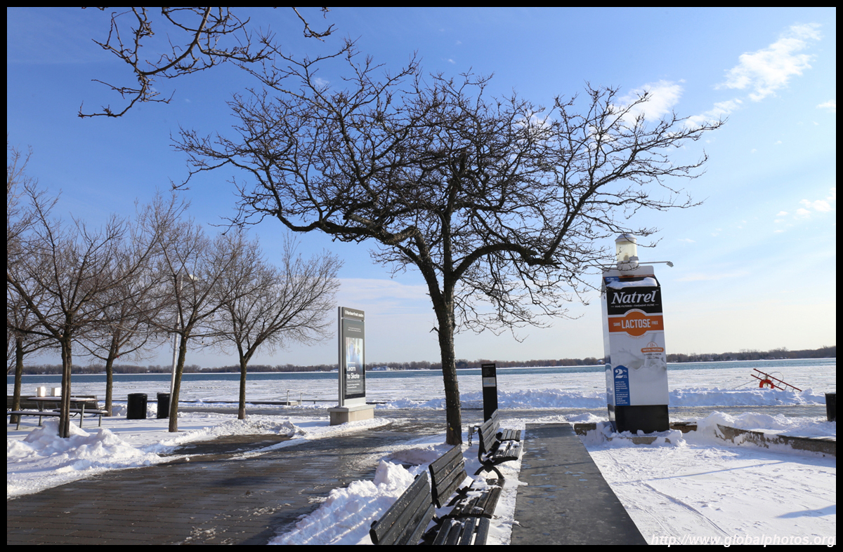
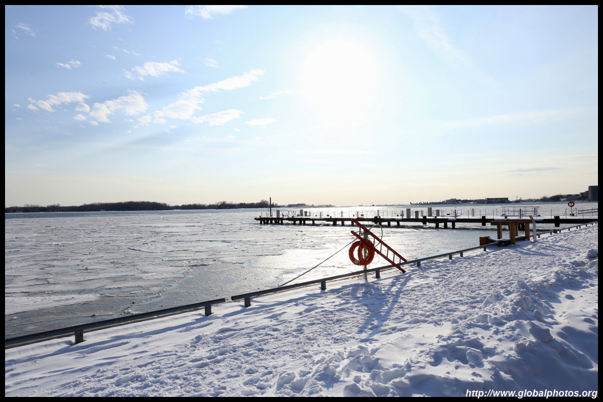
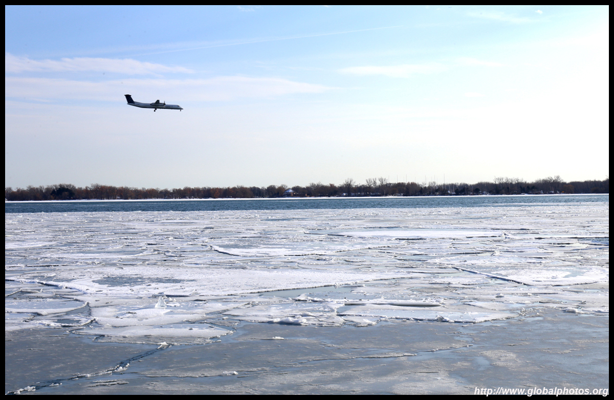
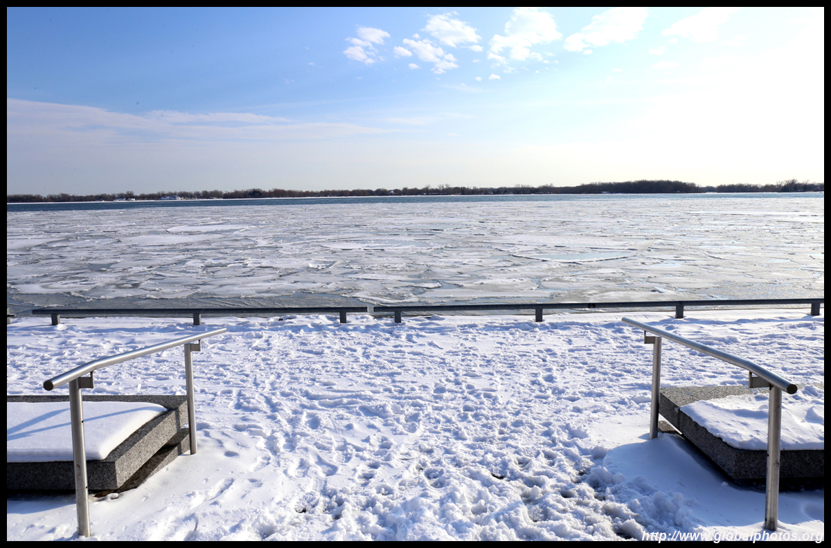
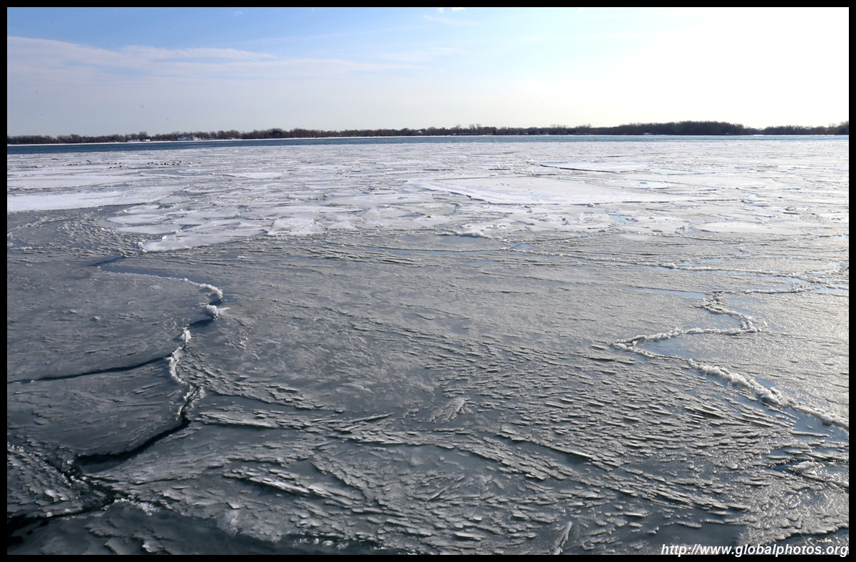
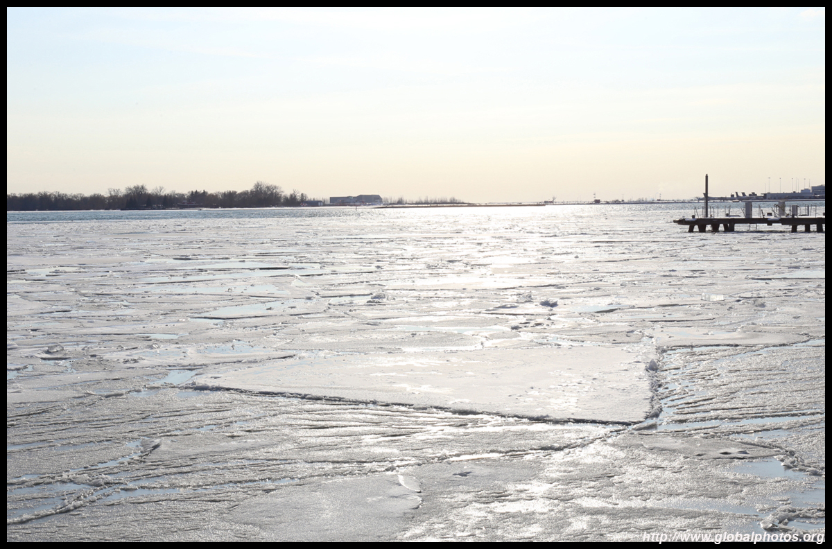
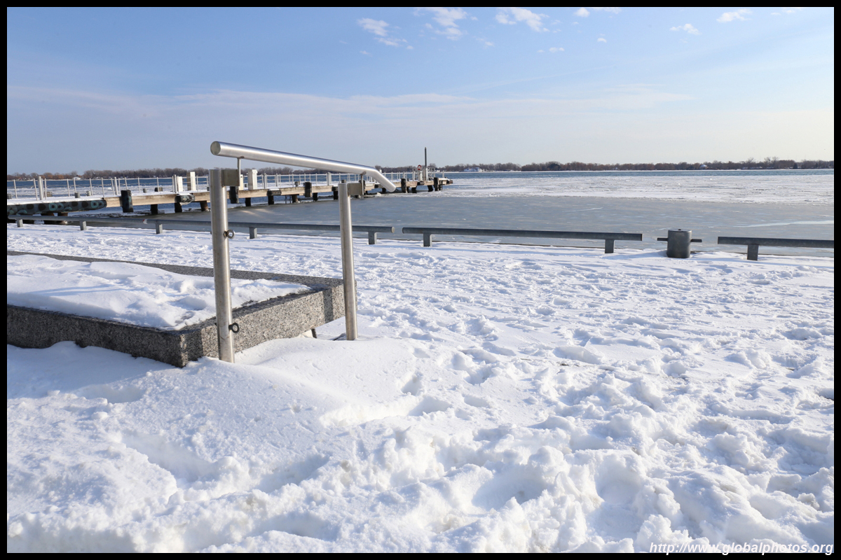
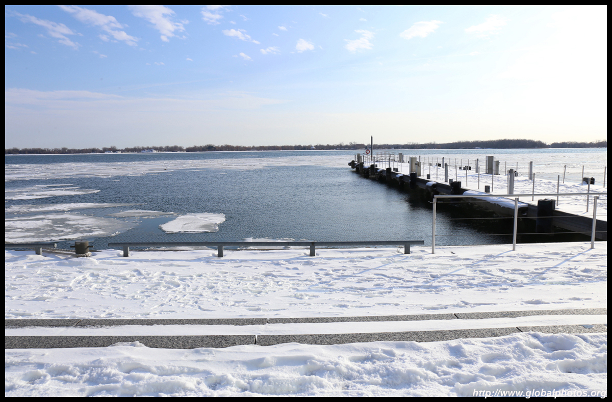
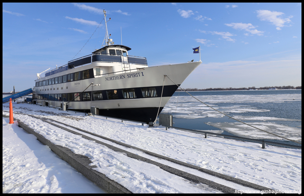
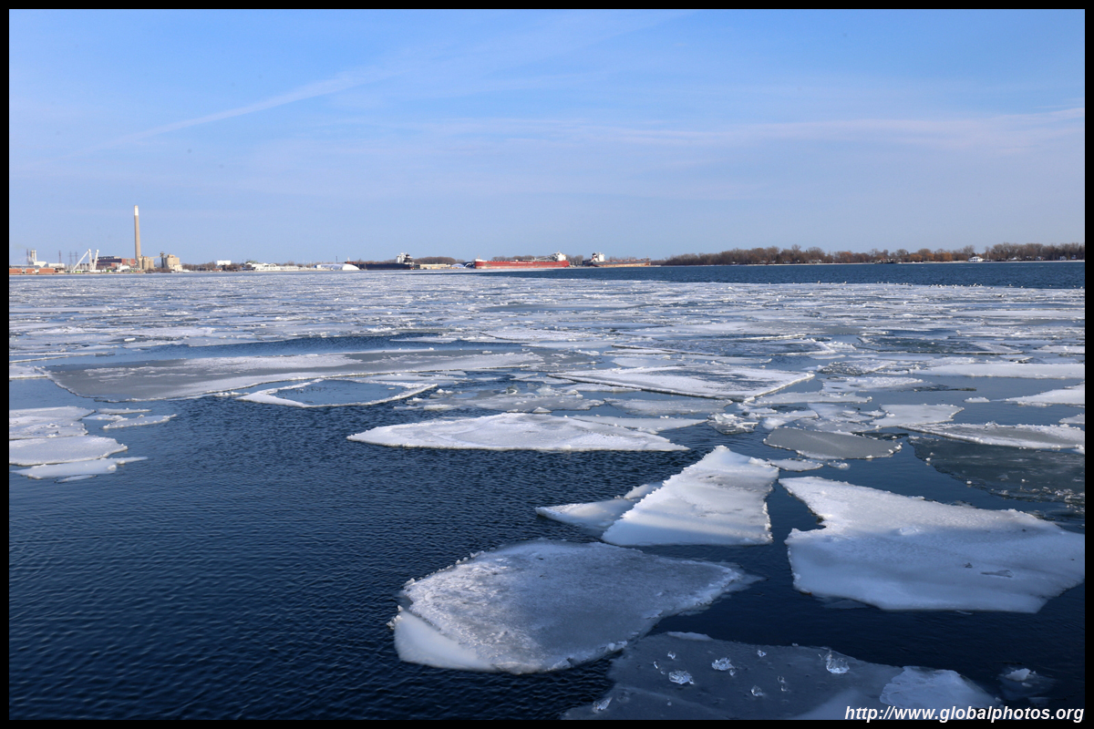
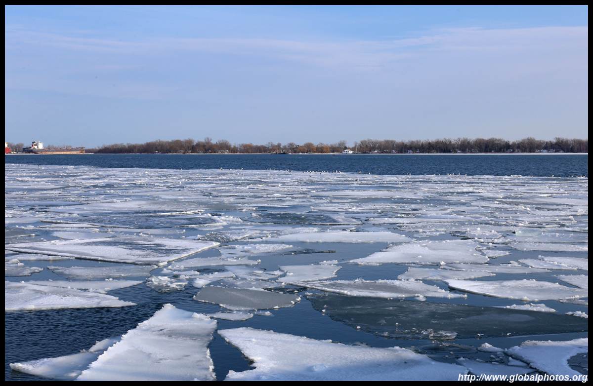
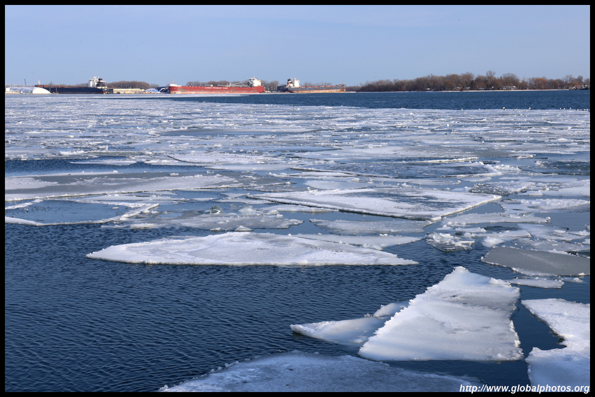
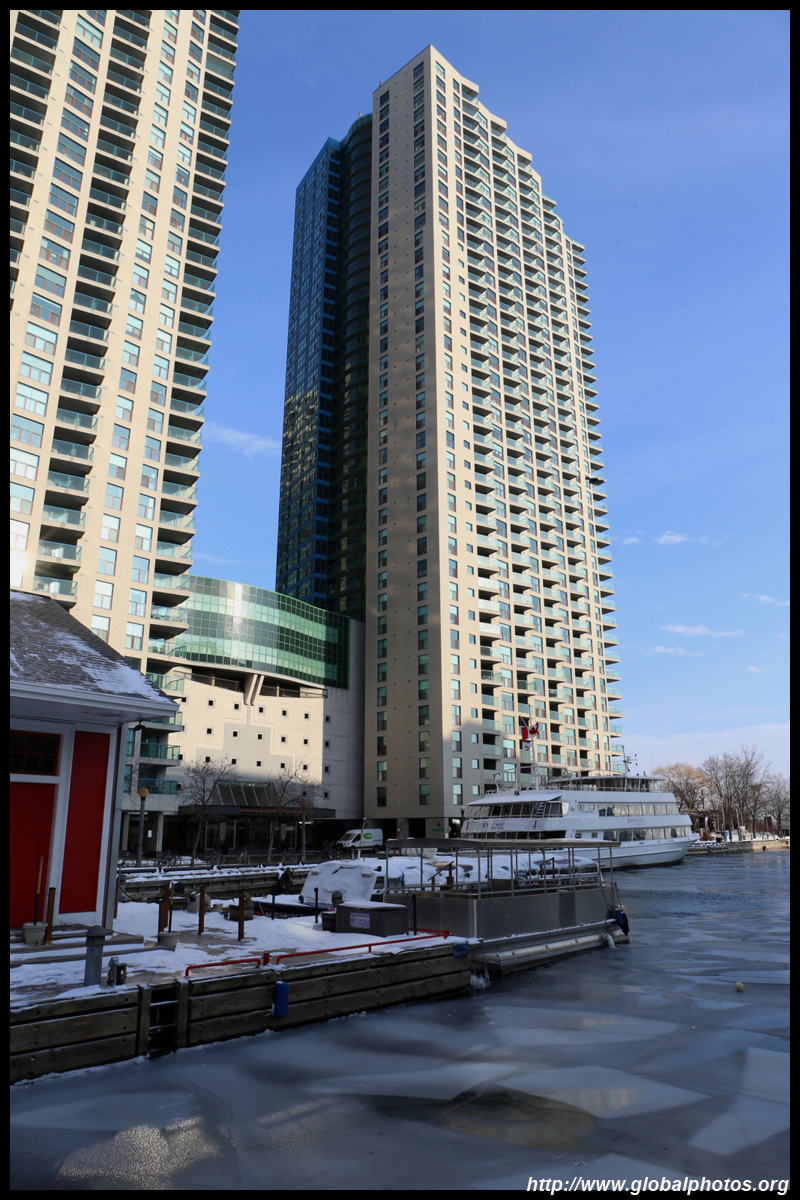
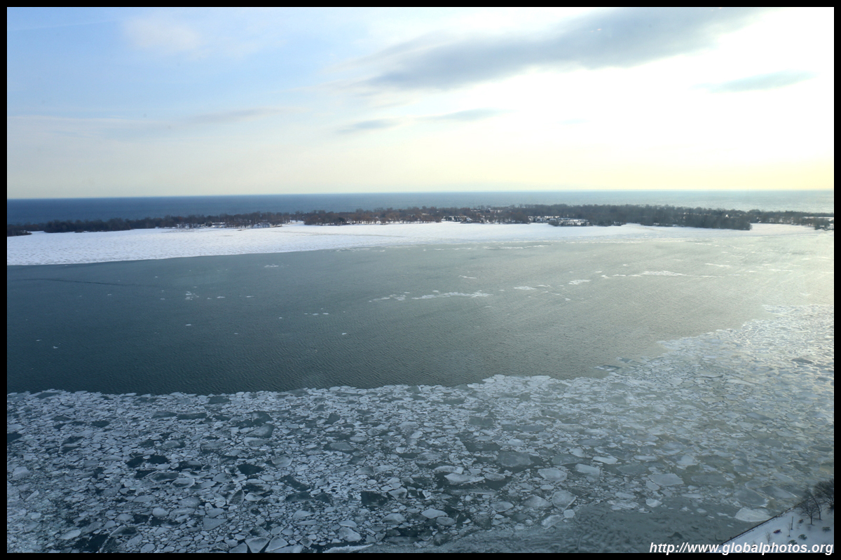
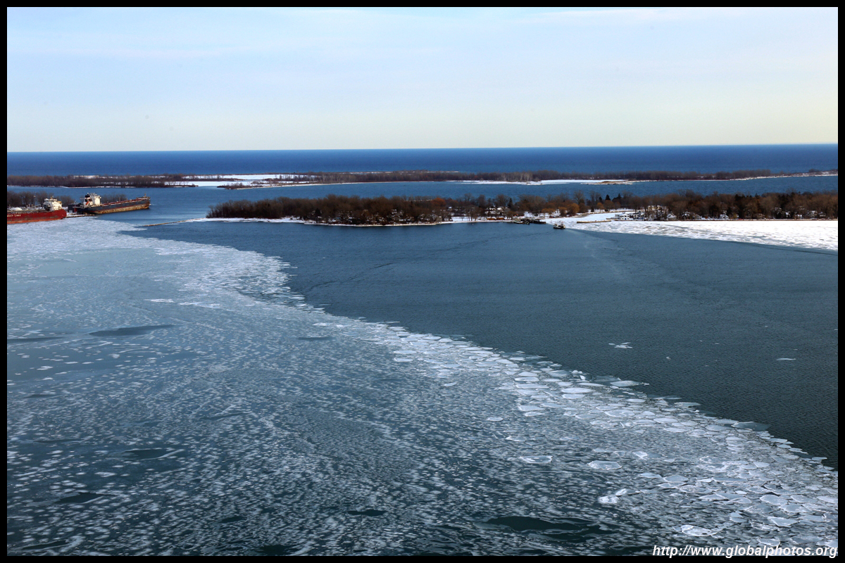
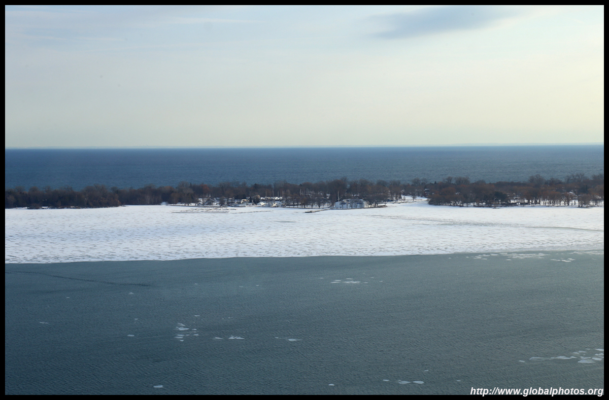
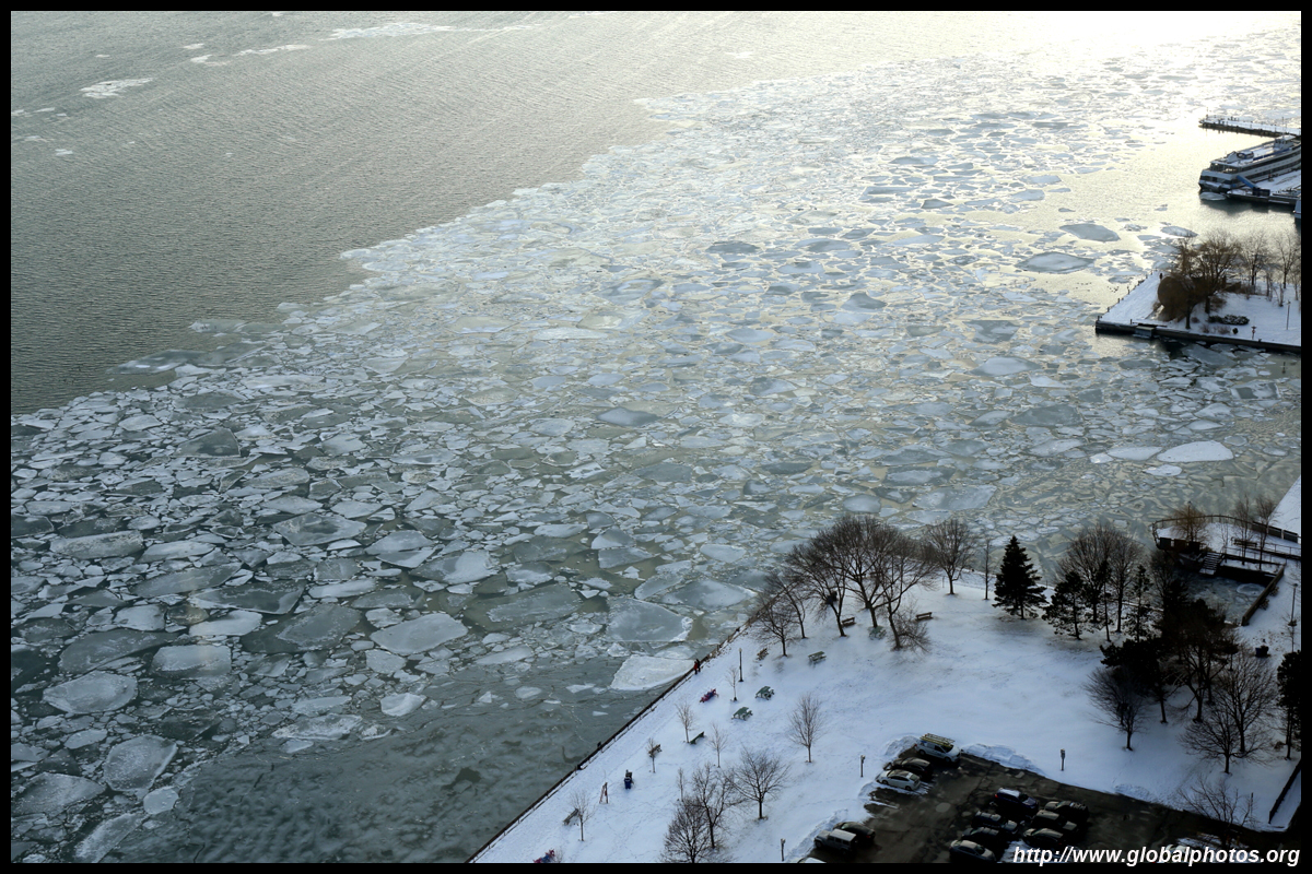
Toronto's harsh climate makes strolling along the lakefront a deadly activity in the long winter. The harbour can even freeze over, like it did in January 2018.
| |||
 |
 |
 |
 |
 |
 |
 |
 |
 |
 |
 |
 |
 |
 |
 |
 |
| |||
 |
 |
 |
 |
 |
 |
 |
 |
 |
 |
 |
 |
 |
 |
 |
 |
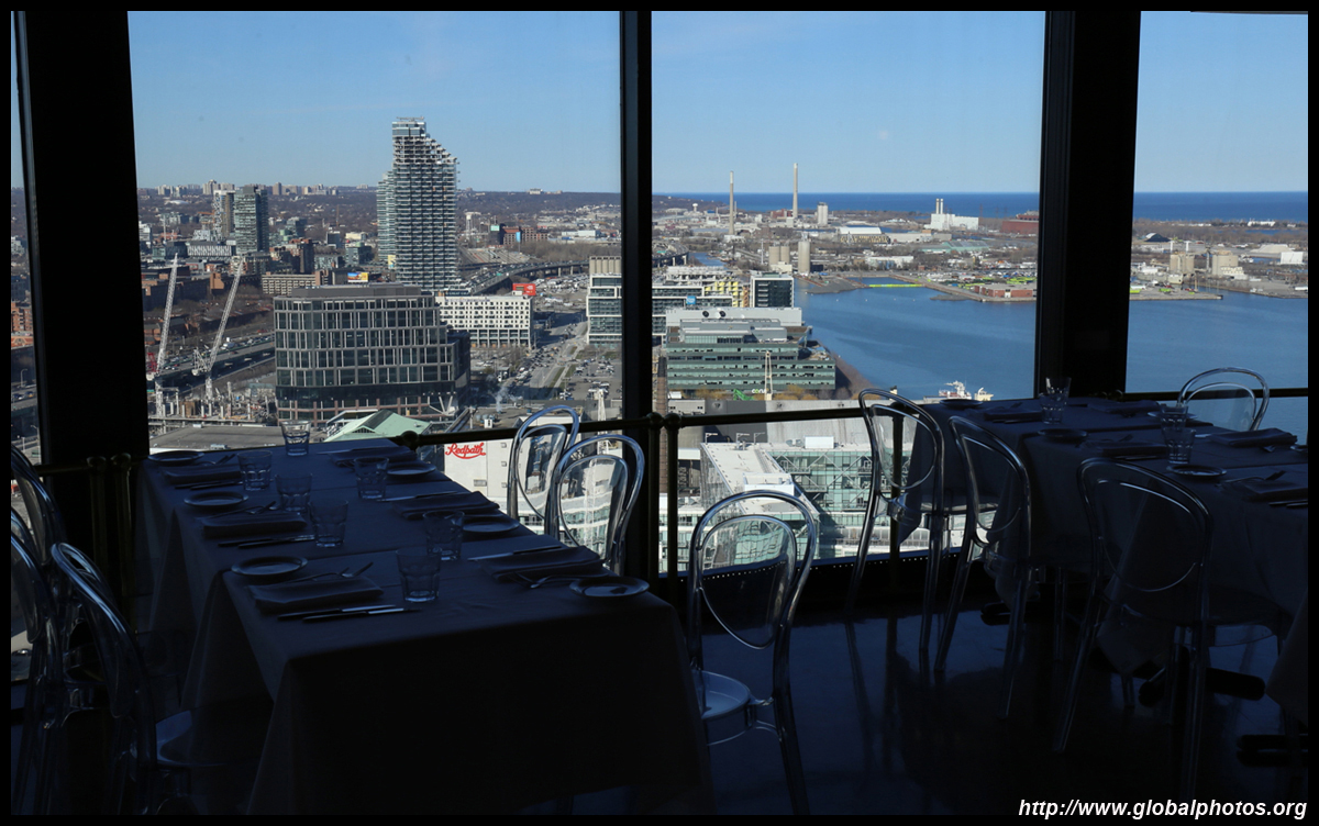
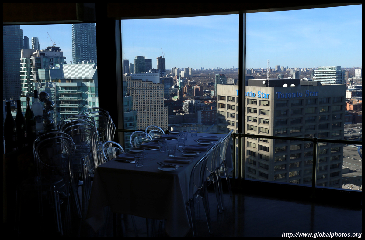
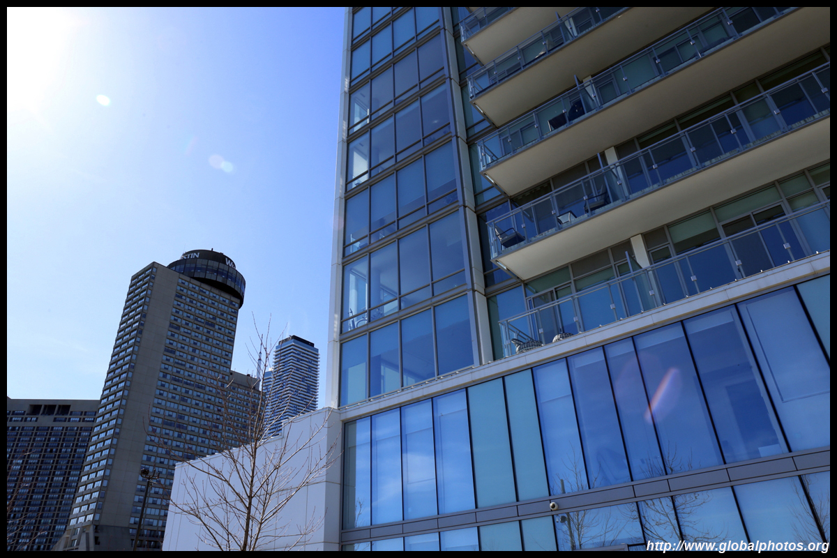
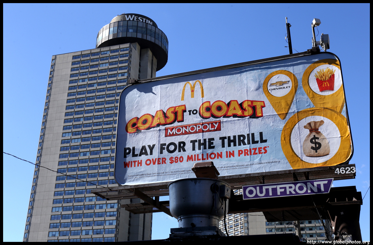
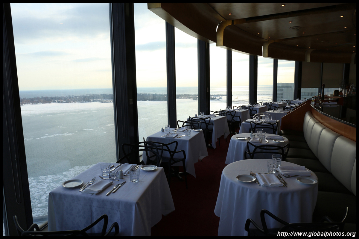
For a meal with a view, the Westin Harbour Castle has a restaurant on its top floor that will do the trick.
| |||
 |
 |
 |
 |
 |
 |
 |
 |
 |
 |
 |
 |
 |
 |
 |
 |
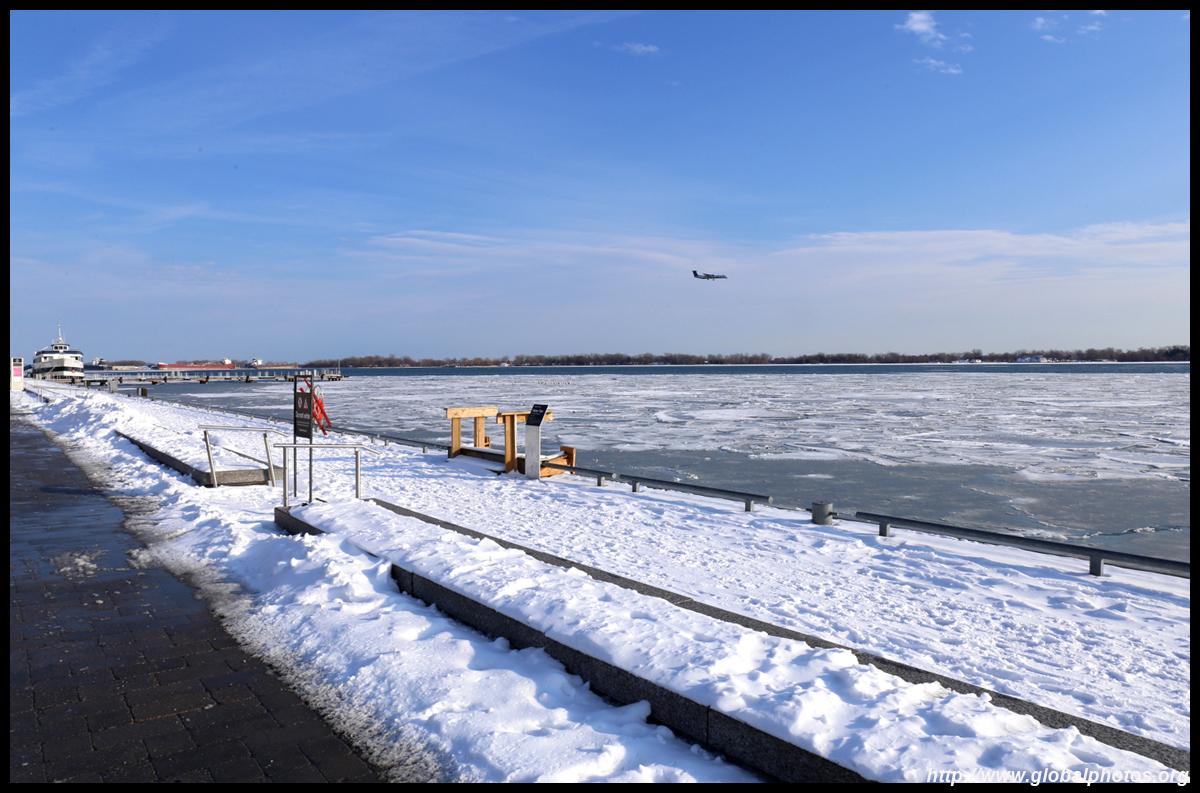
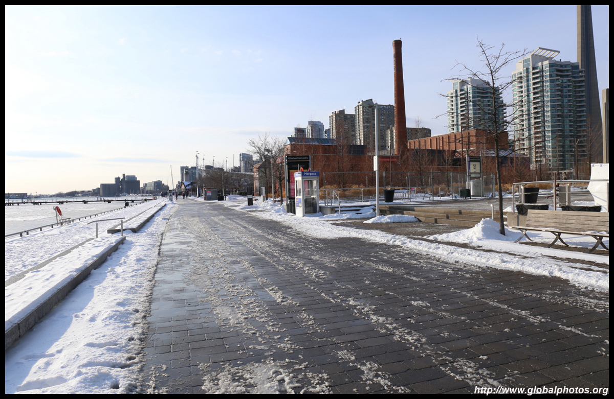
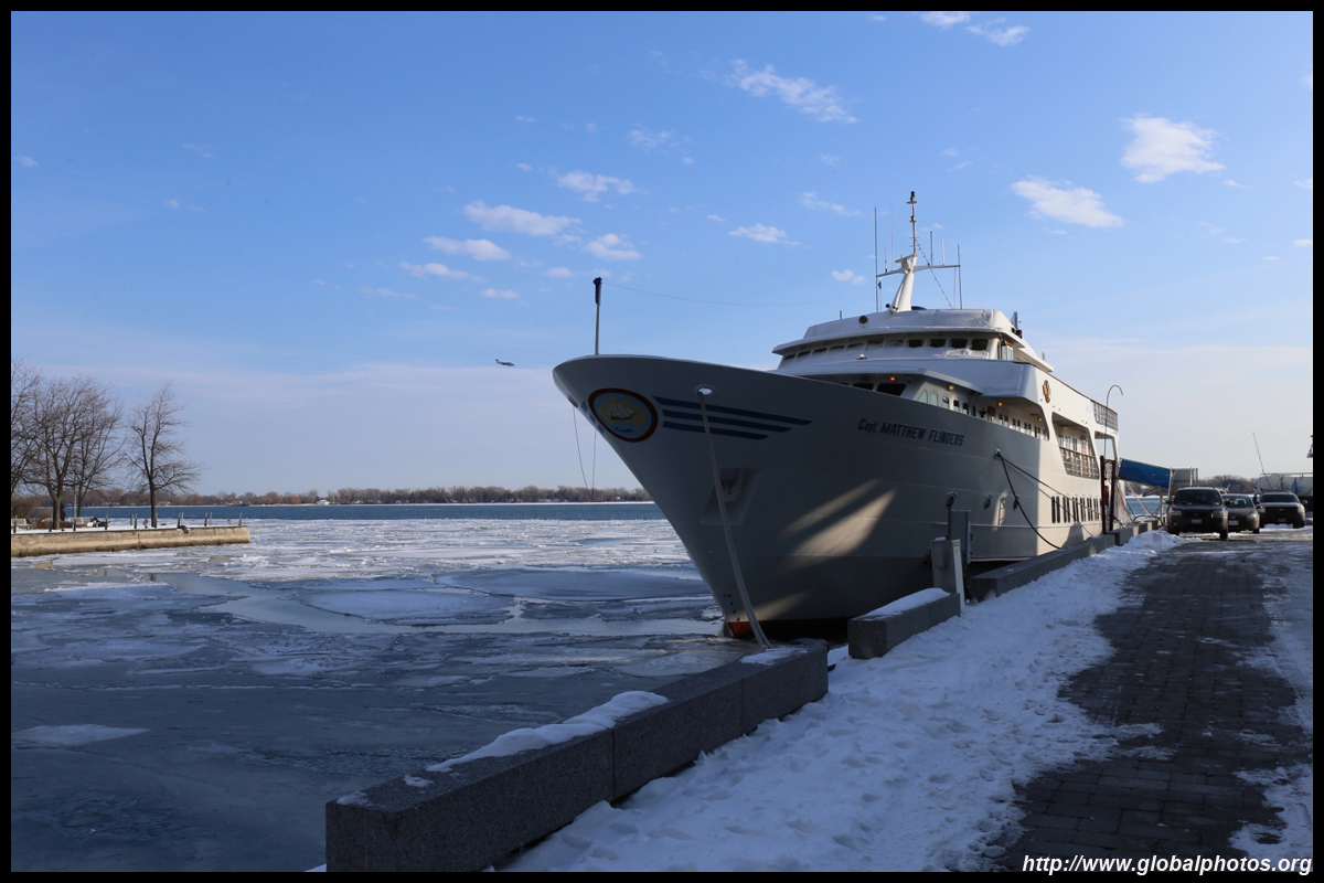
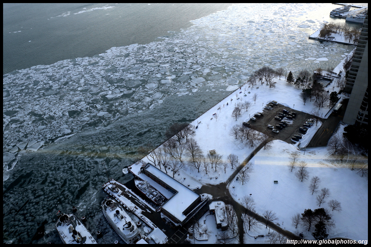
Contrast to the view when the snow and ice thawed.
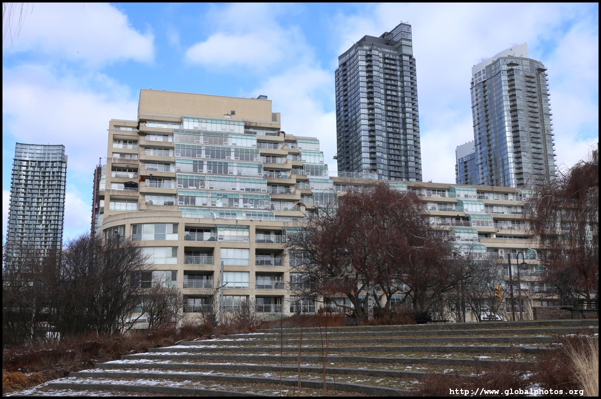
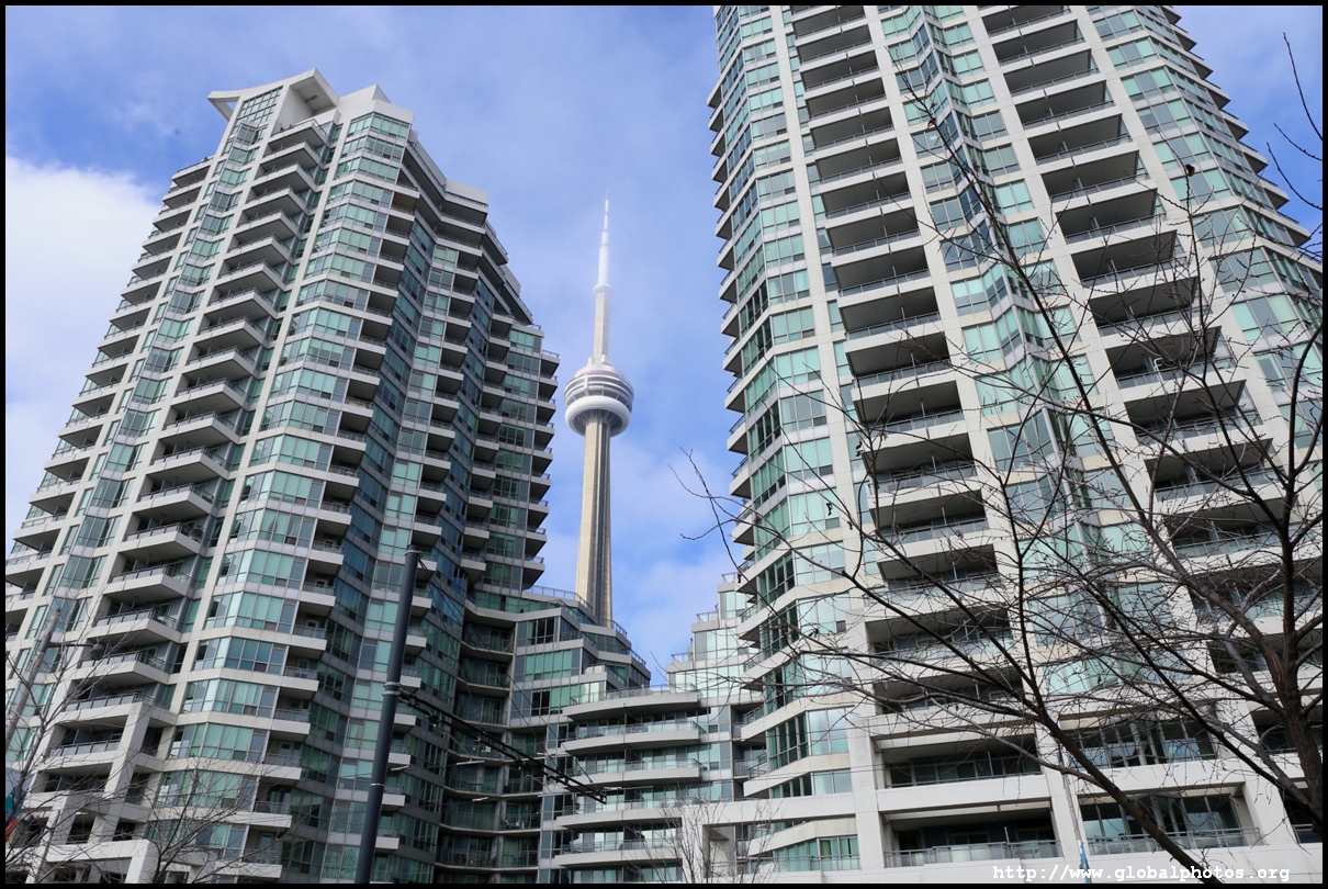
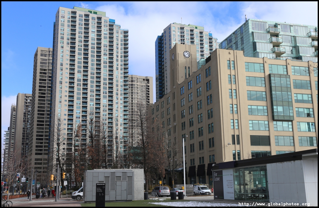
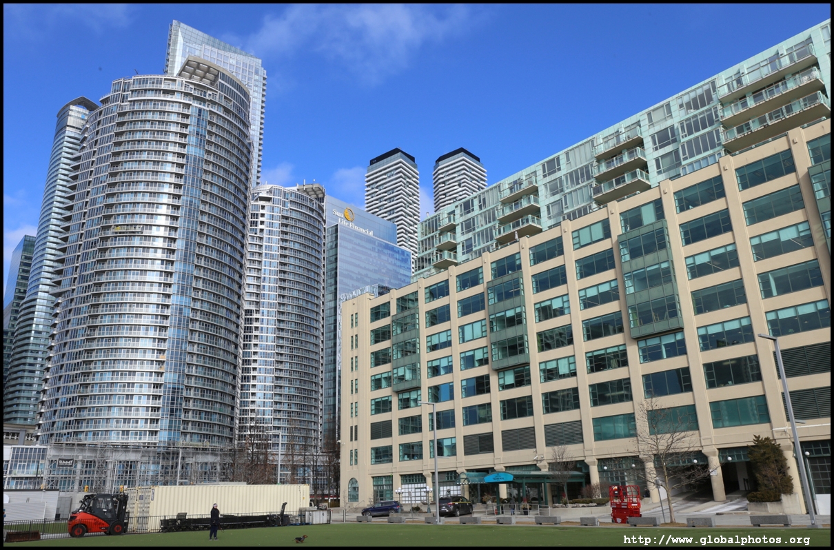
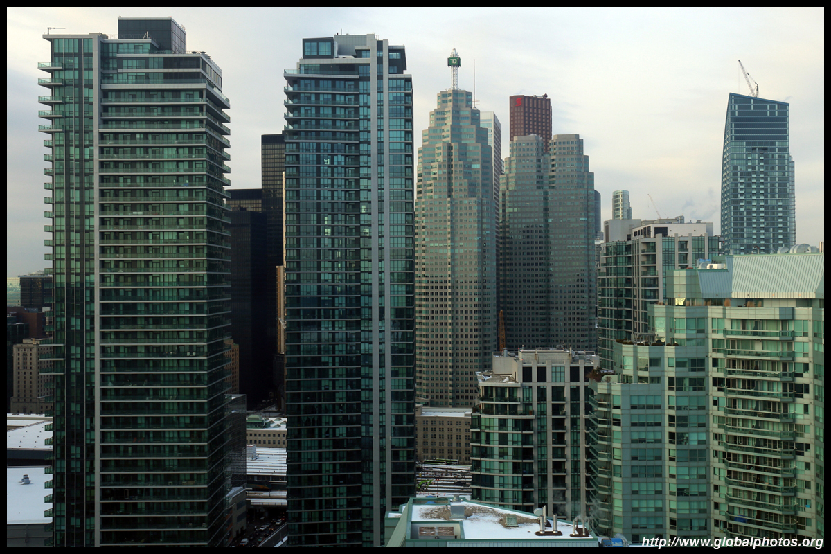
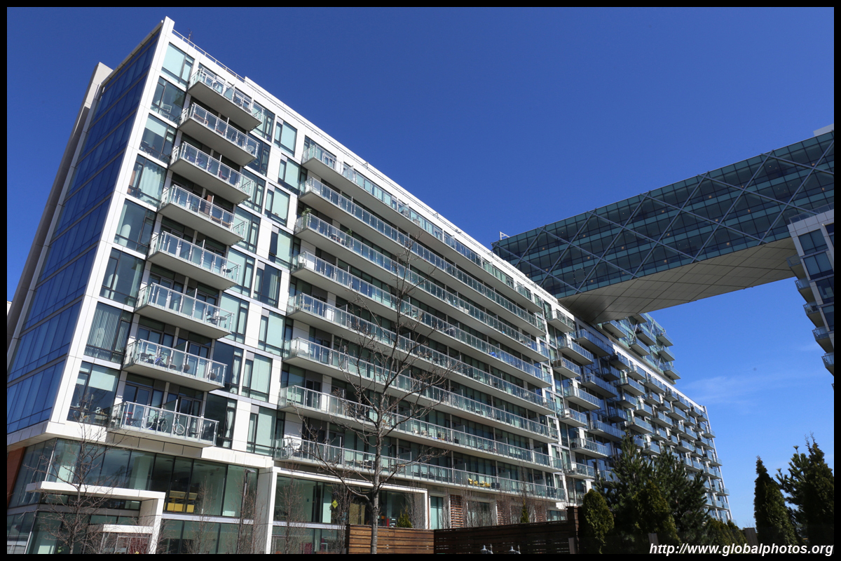
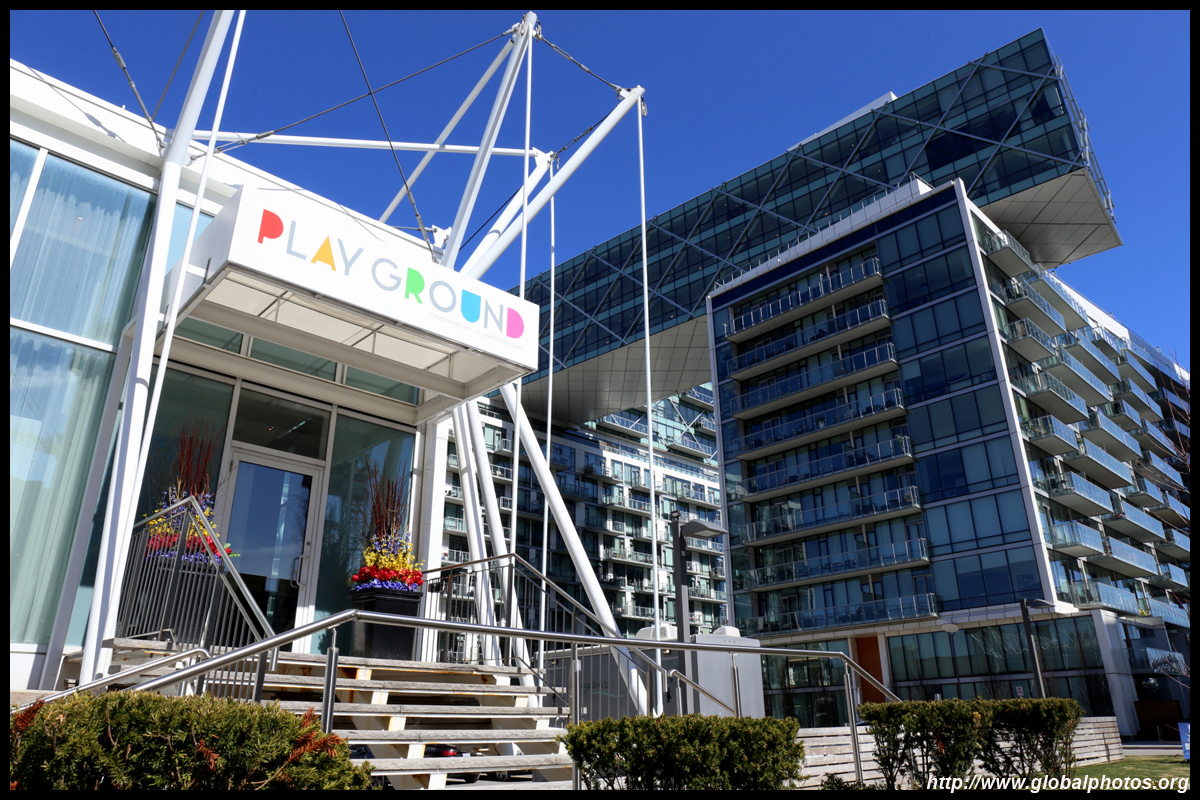
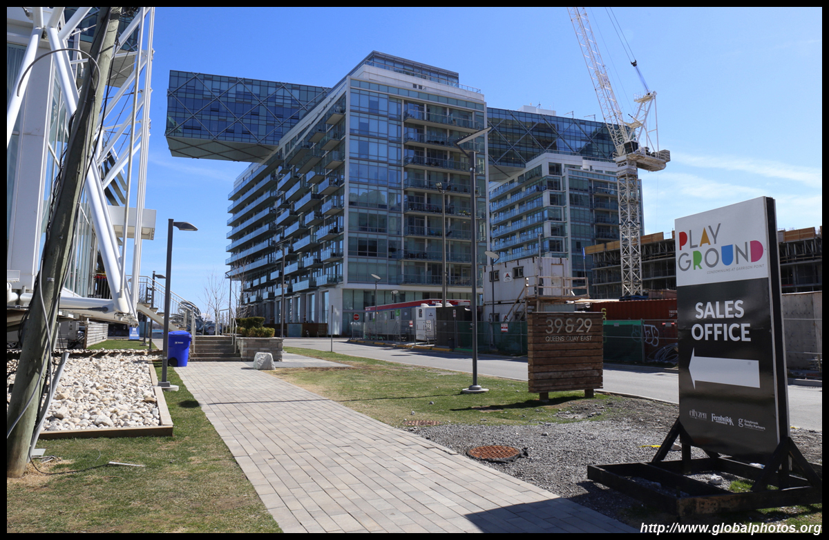
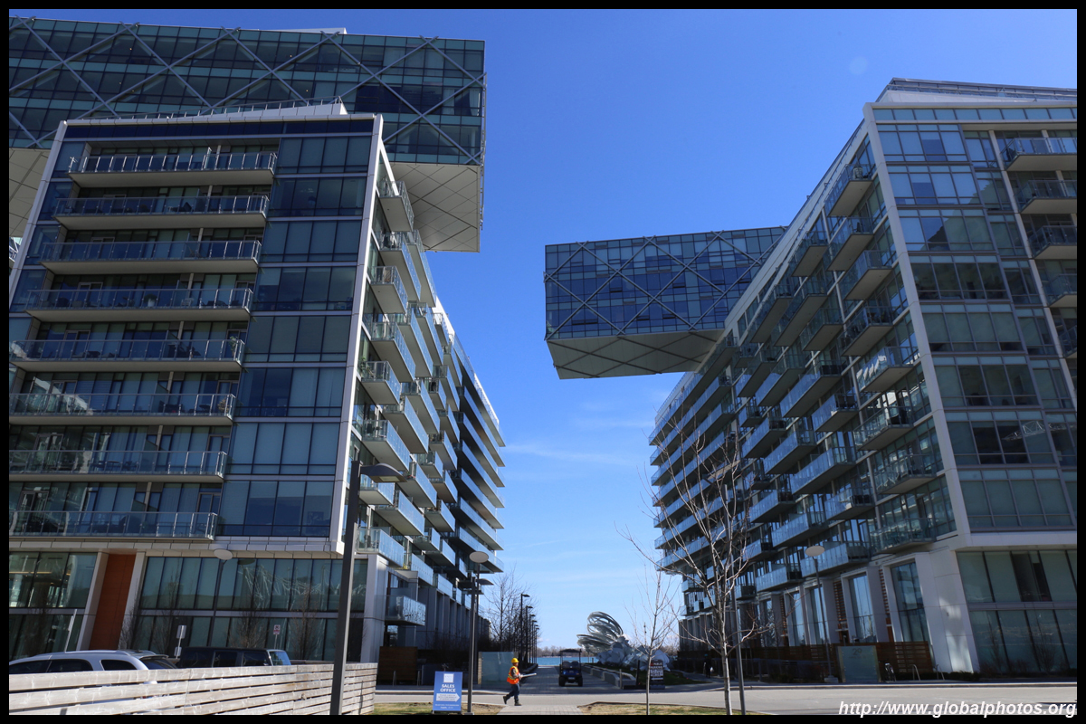
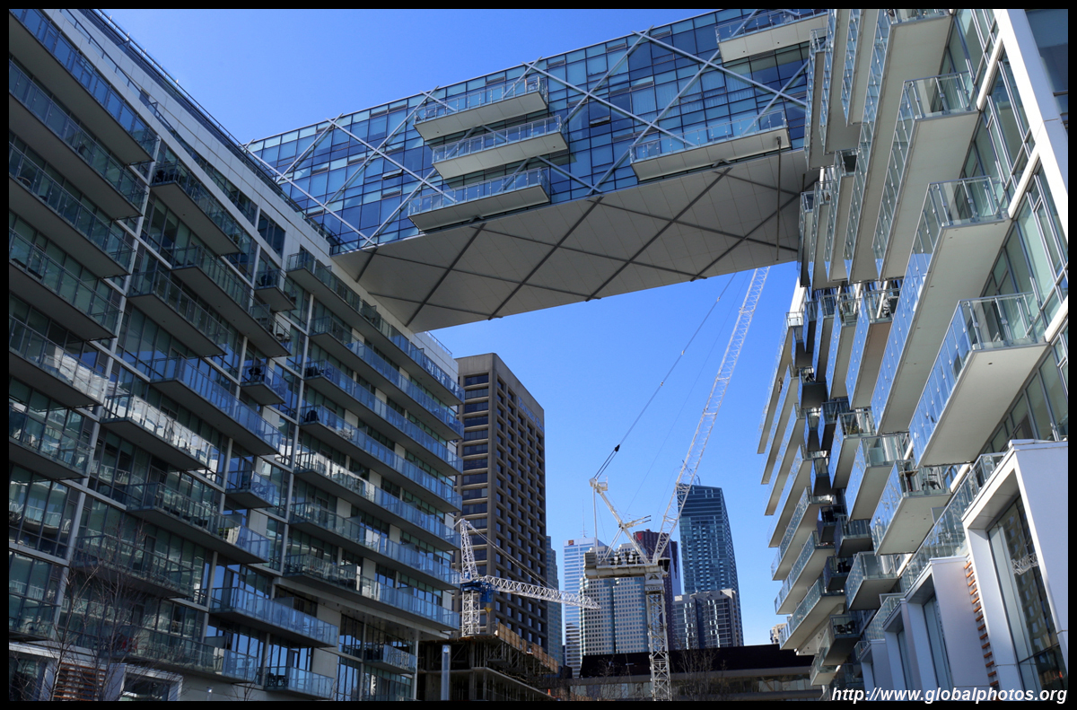
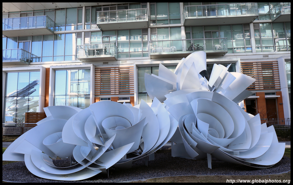
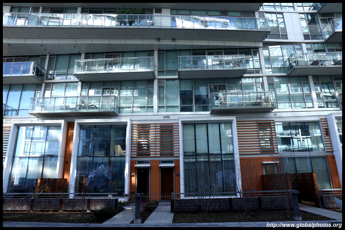
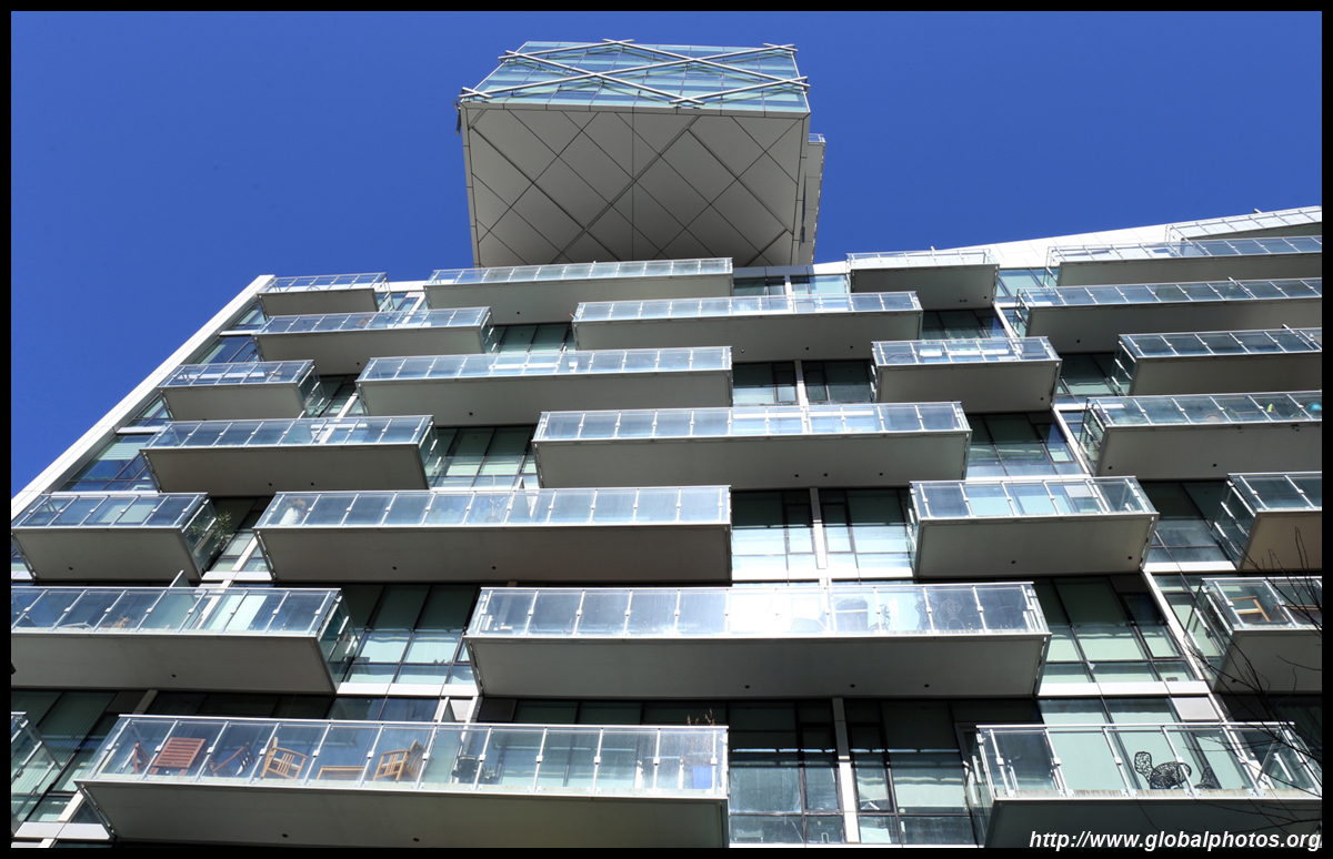
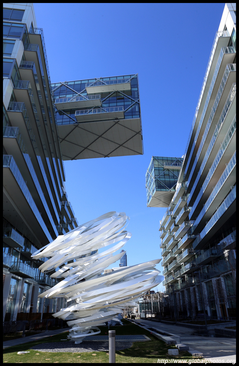
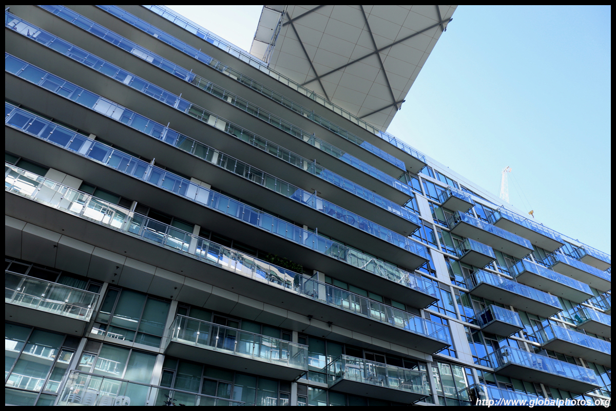
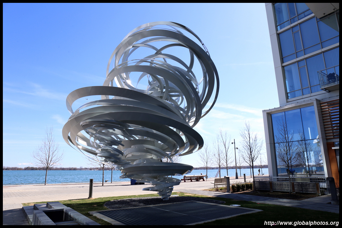
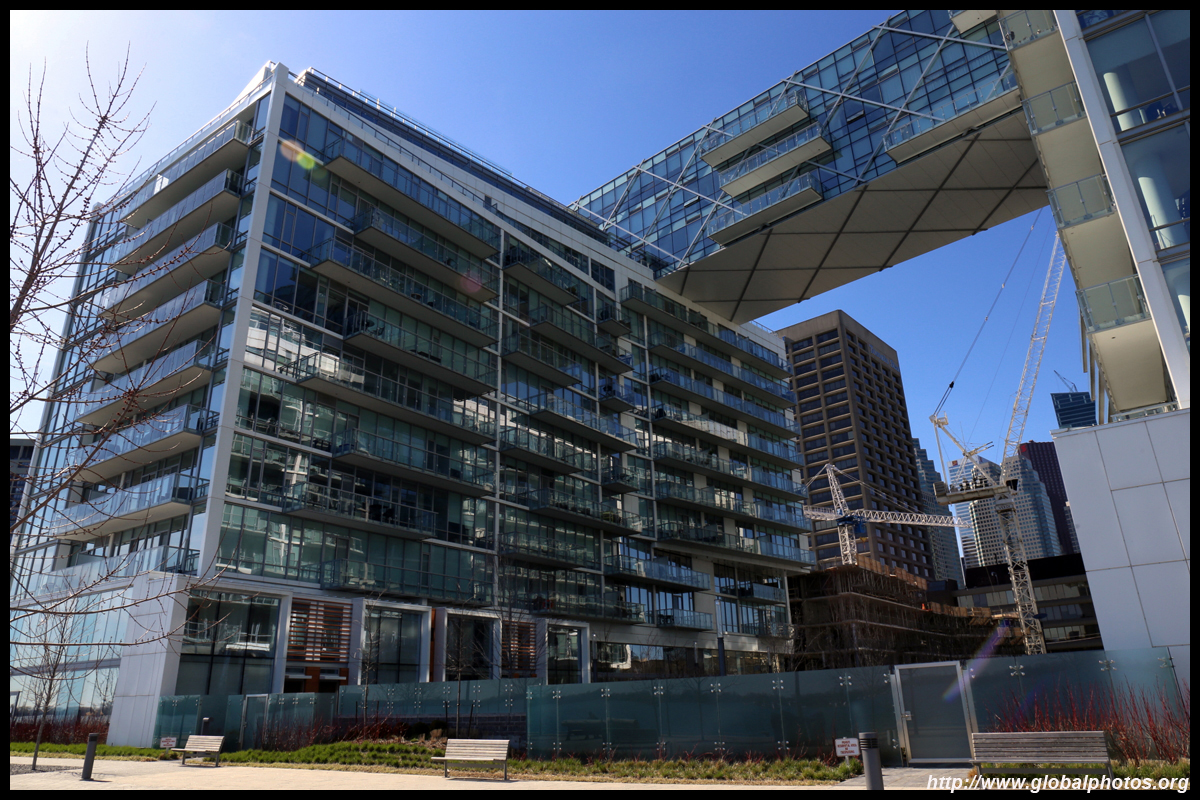
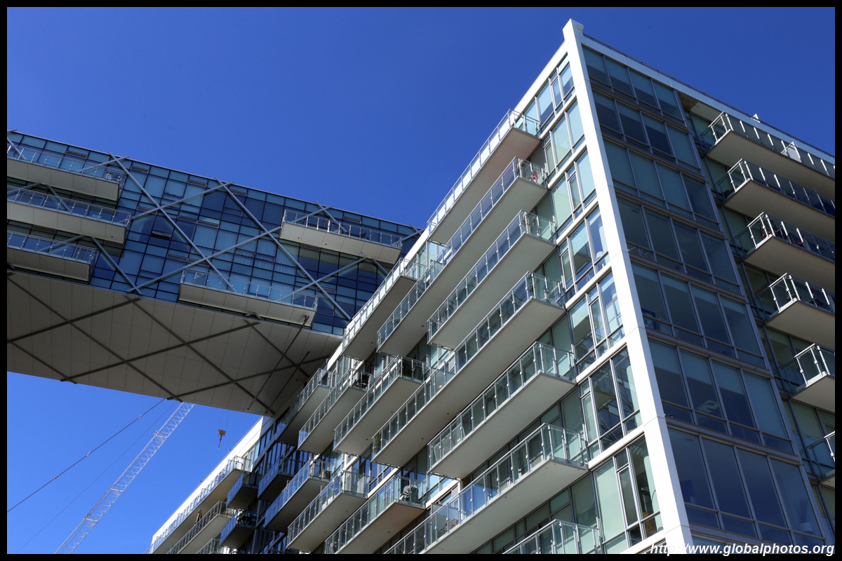
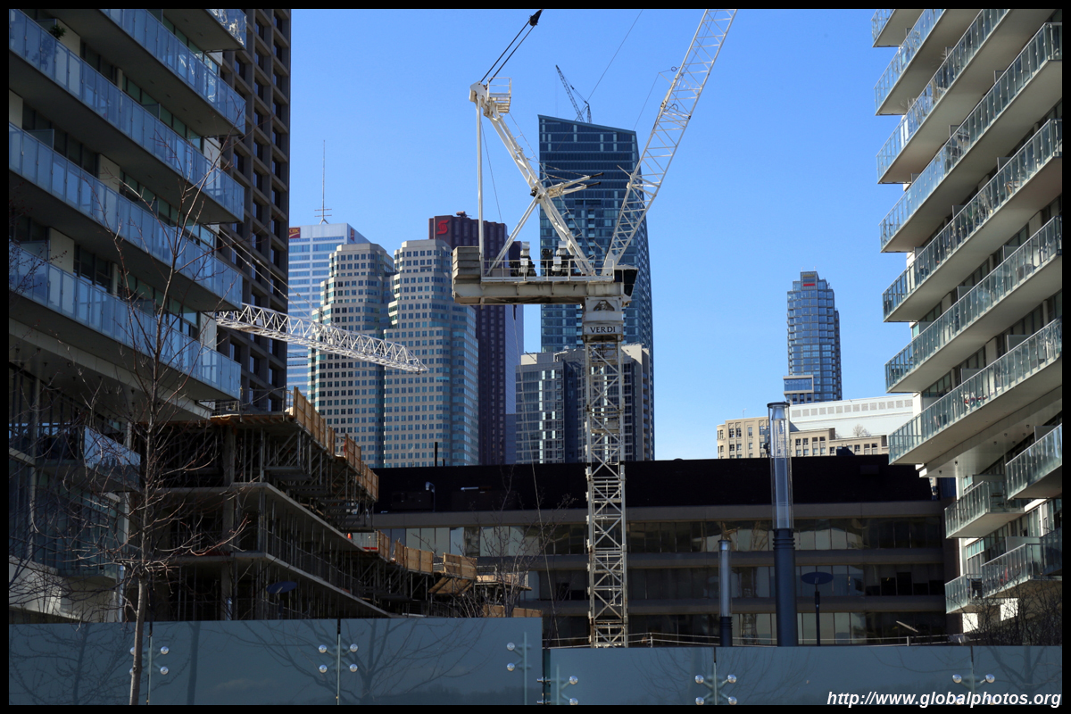
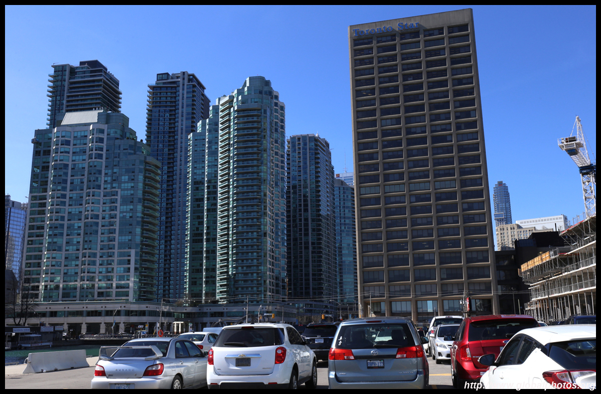
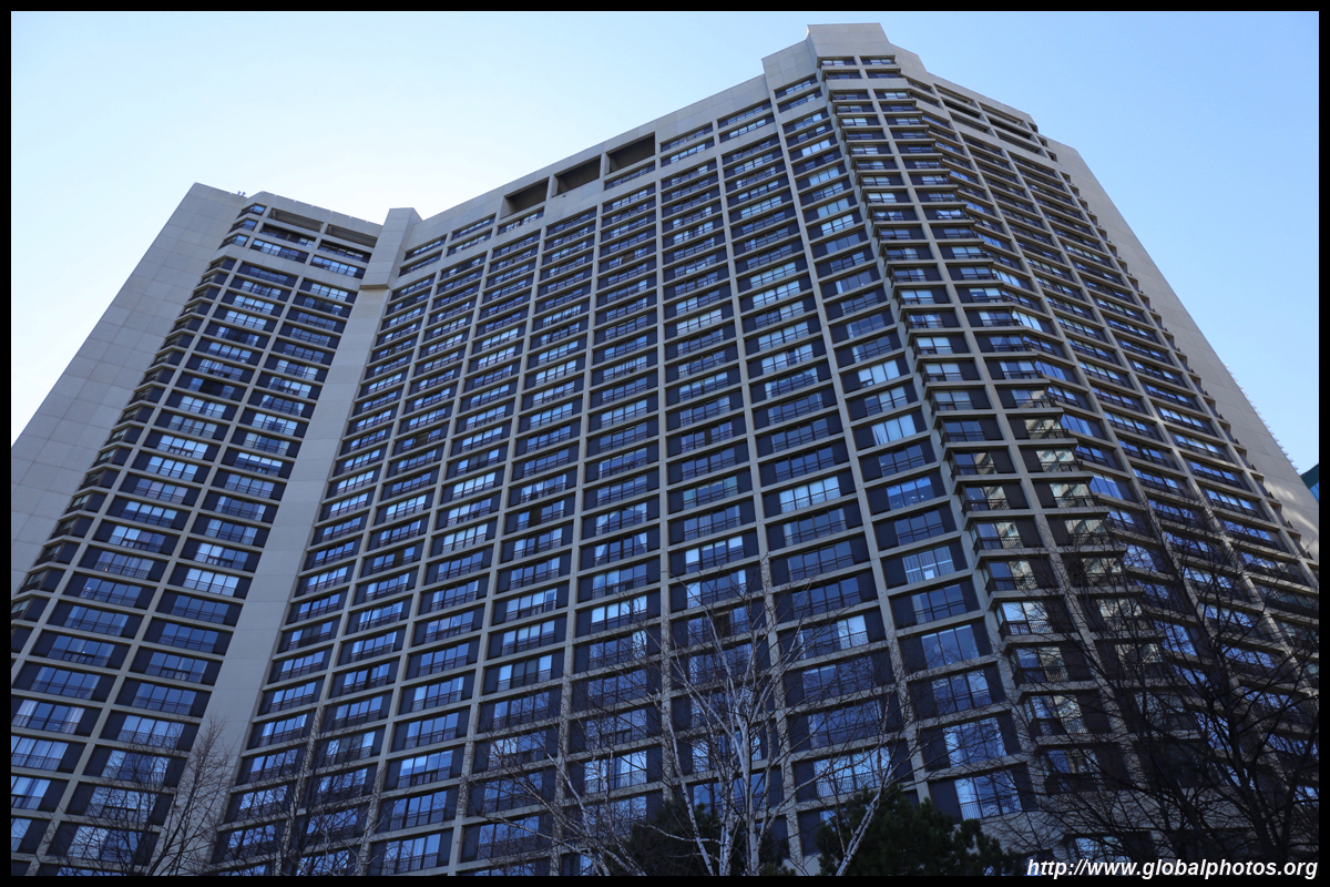
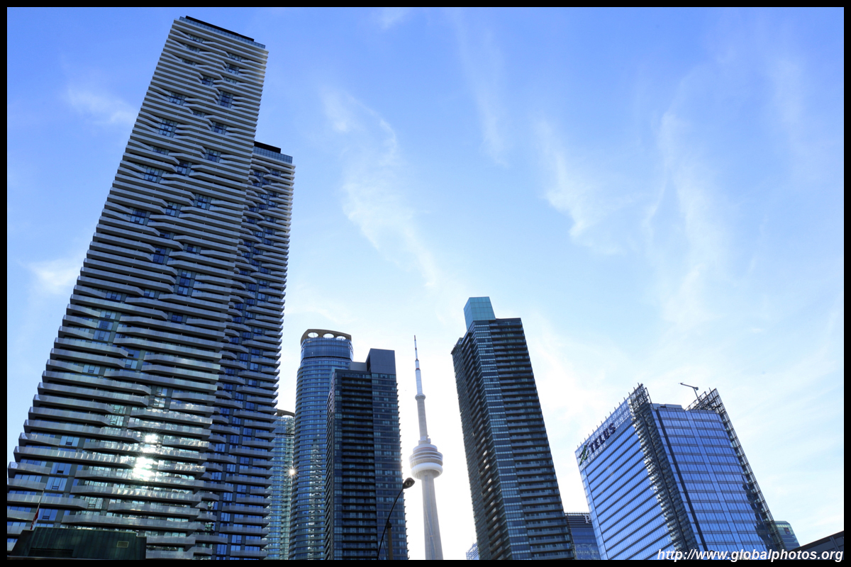
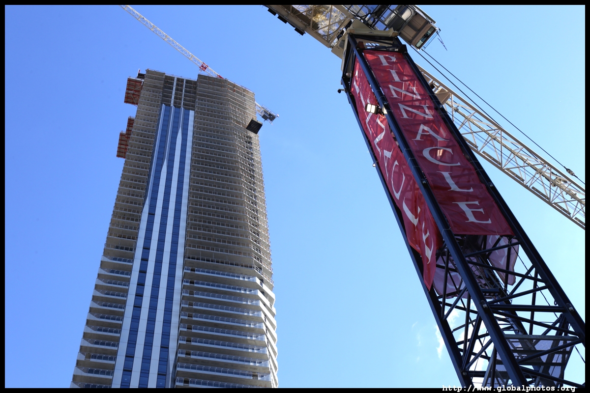
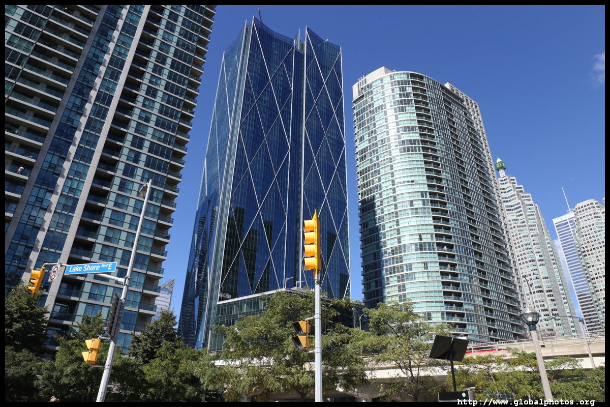
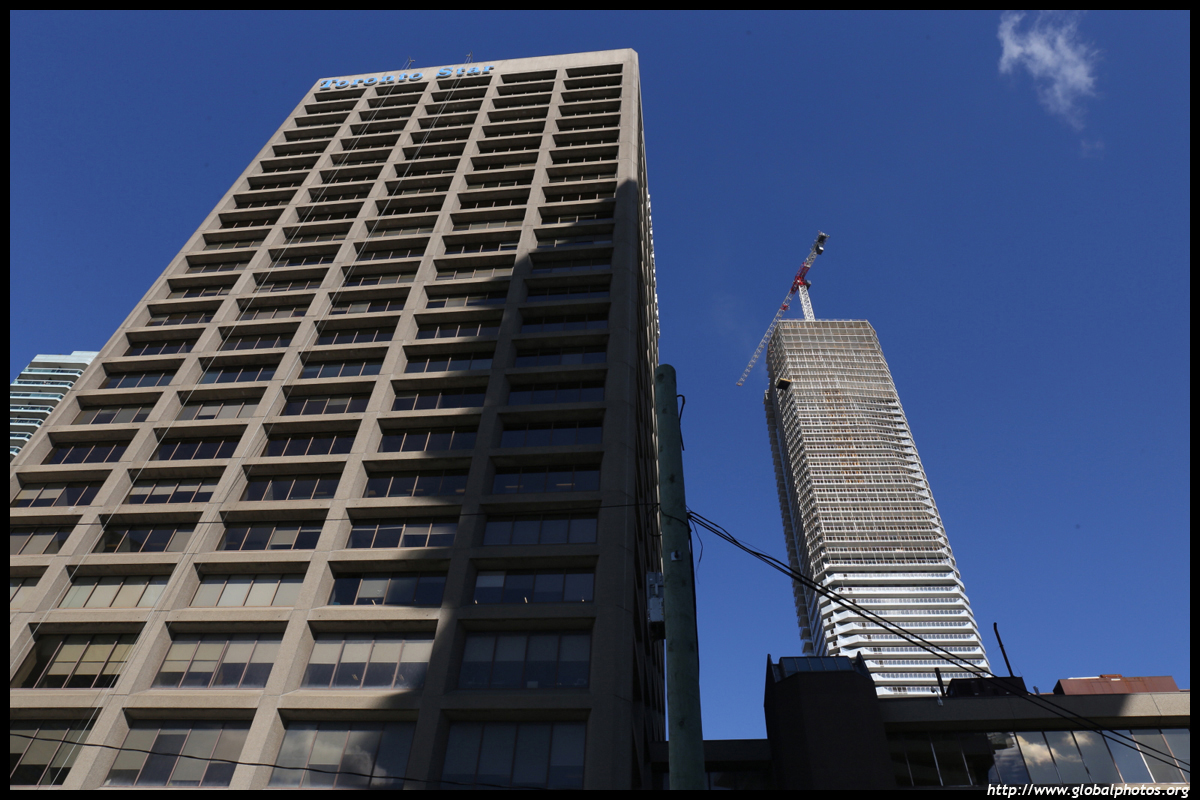
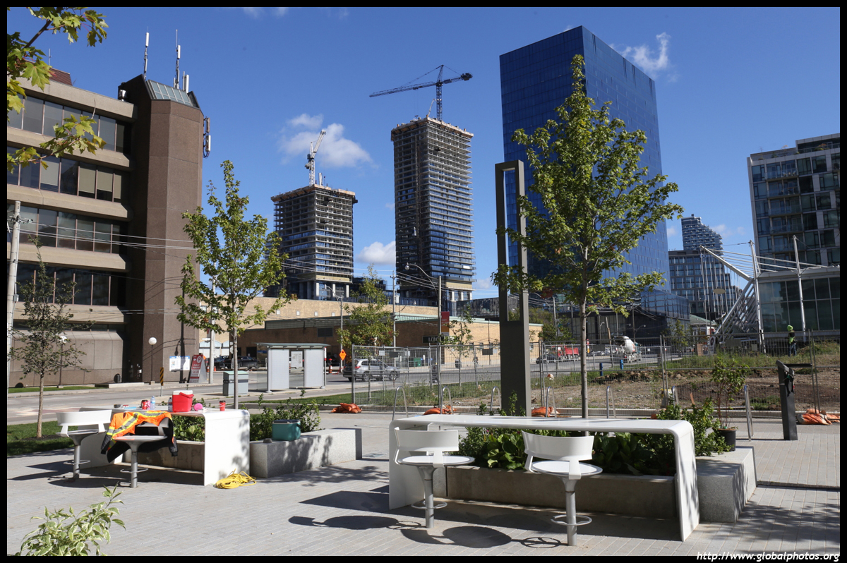
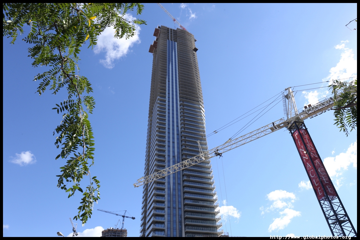
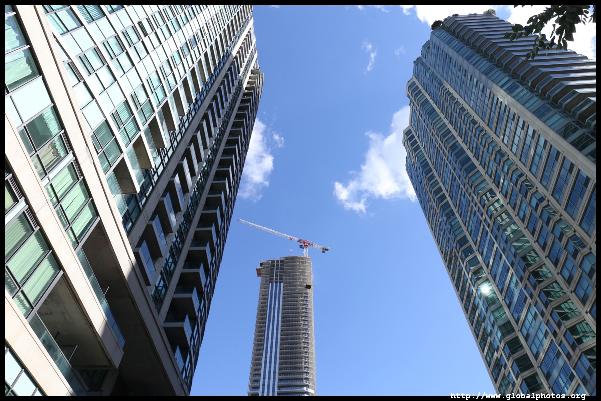
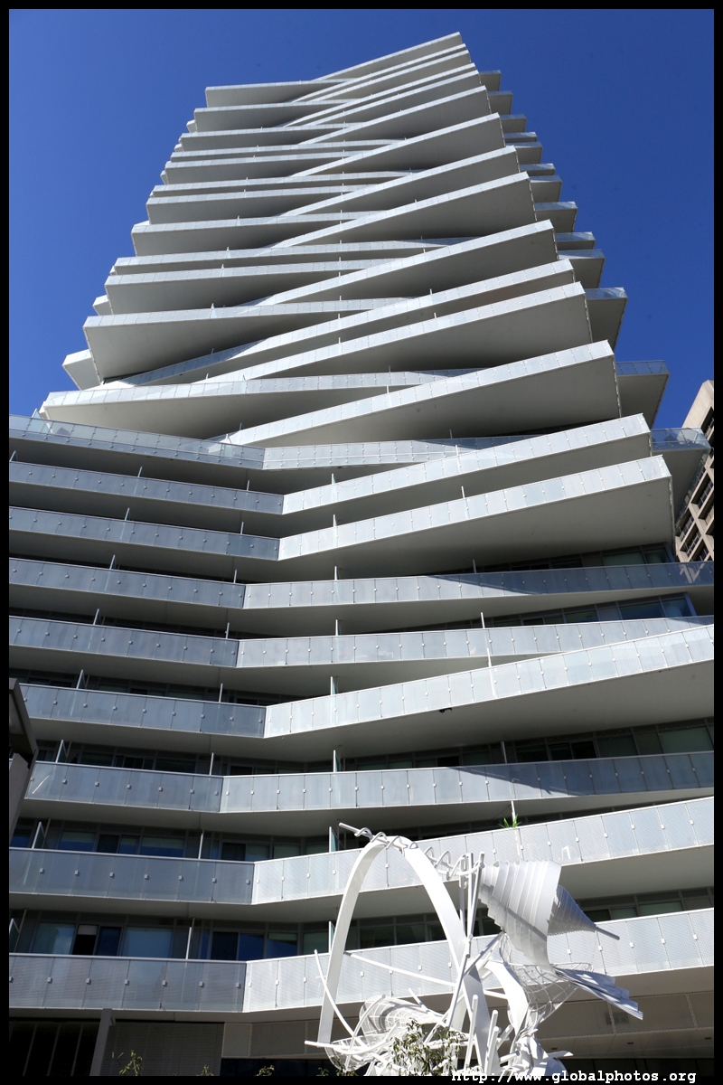
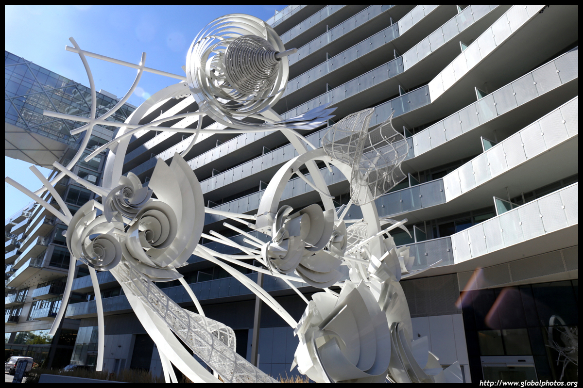
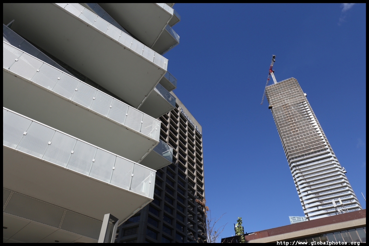
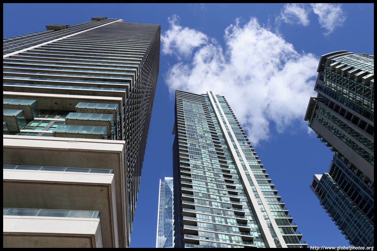
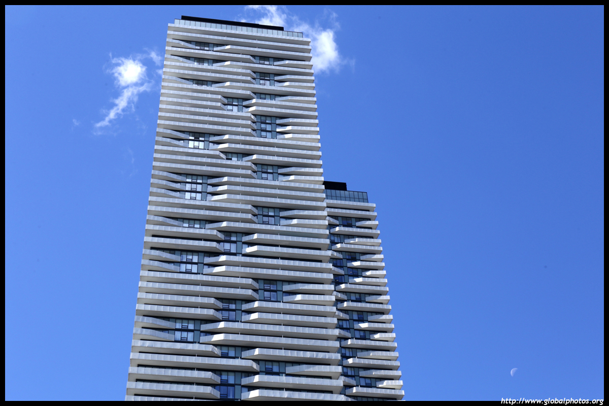
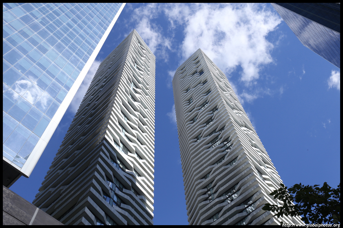
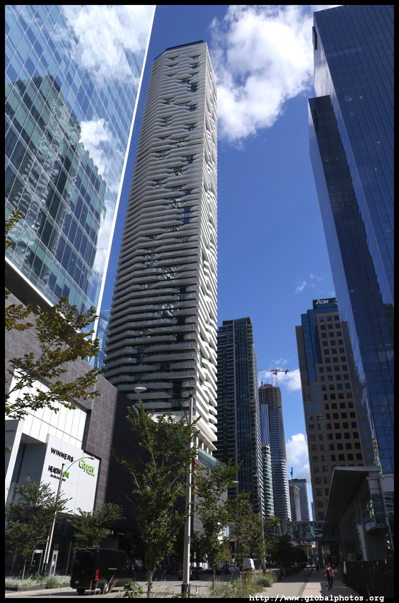
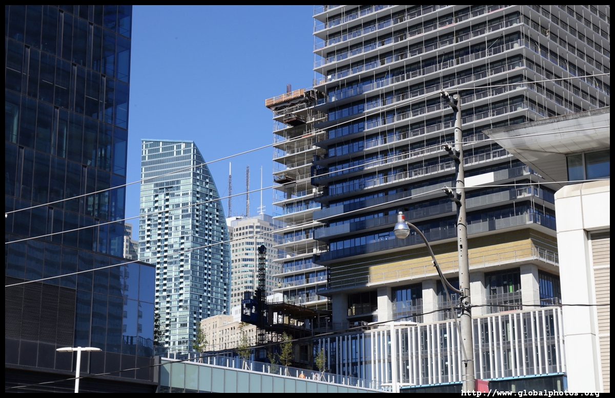
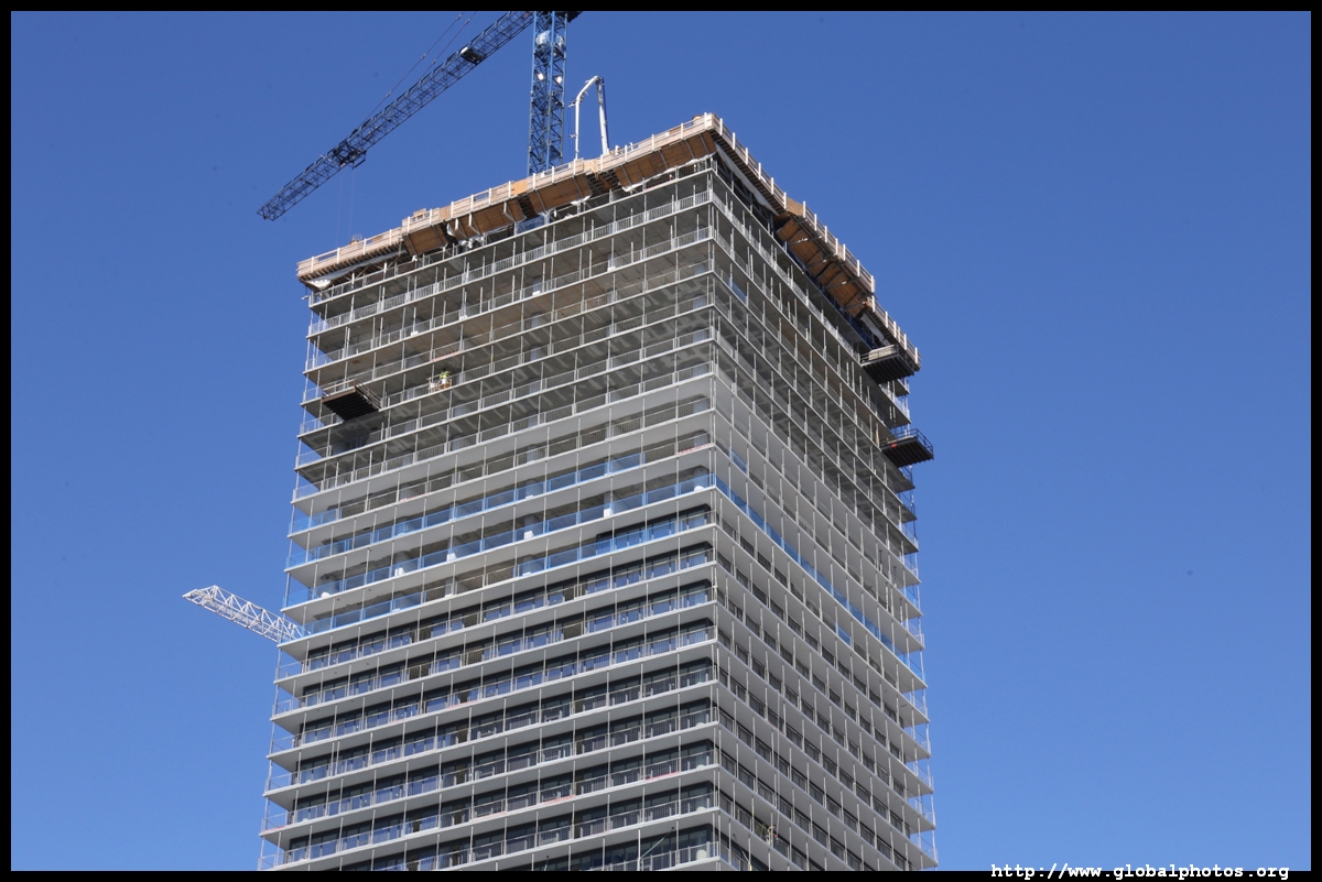
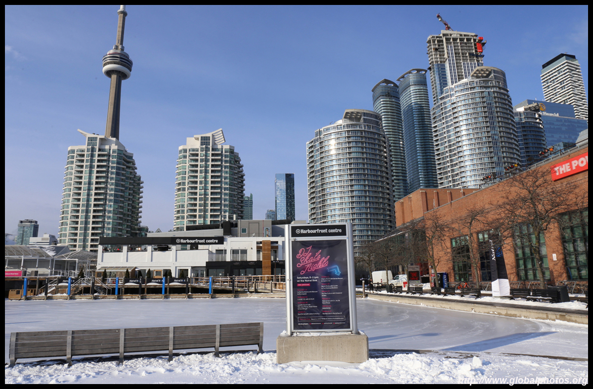
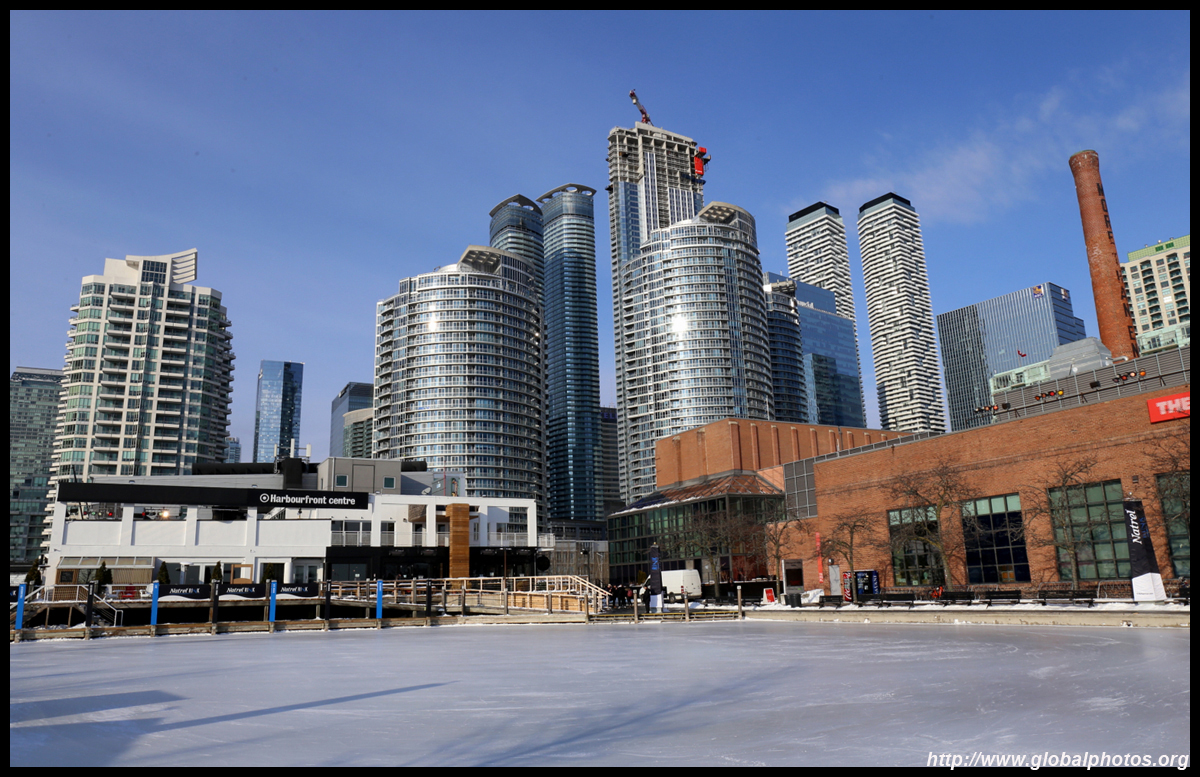
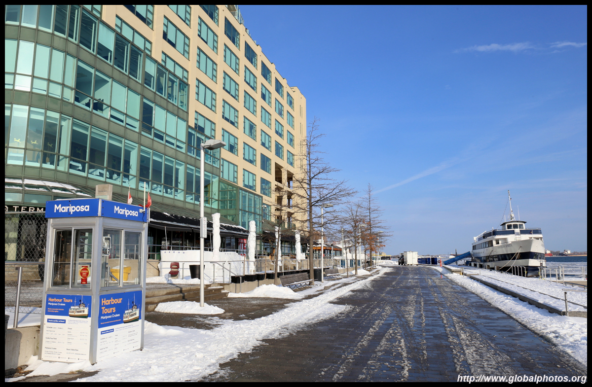
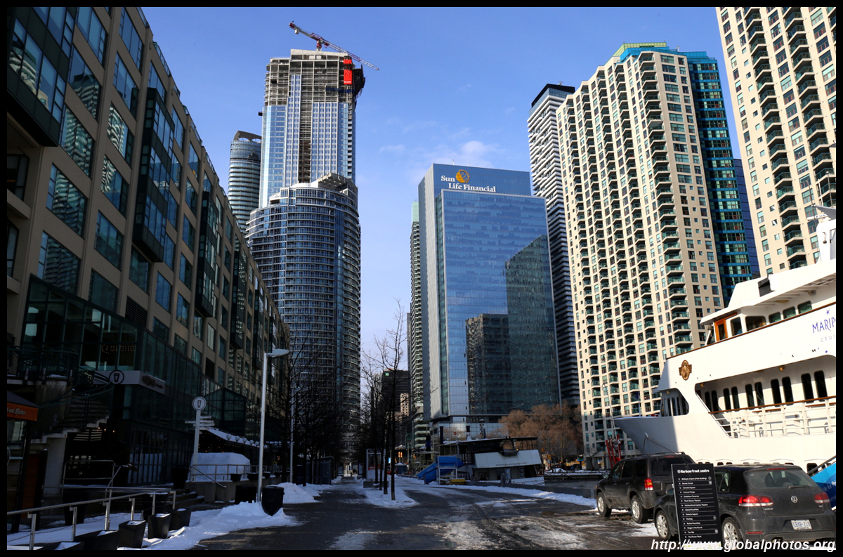
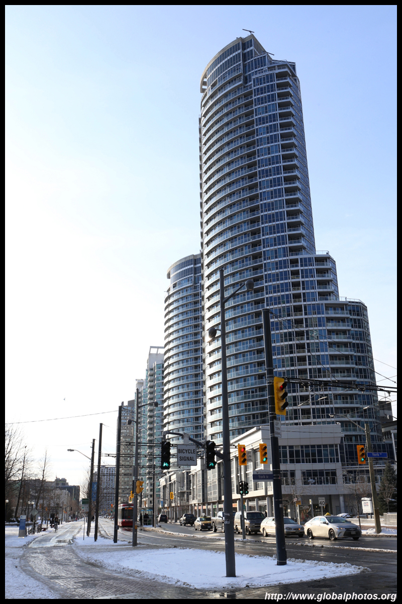
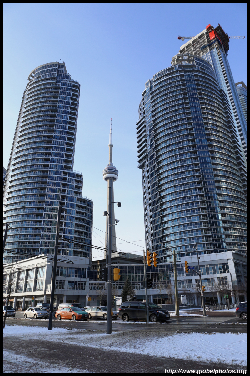
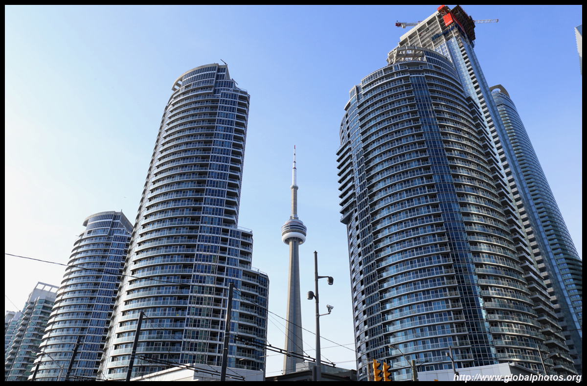
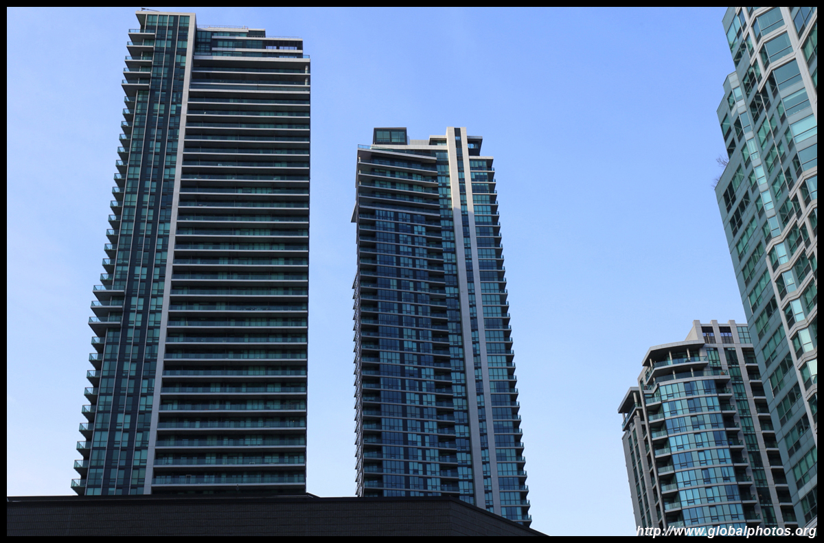
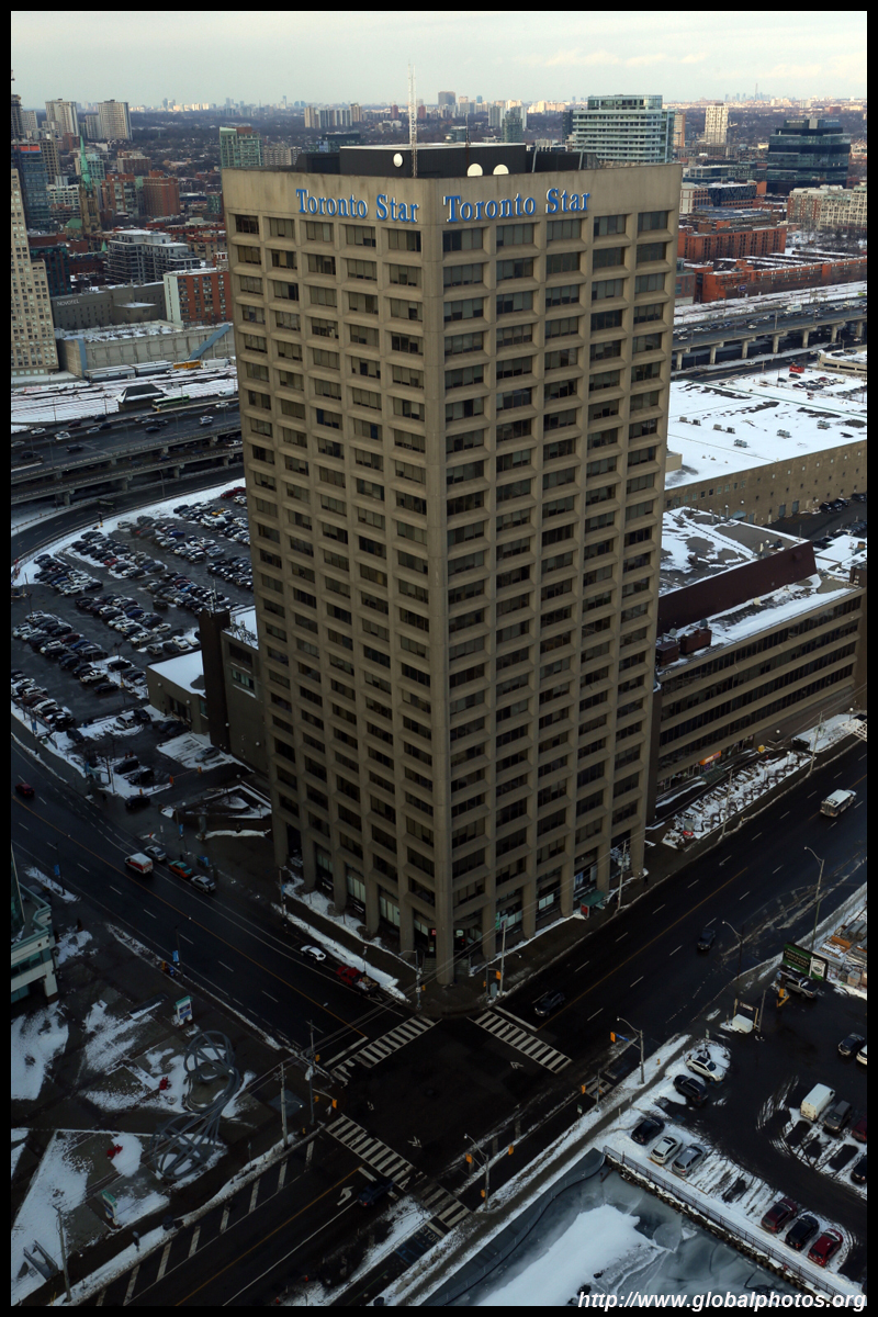
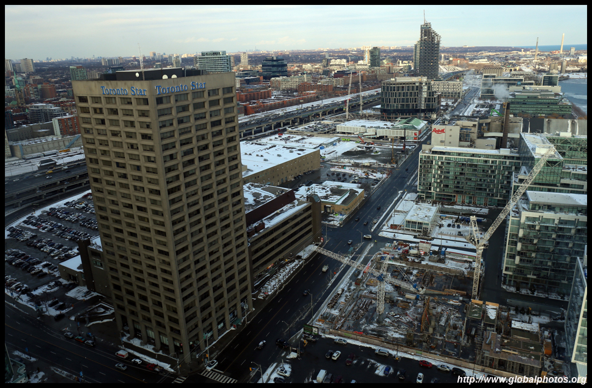
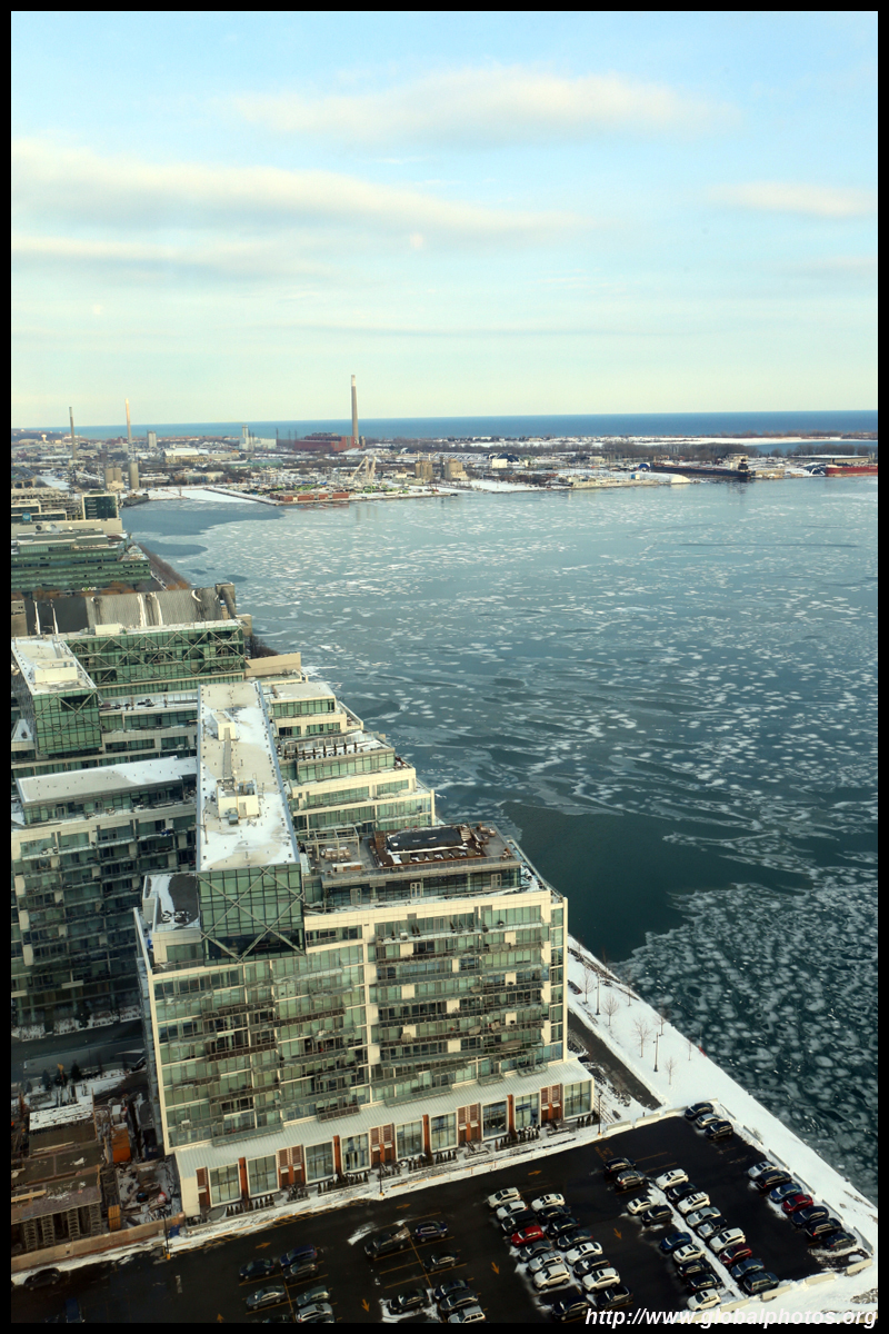
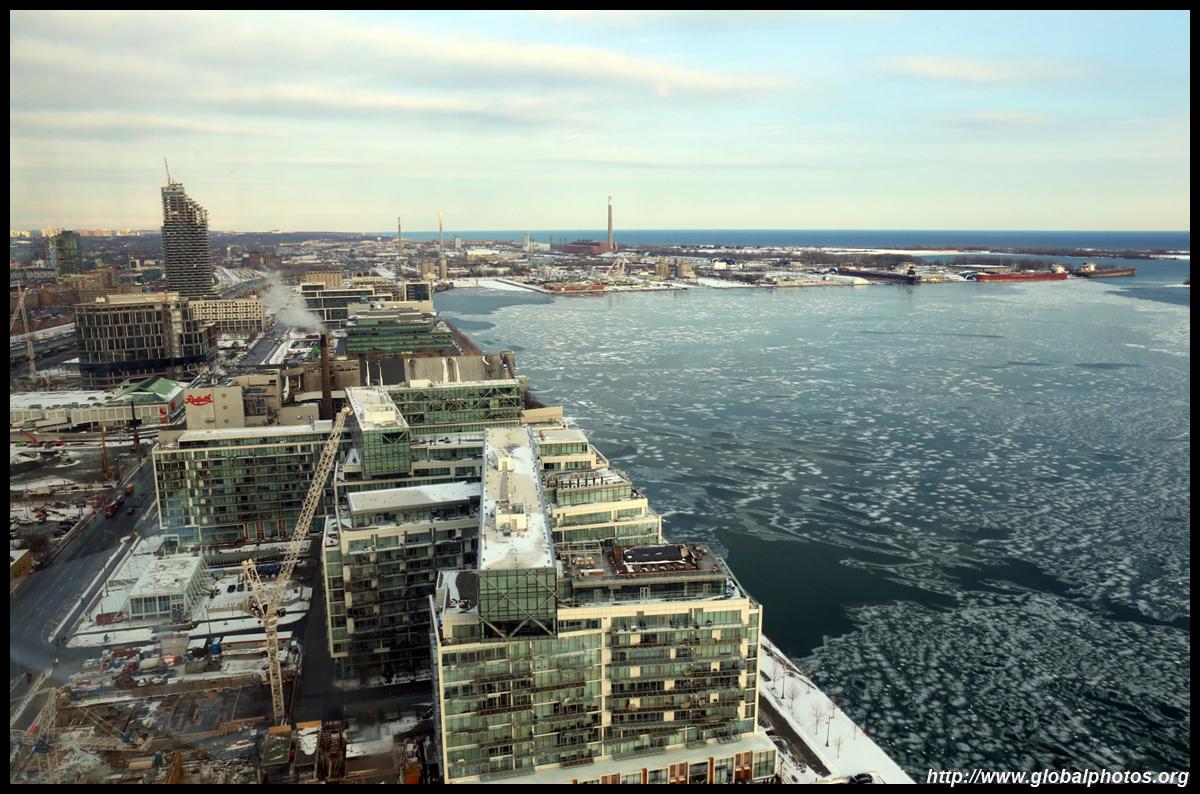
This section of Queens Quay has become quite developed with a line of residentials even east of Yonge Street.
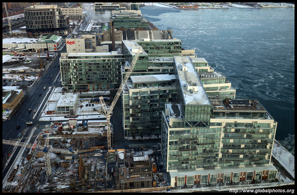
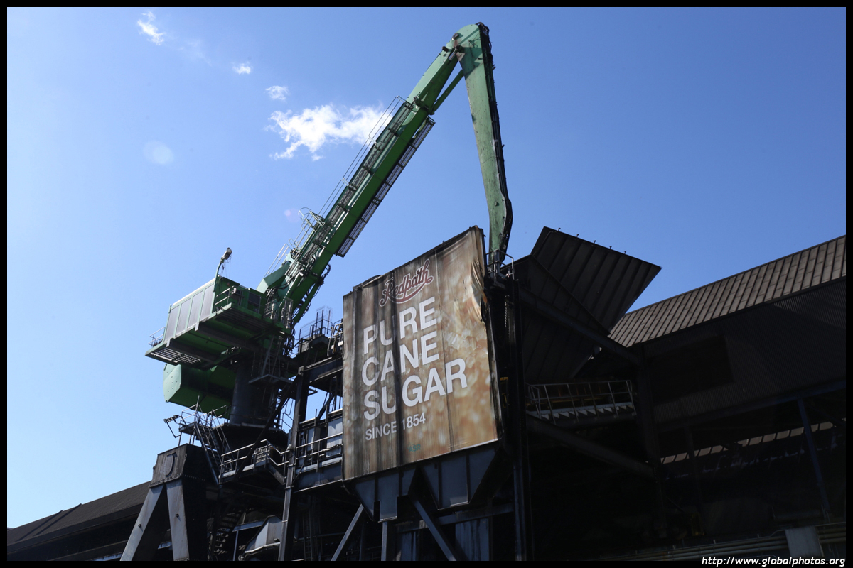
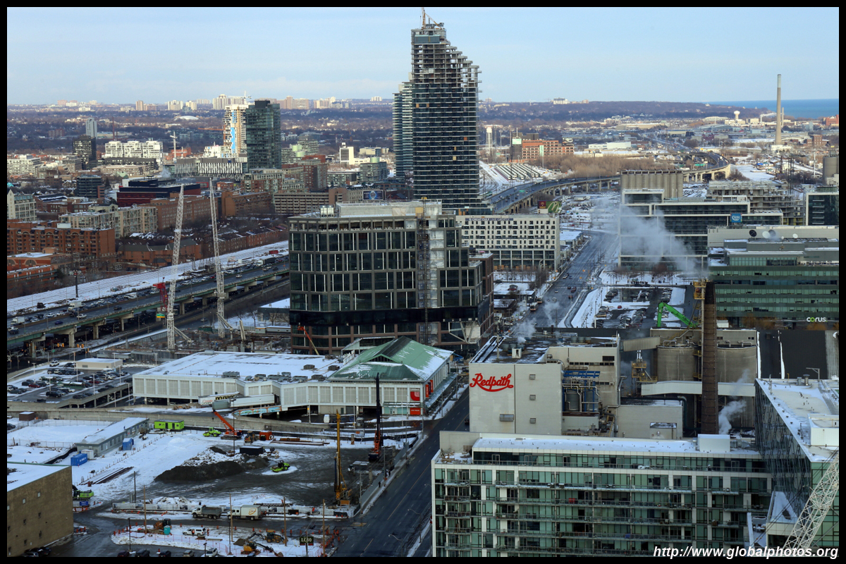
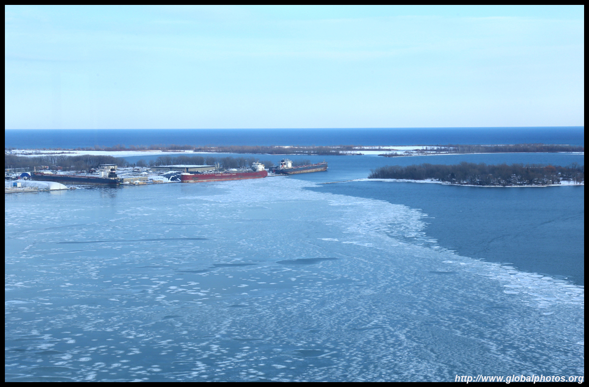
The industrial heritage is still in place, and the Redpath Sugar Plant being the most visible. It was built in the late 1950s and still produces various sugar products to the Canadian market, accounting for 48% of the sugar consumed in the country. The raw materials are shipped by sea from Brazil up the St. Lawrence Seaway.
| |||