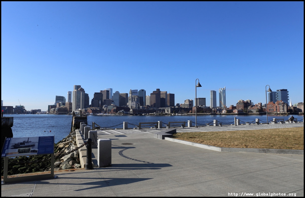
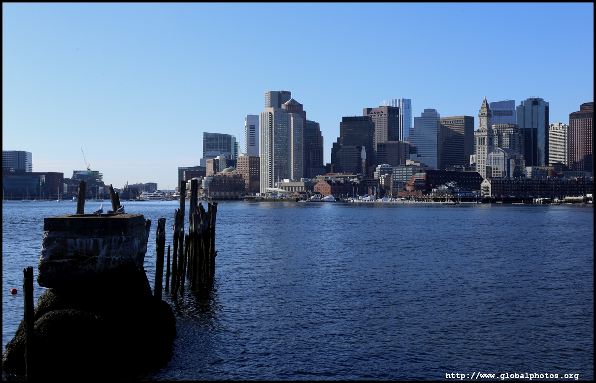
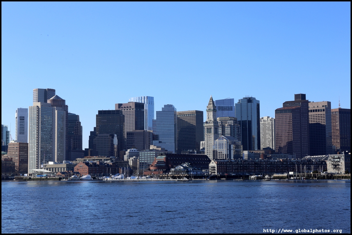
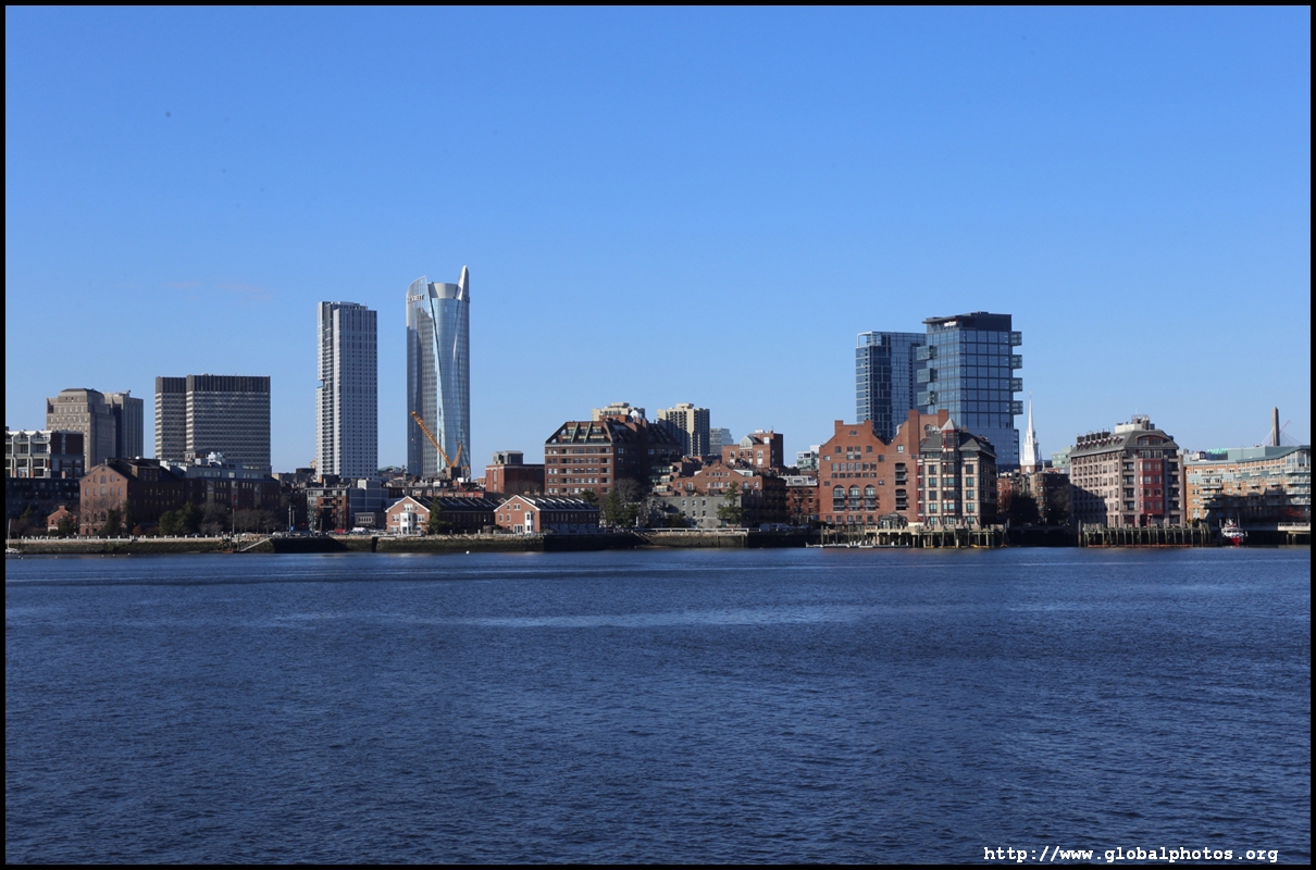
East Boston Photo Gallery
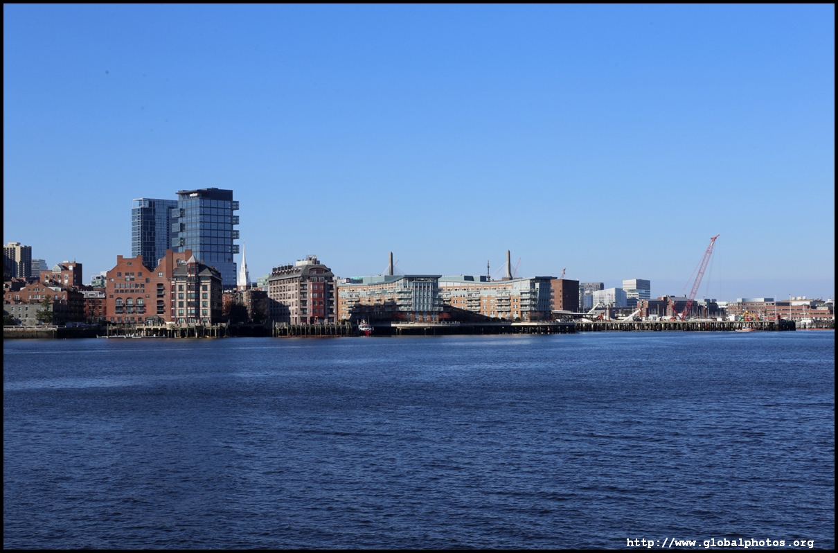
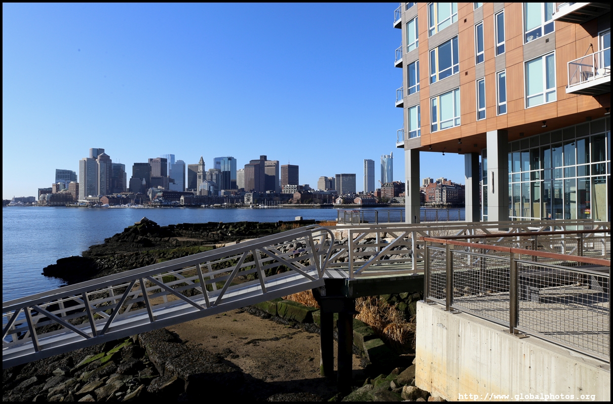
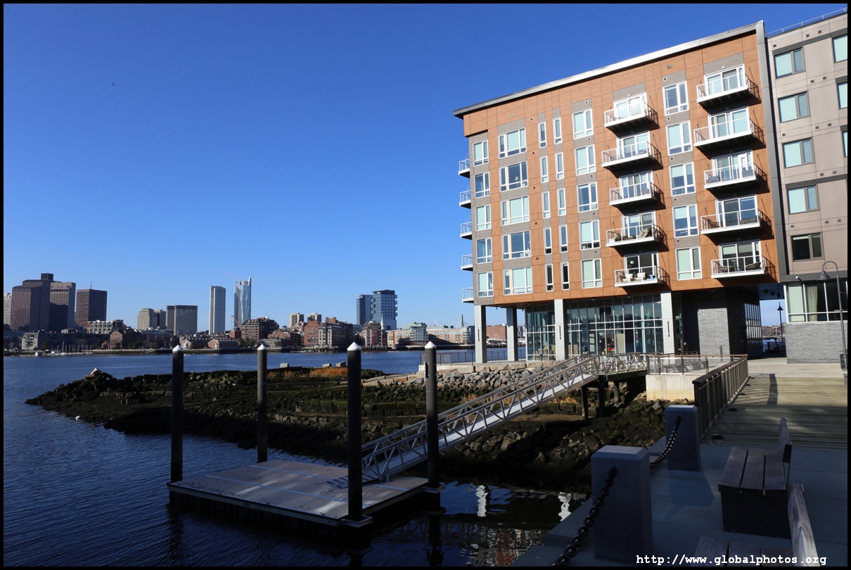
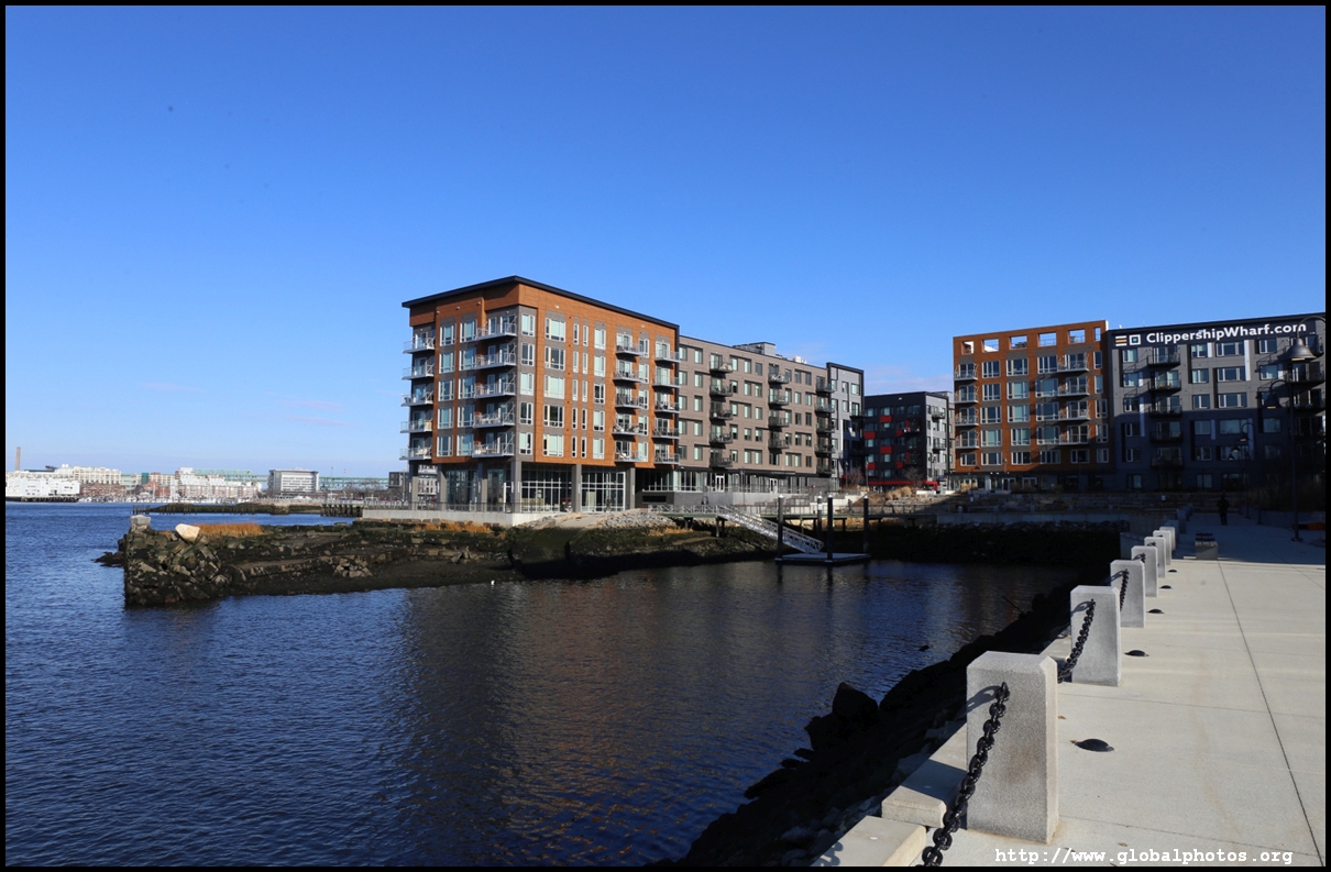
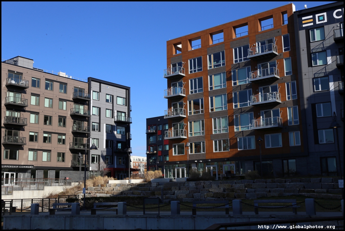
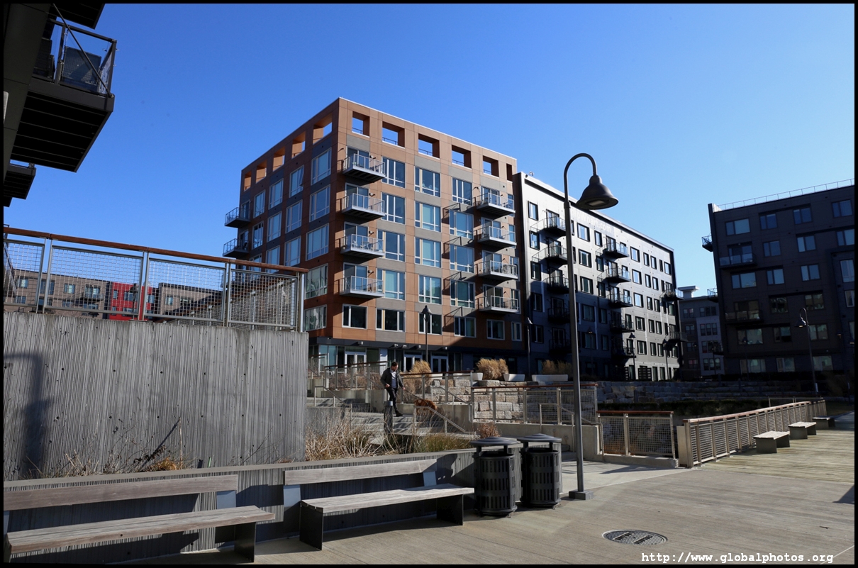
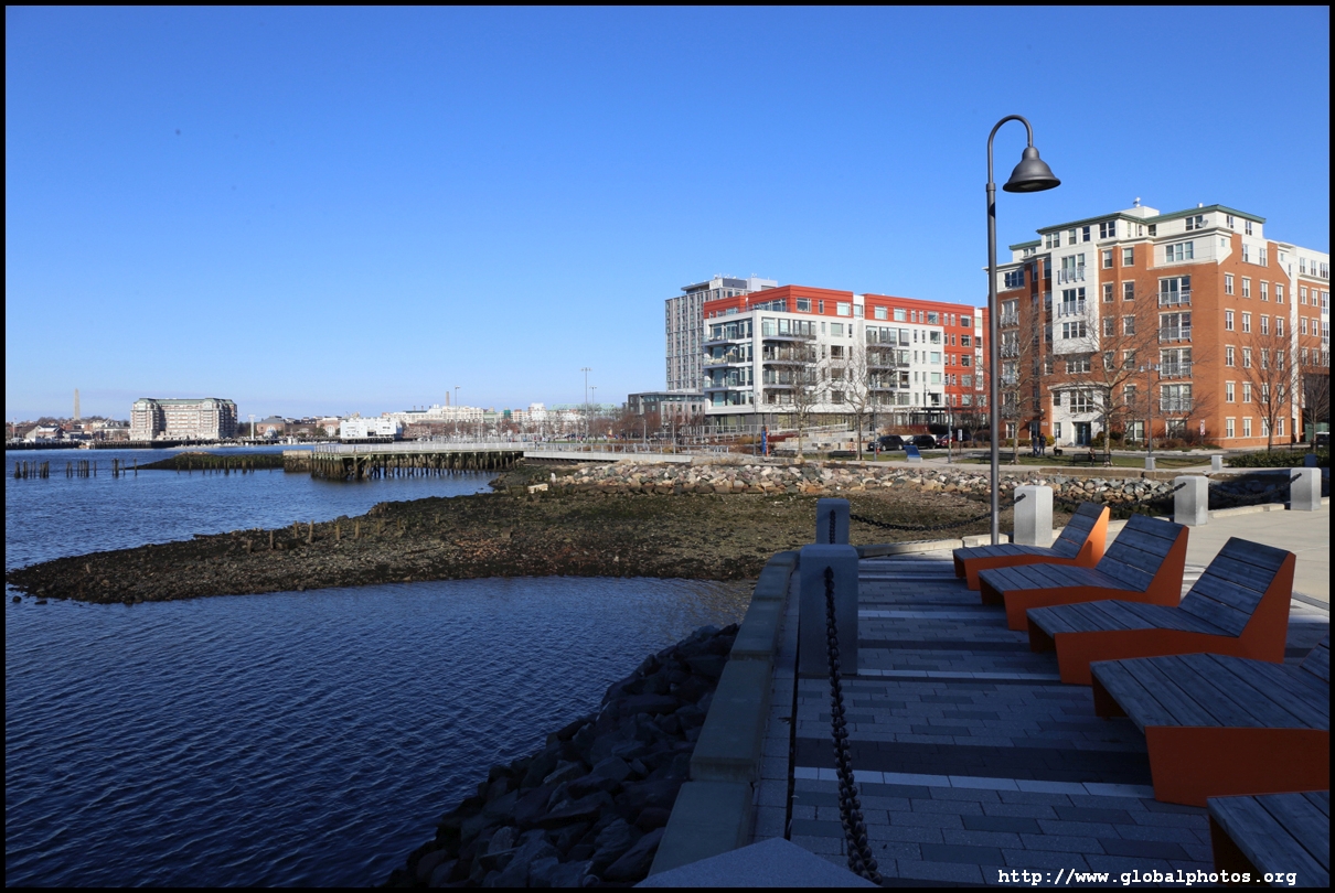
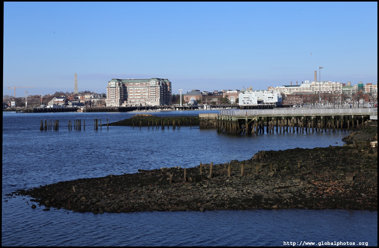
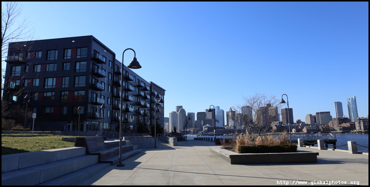
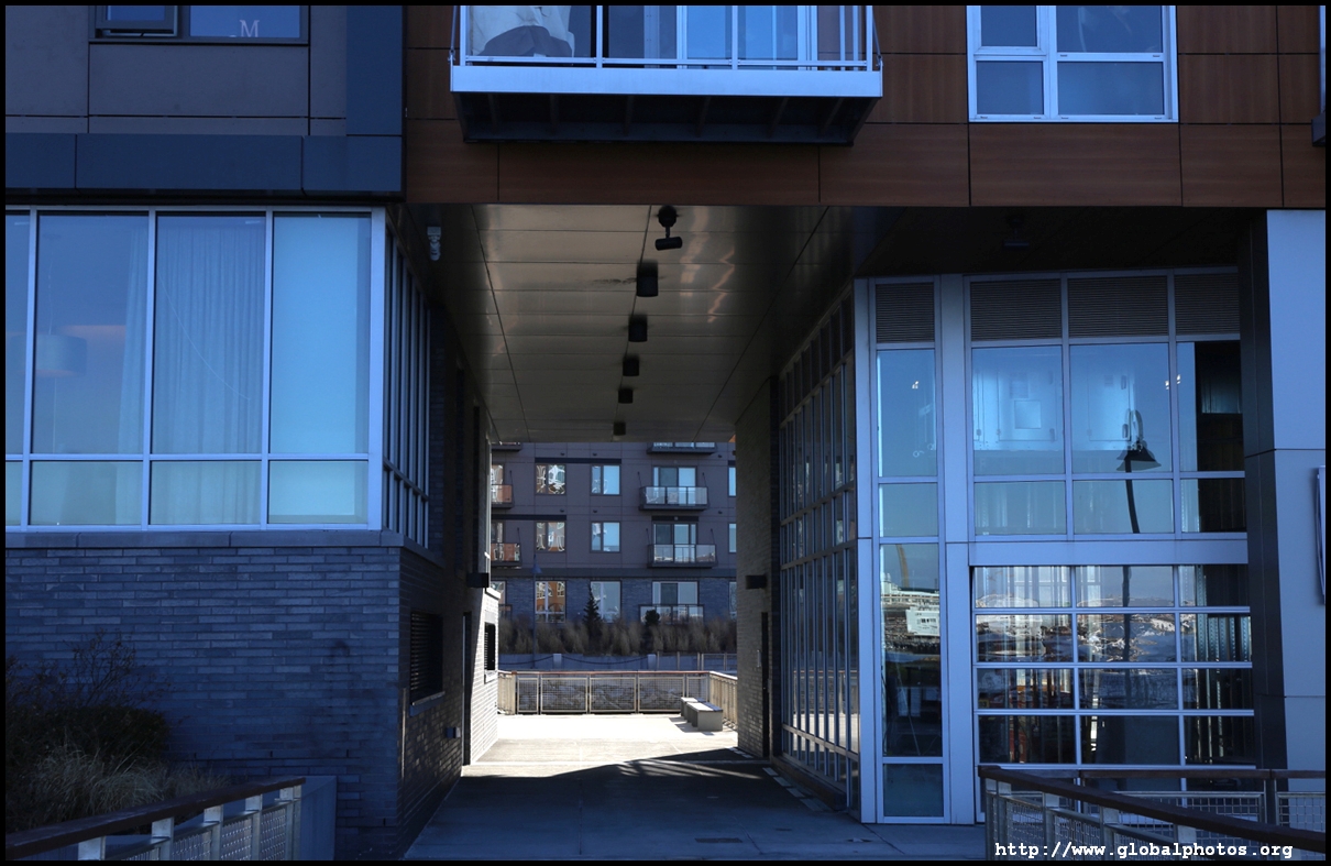
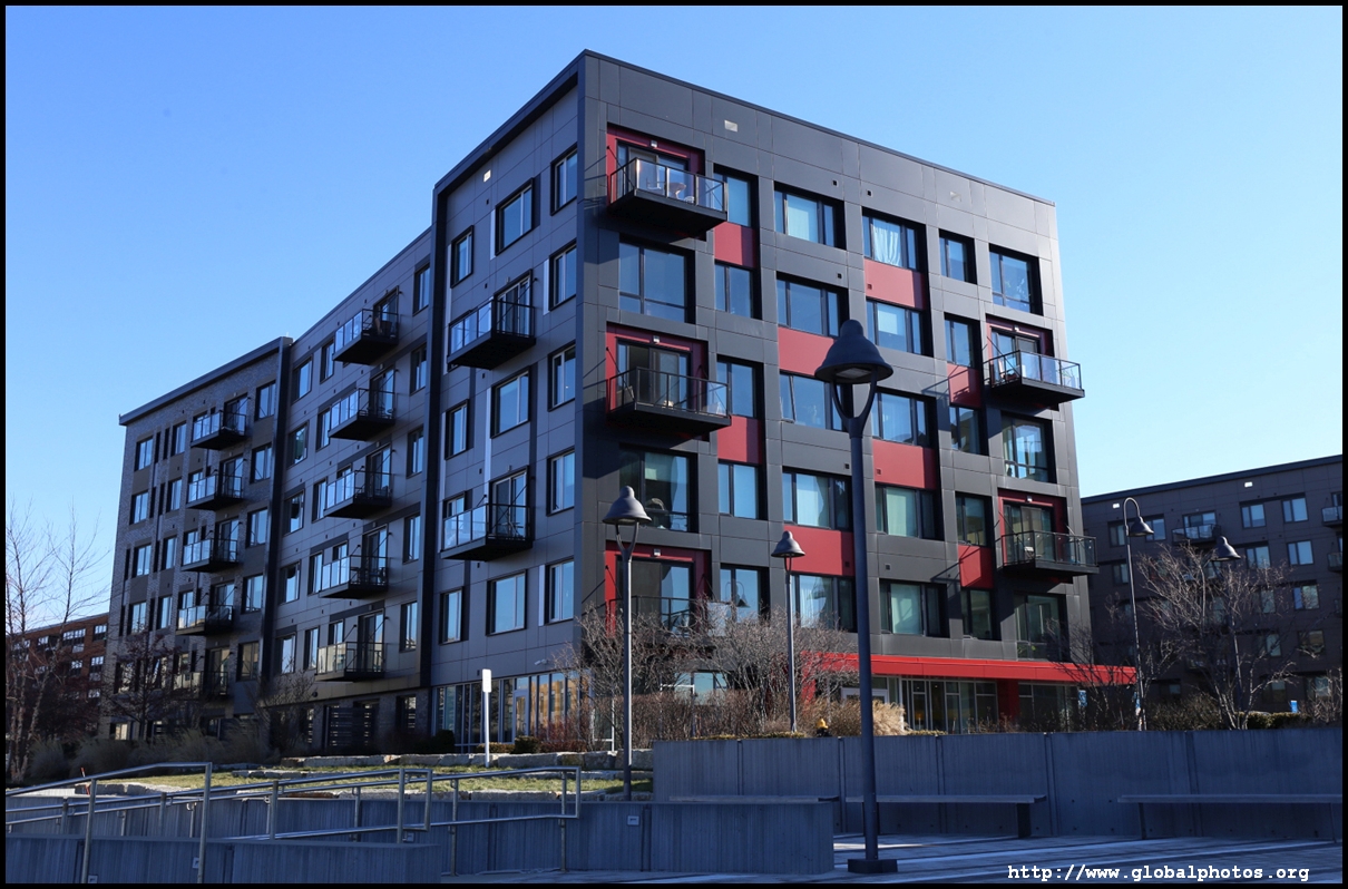
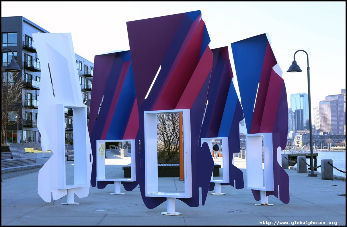
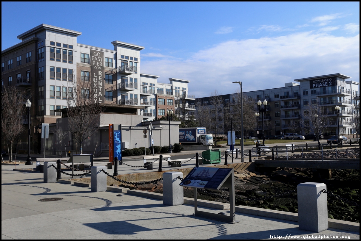
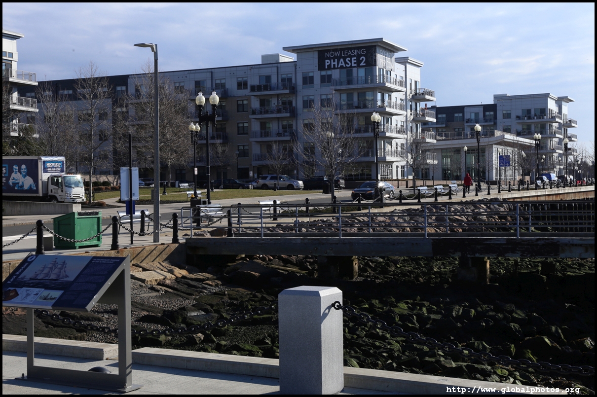
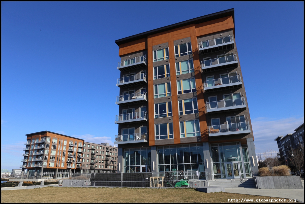
Just a short walk from the Blue Line's Maverick station, Clippership Wharf is a rejuvenation project with new residential buildings along a beautiful waterfront featuring skyline views. Mindful of climate change and the potential for storm surges, the developer had set the lowest residential floors to be 14 feet above the current high tide with no ground floor apartments, while the system of flood barriers can be deployed quickly to protect garages, lobbies, and storefronts. Dubbed a "living shoreline", natural plants, marshes, rocky beaches, grassy embankments, and the like were incorporated to reduce storm wave damage and high tides.As Boston boomed as a trading port in the 19th century, it filled in tidal flats and marshes. Logan airport, located just east of Clippership Wharf, was once a series of islands. This makes the city particularly vulnerable to climate change.
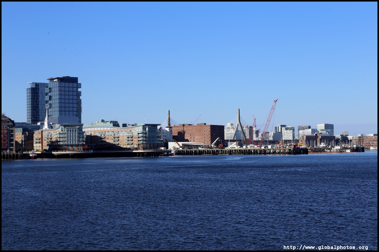
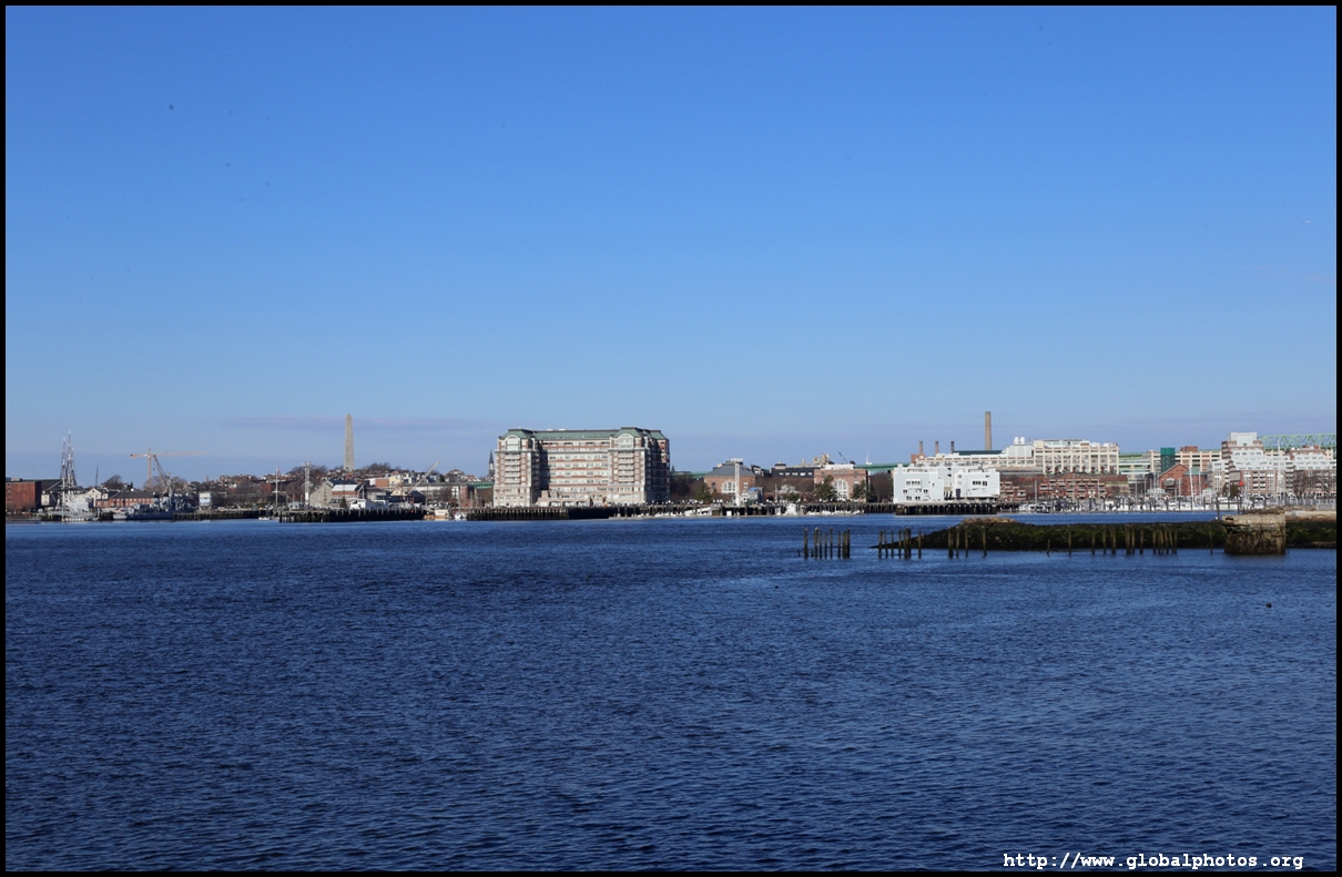
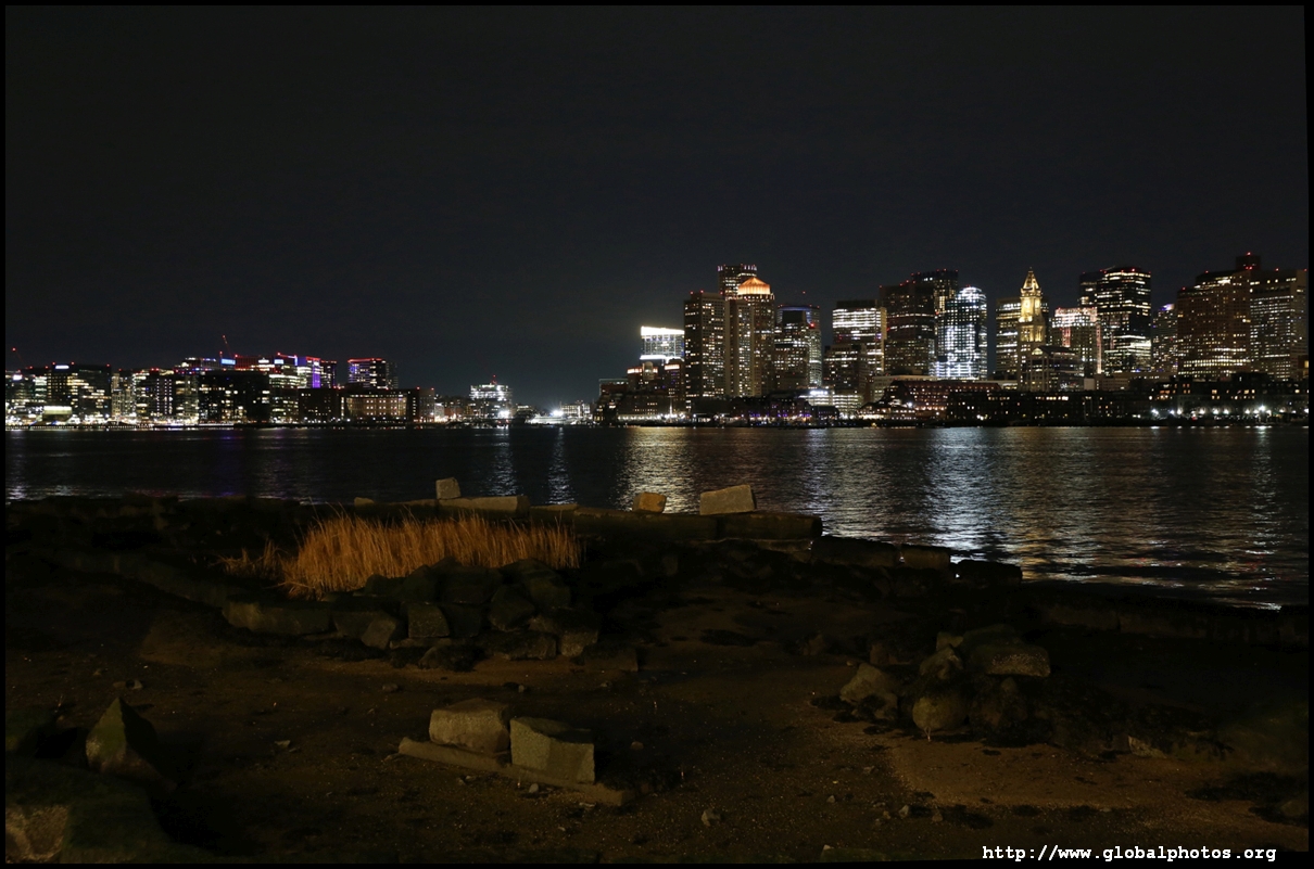
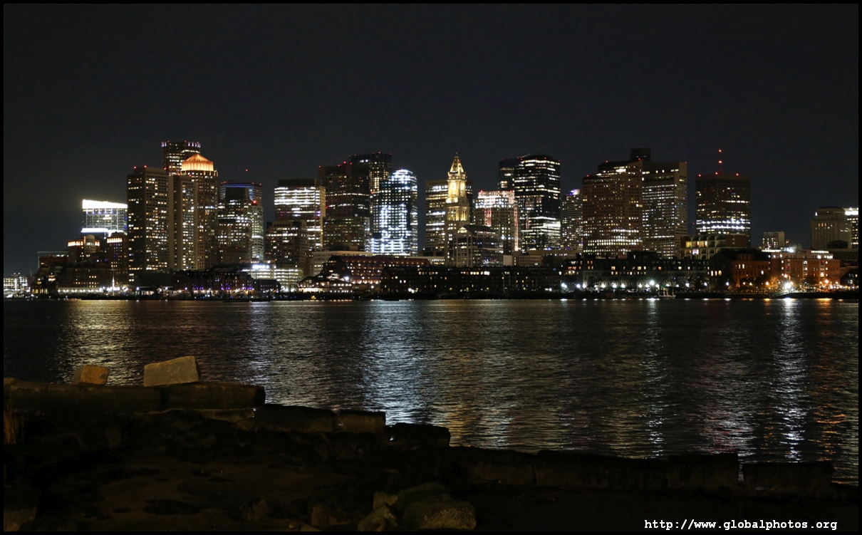
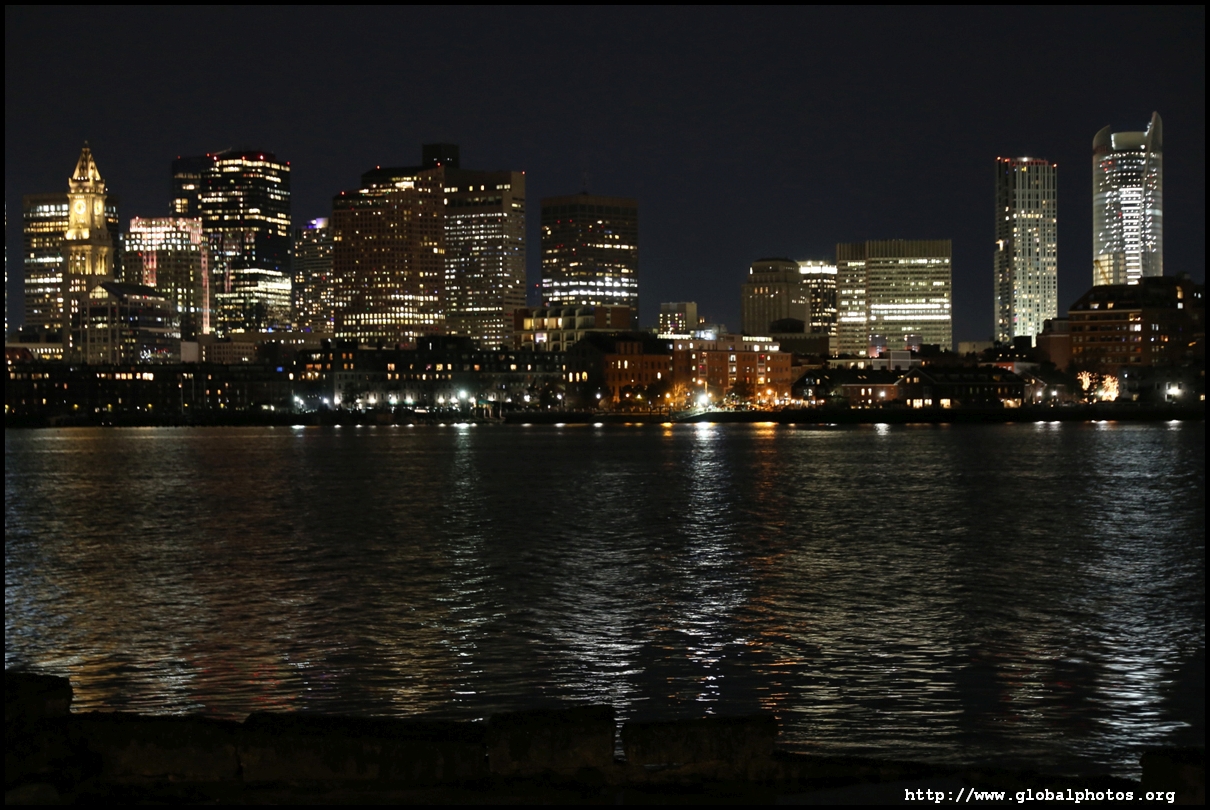
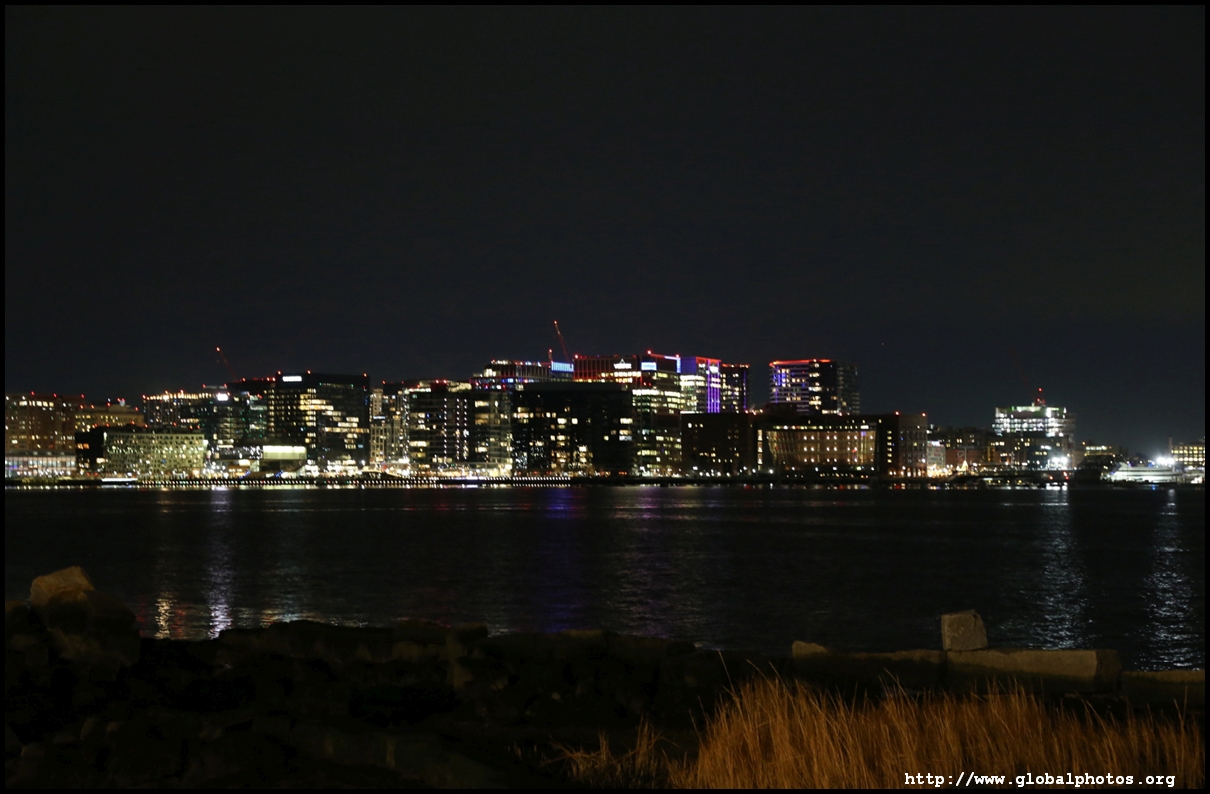
At night, I was surprised there were no tourists enjoying Boston's lights along the waterfront park.
|
To re-use these photos, please notify me by email : asiaglobe@yahoo.com.hk.