Hong Kong Photo Gallery - Cape D'Aguilar

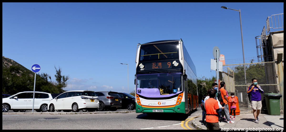
Cape D'Aguilar is located on the southeastern edge of Hong Kong Island, with the surrounding waters designated as a marine reserve. Getting here is quite straight-forward so this has become a popular weekend outing from the city. Take bus #9 from Shau Wei Wan and get off at the stop with the same name, which is after the Dragon's Back trail and before the long downhill ride to Shek O. Note that some weekend departures do not stop here.
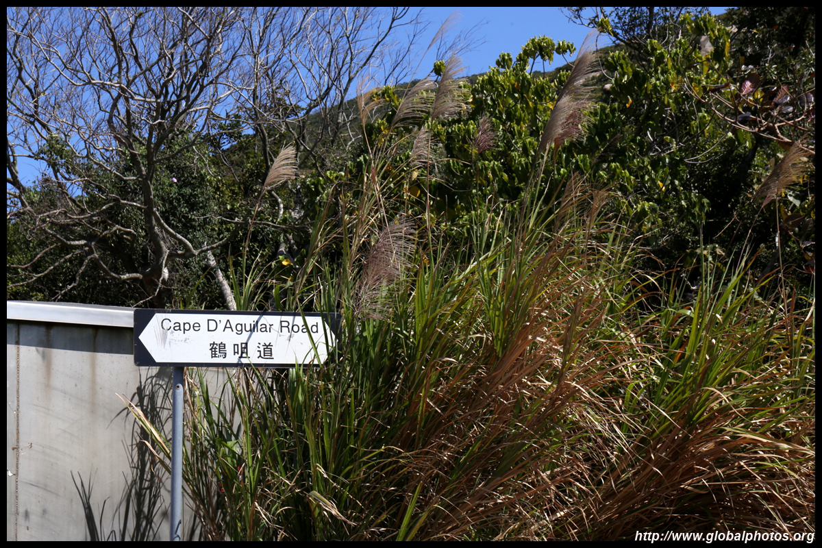
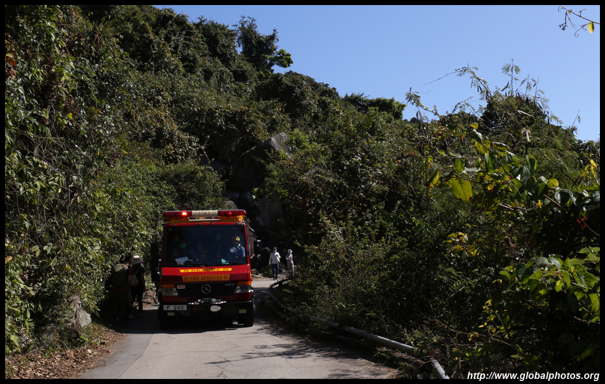
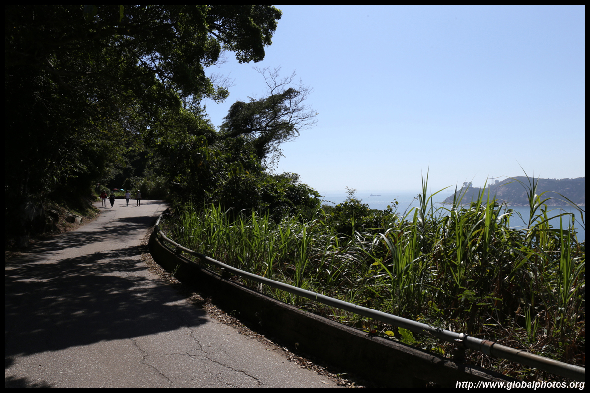
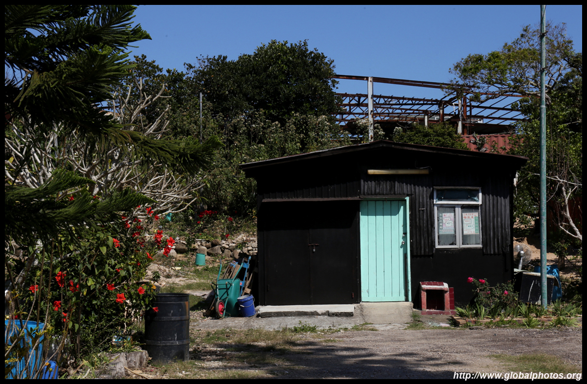
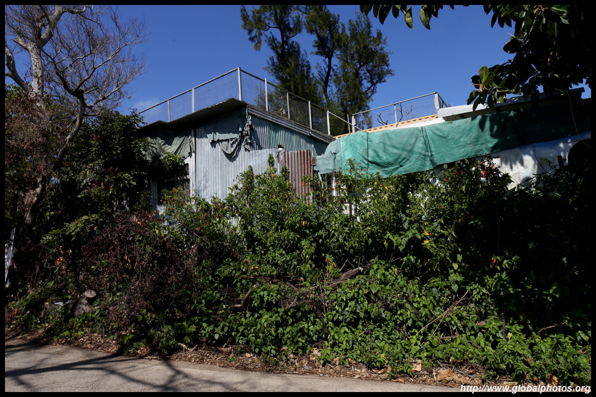
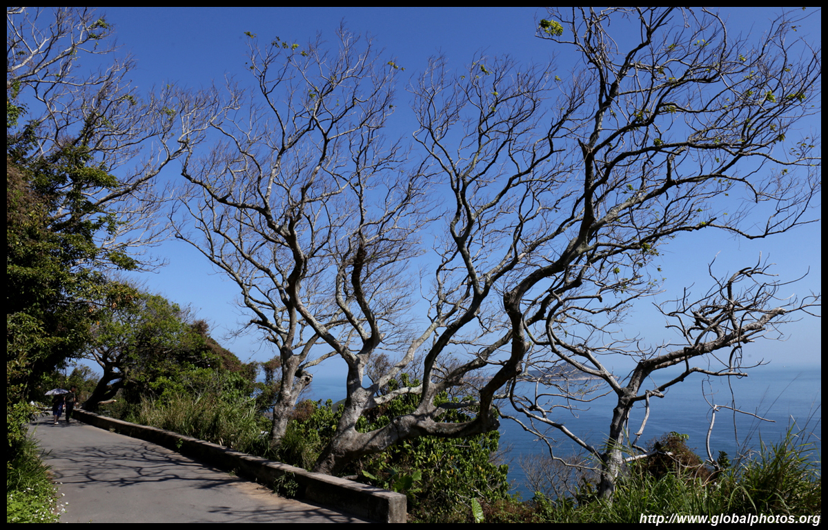
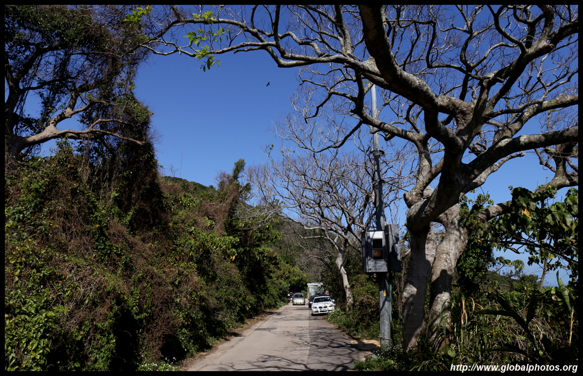
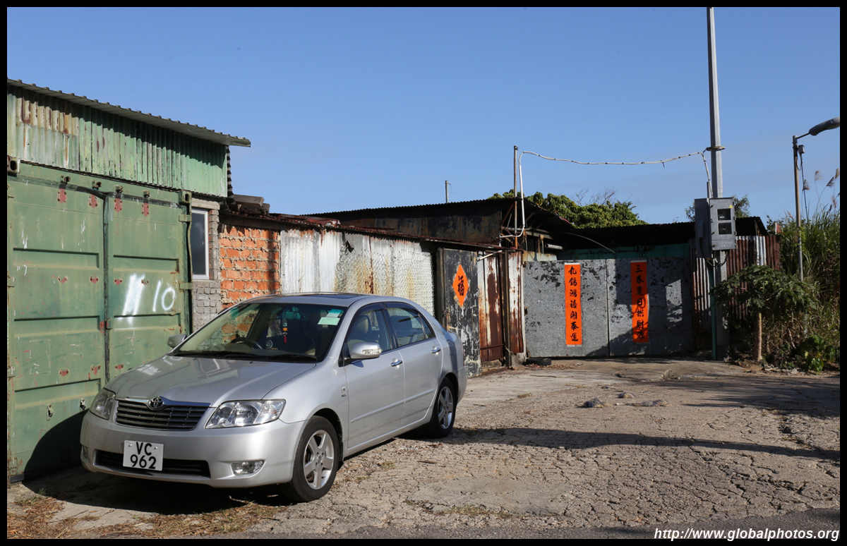
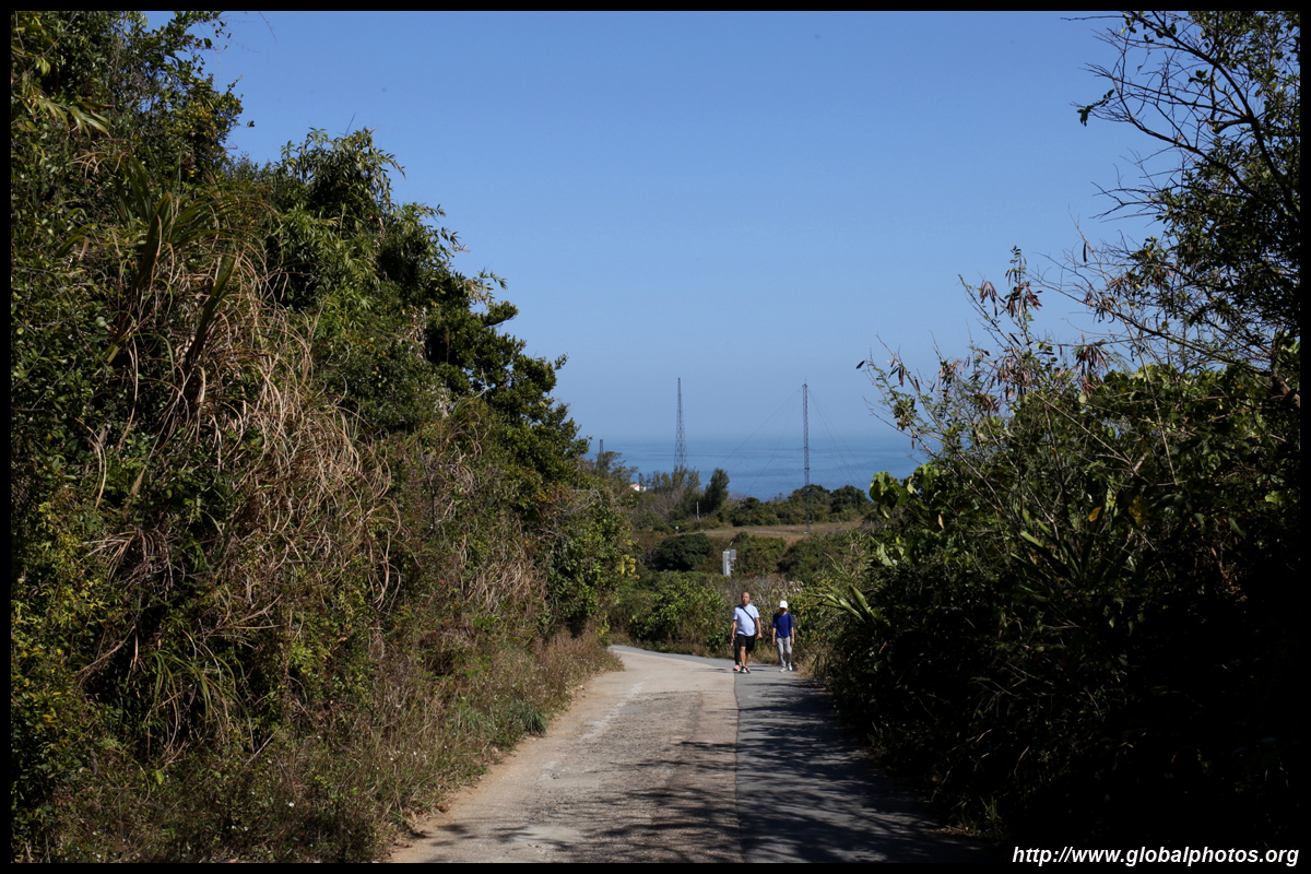
A paved service road leads from the roundabout into the countryside. It is an easy walk slowly downhill a couple of kilometres, passing a few settlements en route where you can purchase snacks.
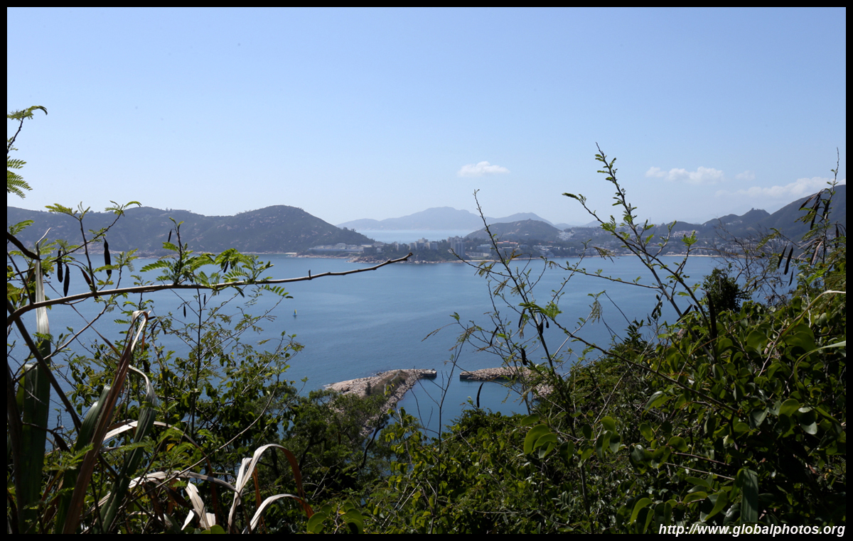
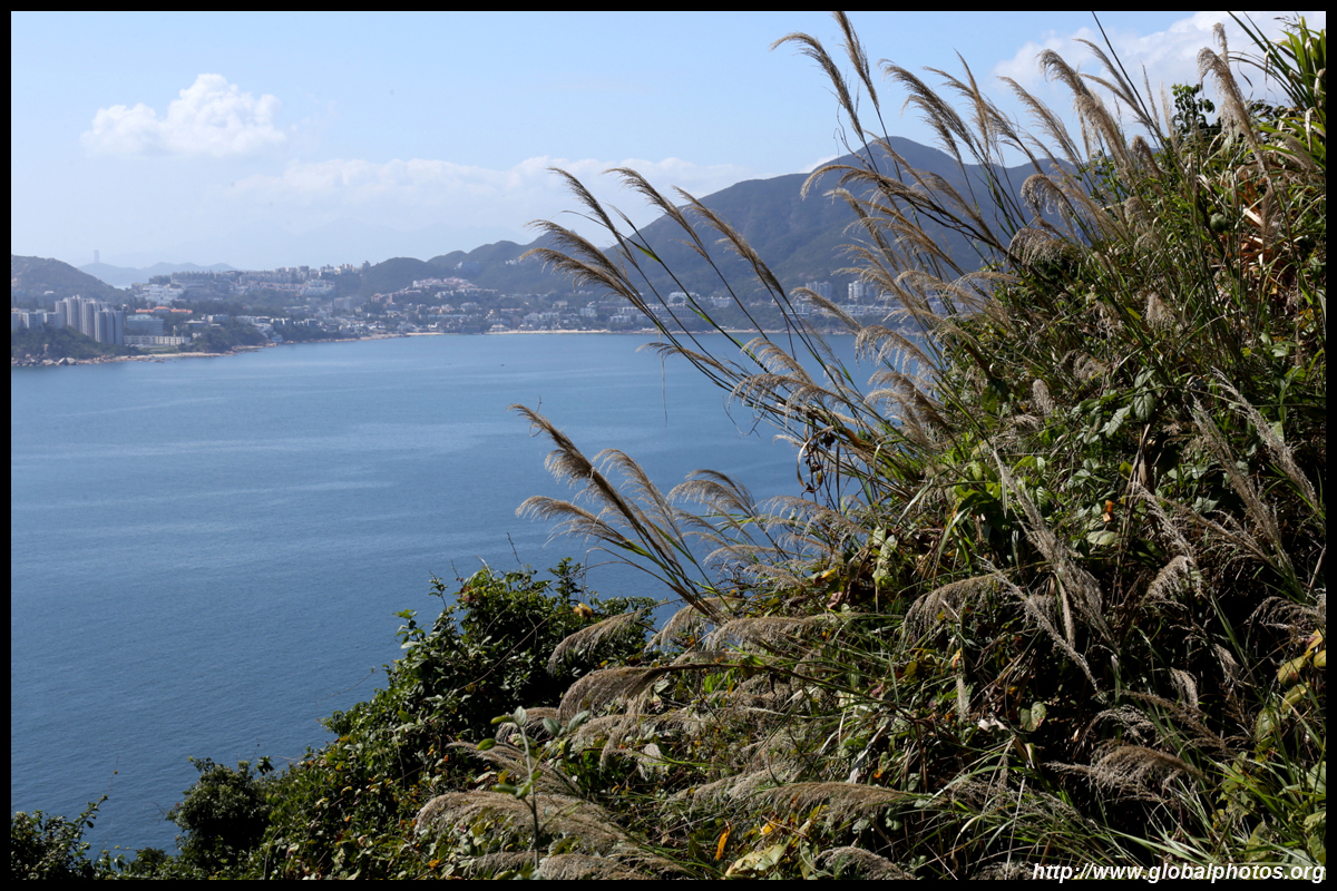
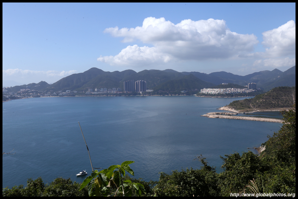
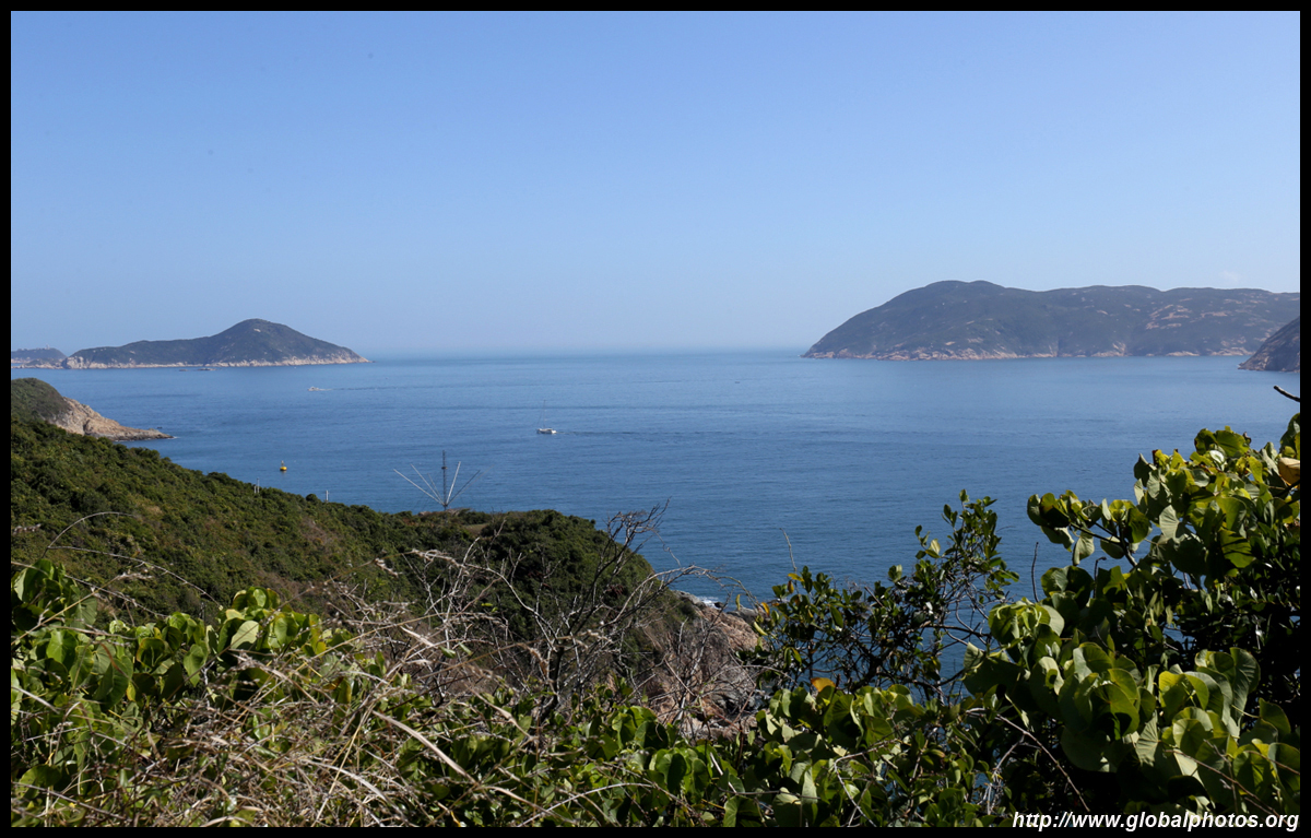
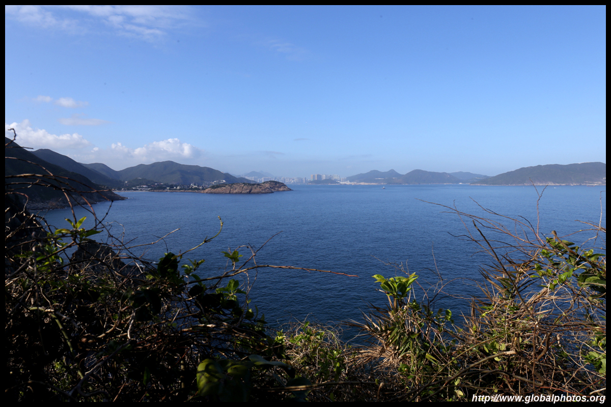
Across Tai Tam Bay is Stanley on the other side.
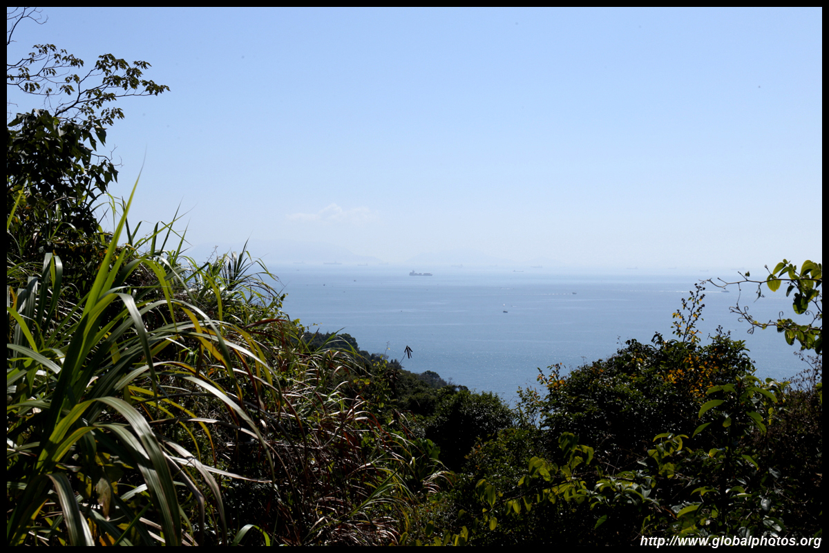
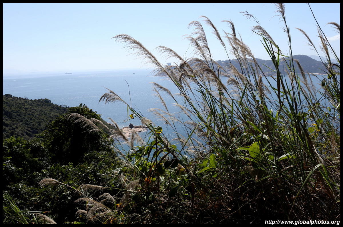
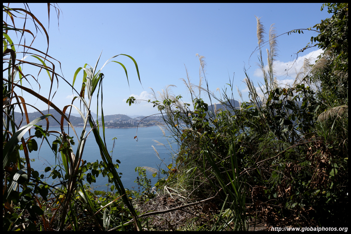
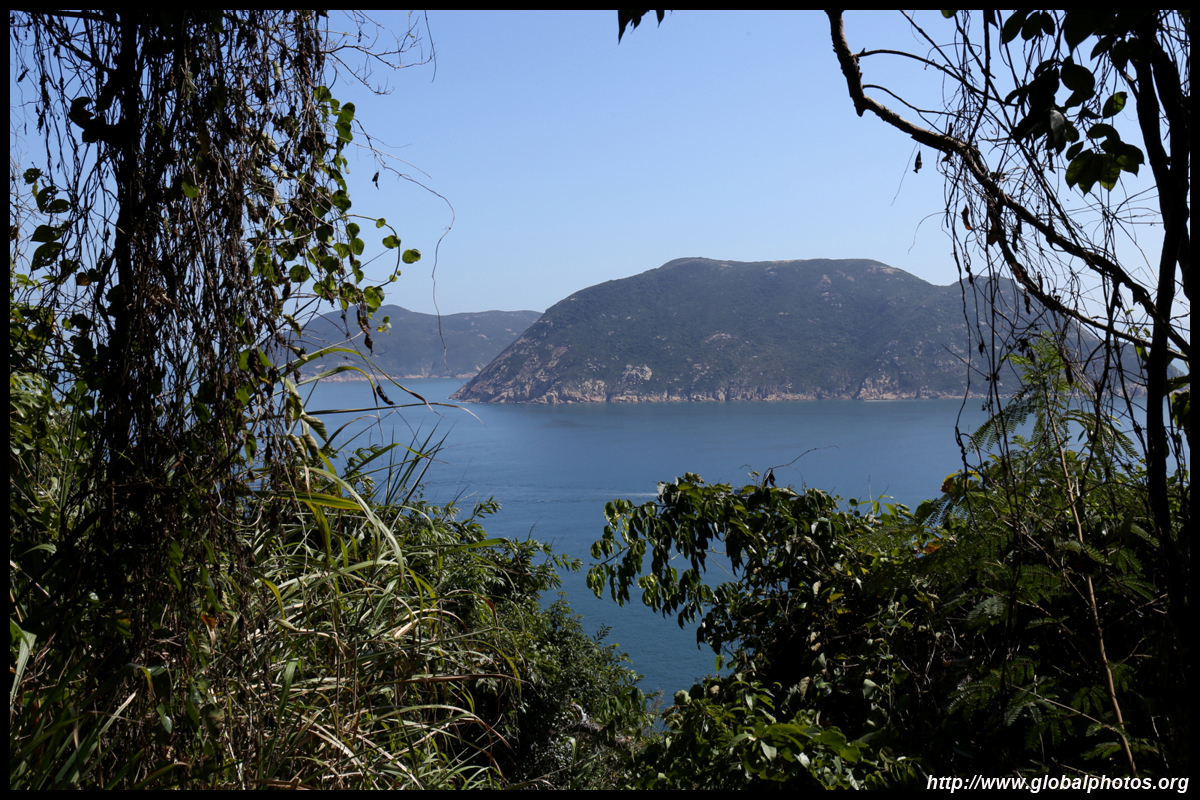
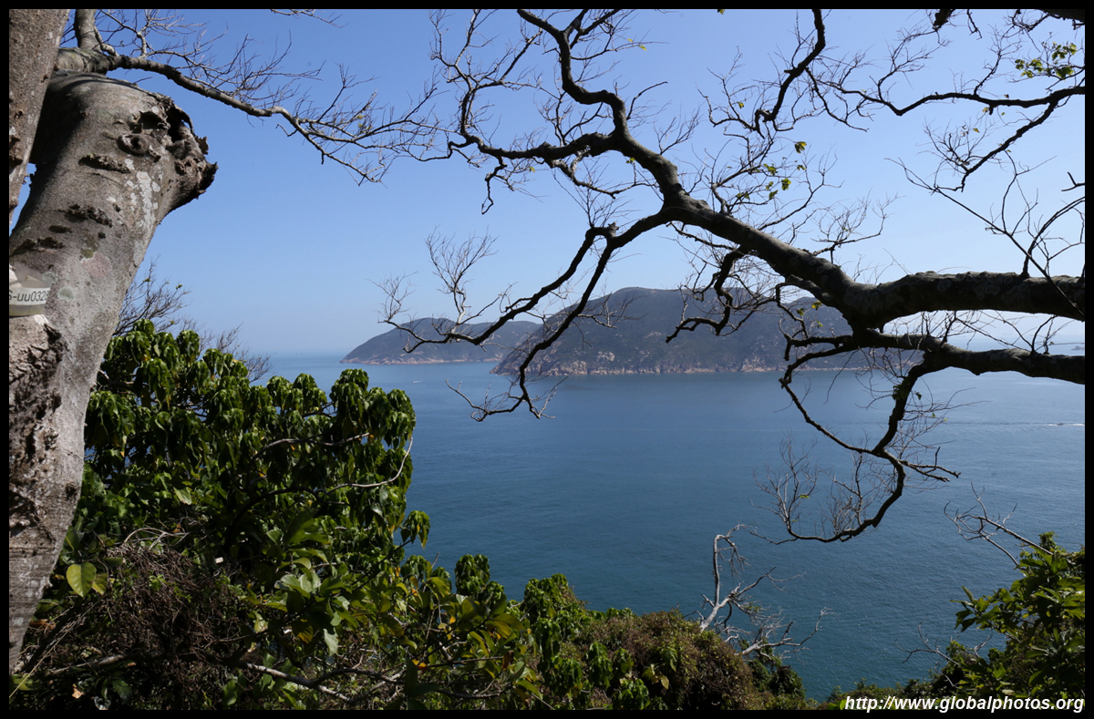
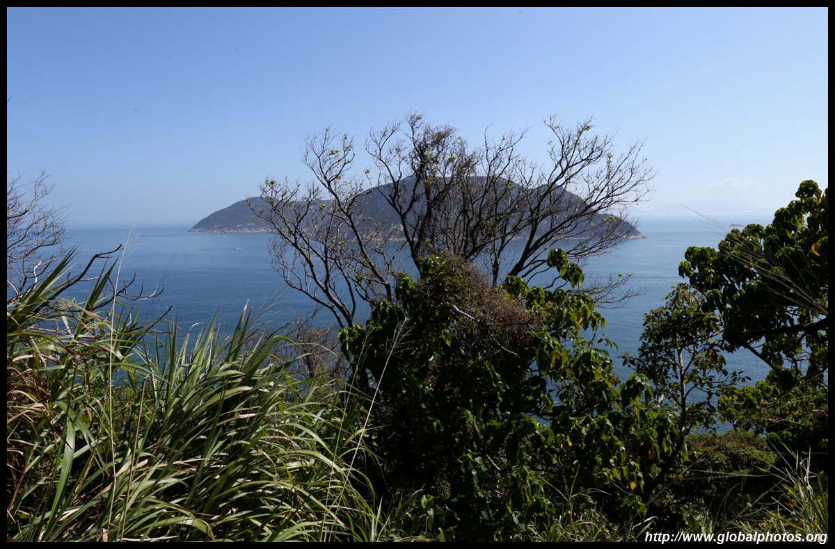
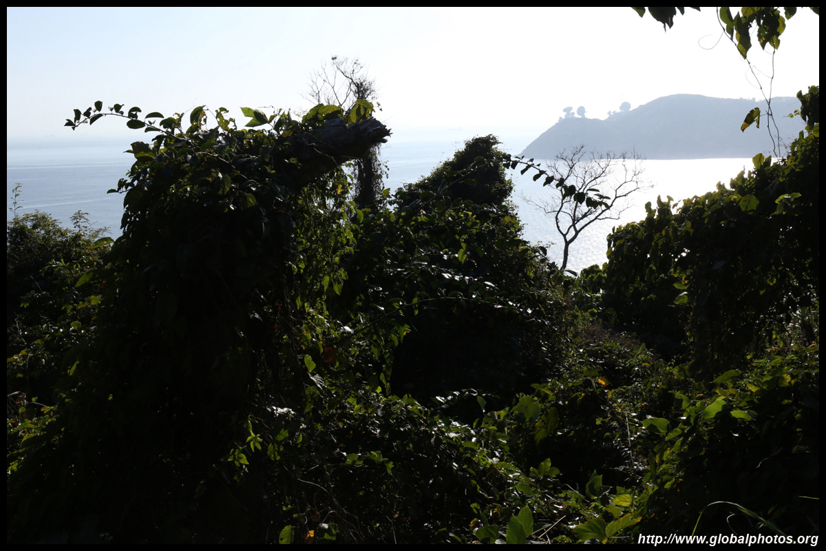
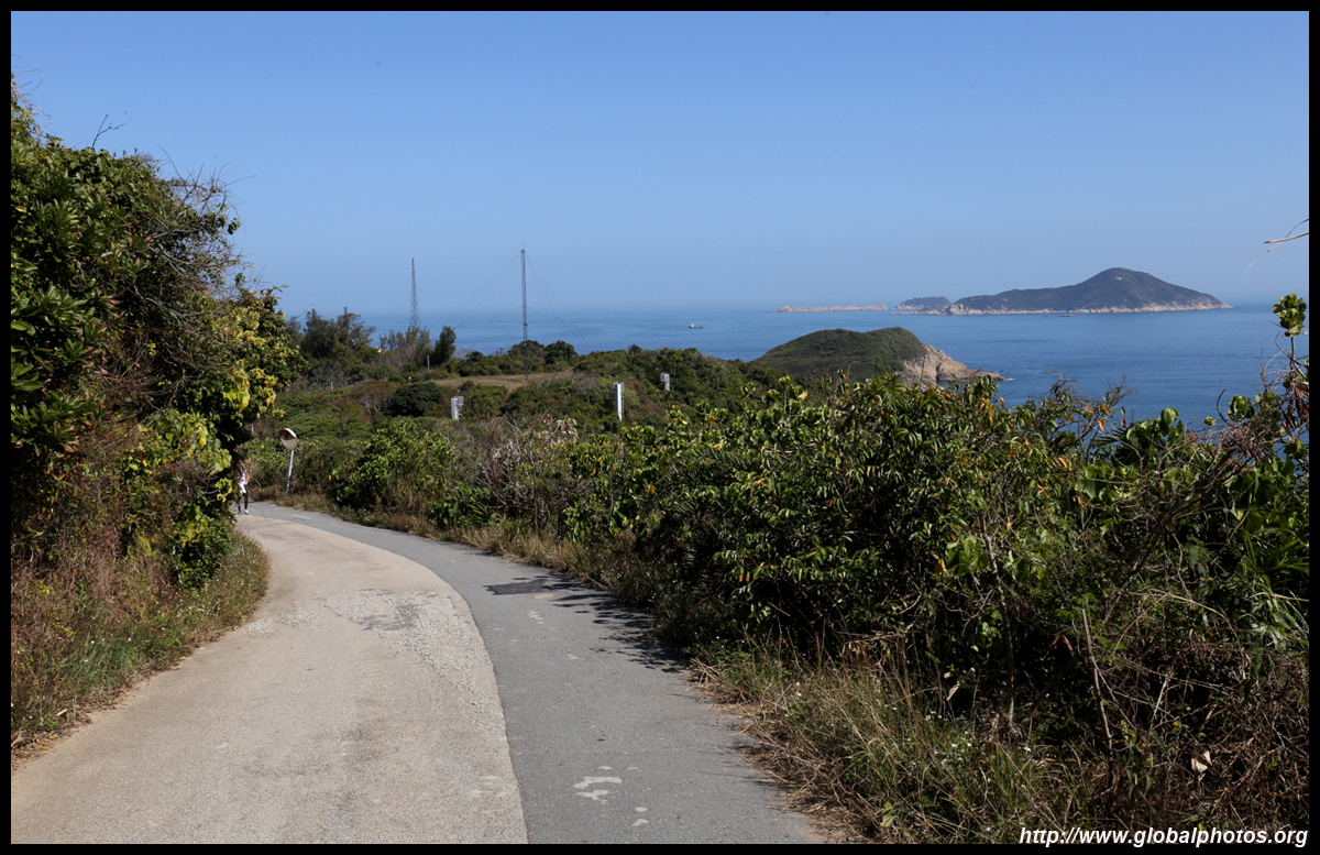
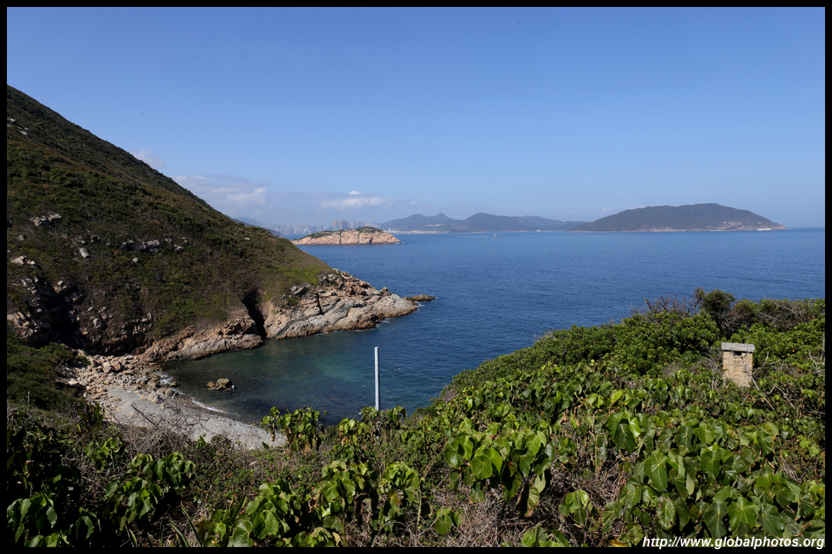
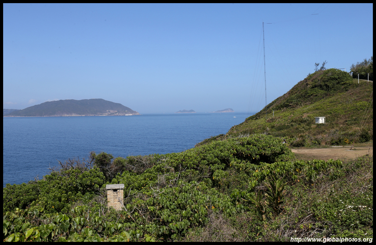
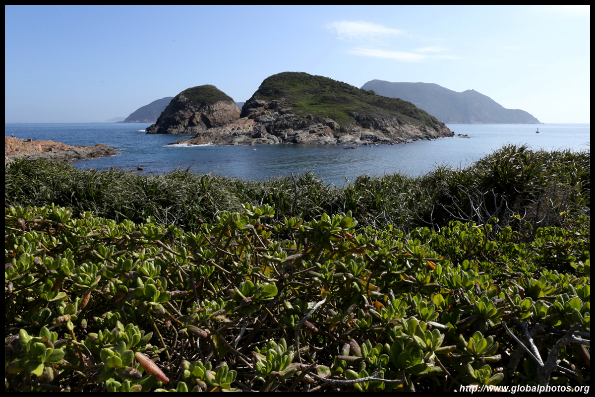
There are plenty of views along the way.
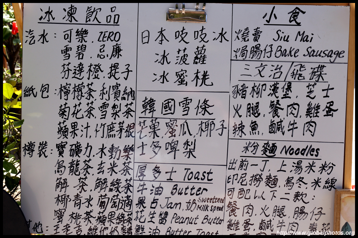
The typical dining experience along Hong Kong's hiking trails is a menu of soft drinks and simple foods such as toast, siu mai, sandwiches, and noodles with luncheon meat, sausages, eggs, and vegetables.
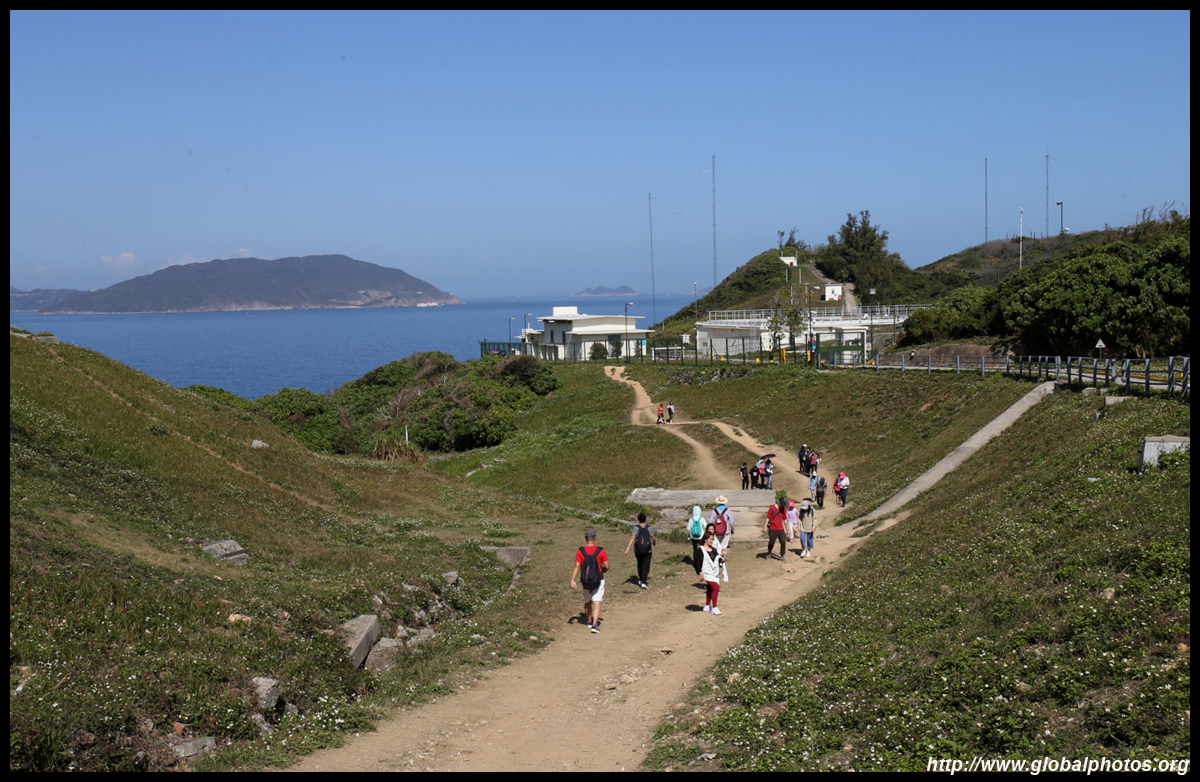
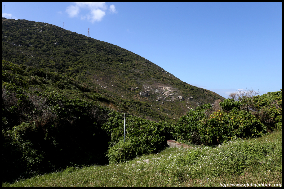
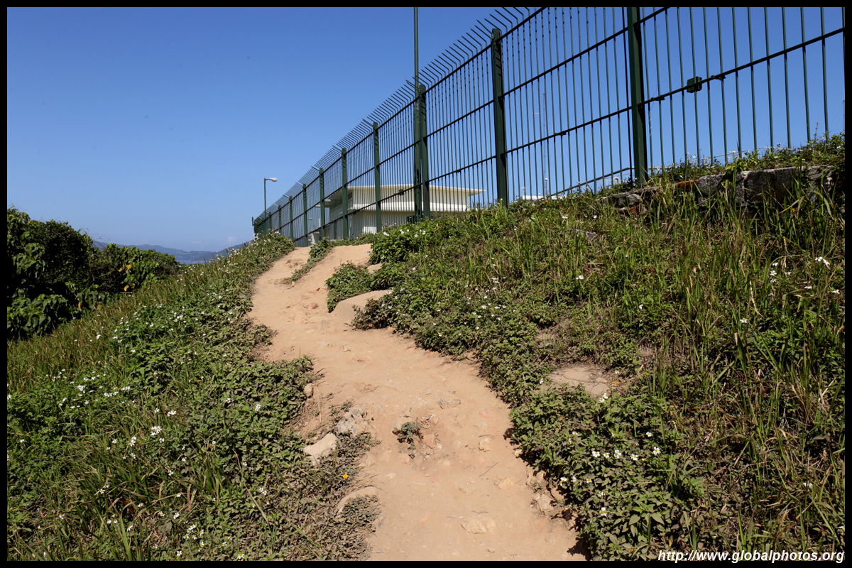
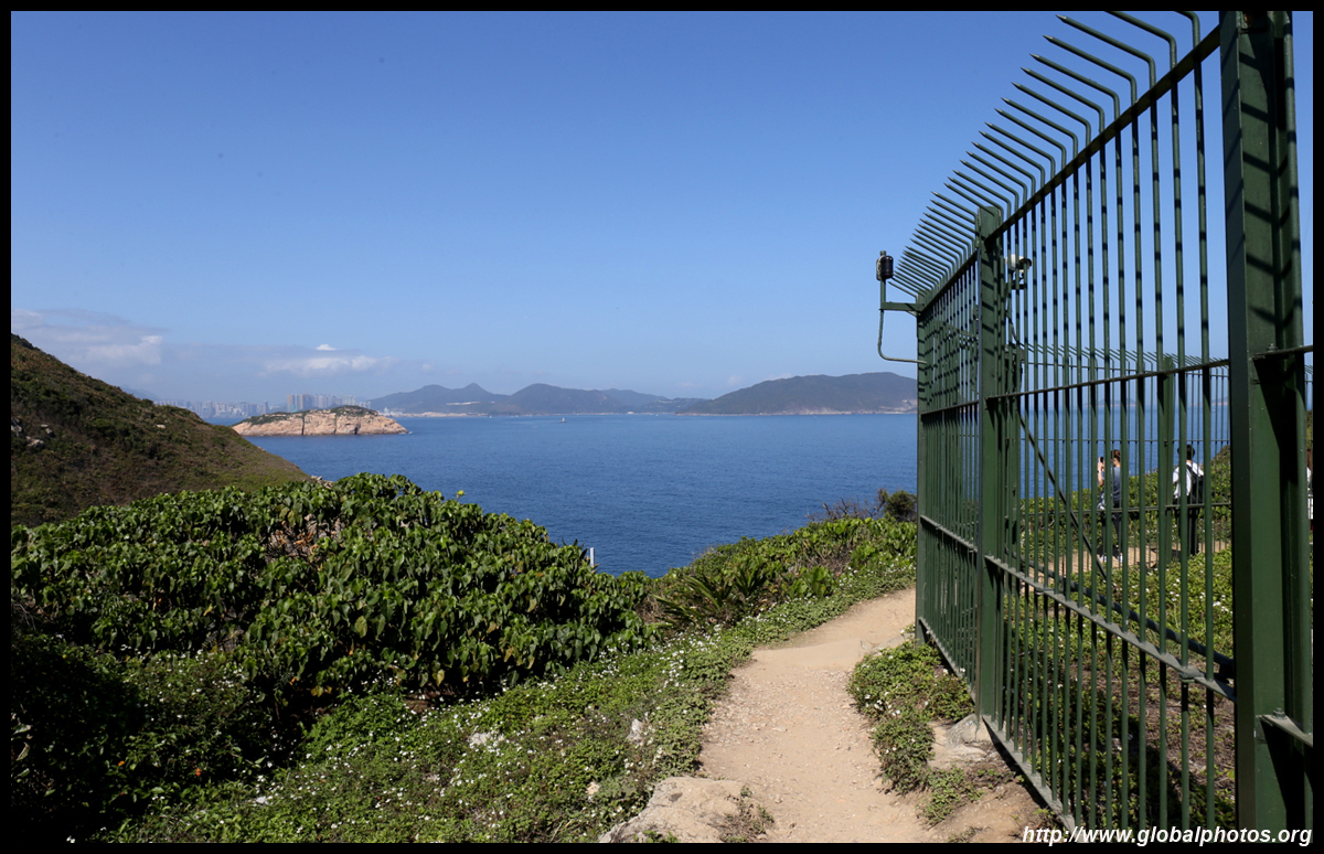
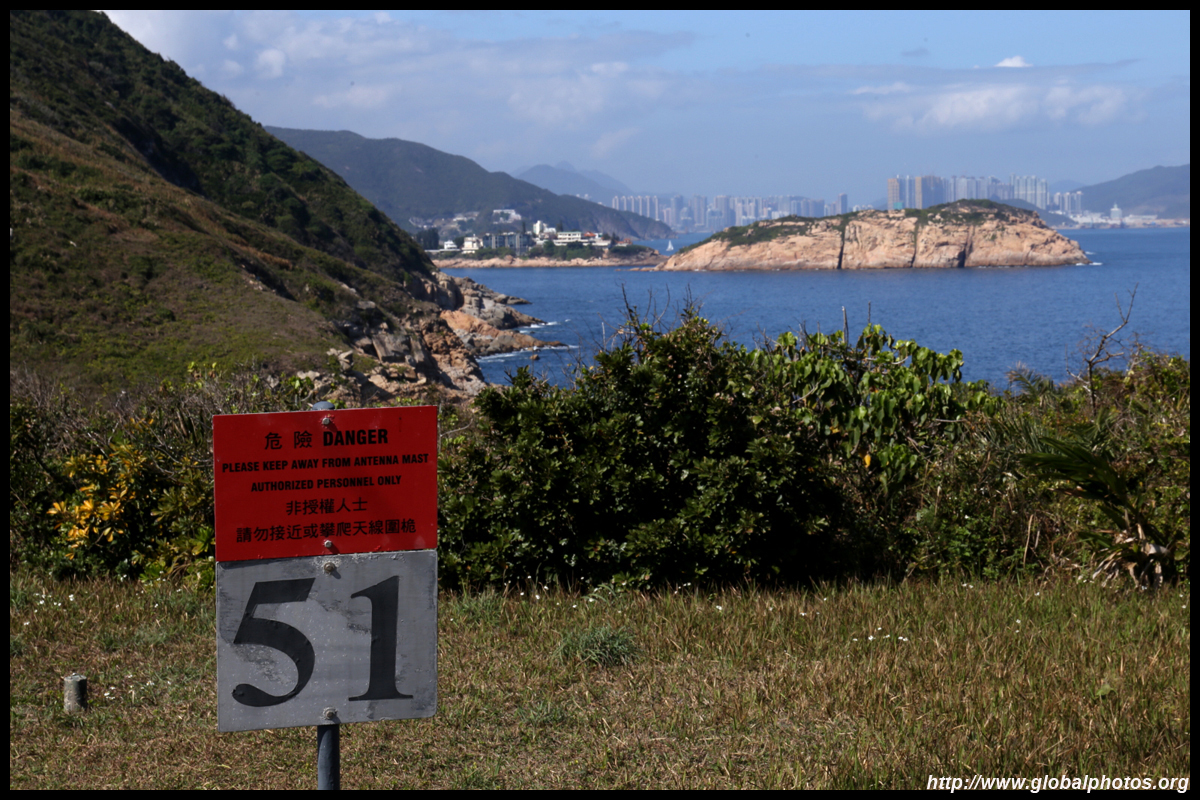
A local telecom company has set up a transmitting station near the end of the walk, blocking off the main road. However, a well-trodden dirt path has emerged around the compound.
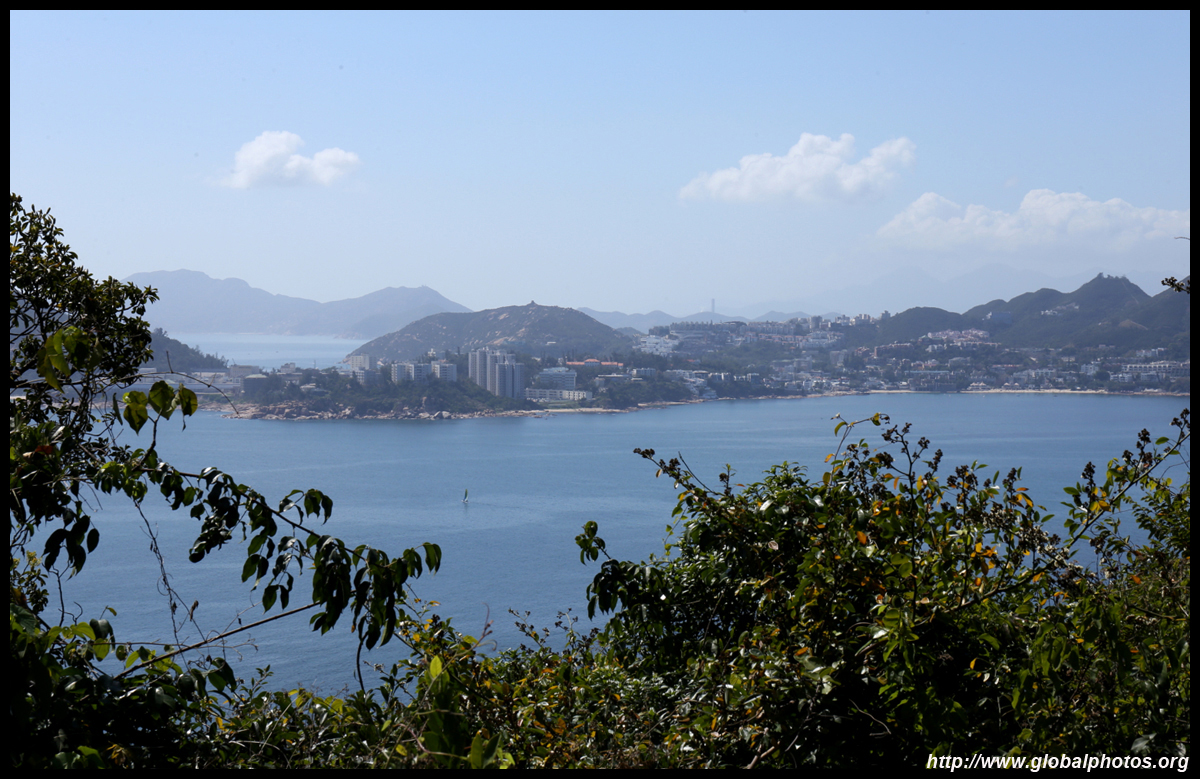
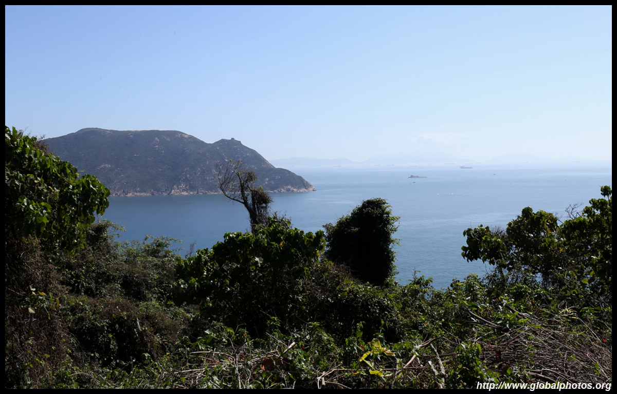
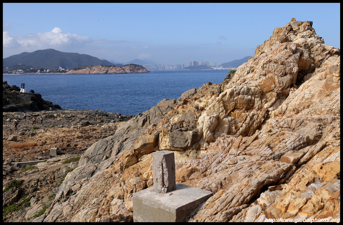
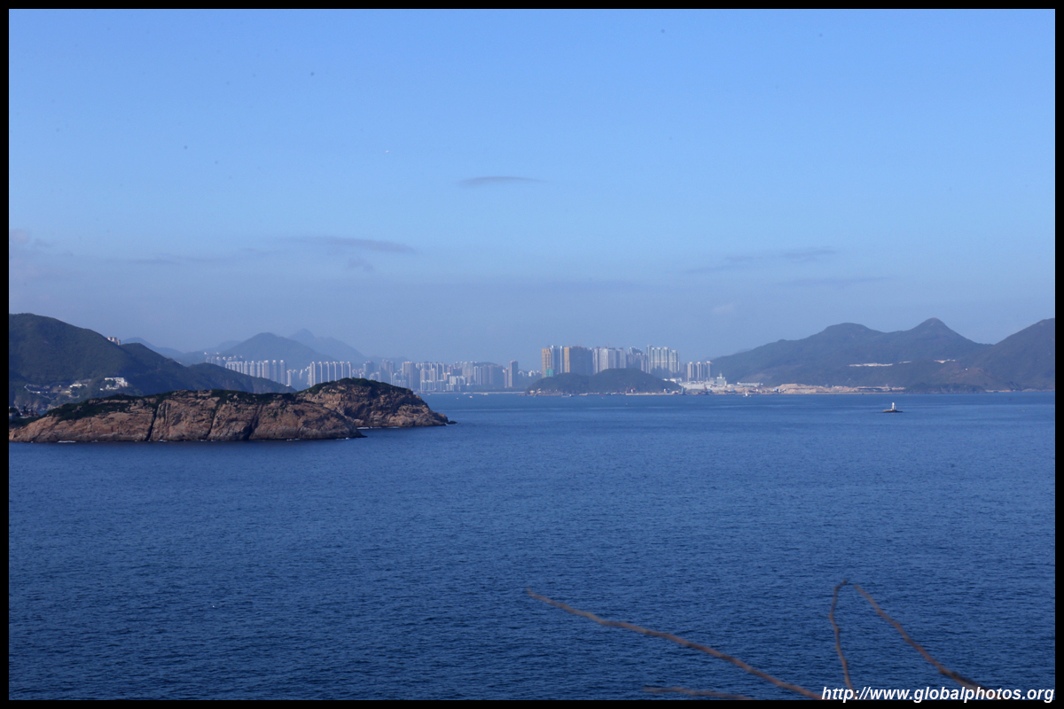
The new town of Tseung Kwan O rises in the distance.
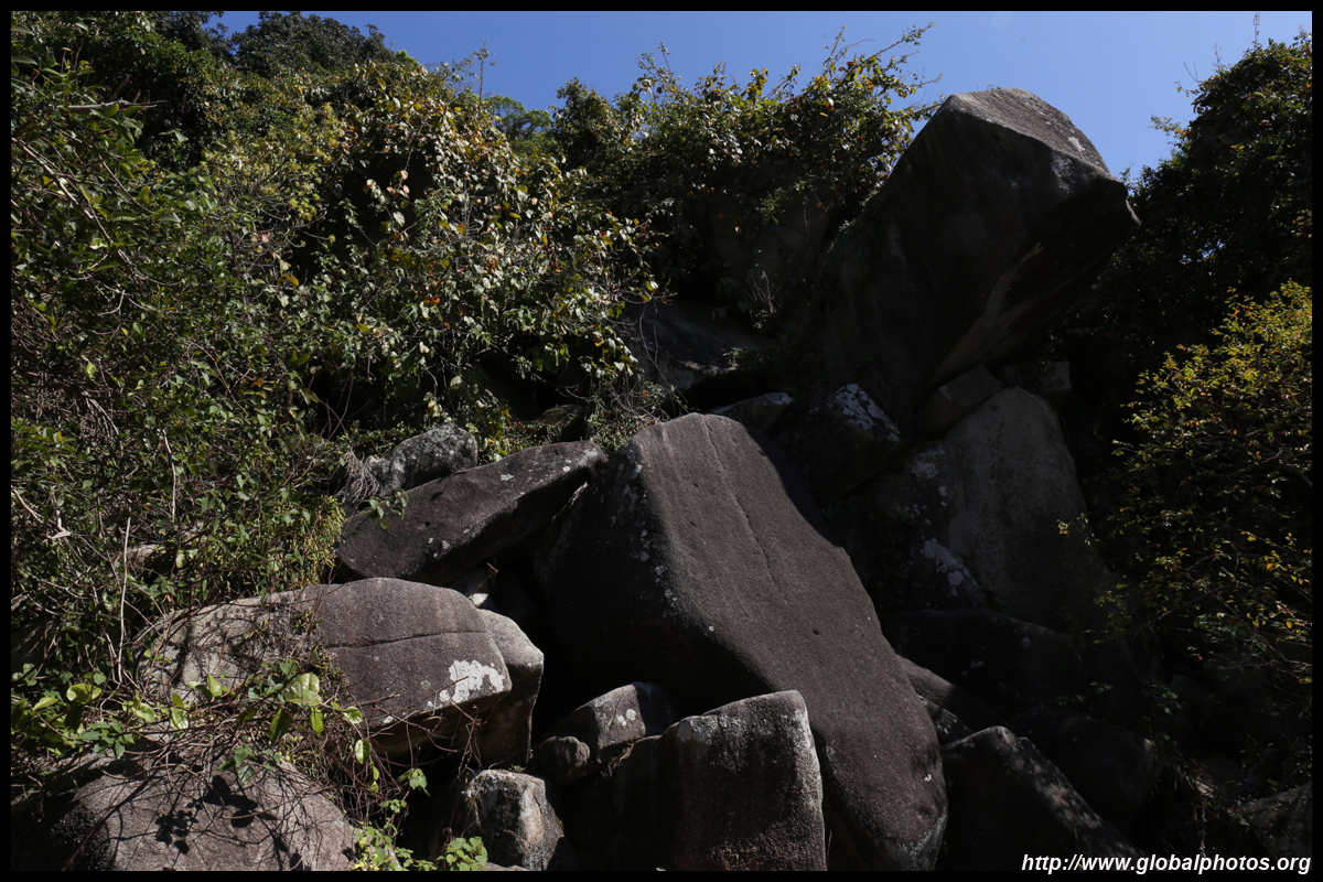
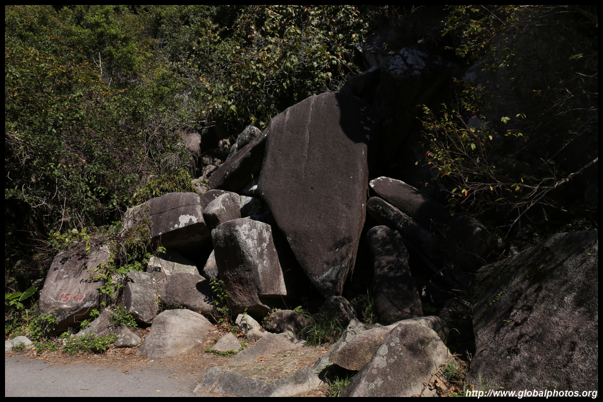
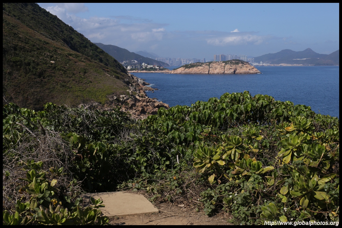
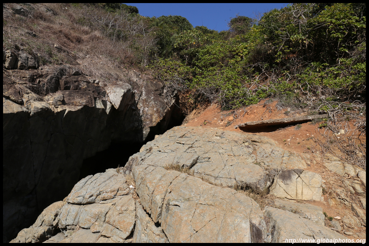
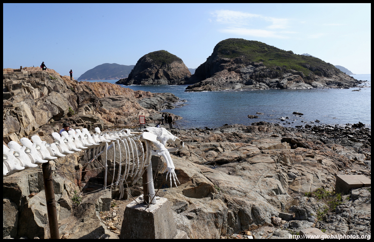
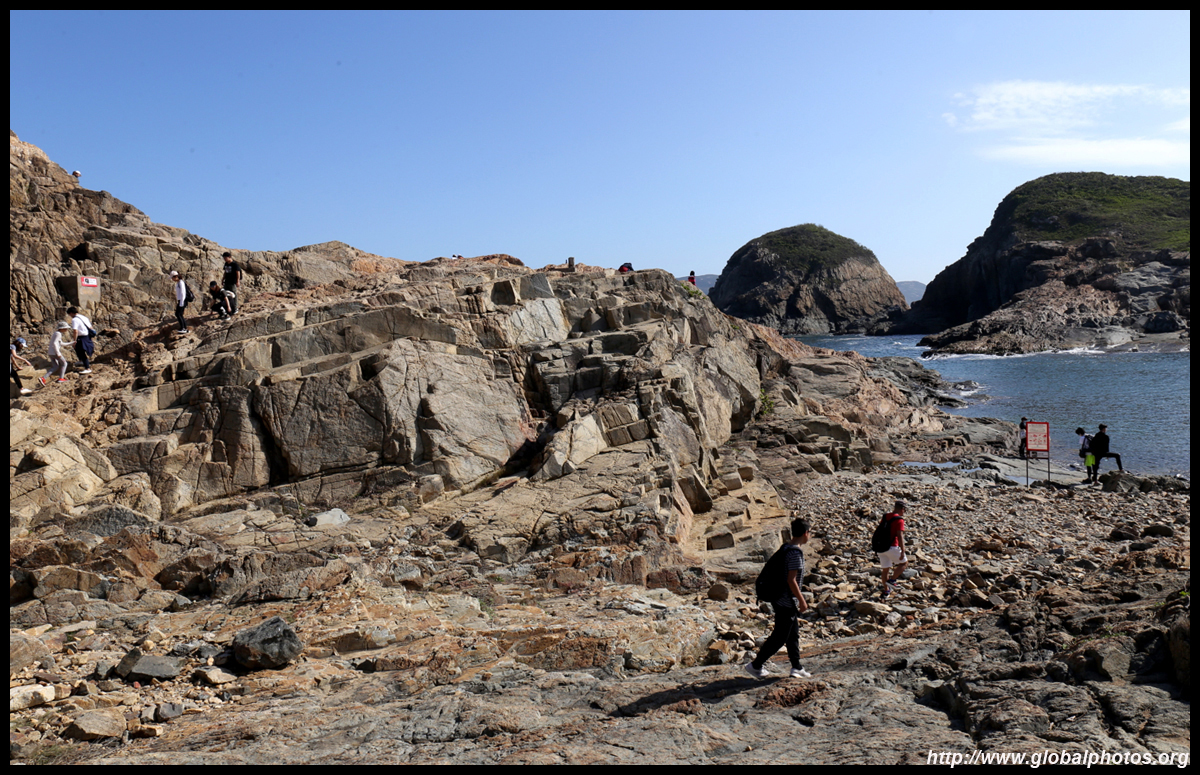
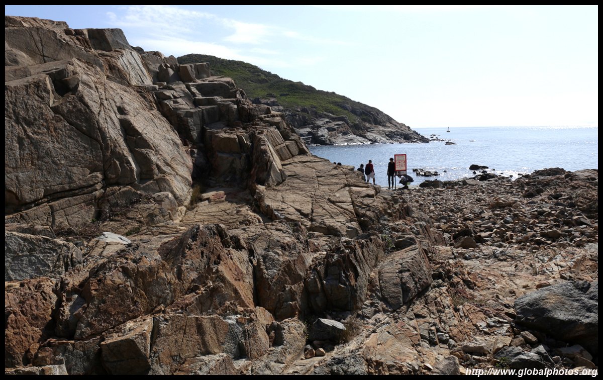
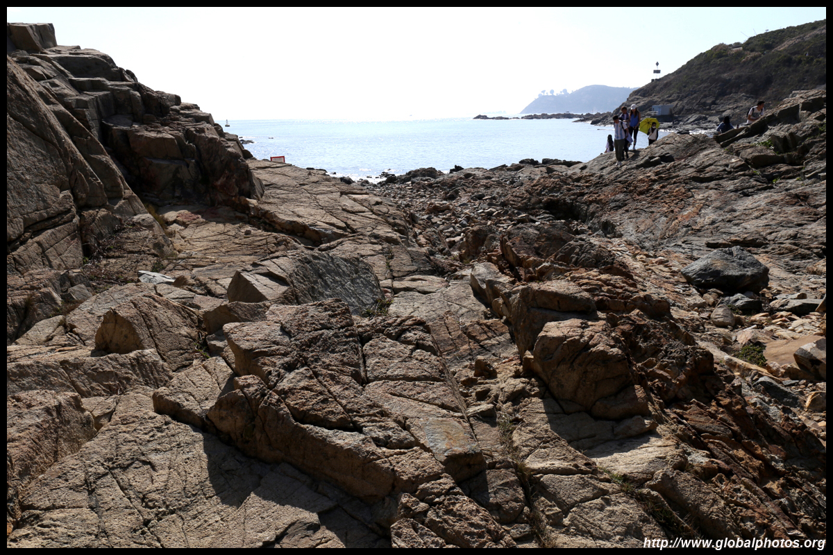
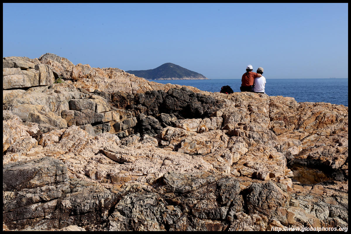
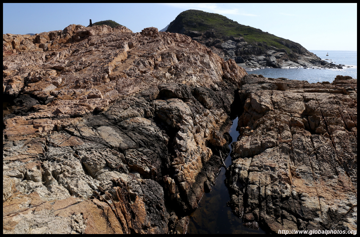
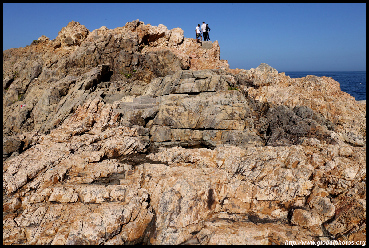
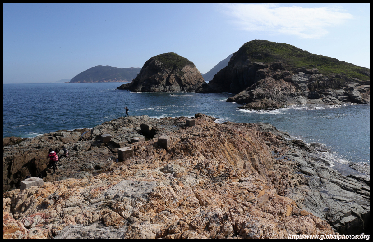
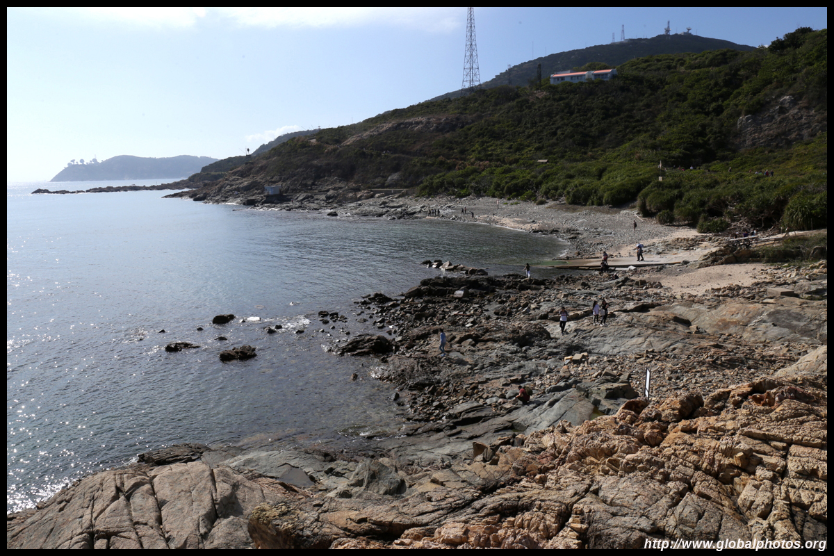
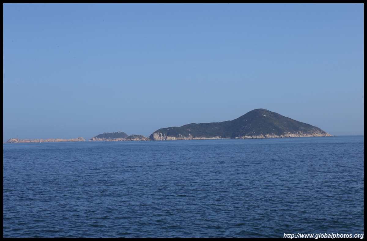
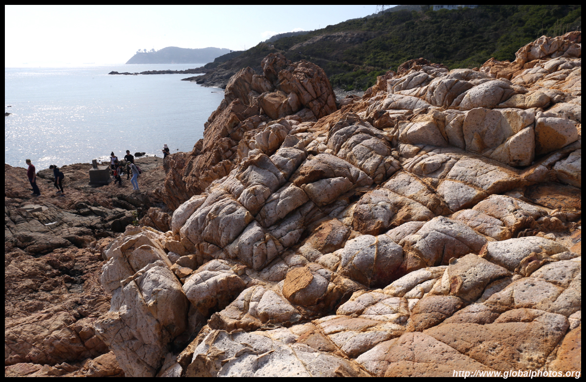
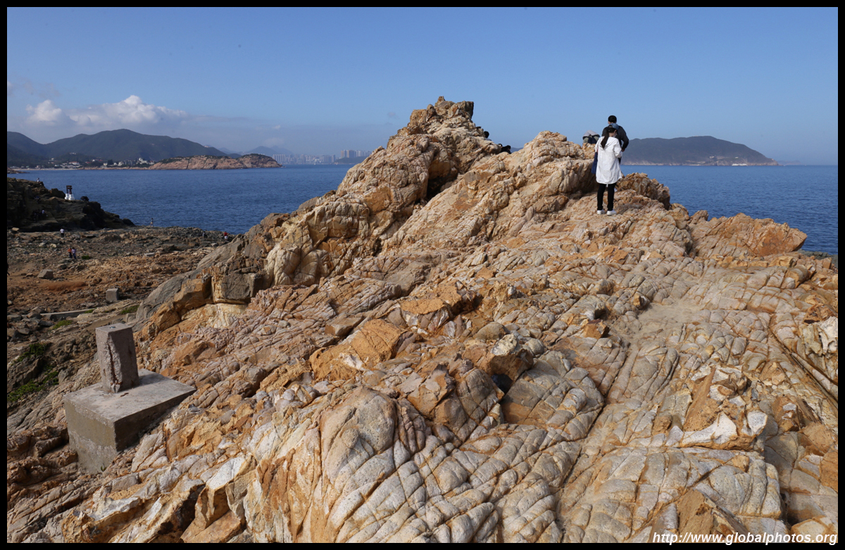
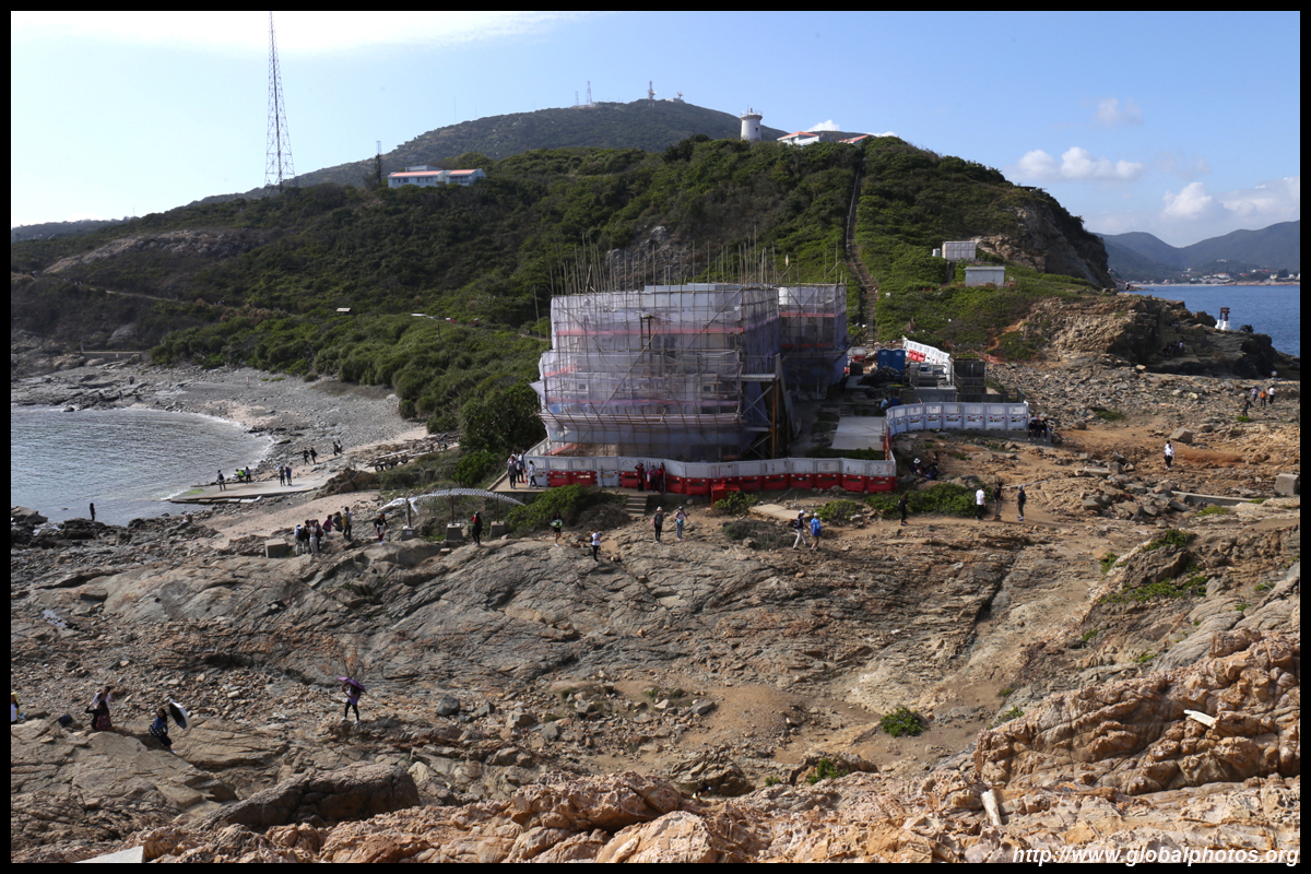
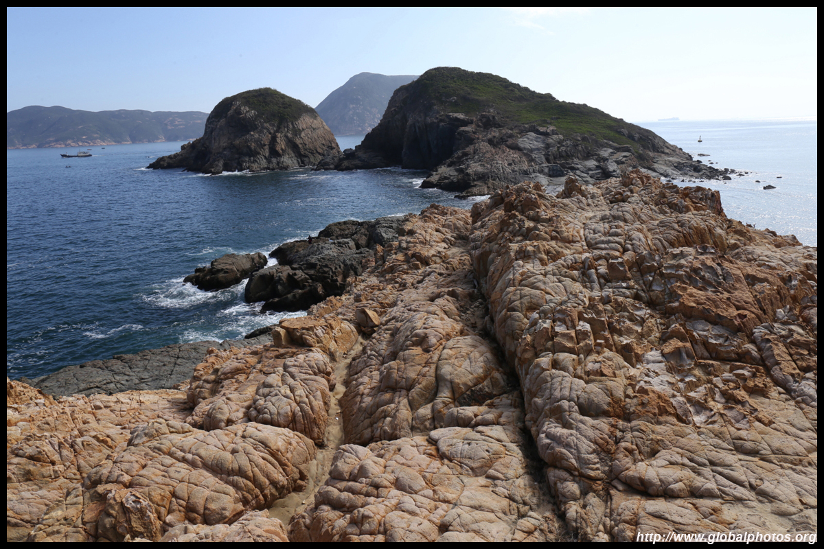
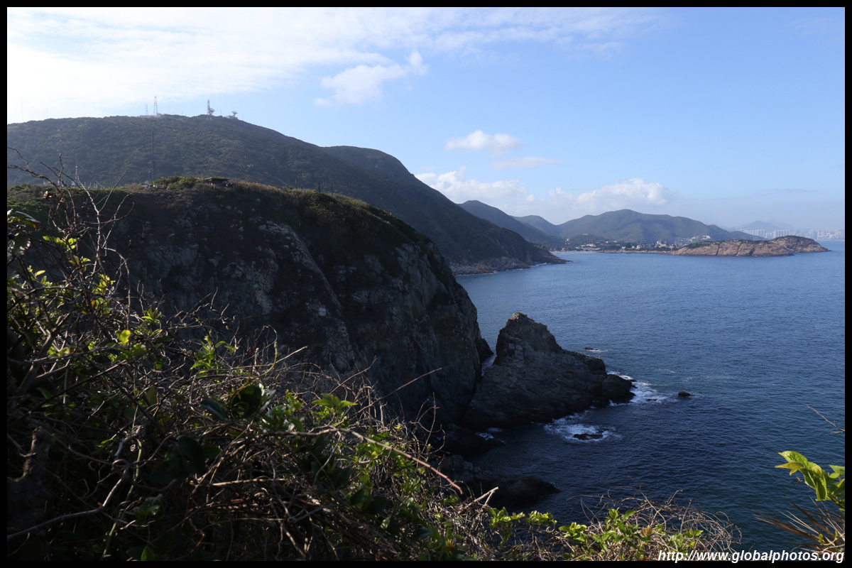
The last stretch opens up to more views of islands in the distance. At the bottom of the path is the Swire Institute of Marine Science. Opened in 1990, the facility is staffed by the University of Hong Kong and has gone through several expansions. Rocky areas rise beyond, with many hikers scaling them for a view of the sea.
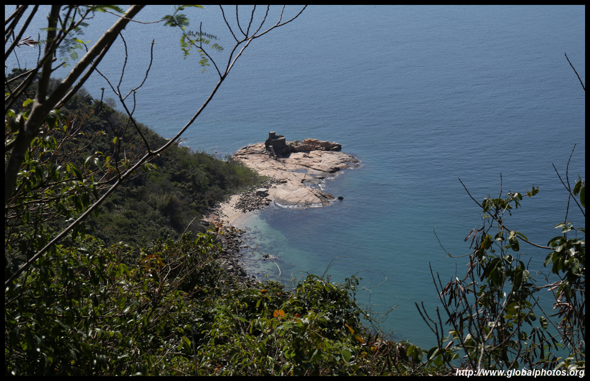
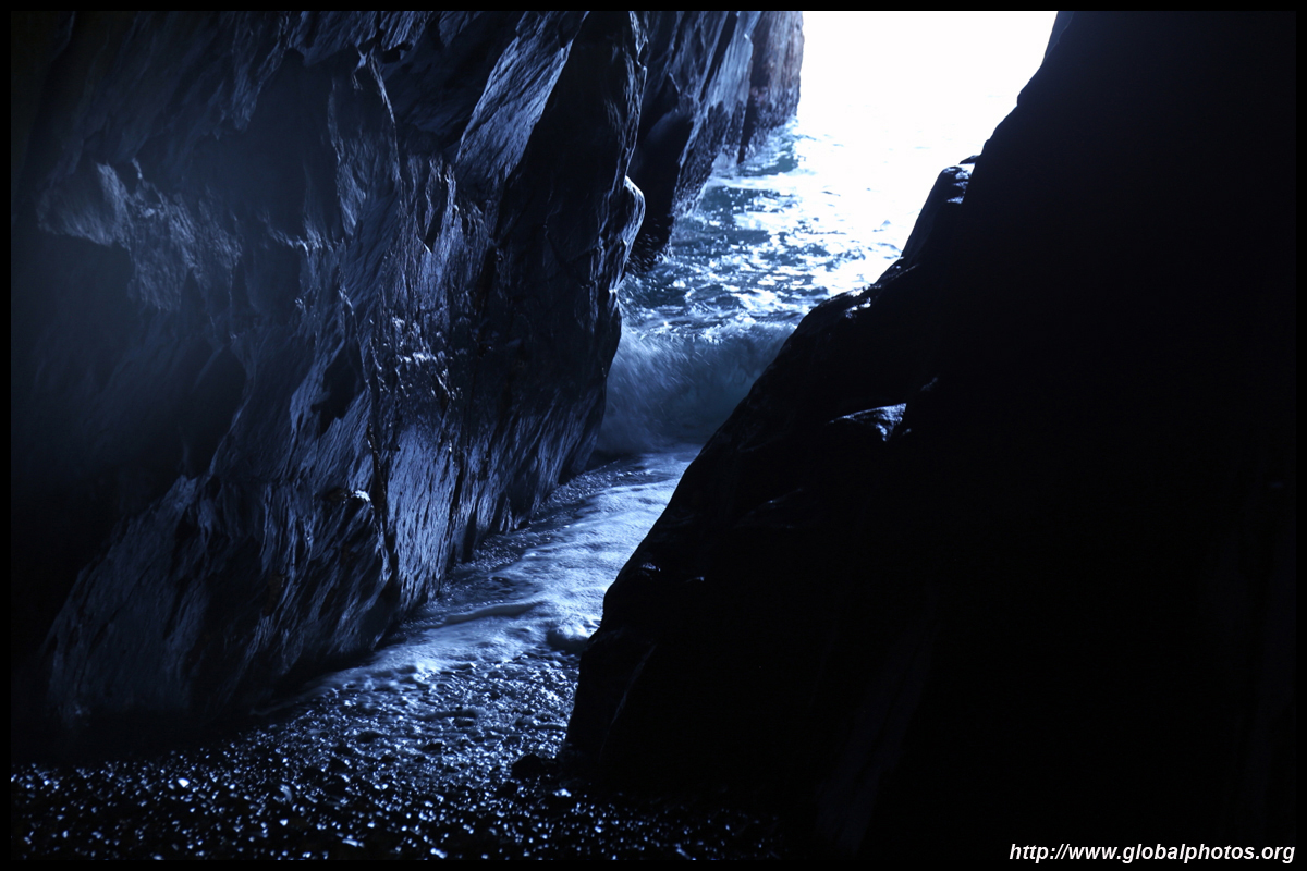
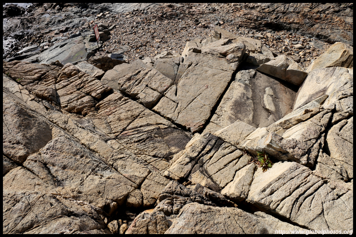
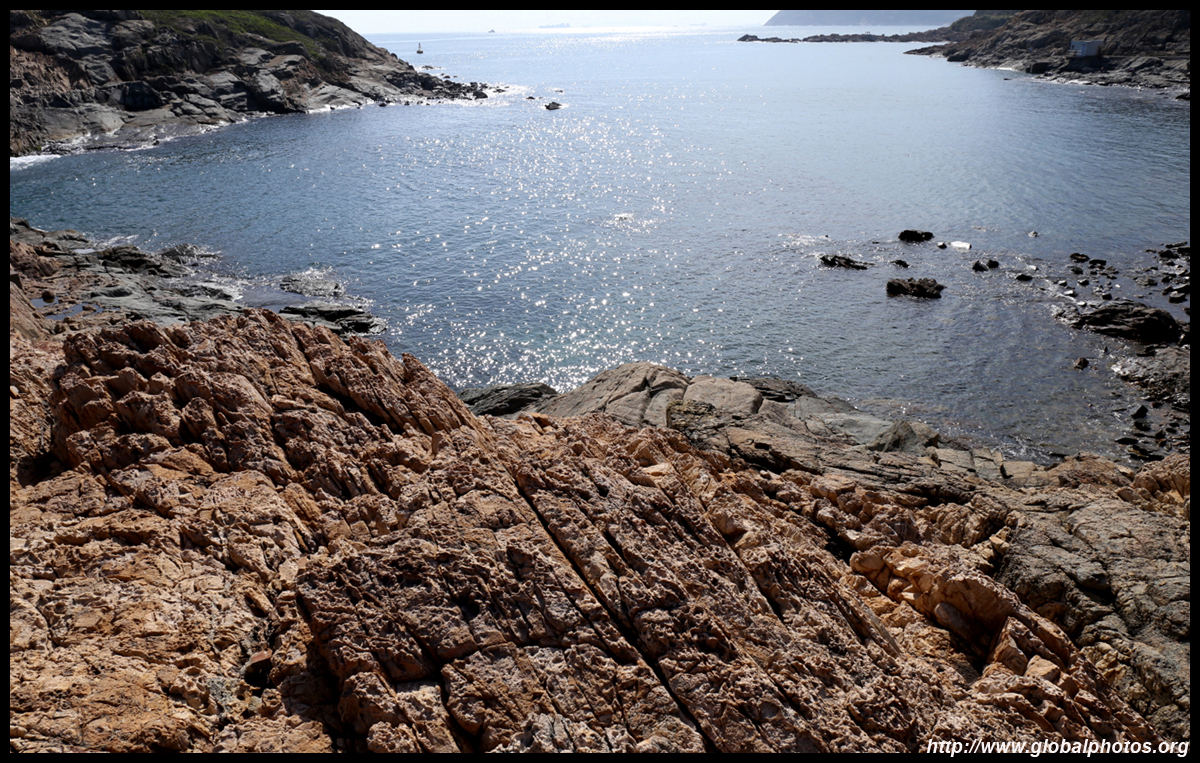
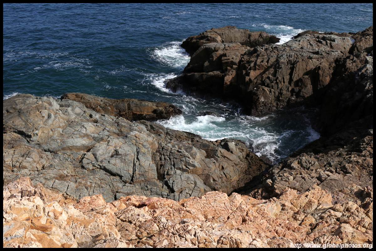
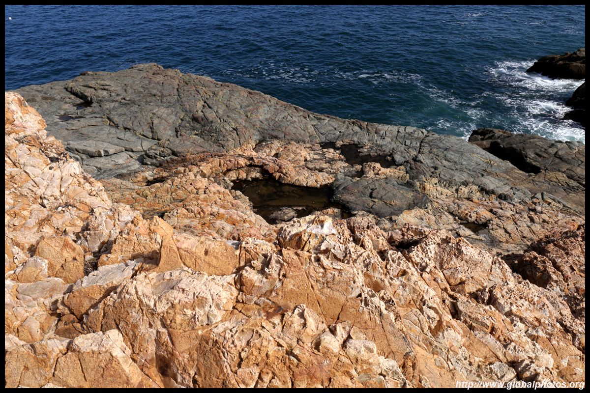
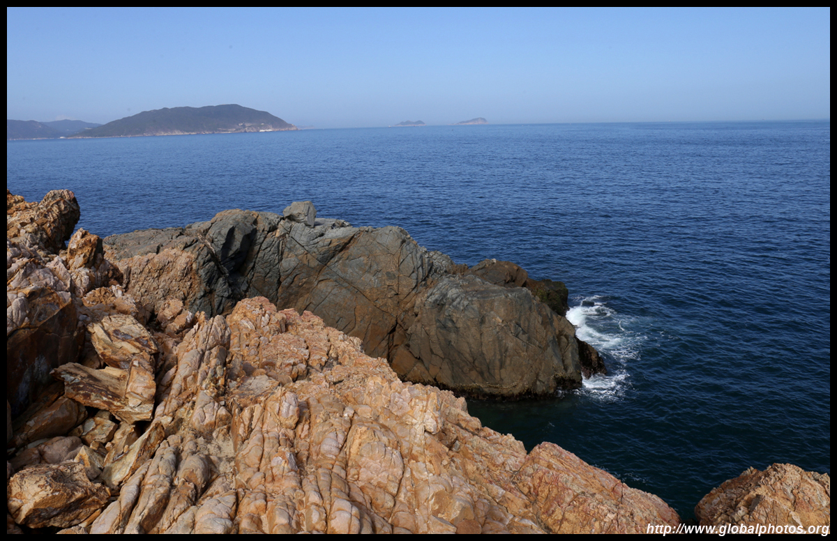
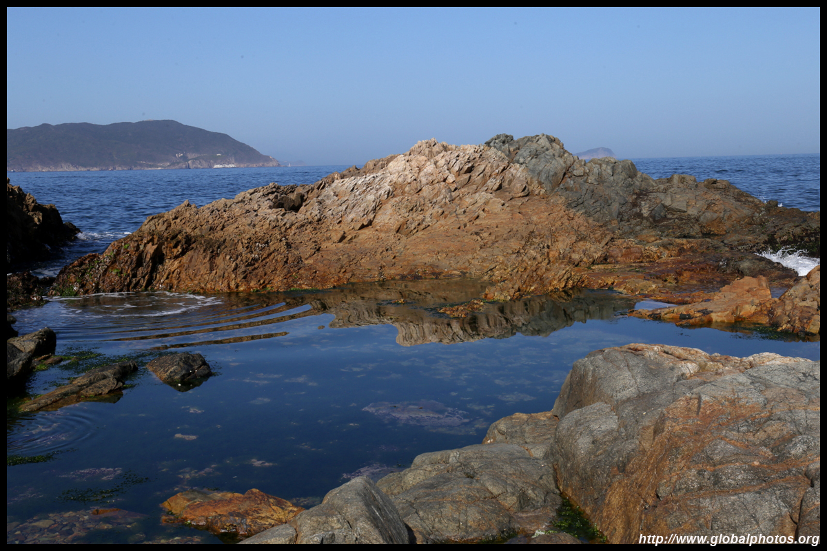
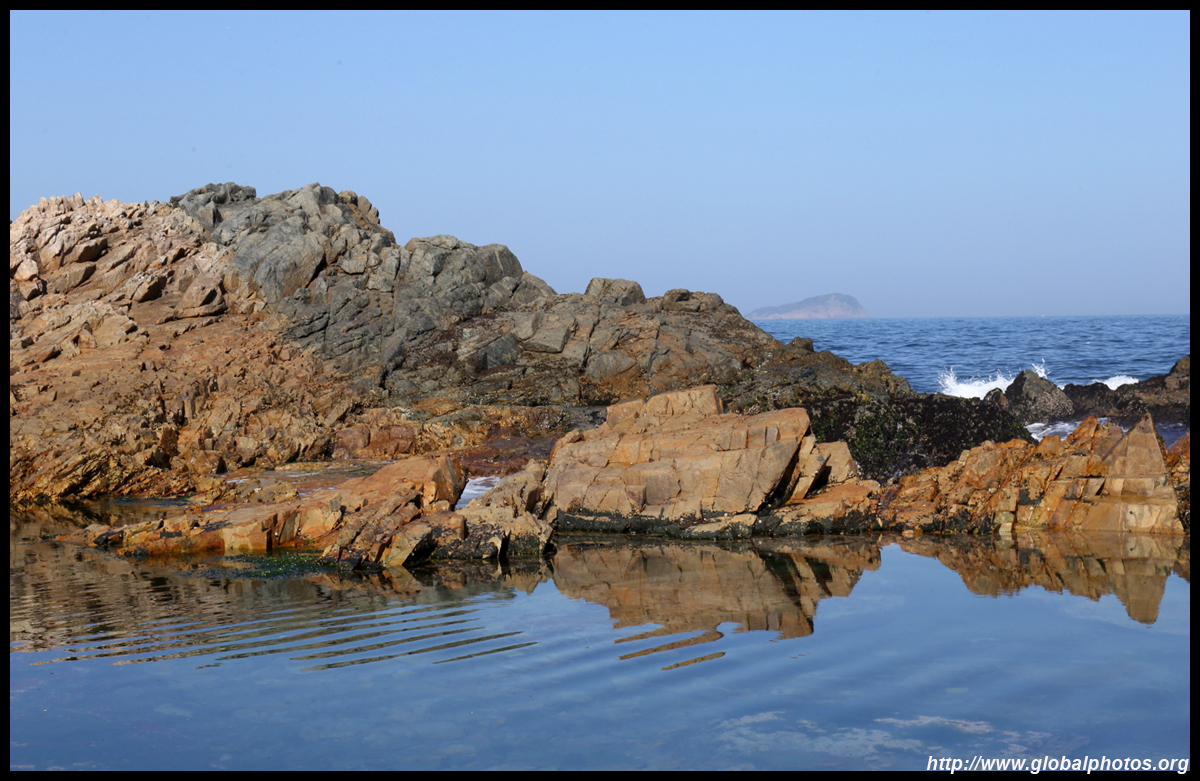
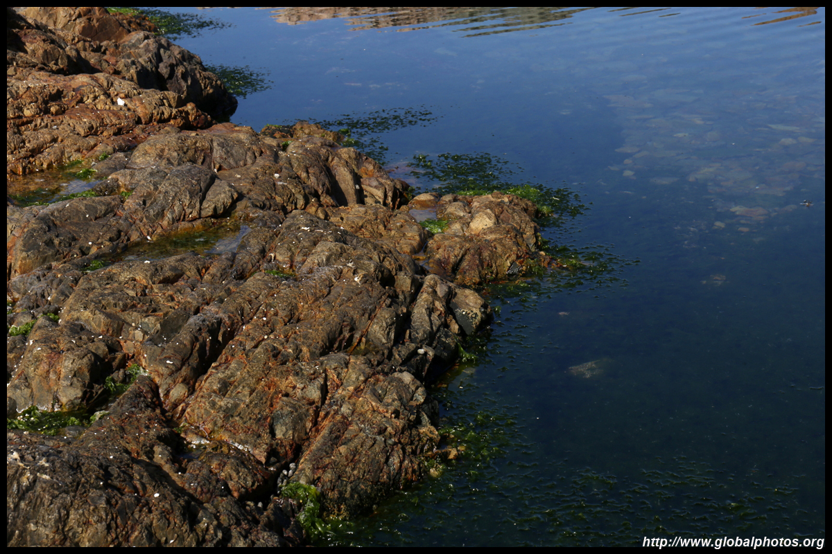
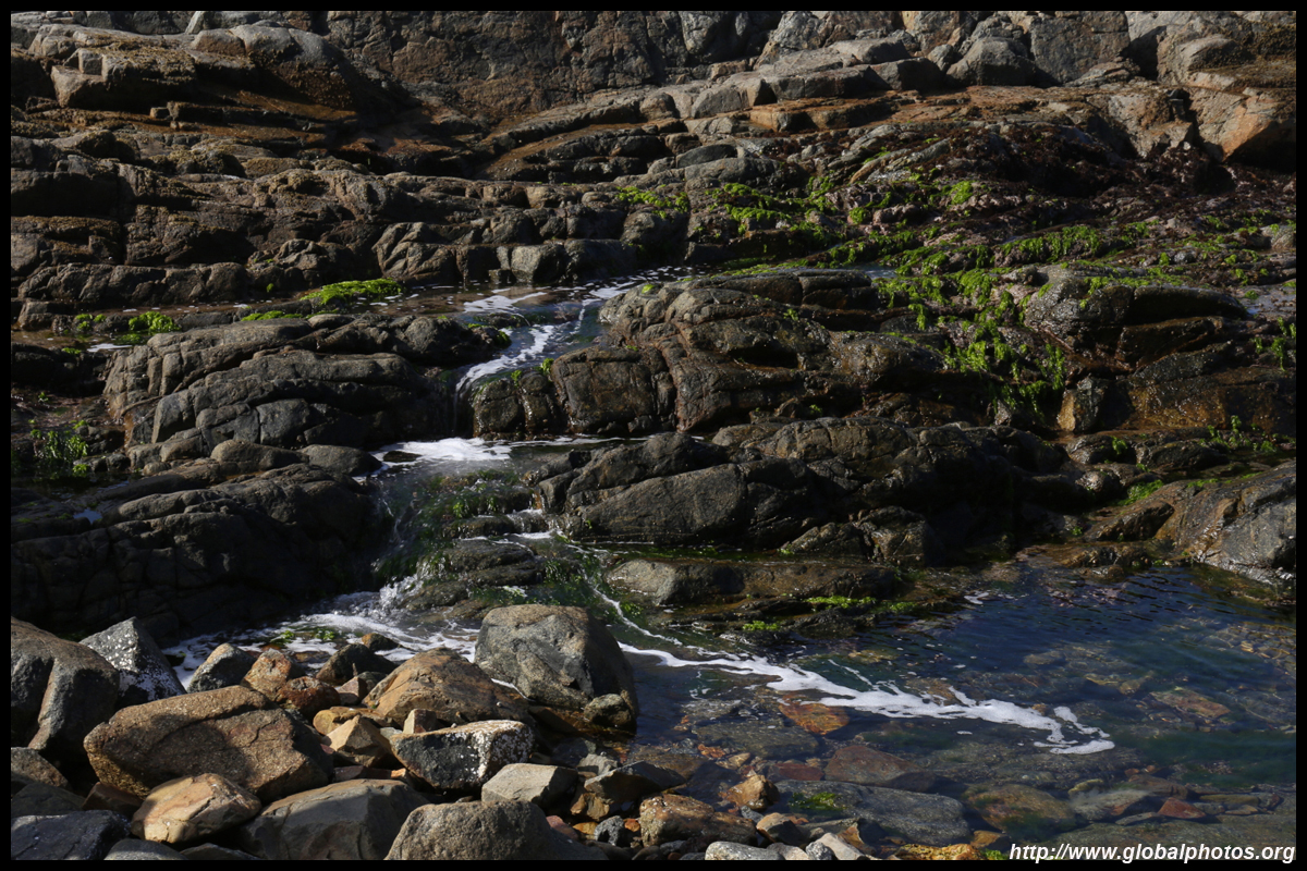
Back at sea level, various water pools have arisen as waves sometimes breach the rocky shores.
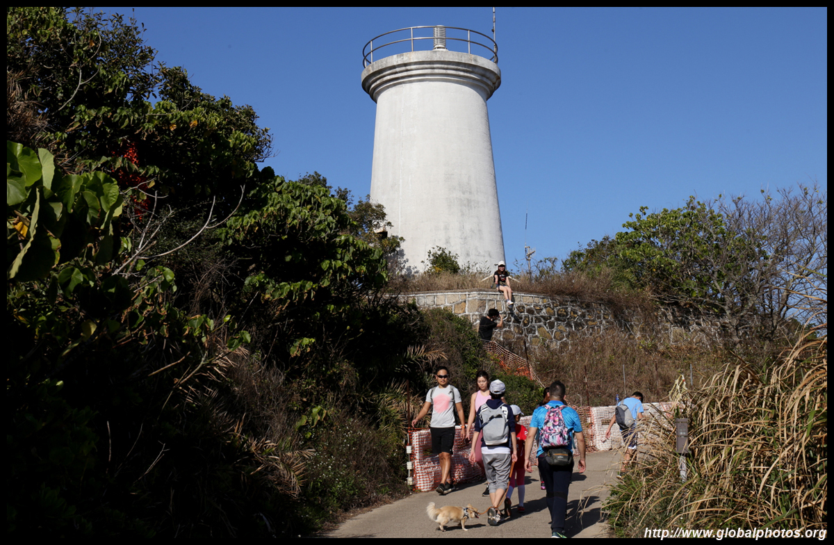
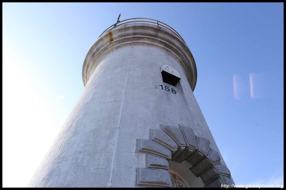
The city's oldest surviving lighthouse opened in 1875. Standing at 9.7m tall and named after a lieutenant governor during the 1840s, the lighthouse closed in 1896 but re-opened in 1975.
Return the same way to the bus stop for the trip back to the city.
| |||