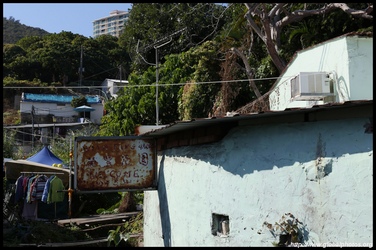
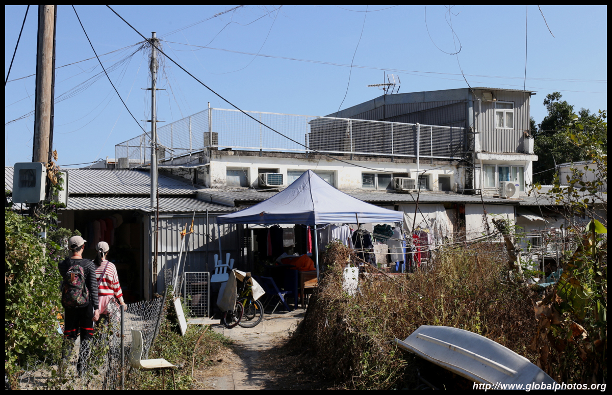
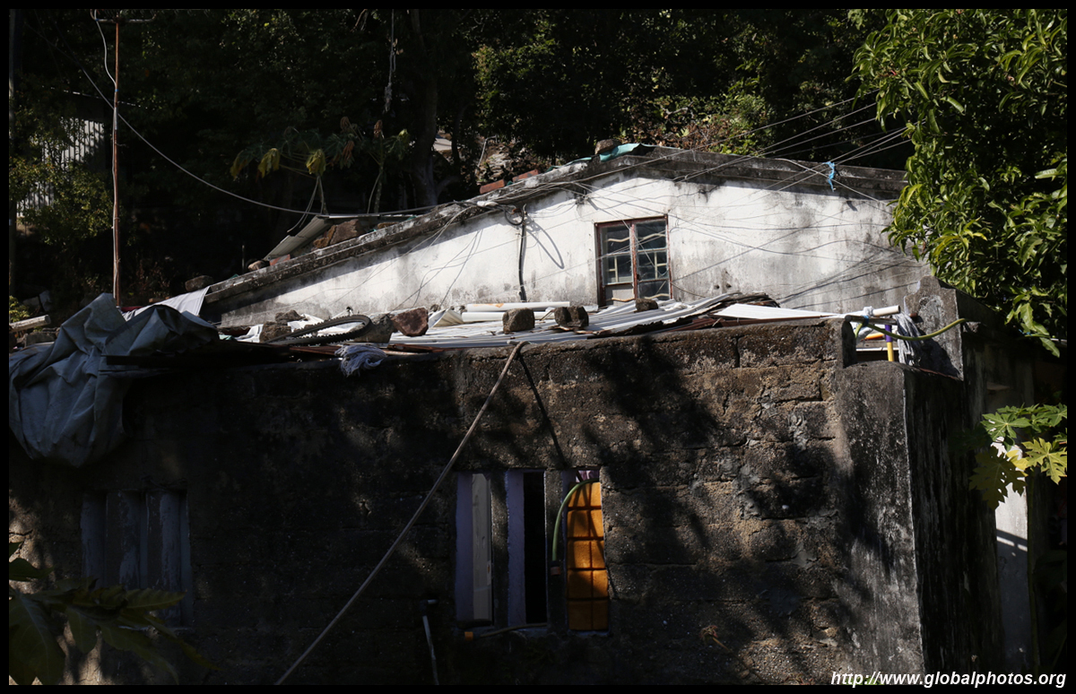
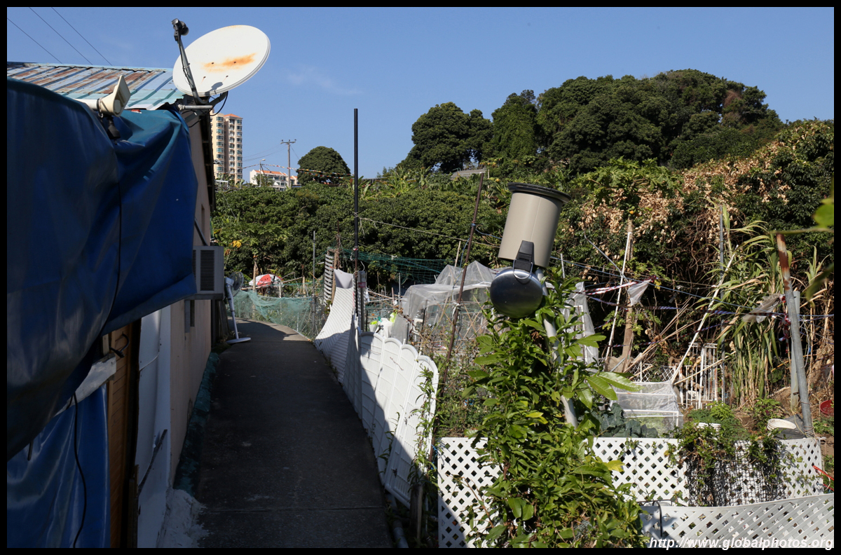
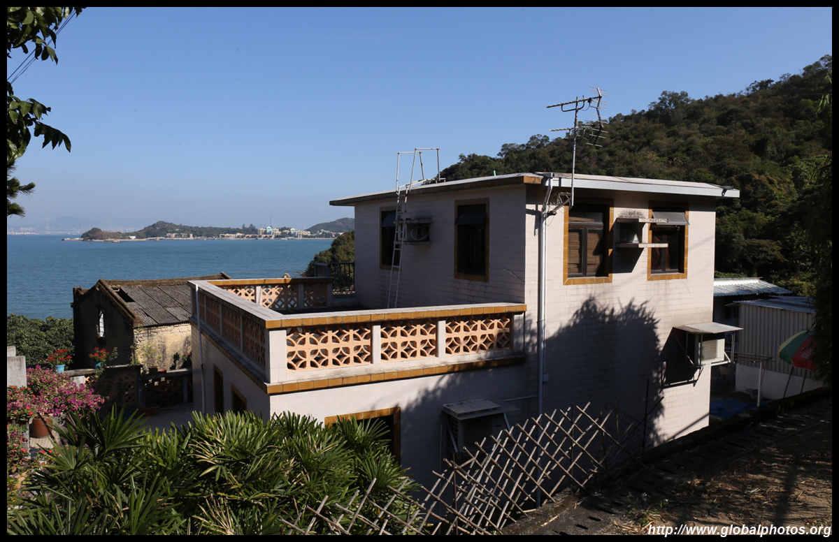
While Discovery Bay is famous for its nice housing with sea and skyline views, Nim Shue Wan Village is tucked away in an alternate reality.
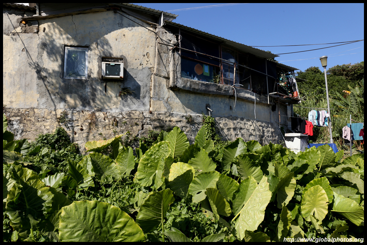
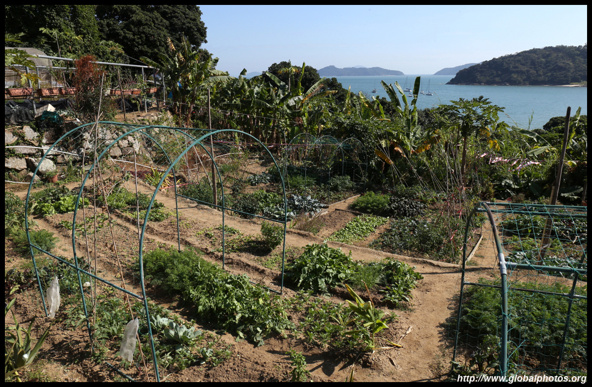
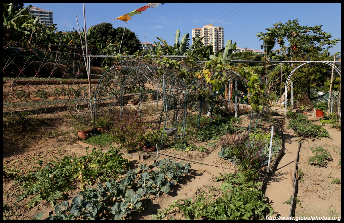
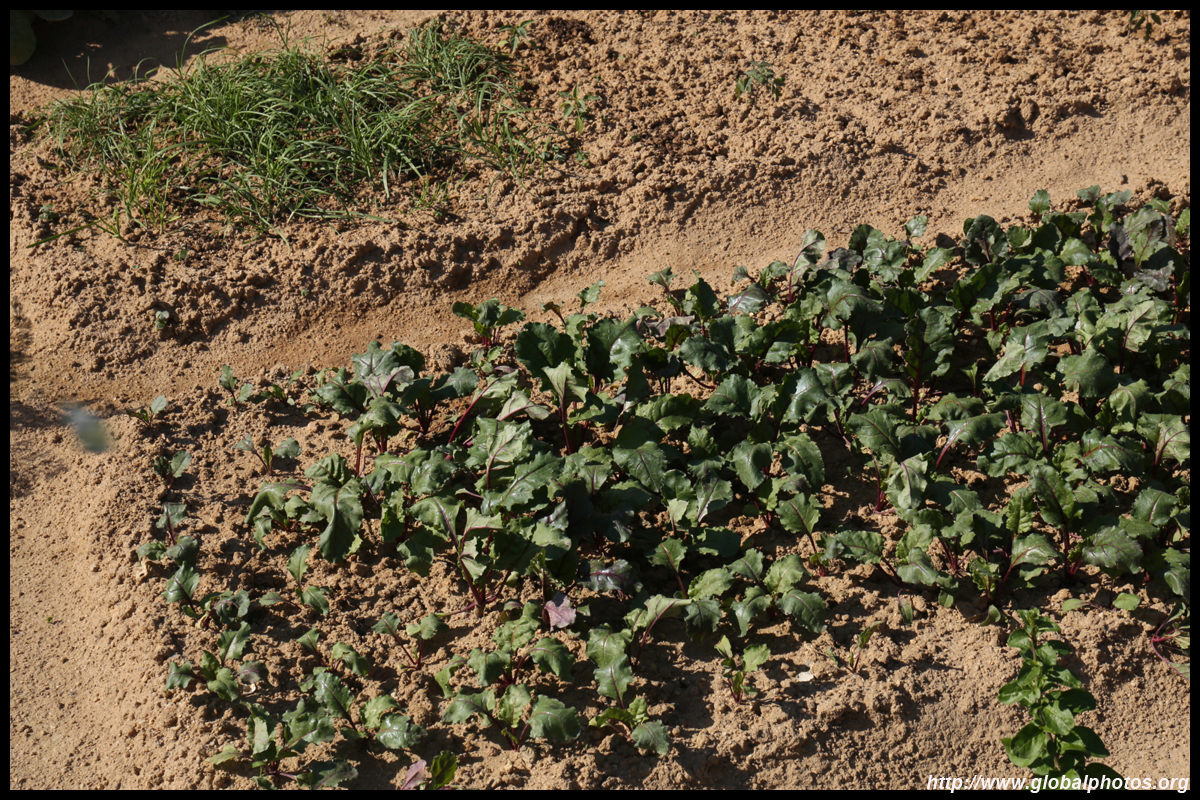
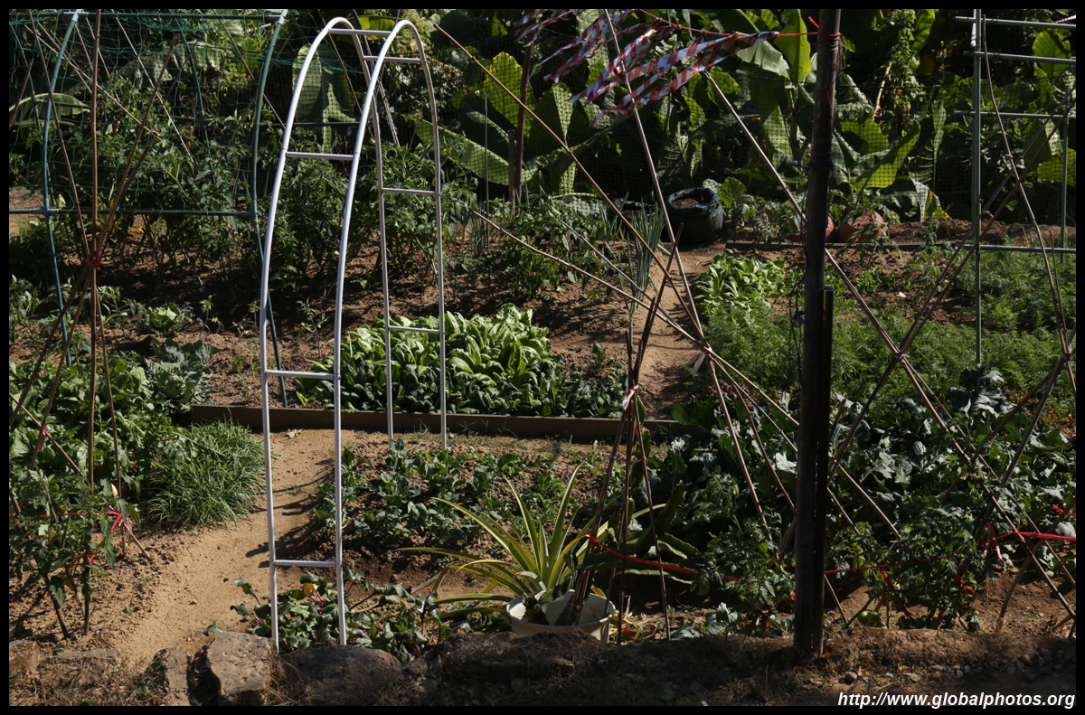
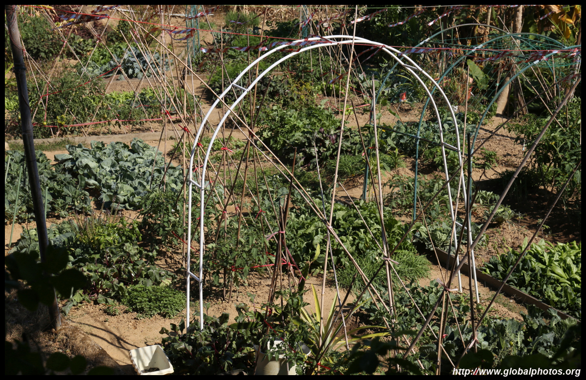
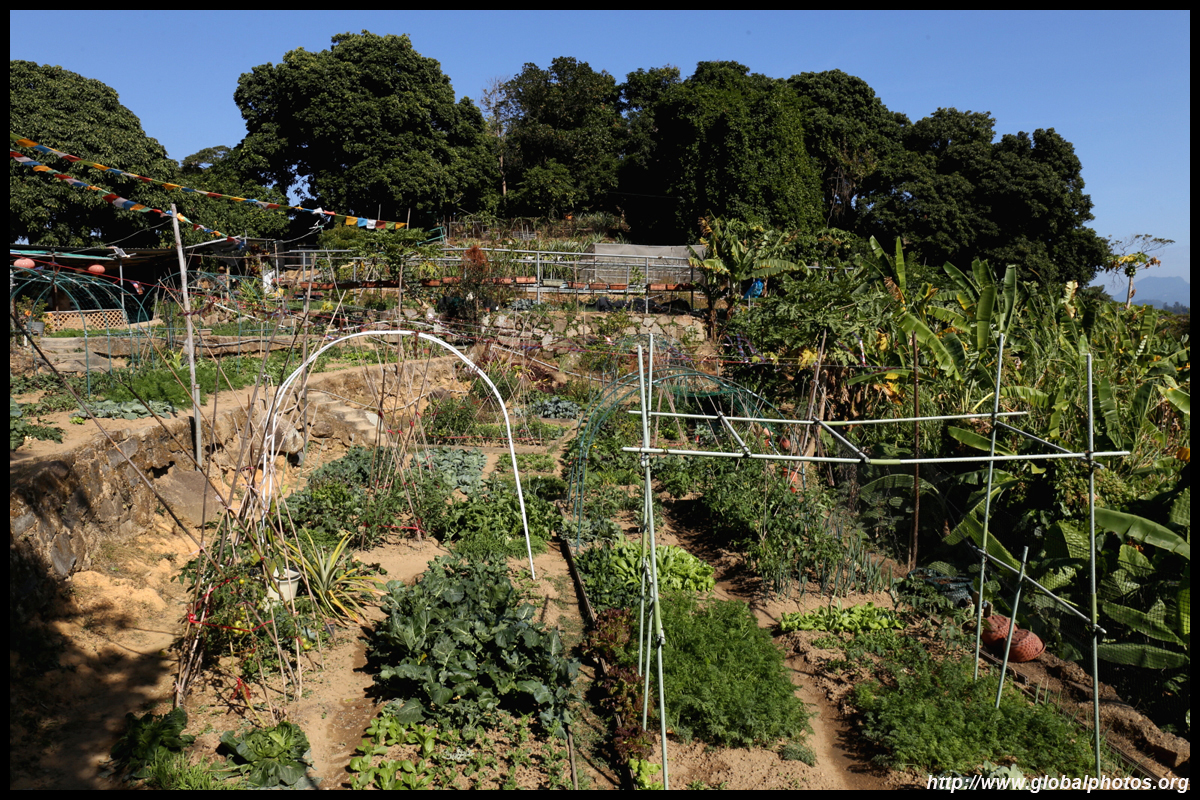
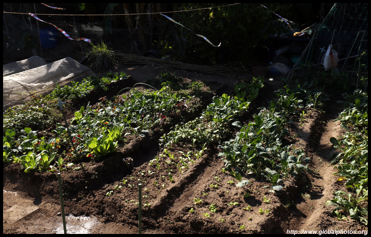
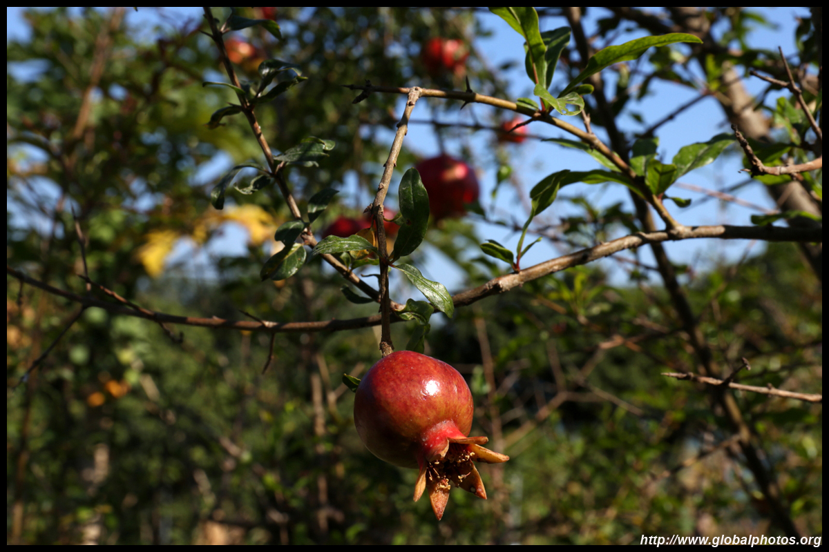
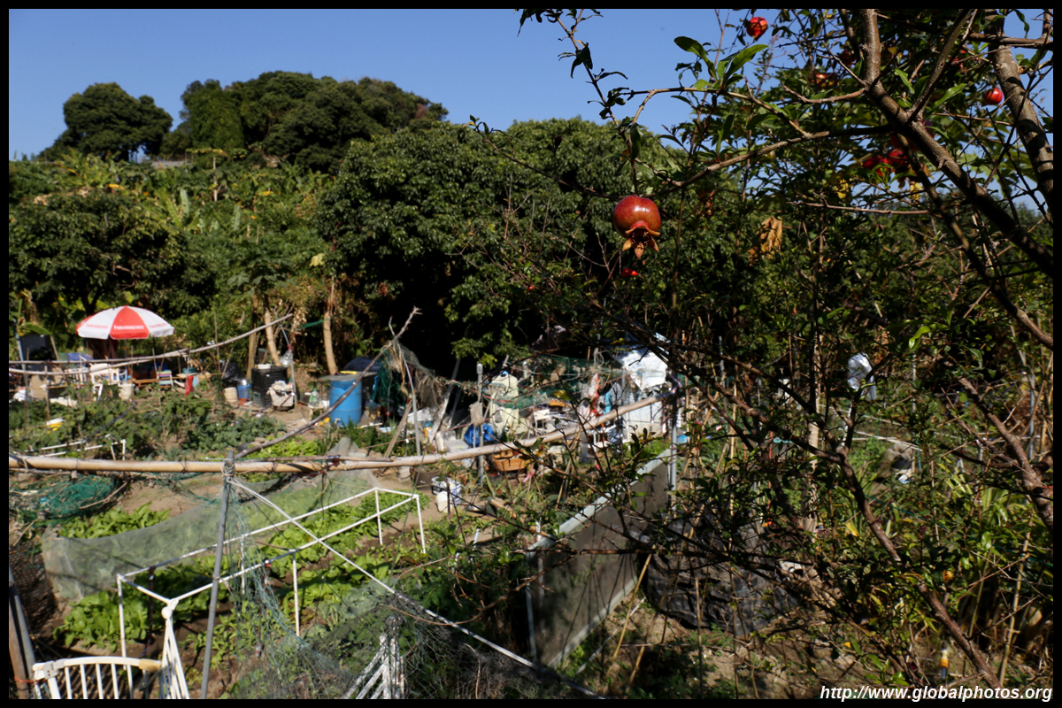
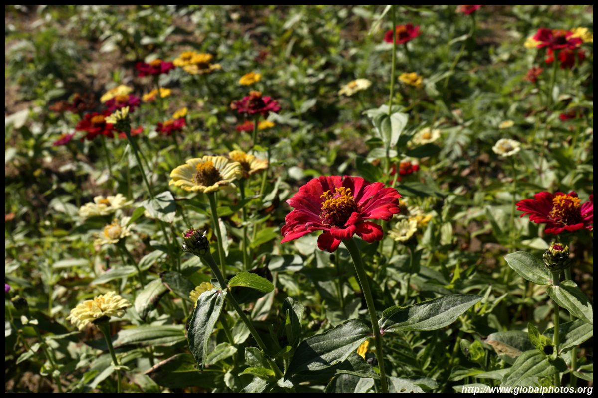
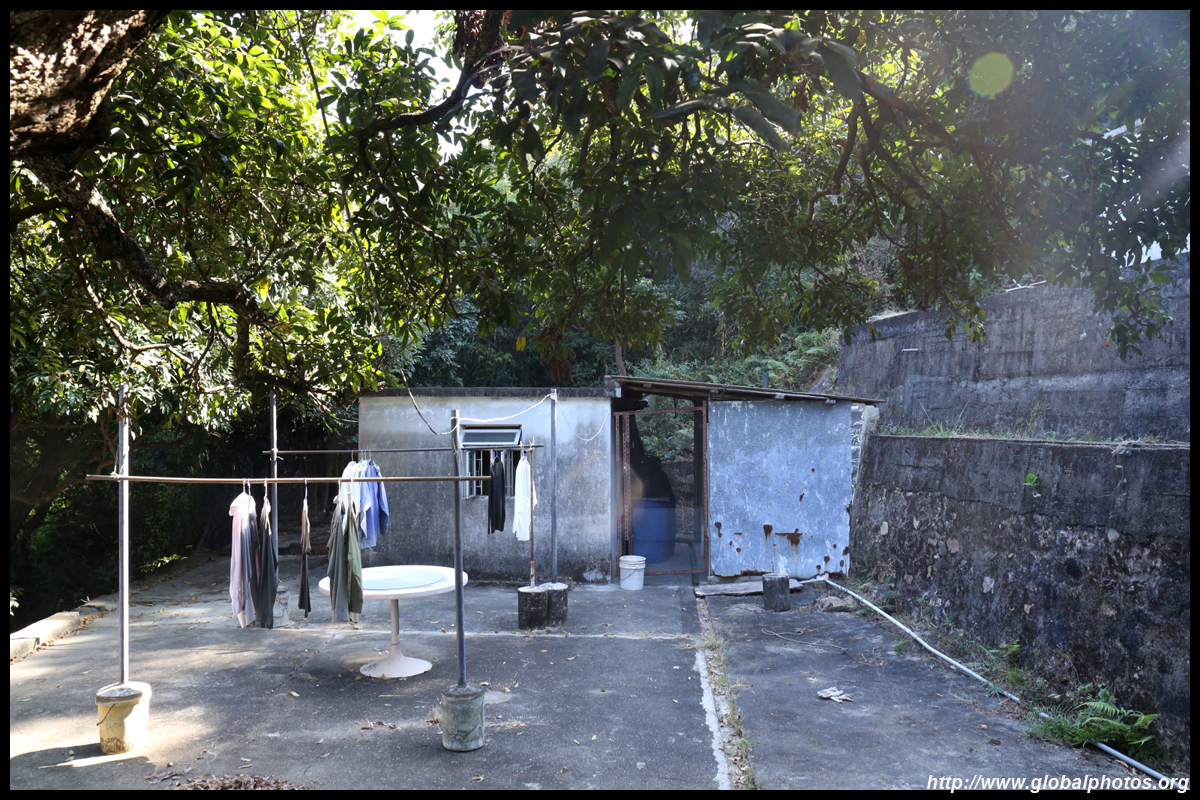
Leaving the village, the first hill yielded a surprise - a farm.
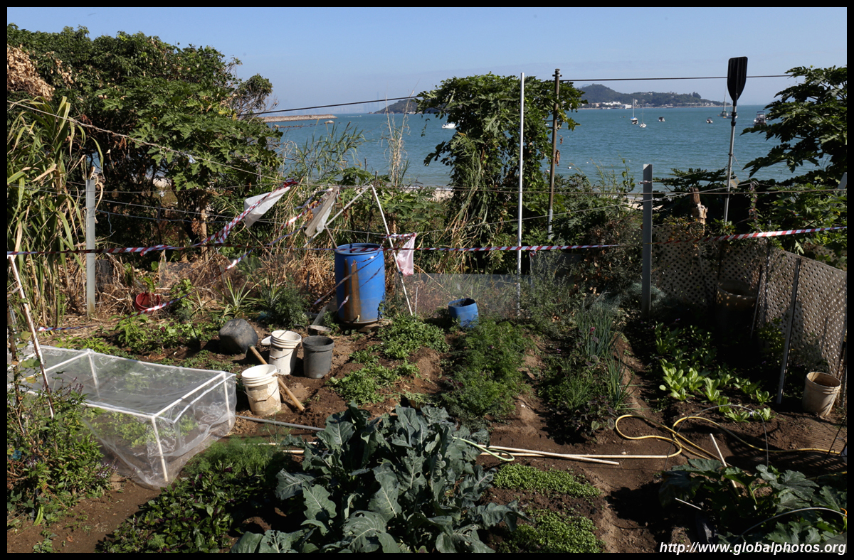
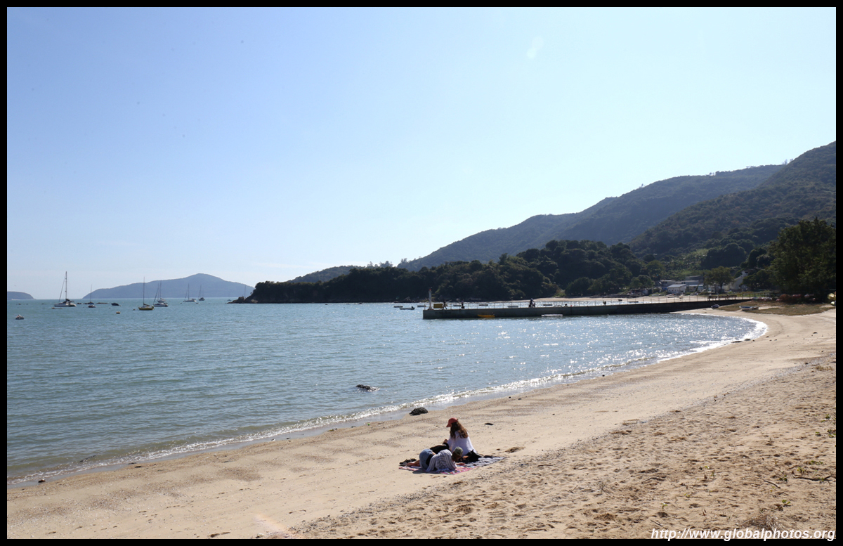
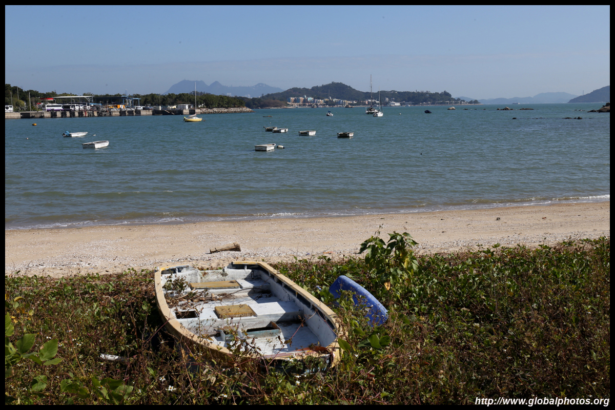
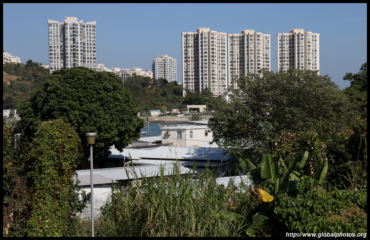
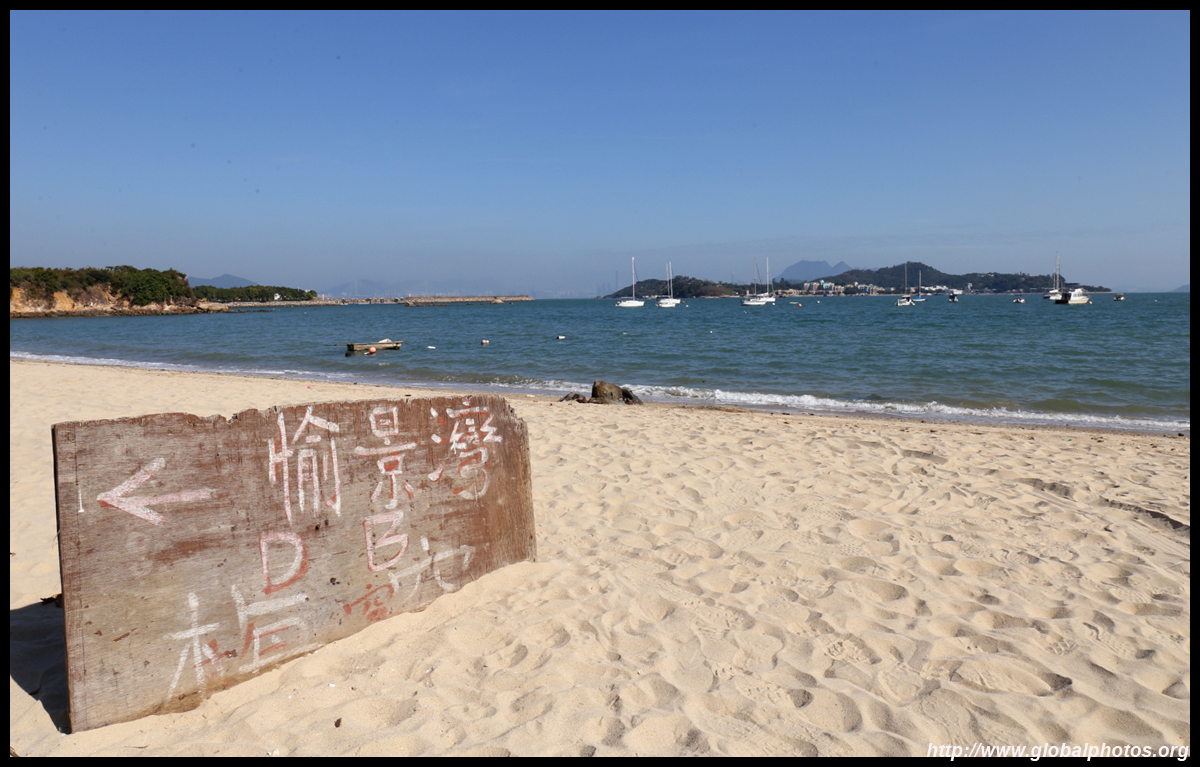
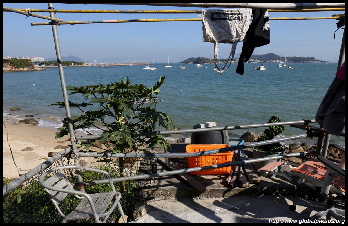
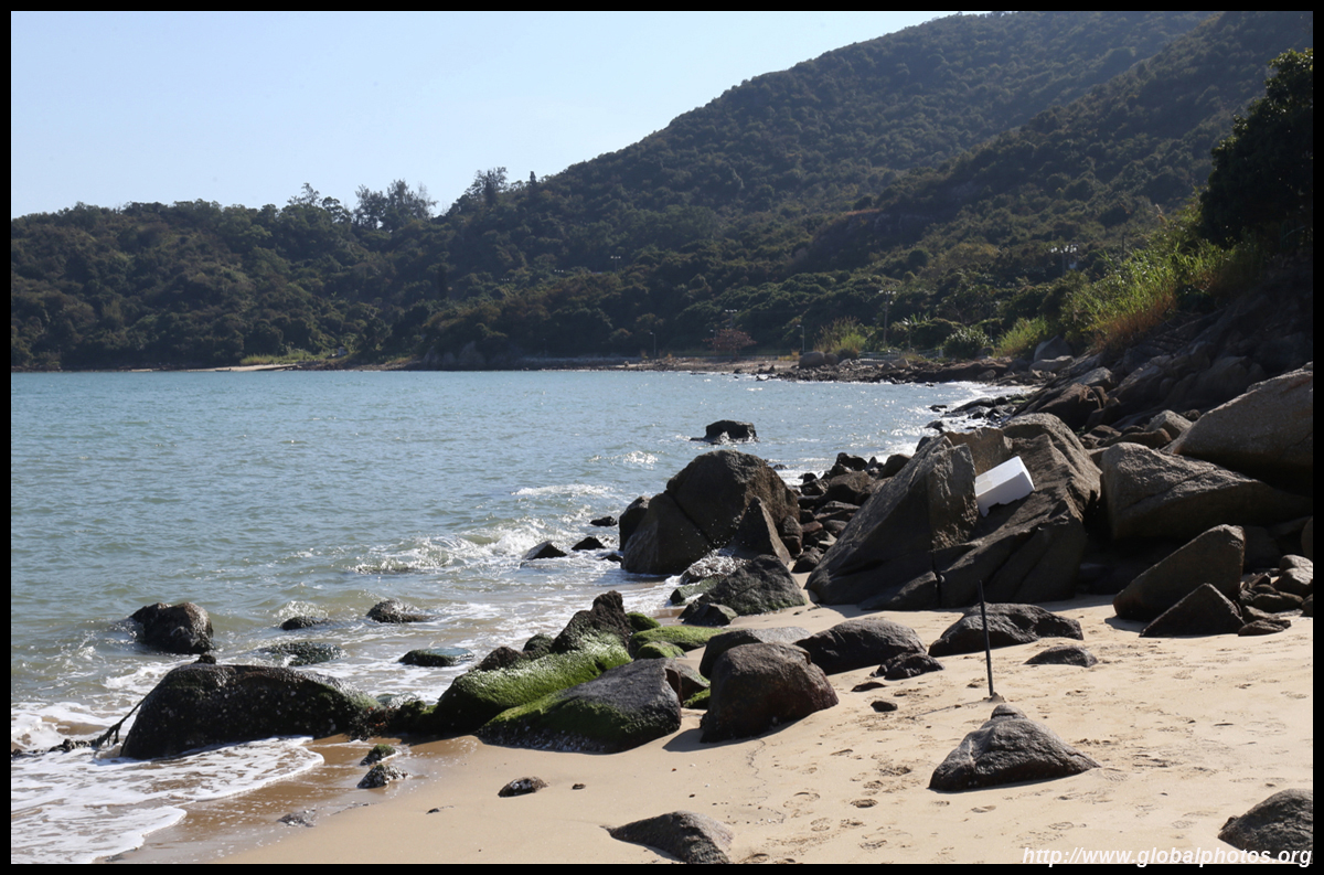
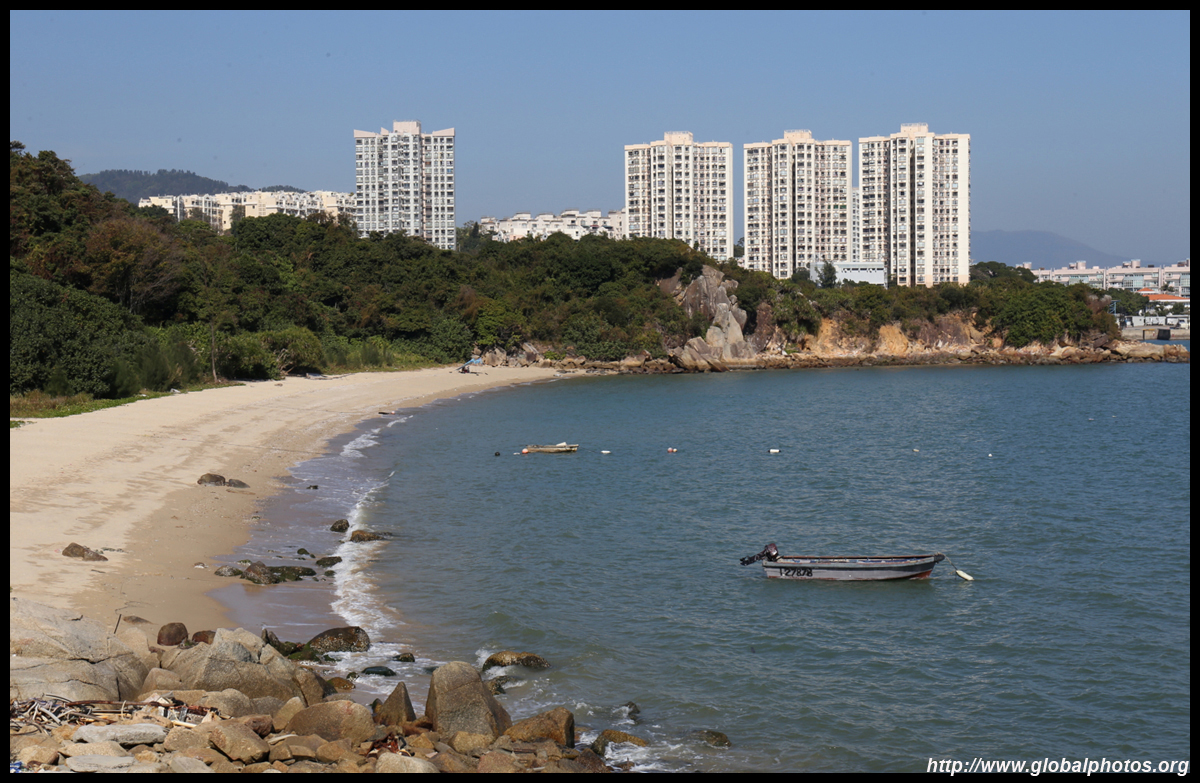
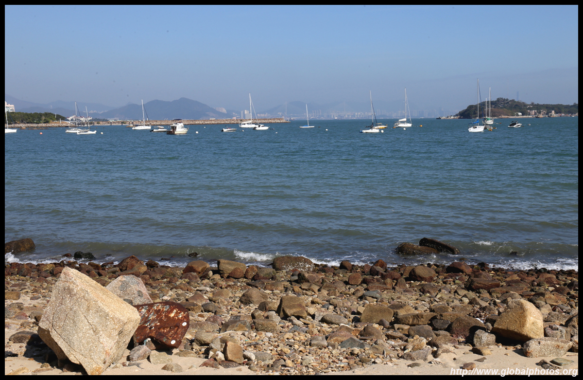
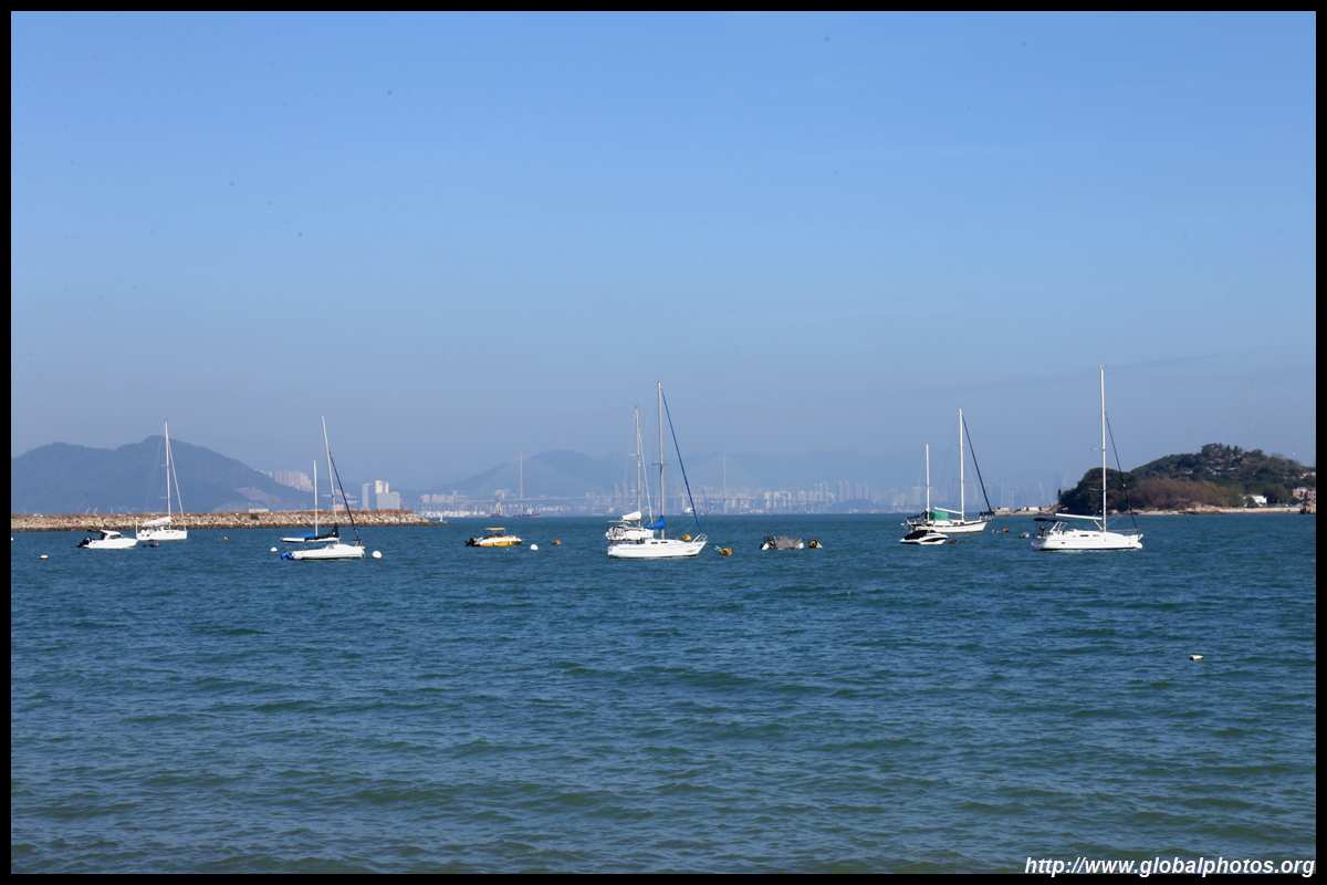
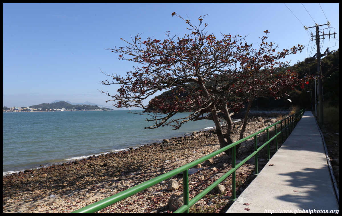
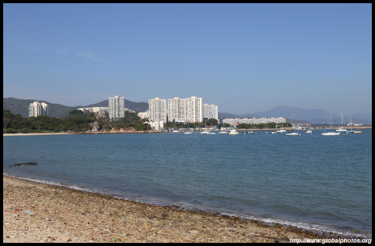
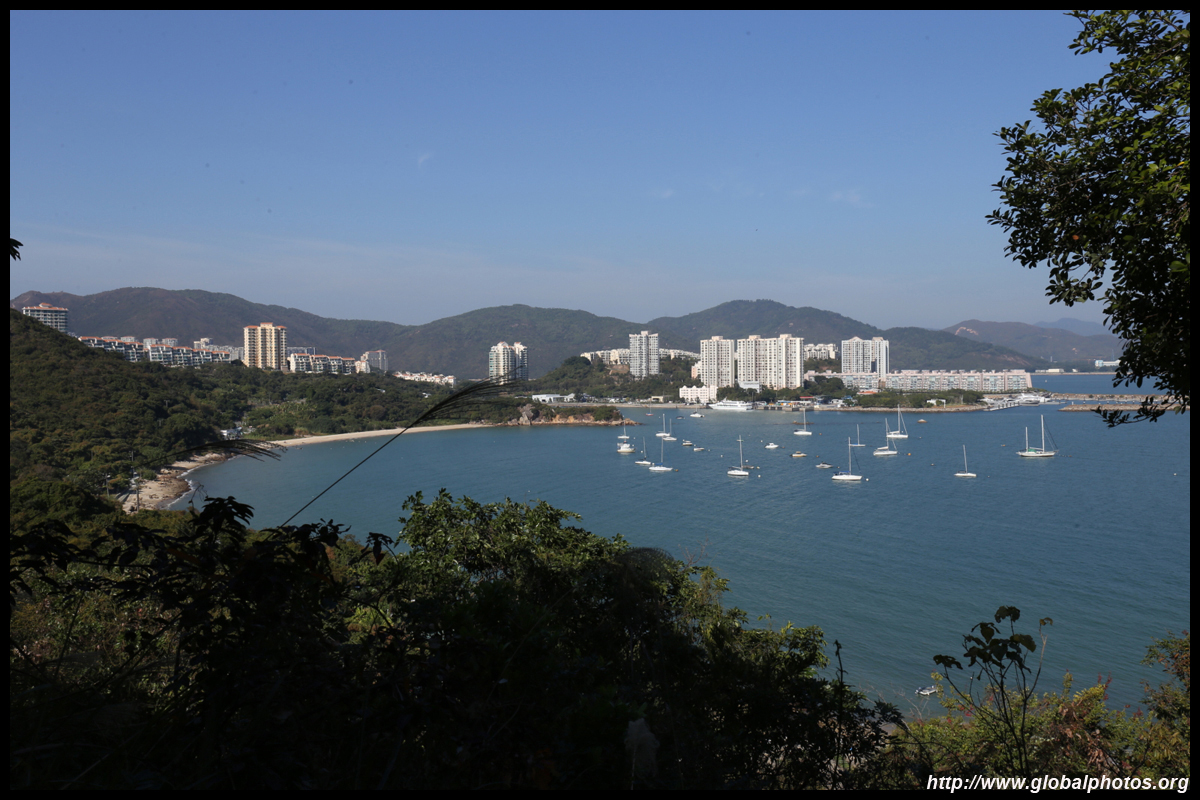
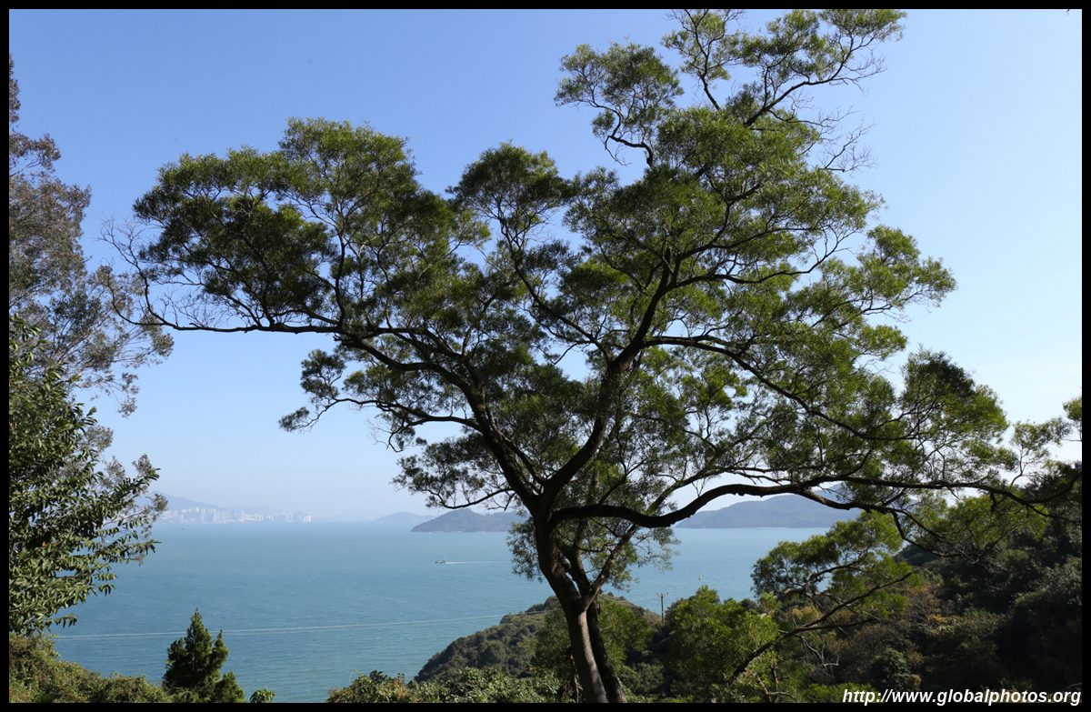
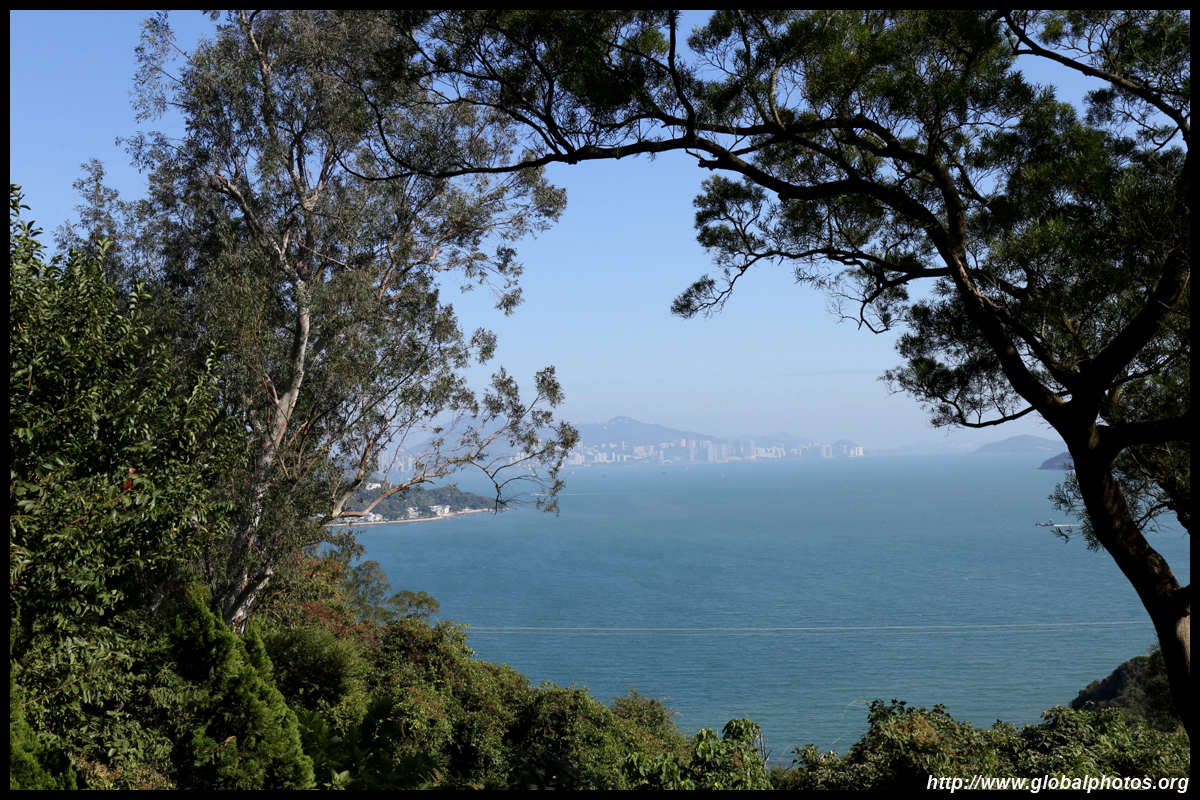
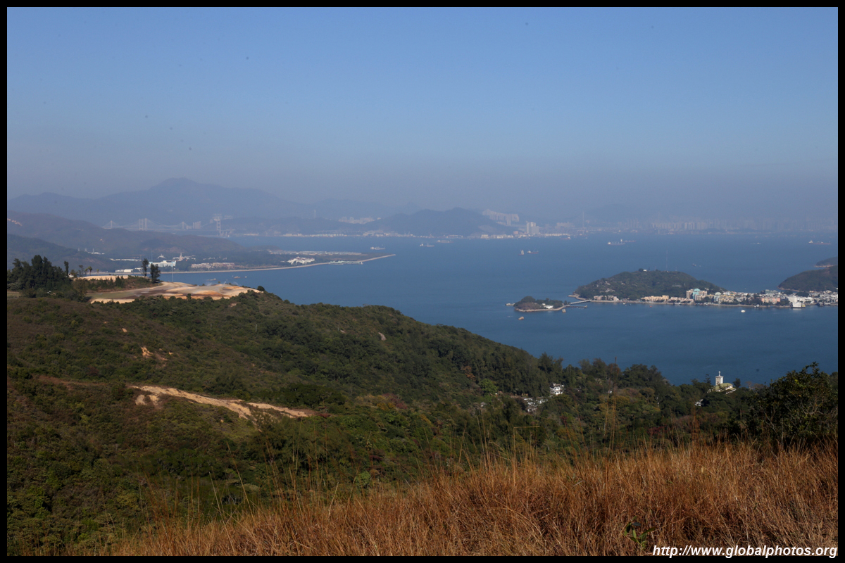
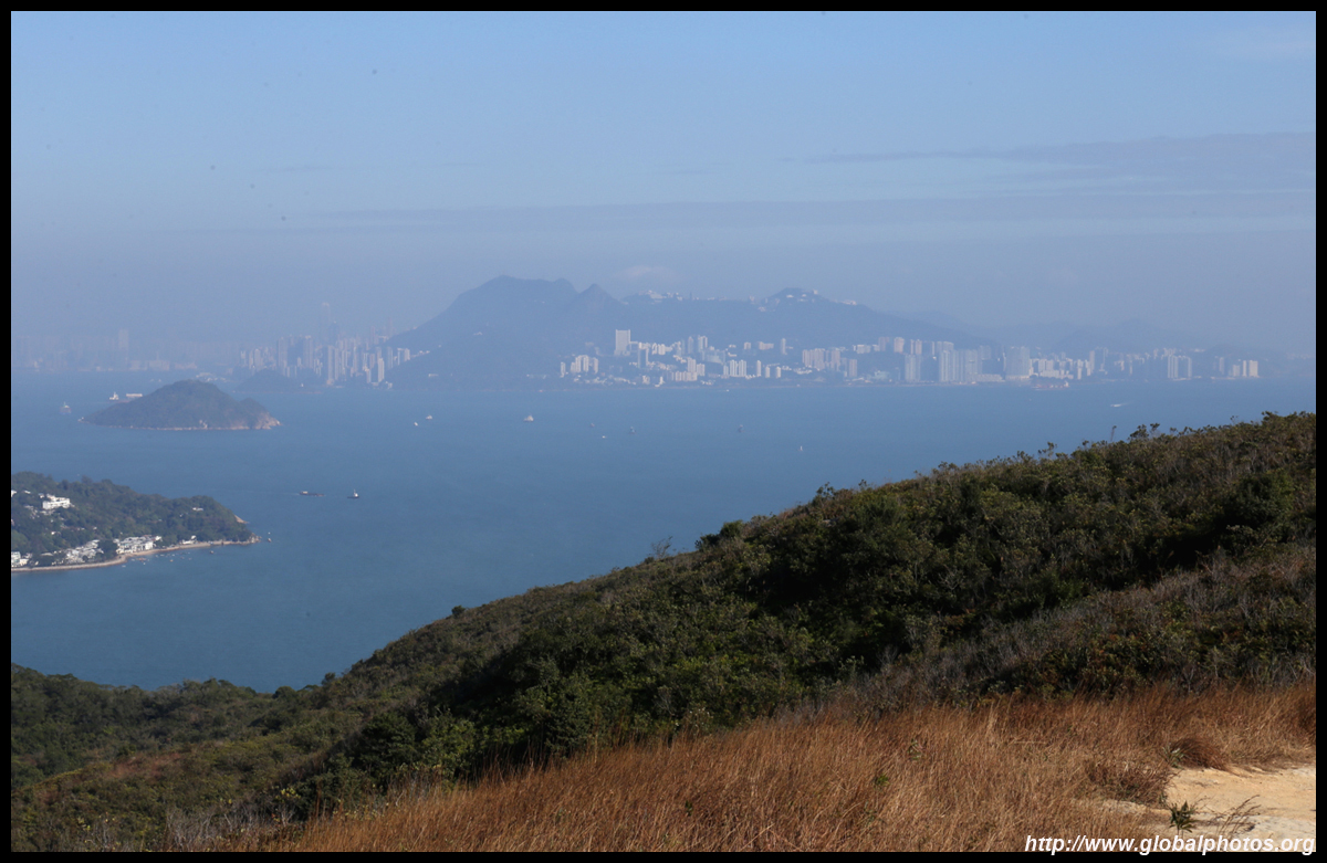
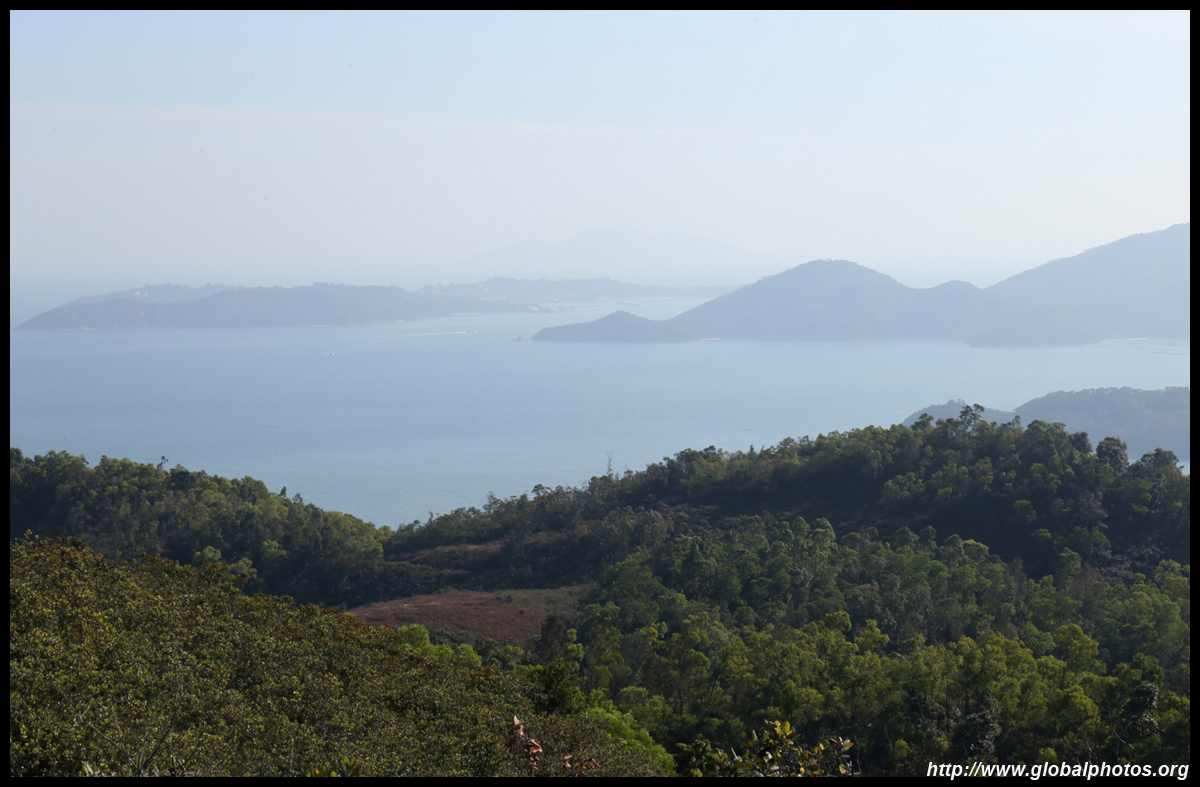
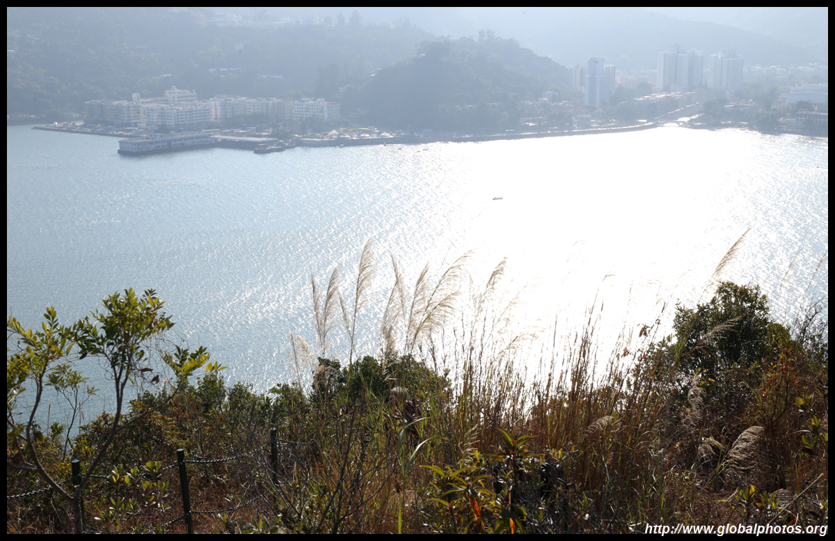
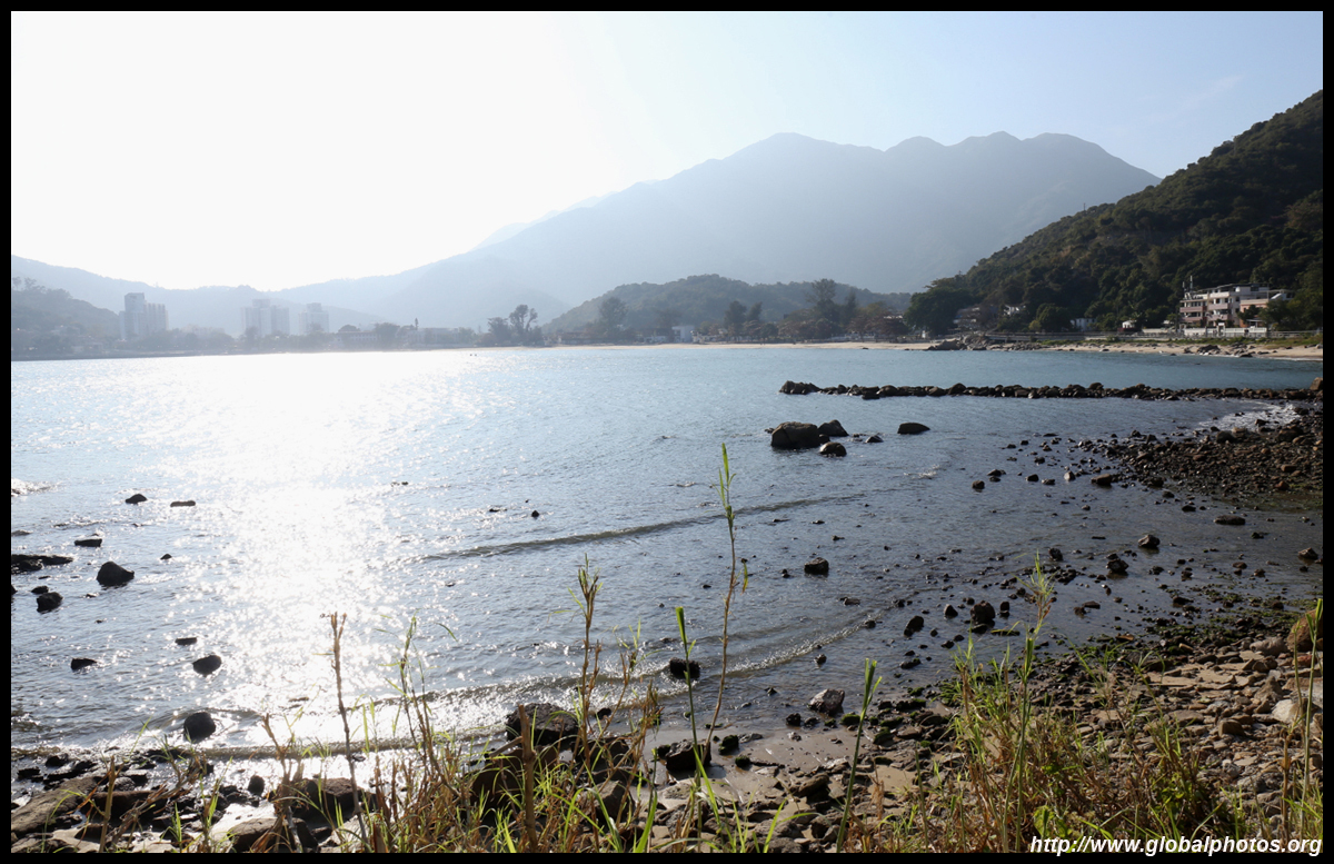
Rounding the hill, a beach emerged on the other side with Peng Chau across the water. With good visibility, the skyline was also visible in the distance.
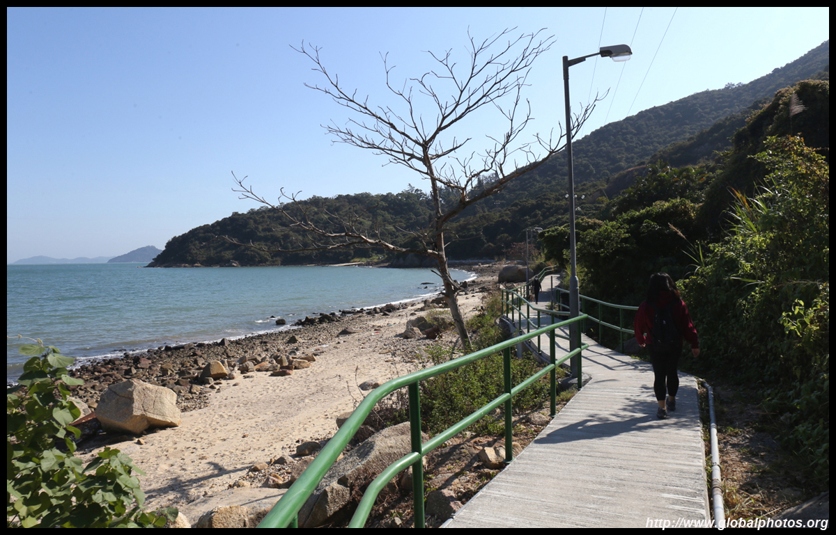
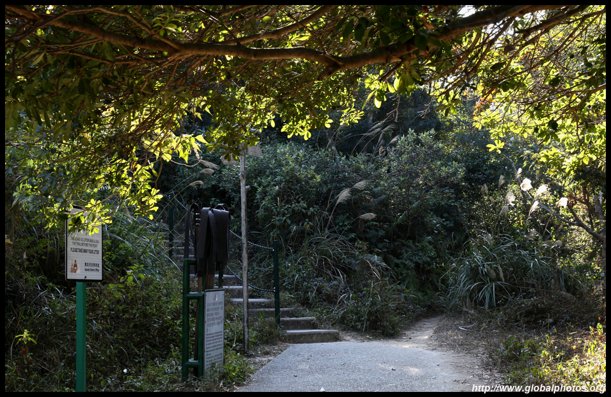
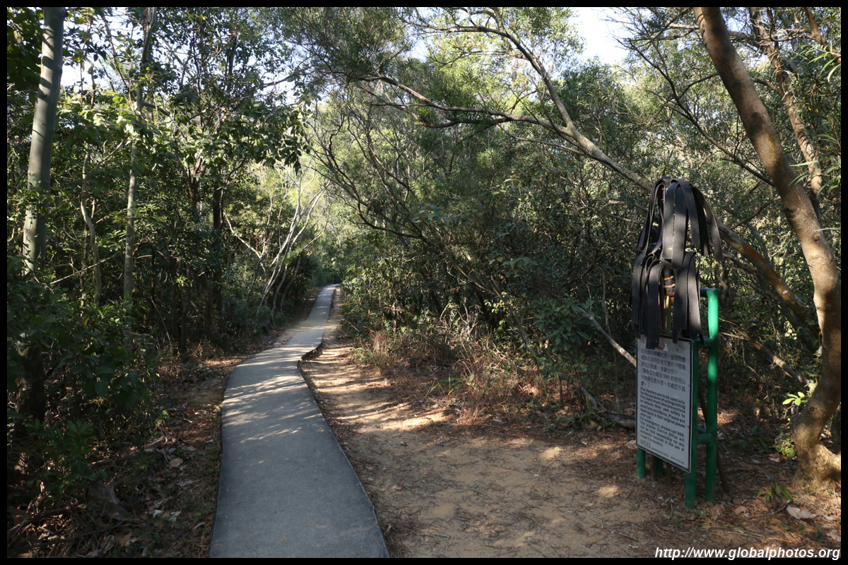
The route is well sign-posted so it is almost impossible to get lost.
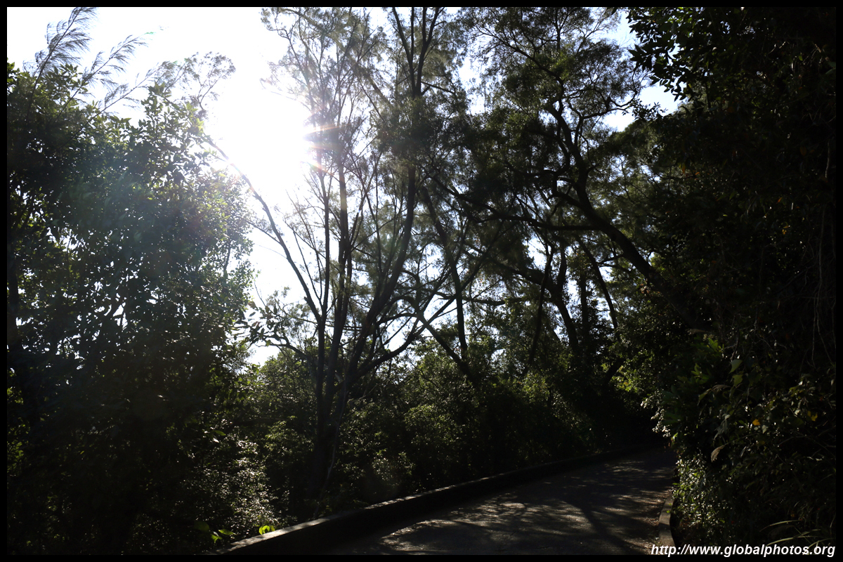
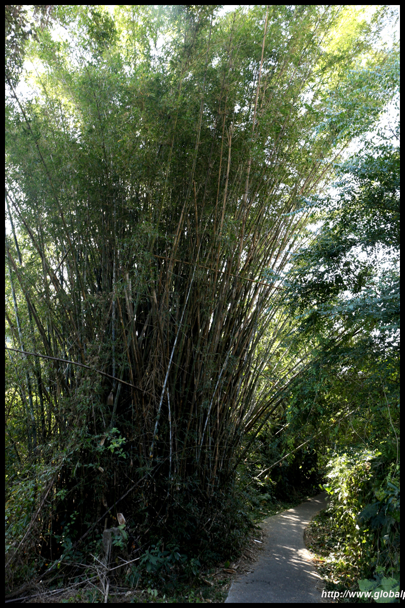
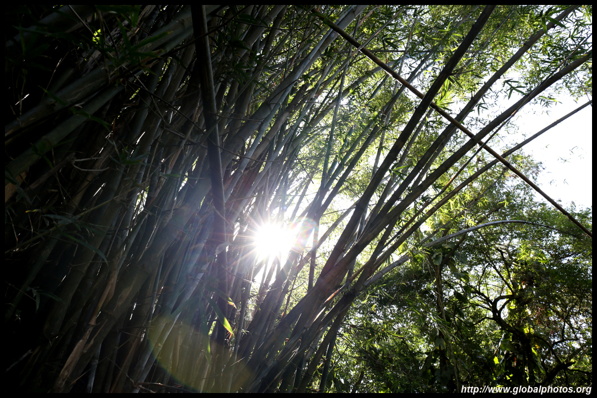
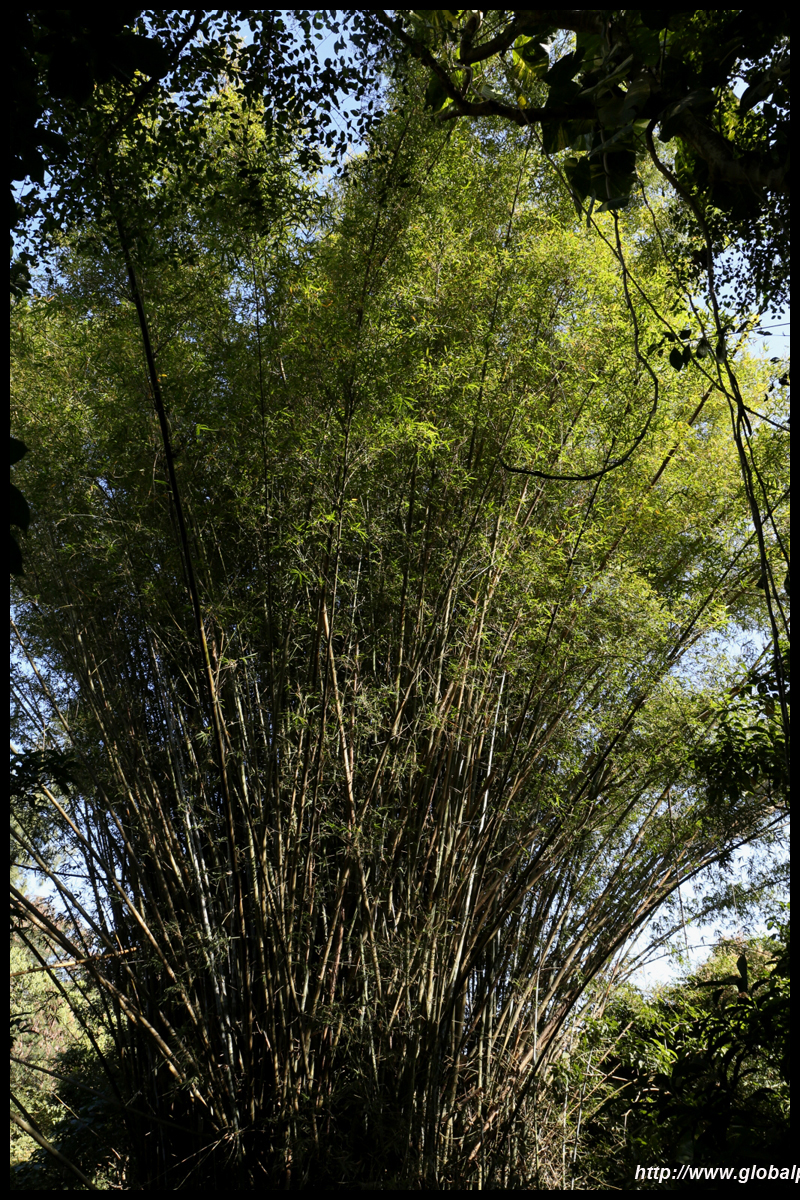
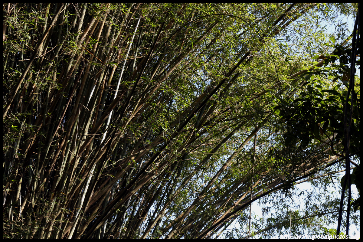
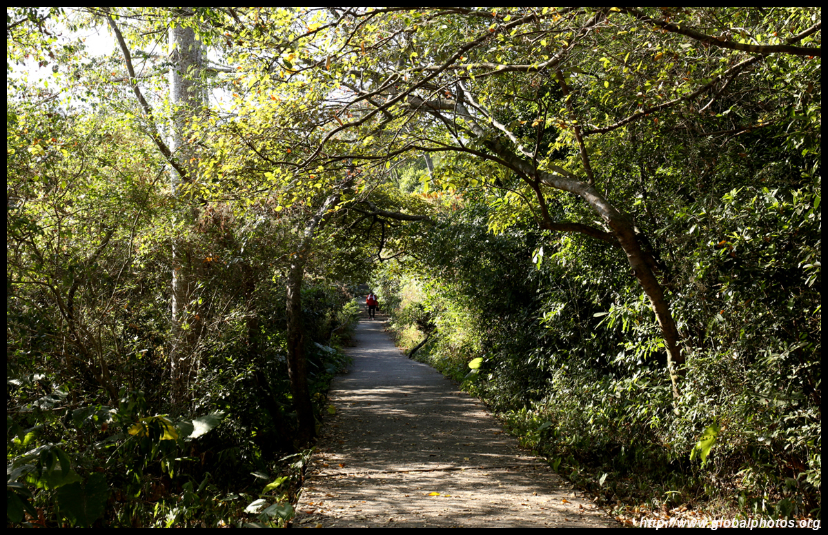
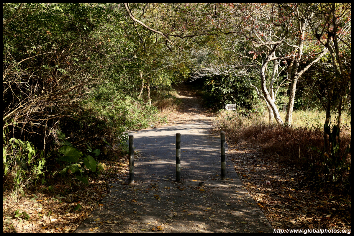
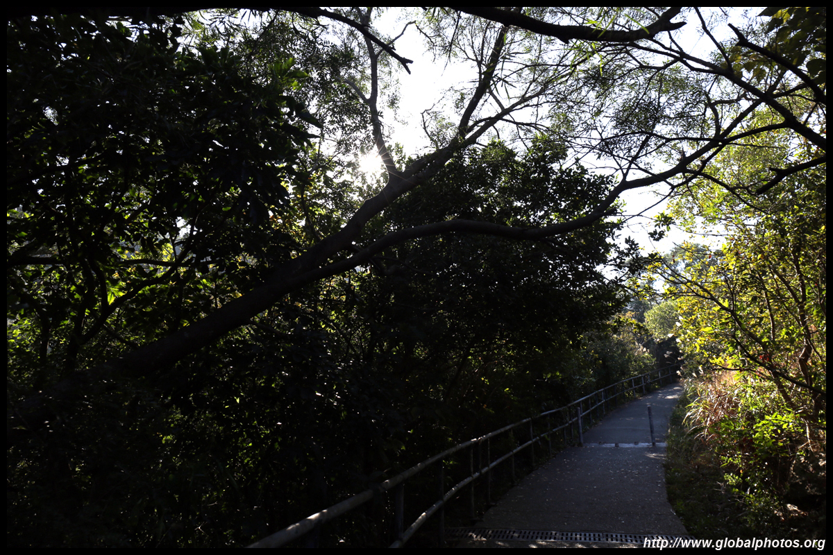
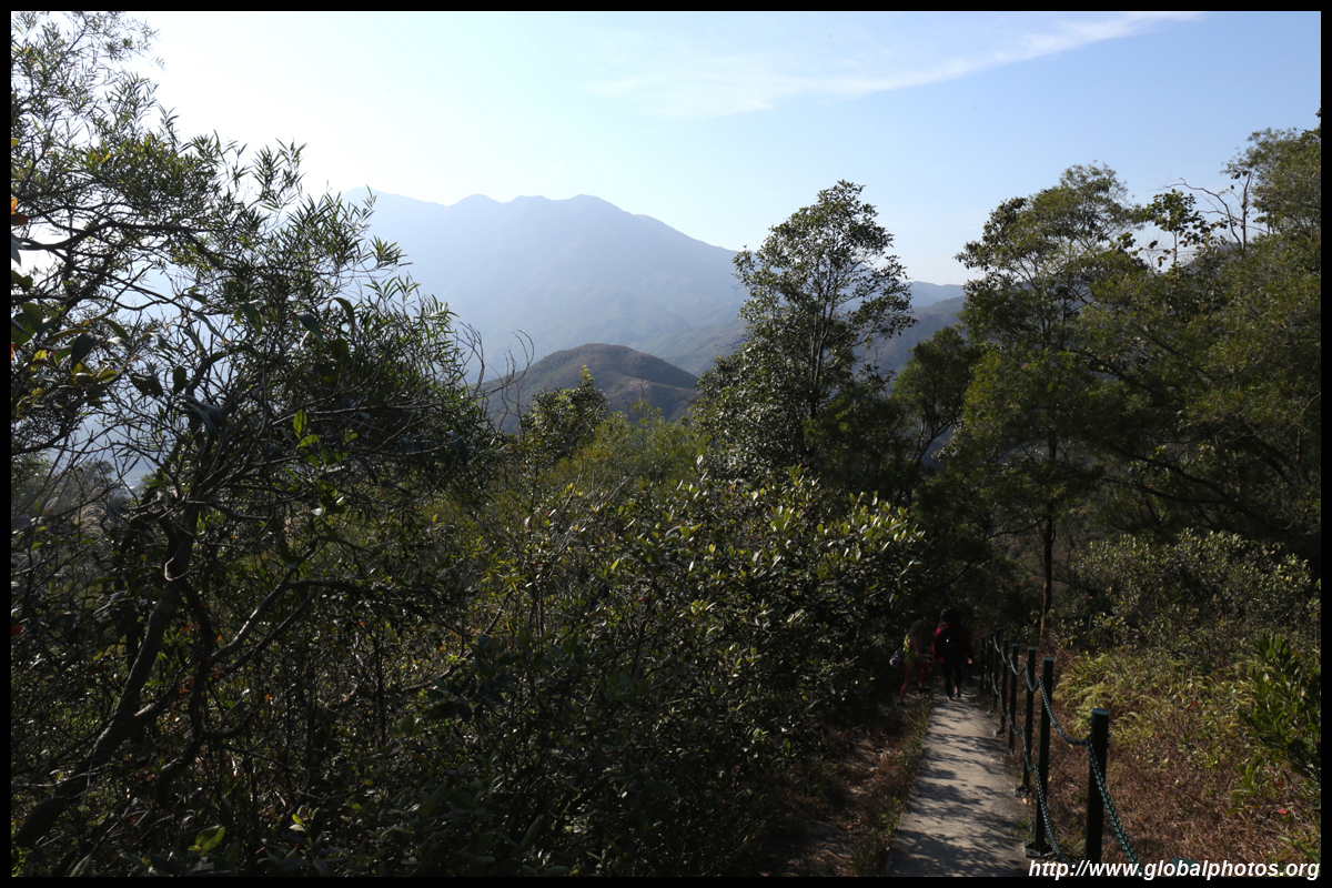
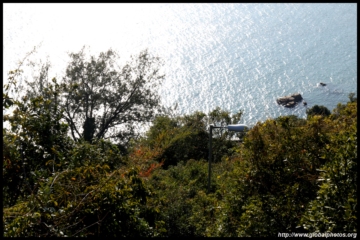
This trail is not particularly difficult and most parts are paved. The path rises gradually up towards the monastery with plenty of shade and pockets of sea view at times.
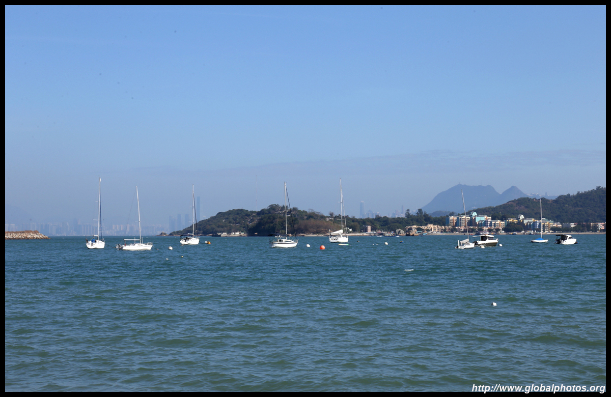
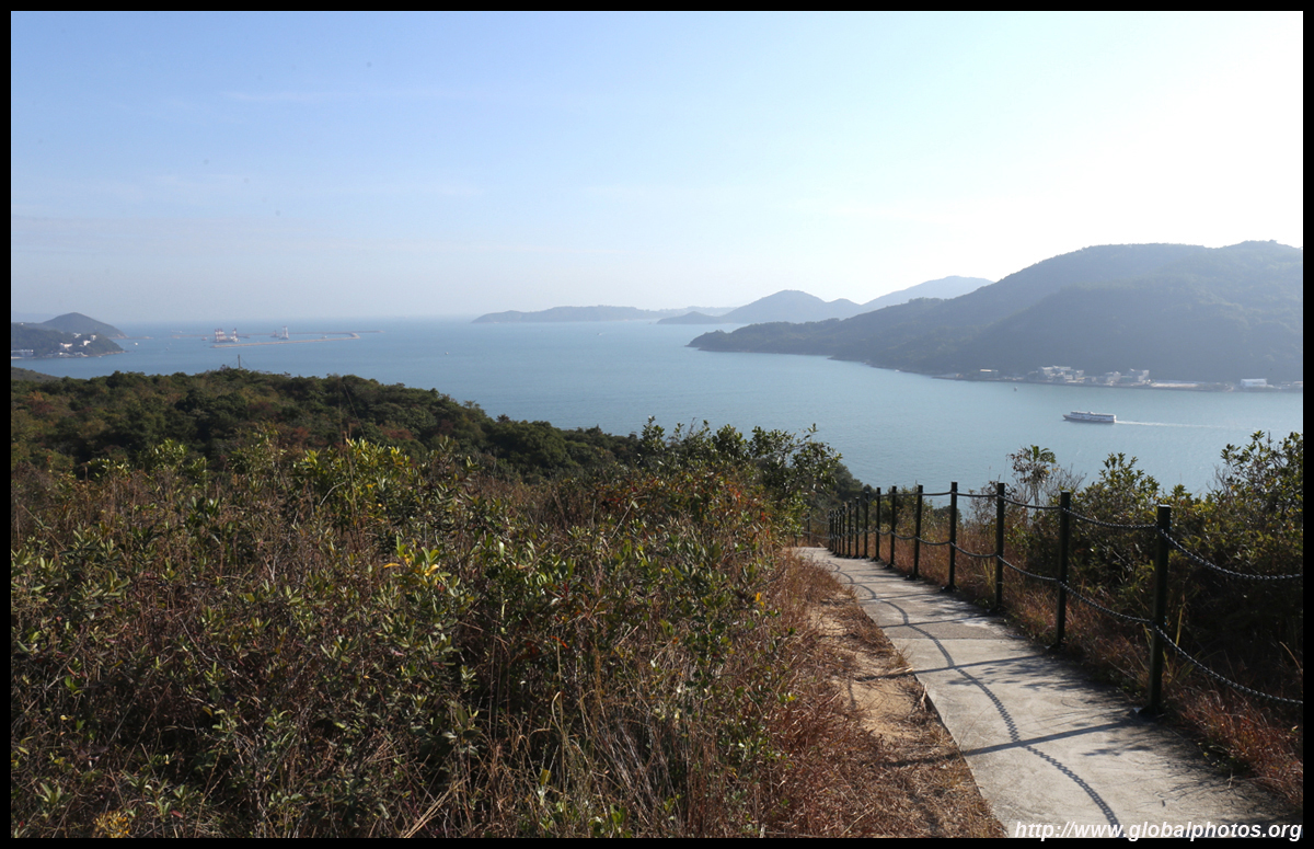
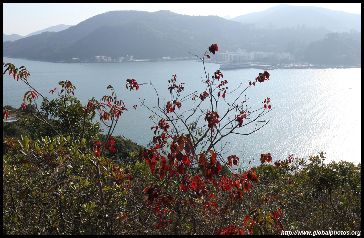
With great visibility and the sun behind me, I could see all the way to Stonecutters Bridge.
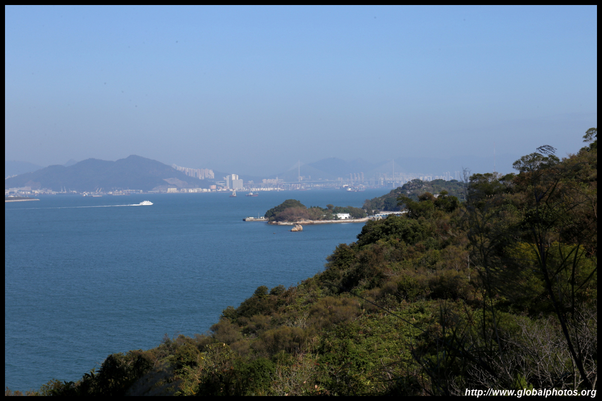
Behind Peng Chau is ICC, Hong Kong's tallest building.
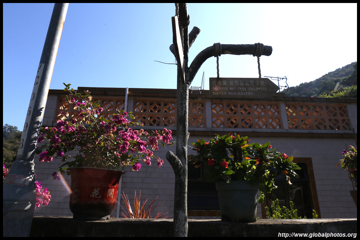
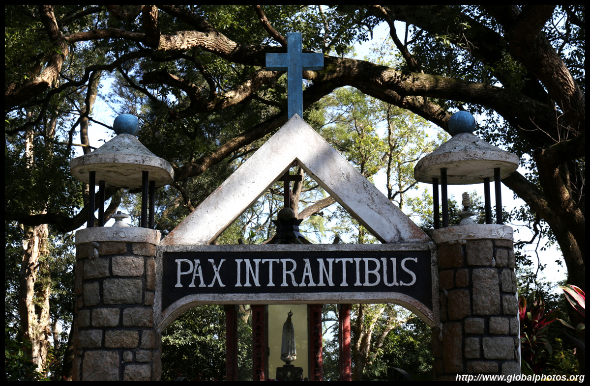
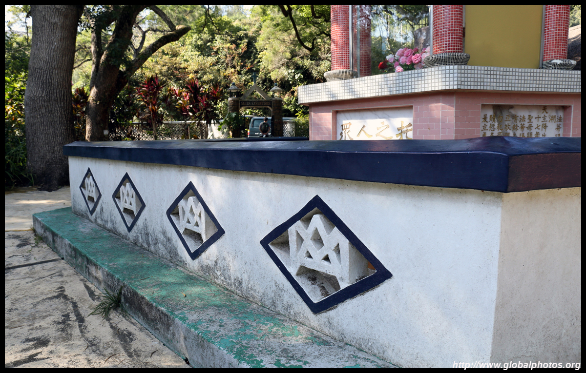
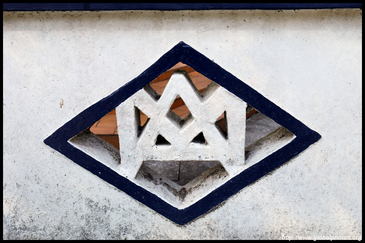
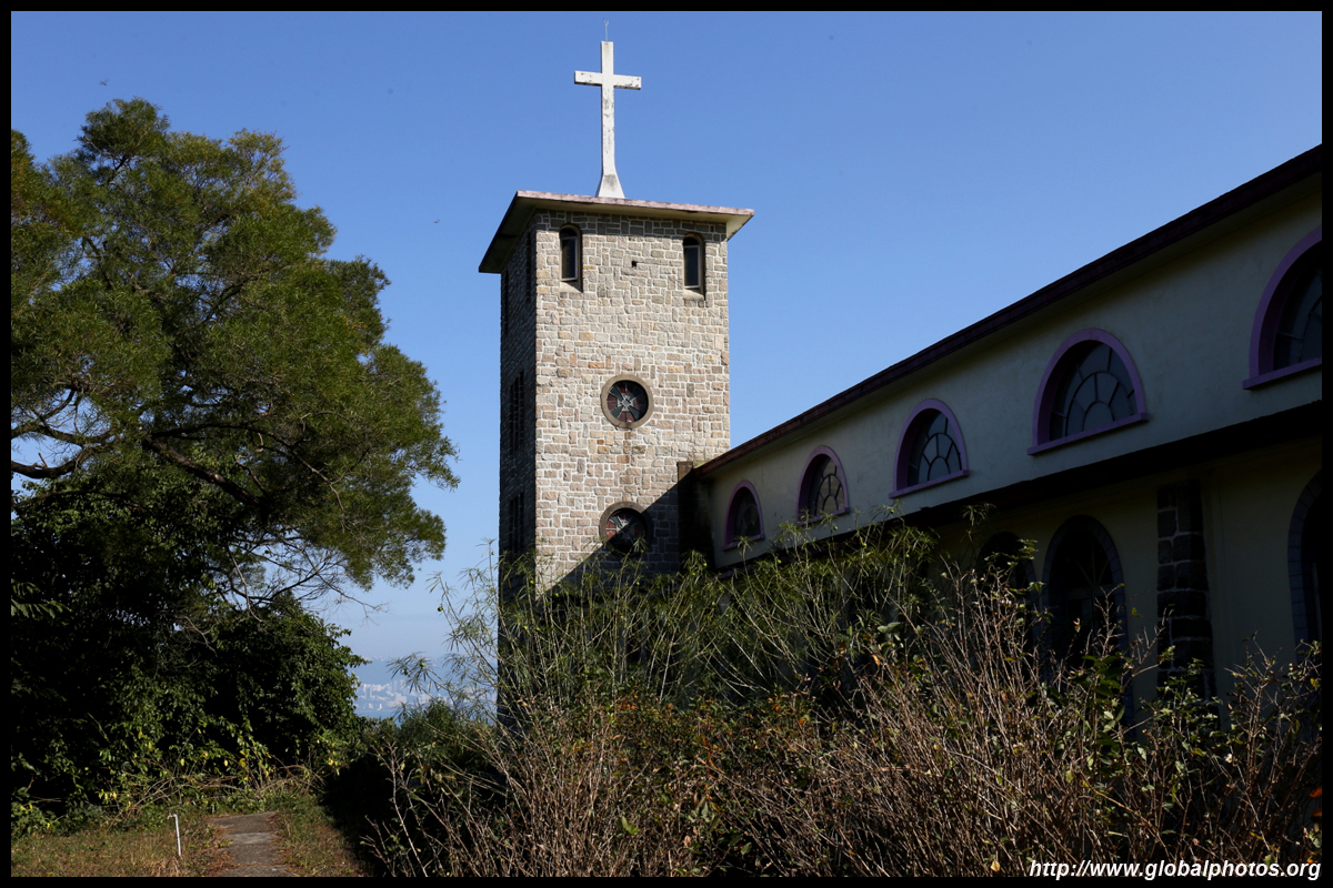
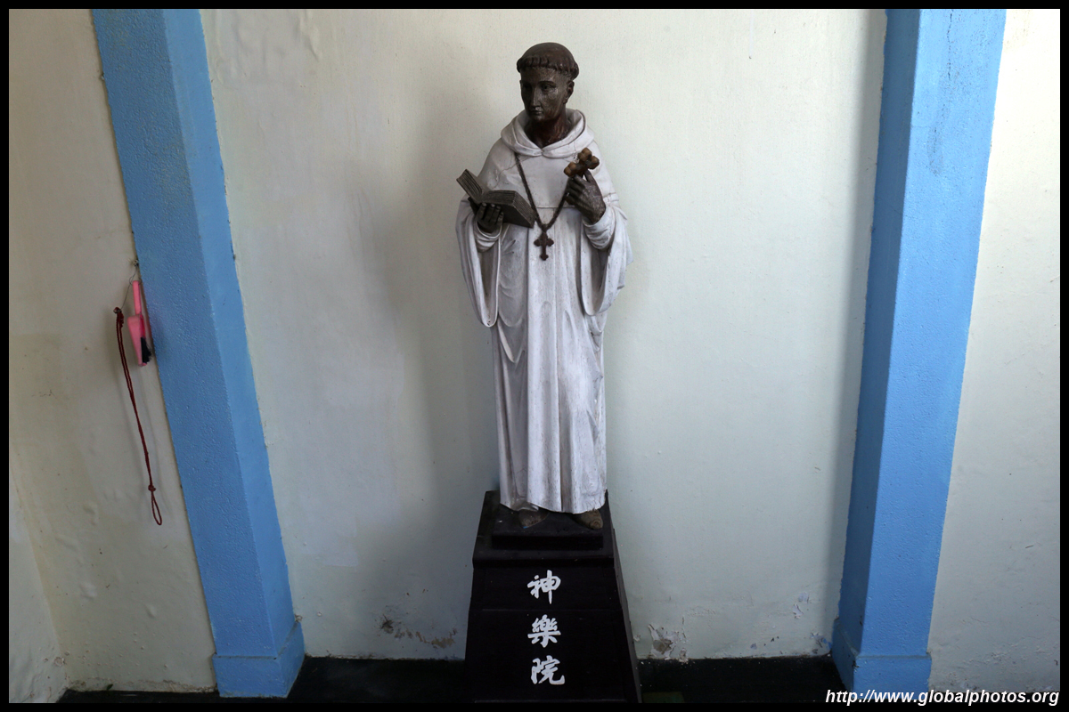
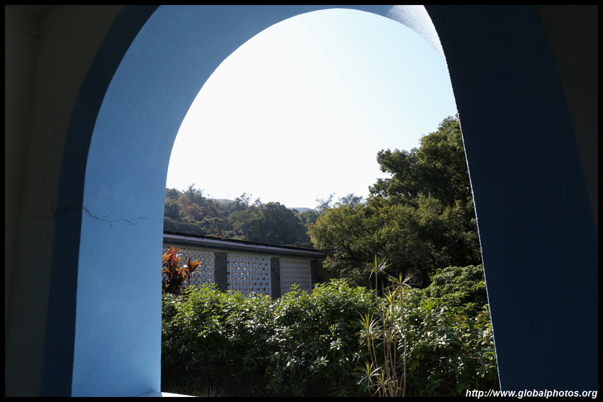
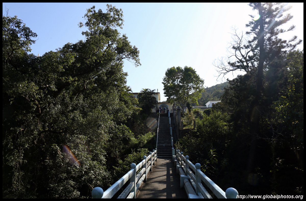
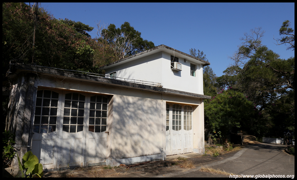
The Trappist Monastery, also known as Our Lady of Joy Abbey, is interestingly famous for its cream-rich milk that is still available in stores today. Milk cows once roamed this area but production has since moved to Yuen Long. This is a good spot for a rest break.
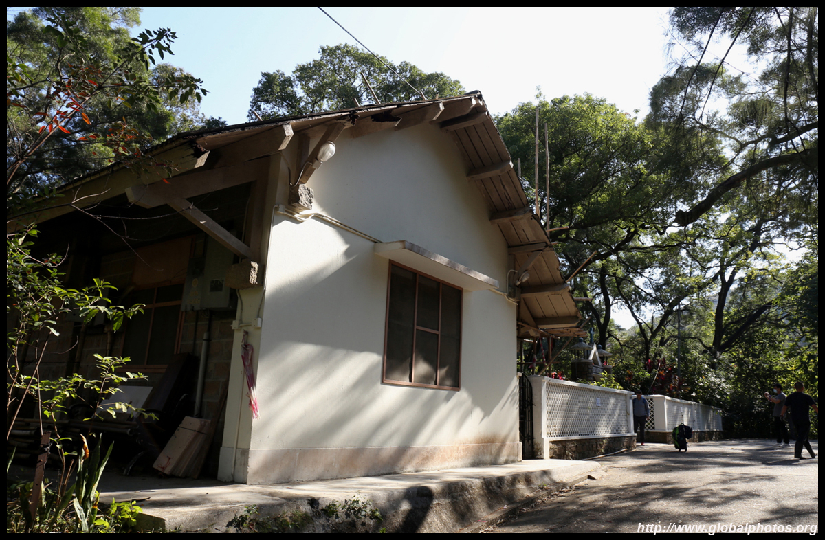
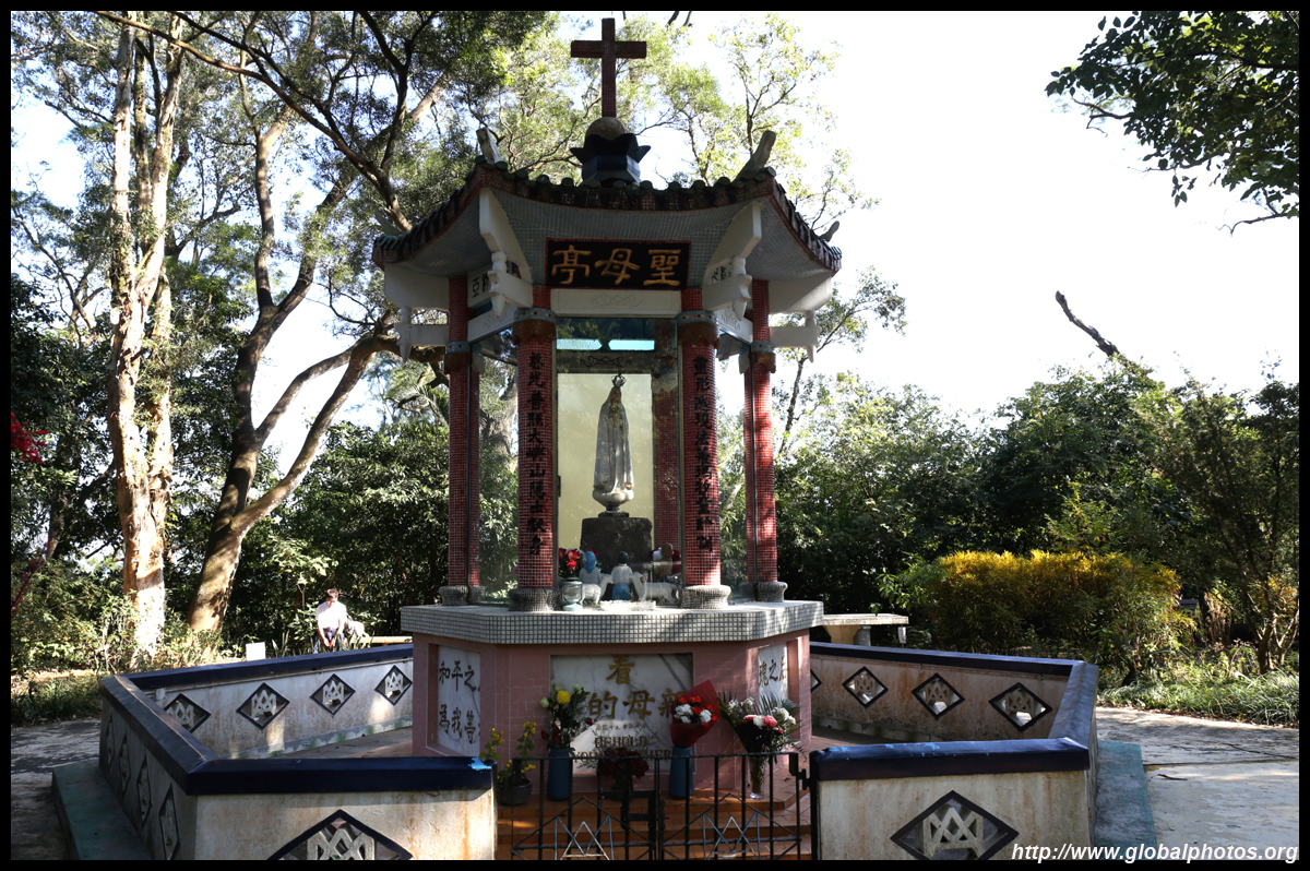
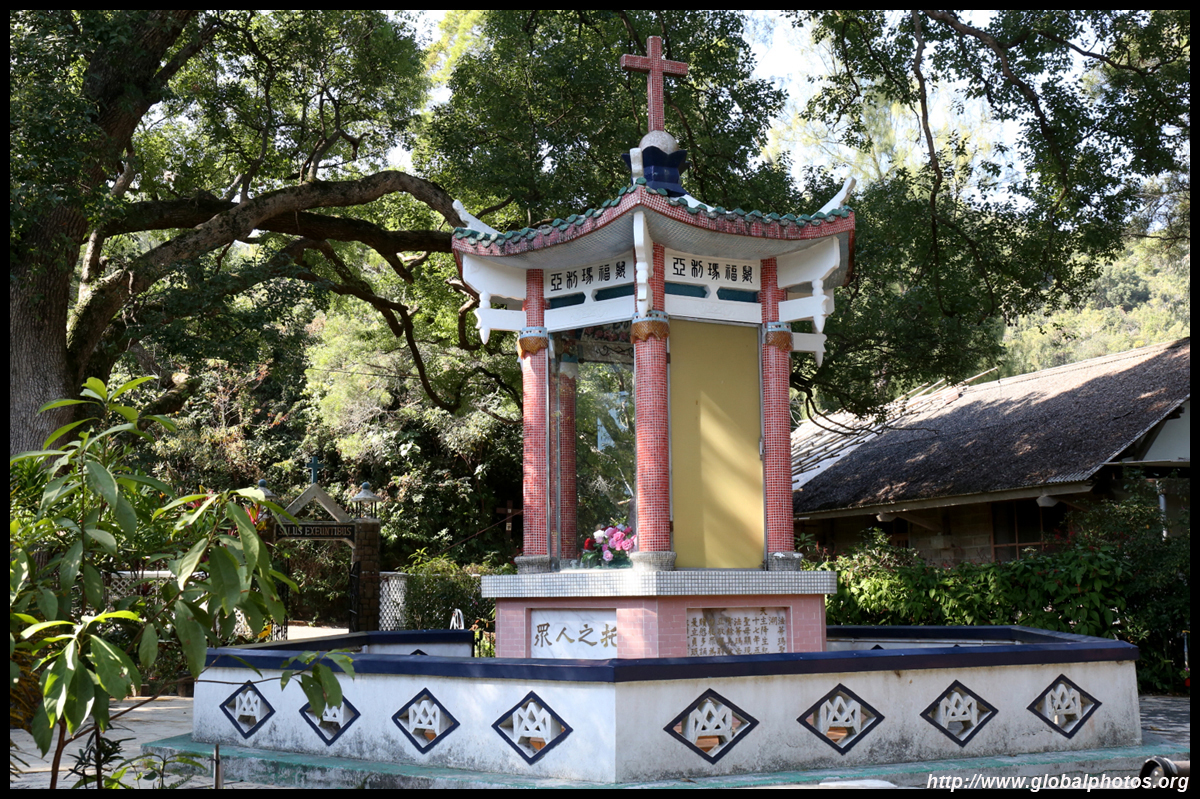
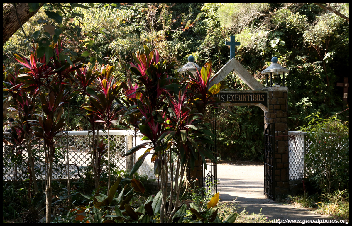
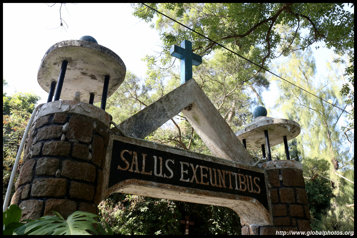
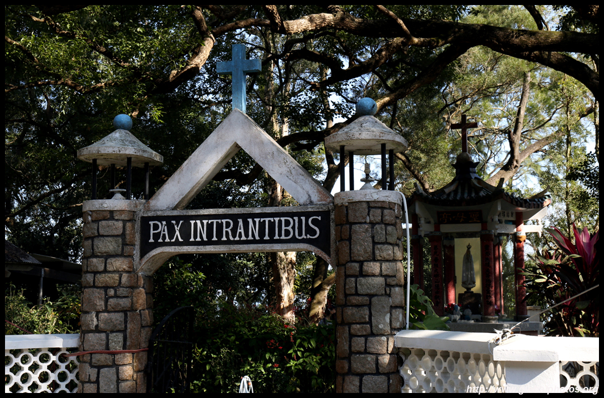
The church is next door across a bridge with a peaceful stream rolling underneath. Unfortunately, the building was closed due to COVID.
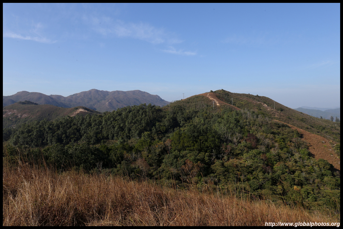
The path continues to rise beyond the monastery, with long sections of paved slope heading higher and higher.
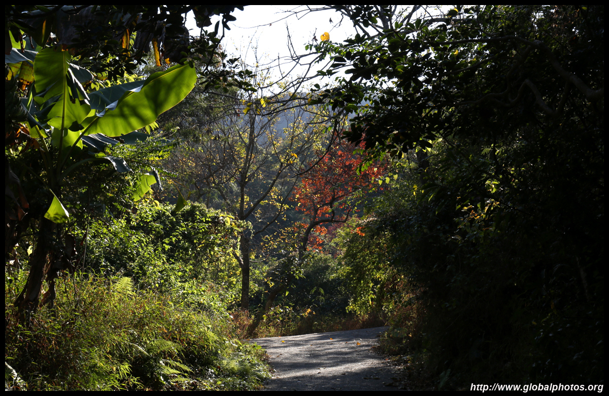
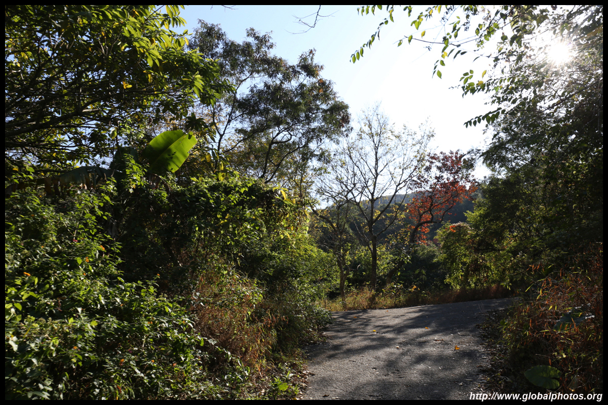
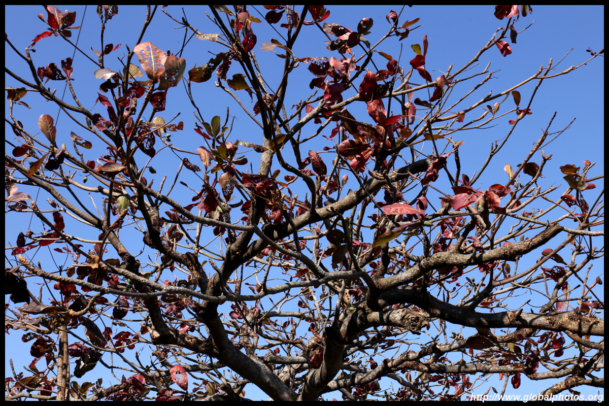
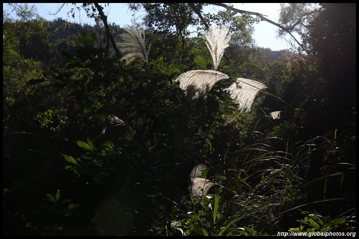
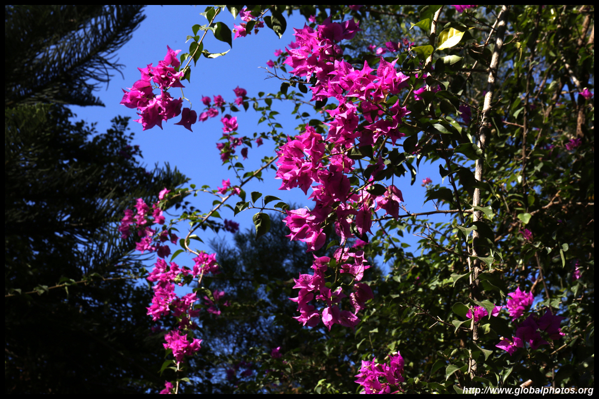
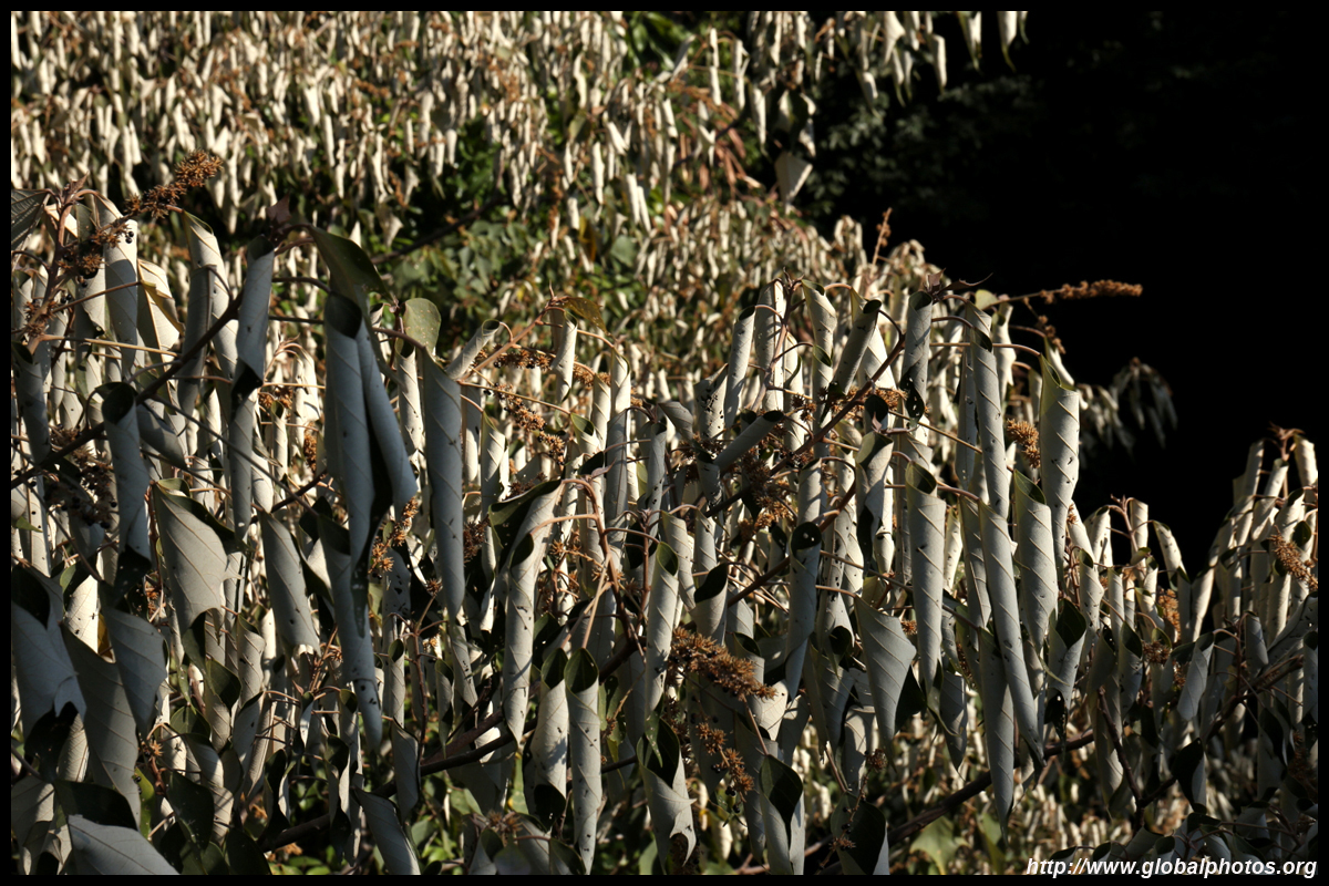
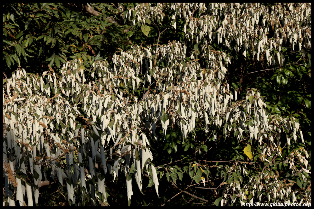
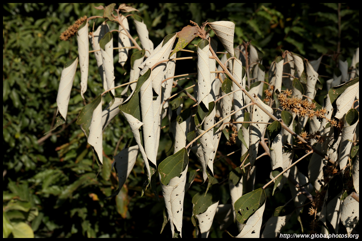
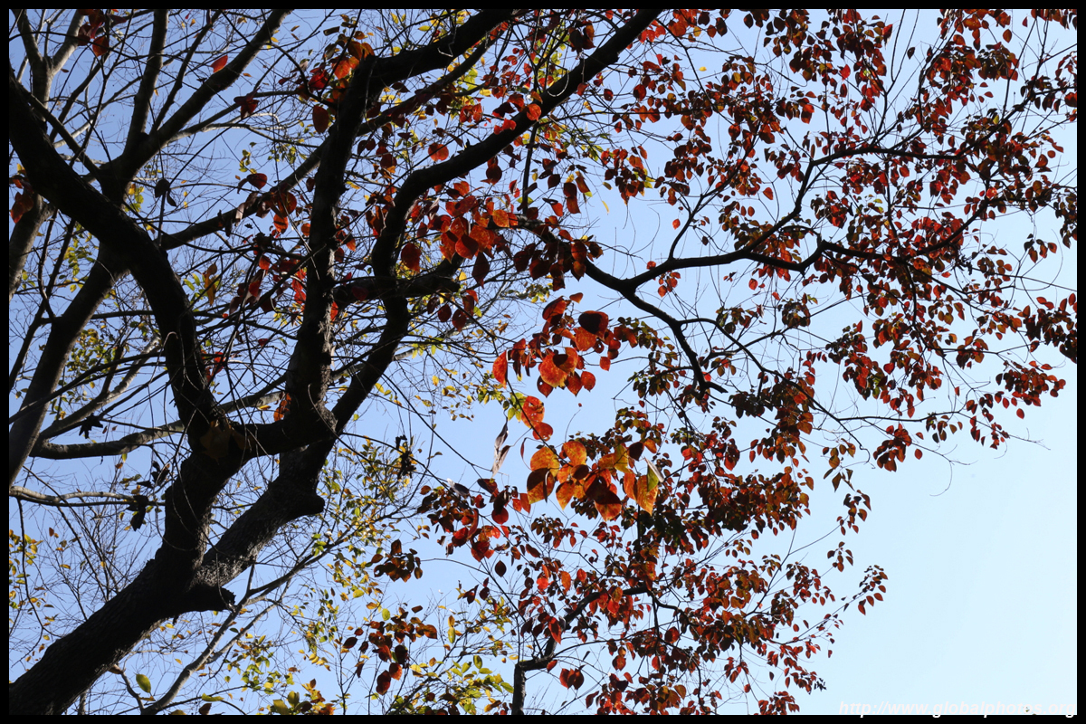
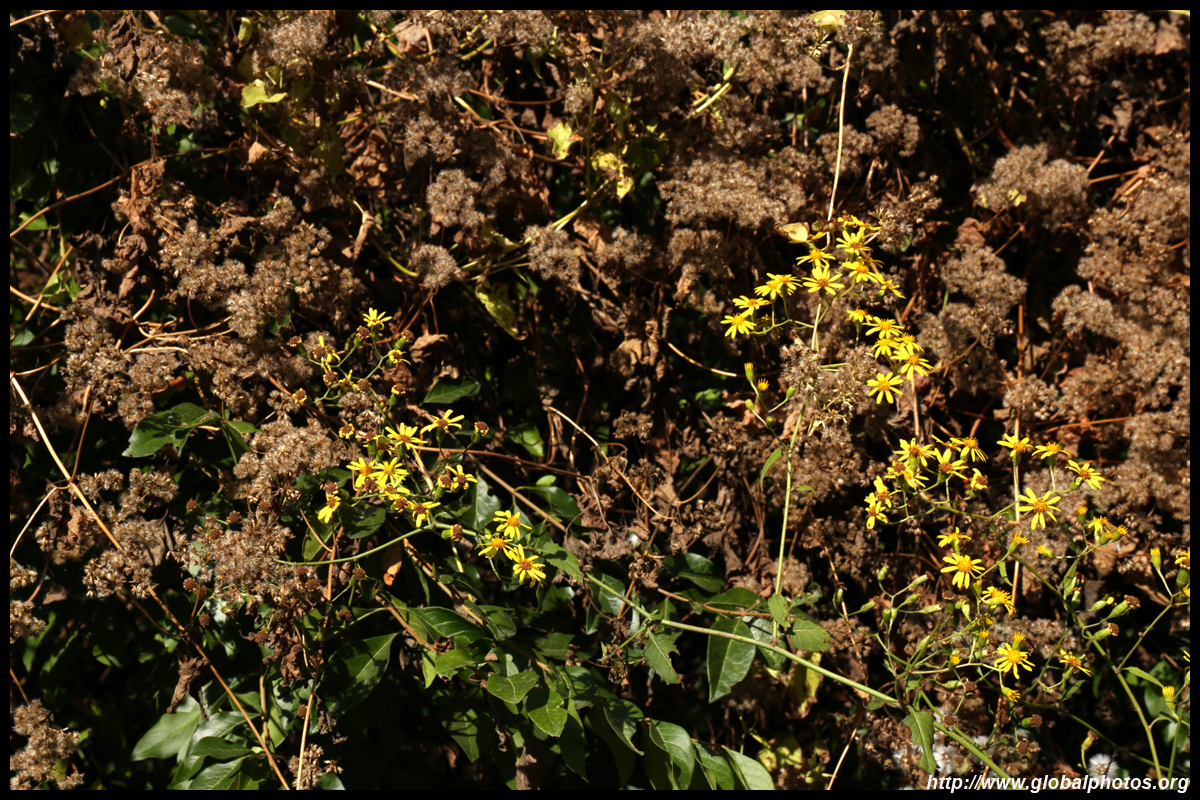
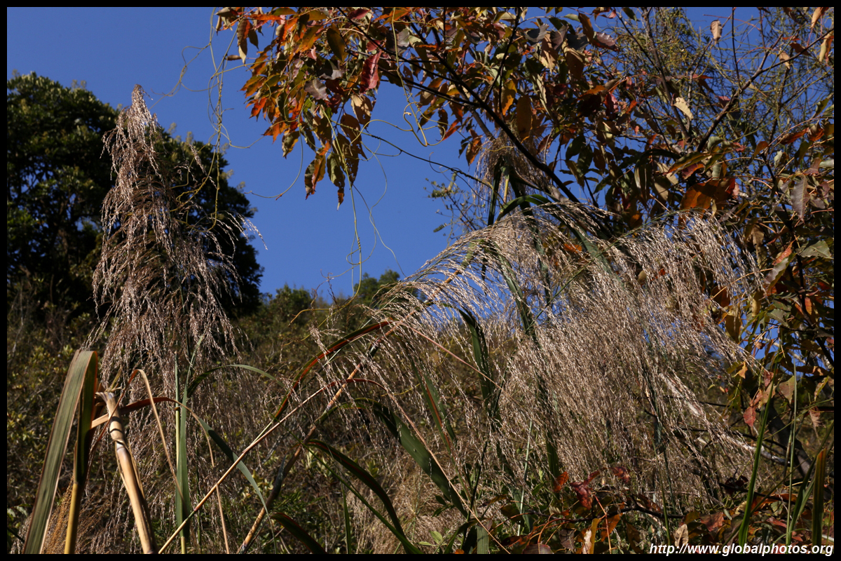
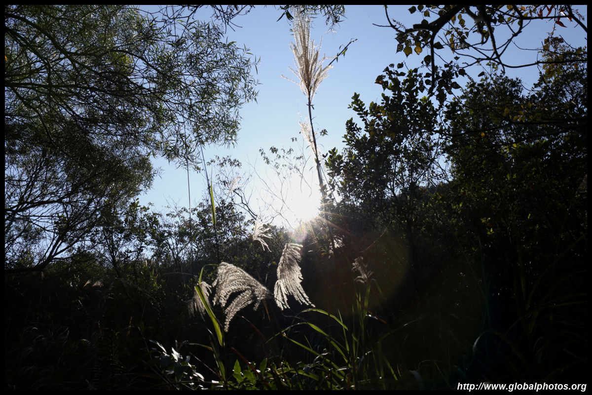
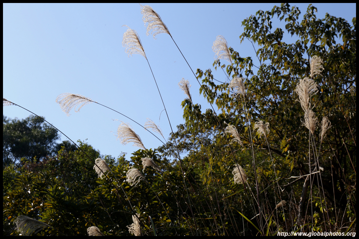
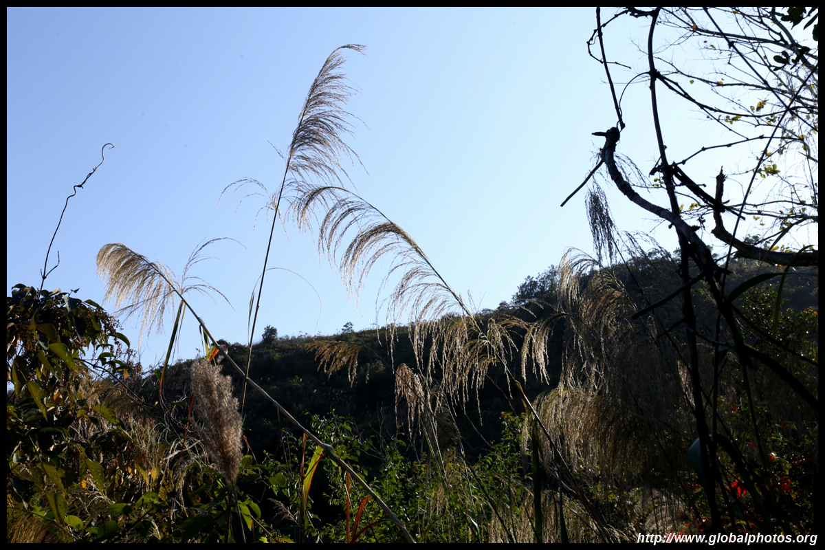
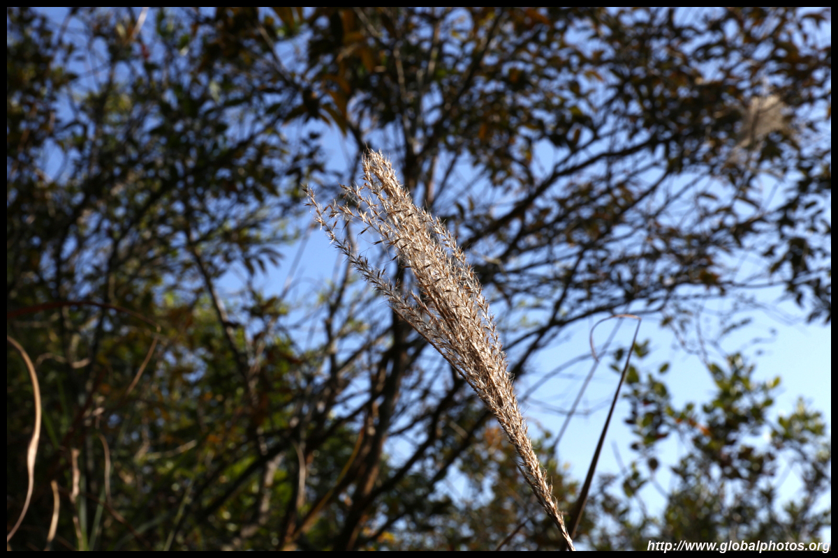
There are pockets of the city where residents flock to see fall colours. While this trail isn't one of them, I was surprised to find an odd tree here and there with changed colours.
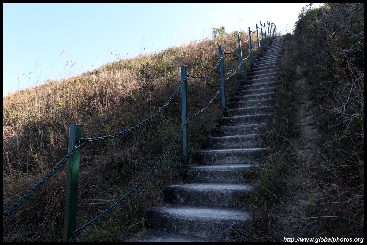
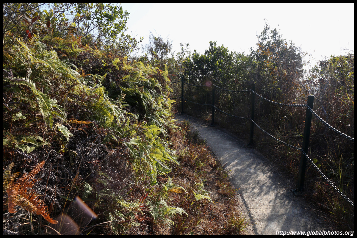
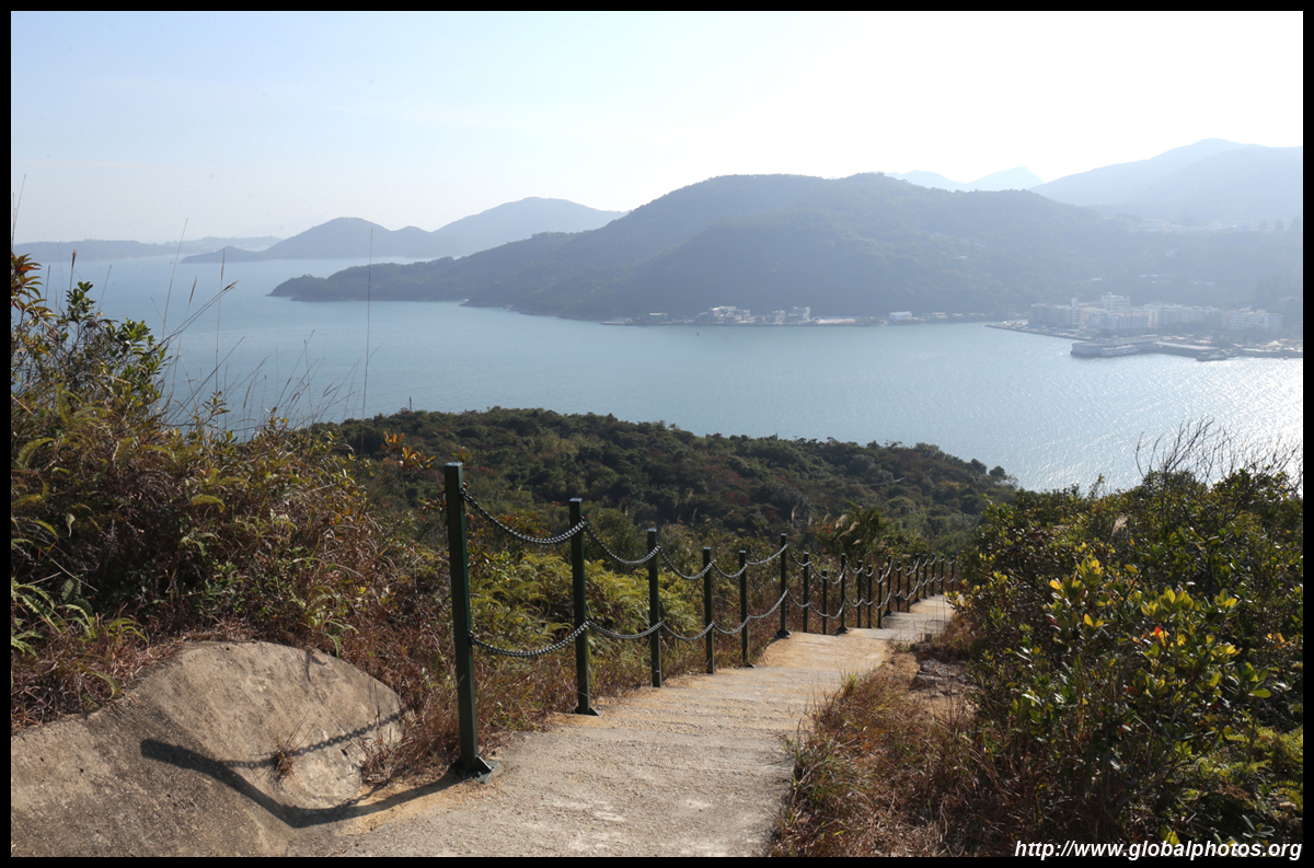
At this intersection, head up the stairs on the left for a spectacular viewpoint. If your legs can't handle more stress, take the dirt path straight ahead. Both ways will meet up again later.
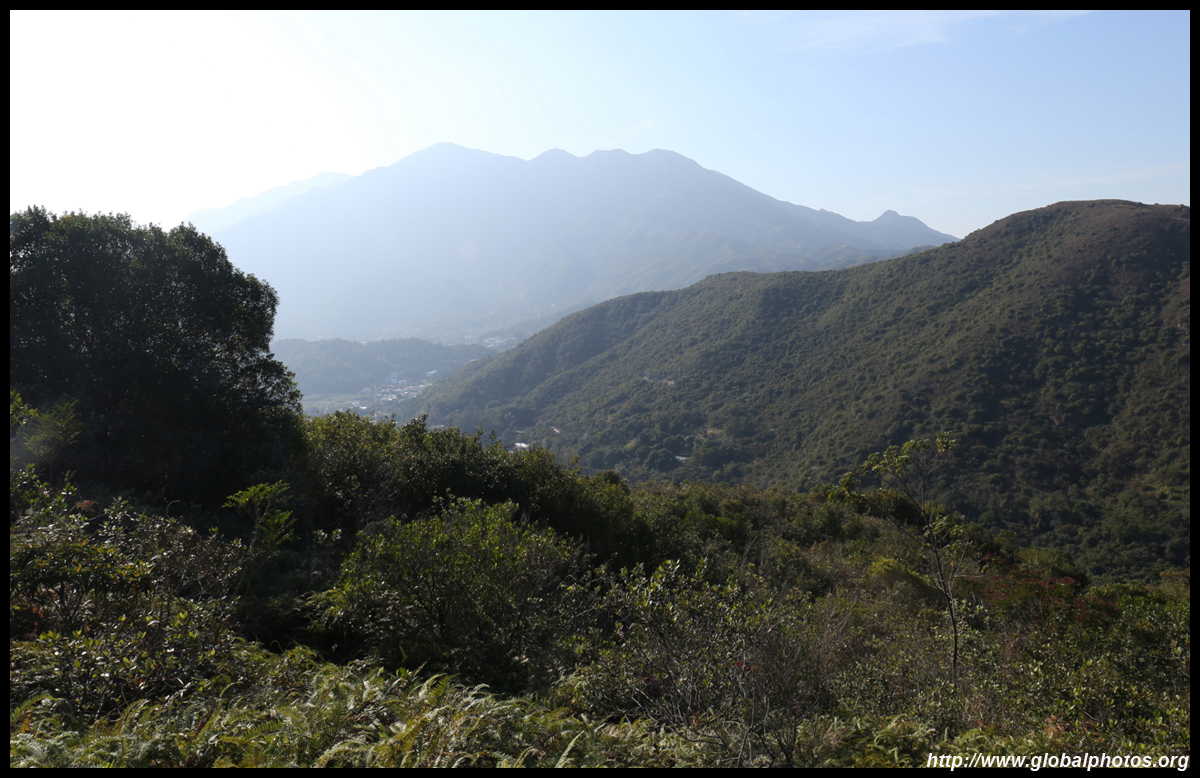
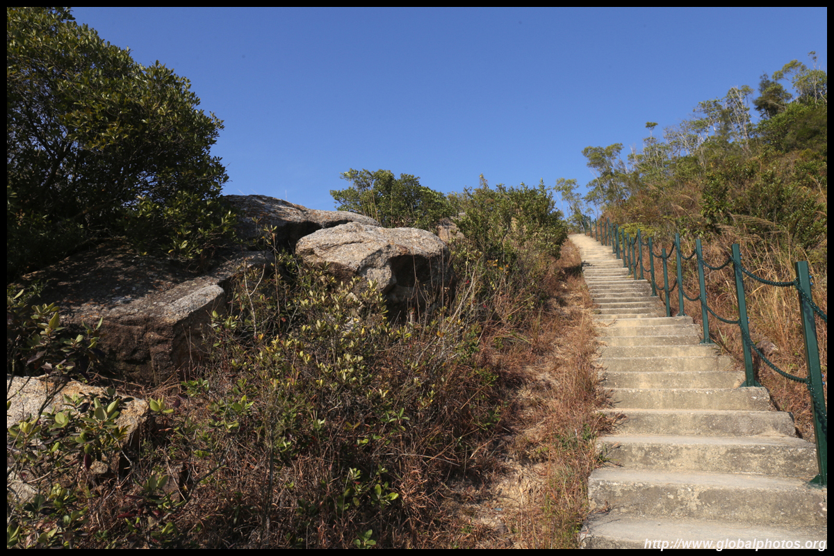
Luckily, it was a short climb and the views opened up.
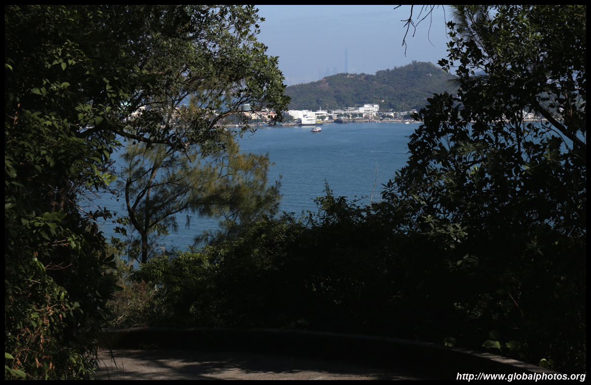
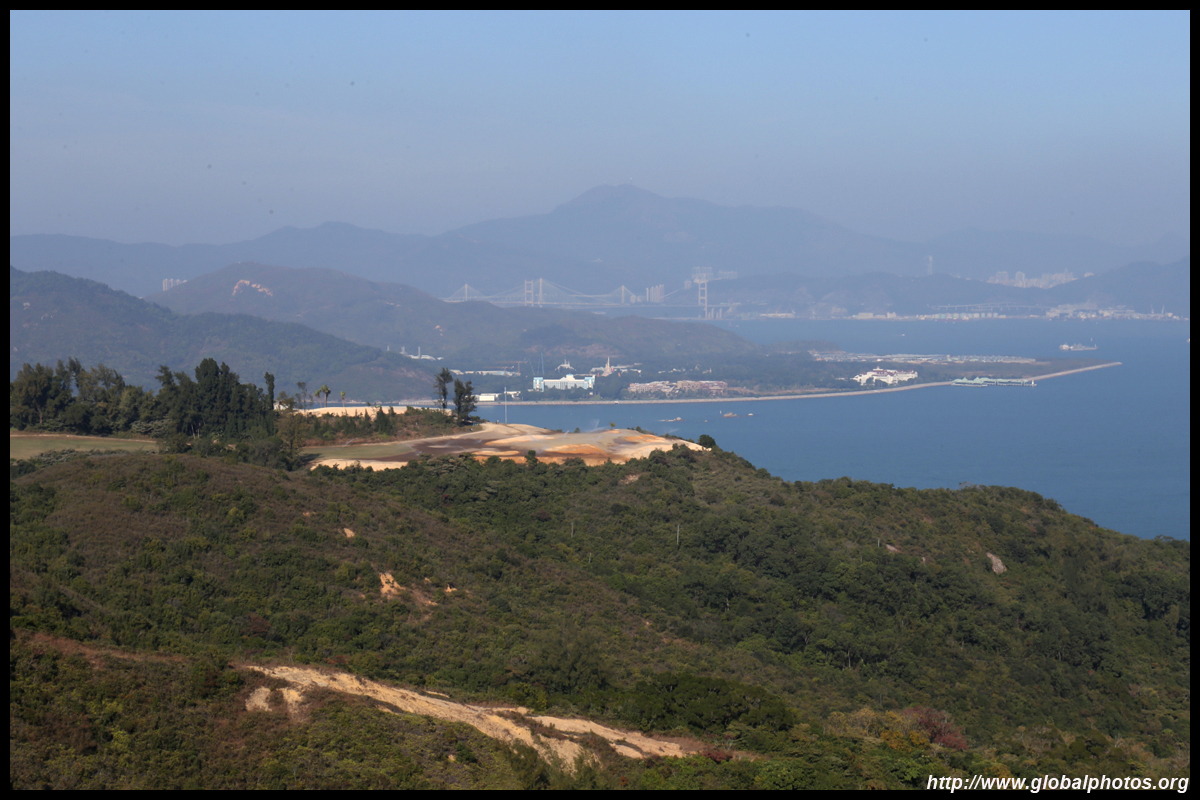
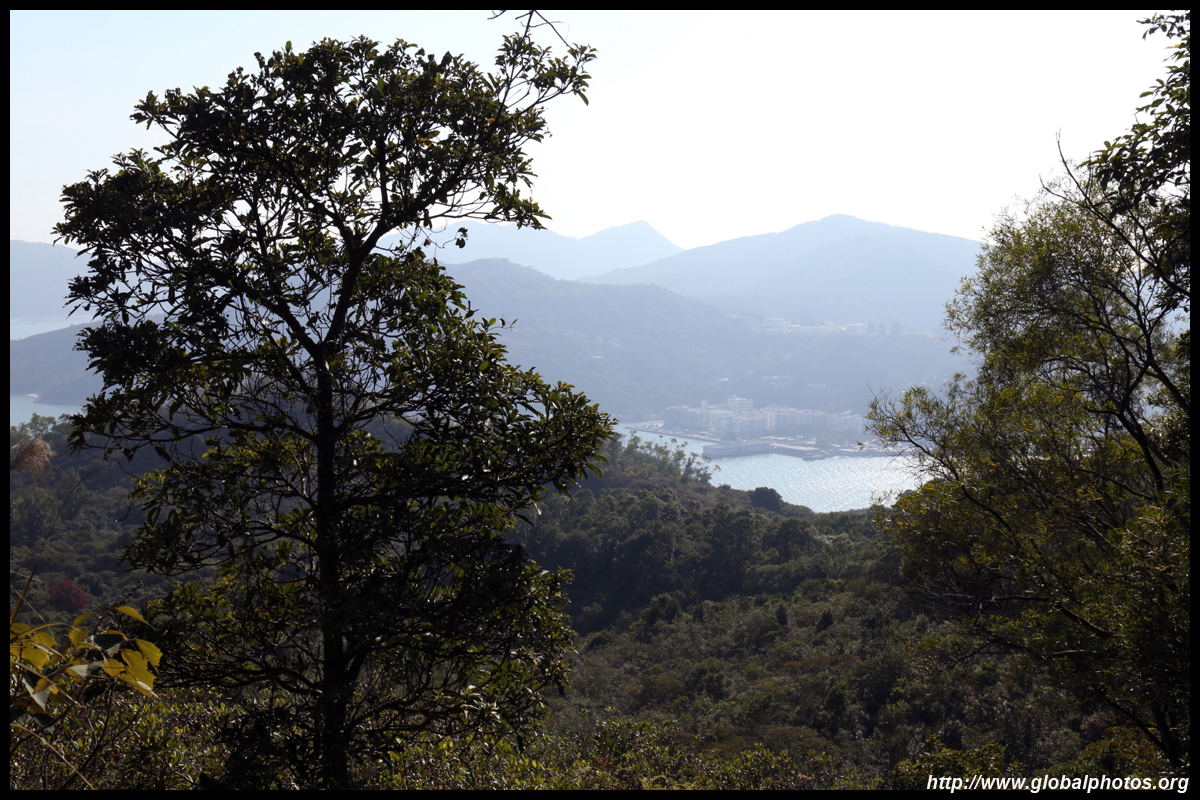
You can see Peng Chau once again and Kowloon in the background. Can you spot the monastery below?
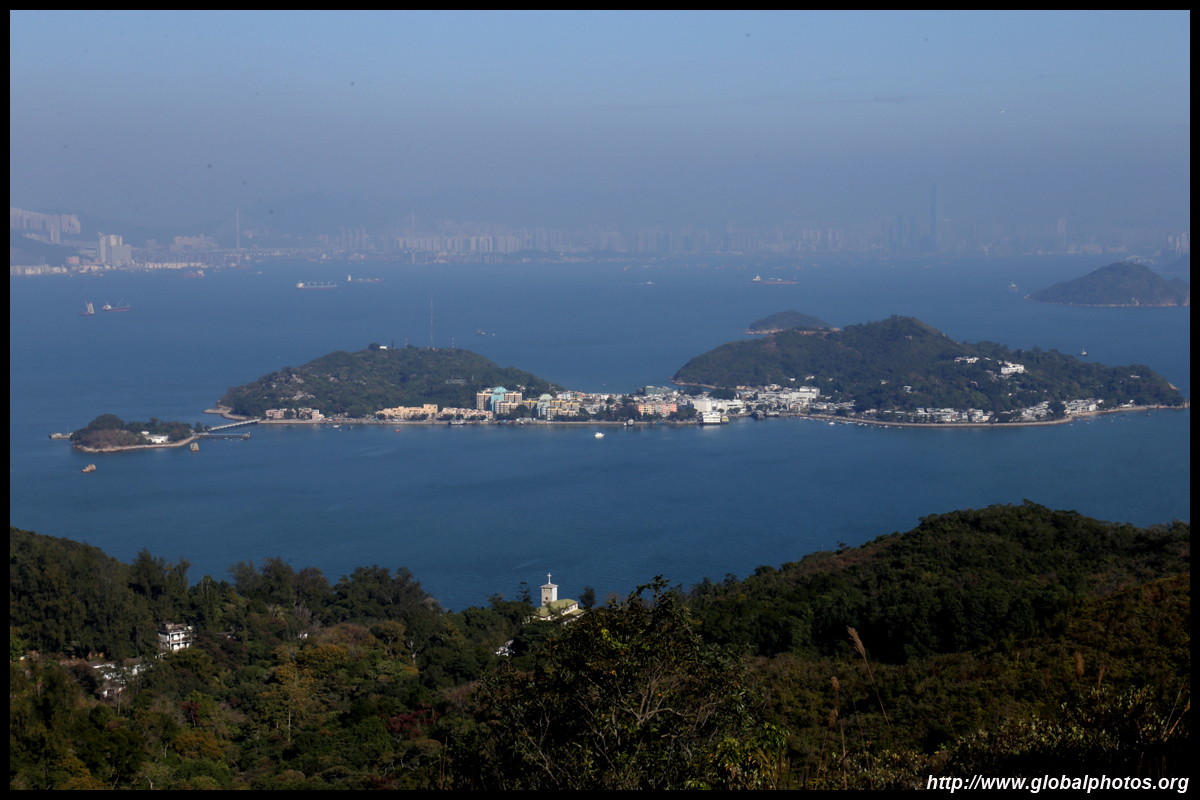
Tsing Ma and Ting Kau Bridges are in the distance, and Nina Tower also peeks out from behind the hills.
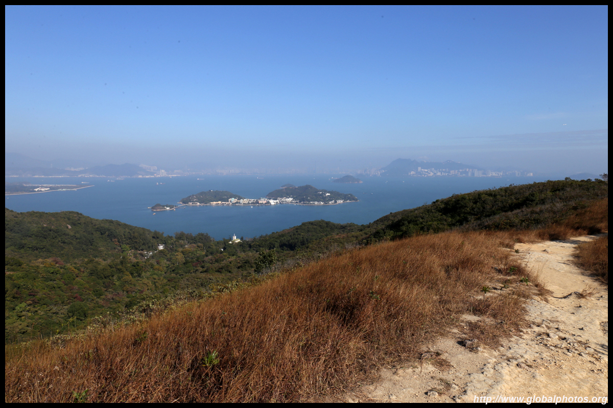
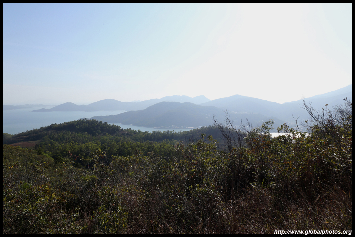
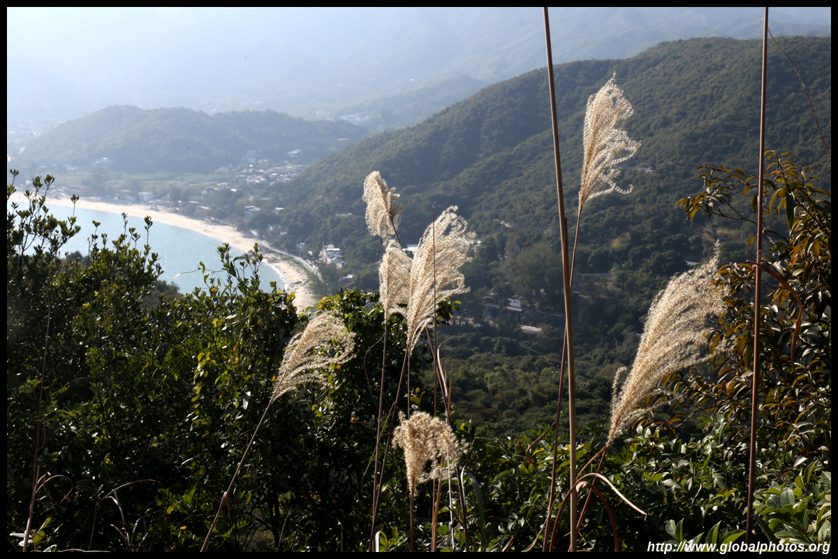
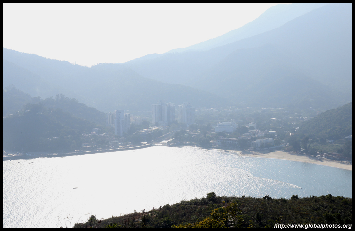
Mui Wo is on the other side but not so easily visible yet. This is the highest point of the hike and views of that town will get better on the way down.
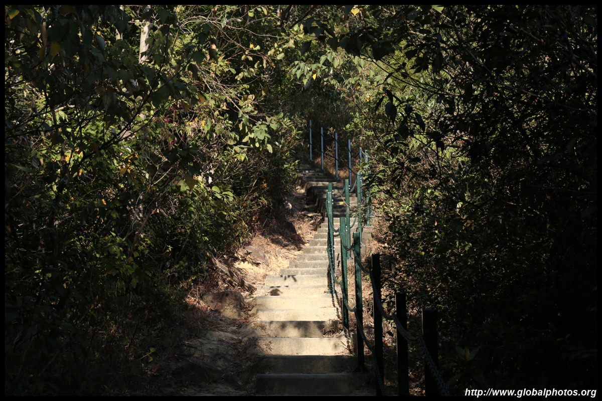
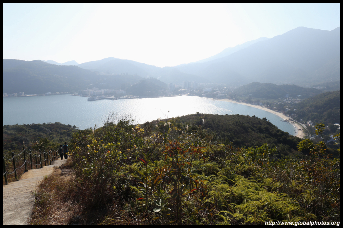

The staircase seemed to continue forever and I was glad I went up the Discovery Bay side first as that was mostly sloped pavement.
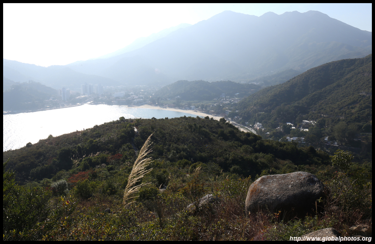
The long staircase ended into a larger paved road. Turn right and head downhill to Mui Wo's beachfront. It is still another 2km to reach the ferry pier though.
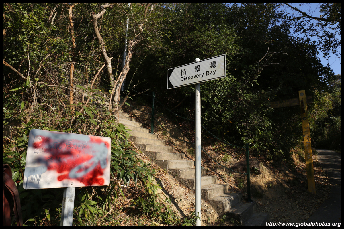
This is a fairly easy scenic hike connecting 2 vastly different towns. Discovery Bay is a favourite expat haven where cars are not allowed into town, but Mui Wo is a traditional Chinese community that is grittier and feels less upscale. Nevertheless, both towns are connected by ferry to Central and by bus to the Tung Chung Line.