Hong Kong Drone Gallery - Peng Chau

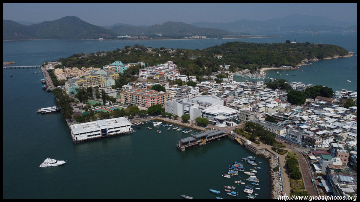
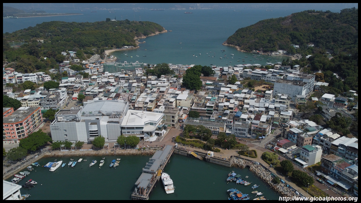
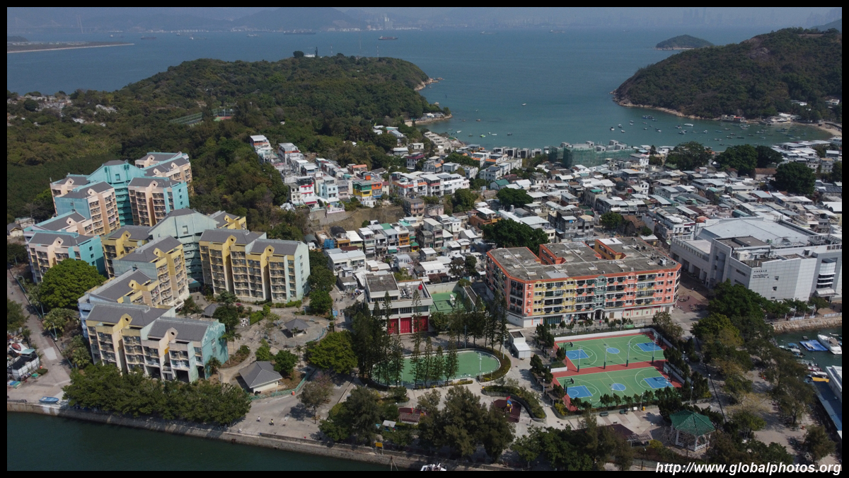
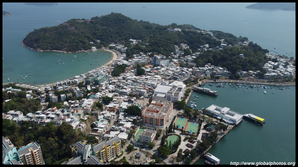
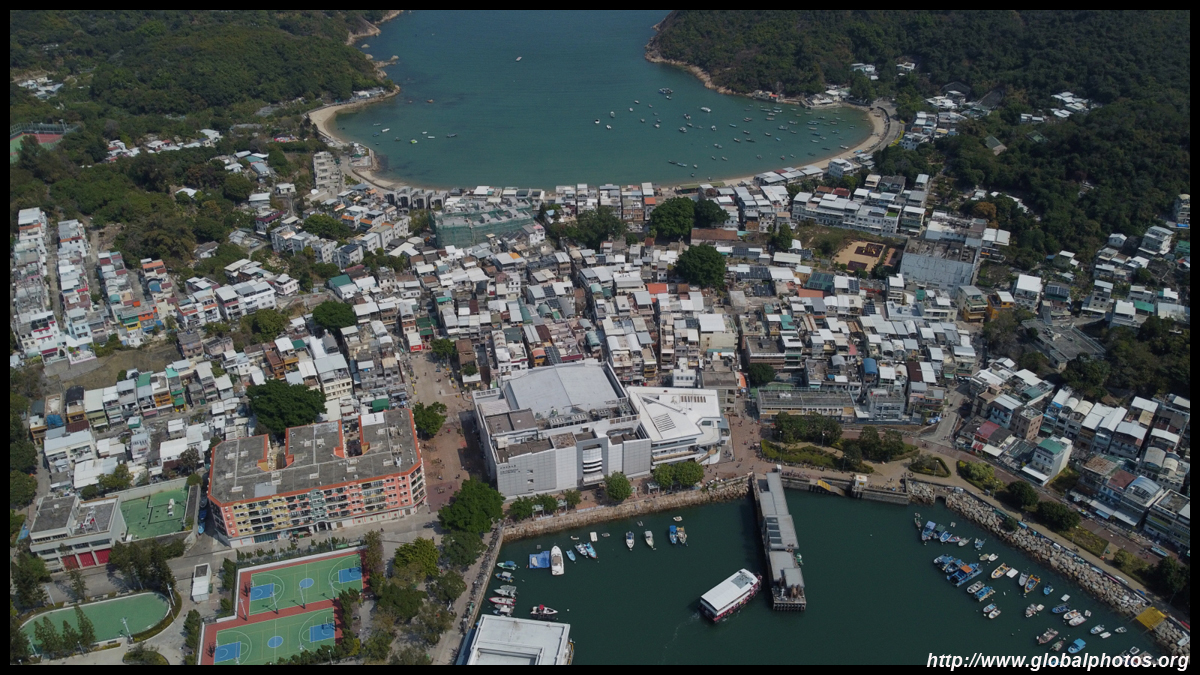
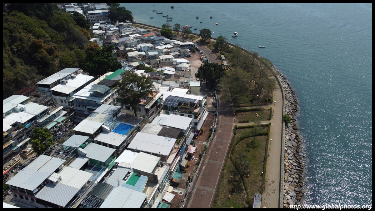
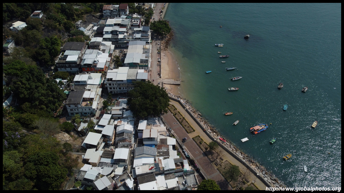
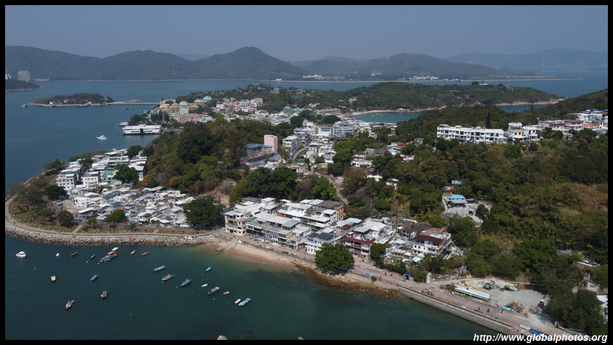
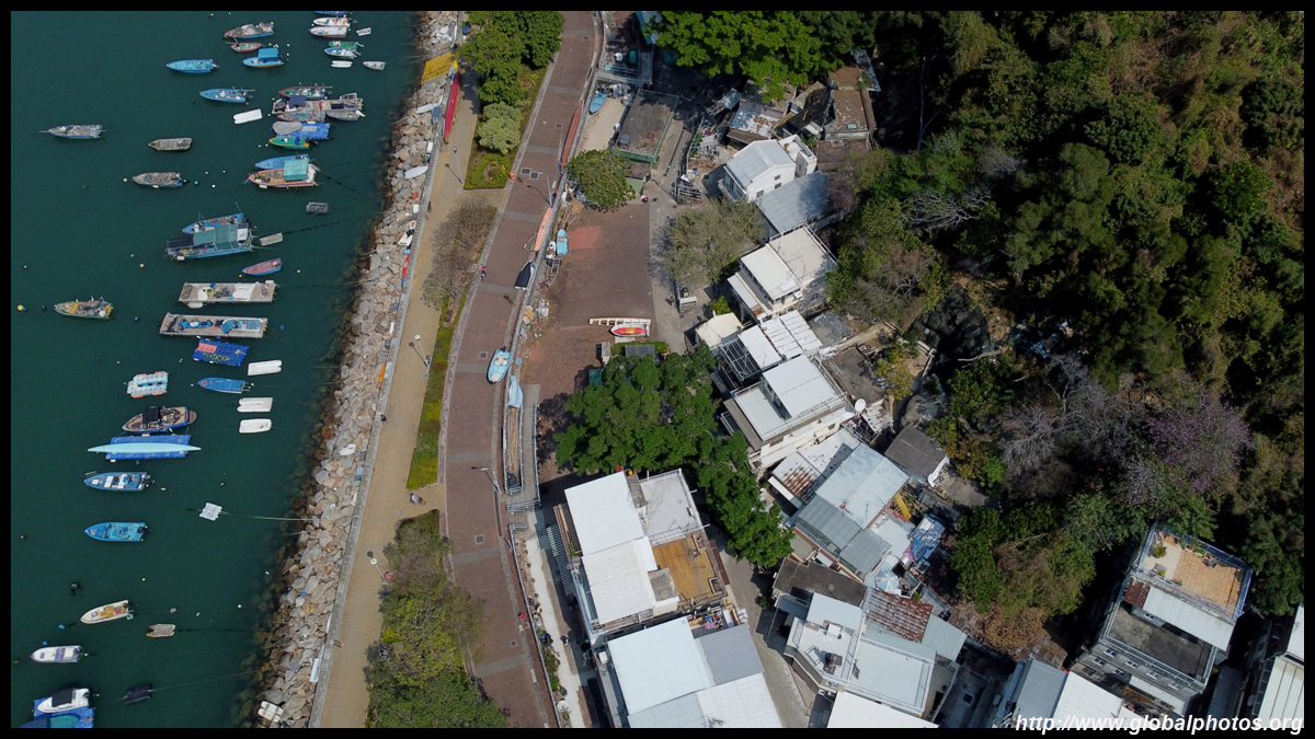
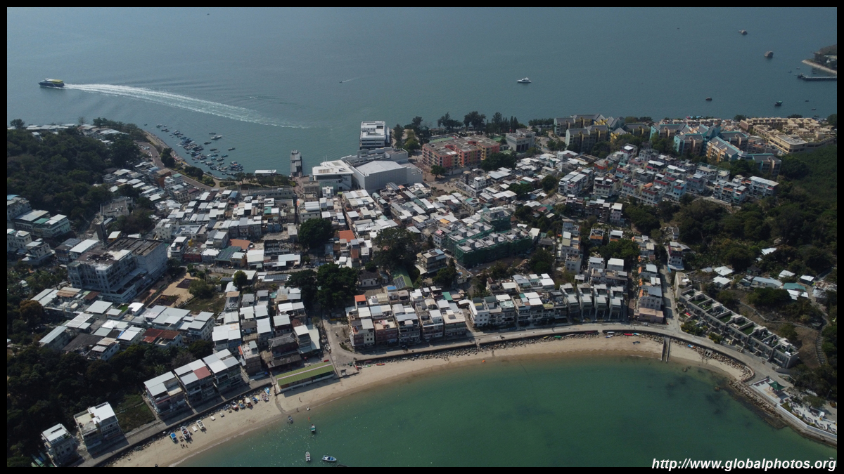
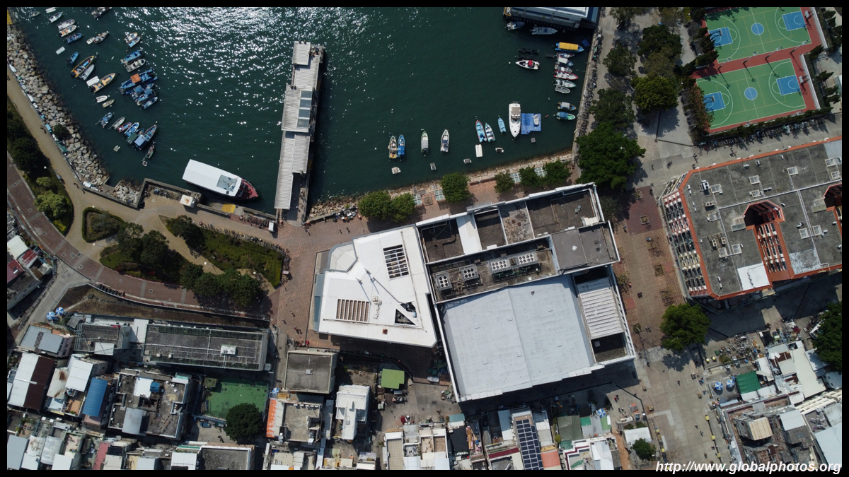
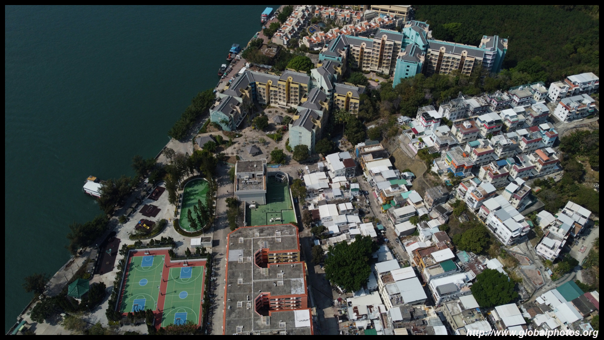
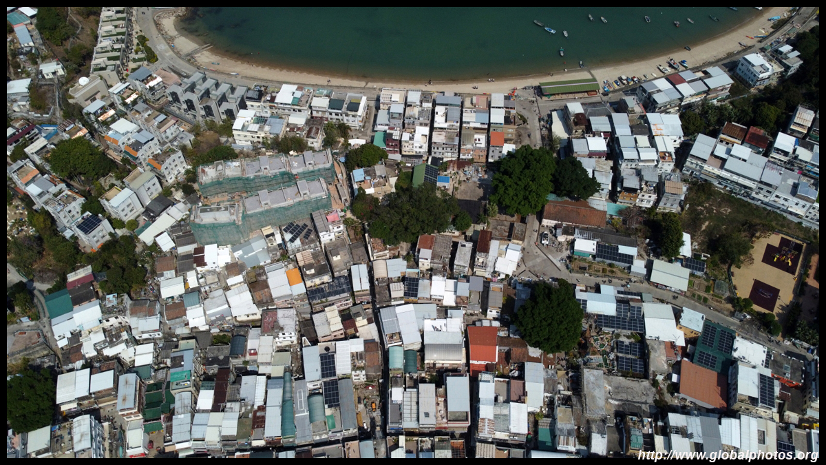
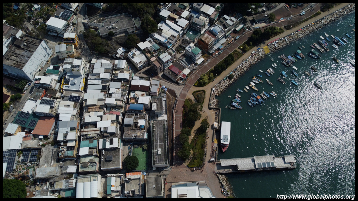
On first inspection, Peng Chau seems a fairly sleepy outlying island where life is a bit more quiet and laid-back, but the island had a very industrious history. There were factories making matches and ceramics.A long waterfront promenade extends in both directions along the western part of the island from the ferry terminal. Heading north, there are some taller public housing and seemingly more expensive private homes.
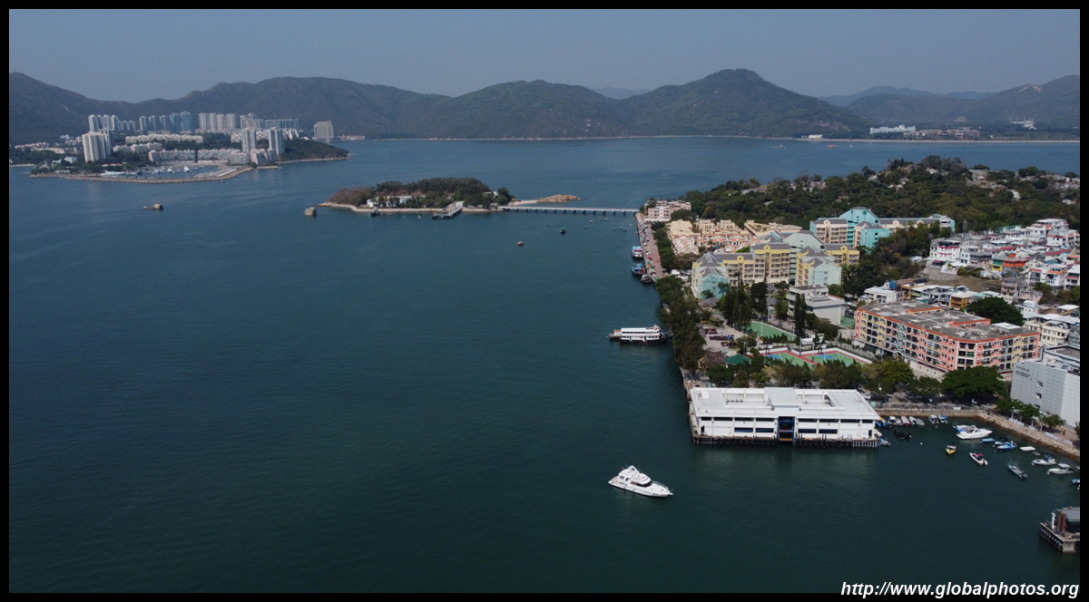
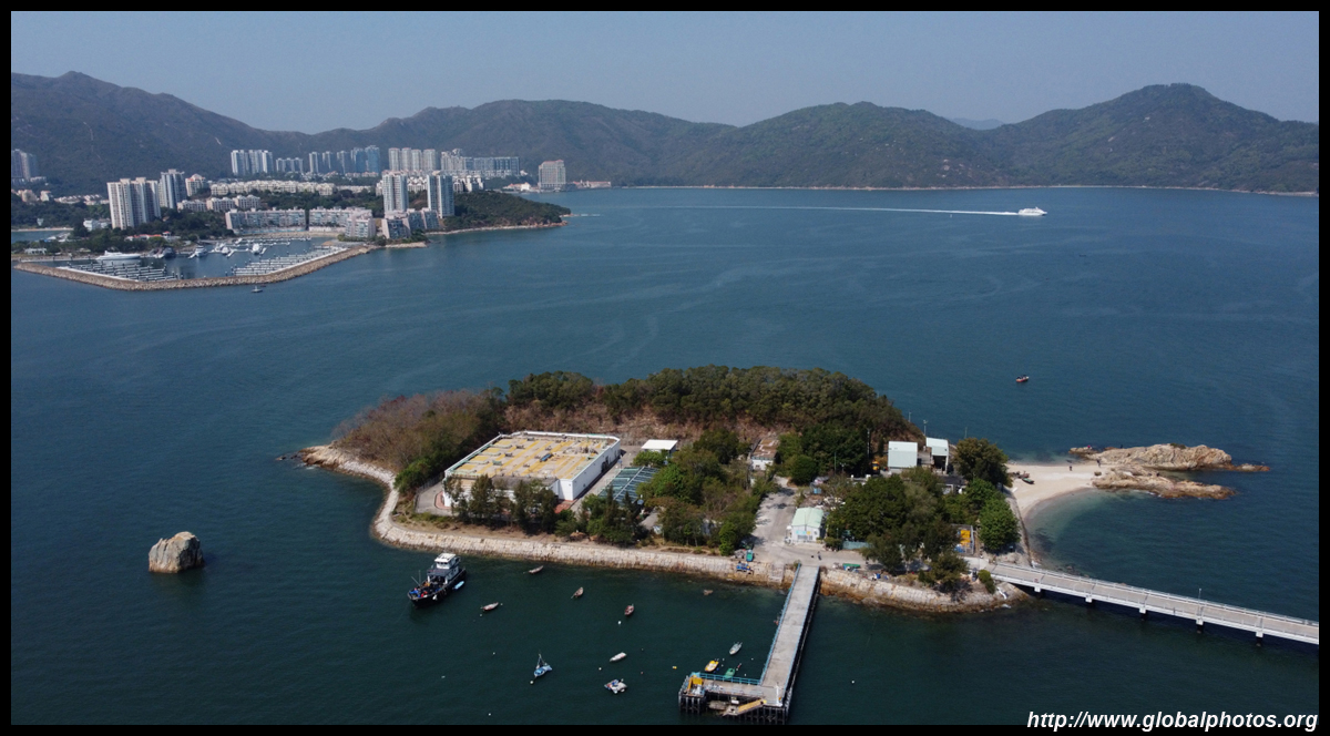
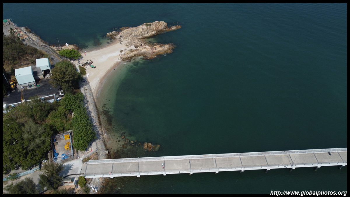
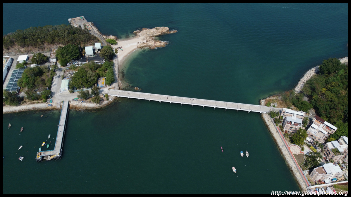
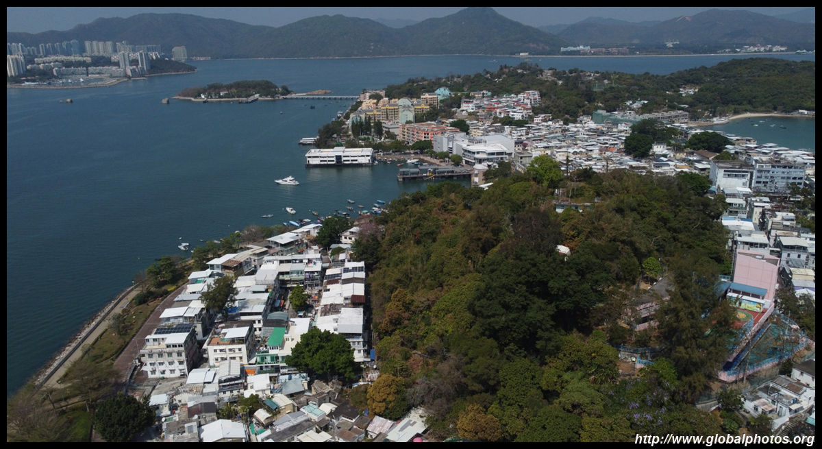
Tai Lei Island is now attached to Peng Chau by a road bridge.
The length of the island is quite short, so a drone can easily make it along the entire north-south axis several times.
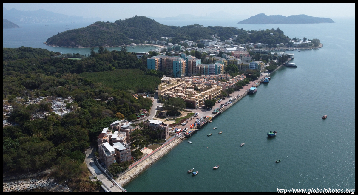
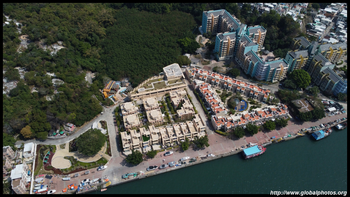
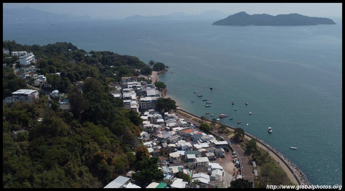
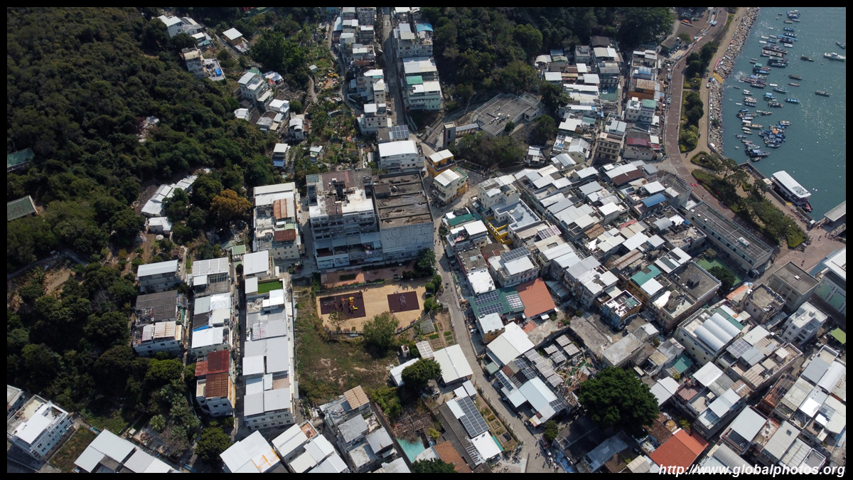
Heading south along more modest housing, you wouldn't think this is actually Hong Kong, but Central's skyscrapers are only a 40 minute ferry ride away.
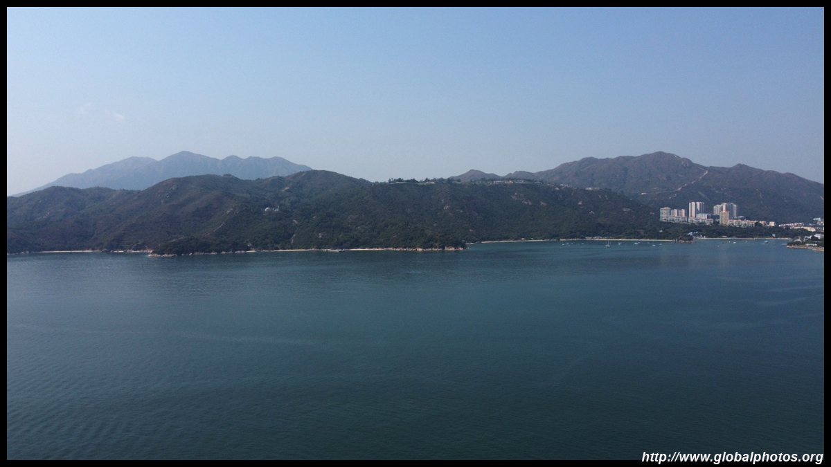
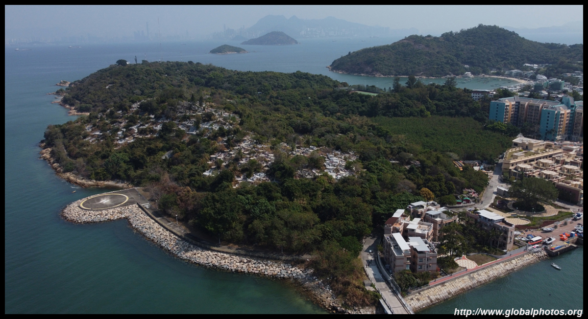
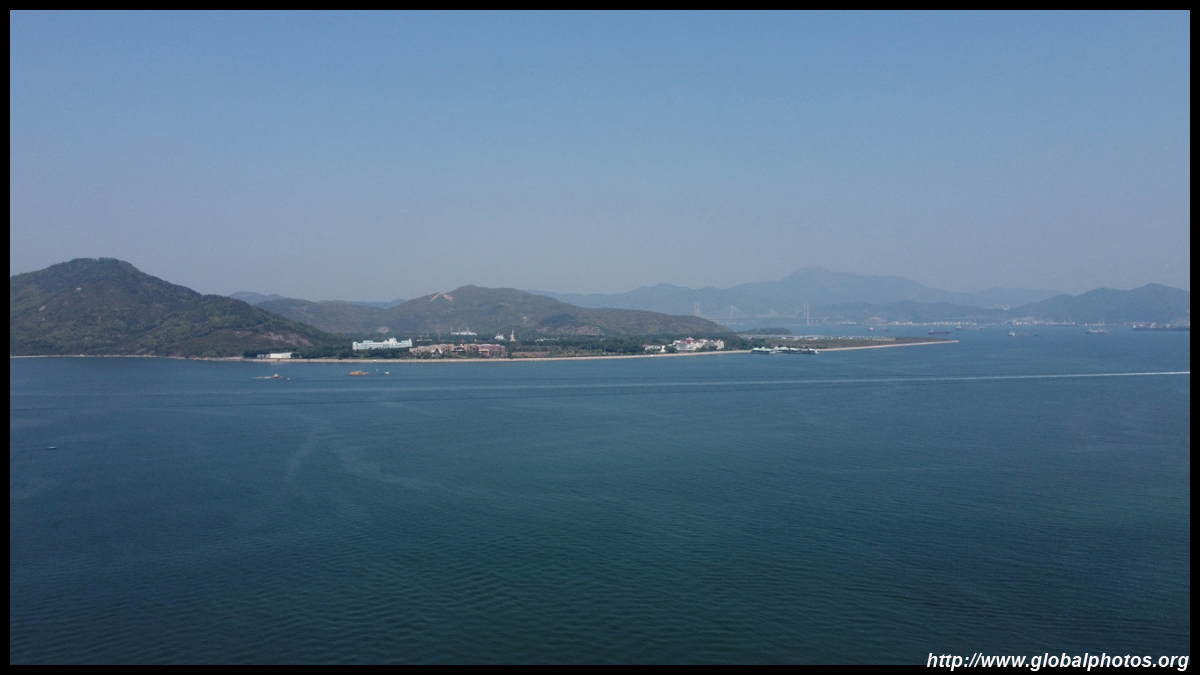
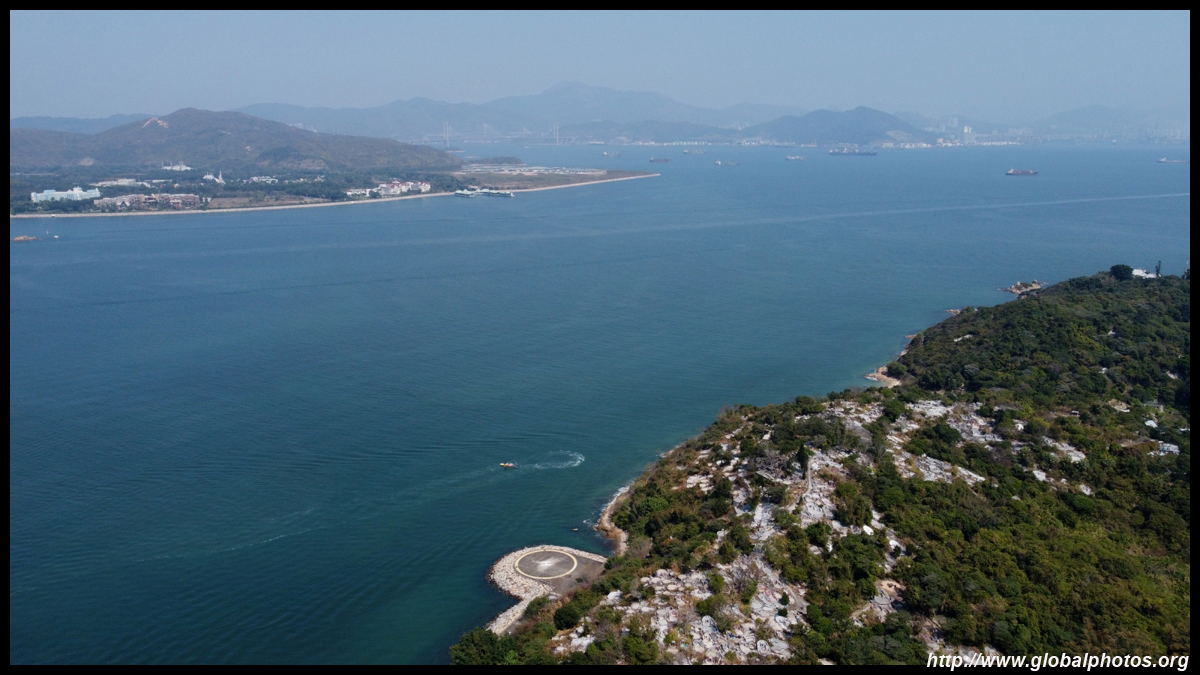
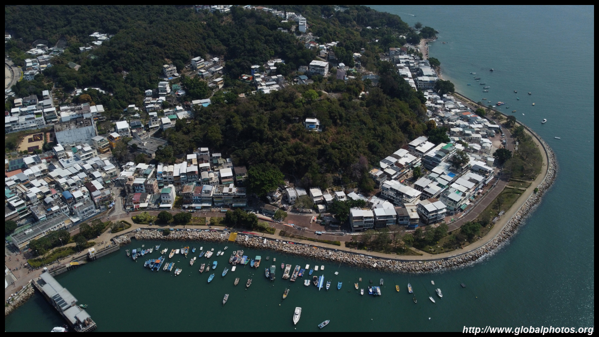
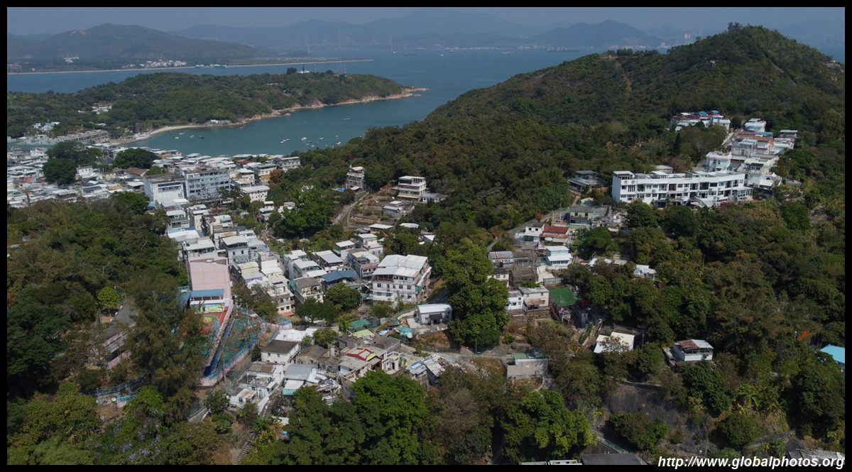
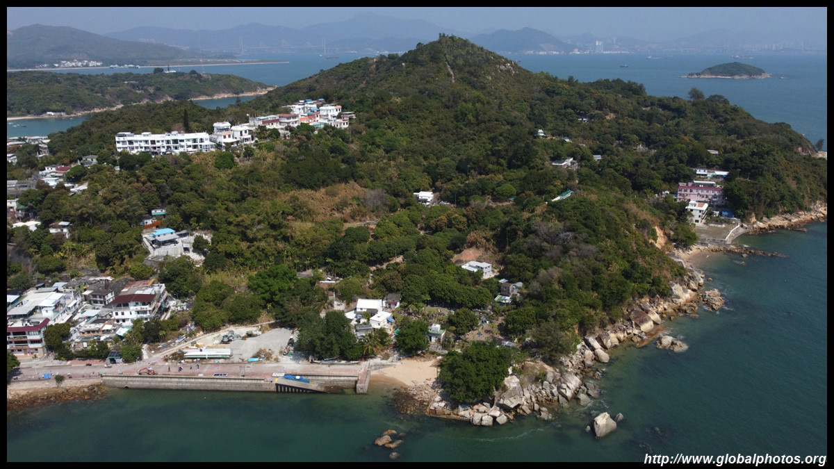
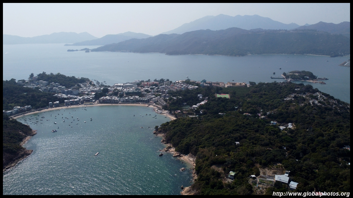
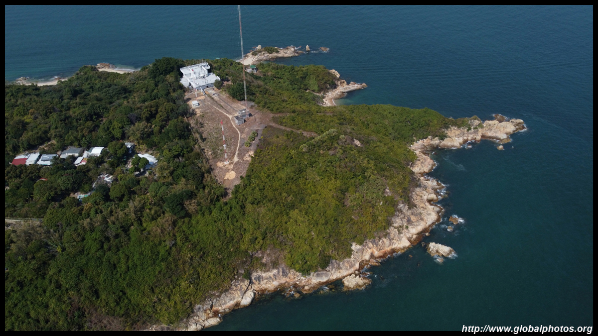
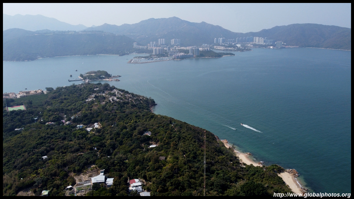
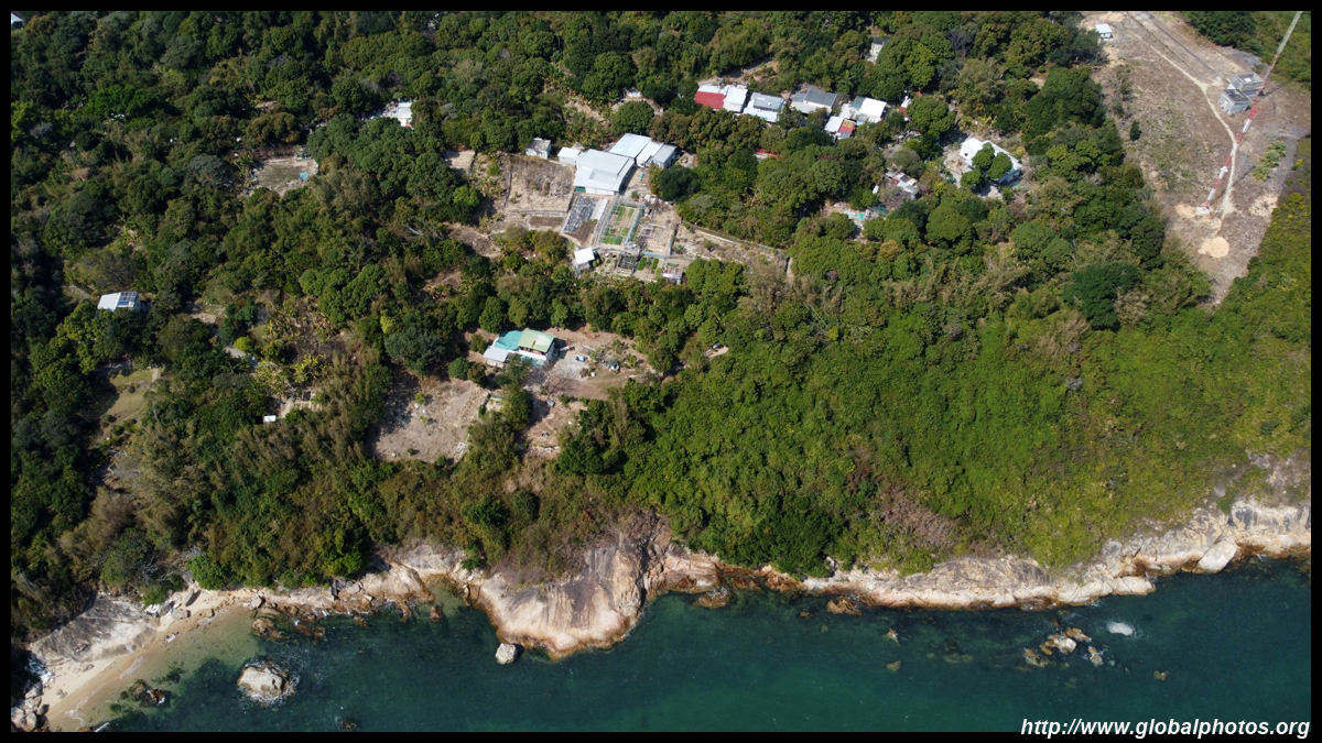
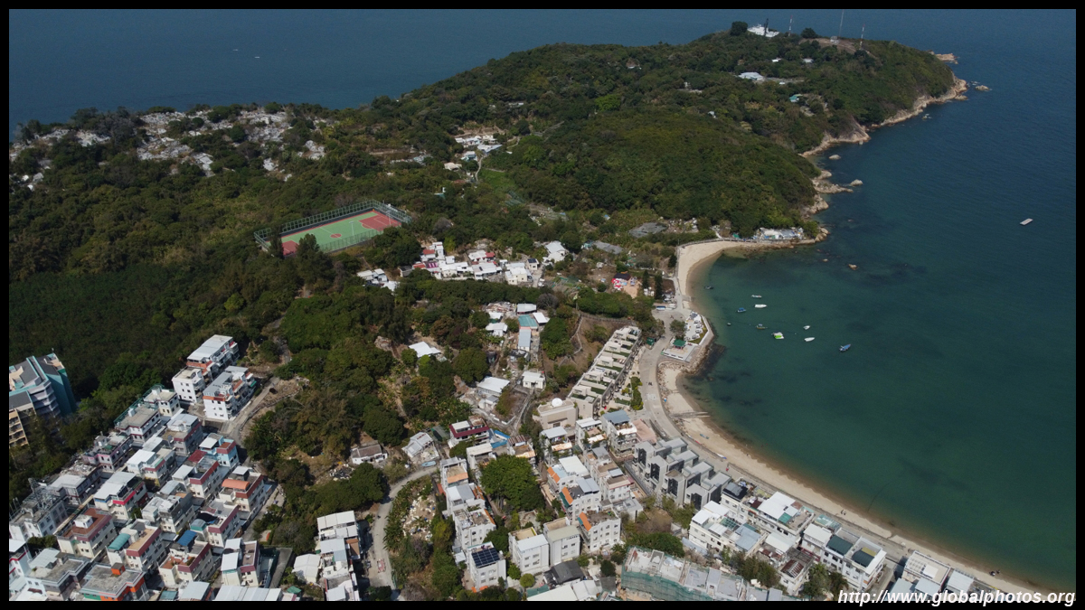
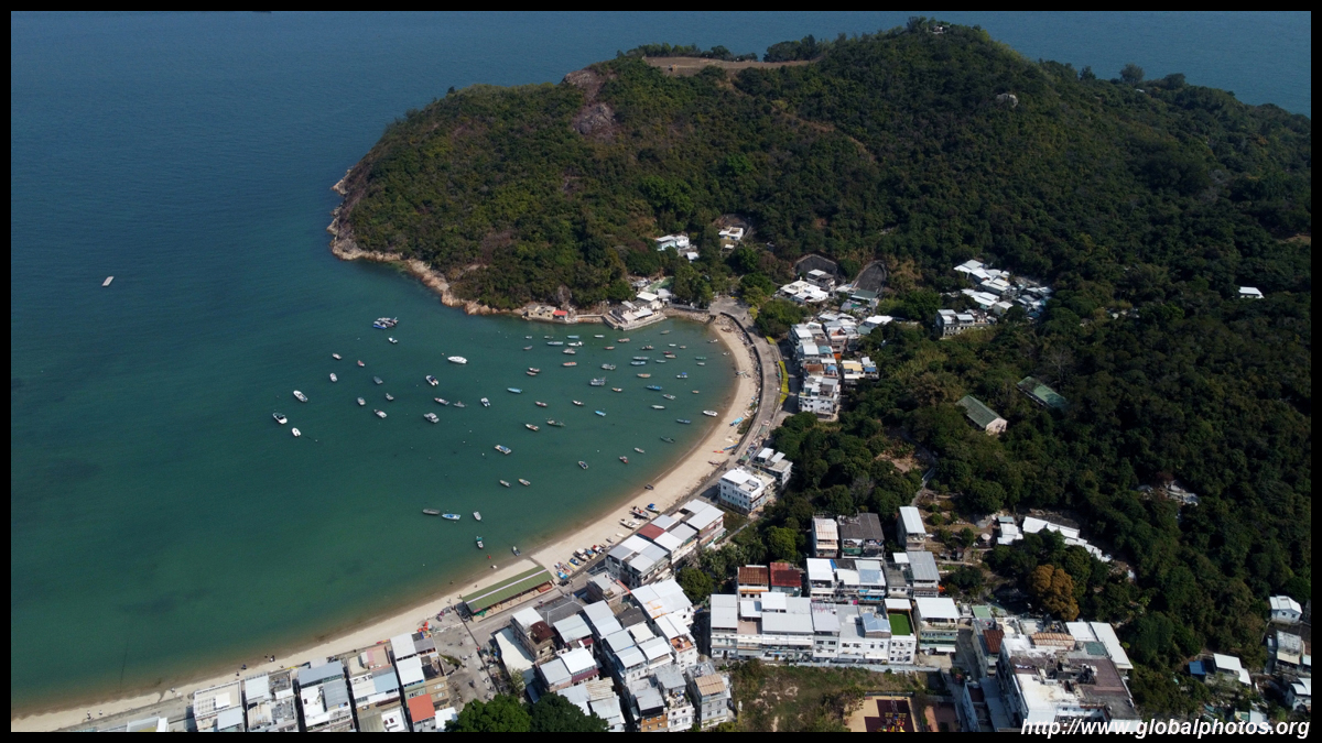
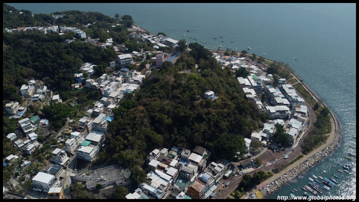
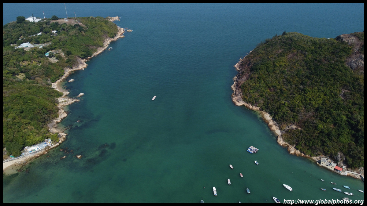
While the island is relatively flat, Finger Hill rises 98m on the southeastern end. Across the water in the distance is Discovery Bay, a car-free community on Lantau. Infrequent small ferries make the short trip between the two.
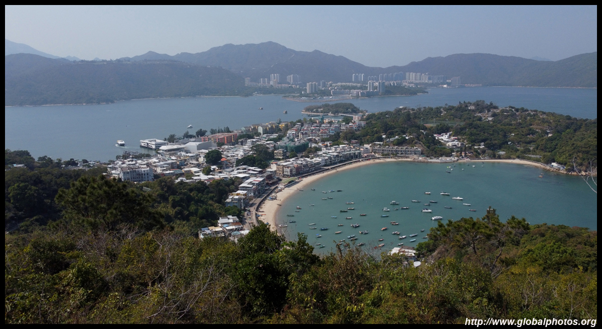
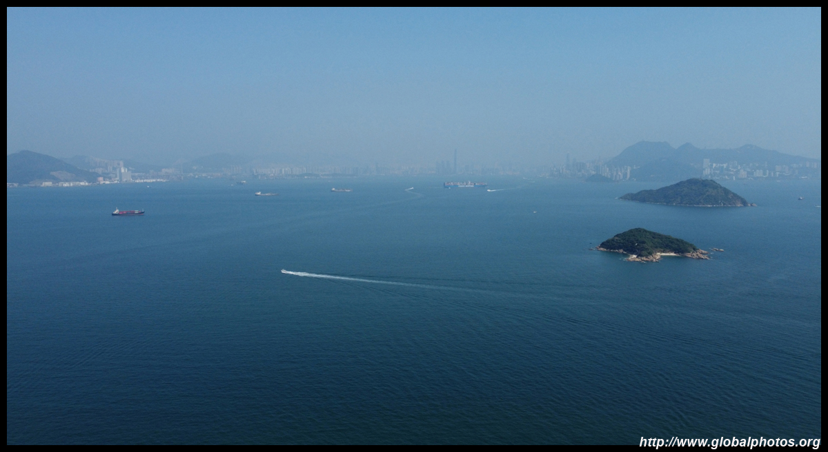
You can spot the skyline in the distance.
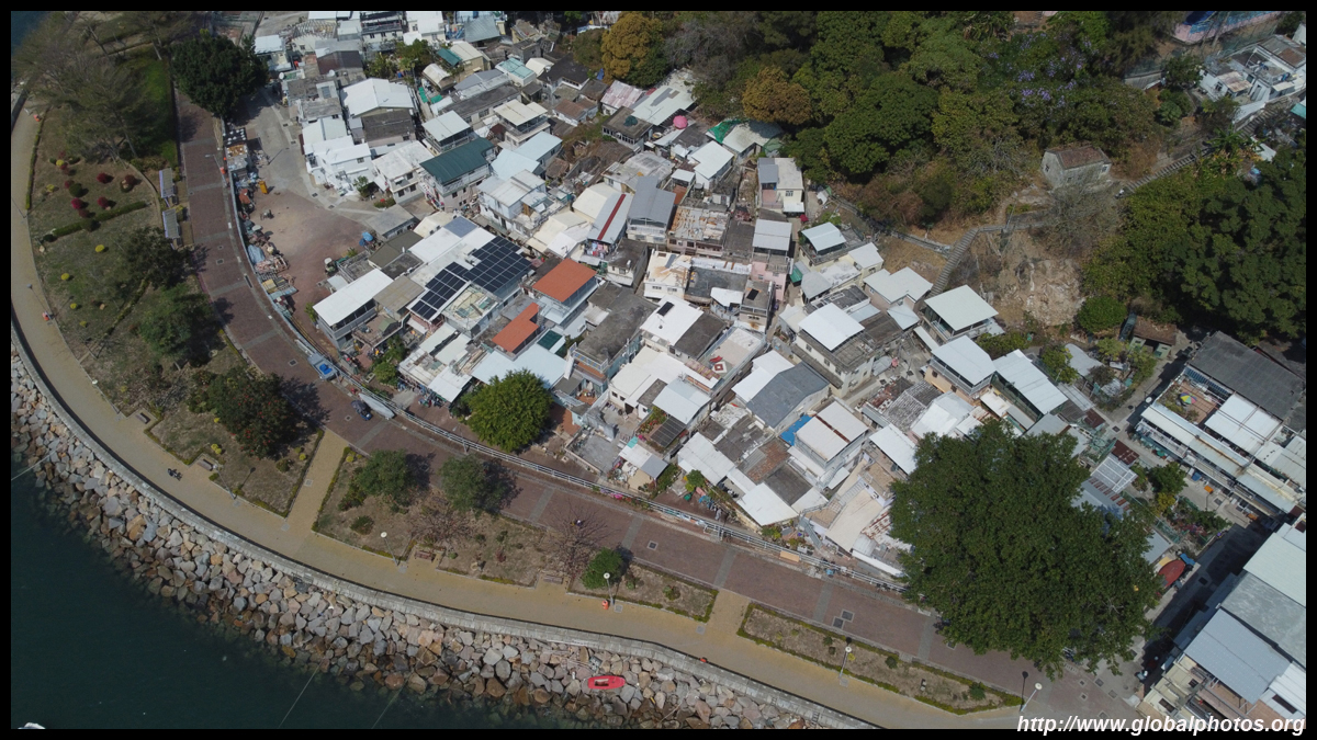
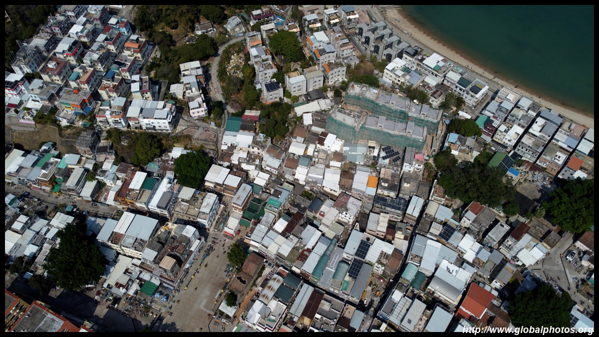
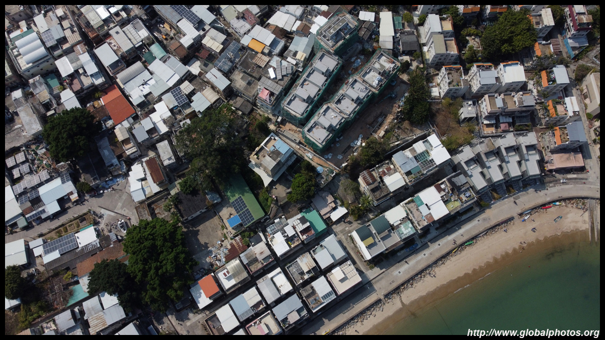
The main centre is along the narrow section of the island, where it is only a few blocks from coast to coast.
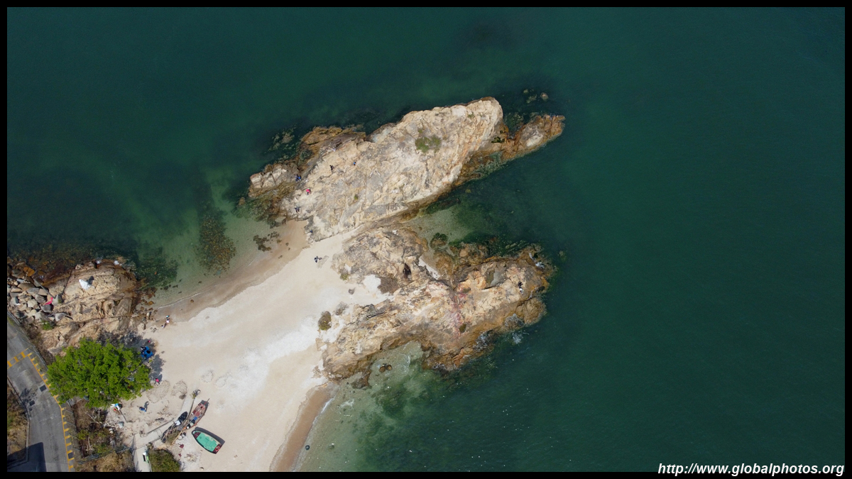
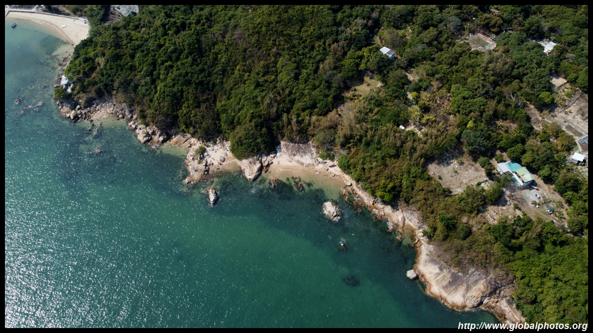
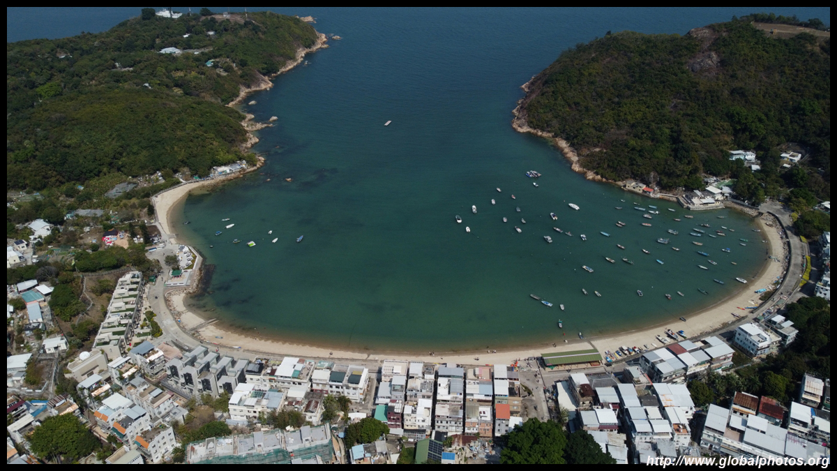
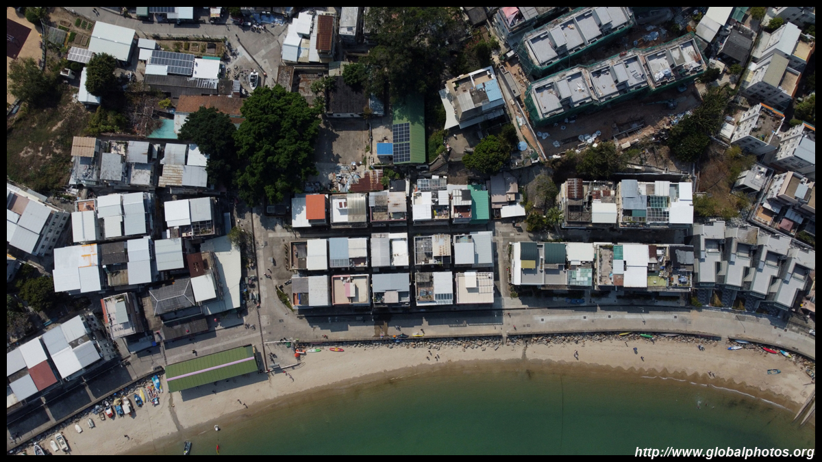
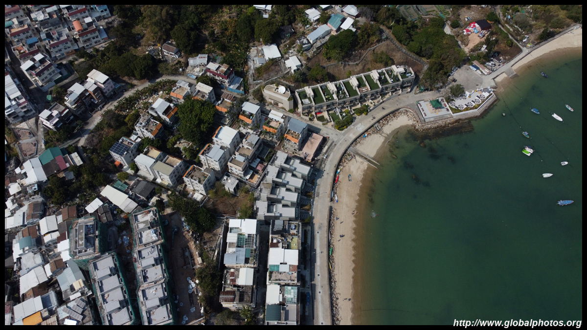
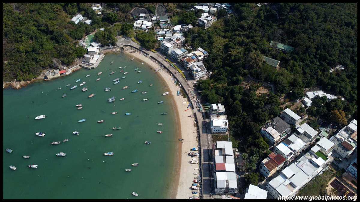
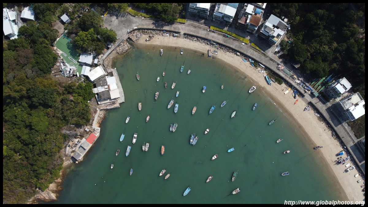
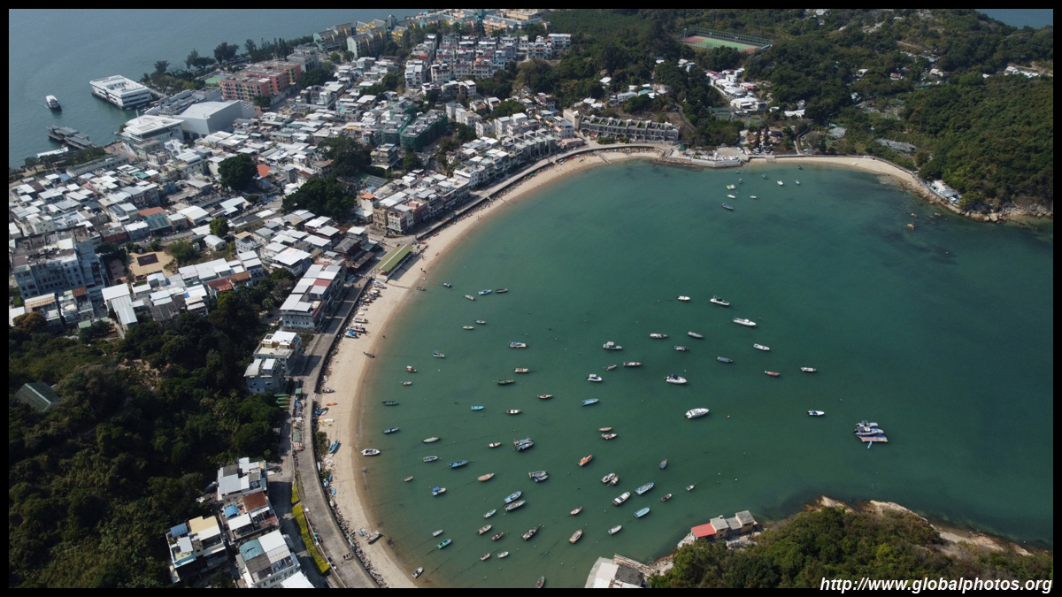
A quiet beach runs along the eastern coast around Tung Wan.
| |||