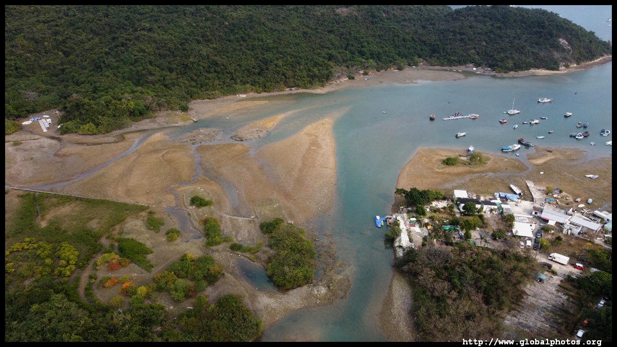
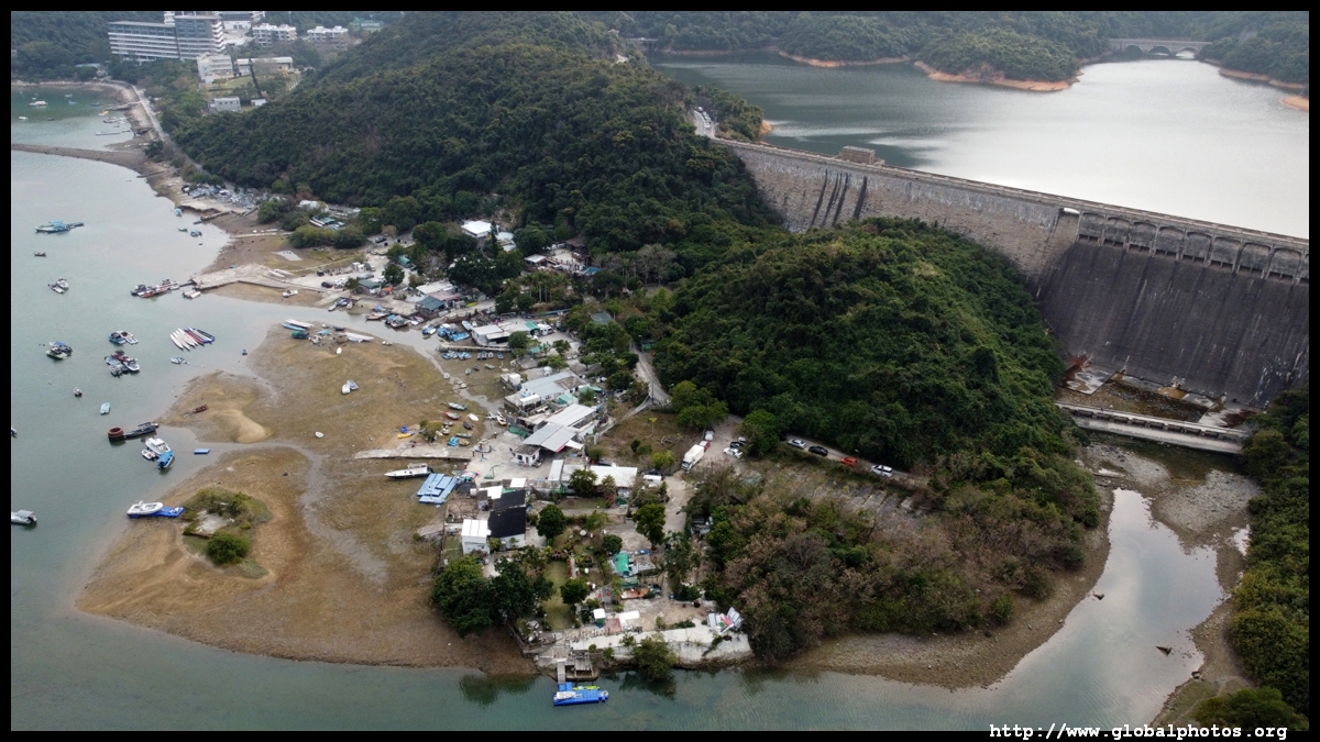
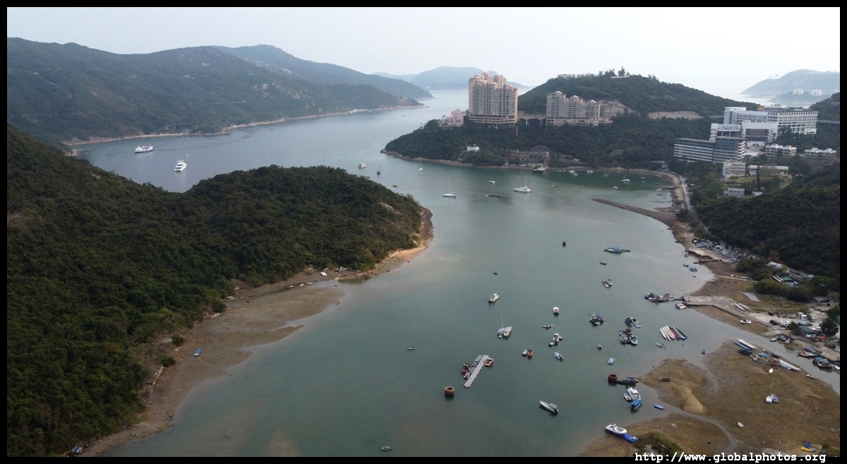
Hong Kong Drone Gallery - Tai Tam

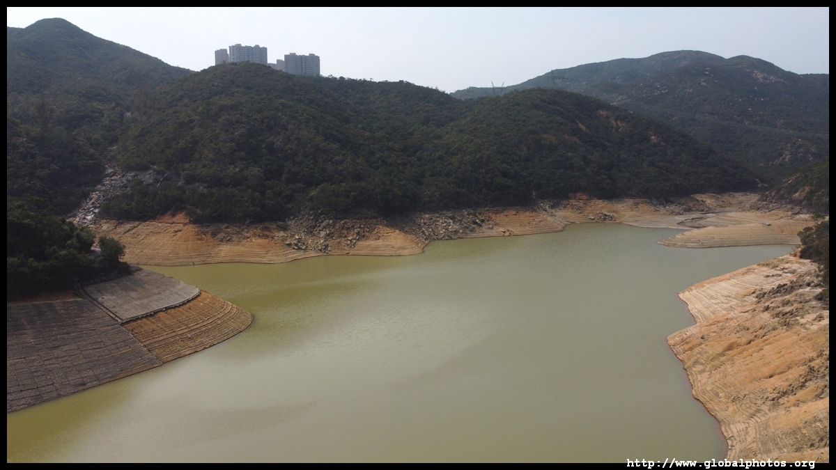
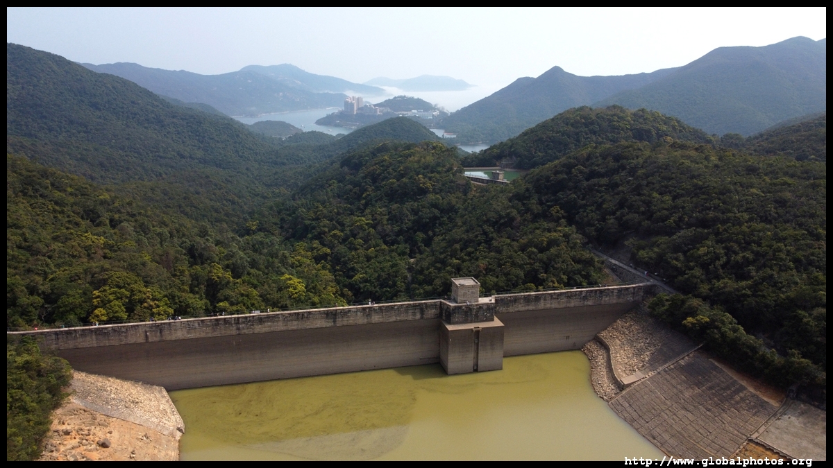
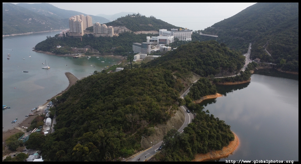
Tai Tam's reservoirs were built from 1883 to 1917, providing freshwater for a growing city and its industries, and enabling the city to expand eastwards from Victoria.Today, there are a number of historic structures around the reservoirs and hiking trails connect them with the city as far as Quarry Bay on the other side of the hills. Coming downhill from Quarry Bay, the first major structure is the Upper Dam, with the luxurious Hong Kong Parkview in the distance.
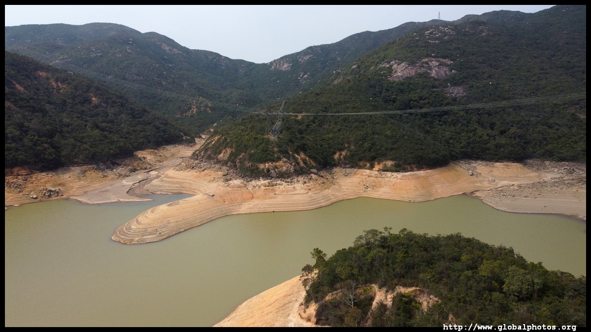
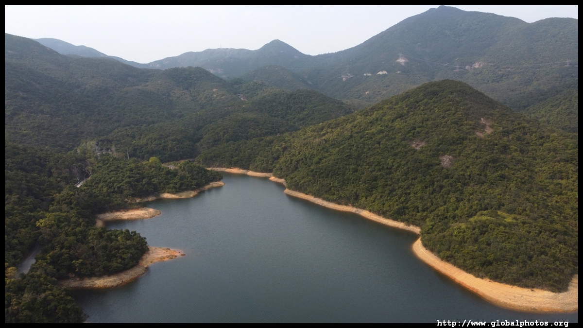
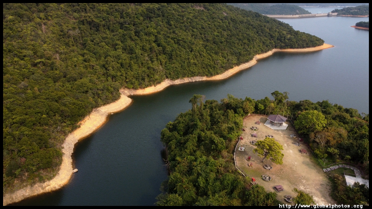
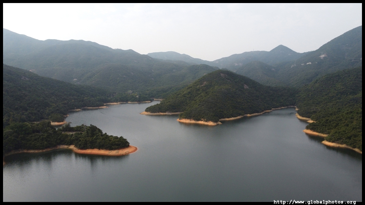
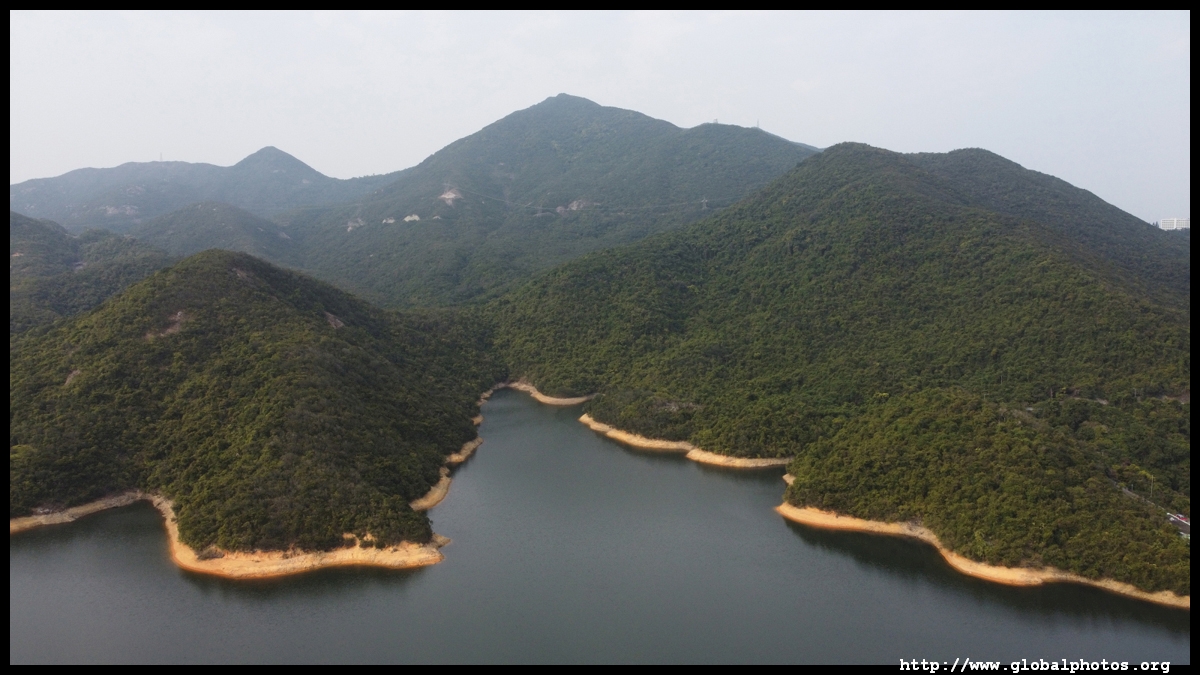
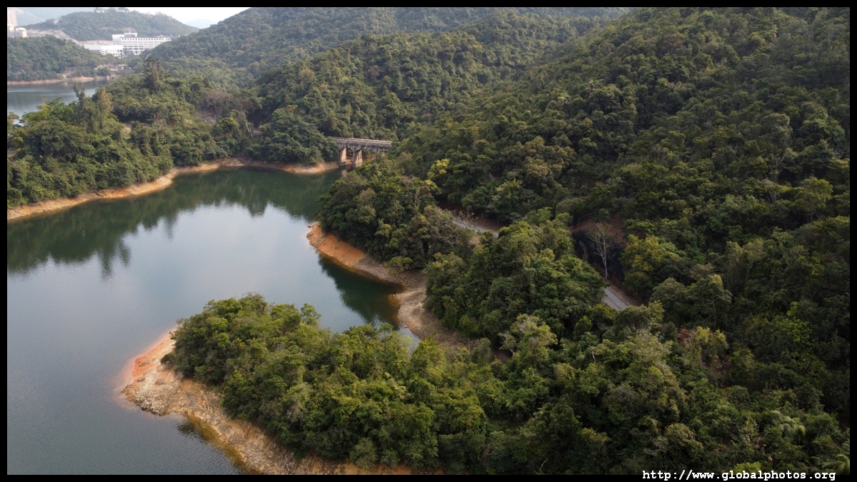
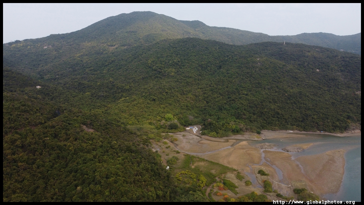
The next smaller lake is the Byewash Reservoir.
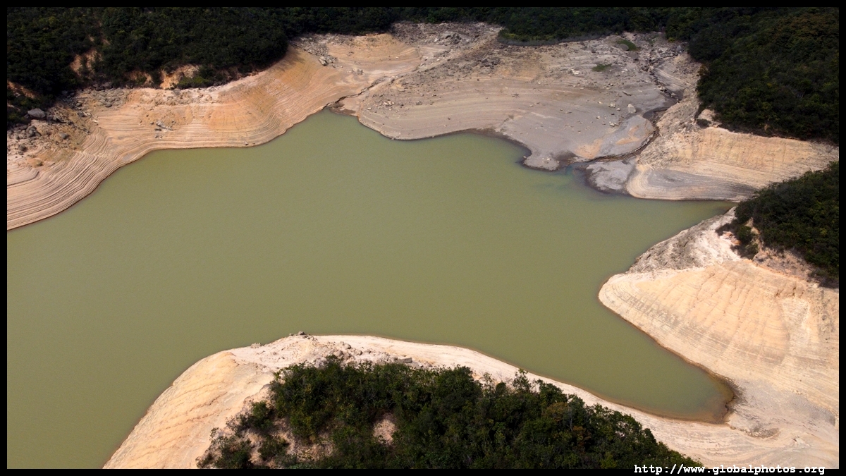
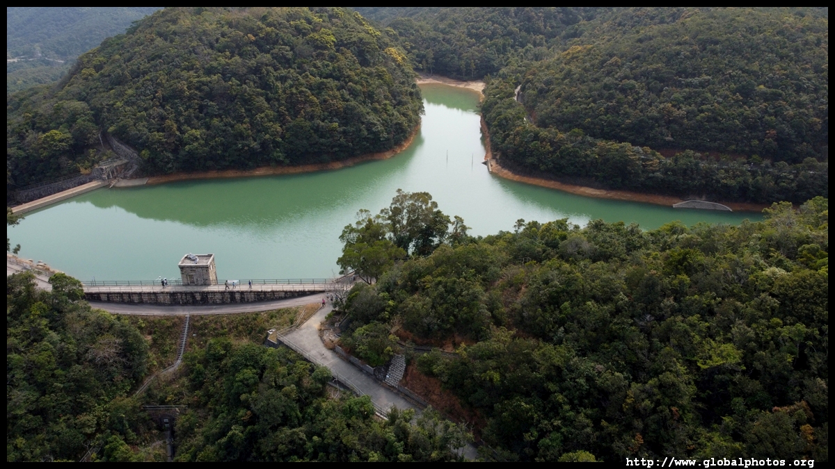
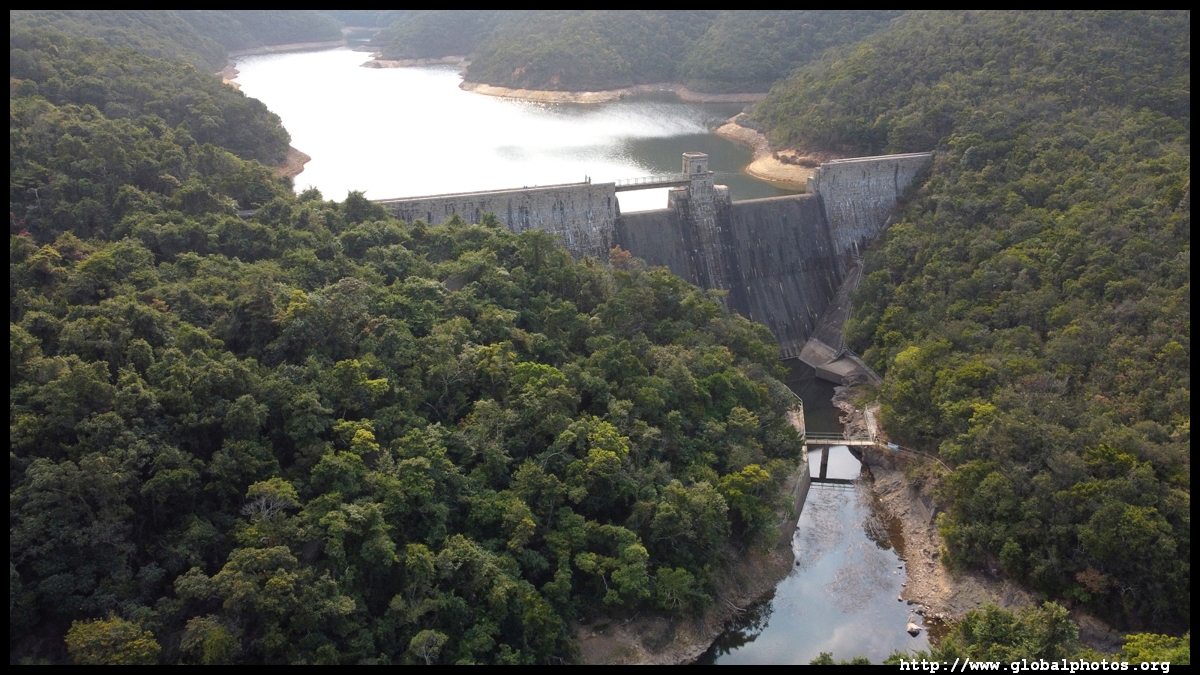
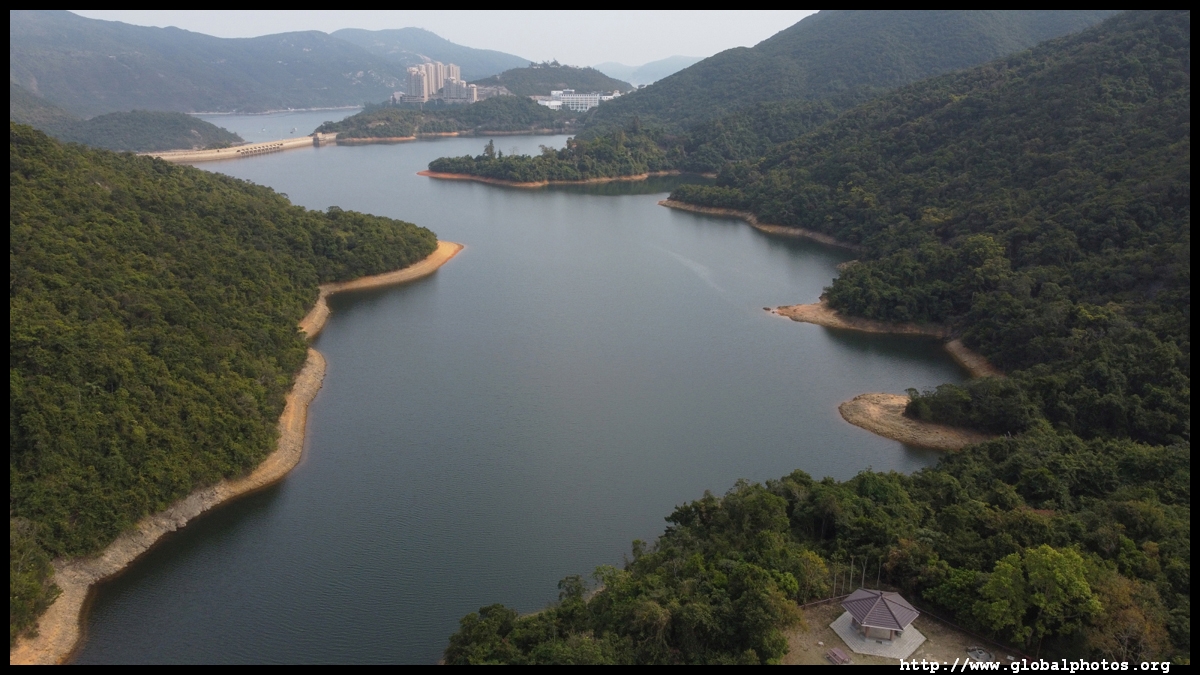
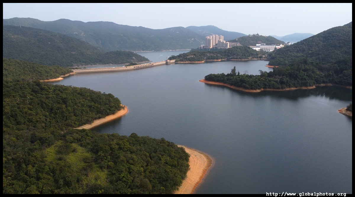
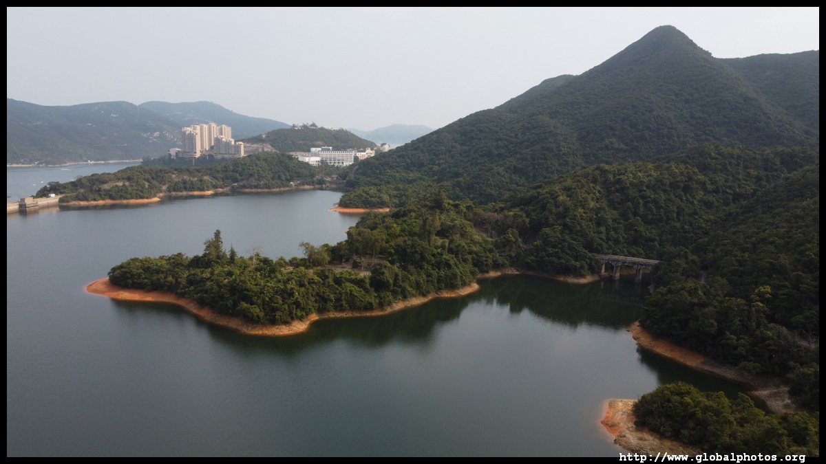
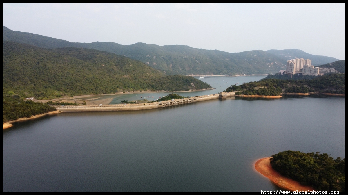
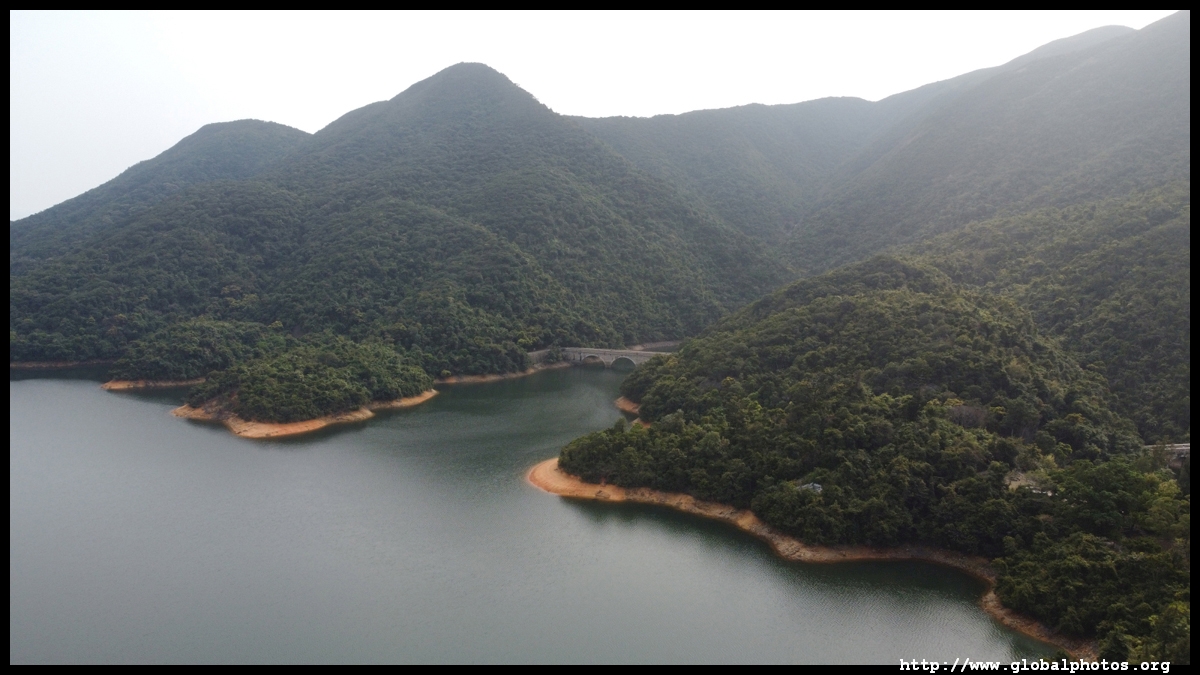
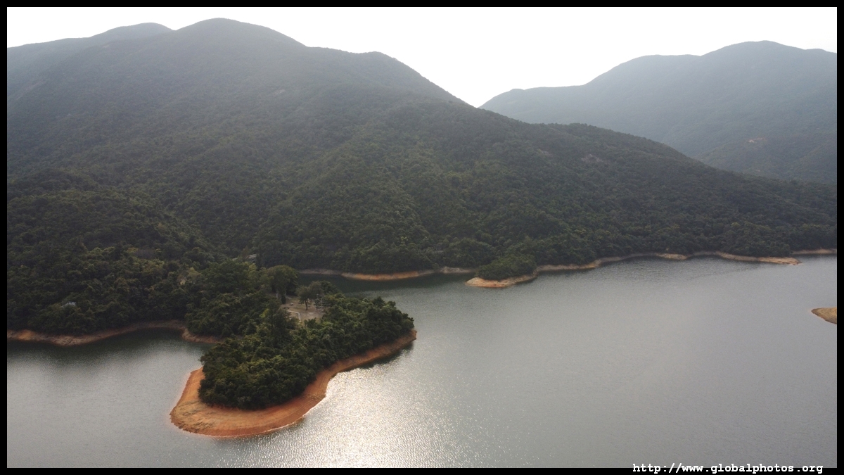
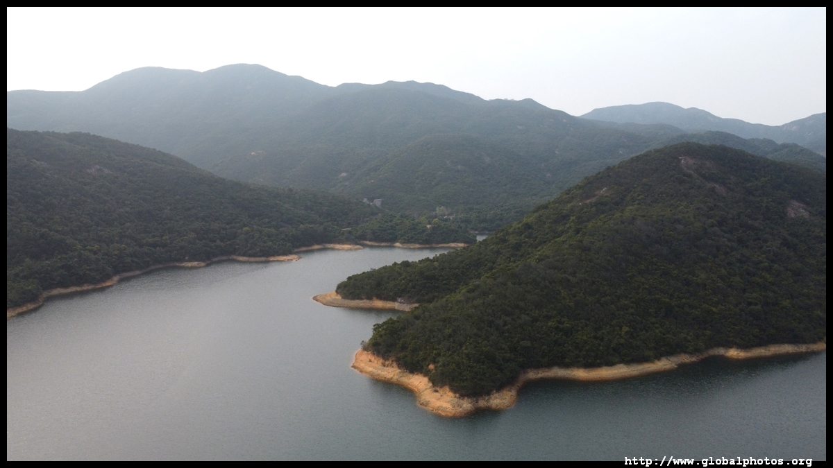
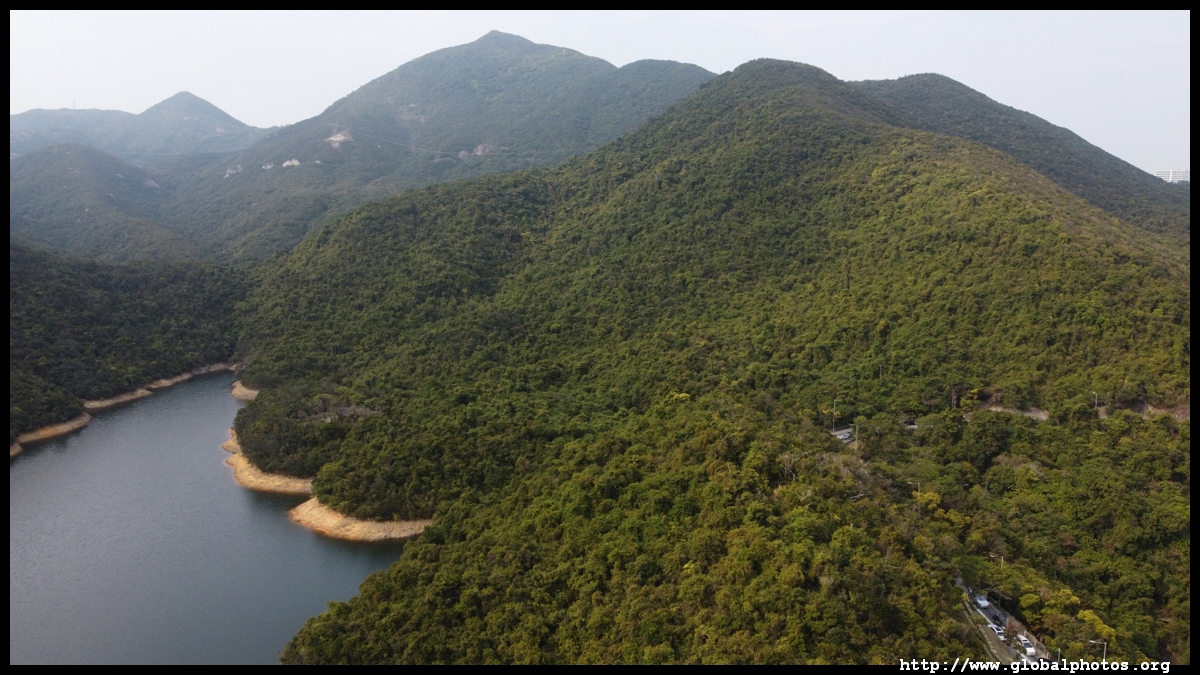
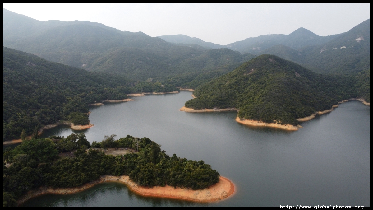
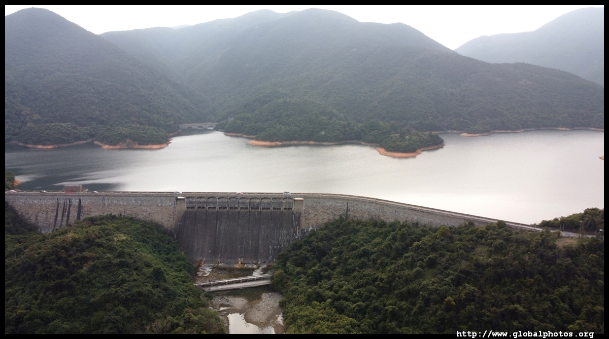
Continuing down, the largest lake is the Tai Tam Tuk Reservoir.
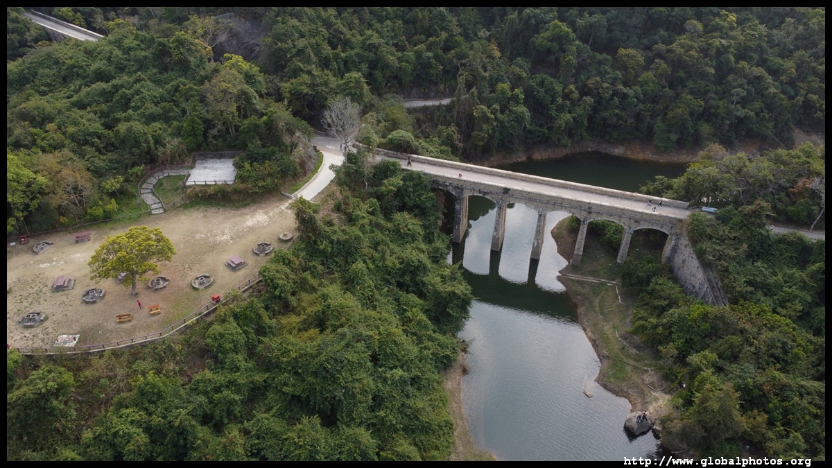
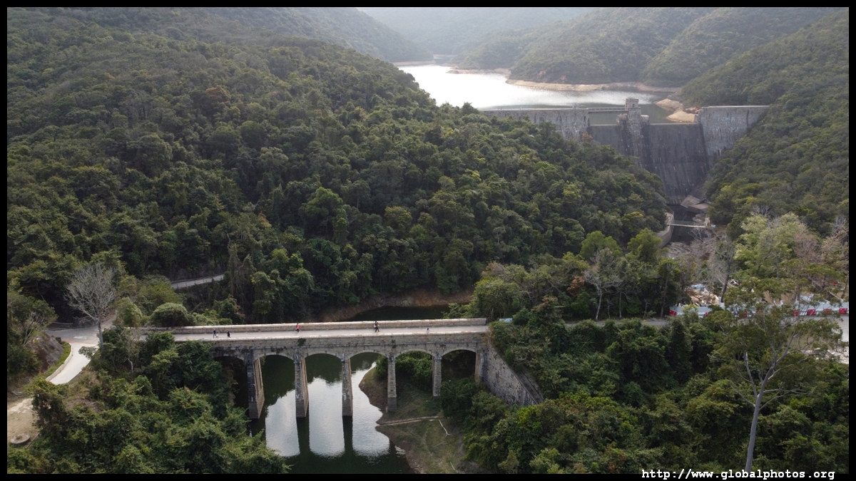
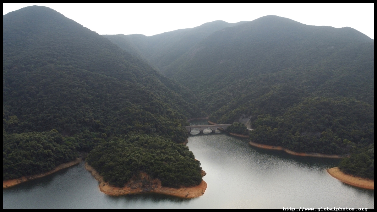
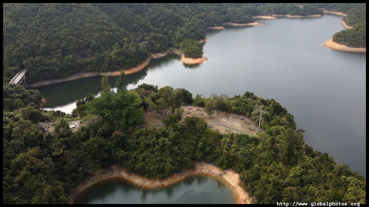
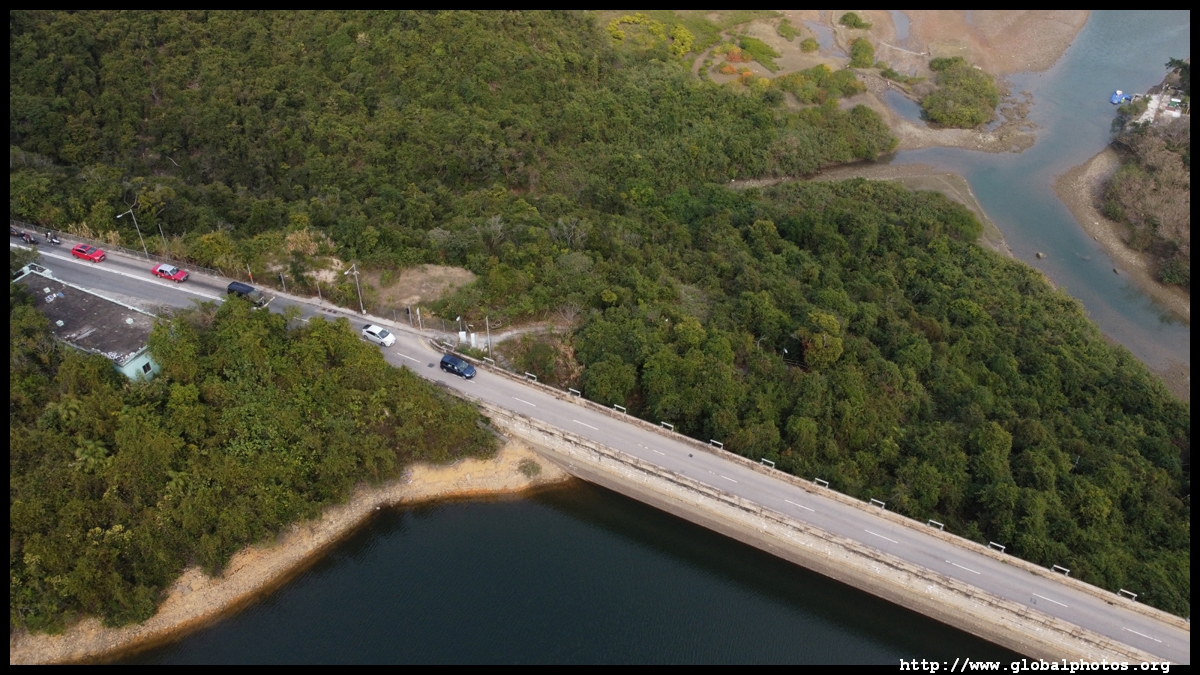
There are a number of masonry bridges around the reservoir.
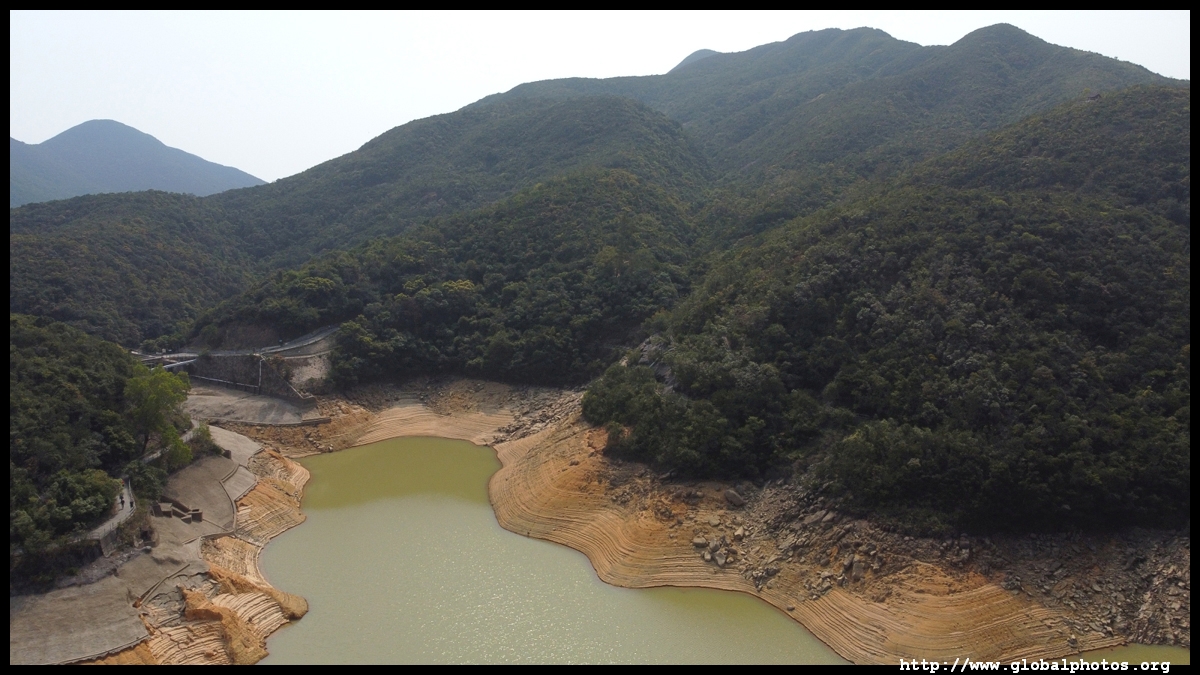
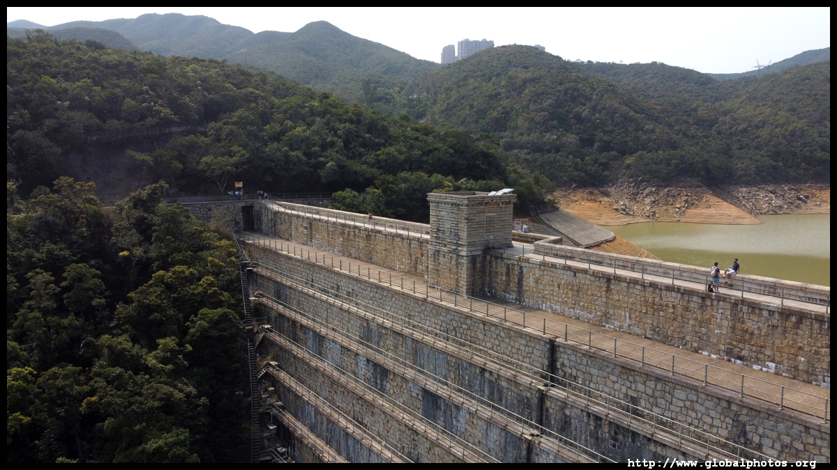
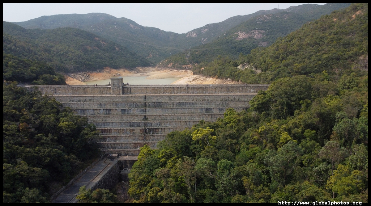
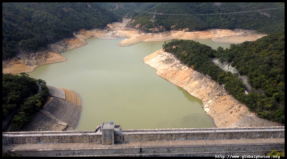
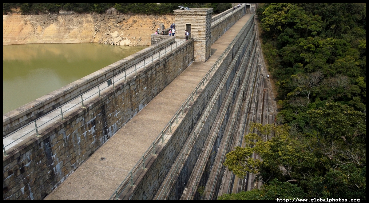
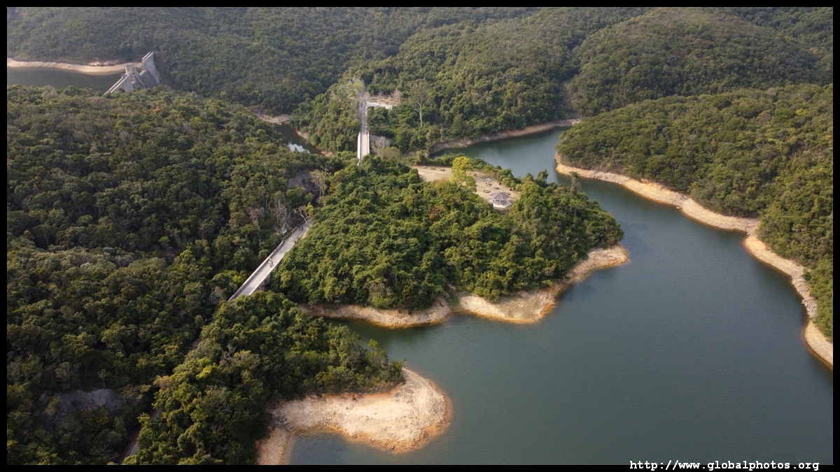
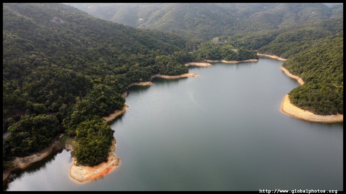
The Intermediate Reservoir was completed in 1907 and is one of 22 historic structures in the reservoir zone.
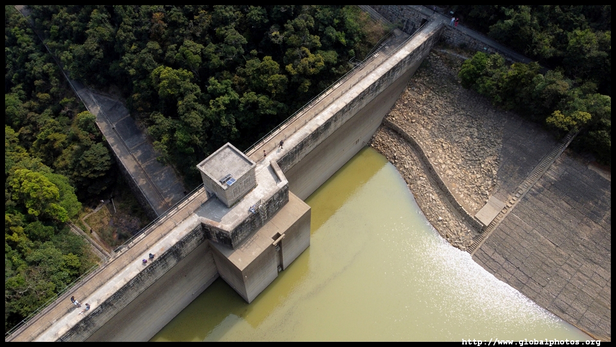
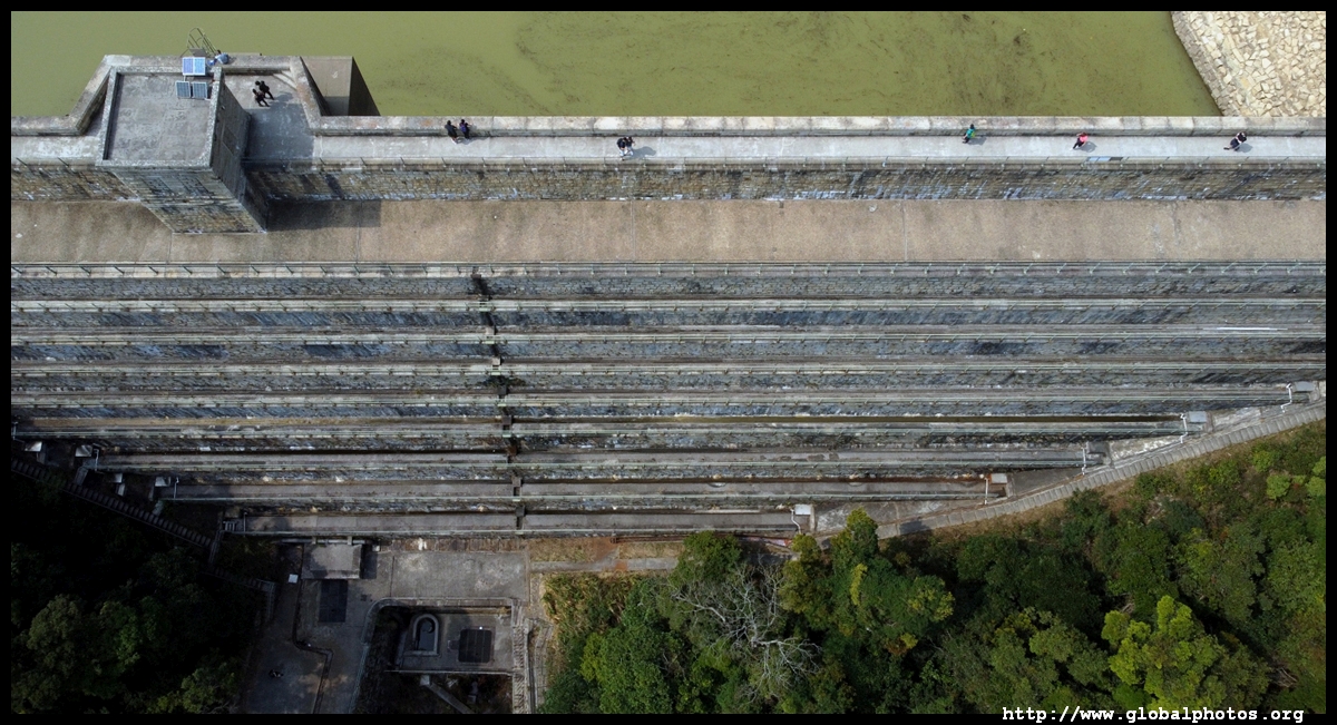
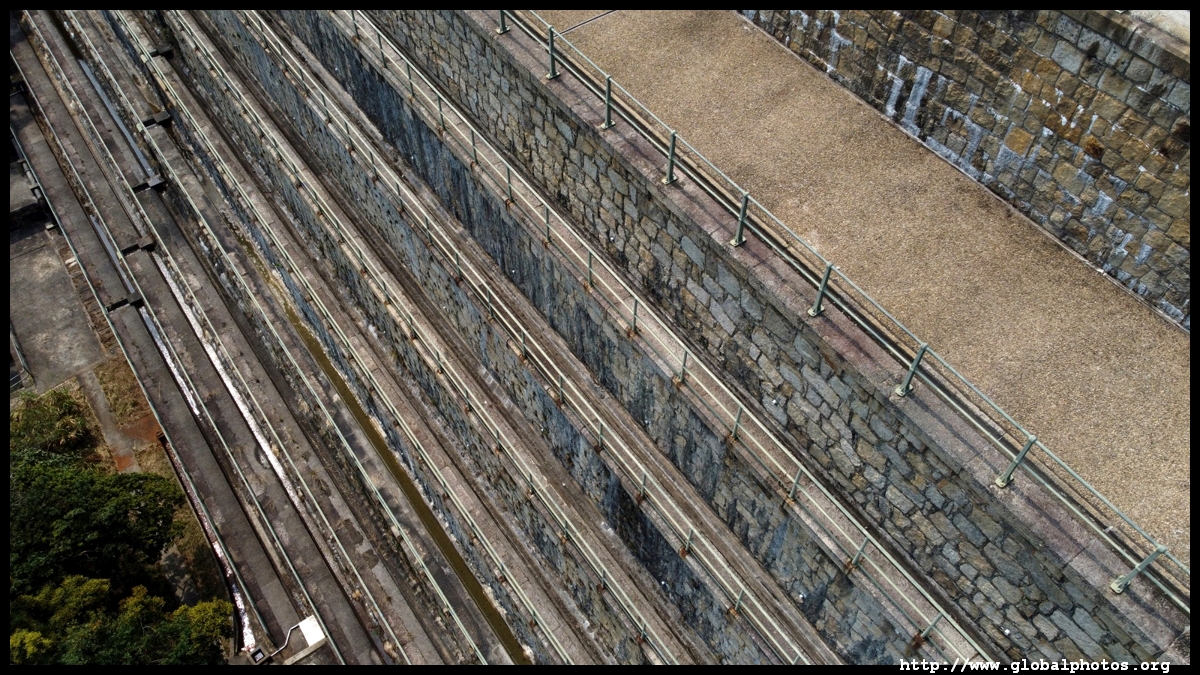
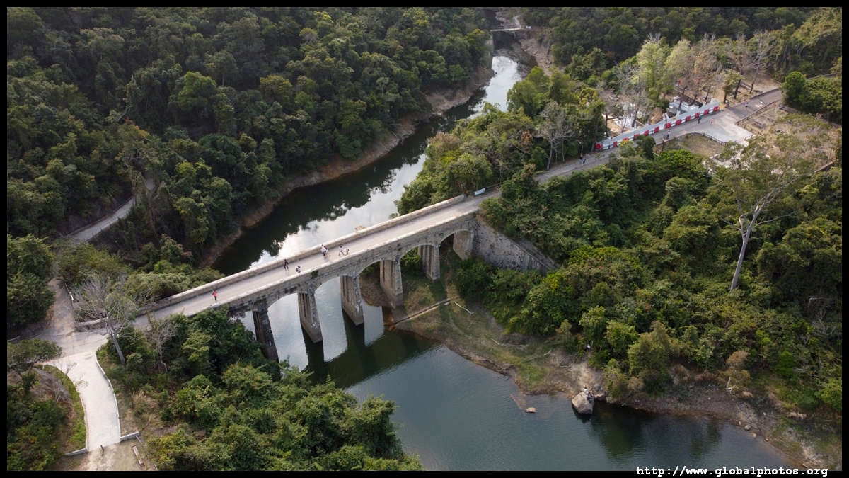
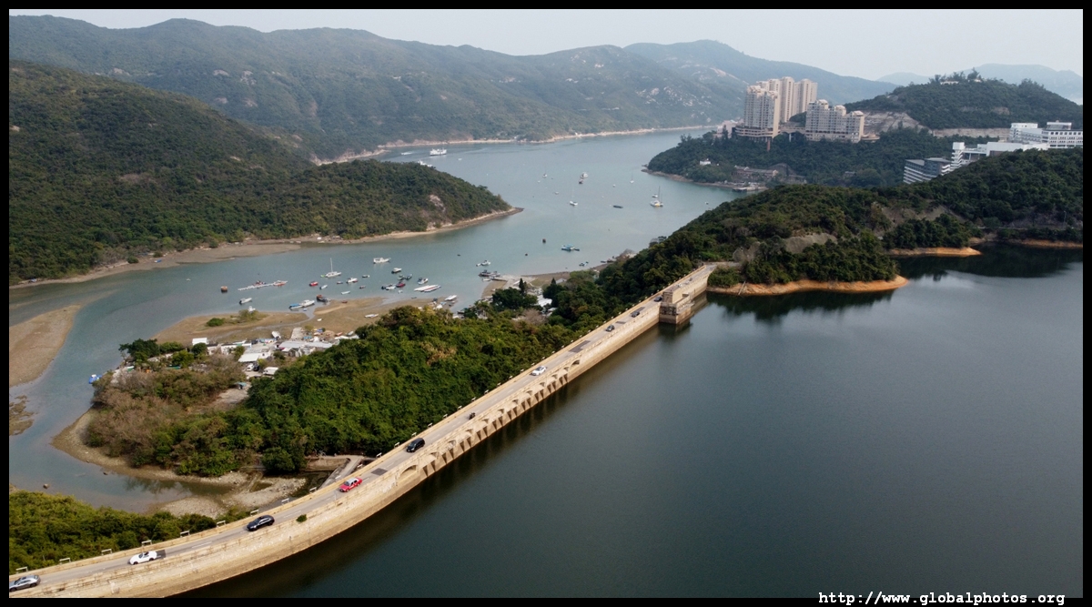
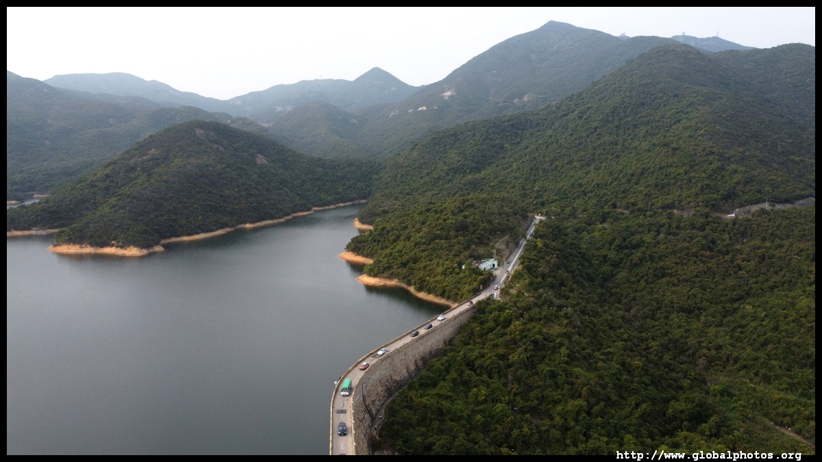
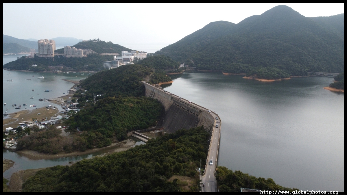
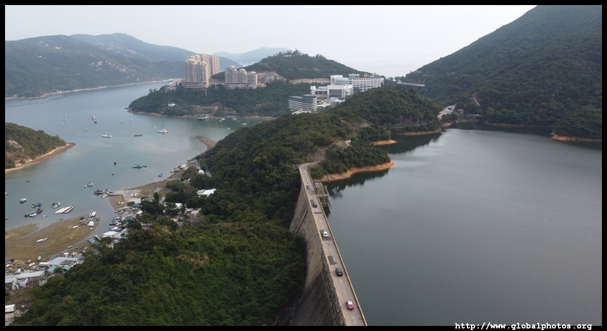
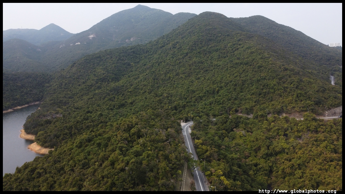
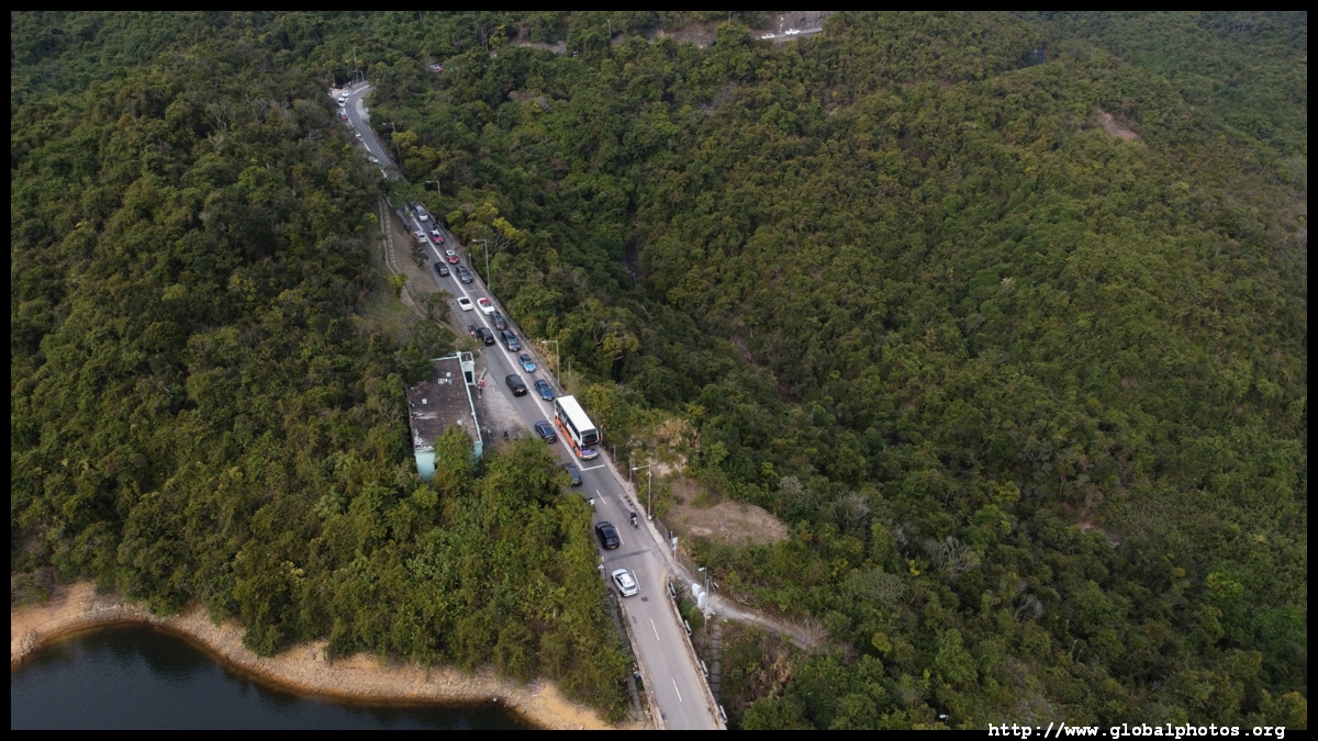
Tai Tam Road crosses the Tai Tam Tuk Reservoir Dam, which was completed in 1917. Some 400 workers were hired for the project under the supervision of Daniel Jaffe, who got a street named after him in Wanchai. Once accommodating traffic going in both directions, difficulties in fitting 2 cars on the narrow stretch of road, especially when a double decker bus rumbles along, prompted authorities to change it into one-way.
| |||