Hong Kong Drone Gallery - Kai Tak (San Po Kong)

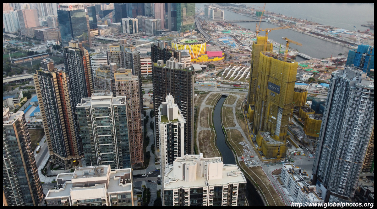
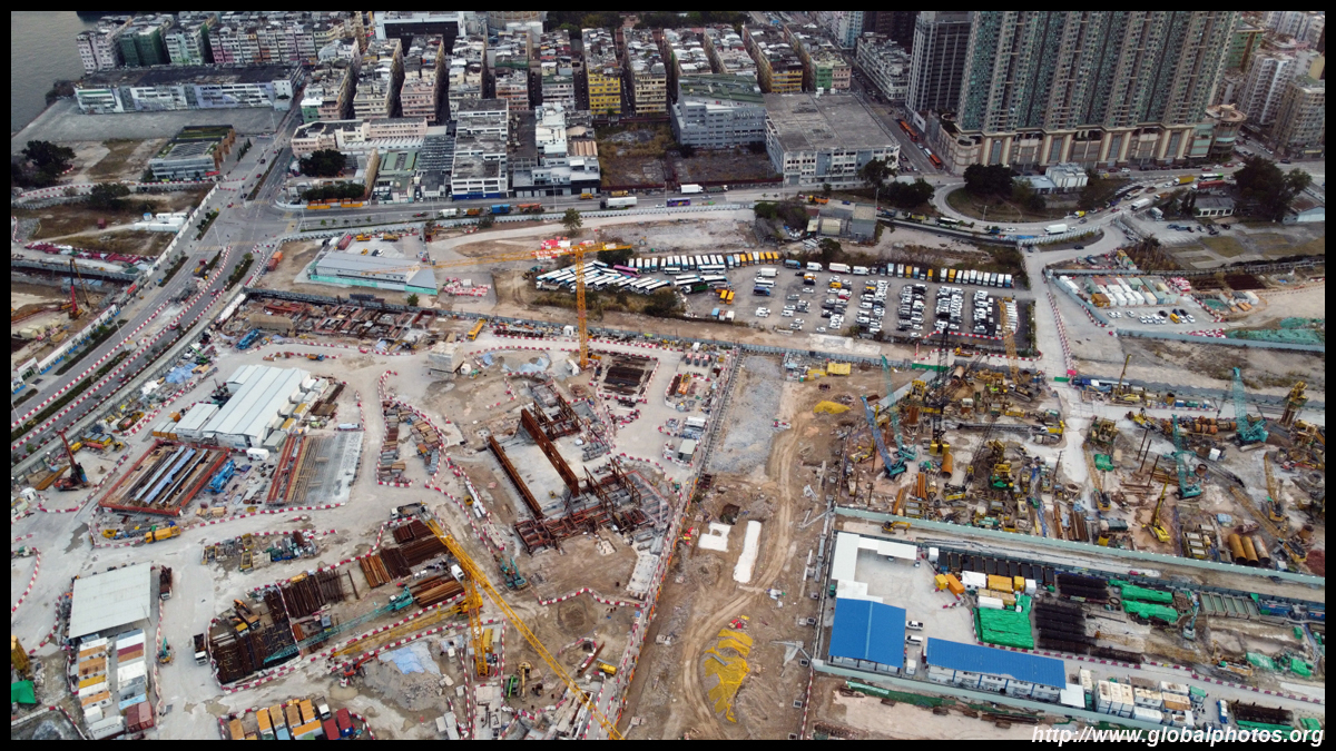
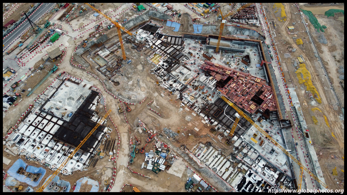
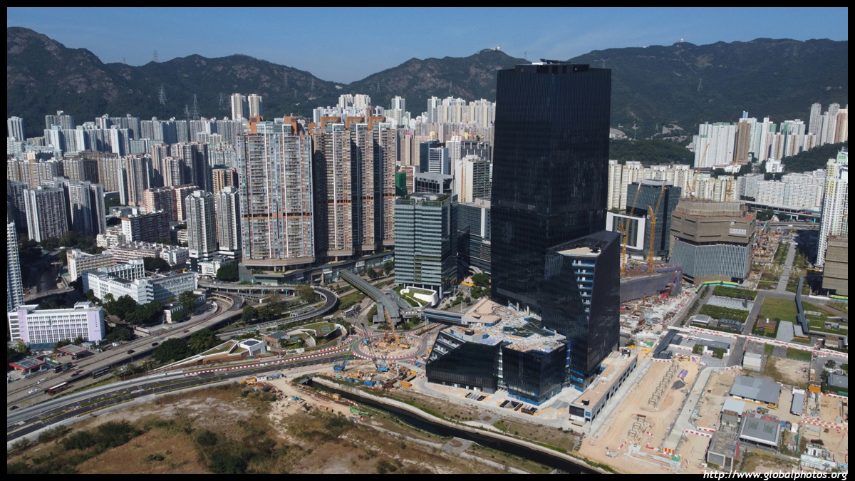
Kai Tak airport closed in July 1998 and the first residential redevelopments appeared on the former apron. The public housing blocks have since been joined by a number of private estates clustering on the south side of the newly-opened Kai Tak station. Construction is ongoing so as time passes, this district will become unrecognizable.February 2021 Nan Fung Group is also building an office skyscraper here as well. Airside is part of a 1.9 million square feet commercial development and will rise 47 storeys.
Using Airside as a reference point, to the left is the existing urban area of San Po Kong, which has a lot of industrial buildings but has also seen a few residential redevelopments.
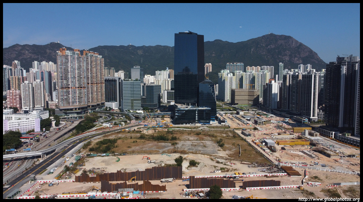
Kowloon City is famous for its small restaurants, especially Thai cuisine and desserts. The famous Lion Rock rises in the background.
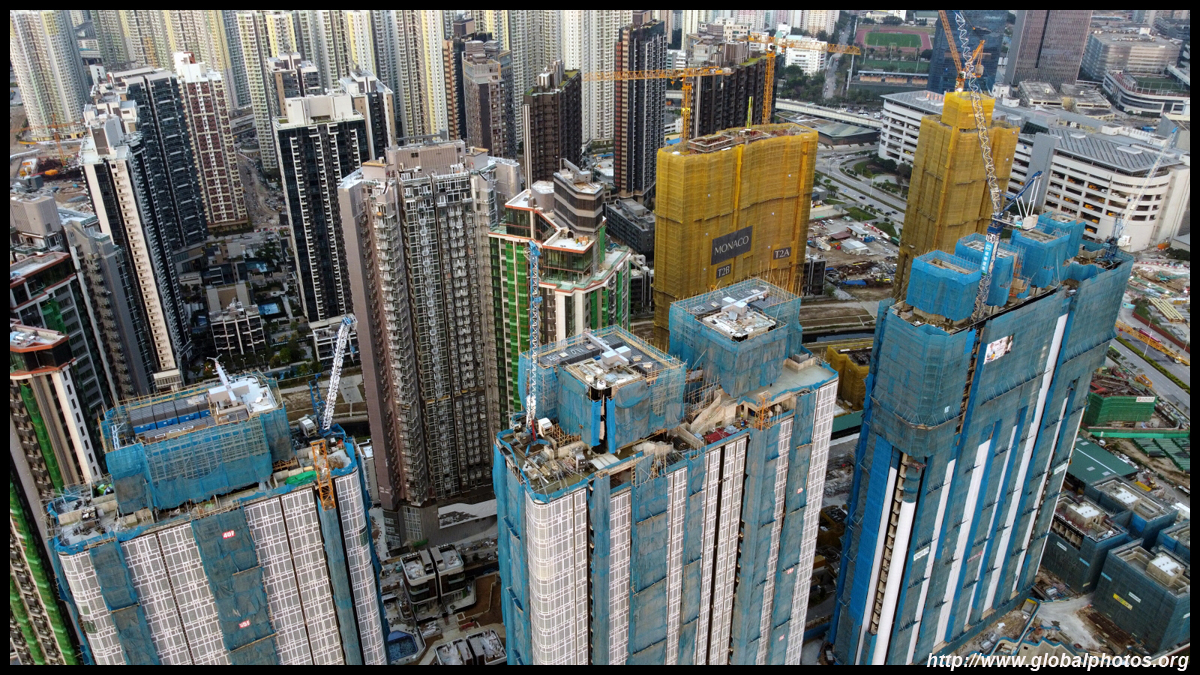
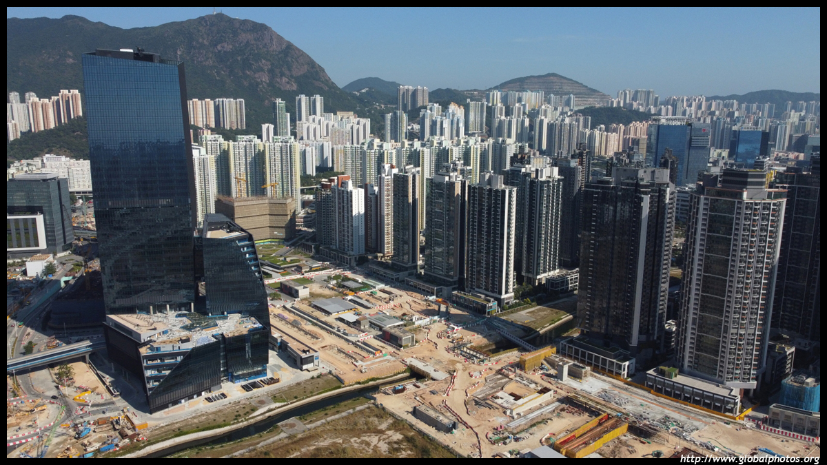
Since the airport closed, redevelopment has oftentimes been in the form of pencil towers to cater for the small plots.
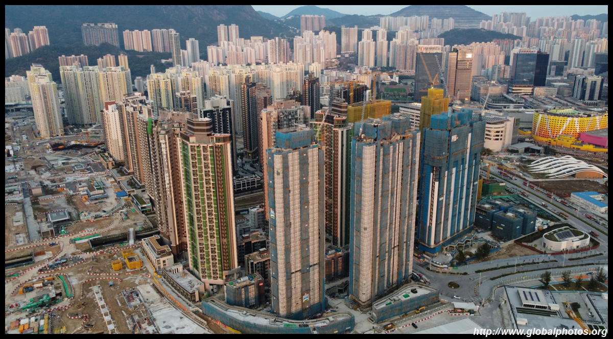
Further west, you can see the rest of Kowloon with ICC, the city's tallest building, in the background.
Contrast the new taller buildings against the short ones. When the airport was still in operation, this part of town was under strict height limits.
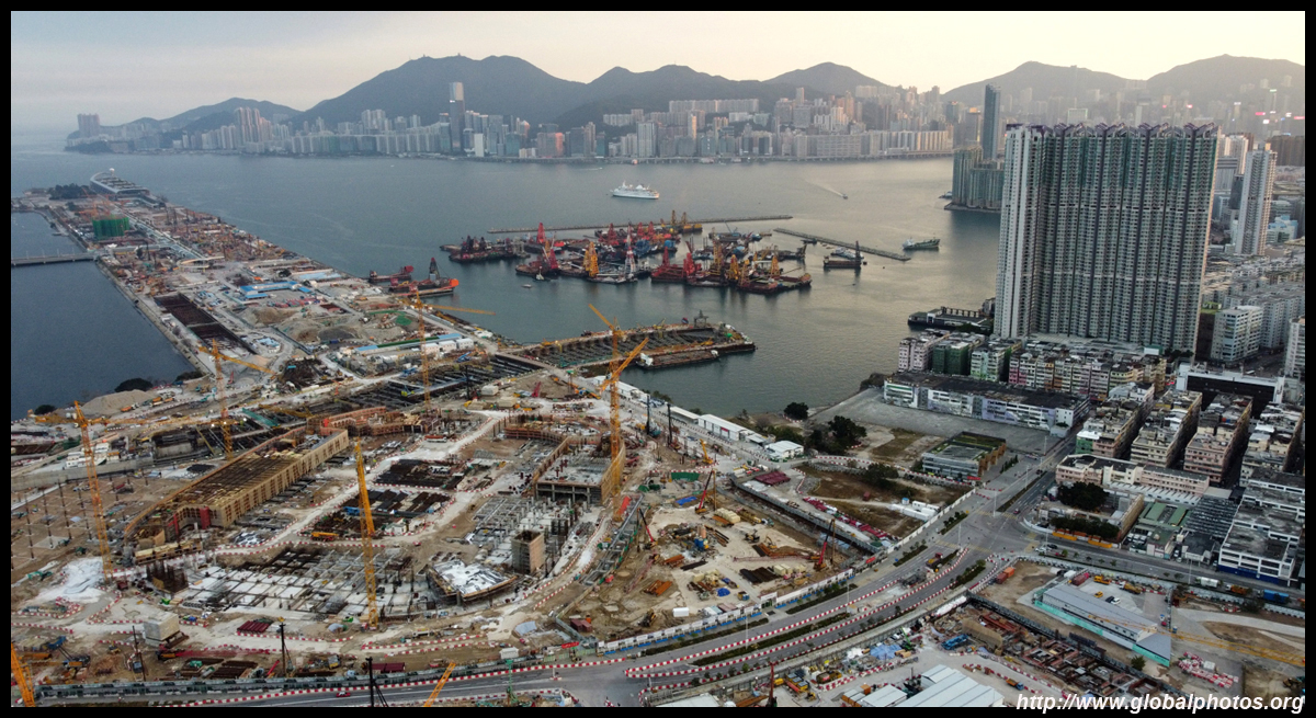
Looking back east, Kai Ching and Tak Long are the public housing estates along the eastern end of the former apron.
The private developments next door are laid out in a grid pattern and a river will eventually cut through the site.
But there is still a lot of land under development, including a stadium.
November 2021
| |||