Hong Kong Photo Gallery - Kat O

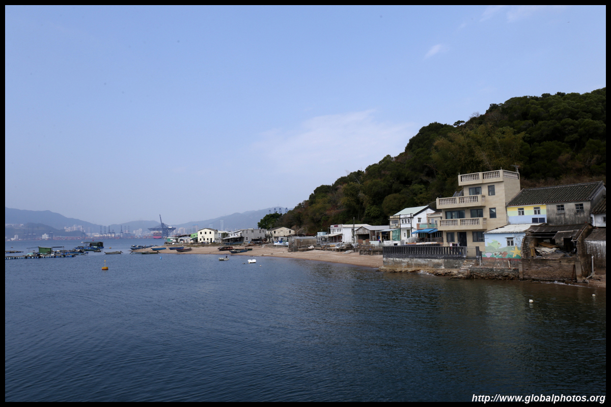
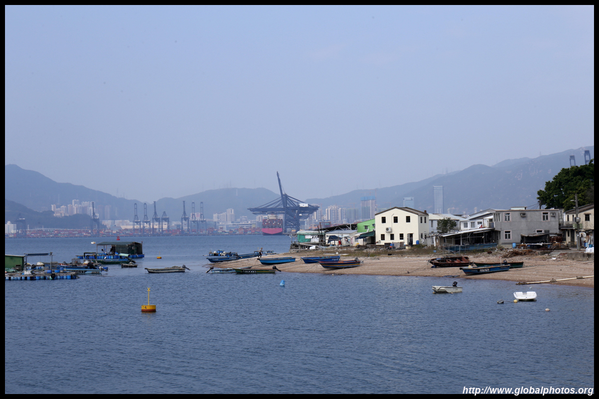
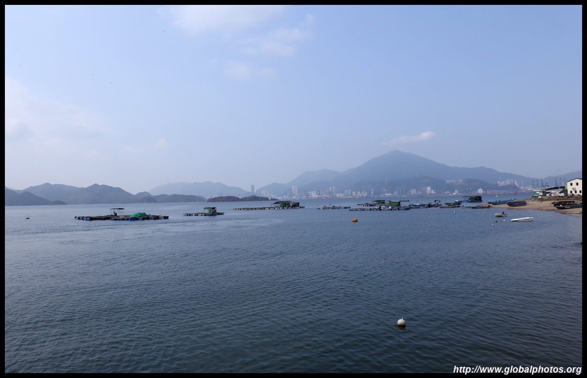
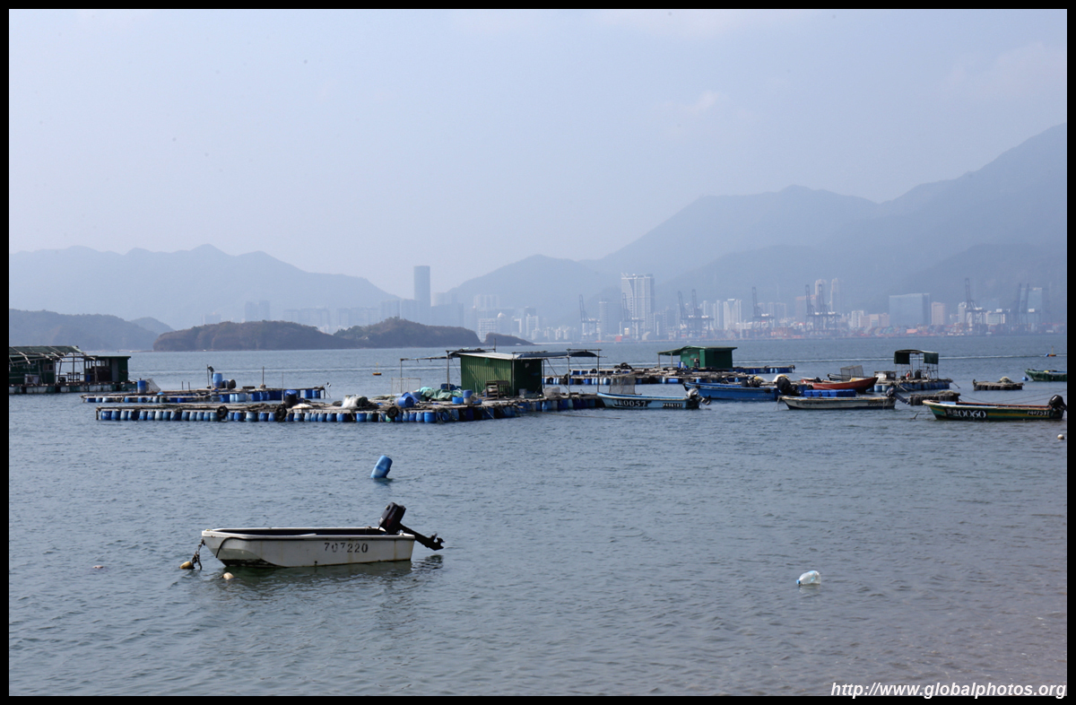
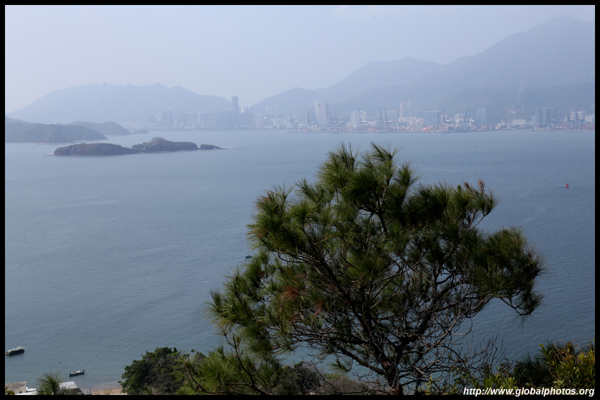
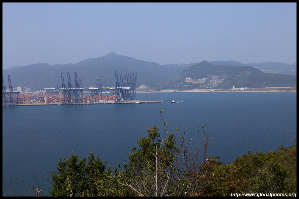
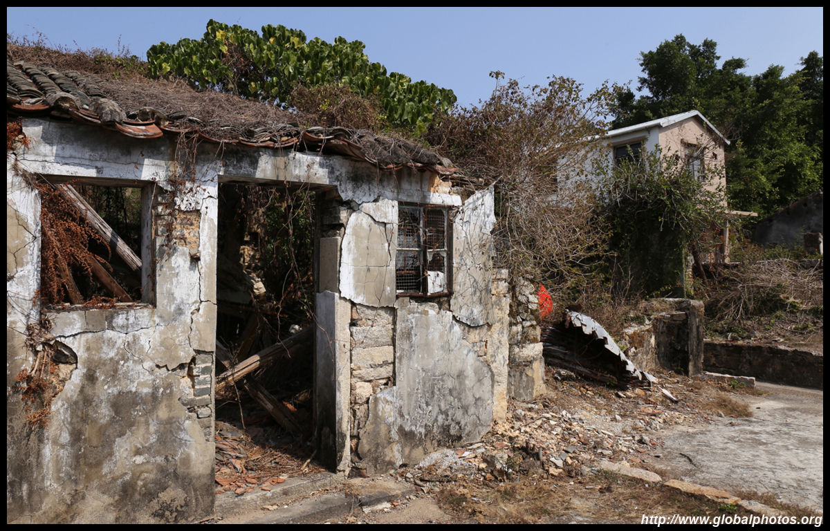
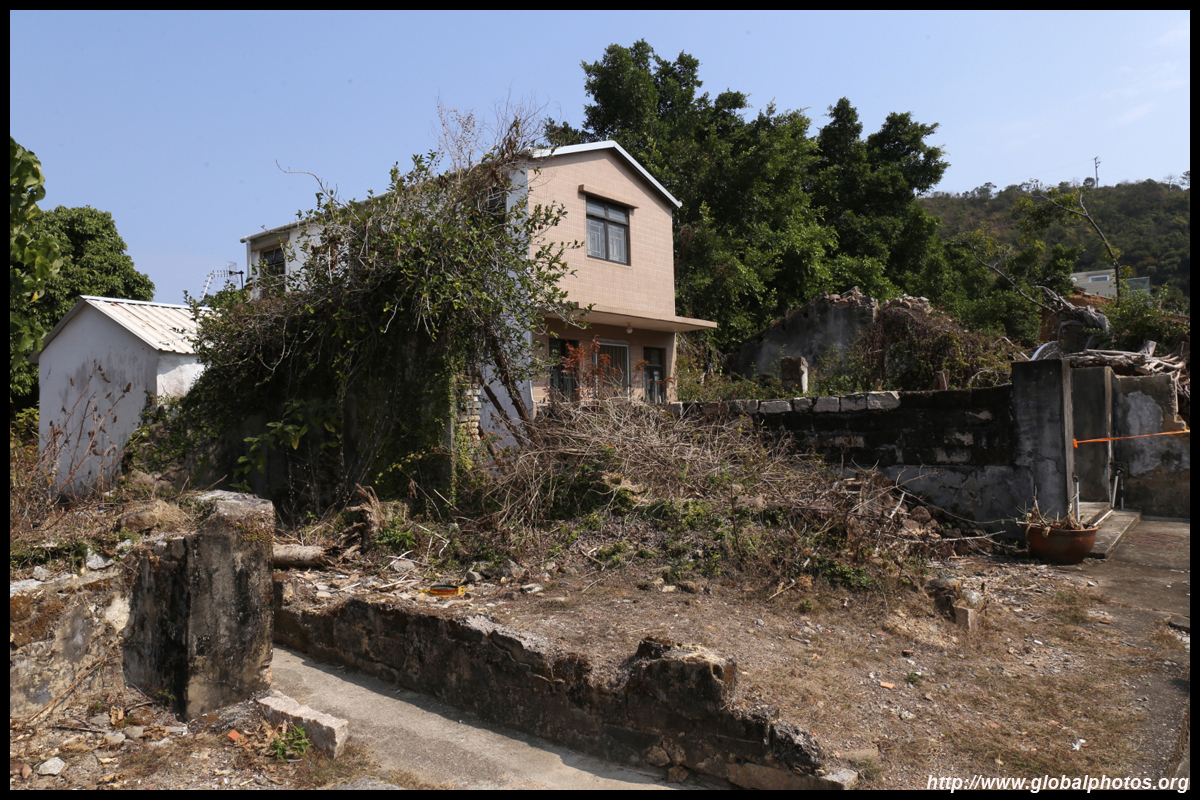
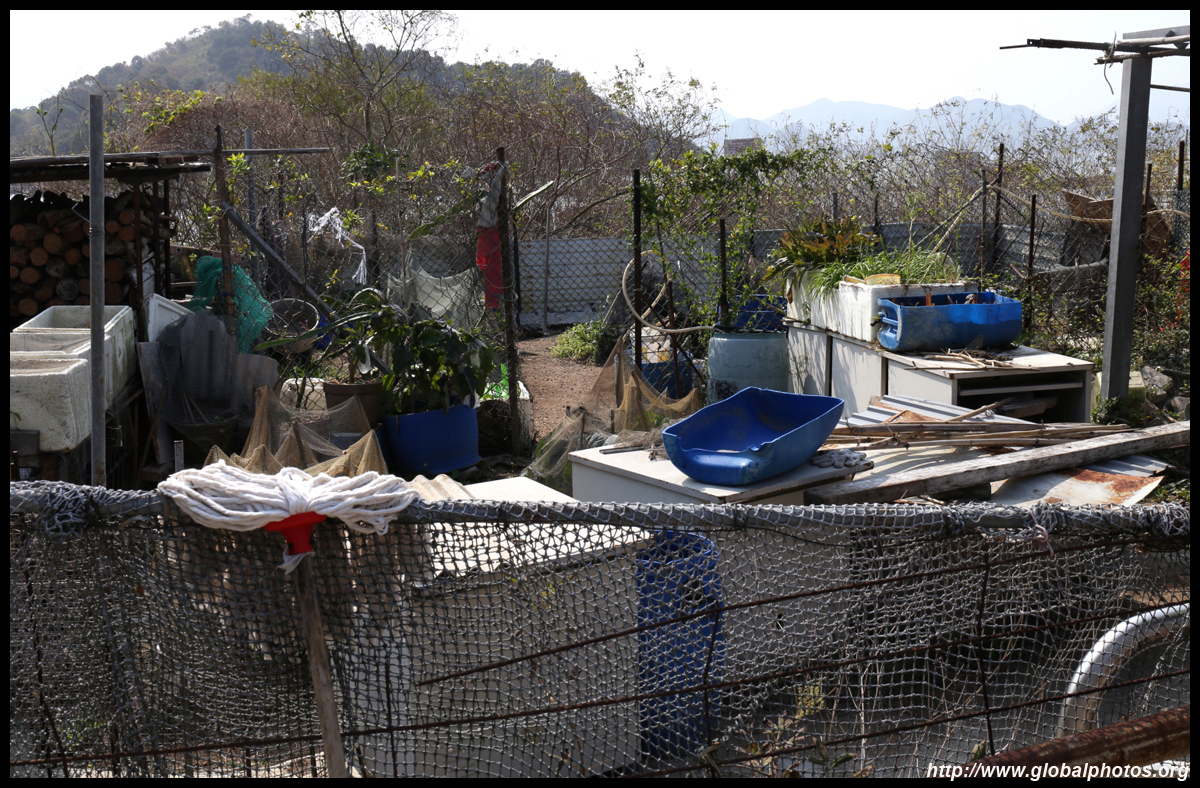
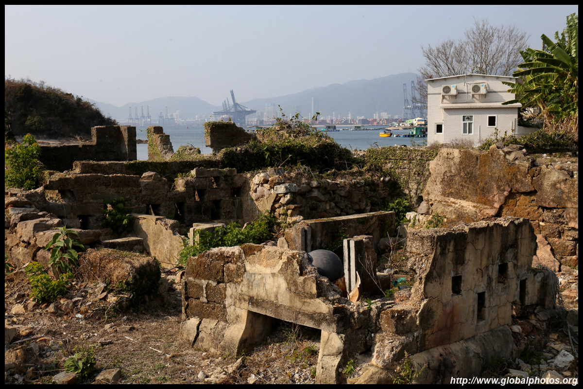
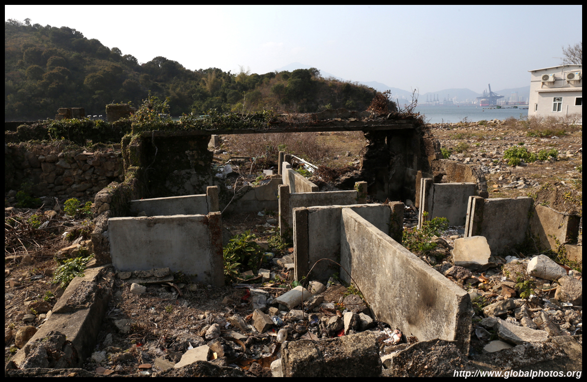
Located in the northeastern part of Hong Kong with full view of Shenzhen's Yantian container port, Kat O is also known as Crooked Island due to its shape. Once a thriving fishing village with a history of 300 years, only 10 households remain today, a fraction of the 6000 residents during World War II. Many former residents either gave up fishing or moved overseas.Getting here has been made easier with one daily ferry on the weekend departing from Ma Liu Shui in Shatin.
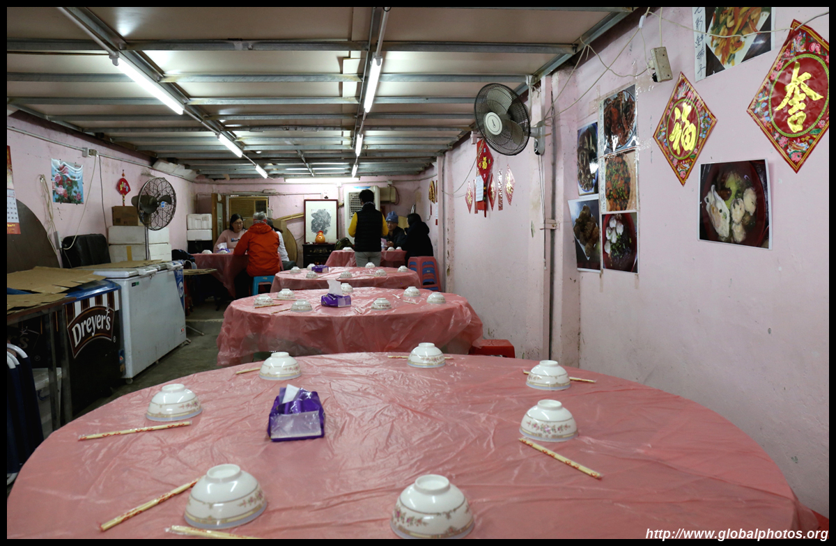
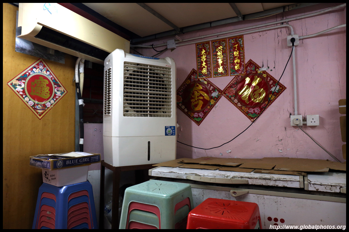
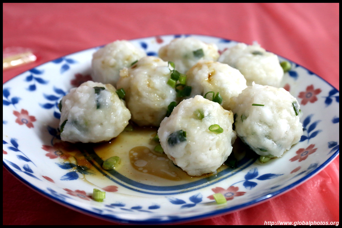
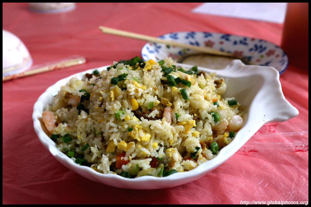
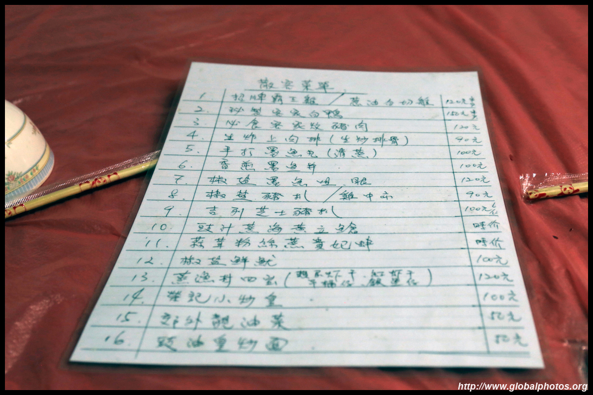
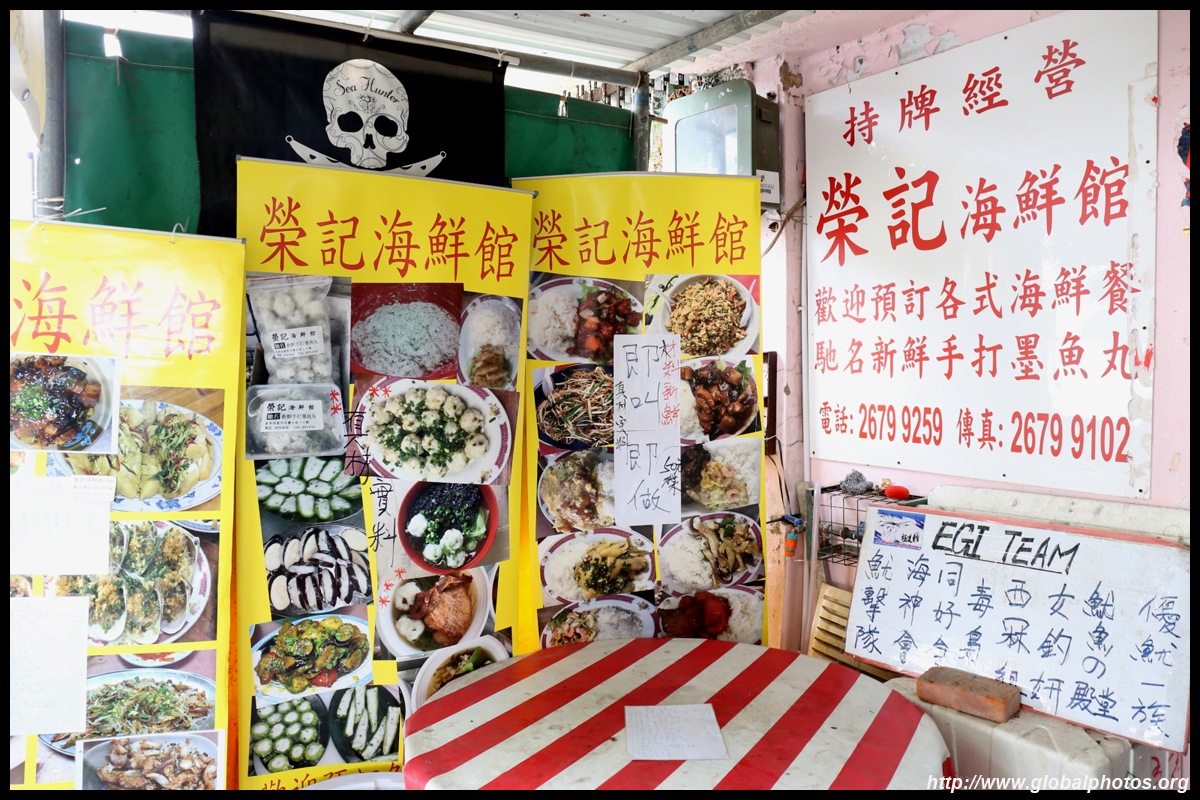
There is limited food selection on this island, which caters for weekend tourist traffic. Grab your food around the ferry pier.
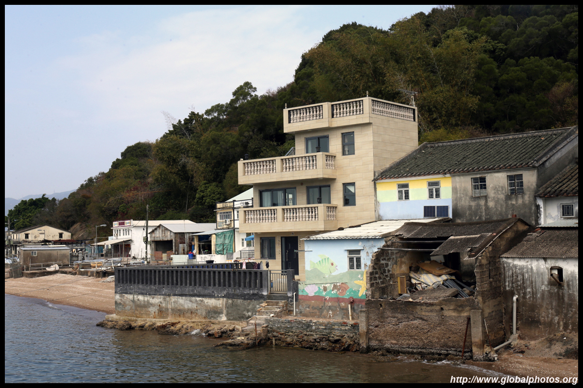
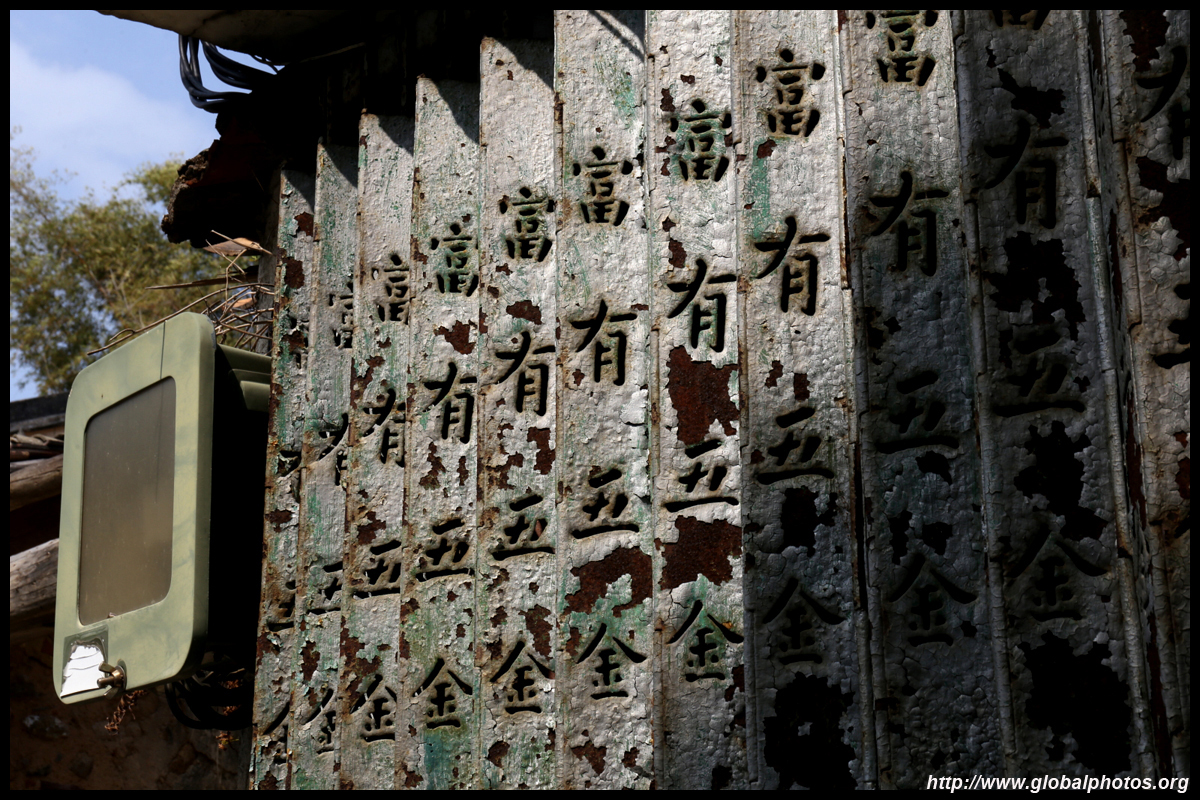
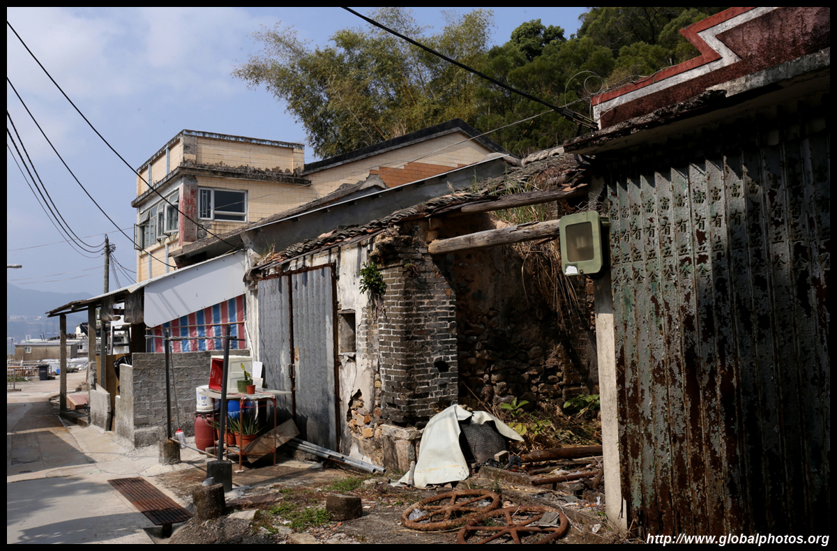
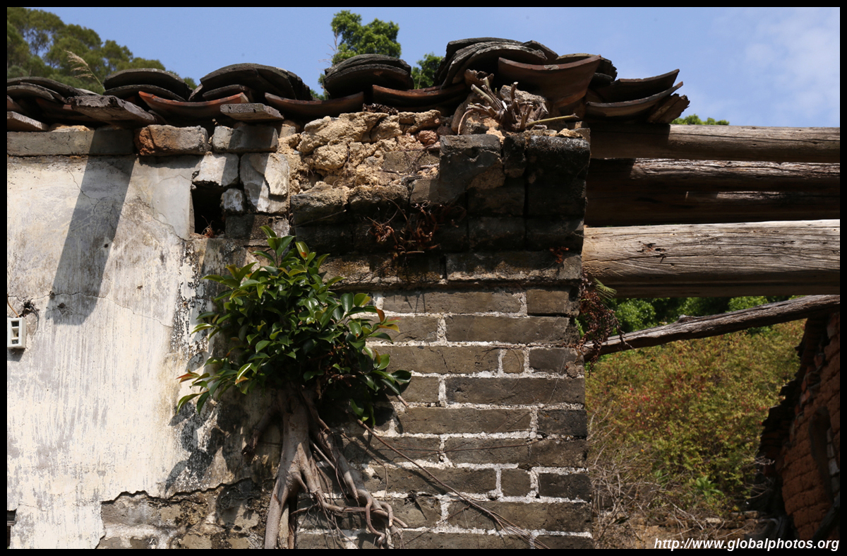
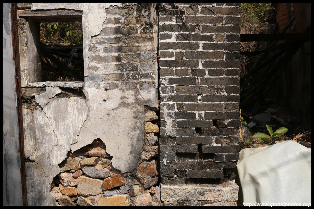
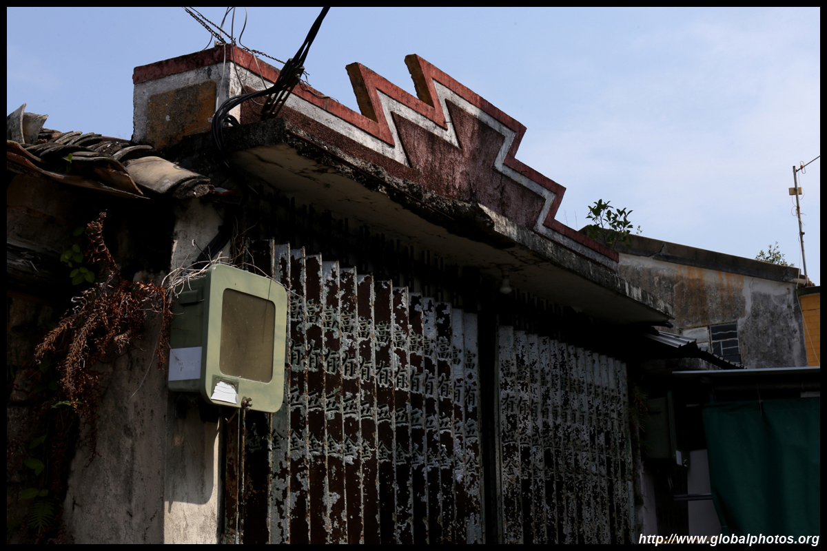
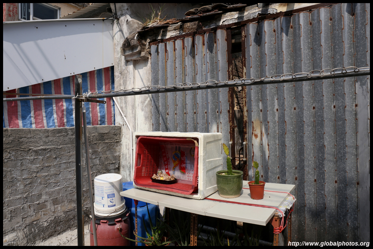
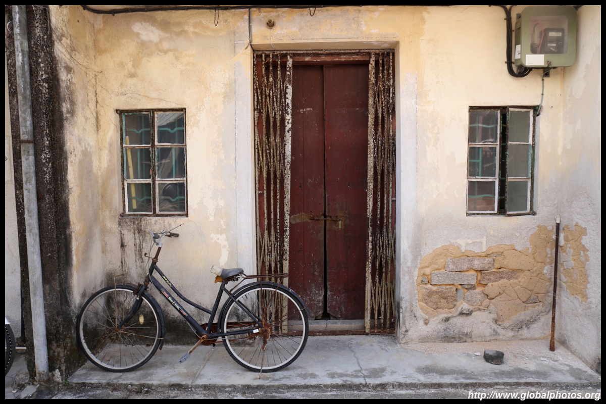
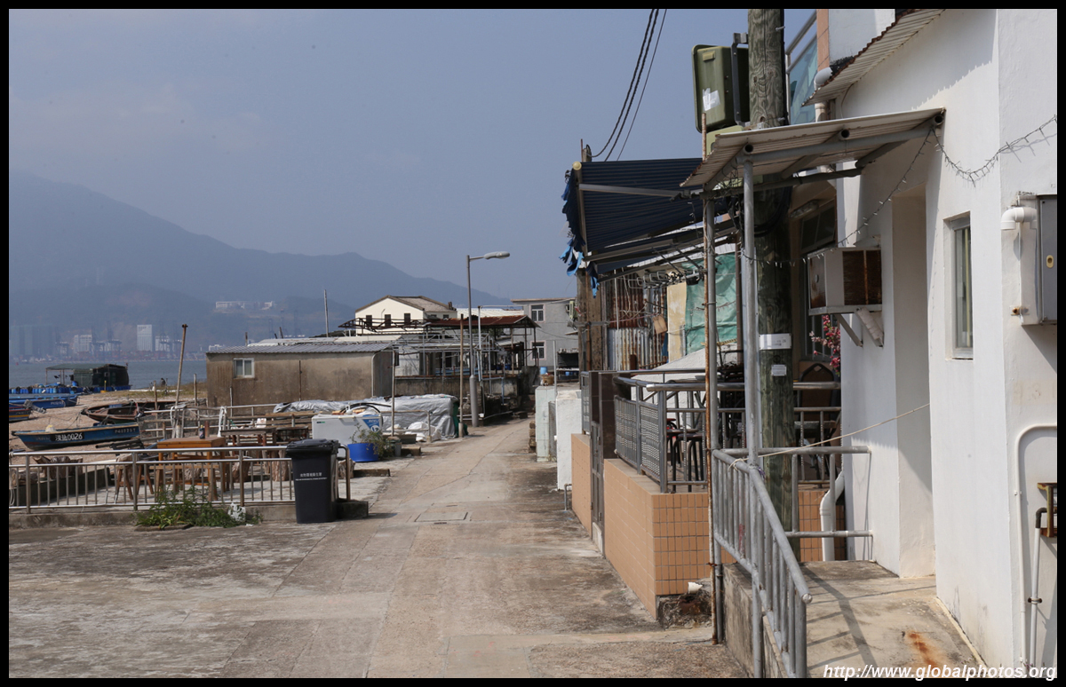
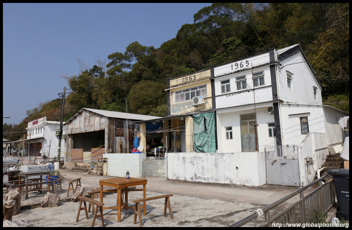
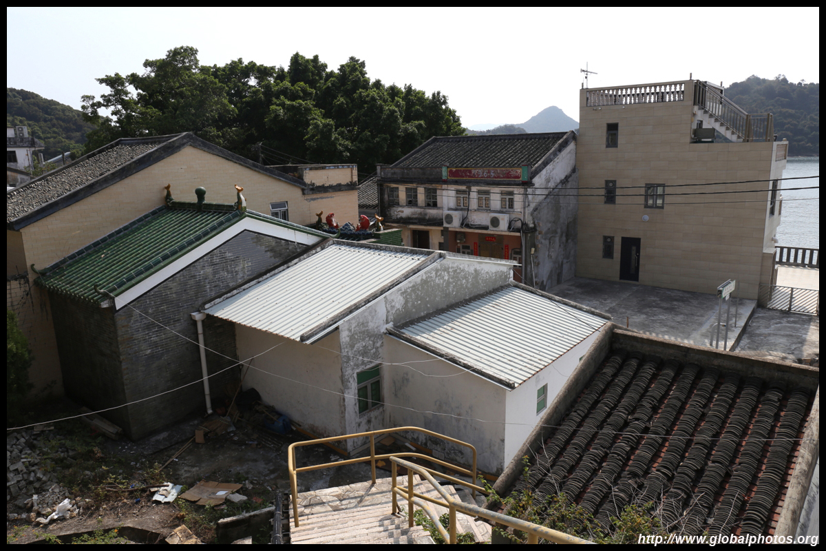
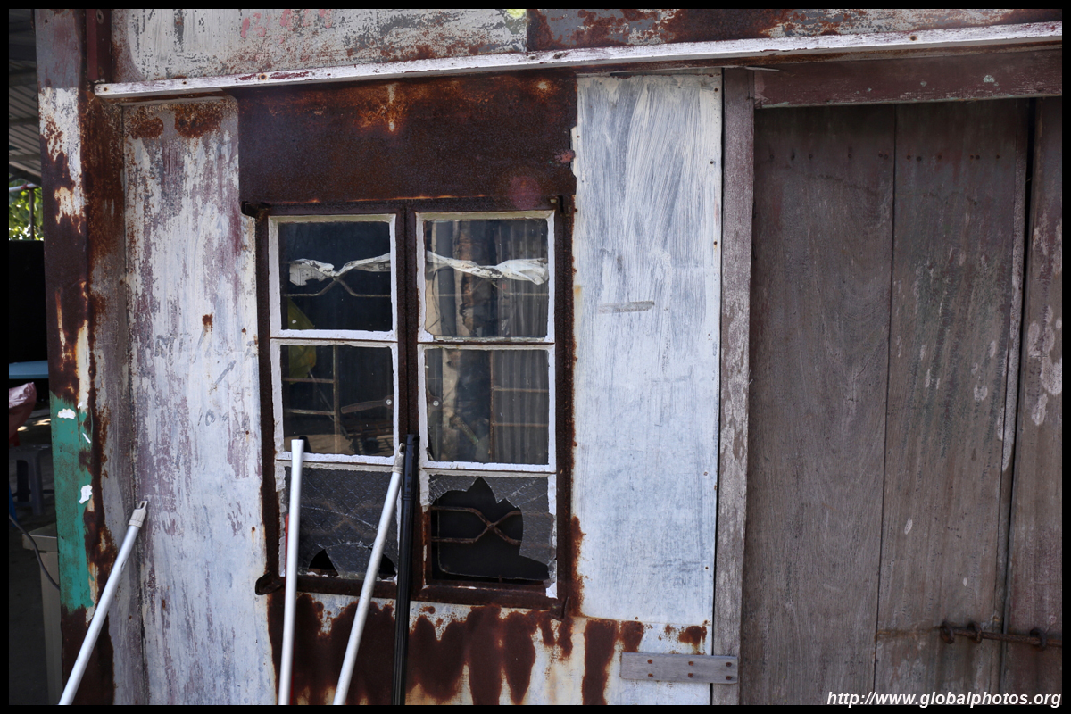
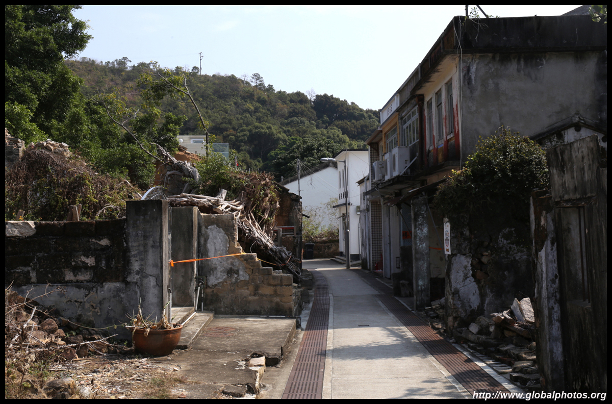
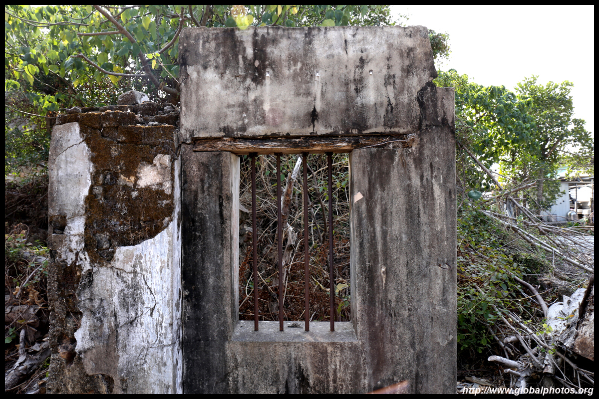
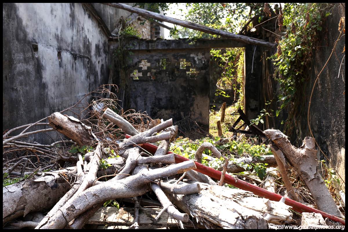
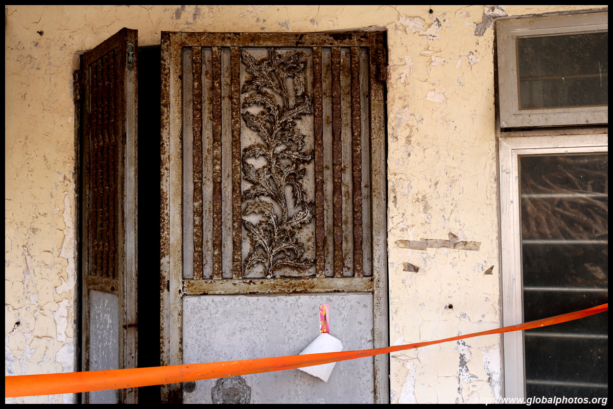
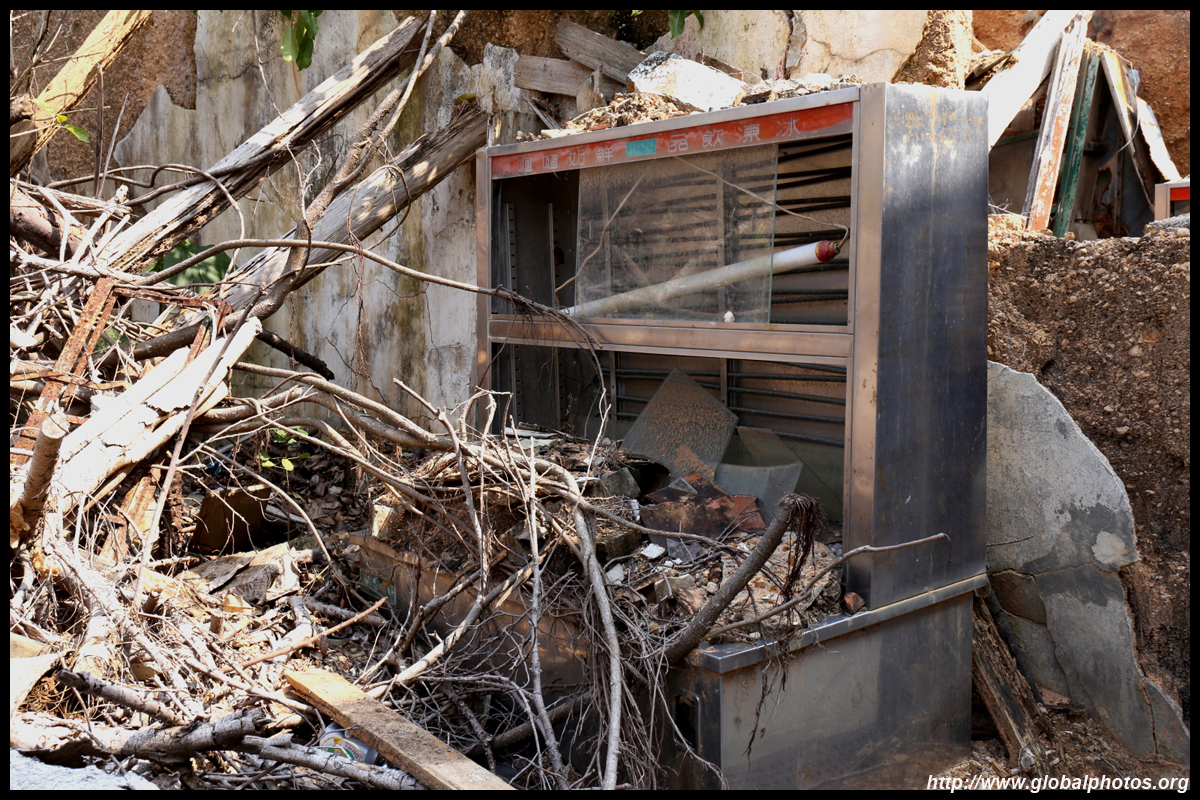
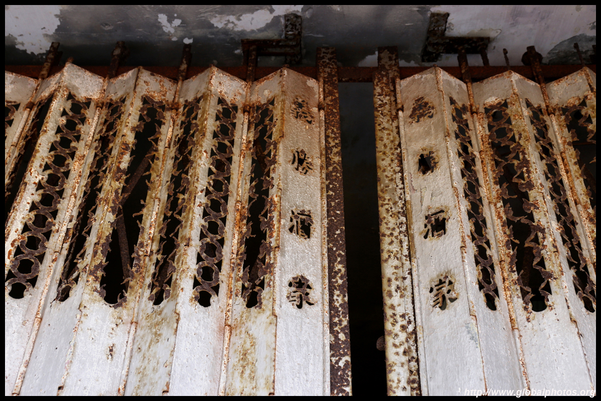
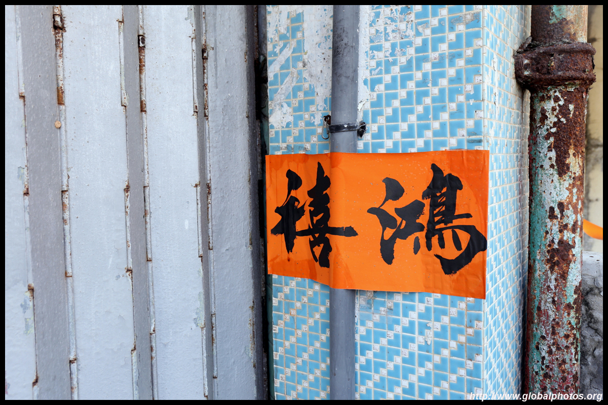
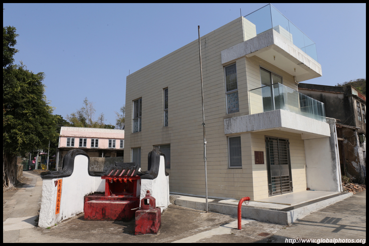
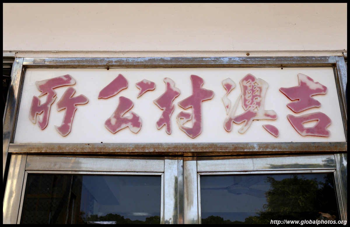
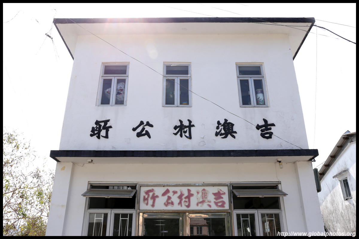
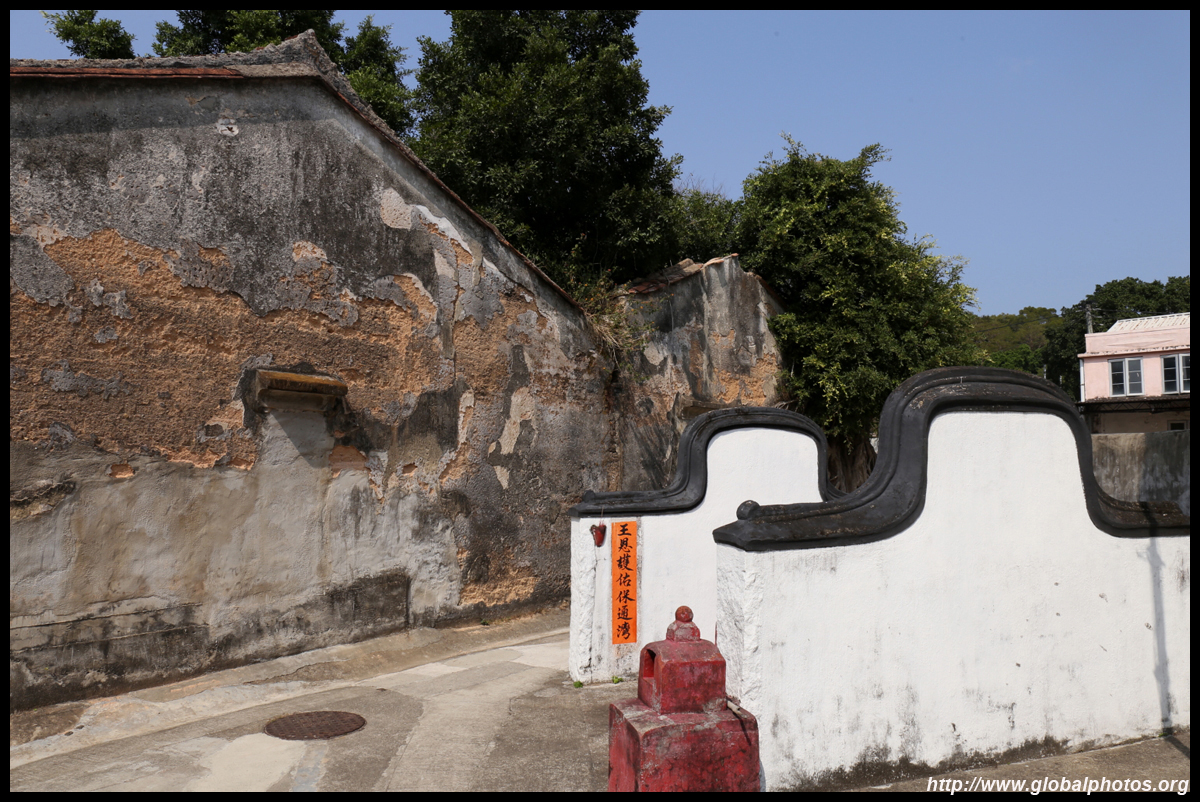
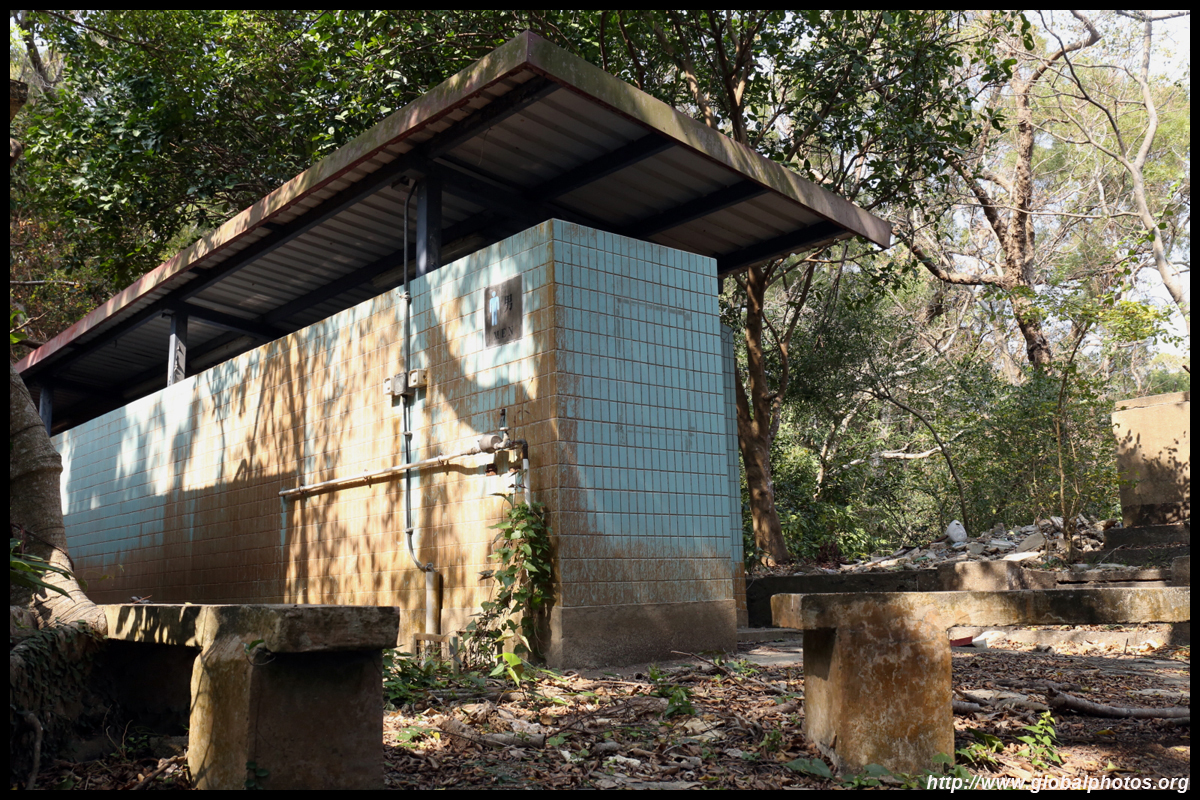
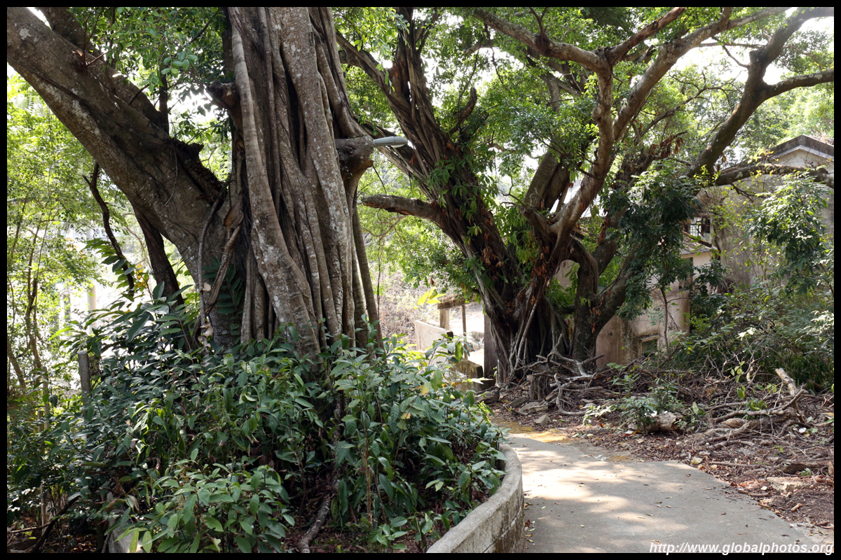
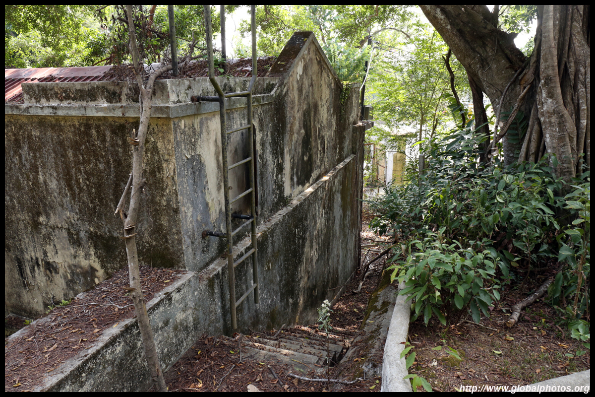
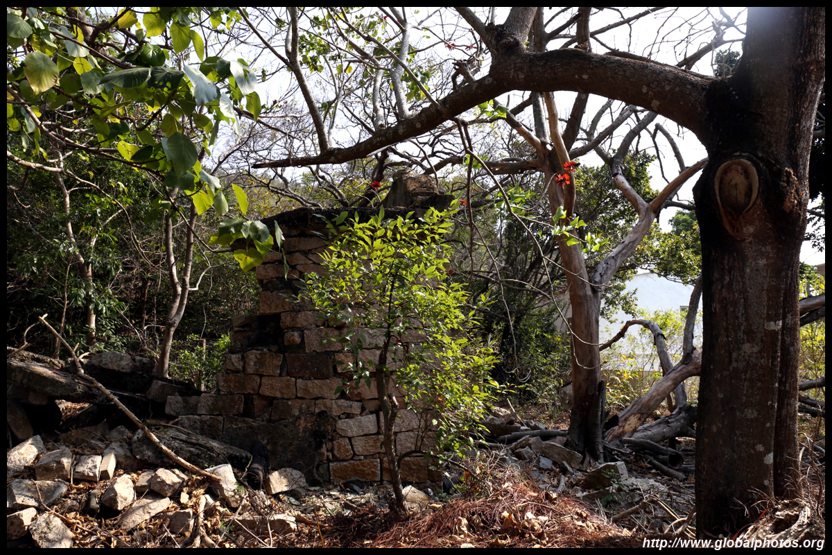
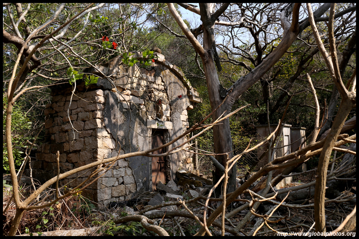
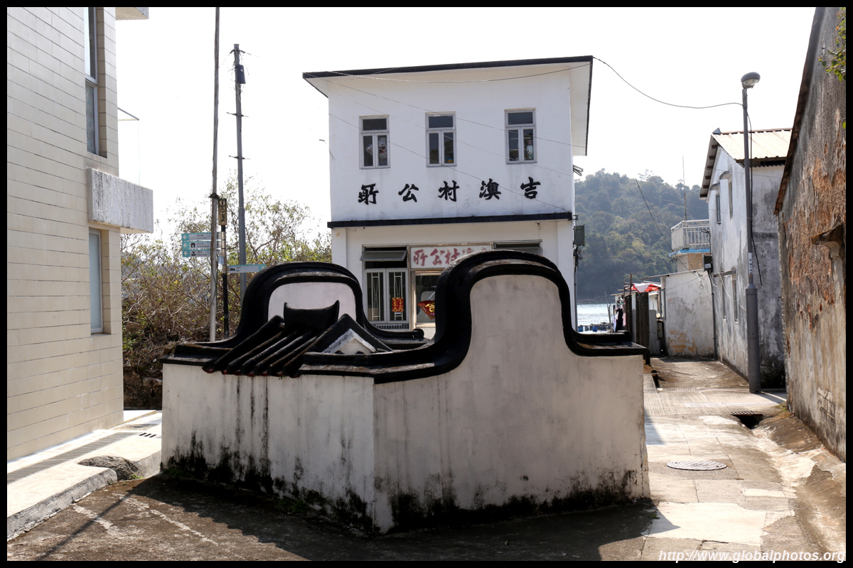
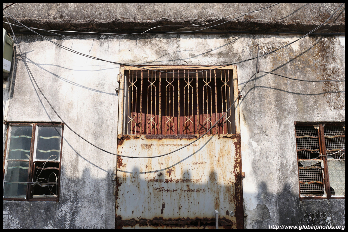
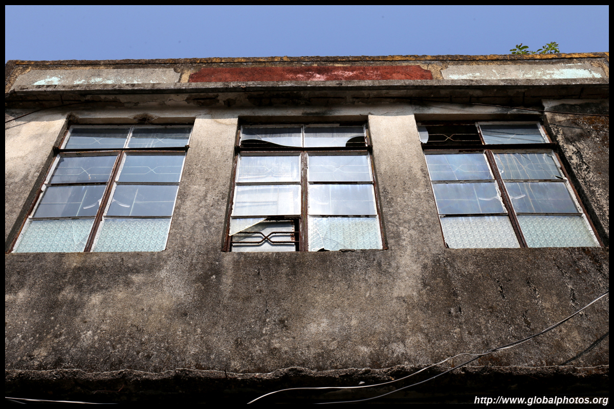
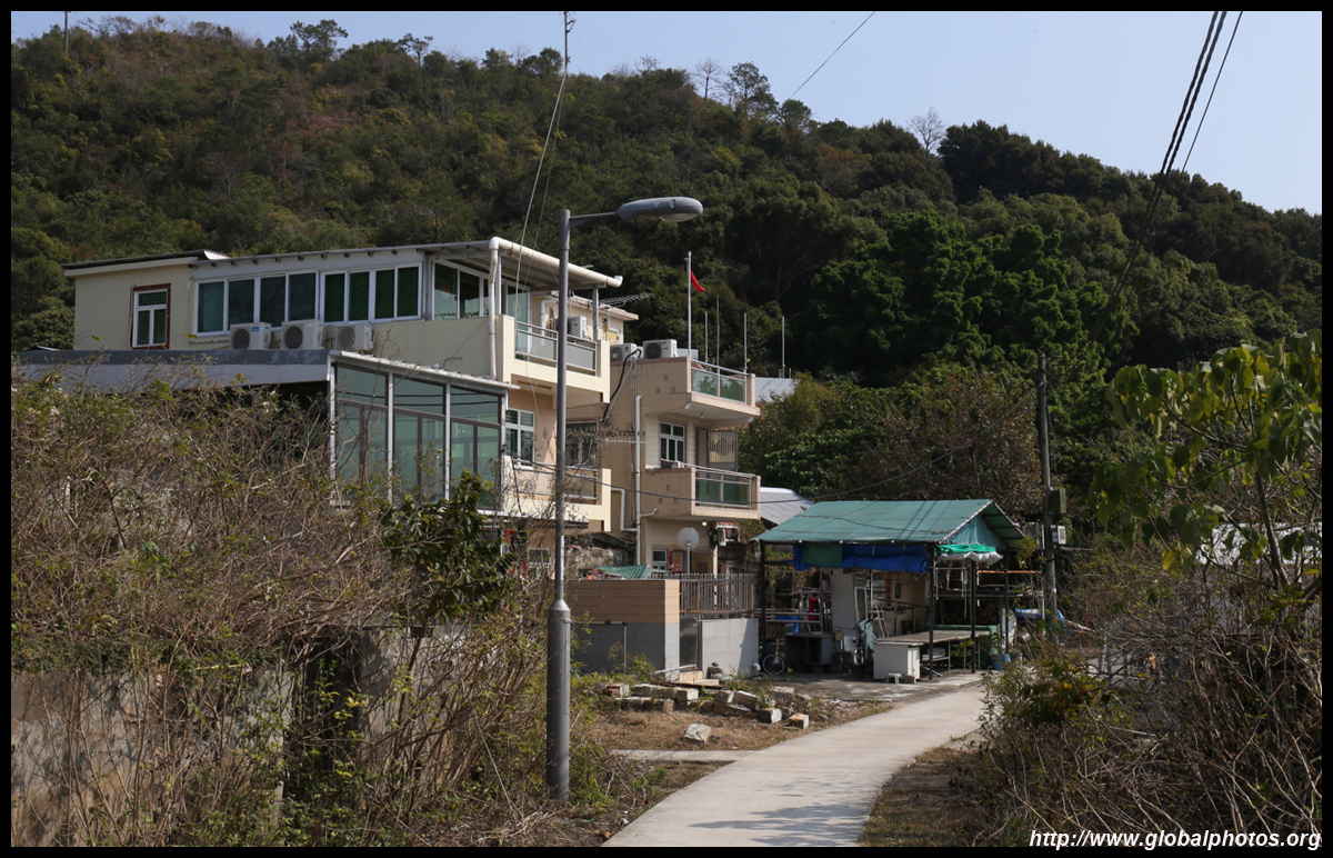
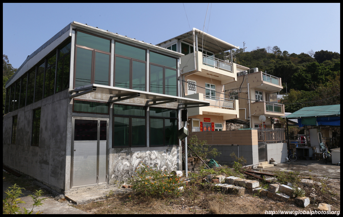
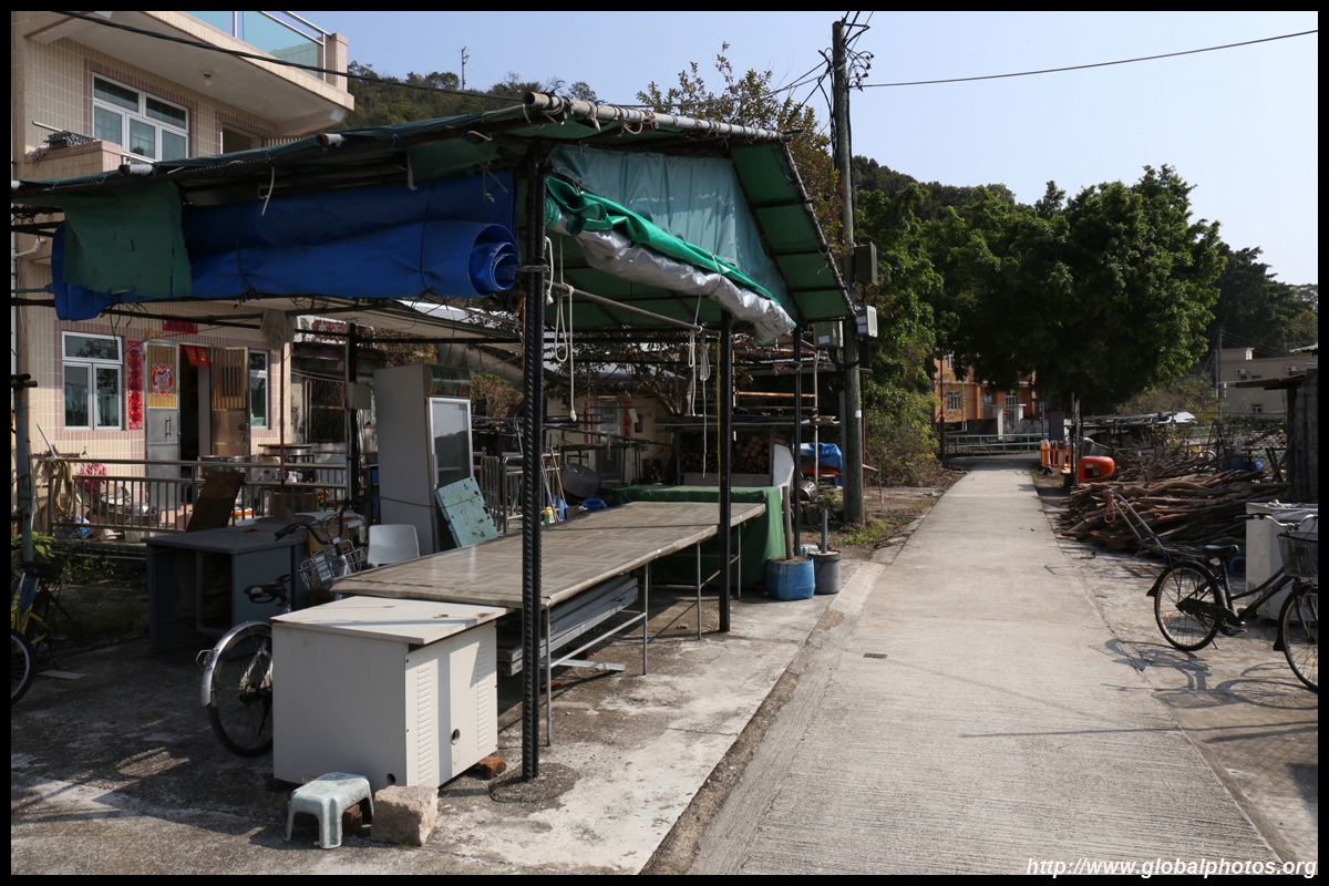
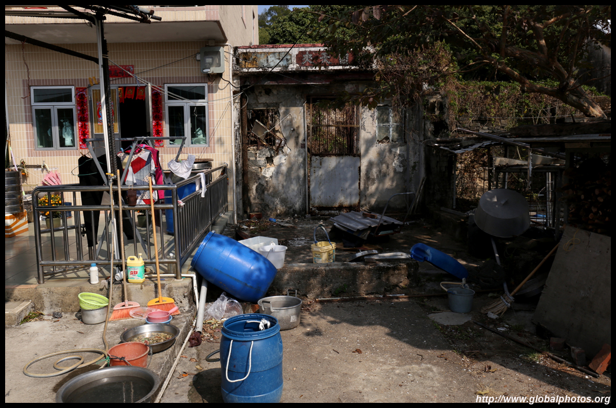
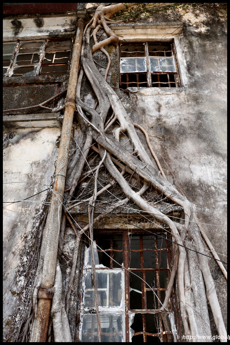
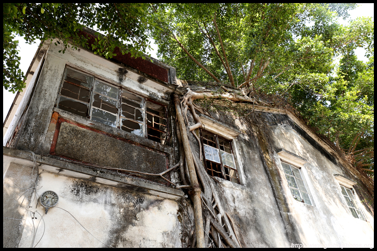
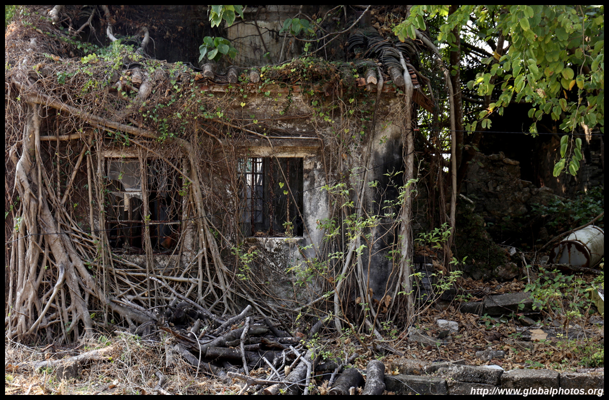
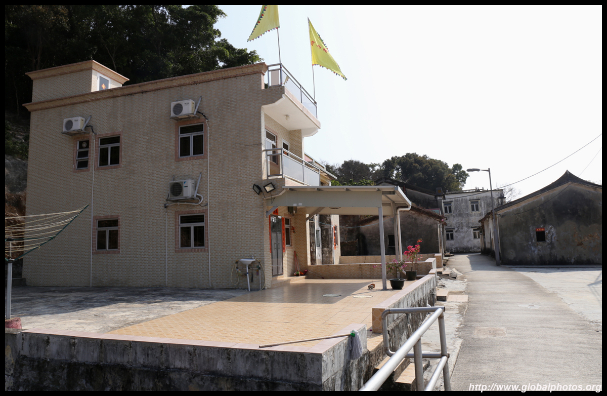
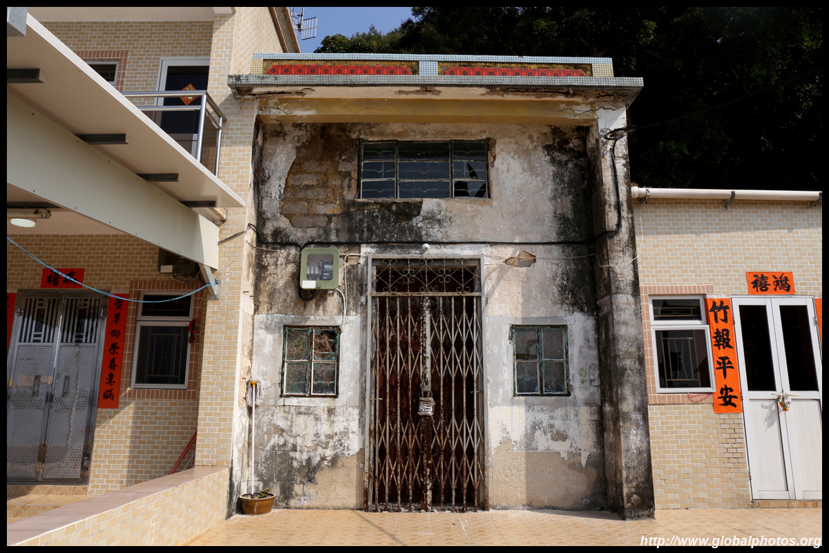
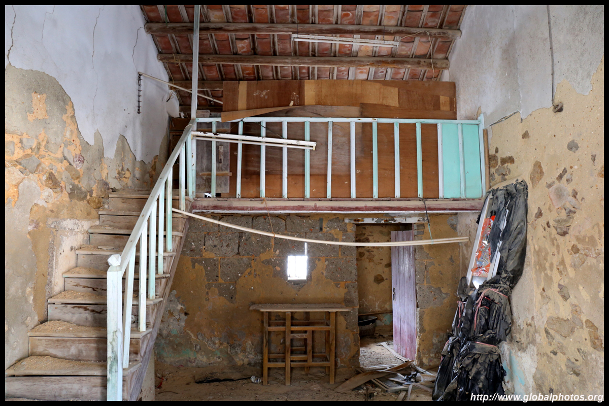
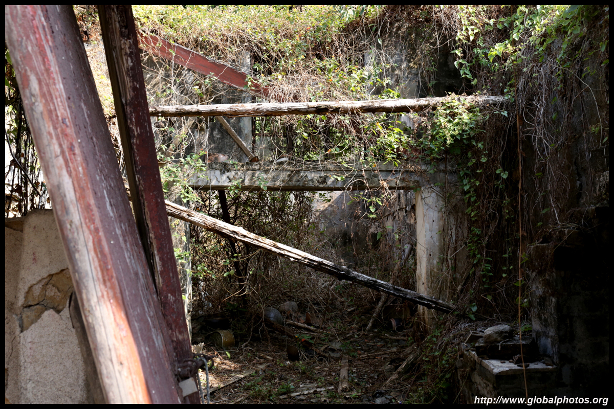
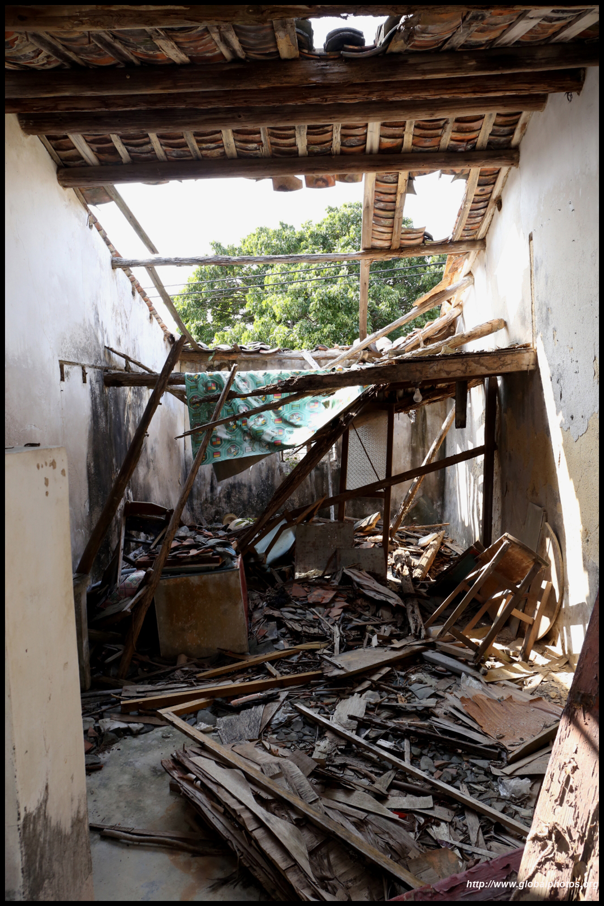
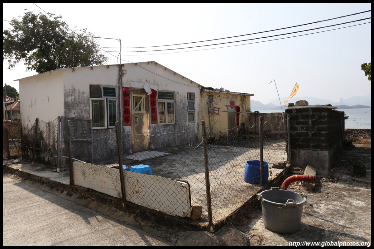
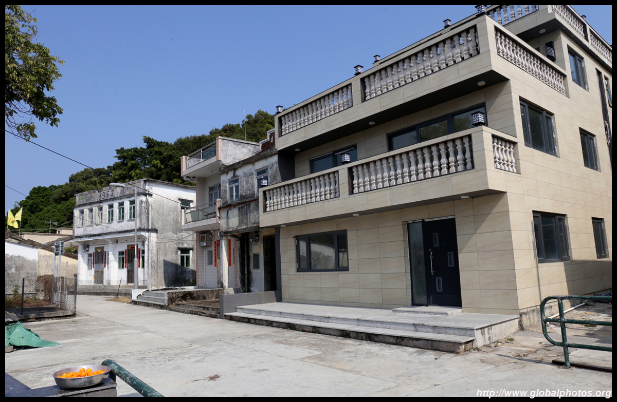
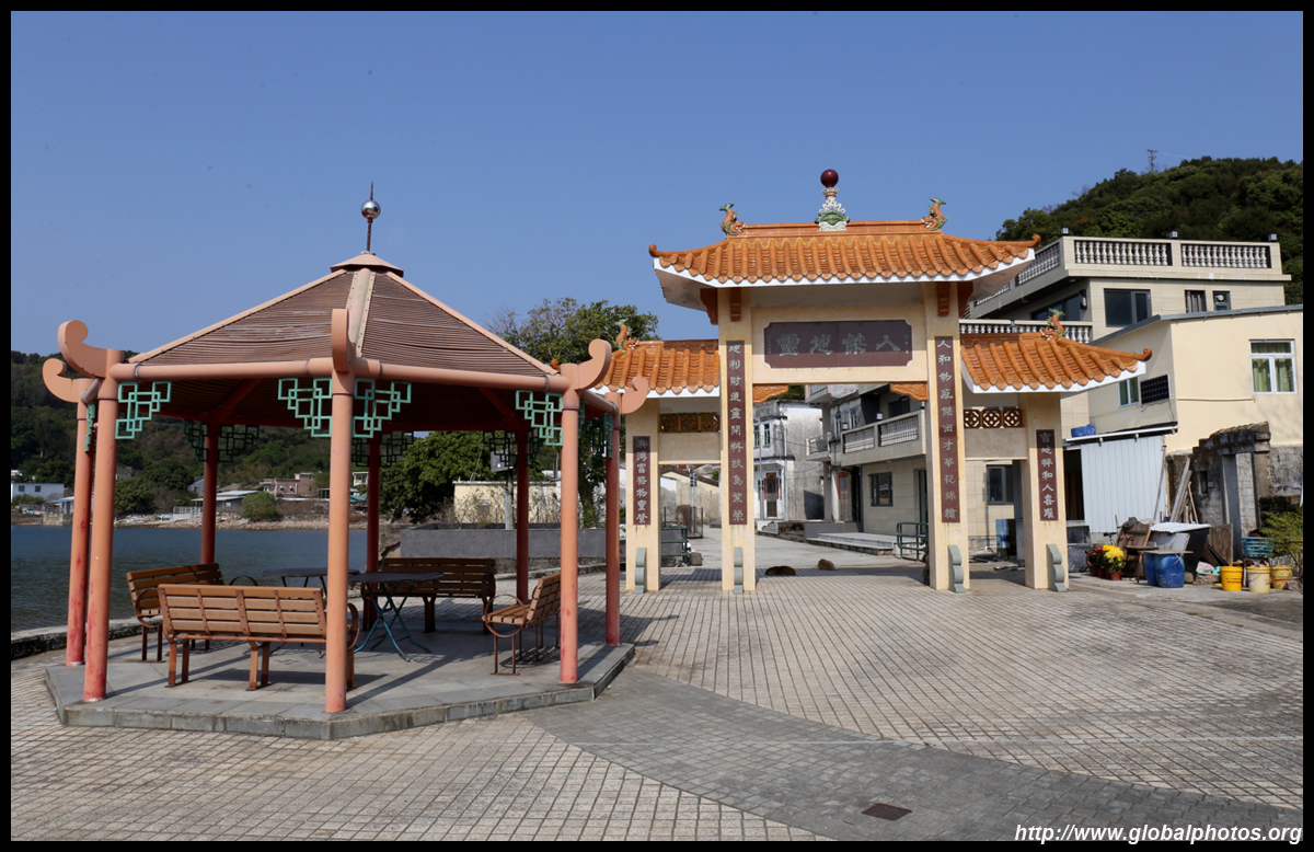
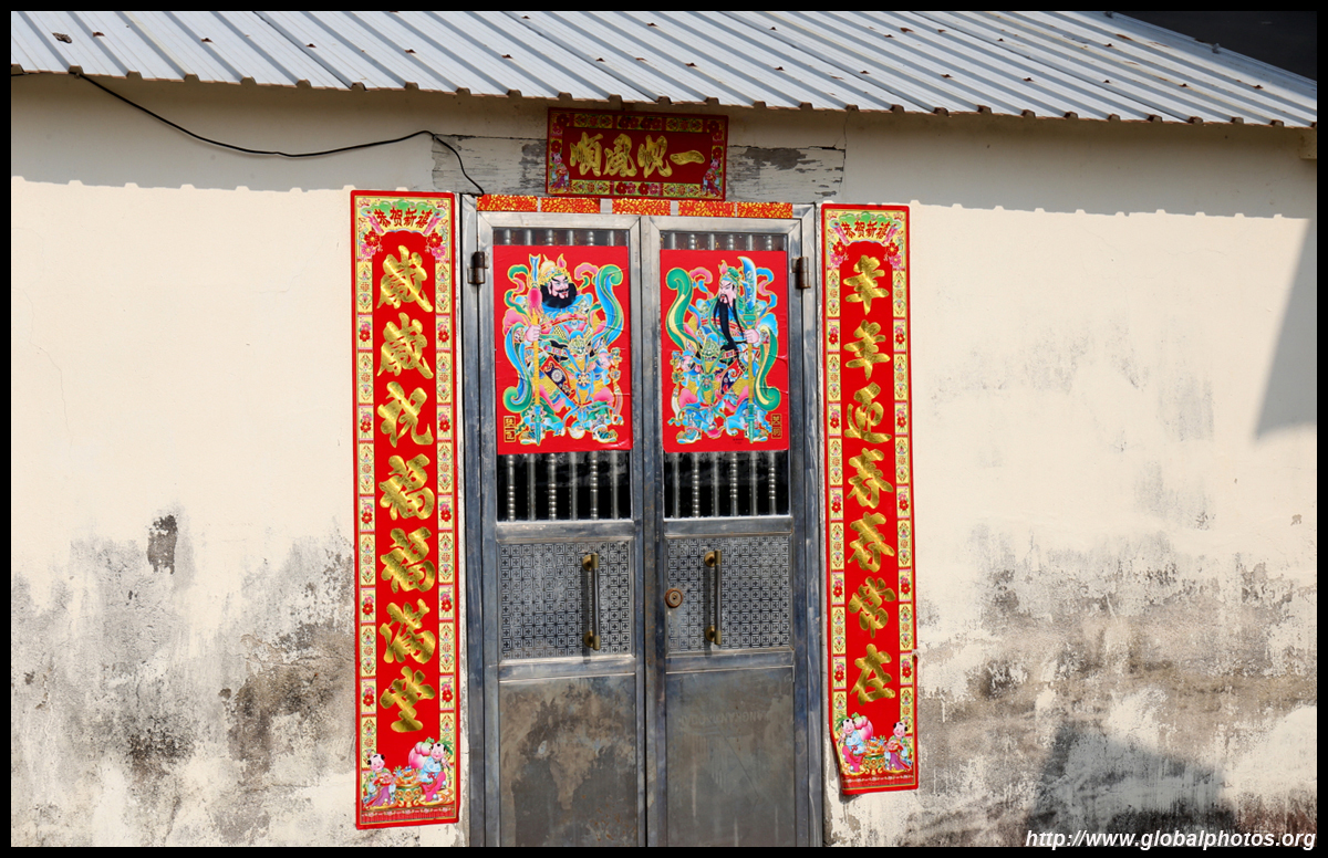
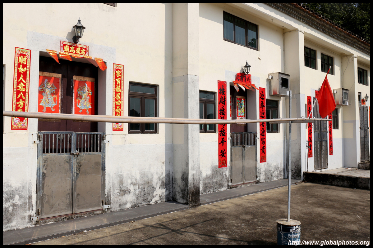
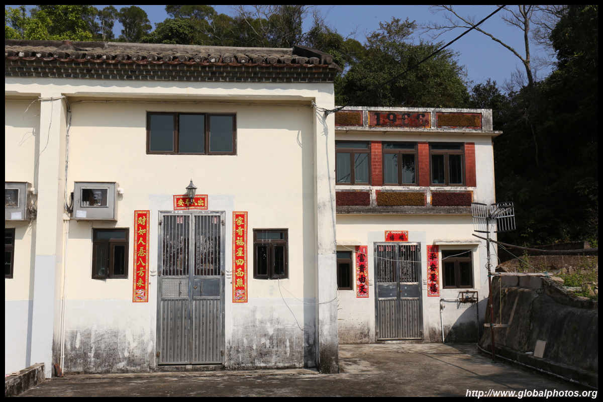
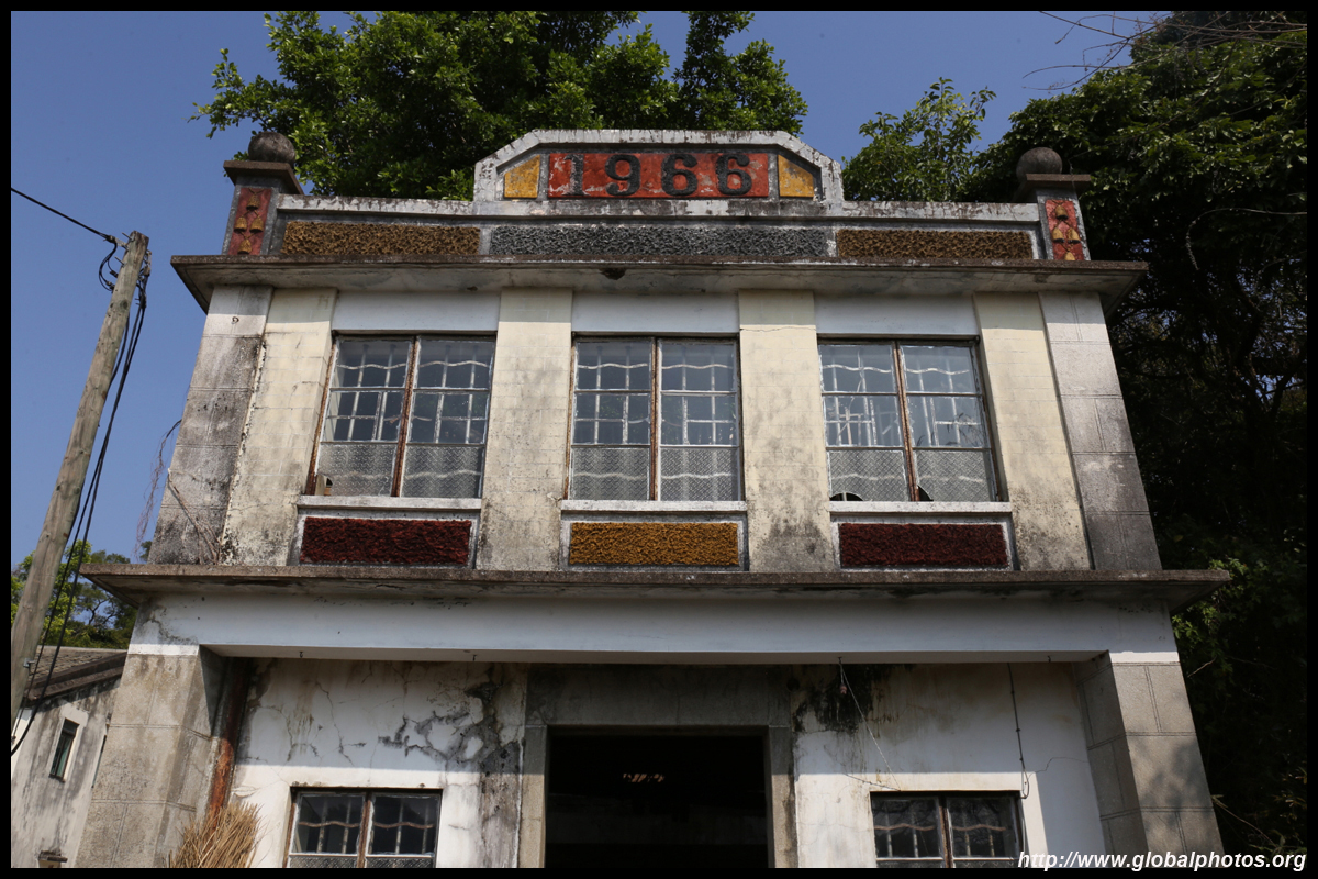
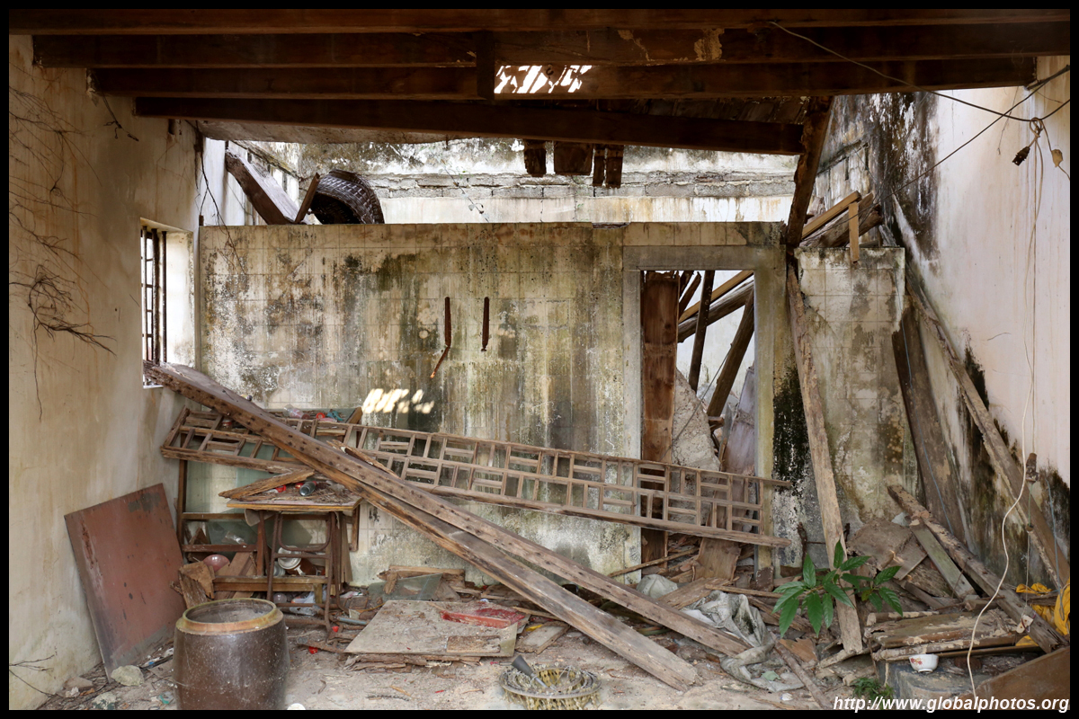
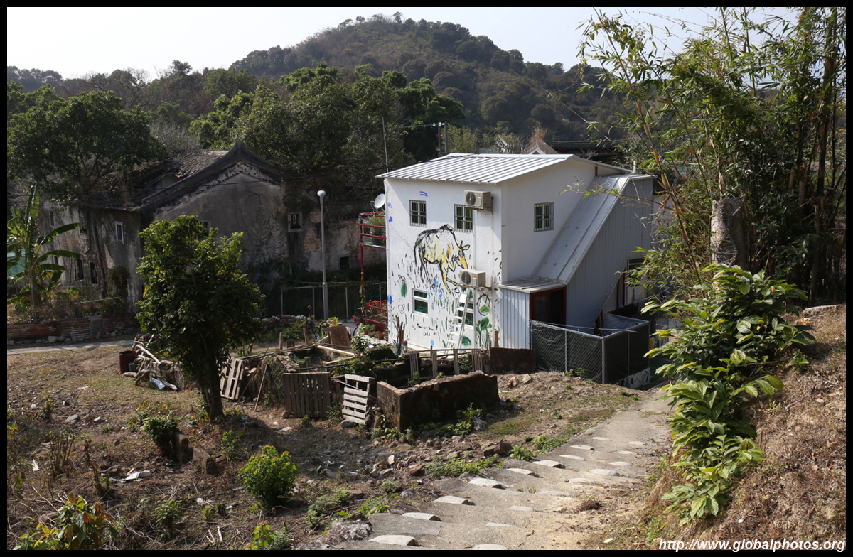
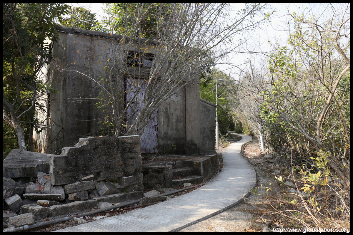
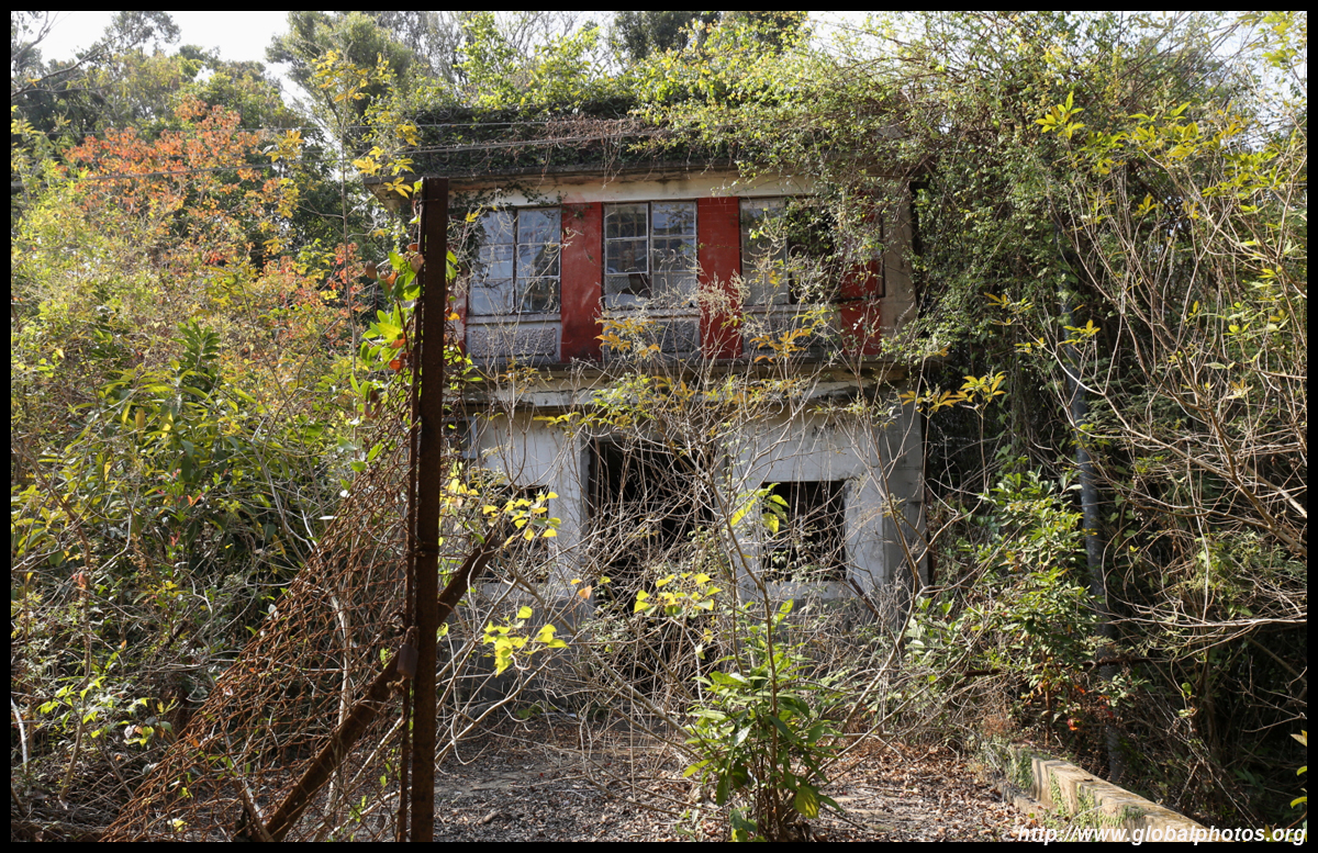
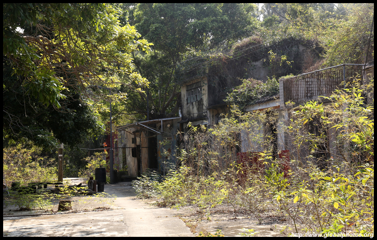
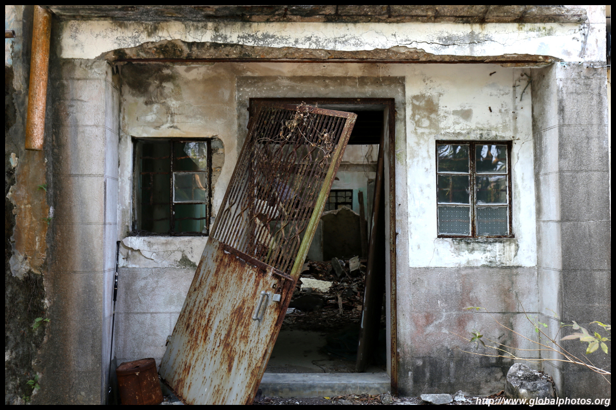
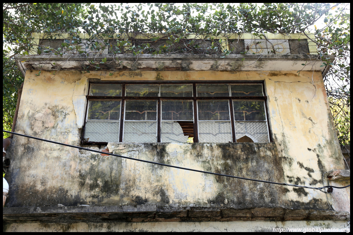
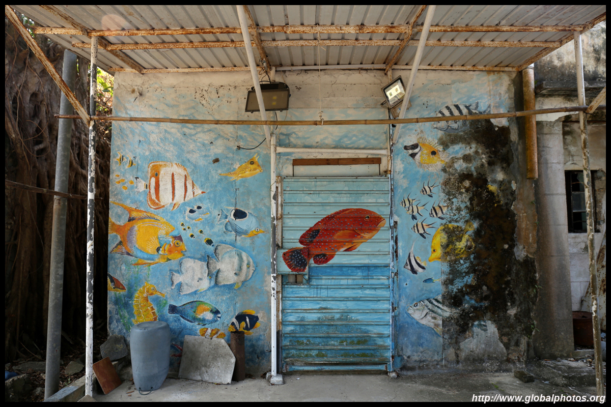
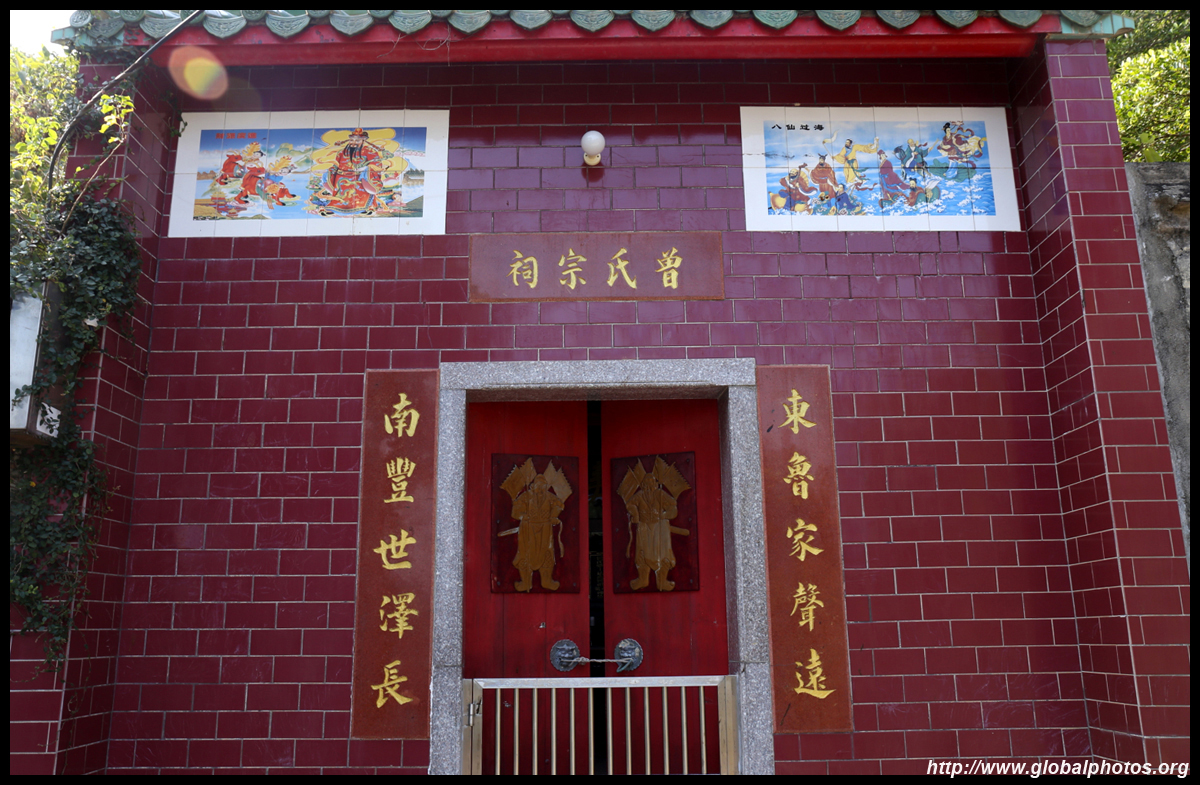
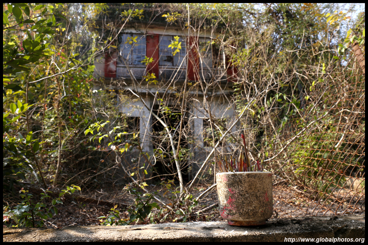
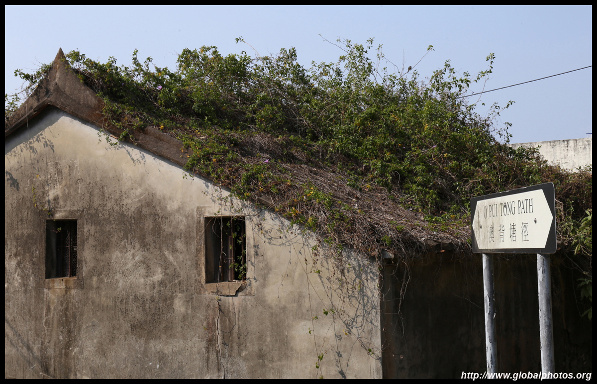
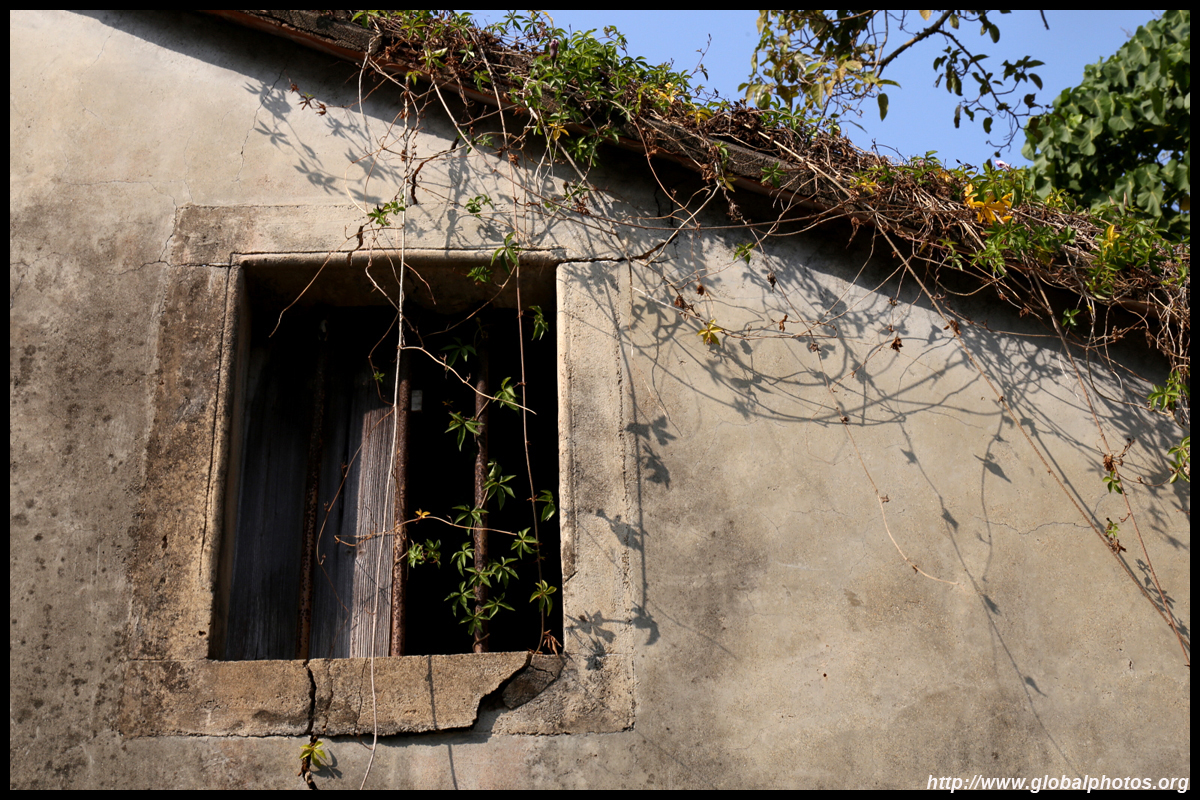
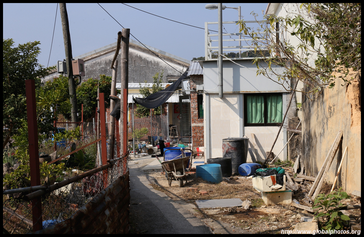
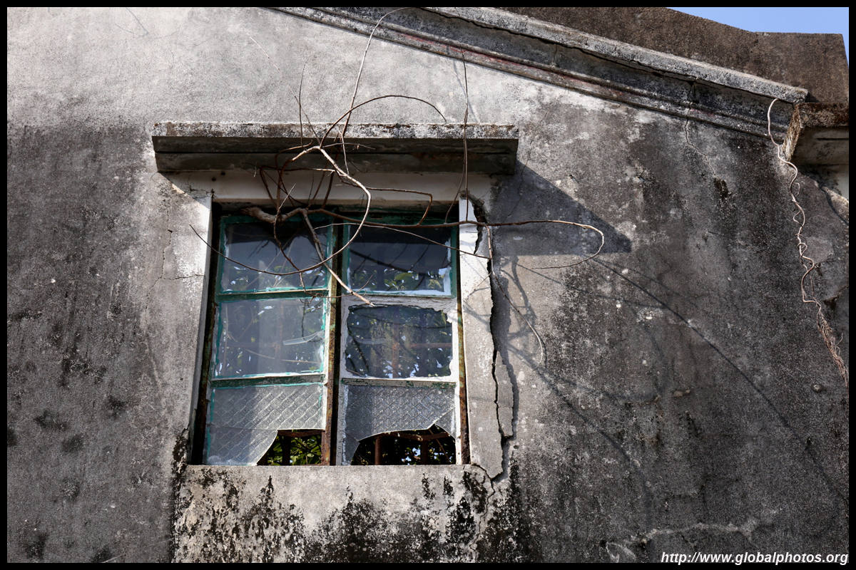
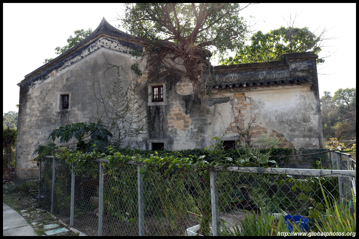
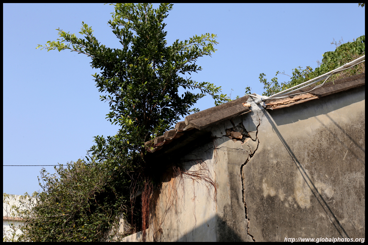
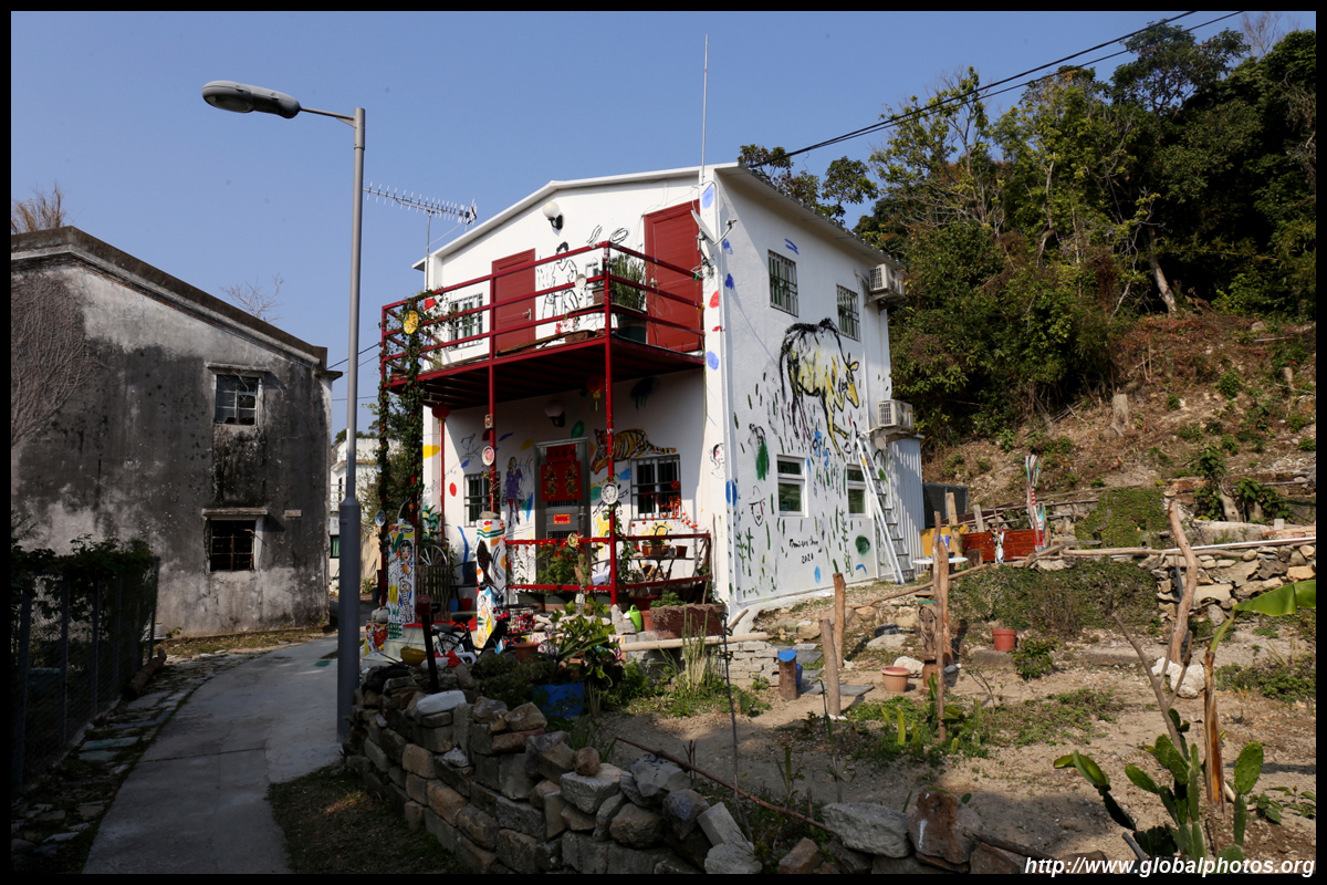
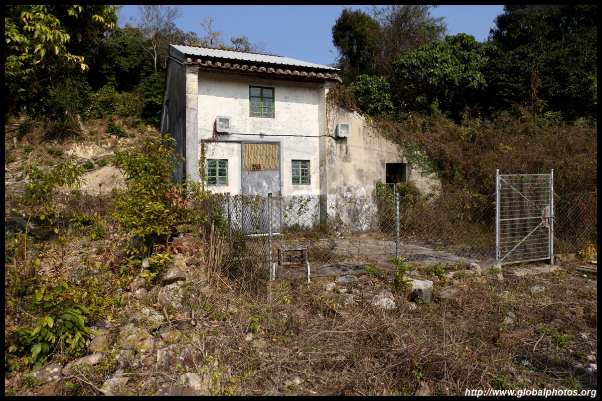
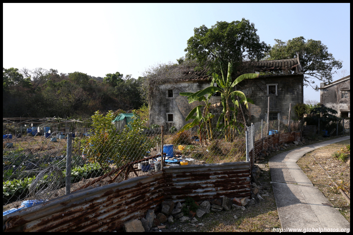
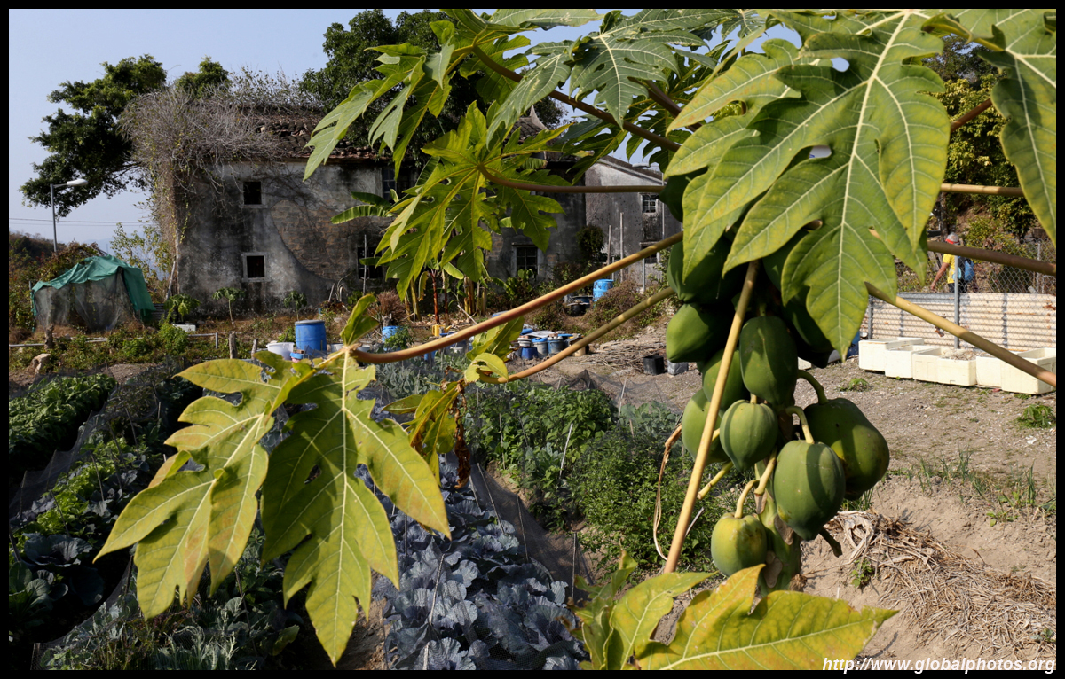
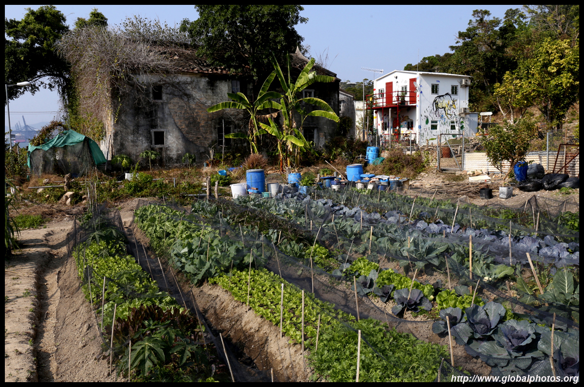
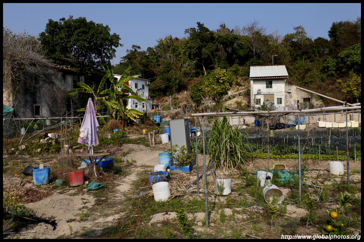
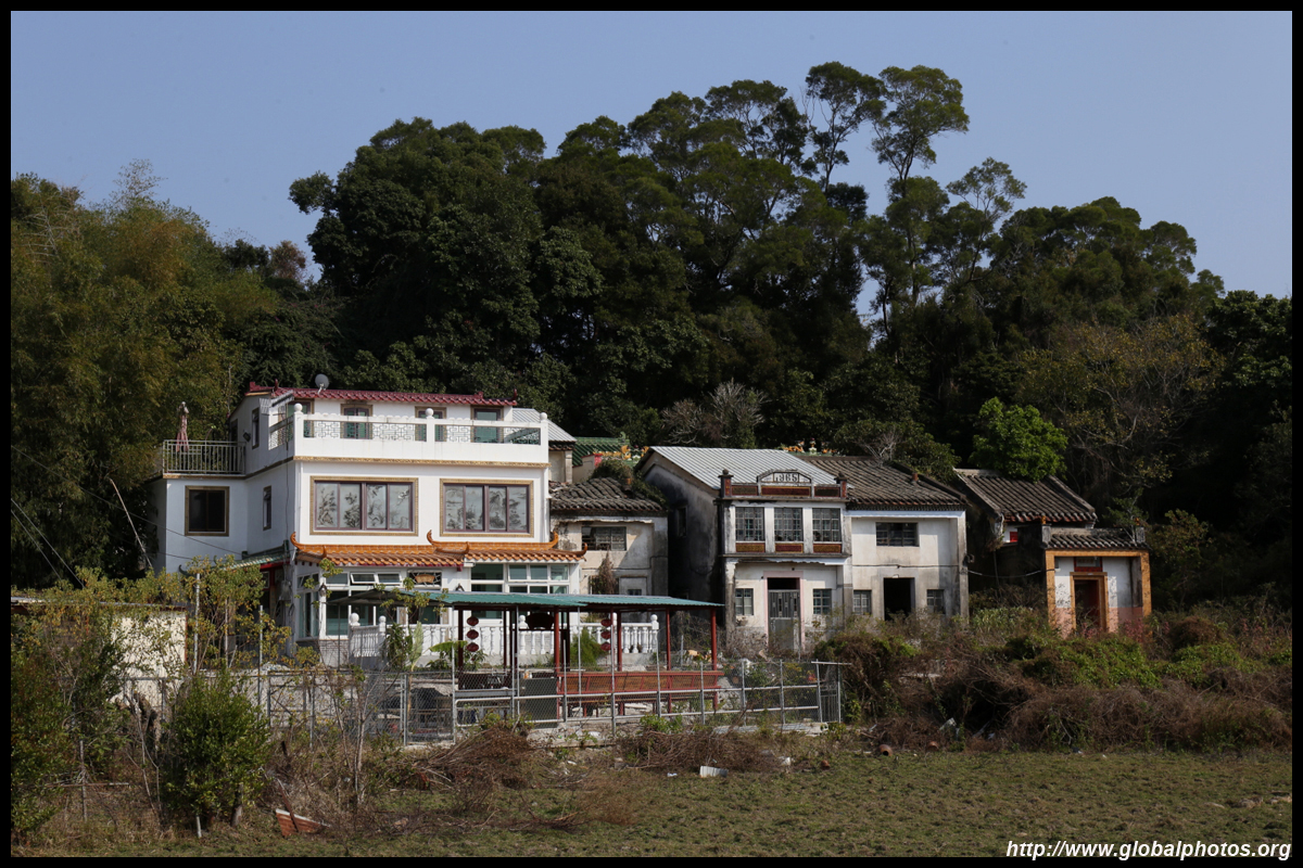
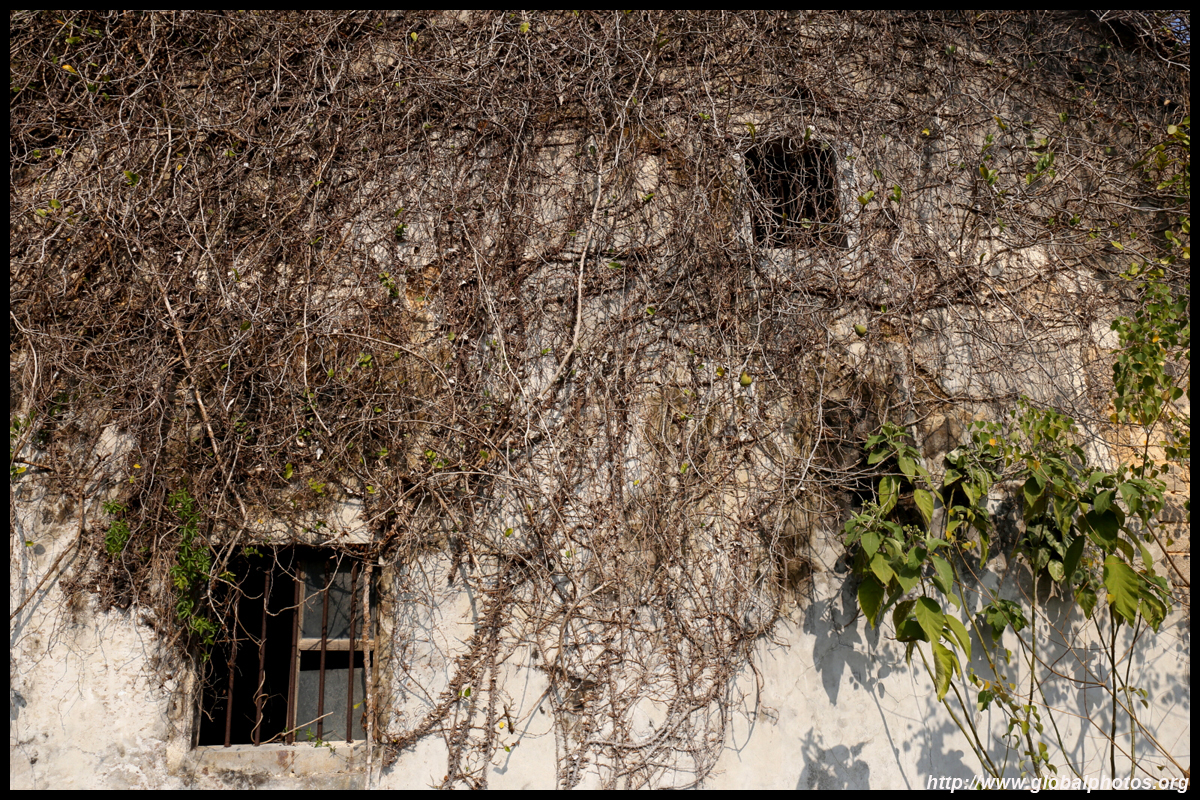
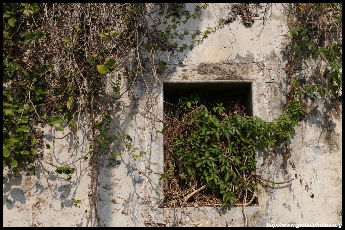
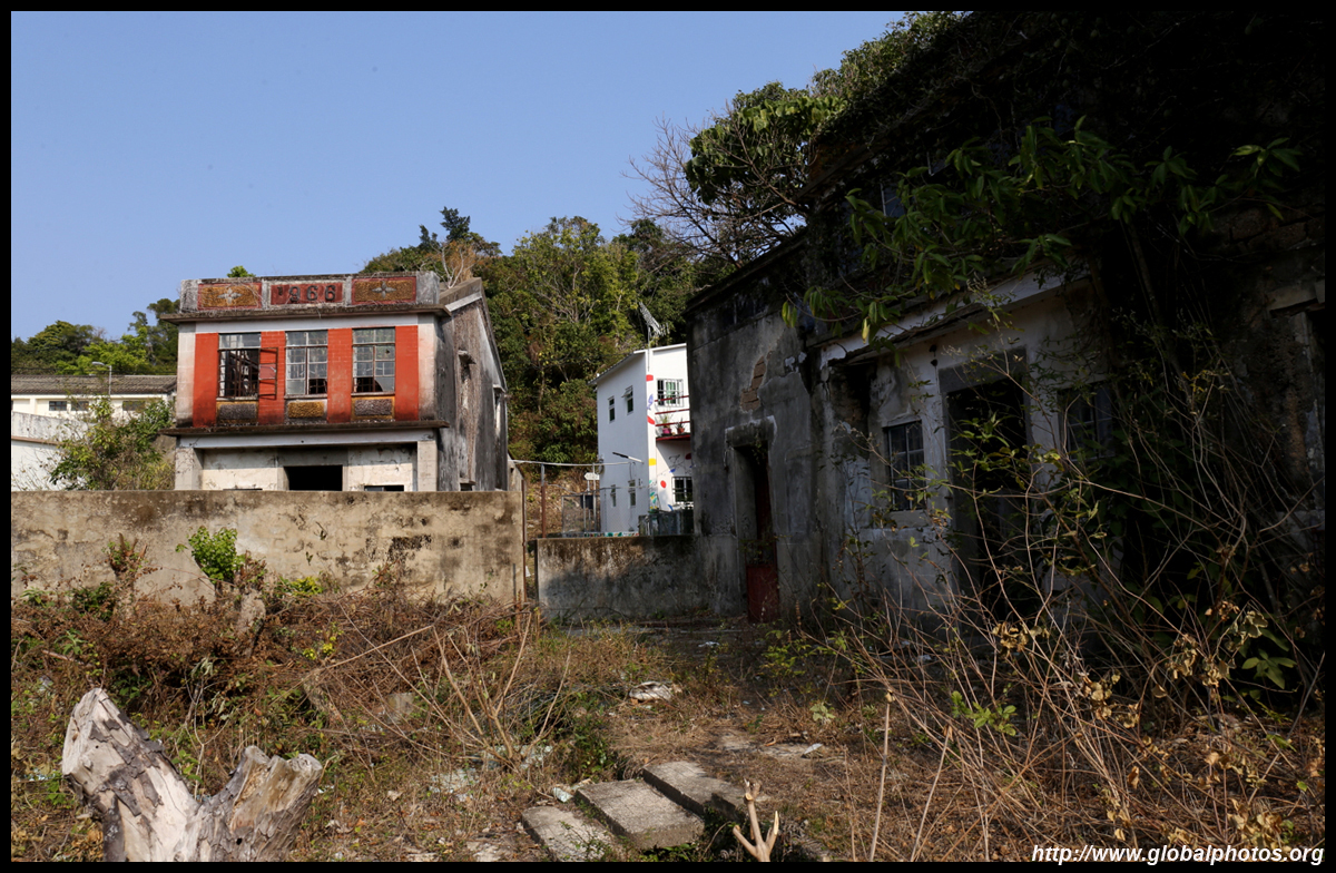
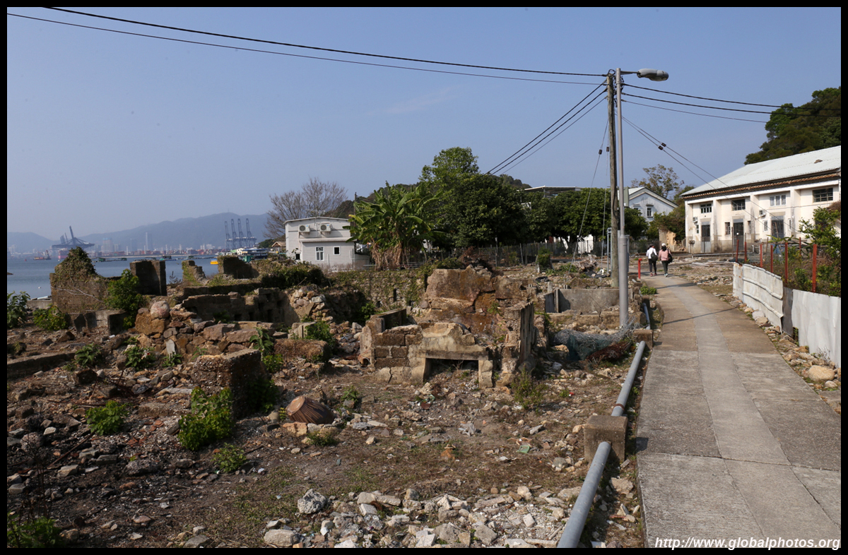
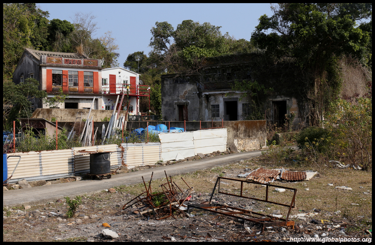
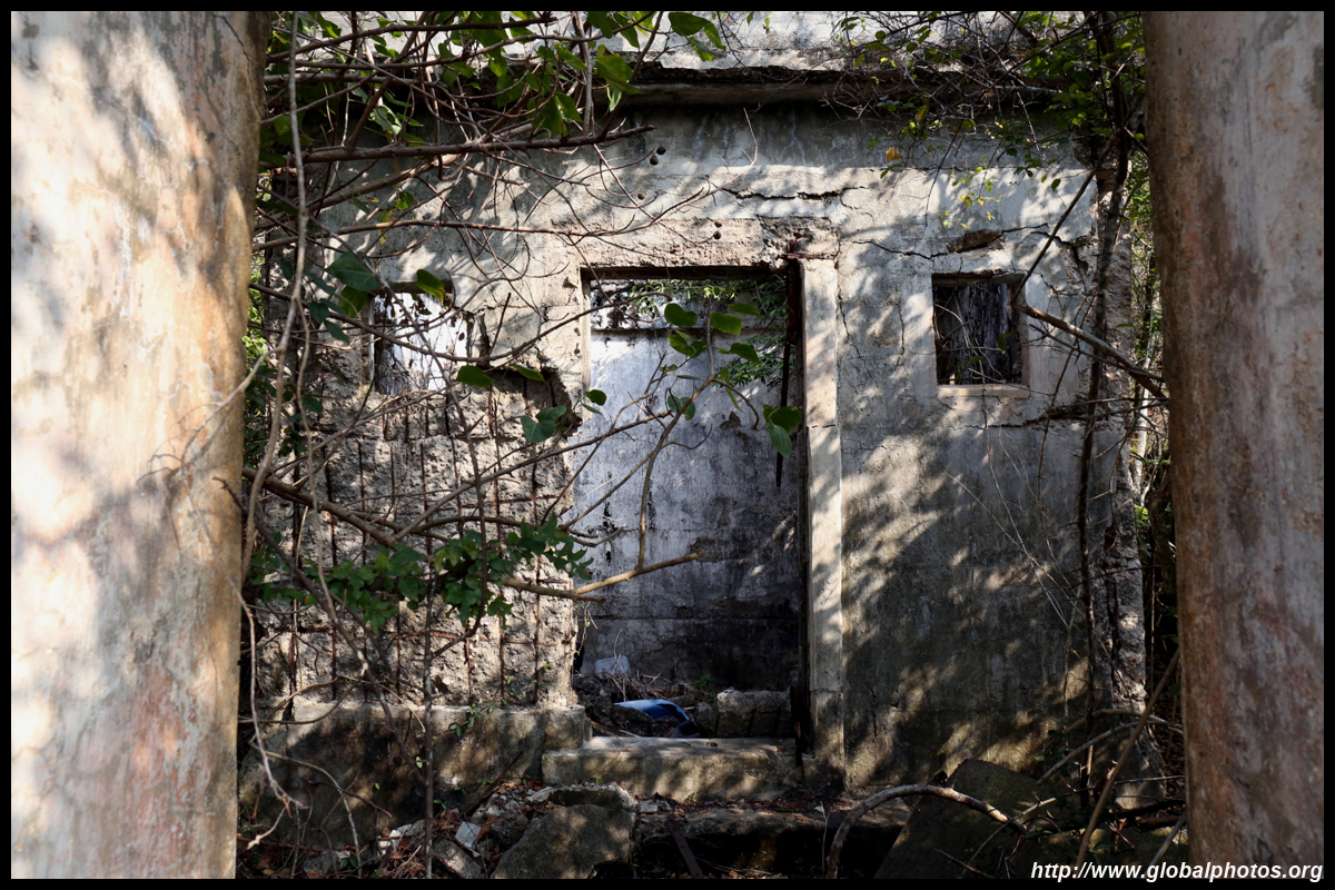
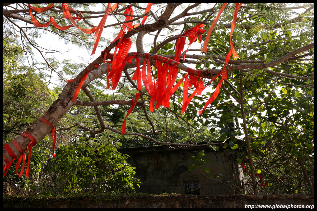
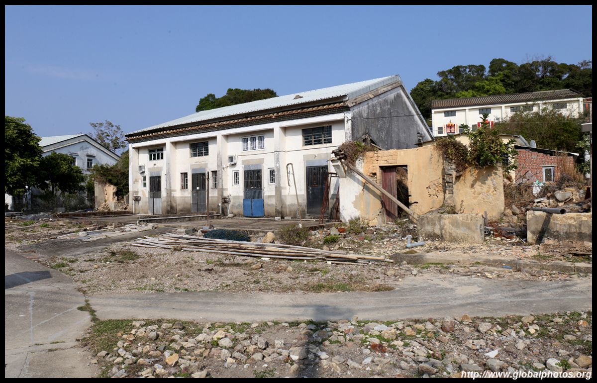
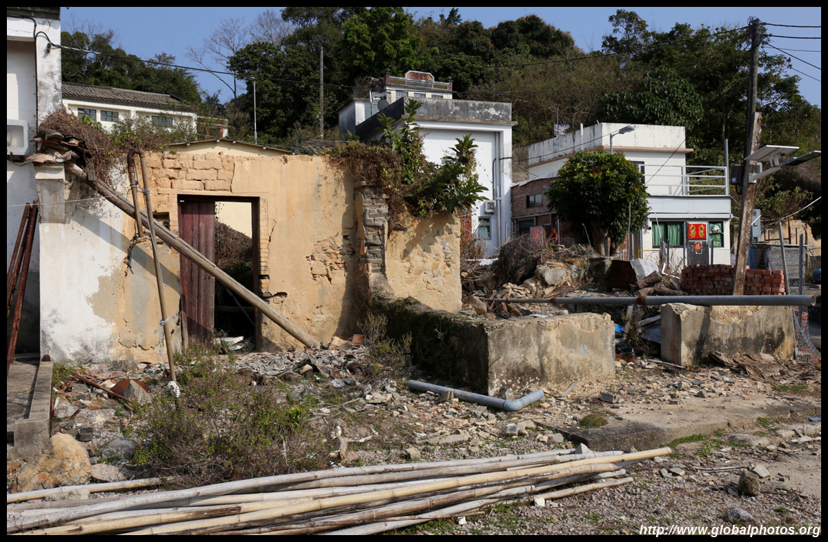
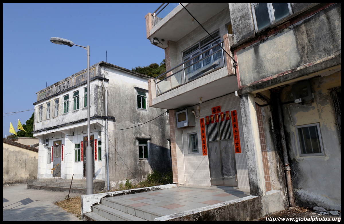
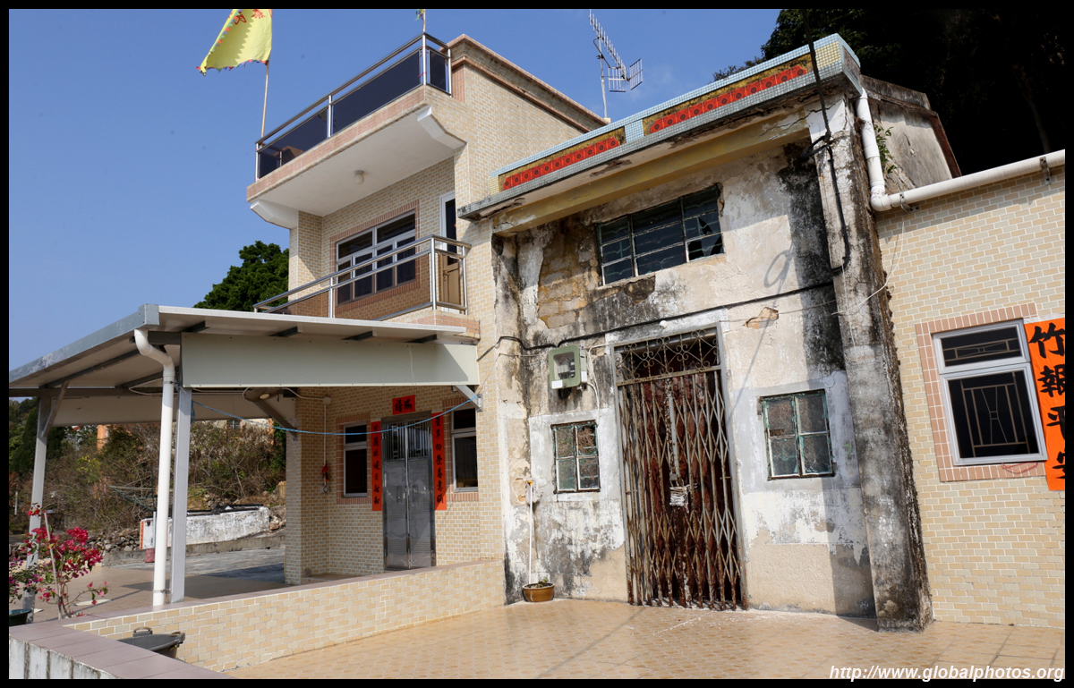
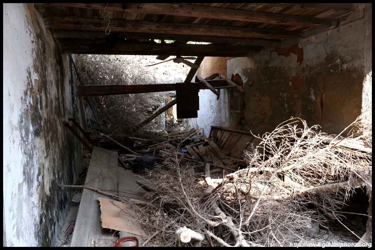
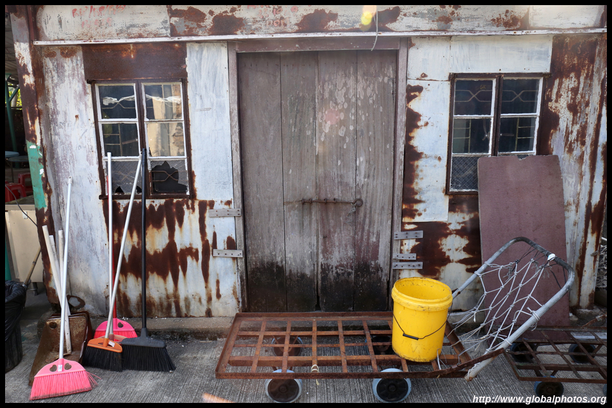
There is a mix of both modern buildings and dilapidated abandoned structures along the island's main street.
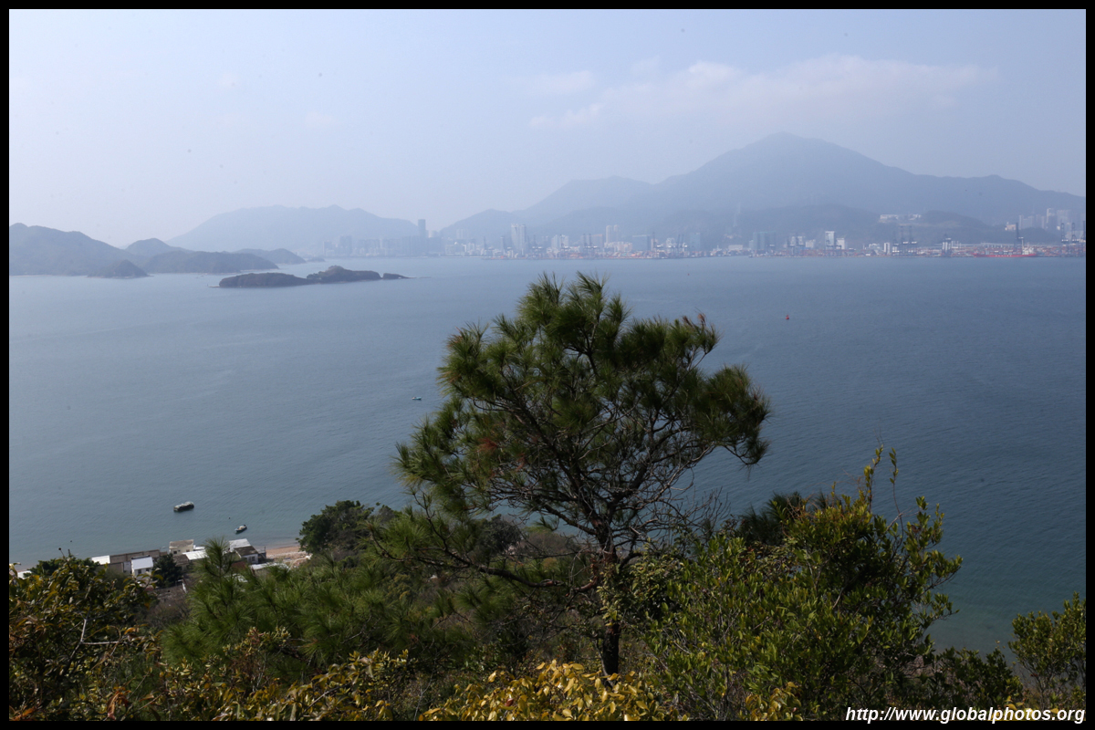
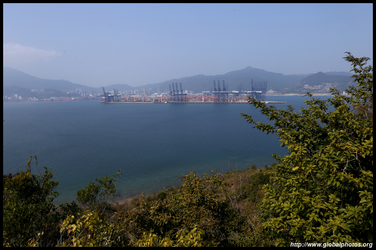
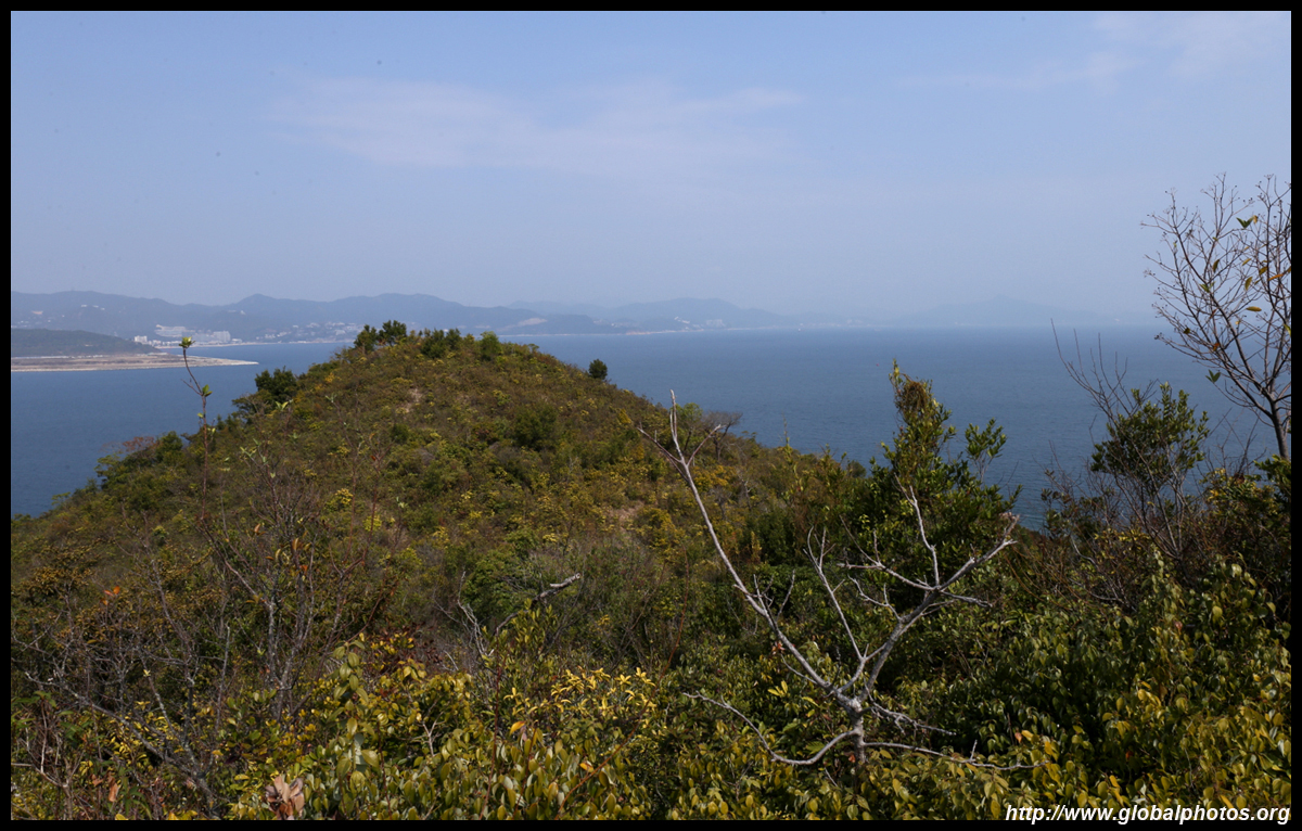
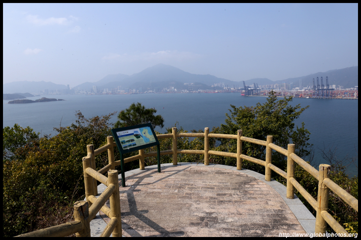
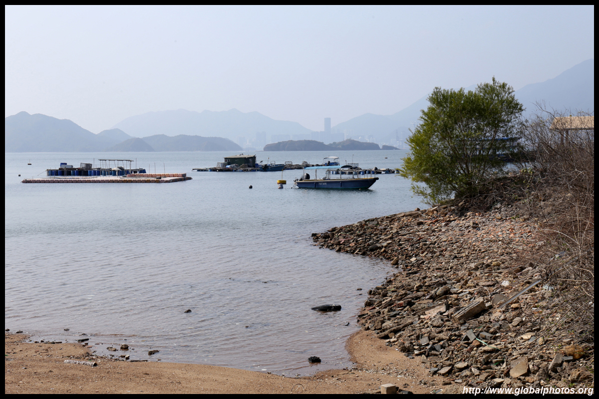
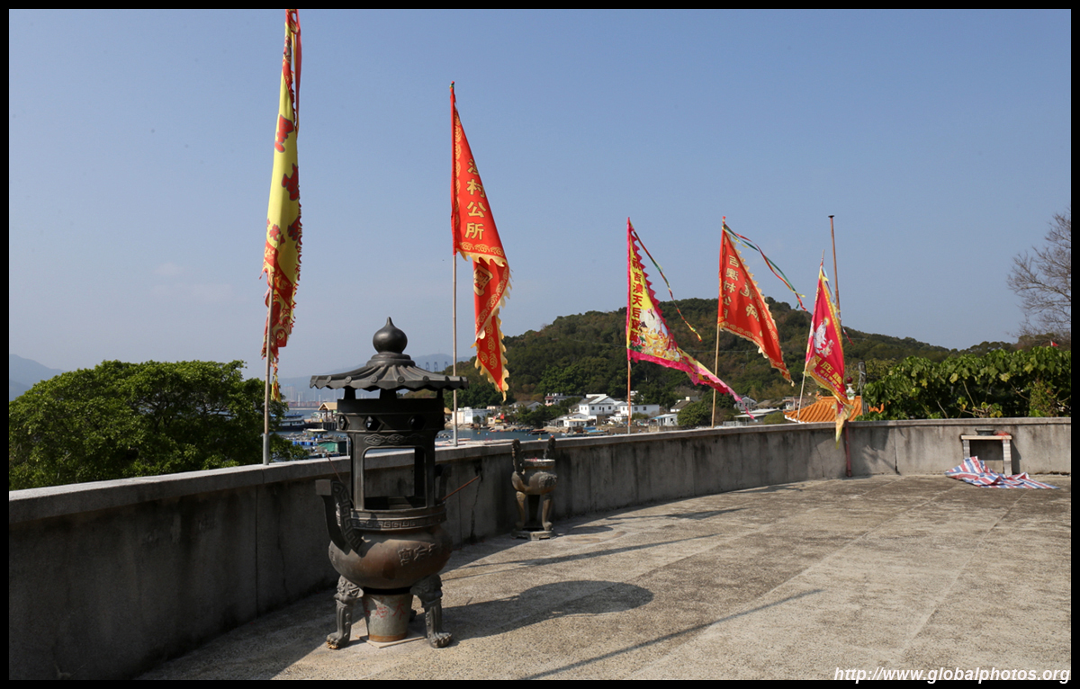
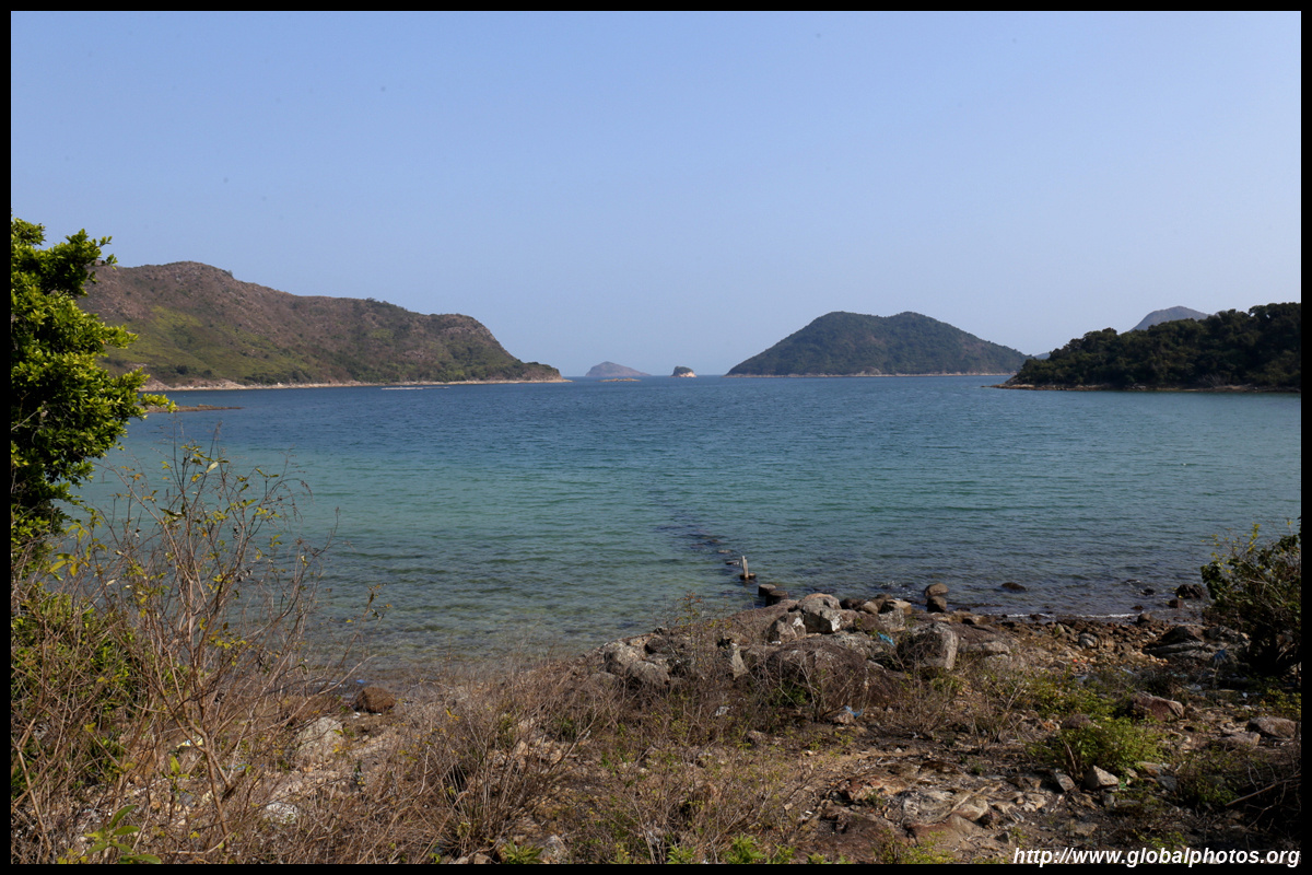
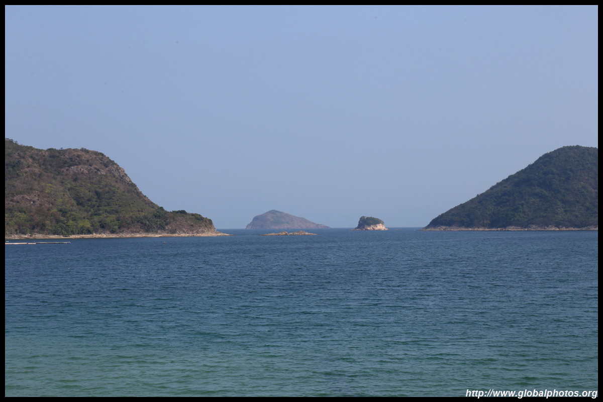
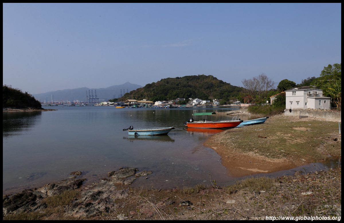
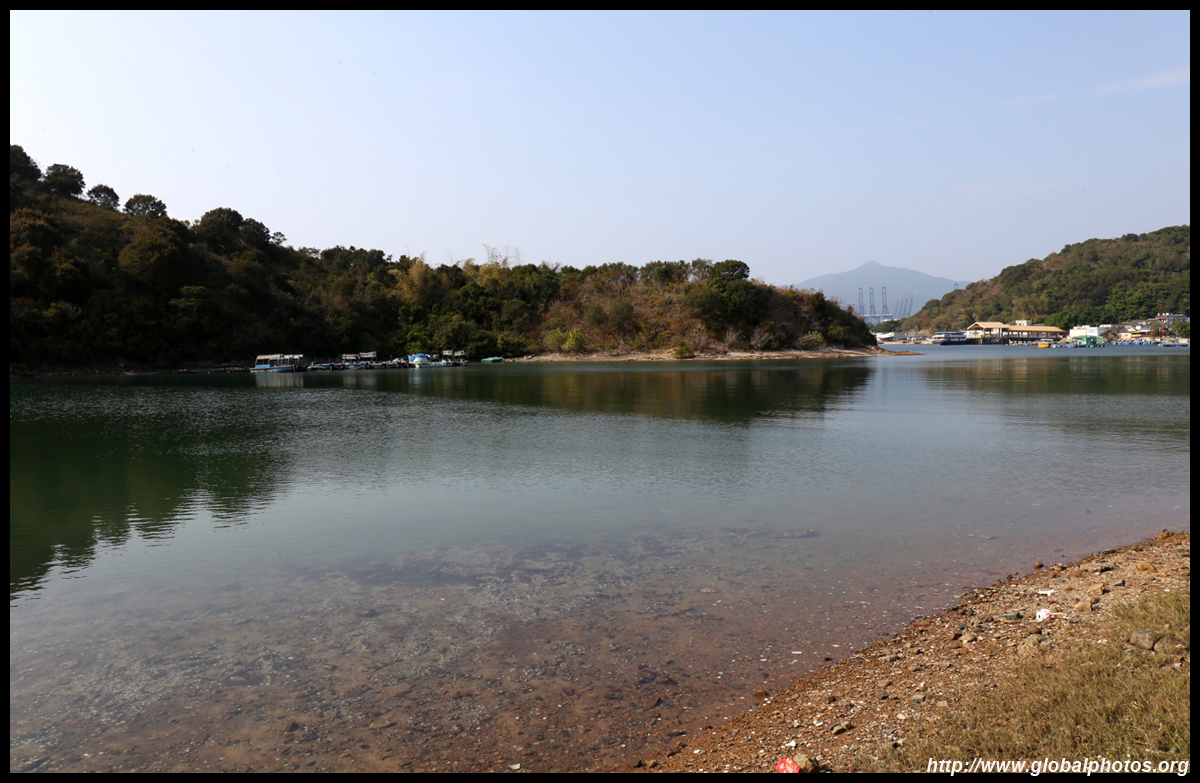
Make the short climb to Ko Tei Teng at the northern part of the island for a view of Hong Kong's countryside, contrasted by Shenzhen's container port on the other side of the divide.
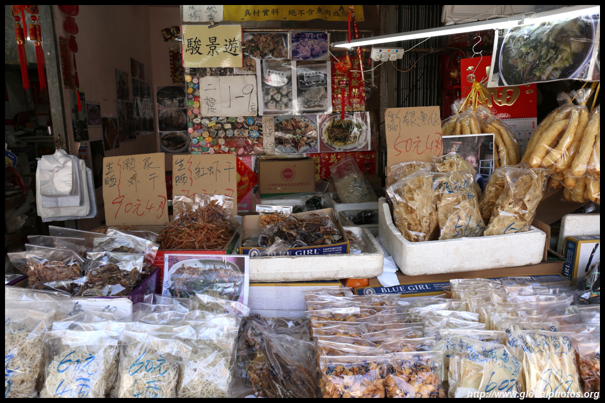
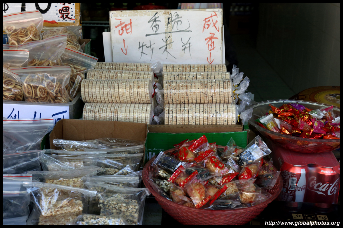
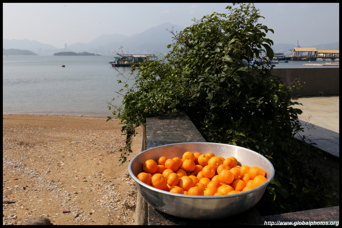
You will find seafood-based souvenirs as well as traditional snacks such as cha guo, a glutinous rice dumpling with a sweet or savoury filling.
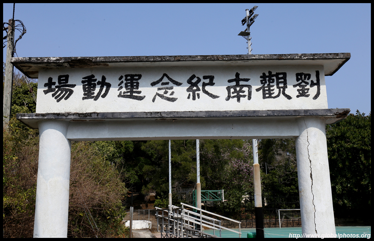
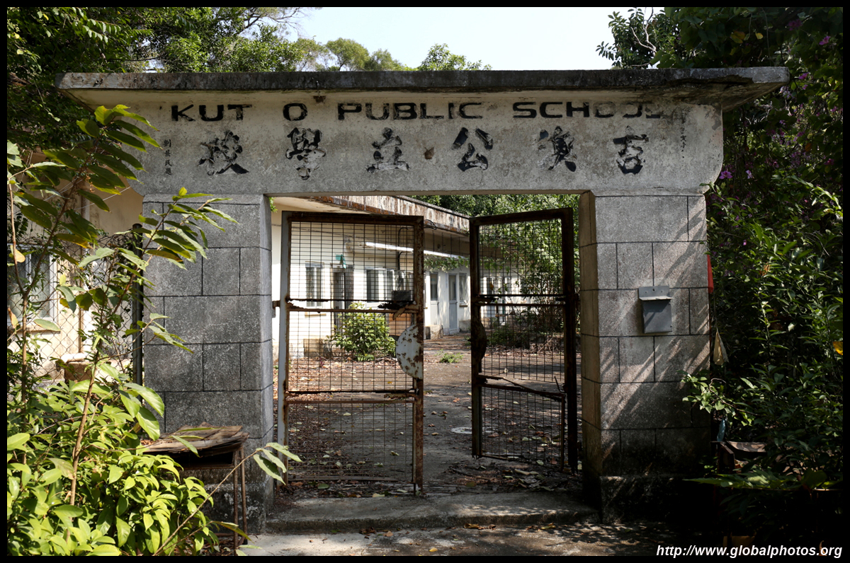
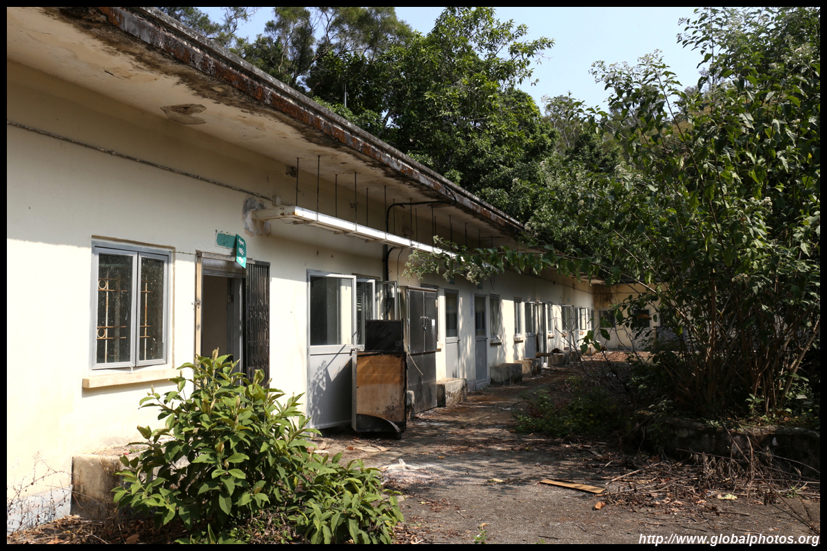
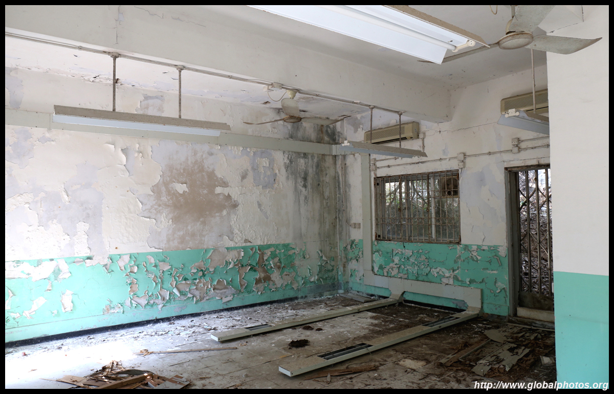
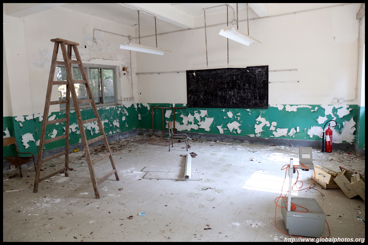
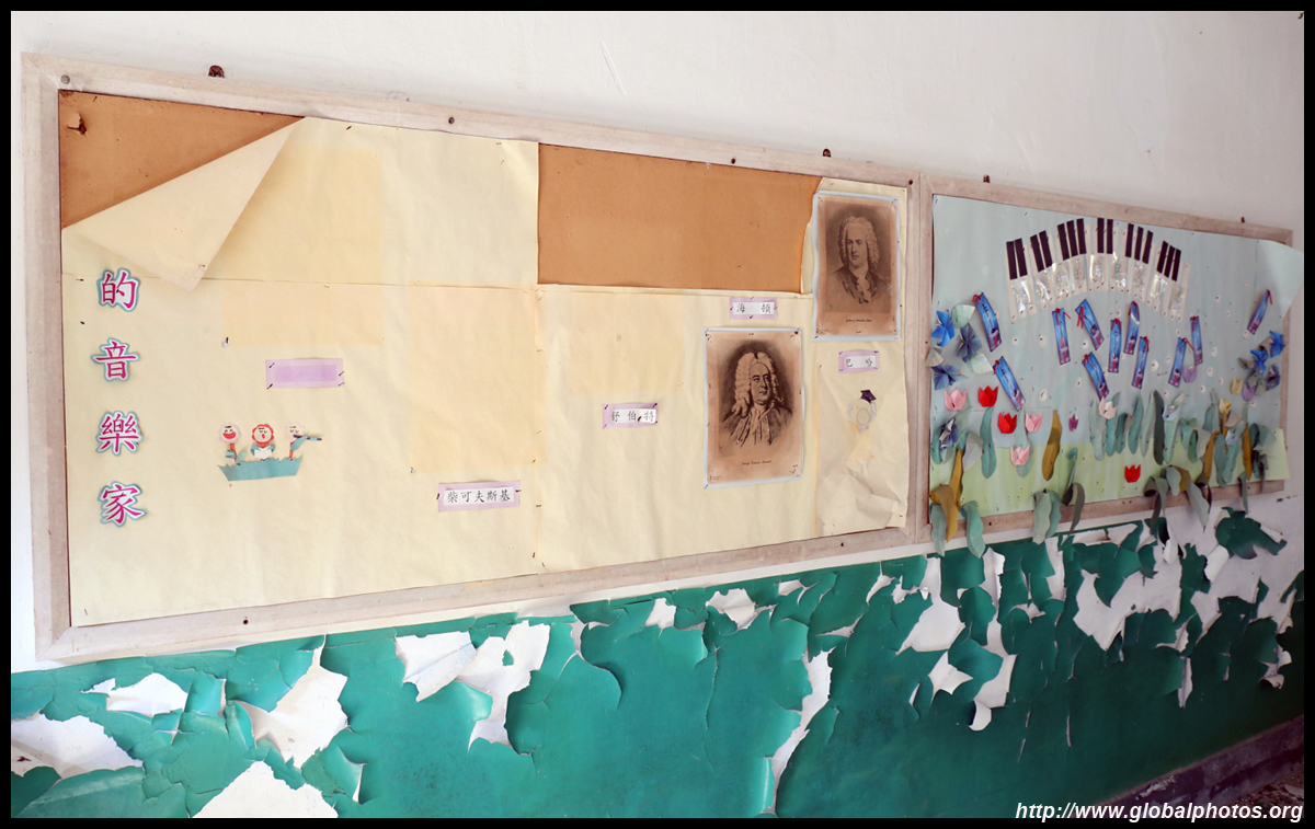
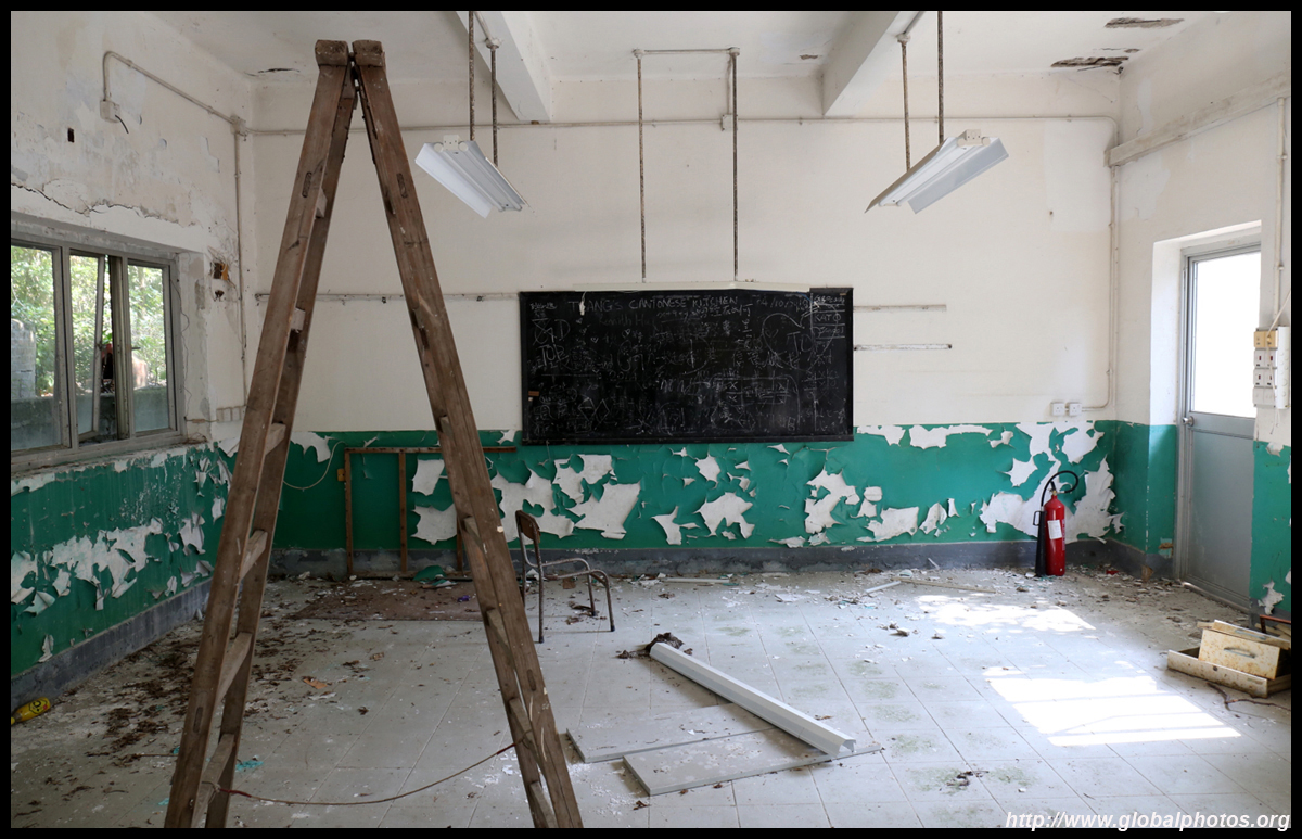
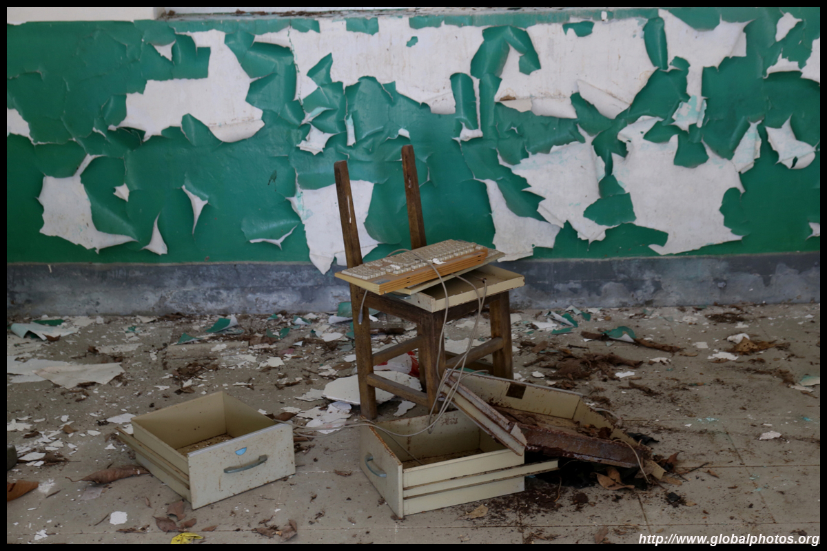
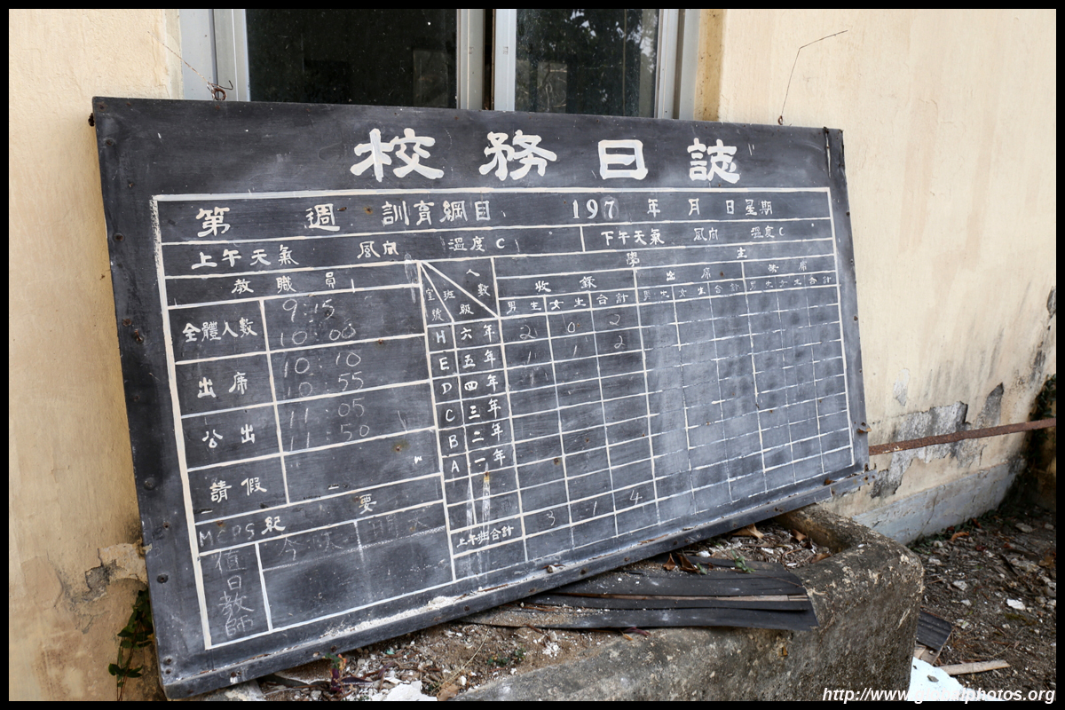
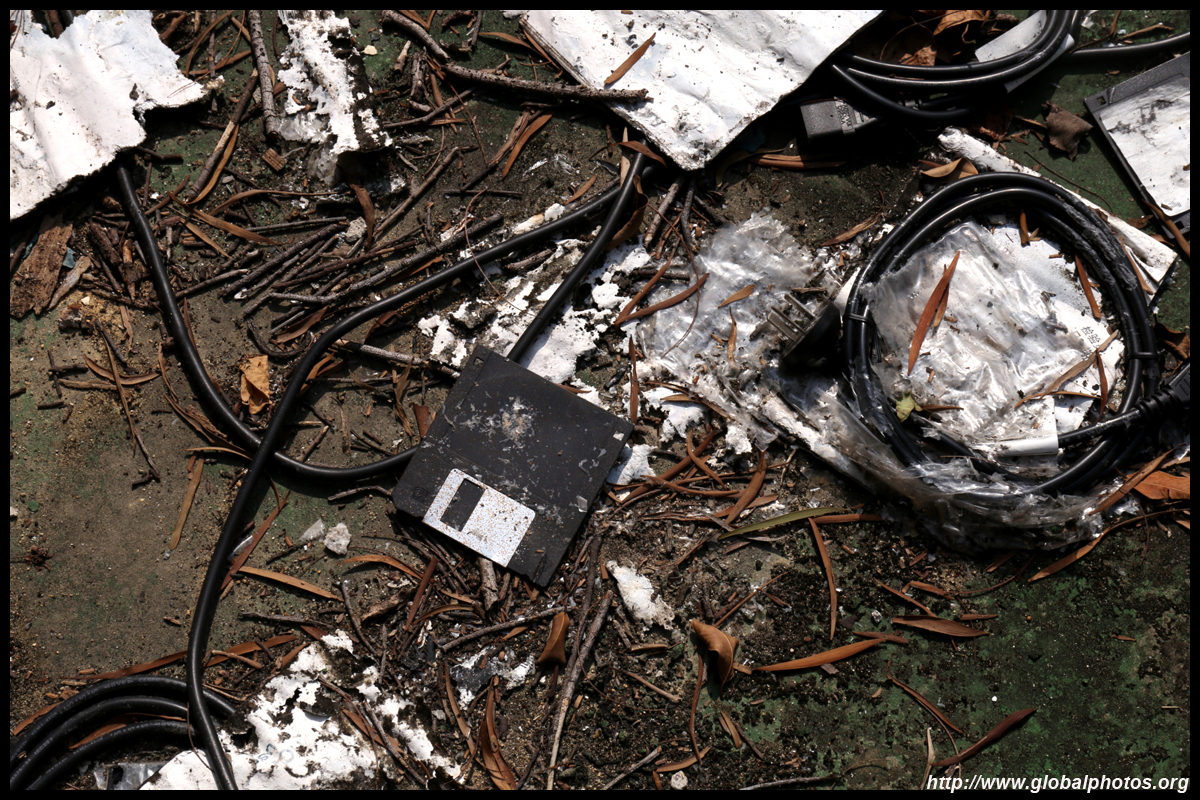
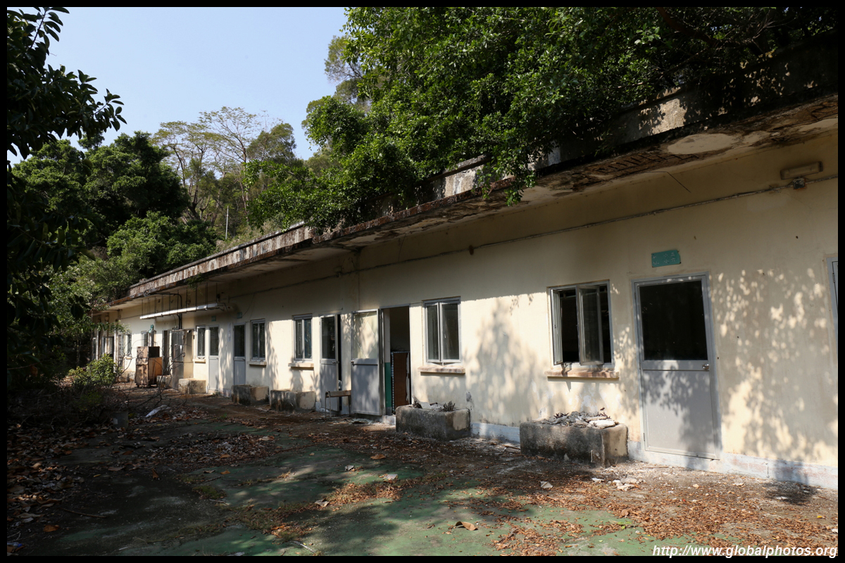
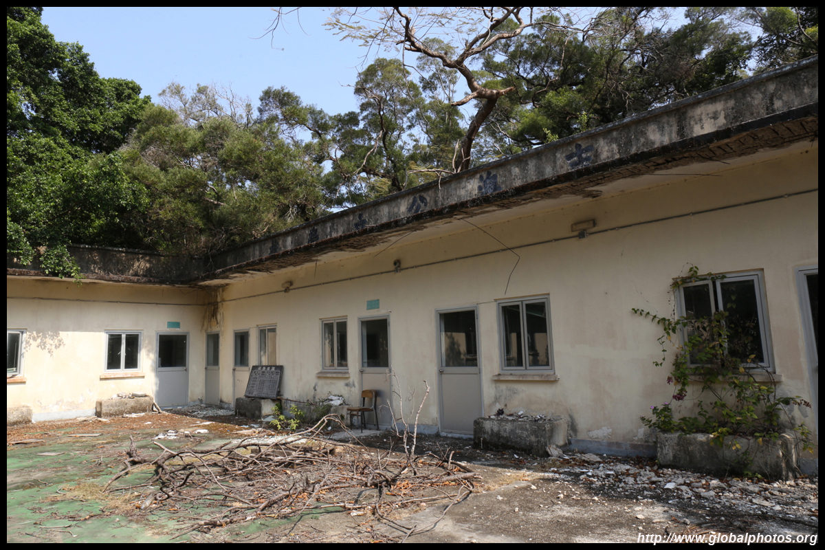
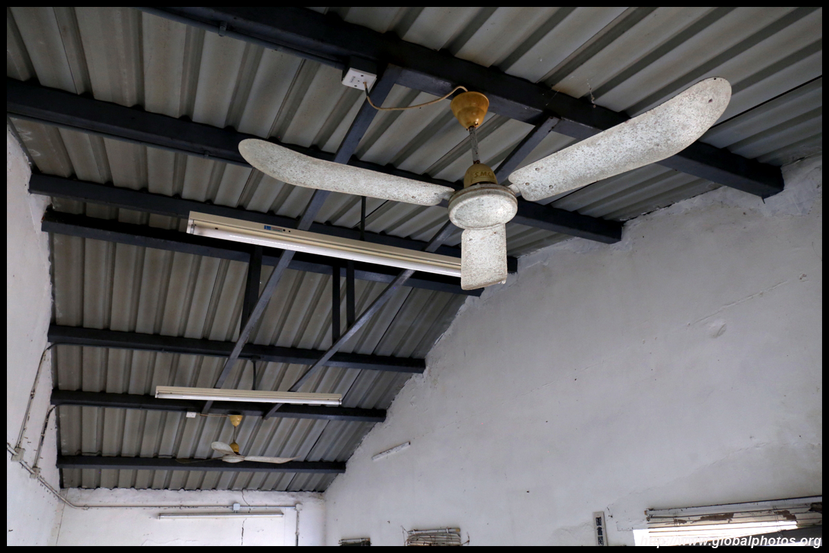
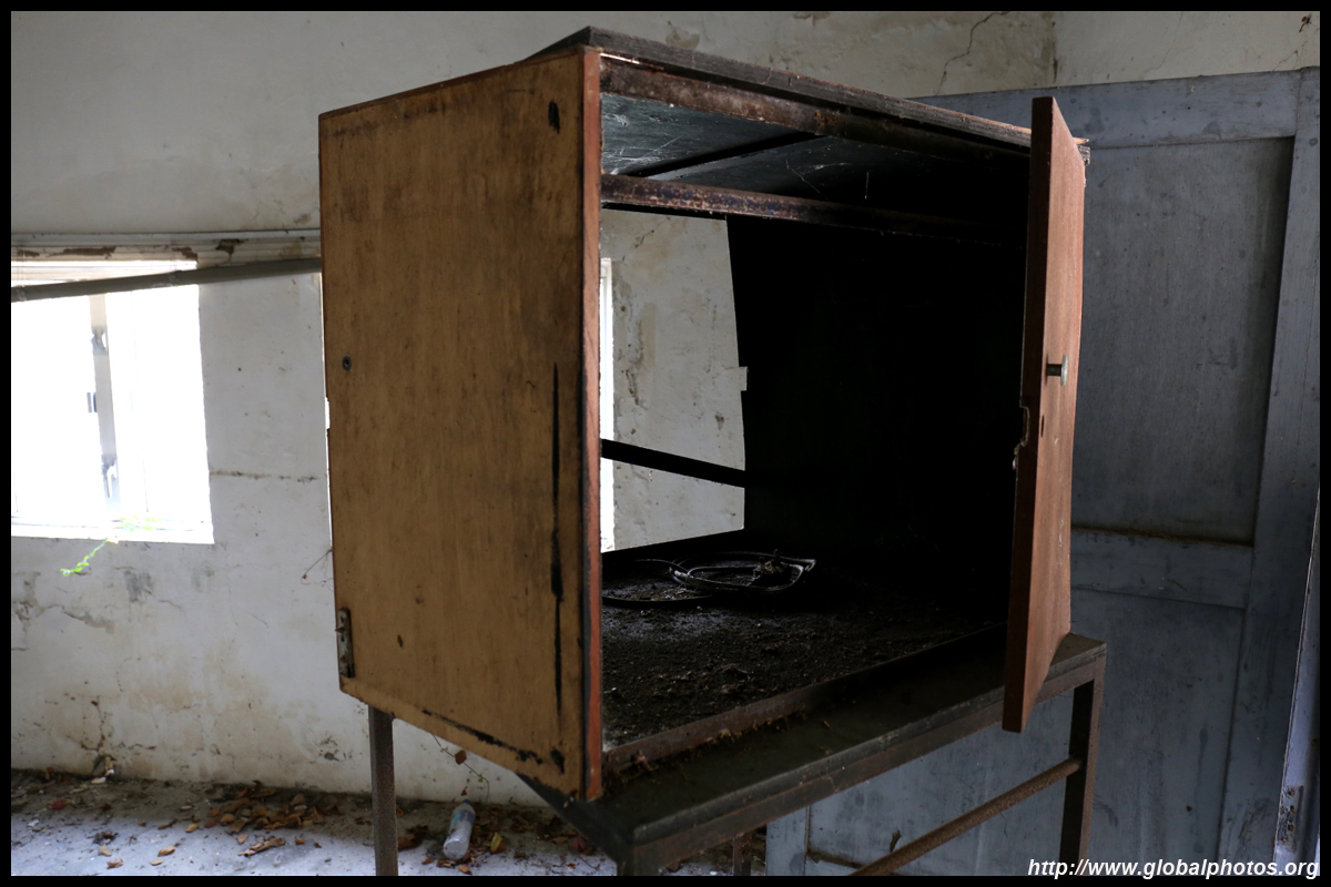
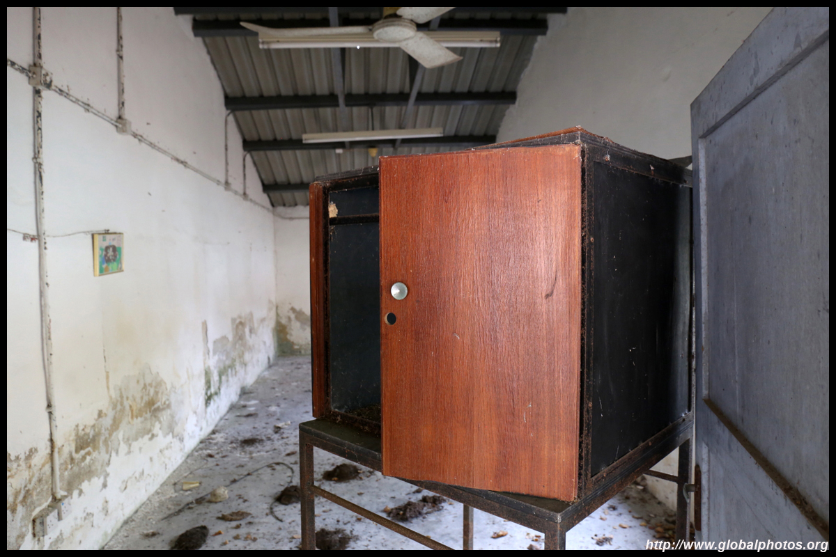
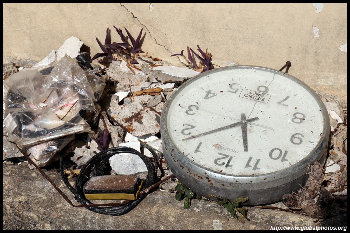
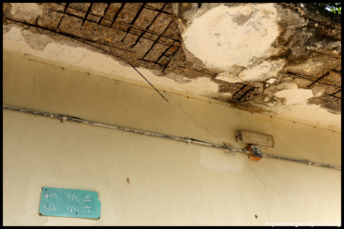
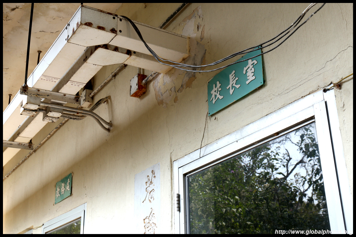
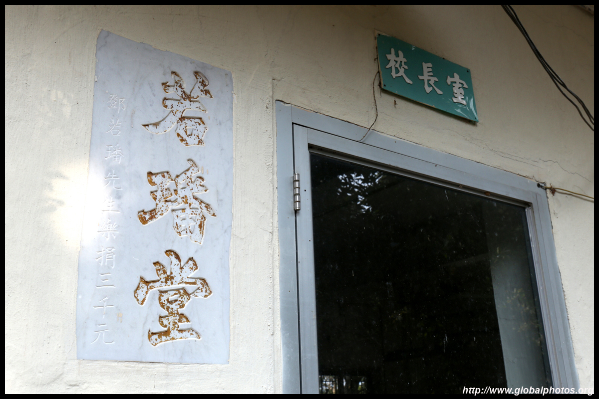
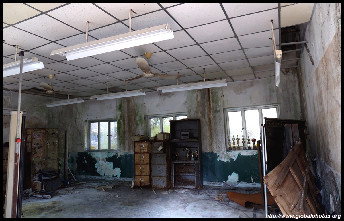
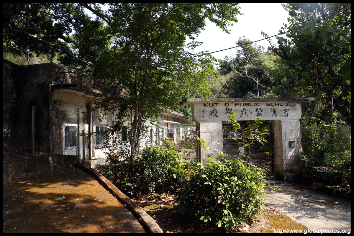
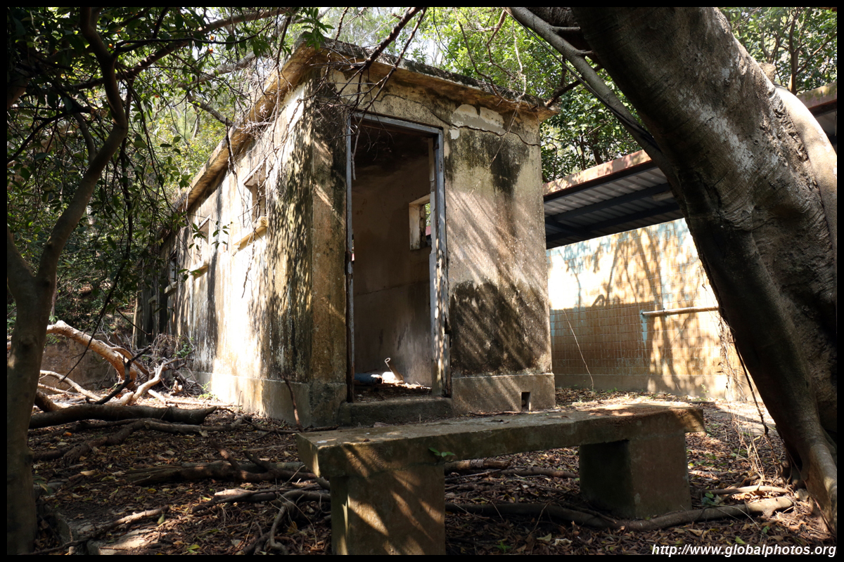
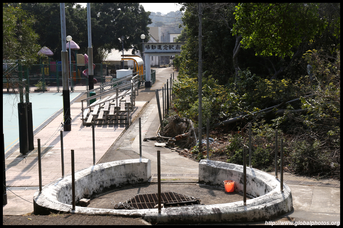
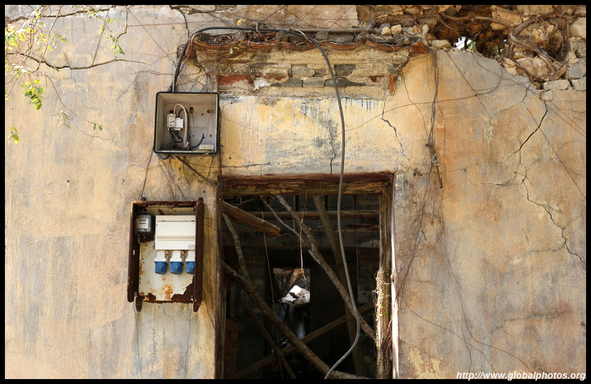
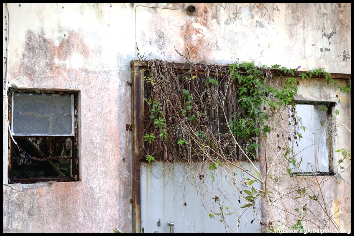
The village school has been abandoned, although the recreational facilities next door are still in use.
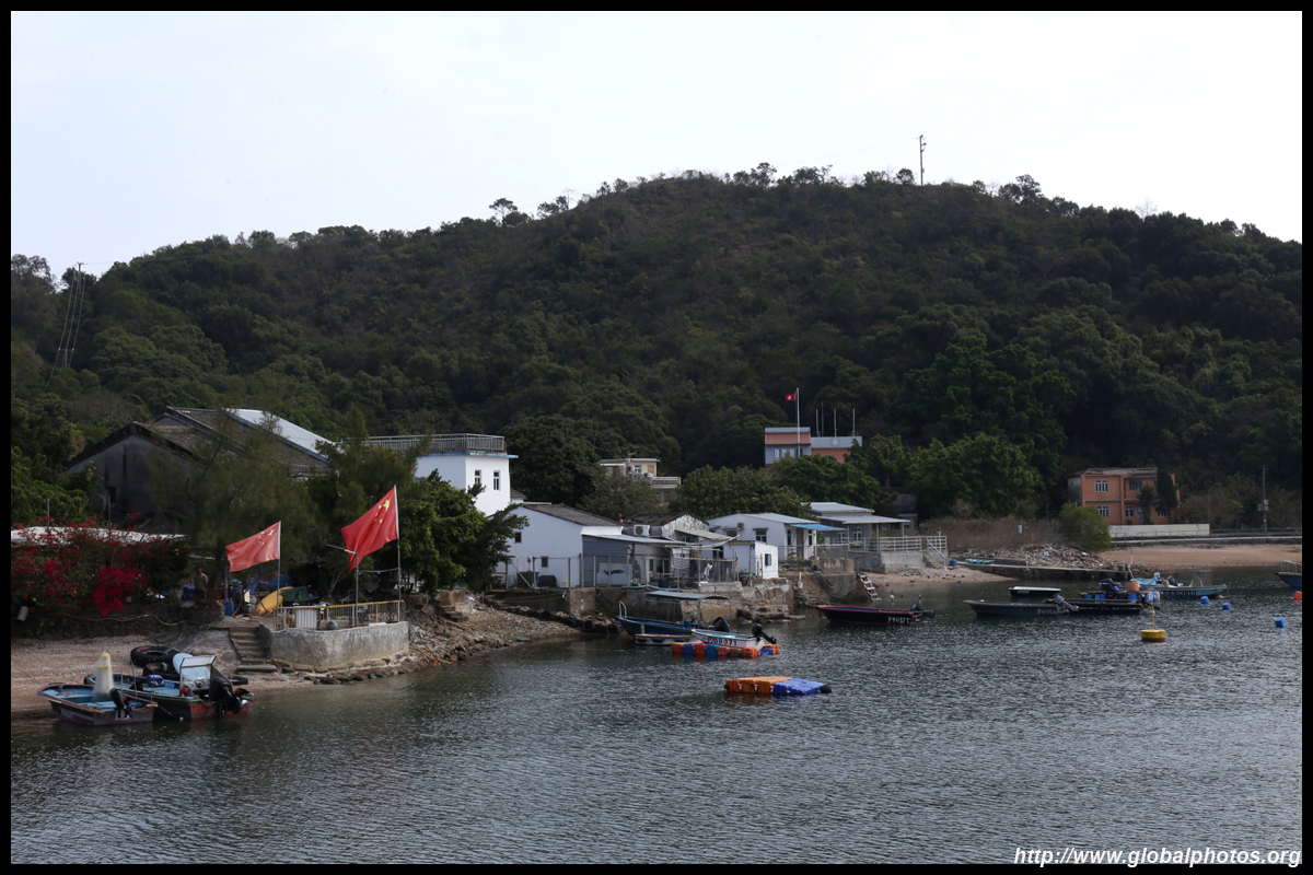
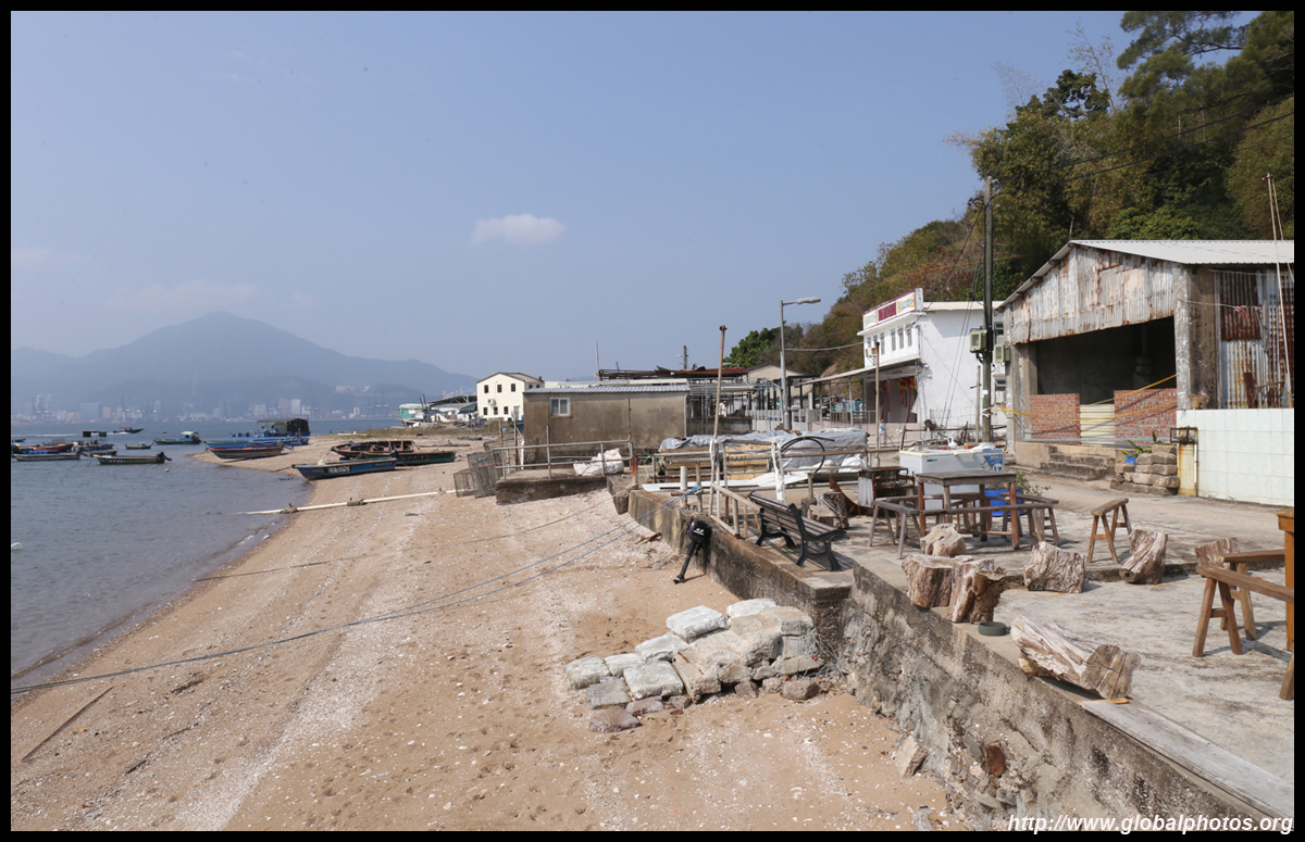
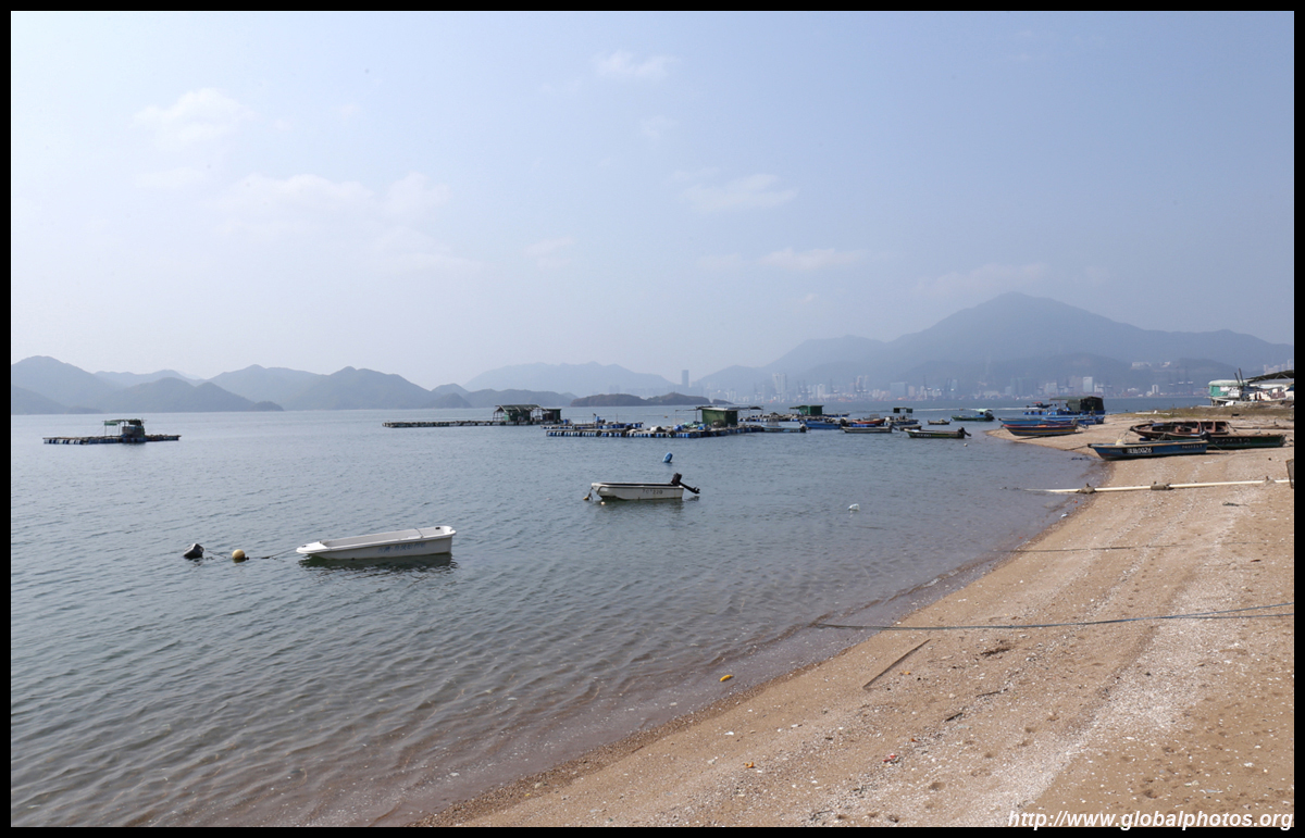
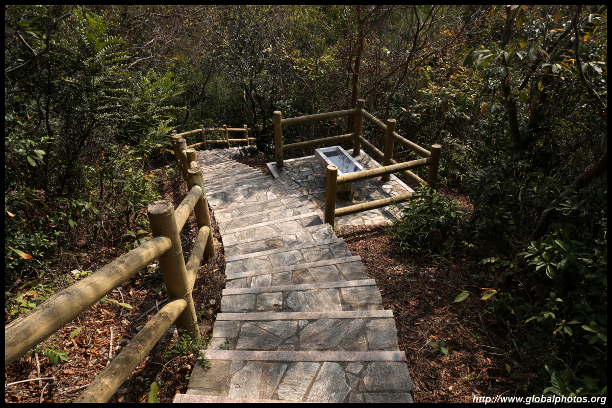
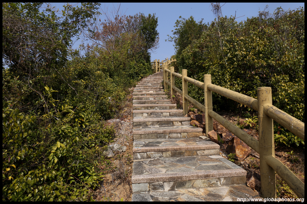
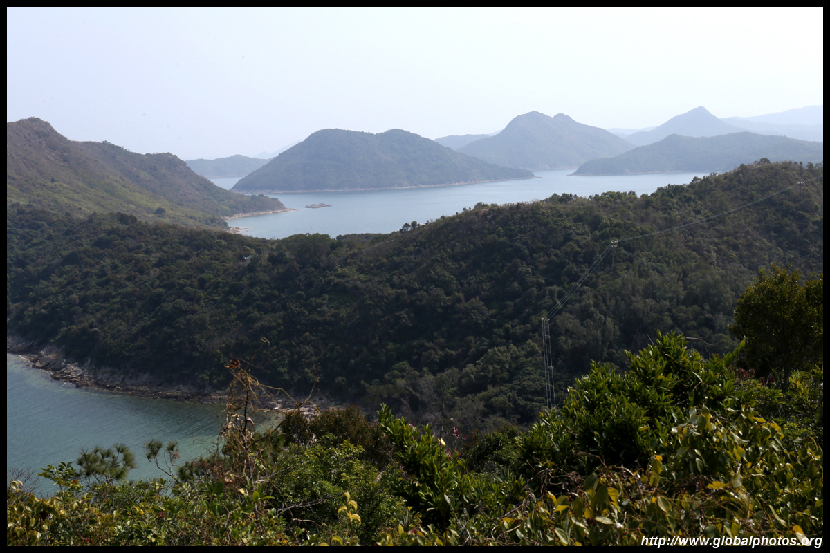
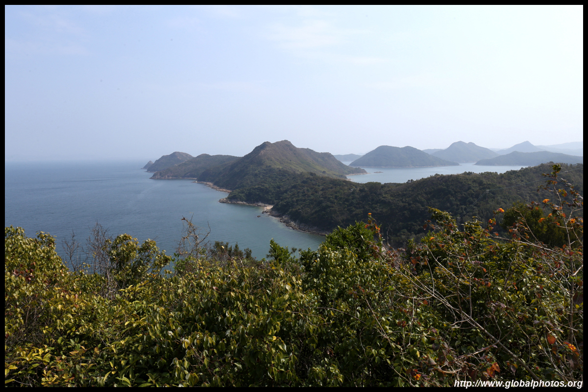
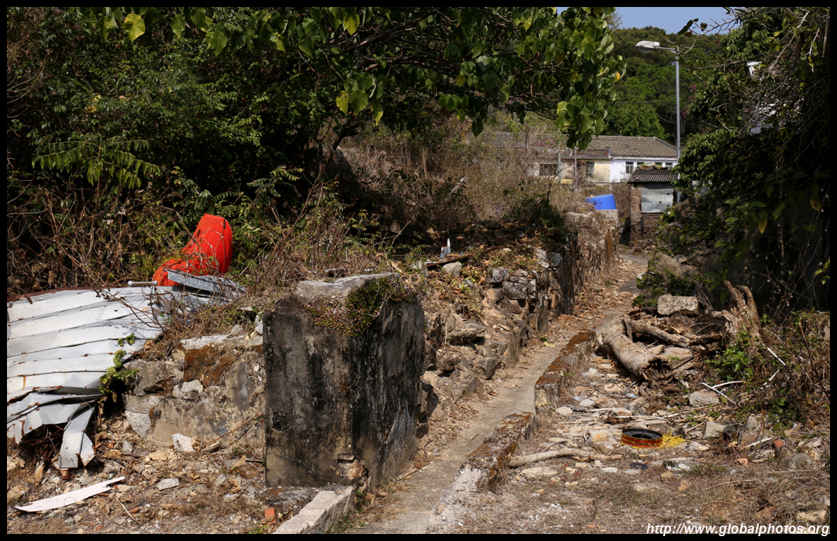
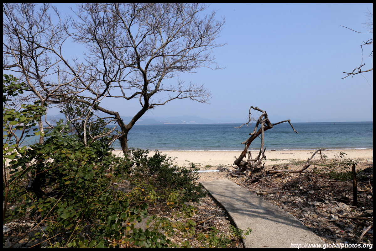
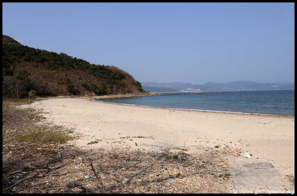
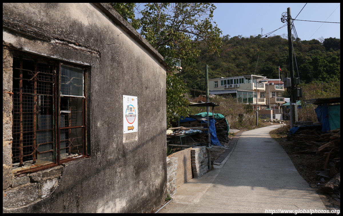
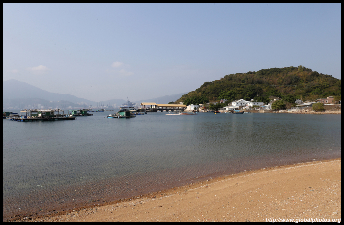
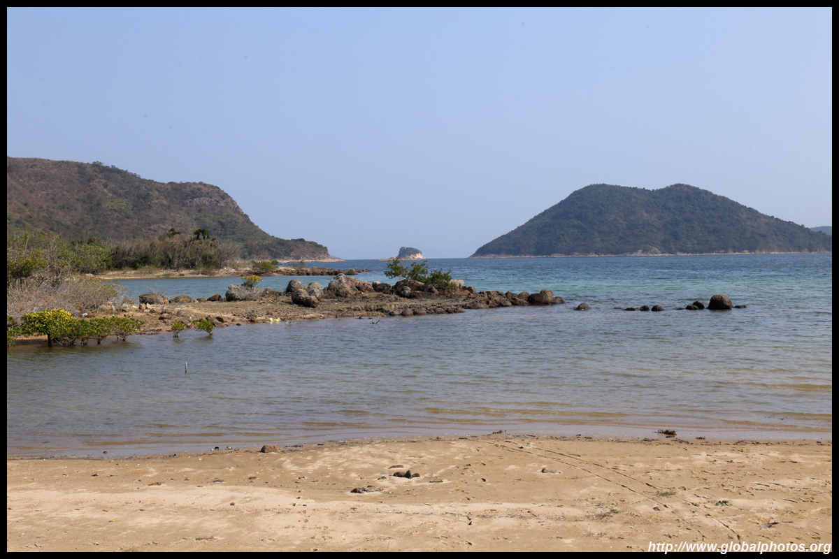
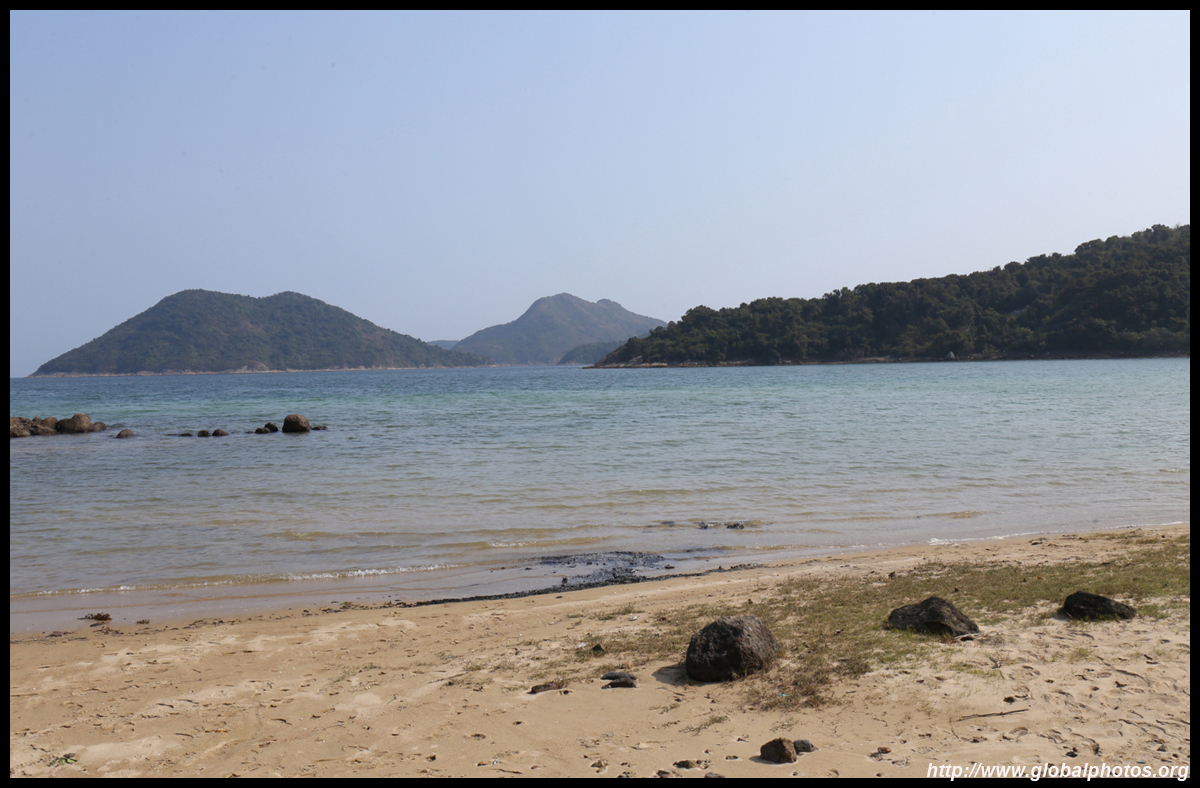
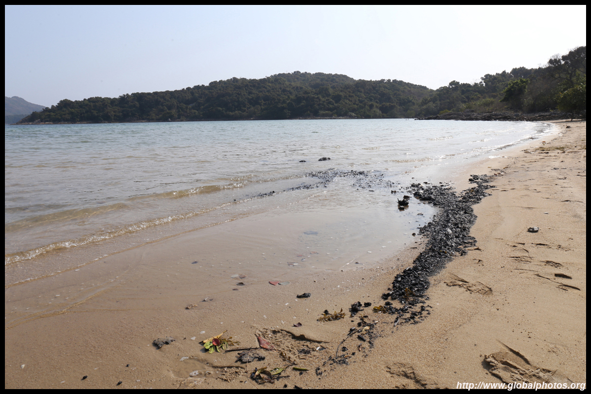
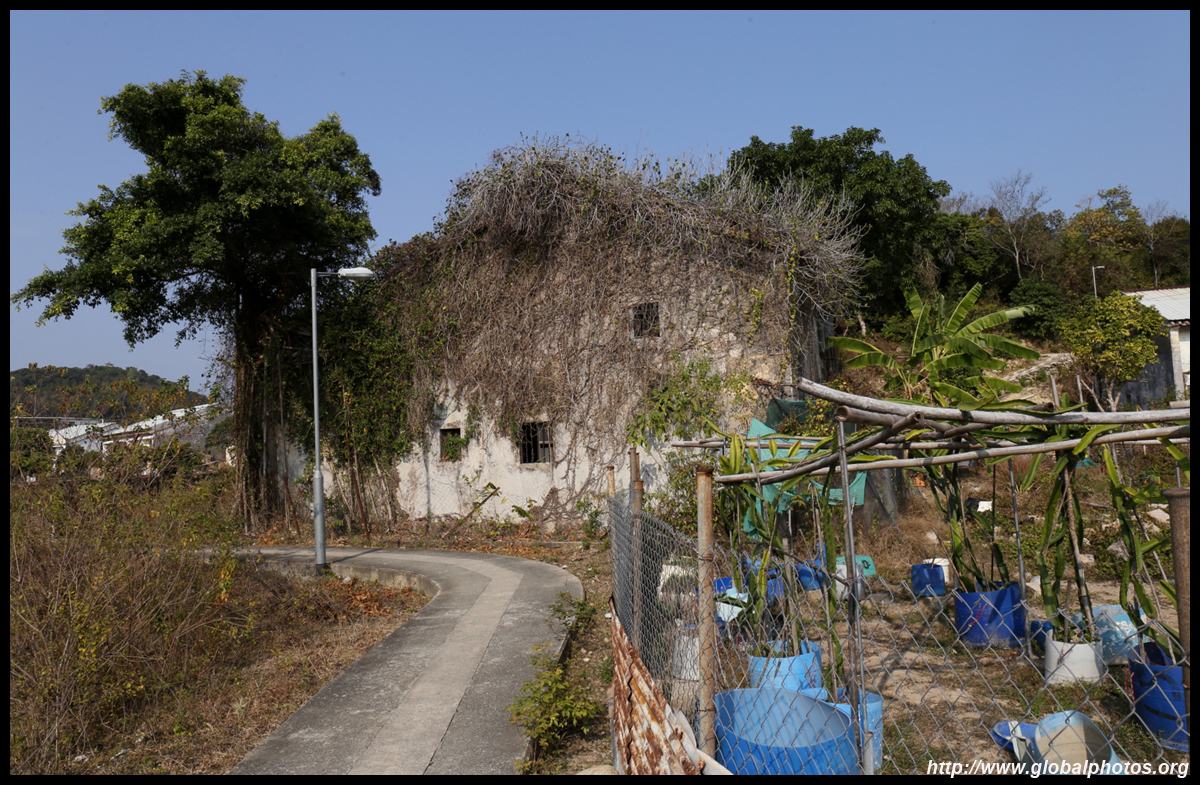
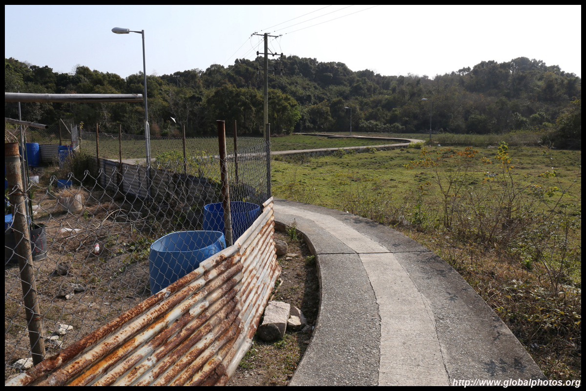
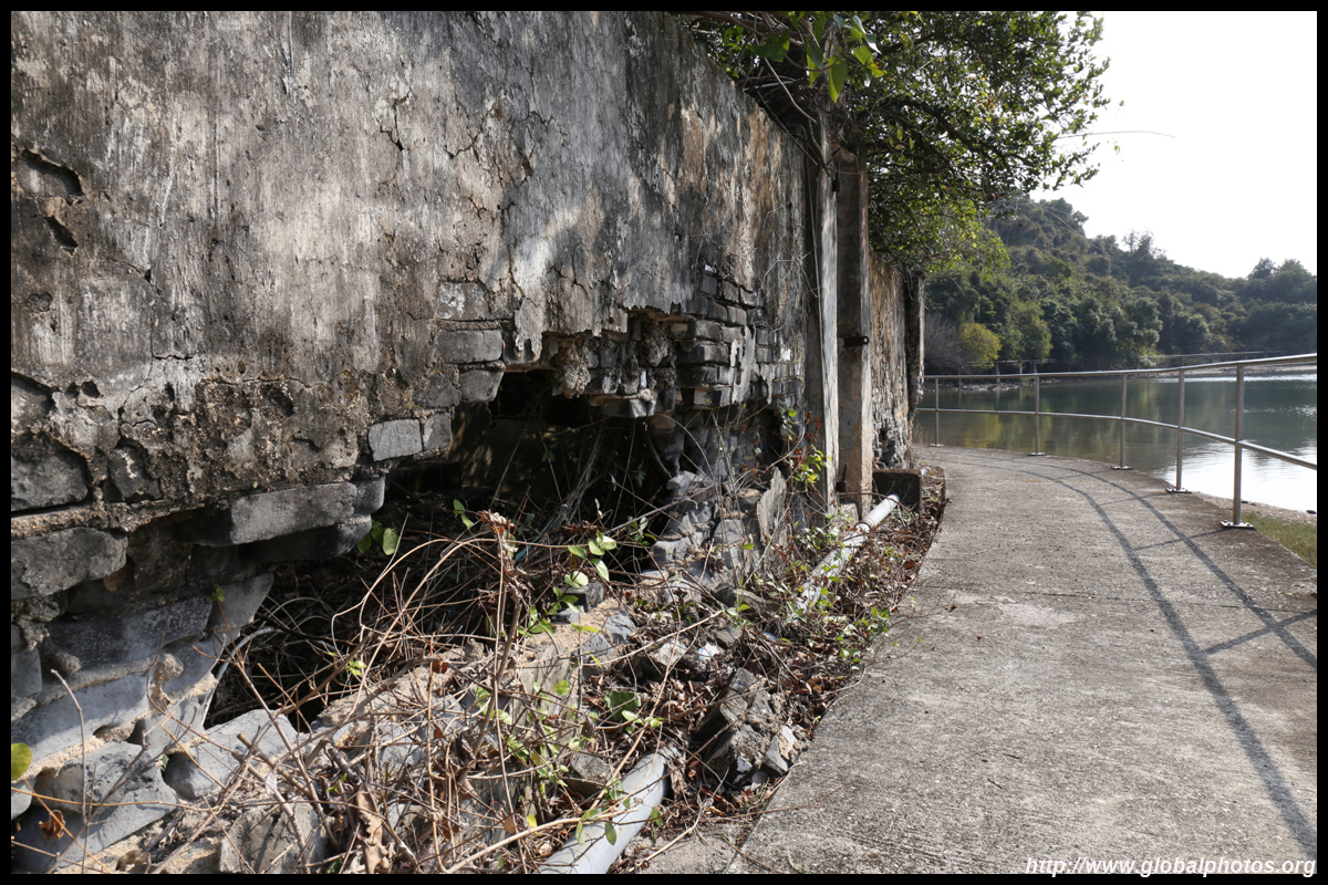
Many paved paths lead out from the town to various secluded beaches and waterfronts.
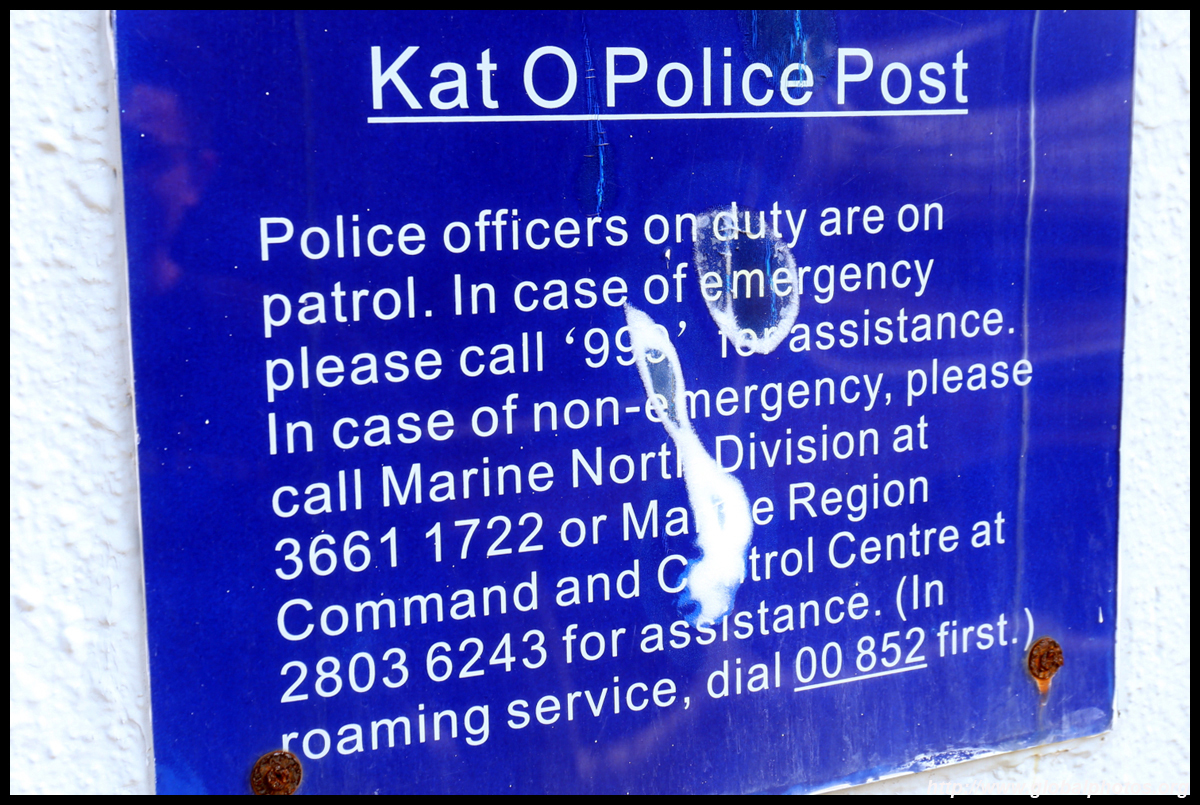
Being closed to the border with mainland China, cell phone reception can be problematic. Even the police recommend dialing roaming if you can't get a Hong Kong signal.
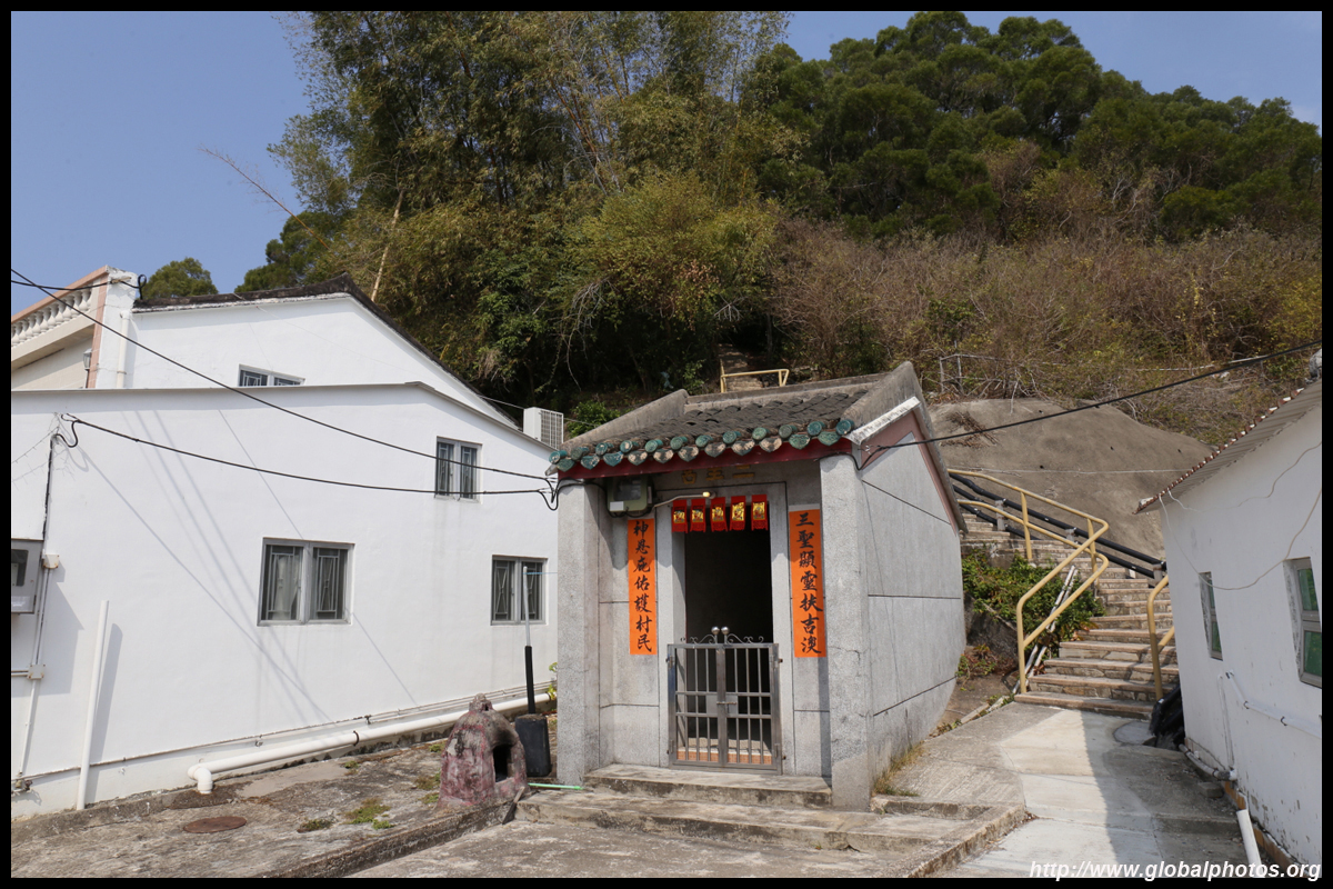
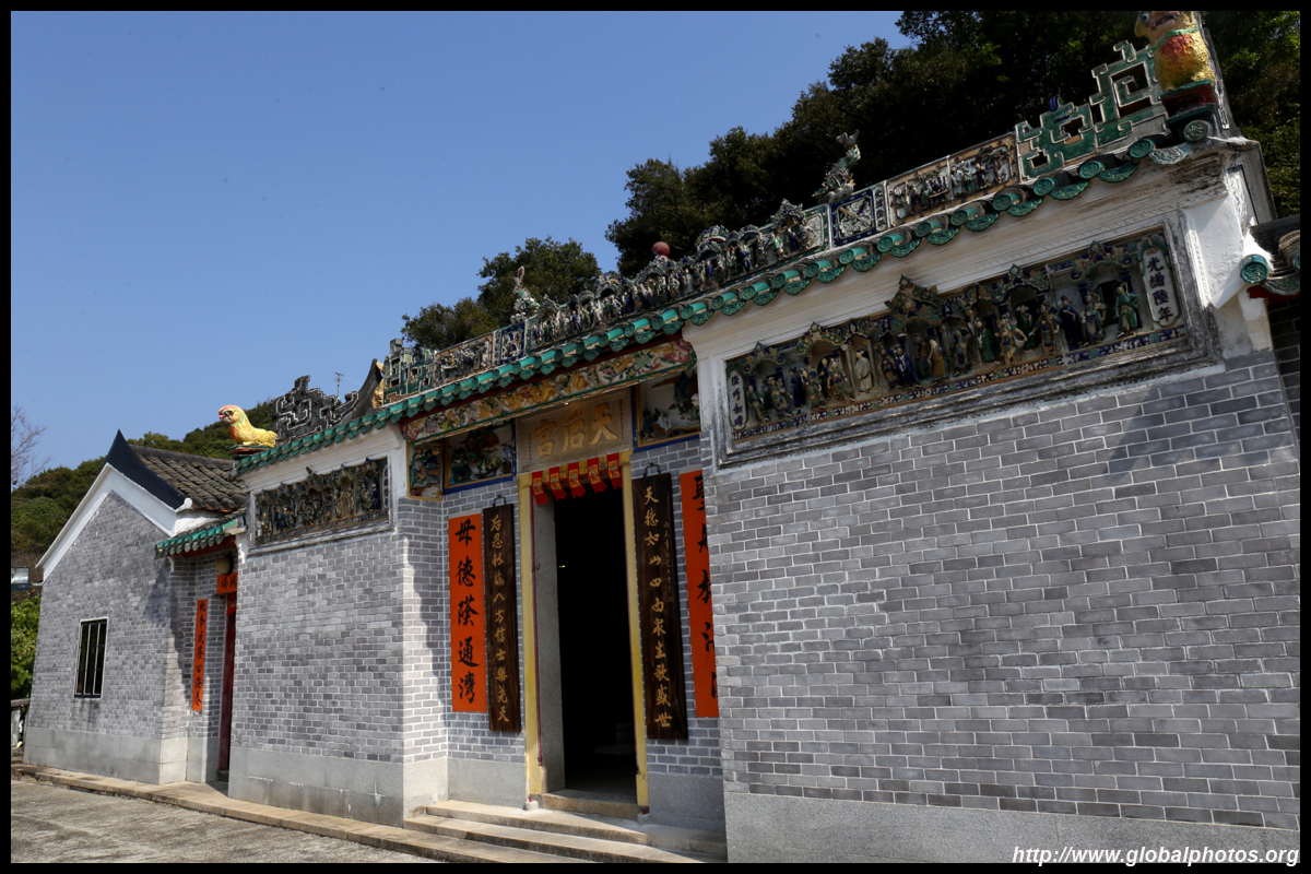
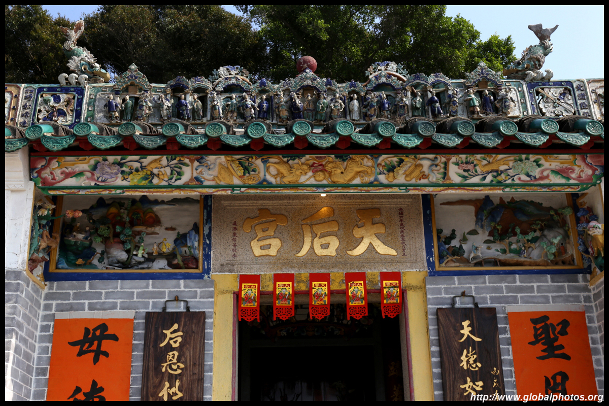
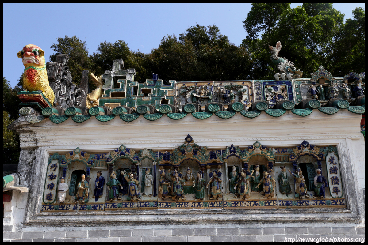
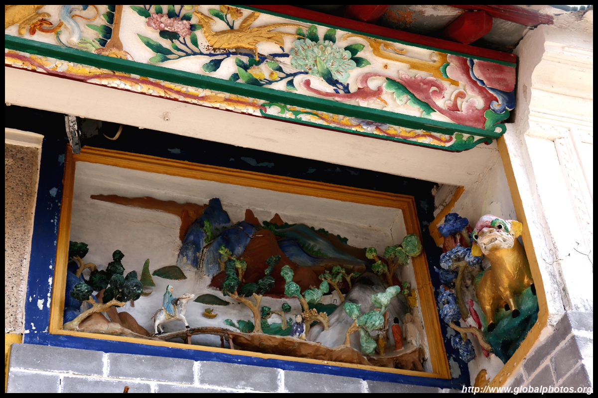
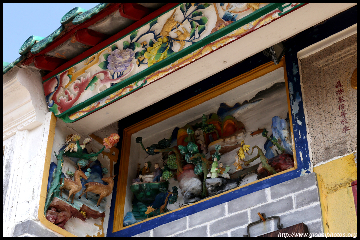
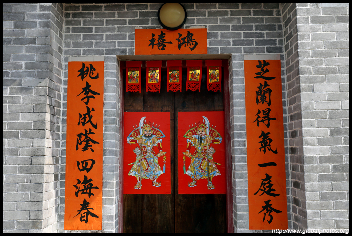
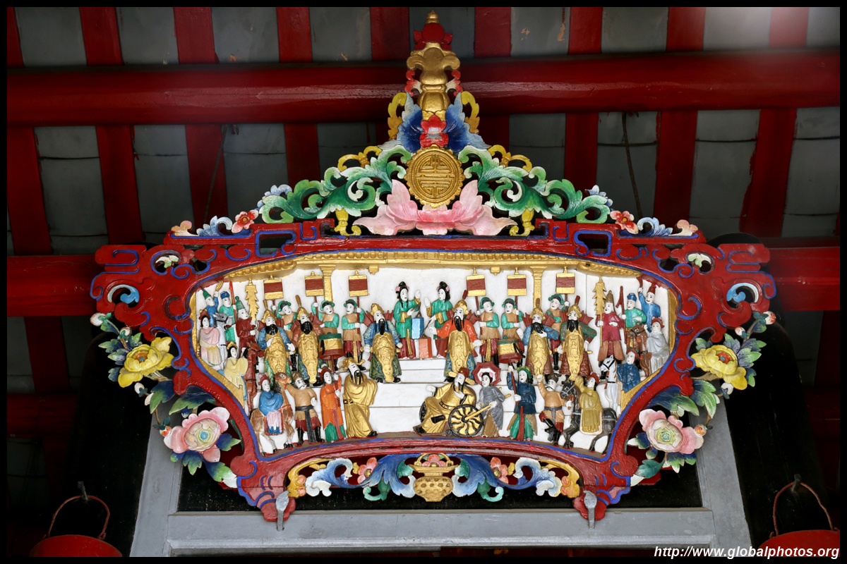
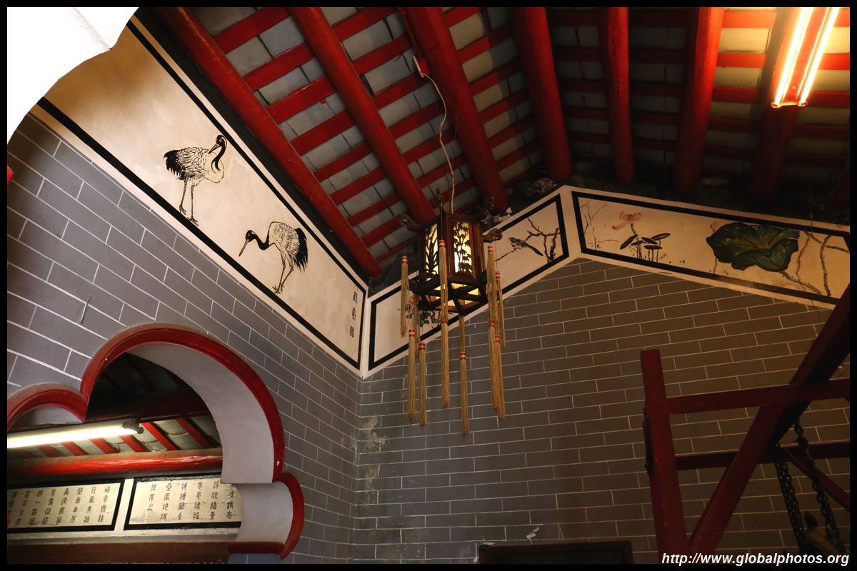
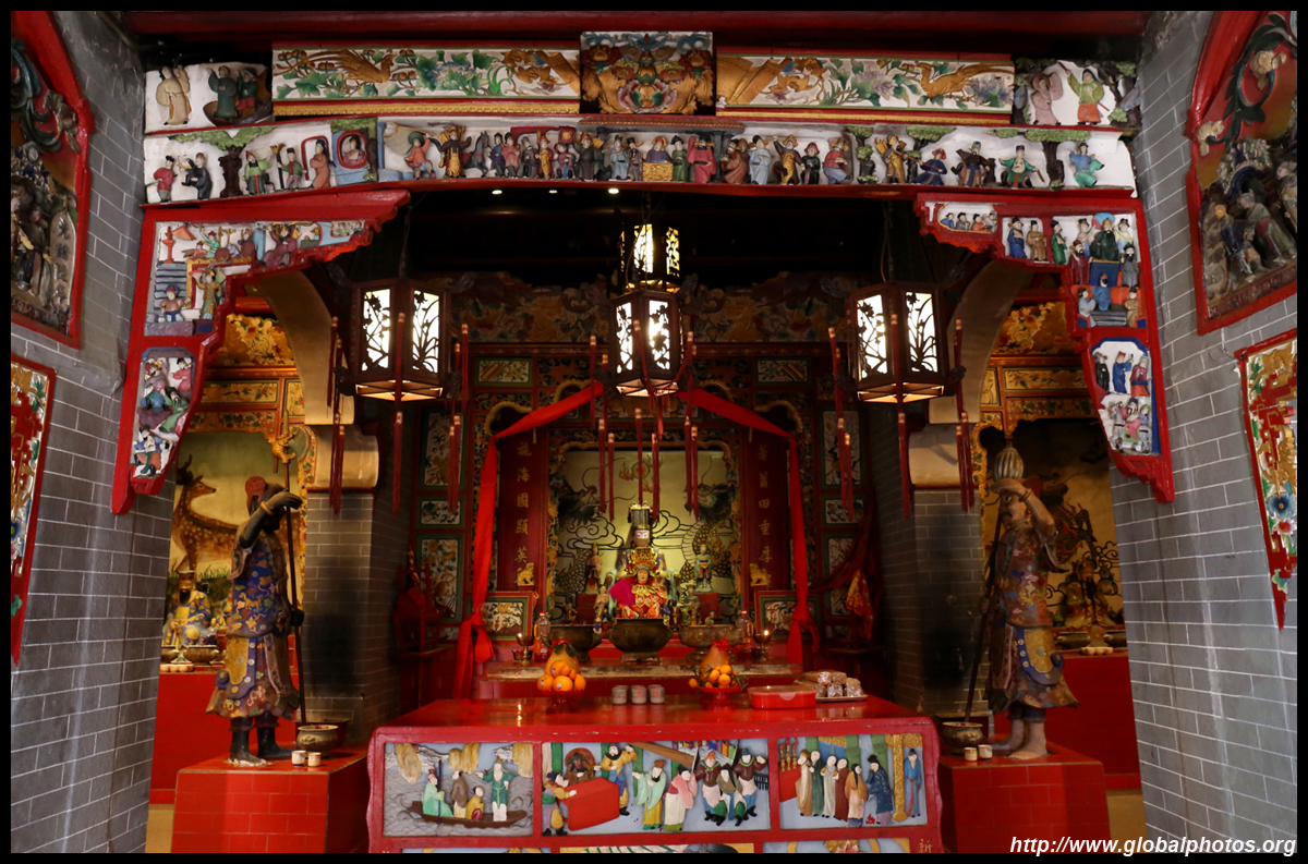
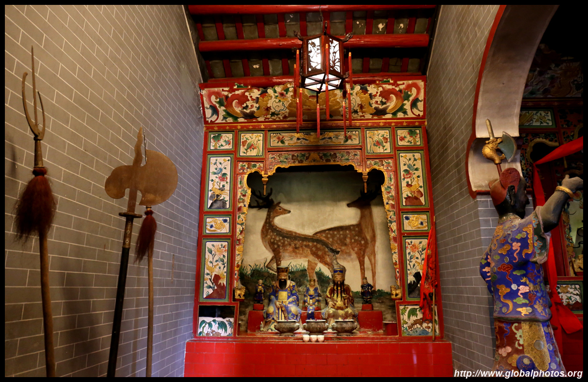
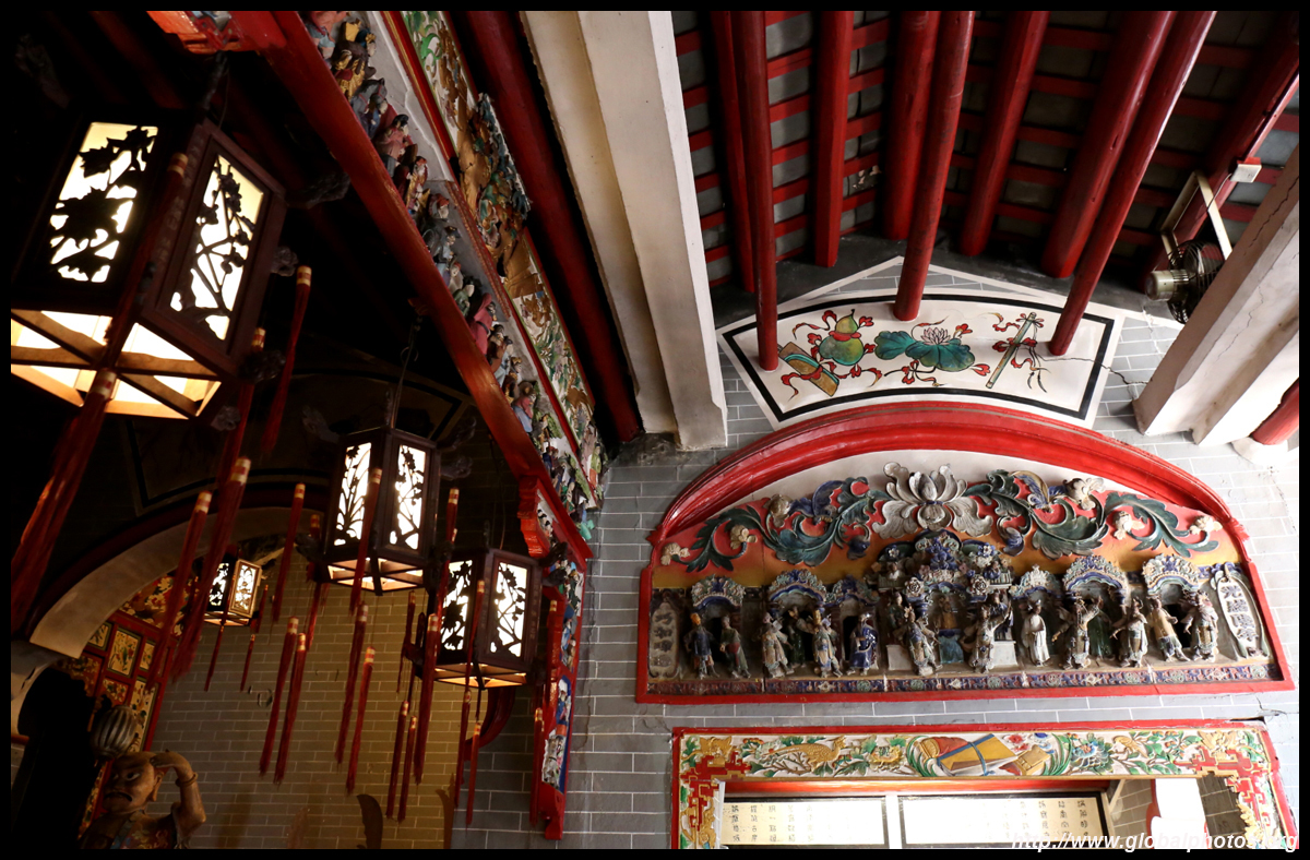
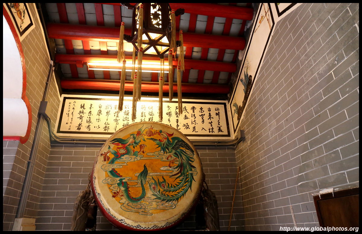
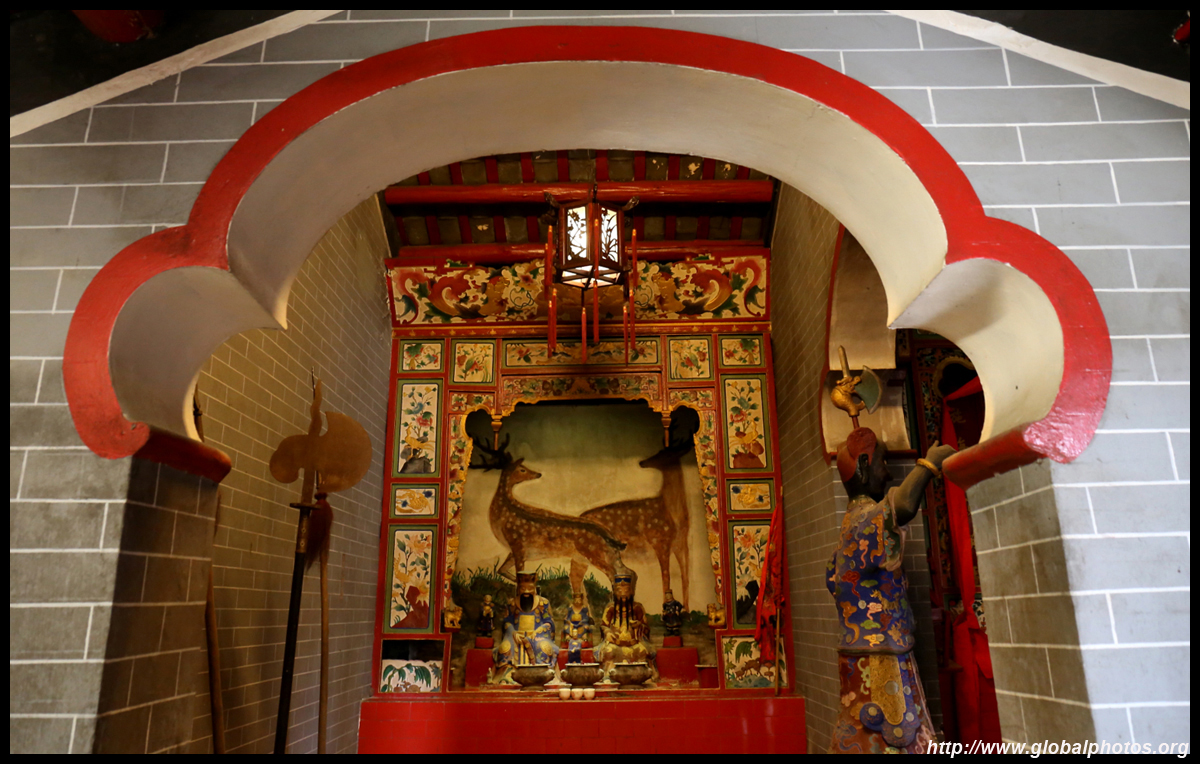
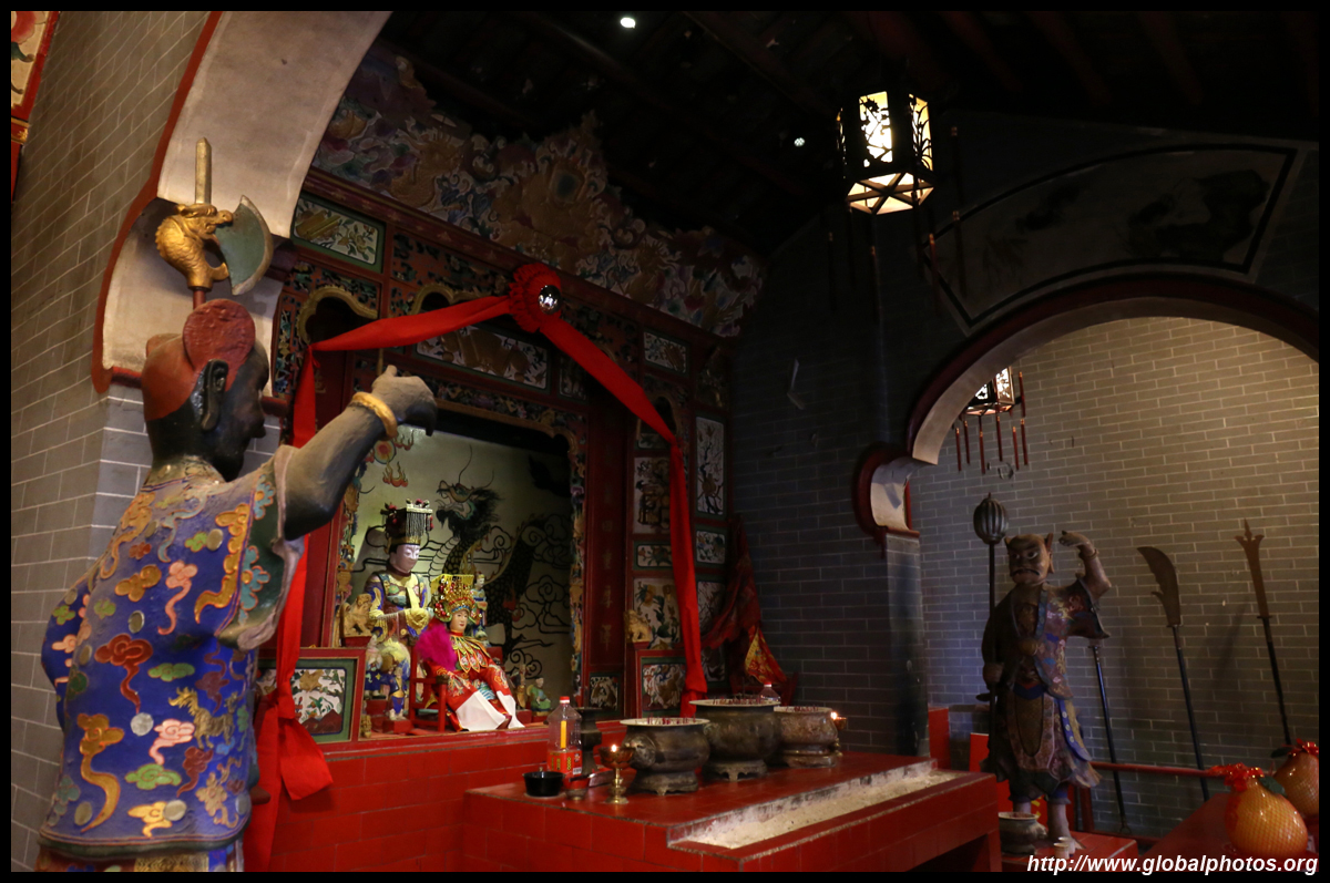
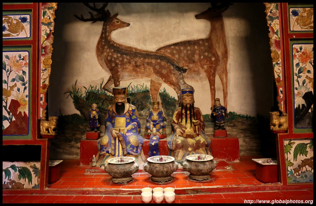
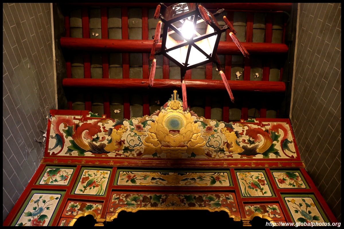
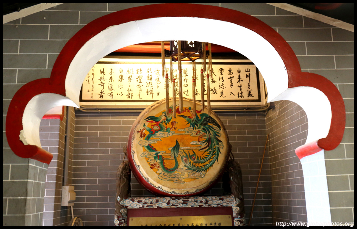
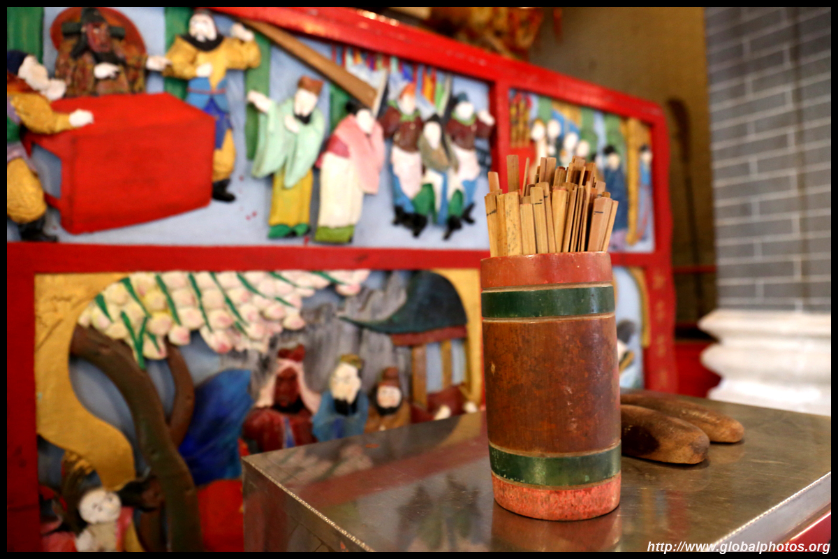
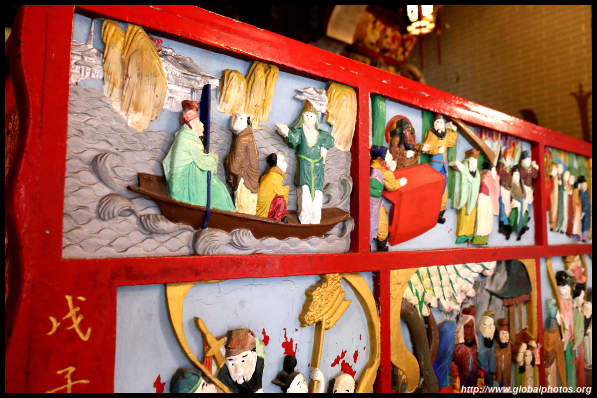
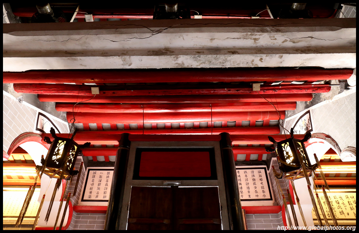
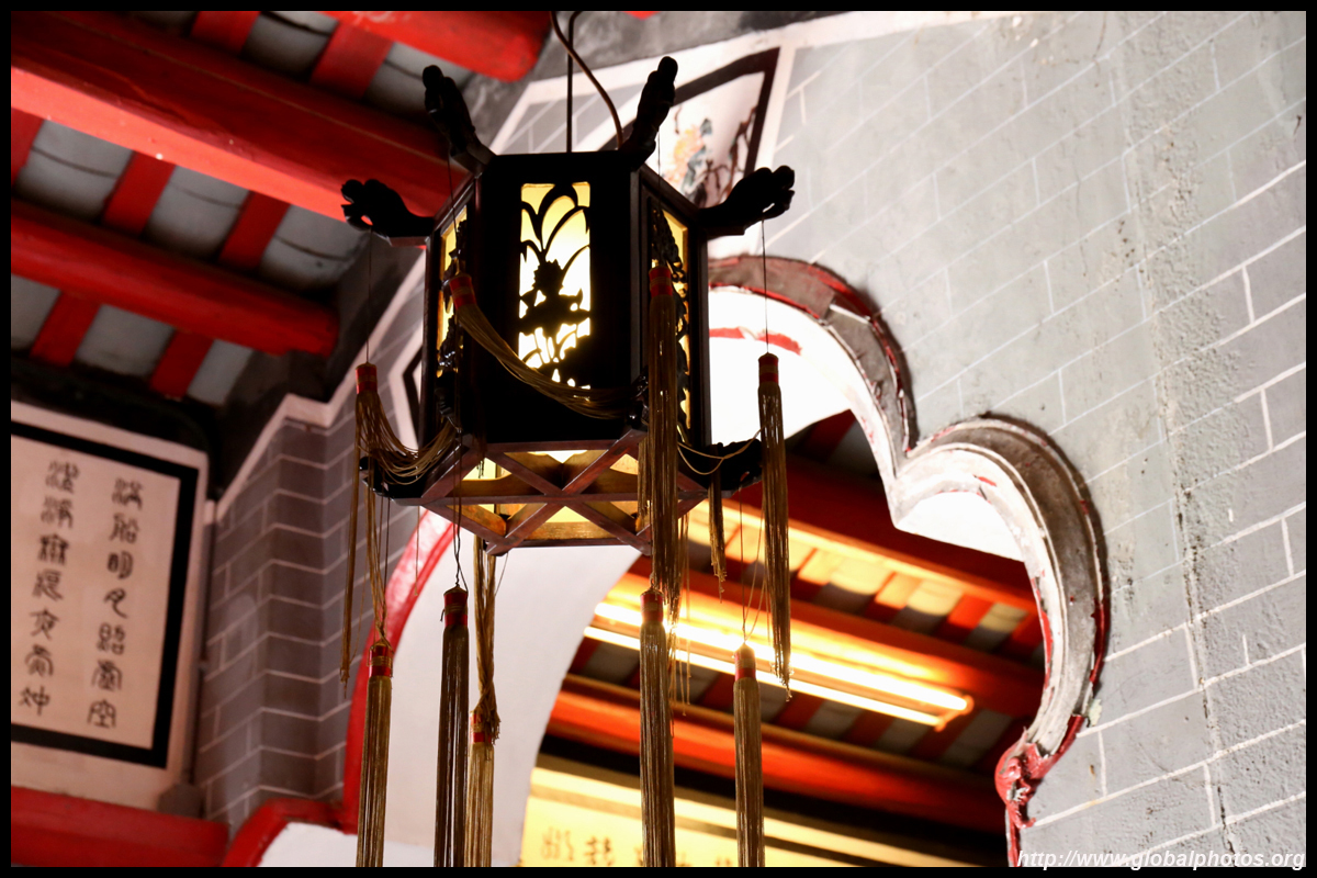
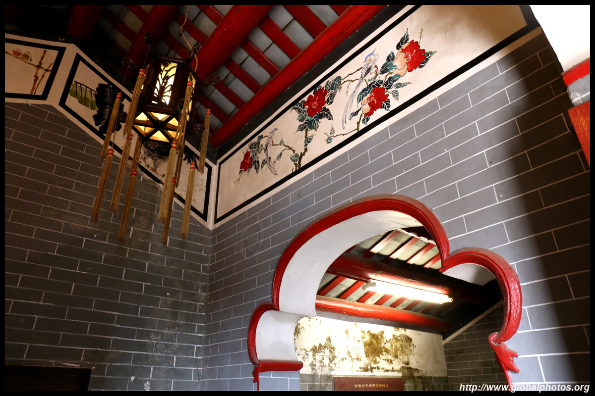
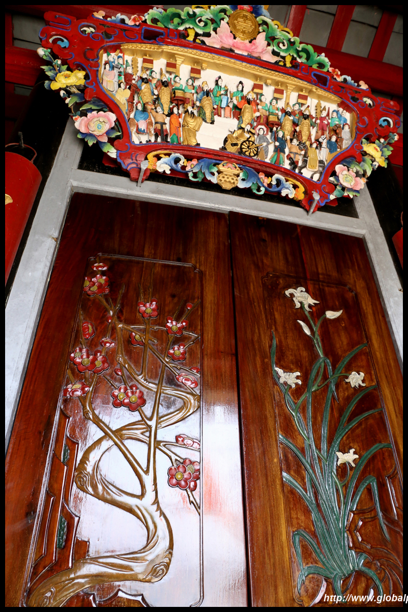
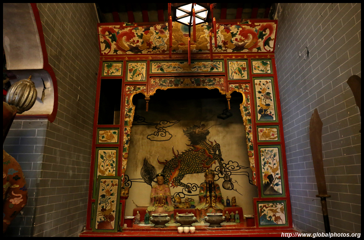
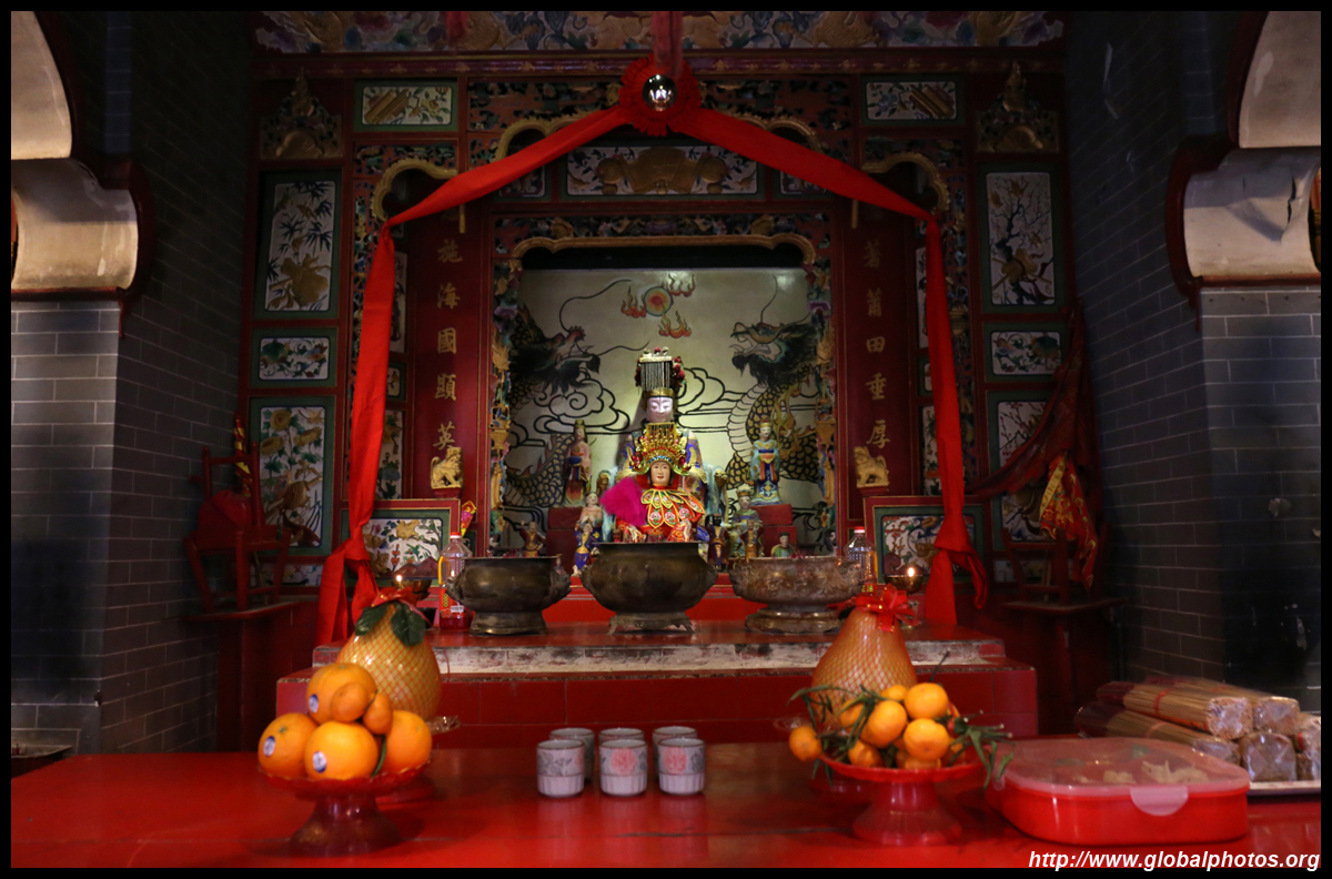
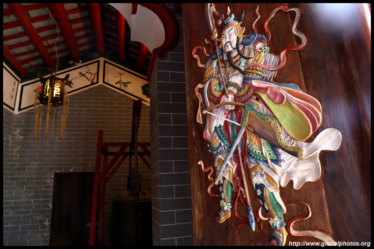
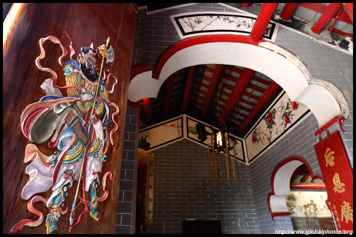
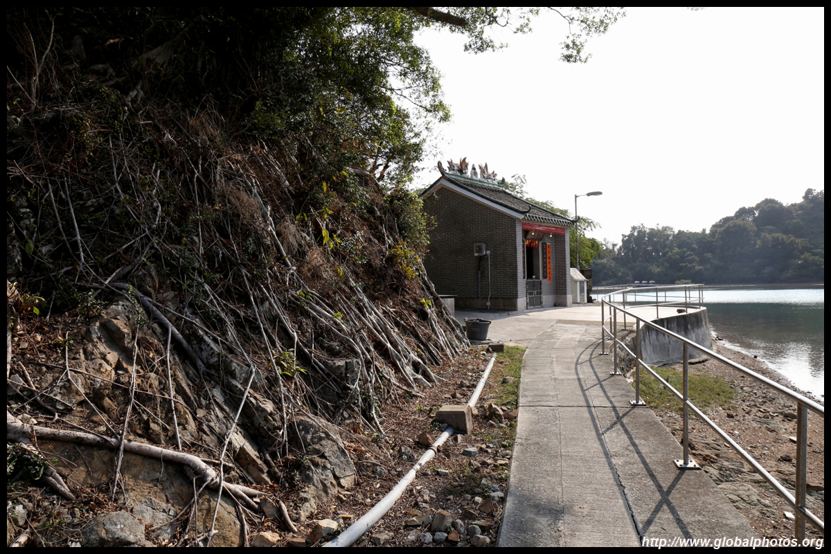
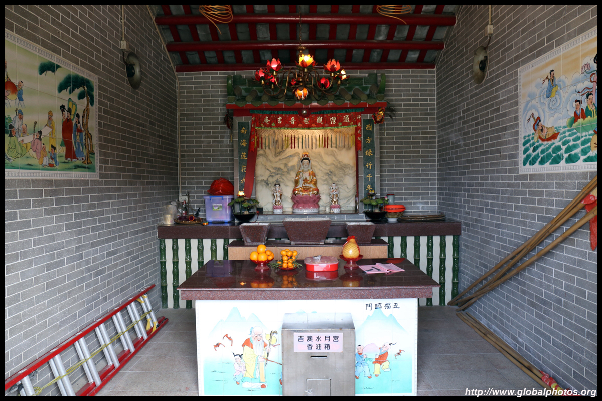
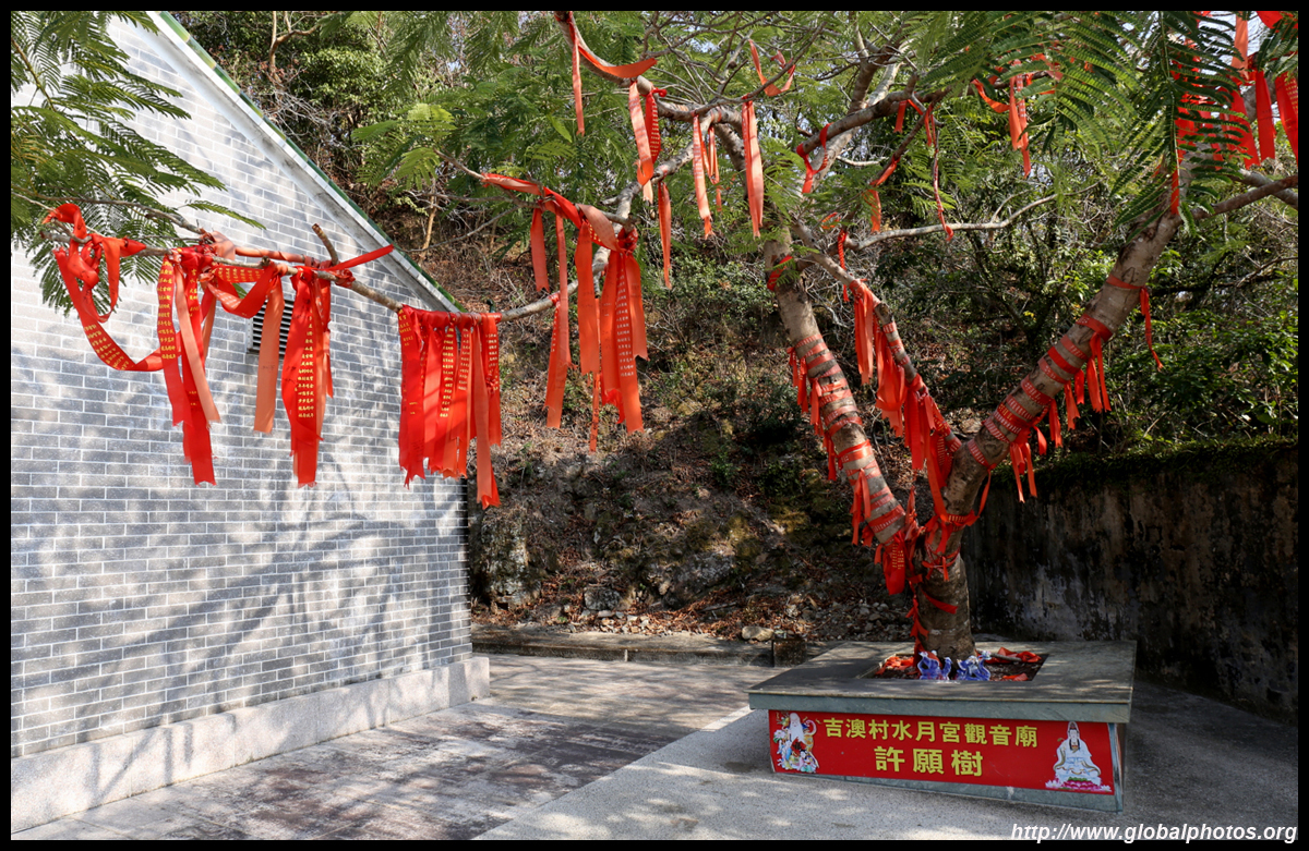
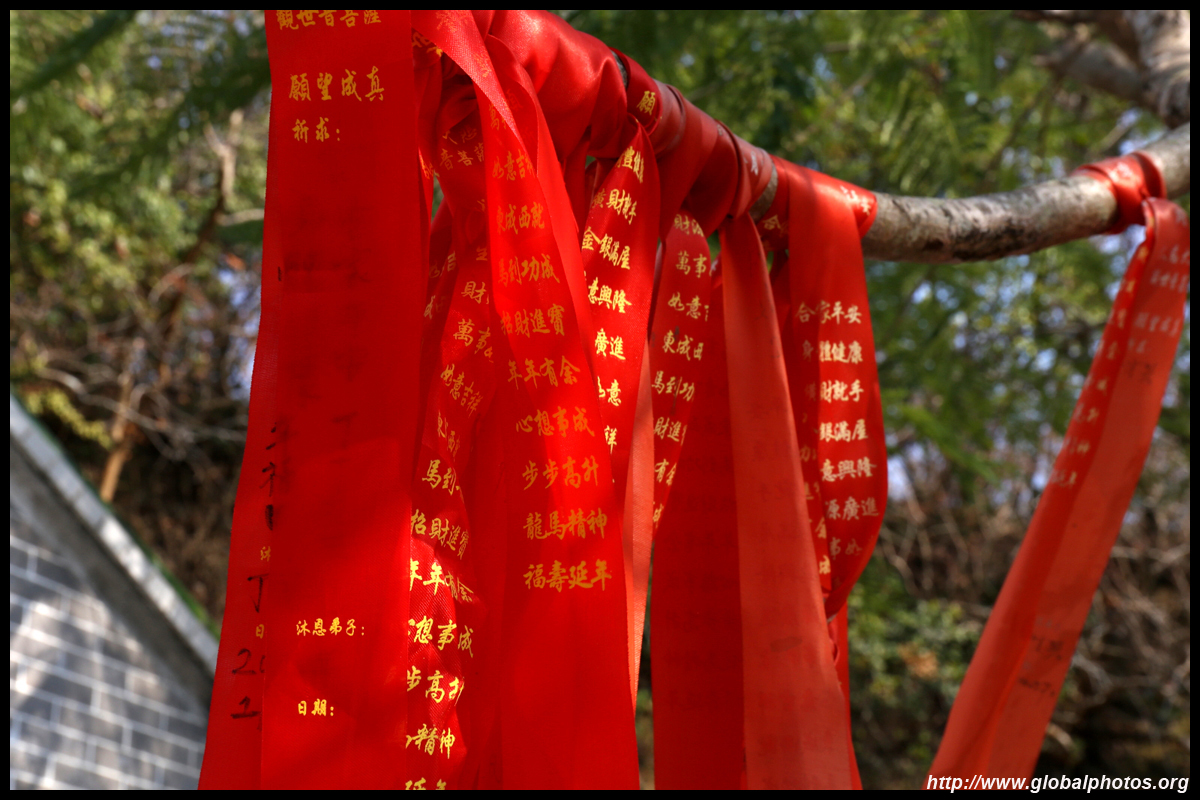
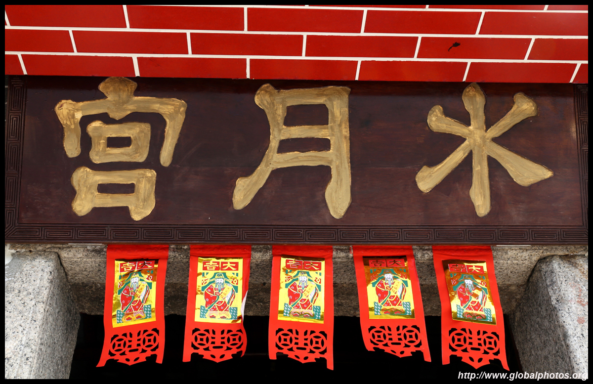
The Tin Hau Temple is a century oldut looks recently renovated.
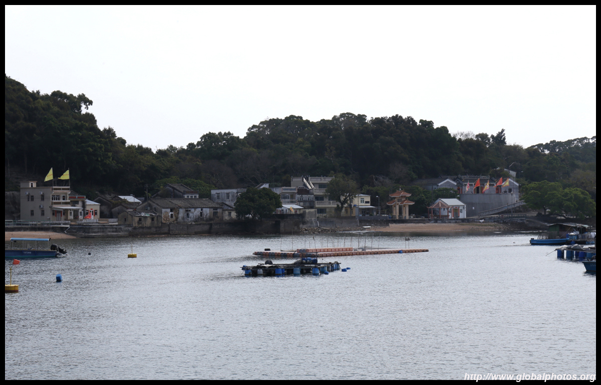
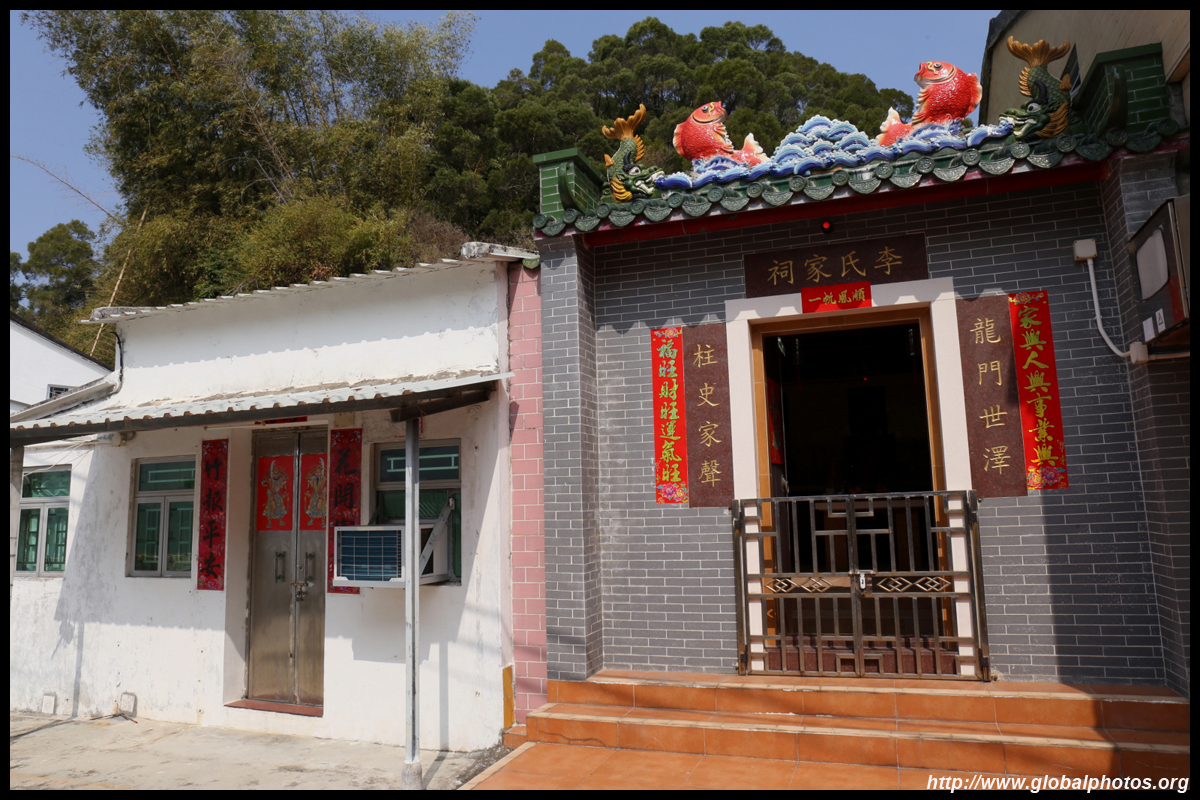
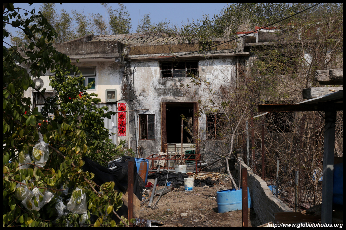
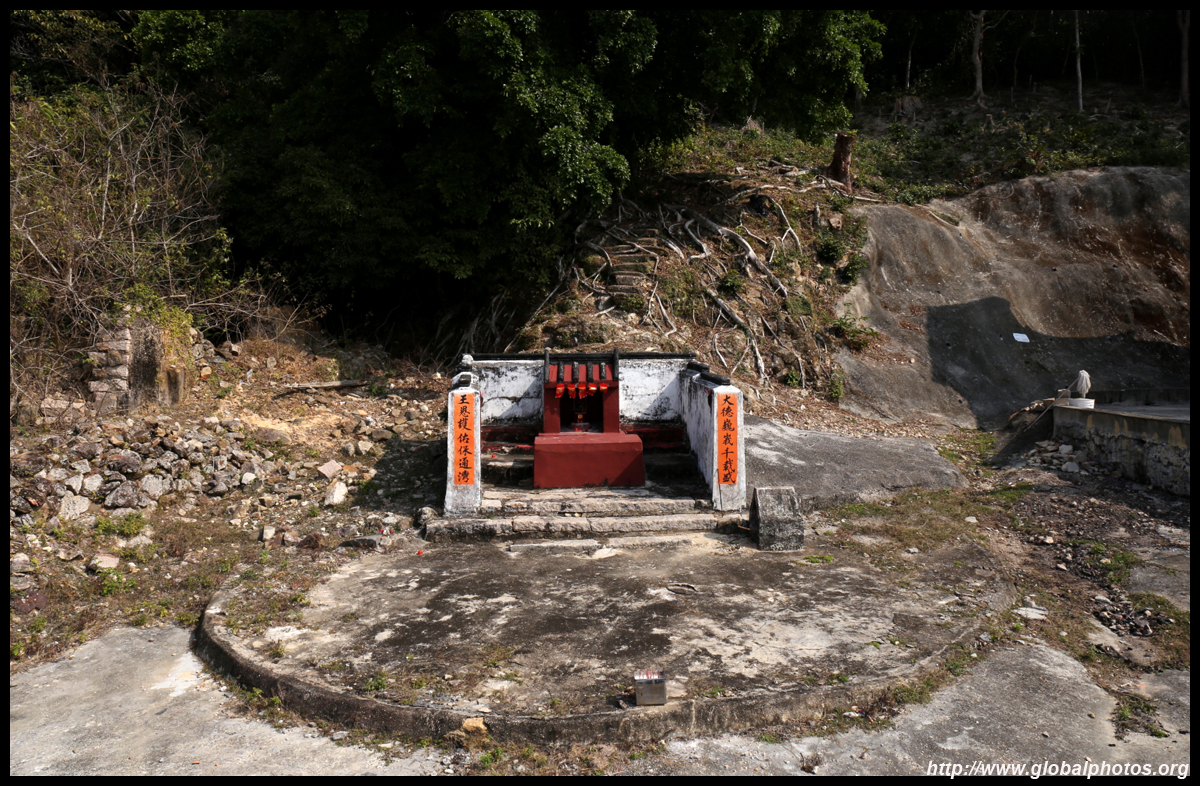
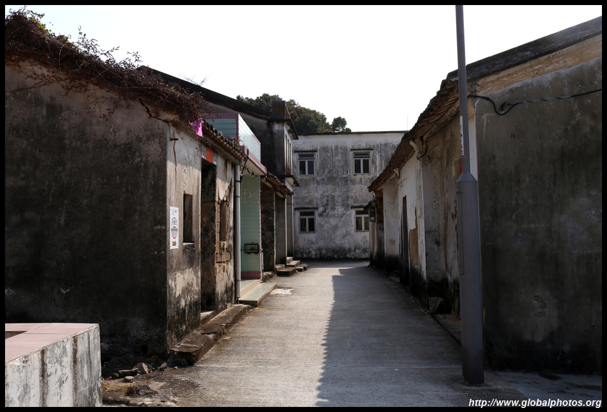
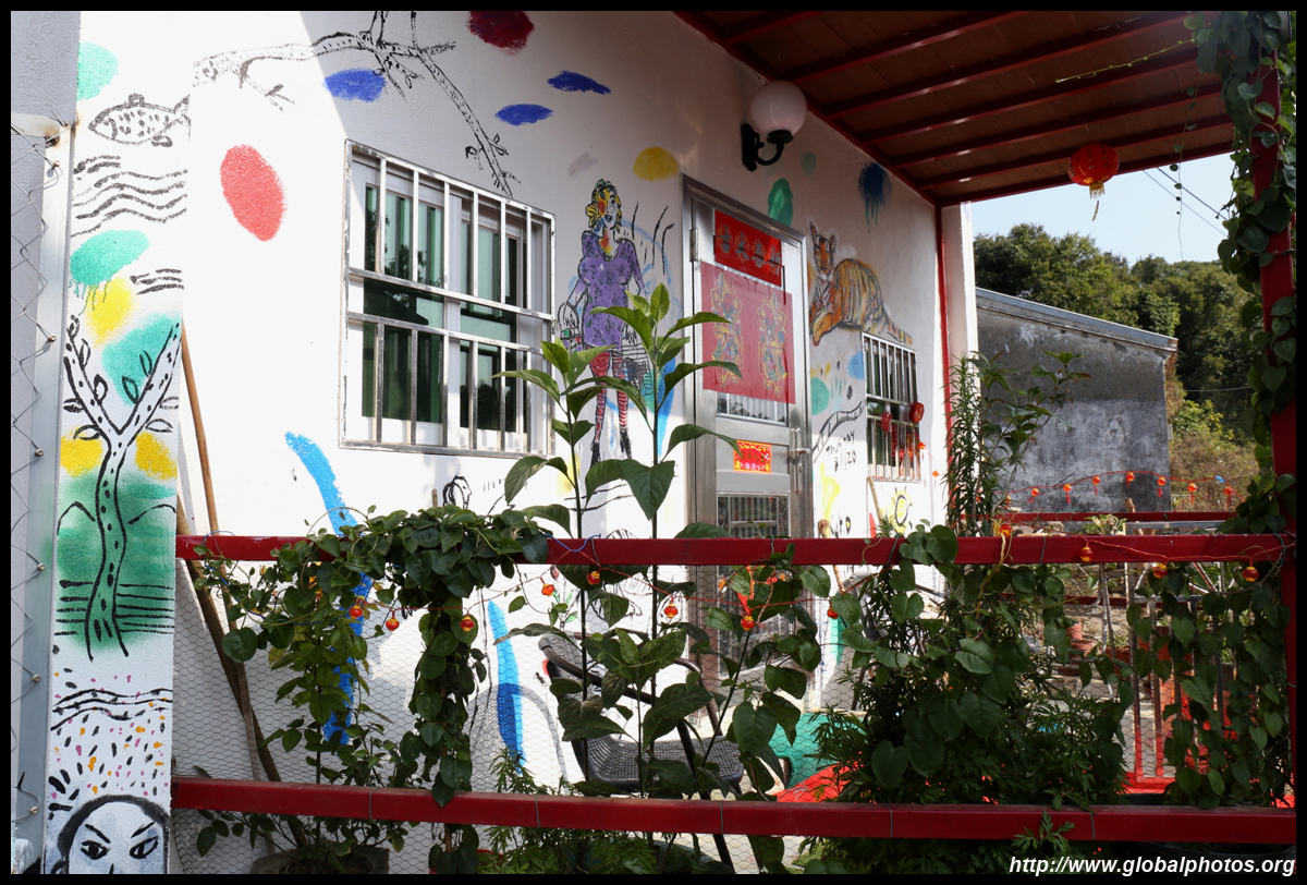
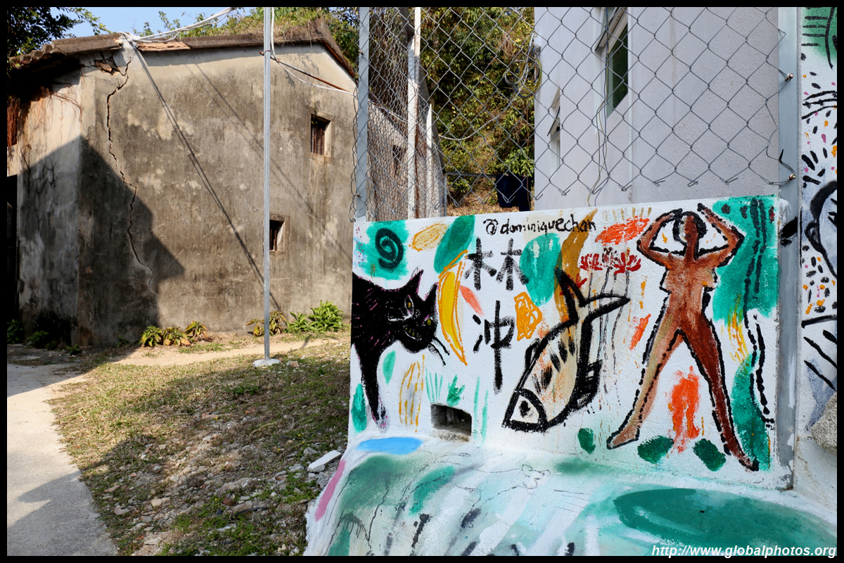
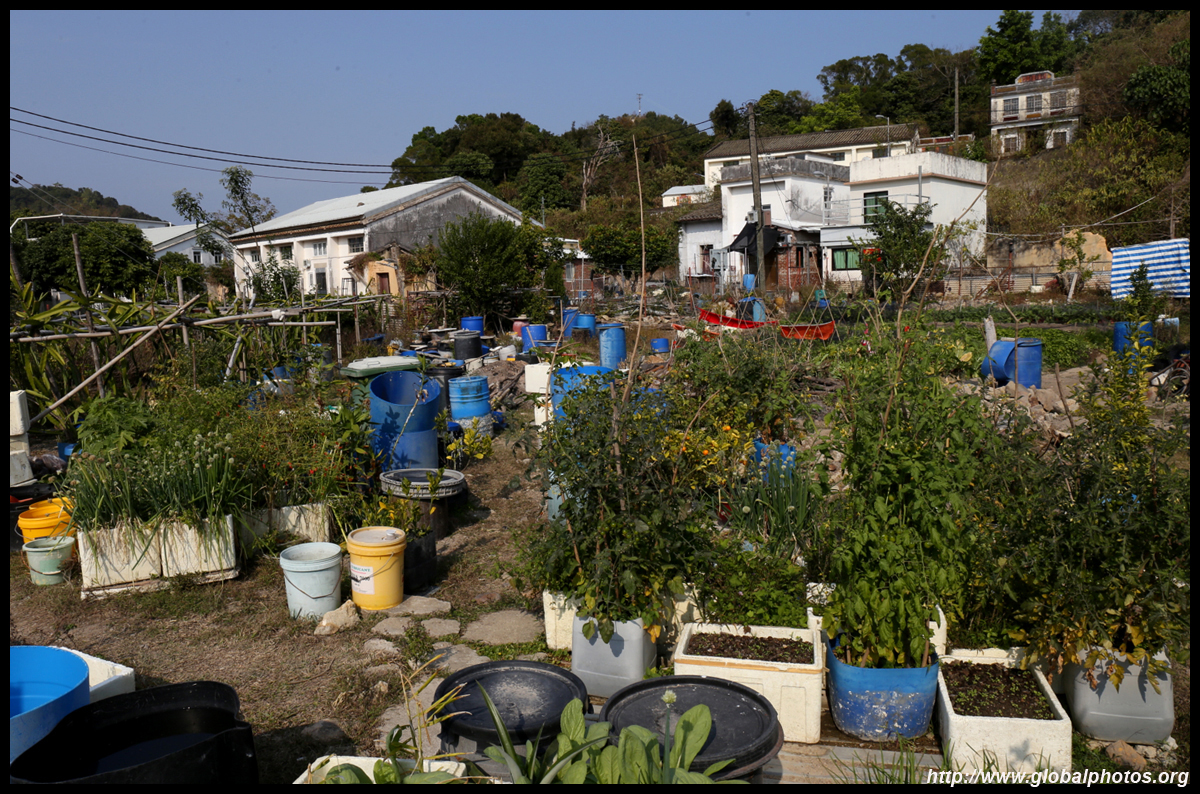
Meanwhile, the village extends further beyond the temple.
| |||