Hong Kong Photo Gallery - Lantau Peak Hike Part 2

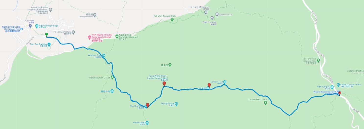
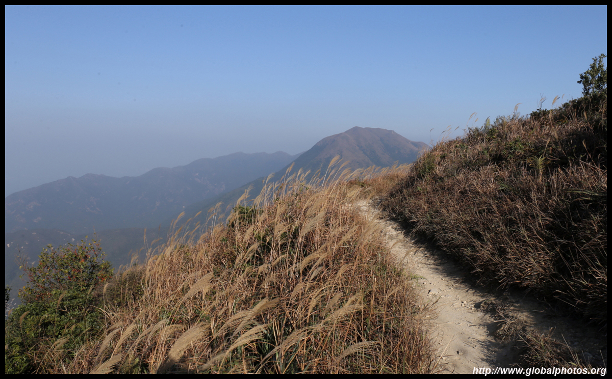
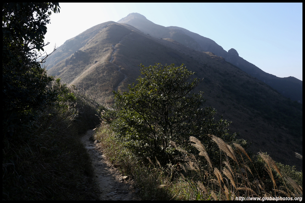
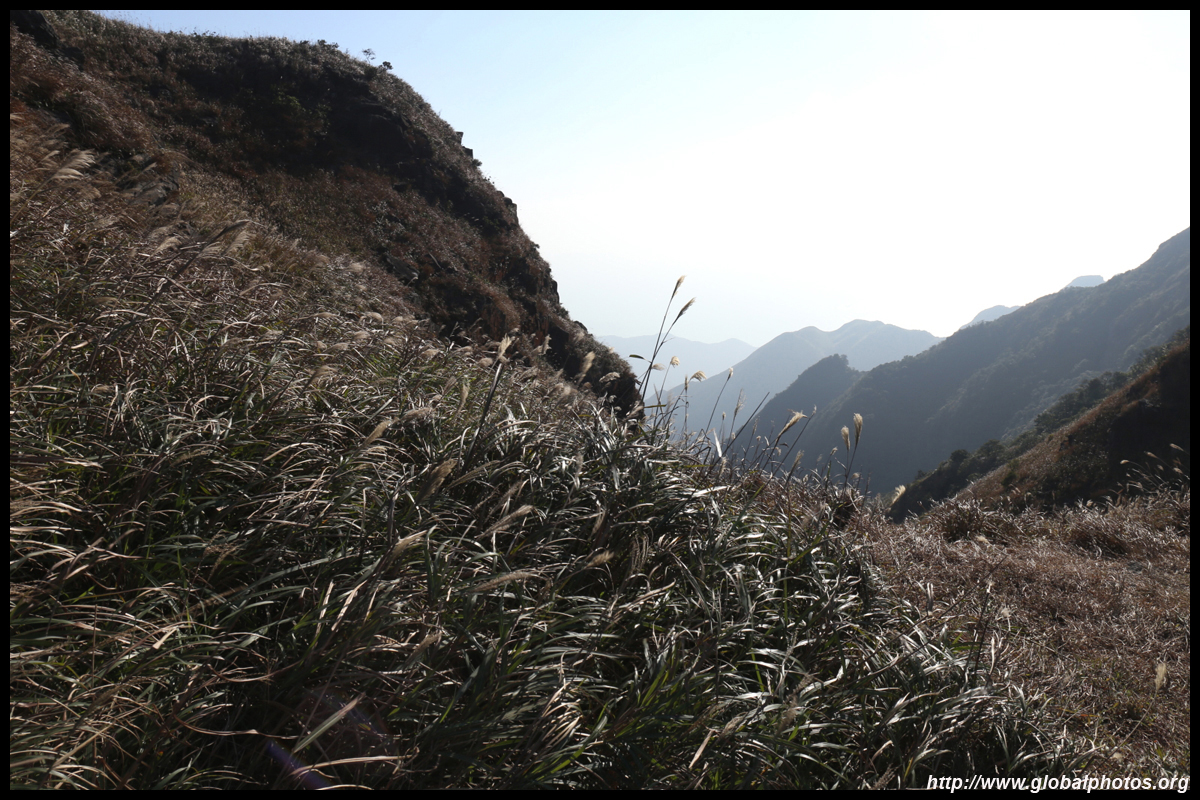
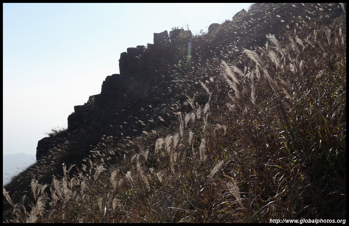
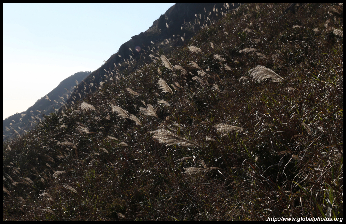
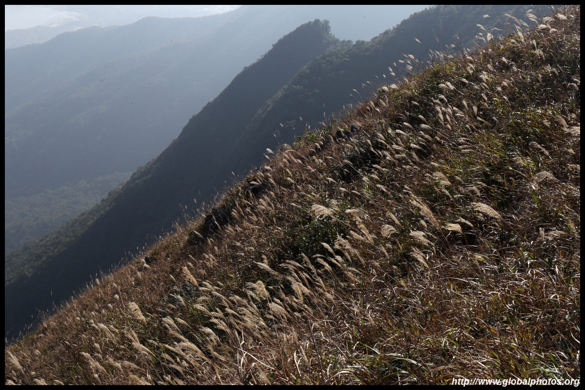
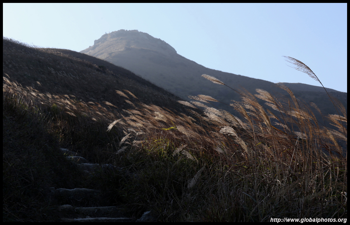
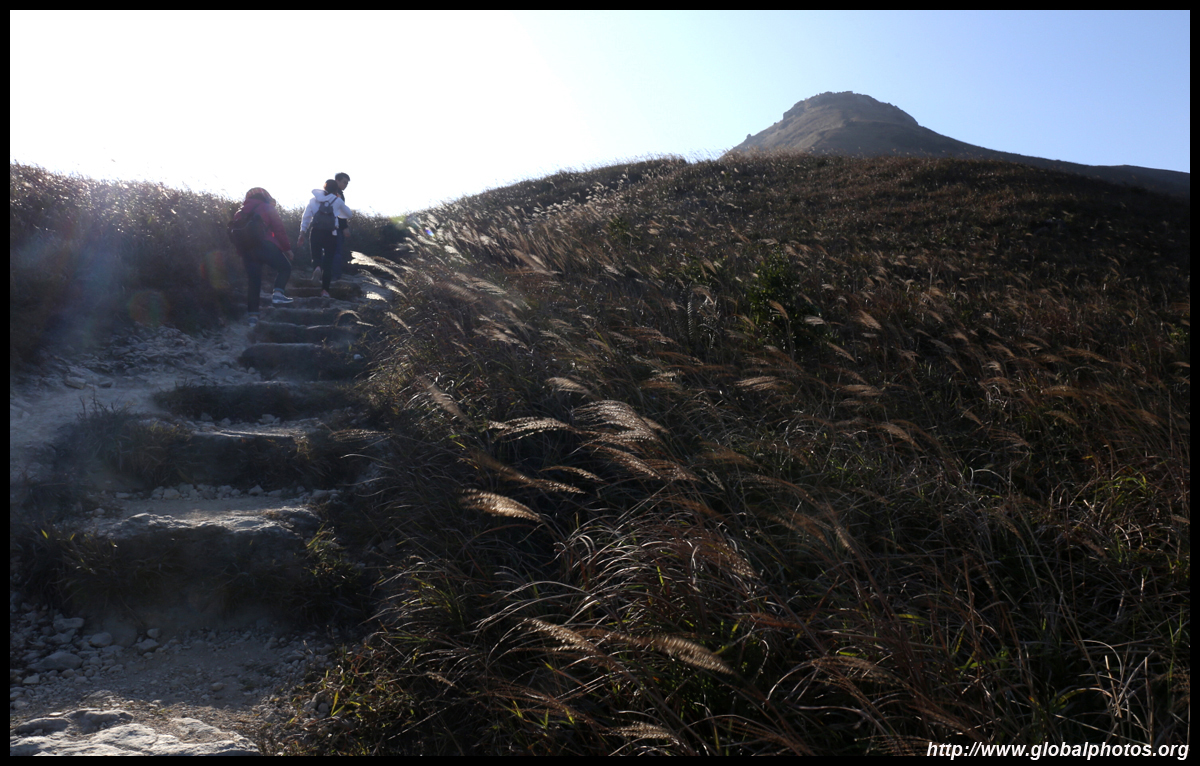
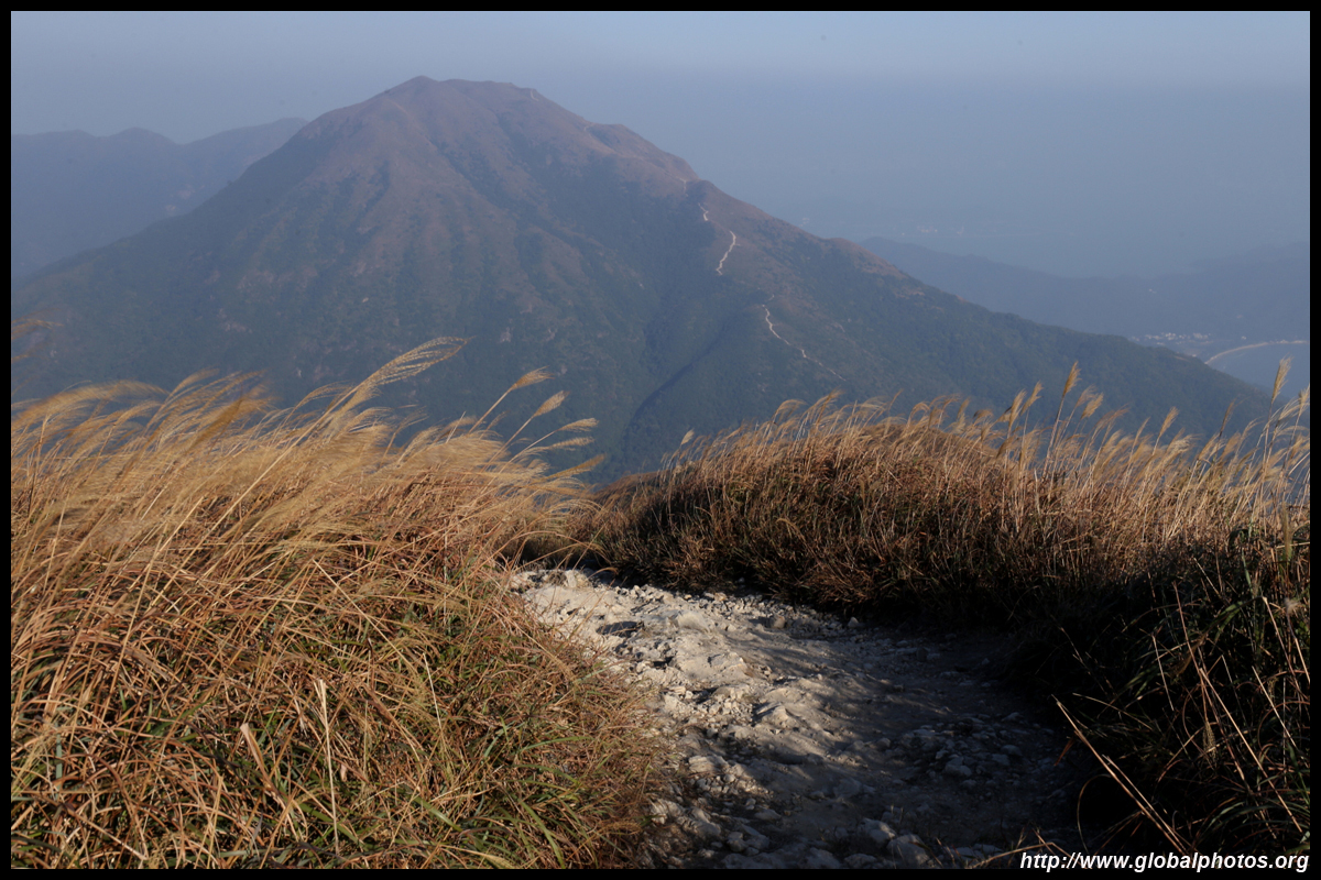
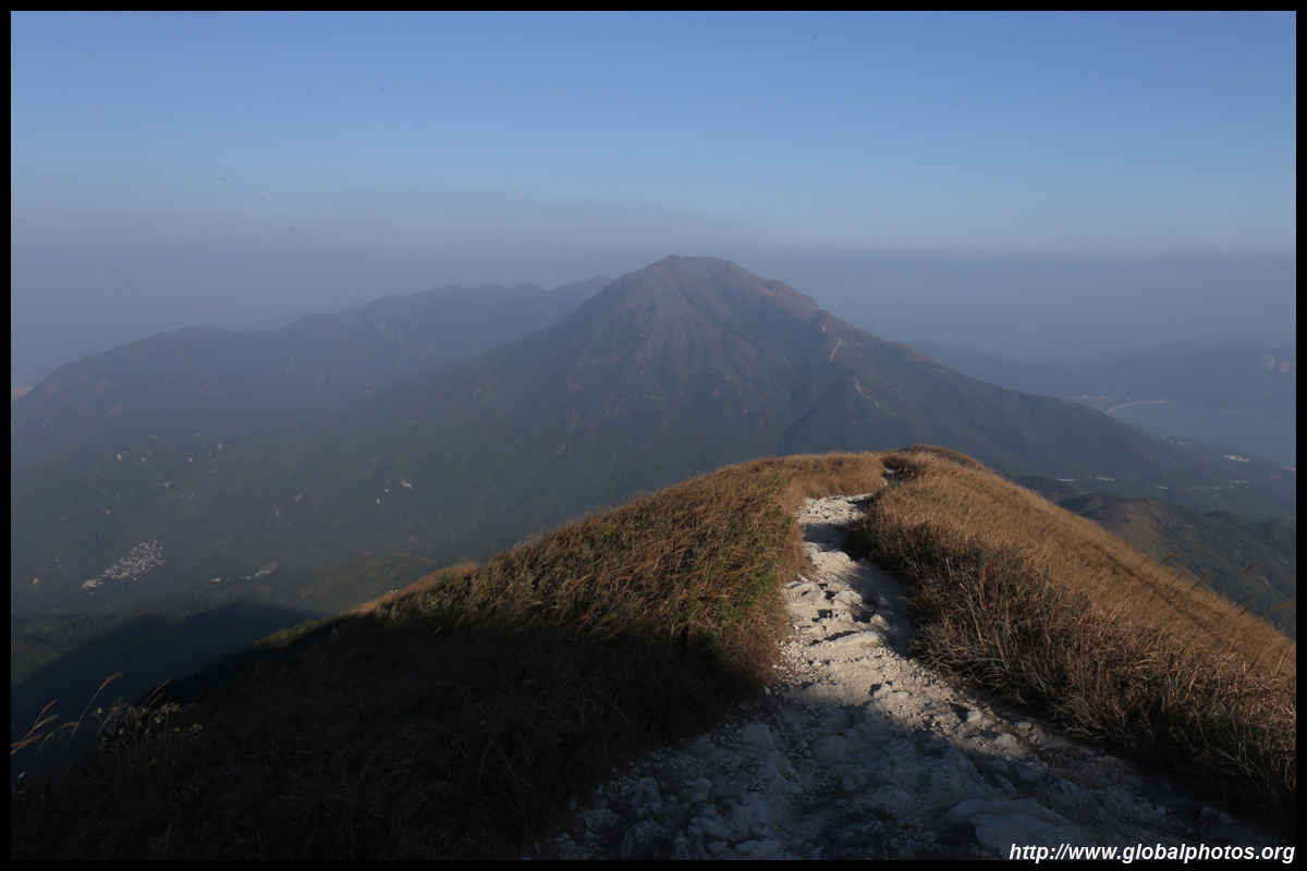
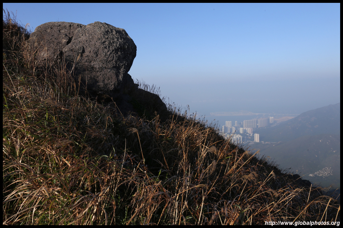
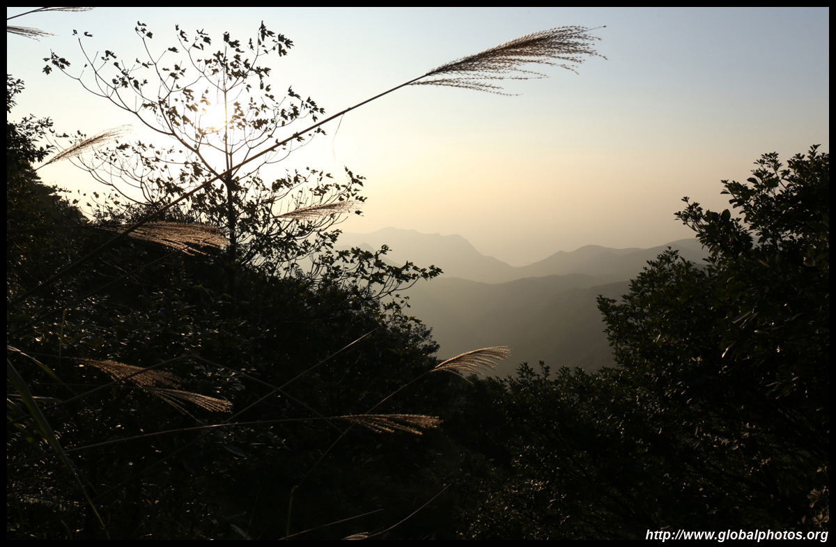
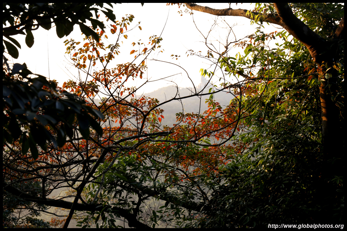
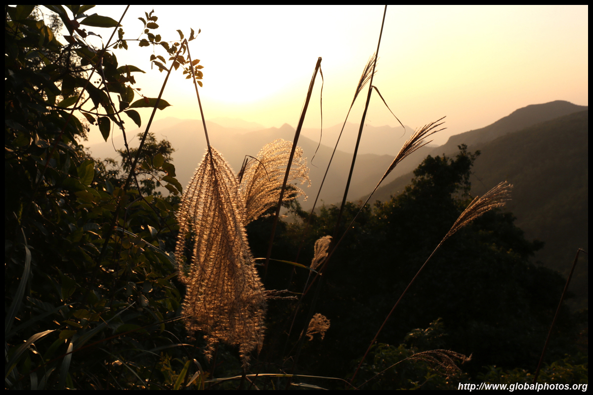
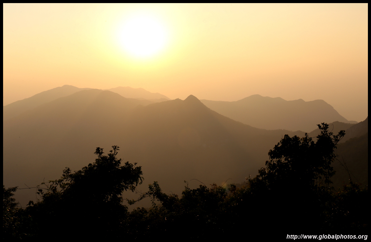
At 934m, Lantau Peak is the 2nd tallest mountain in Hong Kong, making it a good spot to see either sunrise or sunset. This, along with Sunset Peak next door, are very popular hiking destinations. During the late fall, tall yellow grasses dominate the hillsides, offering a spectacular scene for photography enthusiasts.
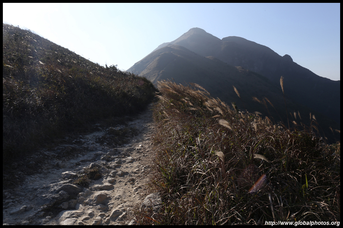
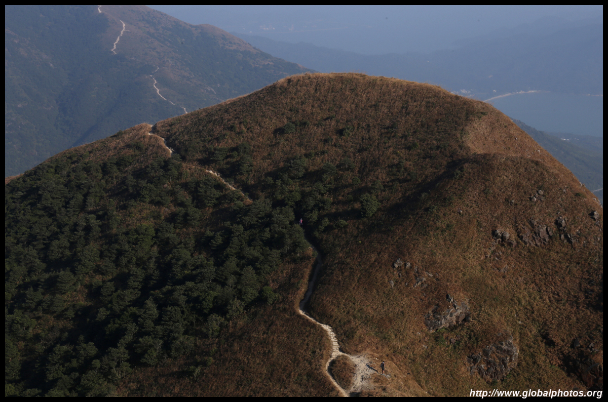
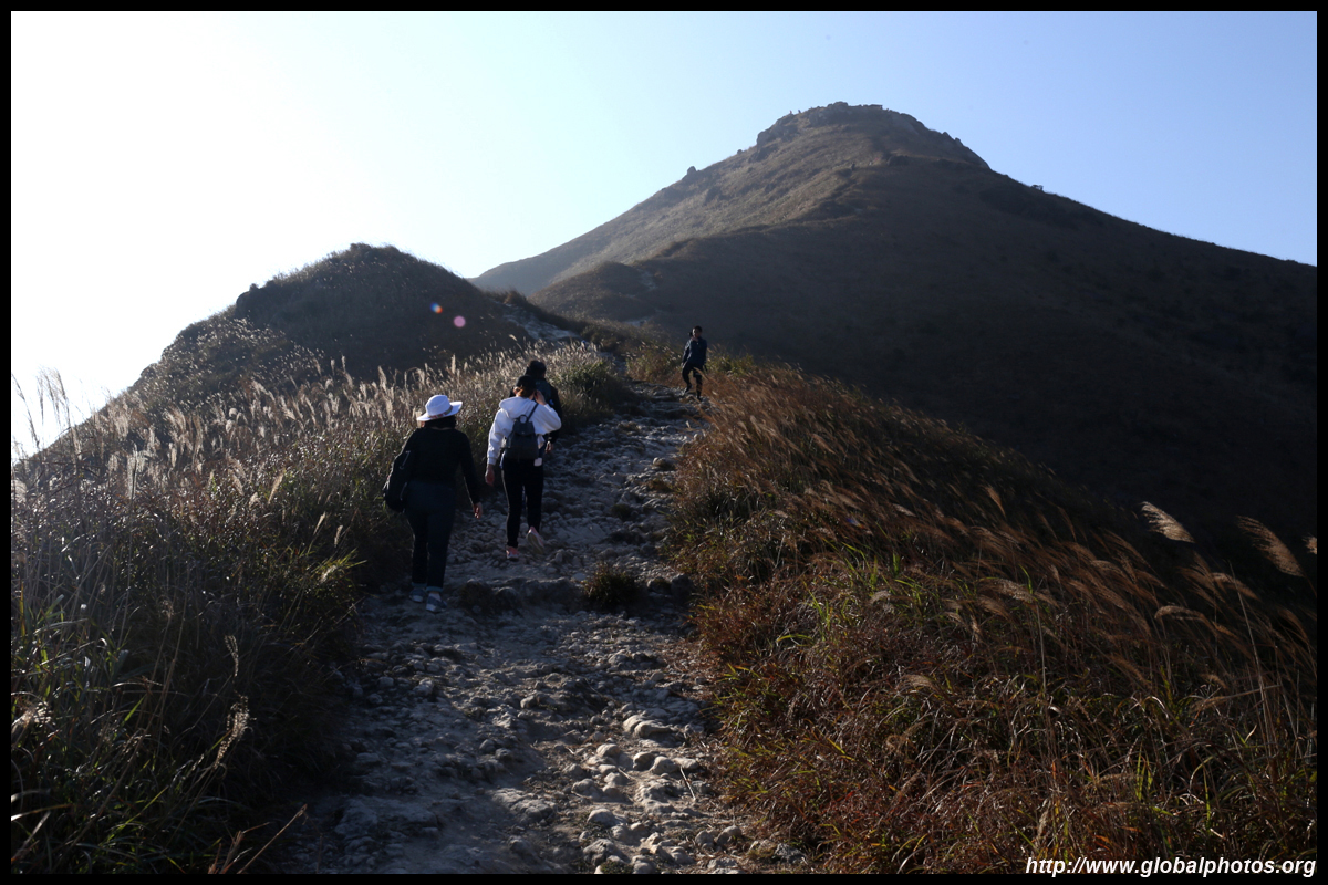
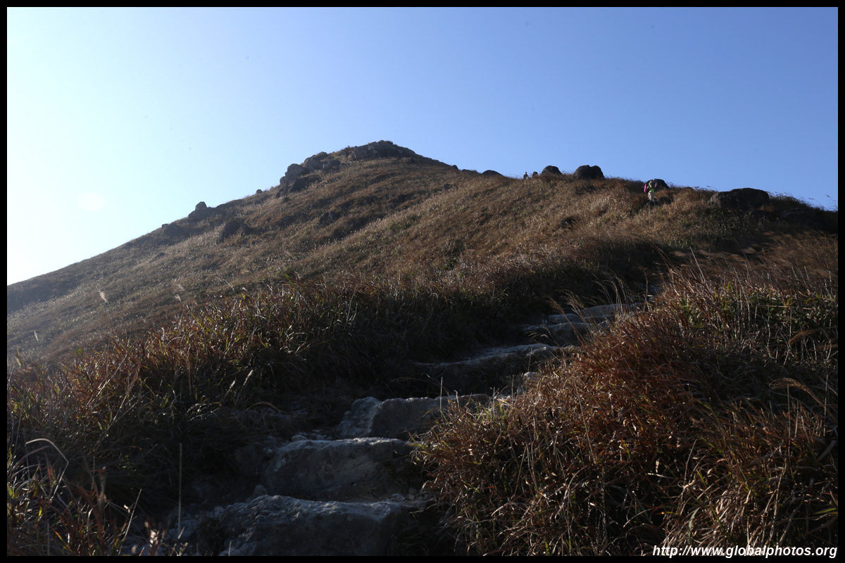
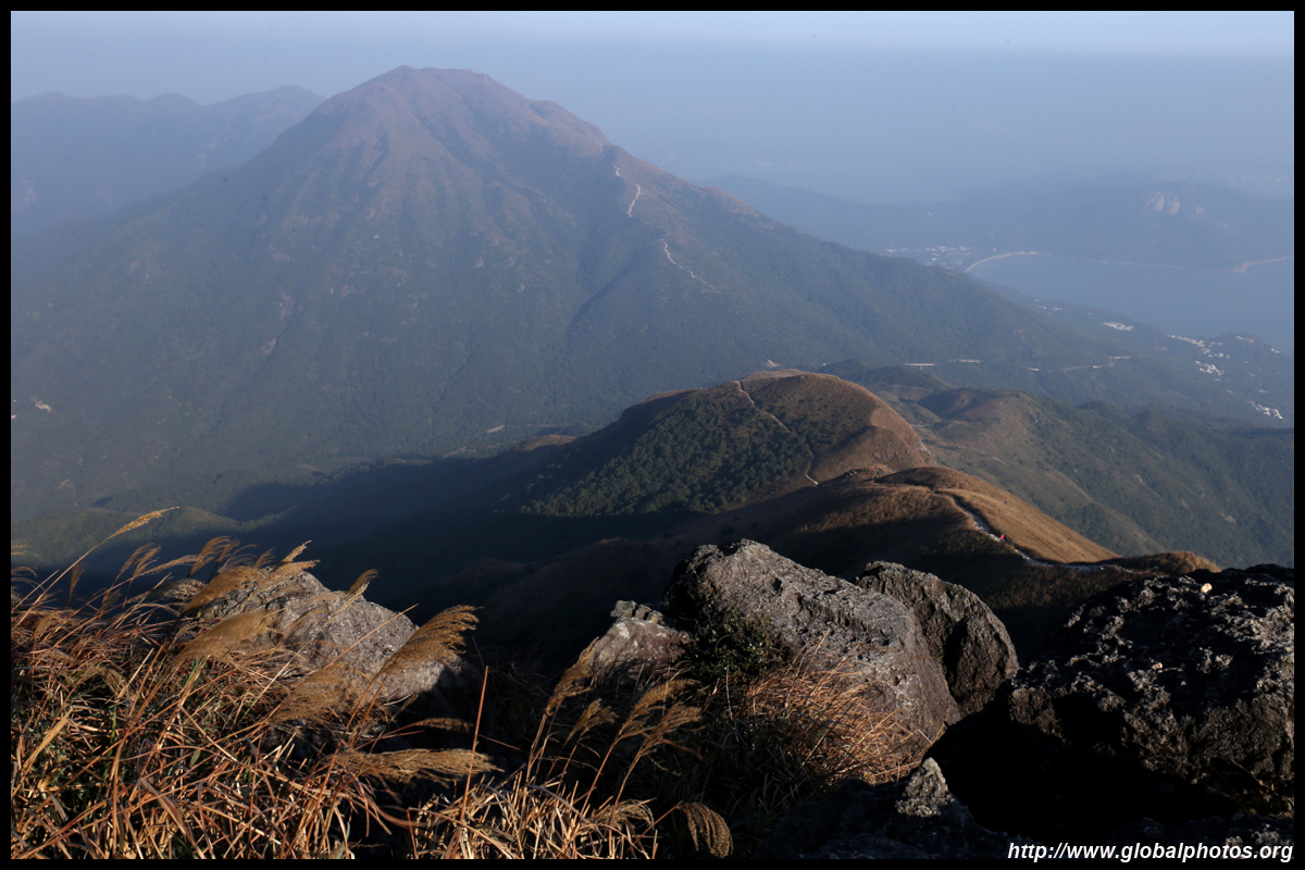
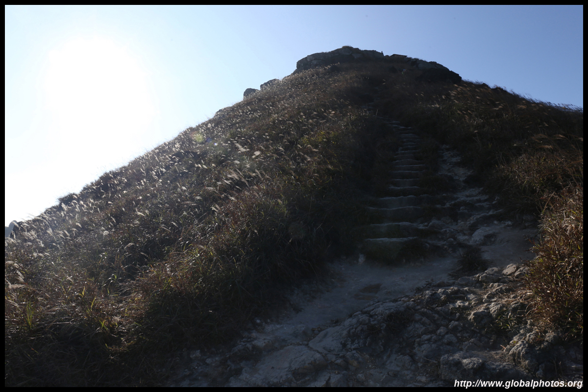
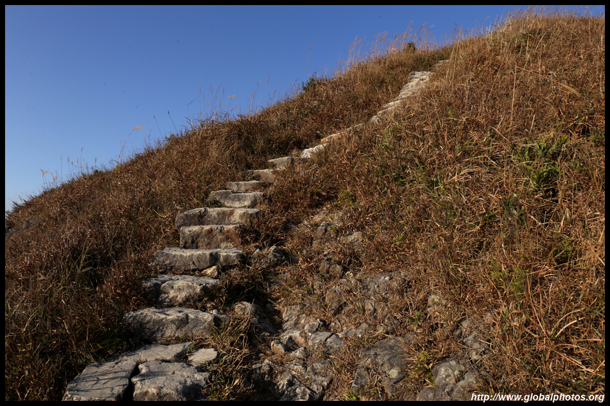
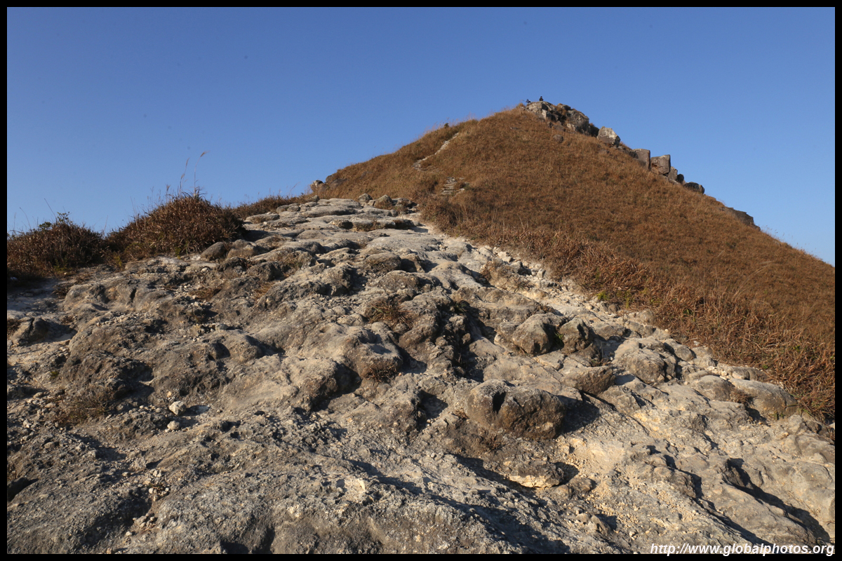
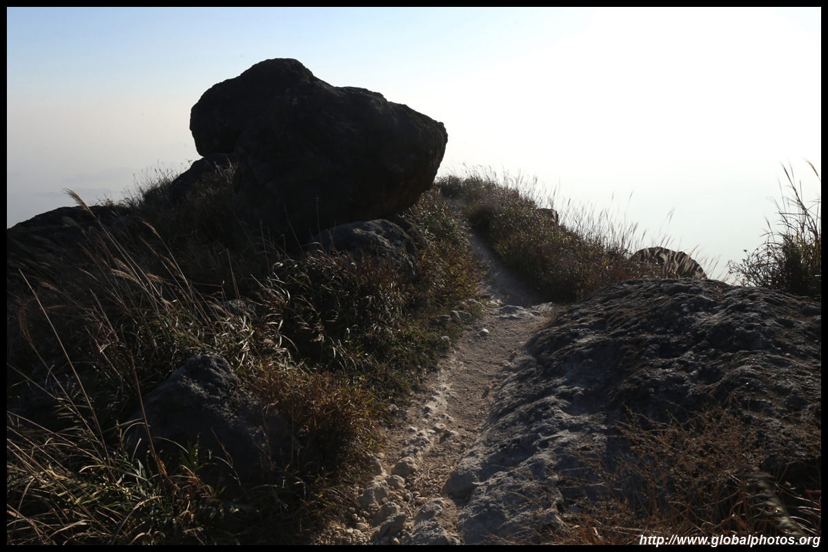
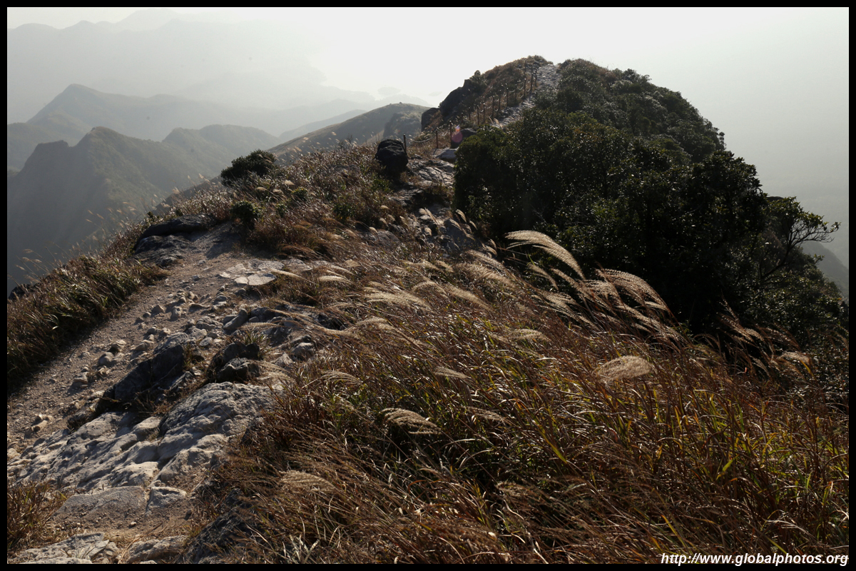
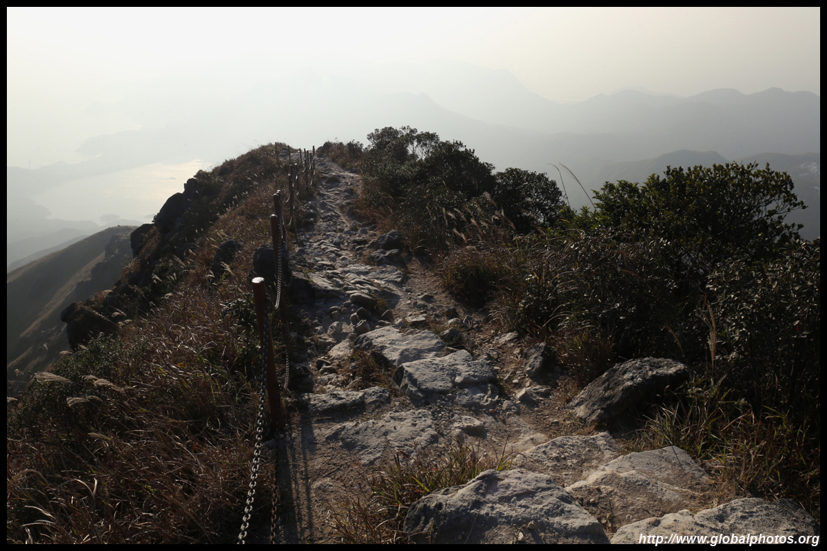
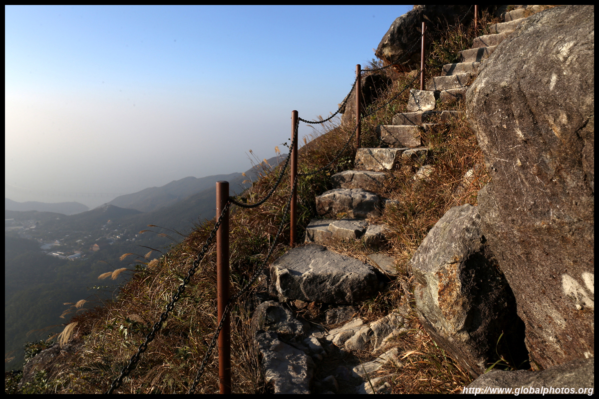
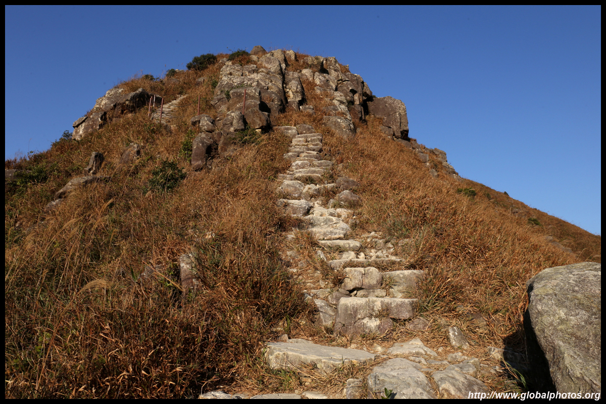
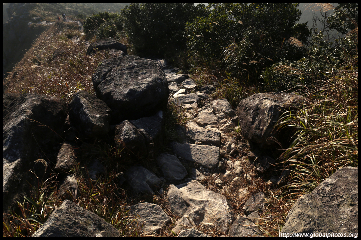
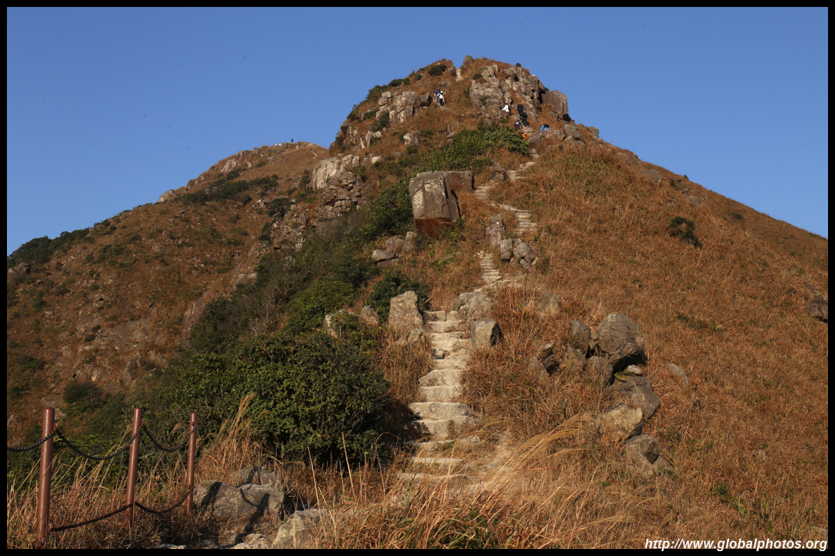
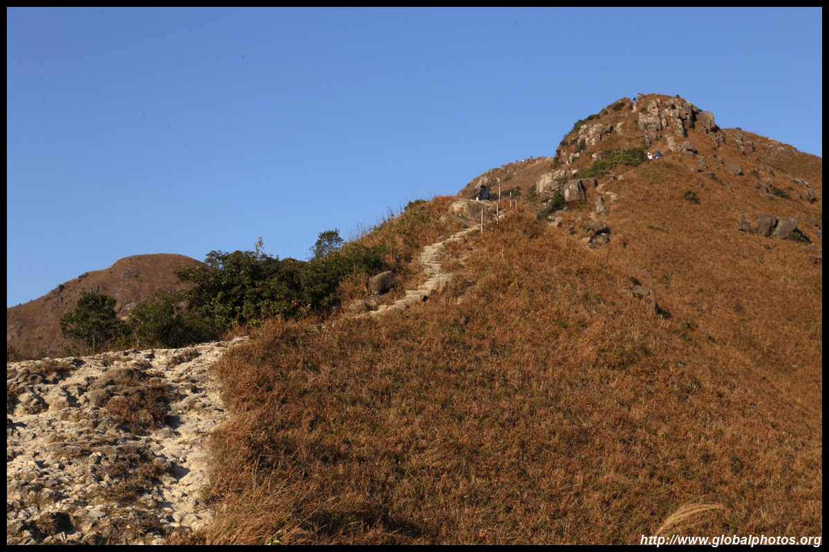
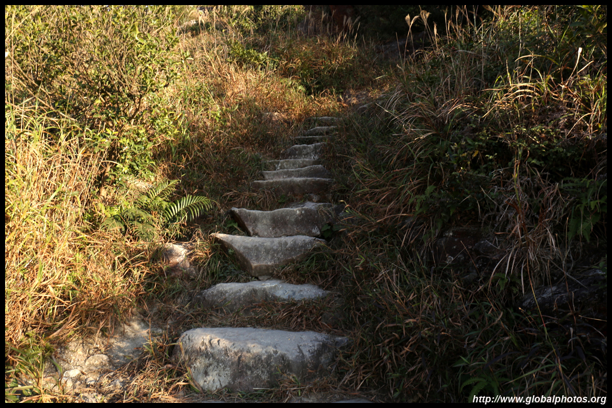
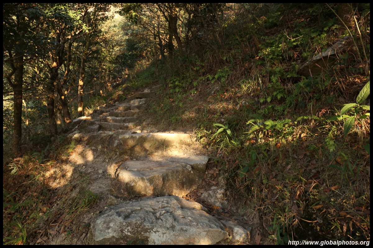
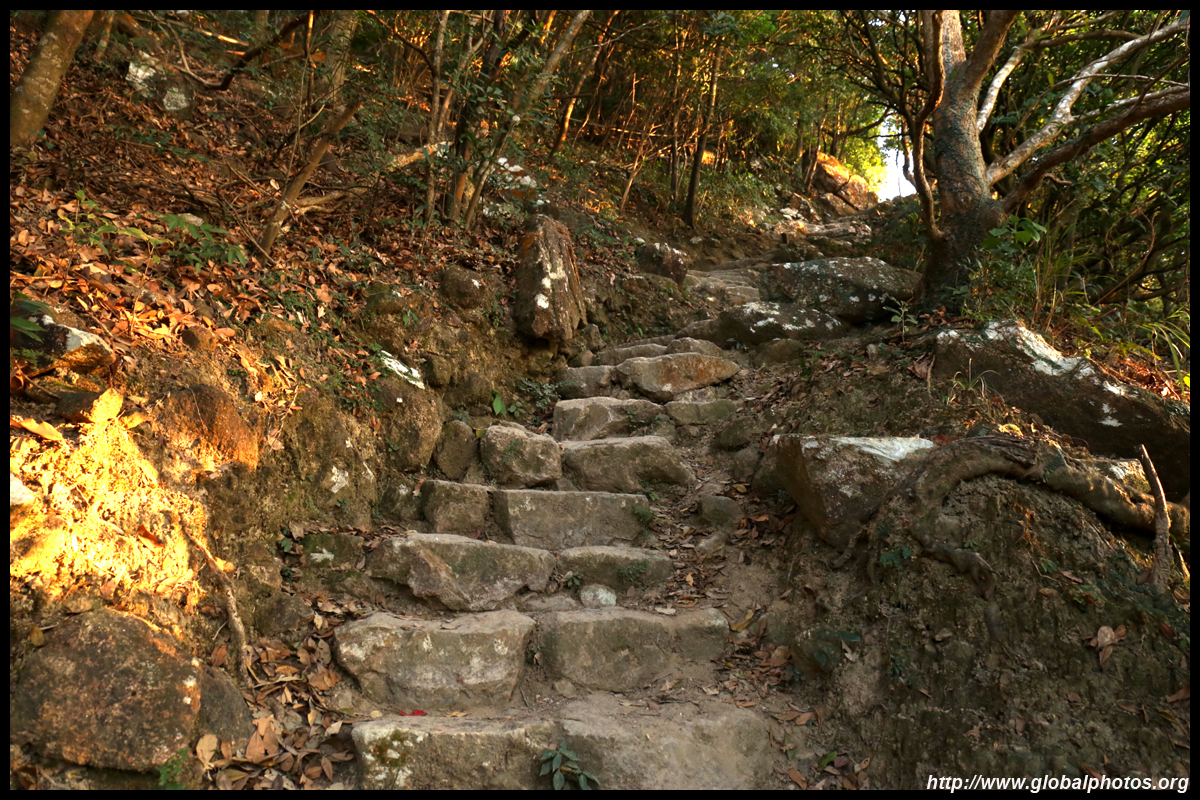
By now, the steps have gotten quite steep and irregular in height so I took frequent breaks huffing and puffing the way, fighting against the strong northerly wind that could easily blow anyone off balance. Giving up was a real option at this stage but after a short section of level ground and the wind disappearing in between the hills, I pushed on. Looking back, Sunset Peak also offers a gruelling hike which I didn't feel is any better in terms of difficulty. However, I was surprised this trail was relatively quiet on a Friday afternoon.
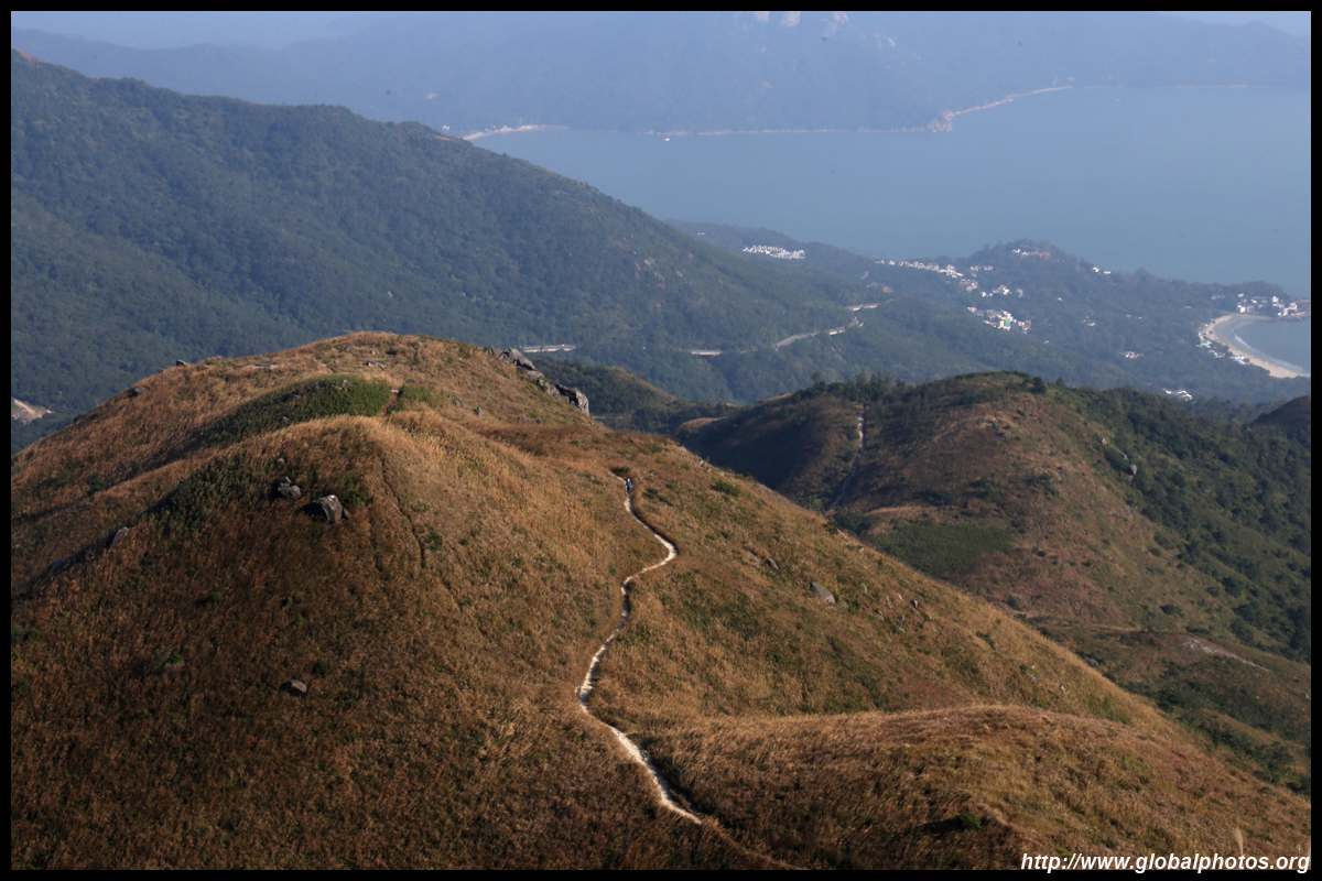
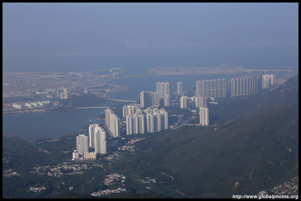
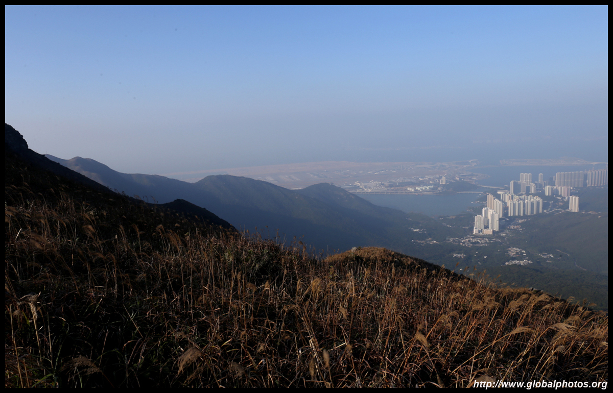
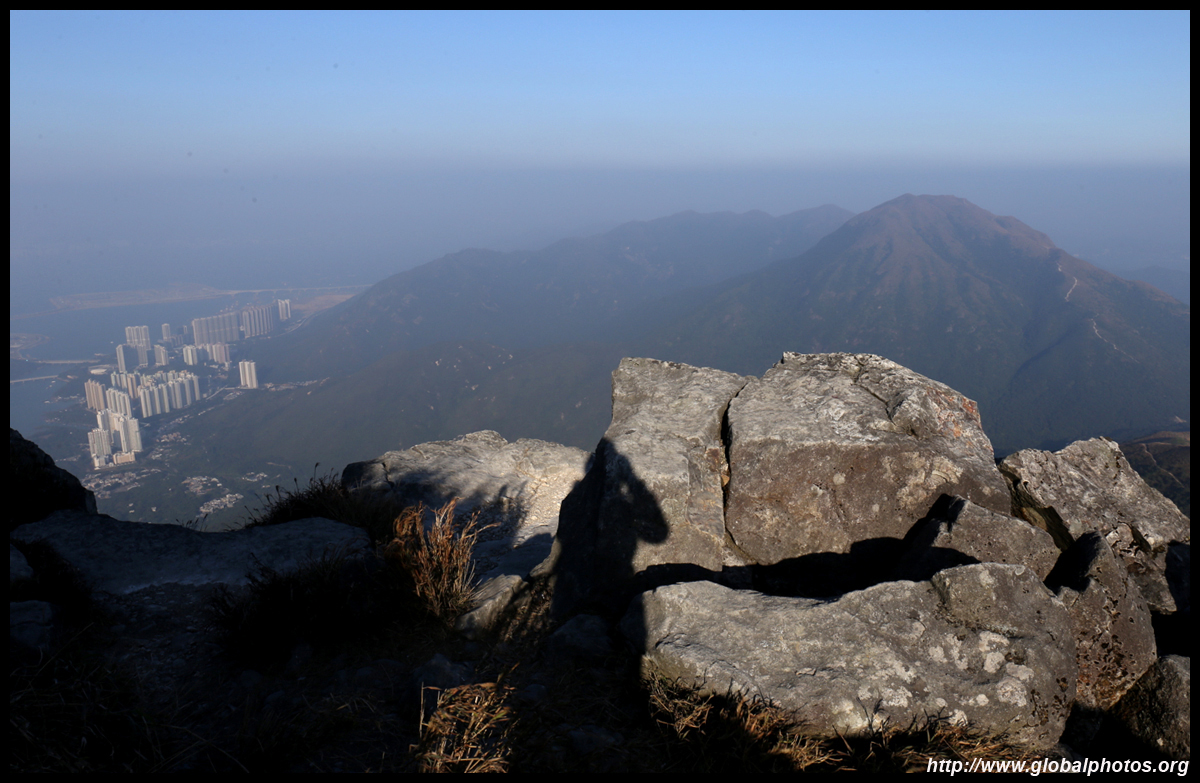
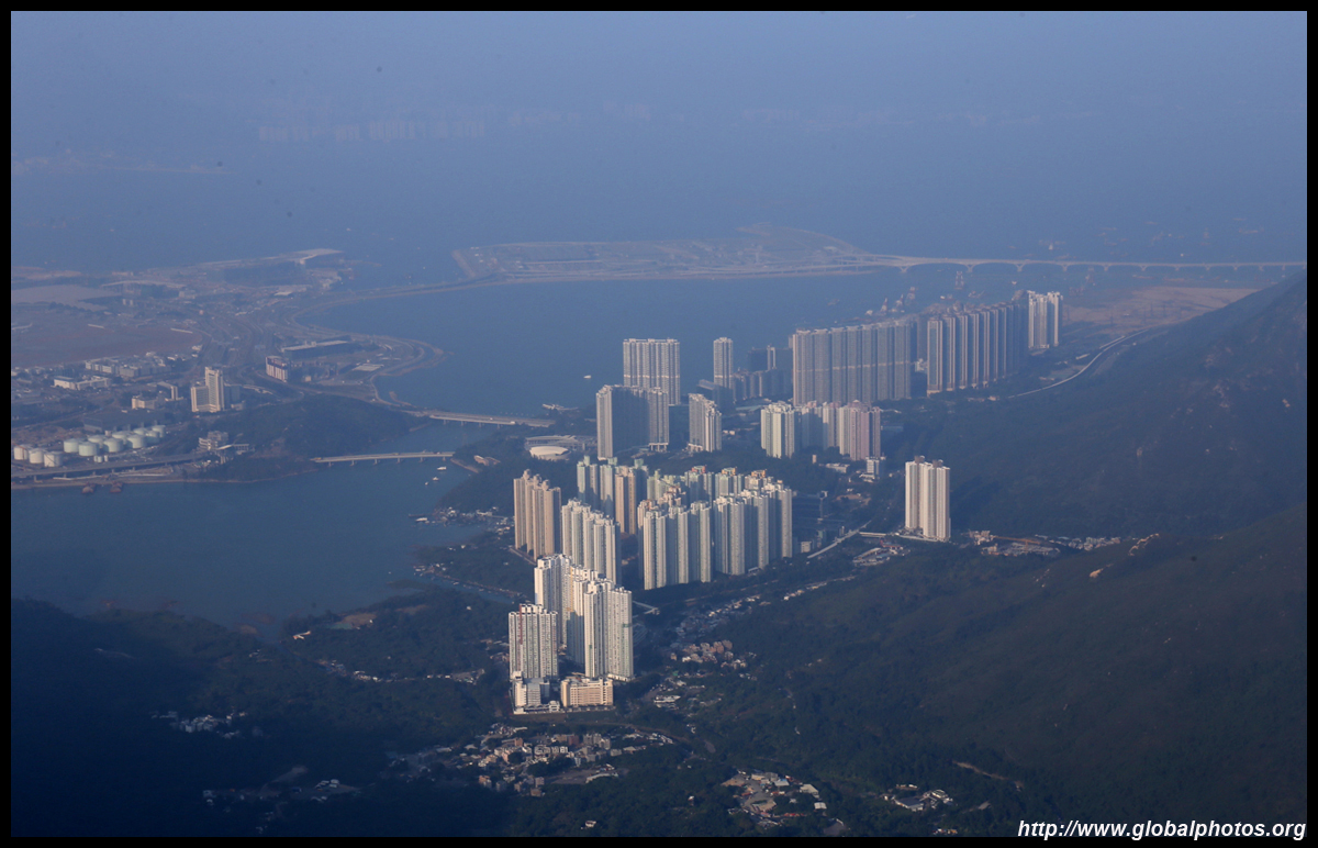
Tung Chung has grown a lot since it first opened as a new satellite town to serve the airport. It is expected to grow further in the coming years with more land reclamation to the right and possibly to the left.
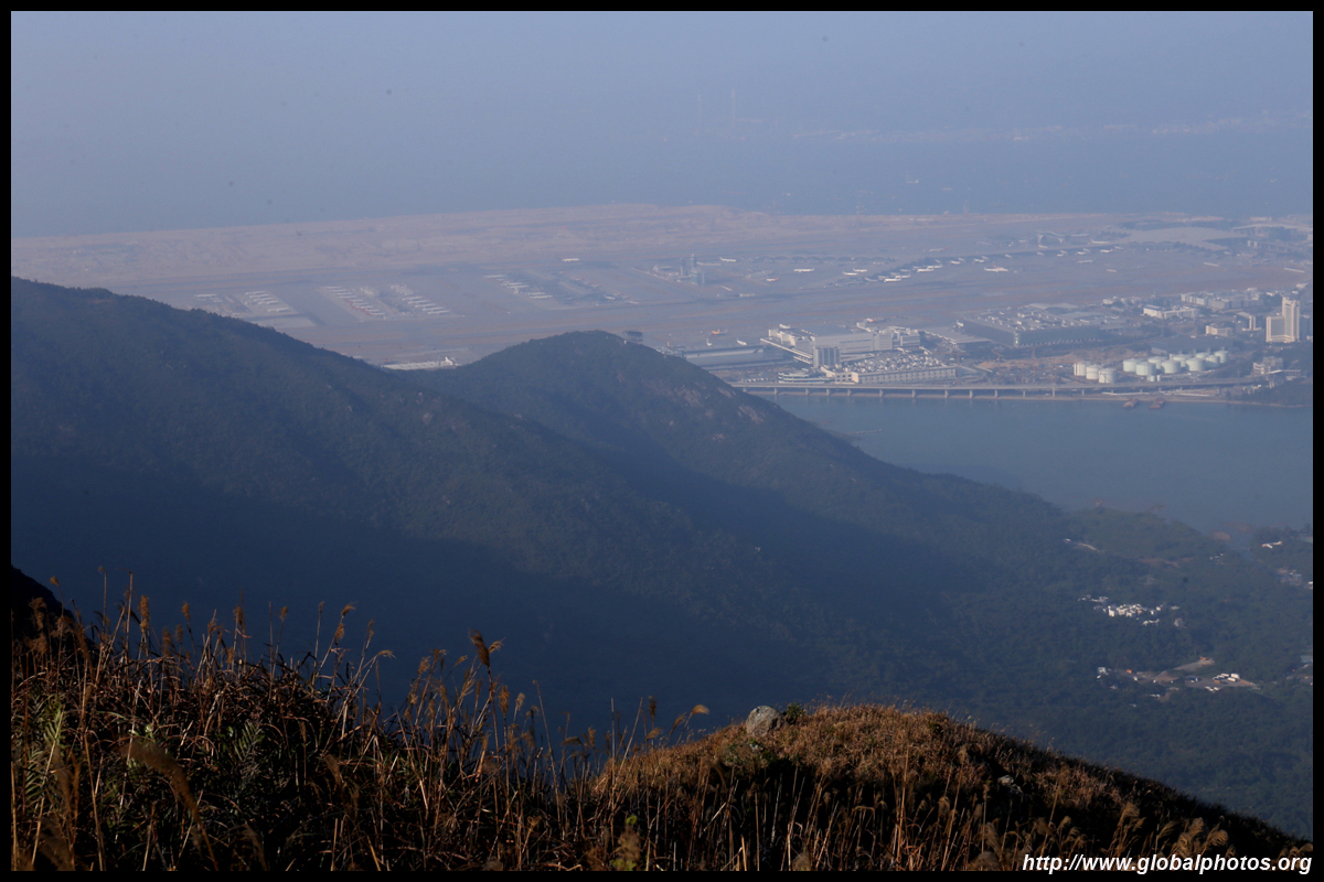
Plenty of planes continue to be parked on the tarmac due to the pandemic dragging on.
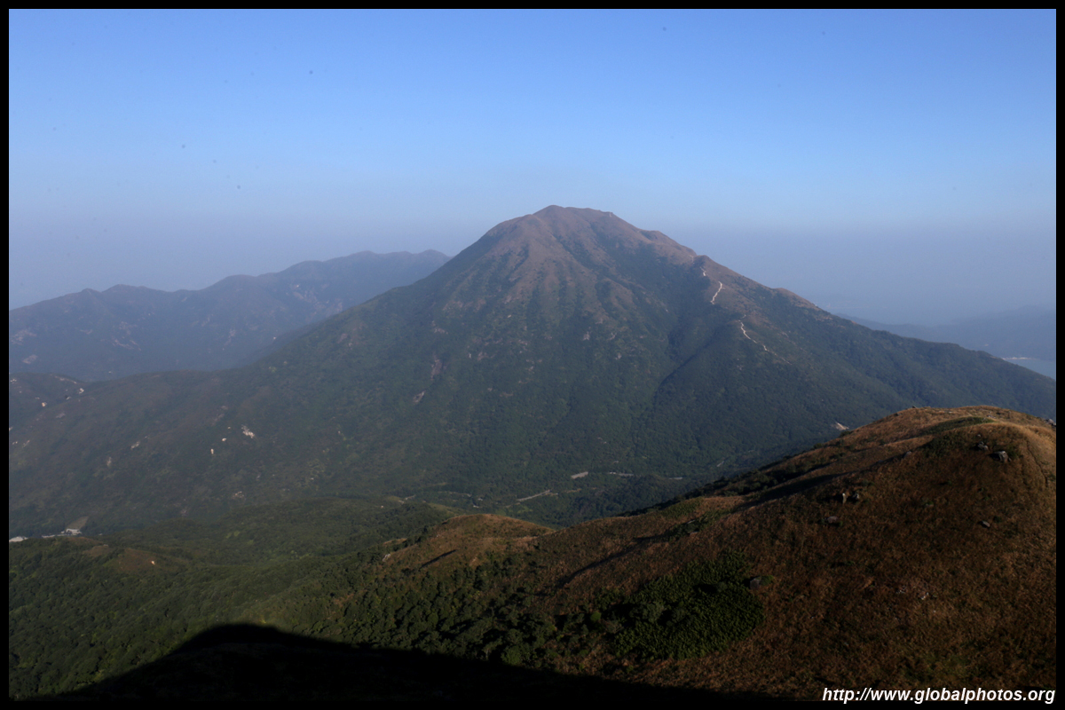
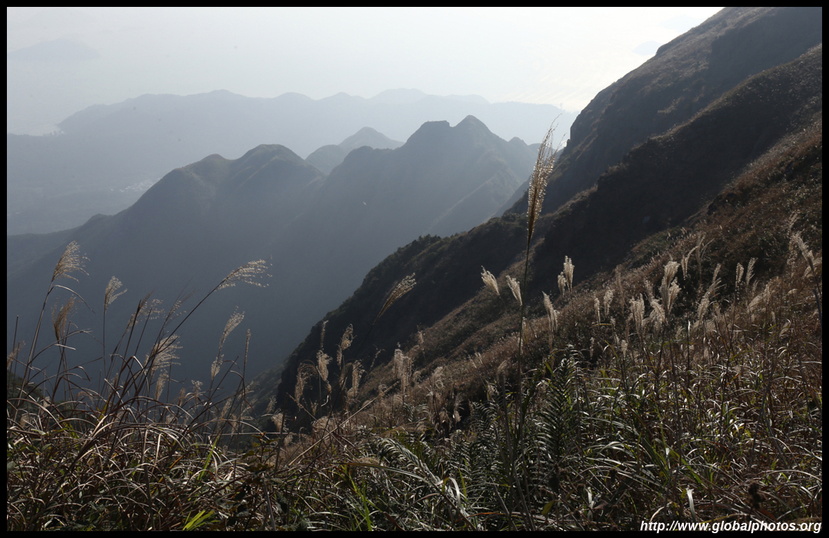
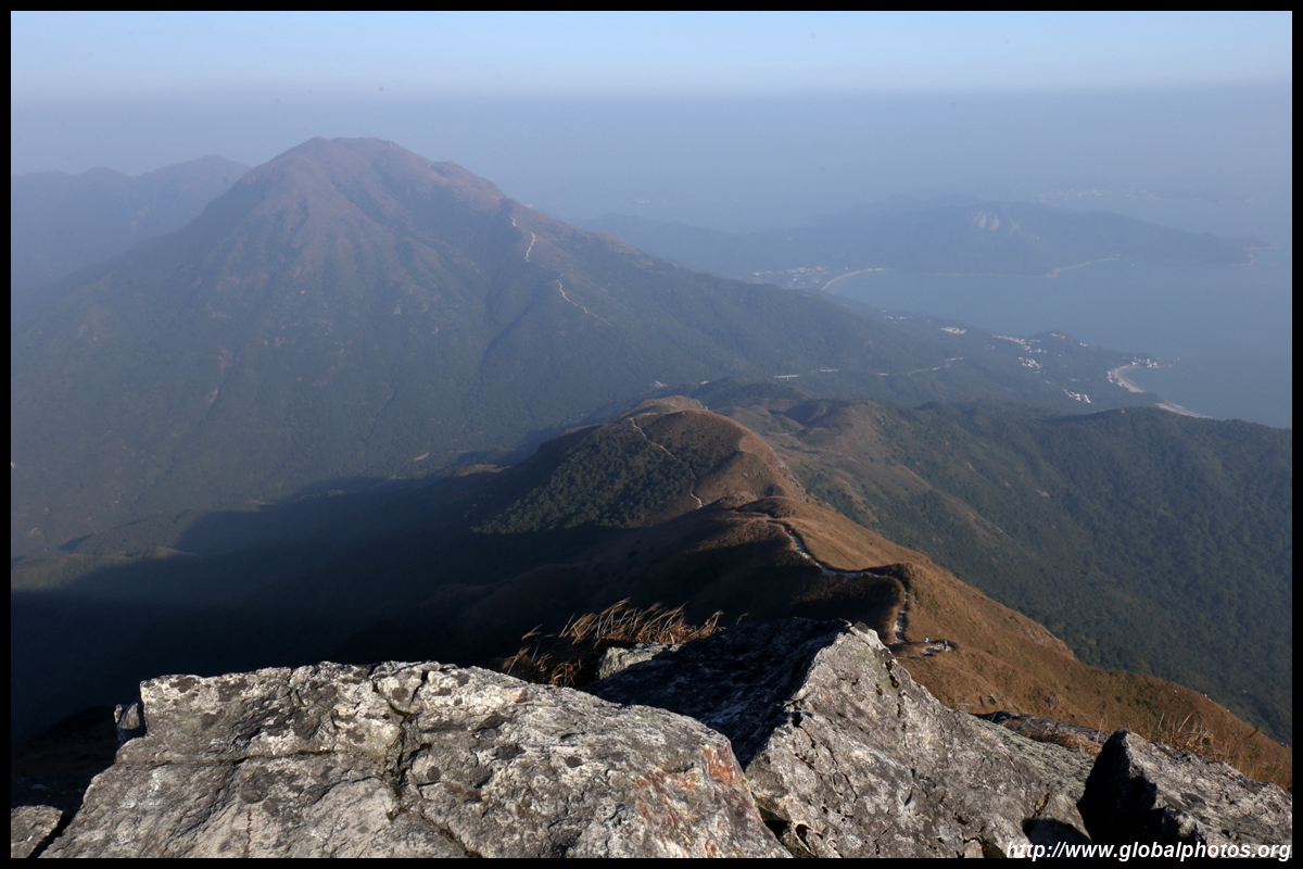
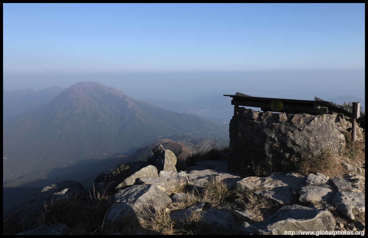
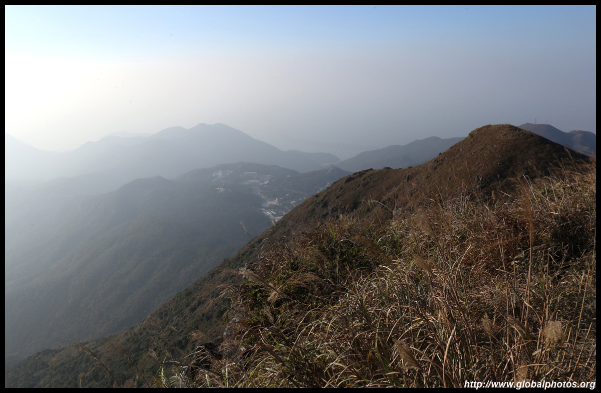
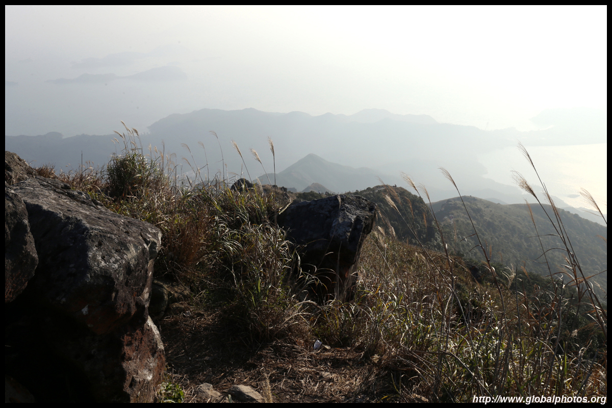
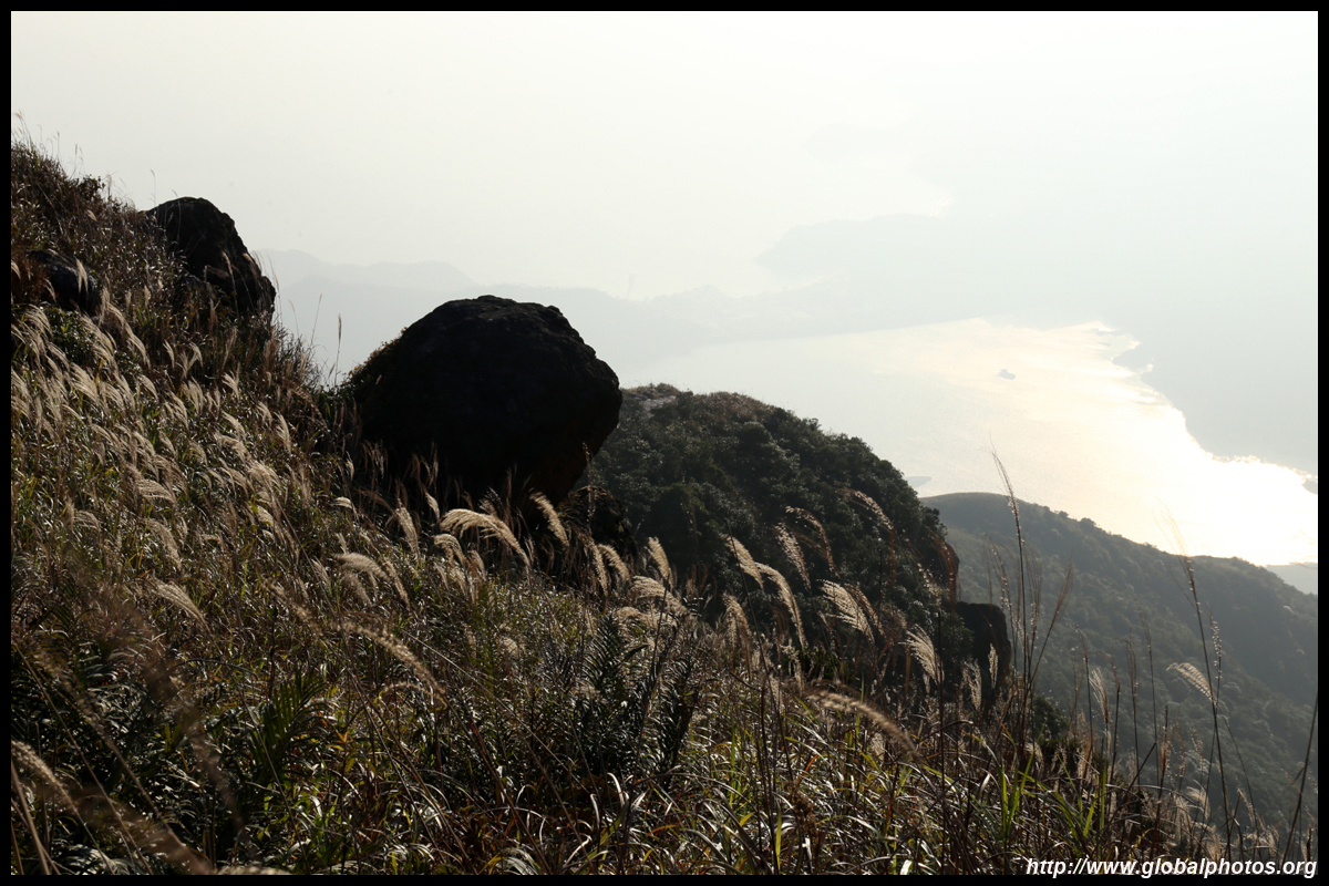
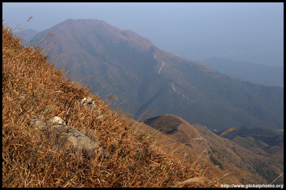
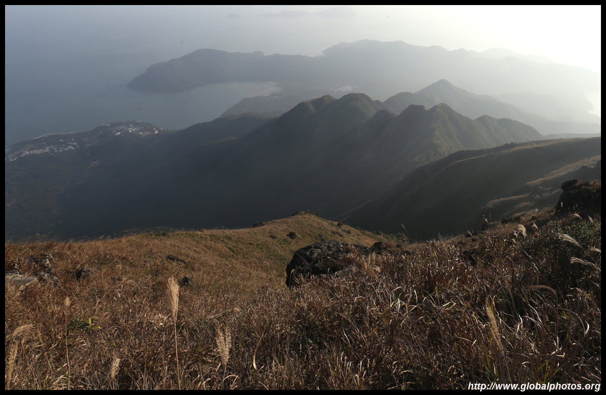
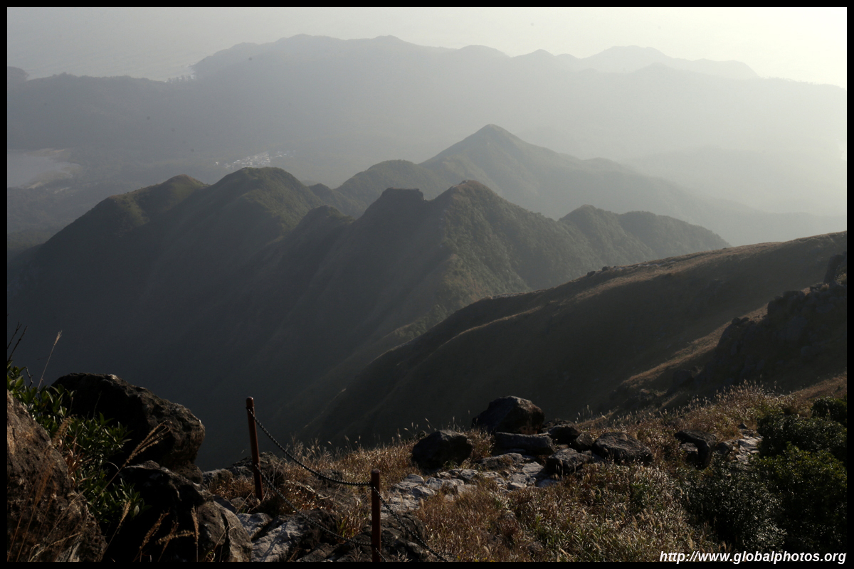
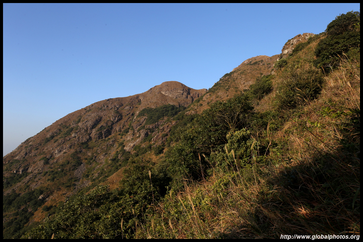
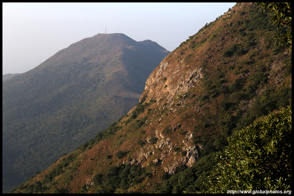
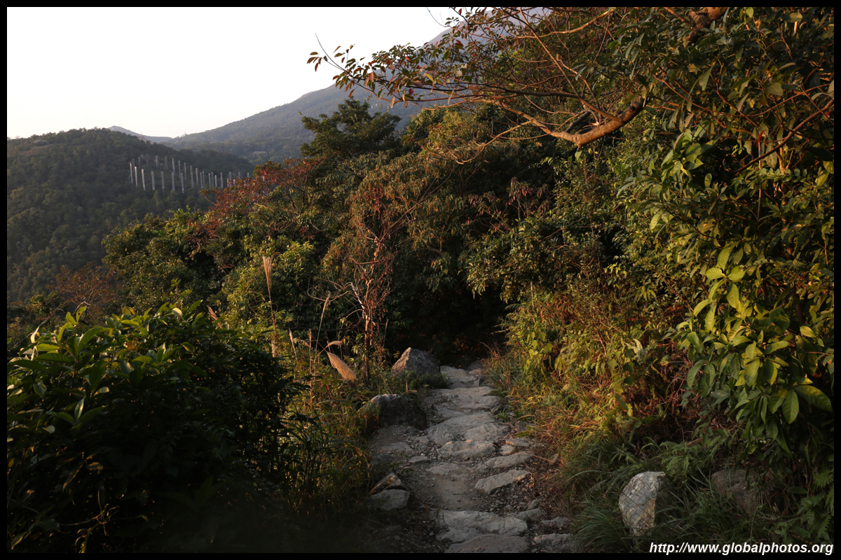
Another way of reaching Lantau Peak is from Shek Pik Reservoir, but it is through a very treacherous stretch for expert hikers only known as the West Dog's Teeth range. You can see its route along the sharp hilltops in the distance.
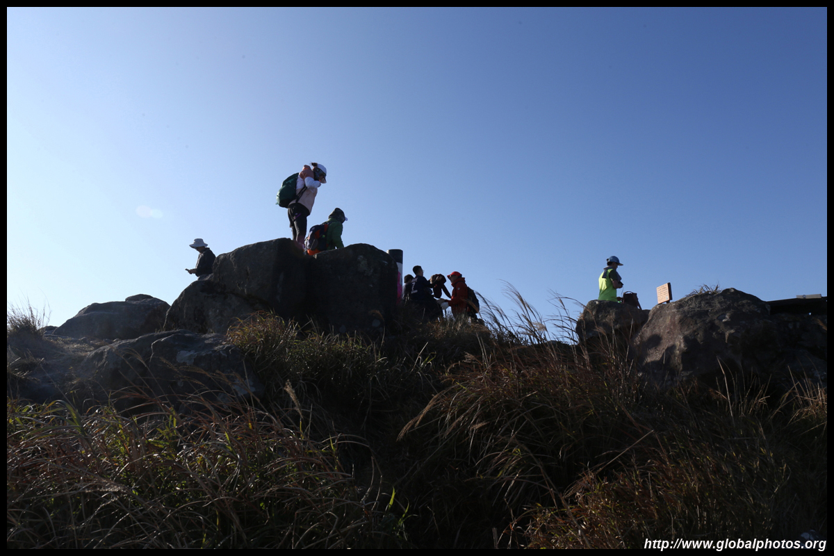
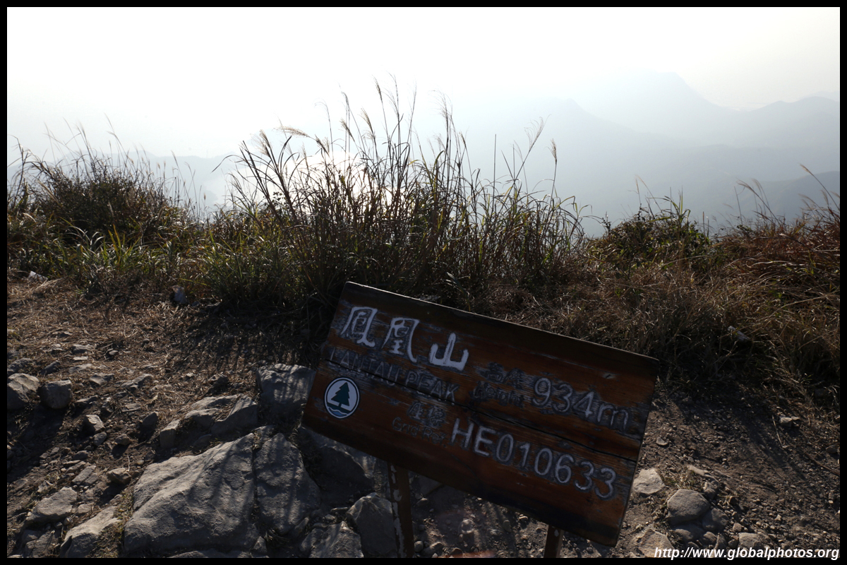
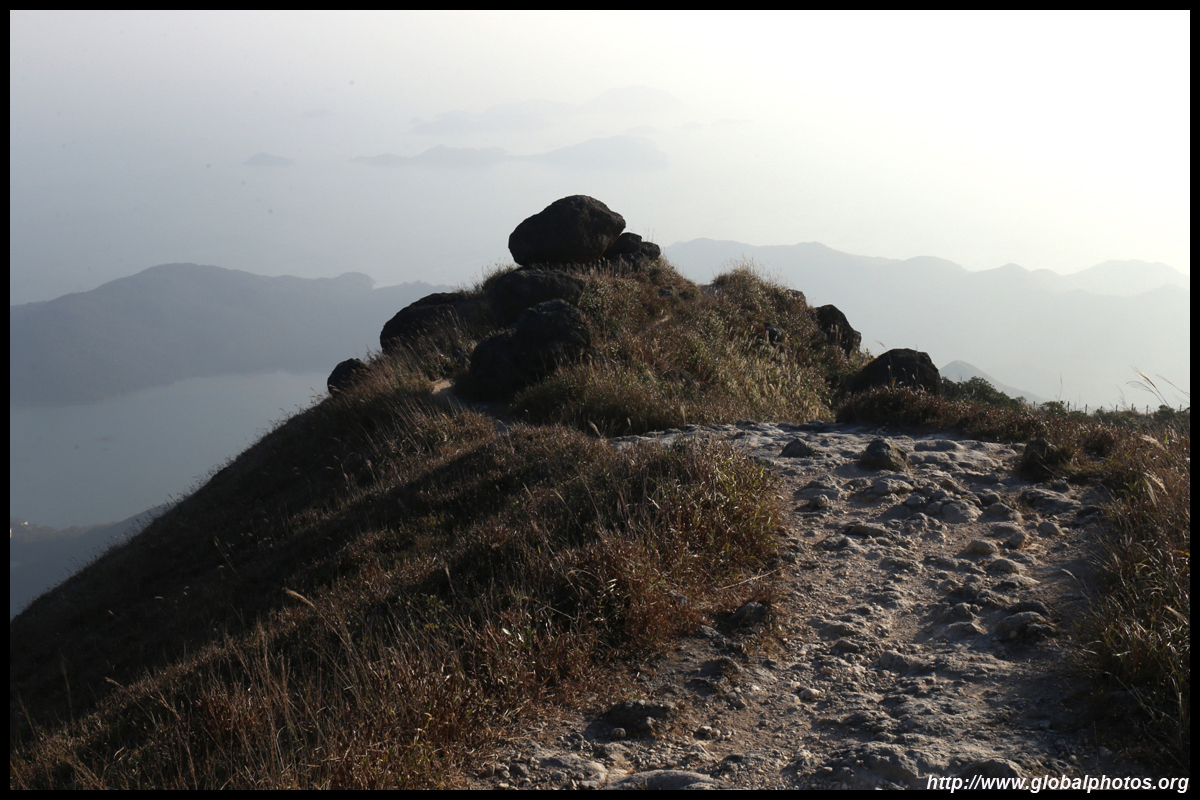
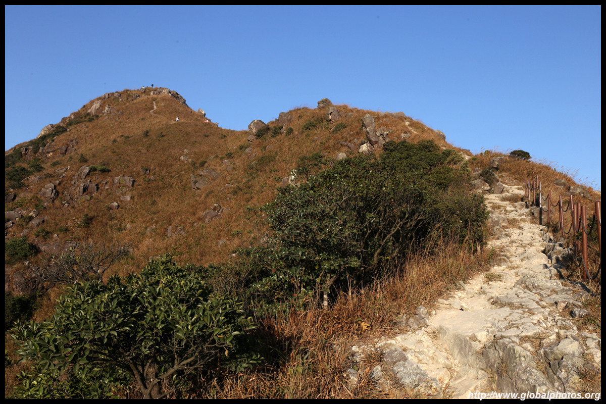
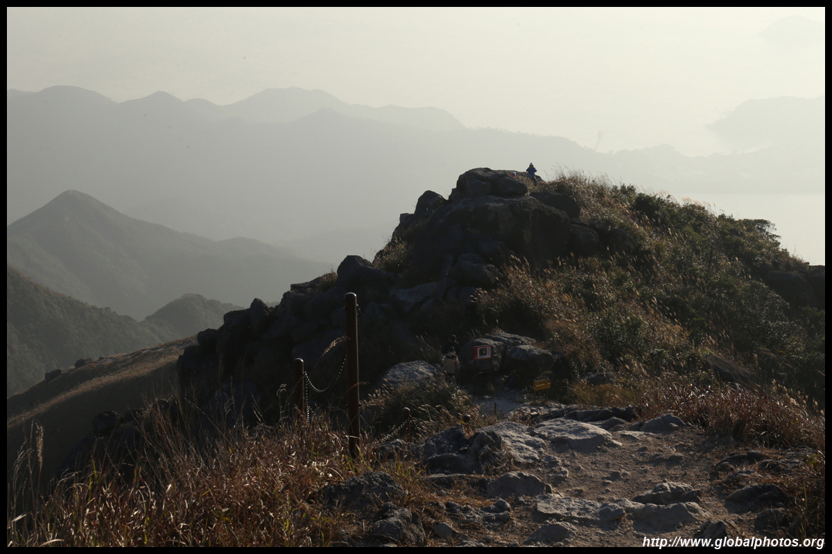
And with a final set of large rocks ahead, I heard some commotion from people taking photos. Welcome to Lantau Peak. Looking back, this was the way up.
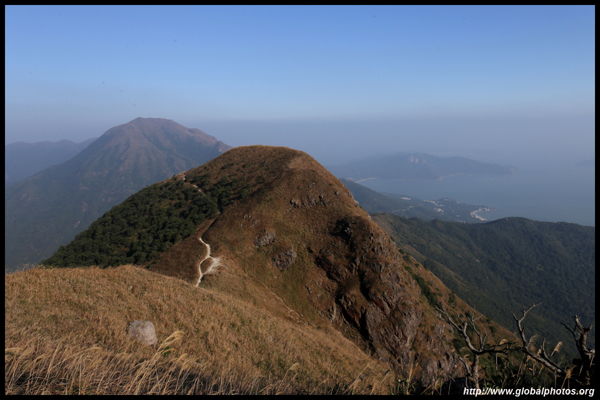
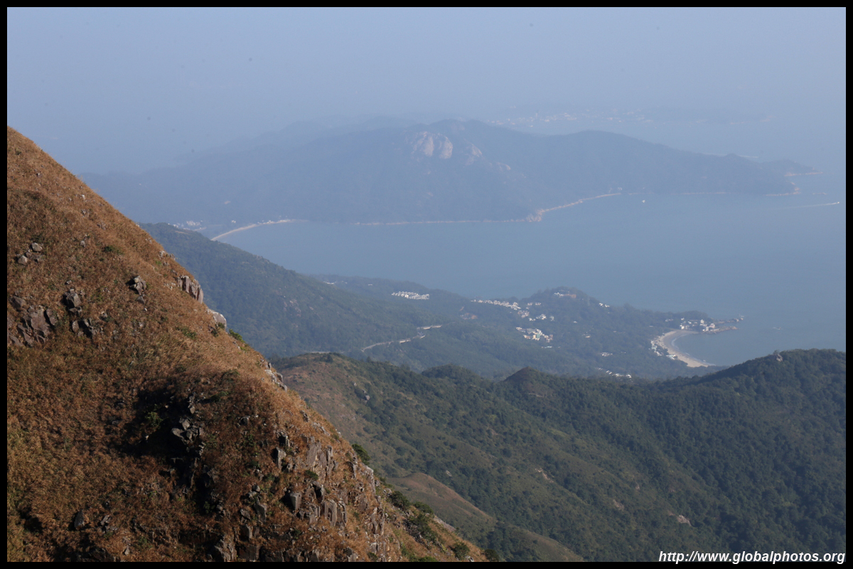
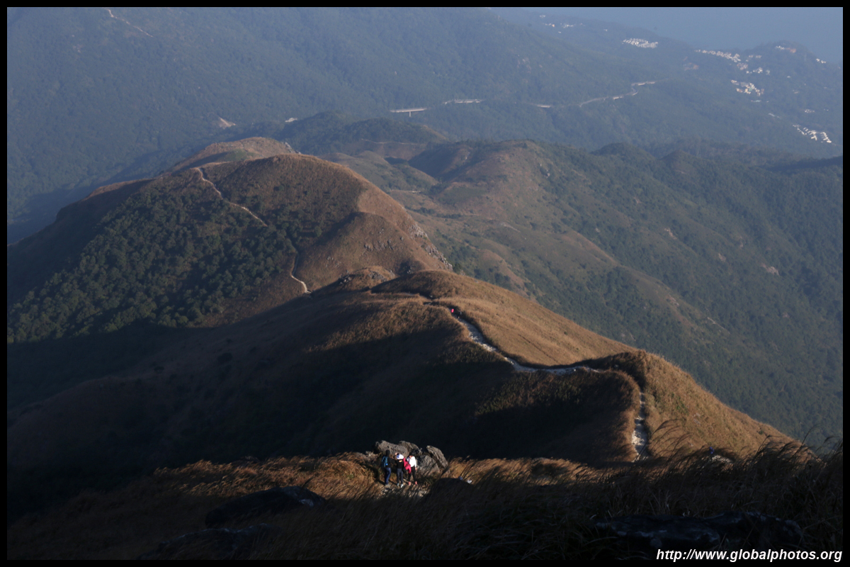
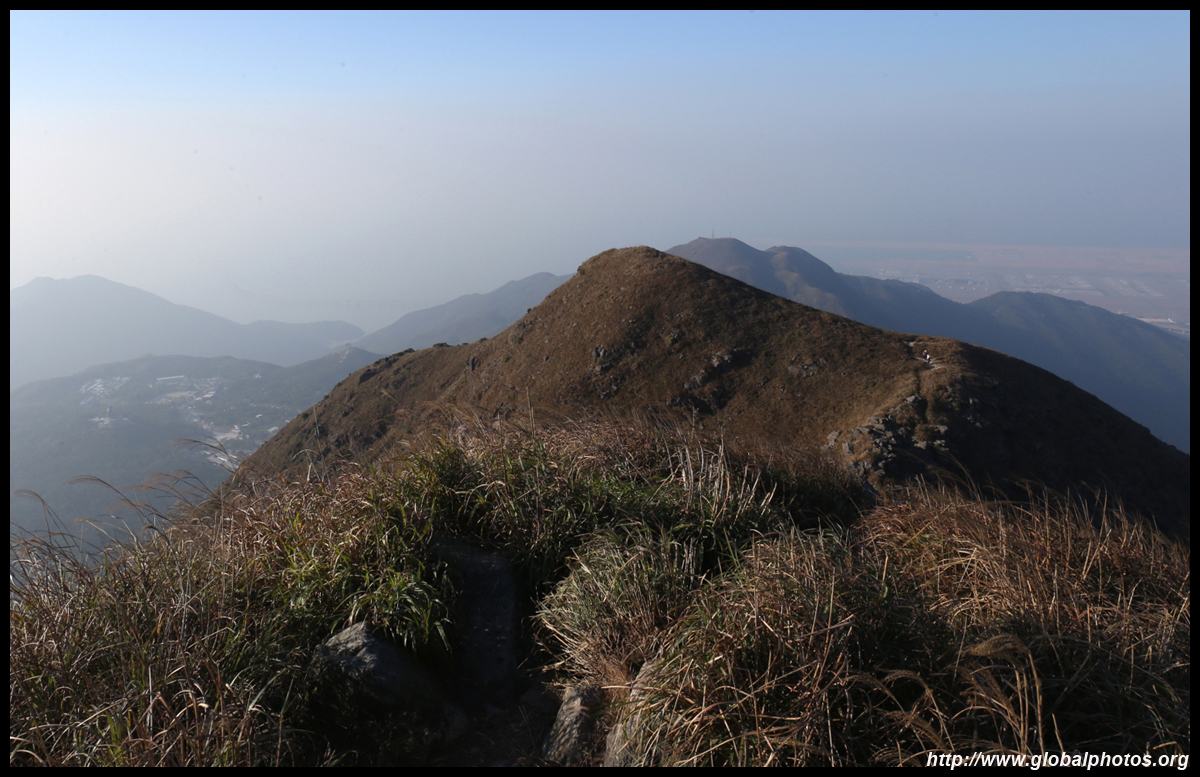
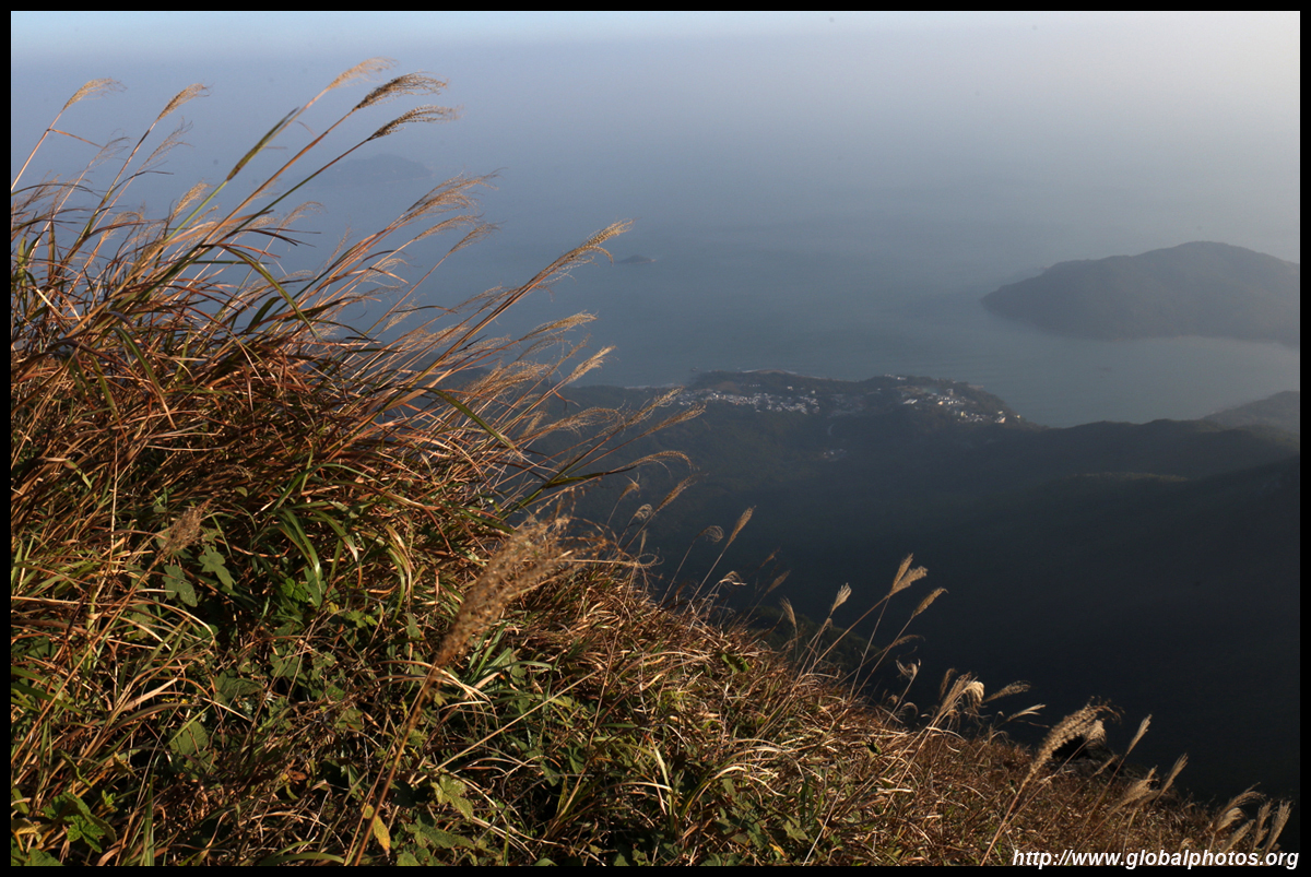
Looking east, Sunset Peak and Tung Chung can be seen in a single shot.
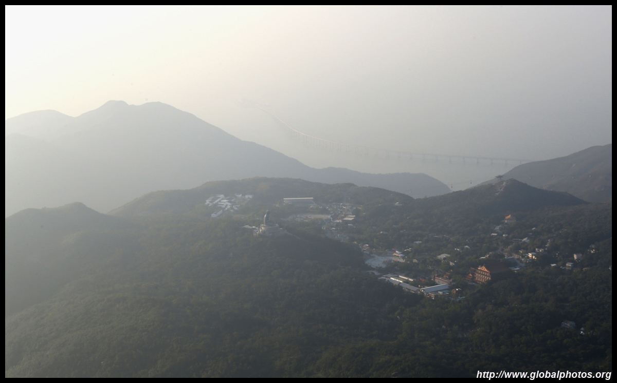
Very soon, a tunnel linking the boundary crossing island for the bridge to Macau and Zhuhai will open to Tuen Mun across the water in the distance. This will drastically shorten travel time to the northwestern suburbs and make these places desirable for flight crews to live.
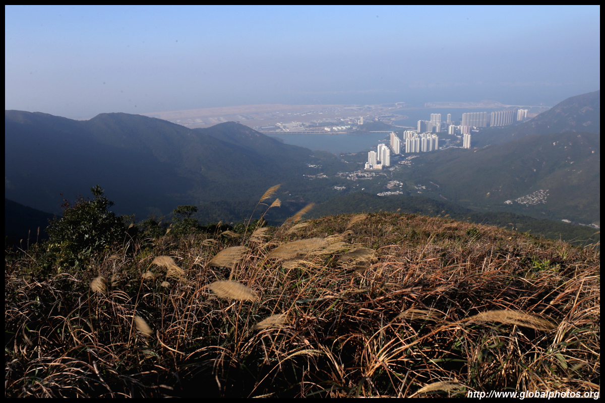
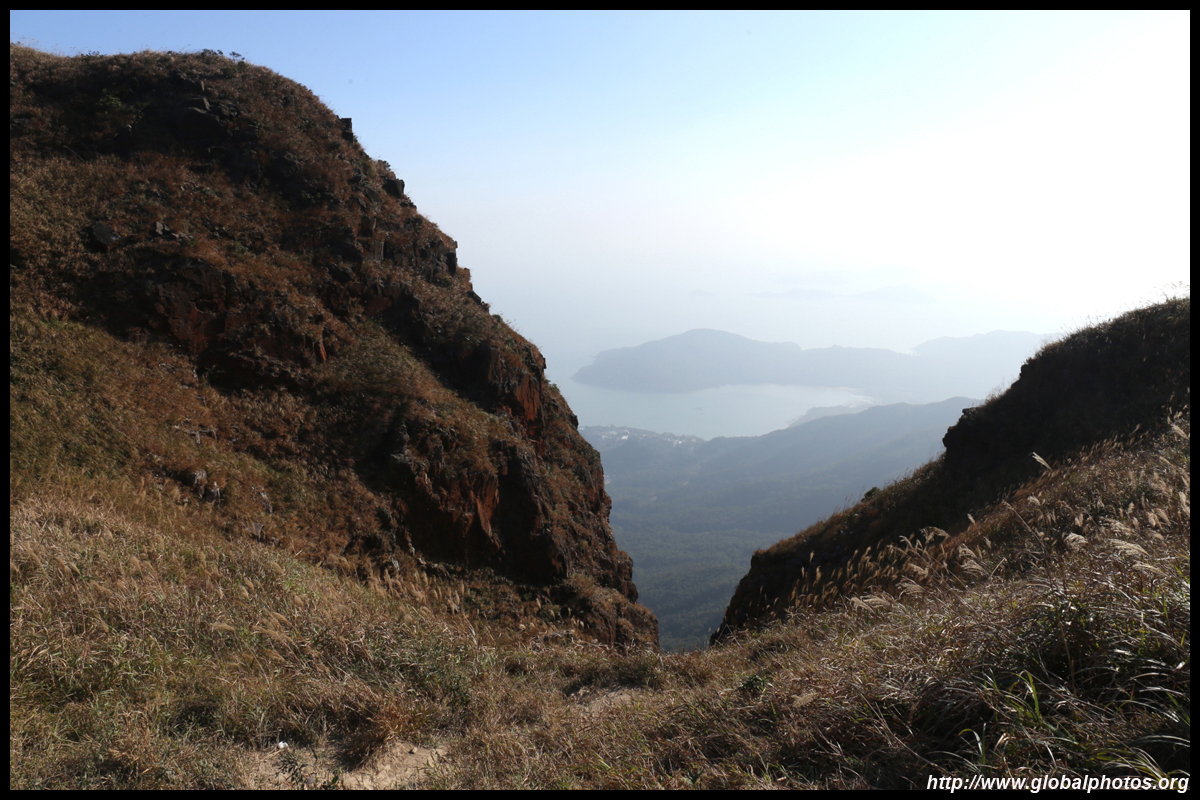
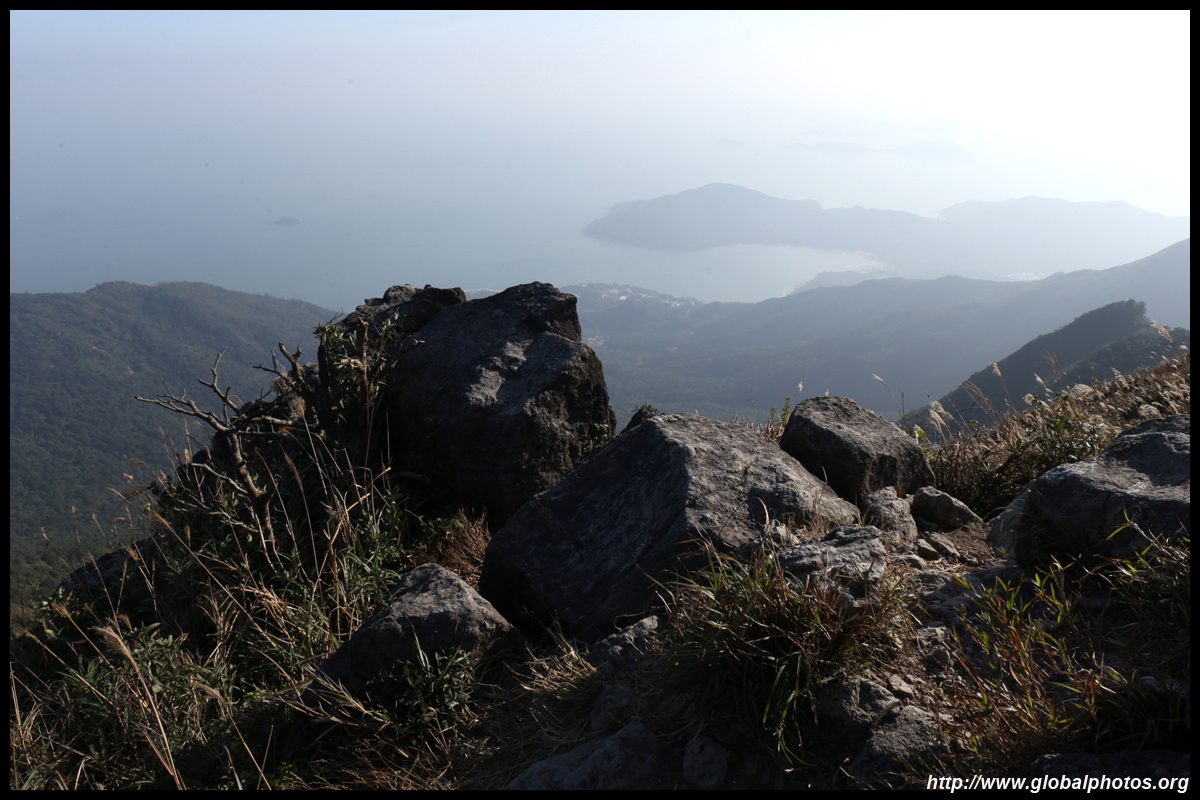
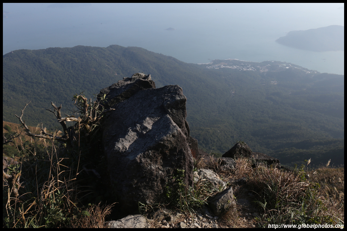
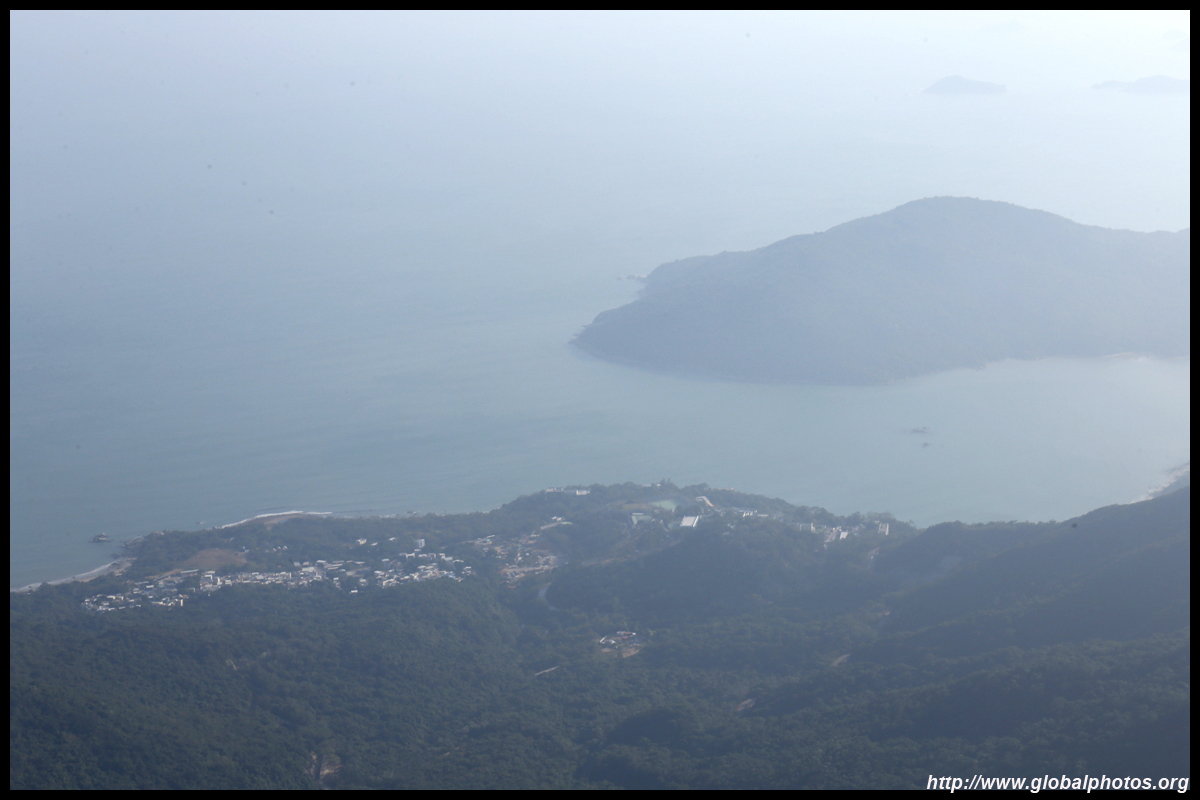
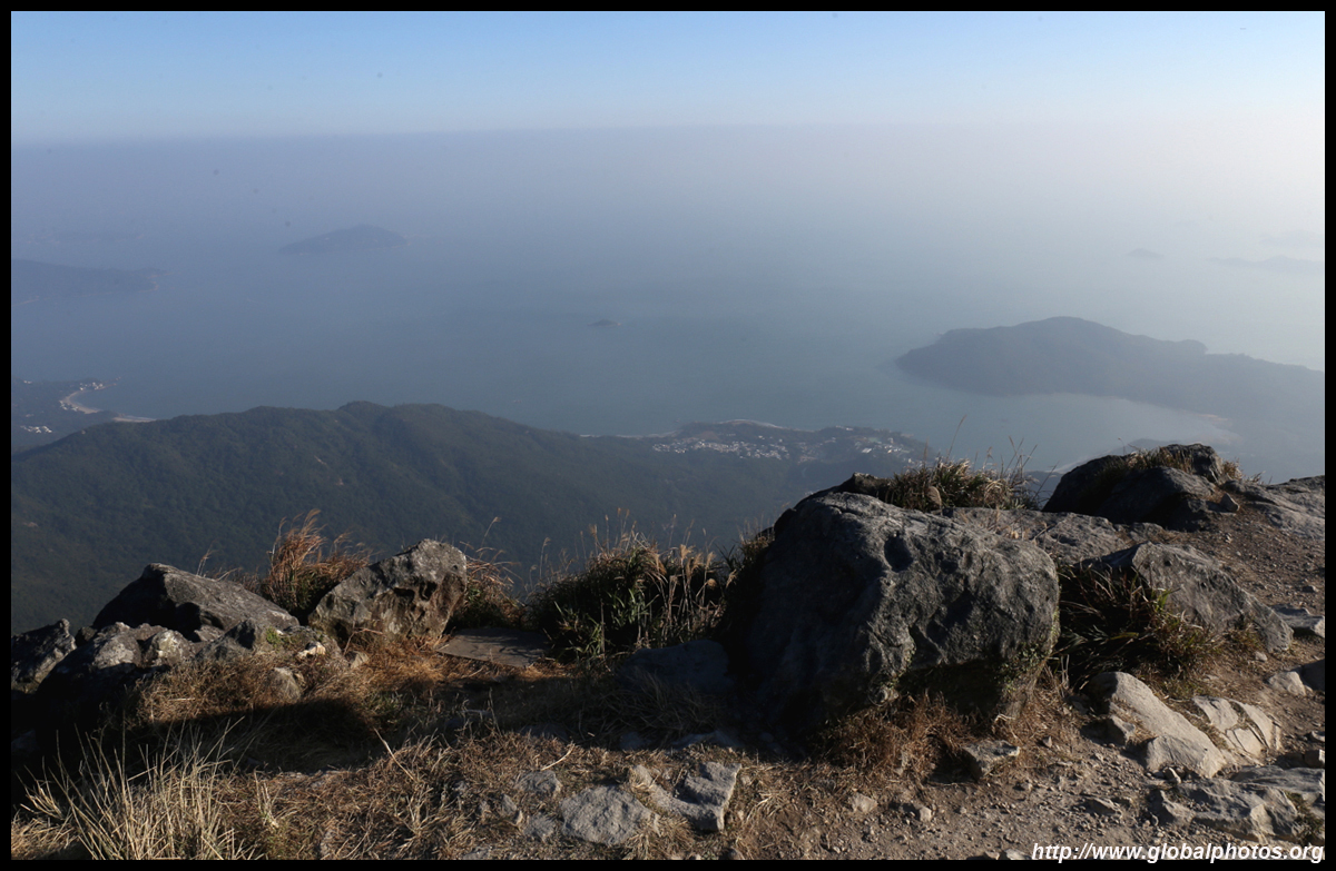
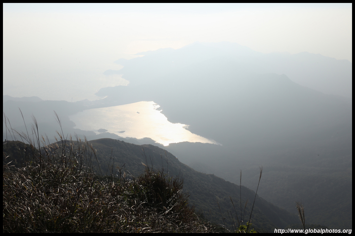
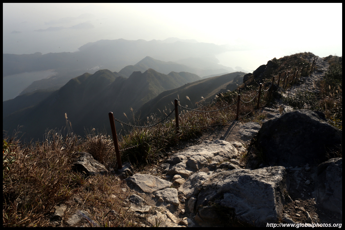
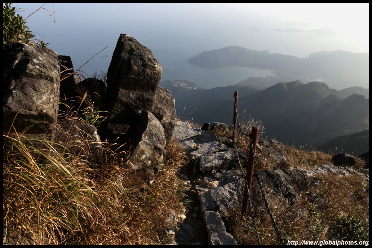
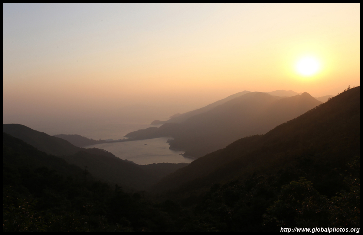
The south side of the island remains fairly undisturbed other than a few small villages with nice beachfronts.
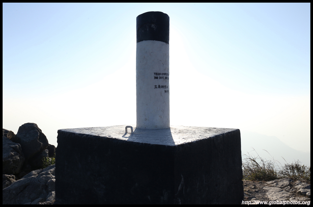
Many were posing in front of this sign to demonstrate their success.
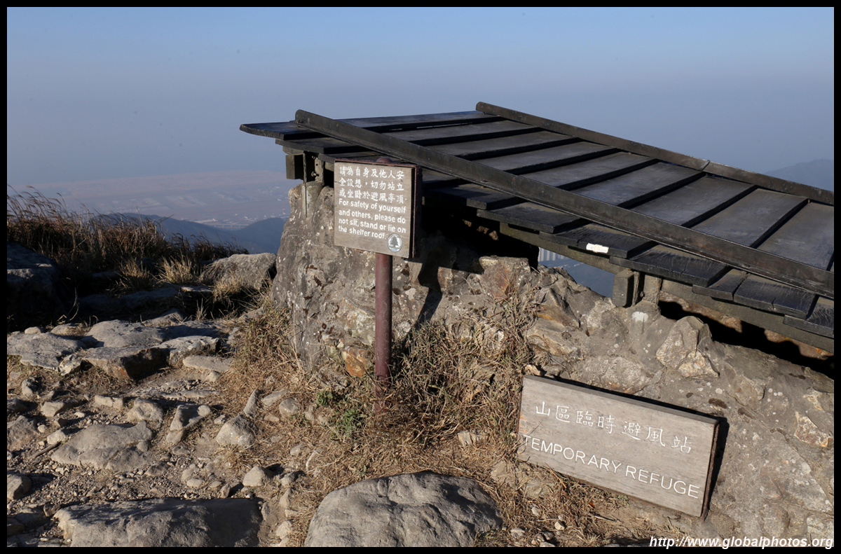
At these heights, a small shelter was built to protect hikers against the elements.
On the other side, Ngong Ping and the large Buddha statue appear very small. The 3rd runway's reclamation is also taking shape.
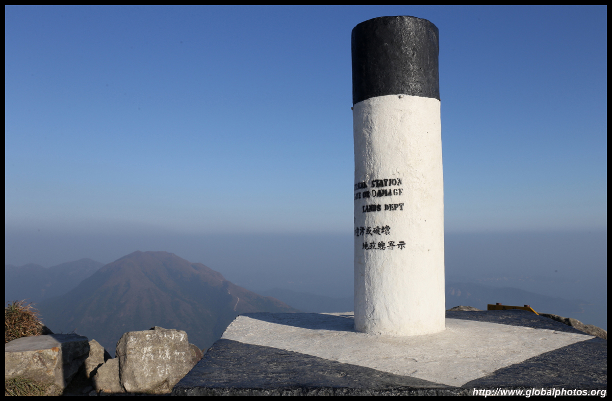
As of 2019, there were 232 trigonometrical stations in the city, which is used for geodetic surveys. This one stands at 935.7m above principal datum.
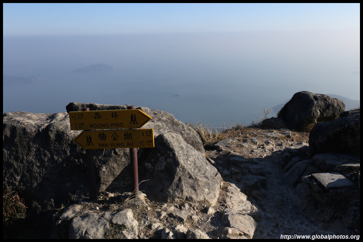
This is a good spot for both sunrise and sunset. You can either turn back and return to Pak Kung Au the way you came, but a shorter way out is to descend to Ngong Ping for the bus back to Tung Chung.
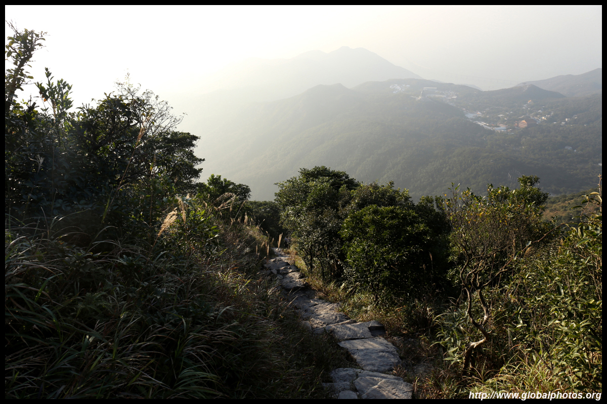
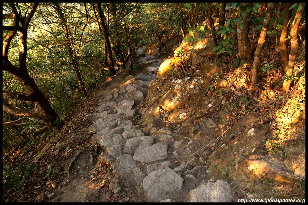
The initial descent down to Ngong Ping was steep and difficult with huge steps and scary big drops on the side.
You will be able to see the Buddha and the bridge for a good part of the descent.
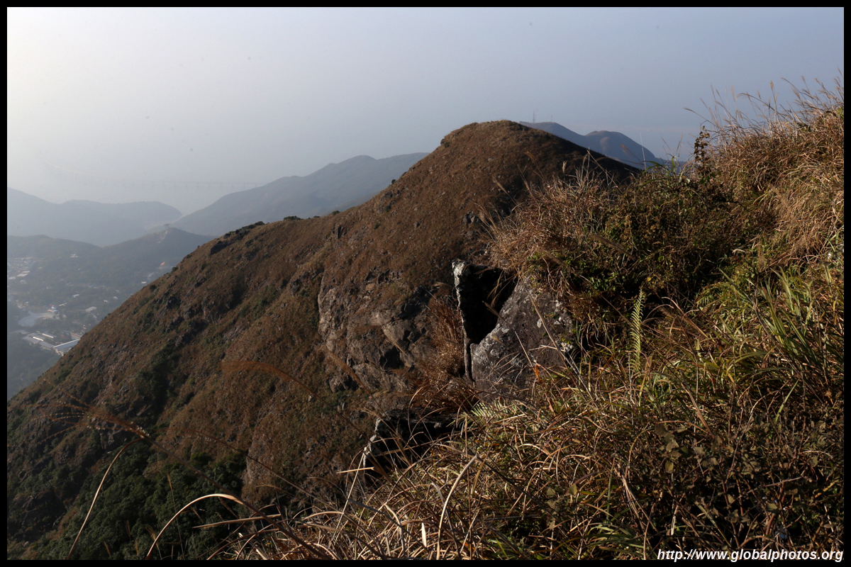
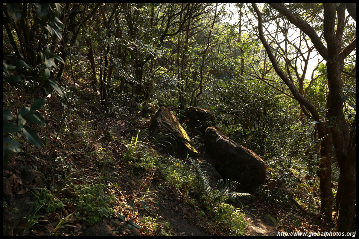
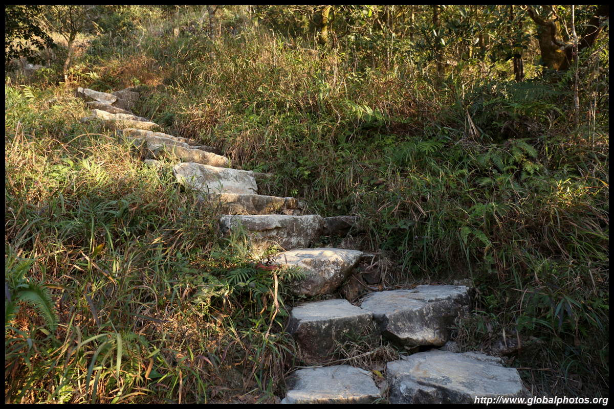
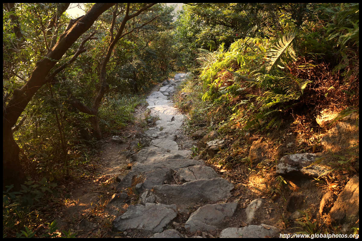
The most treacherous part of the descent ends at a signposted intersection. On the left is an even more dangerous path to the West Dog's Teeth. Take the right path down to Ngong Ping. You will enter a more forested area with a neverending set of stairs.
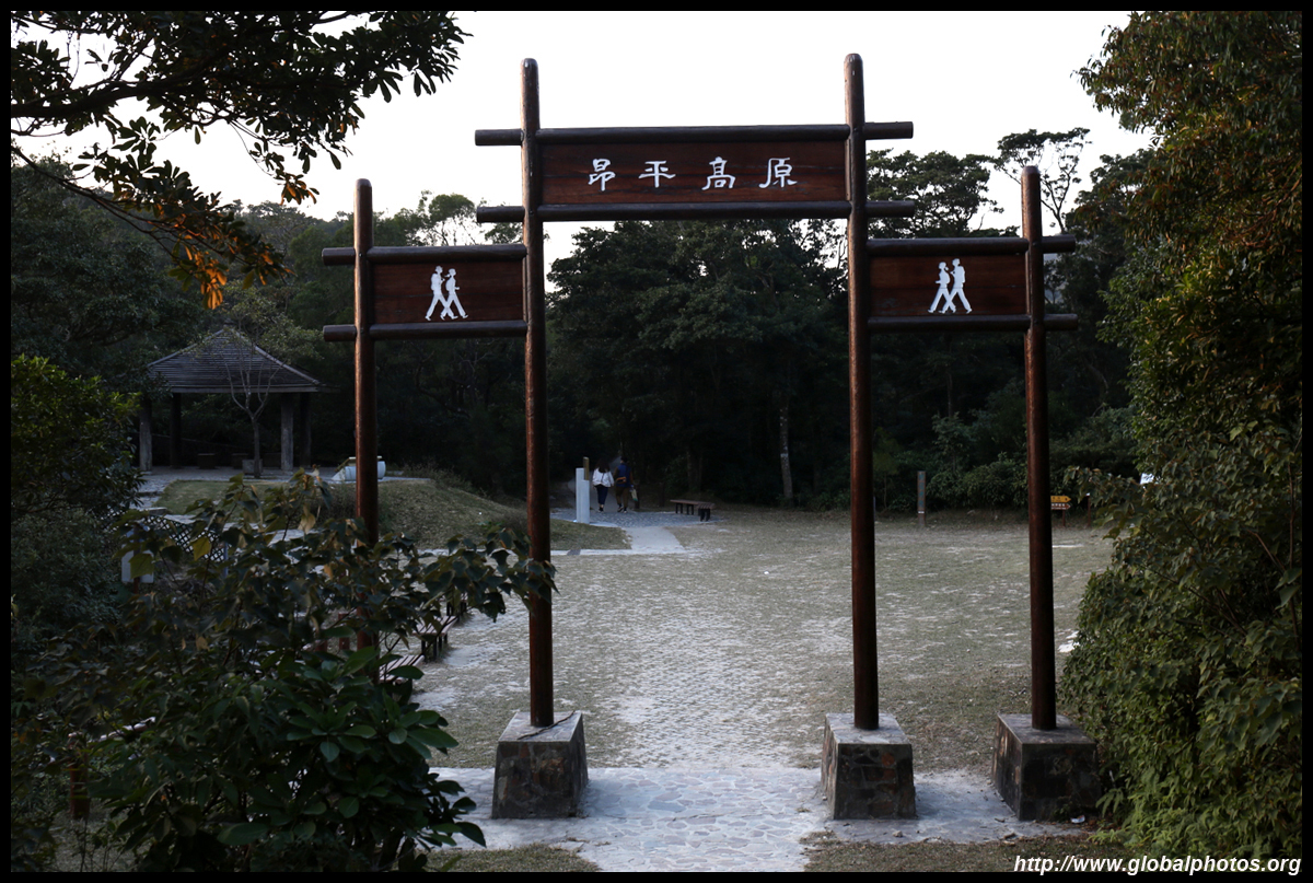
45 minutes later, I reached the Wisdom Path, which is then a flat walk to Ngong Ping for the bus or cable car back to Tung Chung. Do note that bus 23 does not run late with the last service departing just past 7pm. So if you come for sunset, watch your time accordingly or do the hike in reverse. Lantau Peak is one of the city's most iconic hikes. Due to its grassy landscape that lights up in the late fall, this along with Sunset Peak, are very popular trails on weekends. Do come on a weekday instead when the crowds thin out and the bus fares are cheaper. | |||