Hong Kong Photo Gallery - She Leng Hike (Lok Ma Chau)

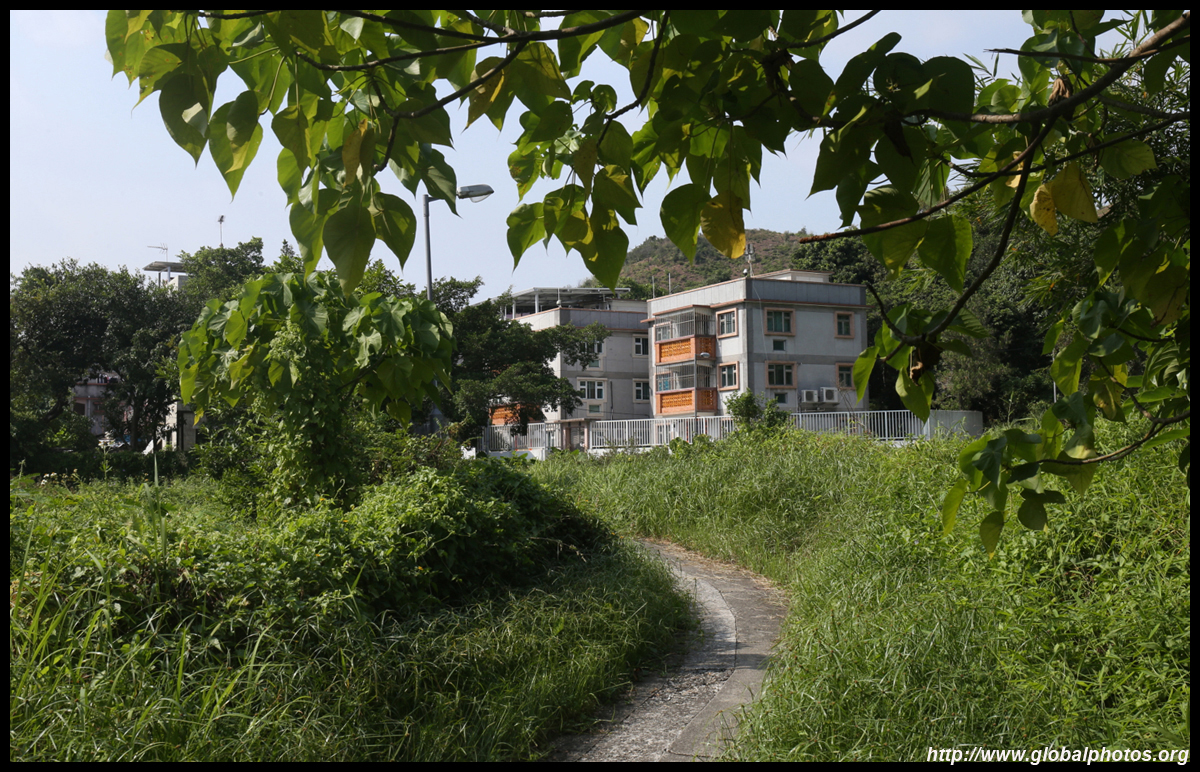
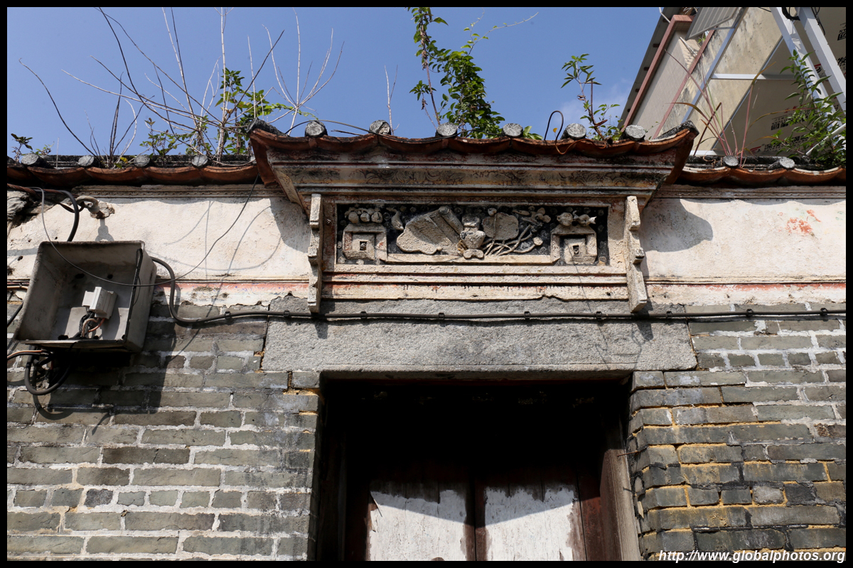
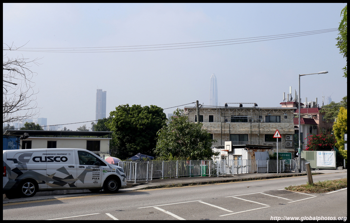
The hills along Hong Kong's northern border don't typically reach the hiker's radar even after the frontier area access restrictions were partially relaxed in 2012. Although they're shorter than the mountains that separate Kowloon and the New Territories, the views from these vantage points are nevertheless beautiful, with Hong Kong's rural side contrasted by Shenzhen's skyline. For travelers heading to the Lok Ma Chau border checkpoint from Yuen Long, the B1 bus passes through a few villages along the final leg of its journey on a narrow road. Pun Uk Tsuen is located just after the San Tin transport interchange although hidden from the main road's view.
The next village is Ha Wan Fisherman San Tsuen, where you head uphill on the paved road towards the police station.
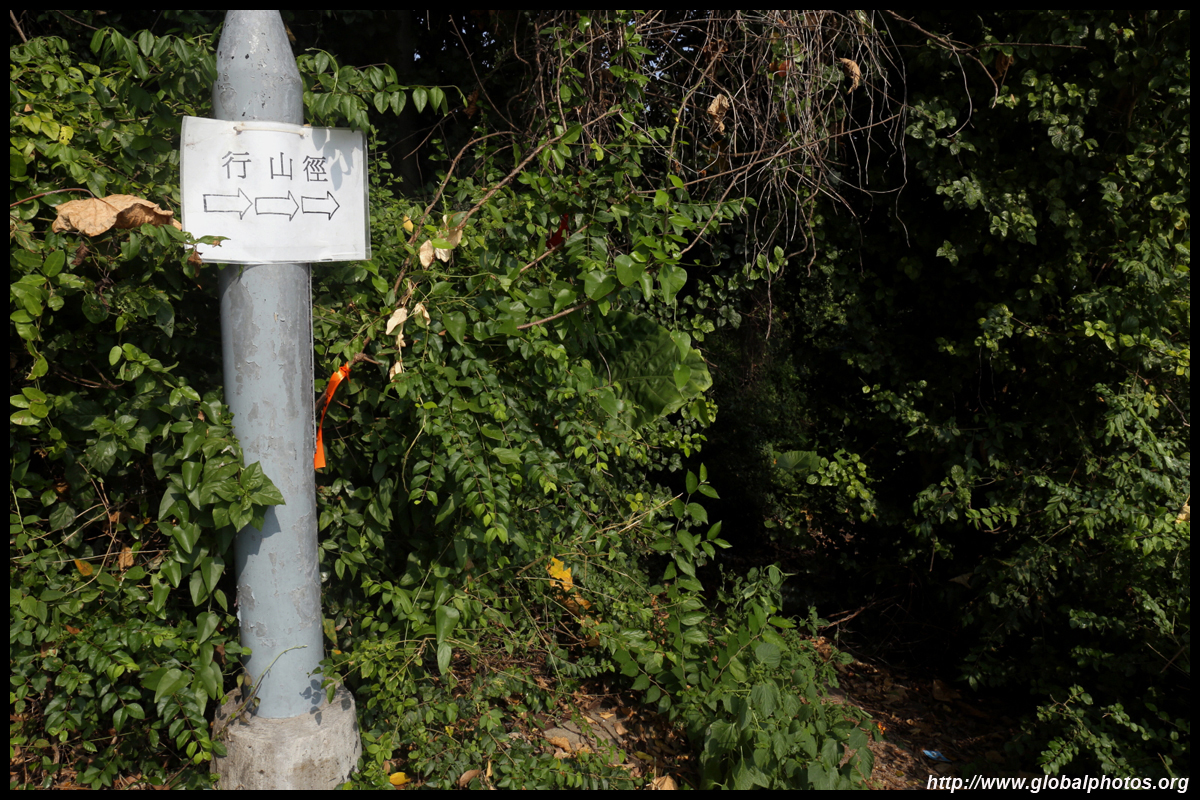
Just before the police station entrance at the roundabout, turn right and look for a small opening behind the concrete barrier on your left with this sign for hikers. If you keep going on the paved road, the path will end at one of the service buildings.
The dirt path skirts around the police station and soon begins to rise. This trail is not paved but is fairly easy to navigate and visible.
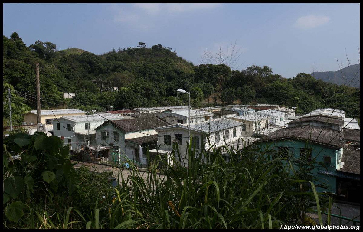
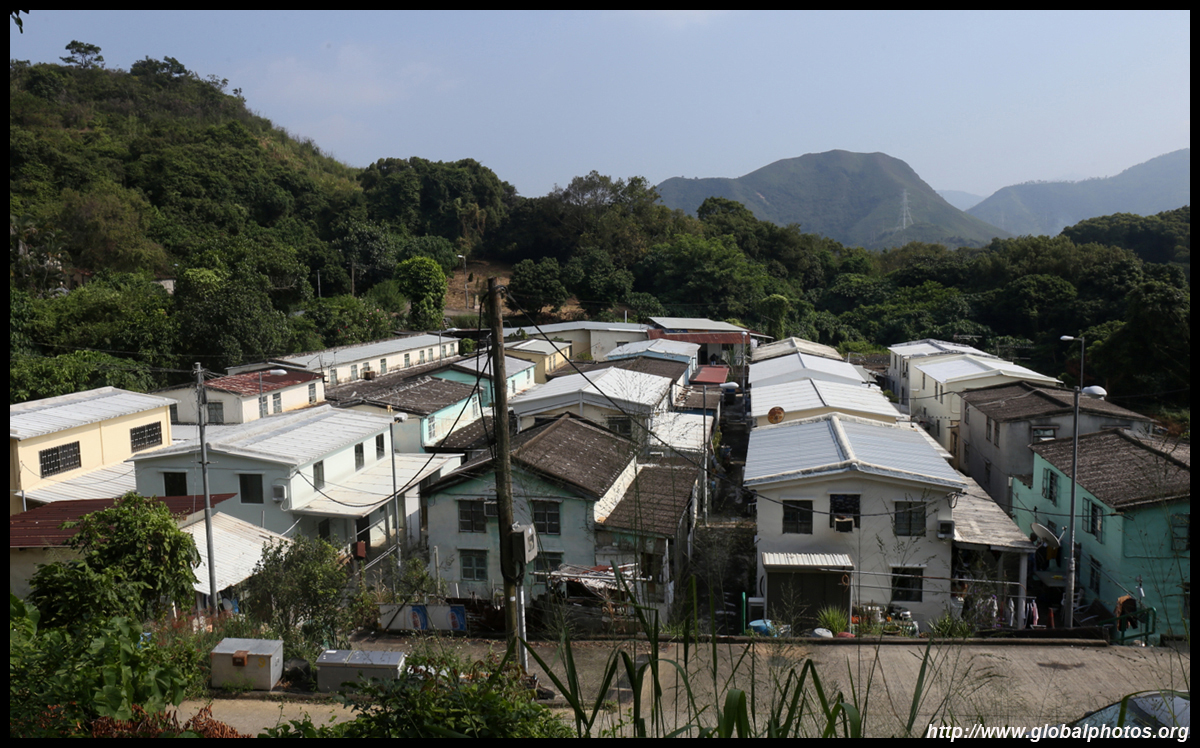
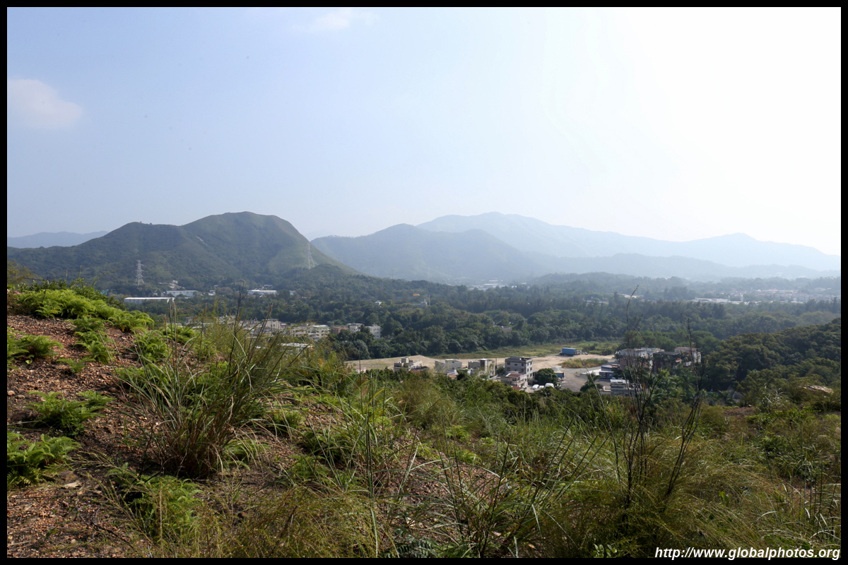
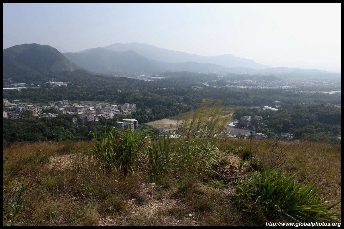
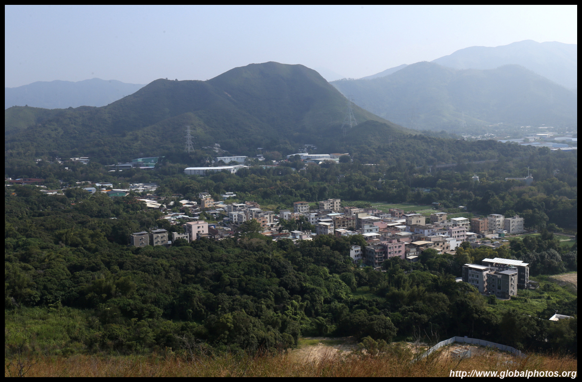
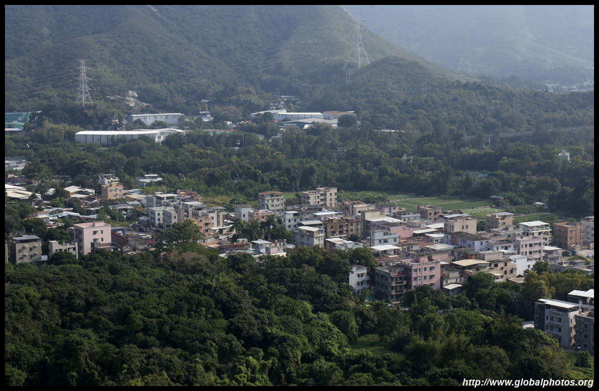
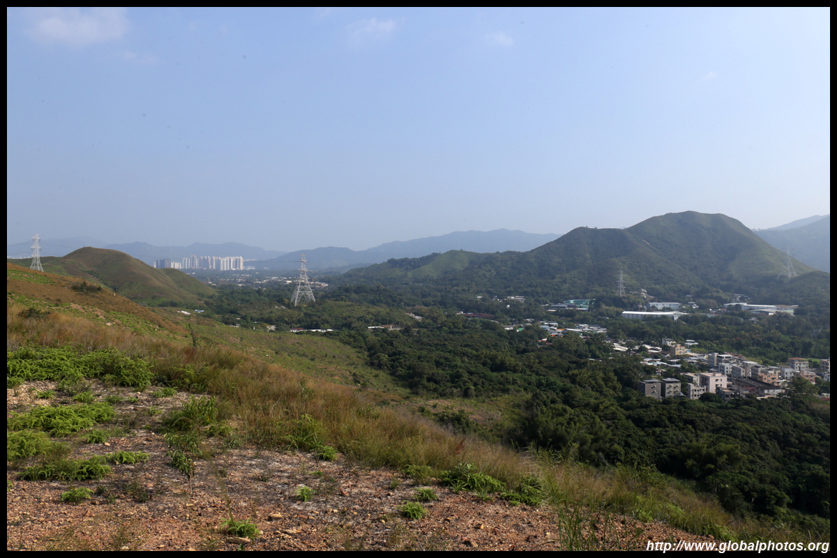
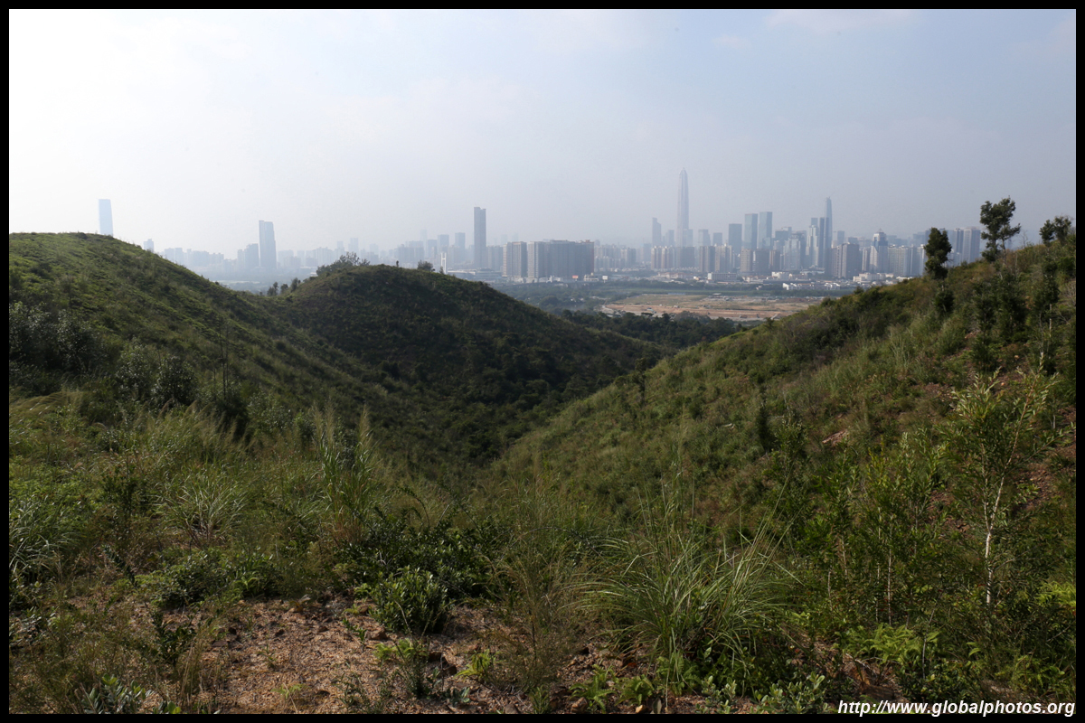
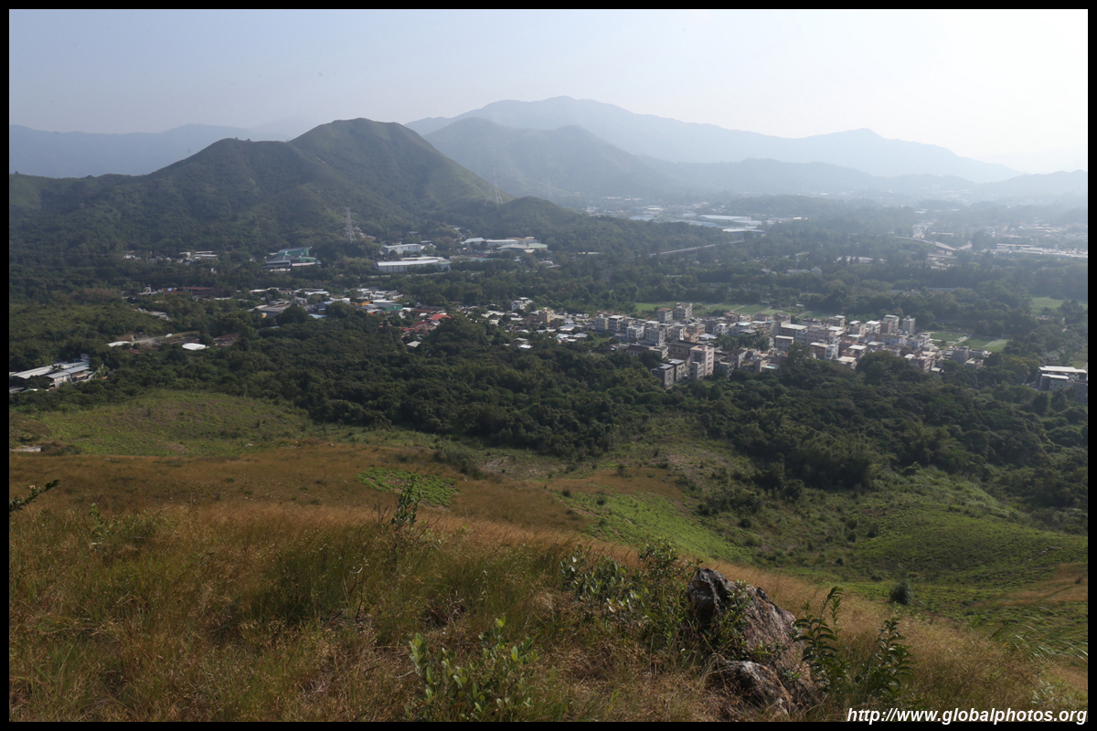
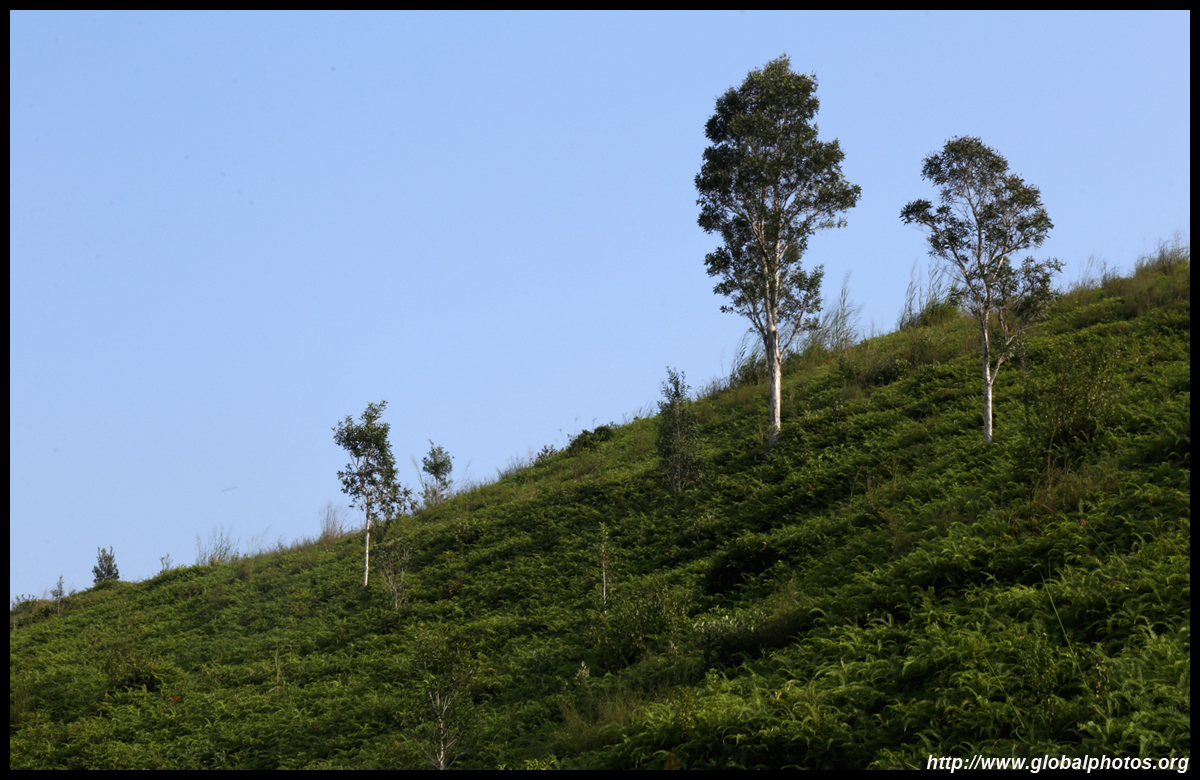
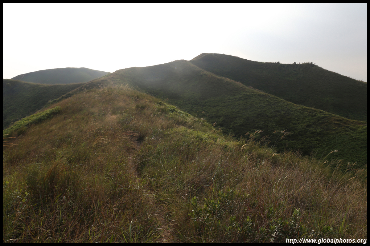
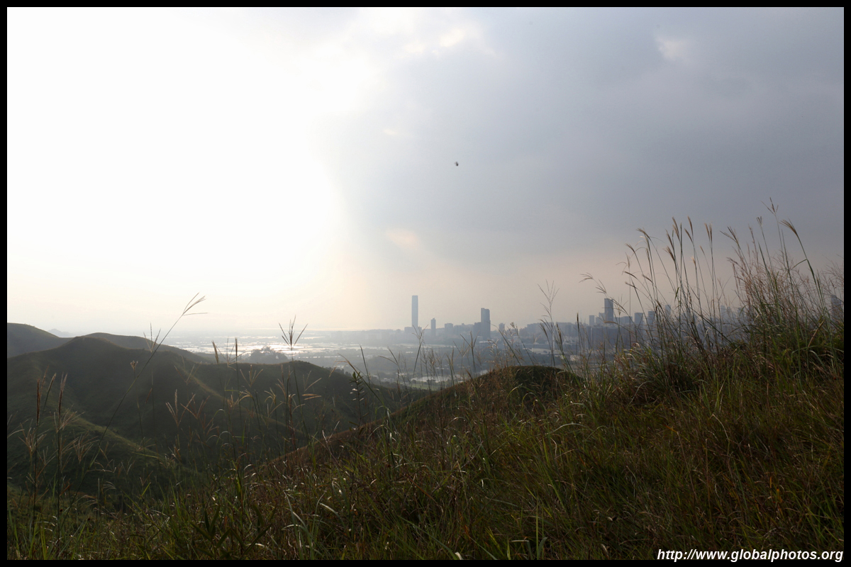
The Hong Kong side looks fairly rural.
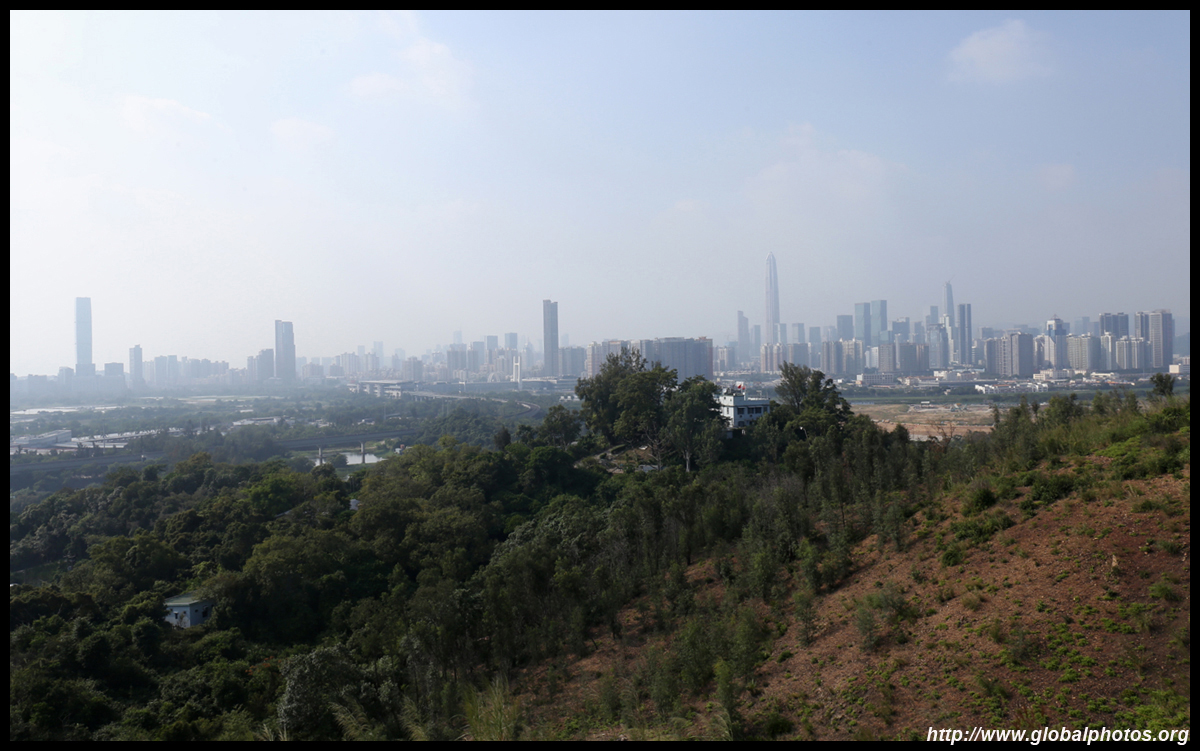
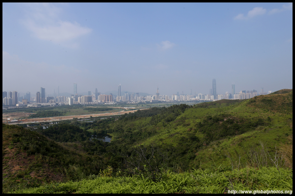
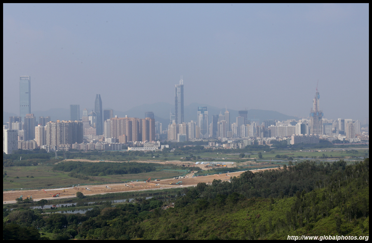
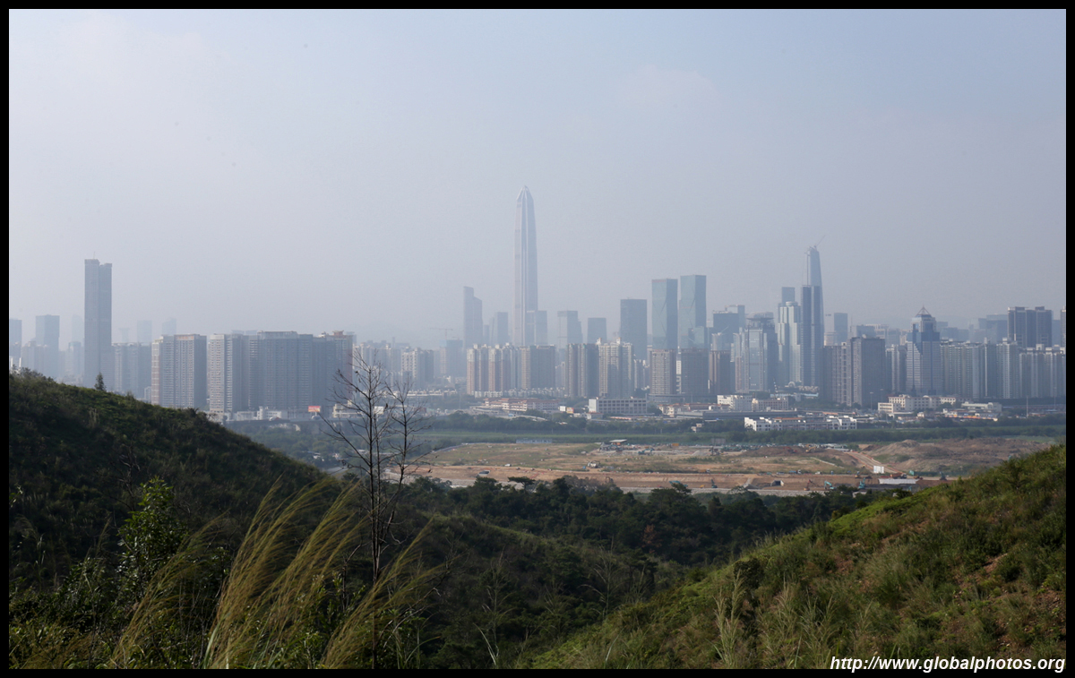
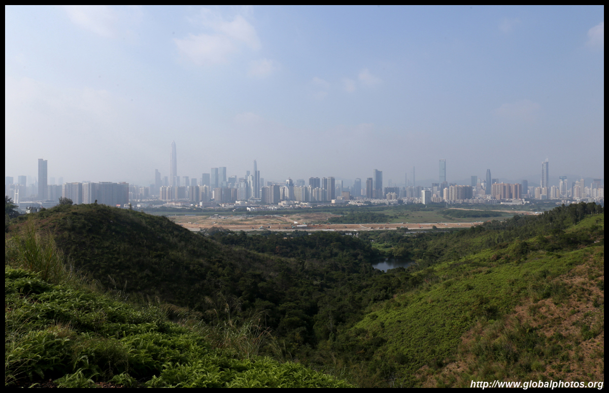
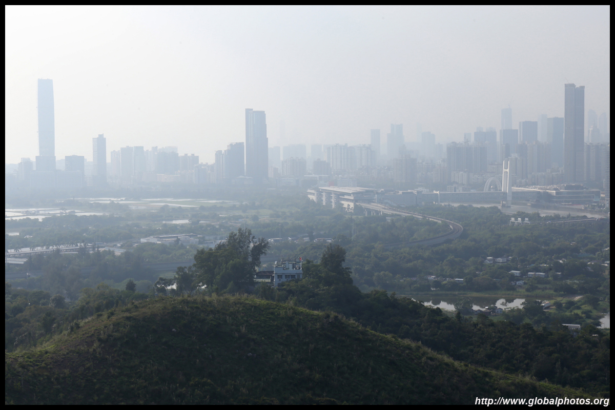
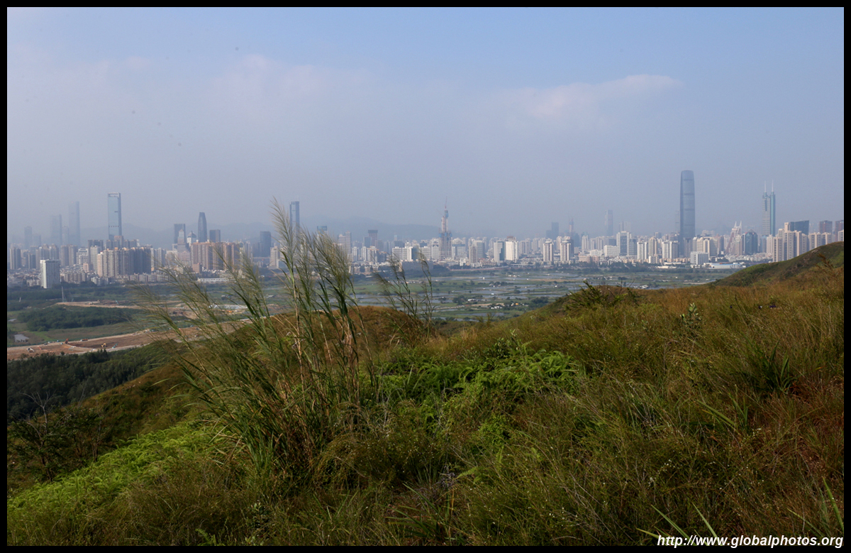
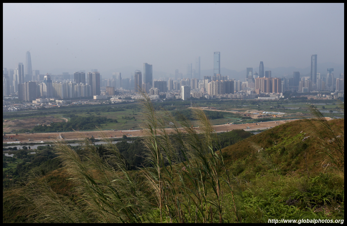
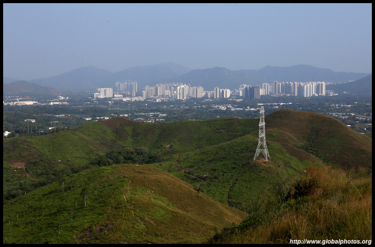
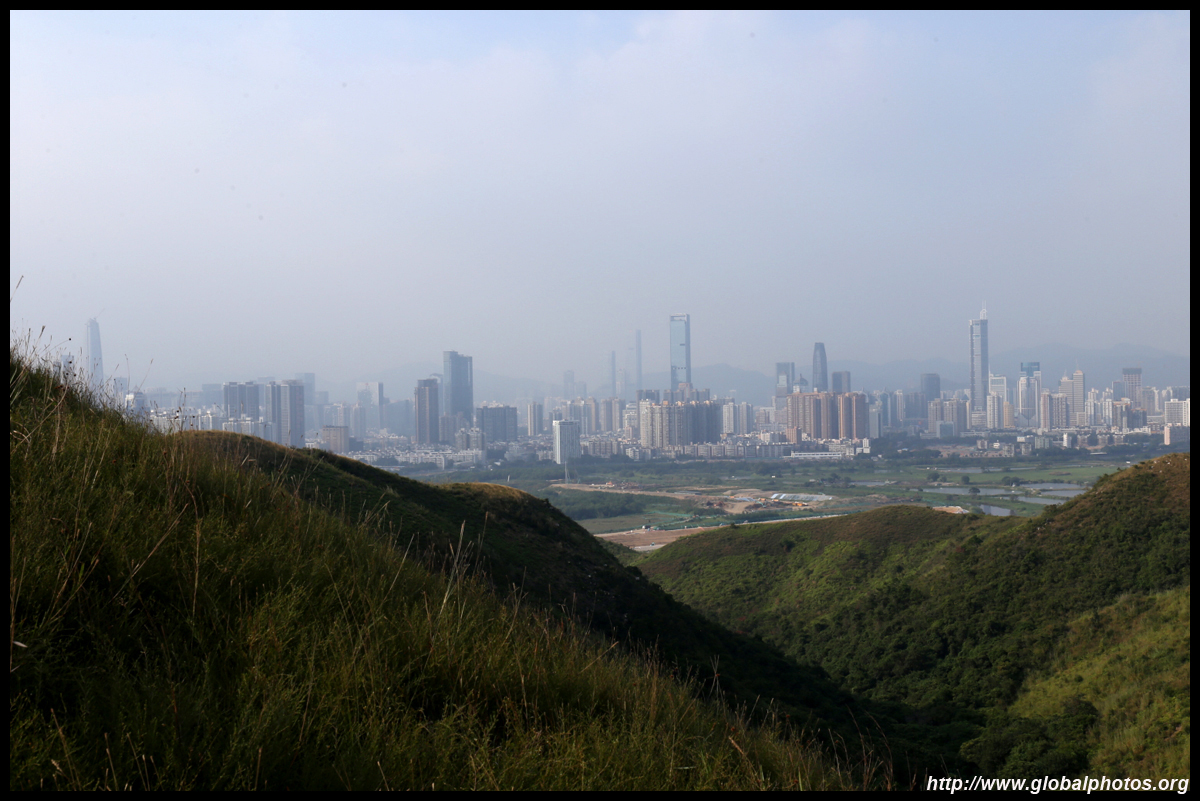
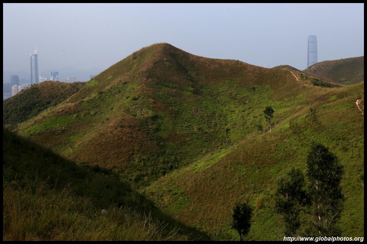
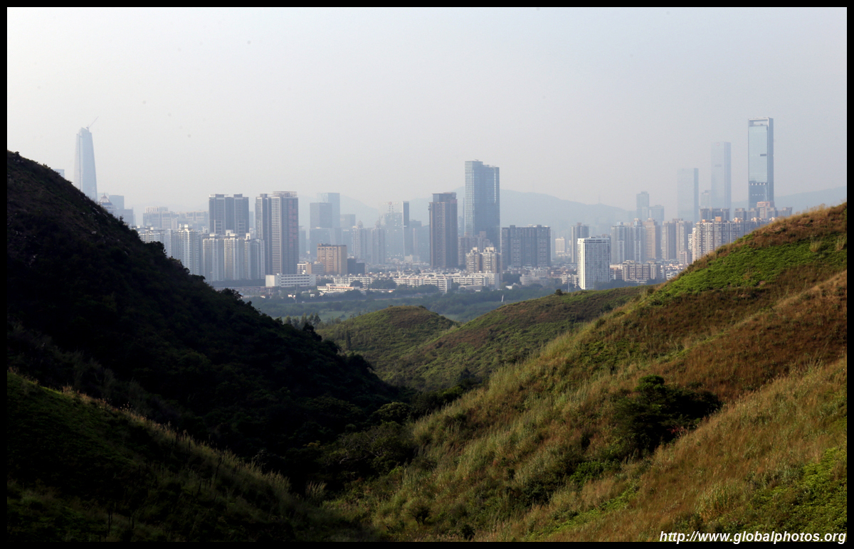
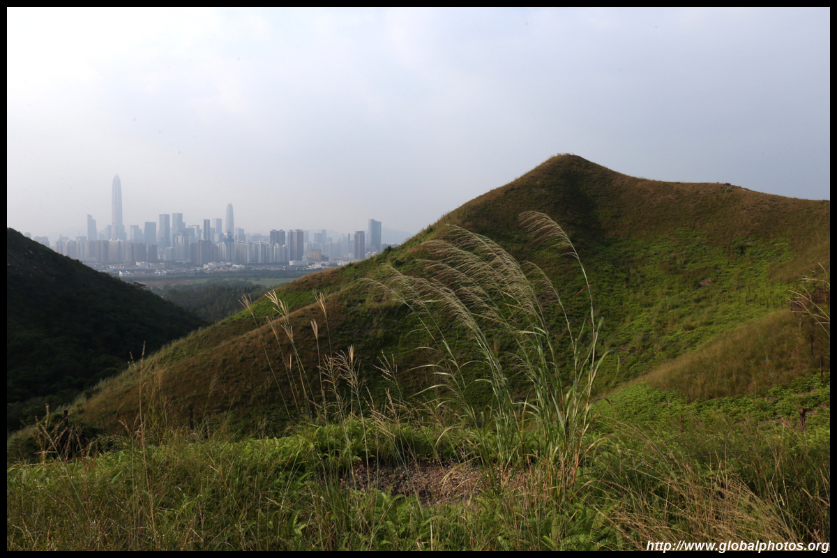
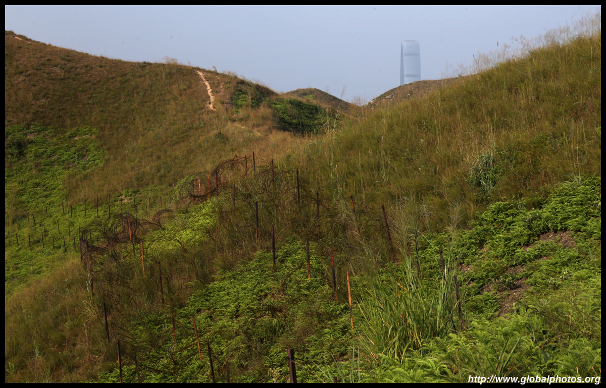
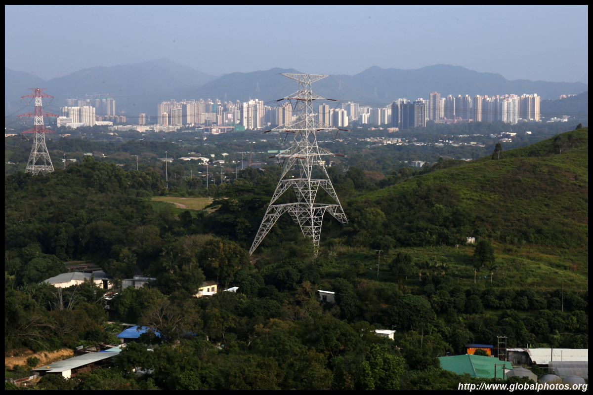
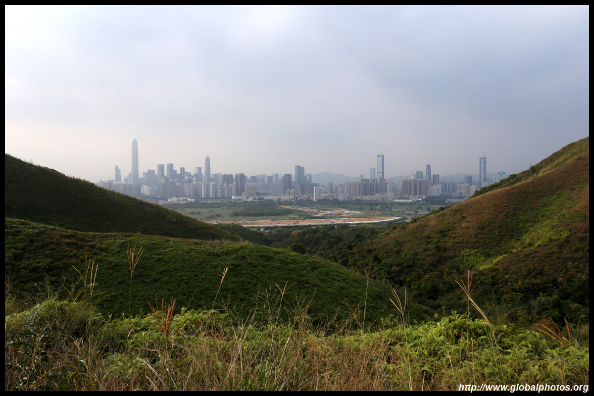
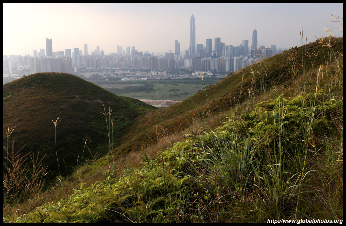
Meanwhile, the other side of the fence is far more urban.
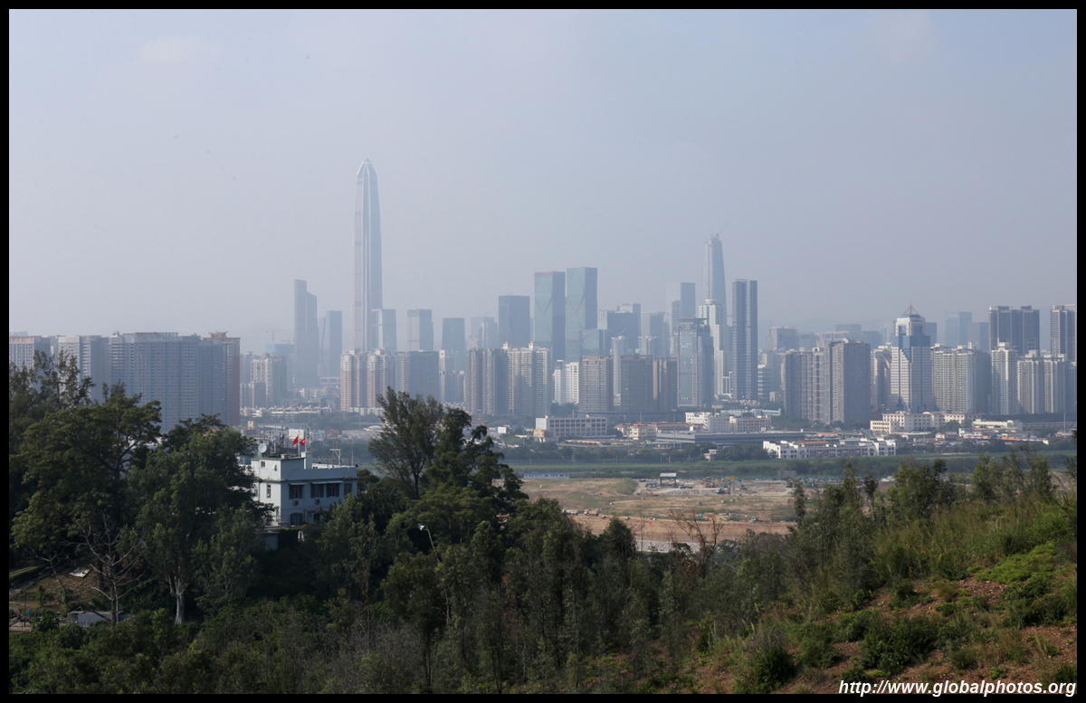
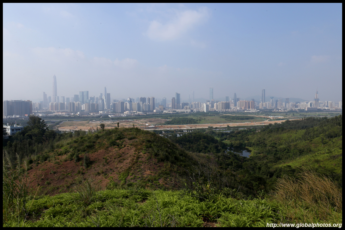
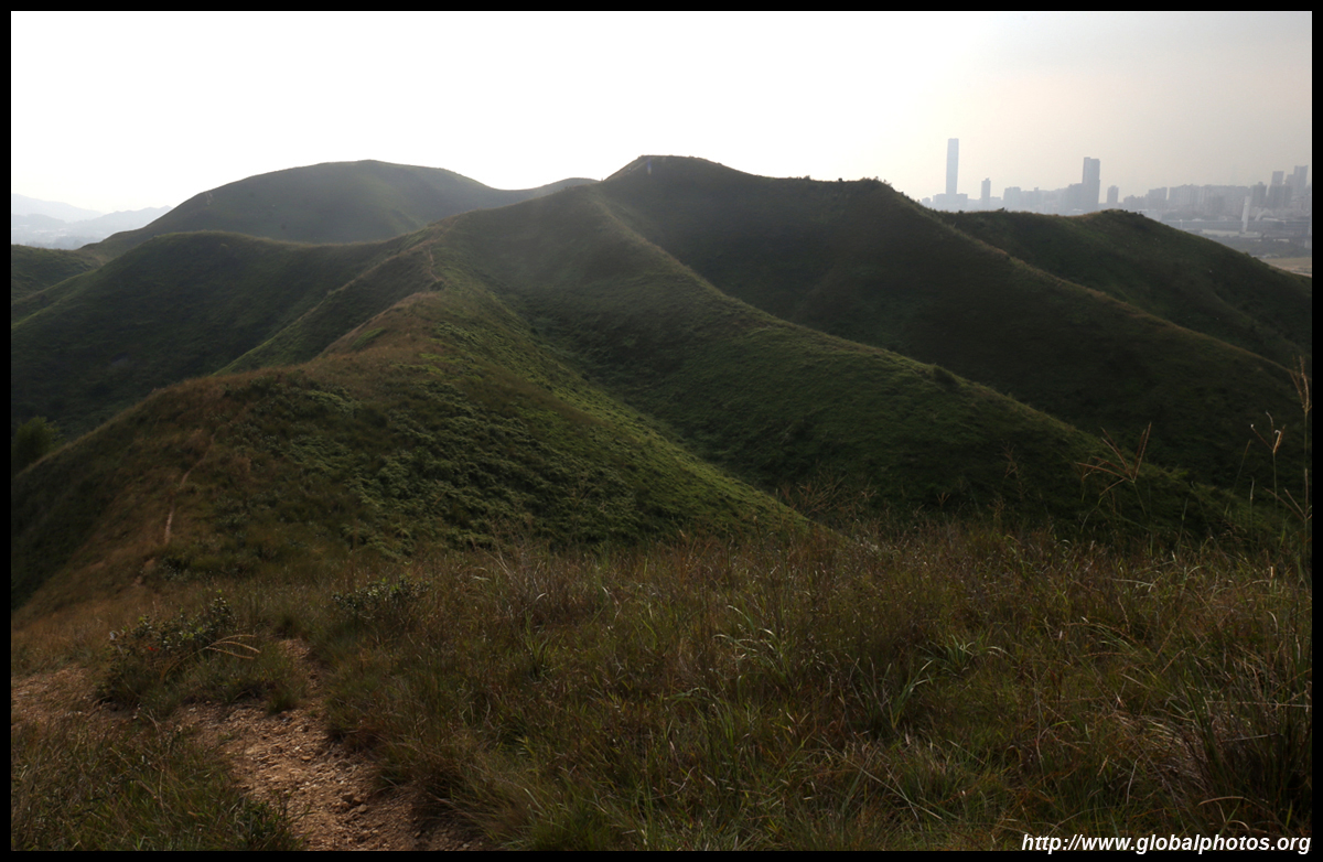
The police station you passed by earlier is visible in between the trees. The frontier access restrictions were devised in the 1950s to curb illegal immigration into Hong Kong.
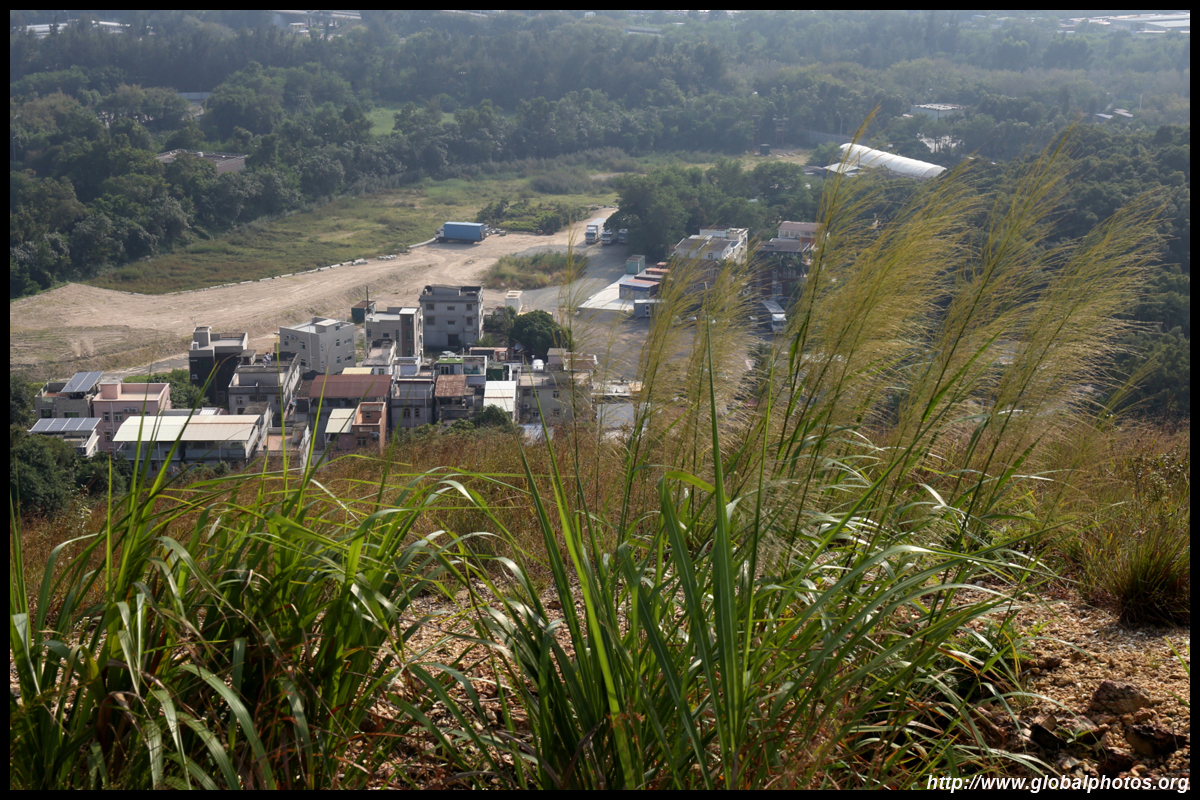
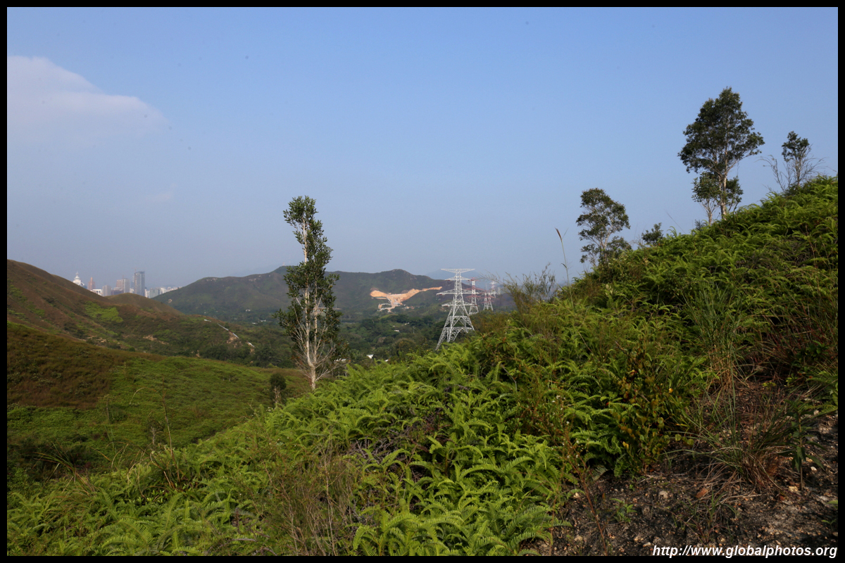
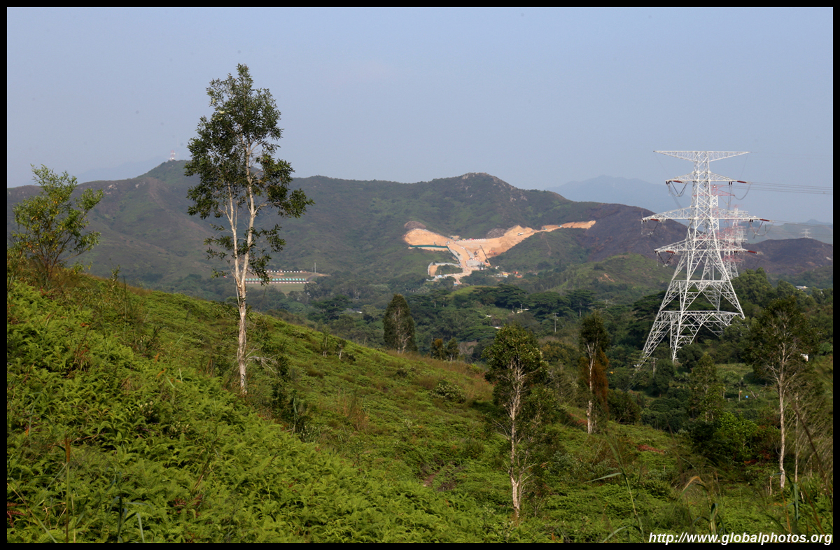
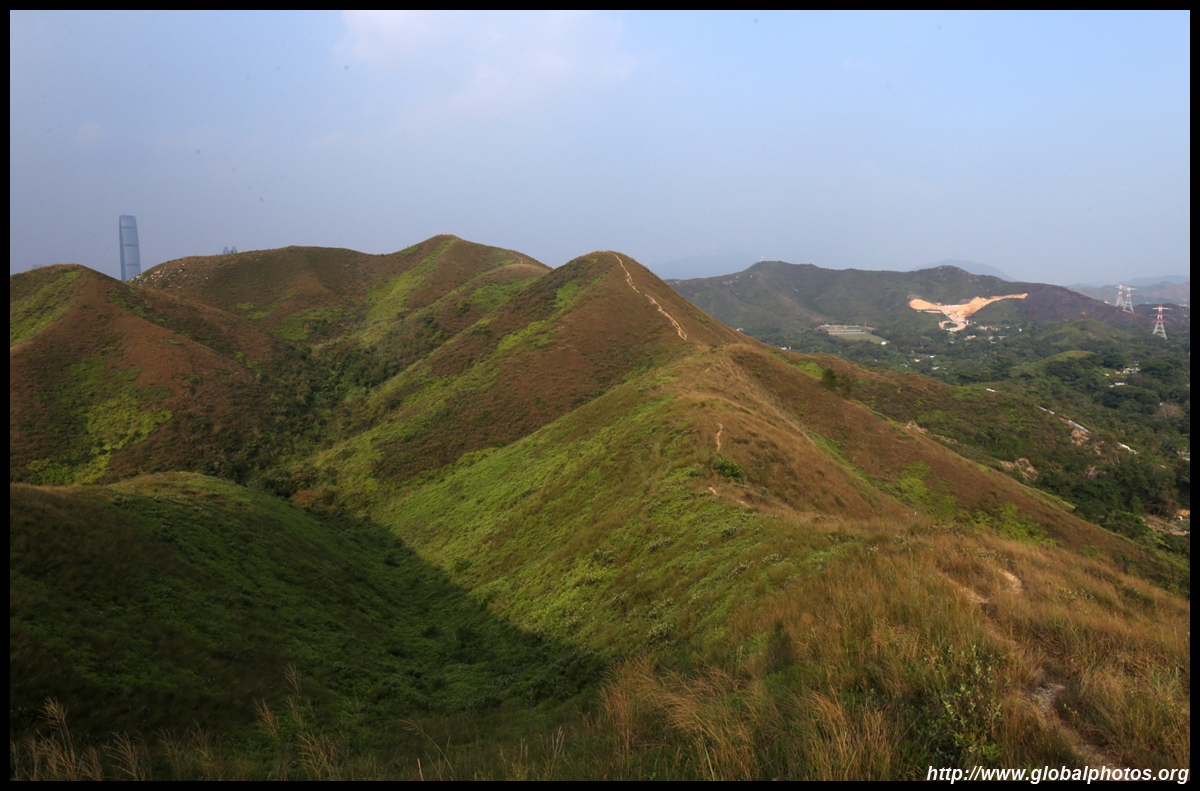
The area under construction on the Hong Kong side of the border is the controversial Lok Ma Chau Loop, a technology park that is too far from the city but close enough to Shenzhen to take advantage of its own burgeoning technology industry. Environmentalists have also cried foul as it may affect migratory birds in the area. As the Cyberport and Science Park did not result in the tech industry taking off in Hong Kong, naysayers doubt this project will either, but become another infrastructure white elephant.
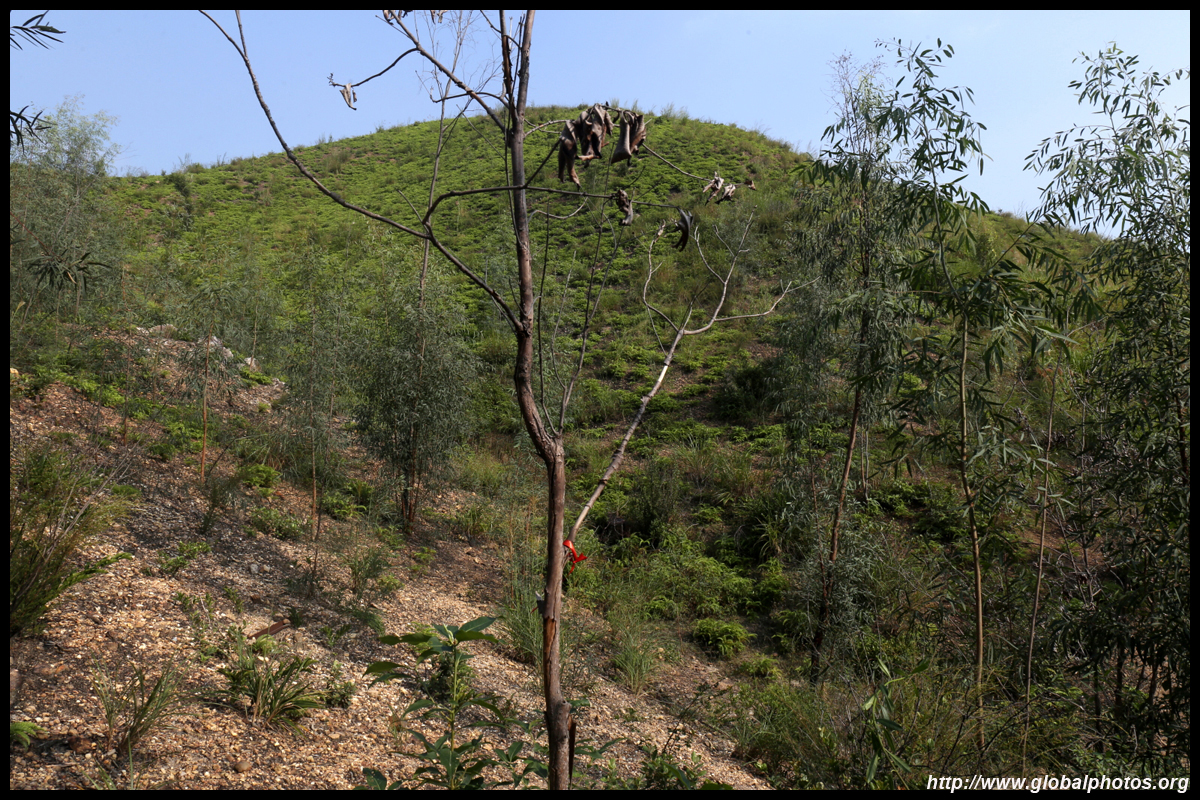
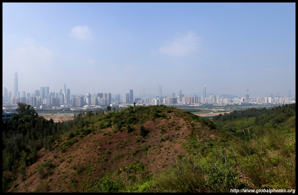
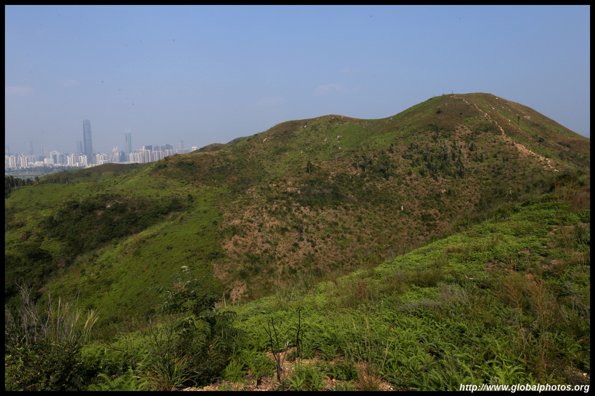
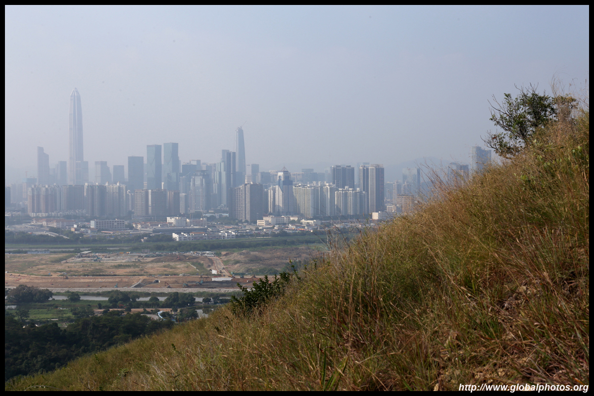
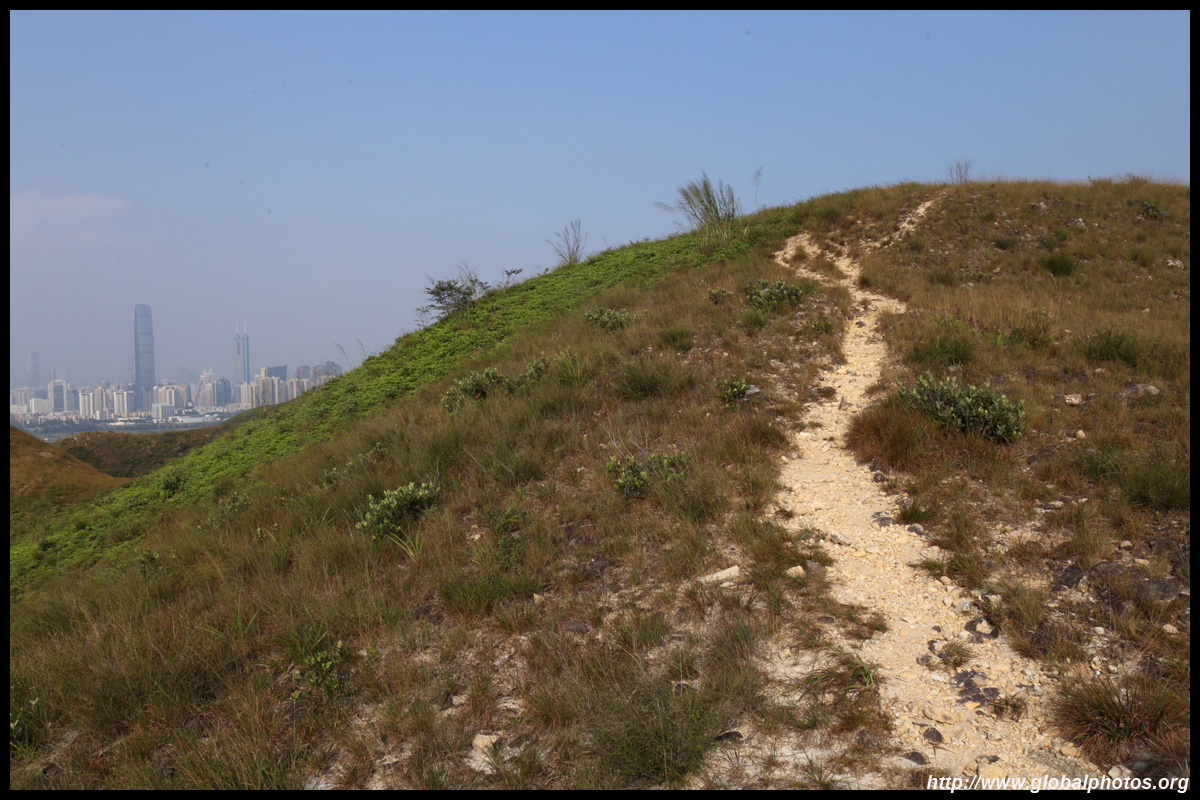
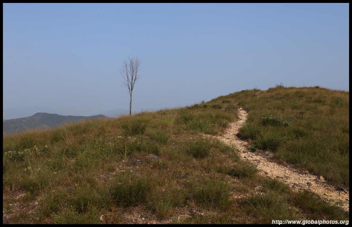
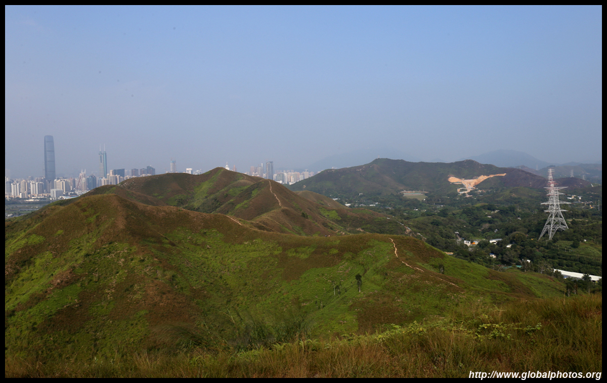
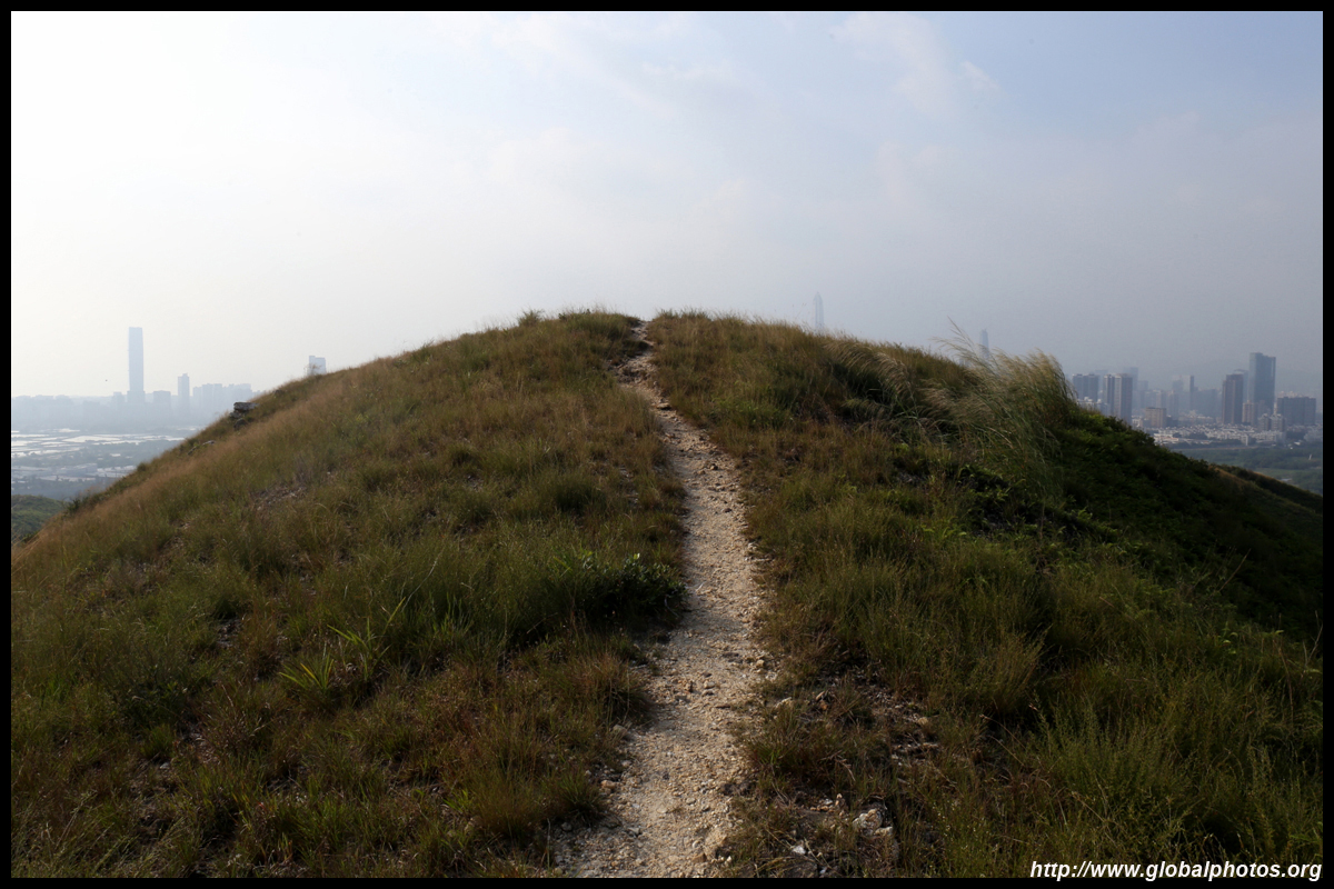
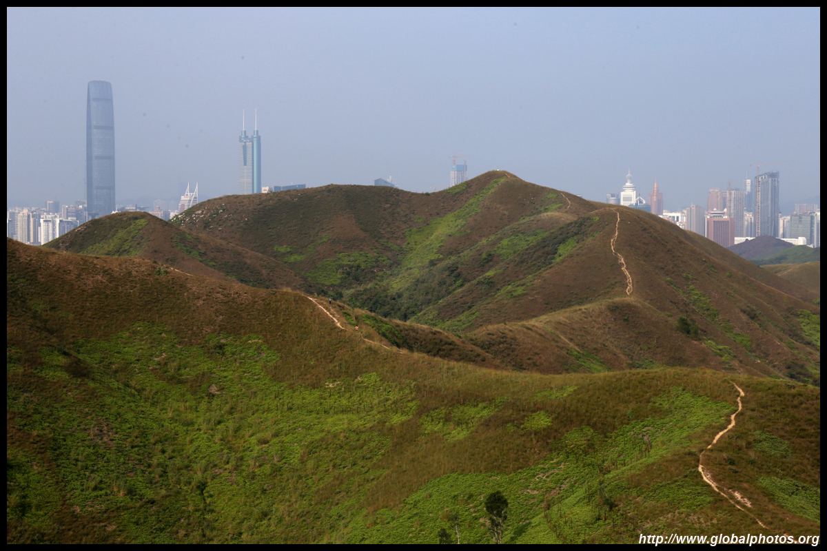
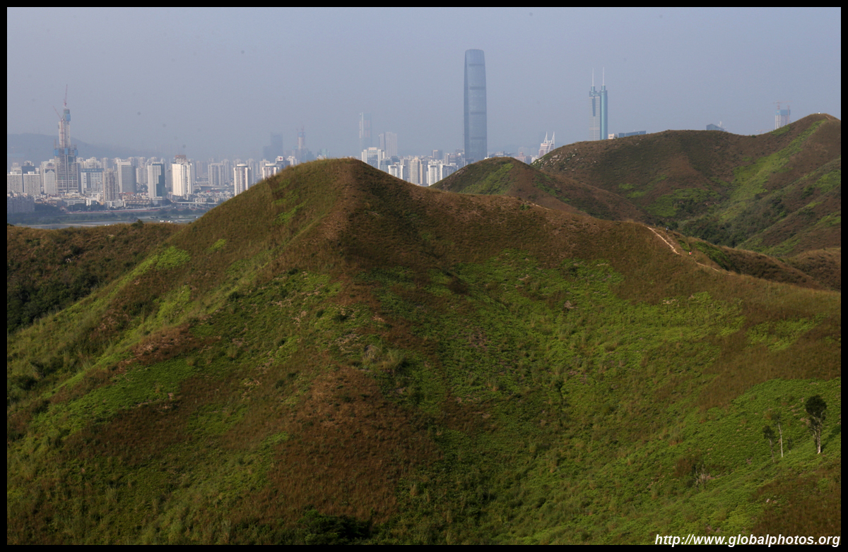
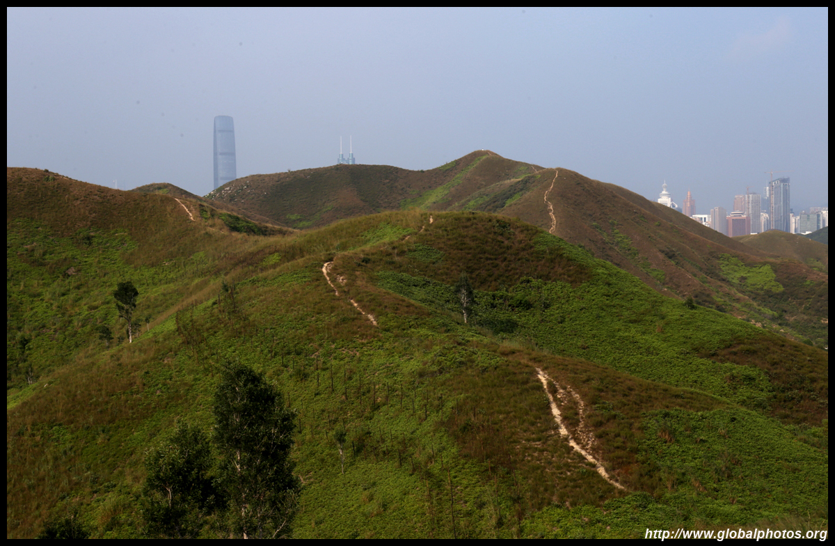
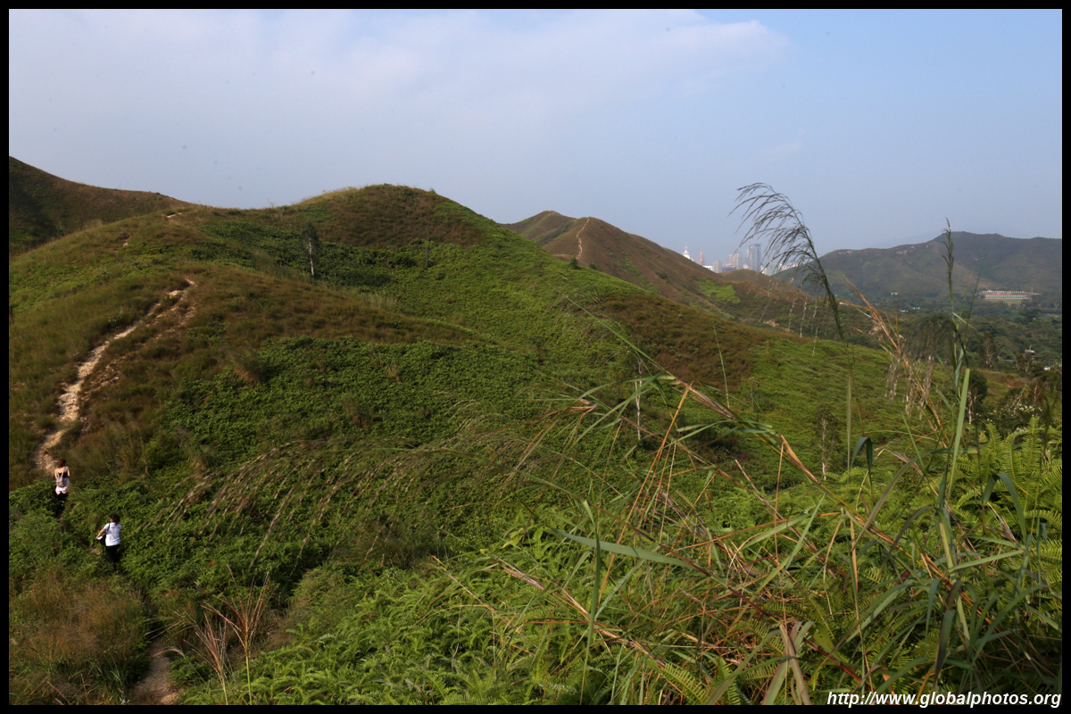
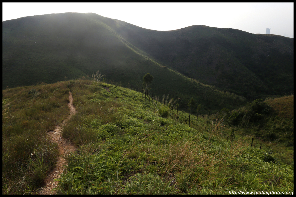
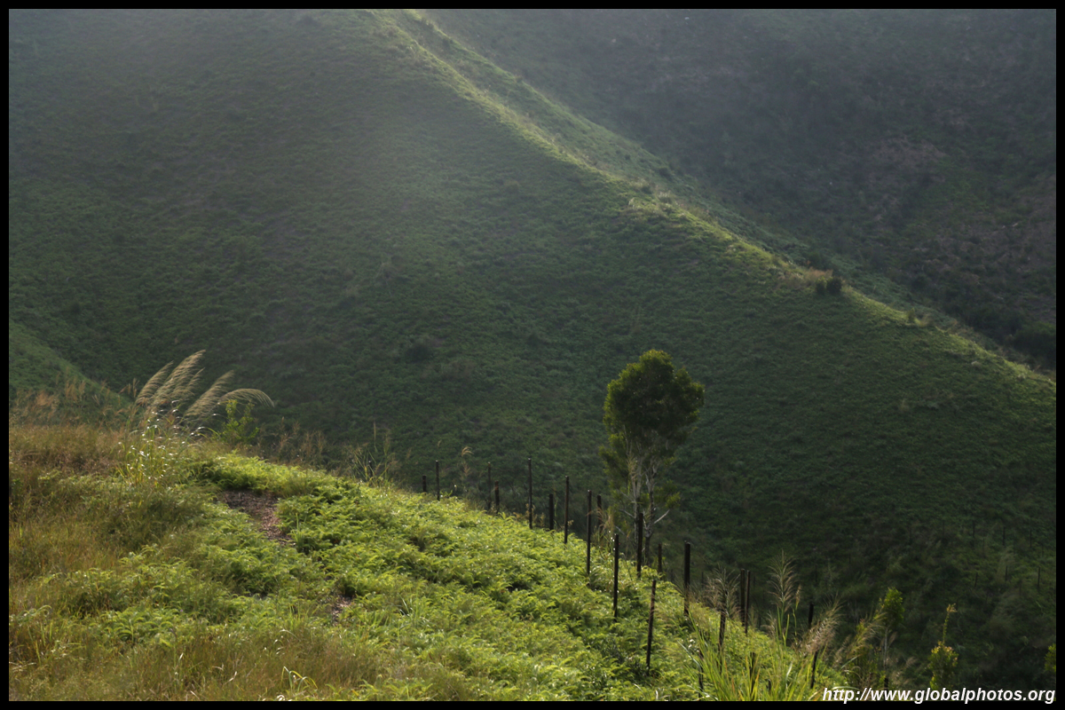
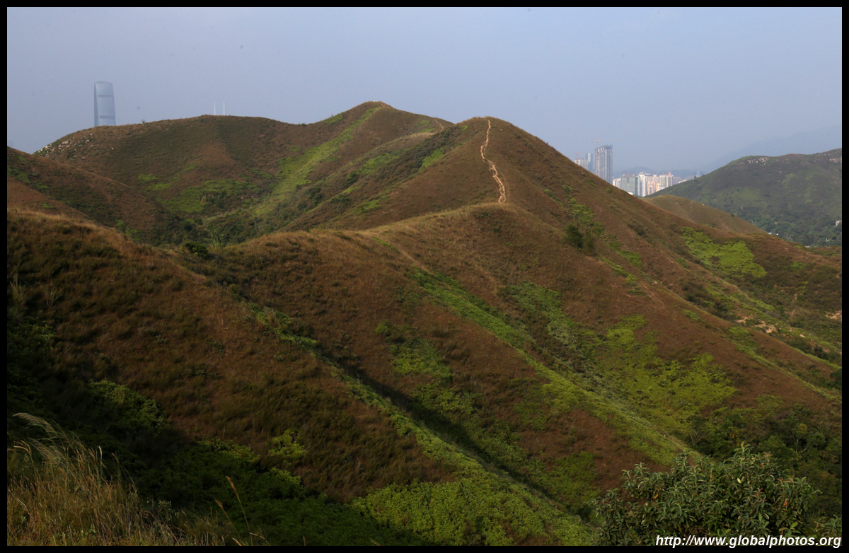
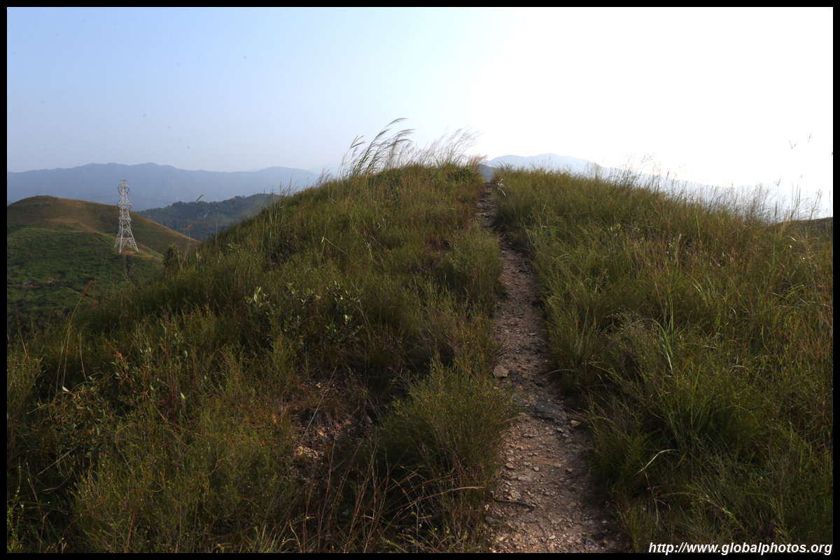
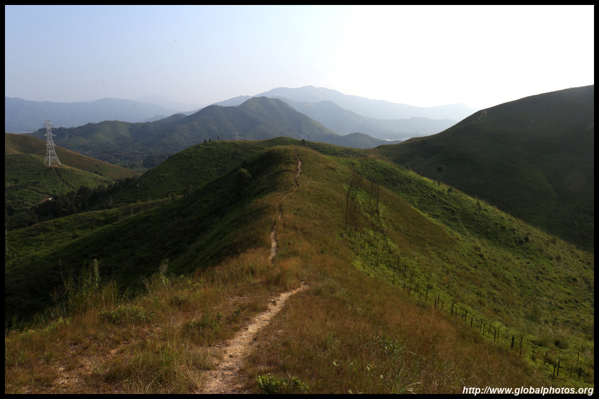
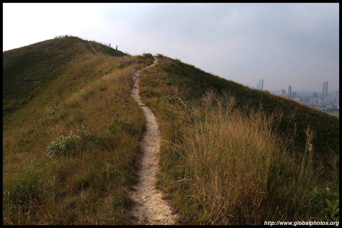
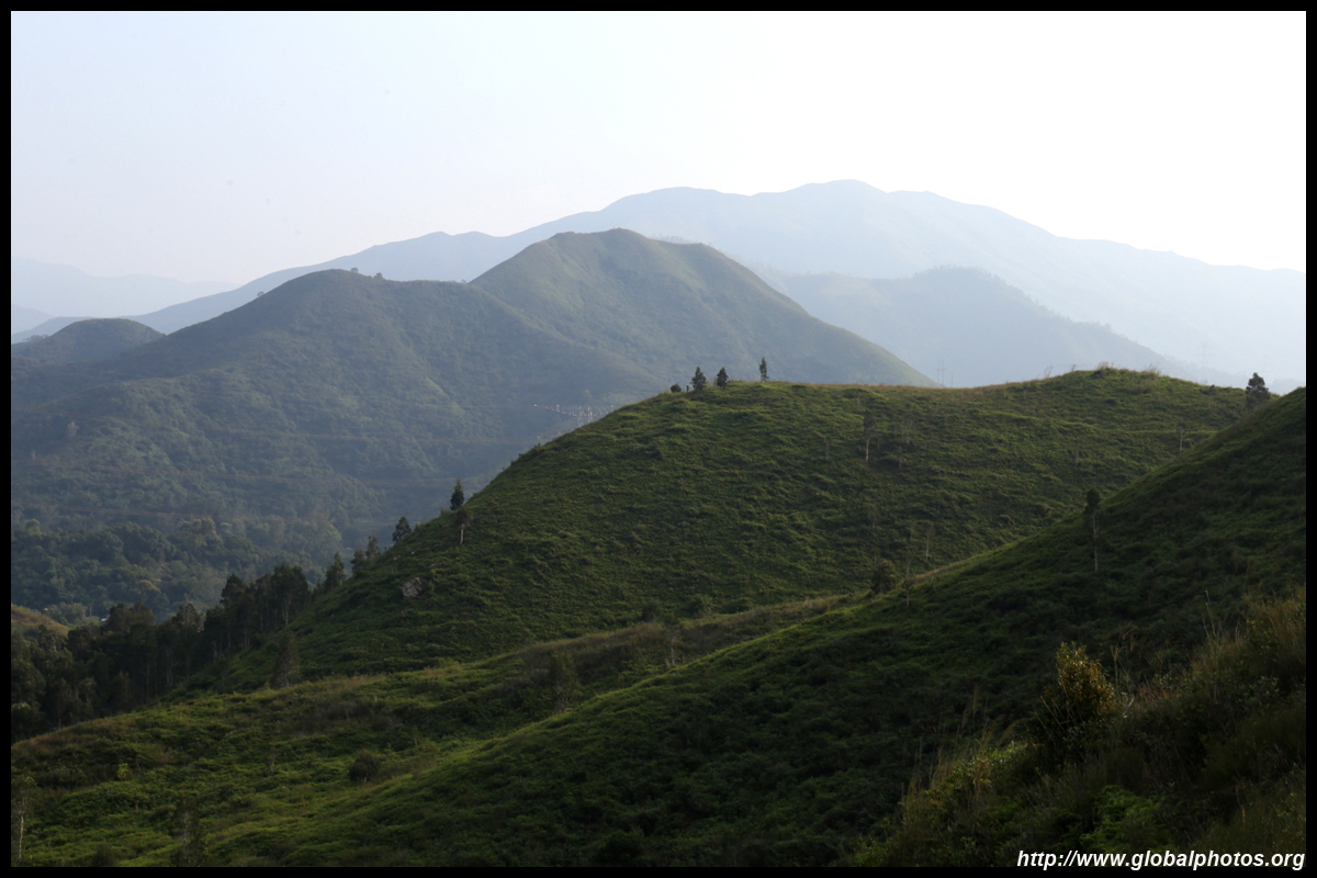
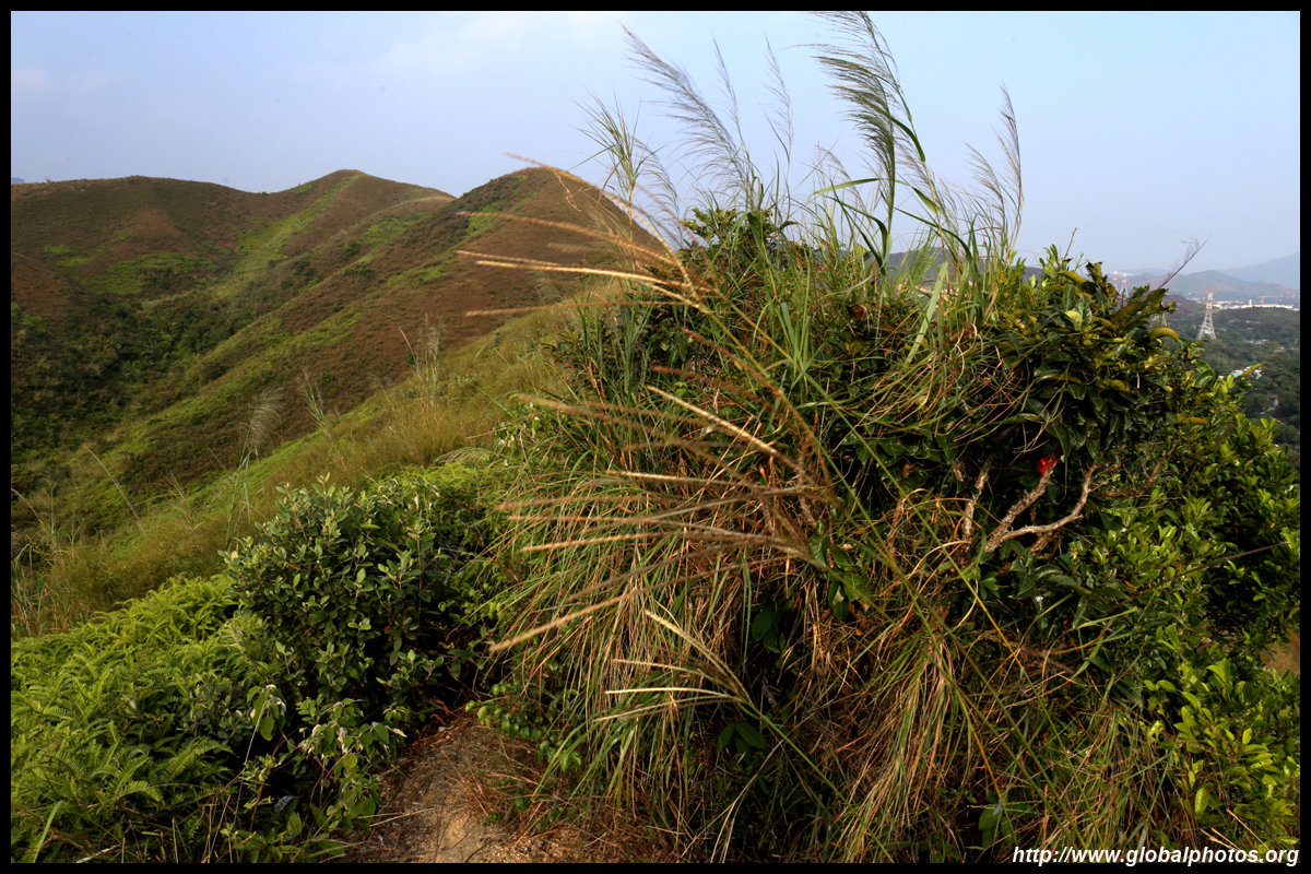
The dirt path continues along the top of the ridge. There is no shade but plenty of views all around despite being relatively short at just over 130m.
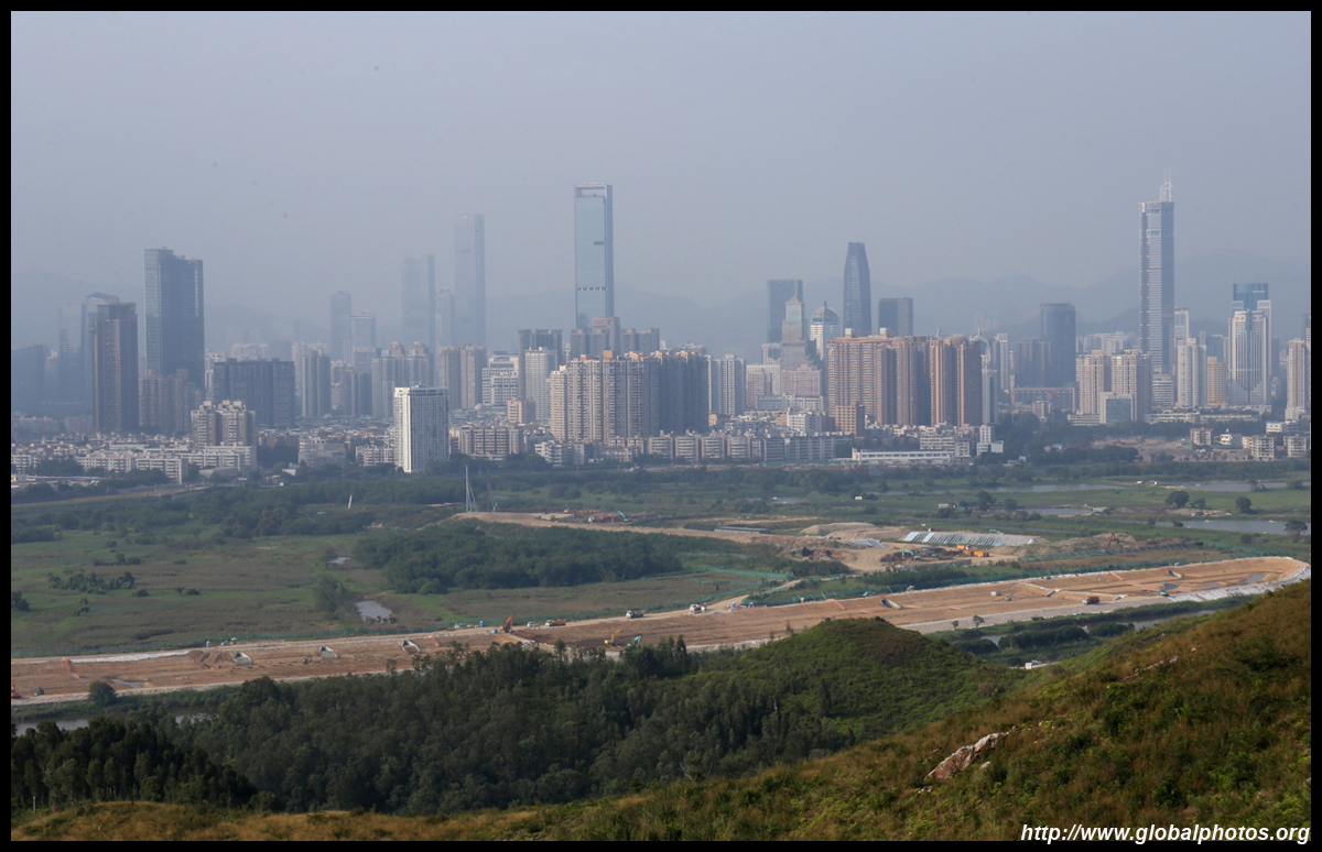
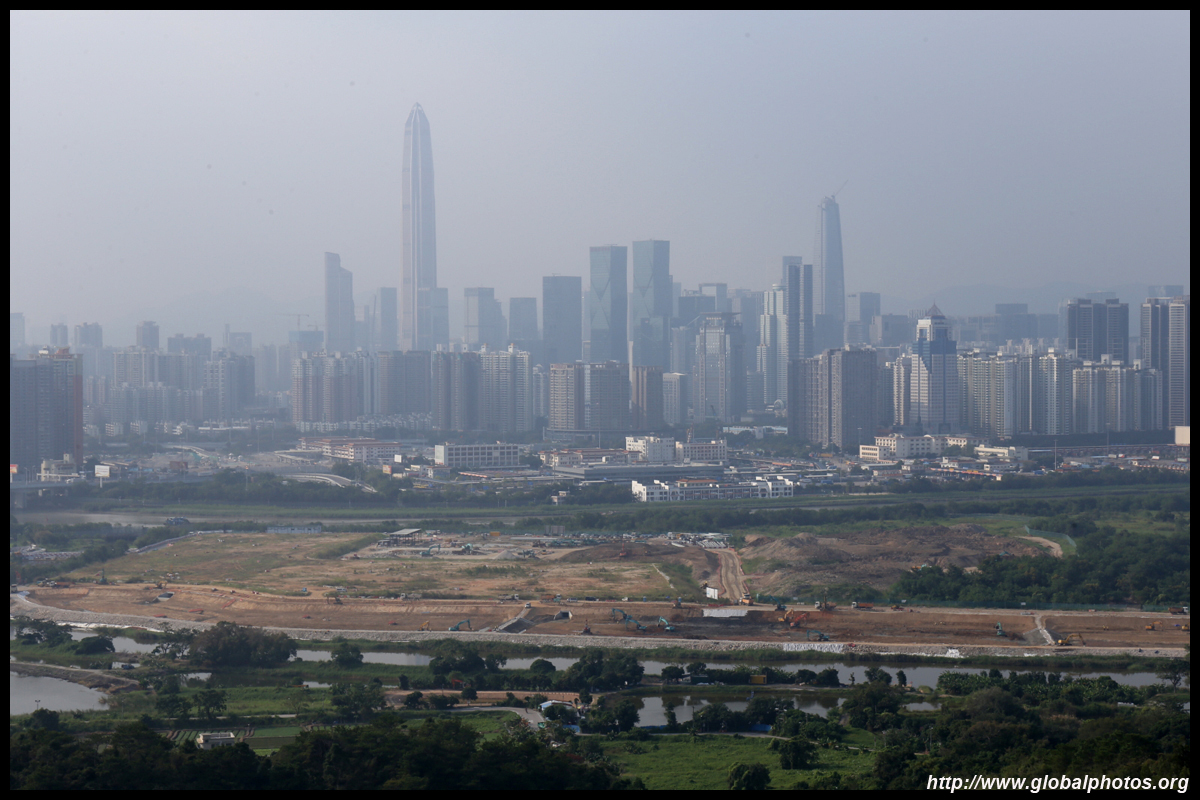
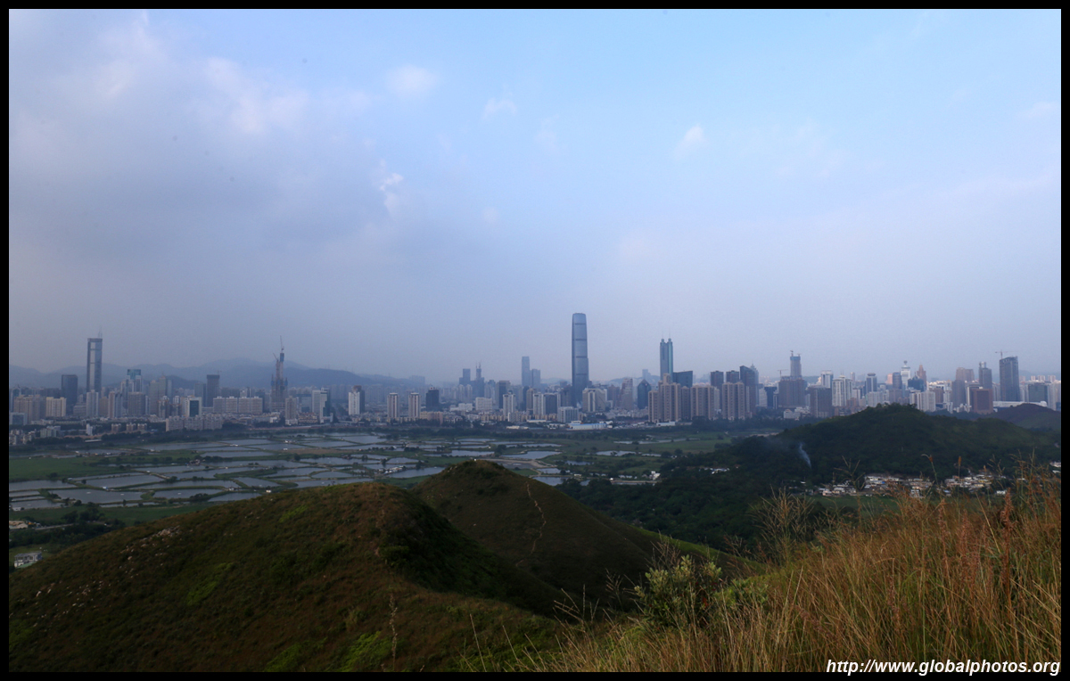
This hike will go through a few short hills, behind which are fish ponds before reaching the Shenzhen River, which is the border.
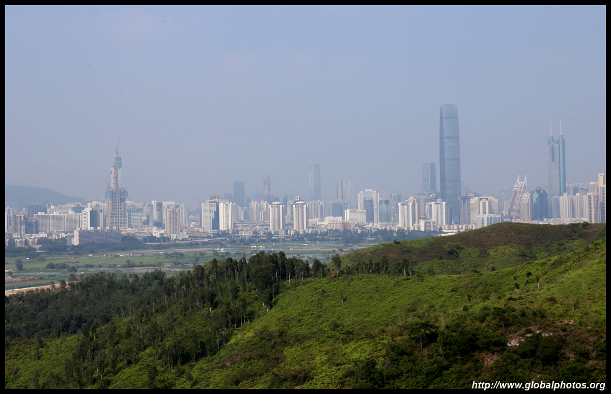
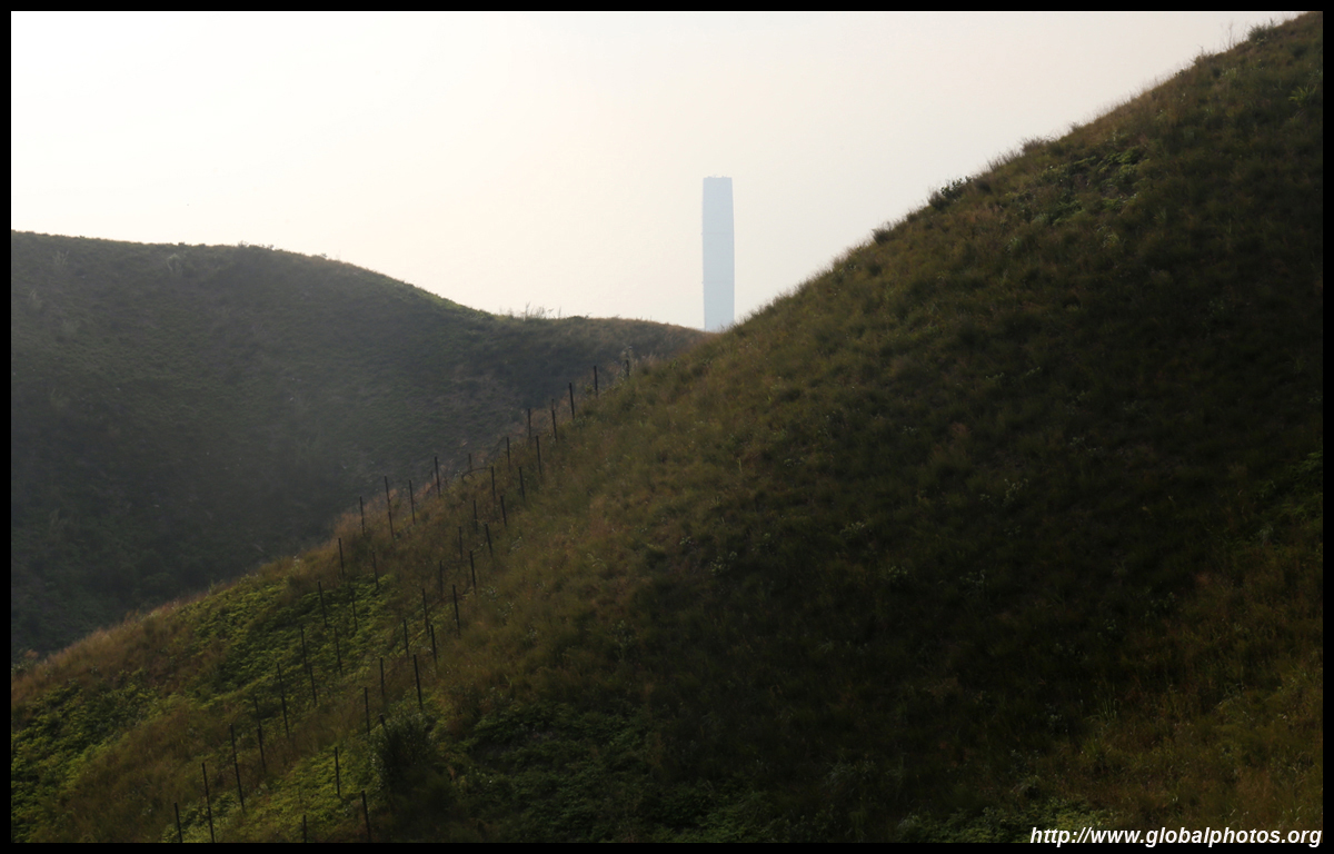
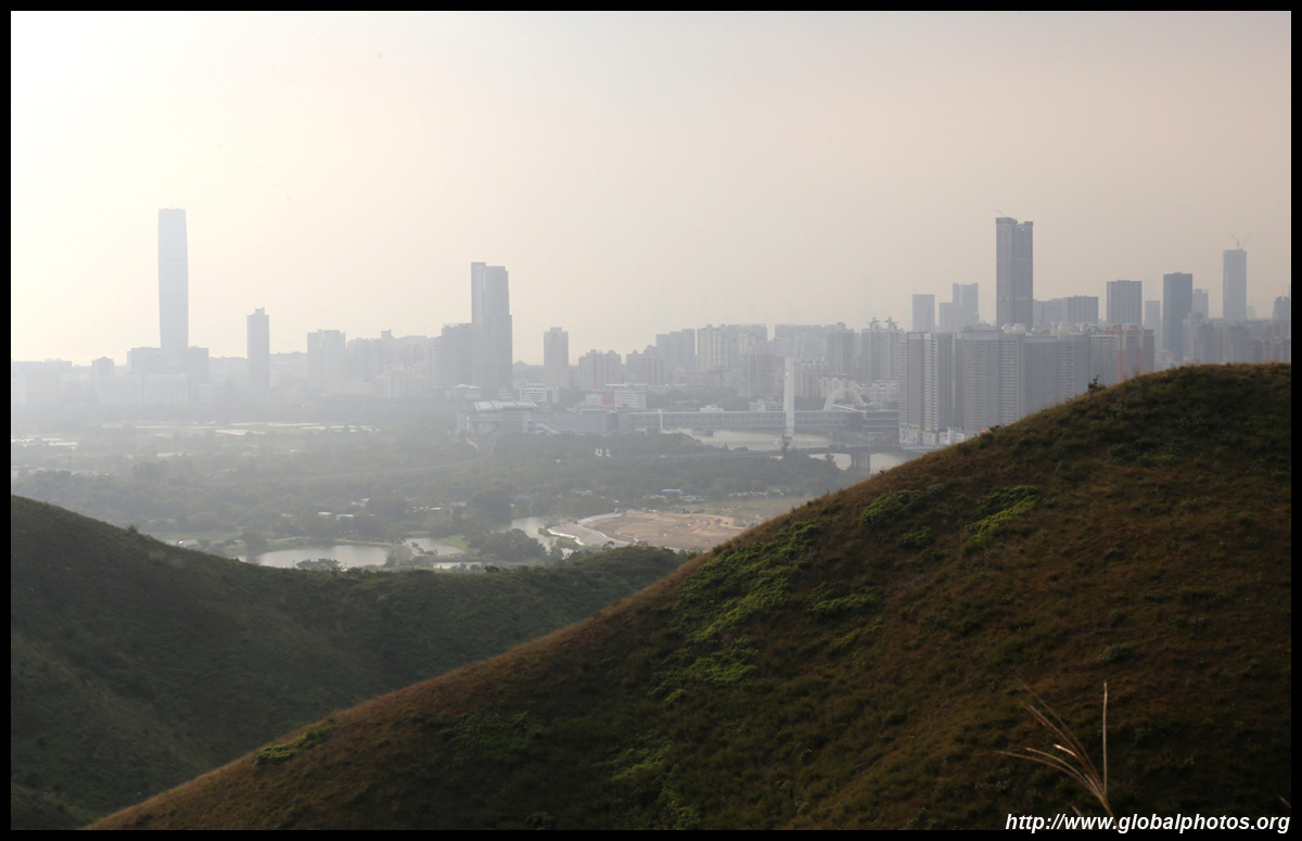
In the distance, the elevated station structure is the Lok Ma Chau terminus and the corresponding border bridge into Shenzhen perendicular to it.
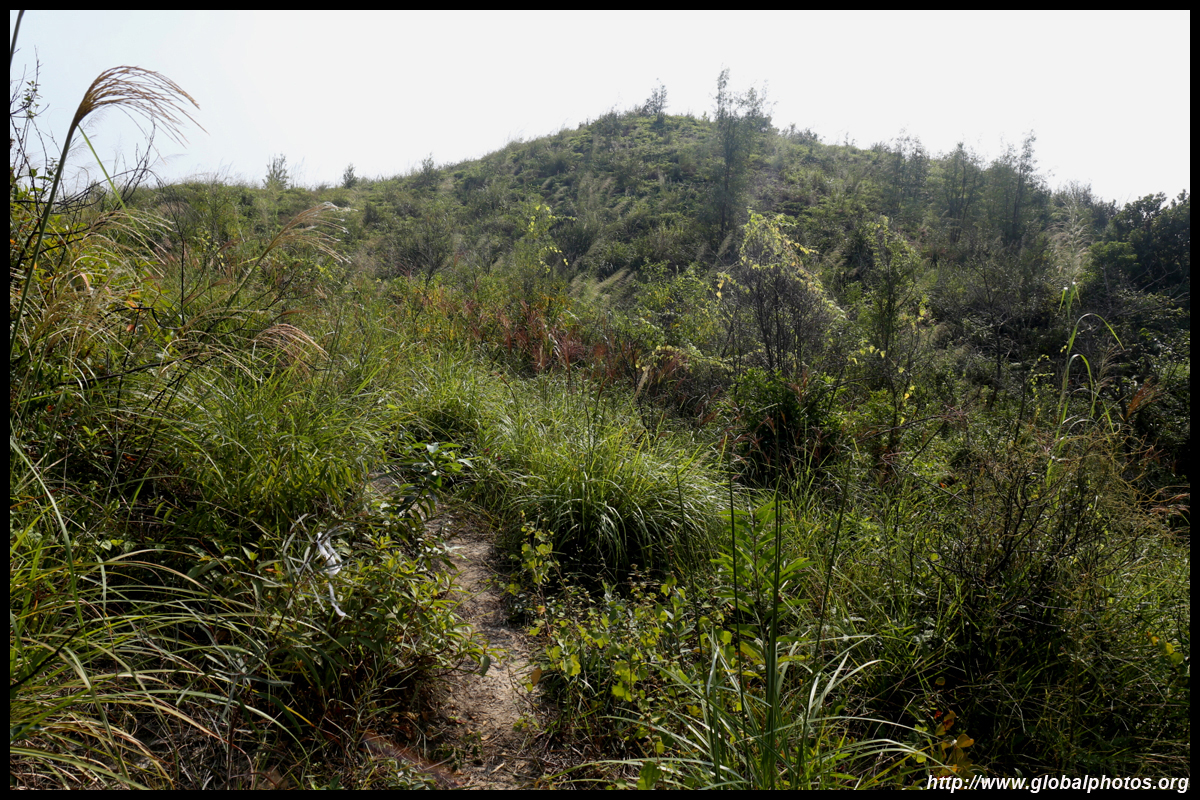
It is impossible to get lost as the dirt trail is clearly visible as it meanders along the ridge.
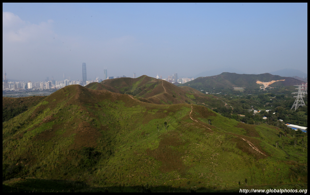
The villages at the beginning of the journey are way back there.
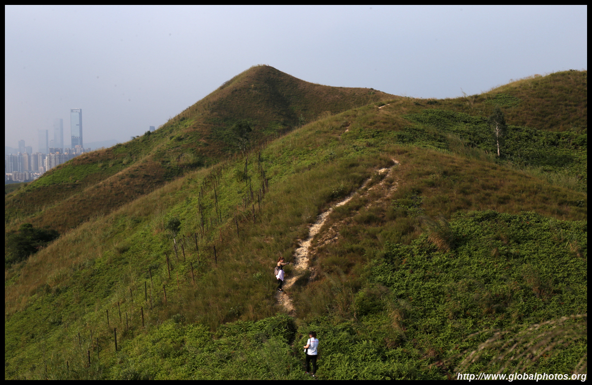
The only place where hikers may get confused is a junction on the left ridge, where you can either take a left to climb that hill for more views, or right to continue the hike.
The way down from the first hill is slightly slippery with small rocks along the dirt path.
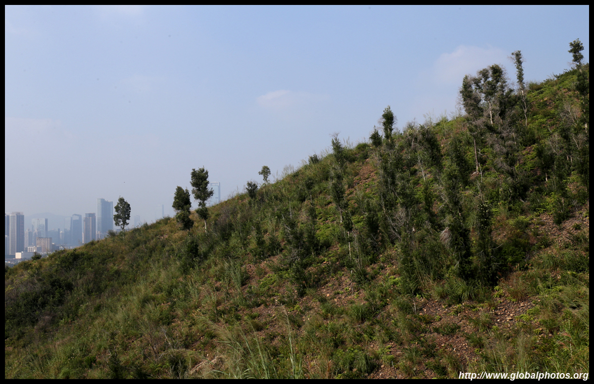
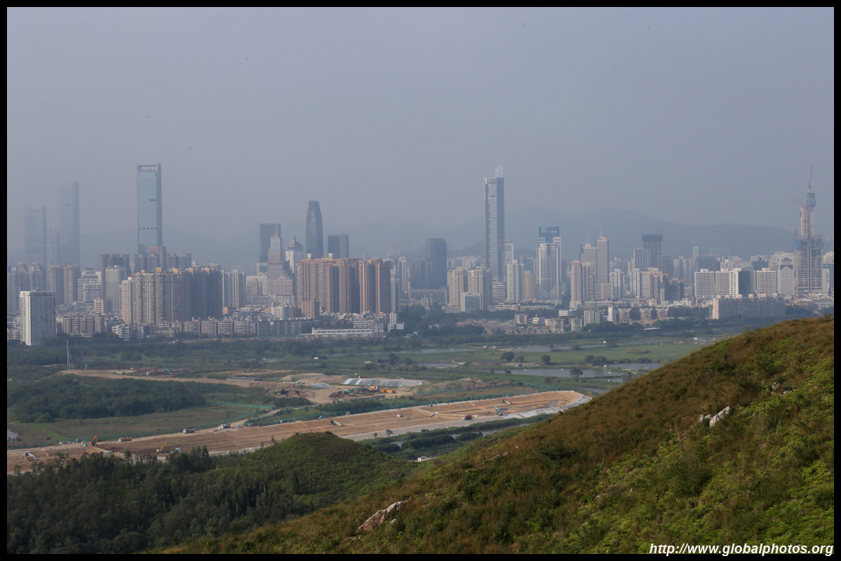
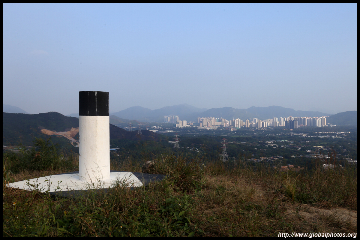
The suburb of Sheung Shui is in the distance.
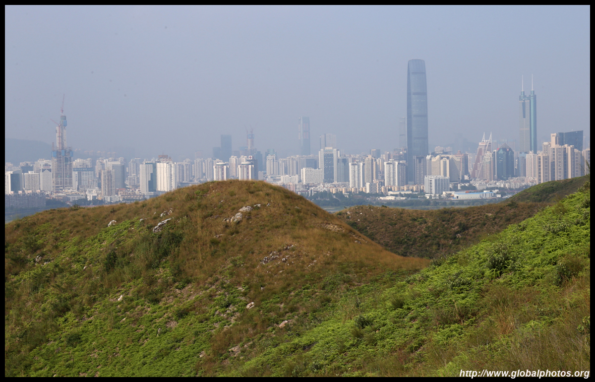
Strangely, clouds rolled in on the north side of the border while it was still blue skies on our side.
The final descent down to the villages around Ma Tso Lung has a steeper gradient and loose rocks, making it the most challenging part of the hike. It requires a bit more care but you don't need gloves to scramble down. At the bottom, you will be in a mix of small farms and ponds. Make your way to Ma Tso Lung Road, where minibus 51B will take you to Sheung Shui. This is a fairly easy 5+ km hiking route with disproportionately good views. On the day of my visit, I could only see 4 other hikers during the entire afternoon so hopefully it remains undiscovered. | |||