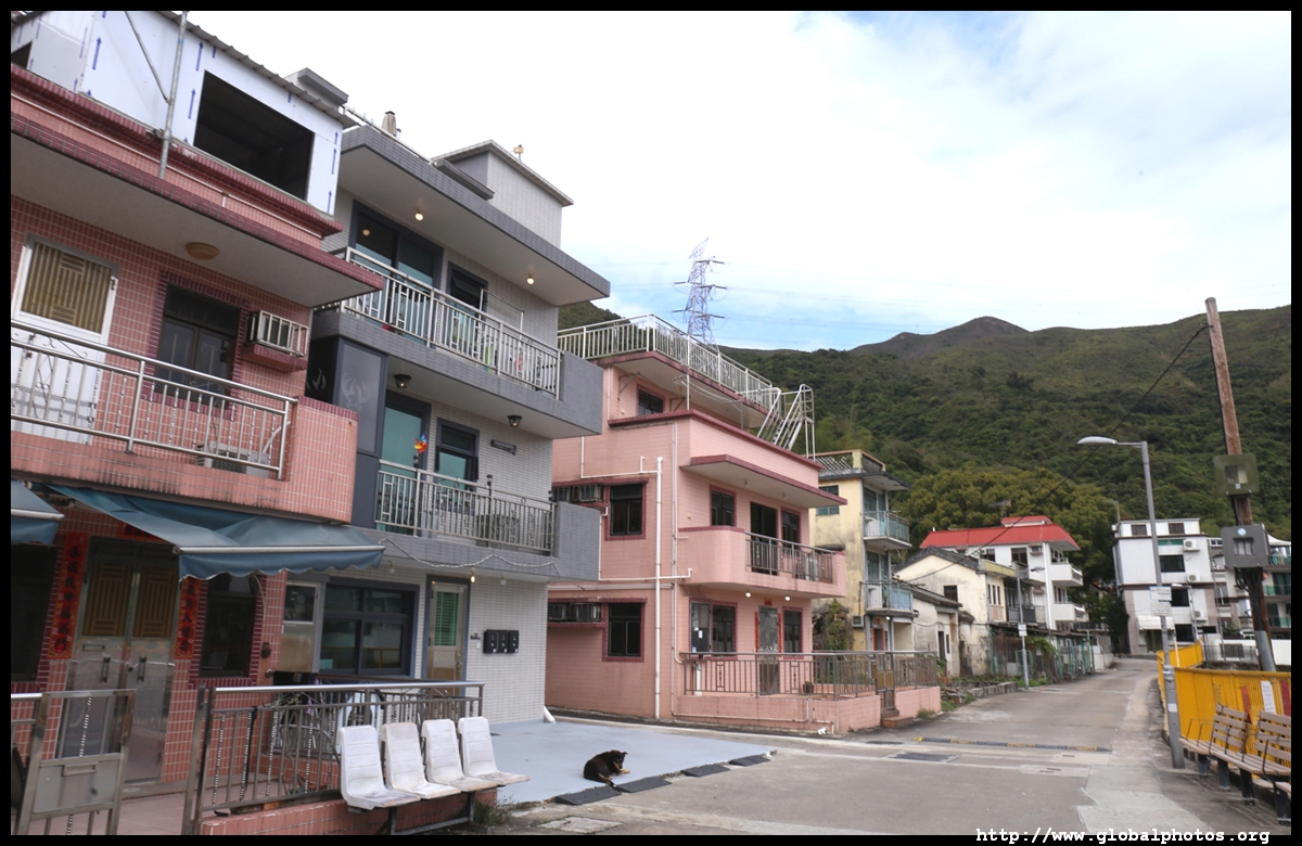
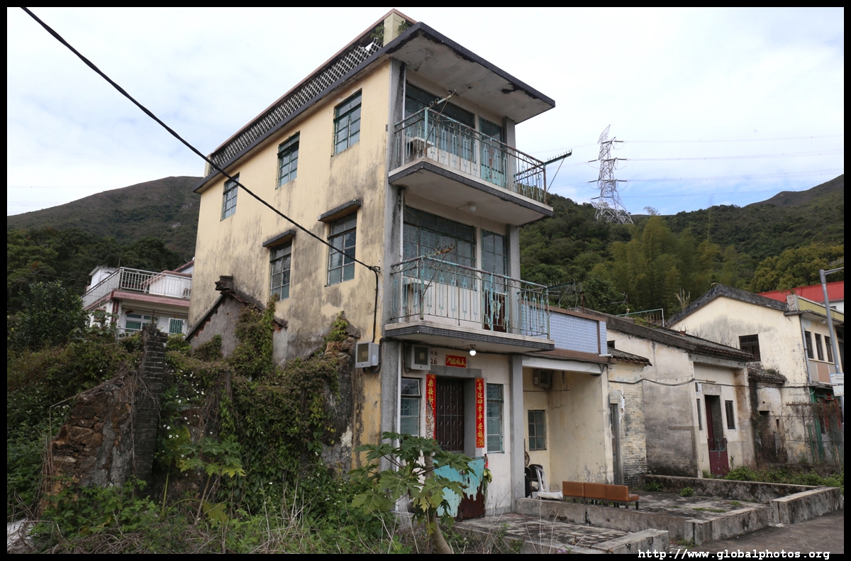
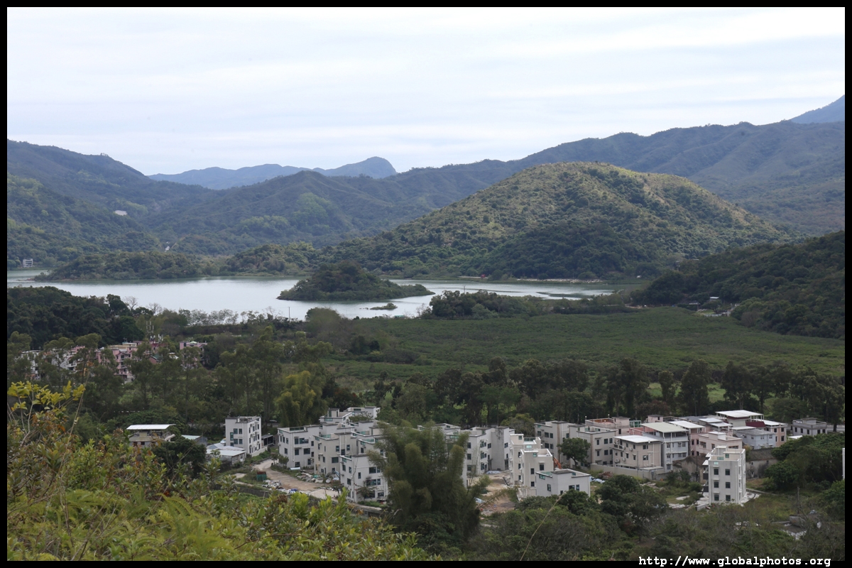
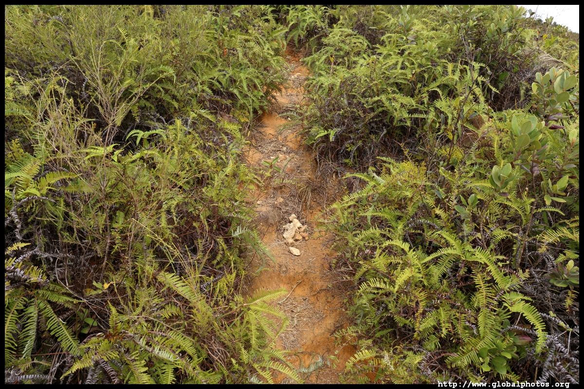
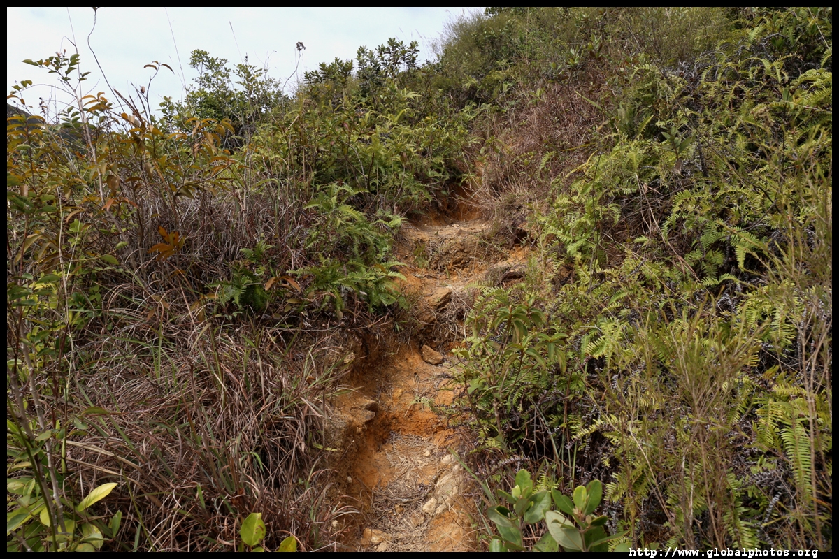
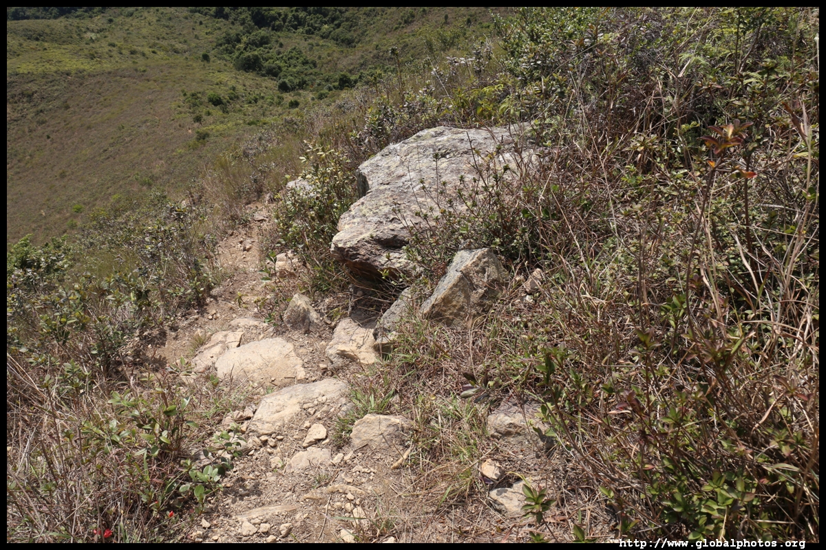
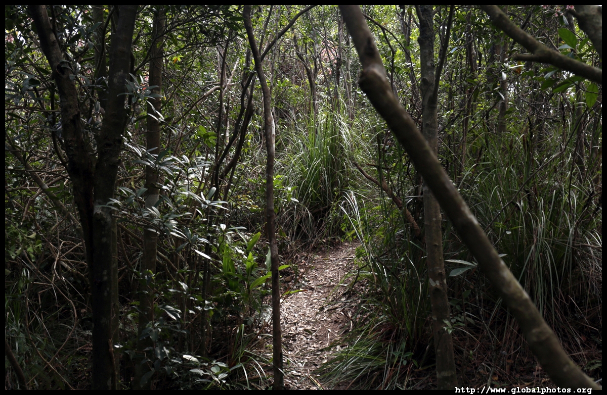
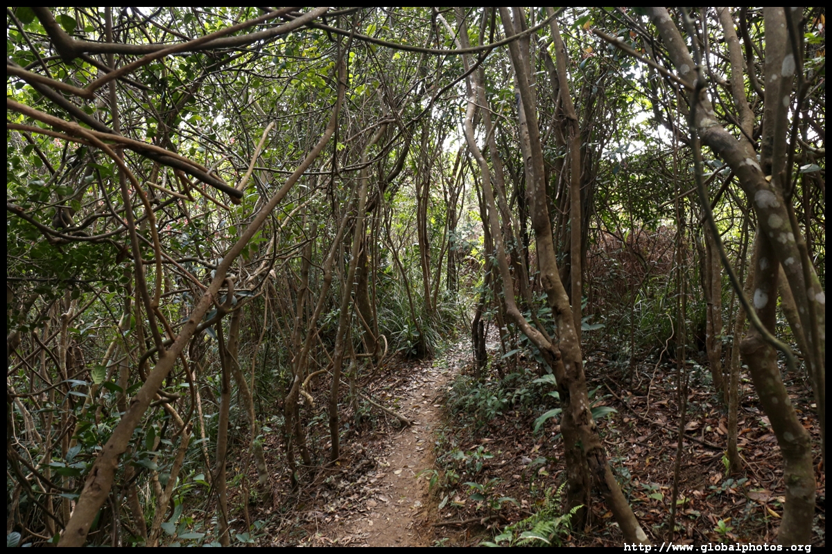
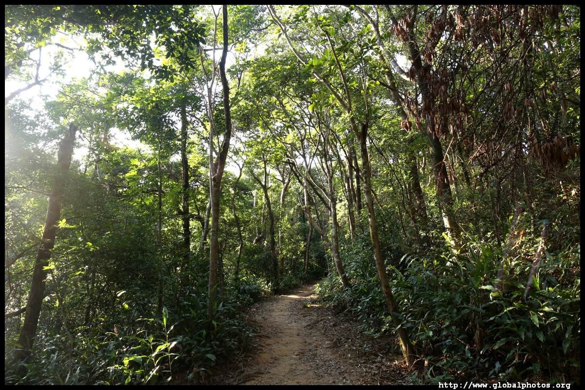
Pass the public toilet and village lake towards the end of the settlement, where a dirt trail leads uphill.
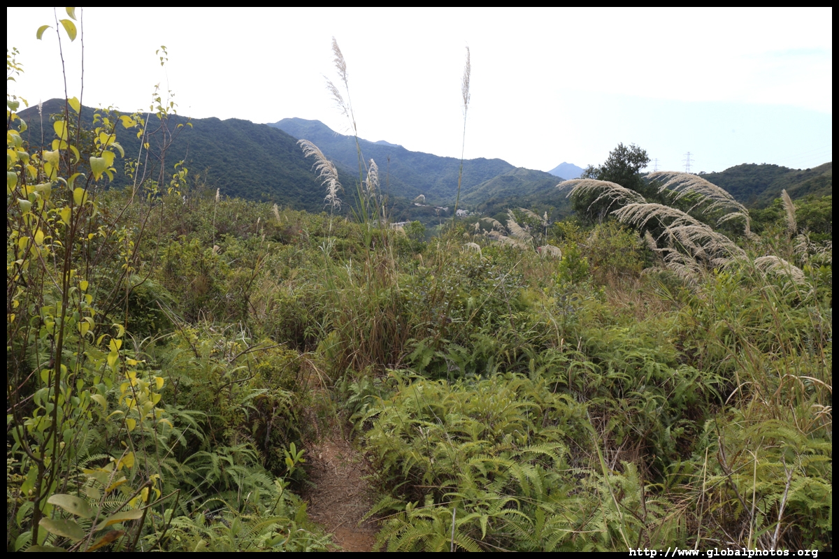
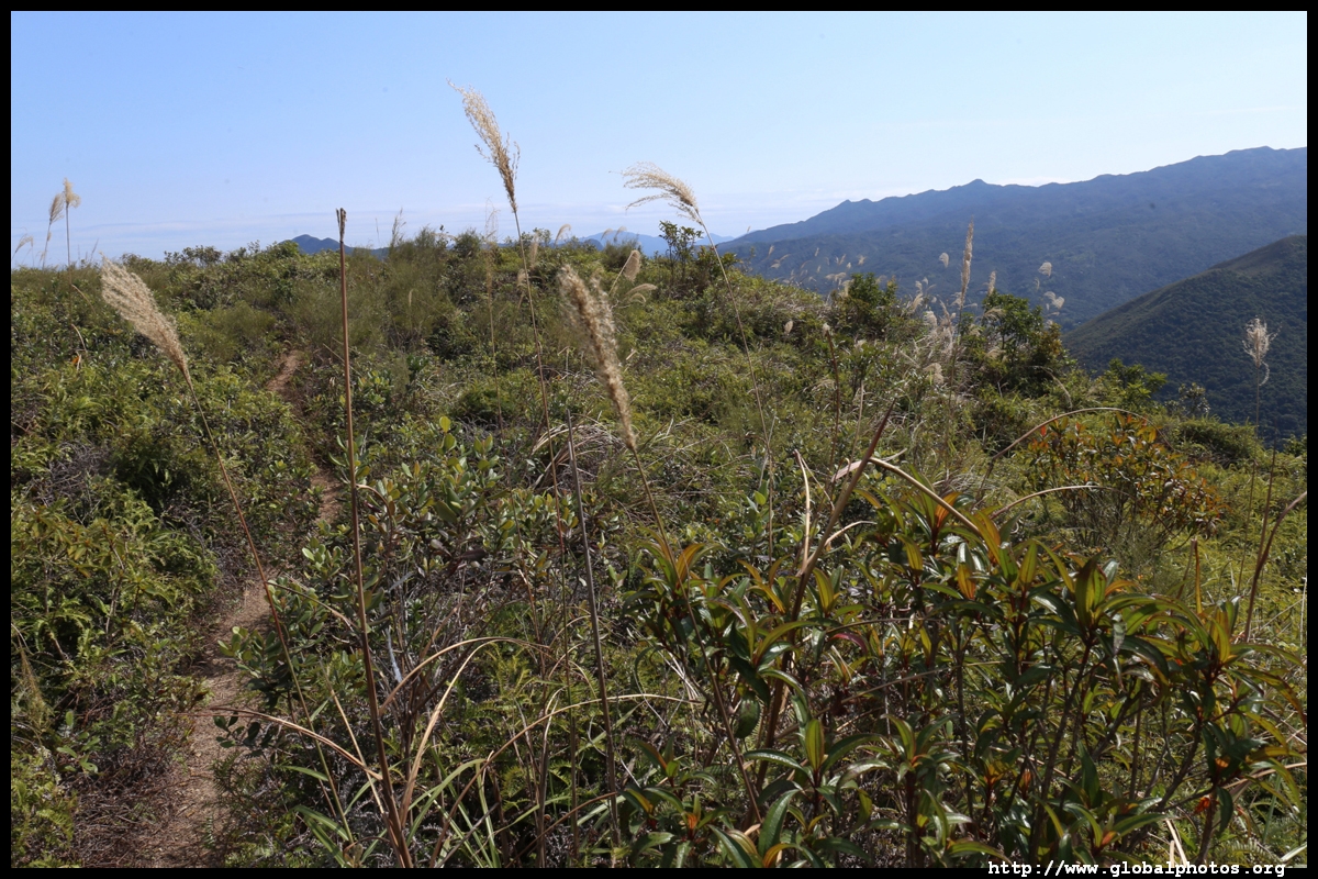
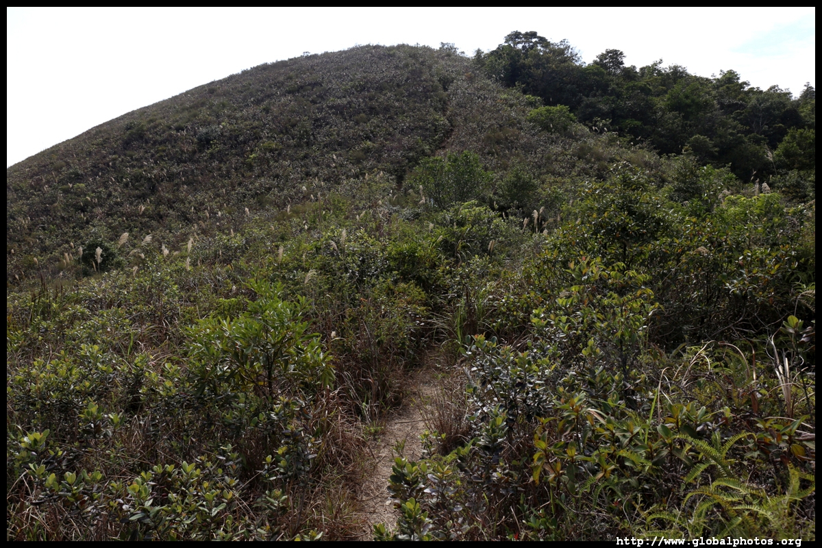
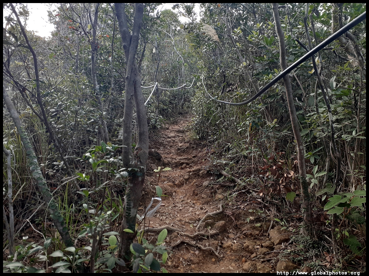
The initial rise is not too difficult and the trail is fairly visible.
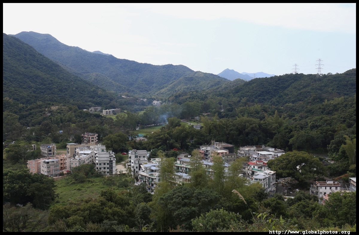
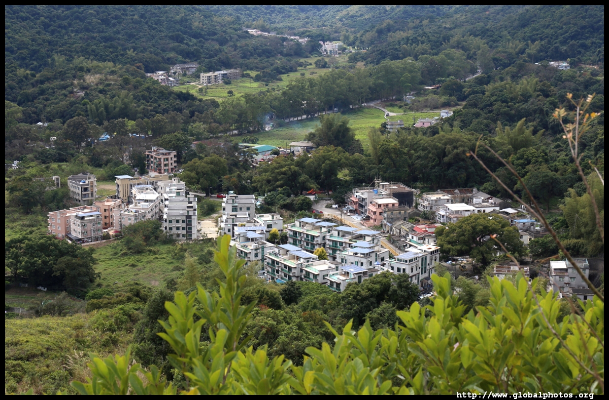
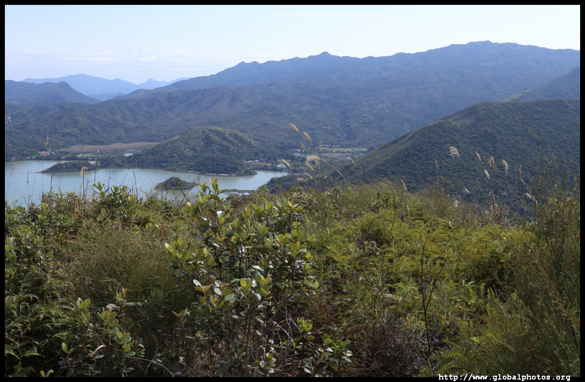
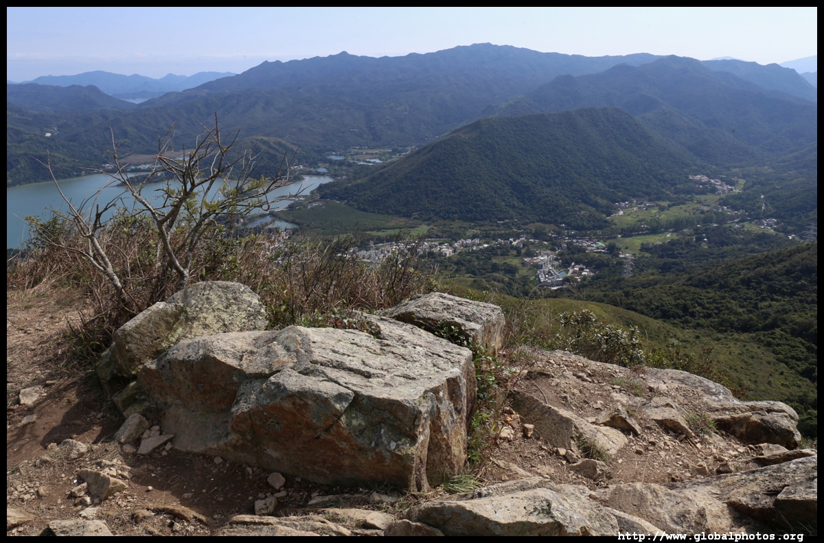
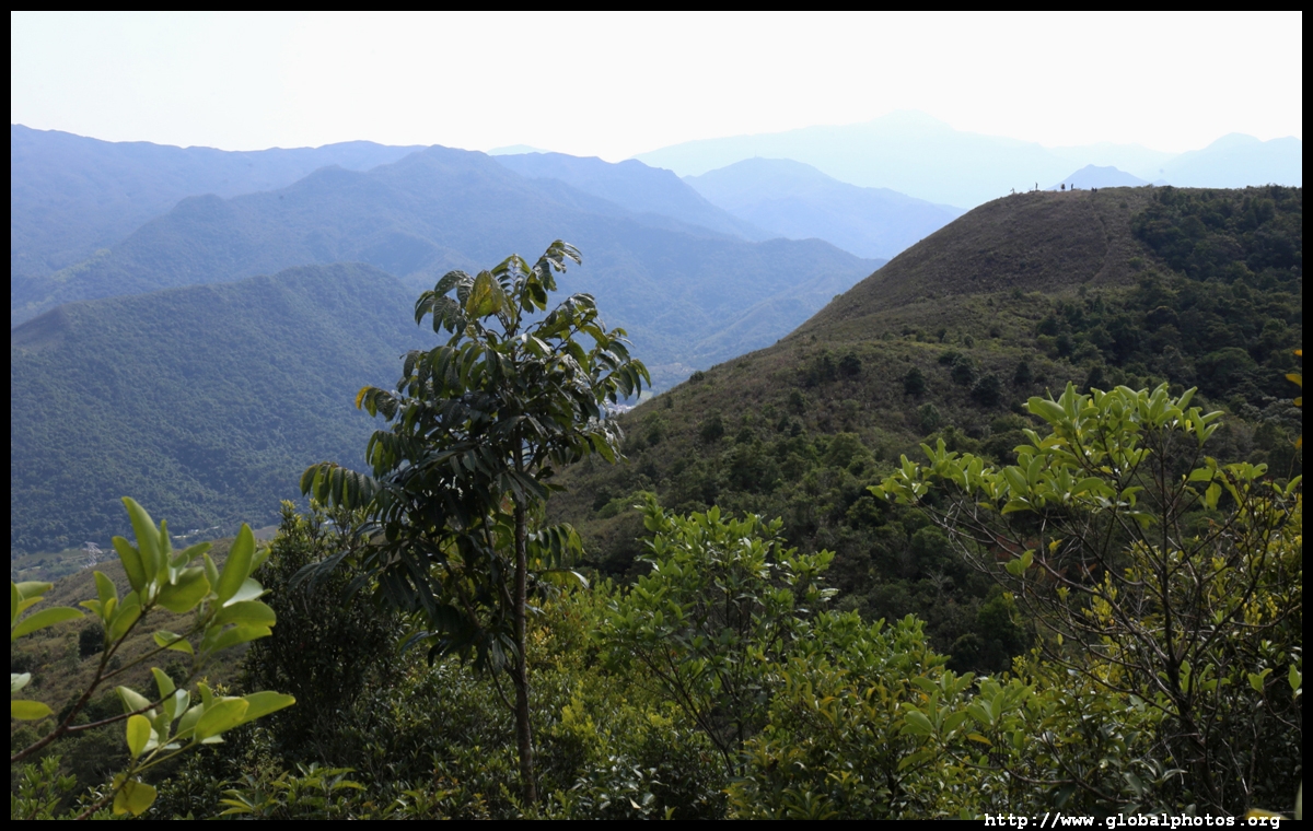
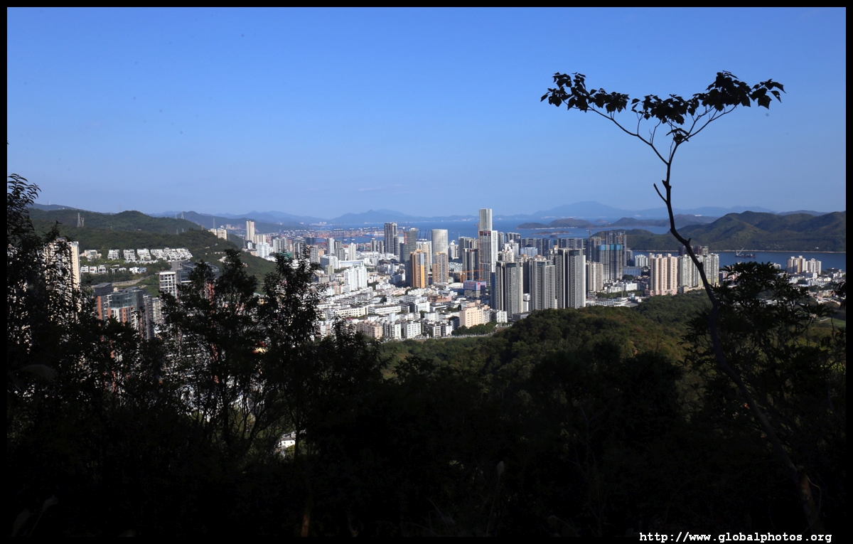
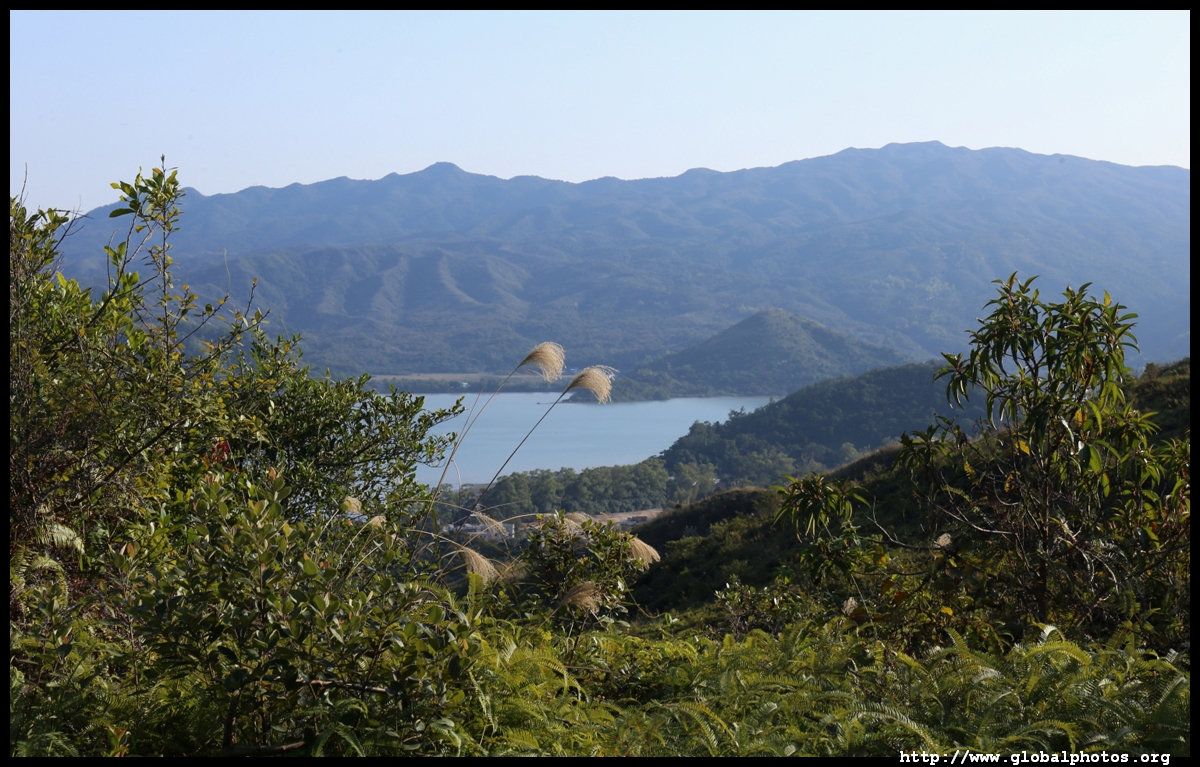
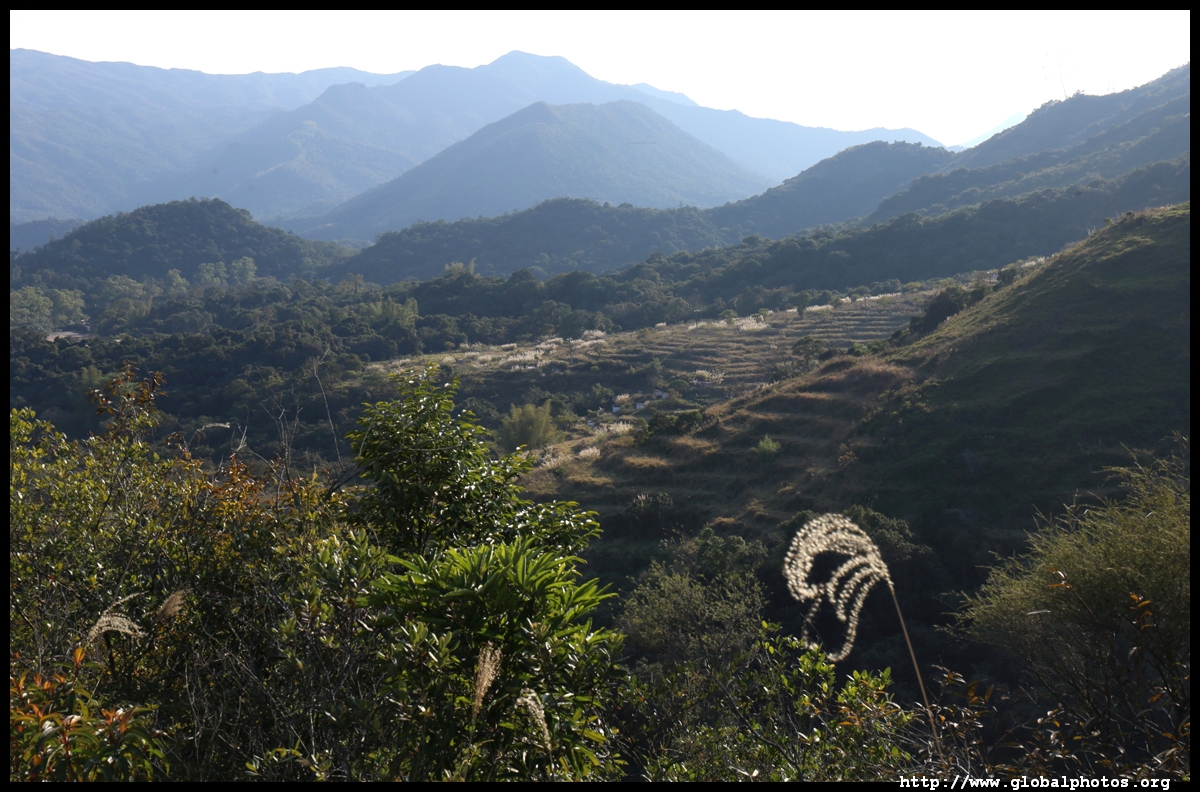
The climb becomes increasingly steep but do look back for the views that keep getting better as you continue.
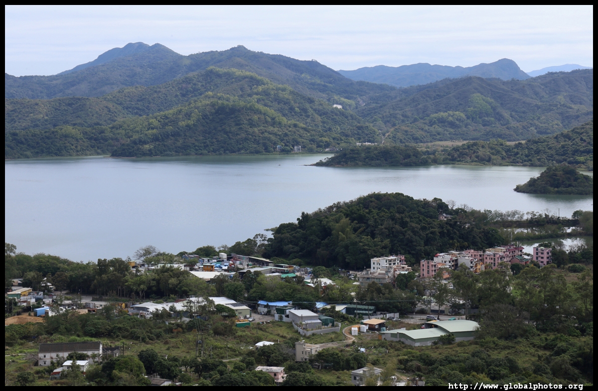
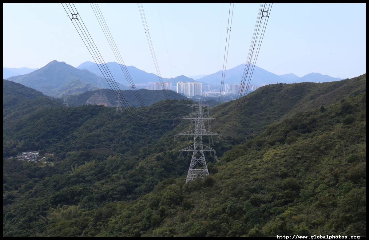
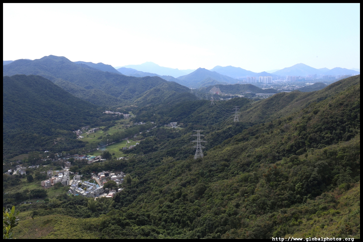

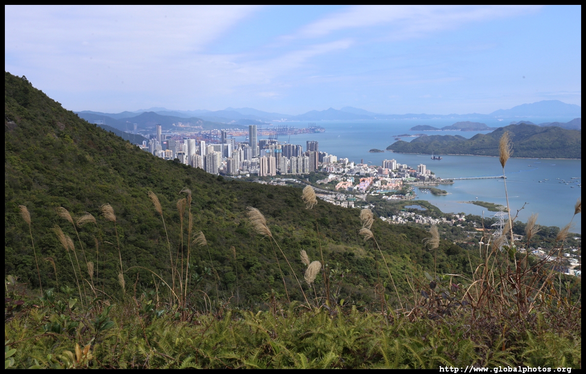
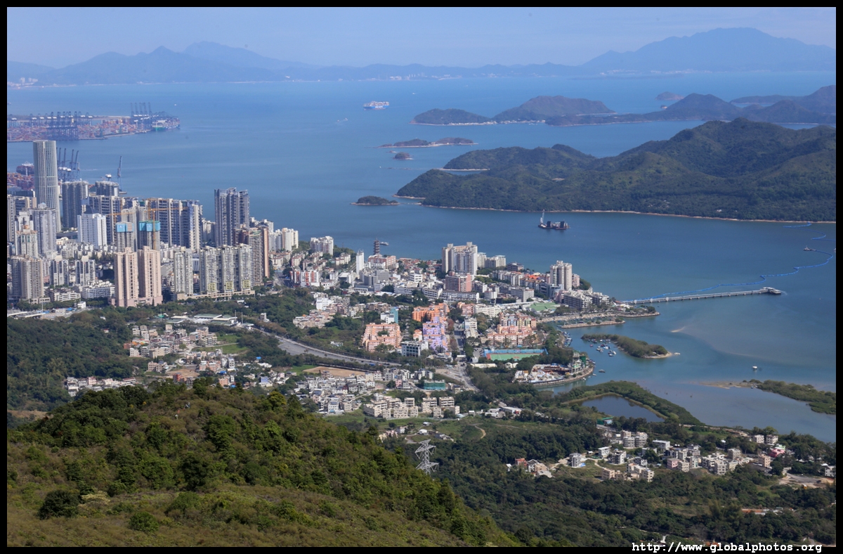
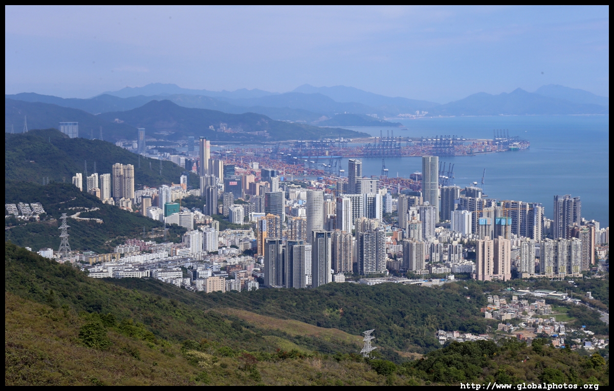
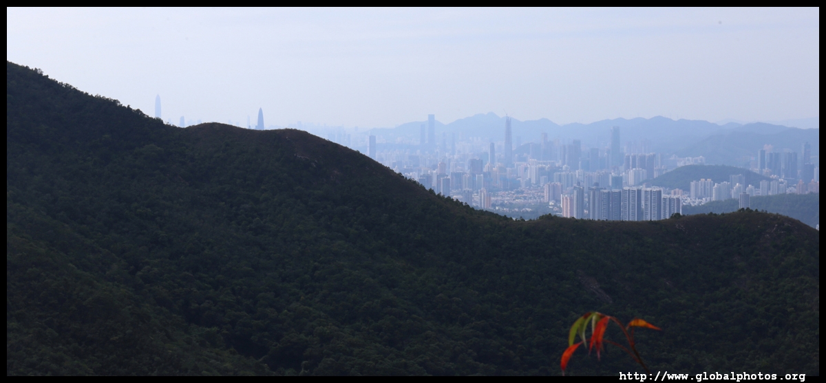
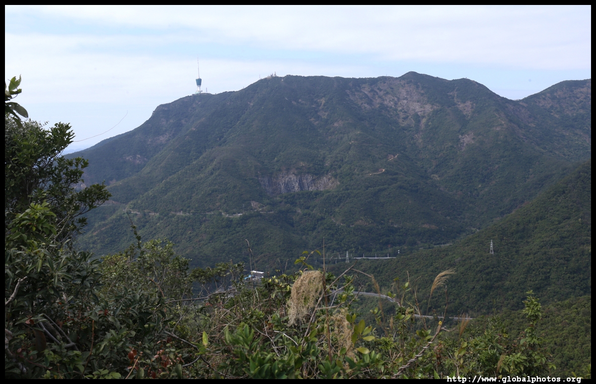
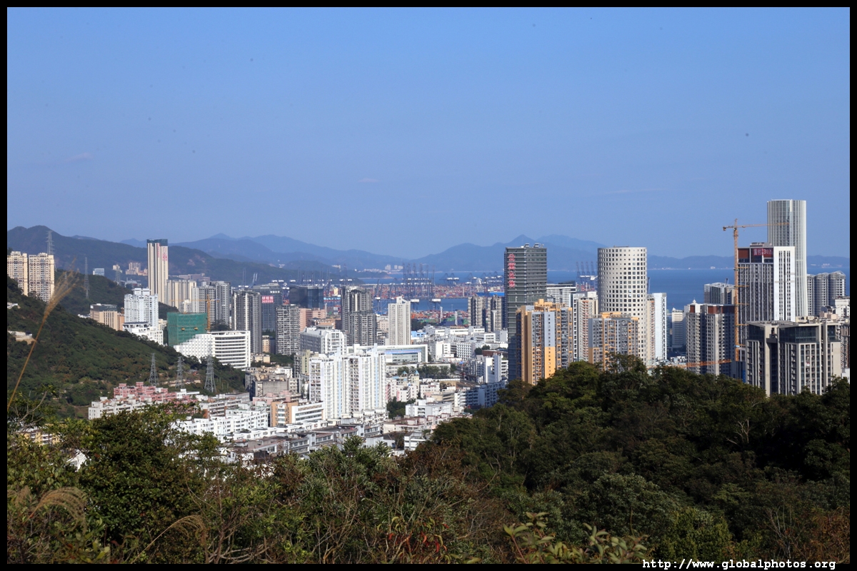
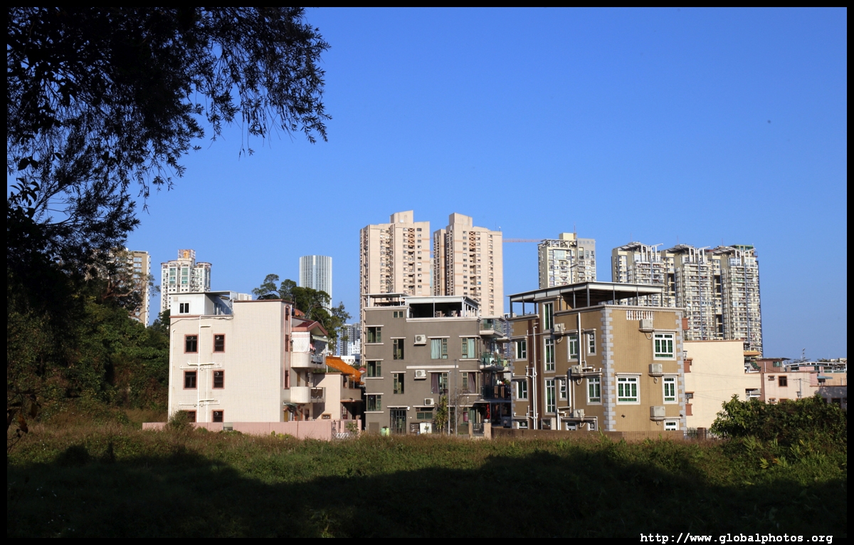
The highrises in the distance are in Shenzhen's Yantian district.
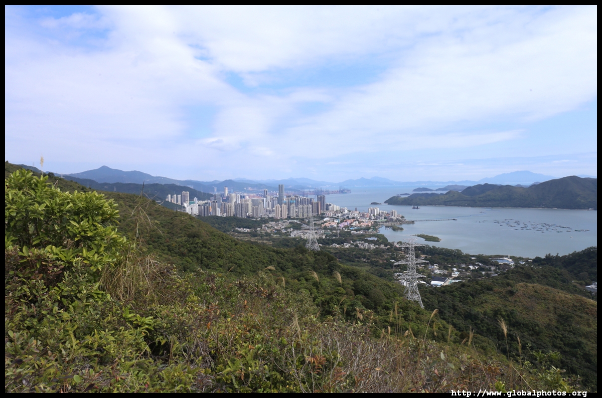
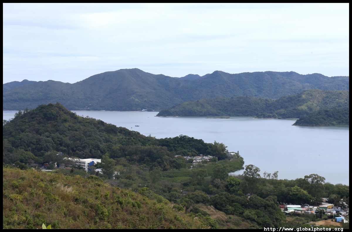
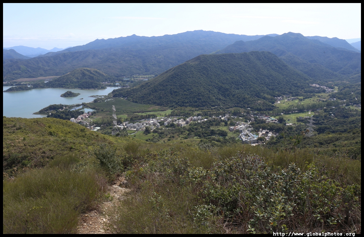
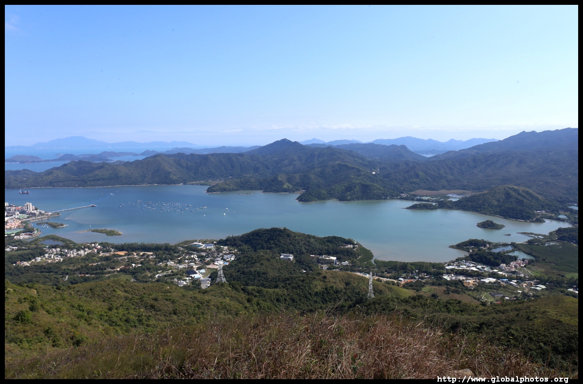
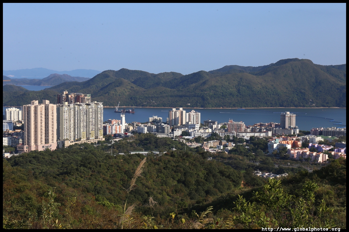
The weather cleared out after lunch. Notice the contrast with the Hong Kong side being mostly countryside.


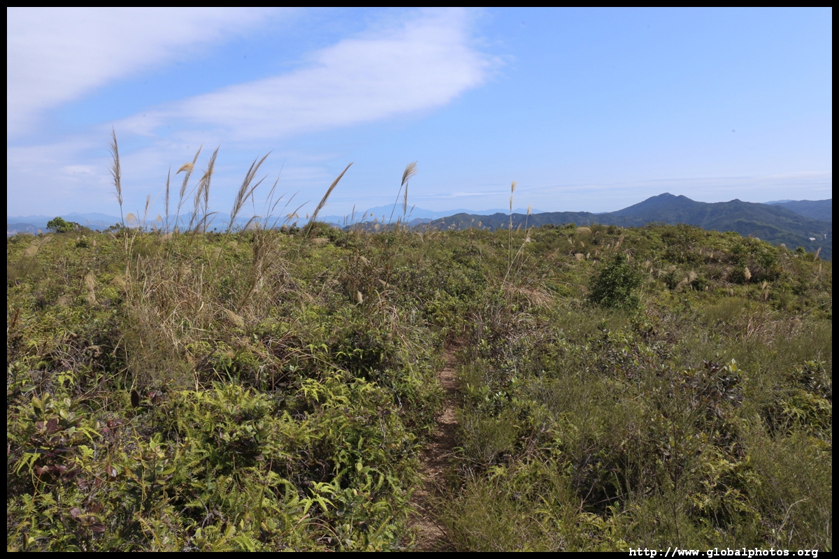
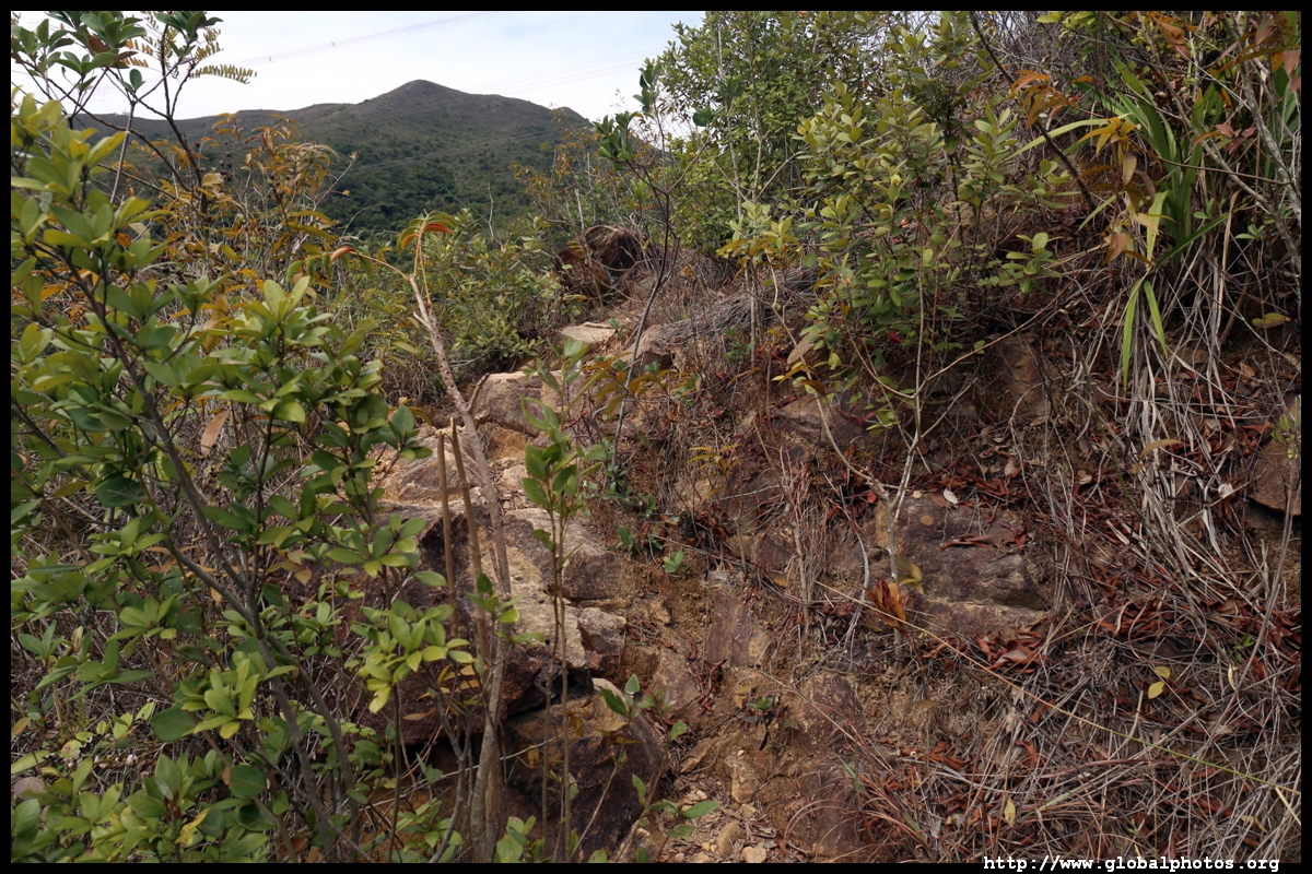
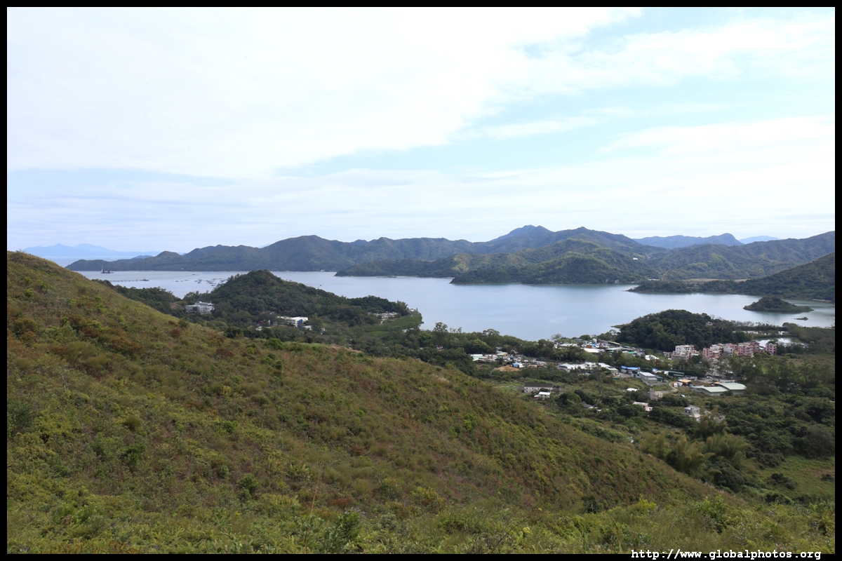
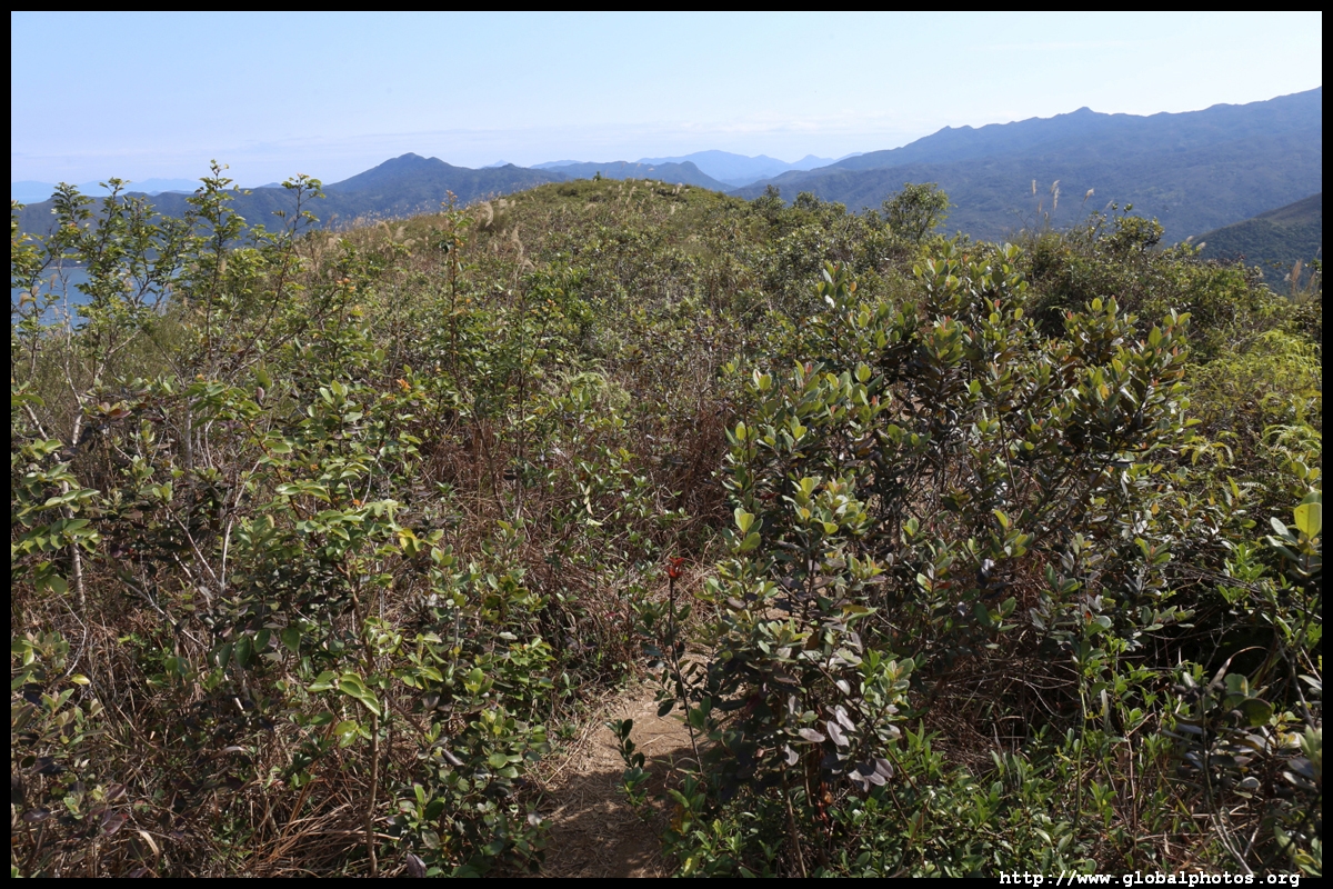
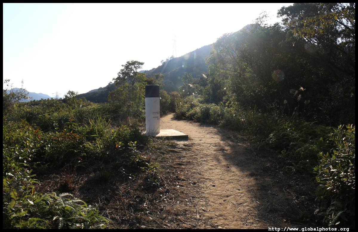
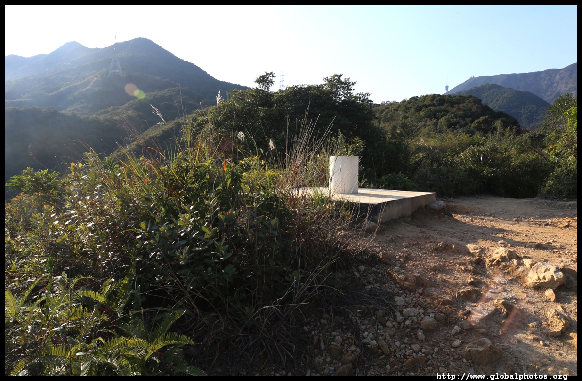
There is a section of flat trail after the initial climb past the power lines.
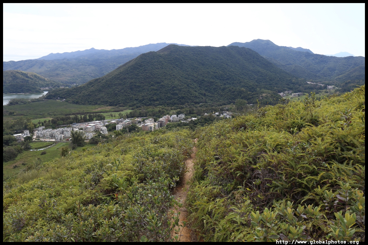
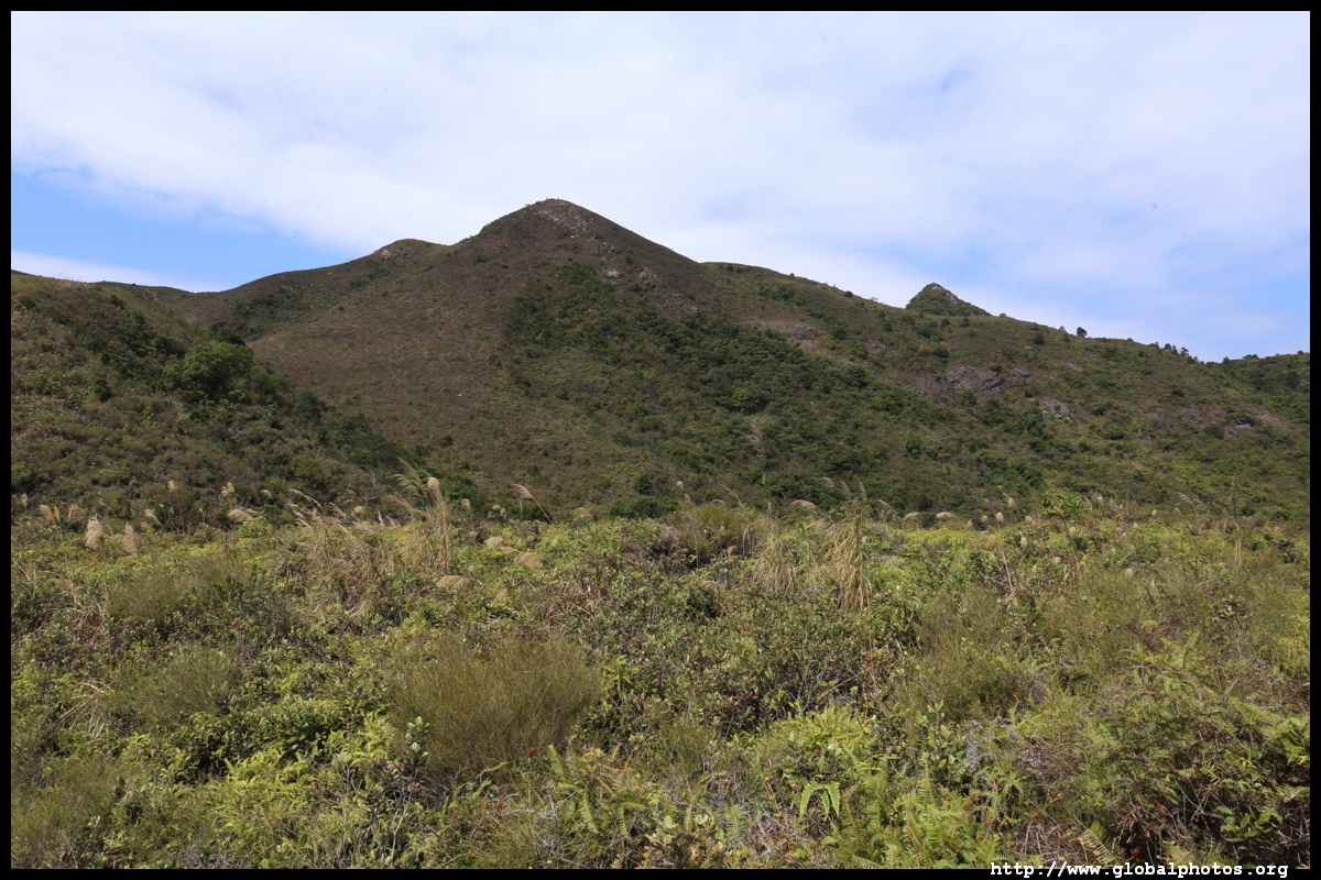
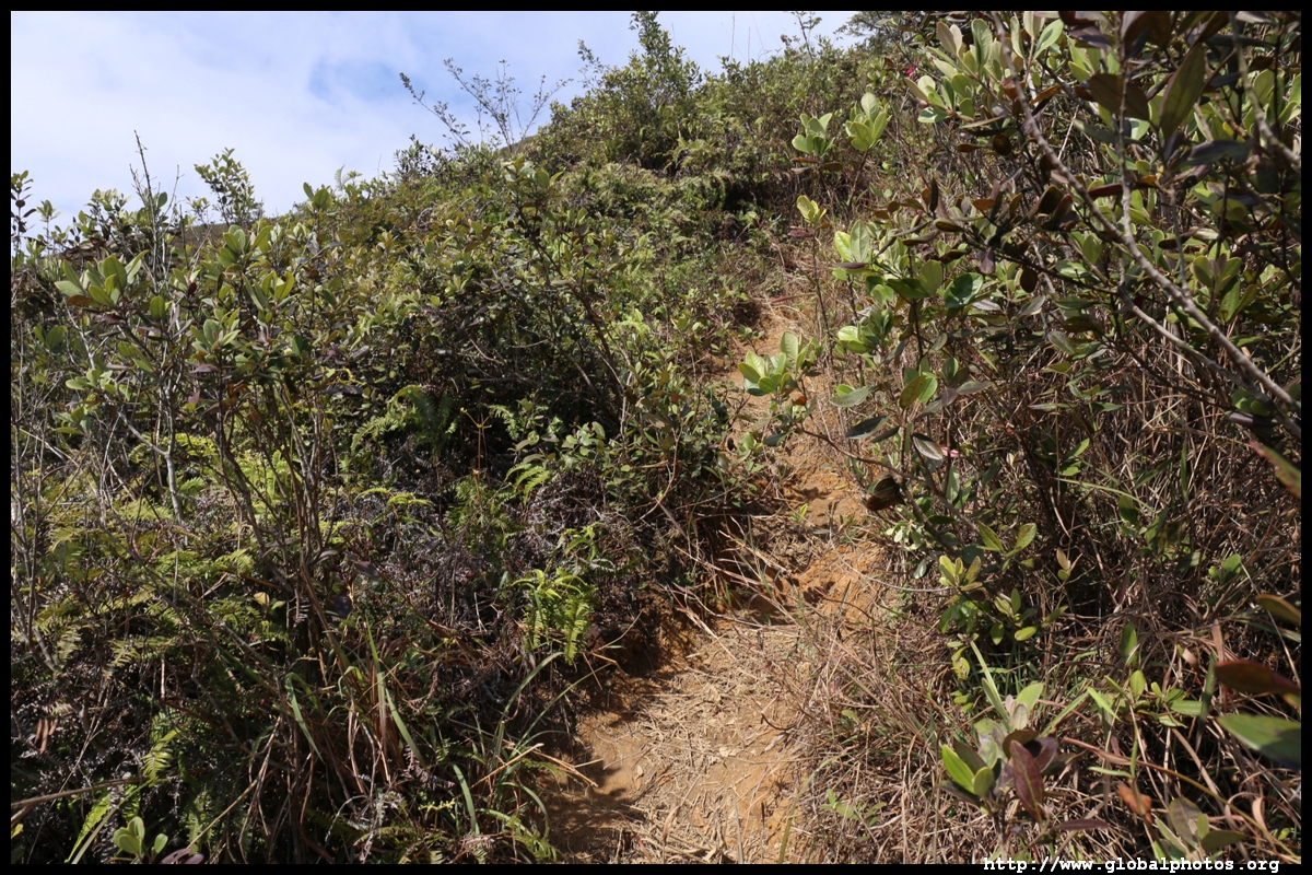
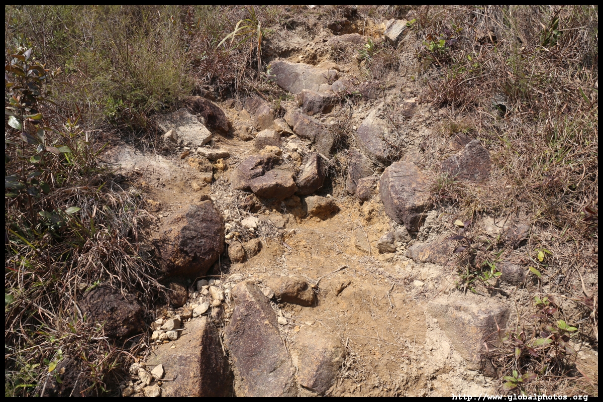
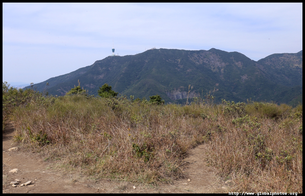
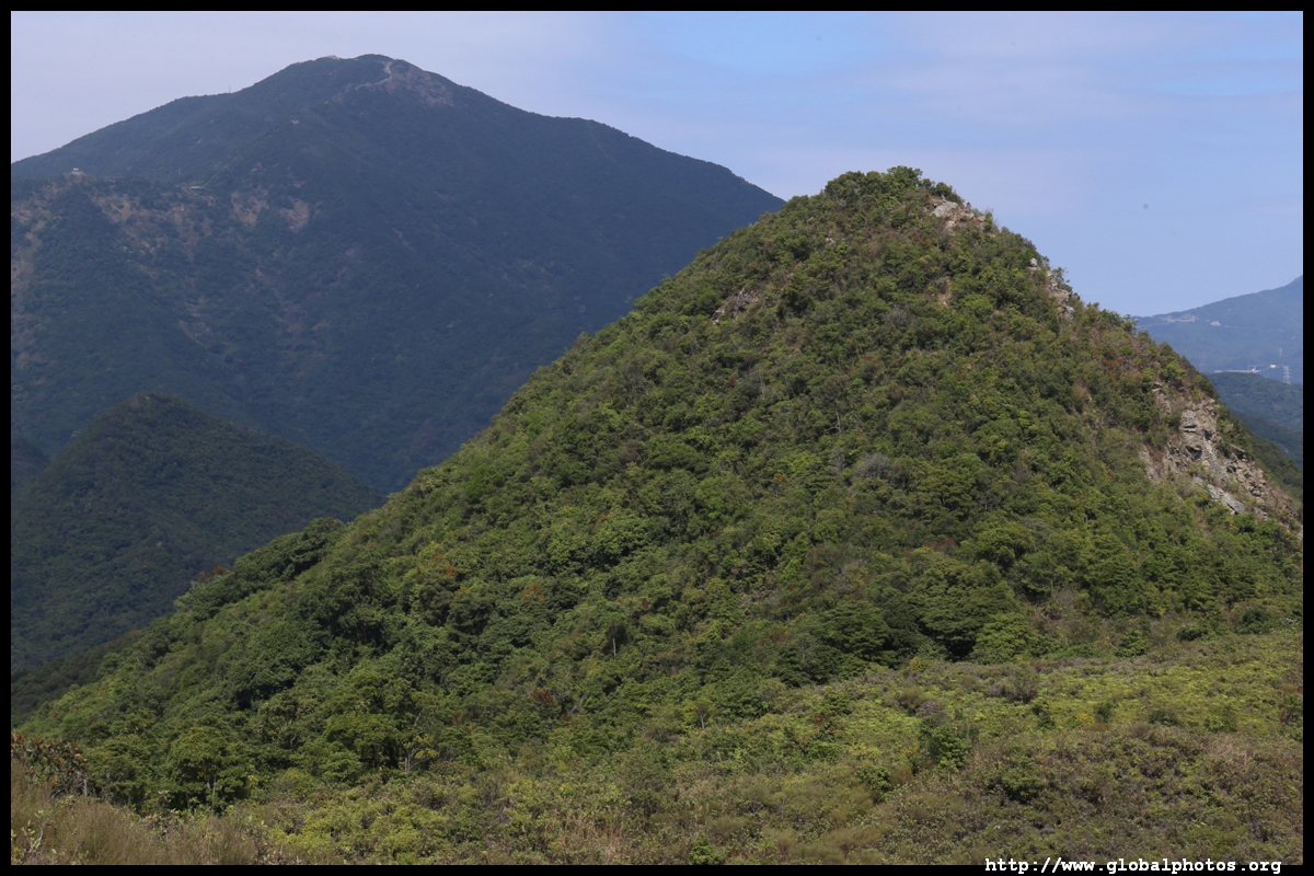
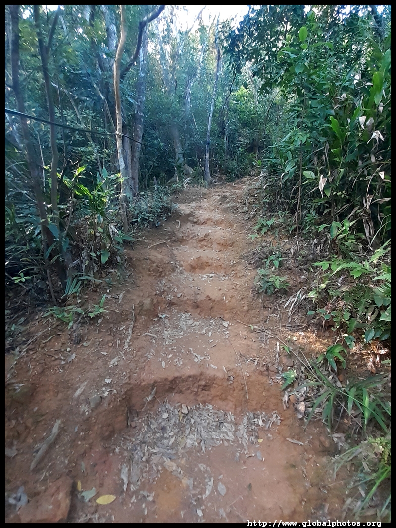
However, things will get much more difficult ahead. These hills are named after the mahjong game, and the first peak on this hike will rise to about 400m. Large steep steps lead up to the final stretch.


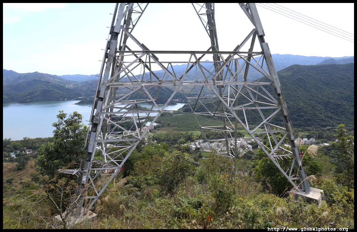
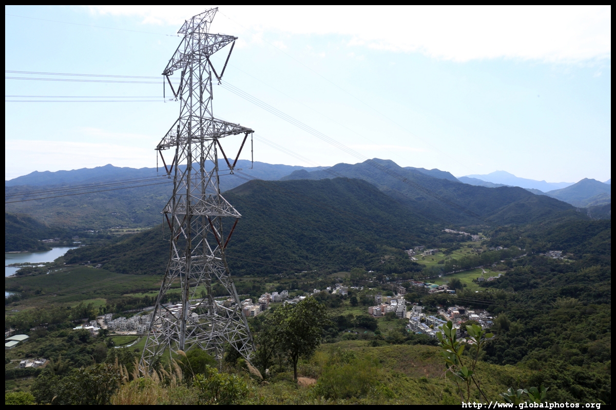
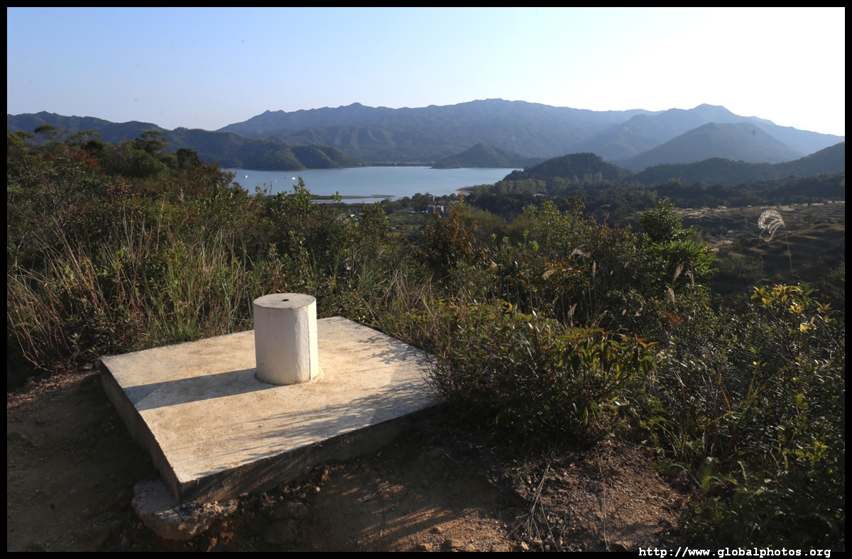
Exhausted and legs trembling, I enjoyed the best view of the day.
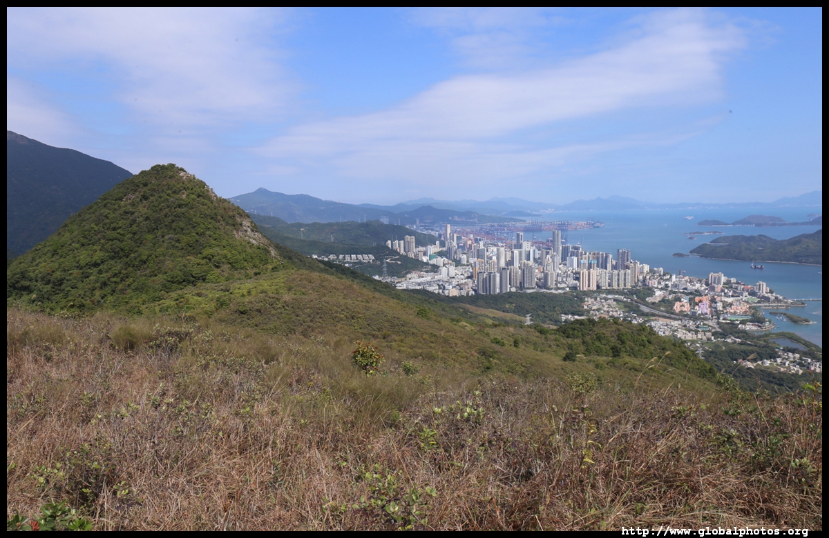
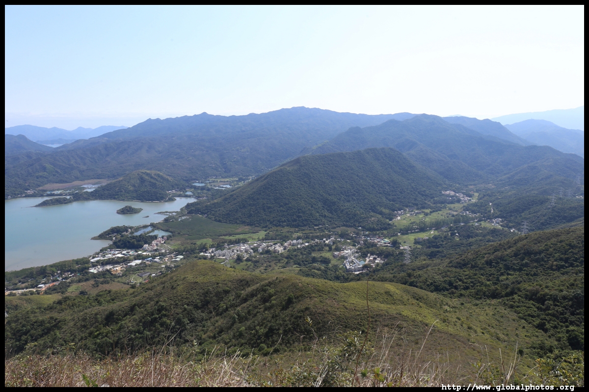
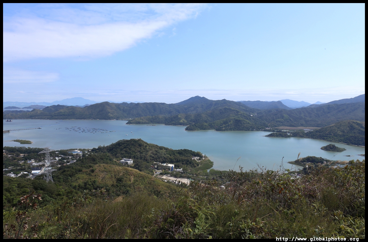
I would continue to the 2 hills up ahead. The tall one in the distance is in China.

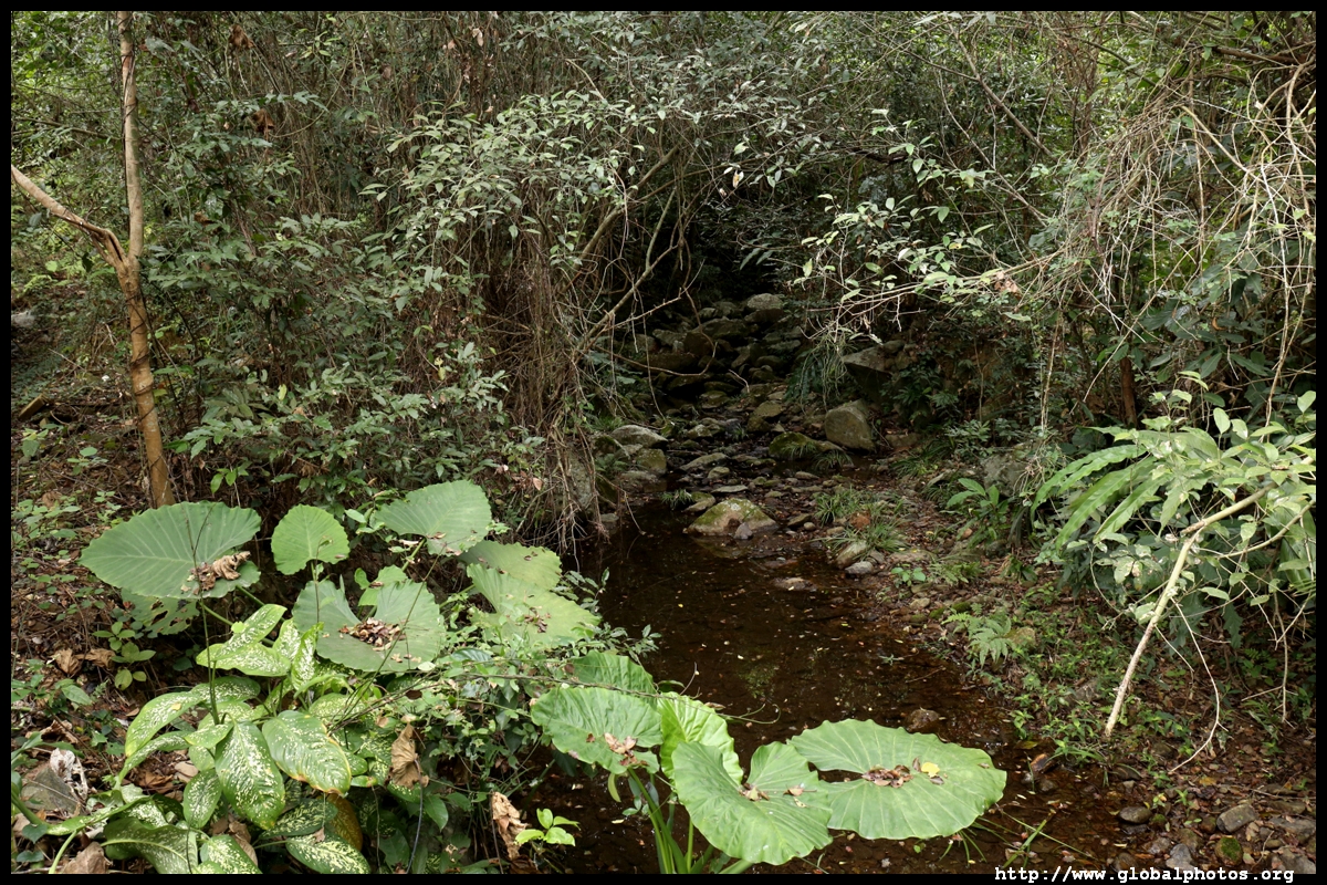
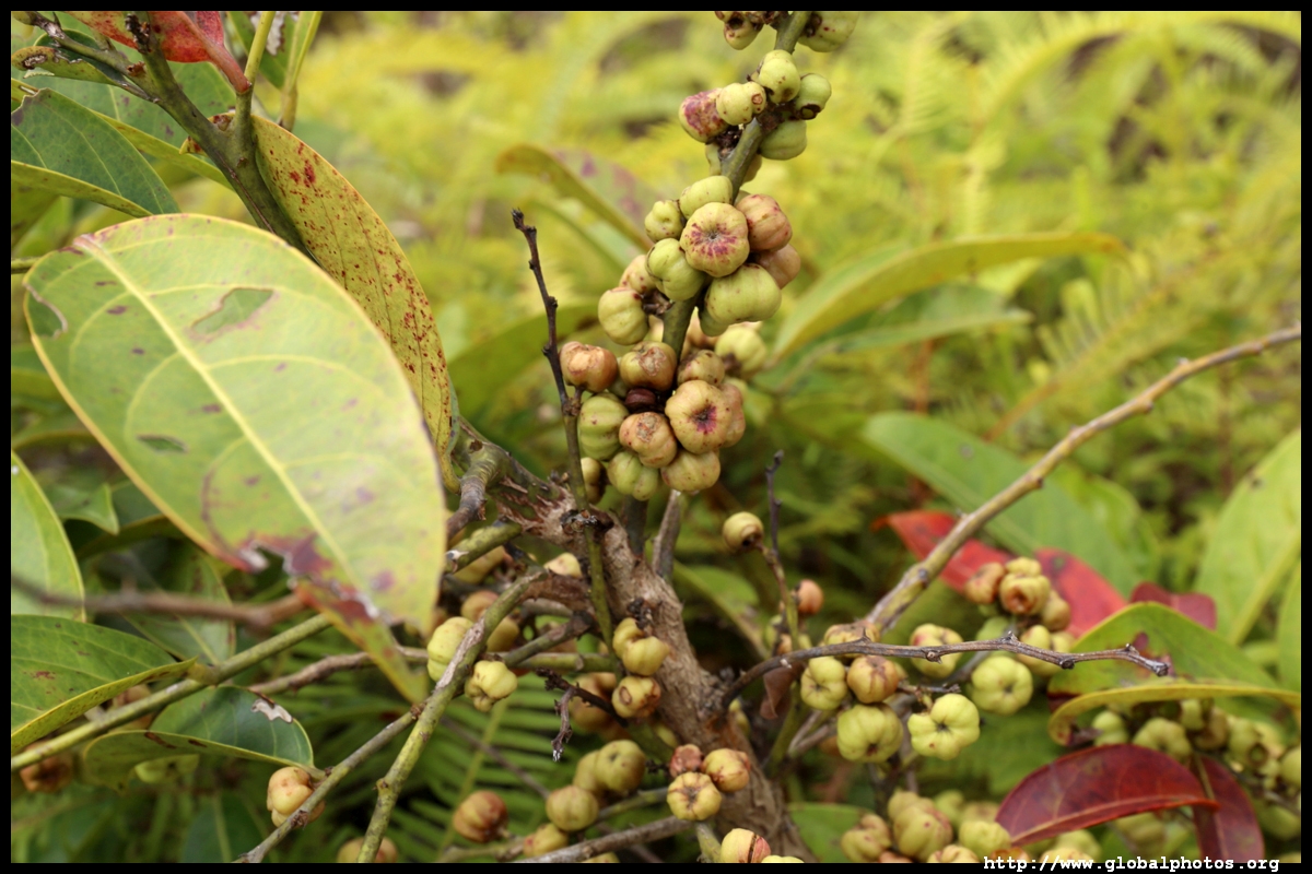
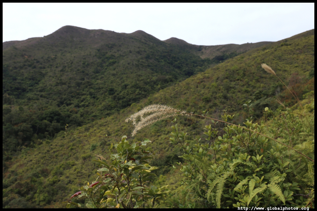
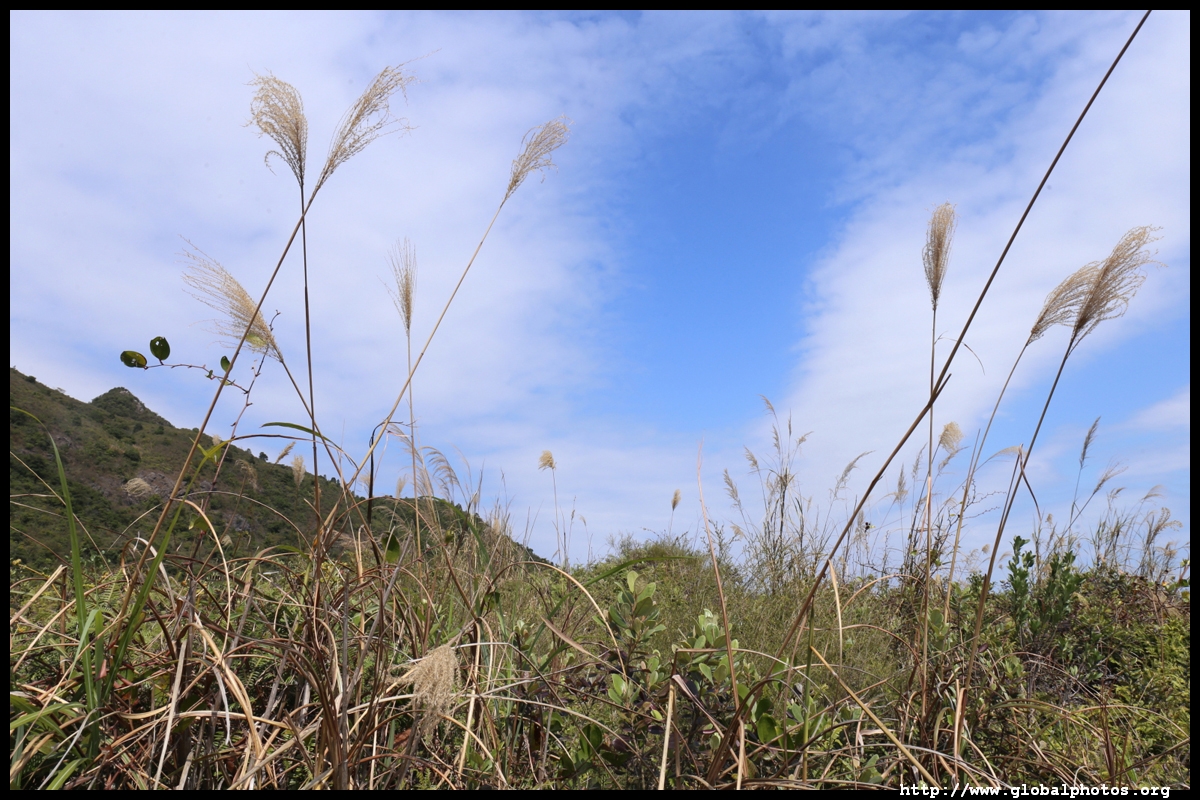
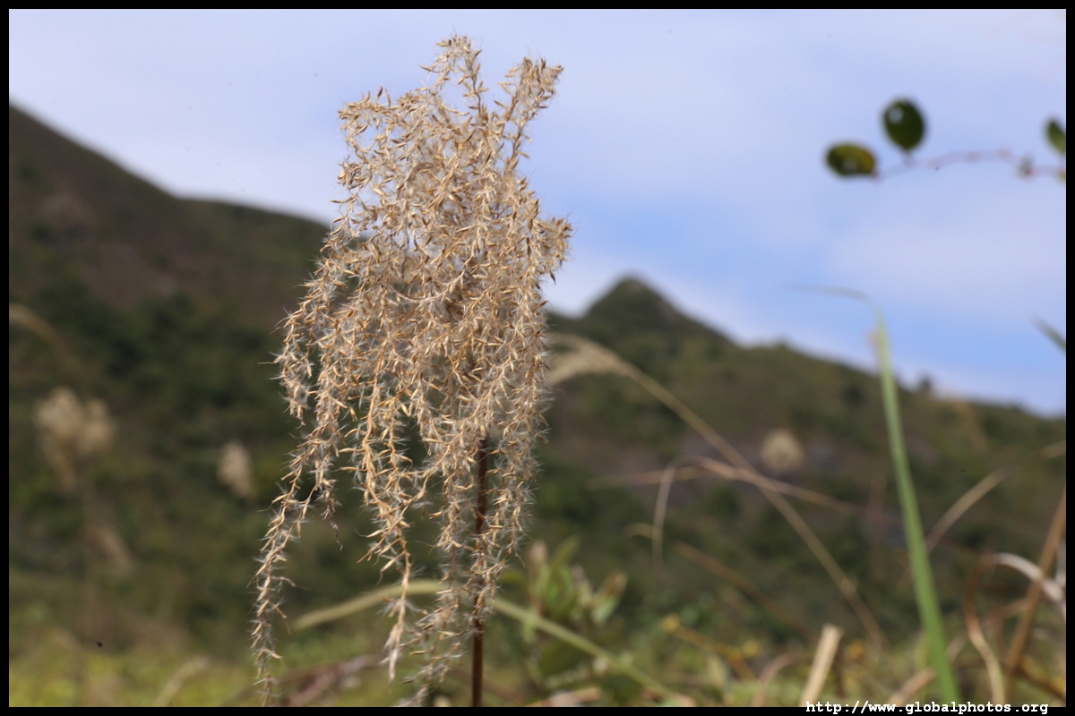
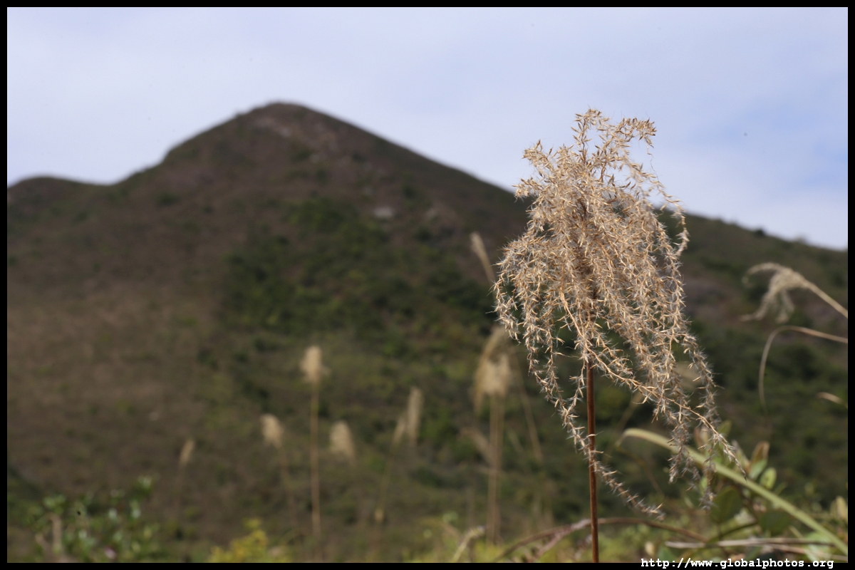
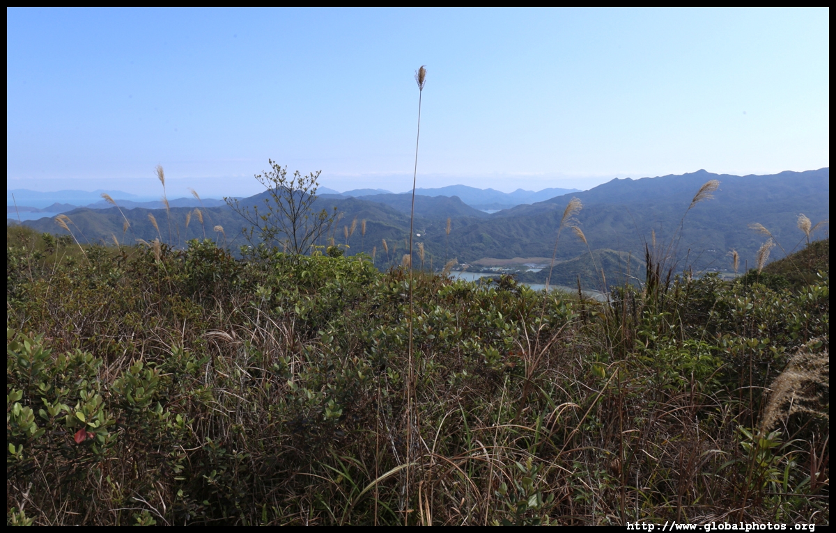
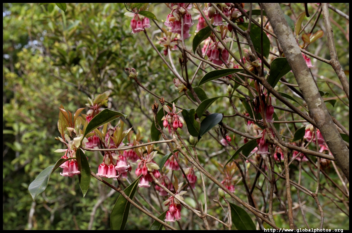
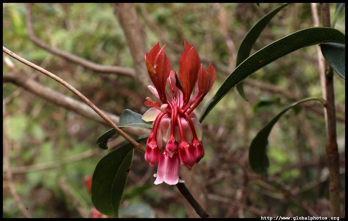
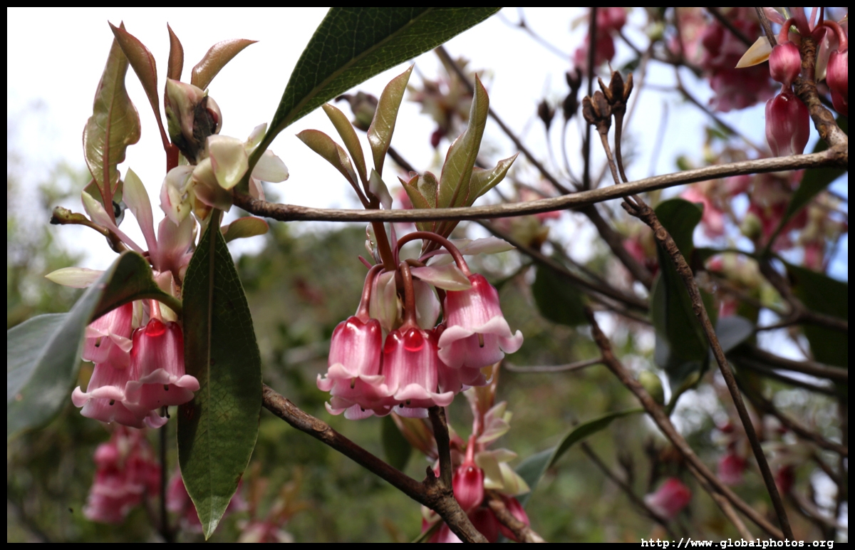
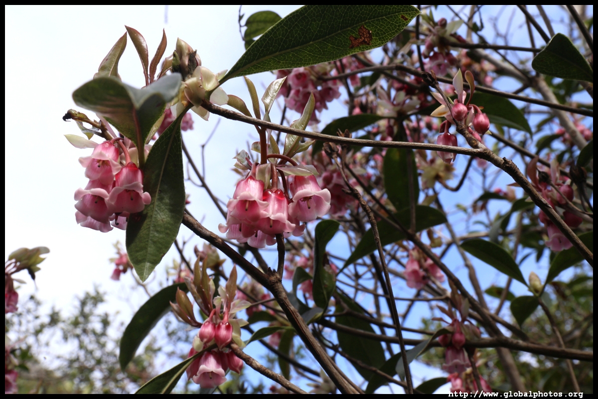
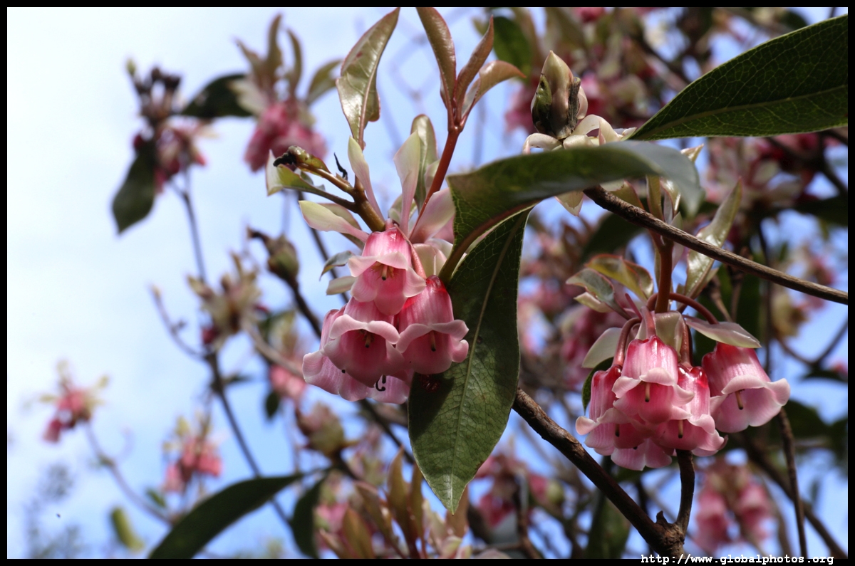
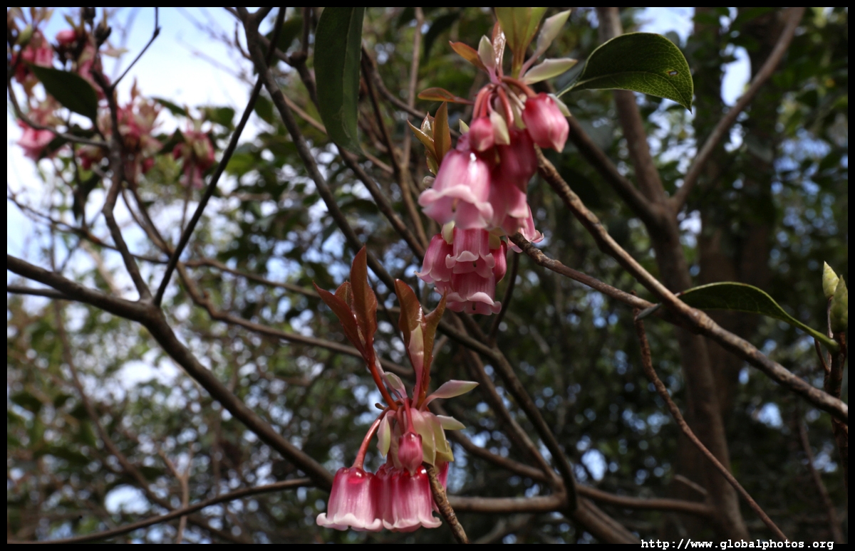
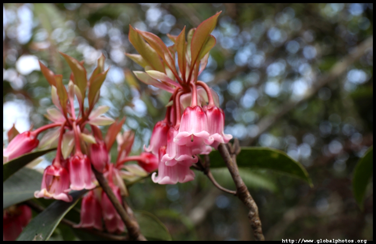
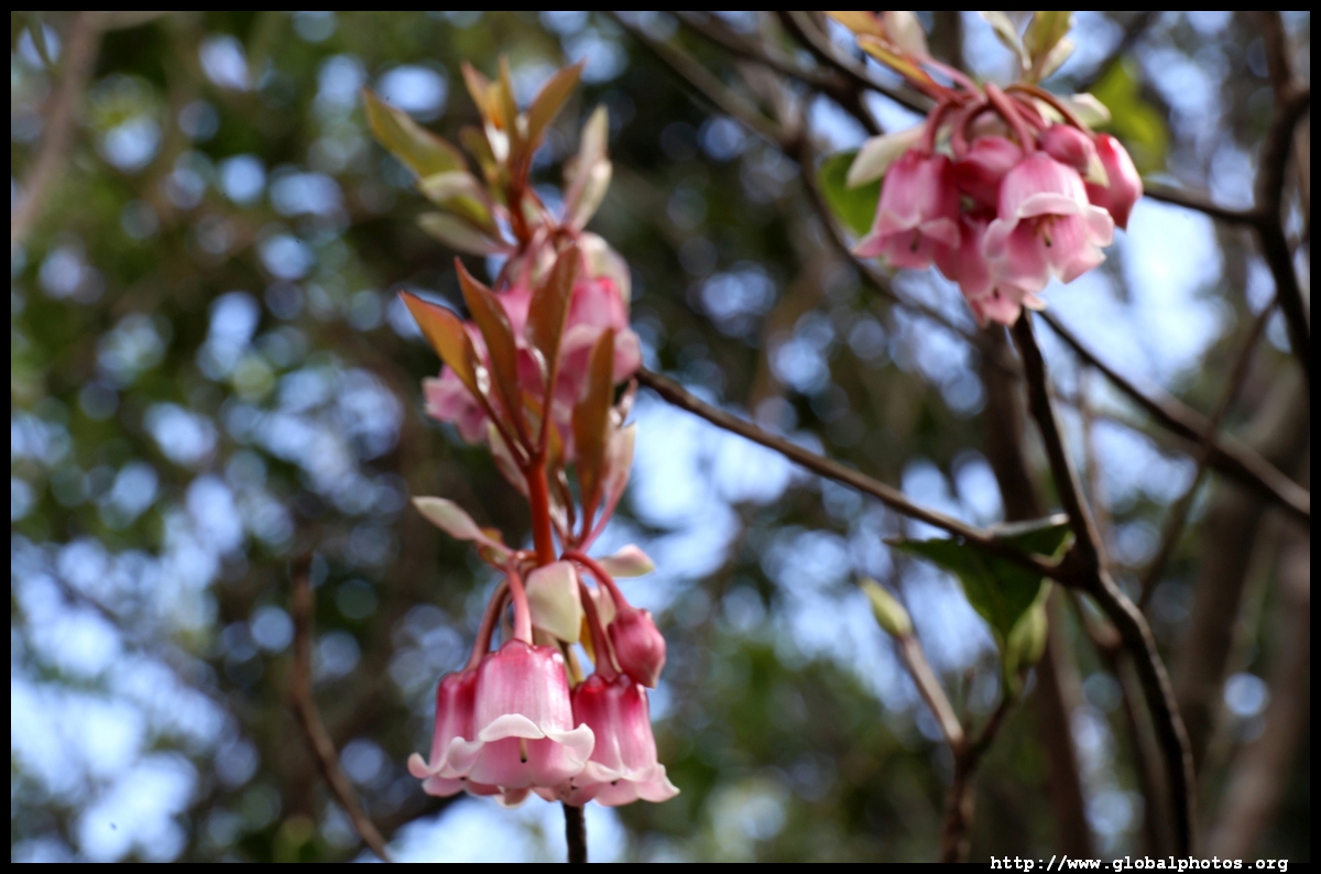
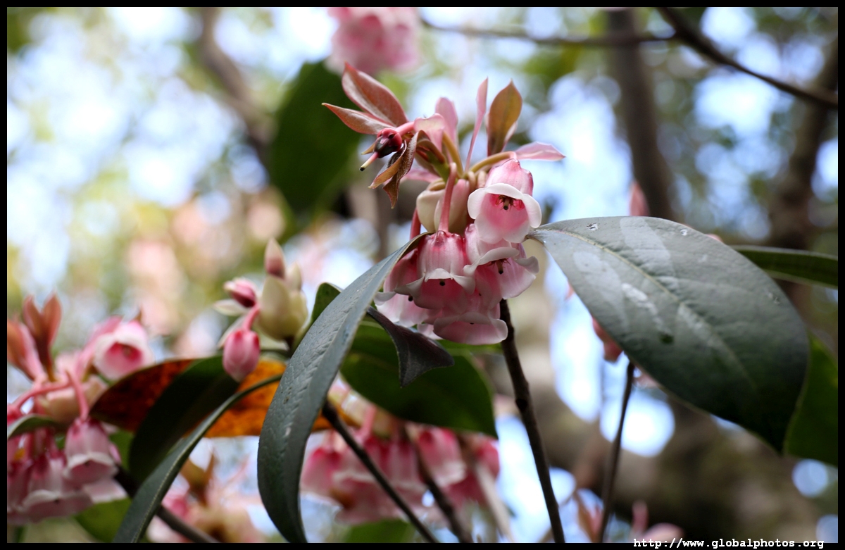
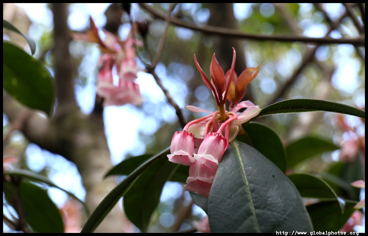
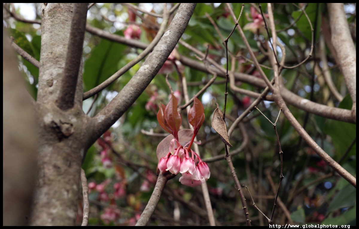
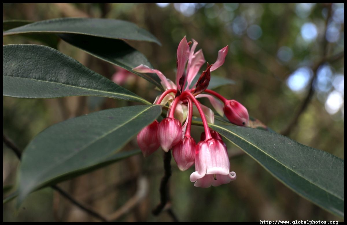
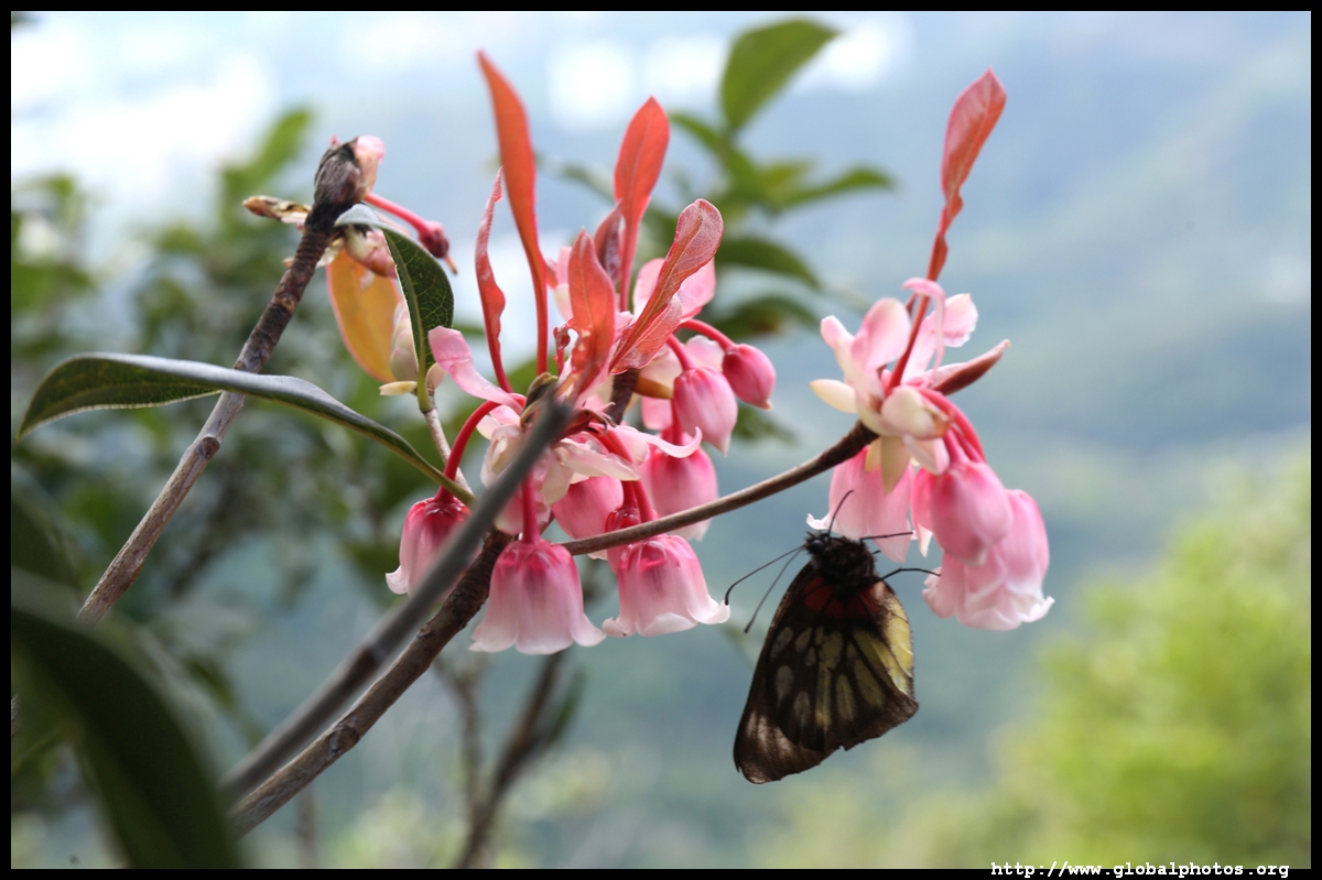
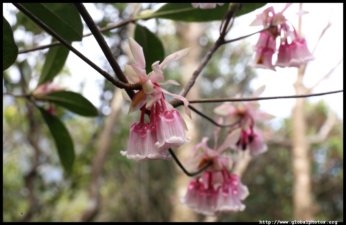
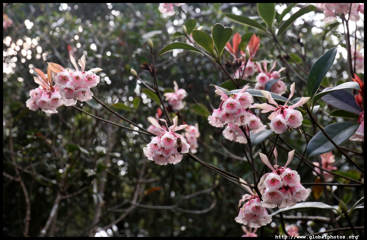
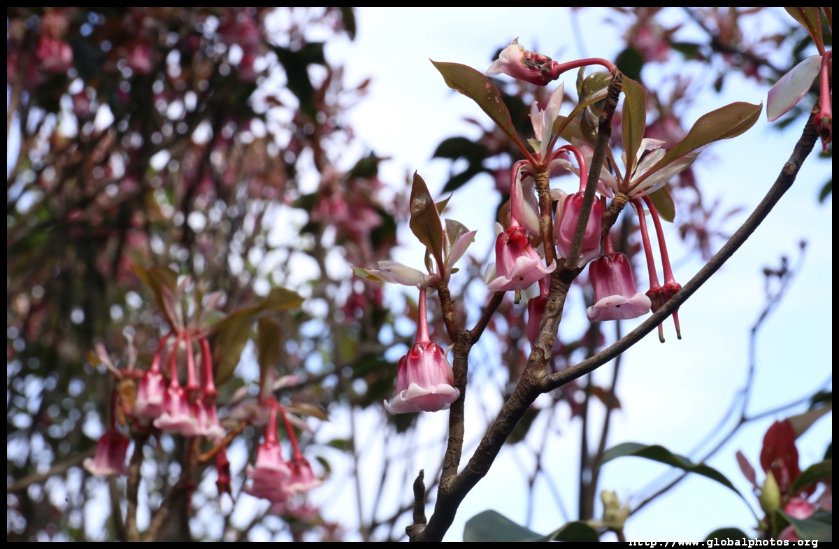
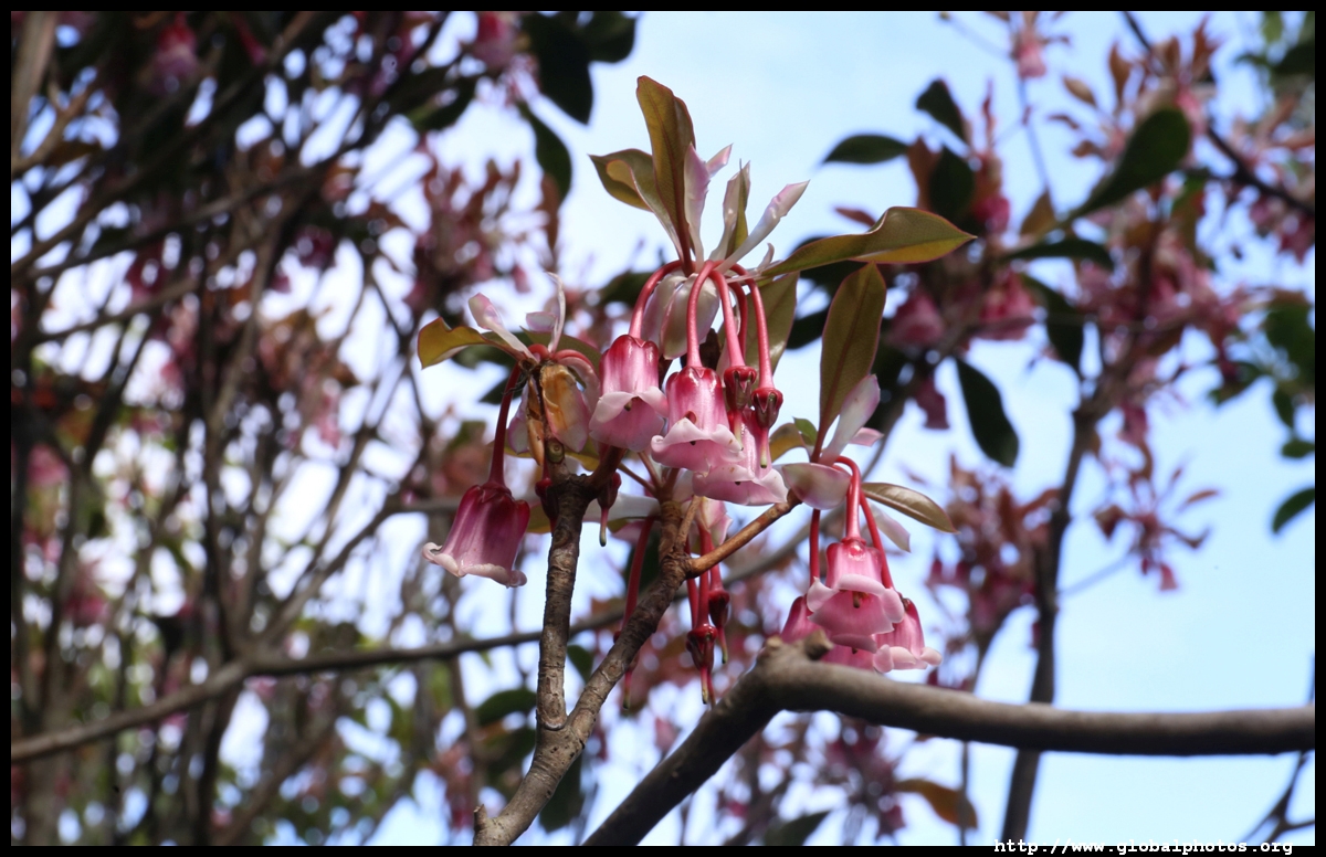
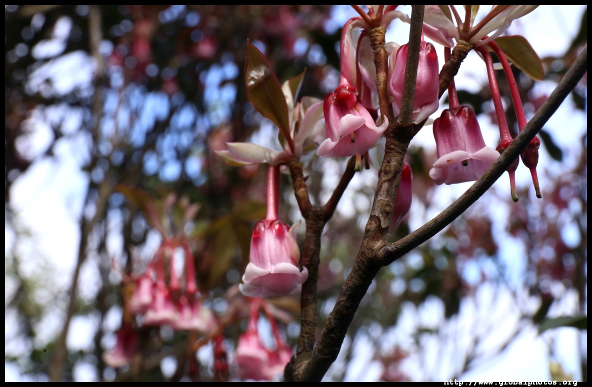
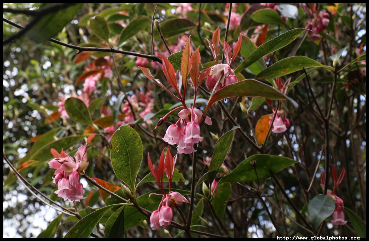
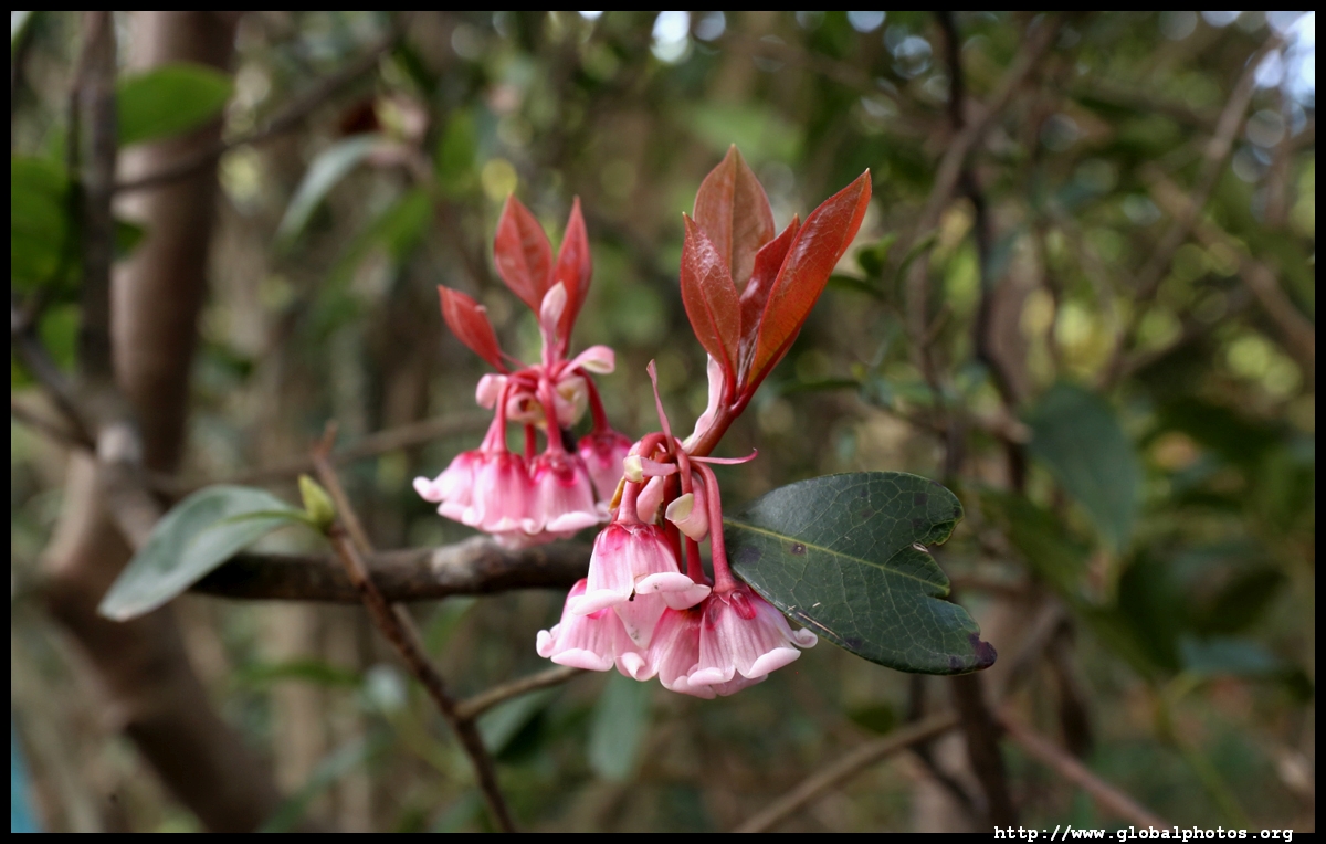
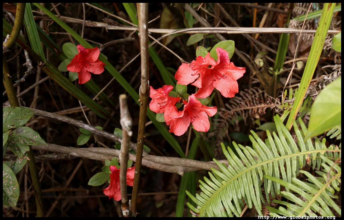
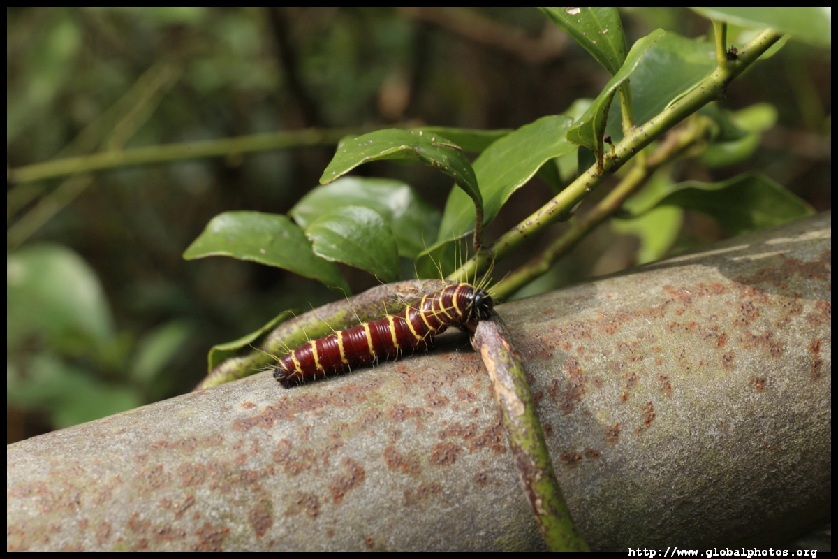
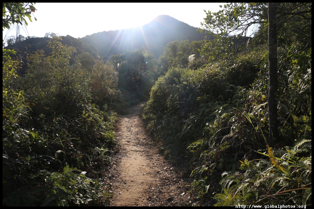
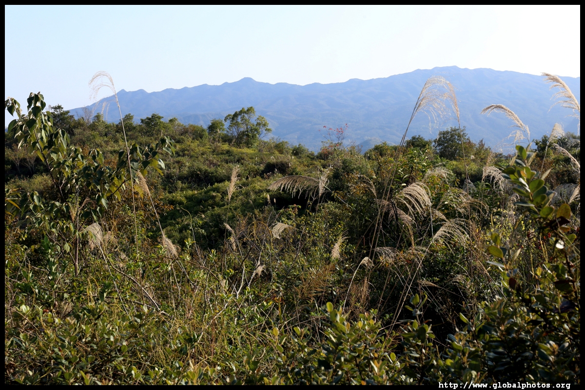
After a lunch break to rest my legs, I headed down the other side of this mountain to round out the following few peaks to the east. Along the way, there were plenty of Chinese New Year flowers blooming.

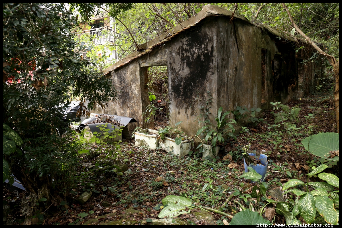
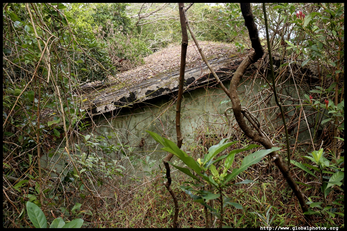
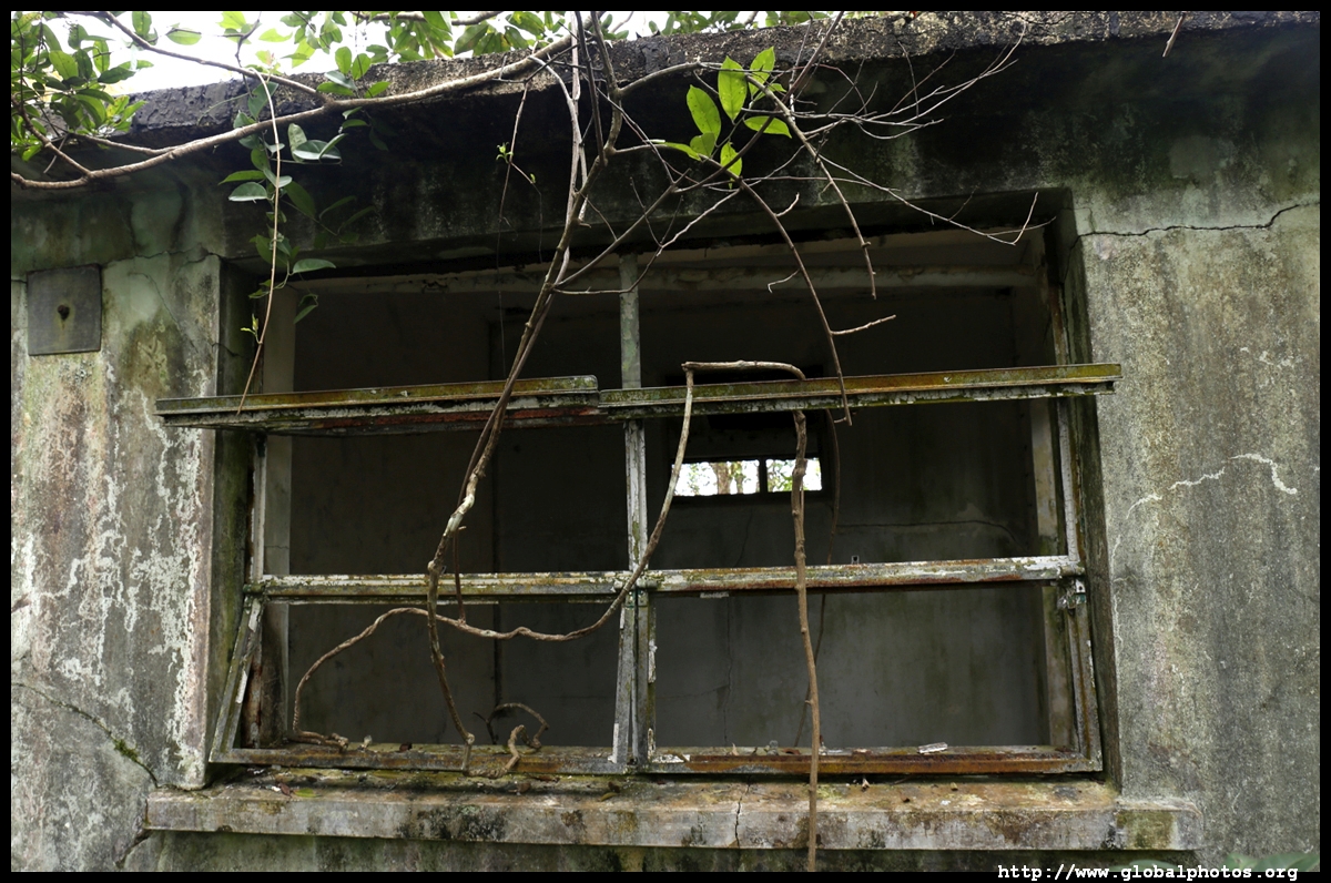
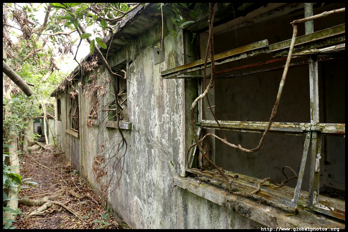
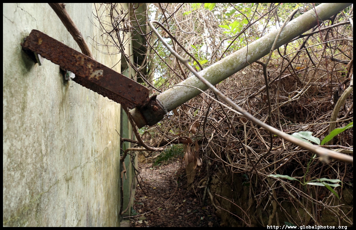
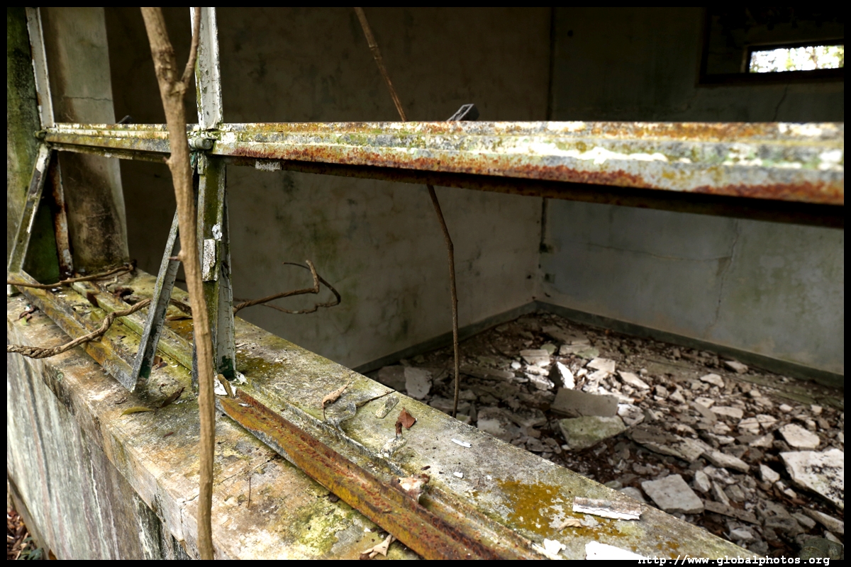
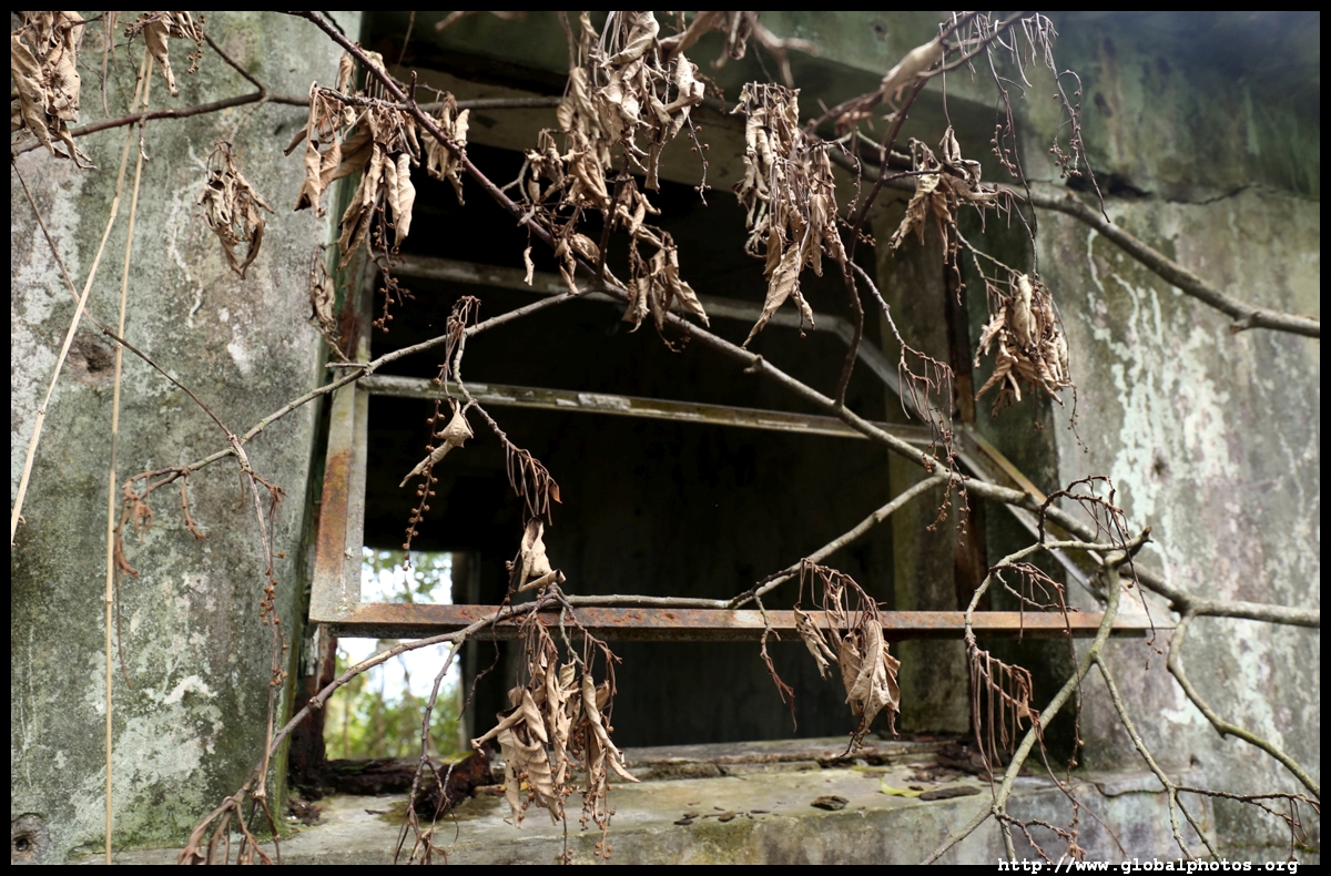
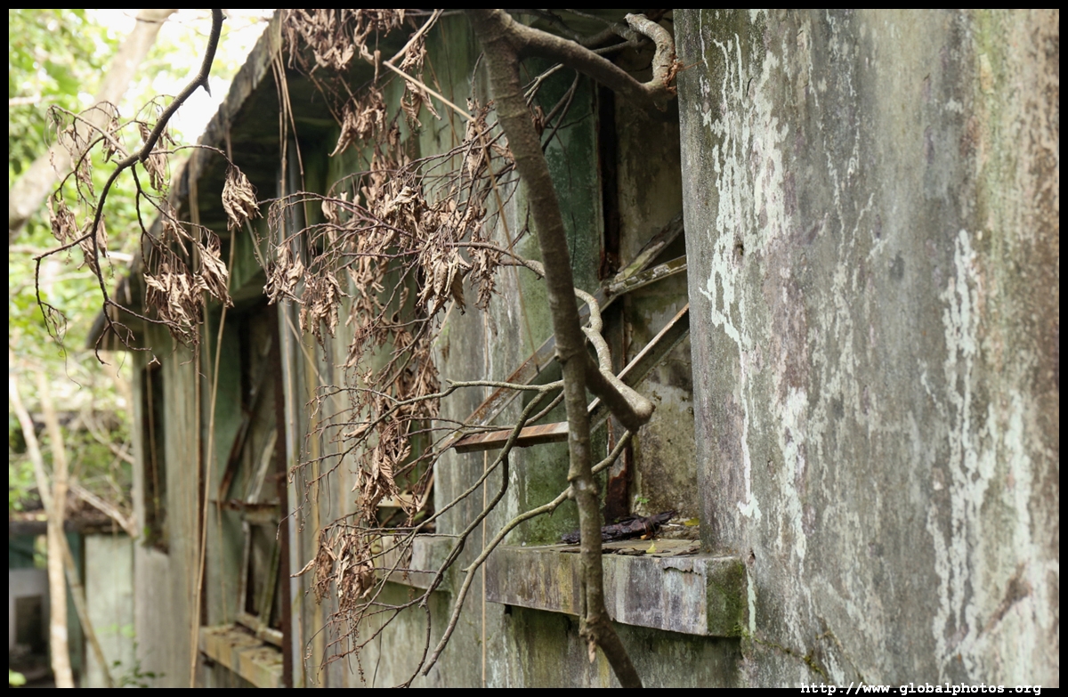
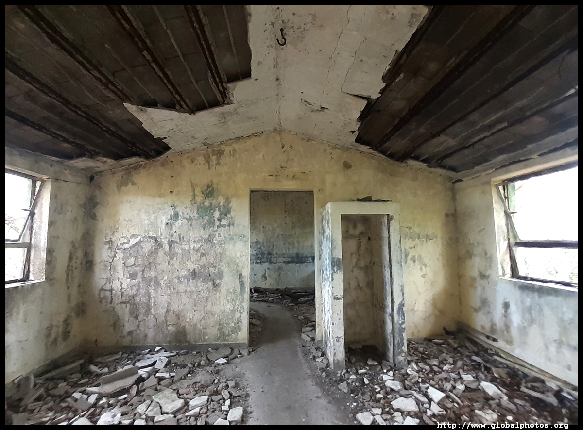
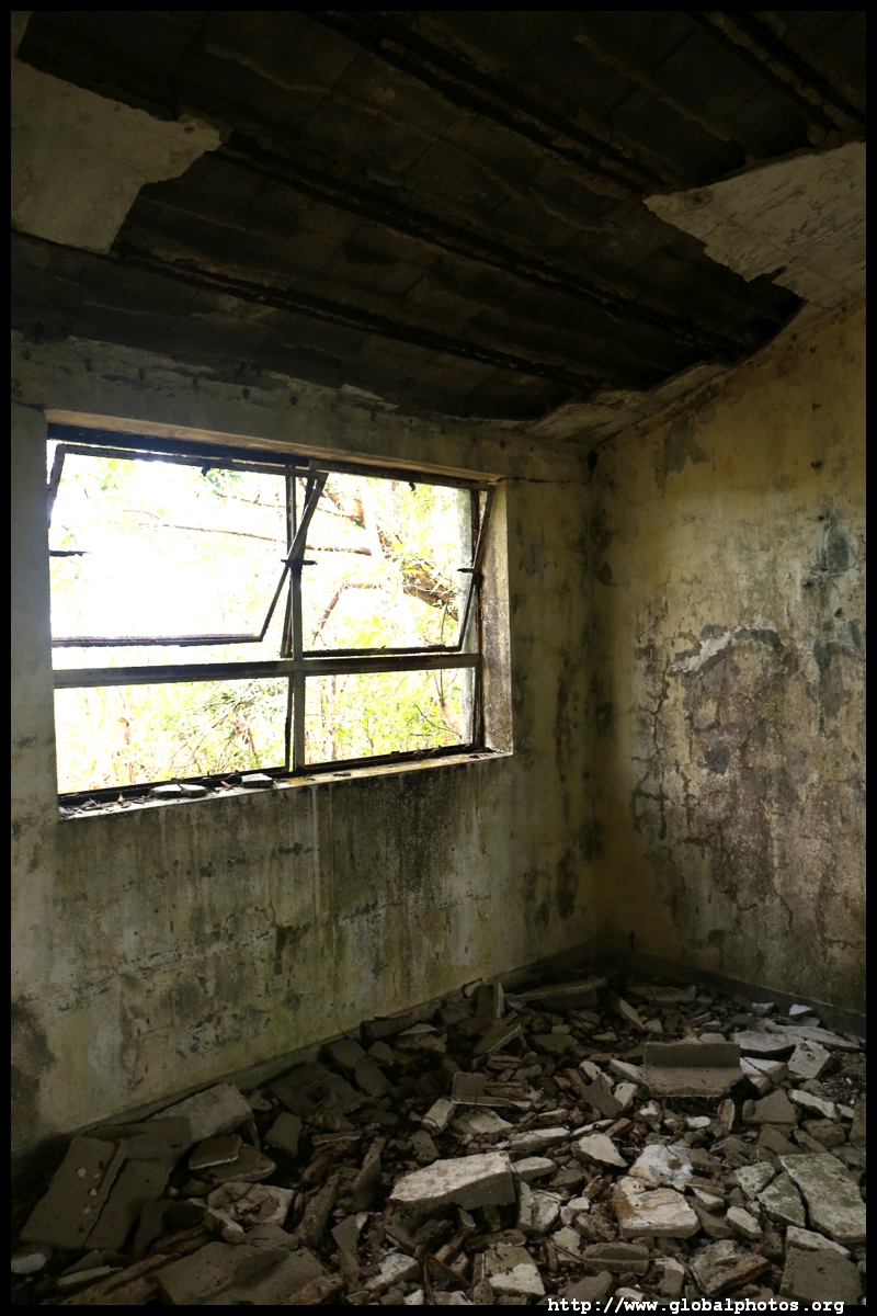
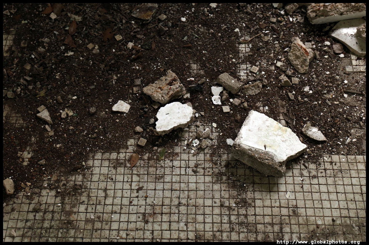
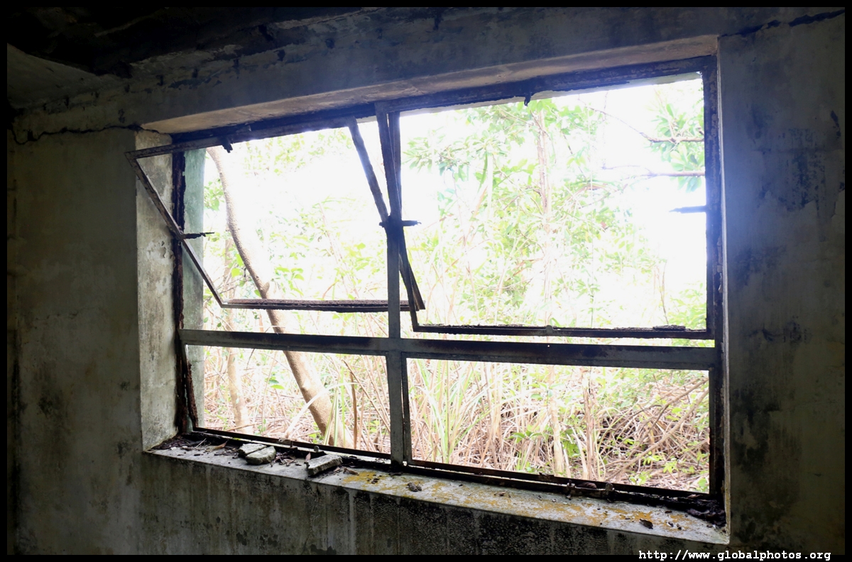
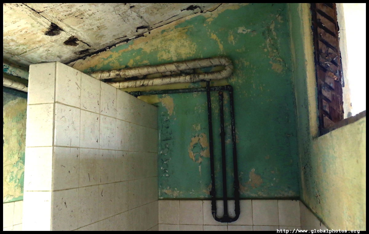
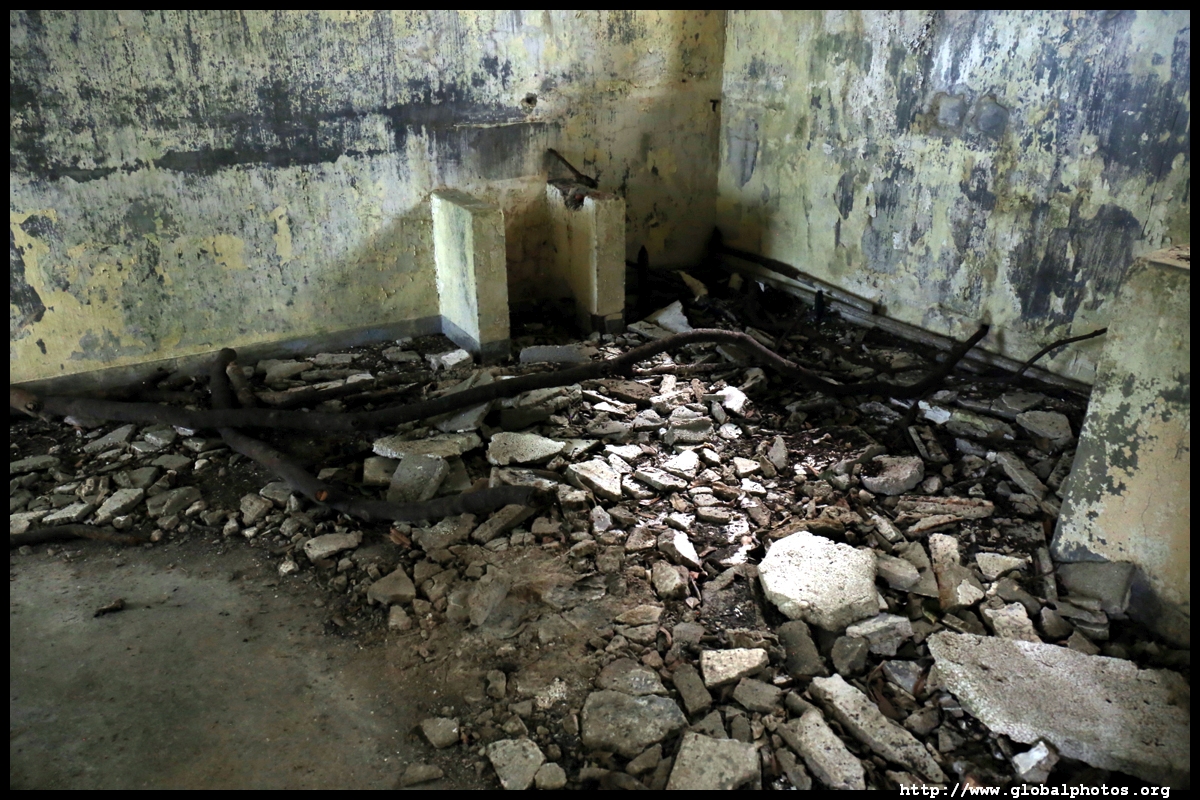
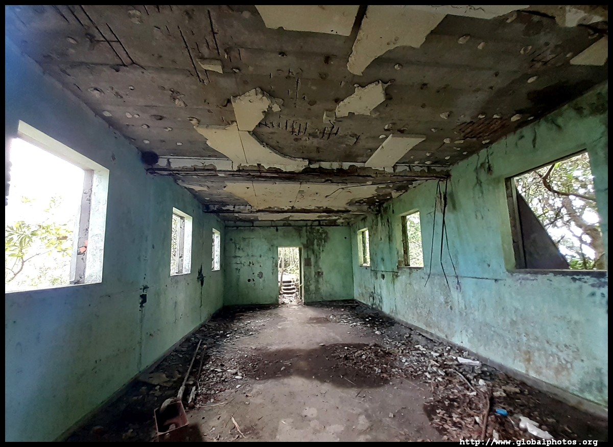
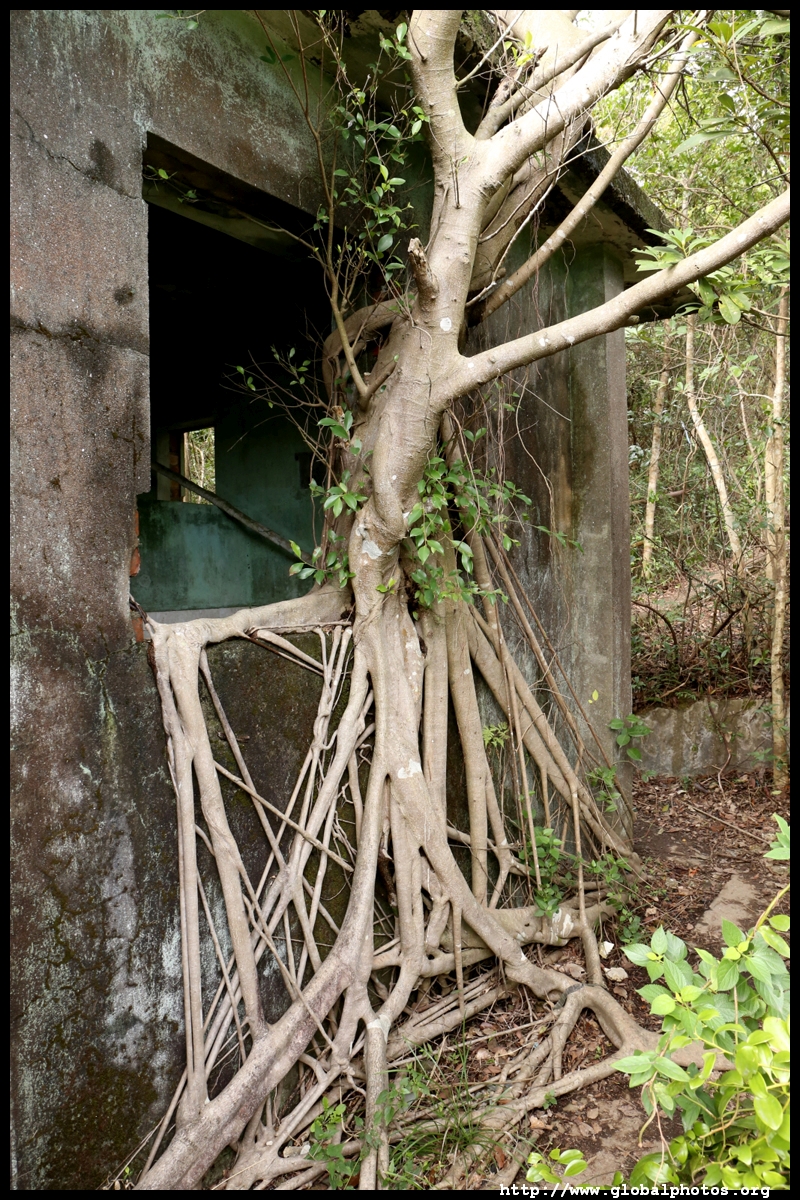
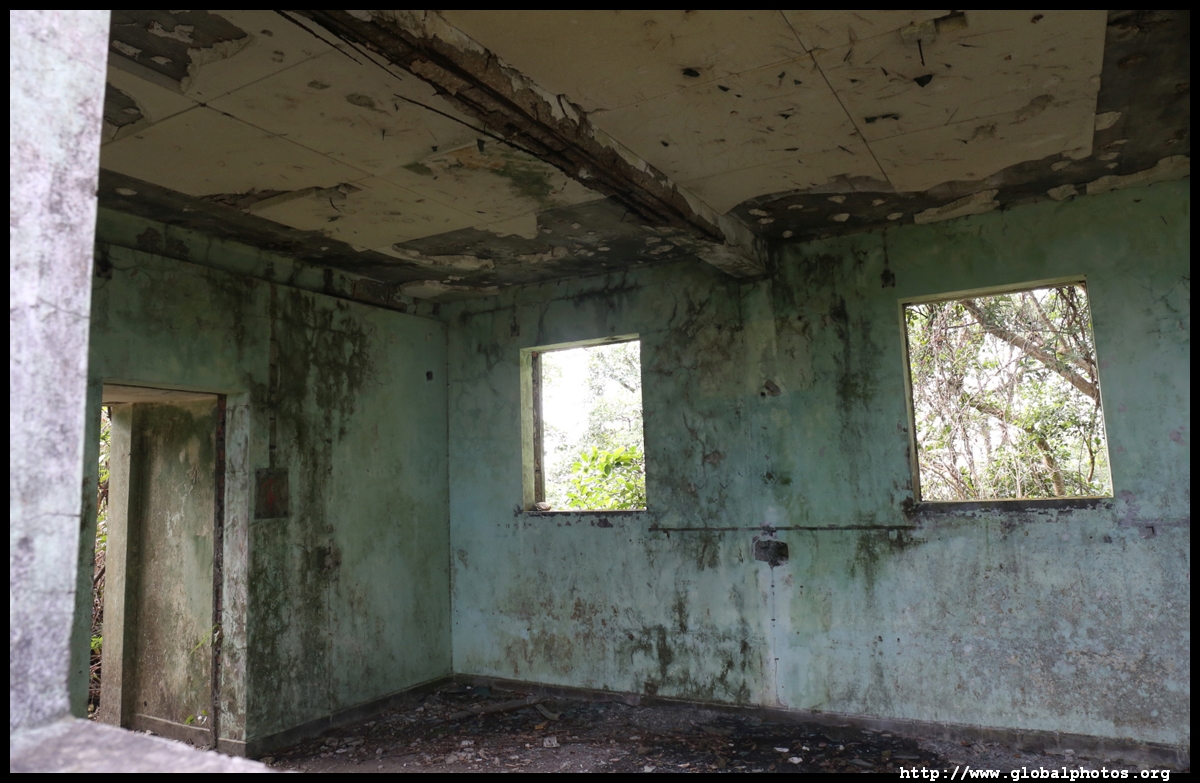
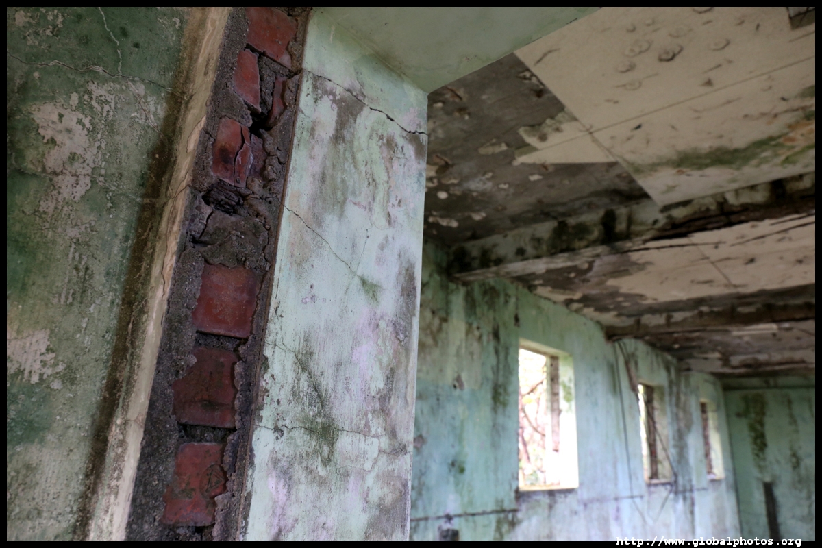
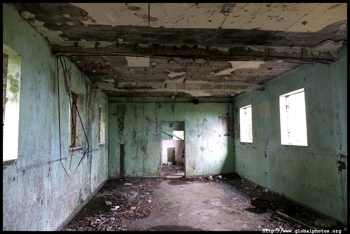
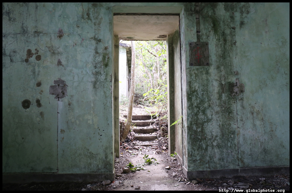
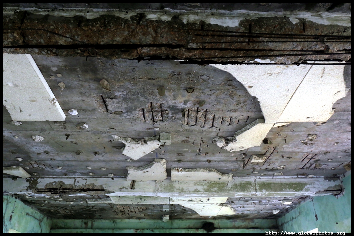
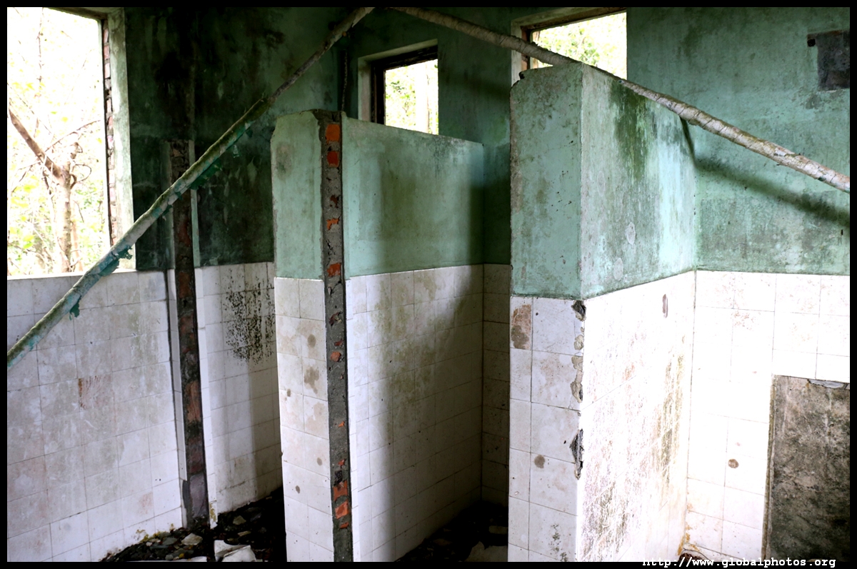
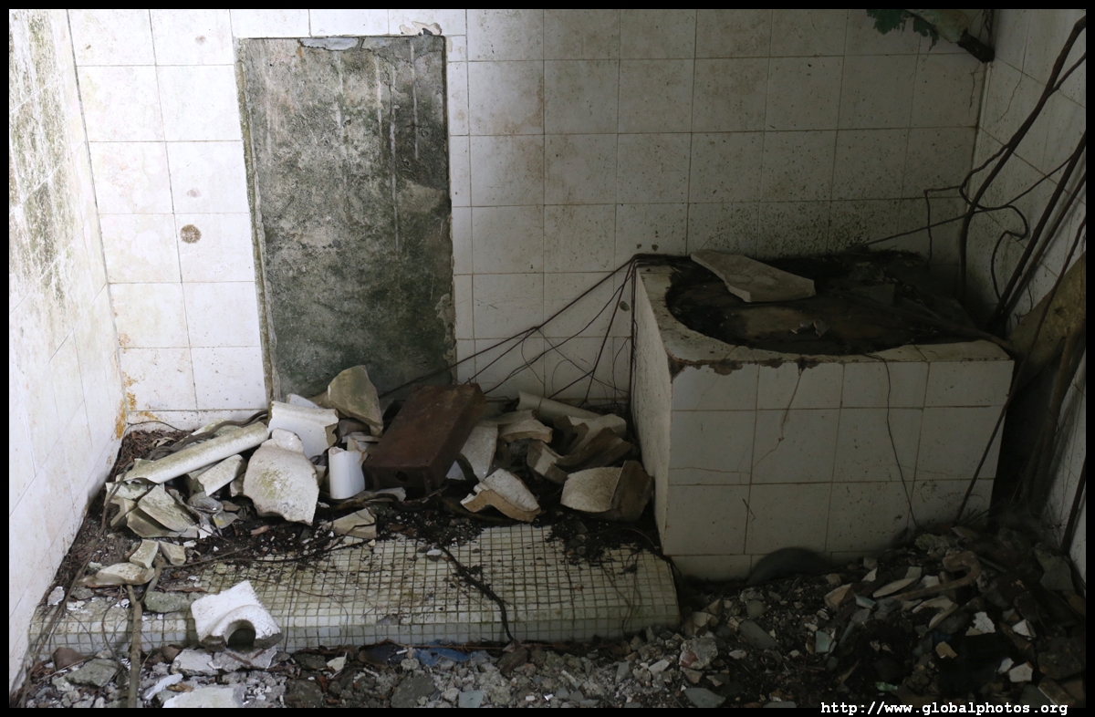
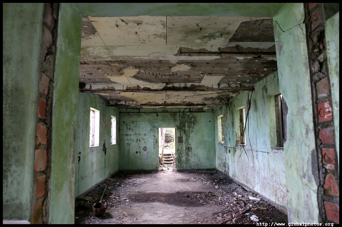
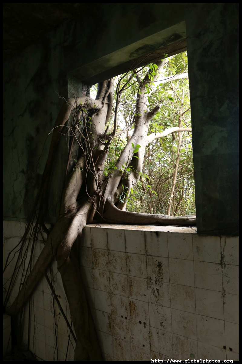
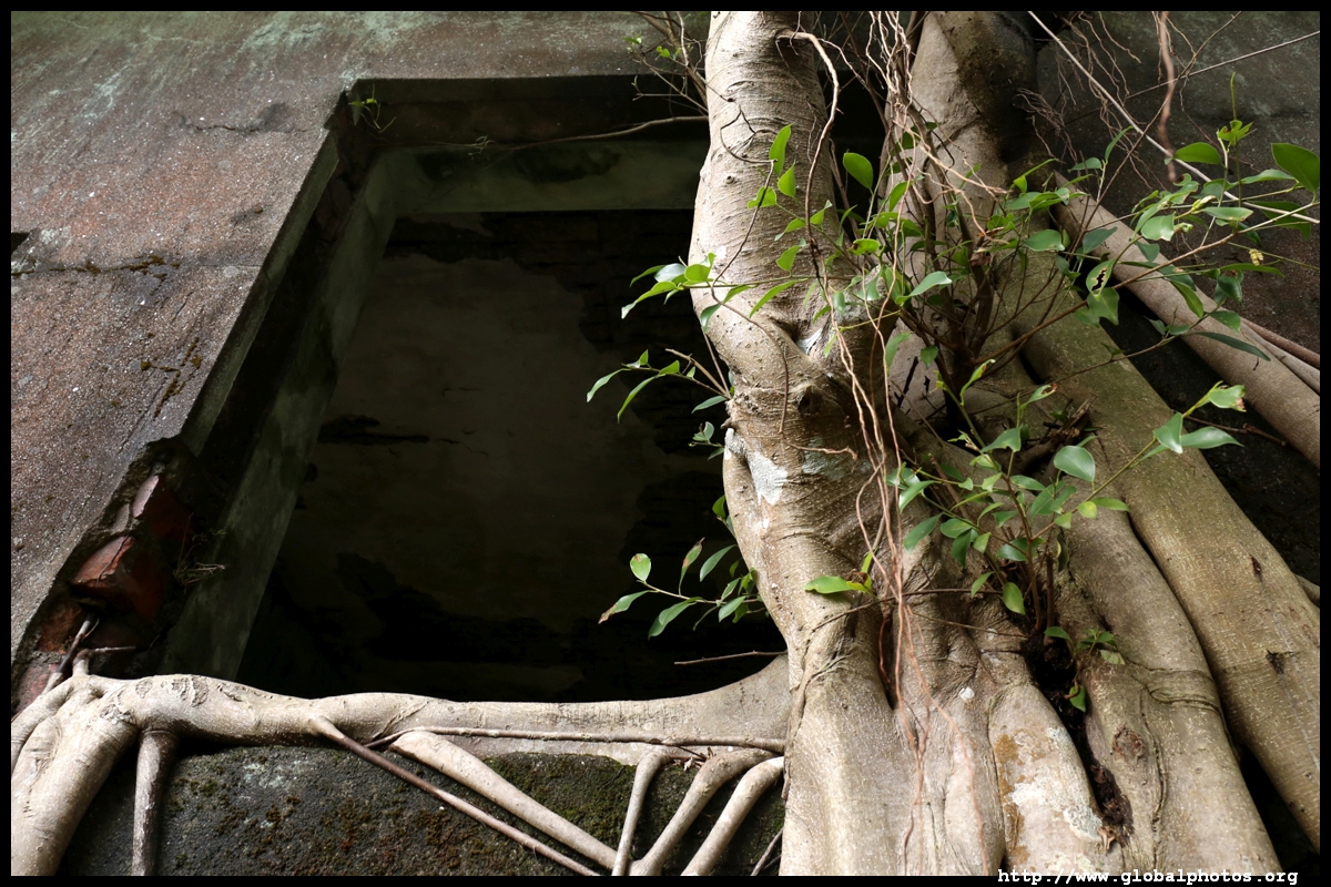
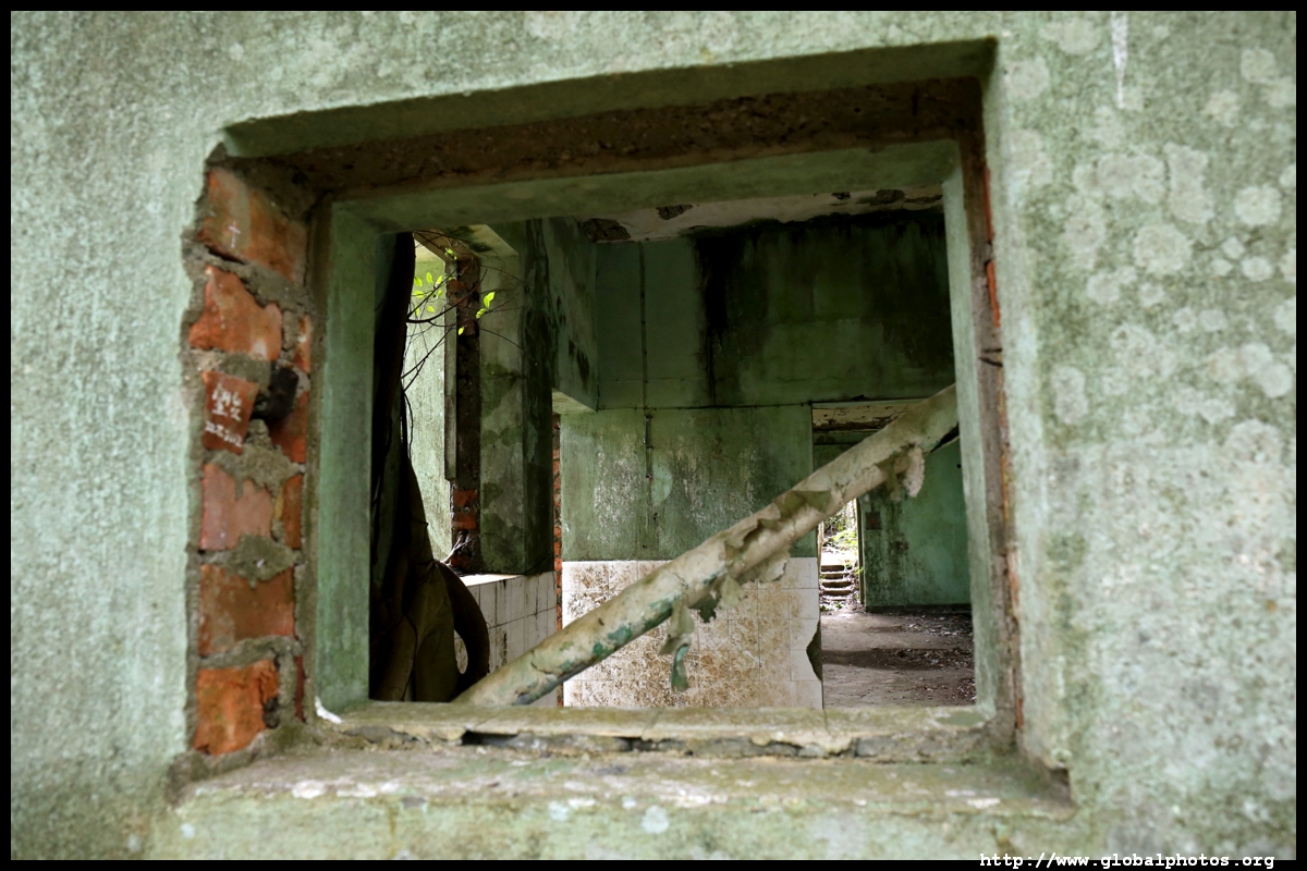
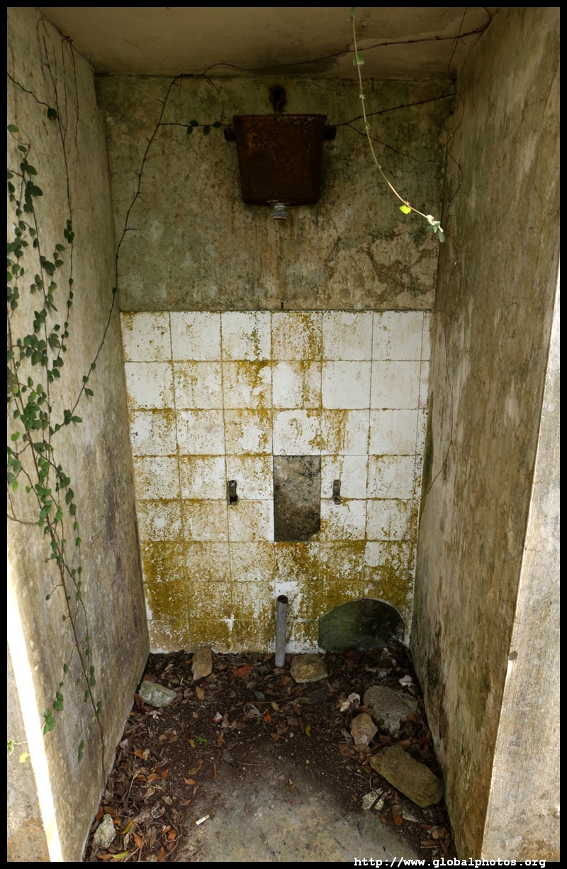
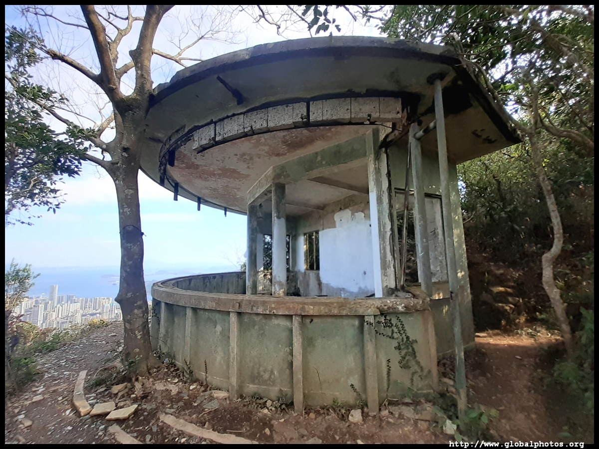
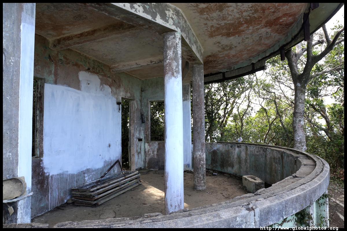
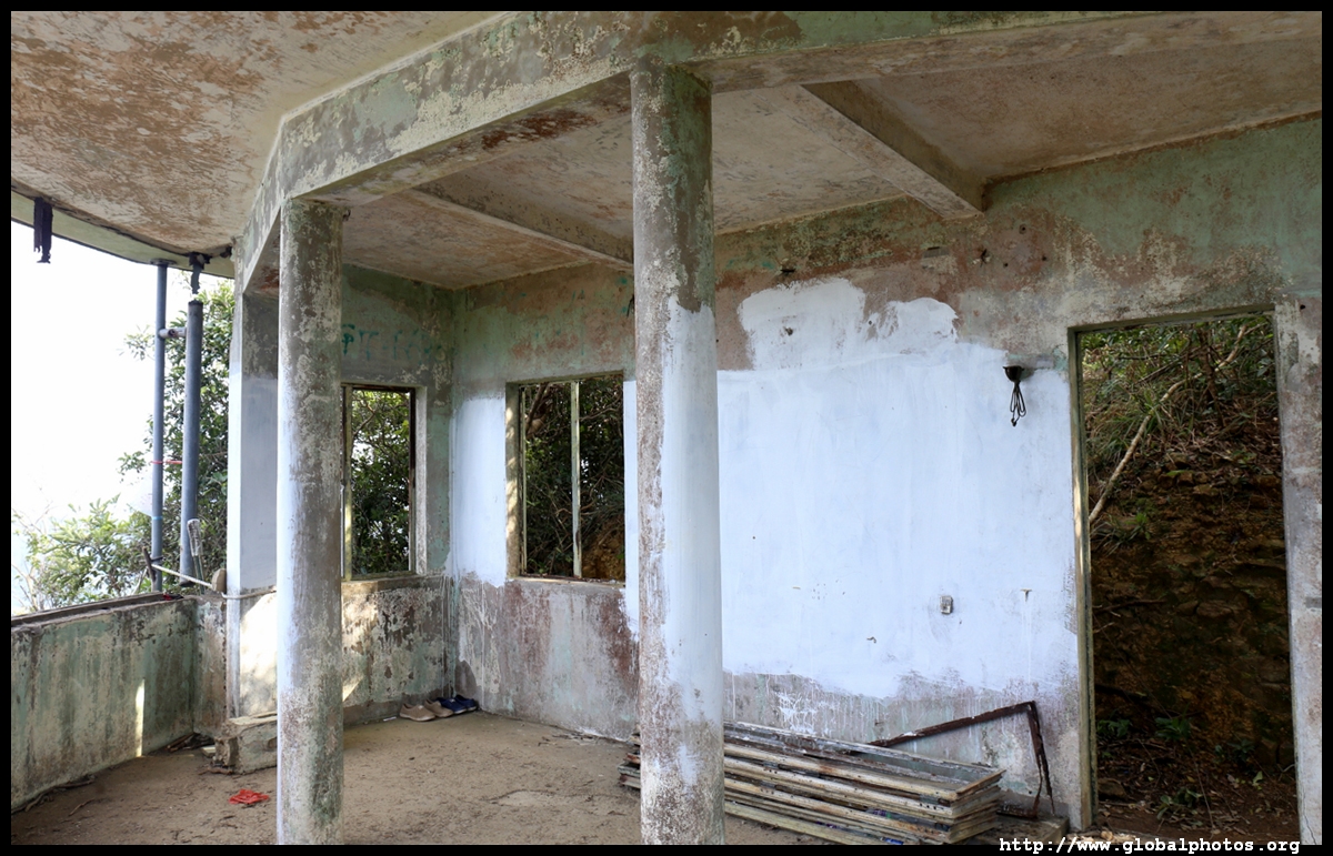
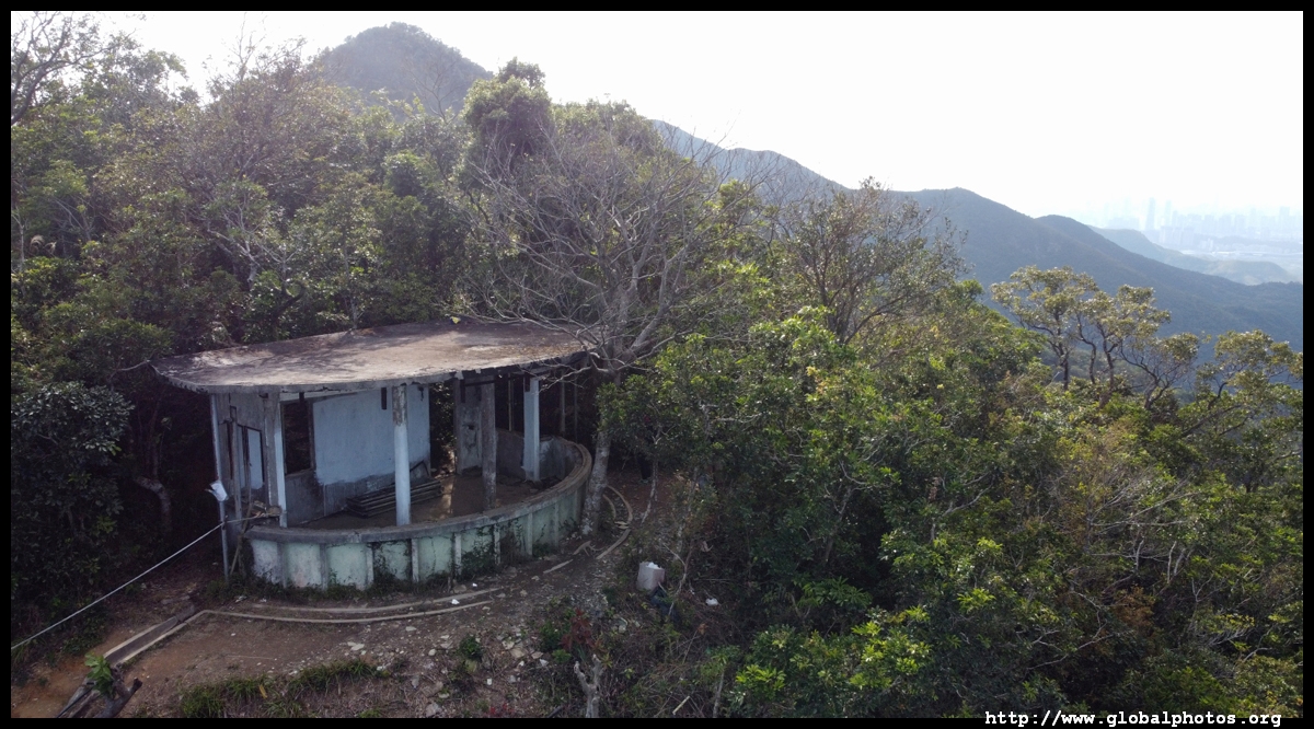
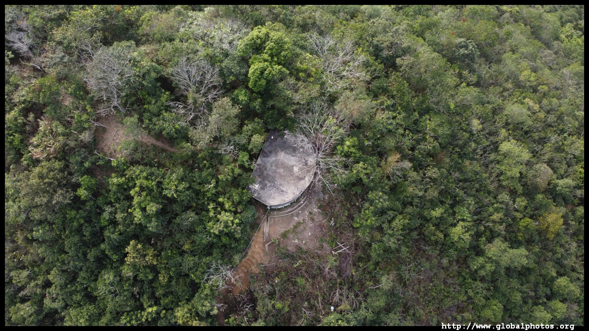
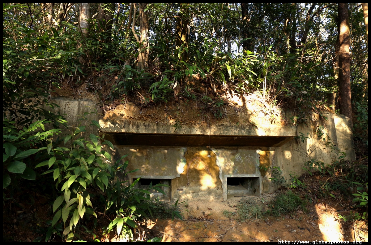
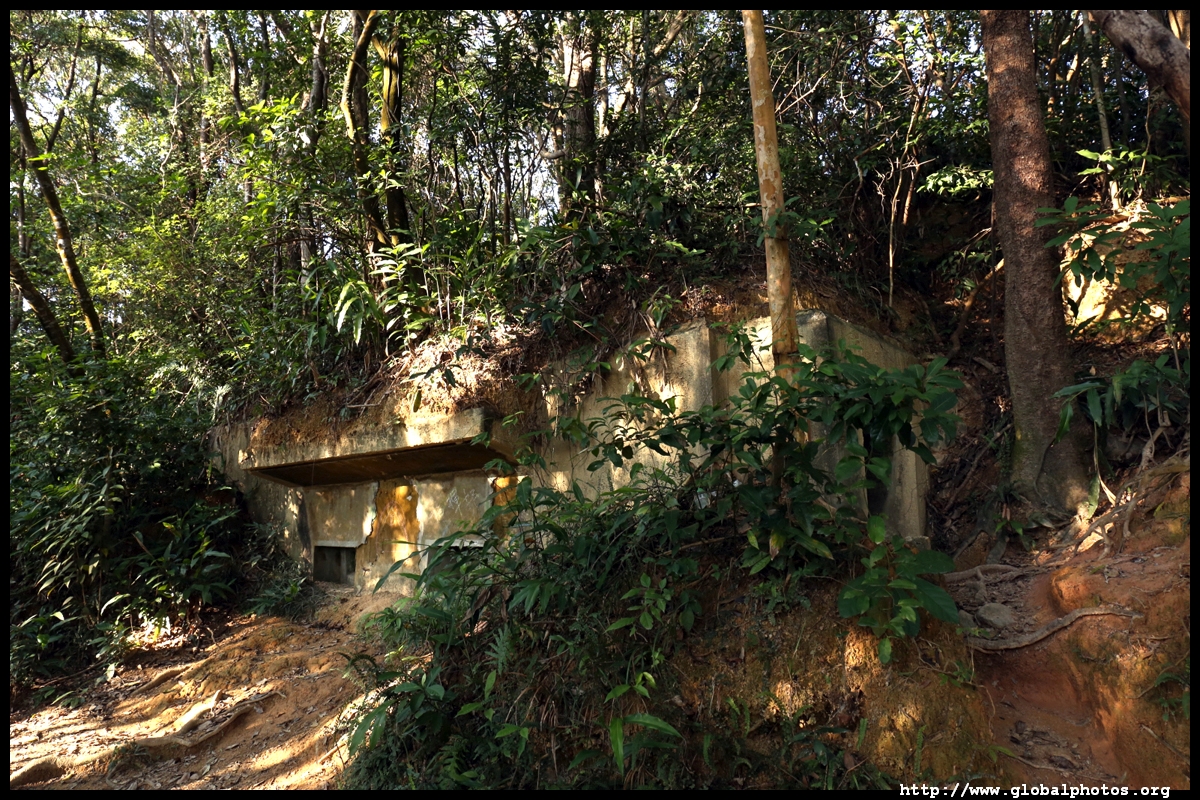
On the last hill are abandoned military buildings, believed to have been built during World War II when Japanese invaders forced local villagers to construct these structures. Do take care when entering these buildings as they are not being maintained and their ceilings are crumbling.


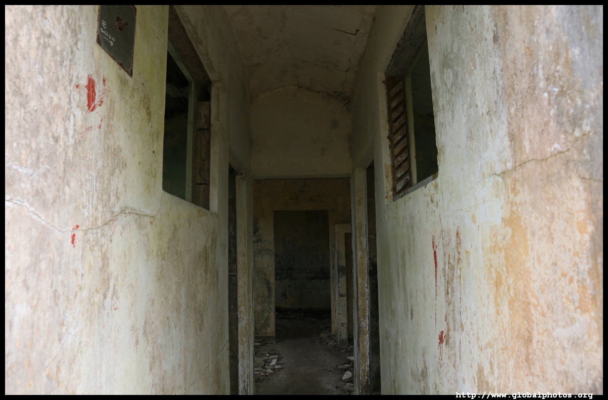


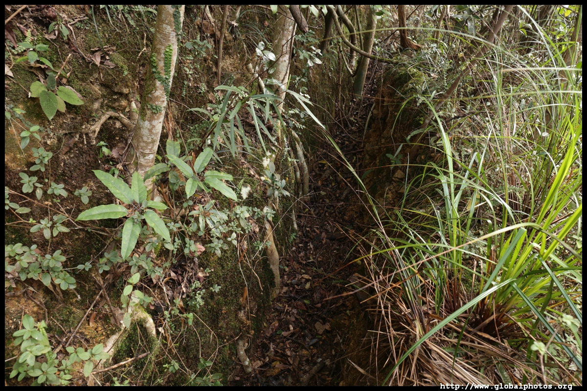
Trenches allow soldiers to move to the lookout point ahead without detection.
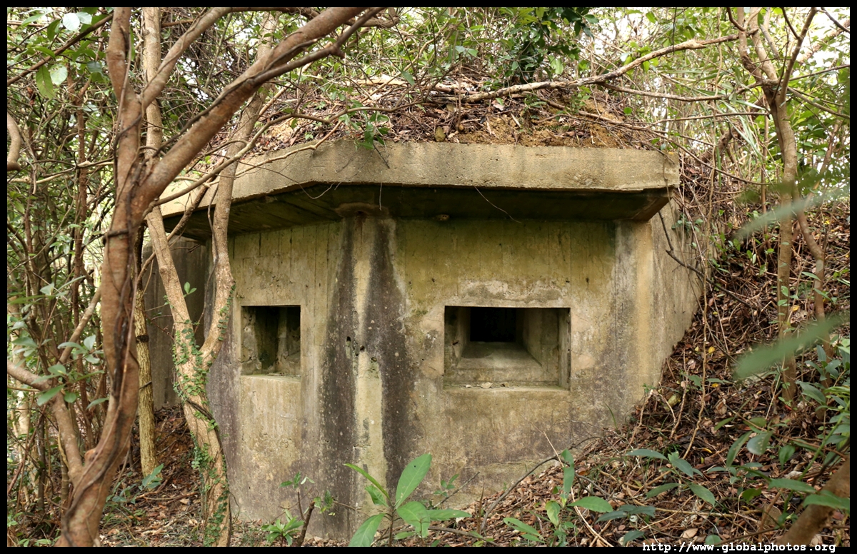


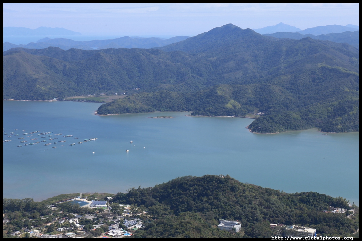
This lookout point faces China with a grand view of the border and the sea.
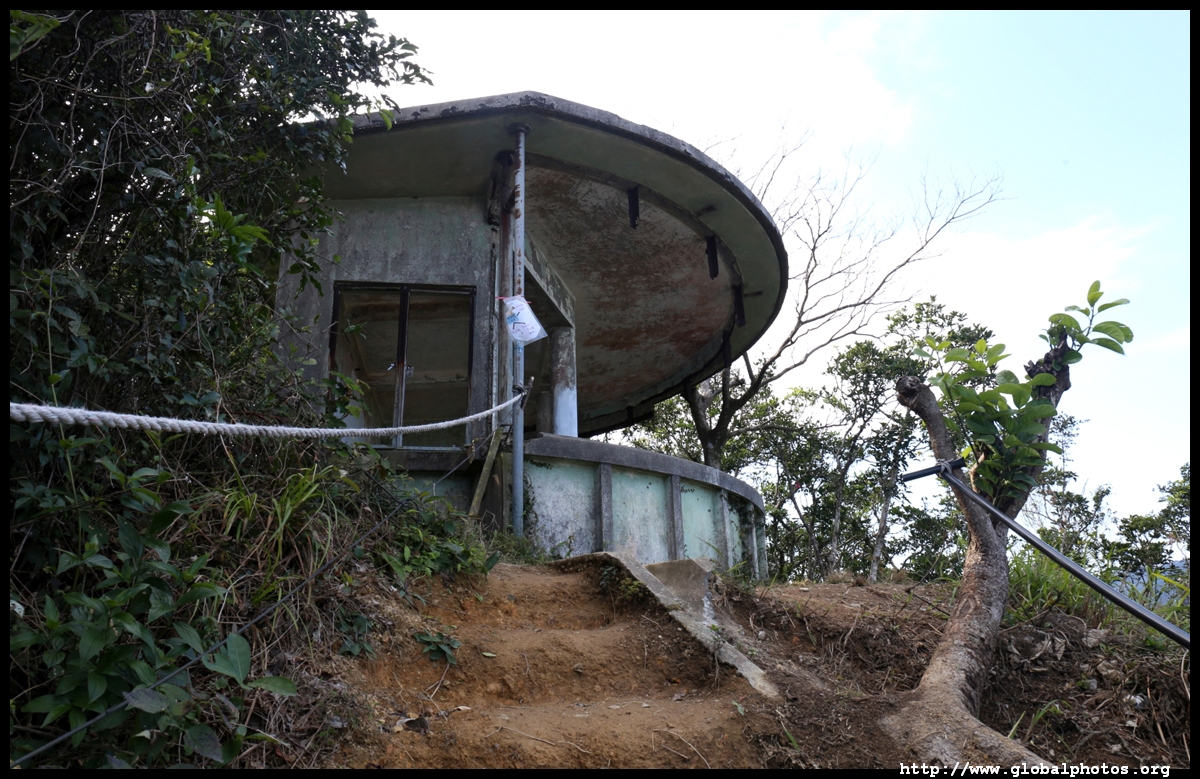
Just off to the right of the lookout point is a dirt trail heading down with ropes on both sides. It is a steep descent and you will need to make good use of the ropes to help you safely descend for the first 20 minutes or so.
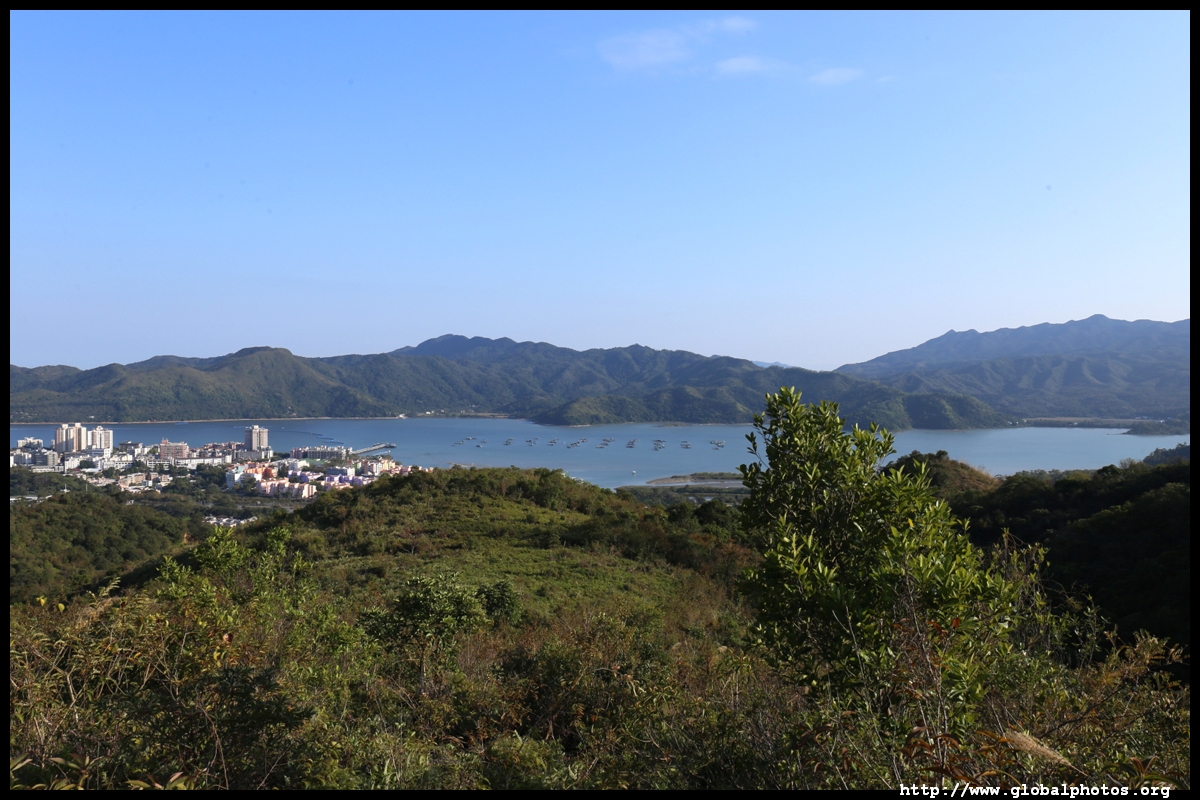

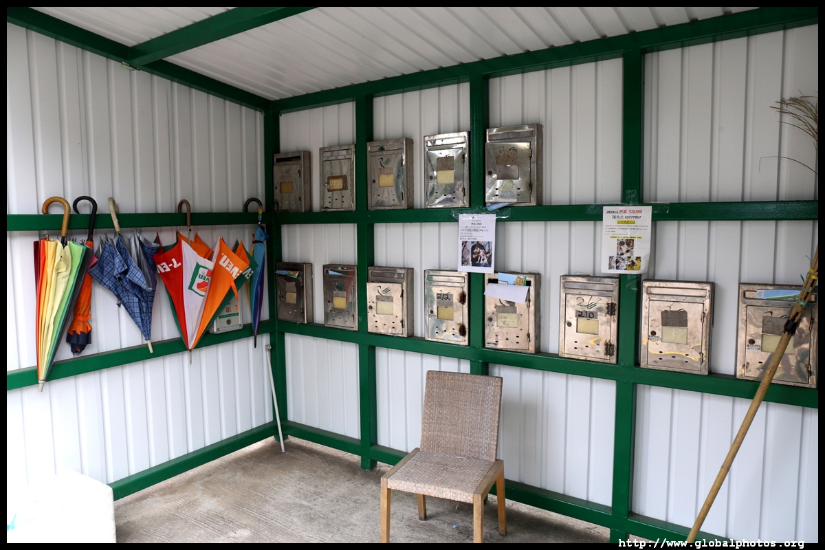
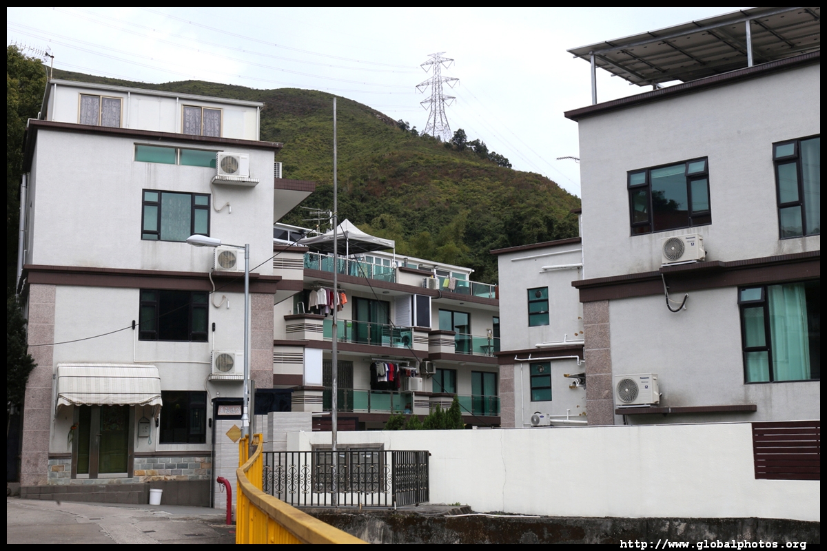
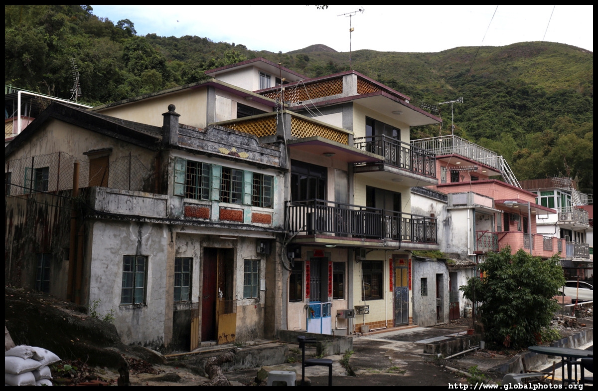
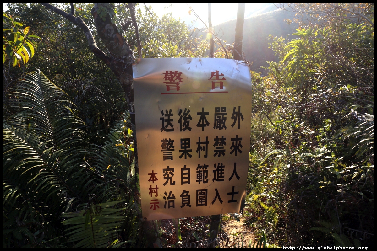
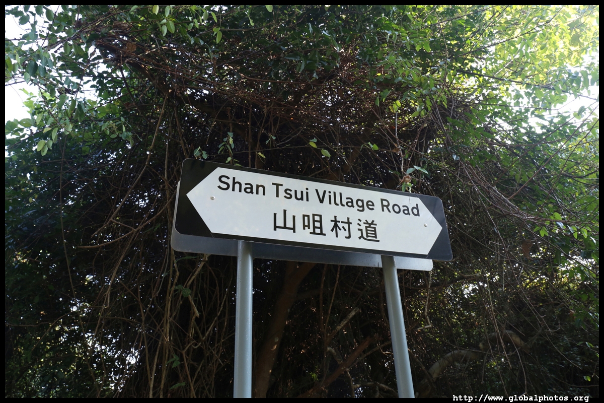
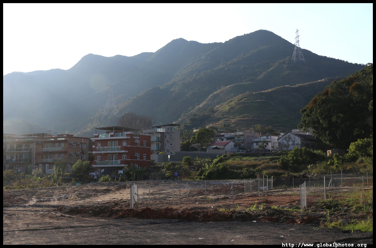
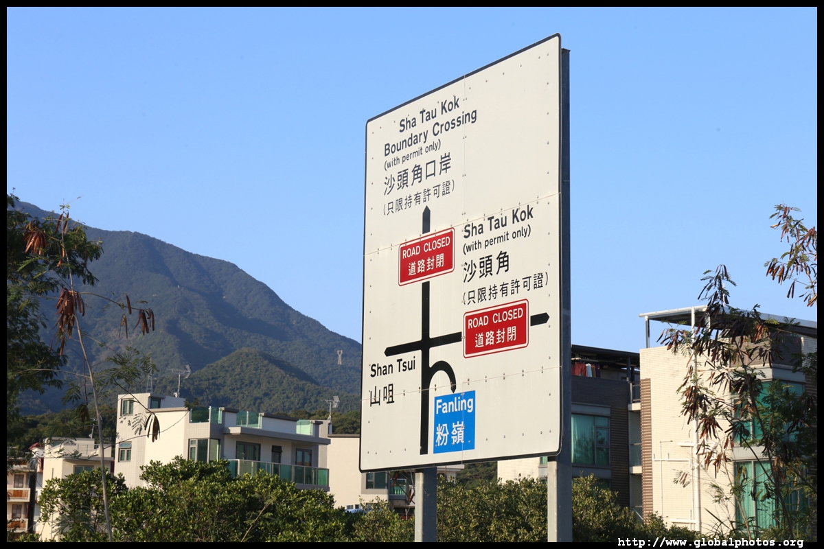
The trail flattens out a bit and there are some areas to rest and for local village kids to play. It eventually ends in Shan Tsui village, the last settlement before the Sha Tau Kok restricted area.
The highrise buildings are already located in Shenzhen.
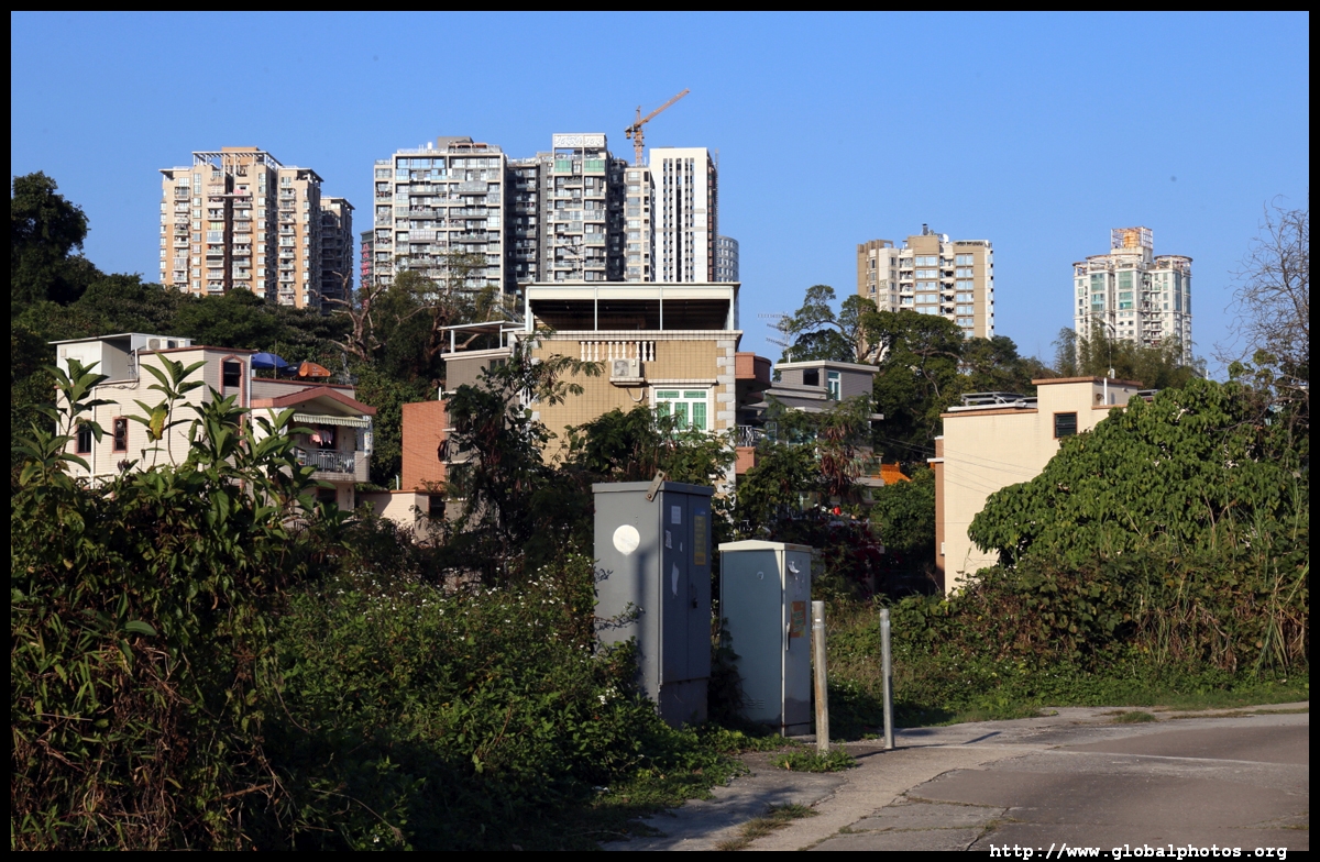
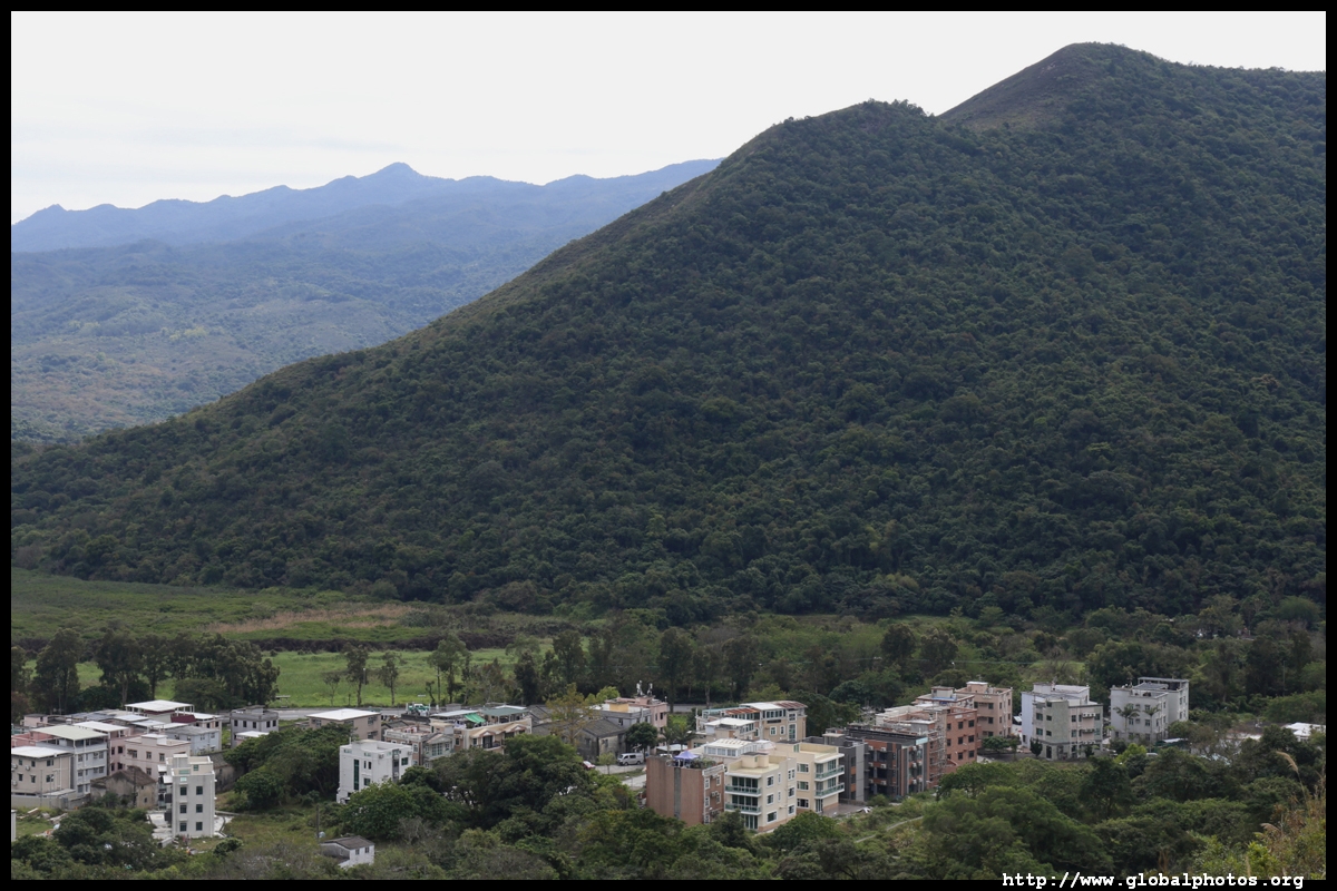
From below, you can see the hills you conquered over the past few hours.
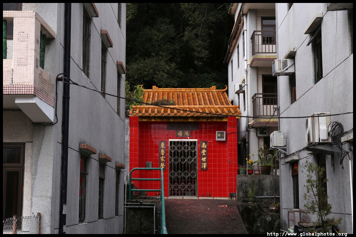
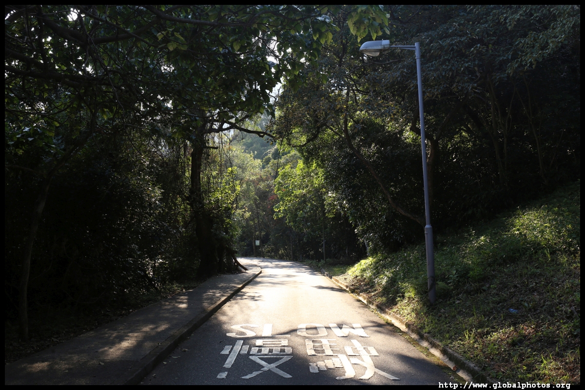
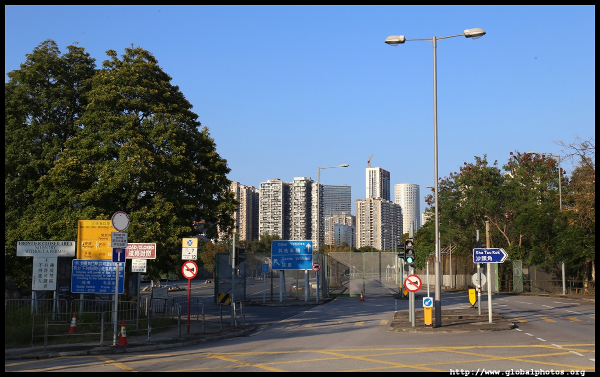
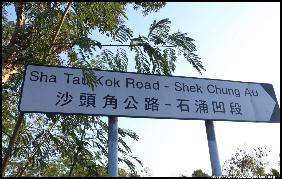
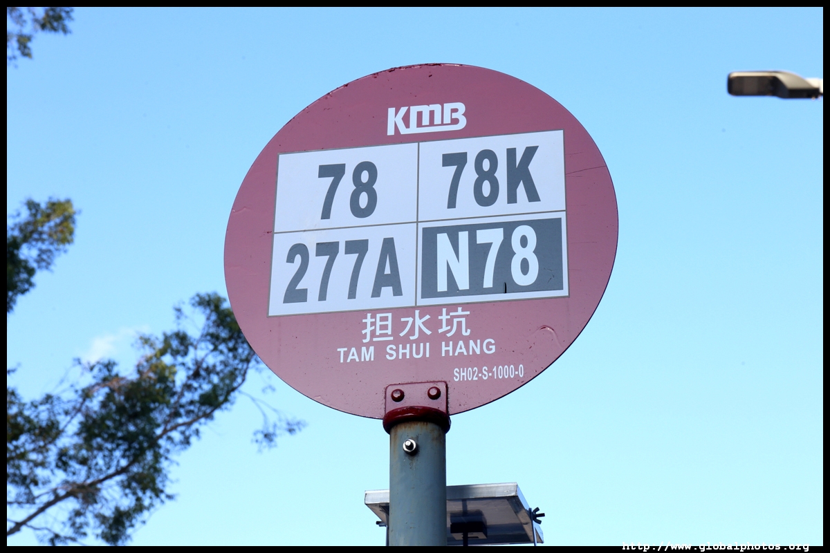
Continue back to the village on the paved road and you will see the police checkpoint for the restricted area. Continue down Sha Tau Kok Road for the 78K bus back to Fanling.

This is a challenging hike with steep climbs and descents. However, it offers a good variety of attractions from nature to history. It is a surprisingly interesting place during the winter when Chinese New Year flowers bloom for a long stretch of trail.