Hong Kong Photo Gallery - Sam Mun Tsai

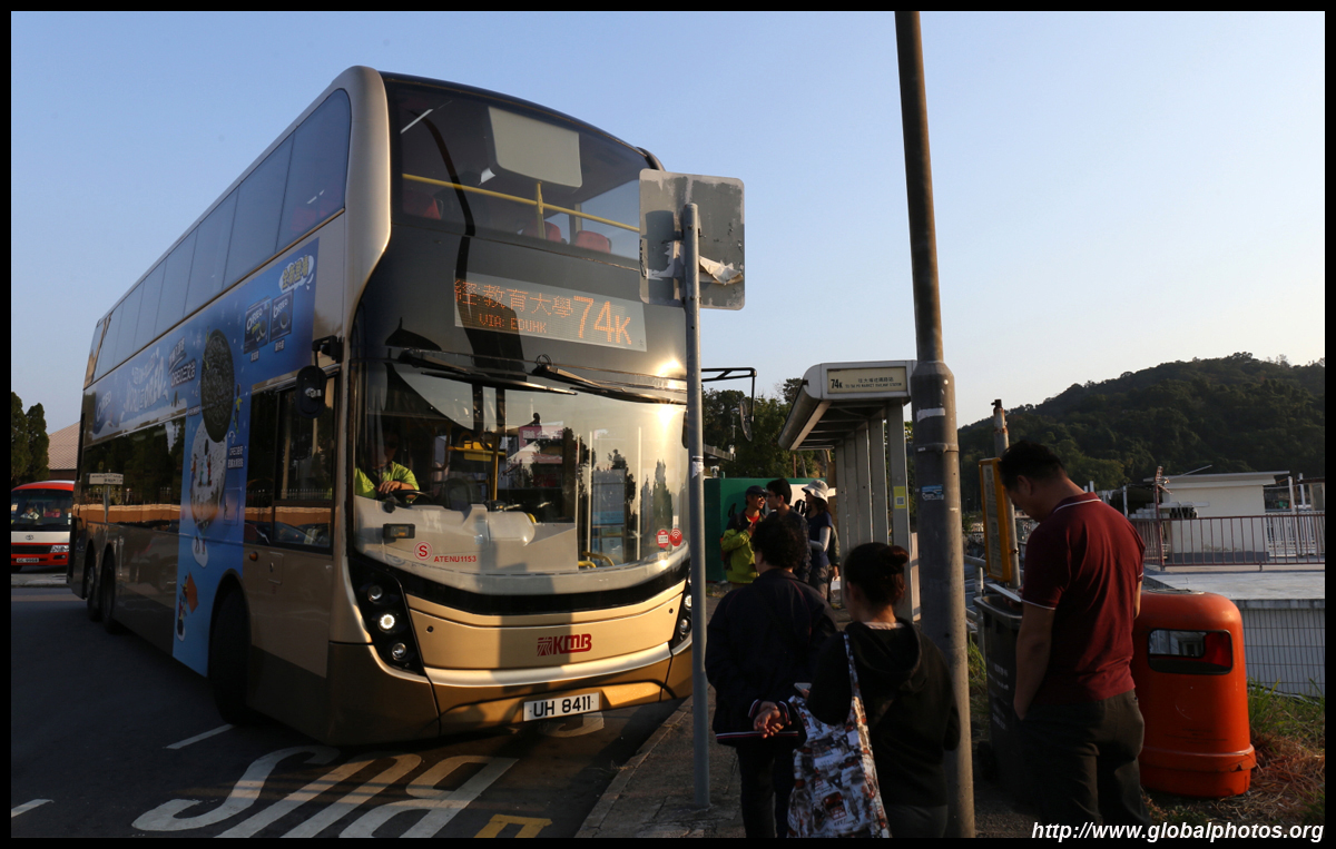
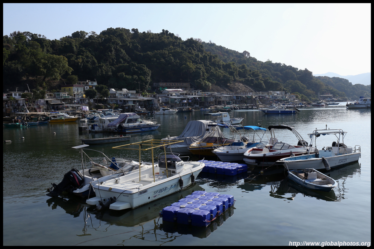
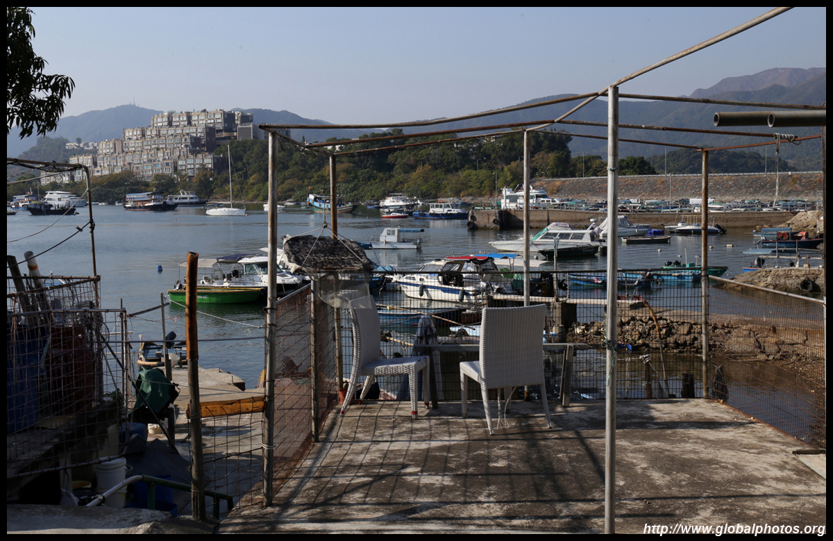
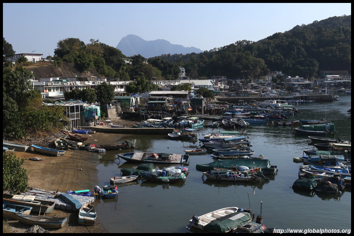
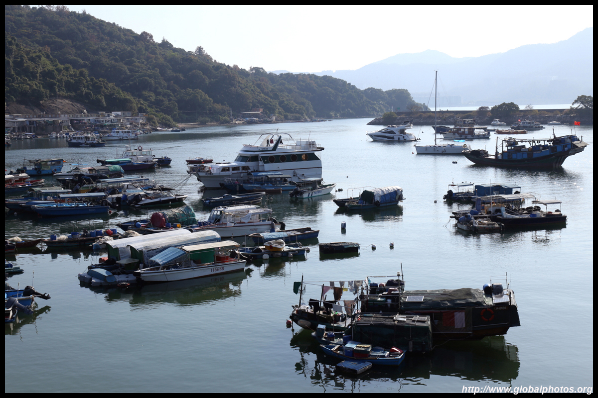
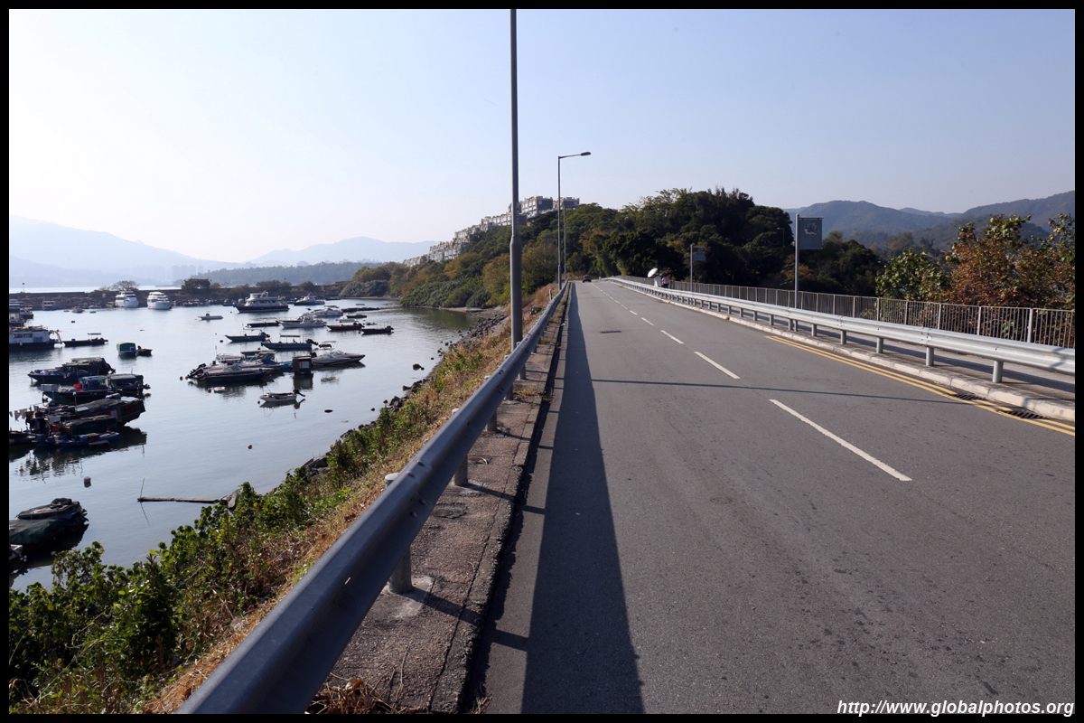
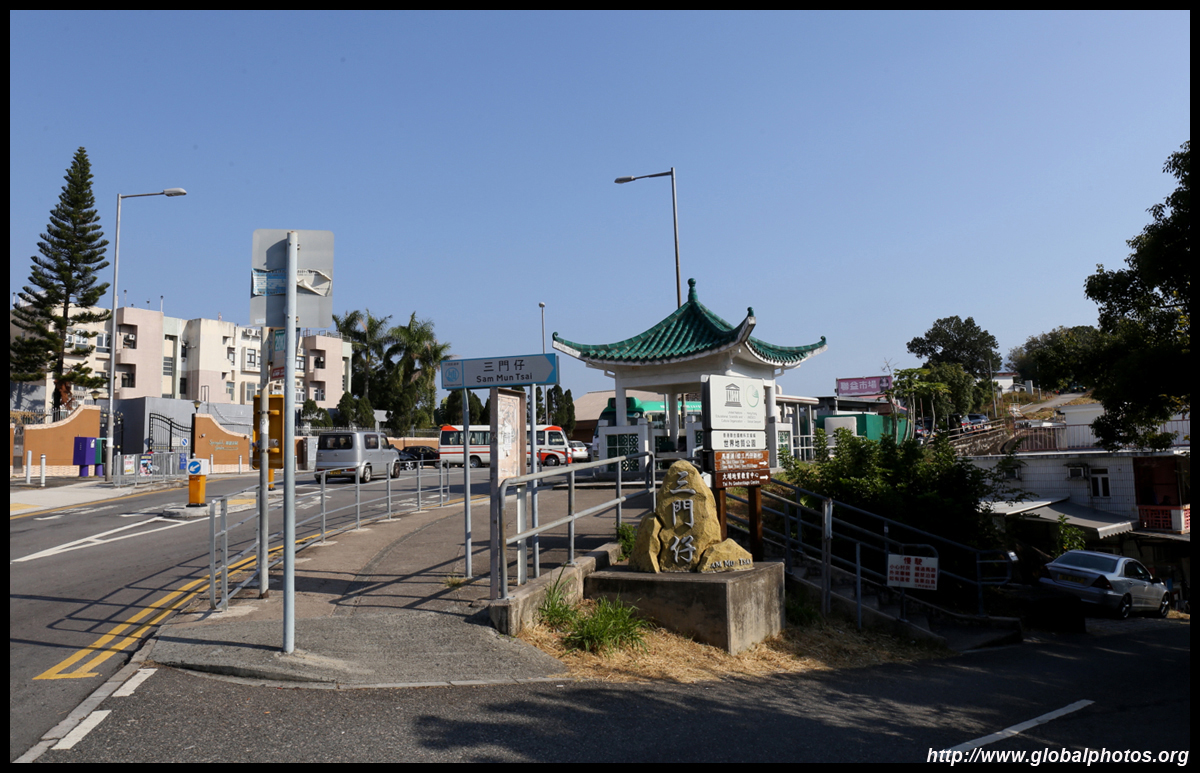
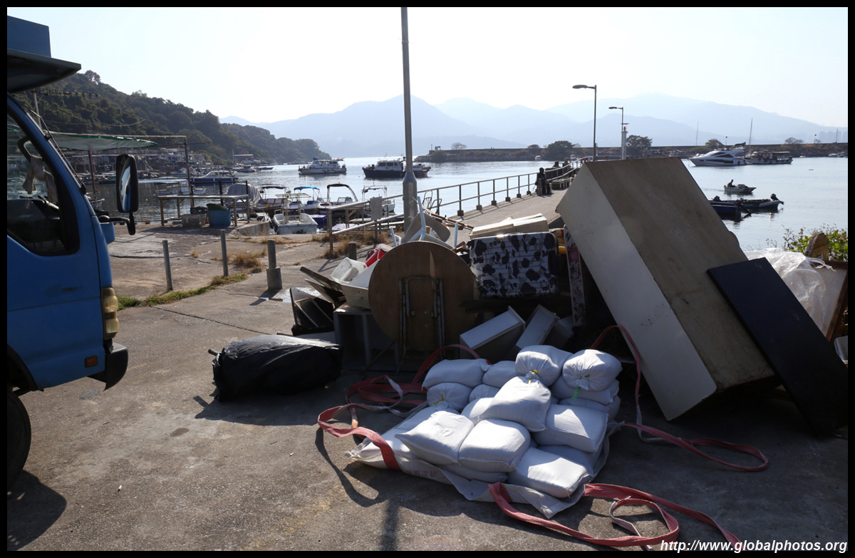
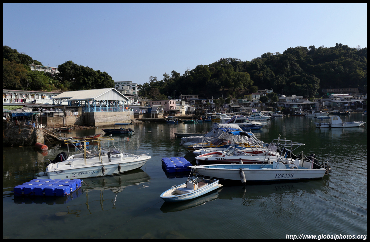
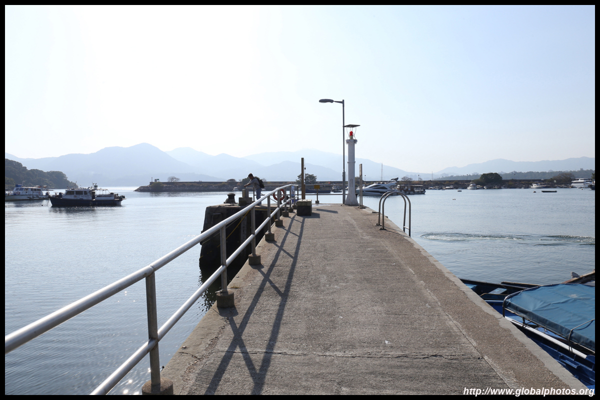
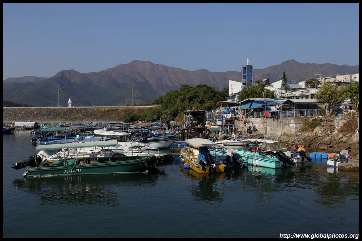
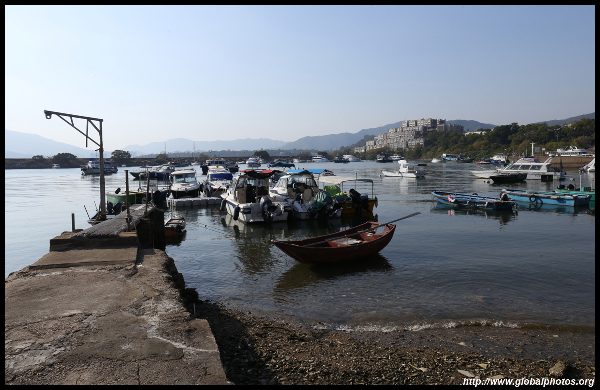
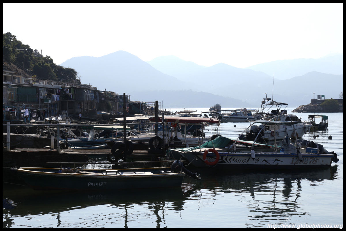
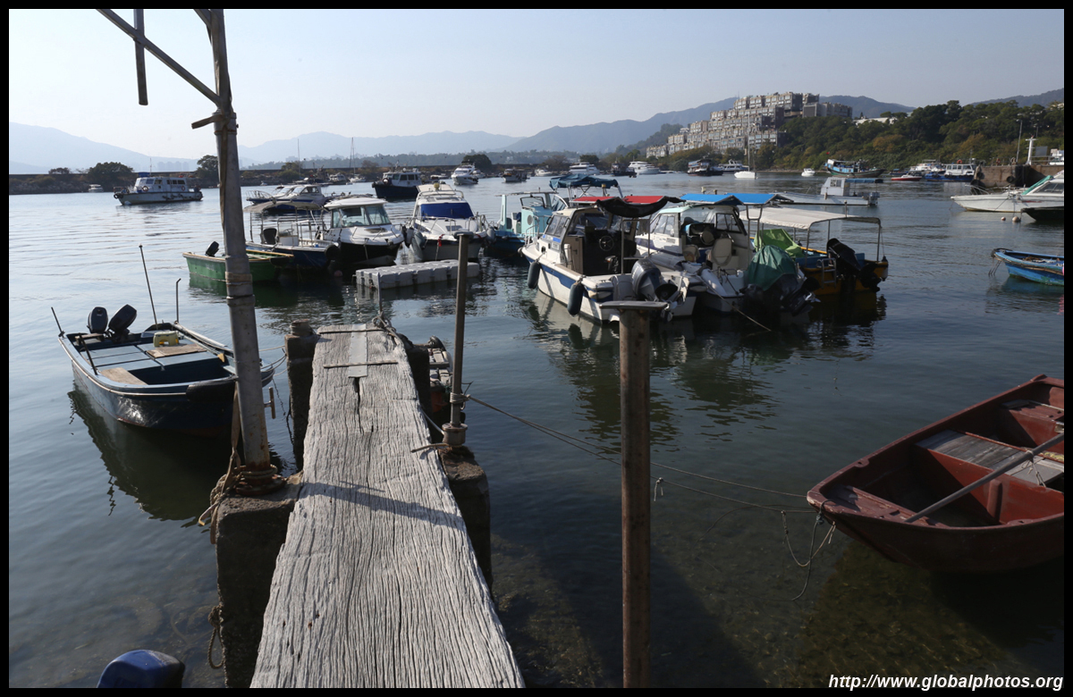
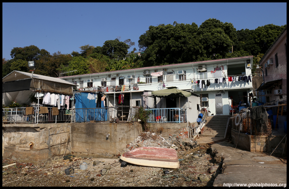
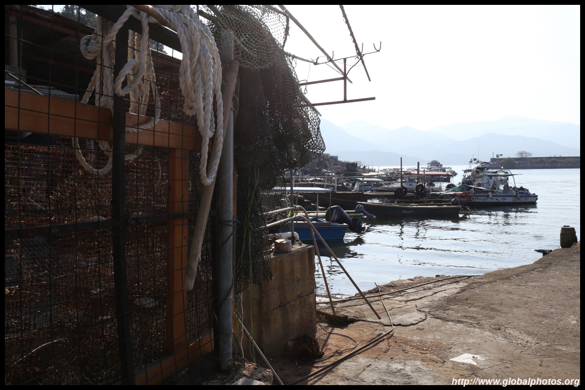
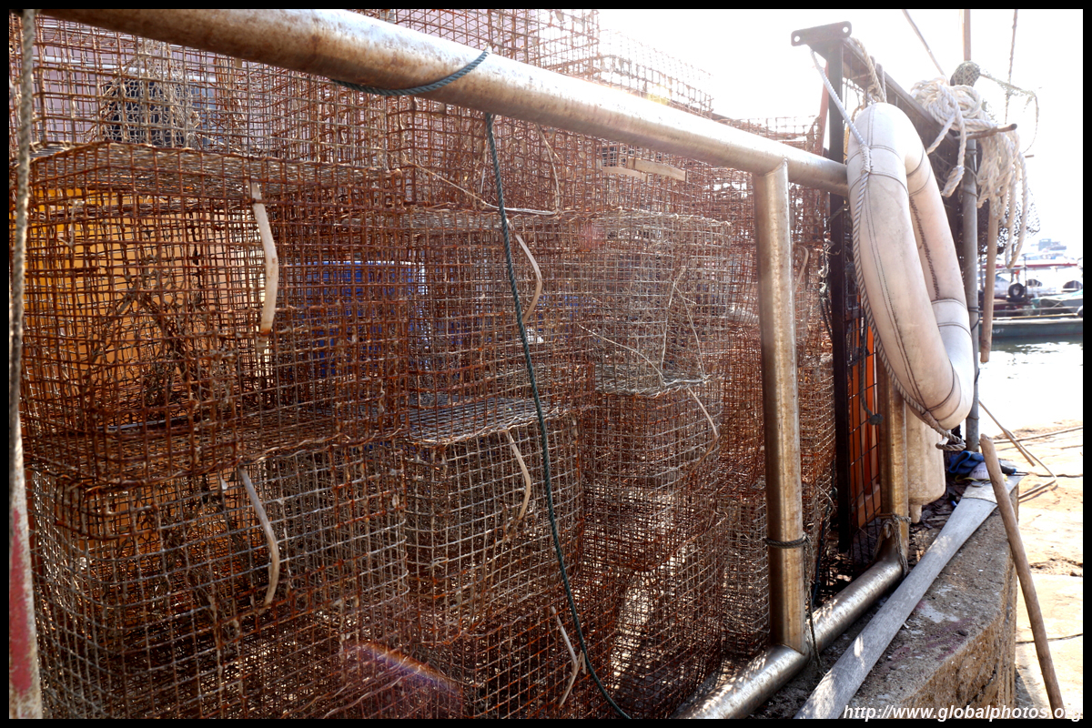
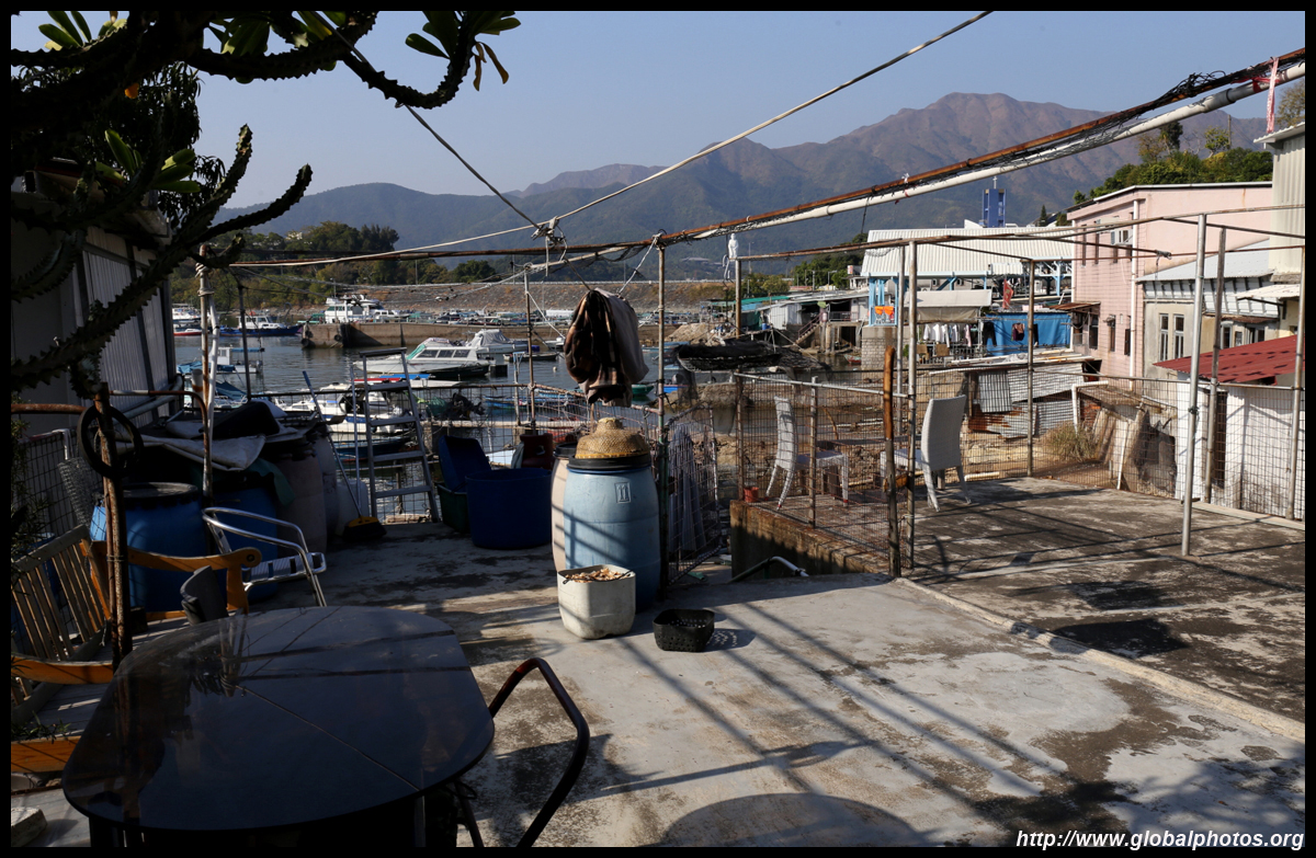
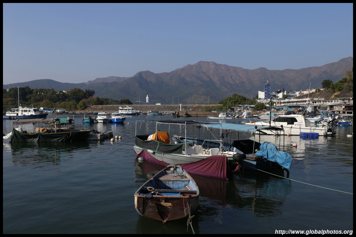
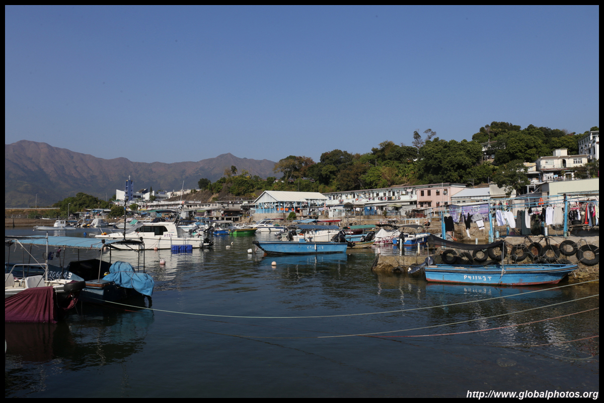
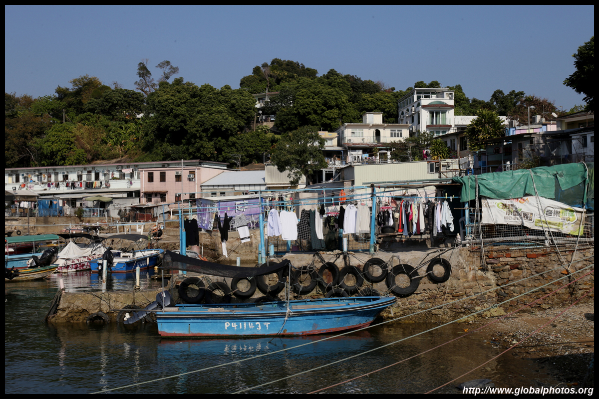
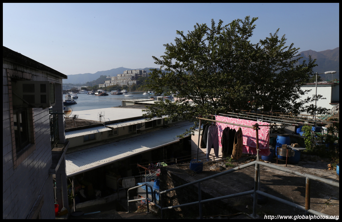
Sam Mun Tsai is an authentic fishing village without the big seafood restaurants and tourist coaches to ruin traditional life. Home to about 1000 people, it is surrounded by water on 3 sides, with the tall Pat Sin Leng rising in the background and a small typhoon shelter around the settlement.Getting here is relatively straight forward. Take bus 74K from Tai Po Market station to the last stop, which is a dead-end street. Then walk downhill into the village and coast.
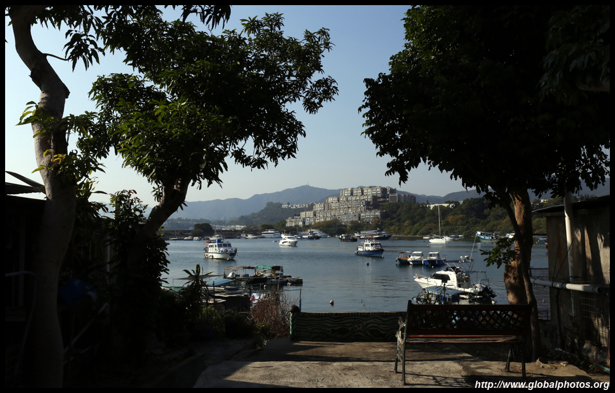
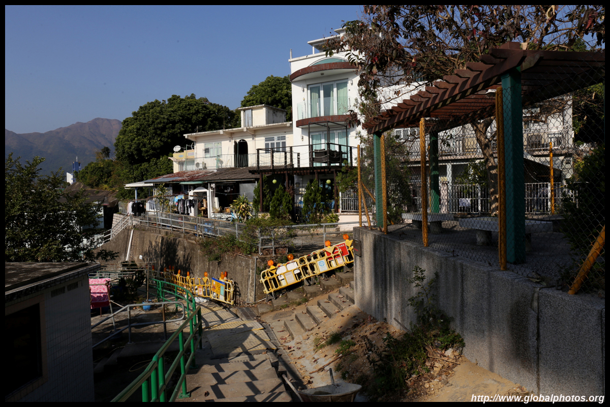
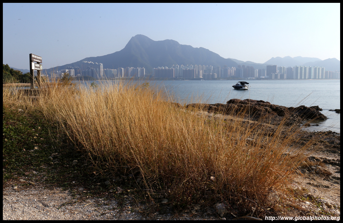
Beverly Hills is a wealthy enclave of houses enjoying the same sea view within walking distance of the village. In early 2020, a 1600 square foot house was sold for over HKD $15 million (USD $1.9 million).
| |||
 |
 |
 |
 |
 |
 |
 |
 |
 |
 |
 |
 |
 |
 |
 |
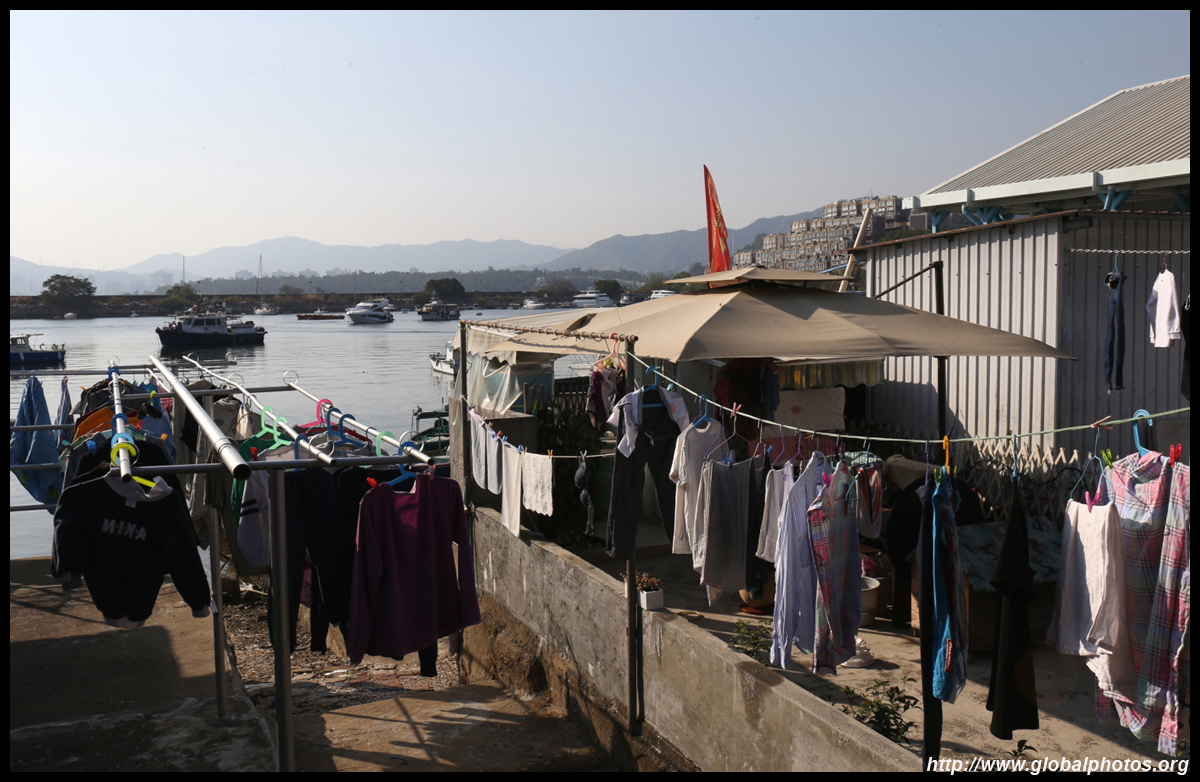 |
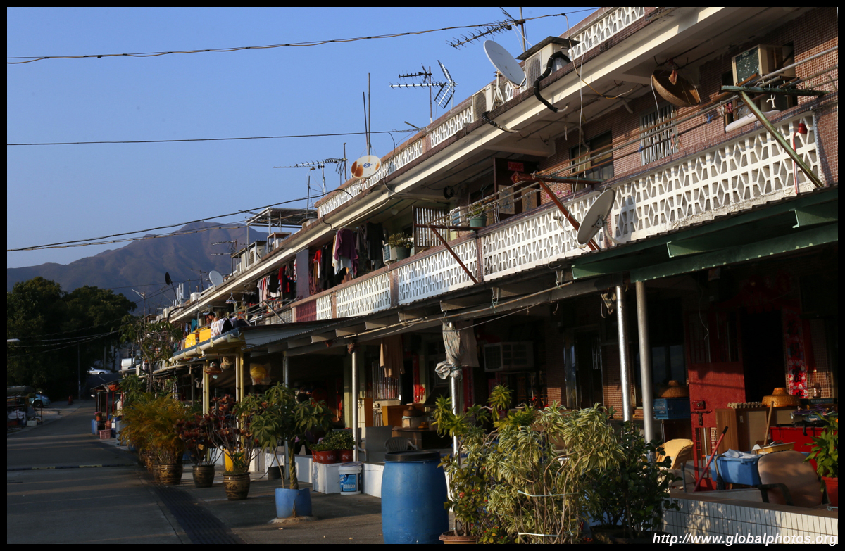
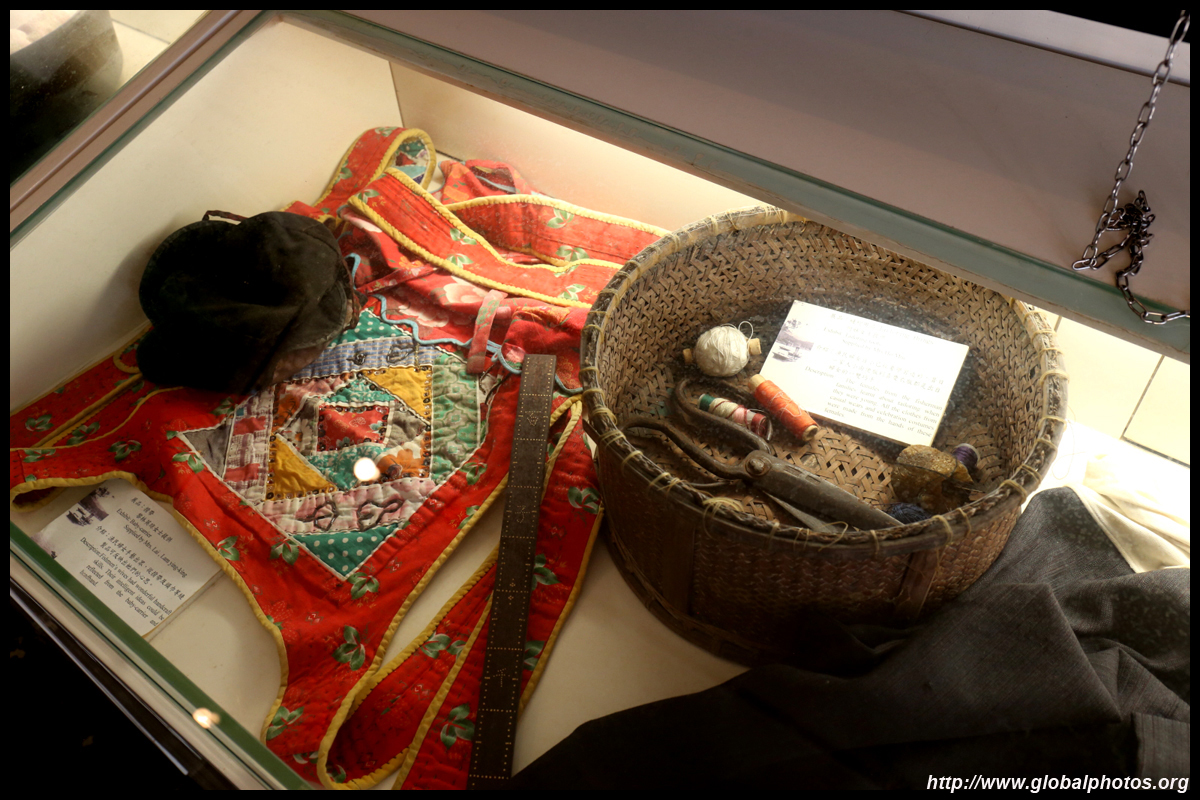
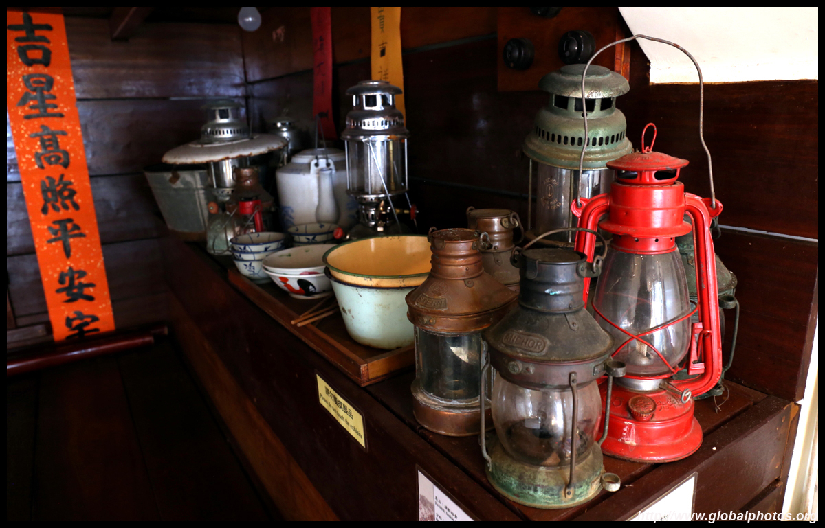
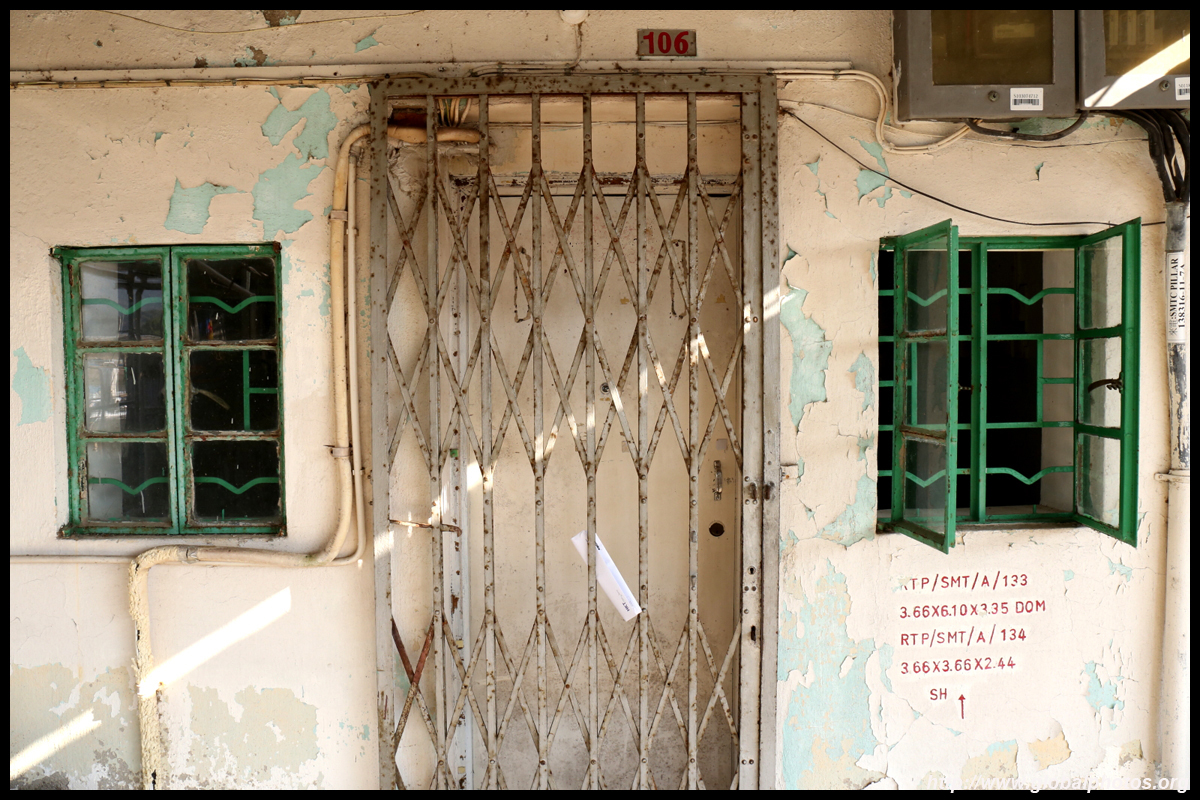
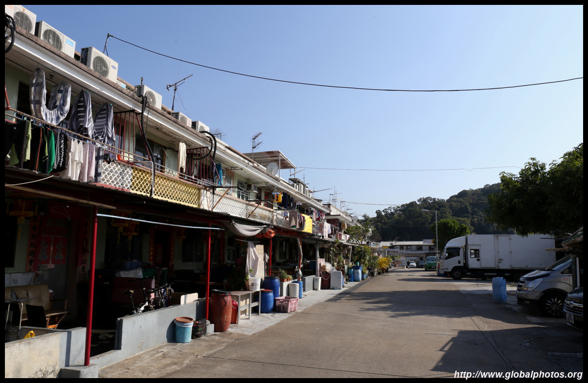
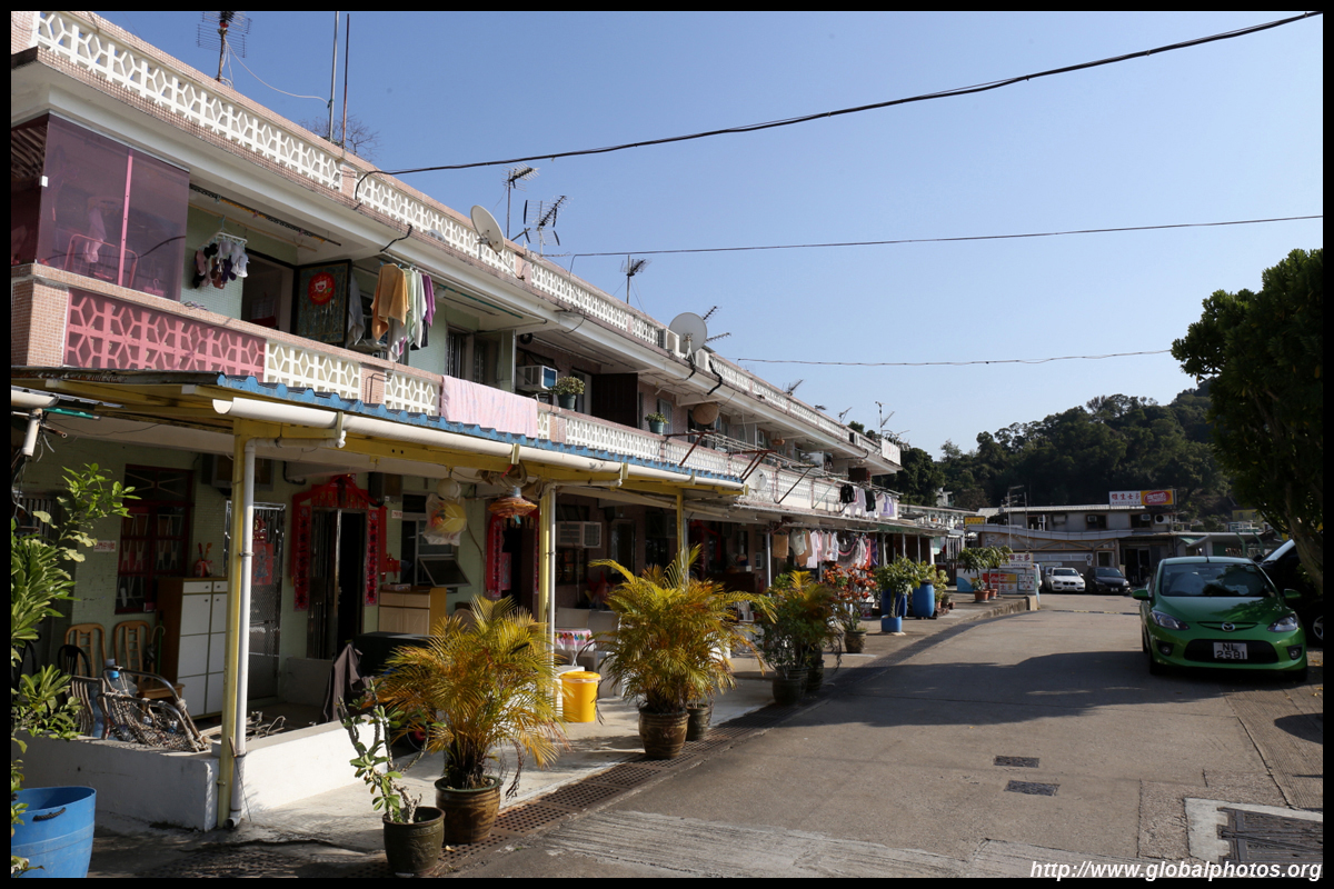
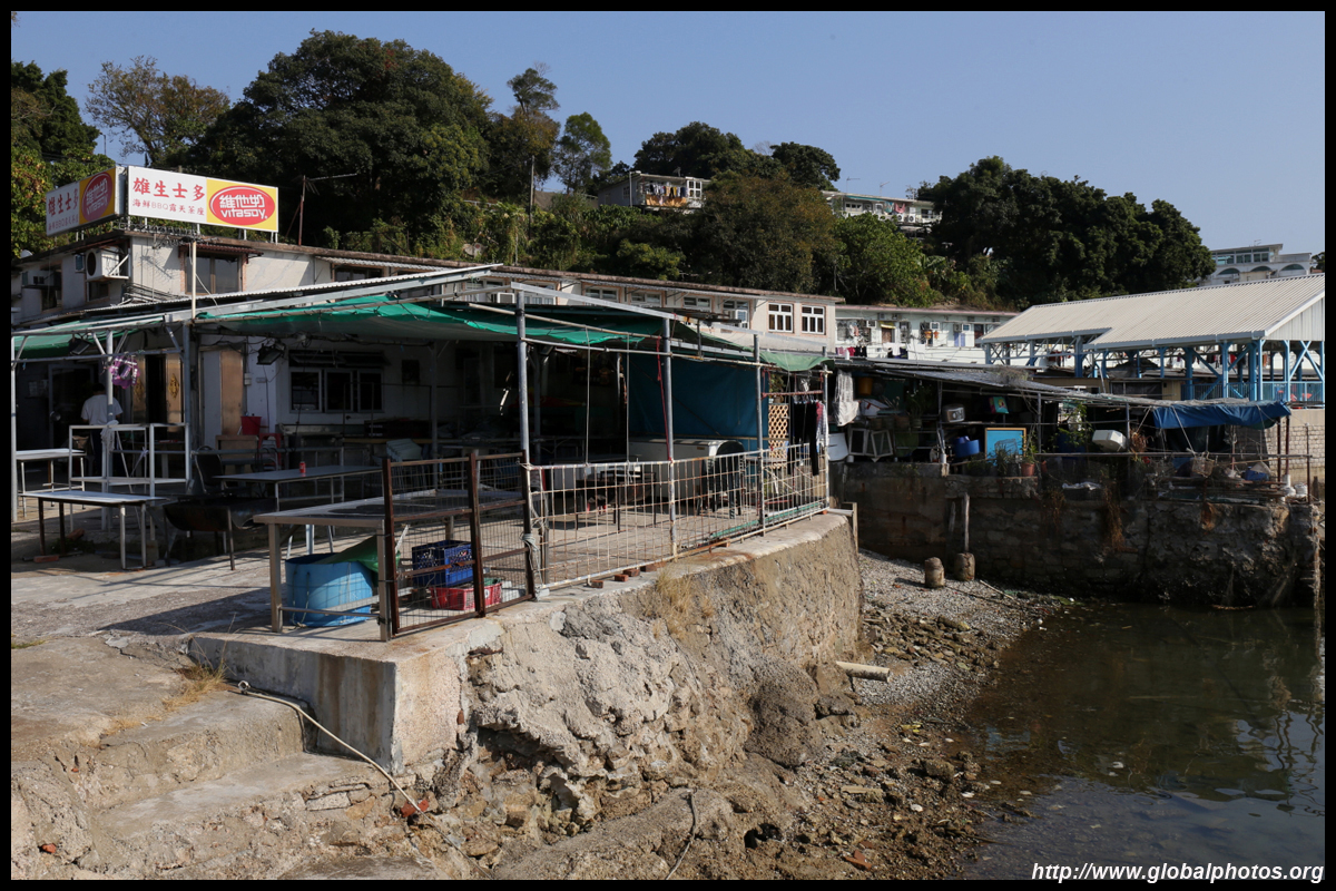
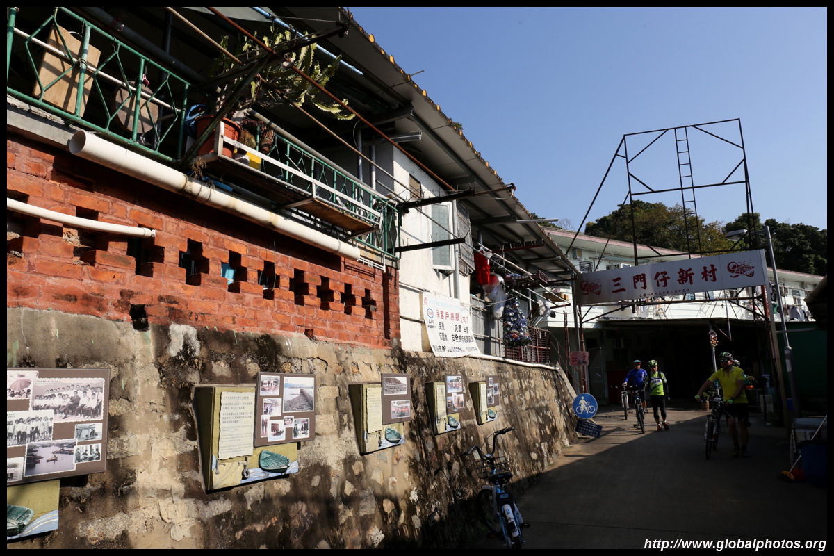
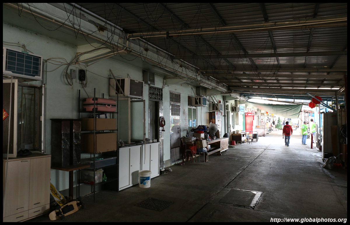
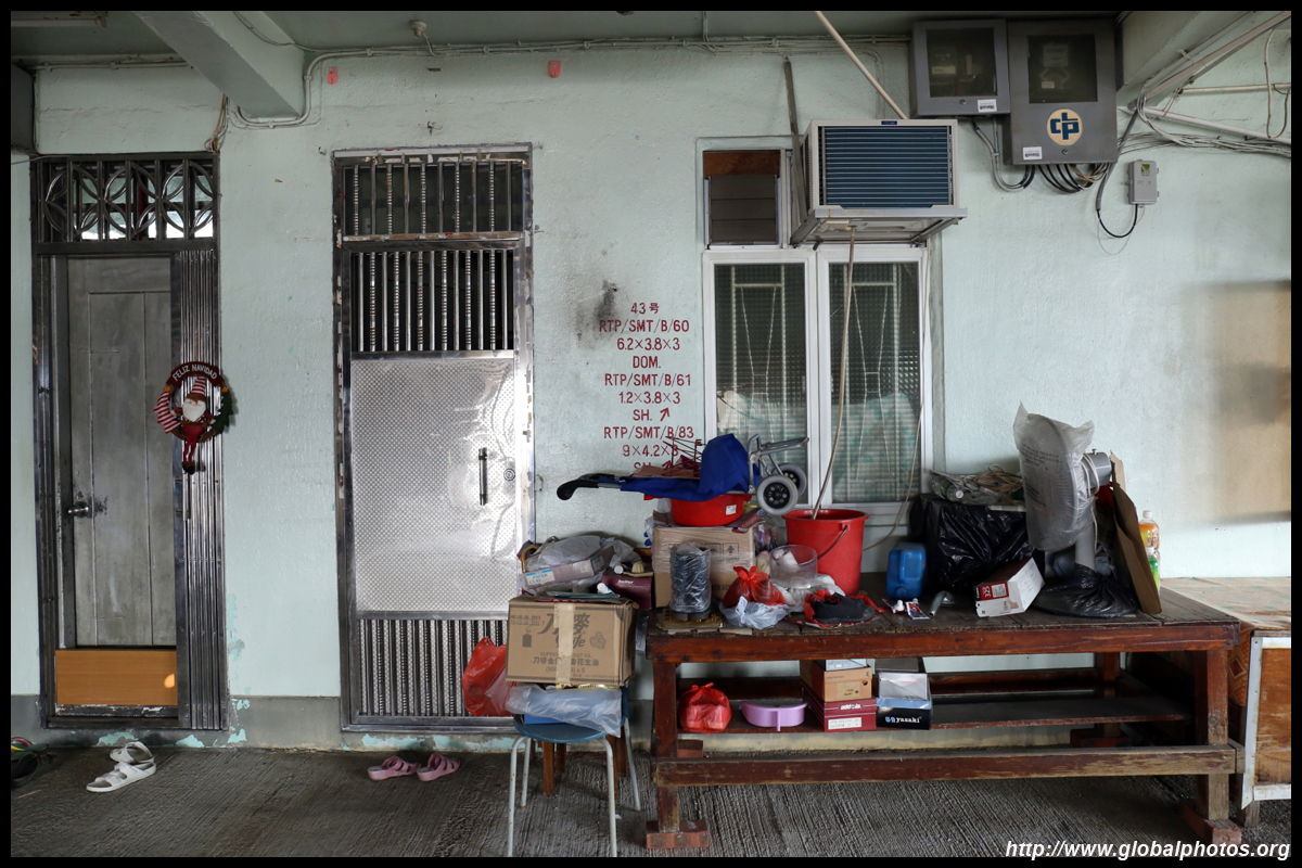
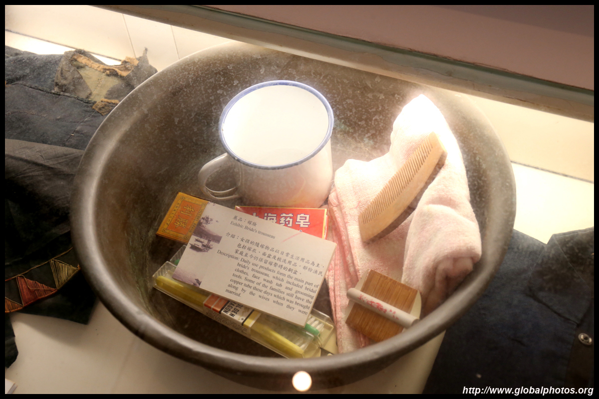
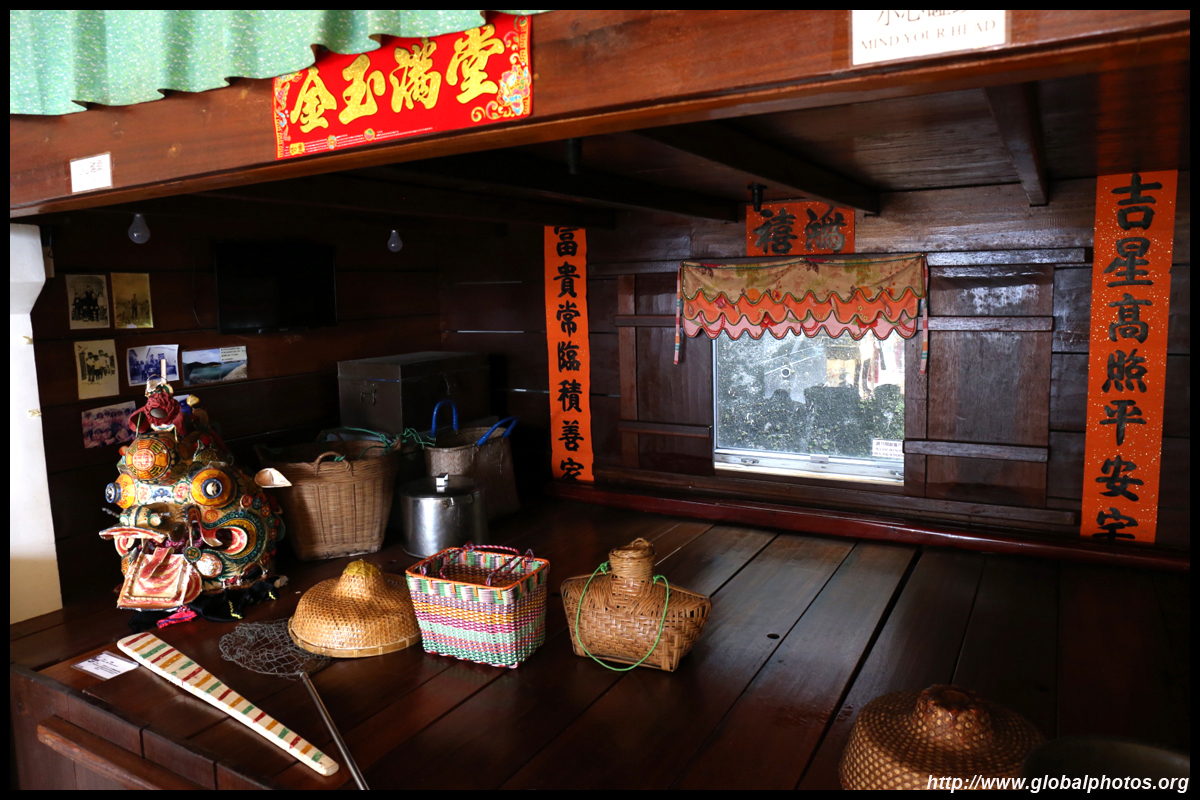
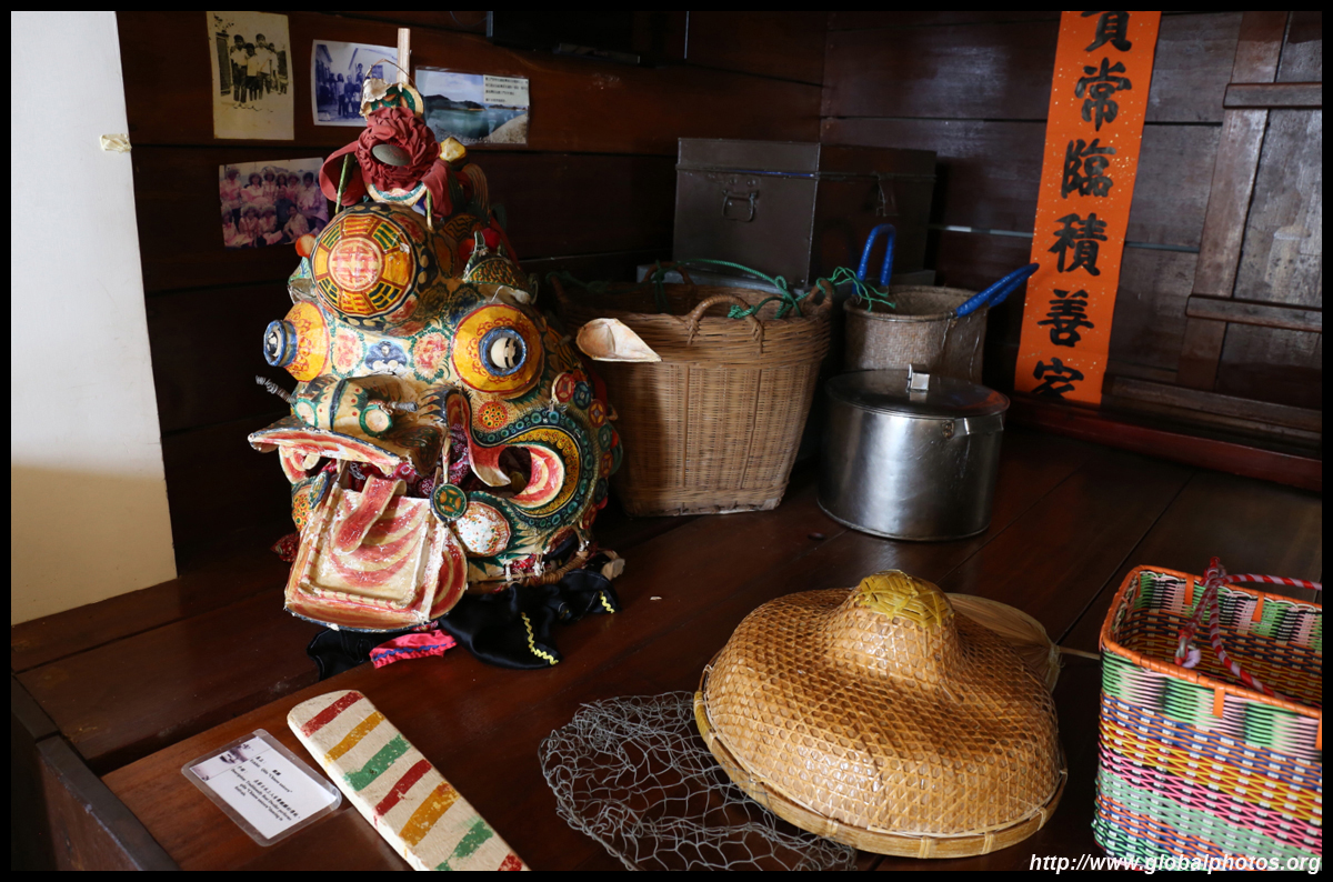
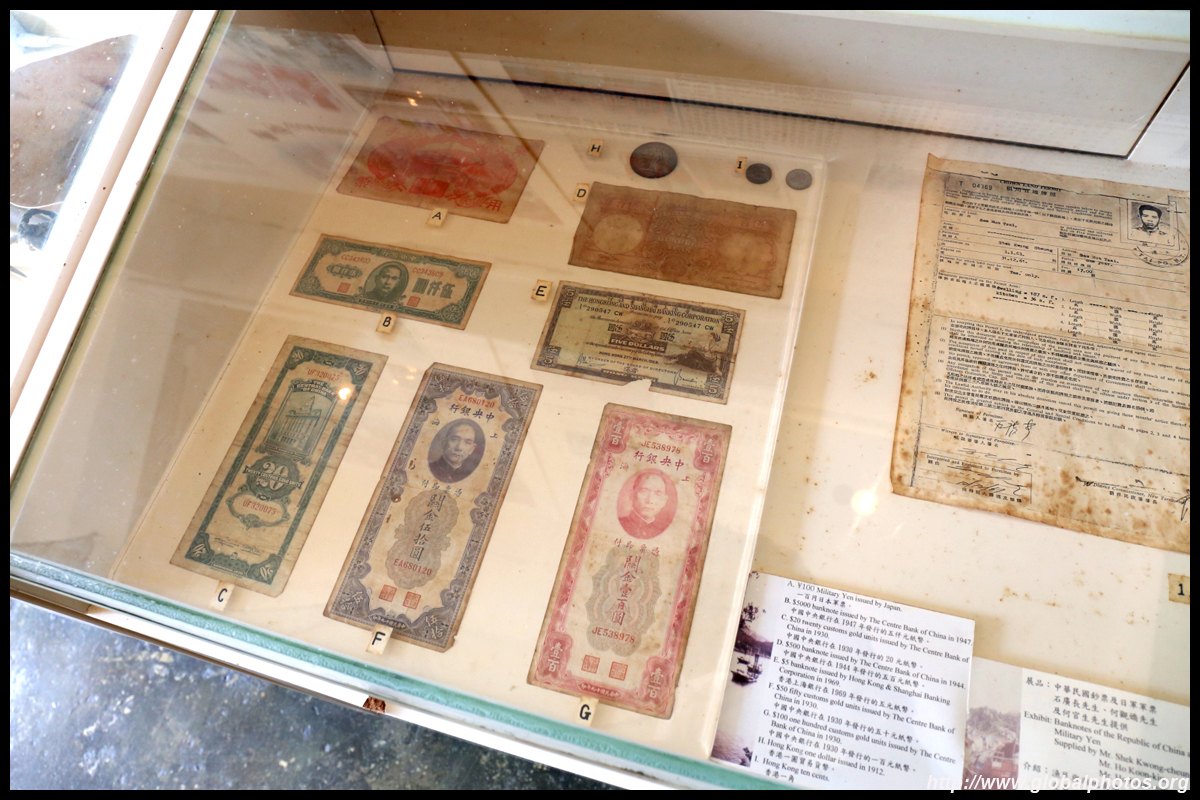
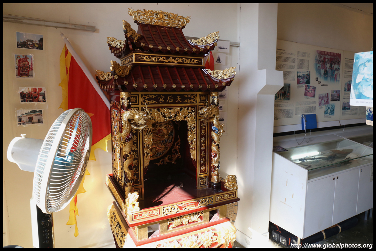
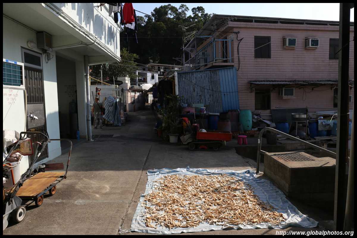
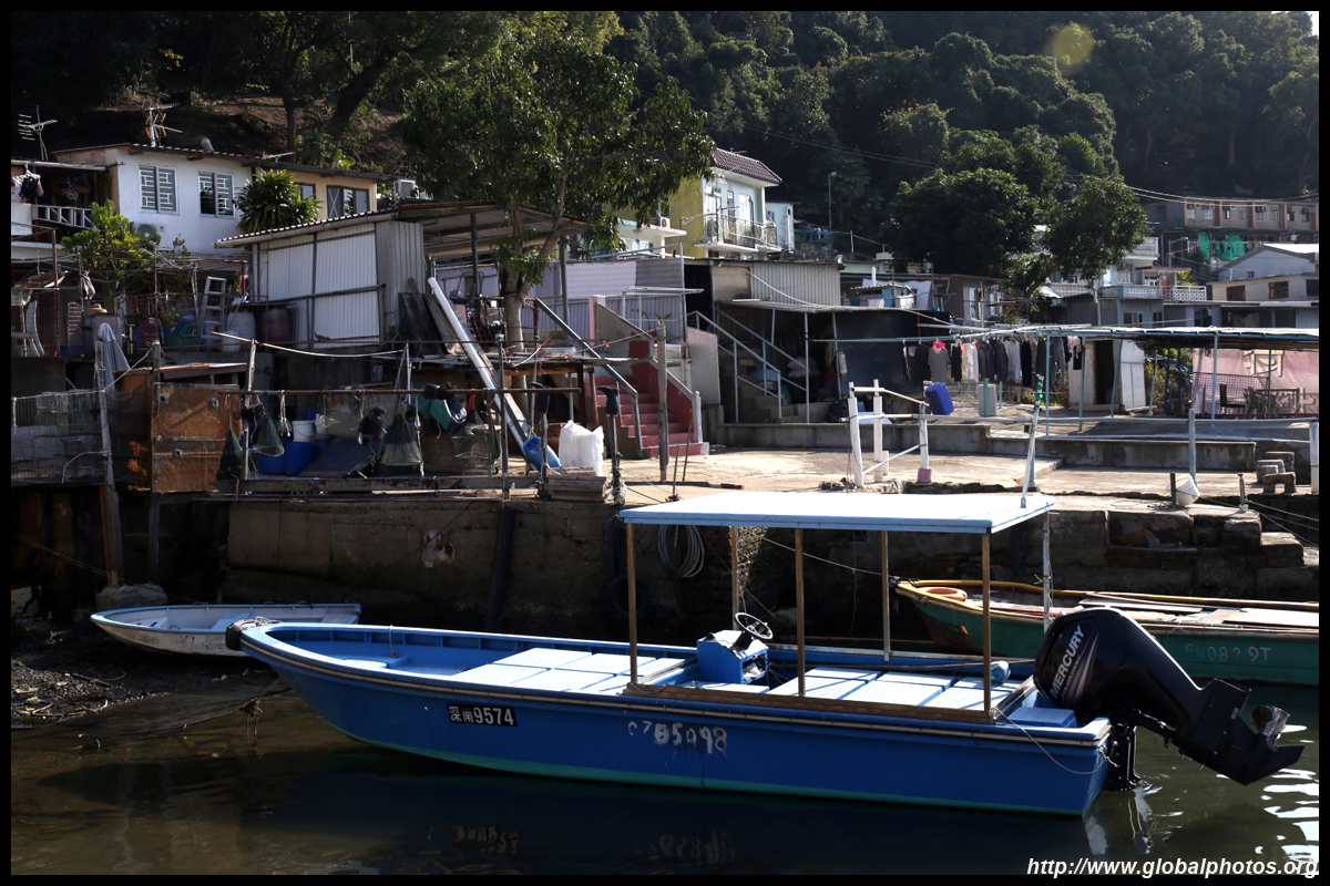
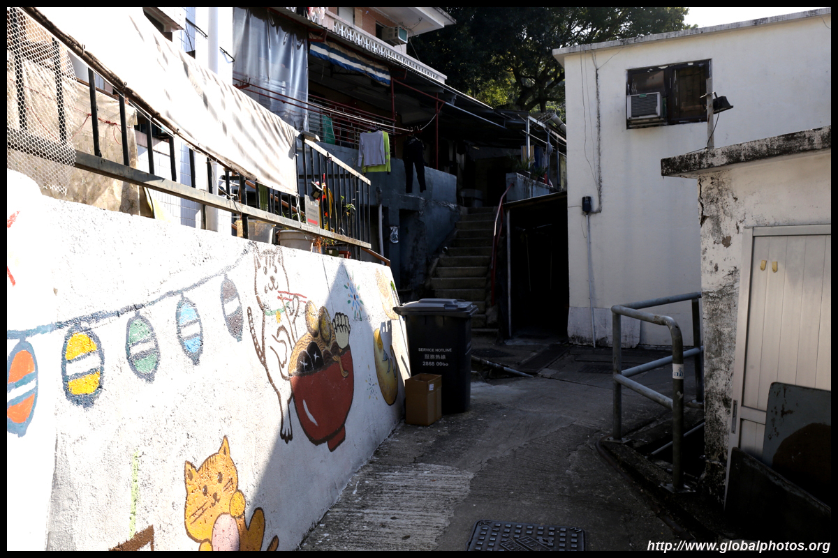
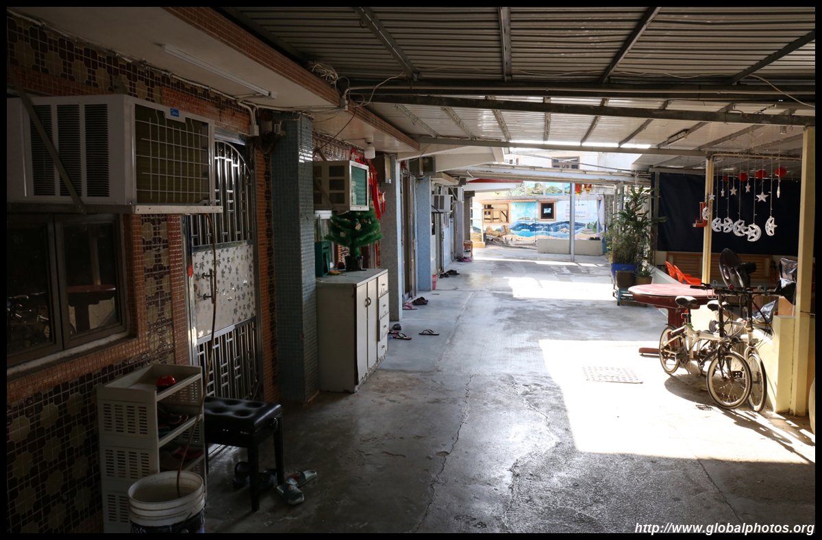
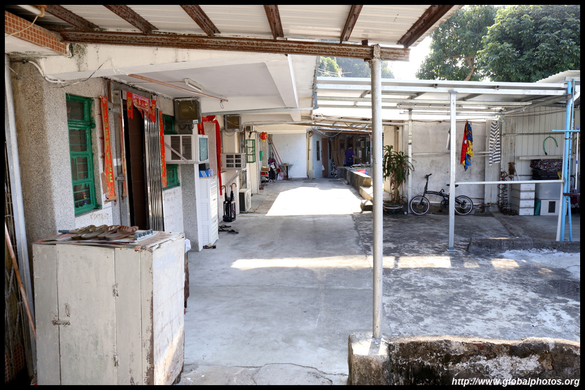
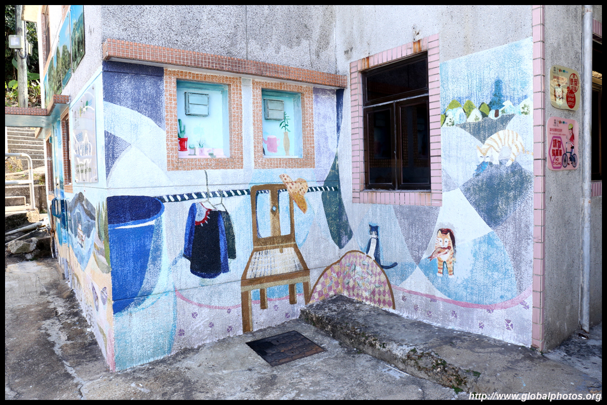
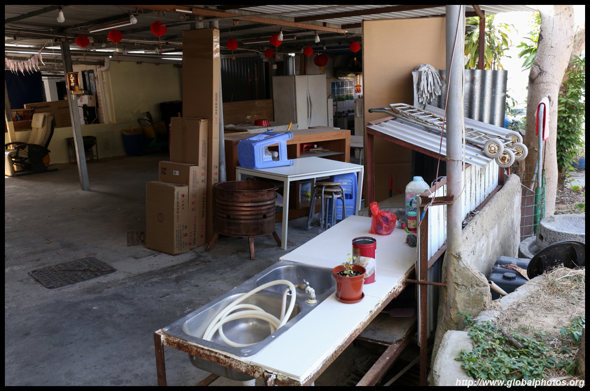
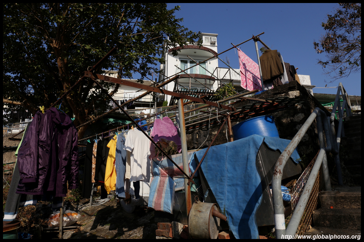
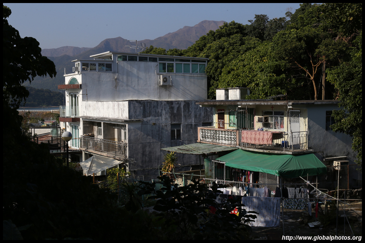
As you walk through the village, notice the lowrise homes, kids playing on the streets, and covered walkways protecting entrances from the elements. Some residences have kitchens and bathrooms in separate buildings. This is still a thriving residential area. Look for a small gallery, which has exhibitions and artifacts on local and traditional life.
| |||
 |
 |
 |
 |
 |
 |
 |
 |
 |
 |
 |
 |
 |
 |
 |
 |
| |||
 |
 |
 |
 |
 |
 |
 |
 |
 |
 |
 |
 |
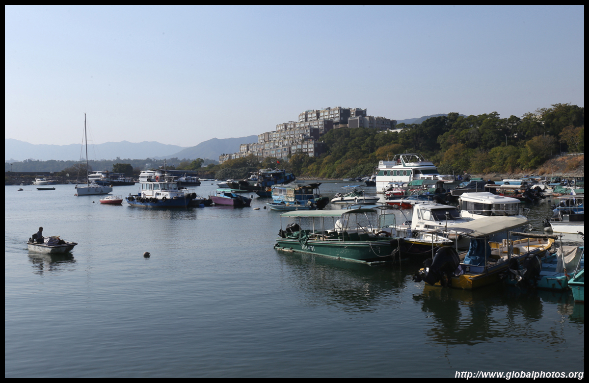
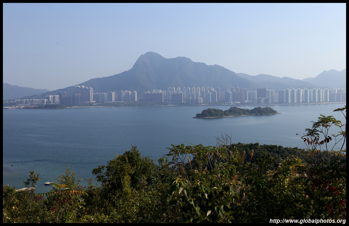
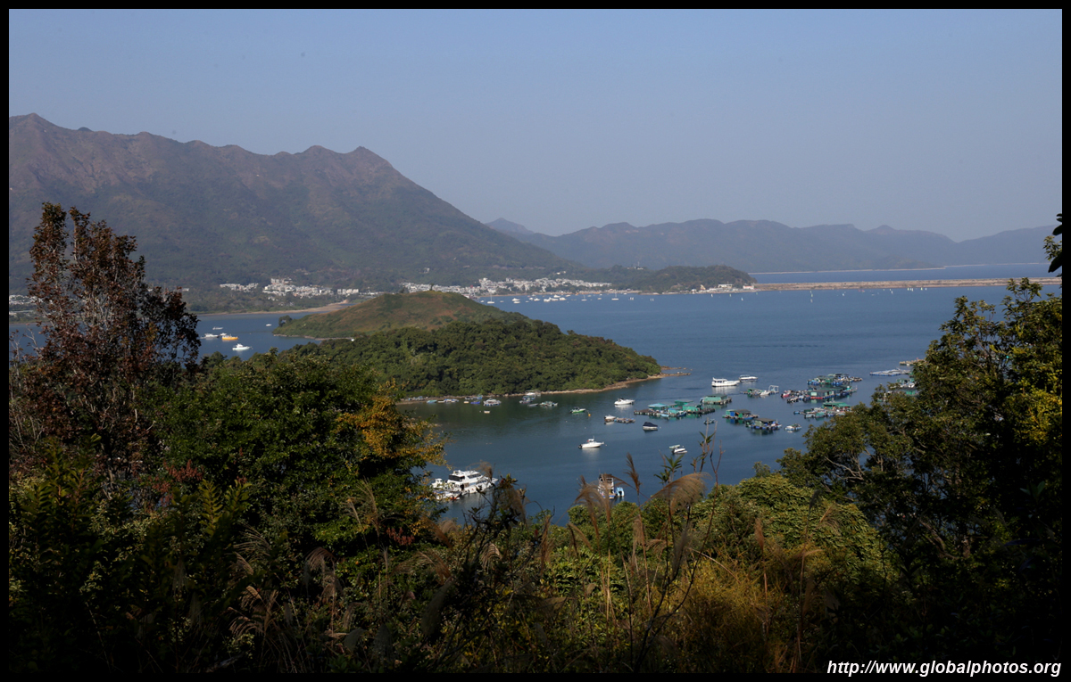
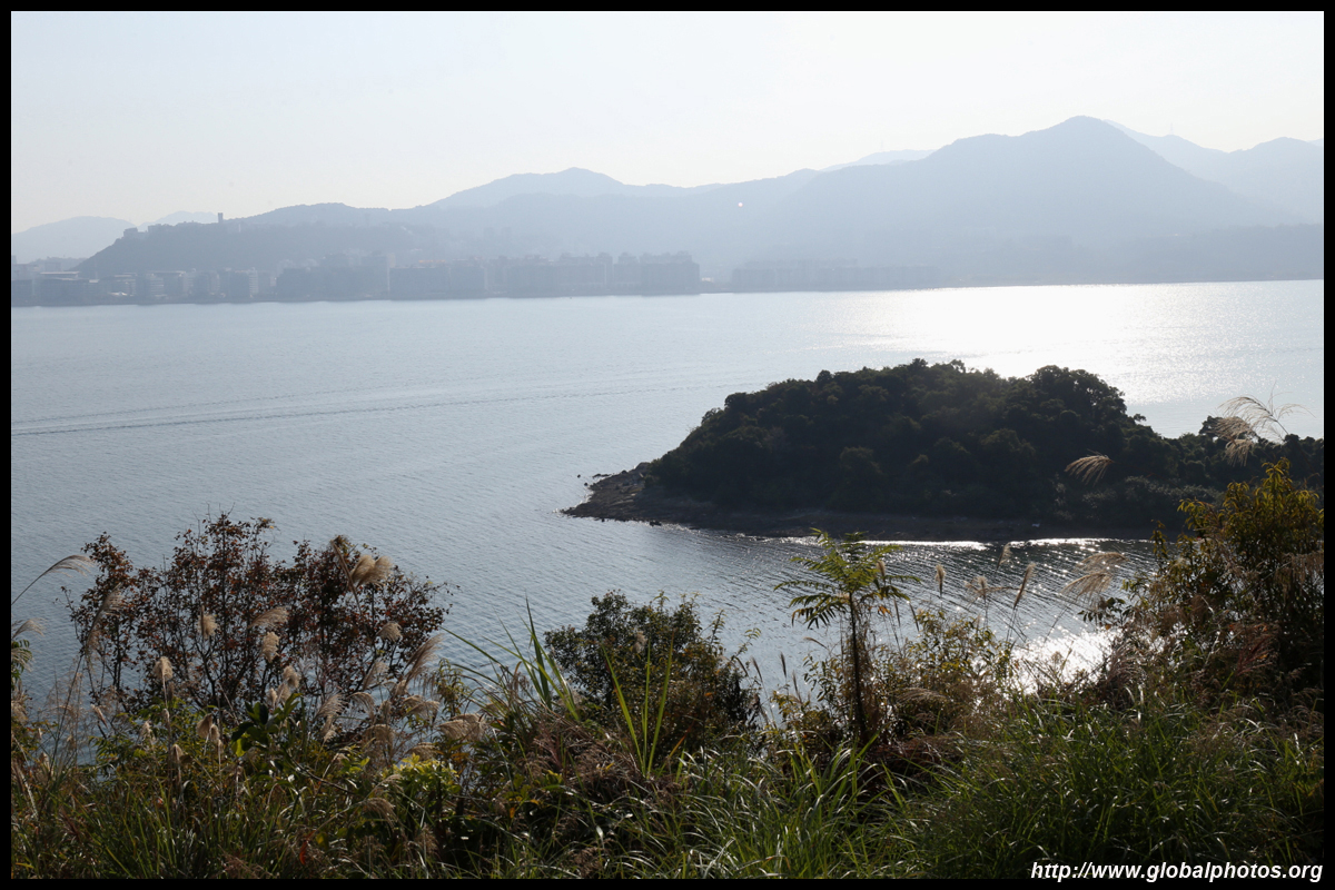
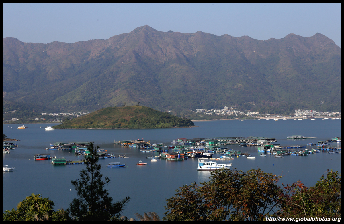
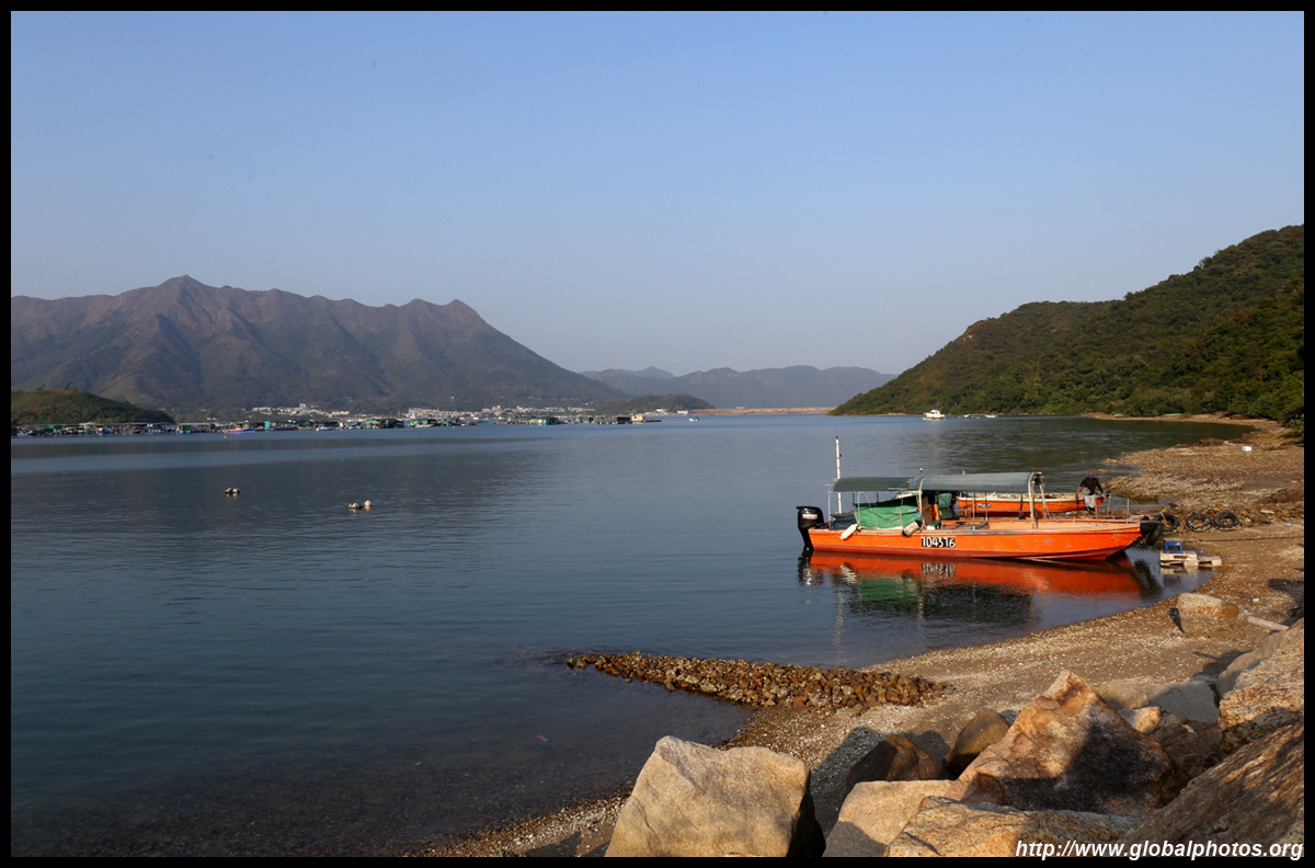
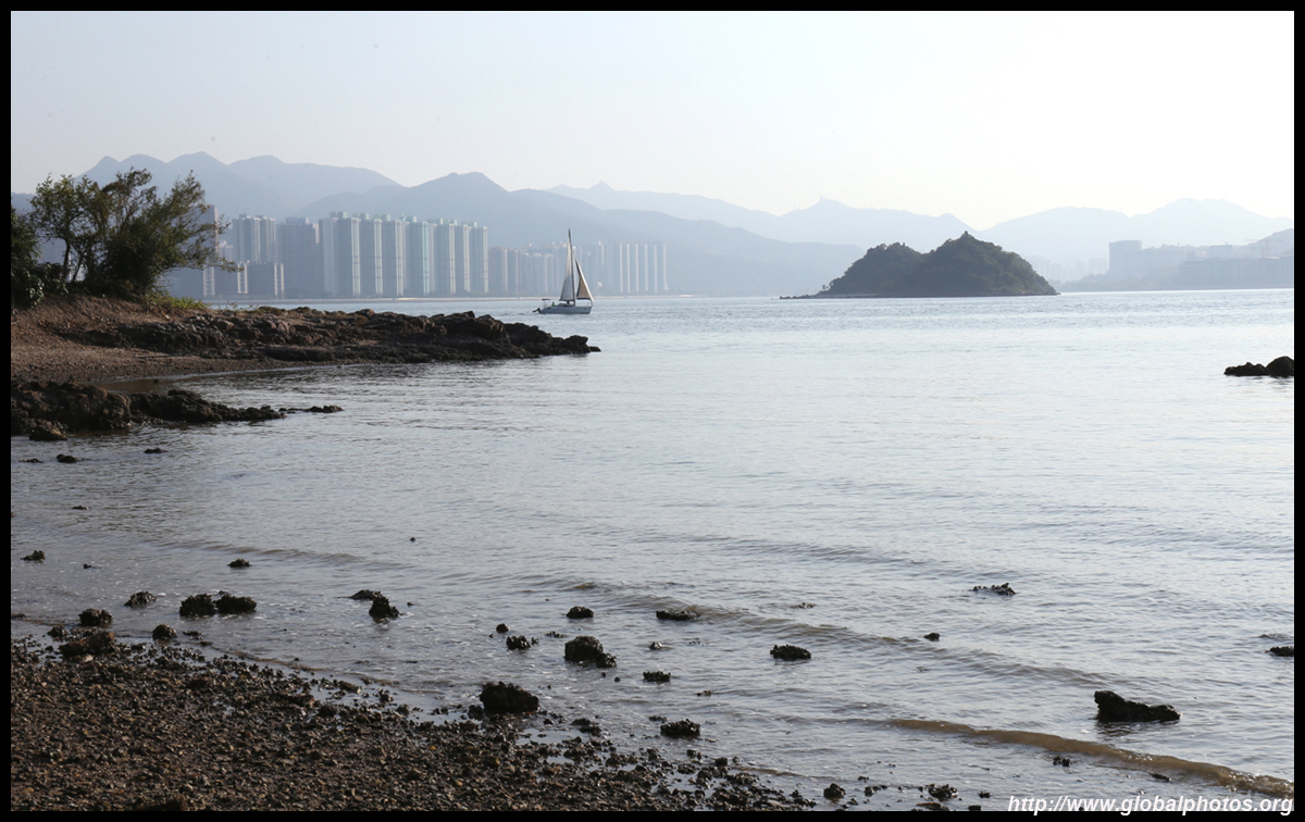
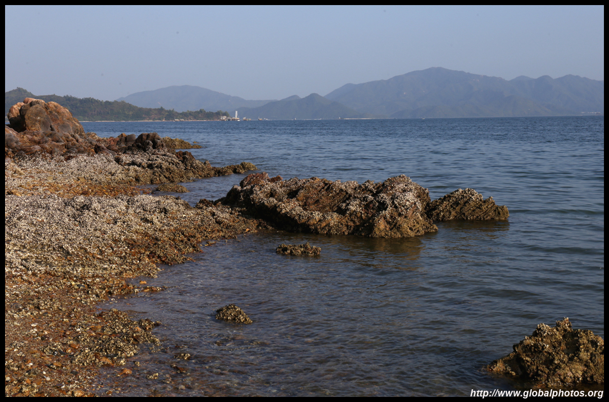
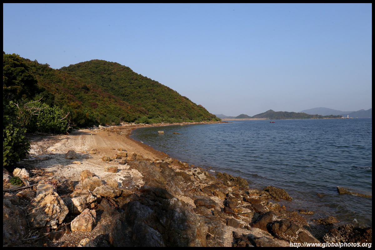
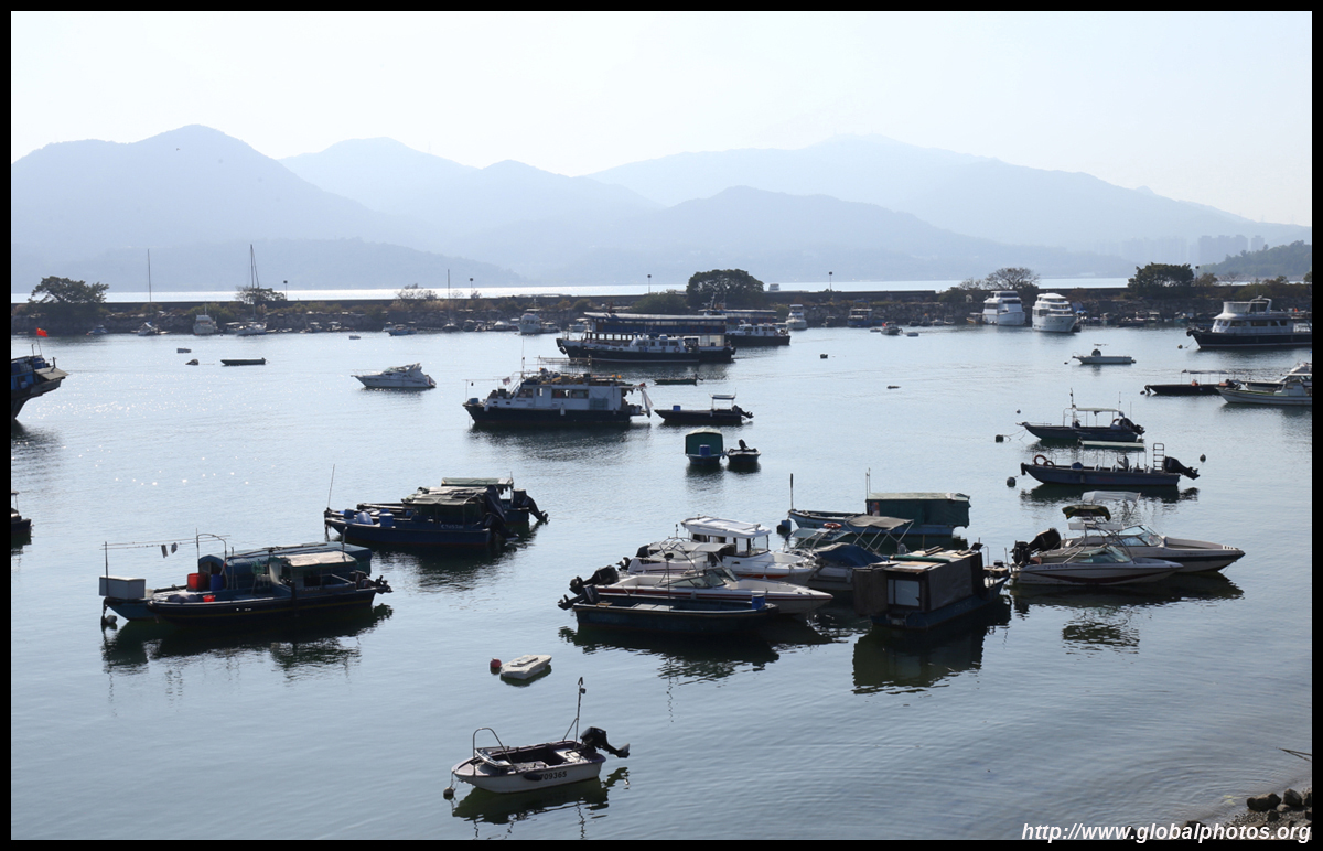
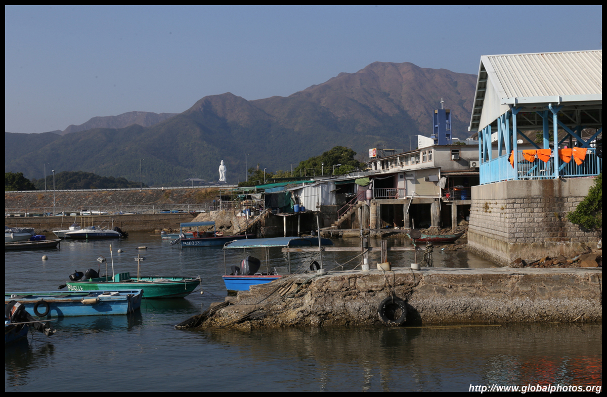
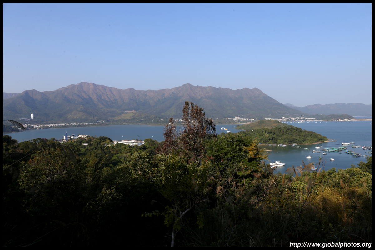
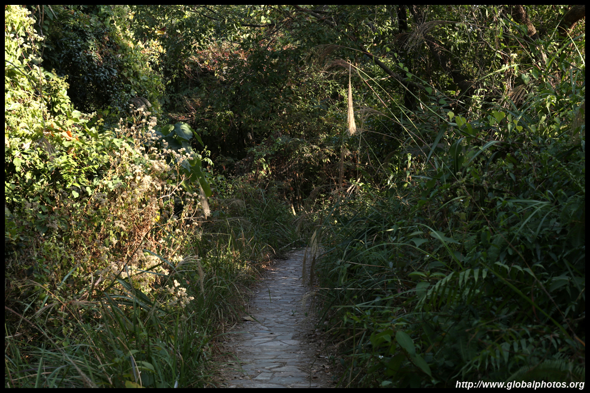
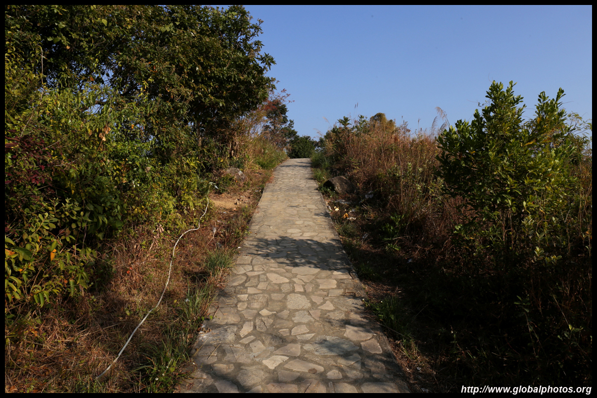
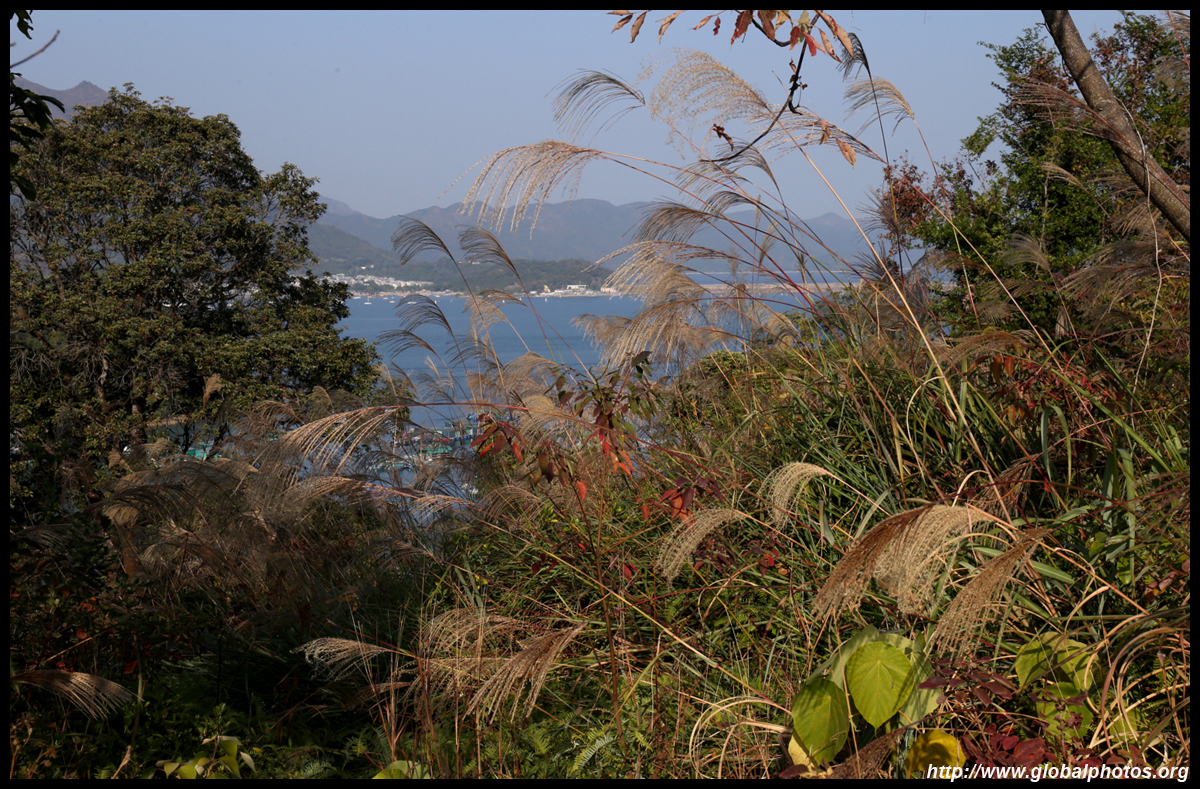
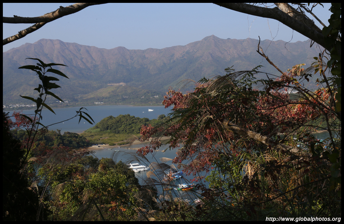
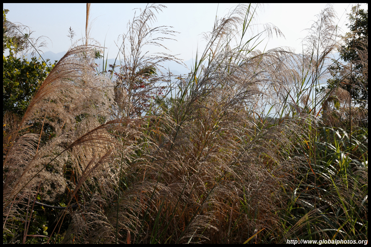
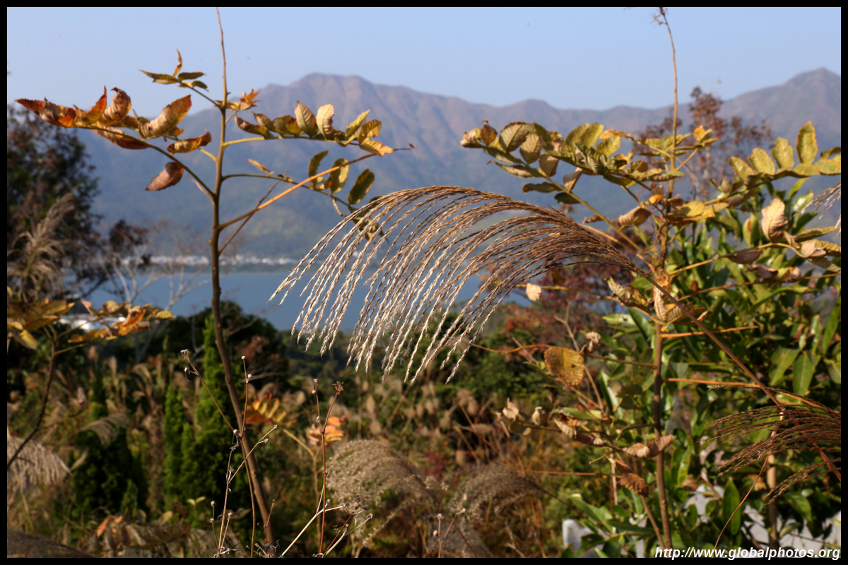
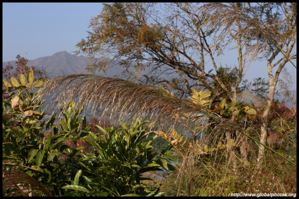
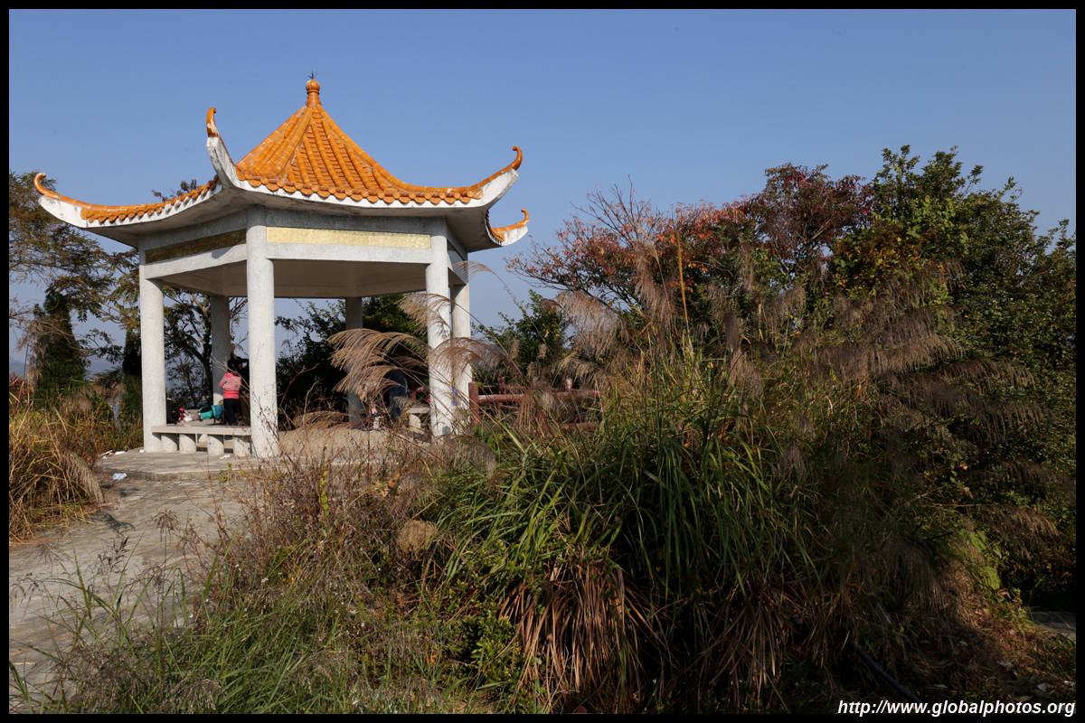
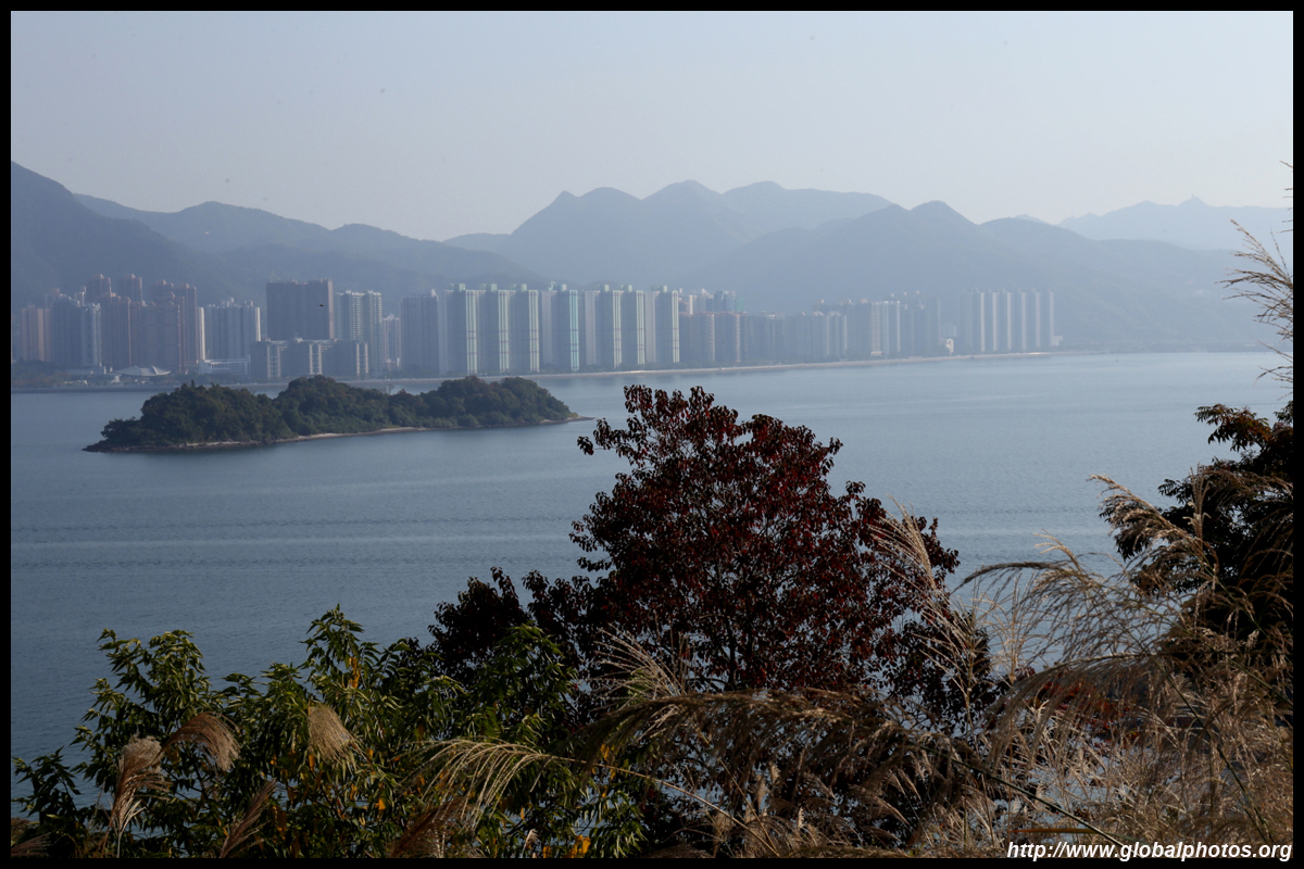
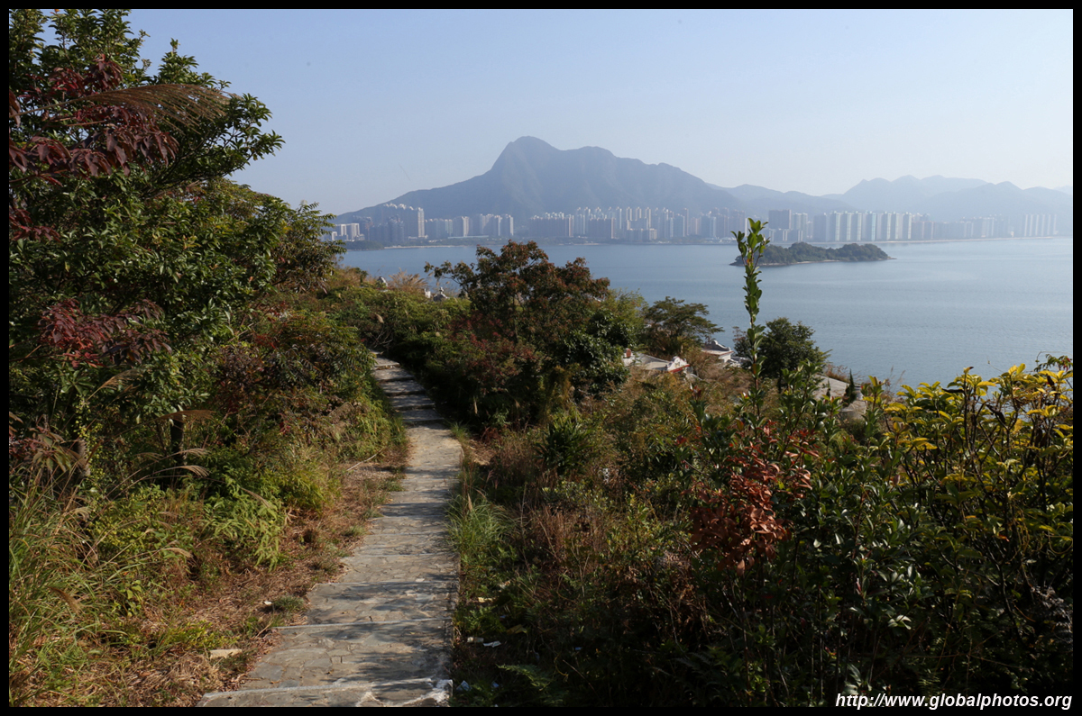
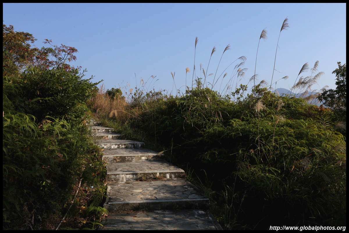
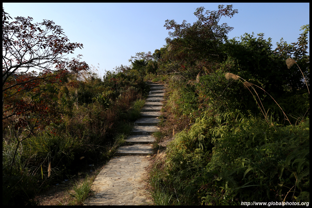
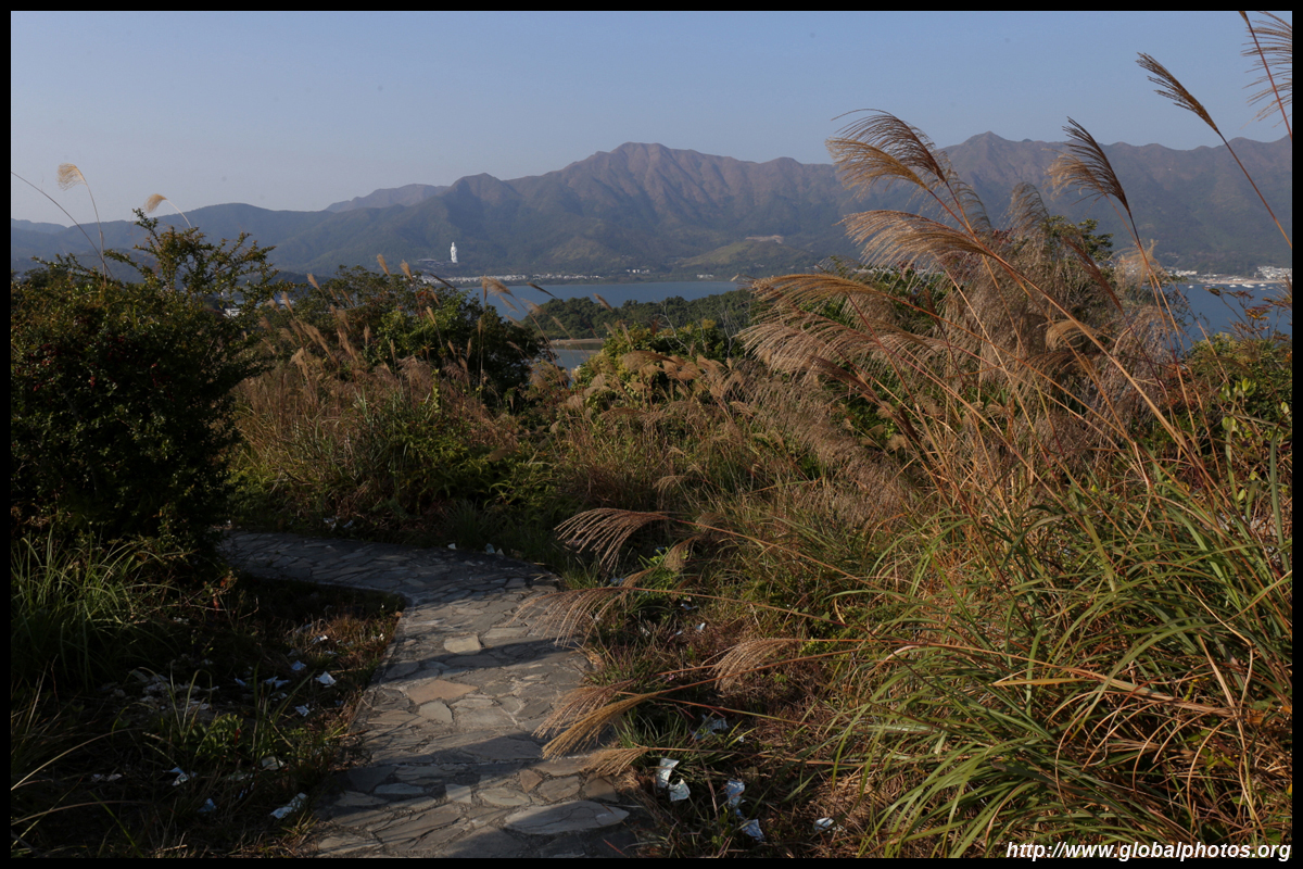
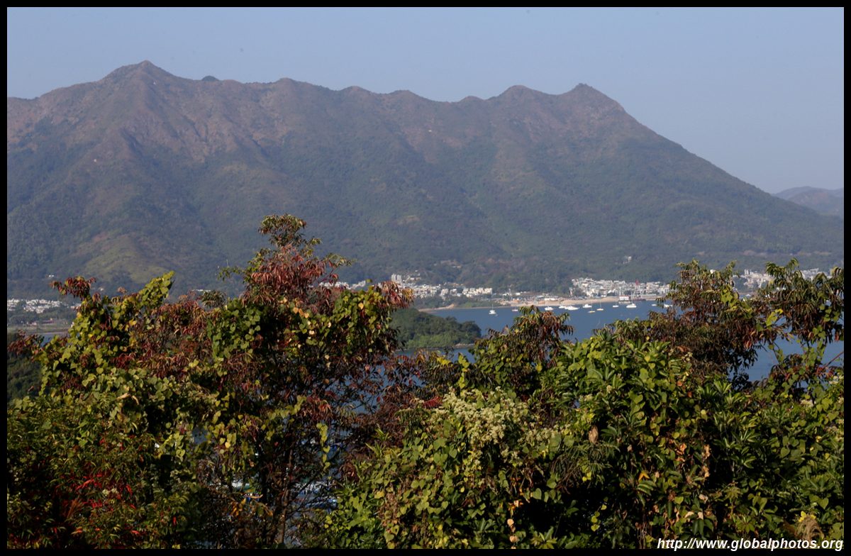
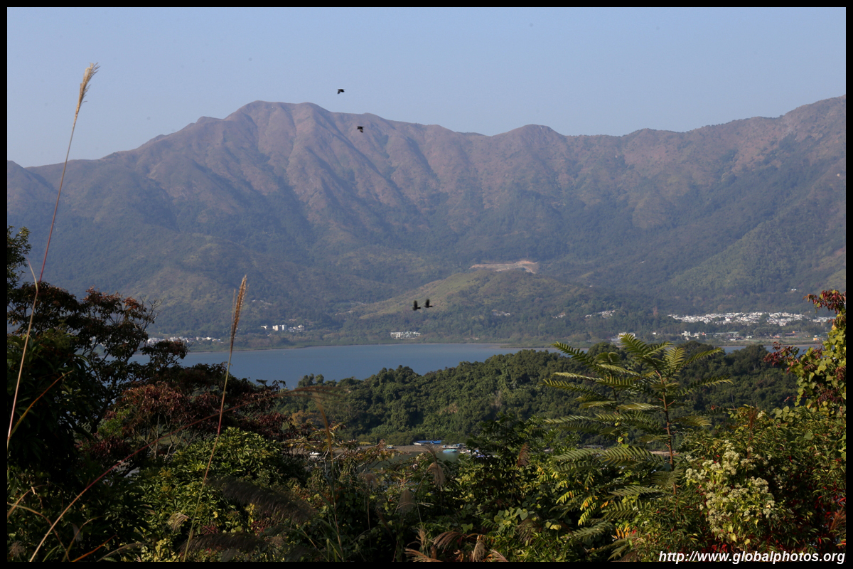
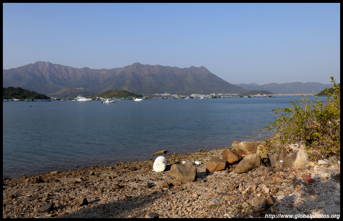
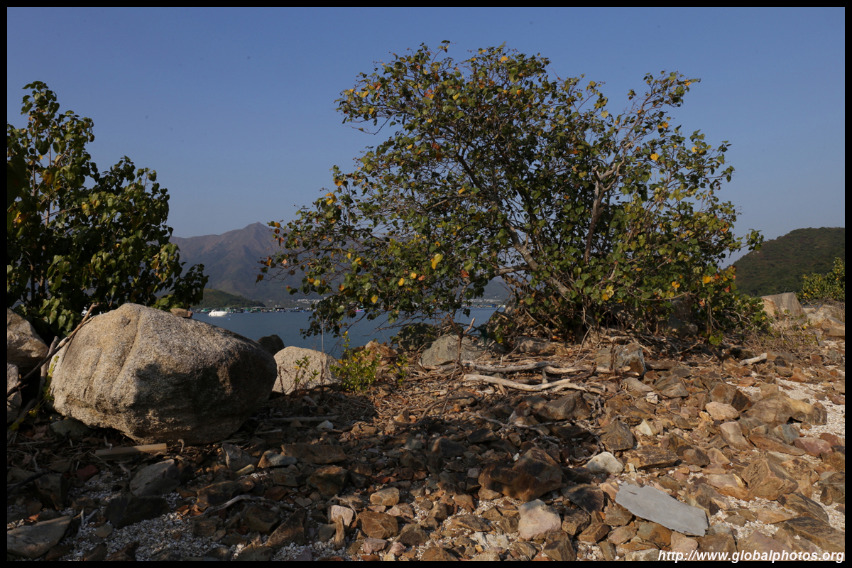
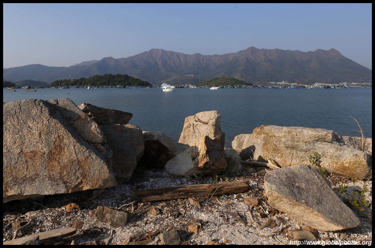
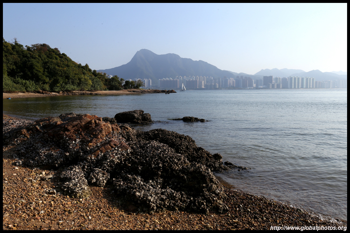
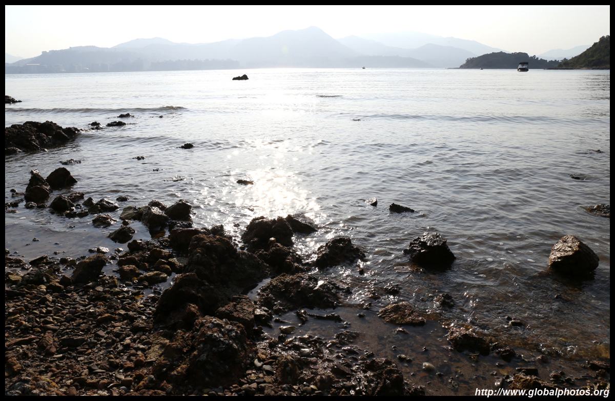
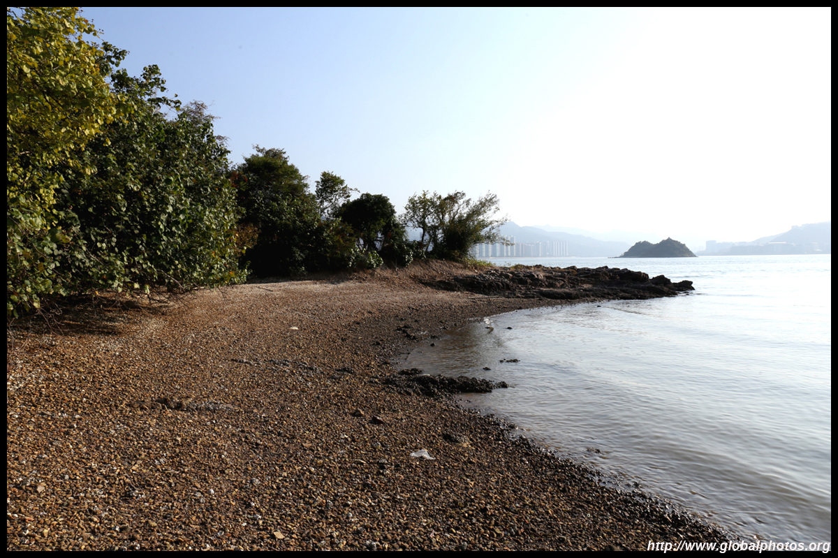
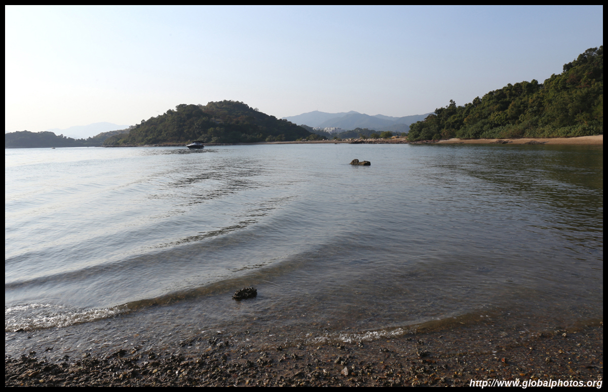
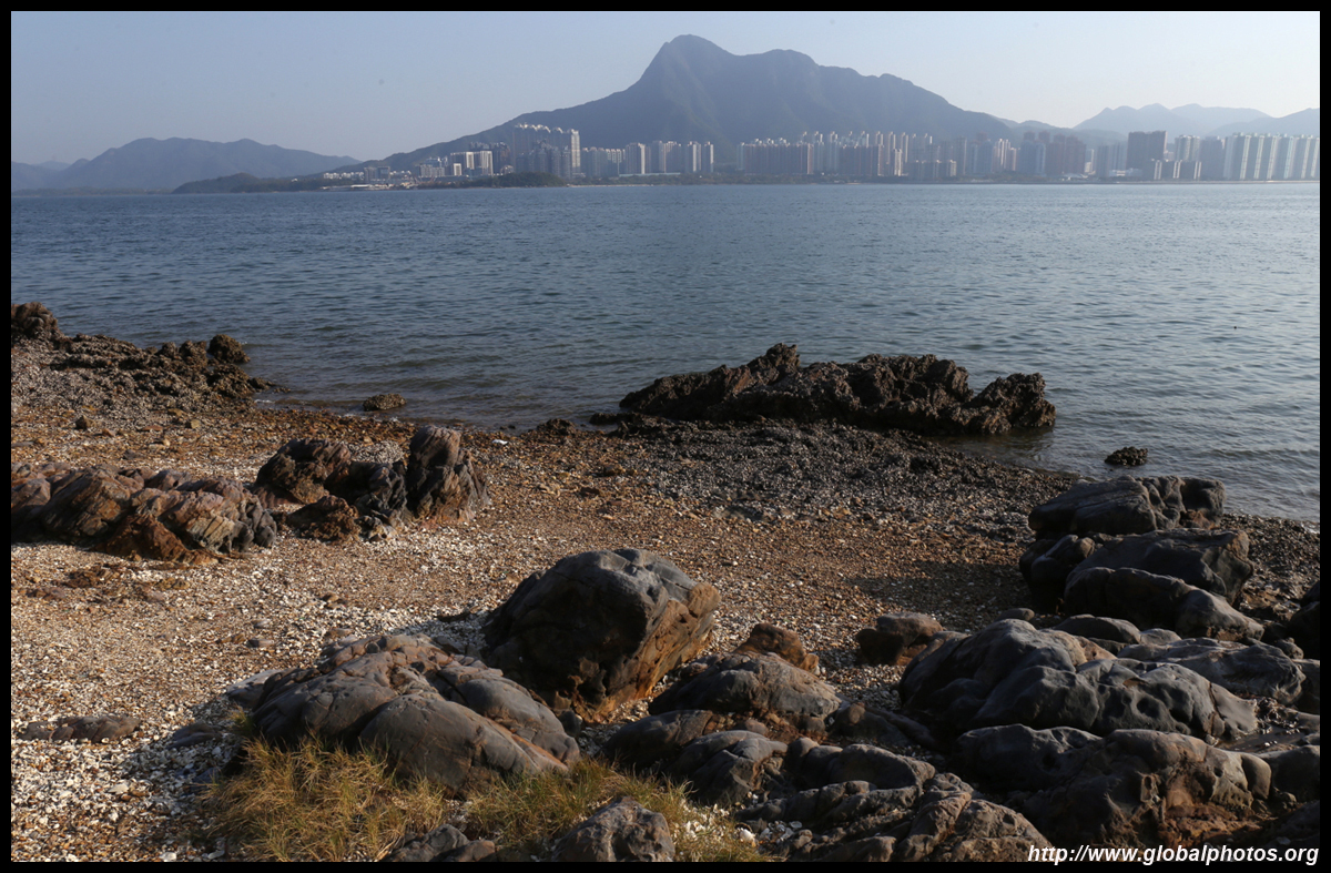
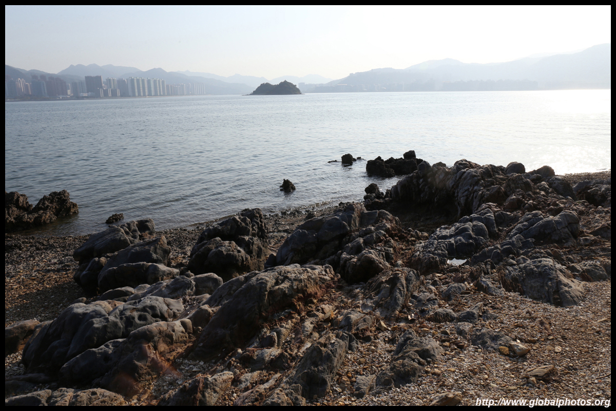
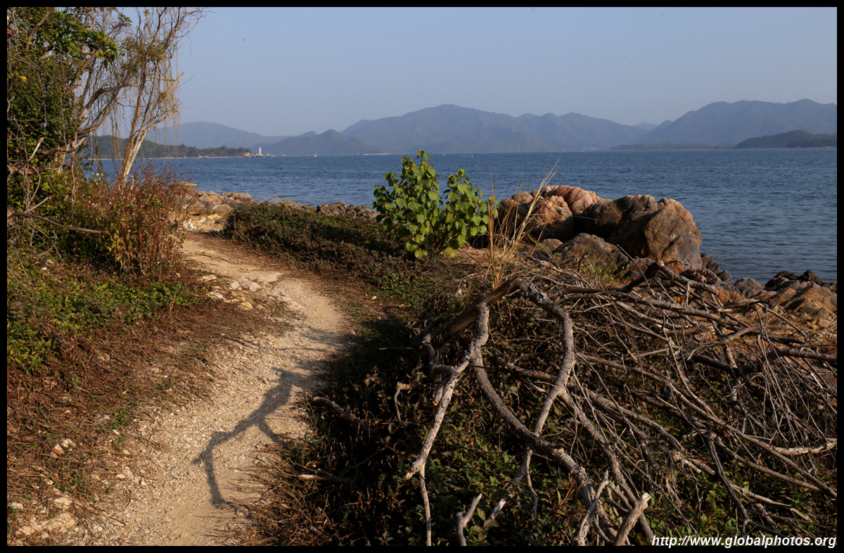
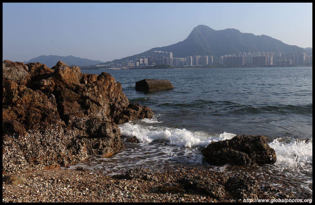
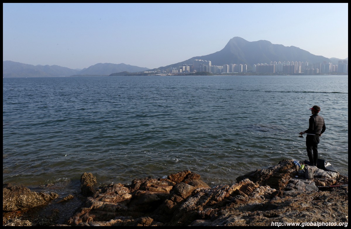
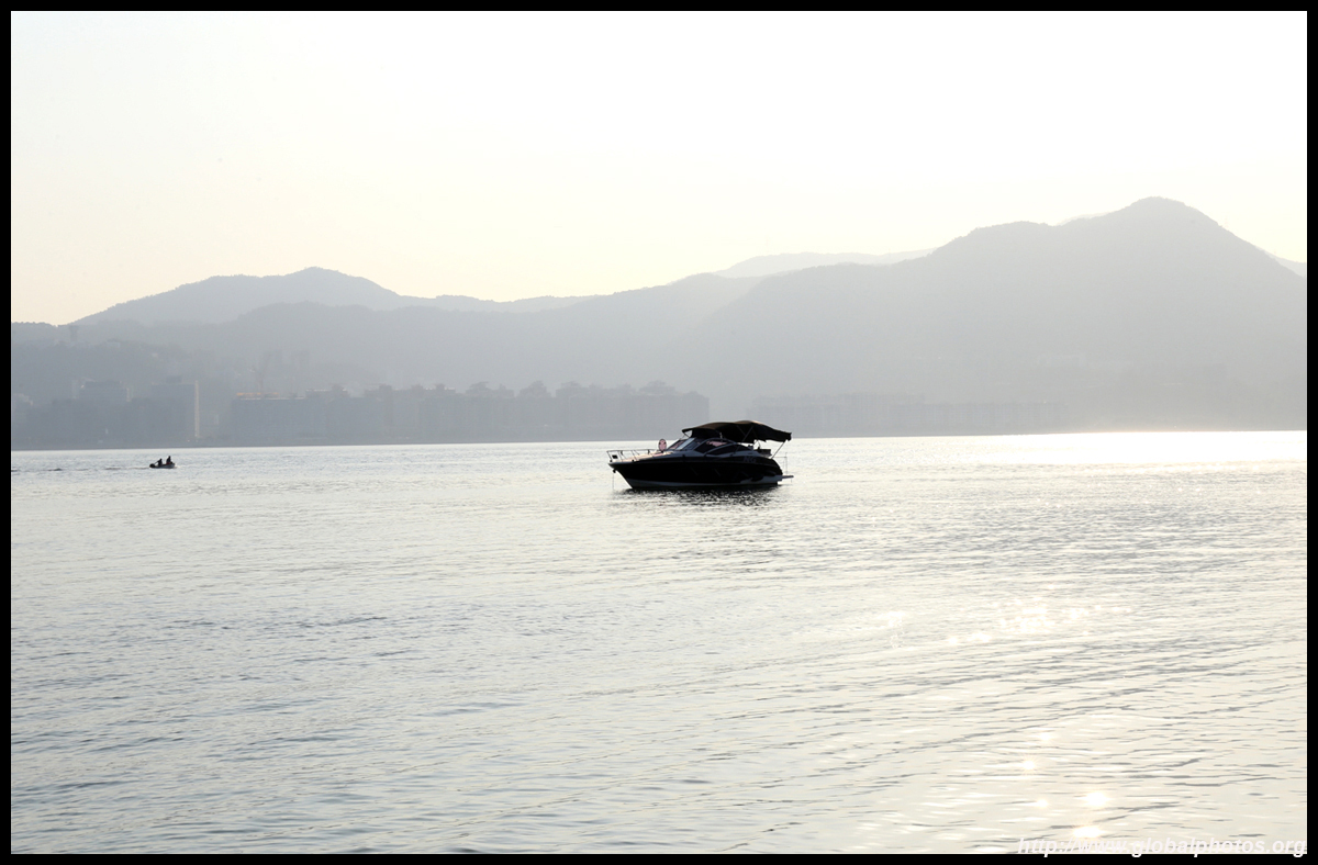
A paved path emerges from the middle of the village to ancestral graves along the countryside. Keep going for about half an hour and you will descend back to the shore. On a good day, you can easily spot Ma On Shan, Science Park, and Tai Po in the distance, as well as small boats moored in Plover Cove.
| |||
 |
 |
 |
 |
 |
 |
 |
 |
 |
 |
 |
 |
 |
 |
 |
 |
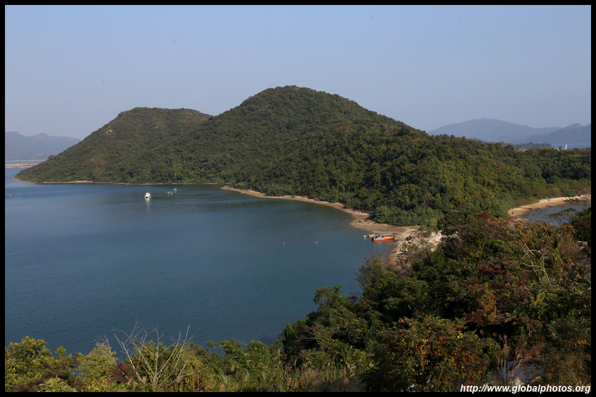
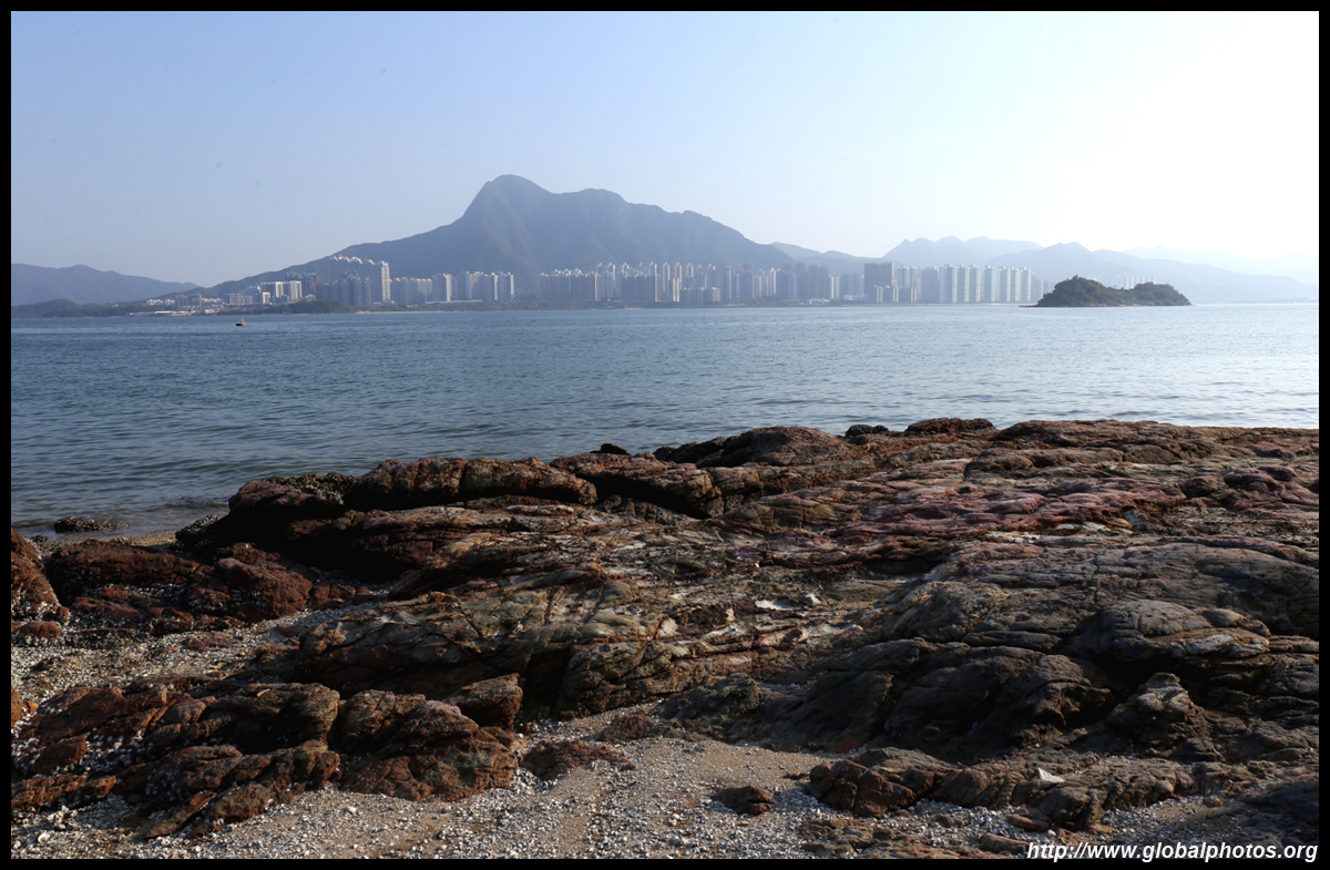
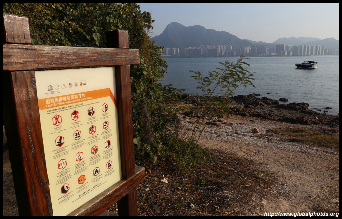
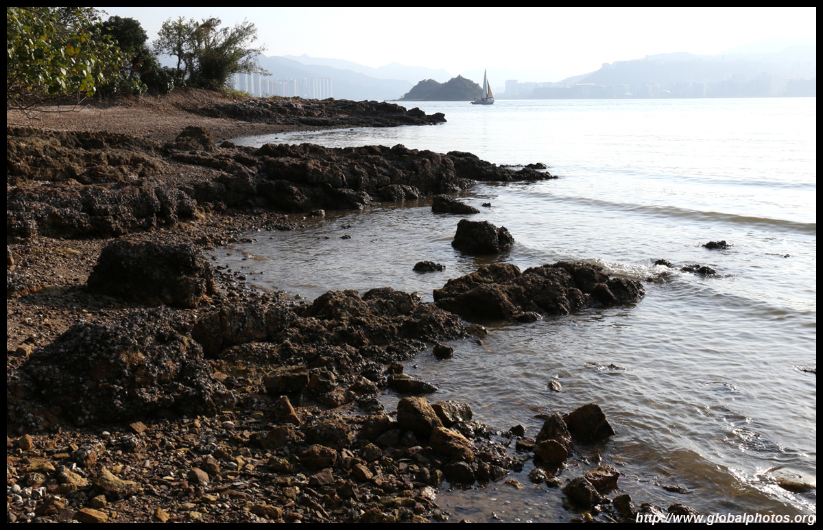
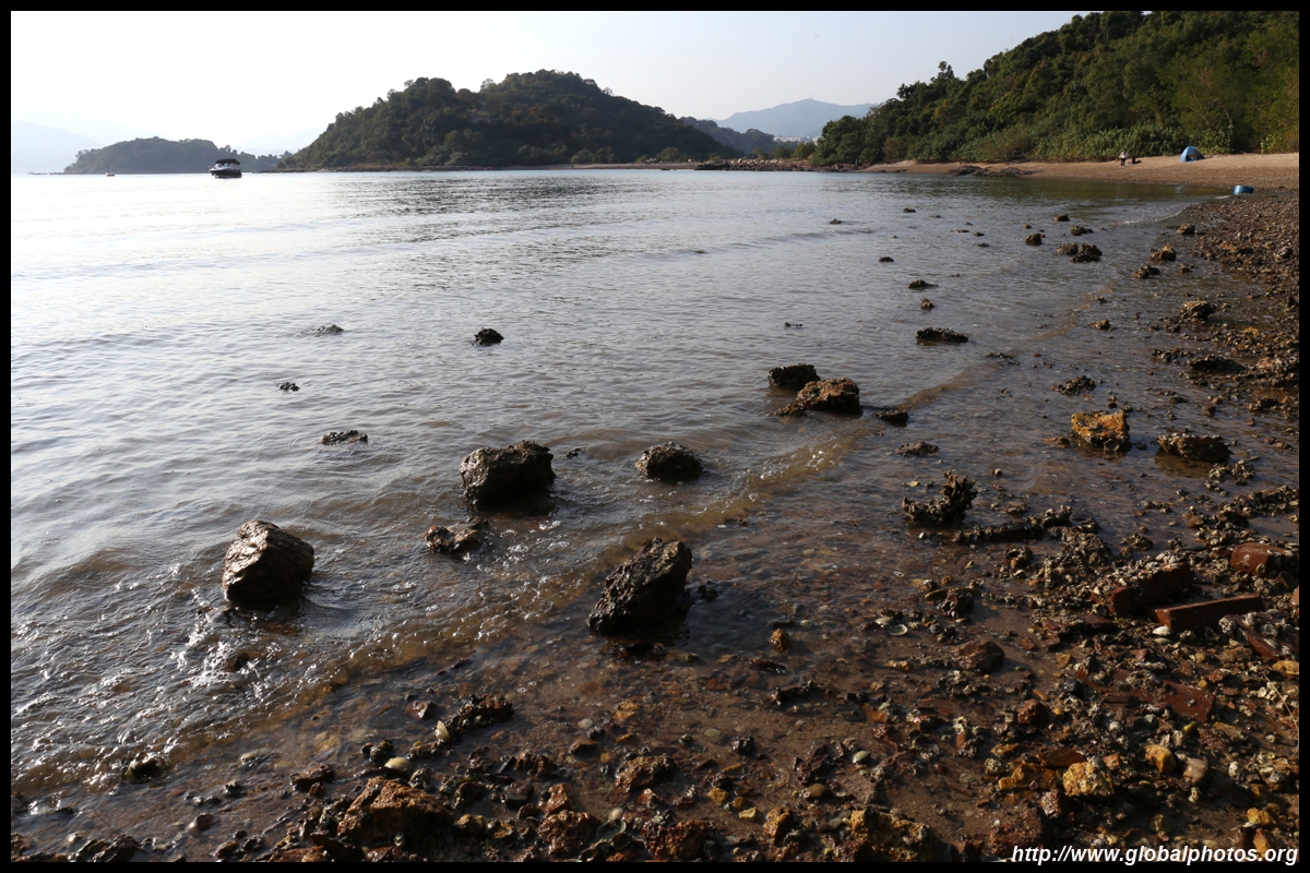
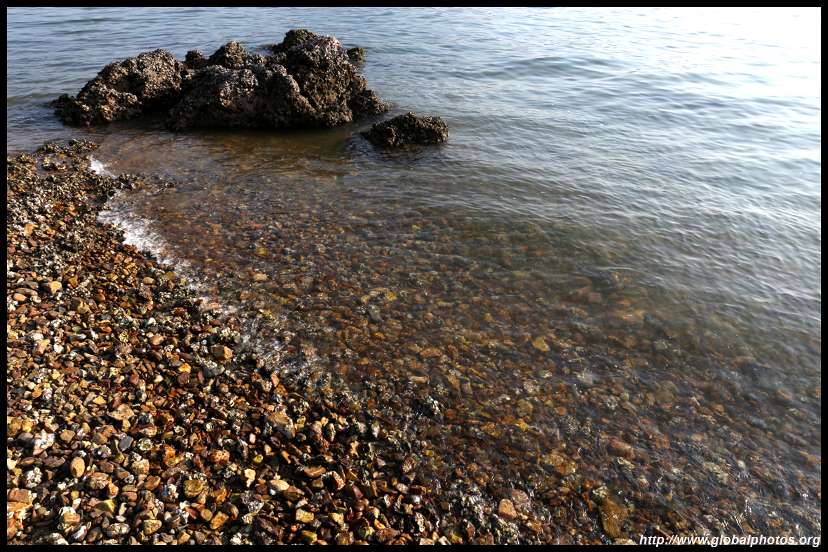
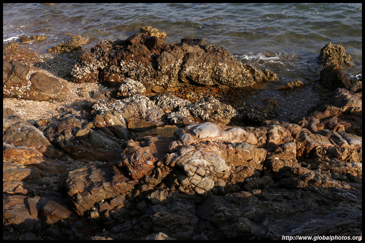
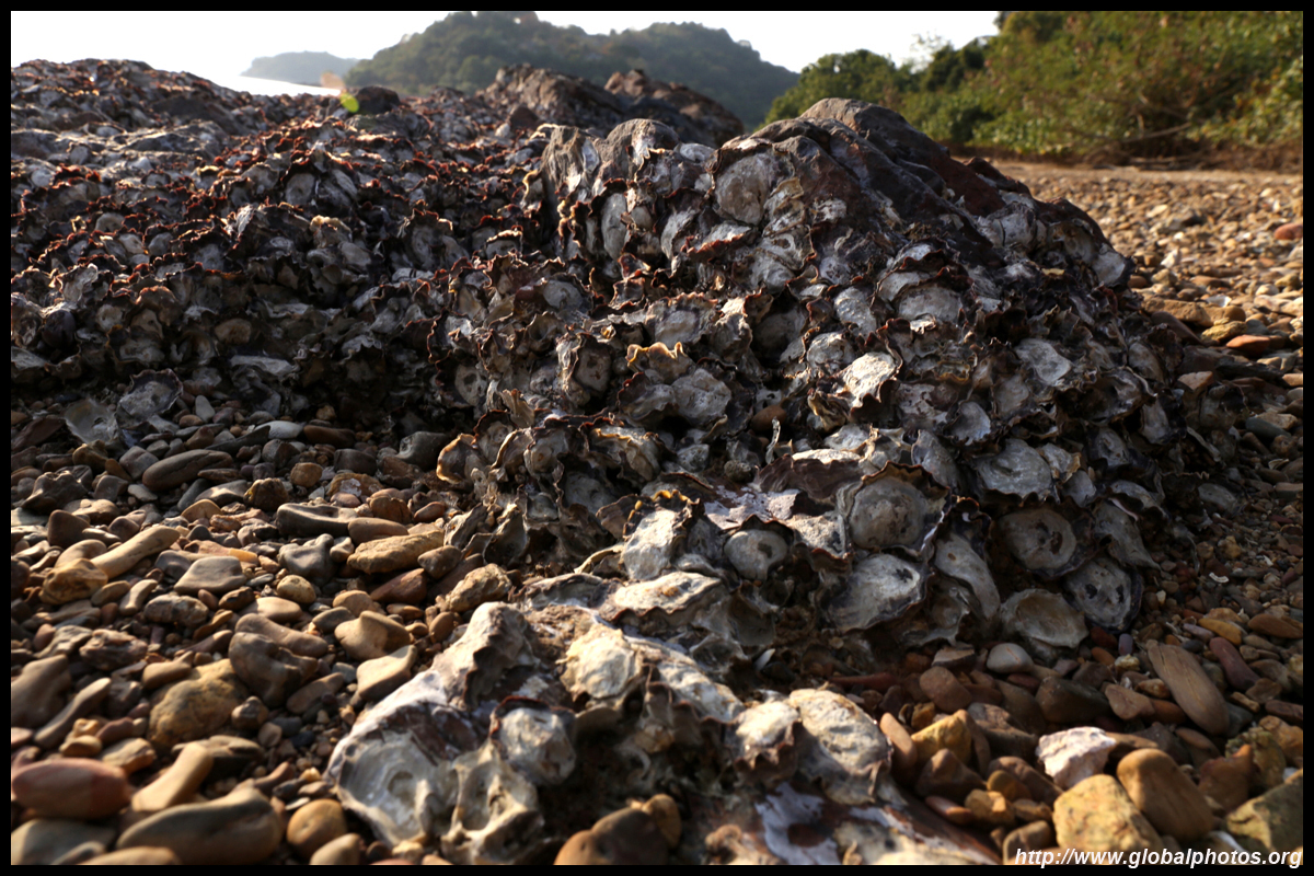
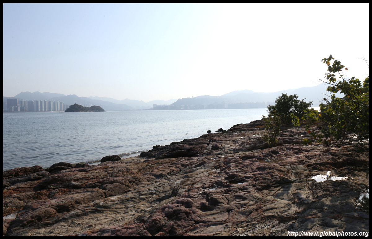
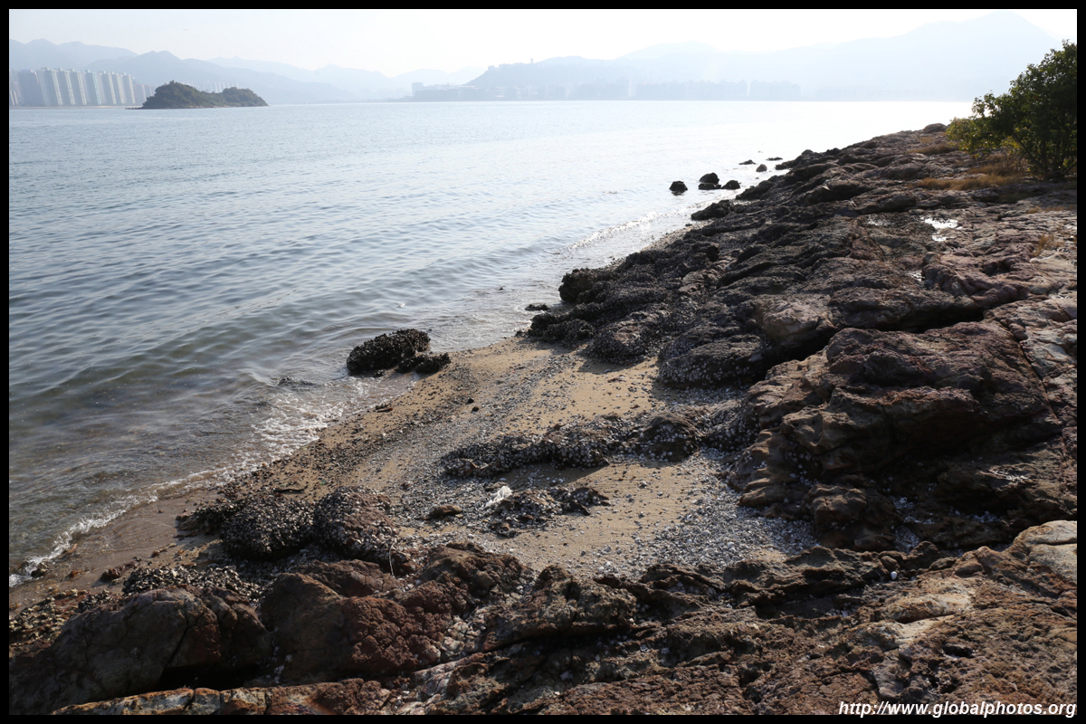
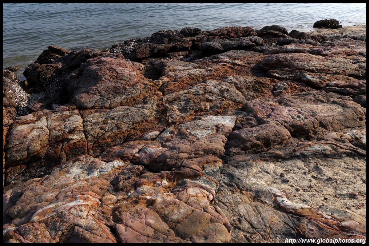
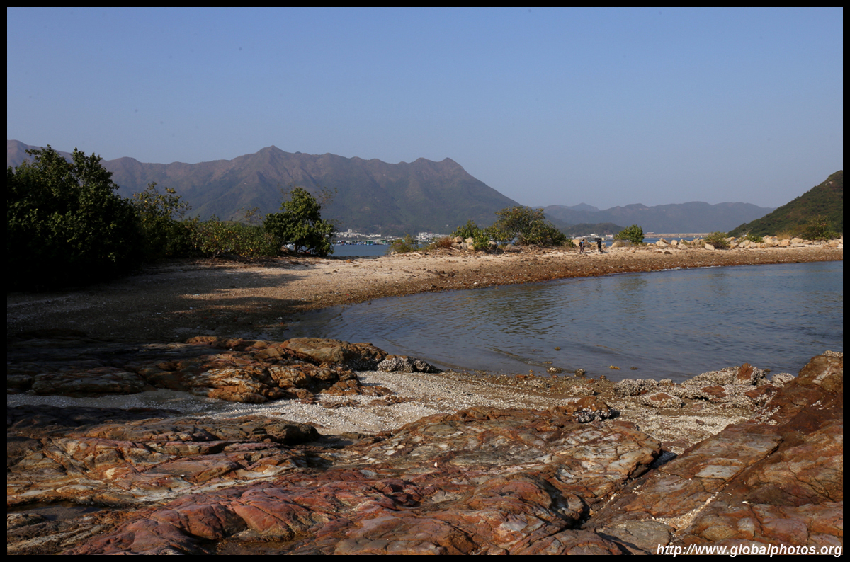
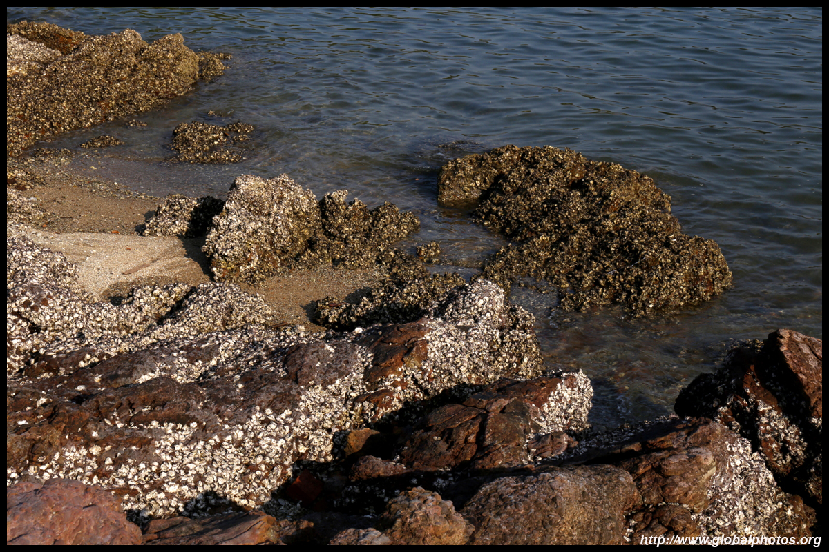
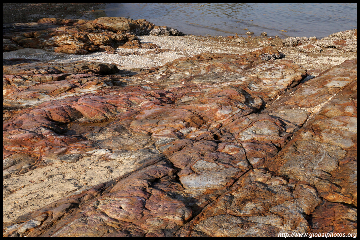
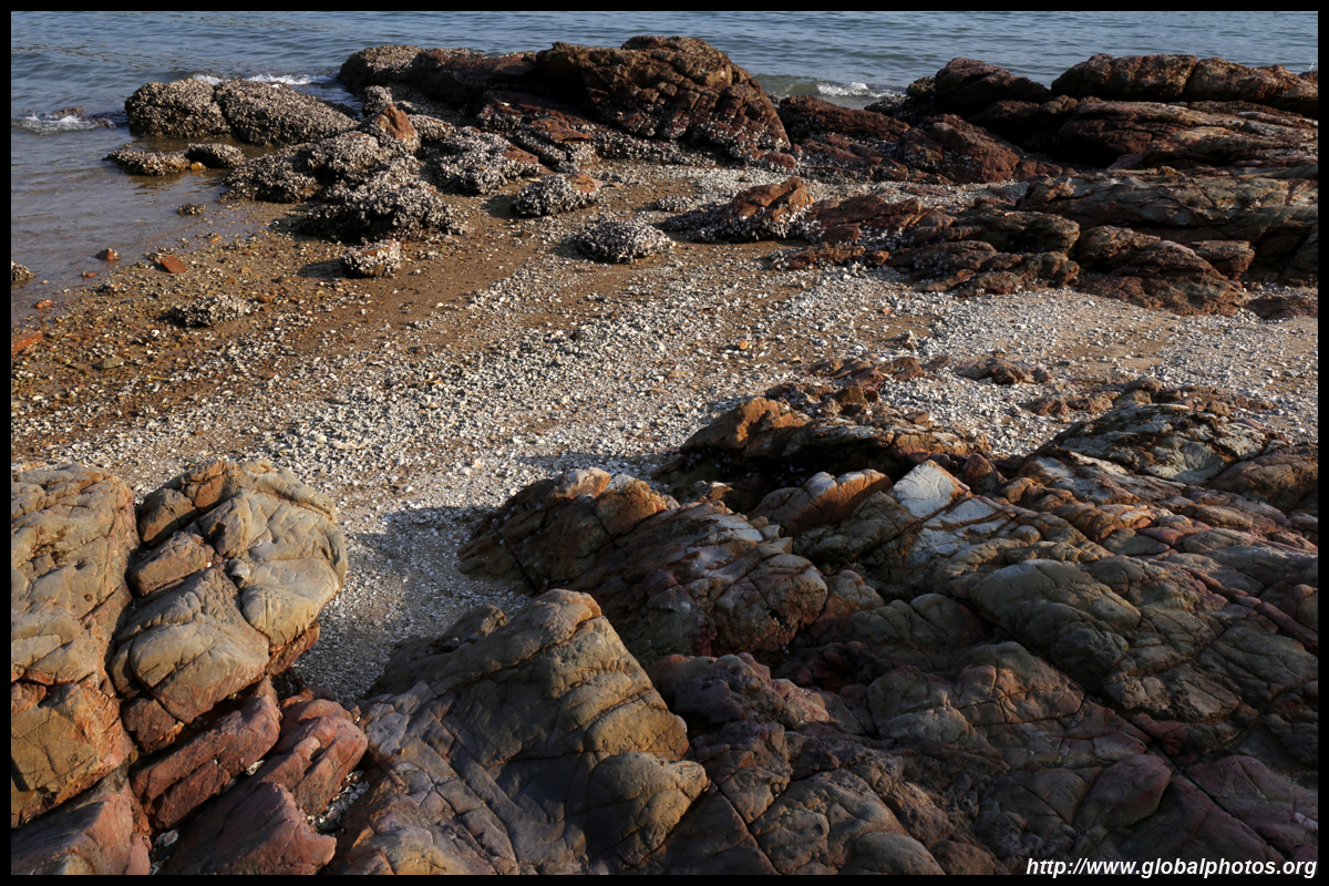
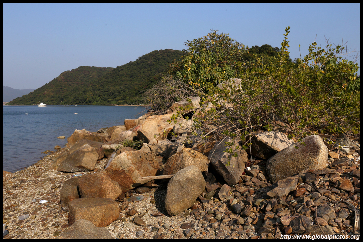
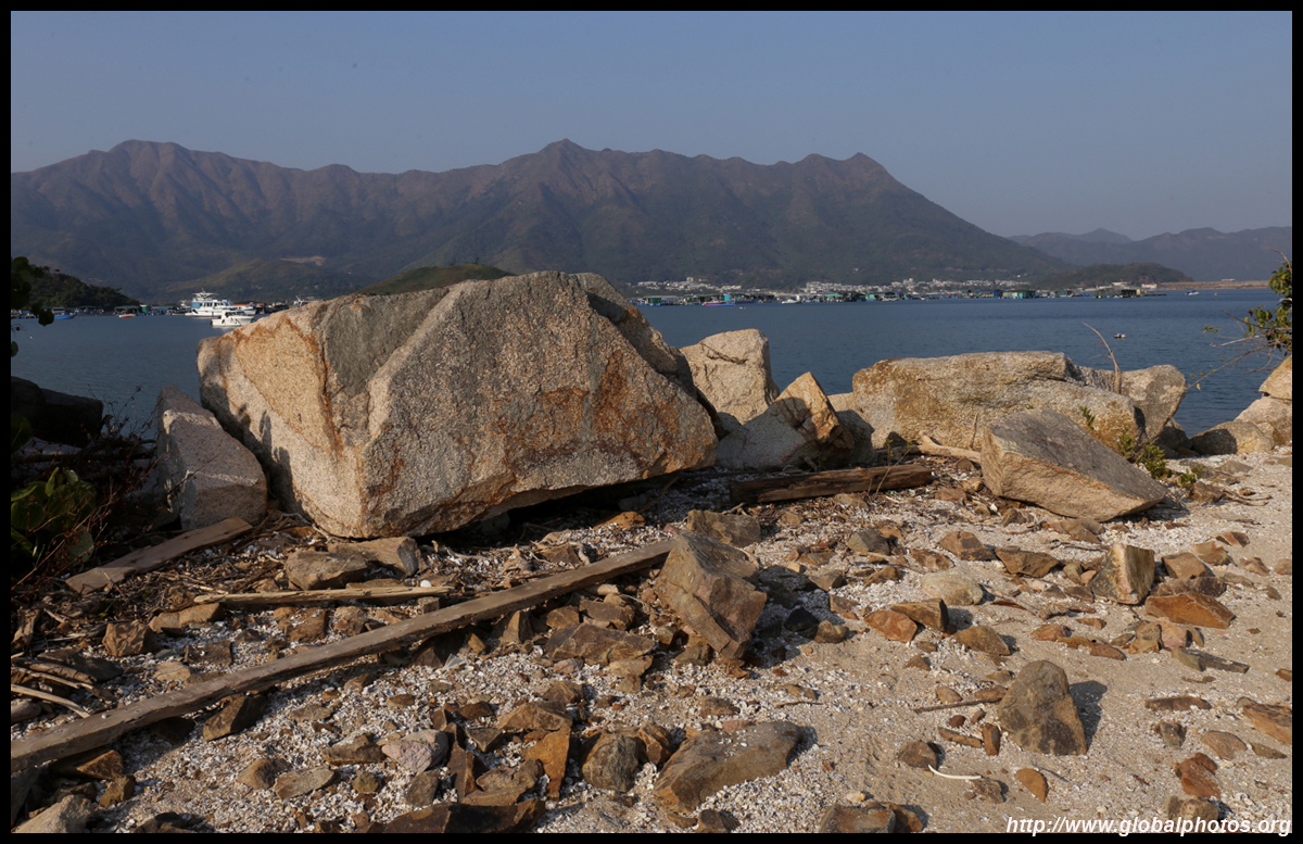
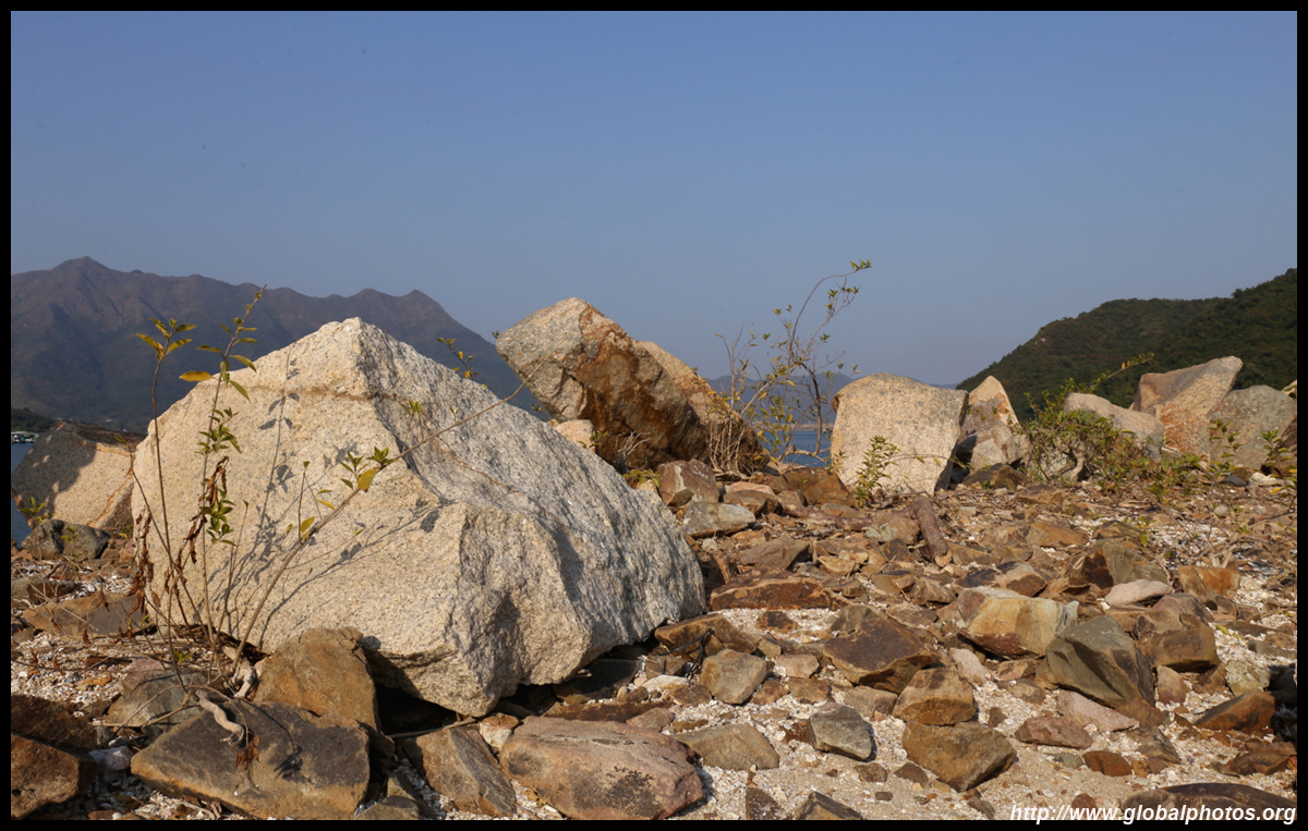
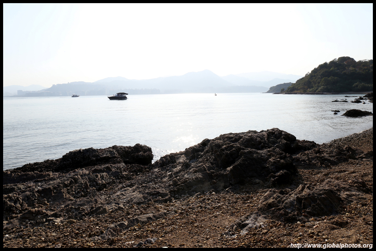
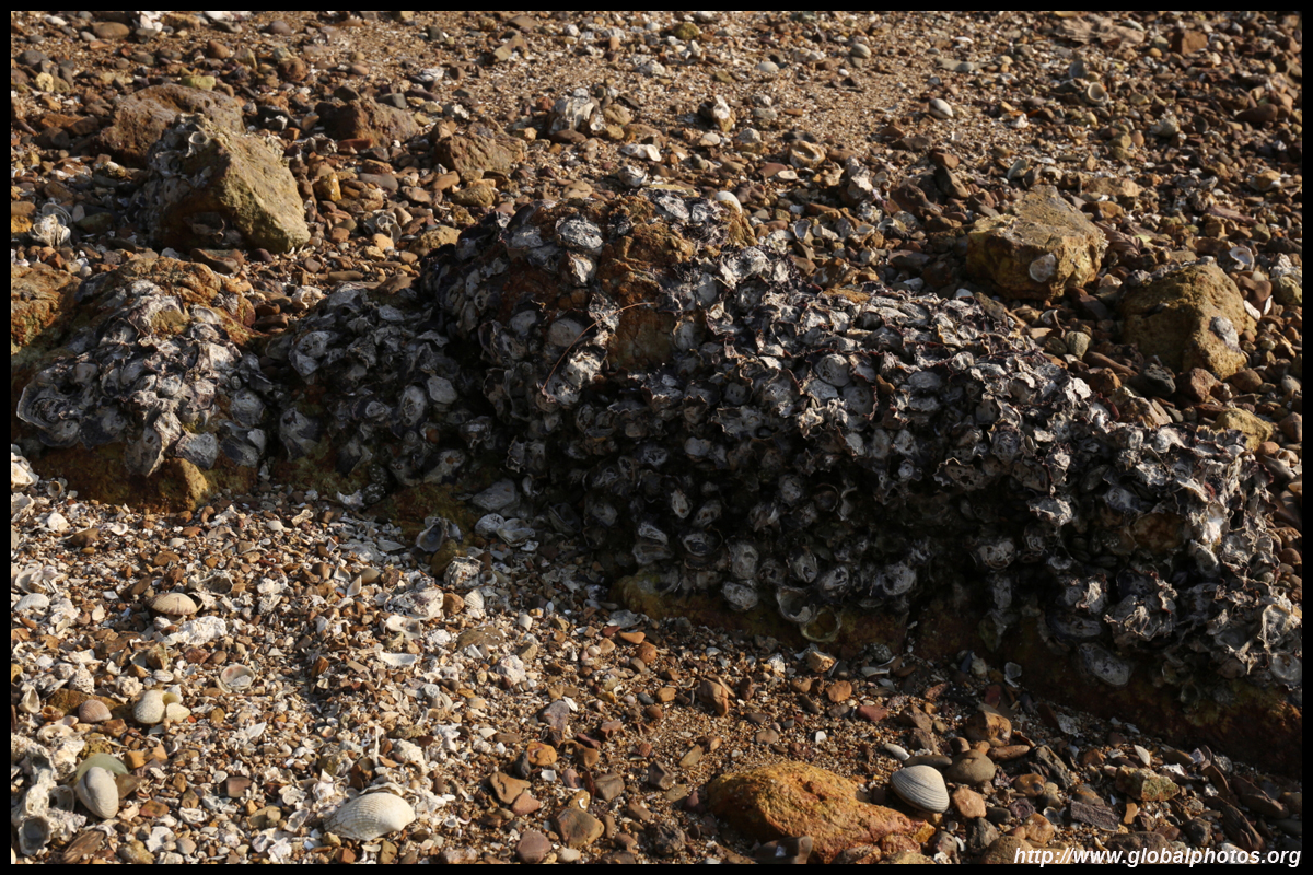
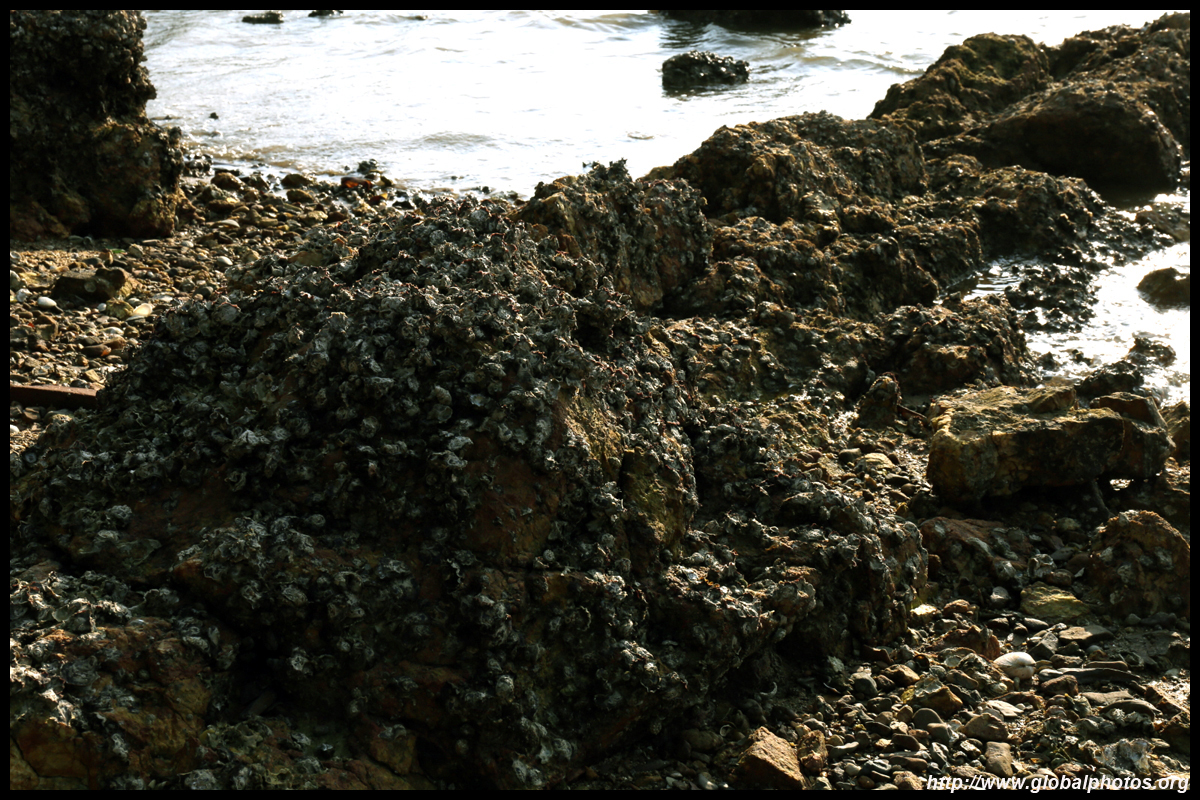
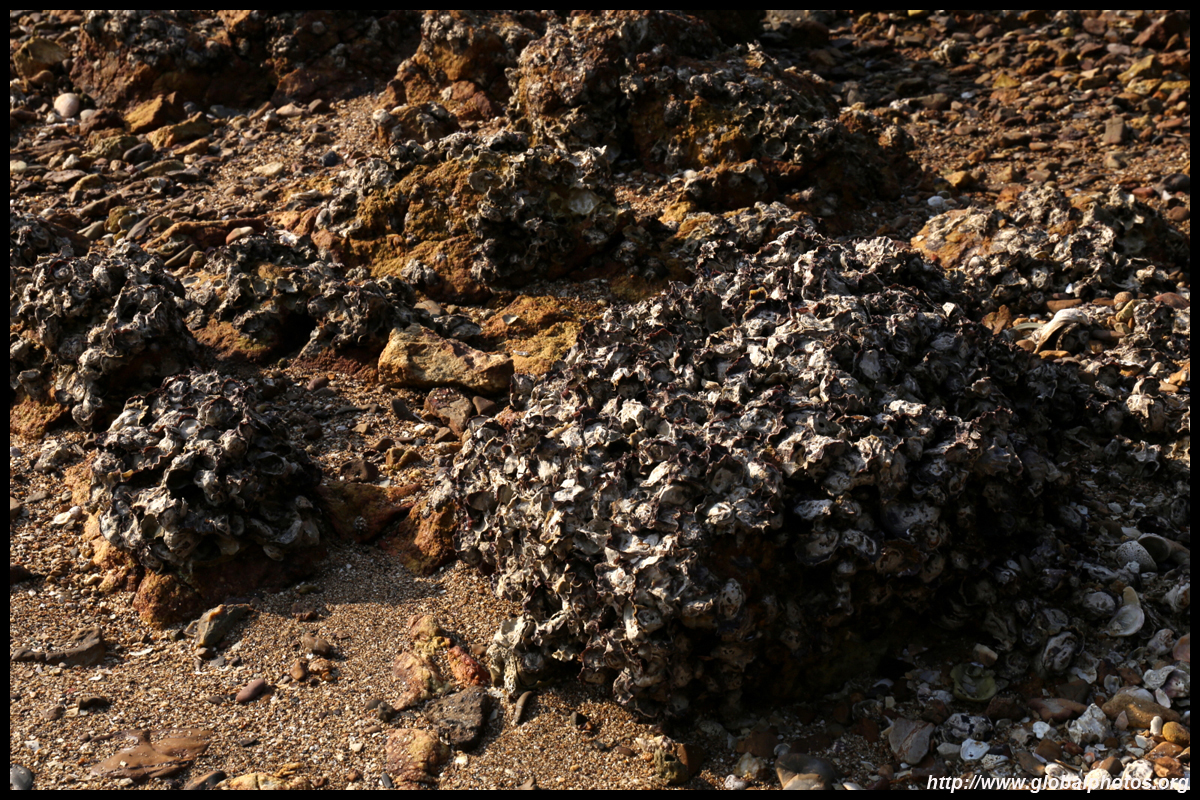
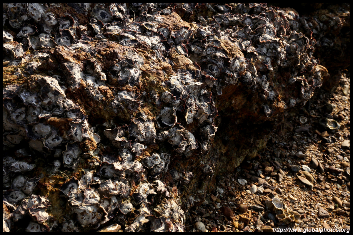
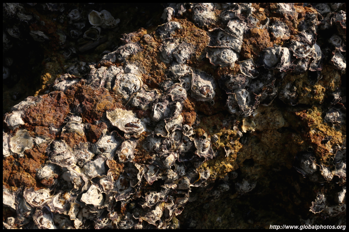
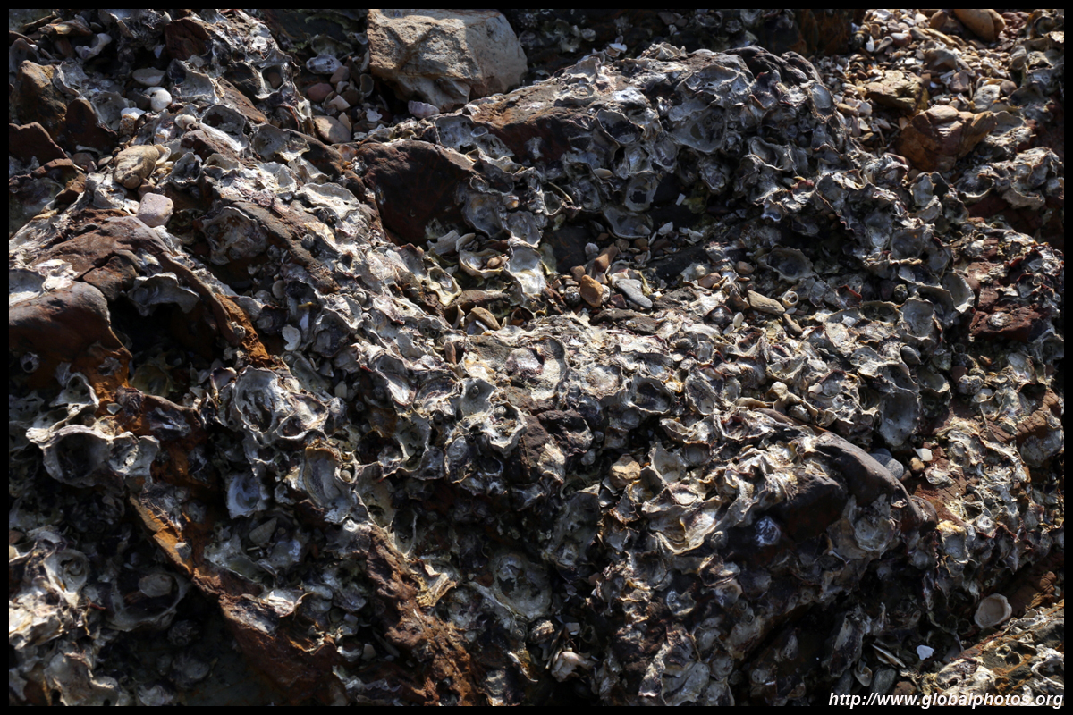
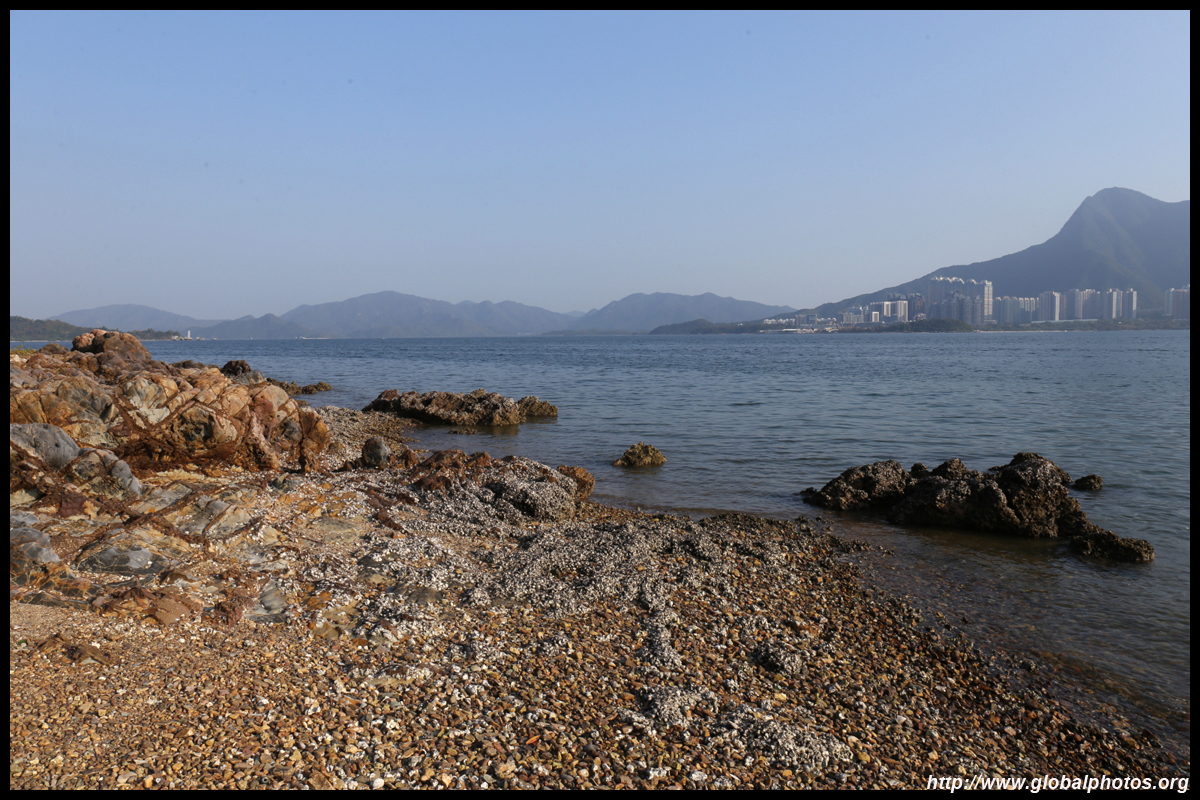
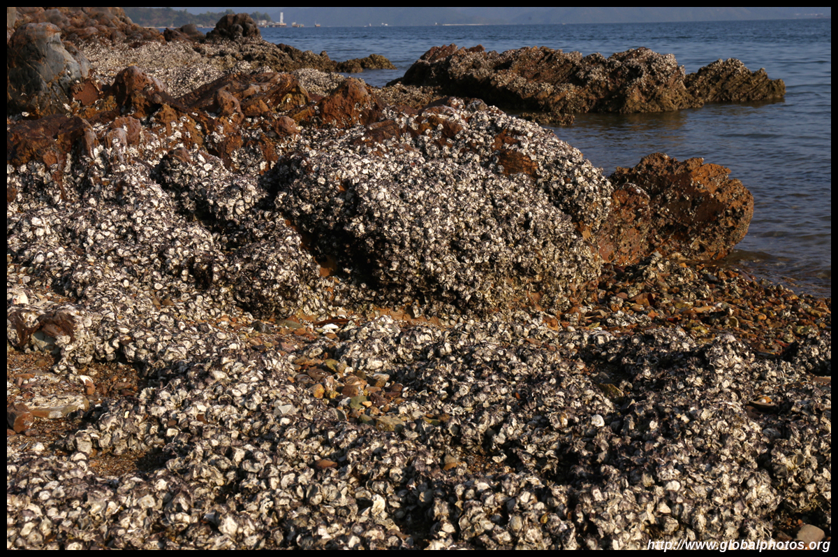
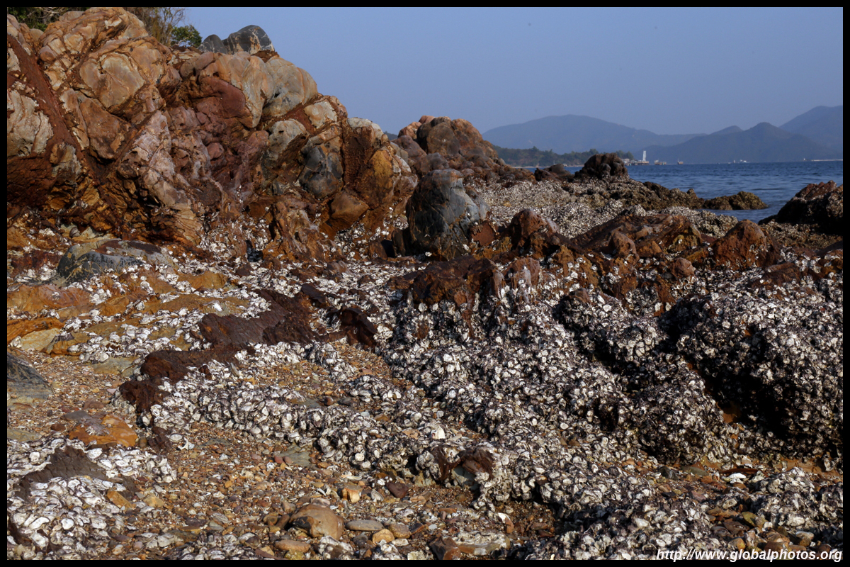
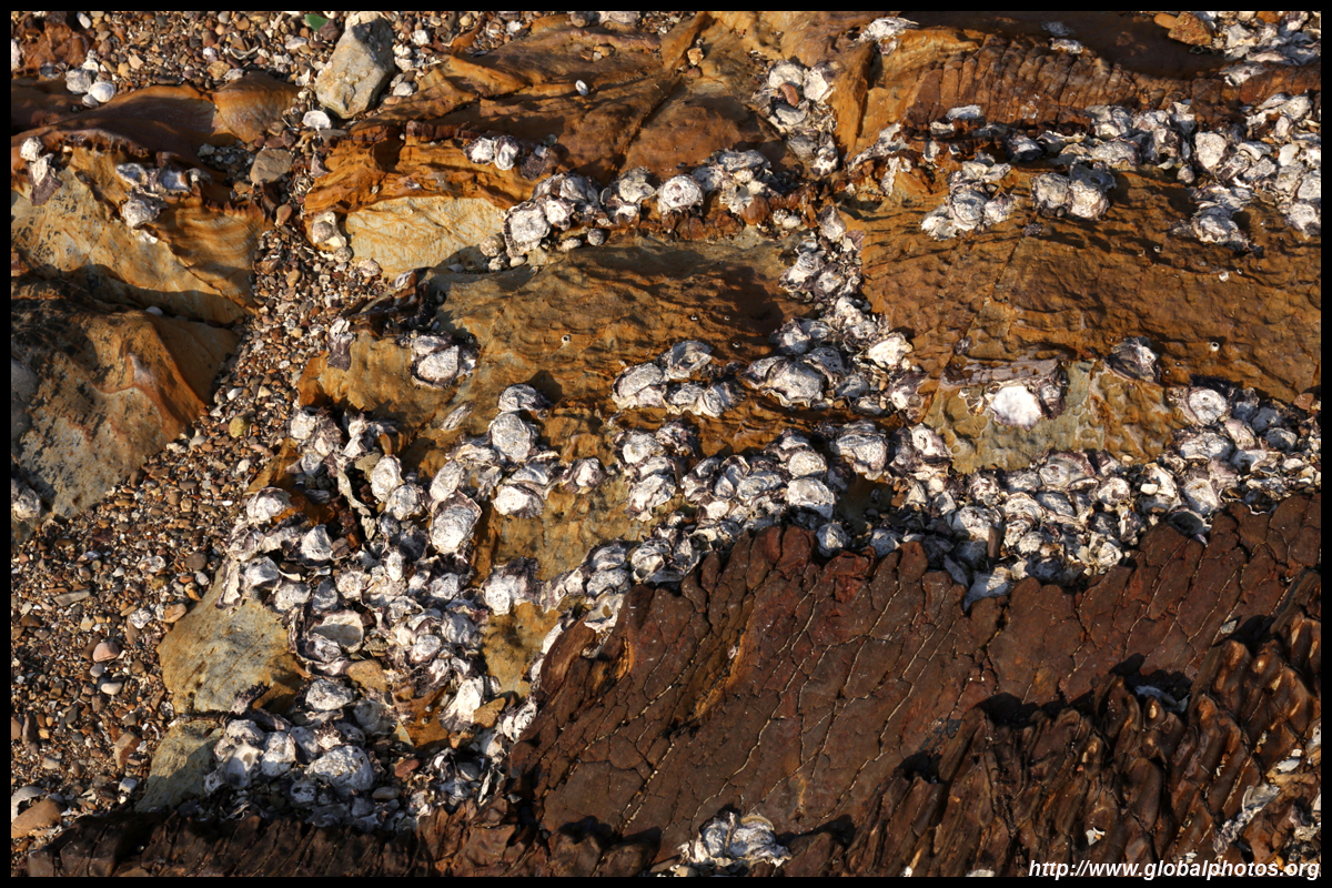
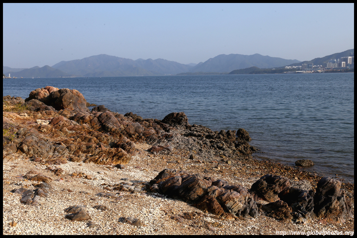
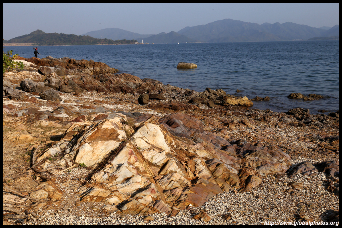
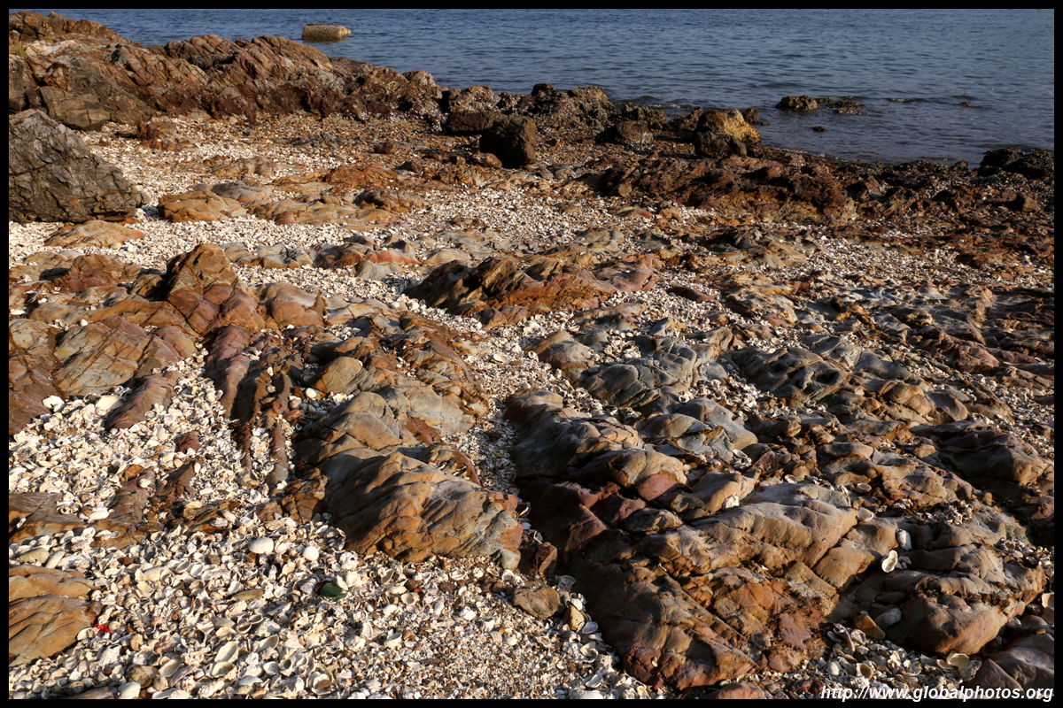
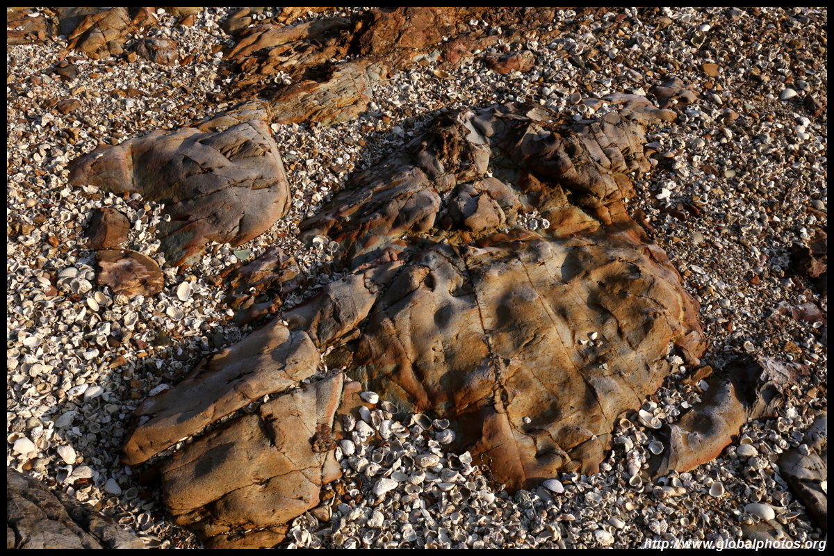
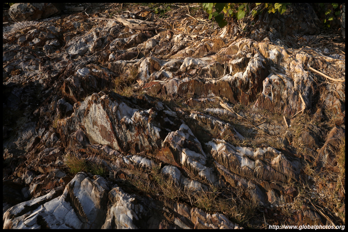
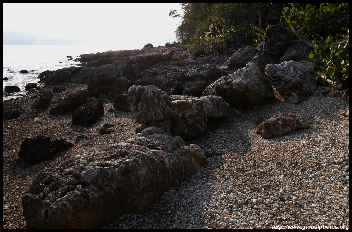
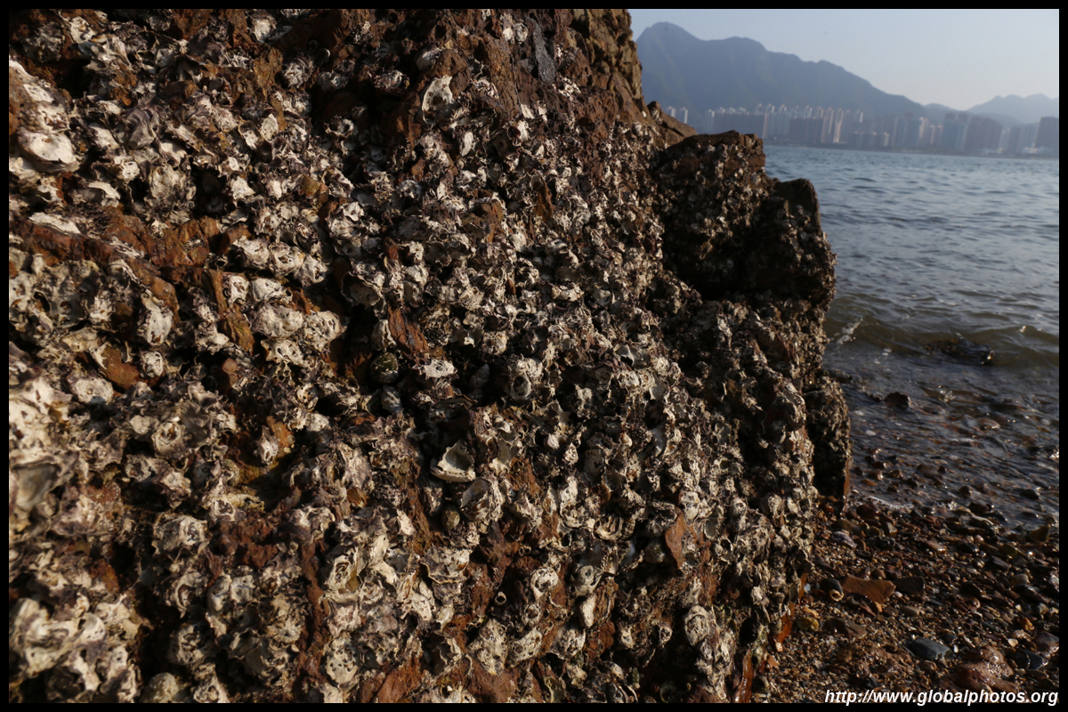
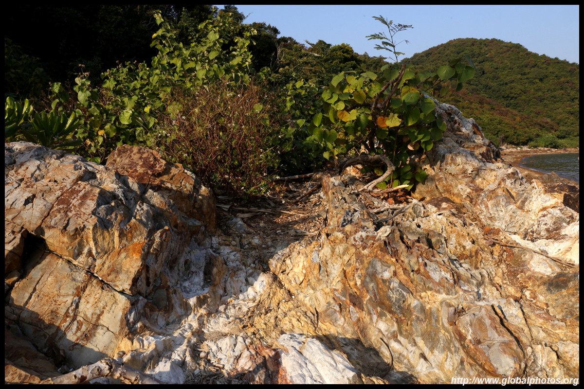
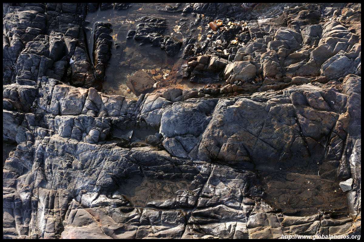
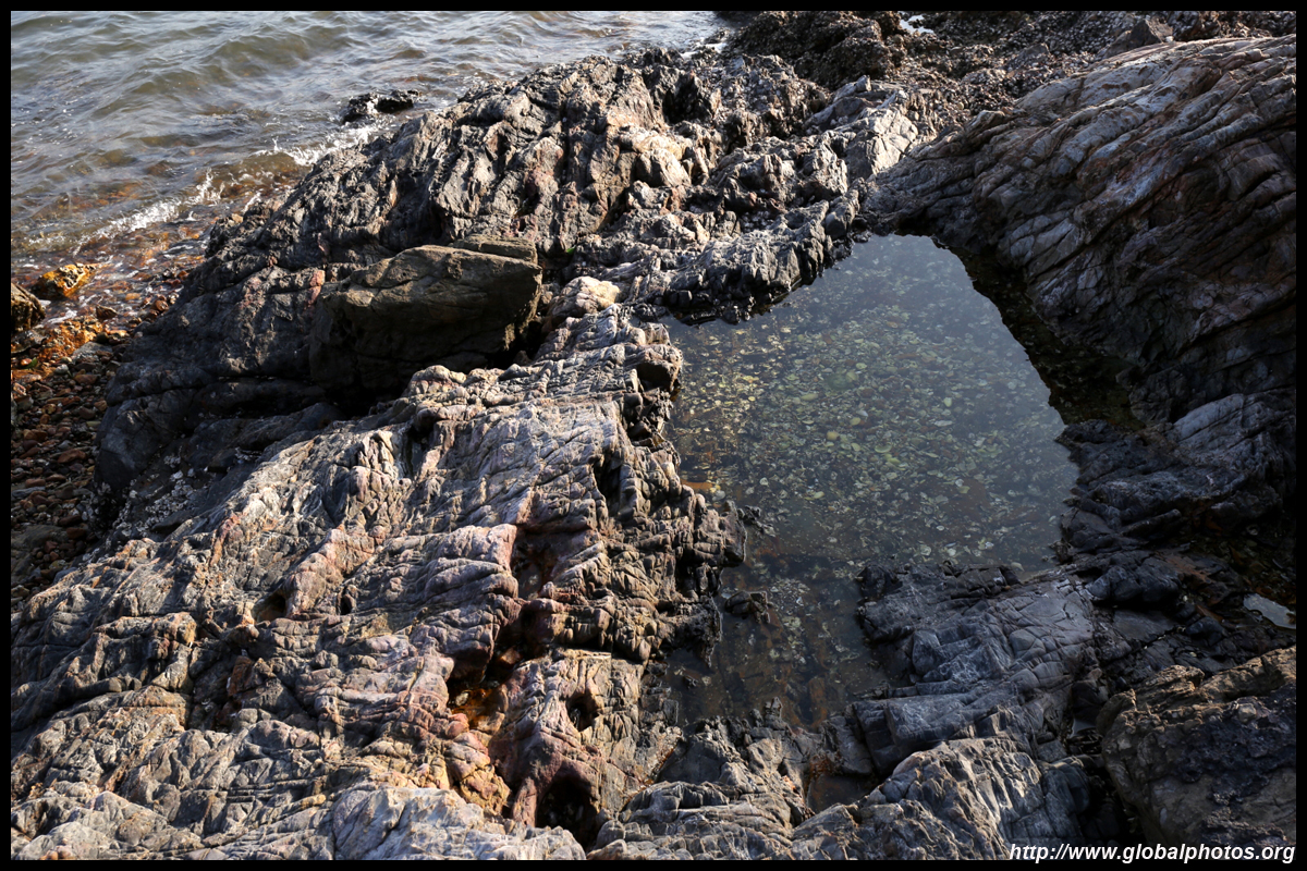
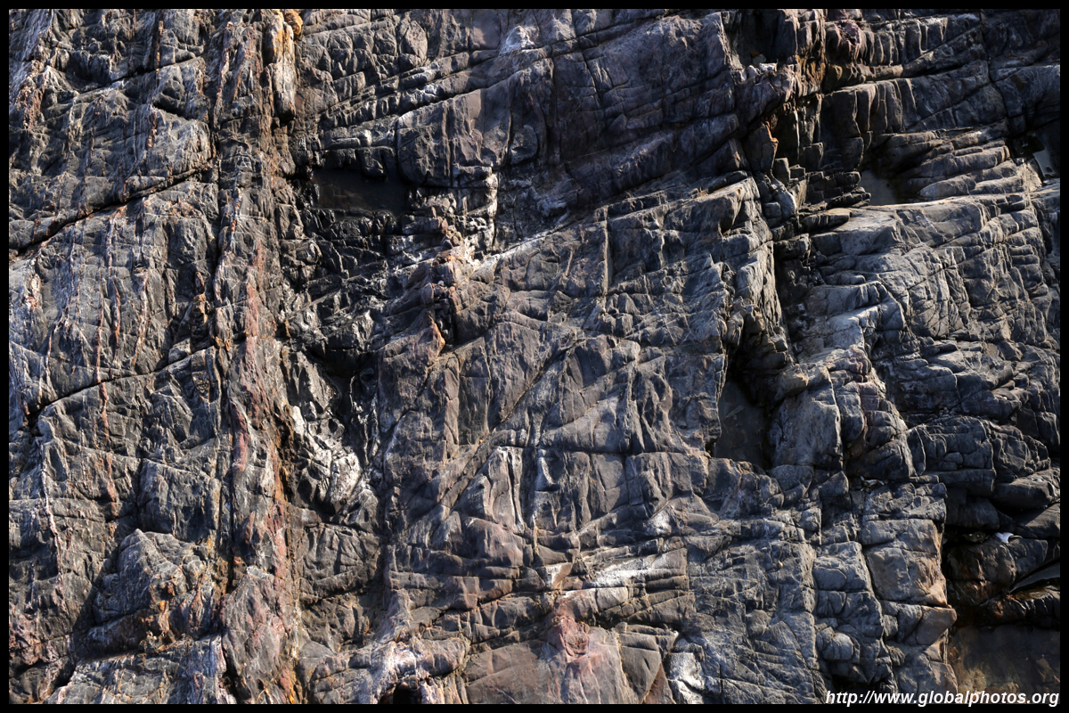
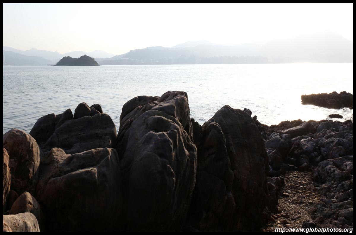
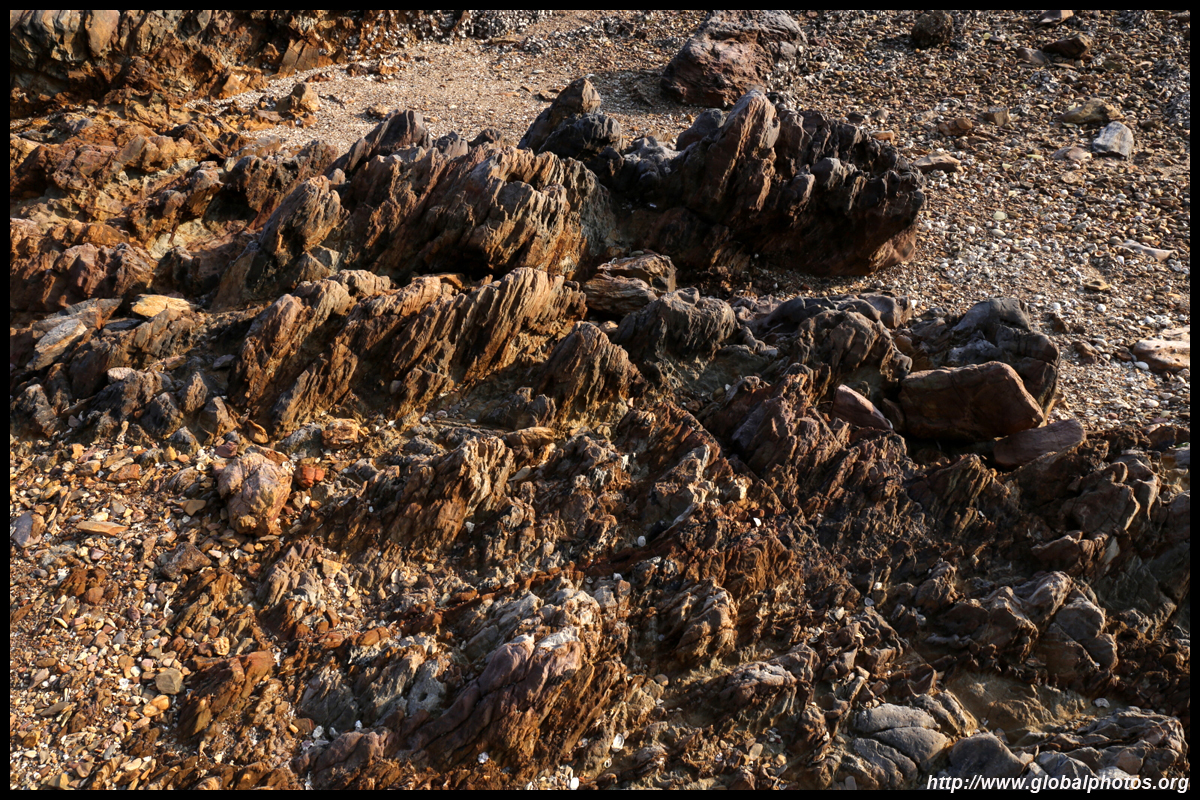
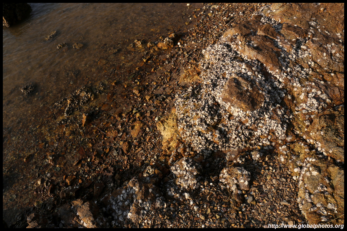
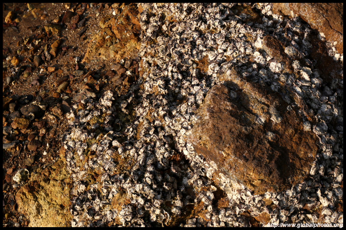
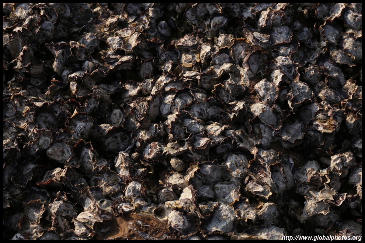
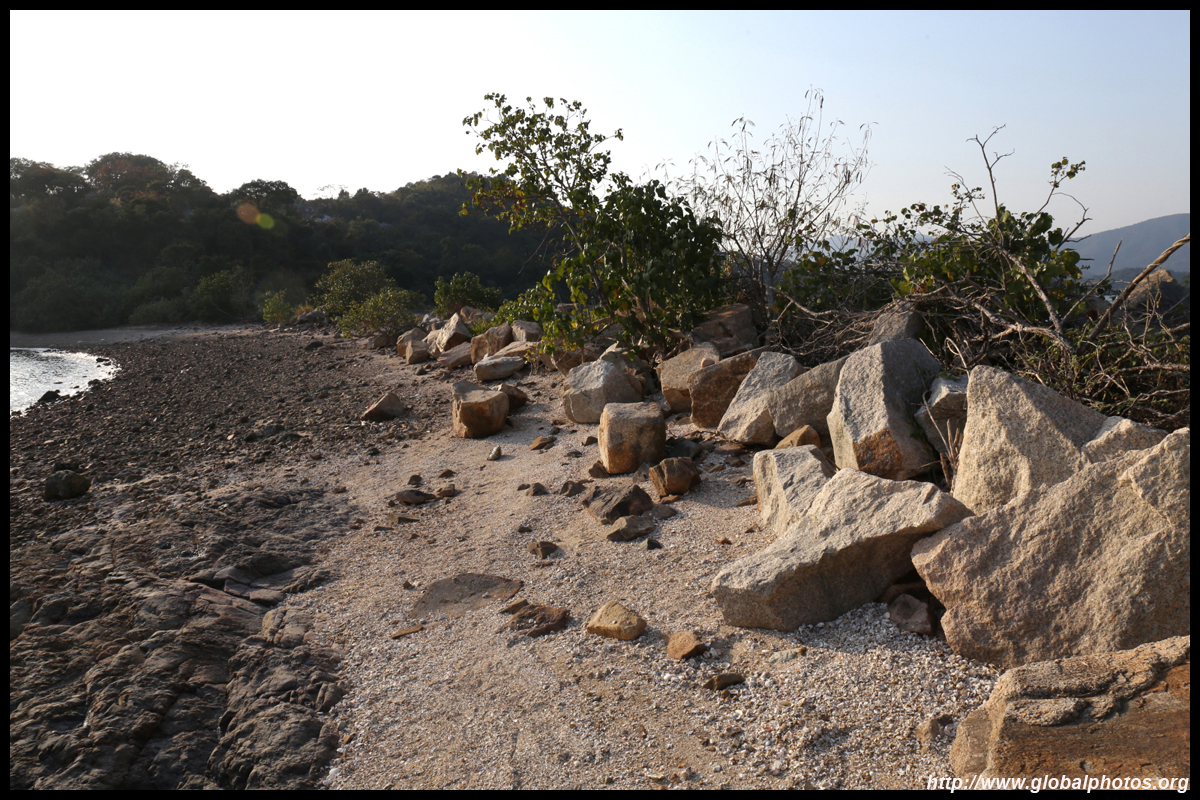
Ma Shi Chau has some of the oldest sedimentary rocks in the city, some dating back 280 million years. At the time, this area was a shallow sea with a warm climate. There was active tectonic activity with extensive volcanic eruptions. A rough 1.5km nature trail runs along the southeastern part of the island. As it is unpaved, wear sturdy shoes and bring gloves.
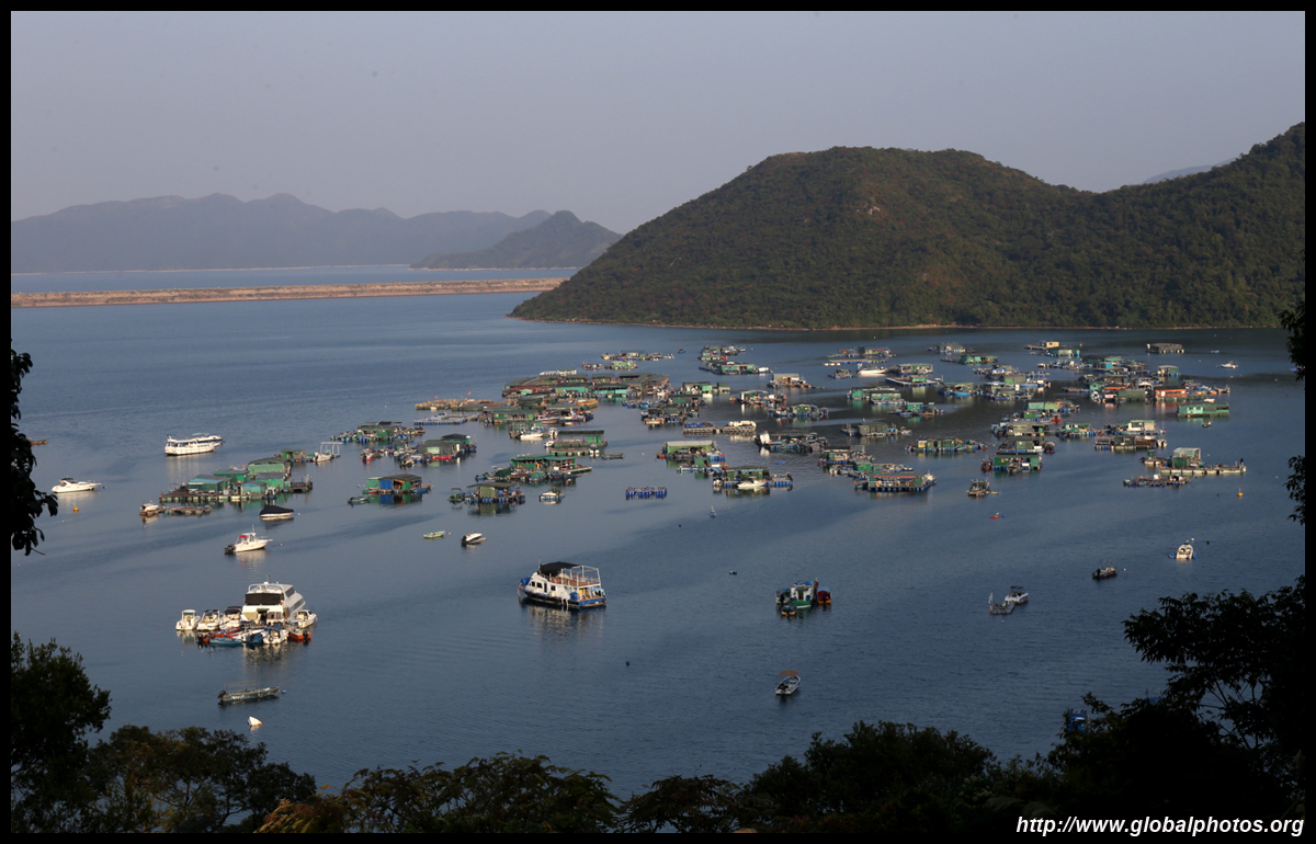
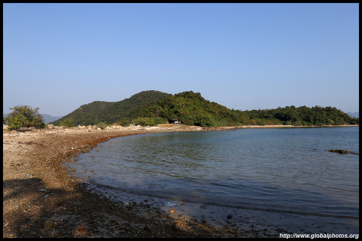
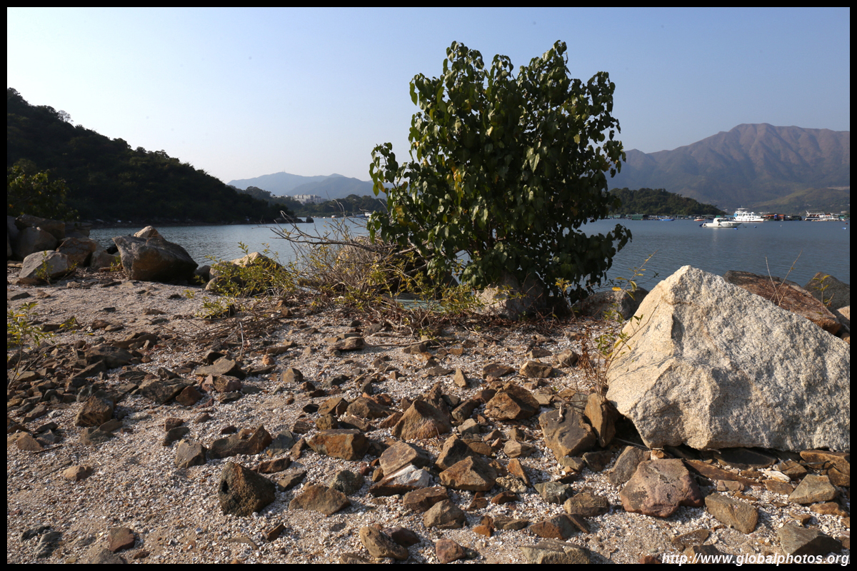
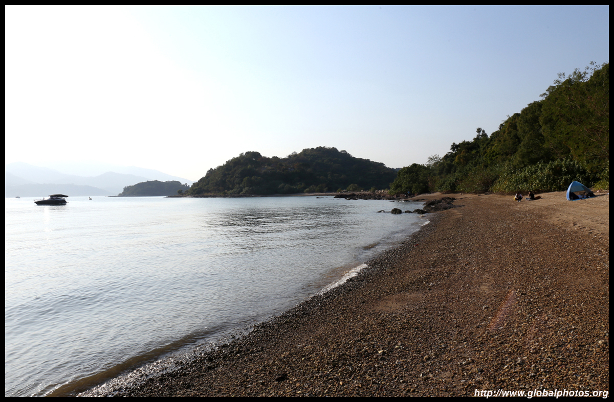
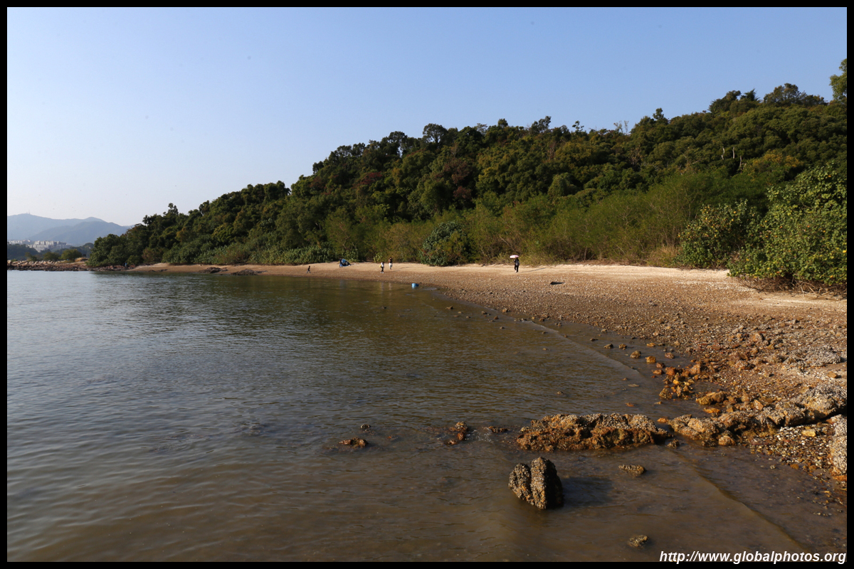
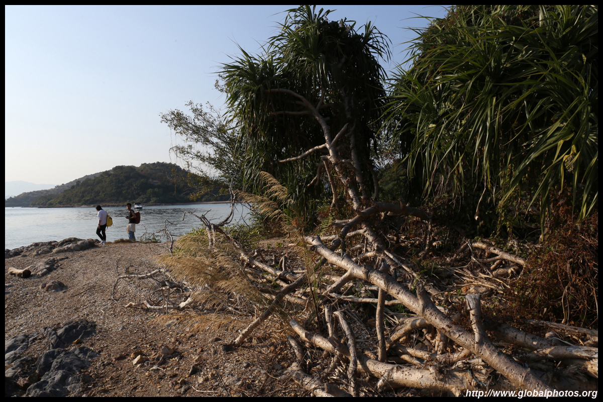
A tombolo connects Ma Shi Chau with Sam Mun Tsai. Watch out for the locals selling traditional snacks. They also offer a boat trip back to the village if you have tired feet.
| |||
 |
 |
 |
 |
 |
 |
 |
 |
 |
 |
 |
 |
 |
 |
 |
 |
| |||
 |
 |
 |
 |
 |
 |
 |
 |
 |
 |
 |
 |
 |
 |
 |
 |
| |||
 |
 |
 |
 |
 |
 |
 |
 |
 |
 |
 |
 |
 |
 |
 |
 |
| |||
 |
 |
 |
 |
 |
 |
 |
 |
 |
 |
 |
 |