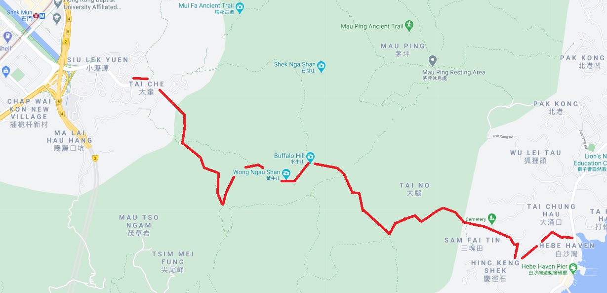
Hong Kong Hiking Gallery - Shatin to Sai Kung via Buffalo Hill

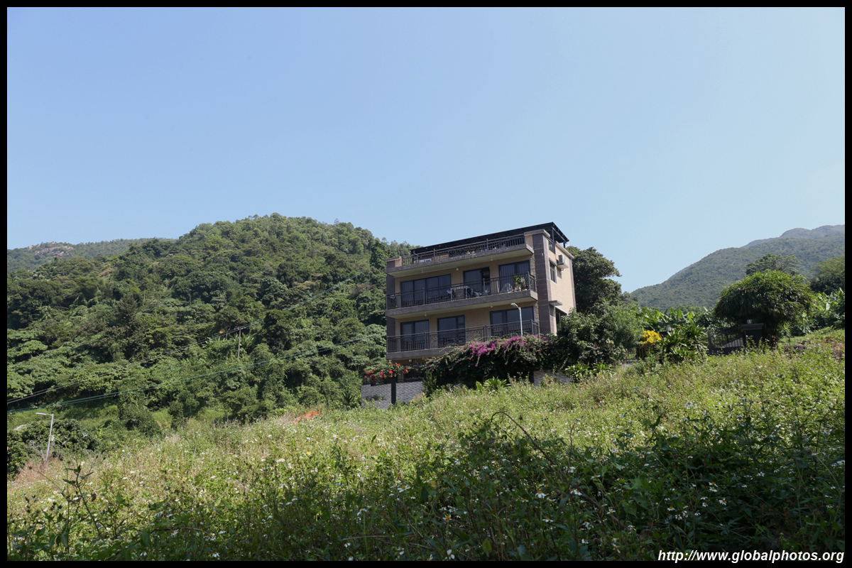
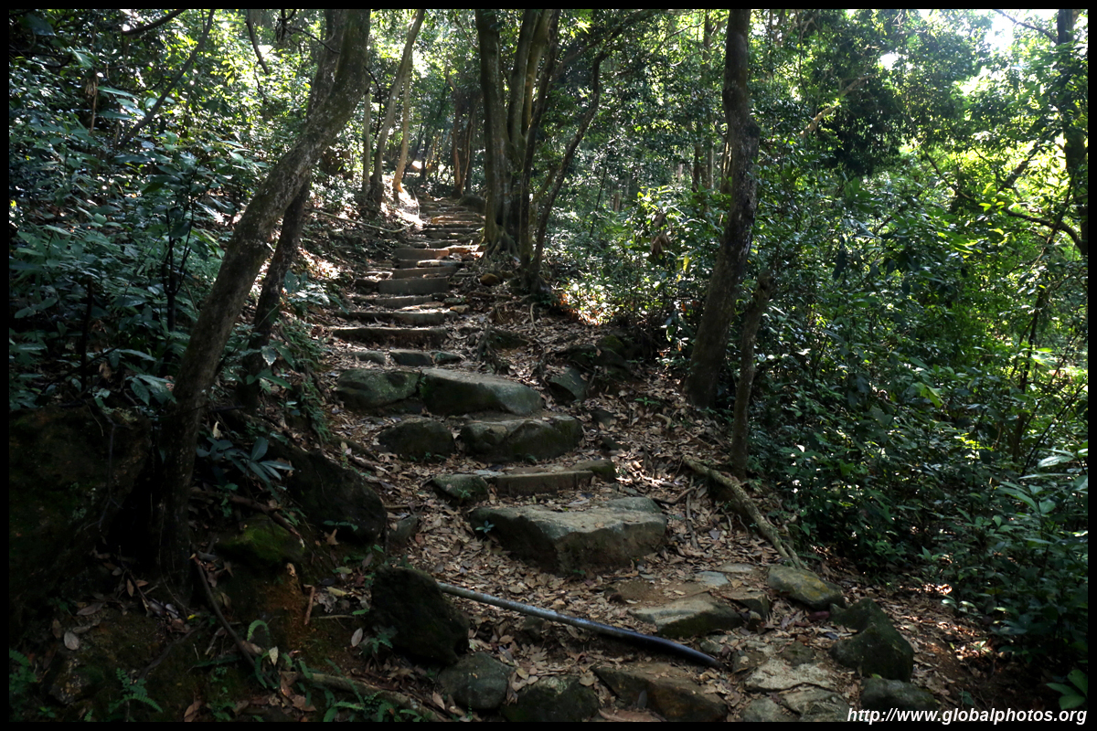
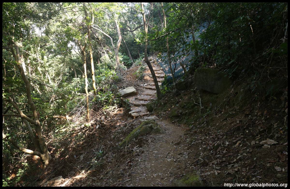
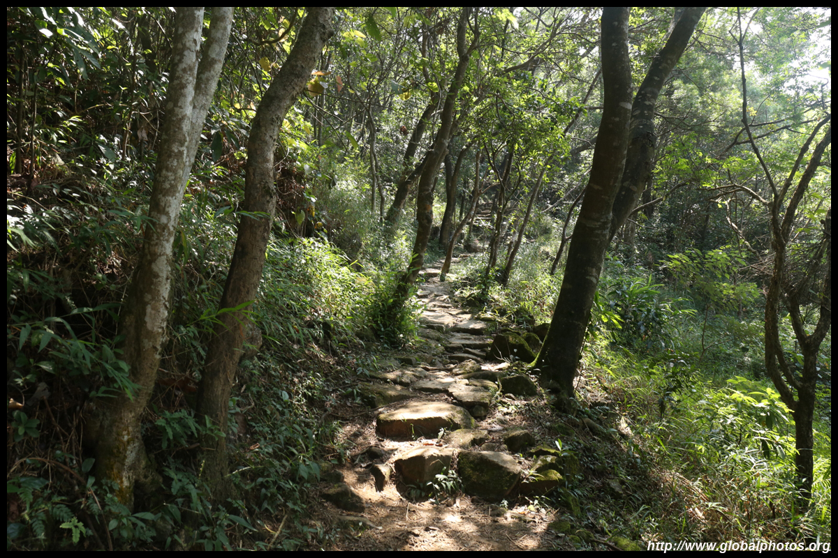
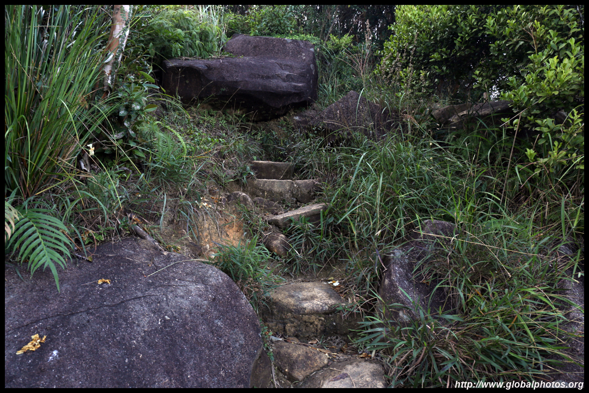
Look for a staircase next to the KMB bus station's staff building. This first section consists of defined staircases. Upon reaching a paved road, follow the signs and turn right. Look for another staircase on your left to keep going up.
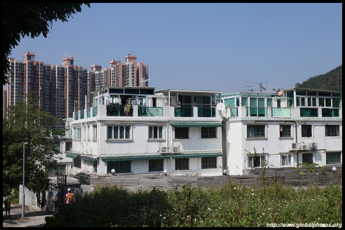
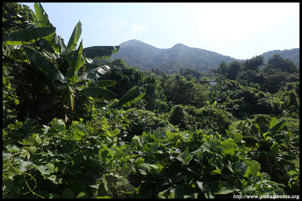
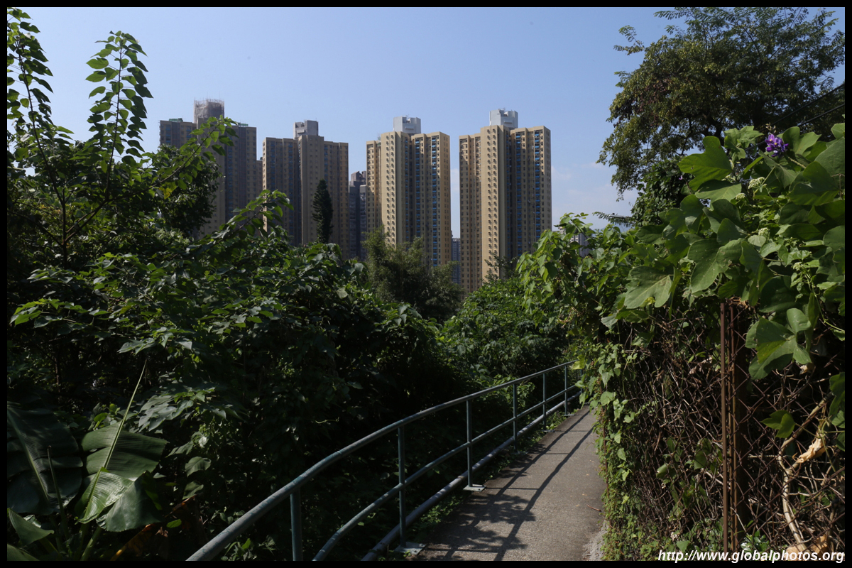
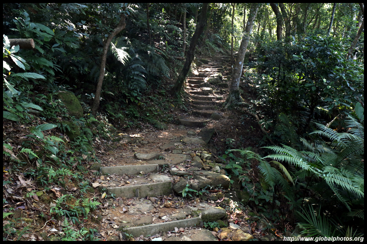
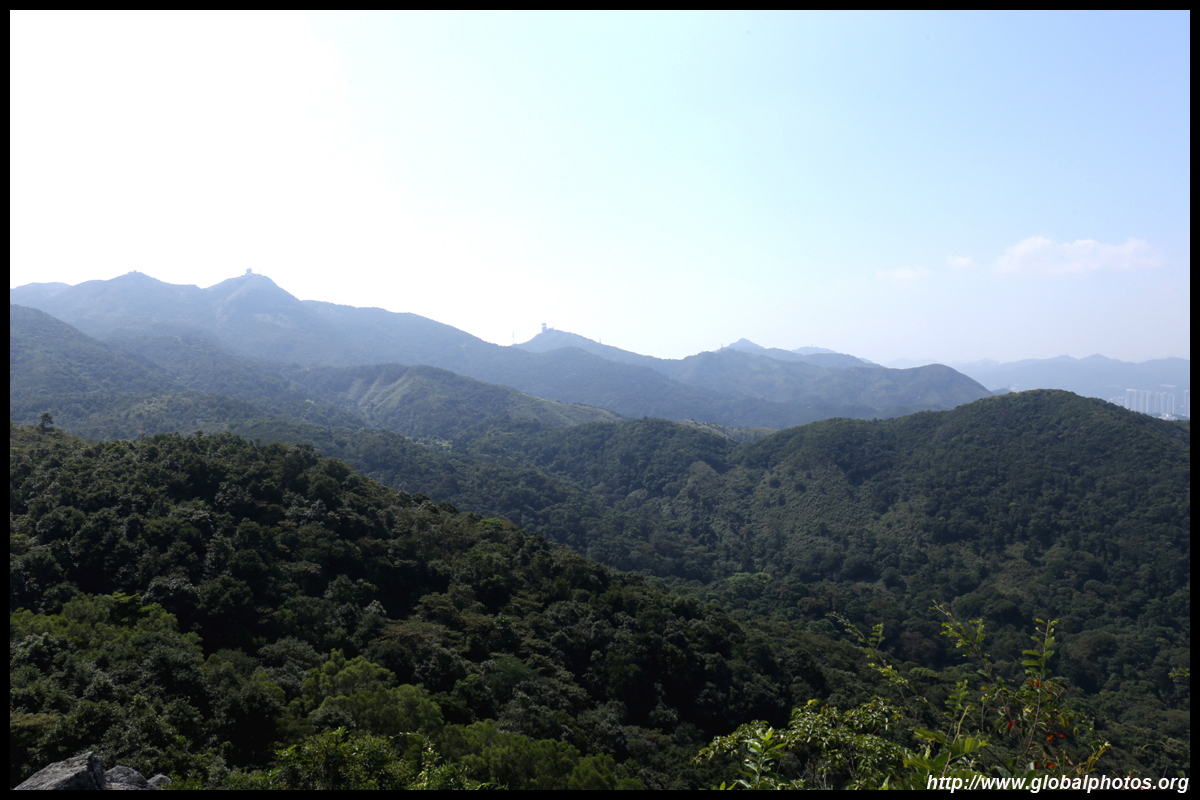
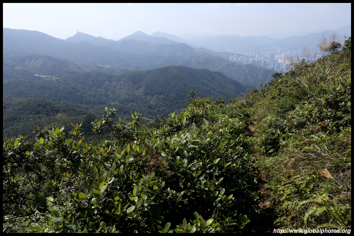
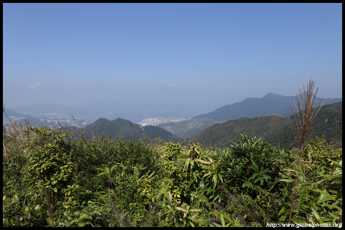
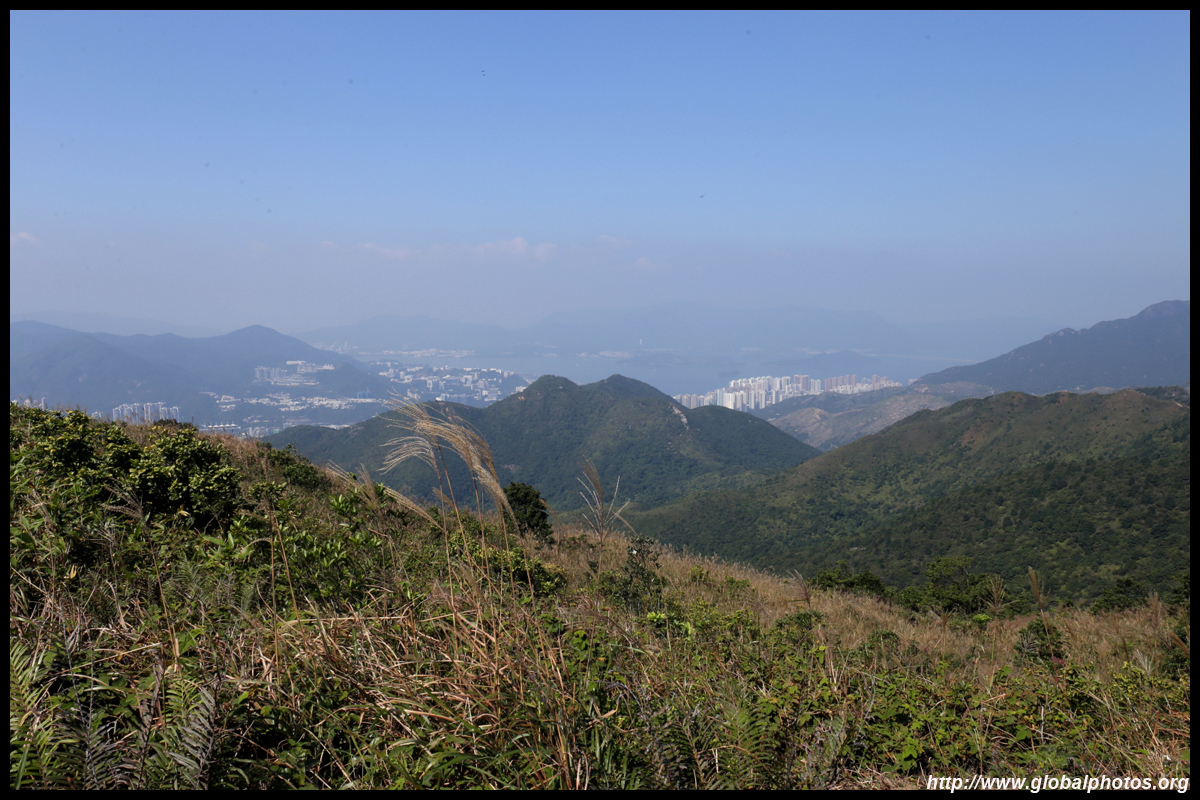
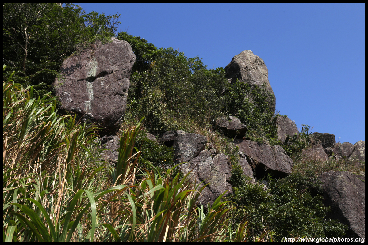
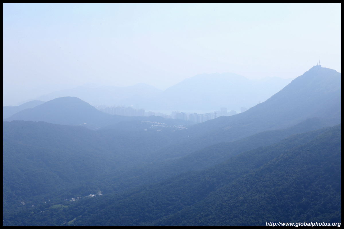
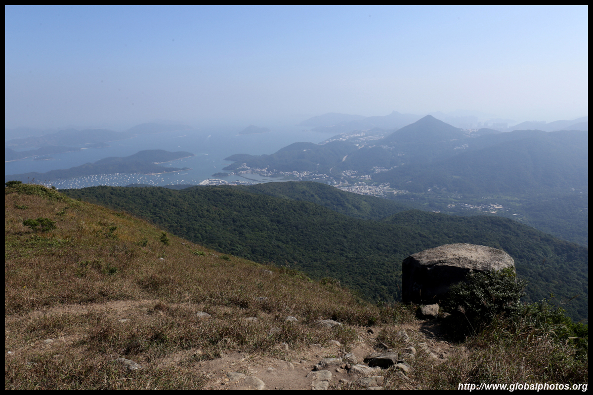
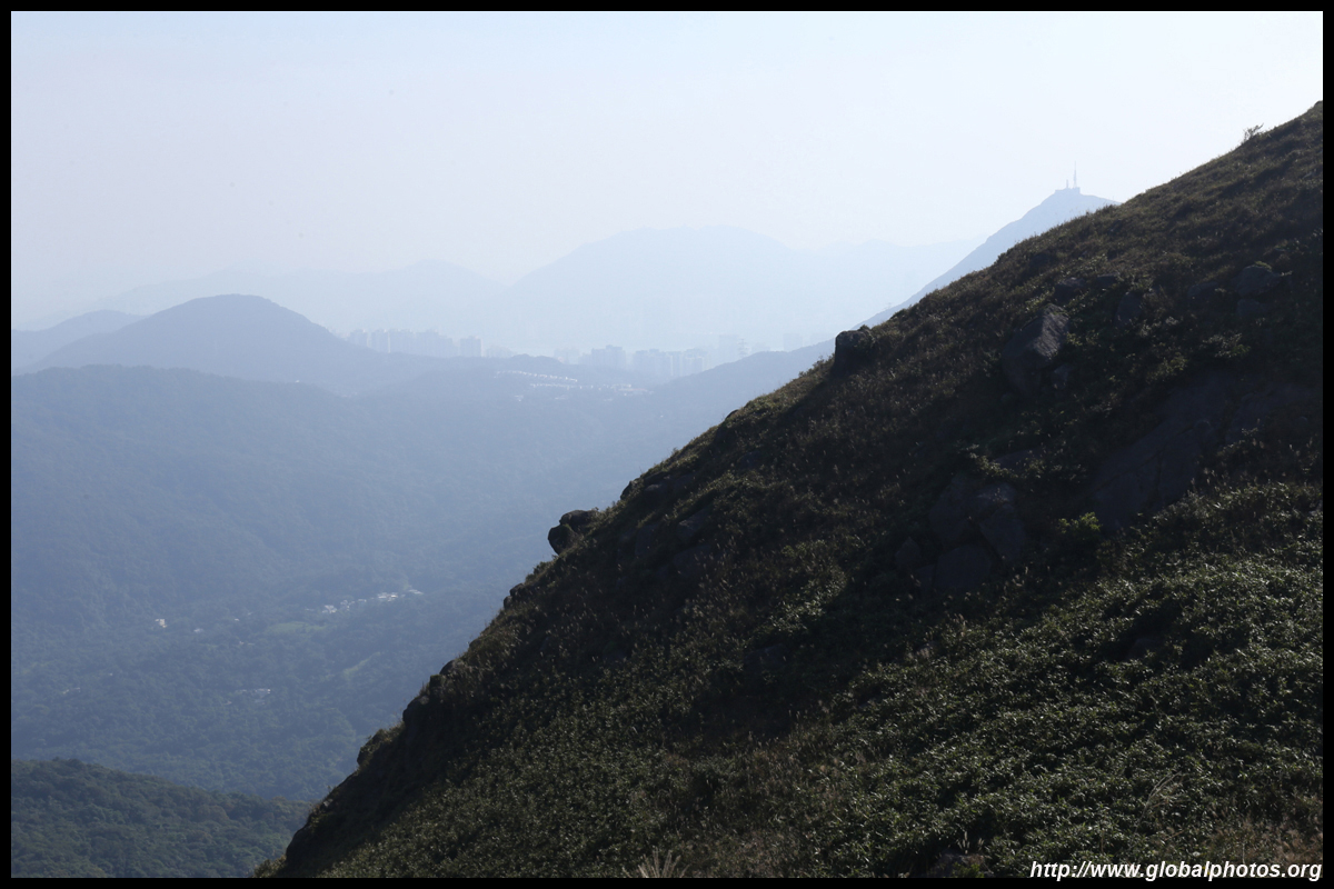
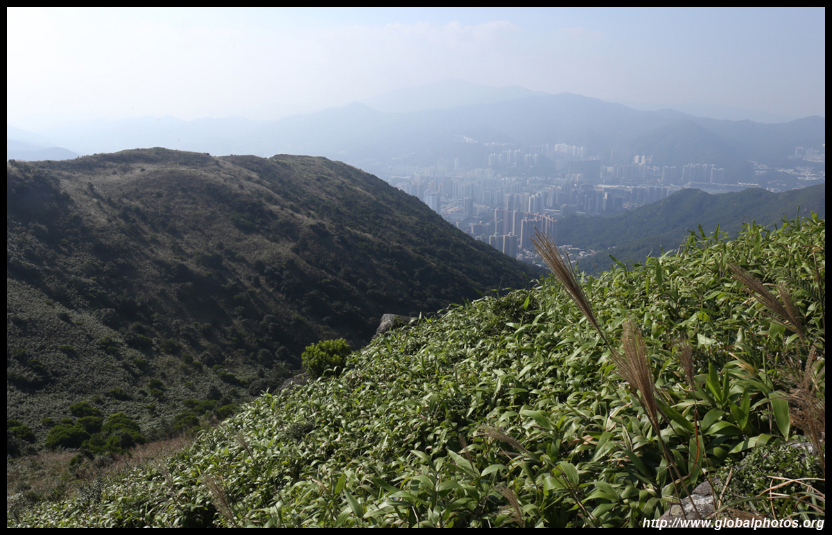
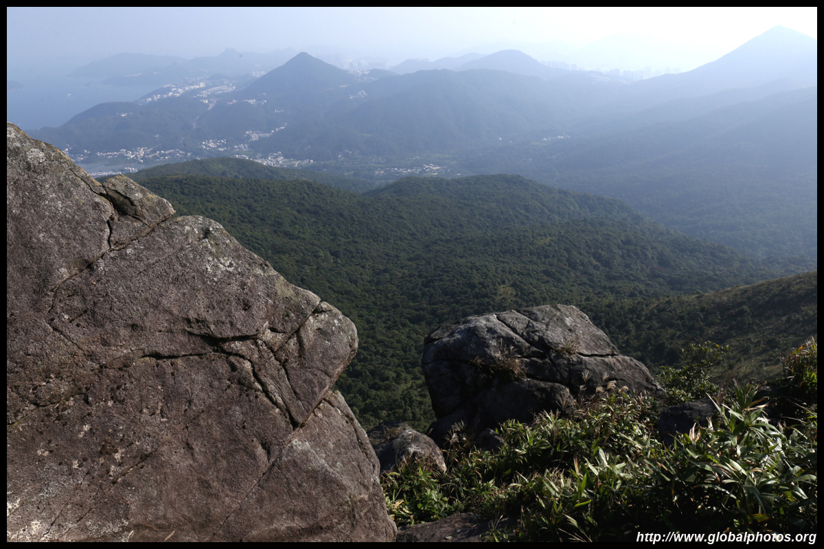
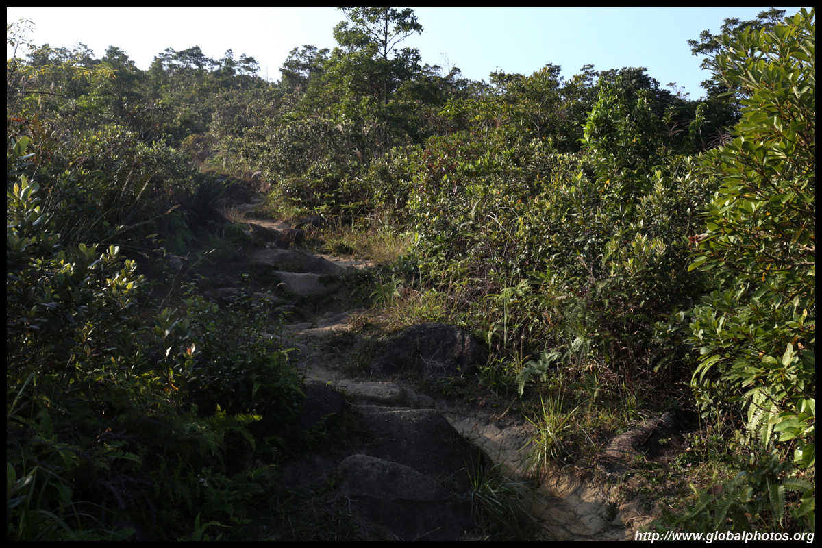
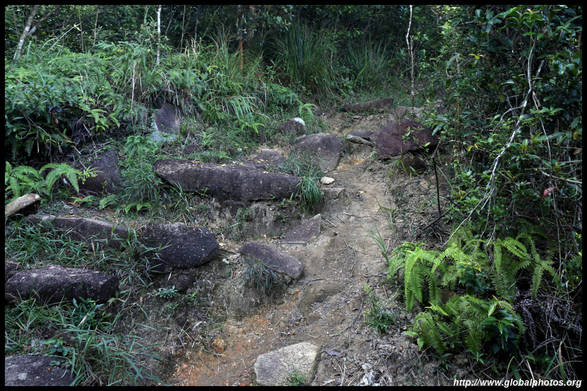
The path gets more rugged as you rise through the forest. As you head above the trees and start roasting under the sun, the path gets quite rocky and steep. But look back and you will see Shatin beneath you.
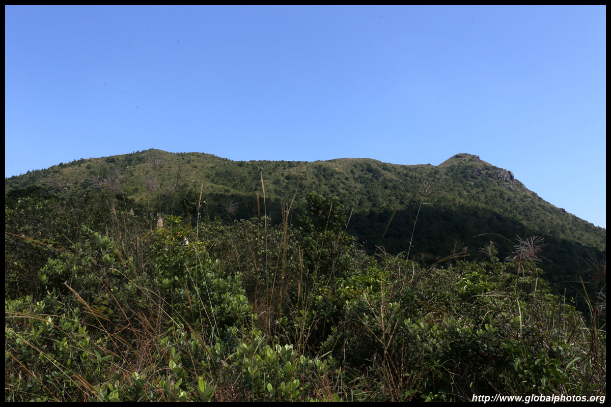
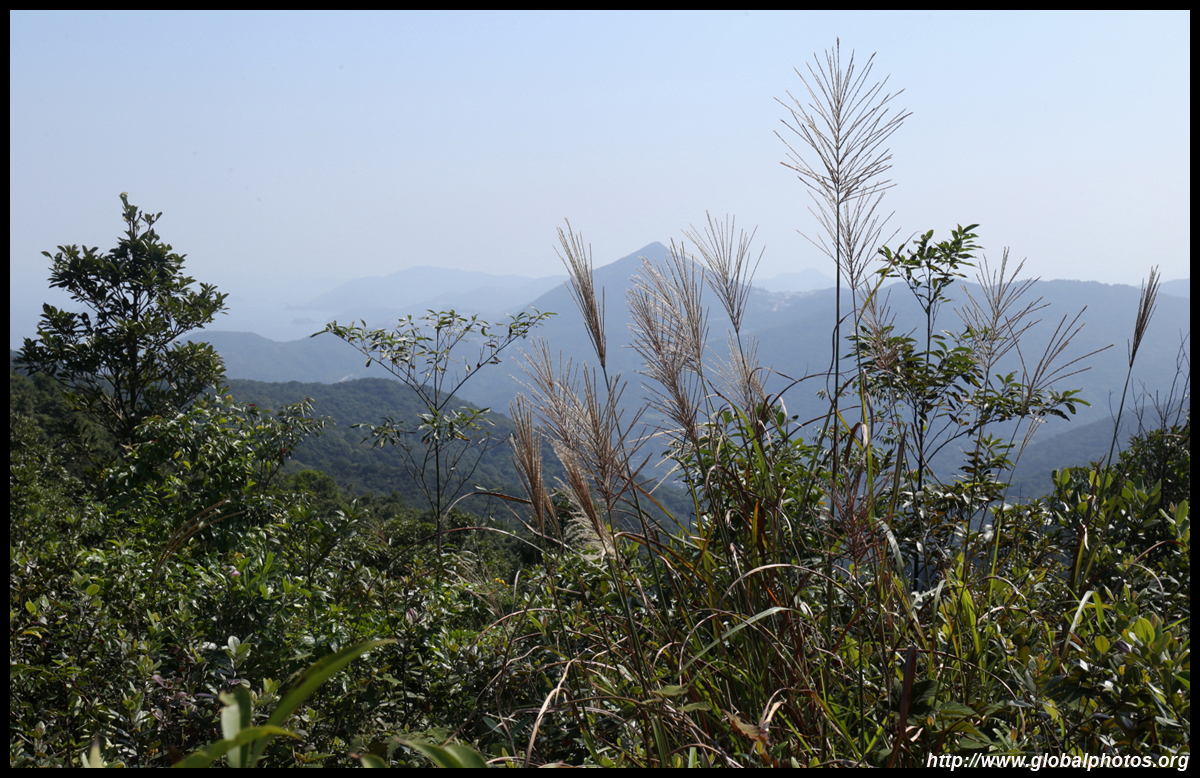
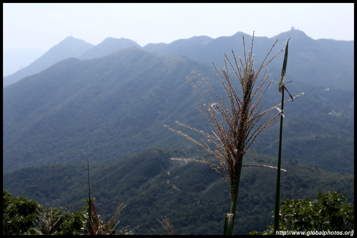
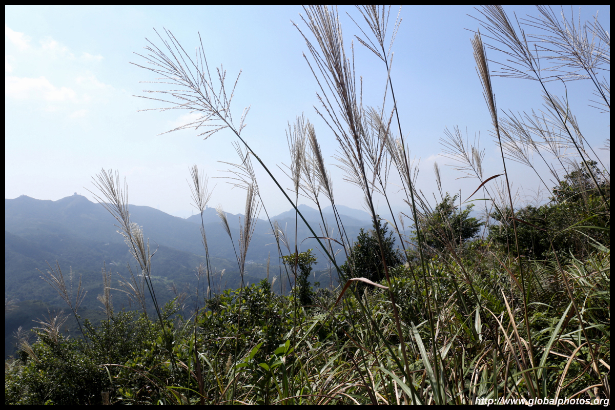
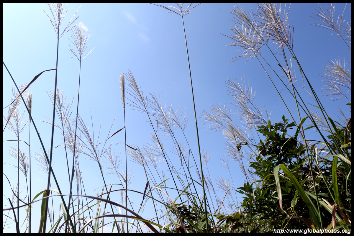
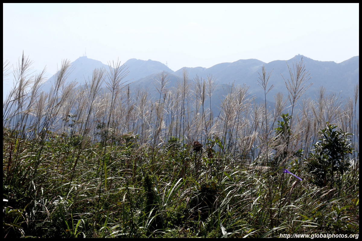
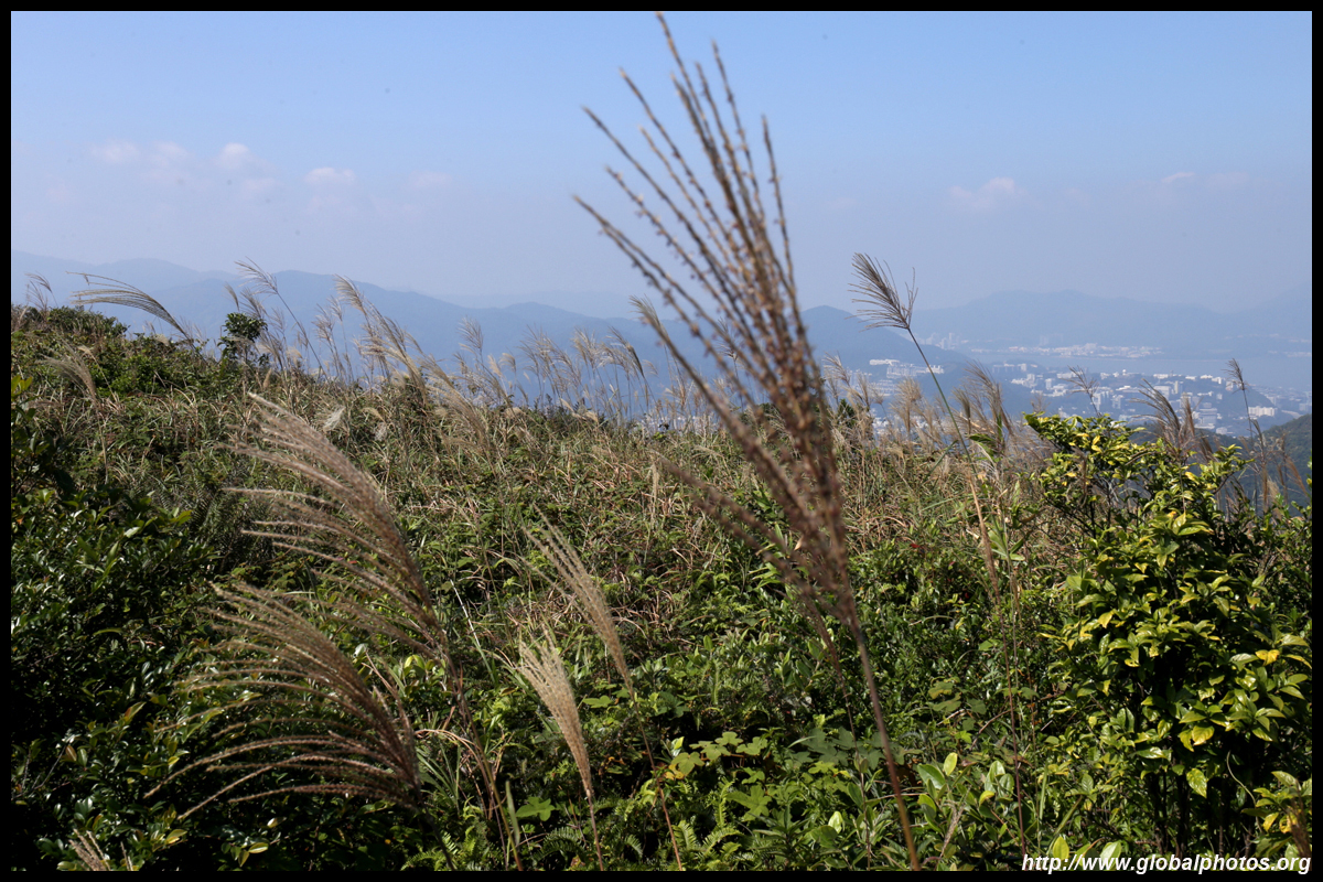
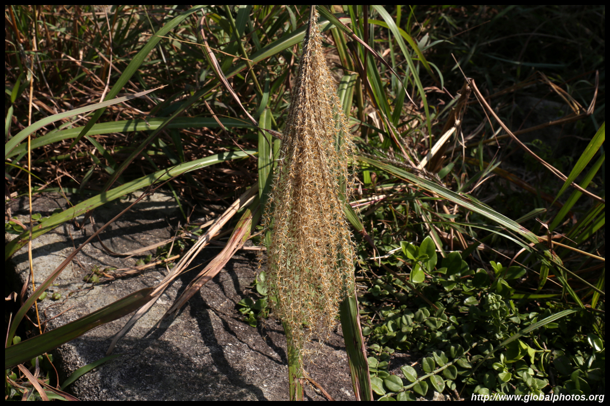
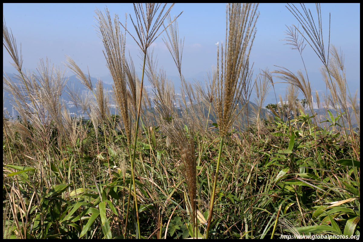
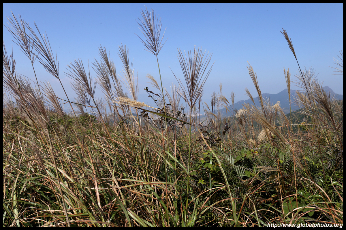
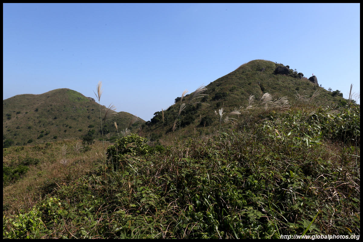
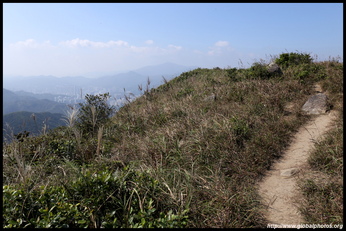
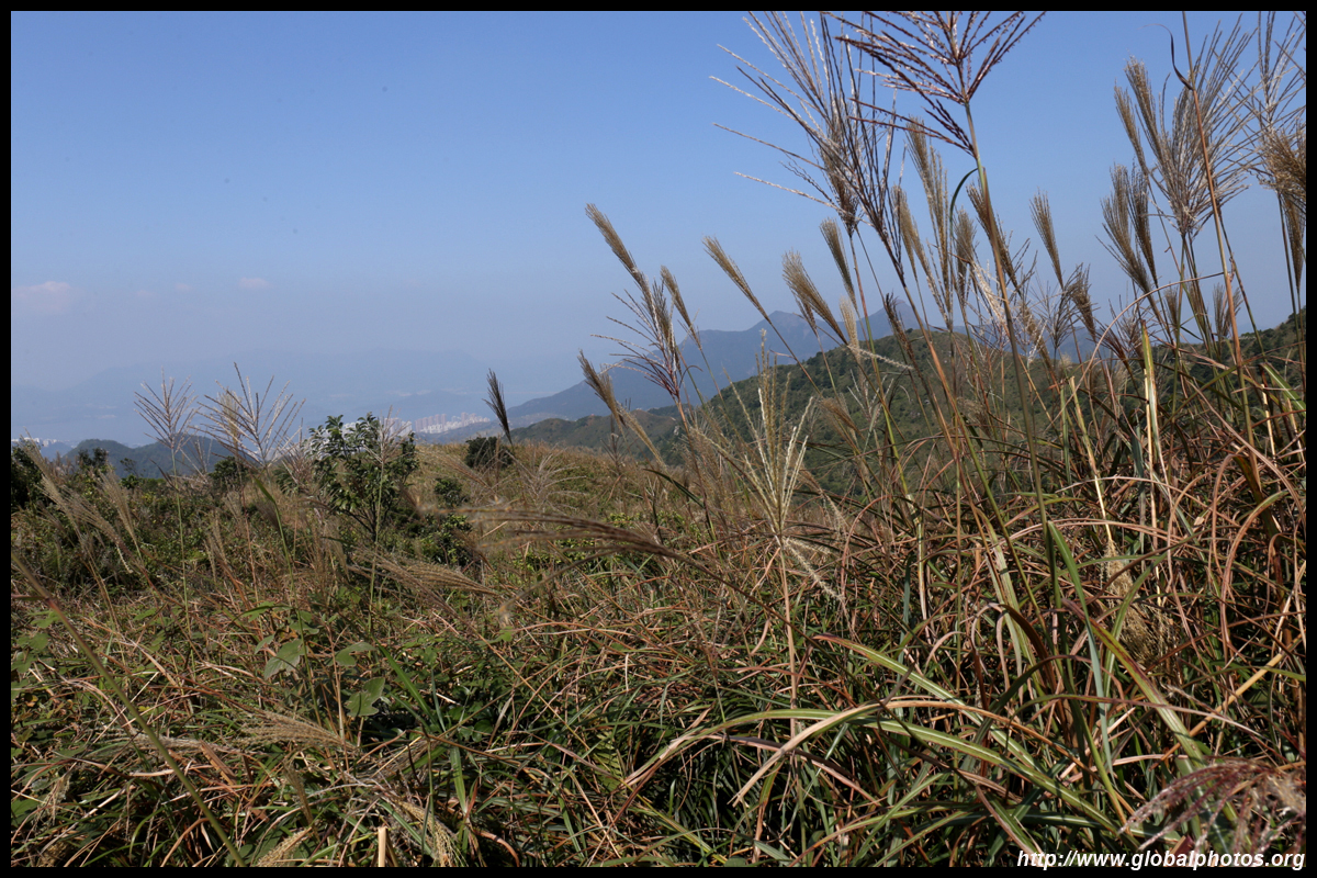
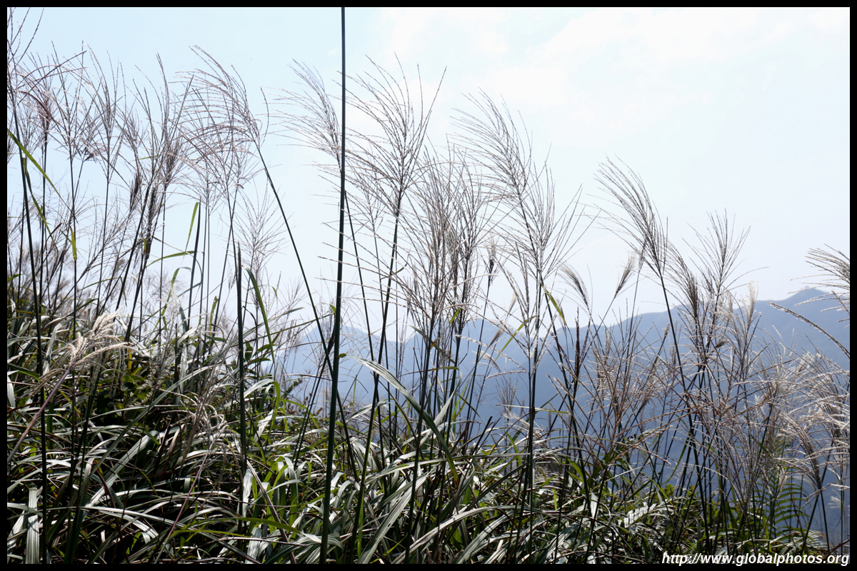
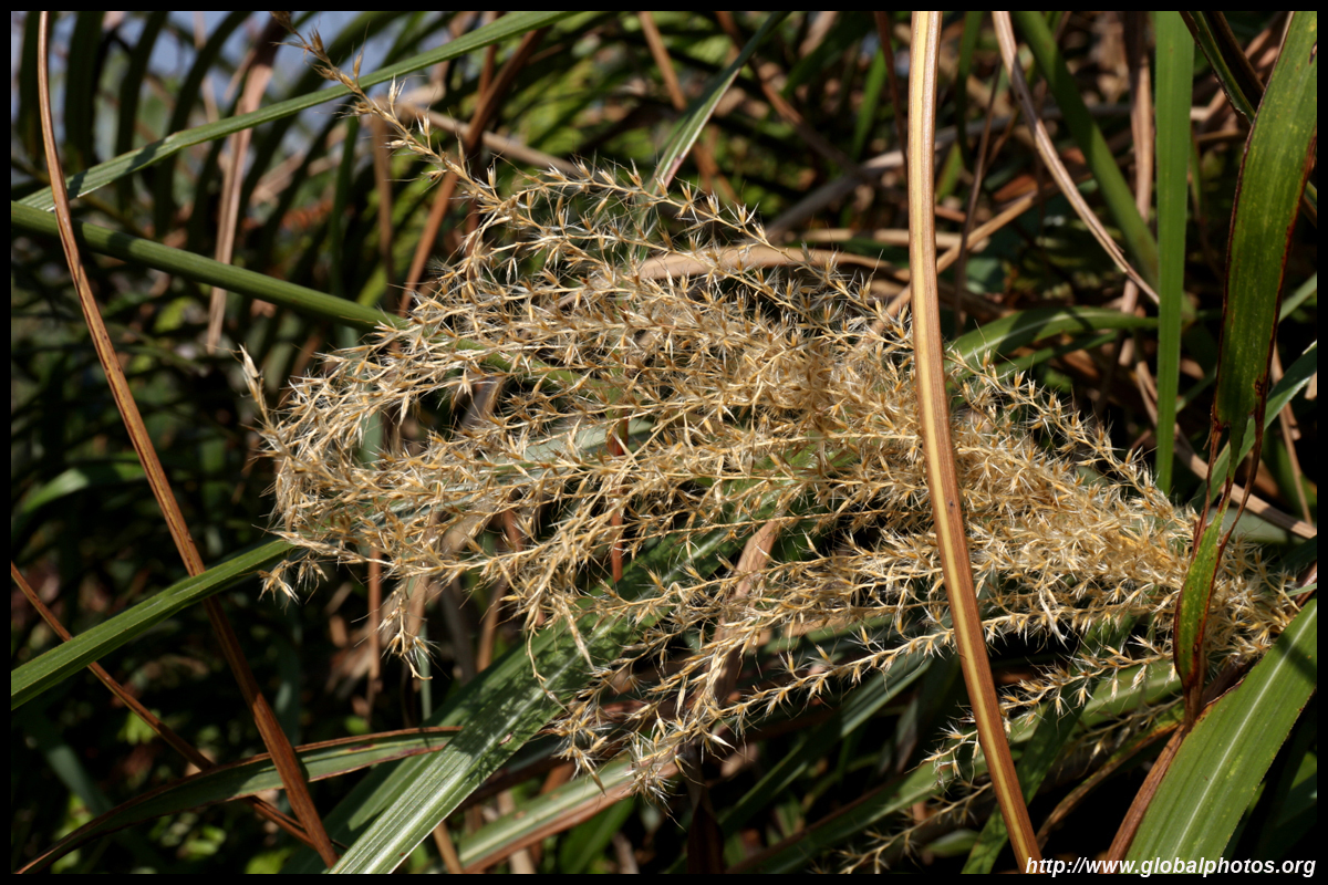
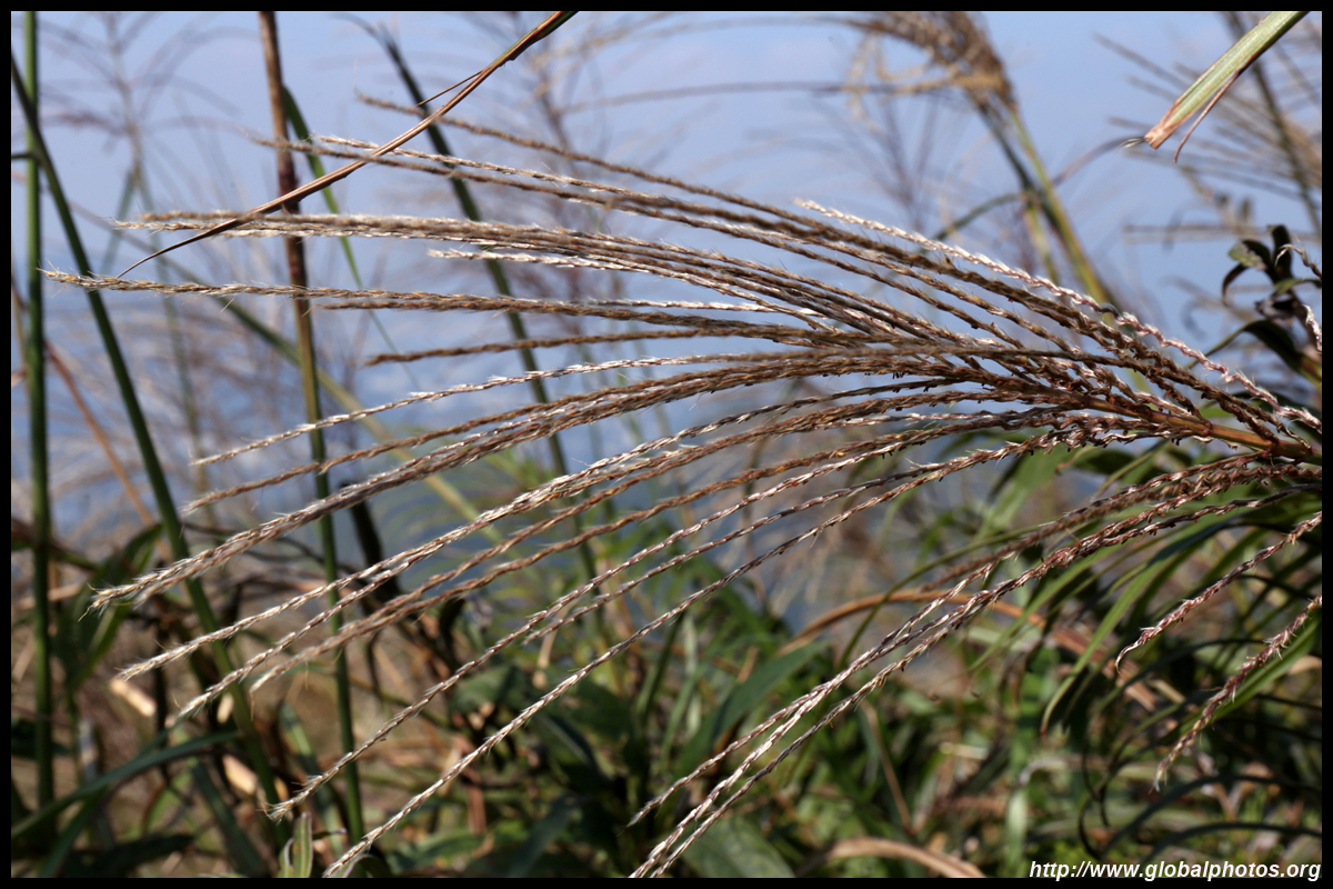
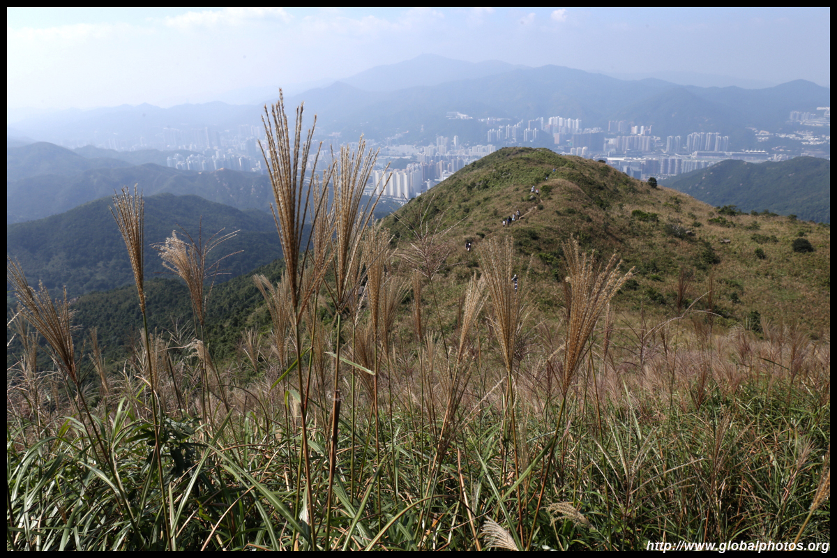
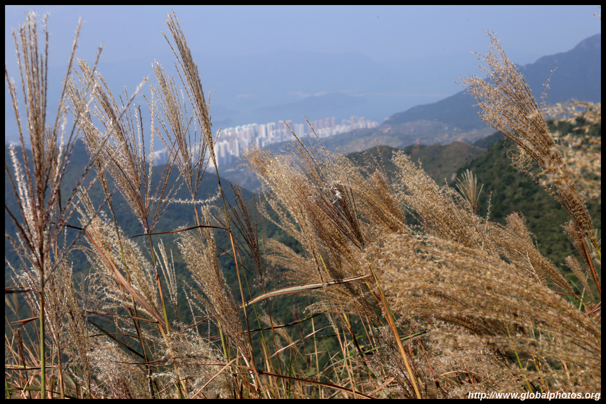
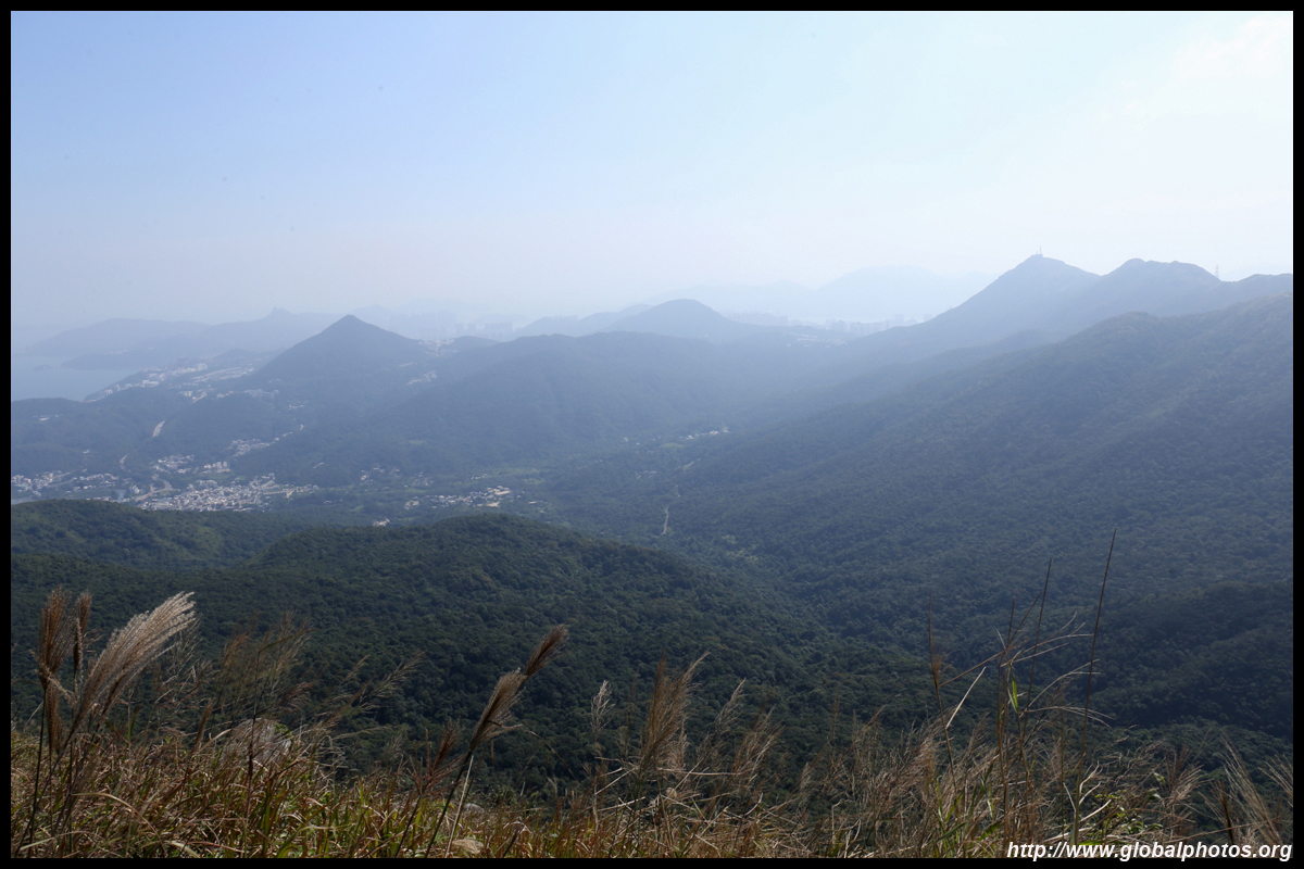
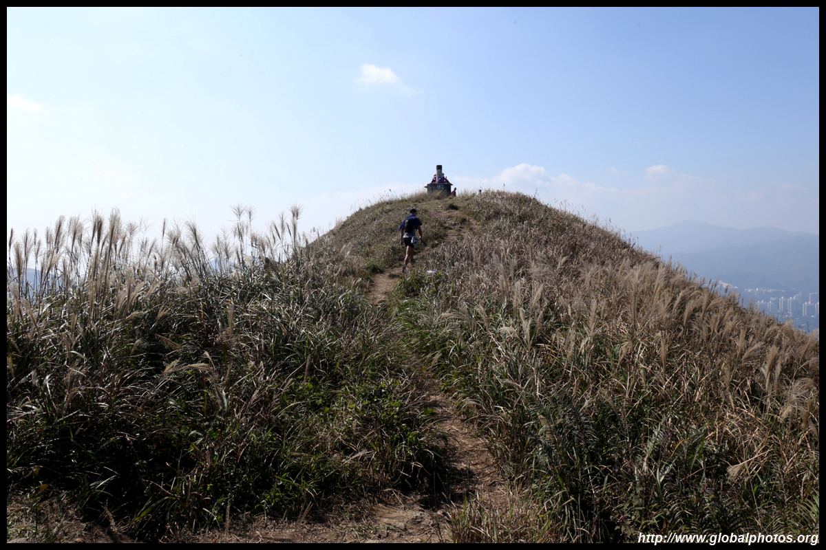
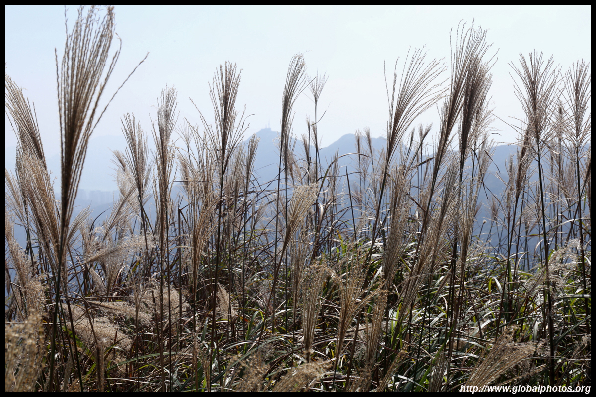
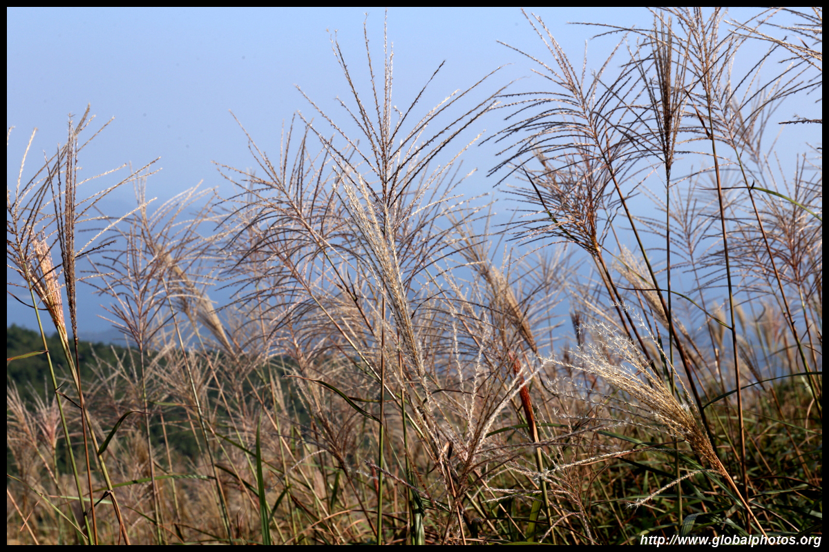
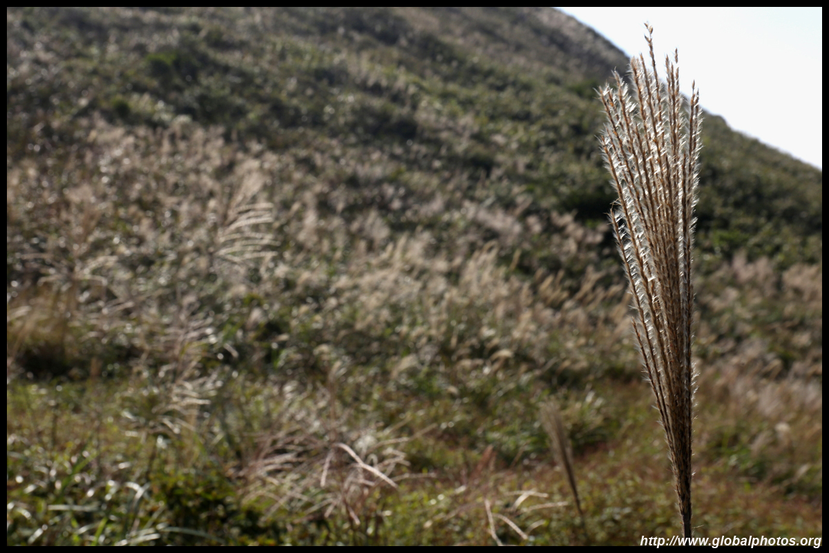
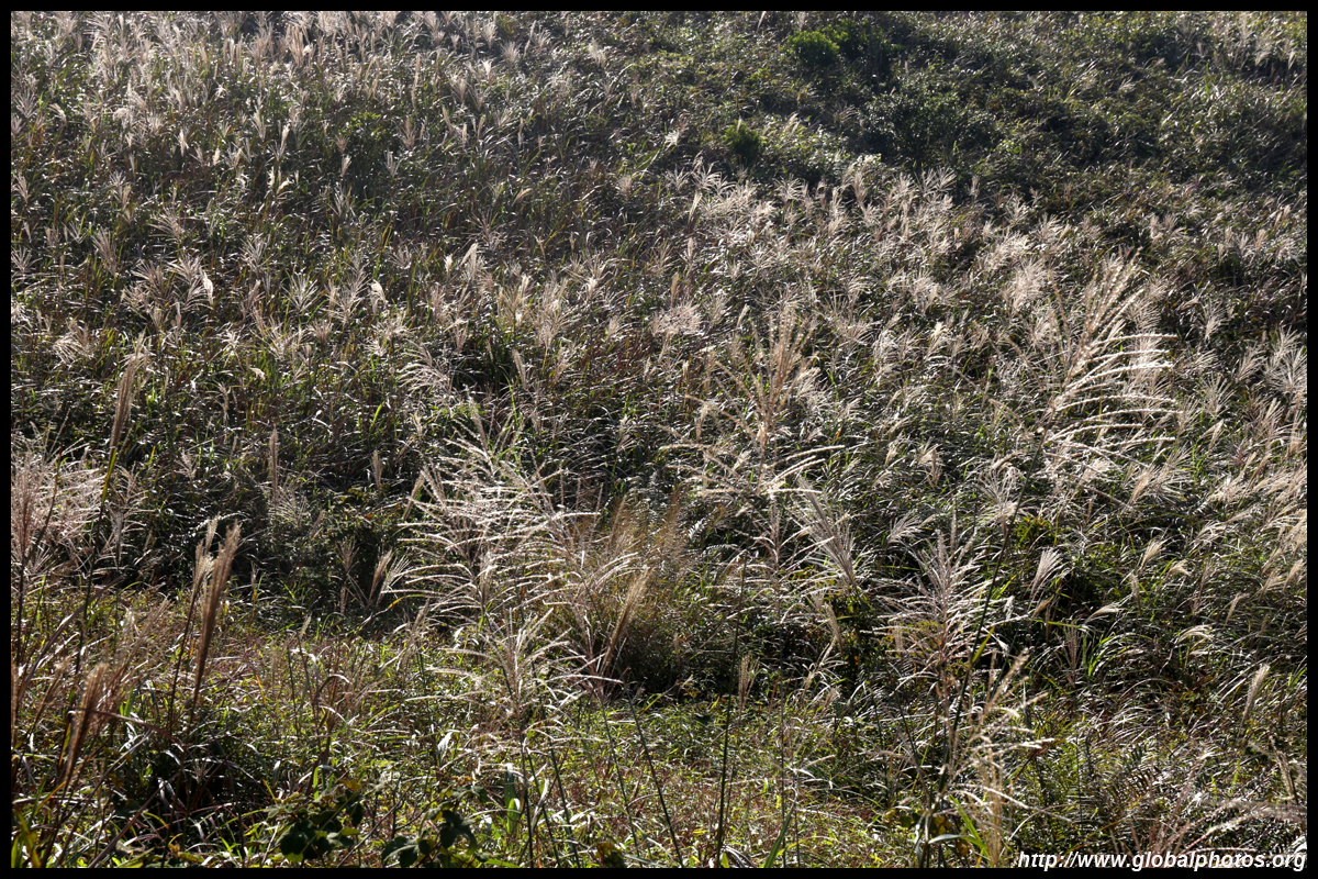
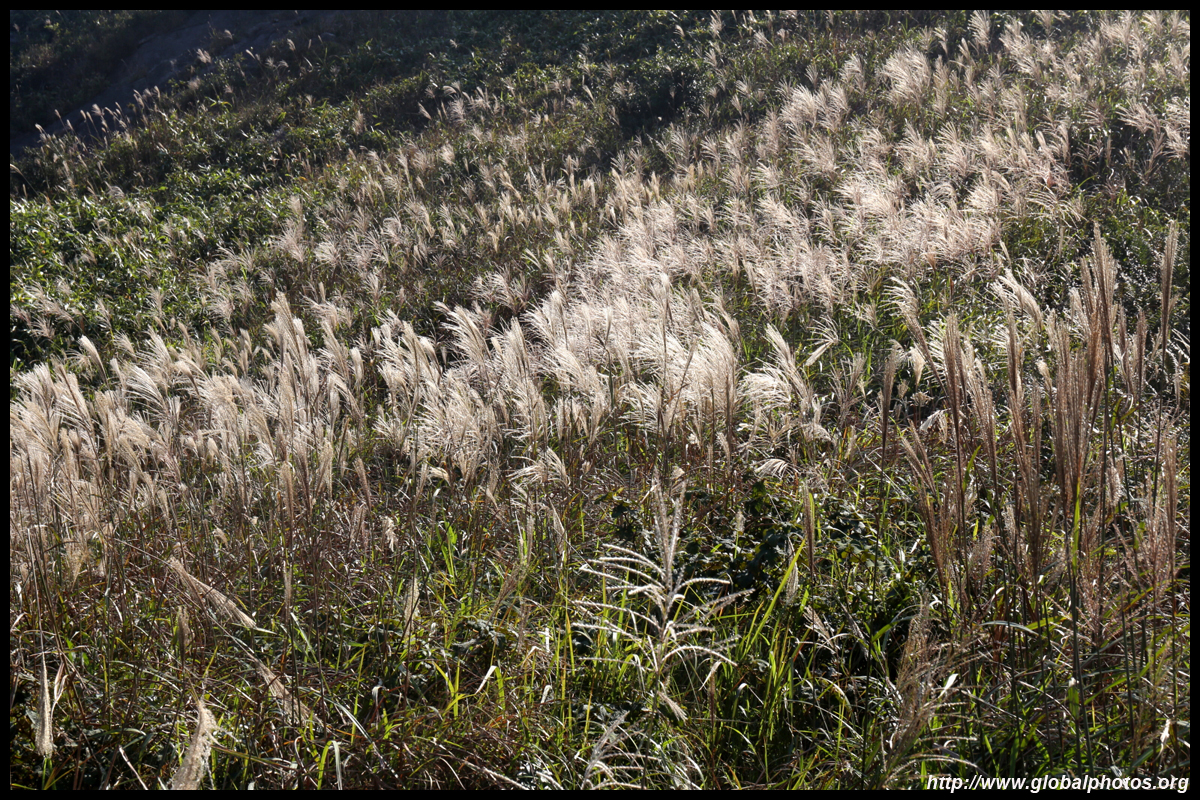
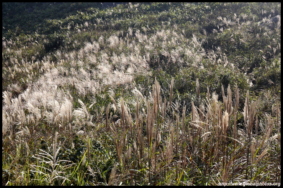
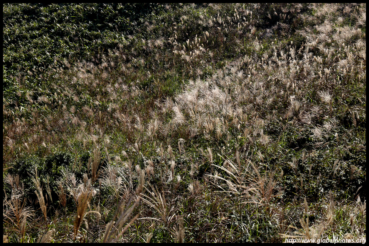
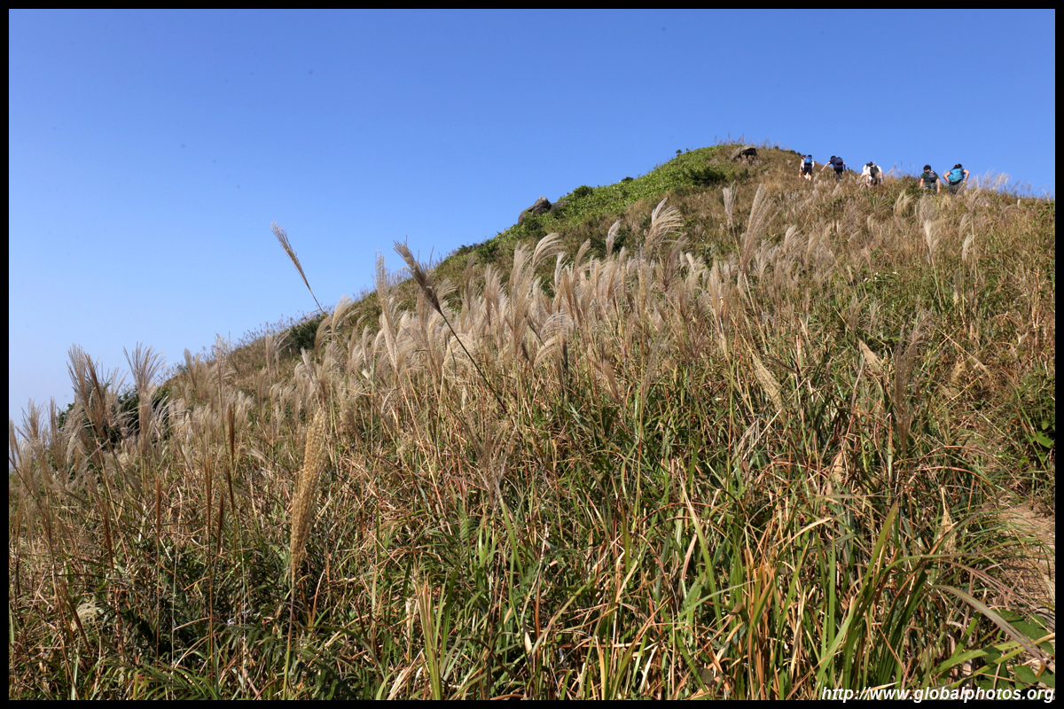
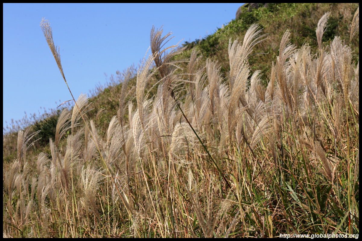
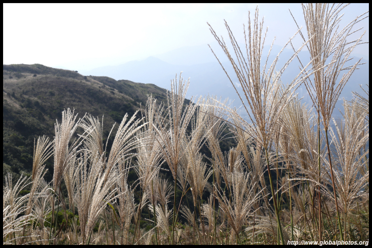
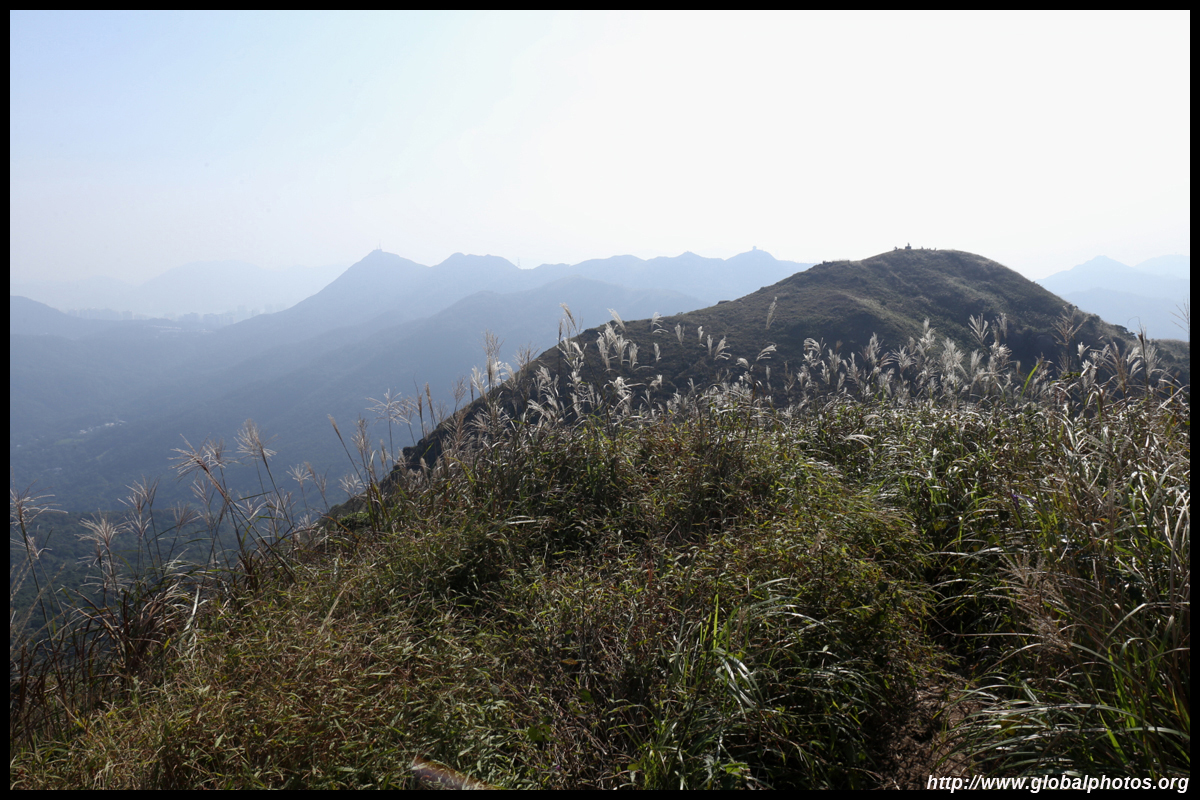
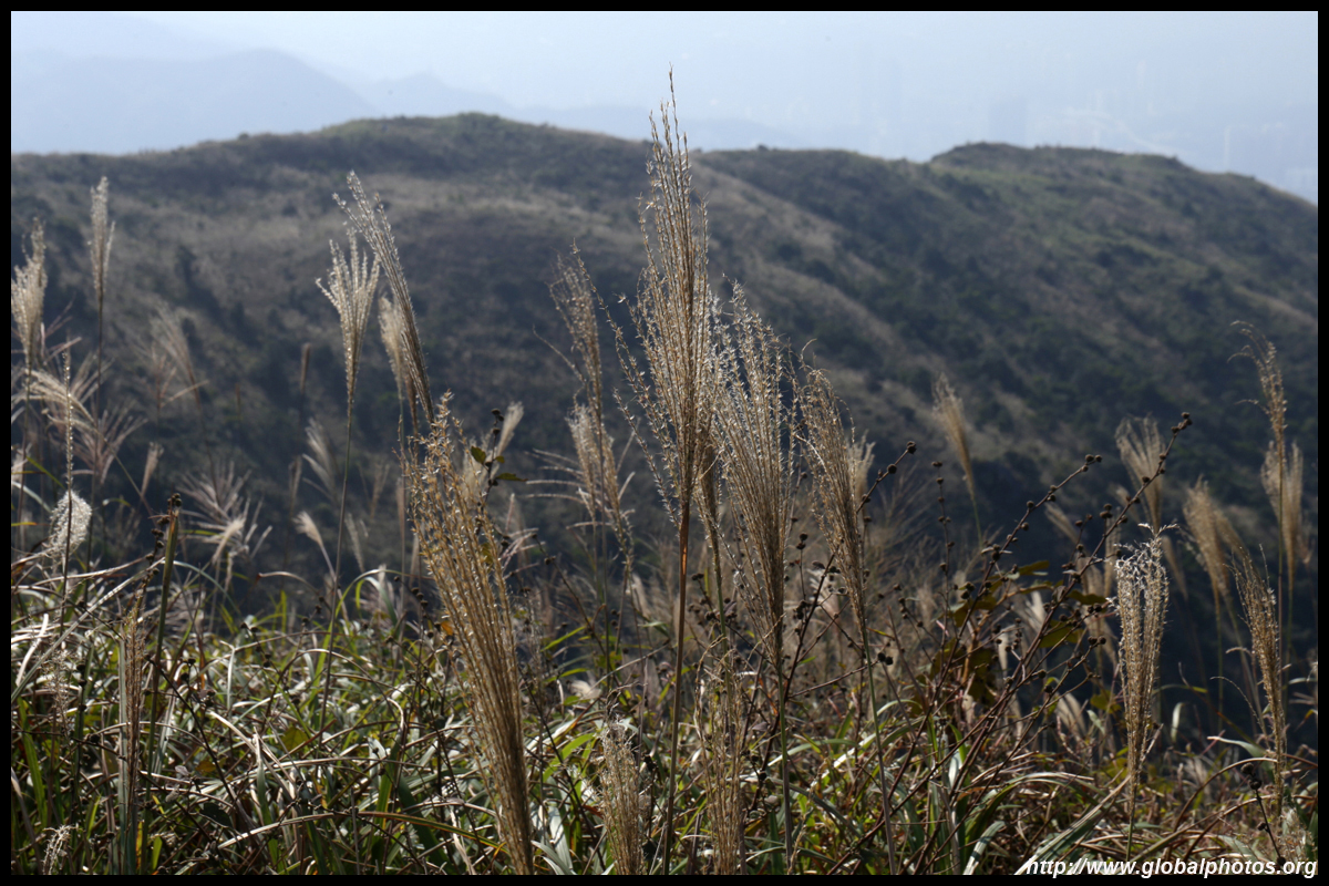
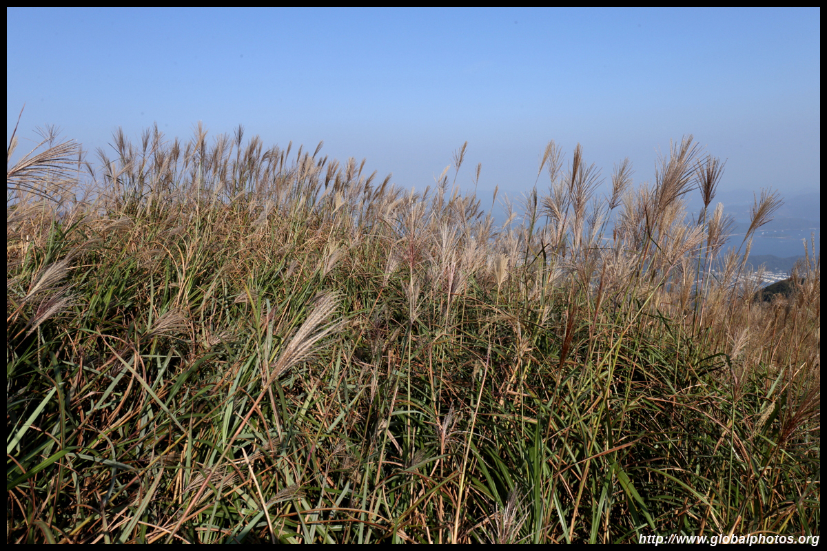
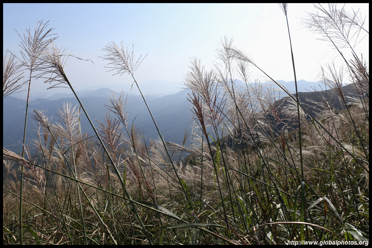
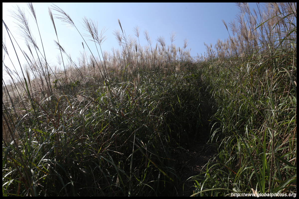
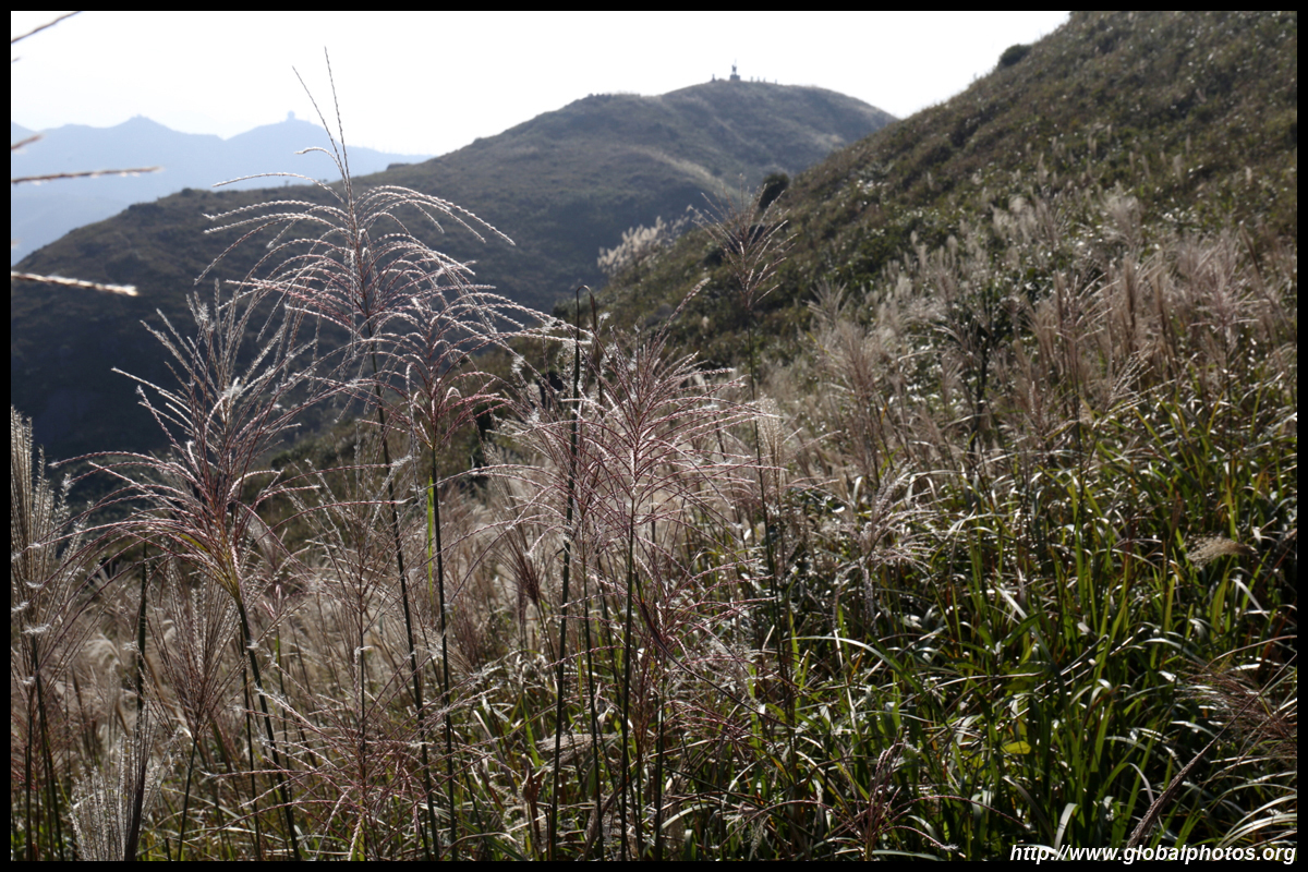
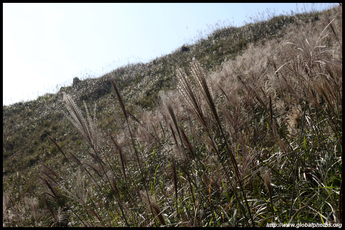
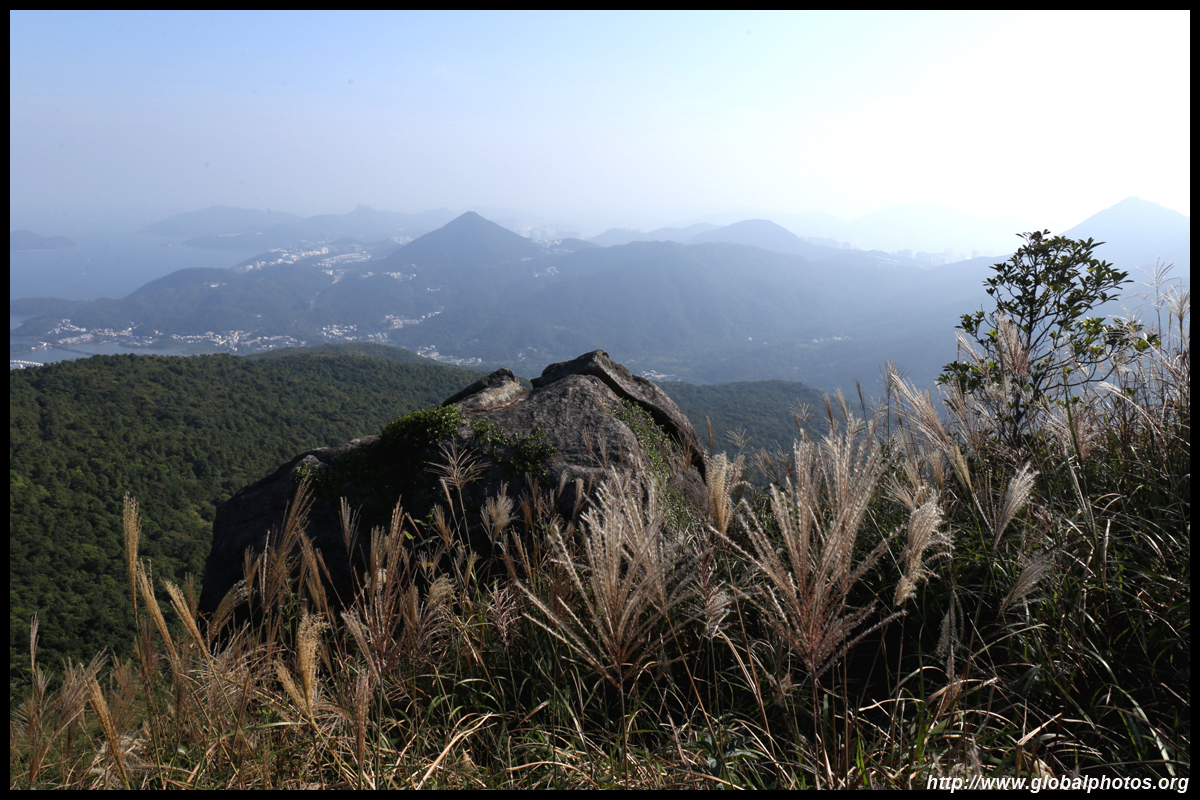
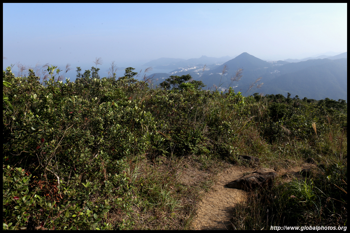
After a long and sweaty climb, there is a short section of flat land with a lot of tall grasses.
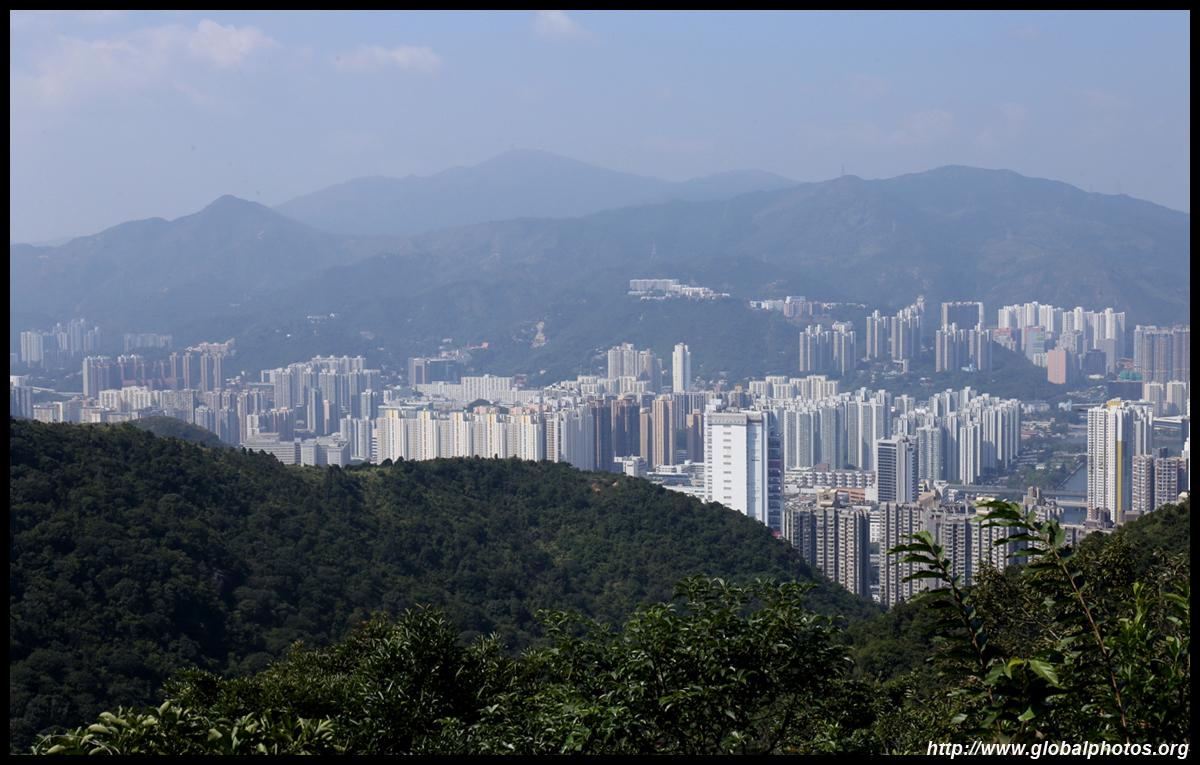
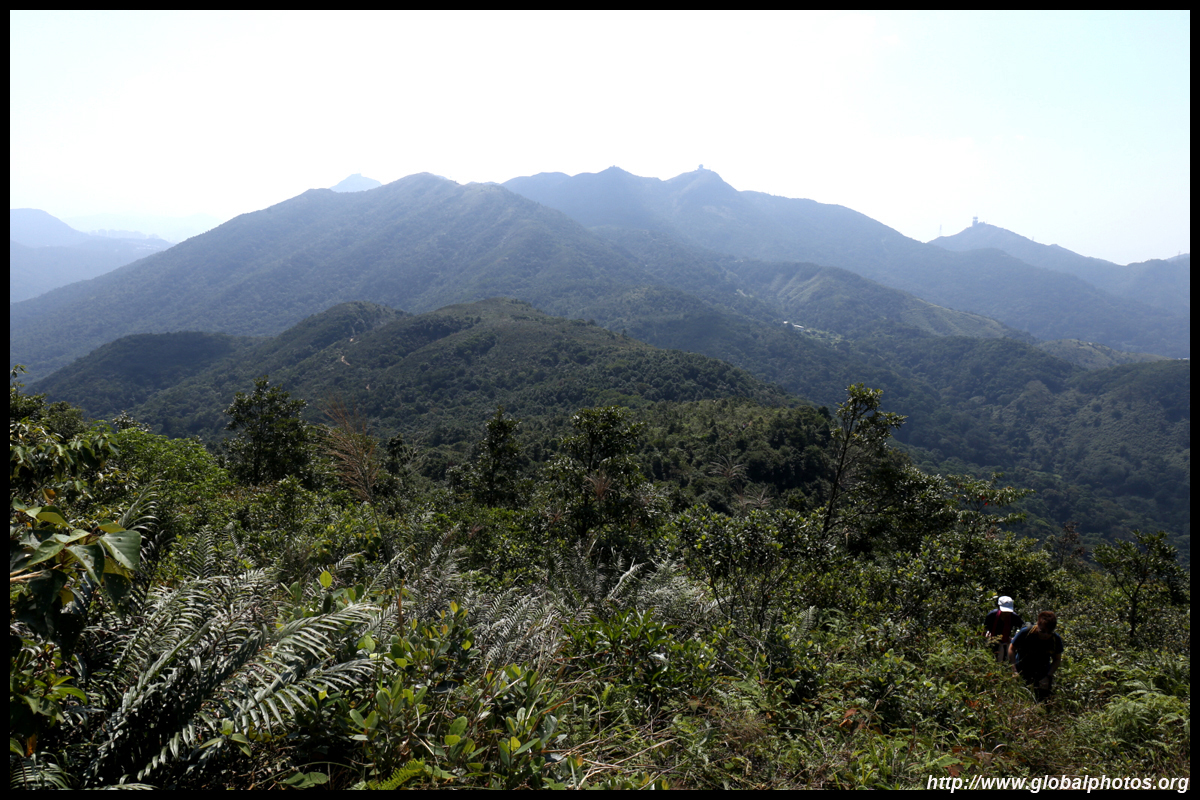
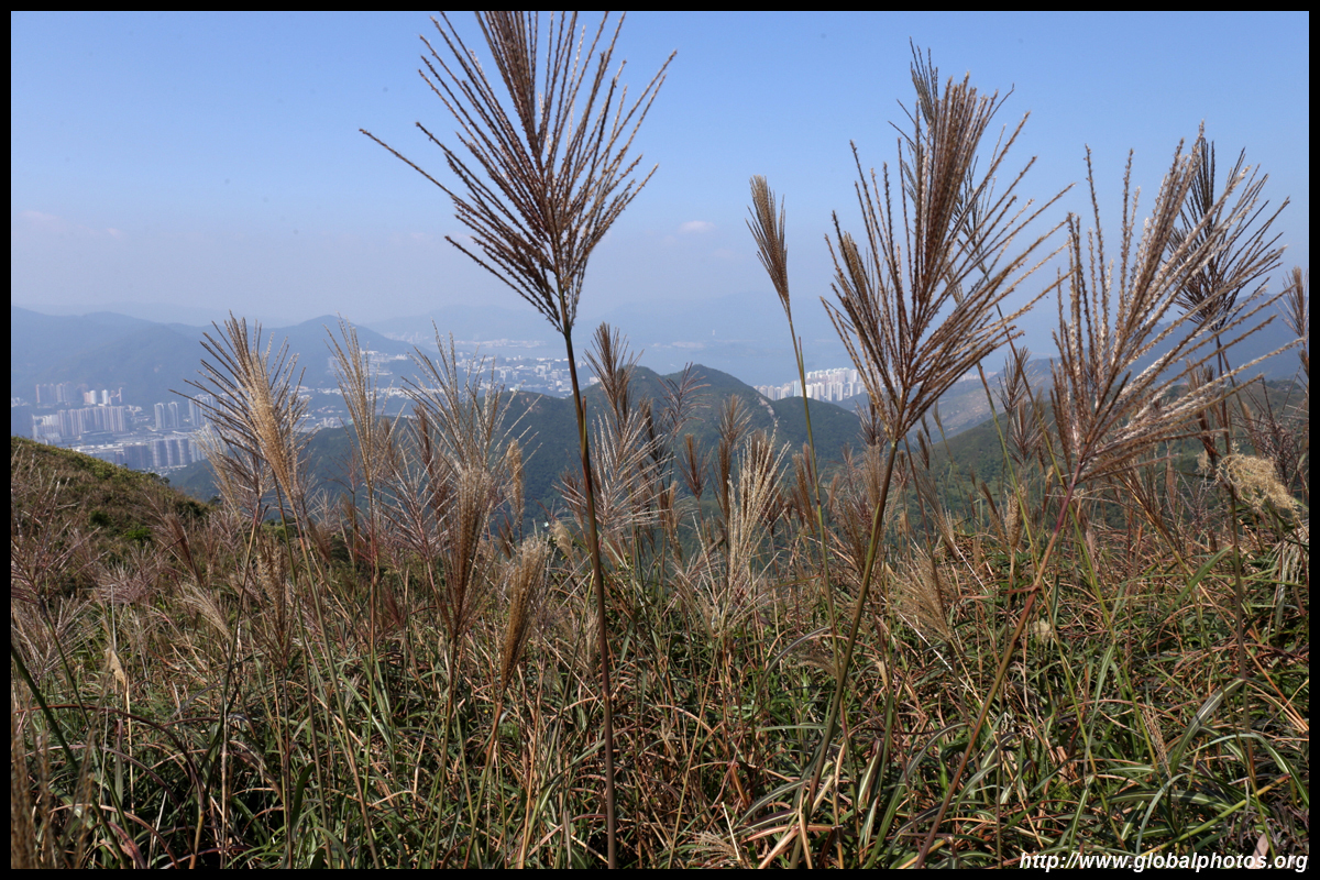
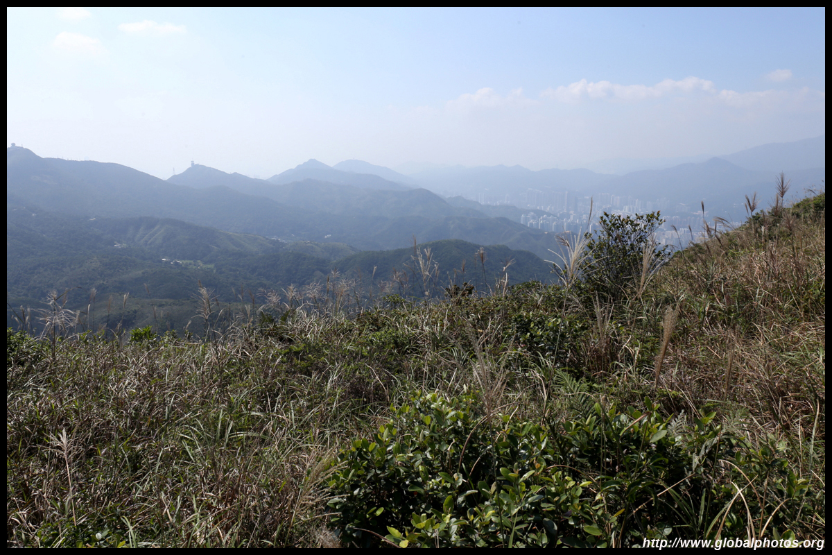
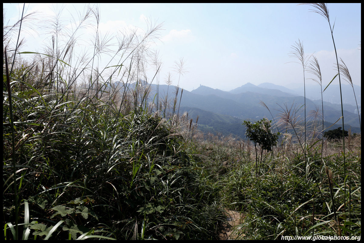
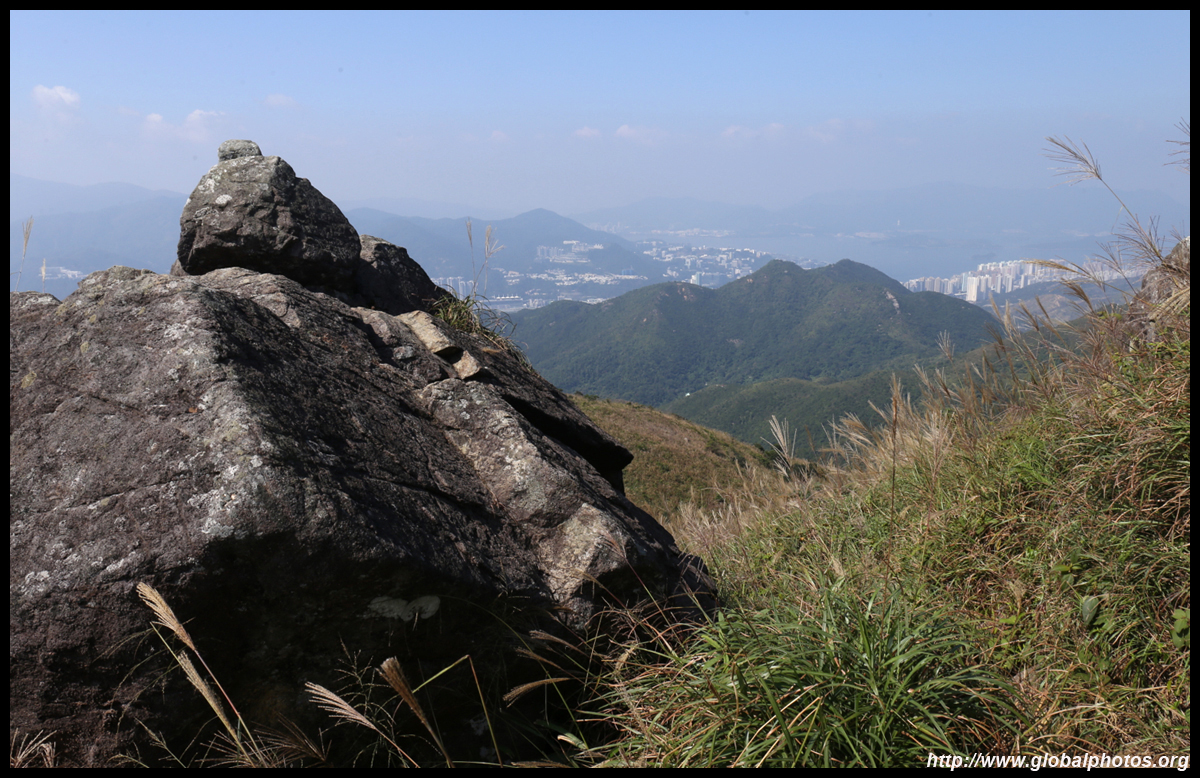
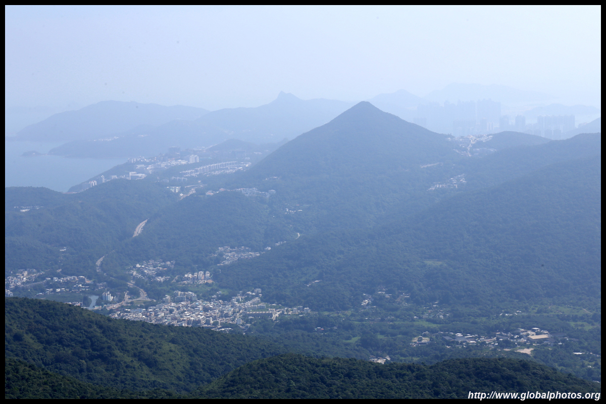
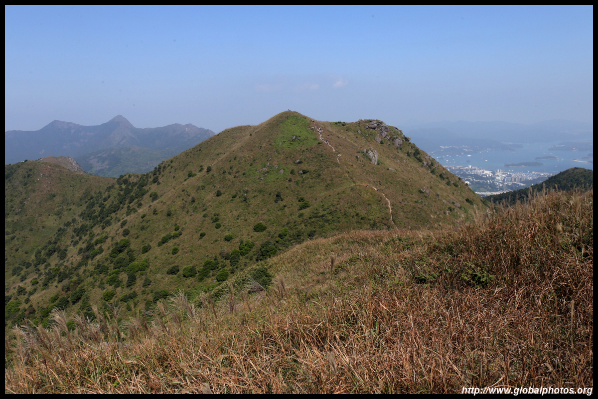
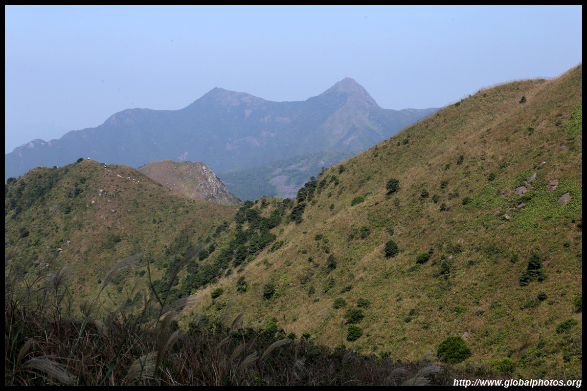
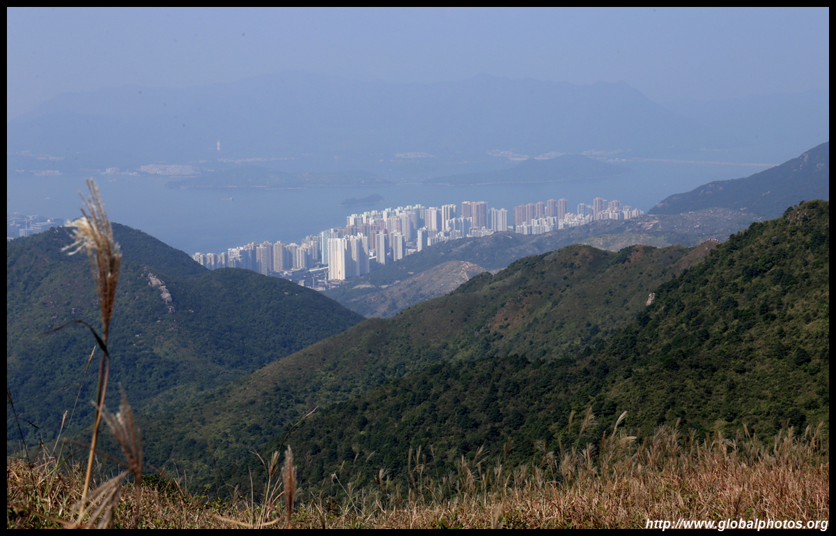
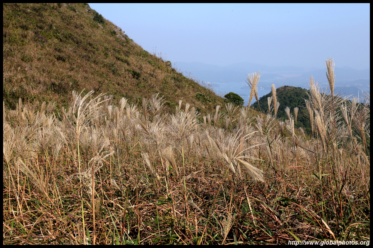
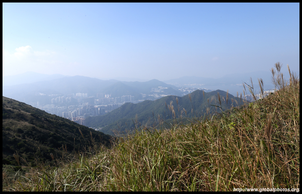
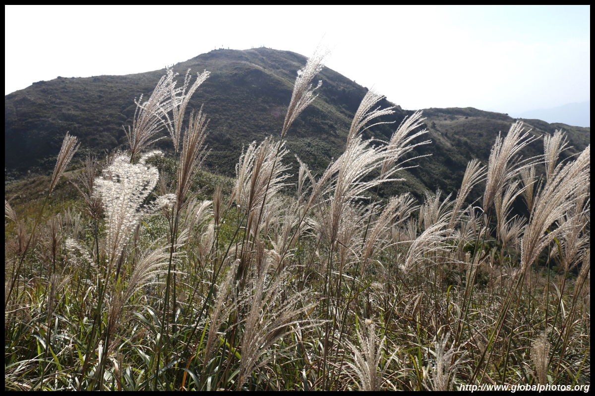
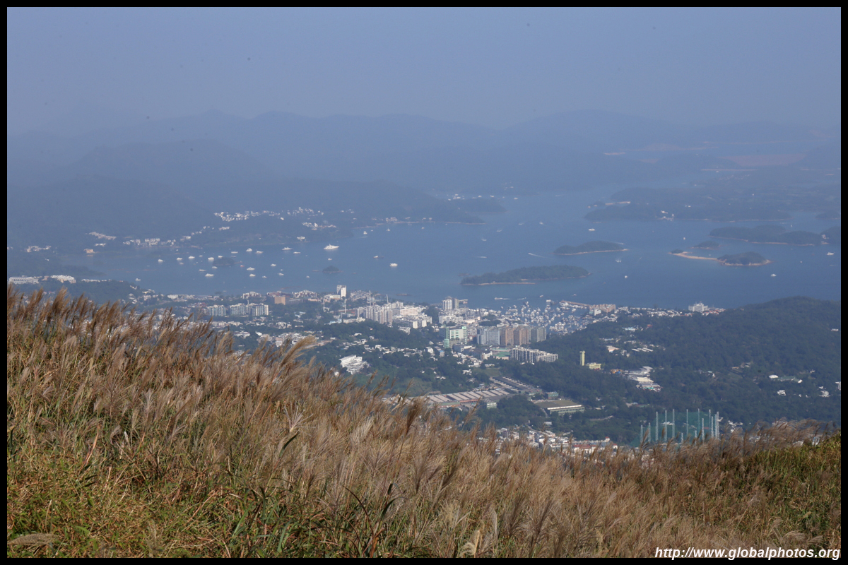
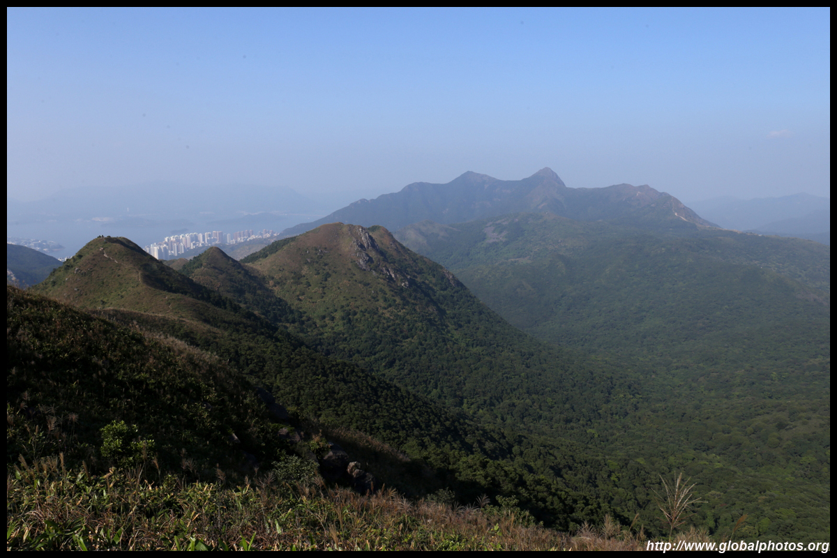
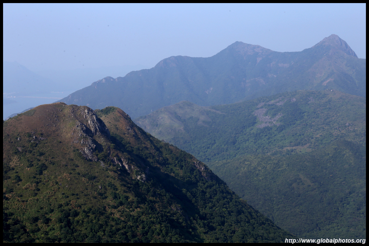
Ma On Shan is in the distance, with the tall mountains known as Pat Sin Leng in the background. That one is a hike for experts.
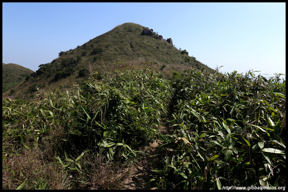
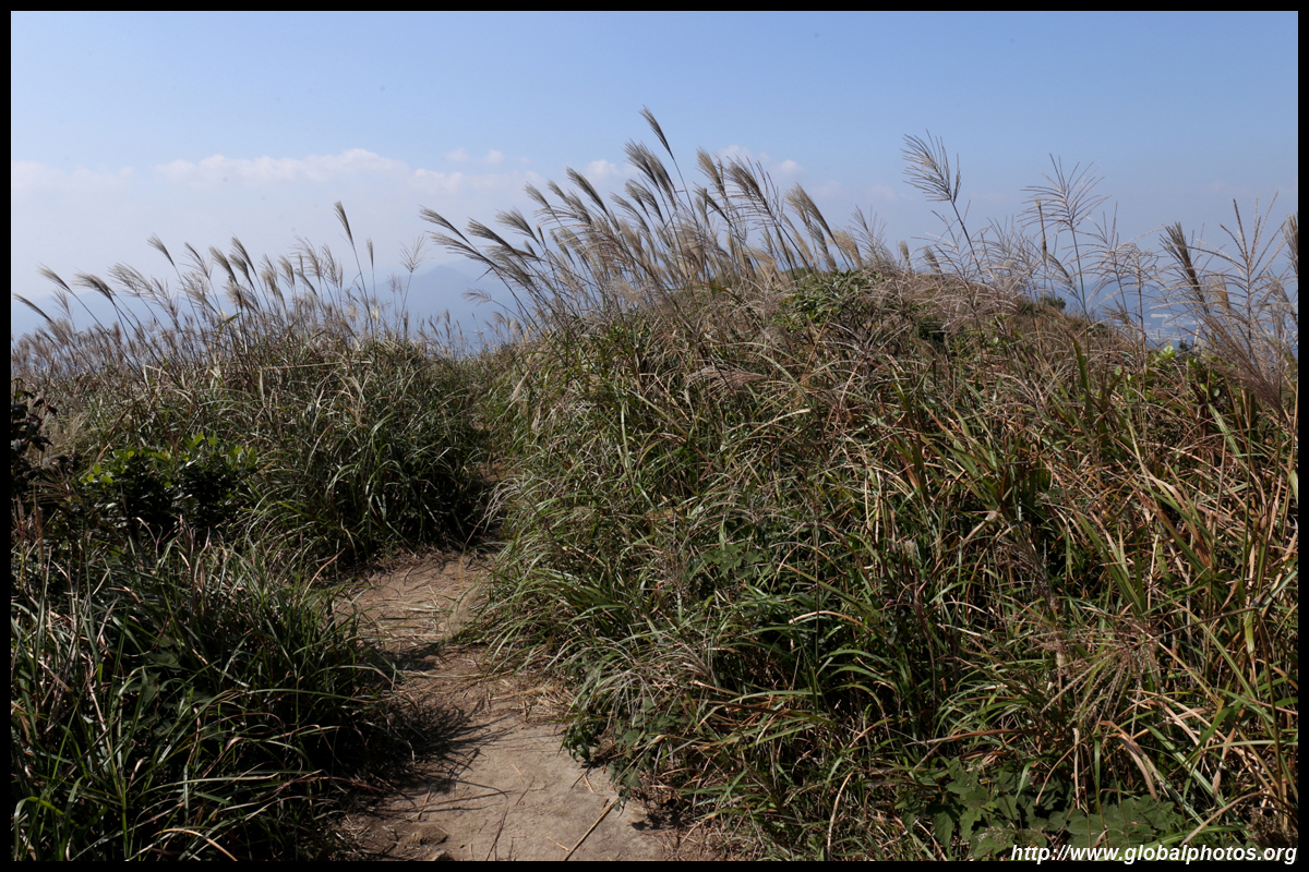
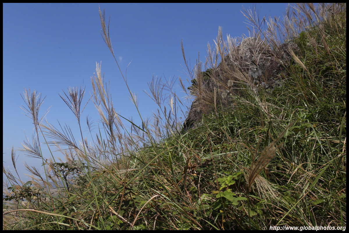
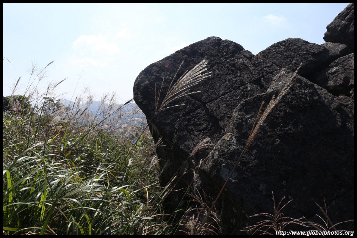
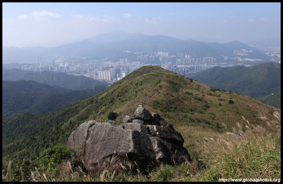
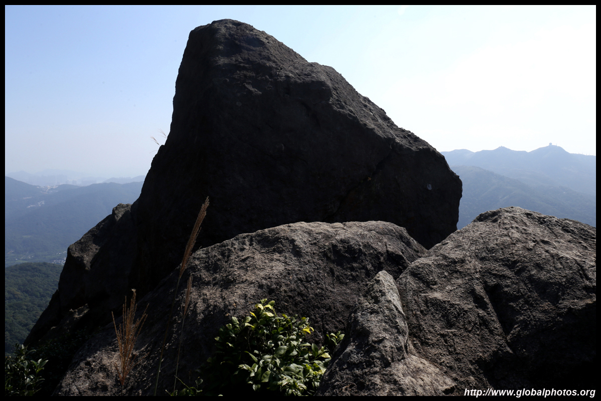
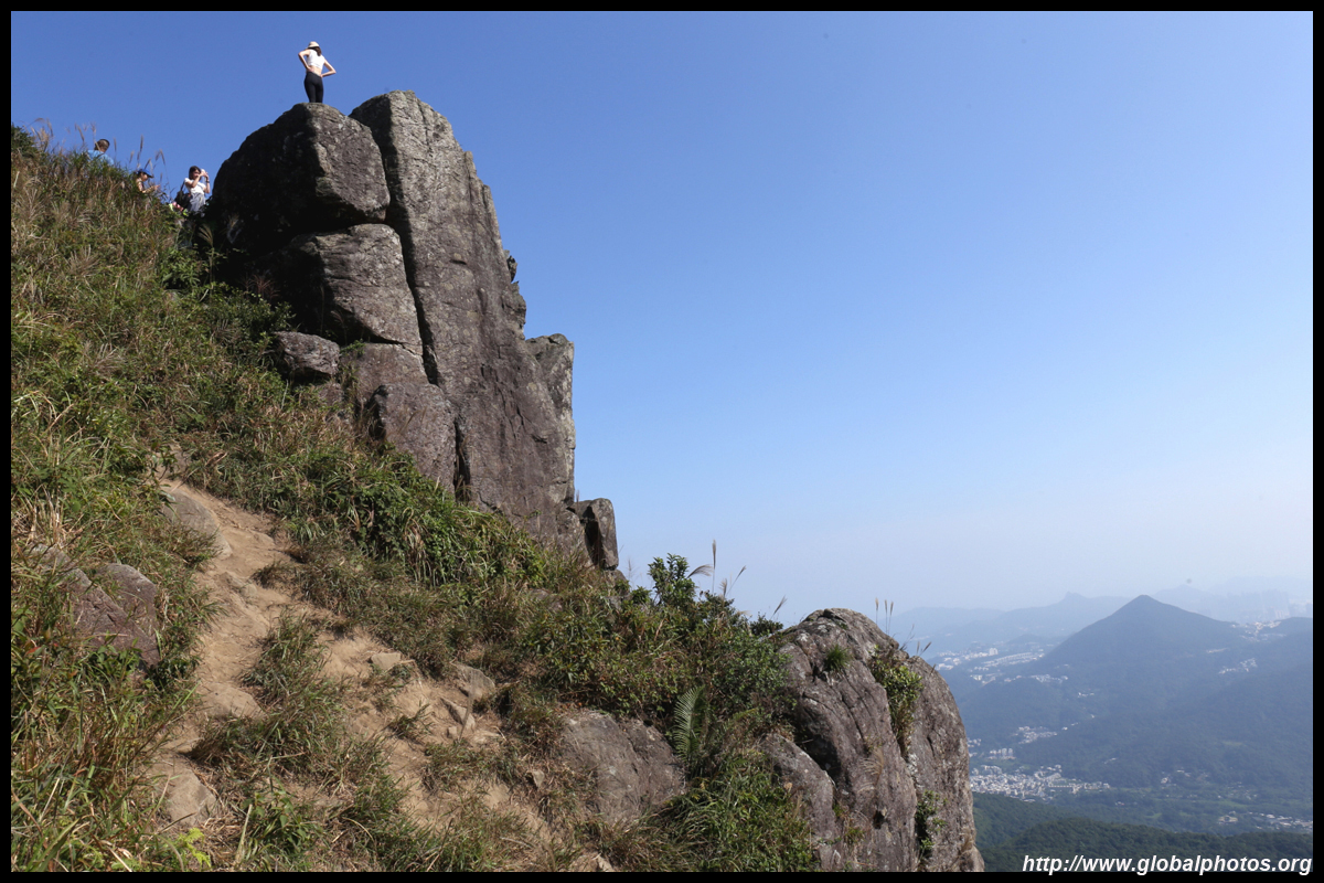
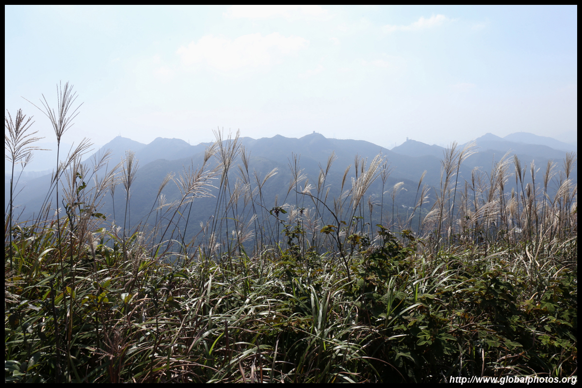
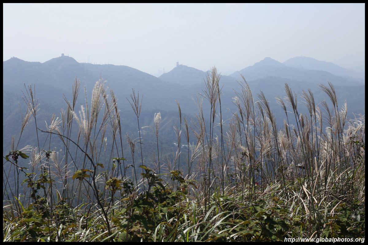
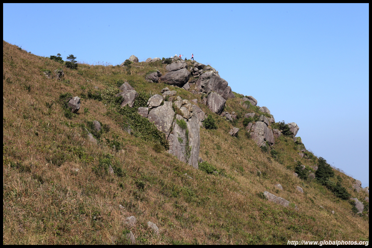
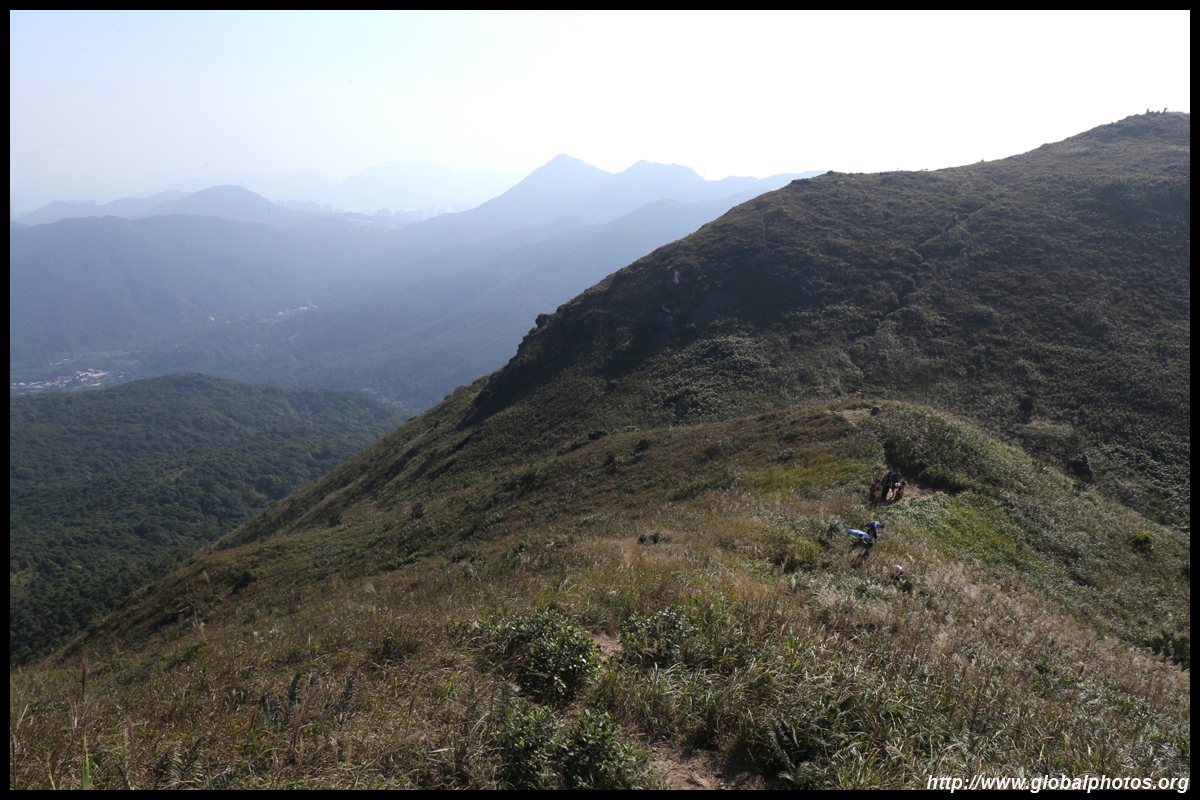
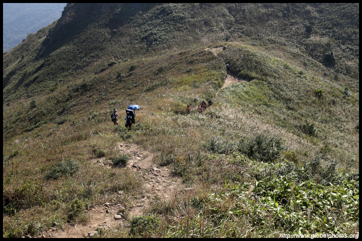
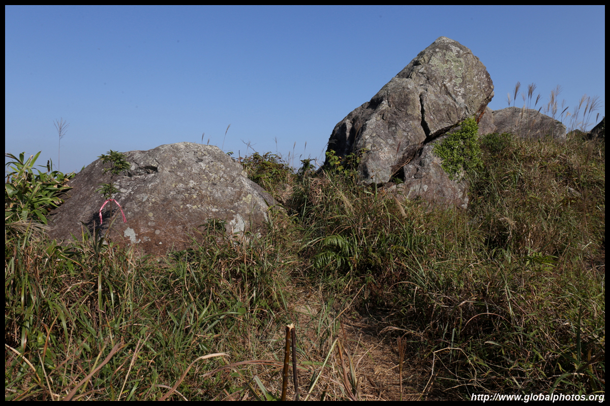
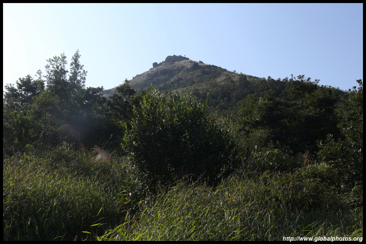
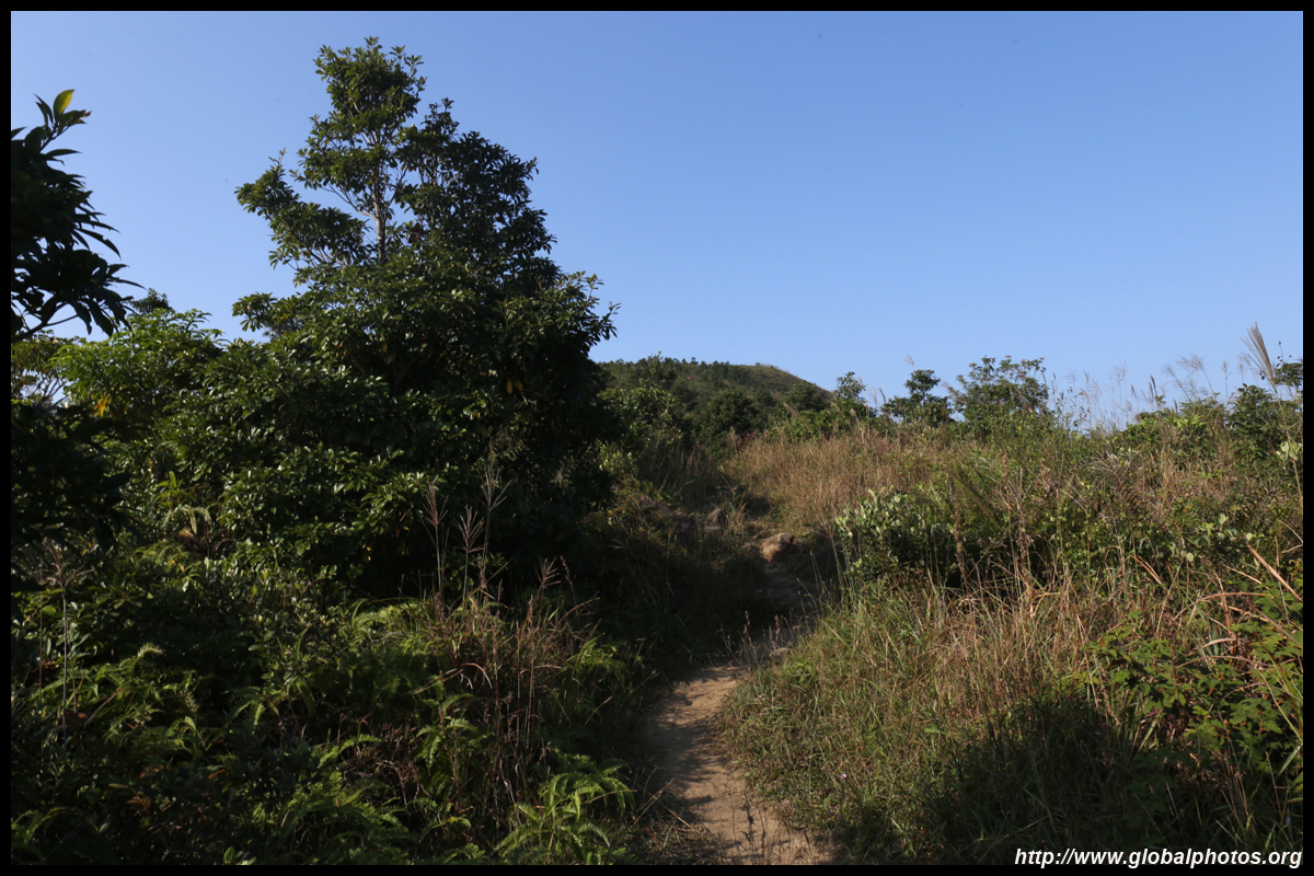
The path turns rocky again for the final leg up to West Buffalo Hill.
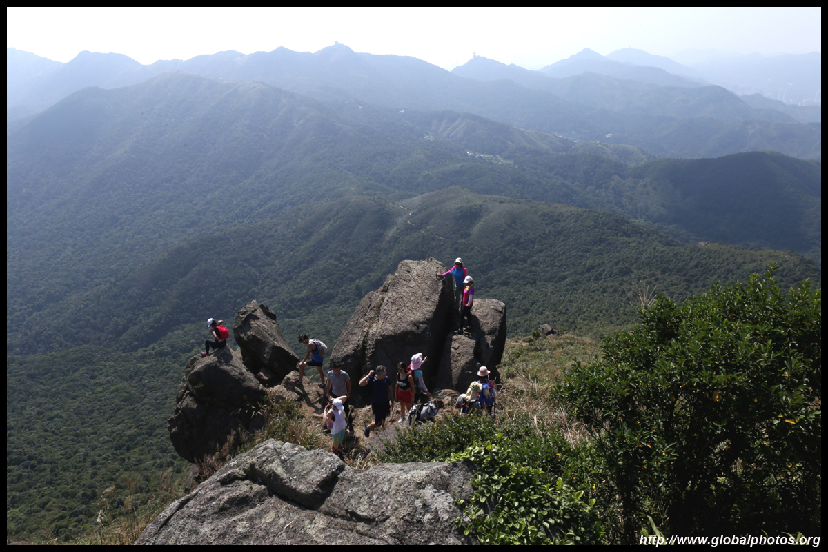
There is also an Instagram photo spot in between the rock crevices down below those rocks. You need gloves to scramble down the steep dirt path and some areas have ropes to help. This part is not for the novice hiker although many made the trip down on the day I visited.
A slide down this detour takes about 15 minutes while it may take much longer to wait for your turn for a photo shoot since only 1, maximum 2, can fit into the rock crevice at any time. By the time you scramble your way back up to the top of West Buffalo Hill, it is time for a much-deserved break.
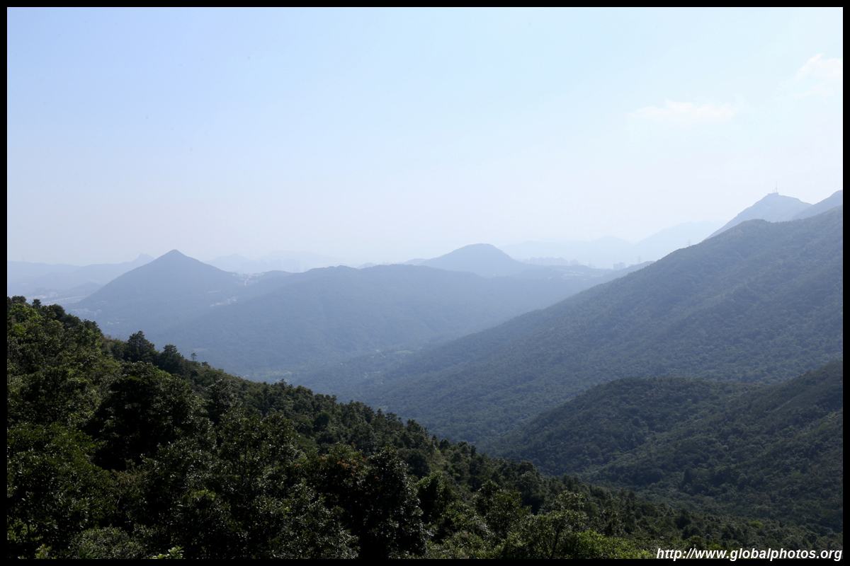
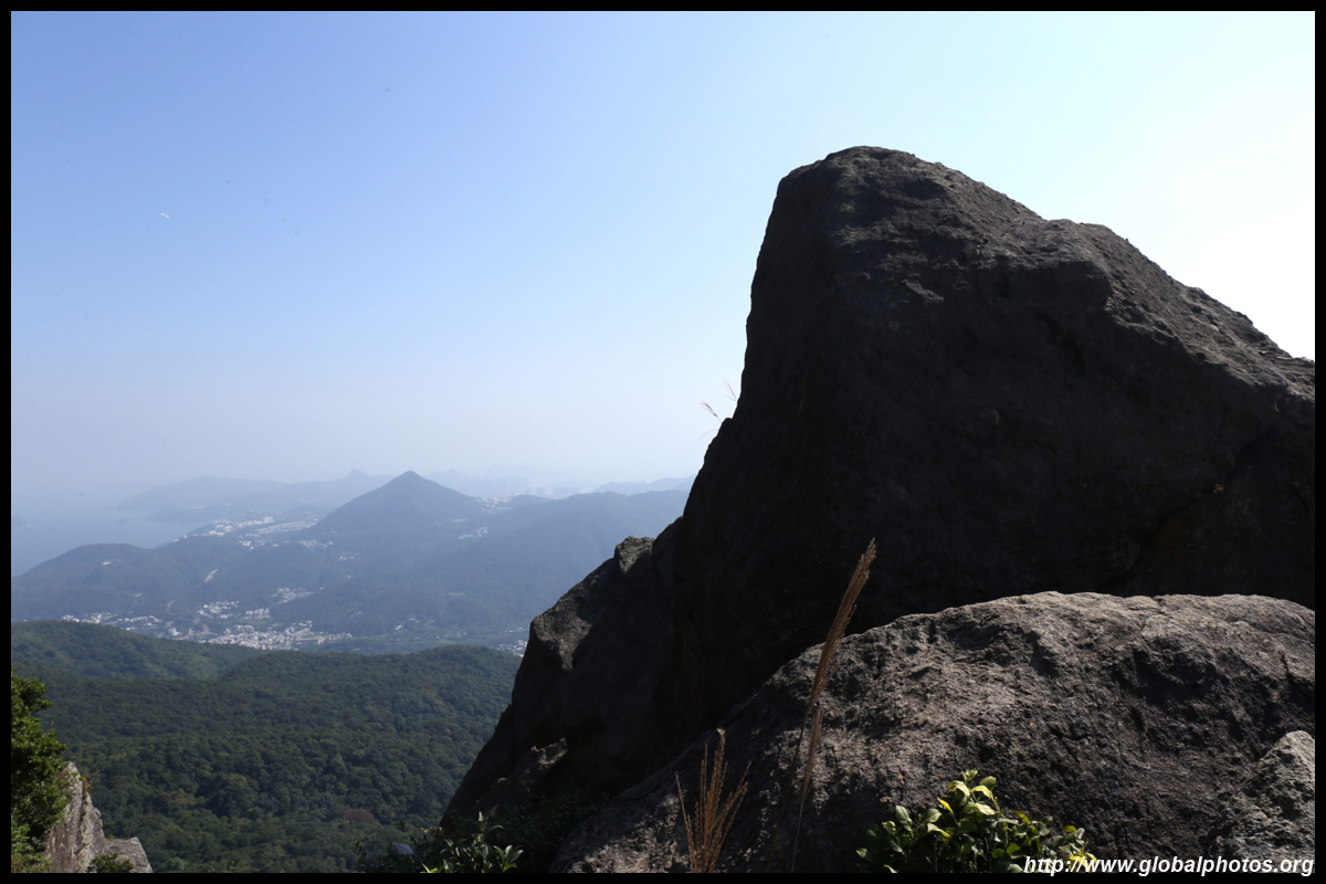
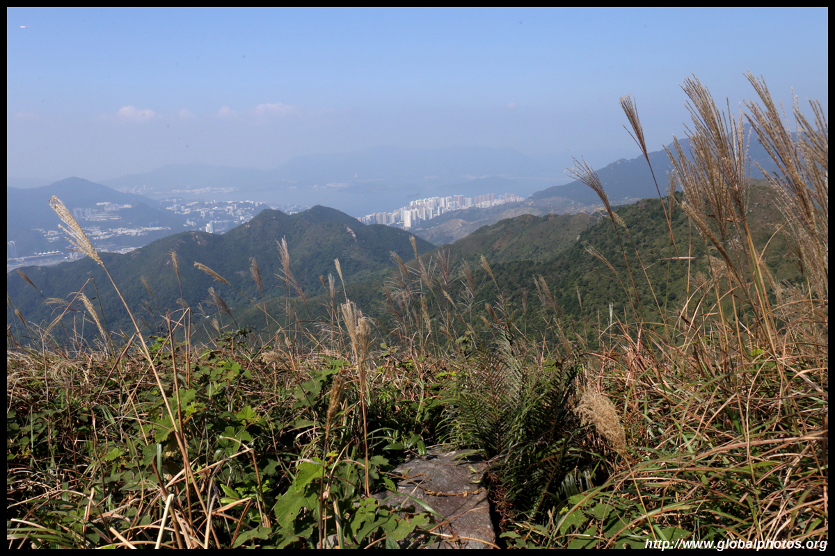
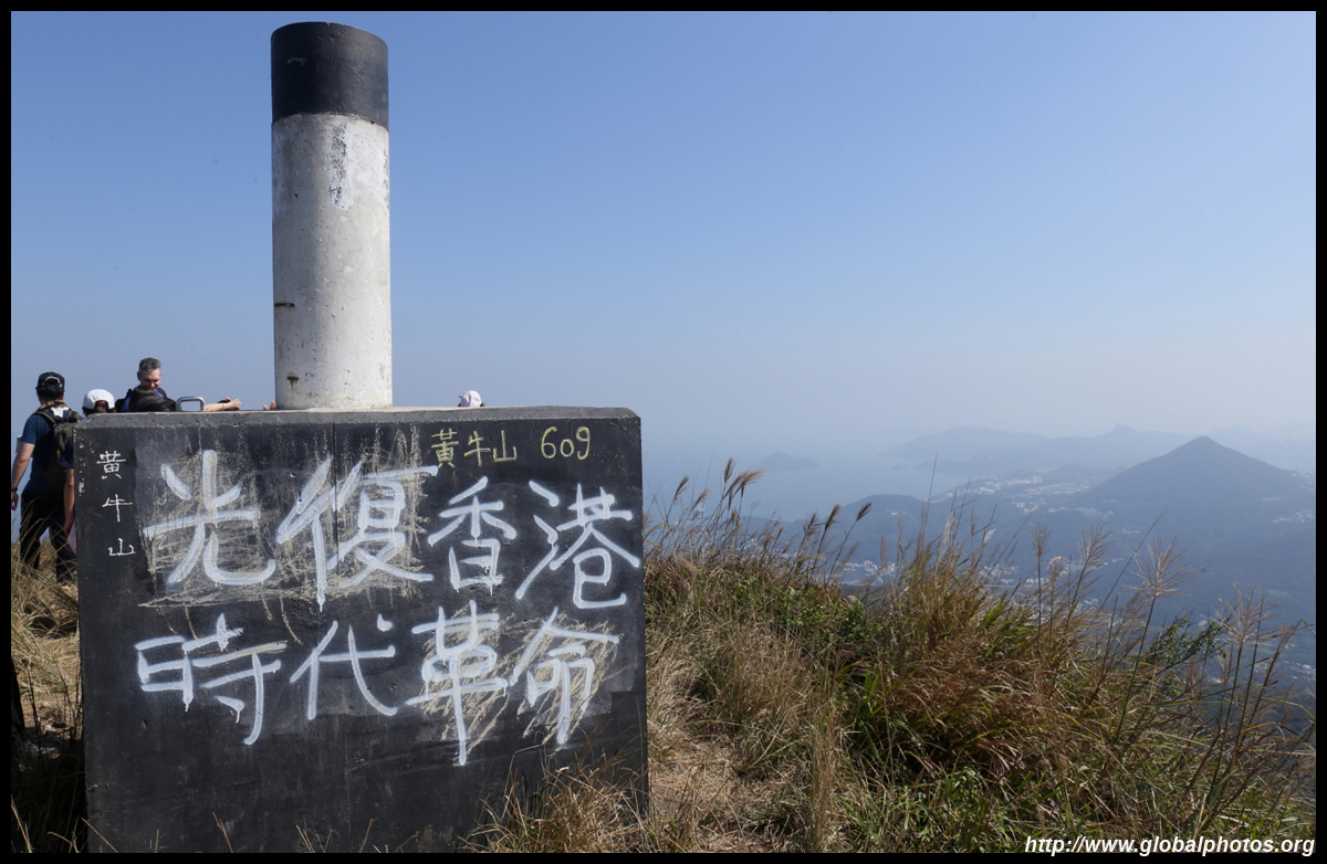
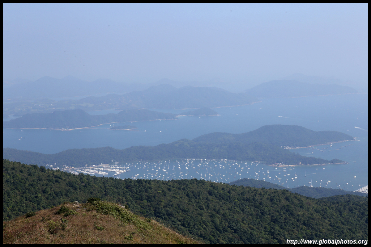
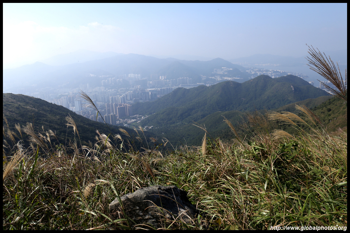
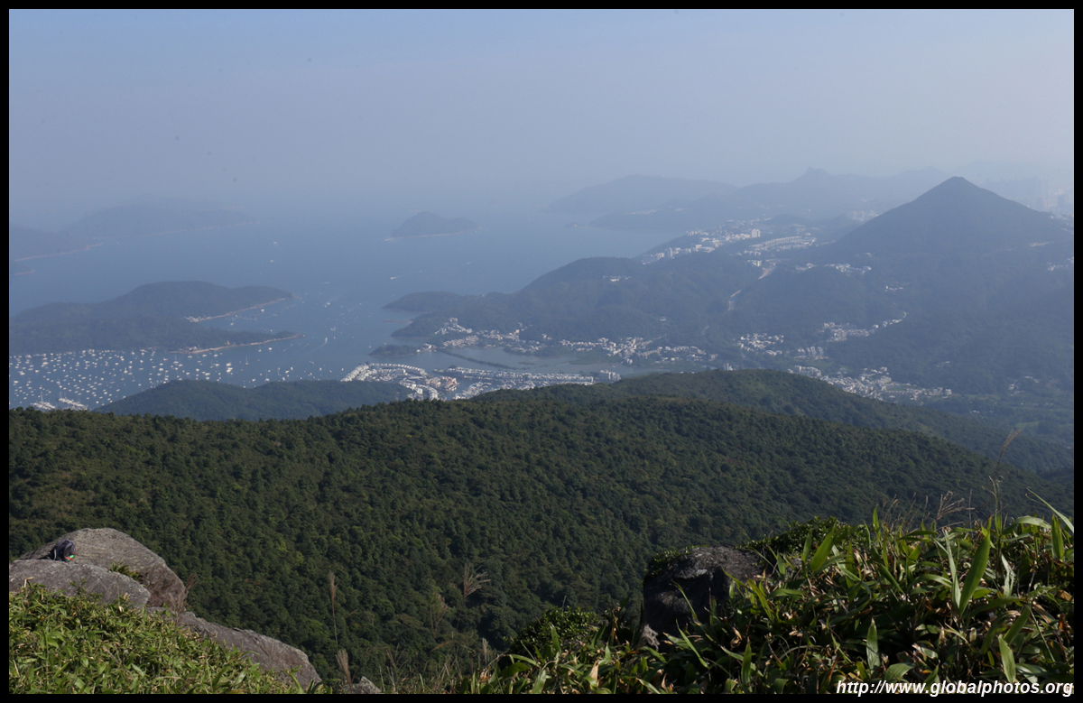
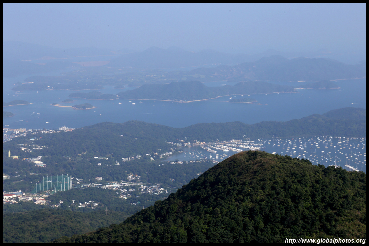
Victoria Harbour can be seen in the distance.
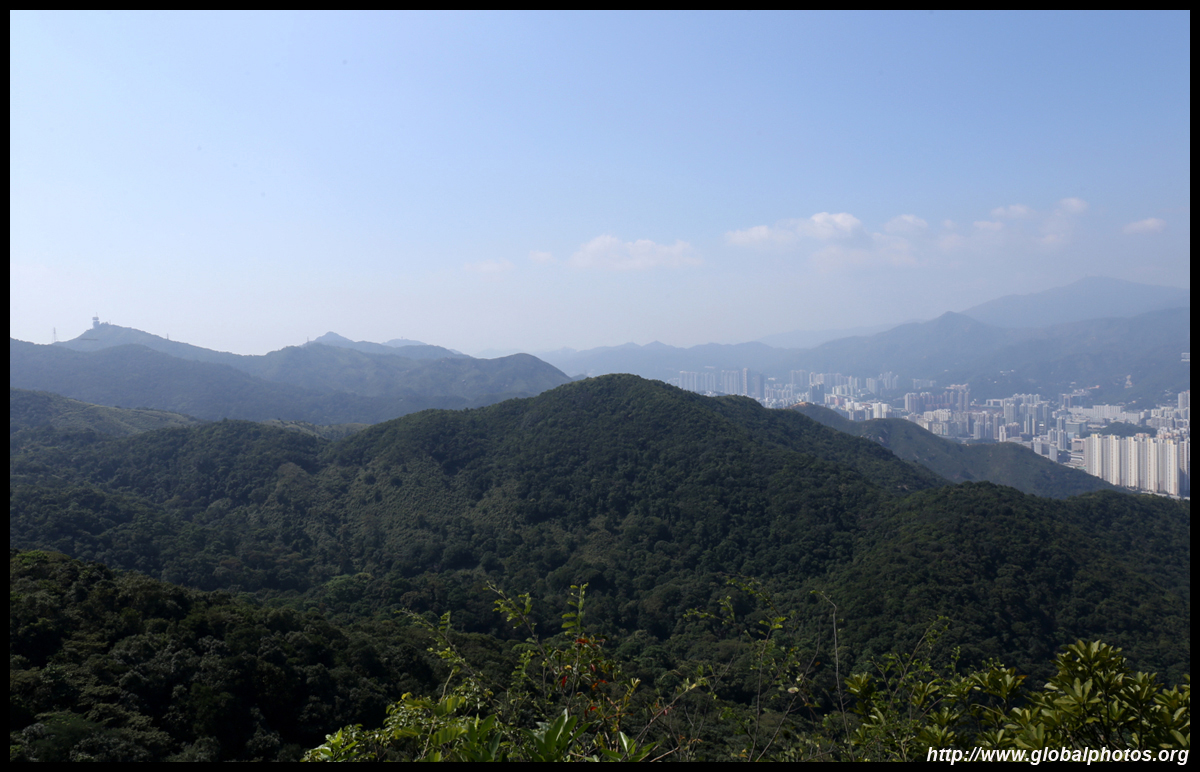
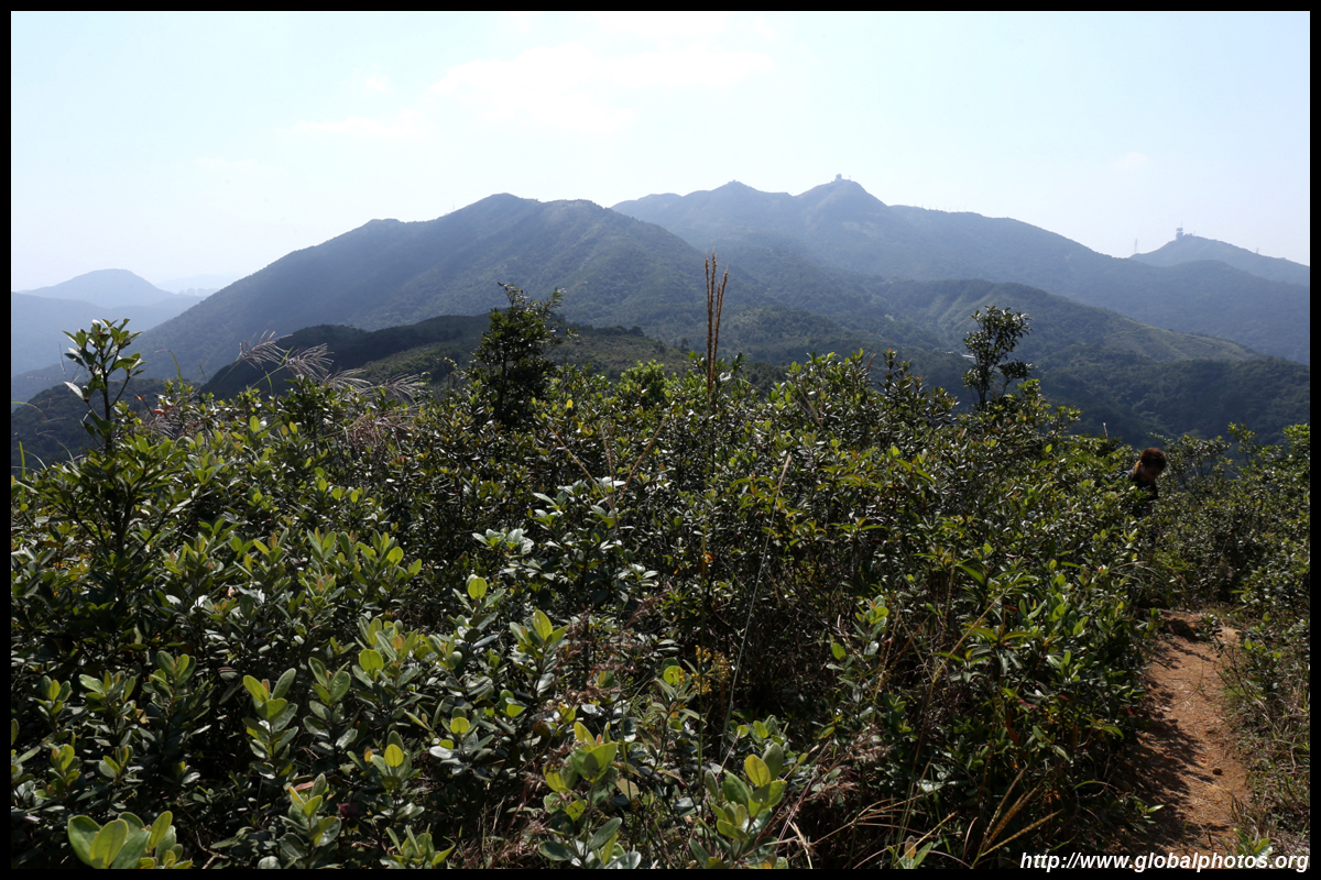
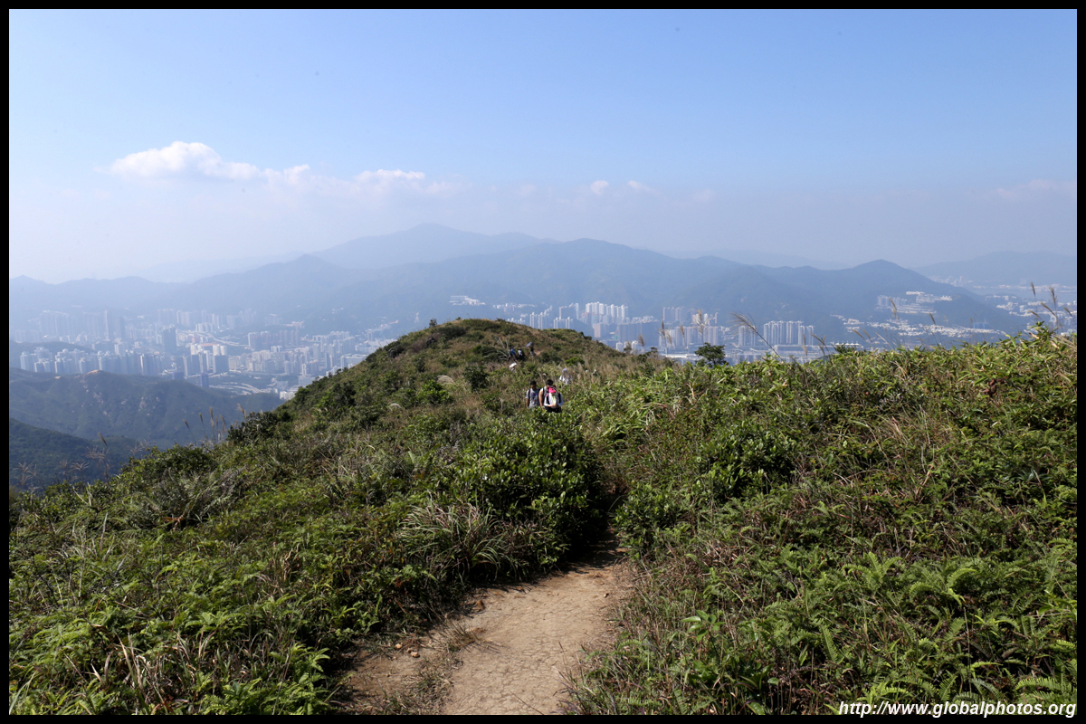
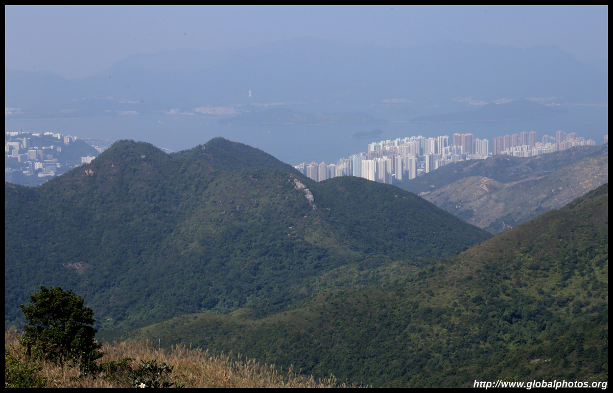
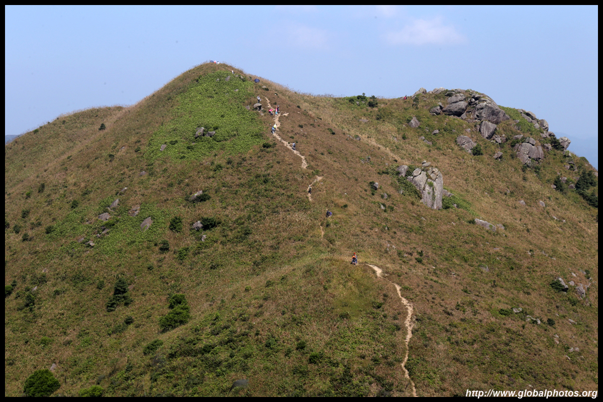
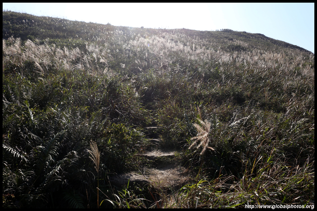
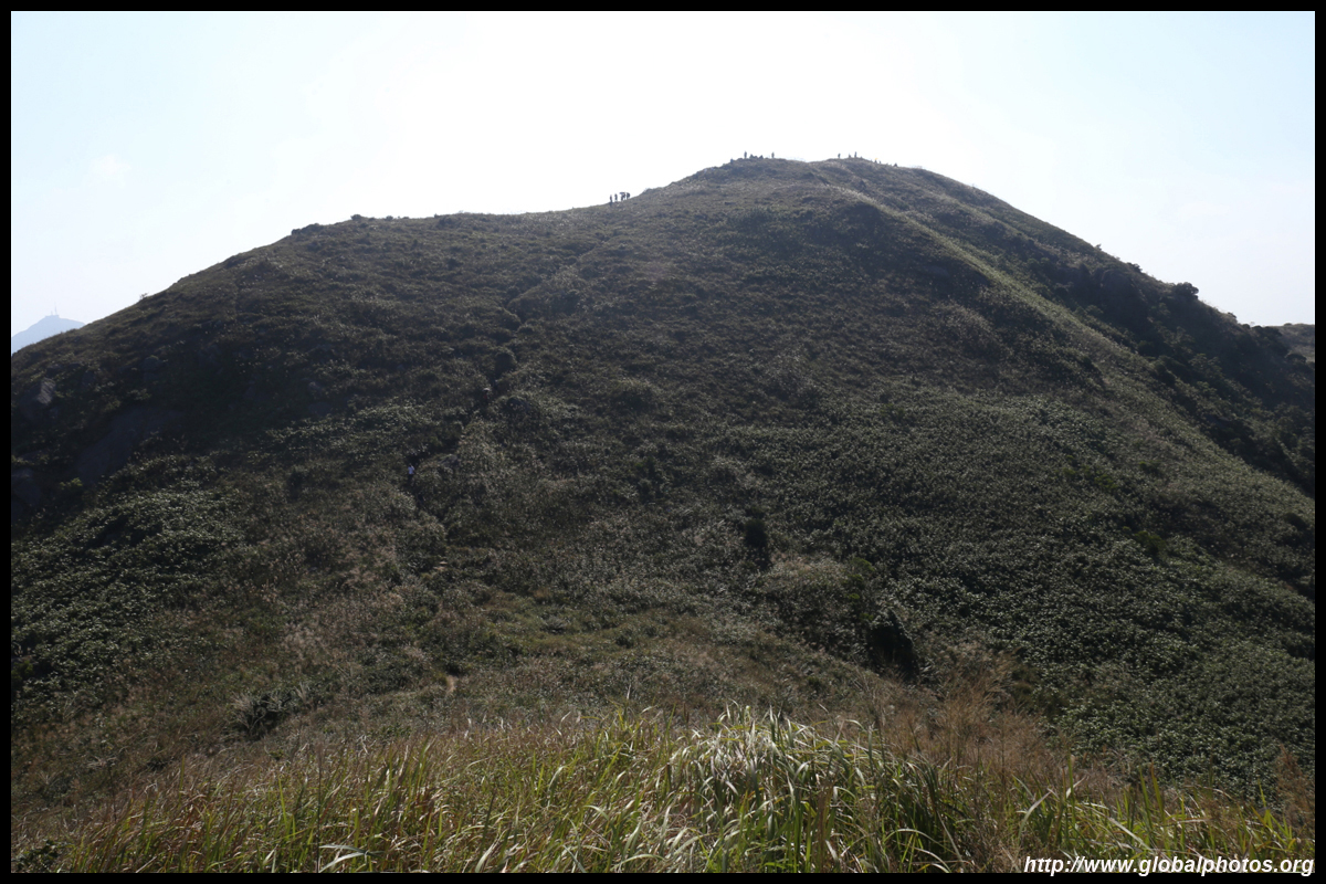
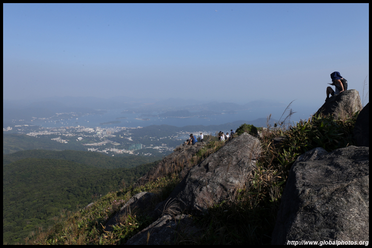
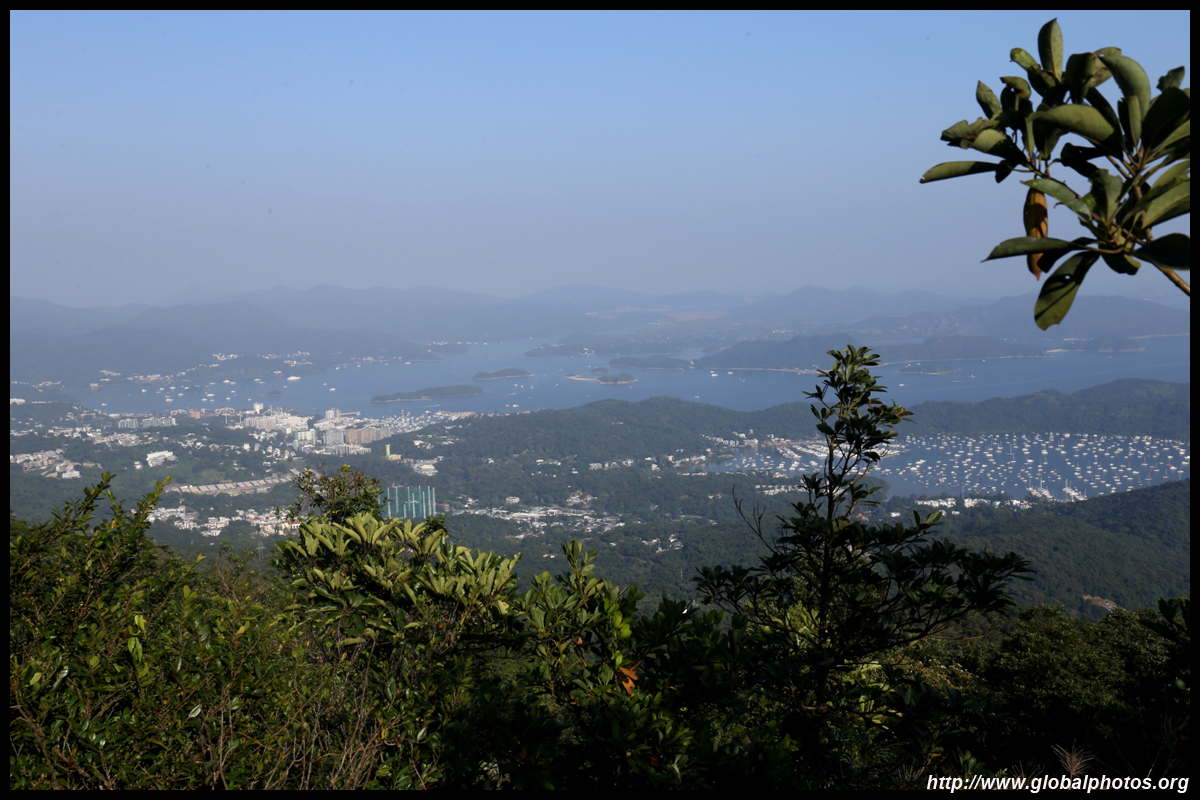
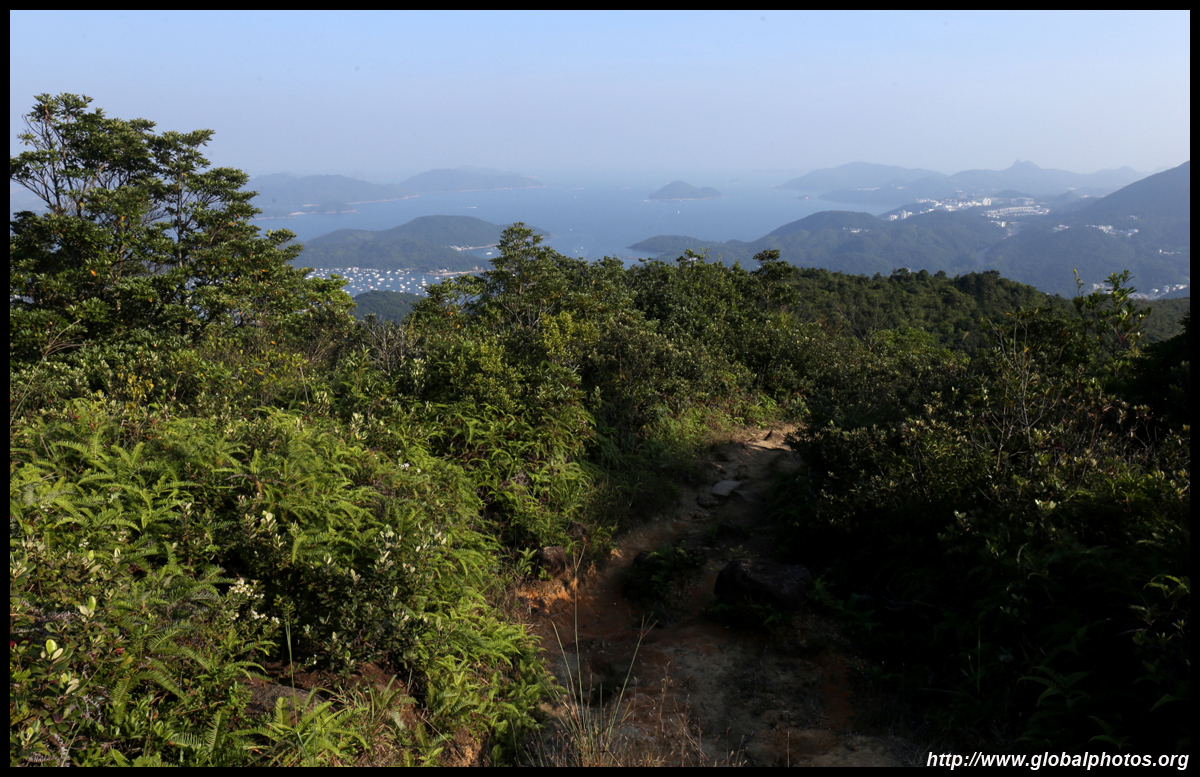
The is a short downhill section before the dirt path rises up to the slightly taller Buffalo Hill next door. Despite these 2 mountains being so close to each other, the views are quite different so don't turn and descend back to Shatin just yet.
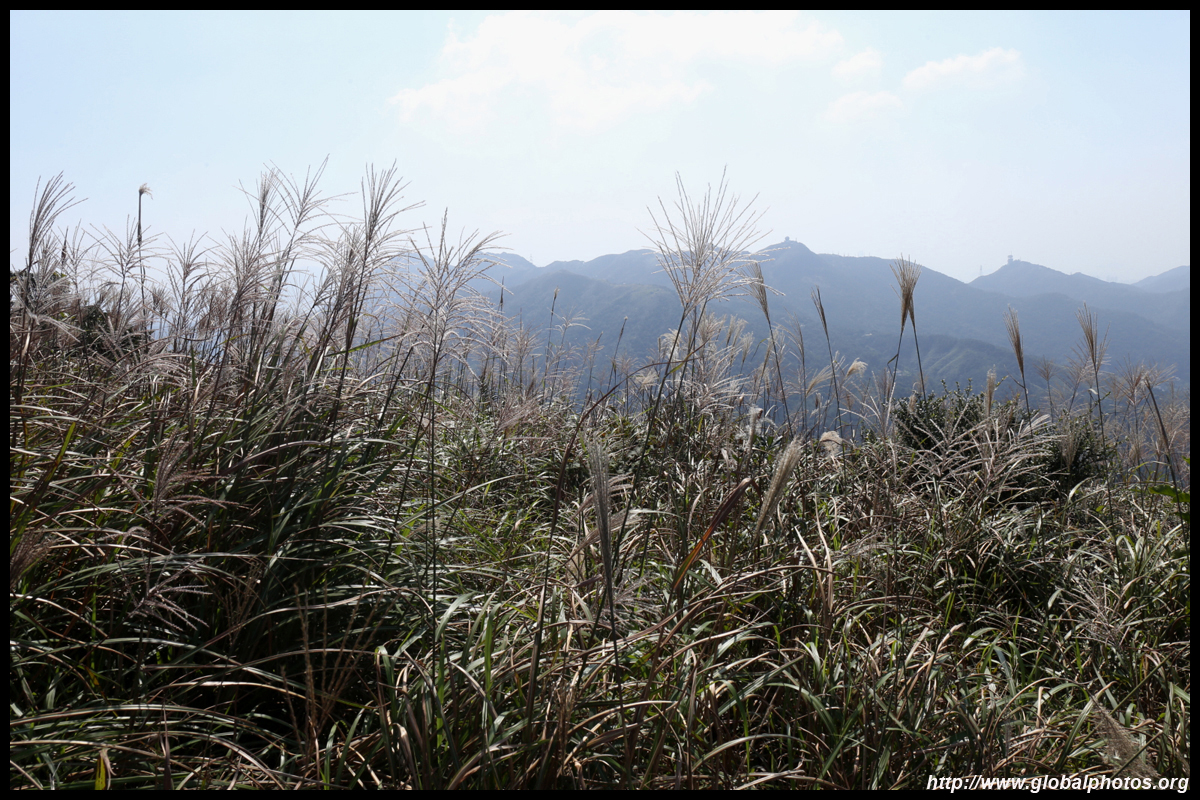
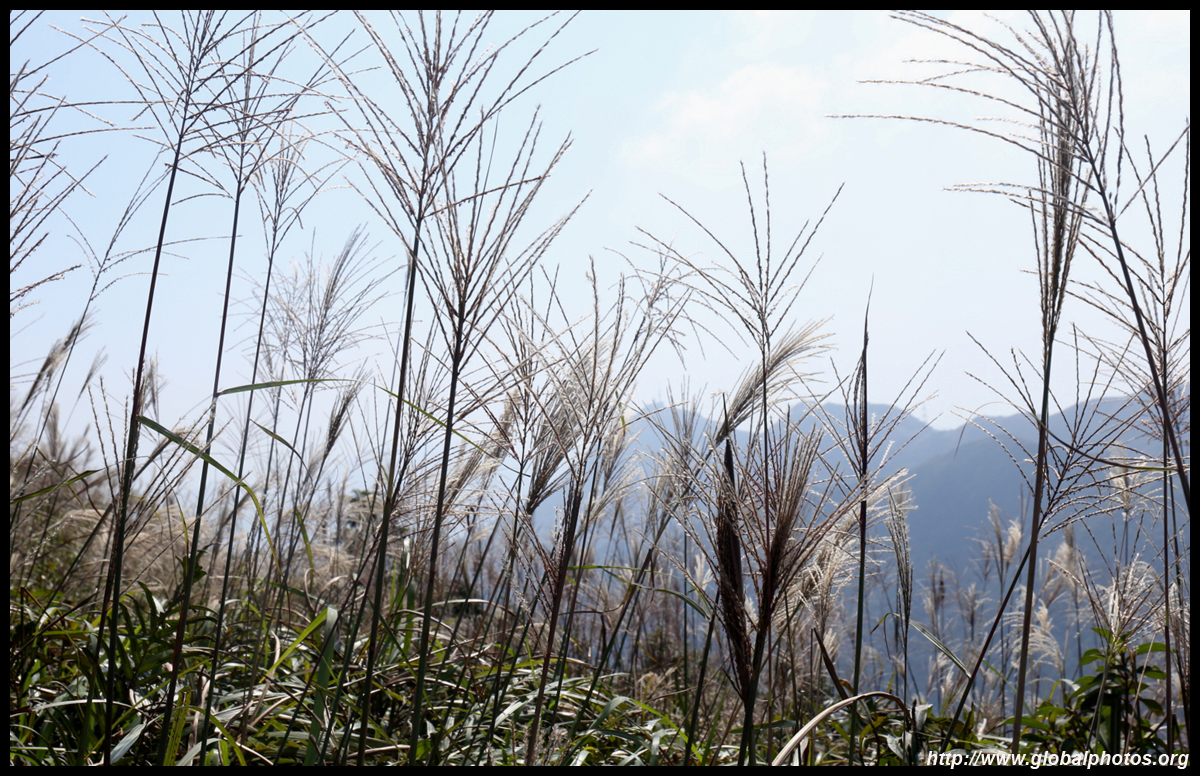
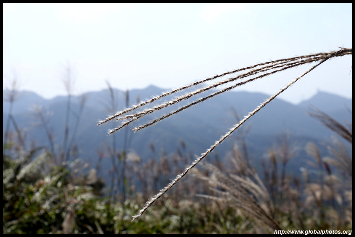
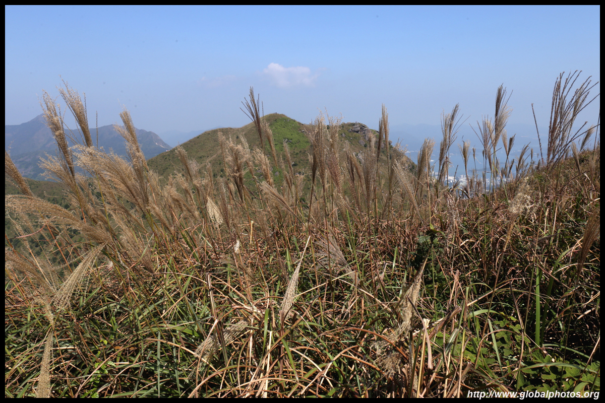
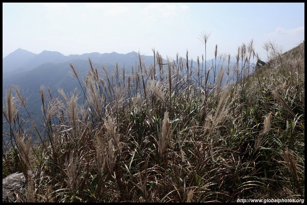
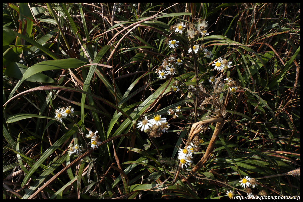
These grasses bloom around autumn and winter, and while Sunset Peak seems most famous for these scenes, I wasn't disappointed with this route either.
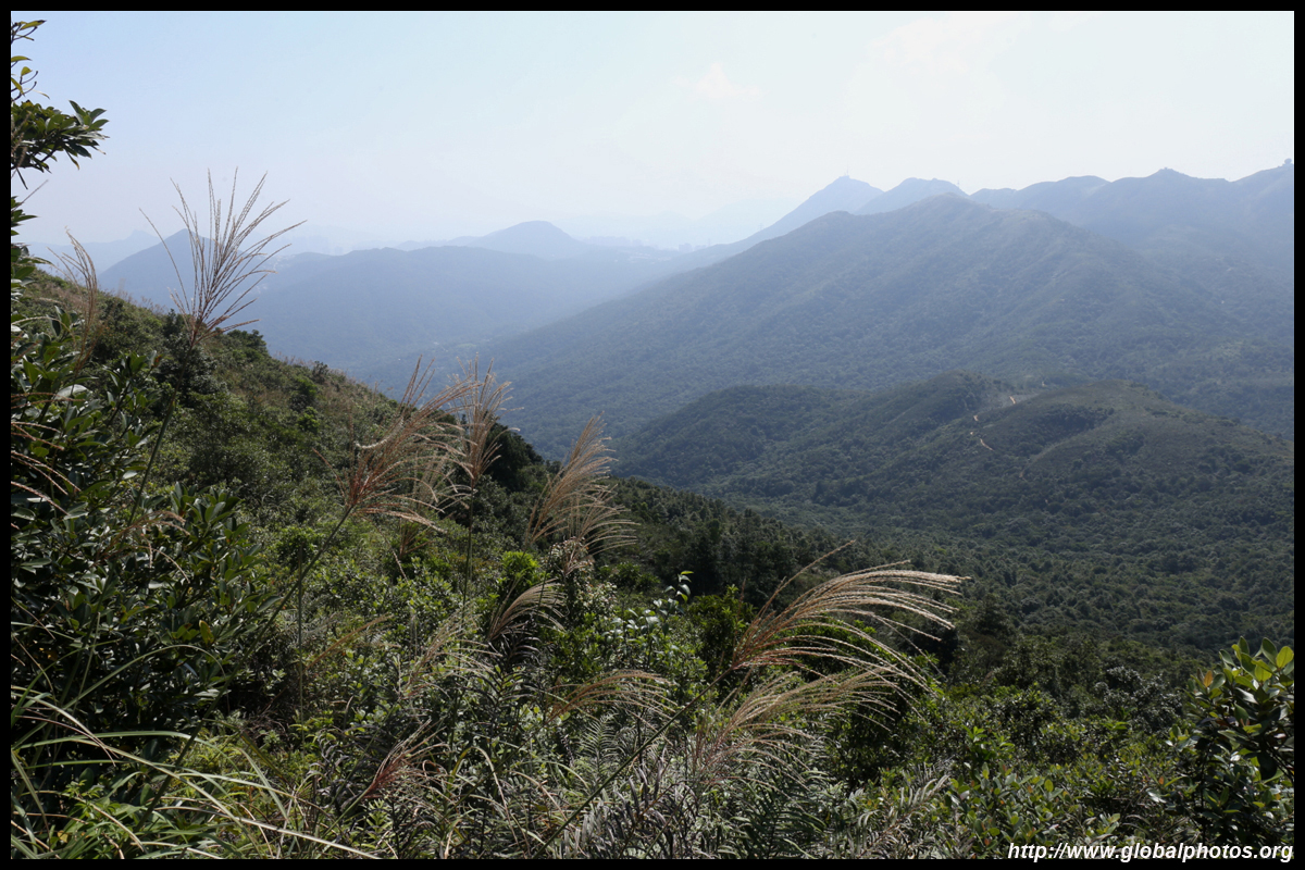
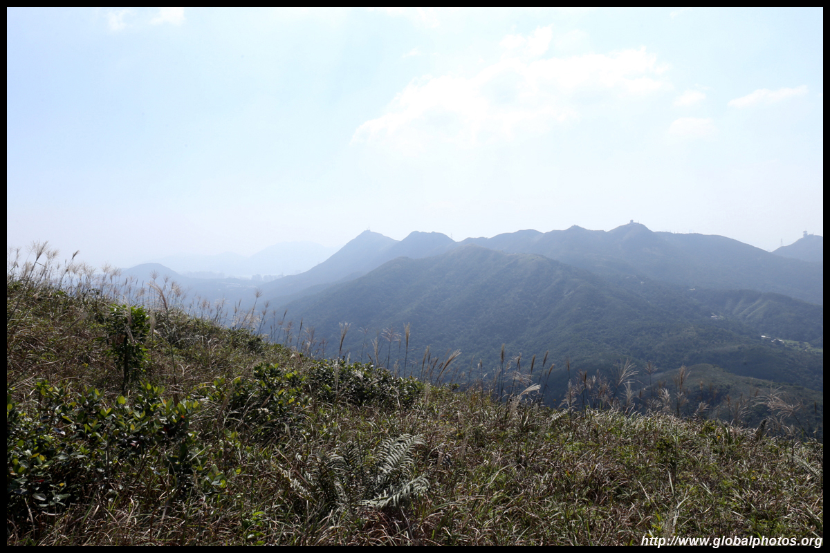
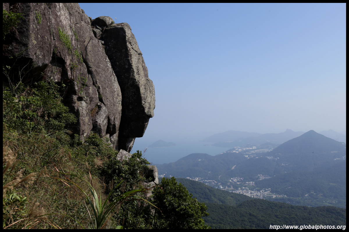
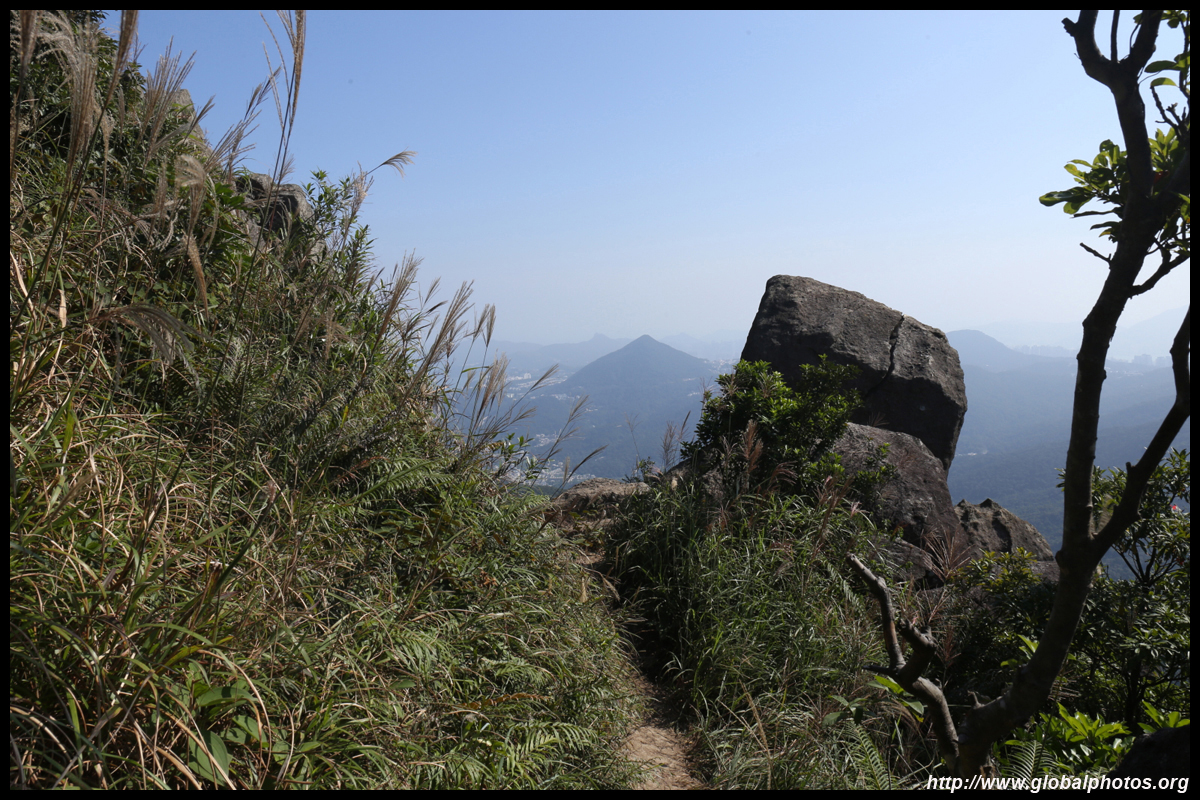
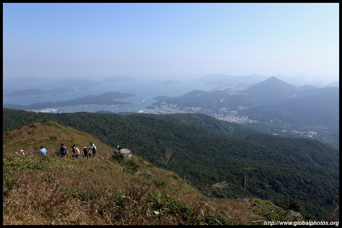
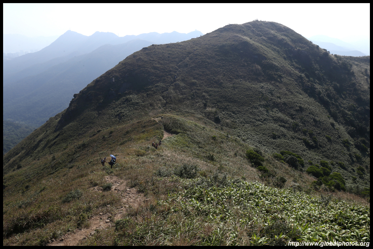
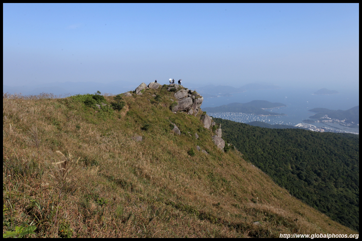
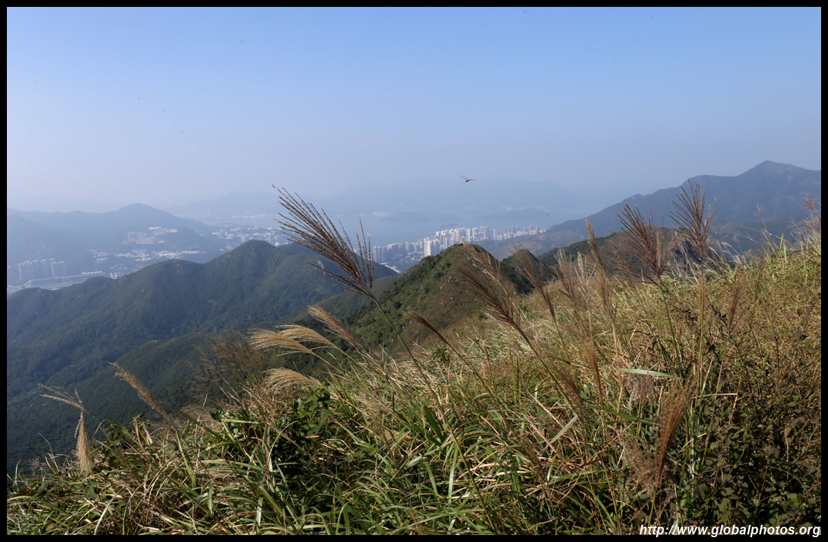
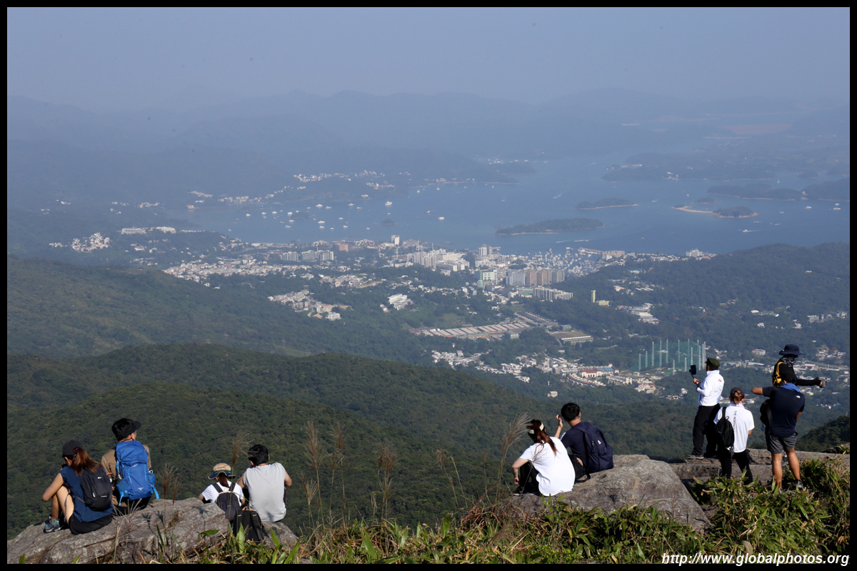
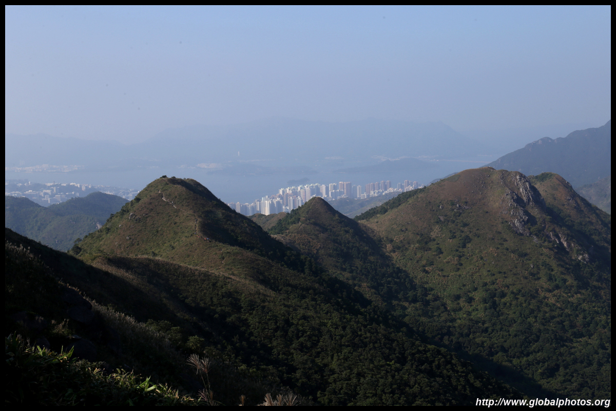
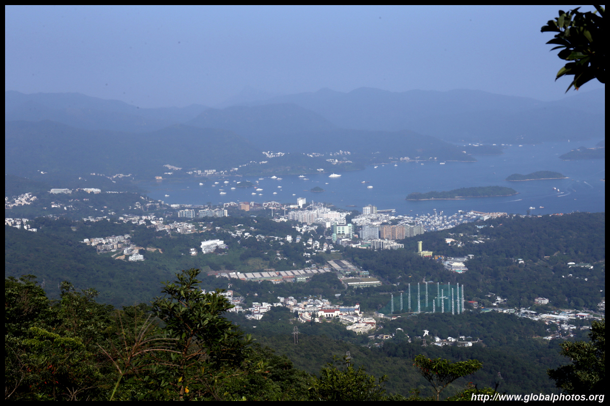
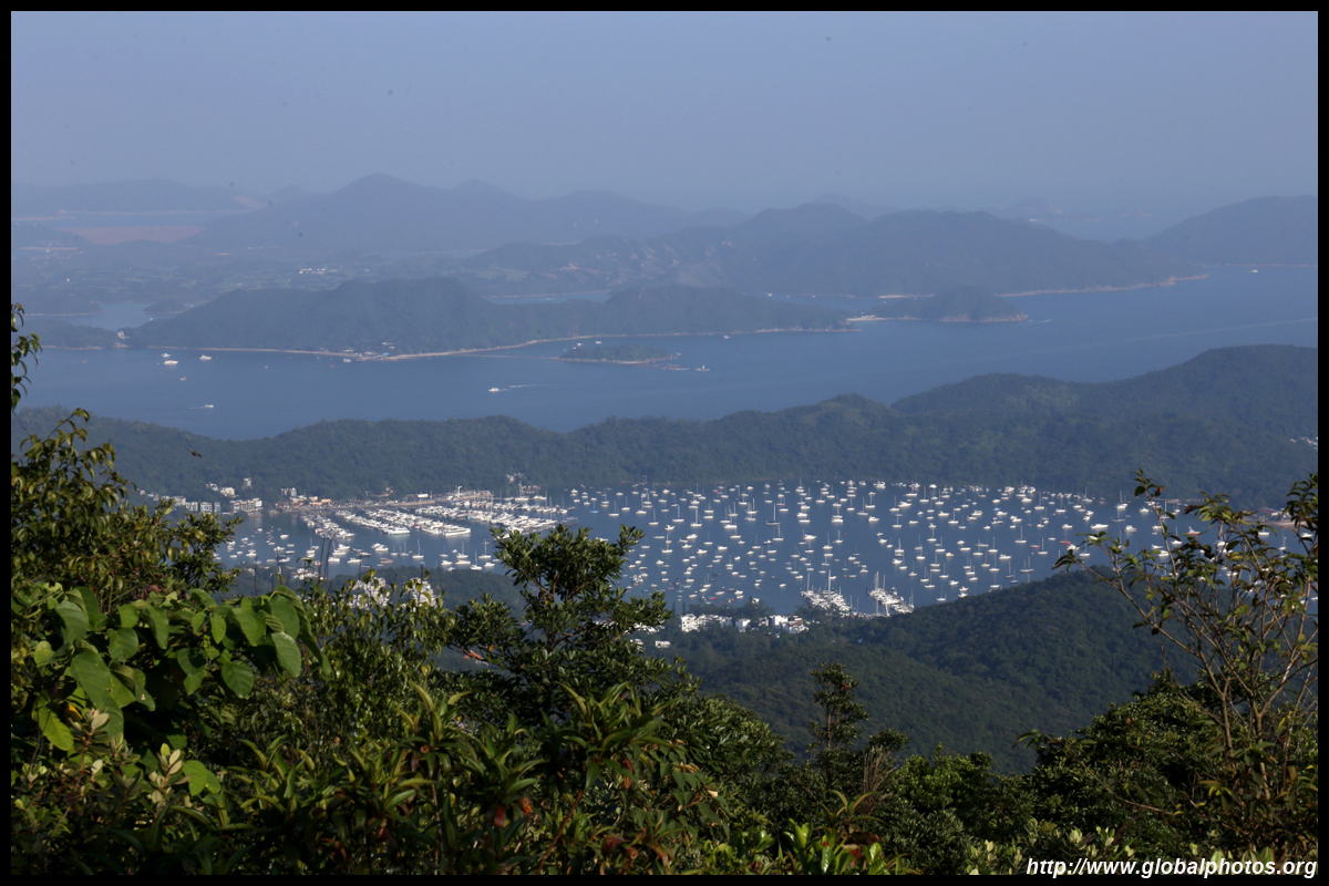
From the next hill, Sai Kung comes into full view. It would be a long descent down to the main road into town though. So have a seat at the top to soak in the views with everyone else.
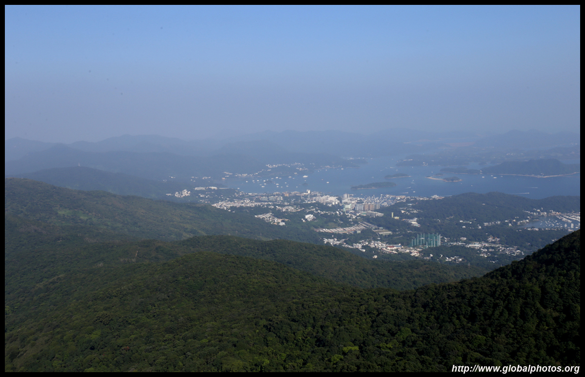
You will still see Shatin behind you.
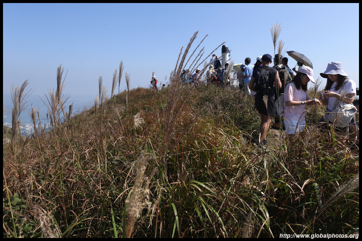
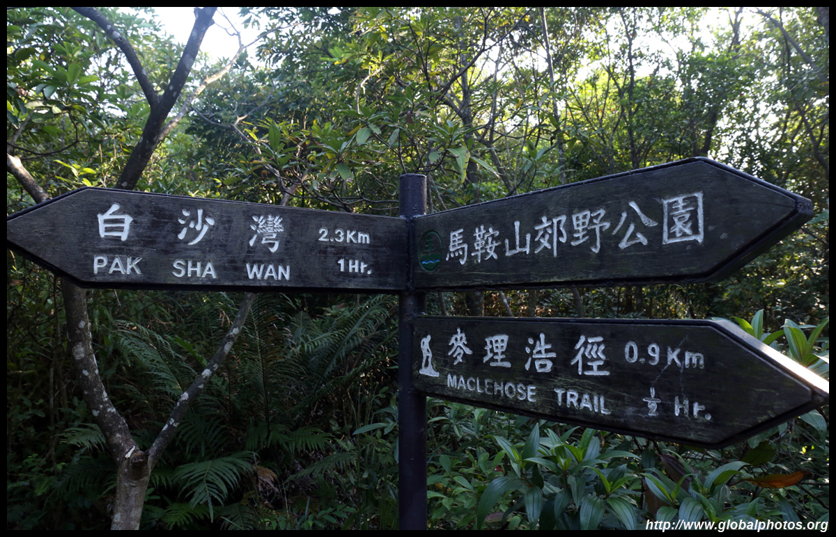
While the hikers seem to be sitting on rocks at the edge of a cliff, there is actually a steep path downhill, which requires gloves and a bit of scrambling. The next destination is Sam Fai Tin, where you will see signs towards Sai Kung.
After a long hike down to Sam Fai Tin, another sign indicates a few more kilometres down to civilization. While the paved Mang Kung Wo Road was a wonderful sight, it was still a long way further down to Pak Sha Wan.
This is a very scenic hike and well worth the exercise. With so much scrambling required, it is more suited for the intermediate hiker. Nevertheless, the route was busy with hikers and it got crowded on both mountaintops so choose to venture on a weekday instead.
|