Hong Kong Photo Gallery - Lower Shing Mun Reservoir

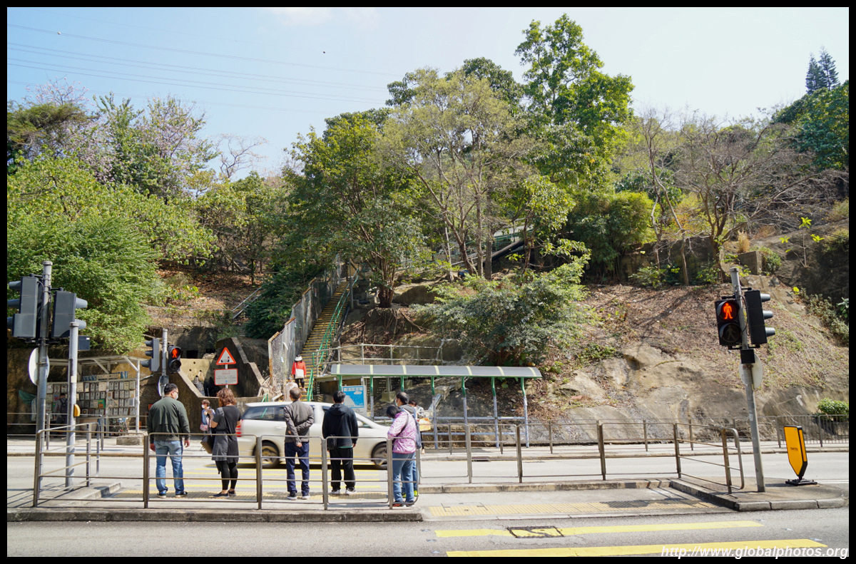
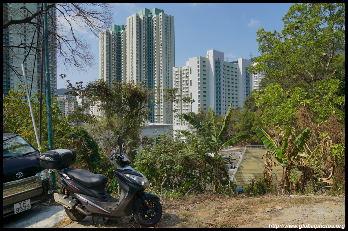
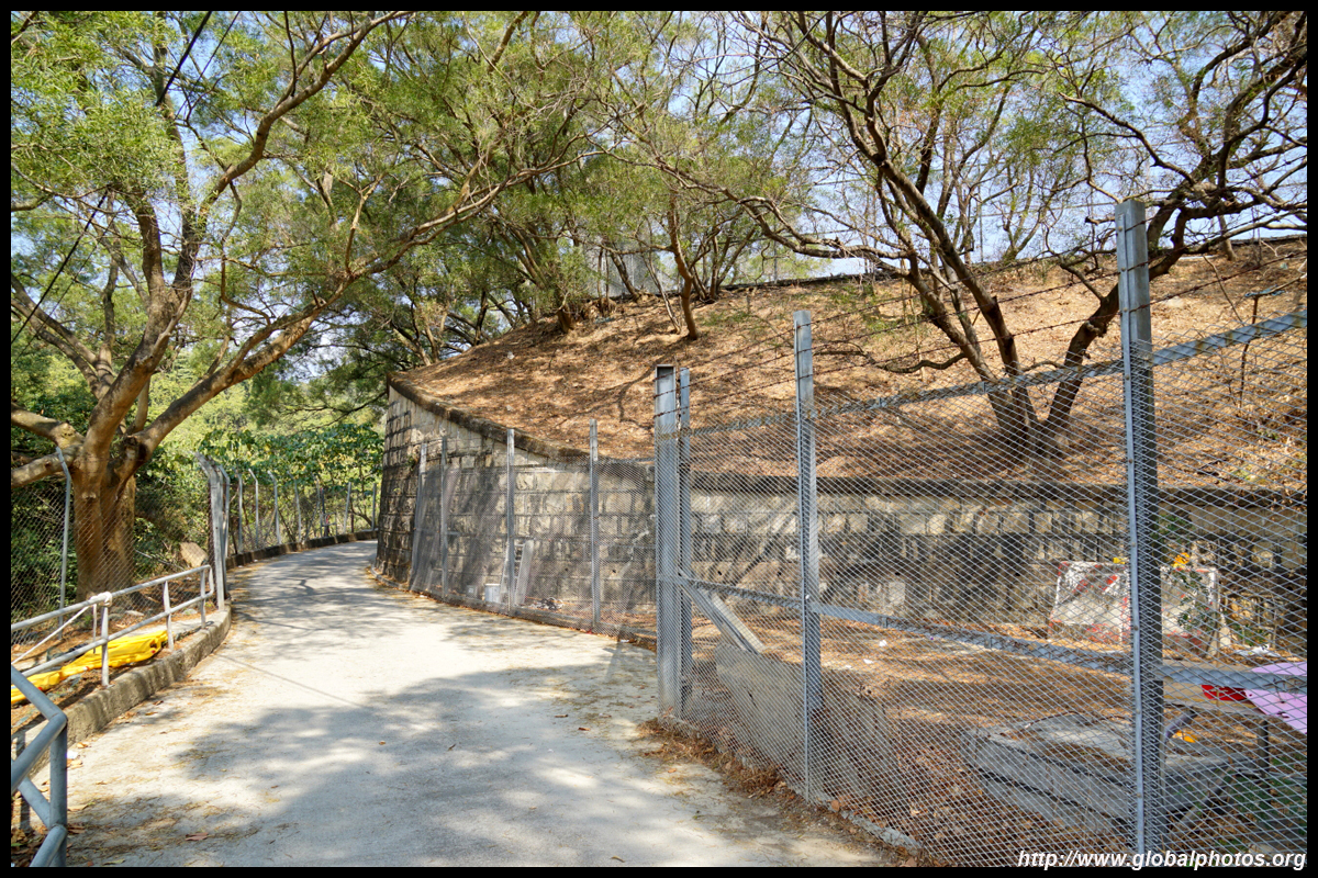
The Lower Shing Mun Reservoir opened in 1965 and is often overlooked as hikers tend to loop around the main Shing Mun Reservoir above. Access is right across the street from Lei Muk Shue Shopping Centre, heading uphill on a paved path towards the service reservoir.To get here, take bus 36 from Tsuen Wan West, 36A from Sham Shui Po, or 36B from Mongkok.
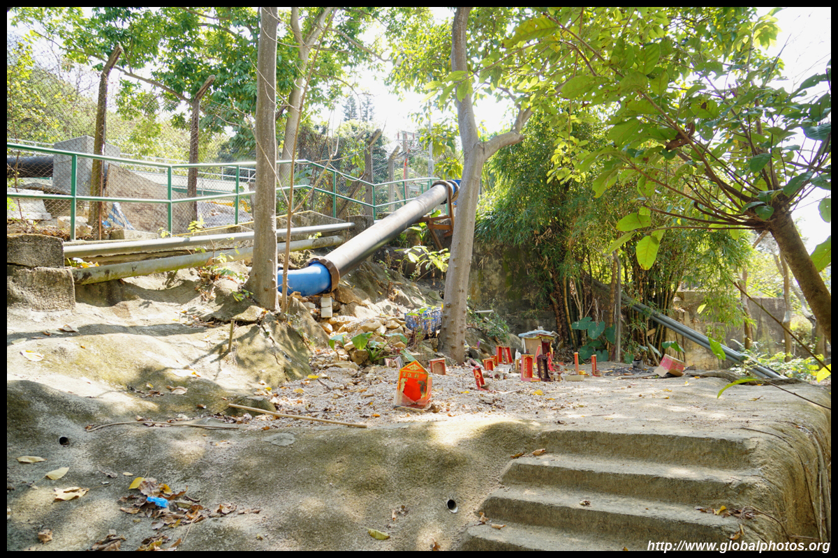
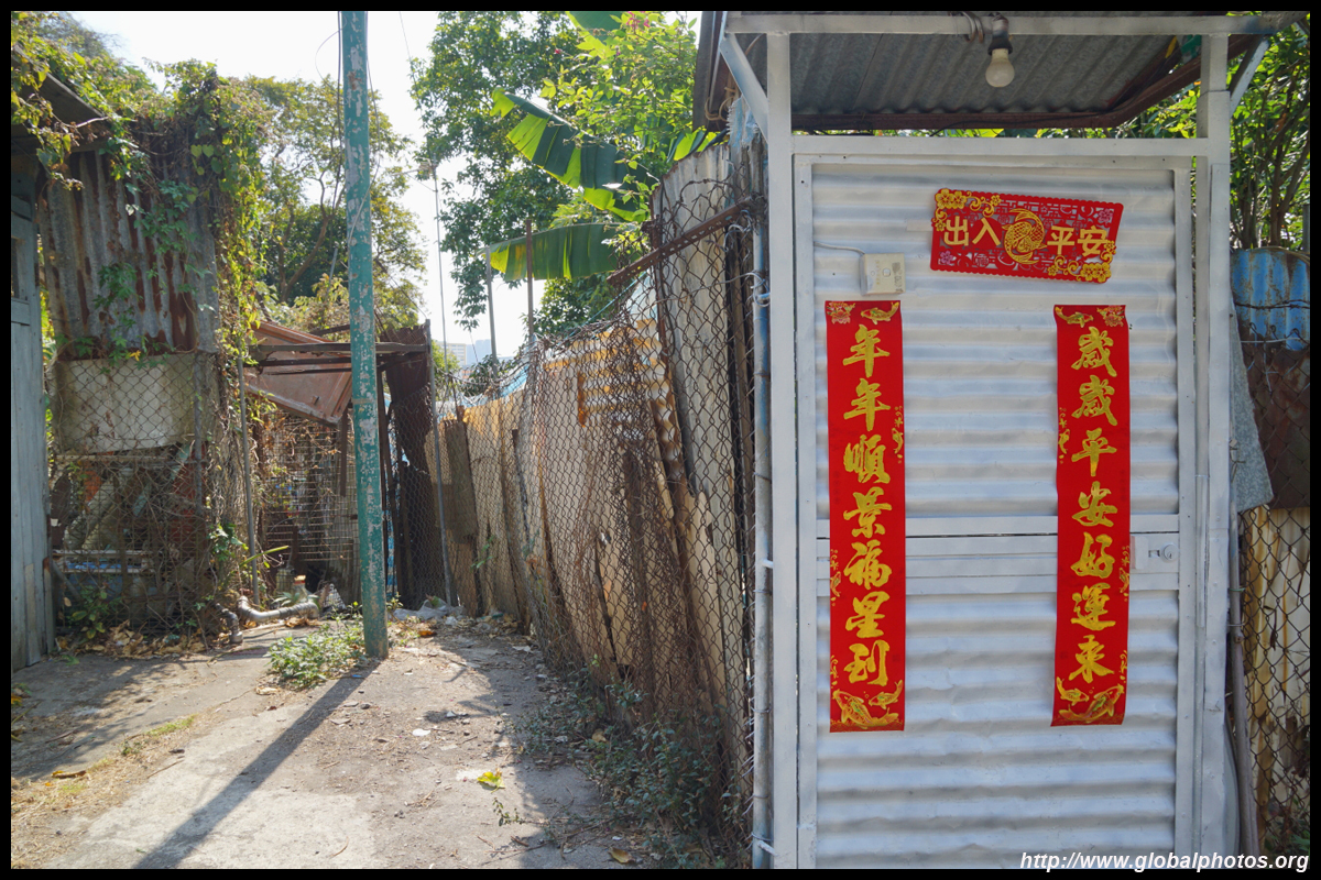
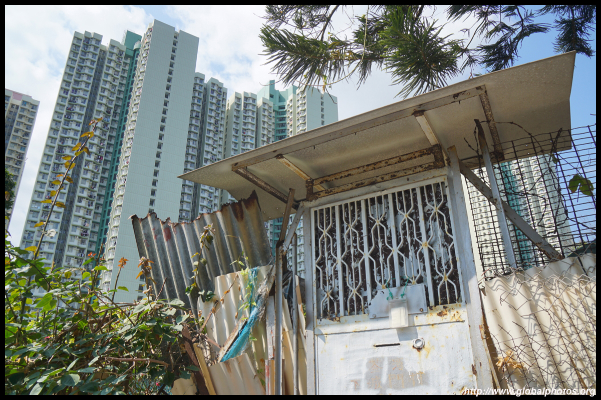
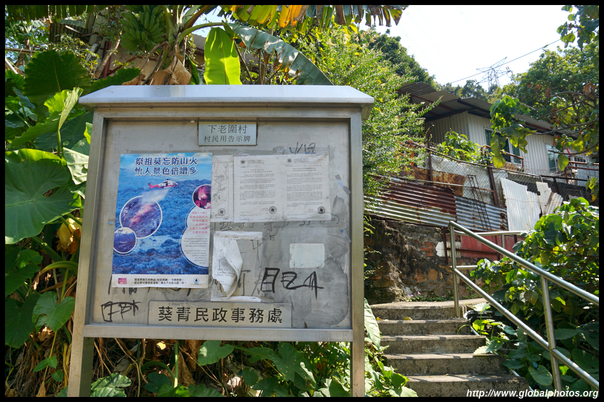
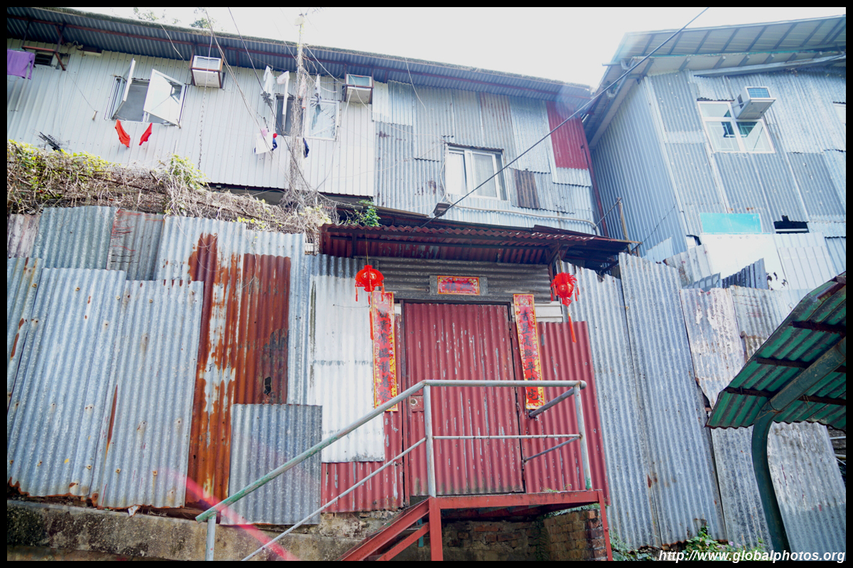
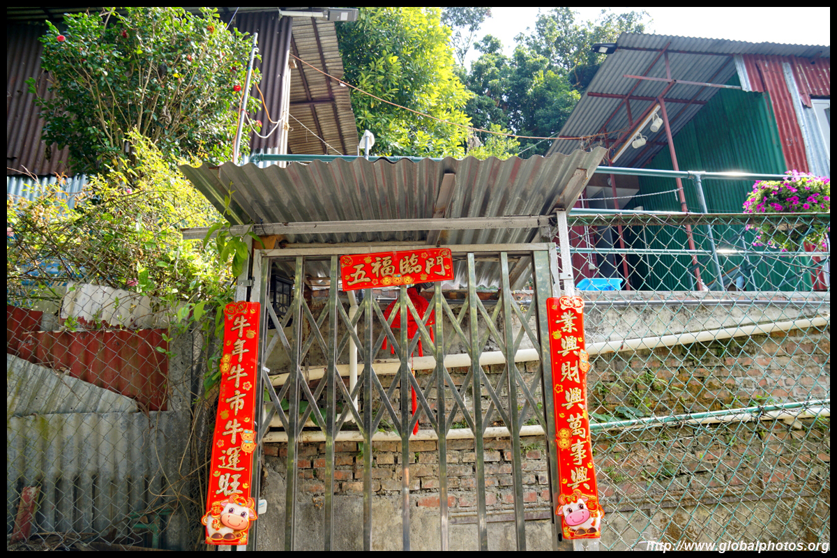
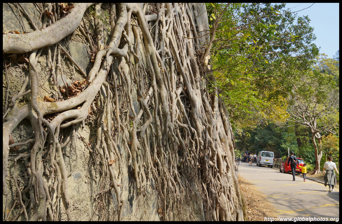
As you climb up the slope, you will notice many metal shack houses, remnants of an old village.
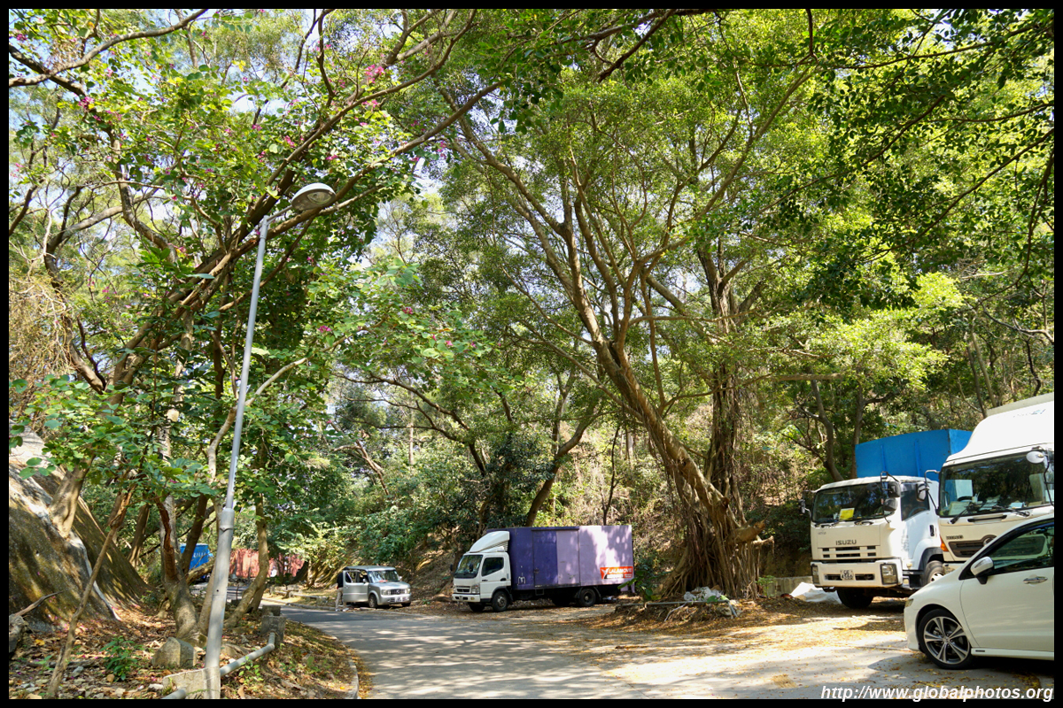
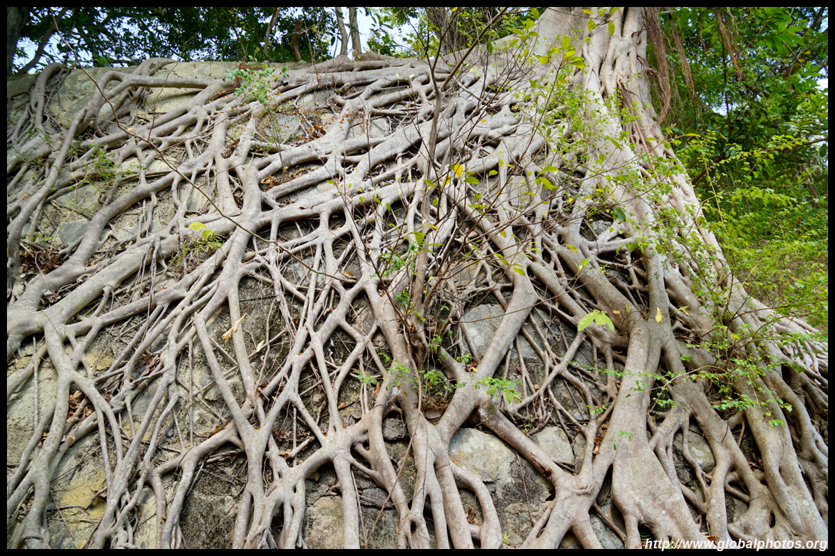
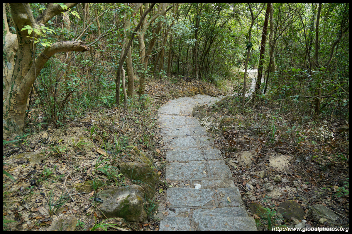
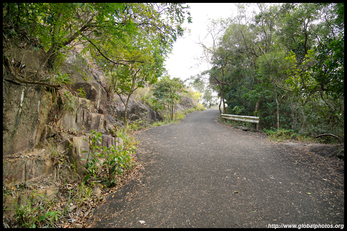
At the end of the path, turn left and the paved road continues into the forest.
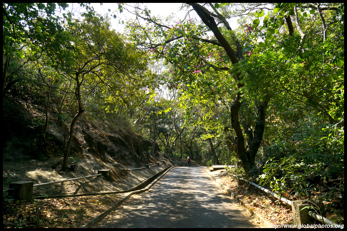
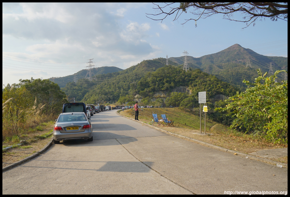
The ascent ends at Shing Mun Road, and you can spot the main reservoir and plenty of other hikers.
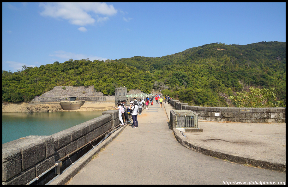
The main dam is part of MacLehose Trail's Stage 7, hence gets quite busy on weekends. There are a few picnic areas and basic portable bathrooms.
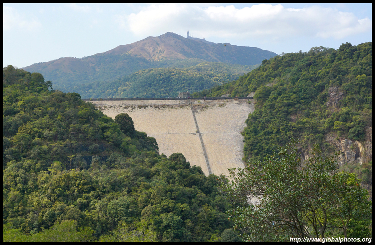
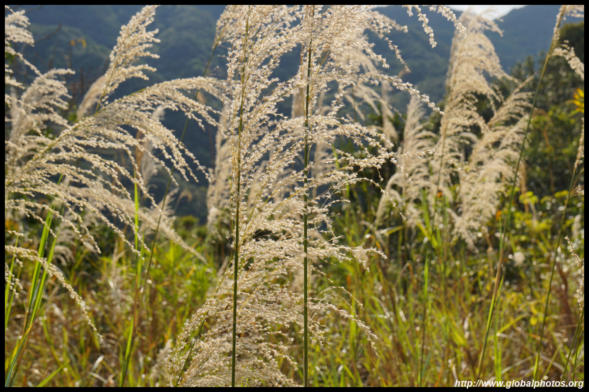
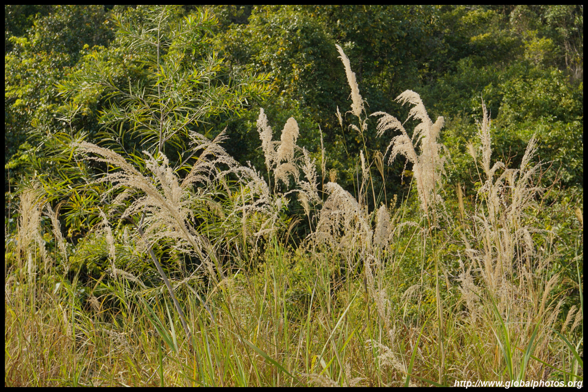
Construction of Shing Mun Reservoir began in 1923 and finished 14 years later. It is famous for the paperbark forest that is flooded during parts of the year. That in itself brings enormous crowds and photographers.
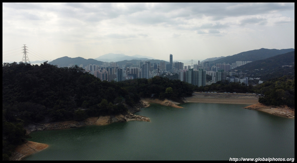
Tsuen Wan's urban jungle is only a short distance away to the west.
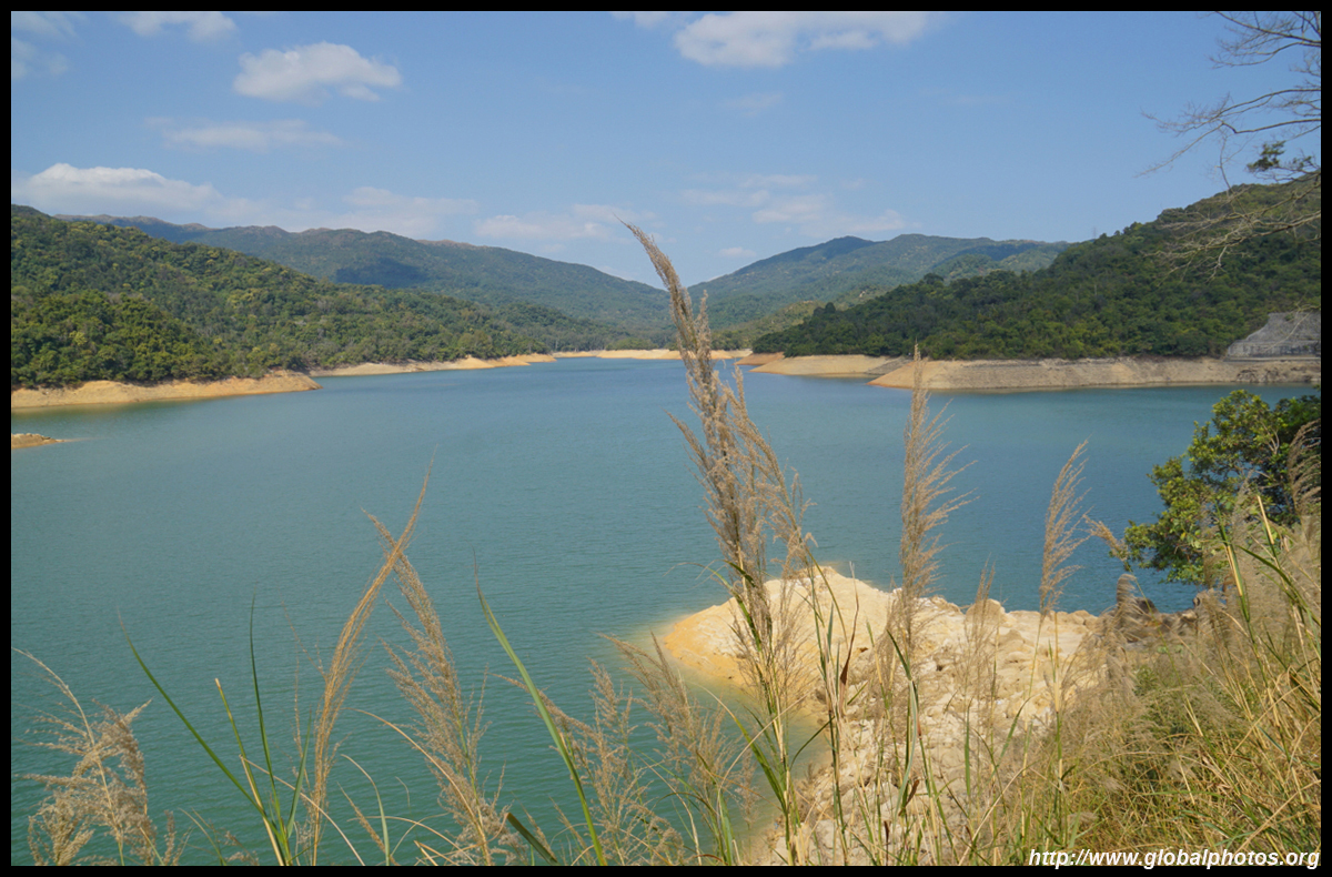
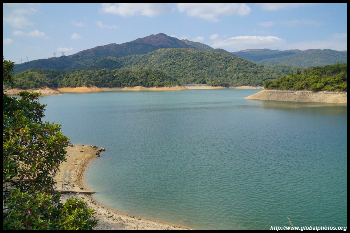
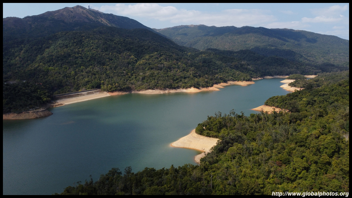
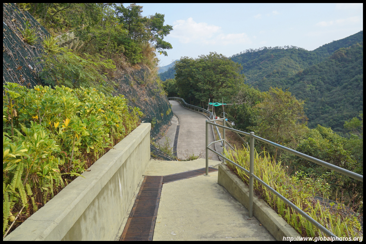
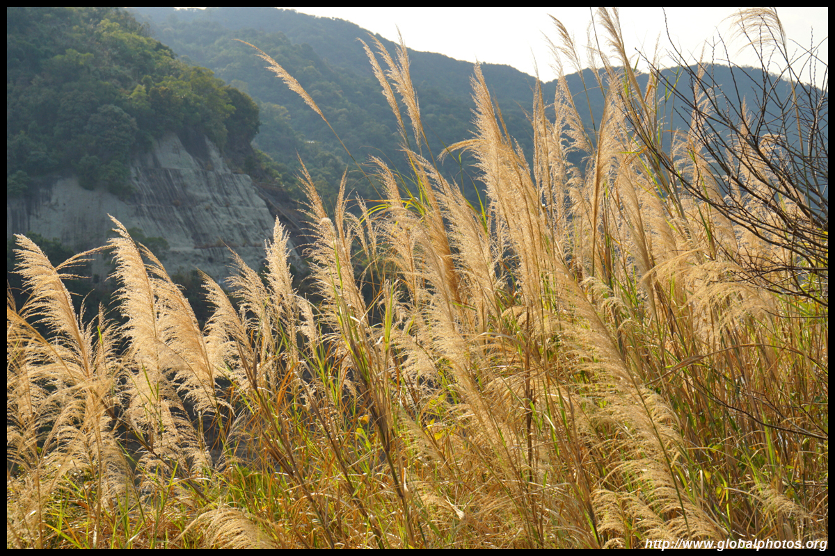
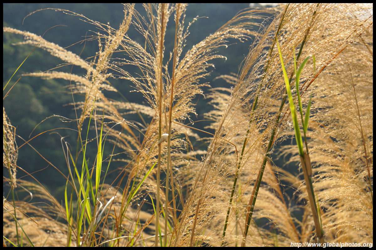
Today's journey is not to join everyone loop around the main reservoir, but to descend to the lower (overflow) reservoir towards Shatin on the other side of the 84m dam.
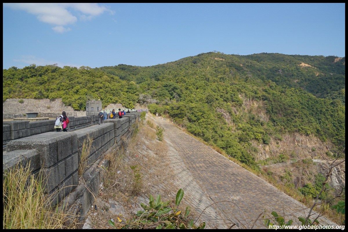
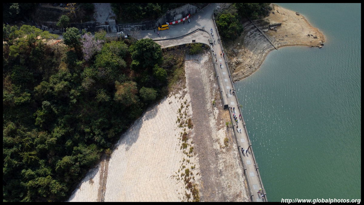
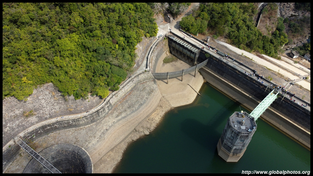
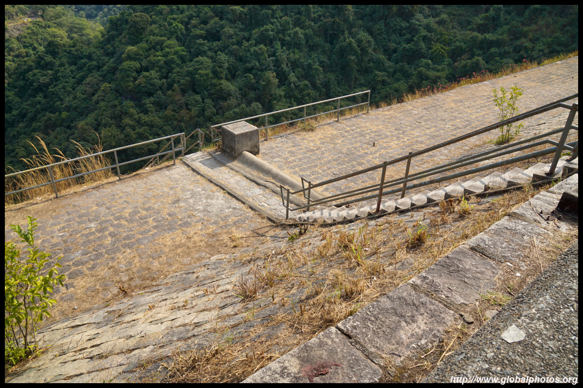
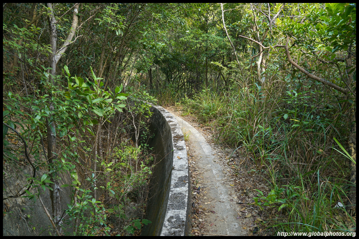
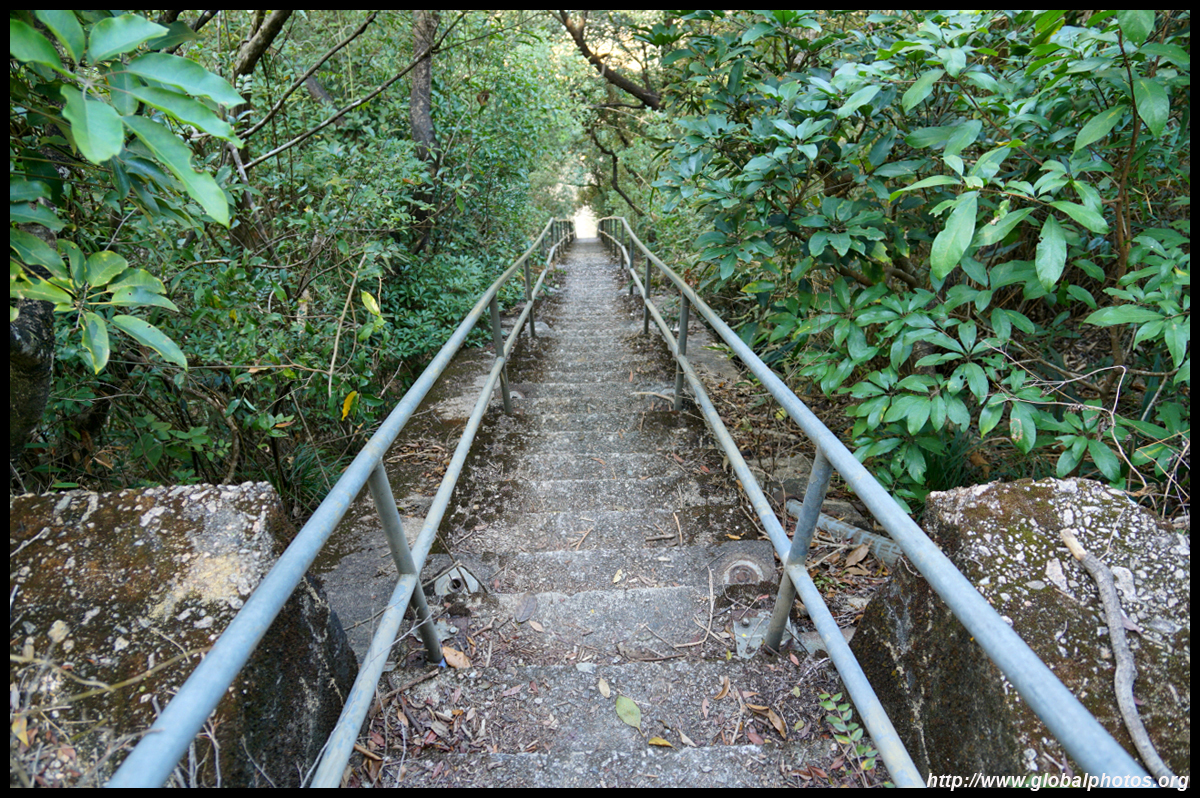
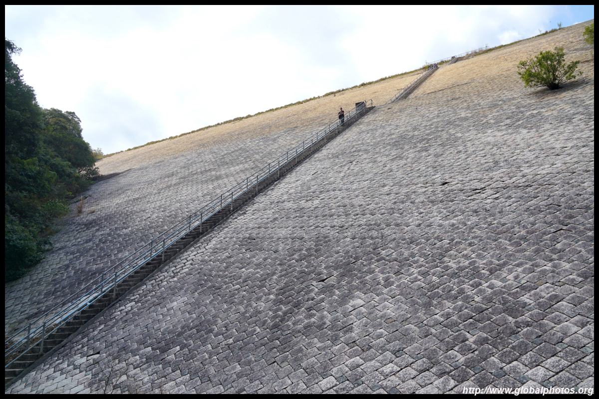
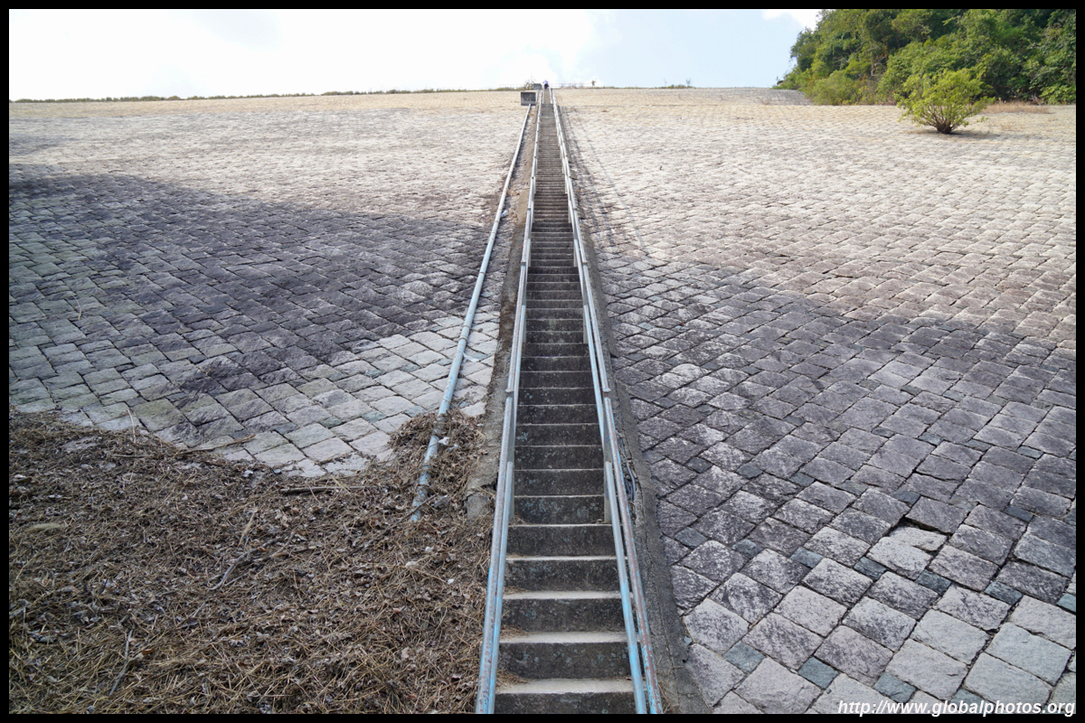
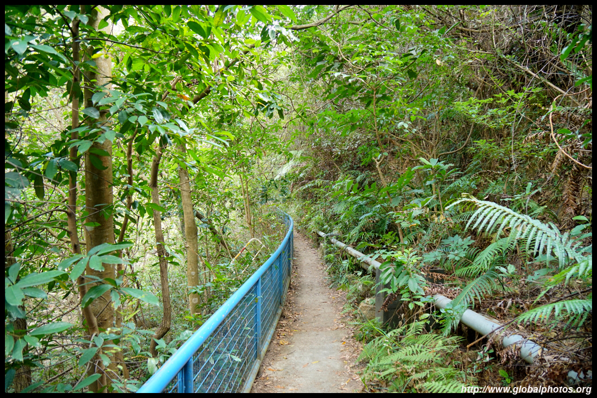
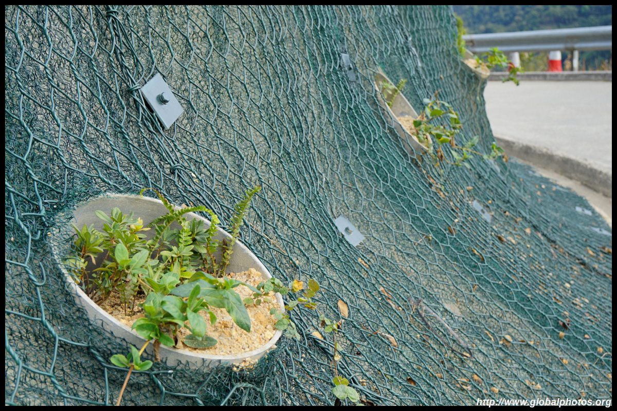
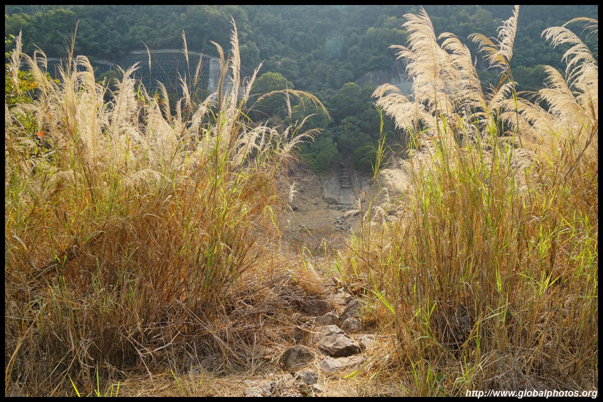
You can walk down the very steep service stairs to the bottom of the dam, but it looked a bit scary so I opted to go around the dam to the picnic area, where the Wilson Trail's Stage 6 starts. There is a more benign-looking long staircase on the left which descends for quite some time. Turn left at the water drainage ditch and walk along it until you see another service staircase on your right for a shorter steep descent down to the dam's base.
If you are afraid of heights, best you don't take the service stairs from the top of the dam.
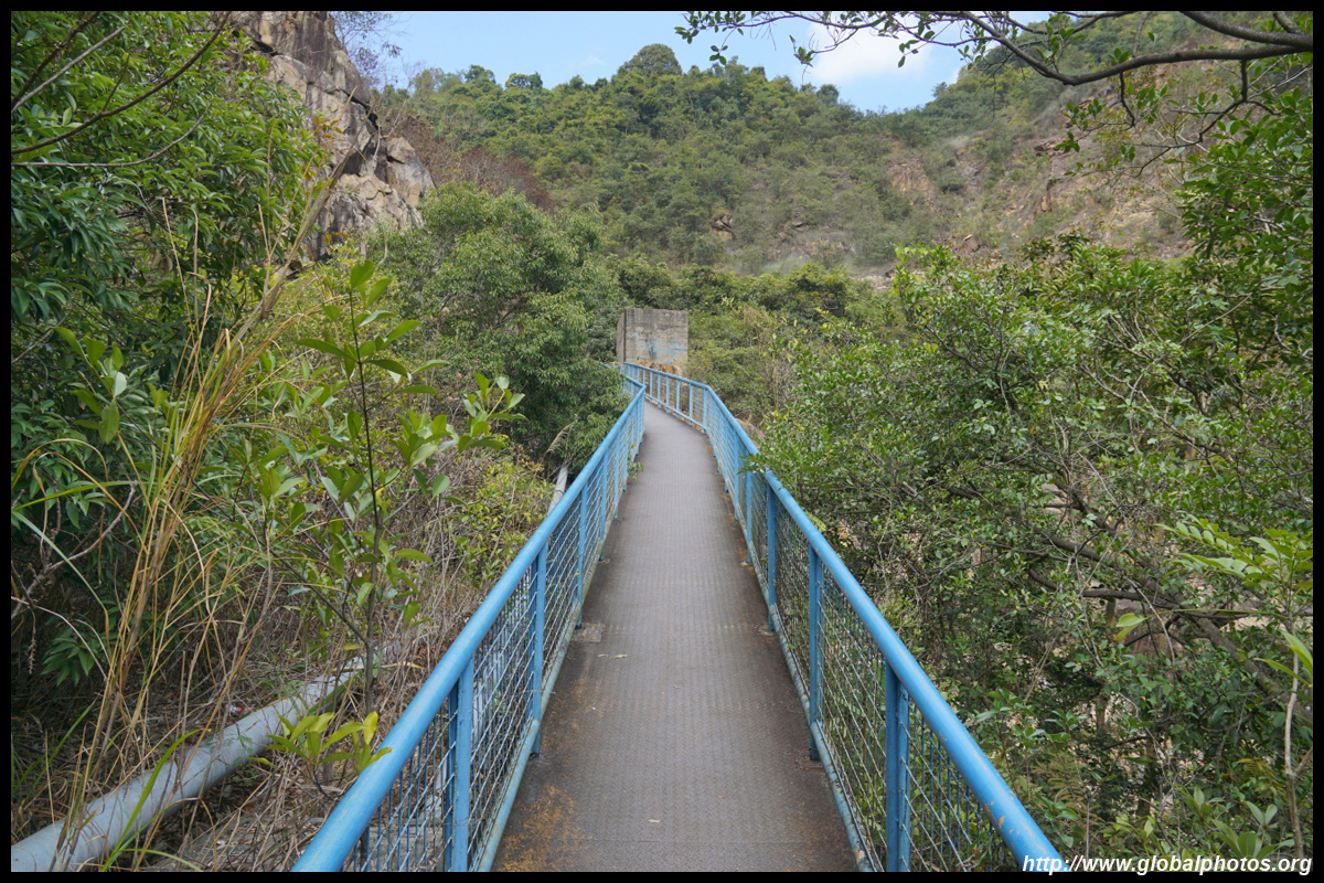
But it's not over yet. There is yet another ladder to clamber down to continue your way to Shatin.
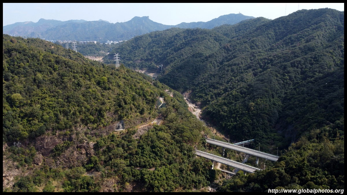
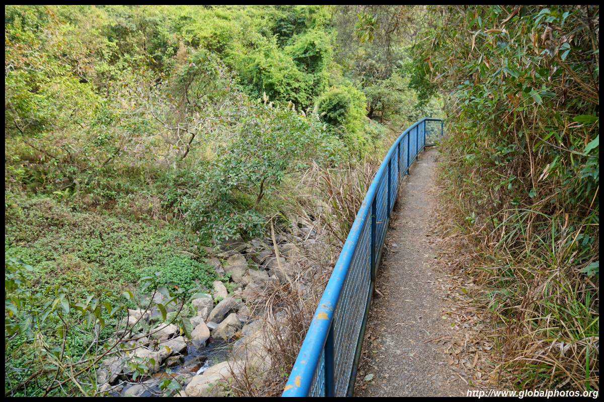
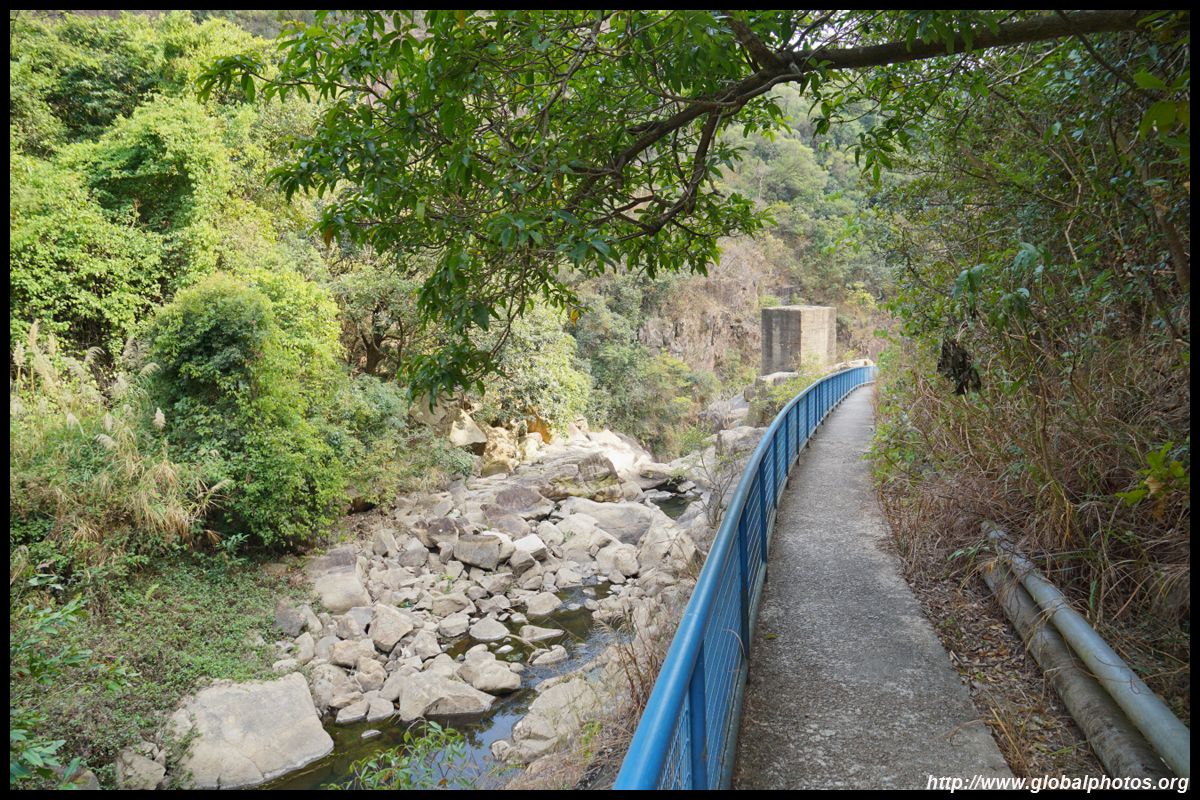
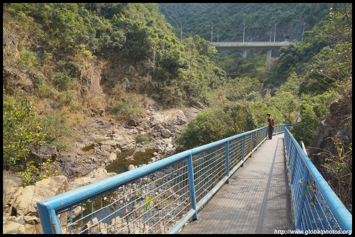
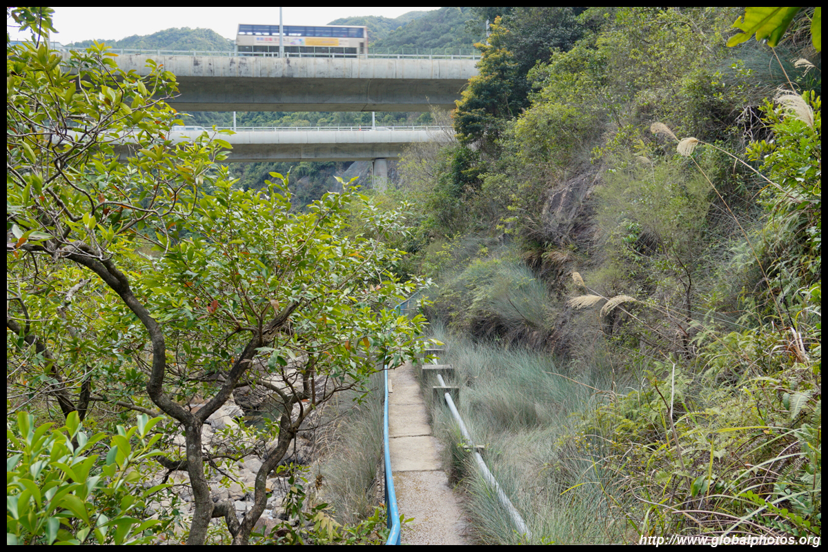
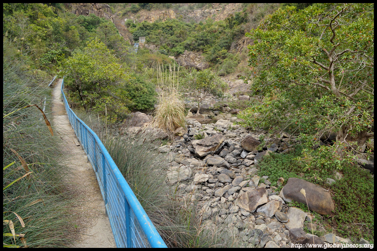
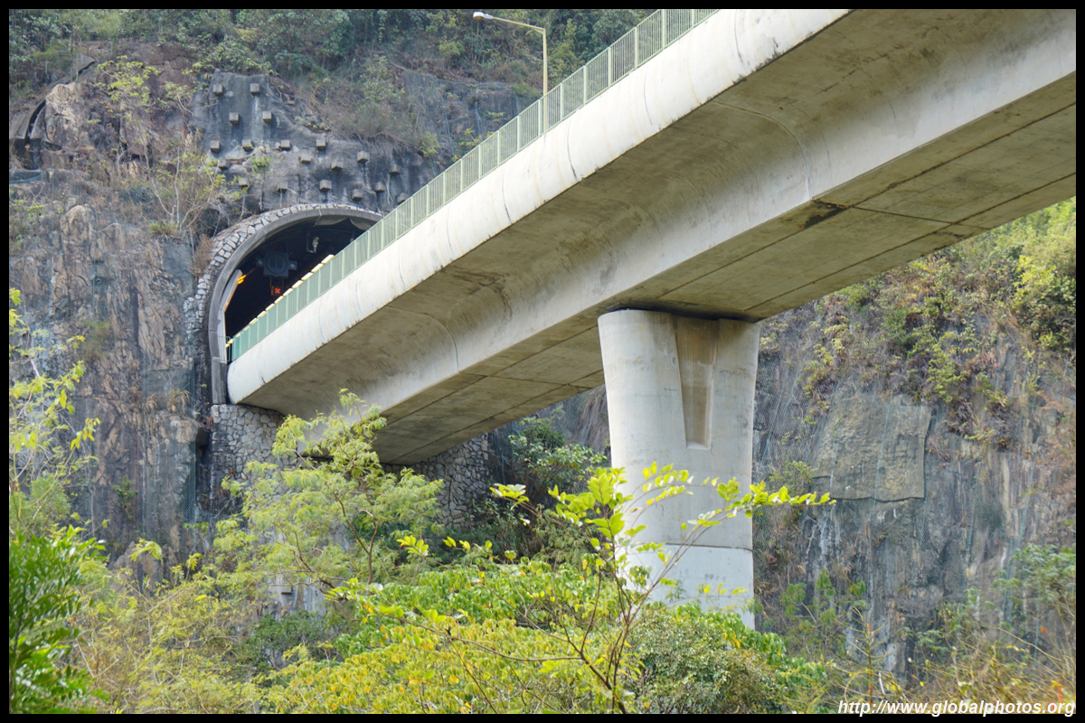
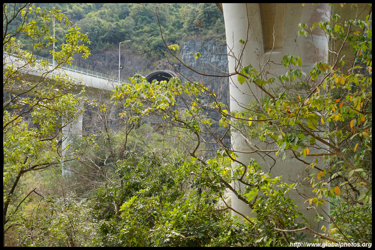
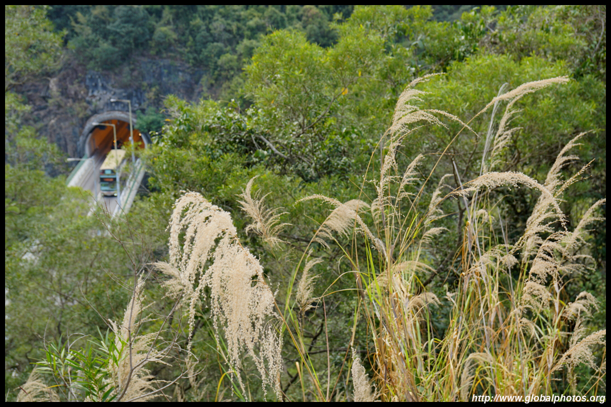
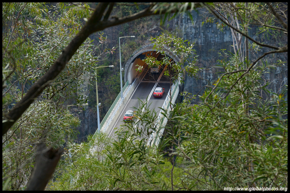
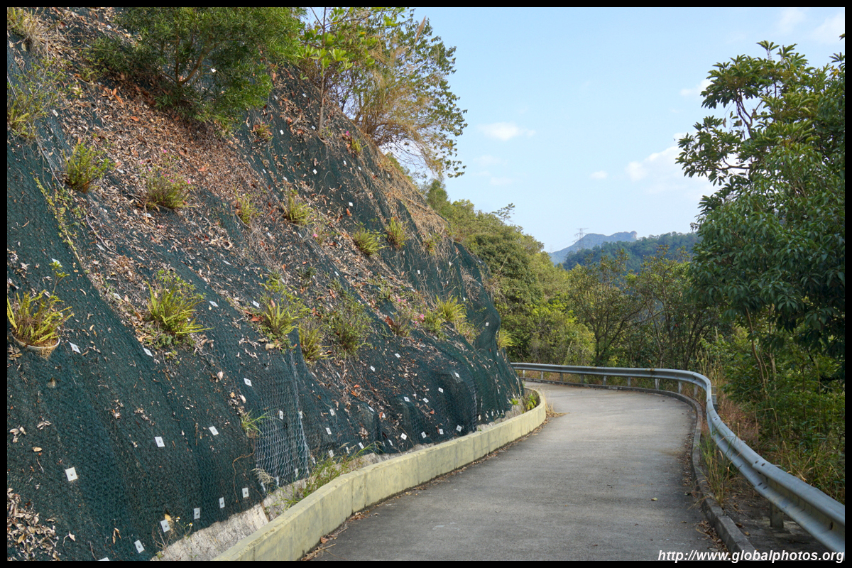
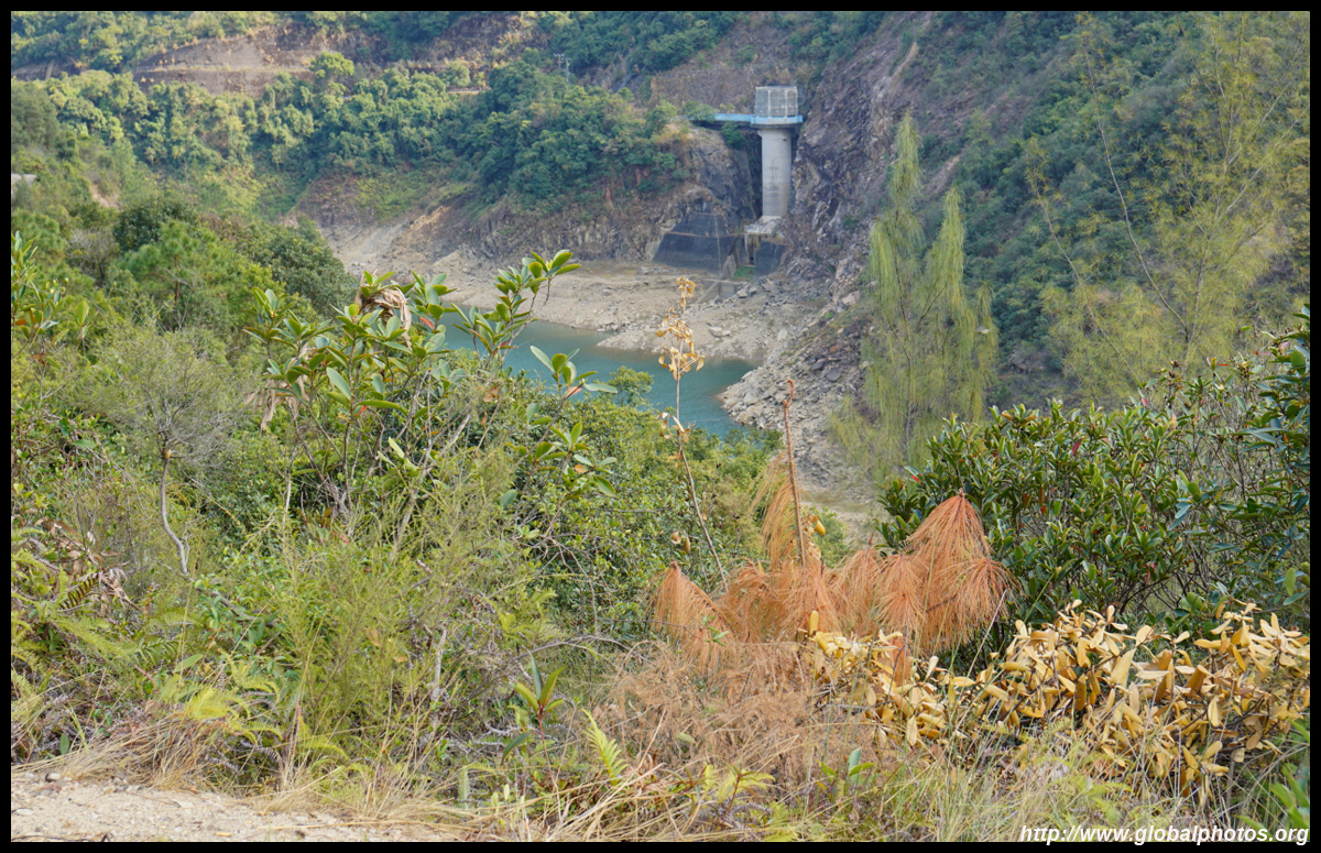
Then you follow the blue which descends along the hillsides. You will see the Shing Mun Tunnel's 2 bridges poke out as it crosses the valley.
Shing Mun Tunnel consists of 2 sections of 1.1km and 1.6km, with a bridge across the valley connecting the two, which we see here along the hike. It opened in 1990 to connect Shatin with Tsuen Wan, offering significant time savings.
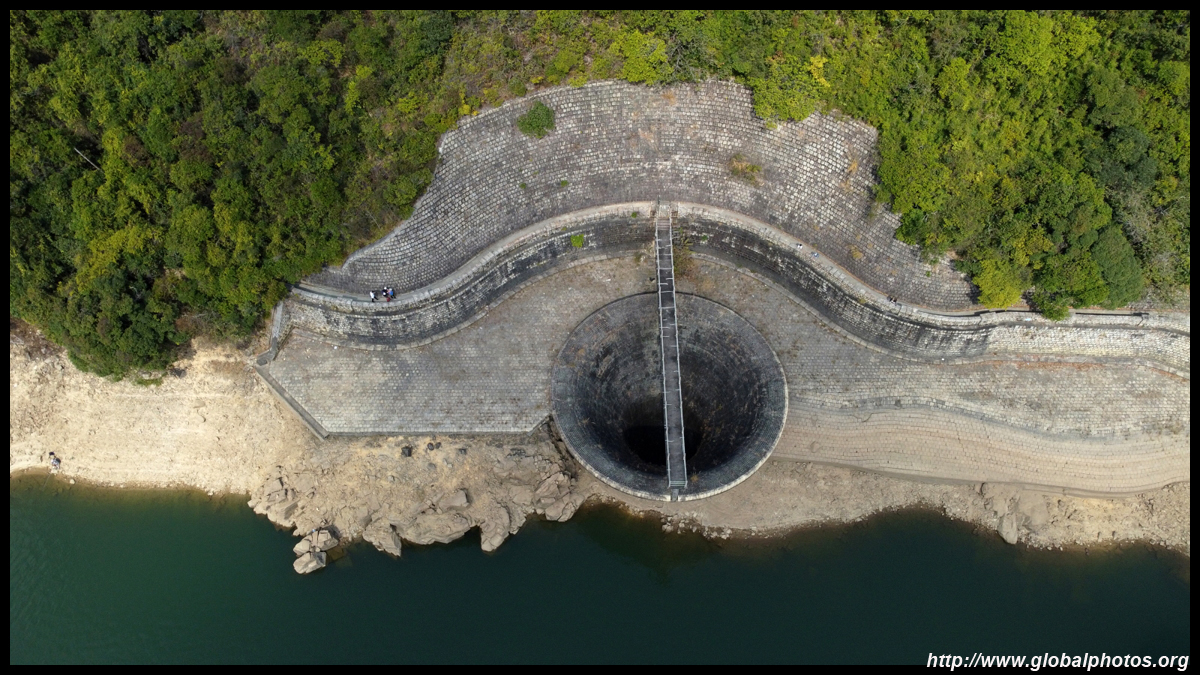
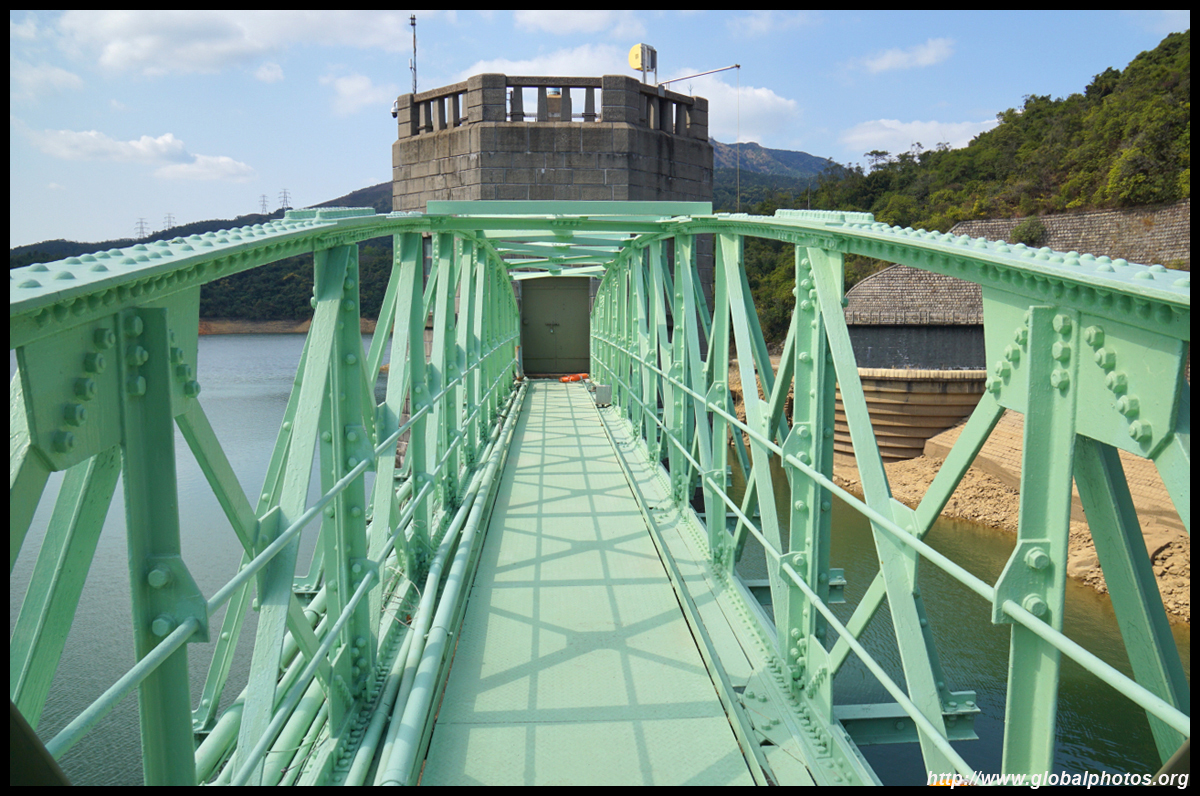
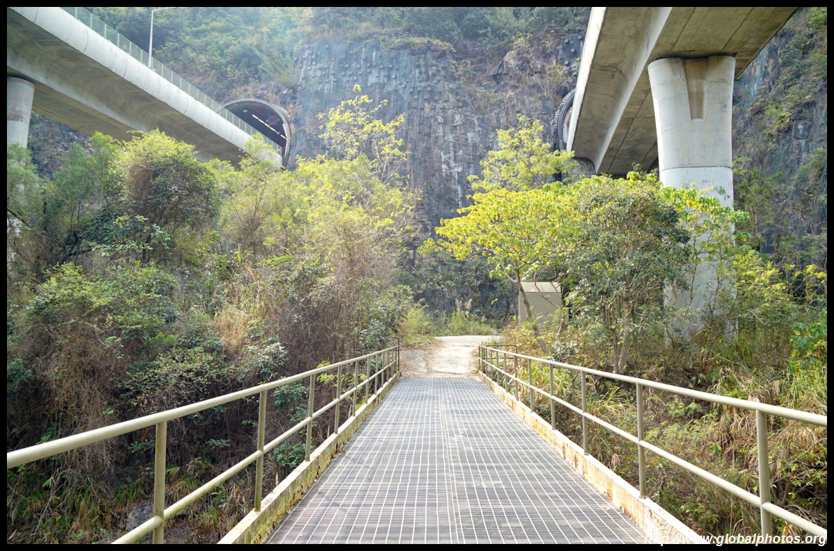
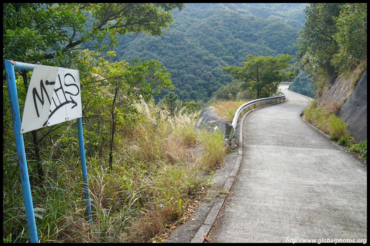
In between the 2 bridges, cross the valley on the metal bridge where you will see the bottom clearly through the many holes. Then head uphill along the paved but steep service road, which will take you all the way to the finish point, also a dam, on the Shatin side.
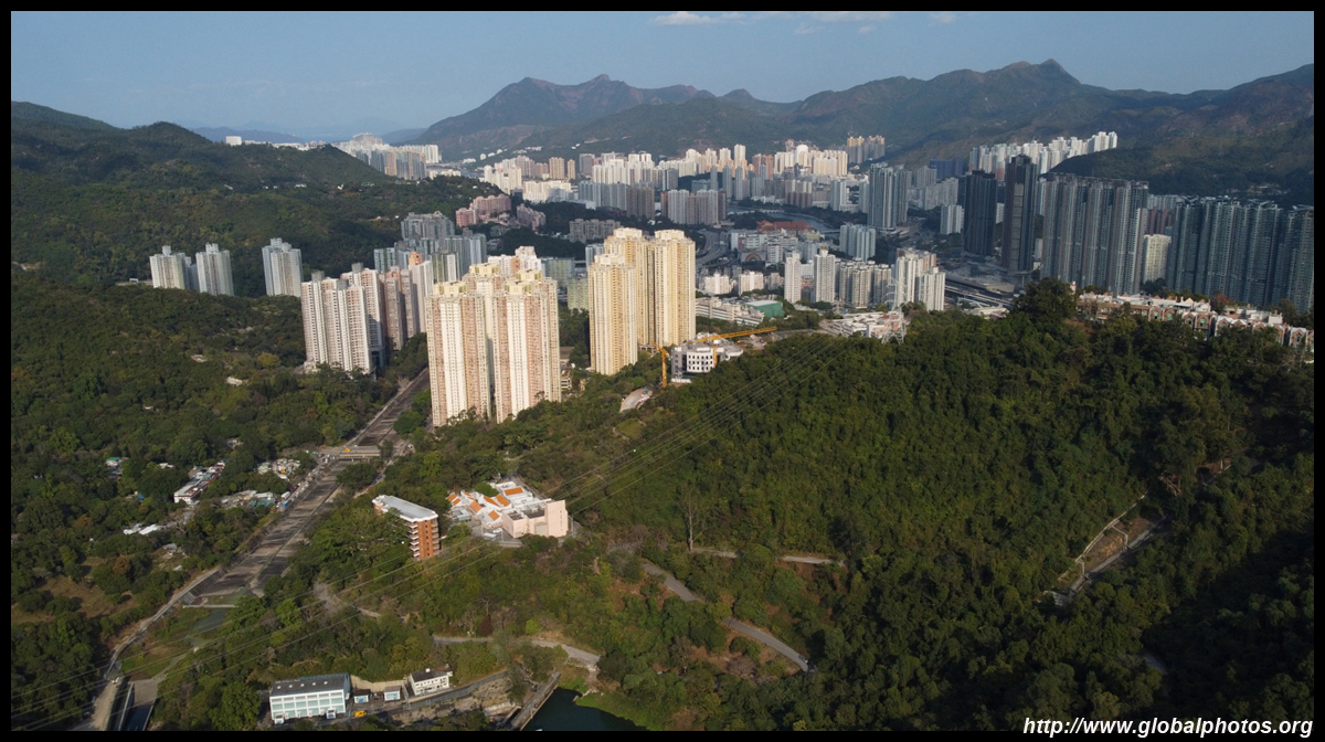
With the most difficult steep part behind you, it is now a gradual descent above the reservoir towards Shatin. You will know it's the right way when Lion Rock peers in the distance.
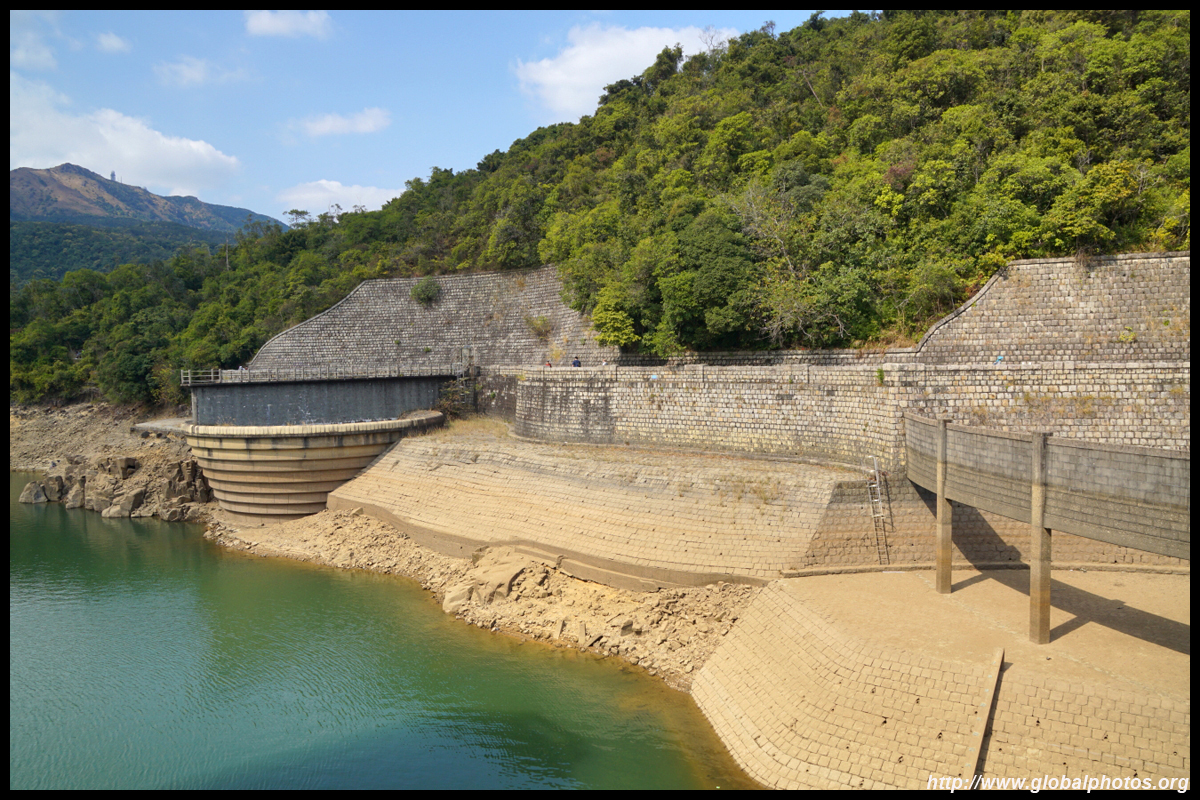
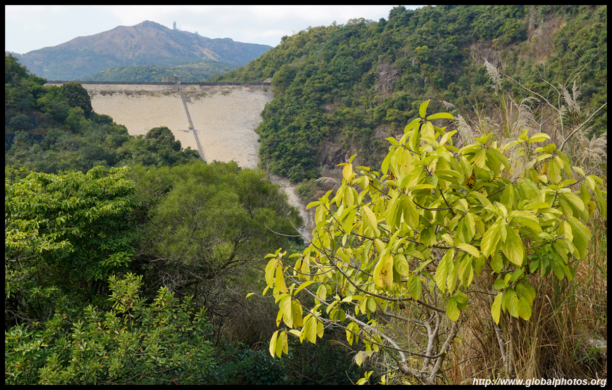
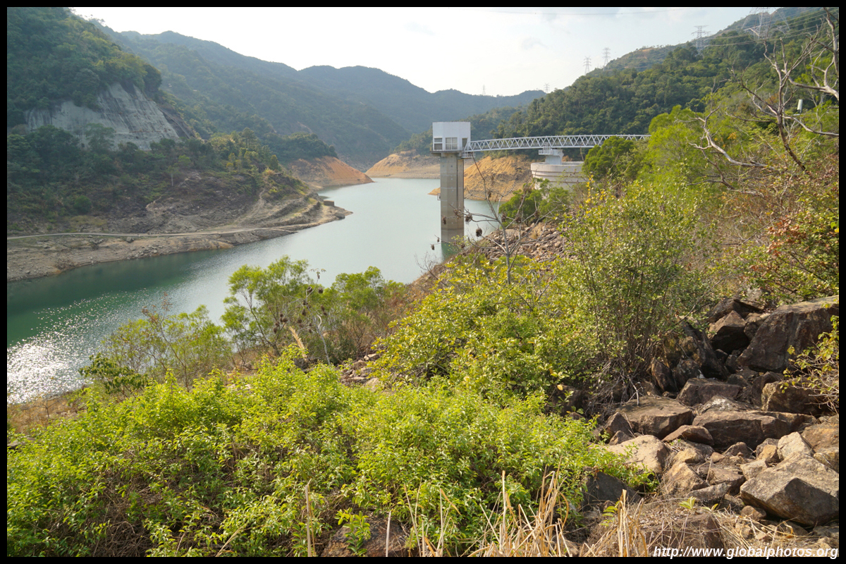
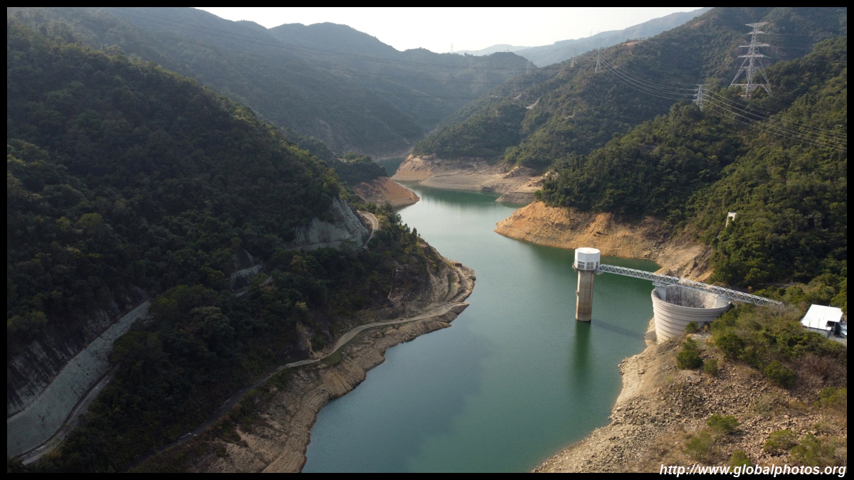
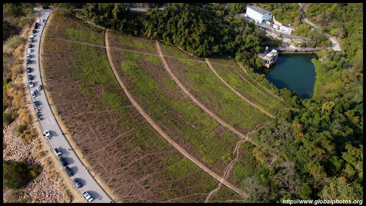
The dam at the Shatin end of the reservoir is a popular place for model airplane and helicopter pilots to test their skills. Since the service road is open to the public, it is easily accessible by car or taxi and there were lots of cars parked along the dam itself.
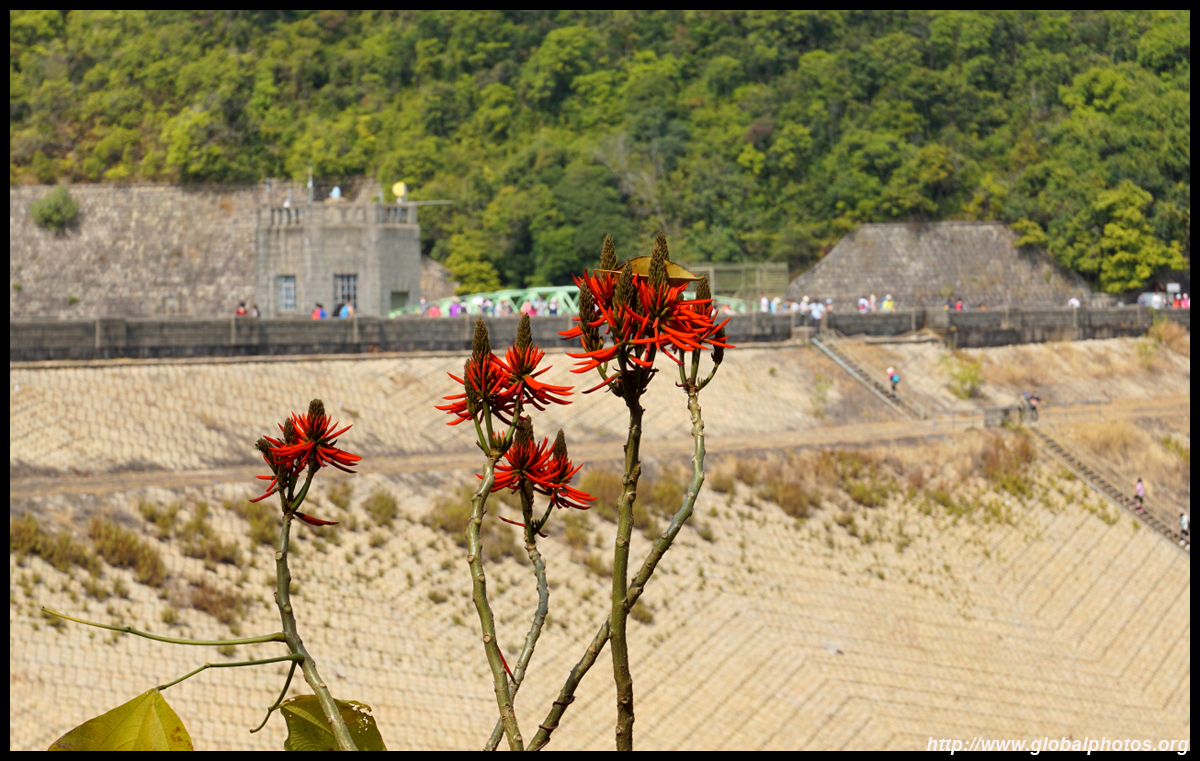
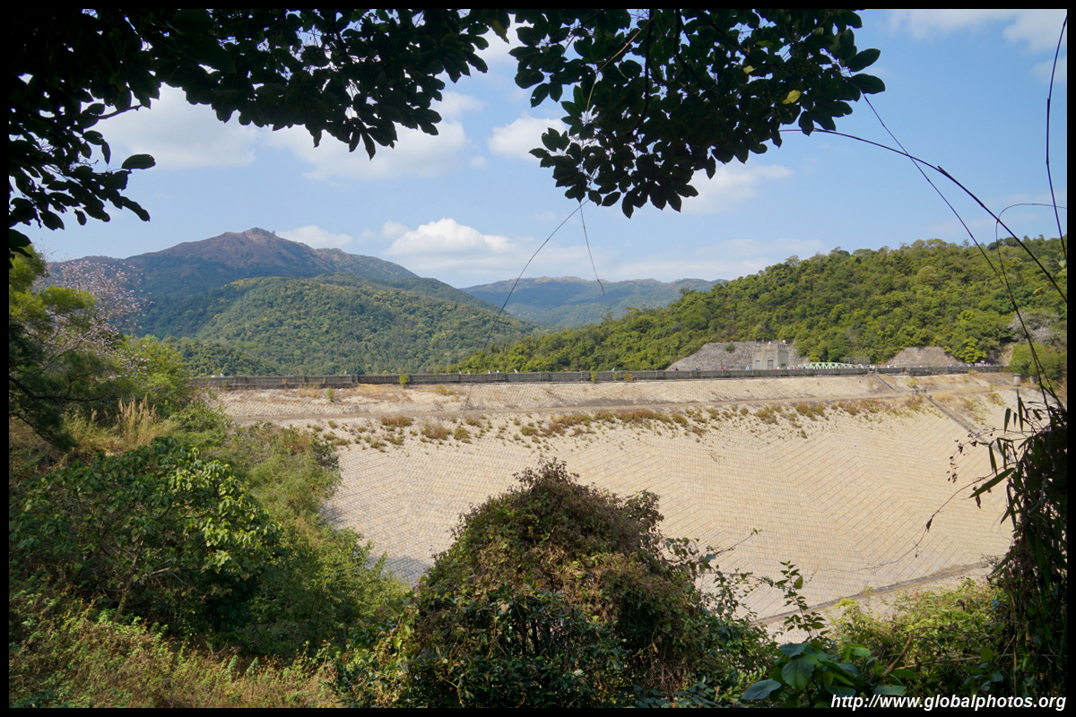
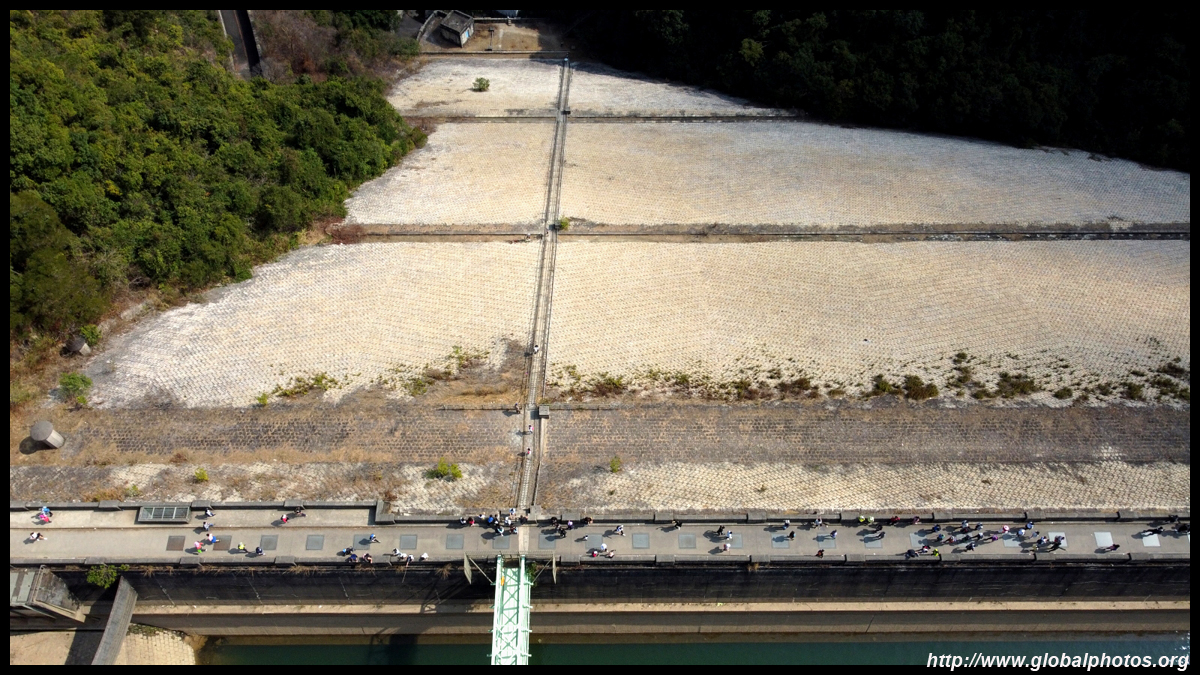
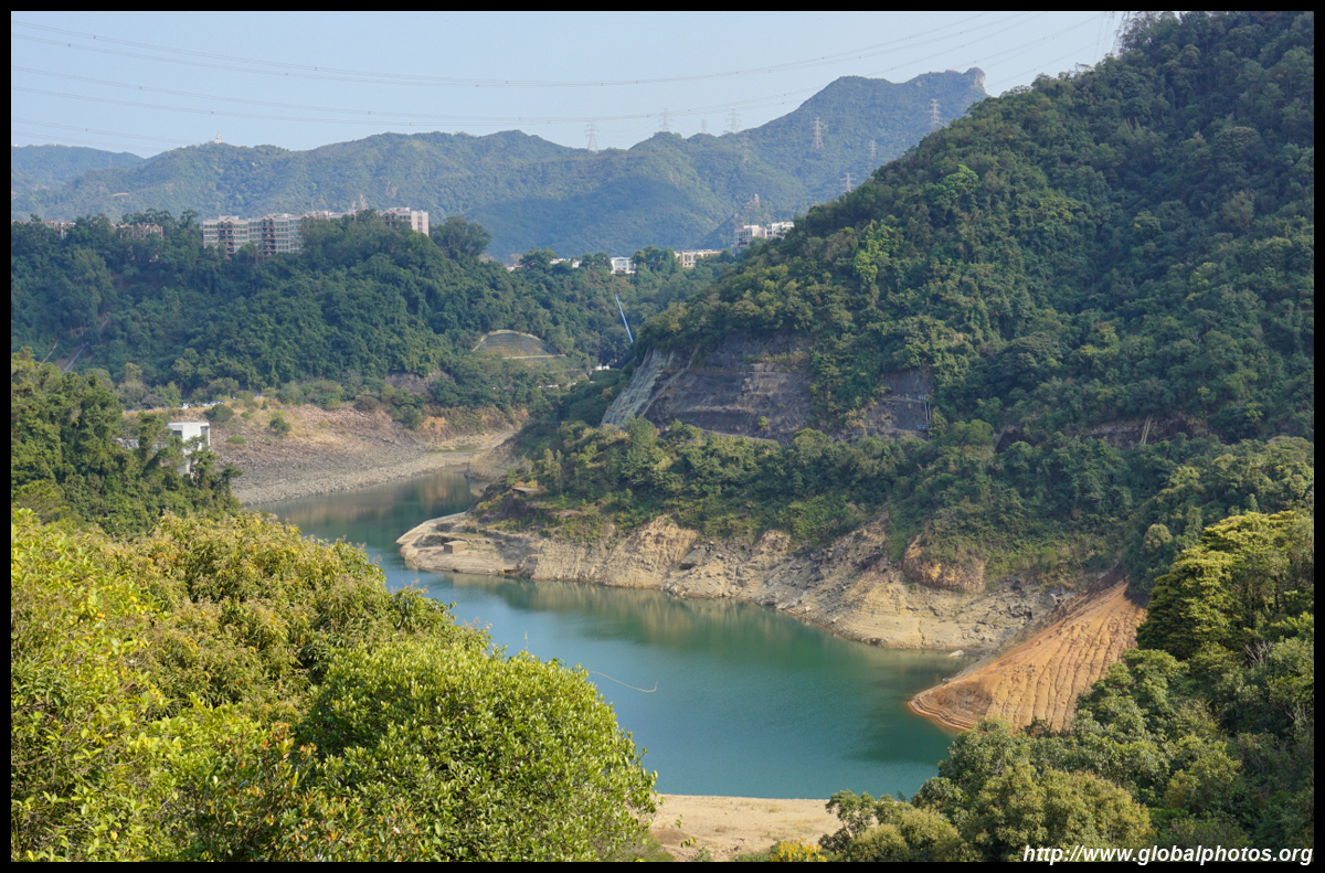
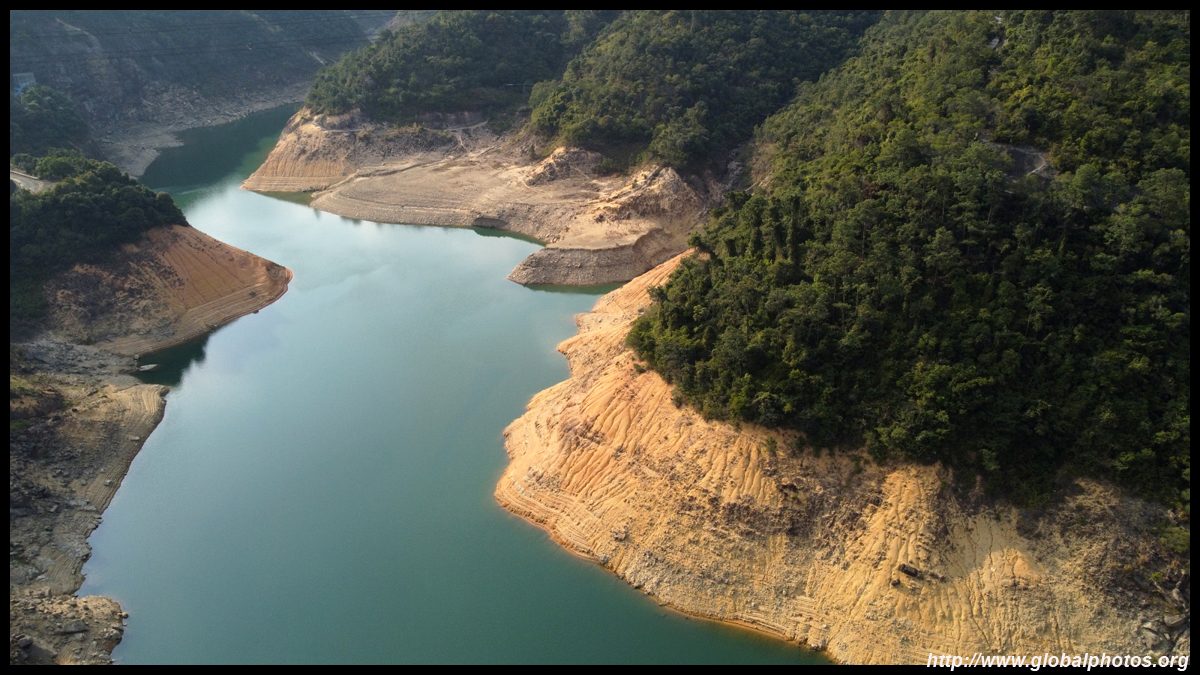
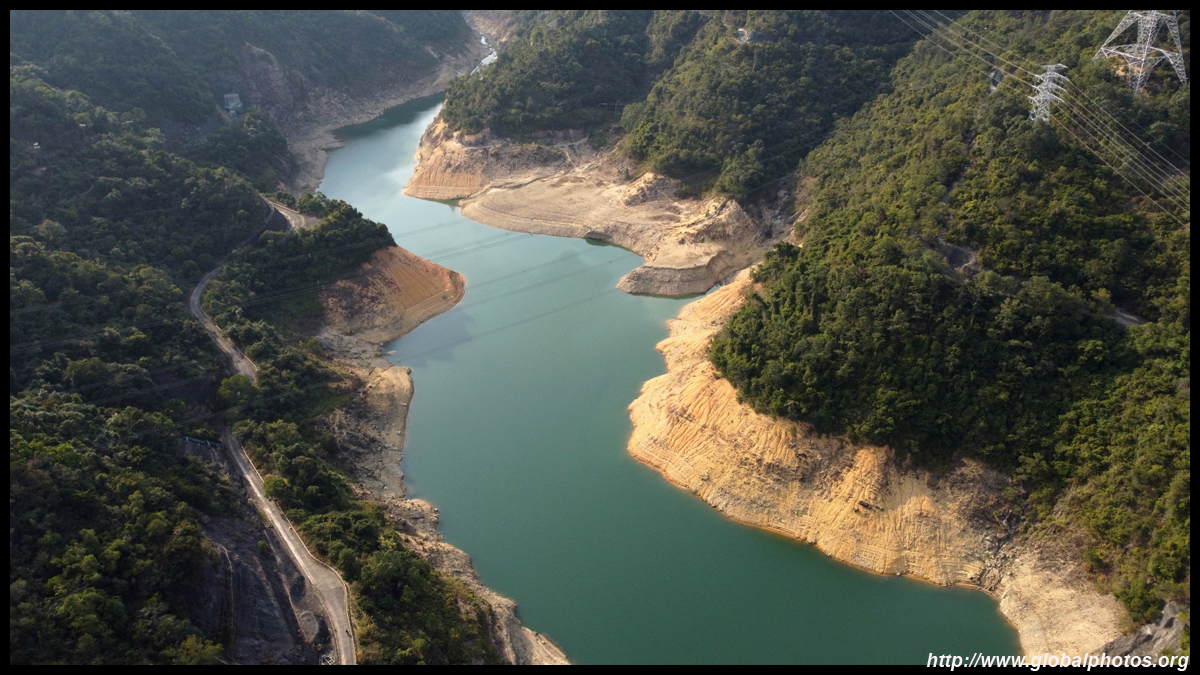
Hong Kong's winters are fairly dry with long stretches of sunny days, so it is no surprise the water levels have dropped. The Water Supplies Department updates the storage levels of its reservoirs on this website. Around the time of my visit, the lower reservoir was less than 16% full, while the upper one was just over 60% full.
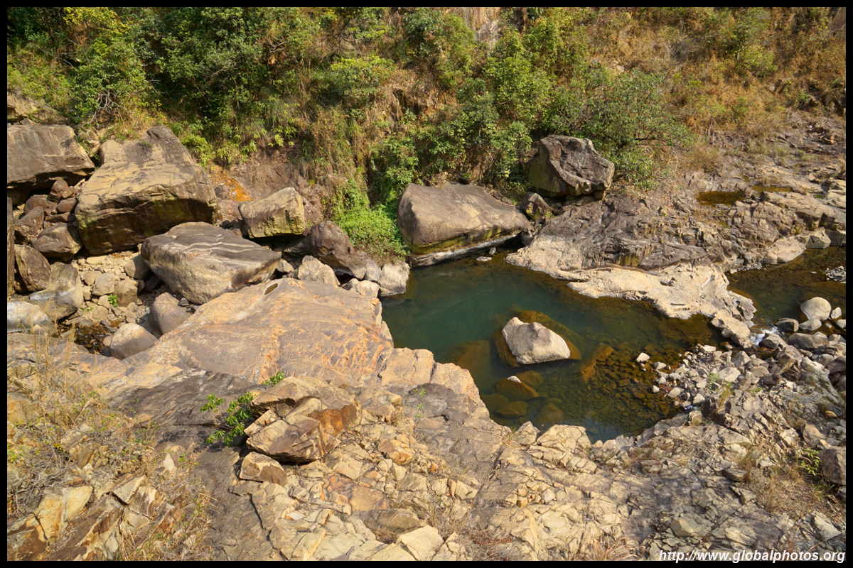
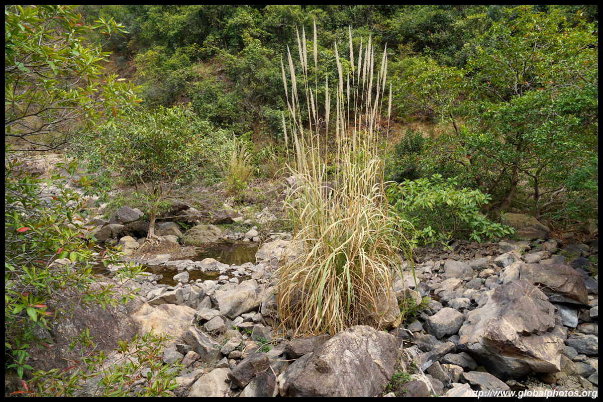
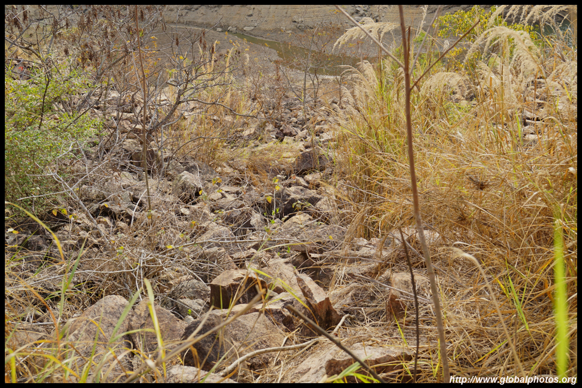
Runoff from the reservoir would feed Shing Mun River, which exits through Shatin into Tolo Harbour.
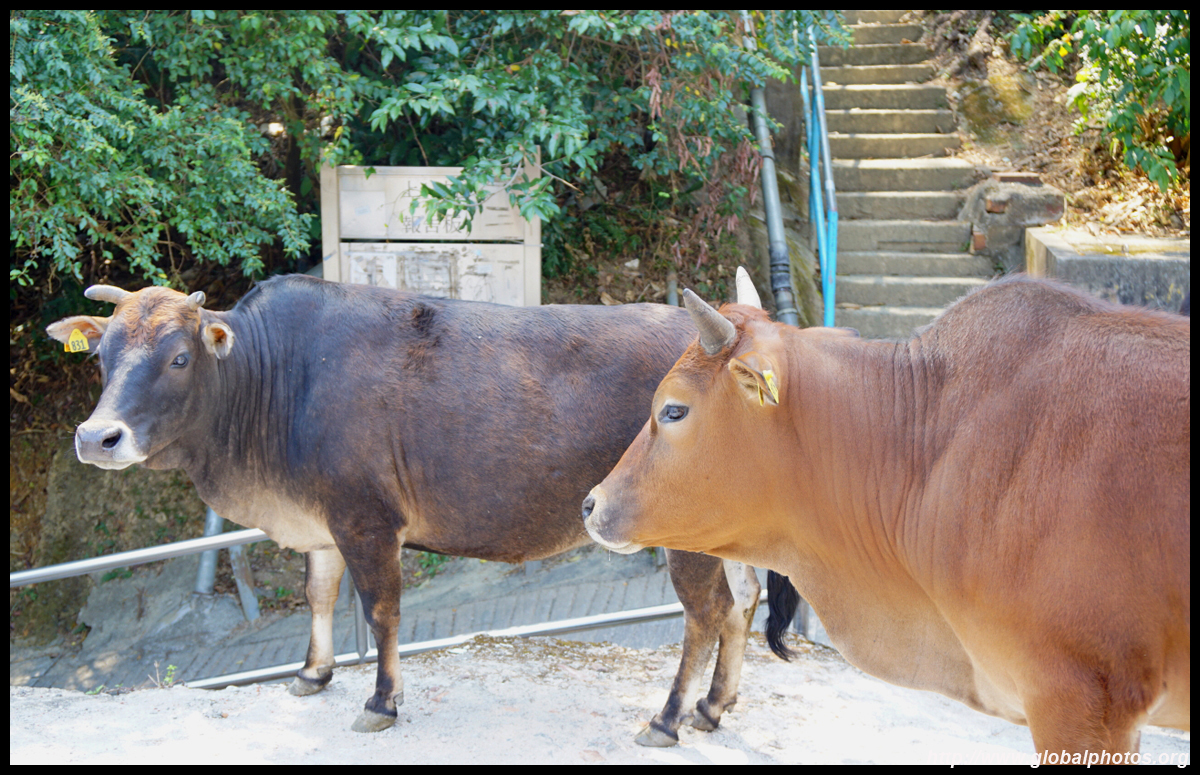
From the southern end of the dam, head downhill along Lower Shing Mun Road. Before reaching the intersection, you will notice some rattling in the forest on your left. You need to take the staircase down towards the Shing Mun River, but pay attention and stay away from the many monkeys that rummage for food on these hills. Do not carry plastic bags in the open as they'll assume there is delicious food in them. At the bottom of the staircase, Mei Tin Estate is only a short walk away and there is a bus terminus beneath it. From Mei Tin Estate, you can take bus 286X to Sham Shui Po or 283 to Shatin Central. Lower Shing Mun Reservoir is less scenic than its upper counterpart, hence I encountered far fewer hikers once past the main dam. Nevertheless, it has enough stairs and steep gradients for a good work-out.
|
|||