Hong Kong Photo Gallery - Fei Ngo Shan

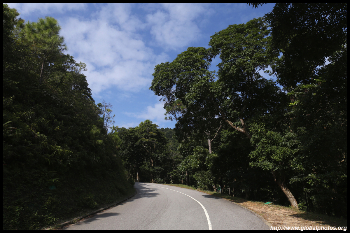
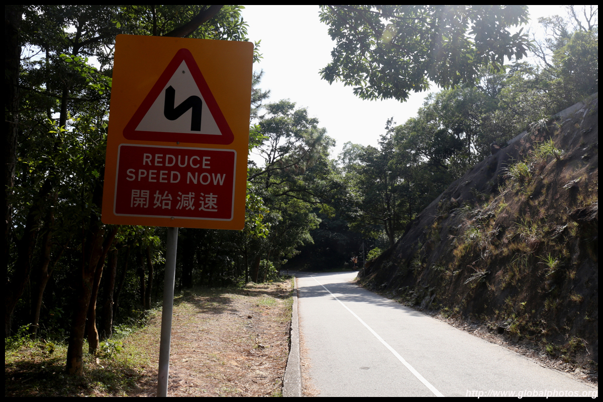
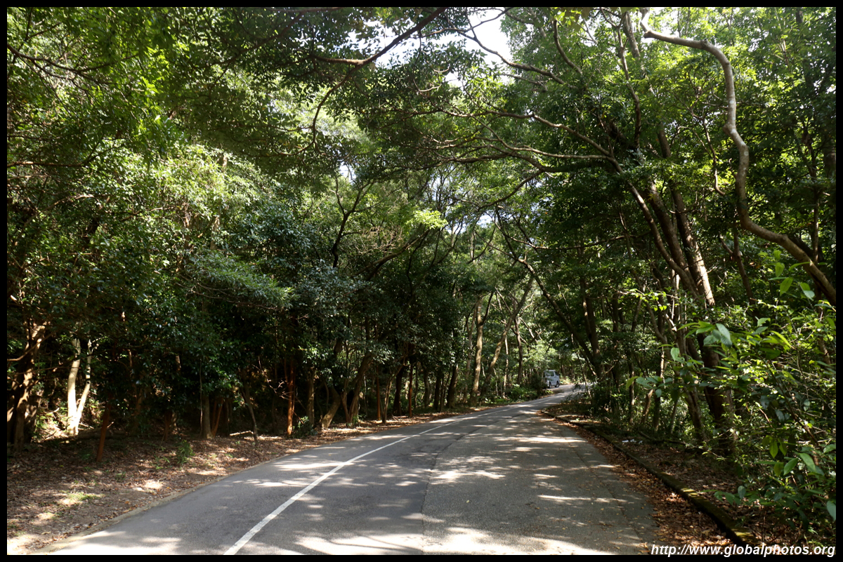
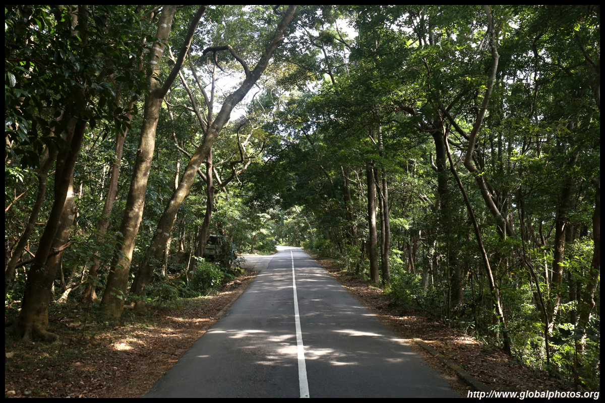
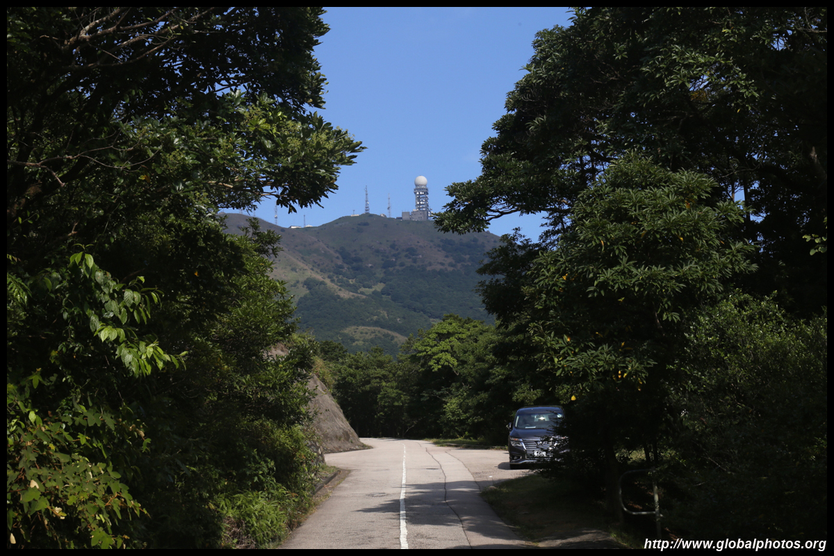
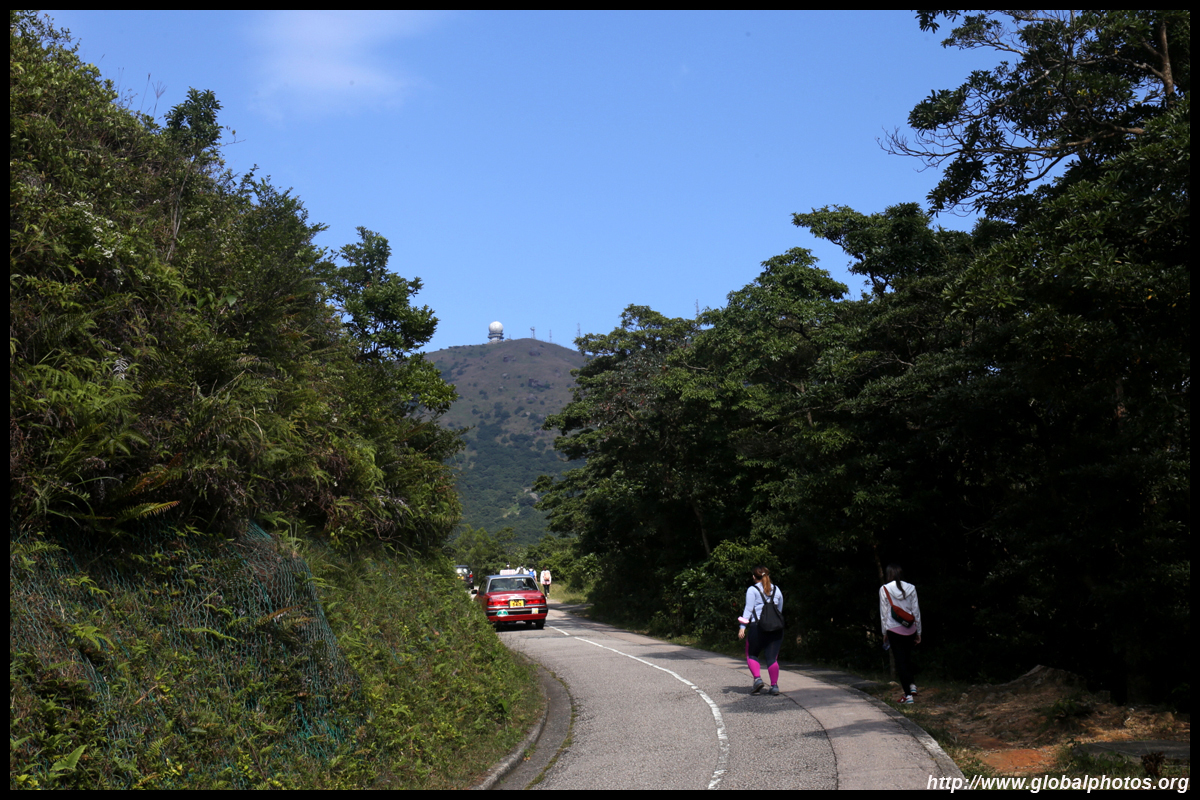
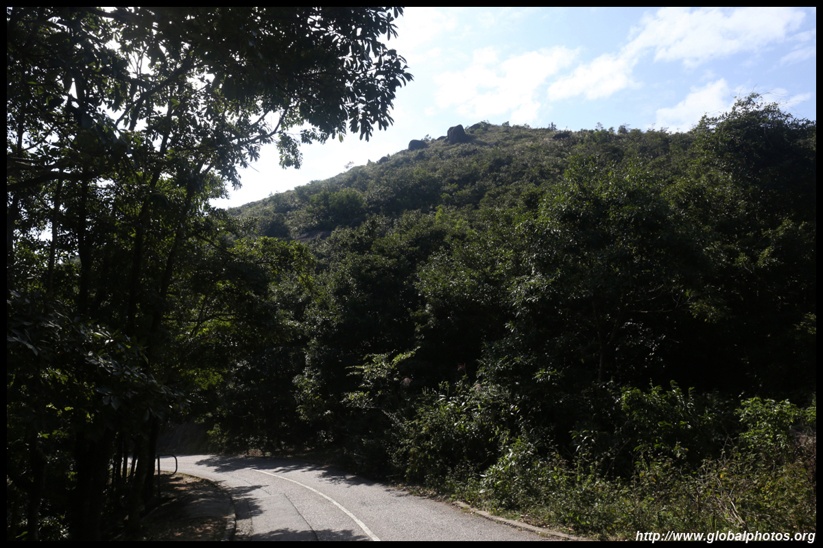
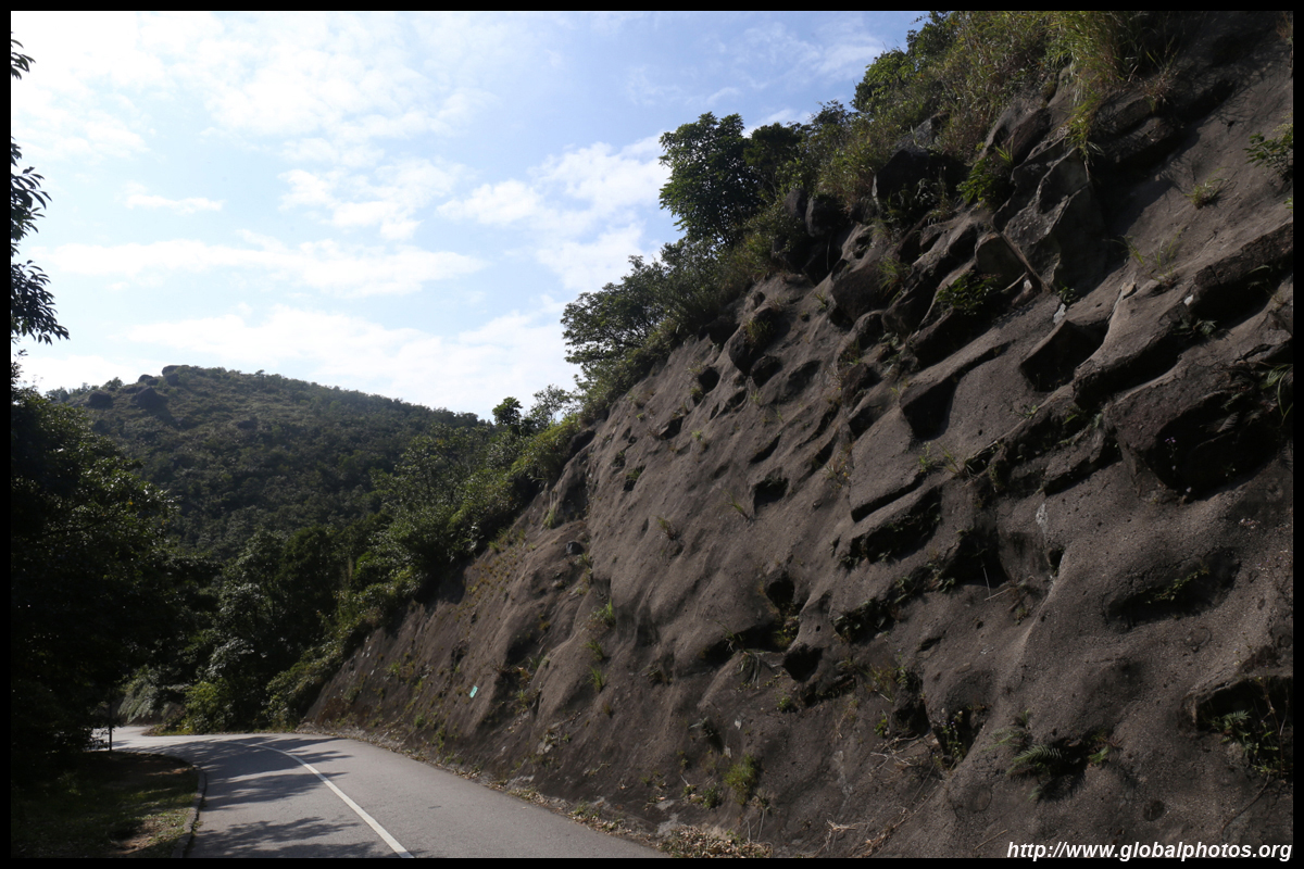
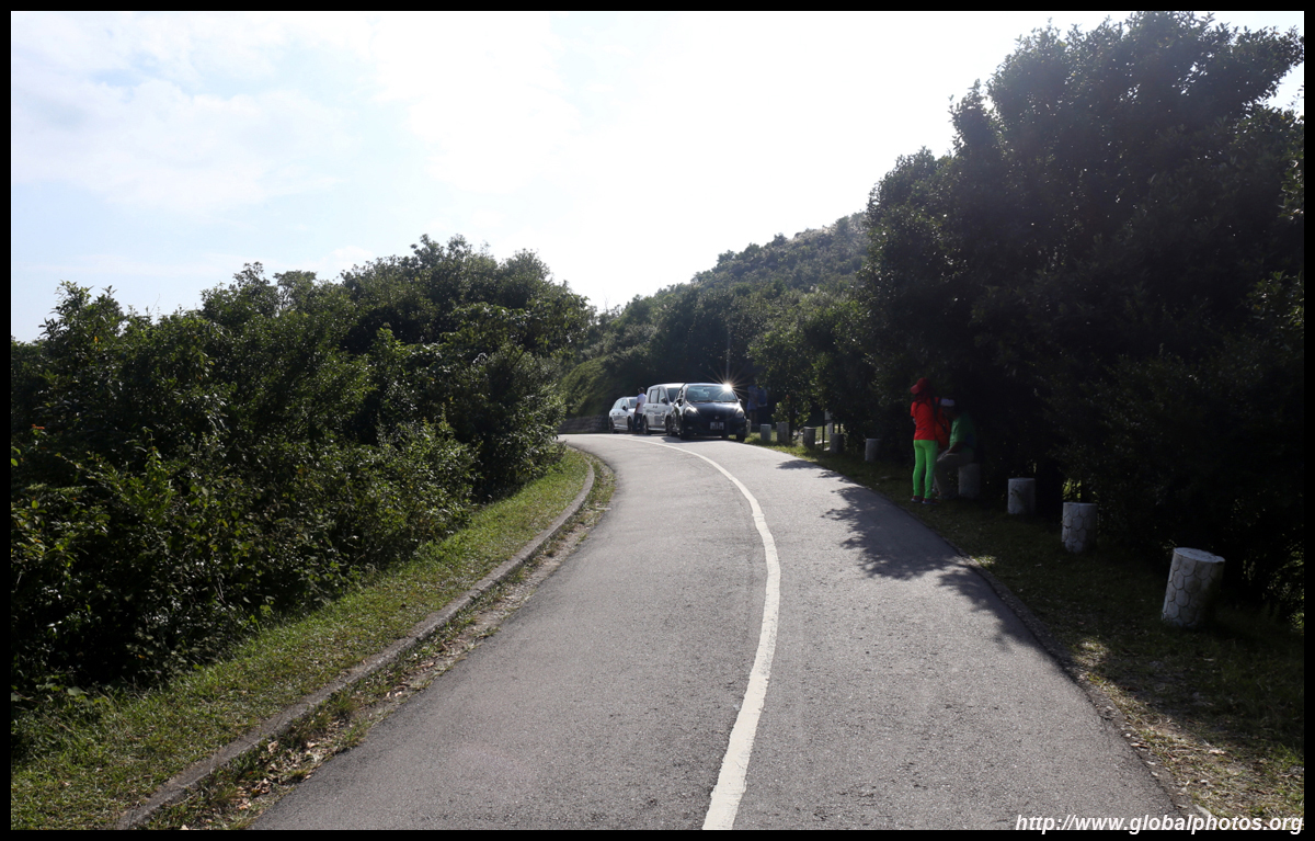
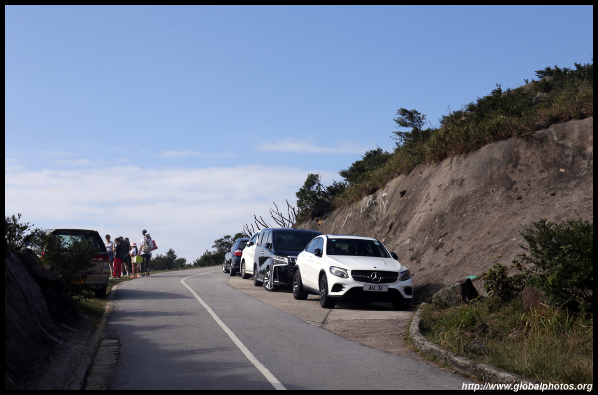
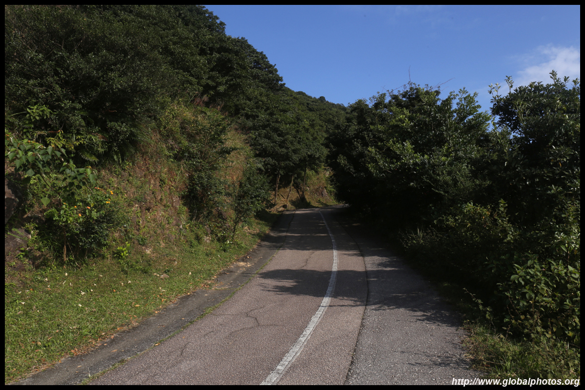
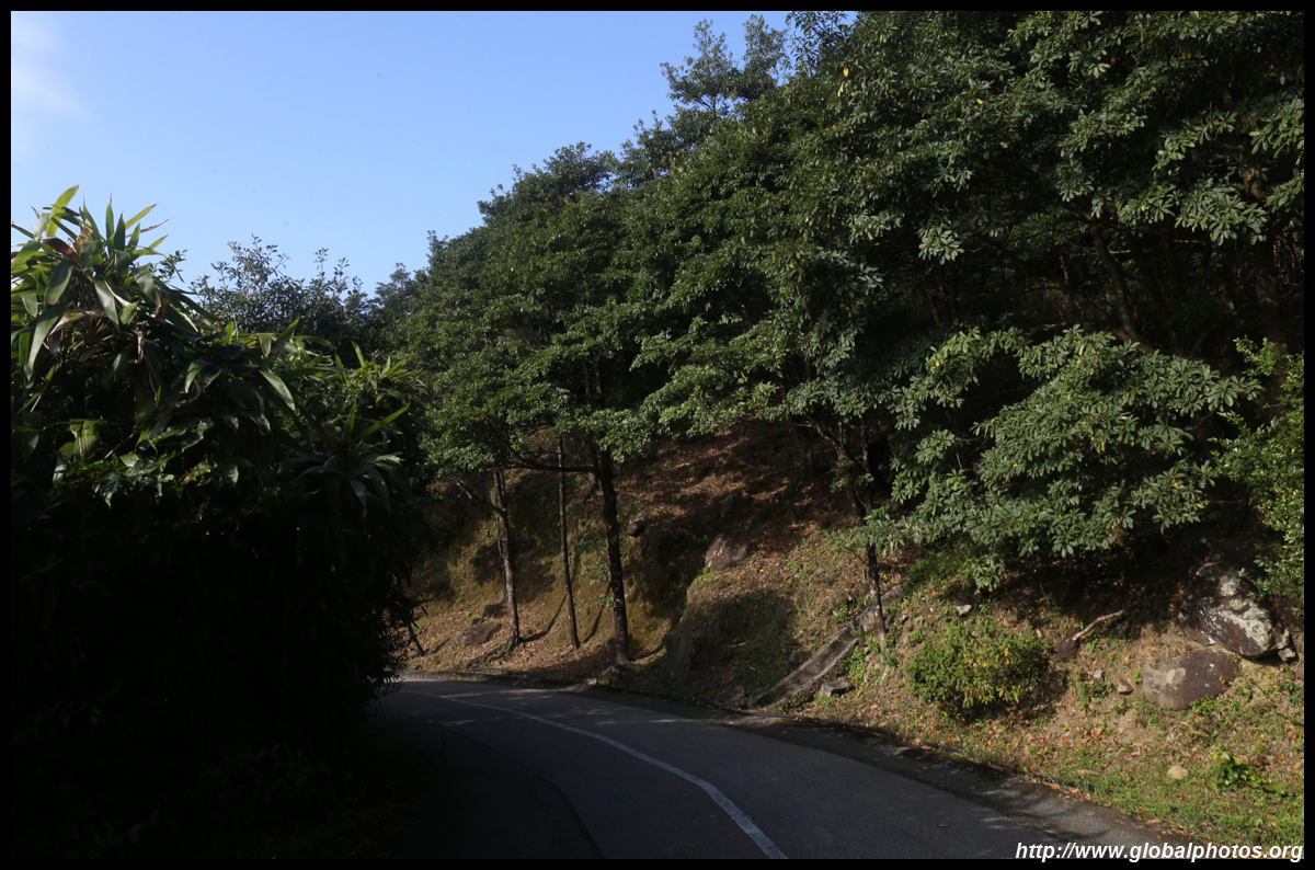
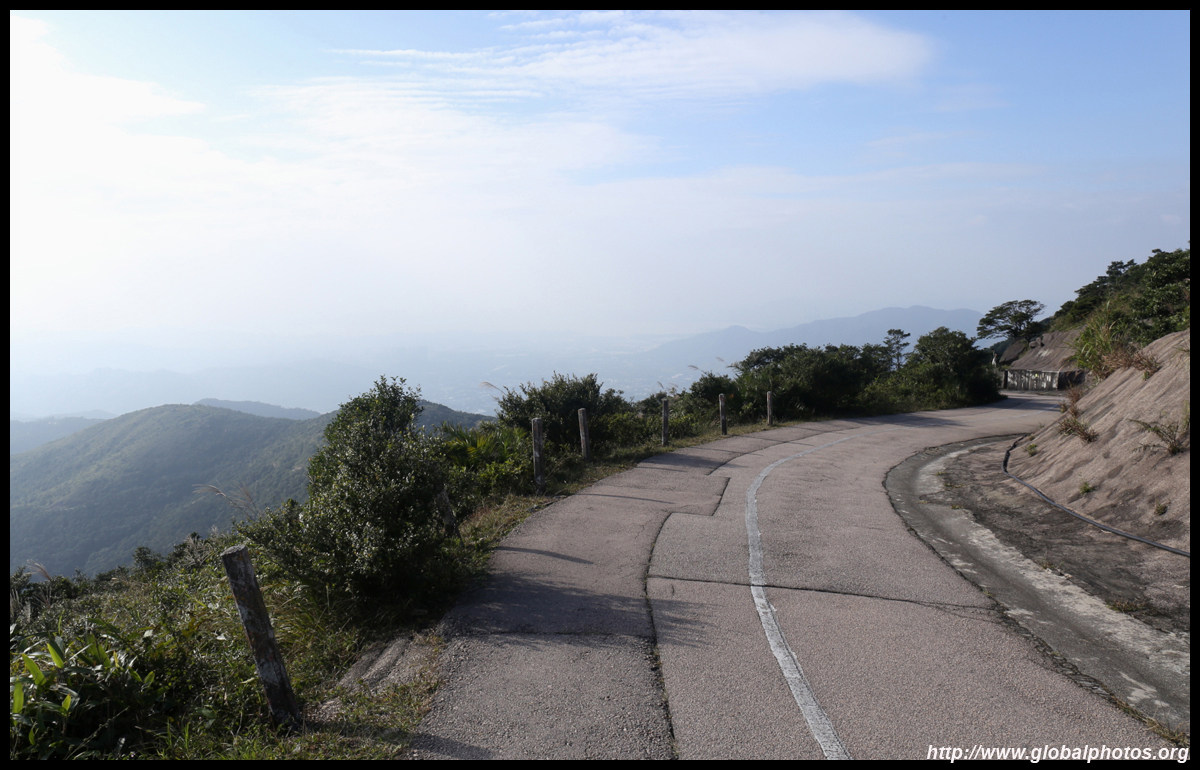
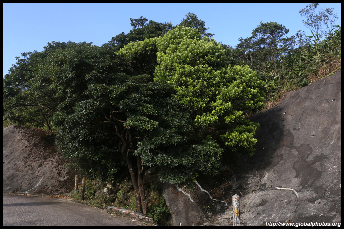
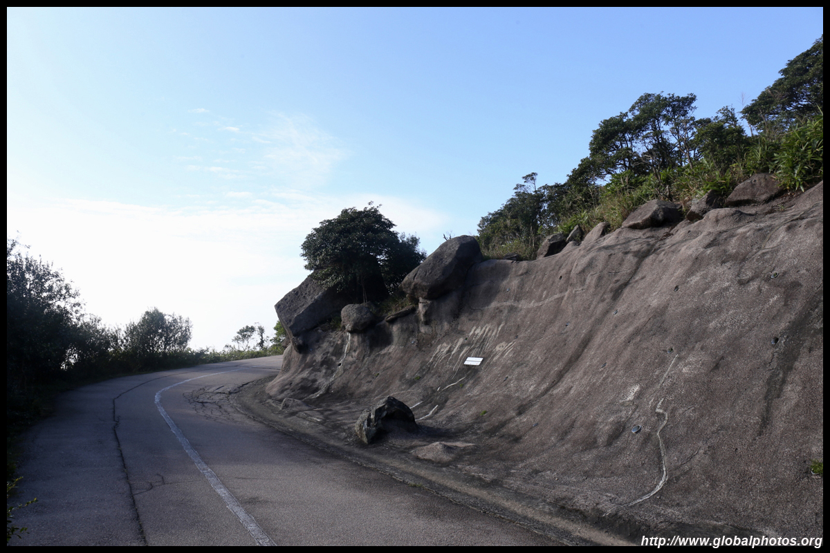
Standing at 957m, Tai Mo Shan is Hong Kong's highest peak. Despite the height, it is actually fairly easy to access either by car or by foot. If you have your own wheels, you can drive up much of the narrow Tai Mo Shan Road and park at the first lookout point. But beware spaces are very limited and traffic jams do arise at the peak weekend afternoon / sunset hours. Alternatively, you can walk up that same road after getting off bus 51 at Tai Mo Shan Country Park stop.As you are sharing the road with cars, stay safe and walk on the incoming traffic side and pay attention. It is a gentle climb up for about 45 minutes at a normal pace to reach the first lookout point.
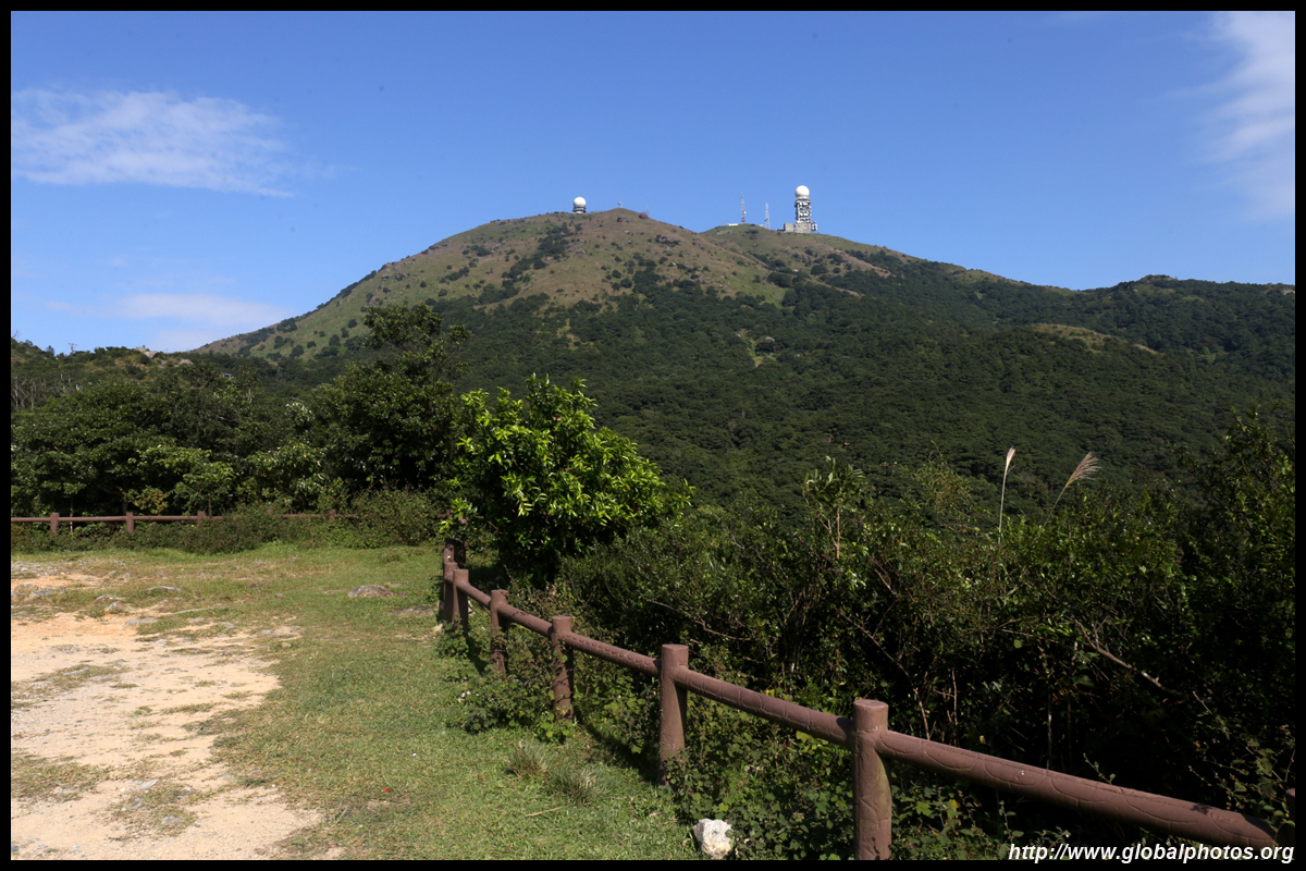
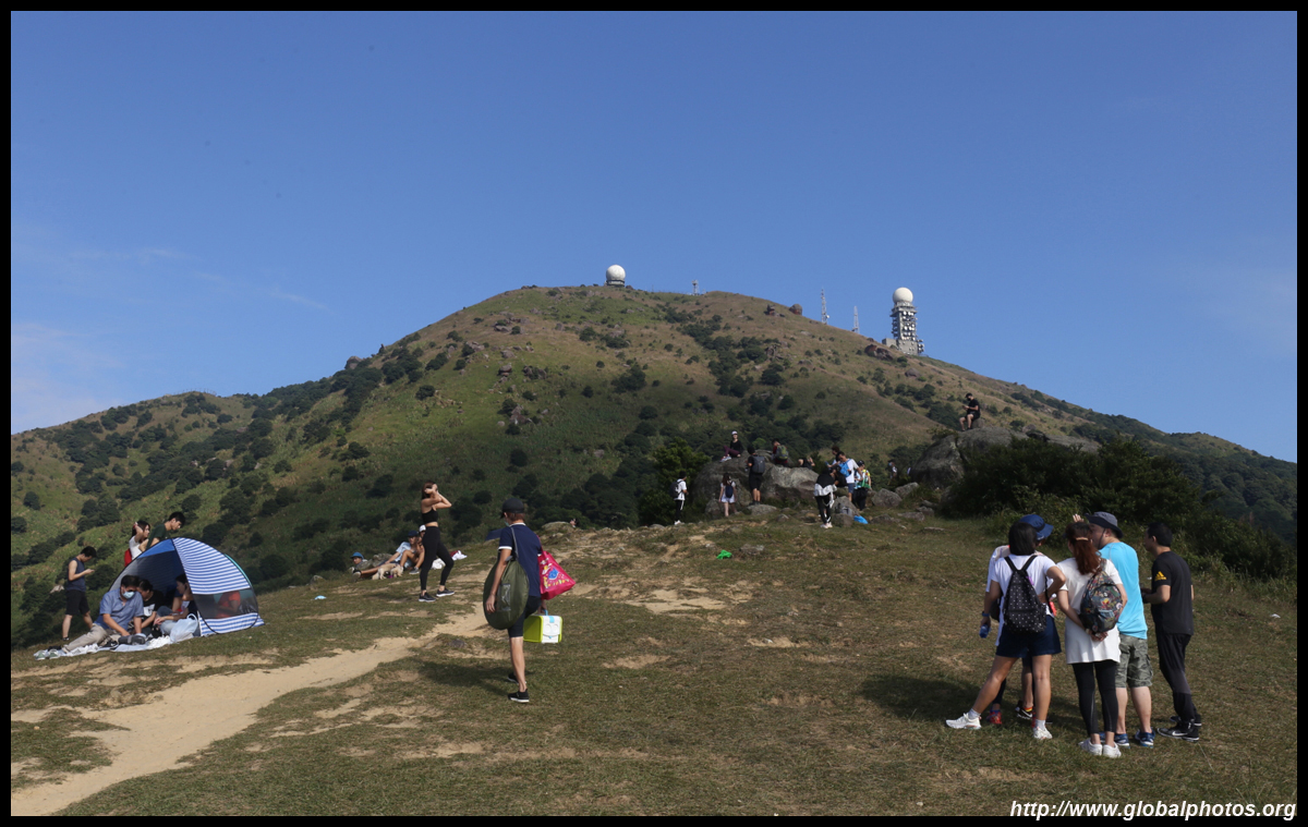
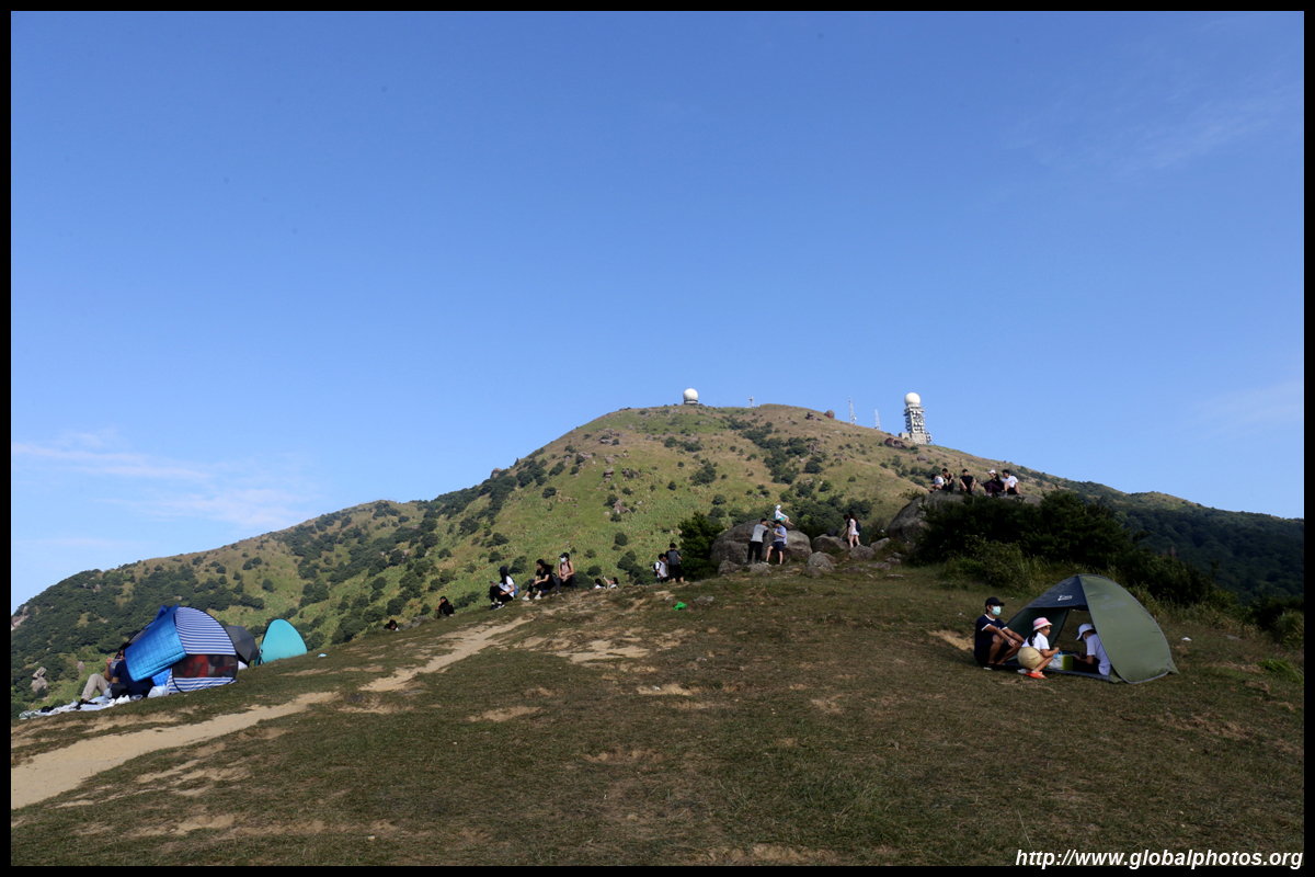
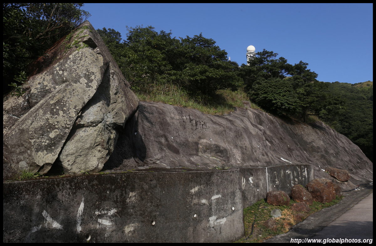
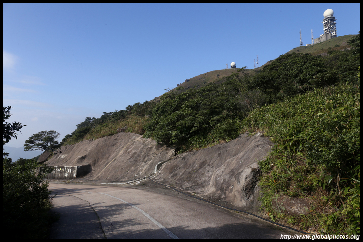
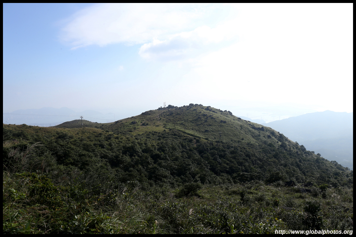
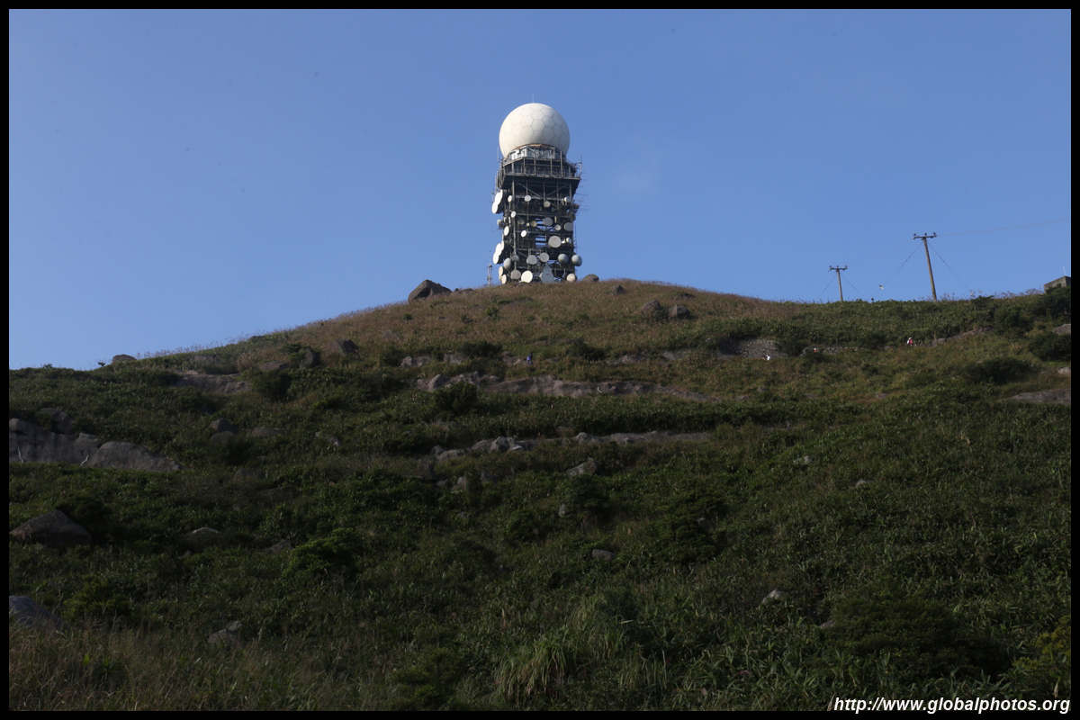
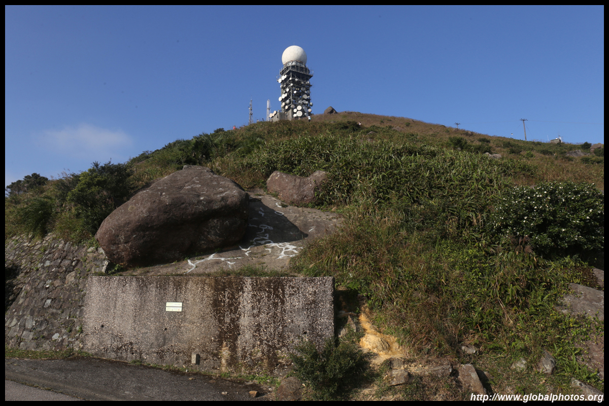
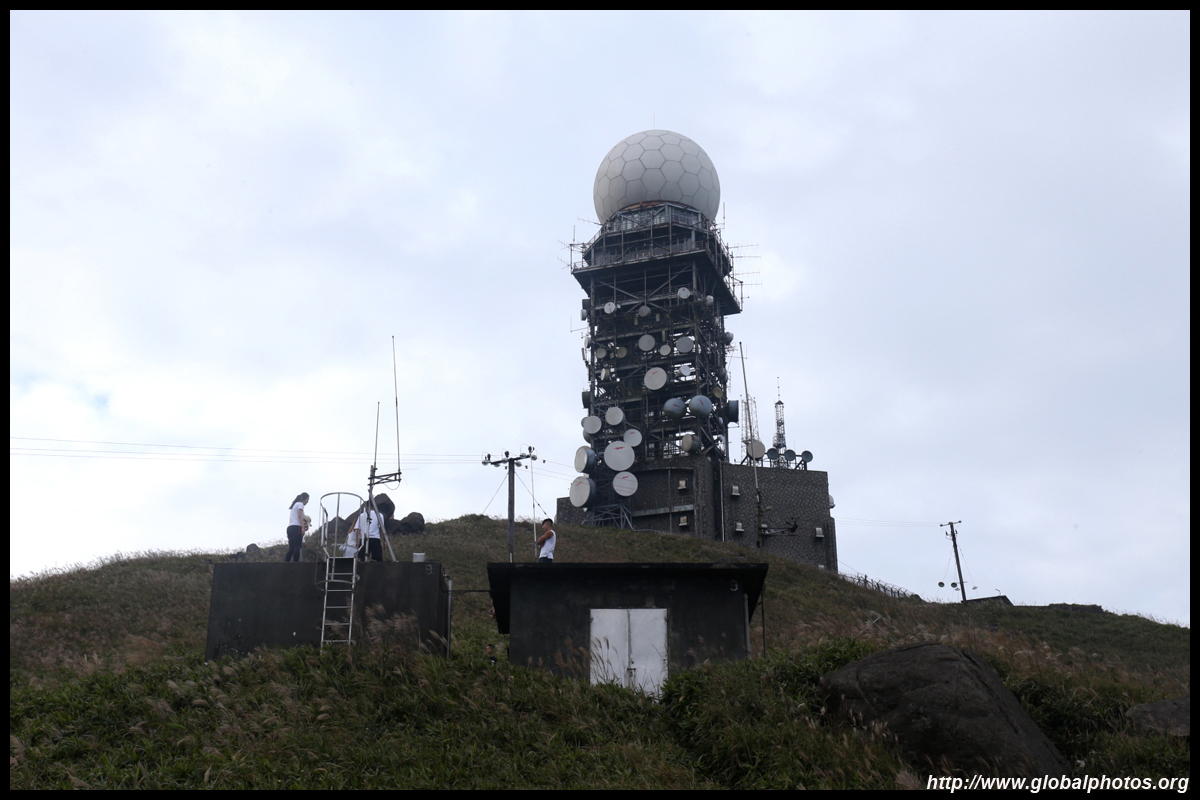
The ultimate destination is the weather station in the distance, which is even higher up than the first lookout point.
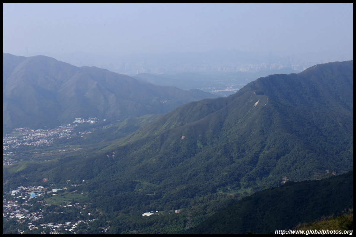
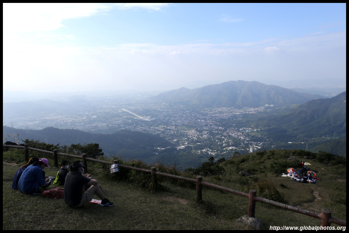
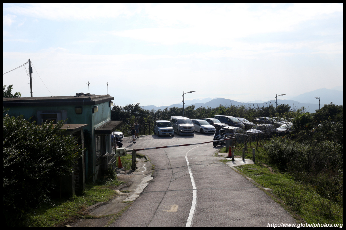
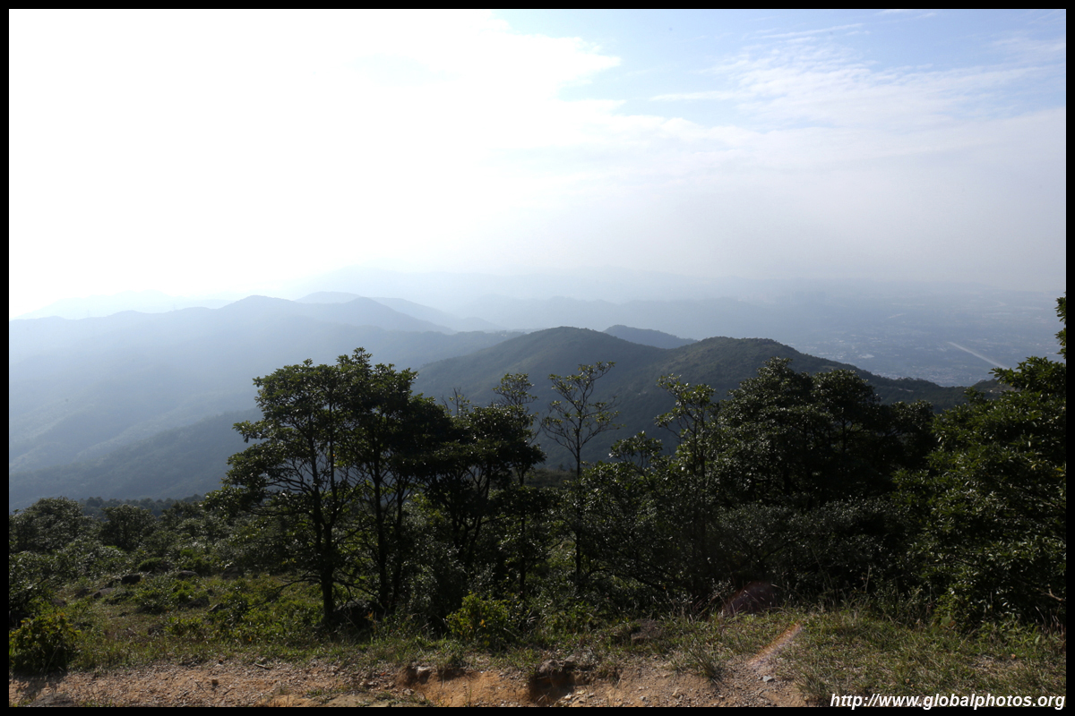
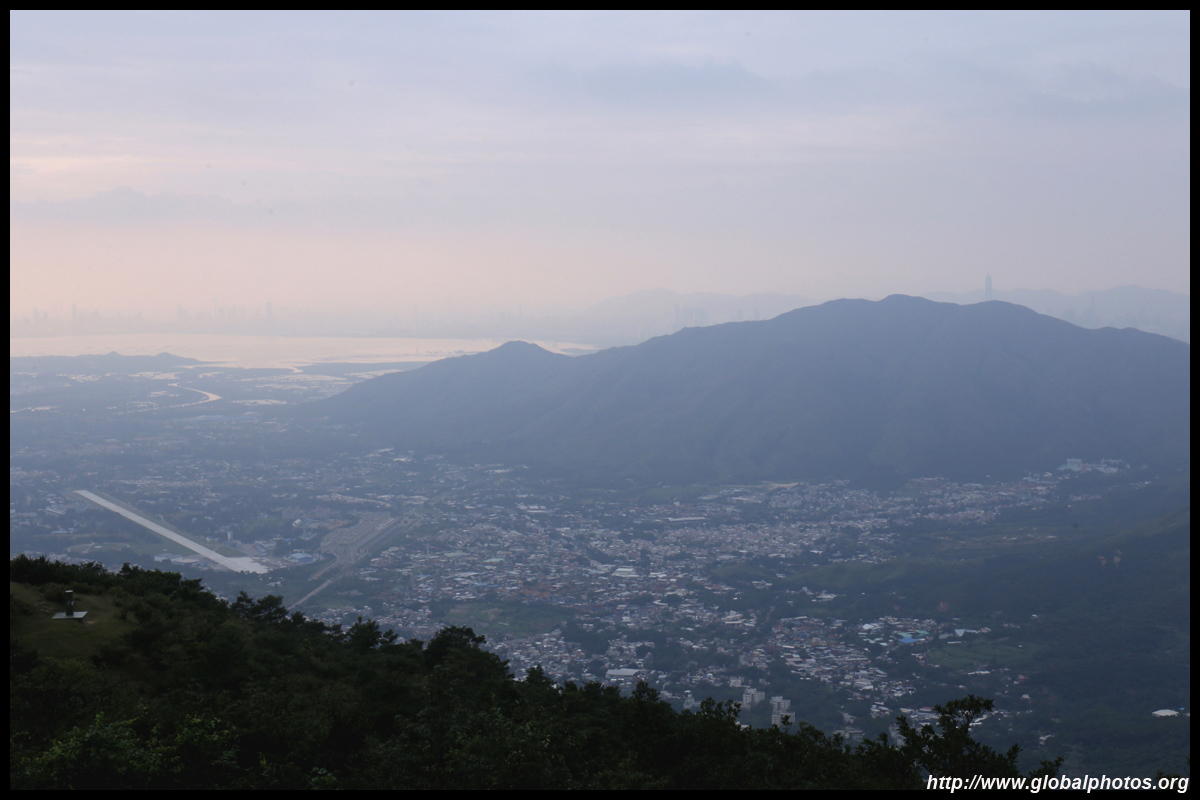
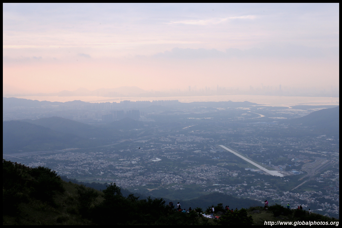
Once you see cars parked and the area open up with sign boards and chairs, you have reached the first lookout, which has best views looking north towards the New Territories.
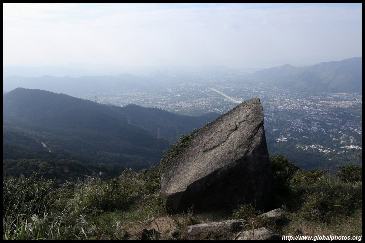
Shek Kong's airport runway is only a short distance away.
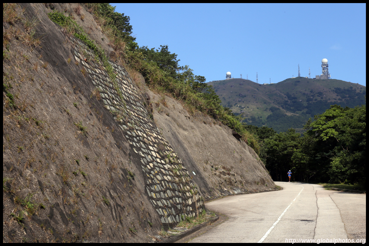
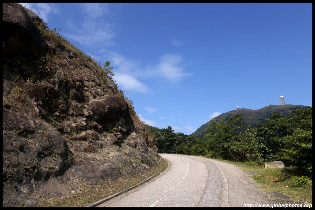
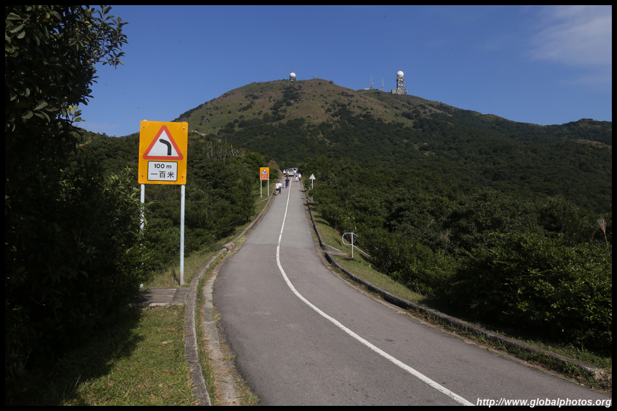
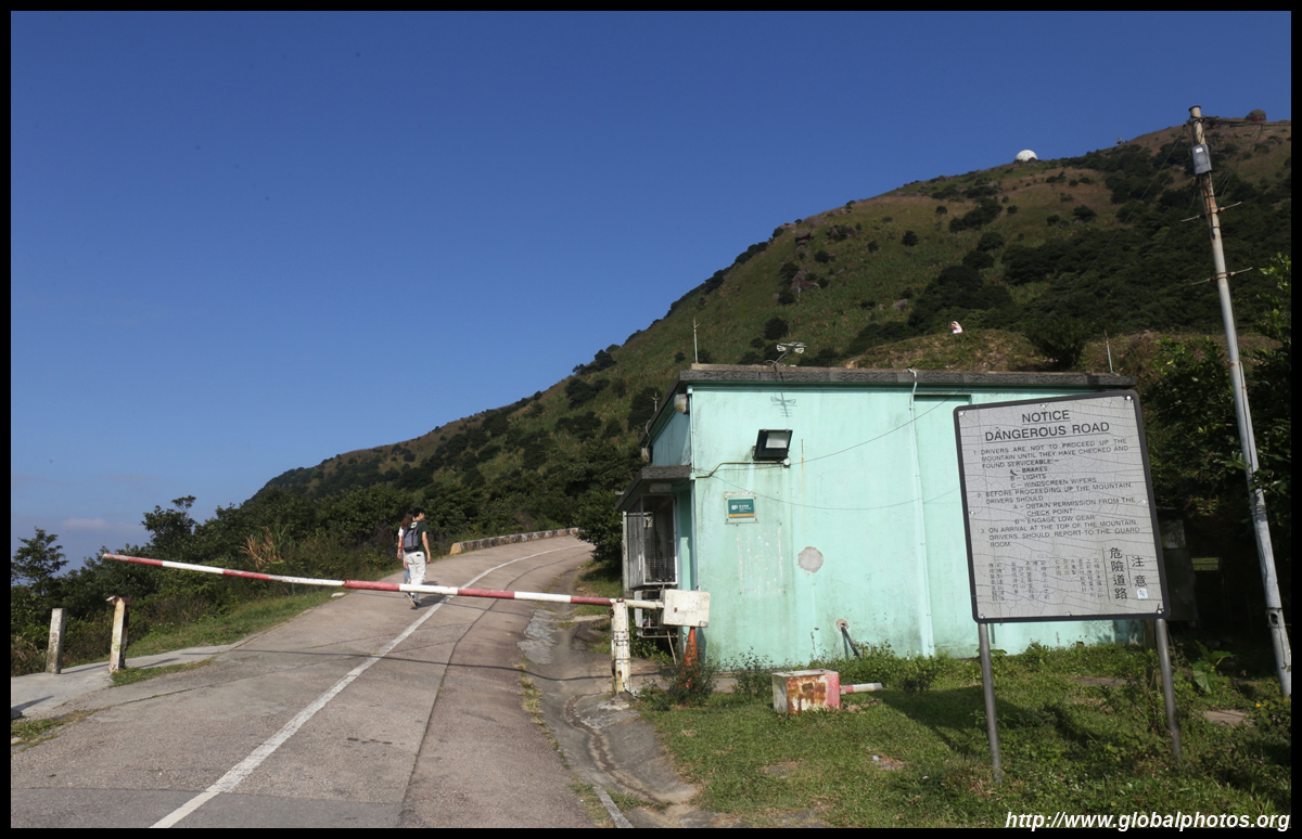
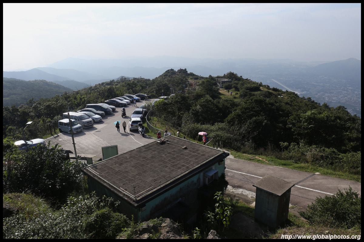
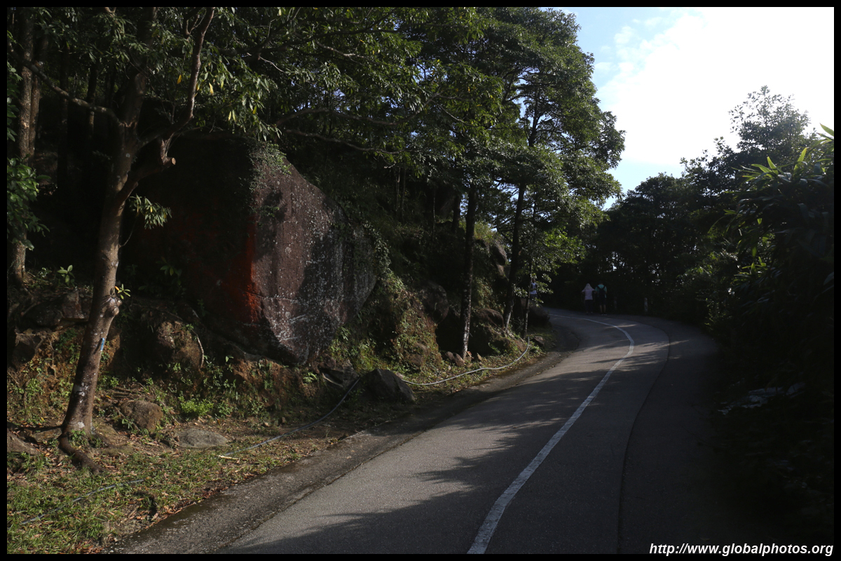
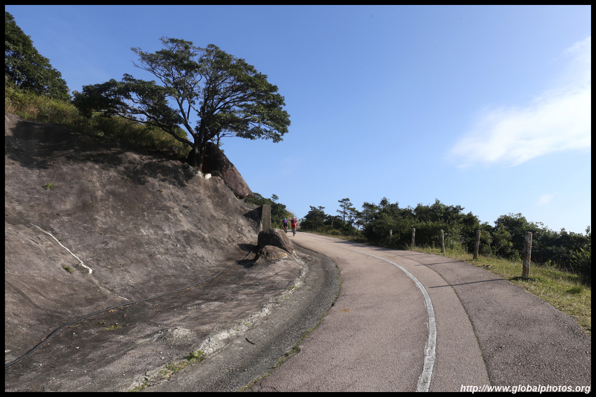
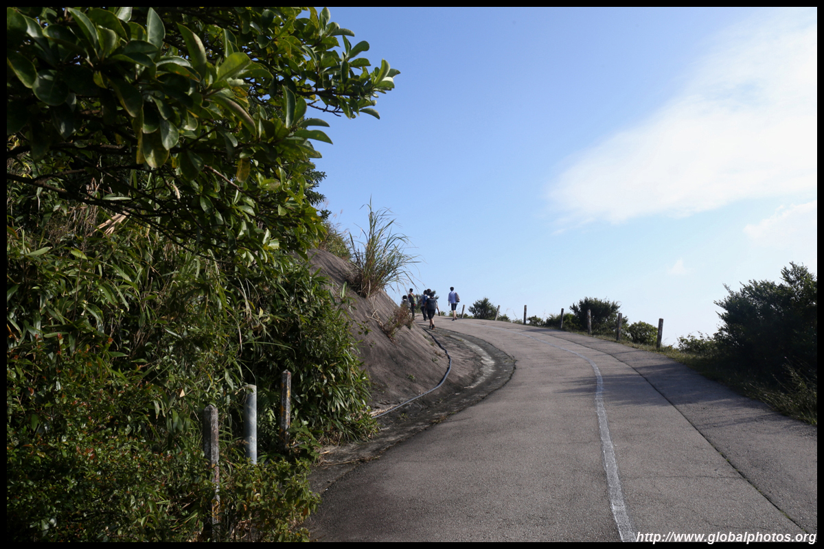
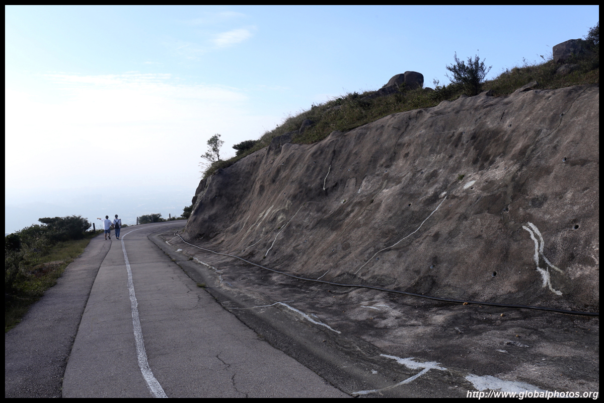
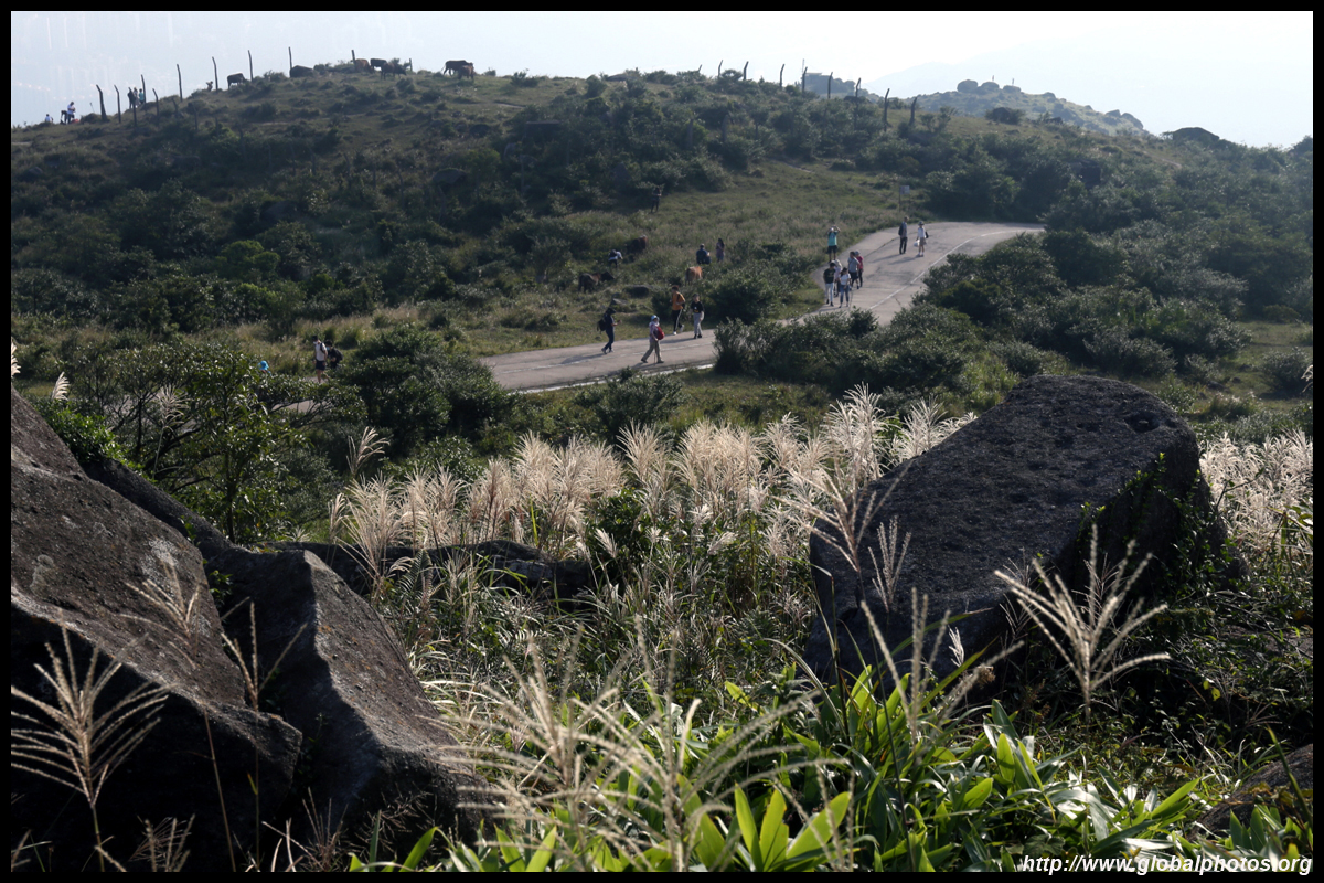
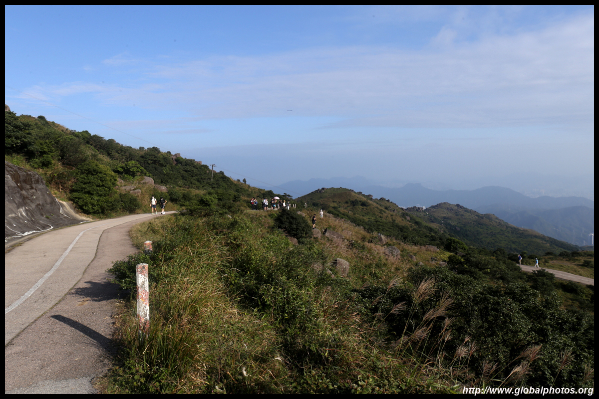
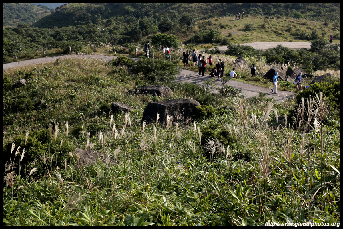
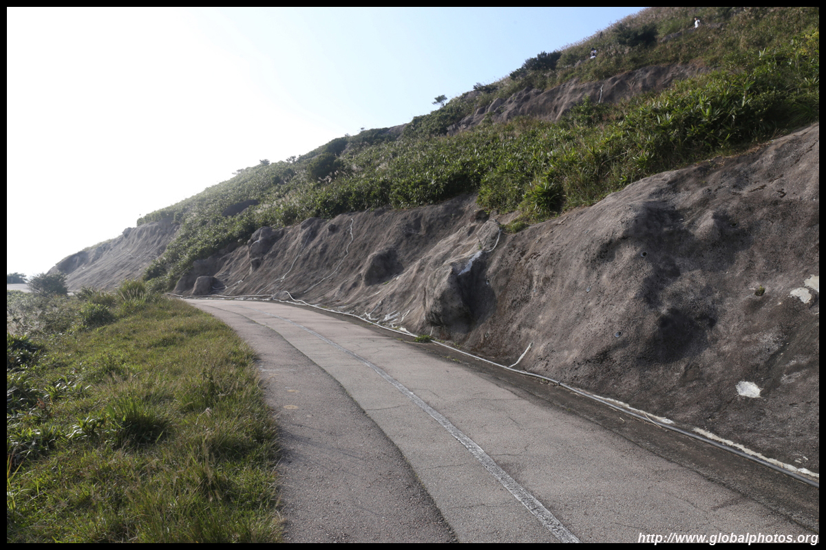
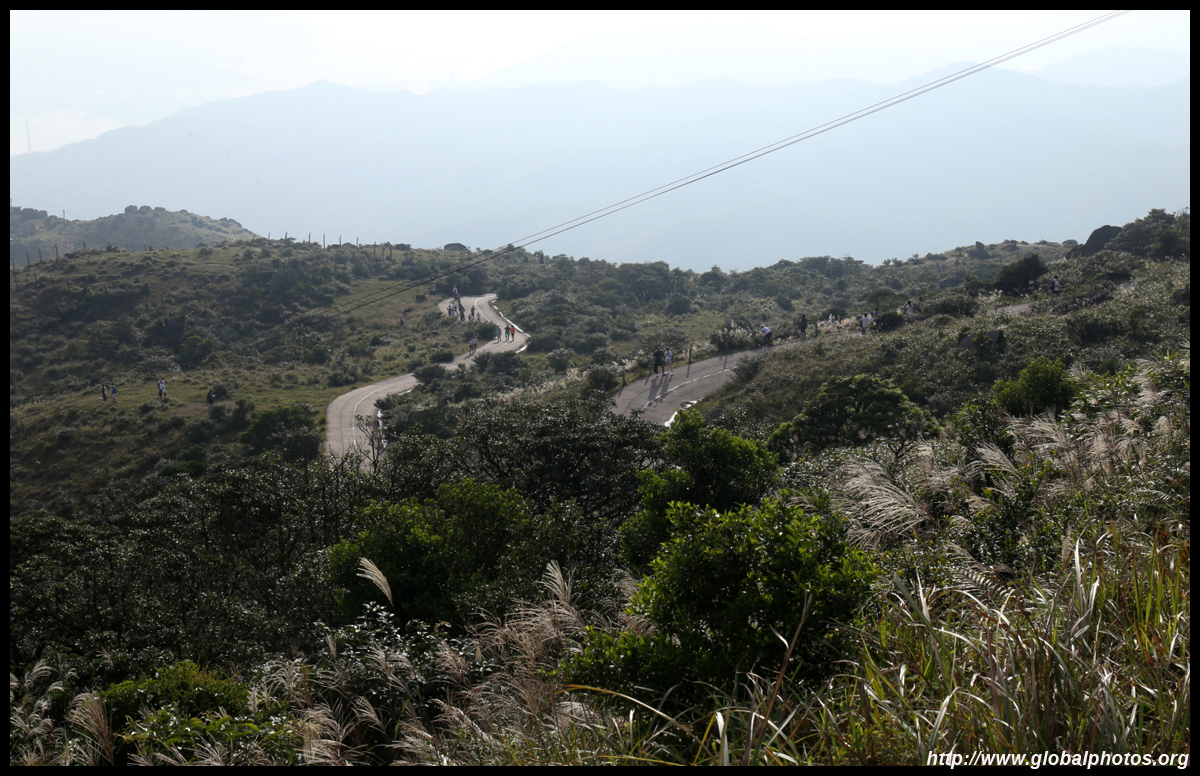
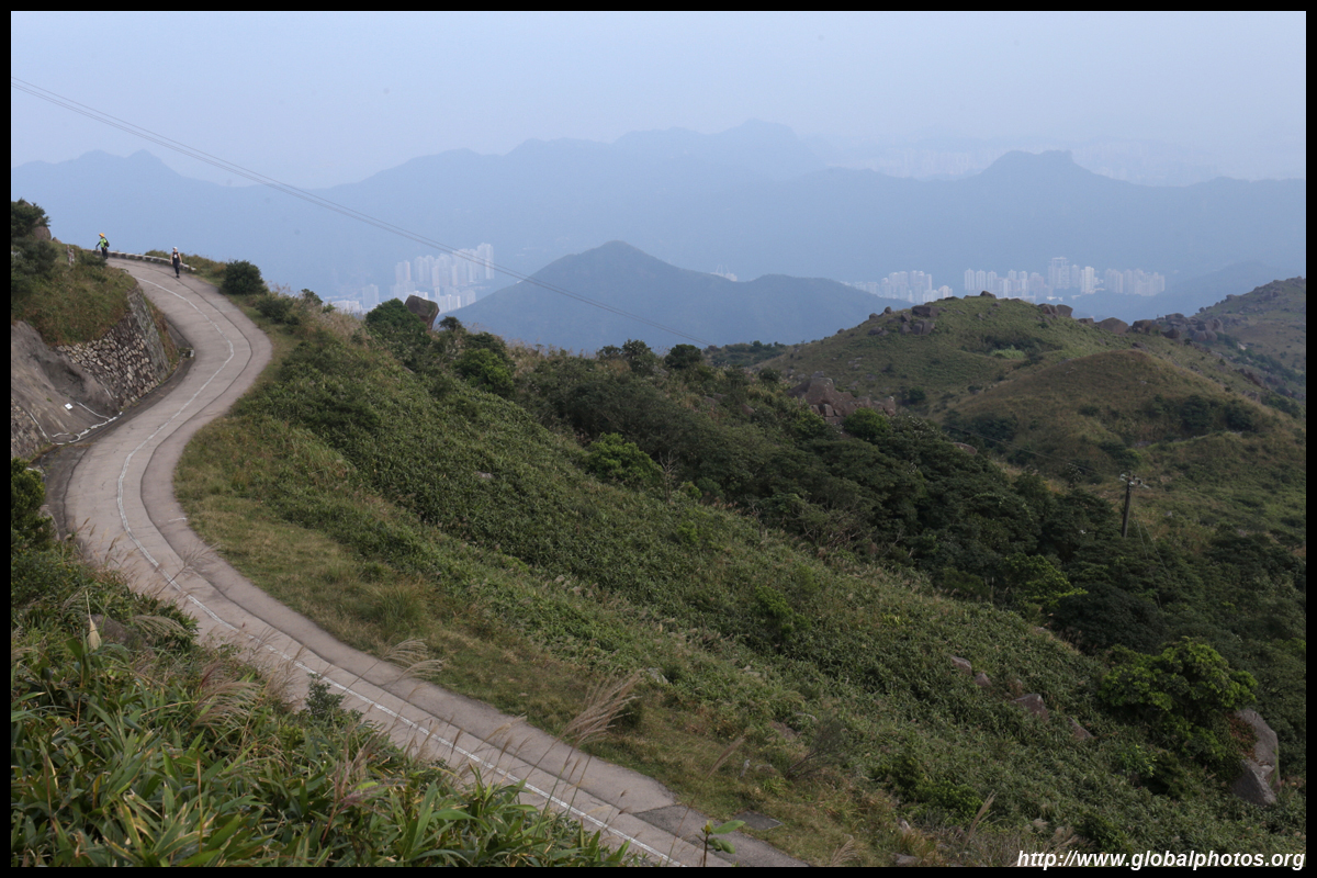
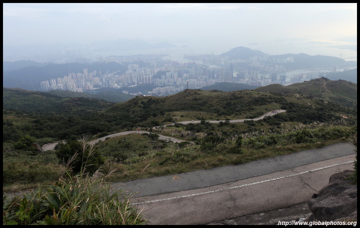
By now you may think it was an easy hike. But don't give up here. Continue uphill and you will notice a gate. Cars are not allowed in but hikers can proceed as it is part of the Maclehose Trail.
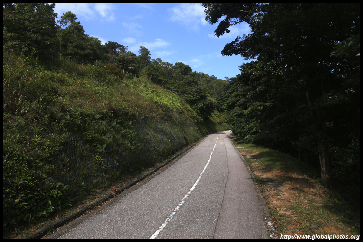
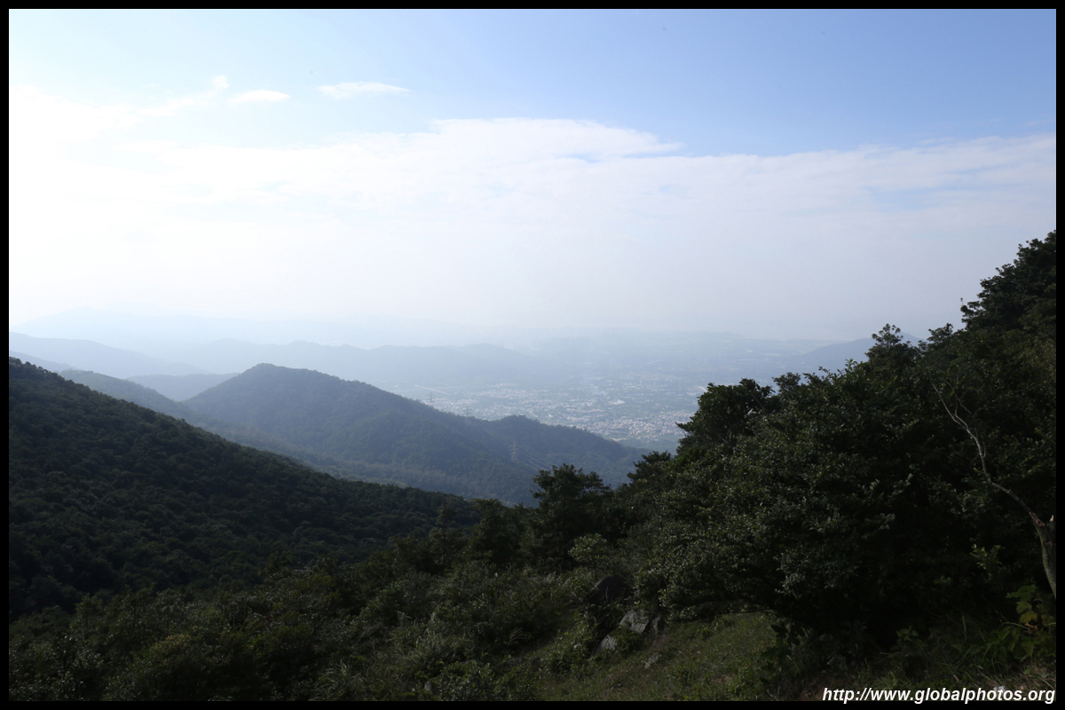
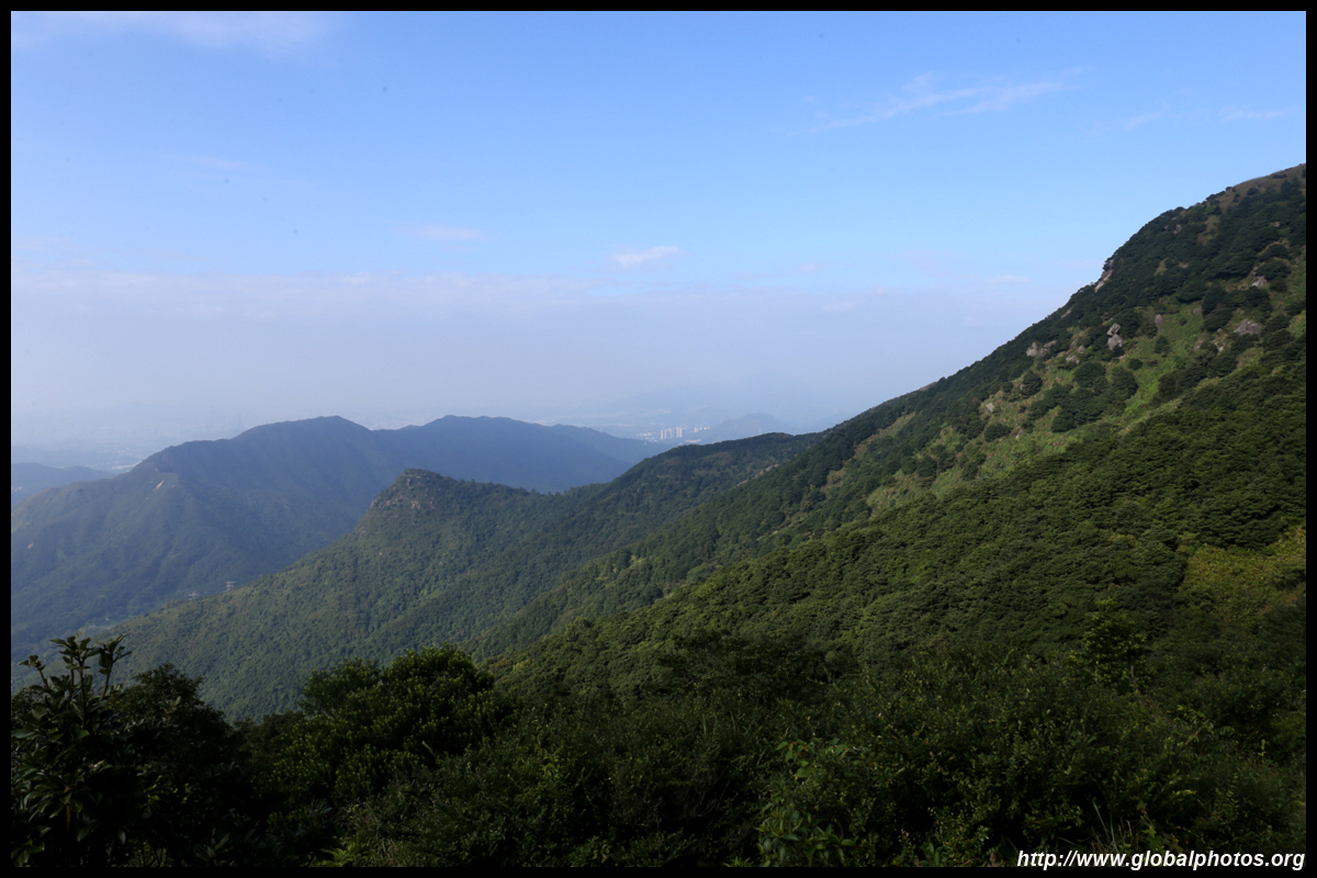
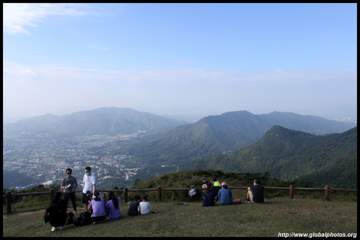
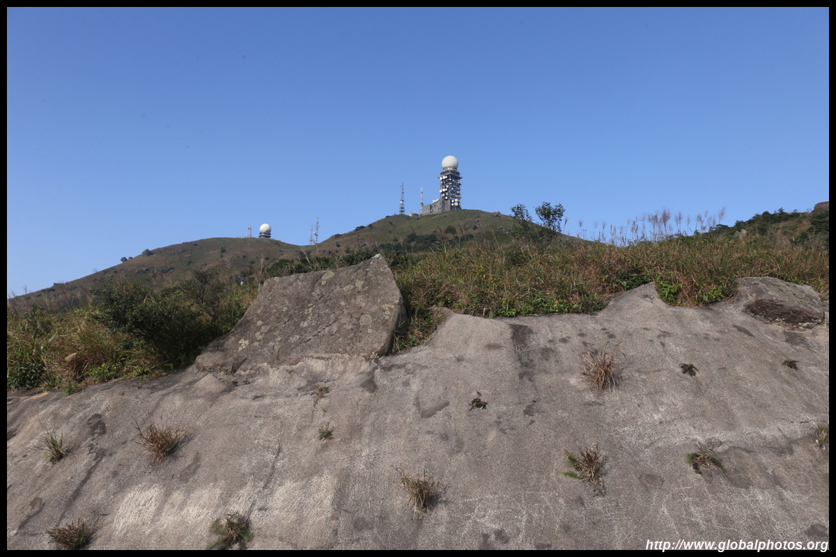
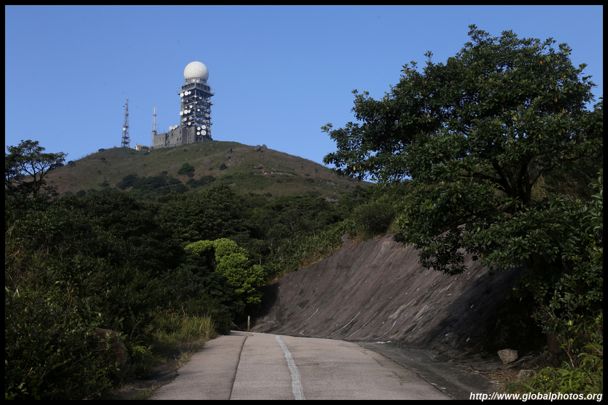
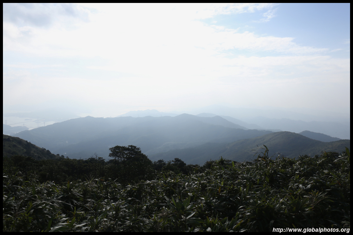
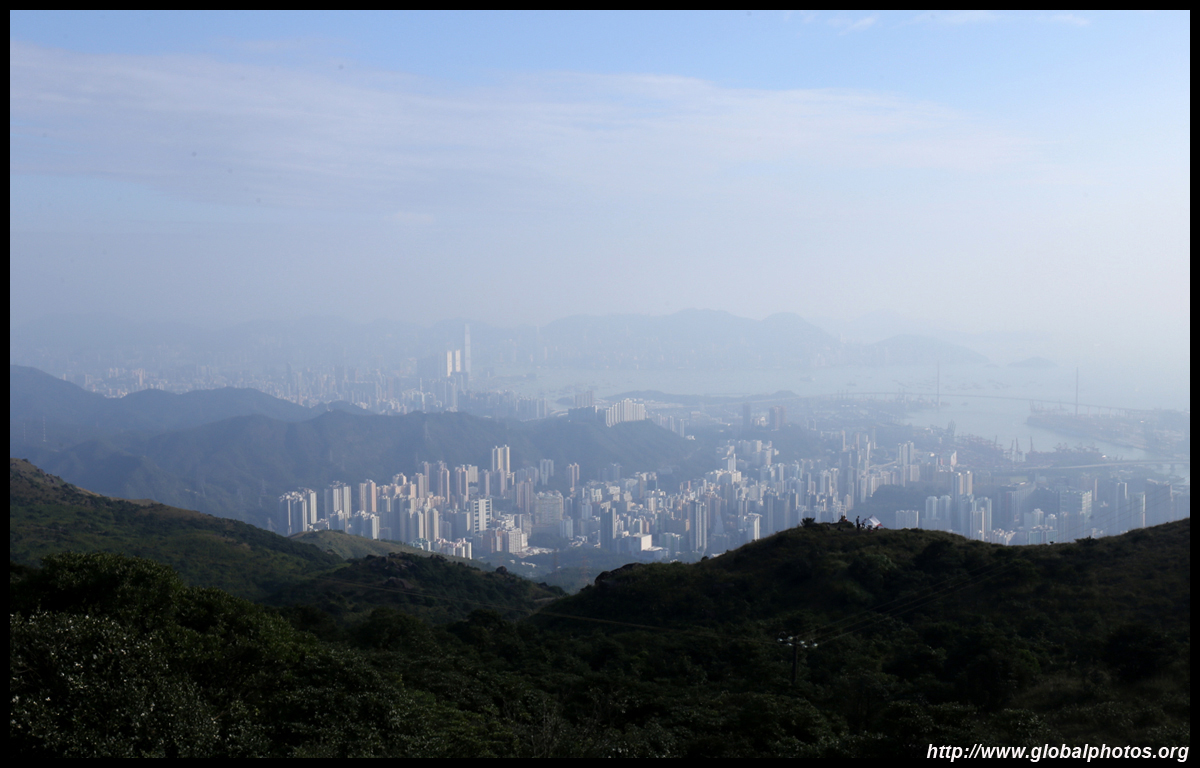
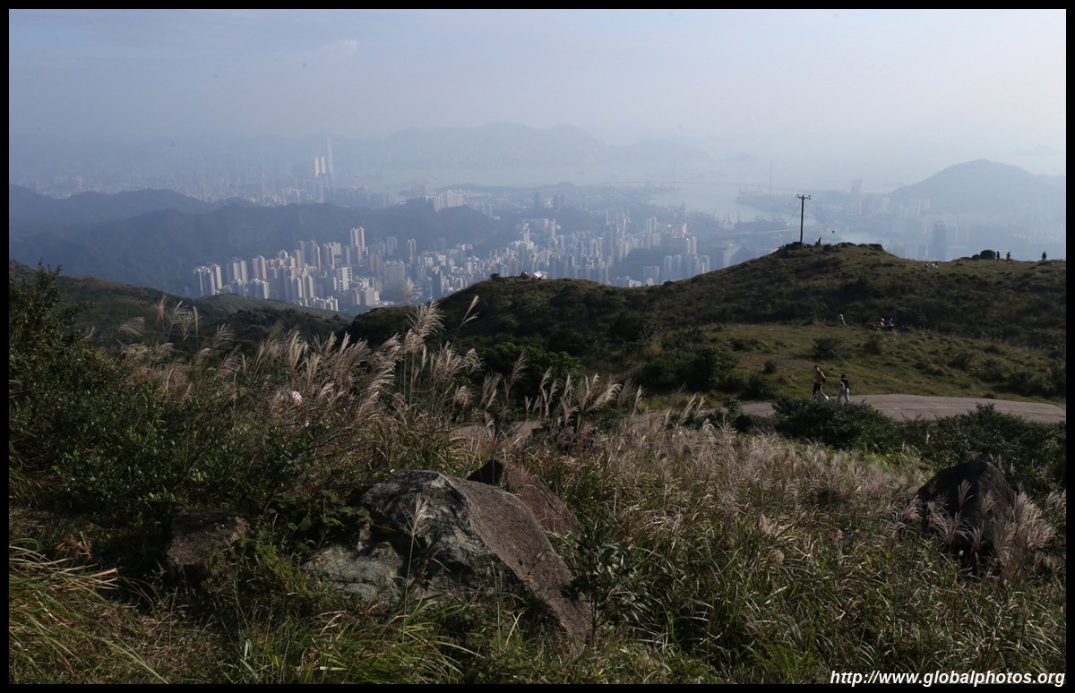
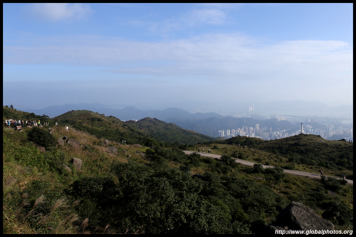
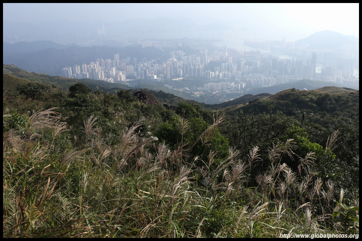
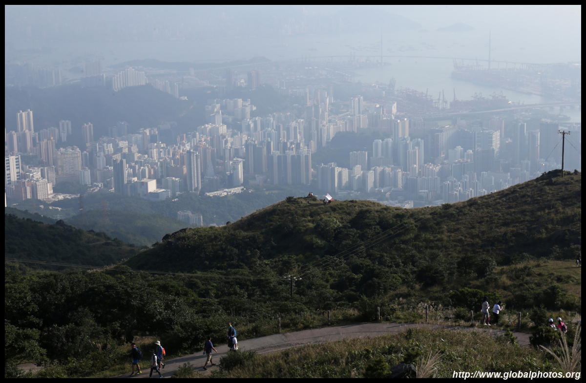
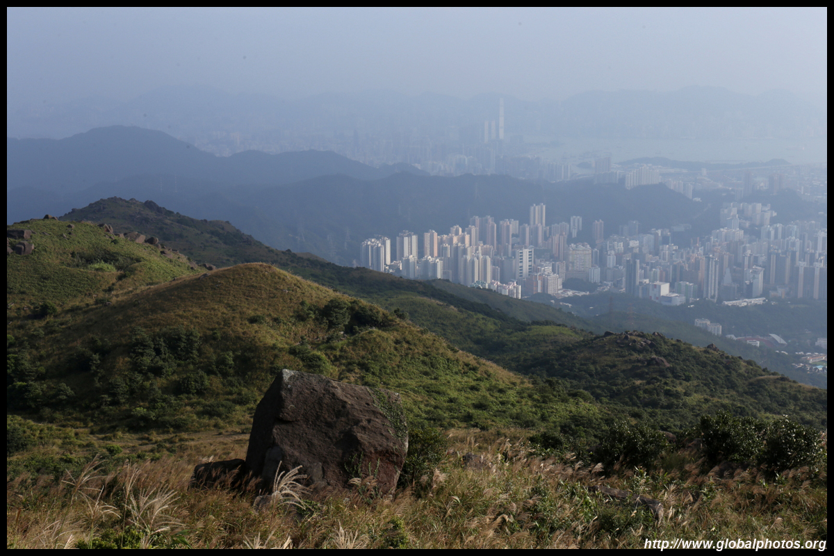
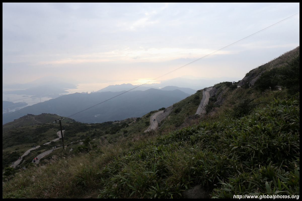
The path zig-zags up further towards the weather station at the top of Tai Mo Shan. Since there is a gate at the bottom, you don't need to share the road with cars anymore. It will take another 45 minutes to an hour to walk up, where views towards the south, including the skyline, will open up.
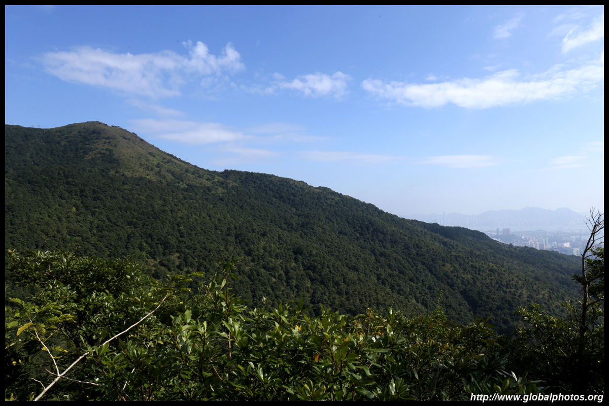
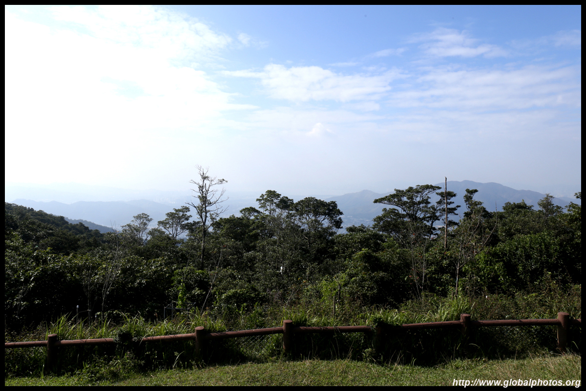
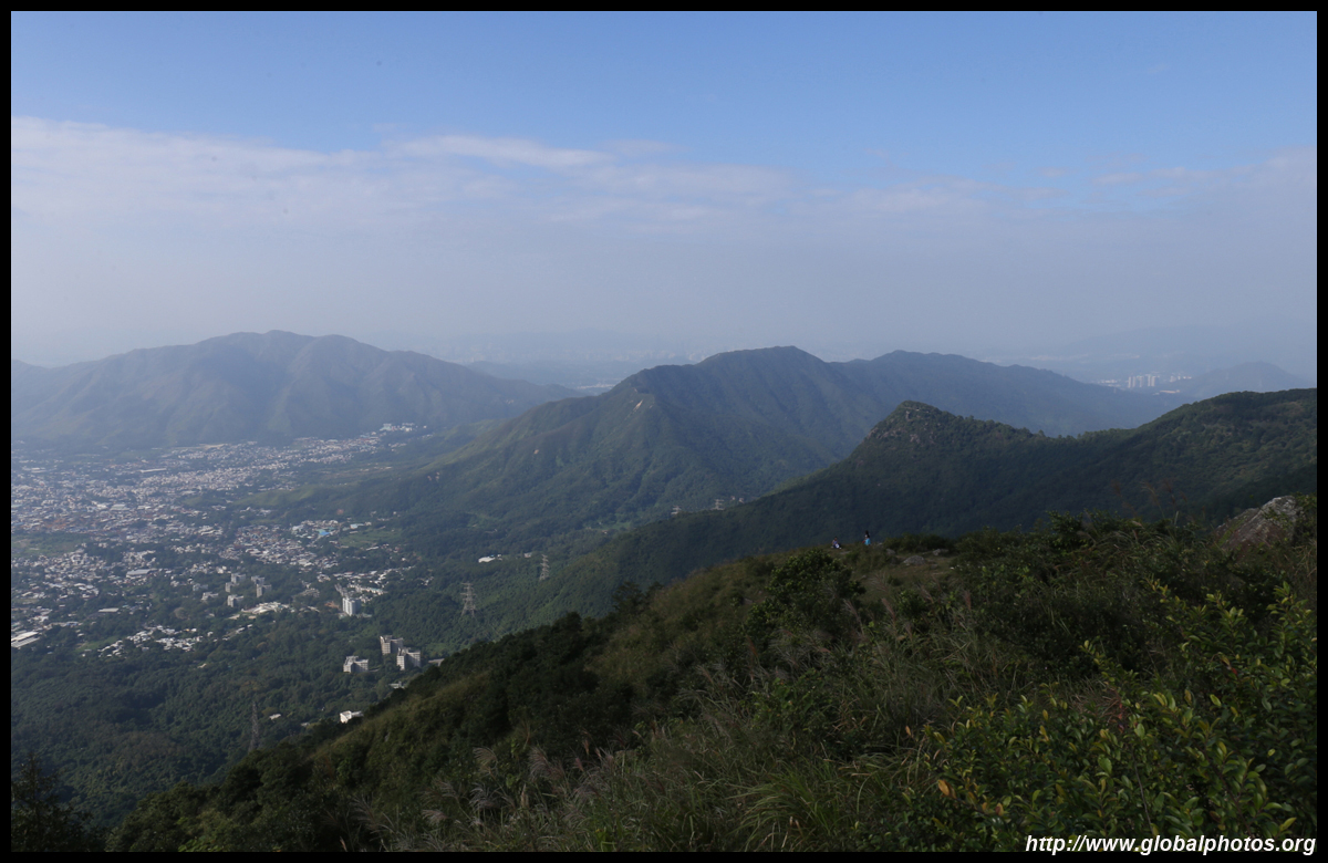
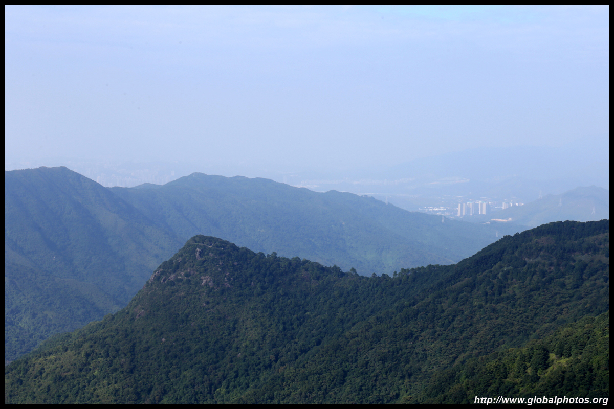
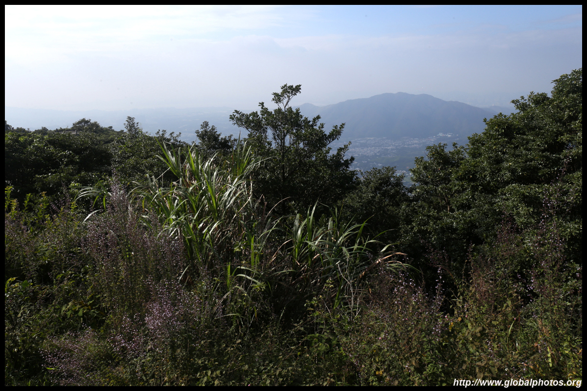
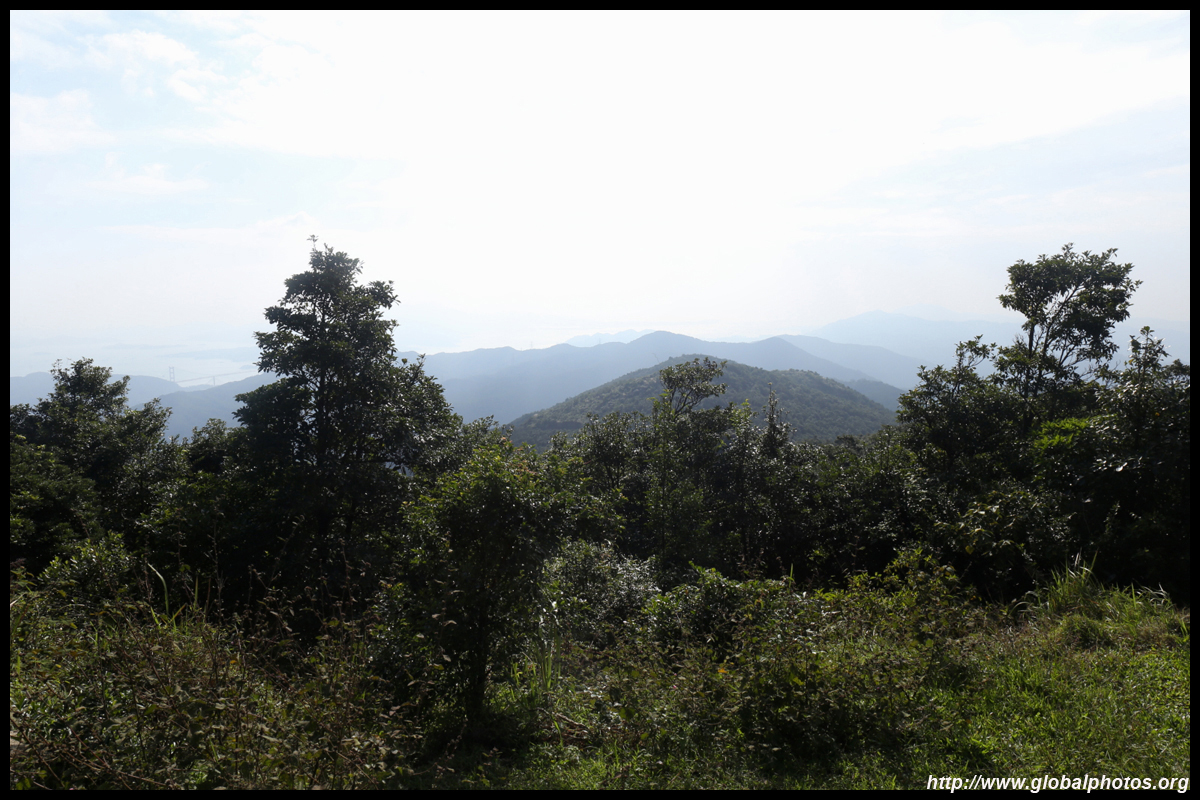
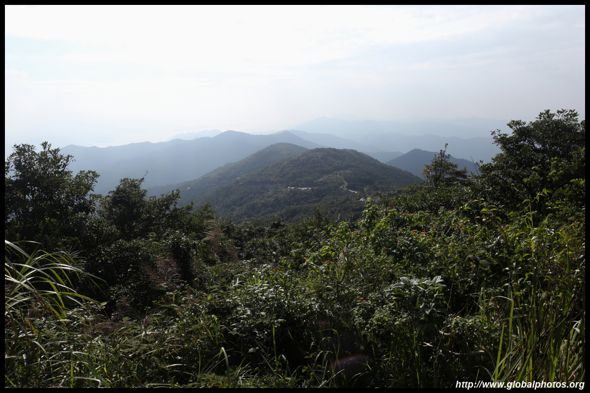
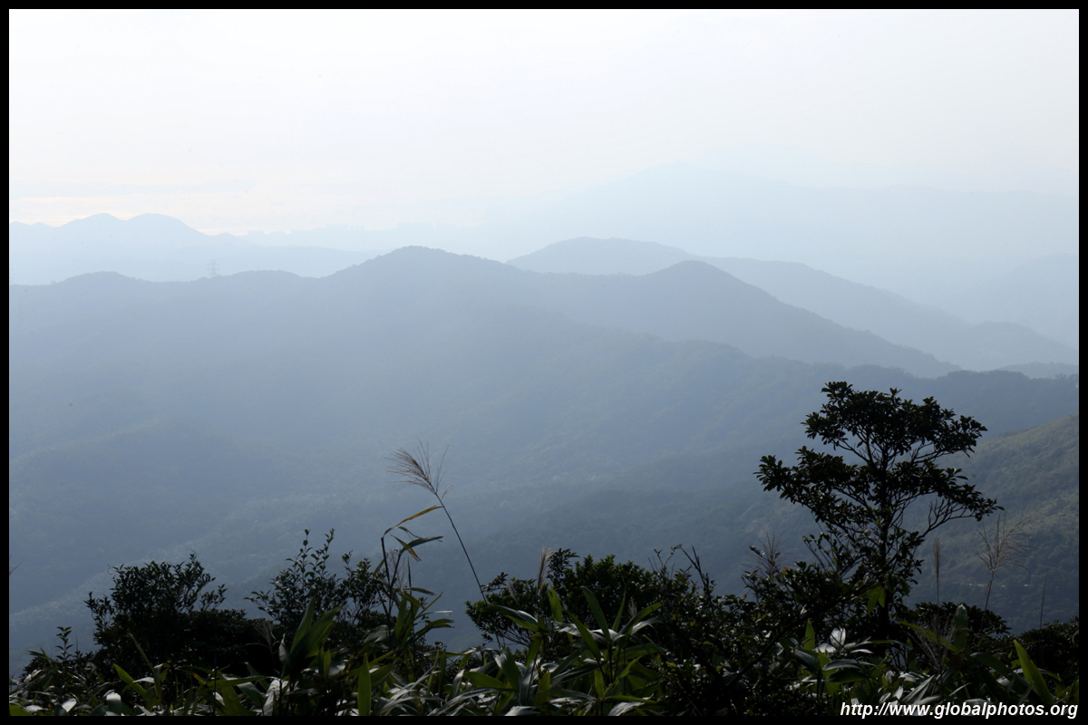
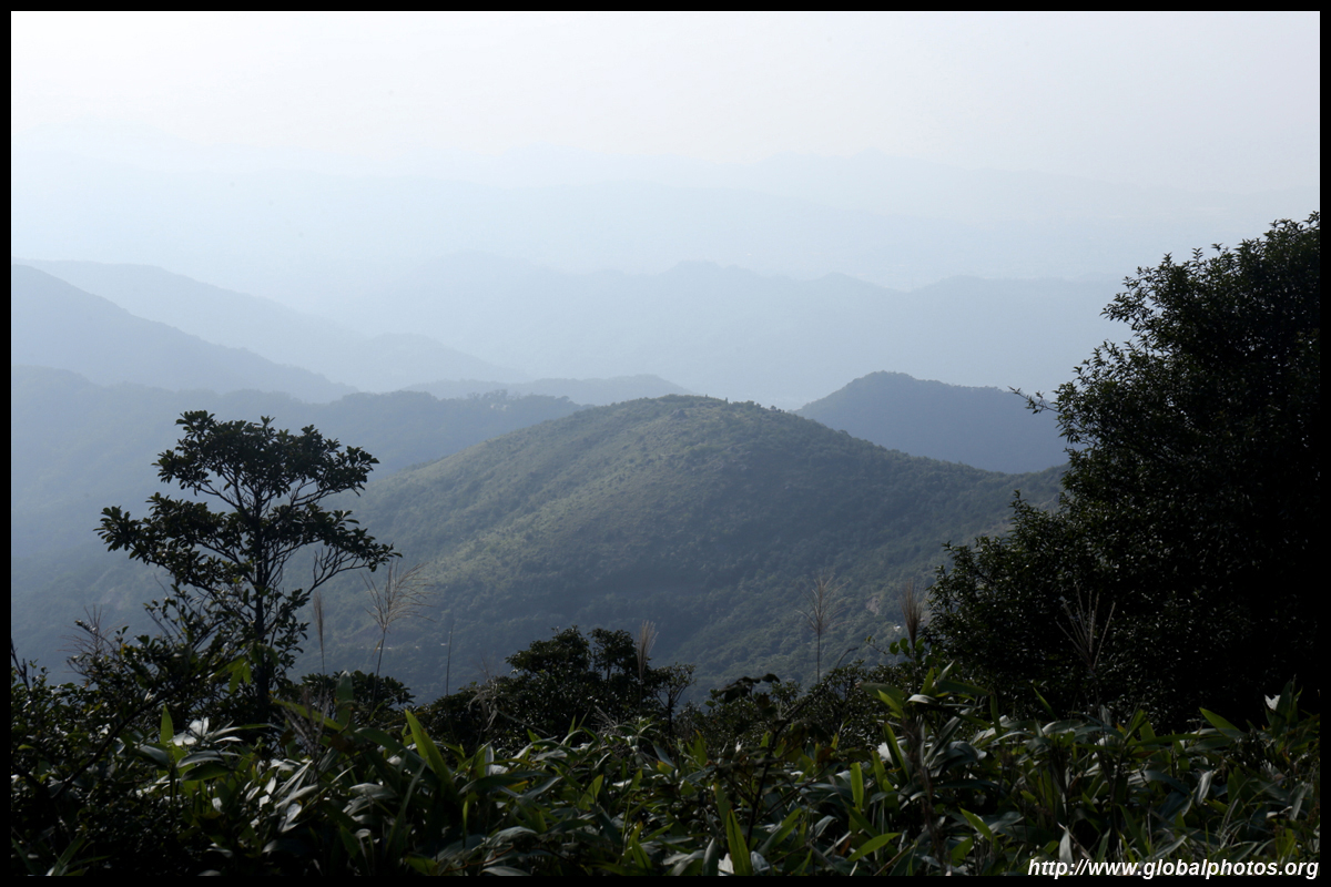
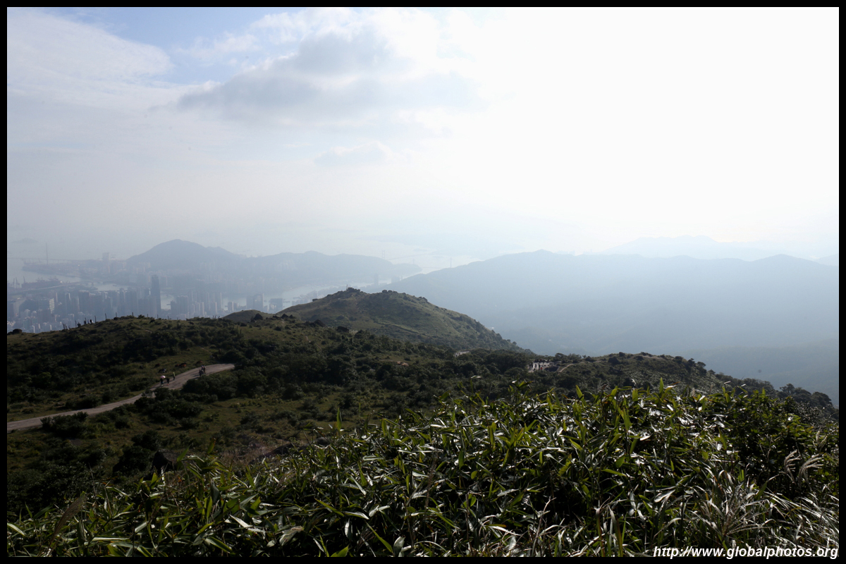
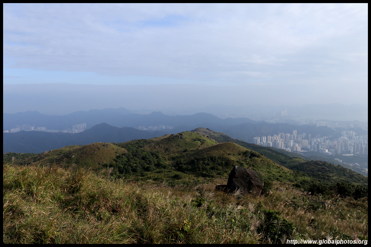
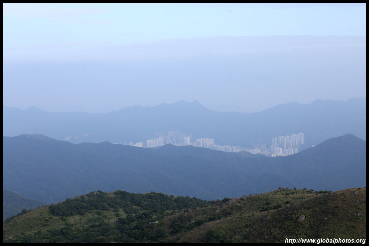
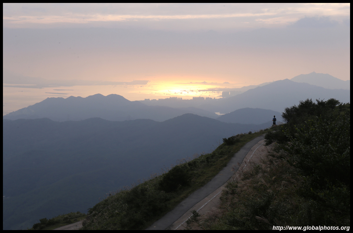
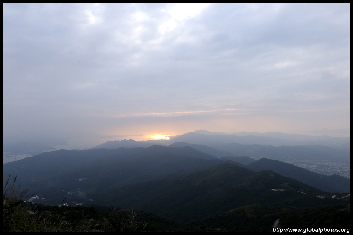
Unfortunately, autumn skies can get a bit hazy so it is best to come up during the hot summer when visibility is far better.
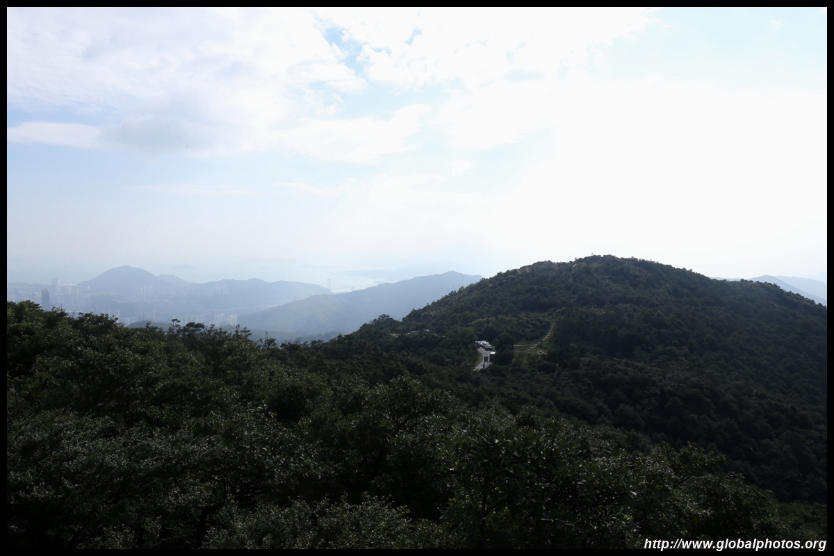
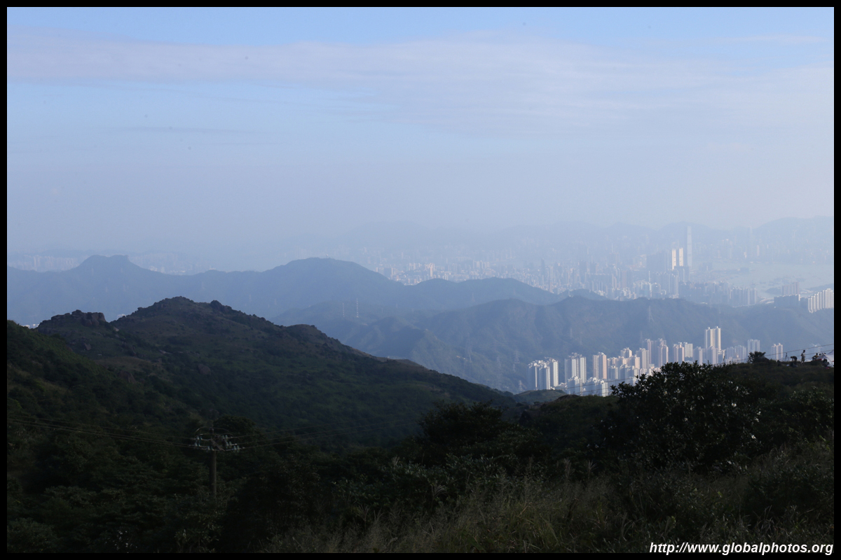
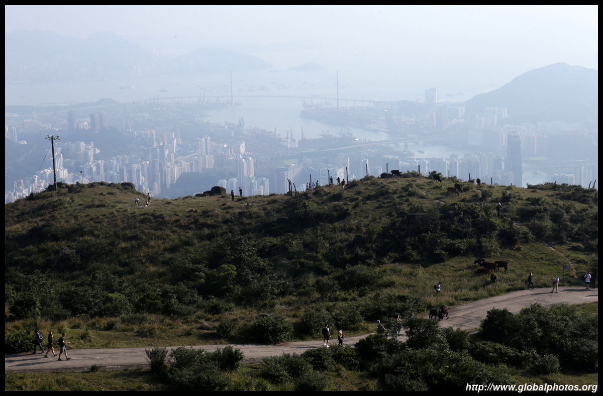
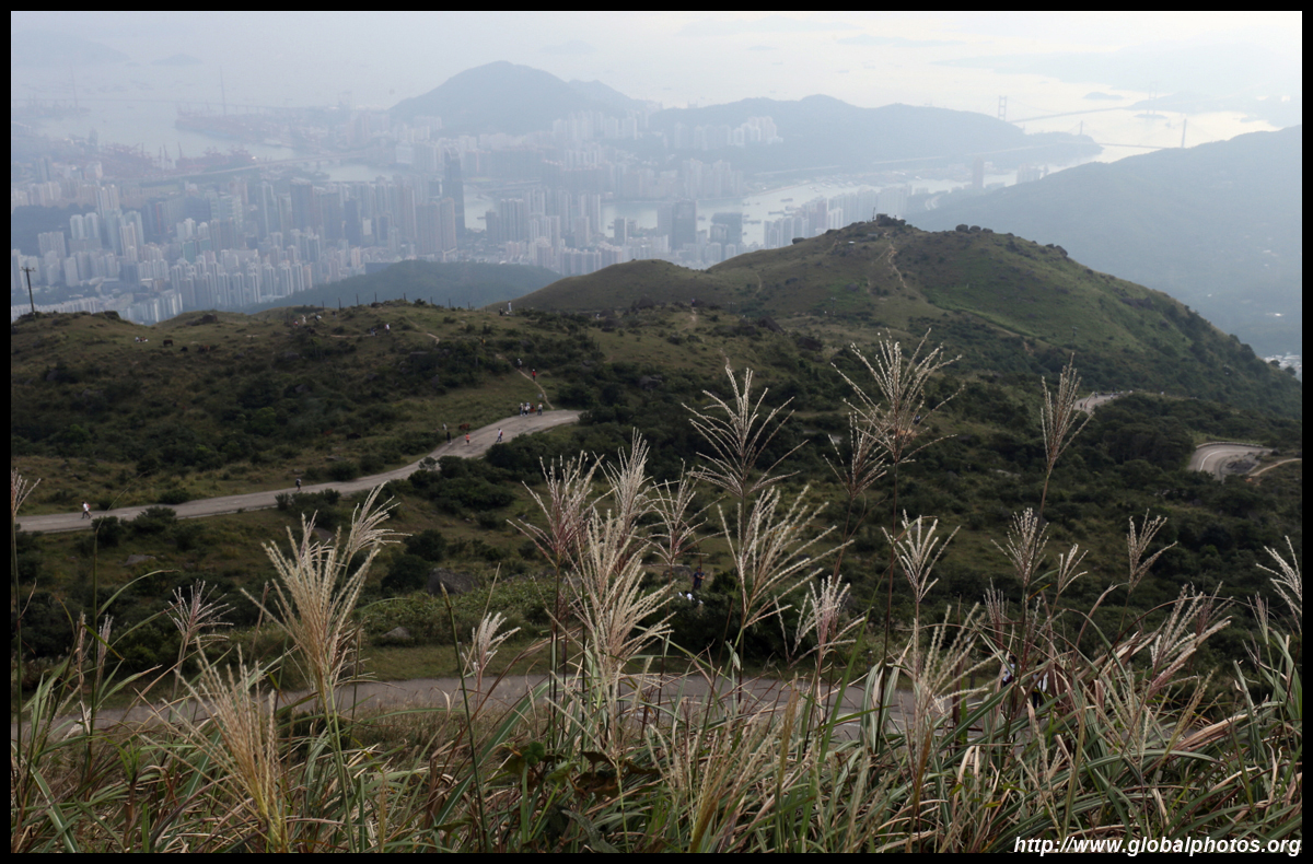
As you near the weather station, Shatin and Ma On Shan's taller towers will peek above the mountains ahead of you. In the distance on the left is the Plover Cove Reservoir and its visible dam.
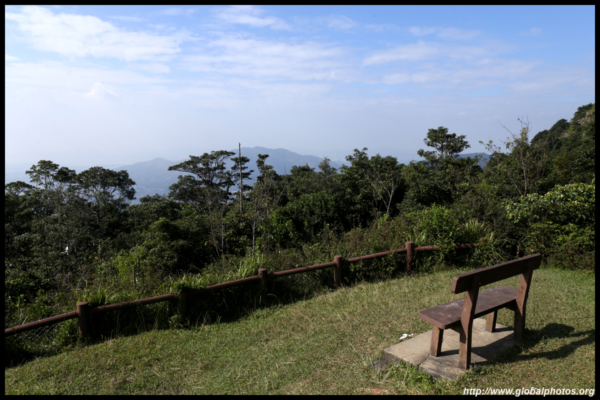
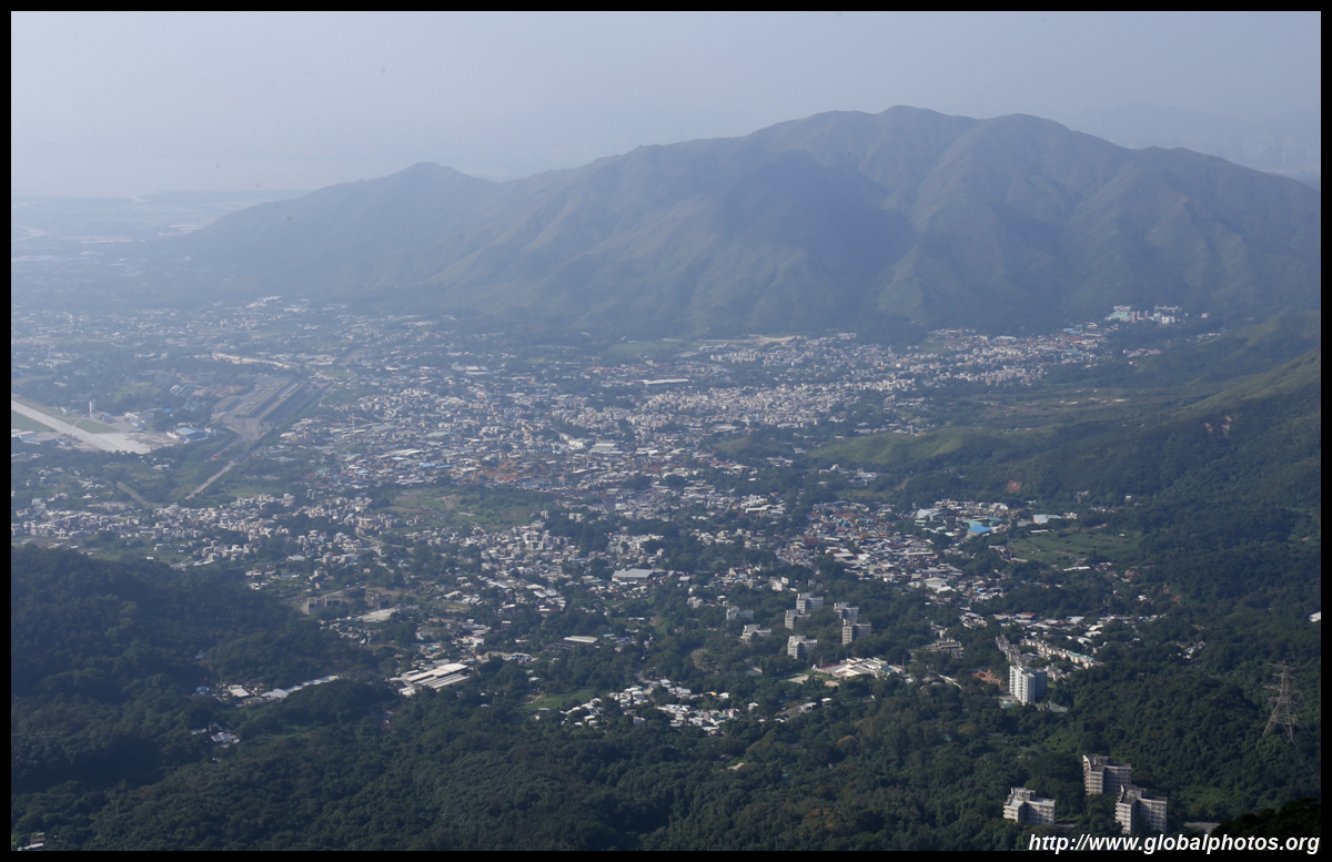
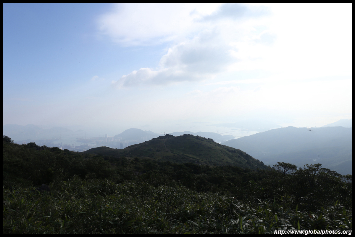
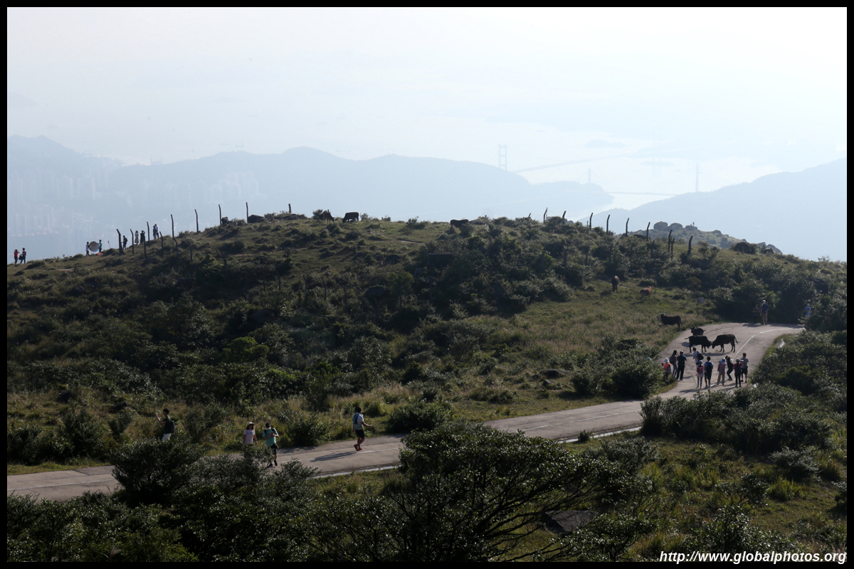
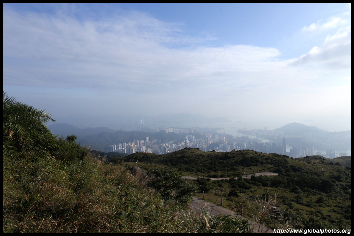
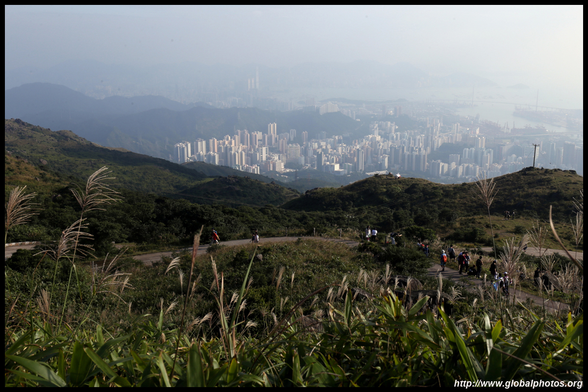
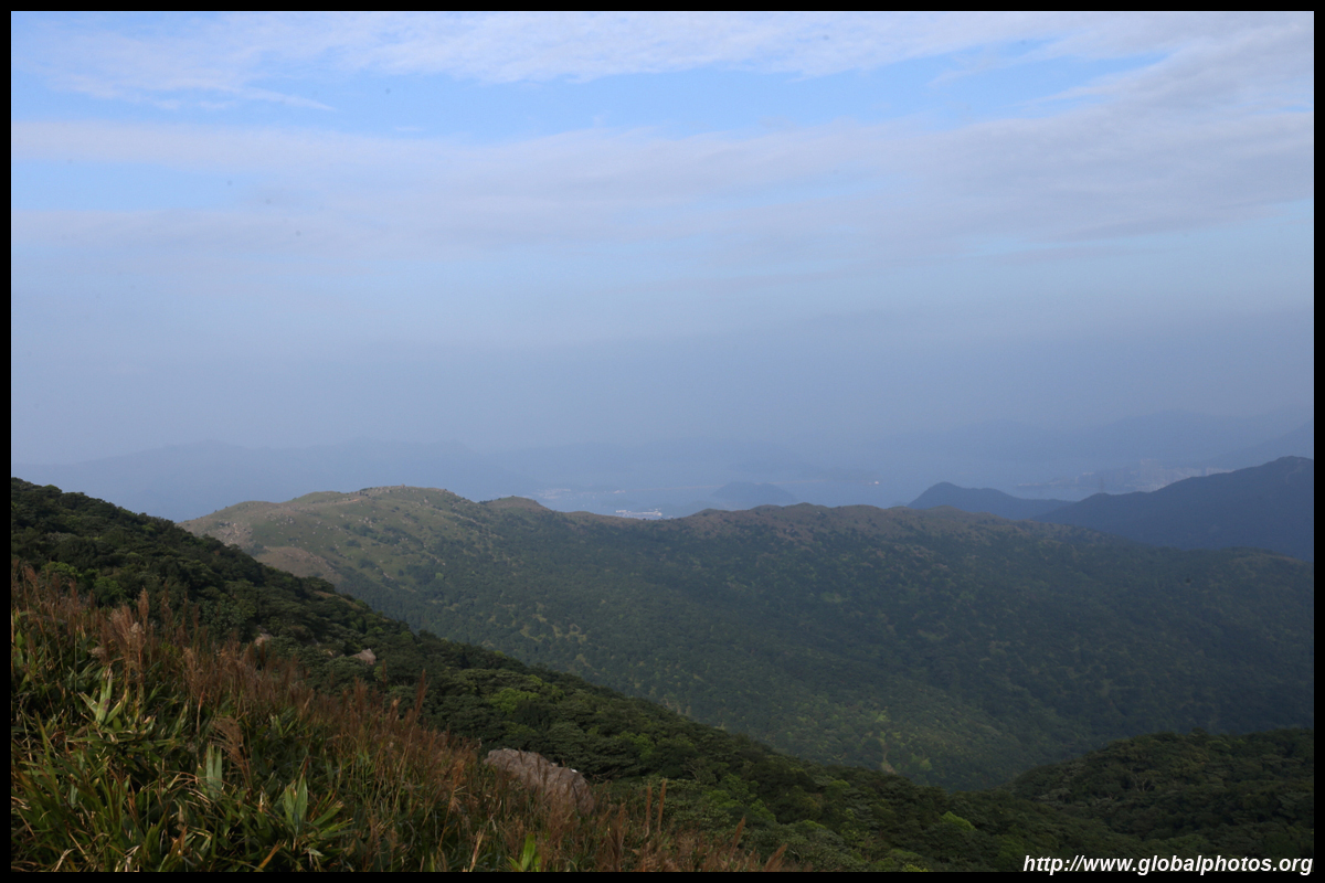
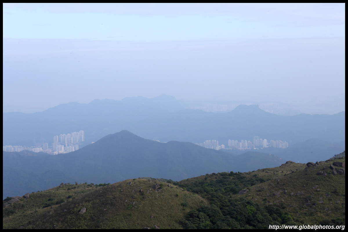
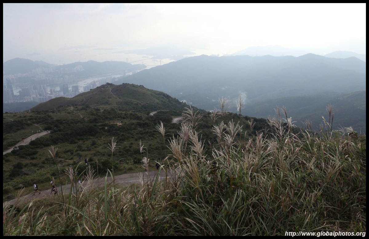
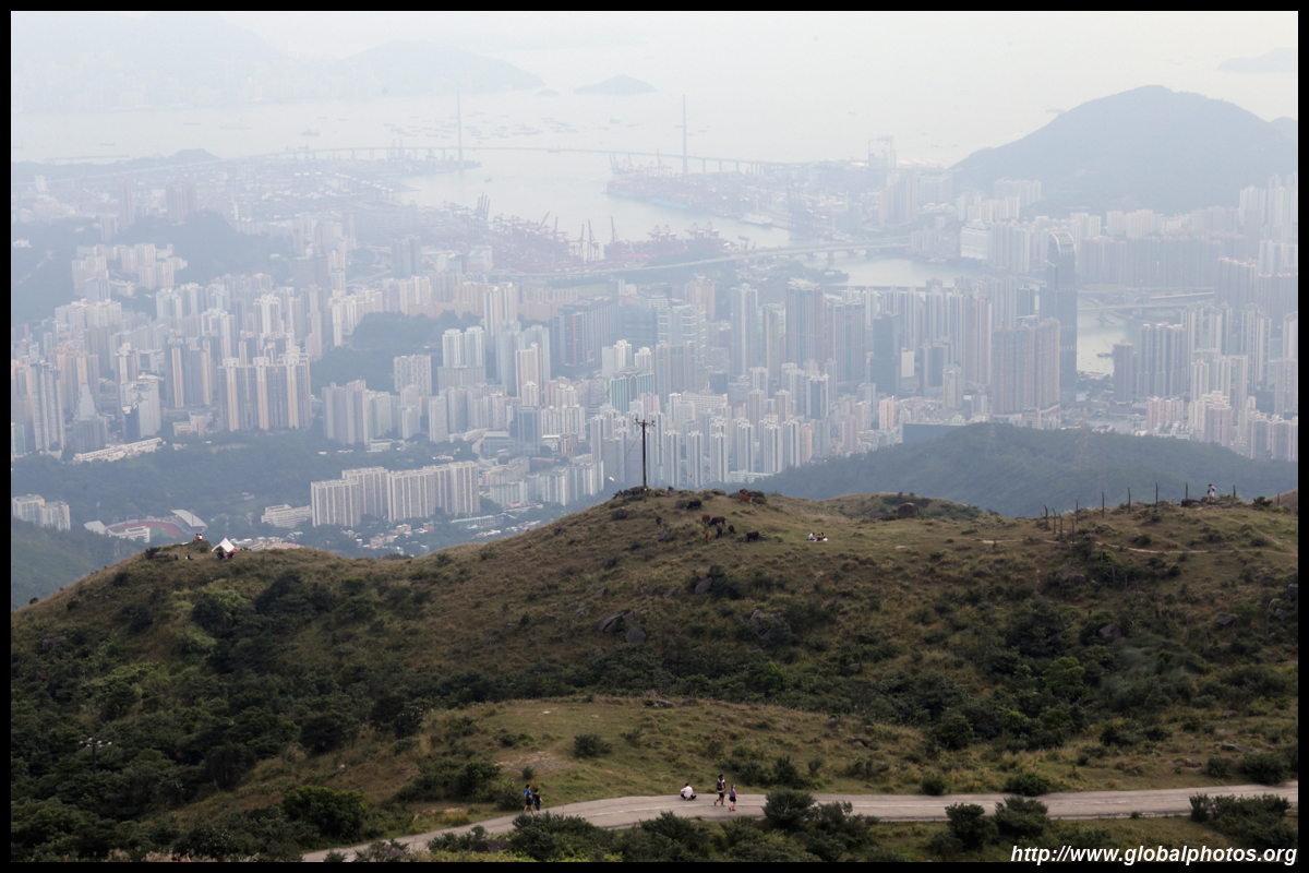
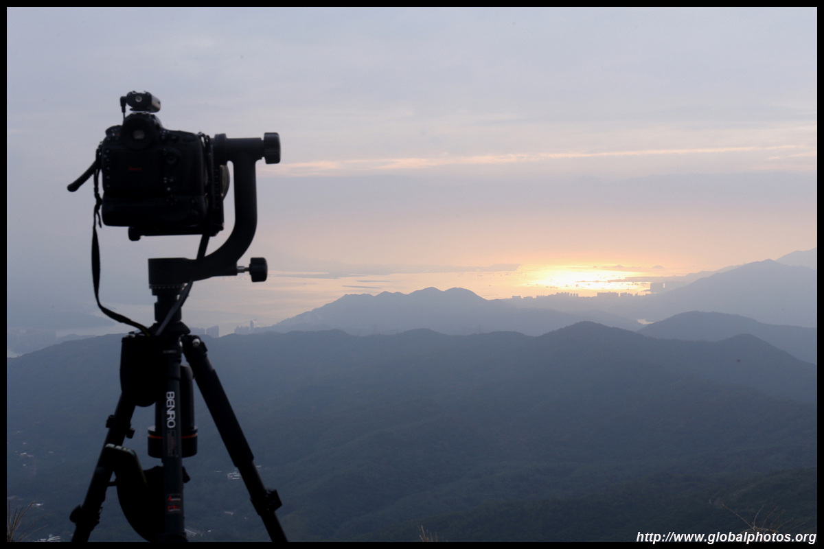
Disappointed with the haze amidst the blue sky, clouds soon rolled in and it seems we weren't going to get a sunset colour change either. With higher visibility, it is possible to spot the airport and even Macau from these heights.
The walk back down was obviously faster, but a big reason for that is because the cars were all stuck with bottlenecks where uphill and downhill cars could not yield to each other. As many hiked up during the afternoon hoping for a sunset that never came, the group went downhill at around the same time. A huge line snaked from the bus stop back towards the city. As this route is run by single deckers at sparse intervals, you may need to wait a few buses to get on. A cheat is to cross the street to catch the same bus into Sheung Tsuen, which will loop back out to the city after about 20 minutes since it is a circular route.
|
|||