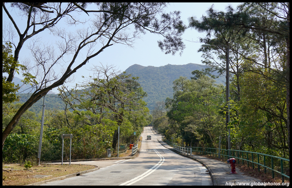
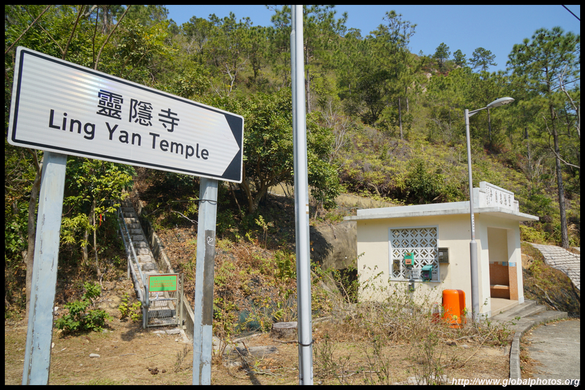
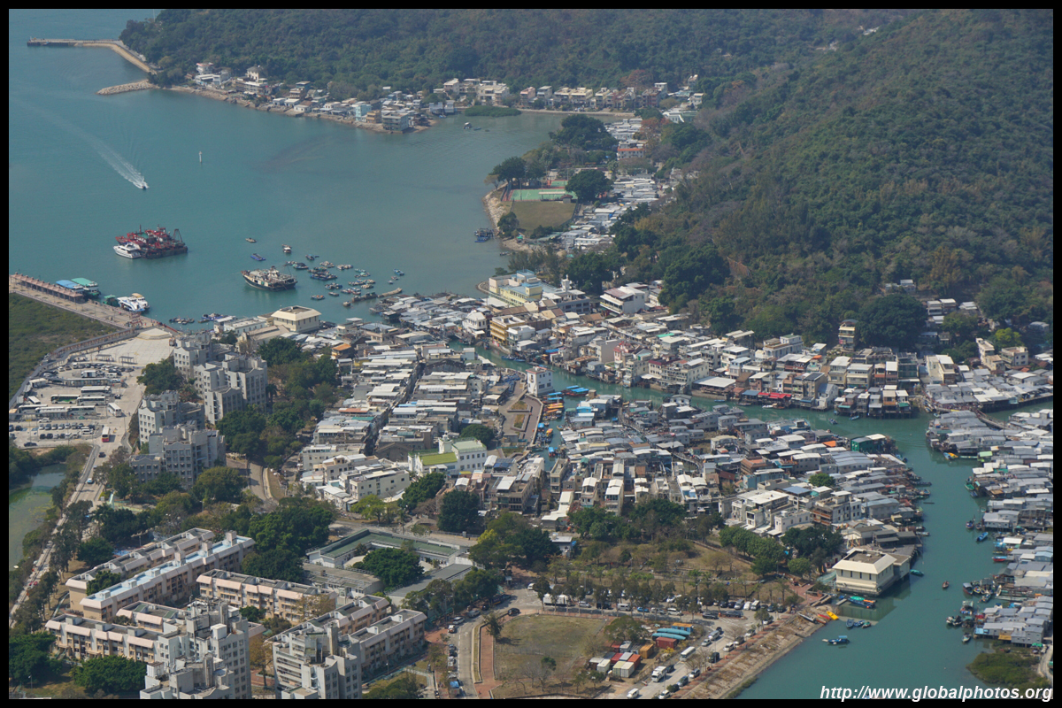
Tai O is located at the western edge of Lantau and its stilt houses attract scores on weekends and holidays. While the adventurous can hike over 14km along the coast to reach here from Tung Chung, few know that the mountains behind the town can also be hiked. From Tung Chung, take the Tai O bus 11 for about 40 minutes and get off just before the descent into town at Ling Yan Monastery.
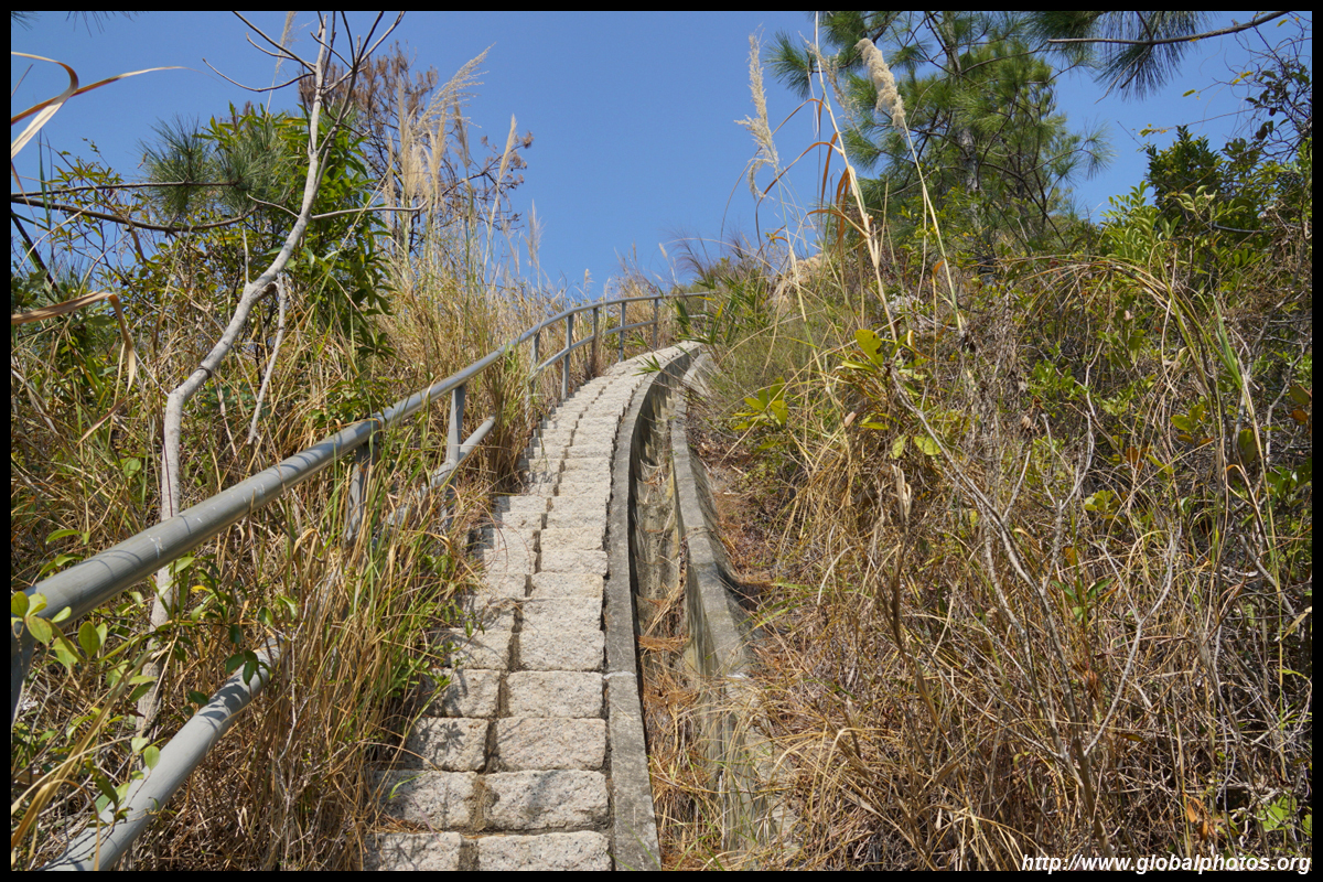
From the bus stop, walk backwards and cross the street. On the access road towards the monastery and just before the rest pavilion, go up the maintenance slope's staircase on the left.
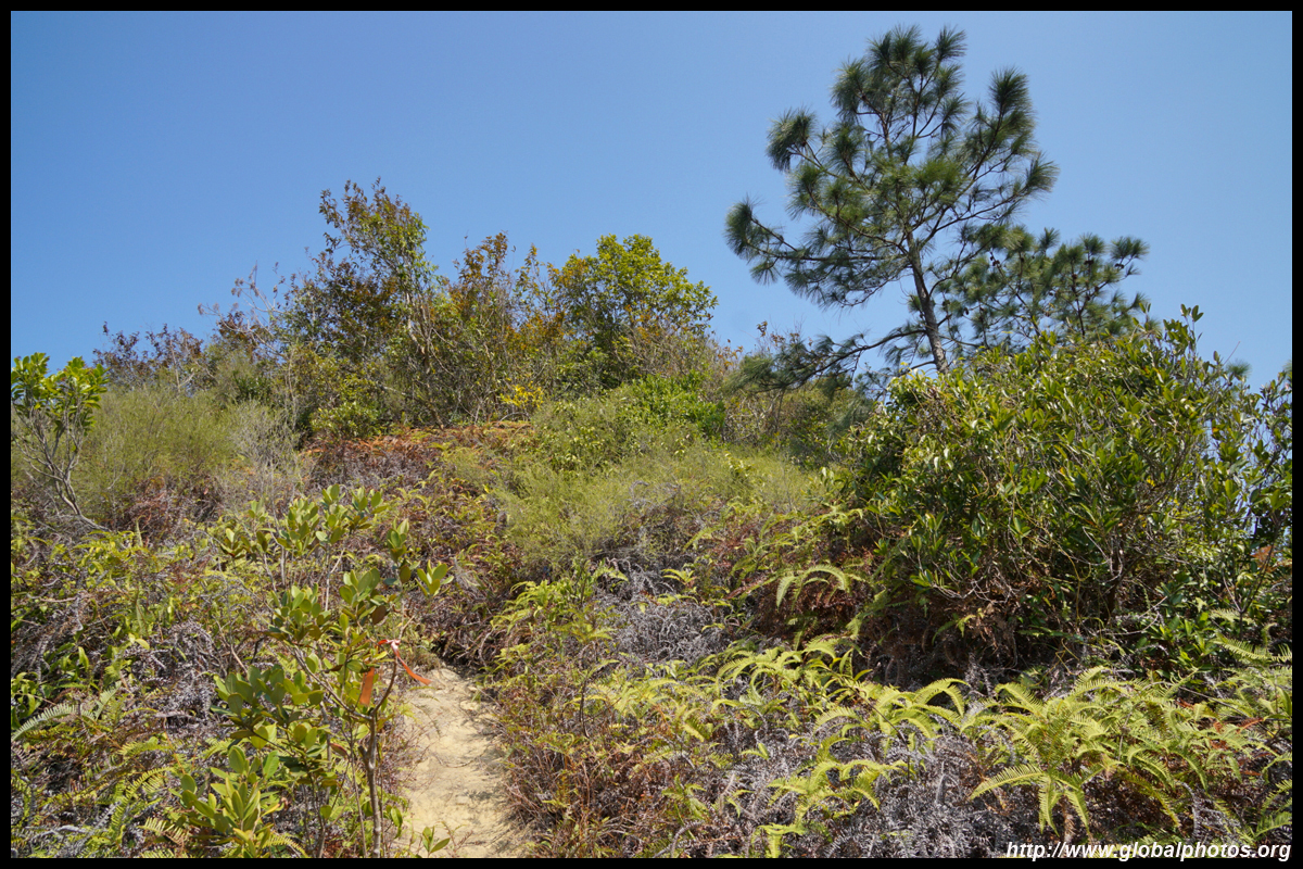
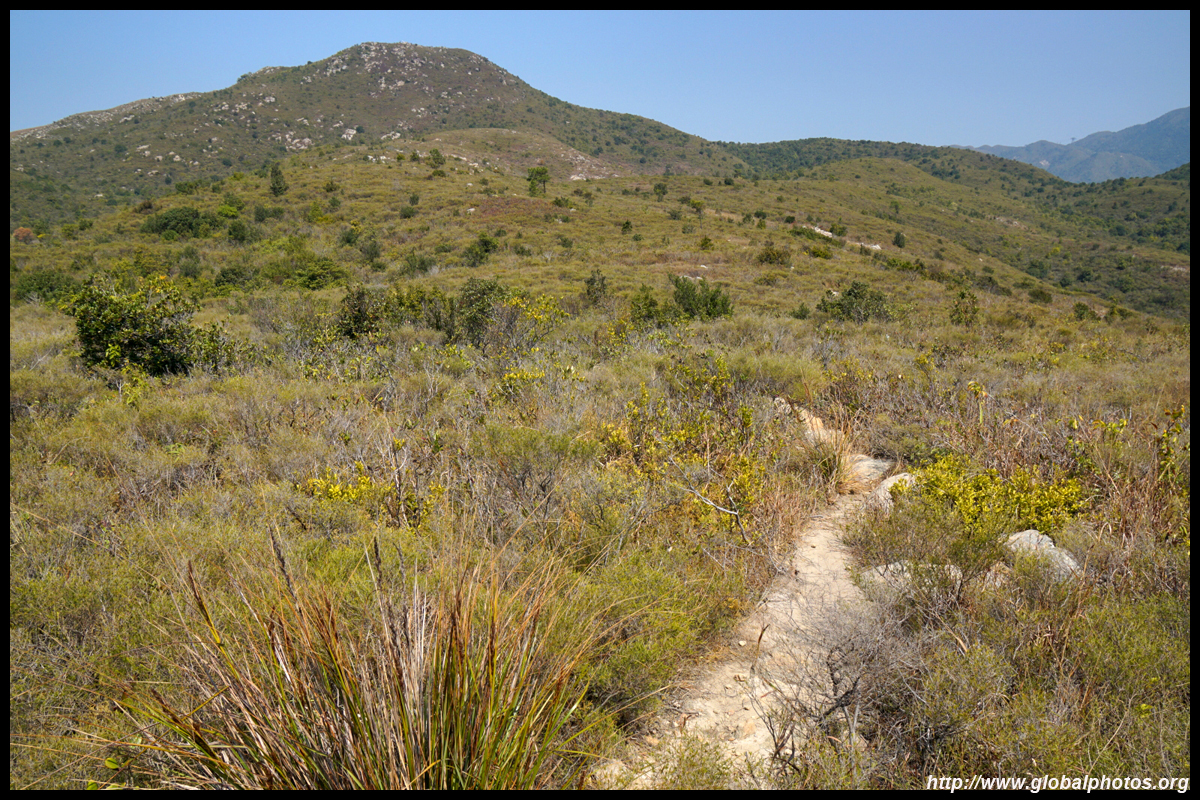
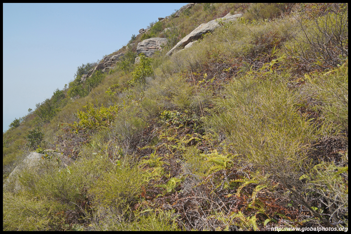
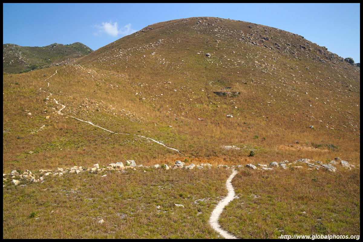
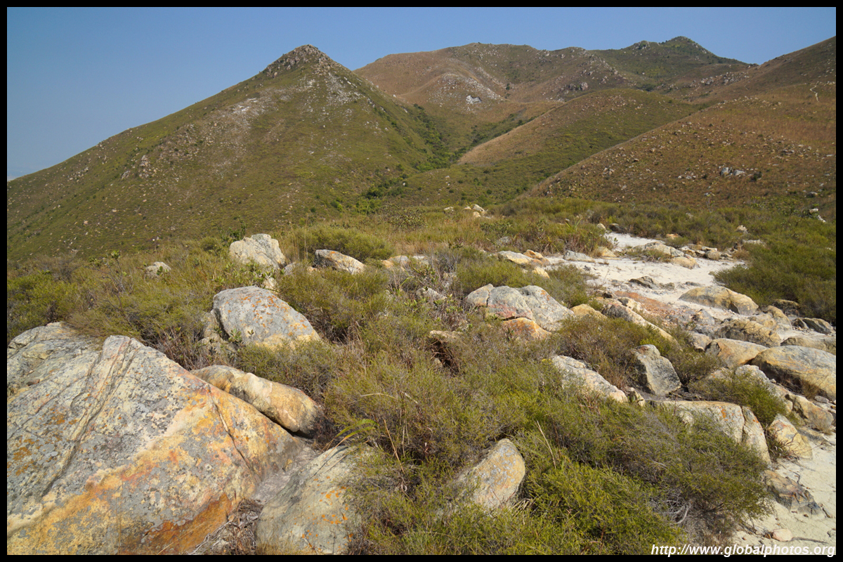
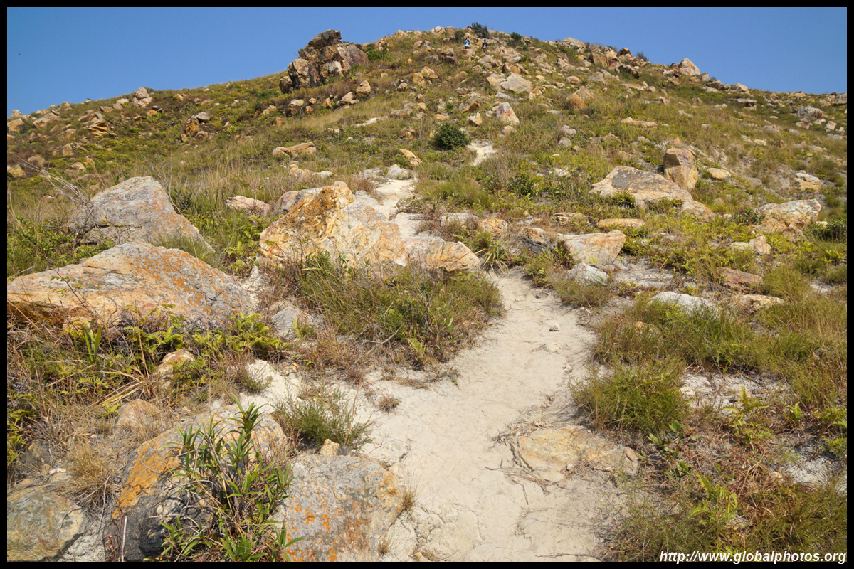
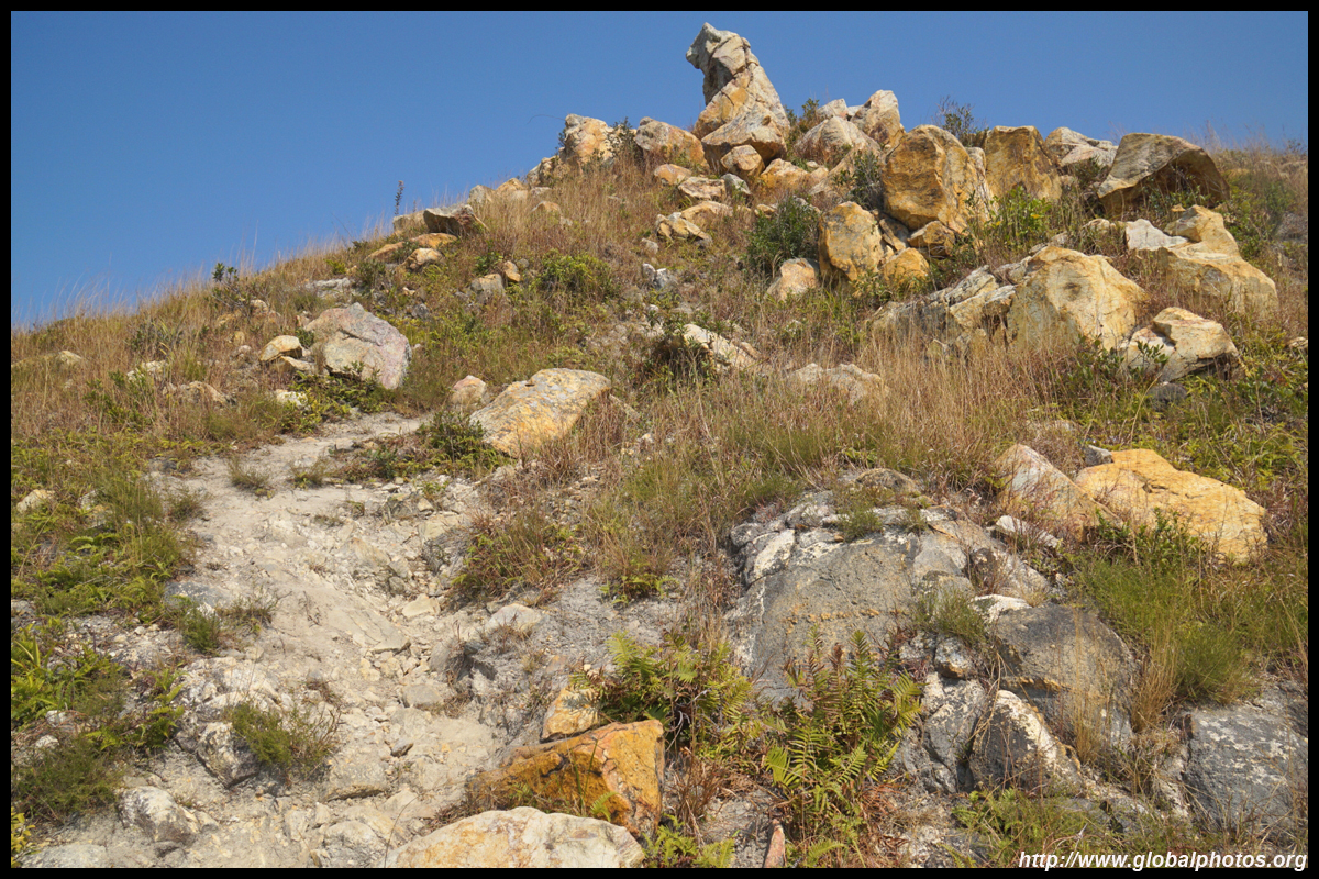
After a short steep rise, you will notice a dirt path on your right into the bushes. The hike is relatively straight forward and easy to spot but it is a steep dirt path up.
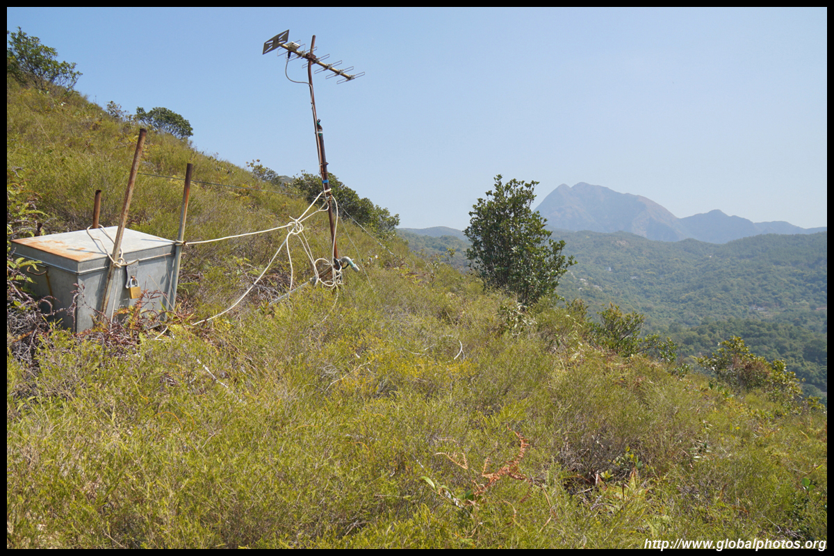
You will notice a white cable along the way up. This isn't for hikers to use, but is actually a telecommunications cable leading to a reception box part way uphill.
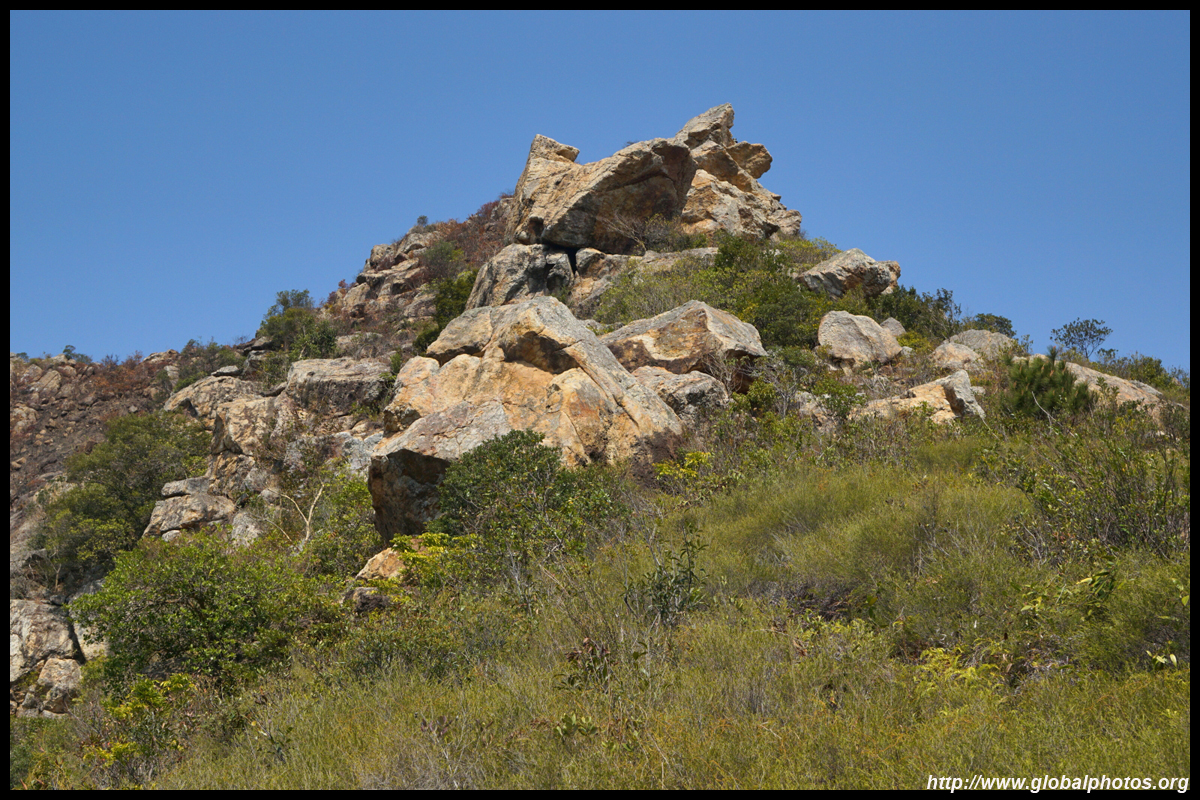
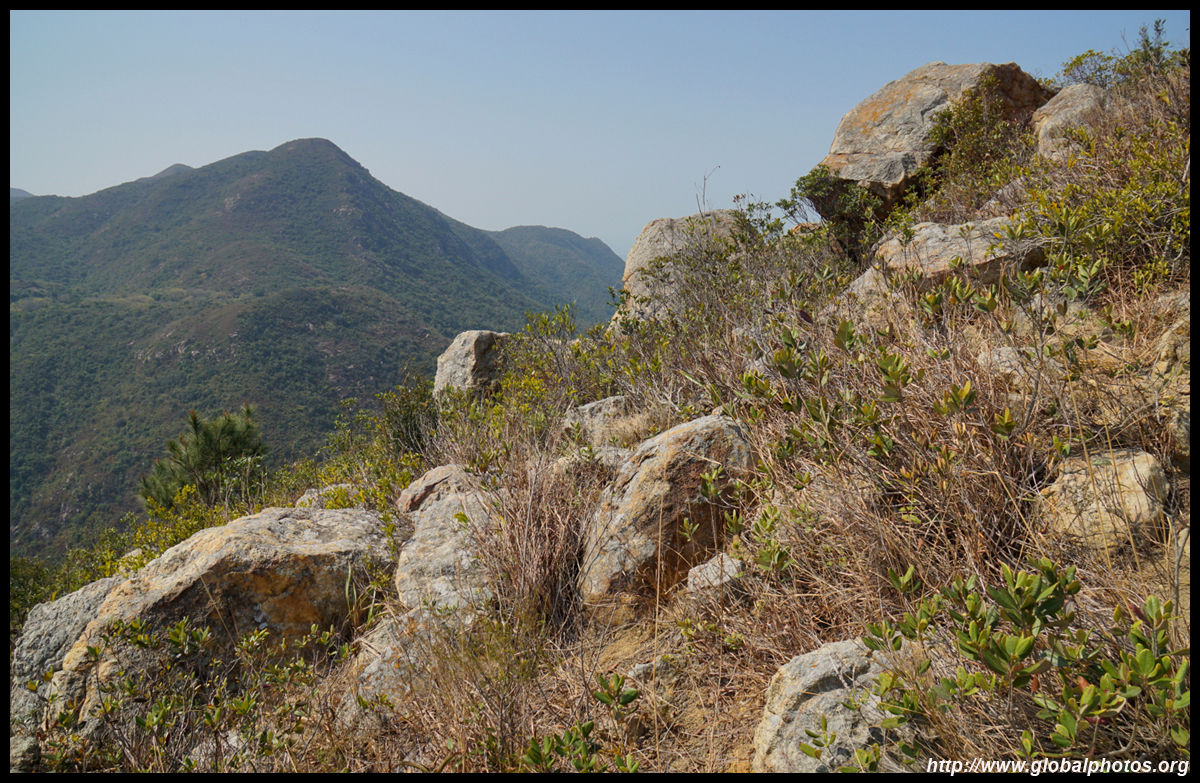
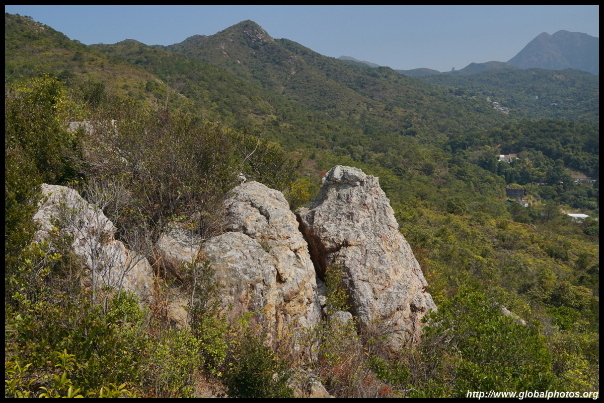
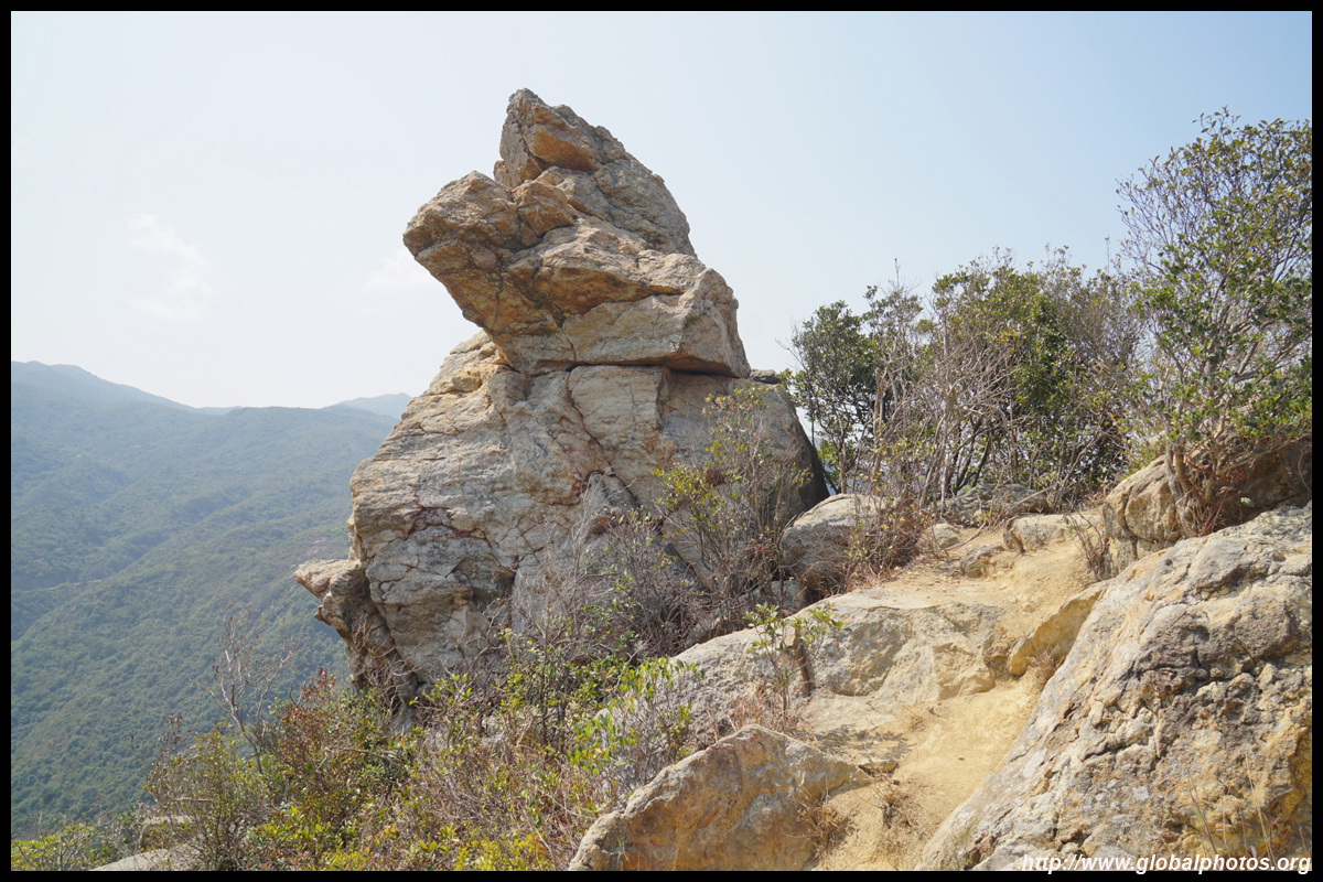
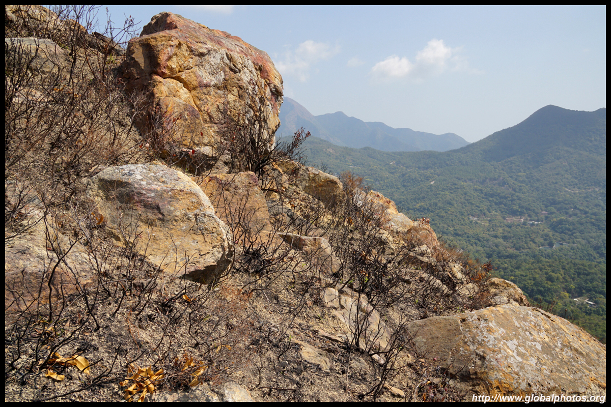
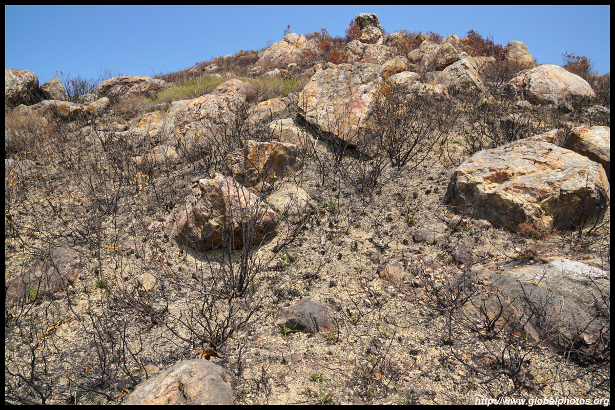
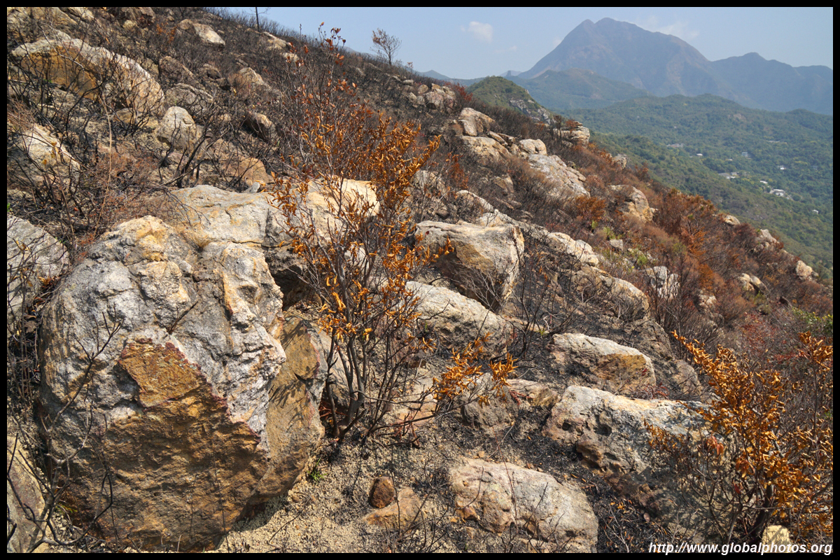
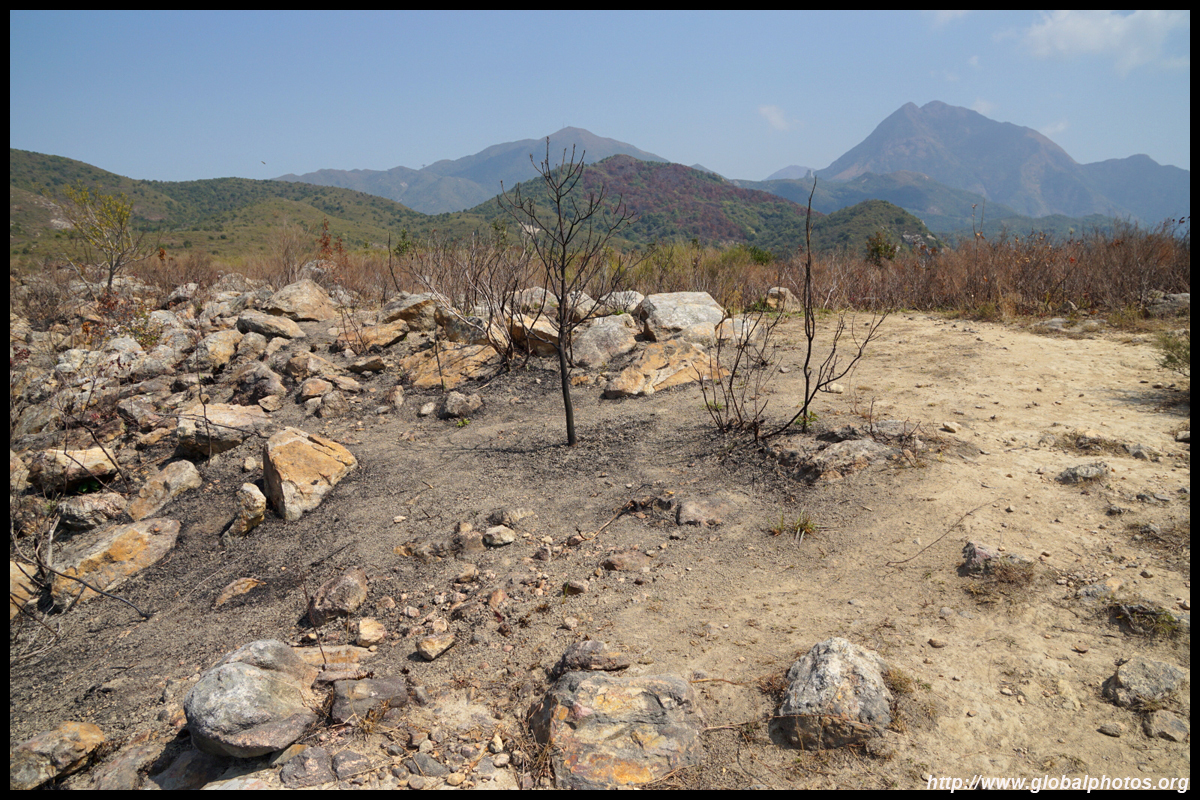
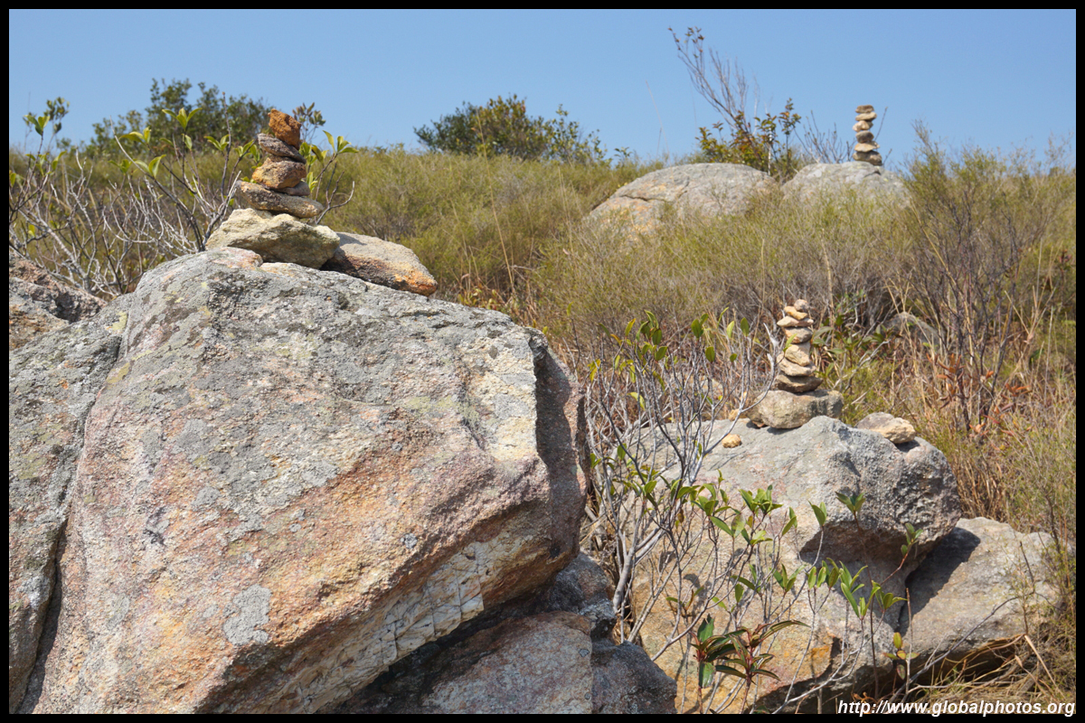
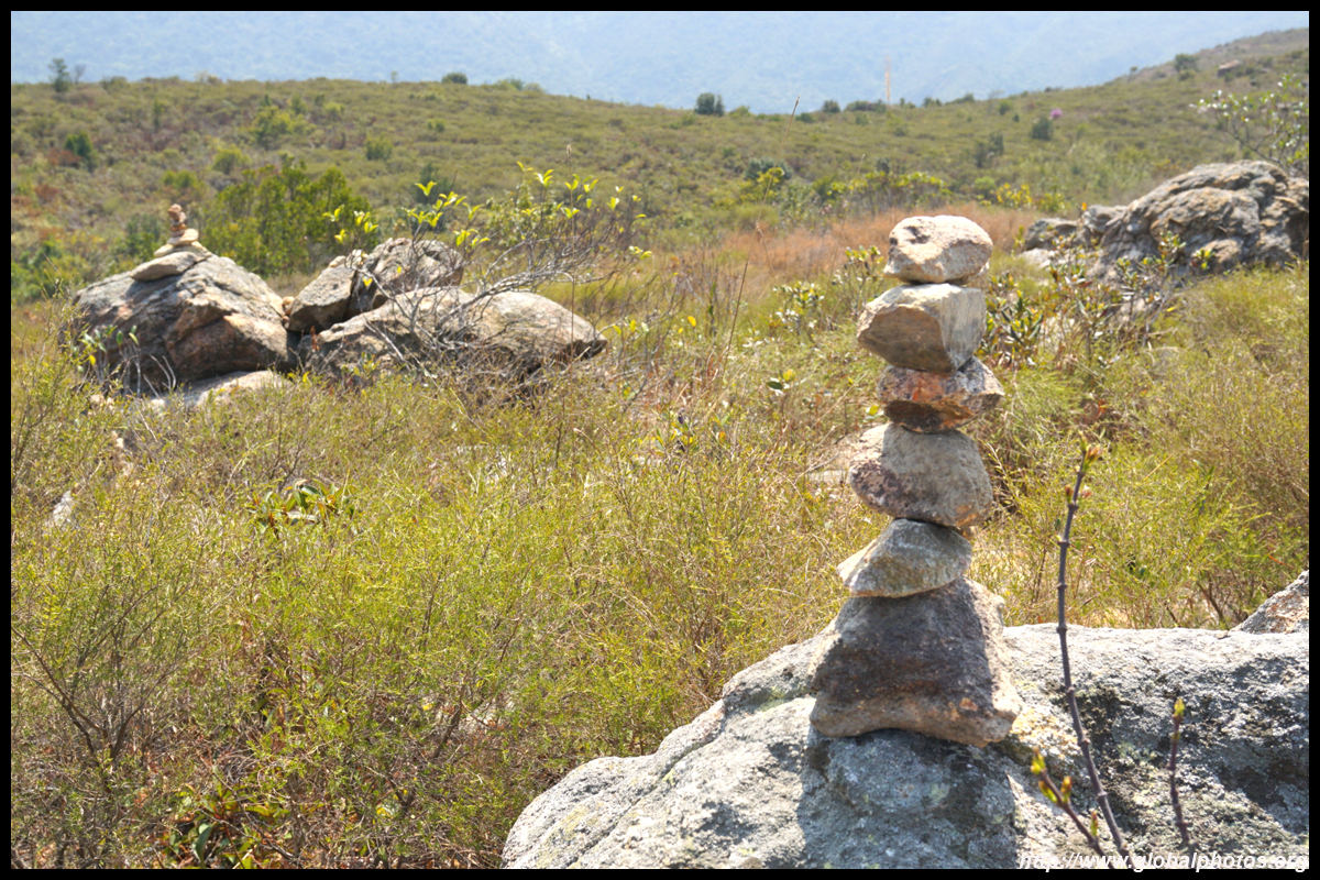
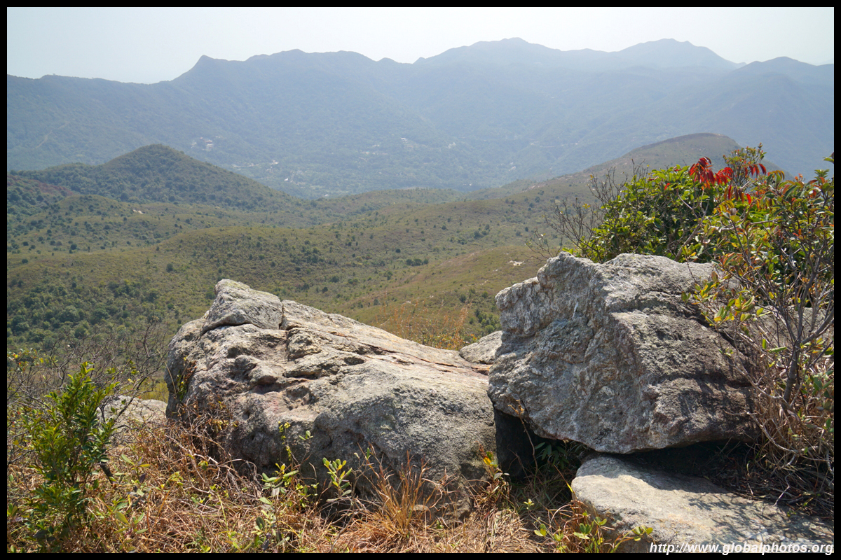
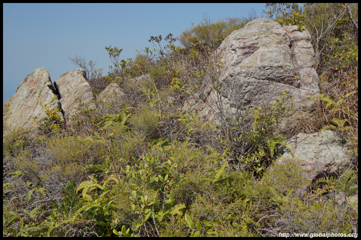
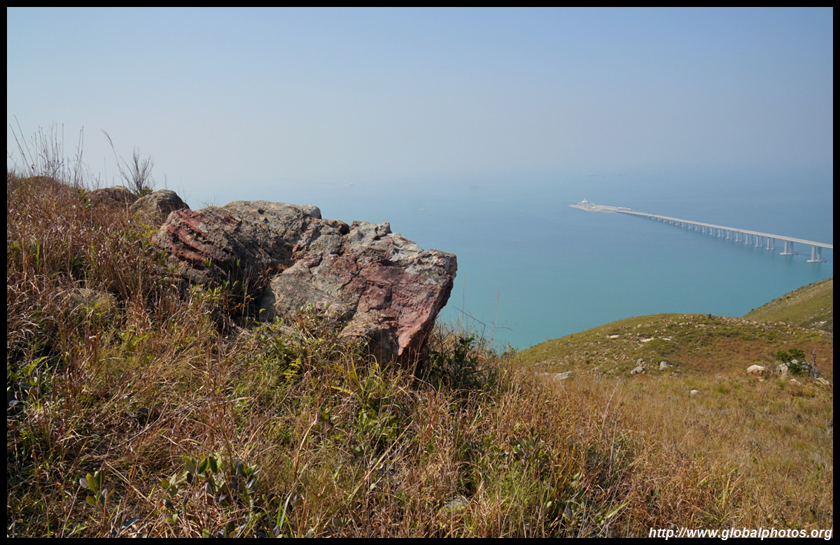
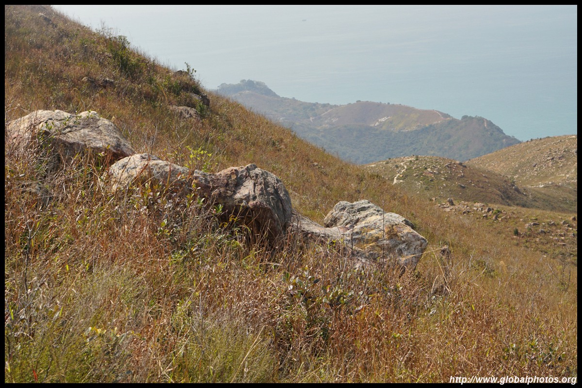
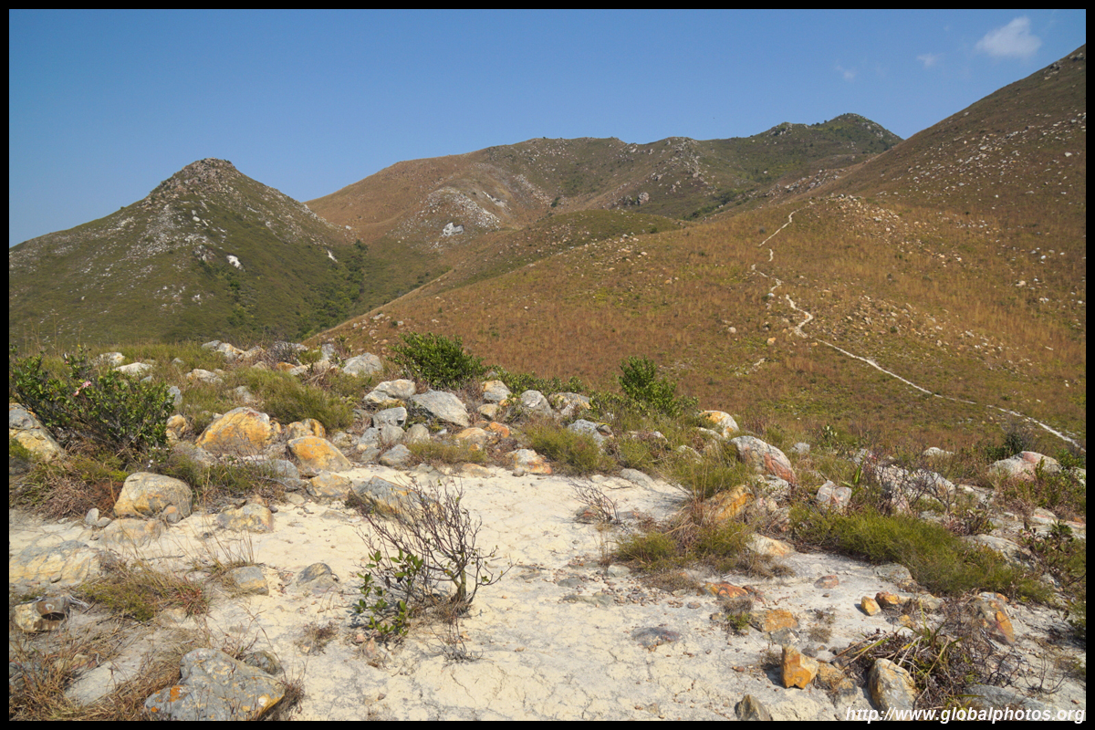
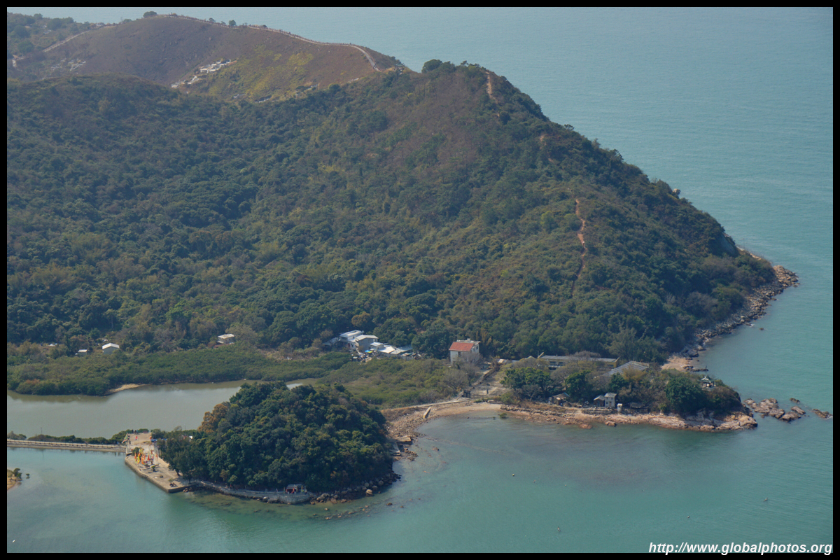
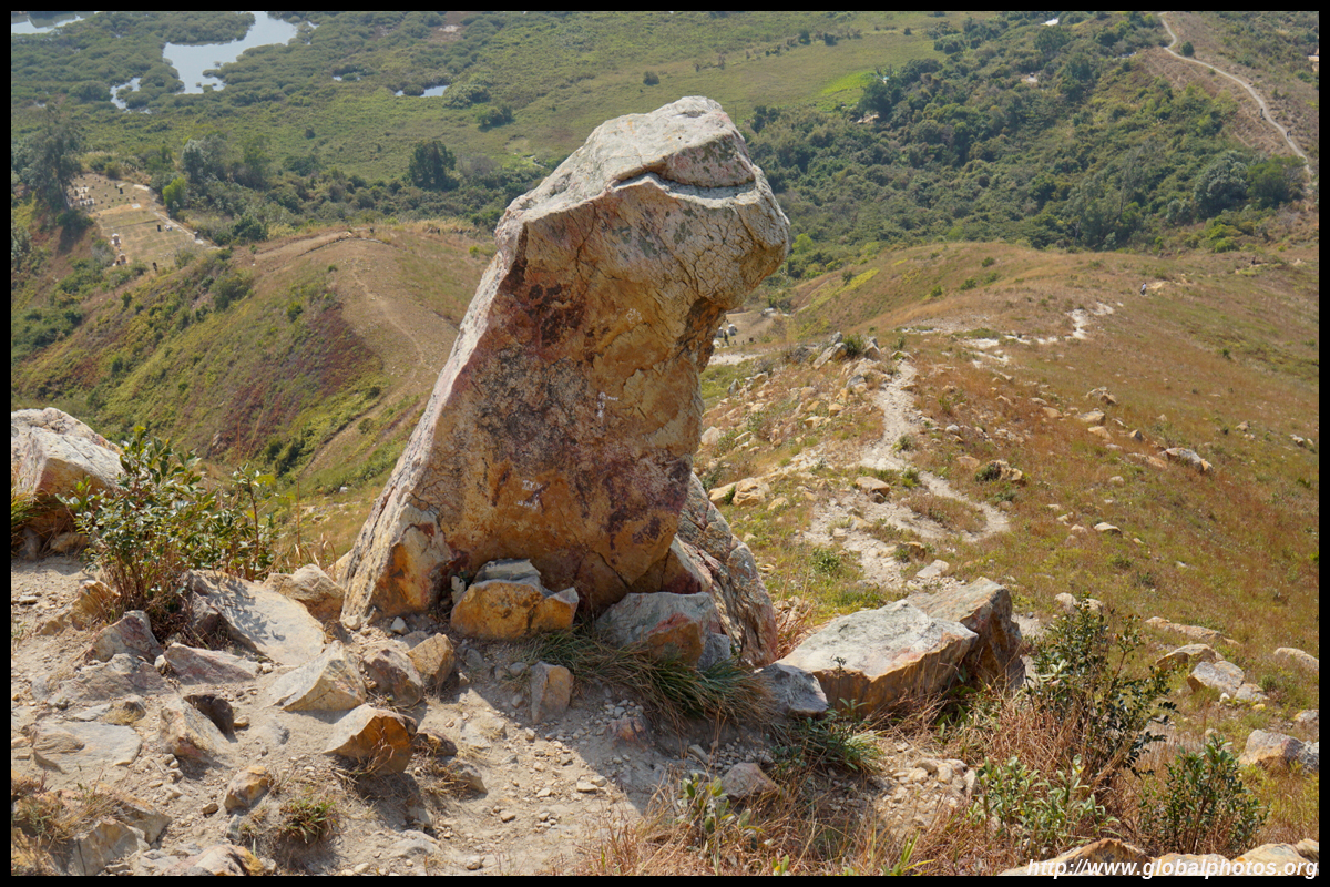
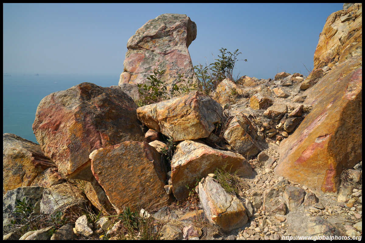
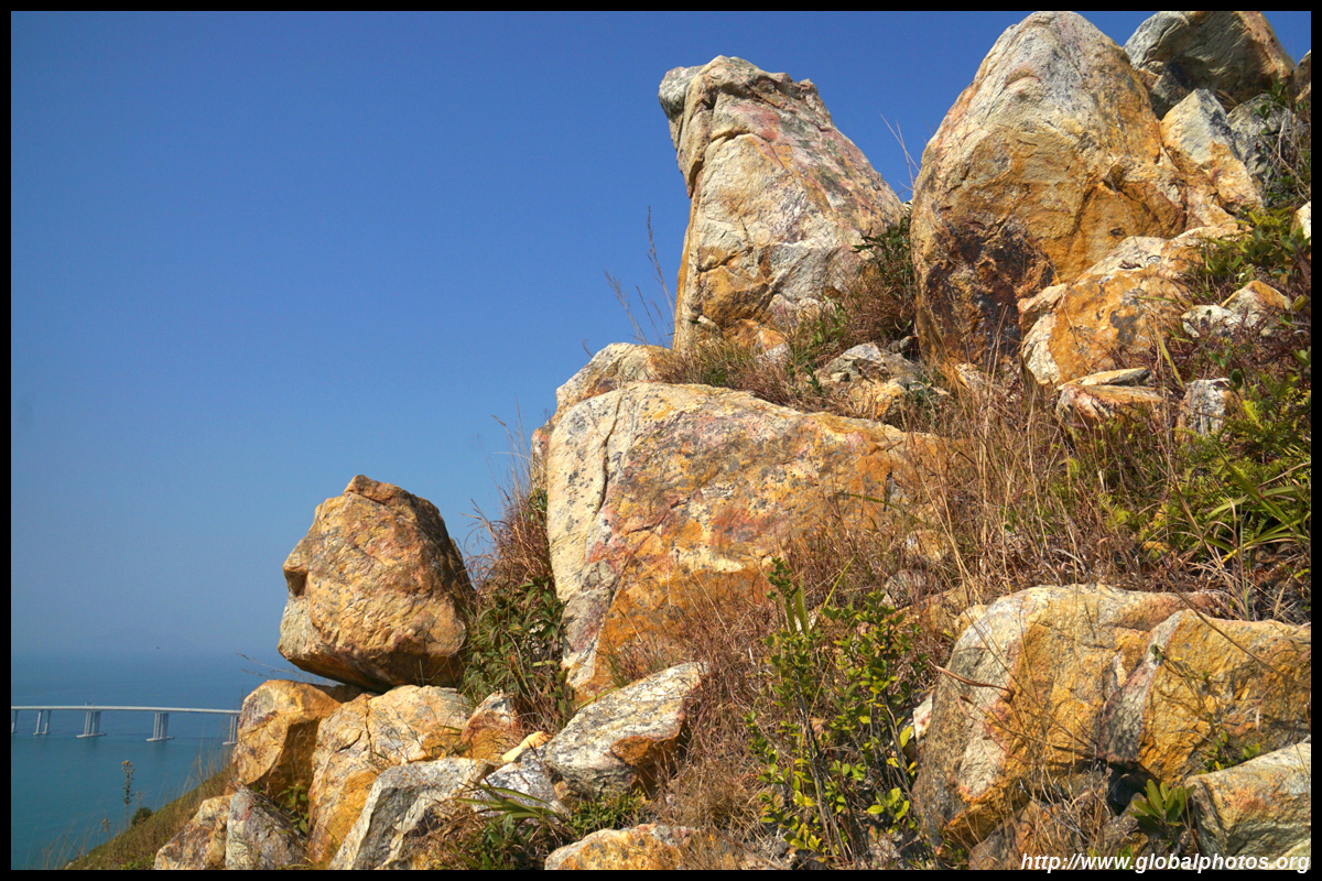
There a number of interesting rock formations along the way.
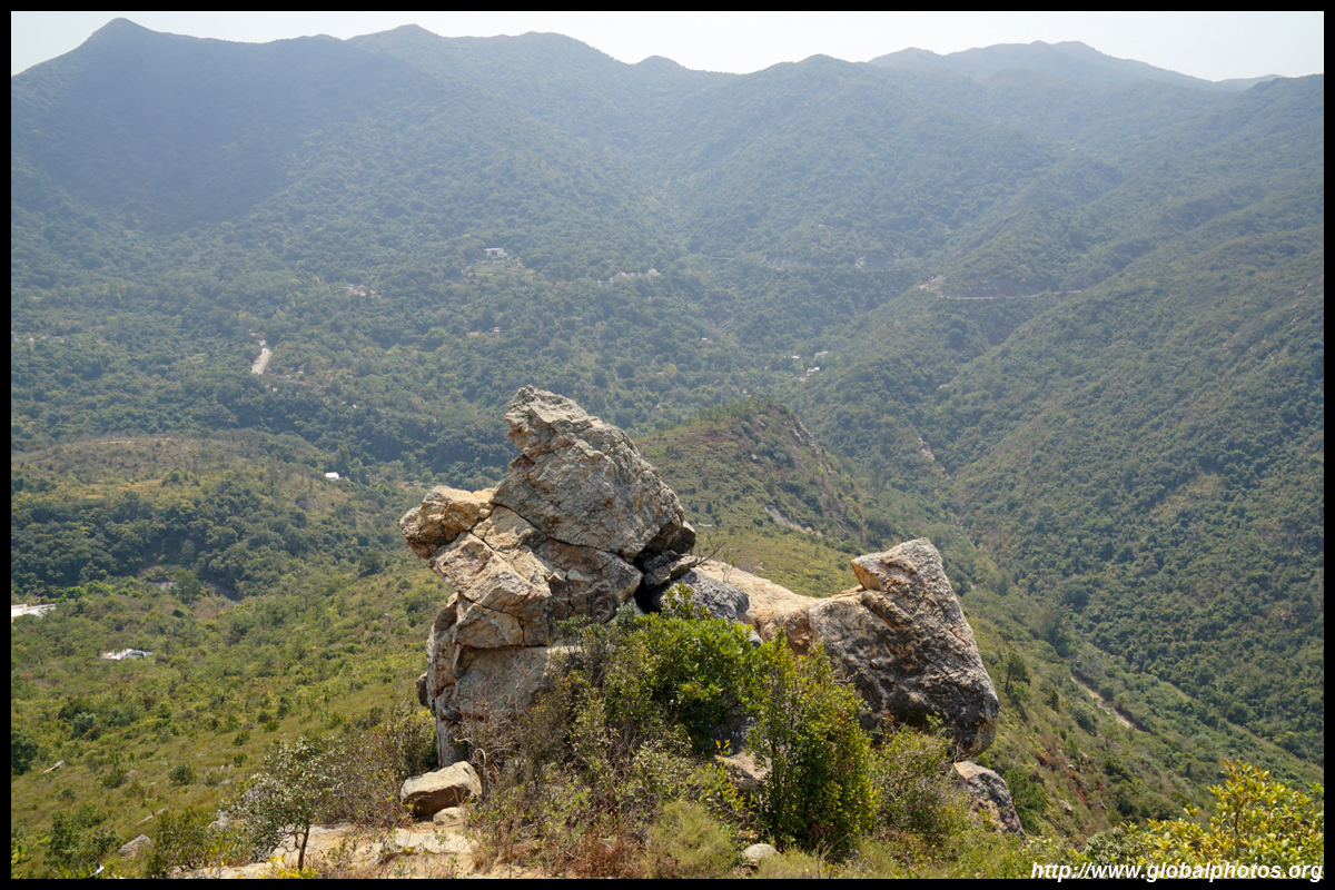
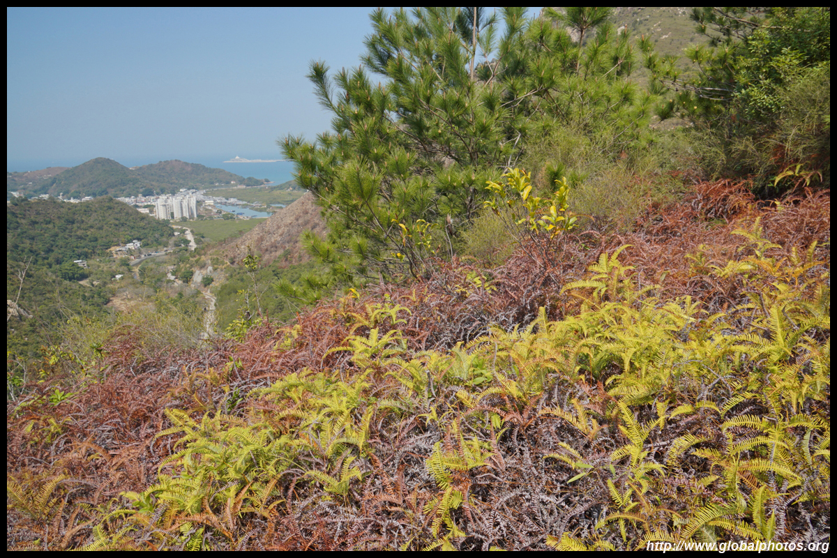
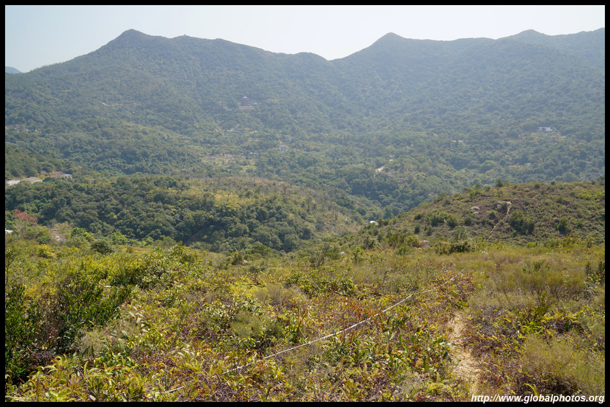
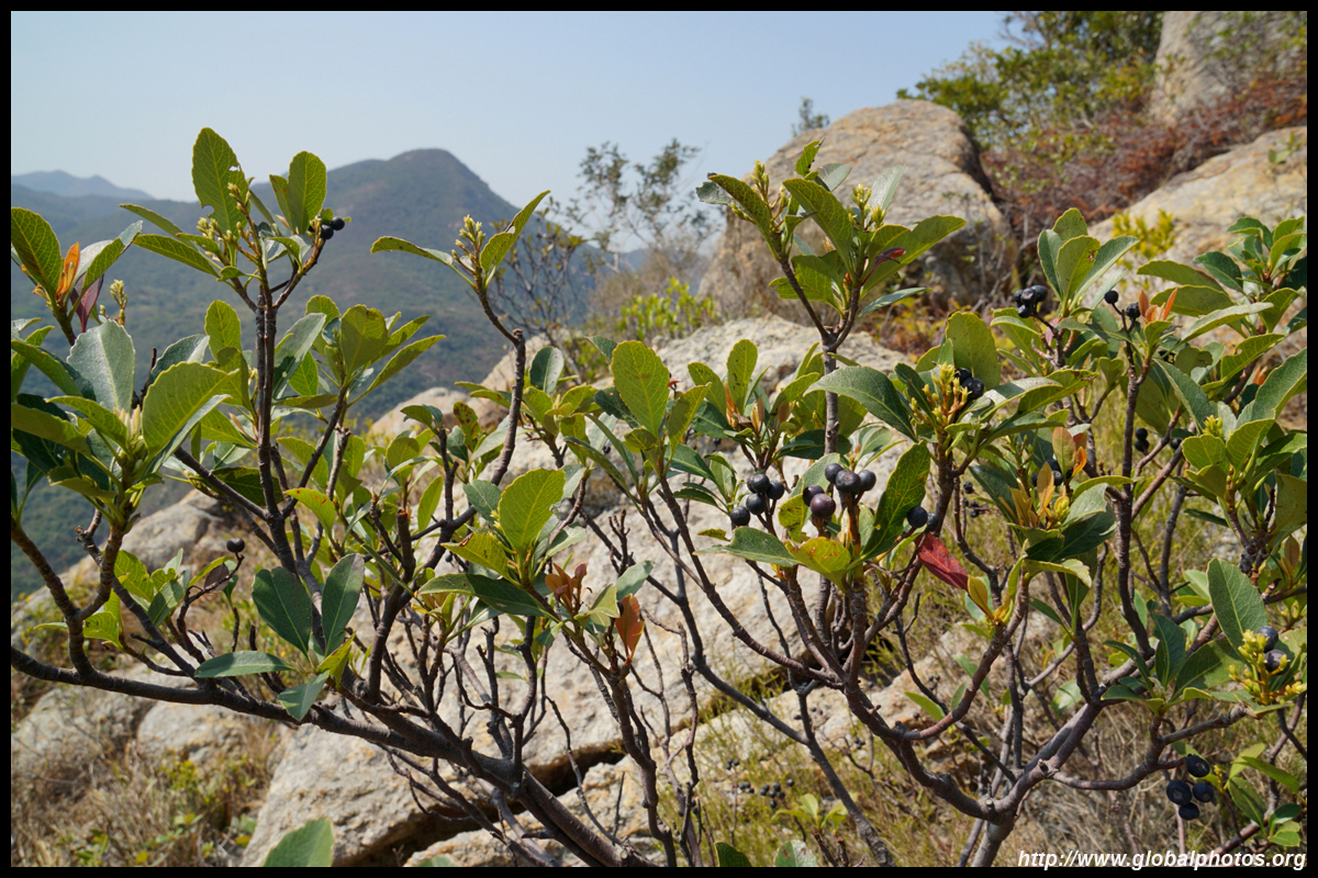
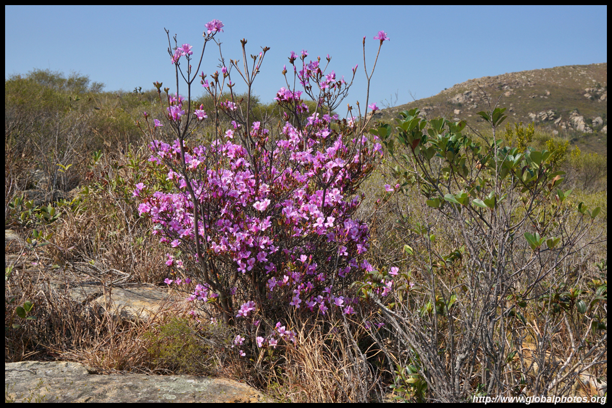
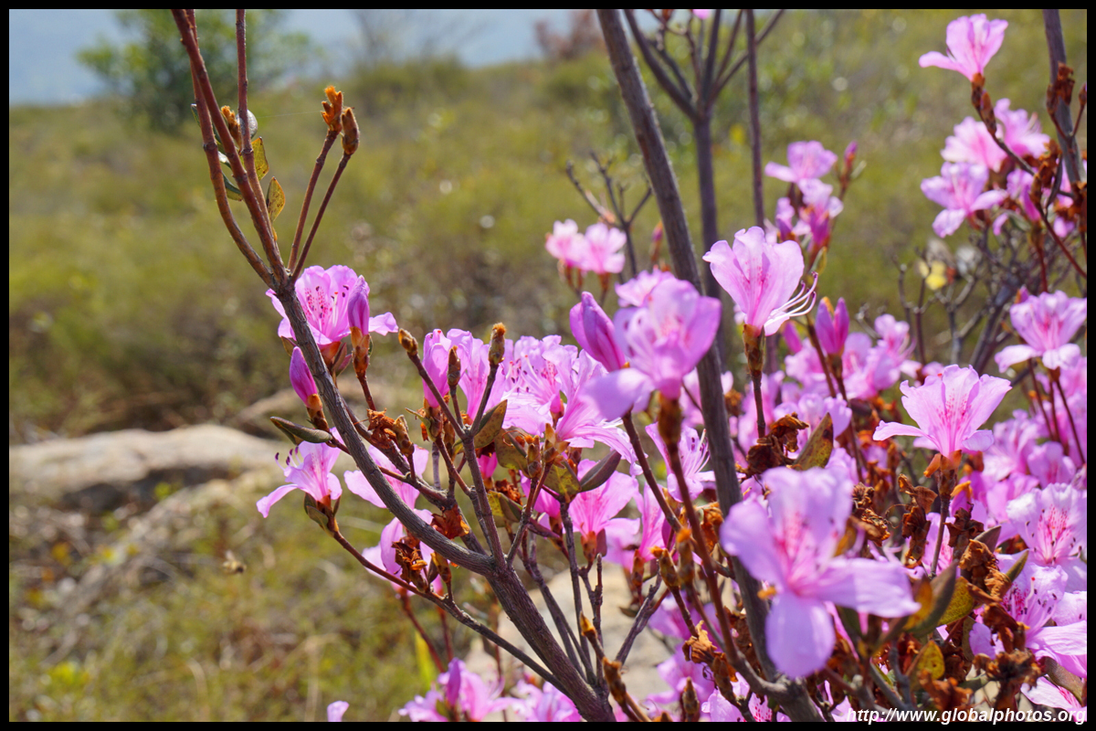
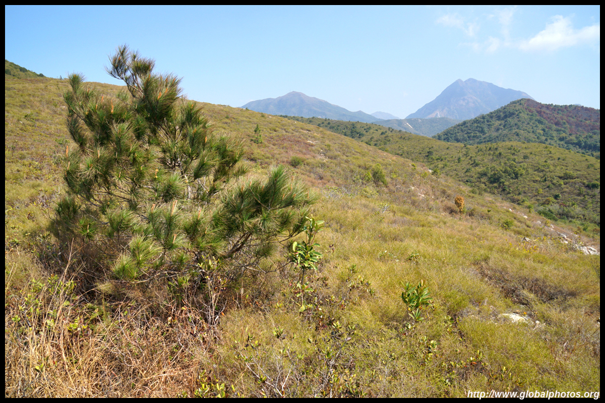
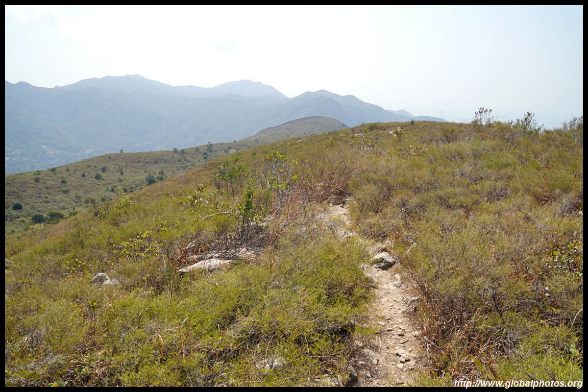
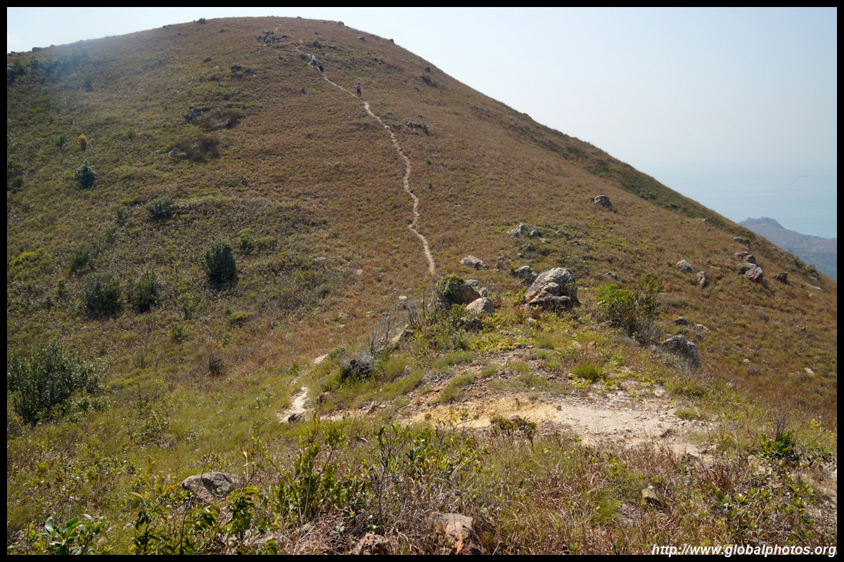
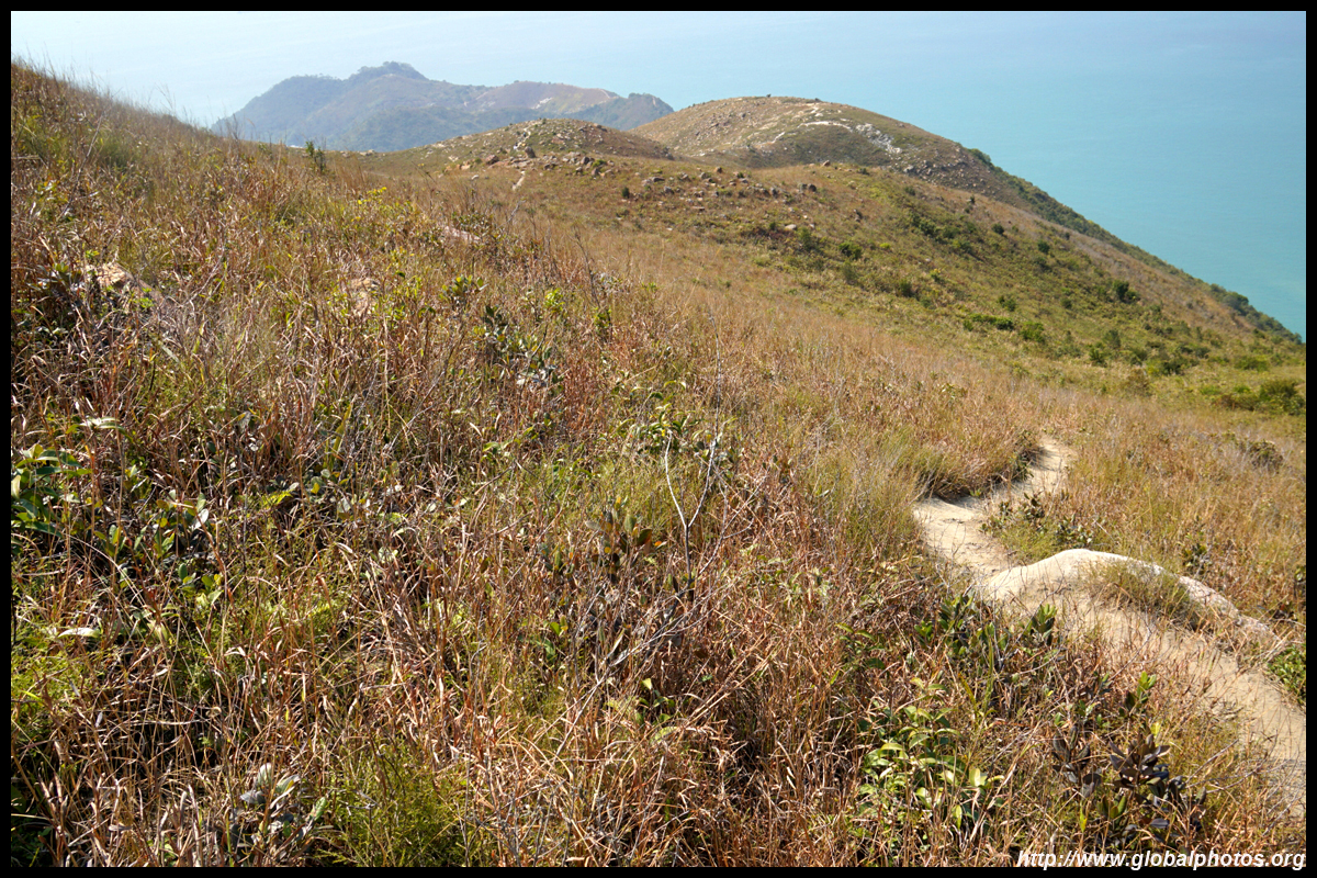
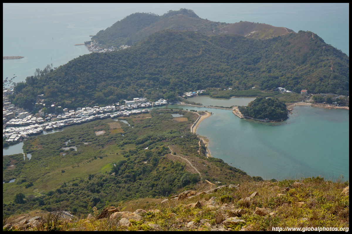
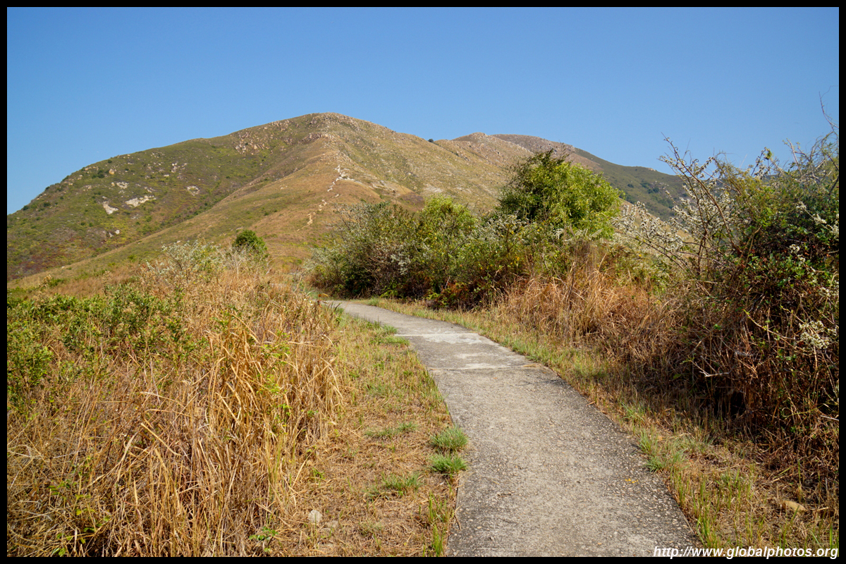
This first part is quite strenuous with a steep incline. But as the path flattens out, you get a wide view of the emptiness all around and a peek of Tai O to your left. There are many tall bushes along the way but the dirt path is quite obvious and visible.
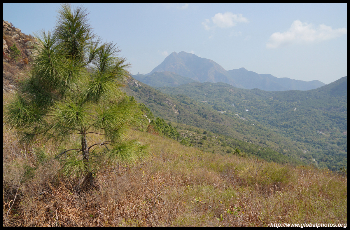
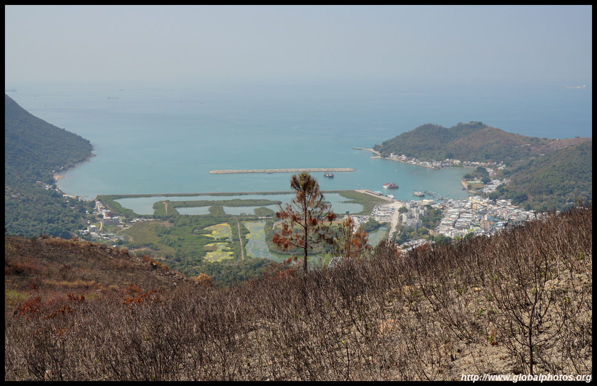
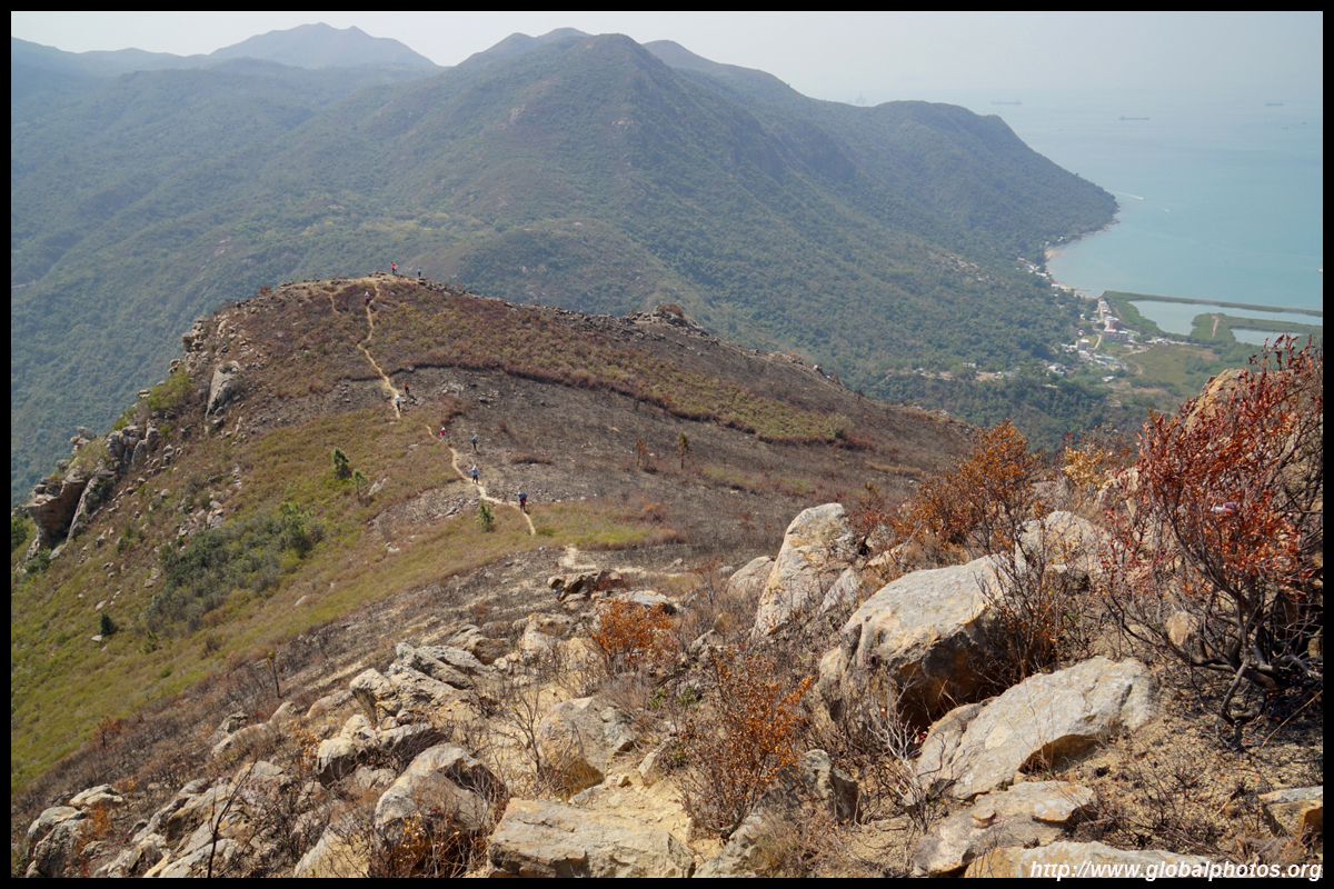
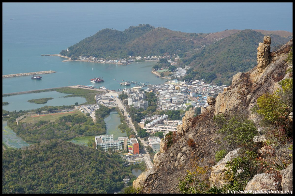
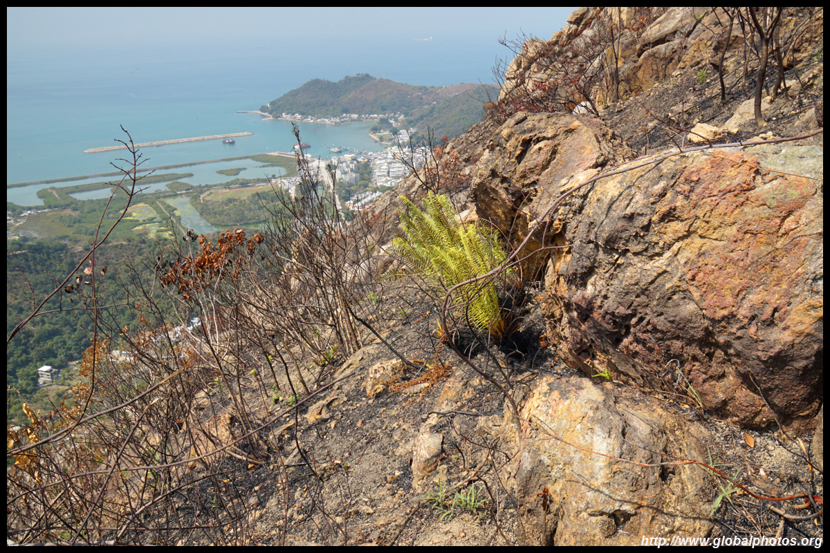
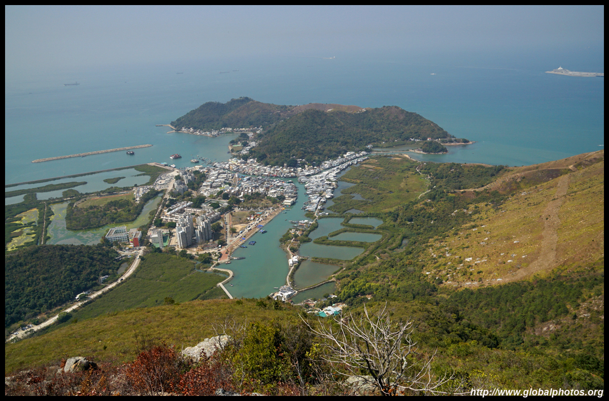
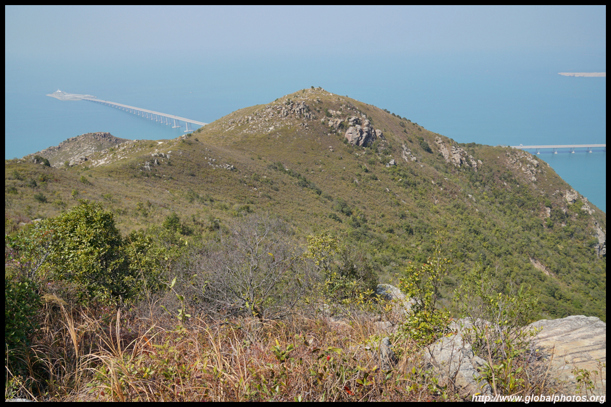
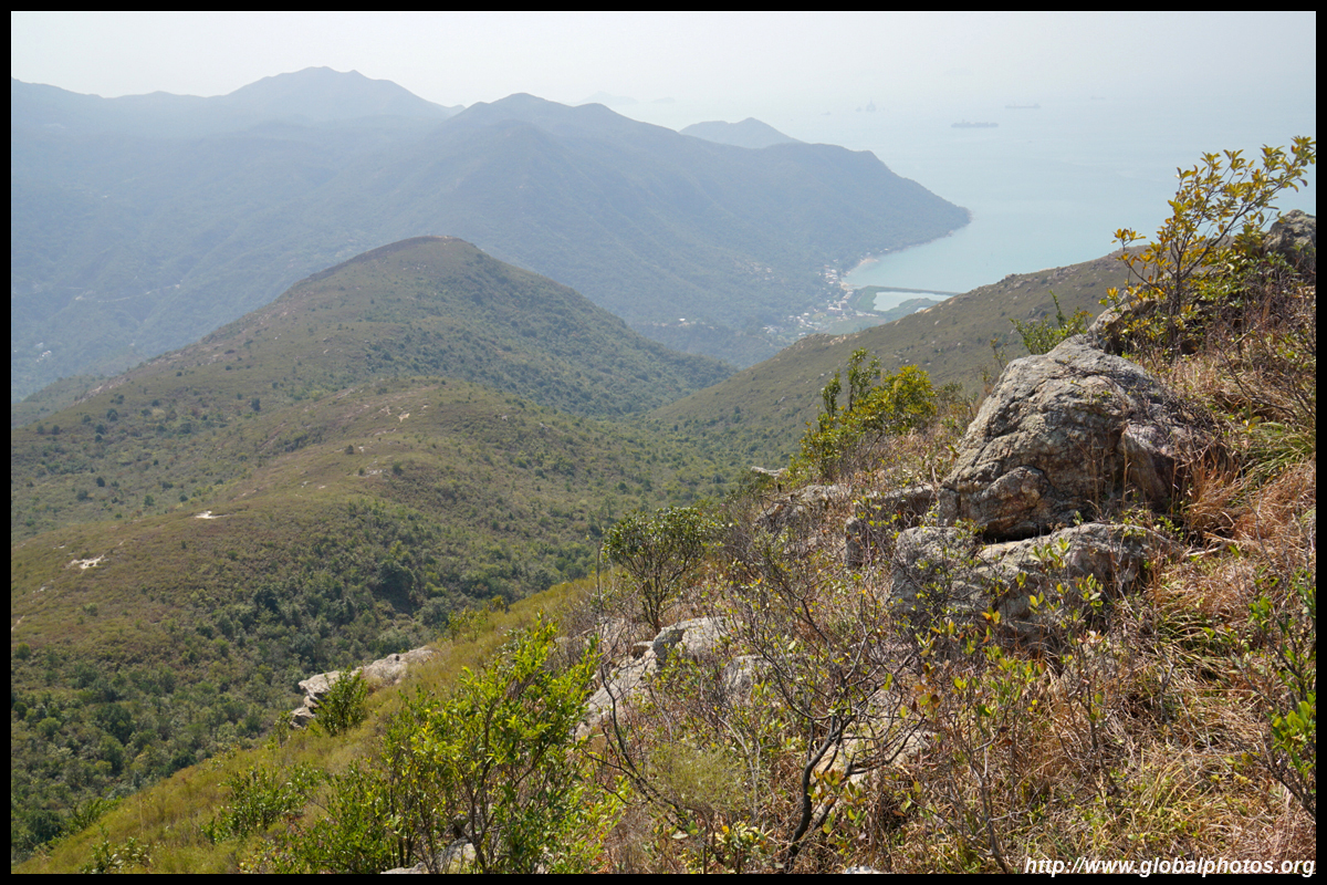
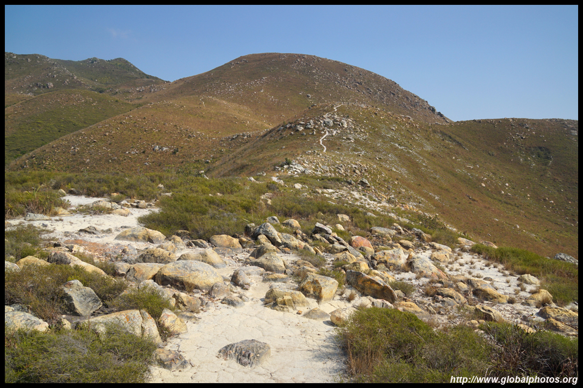
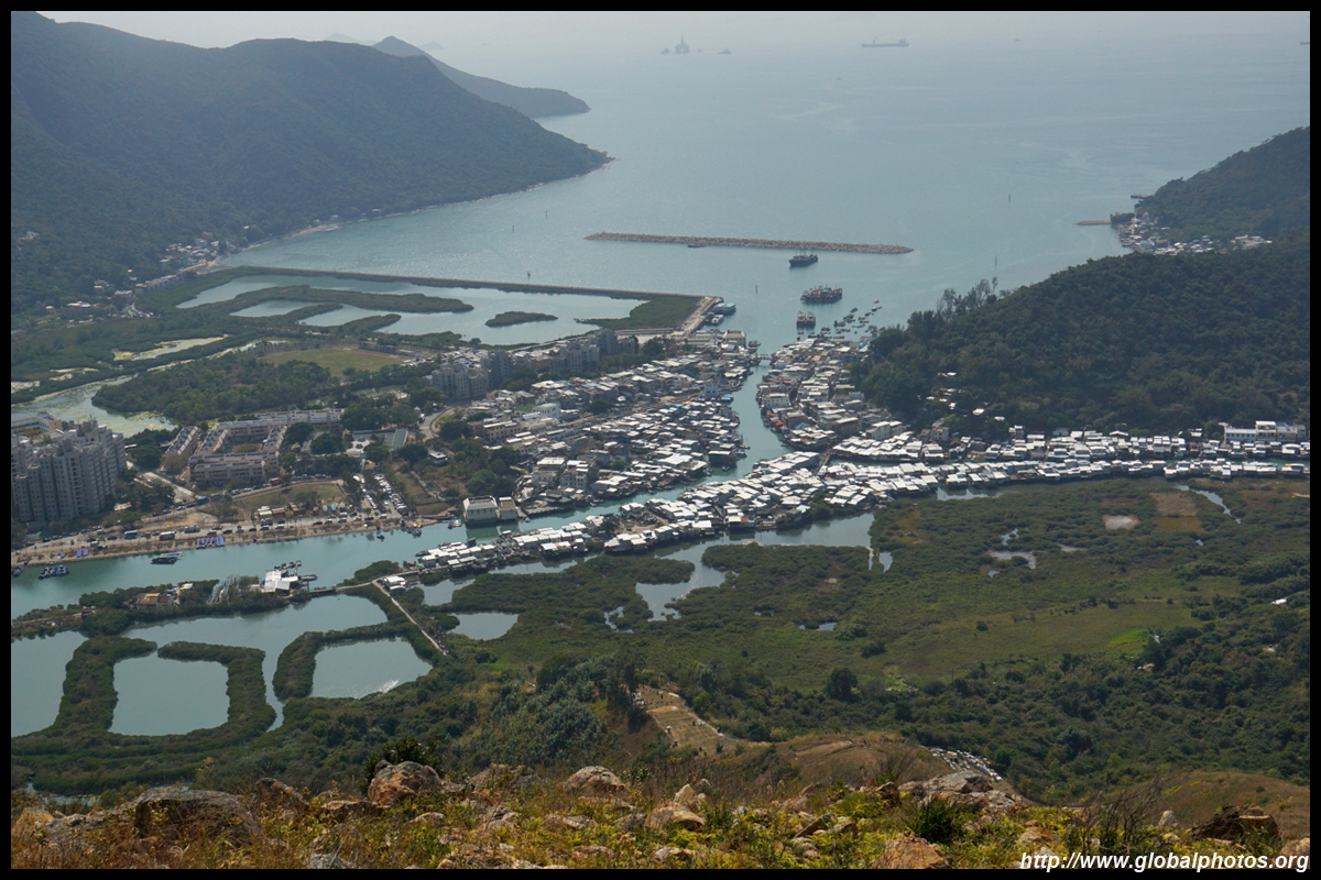
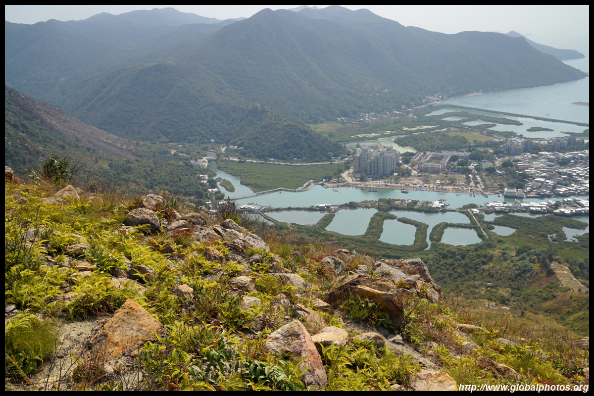
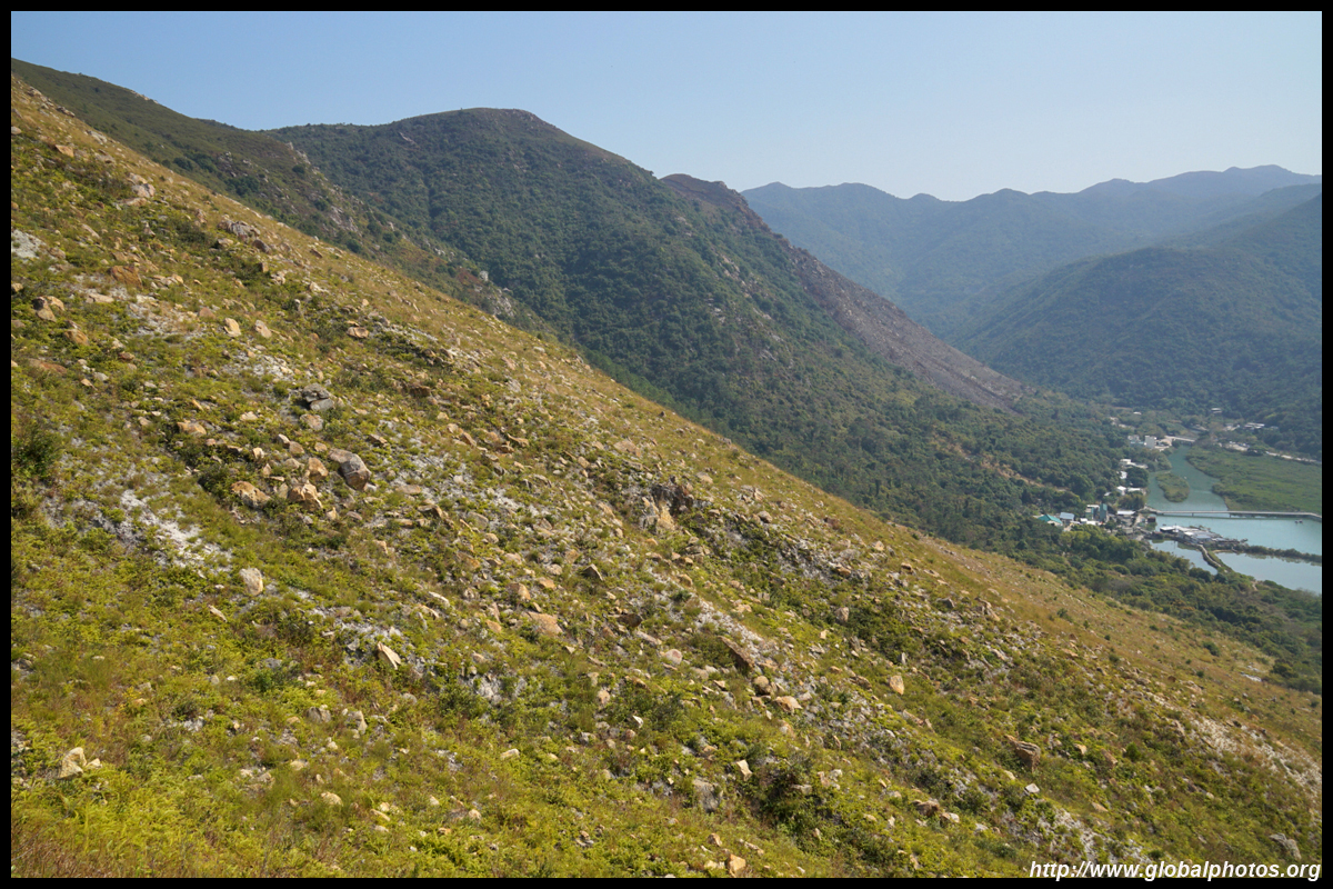
The first major hill is Sze Shan, which is over 300m high already and offers the best view of Tai O on this hike.
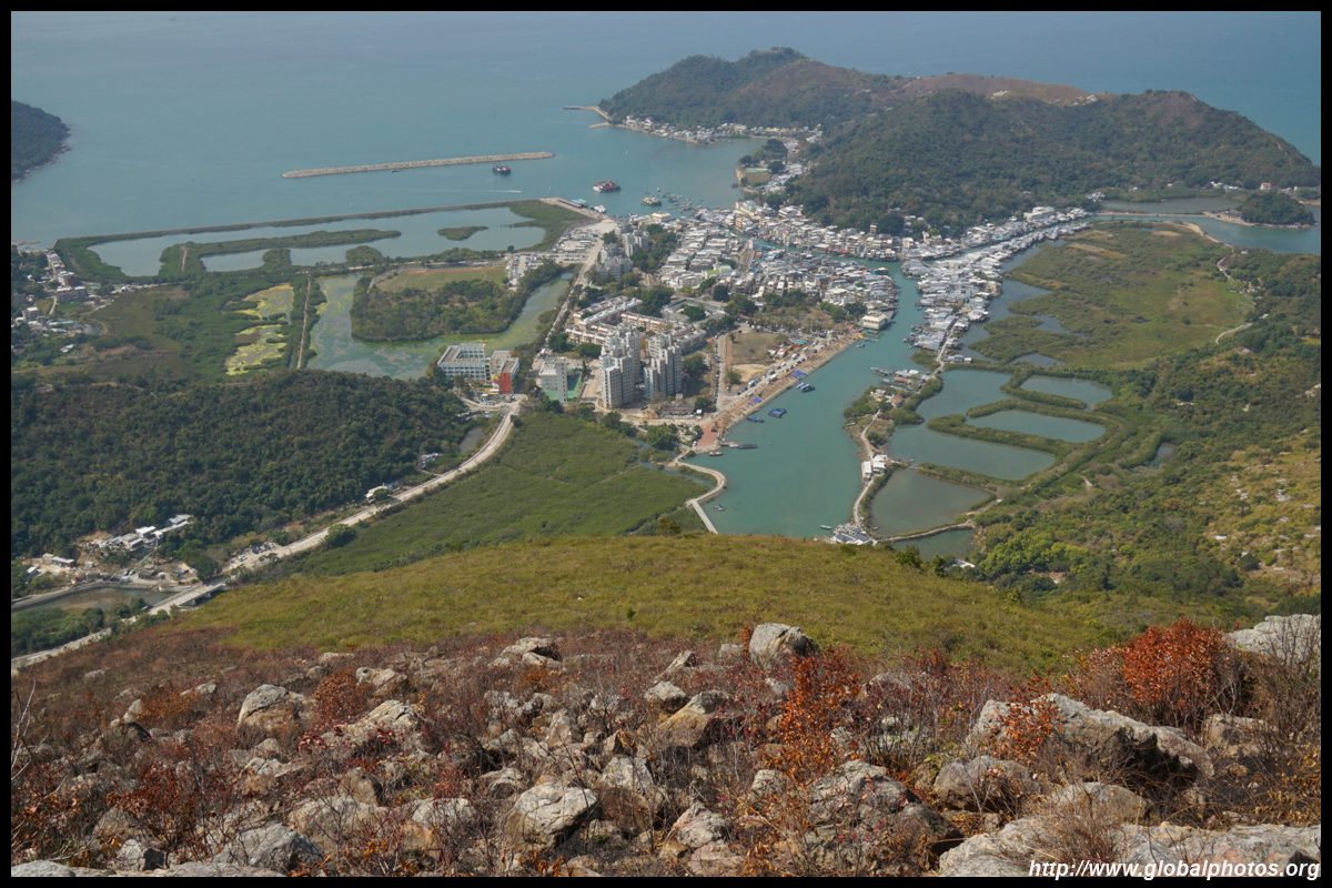
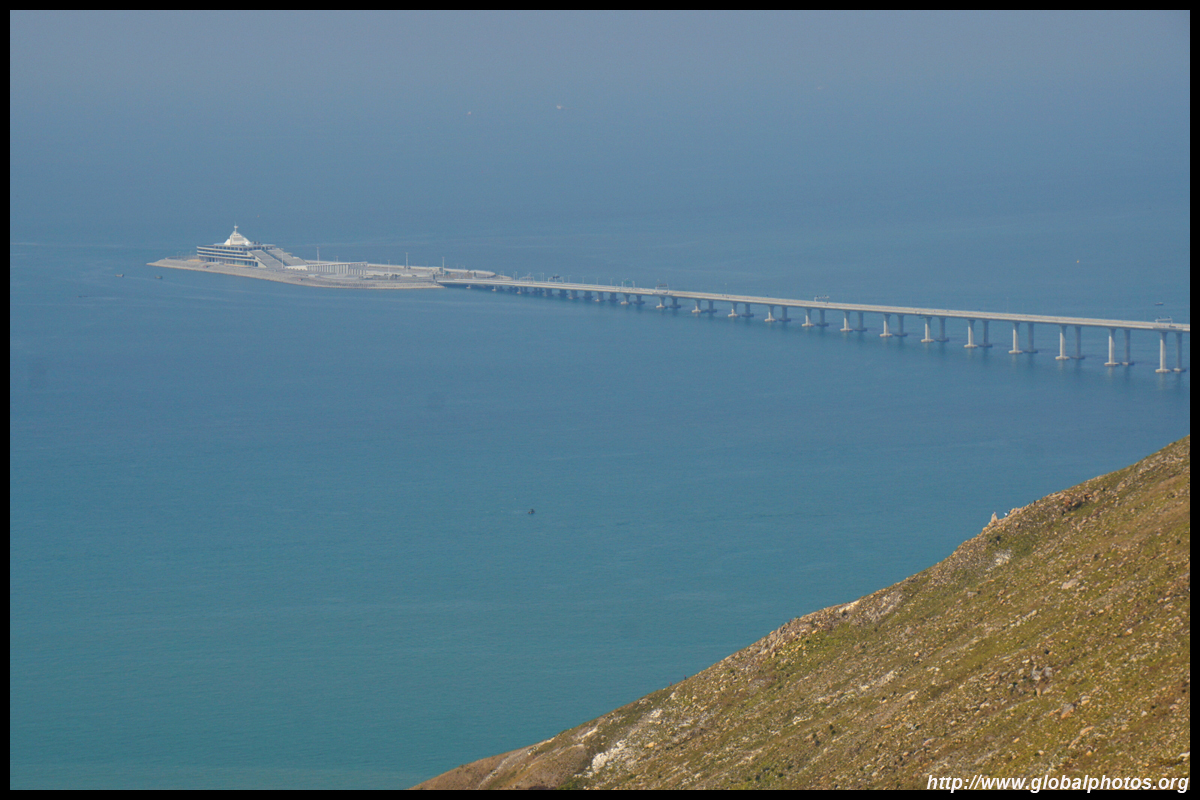
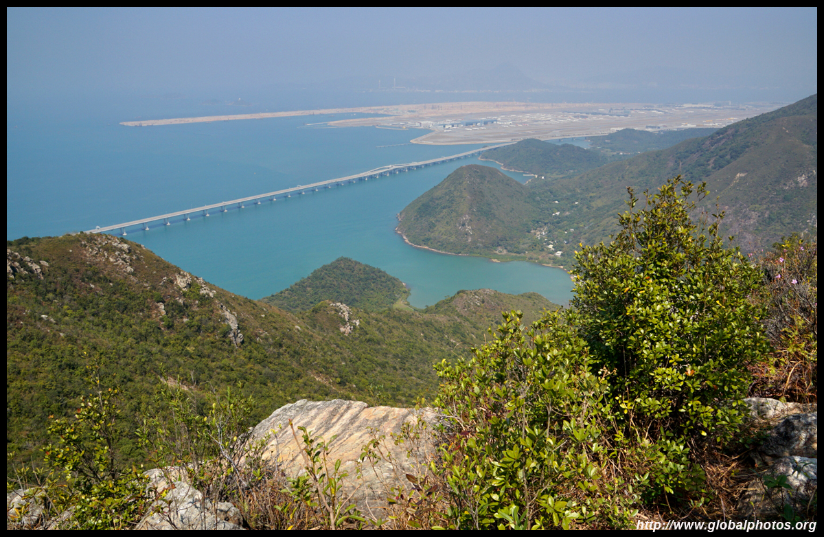
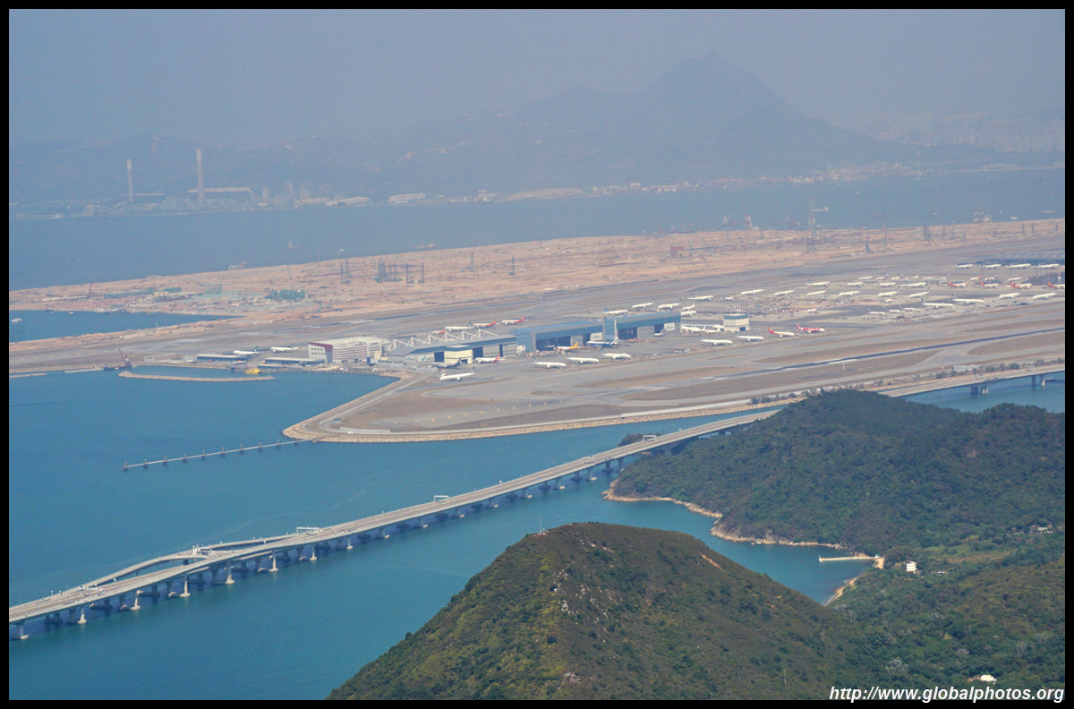
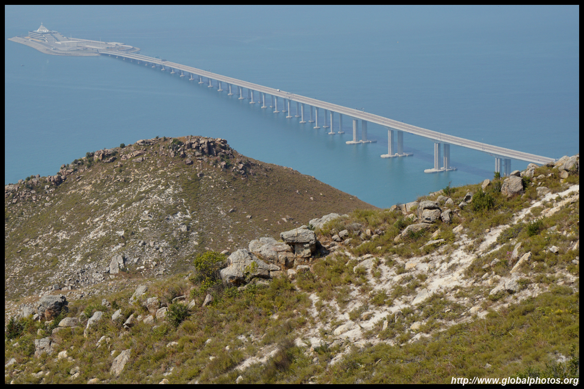
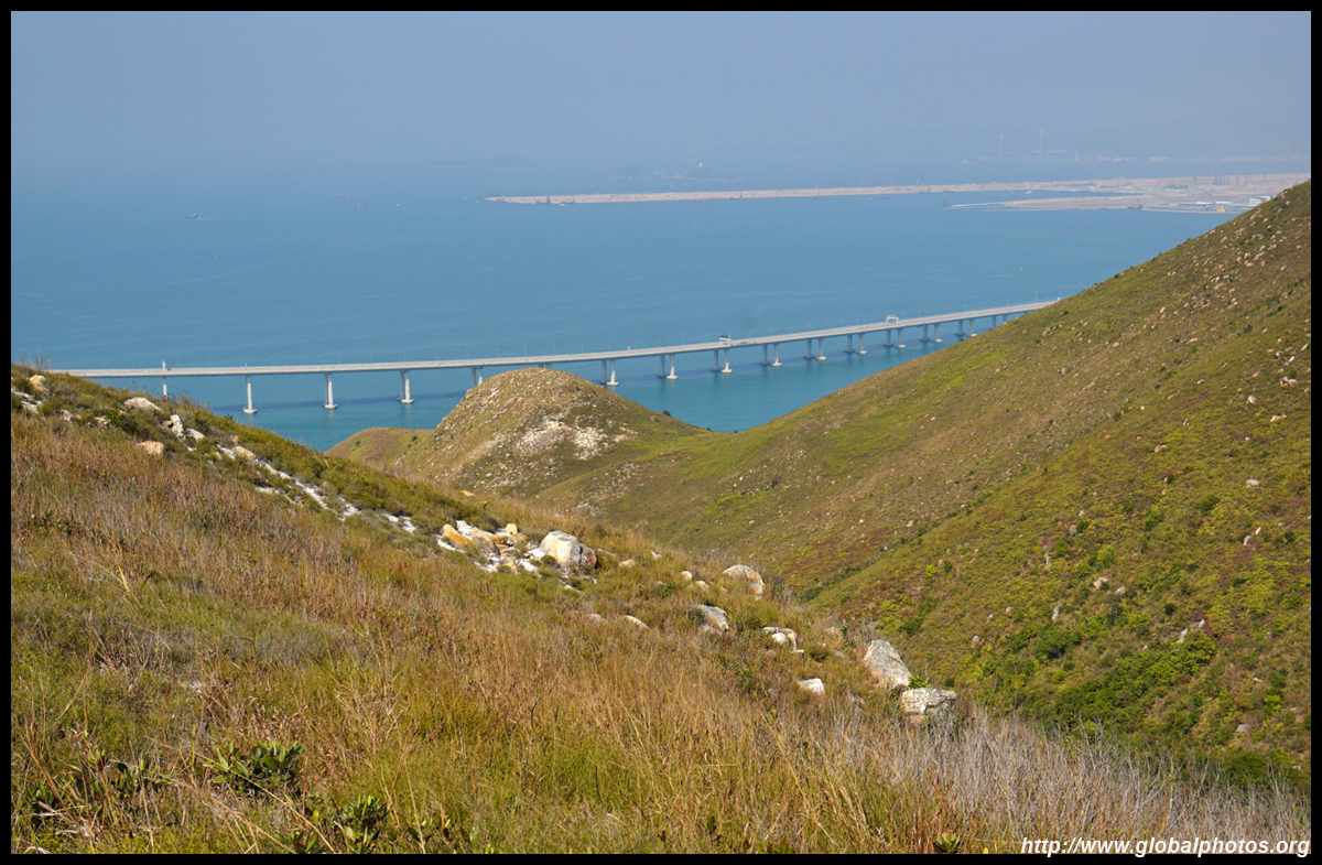
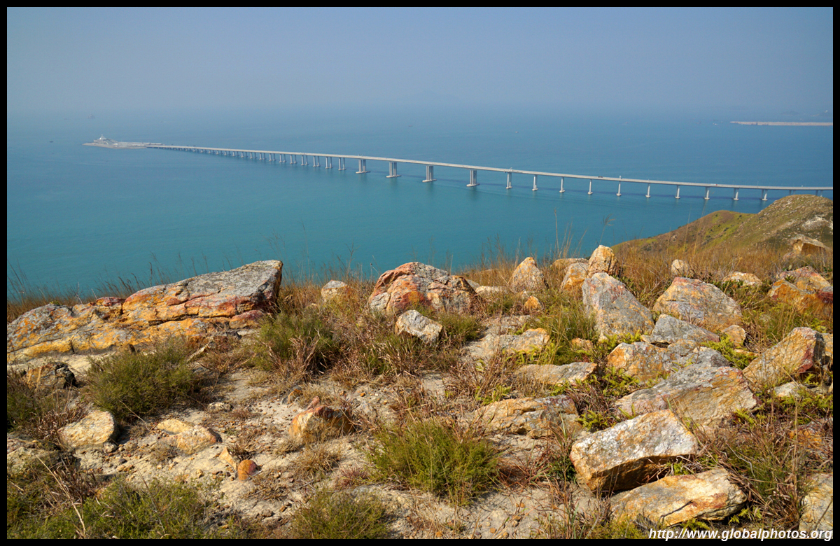
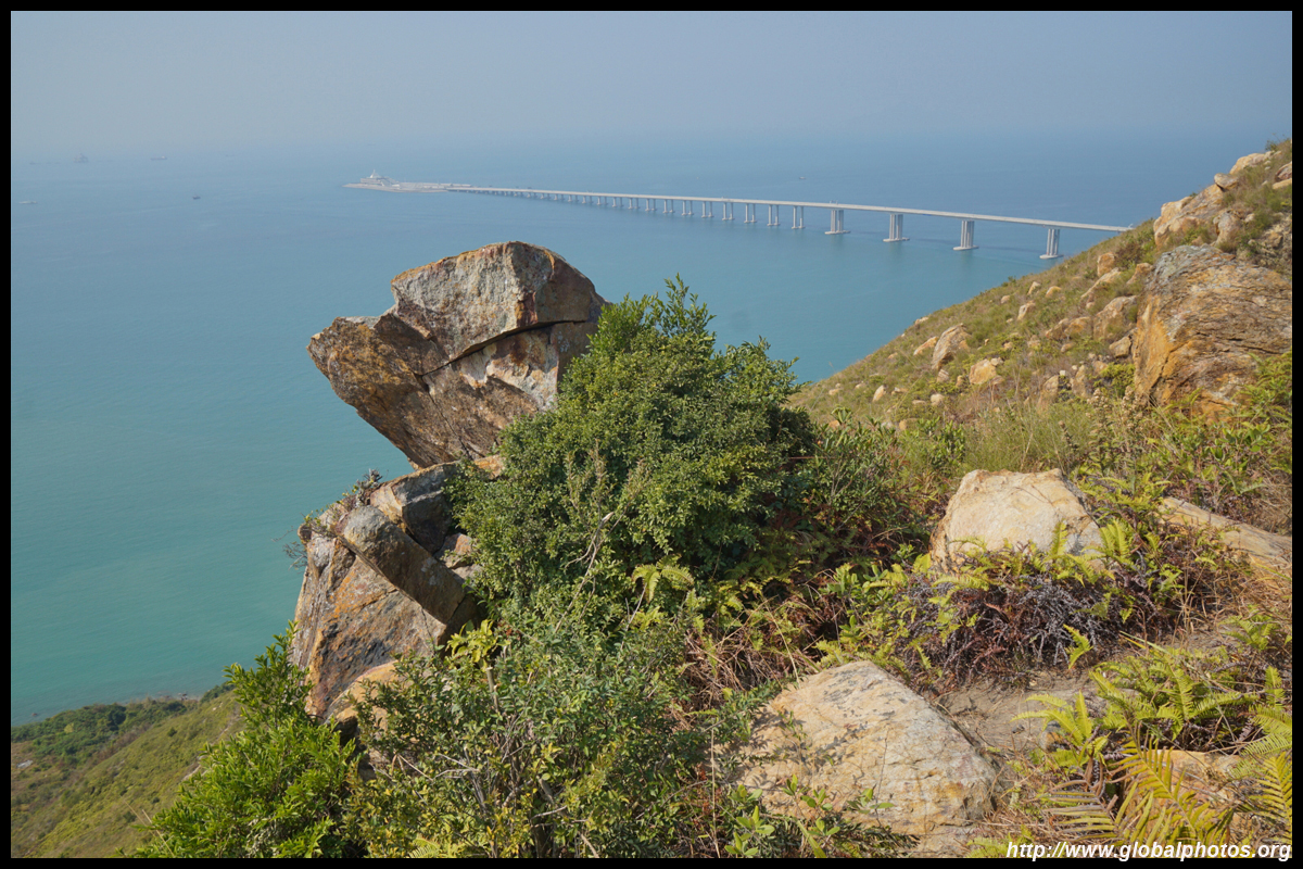
Towards the northwest, the long bridge to Zhuhai and Macau enters the ocean for the tunnel section.
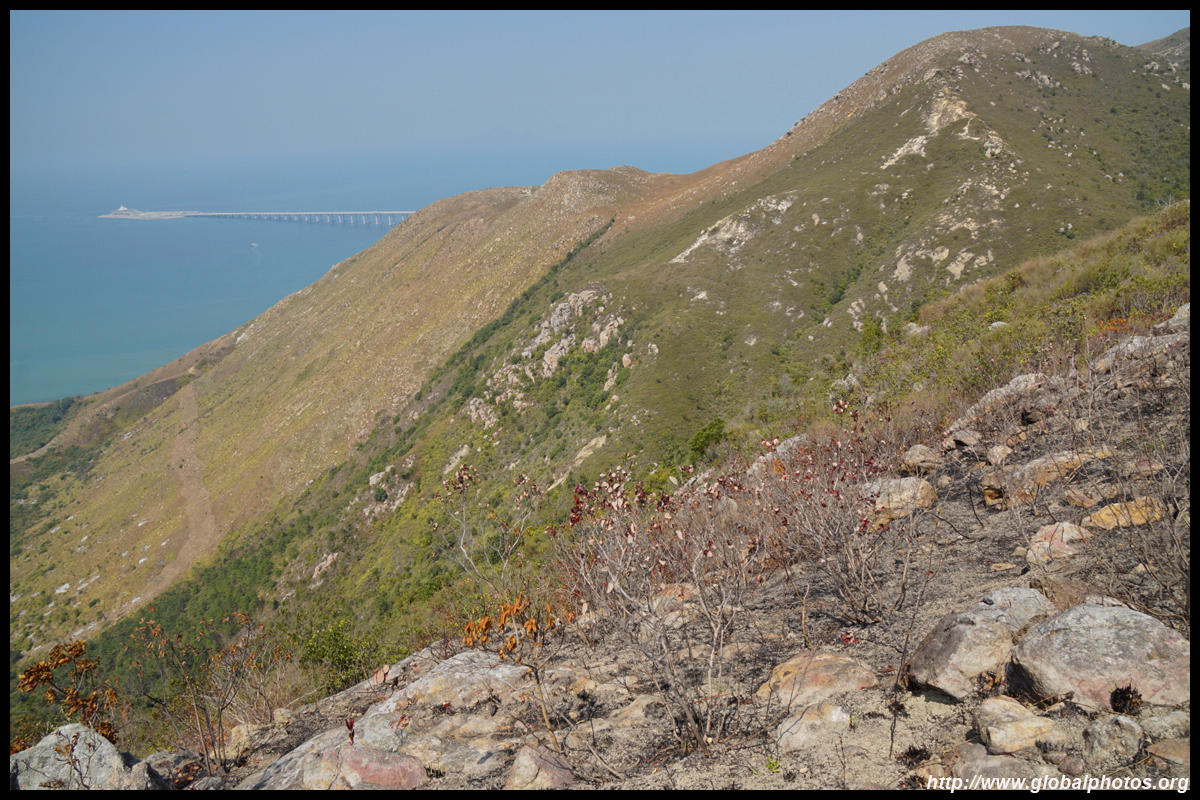
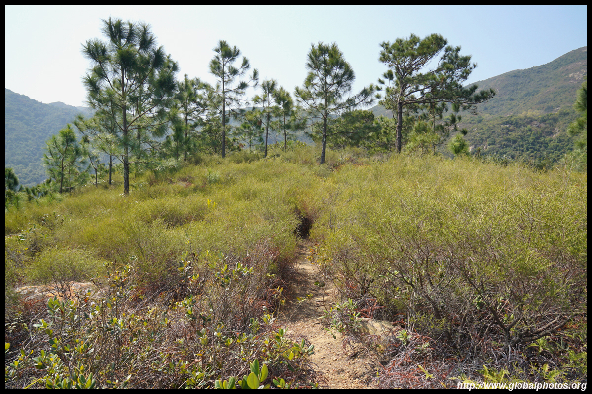
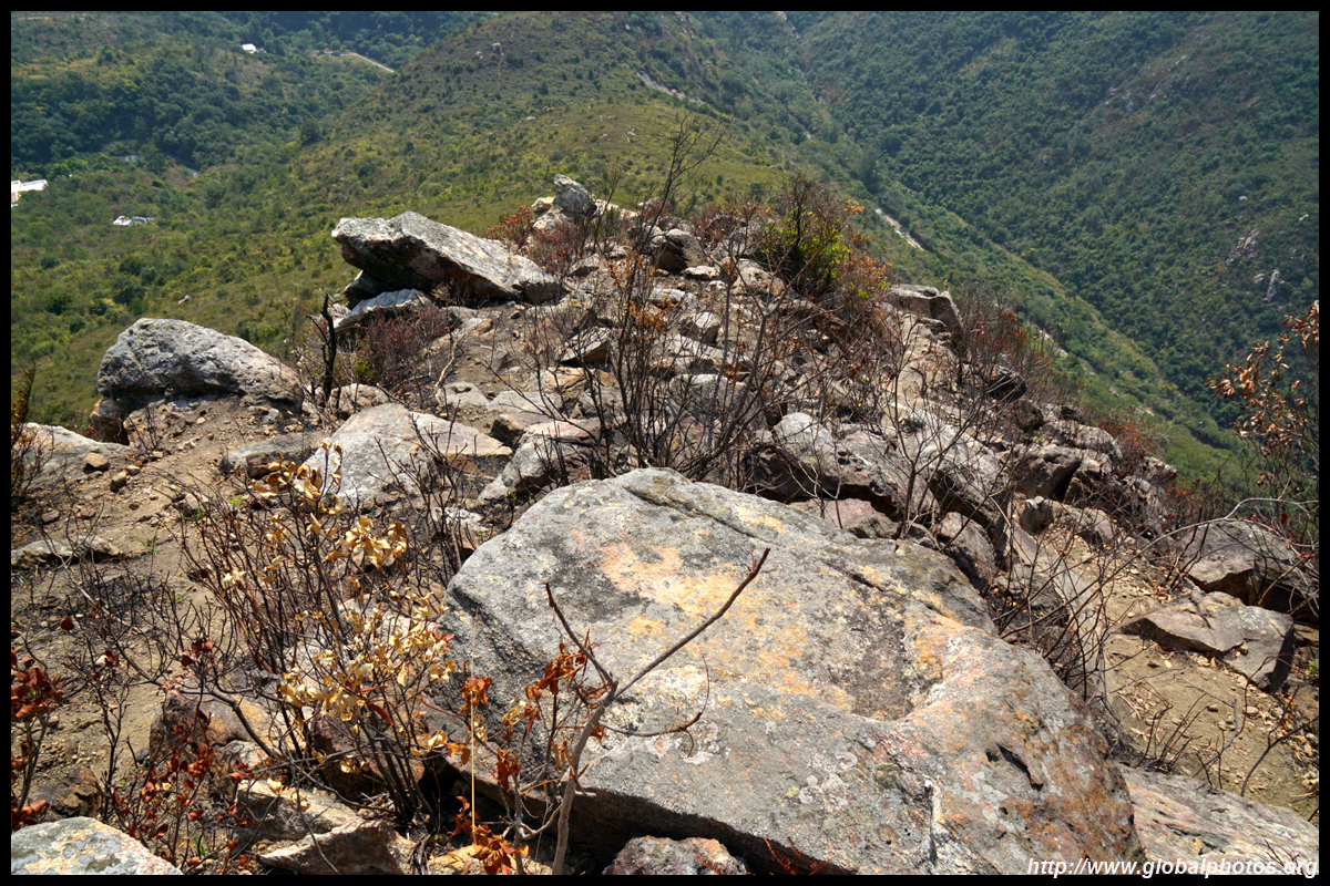
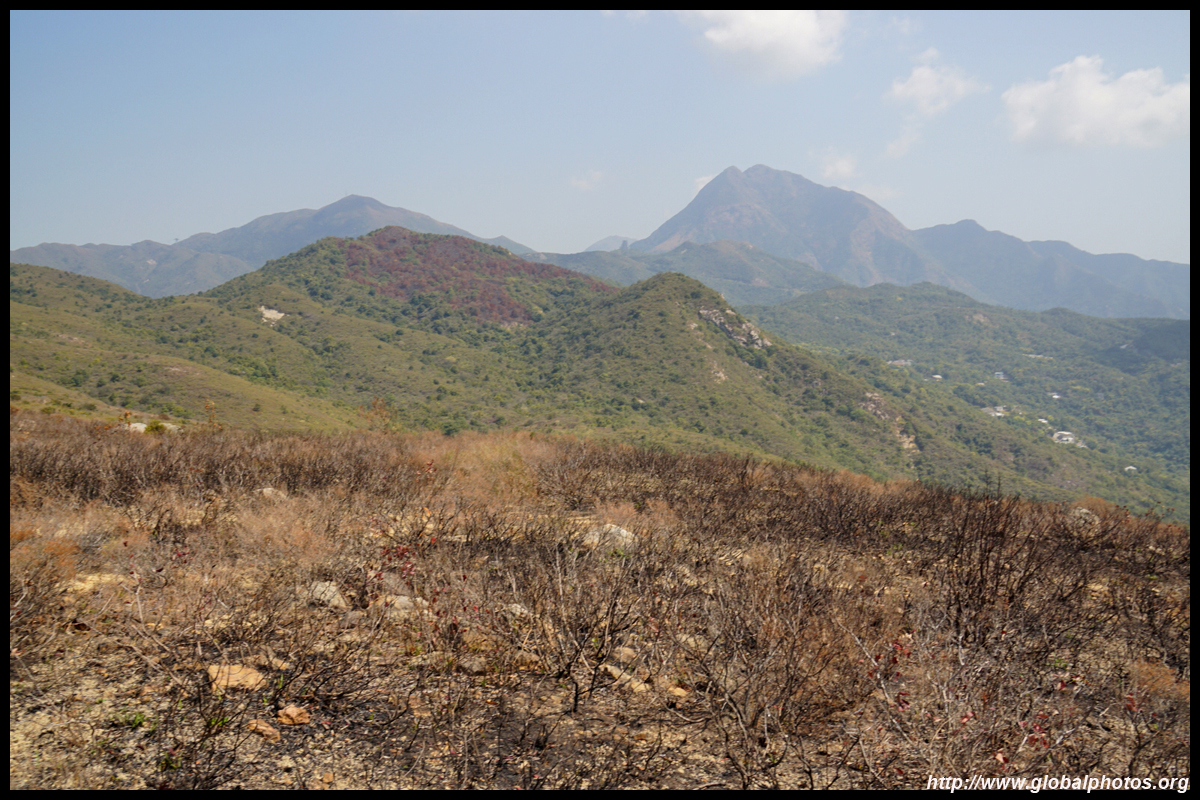
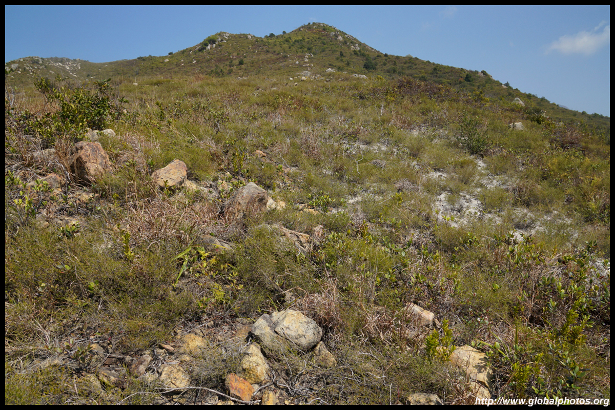
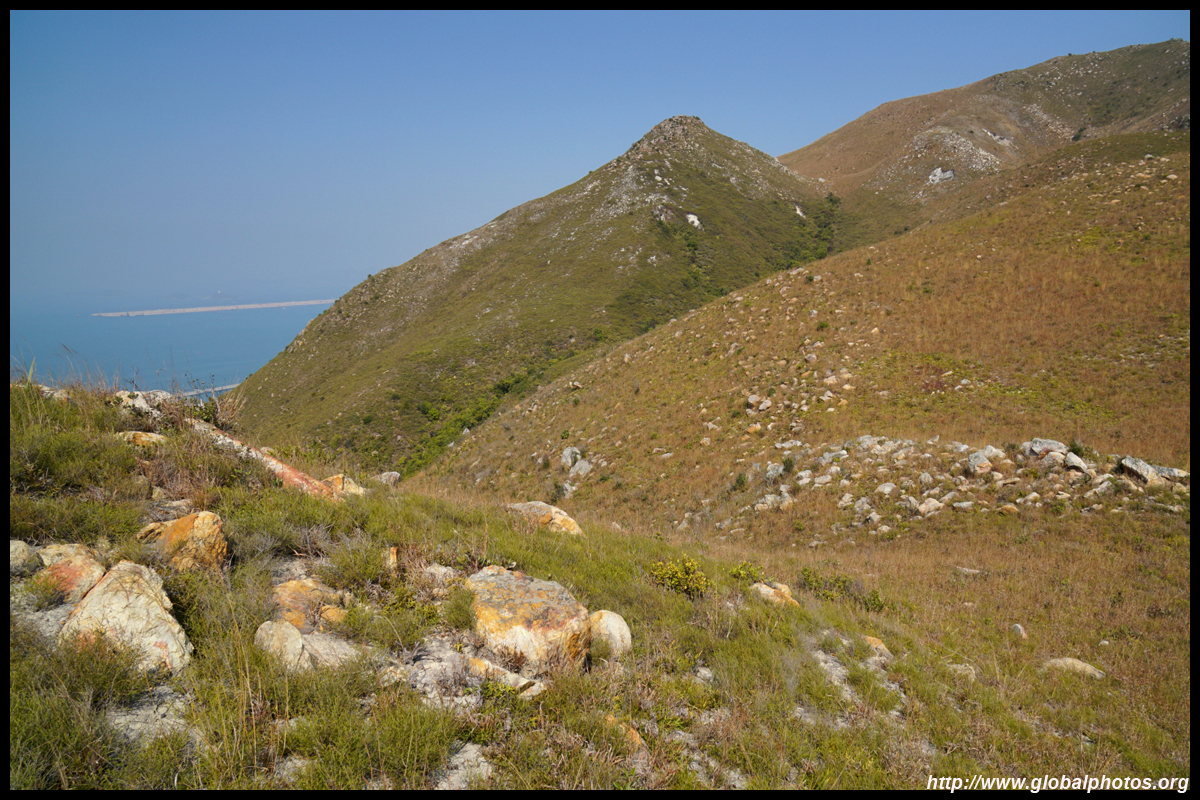
After a rest break enjoying the views, continue along a long flat stretch away from the sea view.
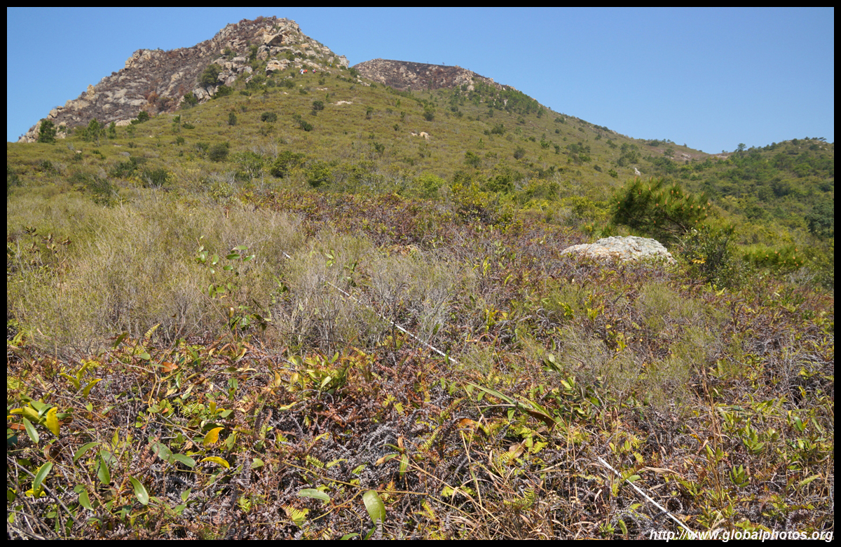
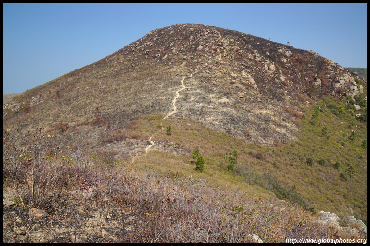
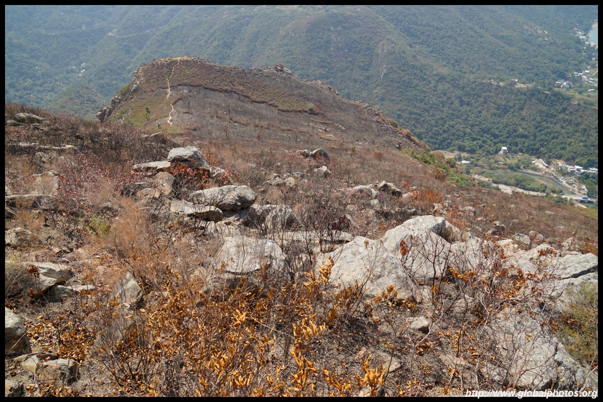
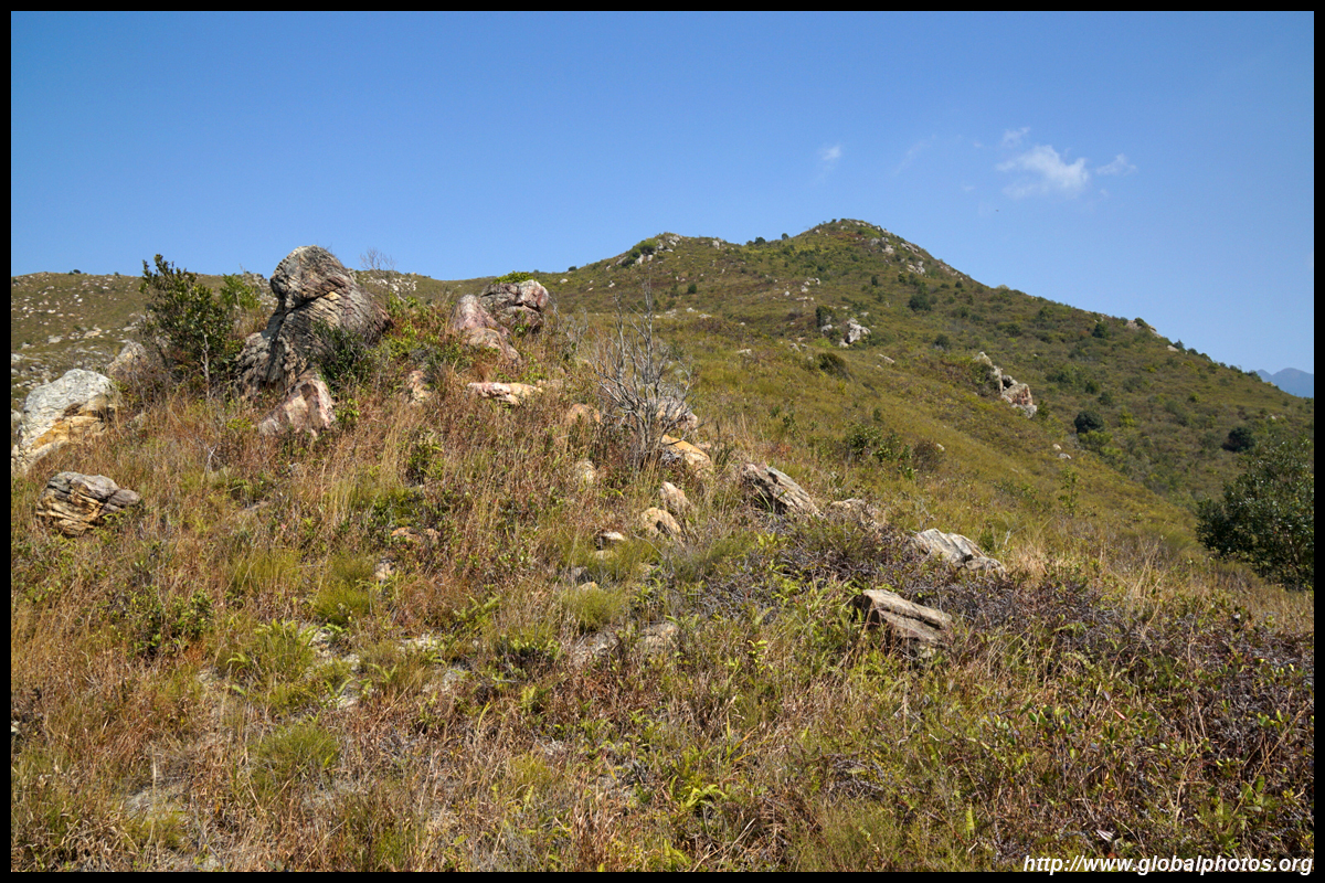
The next mountain is Cheung Shan, which is 450m high. Another steep ascent awaits.
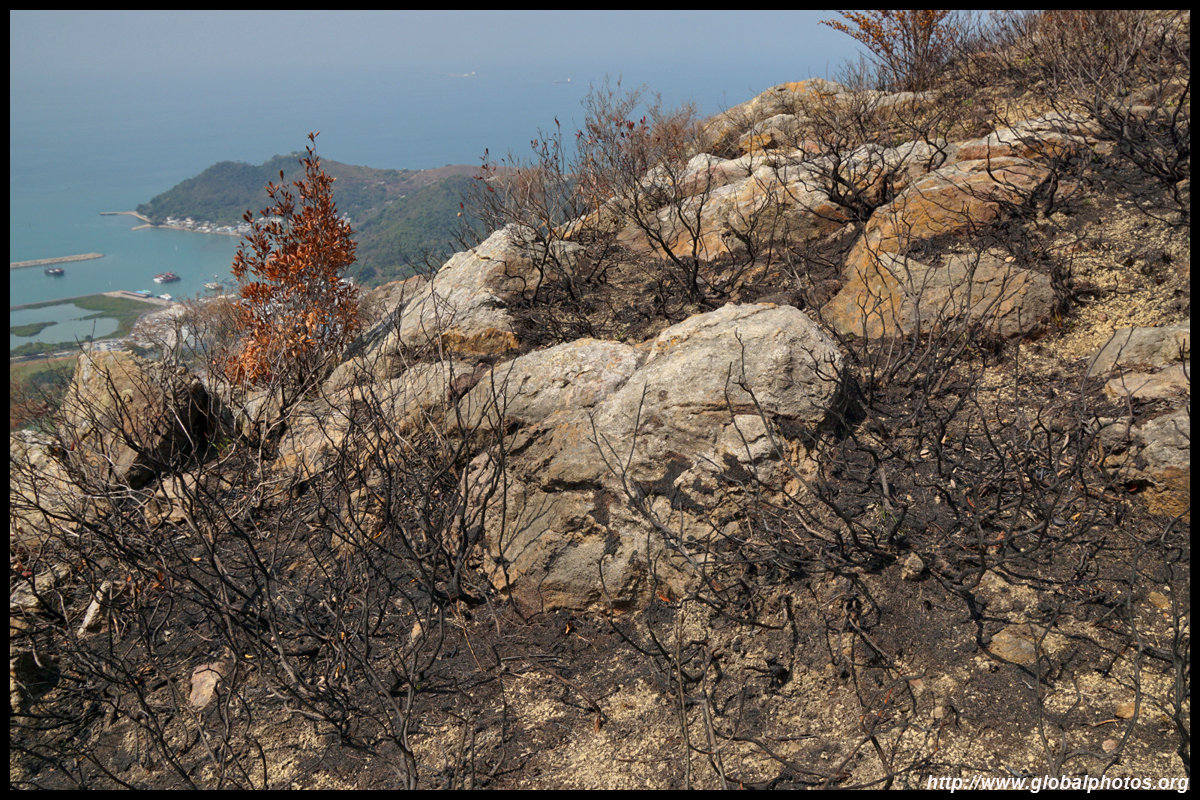
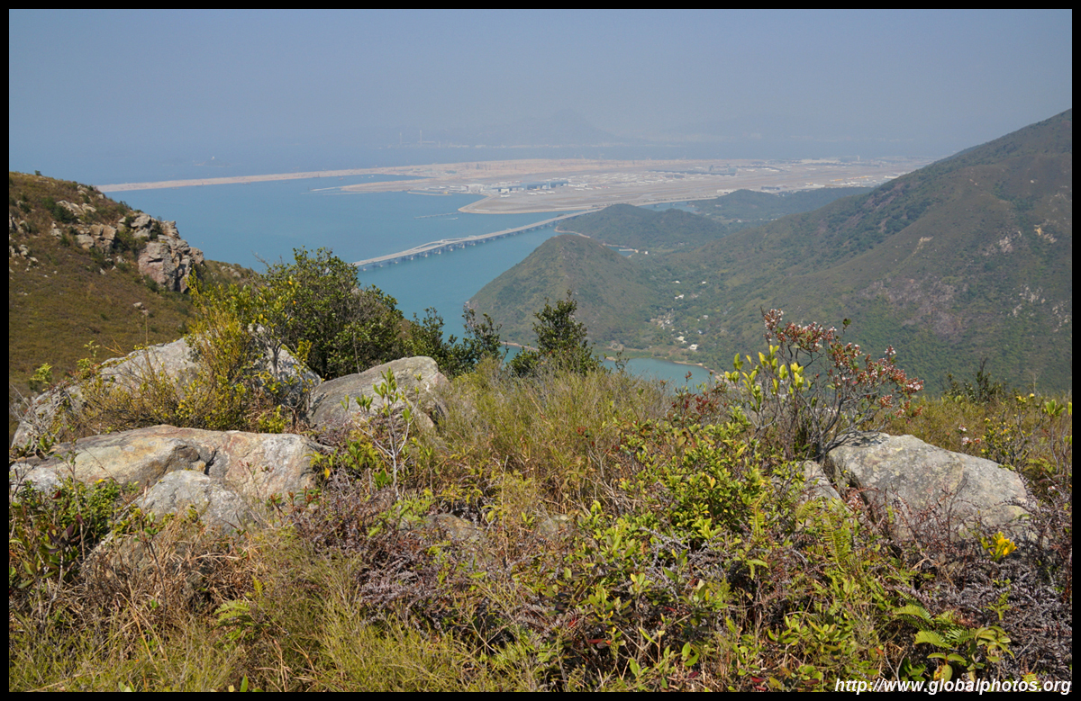
The view at the top of this mountain is a bit different than Sze Shan. Tai O isn't so visible now, but you can see the airport island and a lot of construction for the 3rd runway.

As the hiking path needs to connect to both mountains before descending down to Tai O and there is no exit option part way, you need some decent fitness to last this 4-hour hike.
The way down from Cheung Shan is the most difficult part of the hike. Not only is it steep, it also has a lot of loose rocks so can get slippery, especially towards the end.
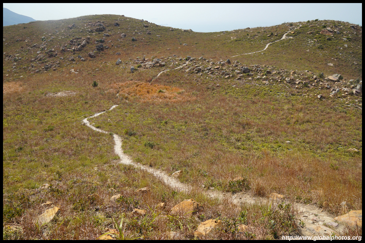
There are a few junctions along the way. Take to the left on the first one to descend. At the next one, take to the right to continue to descend (the left way would go uphill again).
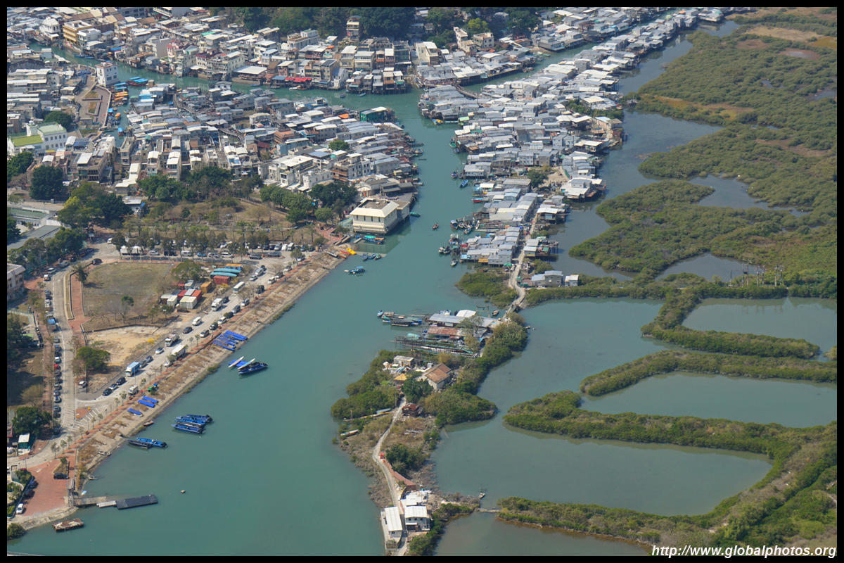
Tai O will emerge right ahead of you on the final leg down.
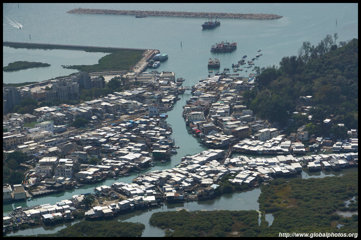
The hike will end on the Tung Chung to Tai O trail, and it is only another few minutes walk further down to reach the start of the stilt houses.
This hike offers a very unique vantage point of Tai O, one that is not frequented by the hordes of tourists that descend onto this fishing village on holidays. Its moderate difficulty is more than rewarded by the lovely views.
