Hong Kong Photo Gallery - Tai Po

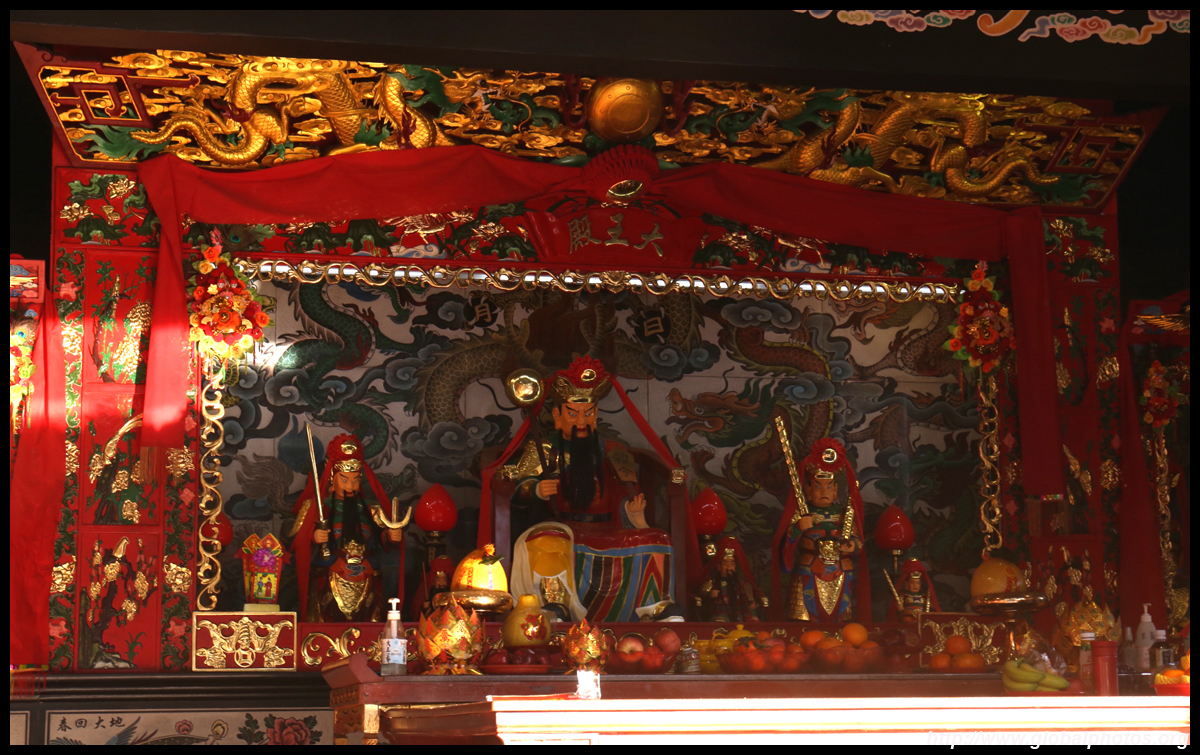
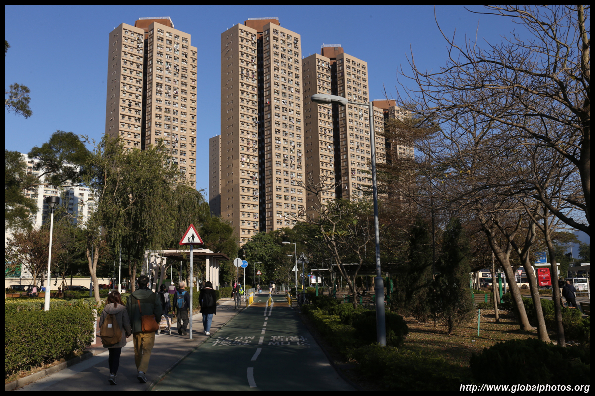
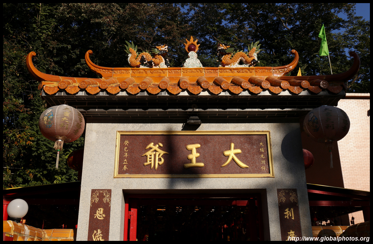
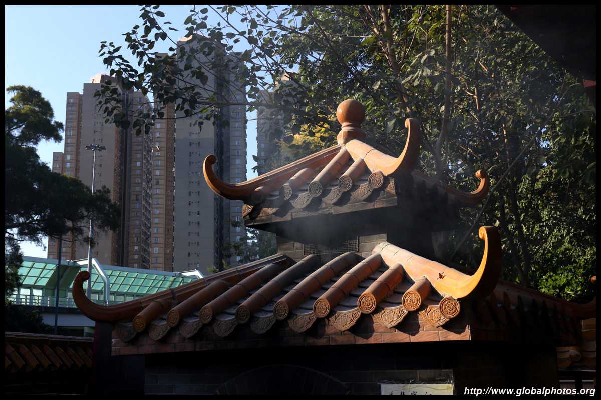
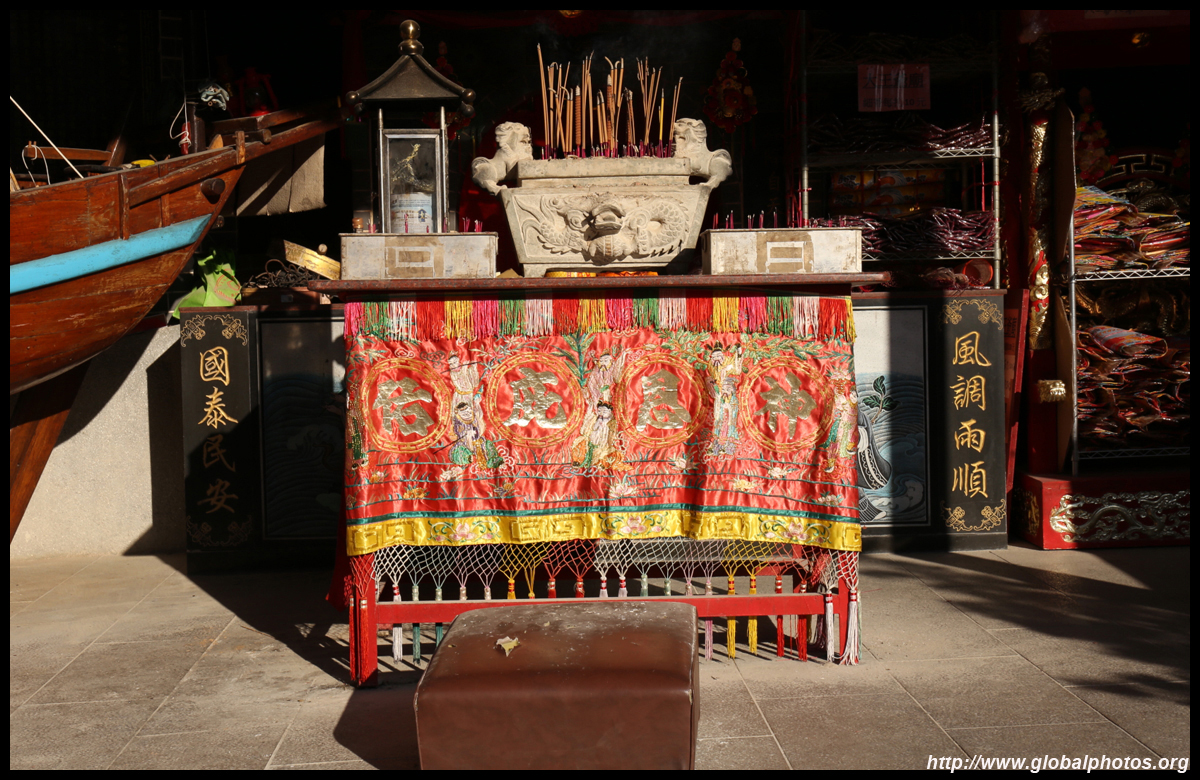
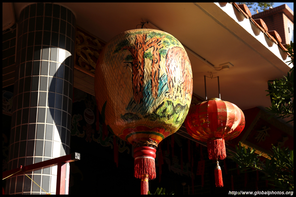
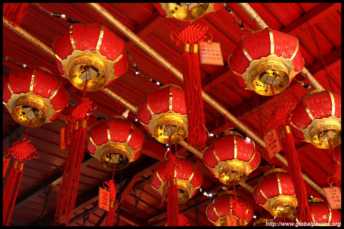
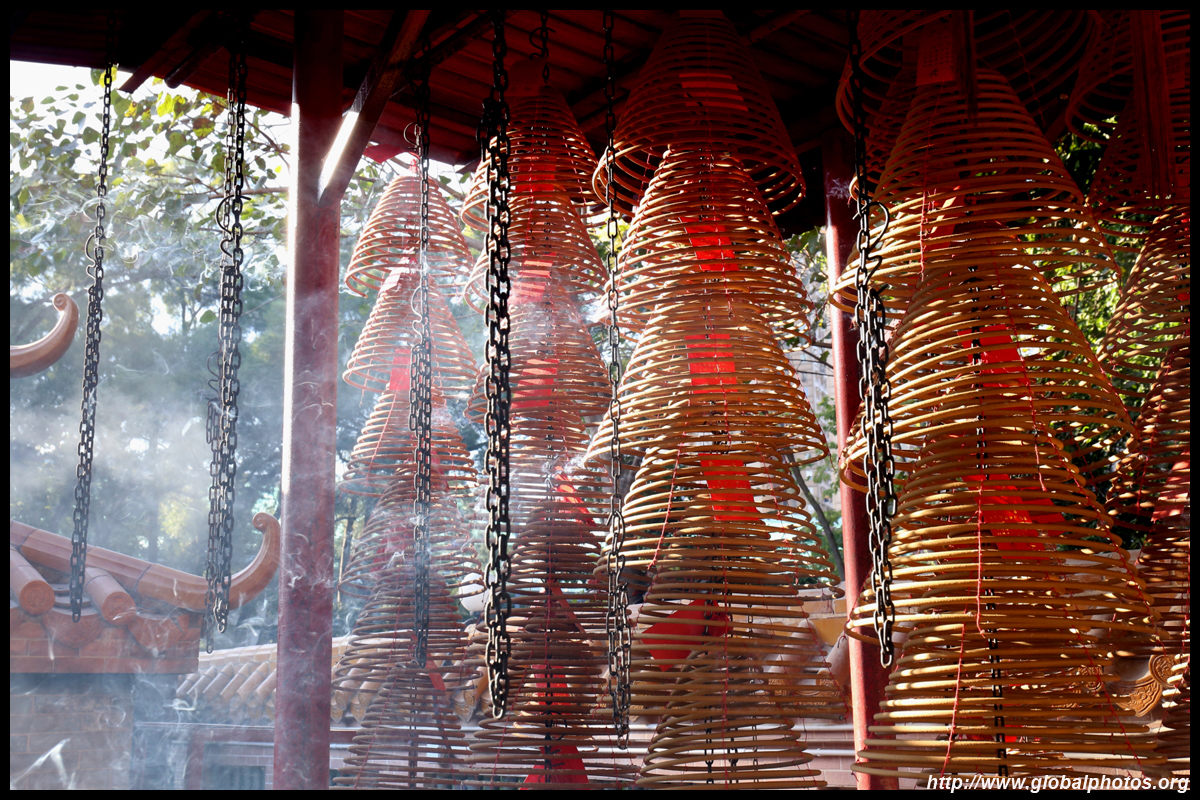
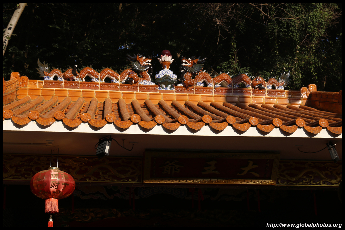
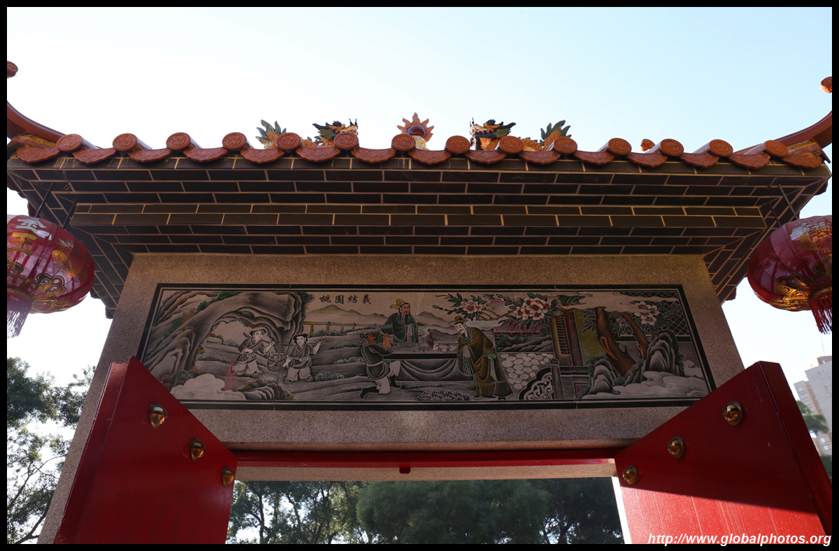
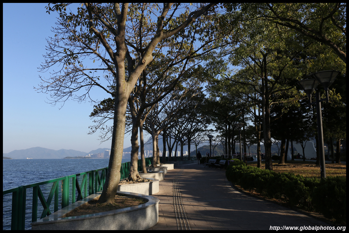
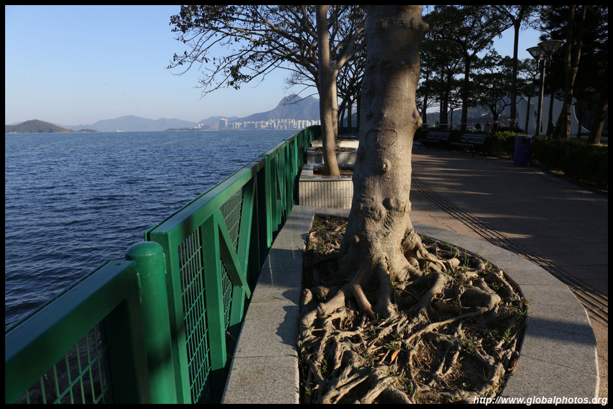
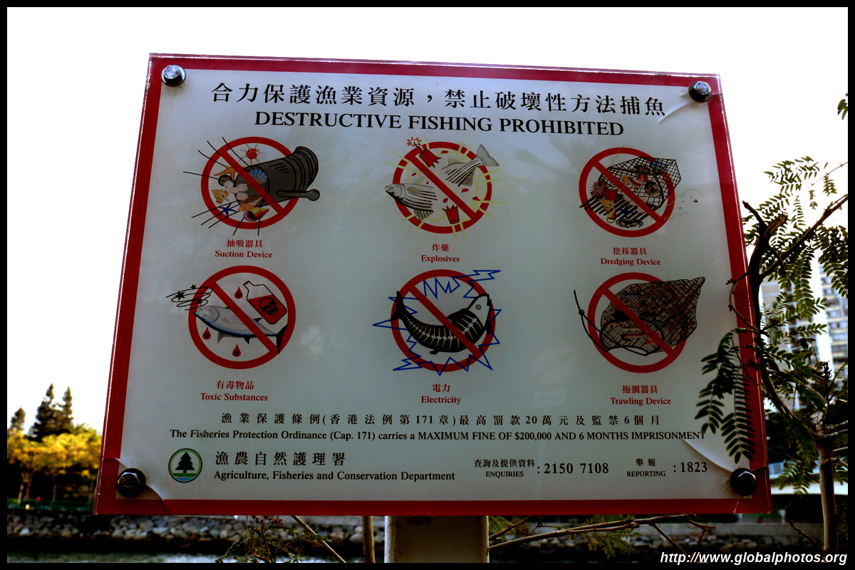
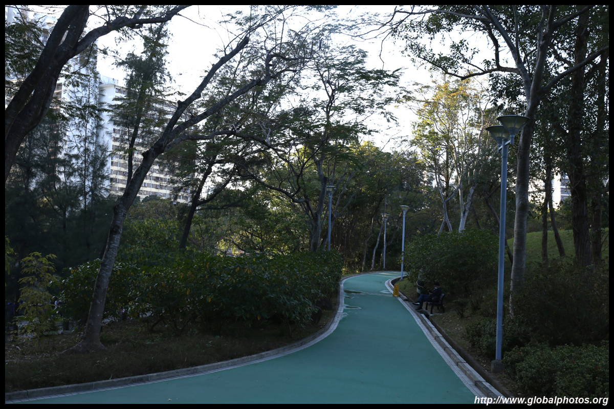
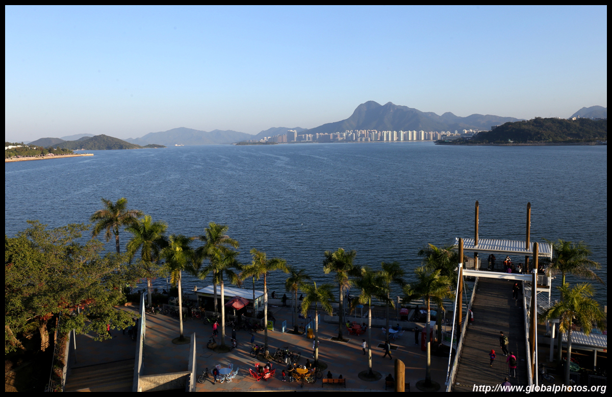
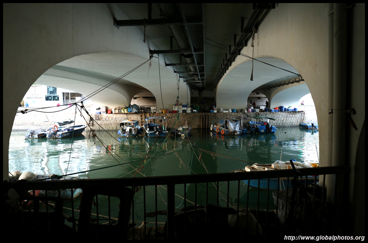
Tai Po has been inhabited for over a thousand years, with early settlers harvesting clams, fish, and pearls. Mass development arrived in the 1970s when Tai Po was envisioned to become a new town, and now hosts a population of about 300,000.Tai Po's waterfront has pedestrian and cycle paths leading all the way to Shatin and is a popular weekend outing destination. Tai Wong Yeh Temple is right next to this path on Yuen Chau Tsai, once an island but now connected to the district. In the late Qing Dynasty, fishermen raised funds to build a temple here.
| |||
 |
 |
 |
 |
 |
 |
 |
 |
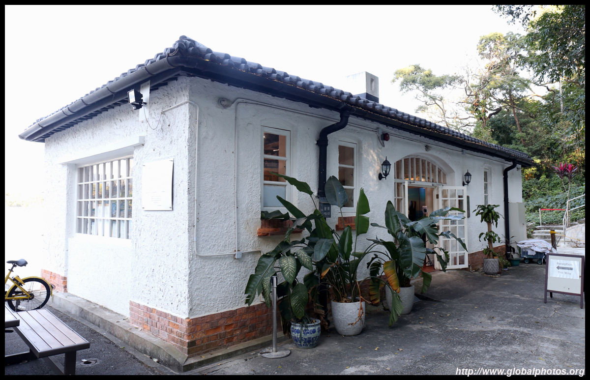
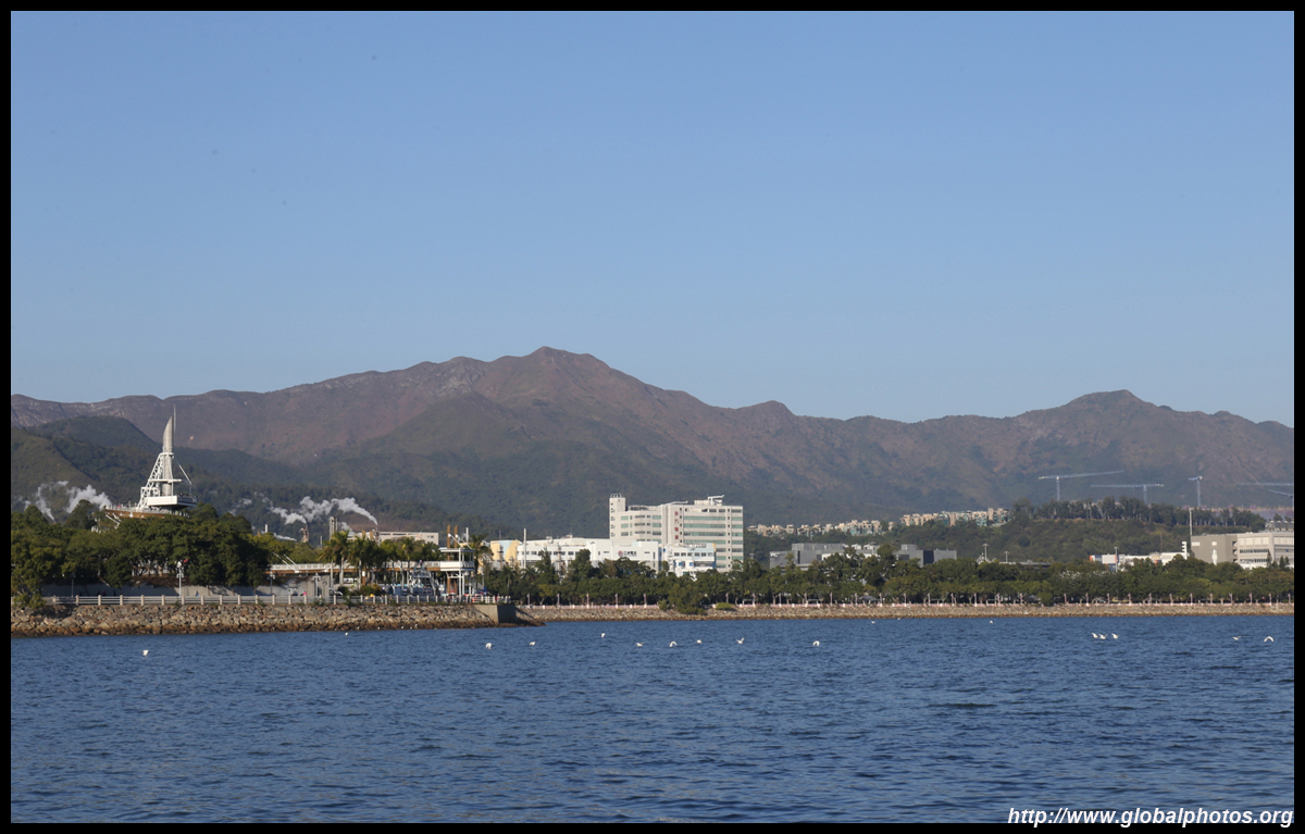
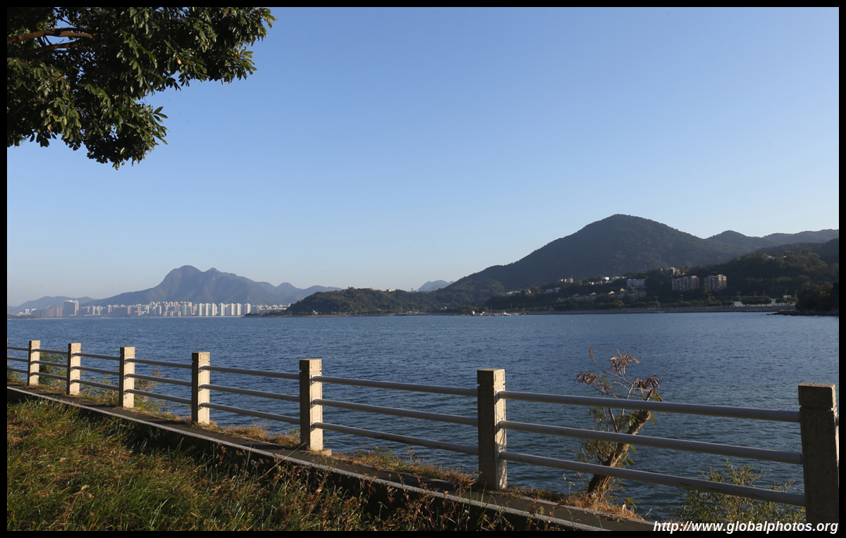
A short walk away towards Tolo Harbour, WWF now occupies Island House, which was built in 1906 as a residence for government workers. The main building uphill was closed due to the coronavirus but the shop and exhibition centre by the coast remained open.
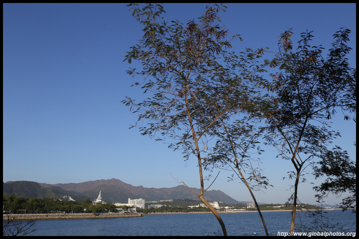
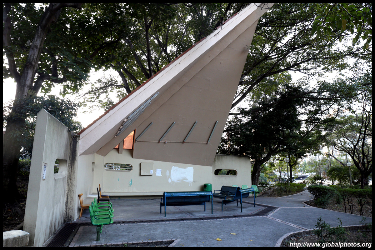
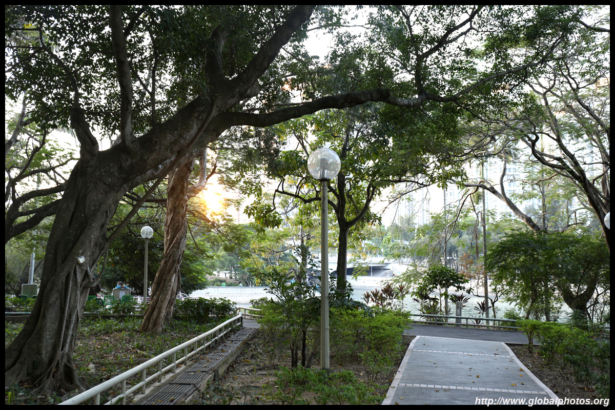
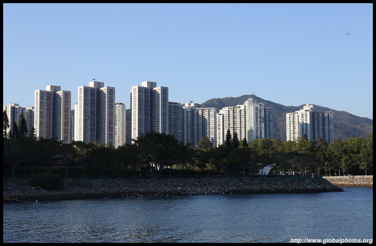
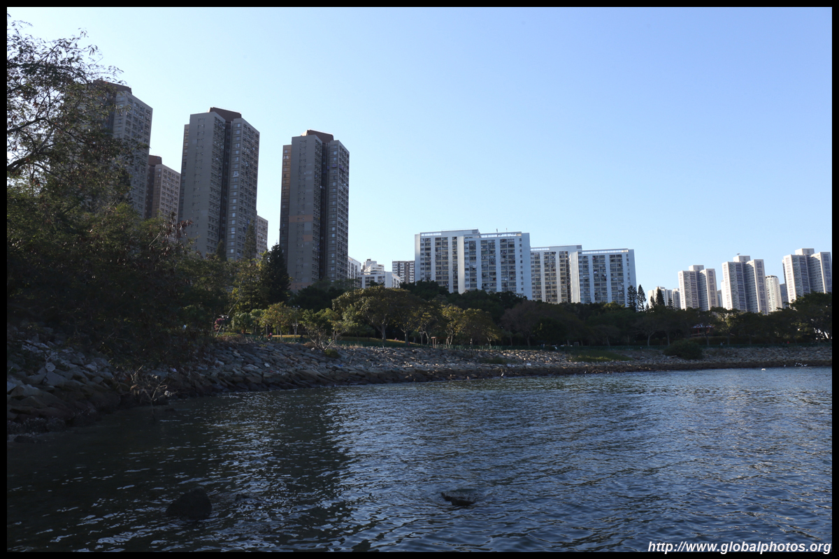
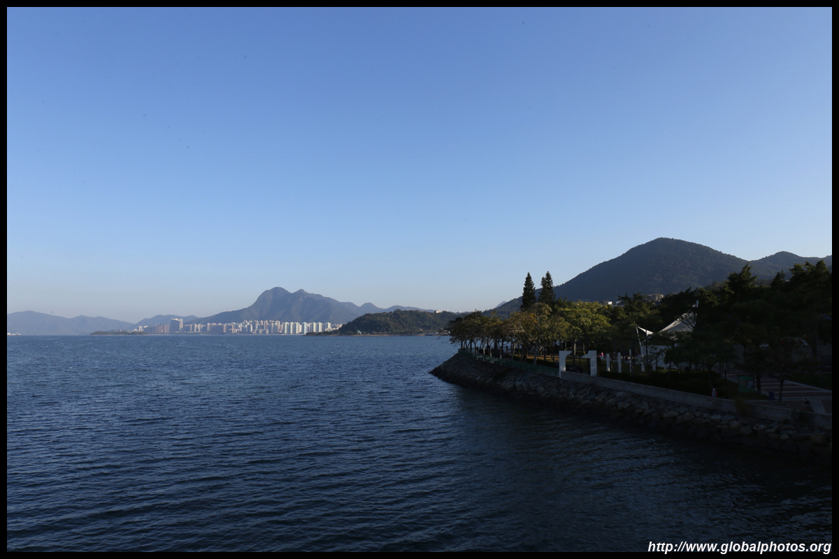
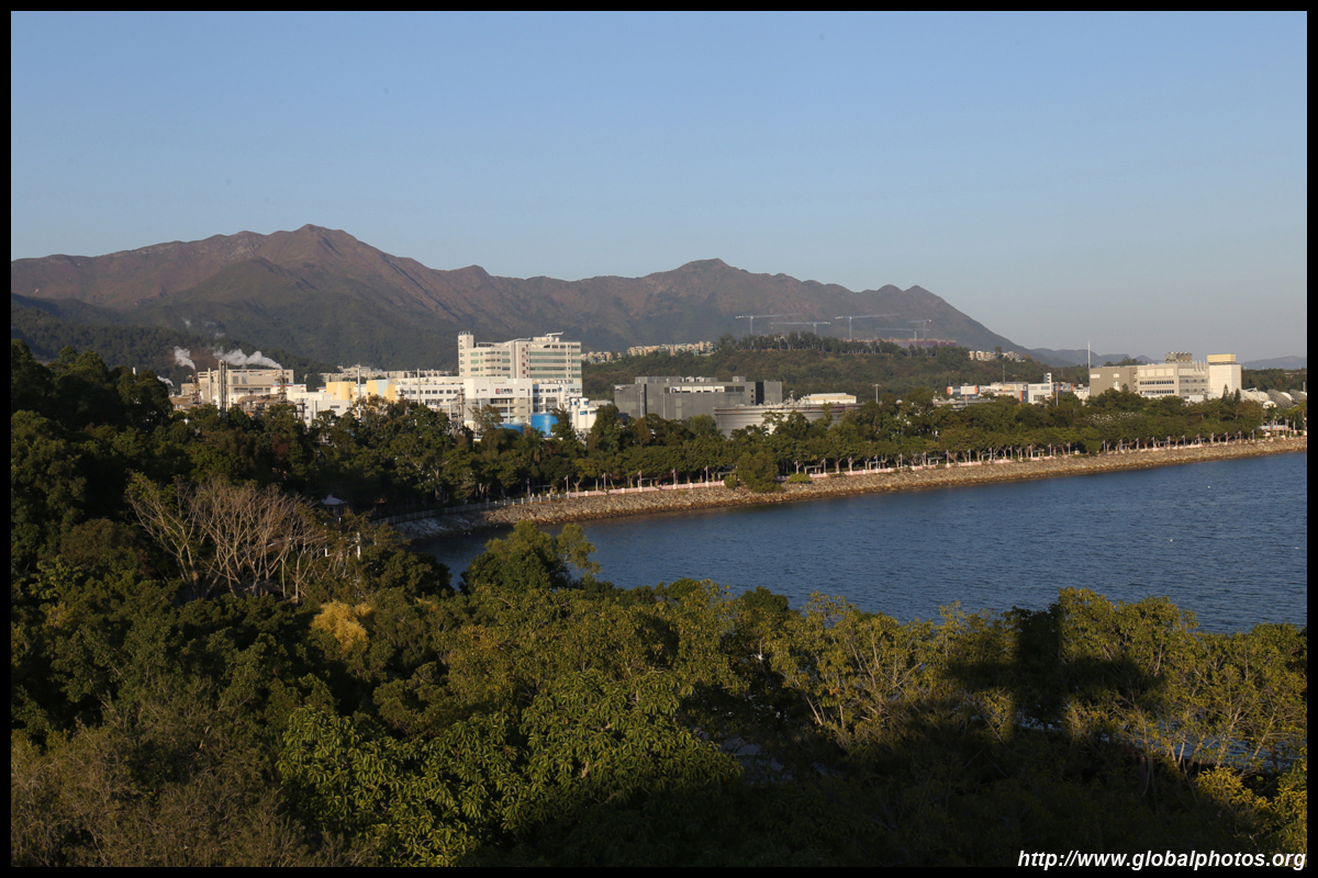
A park extends along the coast from here all the way to the industrial estate at the eastern end of the new town.
| |||
 |
 |
 |
 |
 |
 |
 |
 |
 |
 |
 |
 |
 |
 |
||
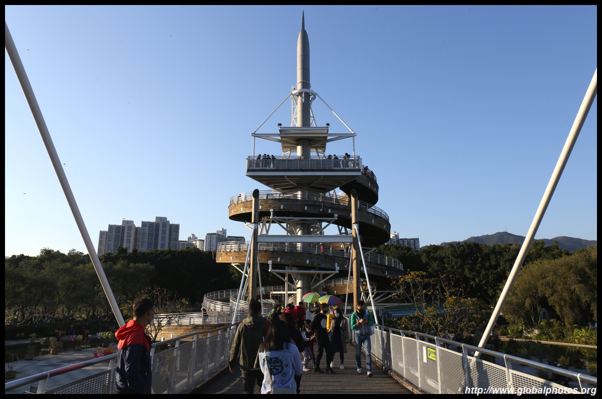
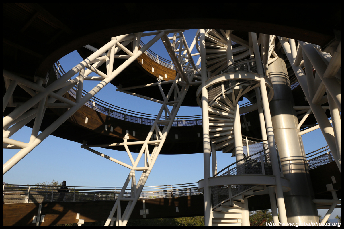
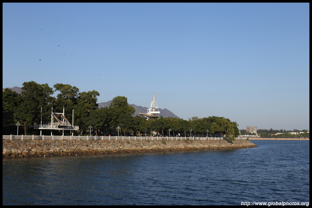
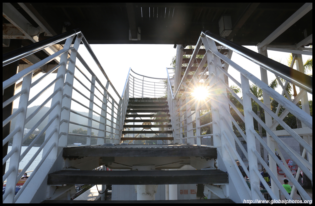
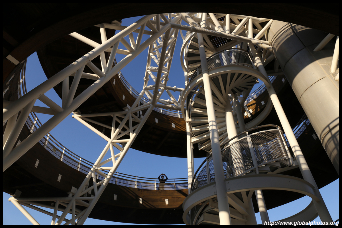
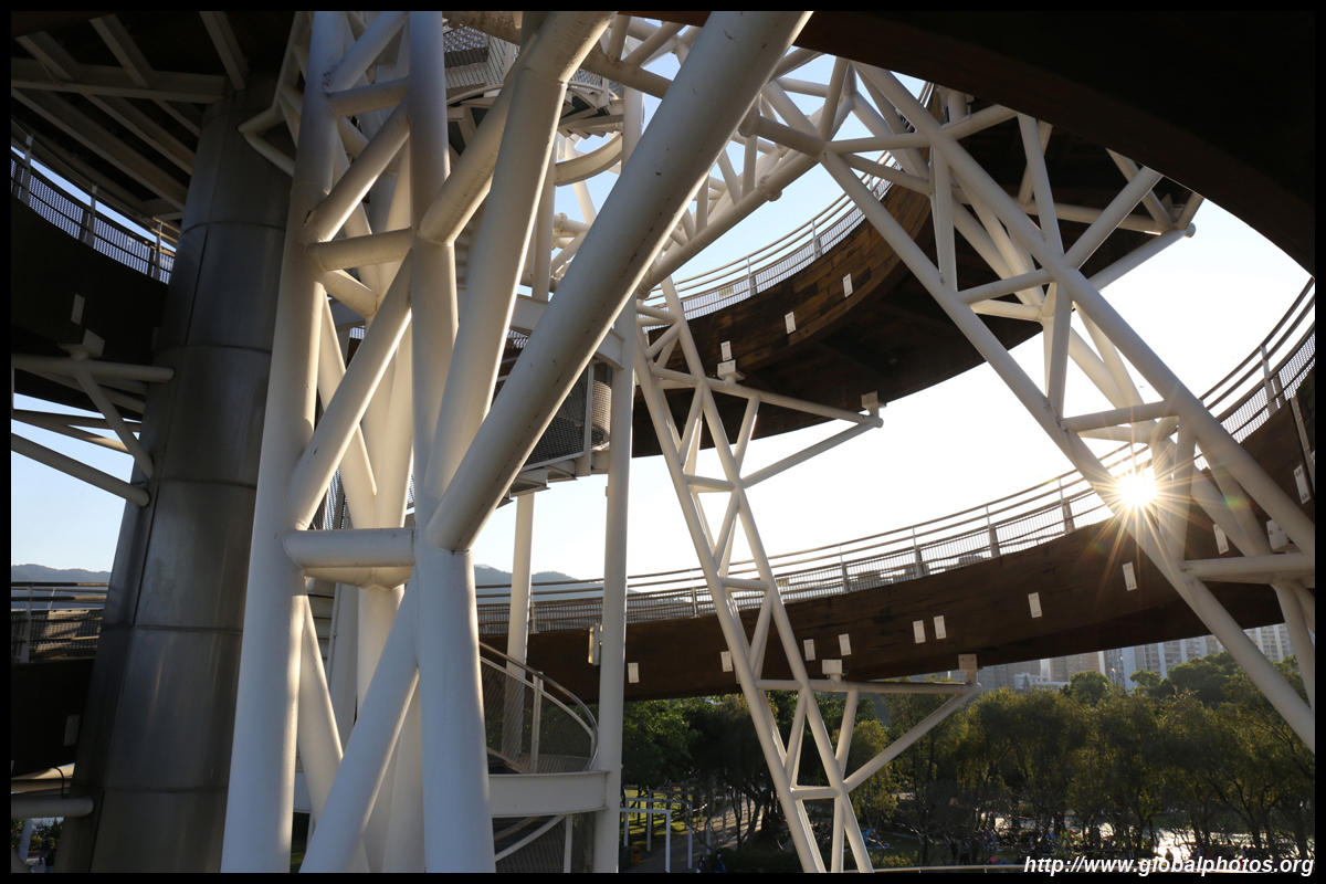
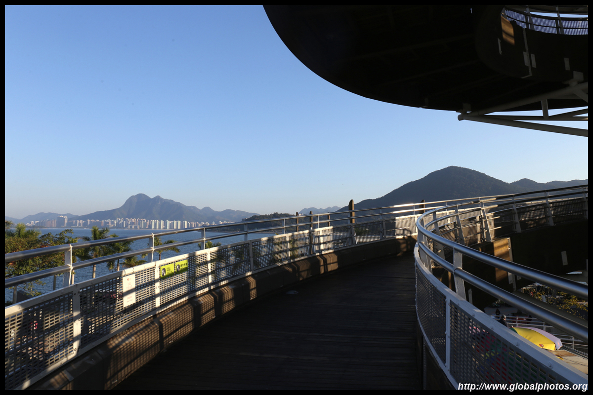
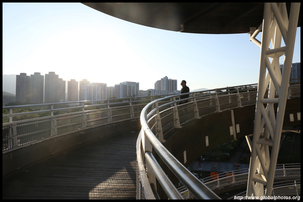
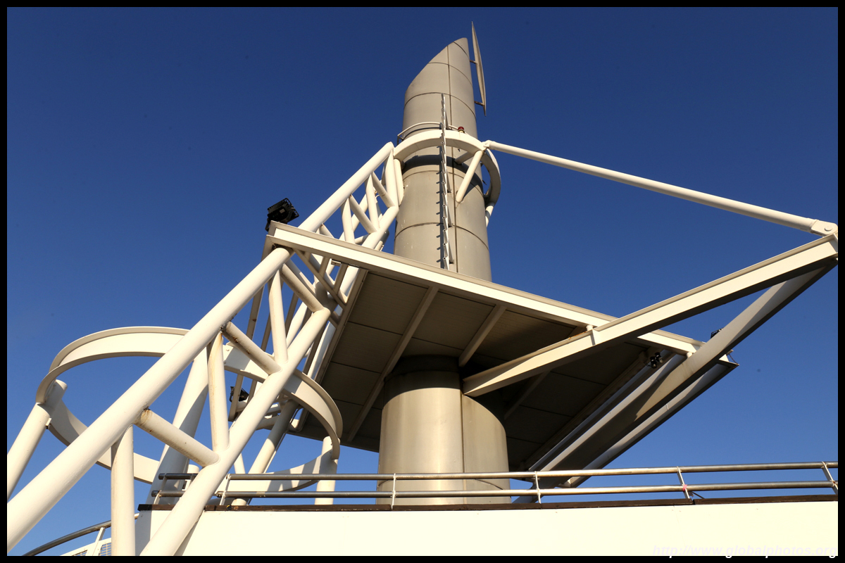
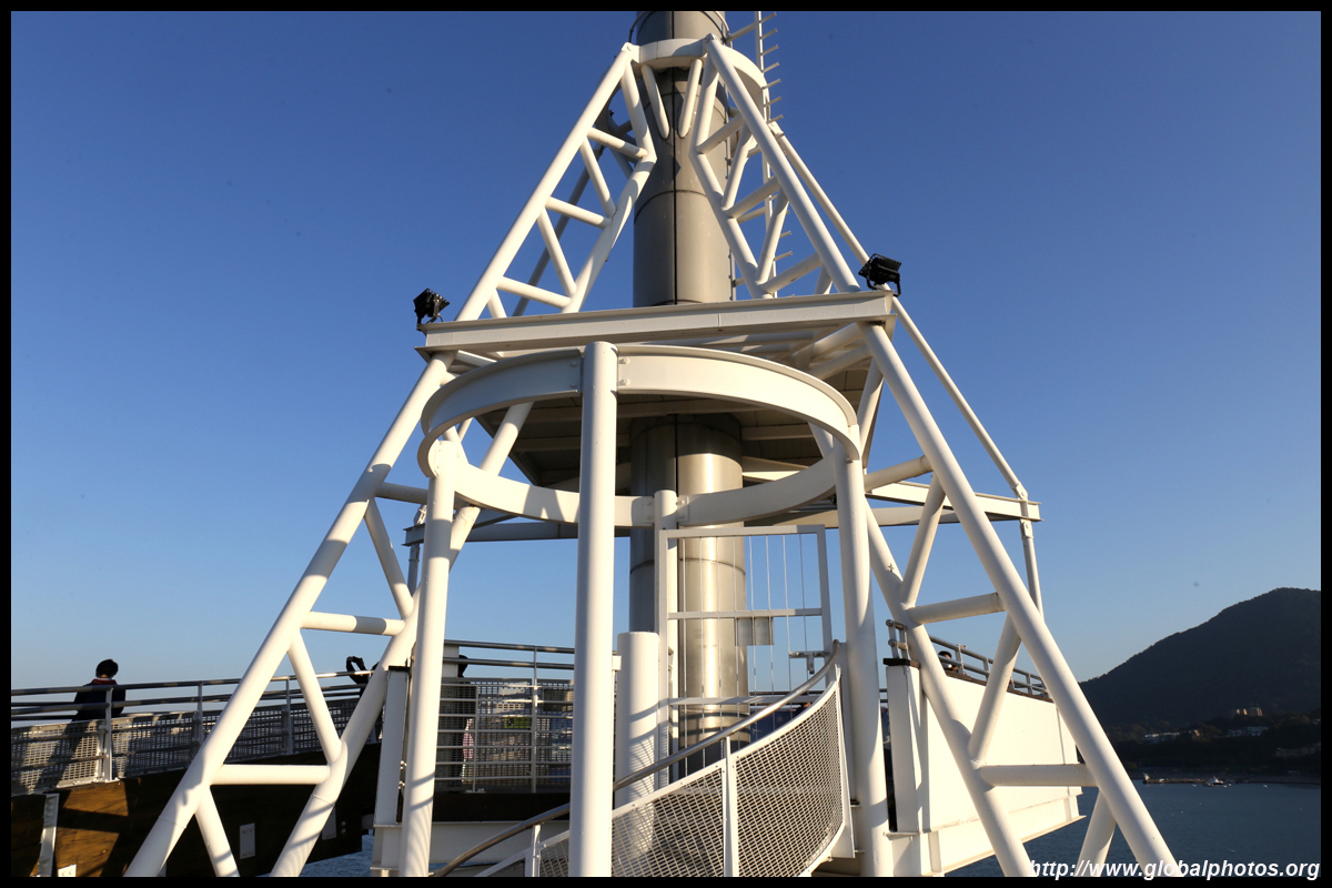
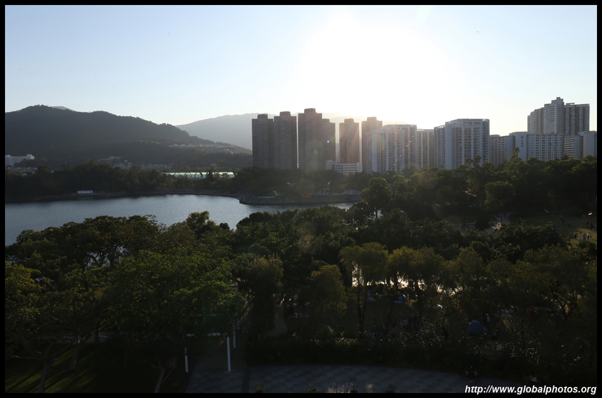
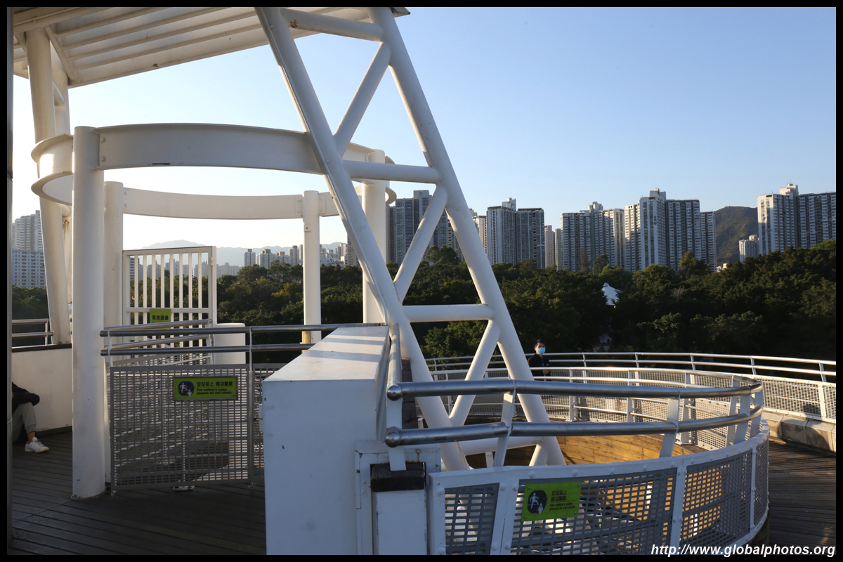
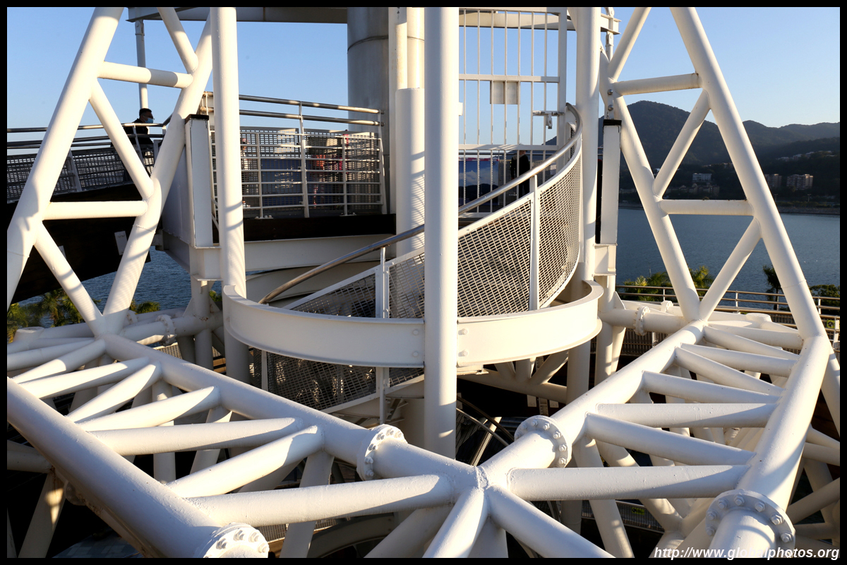
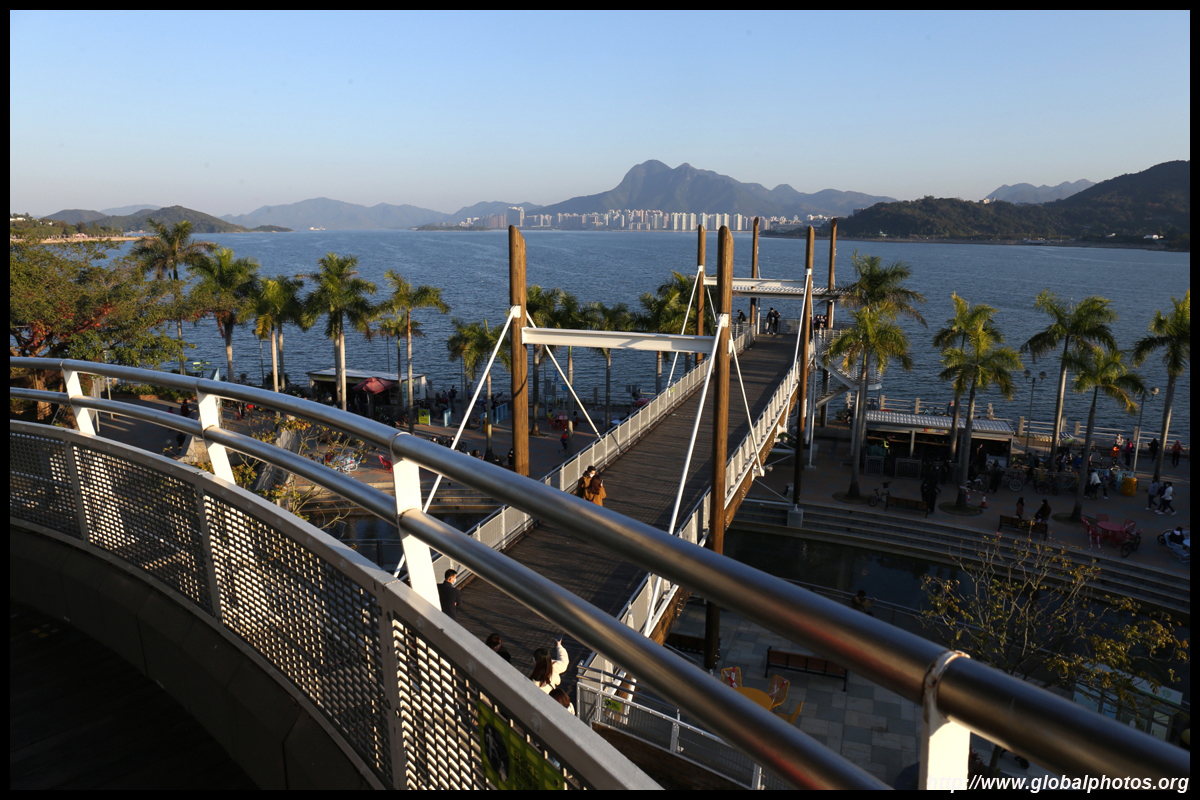
The Spiral Lookout Tower stands at the spot where the British landed to take control of the New Territories. At 32m tall, its ramps lead up to a viewpoint where you can see all the way to Ma On Shan.
| |||
 |
 |
 |
 |
 |
 |
 |
 |
 |
 |
 |
 |
 |
 |
 |
|
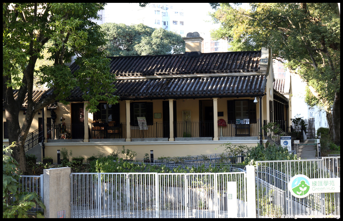
Just a short walk from the train station, the Old Tai Po Police Station is the first permanent police station in the New Territories, and saw the British flag raised when the New Territories was leased from China in 1899. It closed in 1987 and has since been repurposed into Green Hub, which promotes sustainable living.
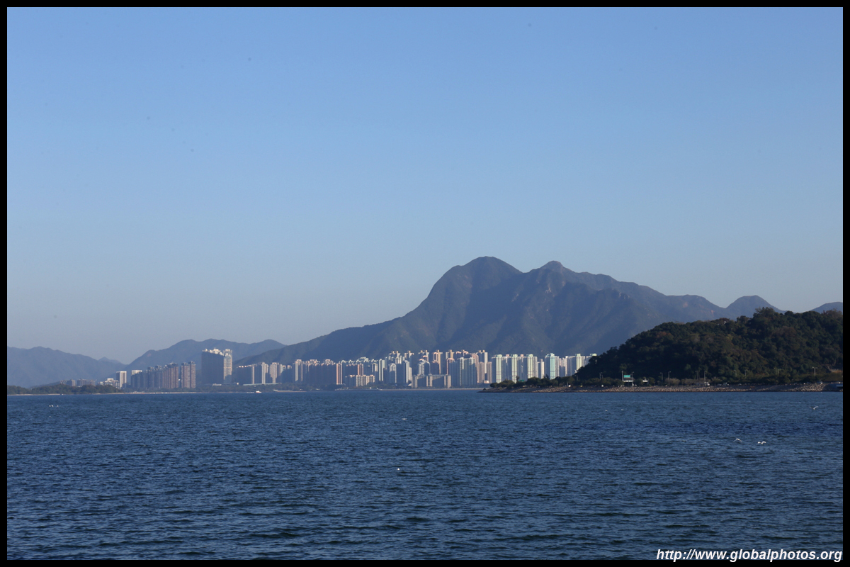
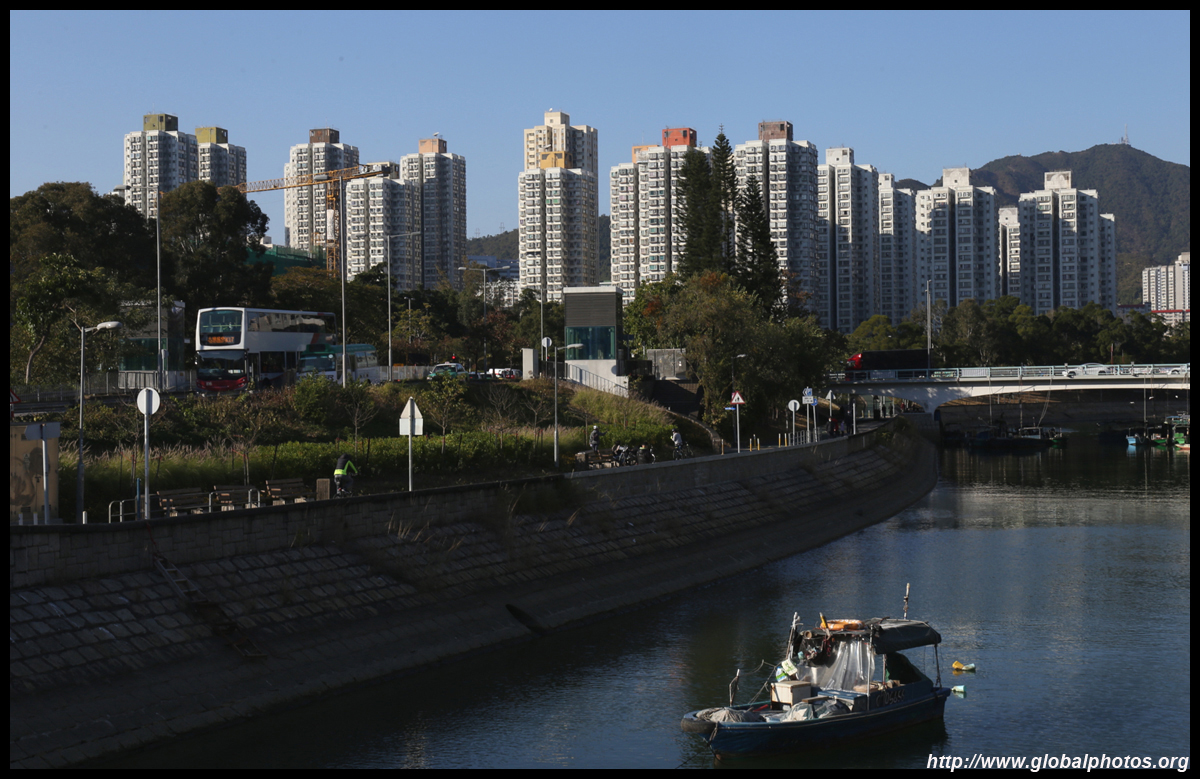
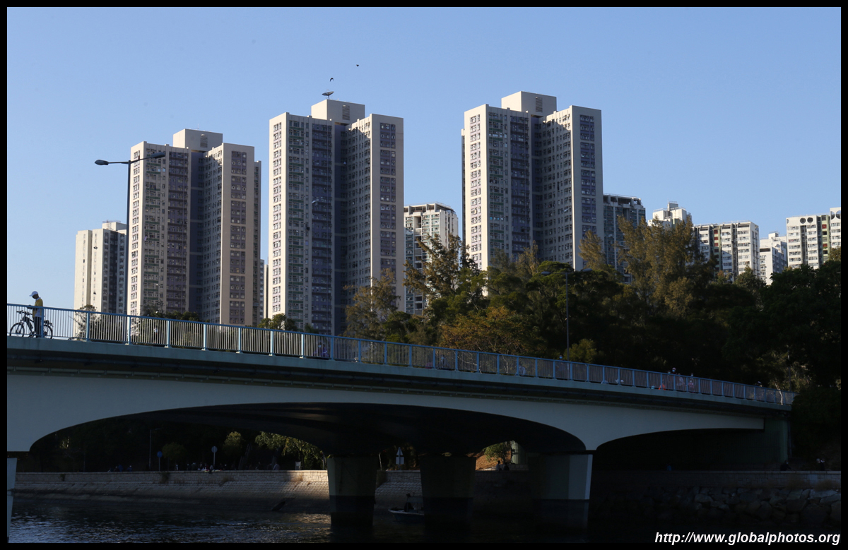
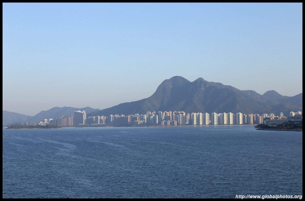
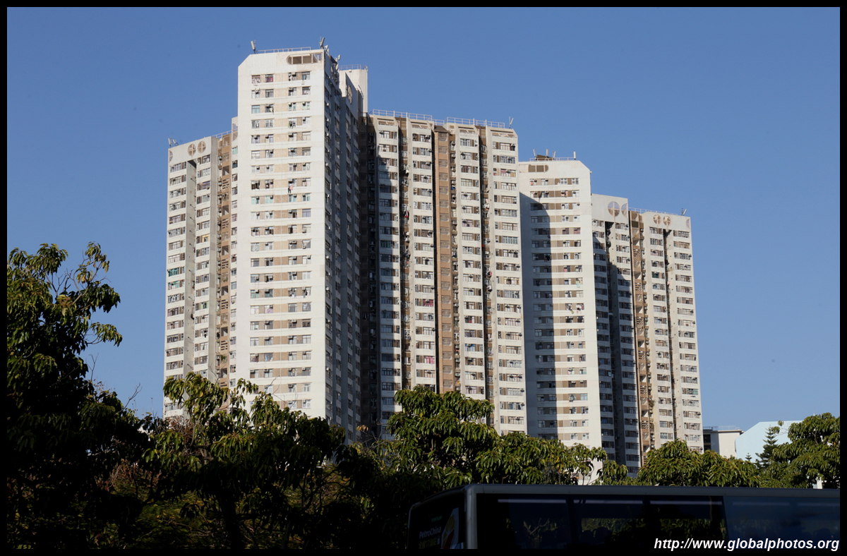
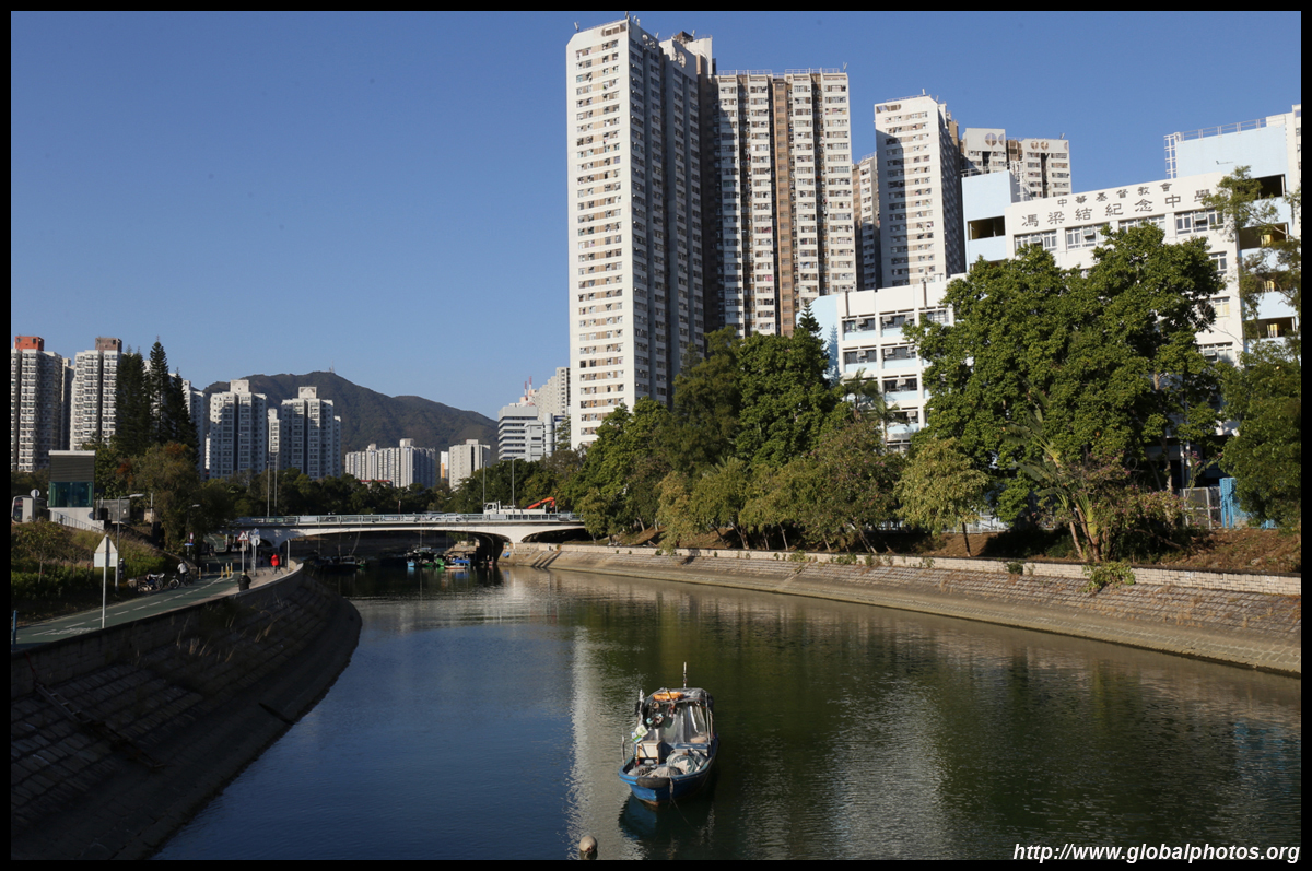
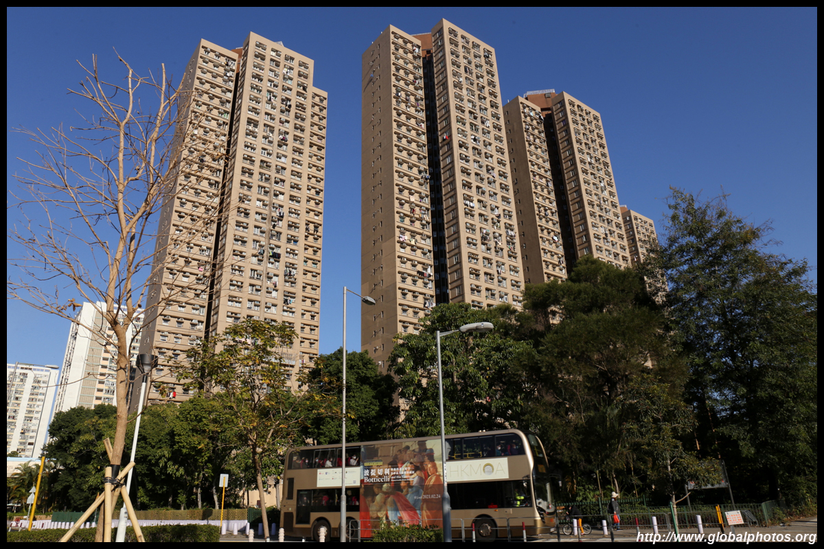
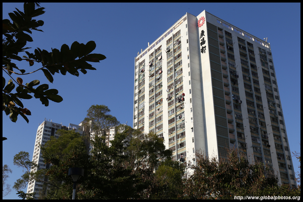
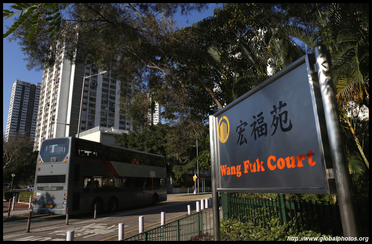
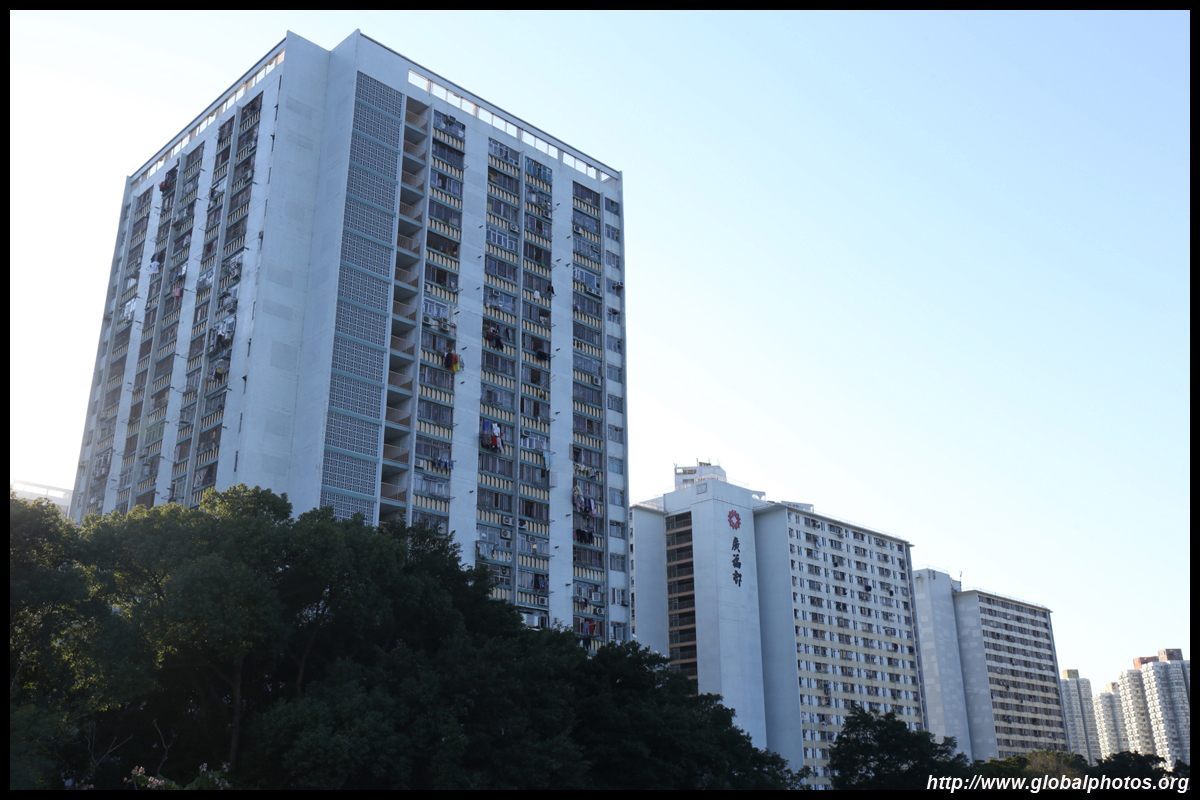
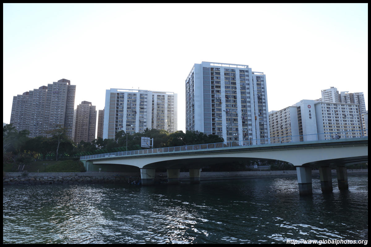
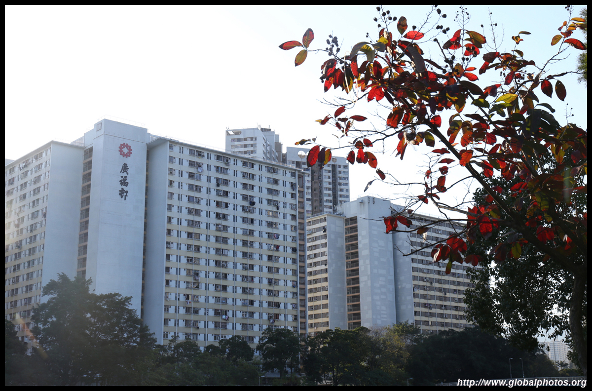
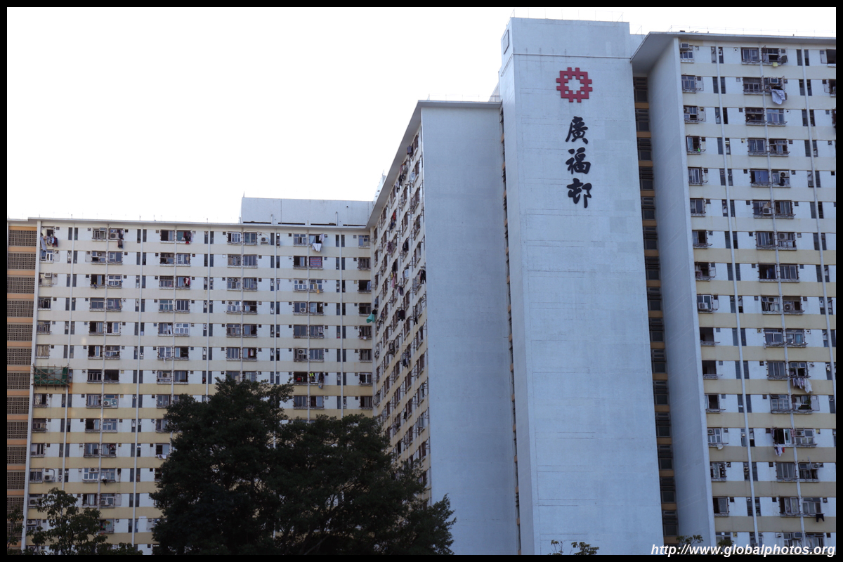
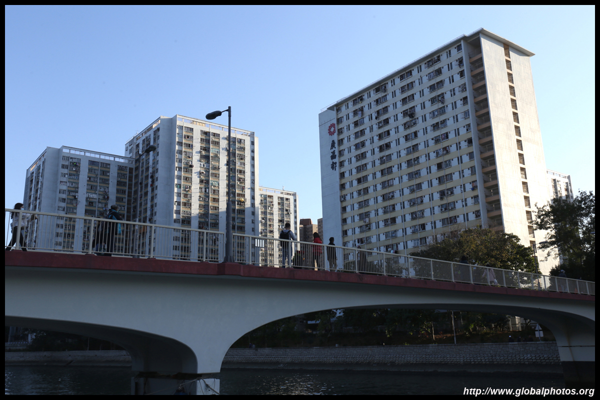
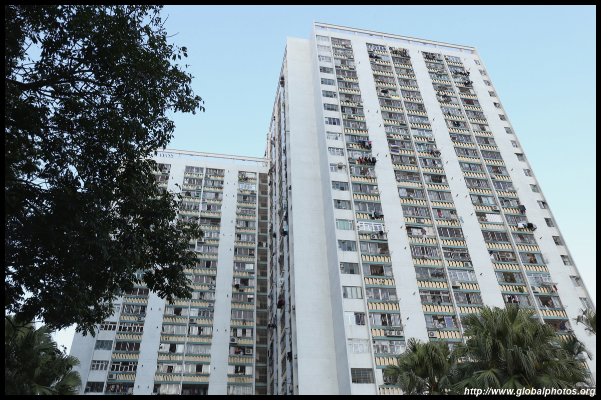
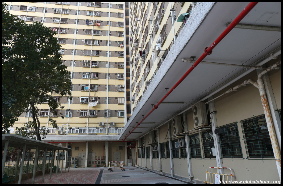
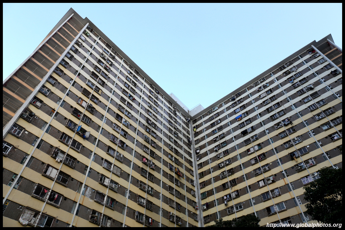
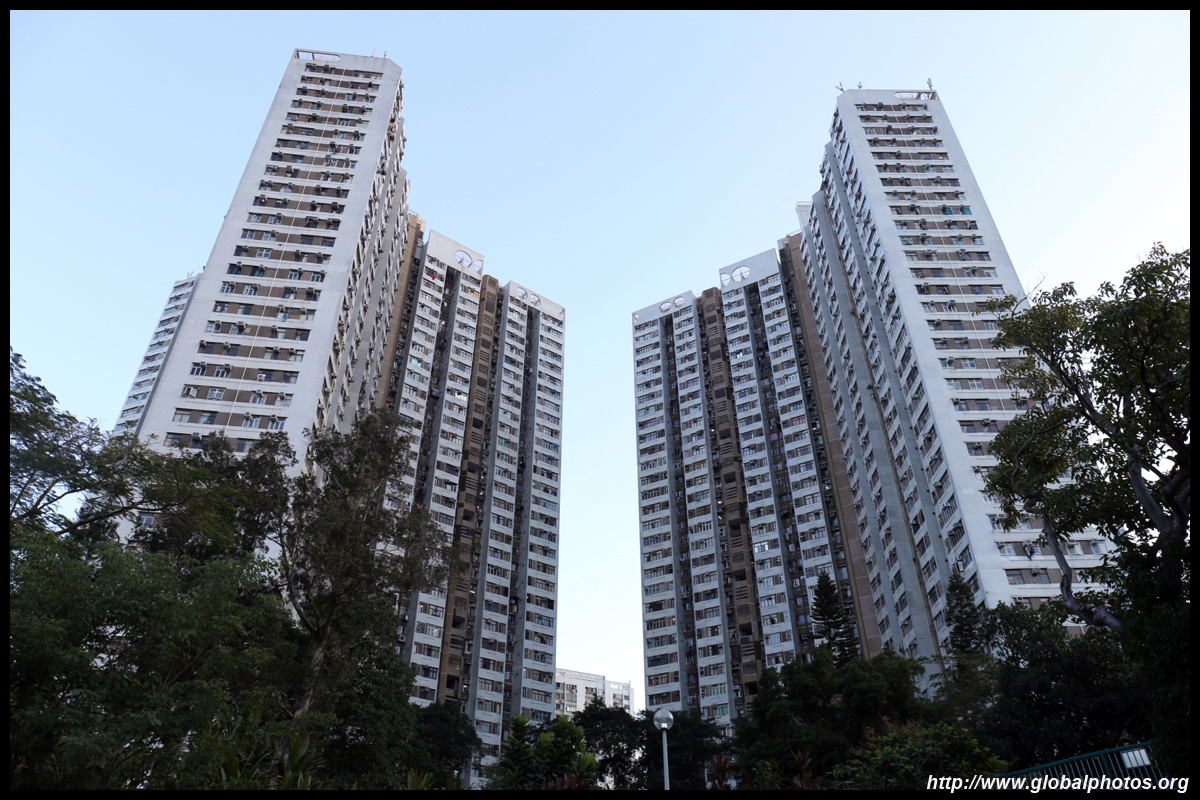
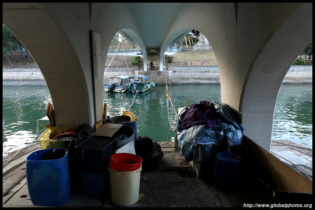
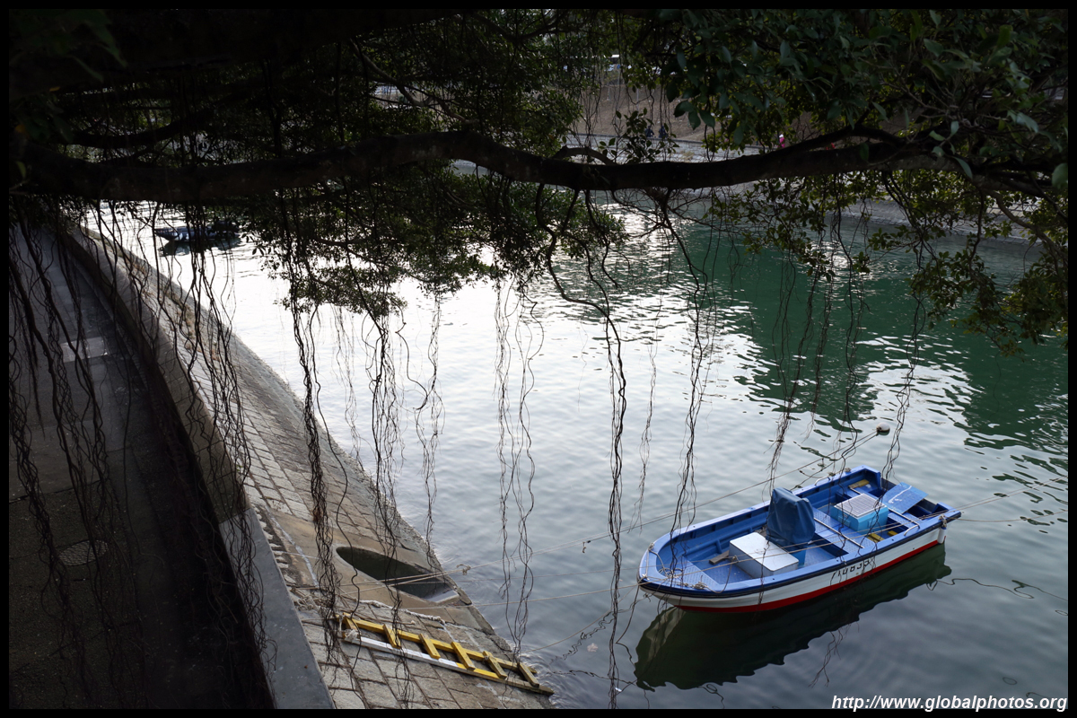
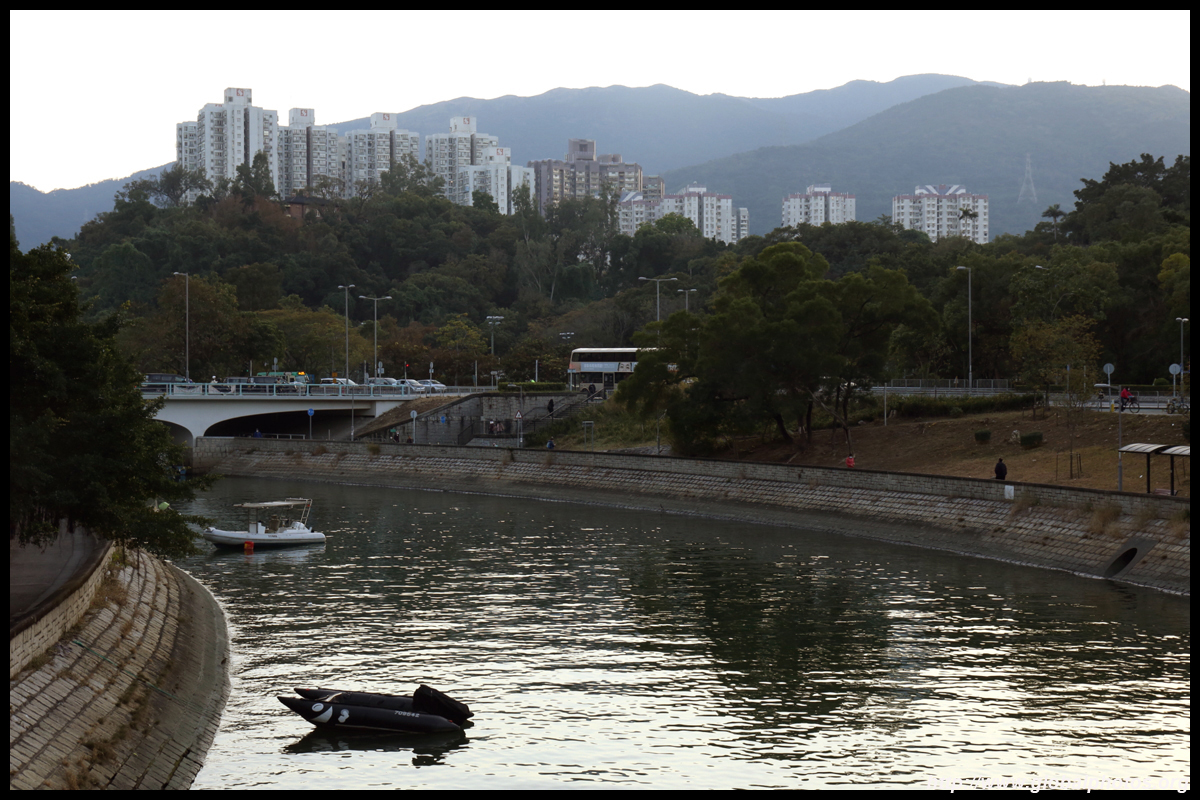
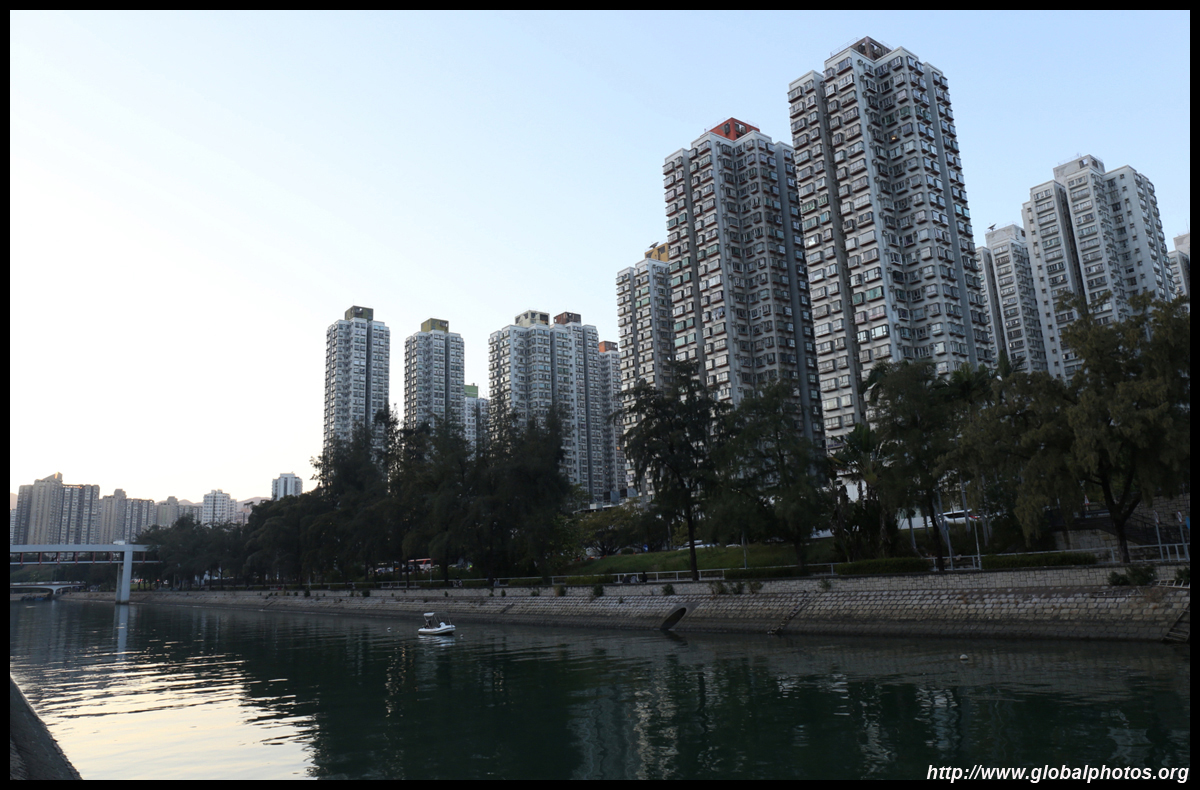
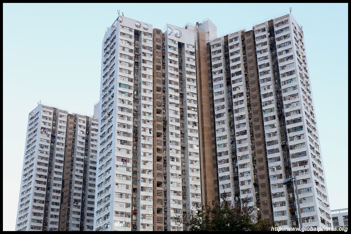
With rivers feeding into Tolo Harbour, even some public housing blocks have water views.
| |||
 |
 |
 |
 |
 |
 |
 |
 |
 |
 |
 |
 |
 |
 |
 |
 |
 |
 |
 |
 |
 |
 |
 |
 |
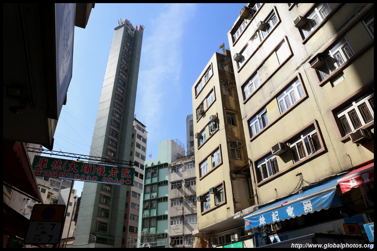
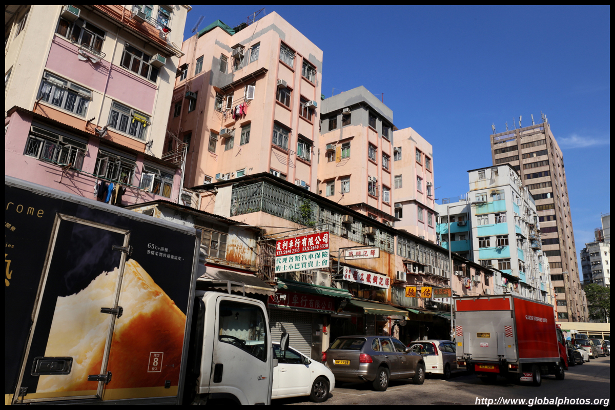
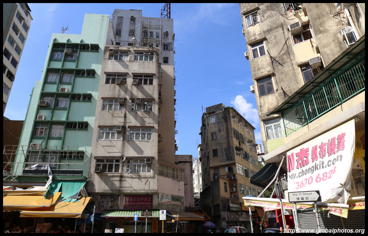
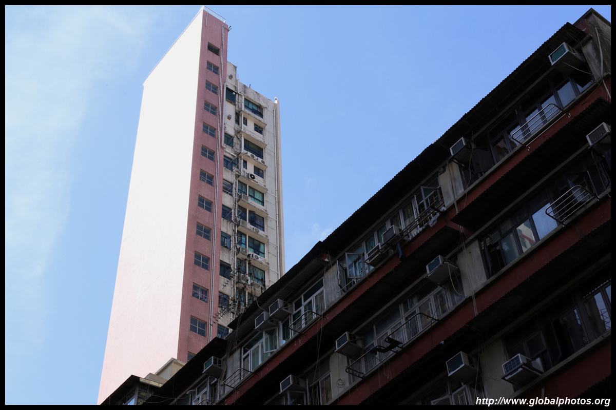
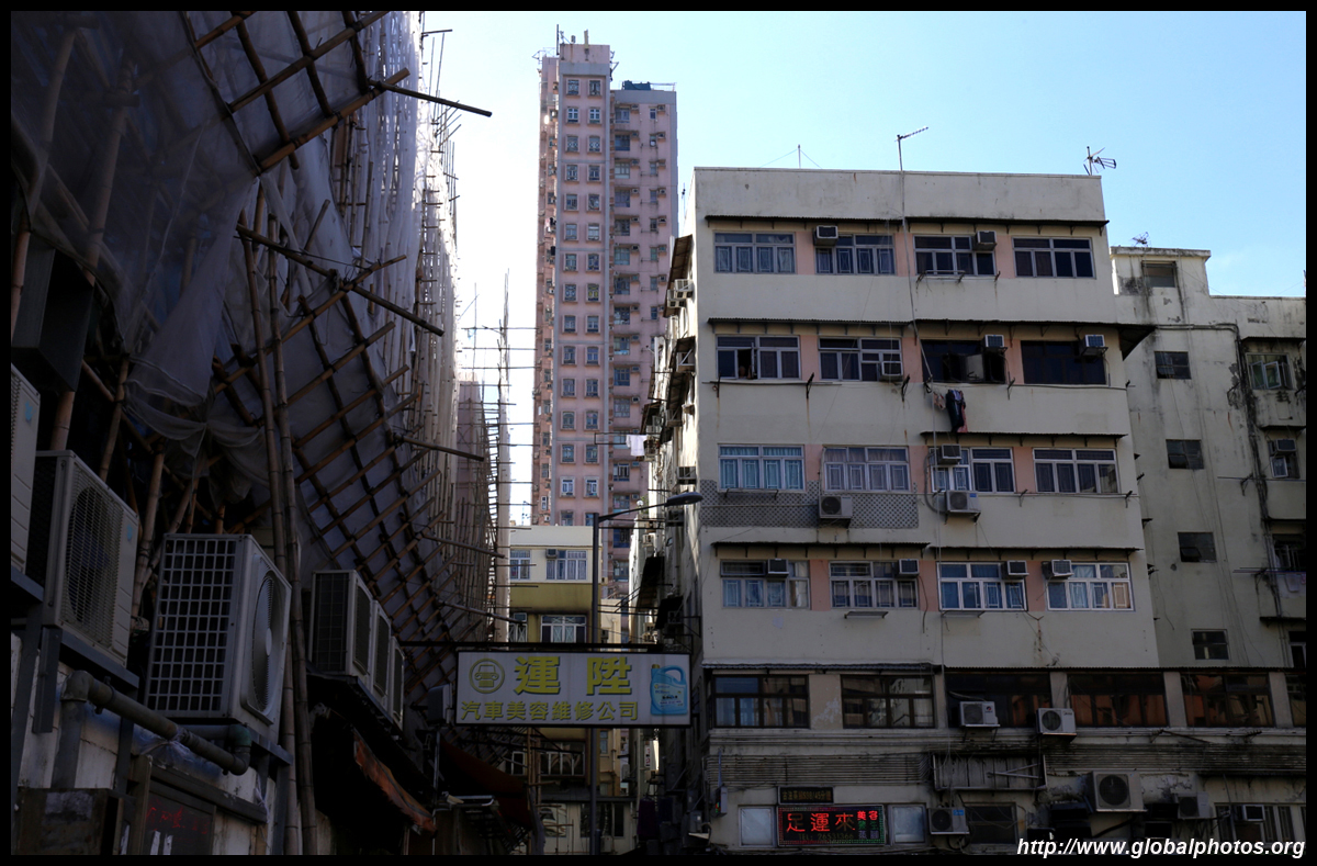
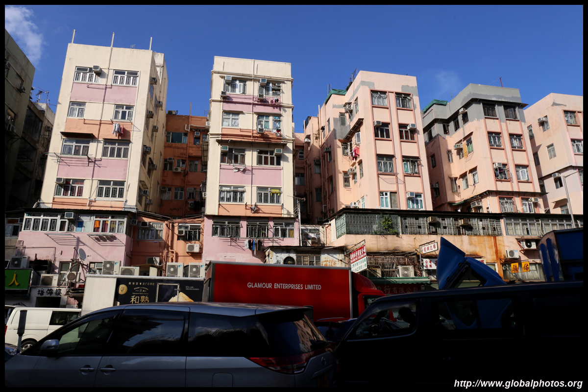
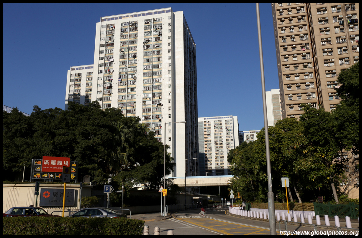
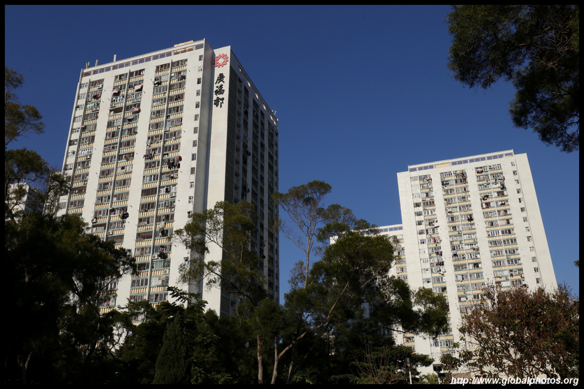
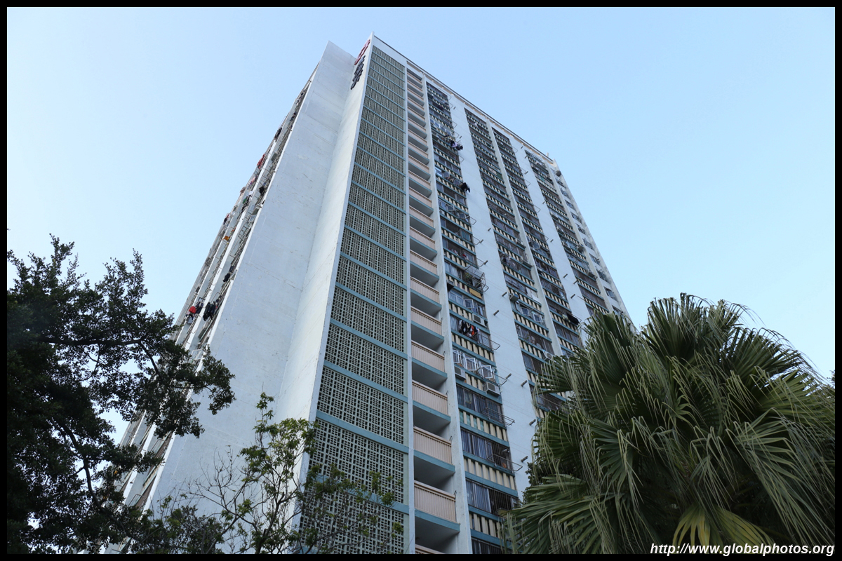
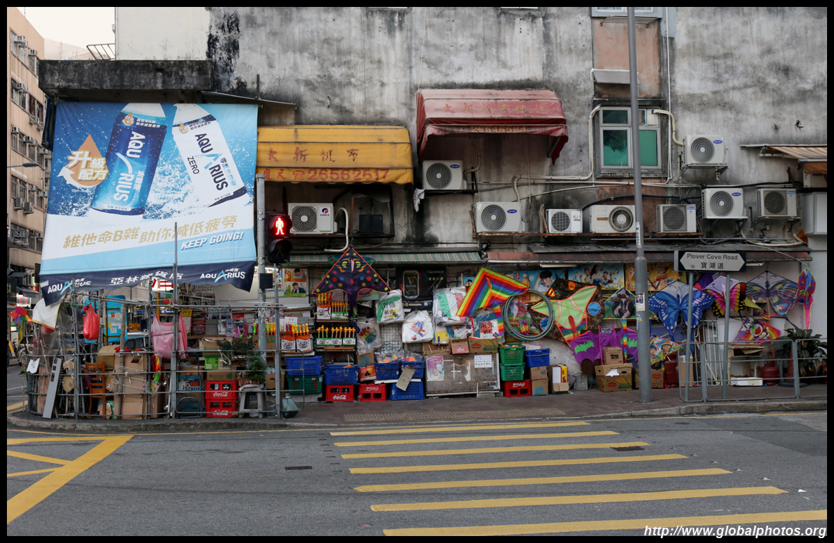
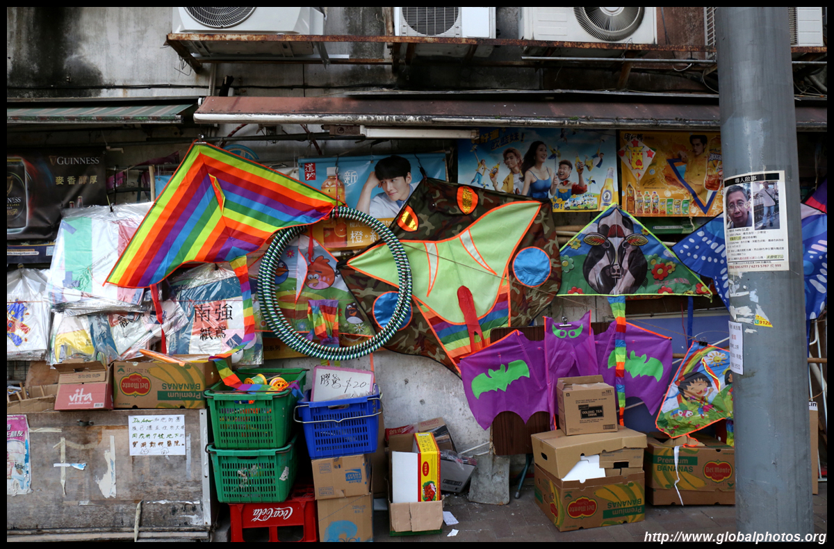
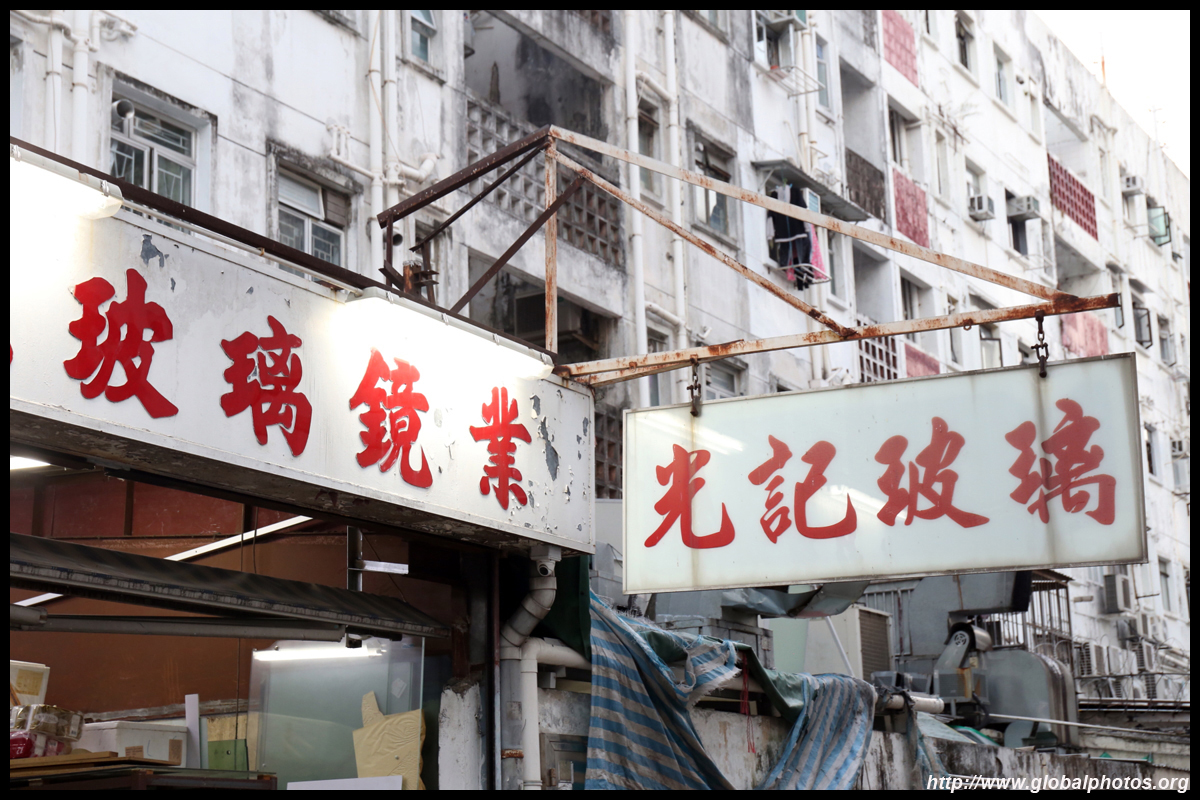
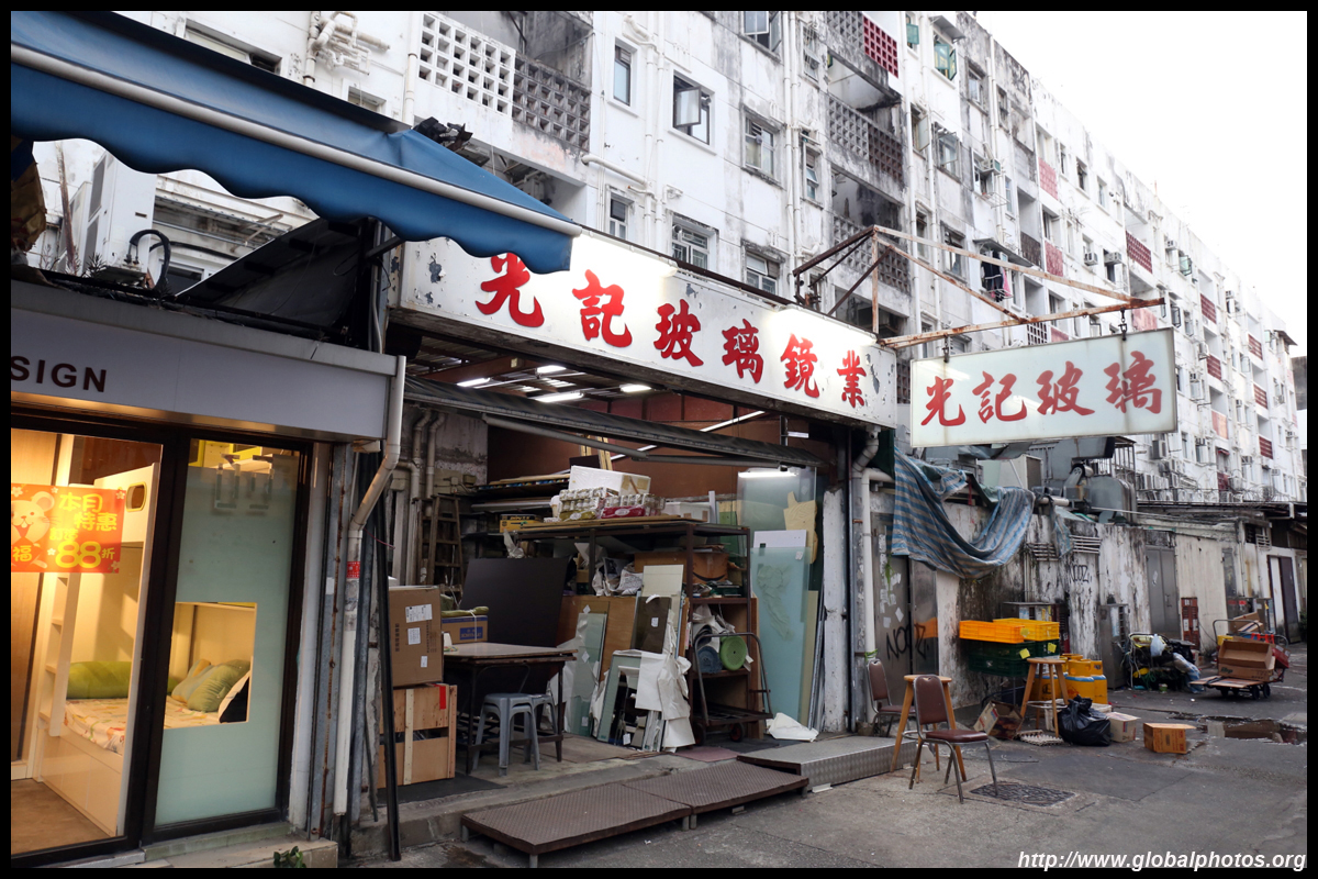
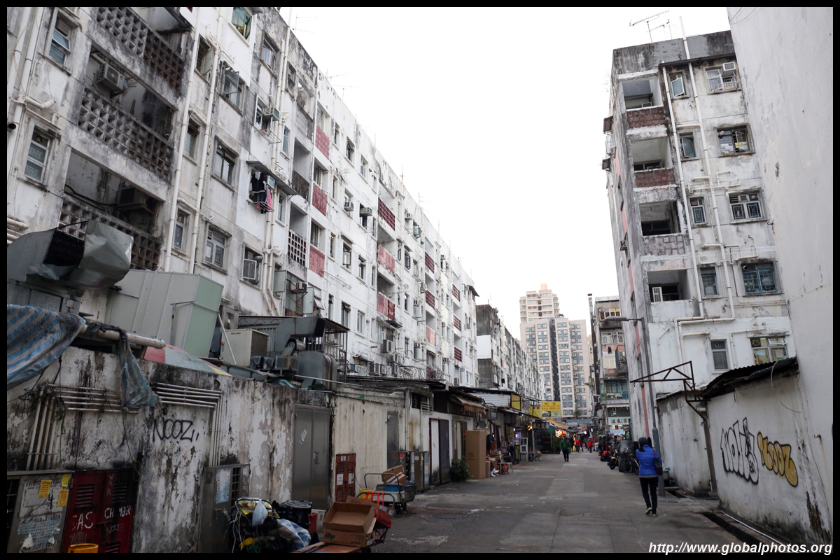
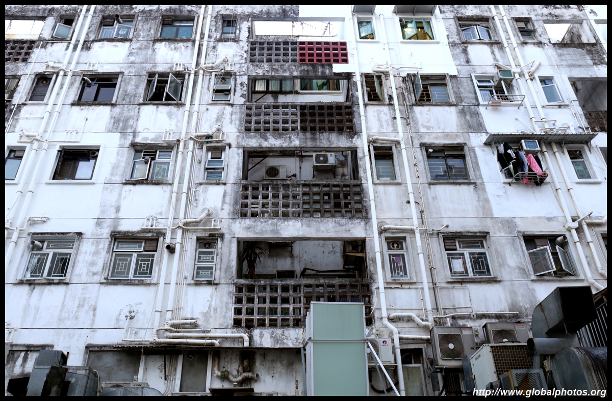
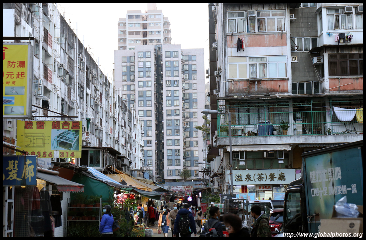
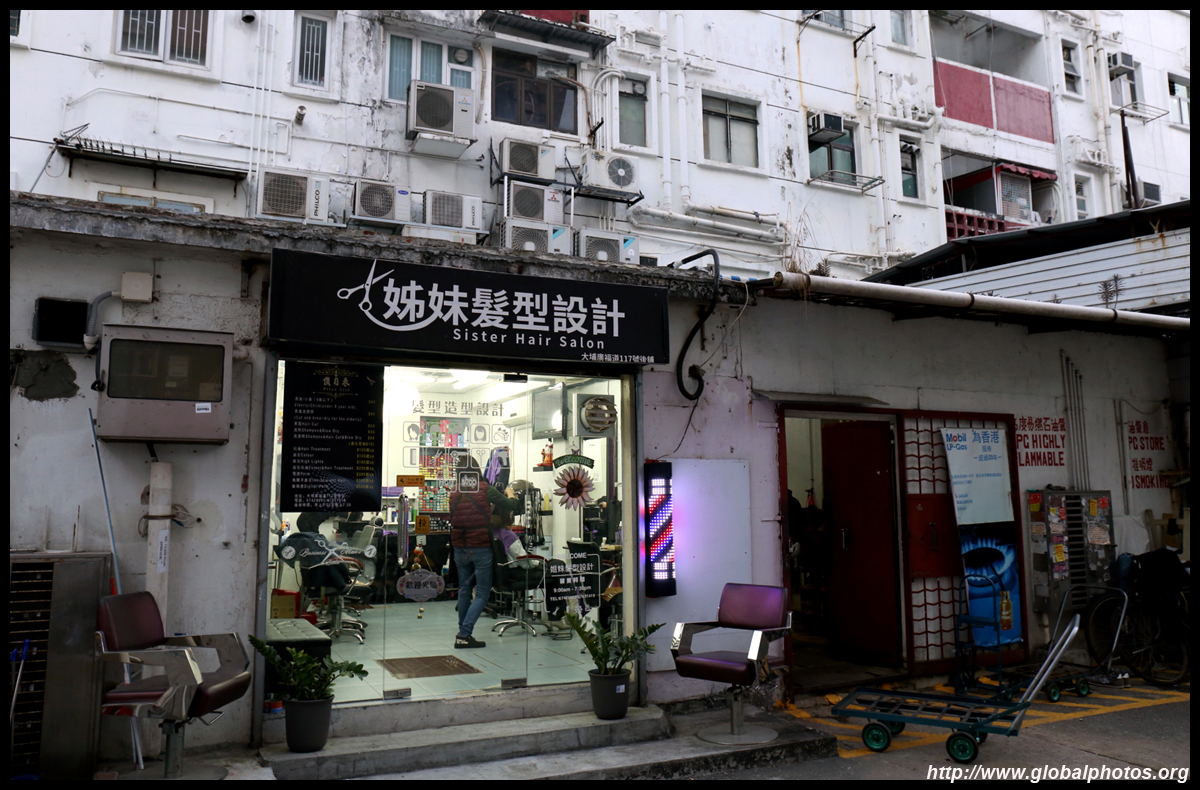
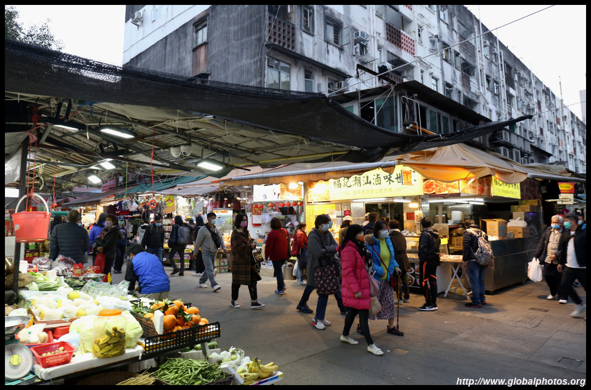
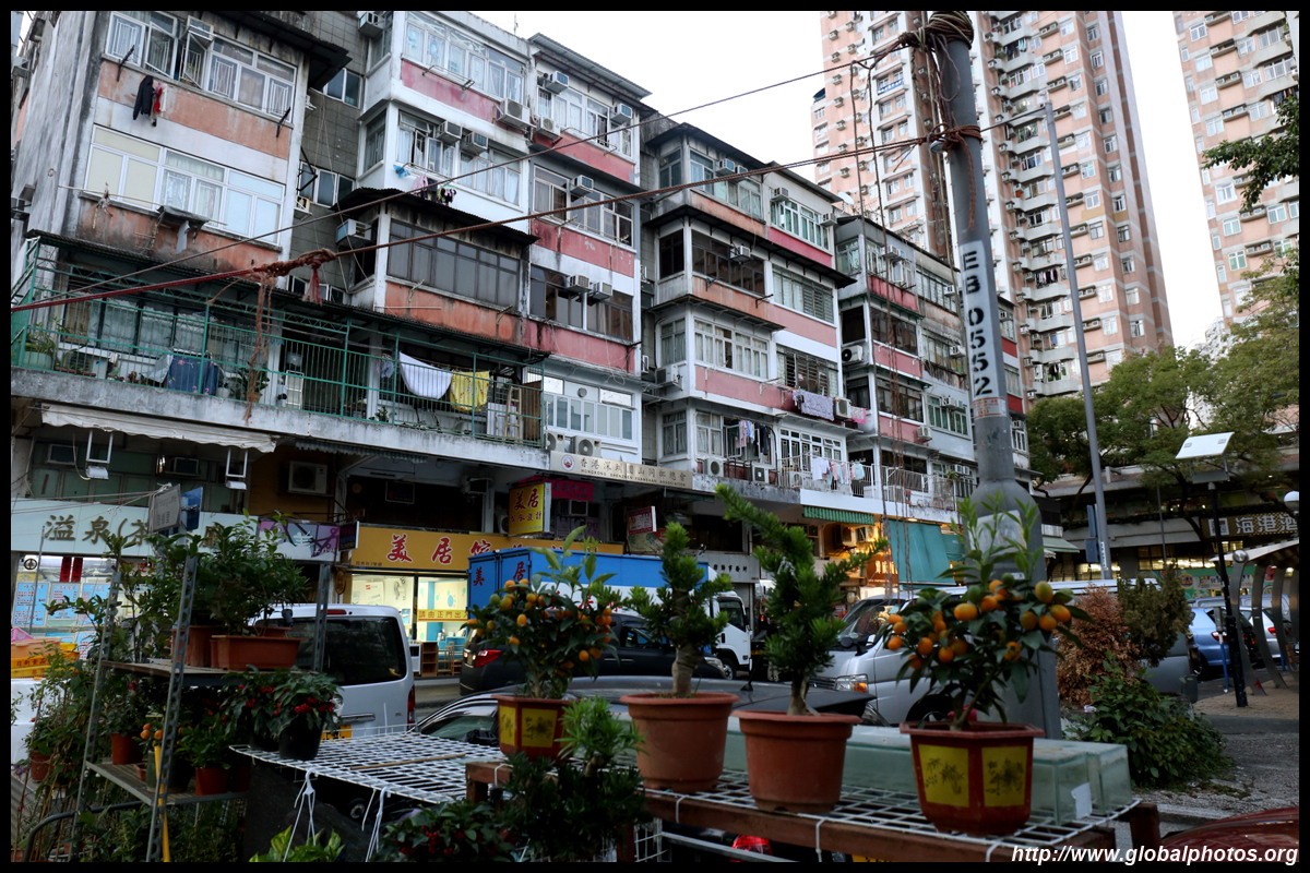
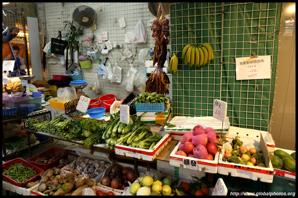
The area around Kwong Fuk Road is a busy market with many older buildings and street-level shopping mixed with gritty residentials.
| |||
 |
 |
 |
 |
 |
 |
 |
 |
 |
 |
 |
 |