Hong Kong Photo Gallery - Tung Ping Chau

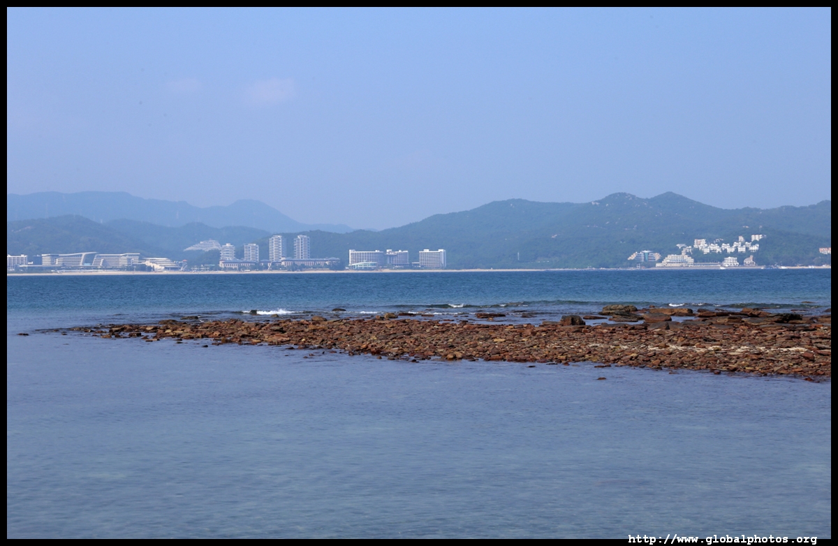
Located in the far eastern stretches where you can spot China's coastline more readily than the rest of Hong Kong, Tung Ping Chau is a remote island that takes 1.5 hours by ferry from the city. This place is famous for rock formations and is a popular weekend day trip. In recent years, it has gotten so busy that the ferry company even allows online pre-booking to avoid disappointment. It wasn't long ago when smugglers frequented these waters and refugees fleeing mainland China tried to swim here looking for a new life.
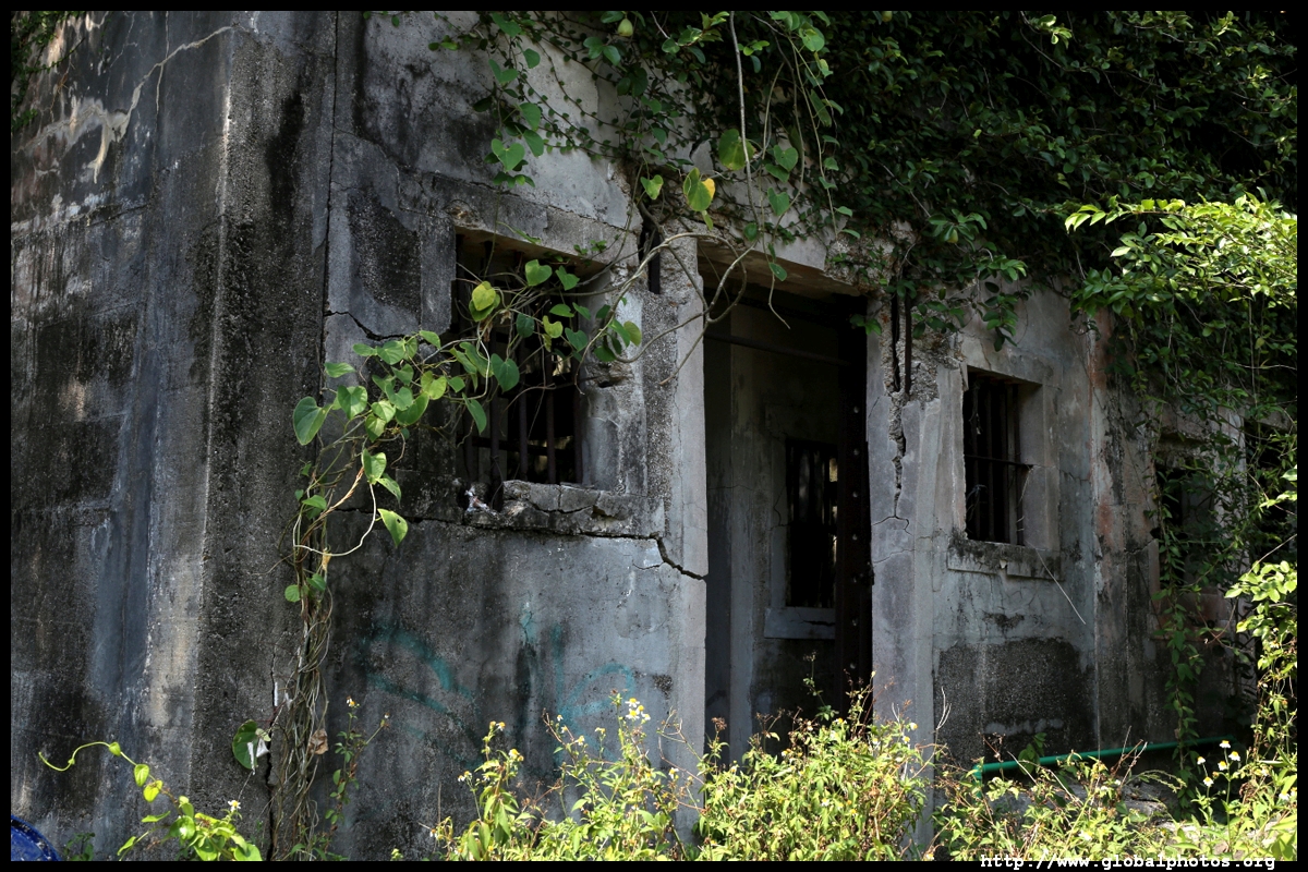
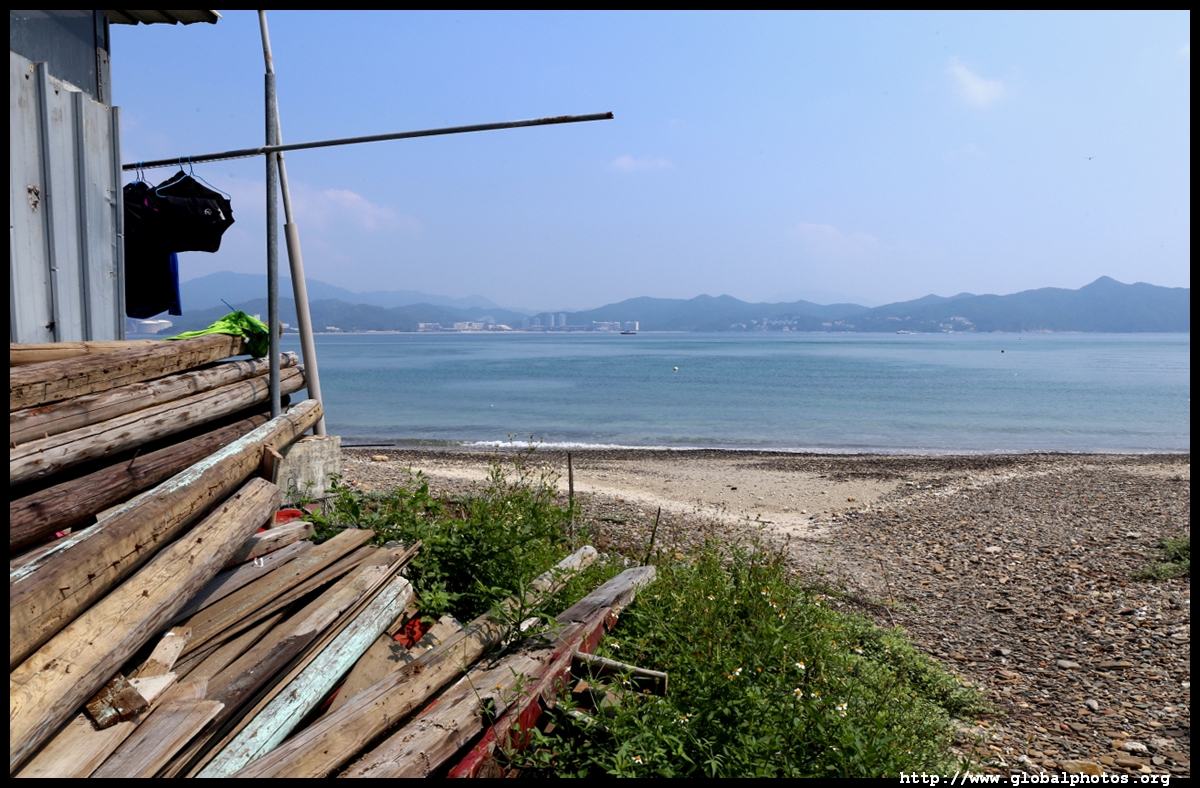
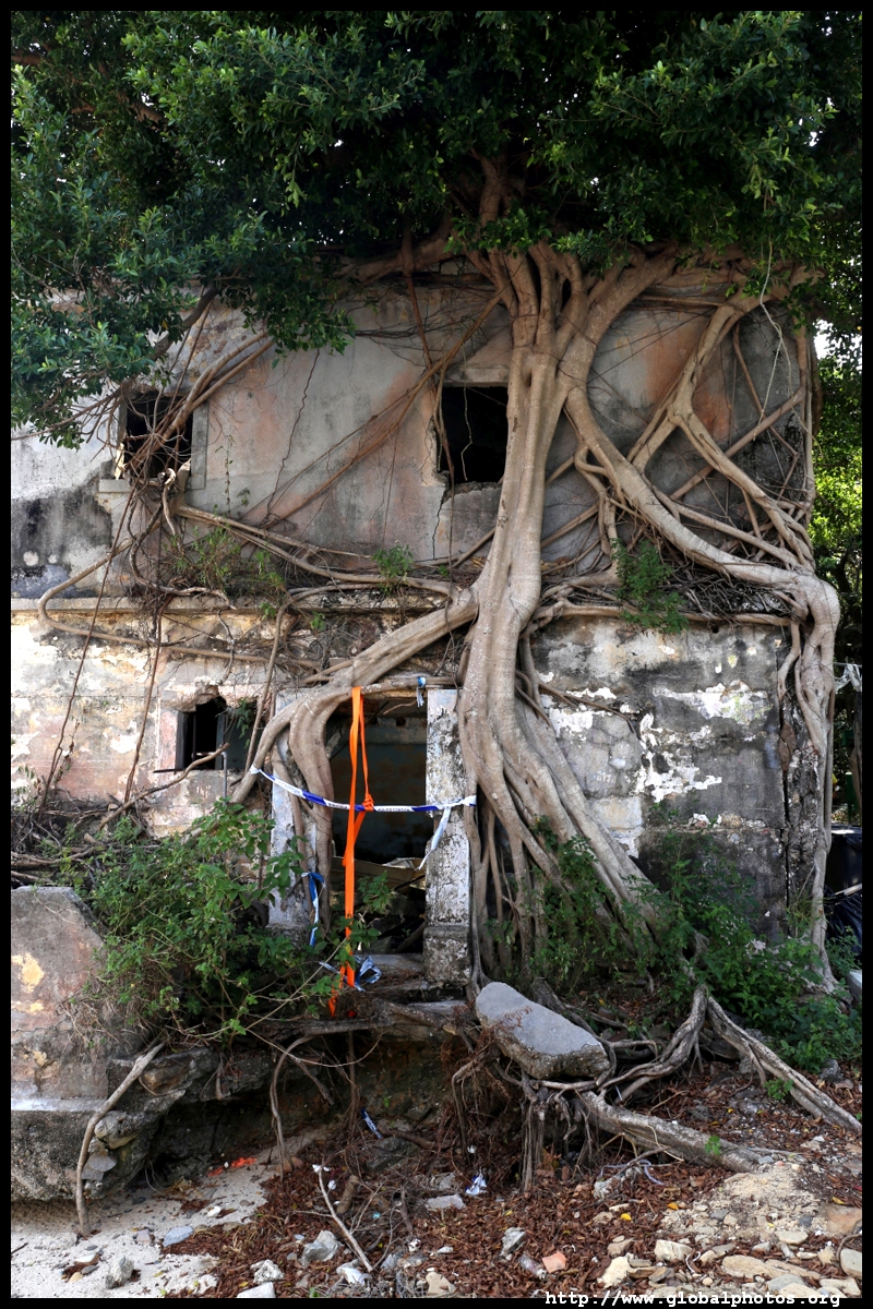
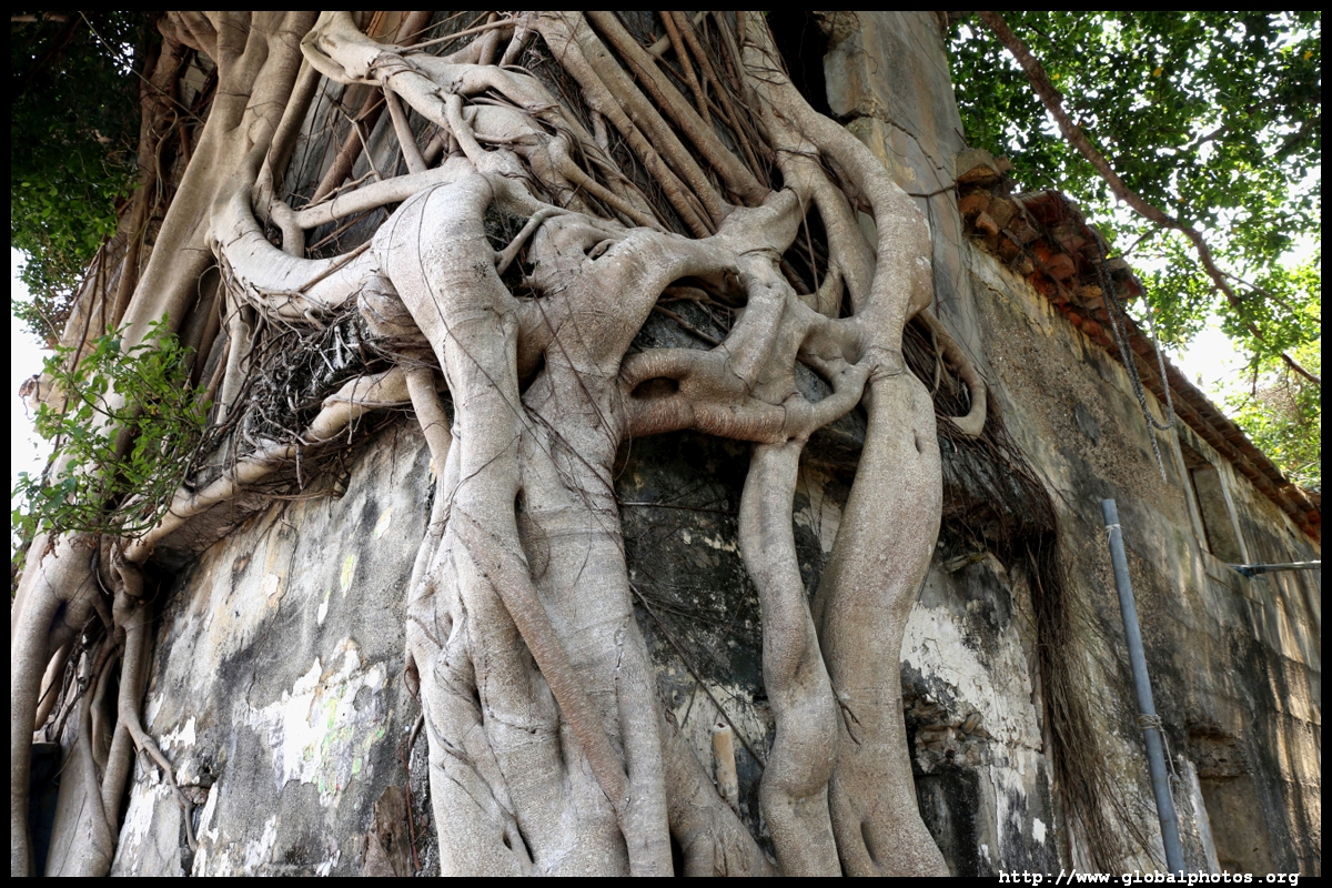
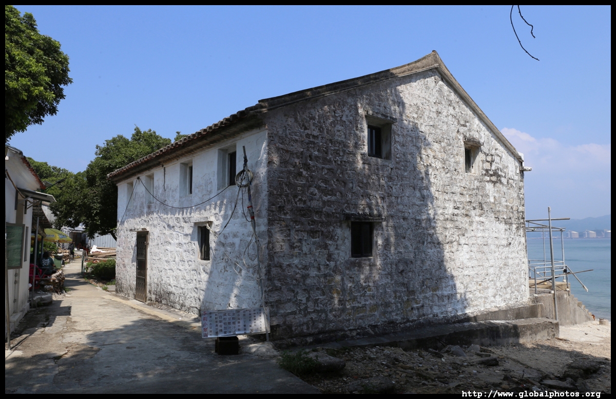
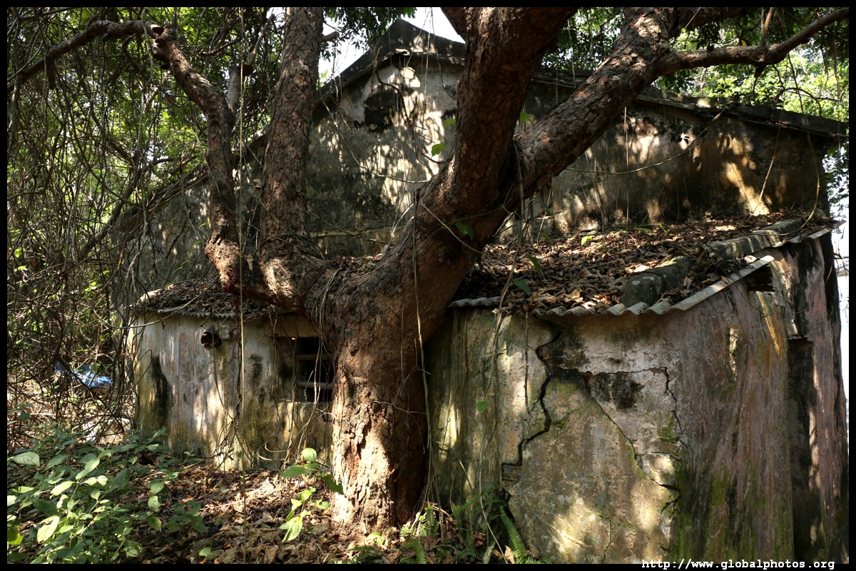
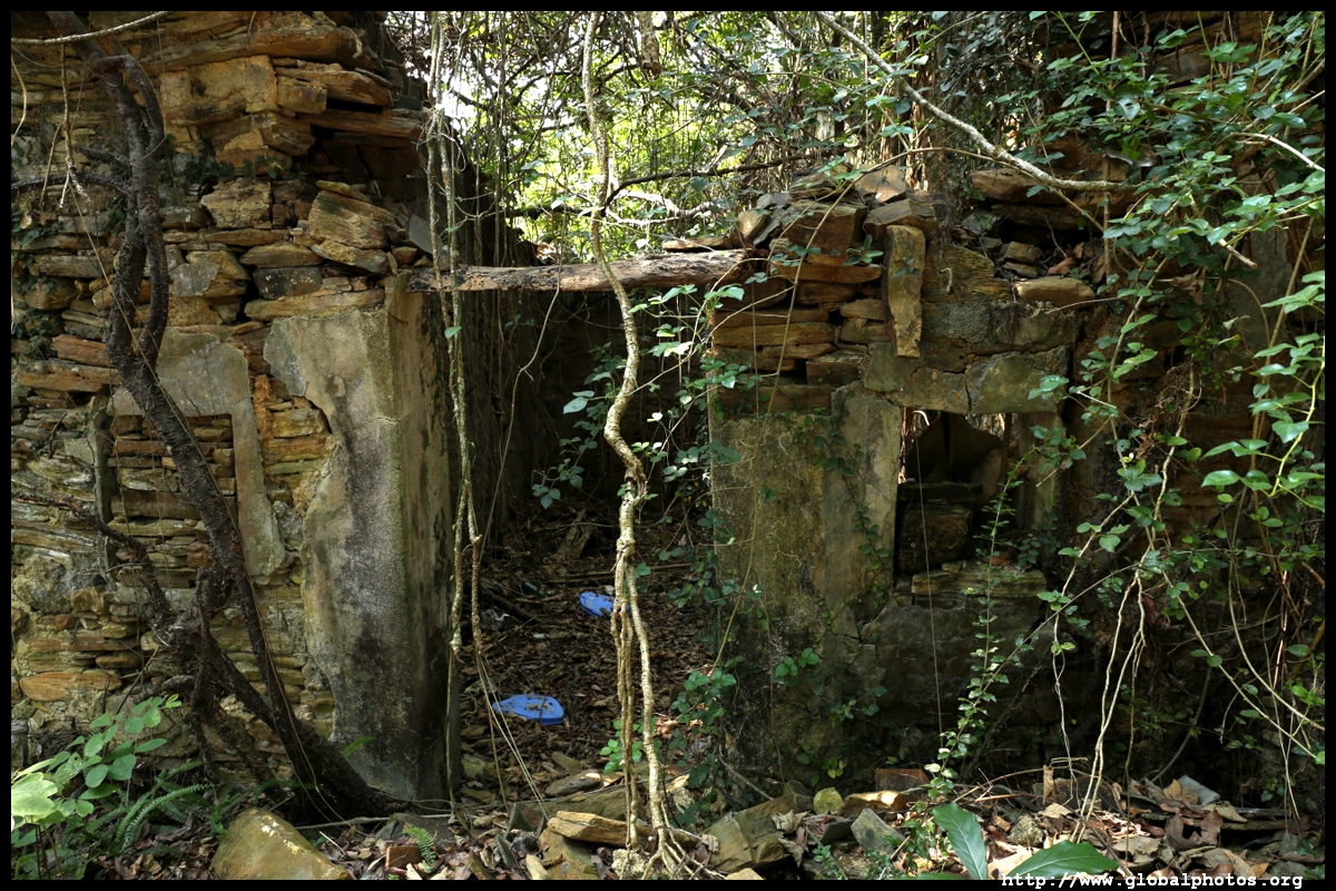
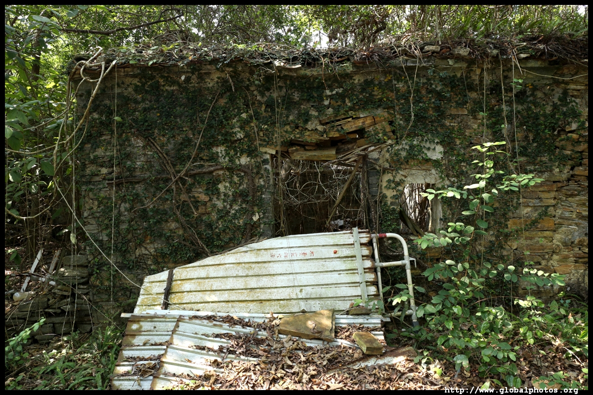
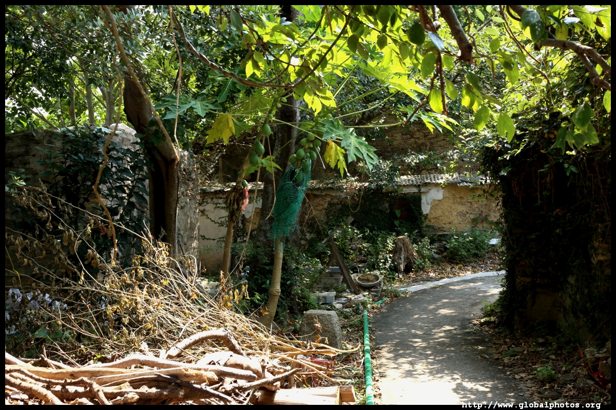
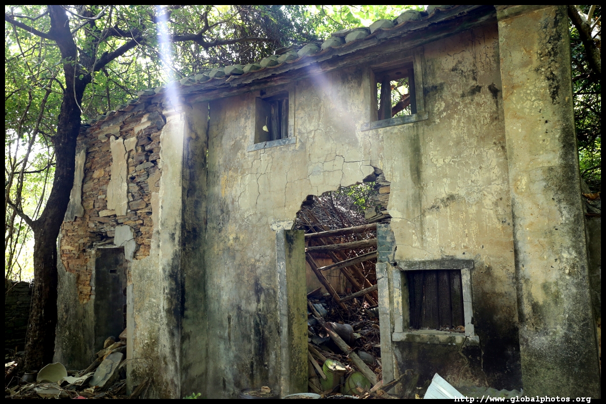
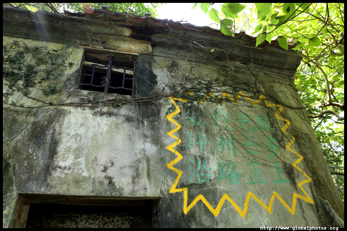
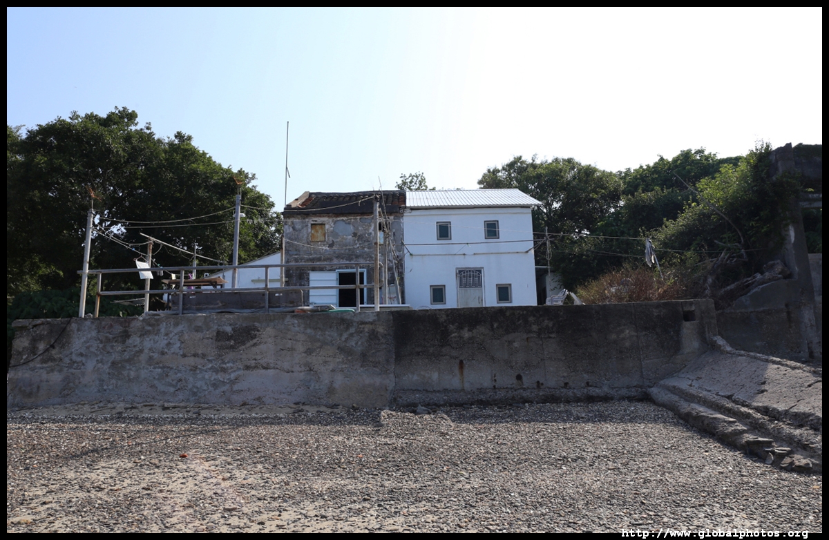
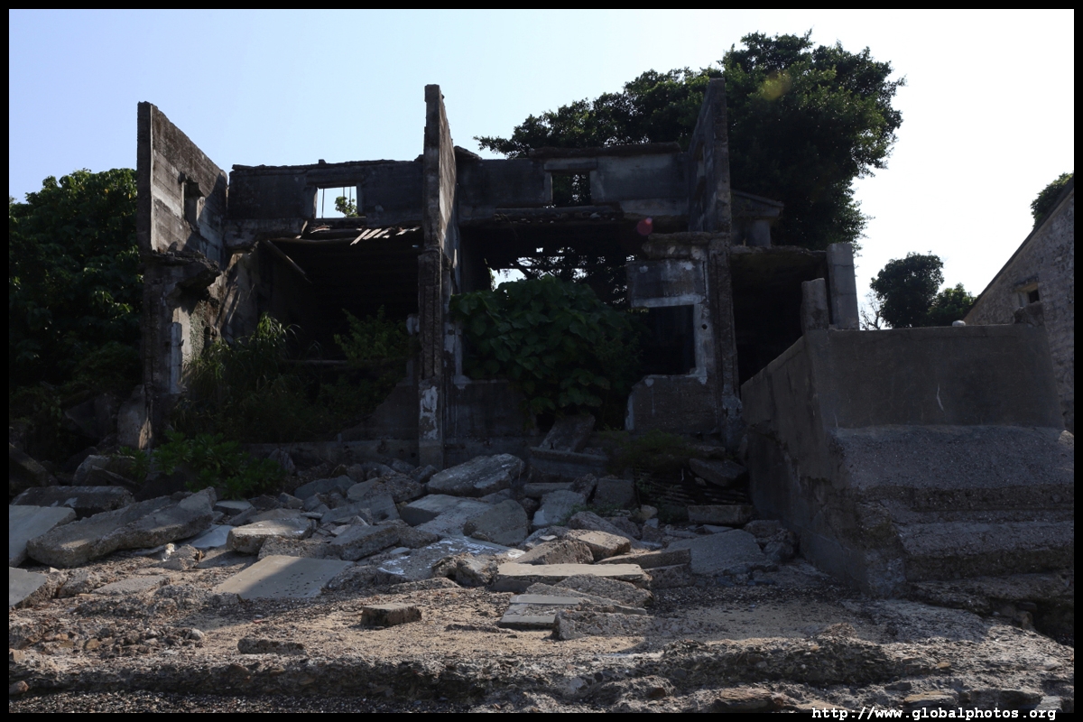
The island used to have a large population of over 3000 who fished and grew crops. However, it is almost uninhabited today and ferries only run on weekends and public holidays, with a single departure leaving Shatin at 9am and returning from Tung Ping Chau at 5:15pm.
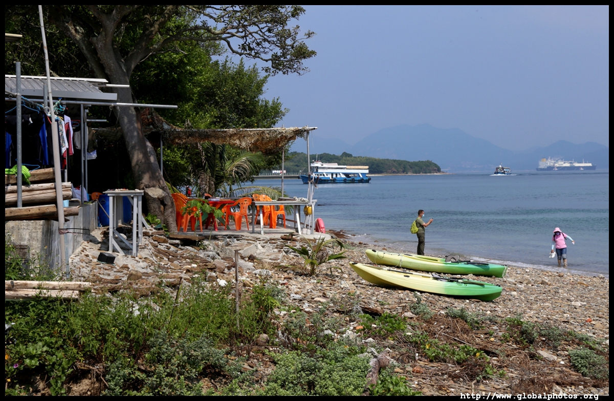
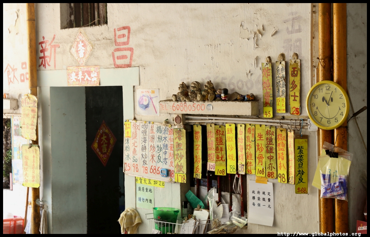
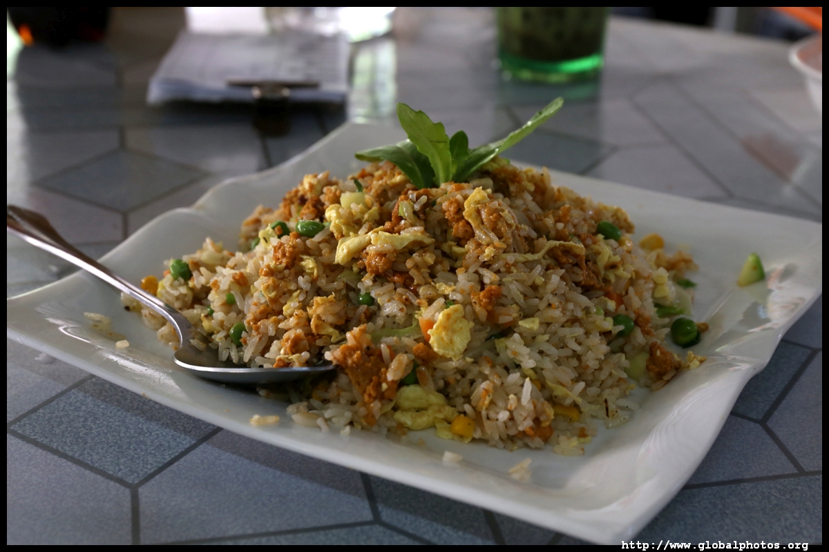
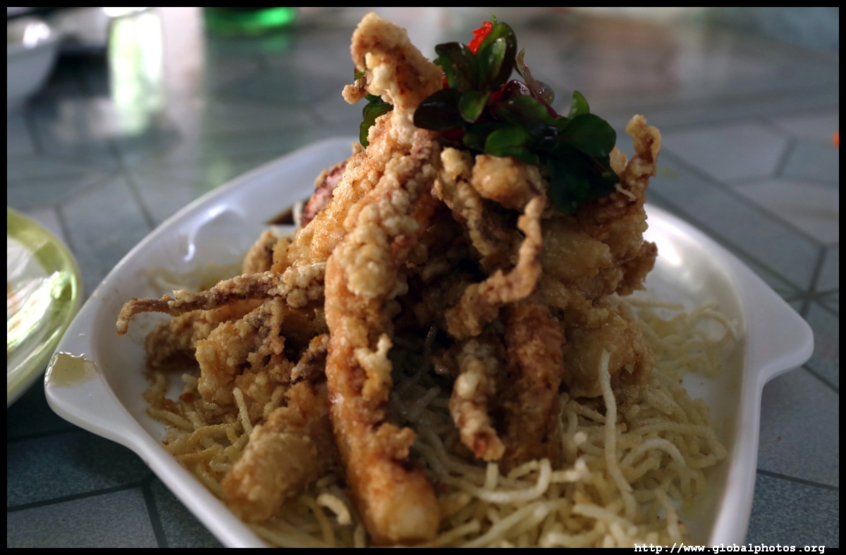
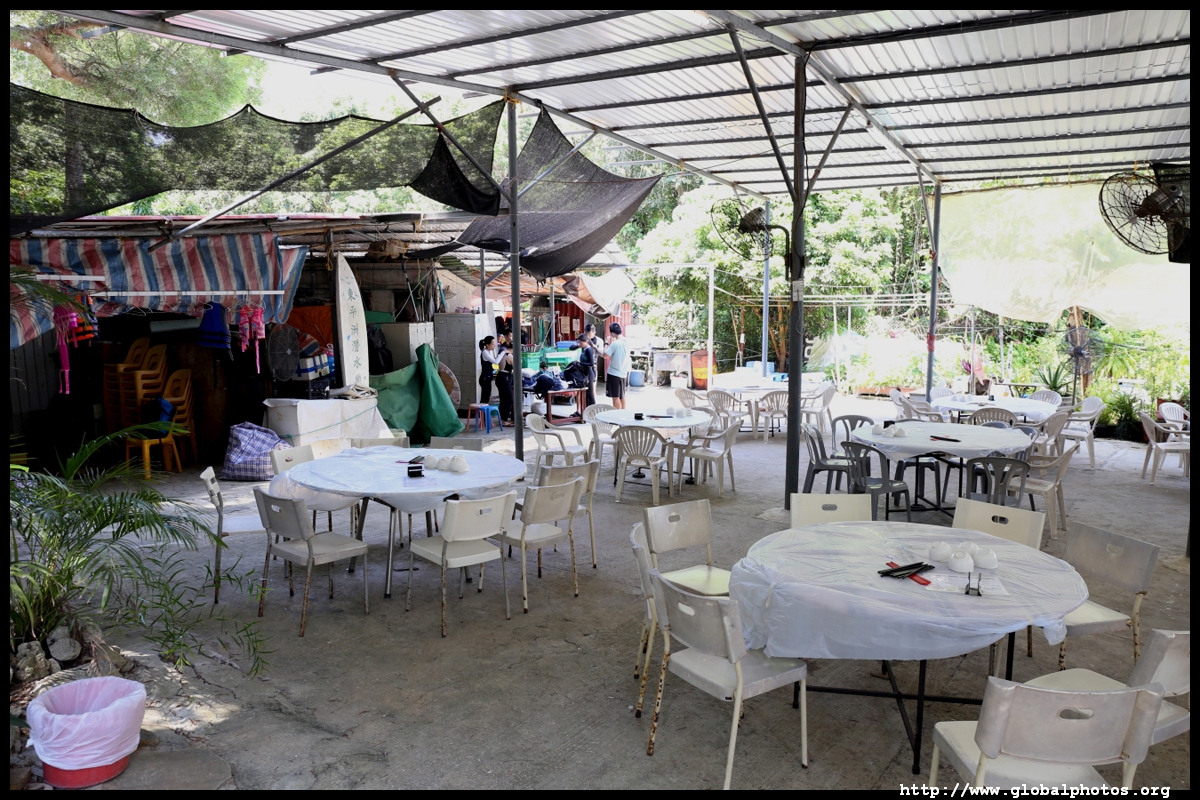
There isn't much to choose from for food, and the restaurants pretty much serve the same things. Seafood features prominently here, such as sea urchin fried rice.
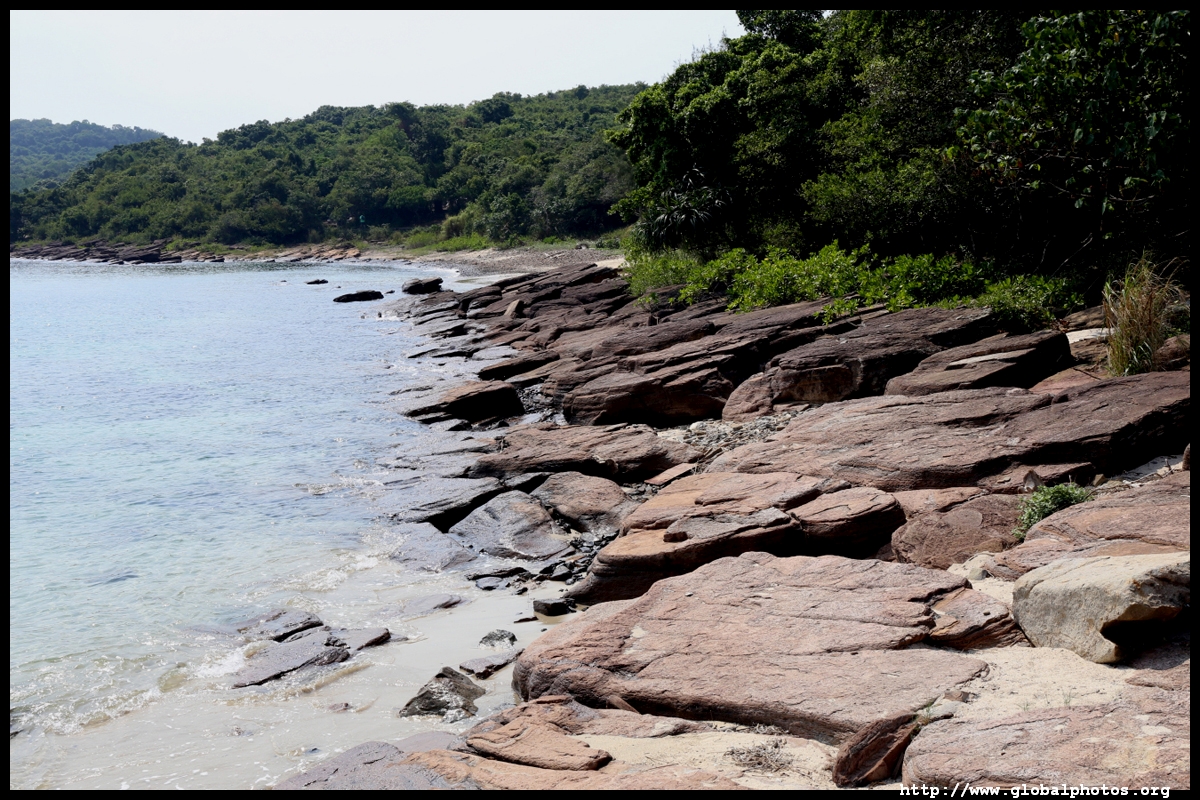
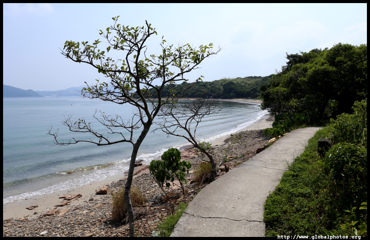
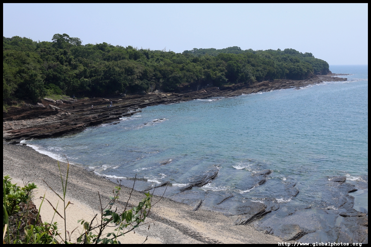
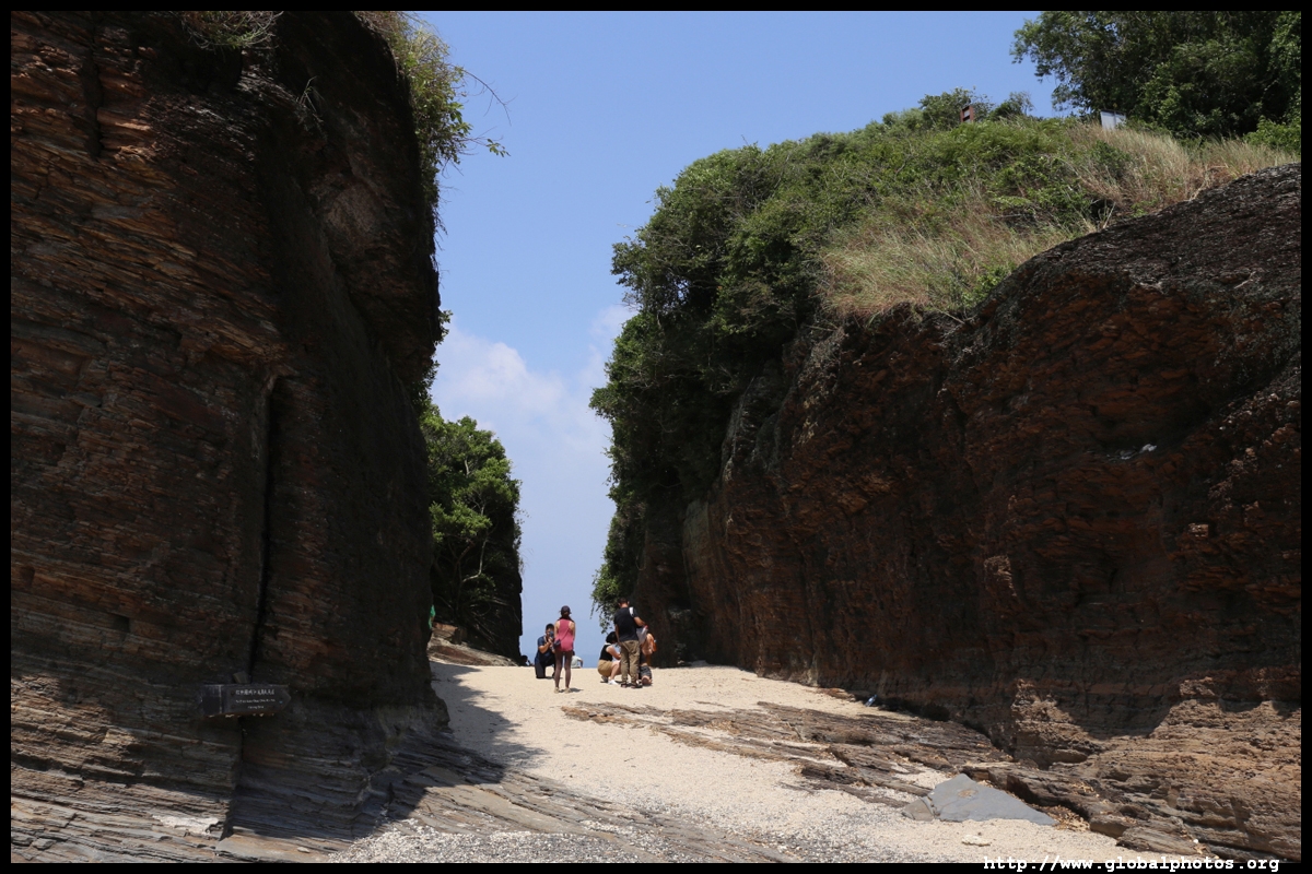
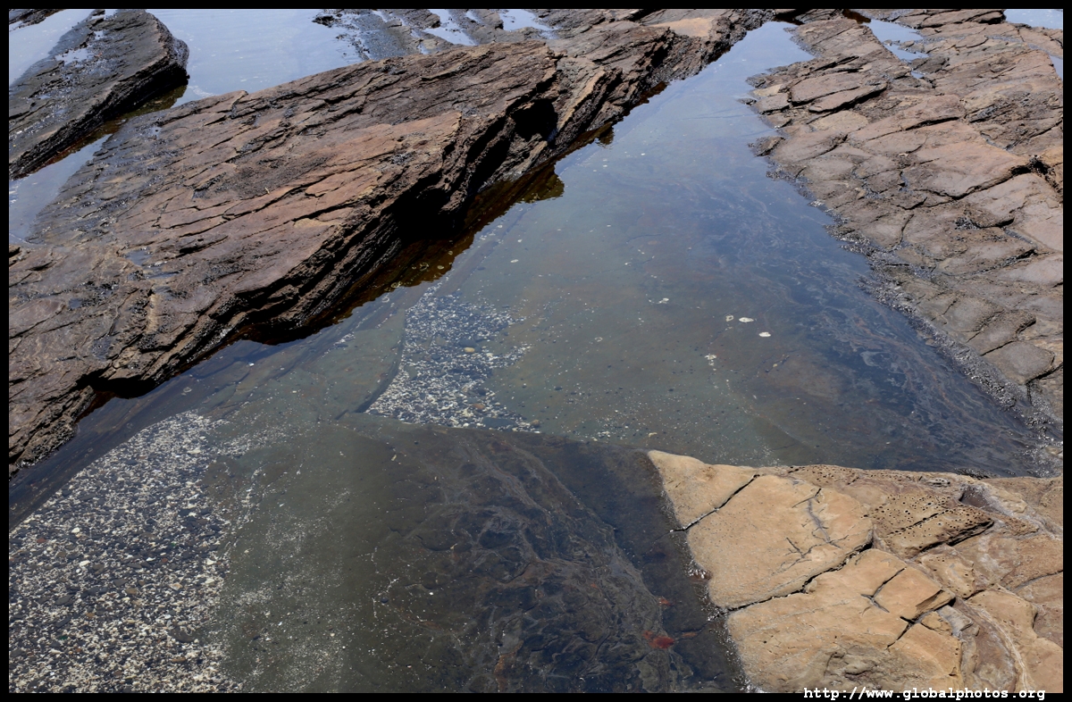
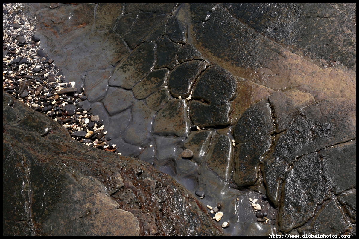
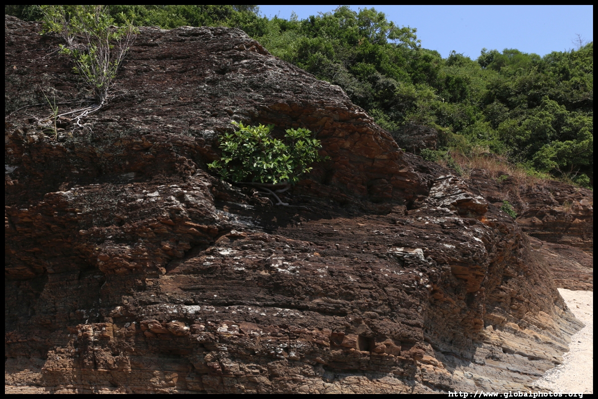
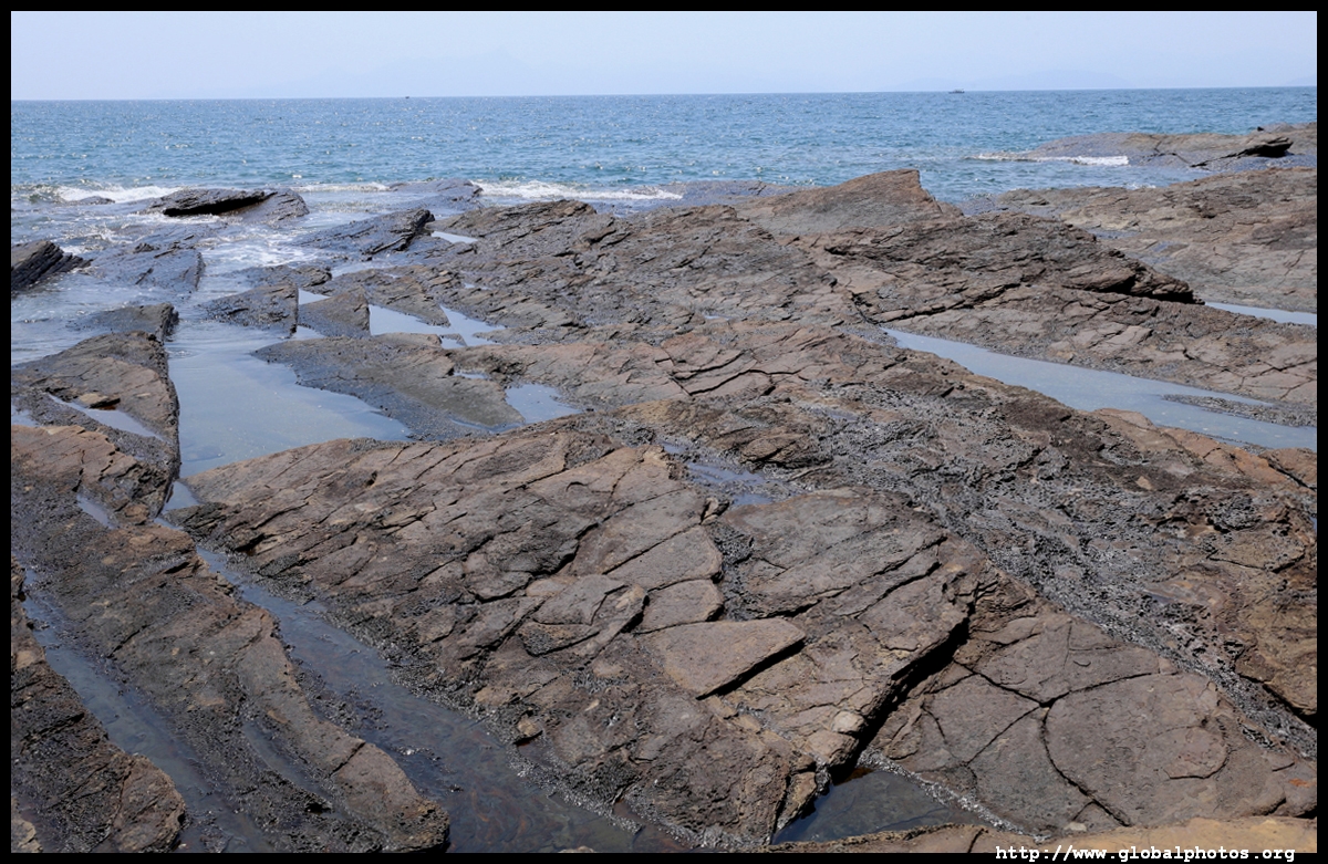
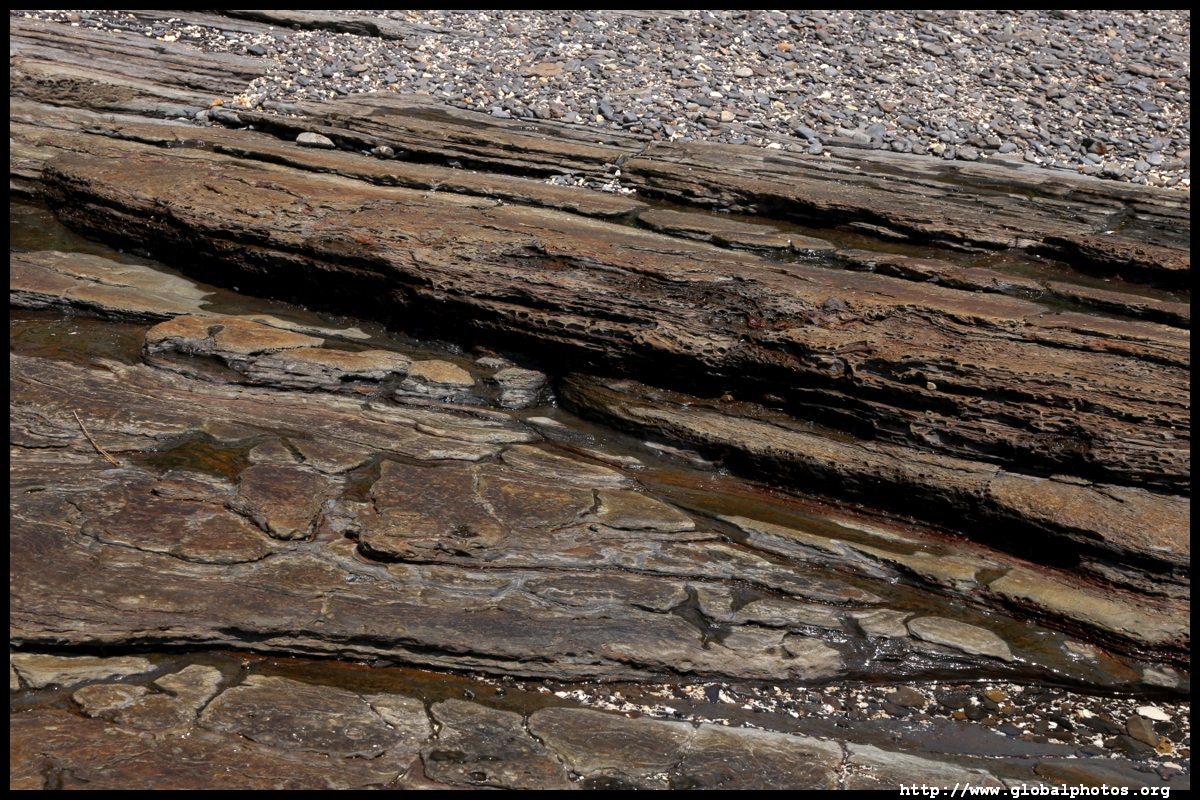
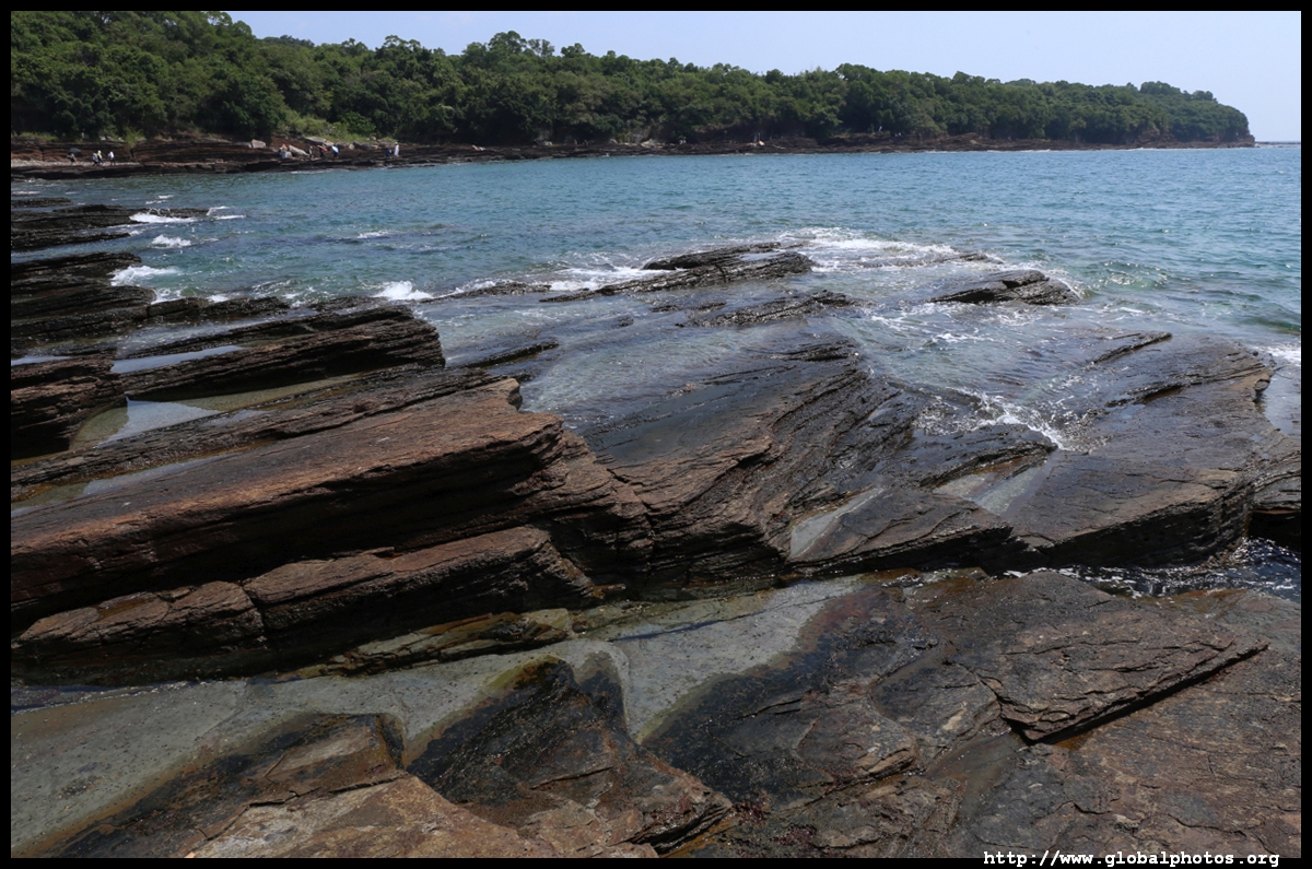
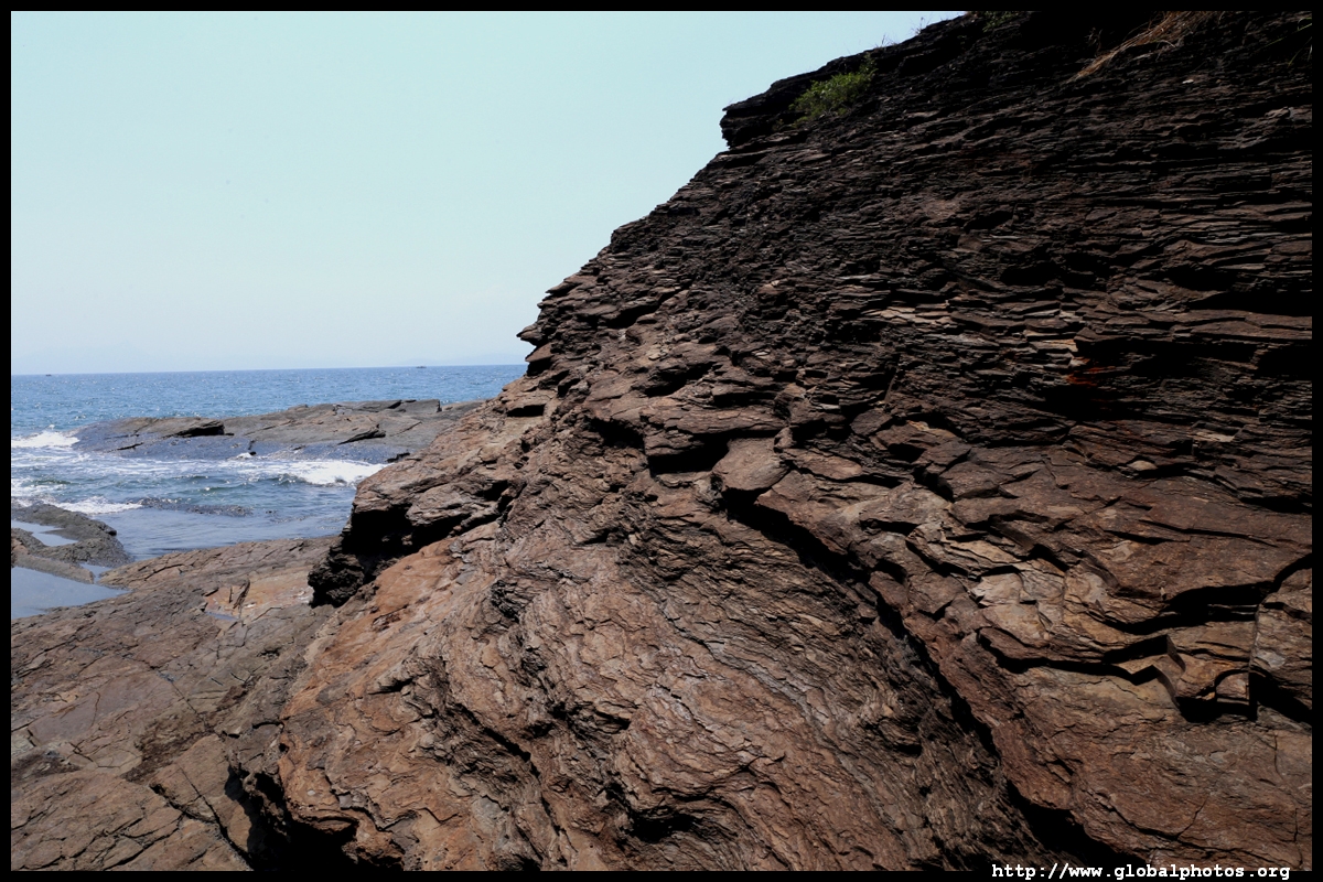
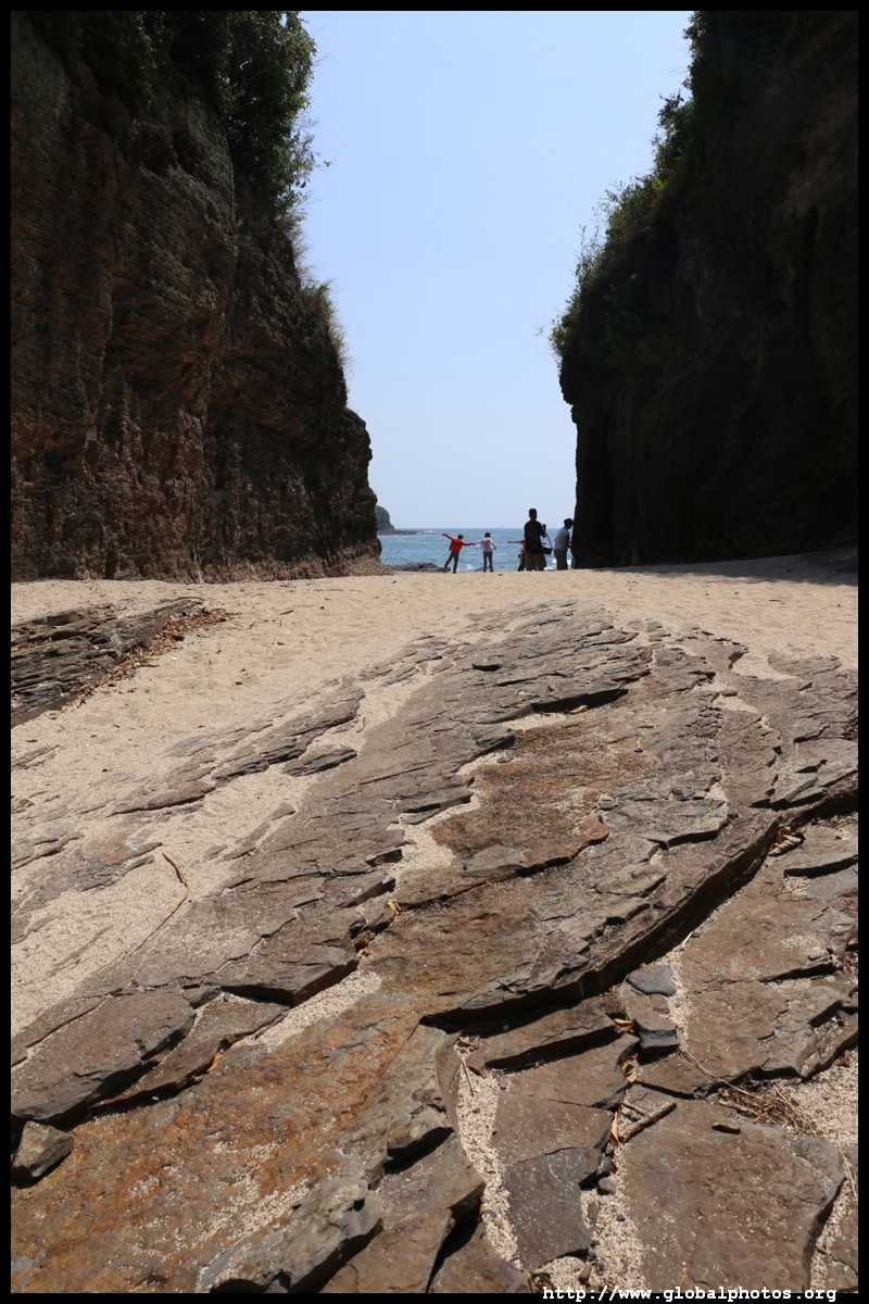
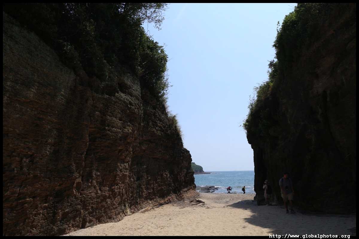
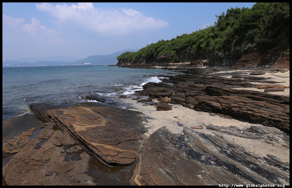
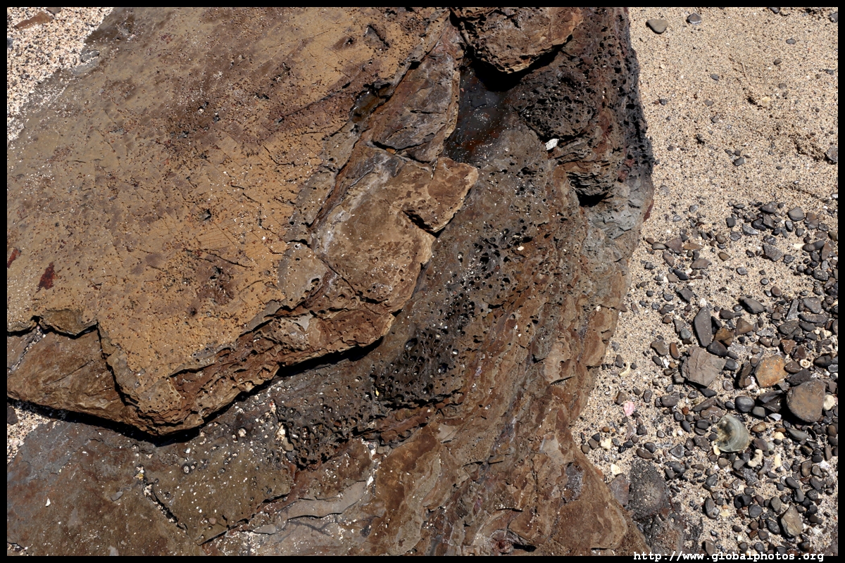
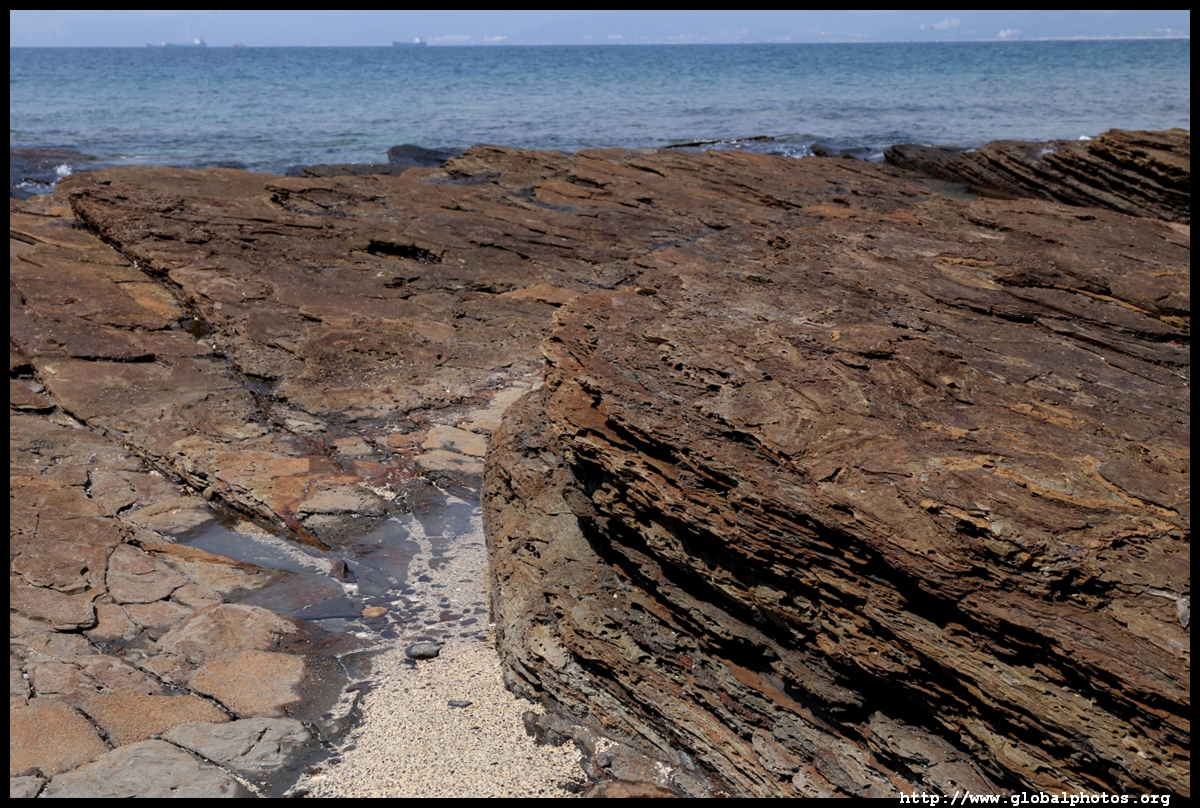
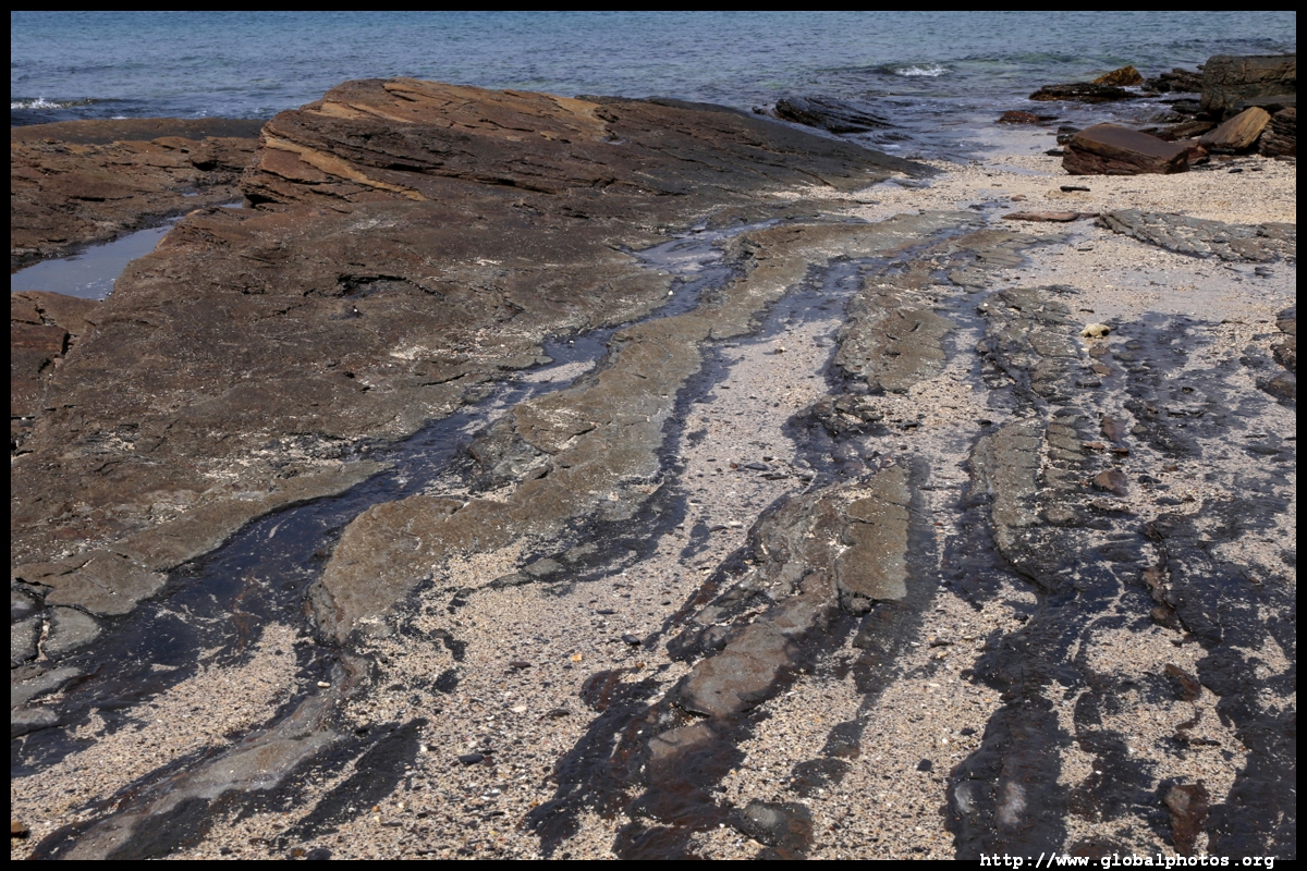
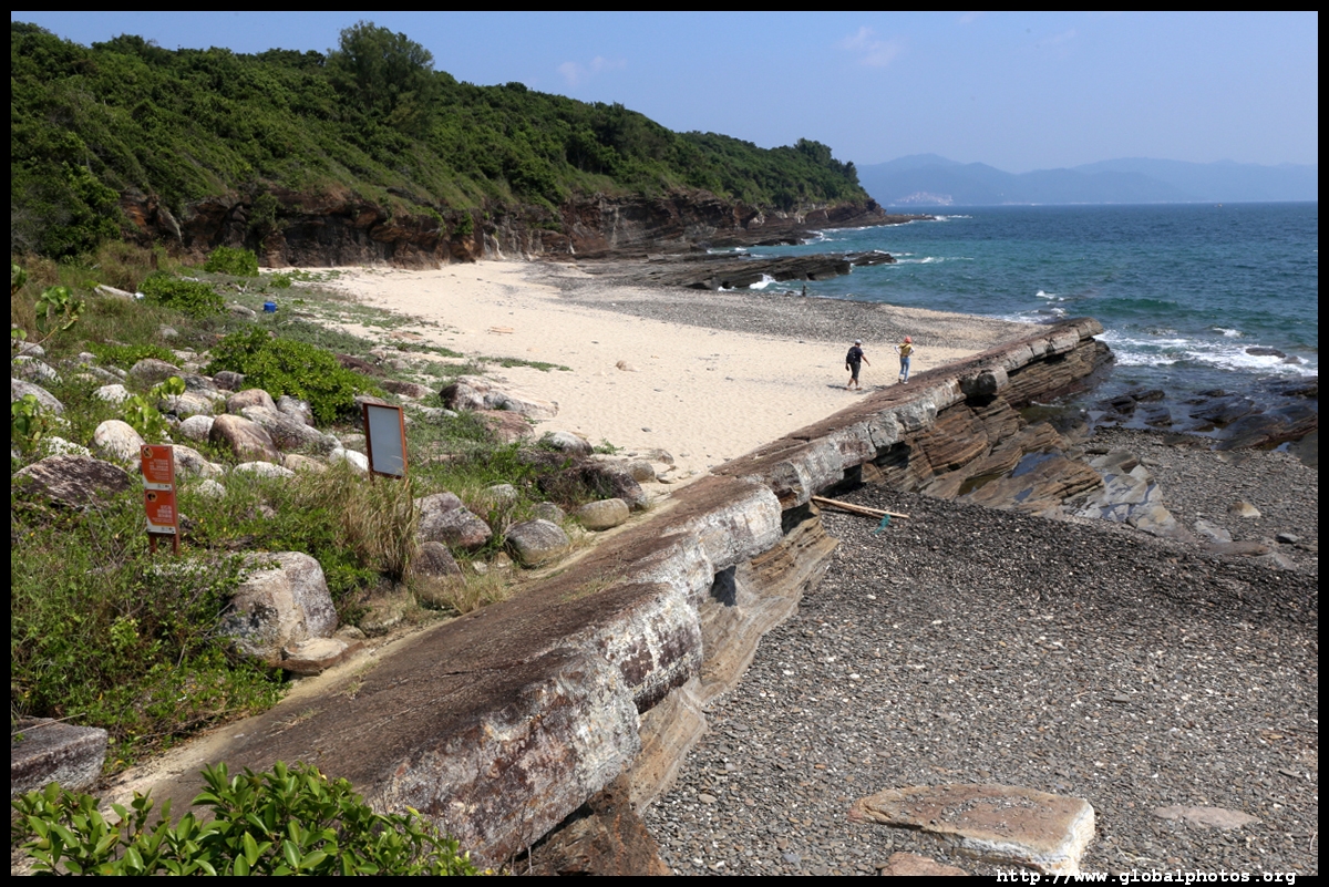
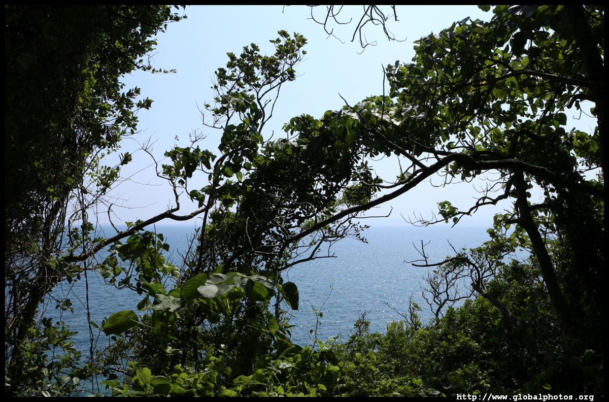
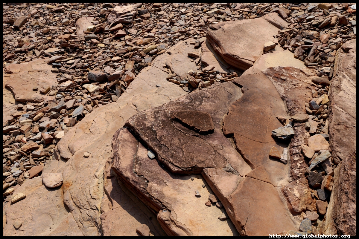
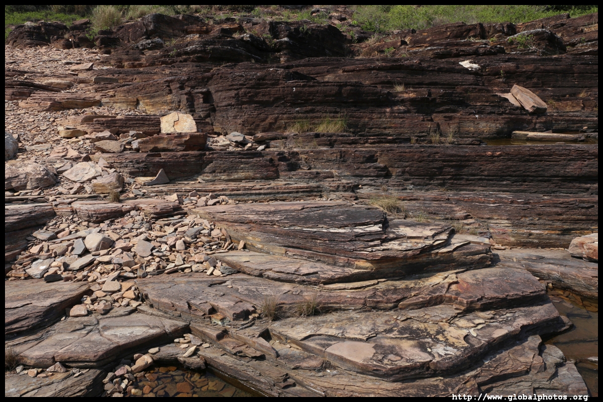
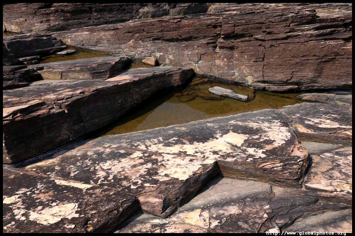
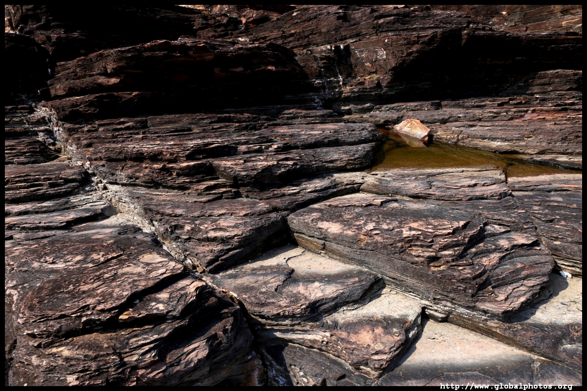
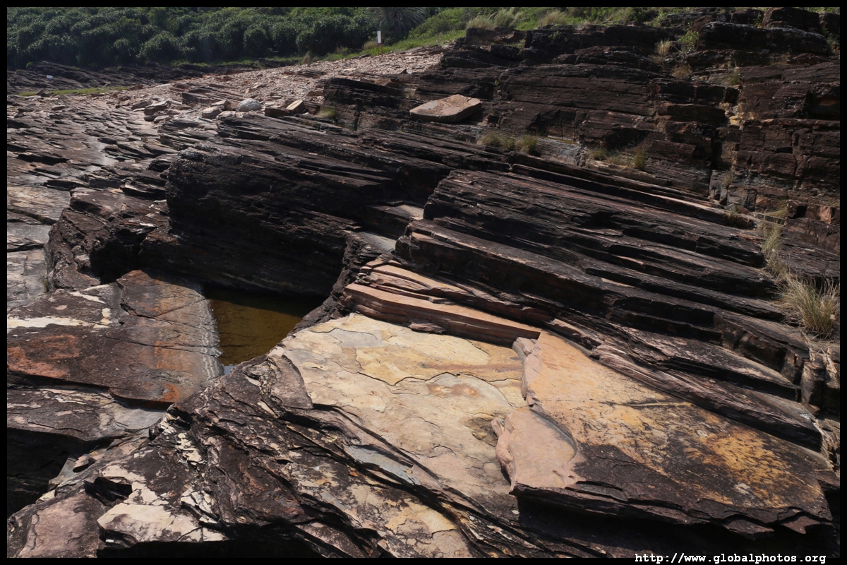
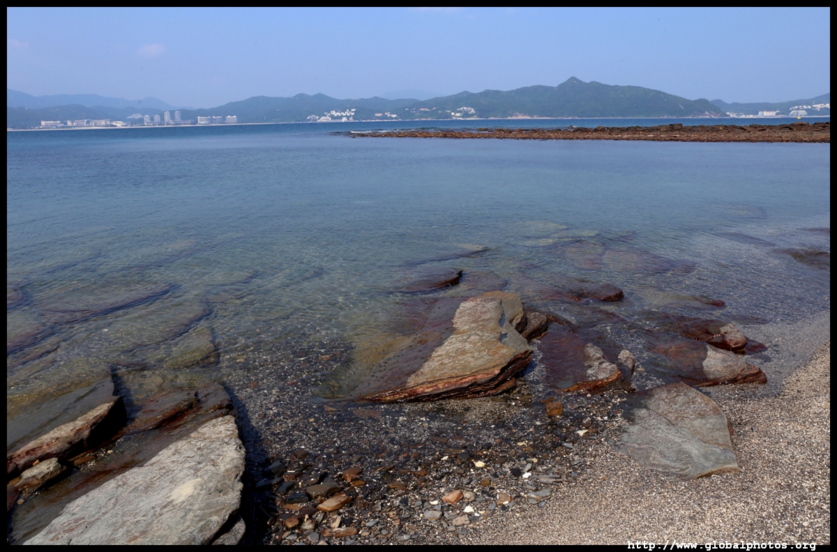
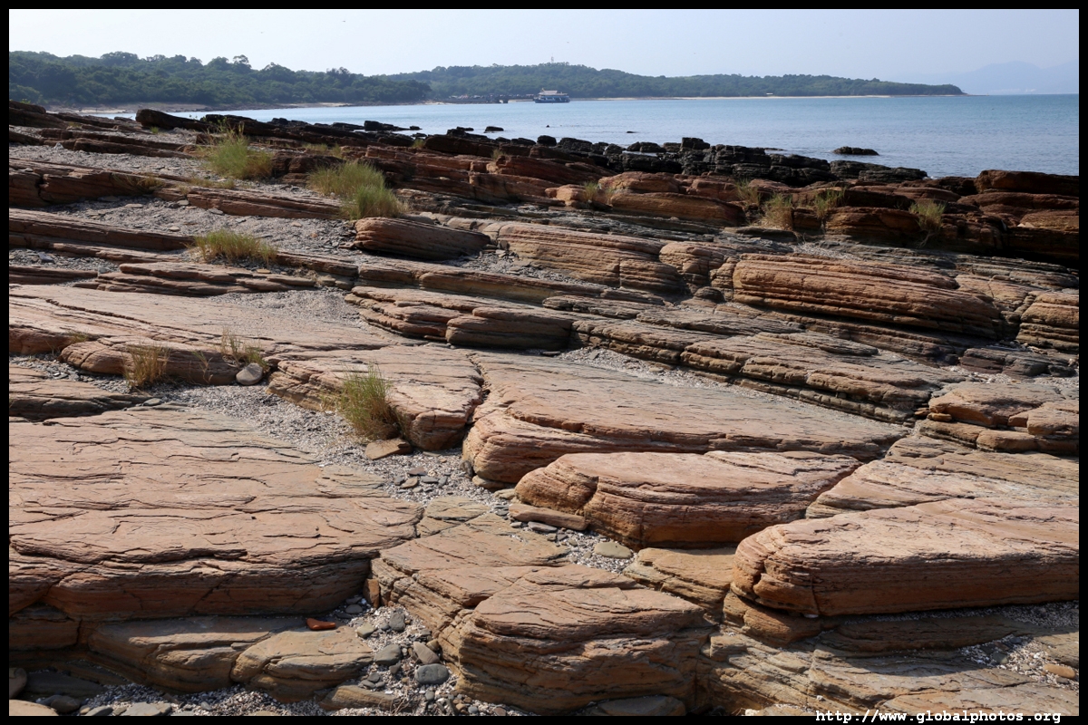
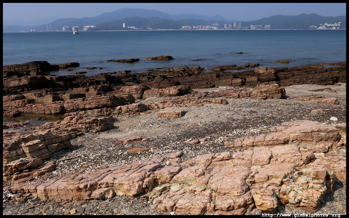
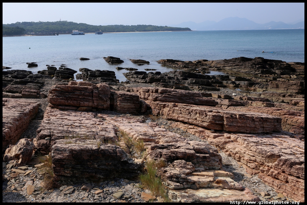
It's an easy circular hike around the island with minimal elevation differences. I started at Cham Keng Tau, where wind and waves have carved through the rock to create a narrow corridor with the sea on either side.
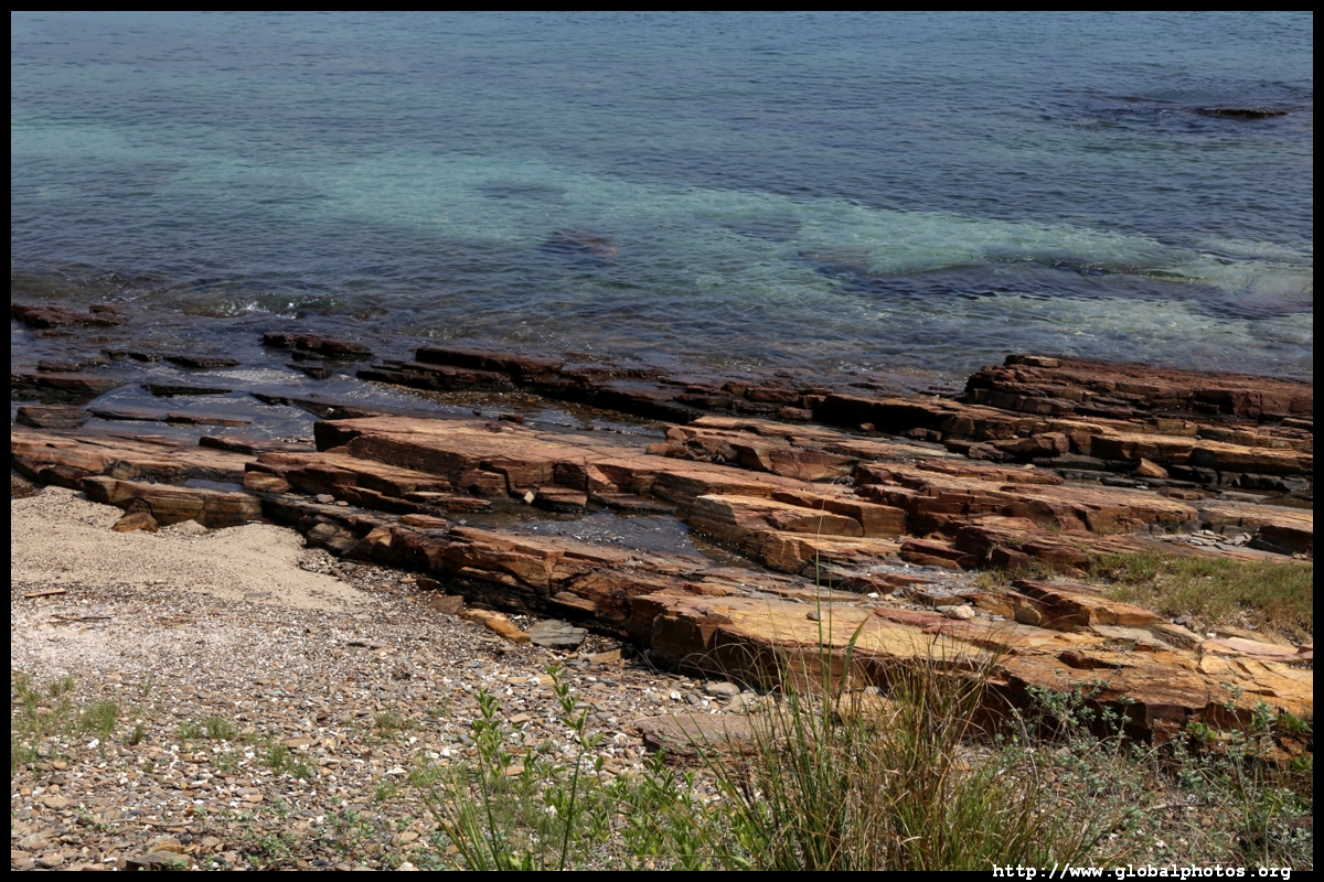
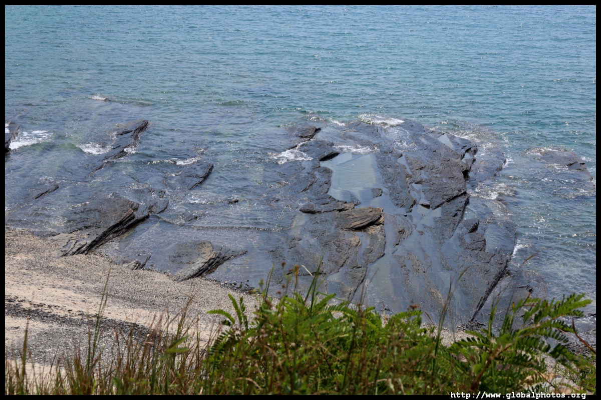
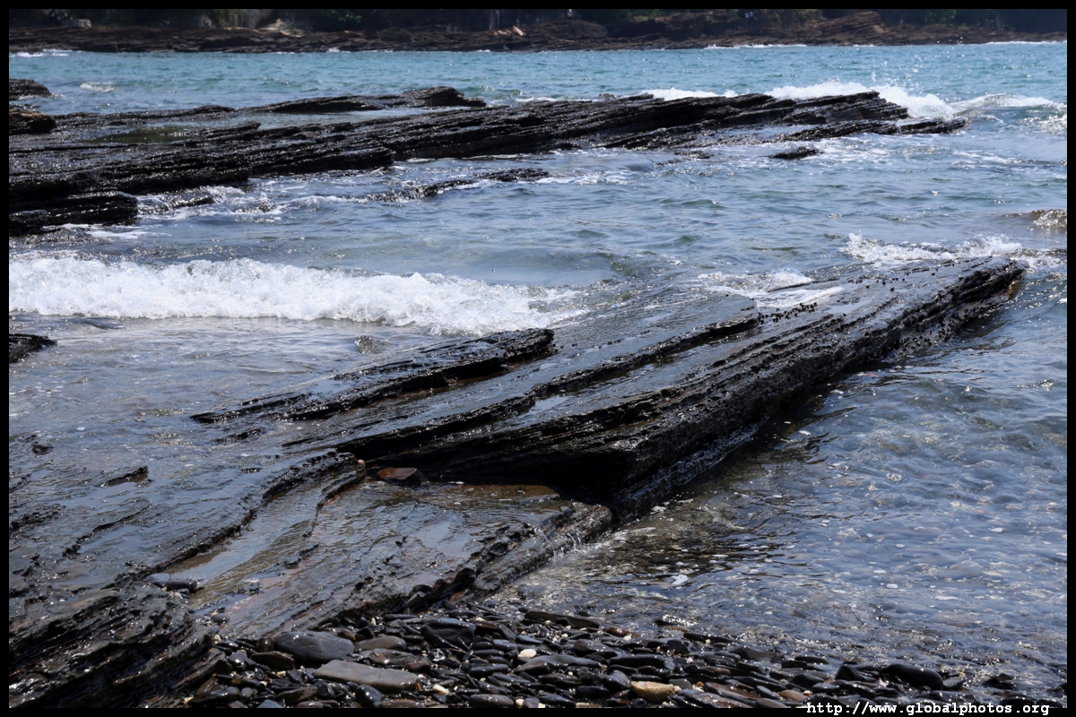
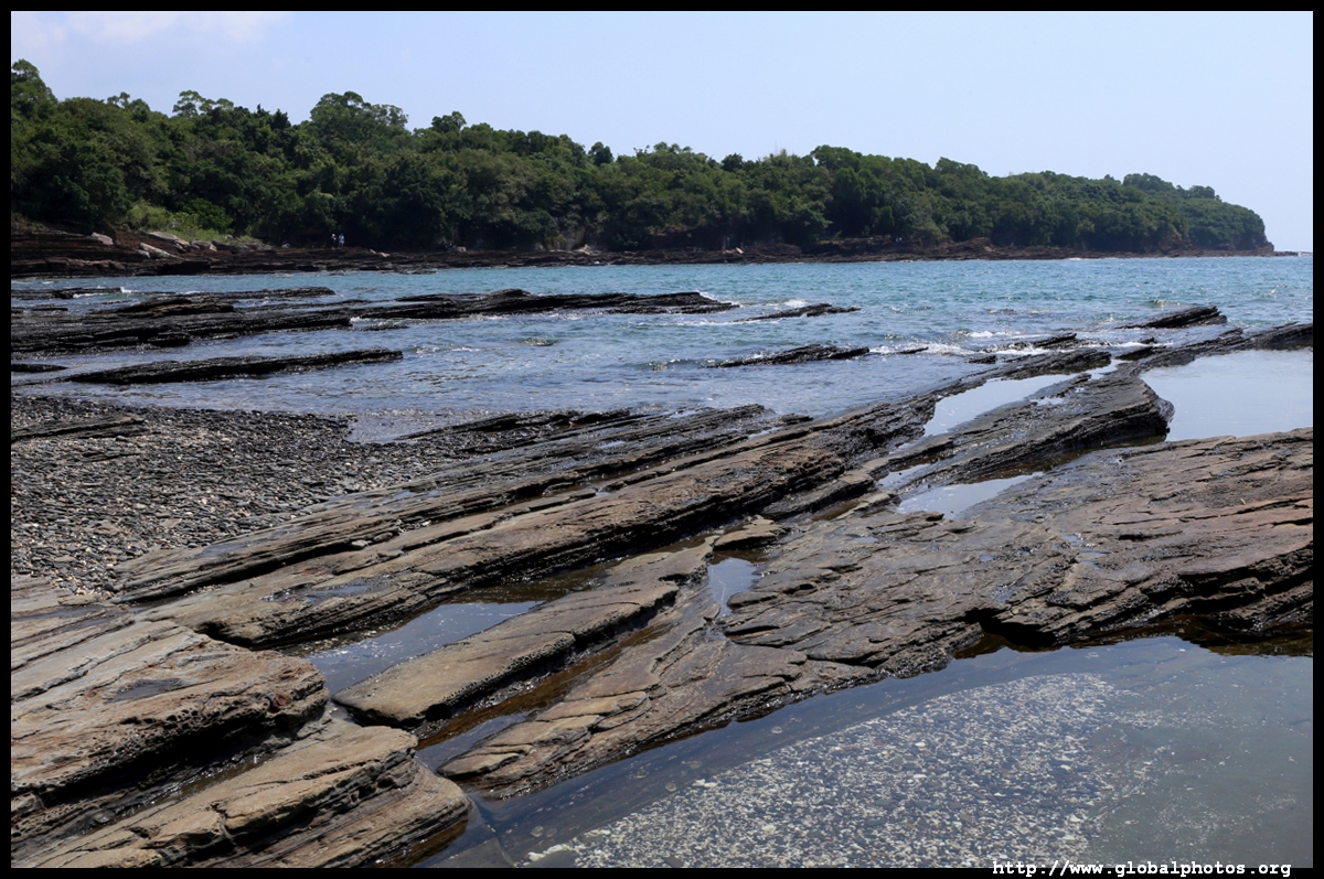
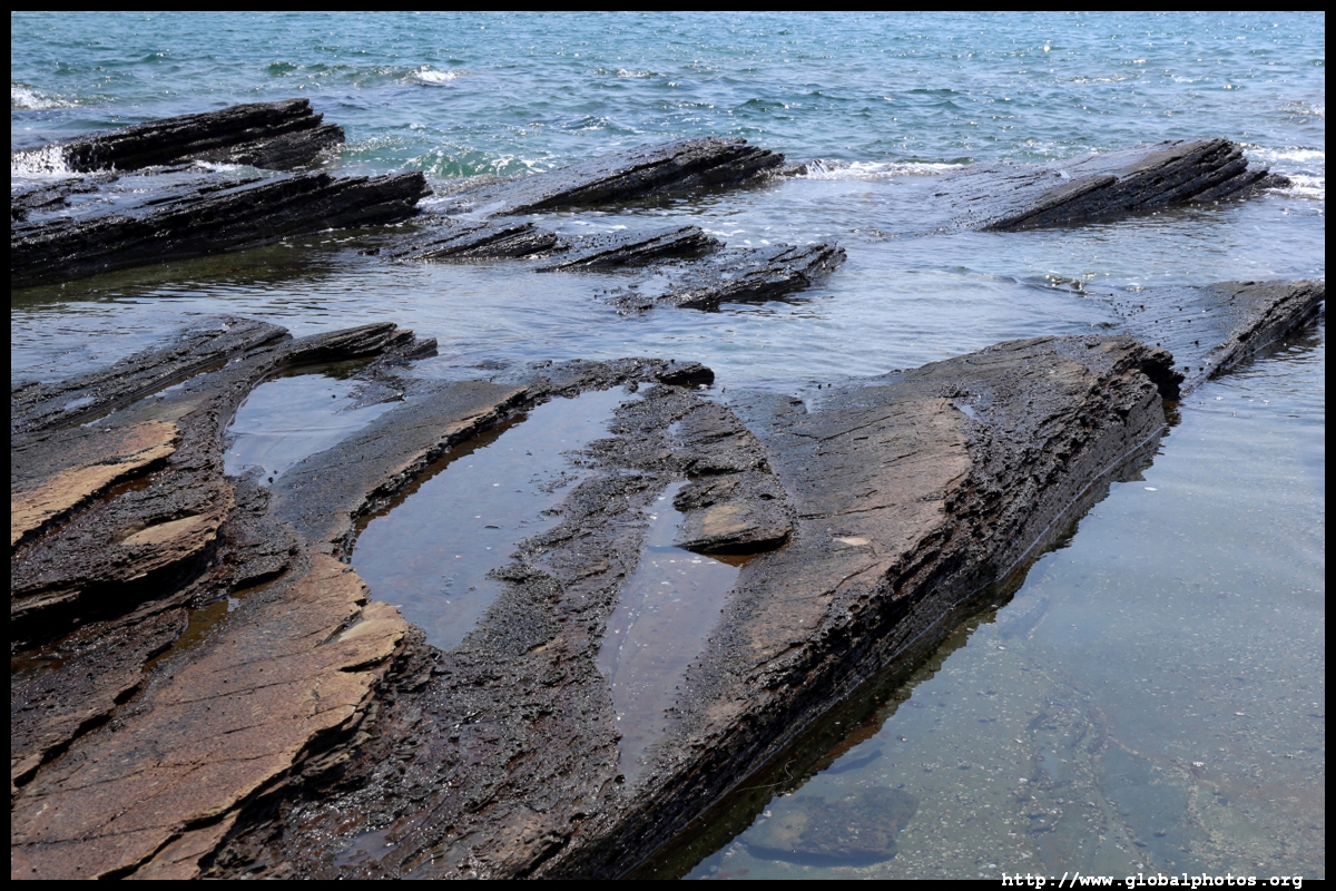
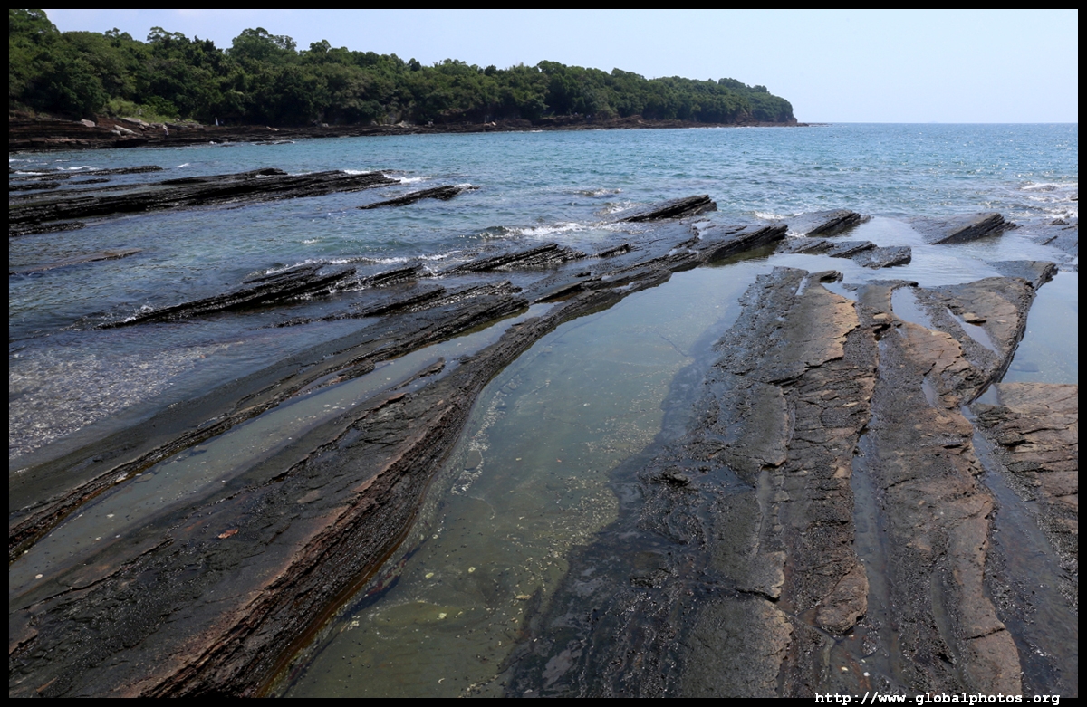
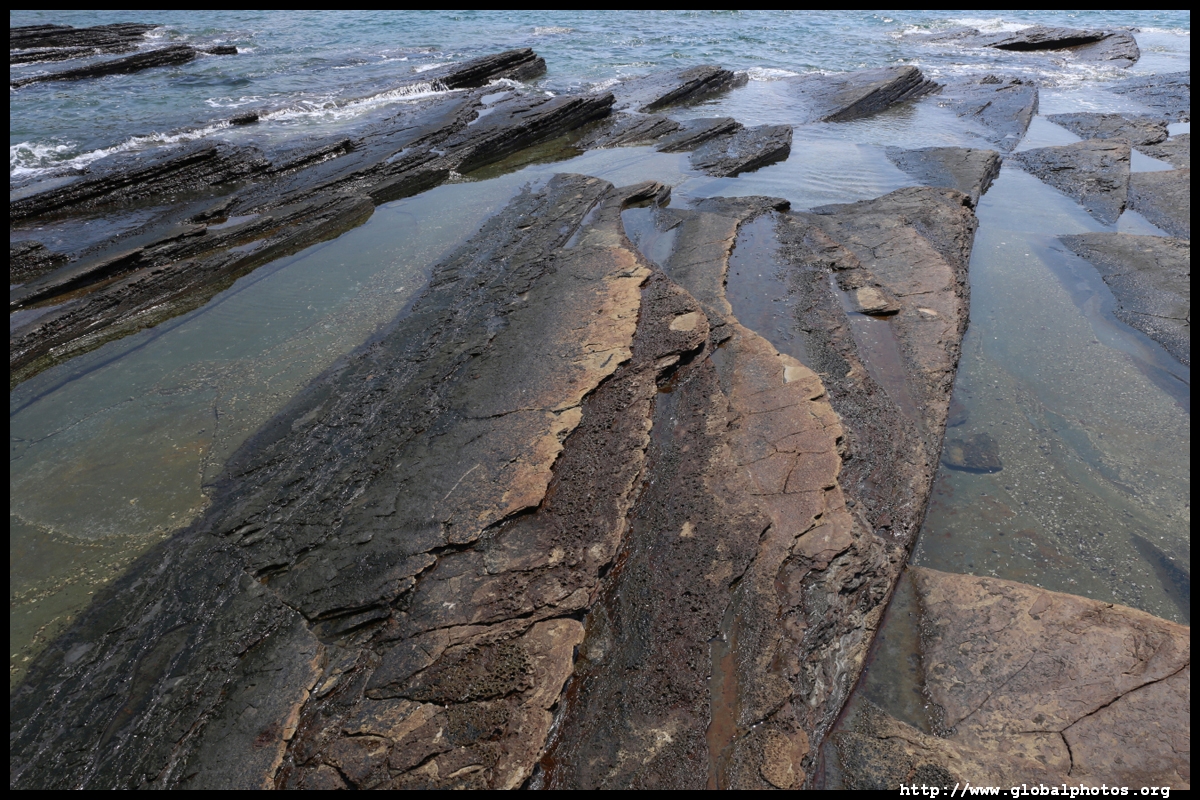
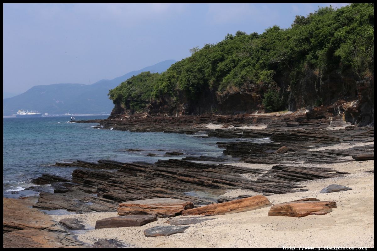
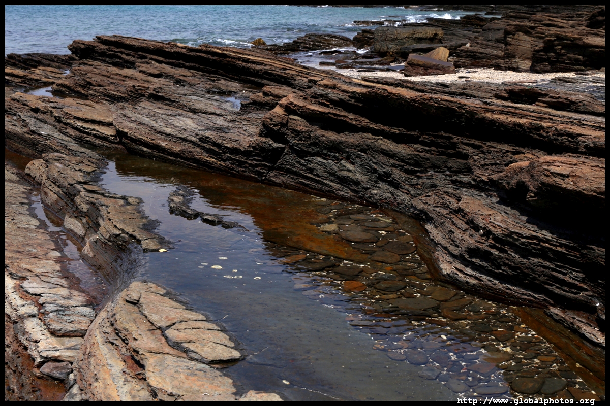
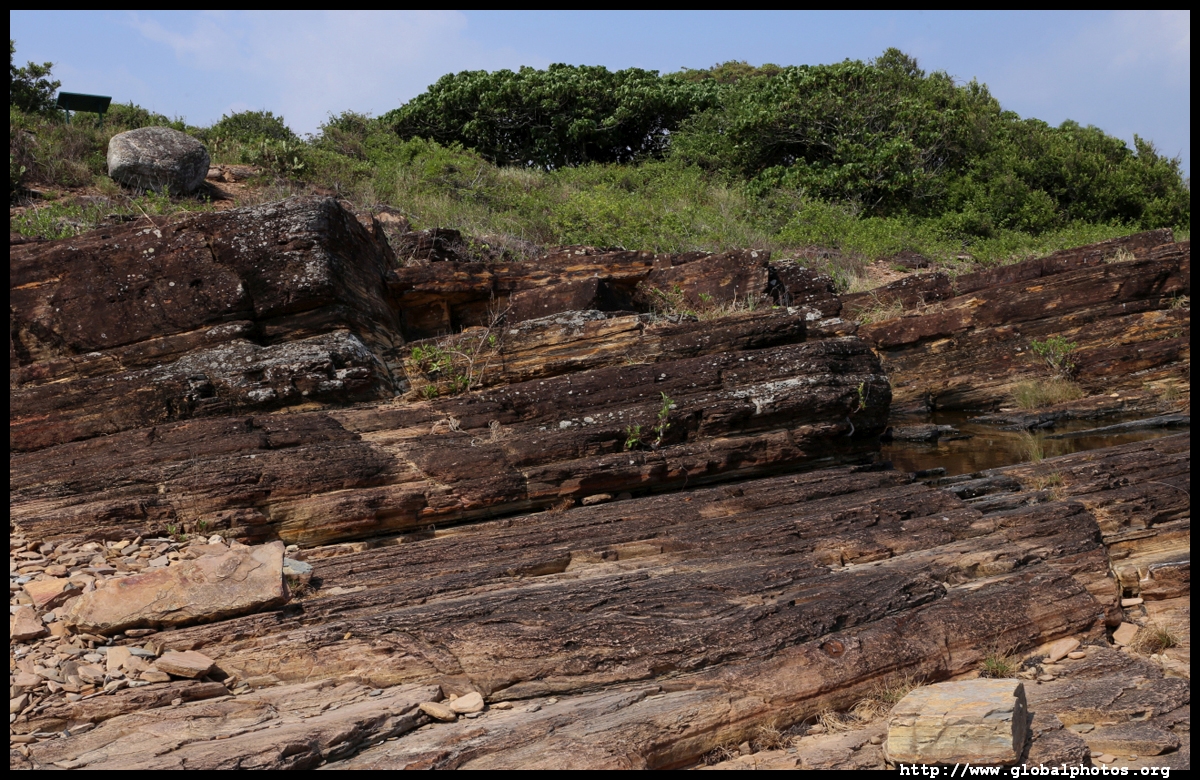
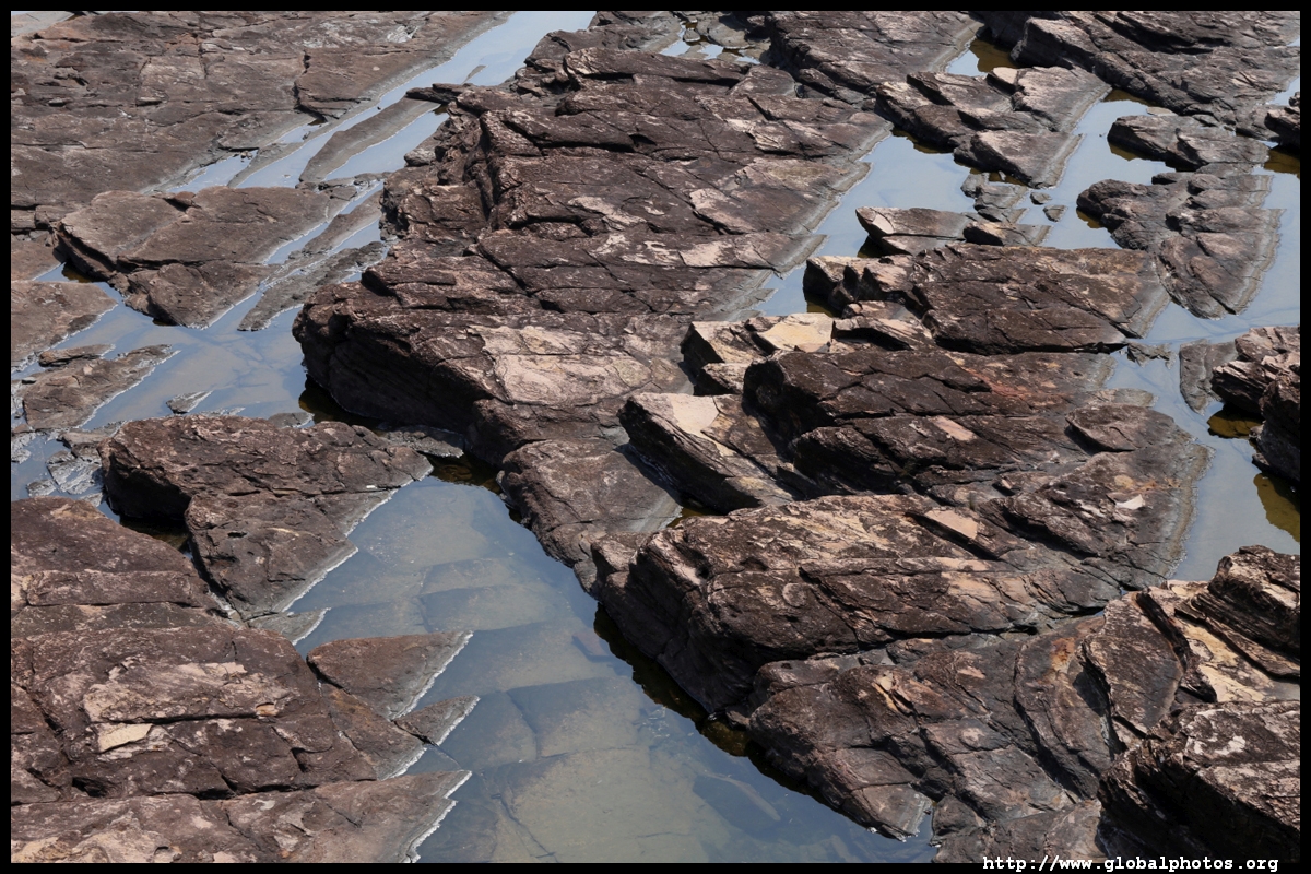
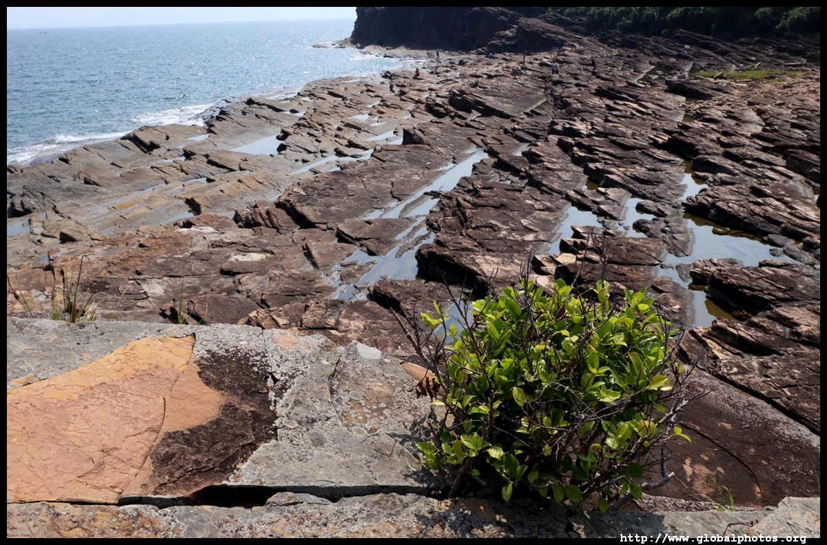
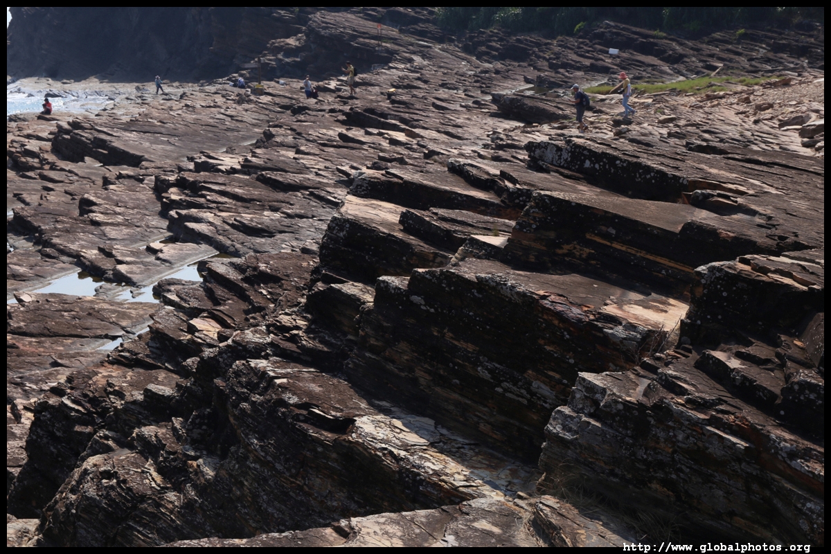
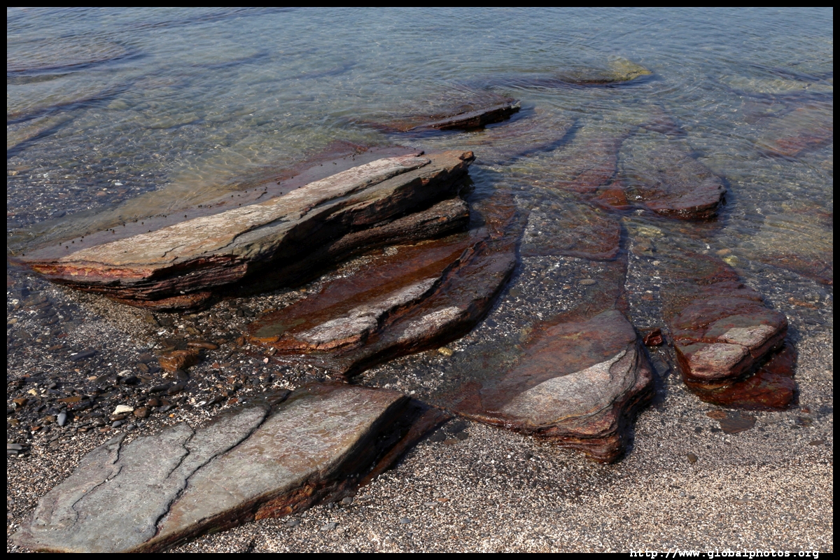
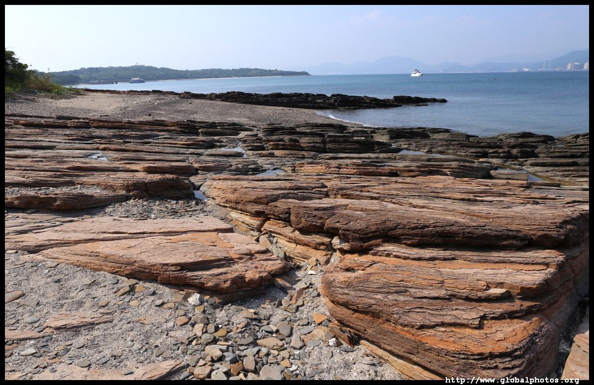
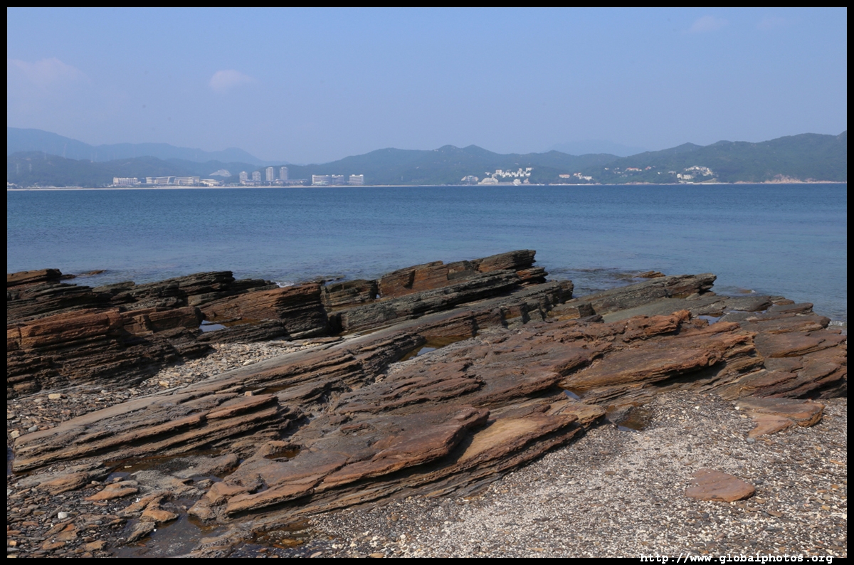
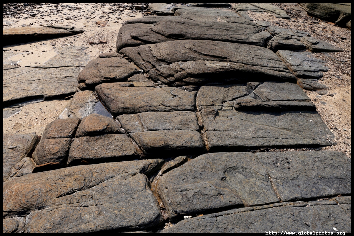
Lung Lok Shui is a set of zig-zagging rocks that looks like a dragon descending into the water.
From here, it is a half hour walk to the island's grand prize.
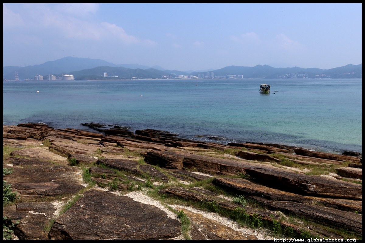
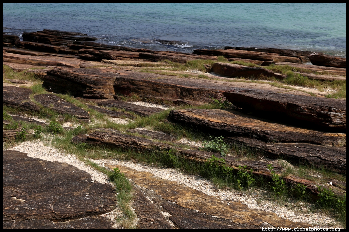
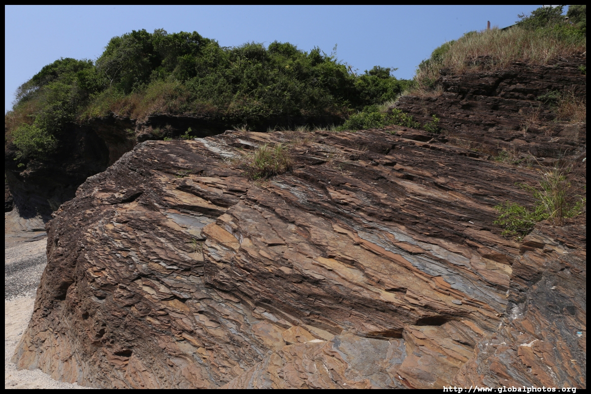
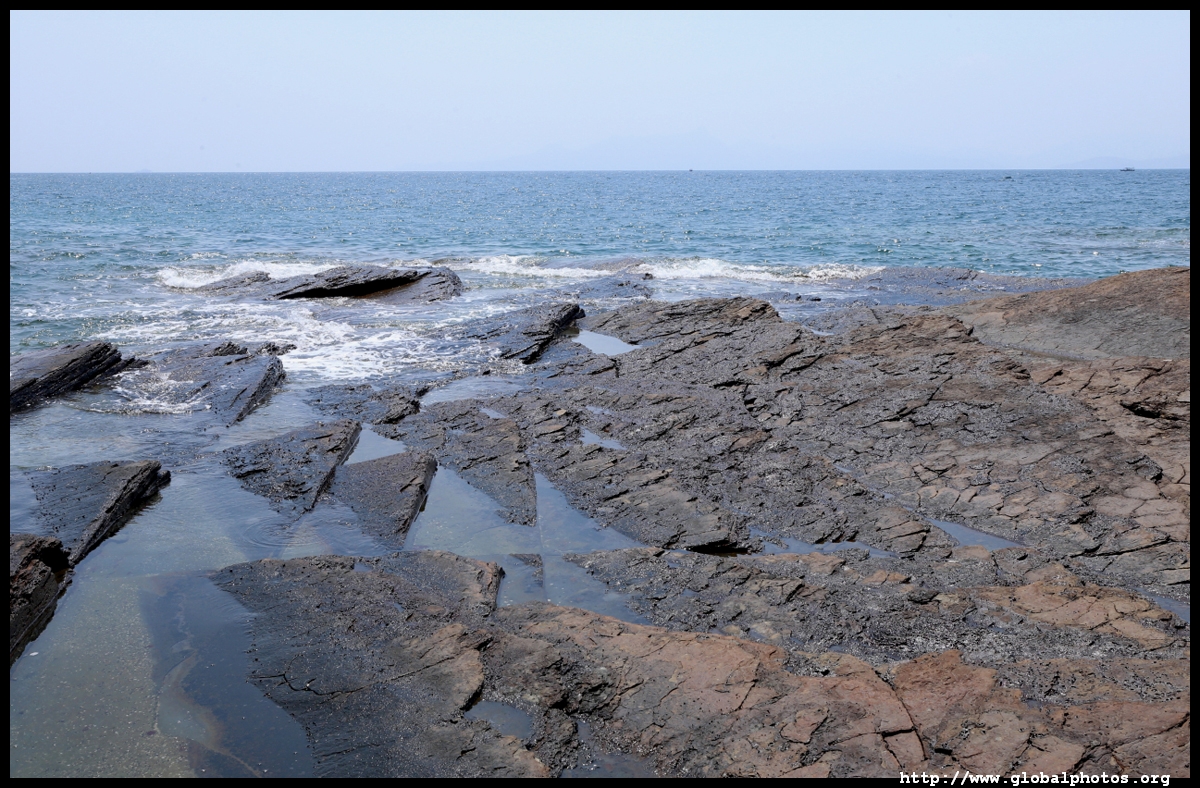
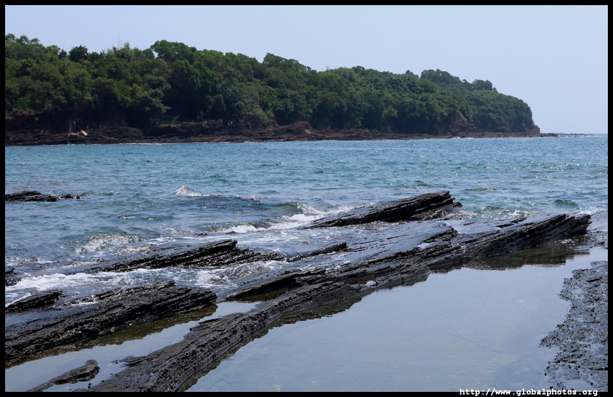
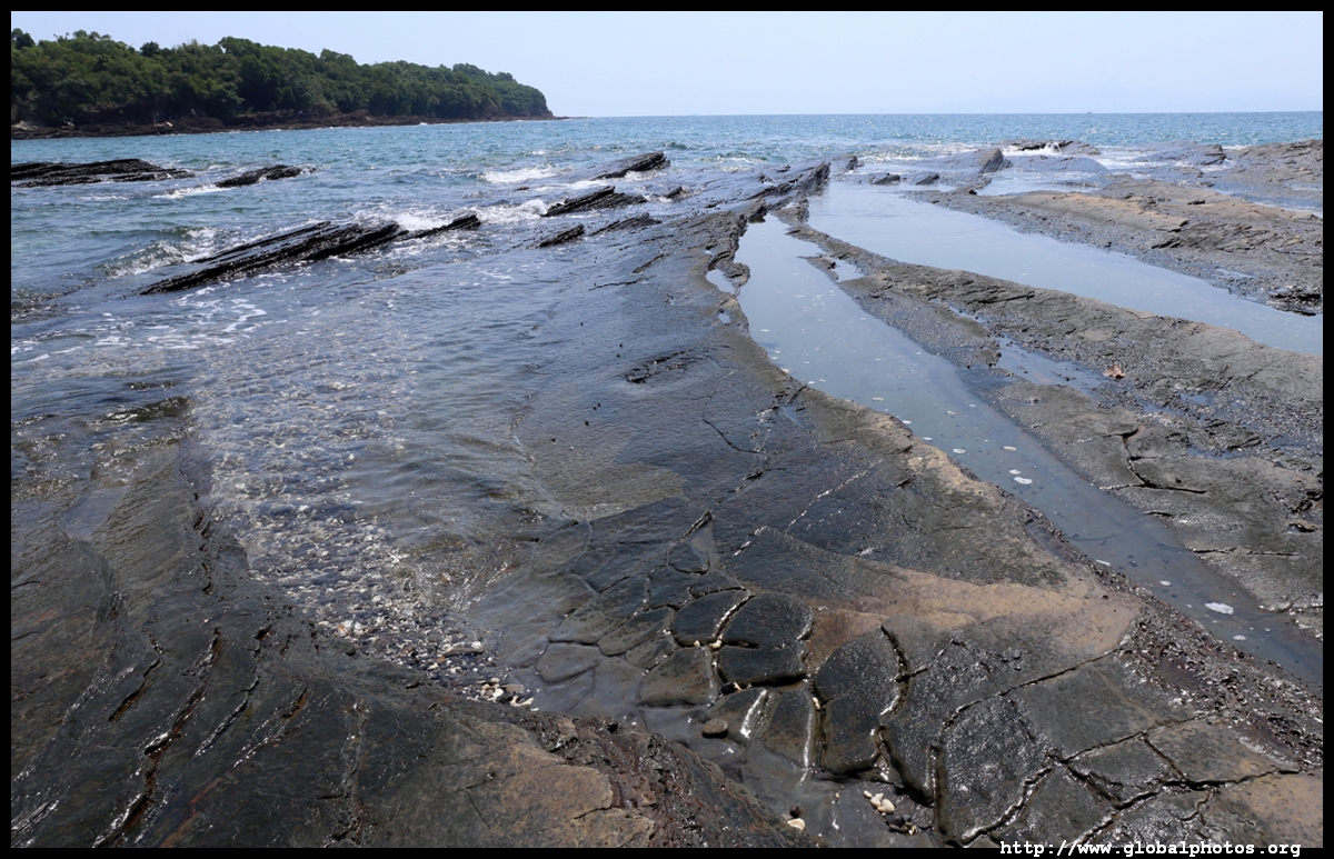
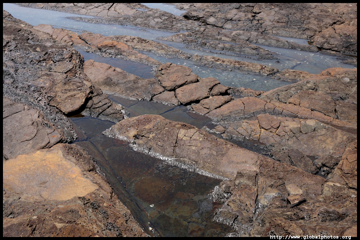
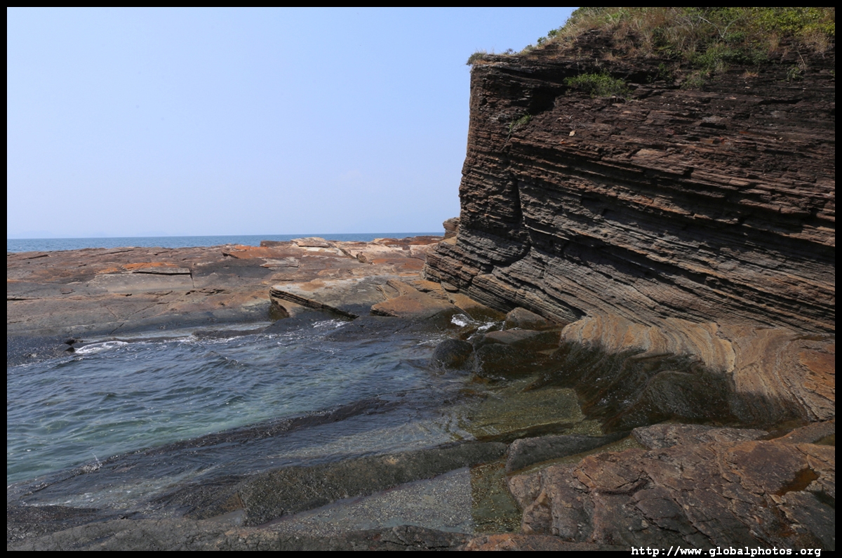
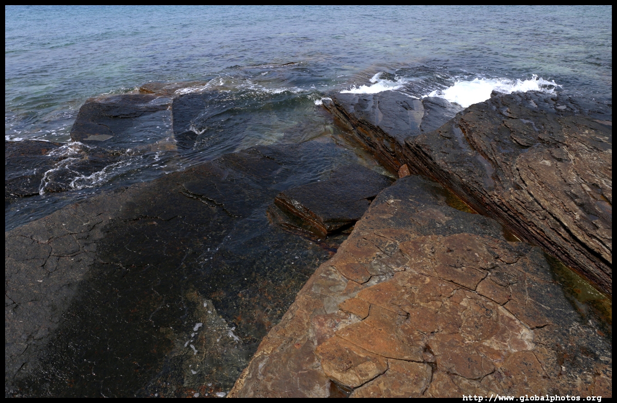
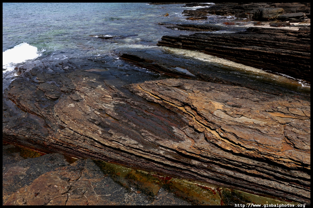
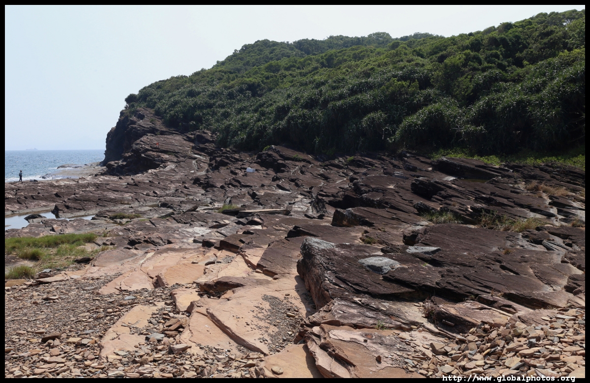
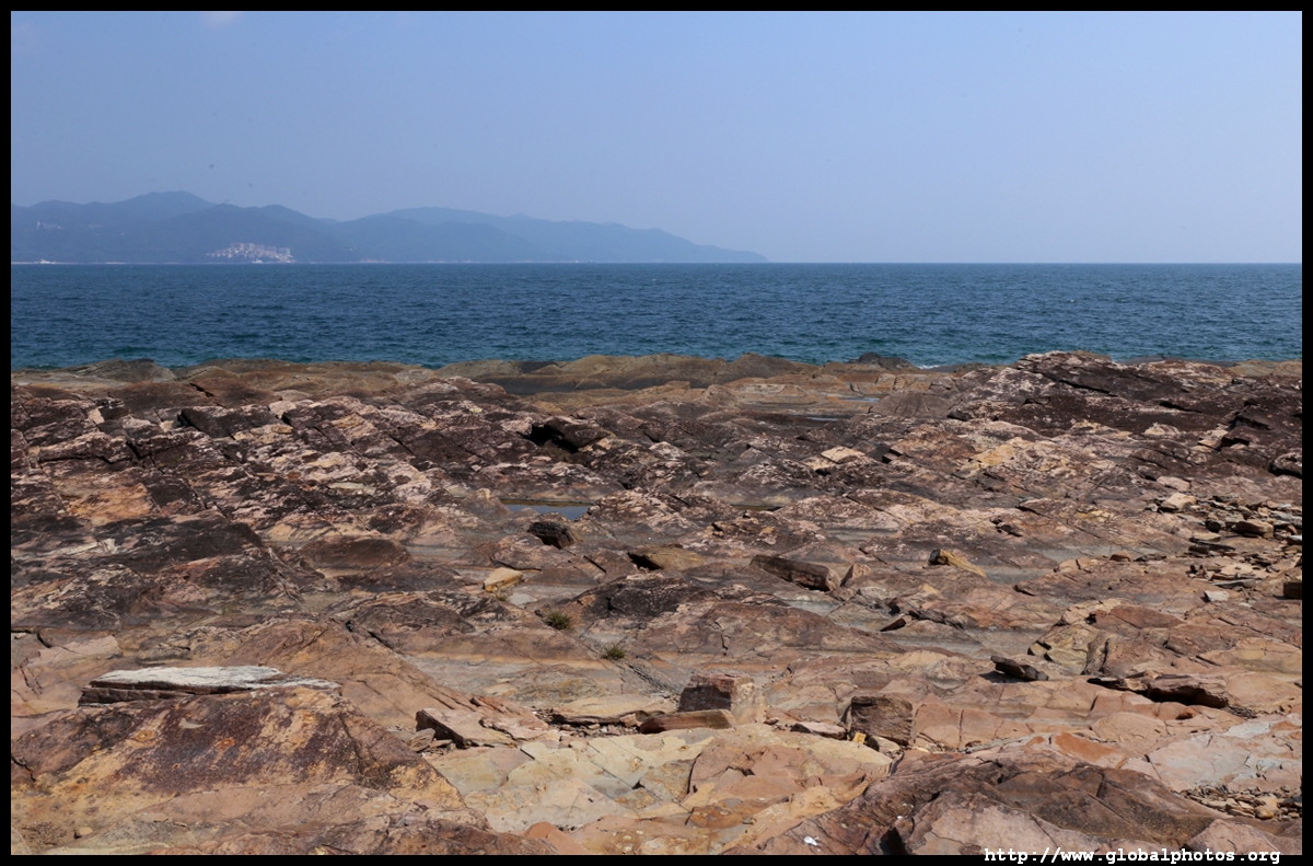
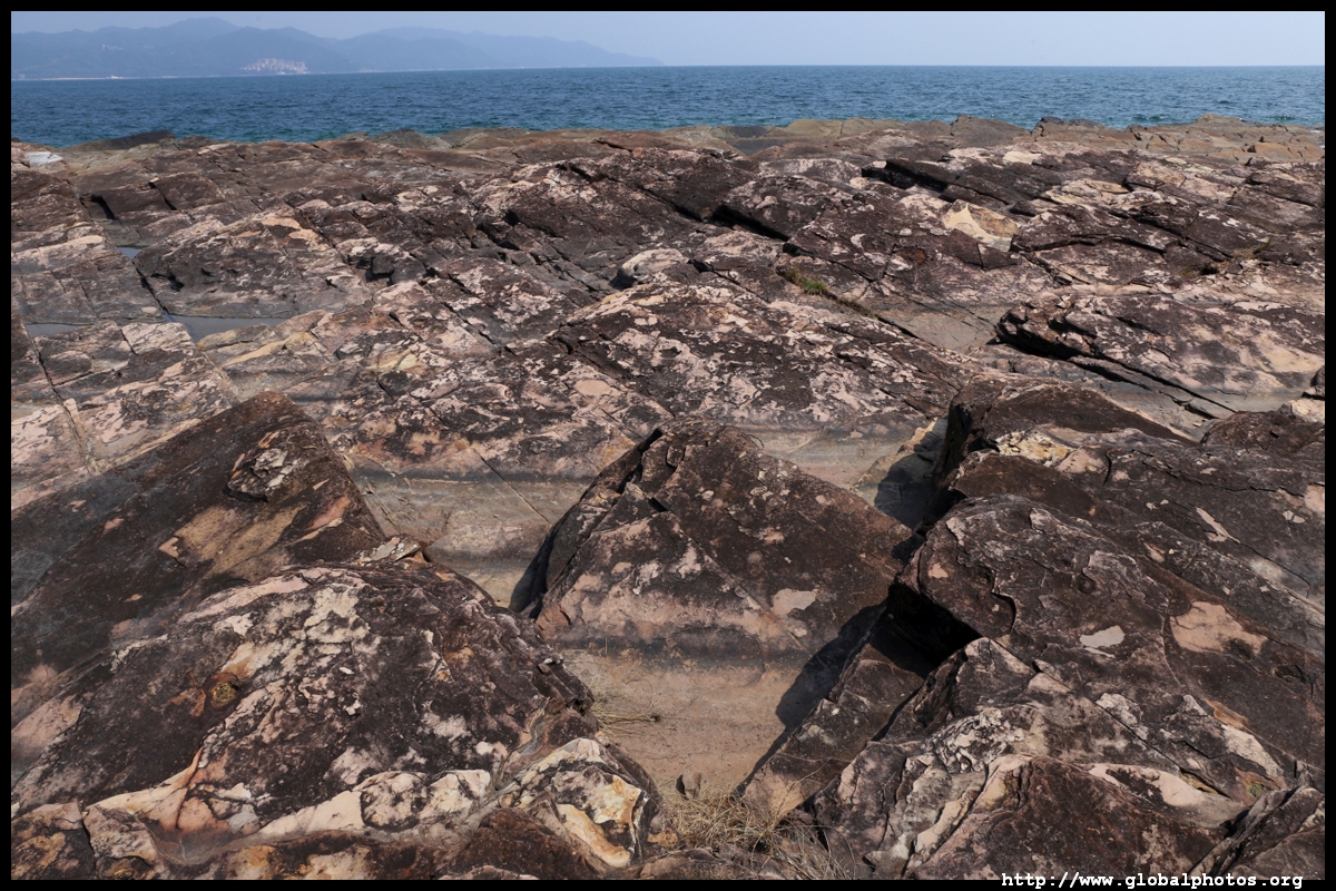
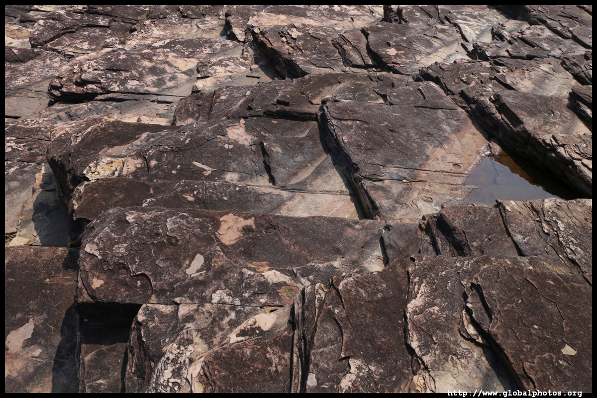
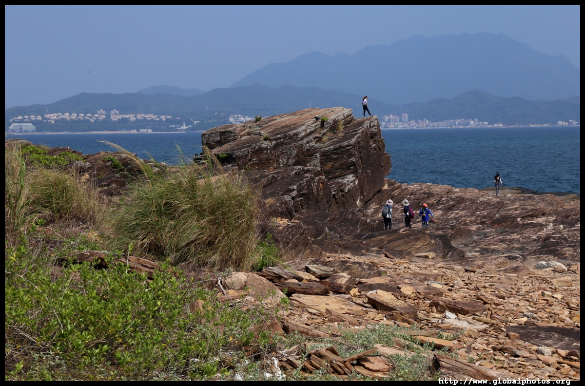
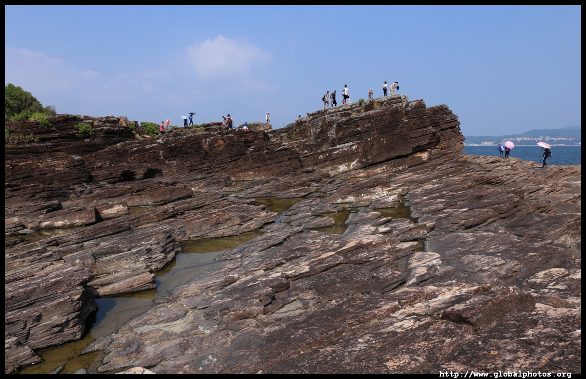
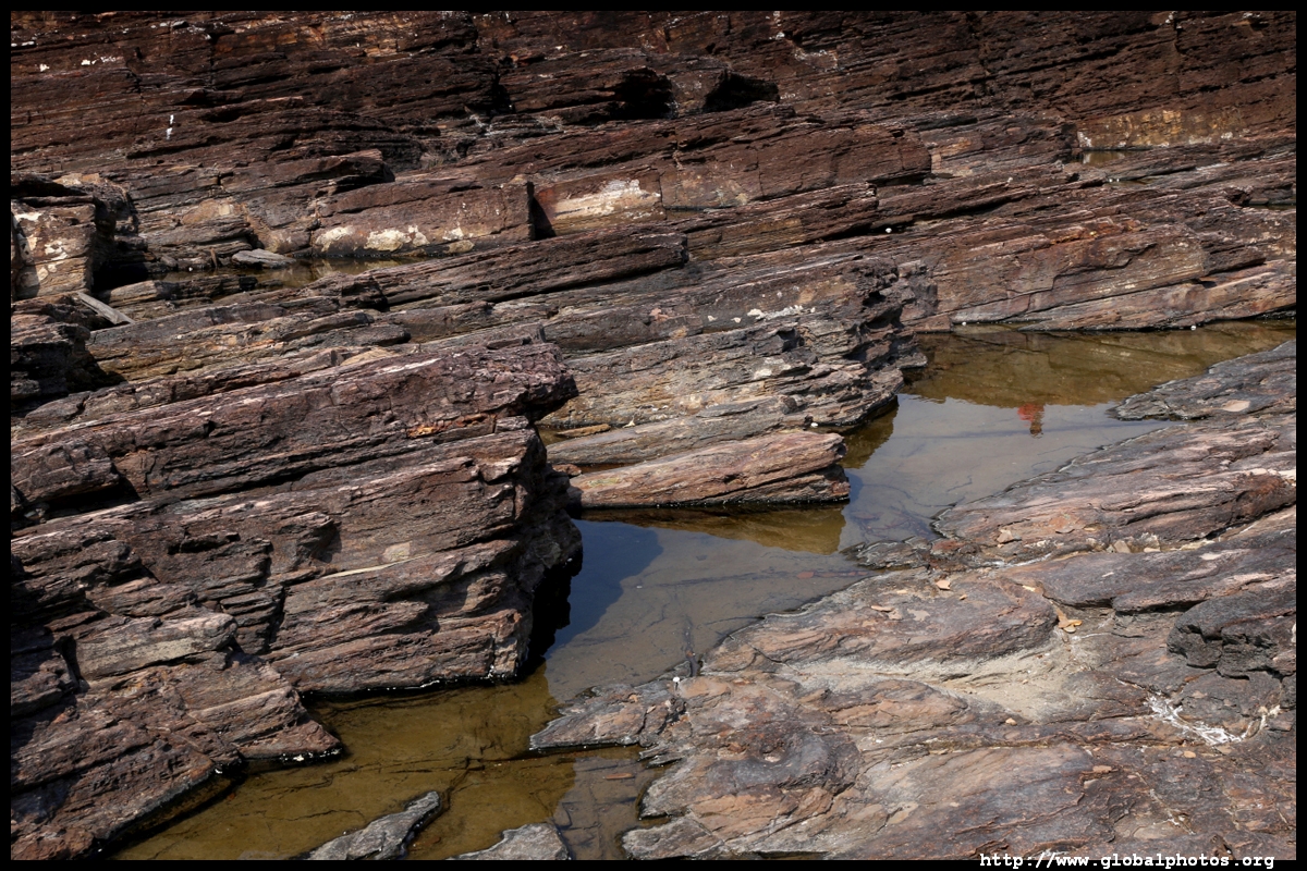
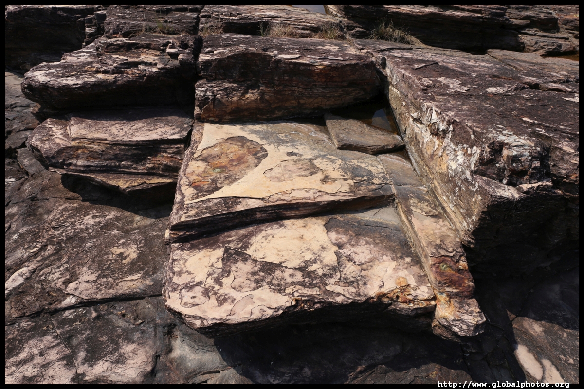
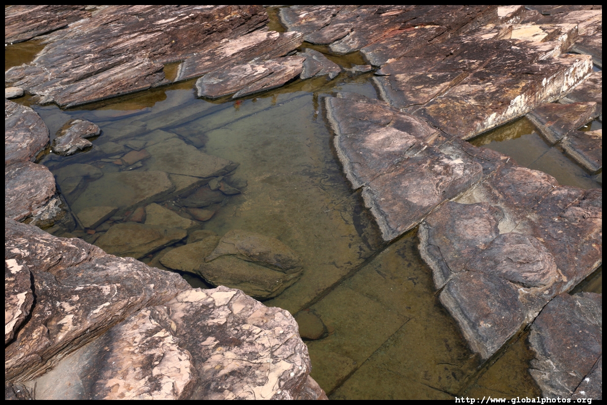
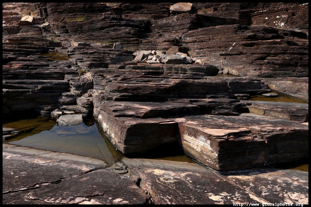
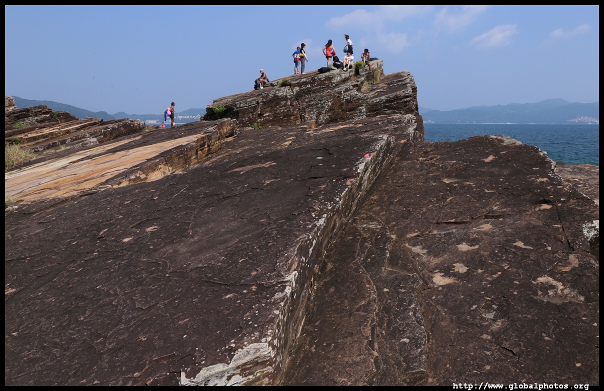
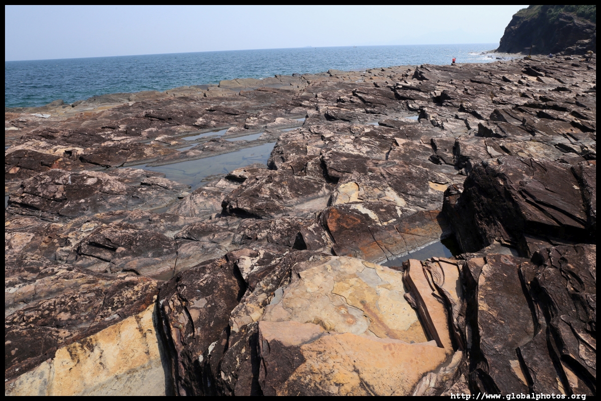
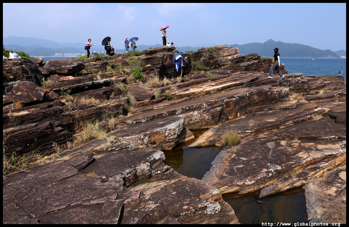
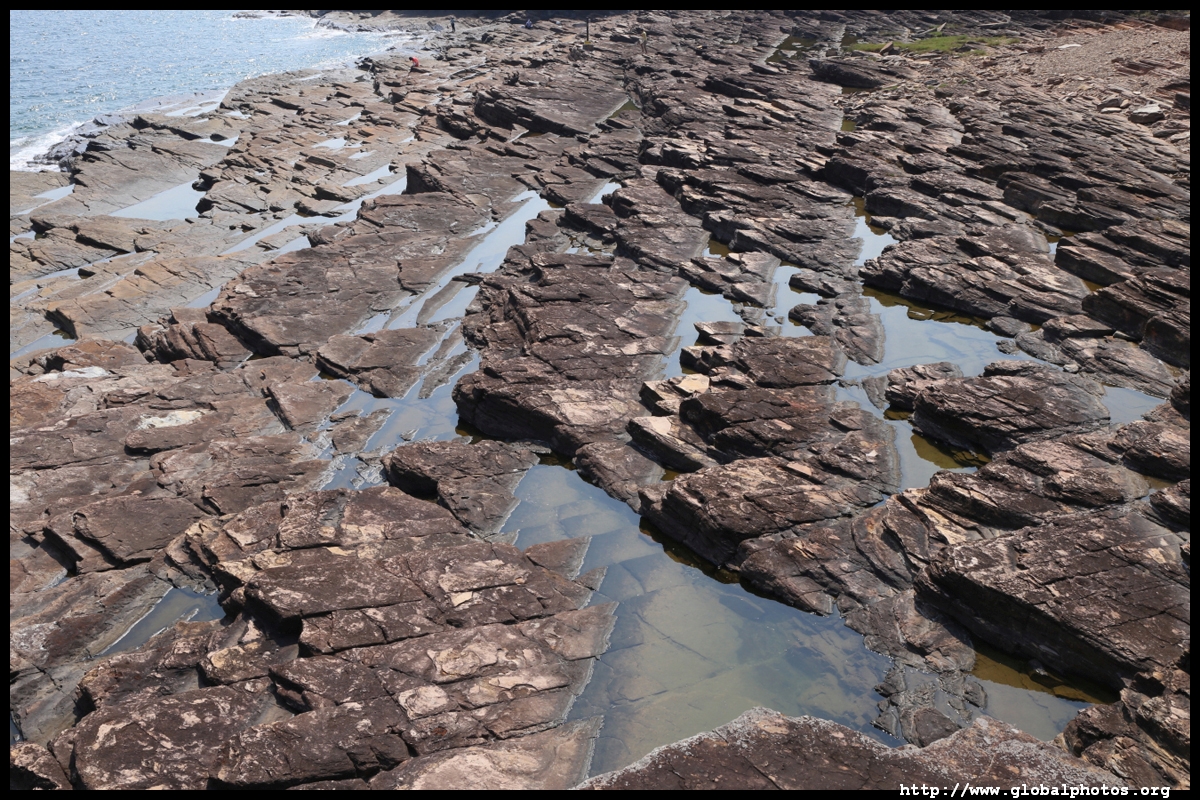
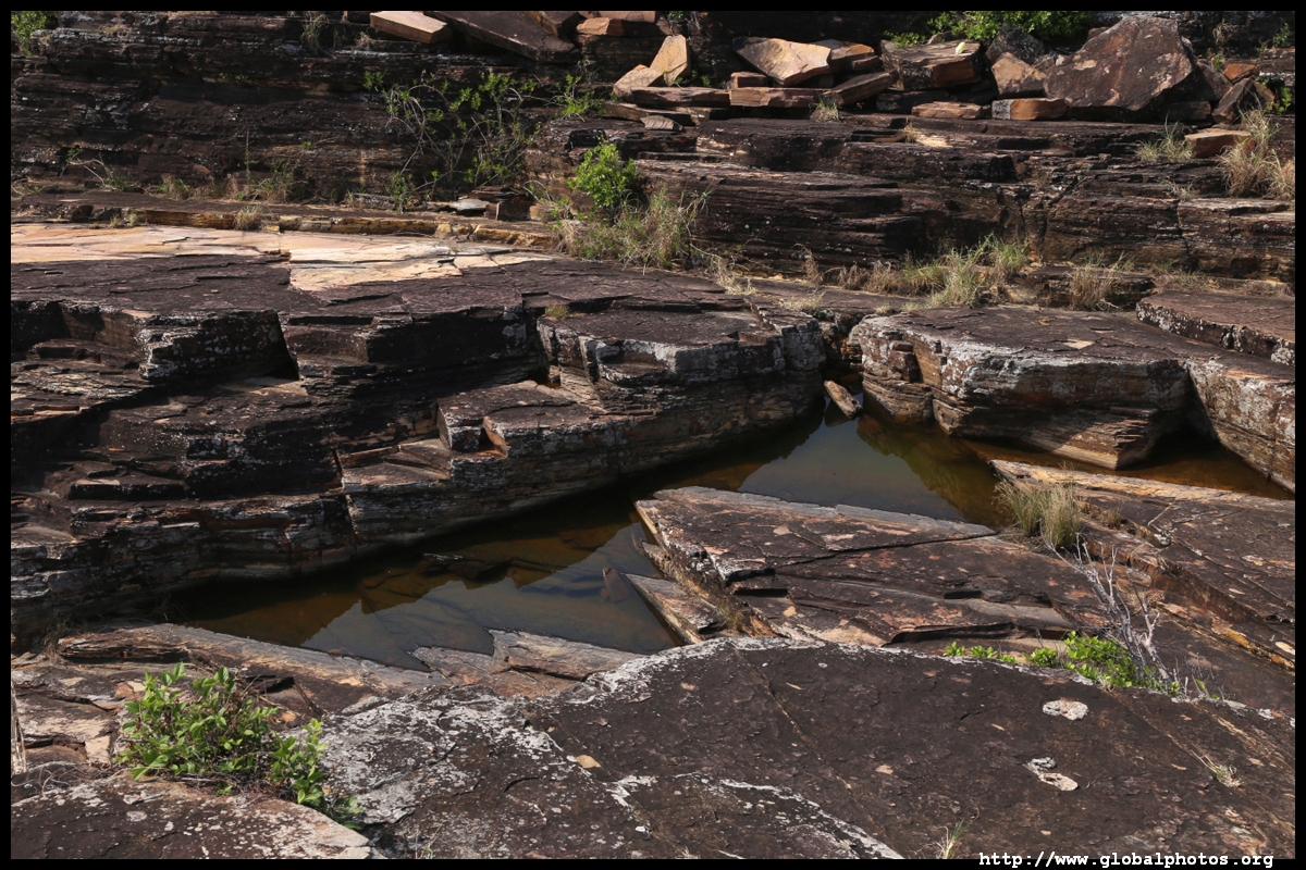
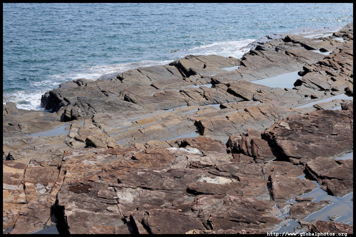
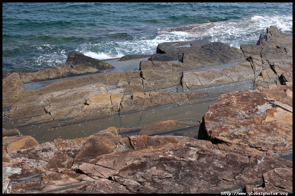
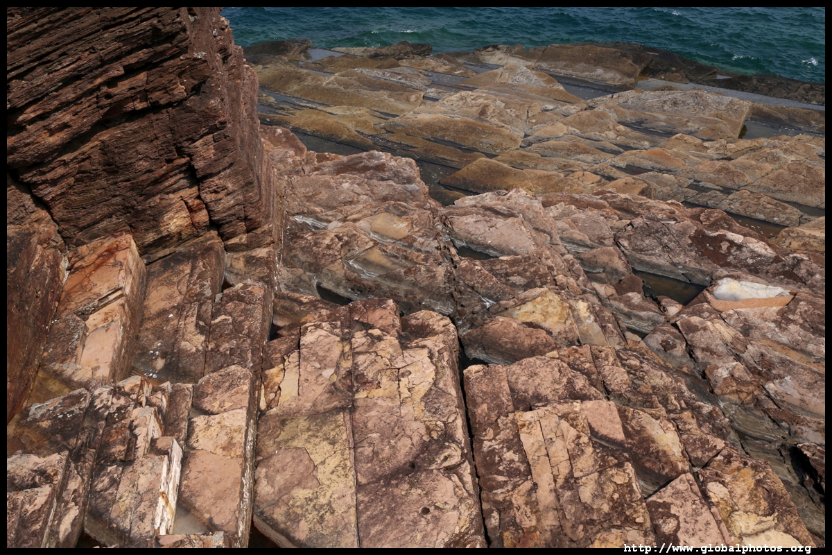
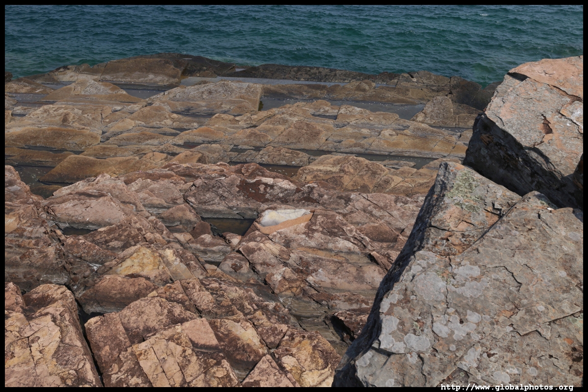
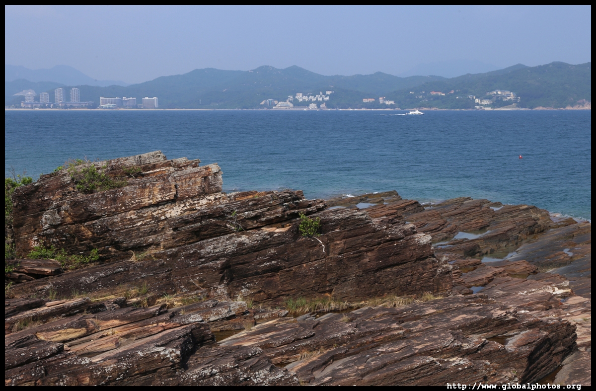
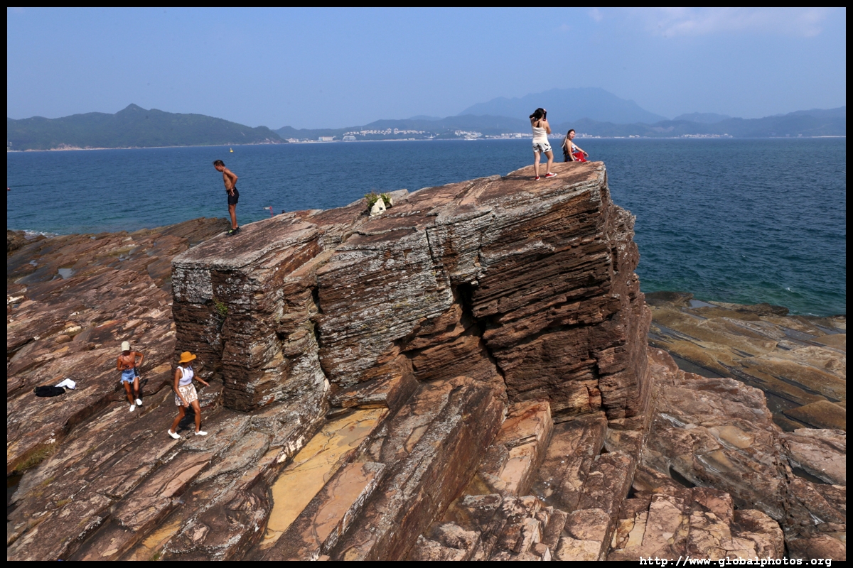
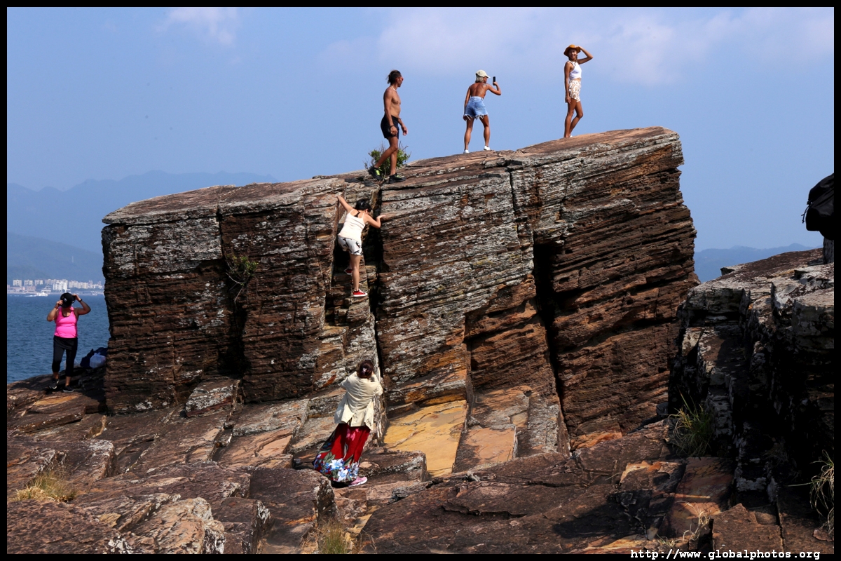
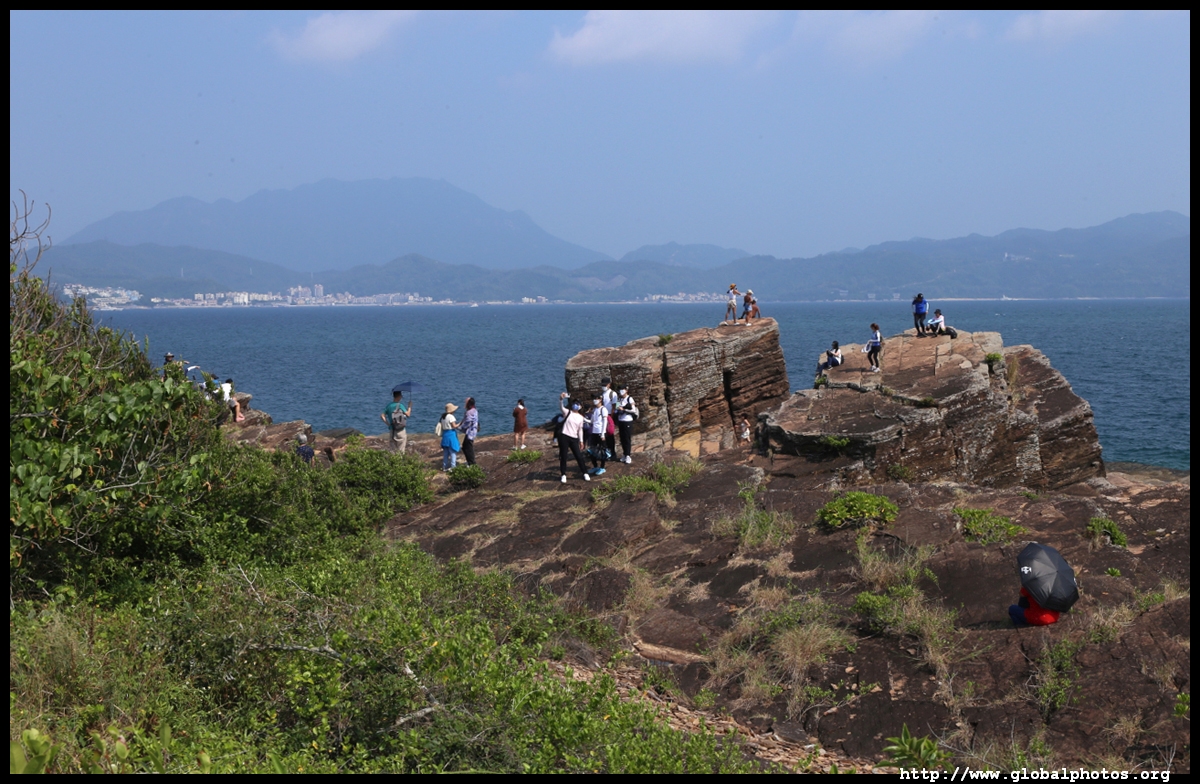
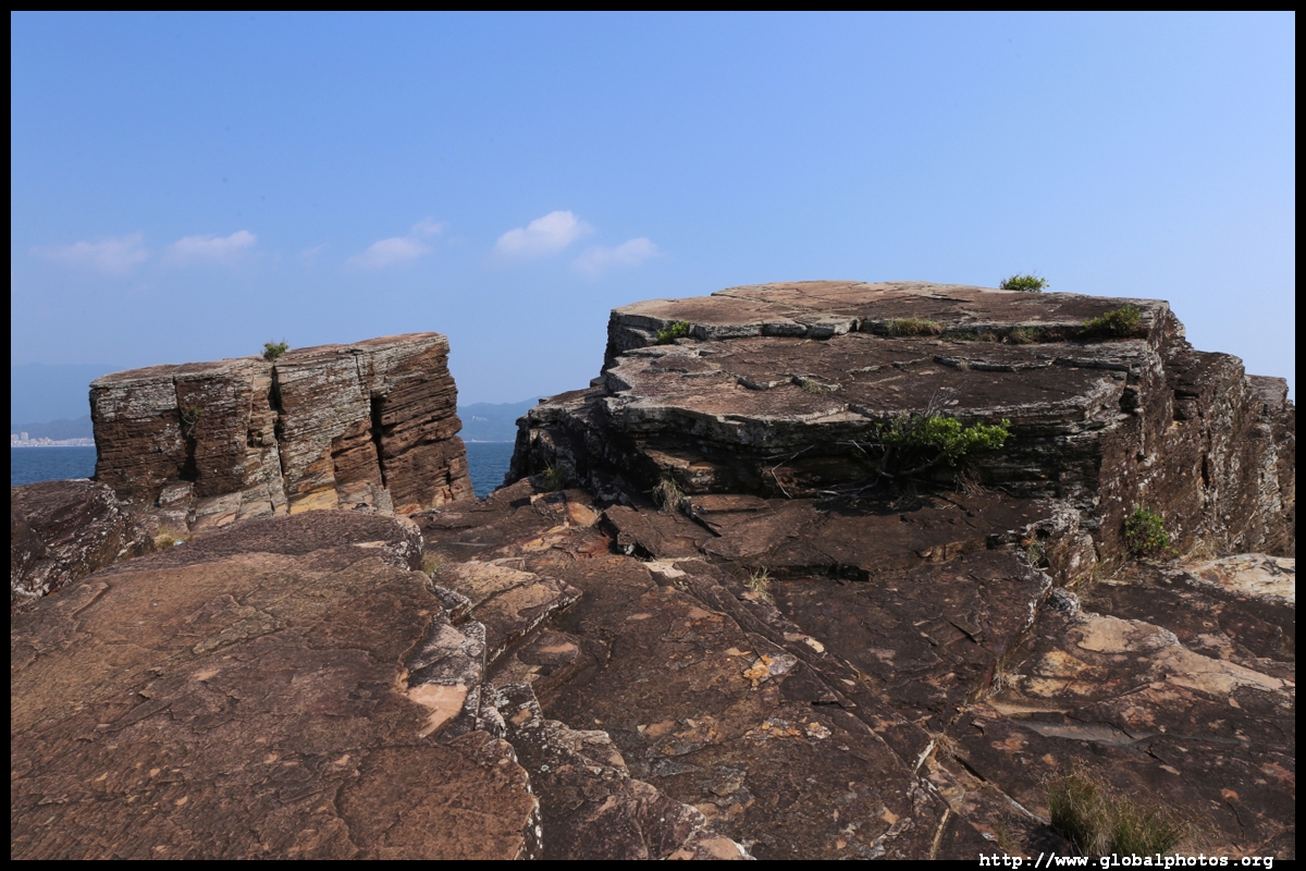
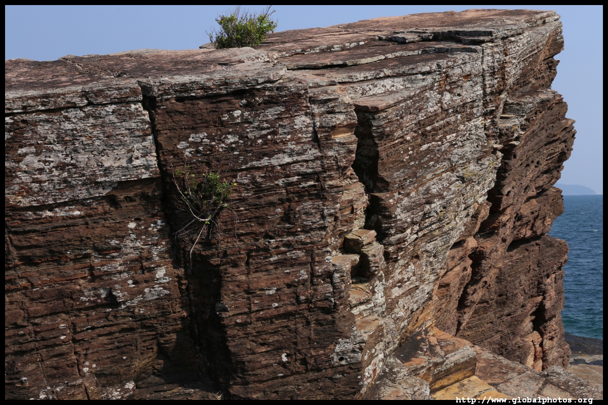
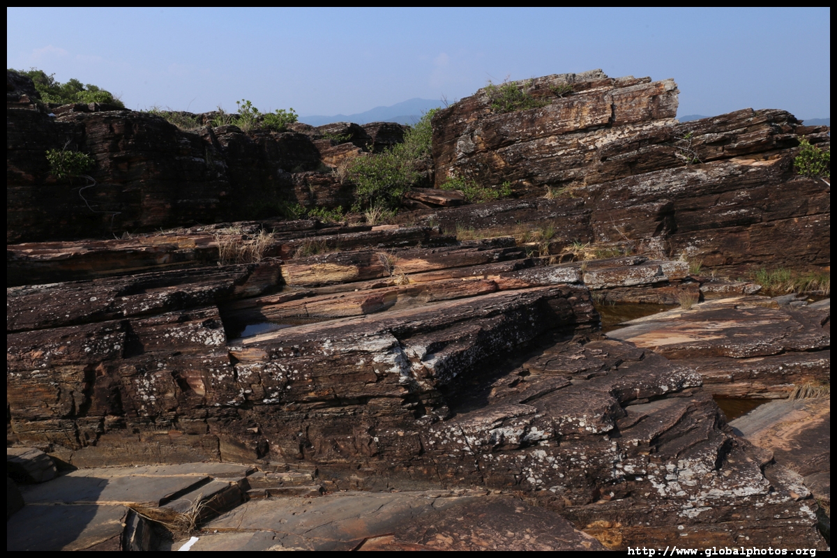
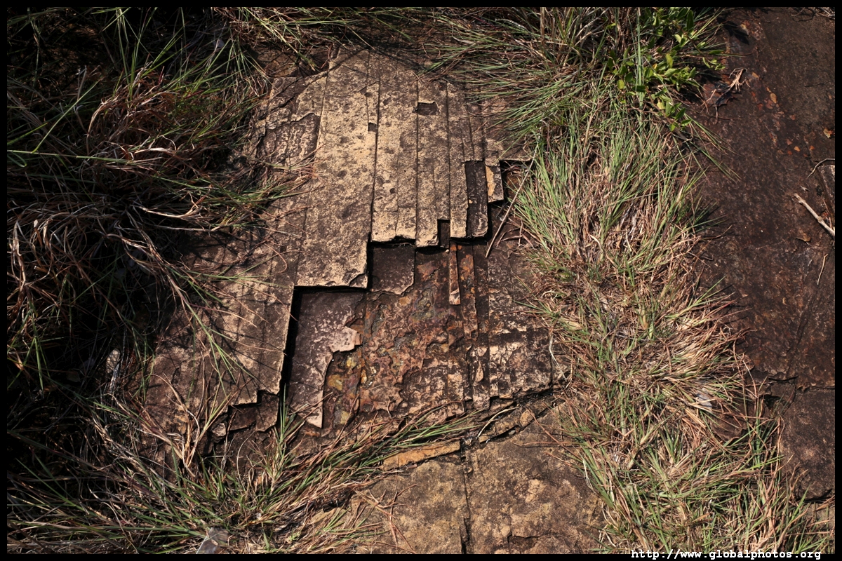
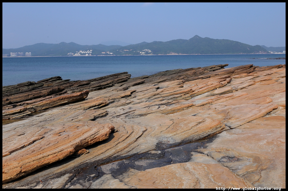
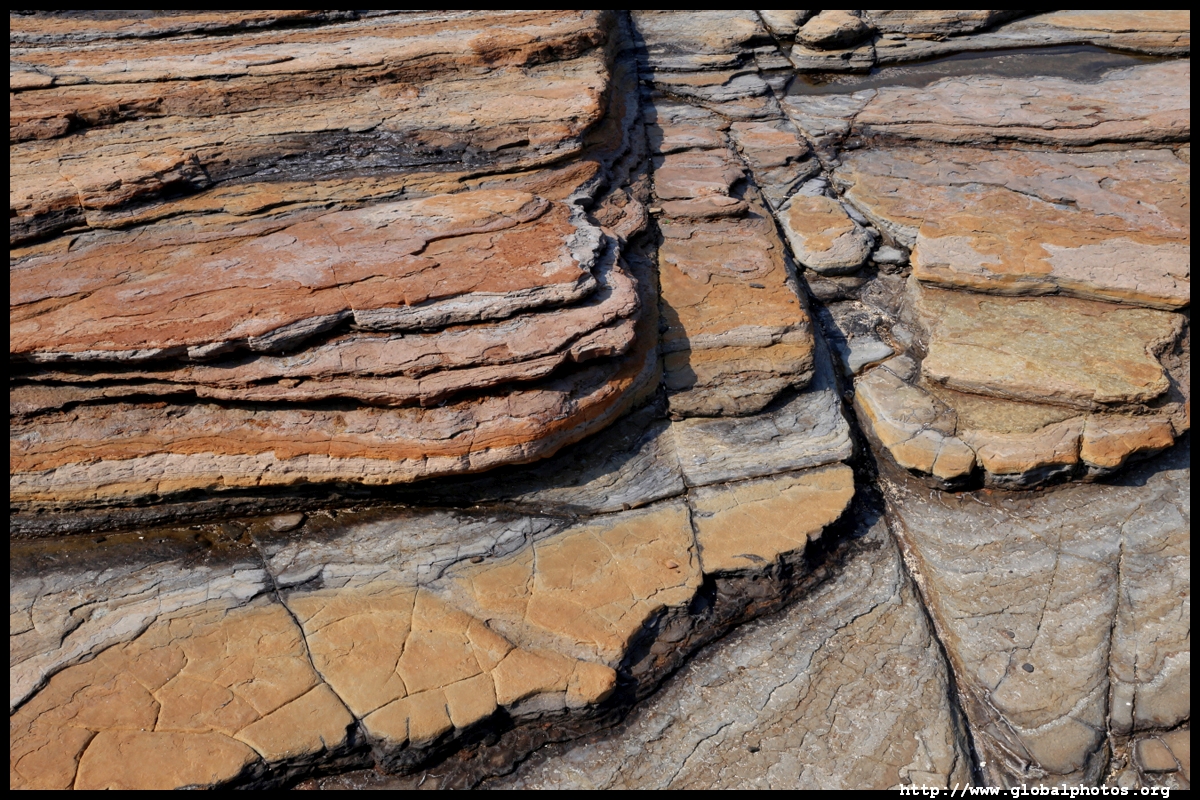
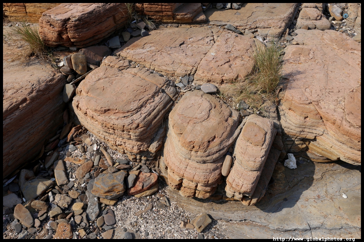
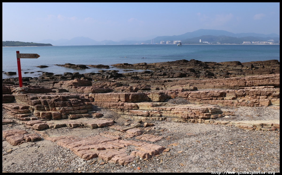
Kang Lau Shek is at the island's easternmost point with 2 watchtower-like rocks. Surrounding these big rocks is a geometric coastline with plenty of photo opportunities.
One rock is easy to climb while this other one is a lot more difficult, requiring to weave through a narrow crevice to get that nice photo.
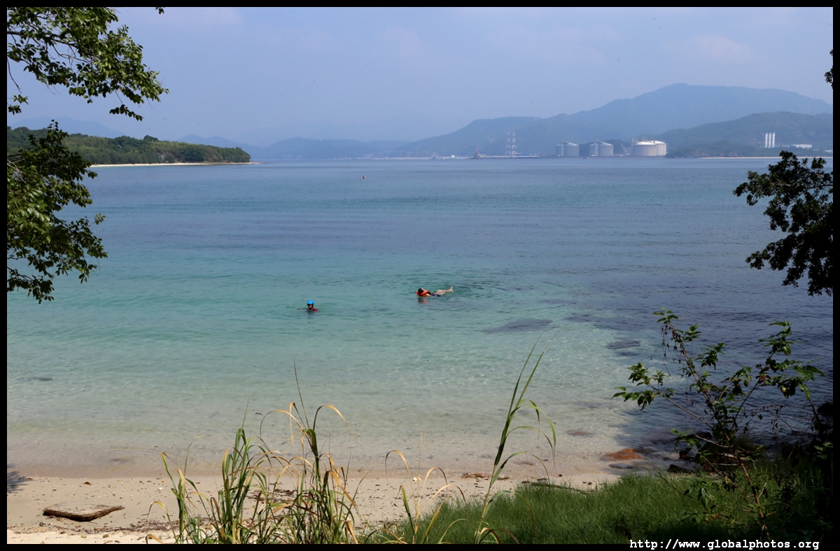
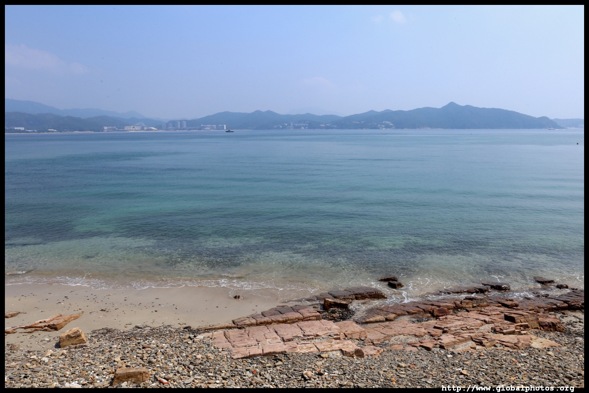
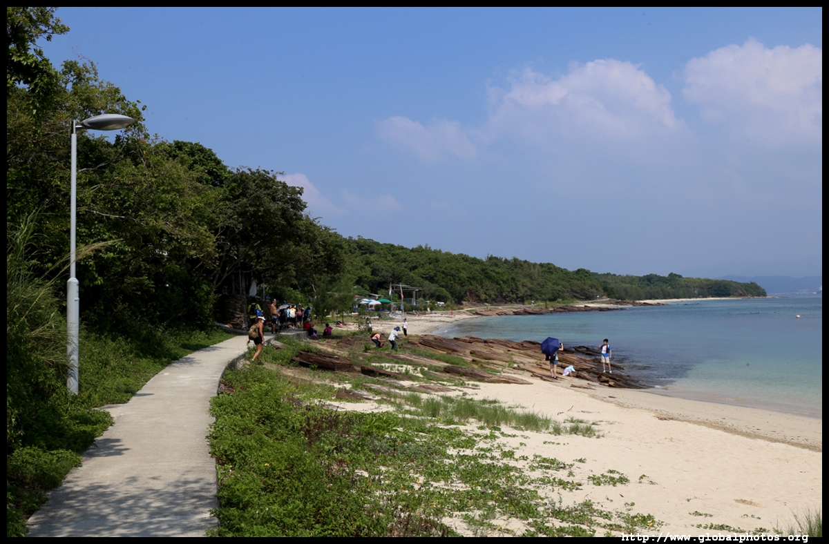
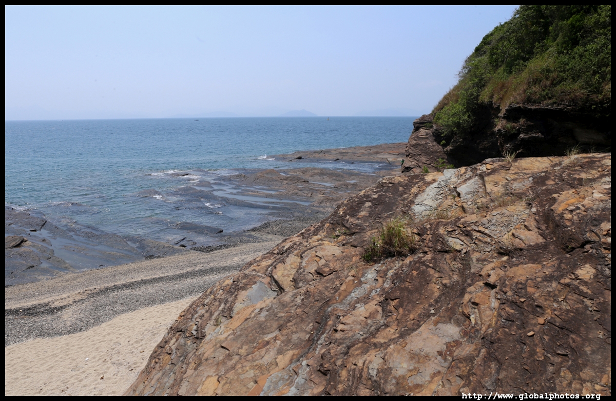
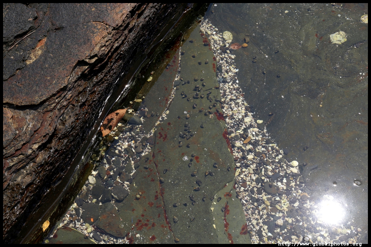
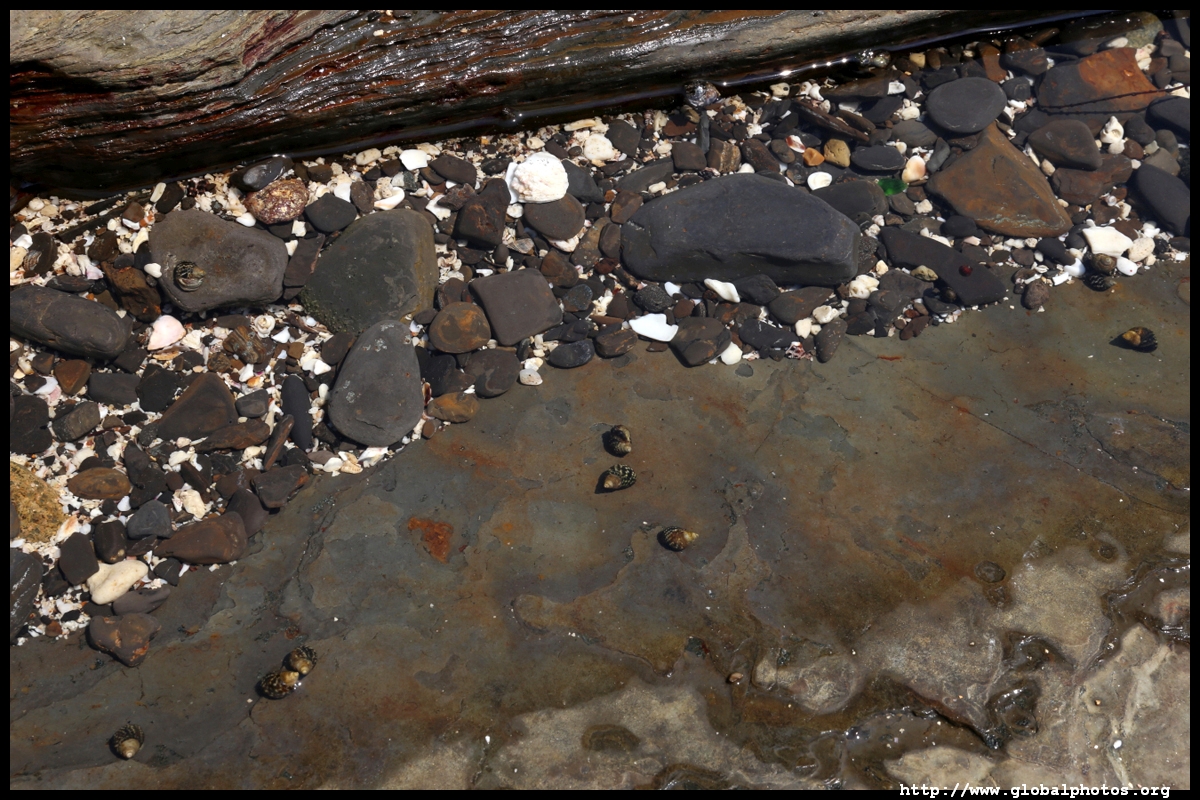
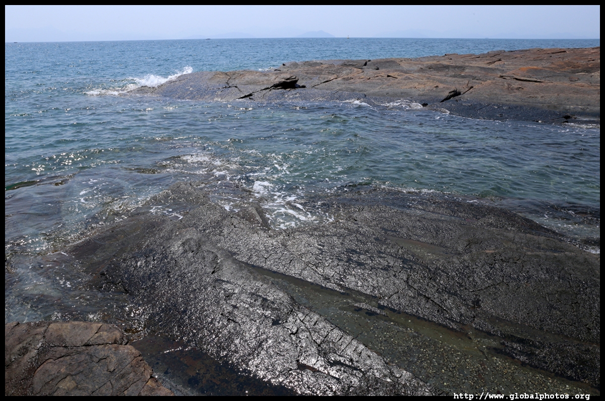
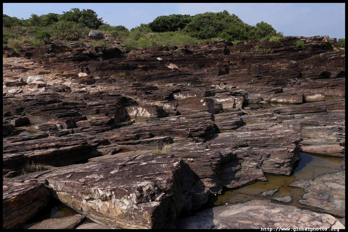
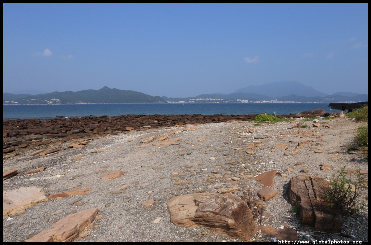
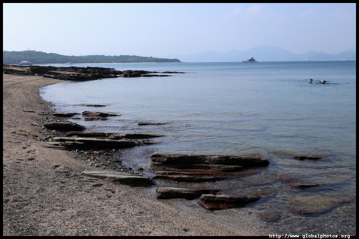
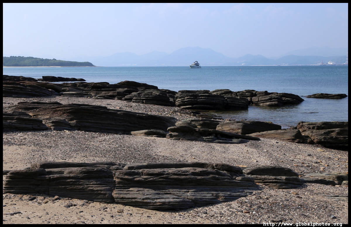
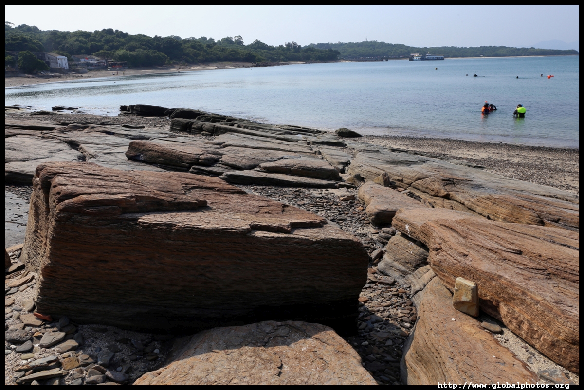
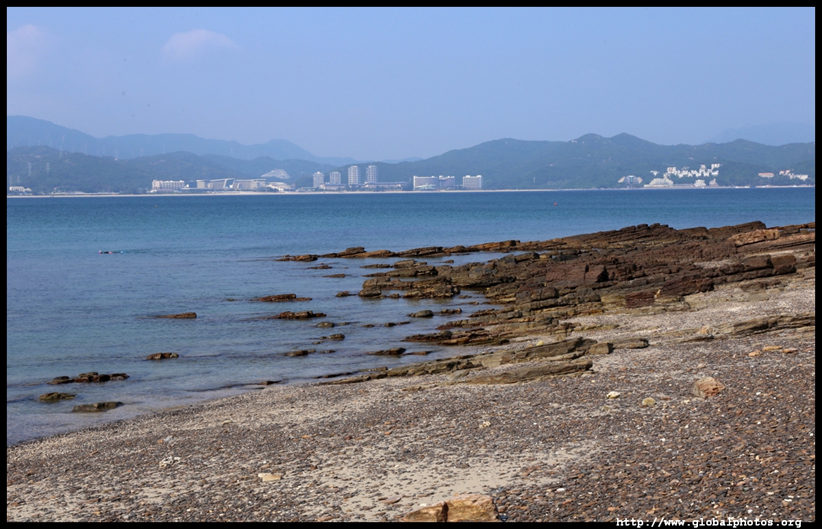
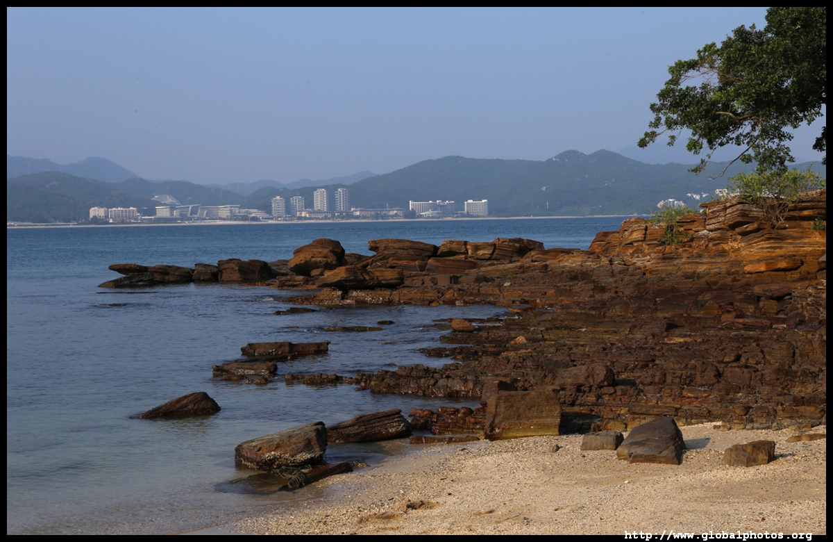
I headed back to the pier through A Ma Wan, where there are more interesting rocks along the coastline and snorklers in the calm water.
|
|||