Iceland Golden Circle Photo Gallery

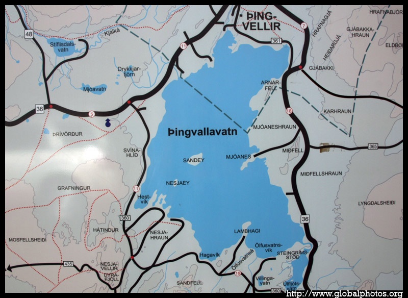
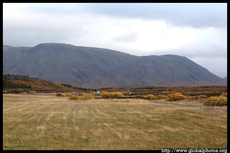
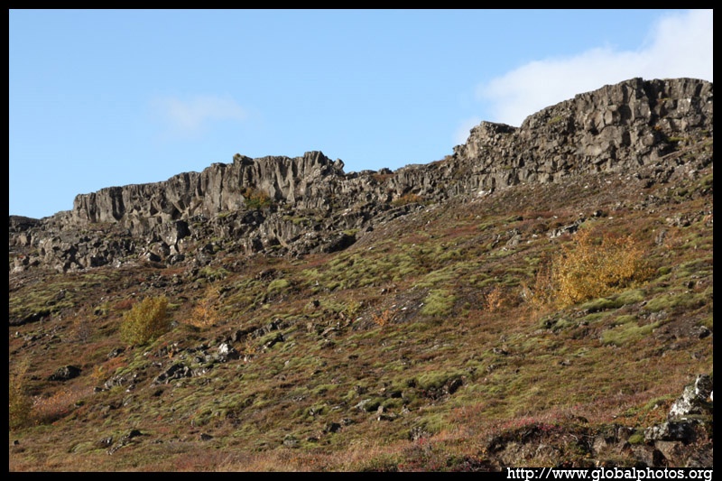
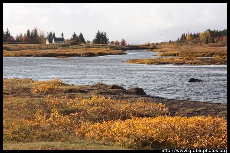
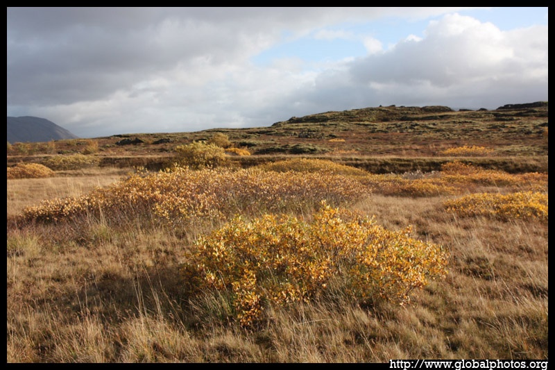
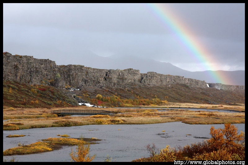
The Golden Circle is a 300-km route covering several key landmarks near Reykjavik. The sun emerged above this rocky landscape near Ţingvallavatn, the largest natural lake in Iceland.
|
|
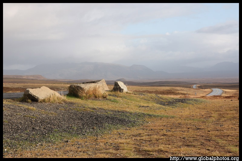
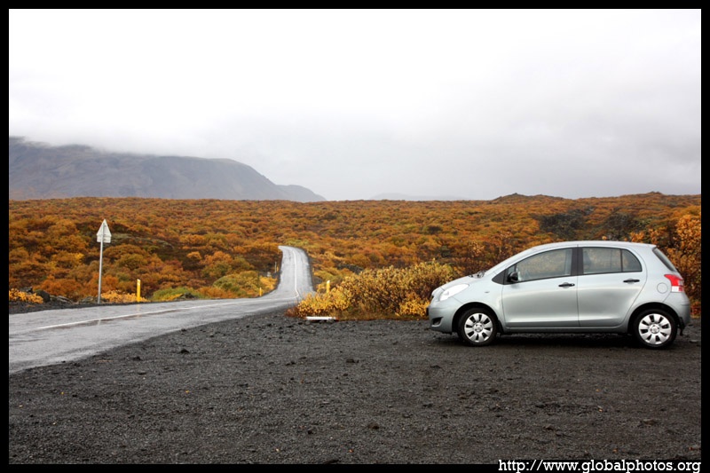
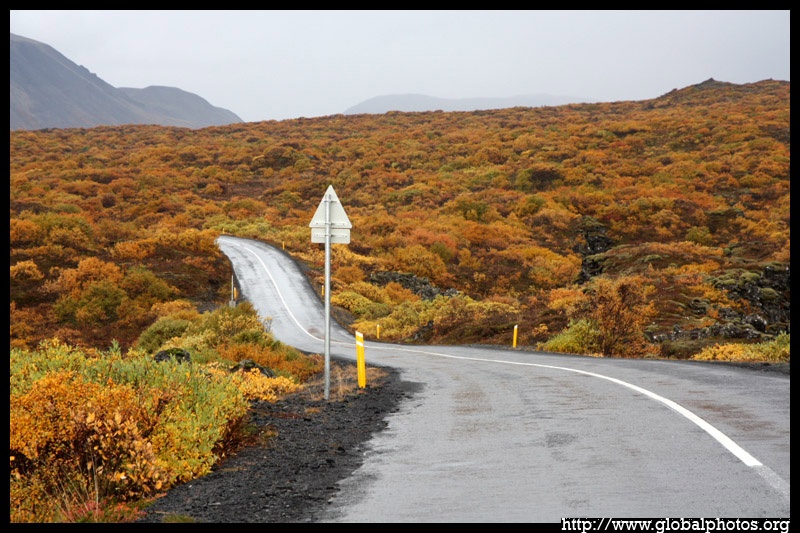
The busy tourist season has ended, and there was barely a soul travelling on the road.
|
|
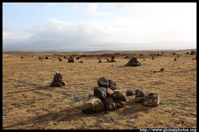
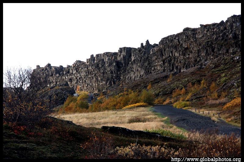
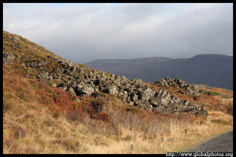
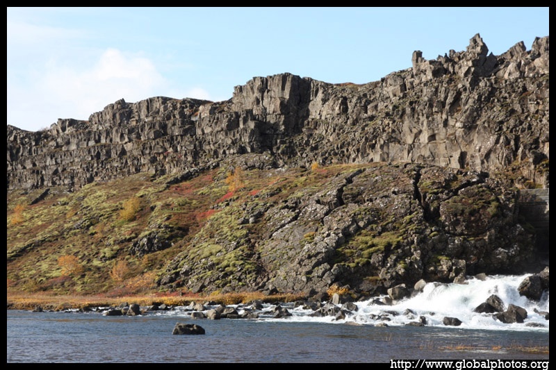
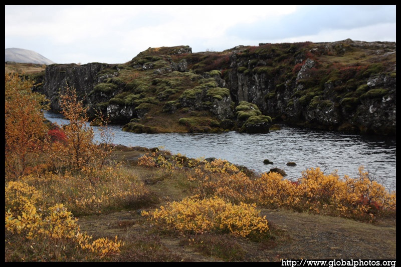
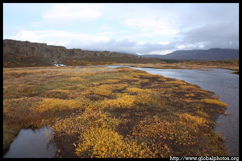
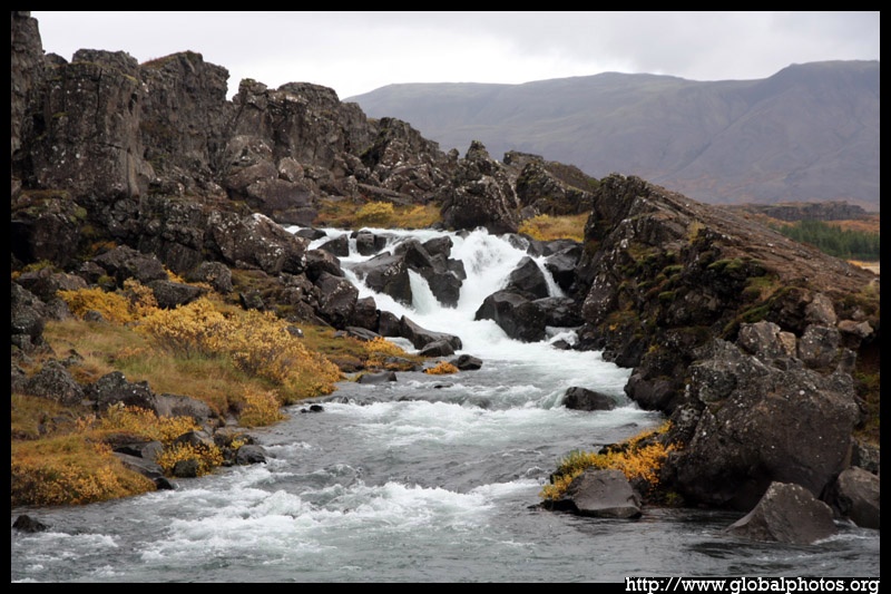
The Icelandic chieftains gathered here and formed the world's first parliament, the Althing. This meeting place is now part of Ţingvellir National Park.
|
|
The mix of rocks, hills, water, and the autumn colours make this gathering site quite unique and special.
|
|
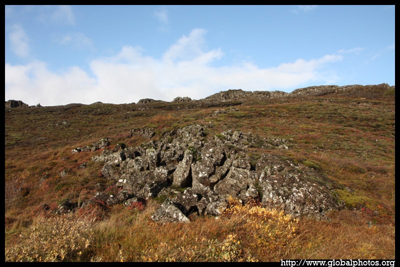
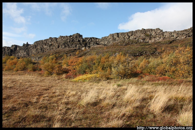
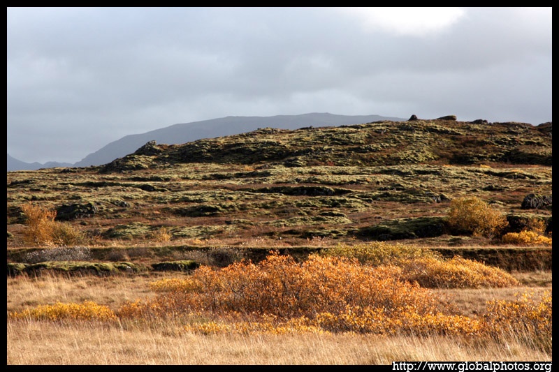
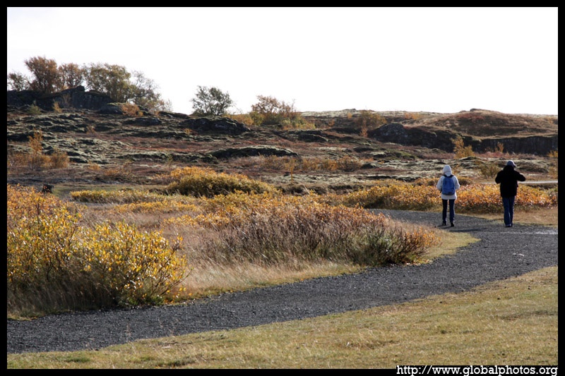
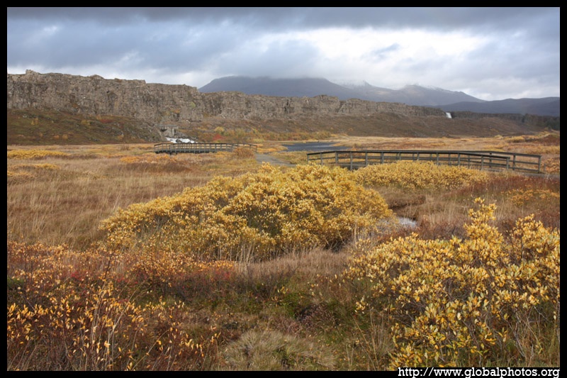
The site is quite big and spread-out, and tourists were thinly-scattered around.
|
|
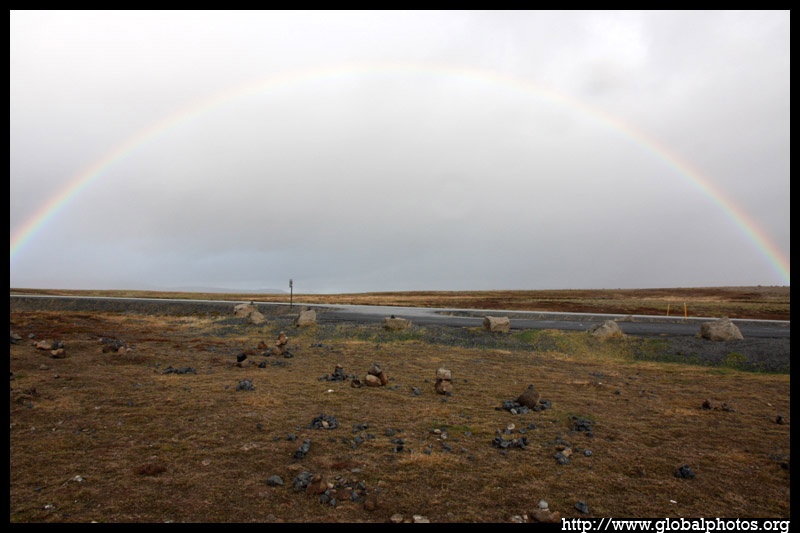
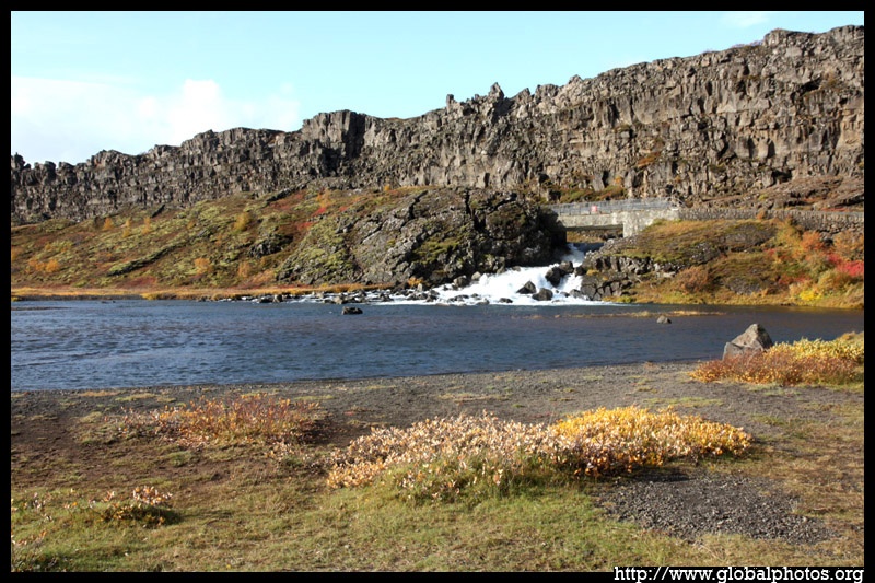
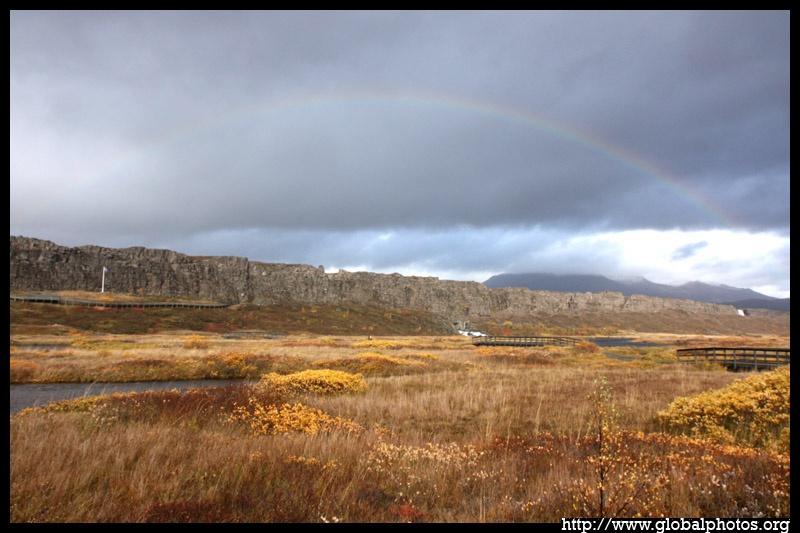
The weather was quite unpredictable. Brief periods of sunshine were interrupted by an annoying downpour. Then a rainbow would emerge to encourage you to stick around a little longer.
|
|
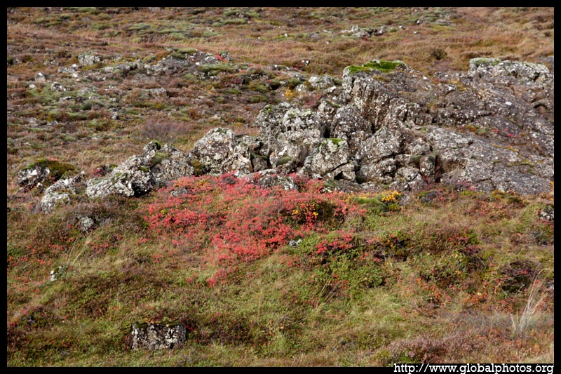
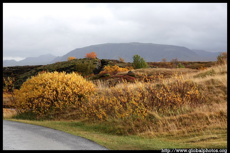
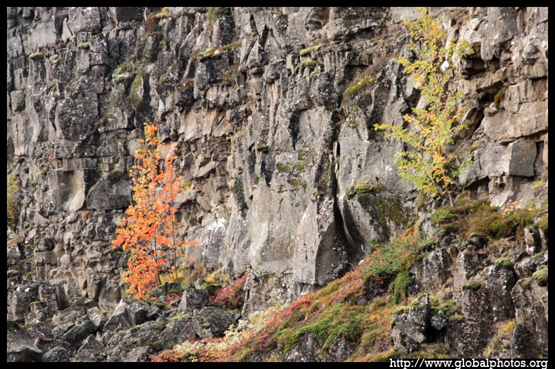
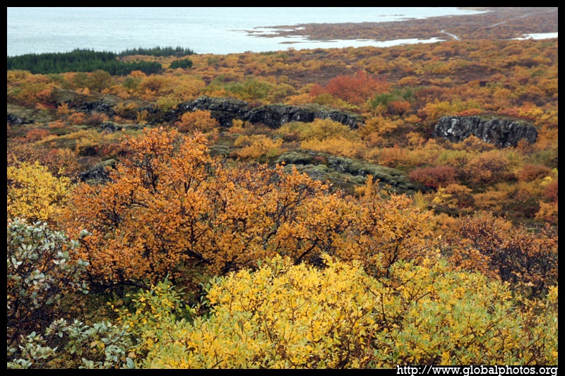
I'm used to seeing autumn colours on big trees, not on shrubs. But it's nevertheless a pretty sight.
|
|
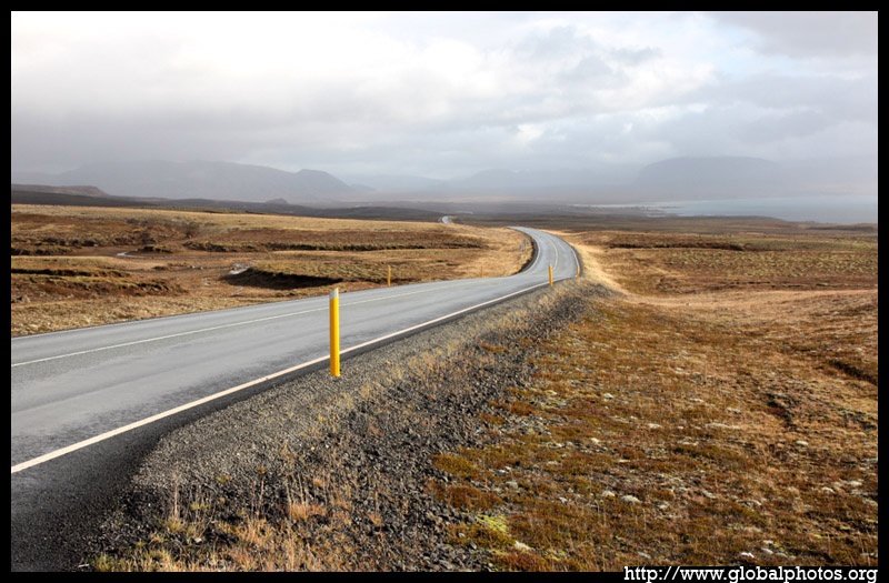
The GPS played a crucial role on this road trip, giving directions from one stop to the next in this empty landscape.
|
|
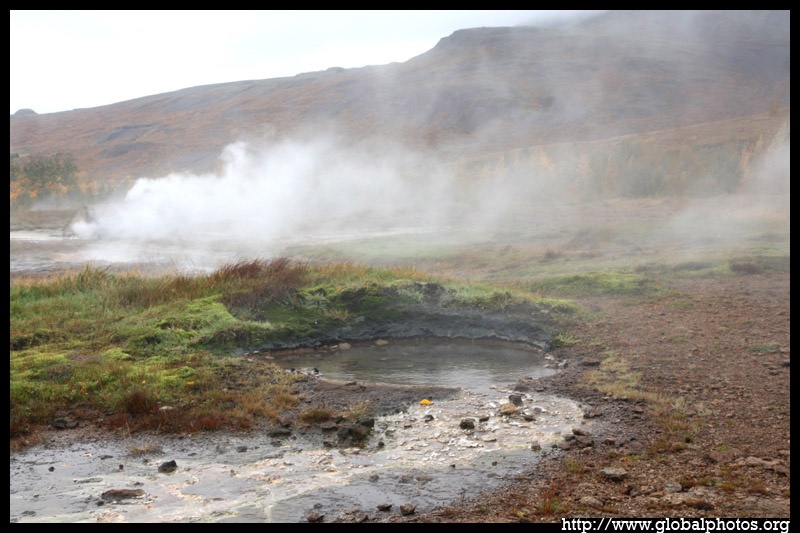
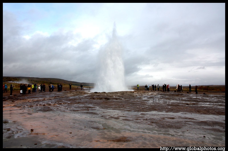
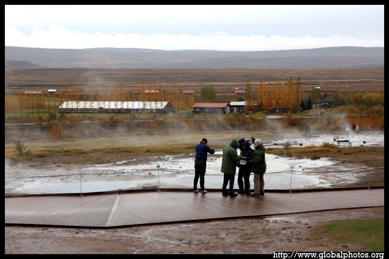
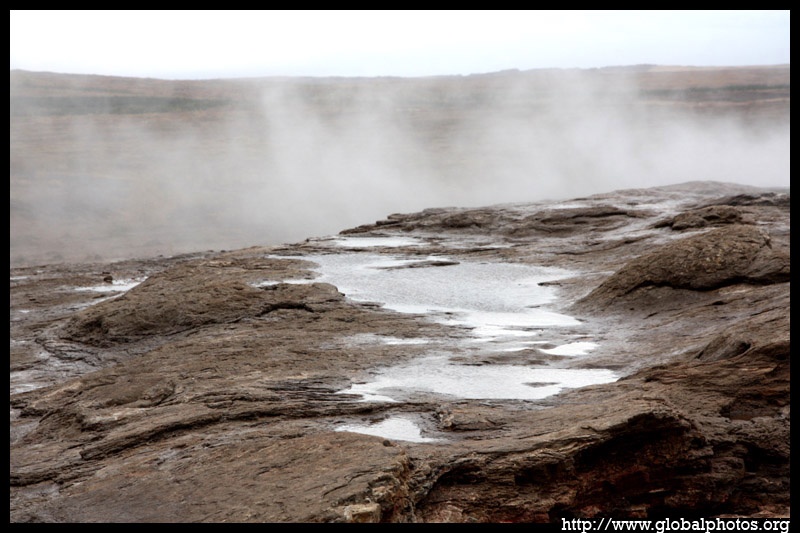
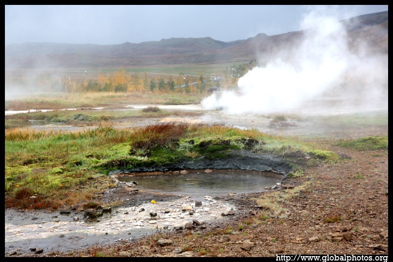
The Geysir area smells of chemicals with many spouts of steam warming up the cold air and creating a perpetual haze.
|
|
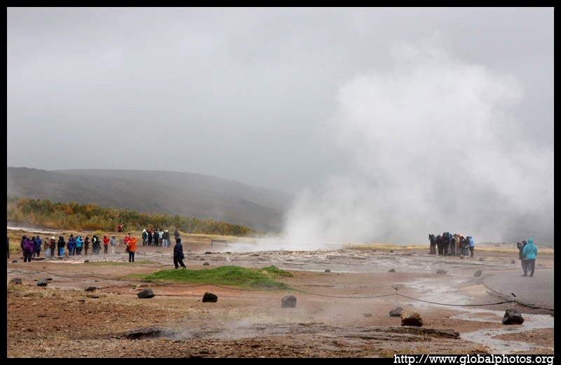
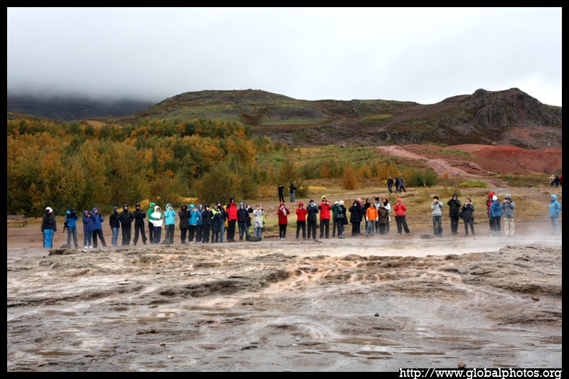
This appears to be a must-stop attraction, and crowds were lined up to watch the water spout up from the ground every few minutes.
|
|
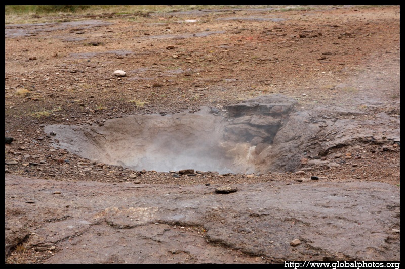
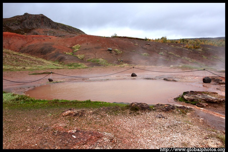
The ground gleams in red thanks to the abundance of chemicals pouring out from the centre of the earth.
|
|
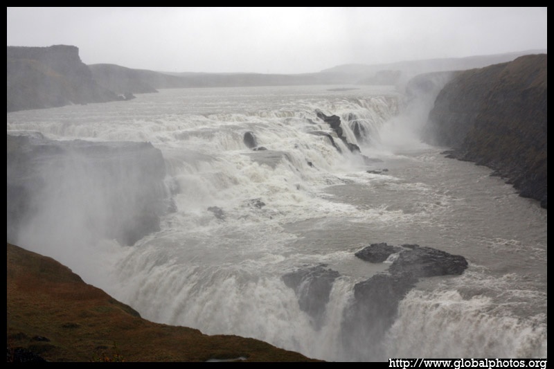
Gullfoss is quite an impressive waterfall not because of its height, but rather its width and steps. Too bad the weather didn't co-operate.
|
|
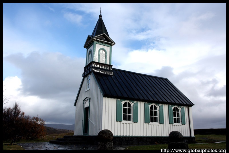
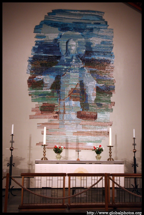
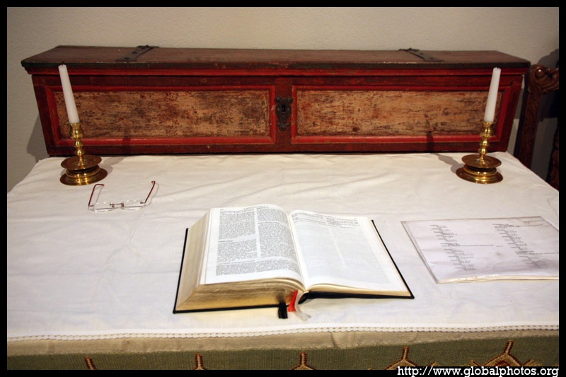
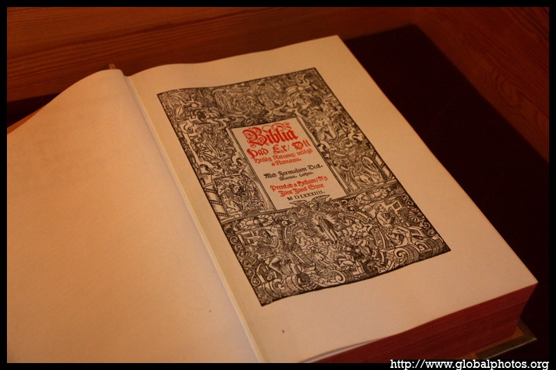
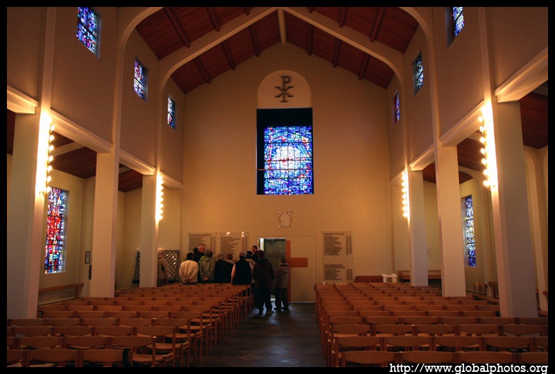
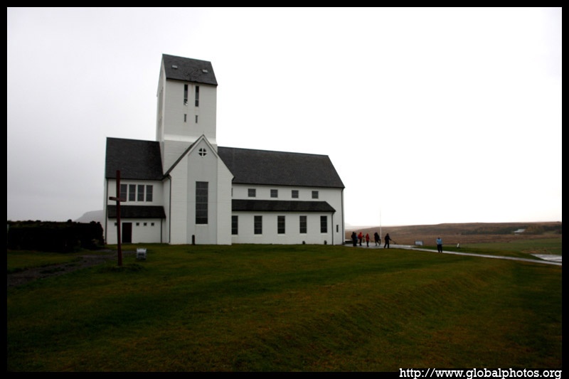
Skálholt was the home of Iceland's first bishop, and was a wealthy and influential settlement of 200 people in the 13th century. The church featured here opened in 1956, and has an ornate mosaic of Christ.
|
|