| | | |
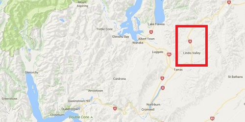
Queenstown - Cromwell - Lindis Pass - Pukaki Drive Photo Gallery
|
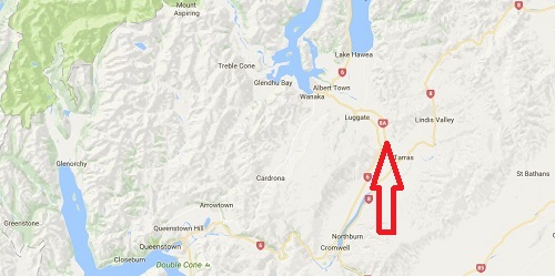
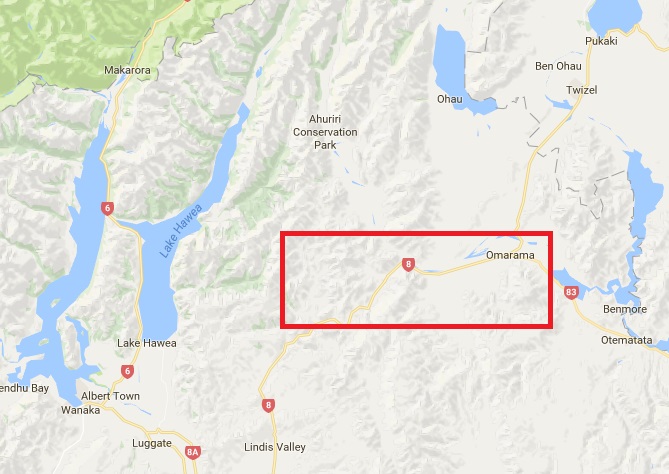
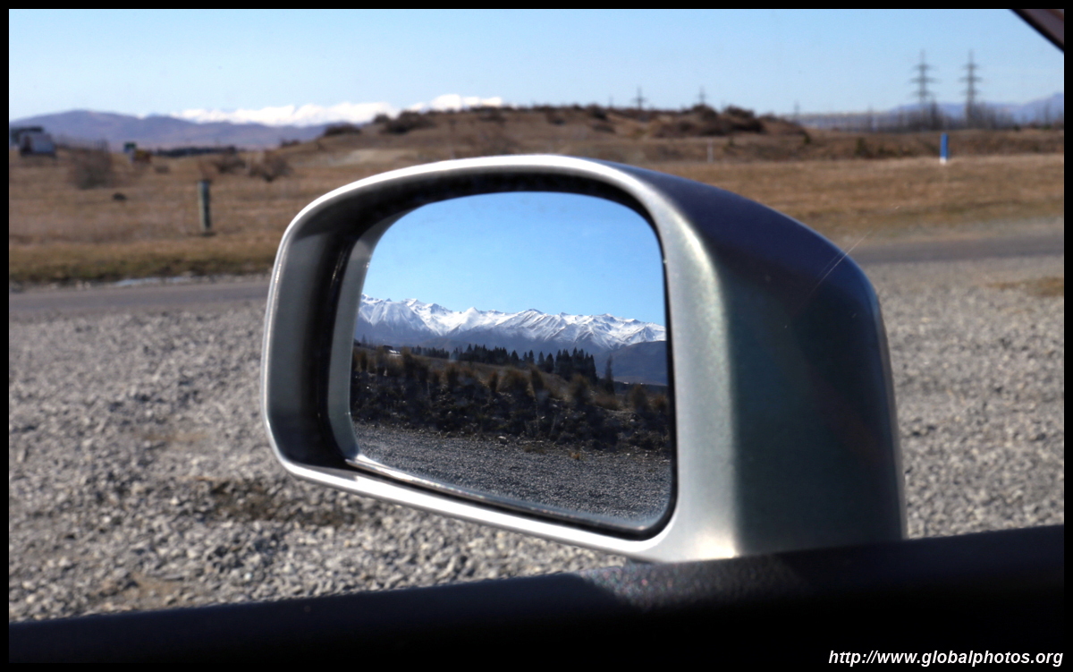
With the $125 refund from the previous day's unexpected disaster in Milford Sound, I rented a car for the day for a drive through Lindis Pass and hopefully spot Mount Cook from the other side (I previously did a helicopter tour out of Fox). The weather was once again picture-perfect today. The storms from a few days ago were long gone although the snow was still very visible down the mountains.
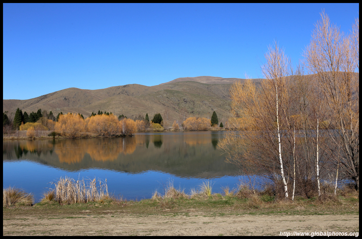
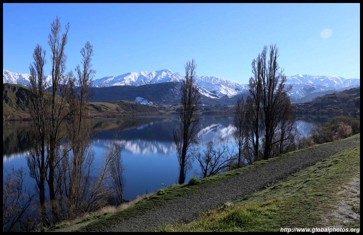
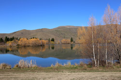
The transport website had a warning of snow and ice on the Lindis Pass. It was still chilly but I wouldn't think any ice or snow would be left with such a blazing sun out in action. I didn't get snow chains and started my journey at around 9. First stop was Lake Hayes. Since it was morning and the sun came up from the east, the lighting was perfect when I stopped at the public park on the east side of the lake.
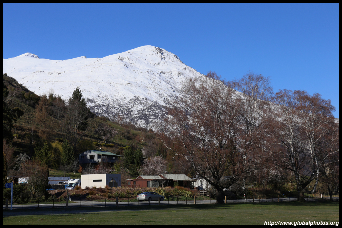


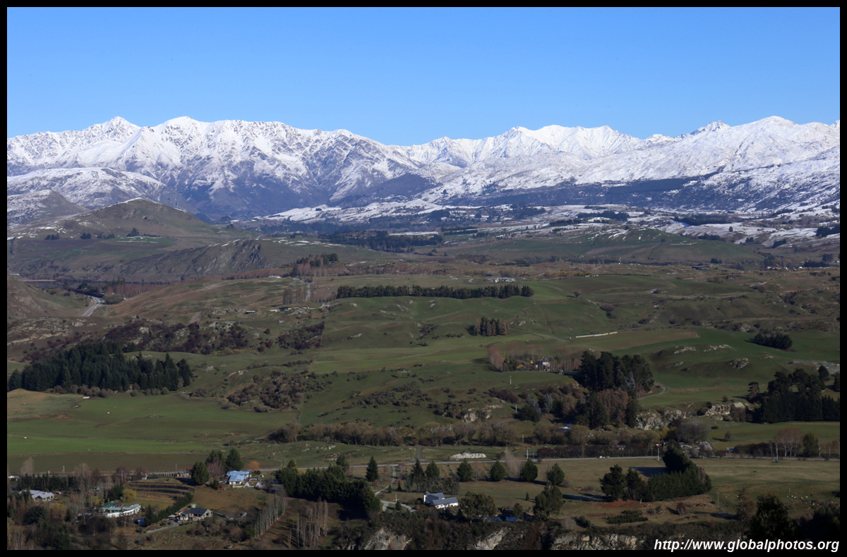
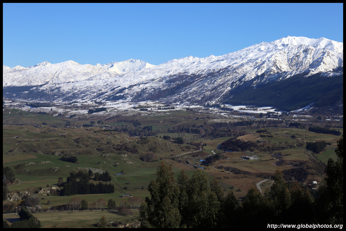
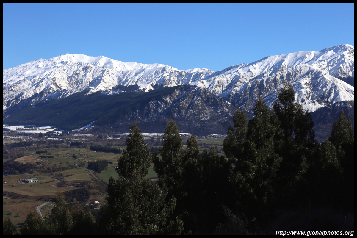
Encouraged, I decided to drive up to the Crown Range, where I had driven the other way from Wanaka a few days earlier in the white-out snowstorm. I couldn't see beyond 100 feet that day. What a difference now!


|
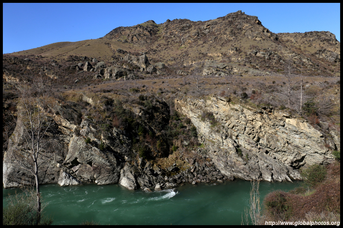
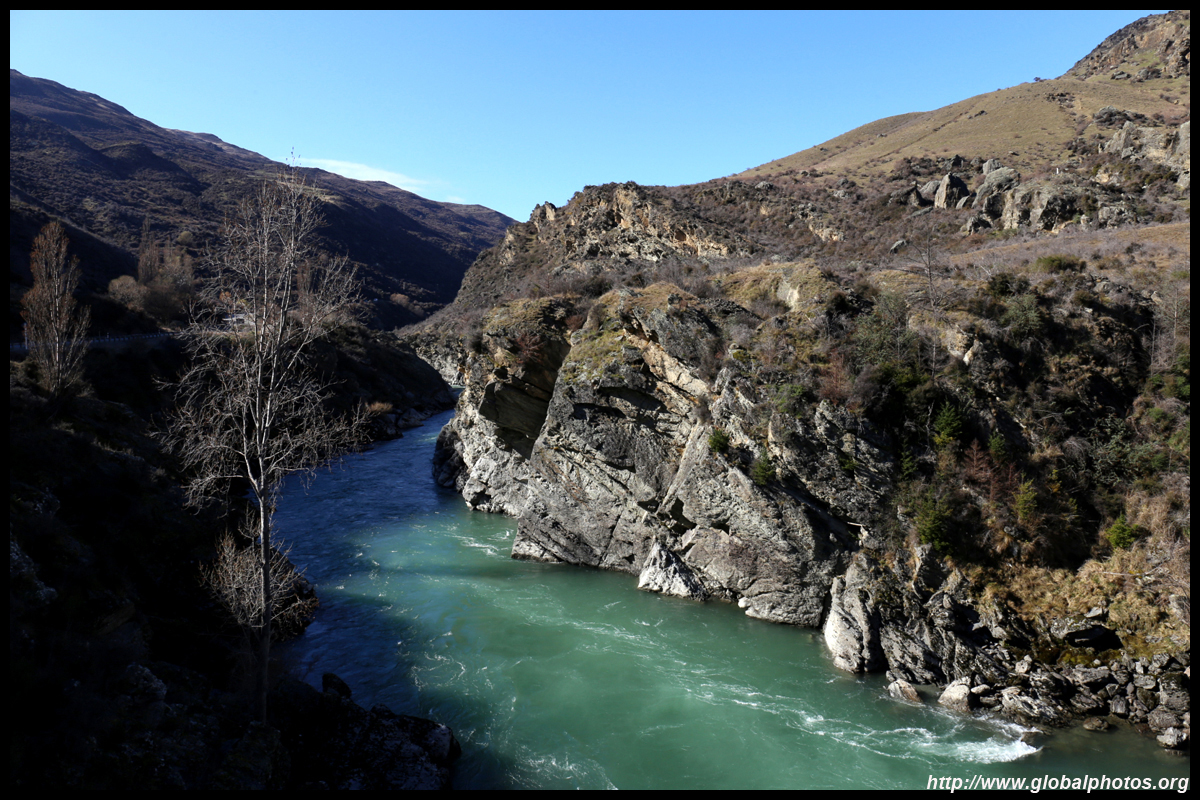
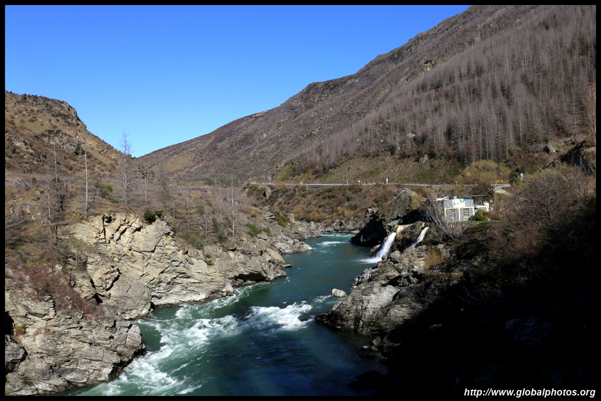
After my mini-detour, I headed back down and continued along the highway to Cromwell, winding through the Kawarau Gorge. Seems the water was more turquoise than Hokitika Gorge.
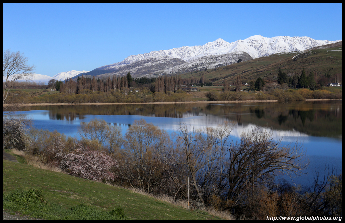
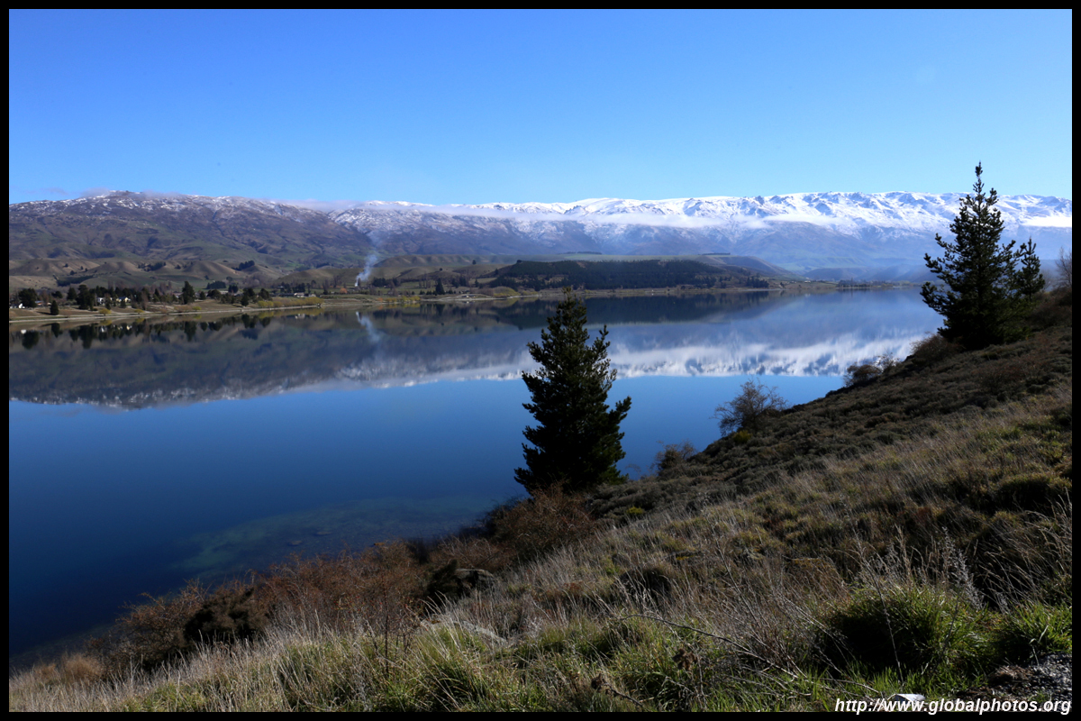
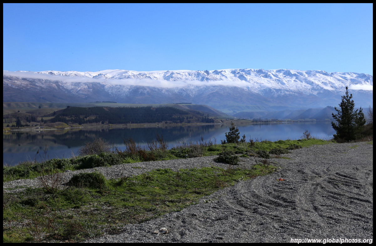
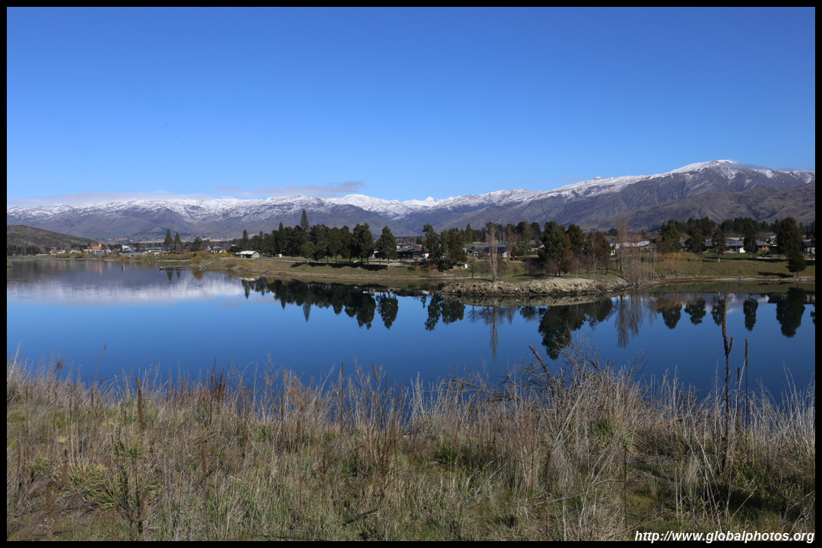
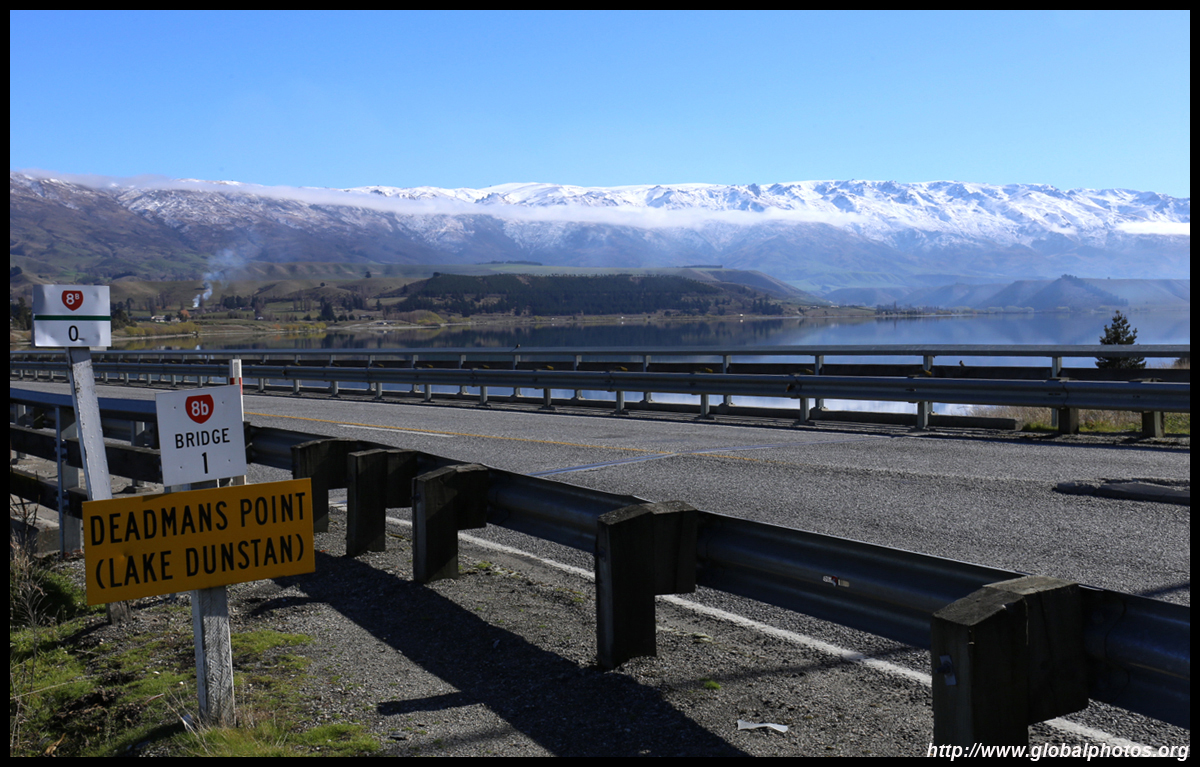
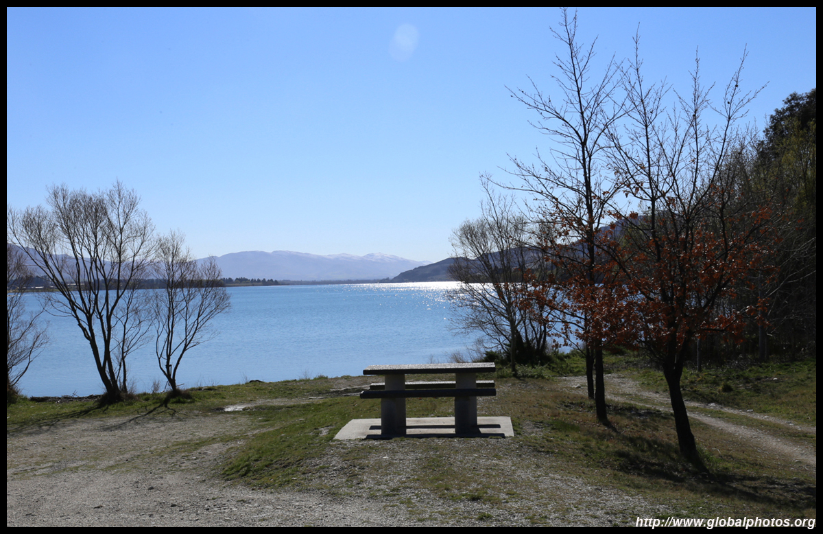
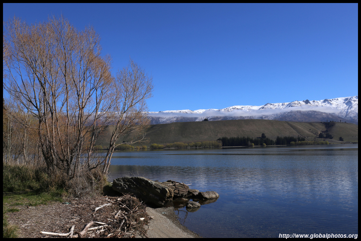
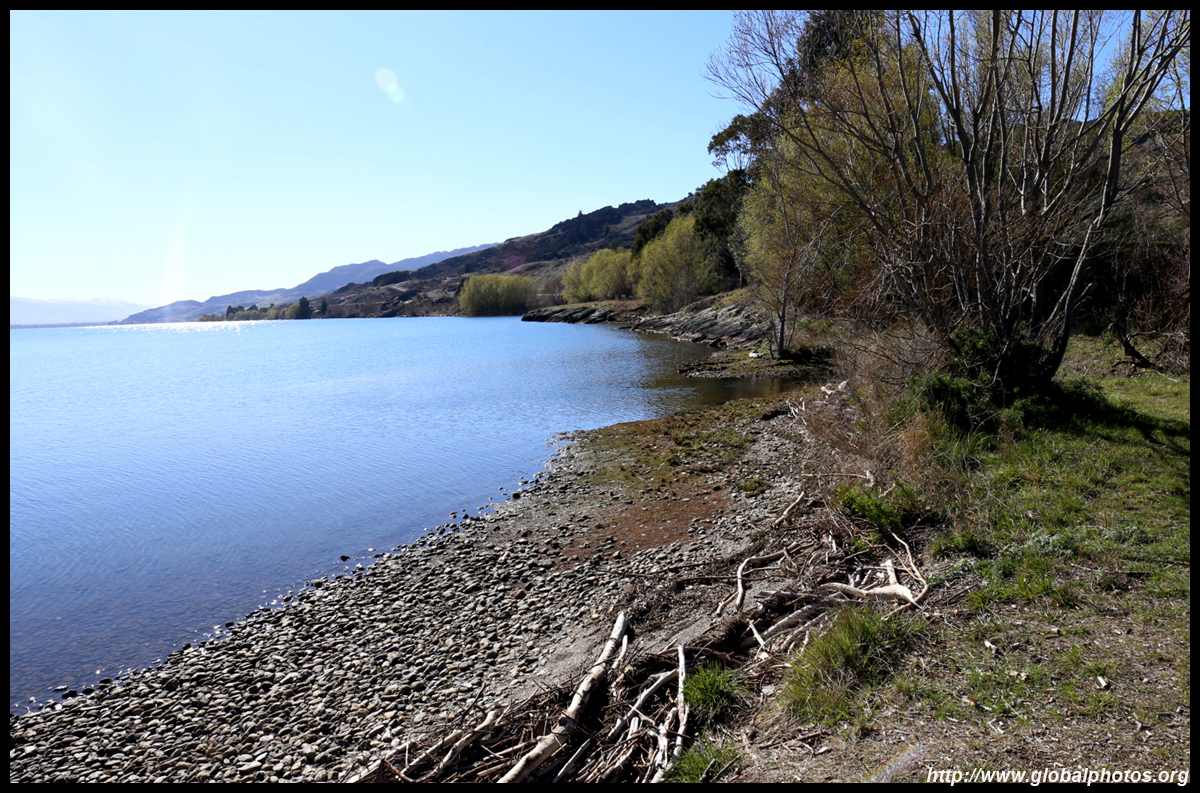
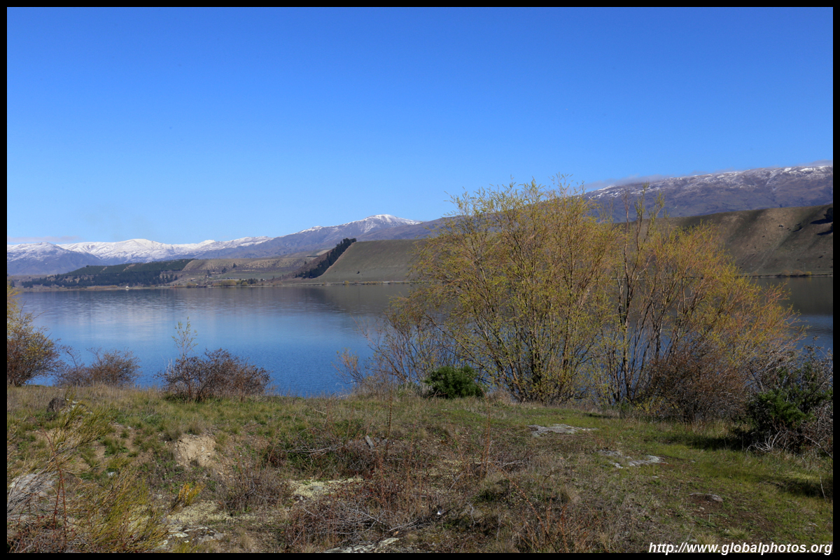
Welcome to Cromwell. Lake Dunstan looked great in the morning sun with snow-capped mountains on the other side making a picturesque backdrop. So it was time to go crazy stopping frequently to enjoy the views.

|
There were many campgrounds and parks along the way with safe places to stop as I headed north. Most were utterly empty except a few campers every now and then. There is plenty of real estate for everyone.


|
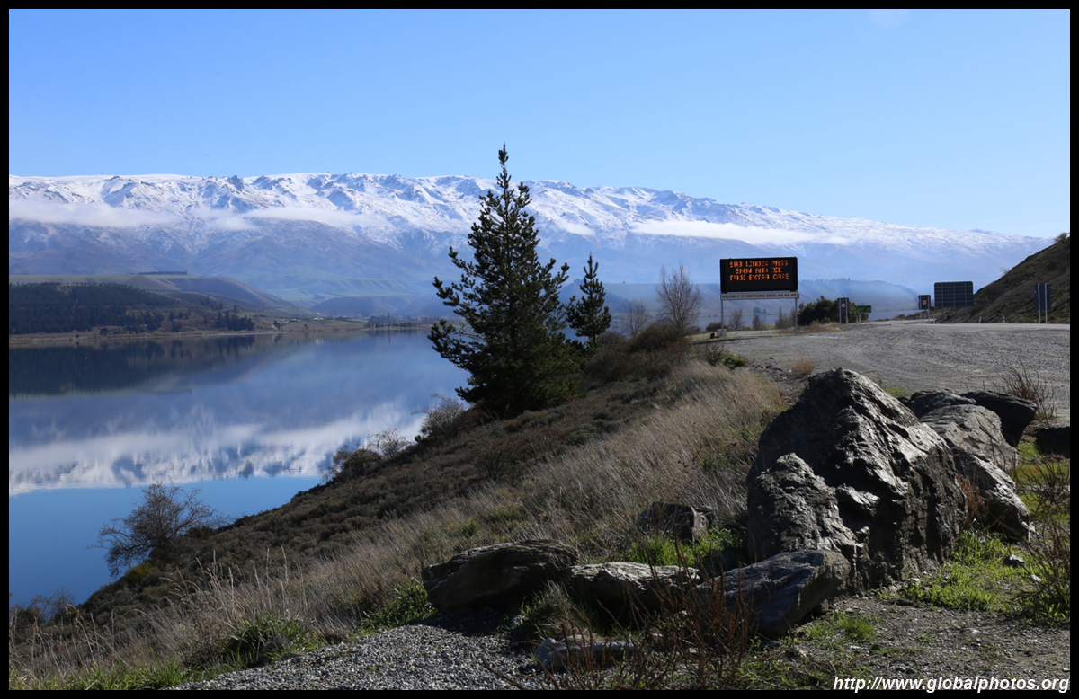
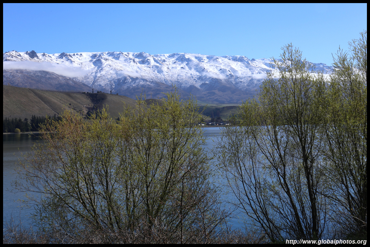
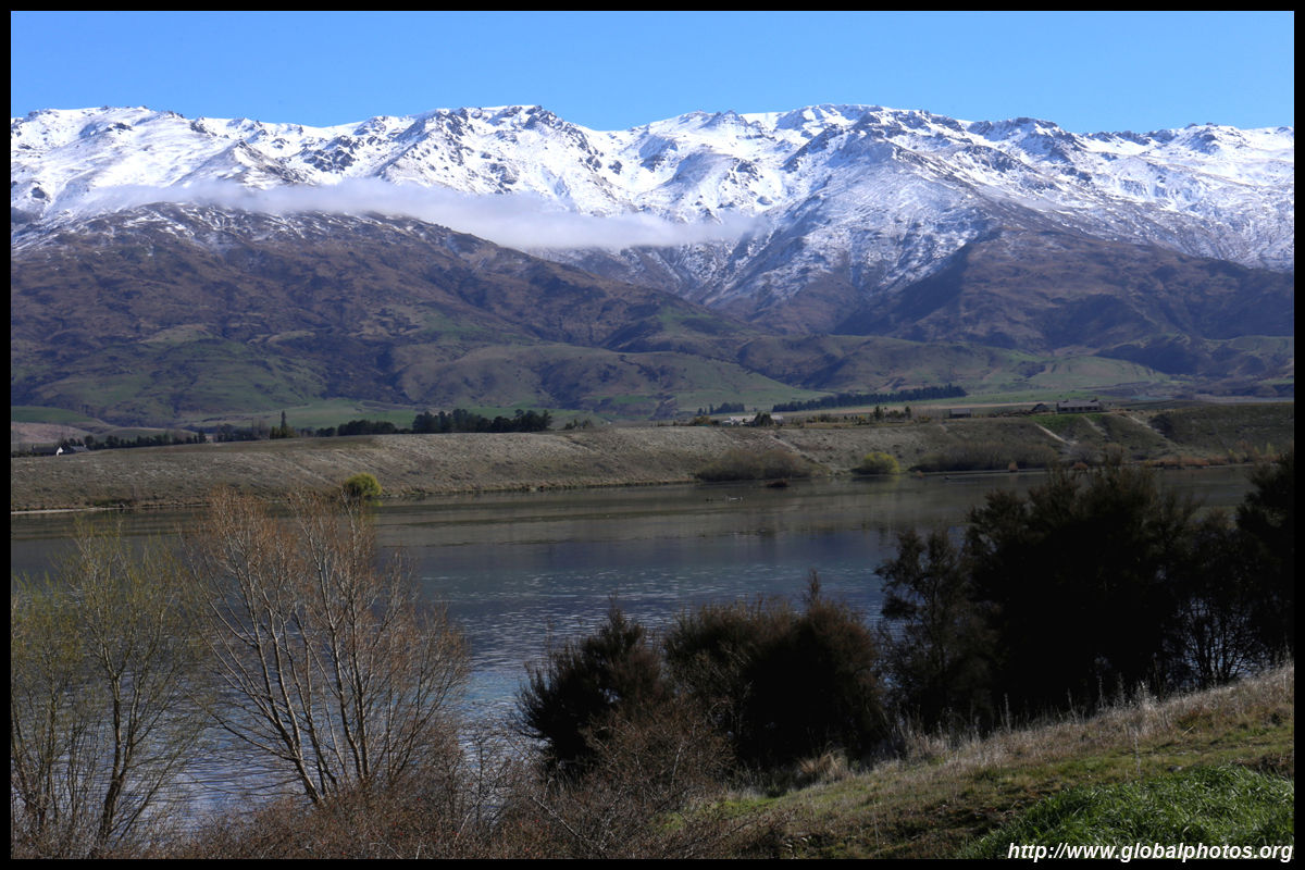
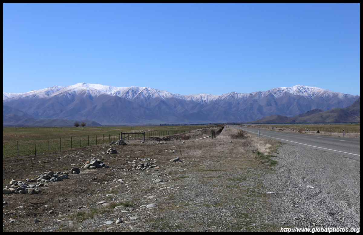
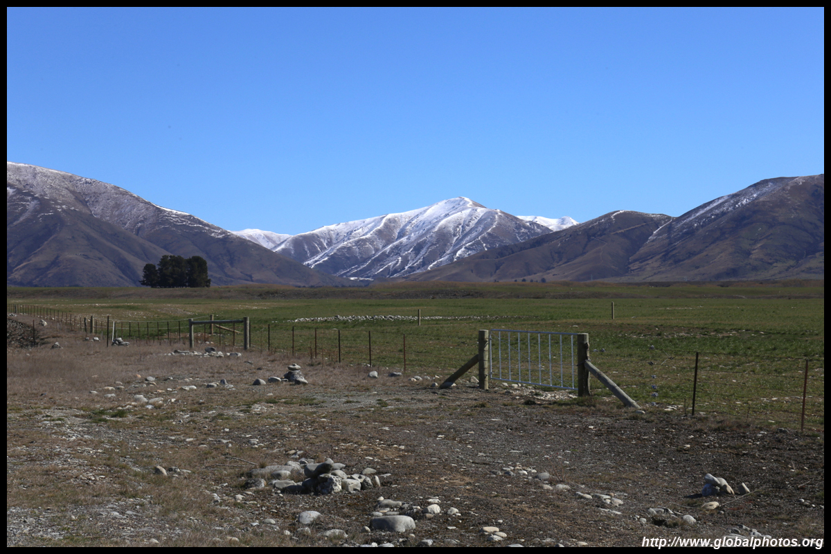
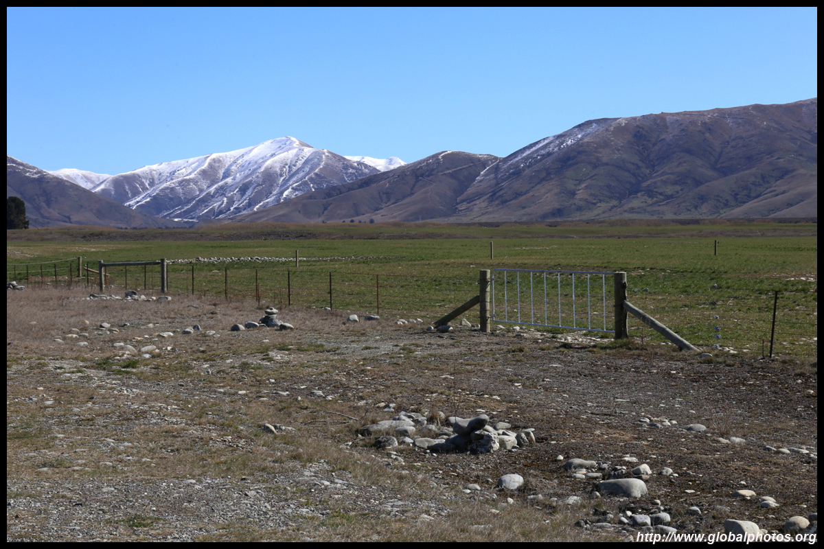
A million photos later, the lake faded away and the surroundings became more arid. I had read the rain shadow effect is quite prominent on the other side of the coastal mountains. But snow soon came on the horizon after I passed Tarras, and the gentle climb through the Lindis Pass began.
|
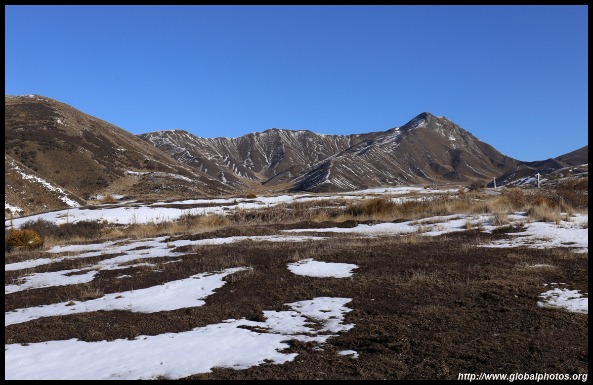
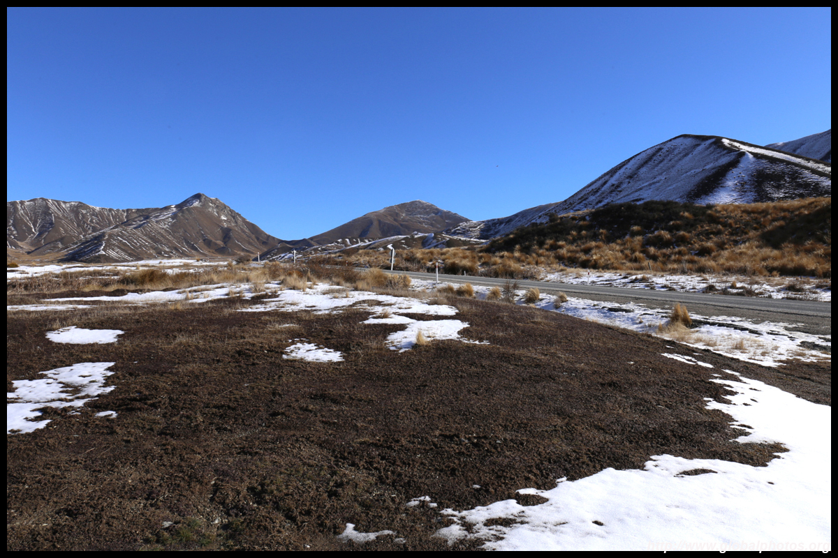
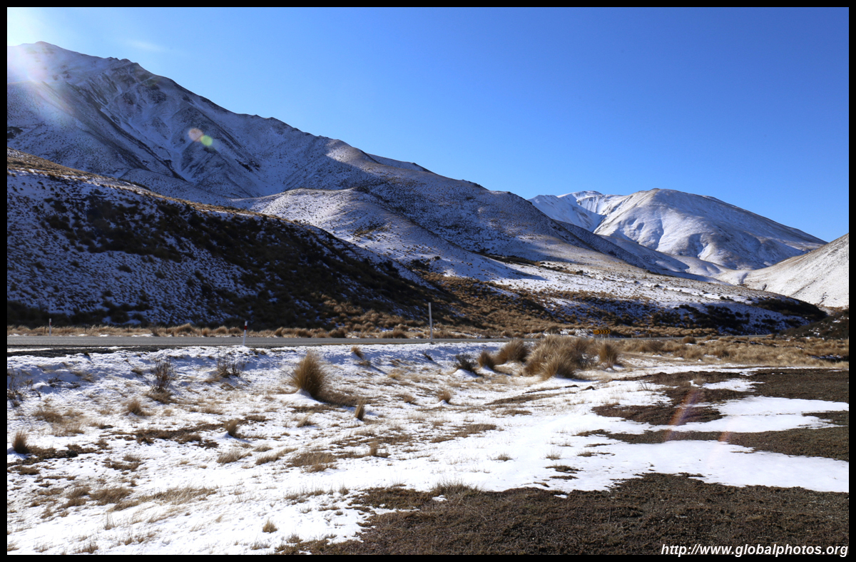
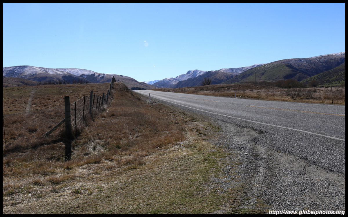
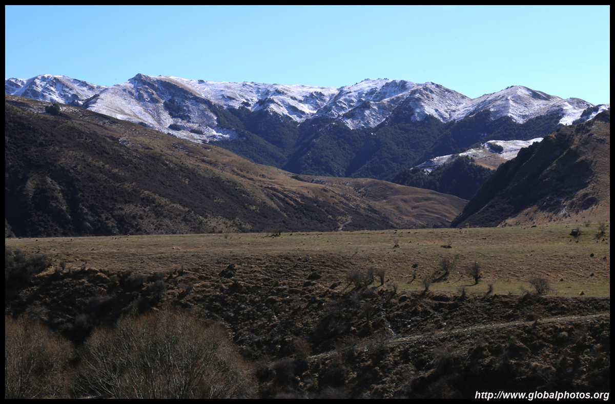
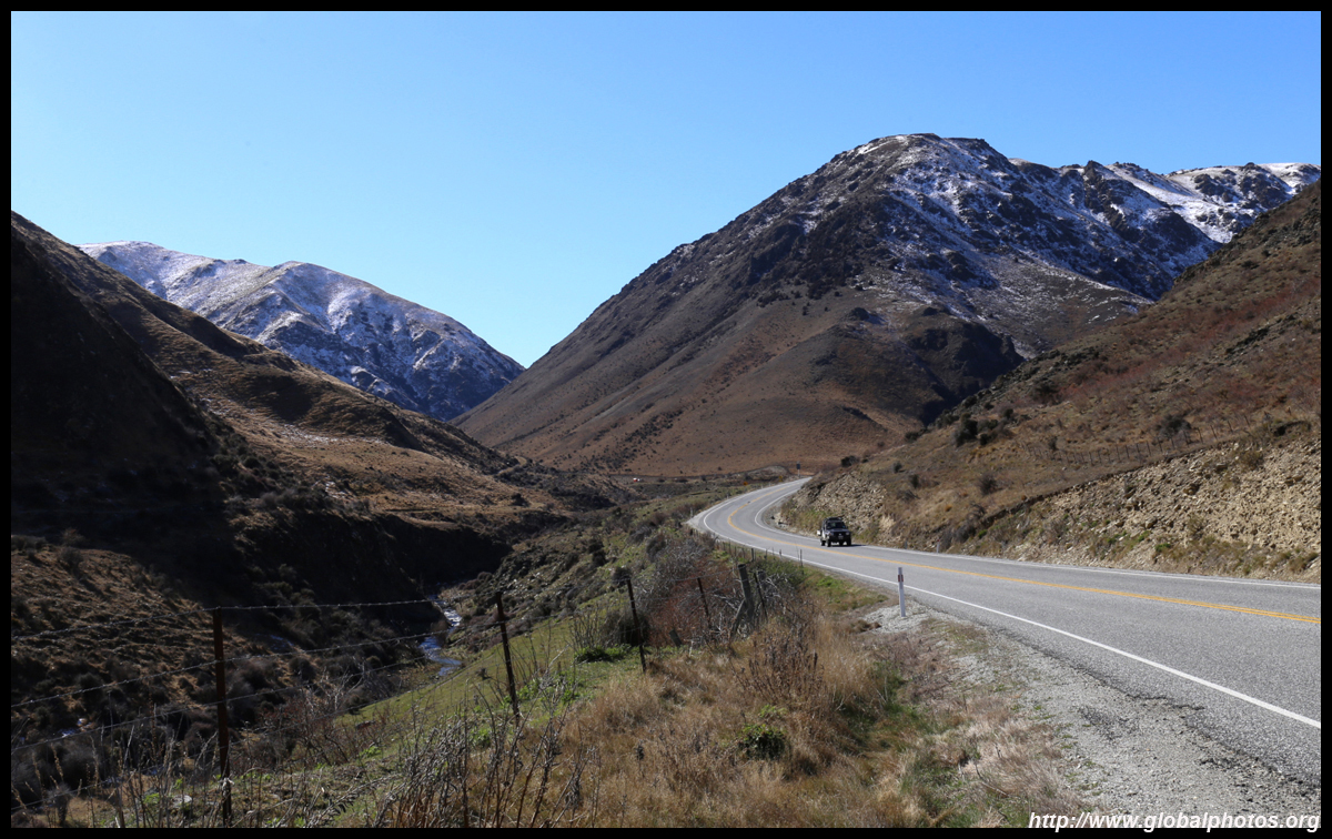
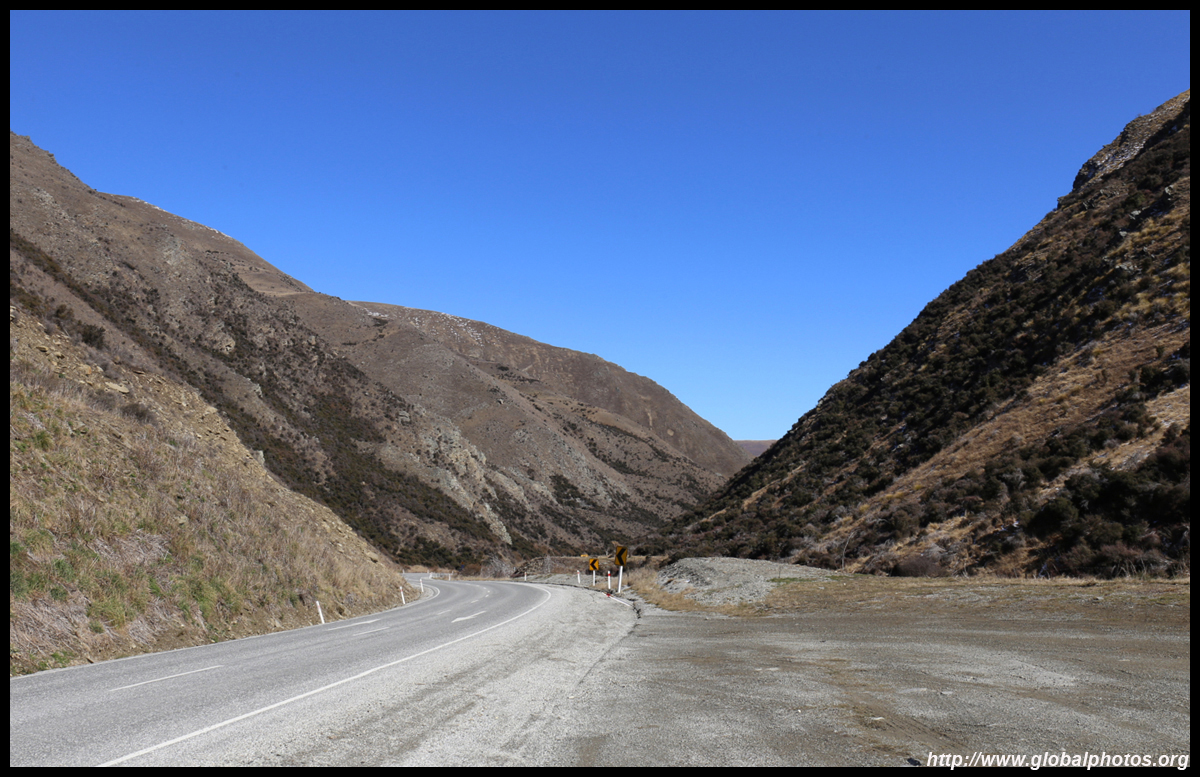
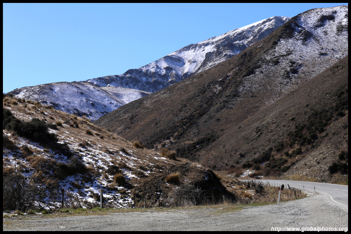
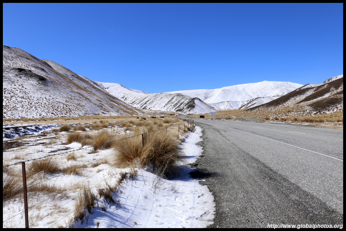
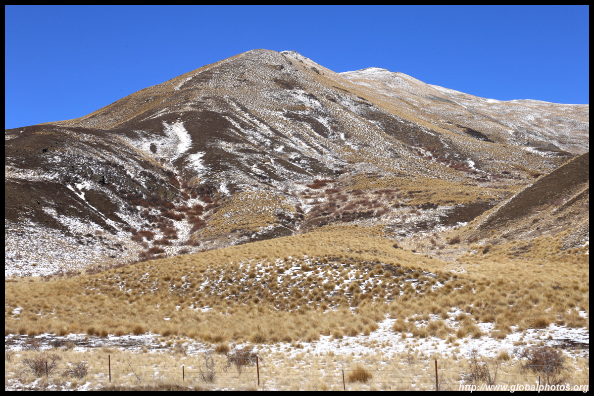
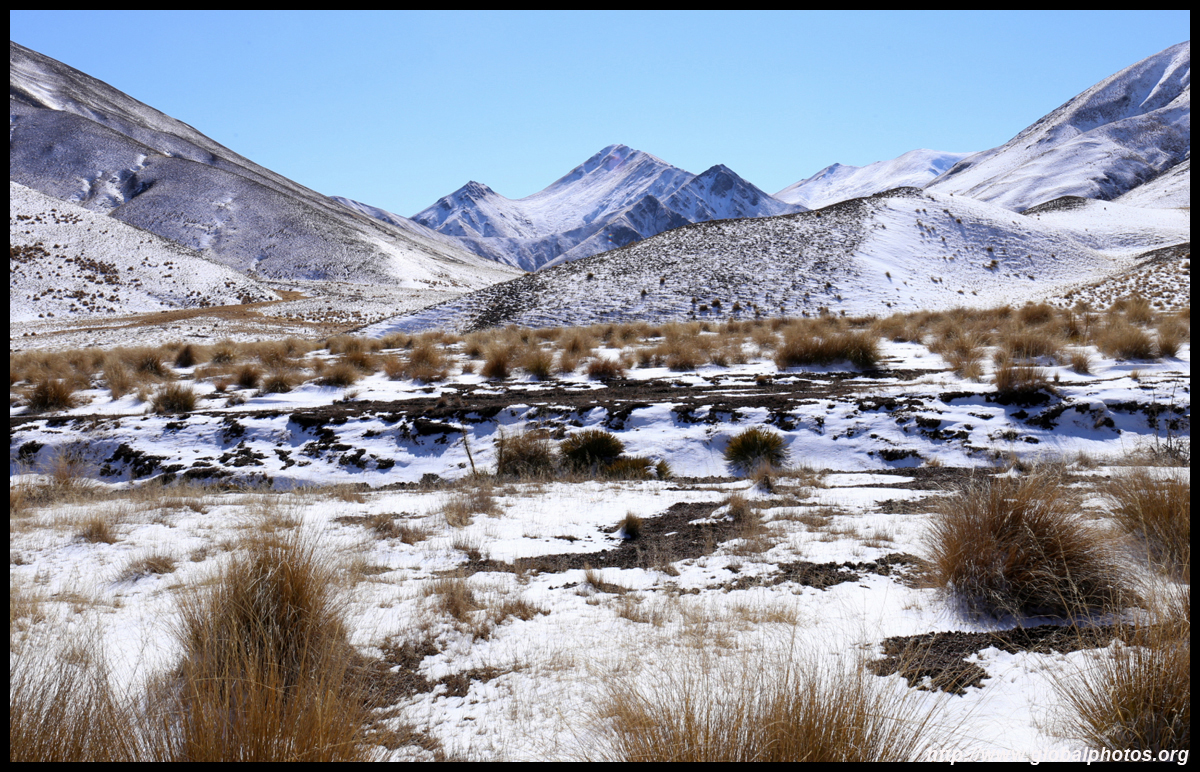
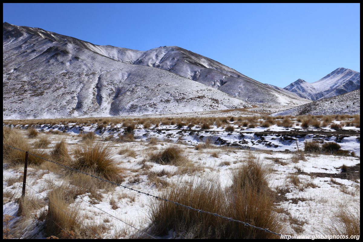
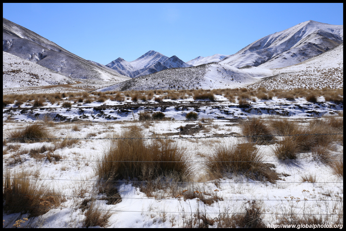
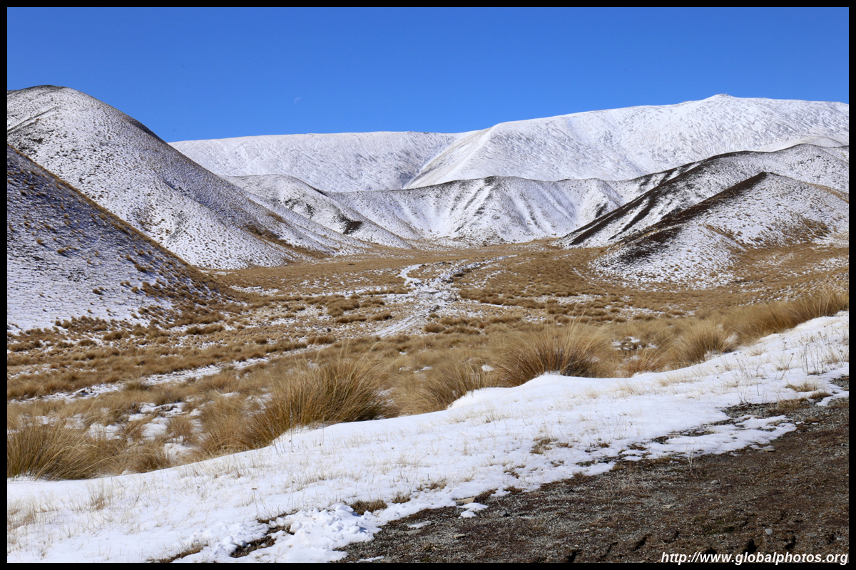
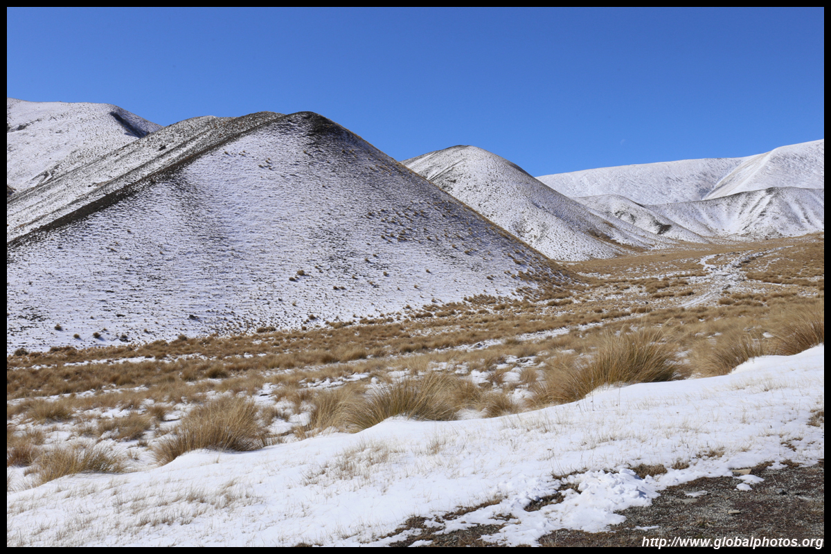
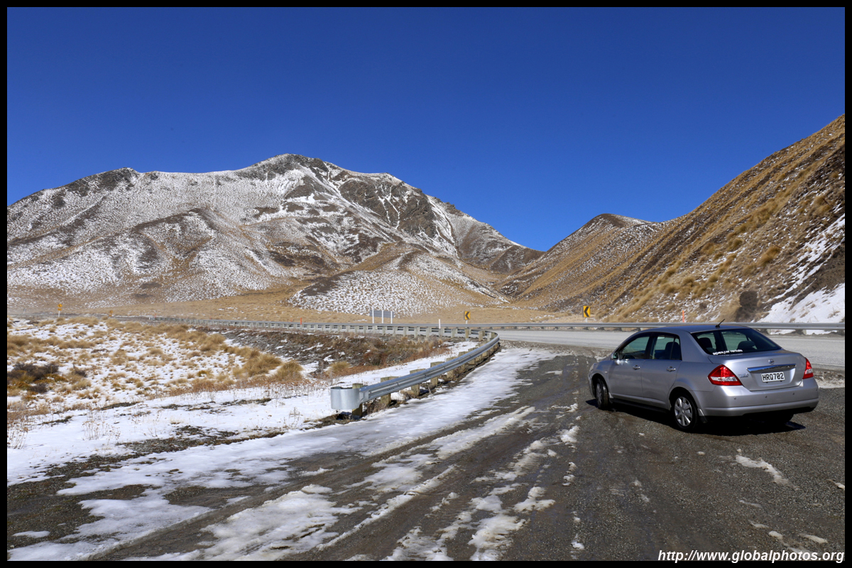
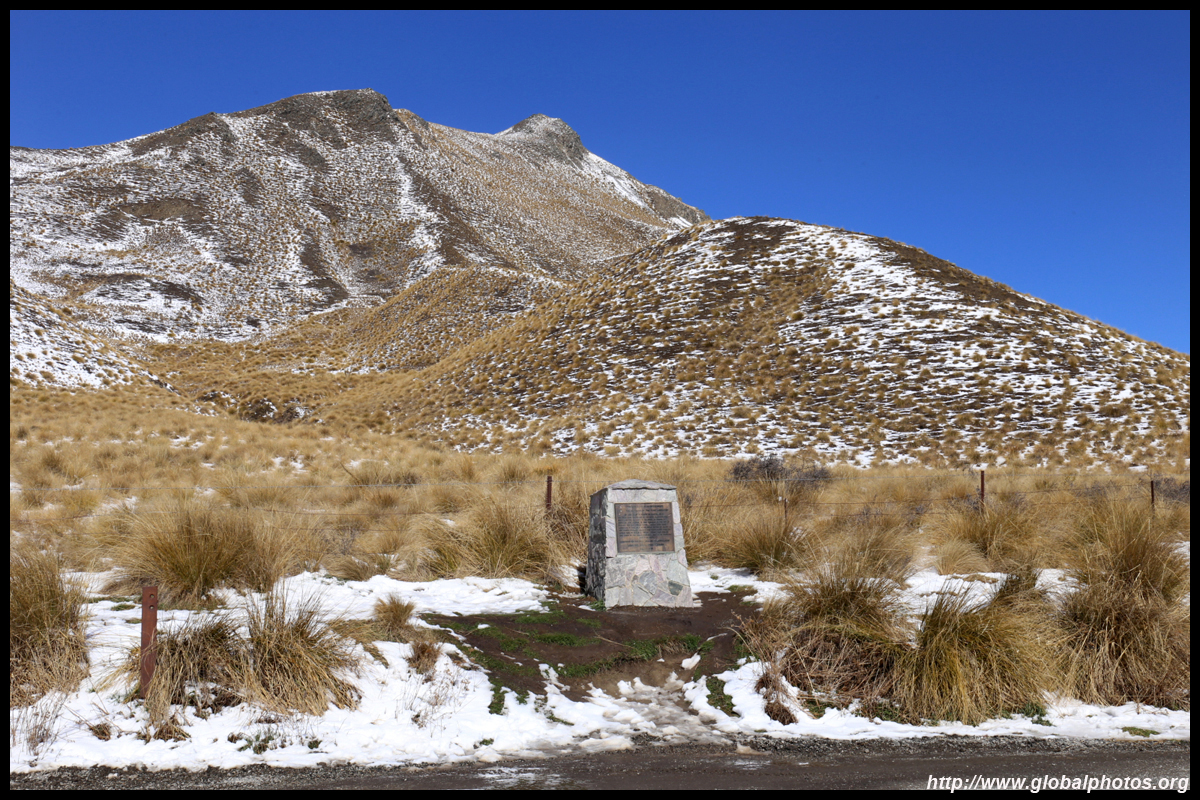
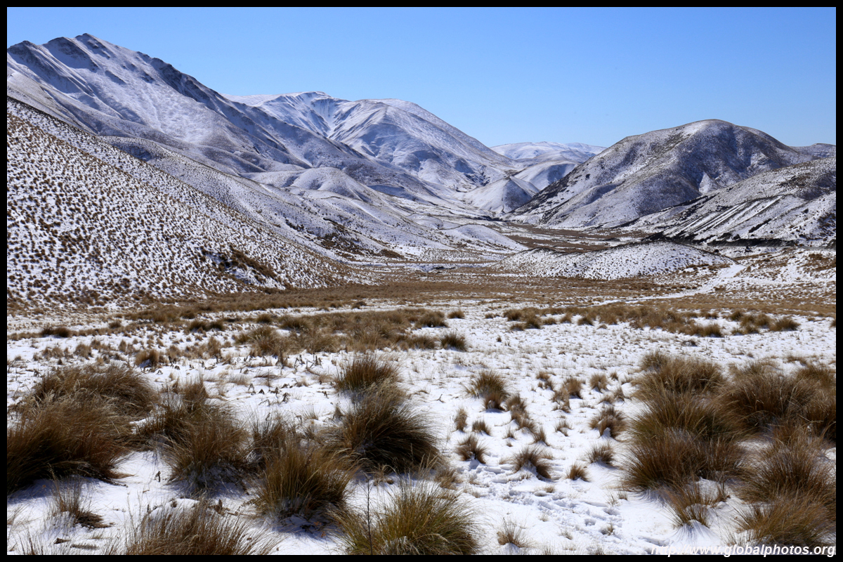
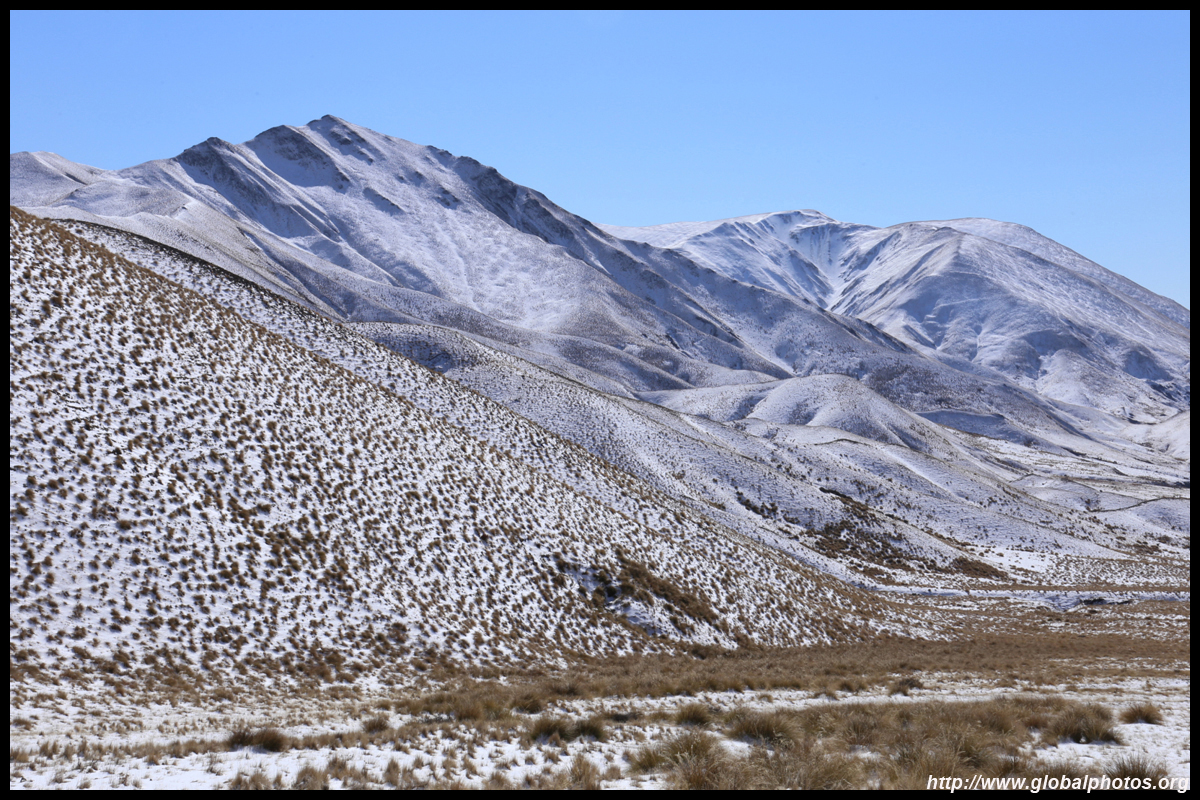
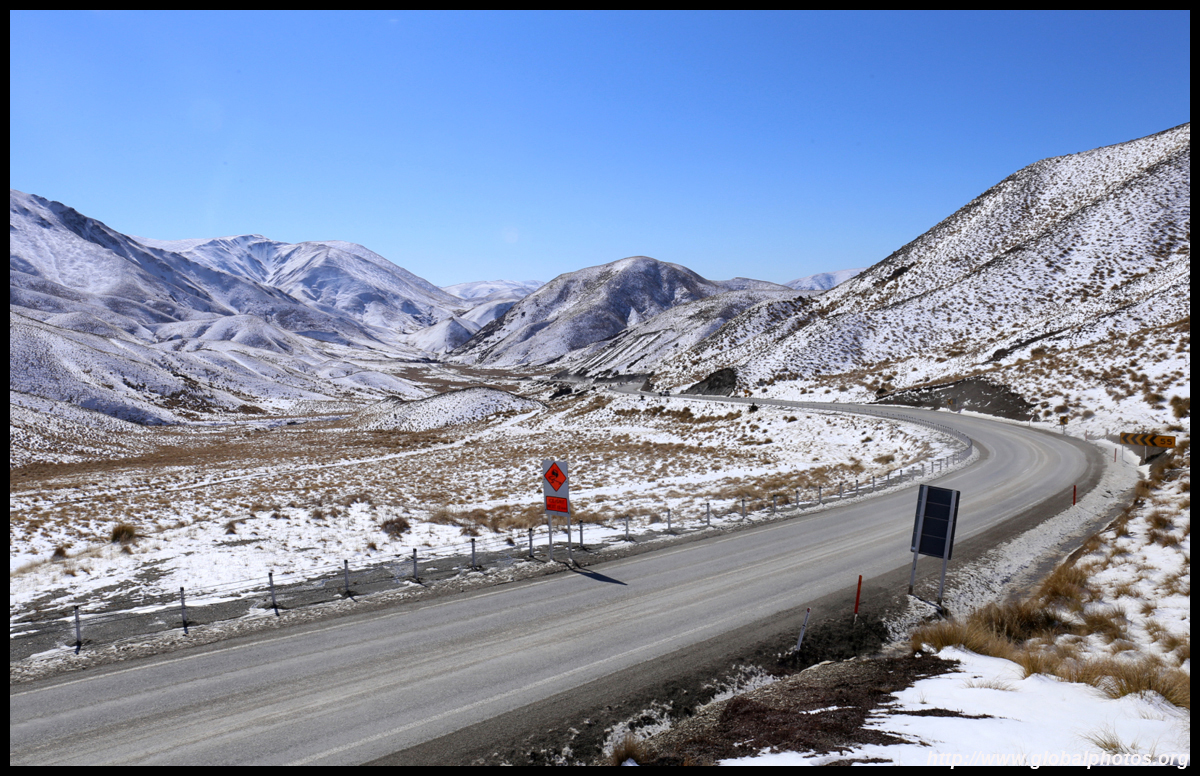
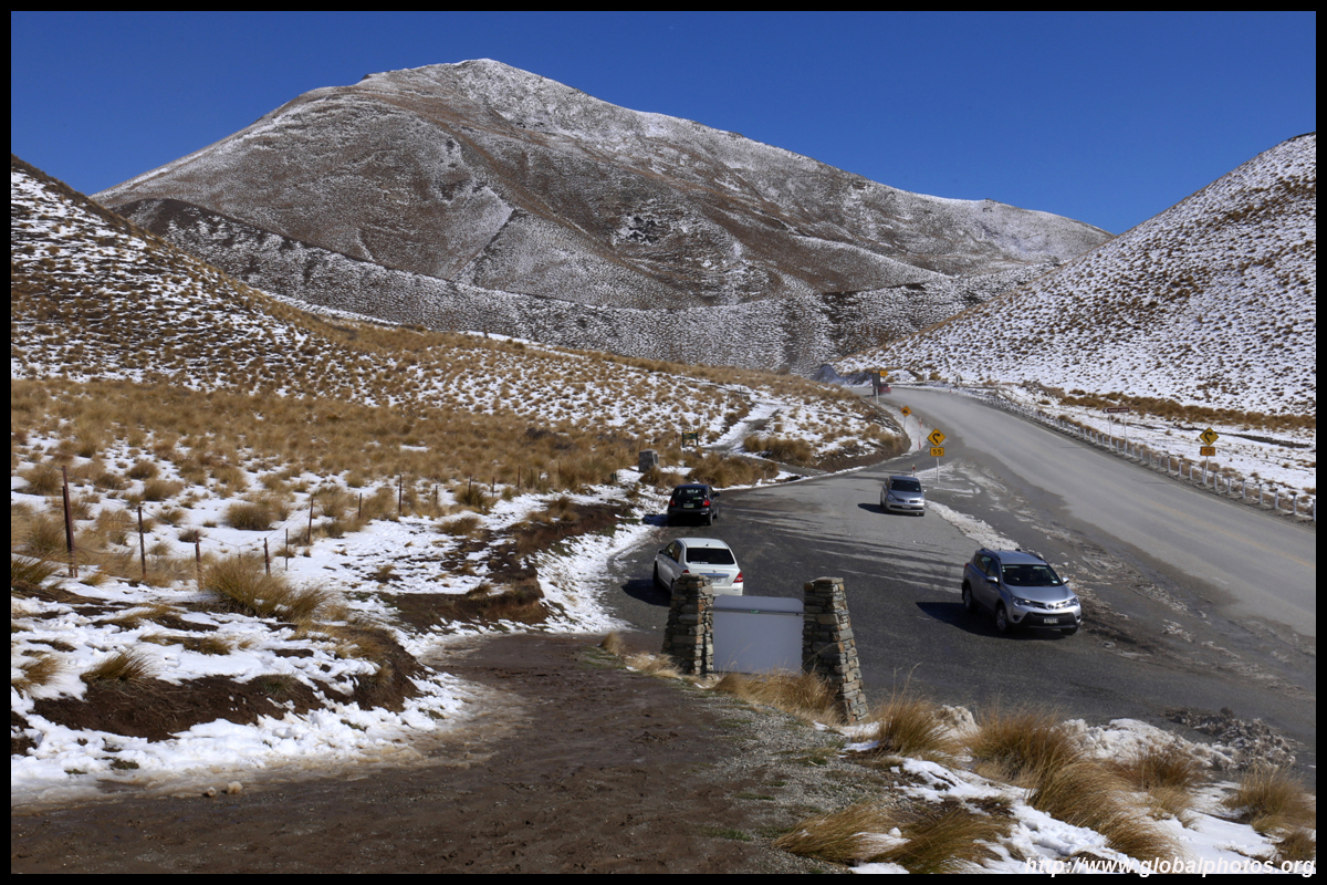
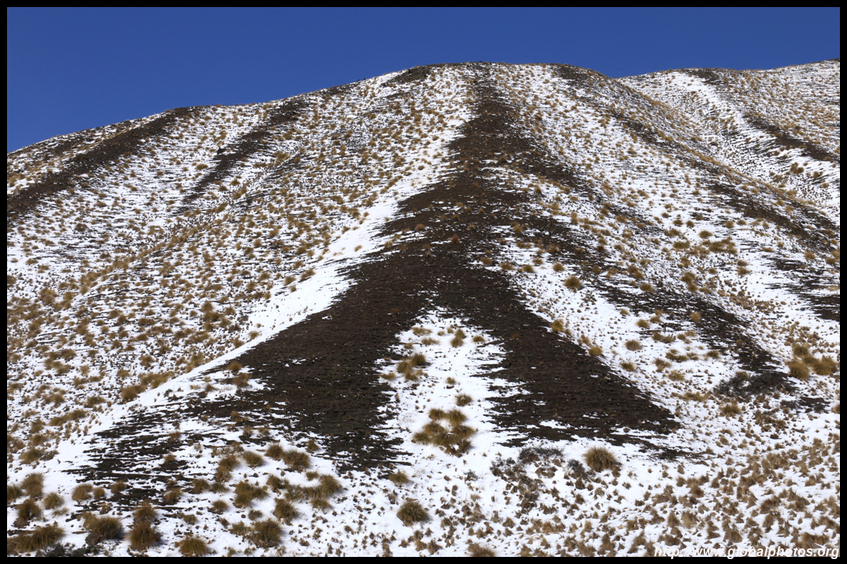
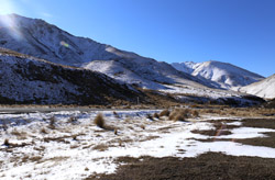
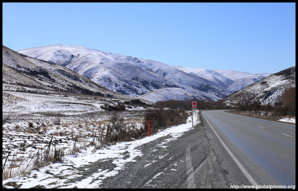
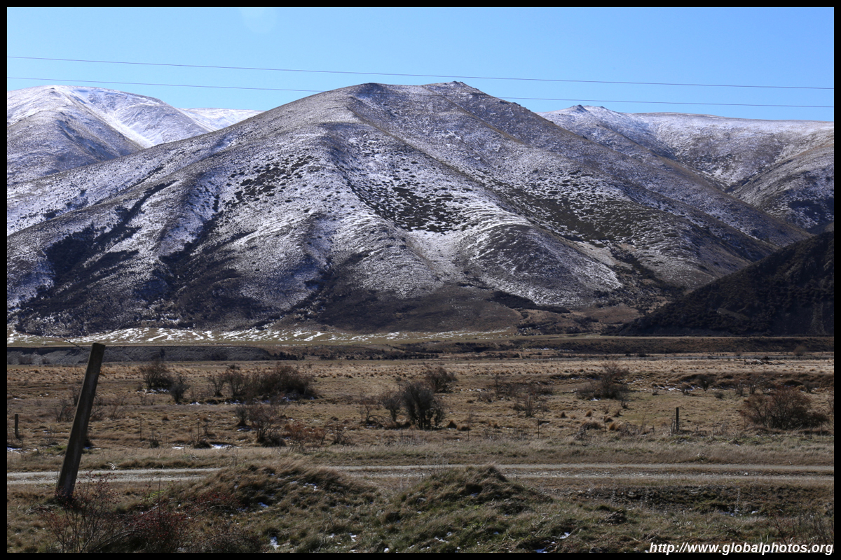
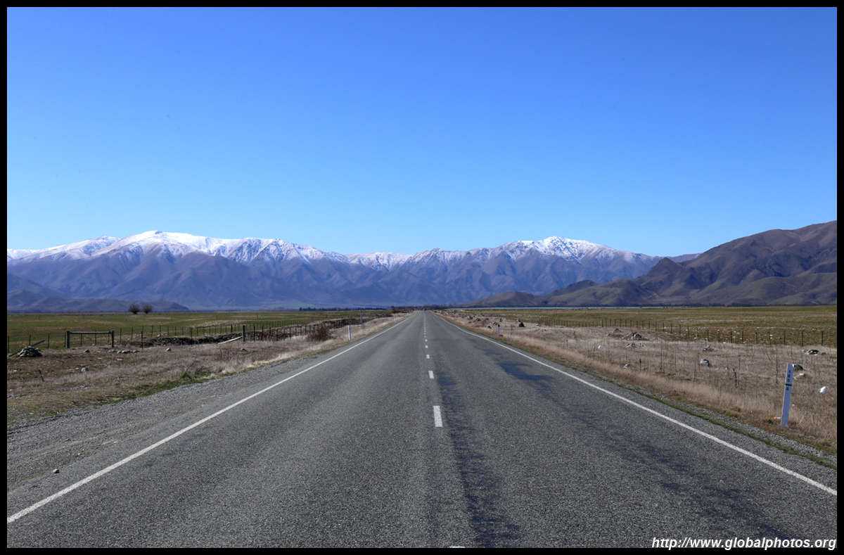
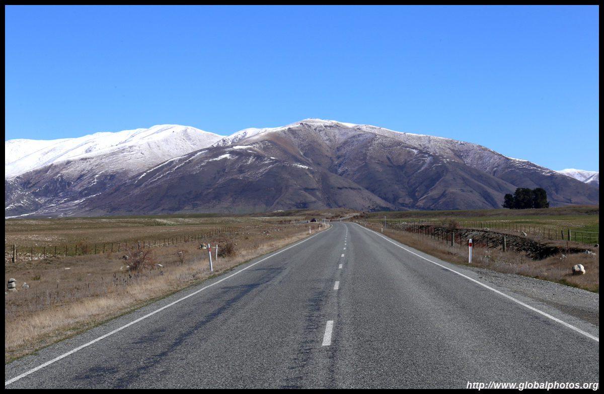
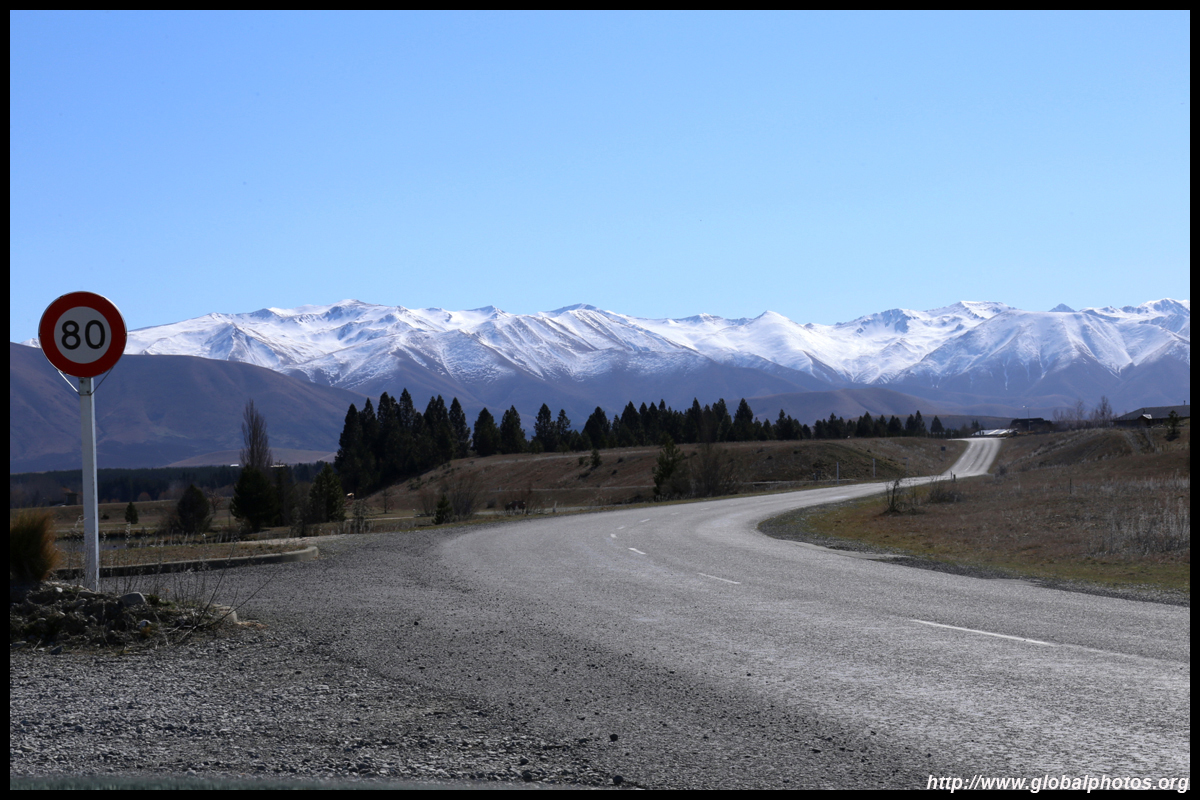
The mountains here were not as tall, but with snow reaching the road level, the white wonderland was far more pronounced here than in Queenstown. There was no ice or snow on the highway itself - the sun had melted it away as expected. There wasn't much traffic today, so I made my way slowly to the observation point. I felt a bit glad that the Milford Sound tour didn't materialize the day before. I no longer felt bad about it or struggled to think whether I should attempt it again today. Now with the same amount of money, I could enjoy both the Milford Highway and the Lindis Pass.
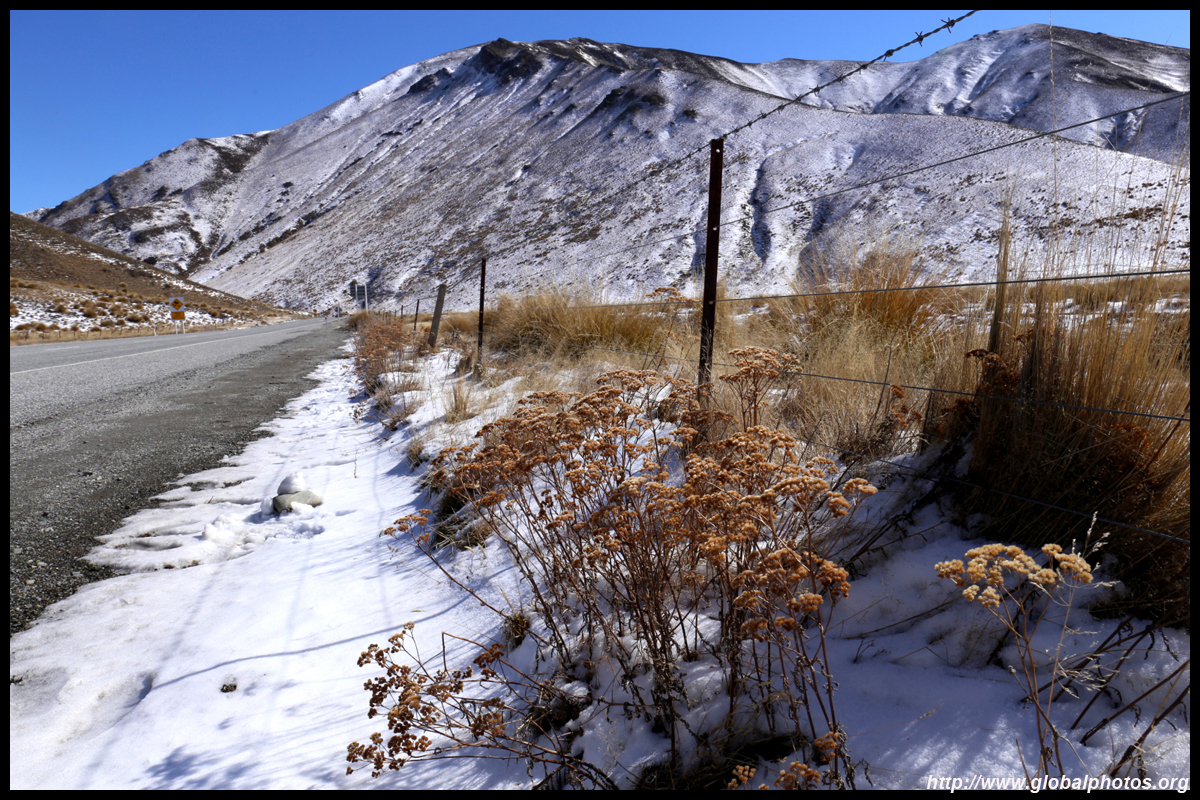

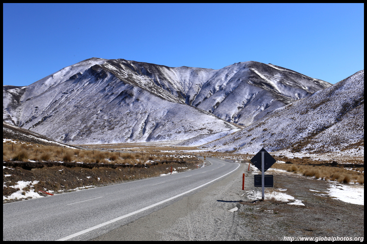


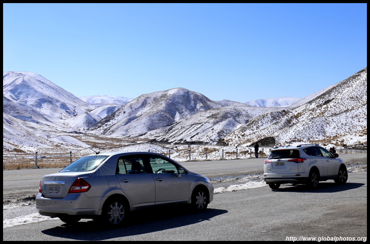
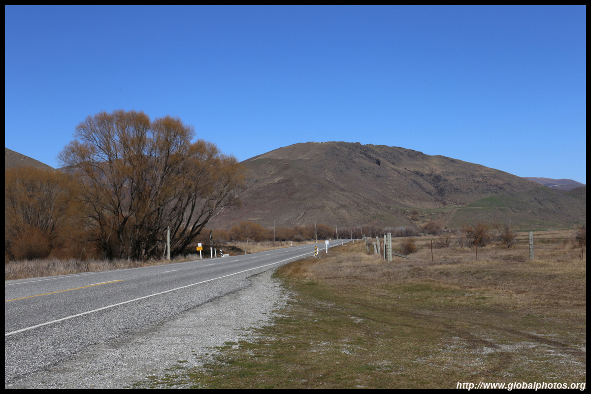
While my GPS would tell me the maximum speed limit, many curves and slopes have additional guidance on safe speeds. The drive may not look long on the map, but travel times won't reflect average 100 km/h speeds.

|
 |
 |
 |
 |
Yikes! It took me 3 hours to get through the Lindis Pass from Queenstown thanks to my photography bonanza!
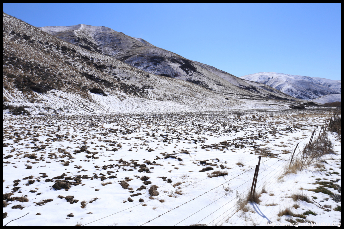
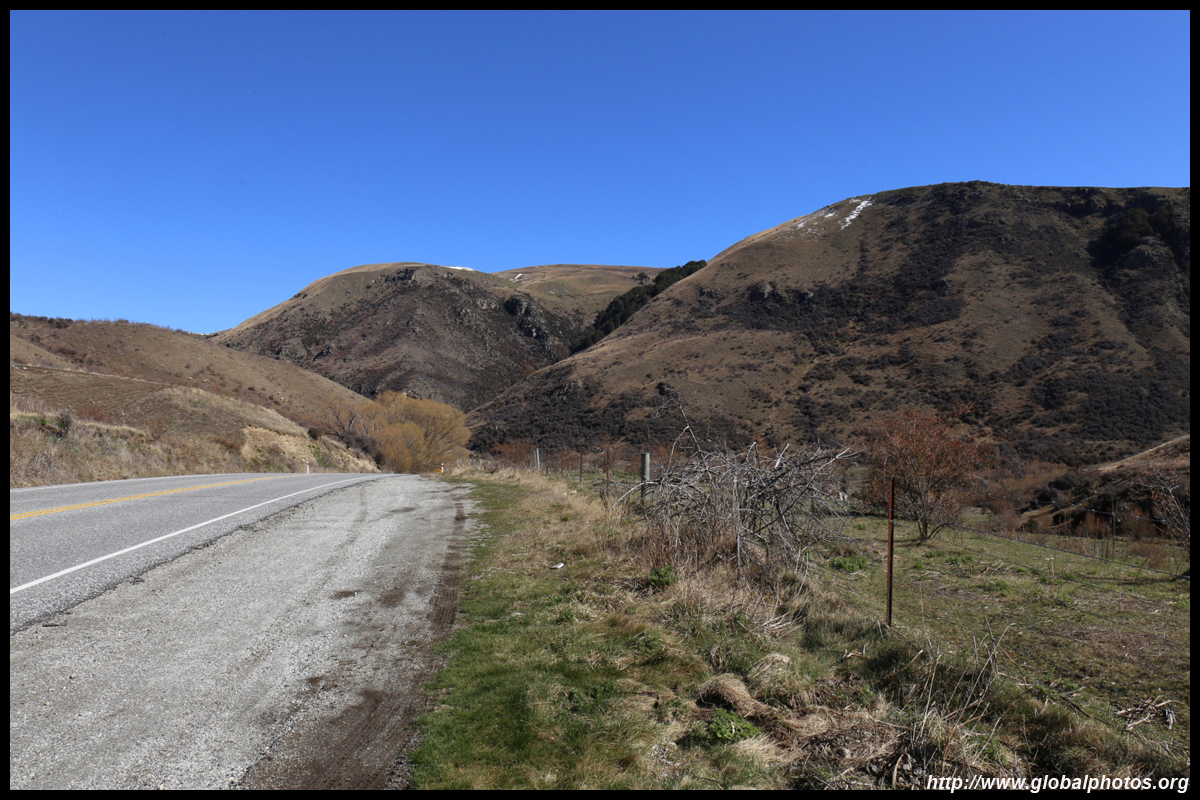
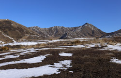
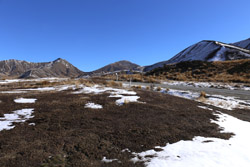
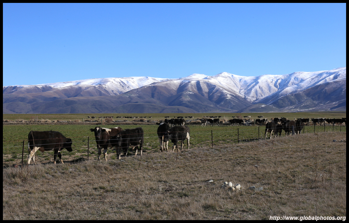
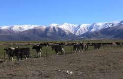
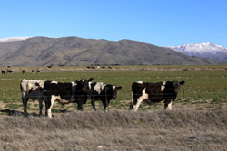
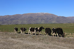
The other side of the pass was quite barren with barely any trees in sight.
|
 |
 |
 |
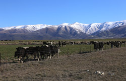 |
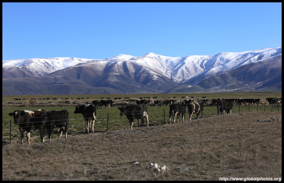
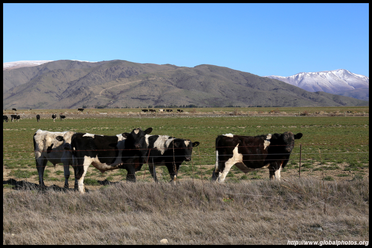
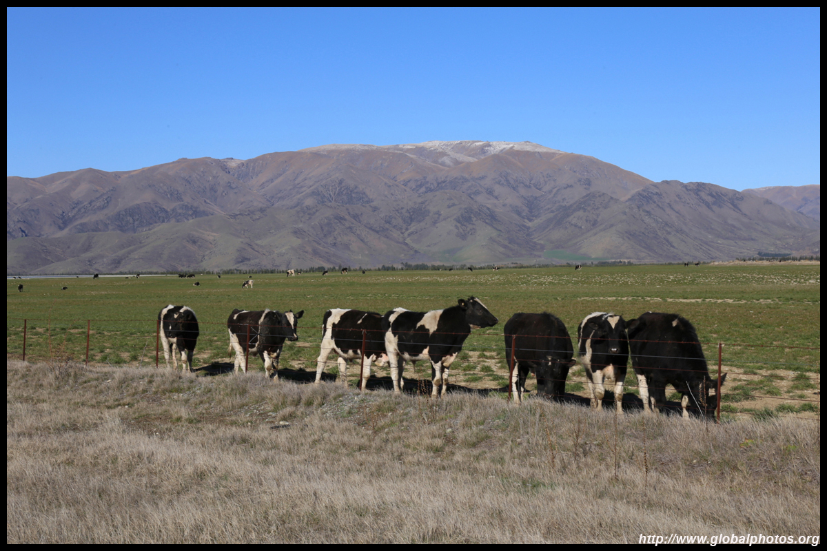
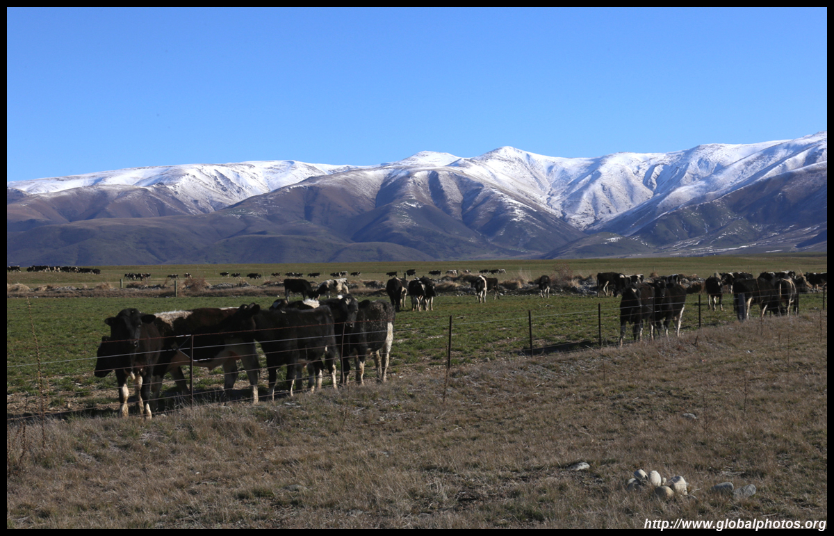
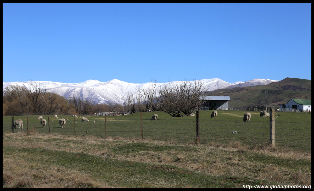
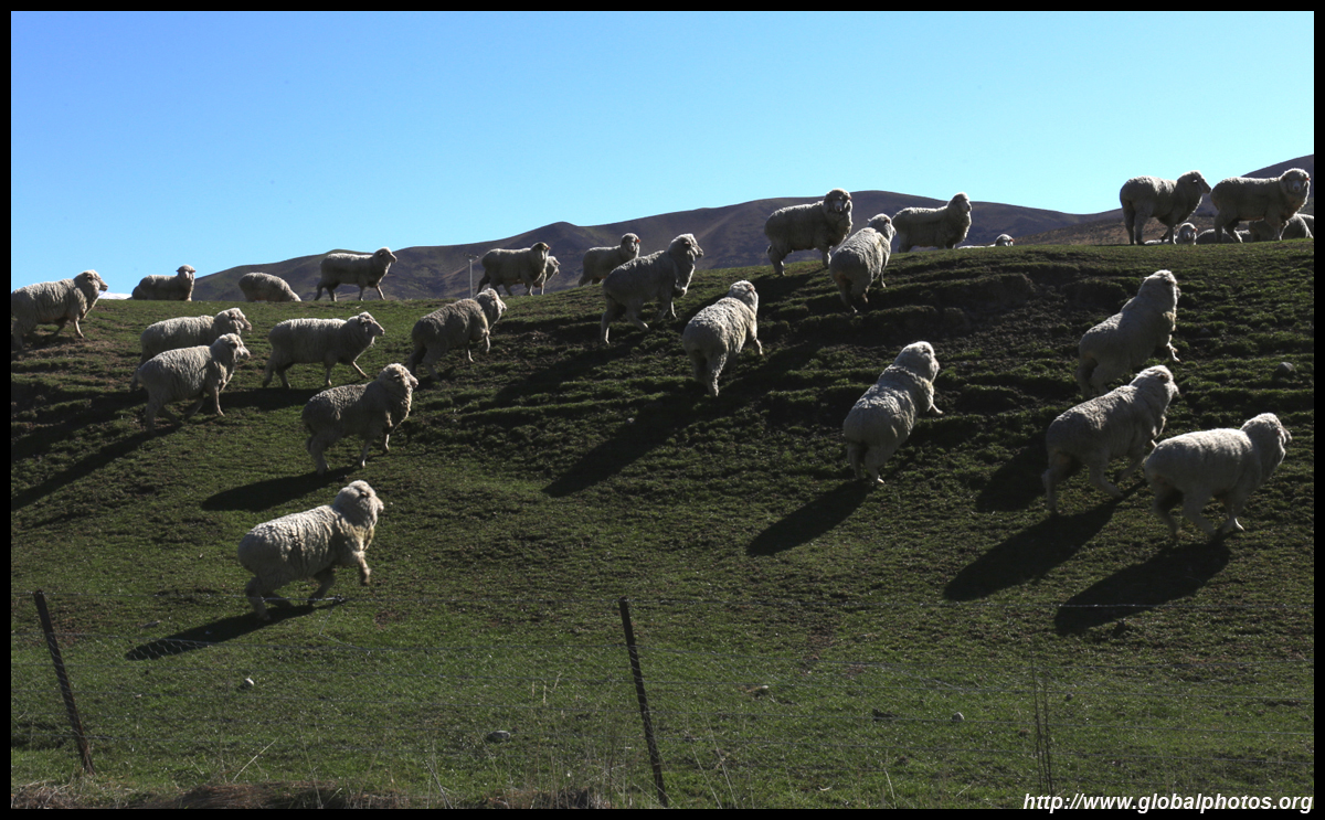
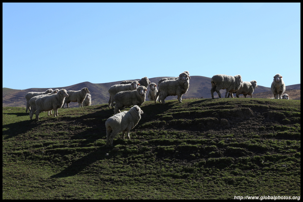
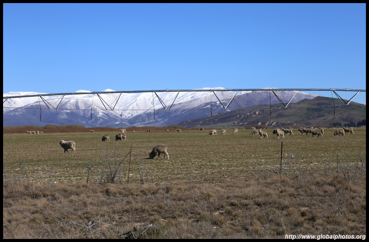
By now it was well past lunch time, which I decided to sacrifice to enjoy the scenery. I also came up close to a sheep farm (finally)!

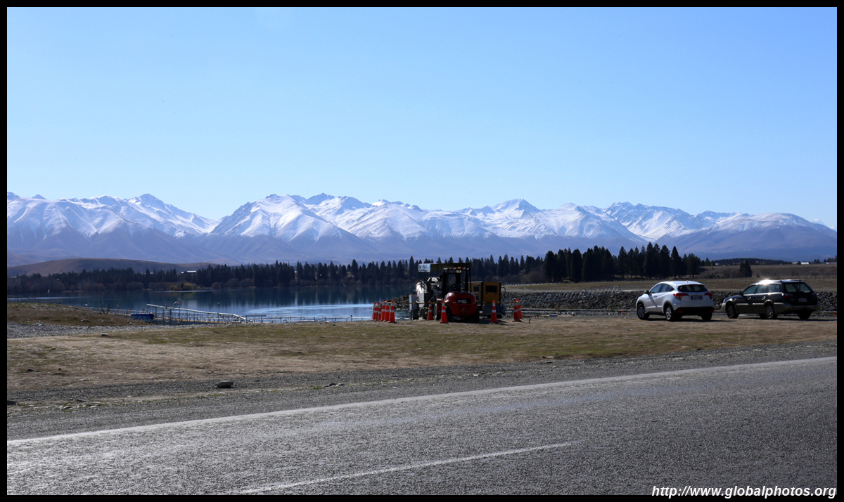
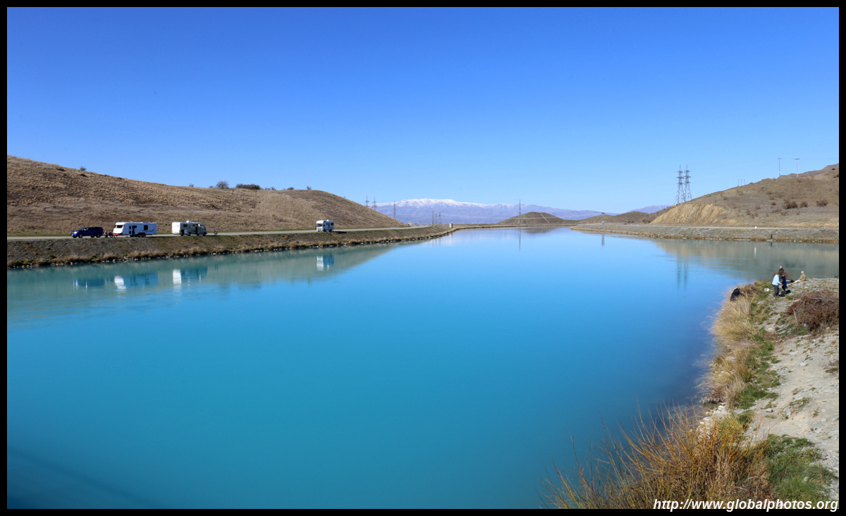
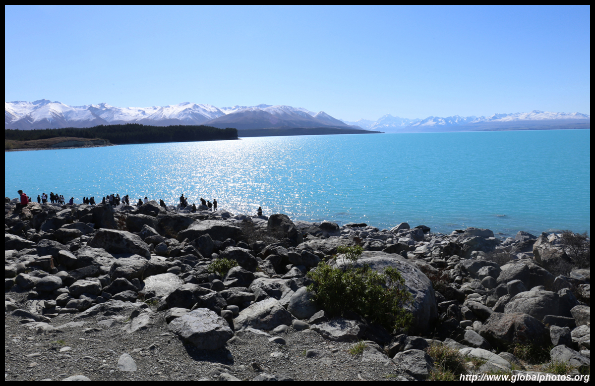
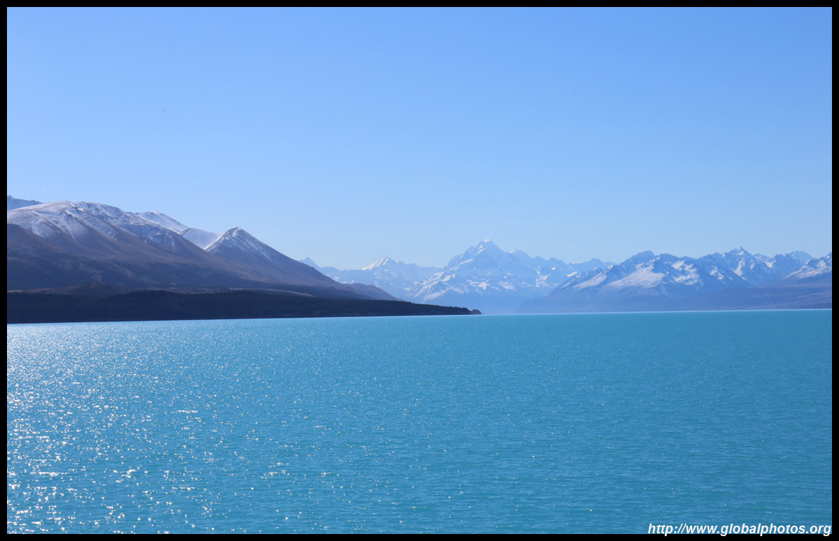
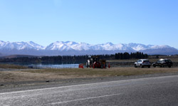
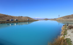
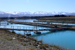
I arrived at Twizel just shy of 2, and my destination of Lake Pukaki was within reach. Before arriving, I passed by a very weirdly-coloured radioactive-looking body of water. Quite surreal.
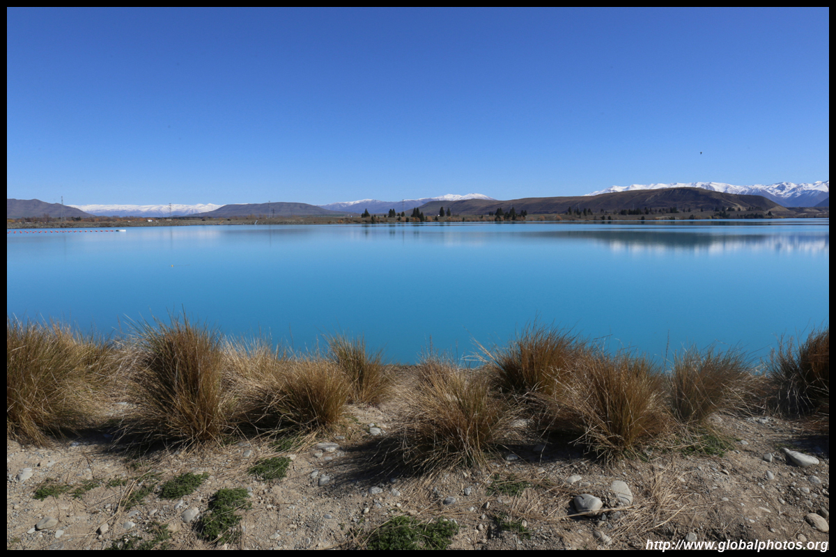
I looked back to see if it was all an optical illusion. Nope.
|
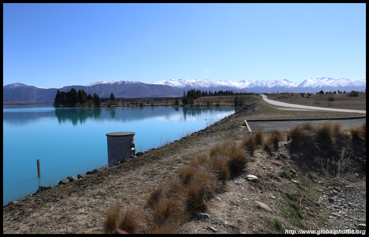
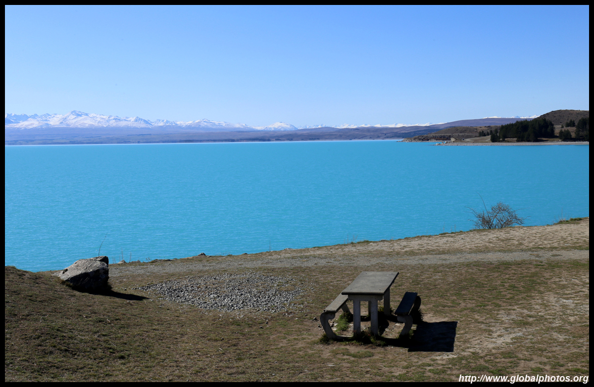
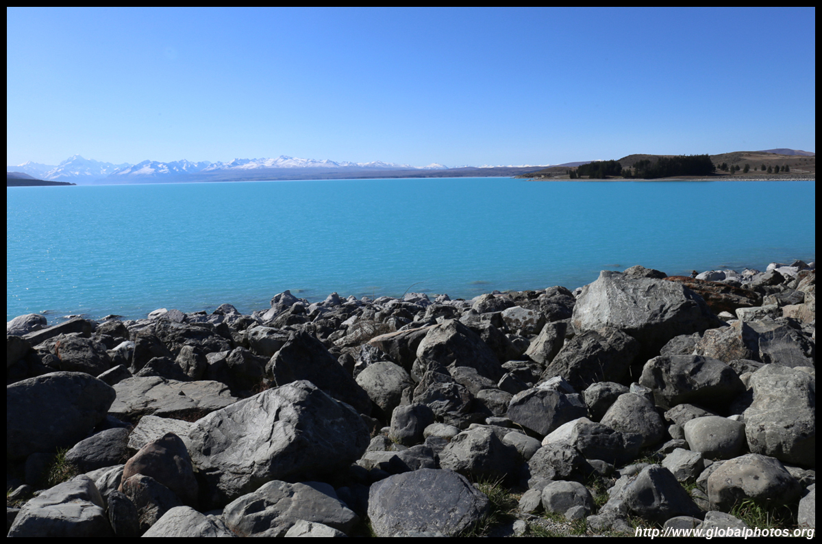
I pressed on, and soon arrived at Pukaki. The water was just as radioactive-looking and this was the busiest place all along the highway with bus-loads of tourists clammering and making their way down to the rocks to the lake's edge. The lake was a very interesting shade of light blue. There were lots of mountains in the distance, and a seemingly taller one far on the other side of the lake looks like Mount Cook. Mission accomplished!
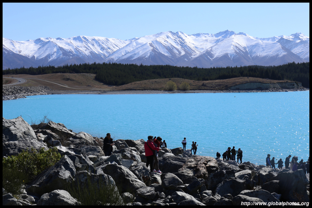
Strangely, nobody thought of picnicking in front of the lake.
Making a roundtrip out of Queenstown to this part of South Island was quite a challenge especially in a day. I had thought of staying at Cook overnight, but having done the helicopter tour at Fox already, I wasn't interested in flying up again. I got a wonderful starry sky at my Queenstown hotel so I didn't need to stick around for the same again here. Tekapo was nearby but just a bit too far to go and then turn back for Queenstown so late in the afternoon. So I headed home from here, with a manuka honey lemon drink in hand, happily satisfied.
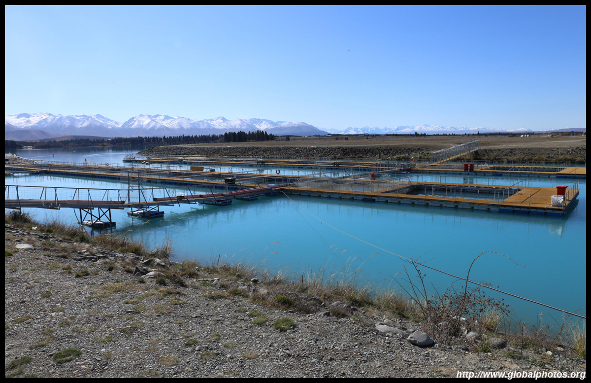
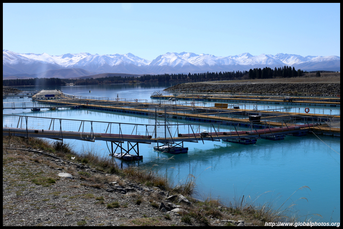
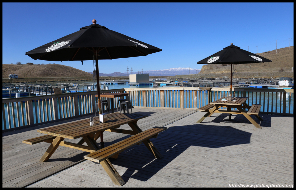
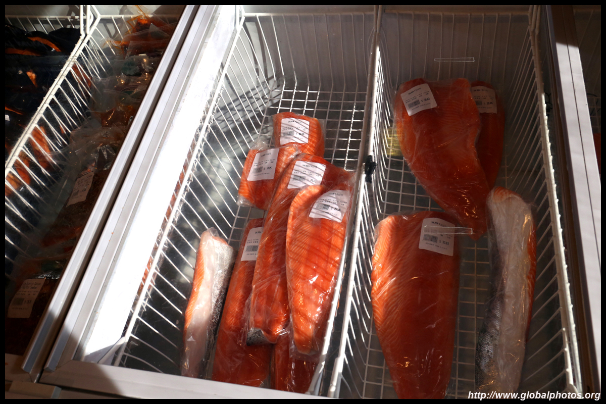
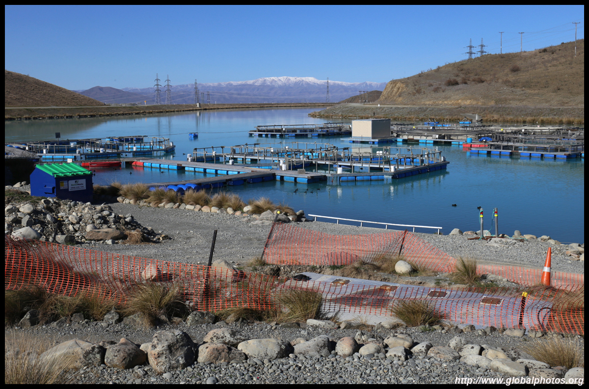
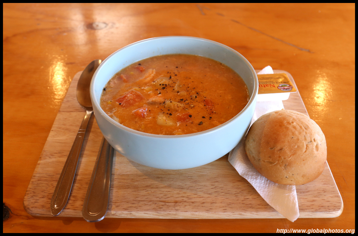
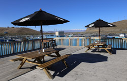
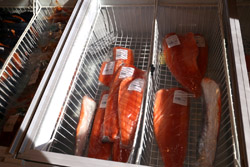
Salmon farming appears to be prominent in this region, so I stopped by a salmon farm that advertised free feeding along with the Chinese characters that grabbed this Asian tourist's attention. I didn't end up feeding the salmon, but fed myself with a delicious salmon chowder for a late lunch.
|
 |
 |
 |
 |
 |
 |
 |
It was now 3pm, so time was a bit tight to get back to Queenstown by sunset (6:30pm). The bulk of my photo-taking was done, so heading back along the same way should be a bit faster. Can't believe I made it so far (>500 km roundtrip) and didn't drop dead from exhaustion. I got back to Queenstown just past 6pm and before sunset.
|