Toronto Aerials Photo Gallery
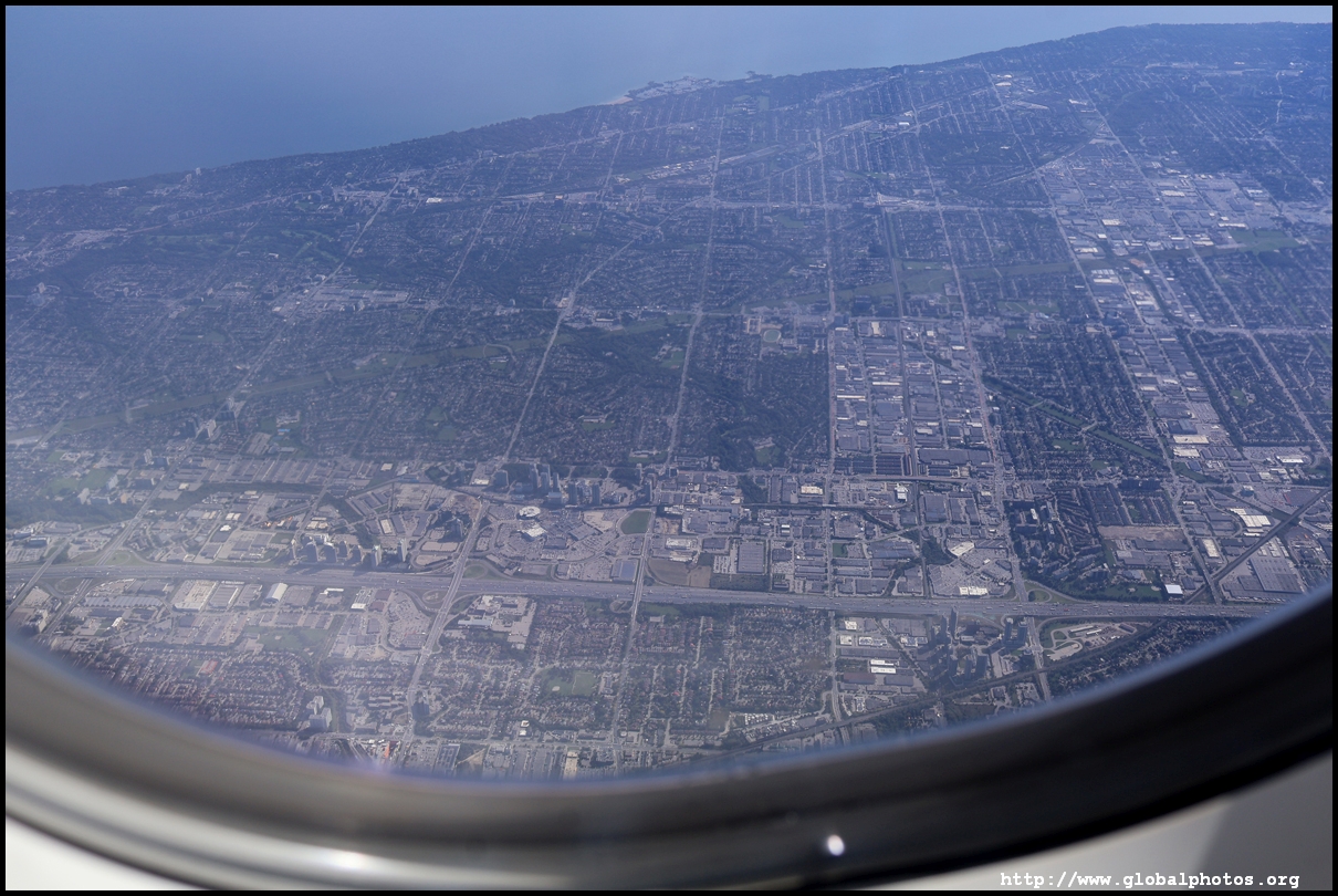
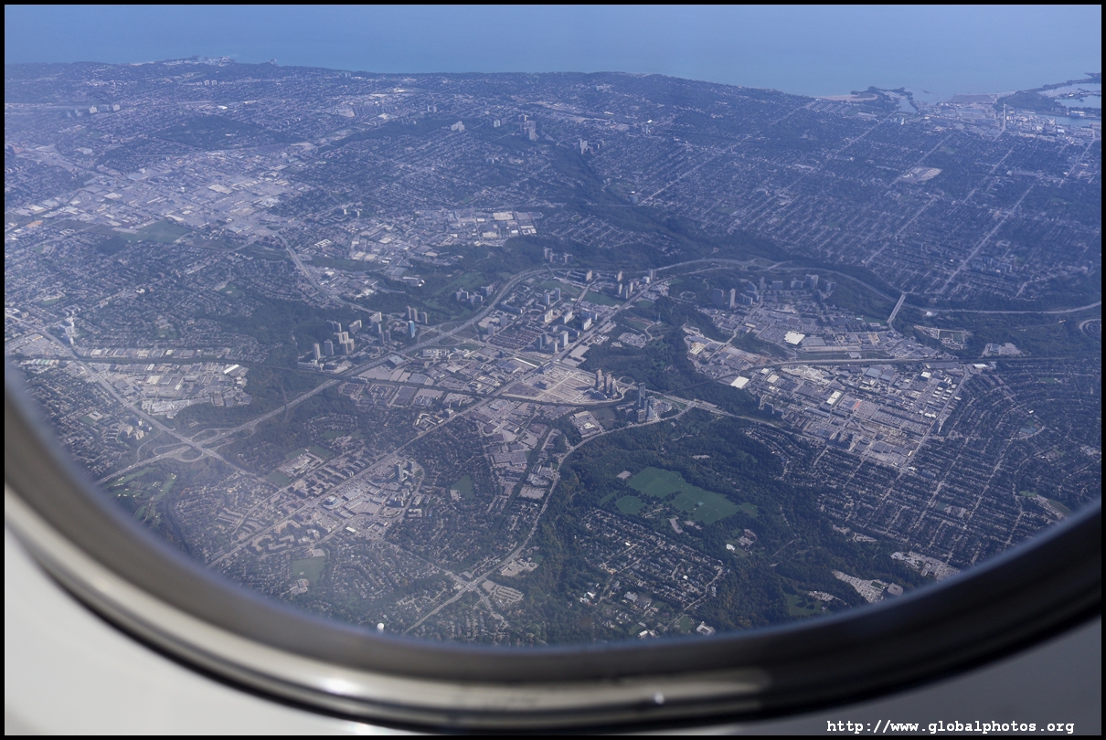
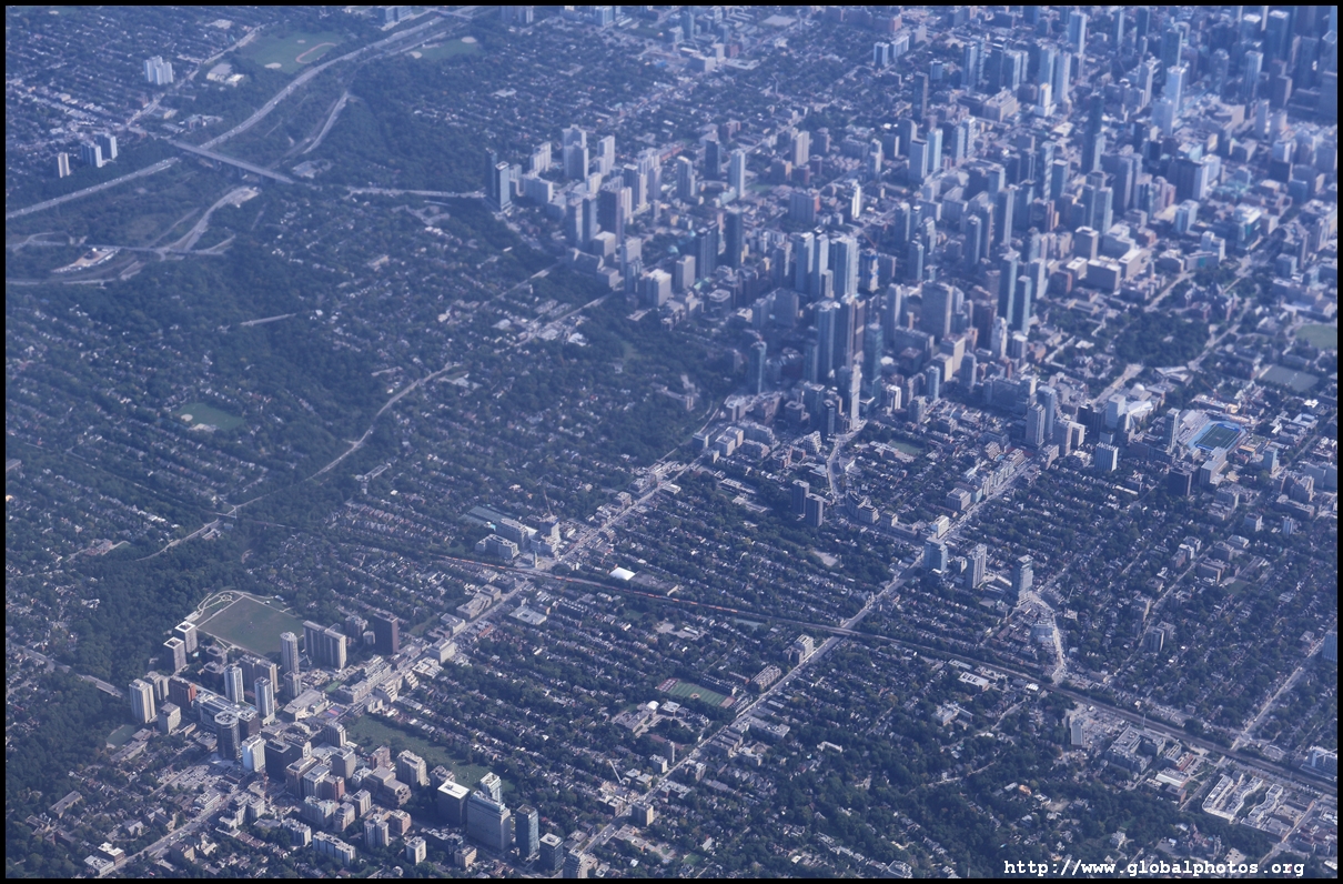
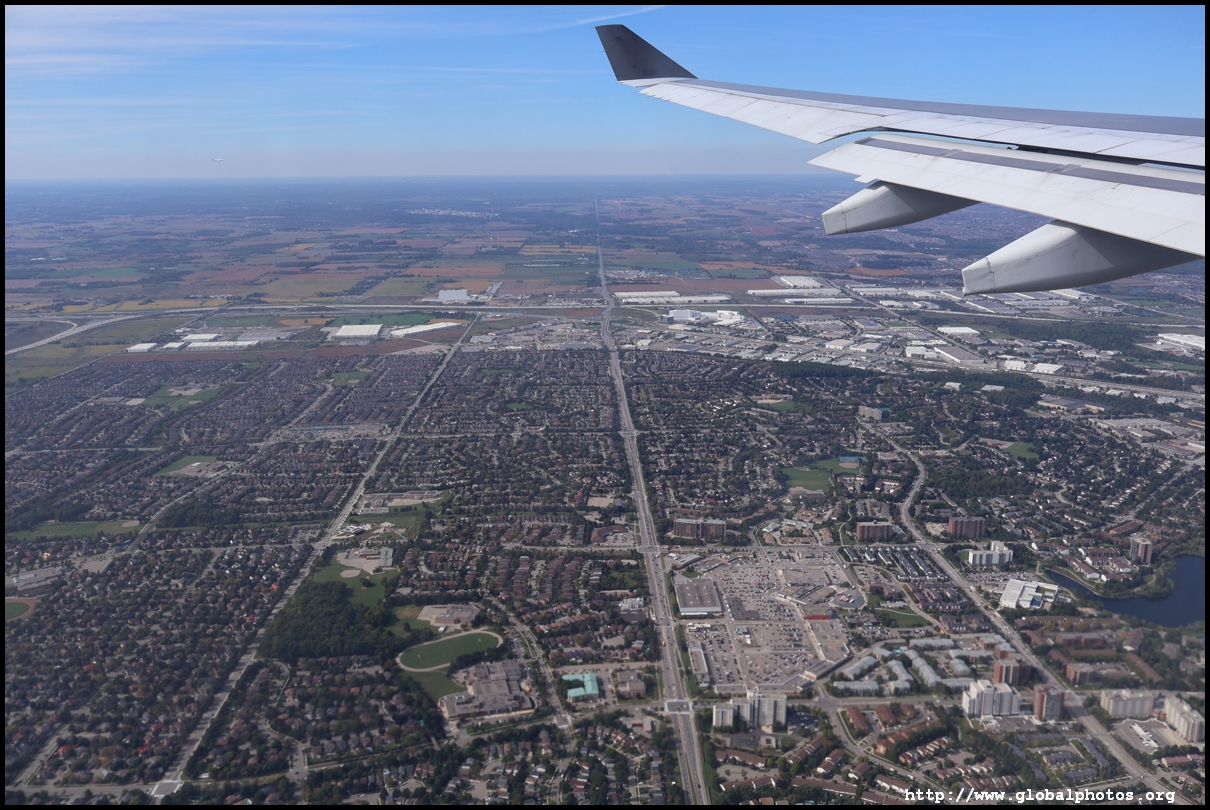
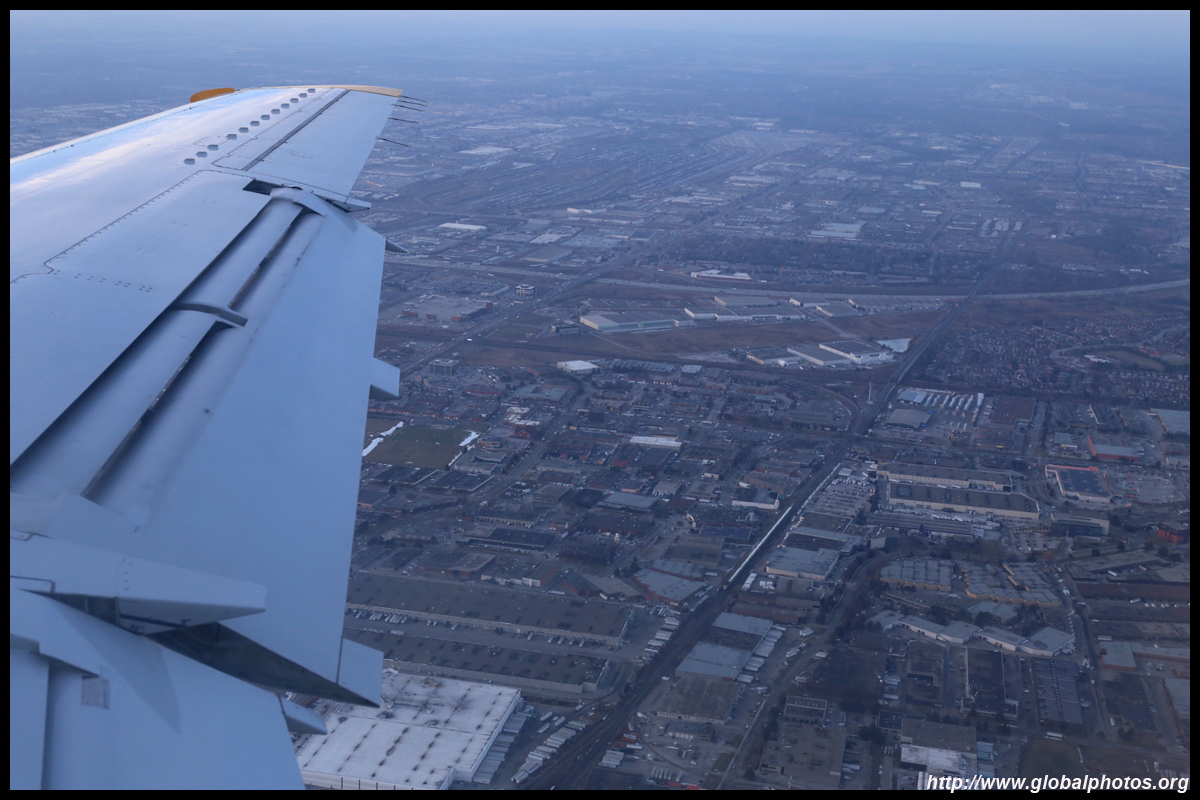
On this flight from Montreal, we came in from the east and flew over the top of the city, then changed course to head out to the lake next to downtown on approach. We start at the Pickering border with Scarborough in the east end. If flying into Toronto from the east, I suggest taking a left window seat for a better chance of spotting the skyline.
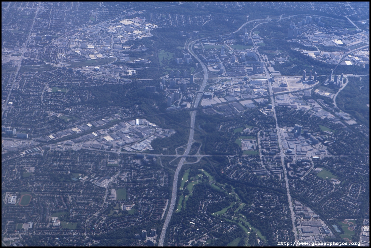
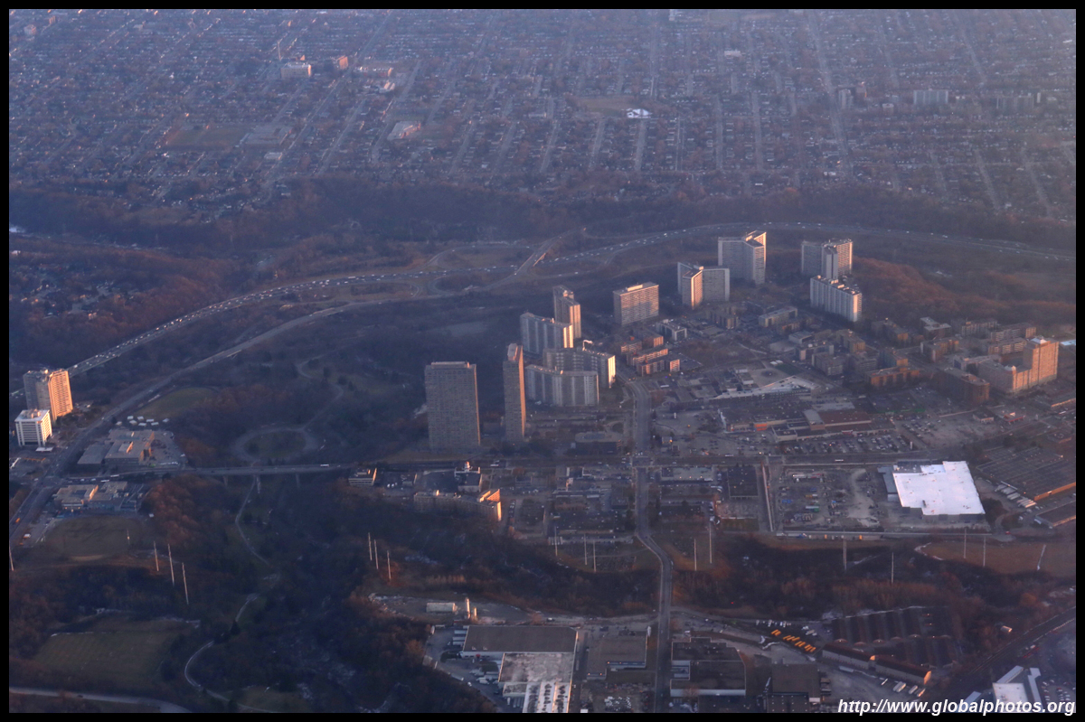
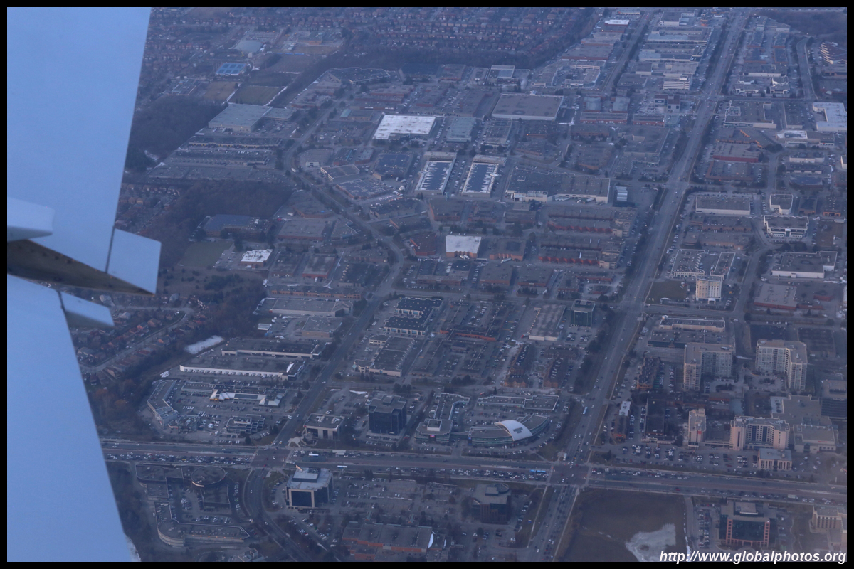
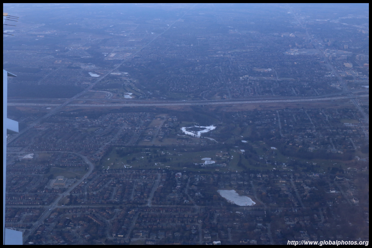
Scarborough Town Centre has long wanted better transit links especially a subway connection. The rapid transit line linking it with Line 2 has closed as it has reached its life expectancy while plans to extend Line 4 to this area have never gone through.
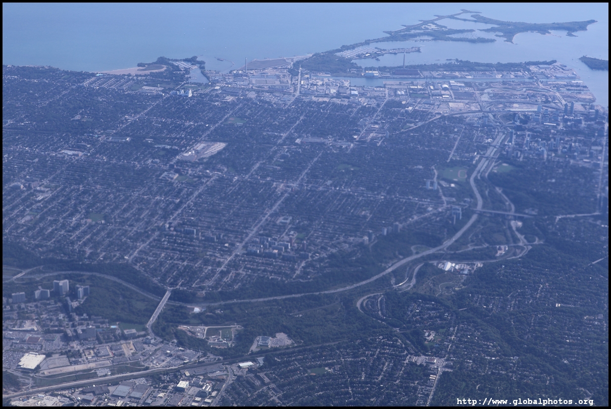
The Don Valley Parkway winds its way through a river valley from the northern suburbs to downtown.
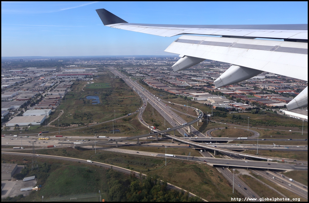
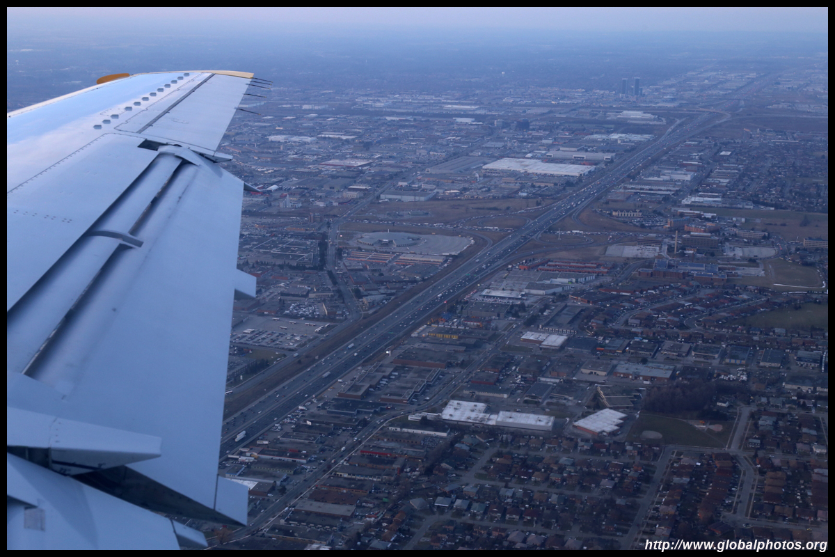
Highway 401 is a huge road with express and collector sections. Here, we see it intersect with the Don Valley Parkway and Highway 404.
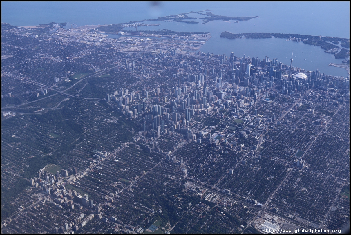
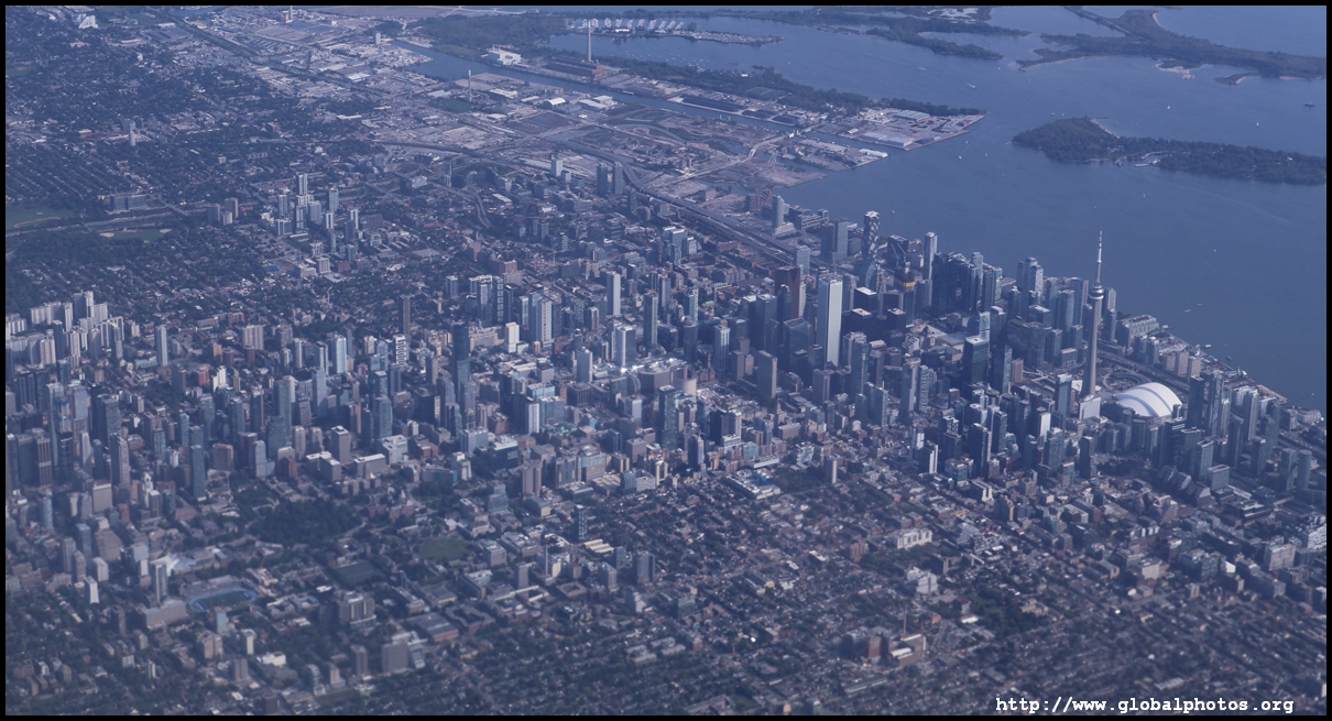
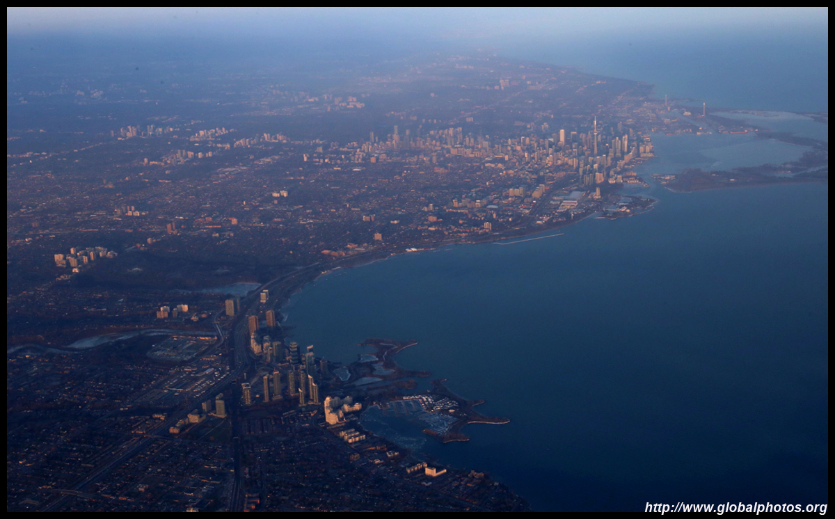
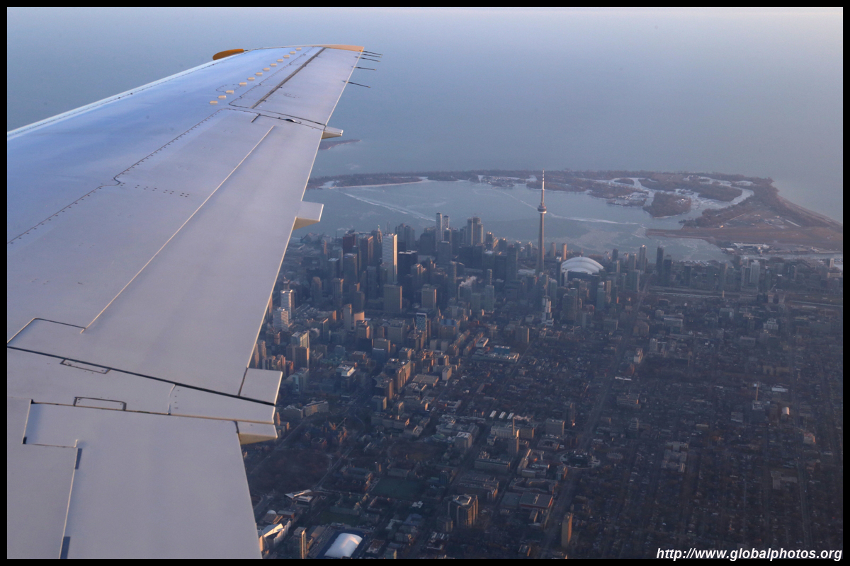
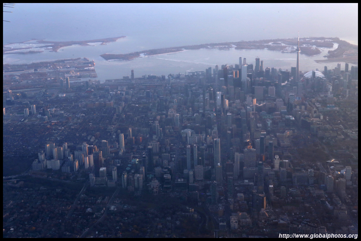
Soon, the downtown skyline came into view.
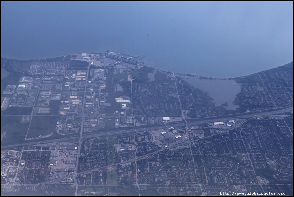
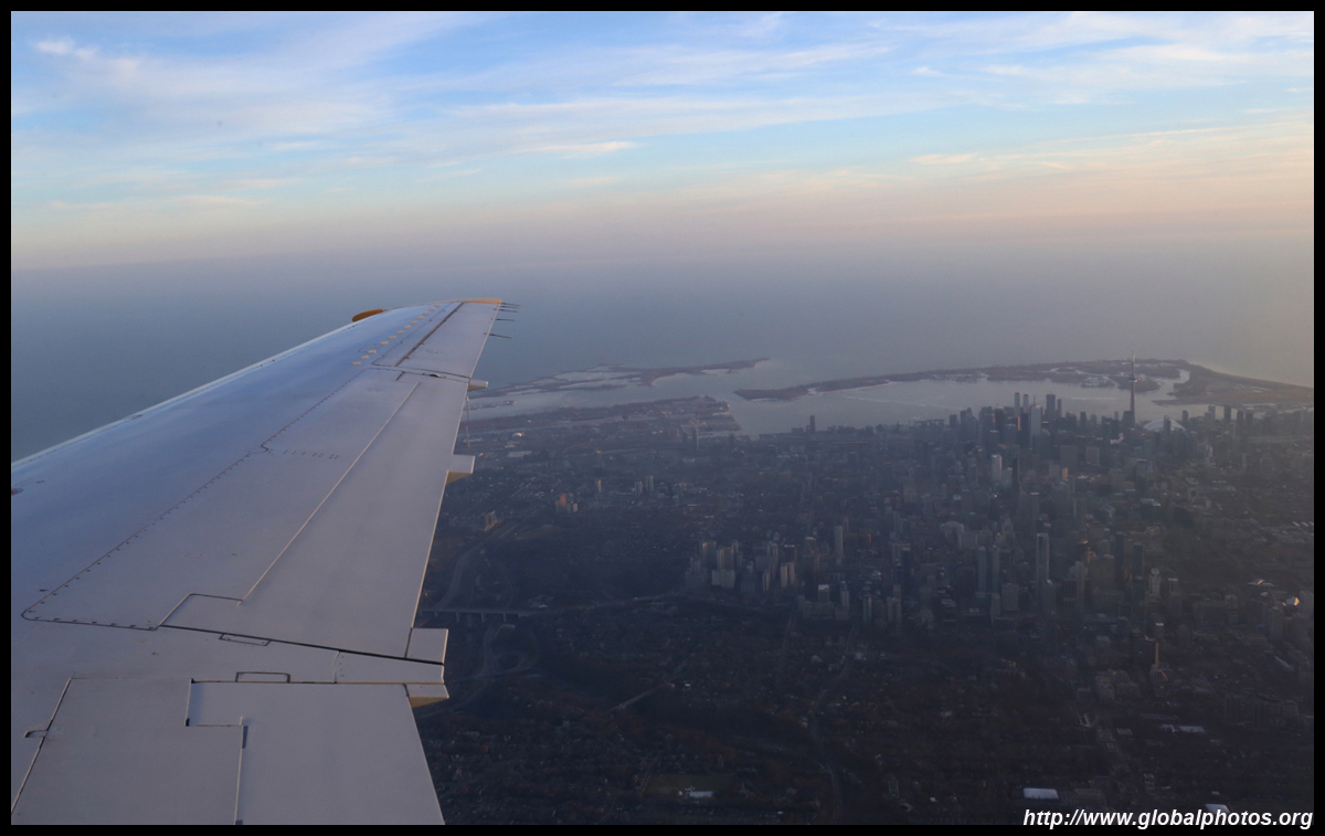
The plane then flew over Lake Ontario until around Mississauga and Oakville's border to loop back to land from the west.
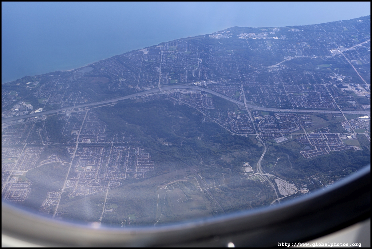
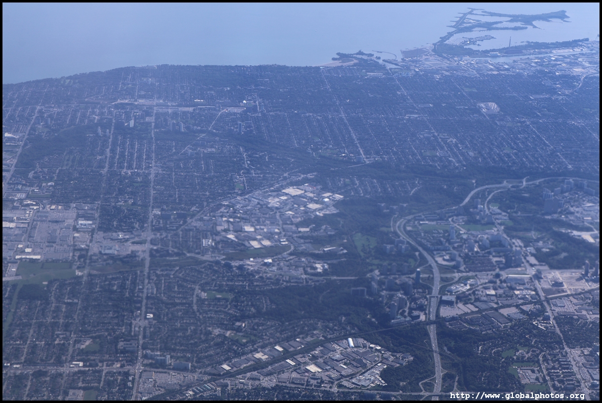
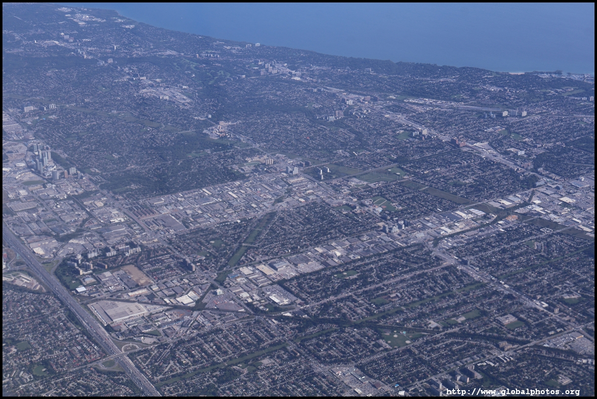
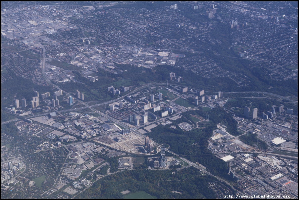
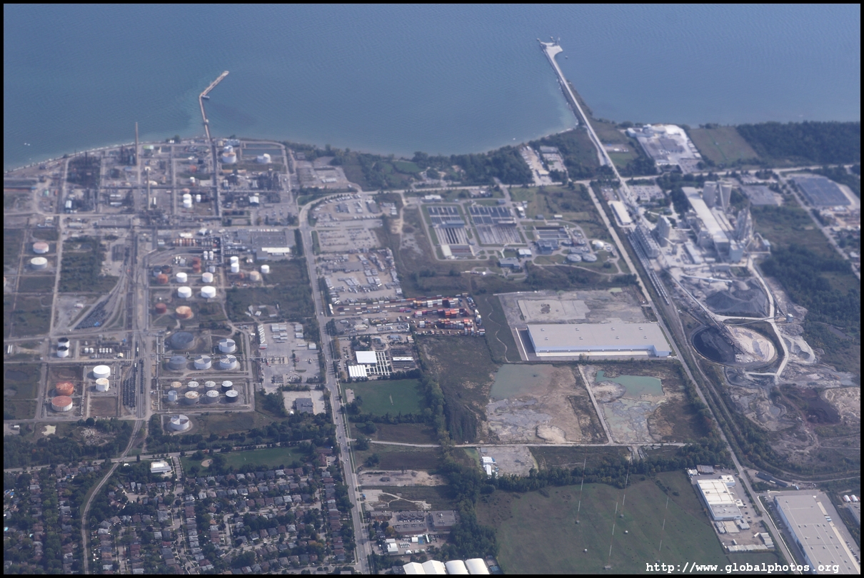
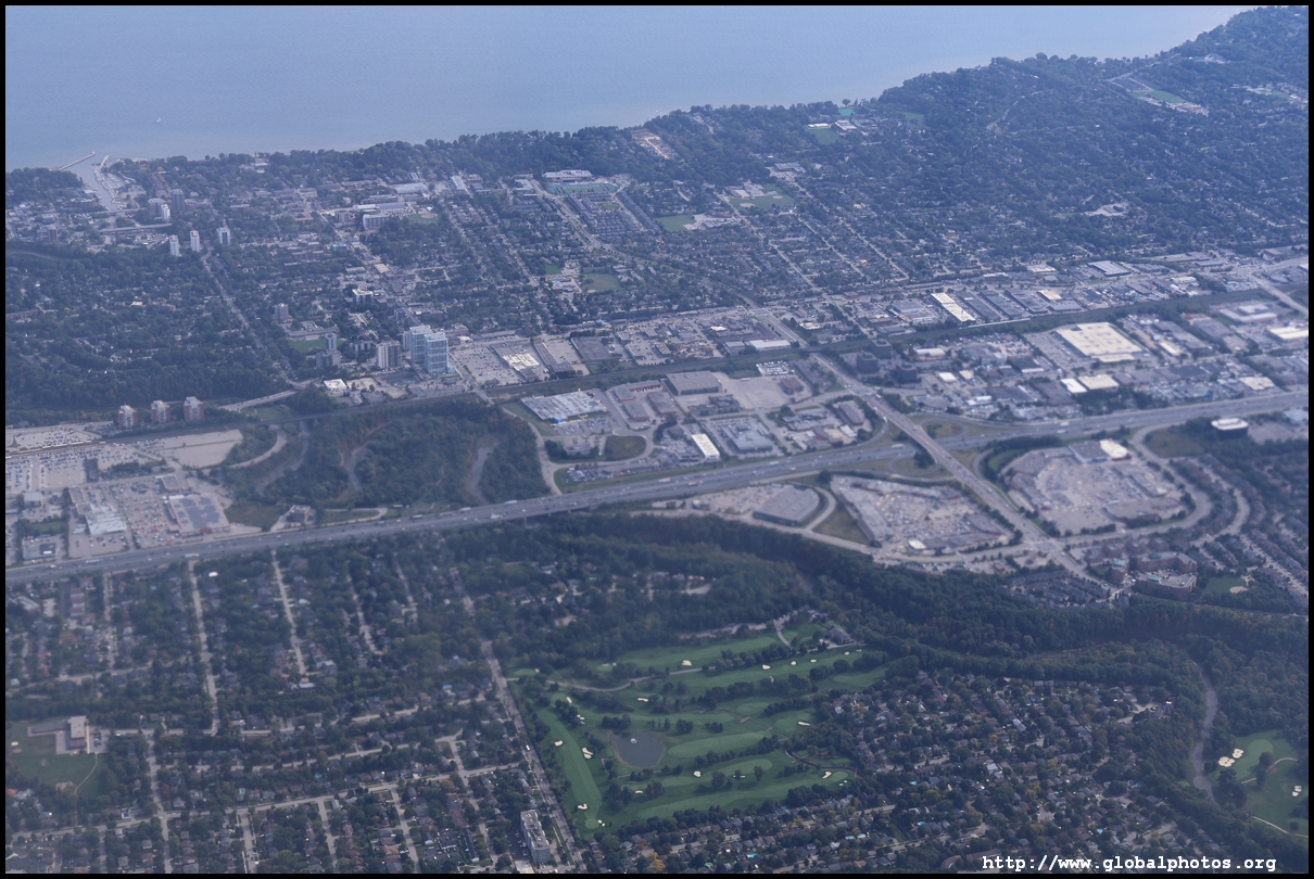
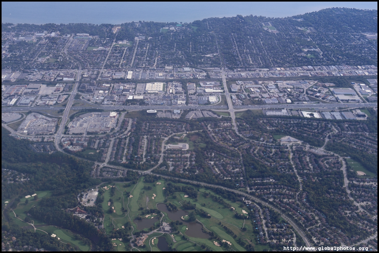
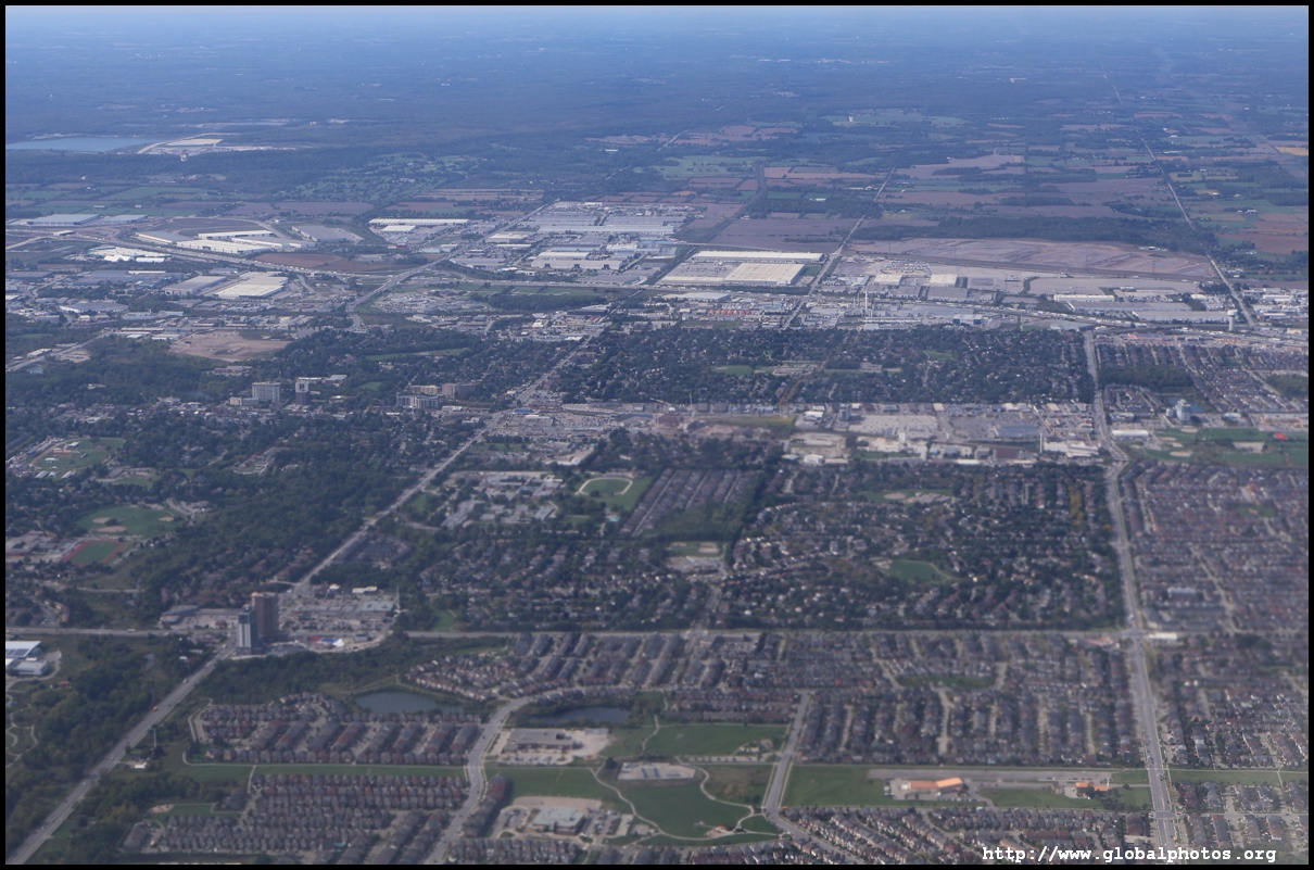
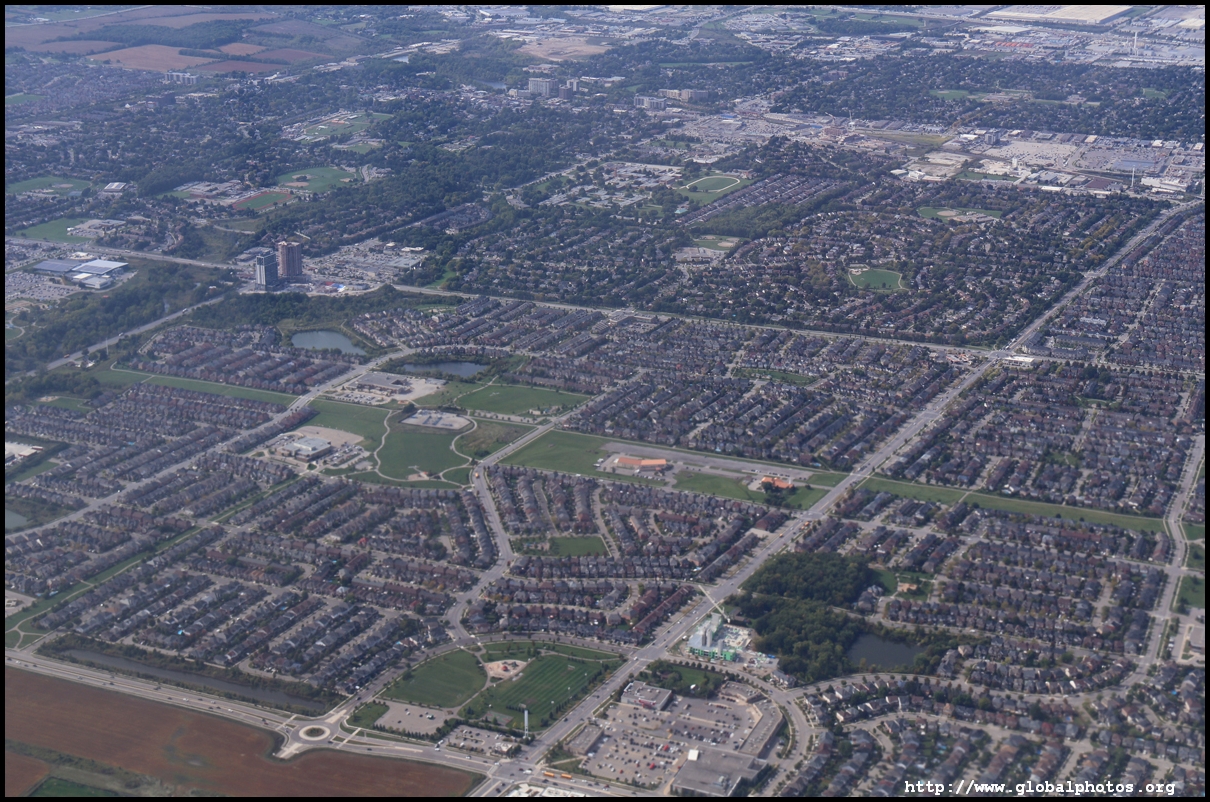
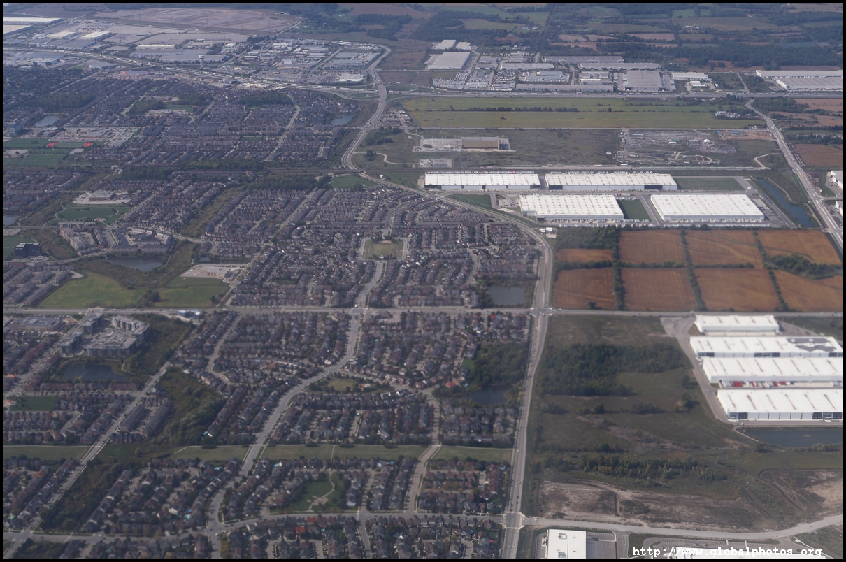
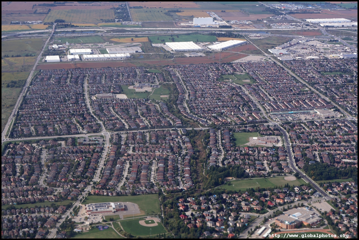
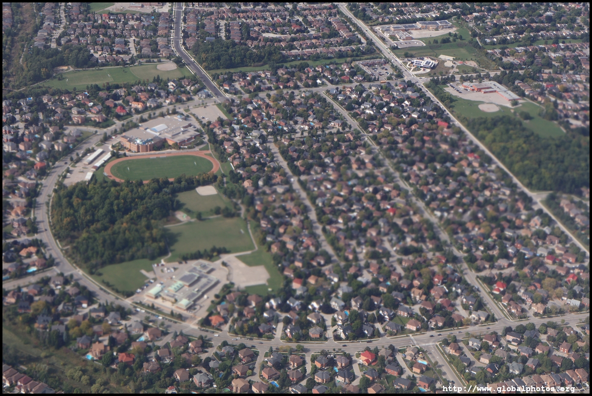
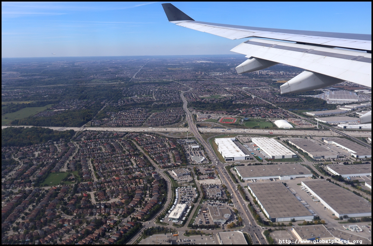
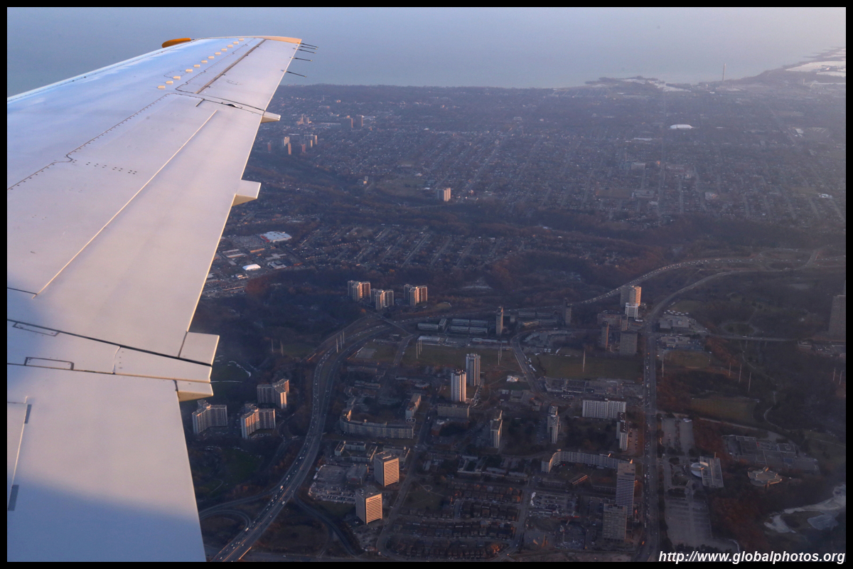
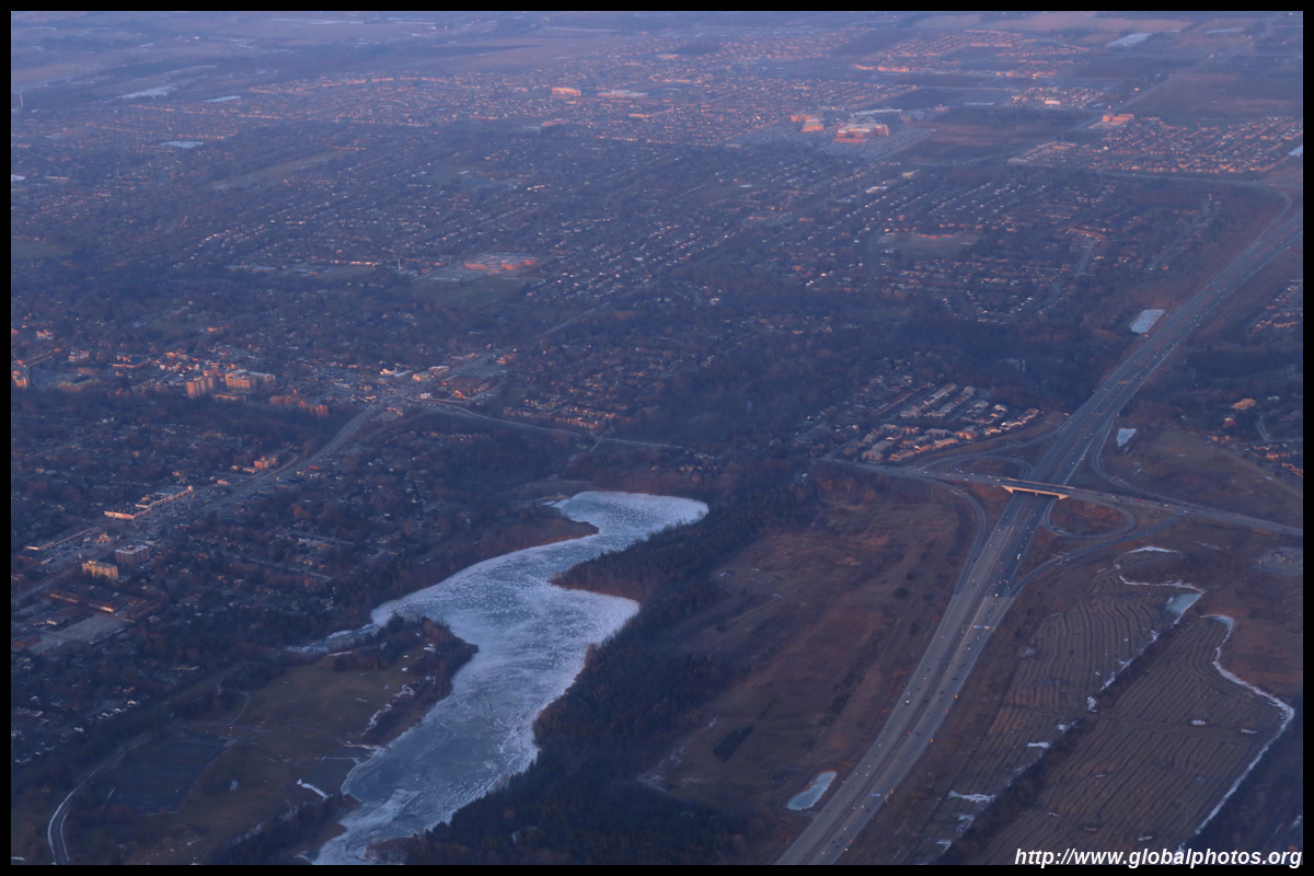
These suburban reaches are mostly lowrise houses that spread out over the landscape.
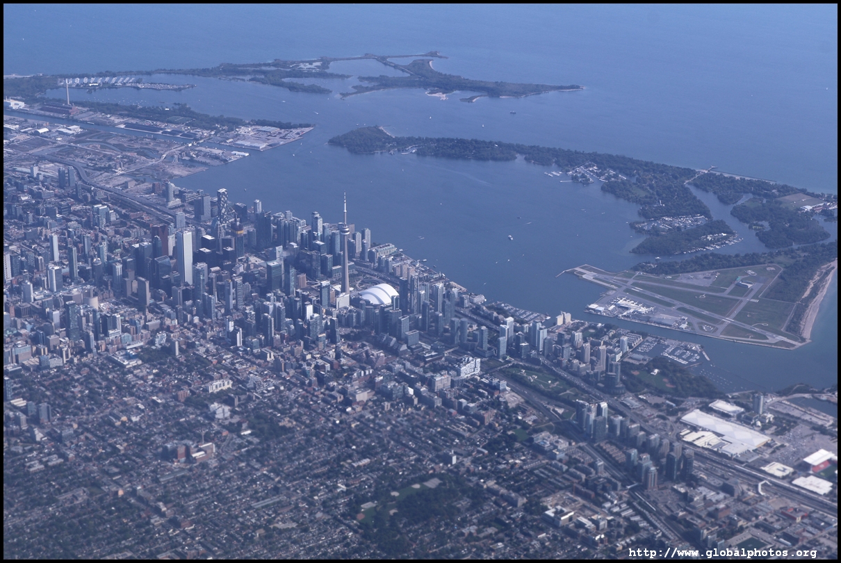
On this flight from Washington DC, we entered Toronto's west end from the south and turned right, skirting the downtown then making a 180-degree turn to cut across the city to land from the east. If flying into Toronto from the south, I suggest taking a right window seat for a better chance of spotting the skyline. Here is a view of the west end with Humber Bay's curve and downtown in the distance.
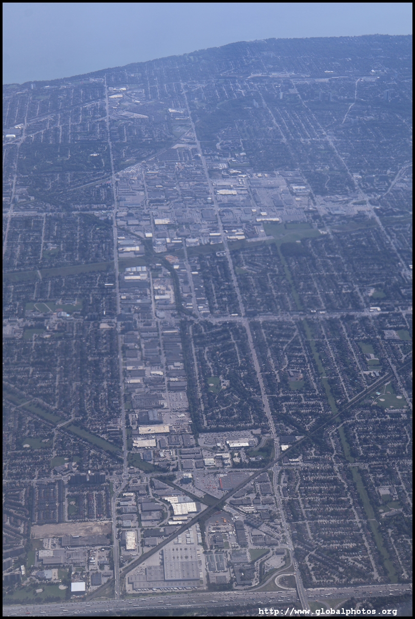
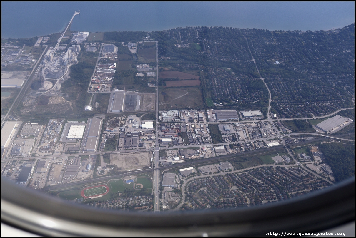
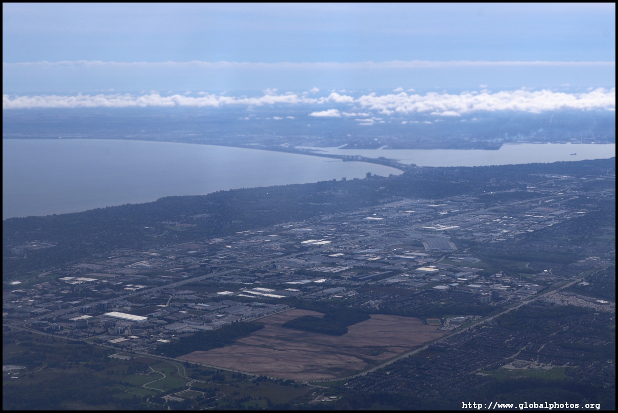
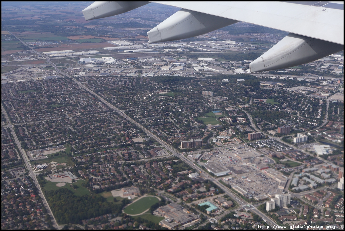
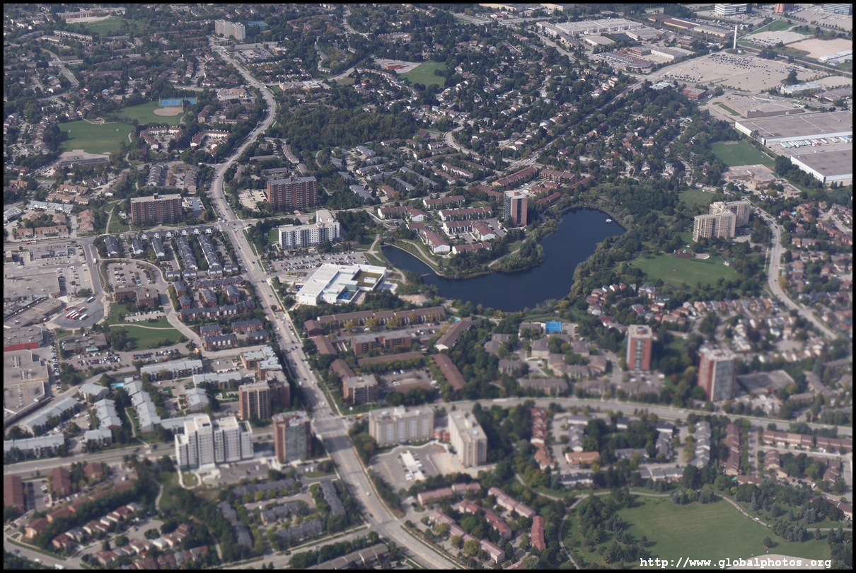
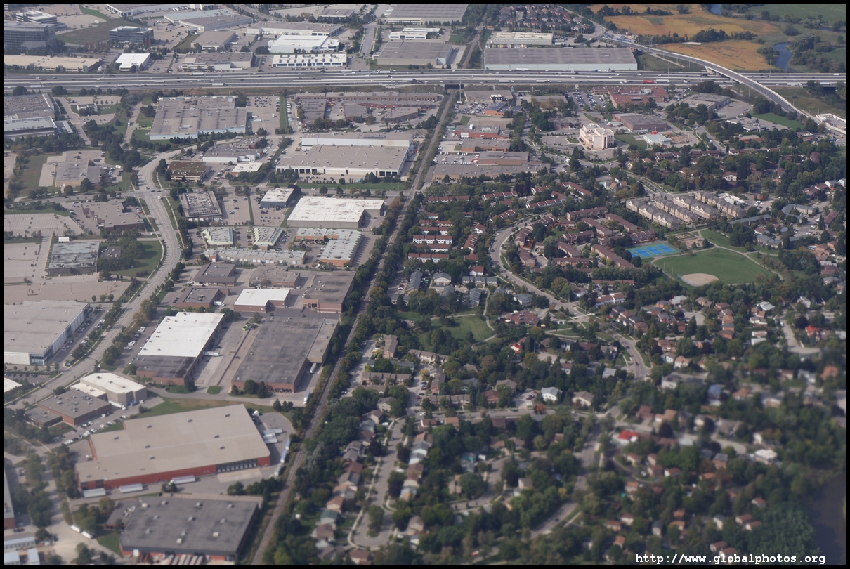
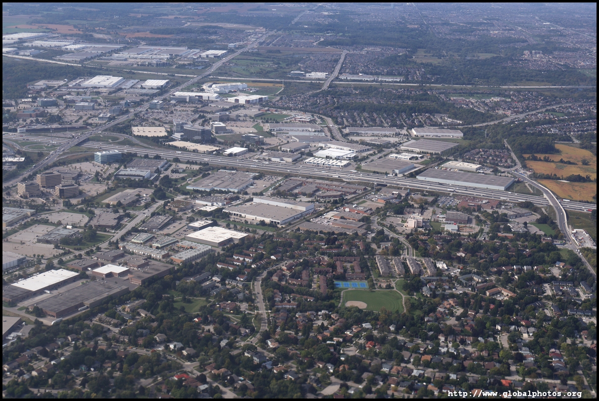
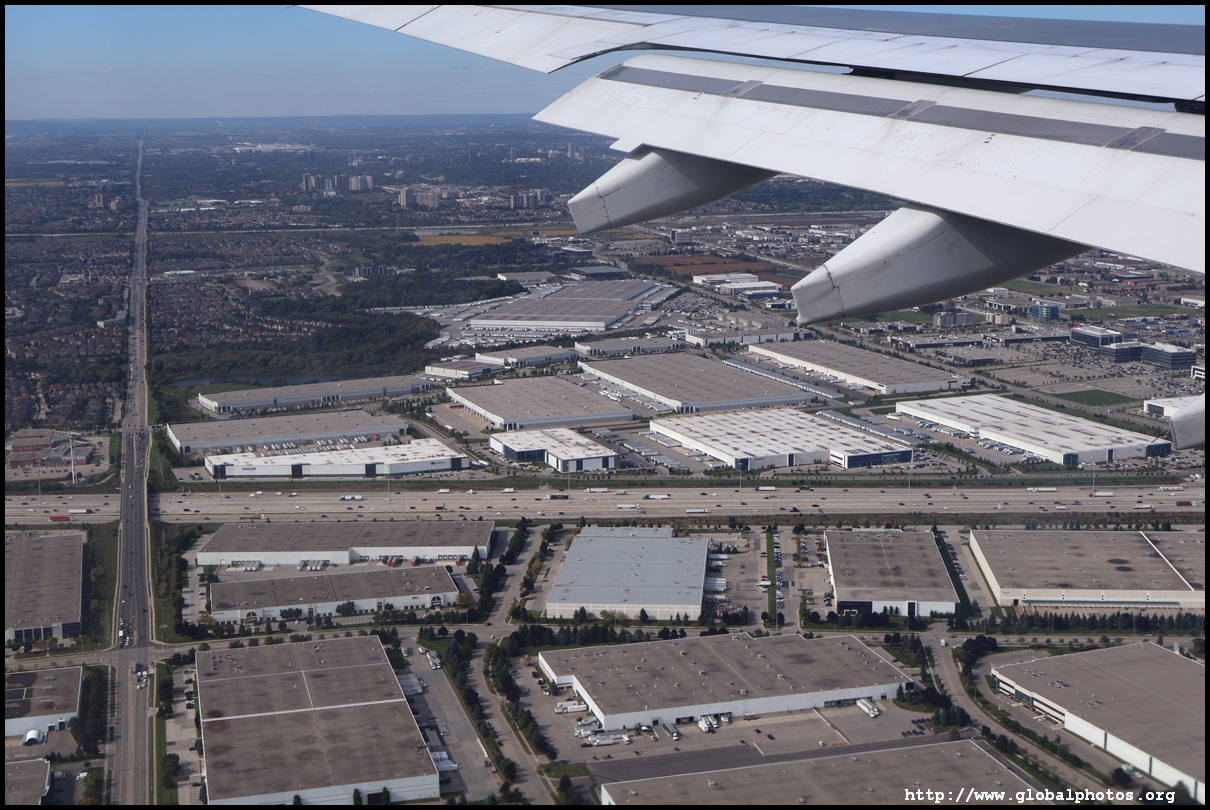
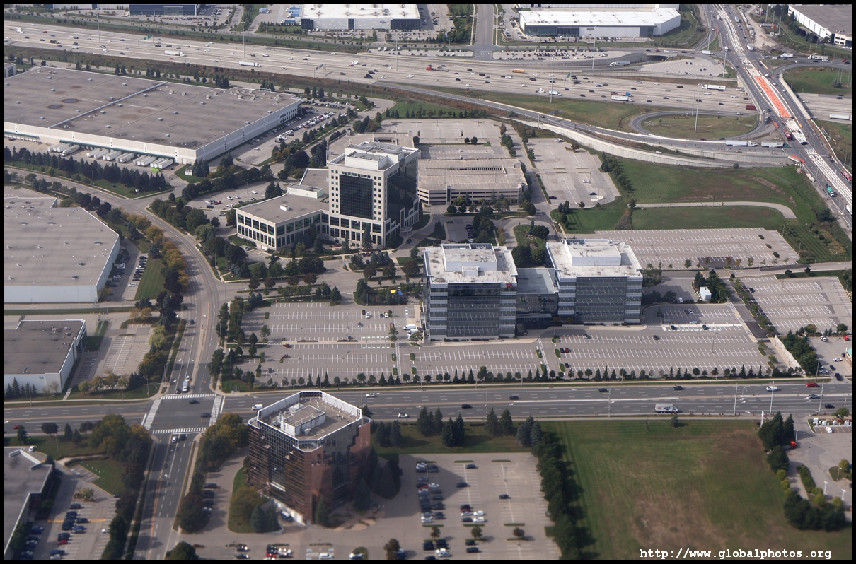
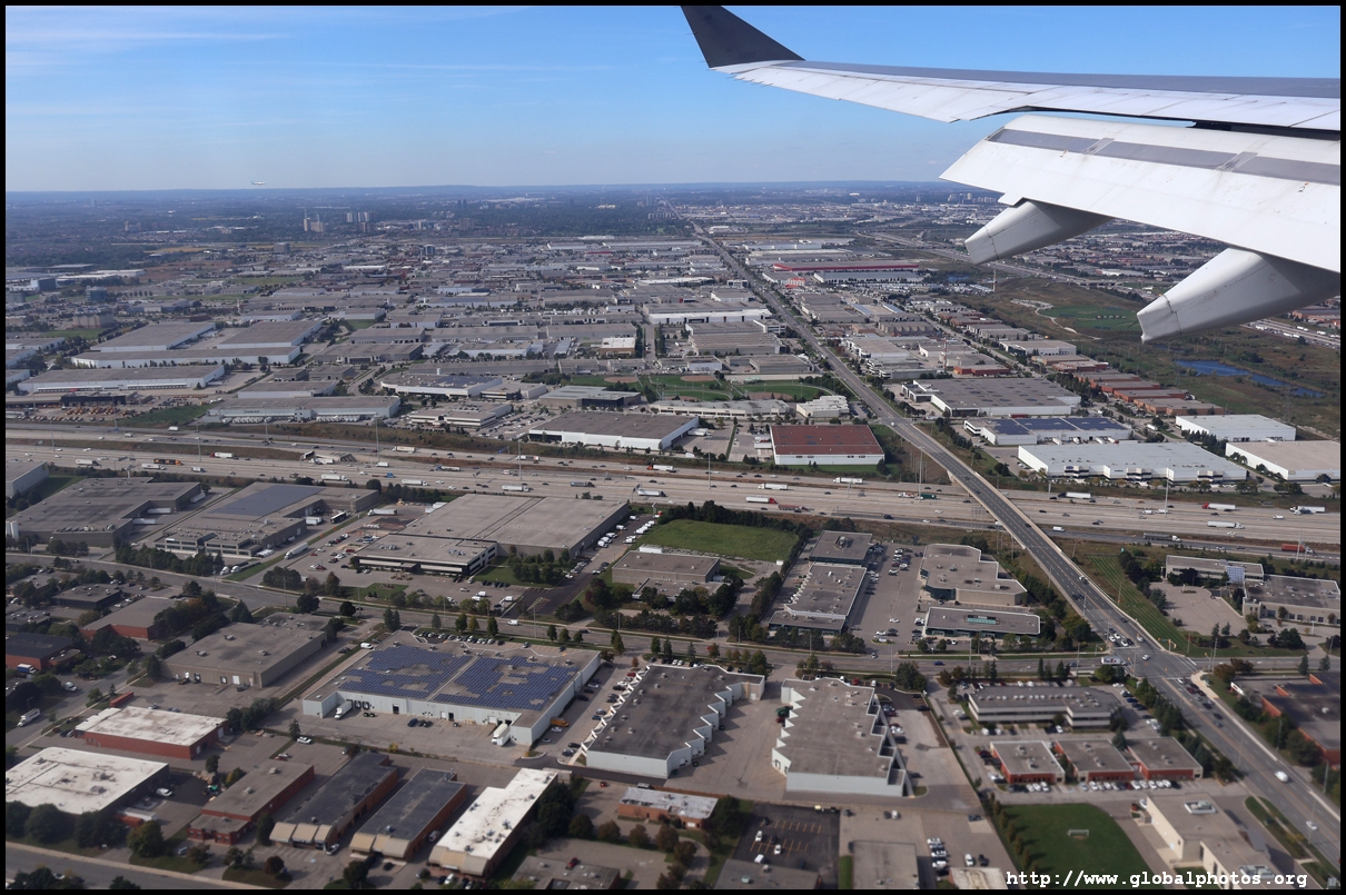
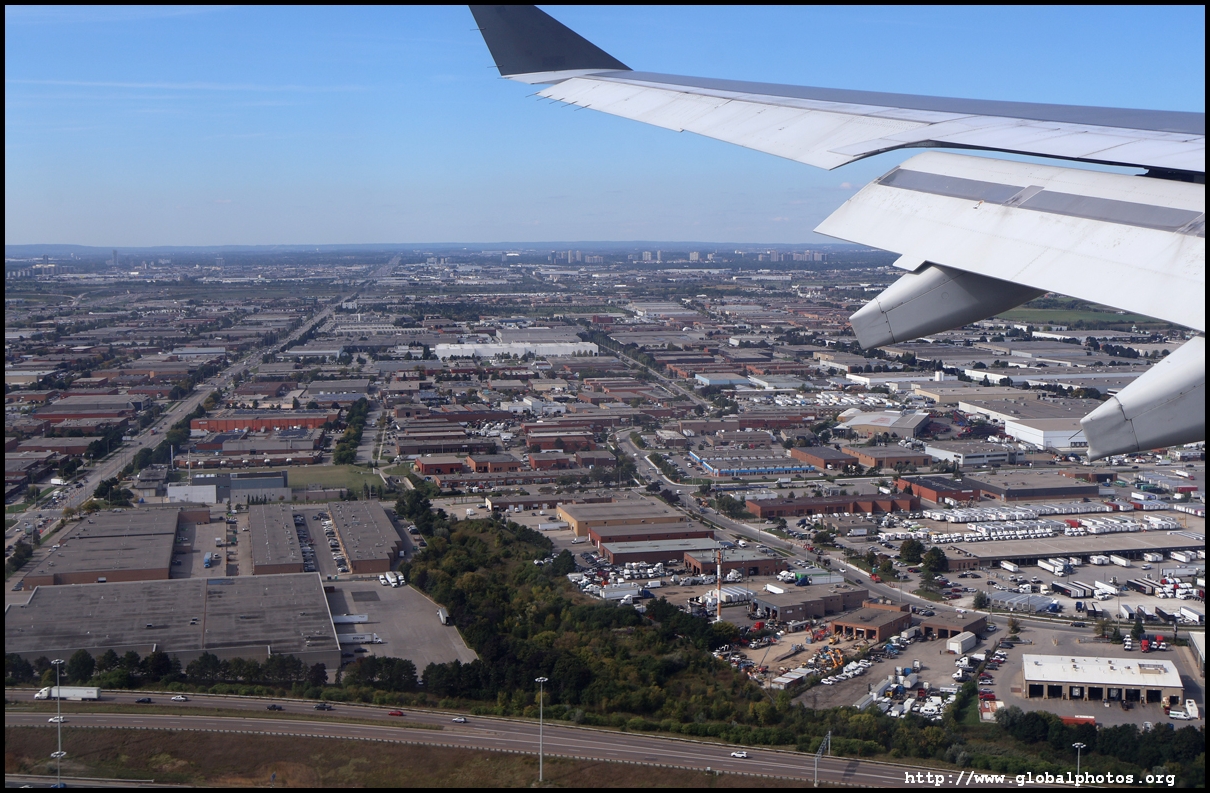
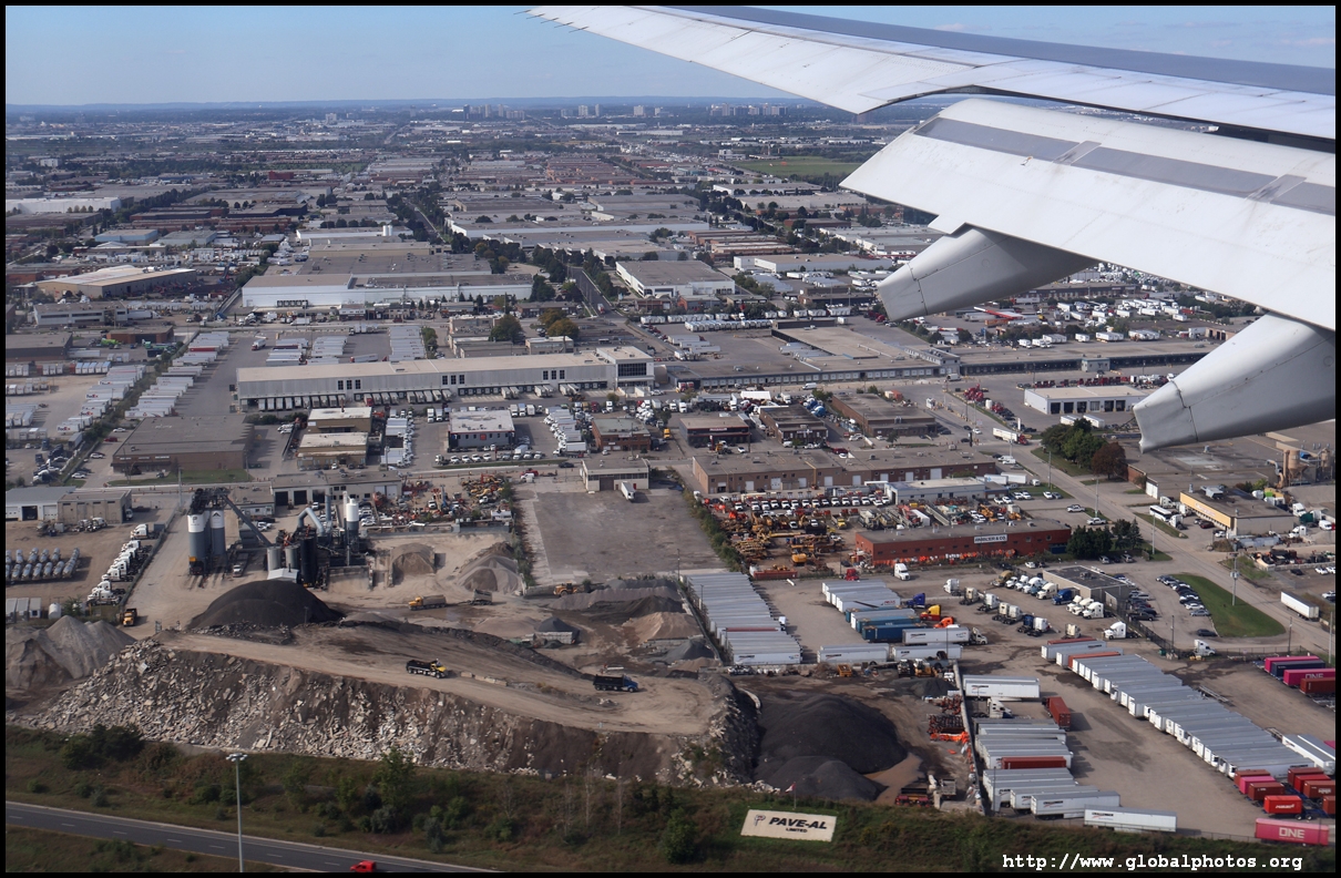
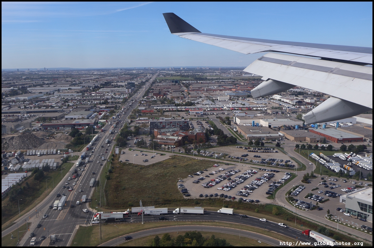
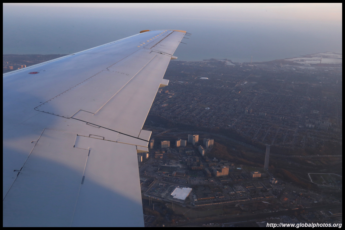
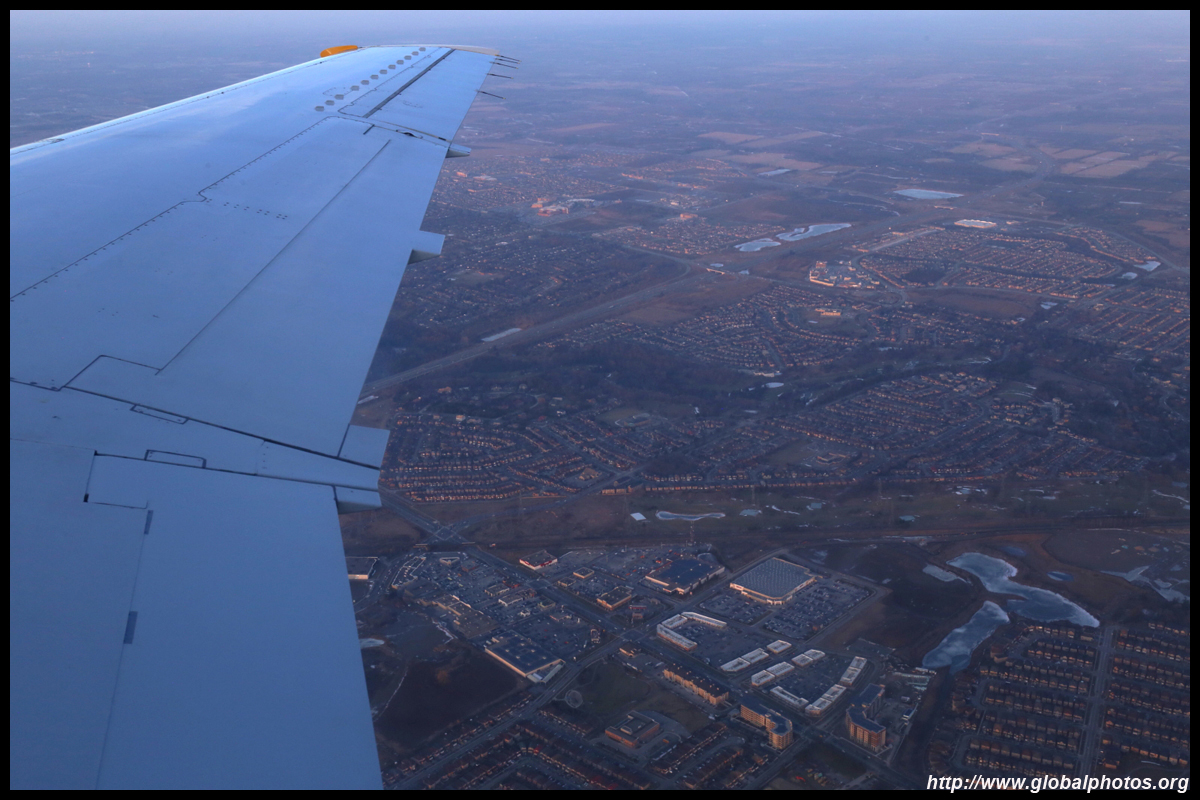
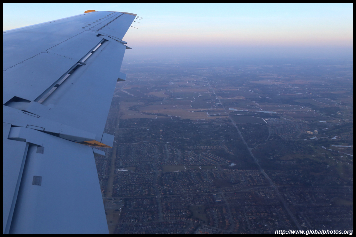
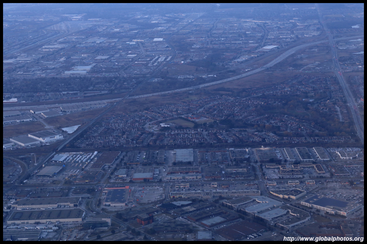
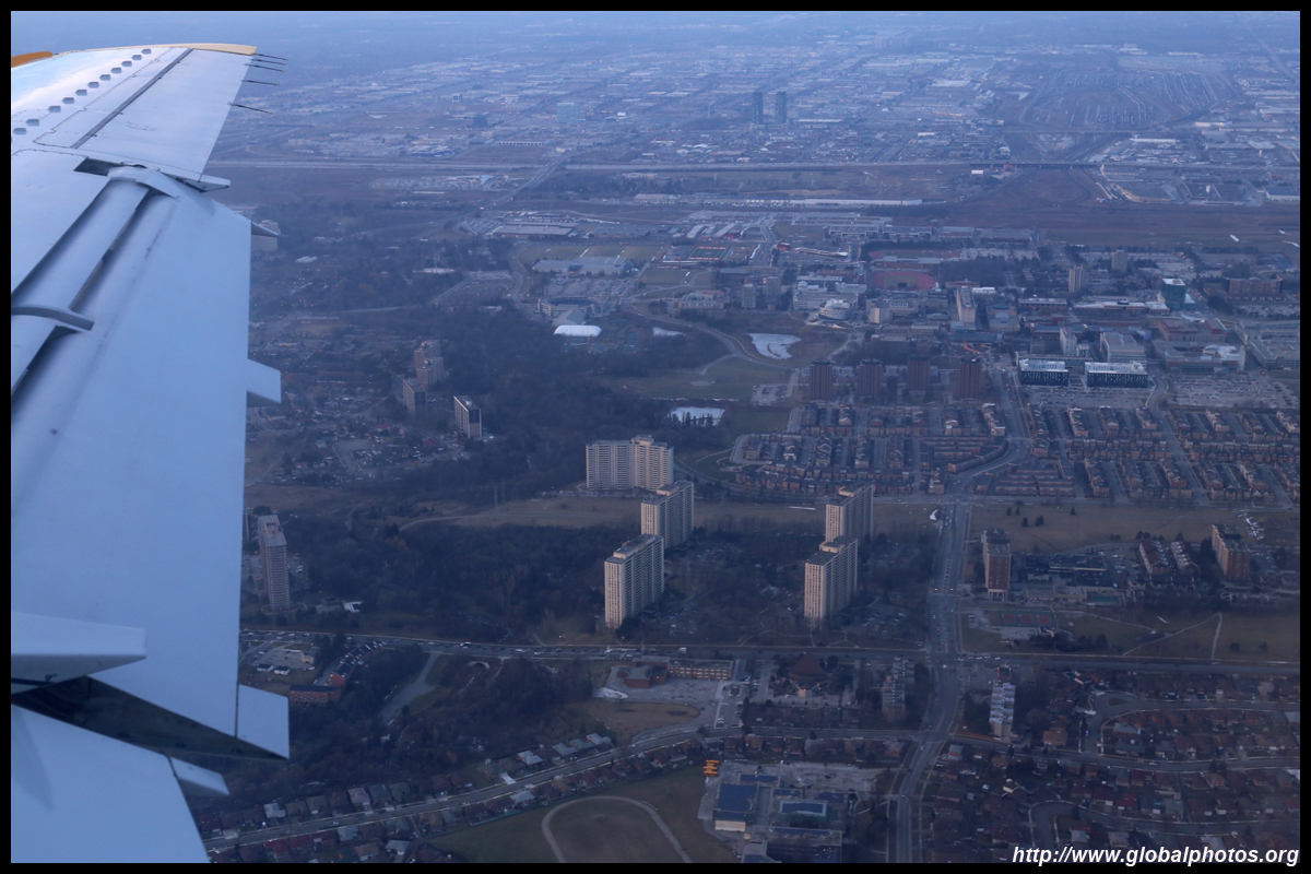
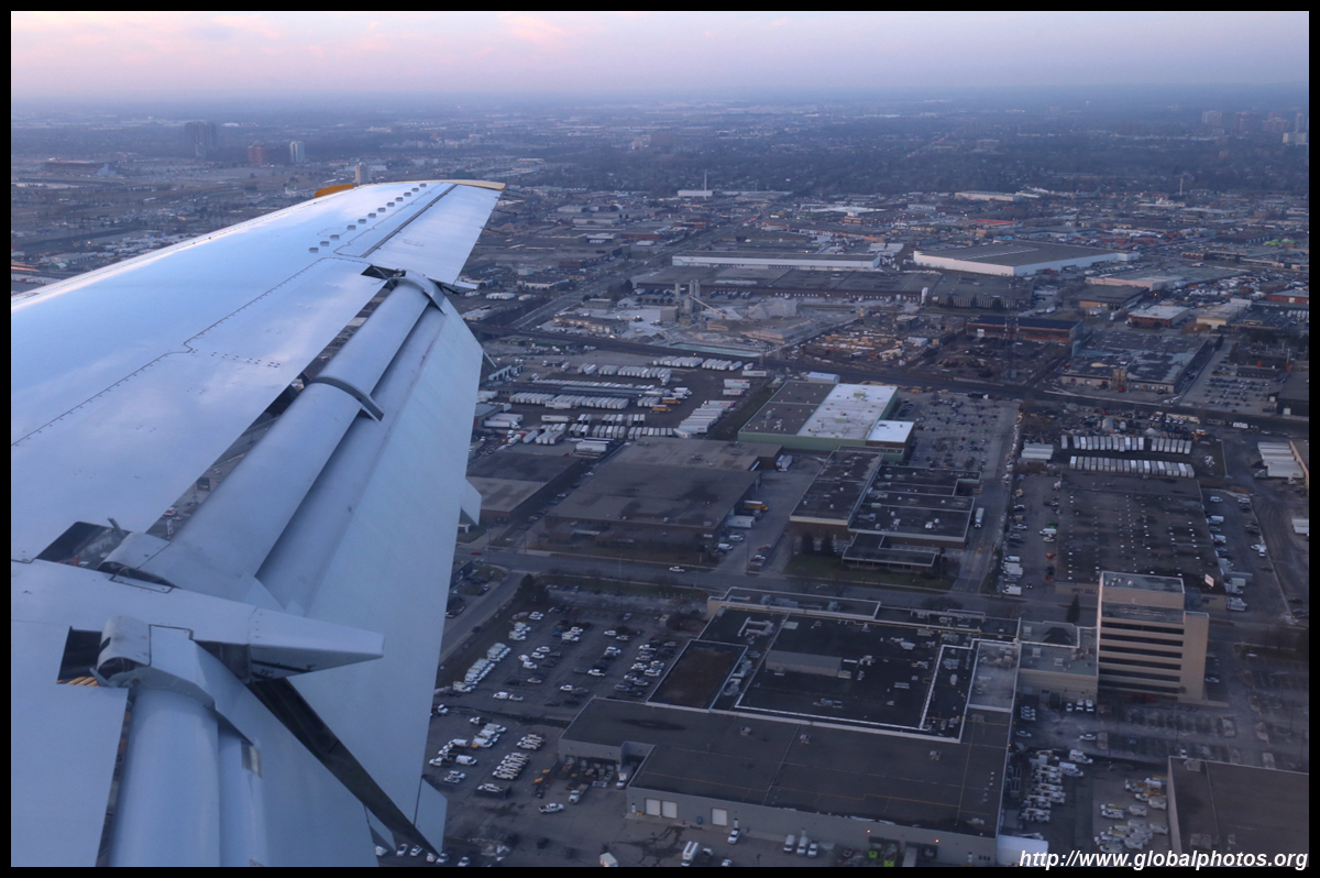
The density tapers off quite quickly and becomes a lowrise landscape with homes and industrial buildings.
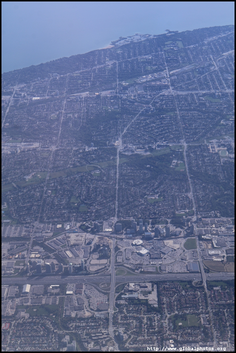
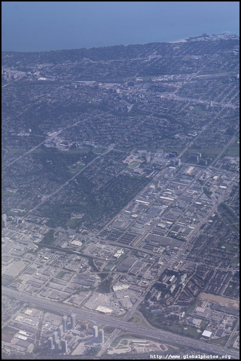
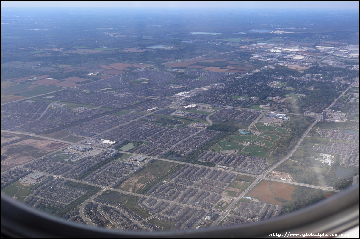
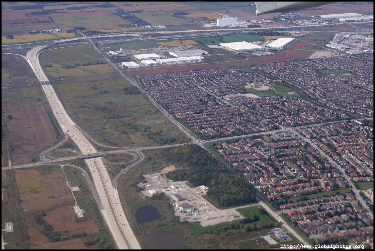
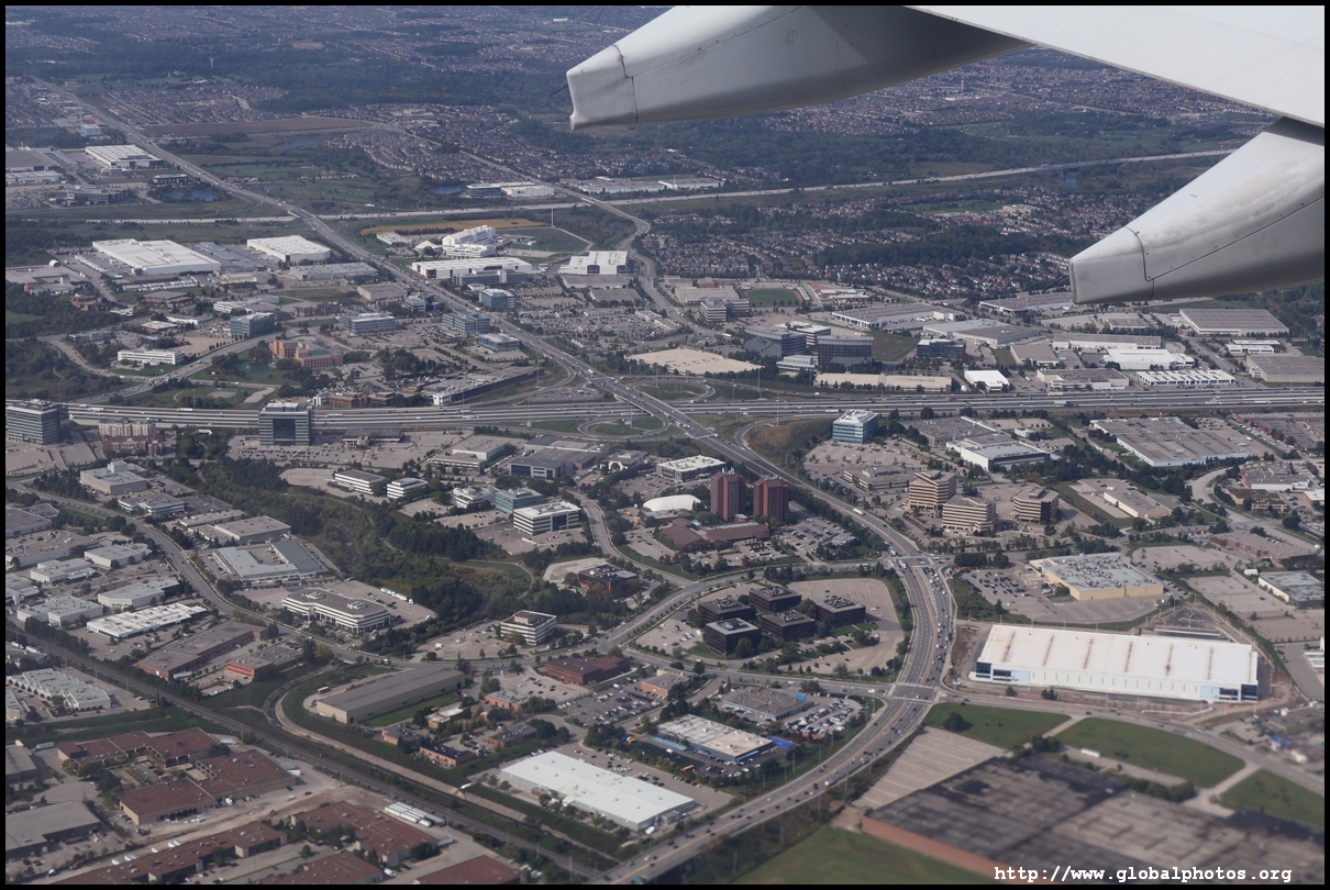
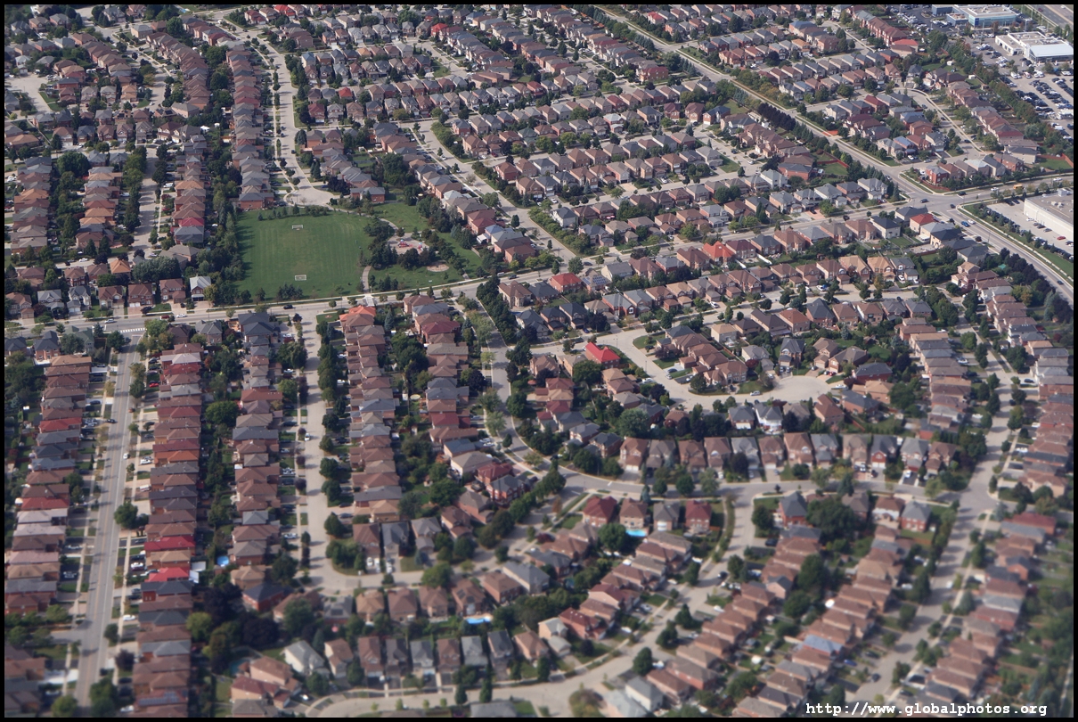
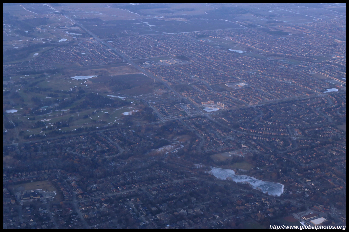
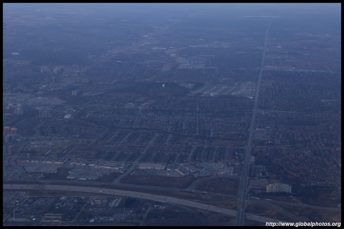
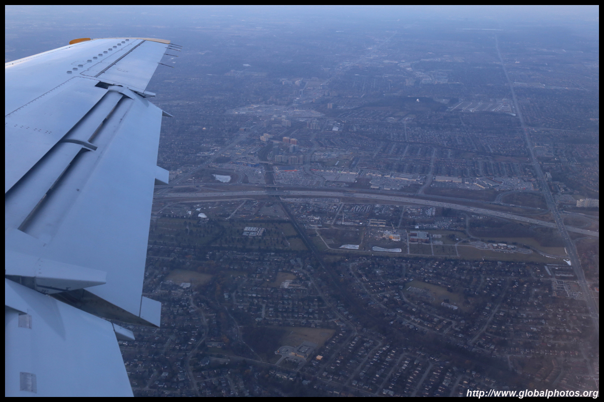
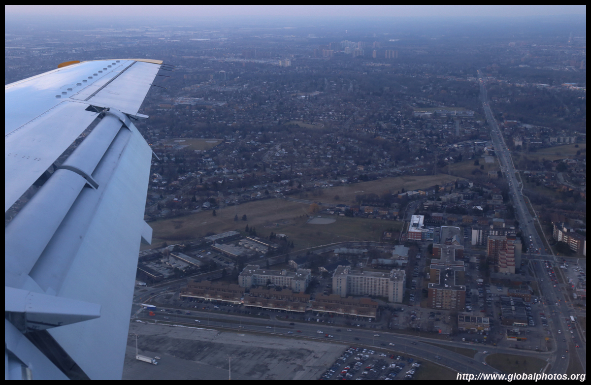
The city's northern suburbs are also predominantely lowrise houses and sprawls out as far as the eye can see.
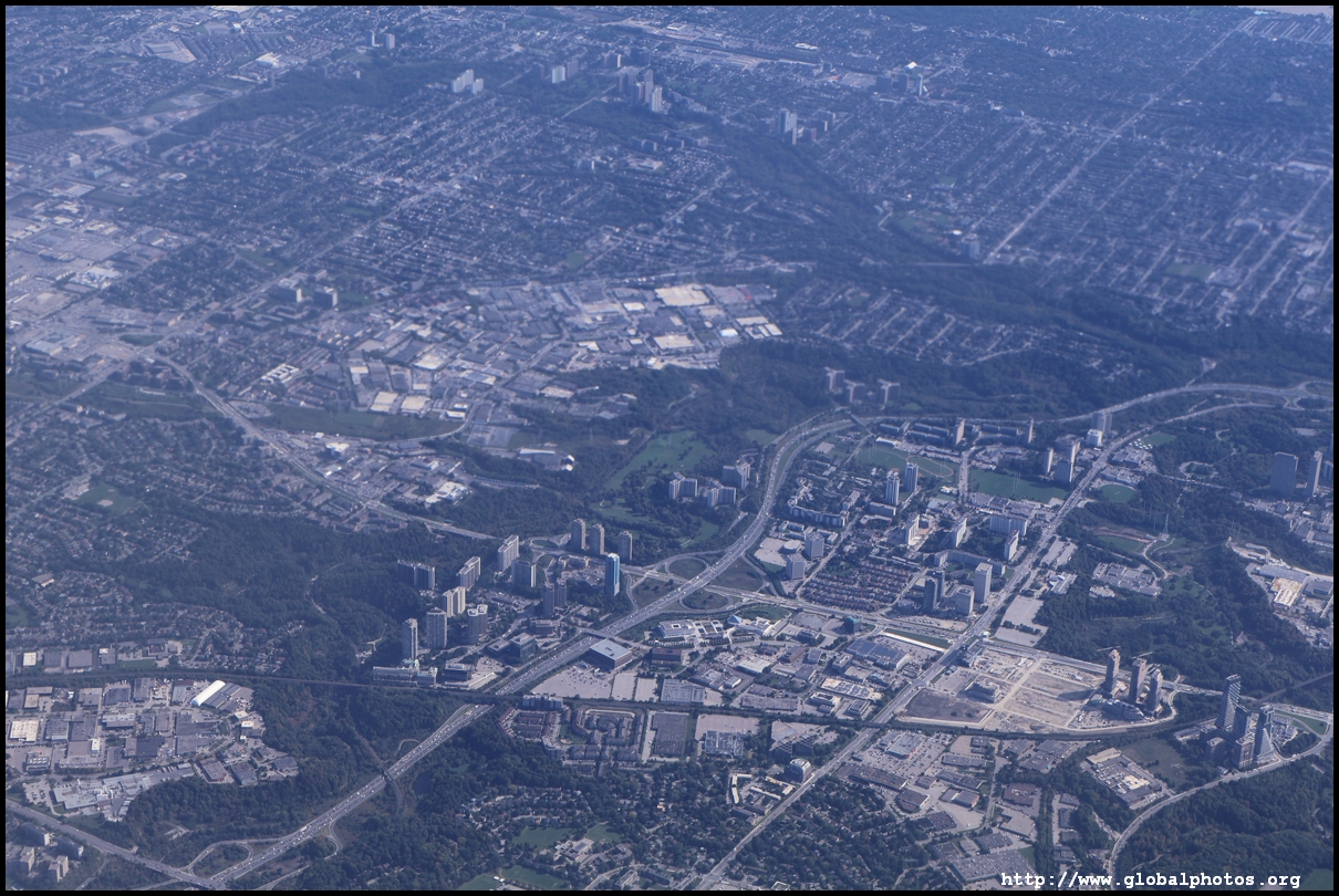
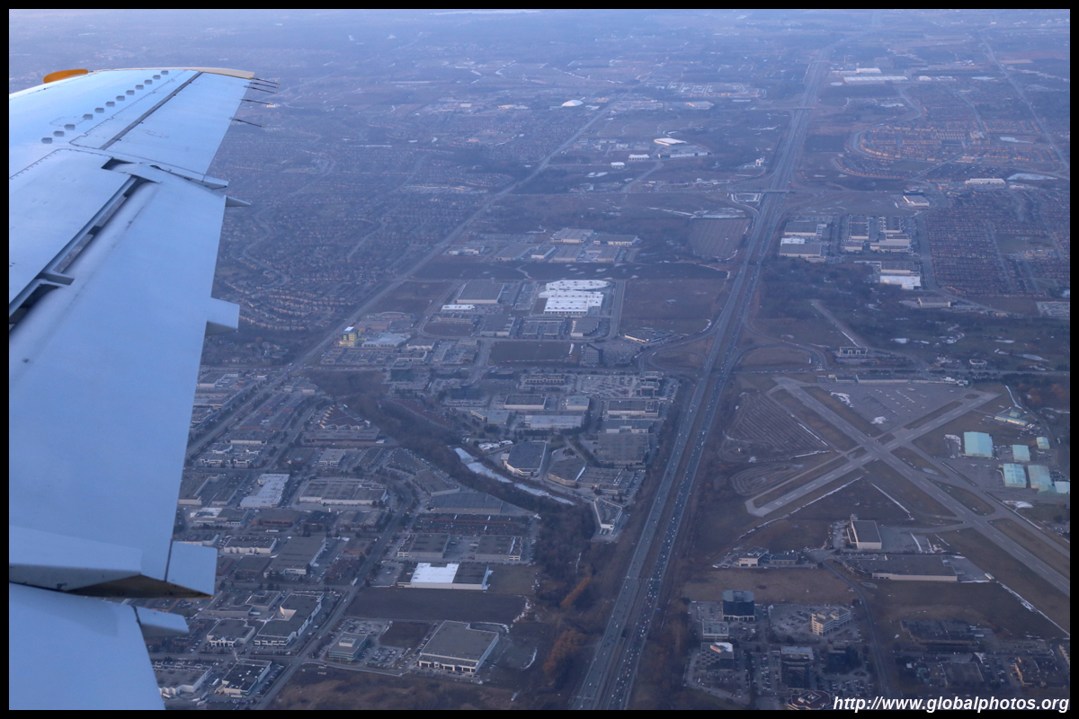
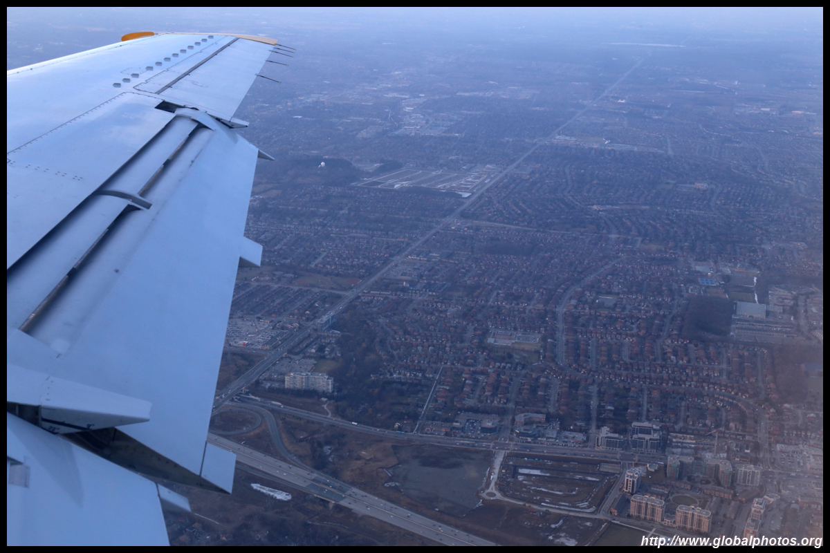
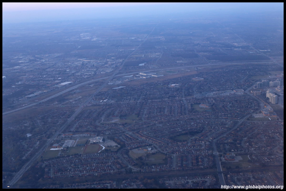
At the time of this photo, Buttonville airport served leisure aircraft and aspiring pilots can take flying lessons here. It is now surrounded by offices and homes. It has since closed and will be redeveloped.
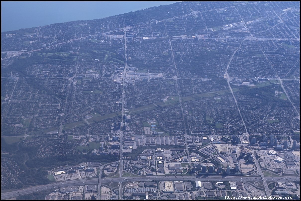
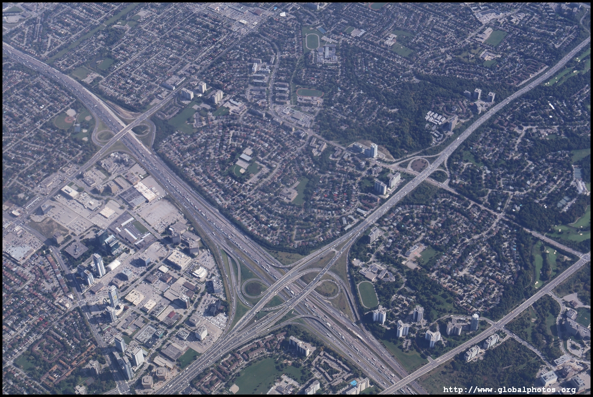
Highway 407 is one of the country's rare toll highways. Conceived as a public-private partnership in the 1990s, the first section opened in 1997 spanning 69km long across west-to-east just north of Toronto's city limits. It now is 108km long and is owned by a Spanish company.
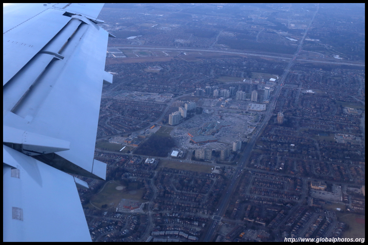
Promenade Shopping Mall is just outside the Toronto city boundary.
Highwway 400 runs north-to-south but does not reach downtown.
|
|||