Flying Above Toronto - Vaughan Metropolitan Centre Photo Gallery (2021)
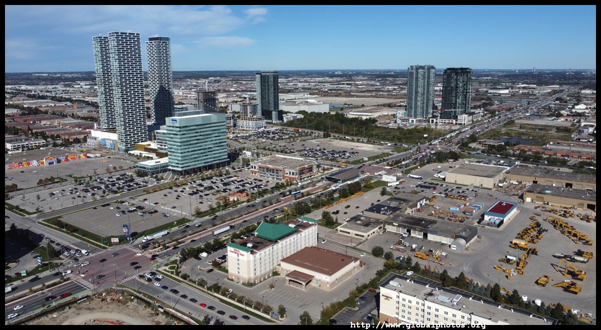
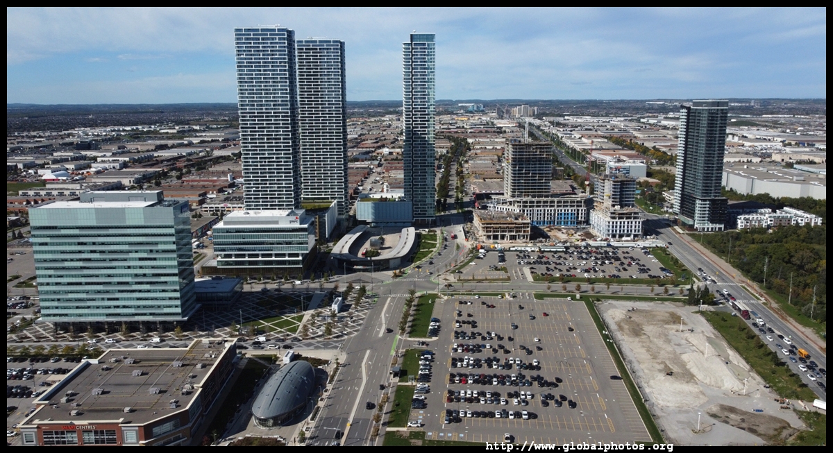
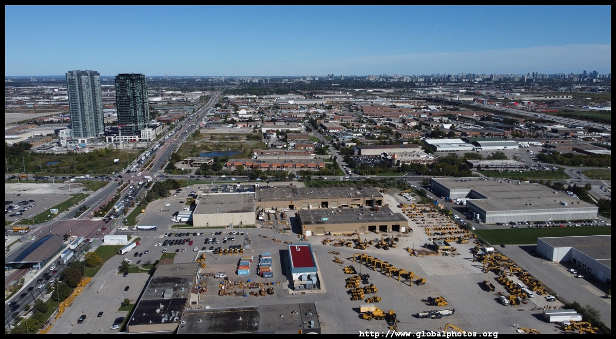
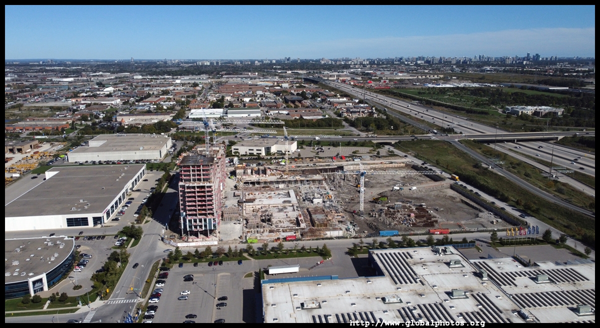
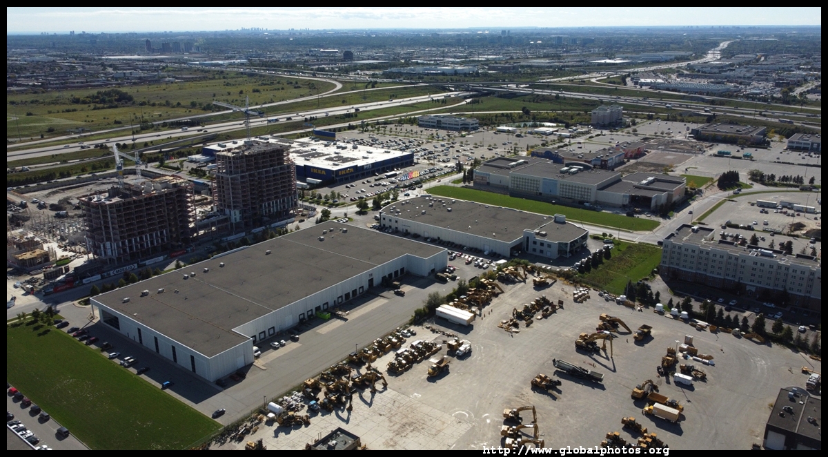
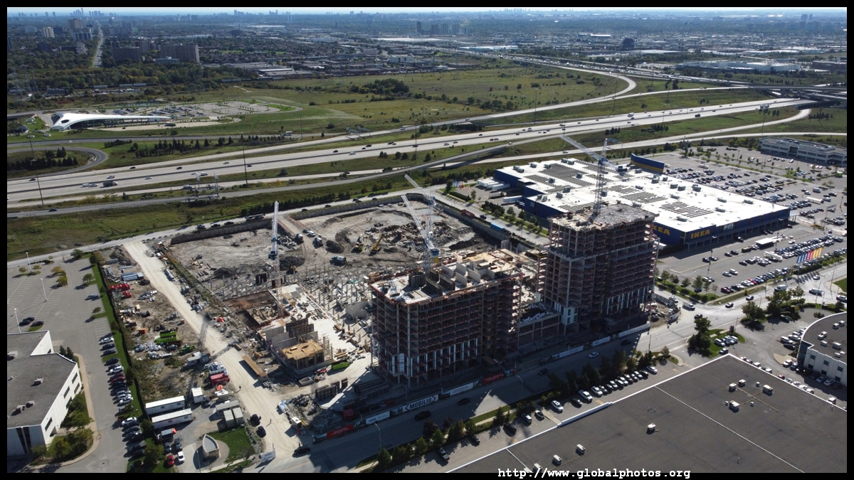
Named after a peace negotiator who helped end the US War of Independence, Vaughan was created in 1792 with the first settlers being Pennsylvanian Germans. British migrants came in droves after the War of 1812, with an Italian and Eastern European immigration influx after World War II.Historically, many of Toronto's suburbs competed with the city for foreign investment. With a different government structure, the border fostered a sense of competition and not co-operation. Despite commuting patterns that suggest otherwise, even the subway line strictly stayed within Toronto's borders until 2017 when Line 1 was extended into Vaughan. A new "city centre" is being developed around it, which was once an industrial area, not exactly the type of dense urban environment to warrant a subway line in the first place.
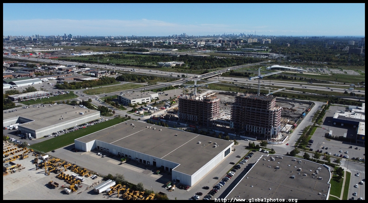
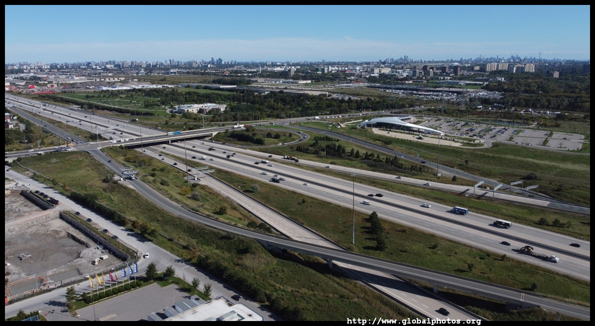
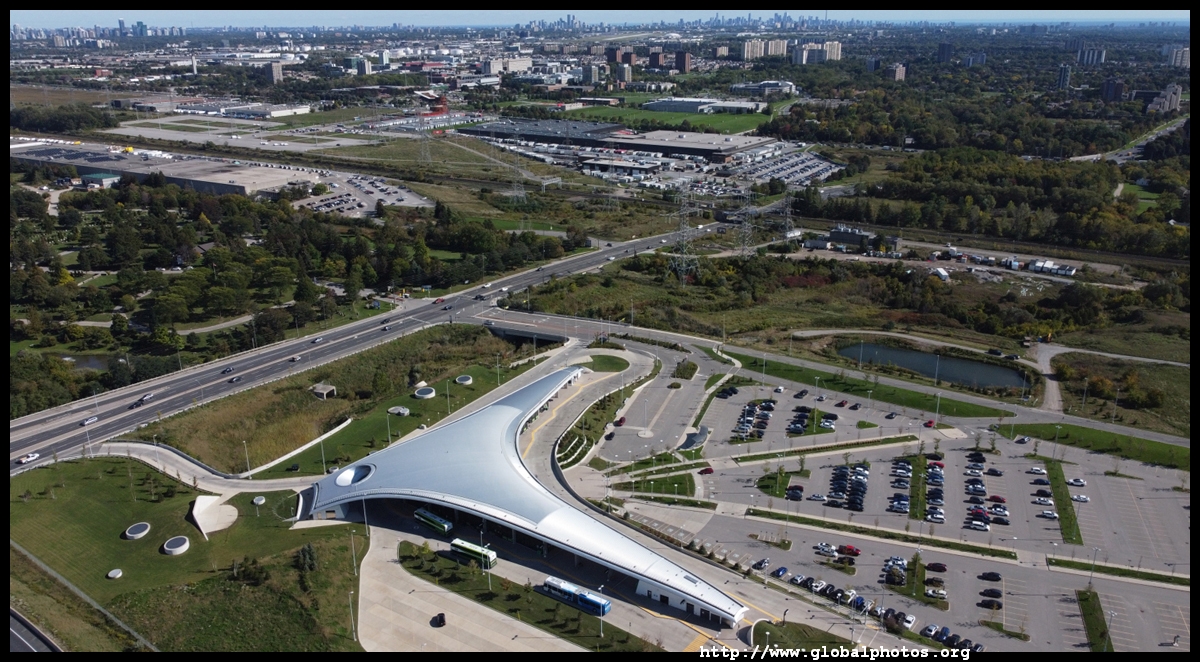
The Toronto skyline rises in the far distance. You wouldn't need to live that high up to enjoy the view.
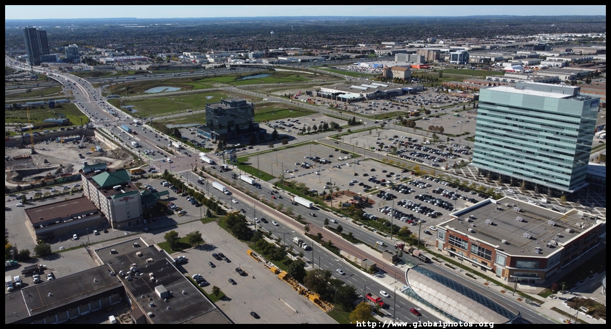
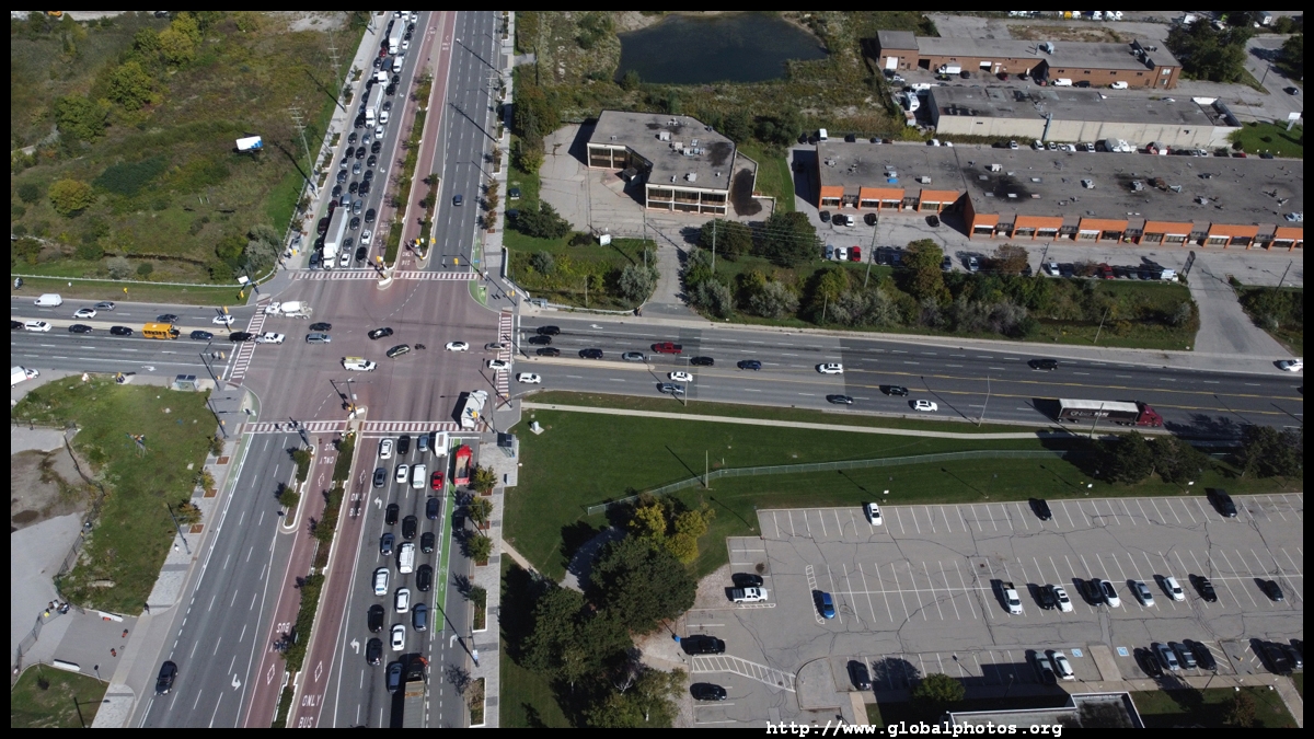
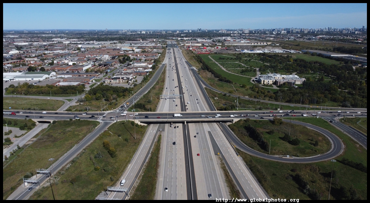
Enhancements to Highway 7 include bus-only lanes and a more frequent service.
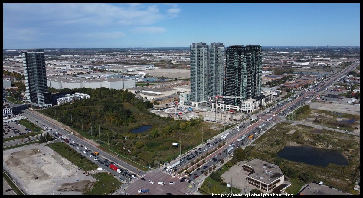
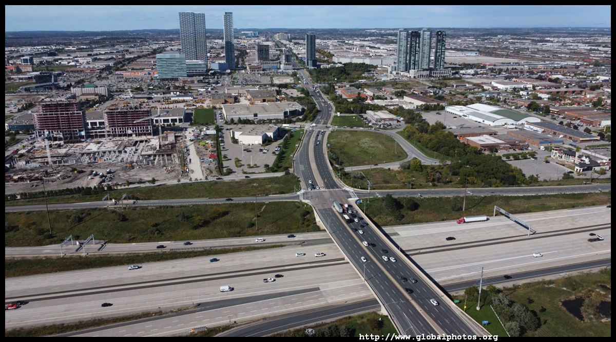
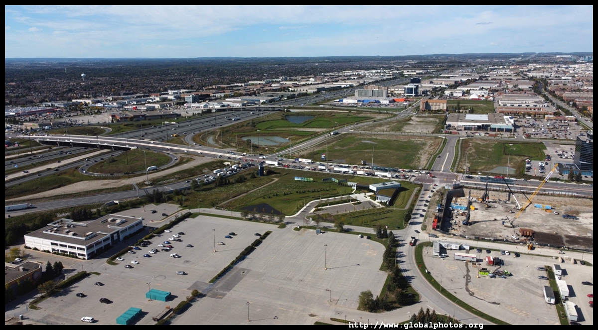
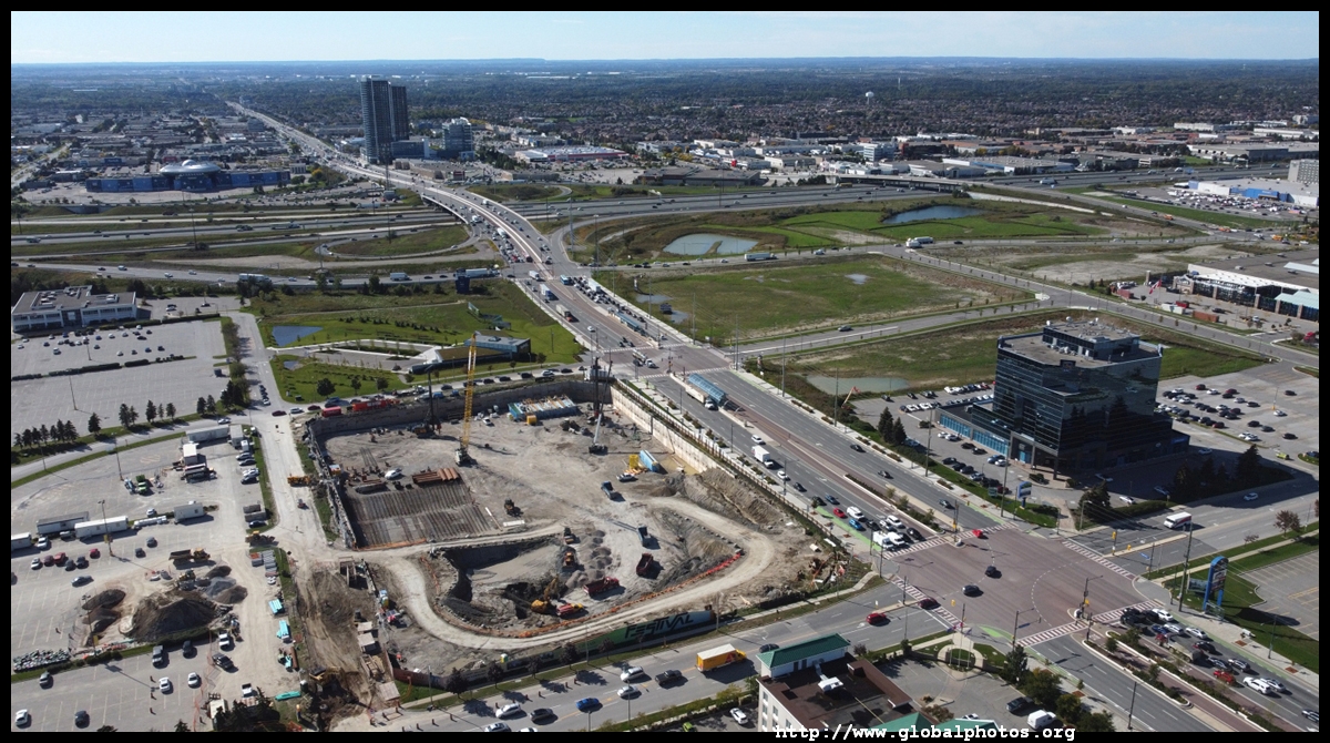
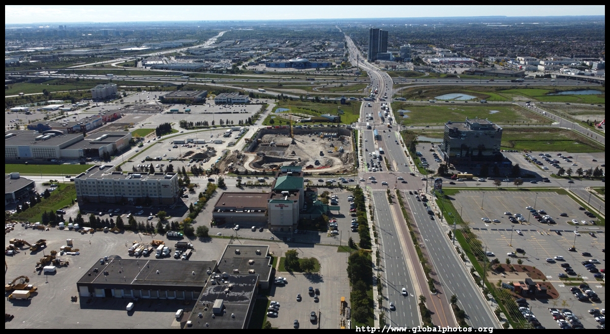
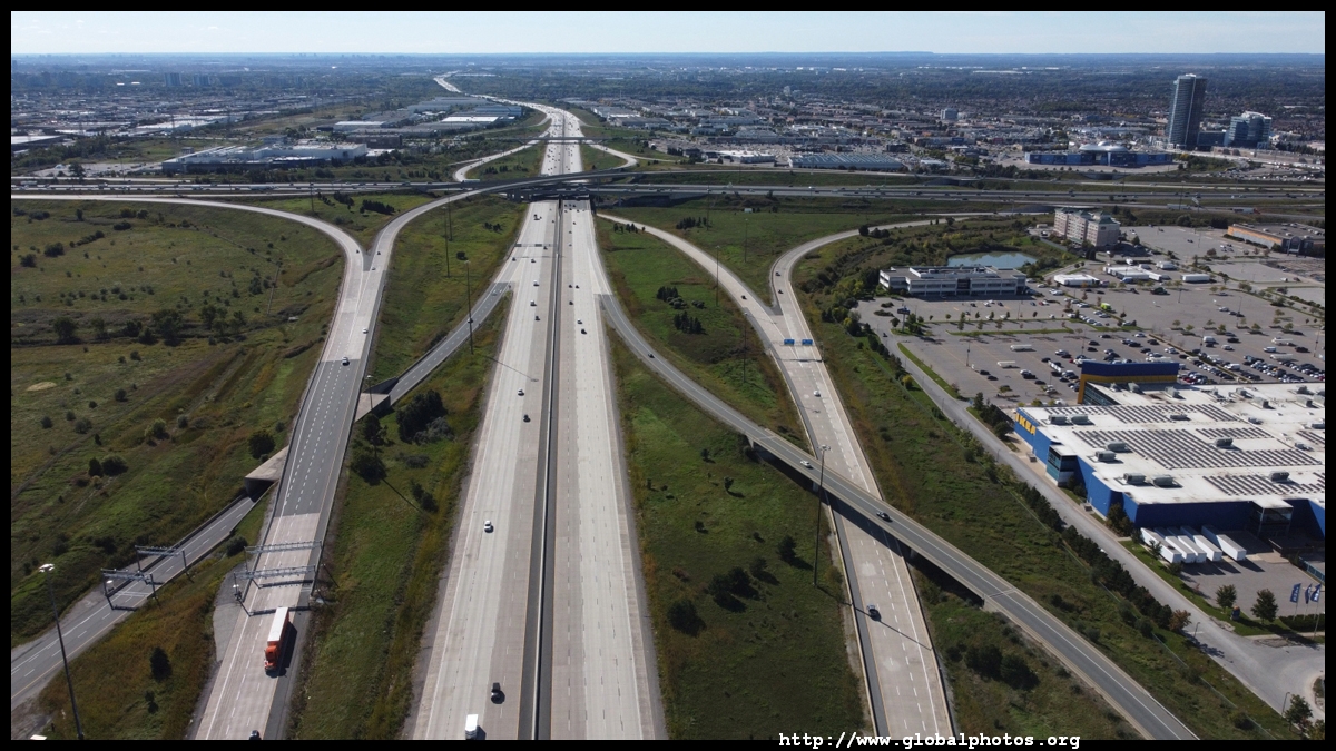
The city centre is a short drive from 2 major highways. Highway 407 pictured here was built with much controversy as it was a public-private partnership, resulting in tolls. The initial 69km section opened in 1997.
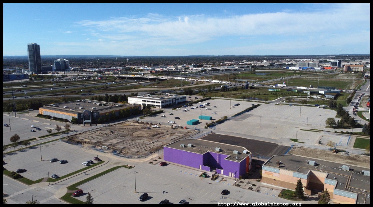
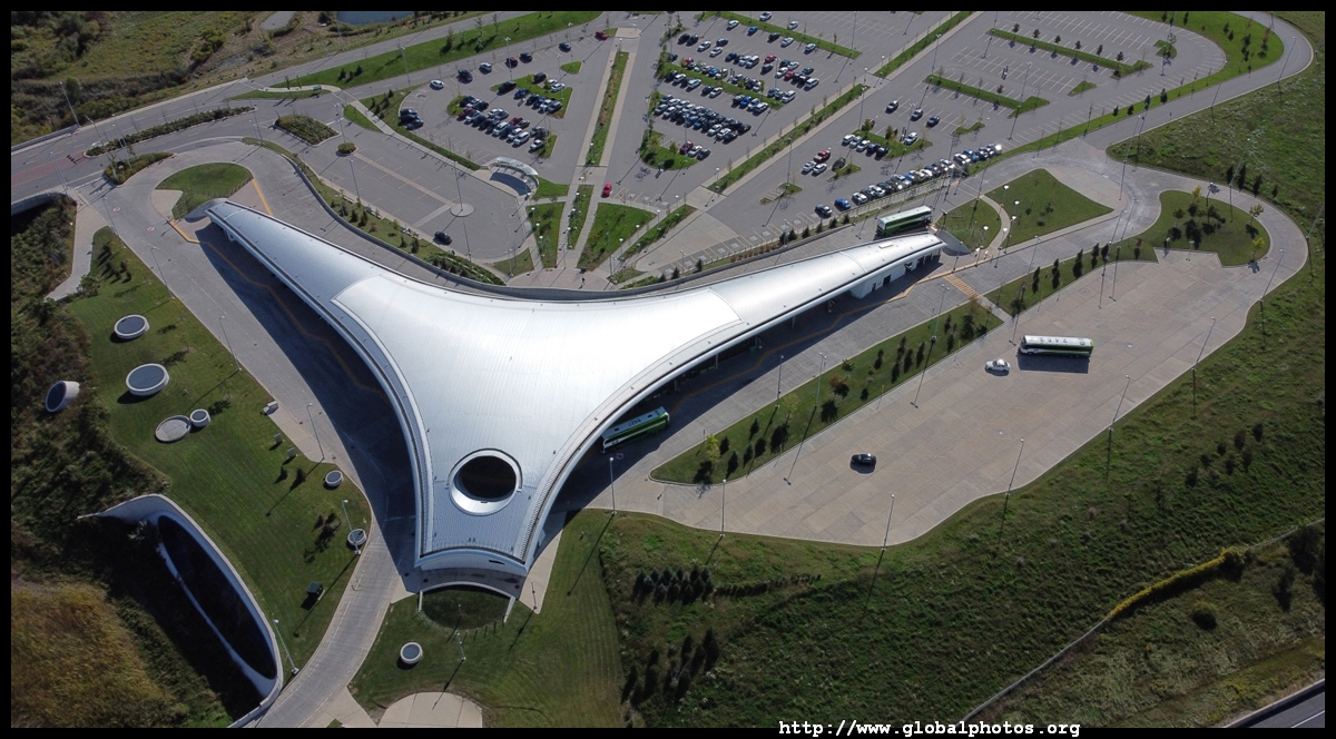
Highway 407 subway station remains in the middle of nowhere, albeit its design is striking.
|
|||
To re-use these photos or notify of errors, please email me. Thank you.