Toronto Photo Gallery - East Bayfront
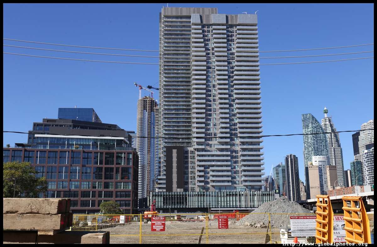
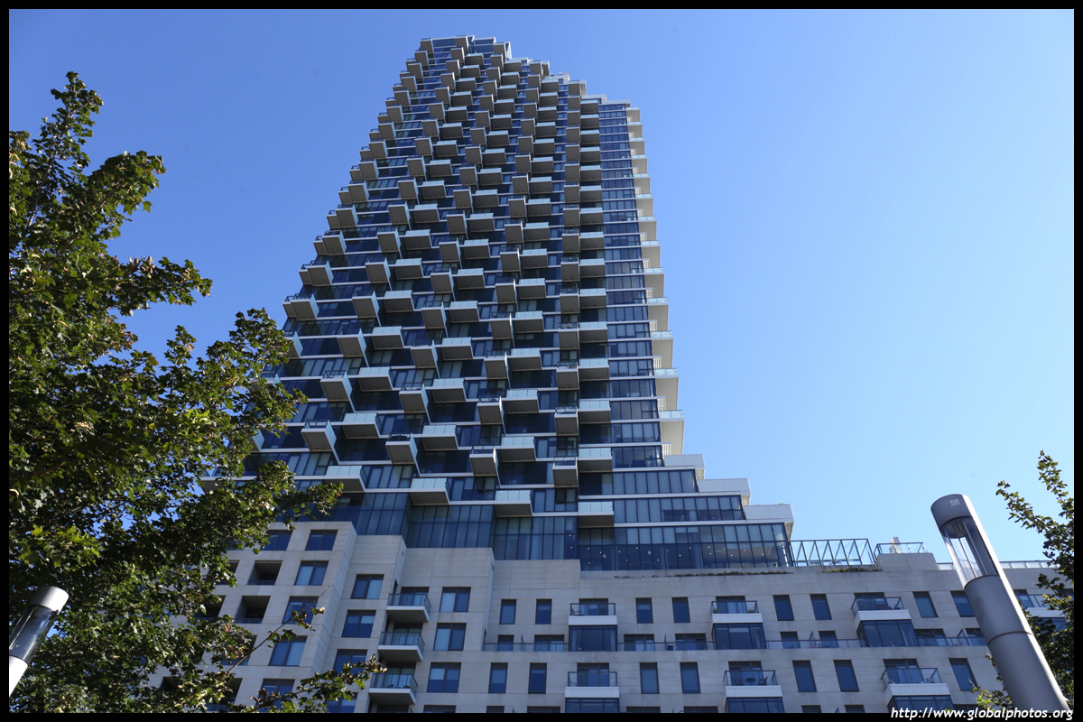
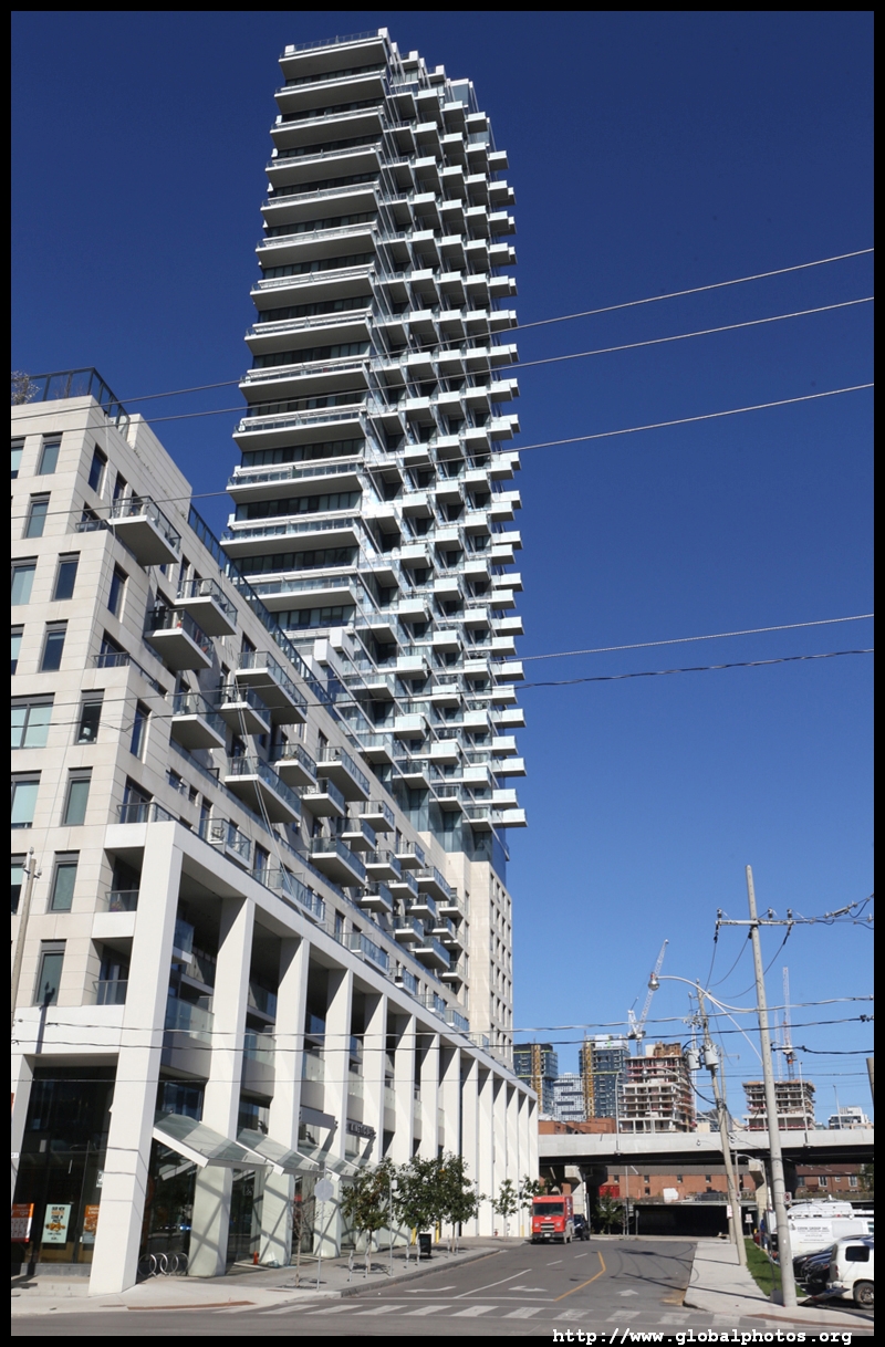
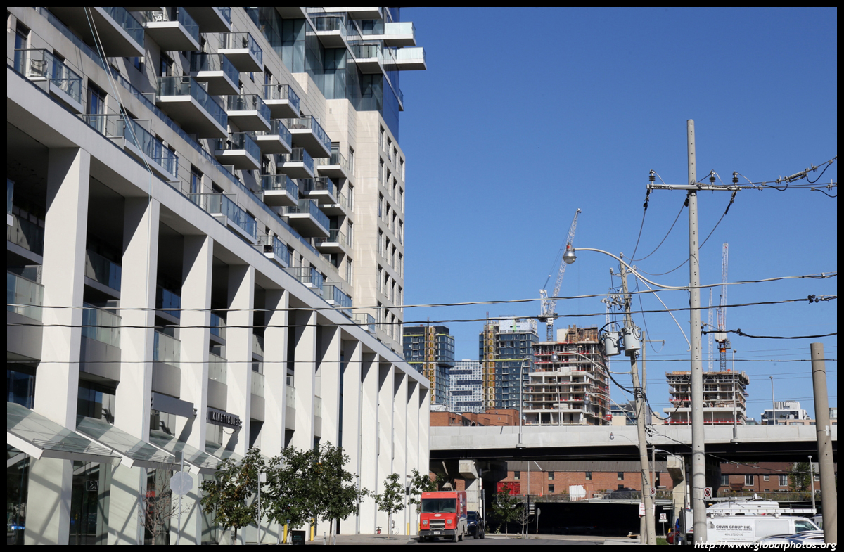
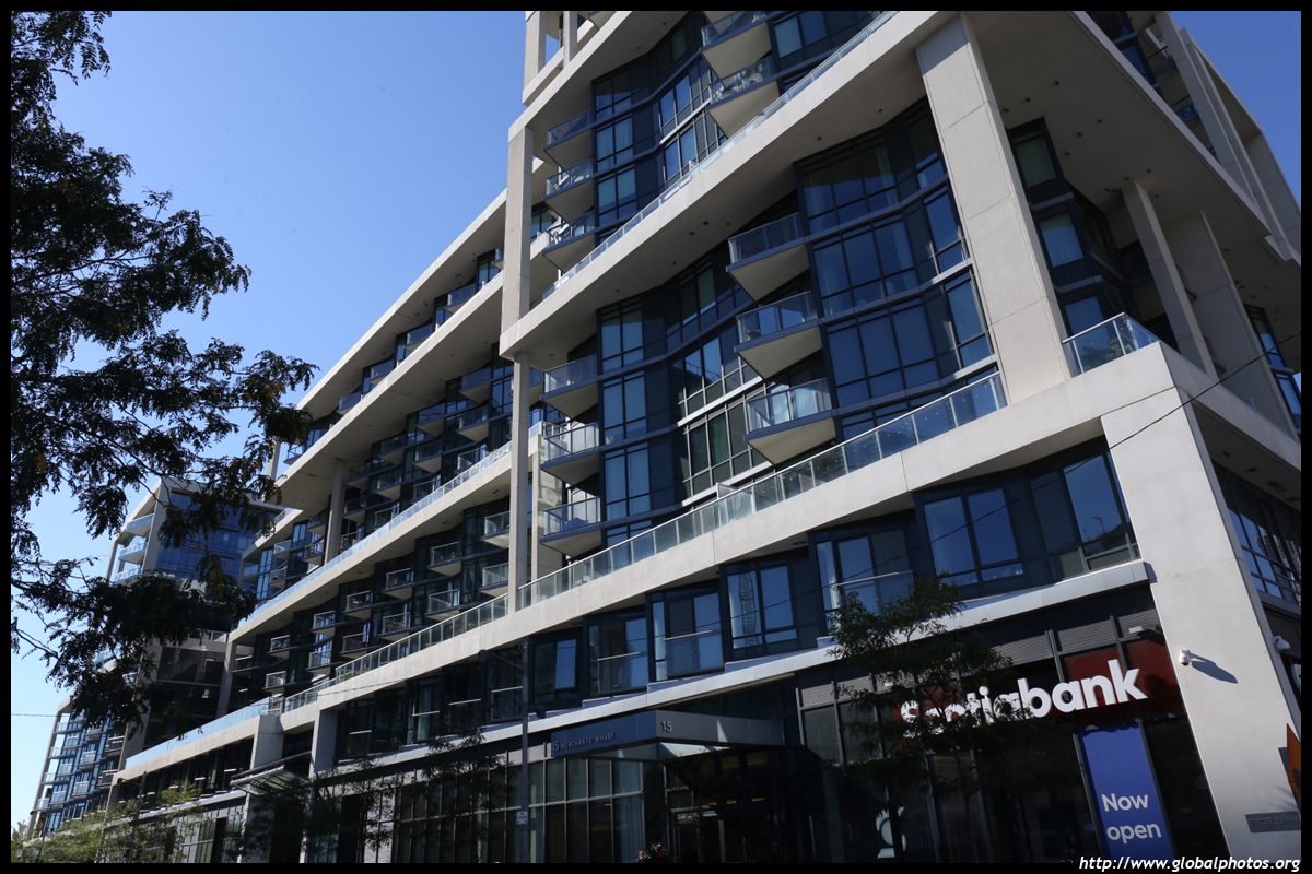
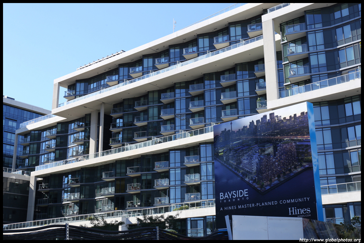
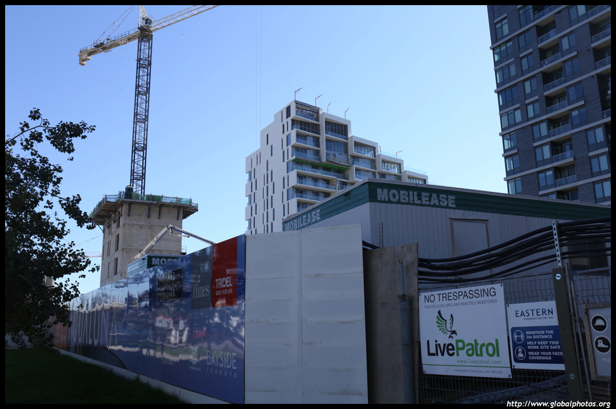
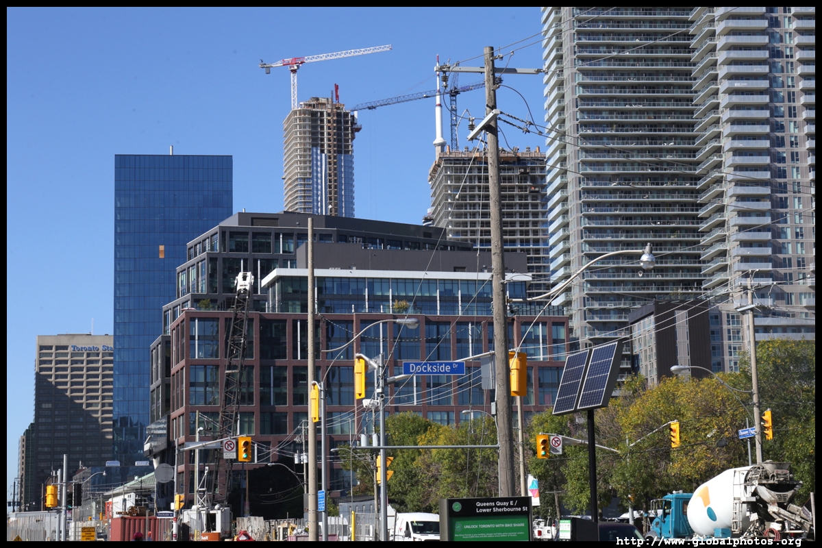
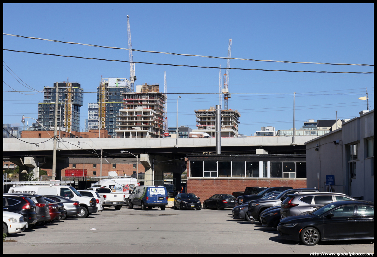
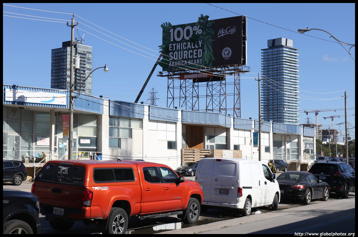
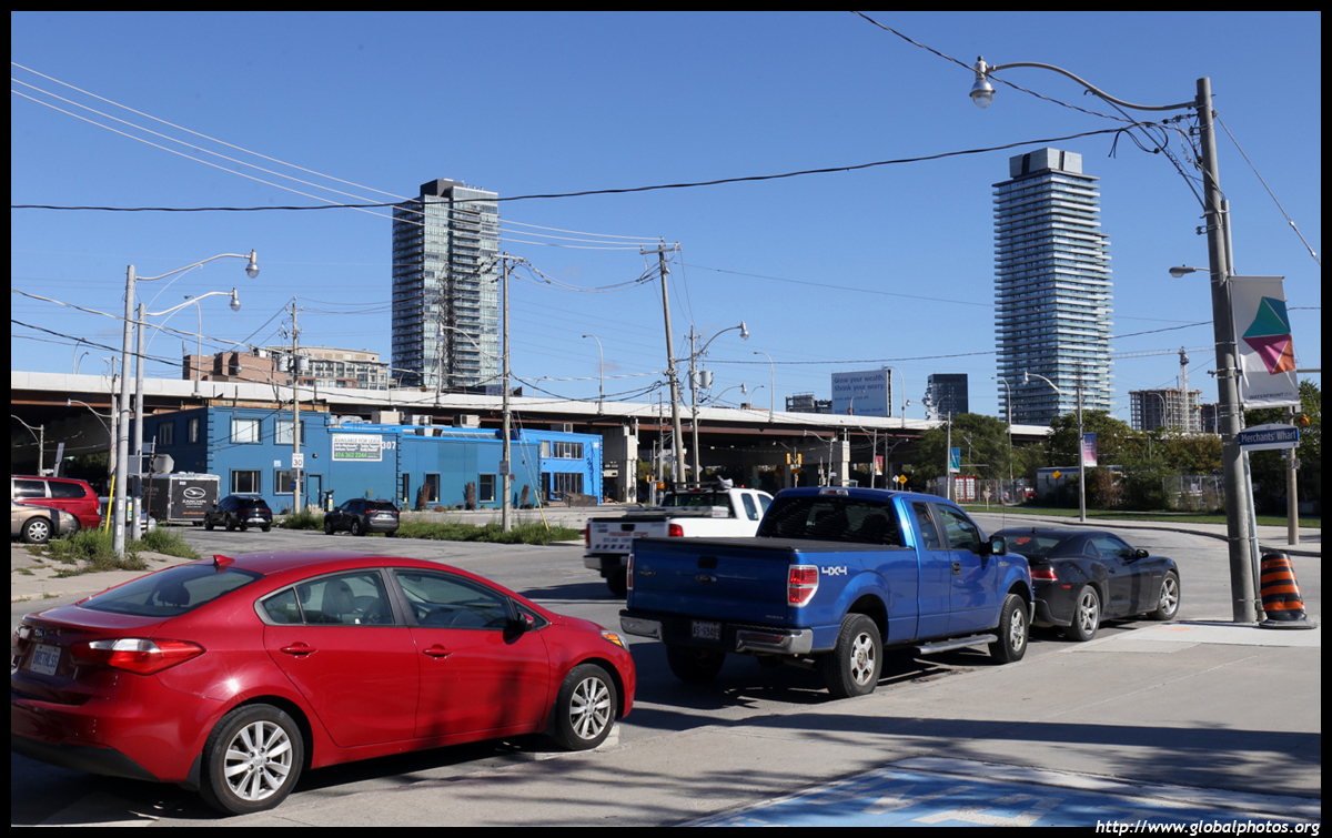
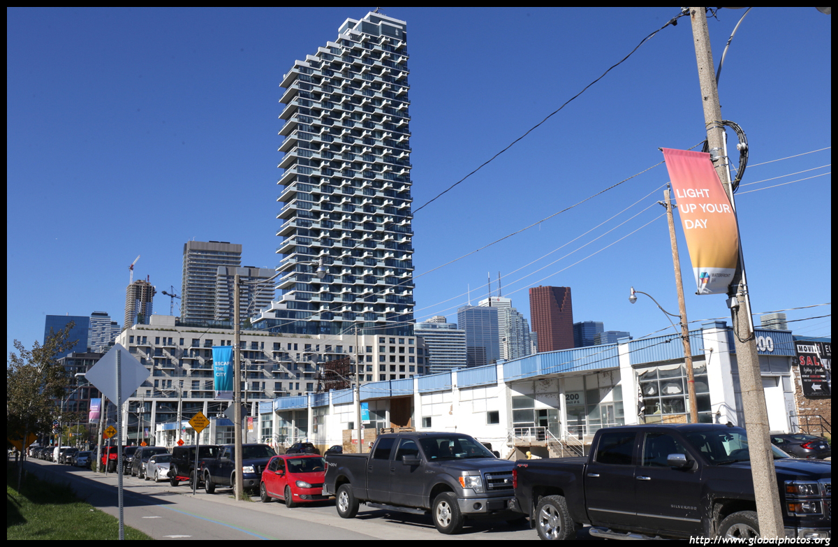
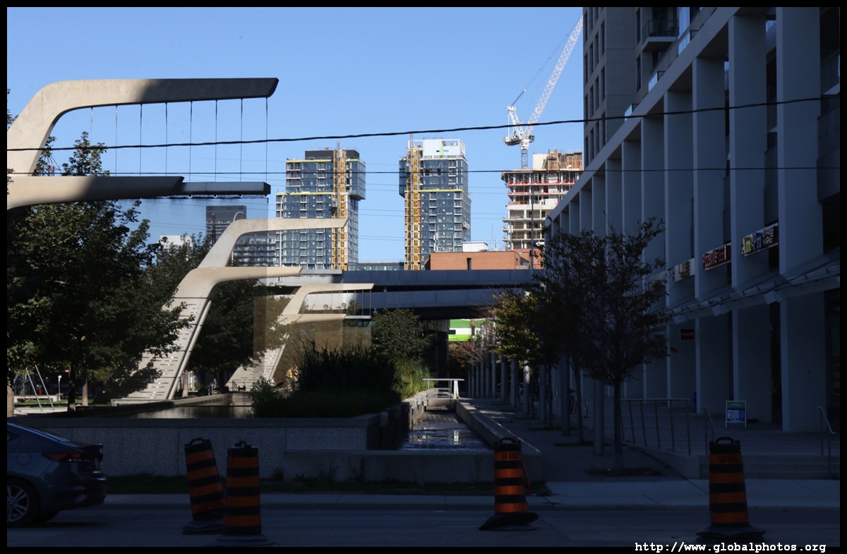
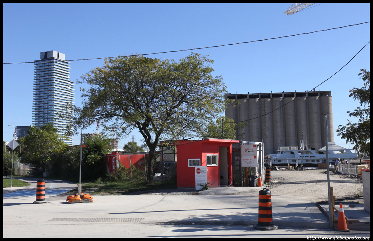
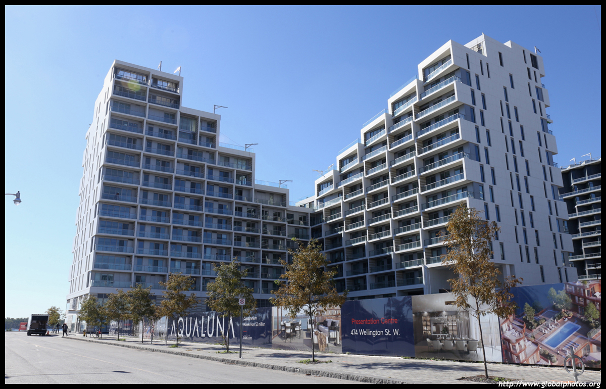
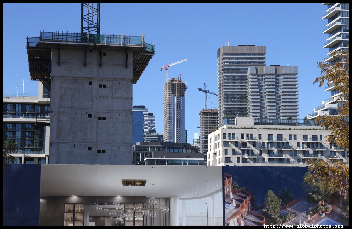
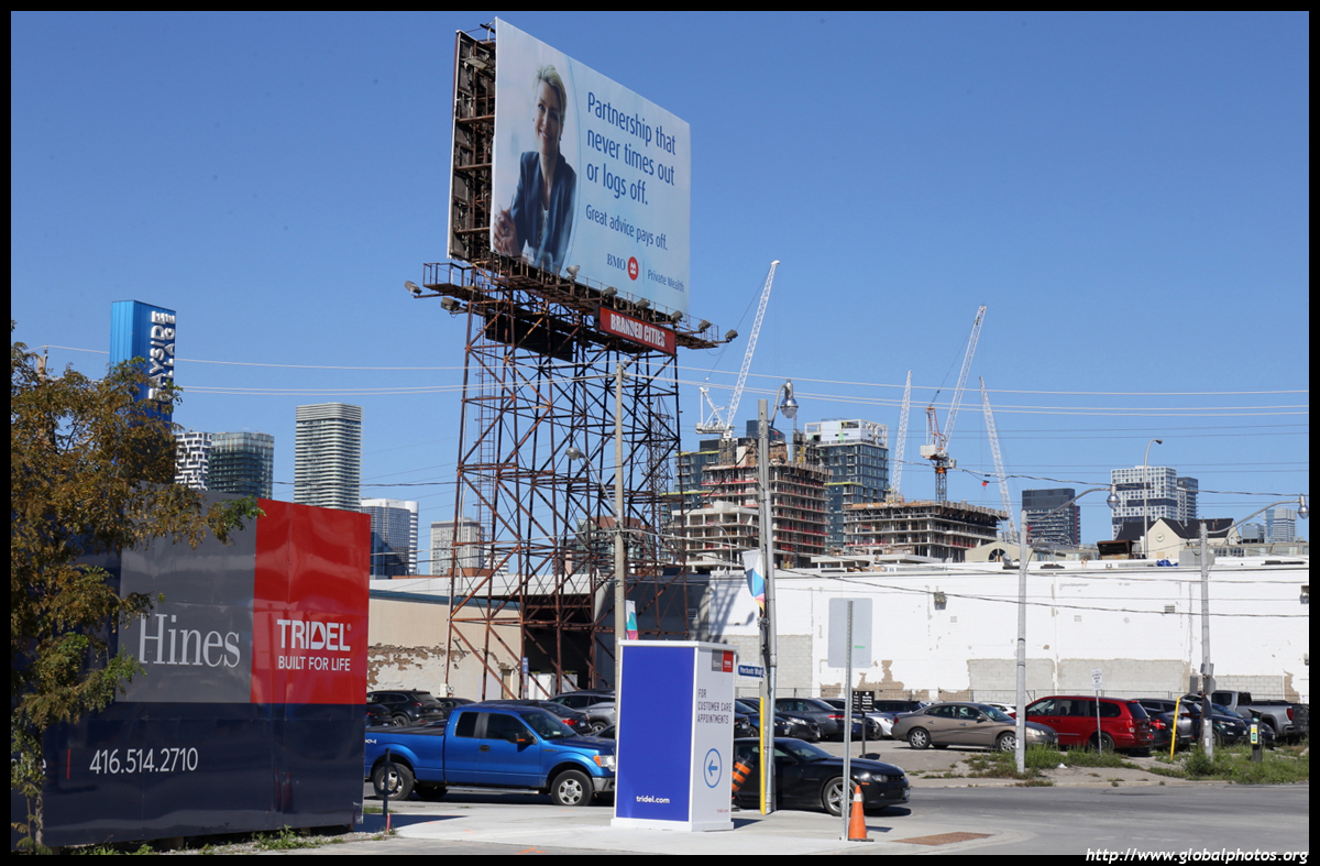
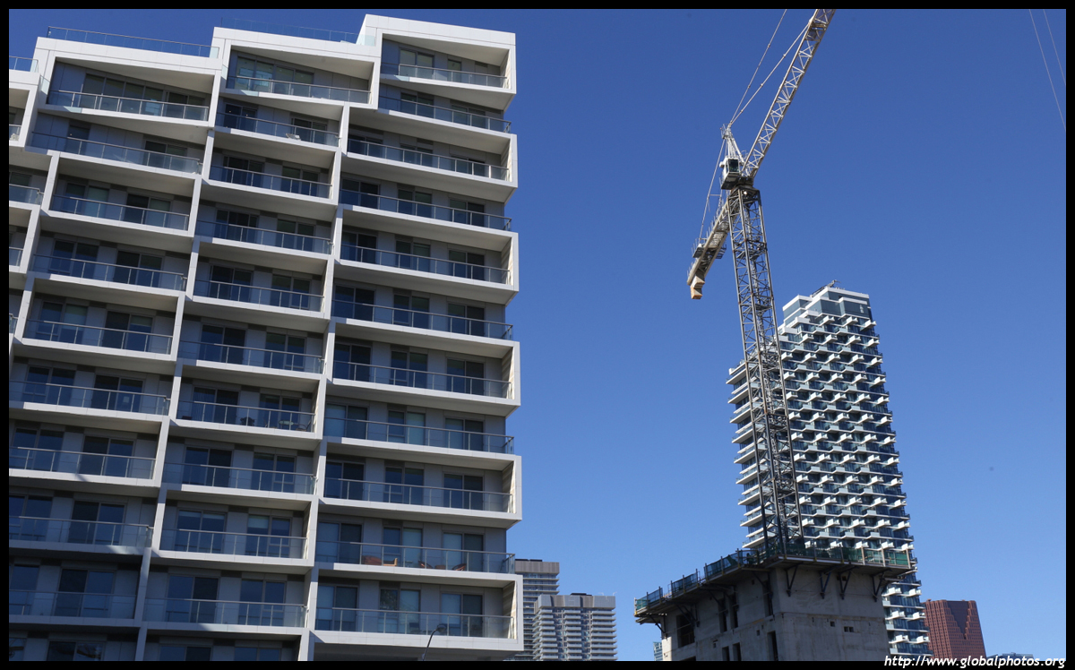
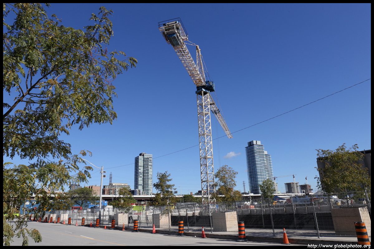
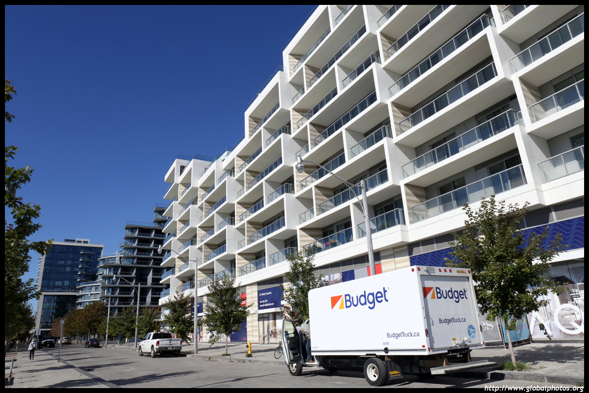
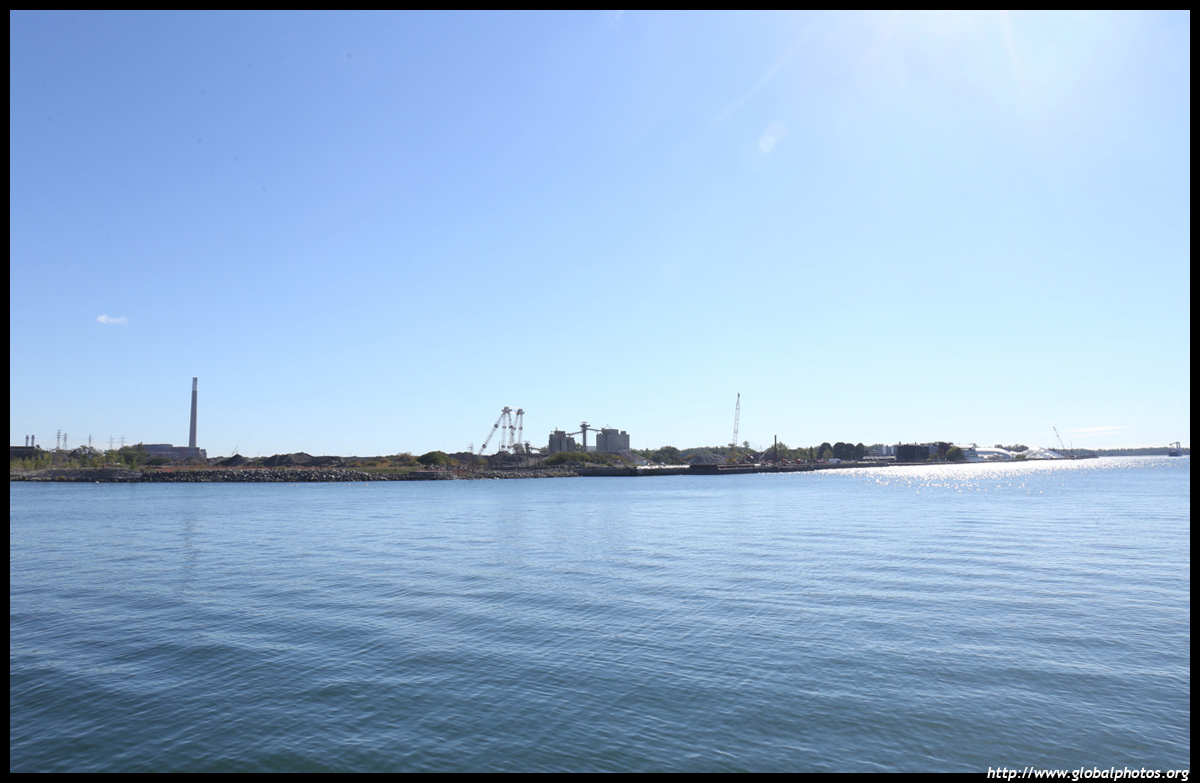
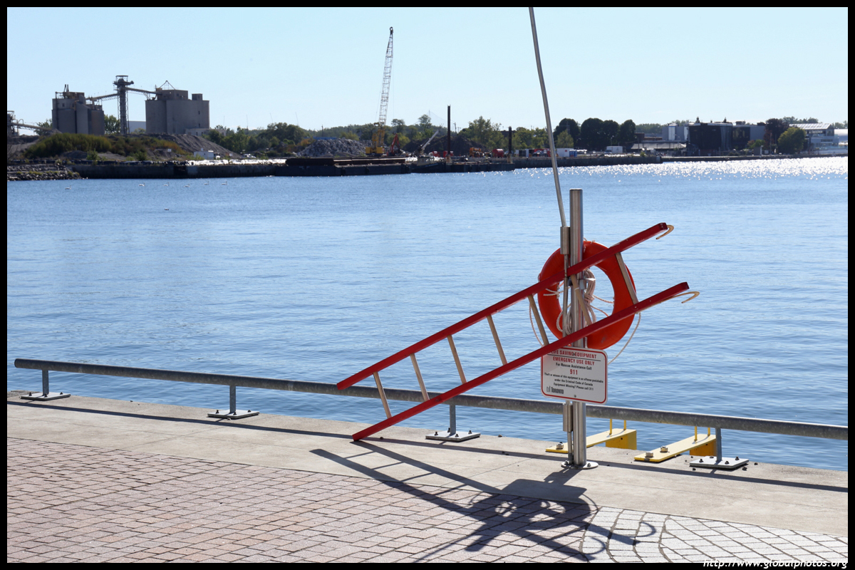
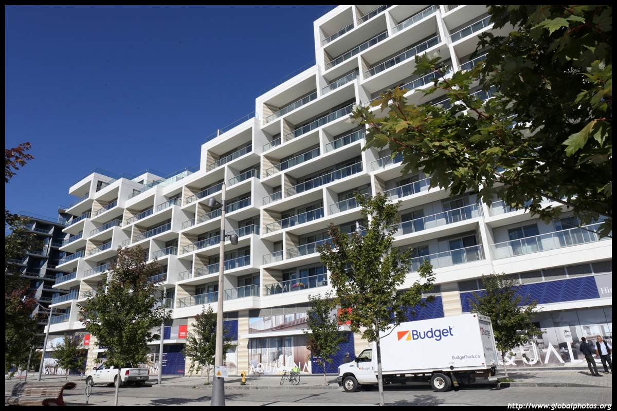
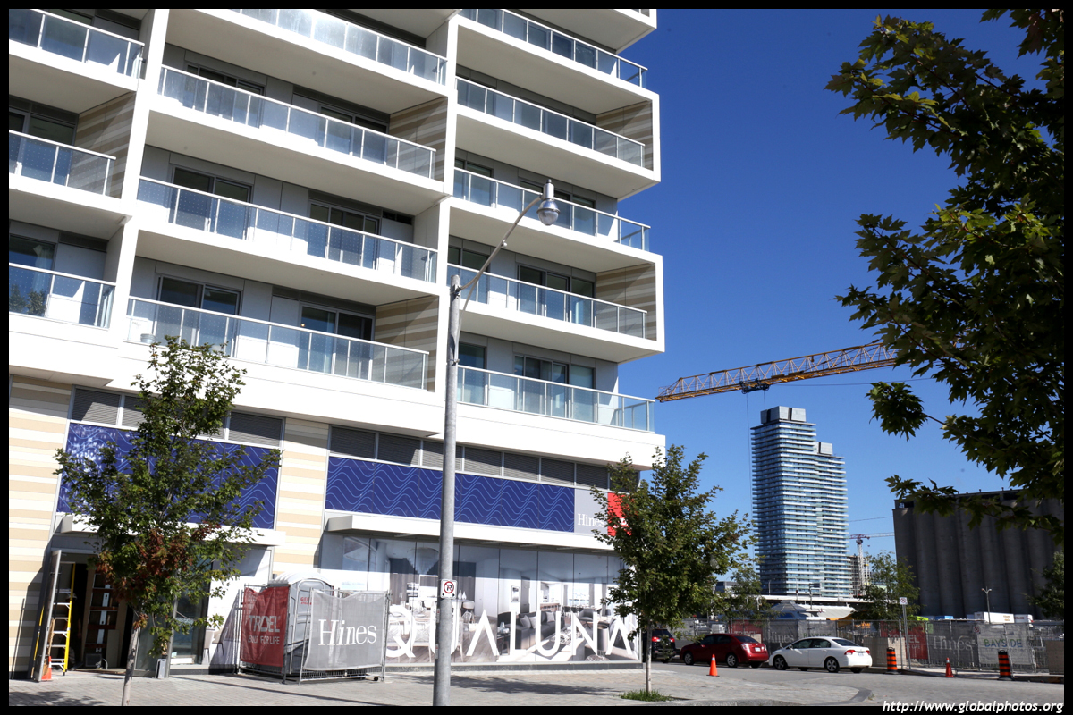
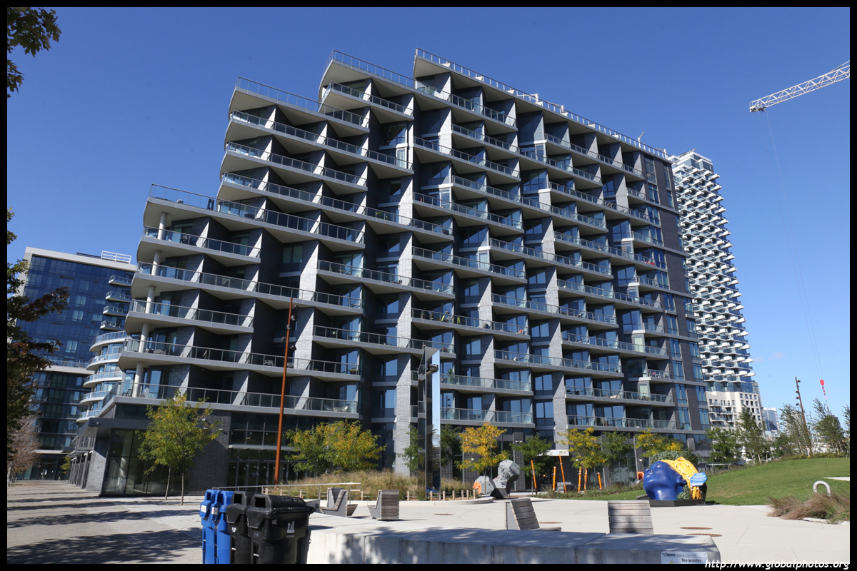
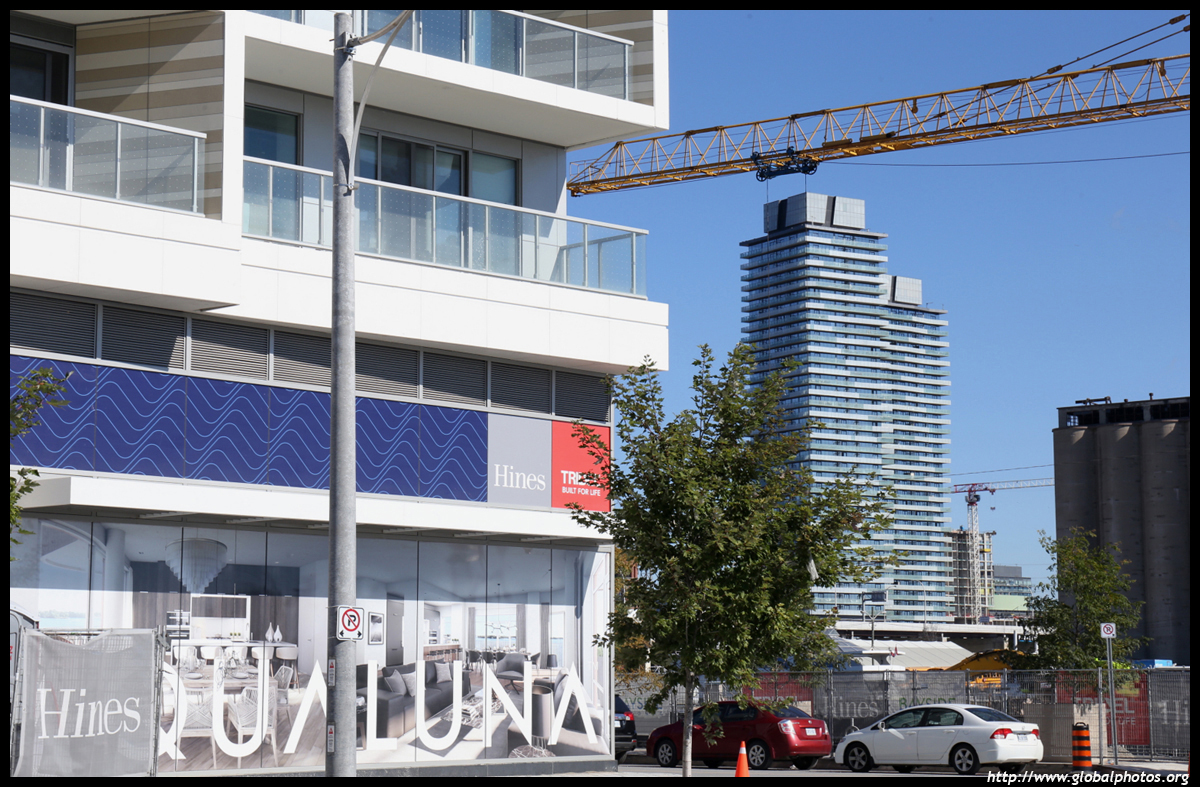
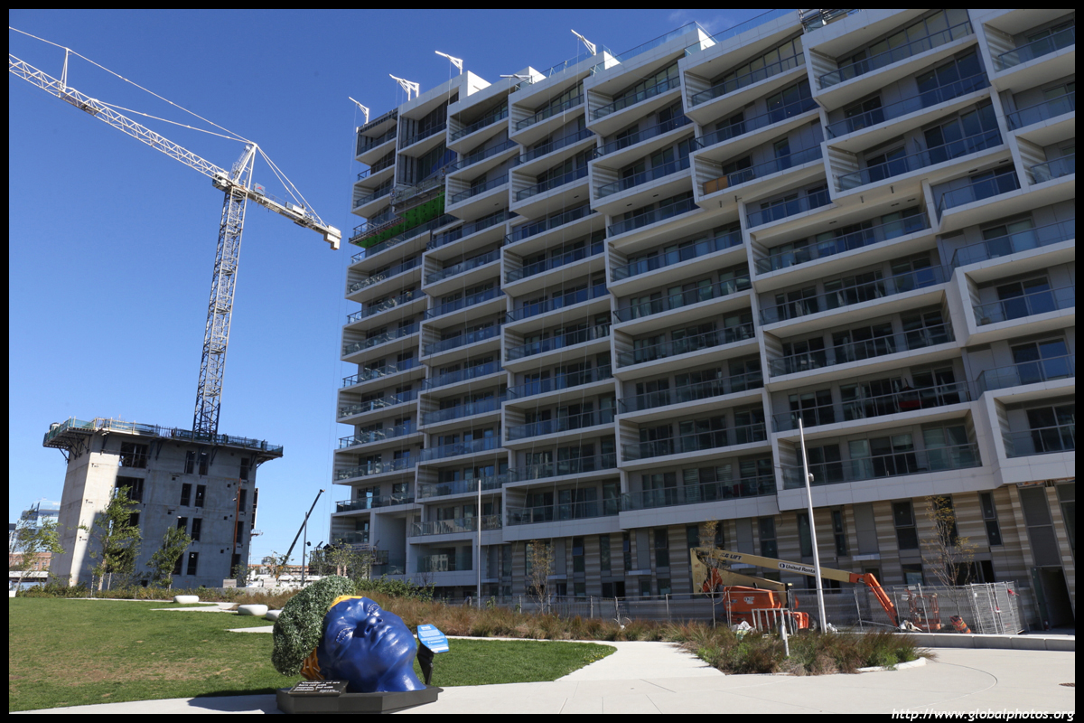
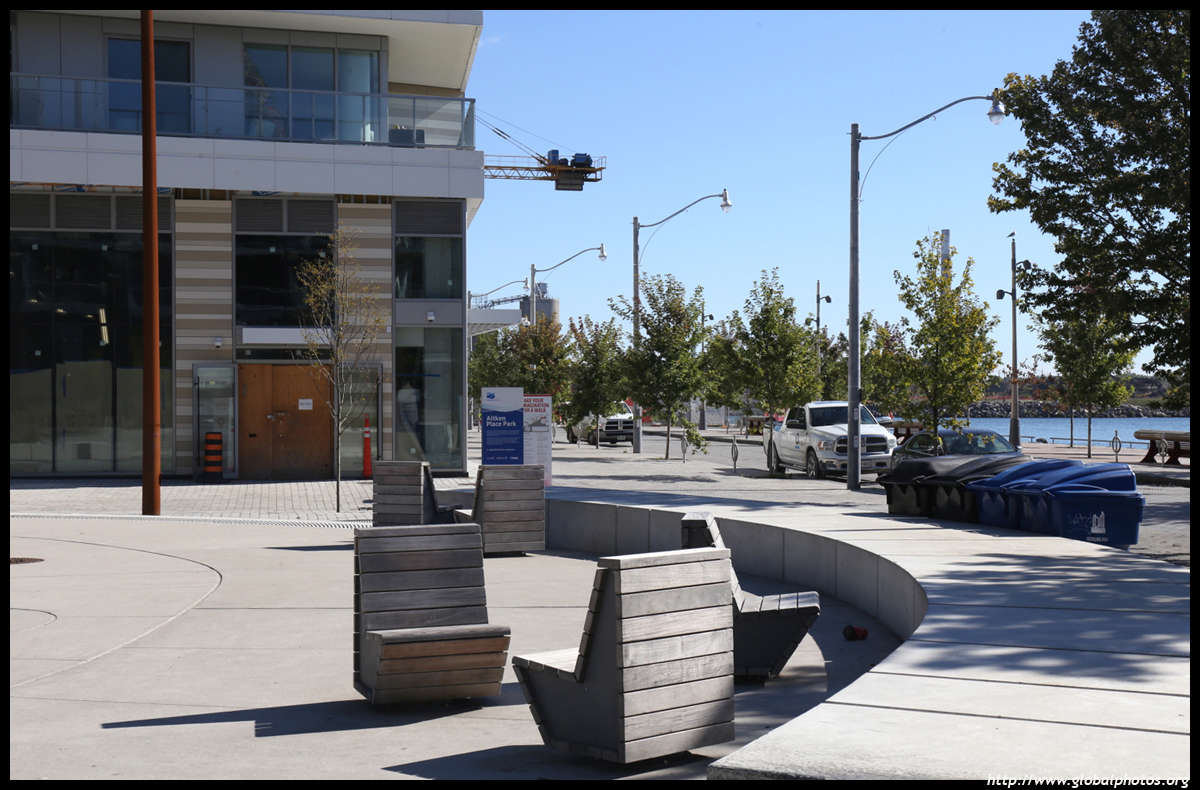
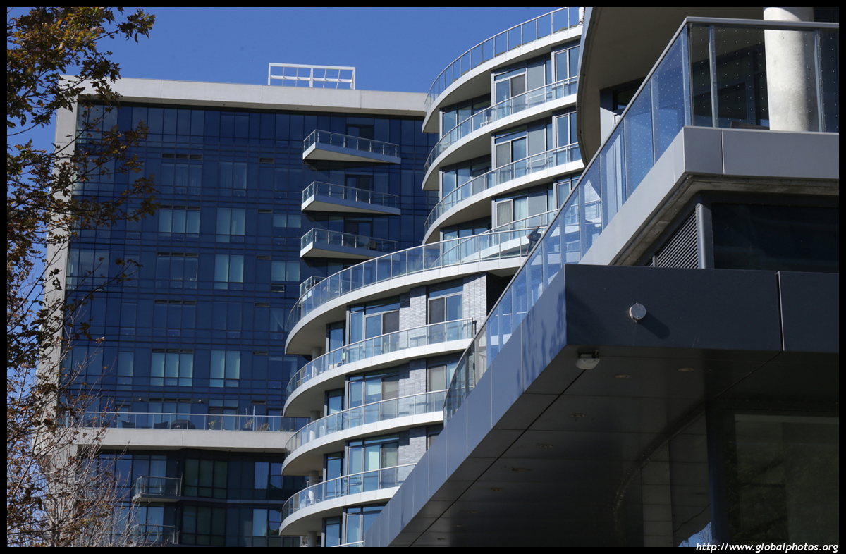
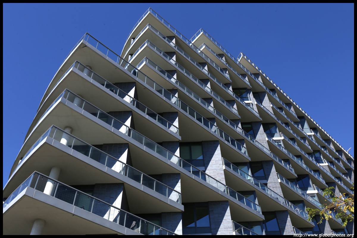
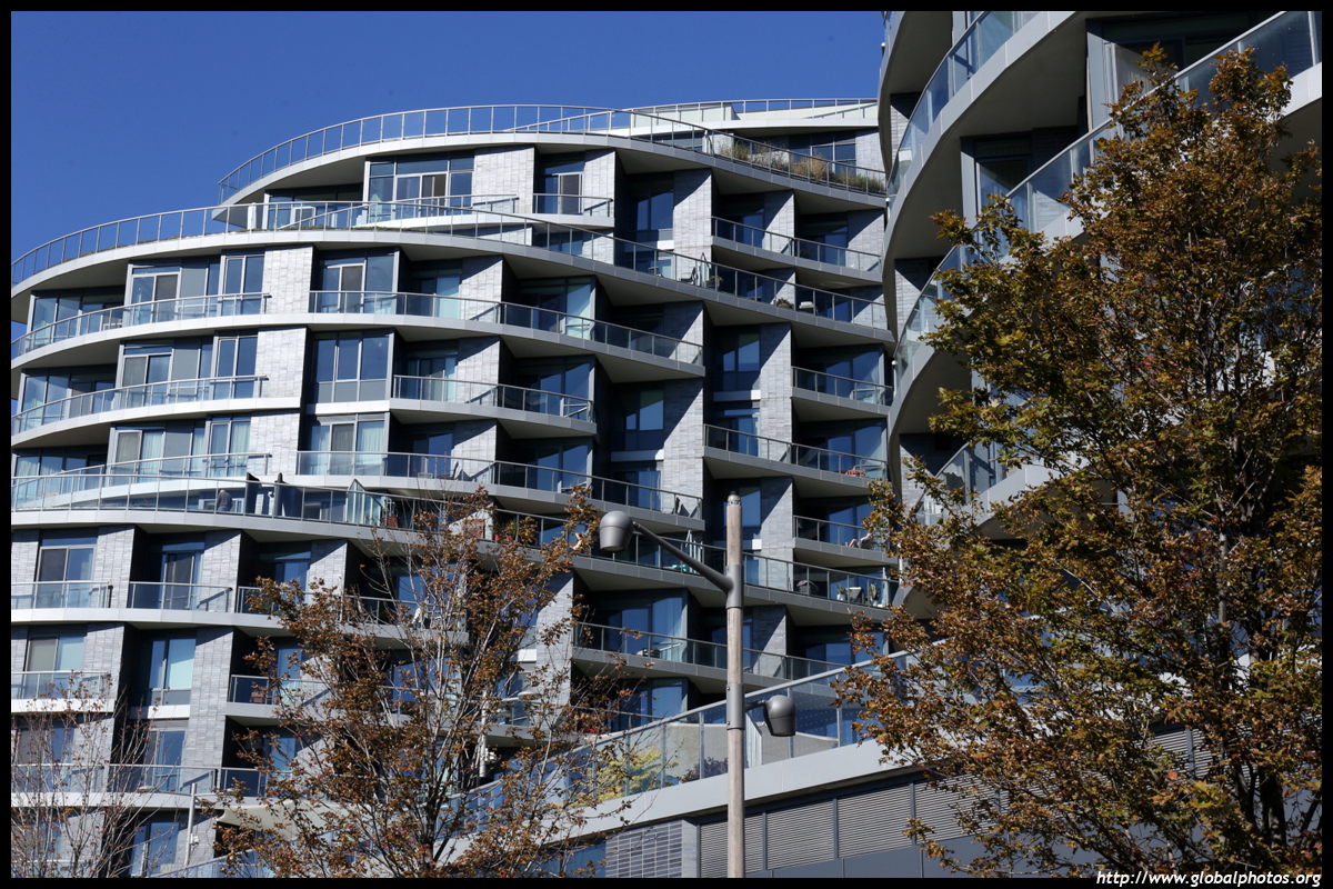
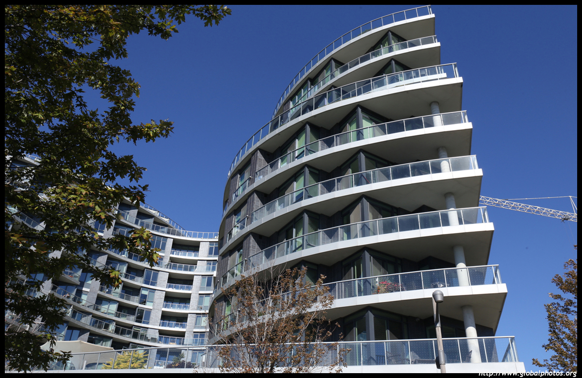
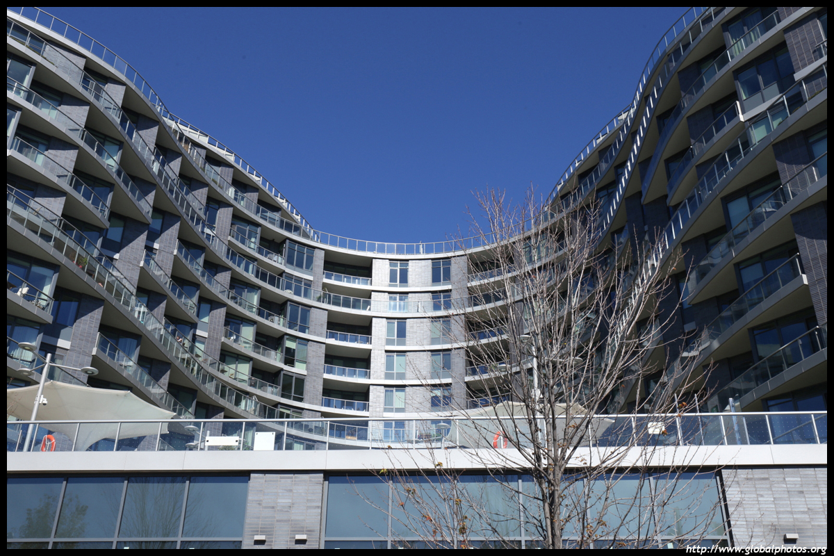
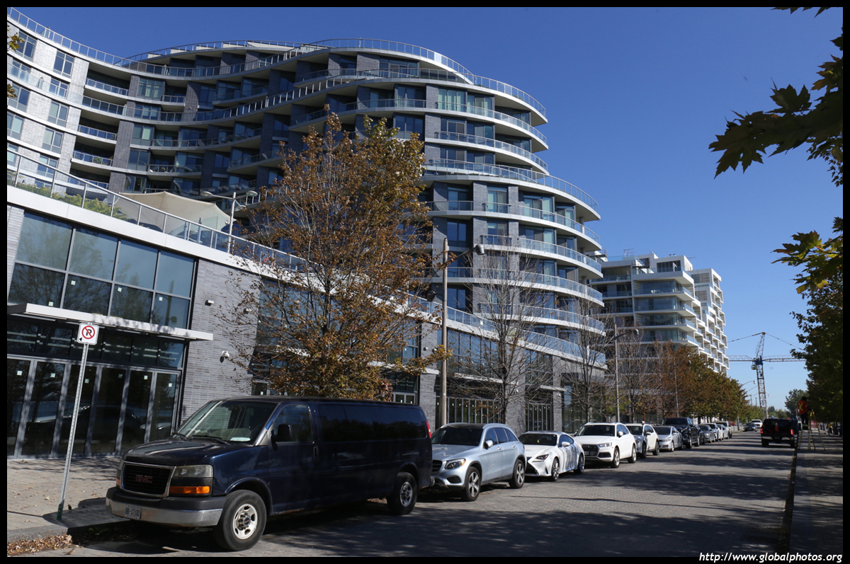
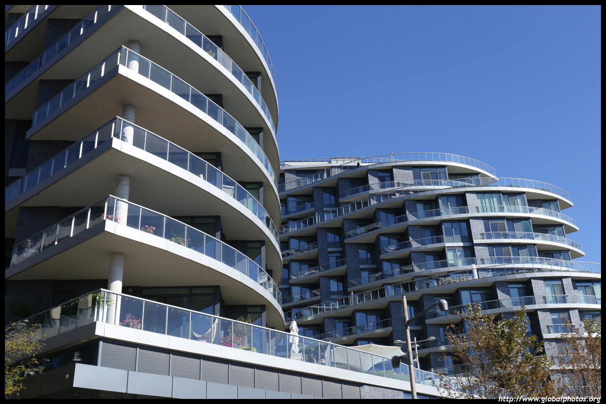
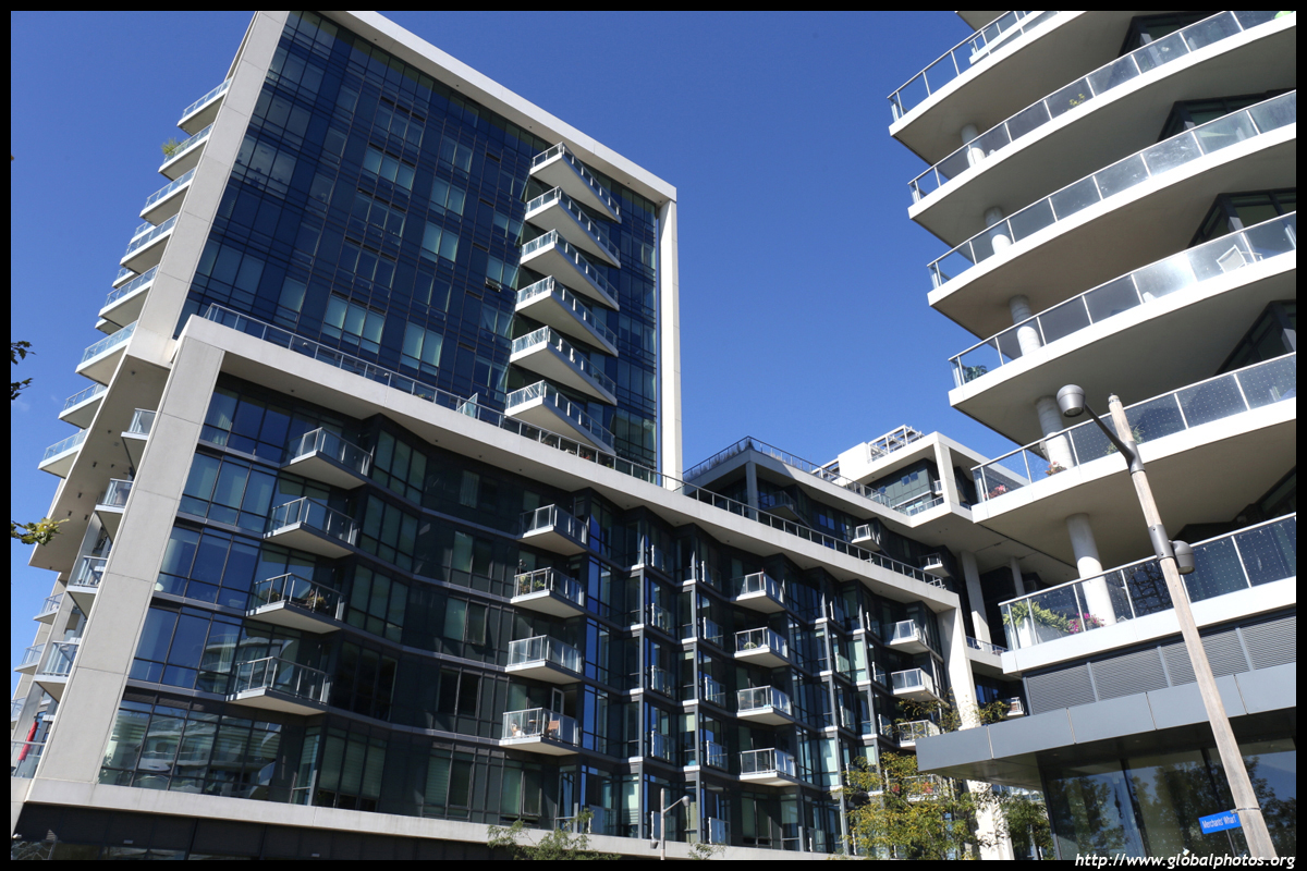
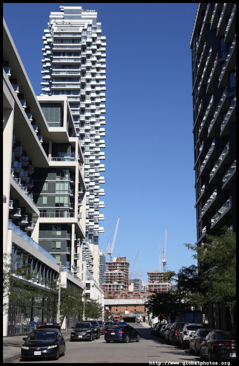
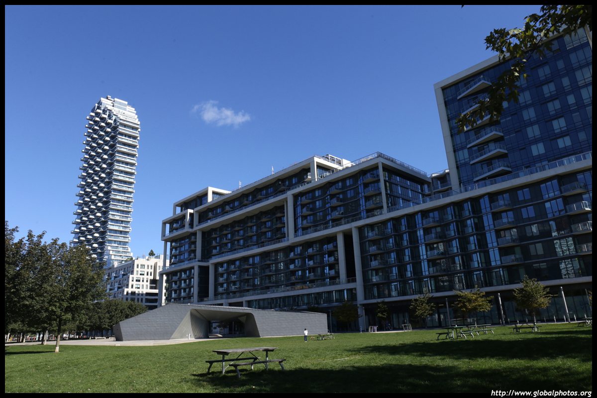
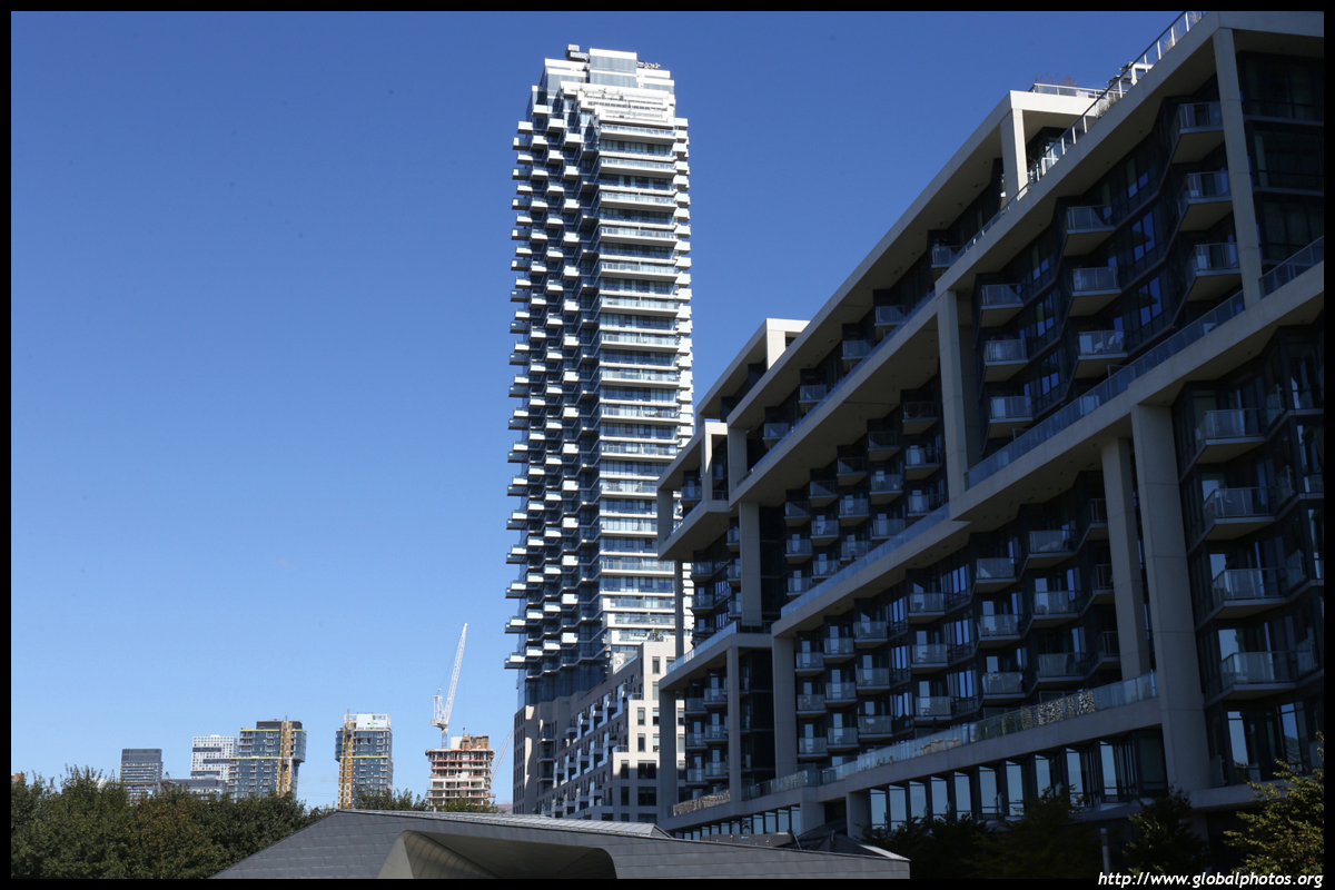
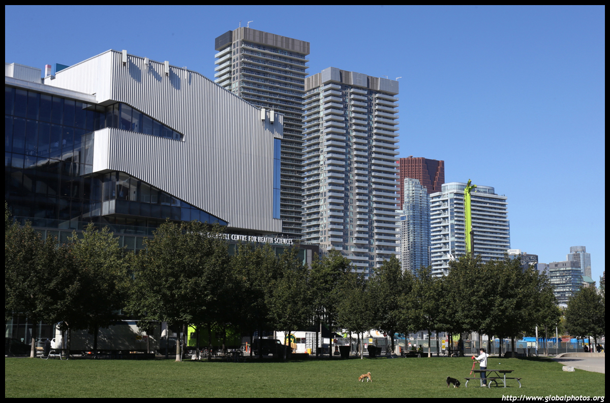
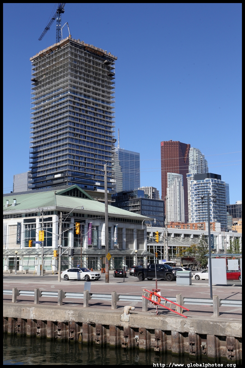
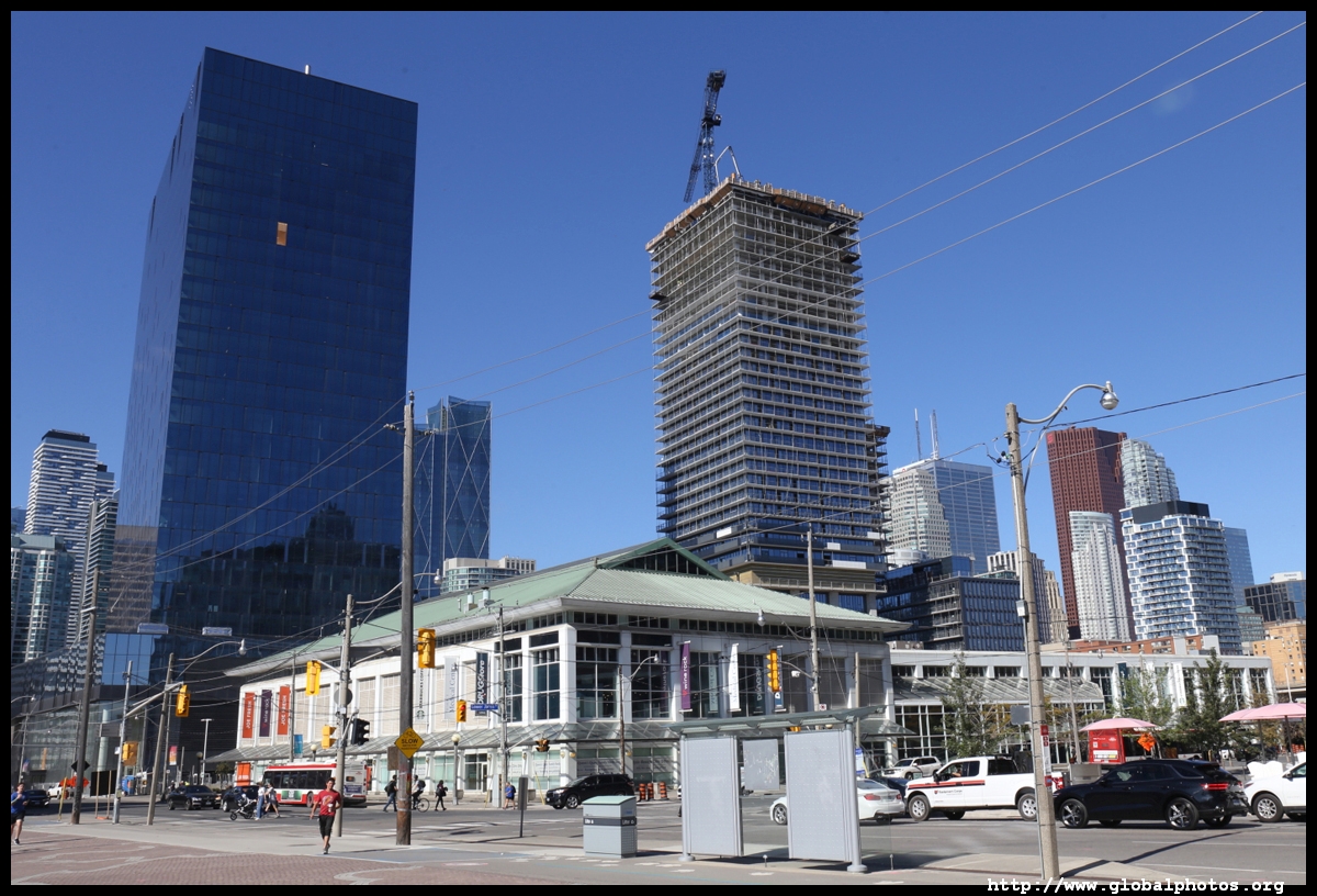
While historically, the condo boom started west of Yonge along Queens Quay West and CityPlace, there have also been many new residential developments east of Yonge towards the Portlands.The focus on turning Toronto's waterfront into a desirable place to be can be traced to 1999 when the 3 levels of government announced a task force to build a business plan for developing the waterfront. Buoyed by the city's bid for the 2008 Olympics which eventually went to Beijing, this would have been the legacy left after the games. The East Bayfront is a 23 hectare zone from Lower Jarvis Street to Parliament Street that was once marshland. Filled in the 1950s, the area became the Queen Elizabeth Docks that was created to service the newly-opened St. Lawrence Seaway. Today, it is a mixed-use community with 6000 new residential units, 3 million square feet of commercial space, all set against a 1km waterfront promenade.
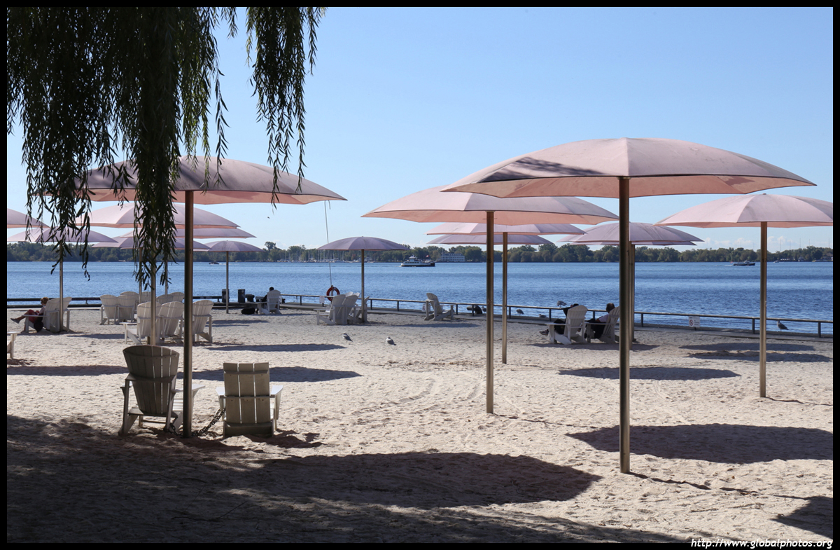
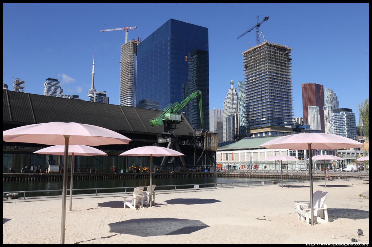
Sugar Beach is a 2 acre park at the foot of Lower Jarvis Street that opened in 2010 with colourful umbrellas although swimming here is not allowed.
| |||