Toronto Photo Gallery - Richmond Hill
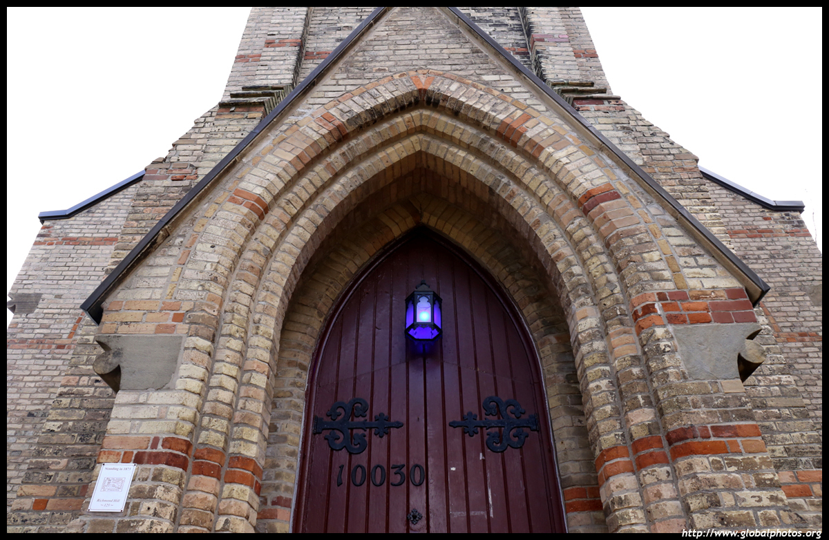
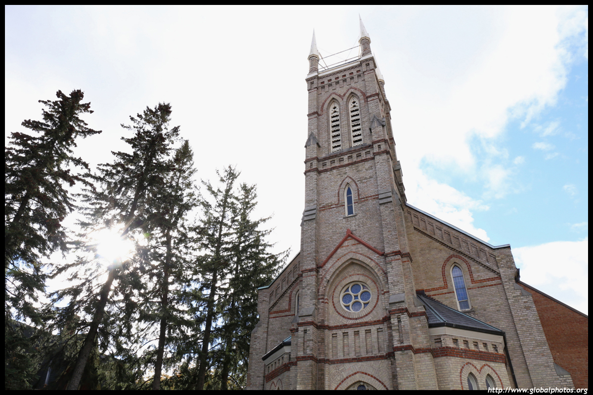
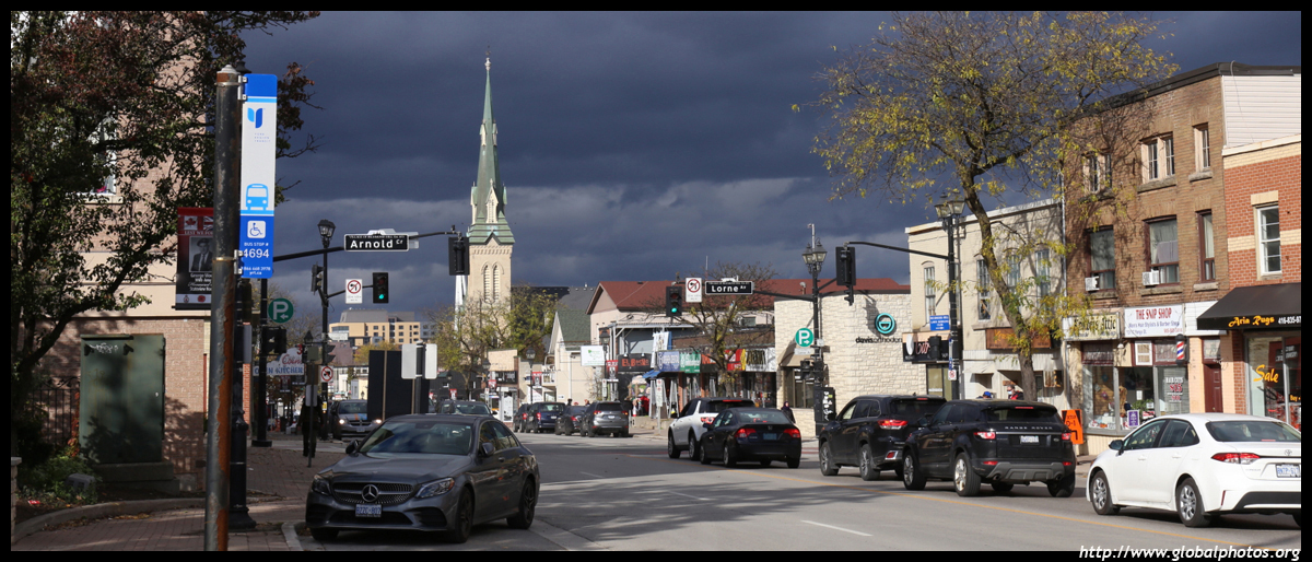
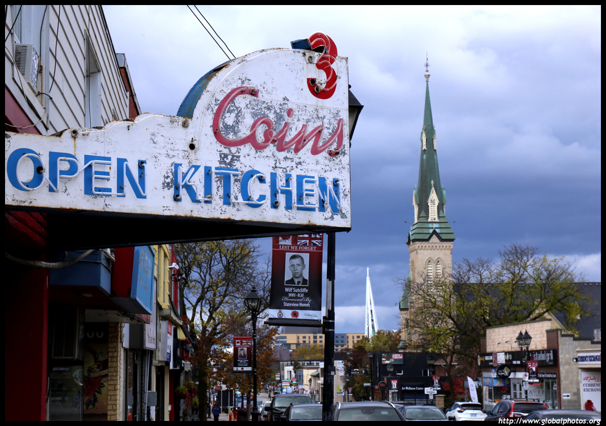
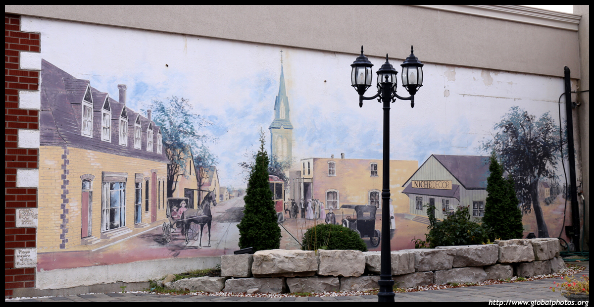
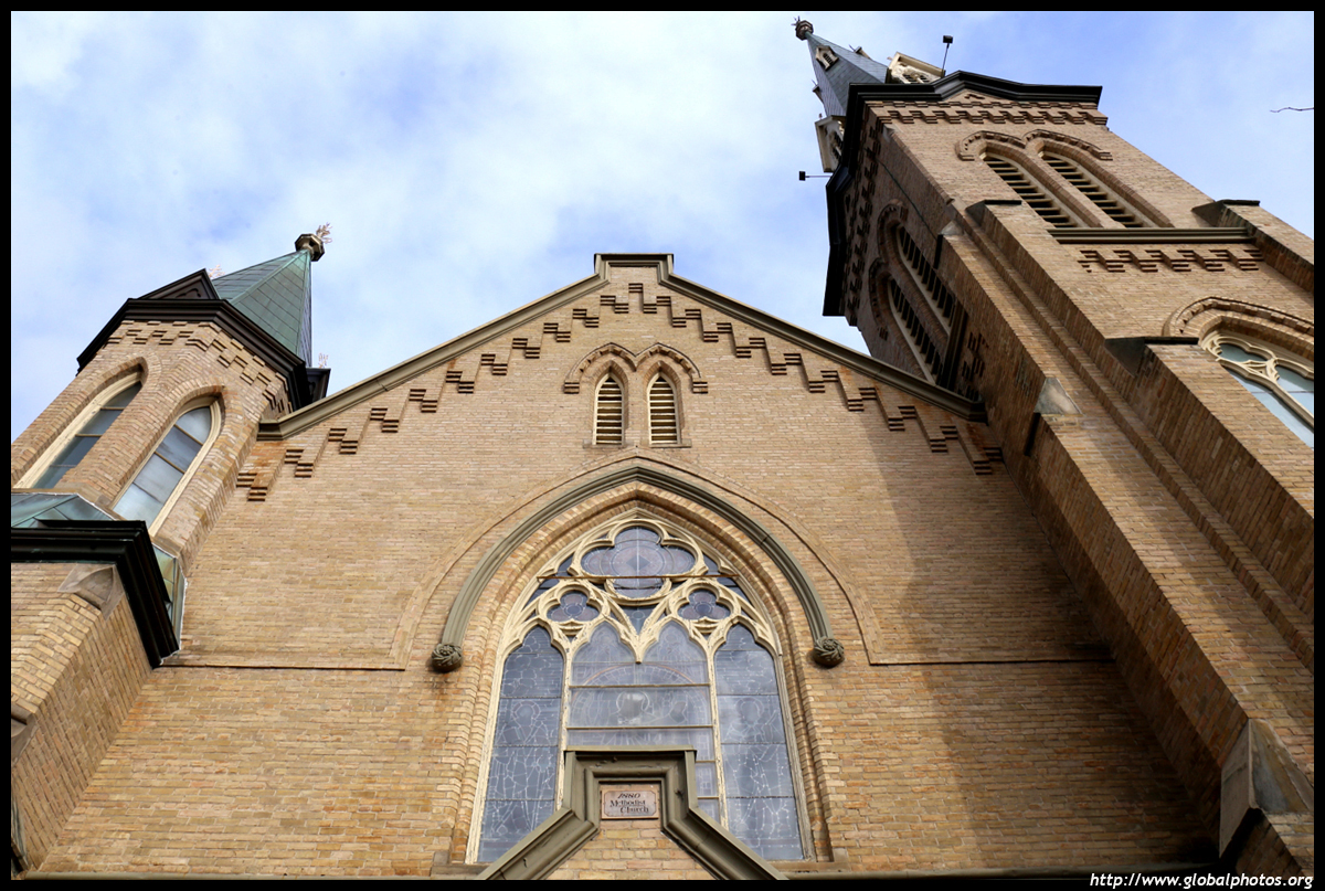
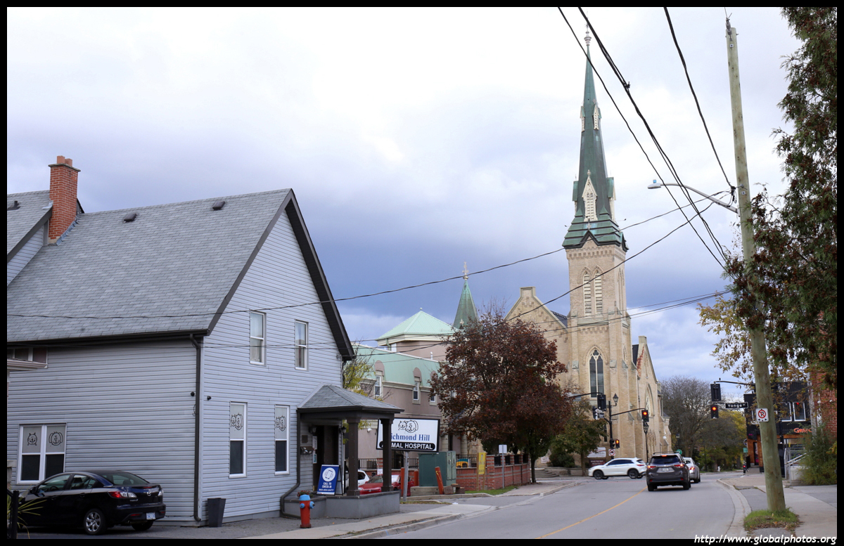
Located north of Toronto, York Region was created in 1971 as a municipal government to replace York County. Since then, several highways and the subway were constructed into the municipality, which includes the large suburbs of Vaughan, Richmond Hill, Markham, Aurora, and Newmarket.The Town of Richmond Hill was incorporated in 1872 as a market town when farmers passed by on Yonge Street on their way to Toronto. Back then, it was a military road to Holland Landing, originally a trail through the wilderness. The historic town runs along a stretch of Yonge Street north of Major Mackenzie Drive, which includes a number of churches. Patterned after Toronto's St. James Cathedral, St. Mary's Anglican Church was built in 1872 although they made an extension in the 1960s while preserving the older structure. The Arnold family had donated the land to build the church under the condition that their family graves could not be disturbed.
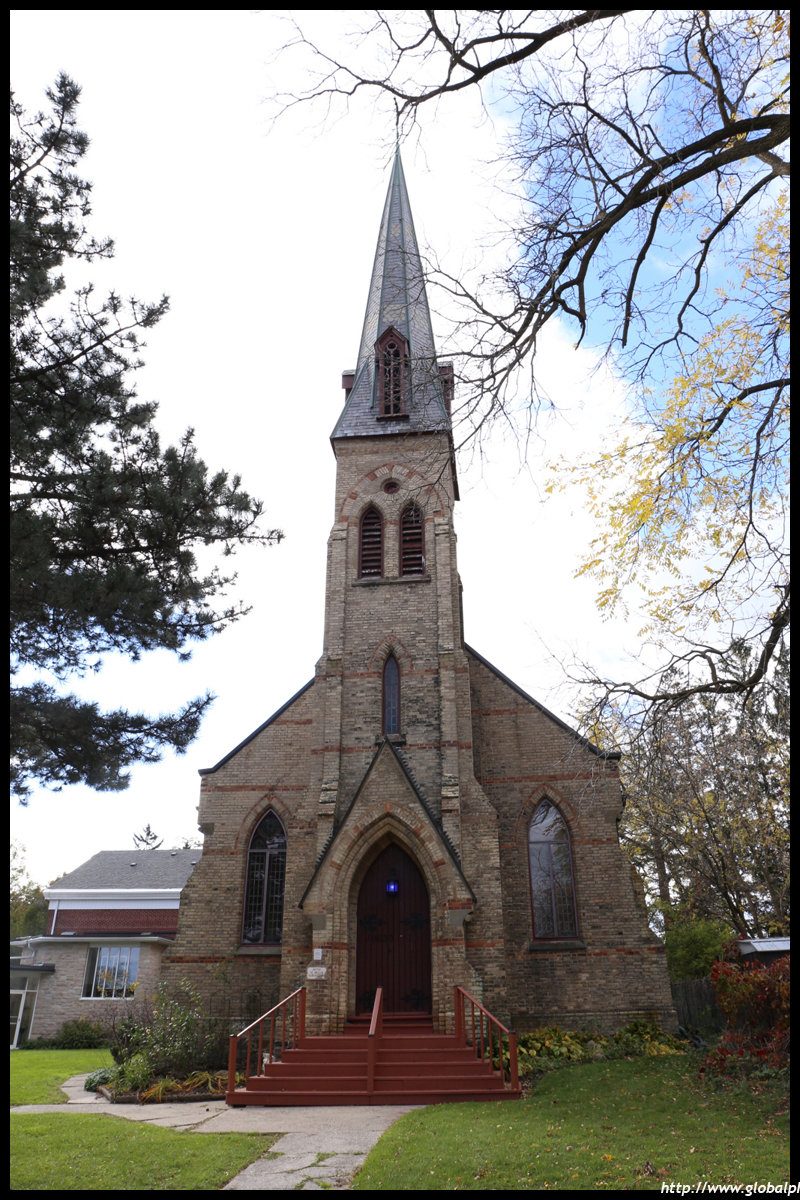
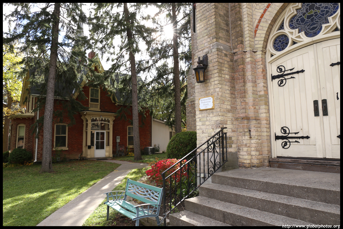
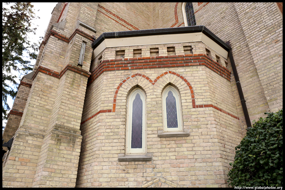
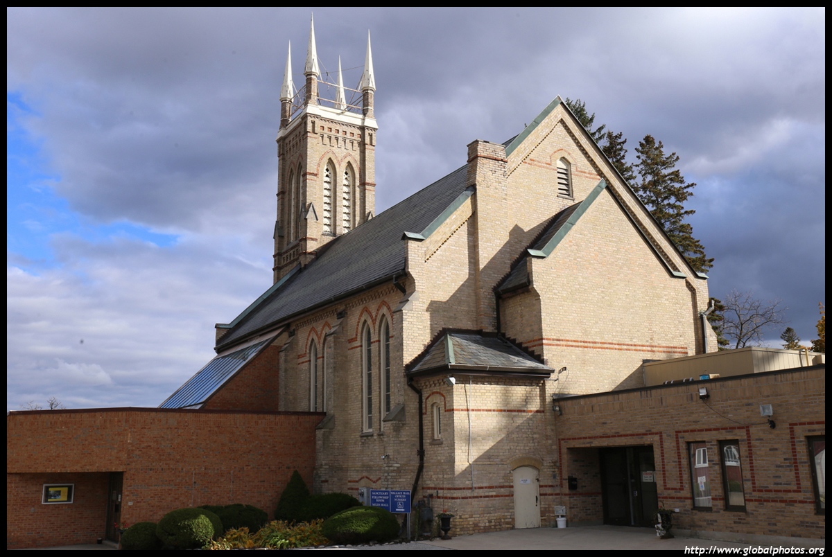
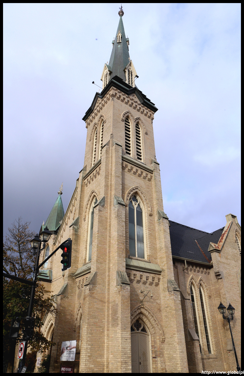
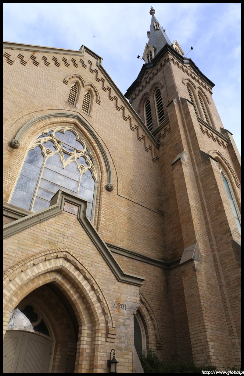
The Presbyterian Church's history dates back to the 1810s with a Sunday School being held in a log schoolhouse. At the time, pioneer children could only get an education through the church. The present building was completed in 1881.
The United Church dates back to 1805 and relocated to the present location in 1881. It was big enough to accommodate the entire town's population at the time.
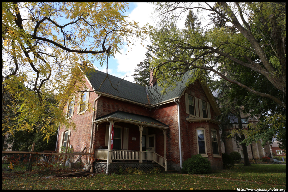
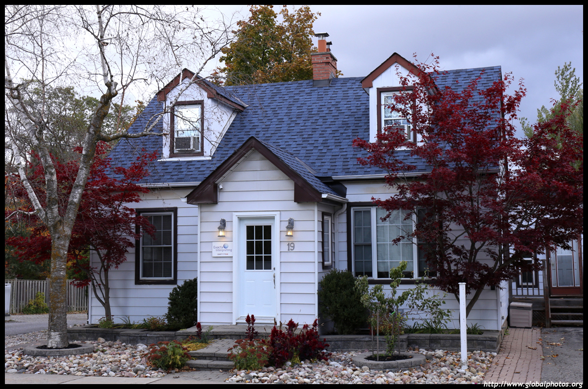
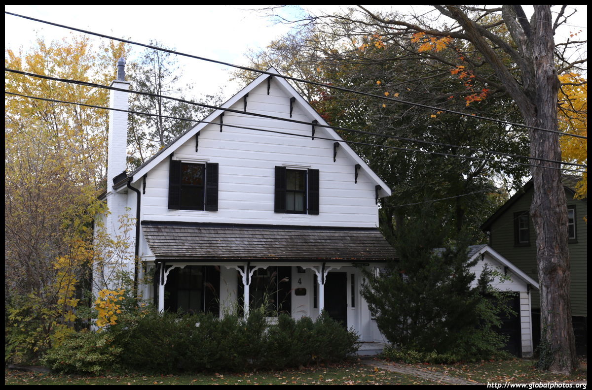
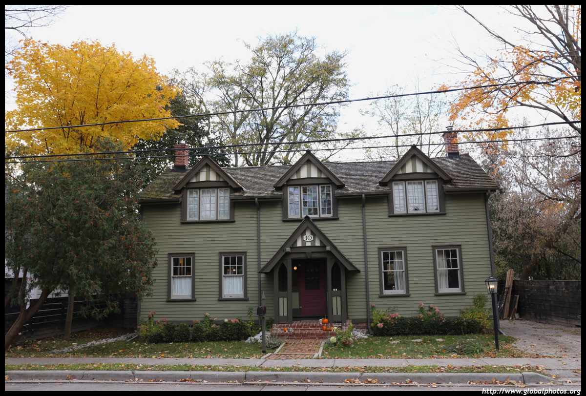
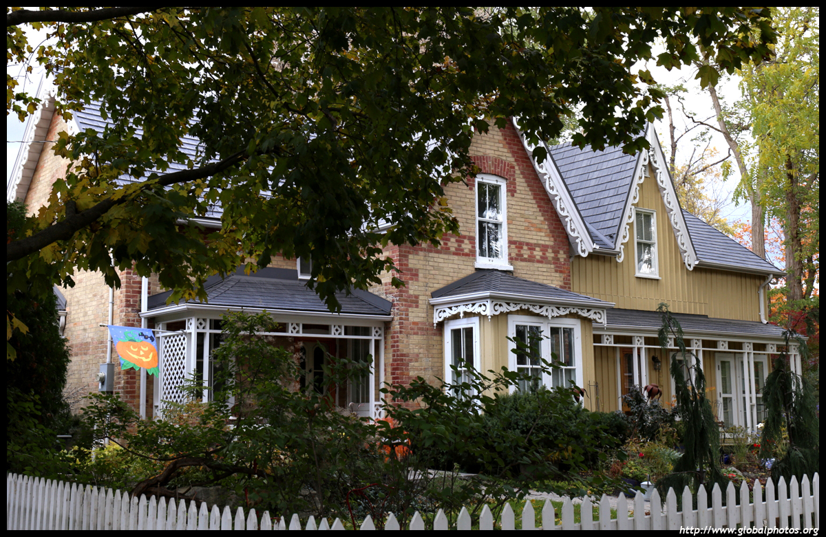
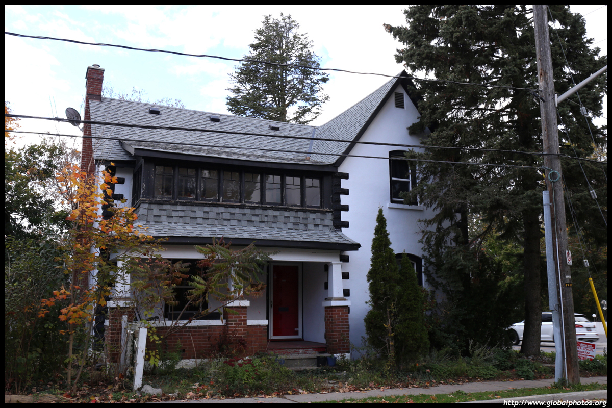
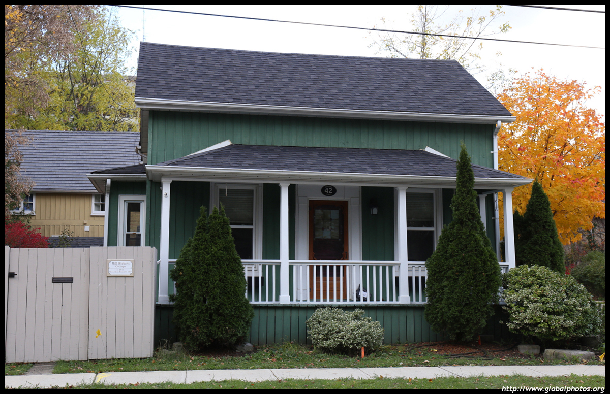
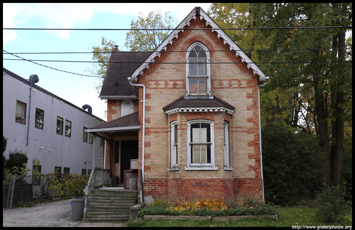
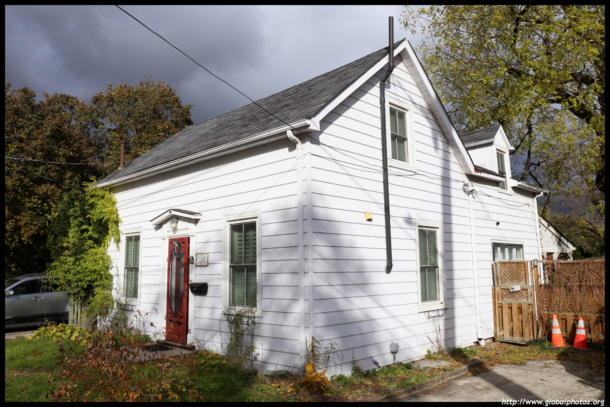
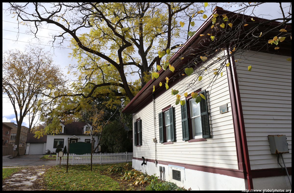
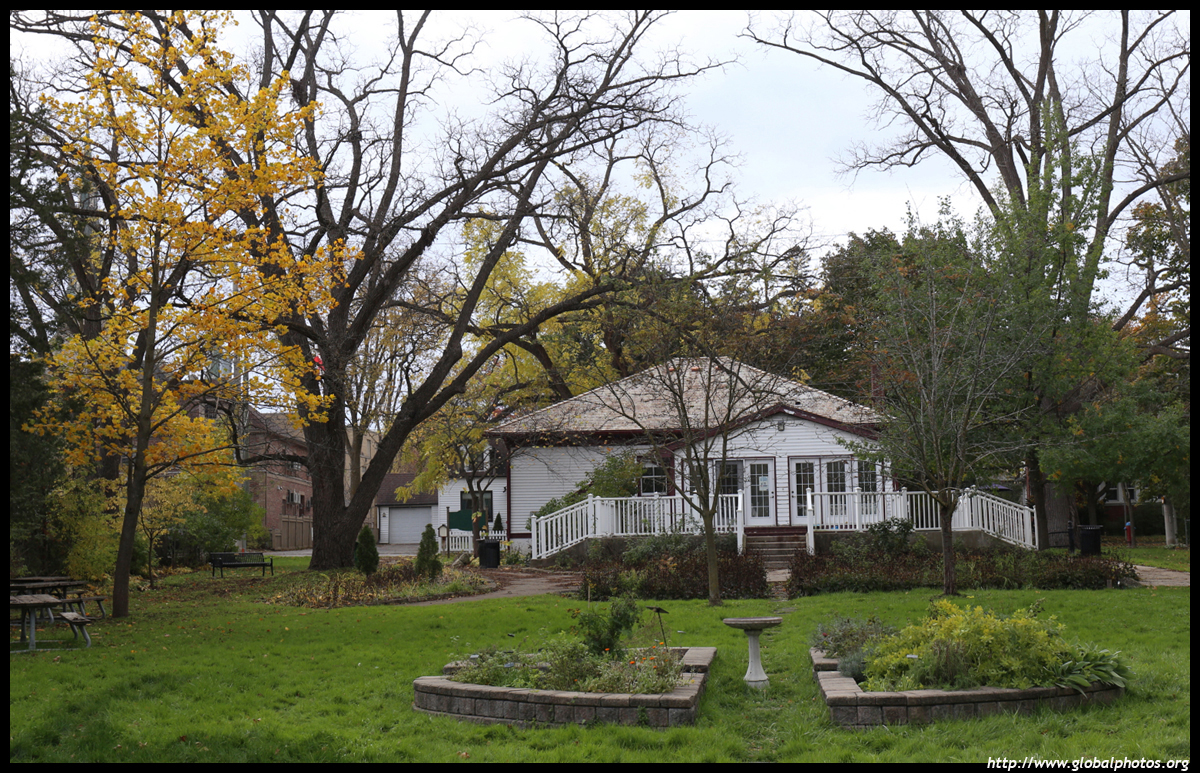
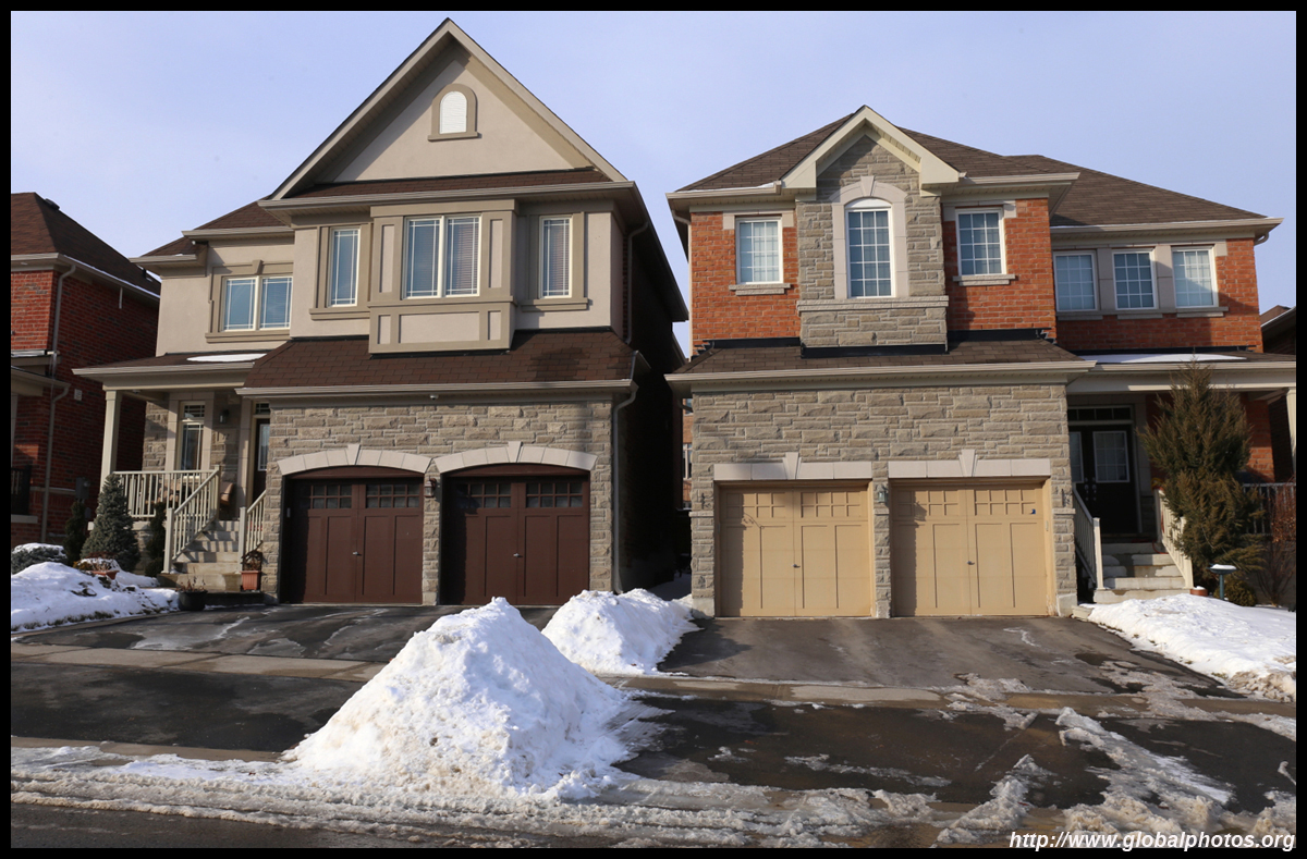
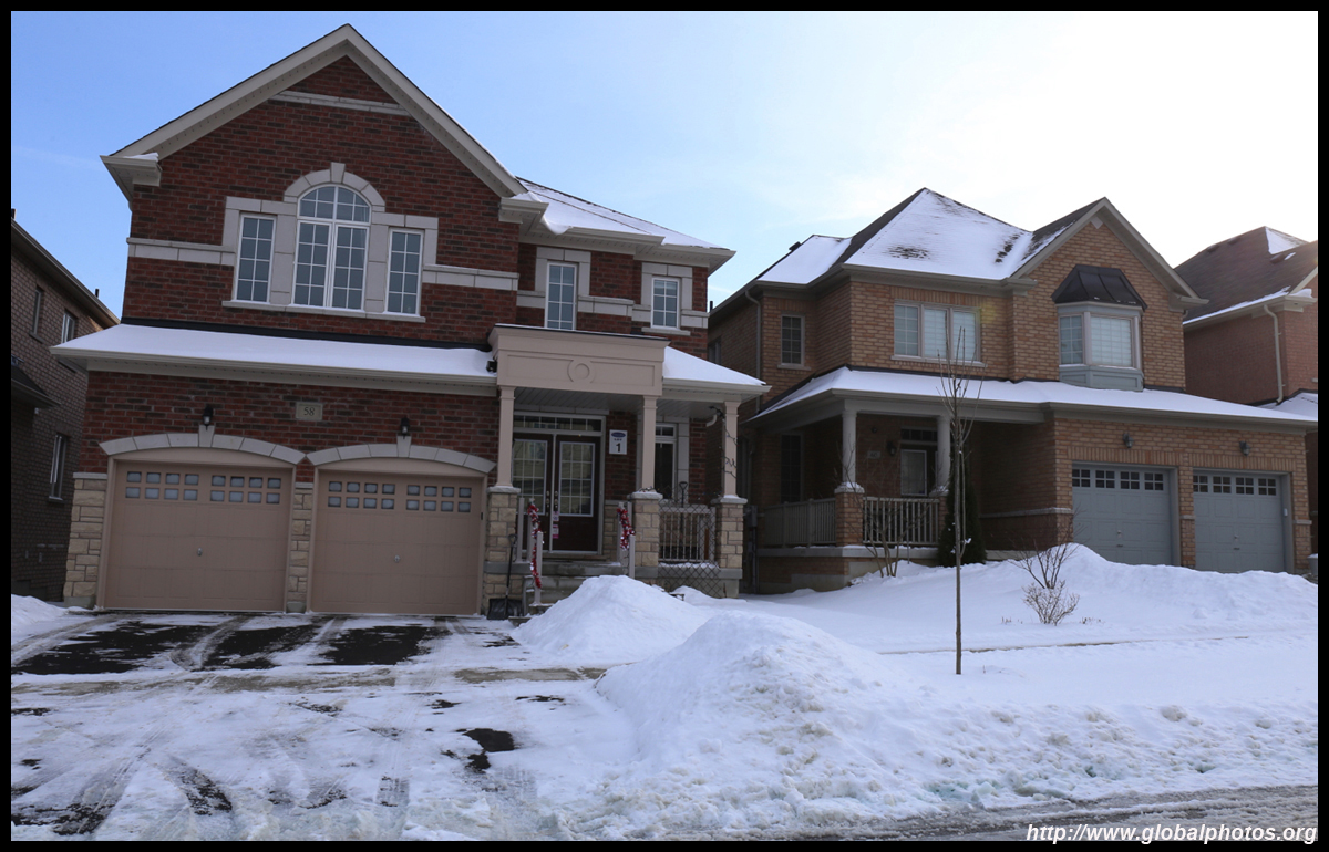
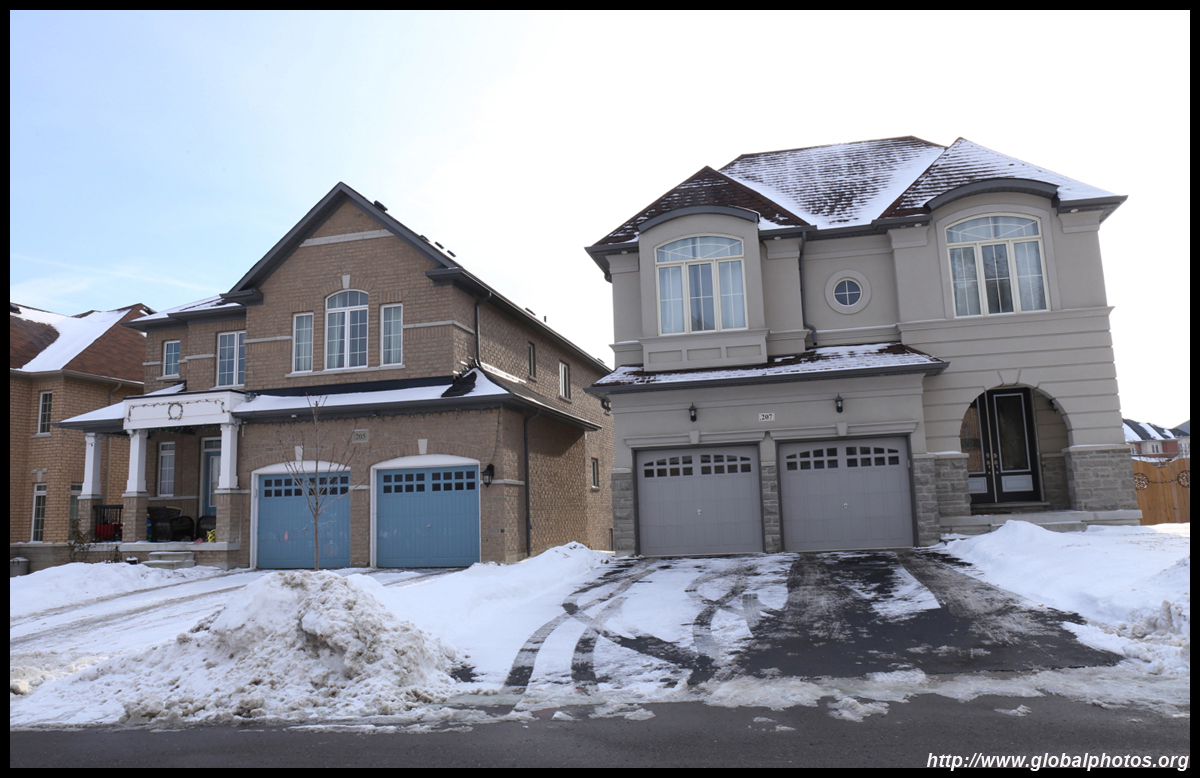
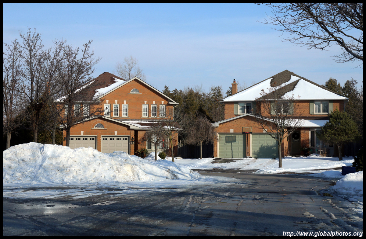
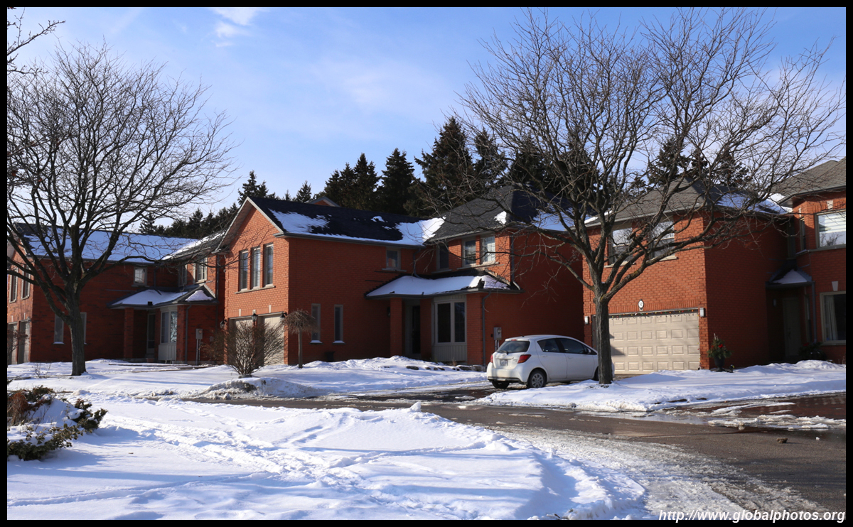
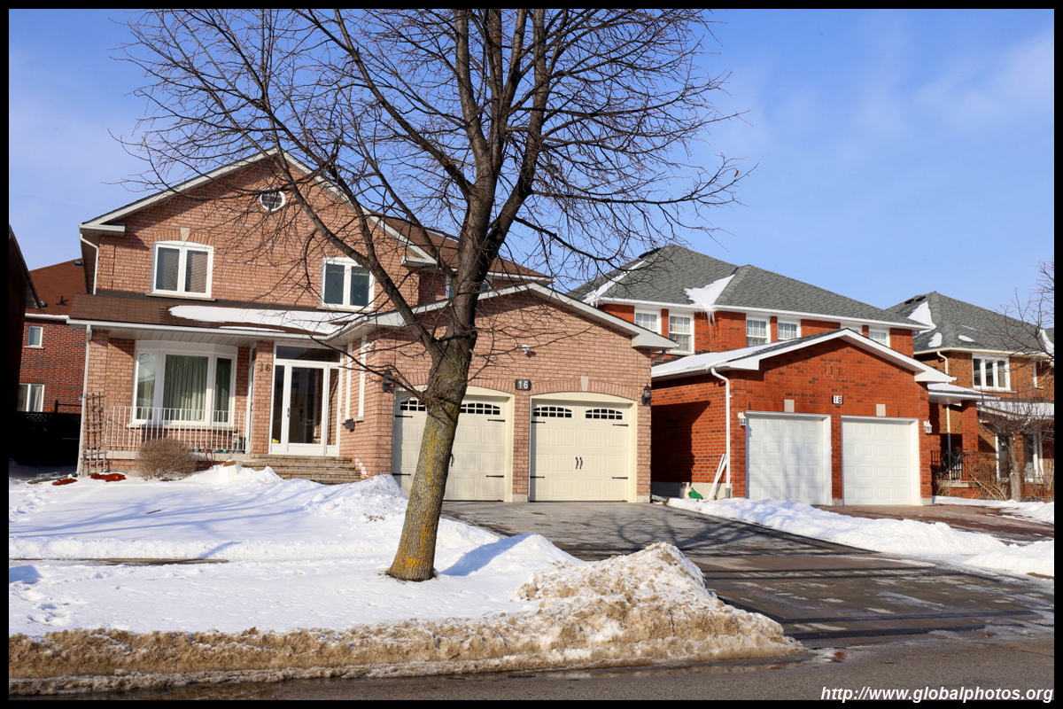
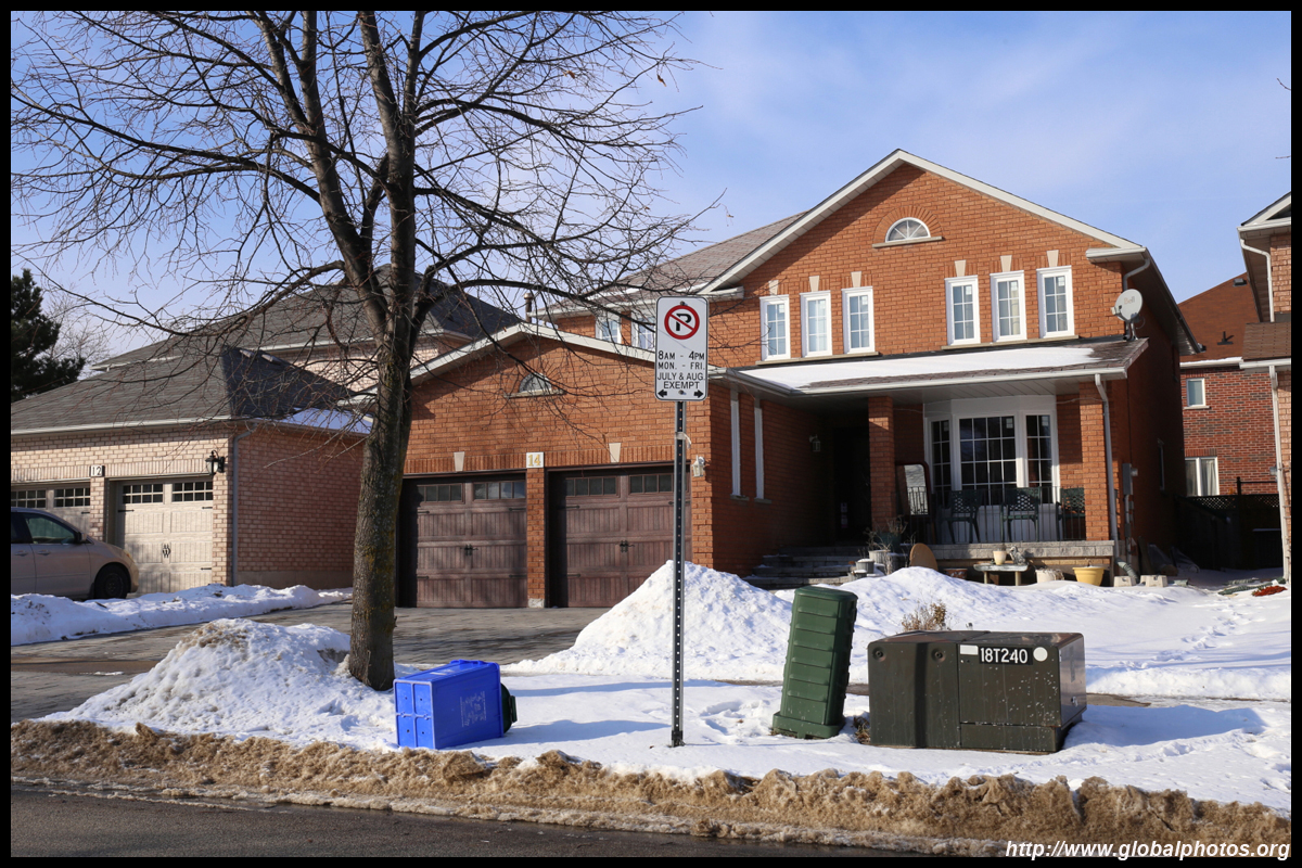
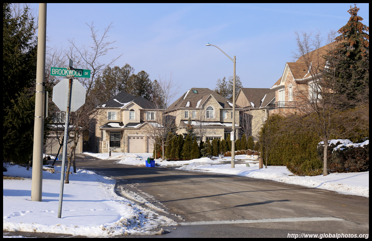
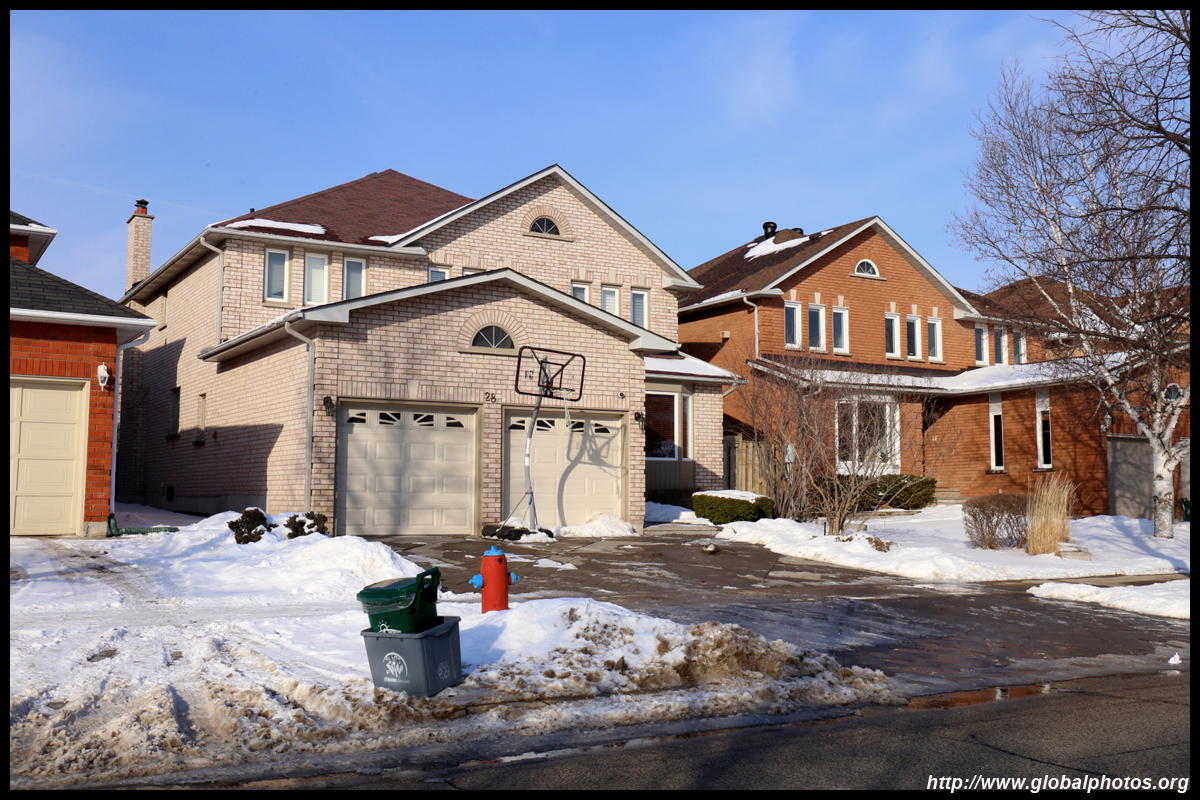
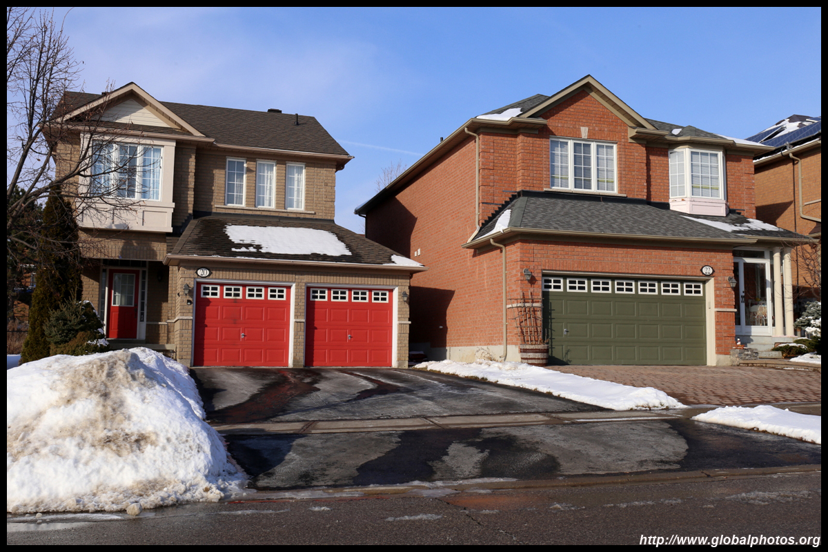
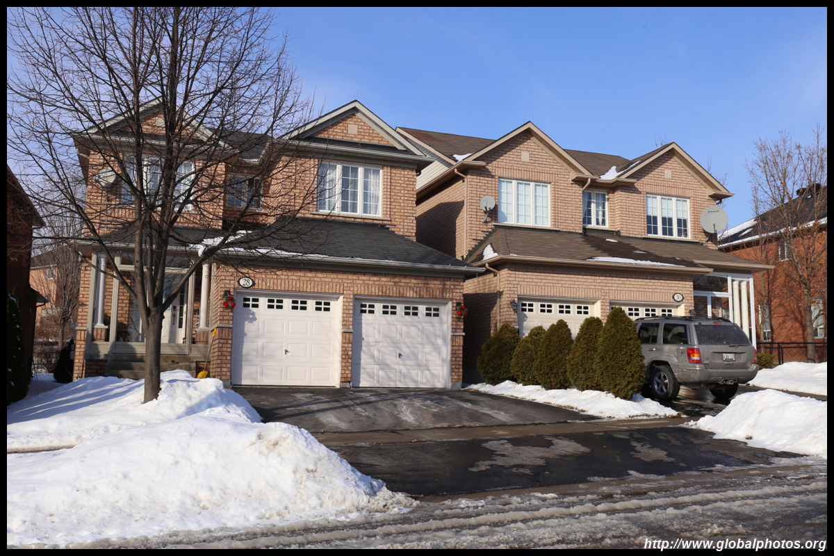
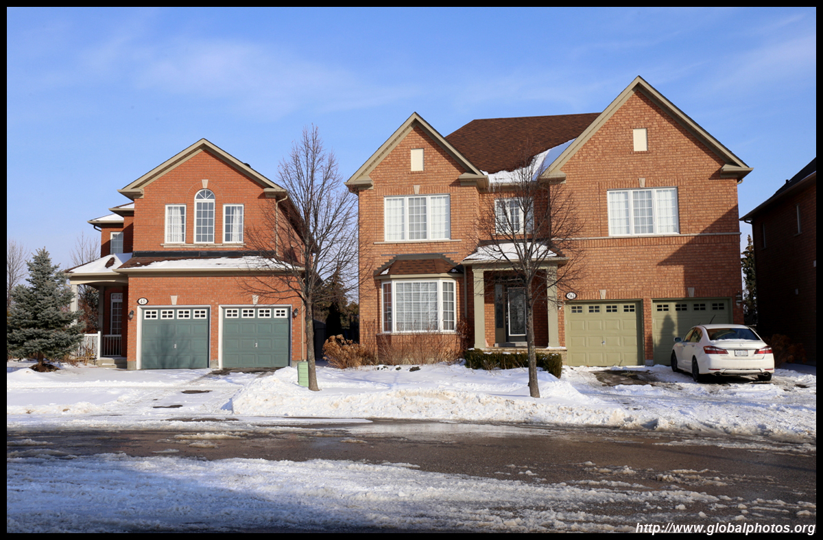
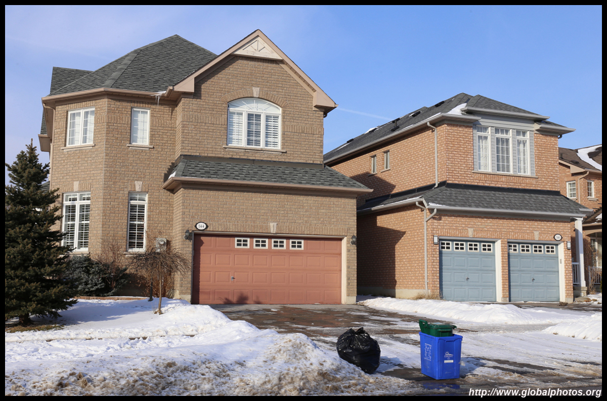
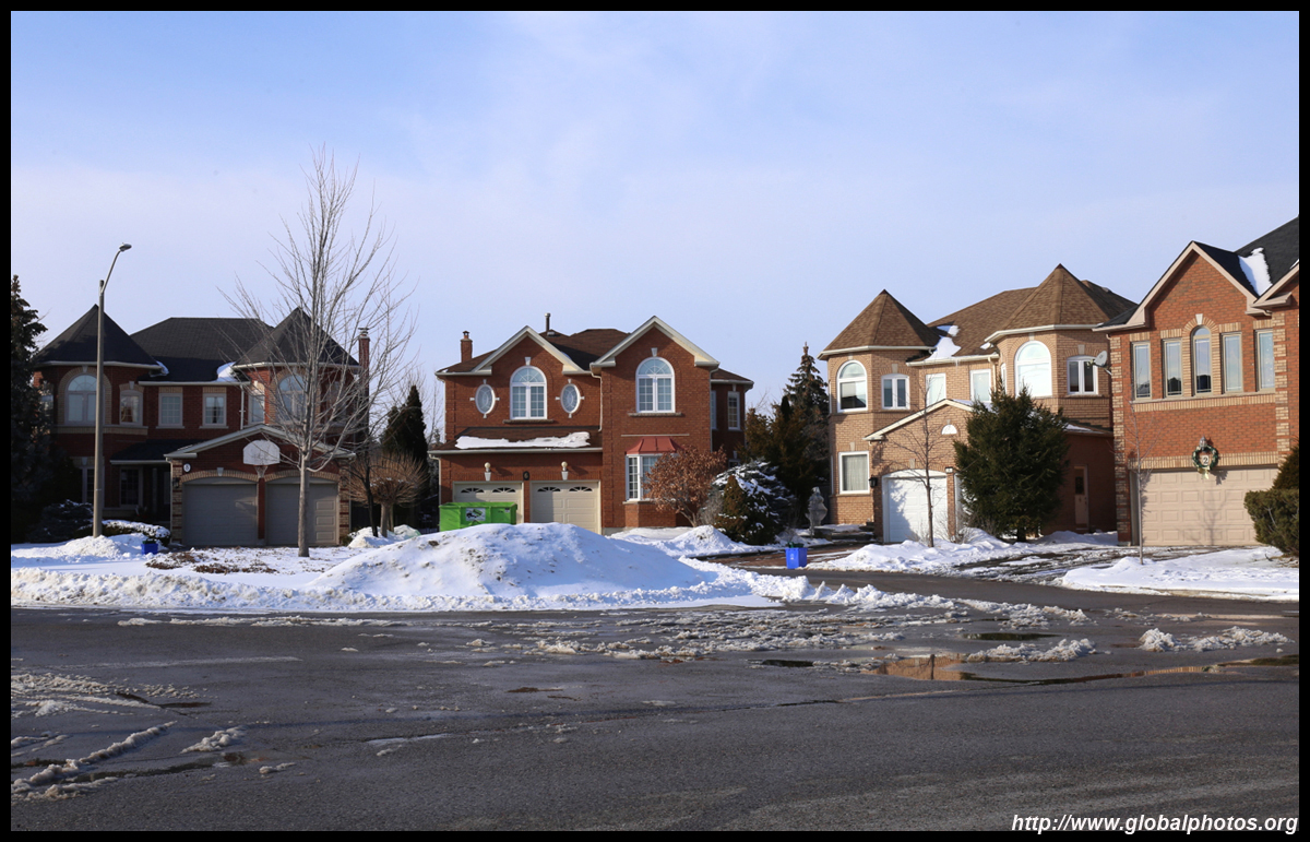
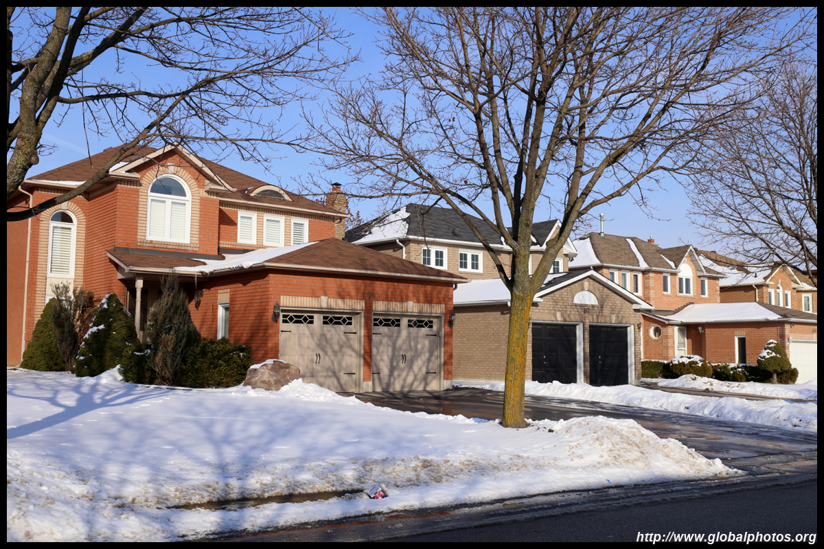
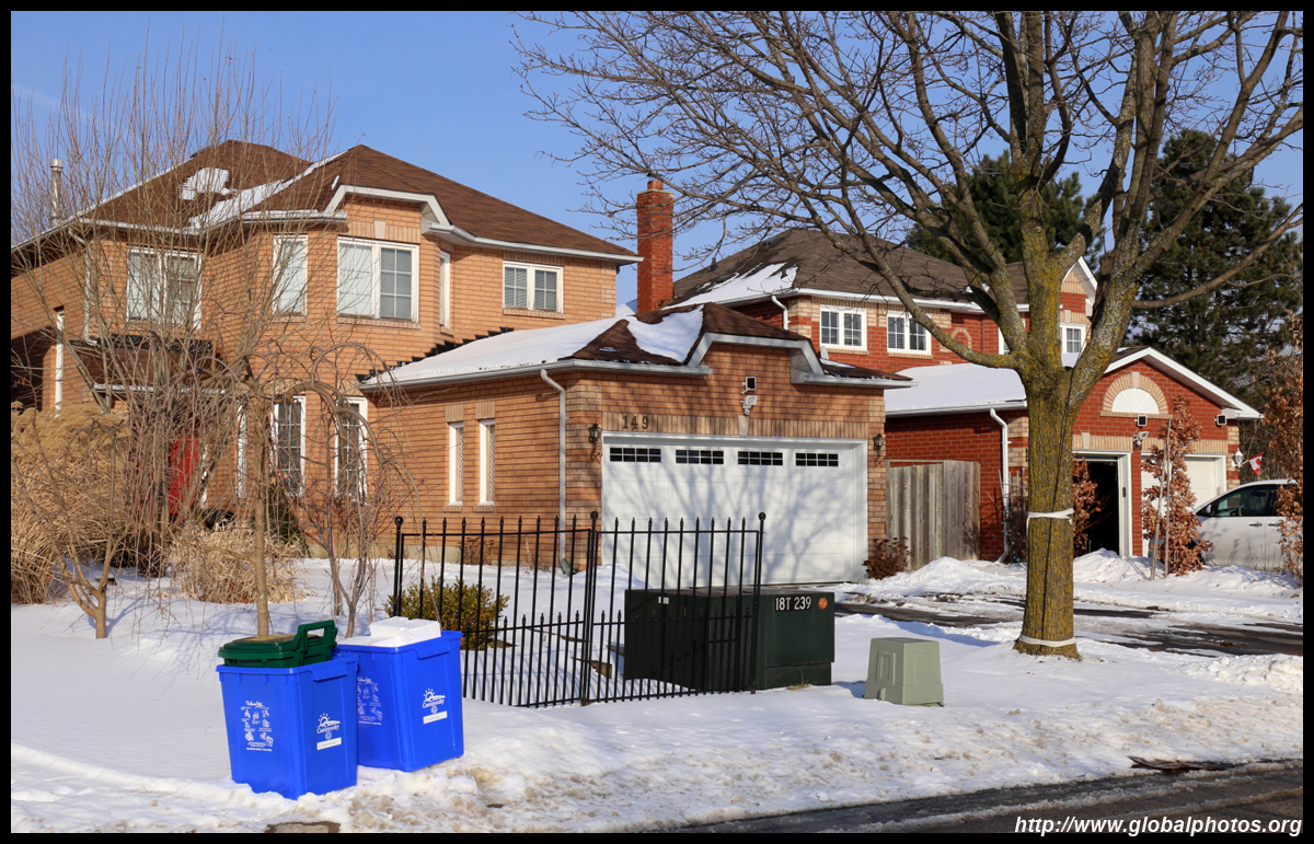
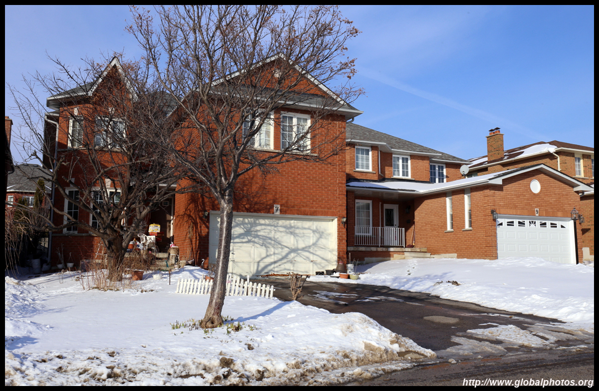
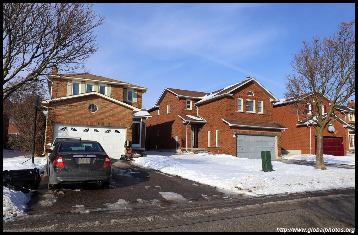
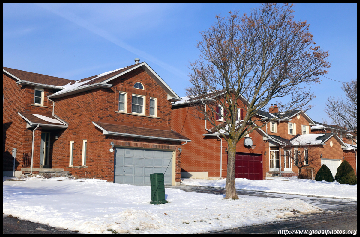
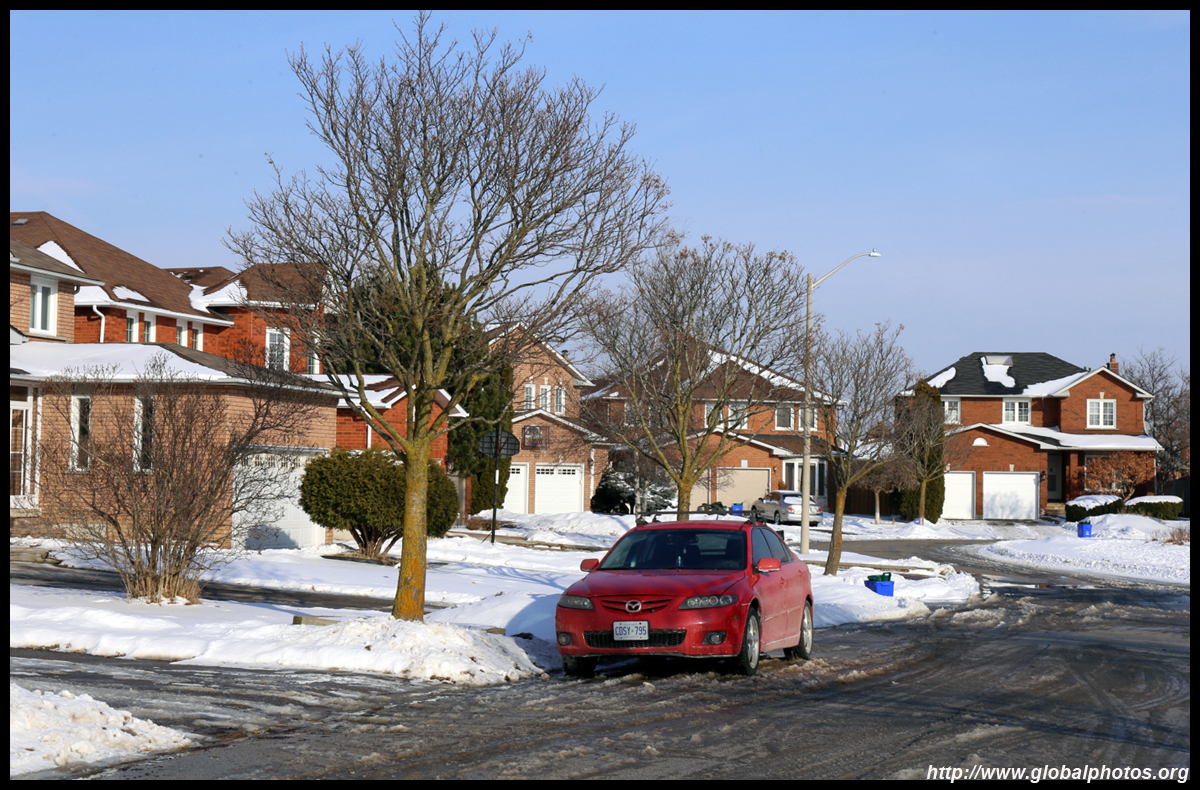
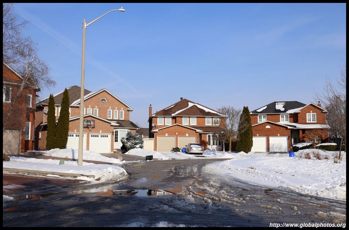
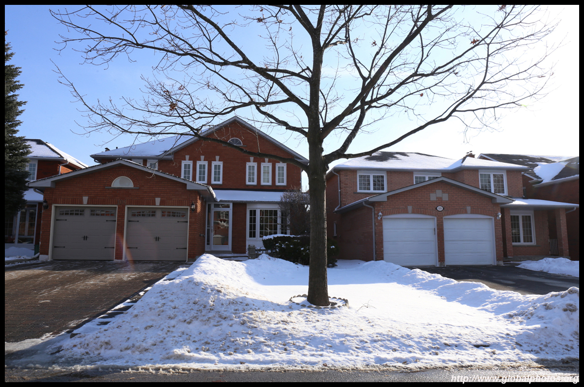
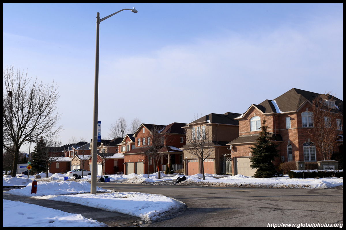
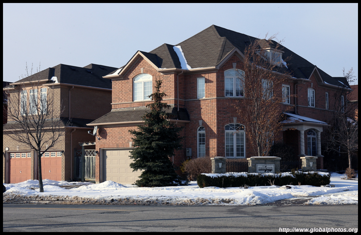
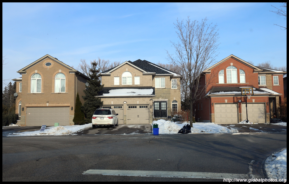
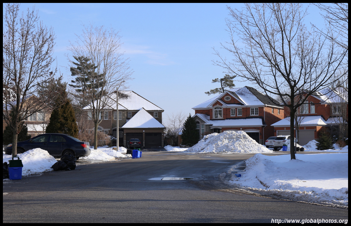
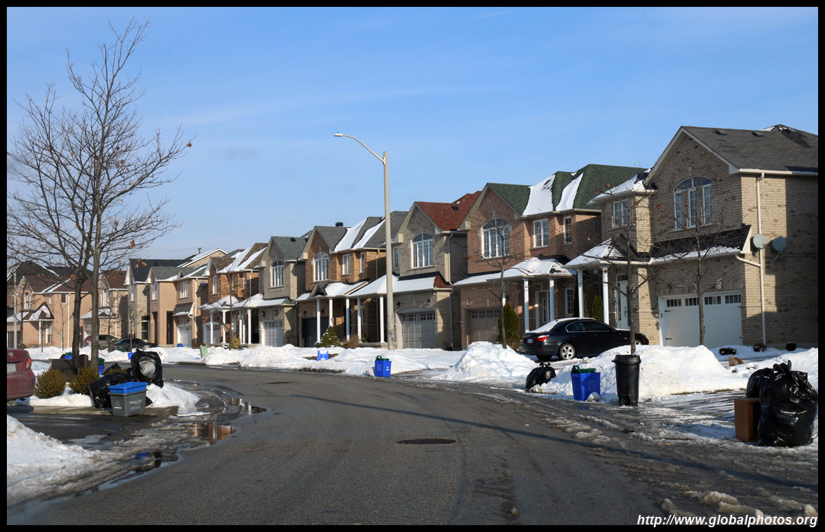
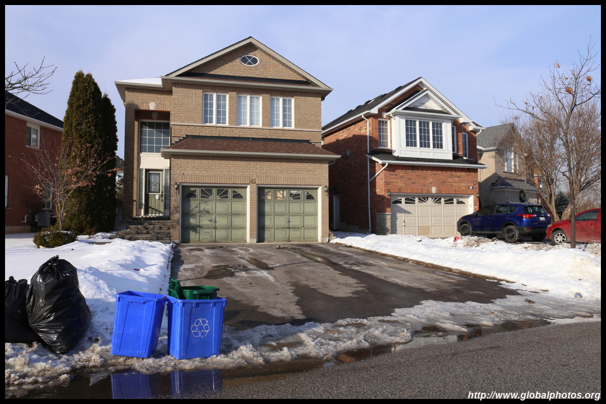
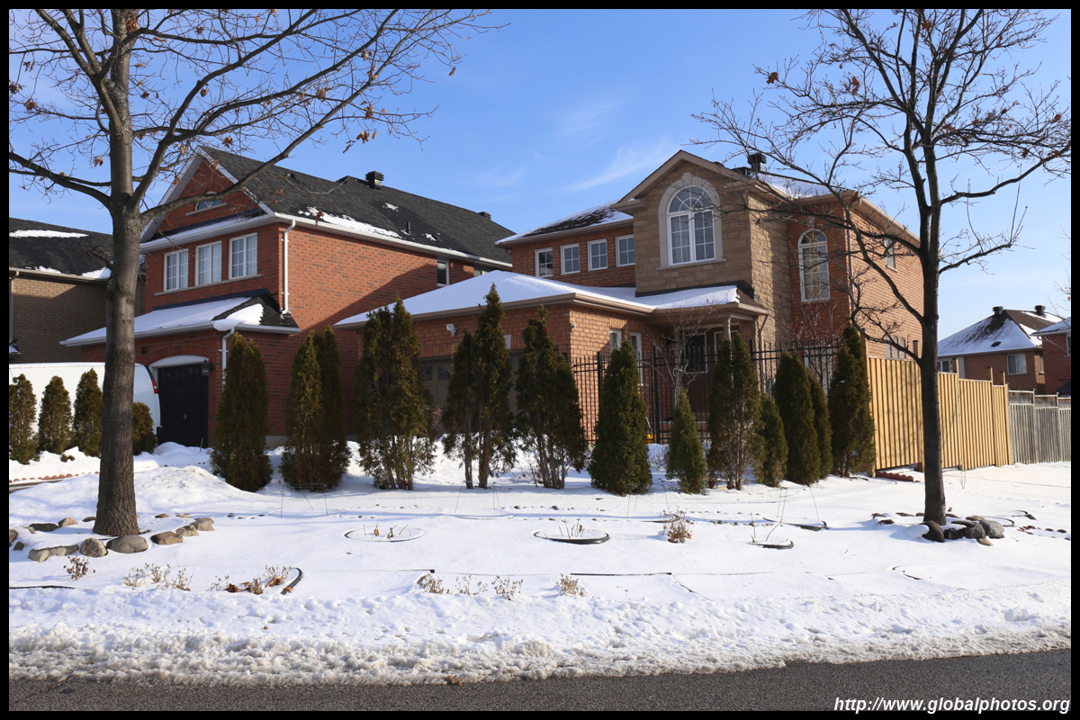
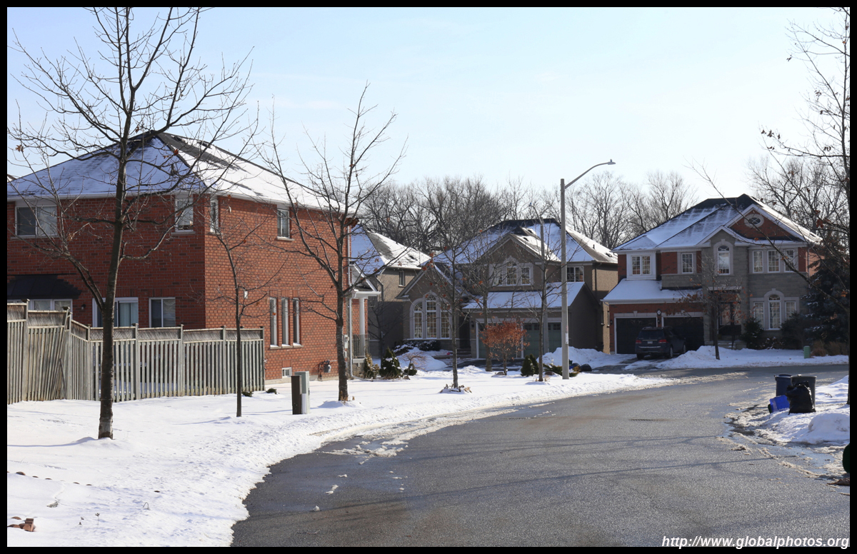
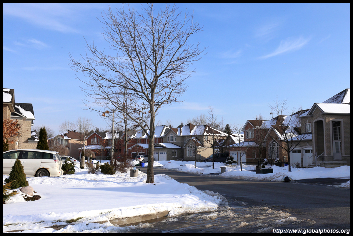
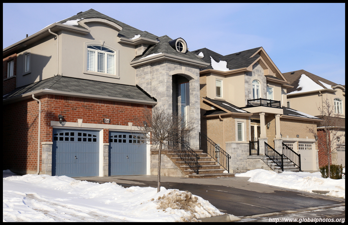
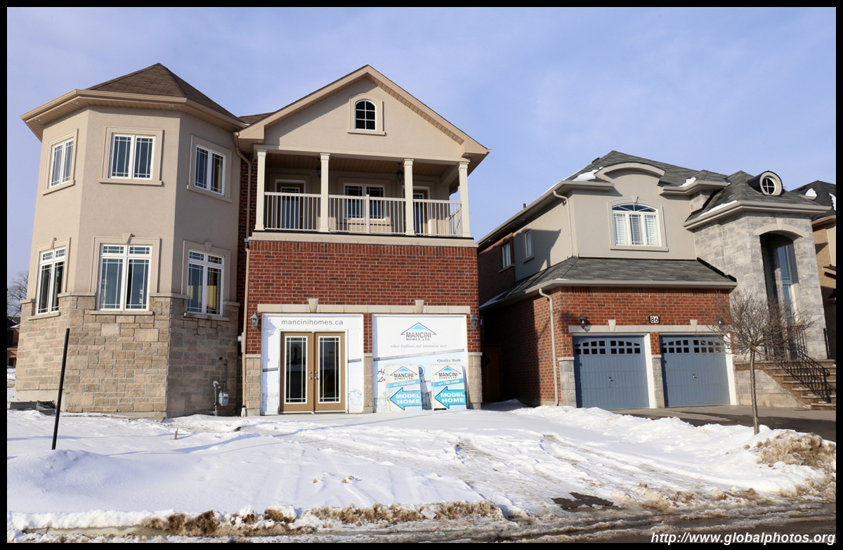
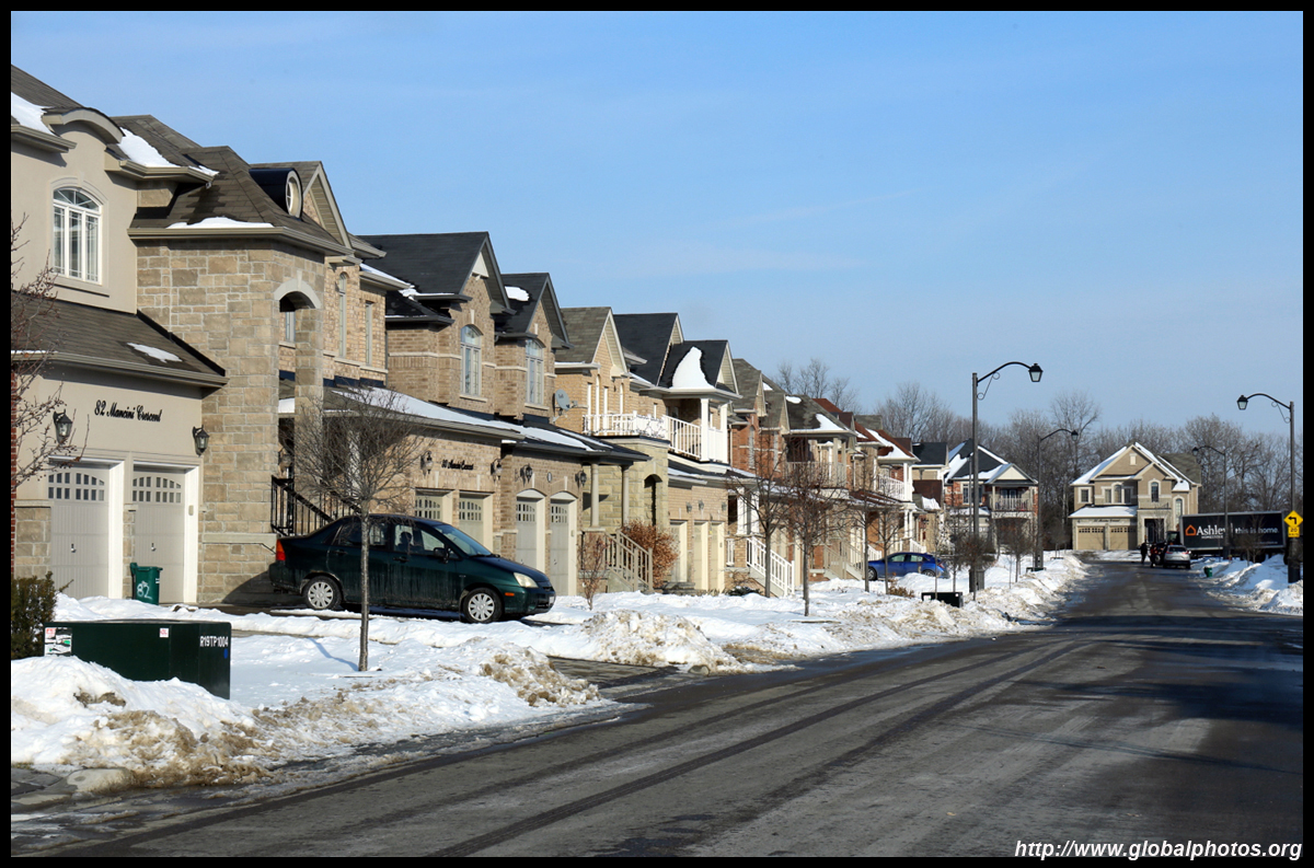
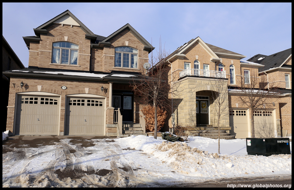
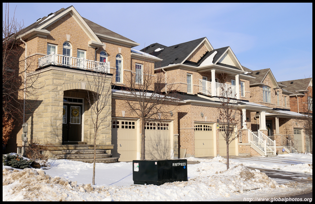
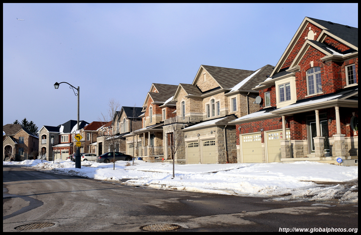
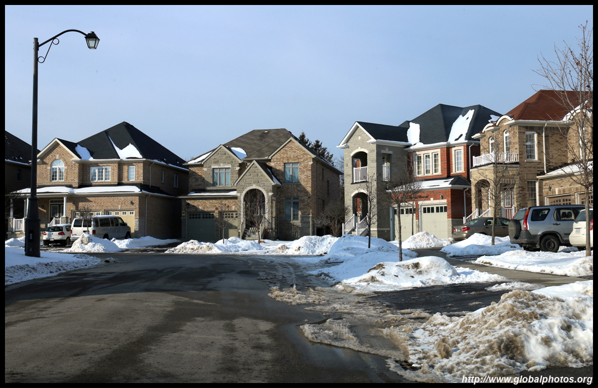
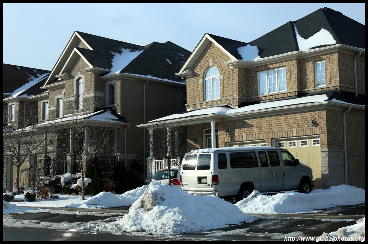
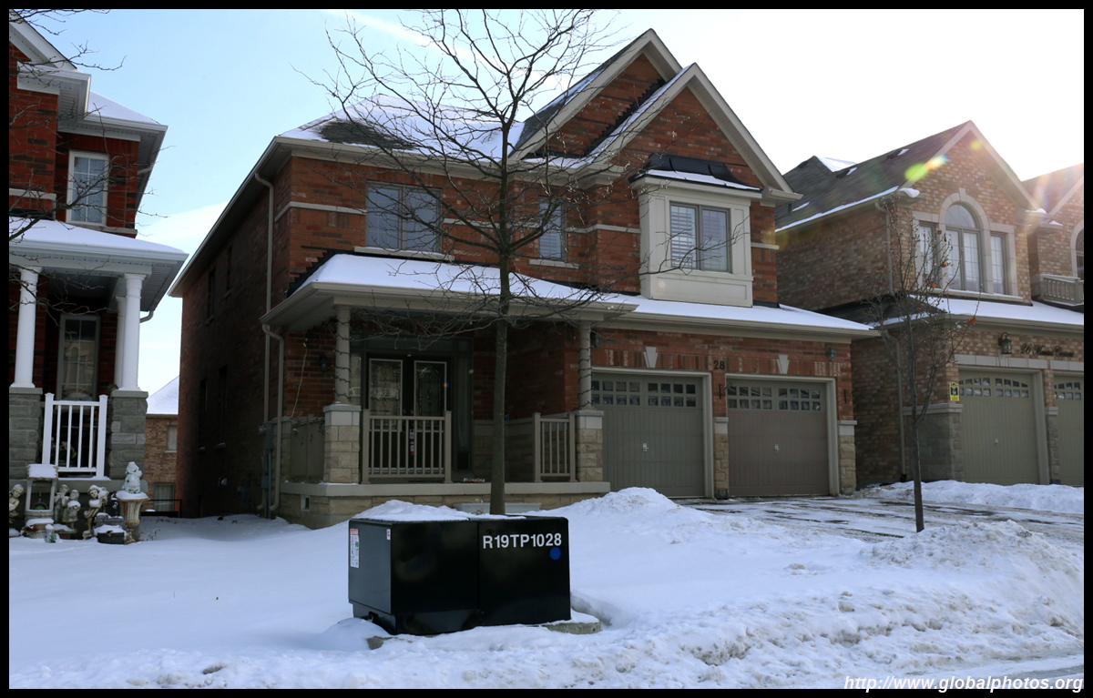
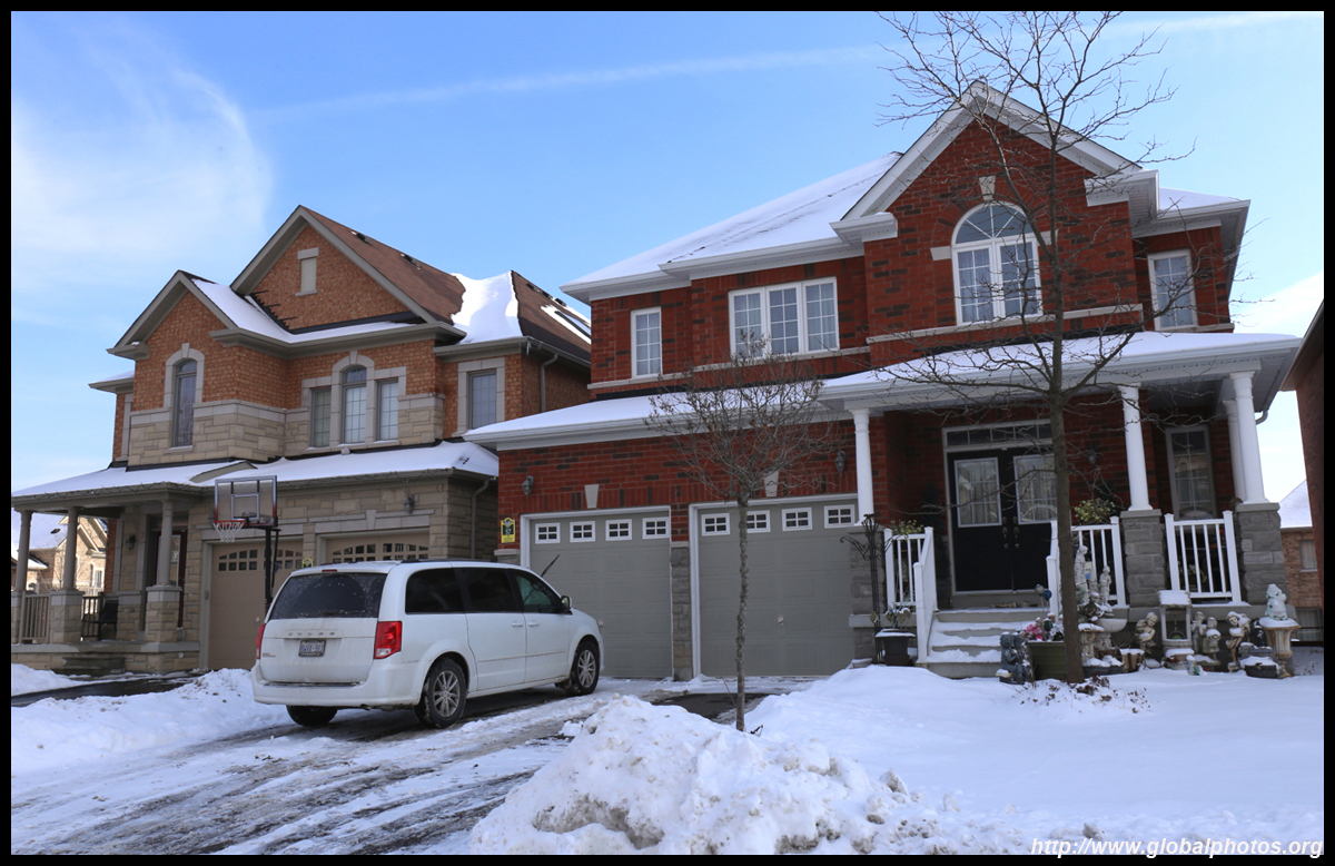
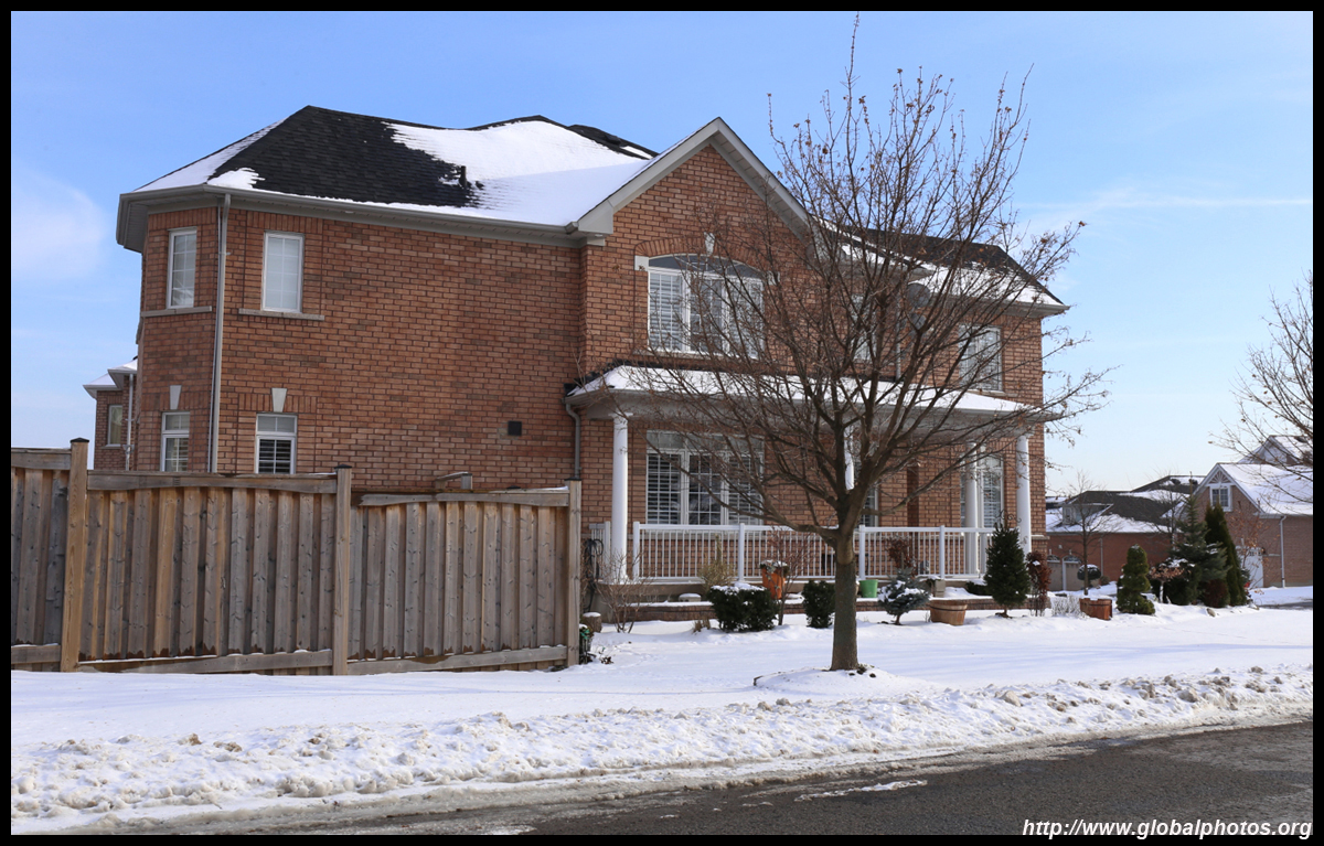
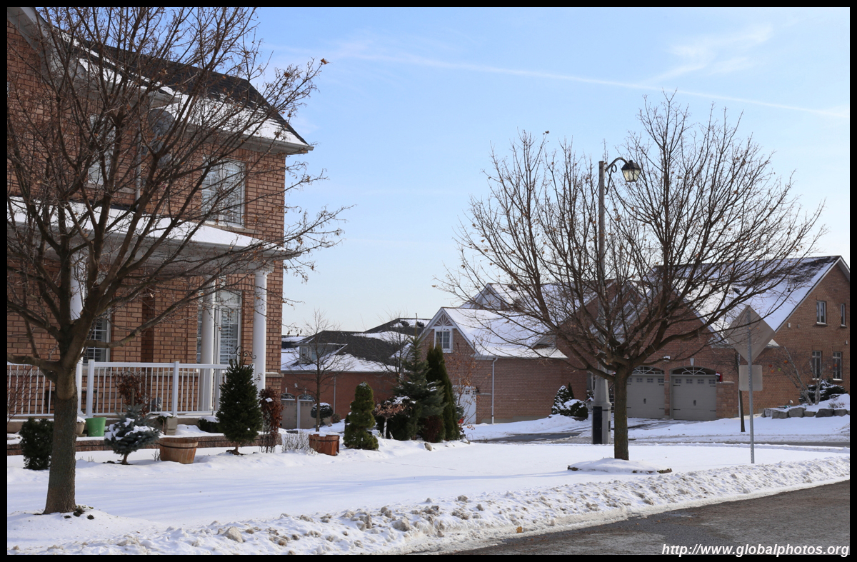
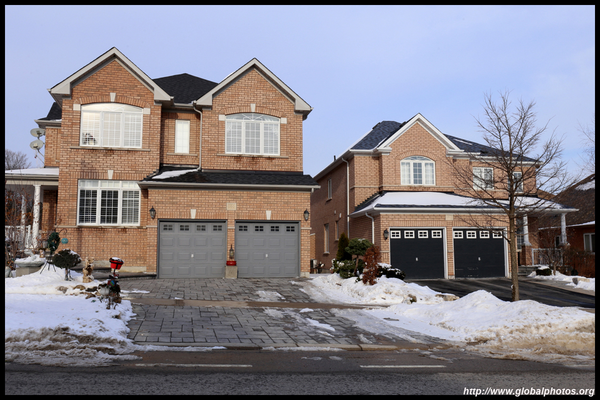
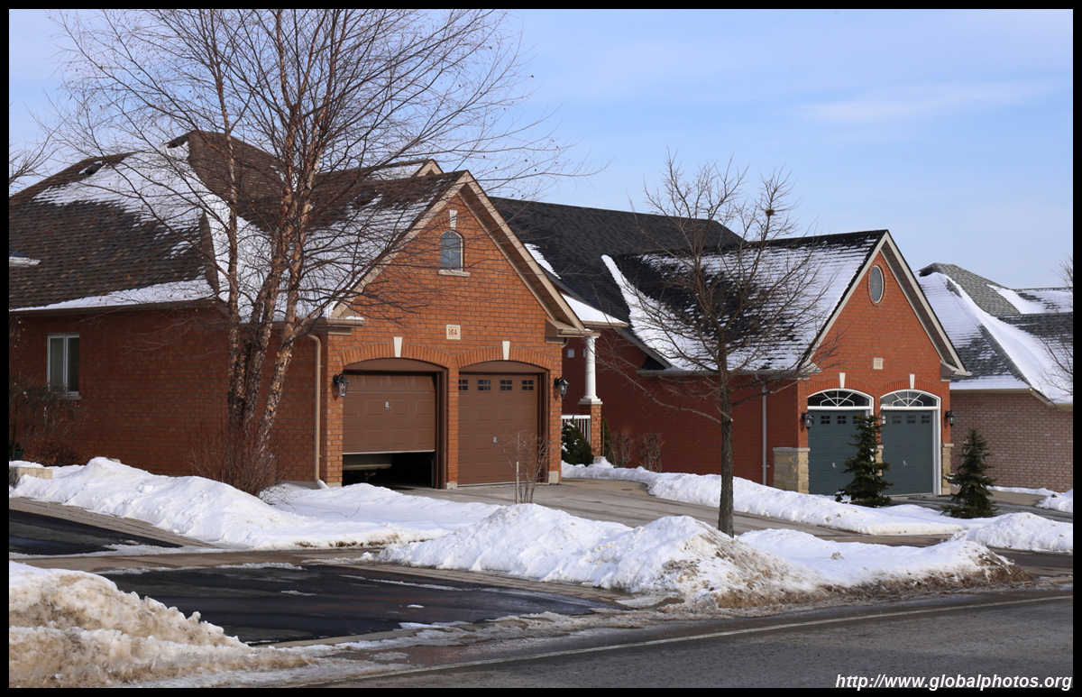
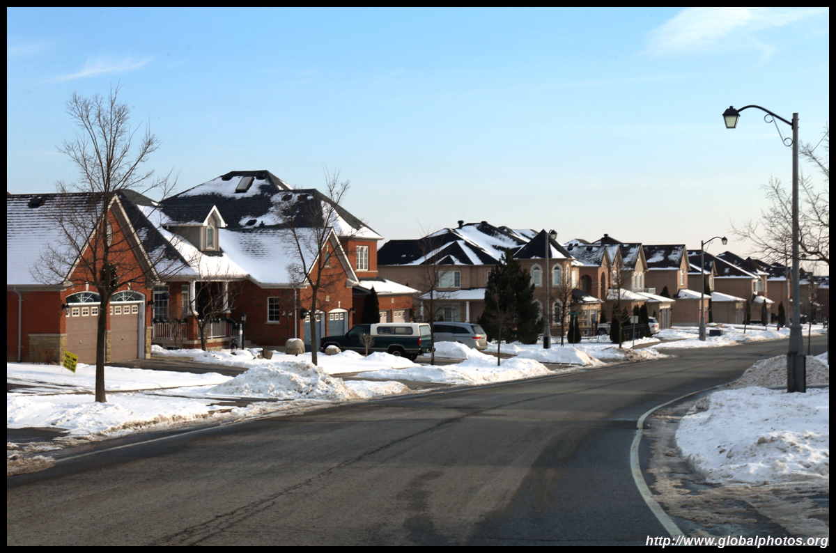
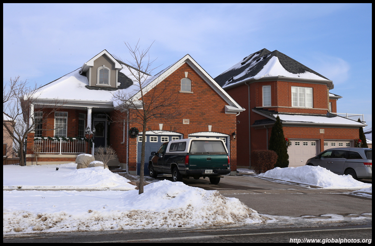
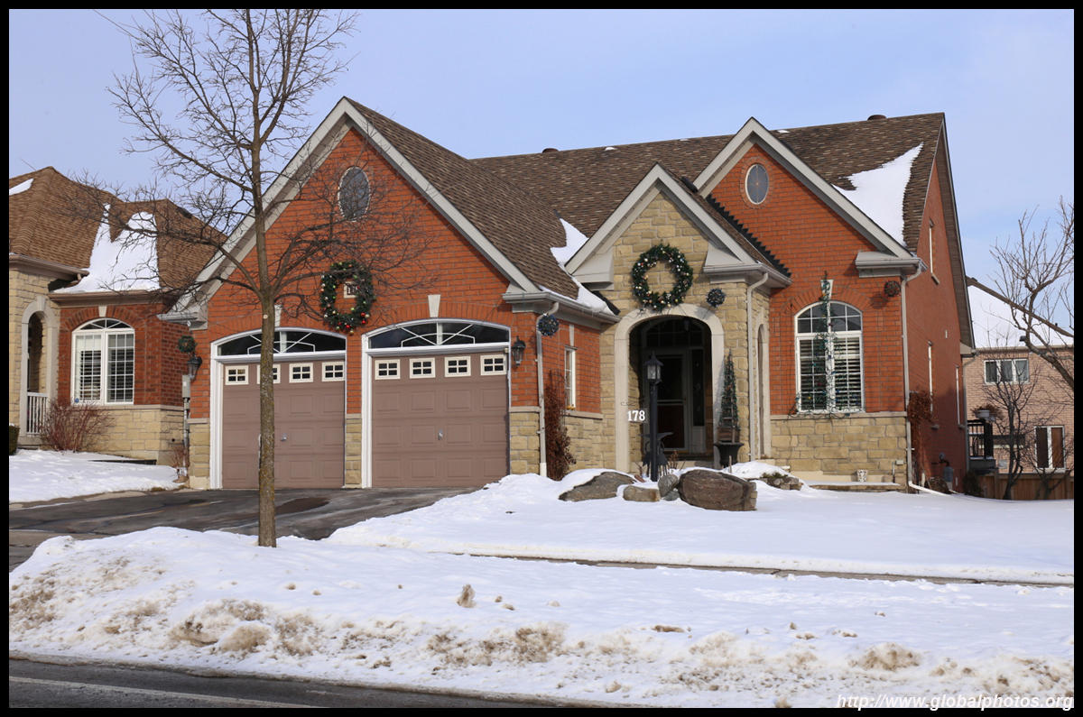
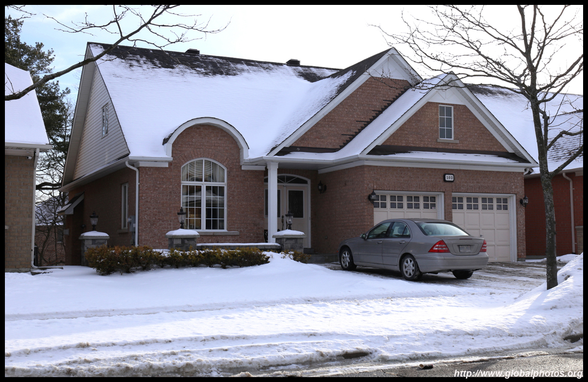
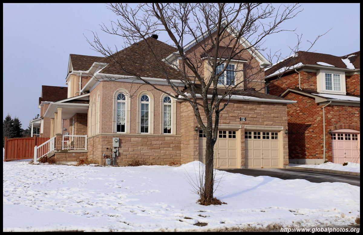
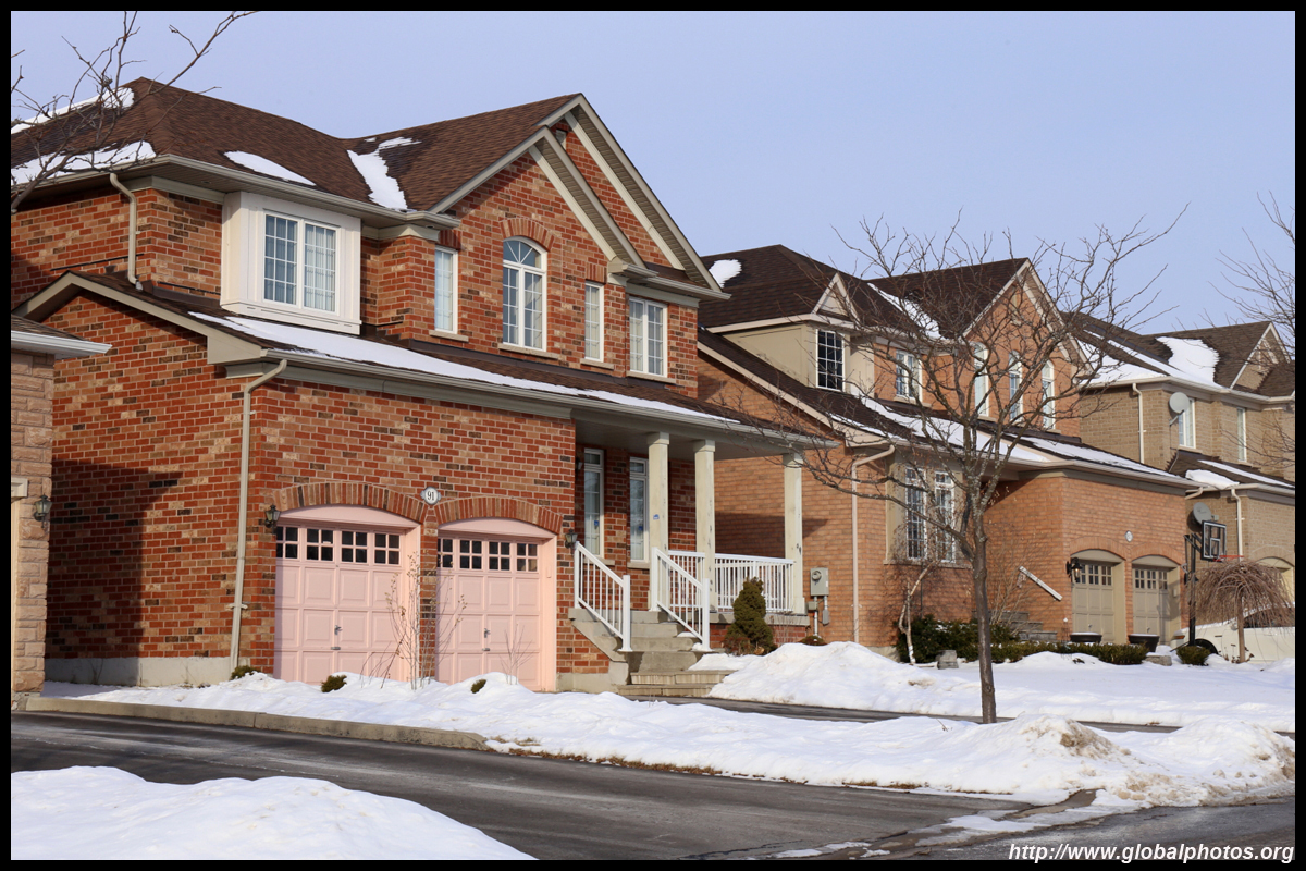
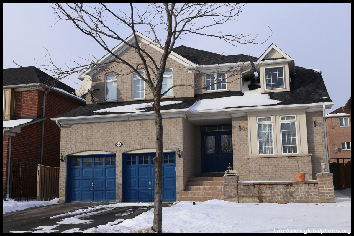
The interior streets are dotted with a few historic homes.
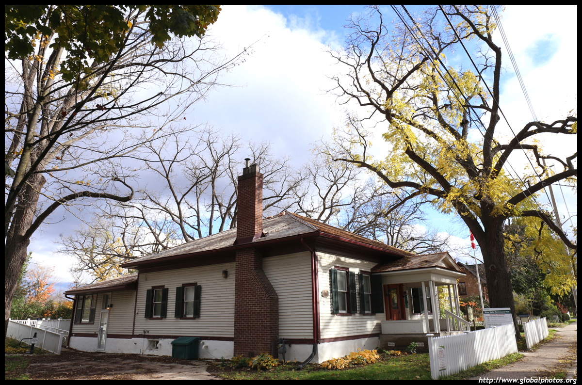
The Amos Wright House is now the Heritage Centre. Amos Wright was born in 1809 and served as Member of Parliament in the 1860s. He fought twice to incorporate Richmond Hill as a village, successfully doing so in 1872.
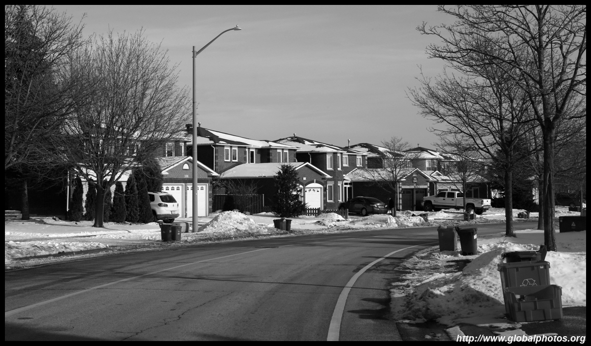
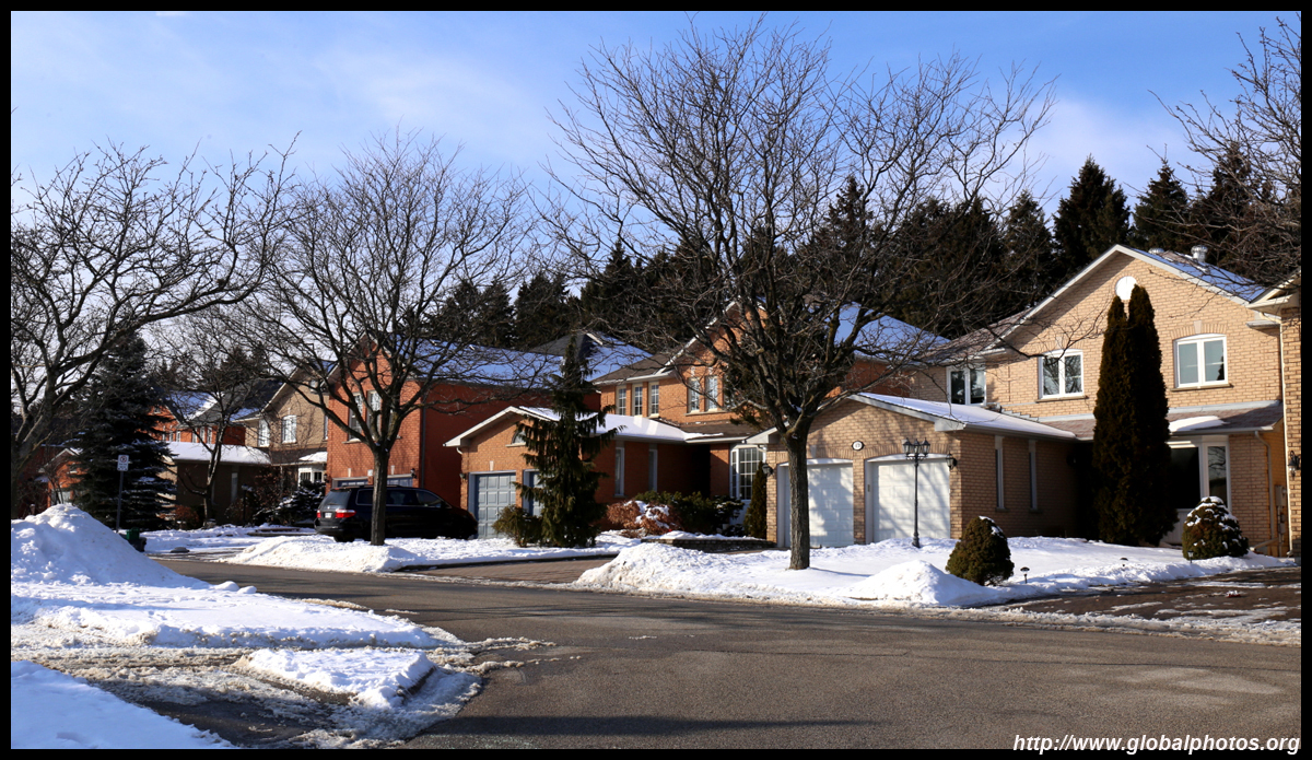
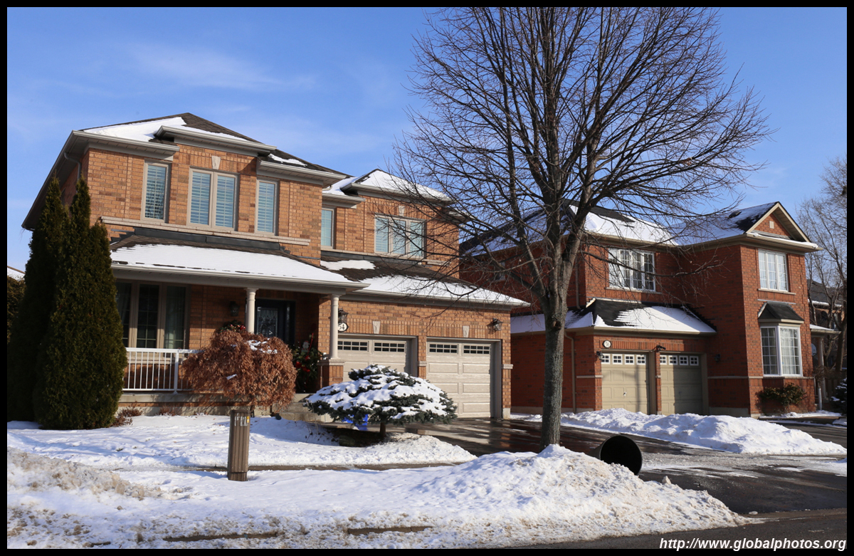
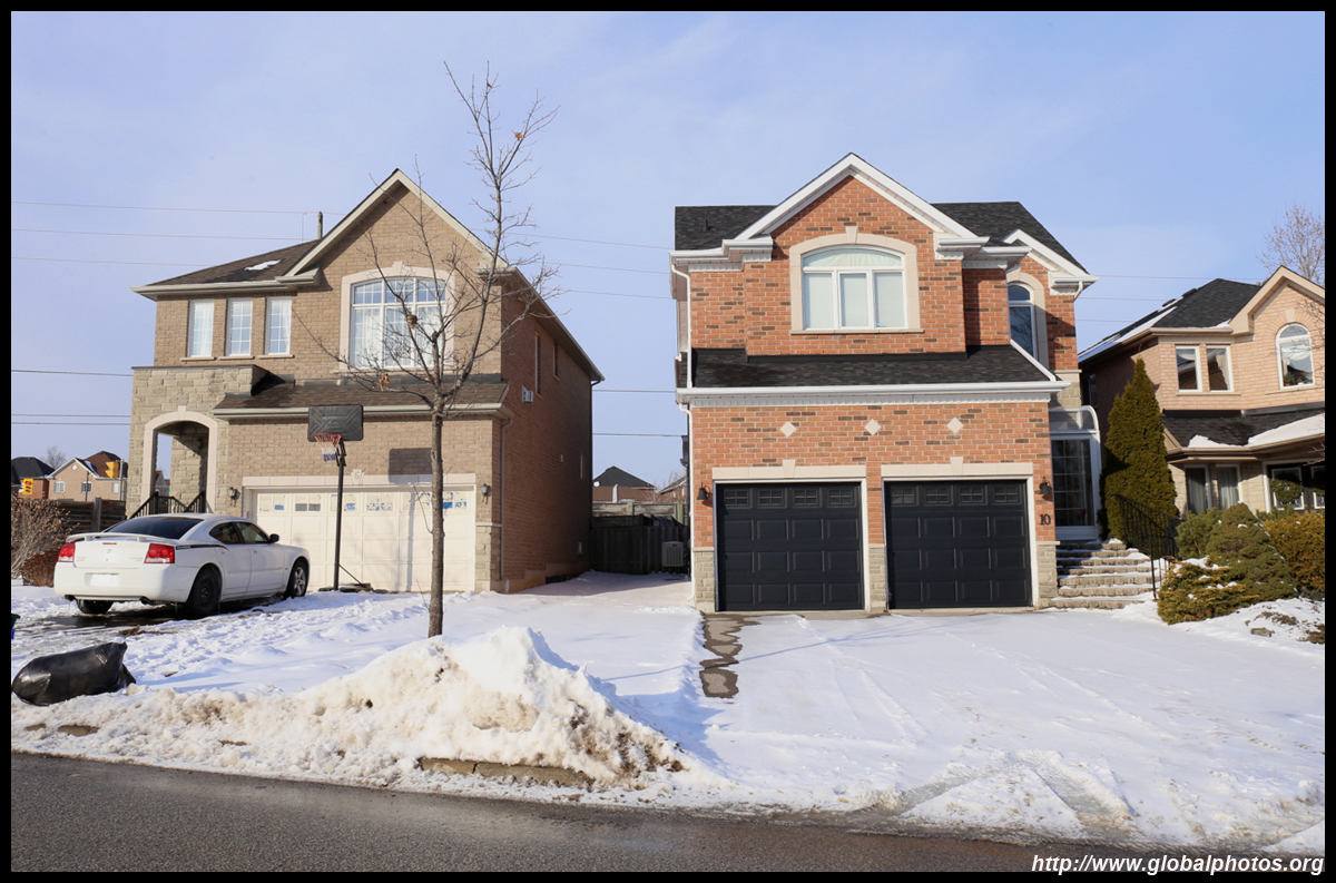
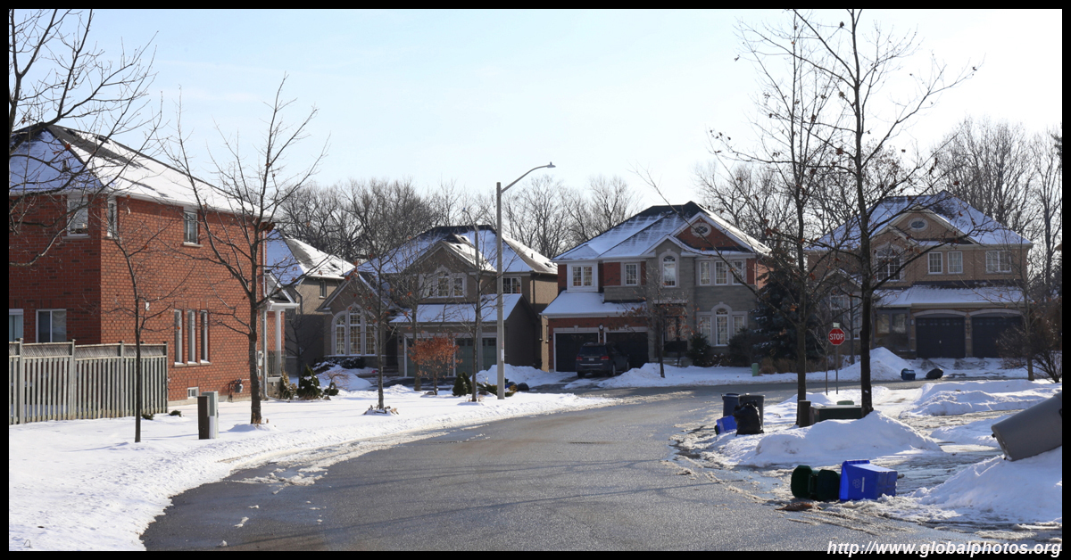
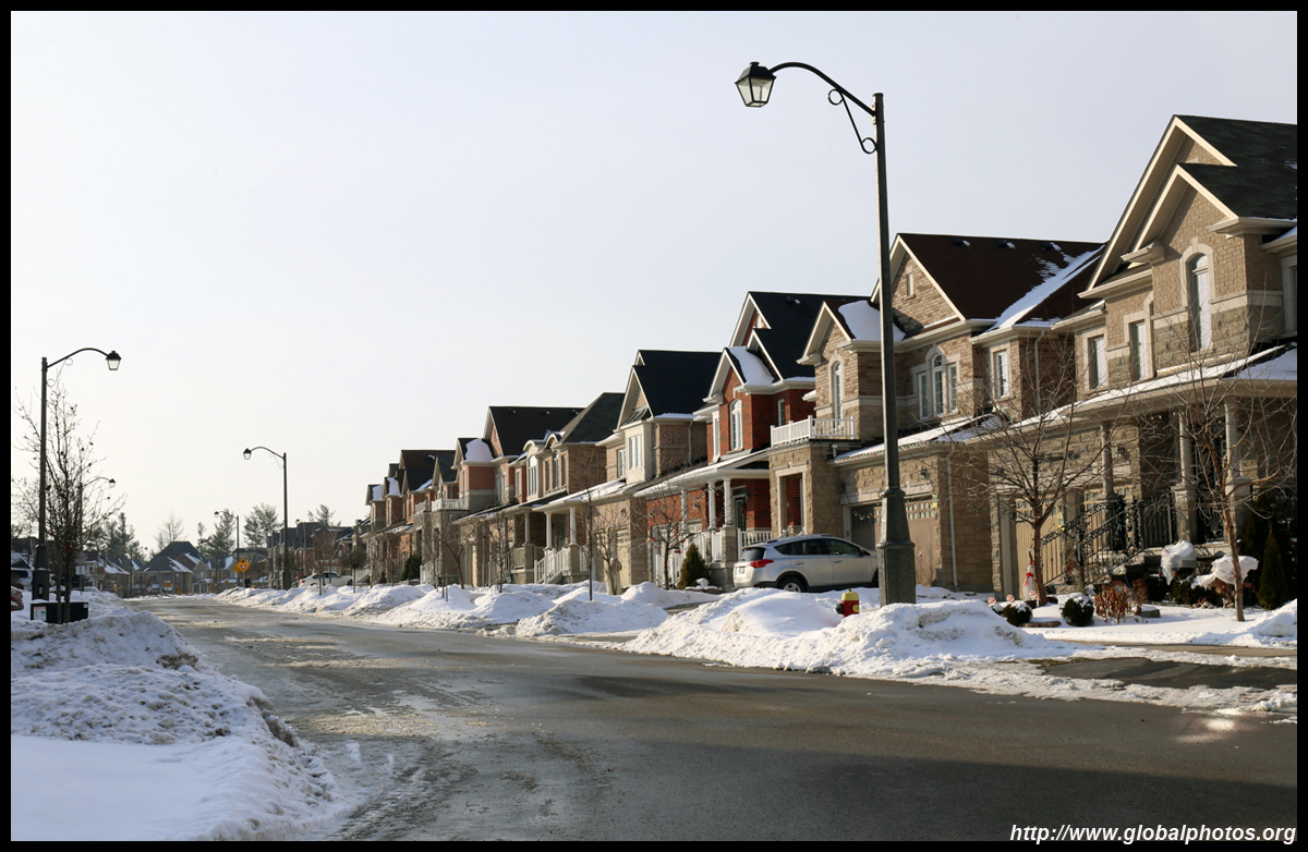
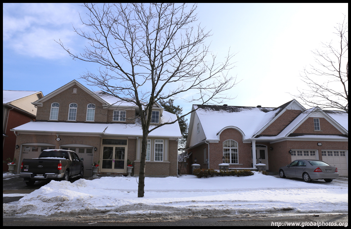
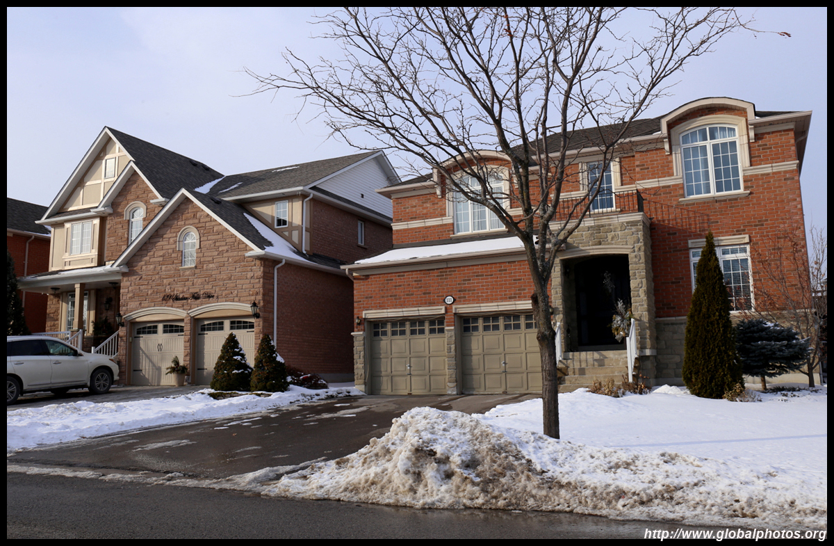
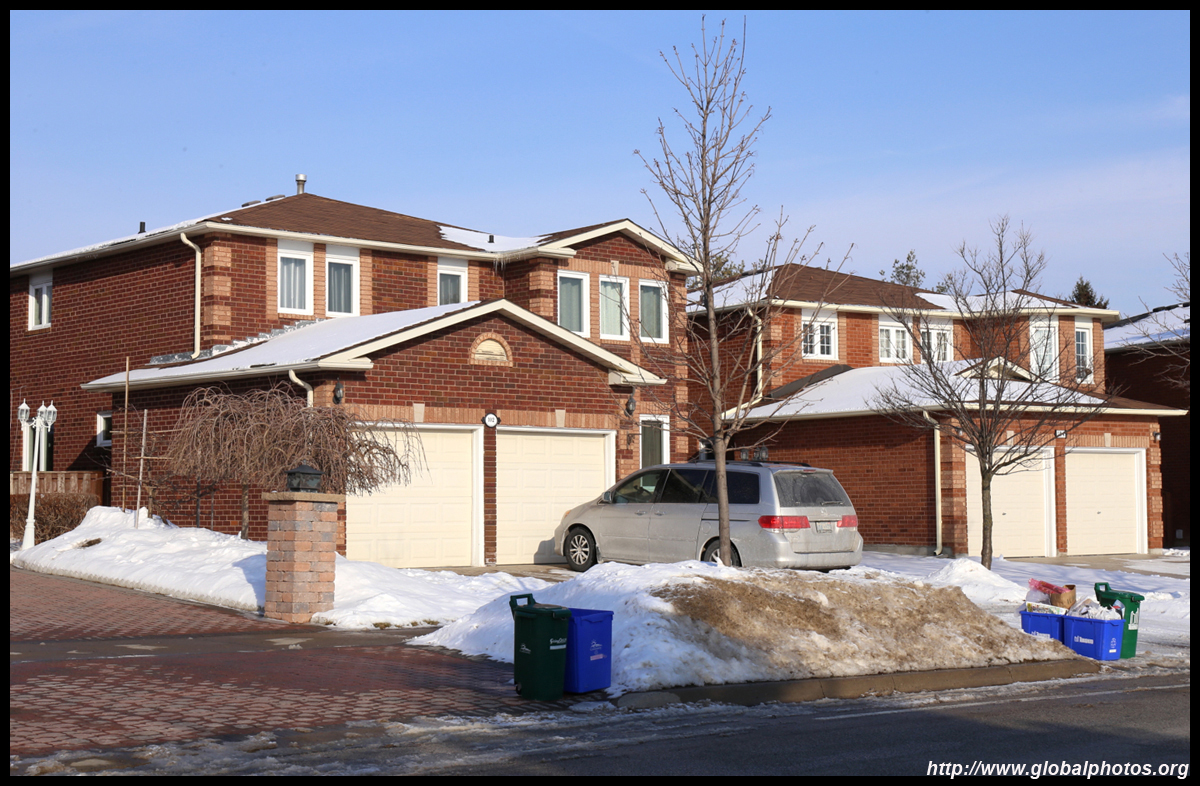
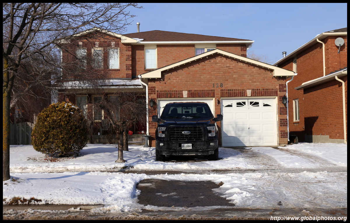
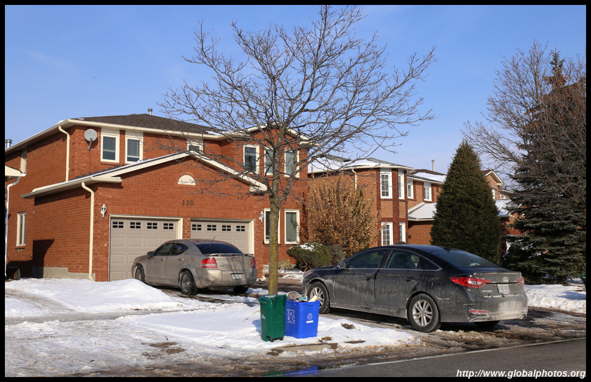
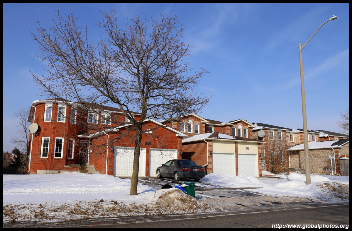
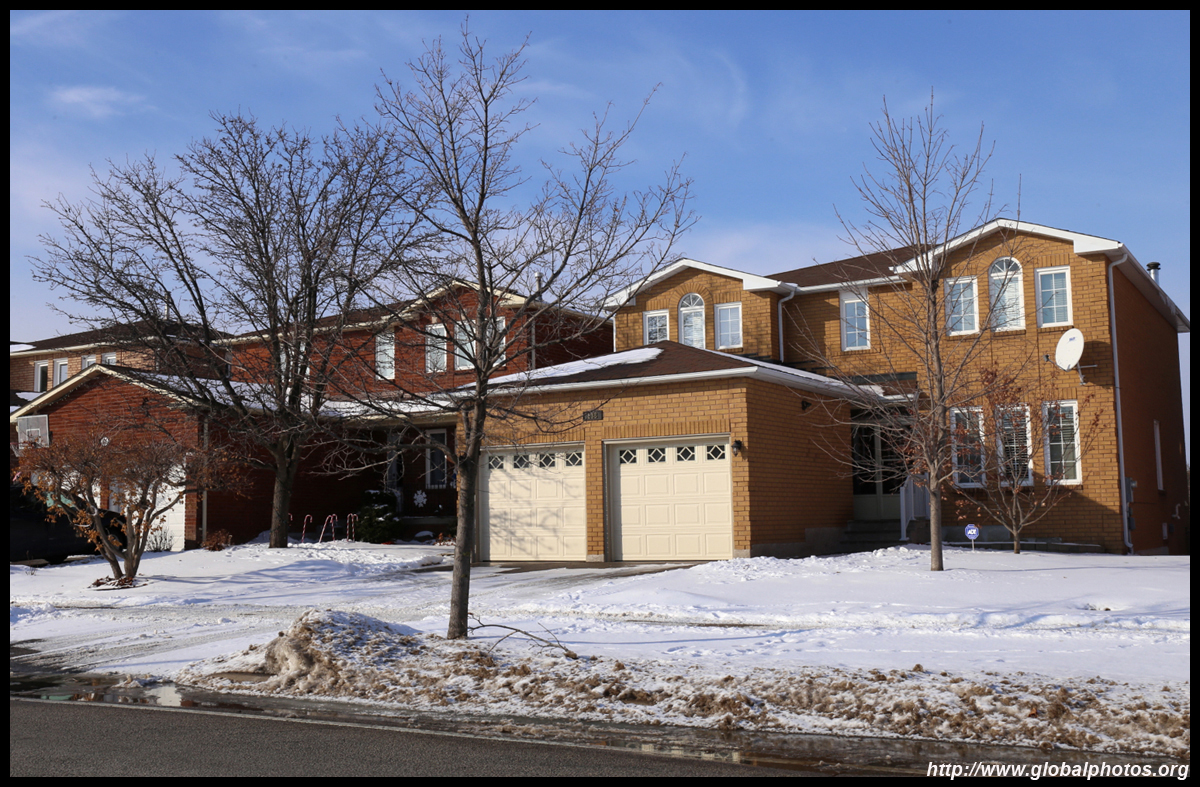
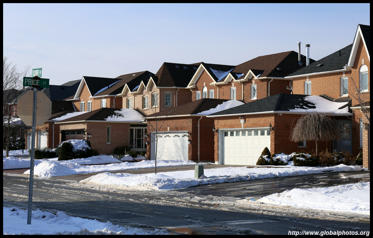
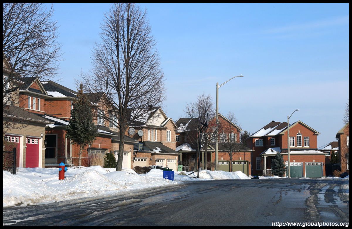
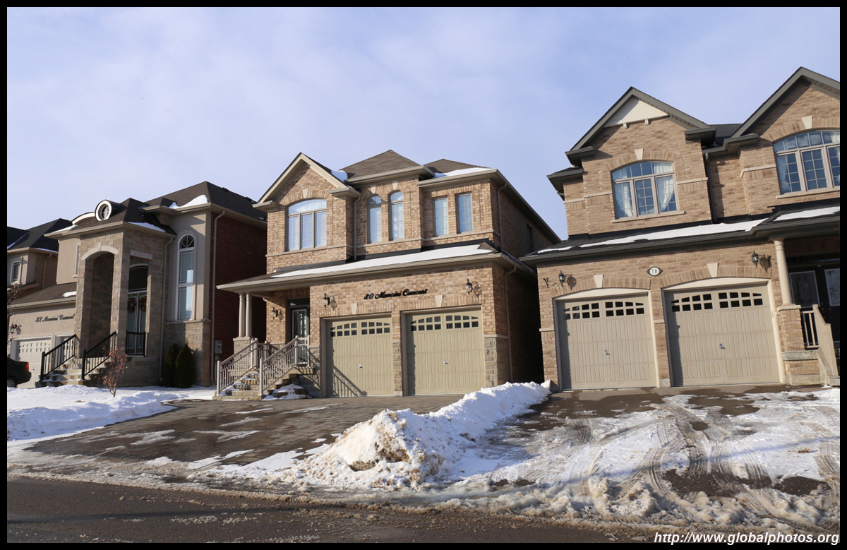
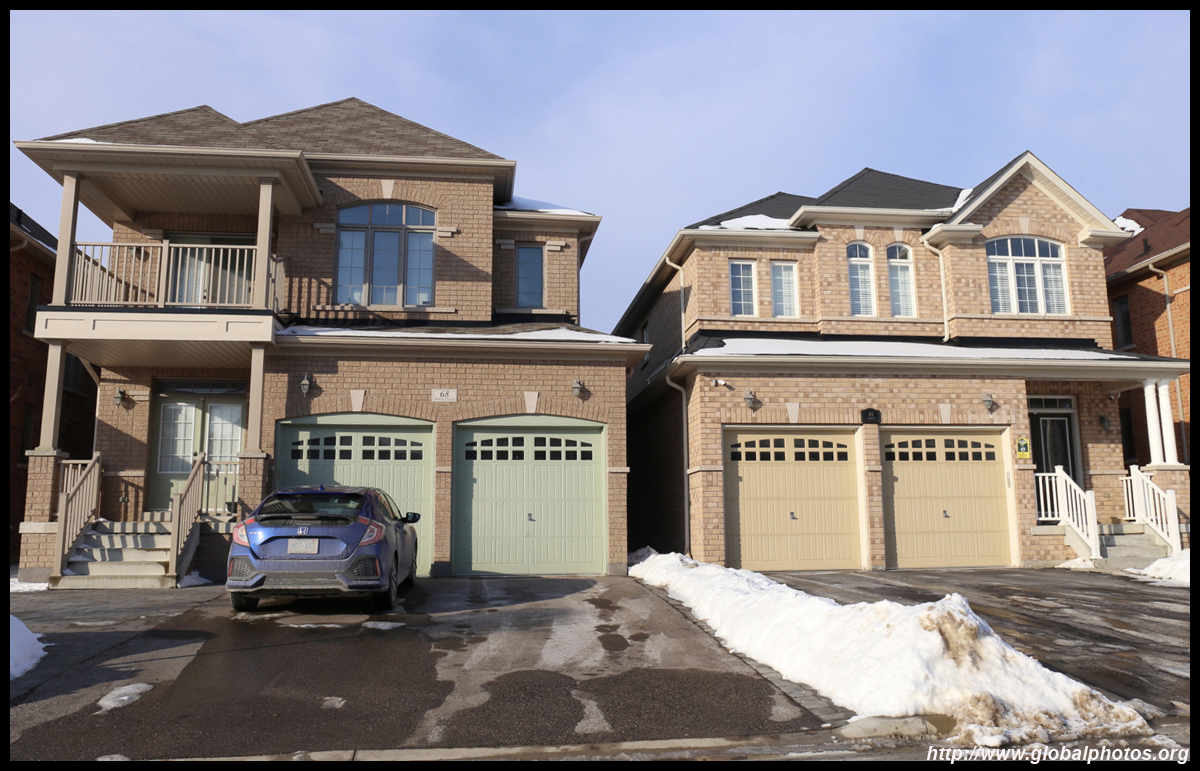
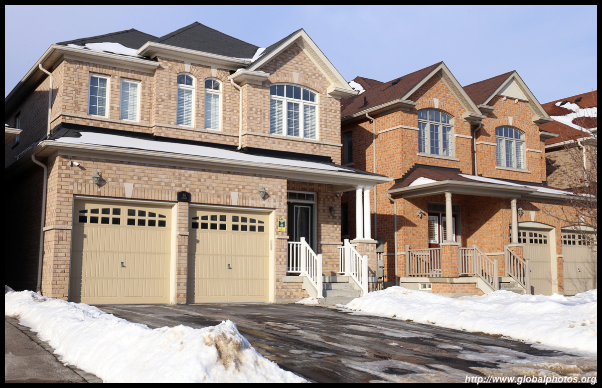
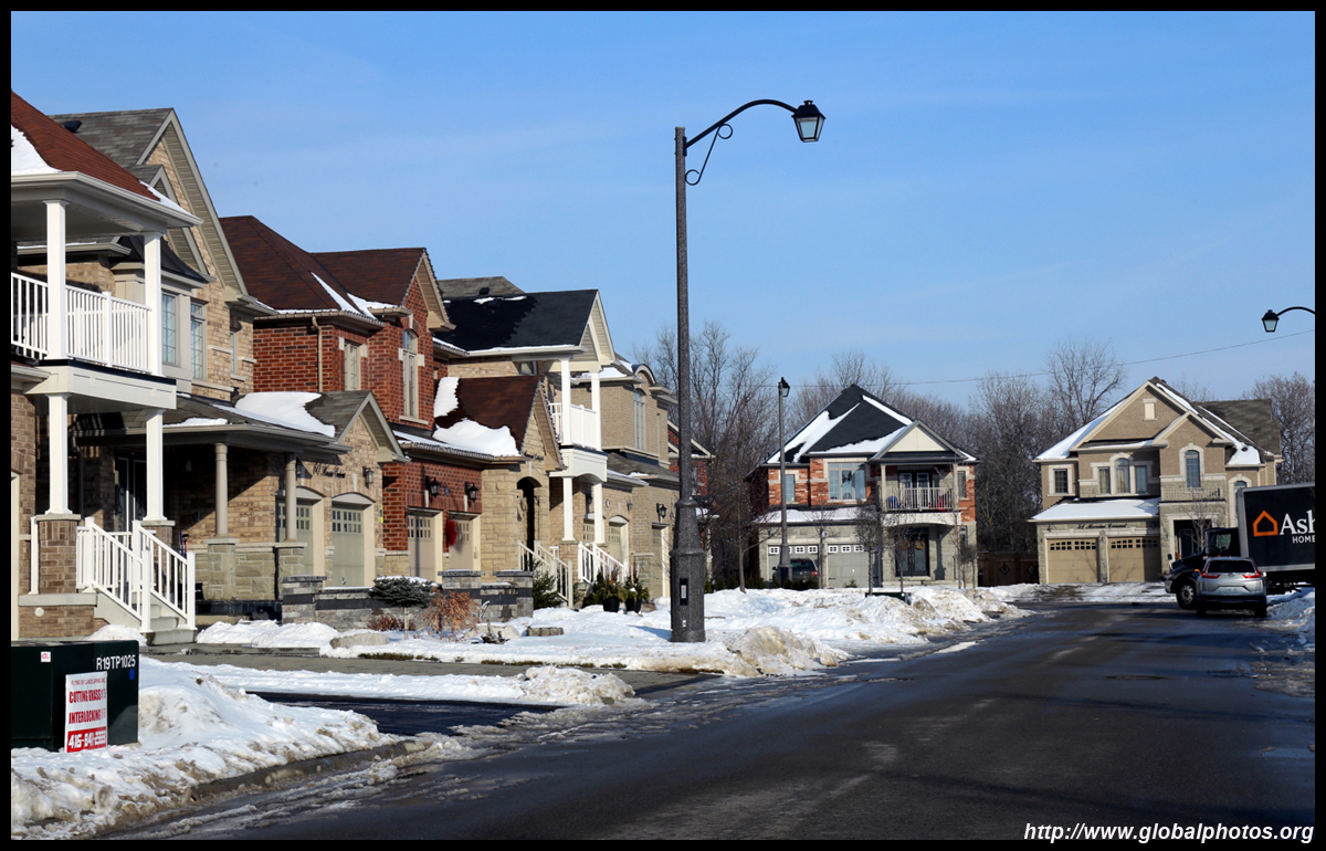
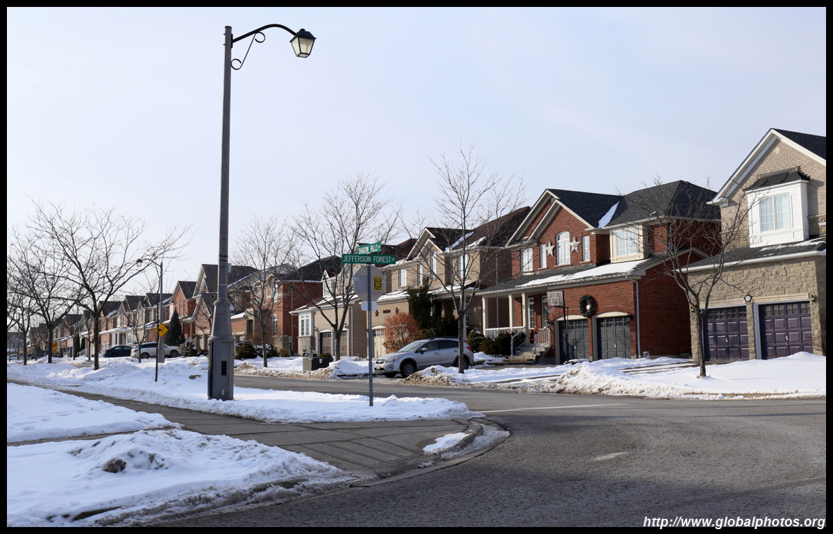
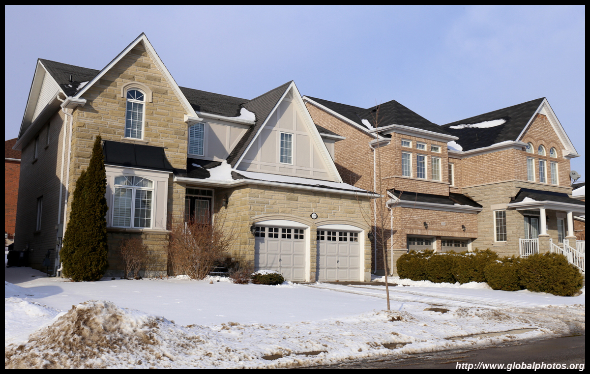
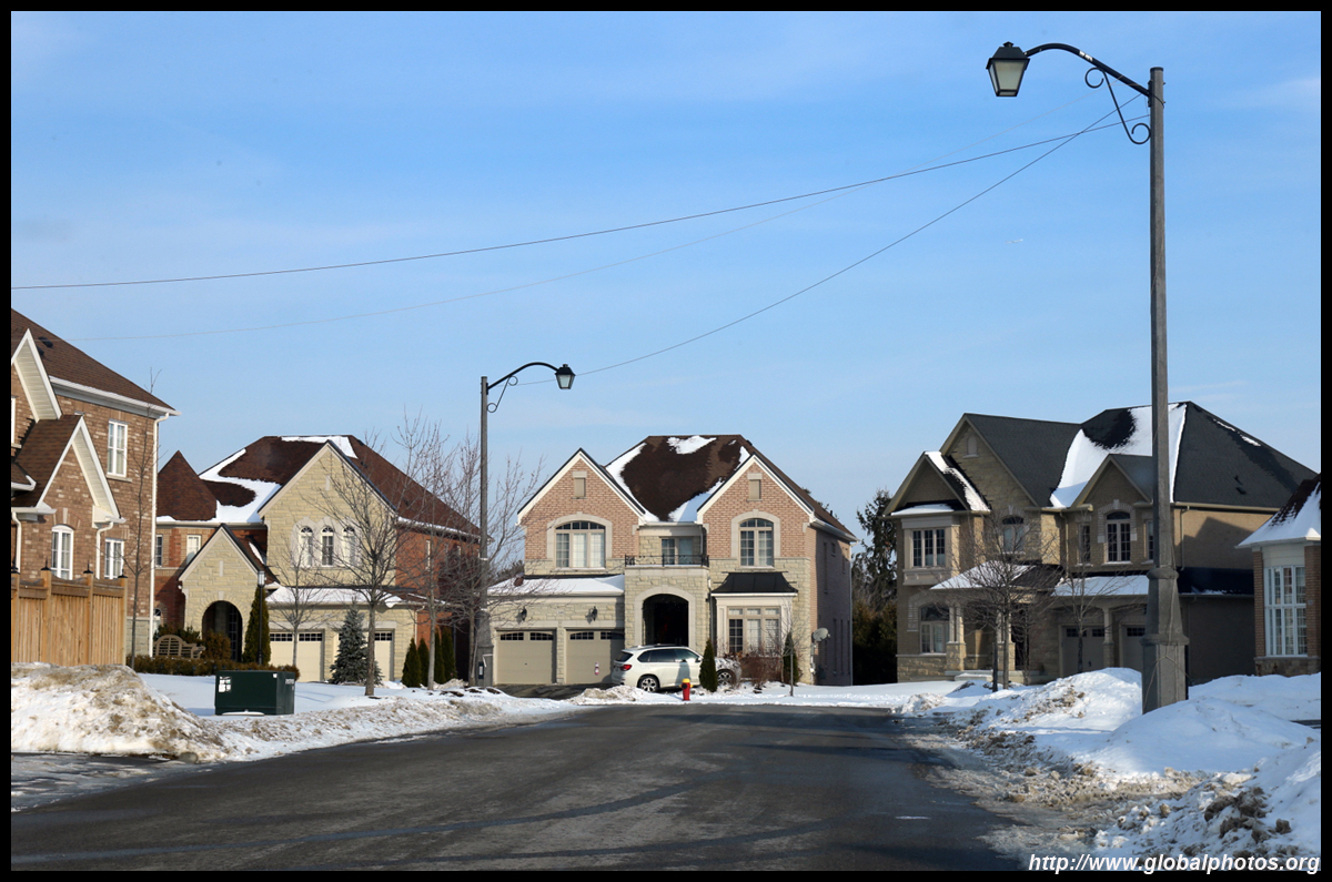
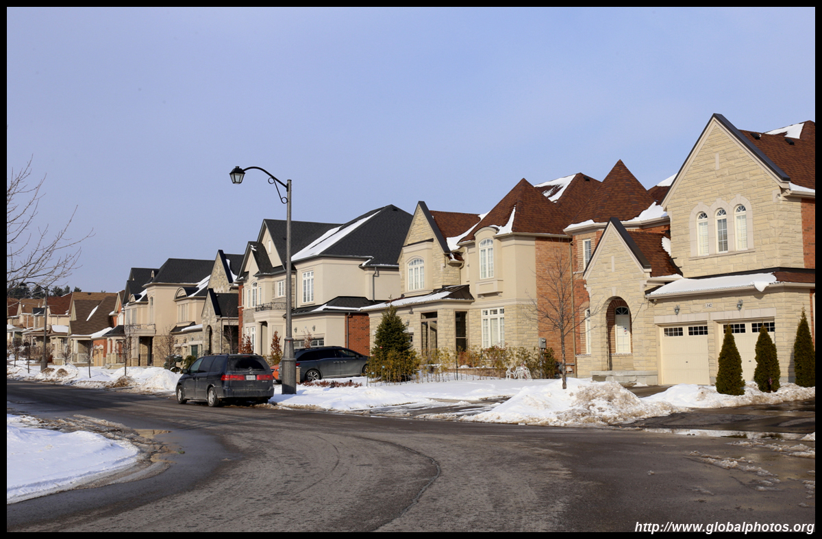
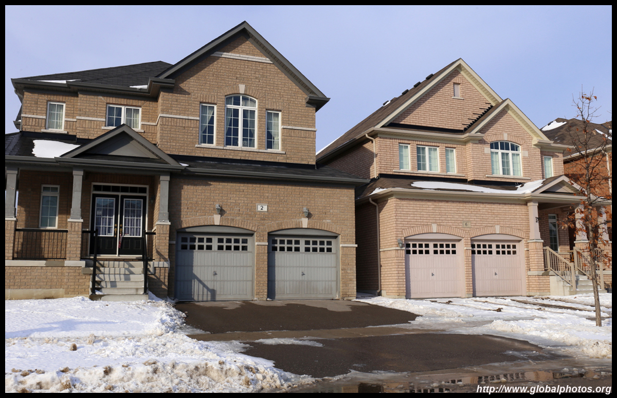
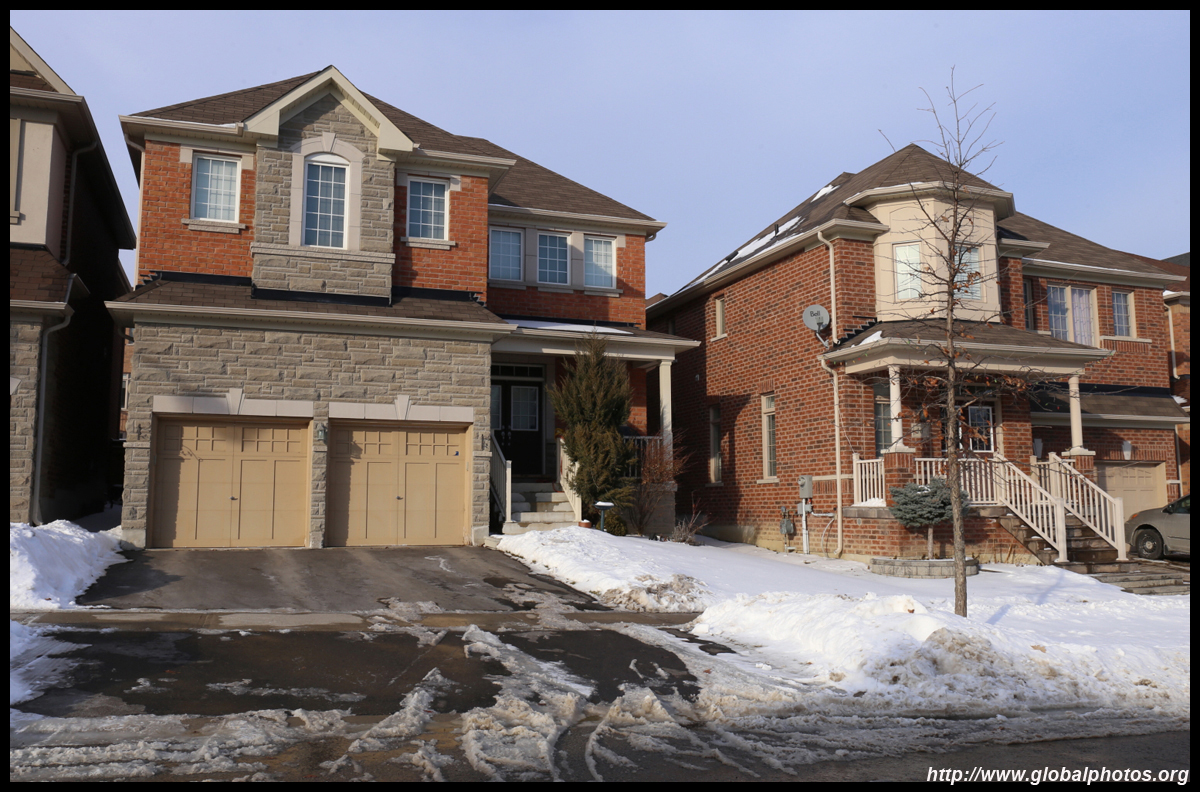
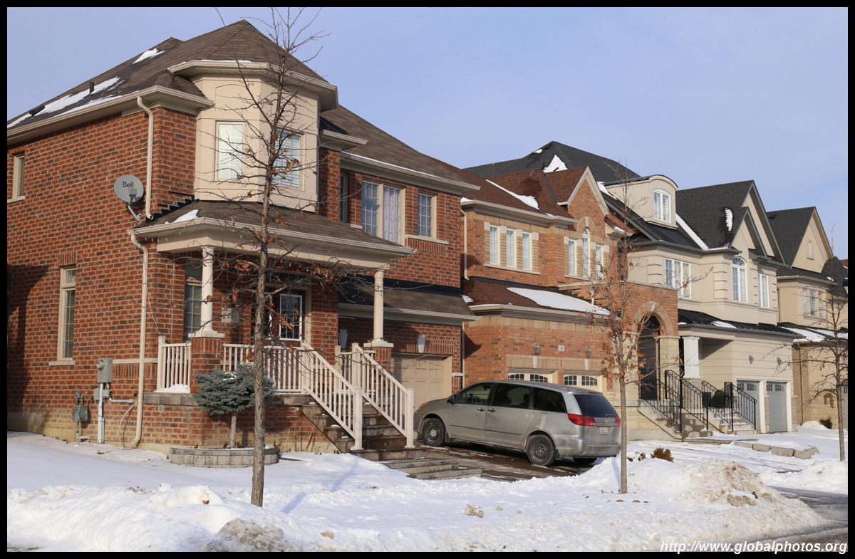
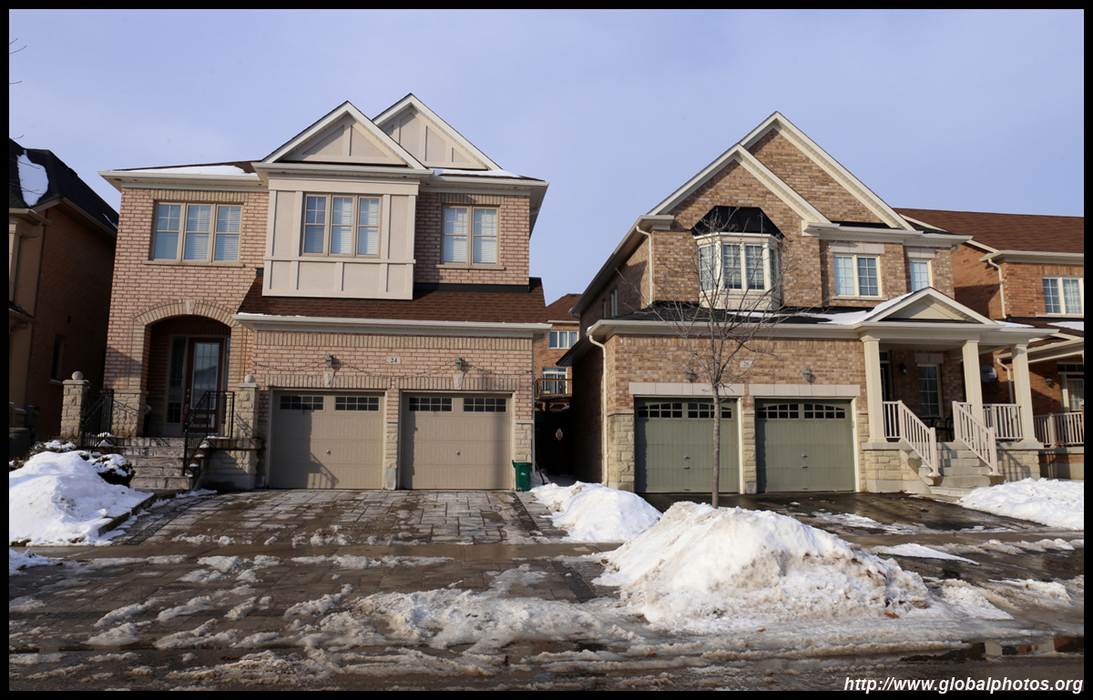
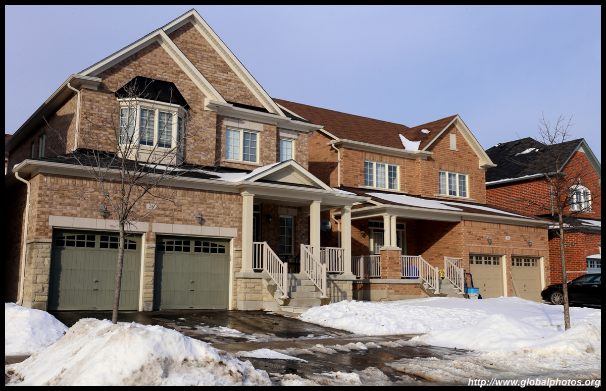
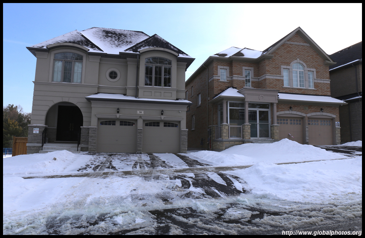
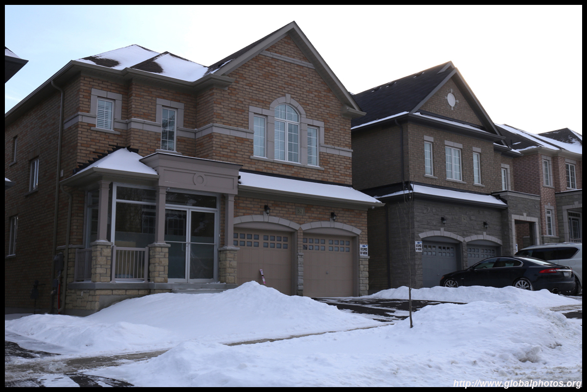
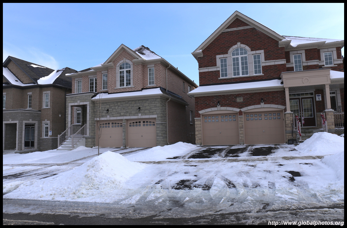
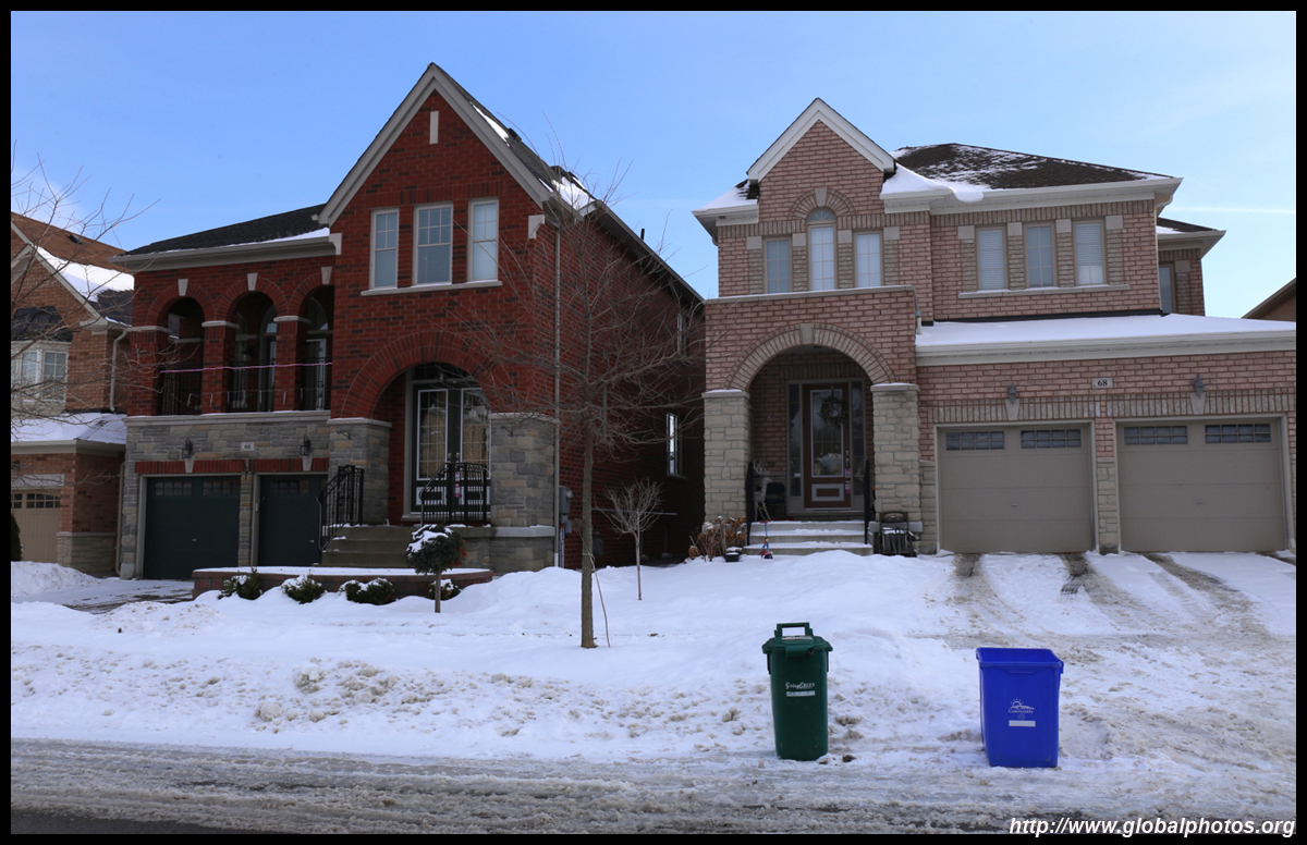
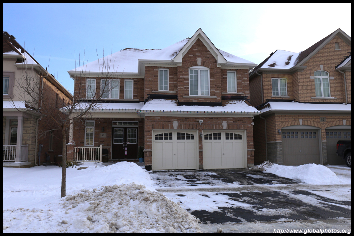
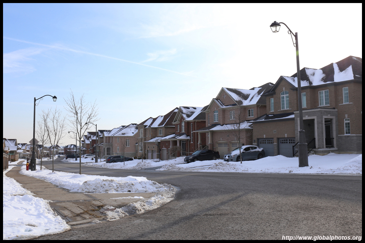
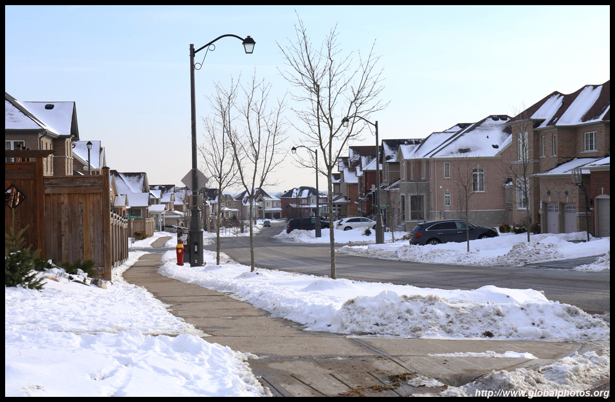
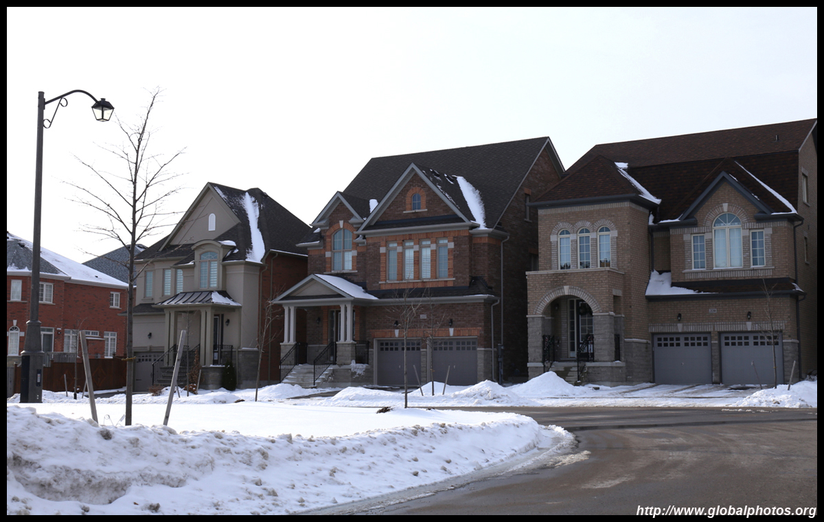
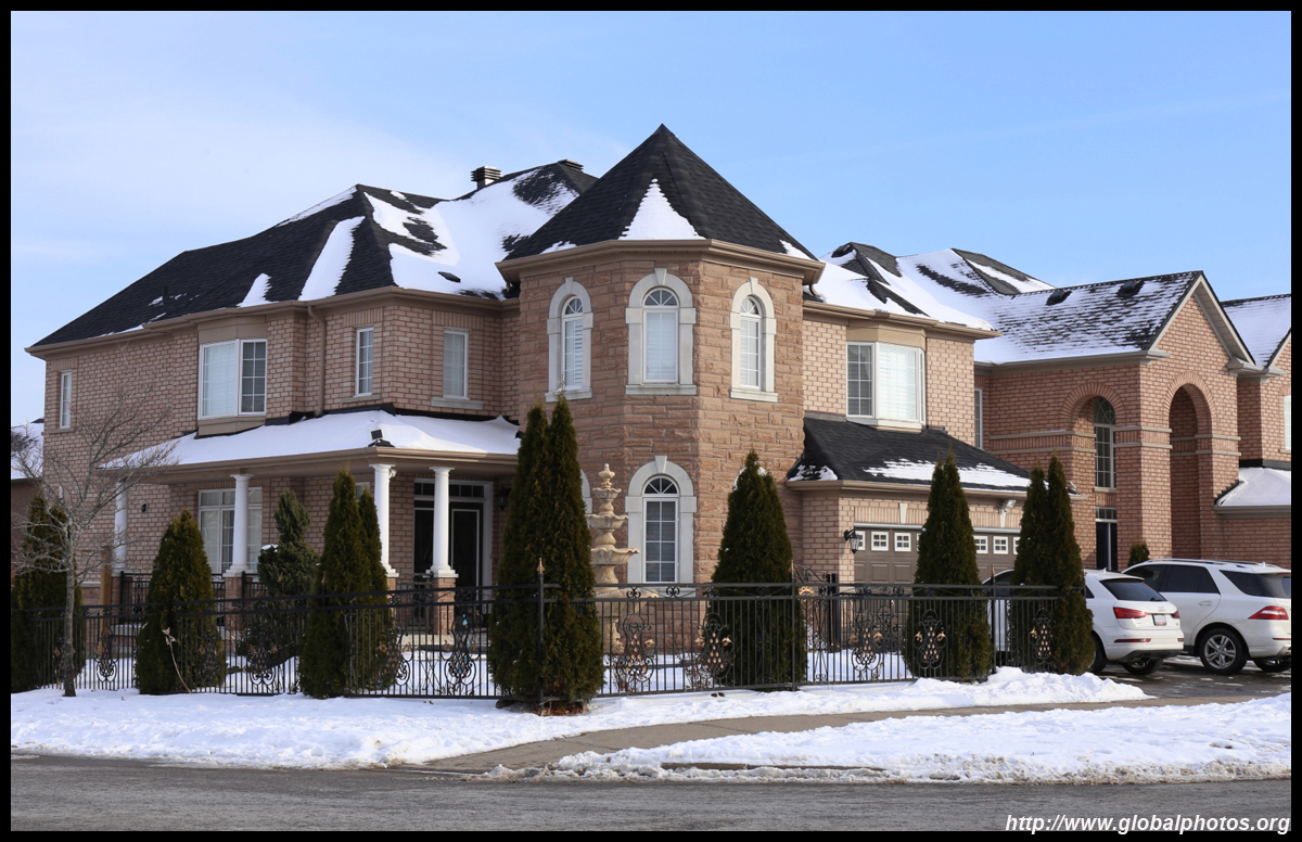
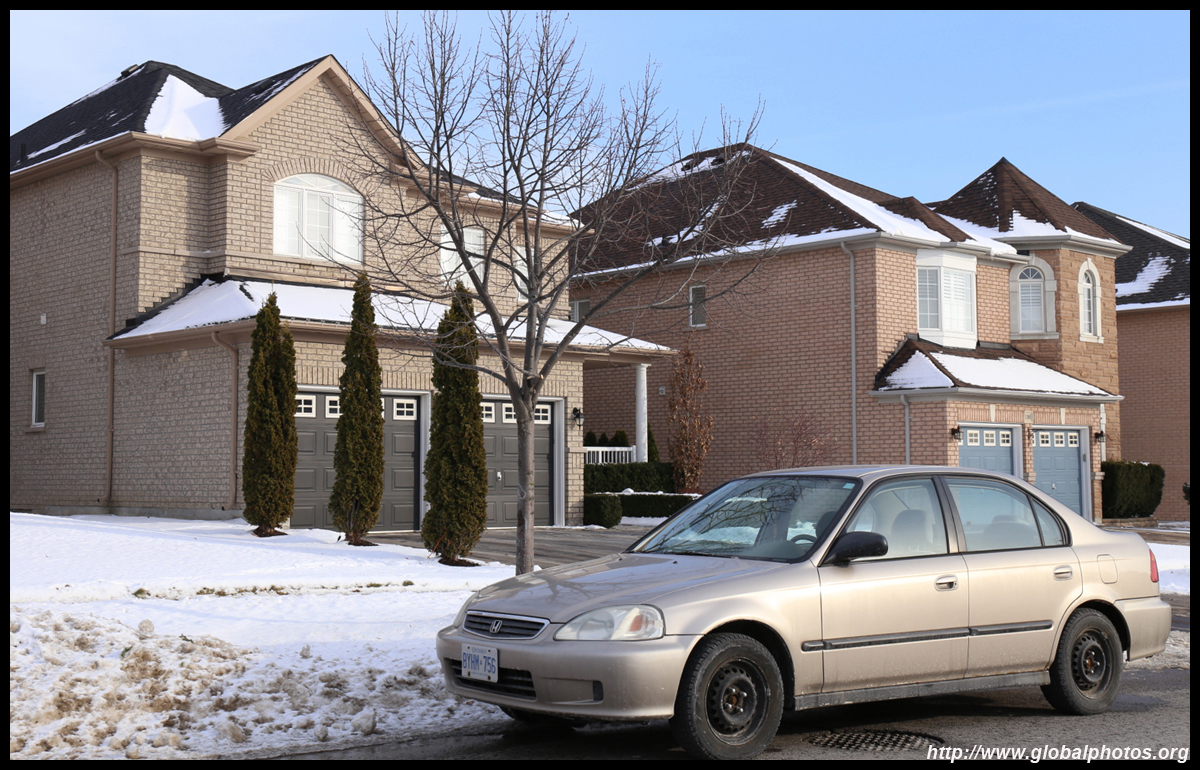
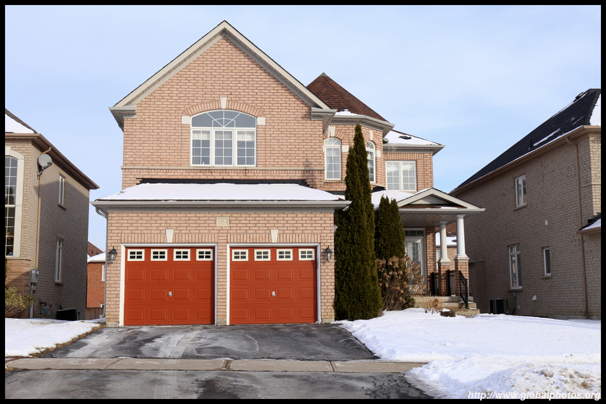
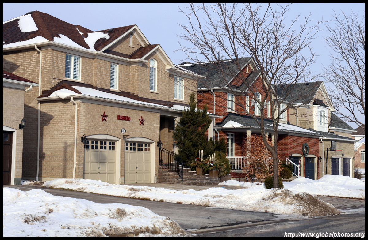
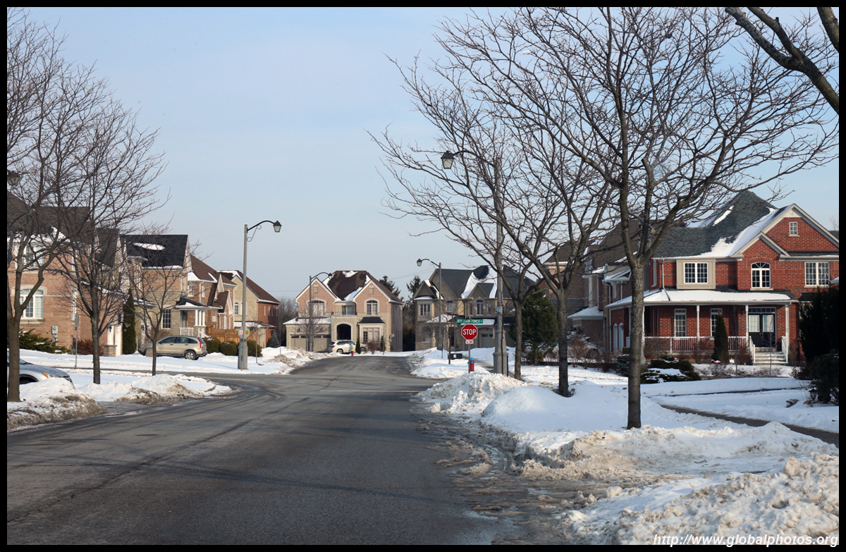
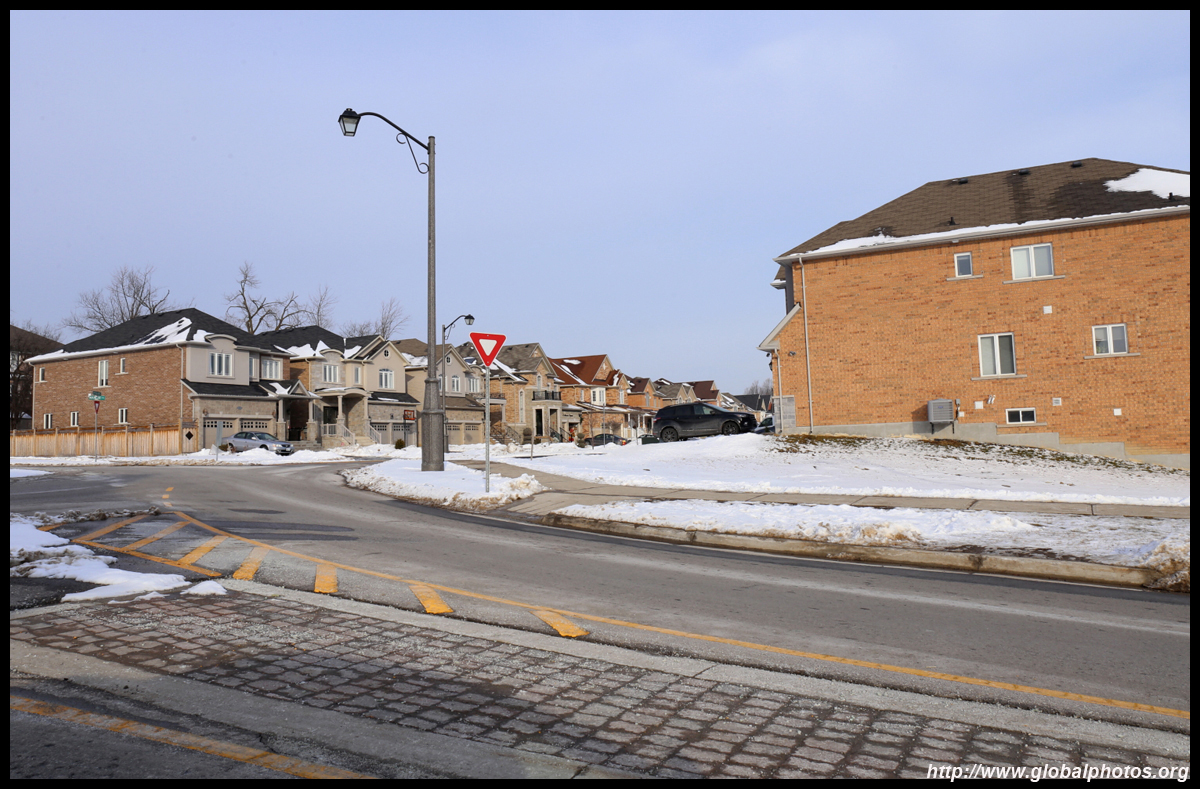
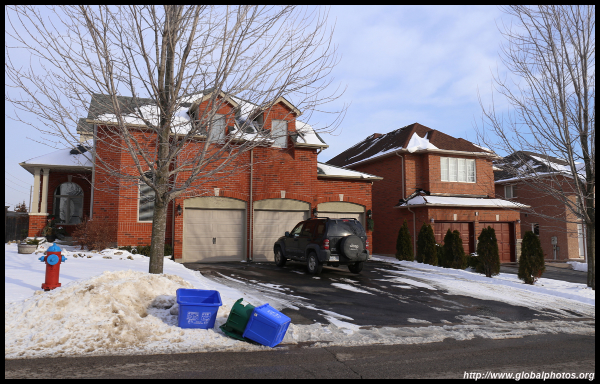
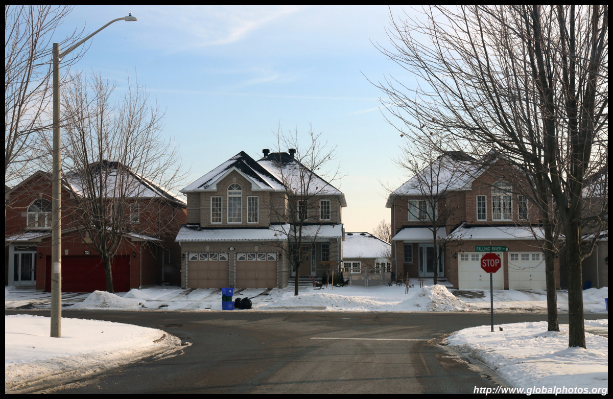
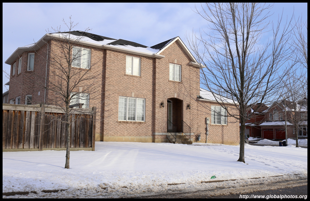
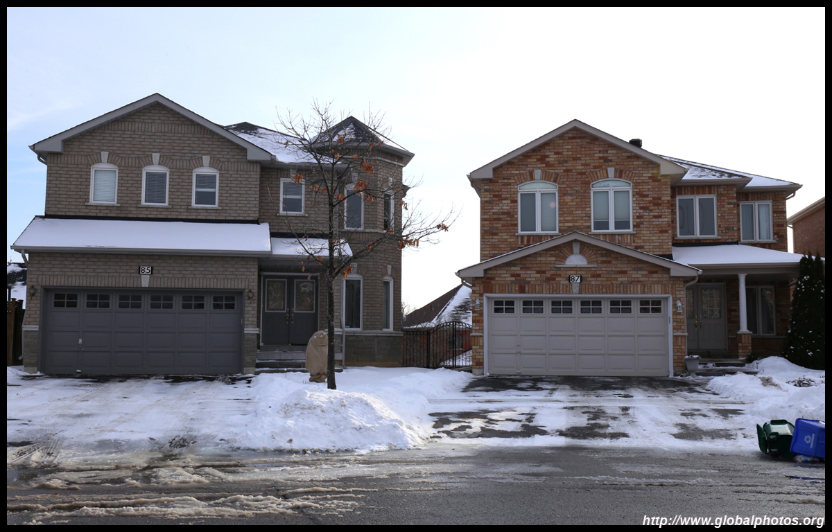
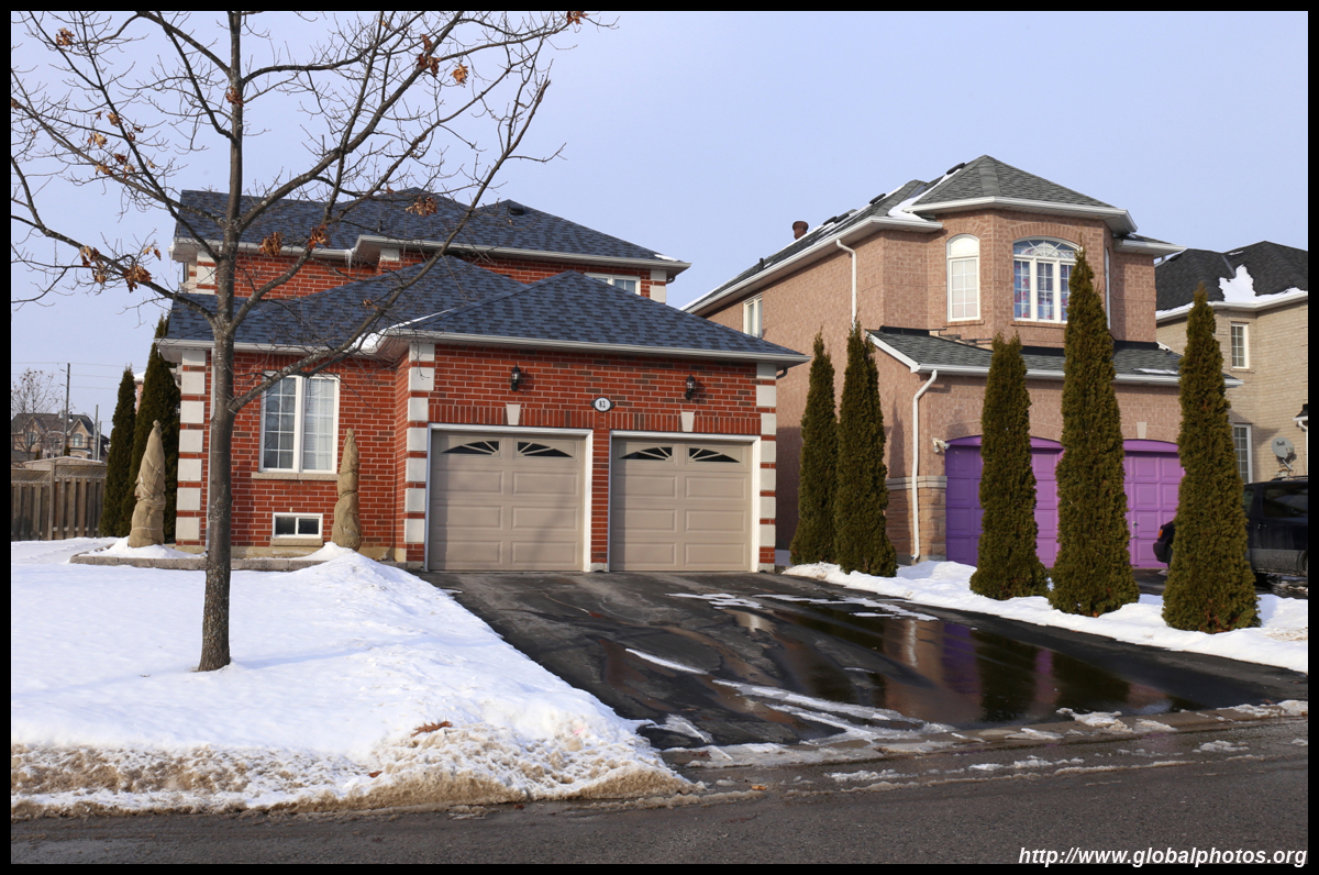
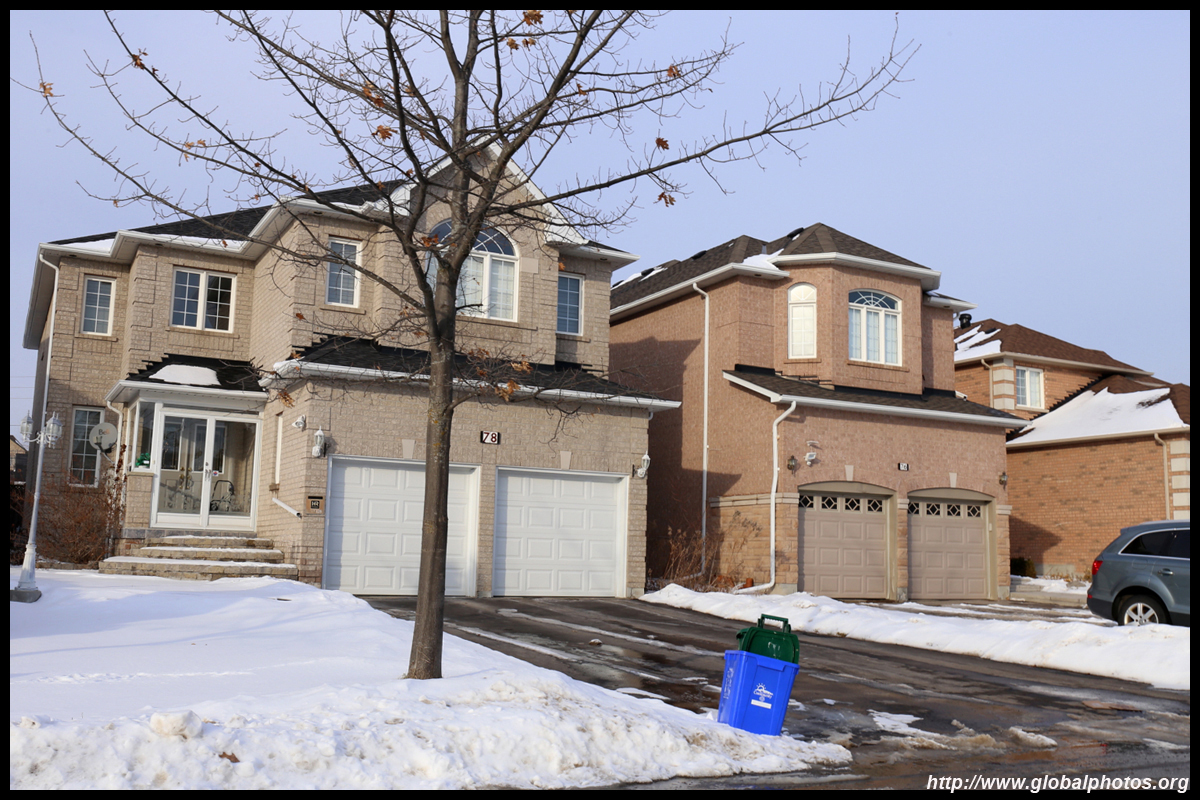
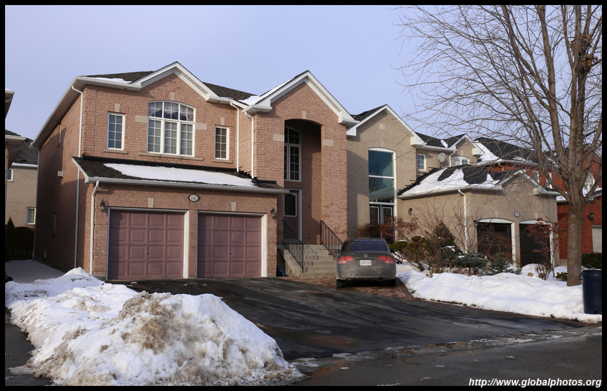
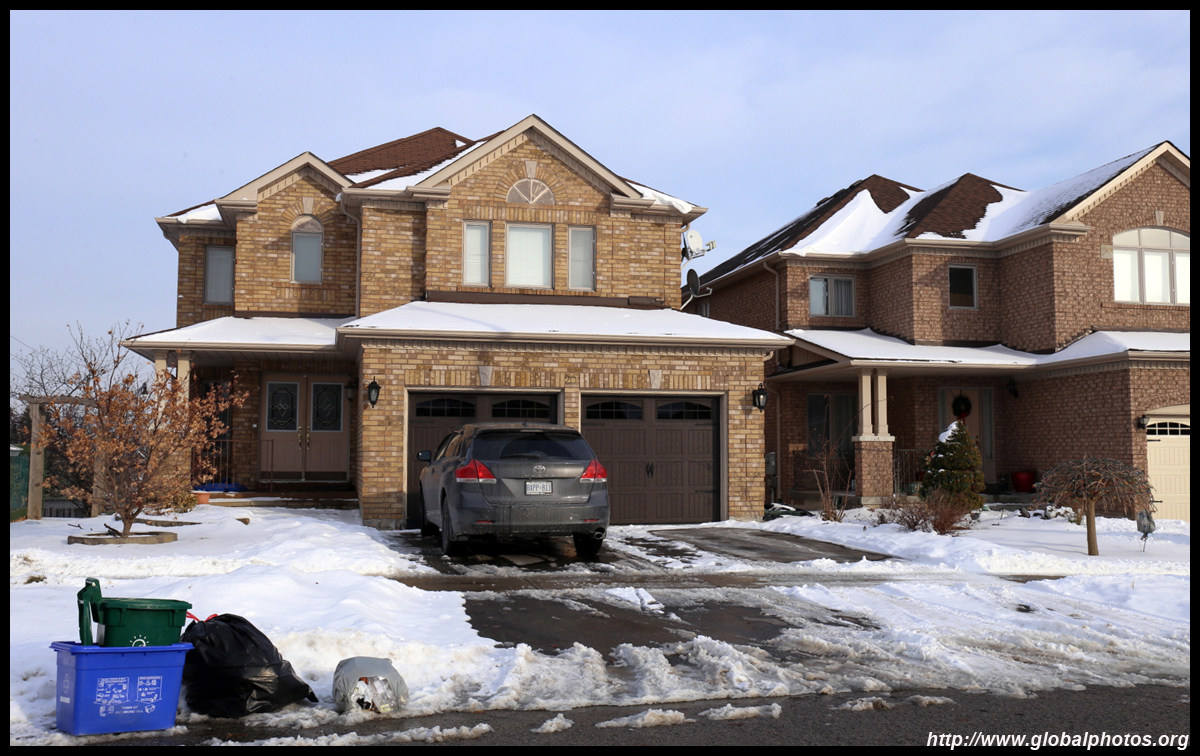
Richmond Hill is now a major suburb spanning over 101 square kilometres and is home to about 200,000 people. It has a diverse visible minority population with a large Chinese community of over 46,000.
| |||
 |
 |
 |
 |
 |
 |
 |
 |
 |
 |
 |
 |
 |
 |
 |
 |
| |||
 |
 |
 |
 |
 |
 |
 |
 |
 |
 |
 |
 |
 |
 |
 |
 |
| |||
 |
 |
 |
 |
 |
 |
 |
 |
 |
 |
 |
 |
 |
 |
 |
 |
| |||
 |
 |
 |
 |
 |
 |
 |
 |
 |
 |
 |
 |
 |
 |
 |
 |
| |||
 |
 |
 |
 |
 |
 |
 |
 |
 |
 |
 |
 |
 |
 |
 |
 |
| |||
 |
 |
 |
 |
 |
 |
 |
 |
 |
 |
 |
 |
 |
 |
||