Hong Kong Photo Gallery - Lung Ha Wan Country Trail

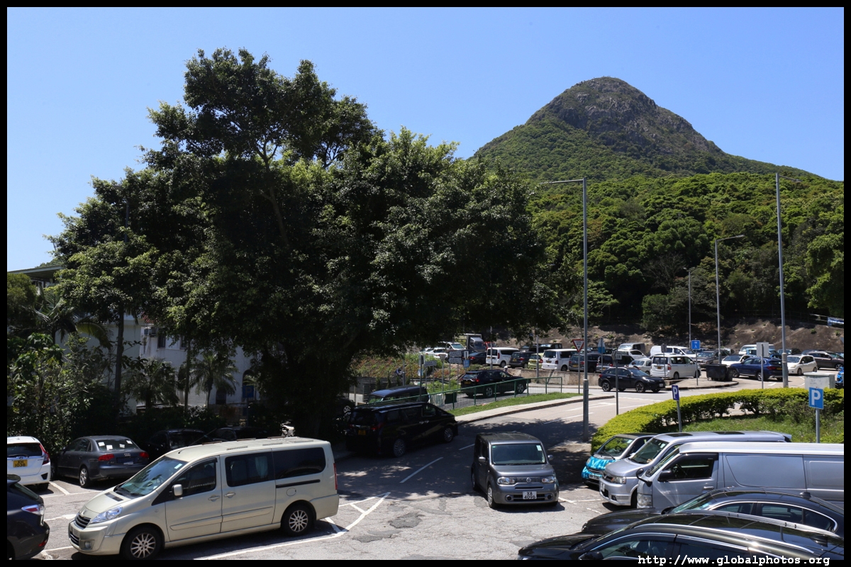
Lung Ha Wan Country Trail is a relatively easy hike with marvellous views of Sai Kung. I suggest heading from south to north. While the initial climb is steep and strenuous, it is short and you will gradually descend back to sea level.Take bus route 91 from Diamond Hill and get off at Tai Au Mun. Continue down Clear Water Bay Road for about 1.5km all the way to the end.
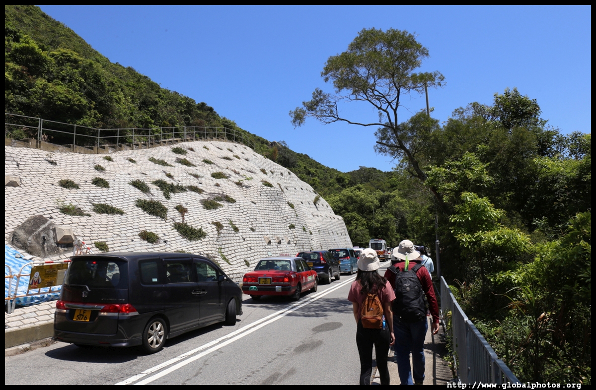
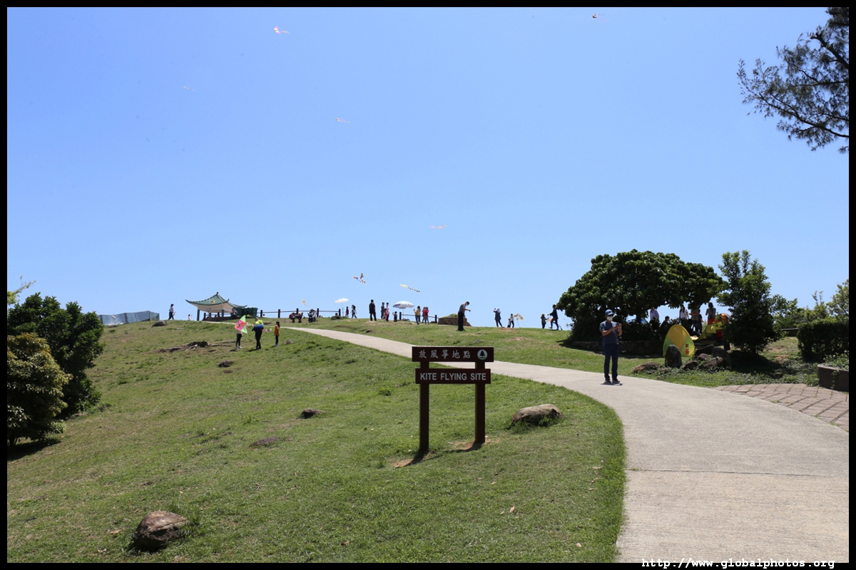
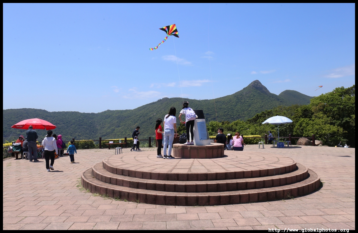
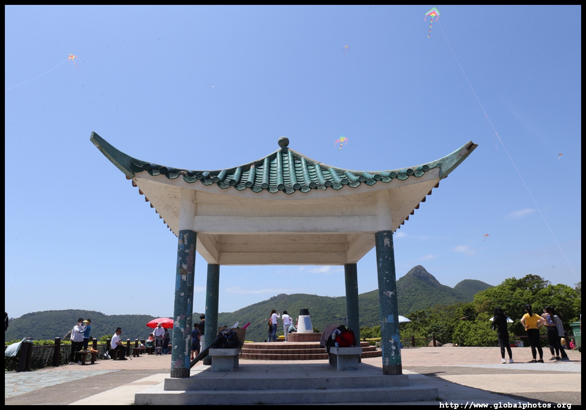
Although this hike is not the most famous even among locals, it seems a lot of hikers have already done the top routes and are hunting around for more off-the-beaten track trails. Perhaps that's why so few people got off the bus for High Junk Peak a few stops earlier. At the end of the road is a lovely park with a kite-flying zone, and with this area more popular than ever, traffic backed up for a bit and police were on hand to turn cars away.
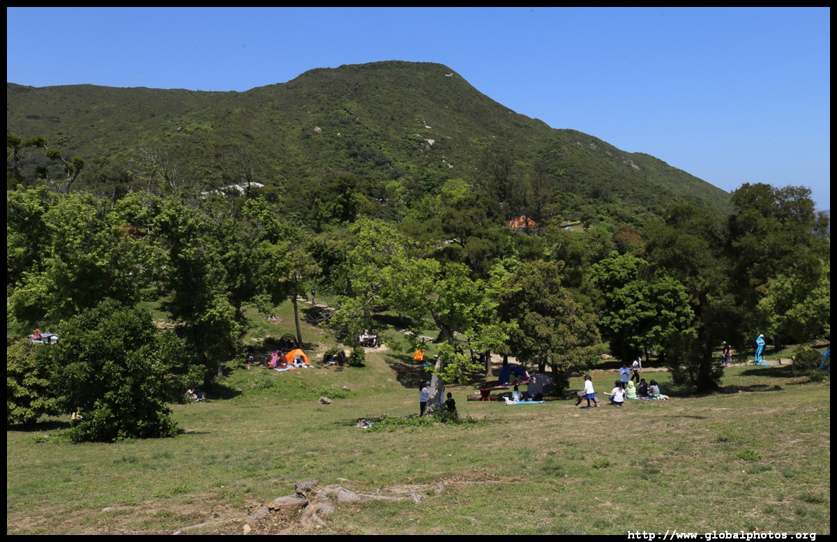
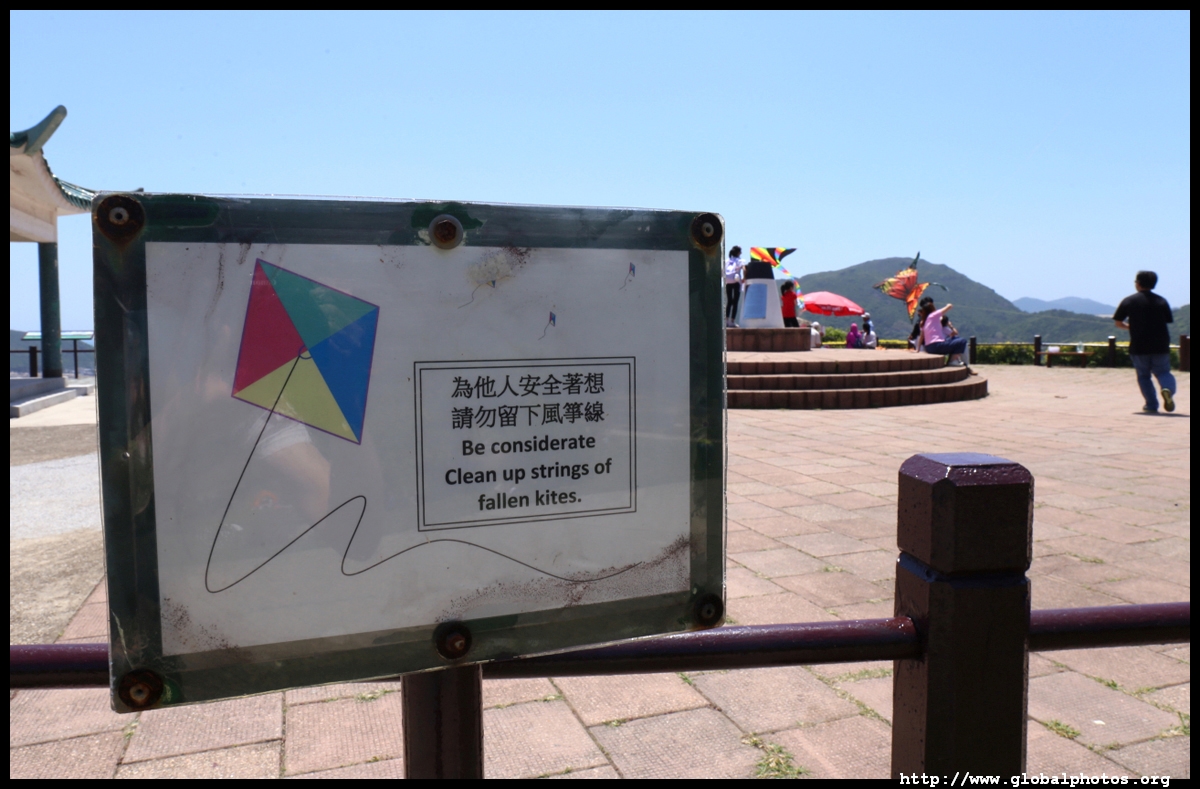
Clearwater Bay Country Park has barbecue areas, a lot of grassy flat lands for a pincic, public toilets, and lovely sea views. The media has reported due to the popularity of this location, there are many abandoned kites stuck on trees after their wires got cut during flight.
With many kite-flyers around and fearing their wires will drop and slice my neck off, I didn't stay in the flight zone for long although it commands a great view of the golf course and Po Toi O.
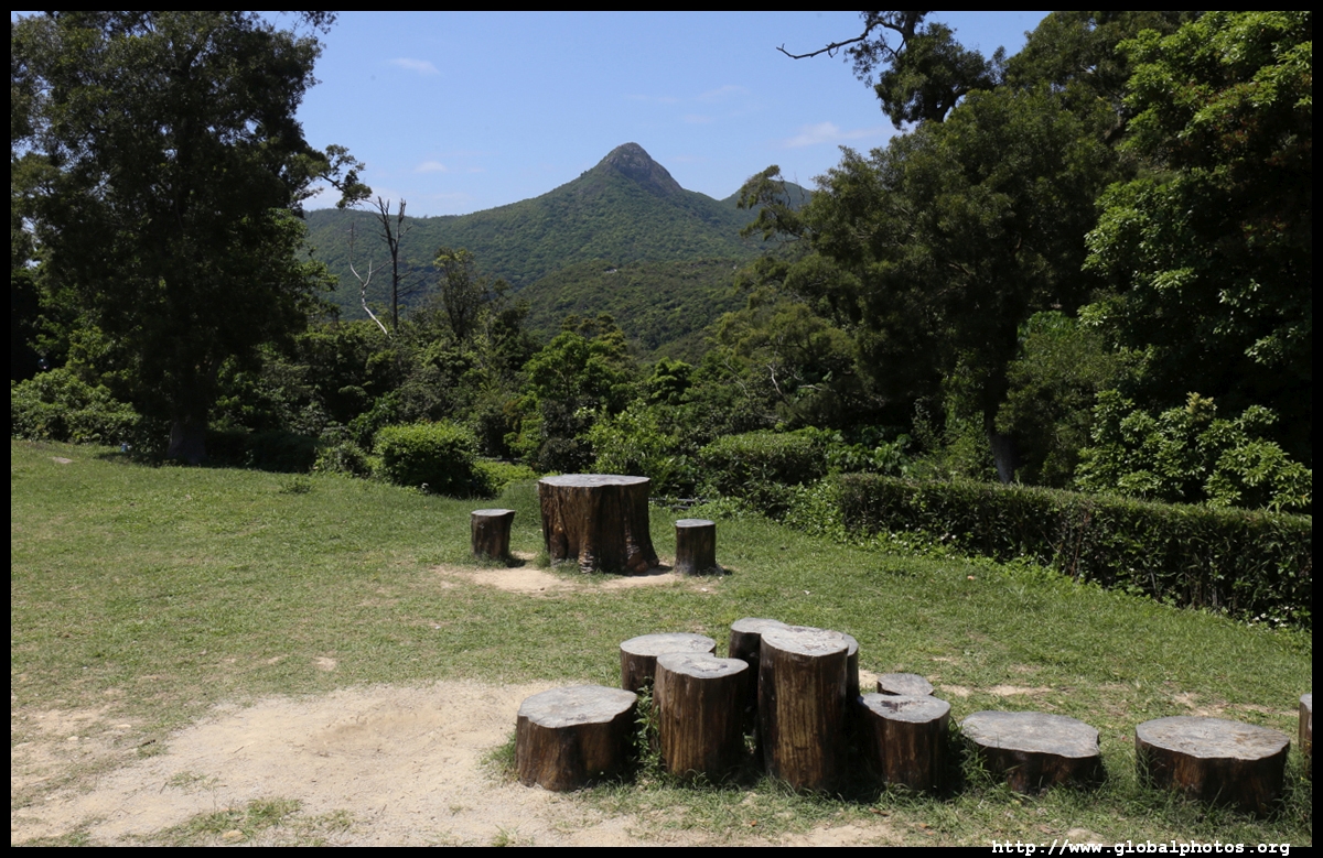
But there is plenty of space in this park without kites flying around.
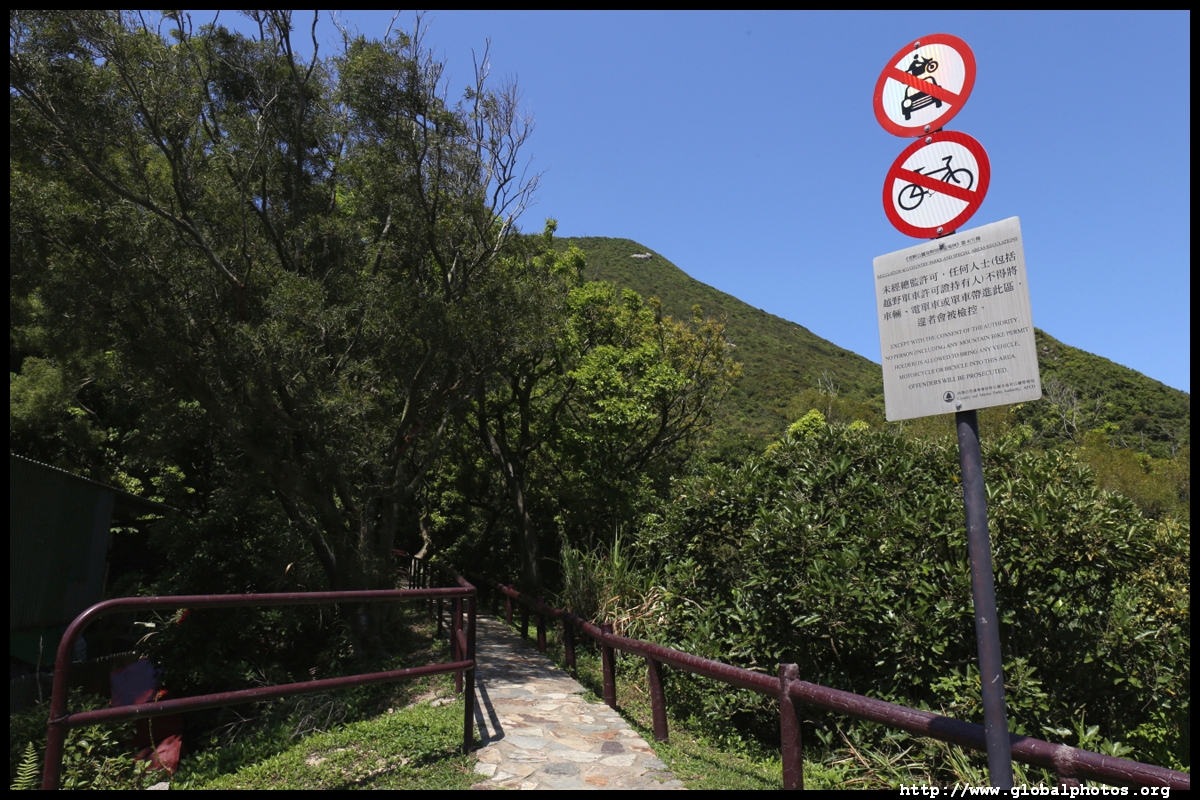
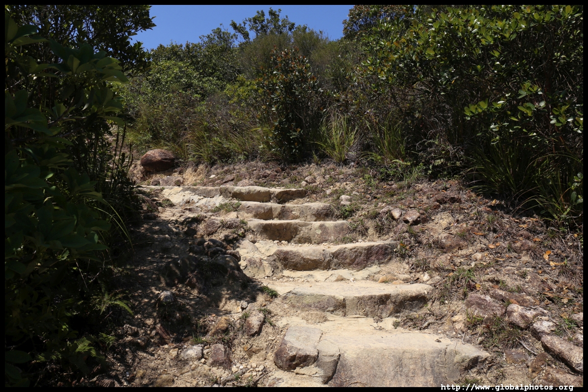
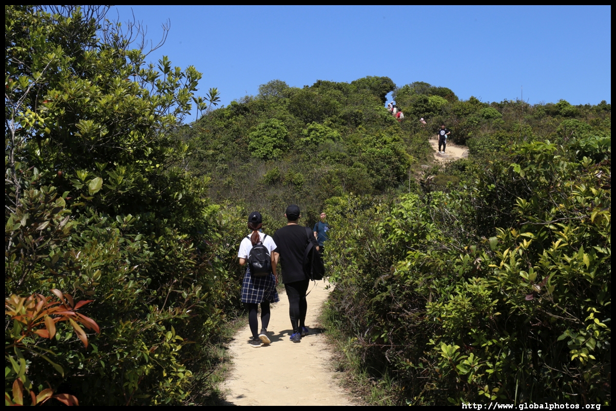
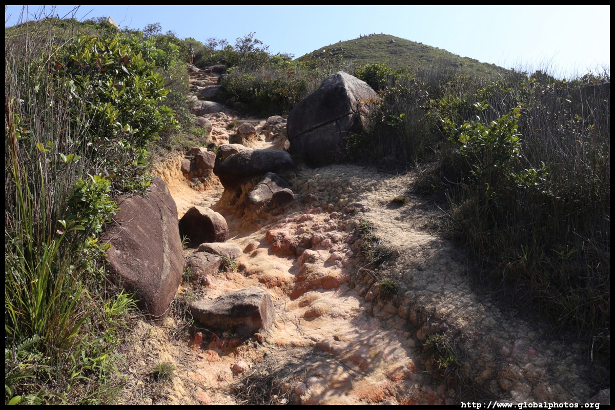
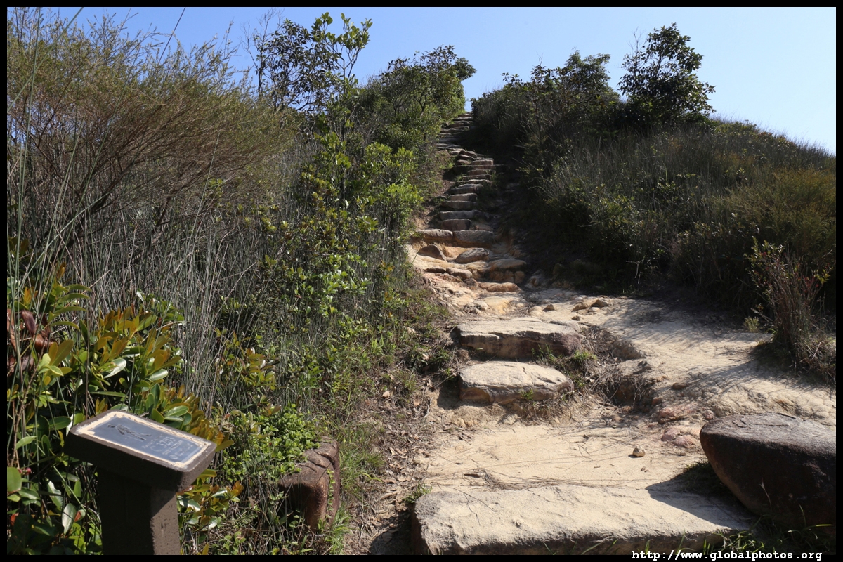
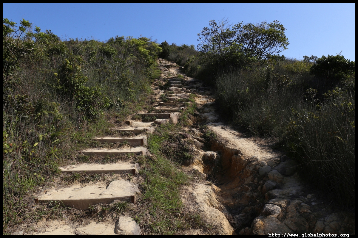
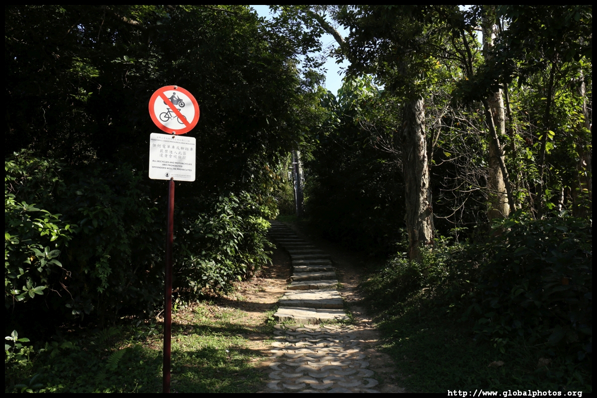
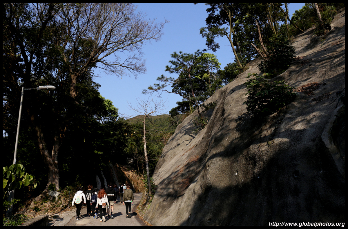
The hike up Lung Ha Wan starts near the car park.
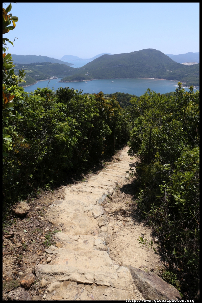
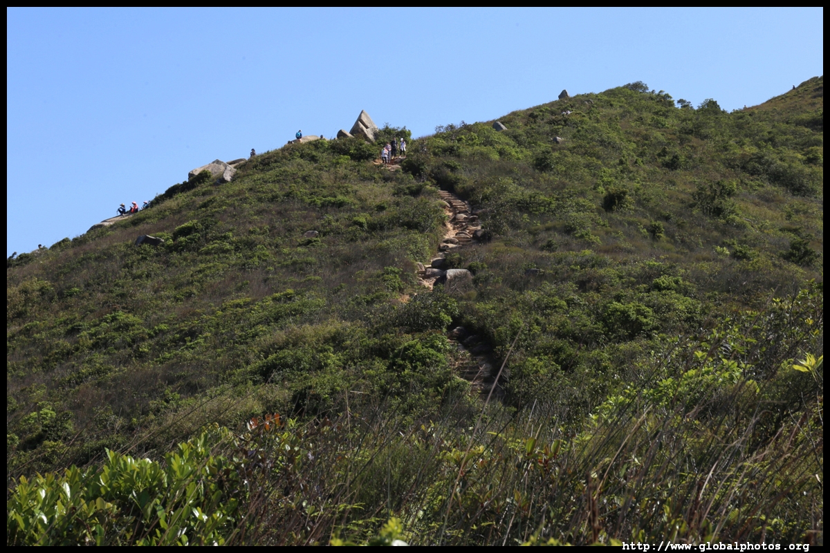
The staircase is long and mostly exposed. This is the most stressful and physically straining part of the journey but do turn around and see the view get gradually better.
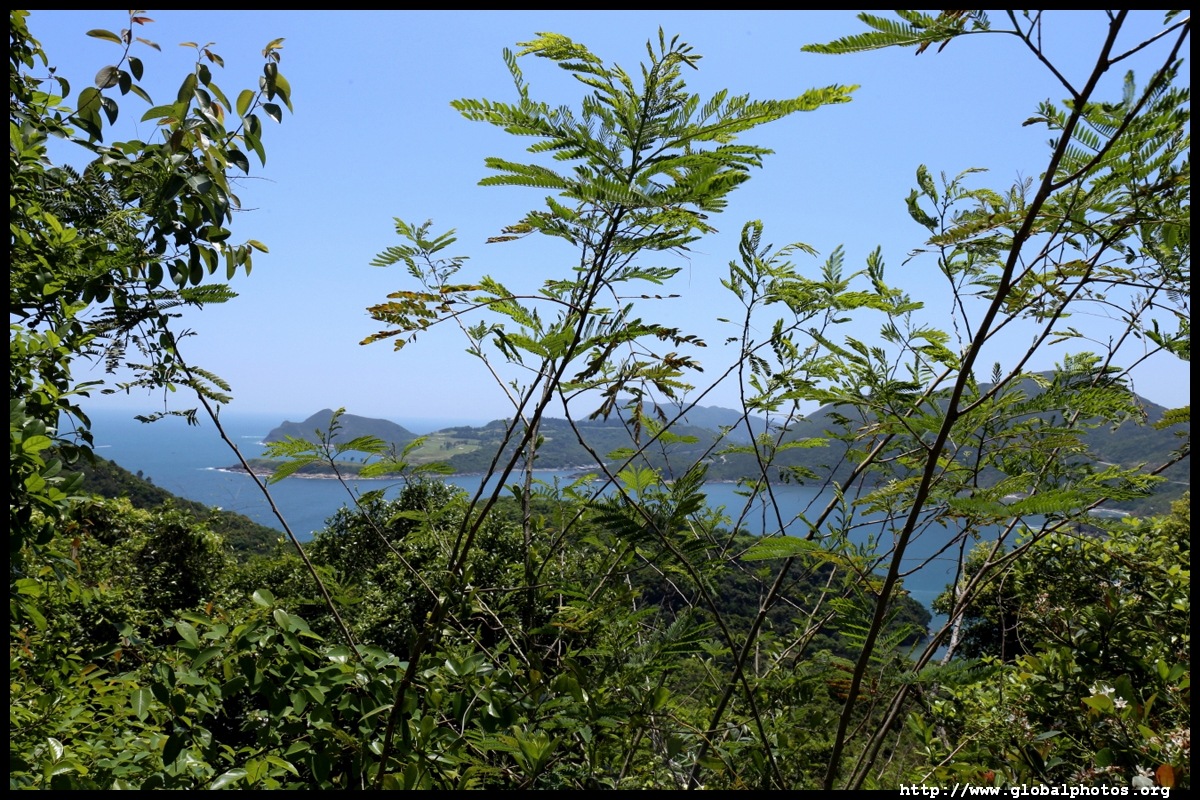
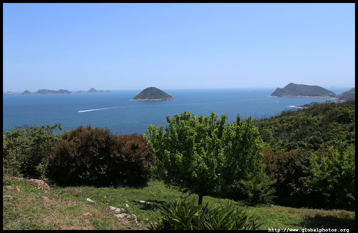
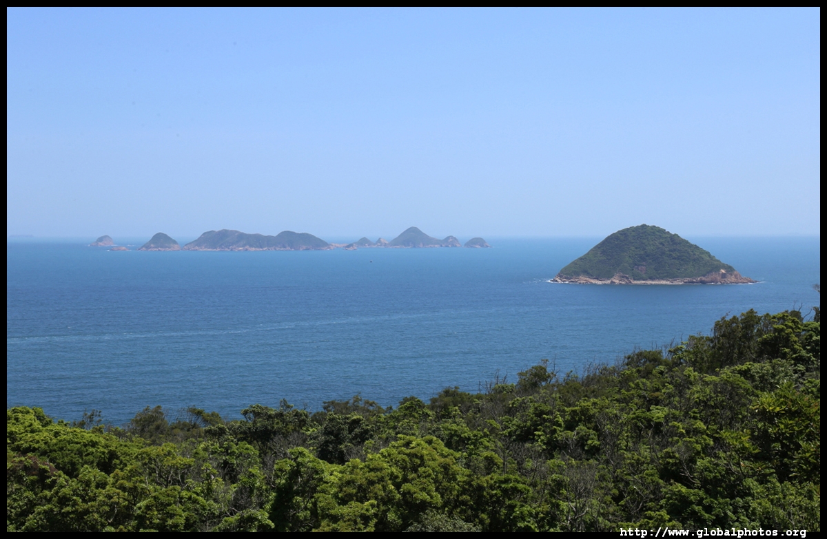
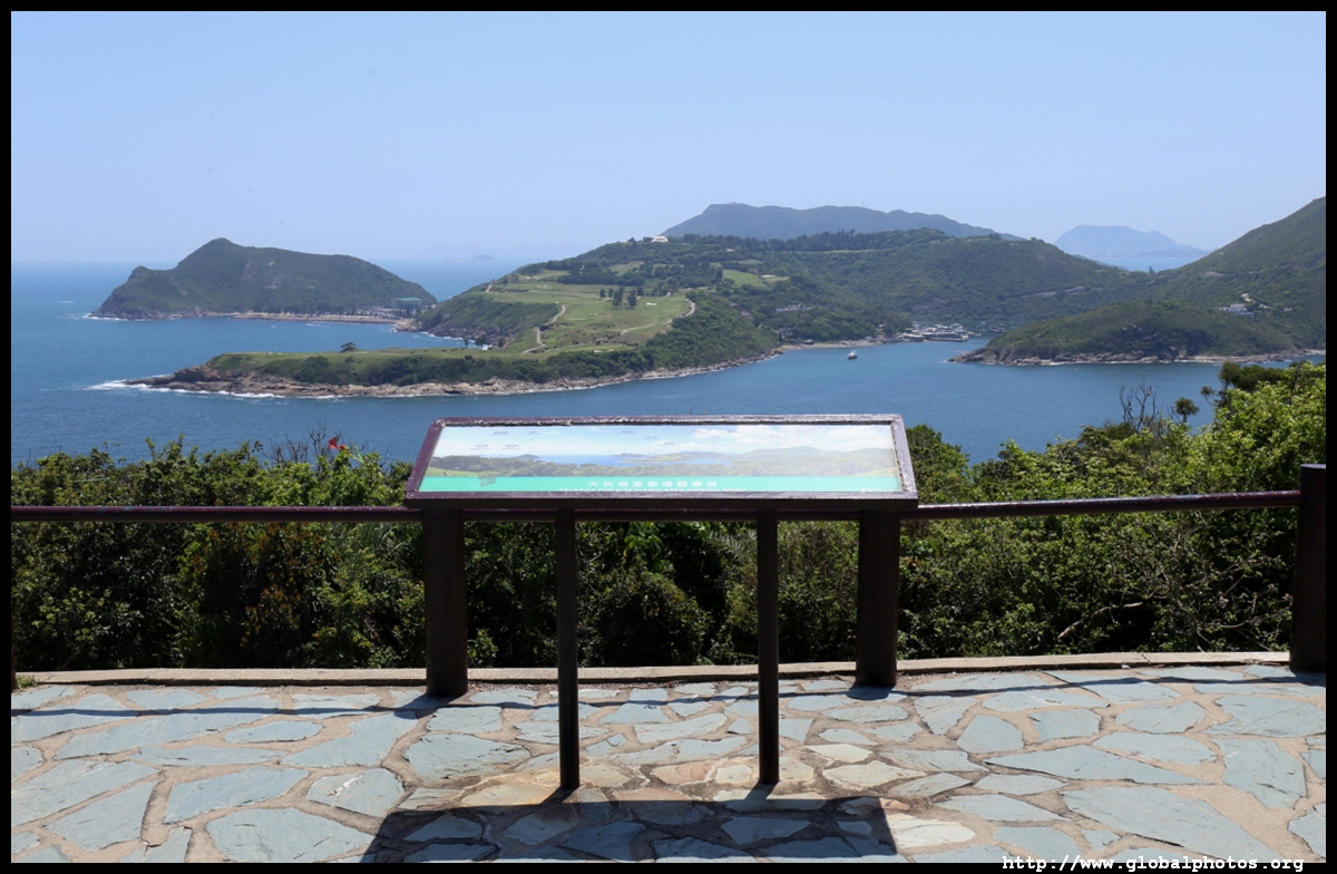
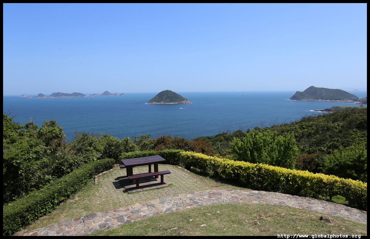
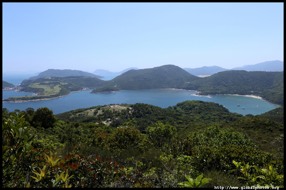
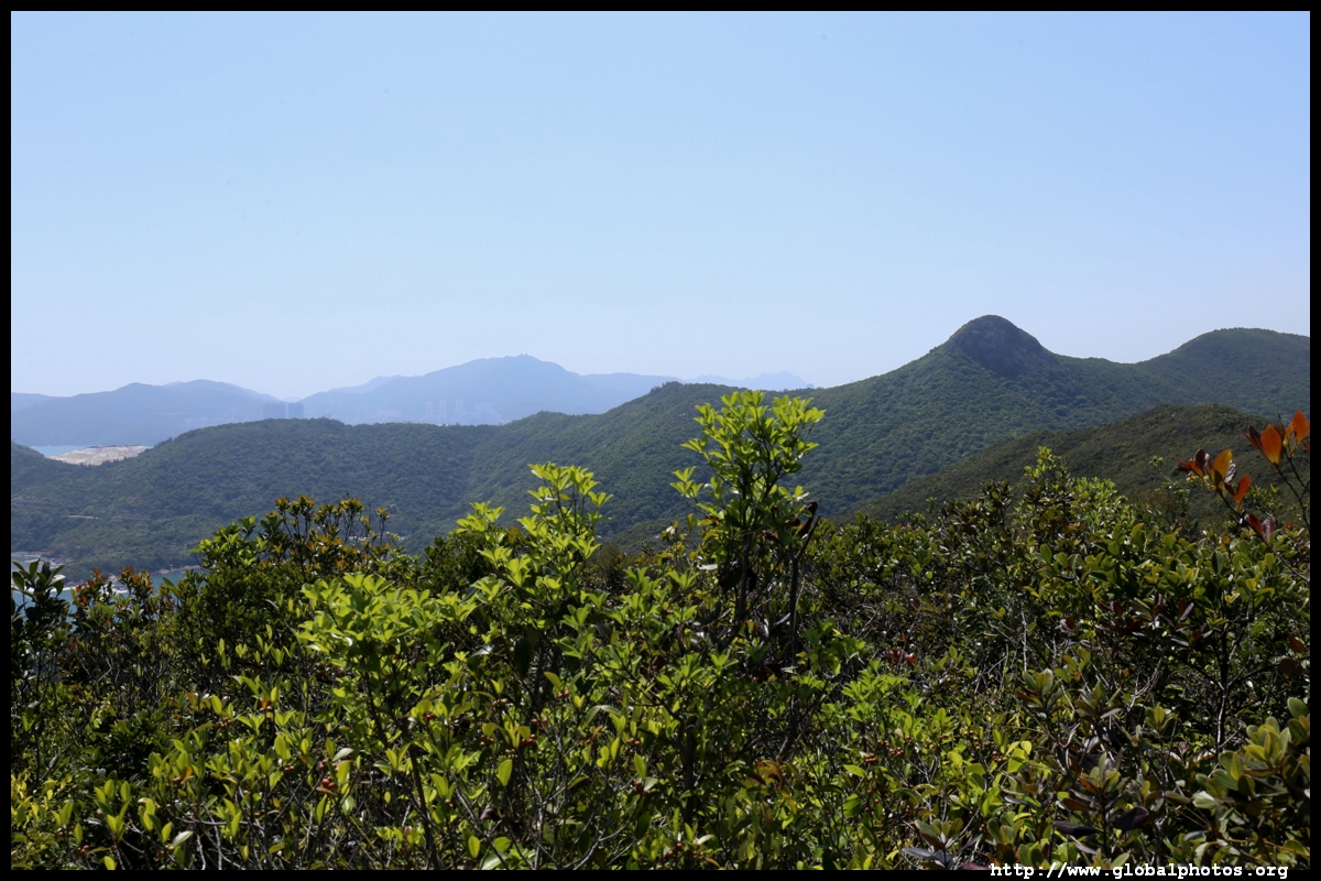
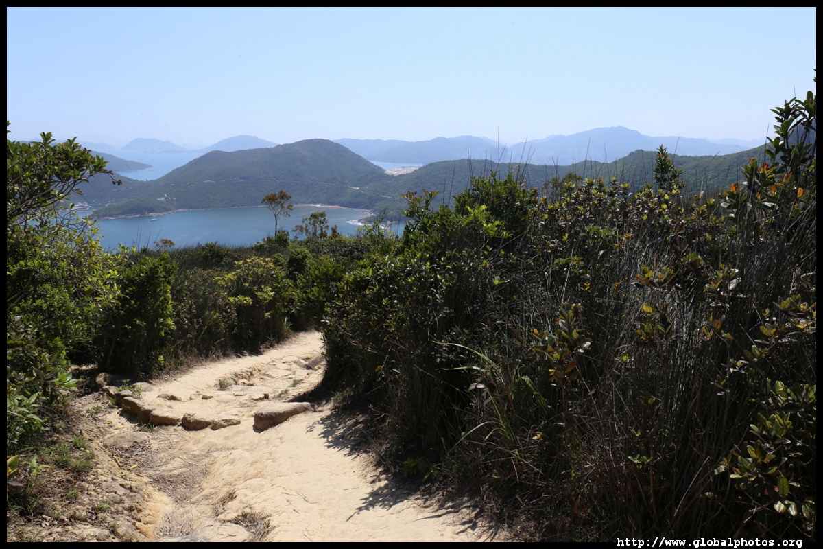
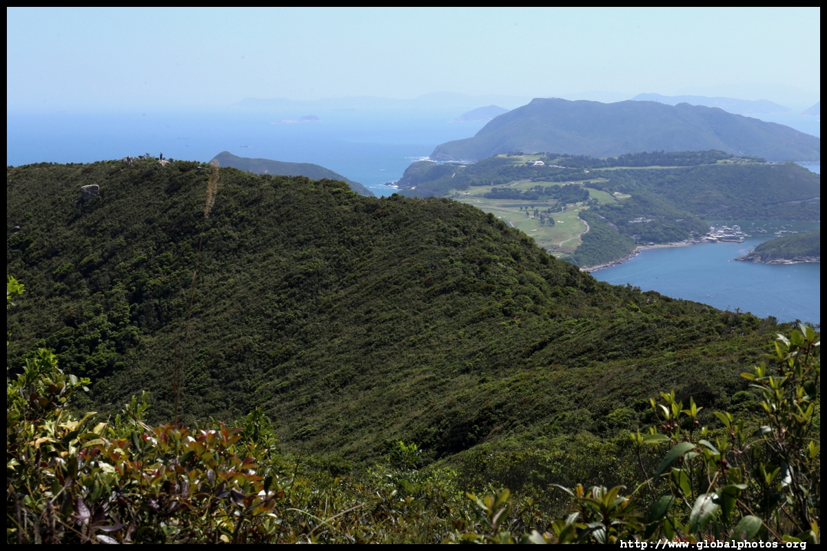
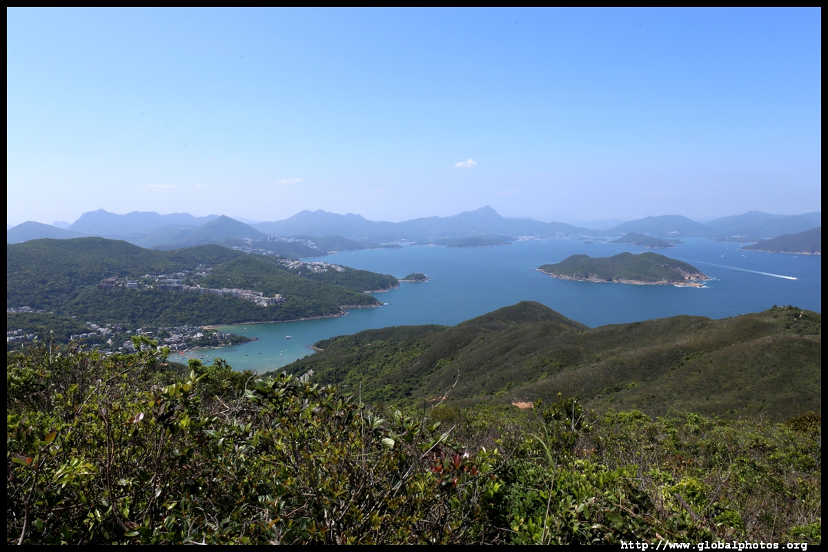
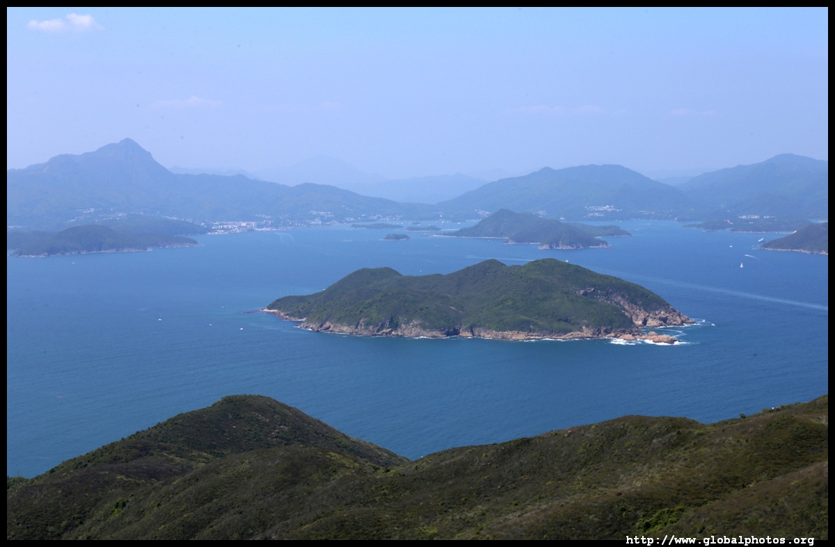
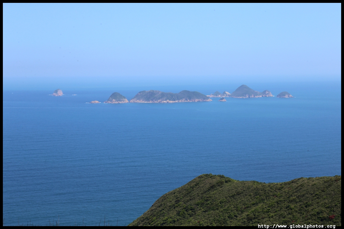
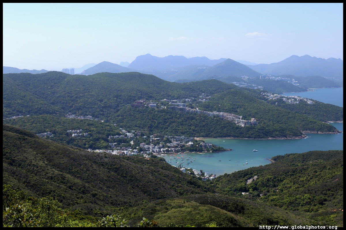
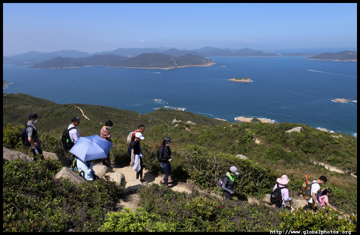
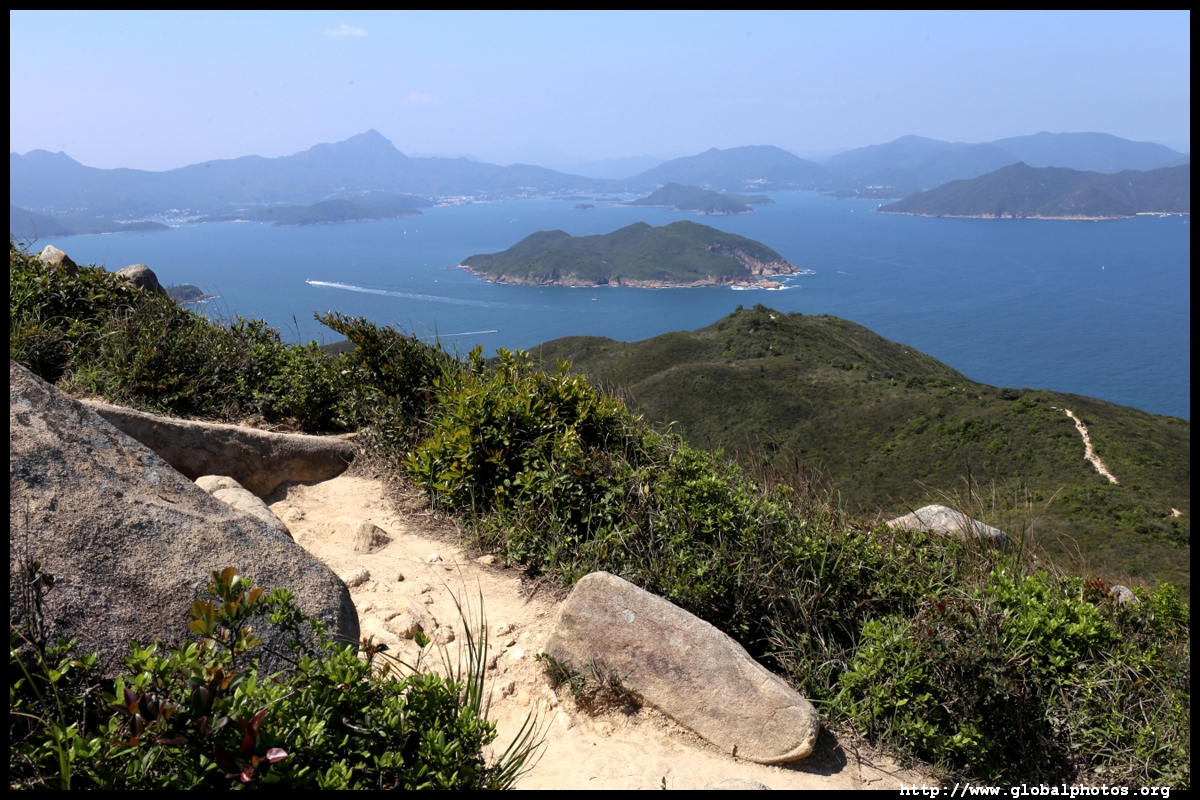
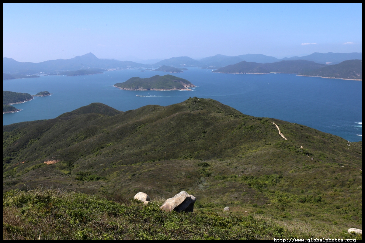
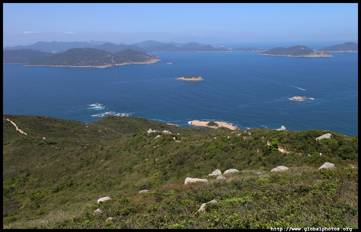
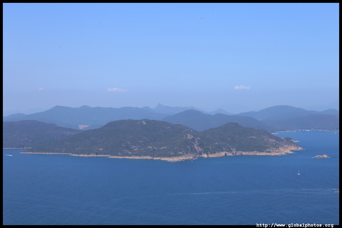
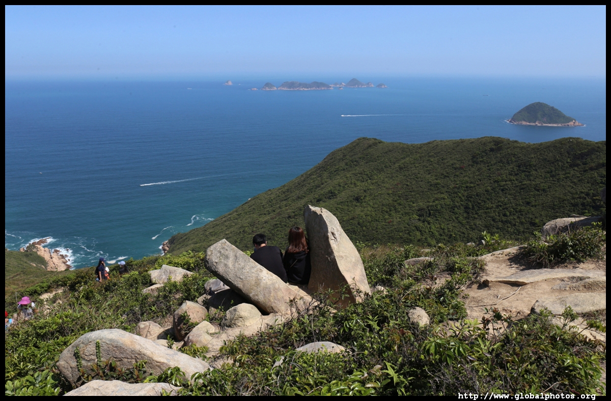
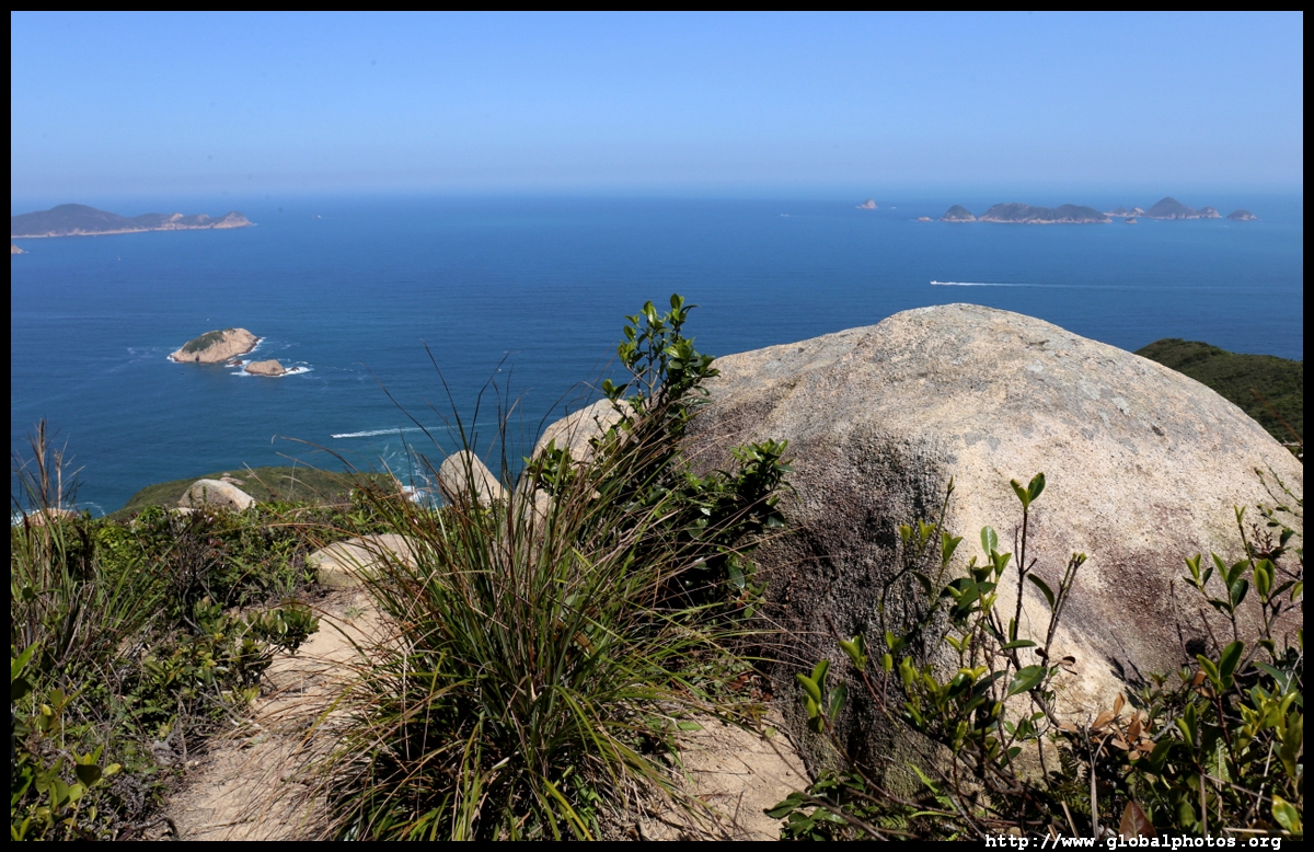
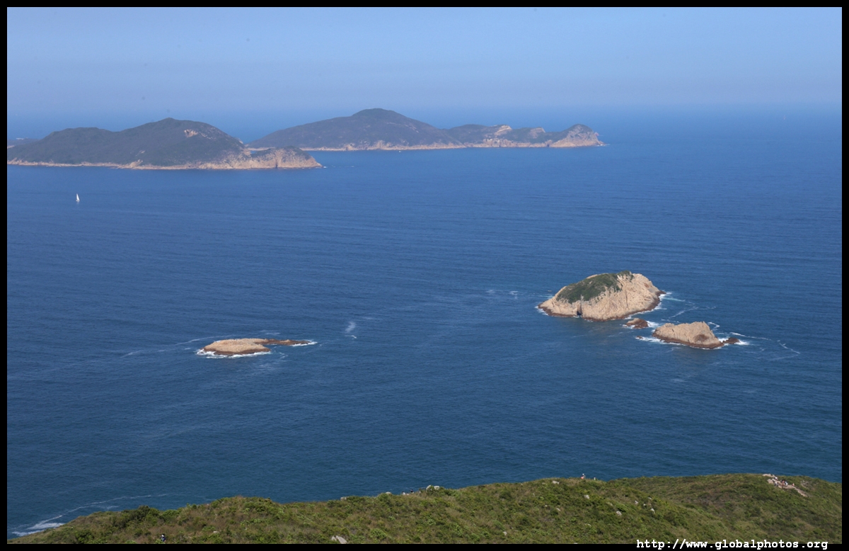
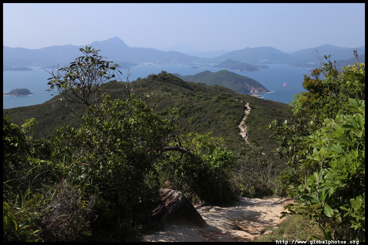
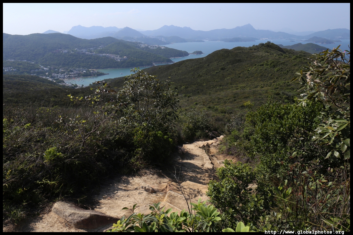
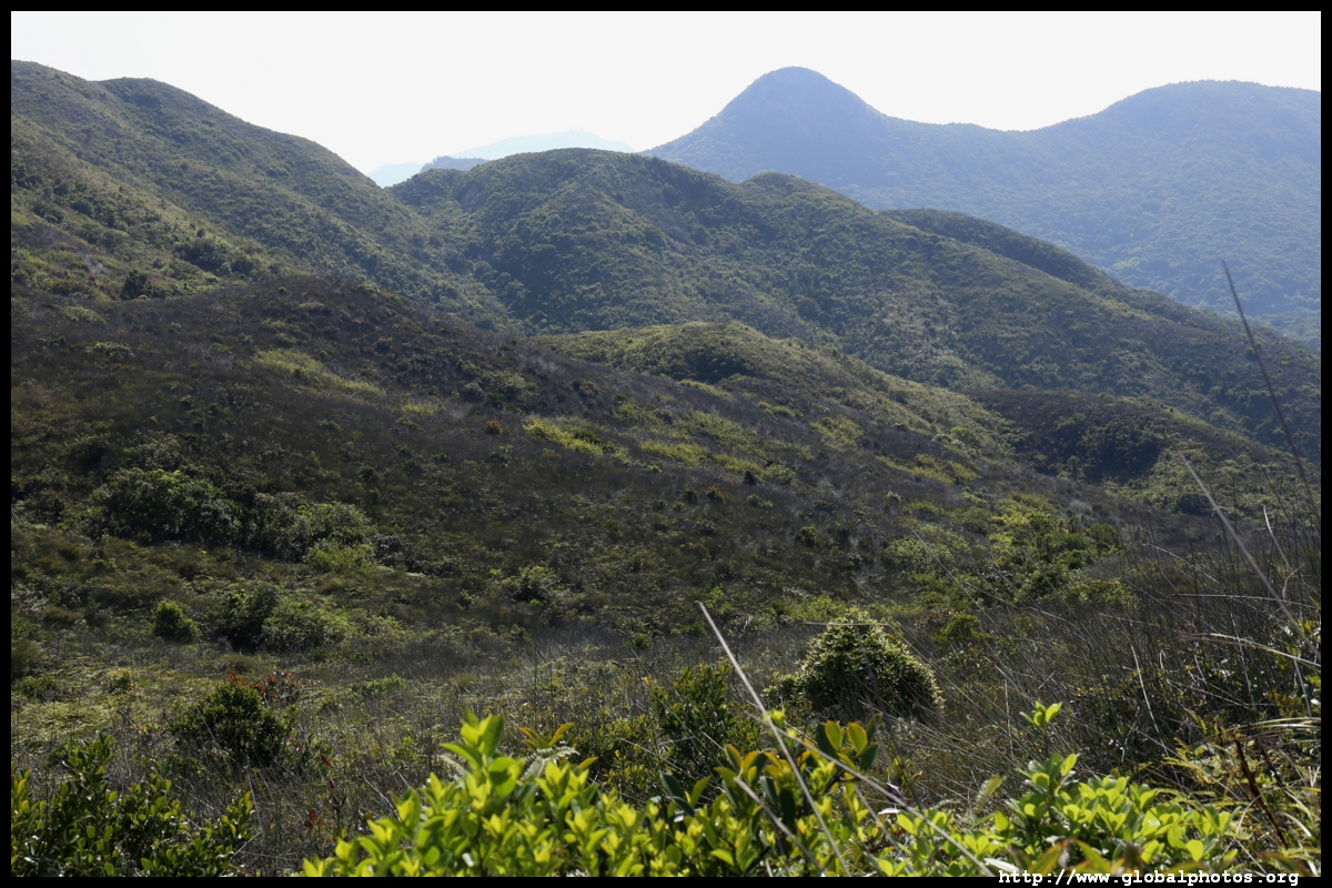
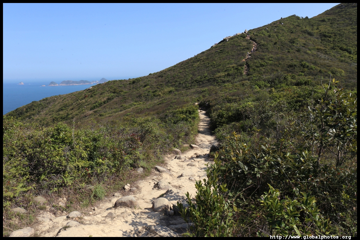
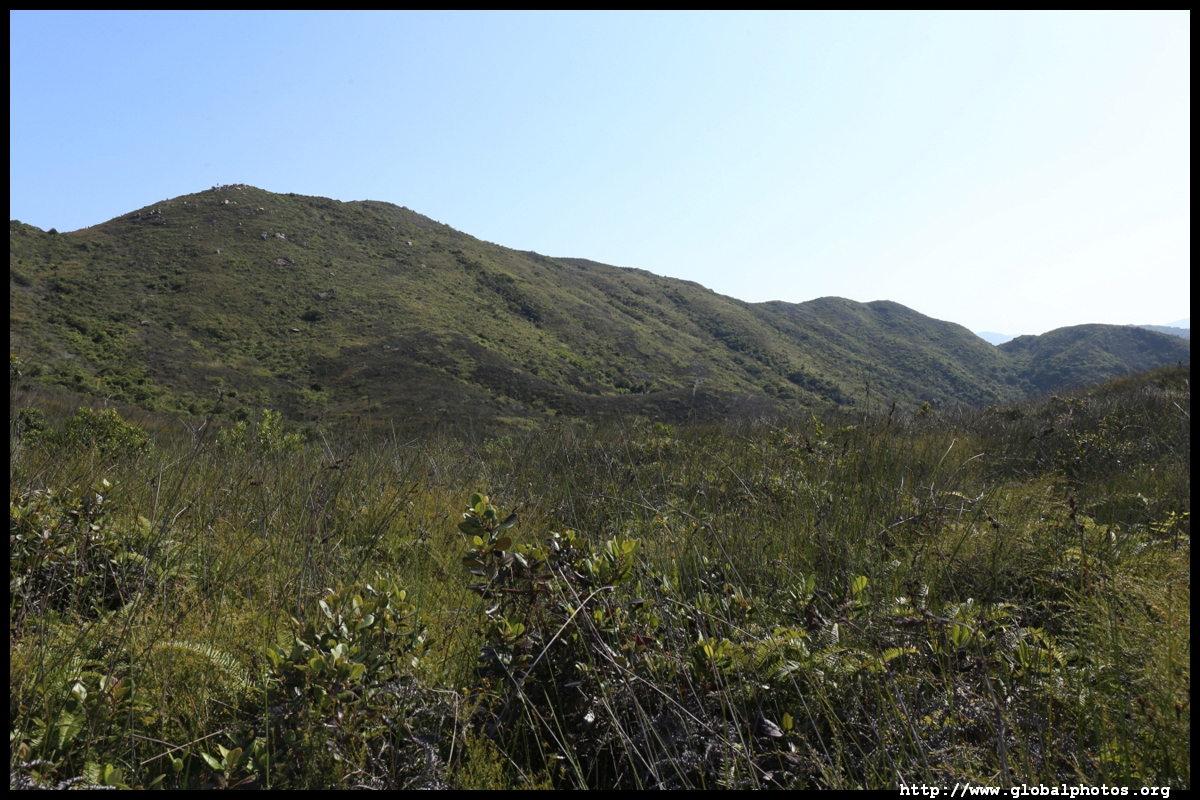
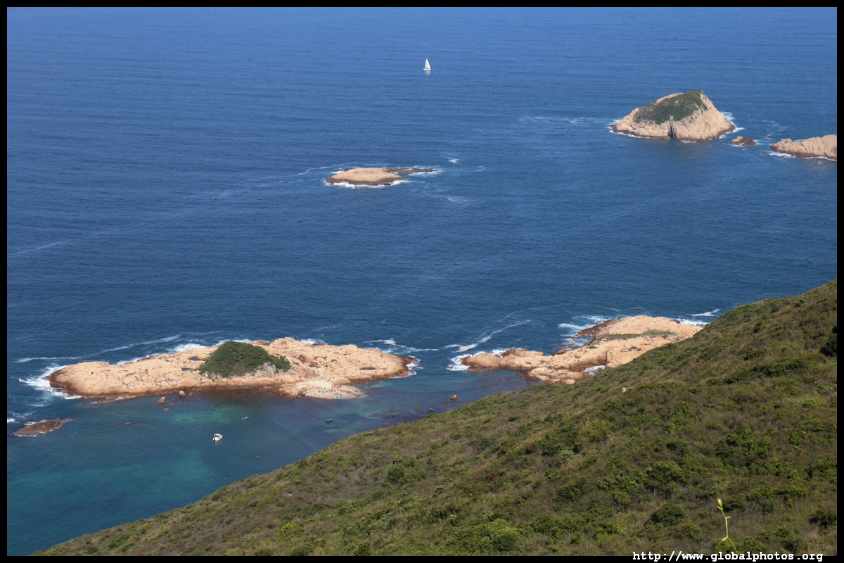
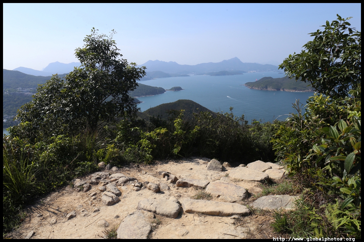
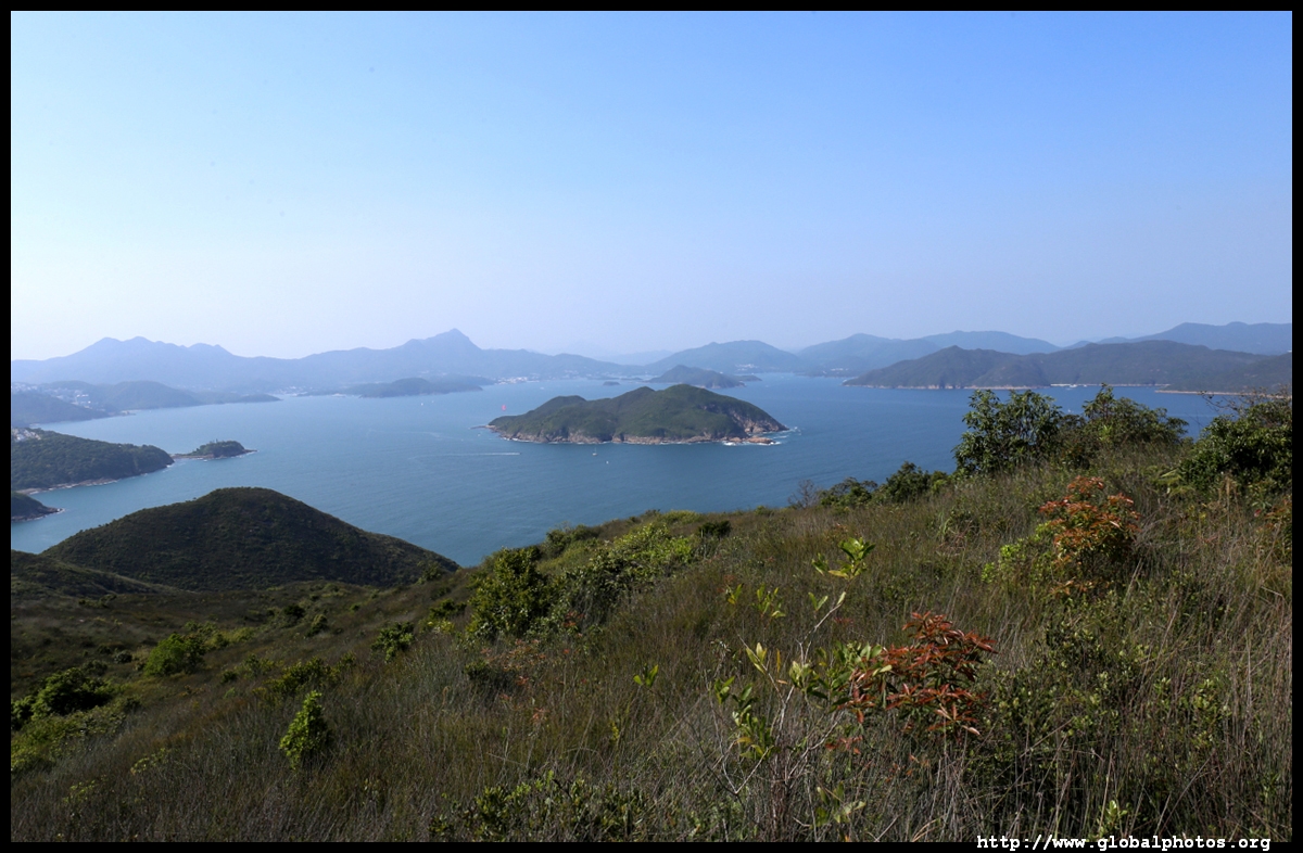
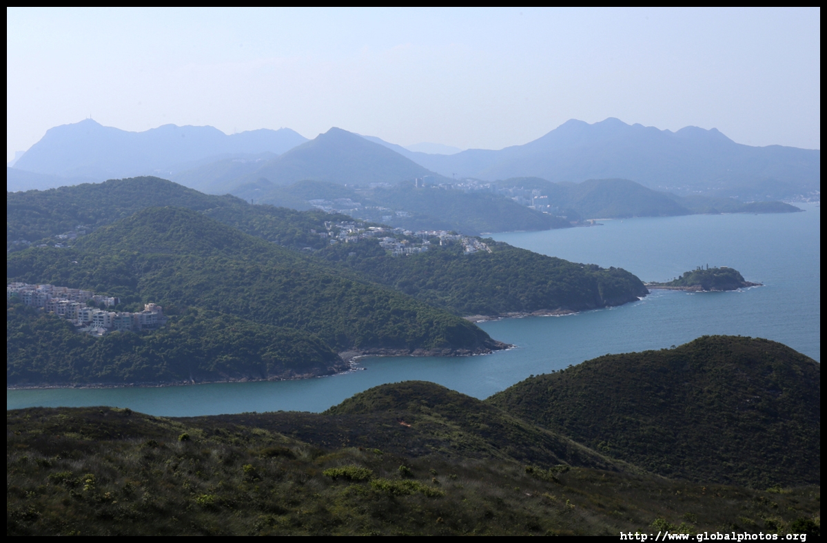
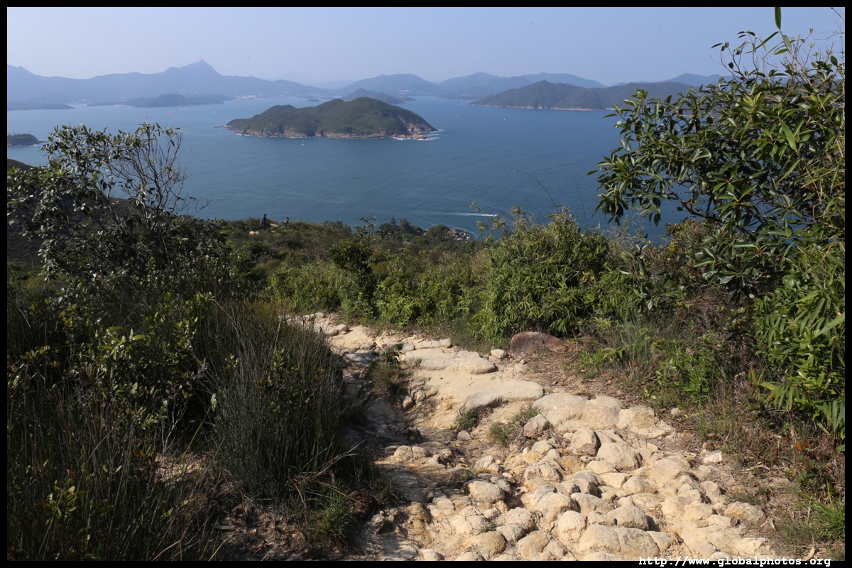
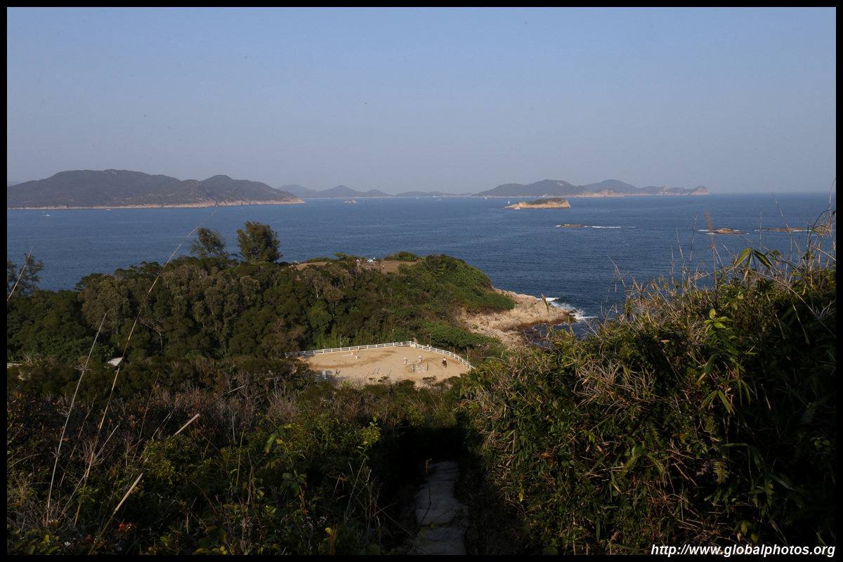
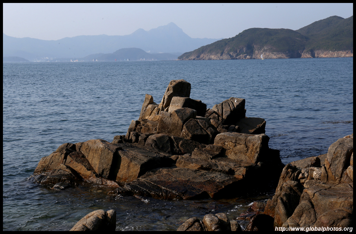
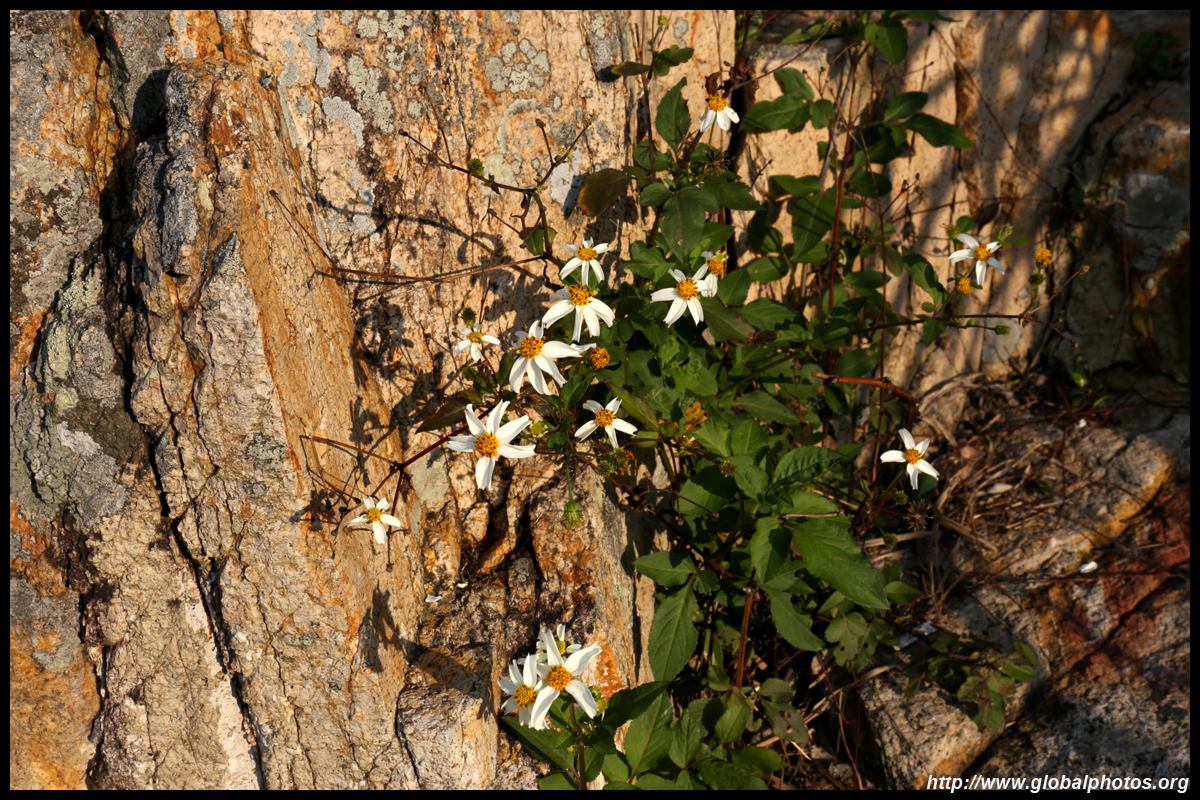
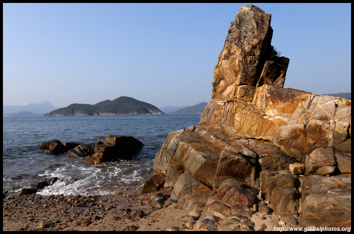
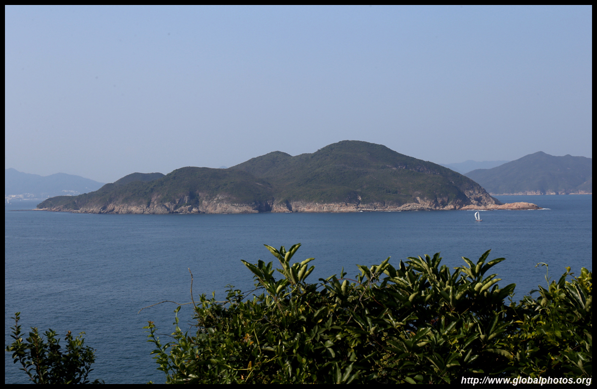
This hike is at the southern end of Sai Kung so you can see quite a lot of greenery, islands, and mountains ahead of you. Views from the top are spectacular.
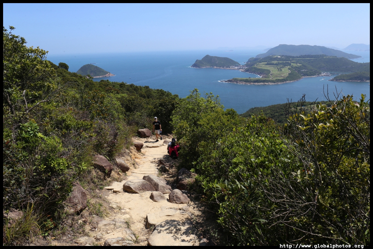
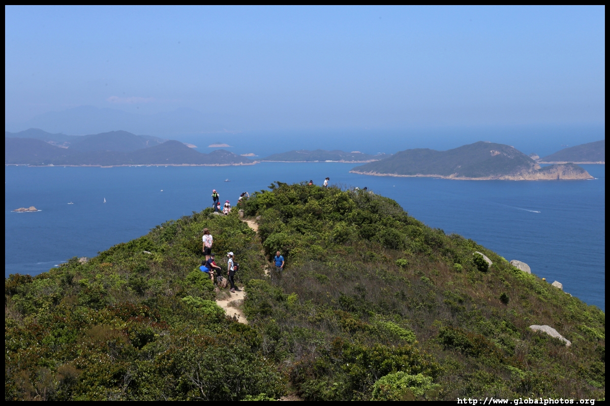
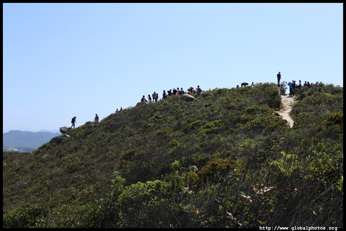
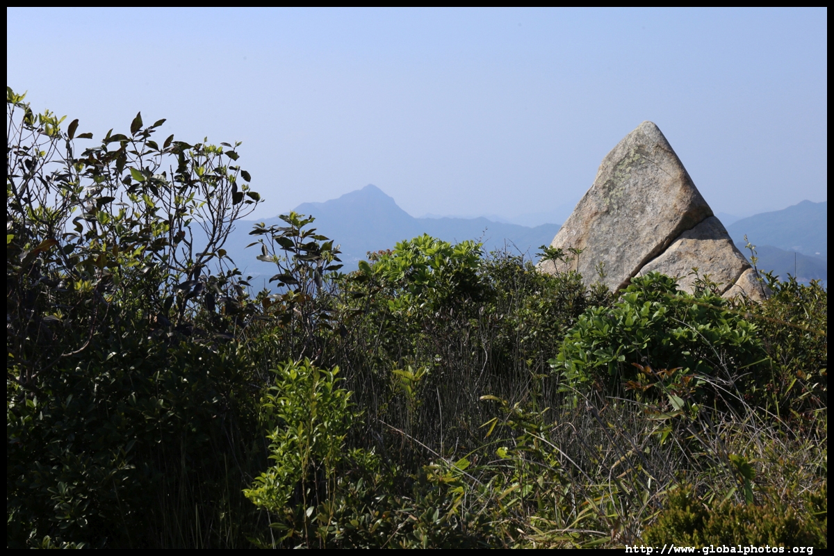
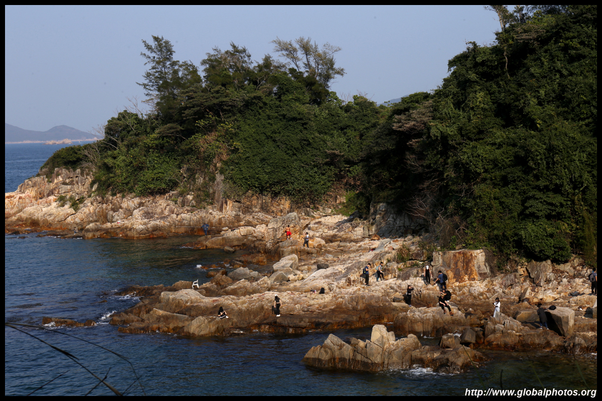
As expected, hordes of hikers gathered at the top, where there are many interesting large rocks for a unique and dramatic pose.
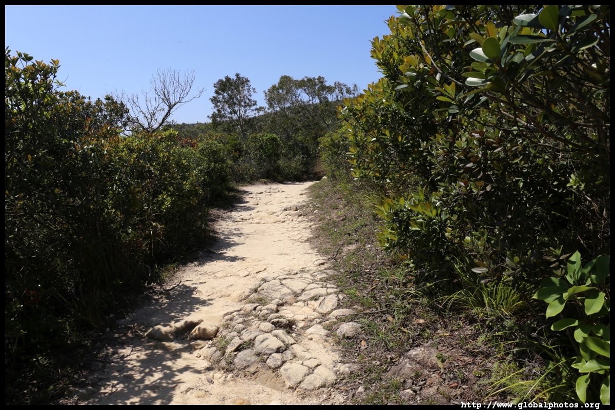
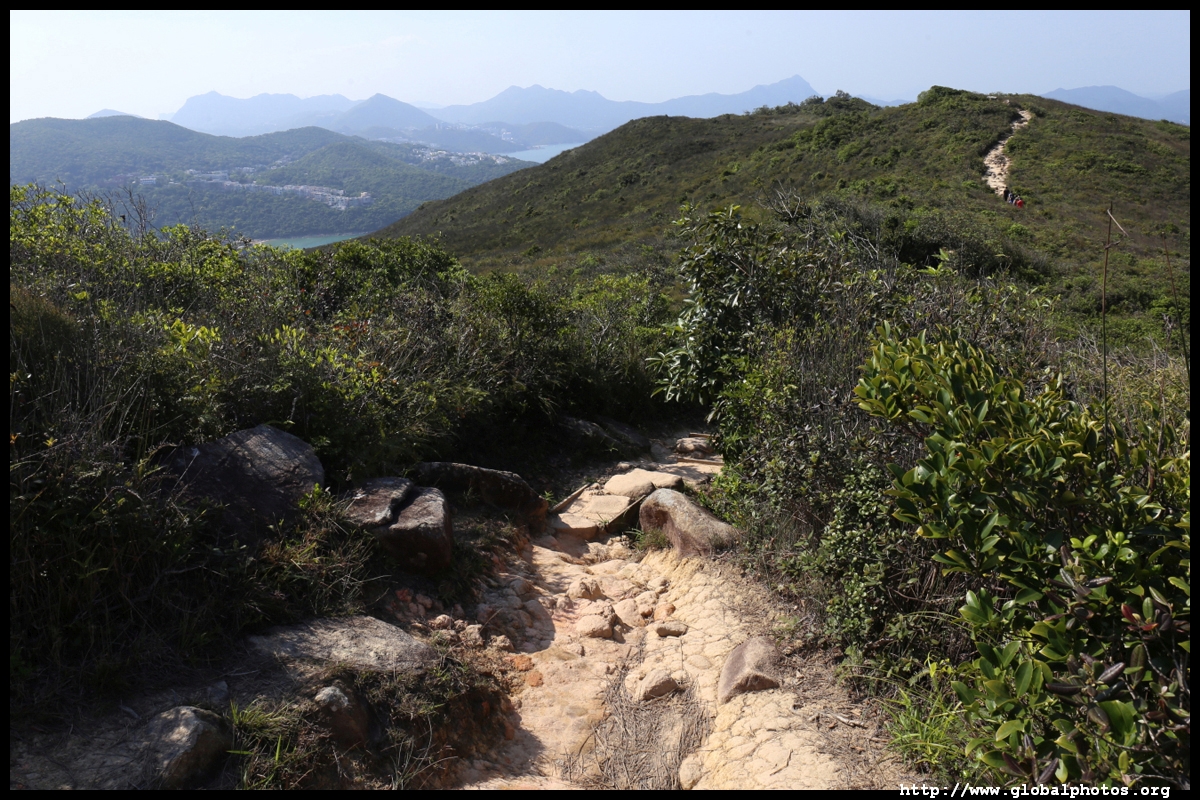
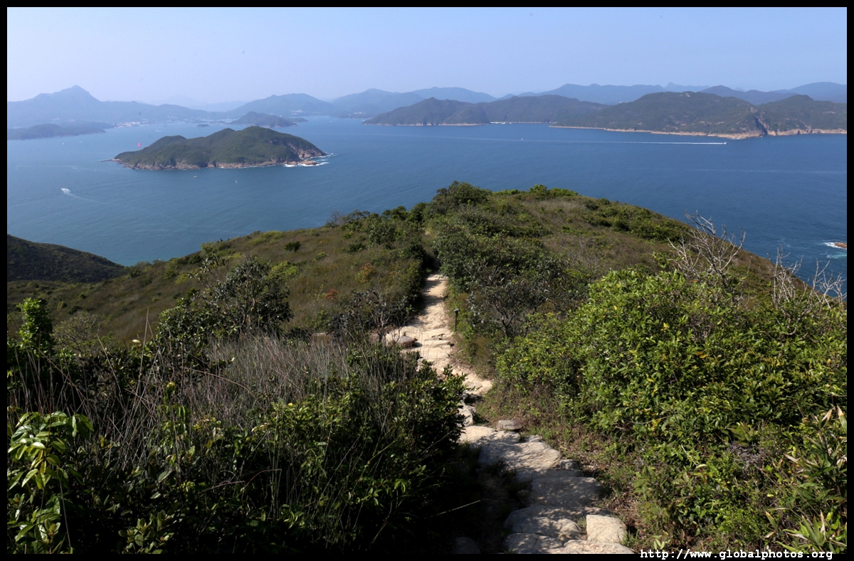
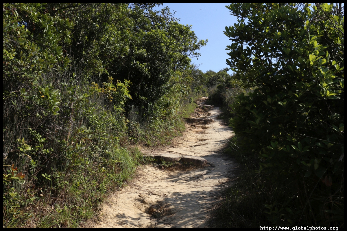
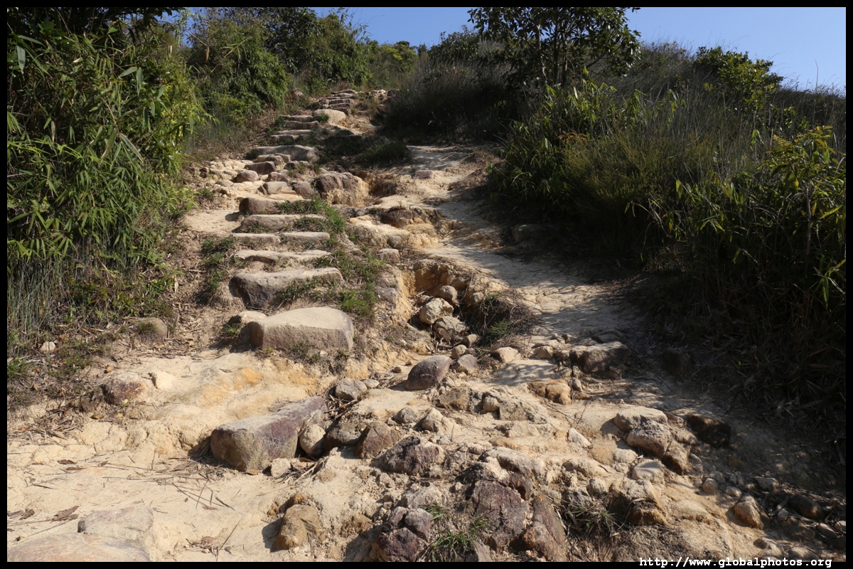
From hereon, the steps down are less defined, although the descent is more gradual.
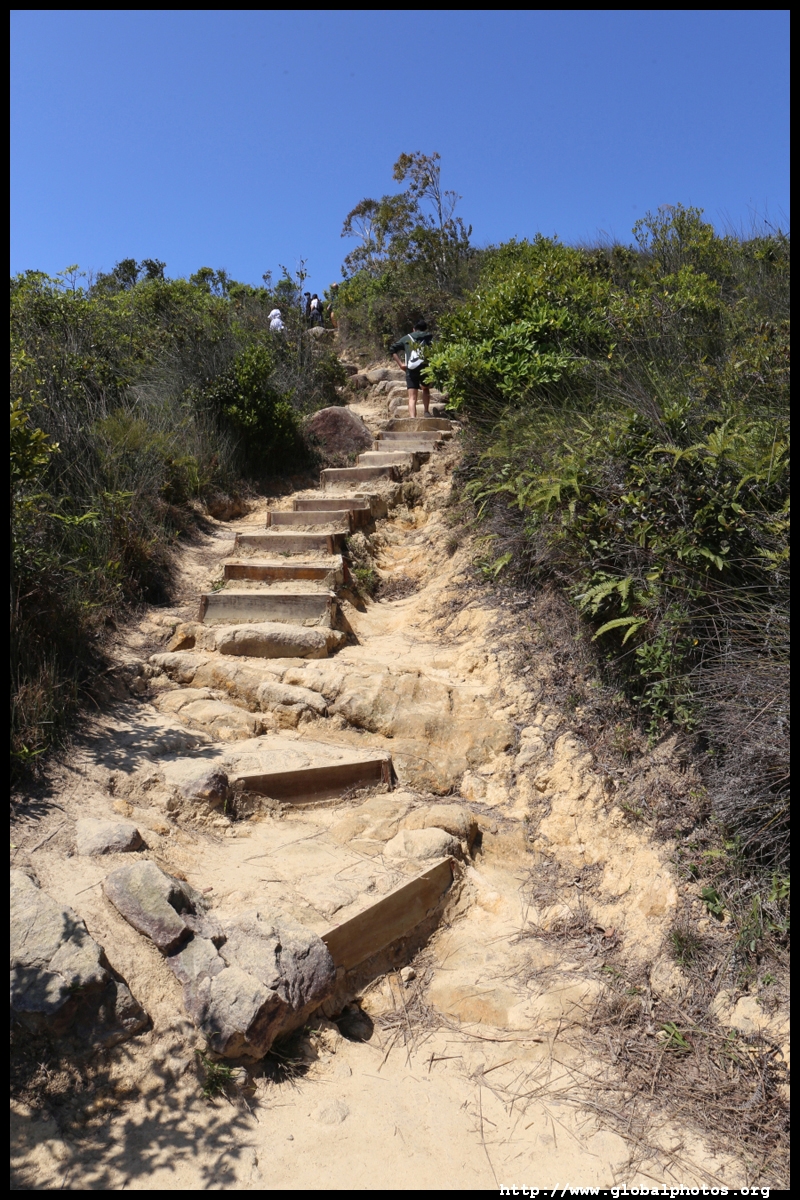
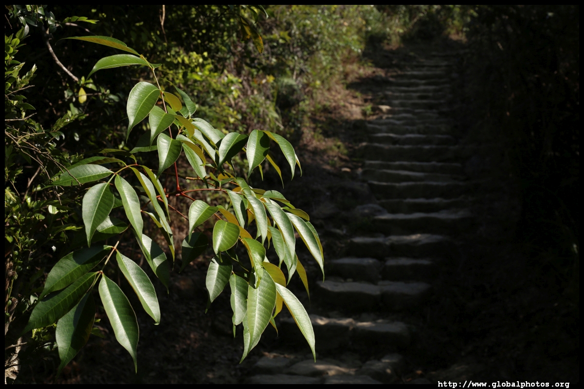
The last stretch down has steeper steps and slightly more slippery with lots of dirt and sand.
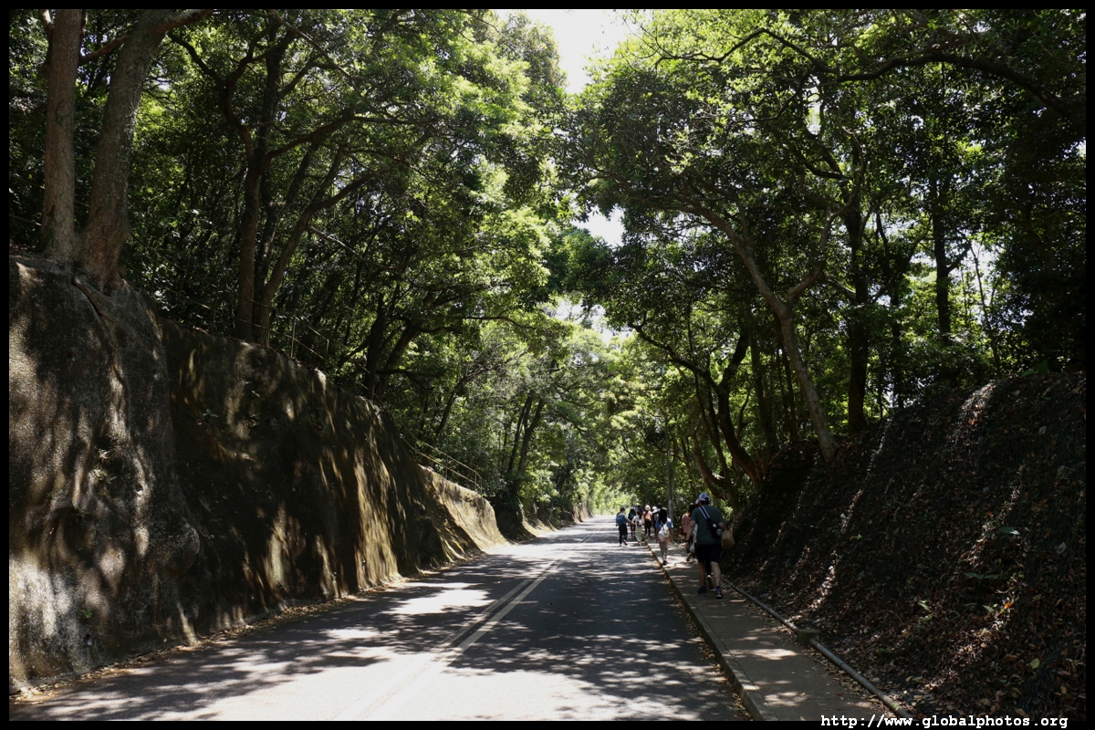
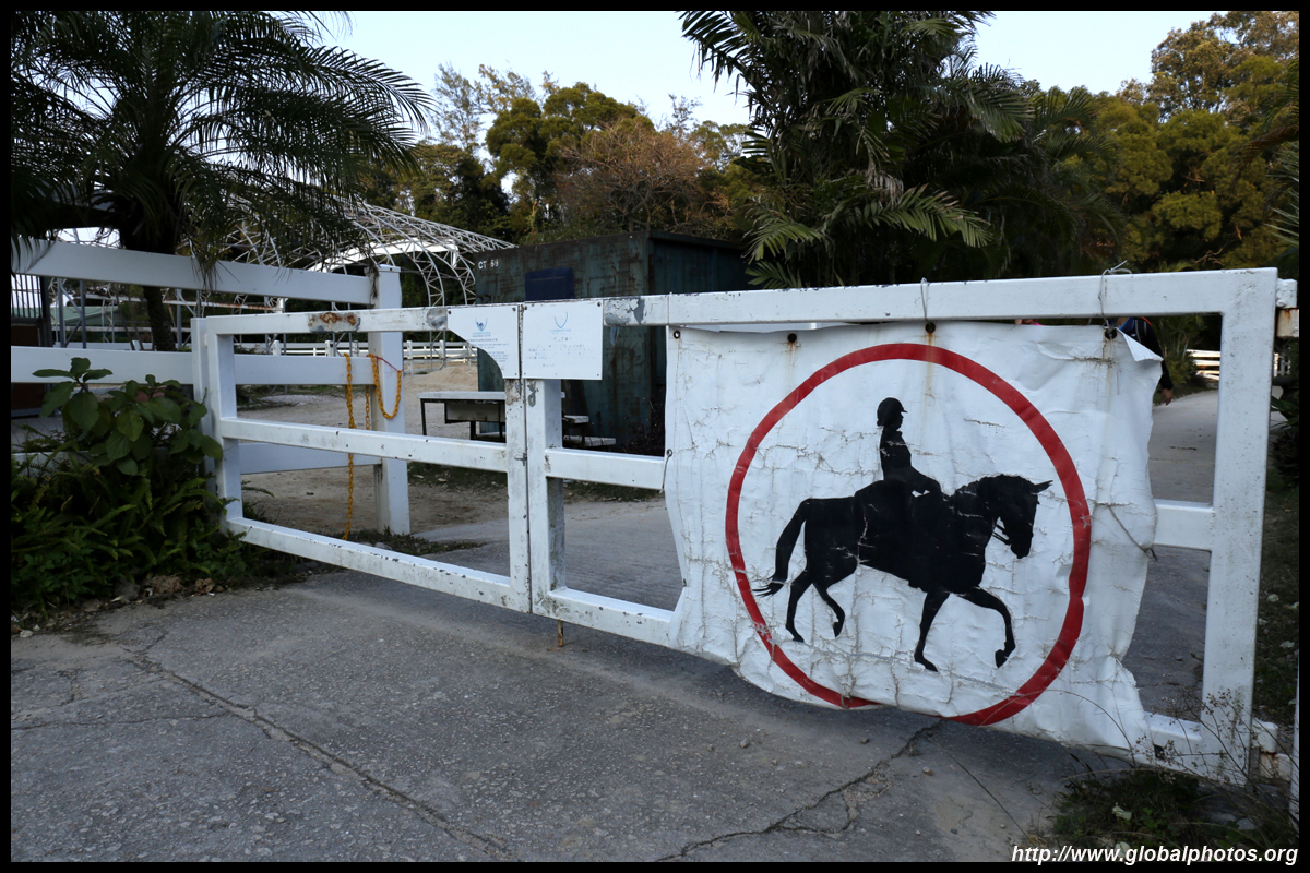
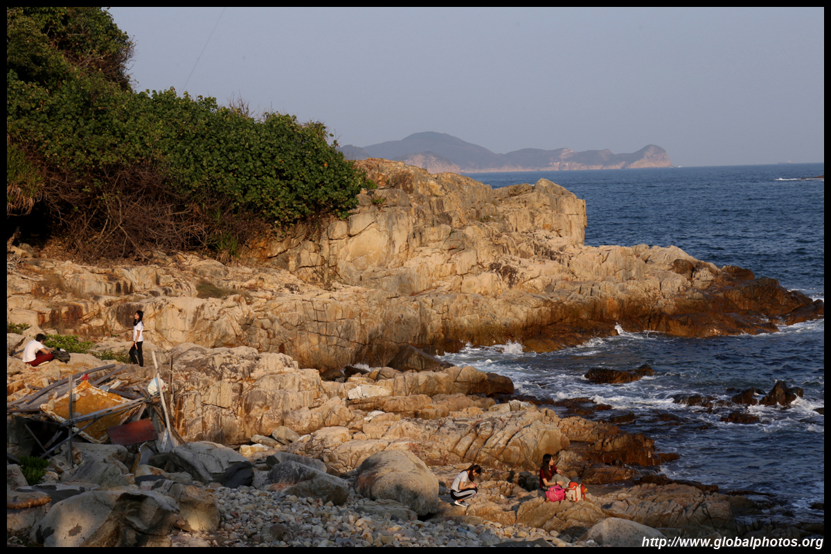
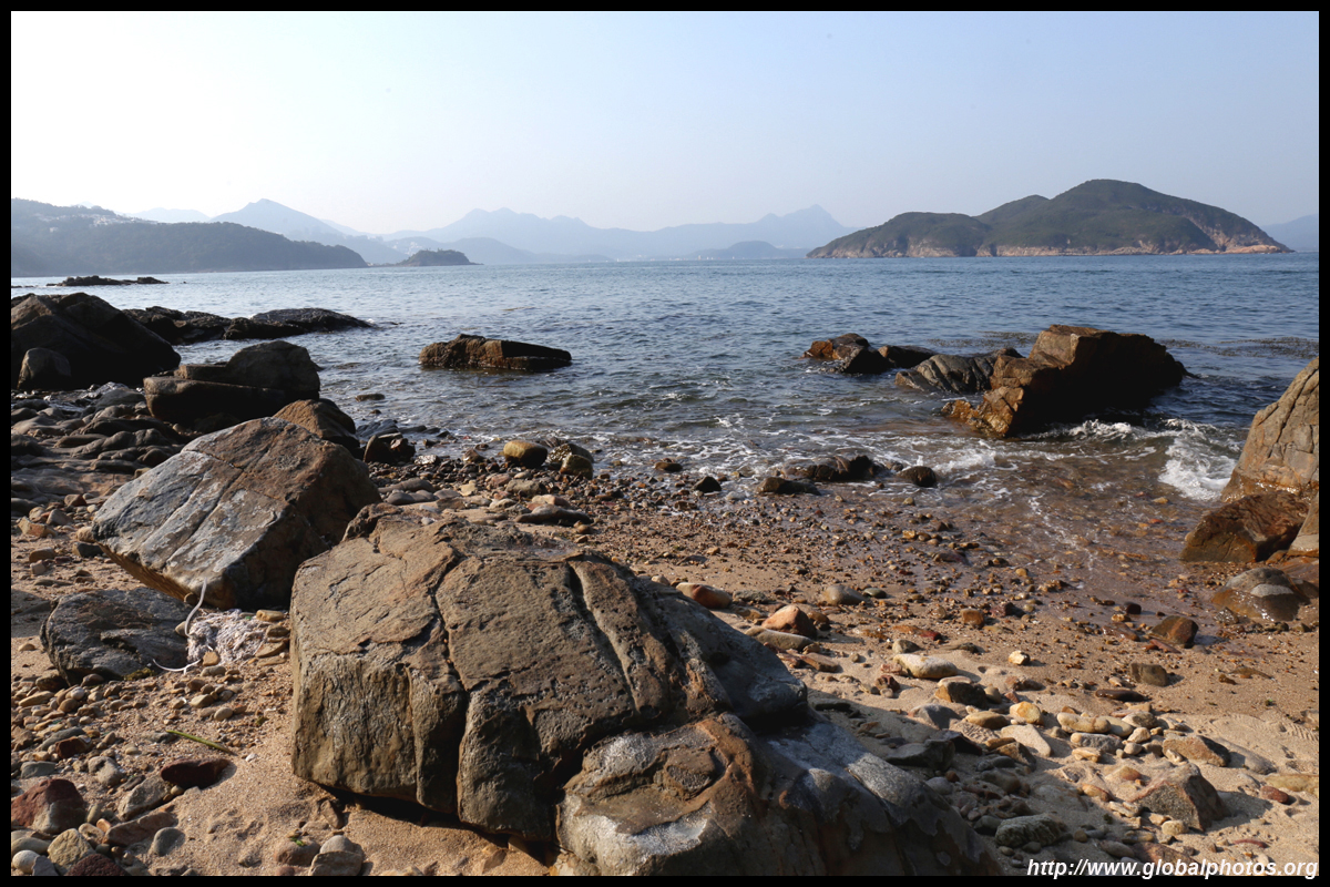
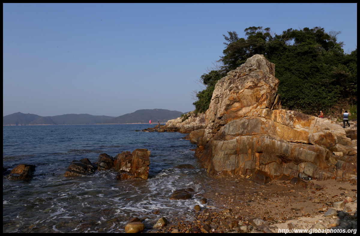
The entire trip down took about 2.5 hours with lots of time spent at the top enjoying the view. However, the hike is not yet over. There is a public toilet at the base of the staircase next to the equestrian school. Follow Lung Ha Wan Road back to the bus stop over 2km away. There is a small beach next to the school for more sea-view closeups.
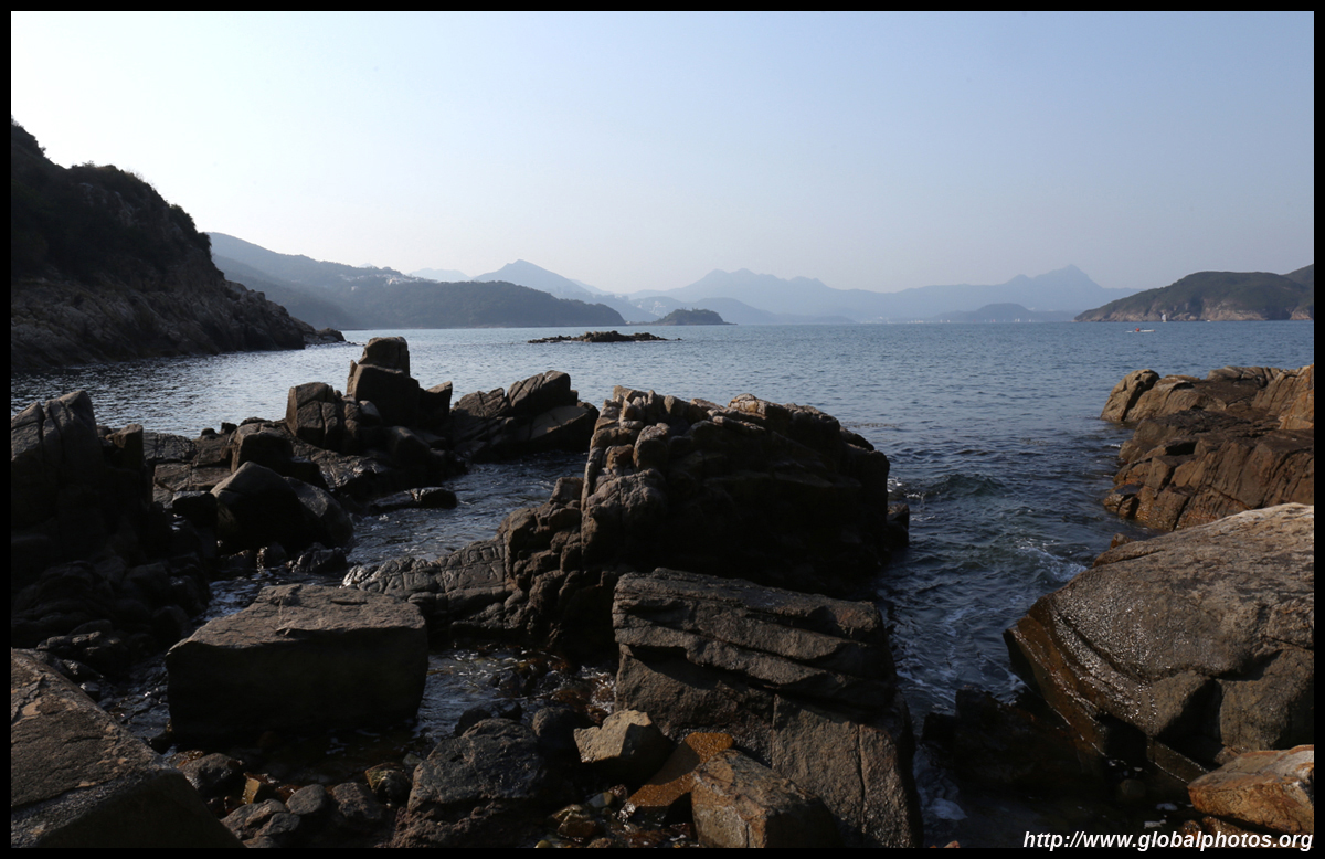
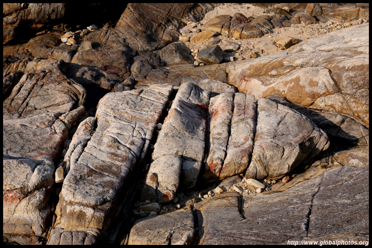
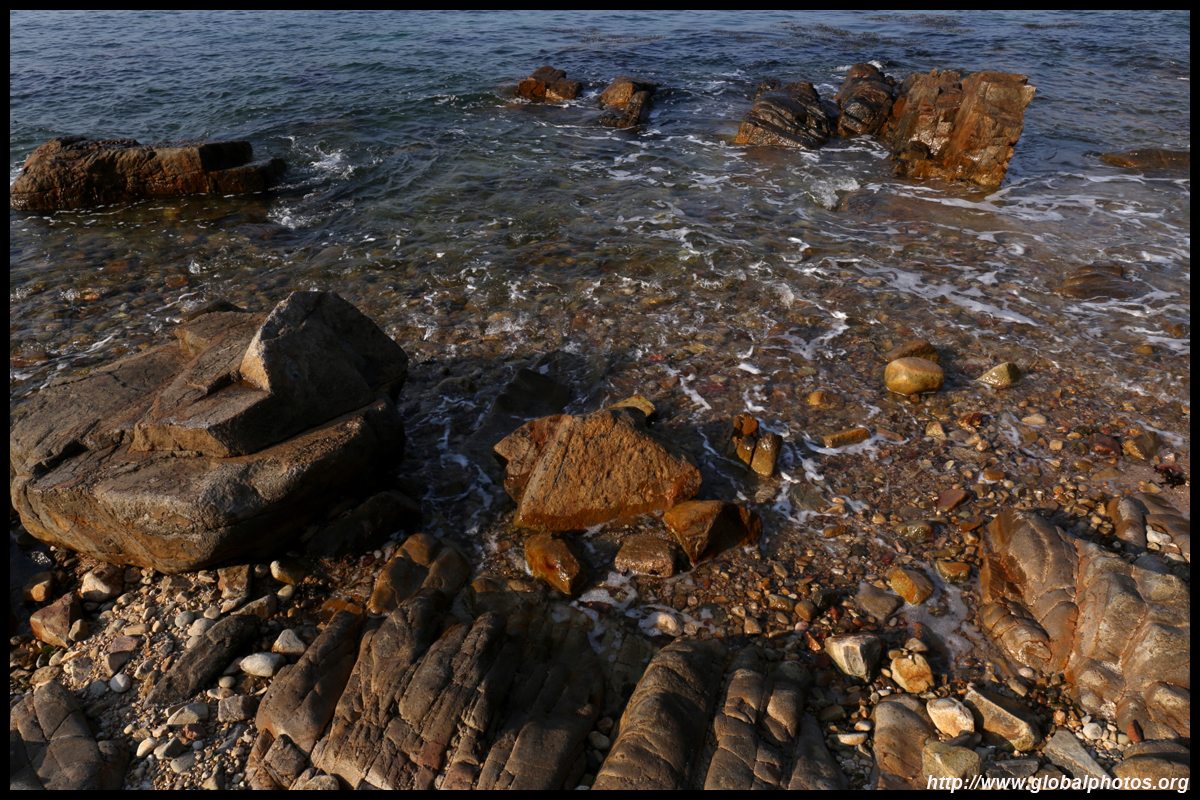
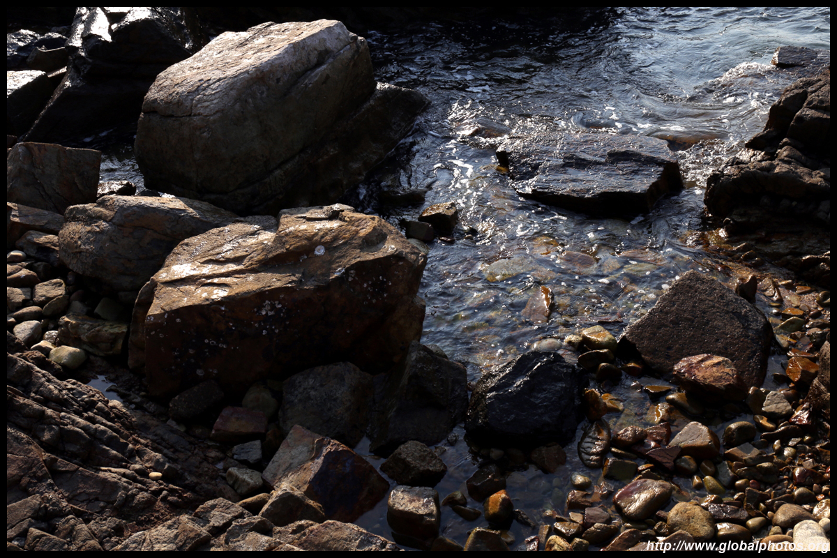
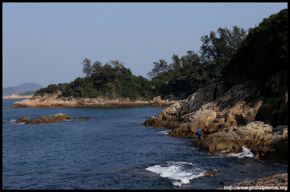
There is another rocky beach on the way out.
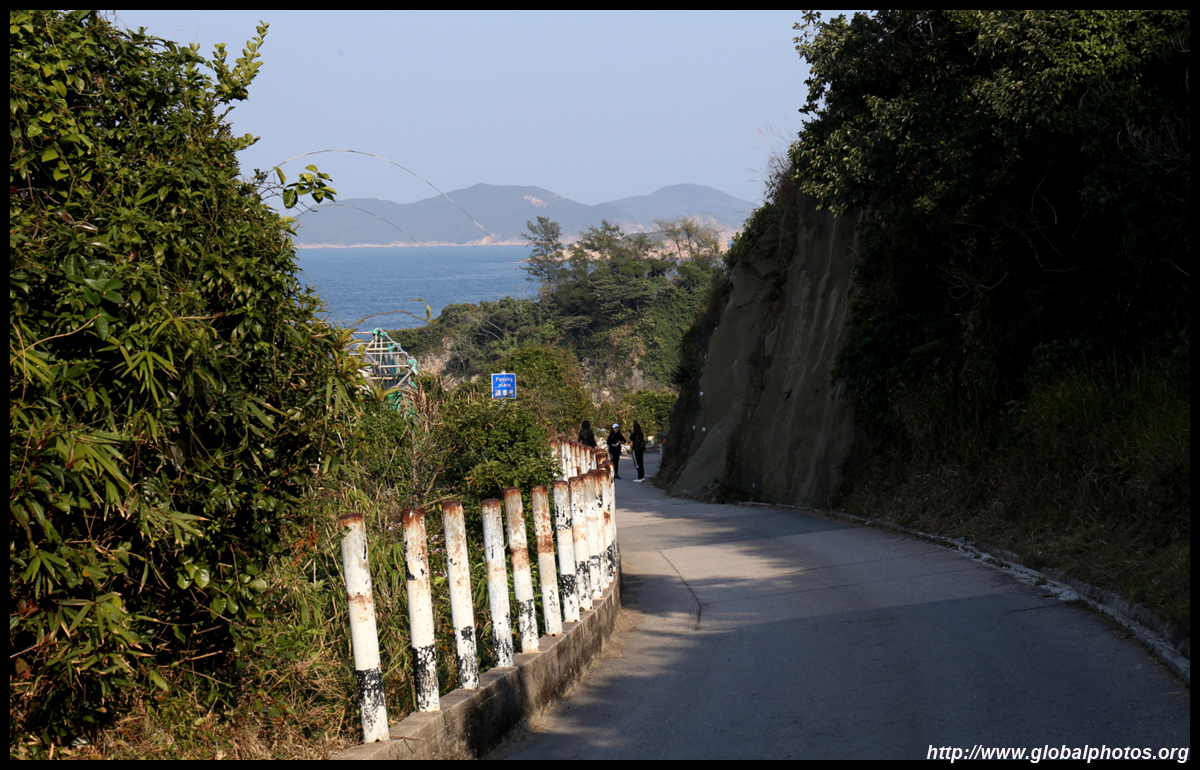
The narrow road out can only fit 1 car at a time, so drivers need to share and be aware of each other, which doesn't work well in reality so there are choke points.
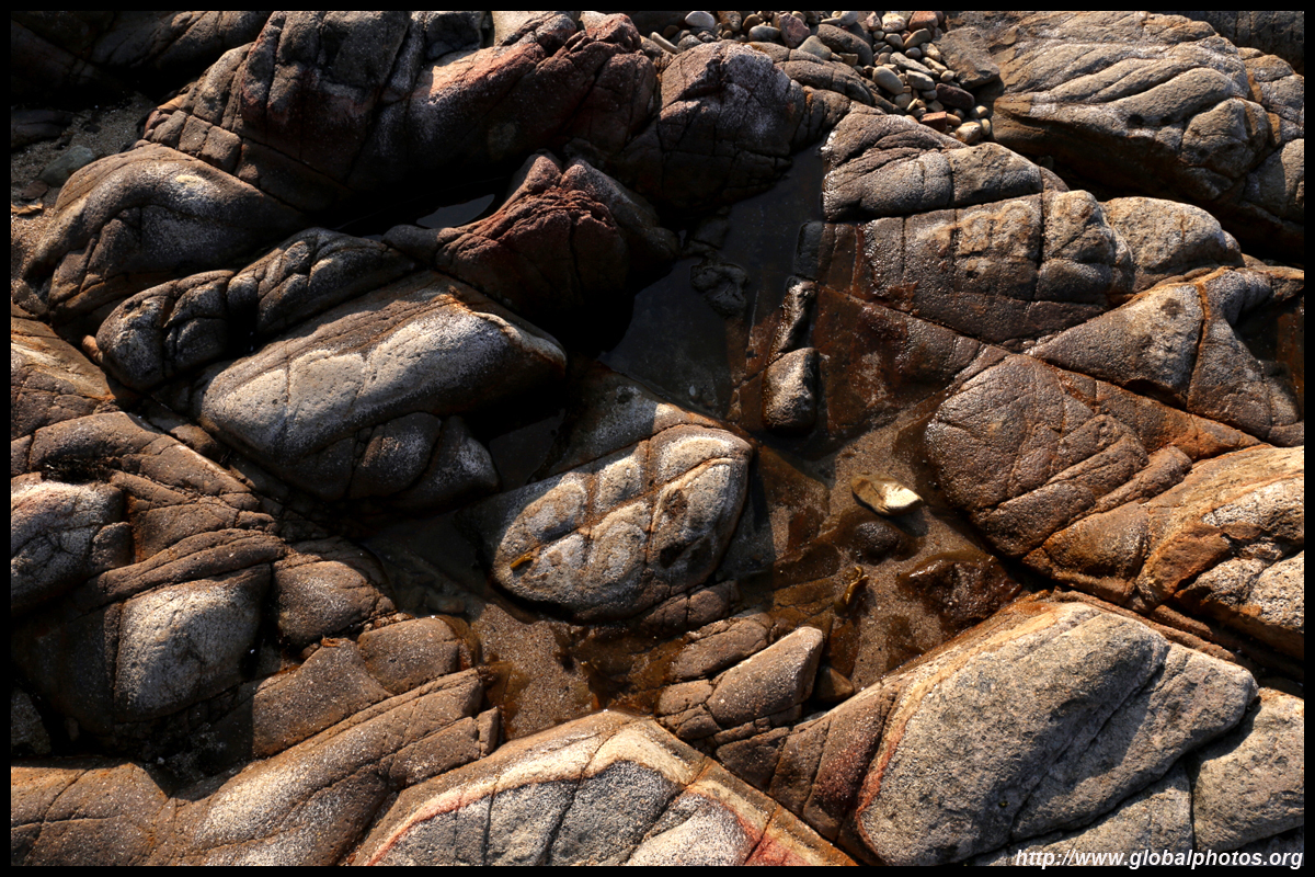
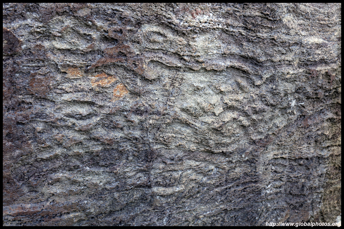
A sign and staircase leads down to the shore and a rock carving, which was discovered by hikers in 1978. The geometric patterns resemble animals and birds, but there is a debate whether this was man-made or natural.
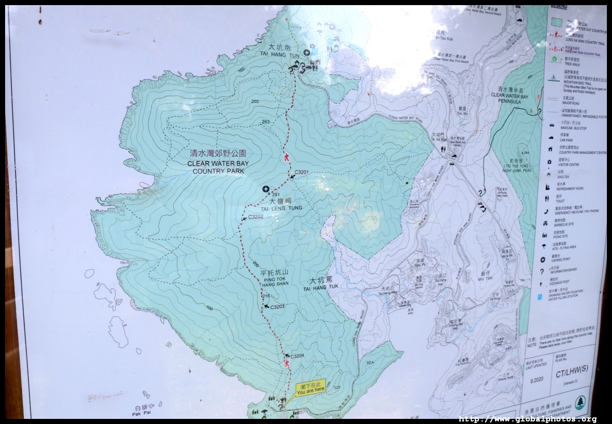
At about 6km long, this is a good half day hike that is not too difficult but more than compensated by the lovely views. | |||