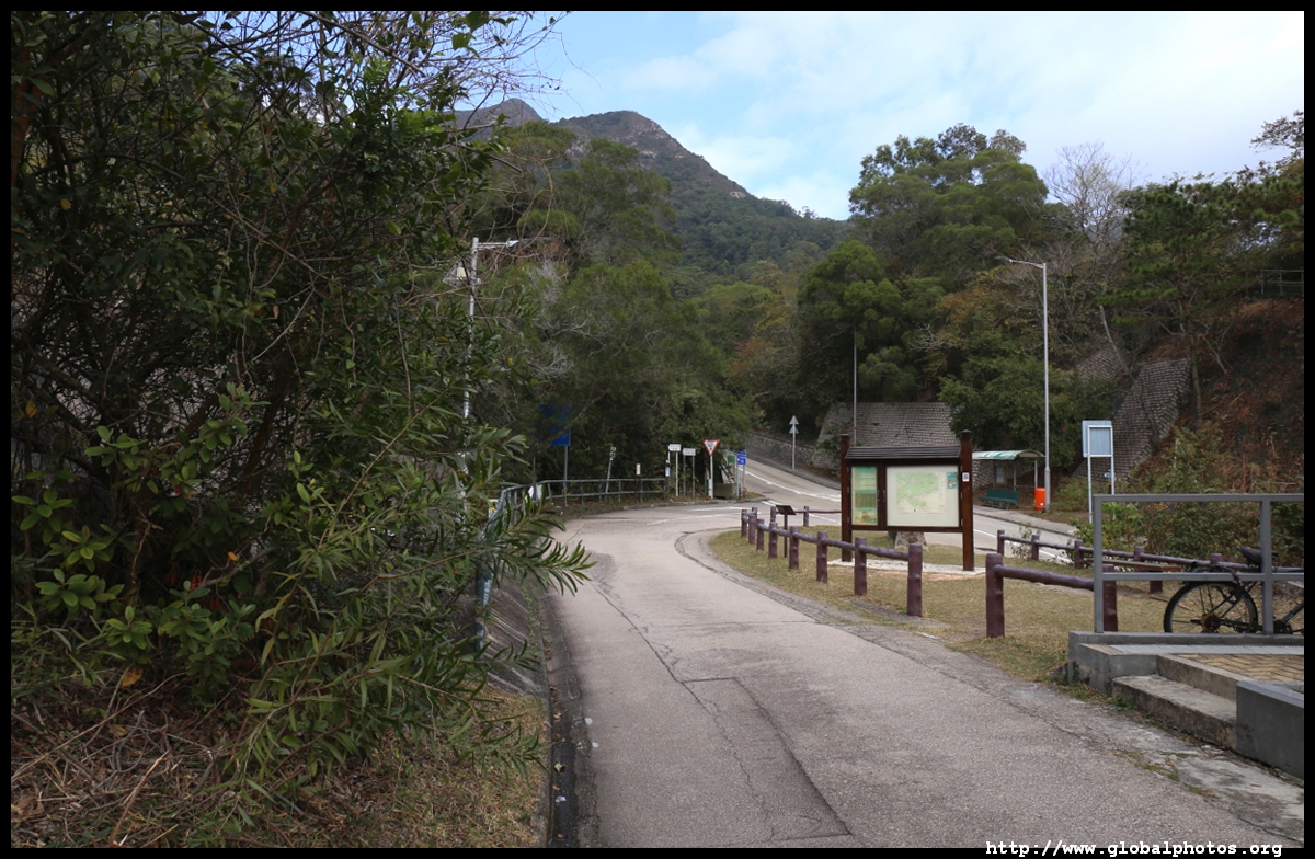
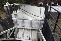
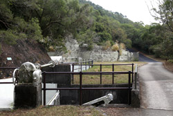
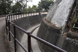
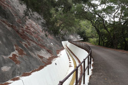
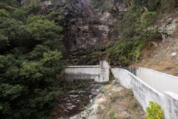
The route initially parallels water drainage works and there was the odd car now and then with workers reinforcing these facilities.
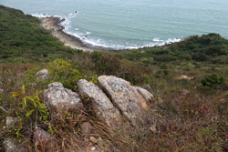
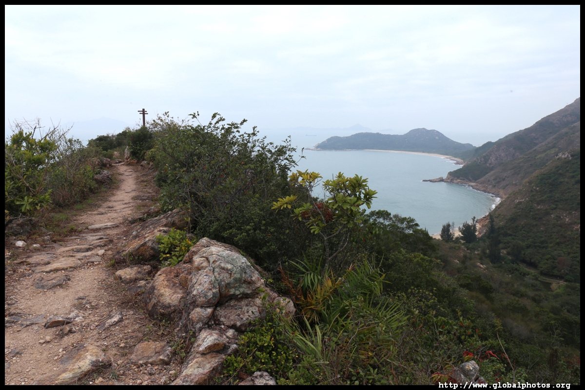
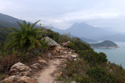
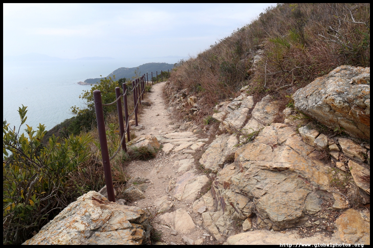
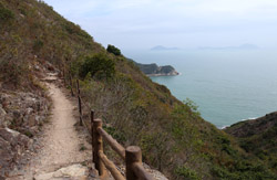
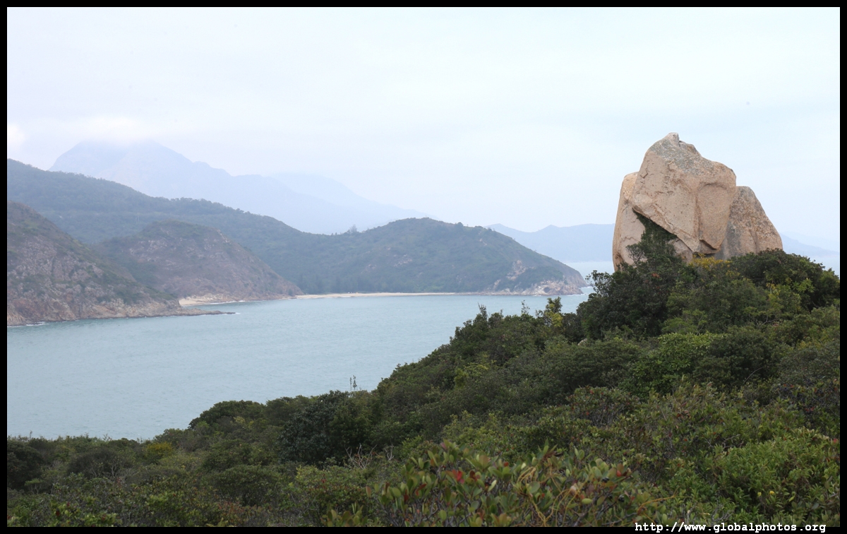
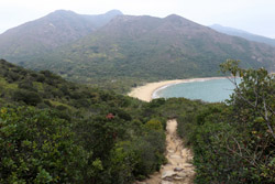
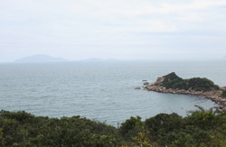
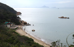
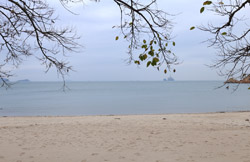
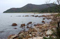
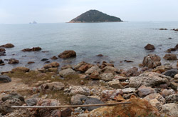
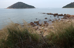
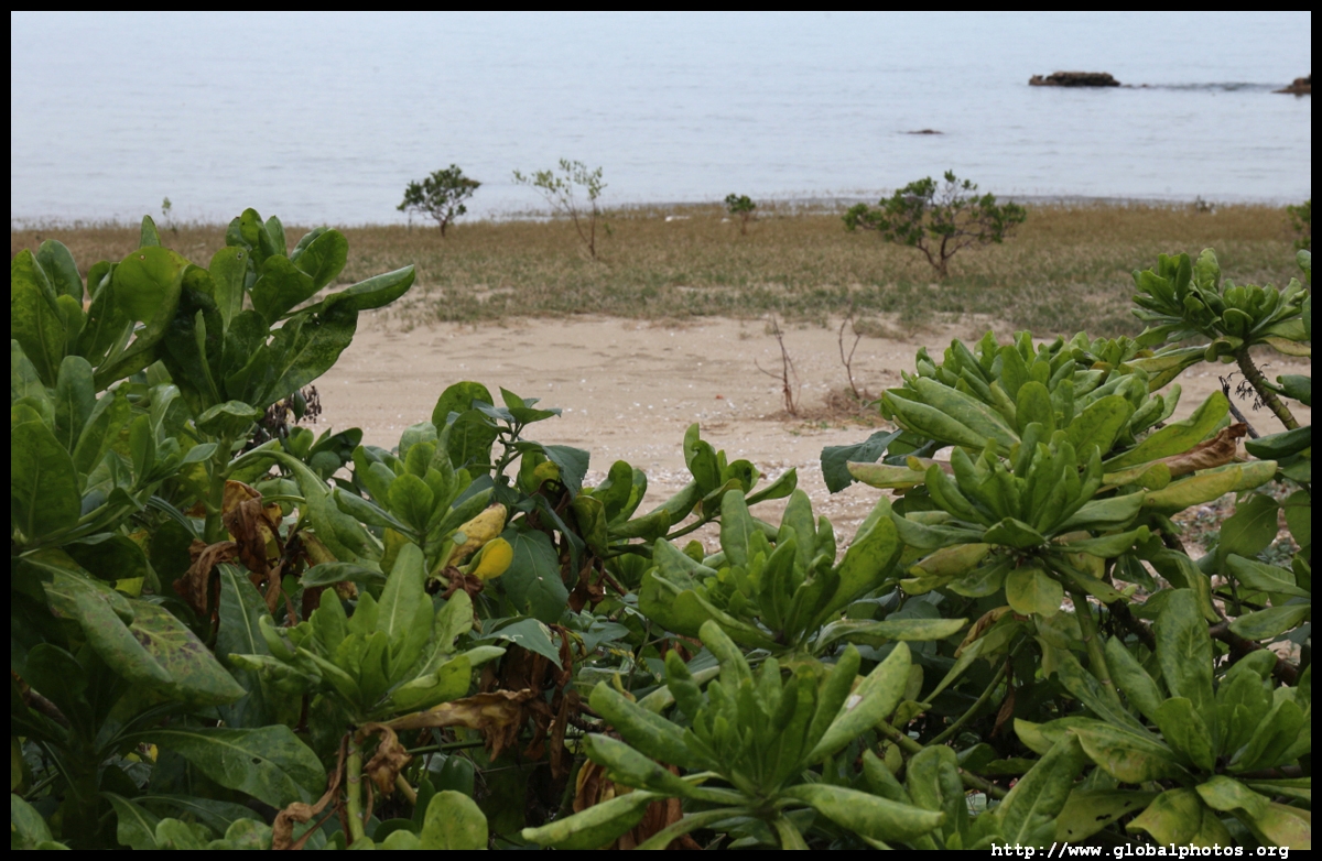
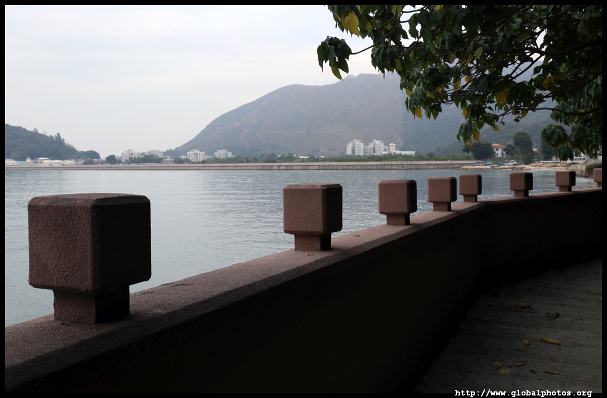
Sea views were plenty along the way.
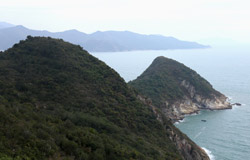
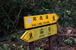
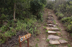
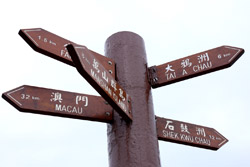
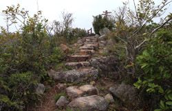
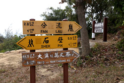
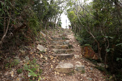
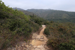
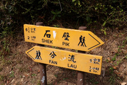
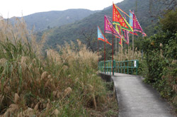
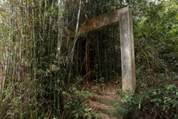
The first major attraction is Kau Ling Chung, an offshot with stairs and dirt tracks. It is marked so you can't miss it.
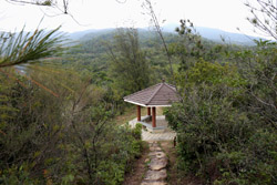
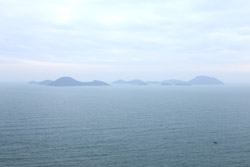
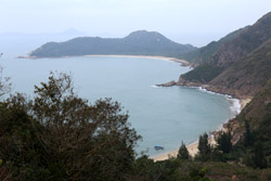
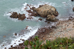
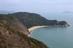
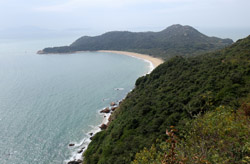
This offshot trail is a loop, so it doesn't matter whether you head upstairs to the viewpoint first as you will end up back at the pavilion. I opted to climb, and a wide open view awaited with benches to enjoy a picnic.
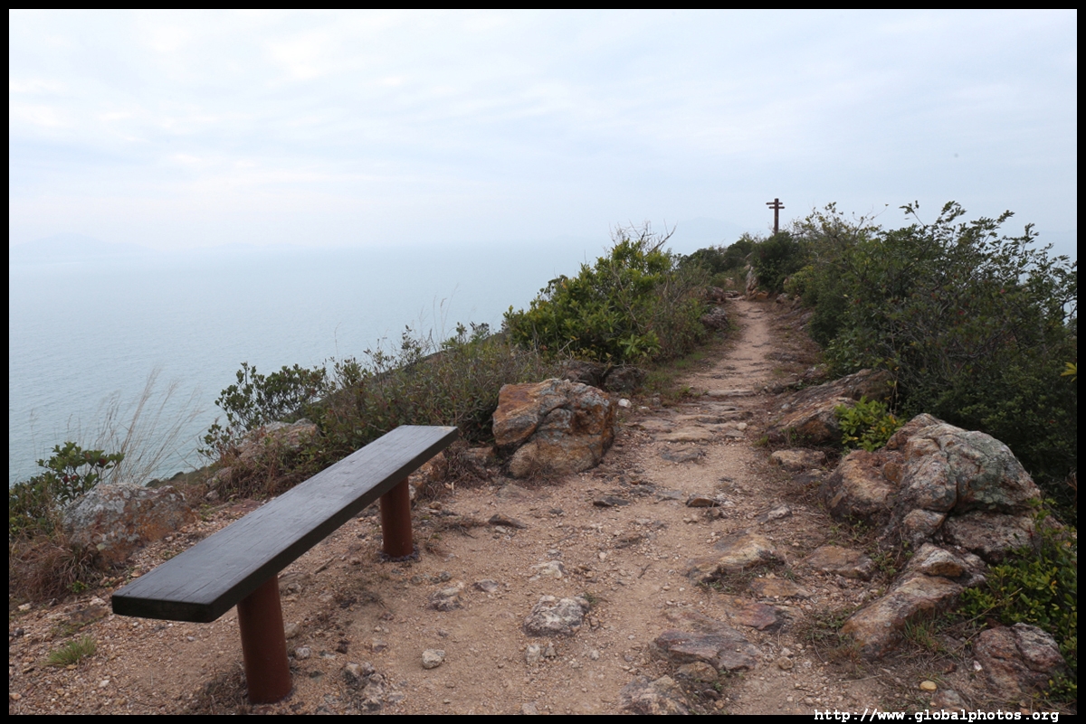
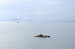
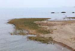
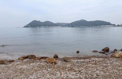
In the distance is Fan Lau, named after the point where the Pearl River meets the South China Sea. The fresh and seawater mix is supposed to be visible through colour change but it was too cloudy to see this effect today.
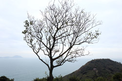
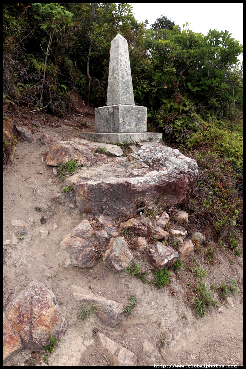
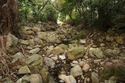
Then it is a more precarious descent down sandy slopes to the next attraction on this loop.
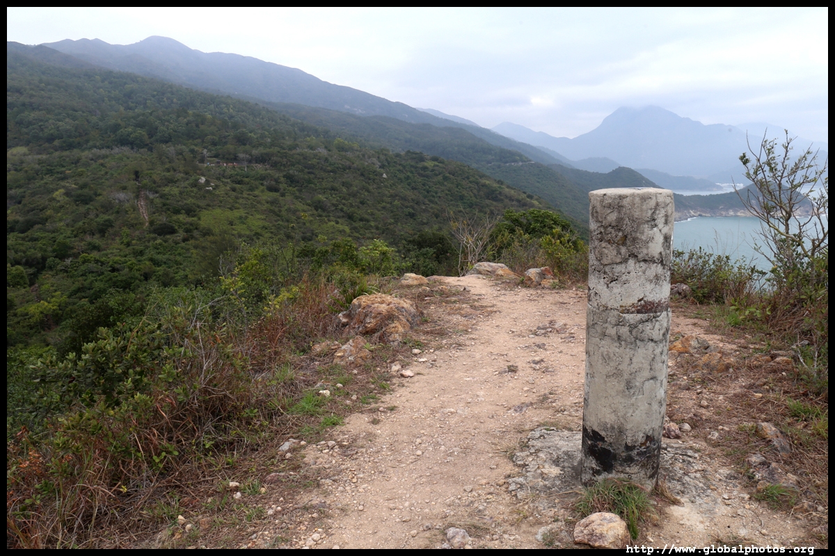
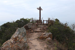
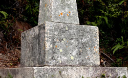
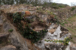
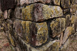
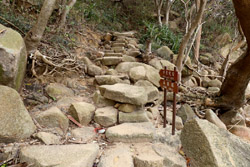
The short Lantau South Obelisk was put up in 1902 to mark the colony's expansion in 1898 when the British leased the New Territories from China.
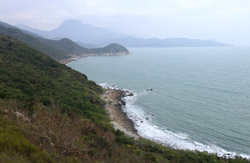
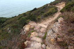
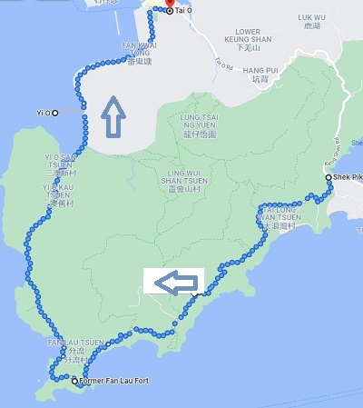
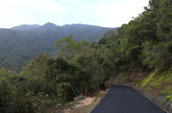
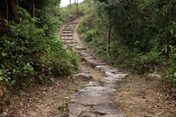
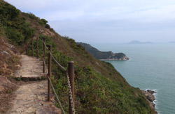
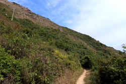
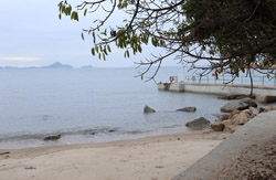
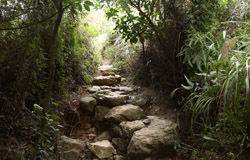
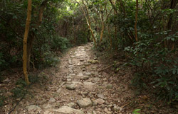
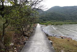
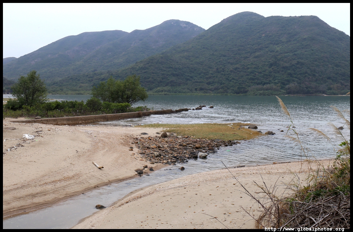
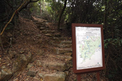
Return back to the main trail, which is now Stage 7 and still paved. You will pass a deserted beach from above, after which the paved road turns into a narrow dirt path that hugs along the slopes more closely. This is why it only took 1.5 hours to walk the previous 5.5km but the next stretch of half the distance would take almost as long.

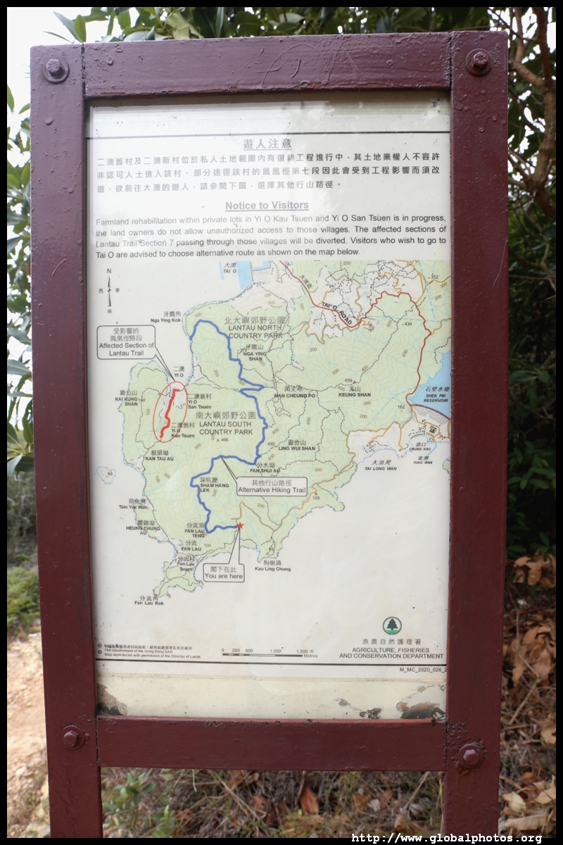
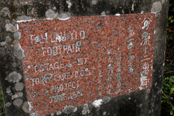
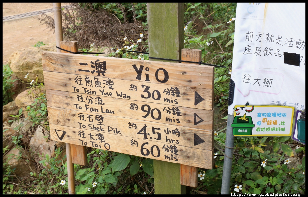
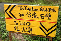
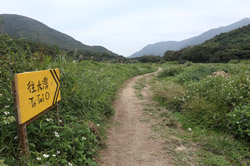
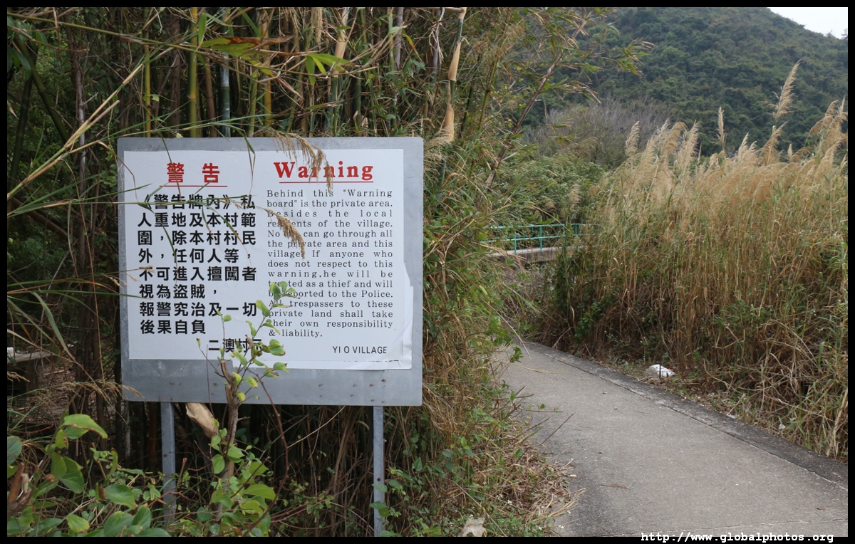
A warning sign marked a potential detour avoiding Yi O, where villagers had previously wanted to ban hikers from accessing their village. News of such animosity have died down recently so I took a calculated risk of continuing rather than diverting through the hills and missing the coastal walk entirely.
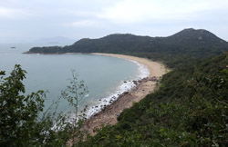
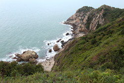
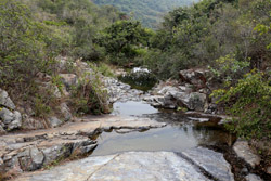
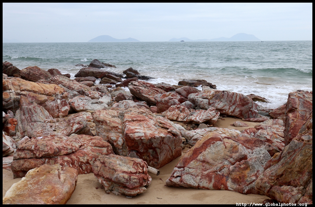
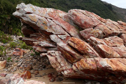
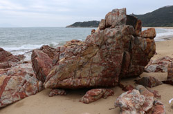
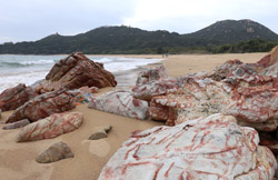
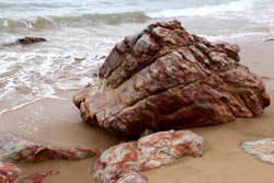
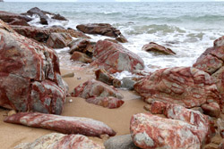
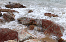
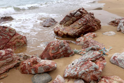
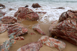
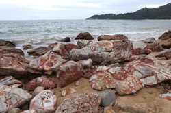
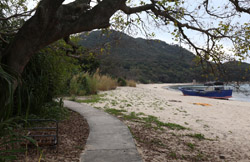
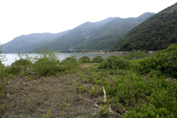
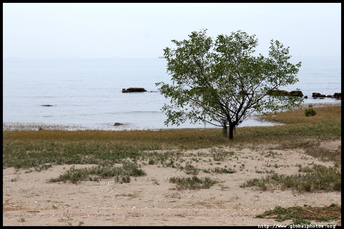
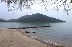
I emerged onto a quiet beach, which is a good stop for lunch by the sea. Fan Lau and this part of southwestern Lantau remains quite isolated, with no roads and only accessible on foot or by boat. Although seemingly an empty area, there was quite a lot of garbage that had washed up on the beach.
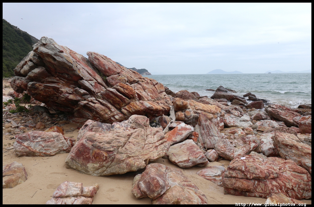
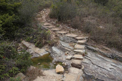
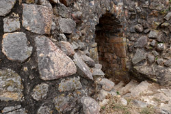
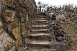
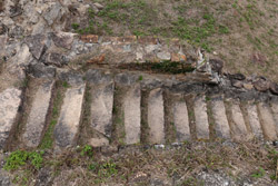
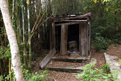
Heading to the other side of the beach, there is a staircase heading back up through some abandoned buildings.
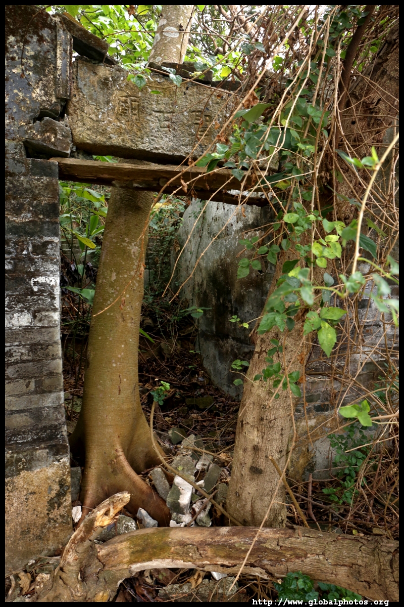
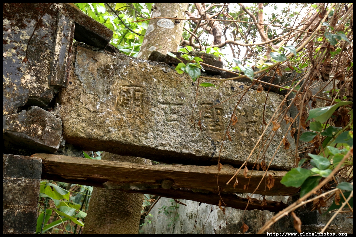
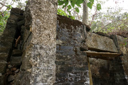
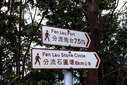
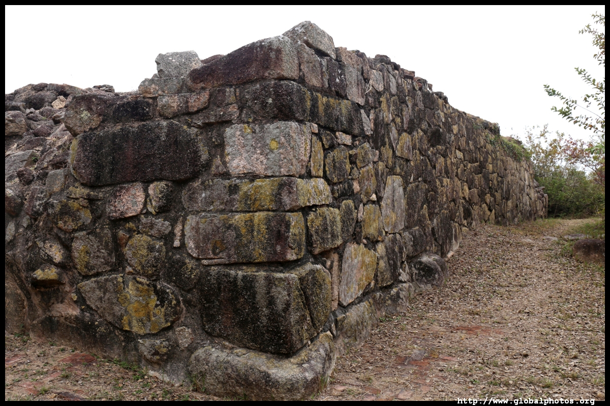
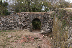
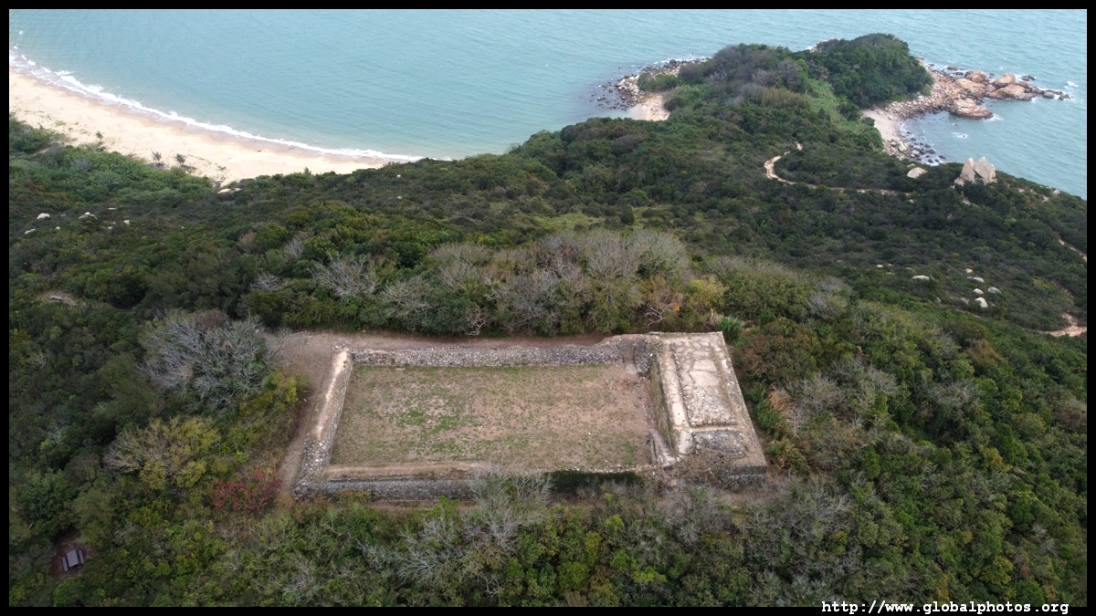
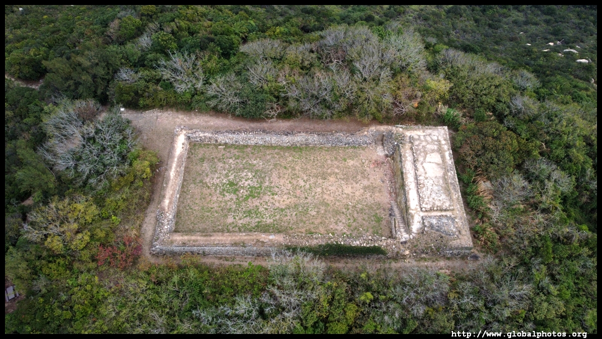
Fan Lau Fort was built in 1729 to protect the Pearl River from pirates. Back then, trade leaving Guangzhou by boat would pass by this area on the way to the sea so a few forts were built along the shores to monitor the sea trade. Located 70m above sea leavel and measuring 21x46m, the fort was reportedly abandoned when the British visited in 1842, although Chinese chronicles noted there were still soldiers based here.
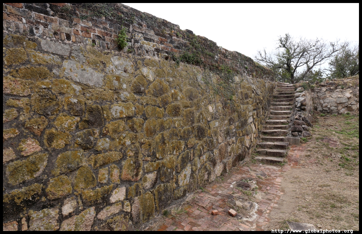
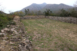
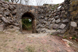
I used a drone to appreciate this structure's full shape from above.
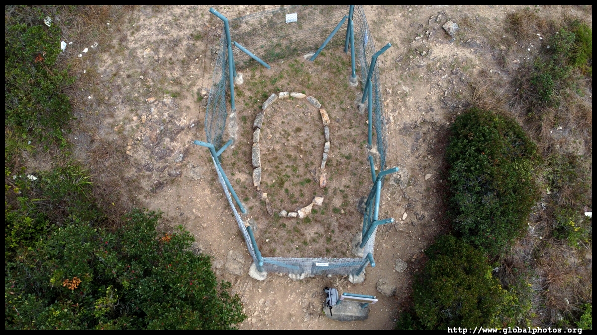
Just a short walk further down the path is an ancient stone circle that probably dates from the neolithic or Bronze Age.
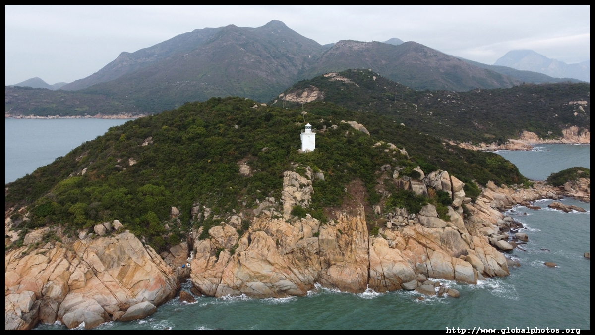
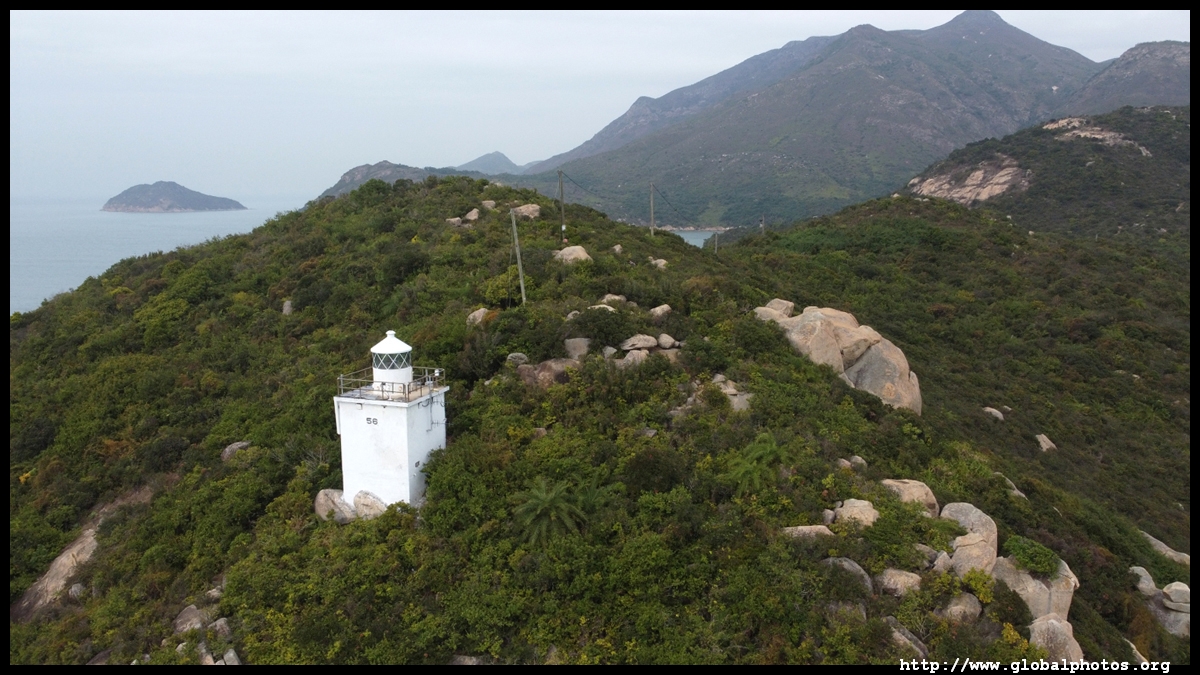
There is also a lighthouse accessible by an offshoot trail, but I opted for an aerial view of that section of coastline instead so I can make it to Tai O before sunset.
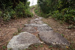
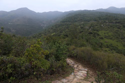
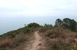
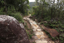
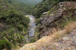
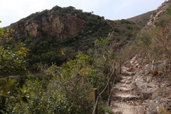
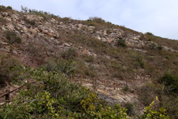
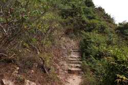
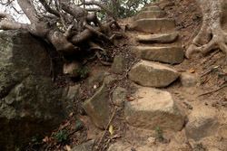
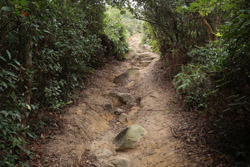
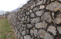
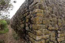
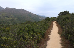
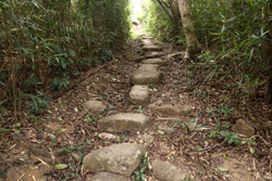
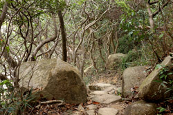
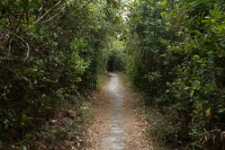
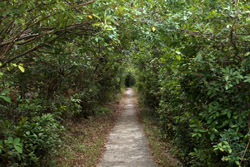
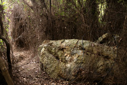
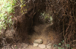
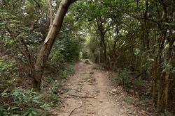
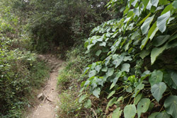
The trail then hugs along the coast, disappearing into hills every now and then with many forested sections. While there is a steady rise and fall in elevation, it is nothing too strenuous but you will need to have good endurance to keep going the second half of this long hike.
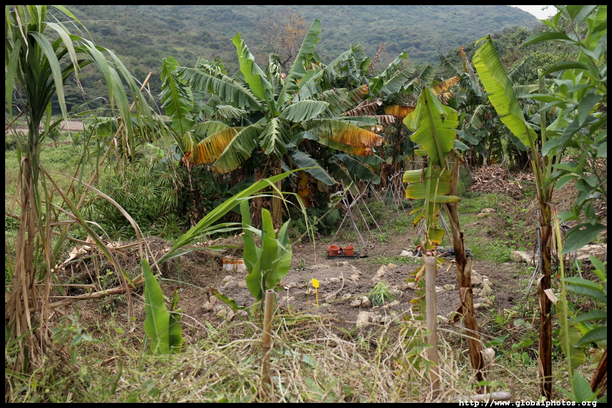
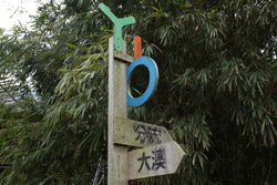
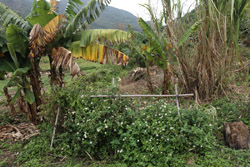
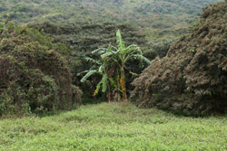
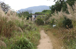
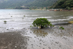
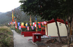
Yi O's farmlands are being revitalized and are a welcome sign back to civilization. Despite the animosity over hikers years ago, they have put in an effort to put up signposts to guide you through their land.
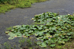
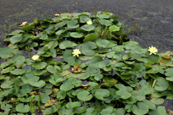
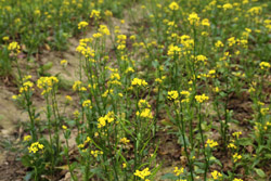
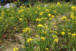
Yi O once hosted large rice farms thanks to its water source and good soils. The farms were abandoned in the 1970s when cheaper vegetables started competing with locally-made produce, and the village was abandoned. They have been revitalized and their rice can now be purchased at their store in Tai O or online.
The rice farming season spans around 90 days and the farms can plant twice a year. Harvested rice need to be dried for 2-3 hours before going through more machine processing in order to consume.


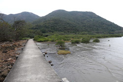


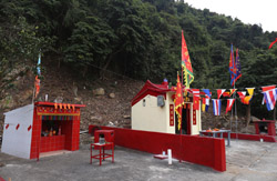
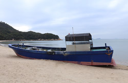
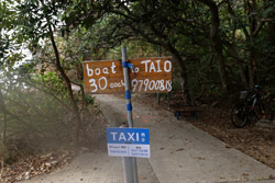
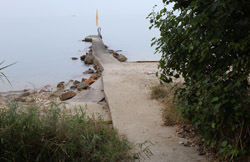
From the pier just after the temple, you can call a boat for the final leg back to Tai O for $30 a person.
Tensions with villagers have eased in recent years as the hiking crowds have dissipated after Yi O came to fame from local media. So they haven't enforced this warning sign now.
6.5 hours later, I arrived back at the southern side of Tai O, away from the tourist shops and the bustle.
 This long hike offers lovely scenery and a few historic sights along the way. Fairly well signposted and relatively flat, I didn't encounter many hikers during my weekday trip. The downside is there were no shops along the way so be sure to bring all the supplies you need, including water and a lunch. There are plenty of picturesque spots with benches to enjoy them during your breaks.