Hong Kong Photo Gallery - Ngong Ping 360 Rescue Trail

For the more ambitious hiker who wants an adventure beneath the Ngong Ping 360 Cable Car, there is a rescue trail built beneath it to service the system. For advanced hikers, start from the Tung Chung end, which includes a very long climb of some 300m up to cable tower 3. Then the trail is relatively flat although there are still some steps here and there, and enjoy views of the airport along the way.The easier option is to start at Ngong Ping and head back downhill to Tung Chung. The entire journey takes about 3-4 hours and expect plenty of photography stops along the way.
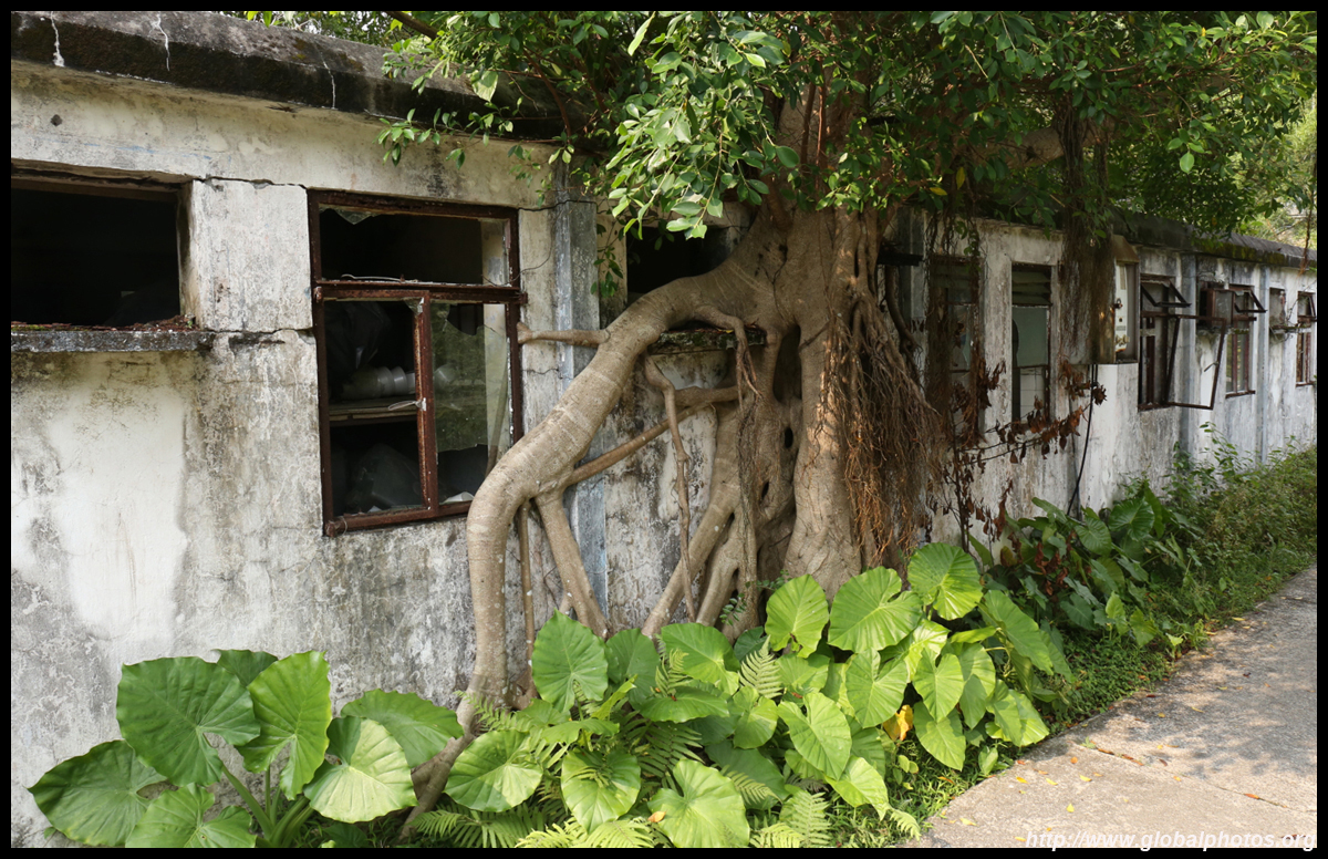
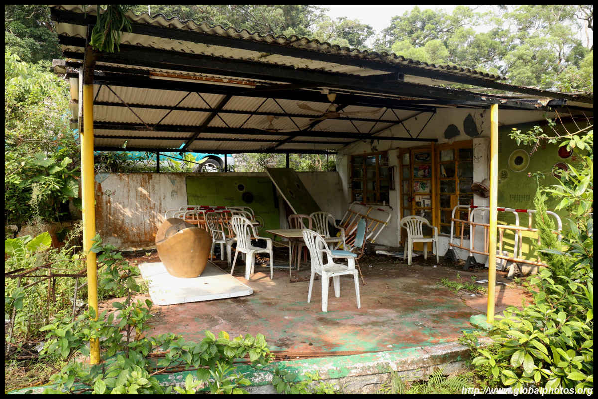
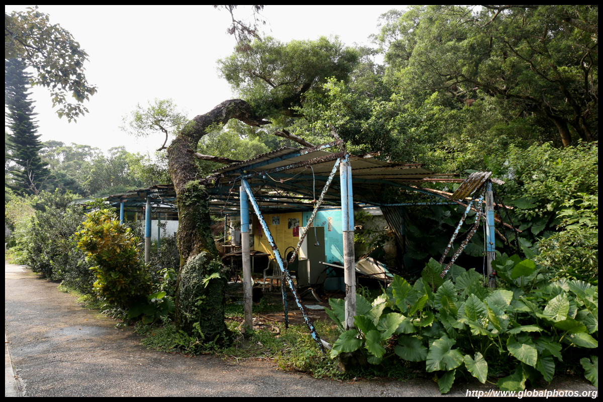
From the bottom of the Big Buddha, continue down the service road around the monastery towards the Wisdom Path, passing by a few abandoned buildings that used to serve the tourist and hiking crowd.
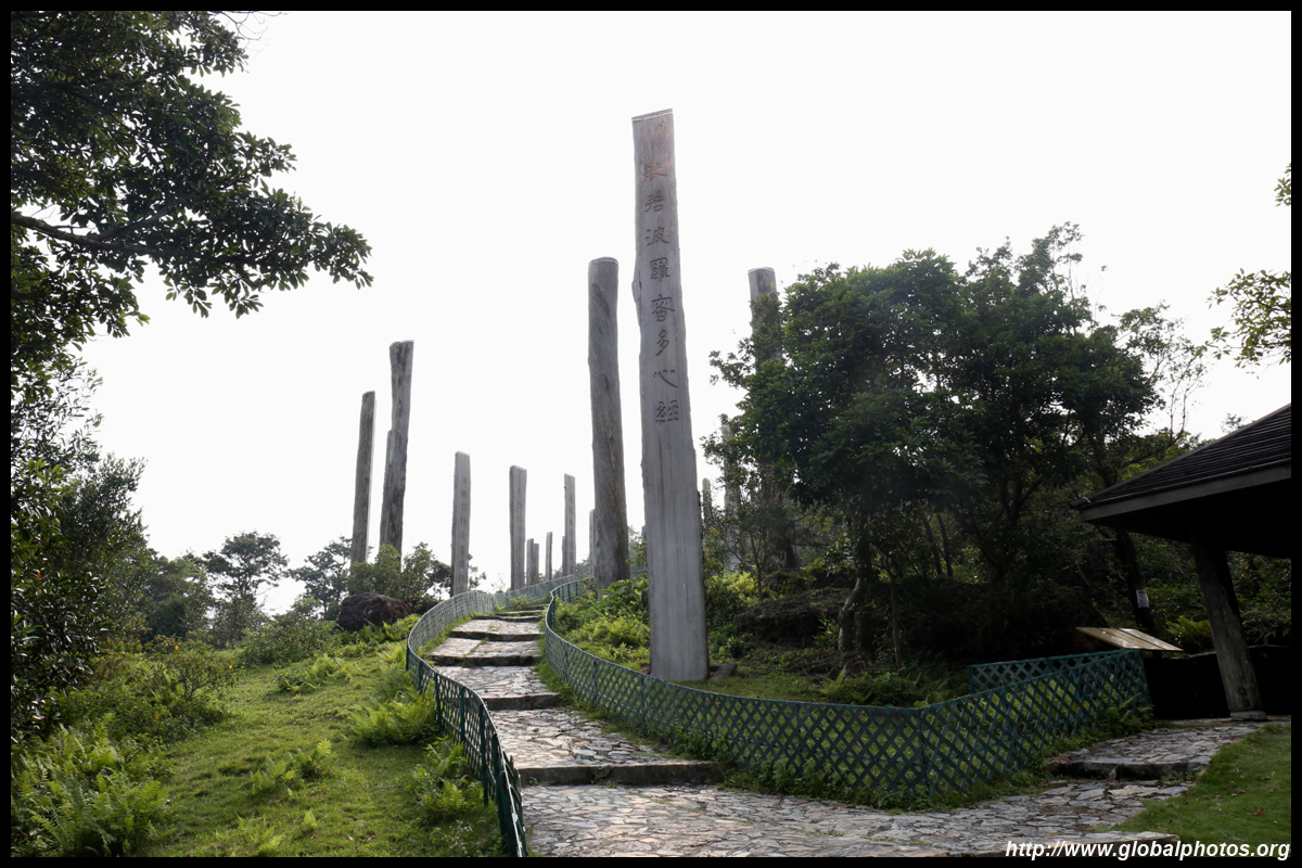
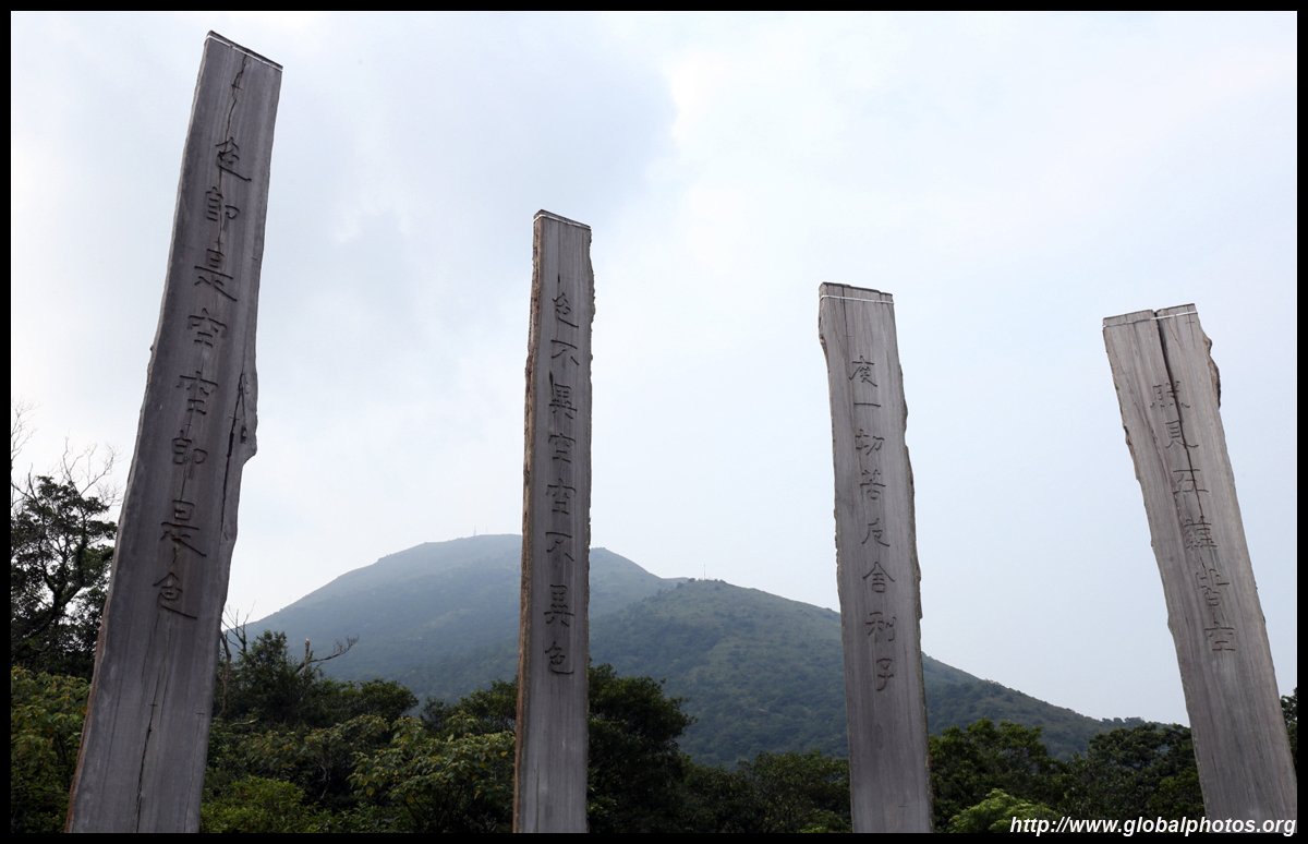
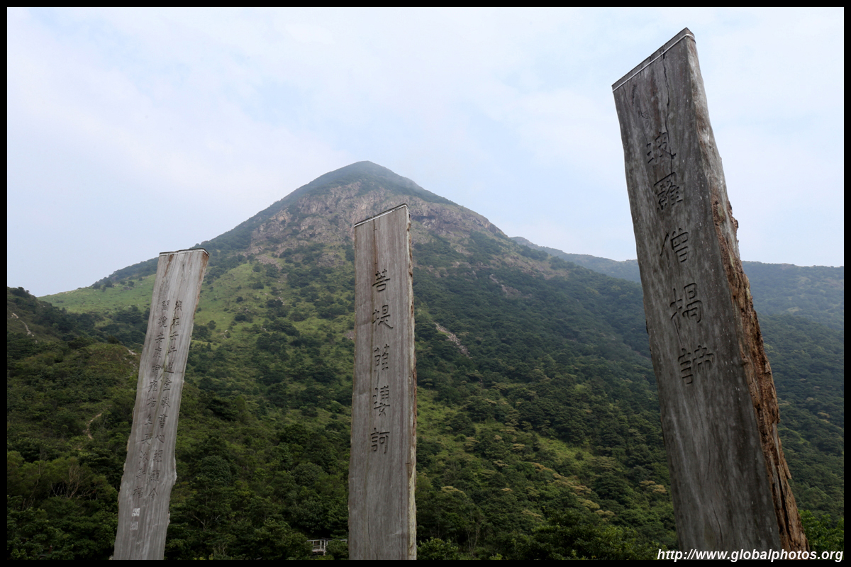
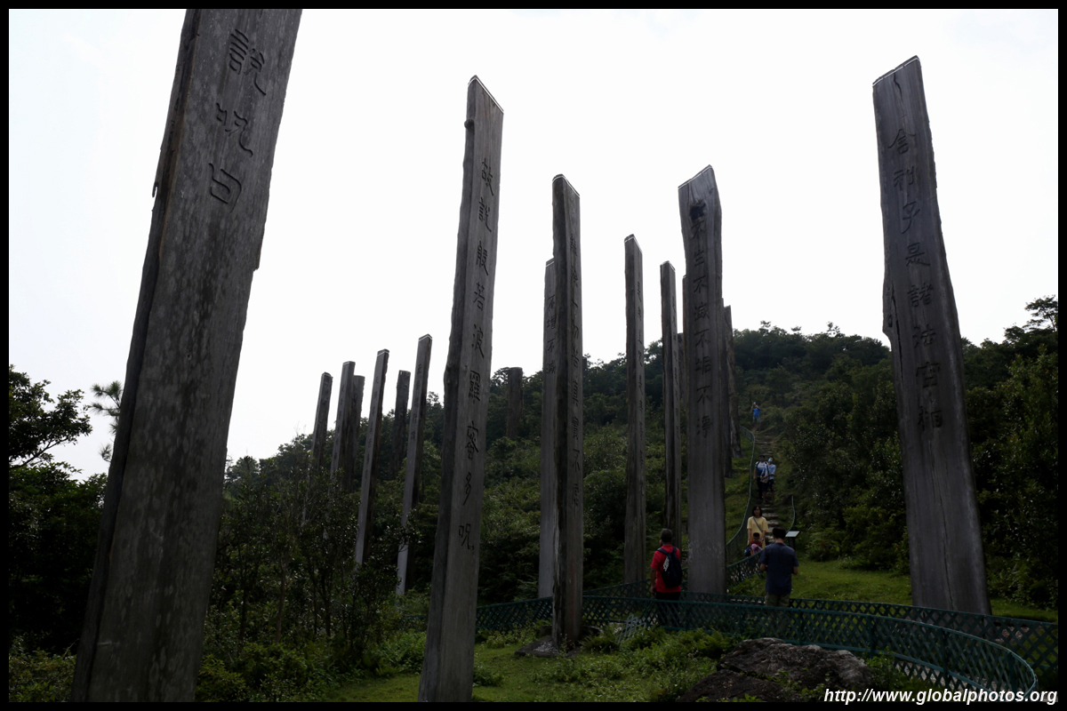
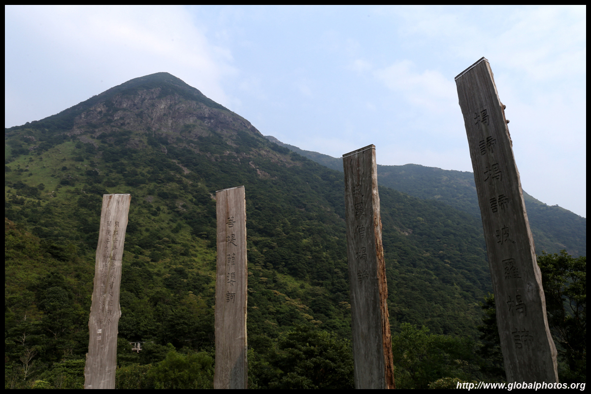
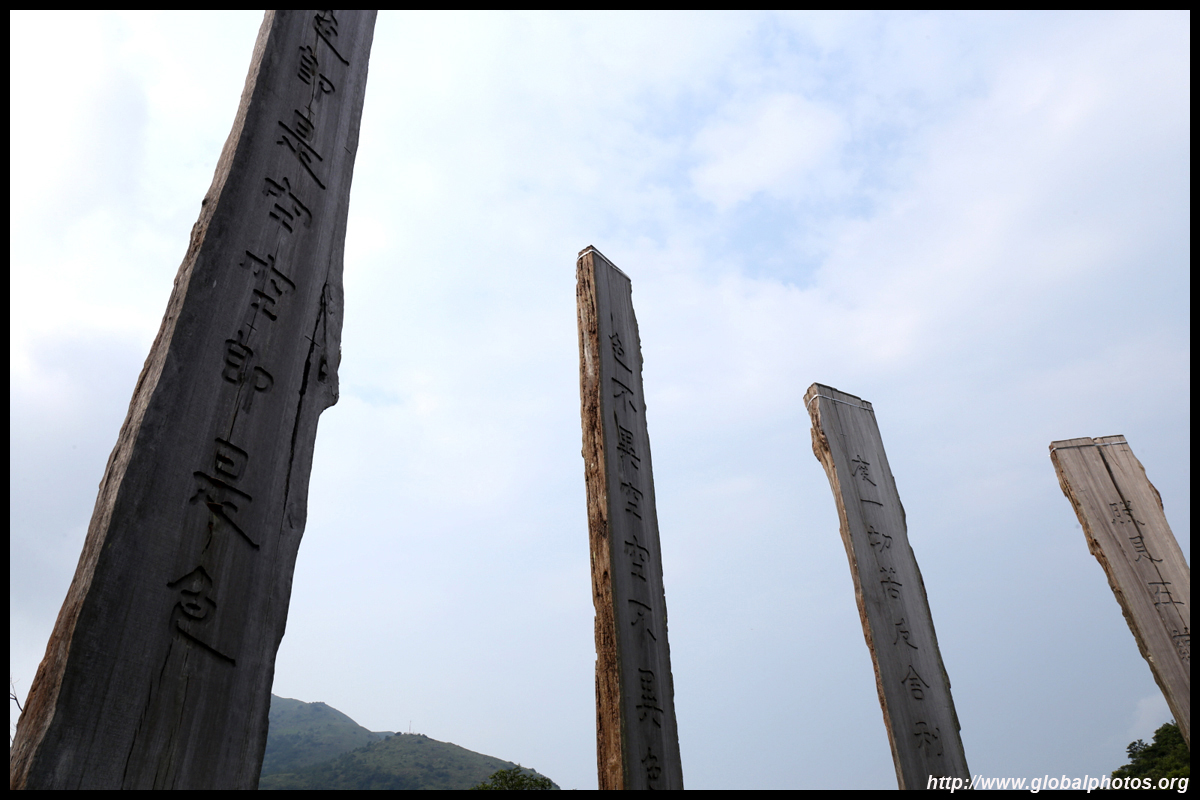
The Wisdom Path is a series of 38 wood columns with calligraphy from the Heart Sutra. Originally in Sanskrit, it was translated into Chinese during the Tang Dynasty.
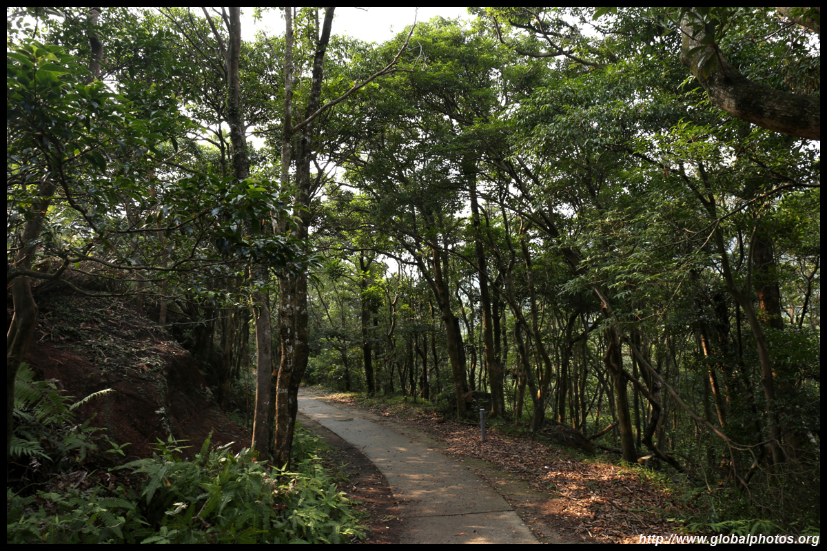
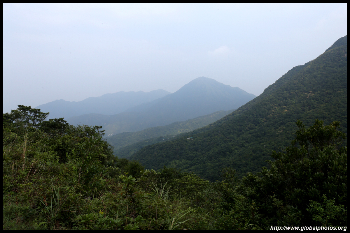
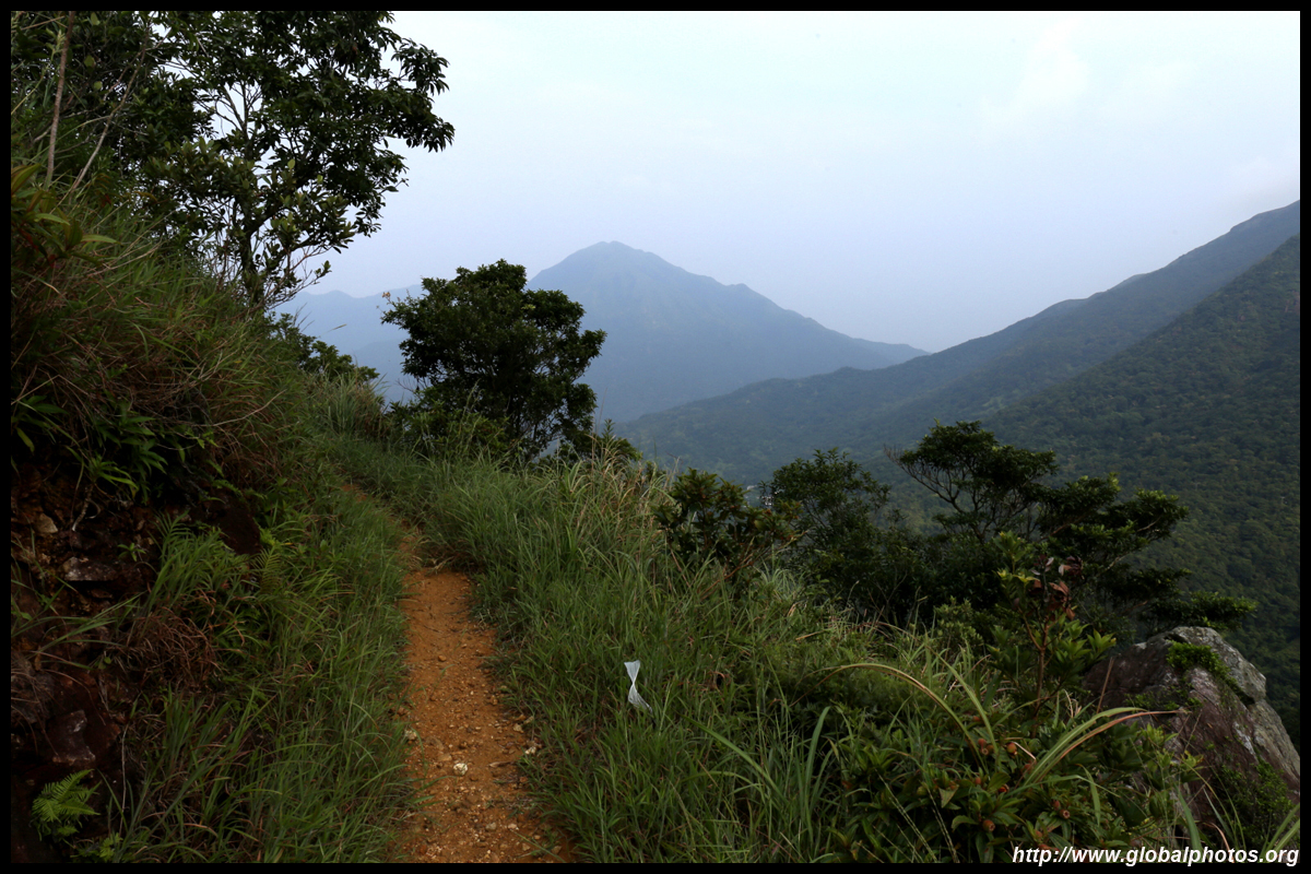
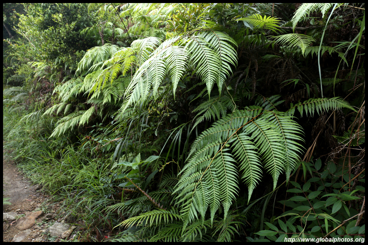
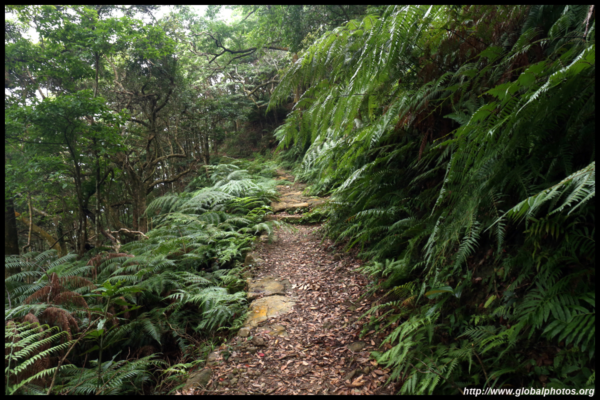
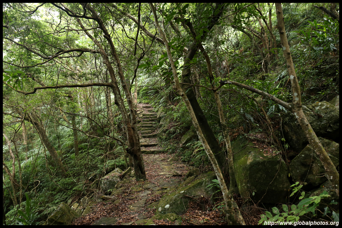
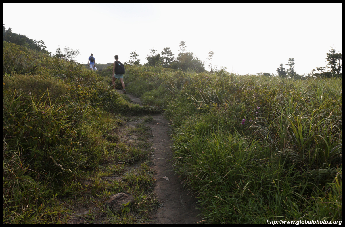
Backtracking, head back to the intersection before the abandoned buildings and turn right into the mountains. You may encounter a monk driving carts along the way. Past the public toilet, you will see a monastery gate. To the left is a defined dirt path into the mountains. Take that and it will be a long walk around the mountain.
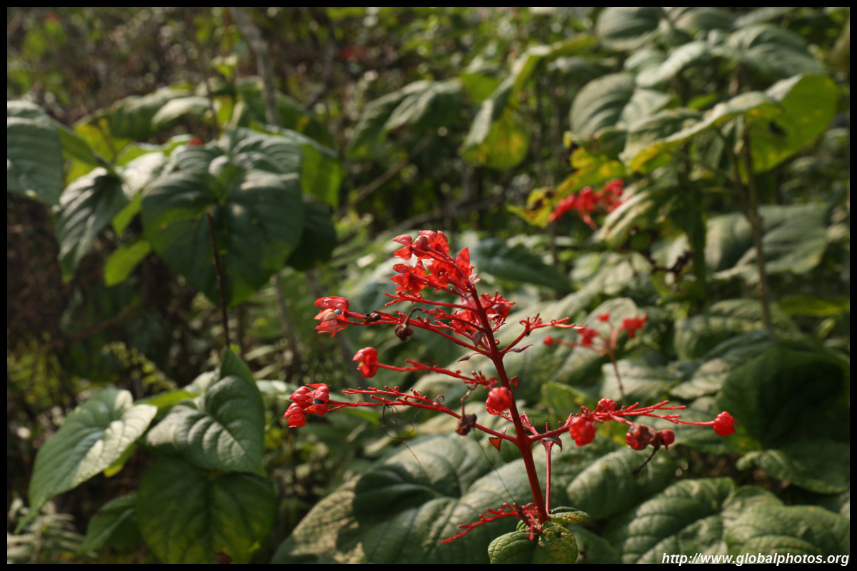
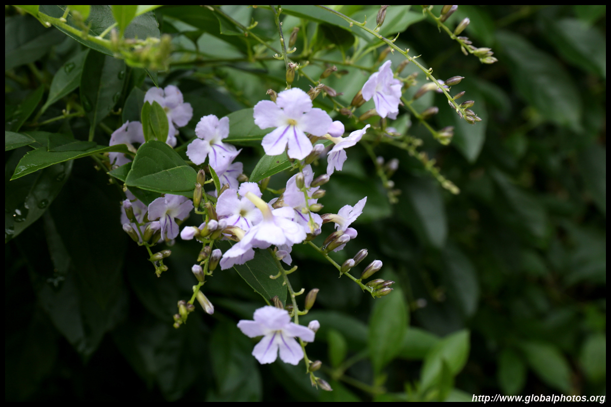
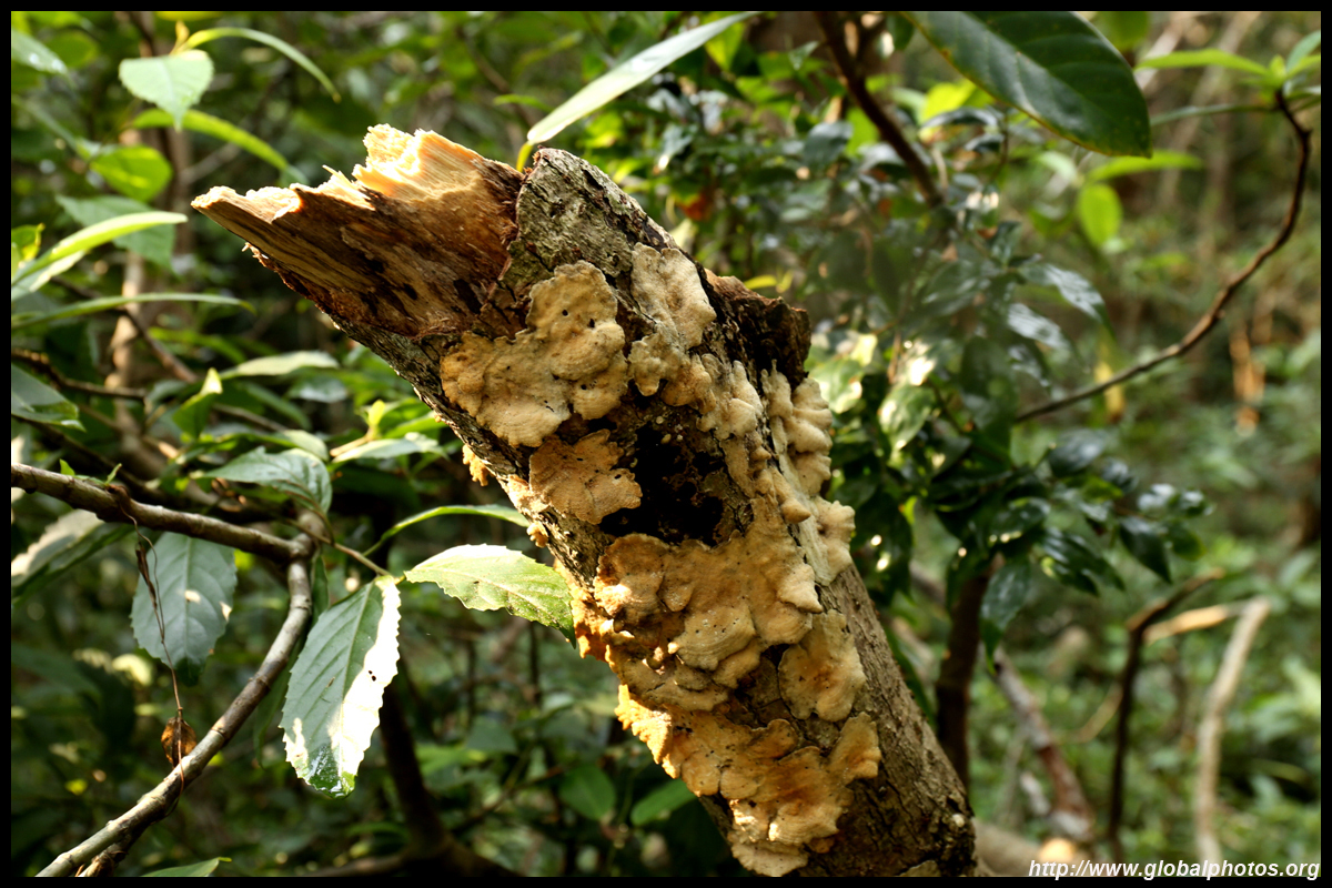
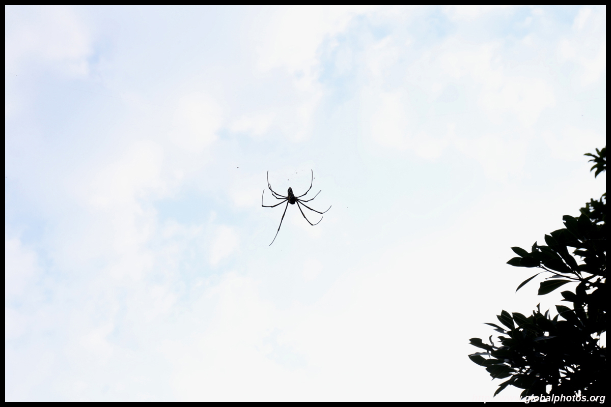
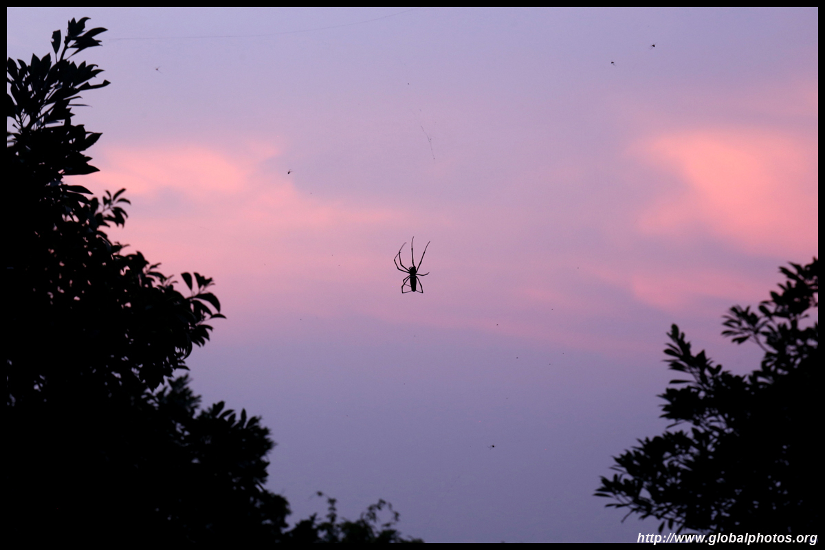
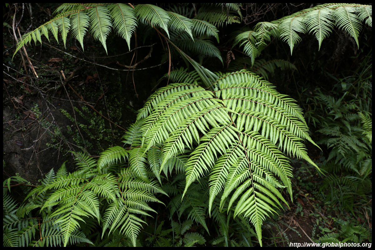
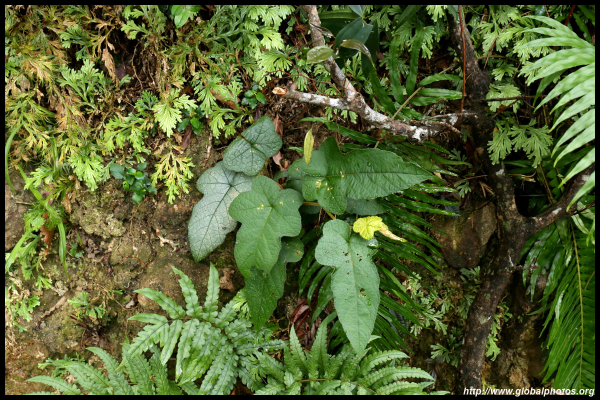
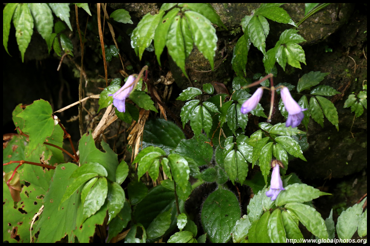
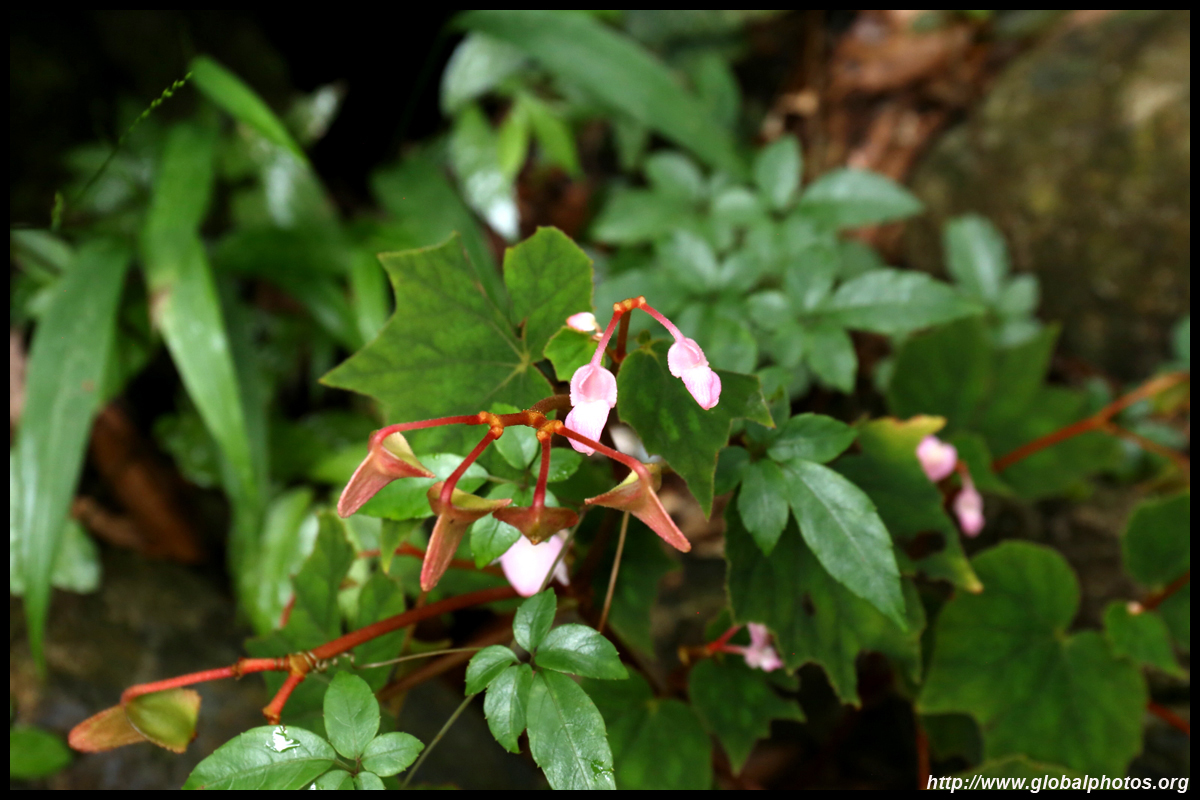
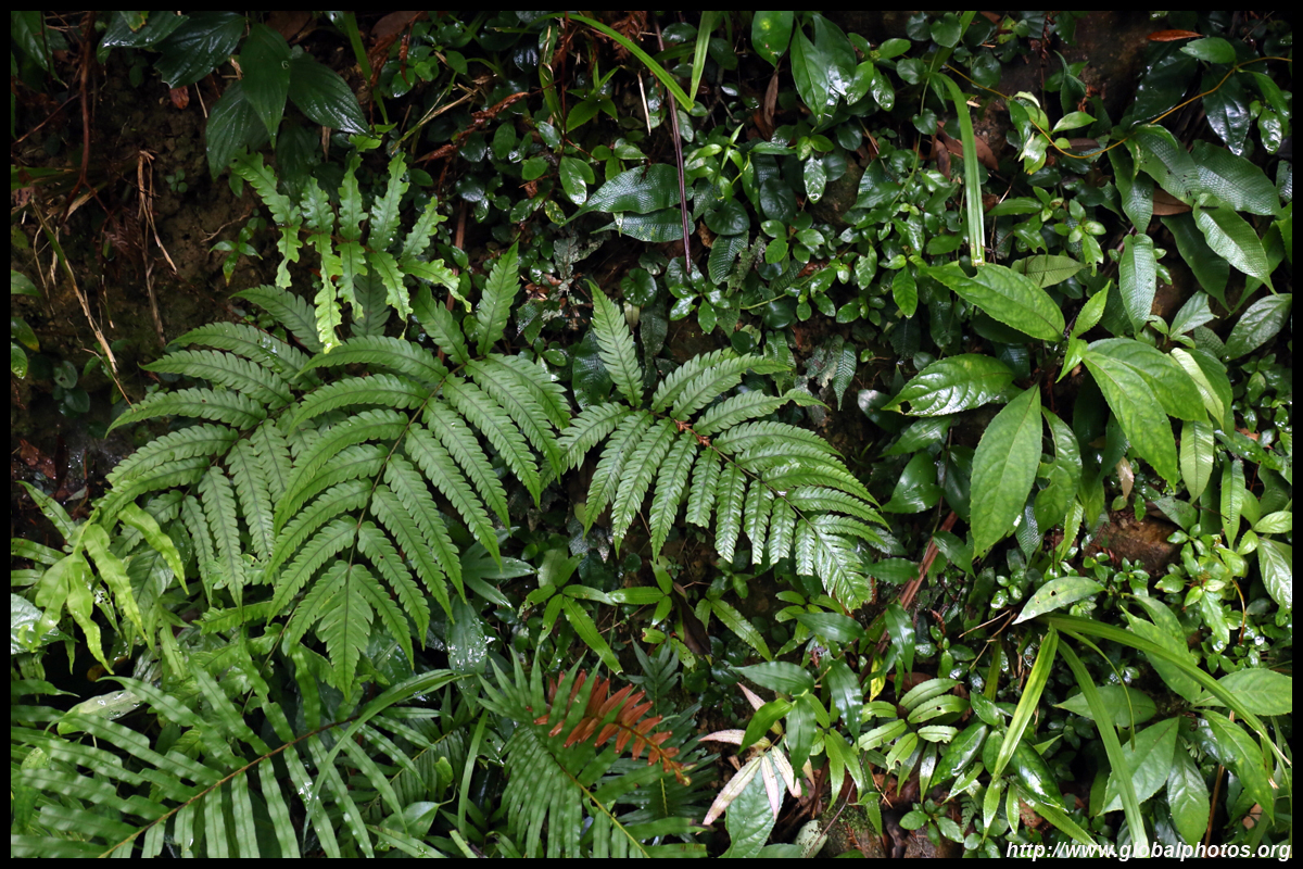
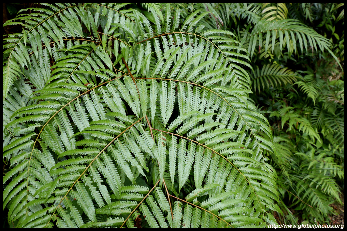
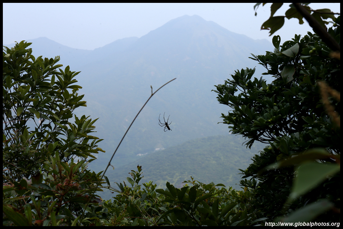
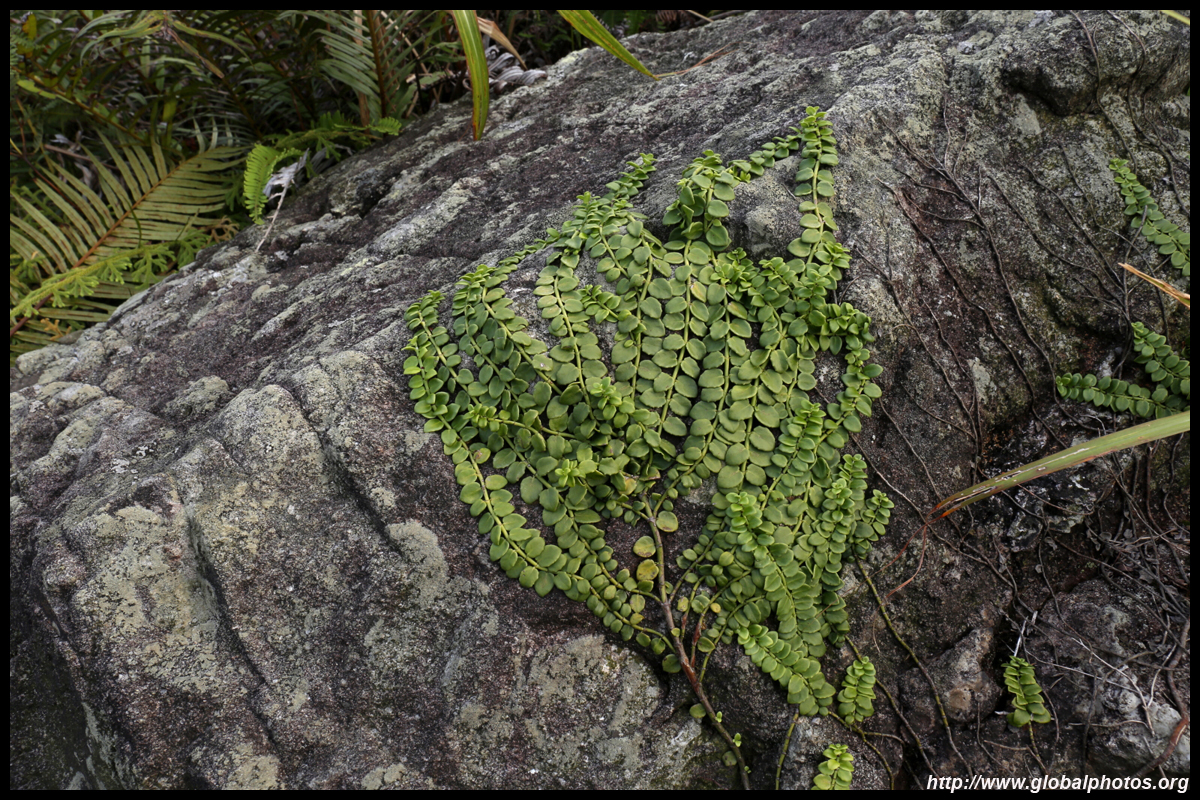
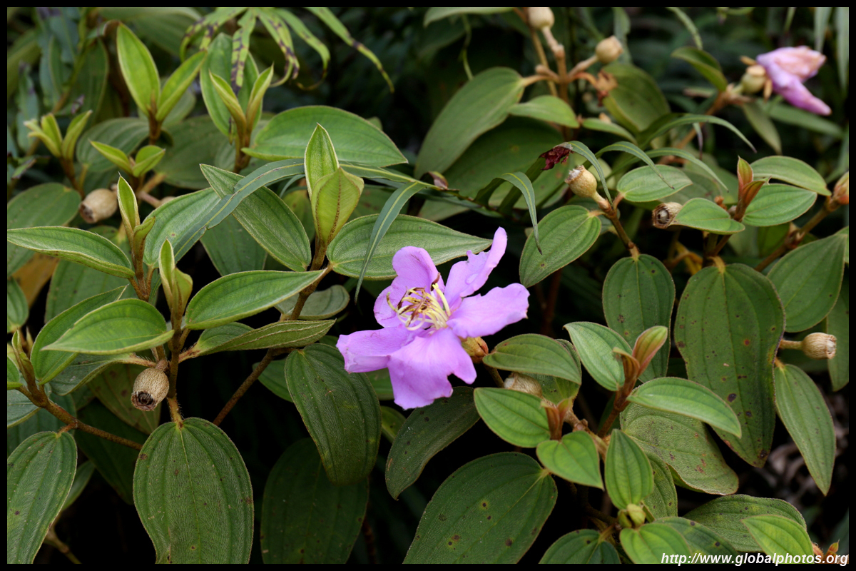
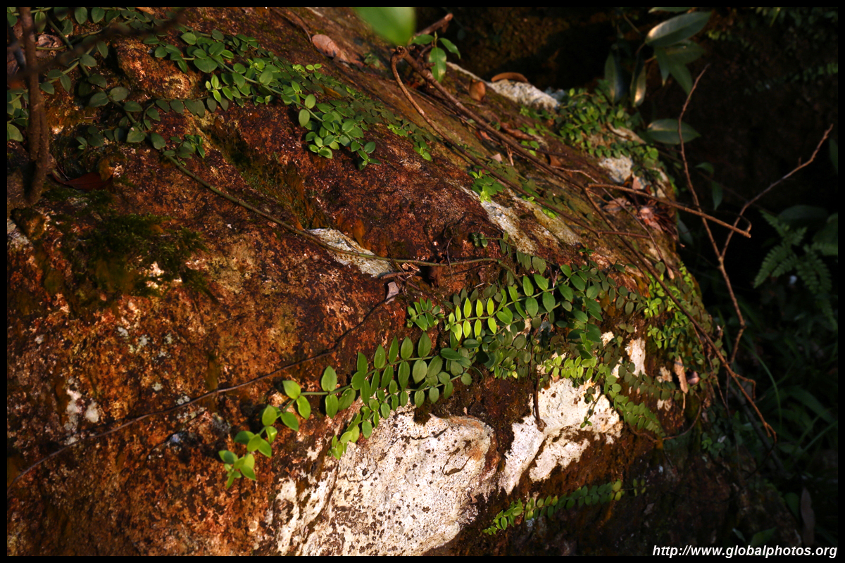
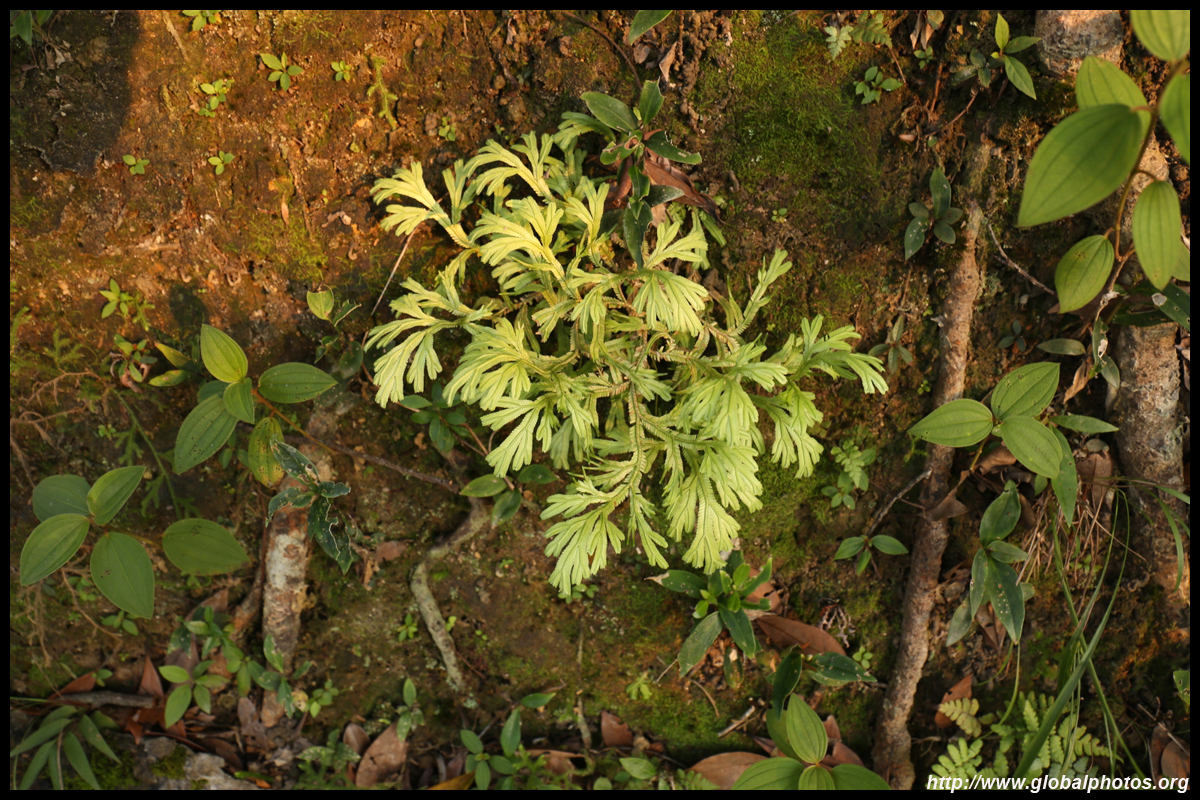
I didn't encounter other hikers along this path and many giant spiders were above us.
| |||
|
|
|
|
|
|
|
|
|
|
|
|
|
|
|
|
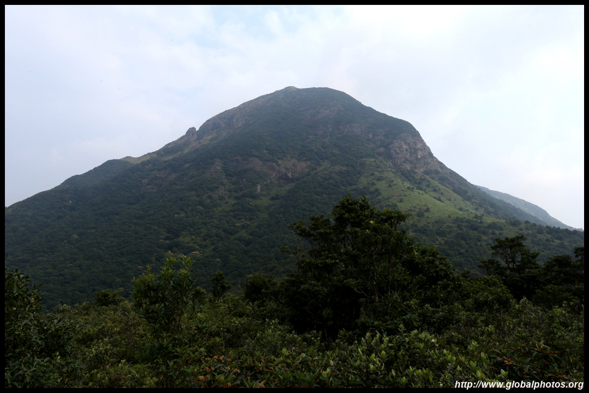
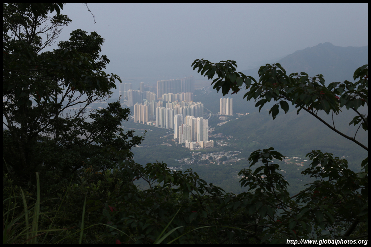
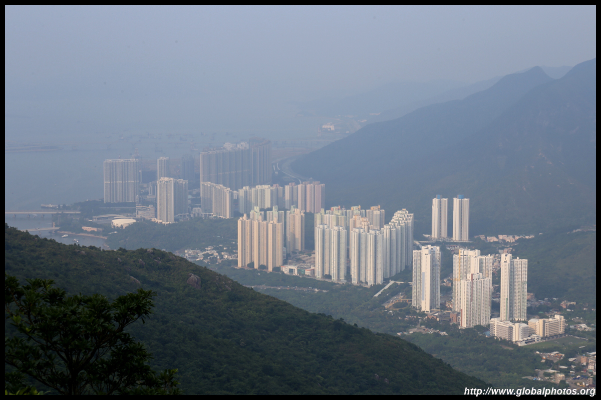
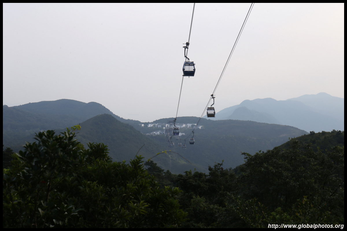
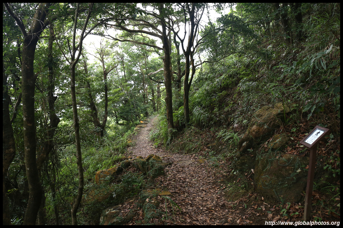
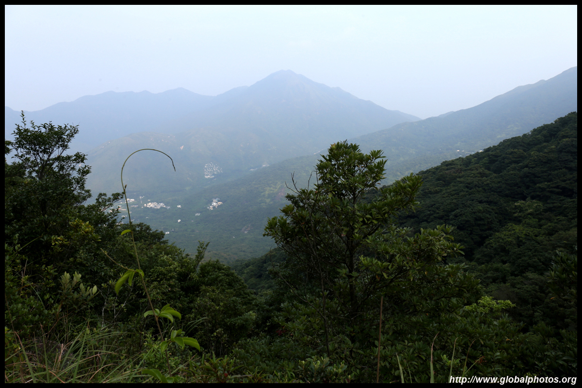
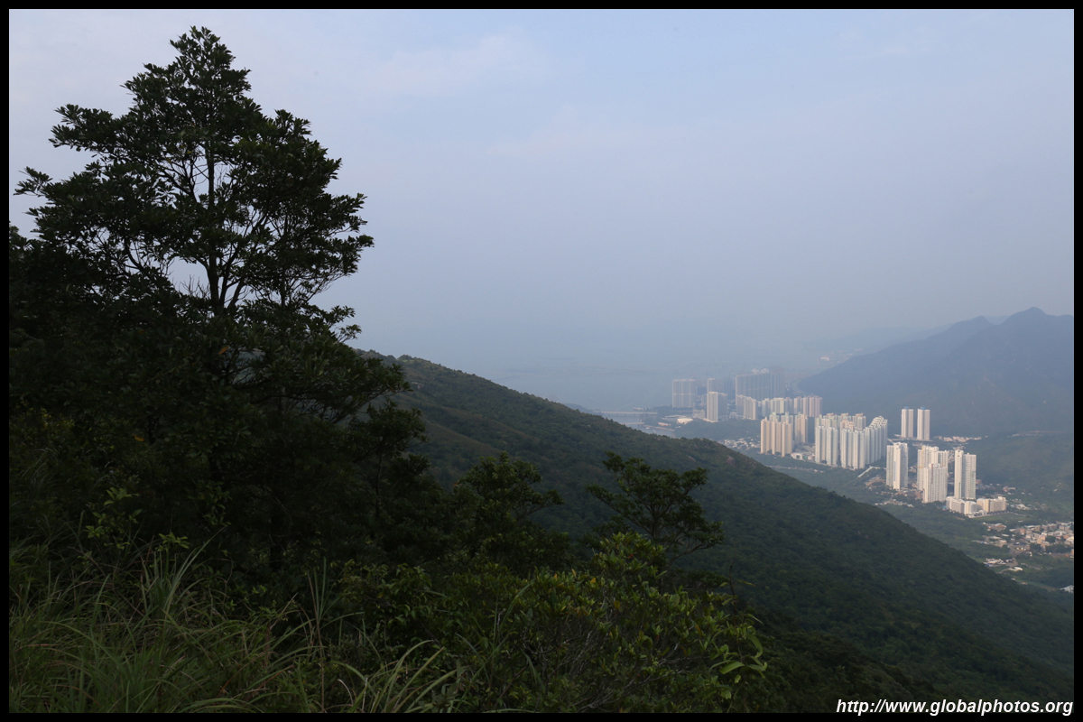
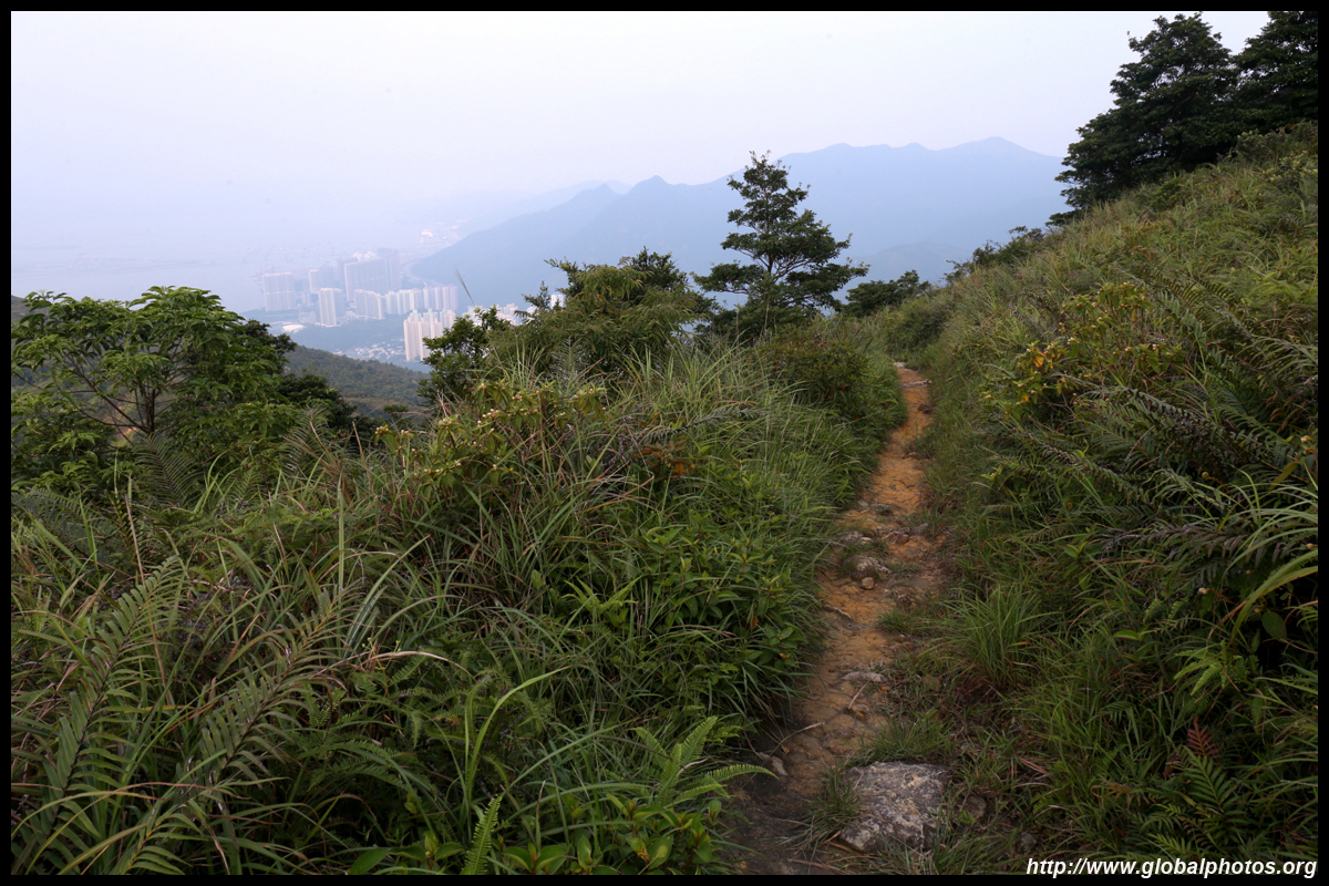
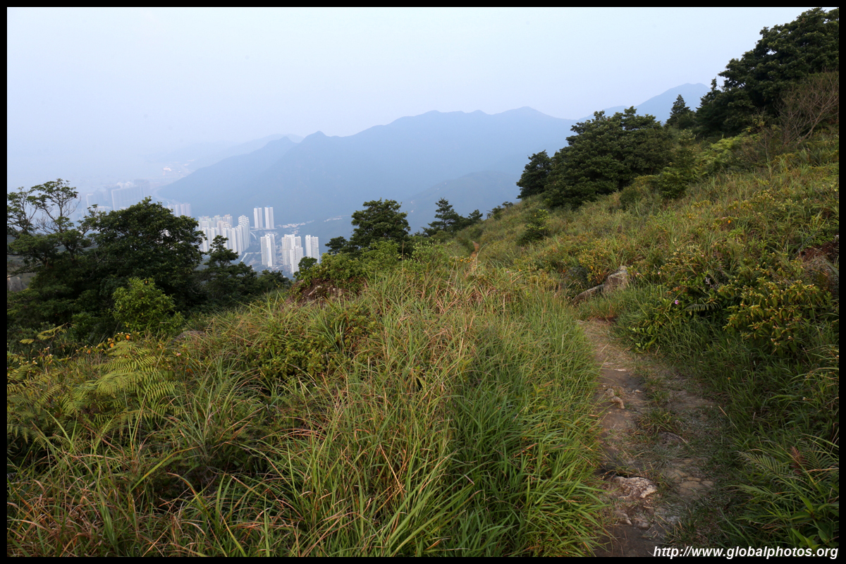
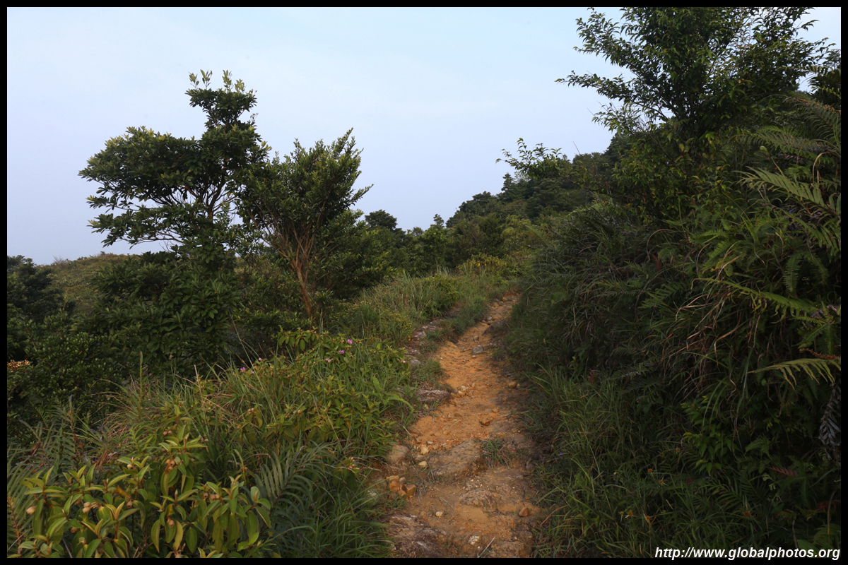
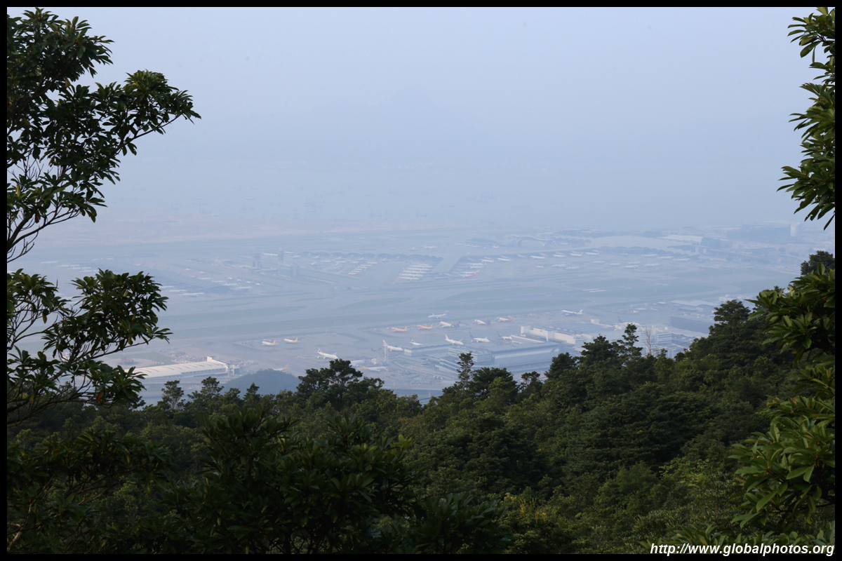
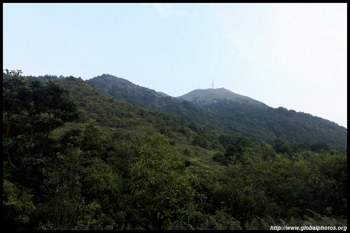
In the distance is the destination, Tung Chung. You will be able to peek the airport from here but there are better views to come.
| |||
|
|
|
|
|
|
|
|
|
|
|
|
|
|
|
|
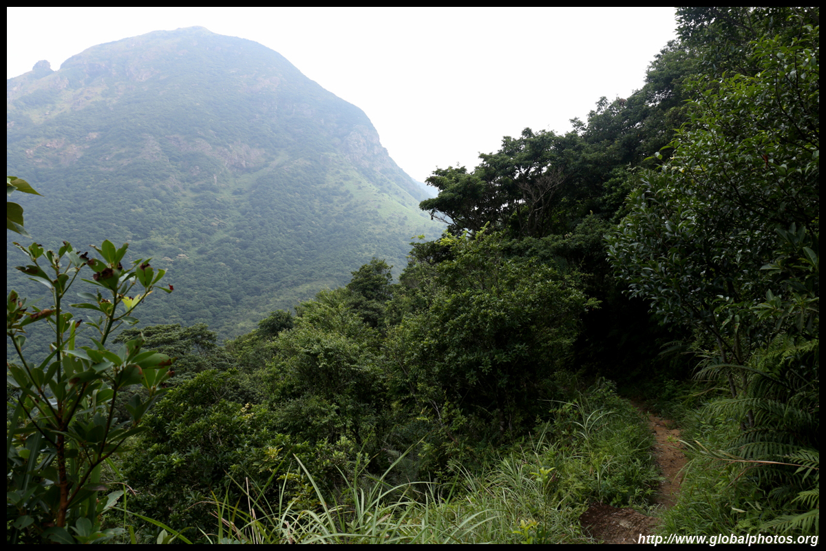
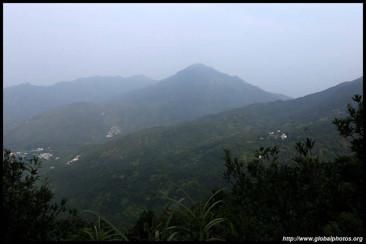
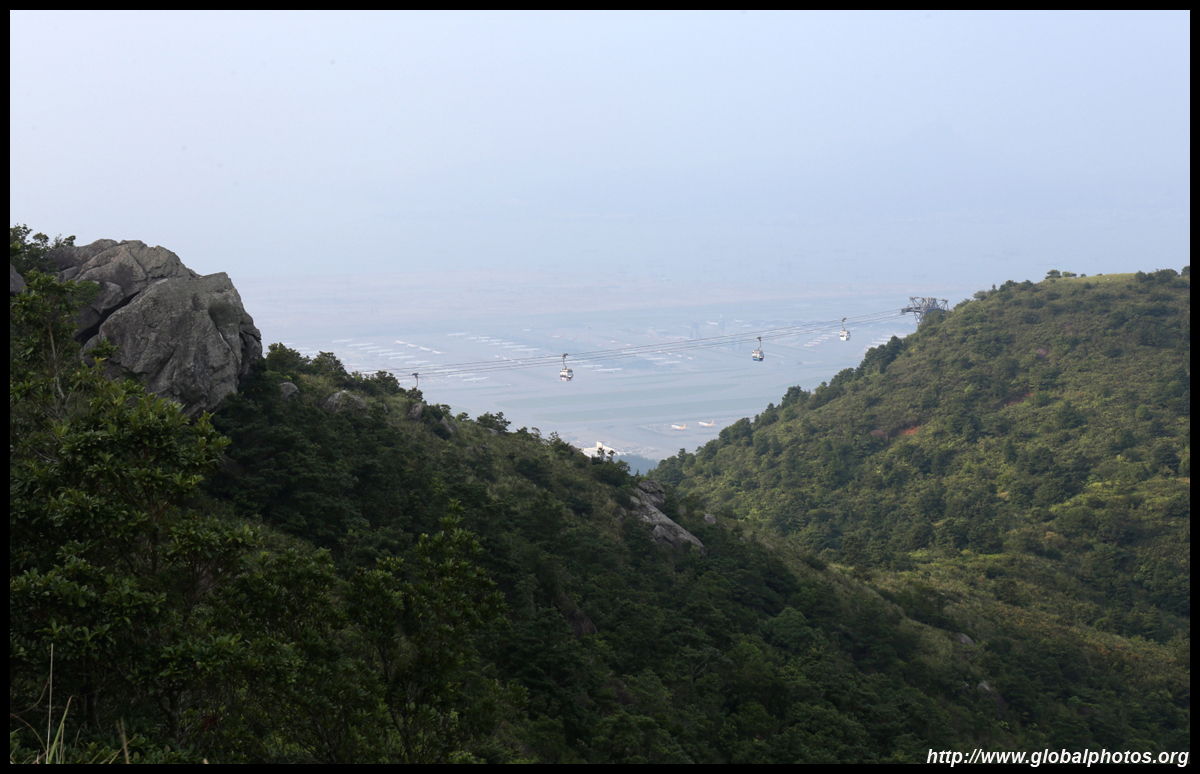
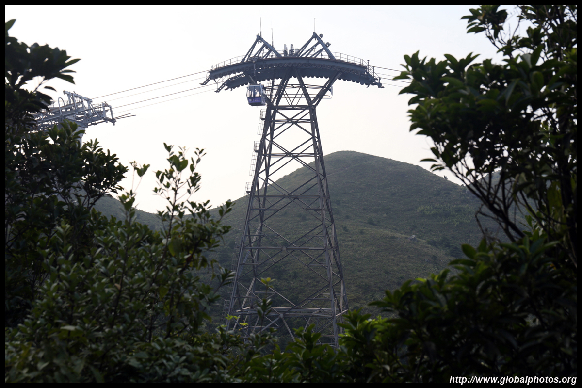
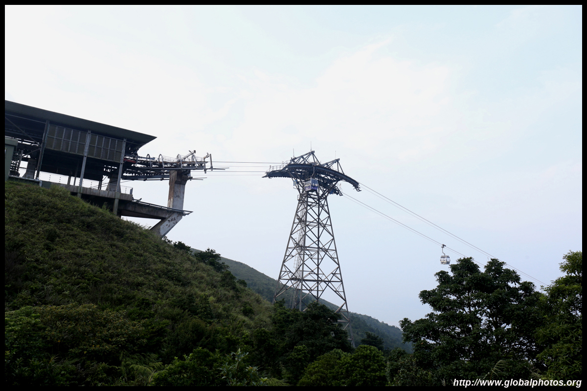
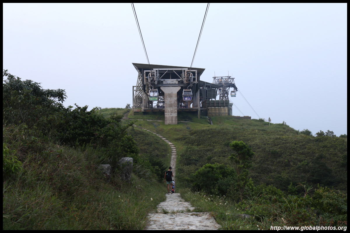
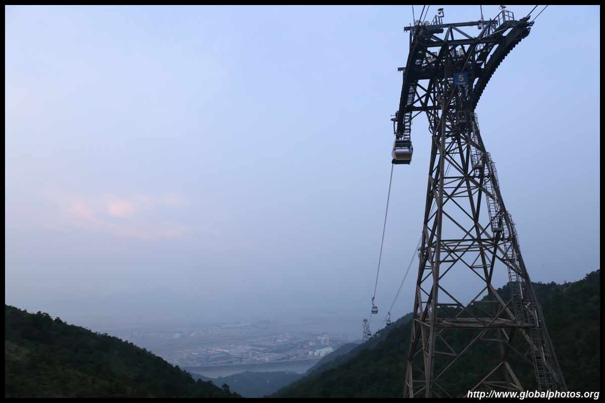
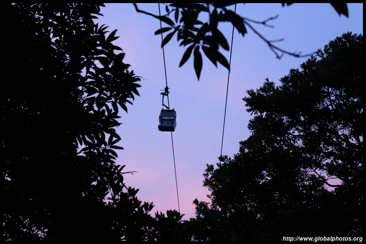
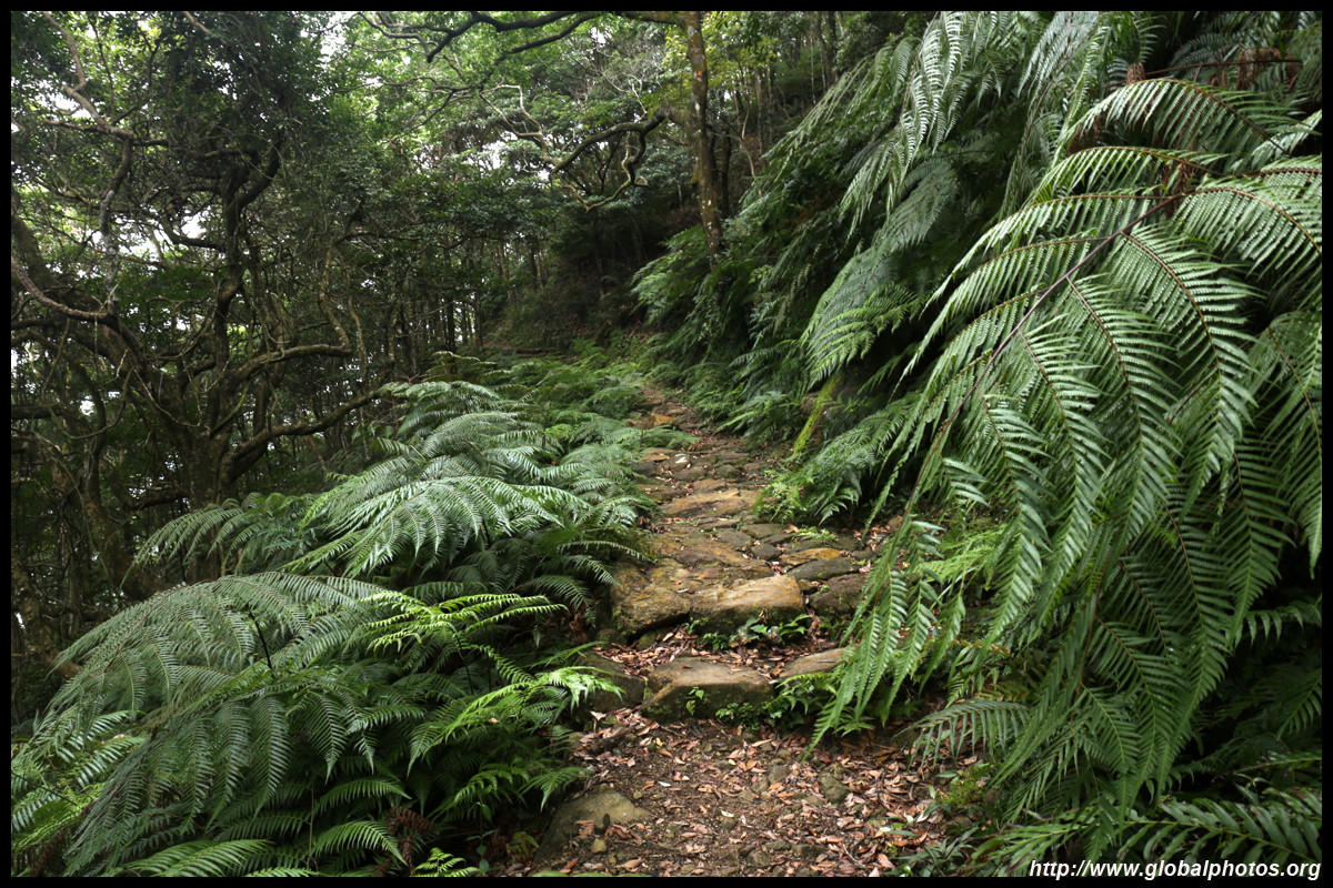
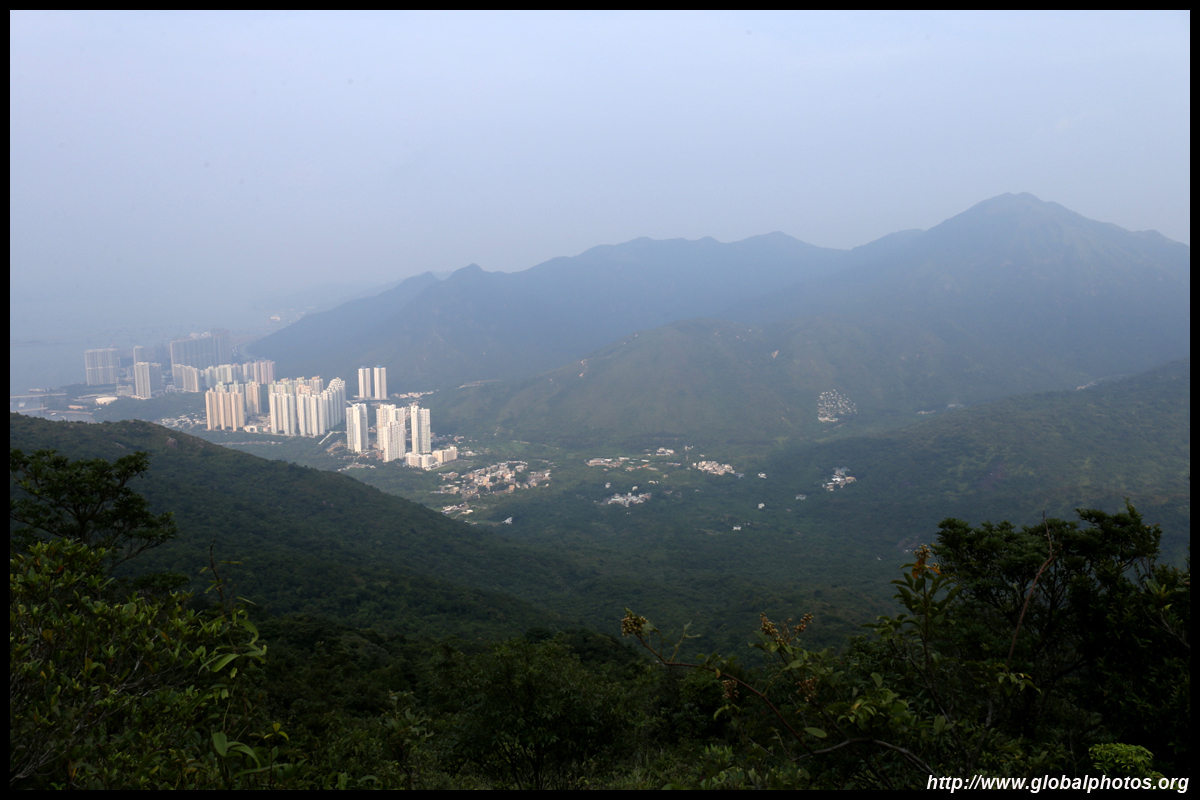
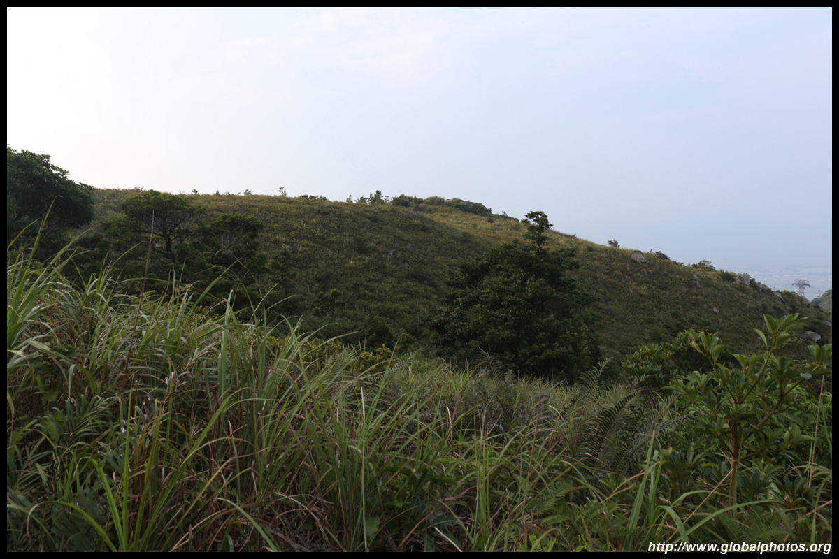
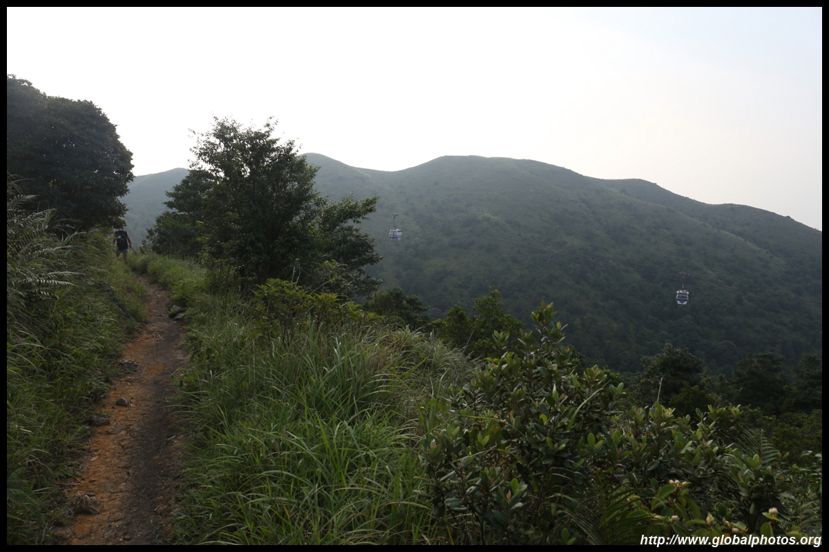
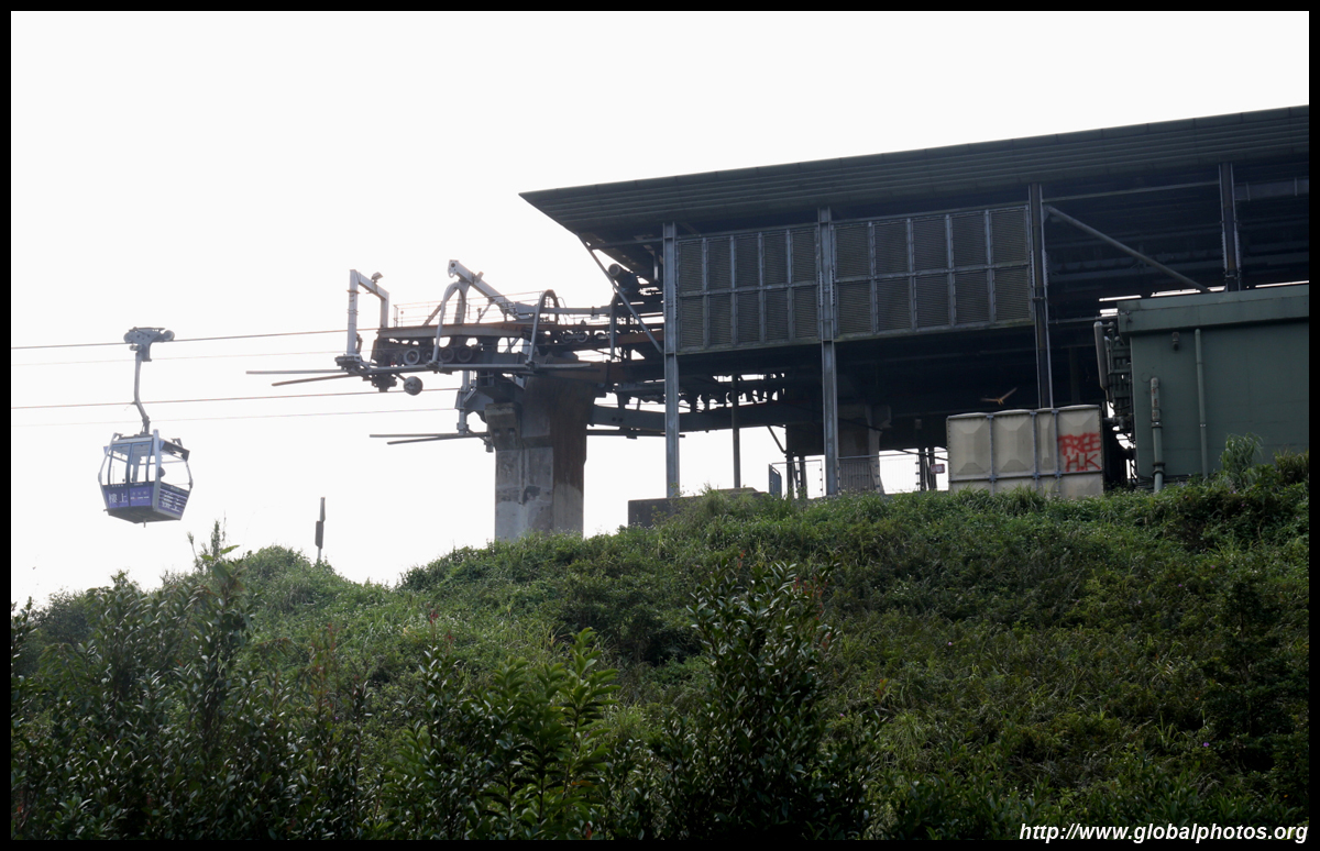
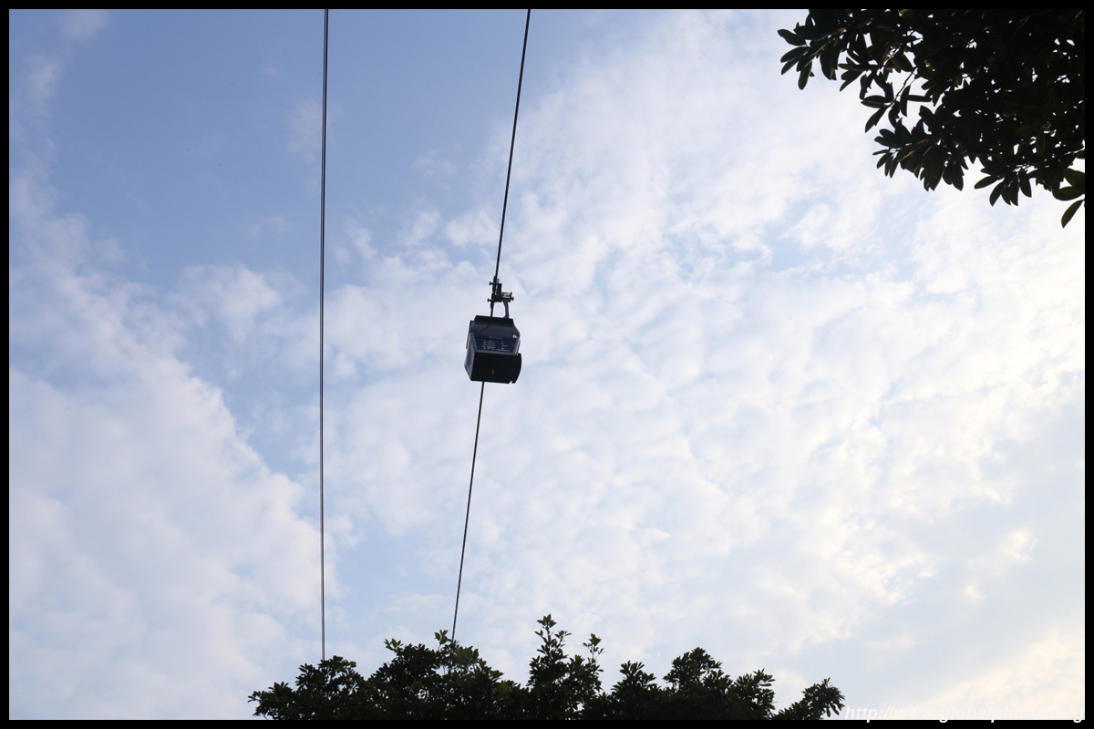
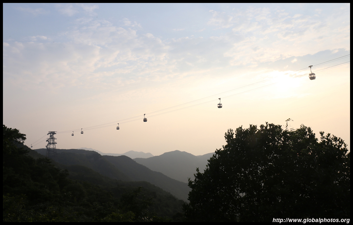
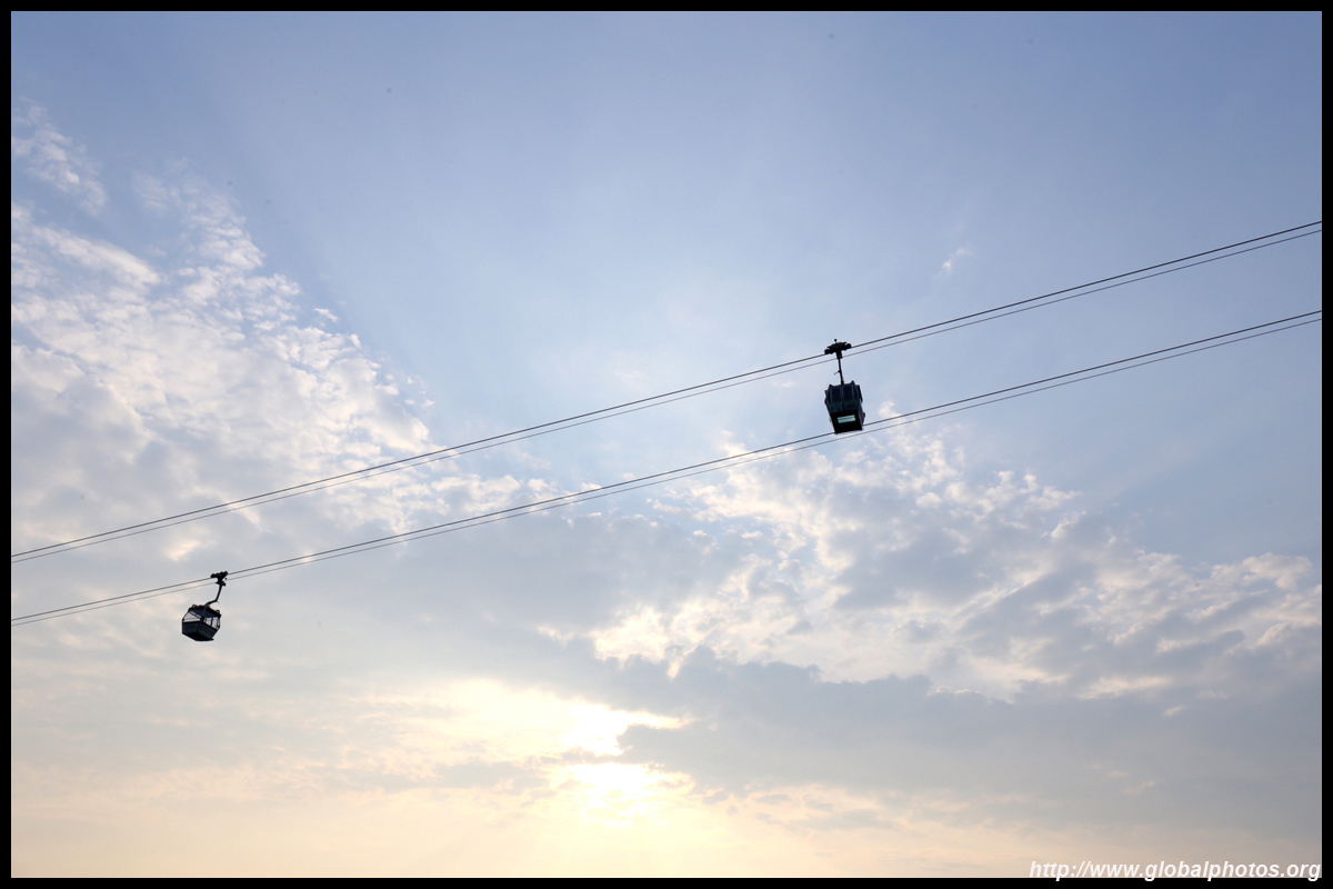
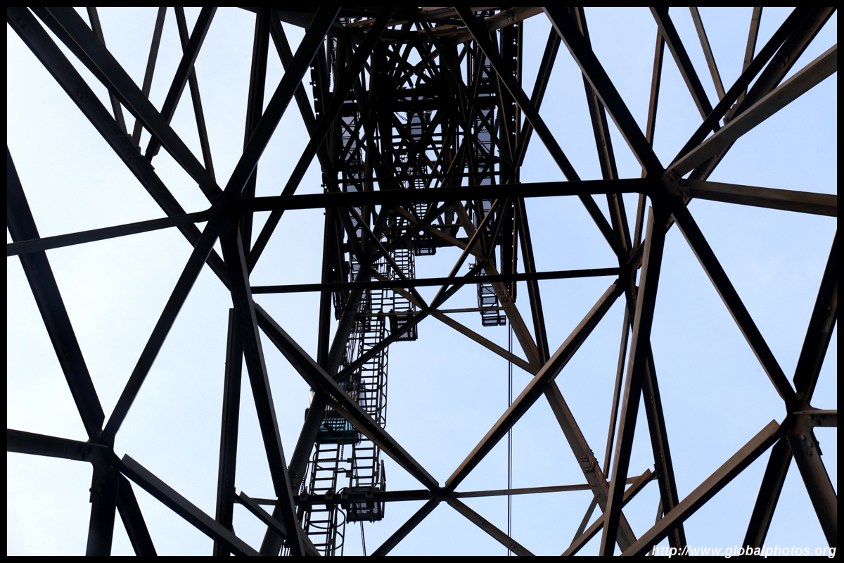
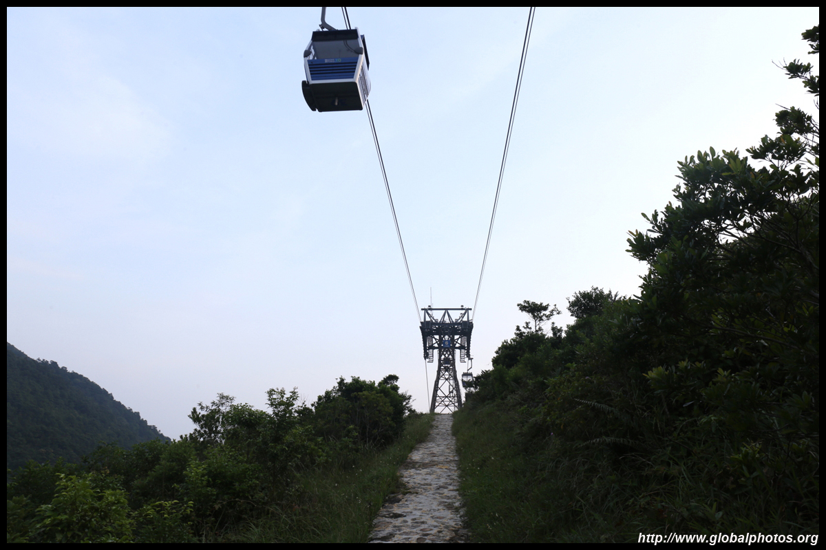
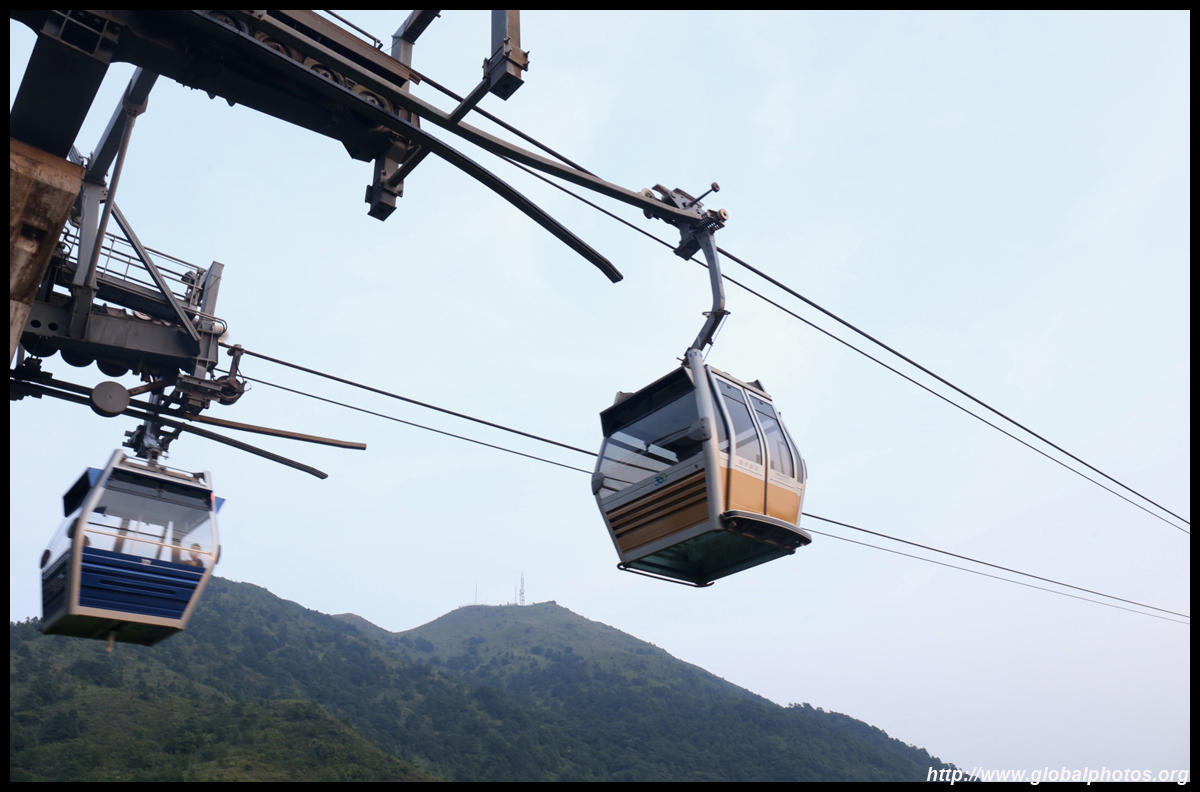
As you turn around the side of the mountain, you will see the cable car emerge. It is possible to start the hike nearer to the cable car station without having to go around this mountain, which is shorter as well.
| |||
|
|
|
|
|
|
|
|
|
|
|
|
|
|
|
|
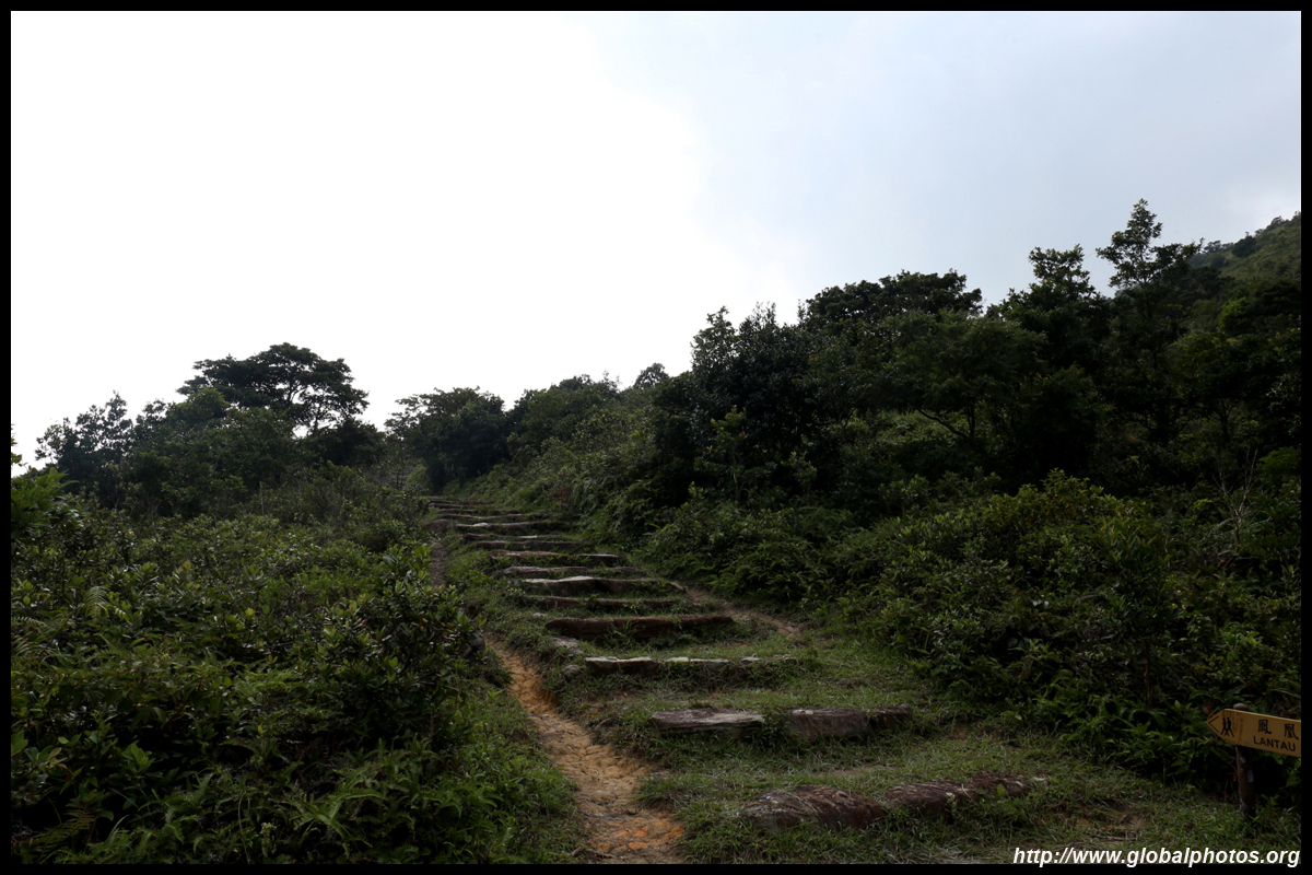
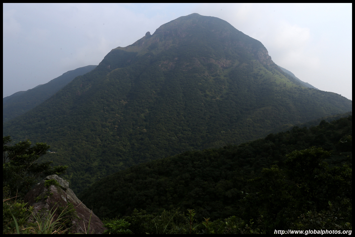
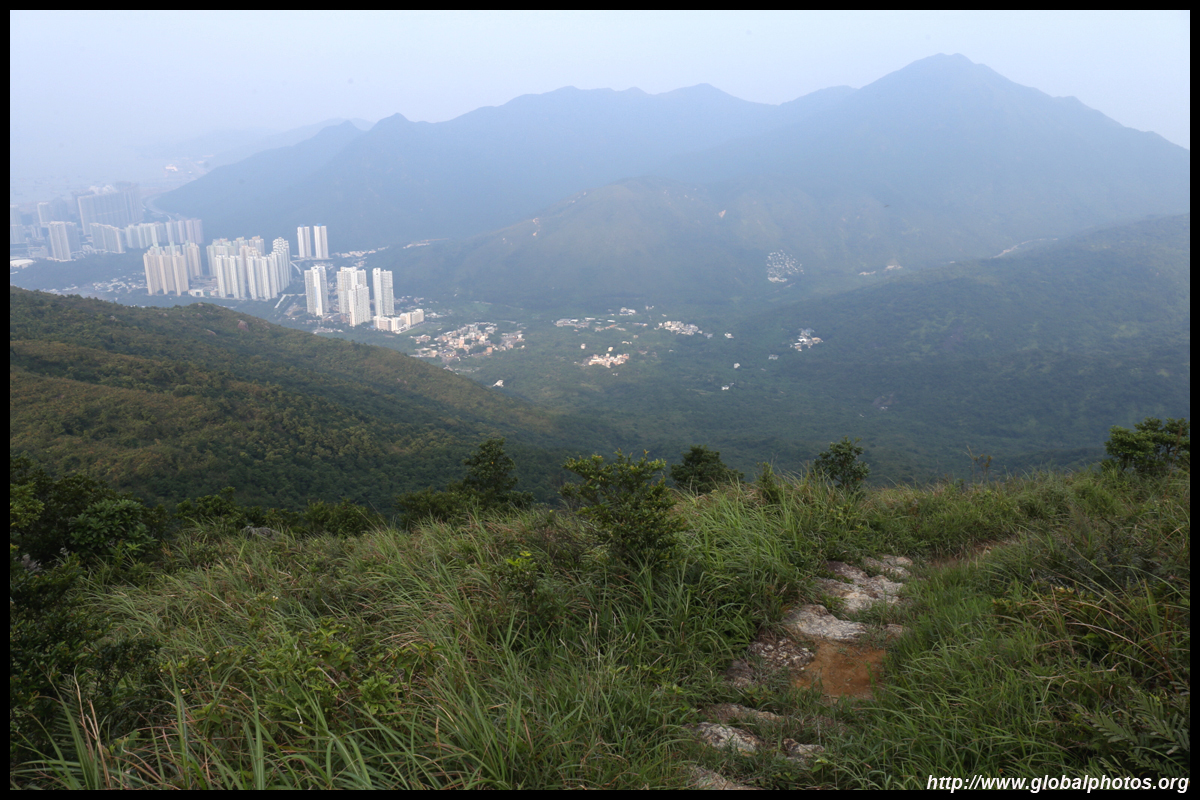
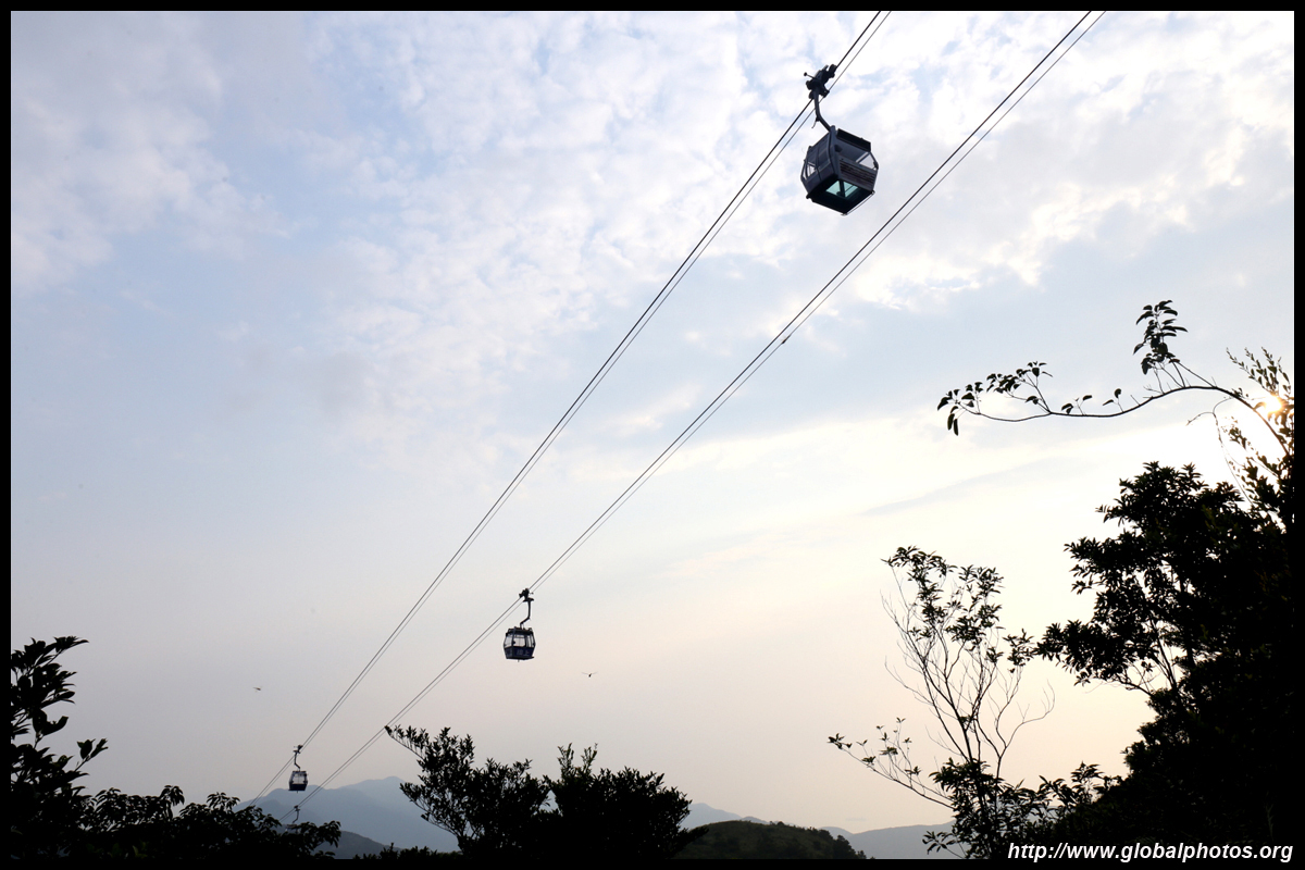
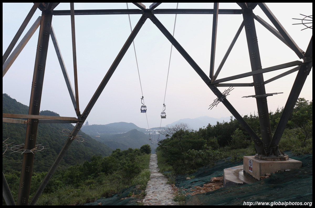
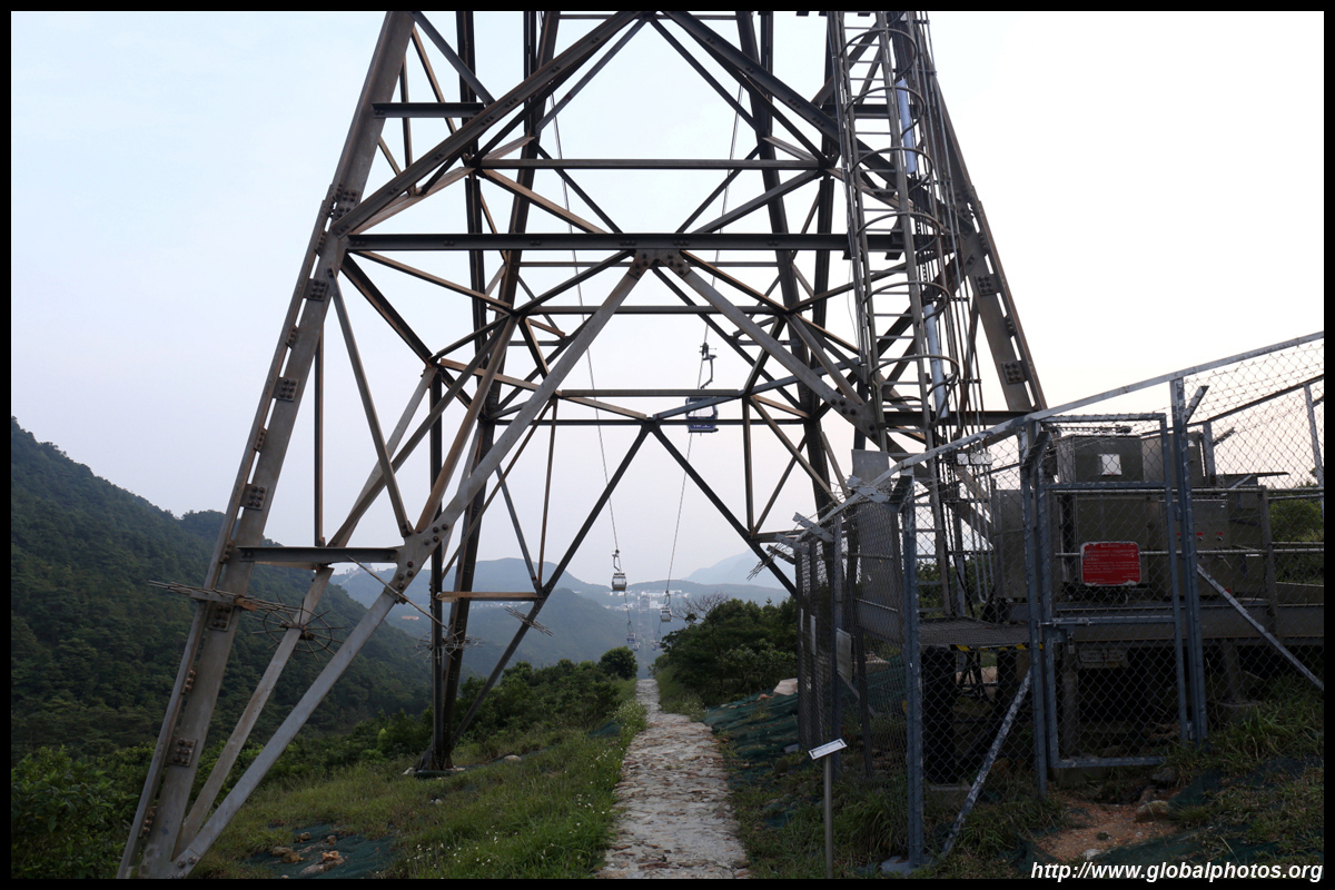
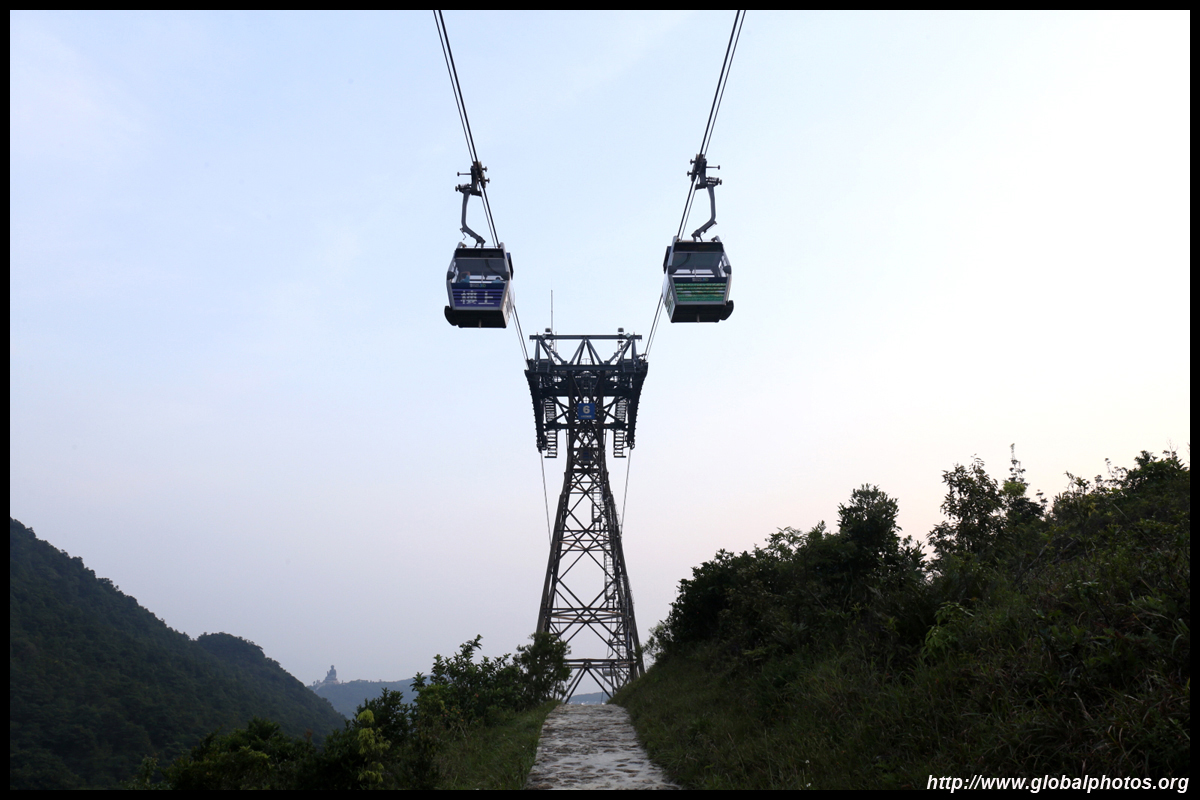
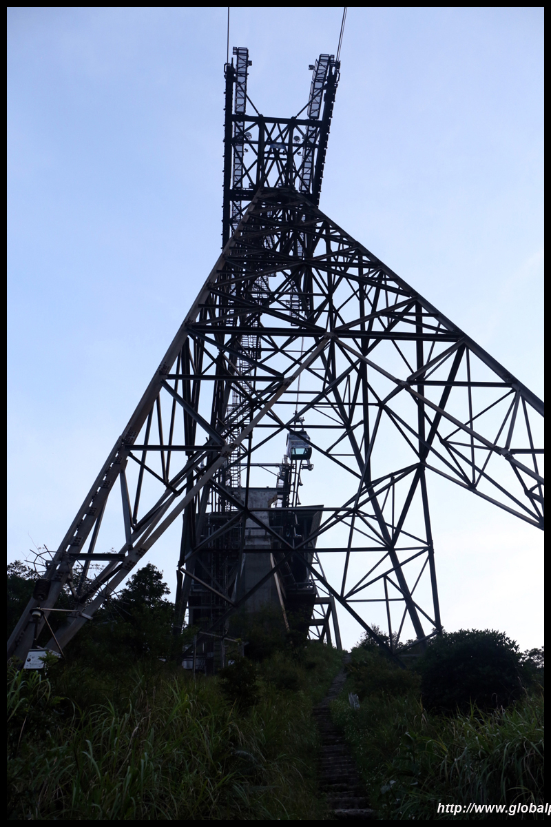
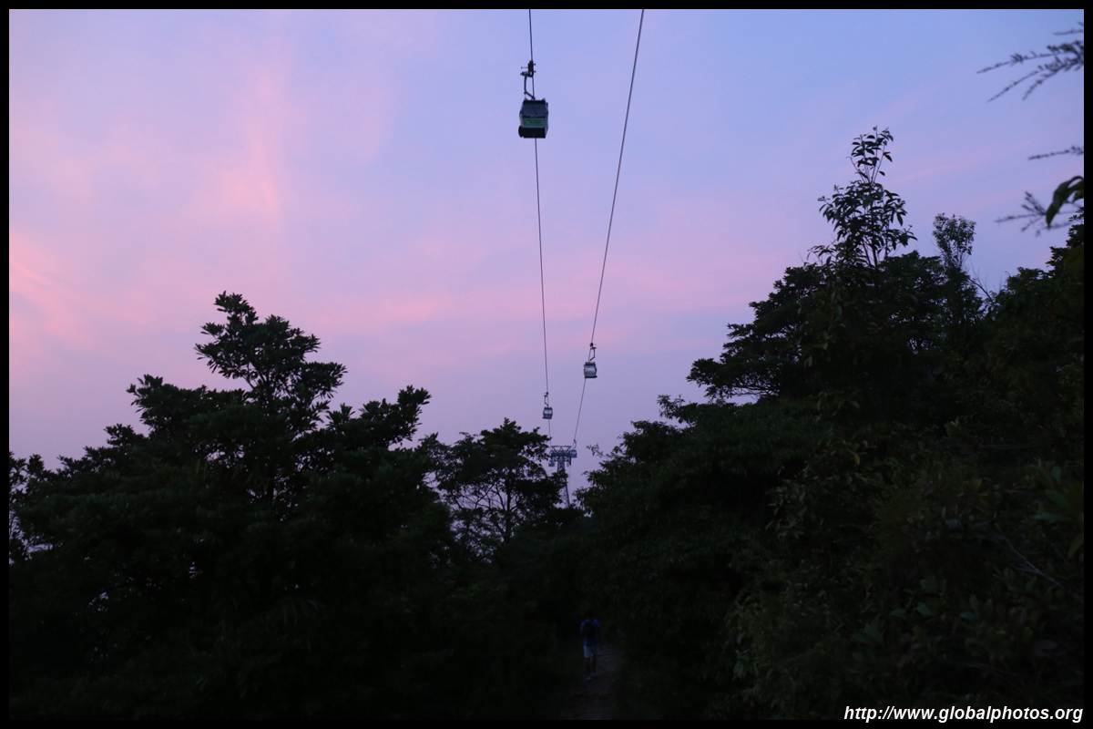
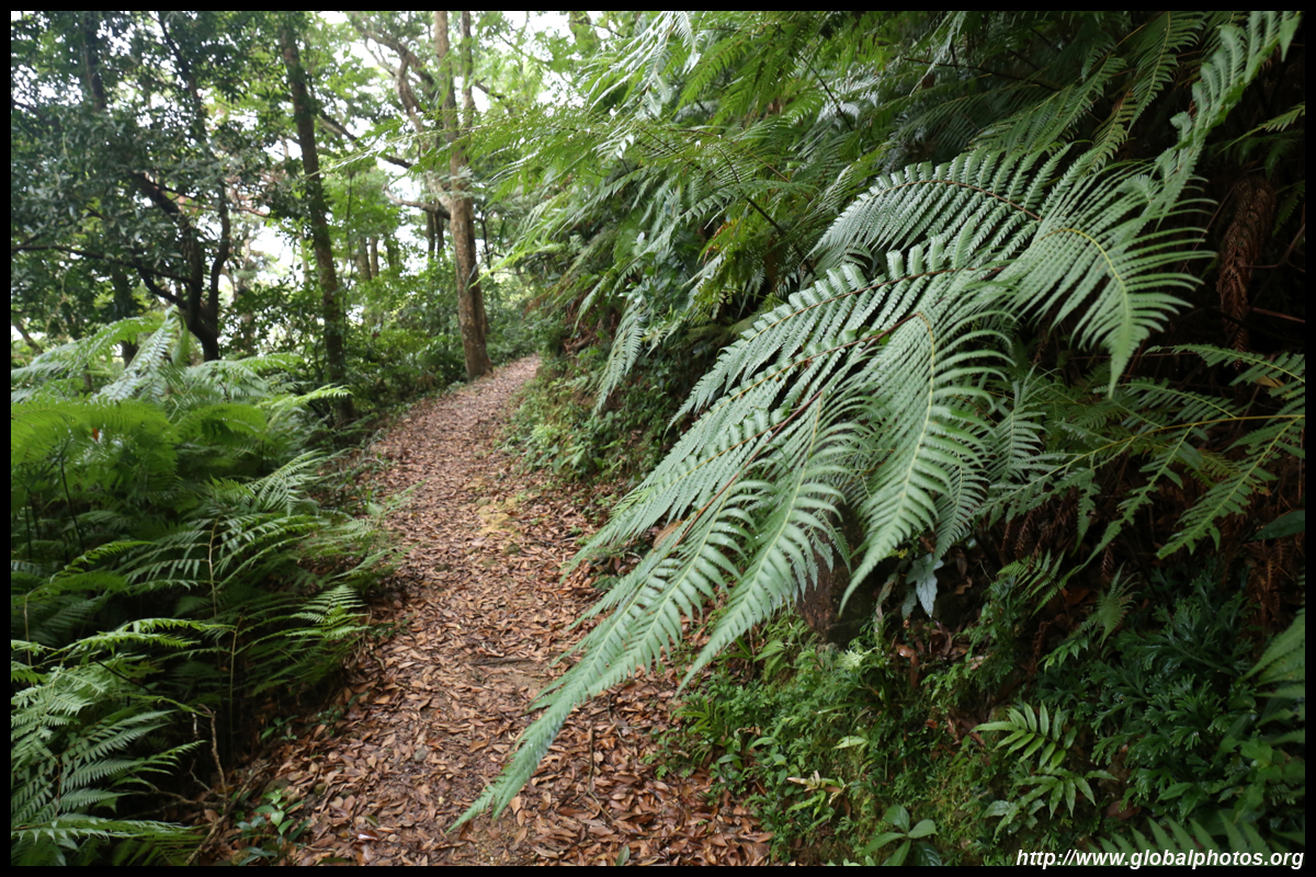
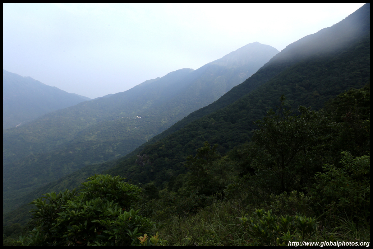
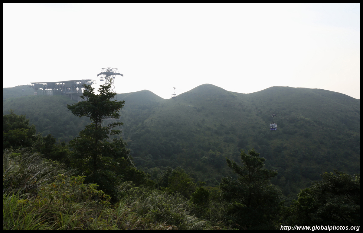
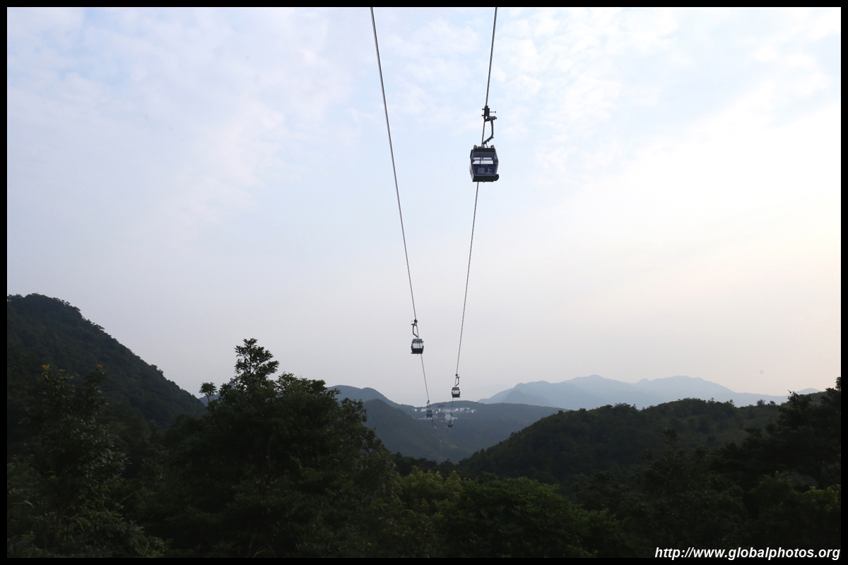
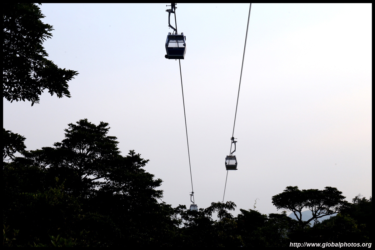
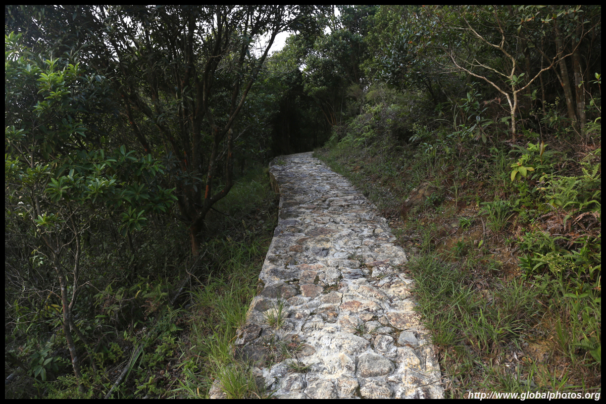
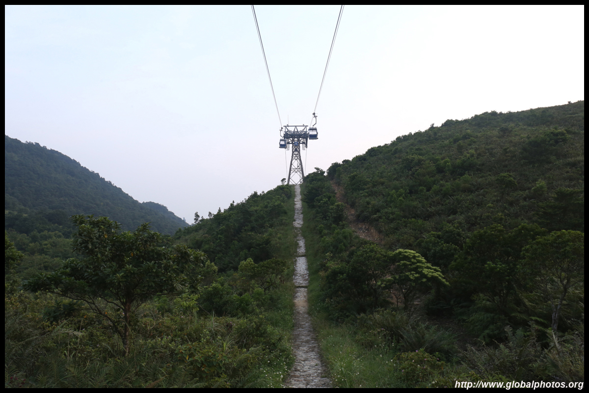
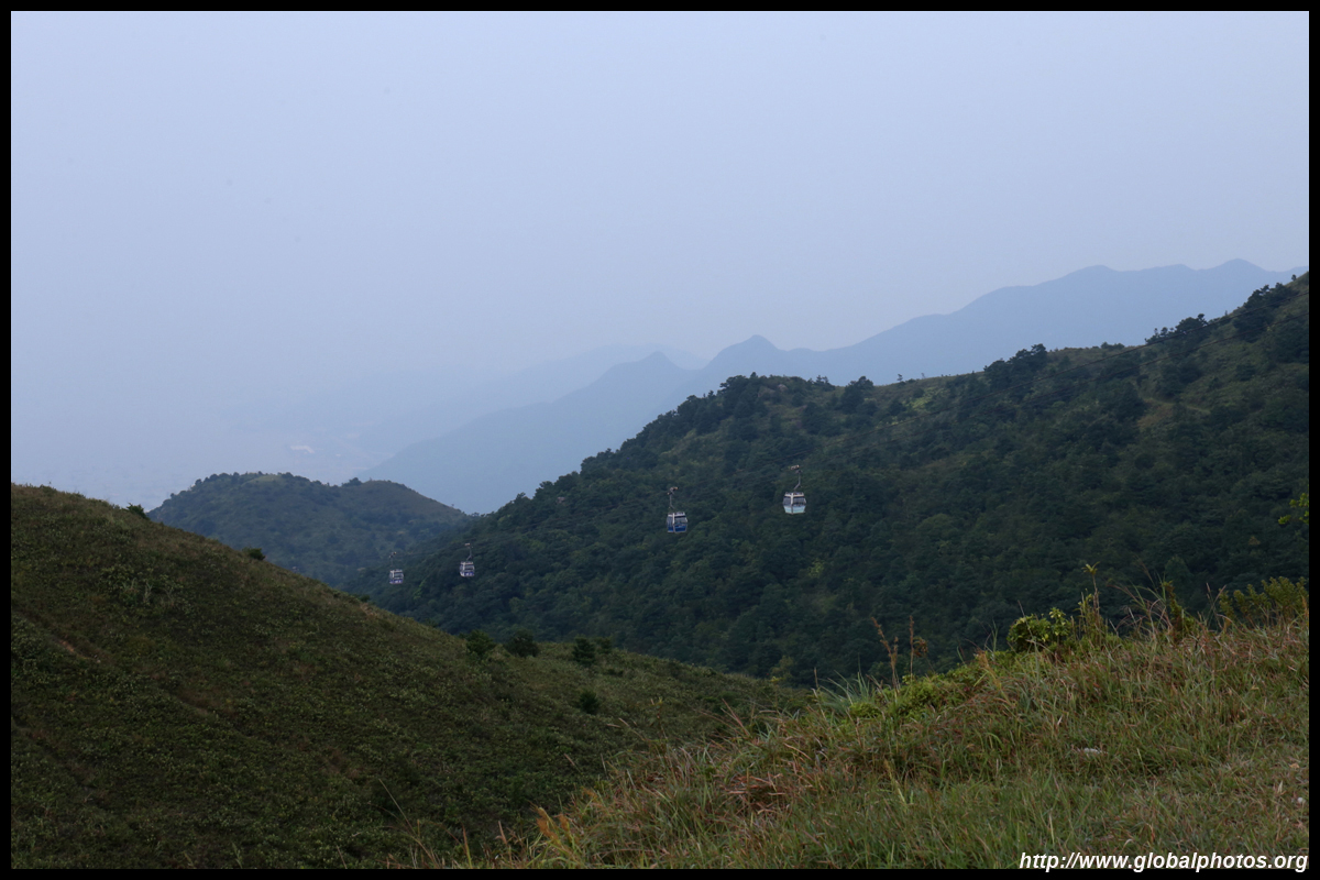
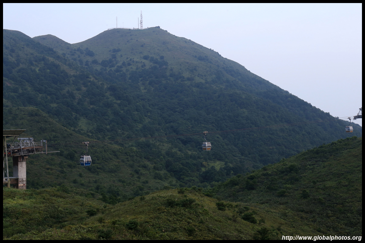
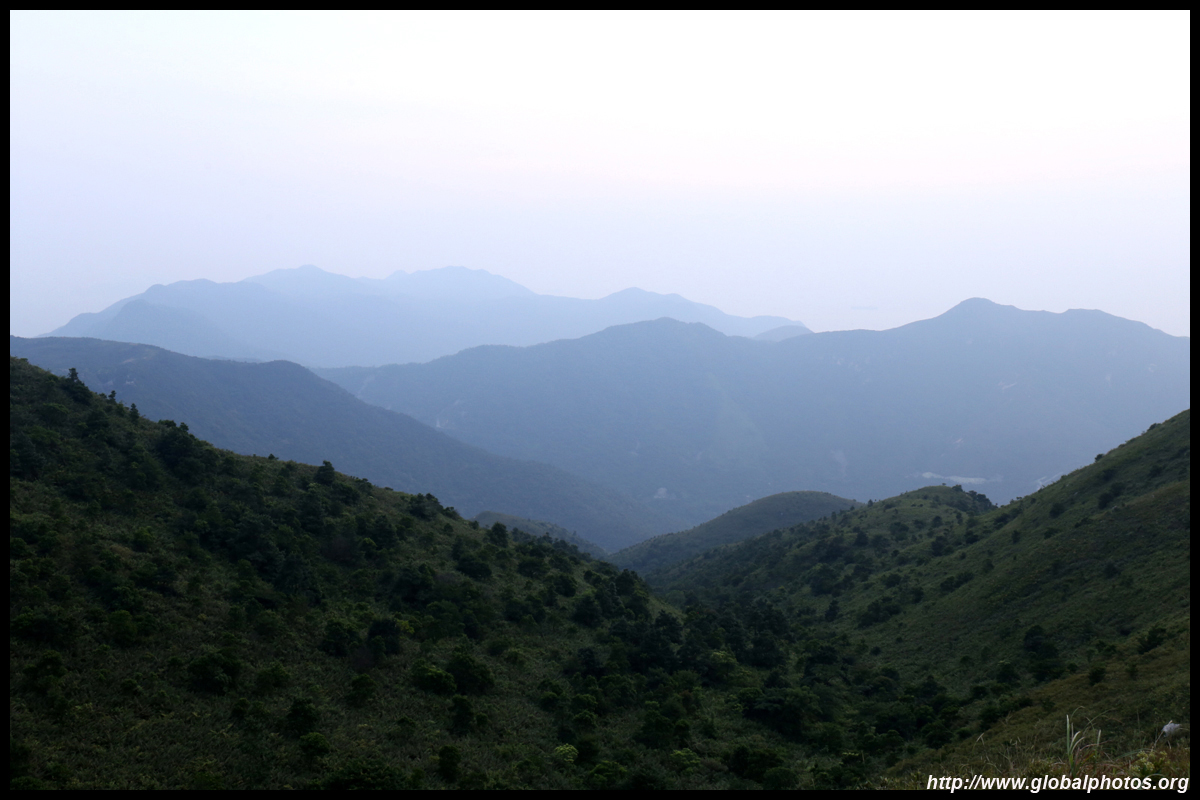
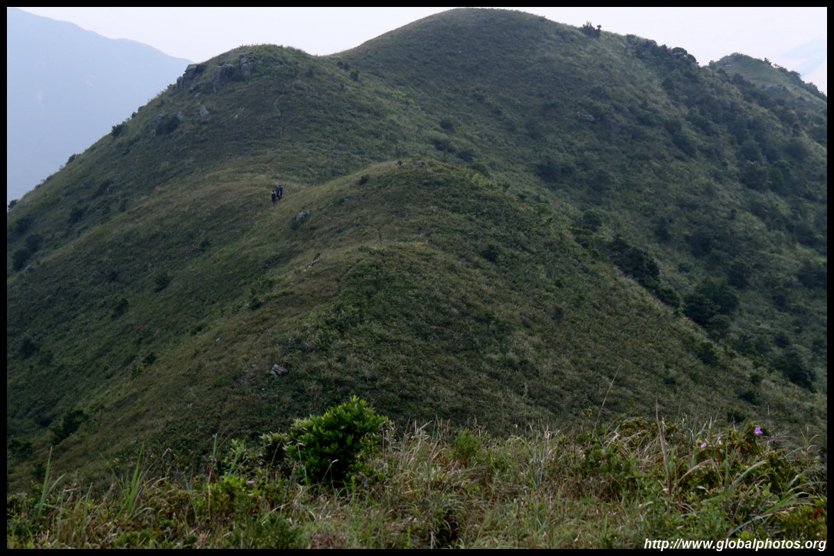
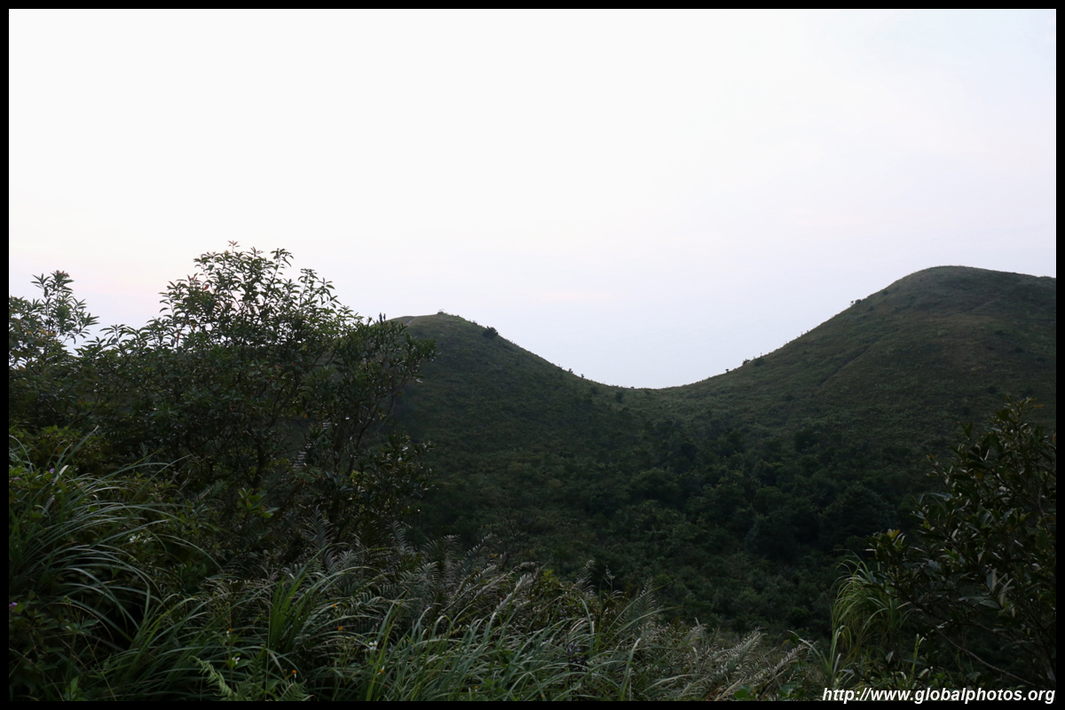
The path becomes much better paved beneath the cable car. It will then rise and fall through the rugged geography.
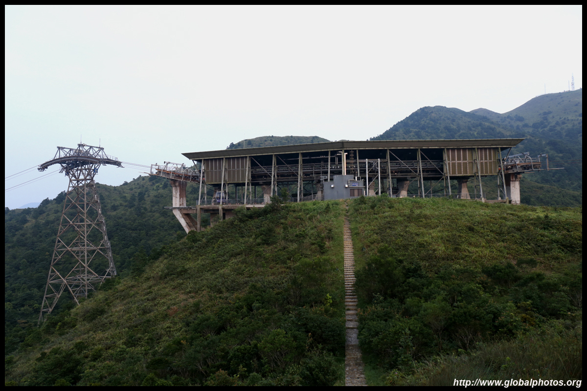
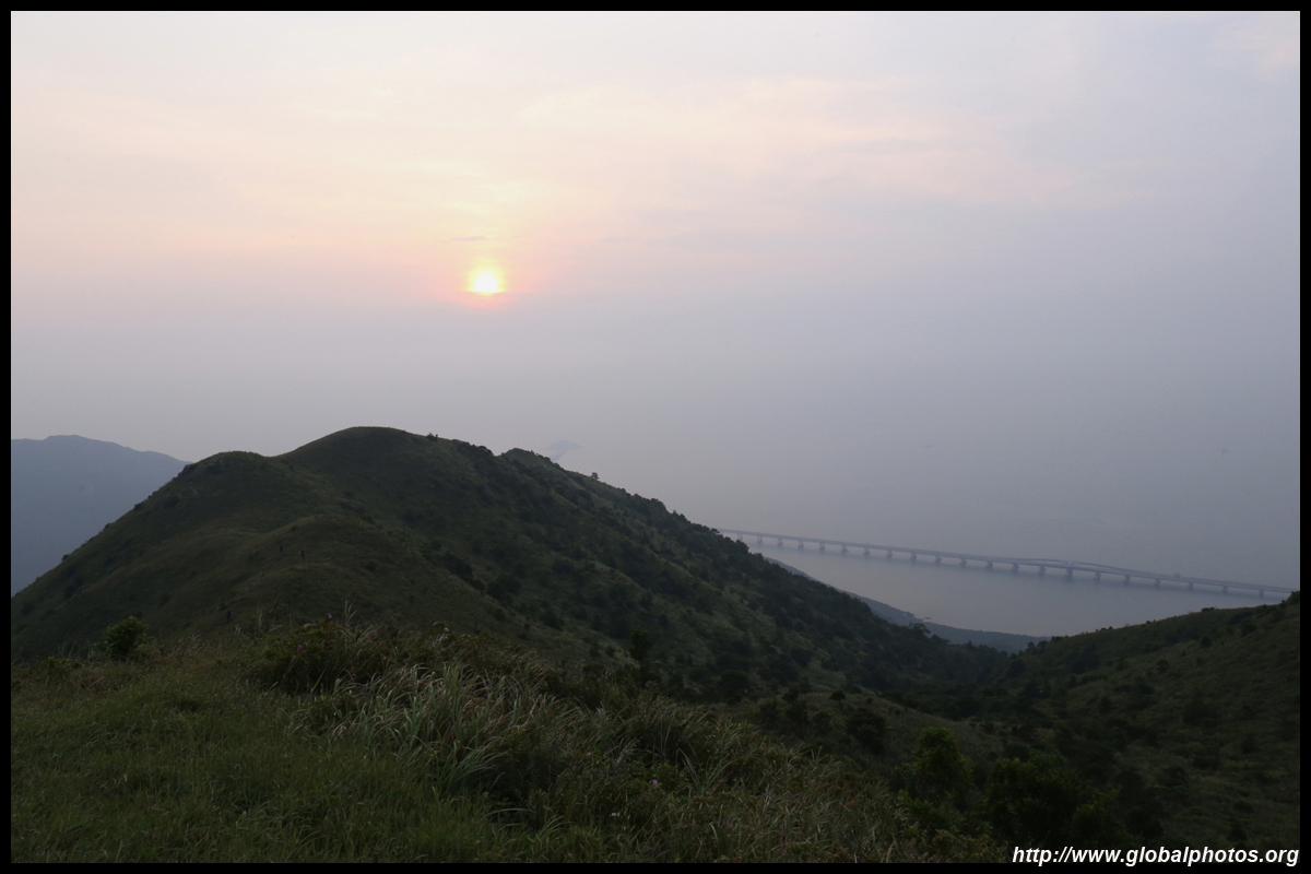
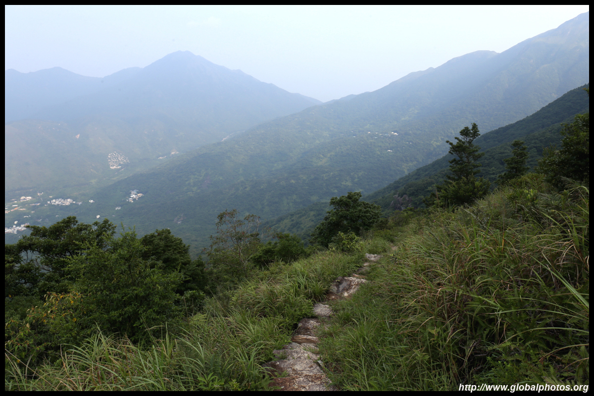
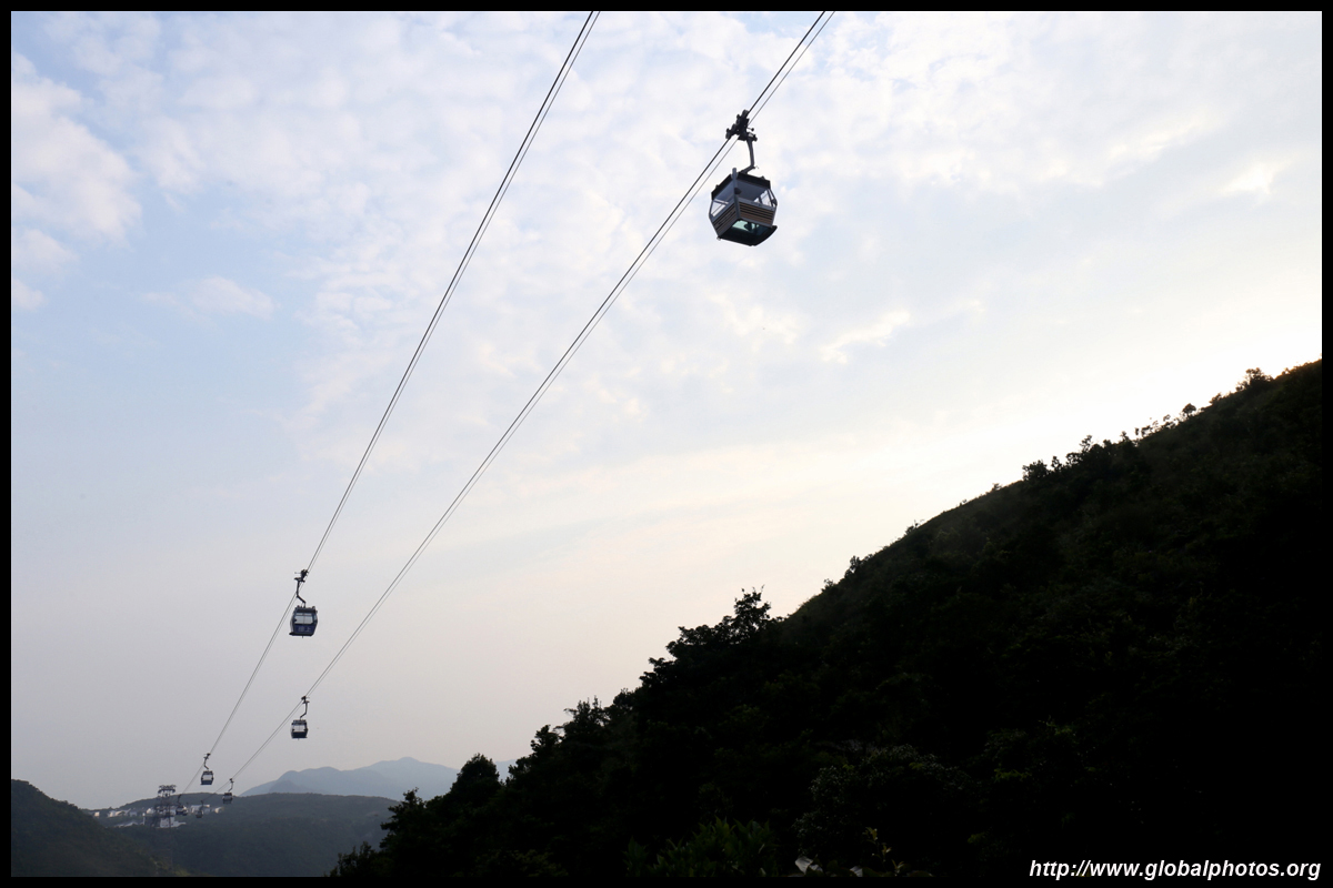
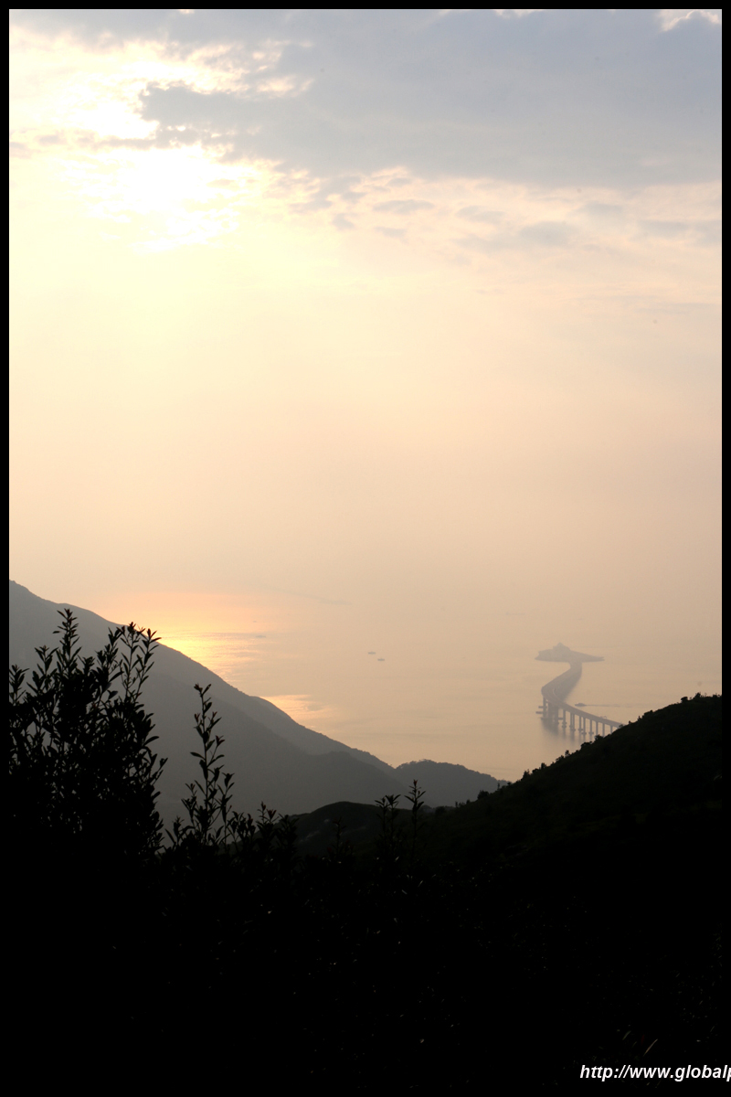
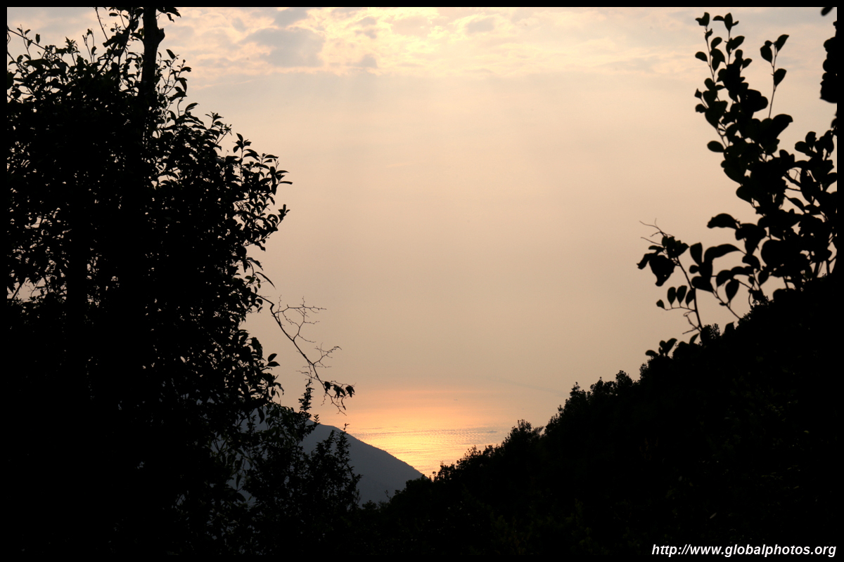
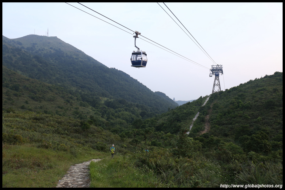
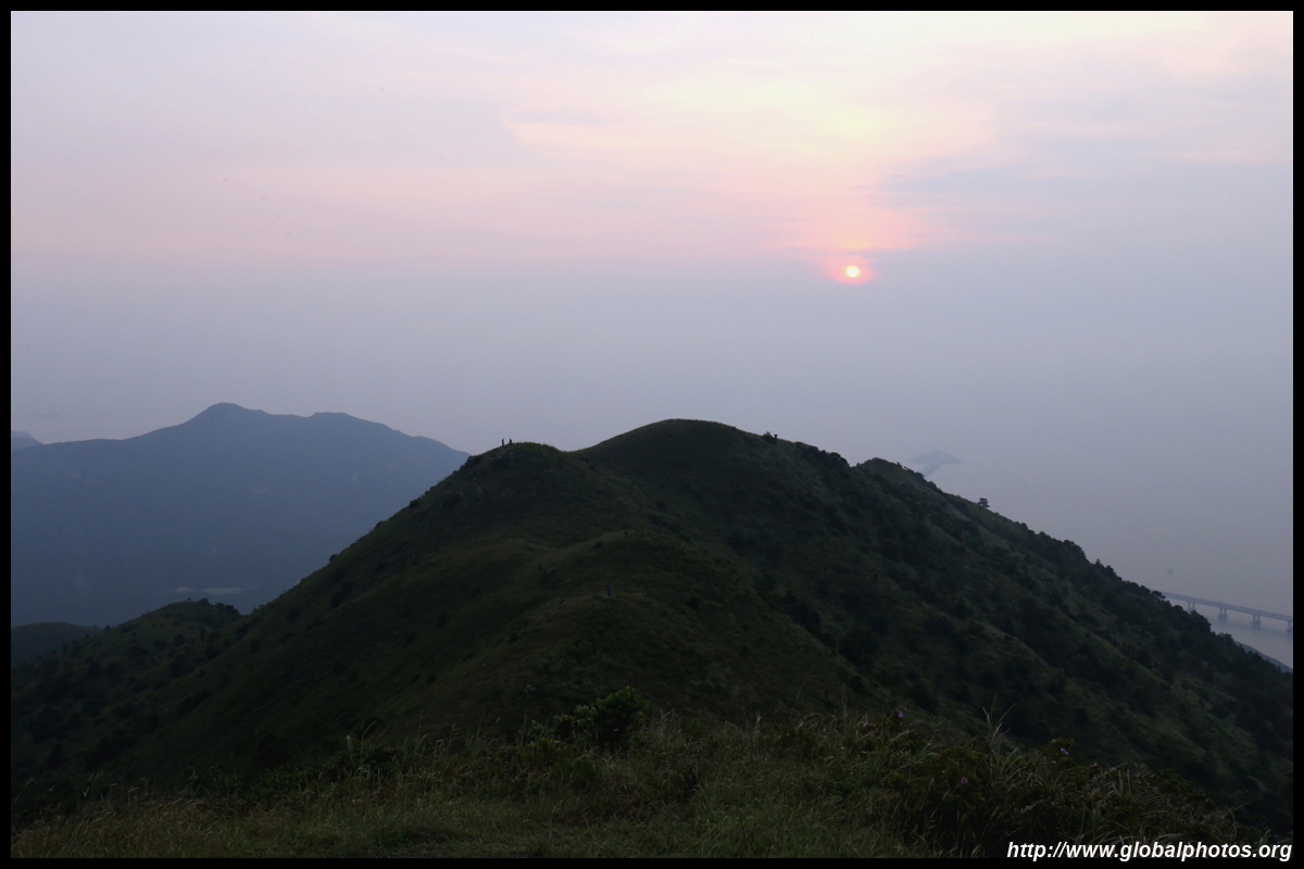
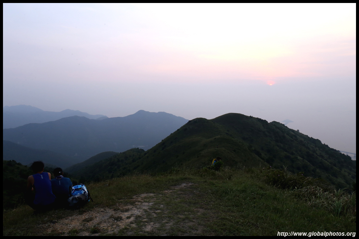
At the Nei Lak Shan Angle Station, veer off the main path to a lookout point on the neighbouring hill. This is a nice sunset viewpoint with the sea ahead of you.
| |||
|
|
|
|
|
|
|
|
|
|
|
|
|
|
||
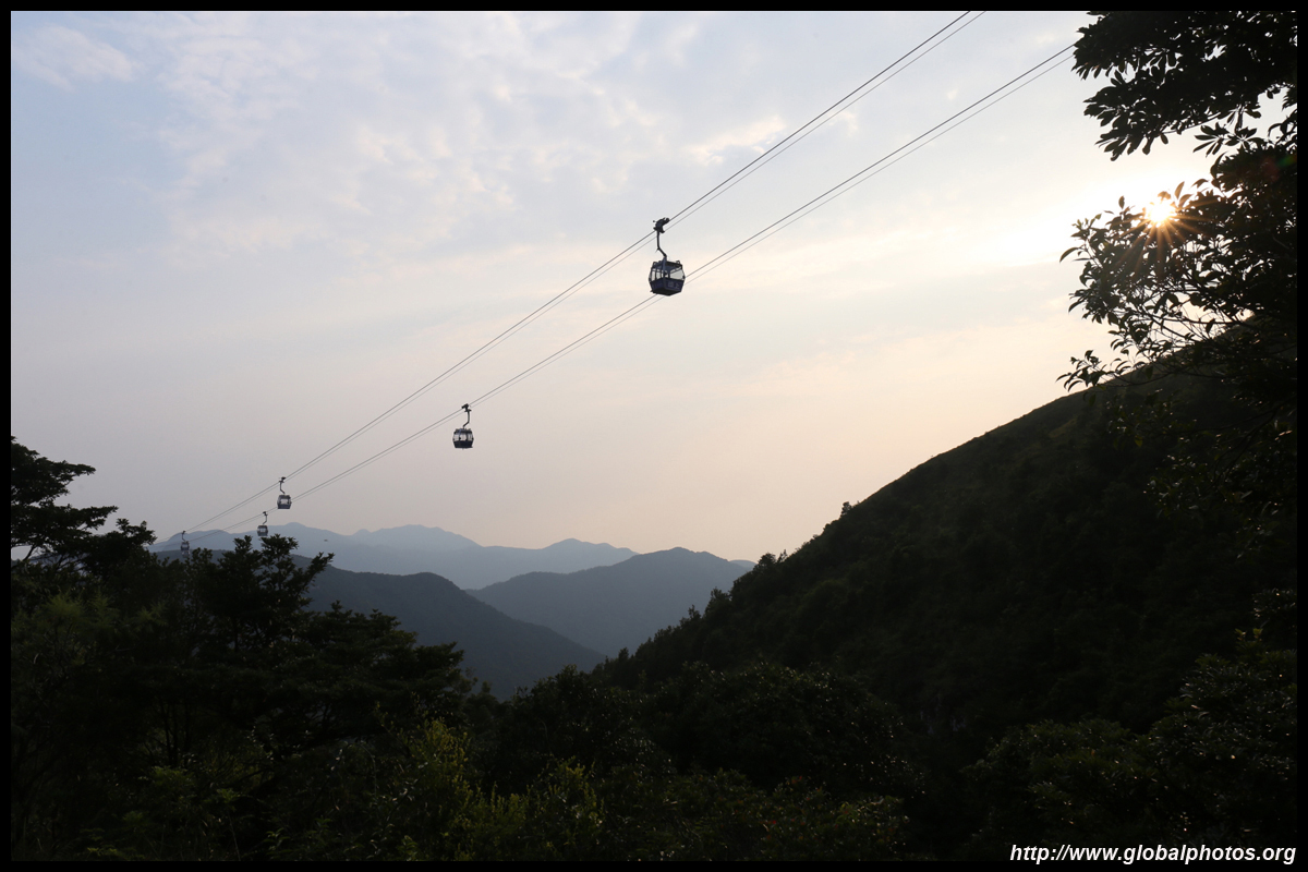
There is still quite a long downhill journey back to Tung Chung with plenty of paved and wooden stairs, at some sections steep with warning signs. This section would be very tiresome if you were to hike the trail the other way from Tung Chung.
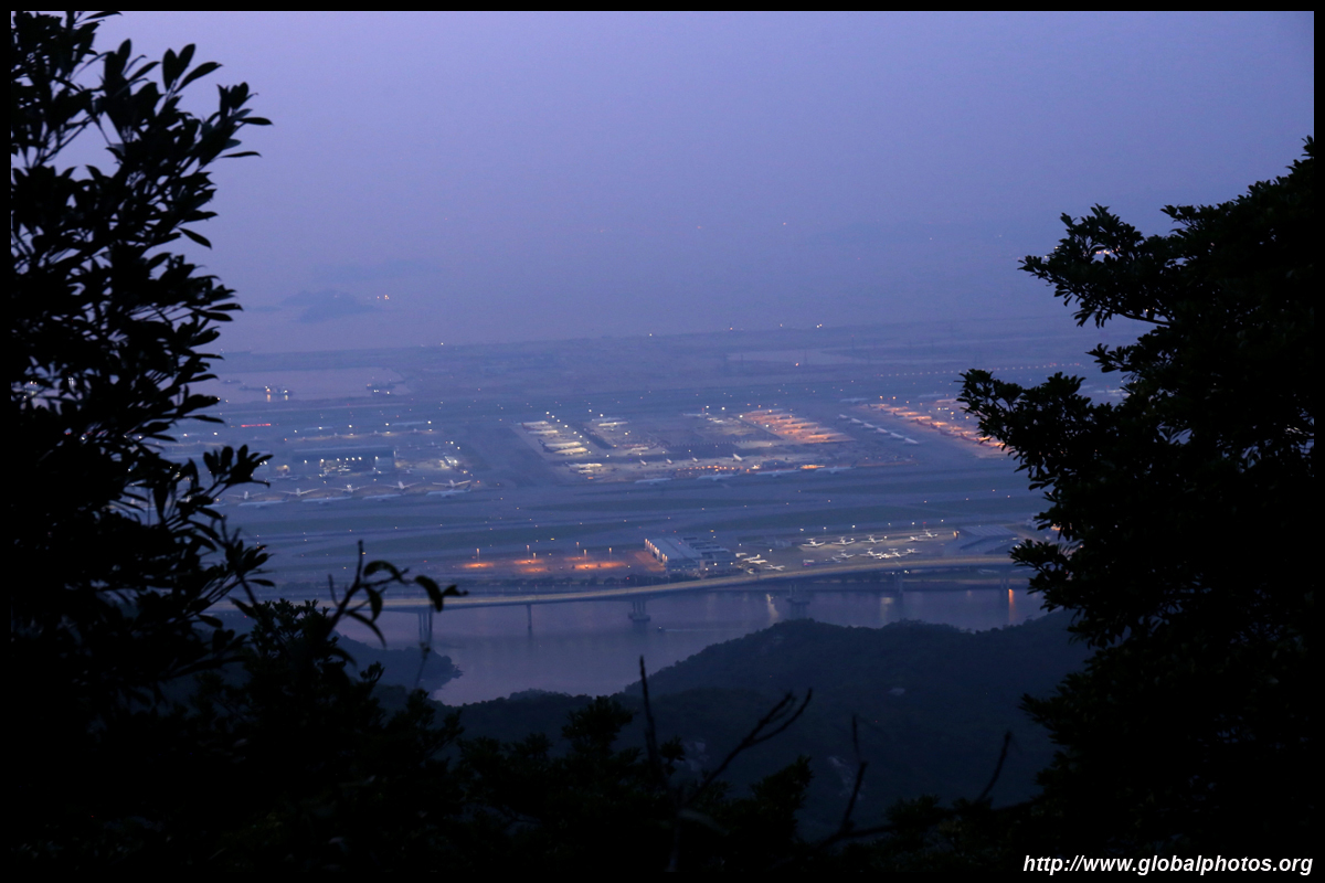
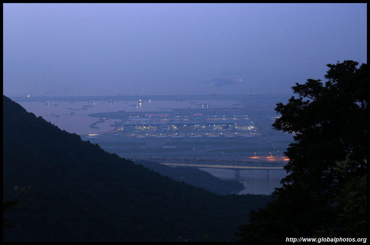
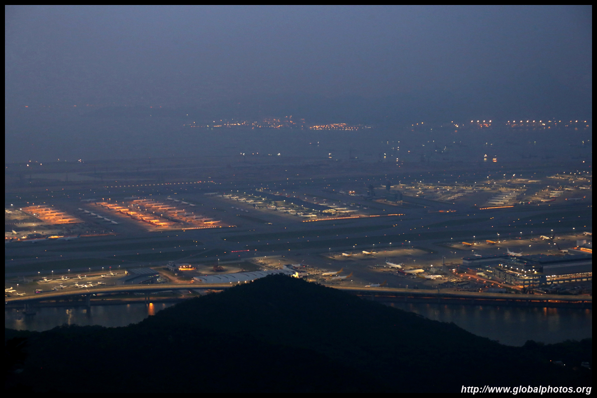
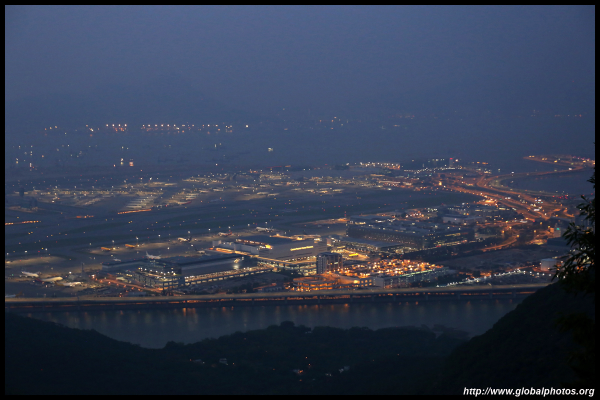
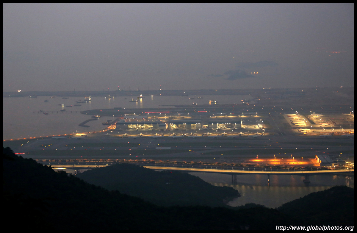
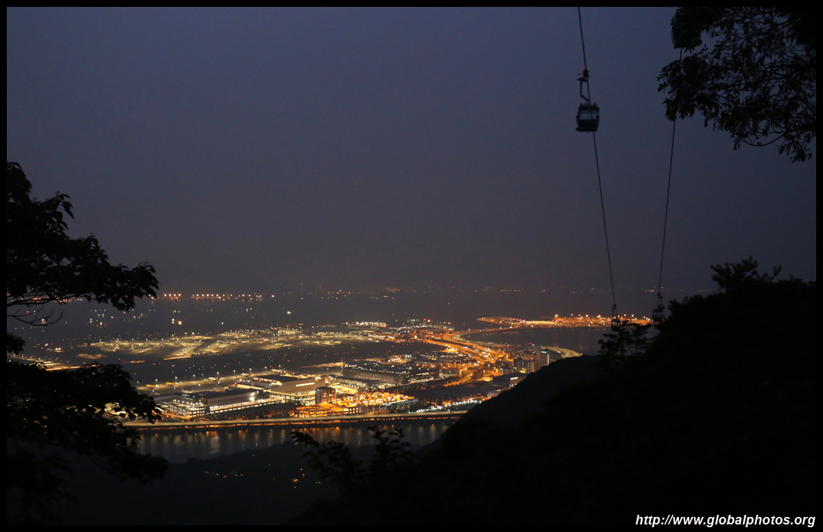
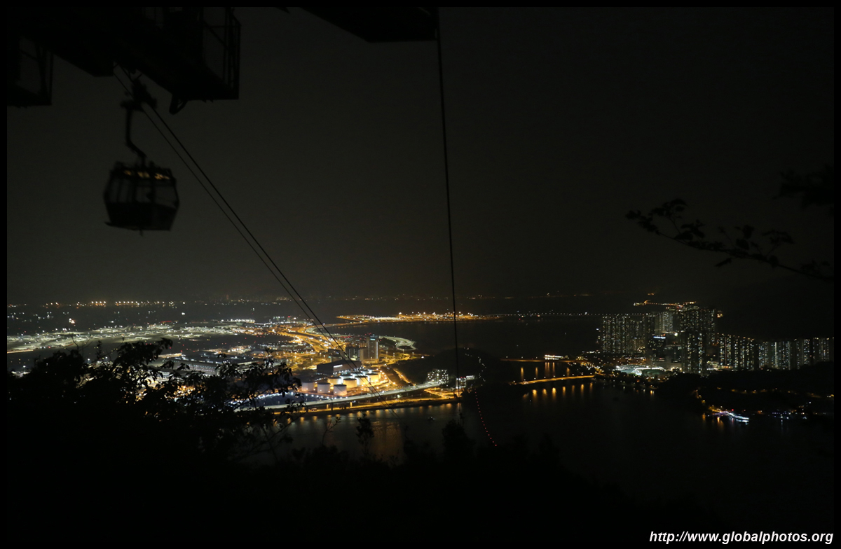
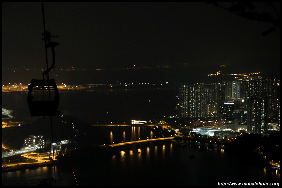
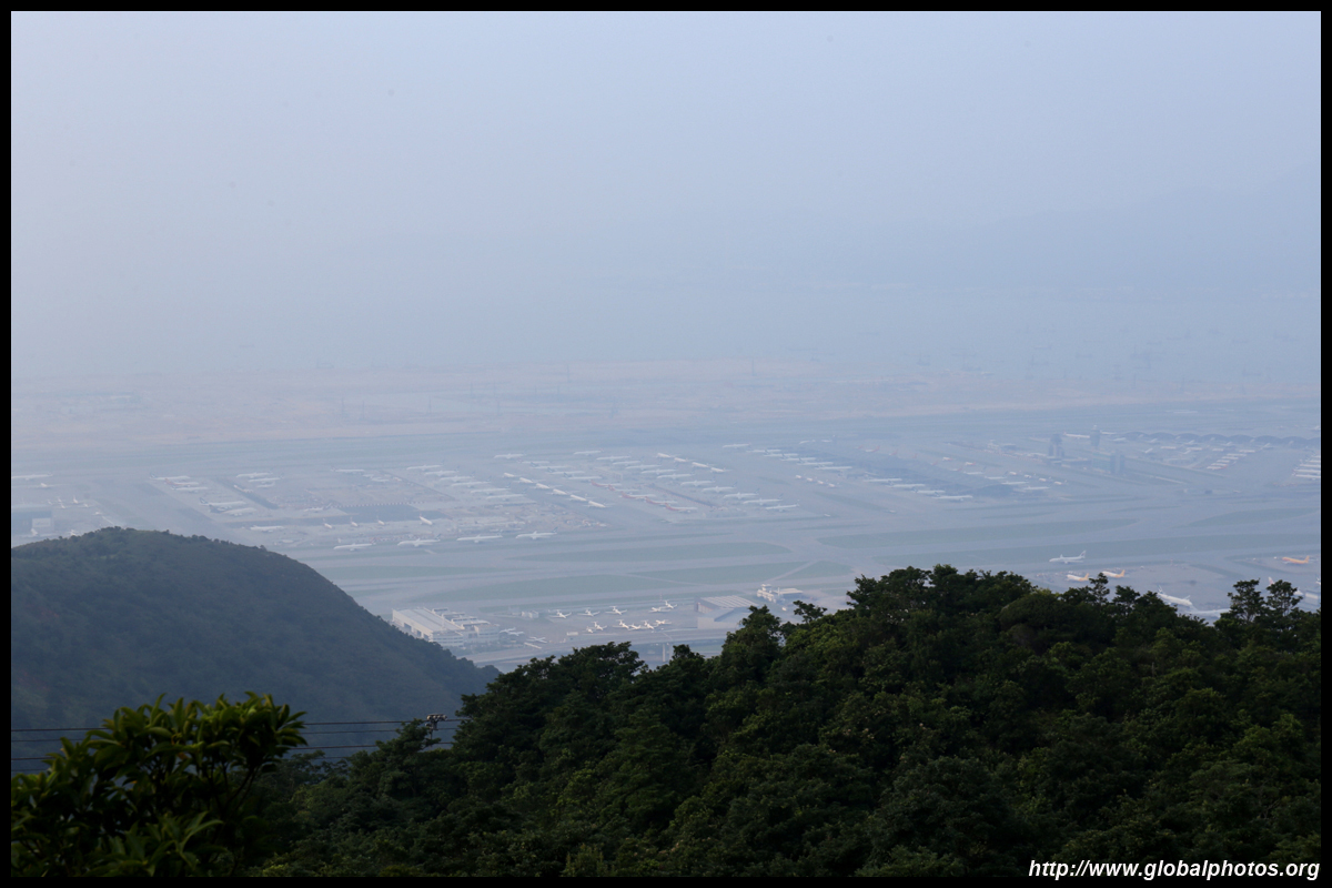
Despite the pandemic, I did hear some planes take off every now and then. As the sun set, the airport lit up nicely.
The last stretch is a very long set of stairs downhill from tower 3.
This trail ends in another trail, the Tung O Ancient Trail. Turn right and continue towards back to the public housing estate for the journey home.
| |||