Hiking from Tung Chung to Tai O

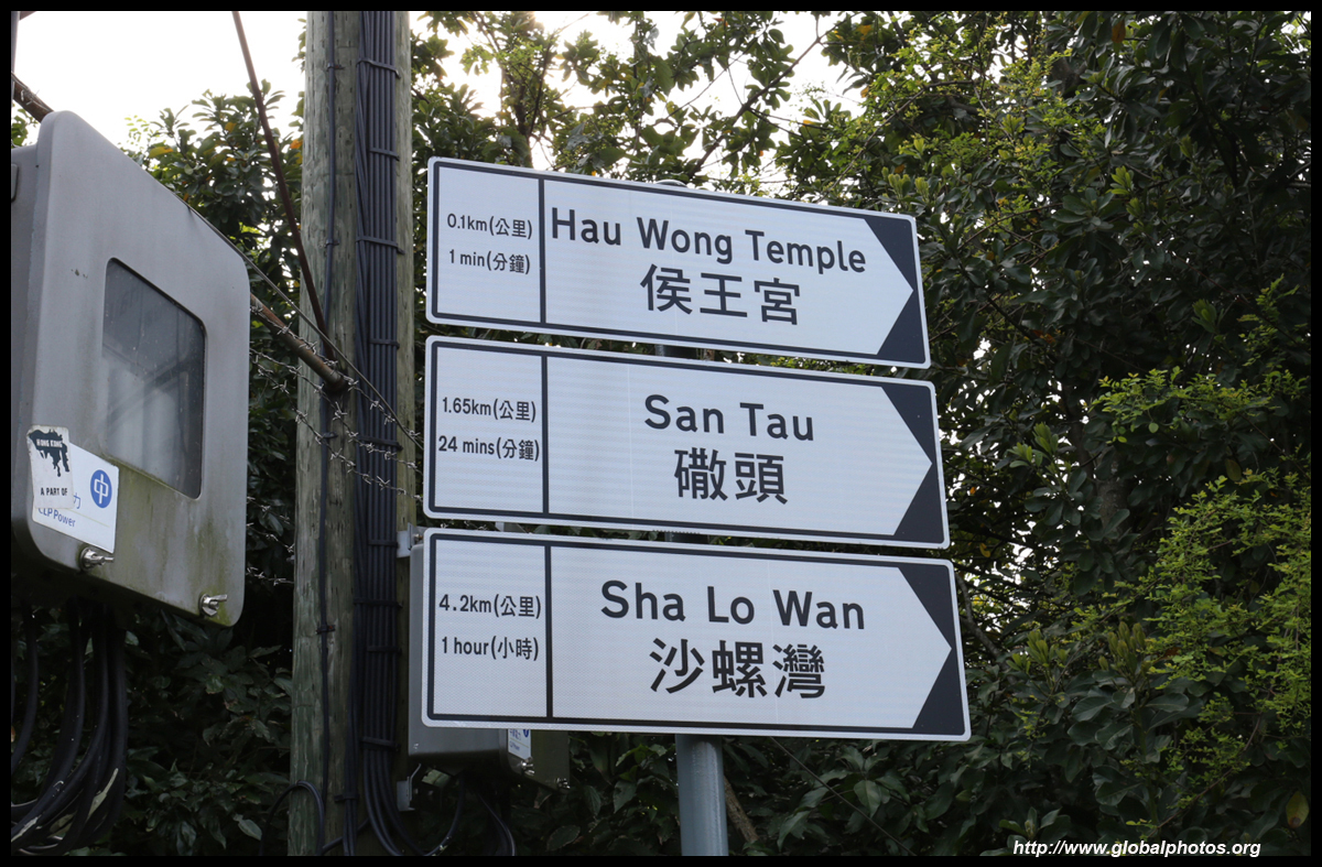
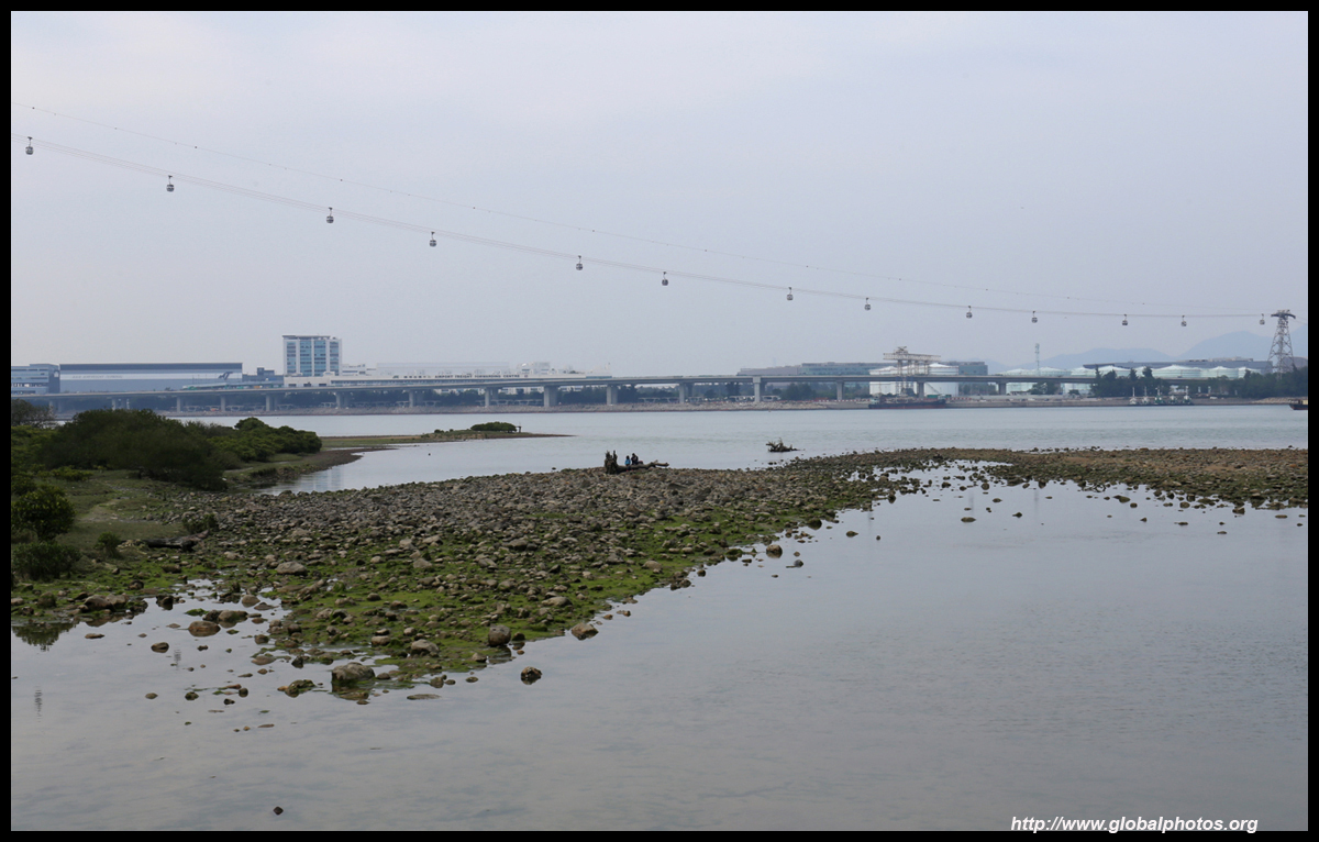
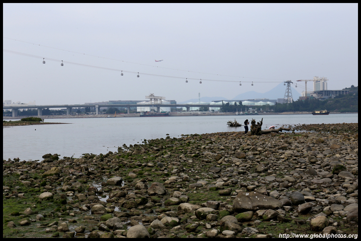
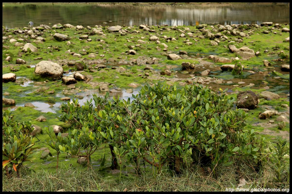
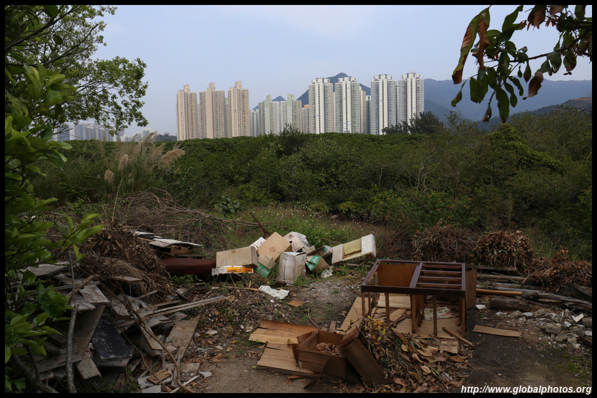
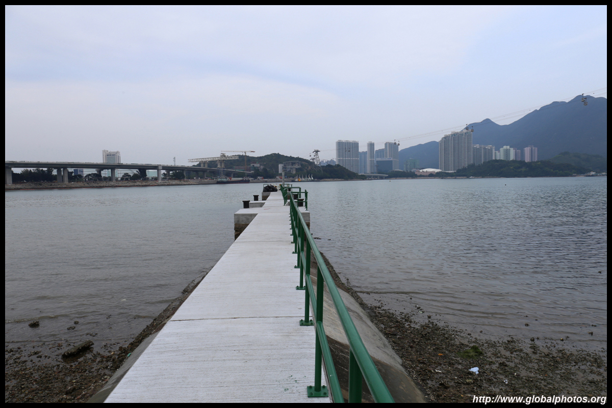
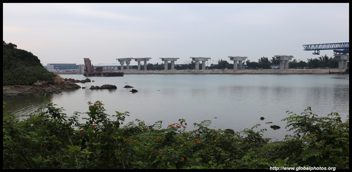
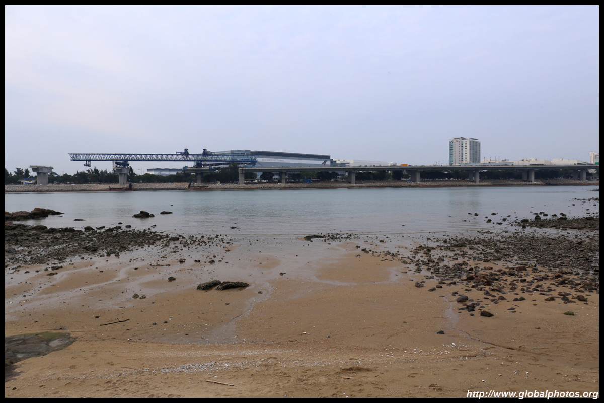
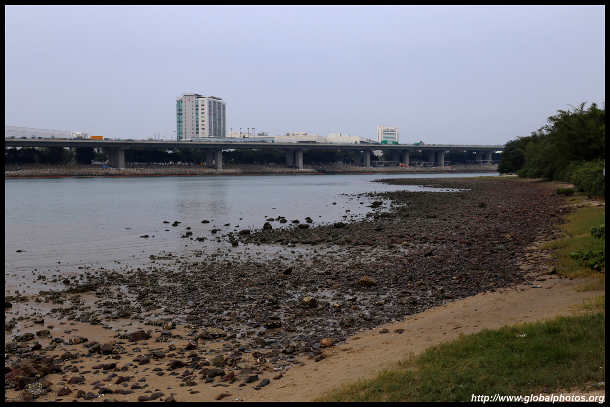
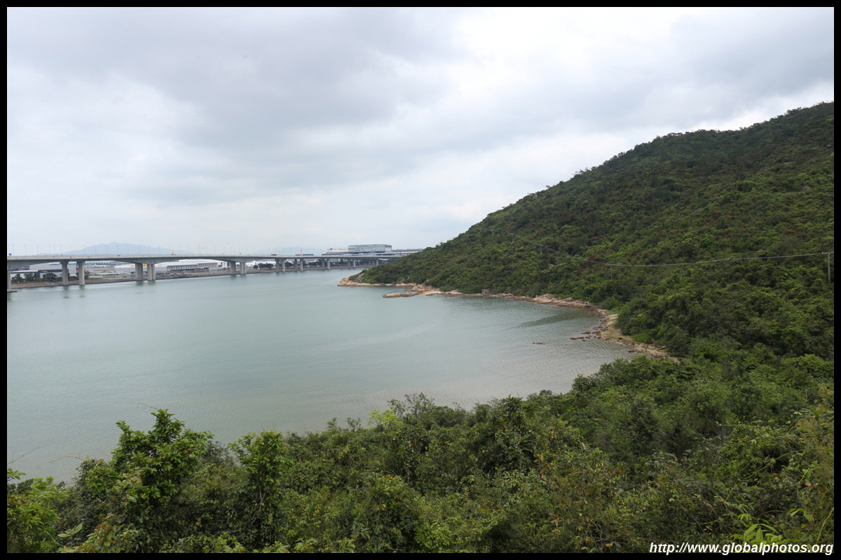
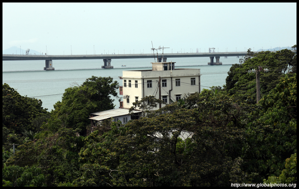
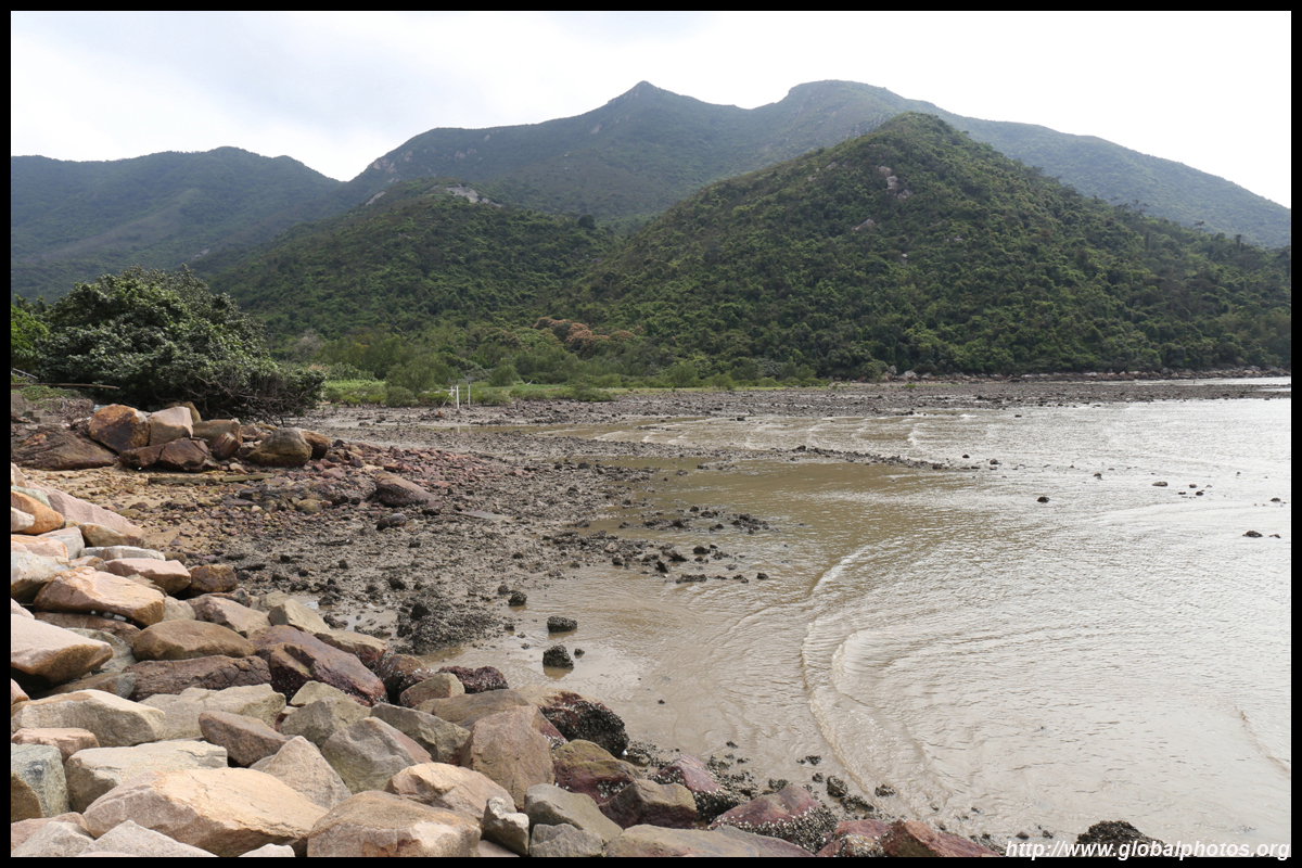
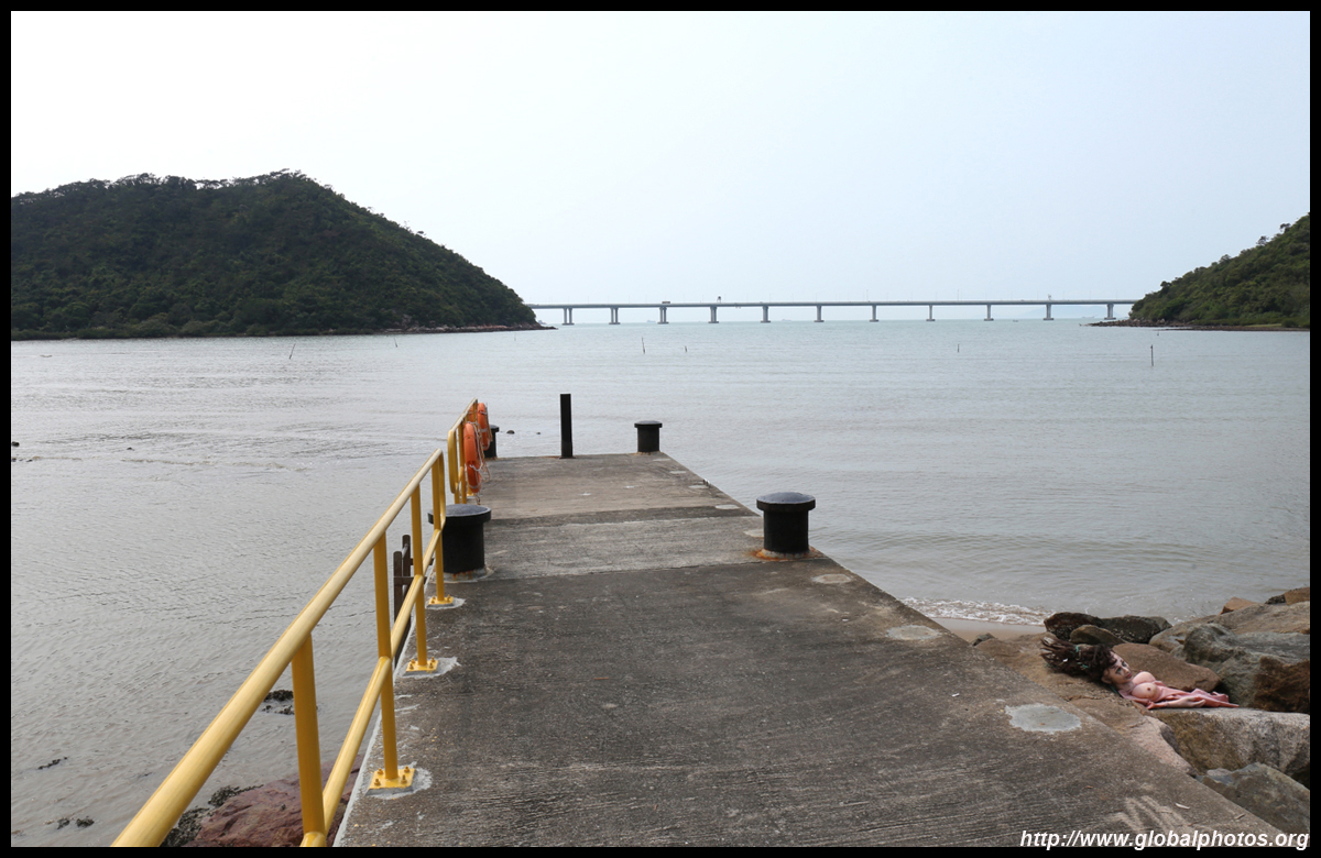
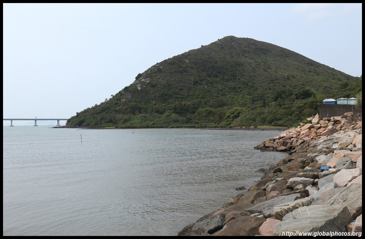
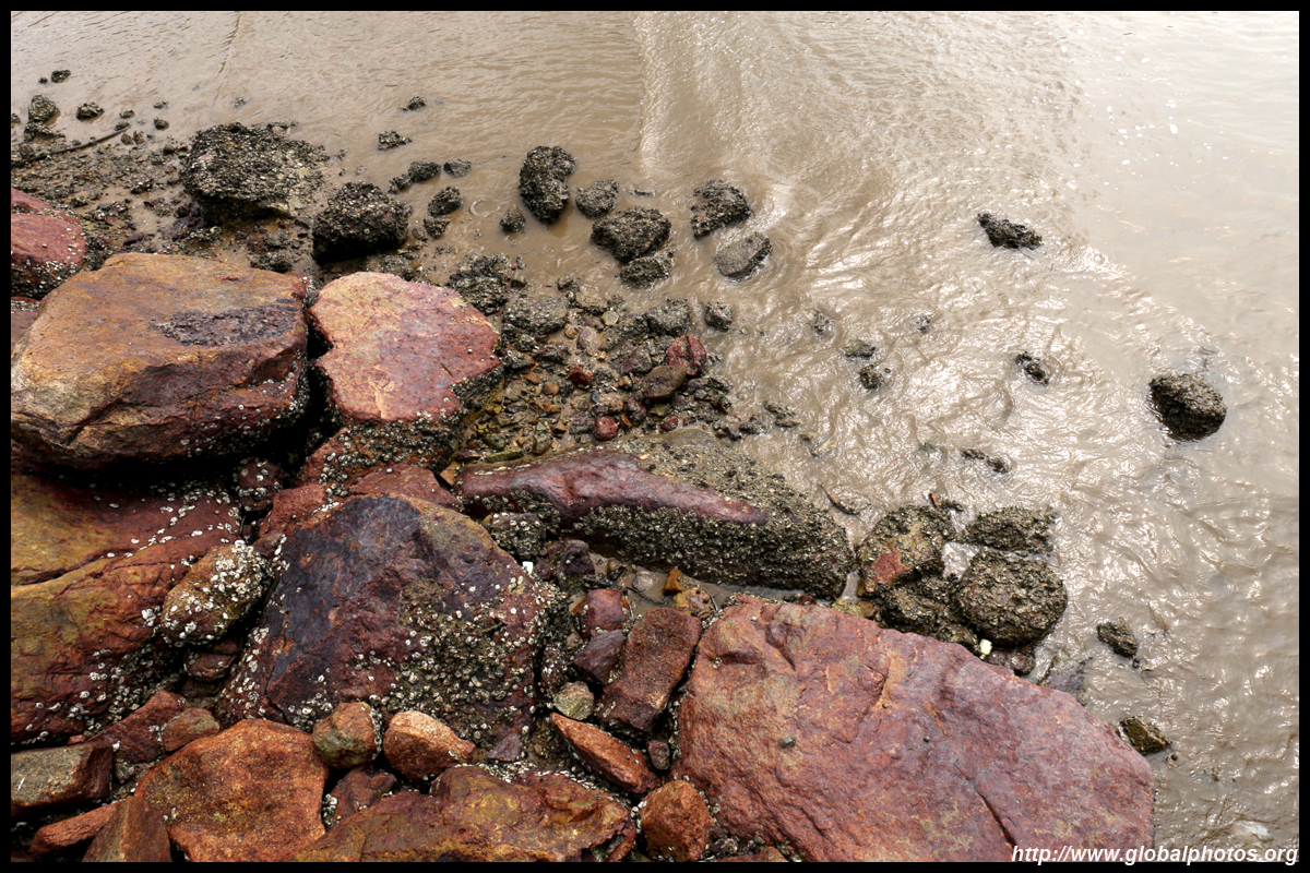
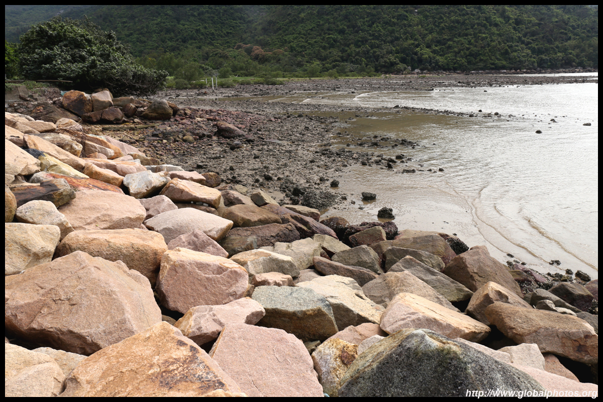
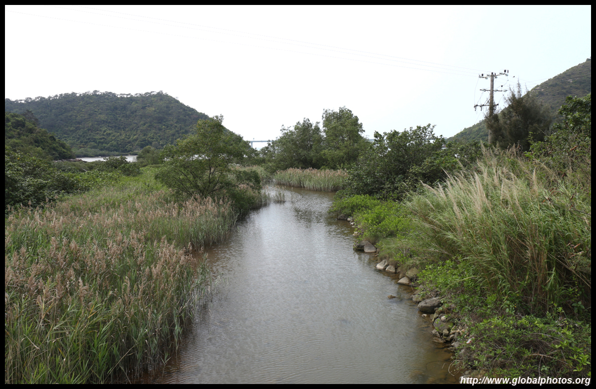
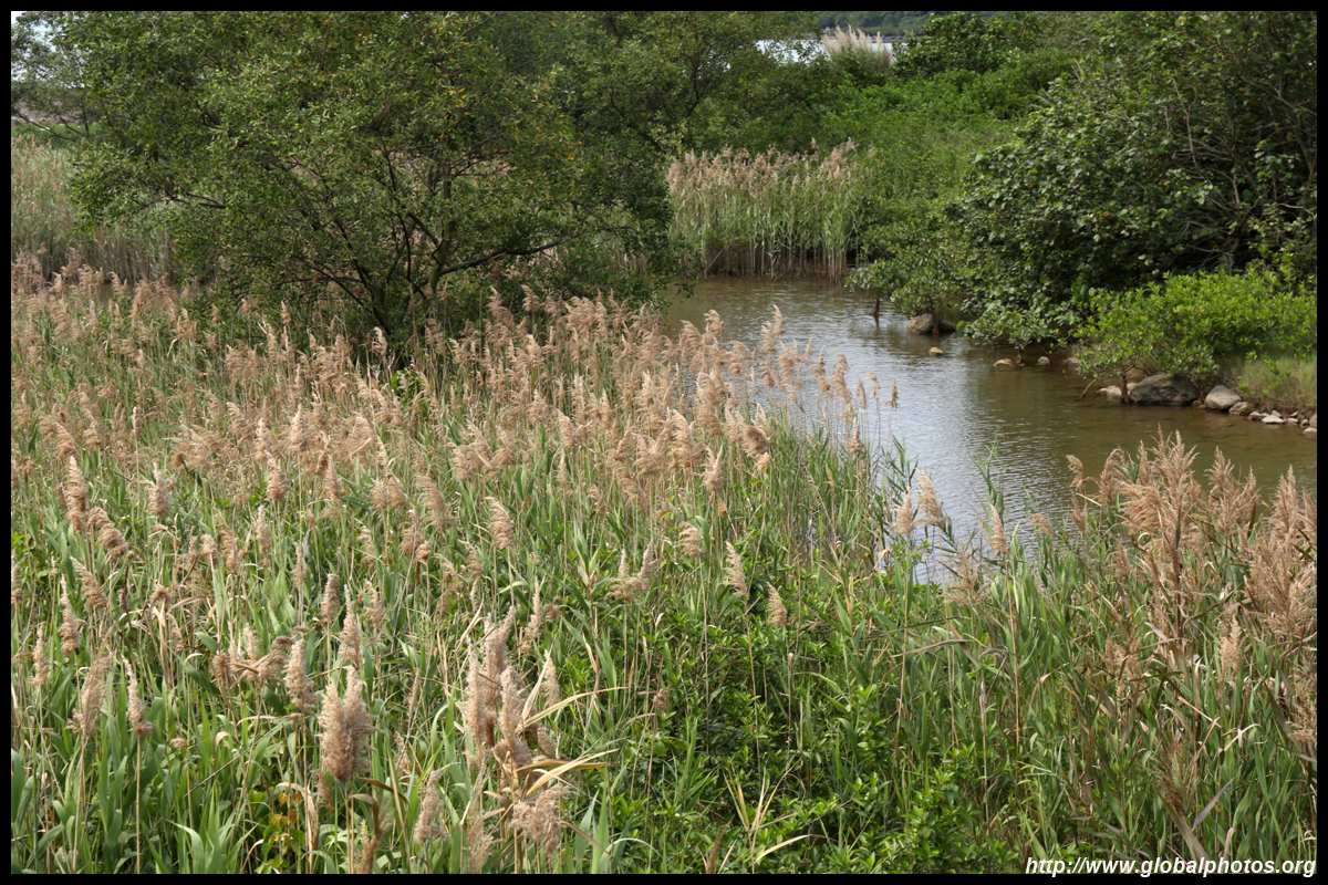
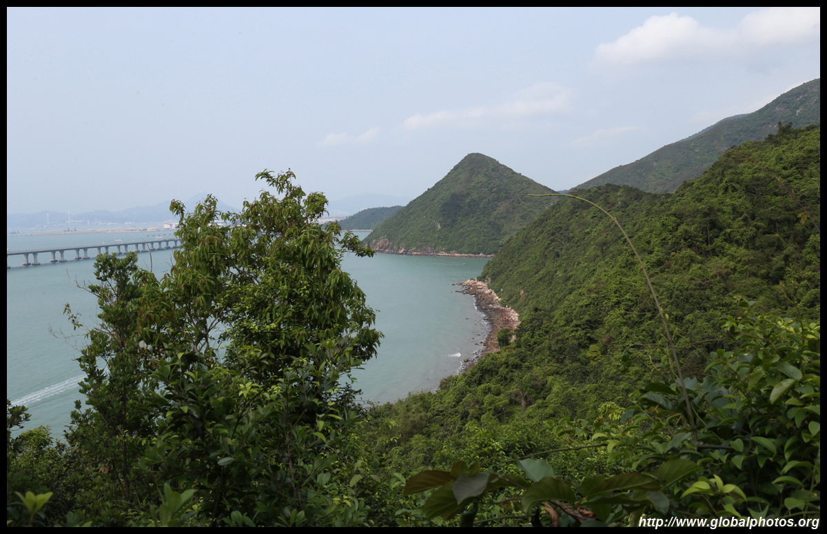
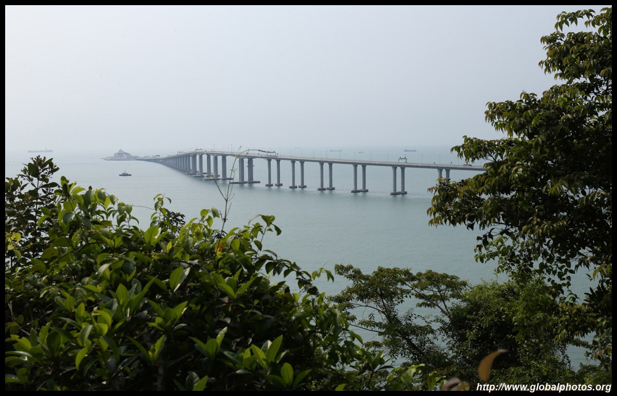
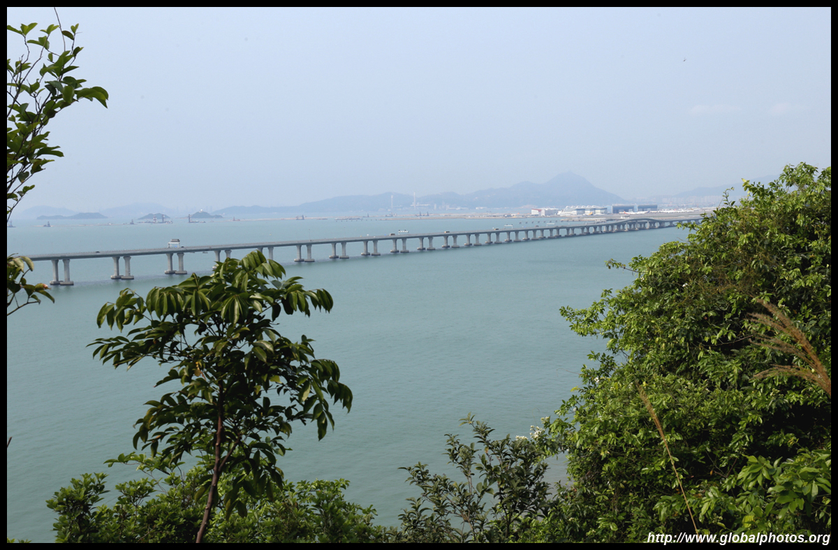
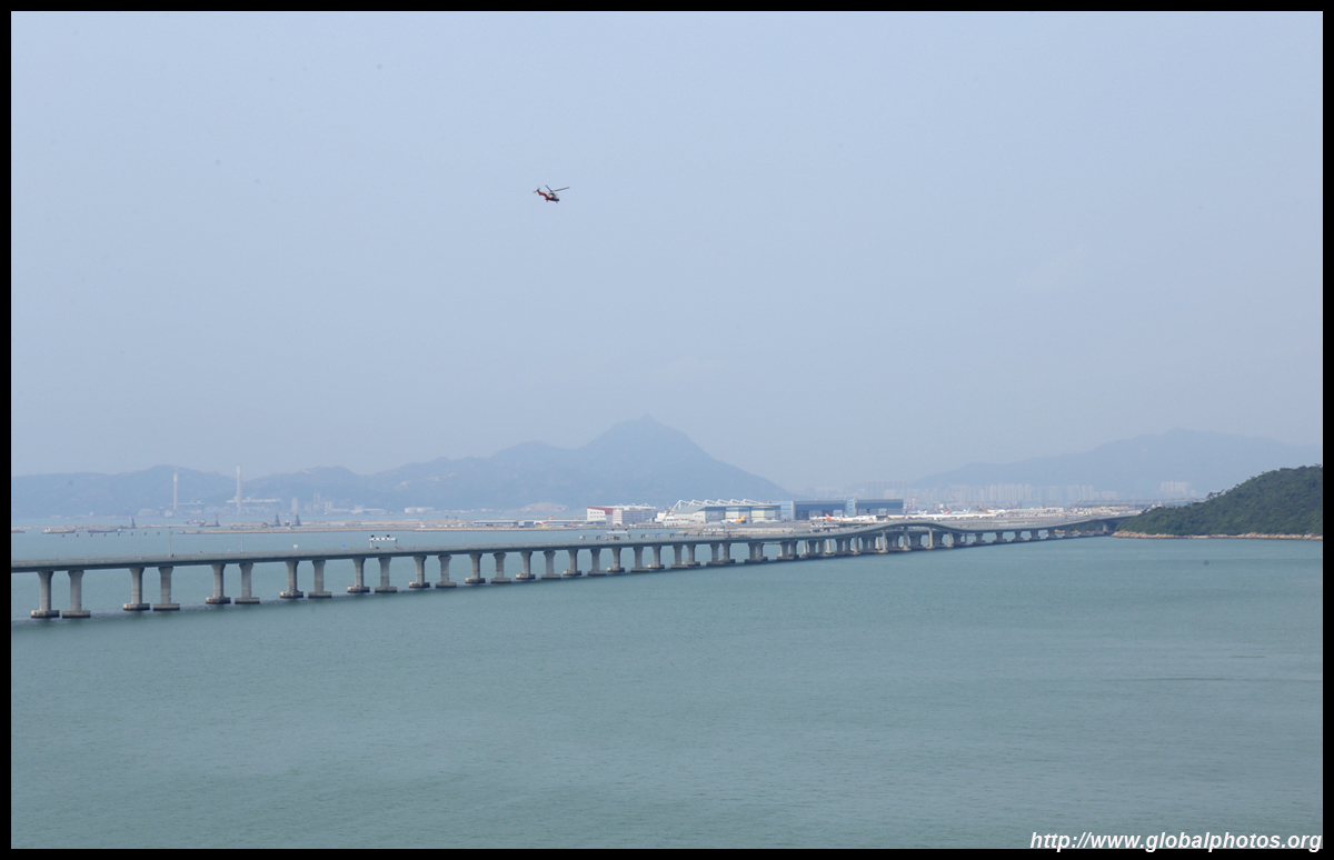
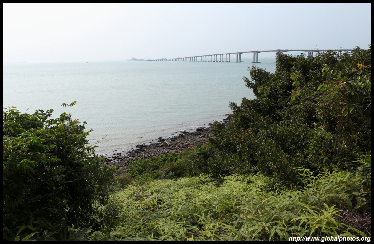
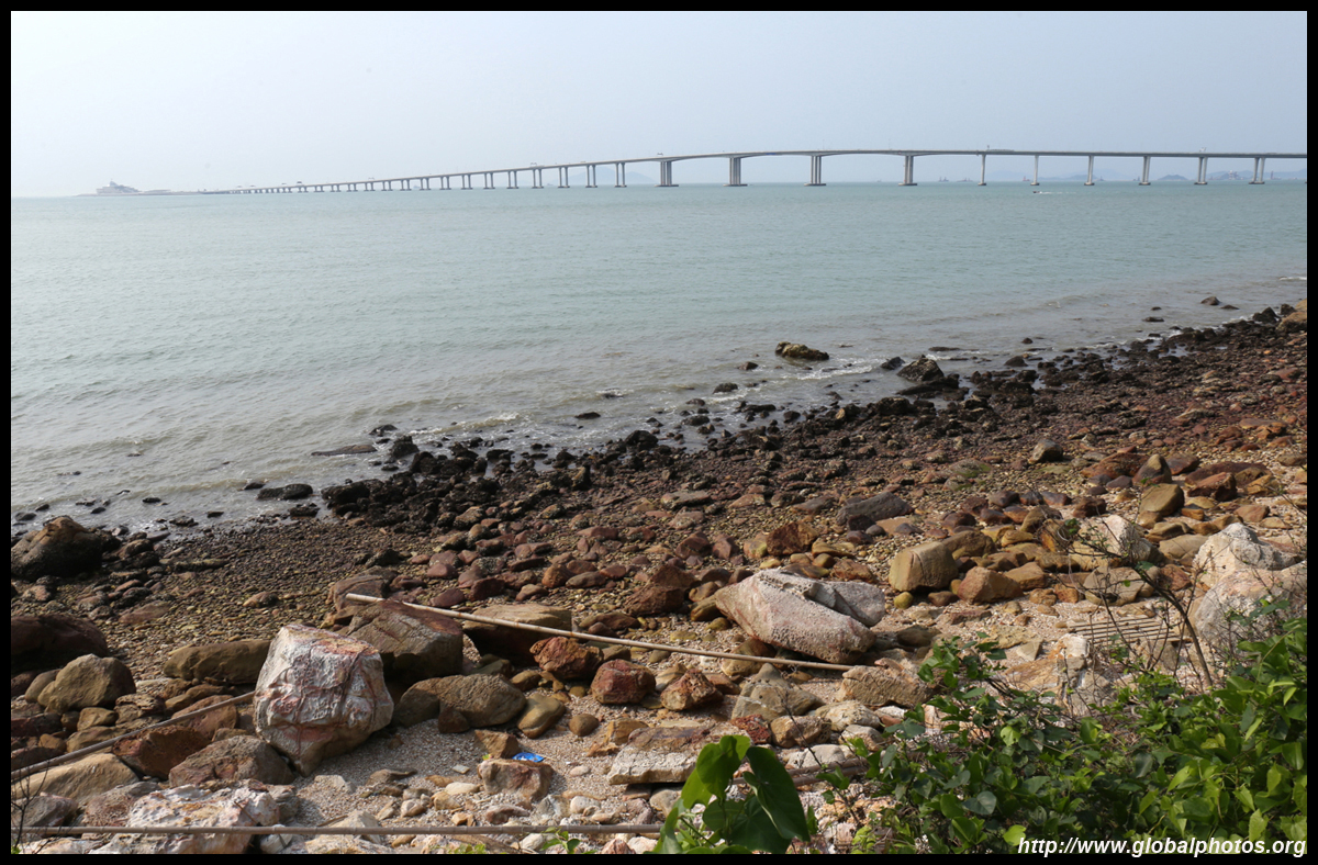
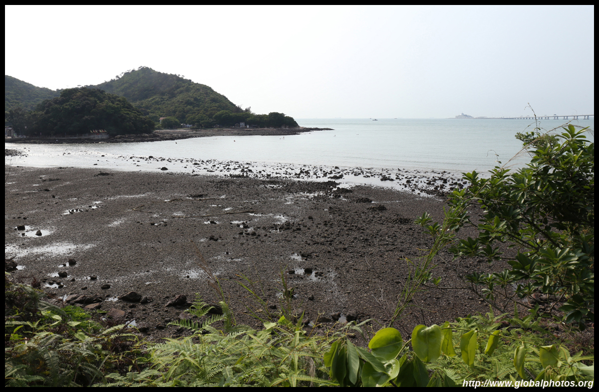
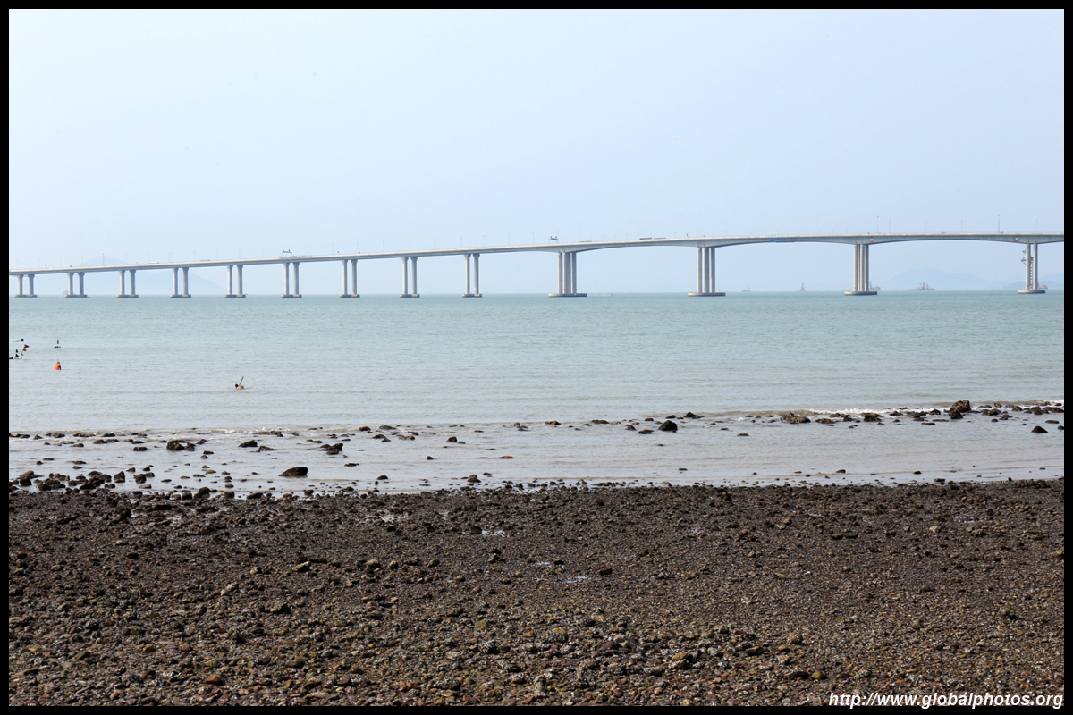
The hike from Tung Chung to Tai O is relatively flat but long at 14.5km. However, you will have a wonderful view of the wetlands next to the residential suburbs, the megabridge to Macau and Zhuhai, as well as the airport along the way.Just west of Yat Tung Estate, a paved path leads into the bushes and soon you will see the waters of Tung Chung Bay. Follow the signs to Sha Lo Wan.
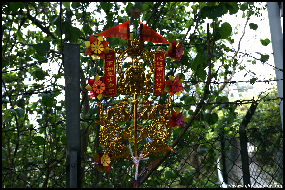
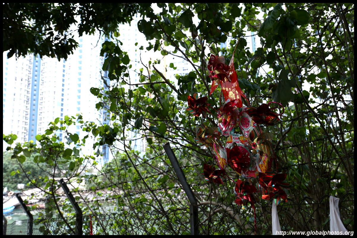
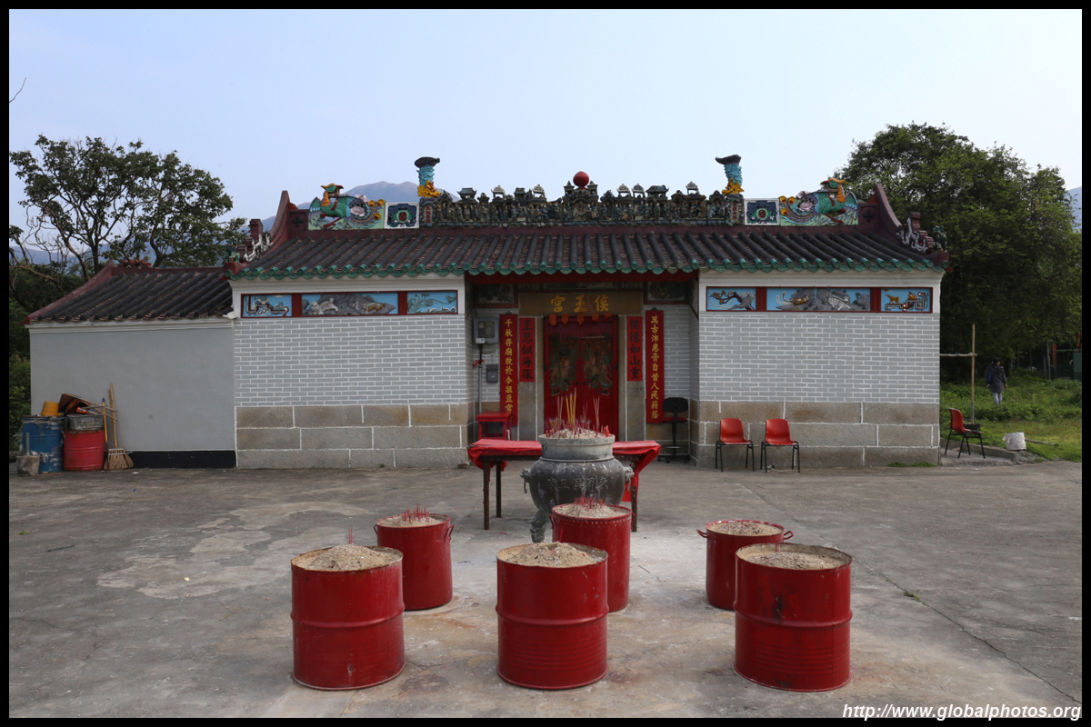
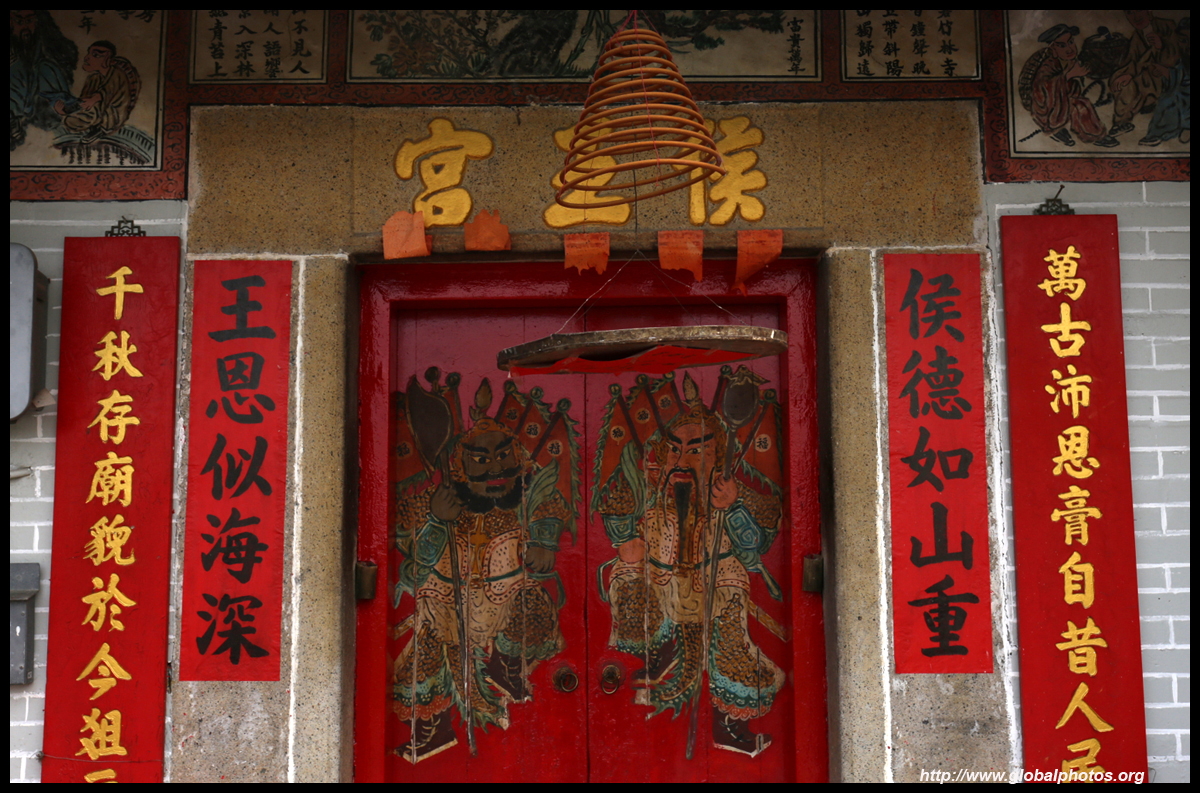
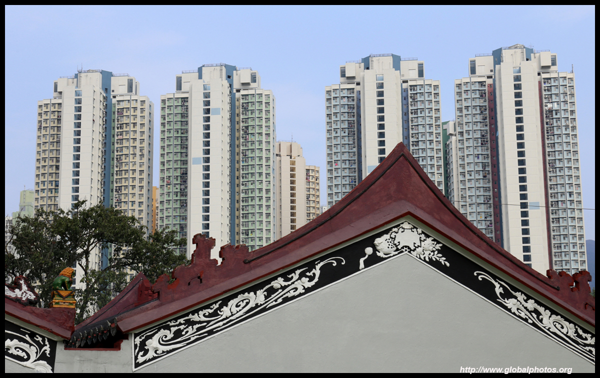
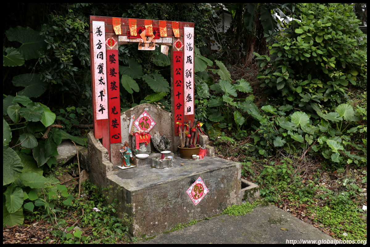
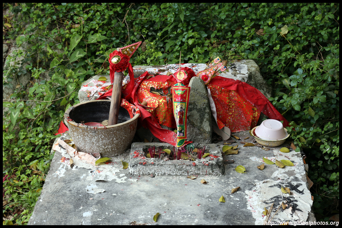
There is a Hau Wong Temple next to a football field and facing the bay.
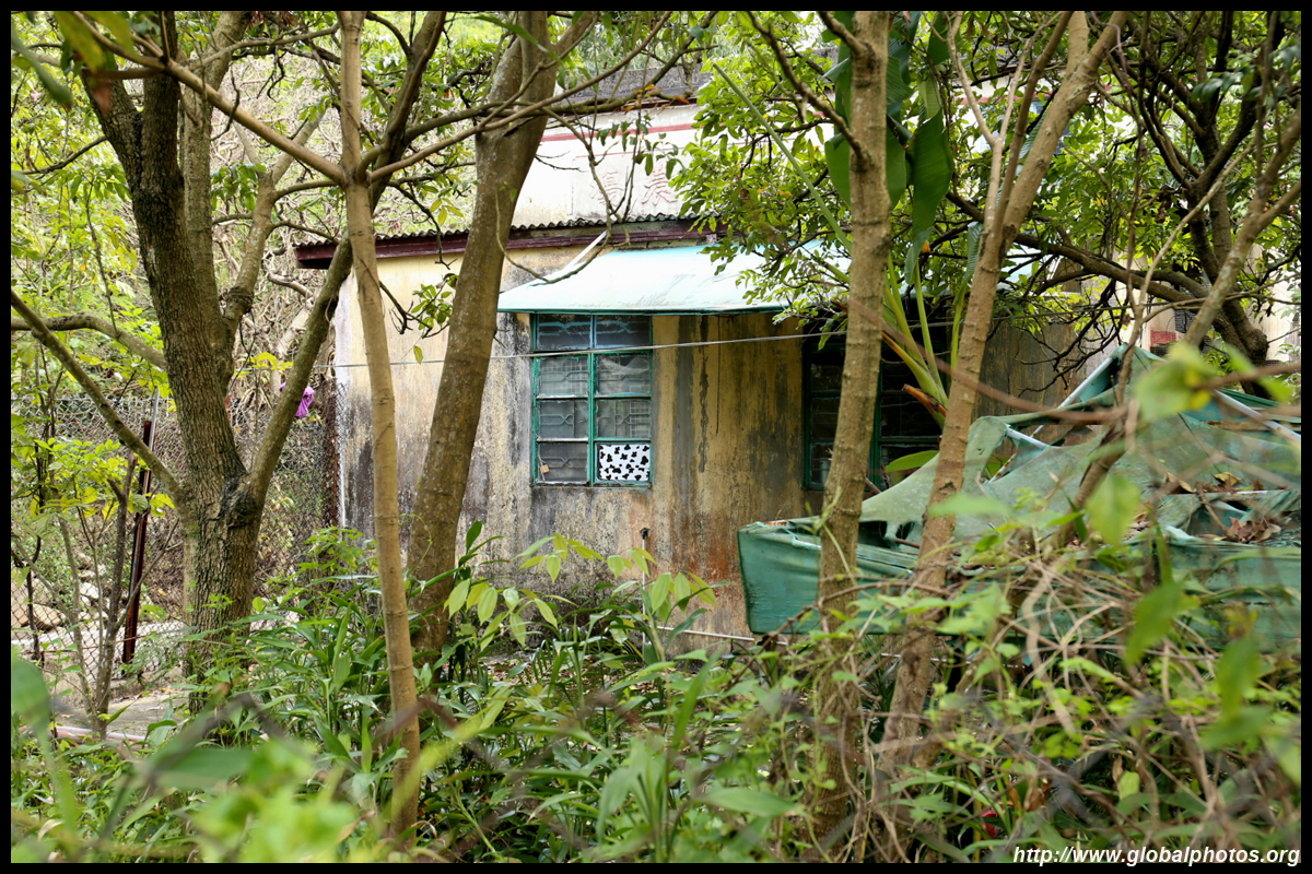
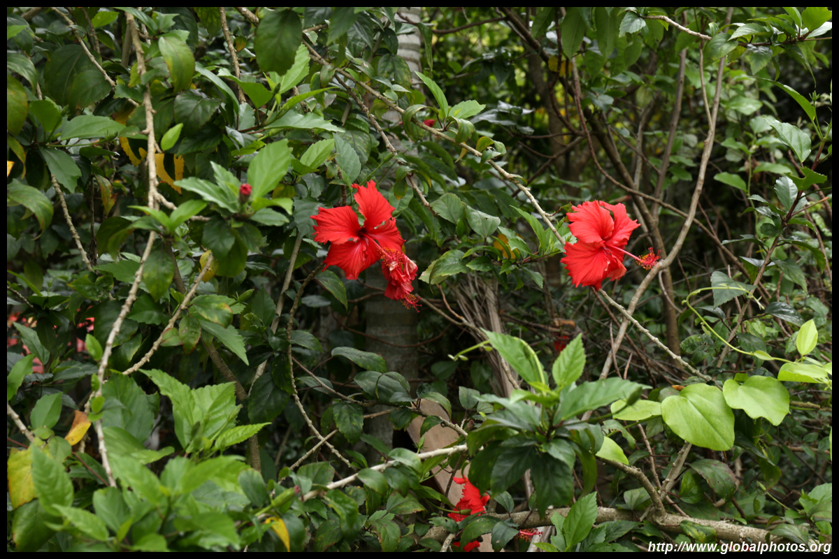
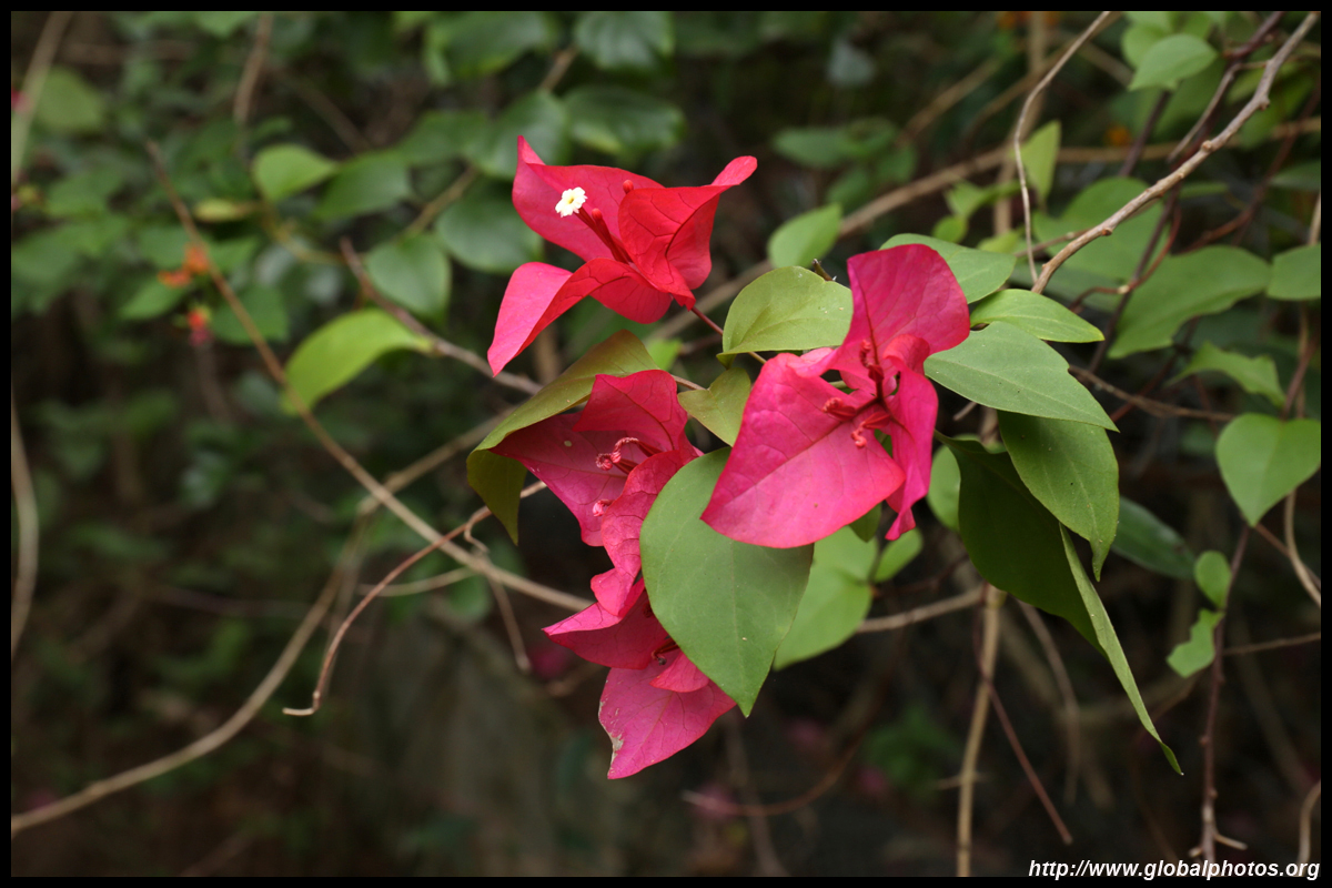
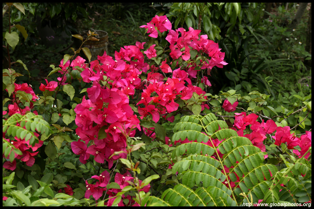
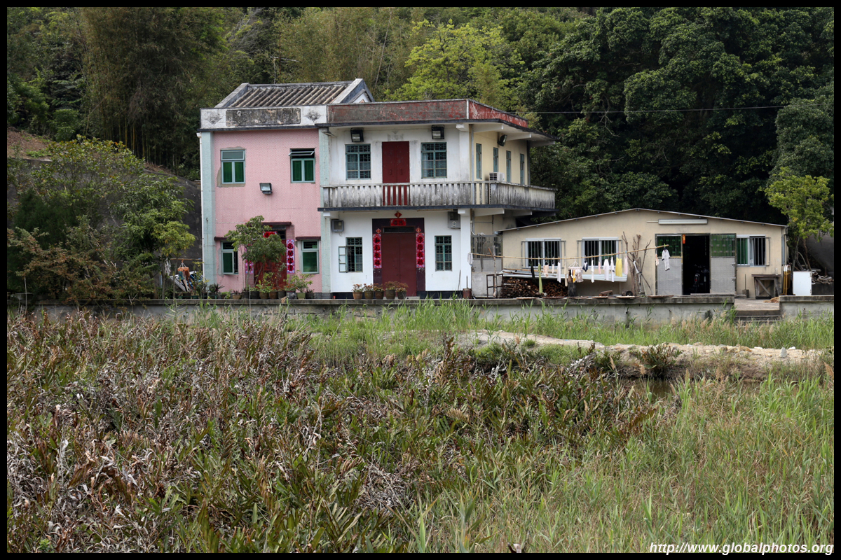
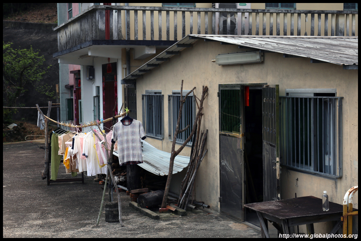
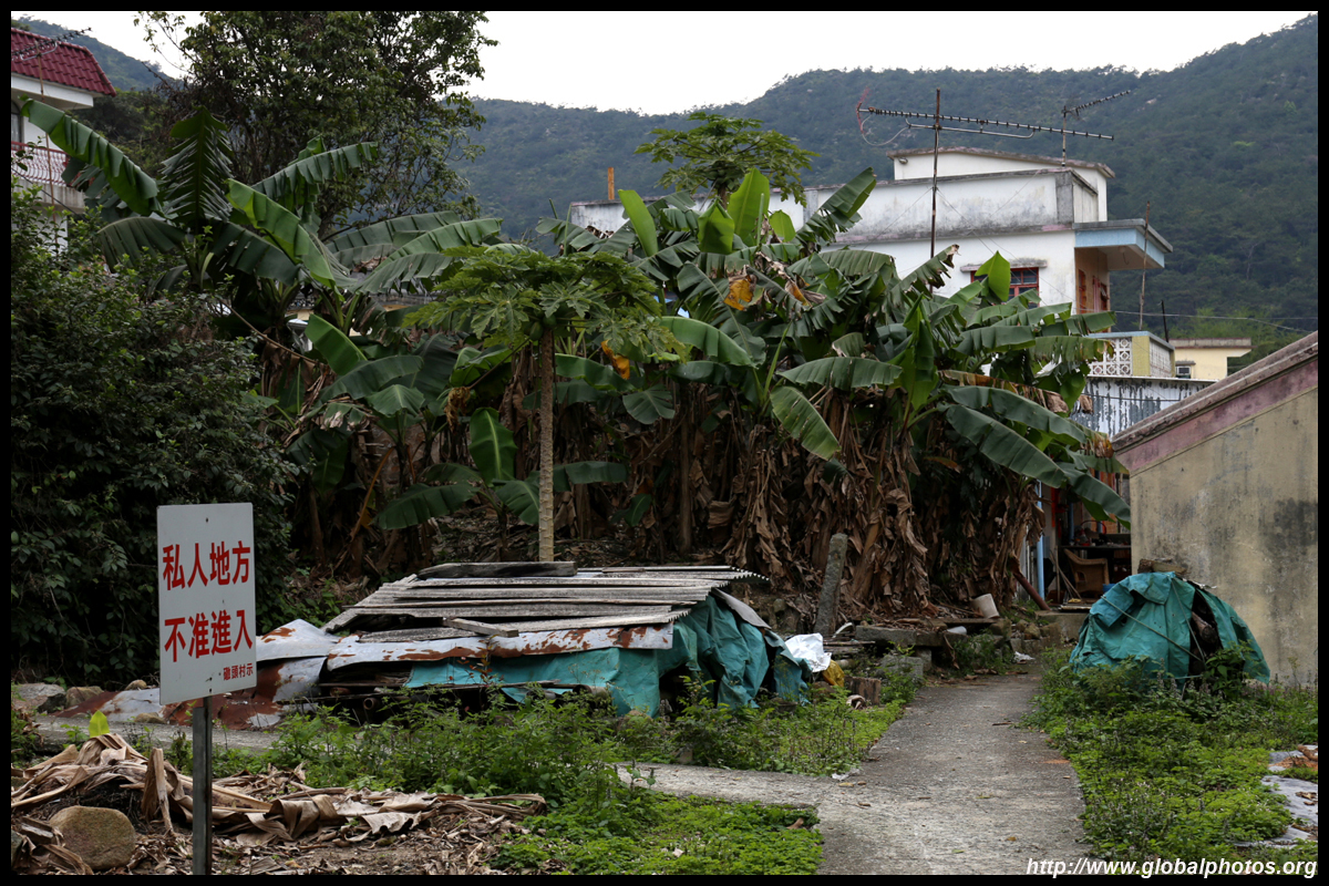
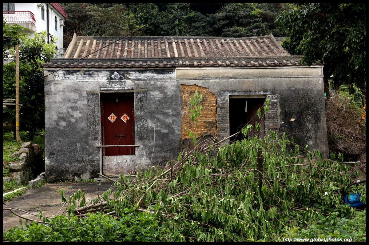
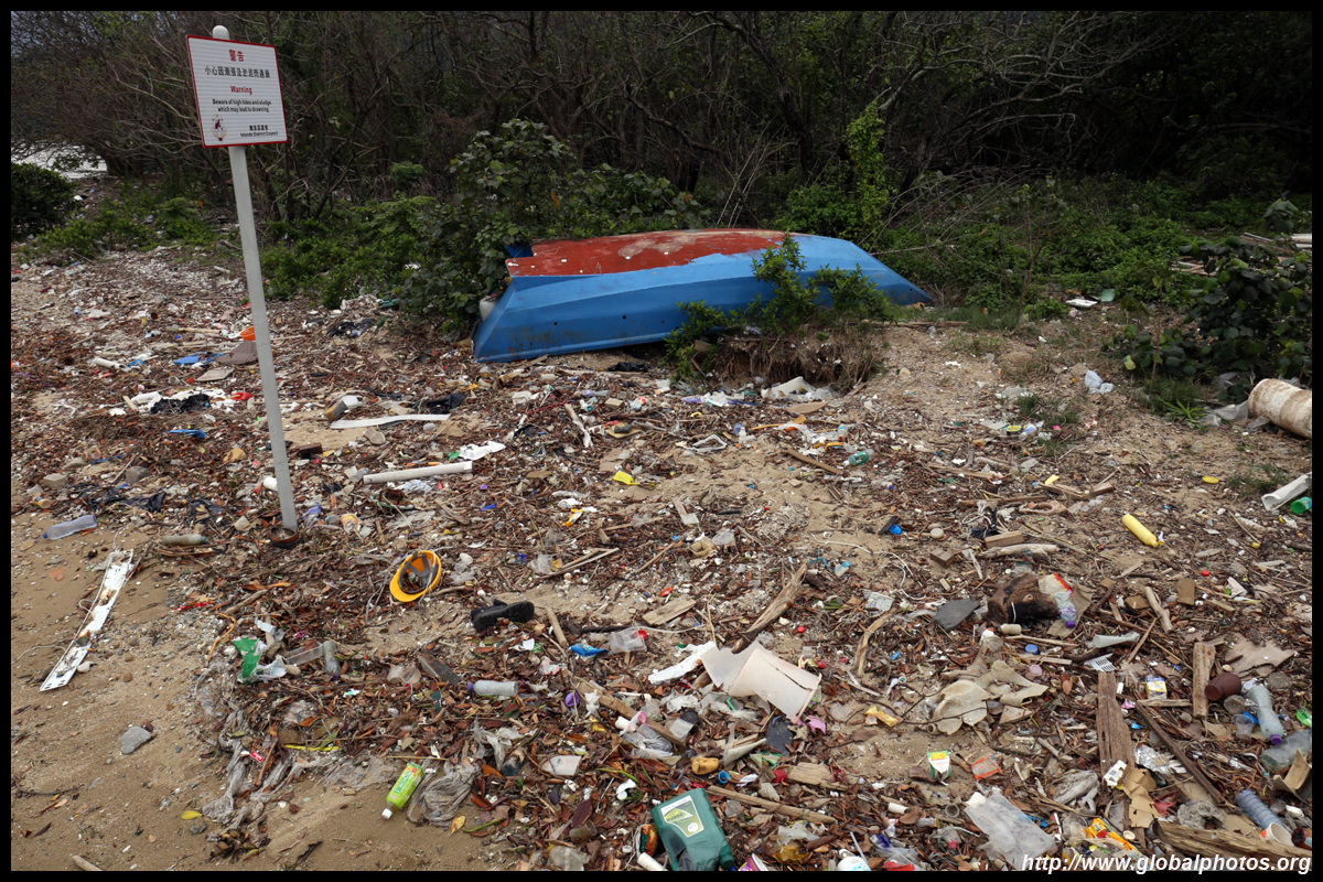
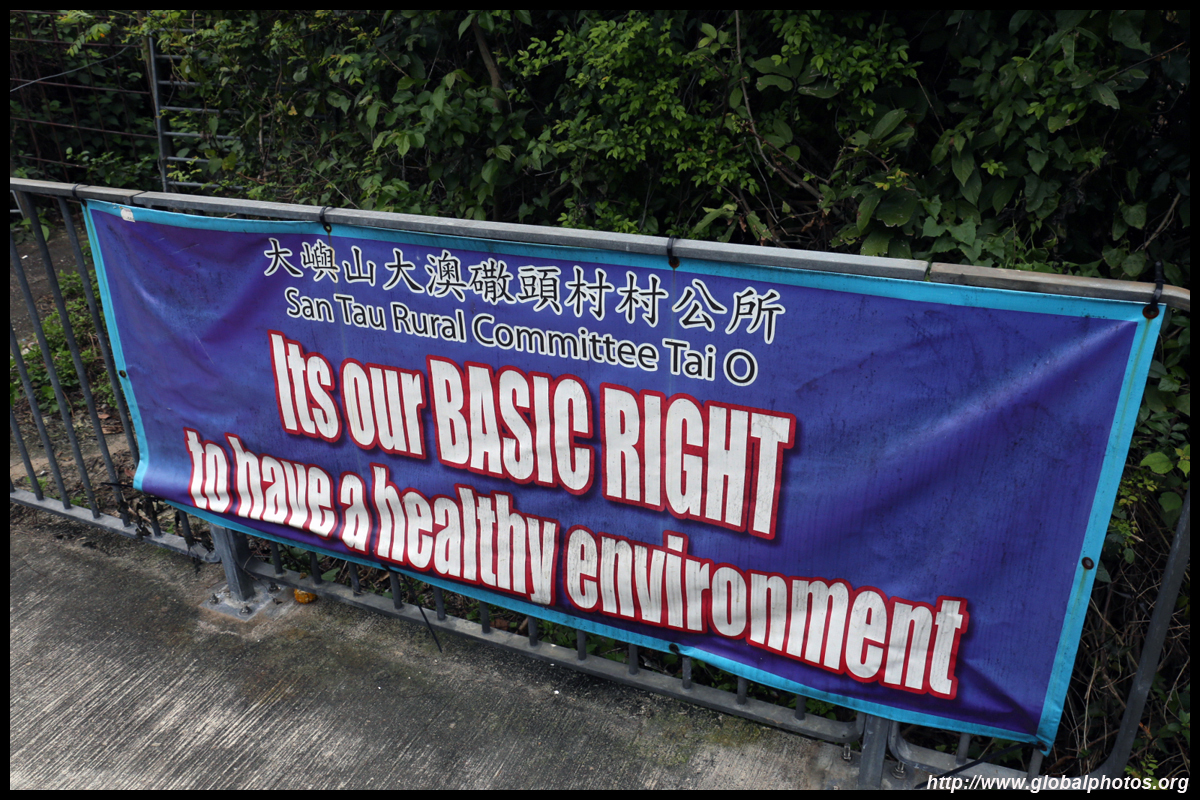
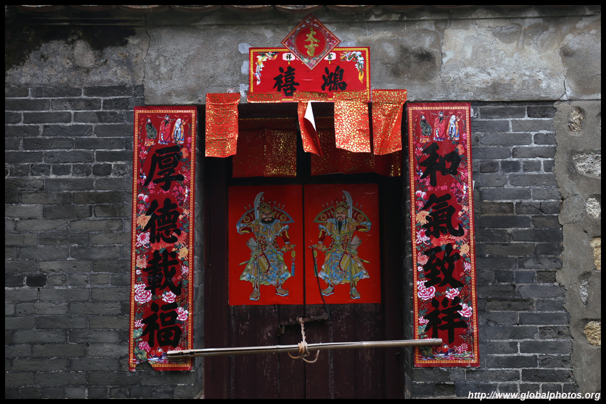
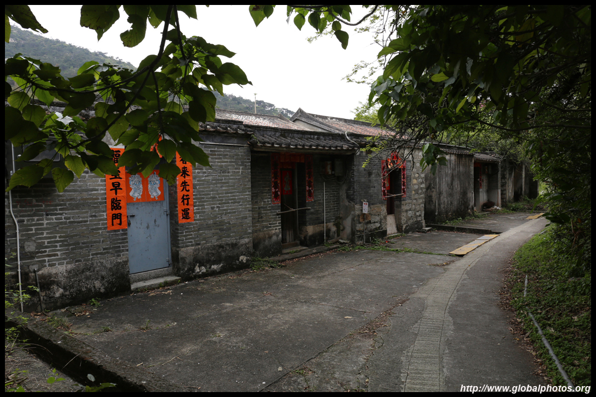
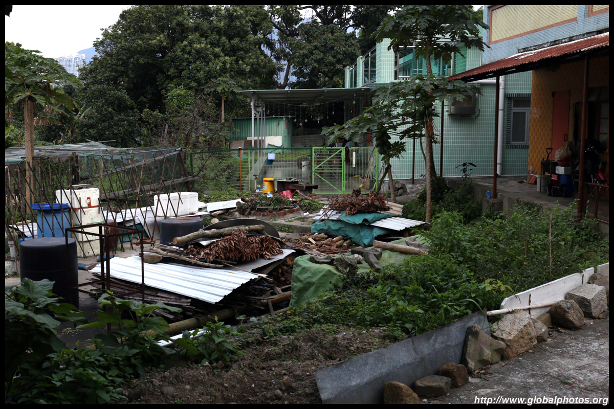
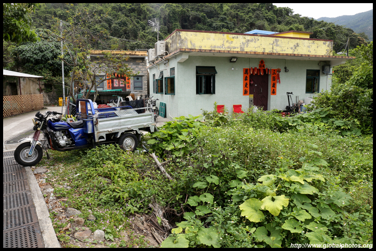
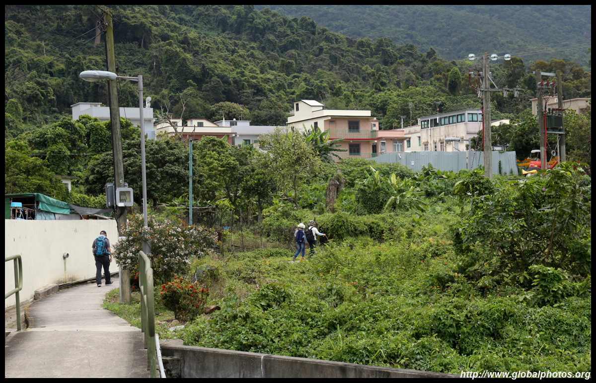
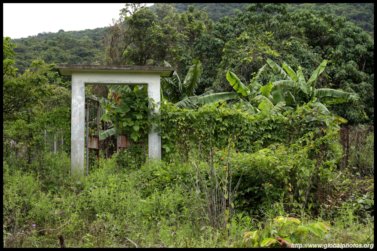
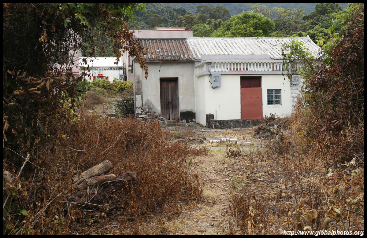
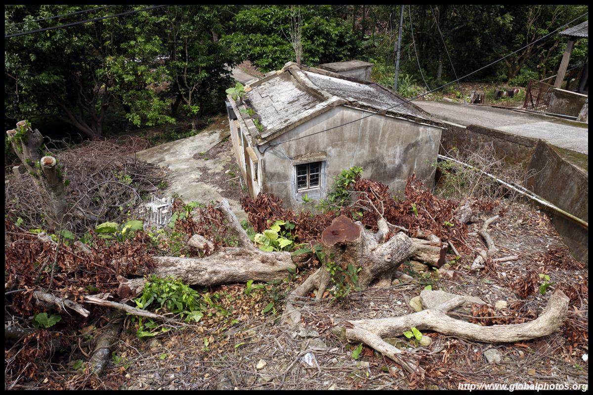
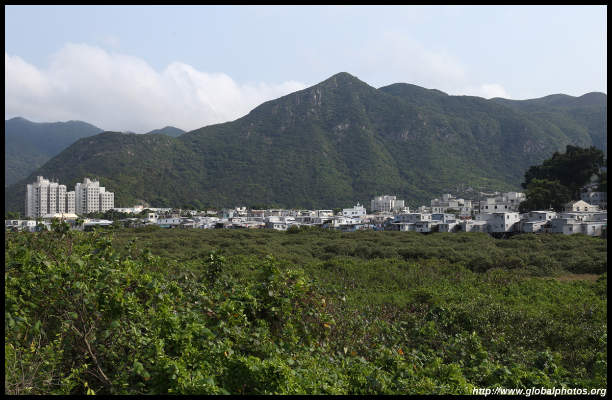
Too bad the villagers don't always take advantage of their much roomier living environment and care for that extra space.
After the few houses, there is a staircase on the left to head uphill. This is the Ngong Ping Rescue Trail, which is an intense uphill hike to the Buddha statue, running underneath the cable car.
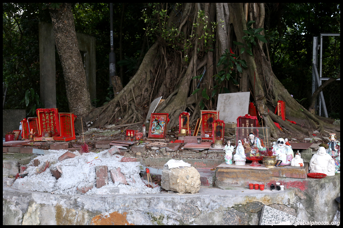
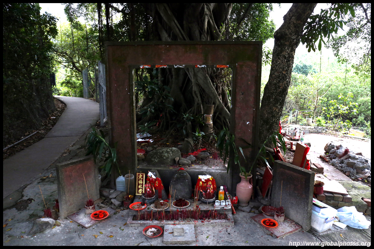
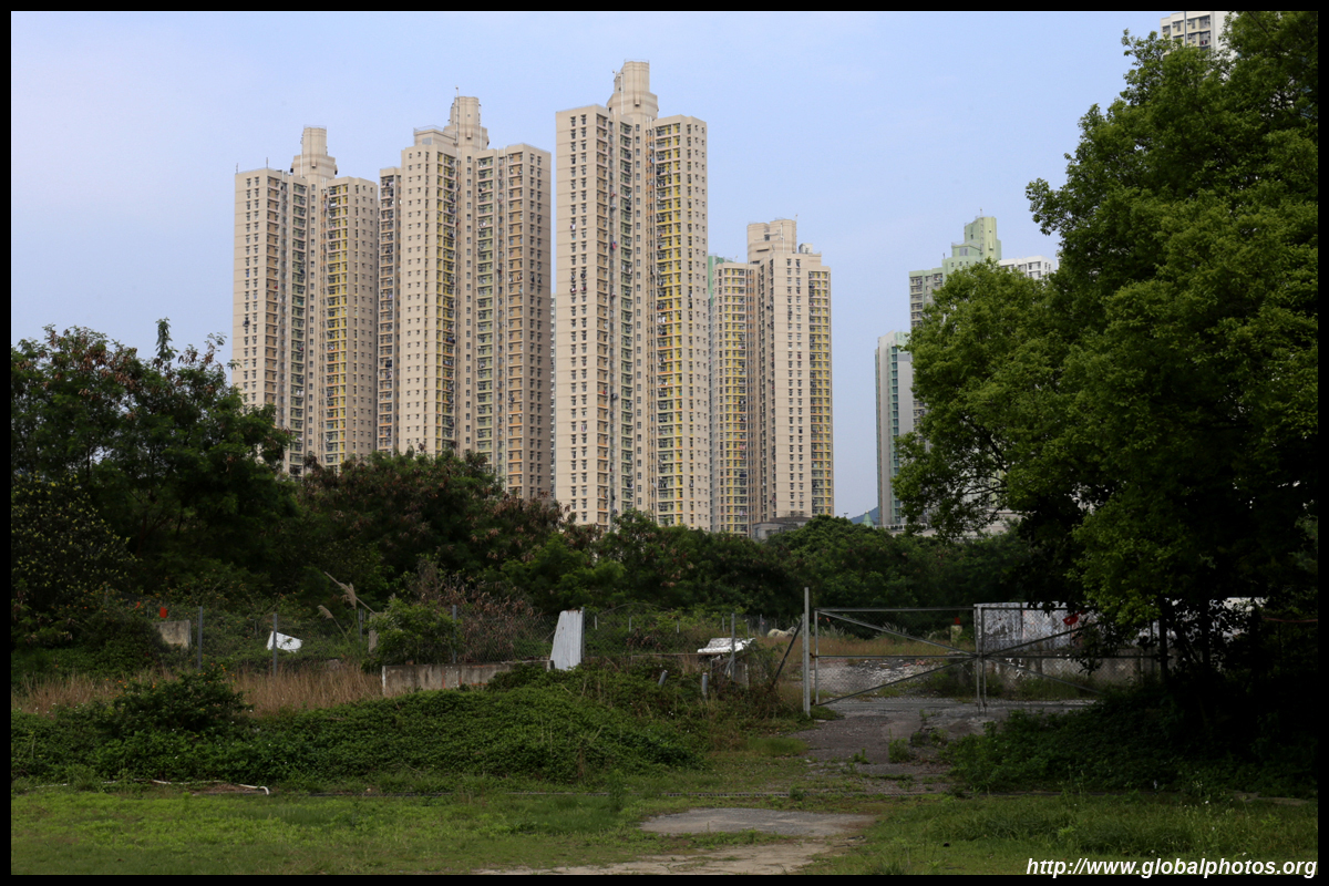
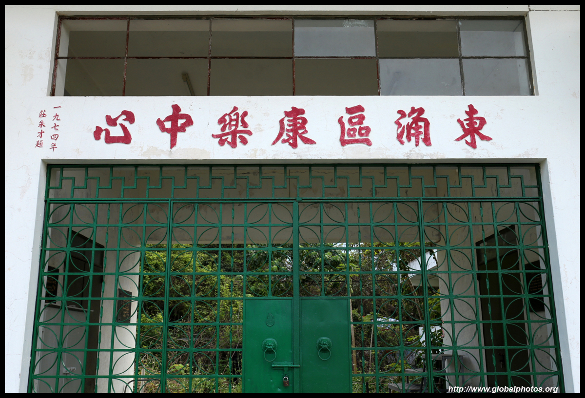
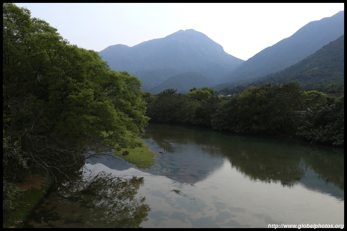
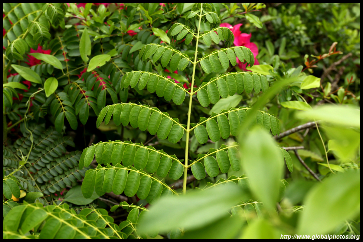
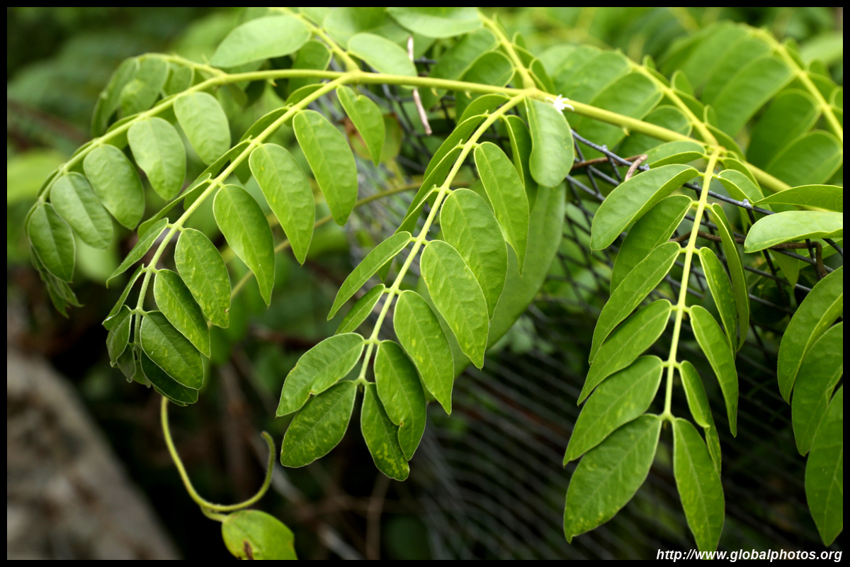
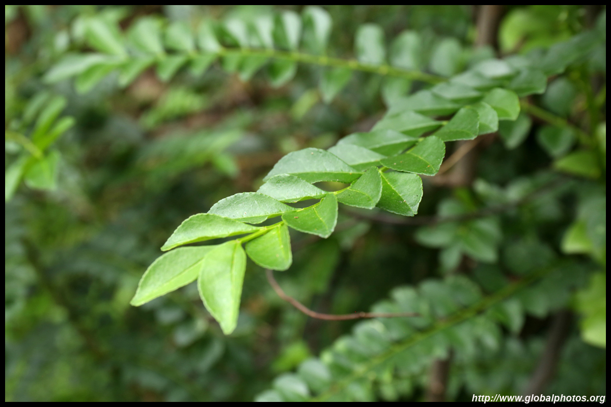
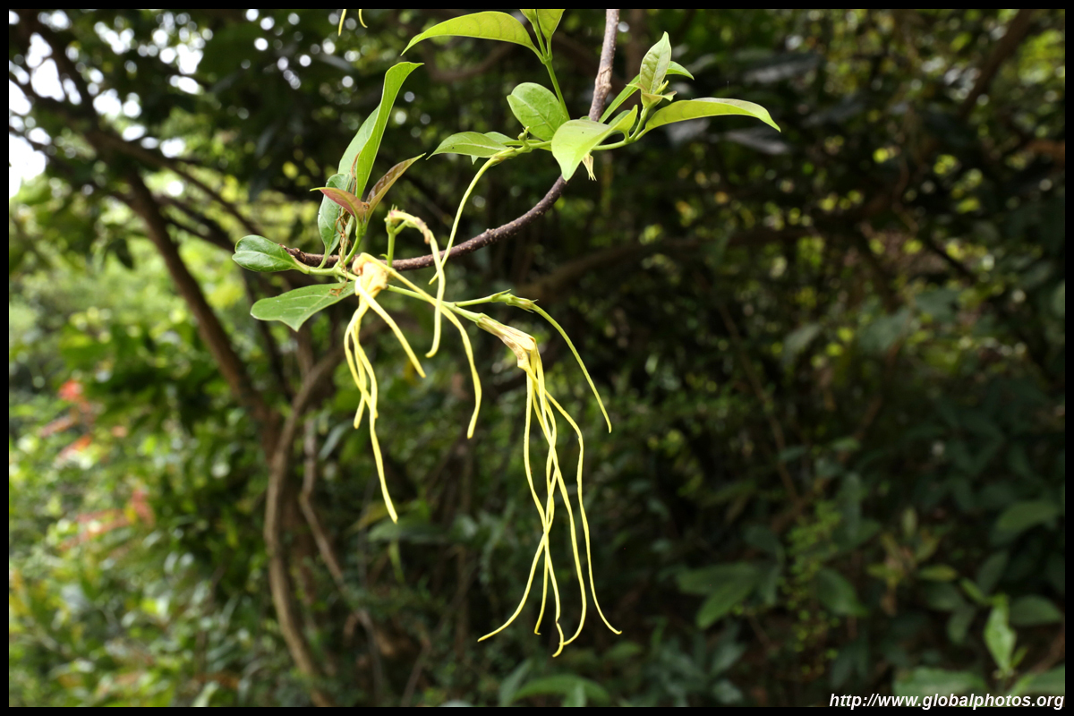
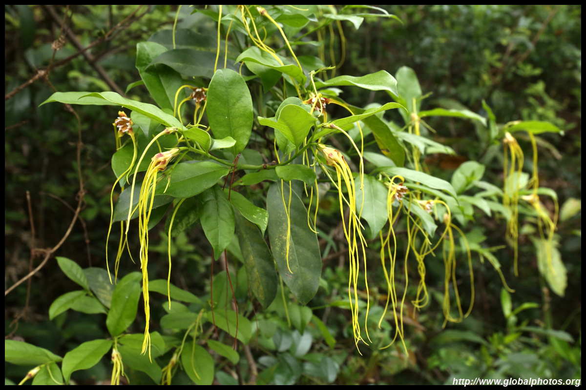
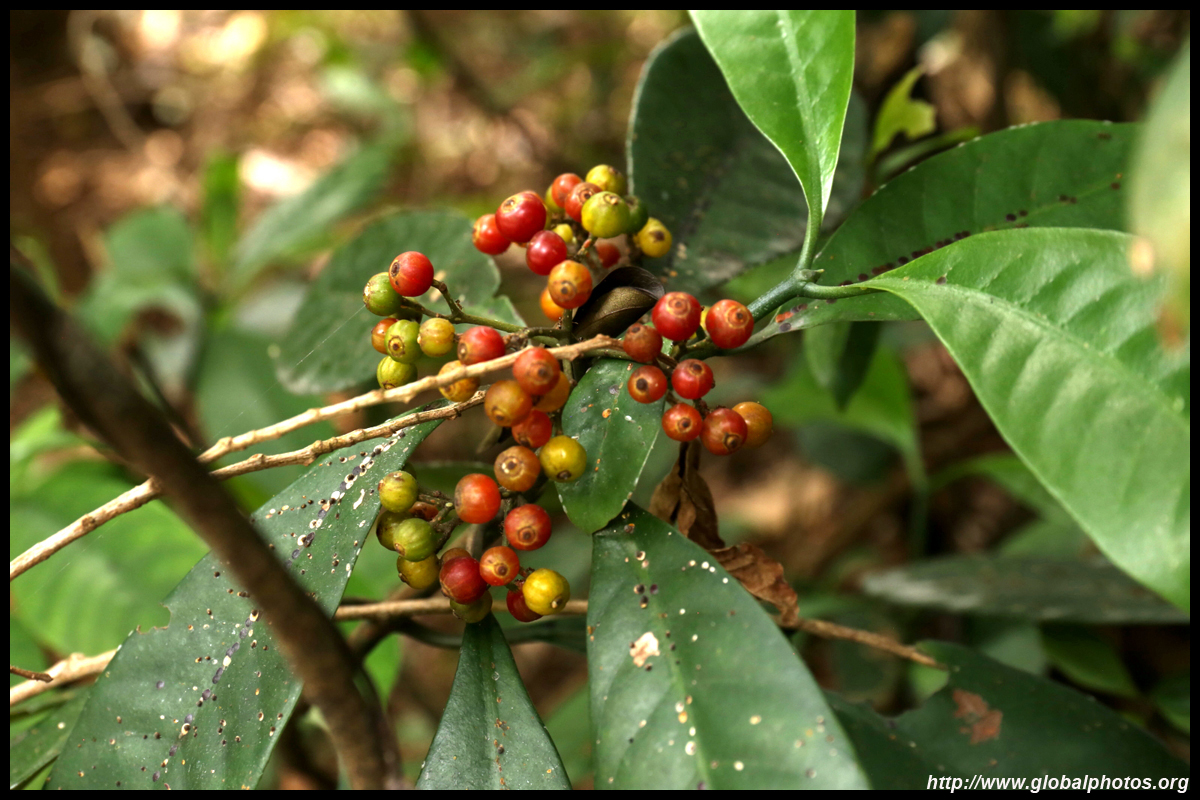
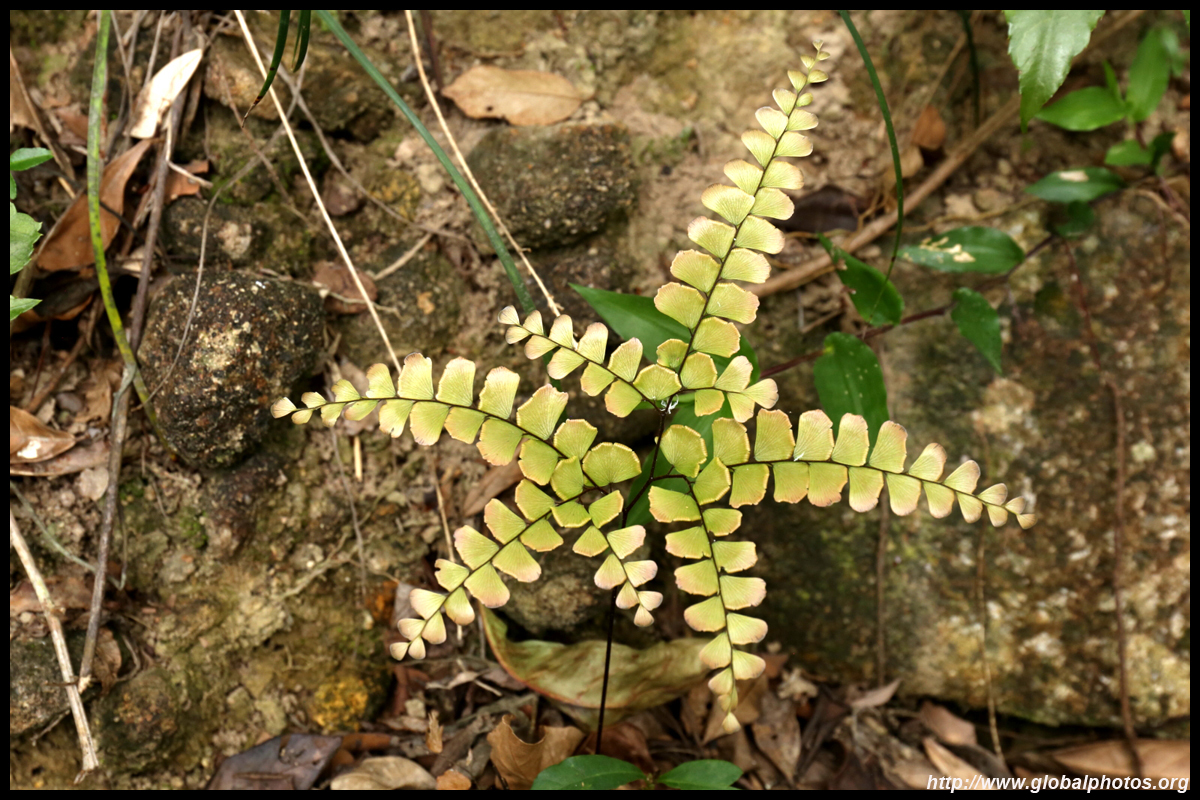
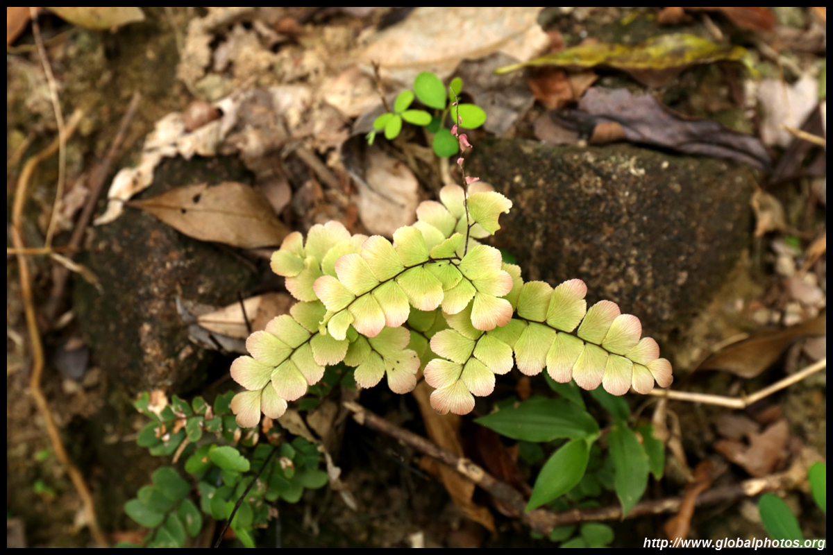
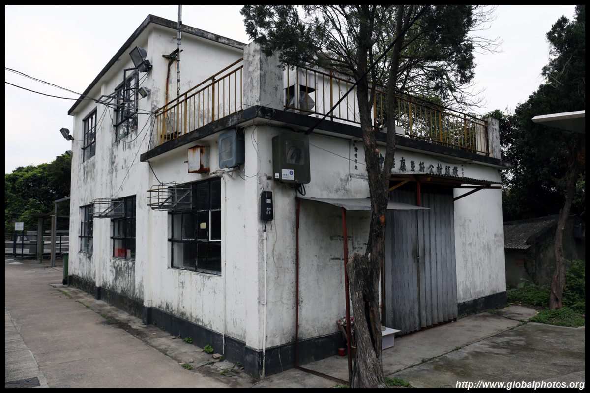
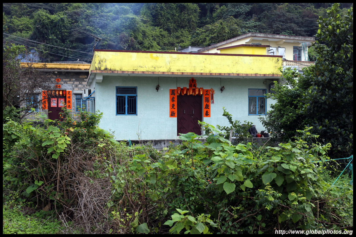
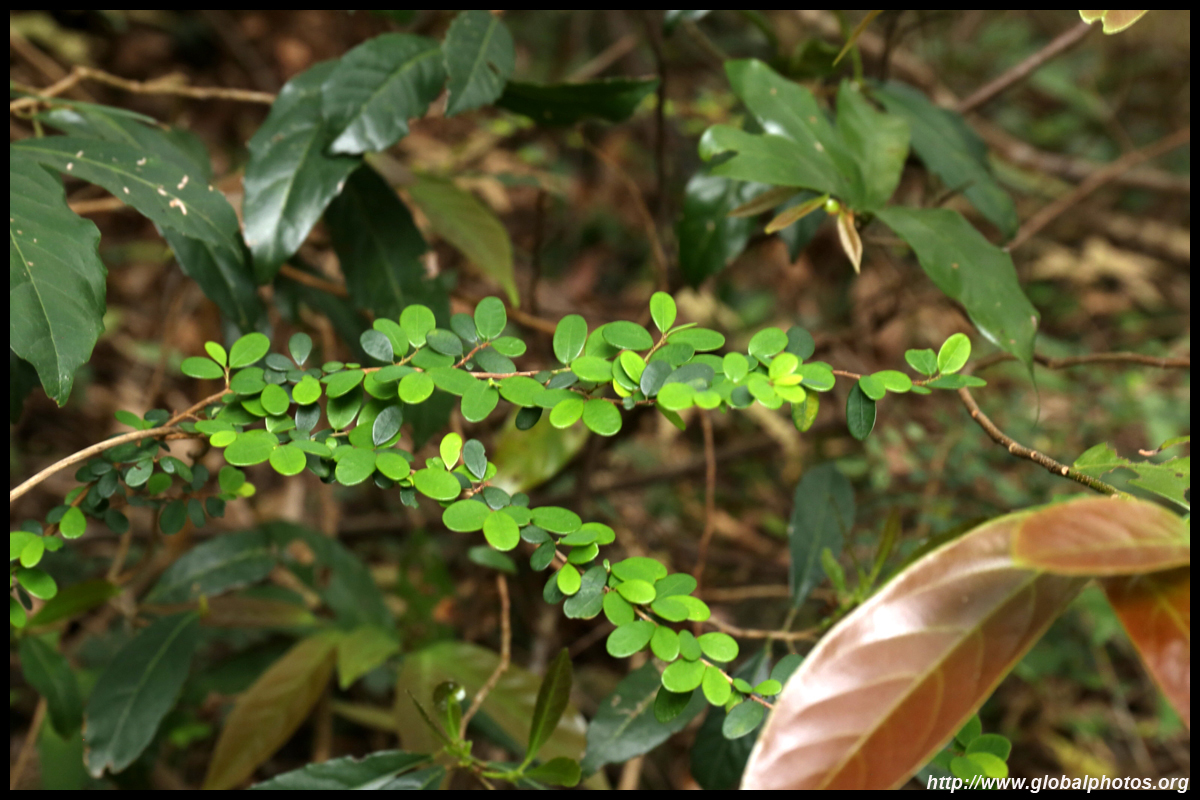
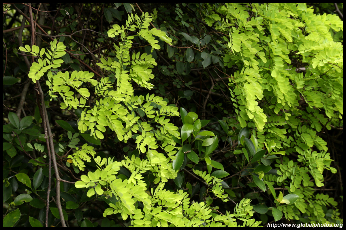
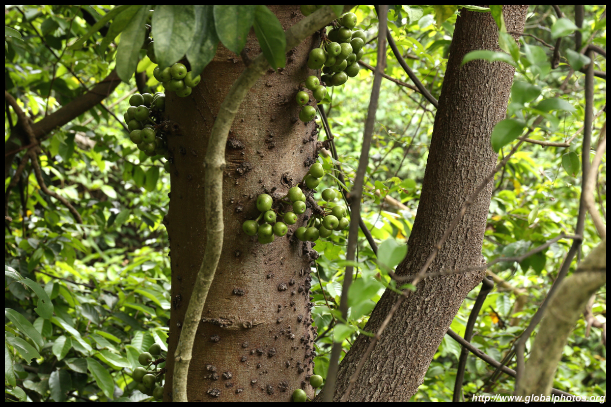
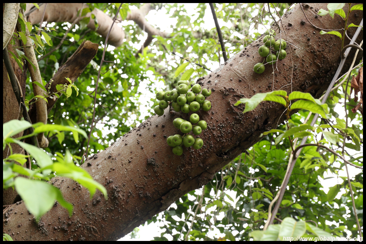
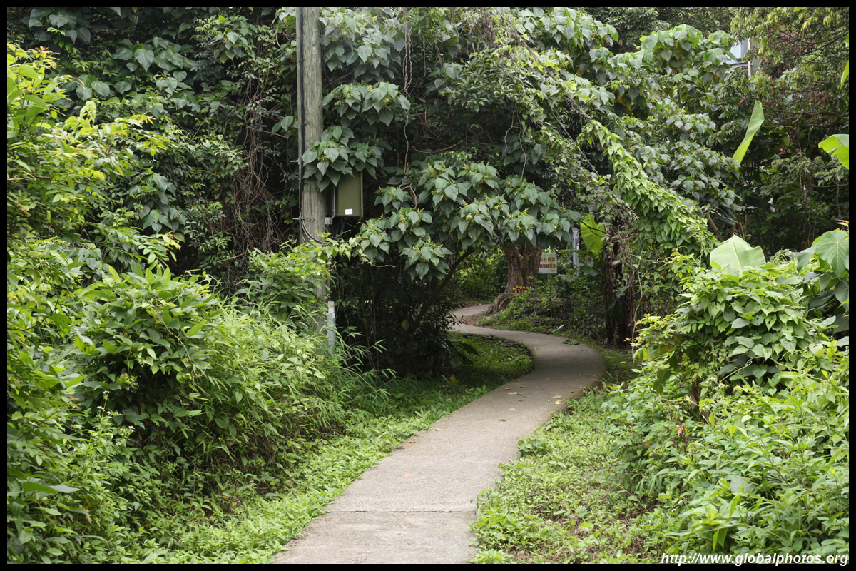
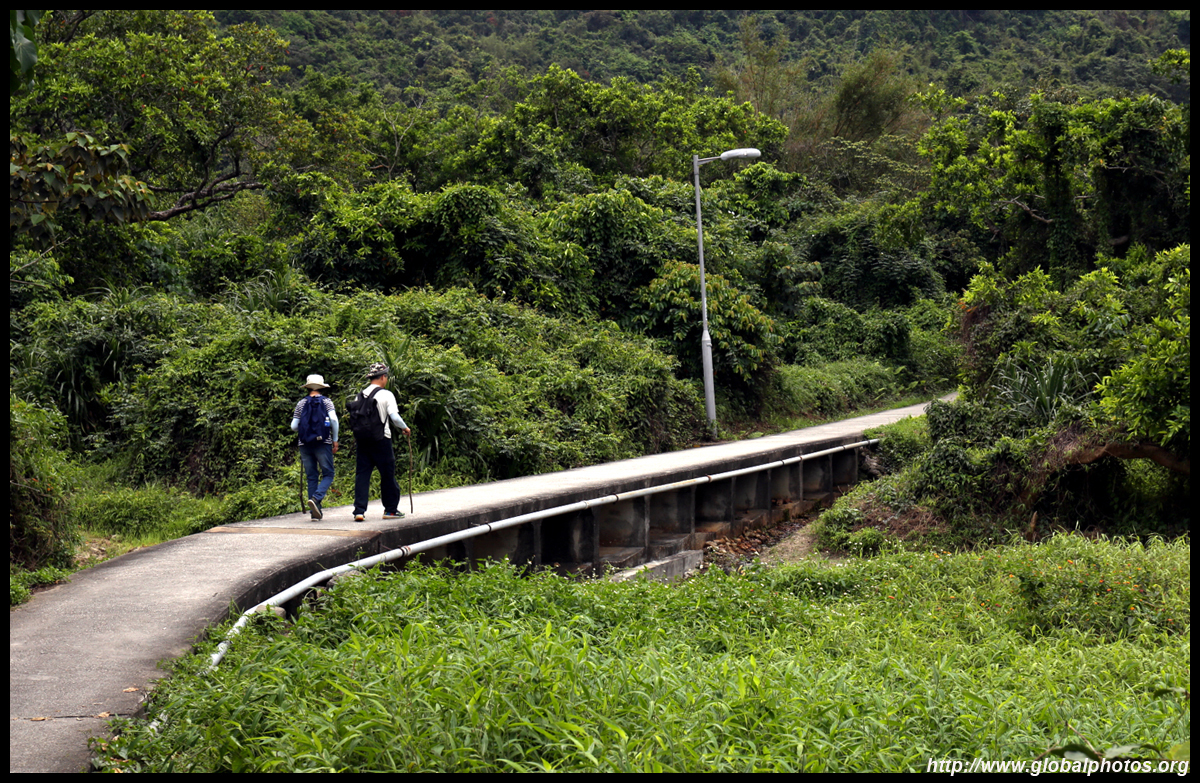
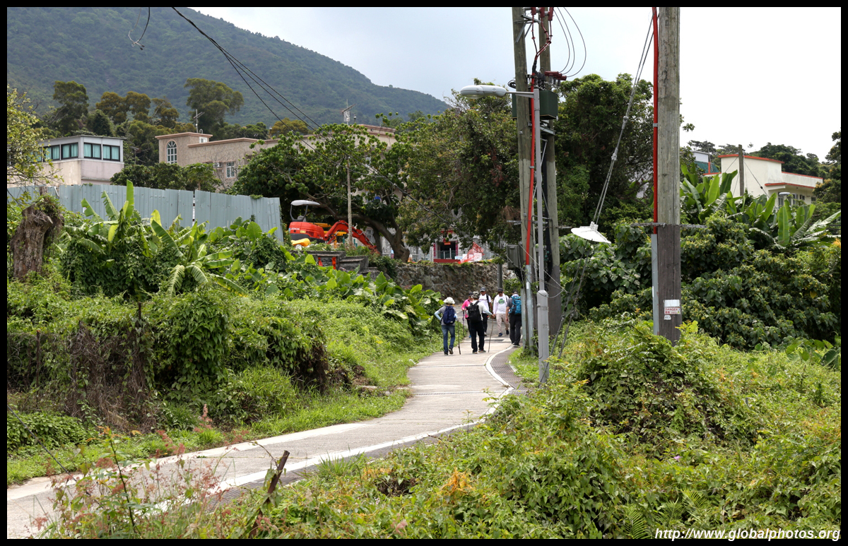
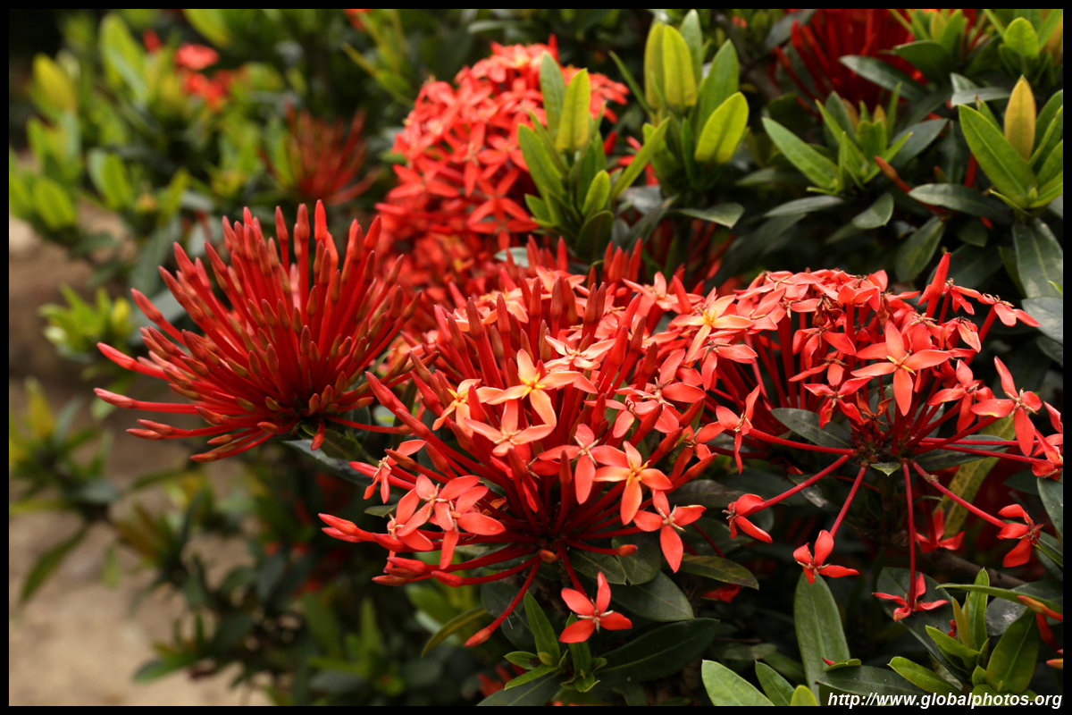
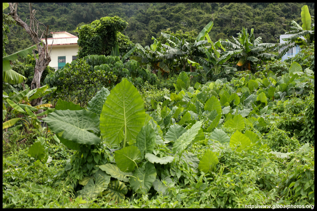
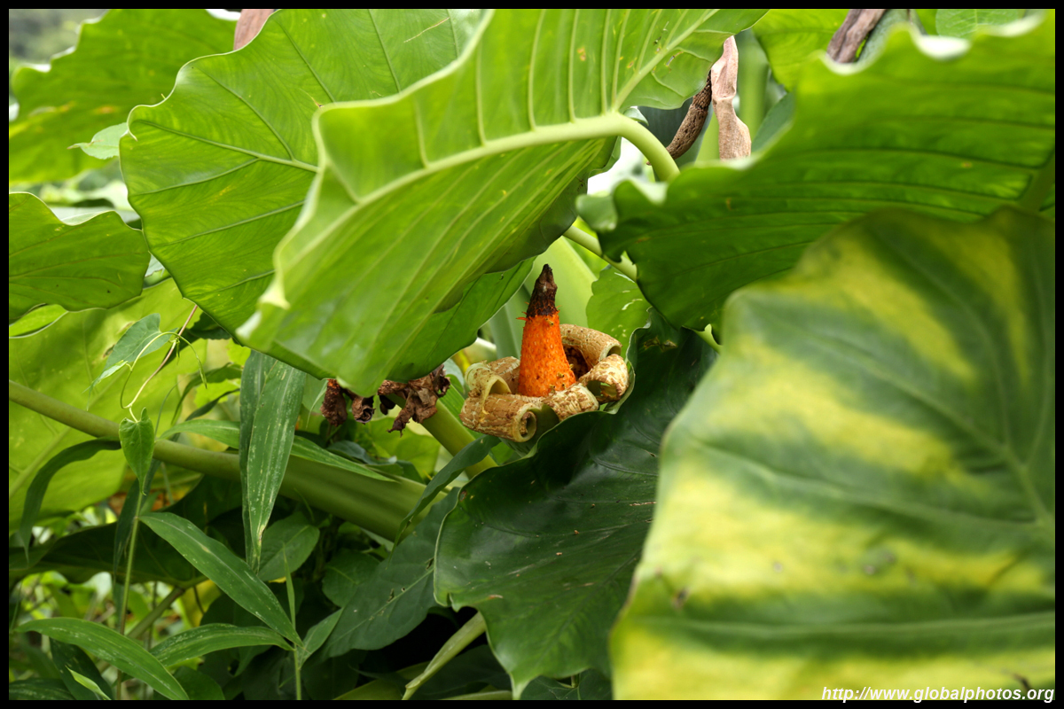
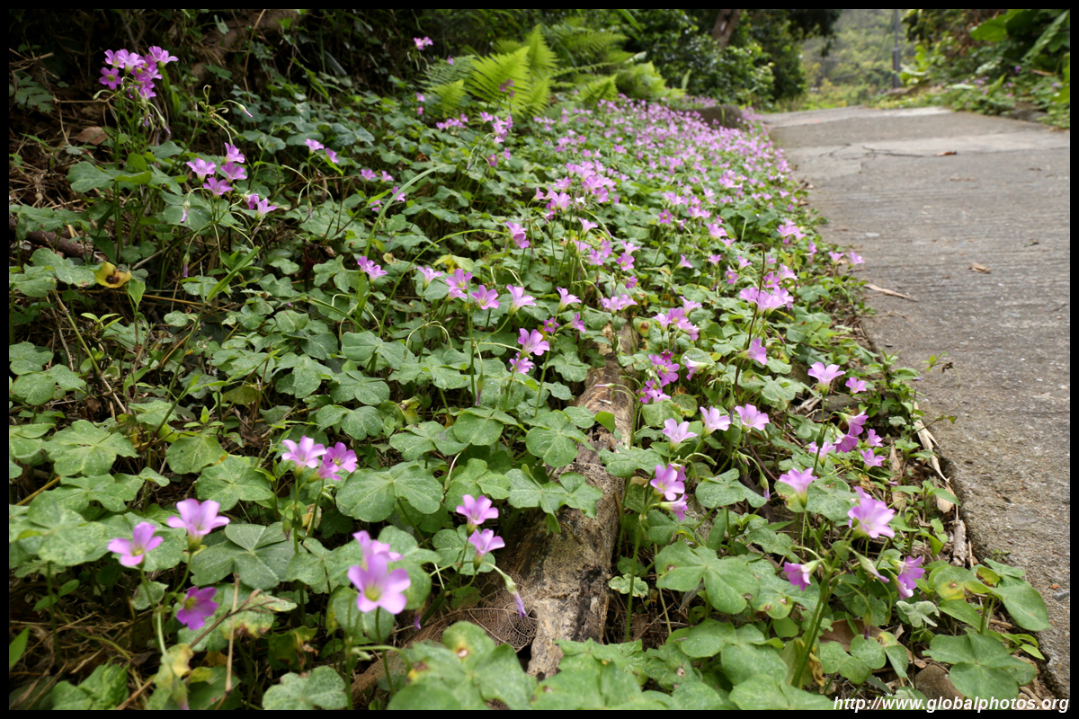
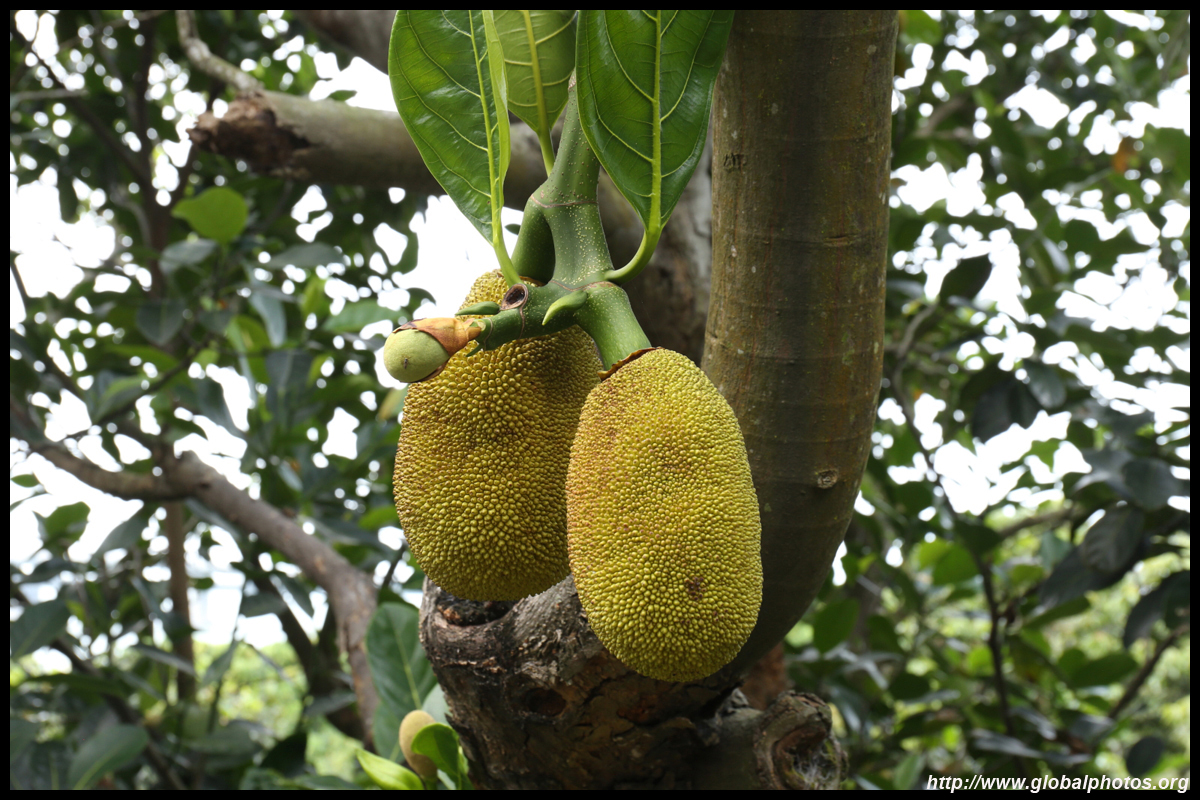
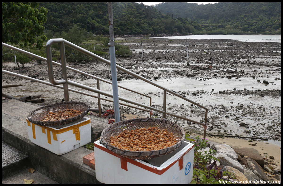
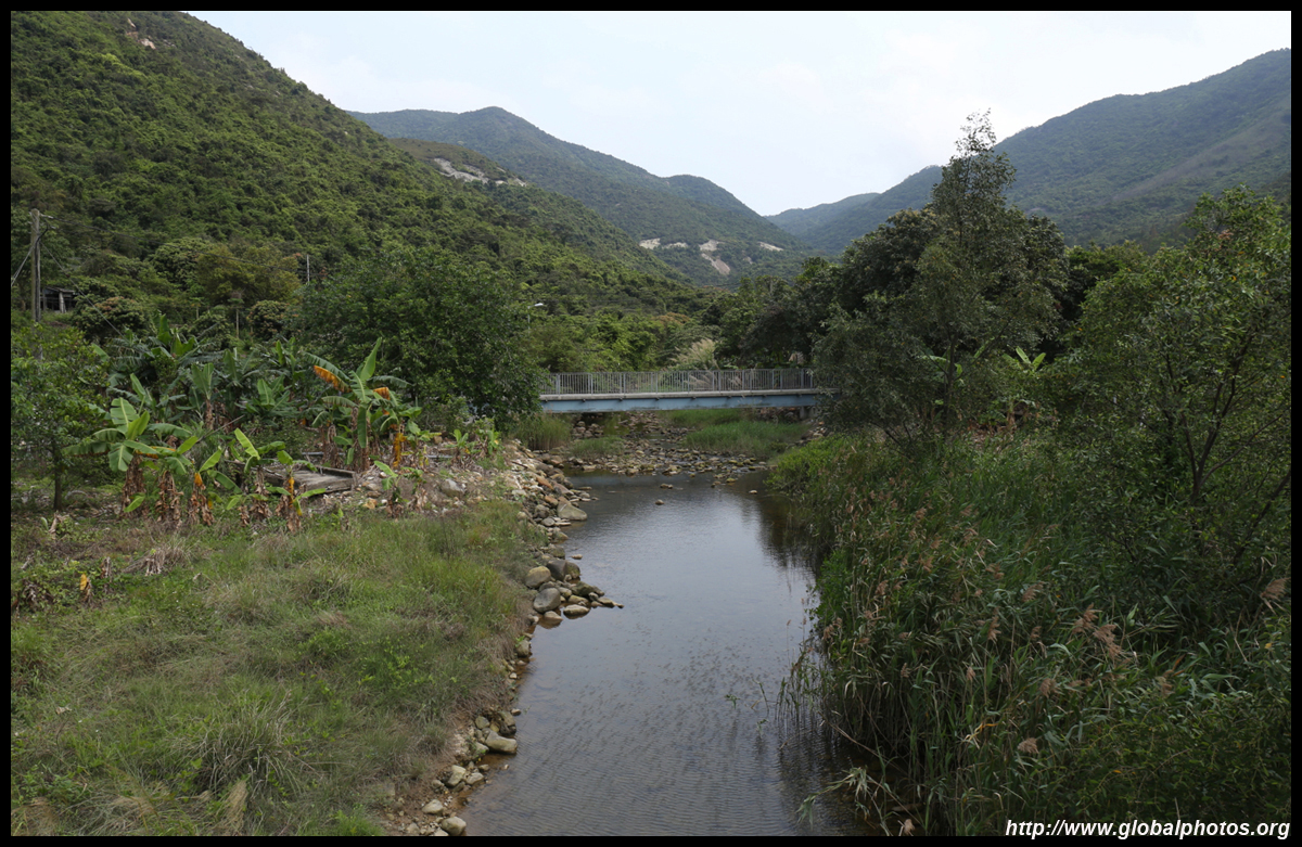
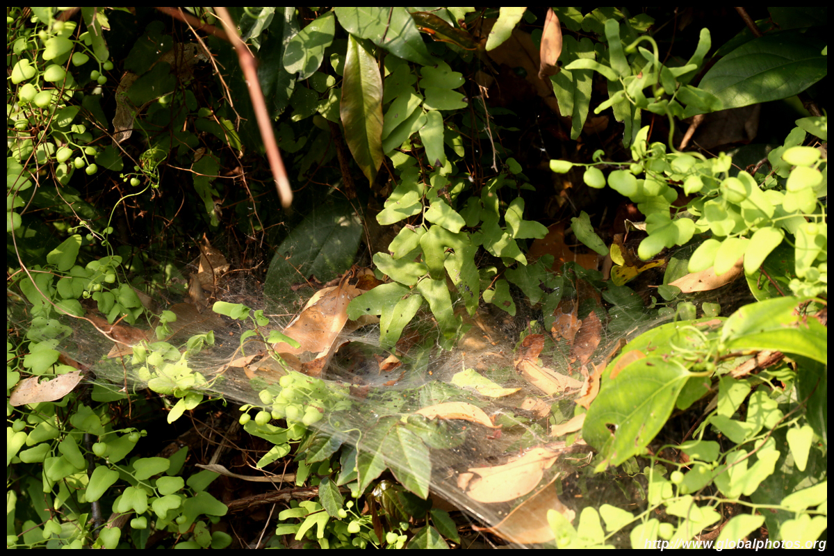
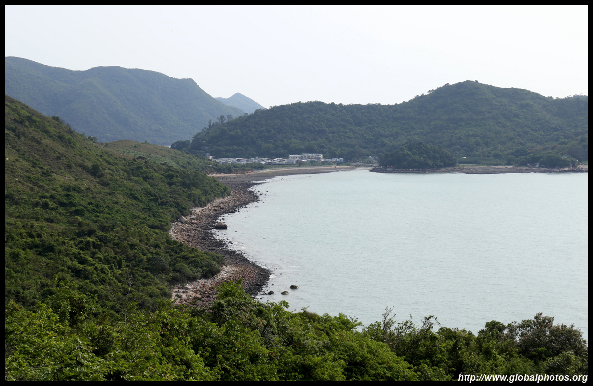
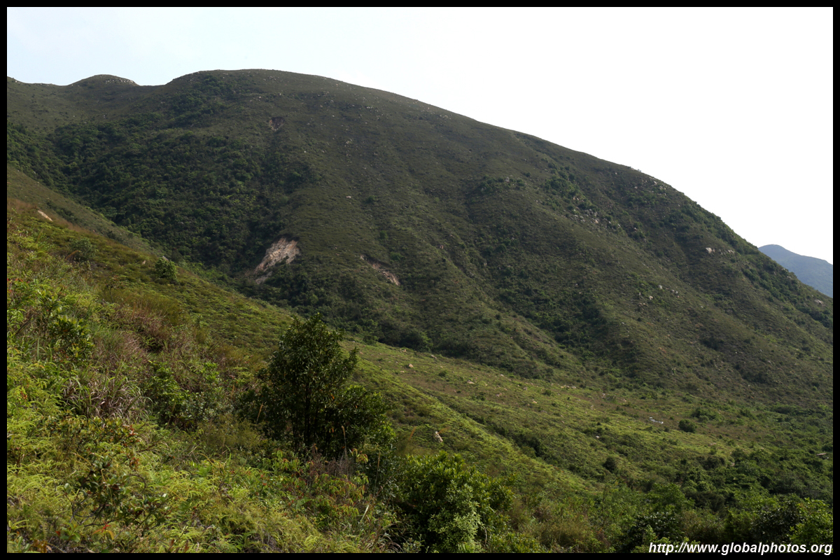
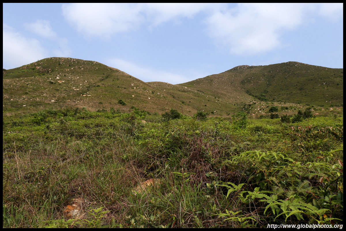
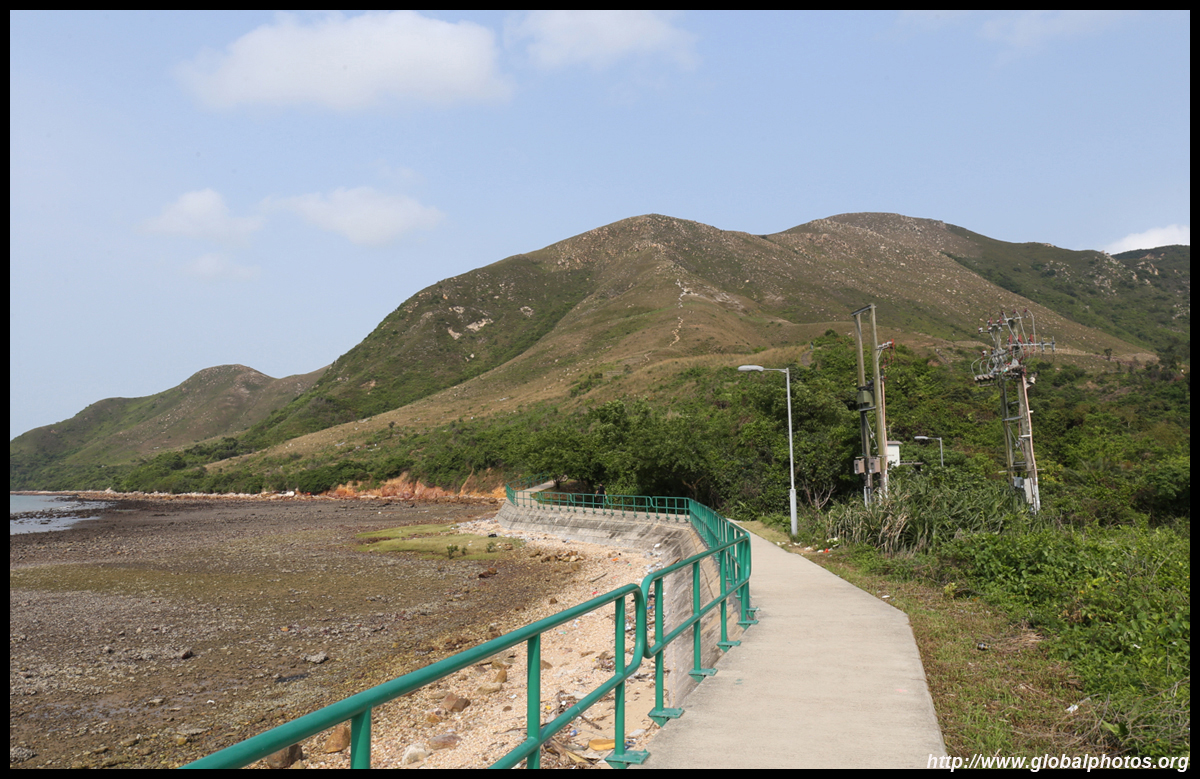
Continuing along the flat trail, you will pass through a few more villages.
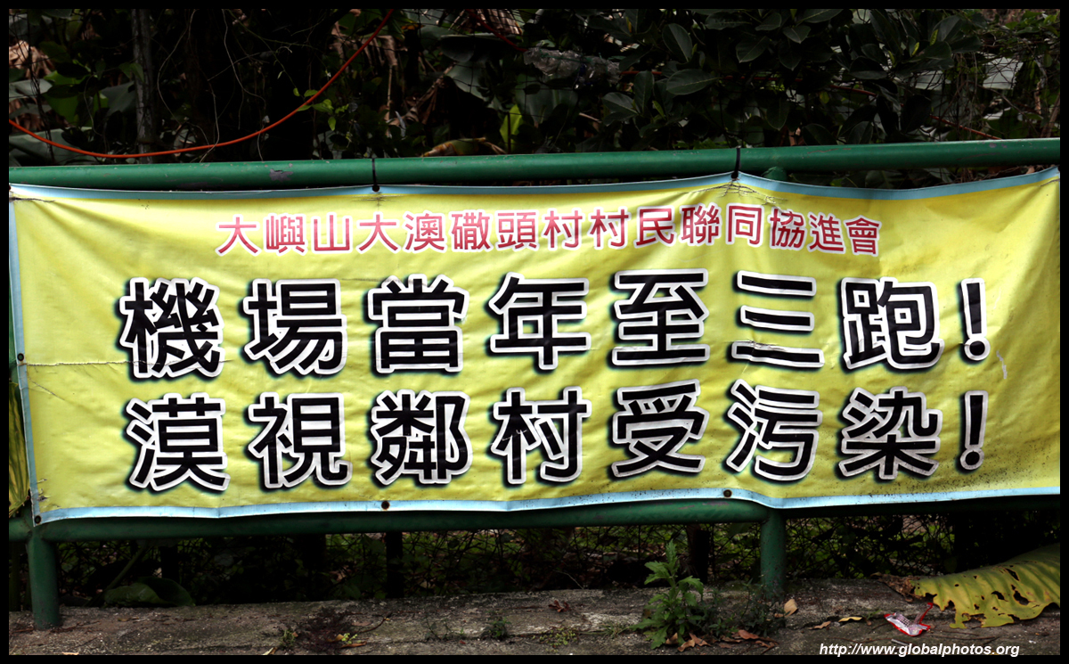
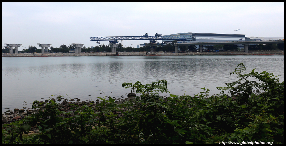
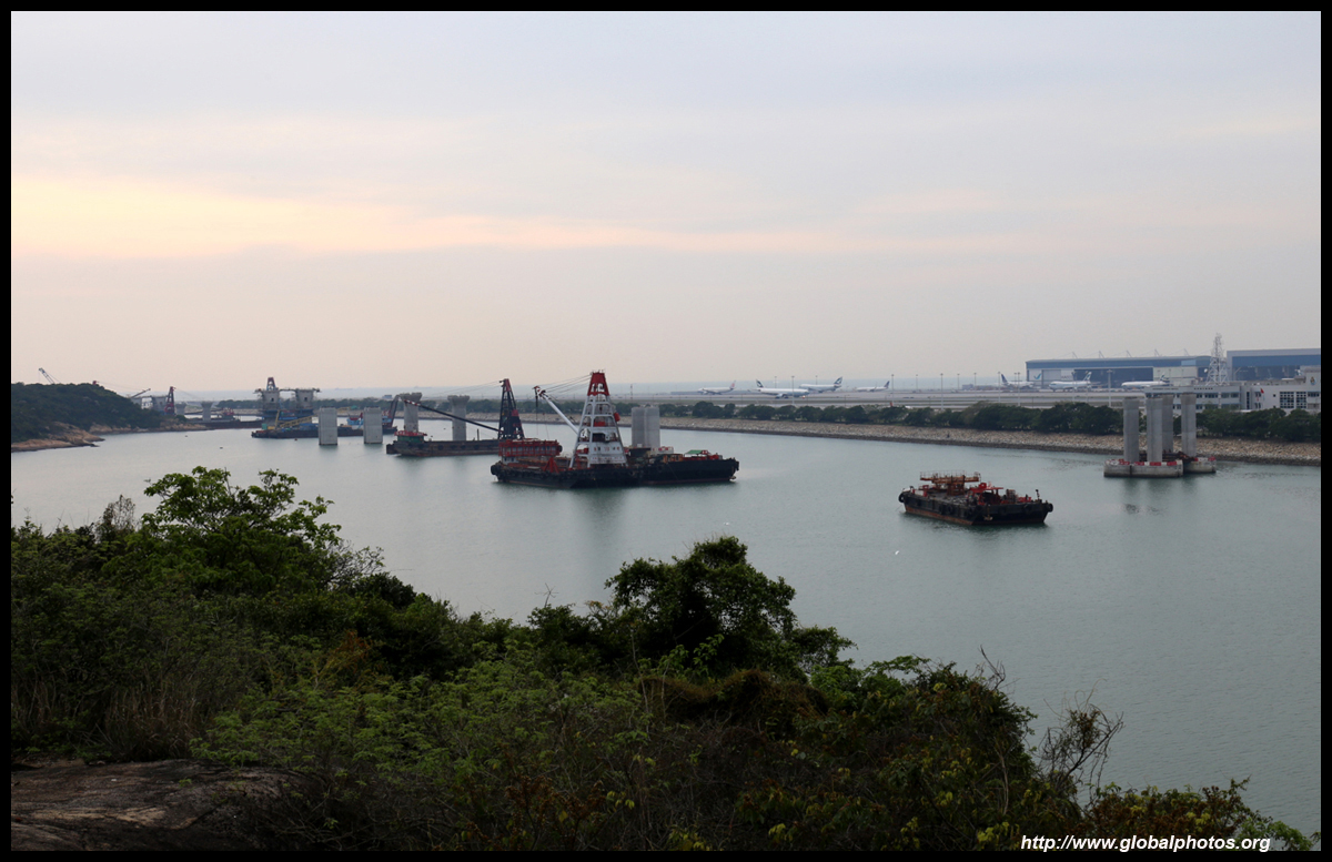
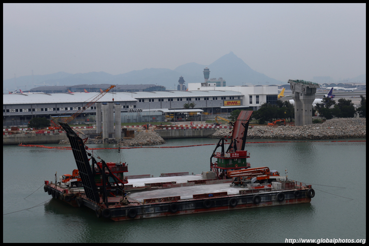
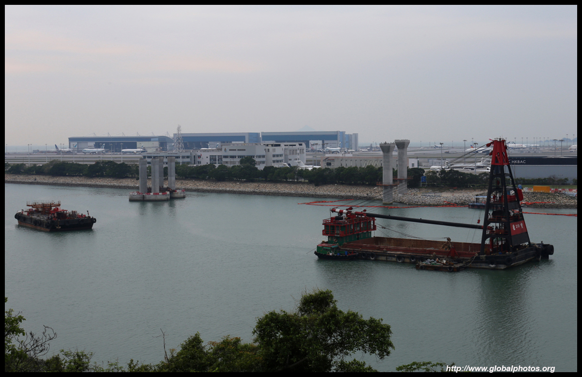
Nevertheless, airport expansion will impact these villagers as the extra planes will bring lots of noise to these shores. Before the airport was built, Lantau was a quiet oasis with a few bigger towns on the south coast. Airplane noise has since arrived and the 3rd runway project is expected to bring more.
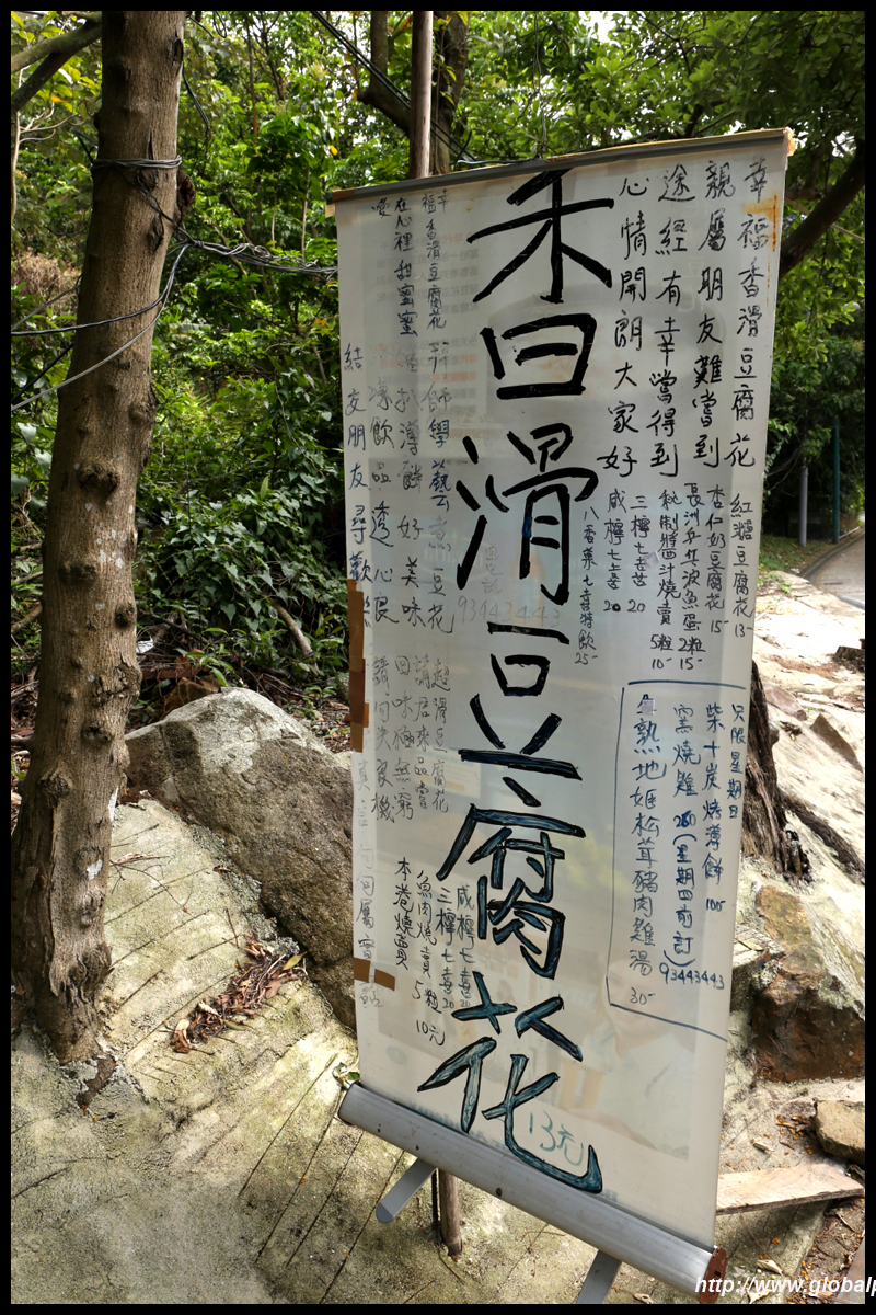
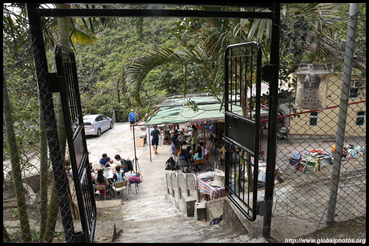
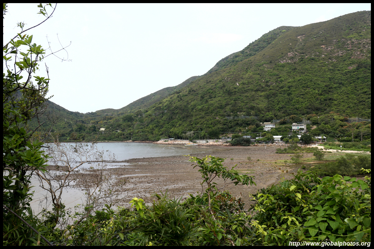
Sham Wat is a good place to take a break with a tofu dessert place right by the coast.
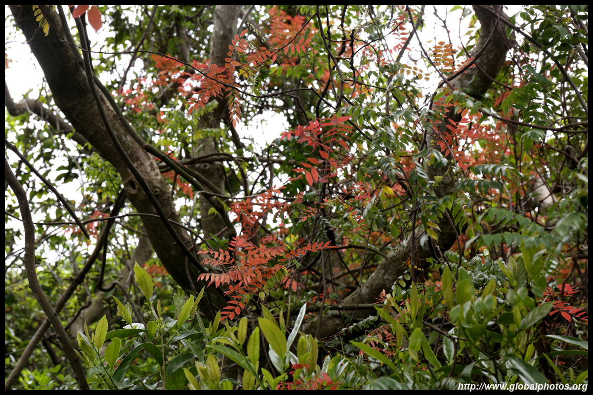
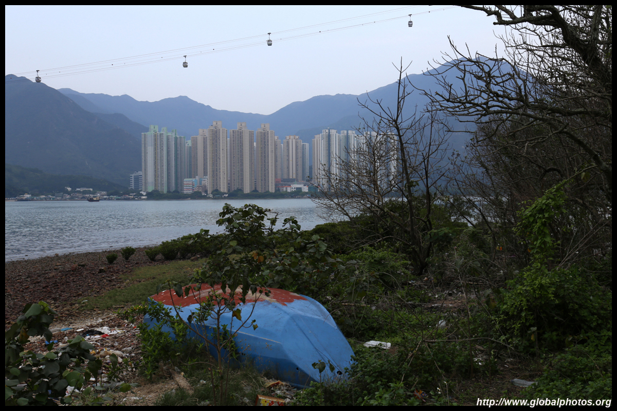
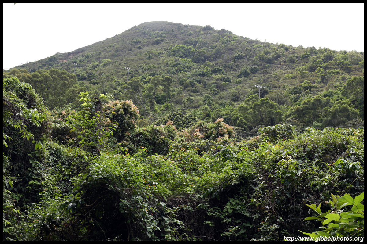
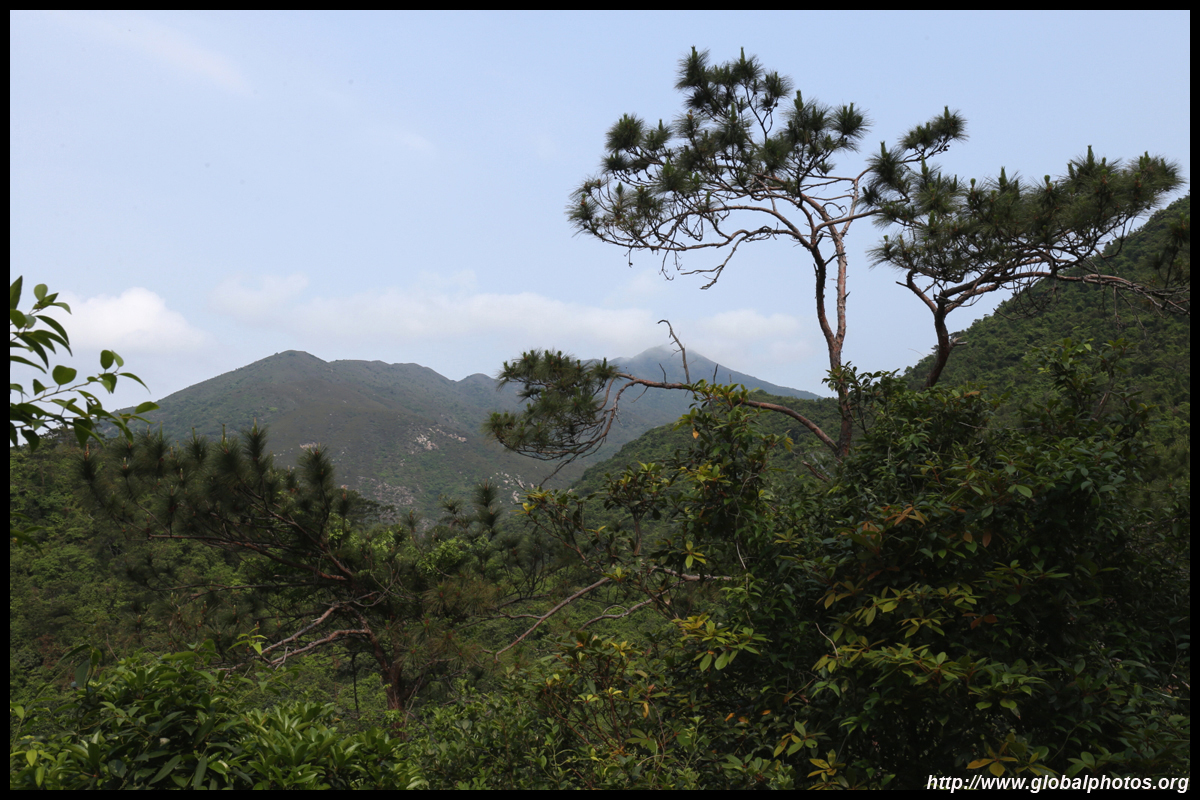
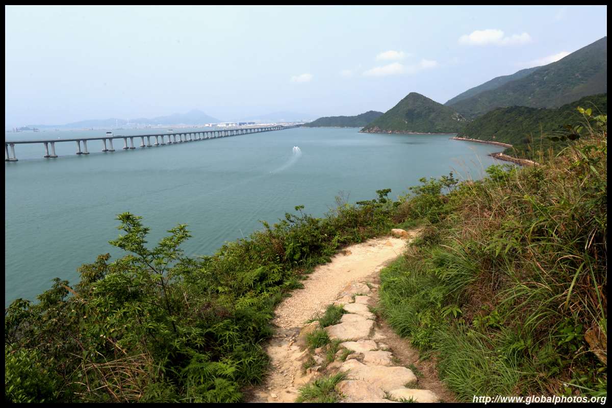
Then the final ascent would lead to more views of the sea and the bridge. By now, the airport is quite far away.
I would arrive in Tai O's backside, and will pass through many stilt houses before earning another well-deserved break in town.
This long hike tests your endurance. There are a few steeper uphill sections but nothing that requires more advanced hiking gear. With plenty of views to keep you motivated and towns en route to replenish supplies, it's a good way to spend half your day and reach Tai O in a more unique way.
|