Tateyama Kurobe Alpine Route Photo Gallery - Part 1

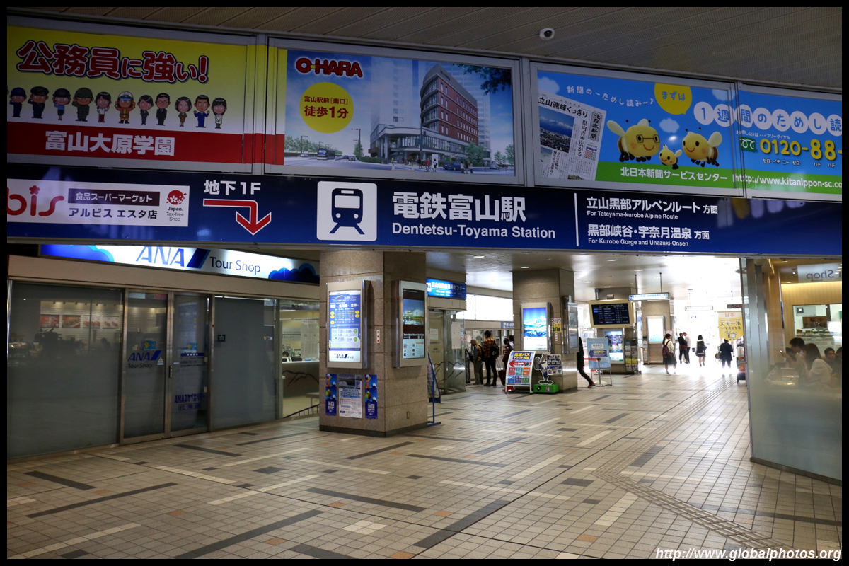
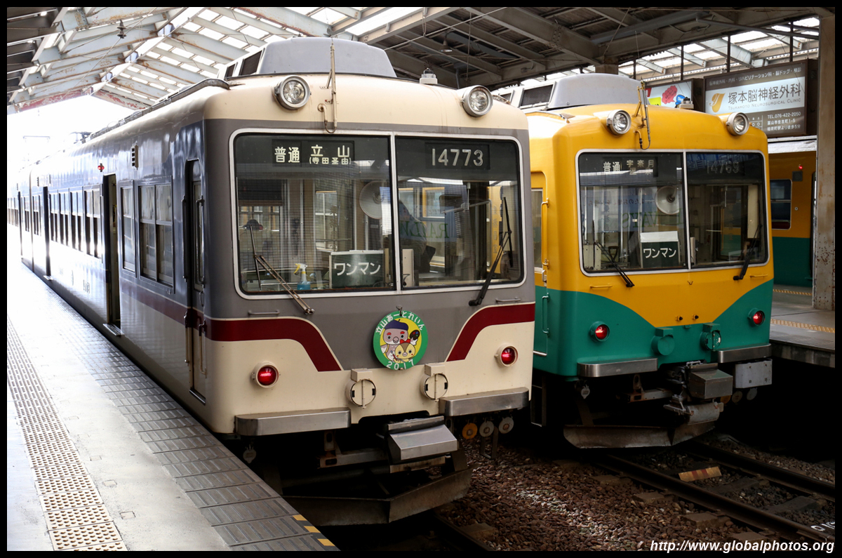
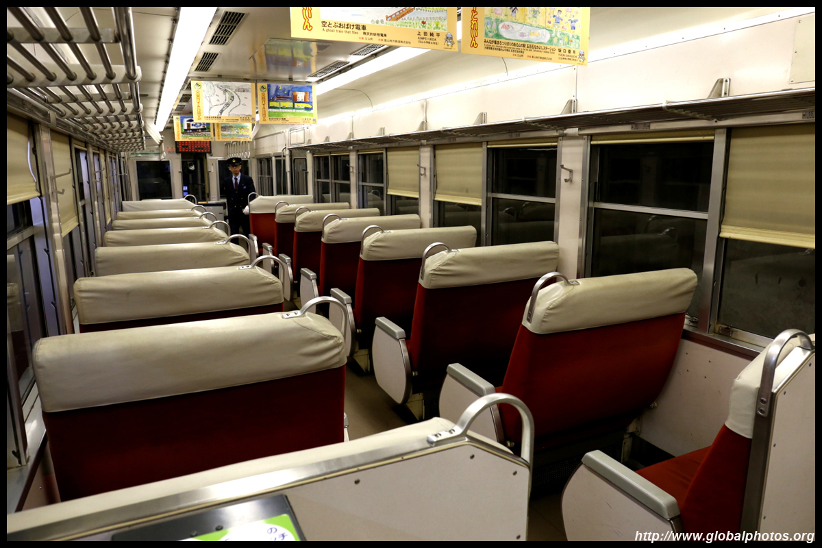
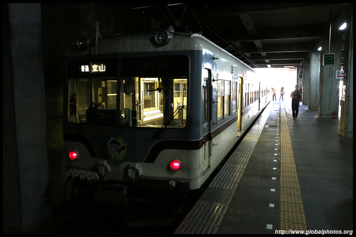
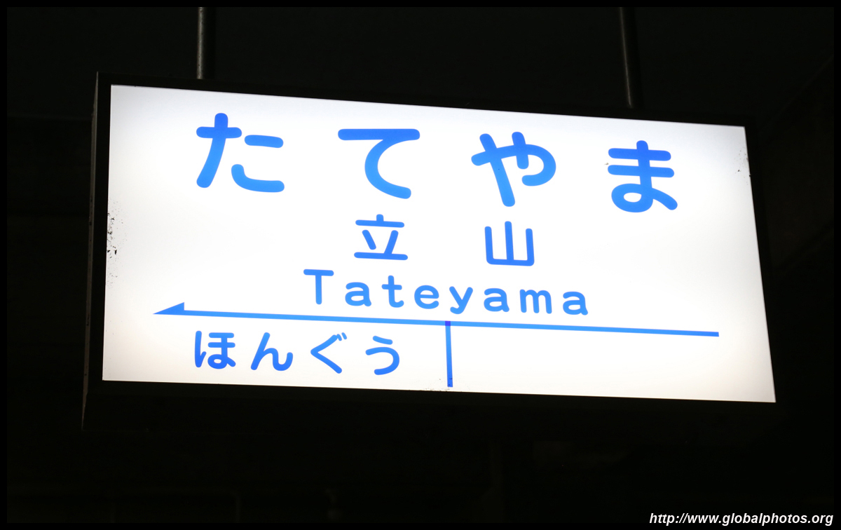
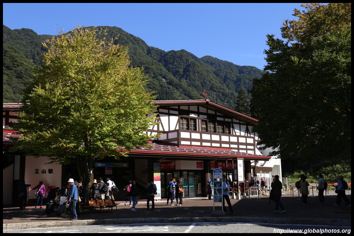
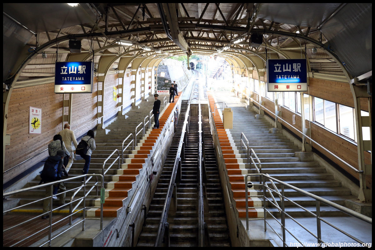
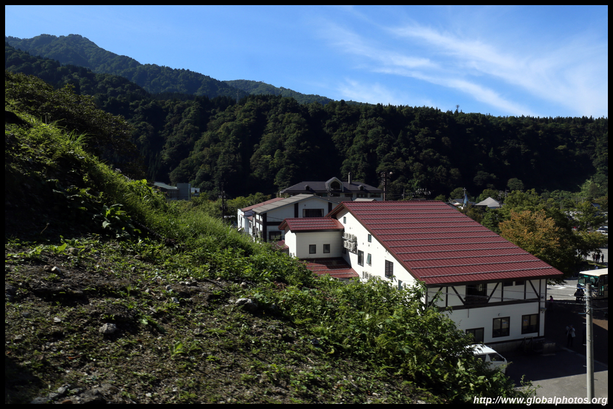
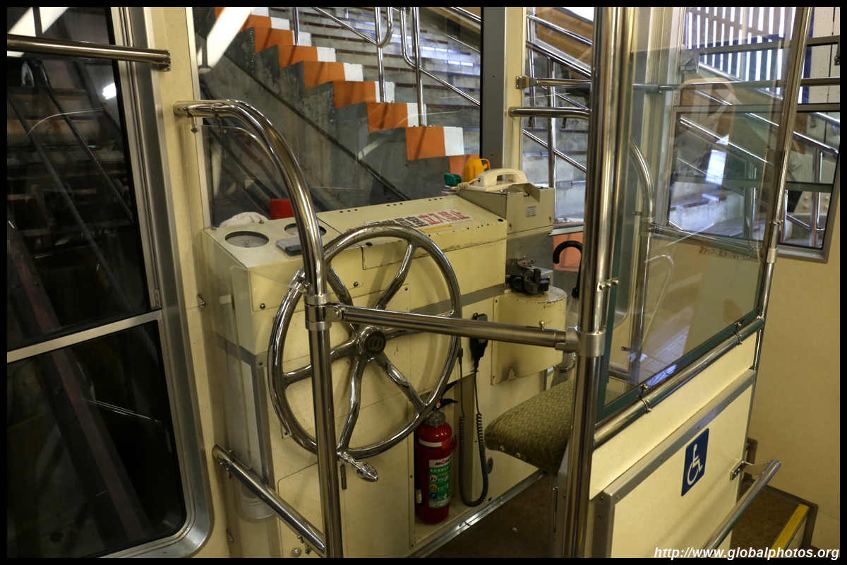
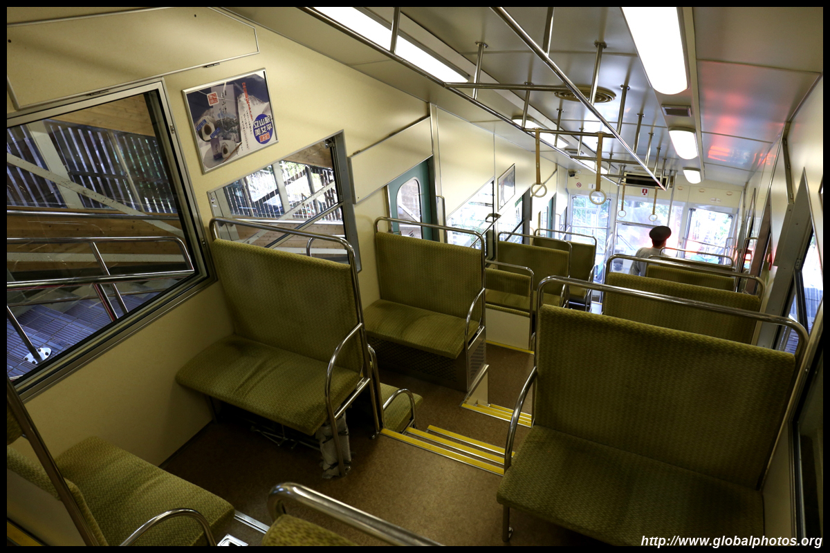
One of the highlights of the Chubu region is to traverse the Tateyama Kurobe Alpine Route, which involves a number of public transport changes with a diverse range of natural and man-made landscape along the way. This section often bundled into a circular route that starts and ends in Nagoya, as outlined in this tourist rail pass. I suggest going one-way along the route, with the below starting in Toyama and ending in Matsumoto, which takes a full day to complete. Knowing tourists typically go one-way instead of doing a roundtrip, luggage delivery is quite standardized nowadays, offering pick-up from major city hotels in advance for a very affordable fee.Be mindful that the mountain closes for the winter season, and the opening times differ every year depending on the weather conditions. The weather can change drastically en route, so check out the webcams beforehand. It is entirely possible that sections are blocked and you cannot go all the way, which will be very problematic as it will take much longer to go around the mountains instead. There isn't a major difference as to which city to start. The key is to plan your stops accordingly and pay attention to the schedule as you will most likely be rushing towards the end. From Toyama, set off early for the train ride to Tateyama station, which takes just over an hour. Just upstairs from the railway station is the cable car terminus for the first leg of the journey.
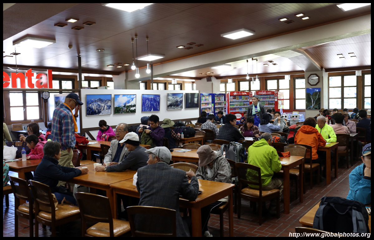
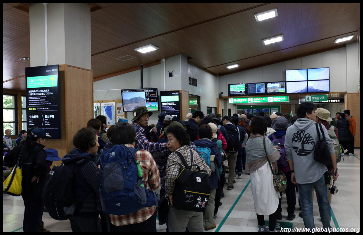
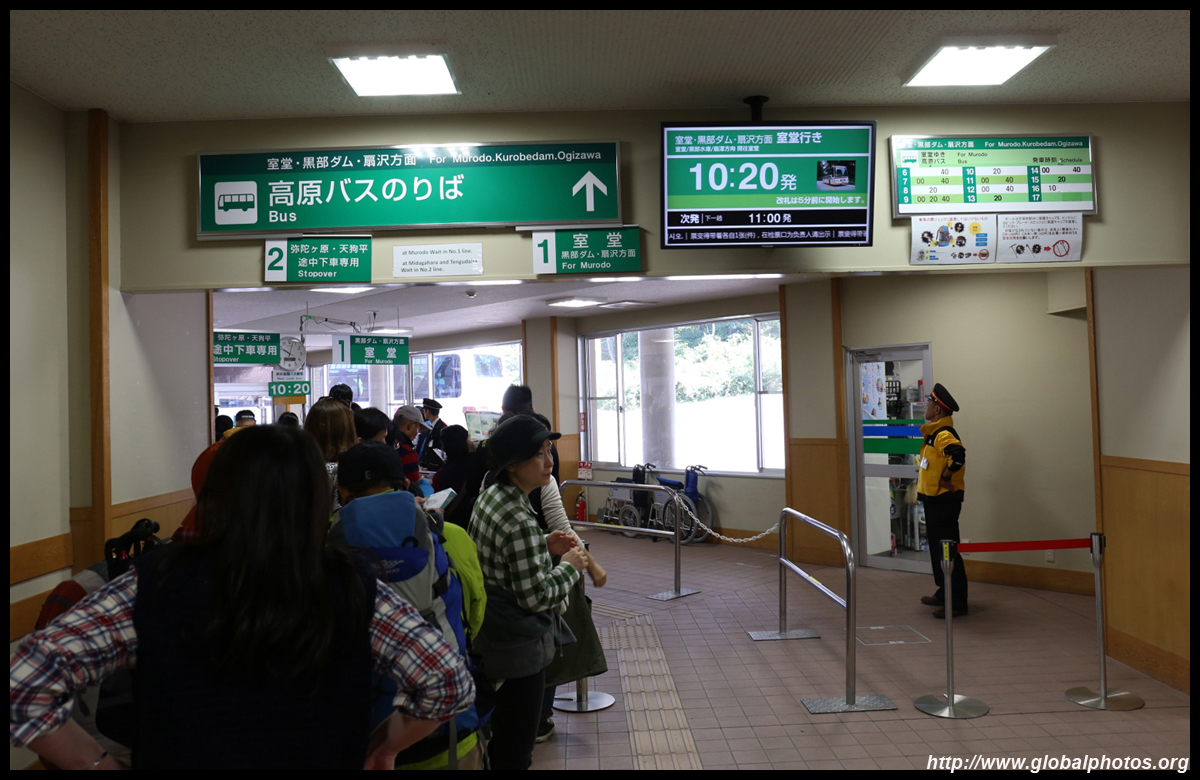
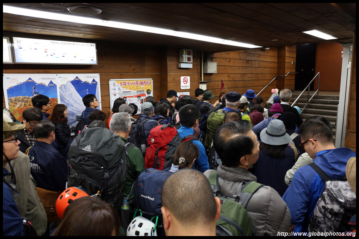
A huge crowd of tourists would not be surprising here. A major reason to start early is to build in a buffer as you will likely need to wait a considerable amount of time along the way. The cable car is not very big and the crowds will accumulate.
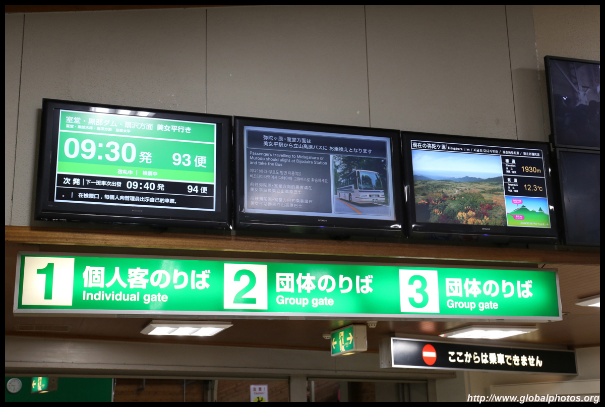
The crowd is already sizeable at 9:30am. Even with the pass, you still need to get a timed departure ticket.
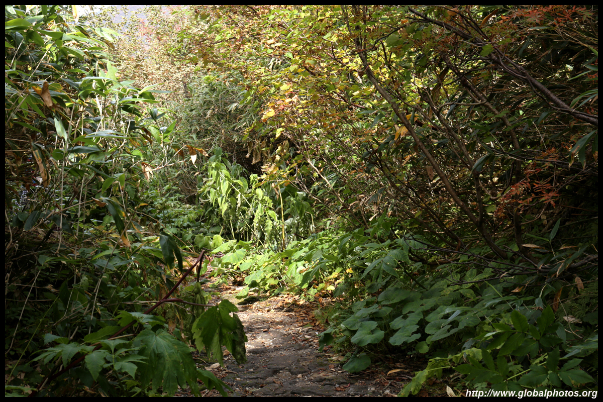
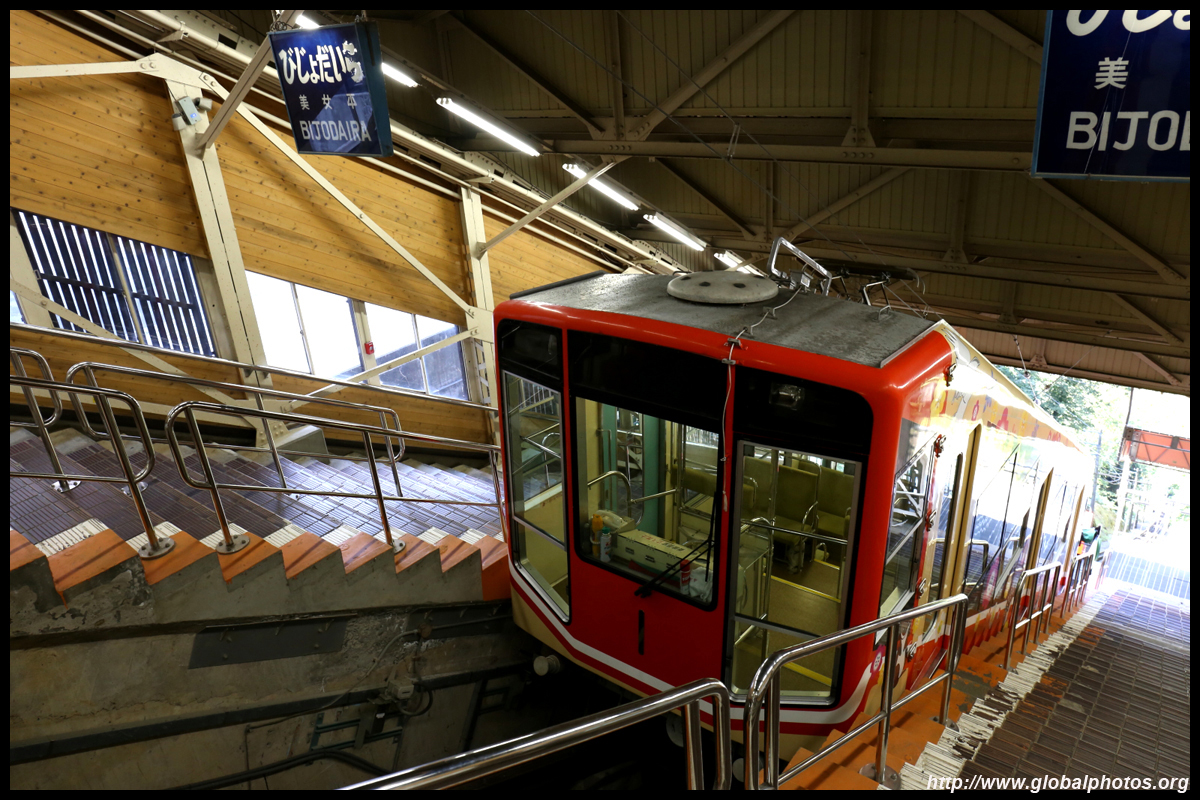
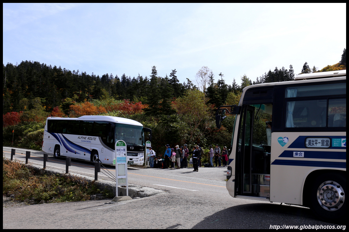
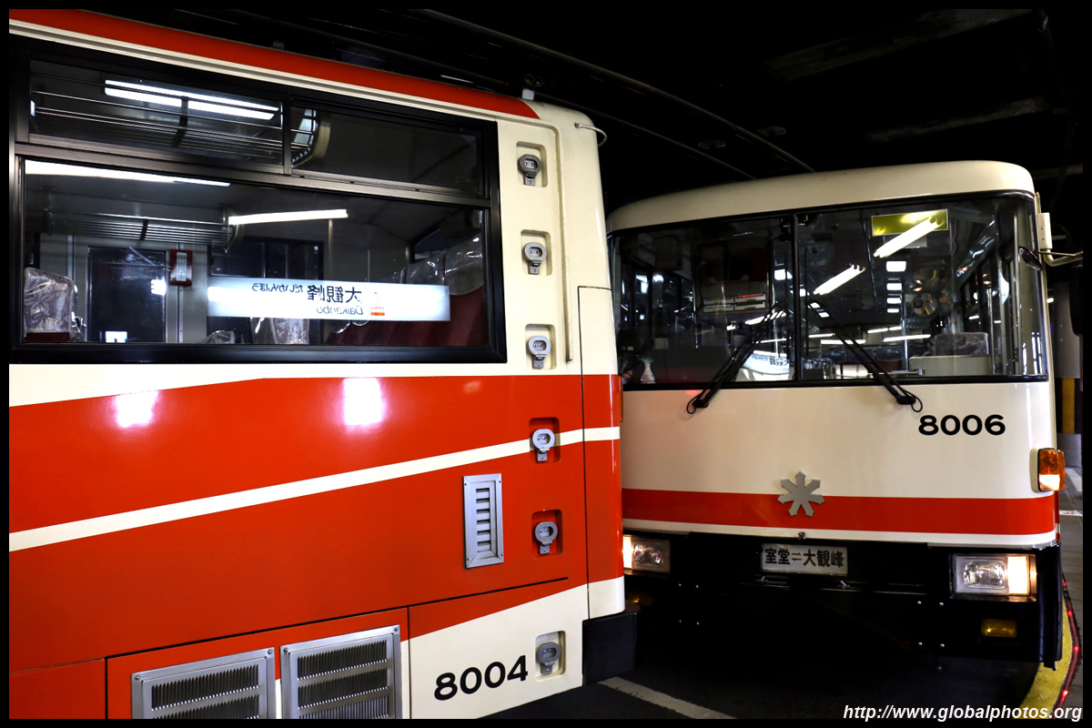
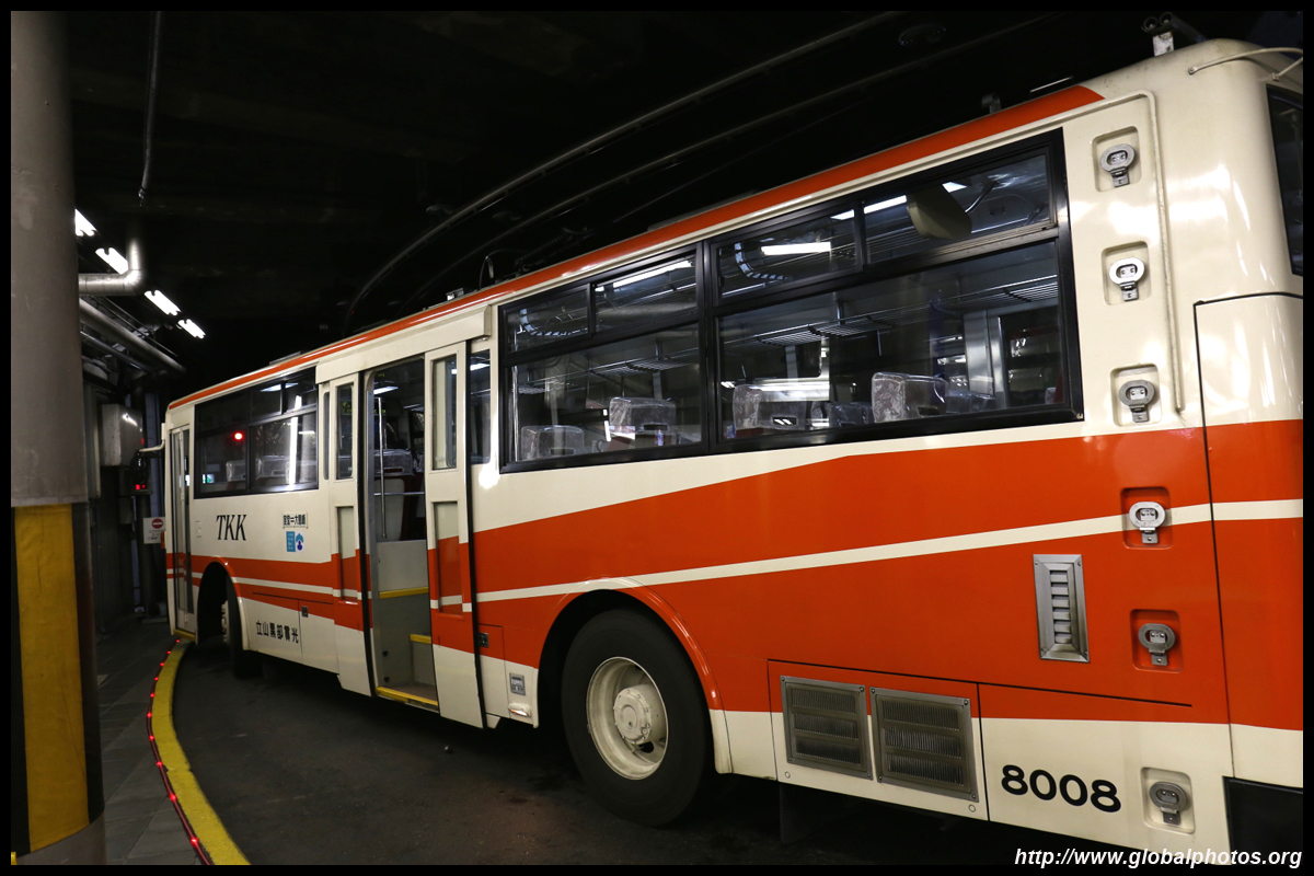
The various connecting modes of transport are well integrated as the authorities know tourists would be going from one mode to the next. After the cable car ride, the next stage at Bijodaira is to ride the bus uphill through the dense forest to a great plain.
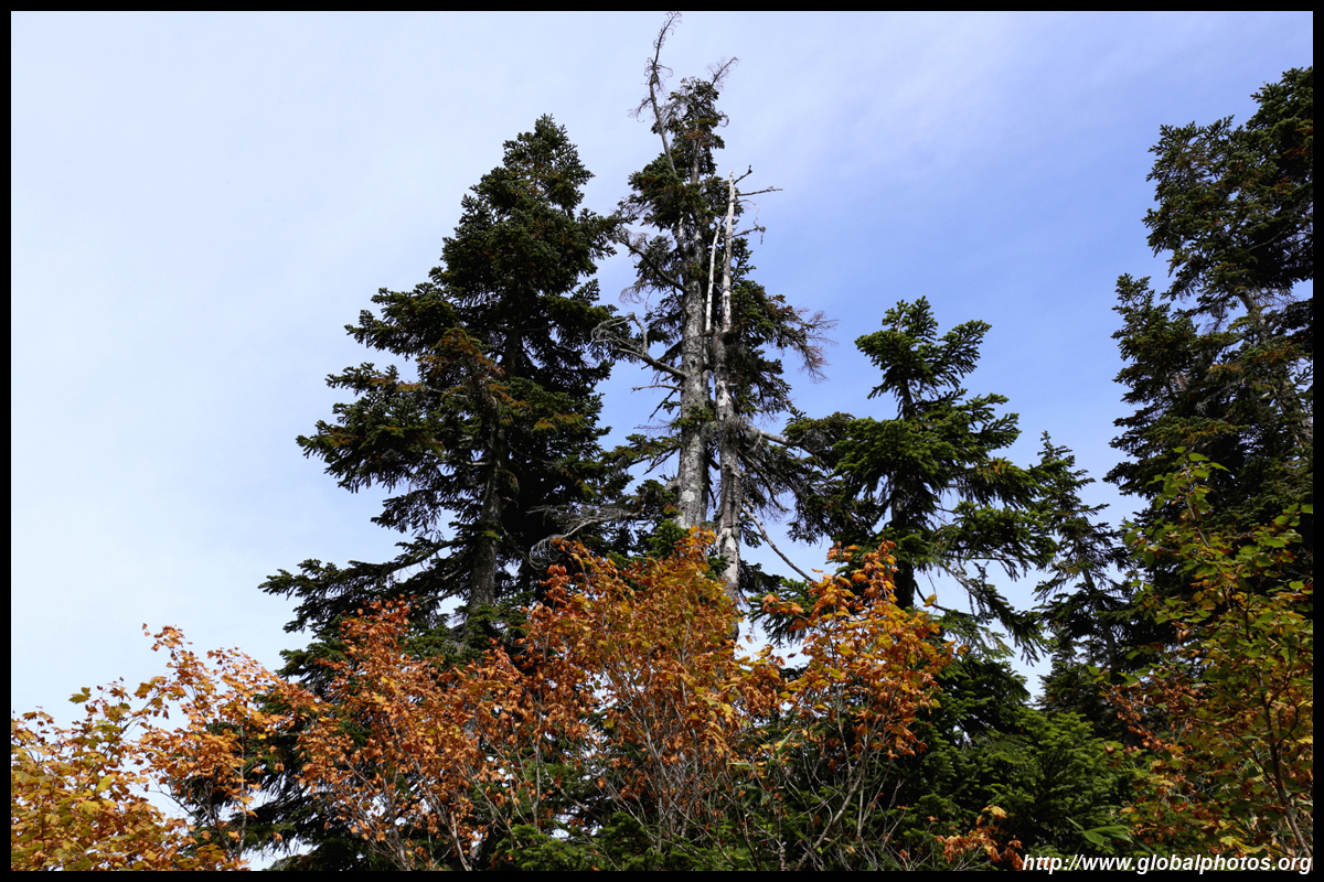
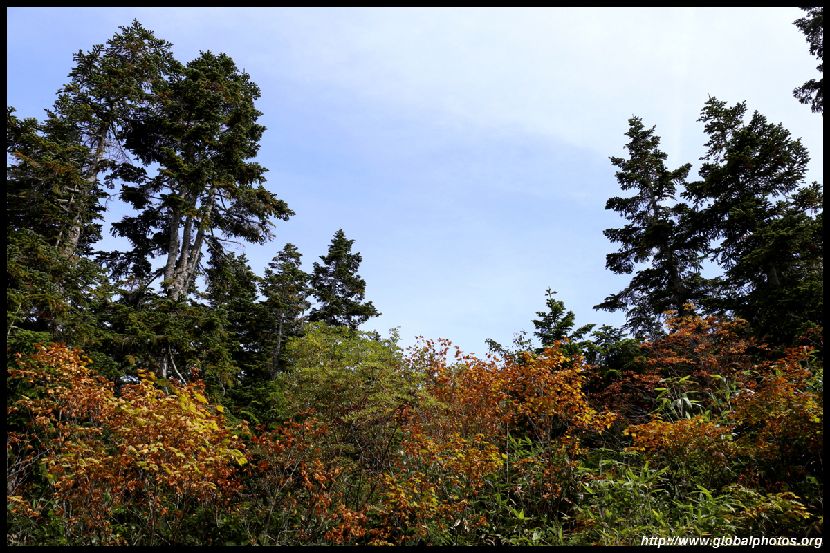
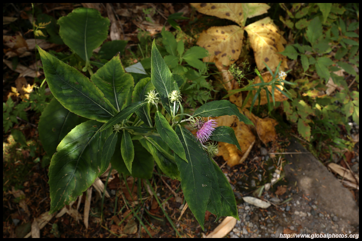
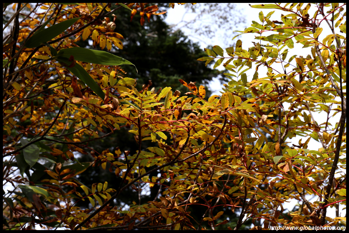
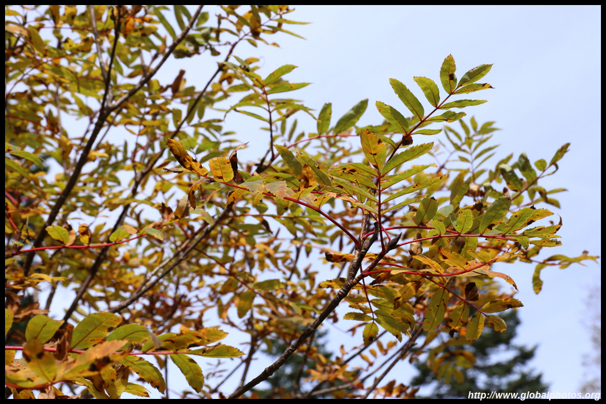
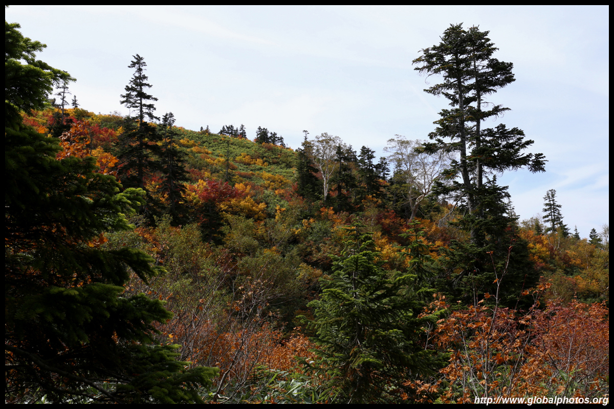
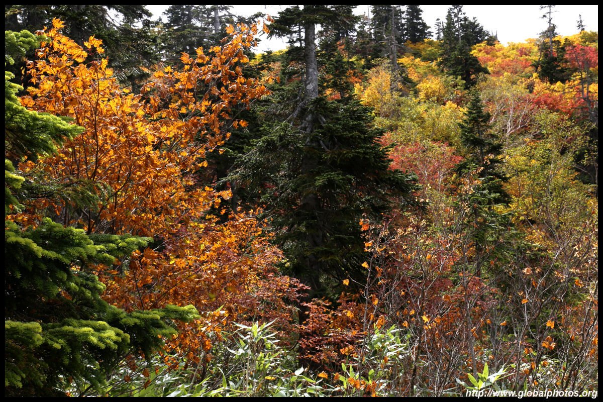
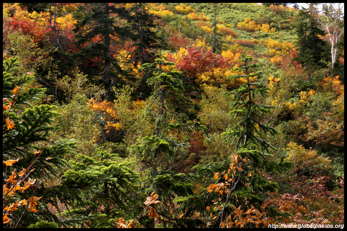
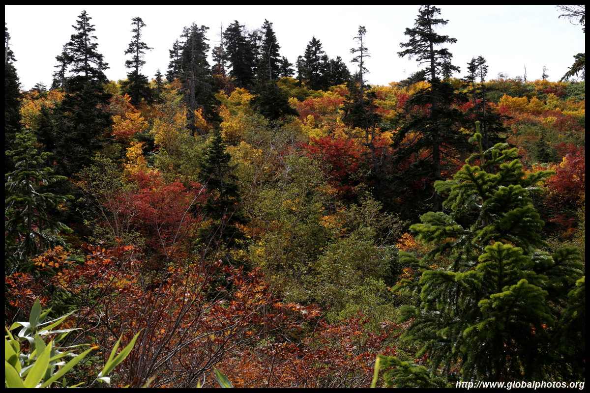
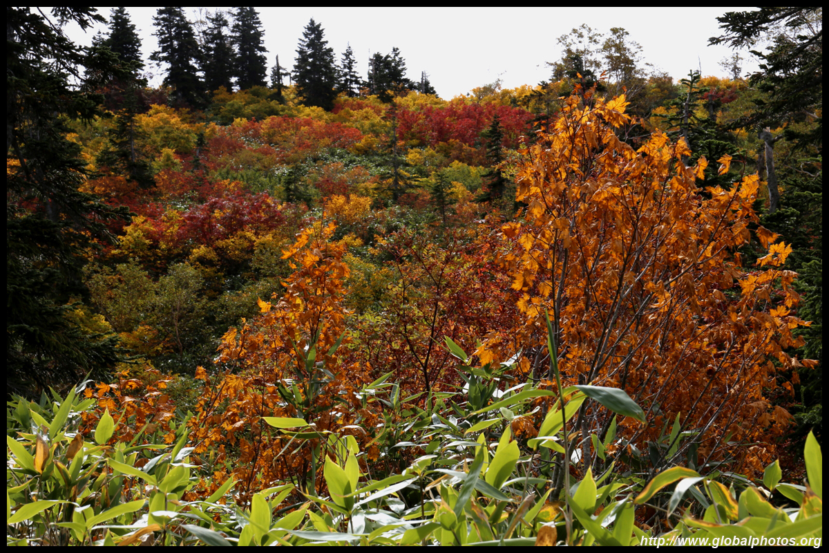
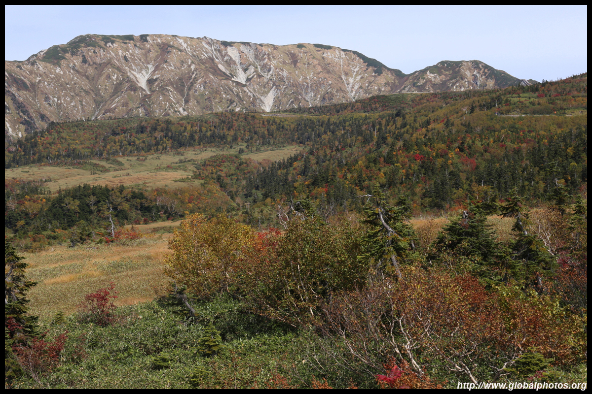
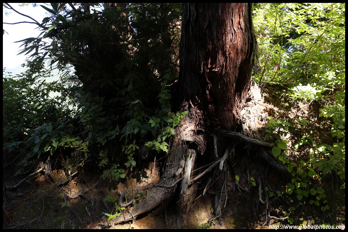
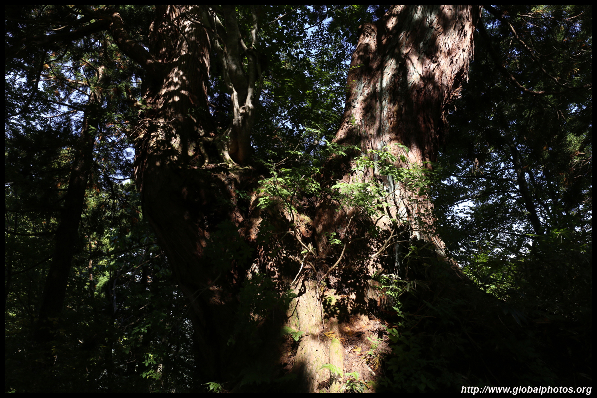
The highlight of this forest are the beech and cedar trees. The cedars are particularly impressive, standing as high as 30m tall and some are believed to be over 1000 years old. There are over 60 species of birds residing in this area. With a long line for the buses, I decided to explore the area a bit and let the crowd dissipate.
With the huge lines for the cable car below, it is also not surprising they would also be waiting for the buses.
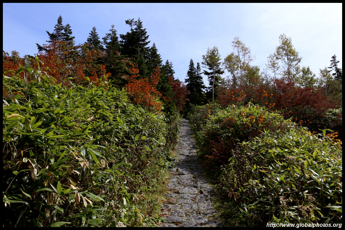
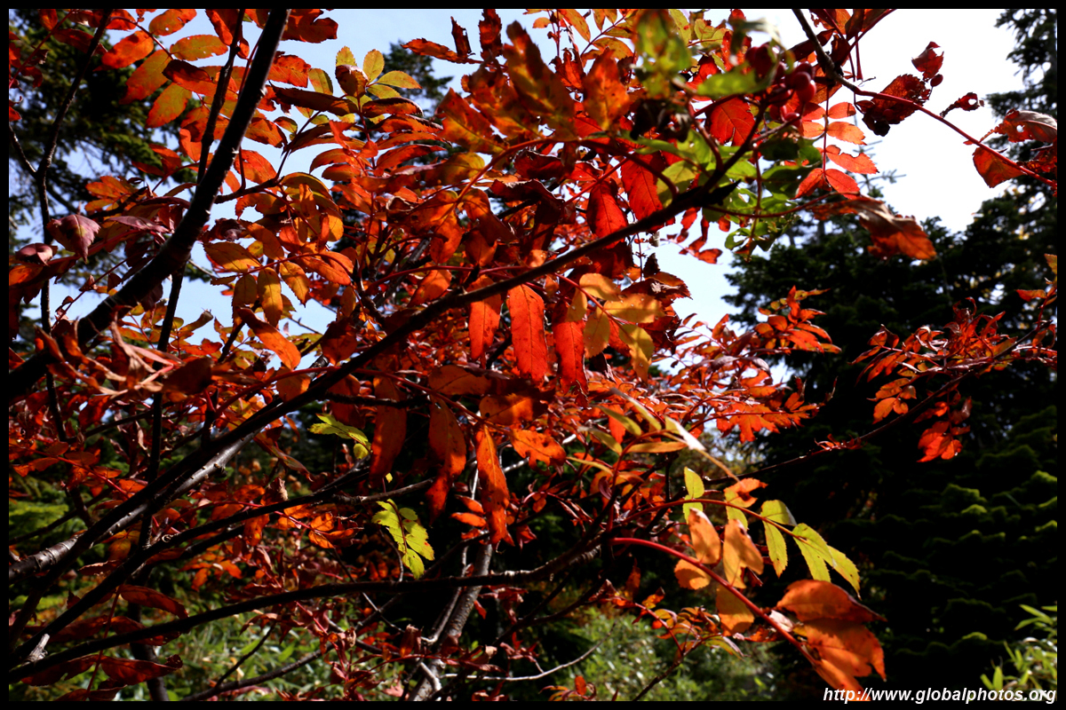
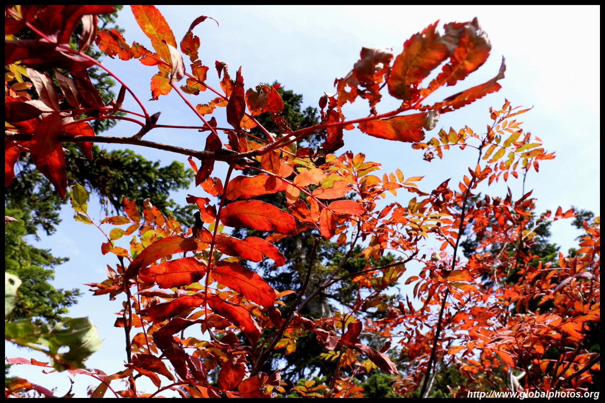
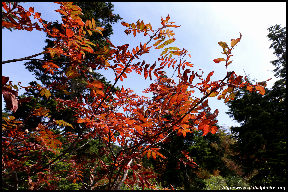
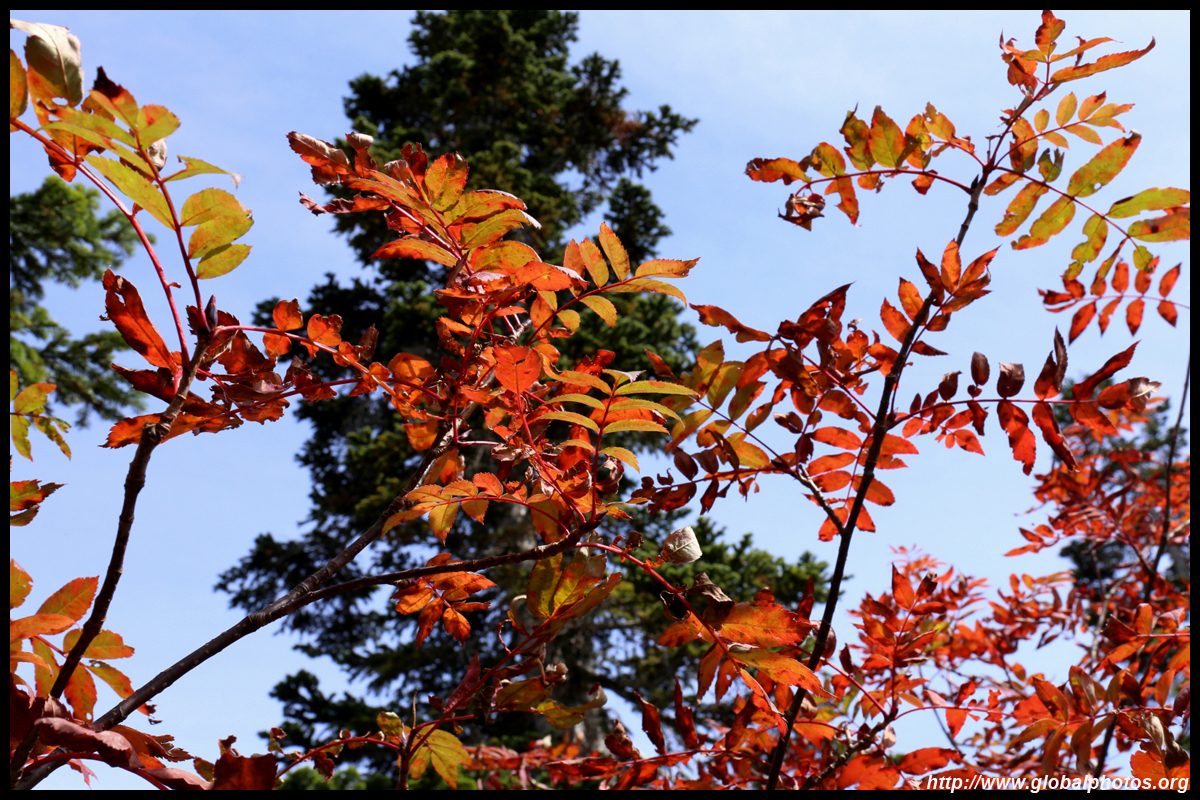
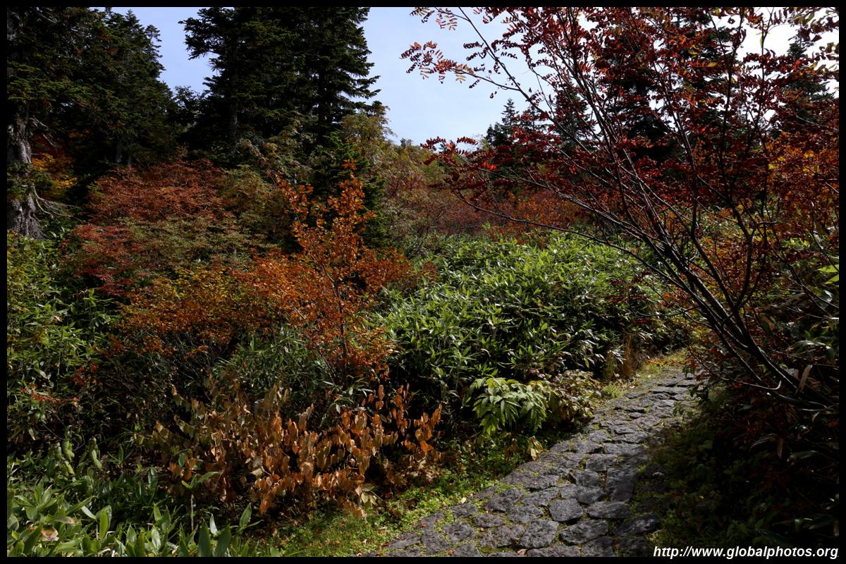
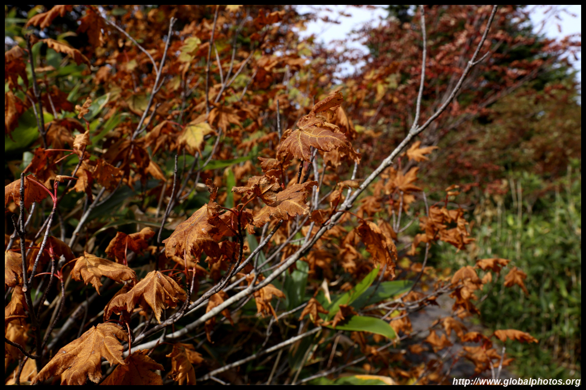
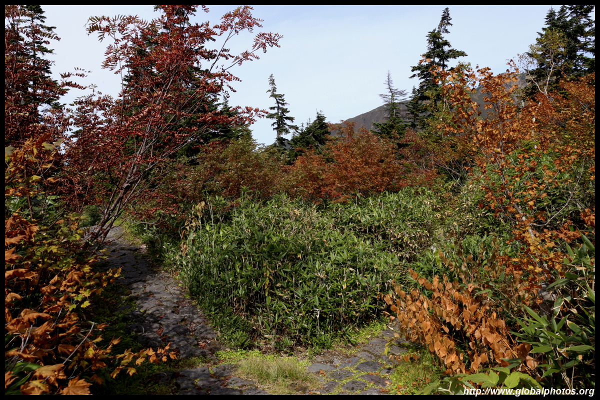
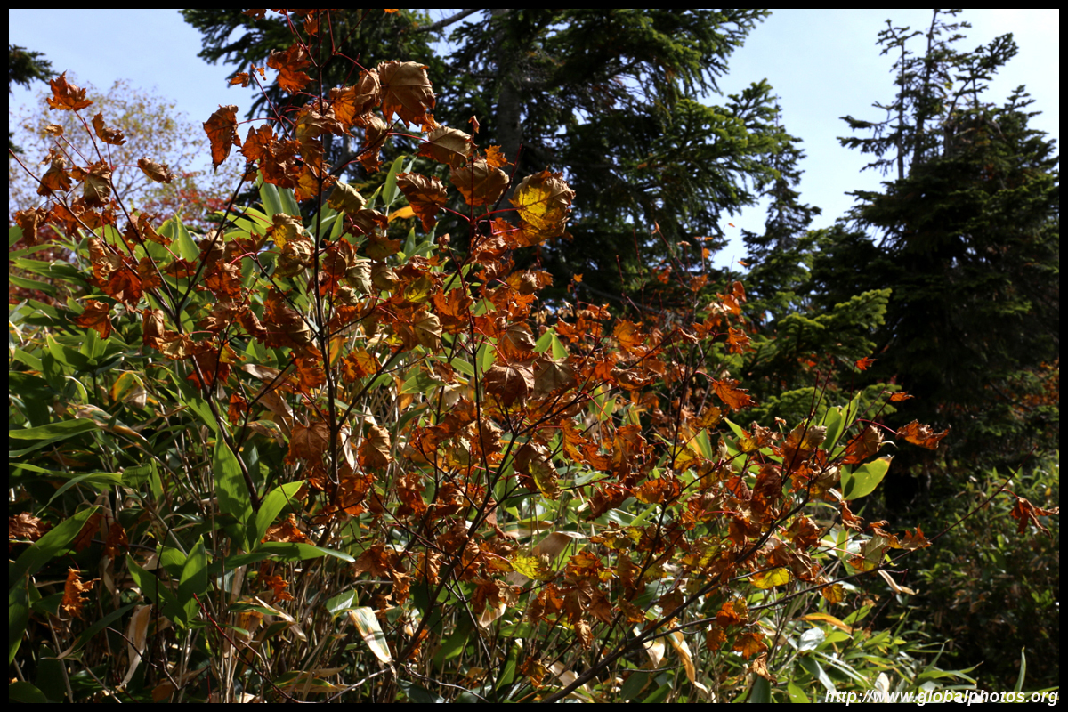
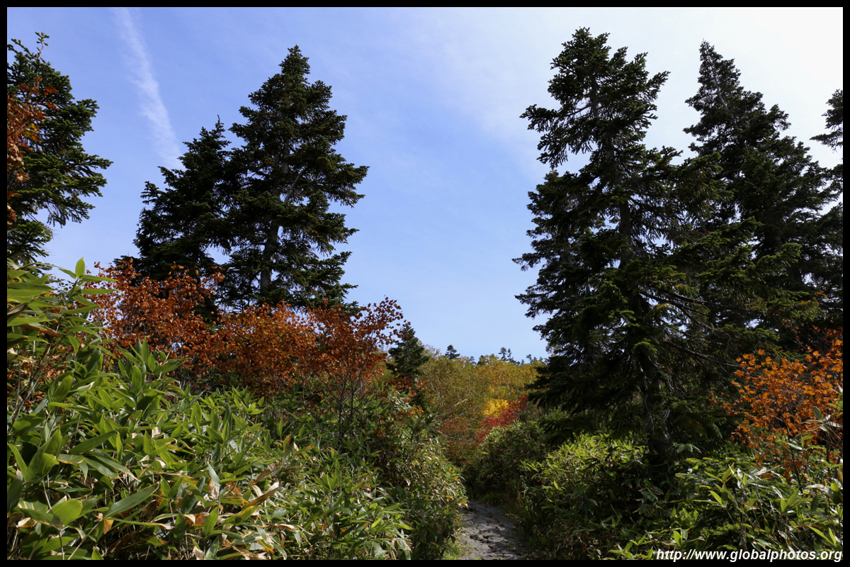
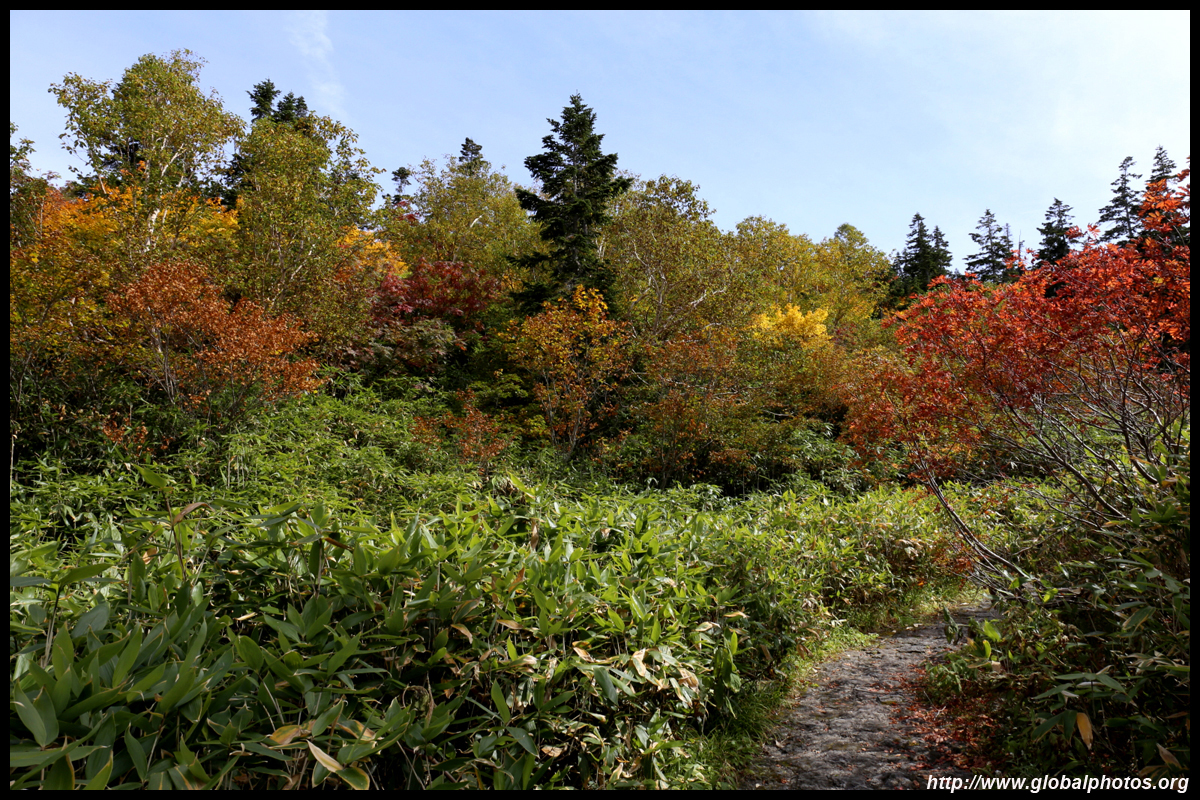
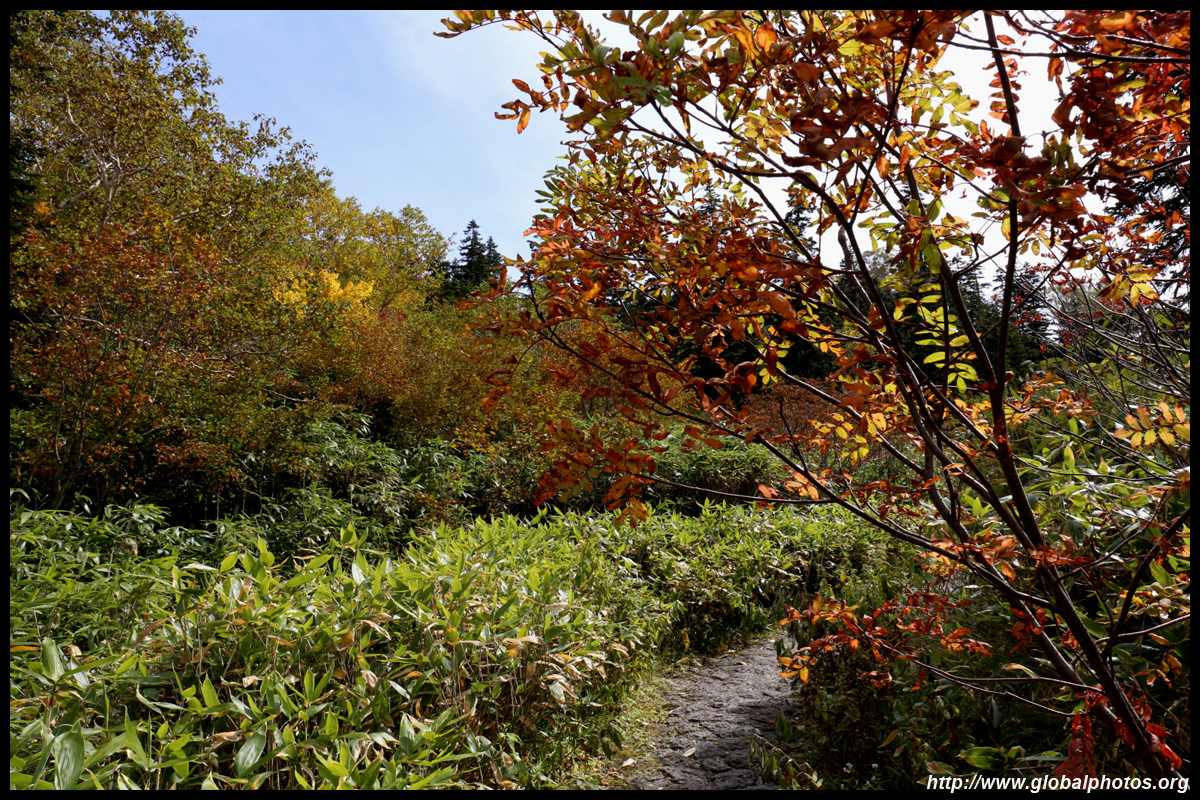
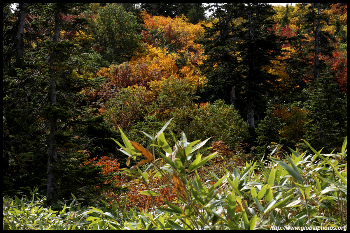
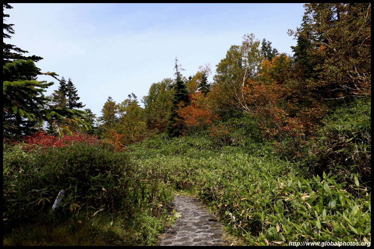
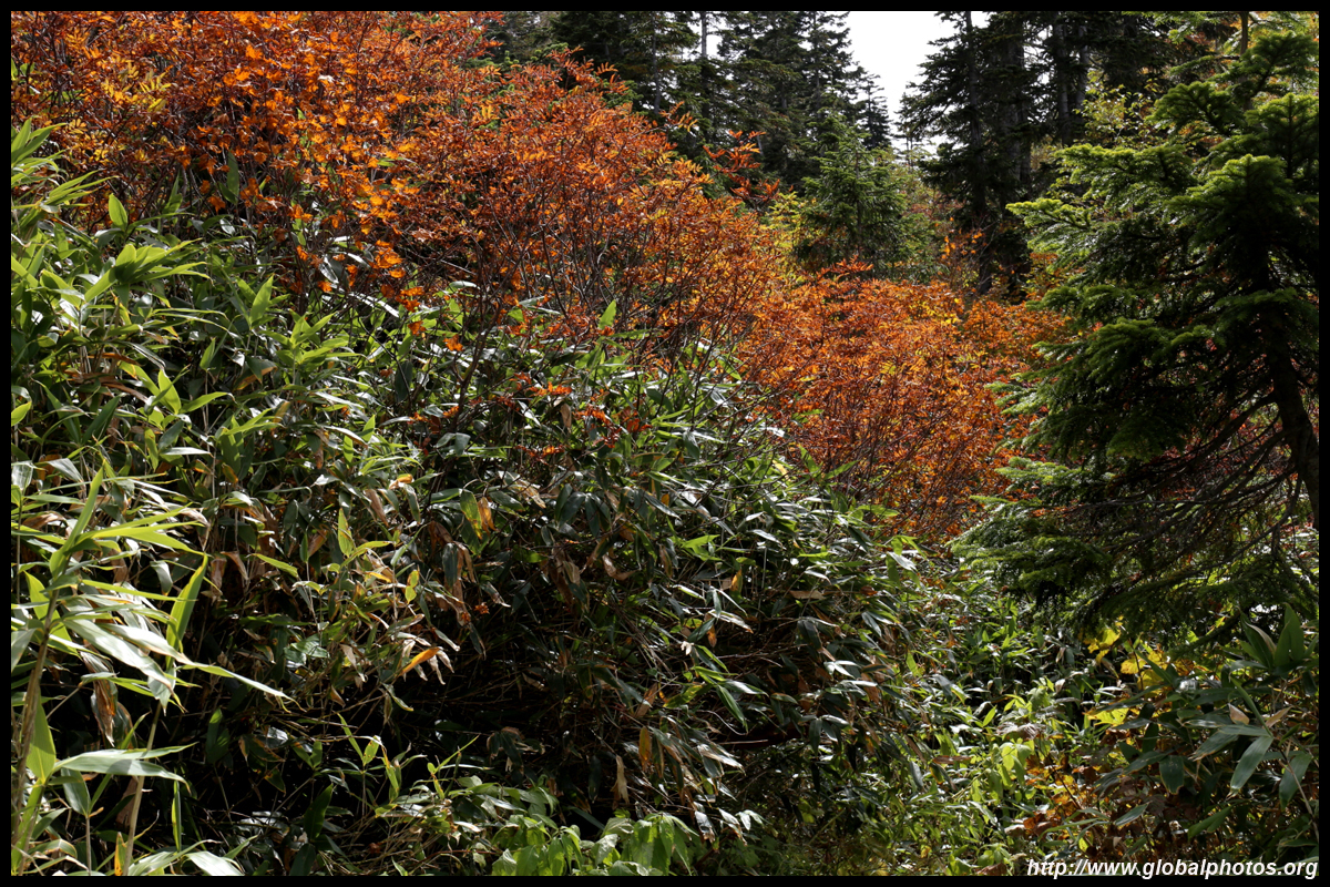
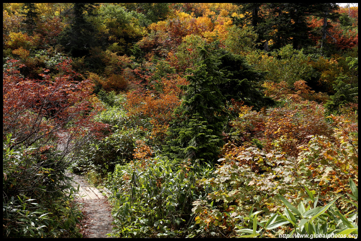
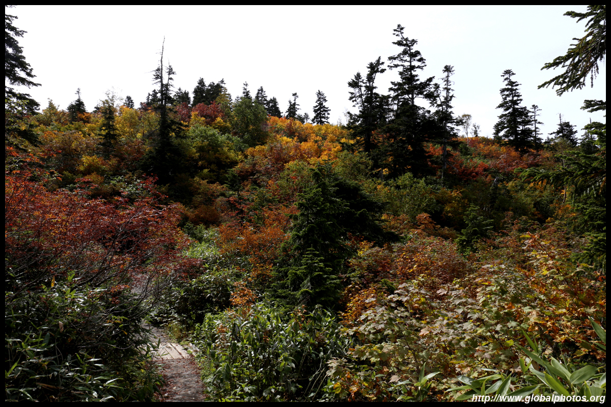
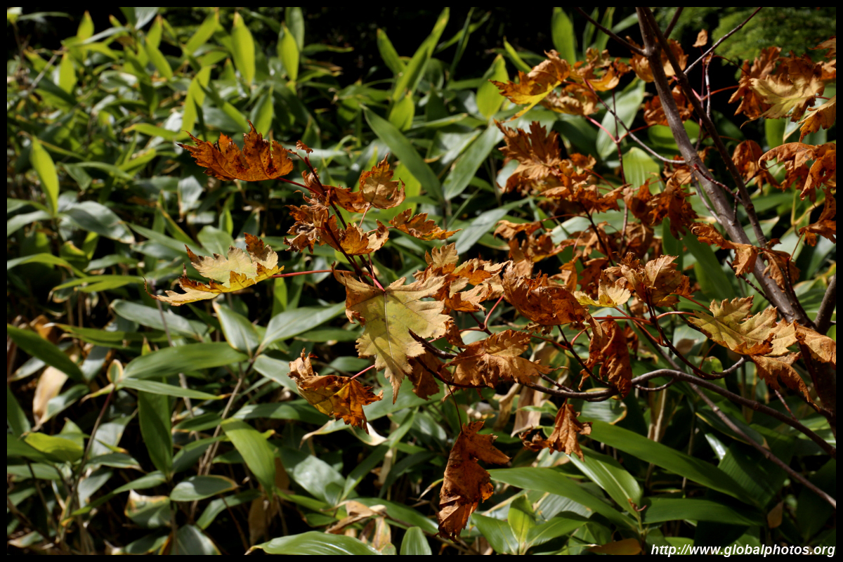
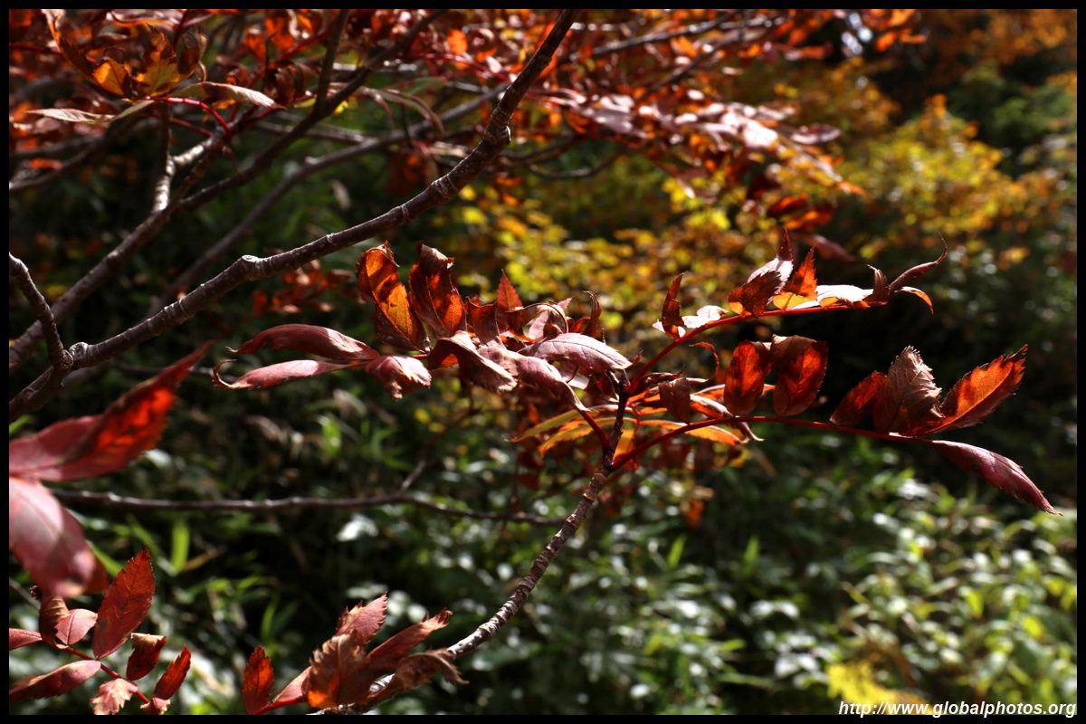
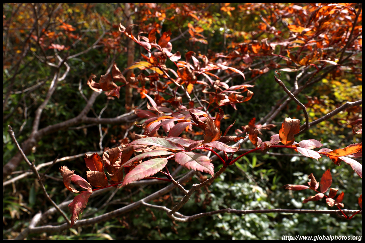
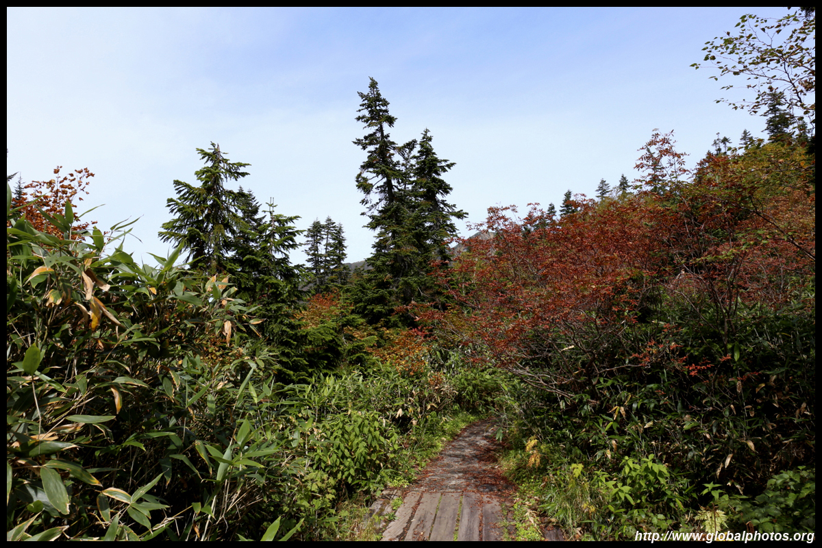
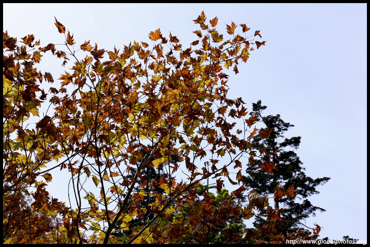
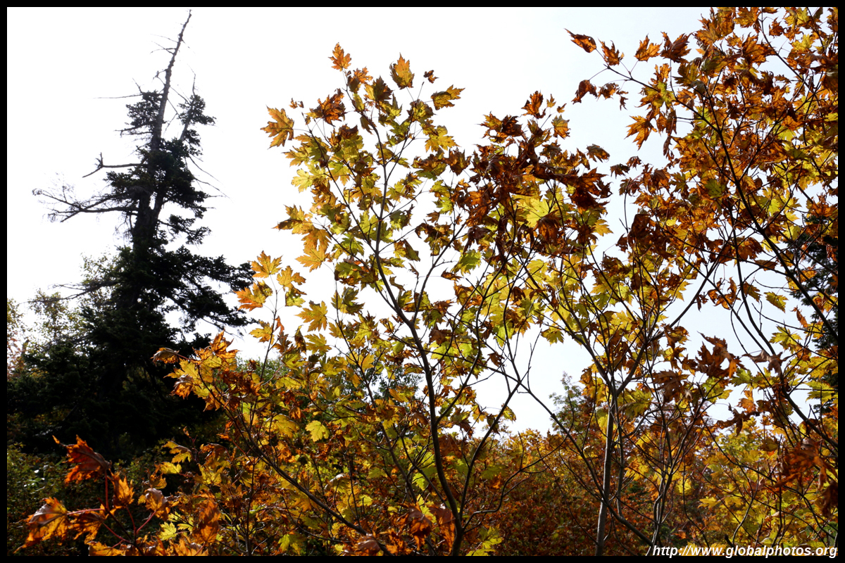
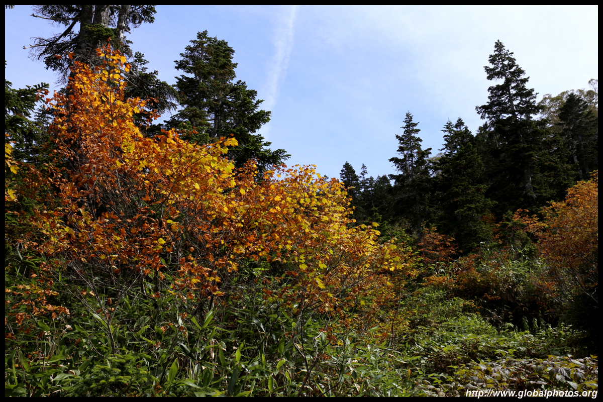
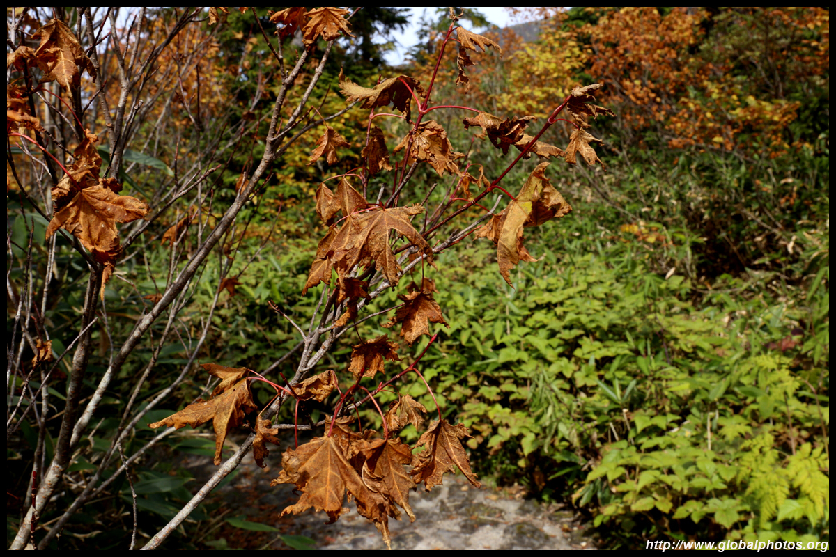
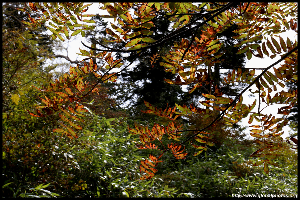
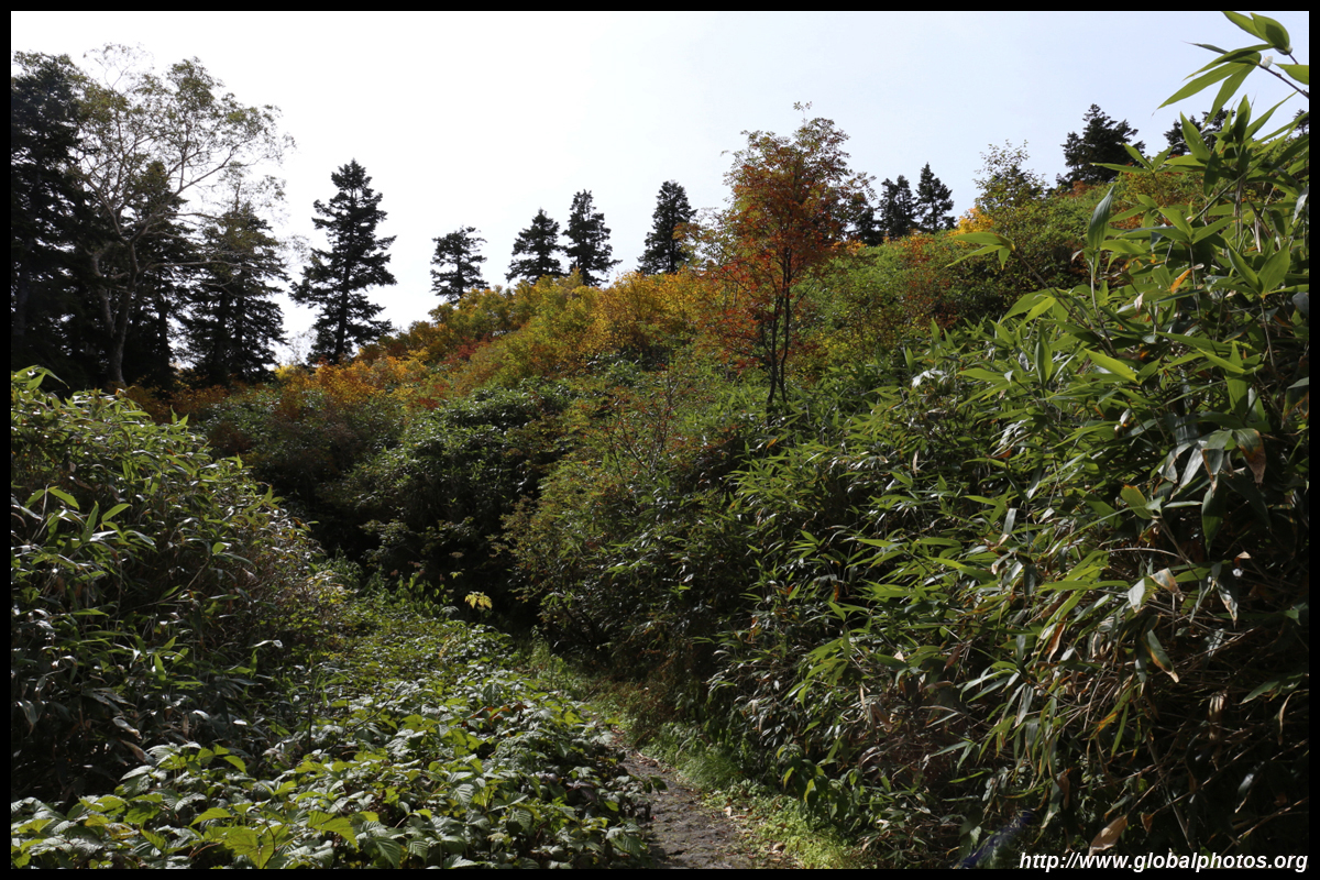
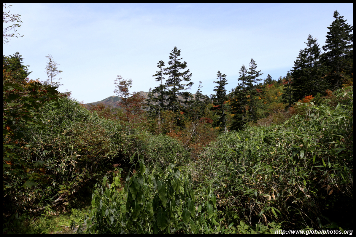
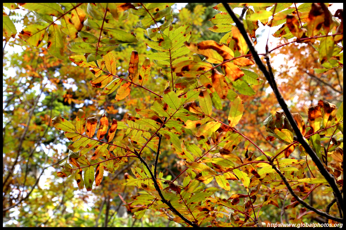
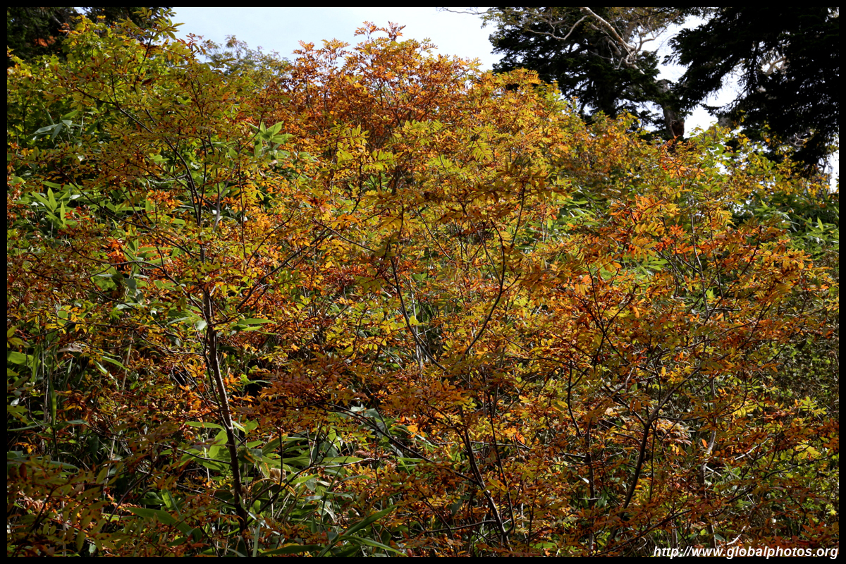
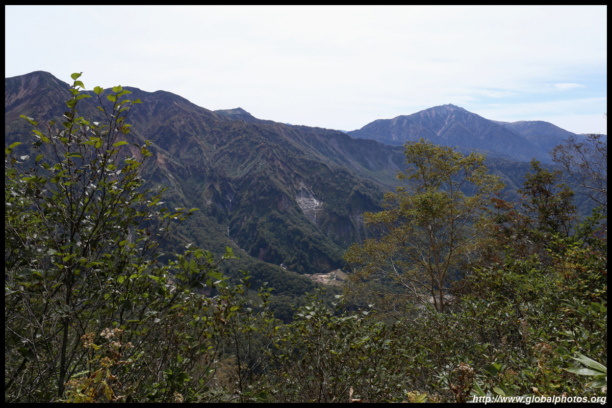
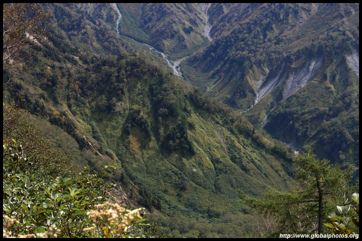
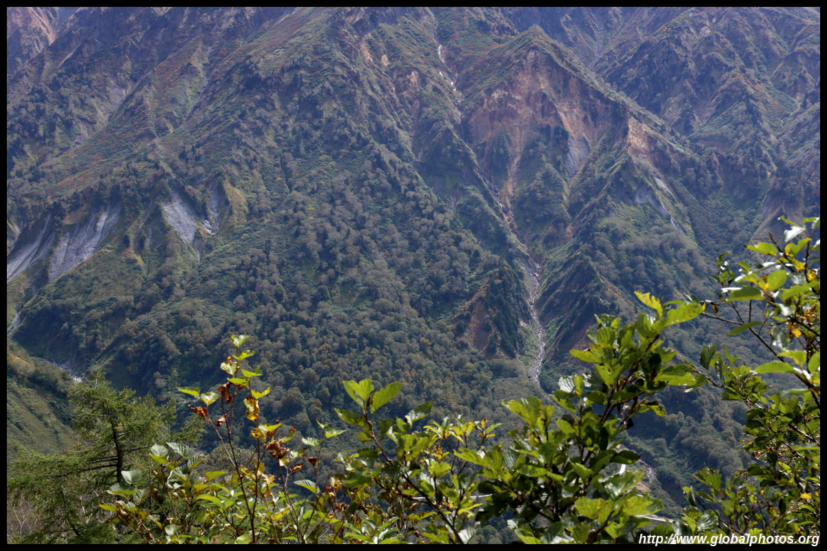
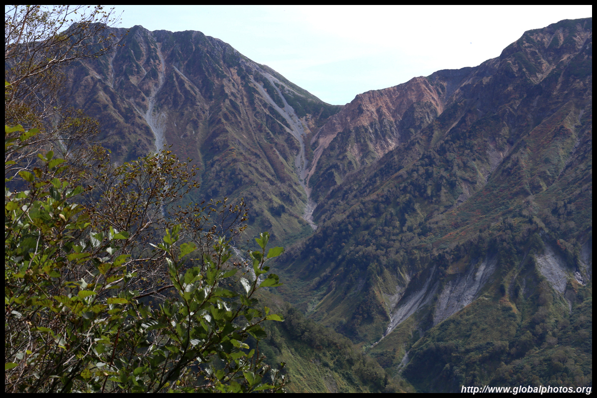
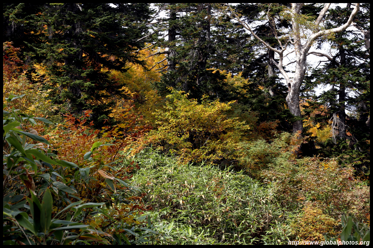
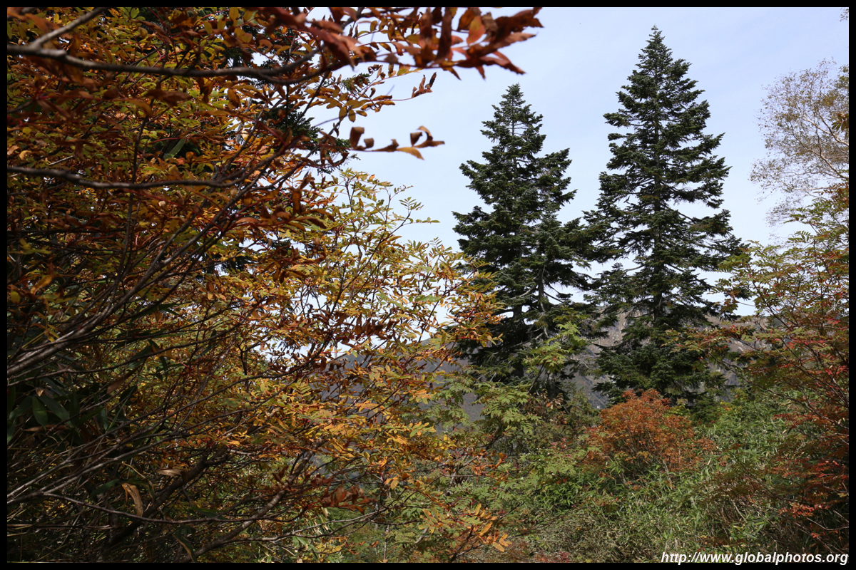
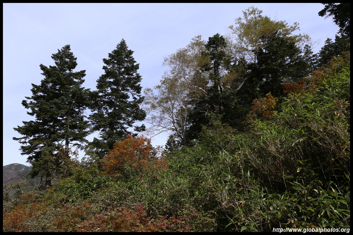
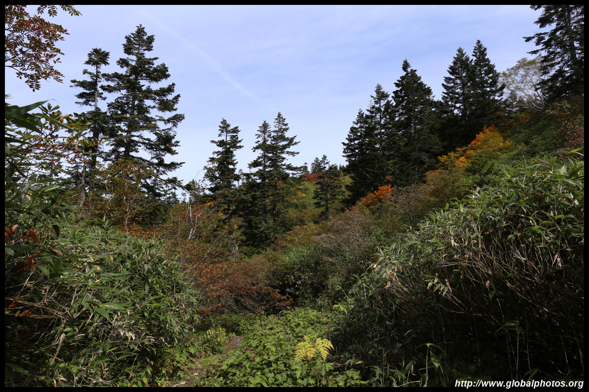
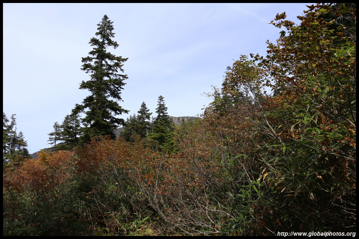
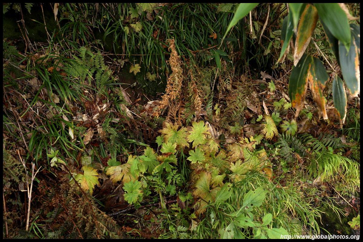
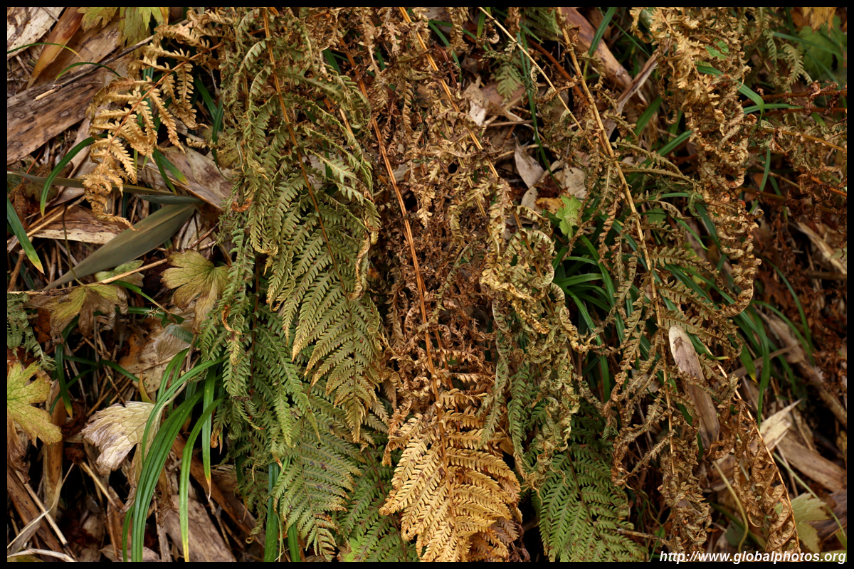
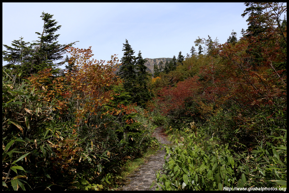
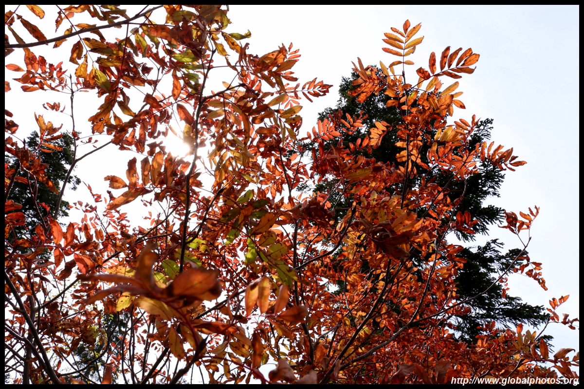
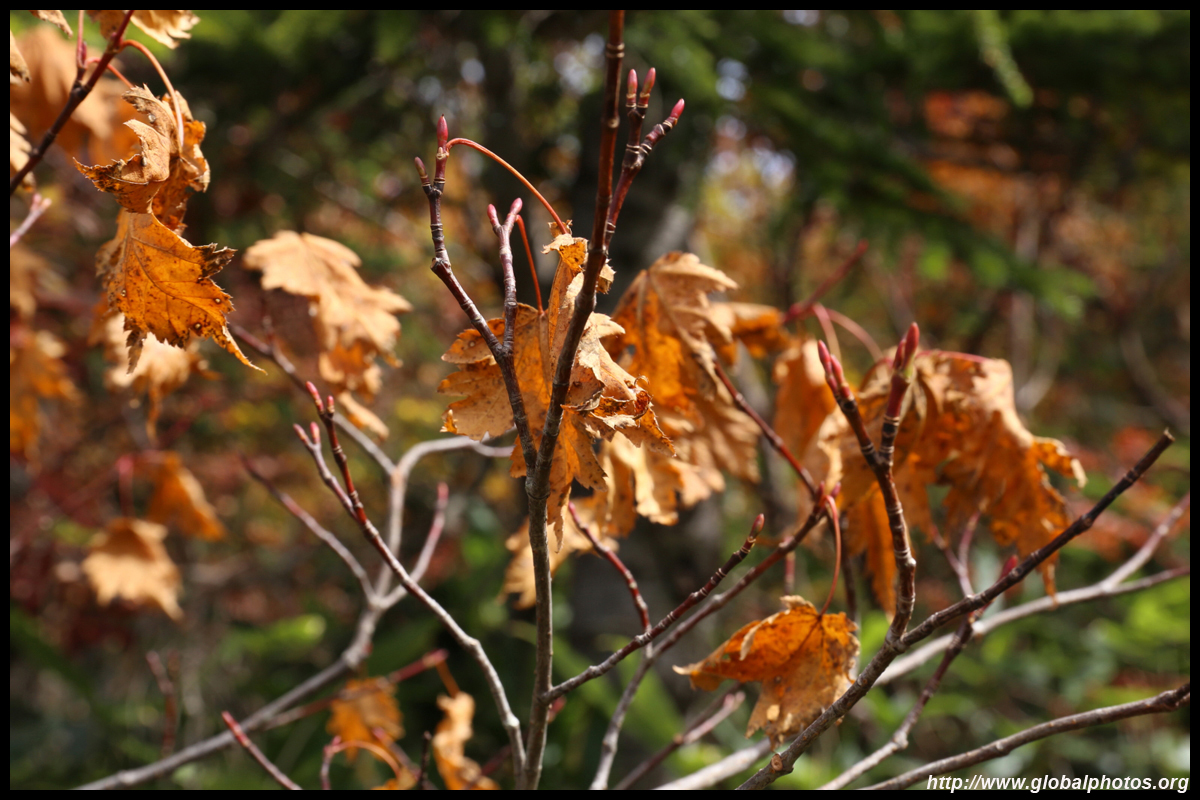
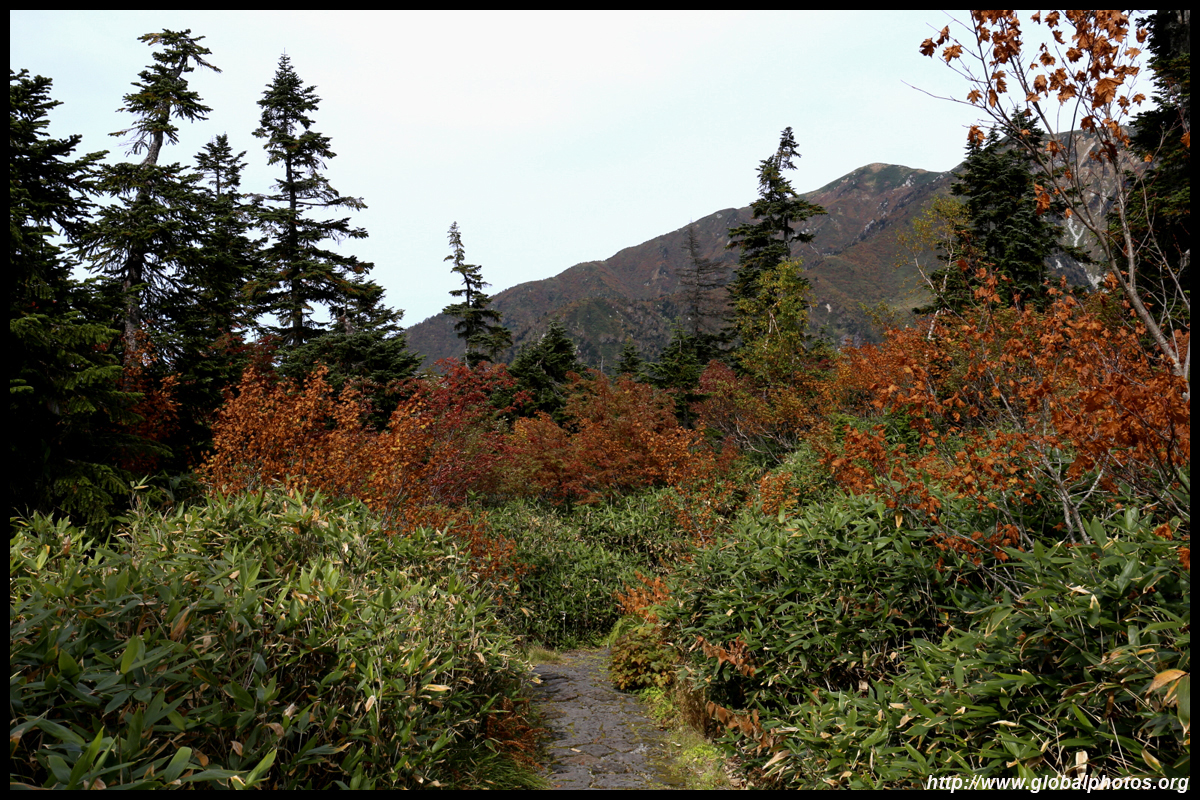
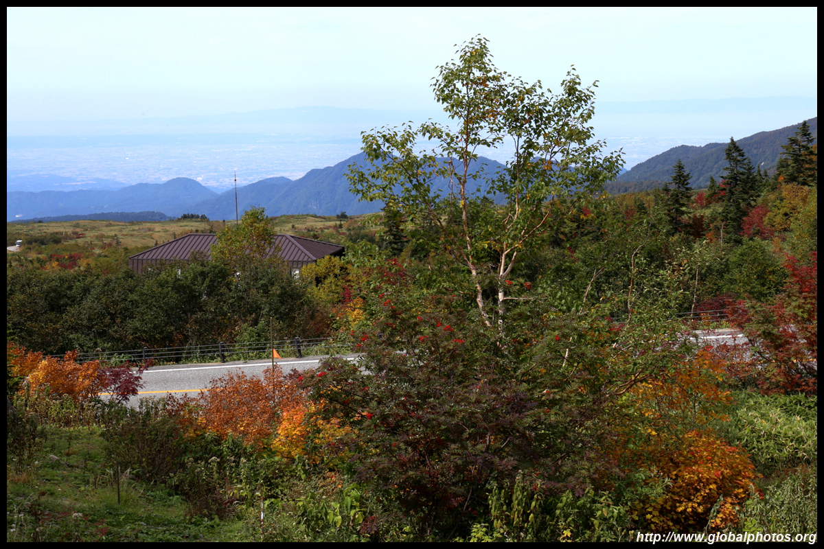
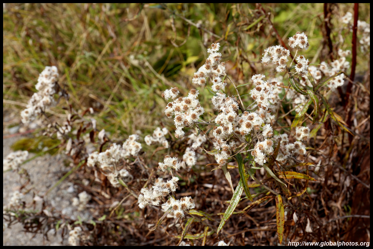
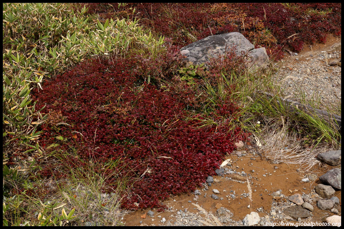
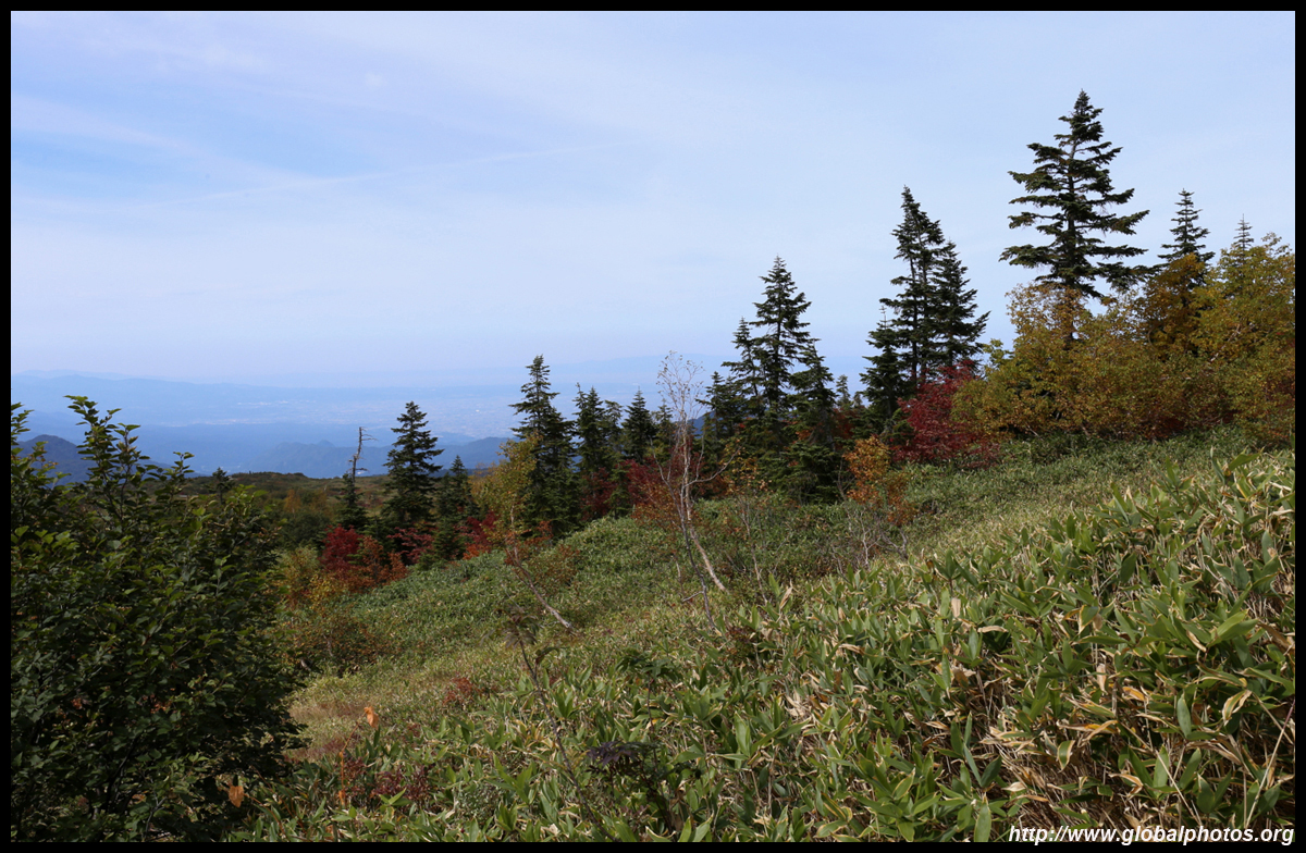
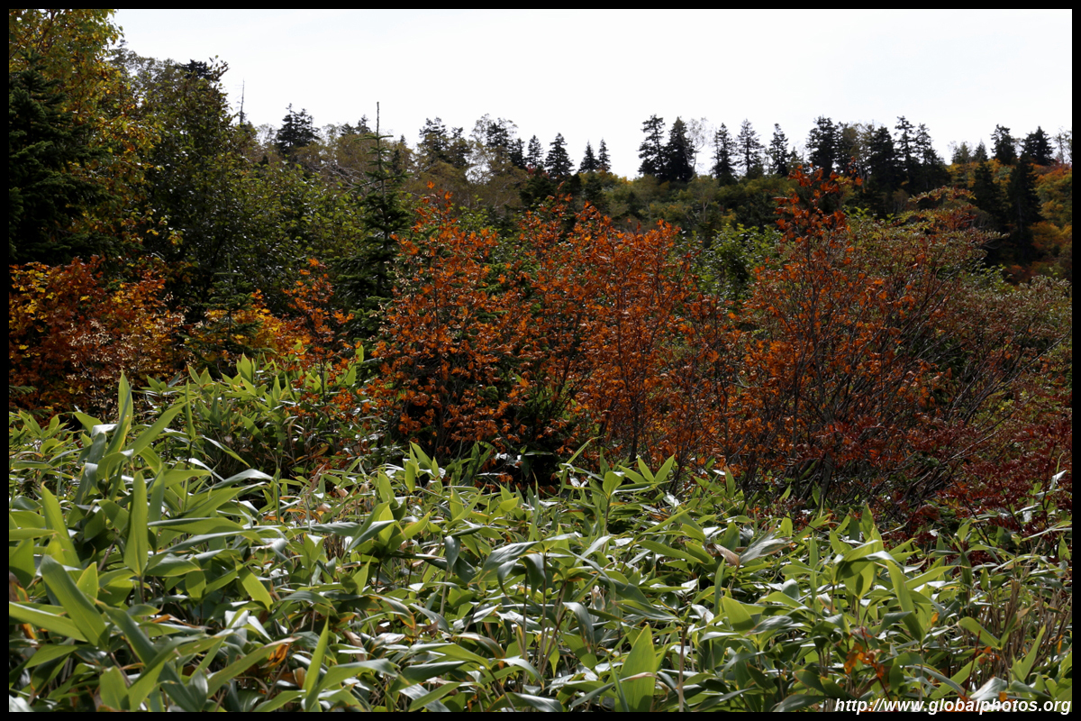
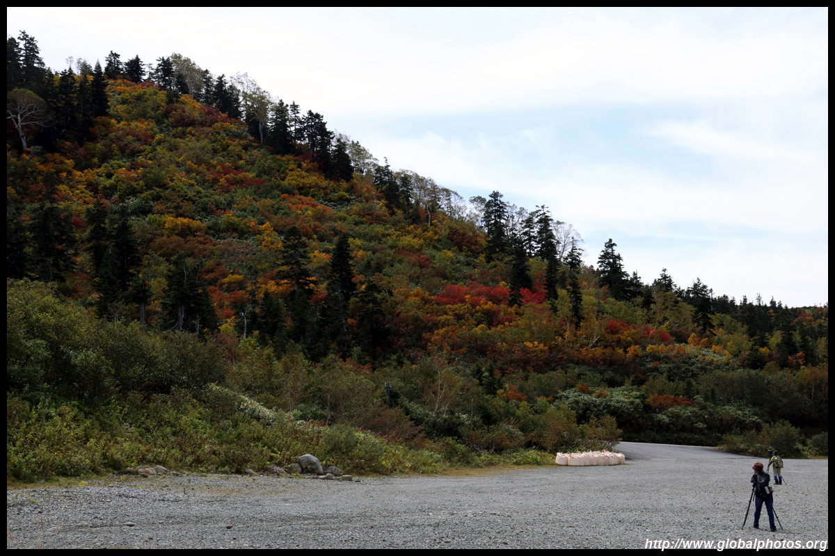
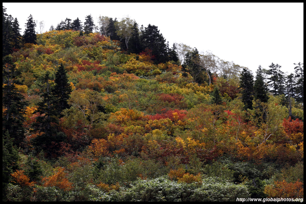
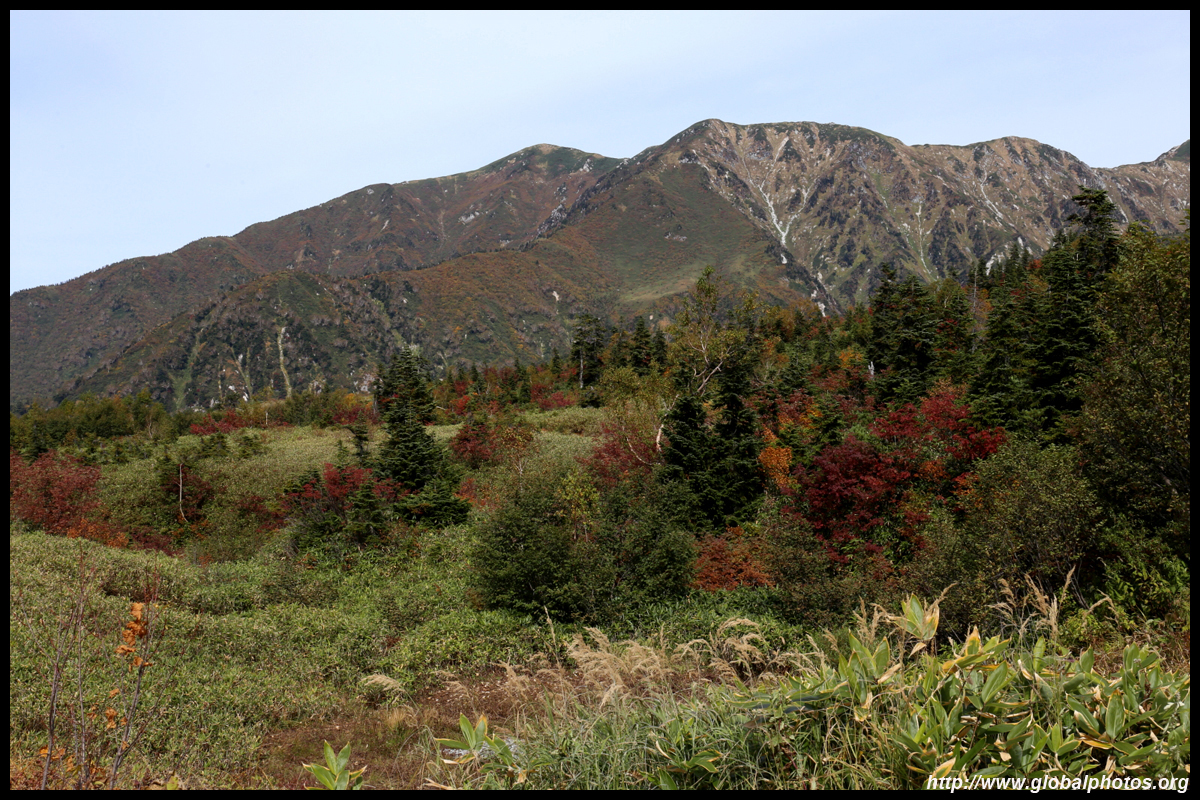
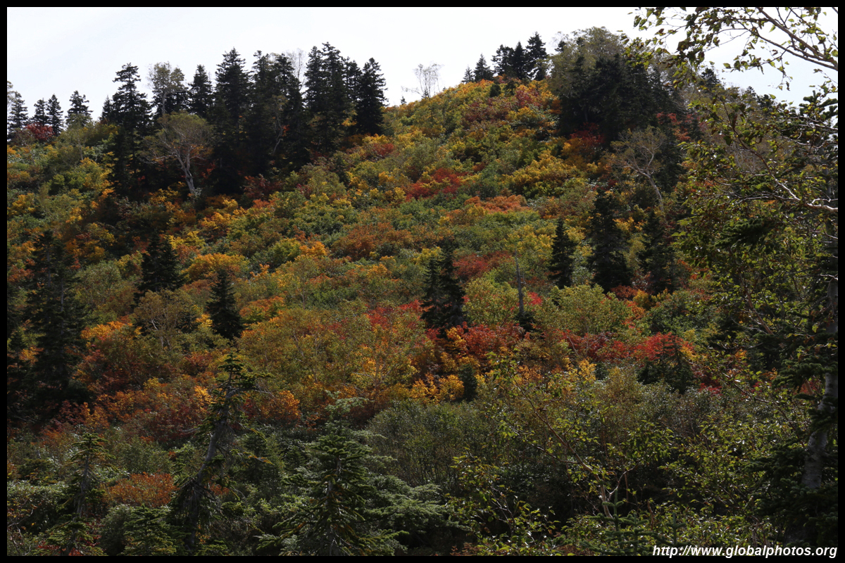
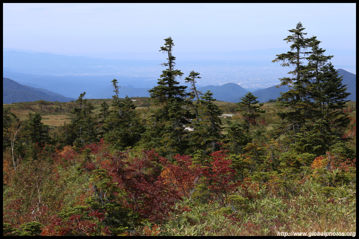
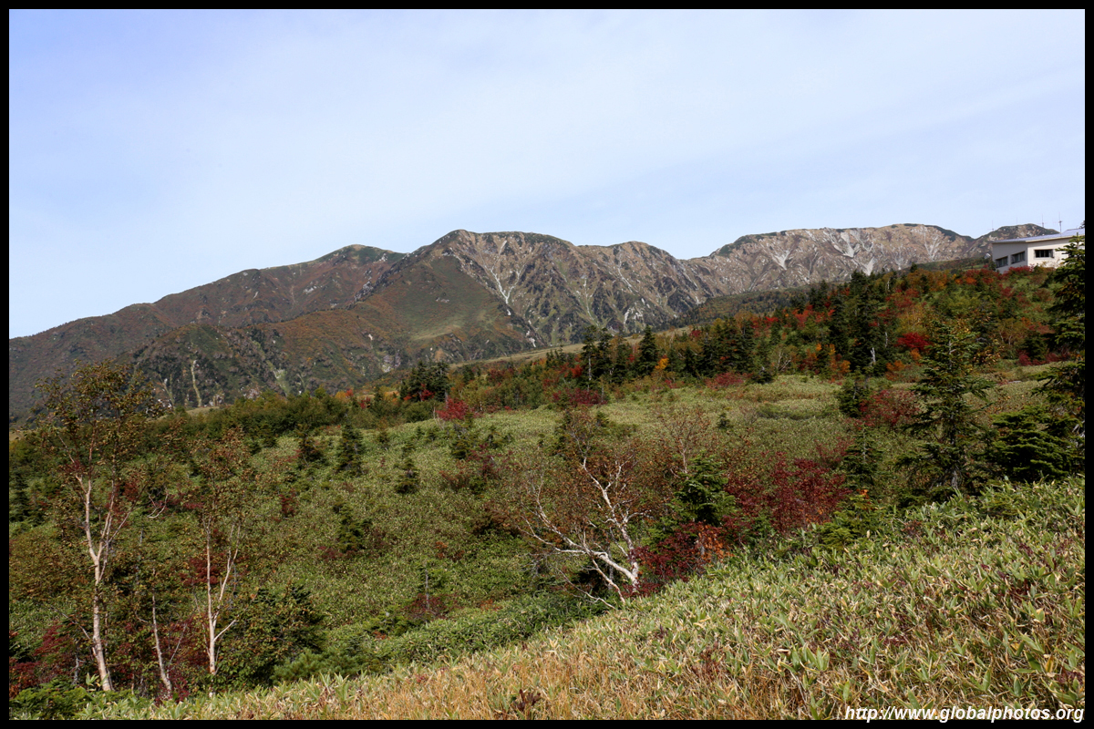
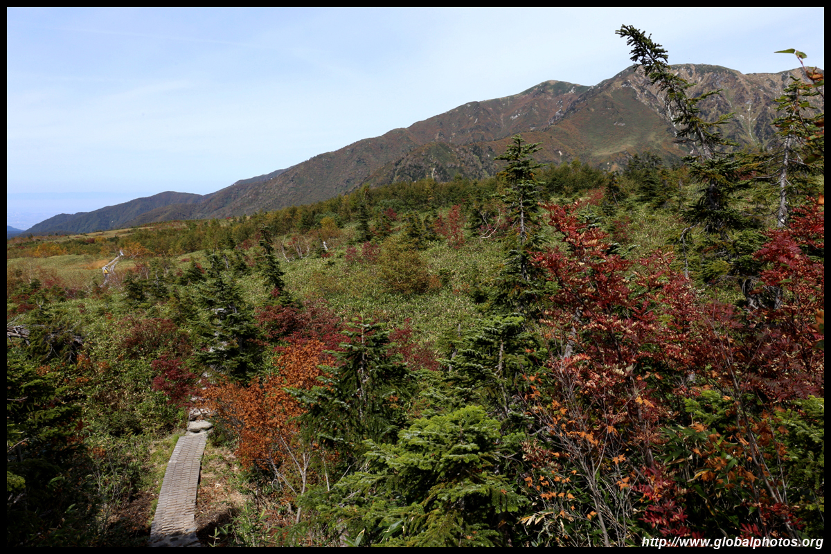
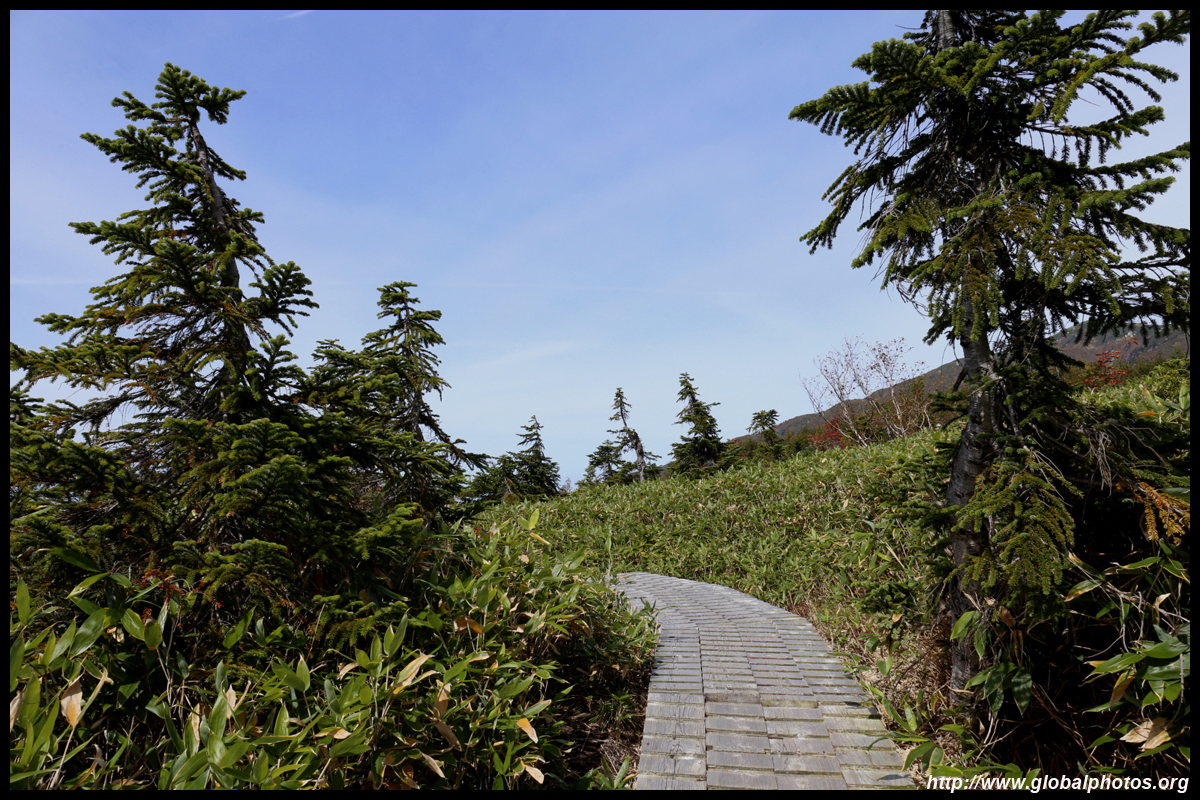
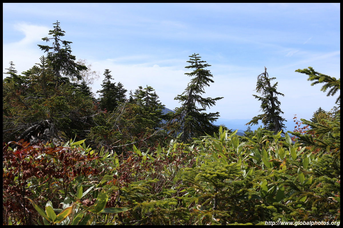
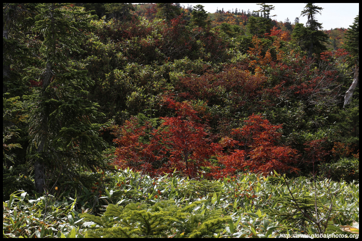
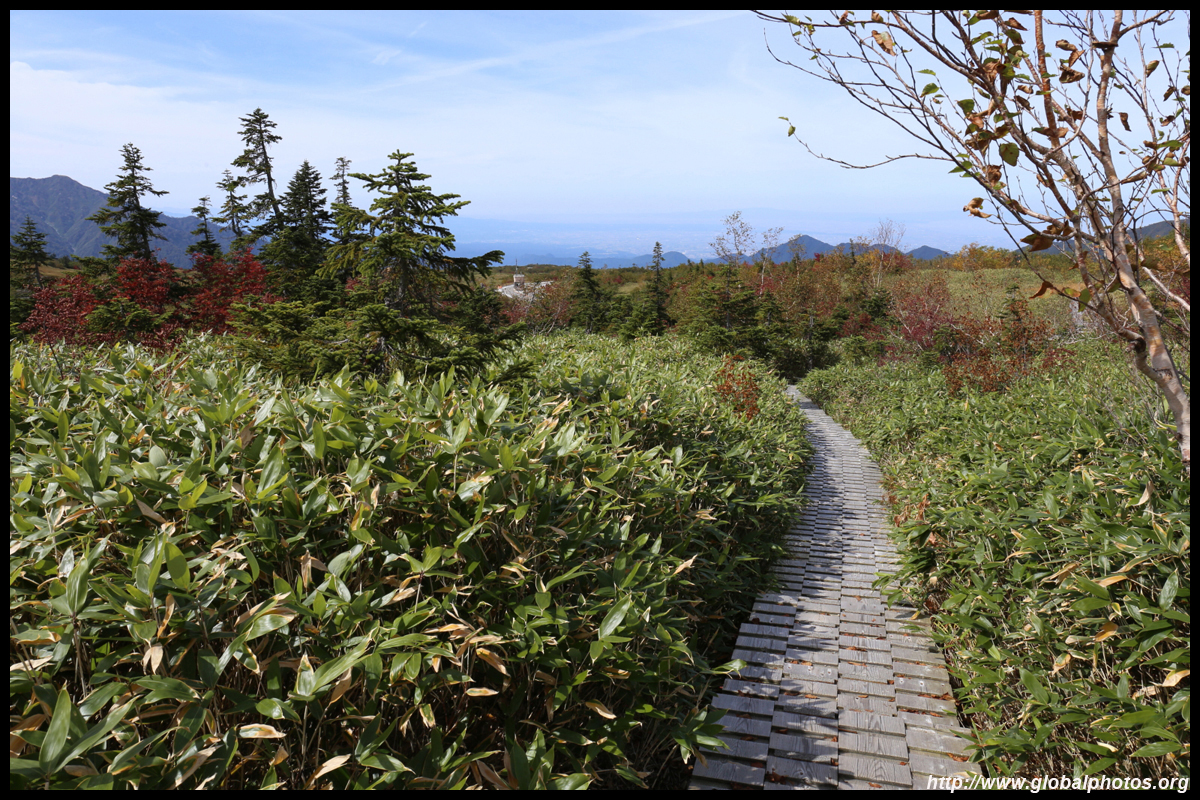
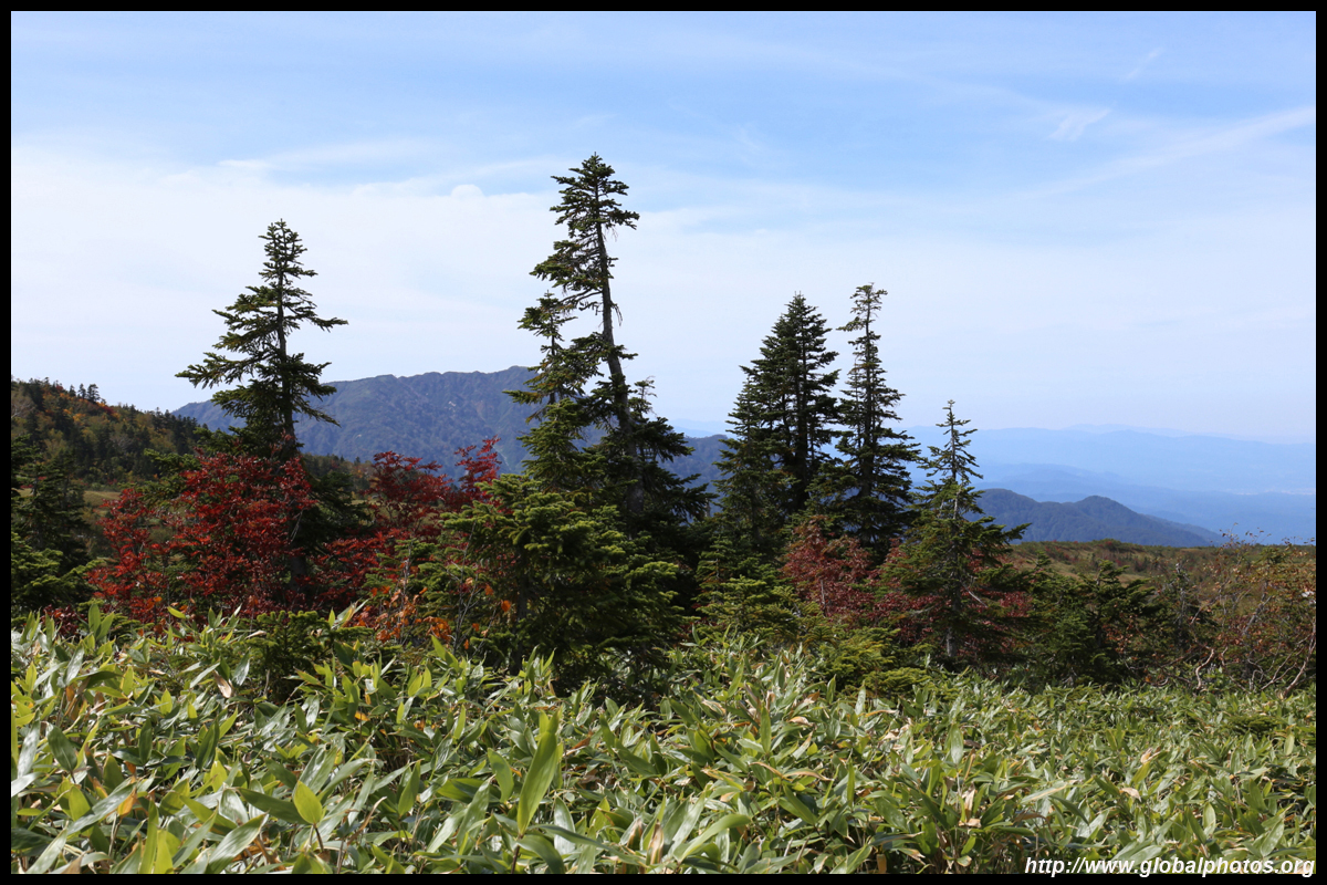
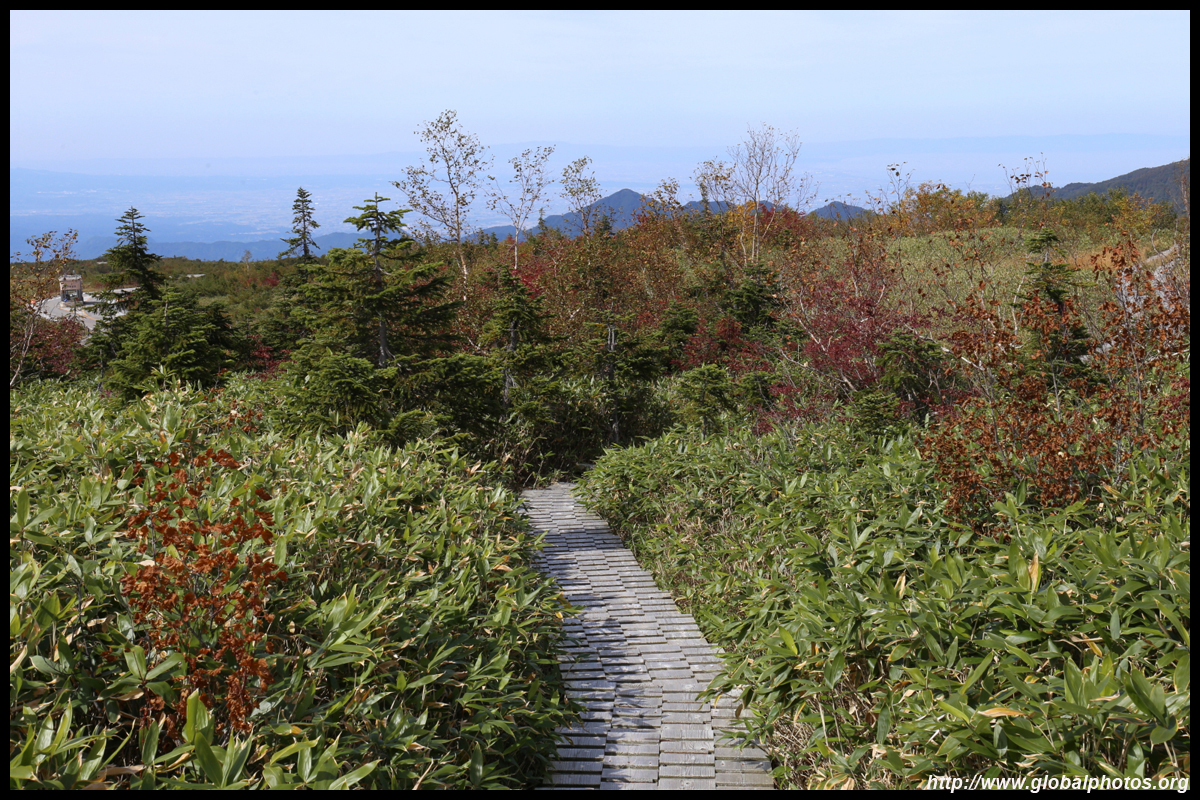
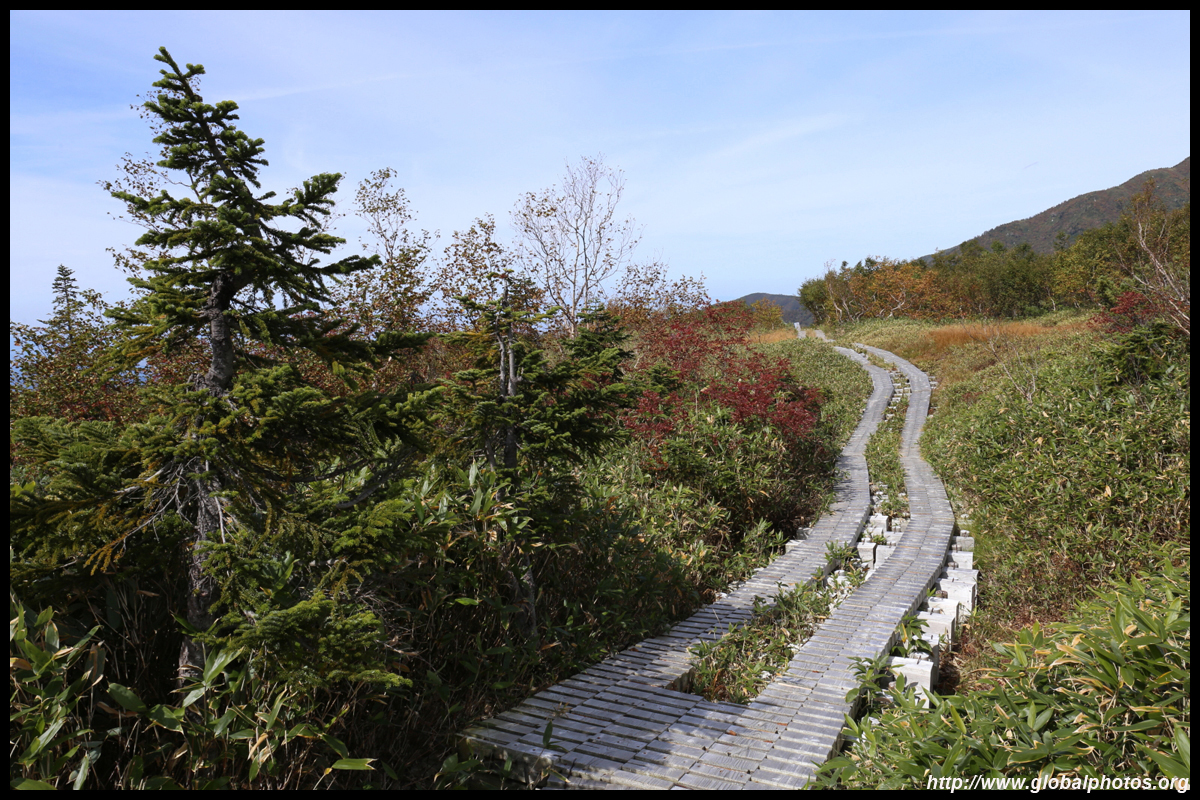
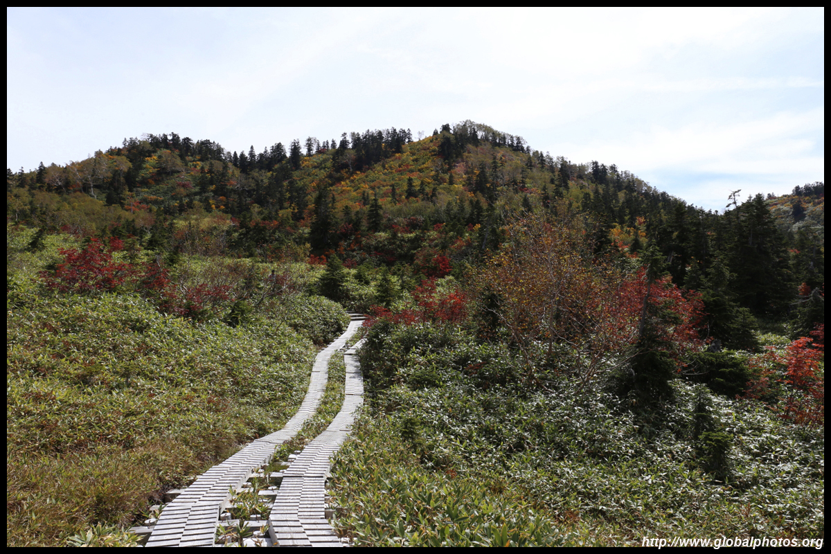
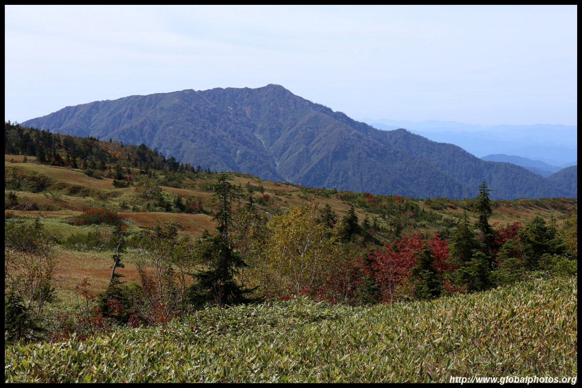
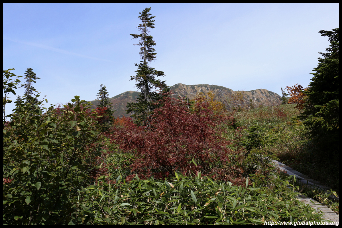
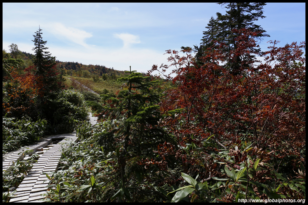
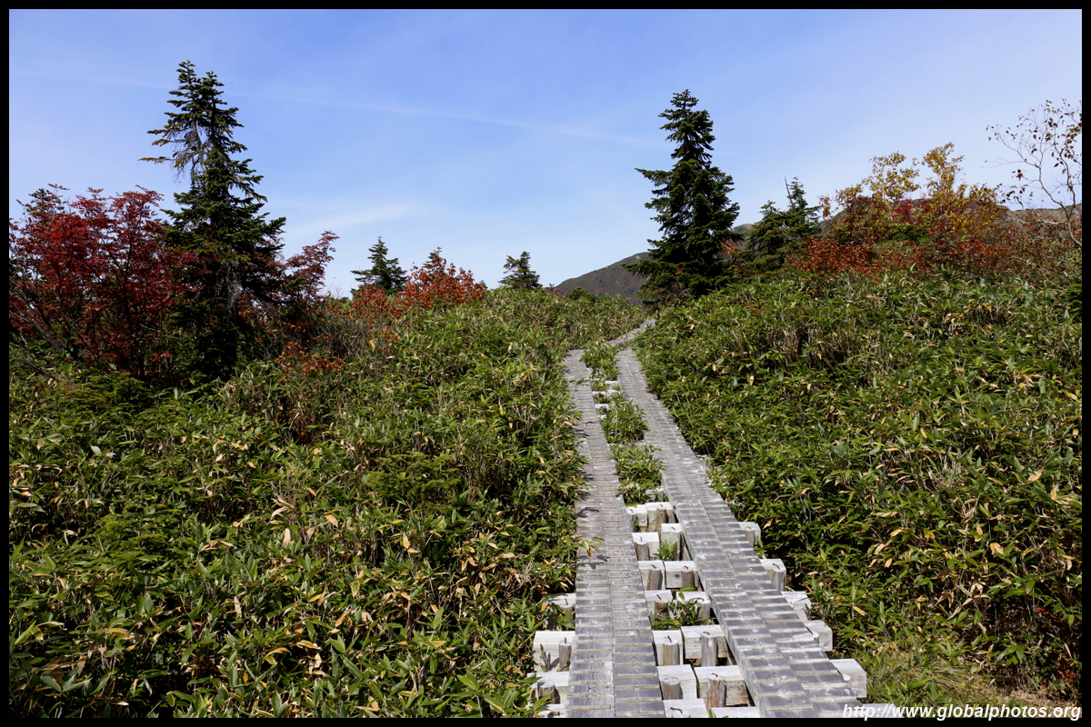
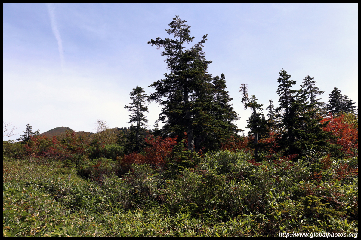
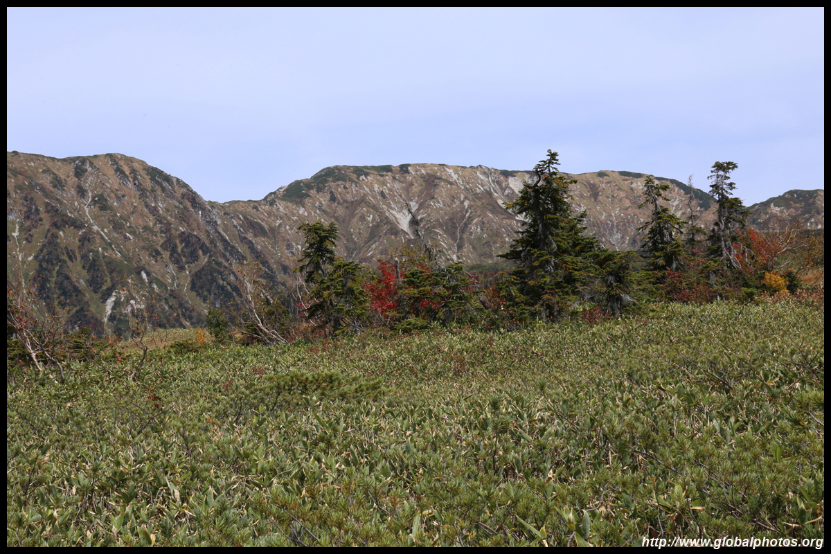
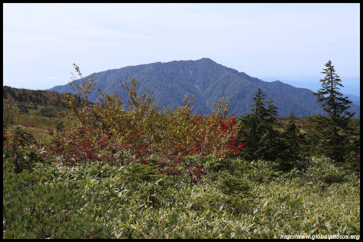
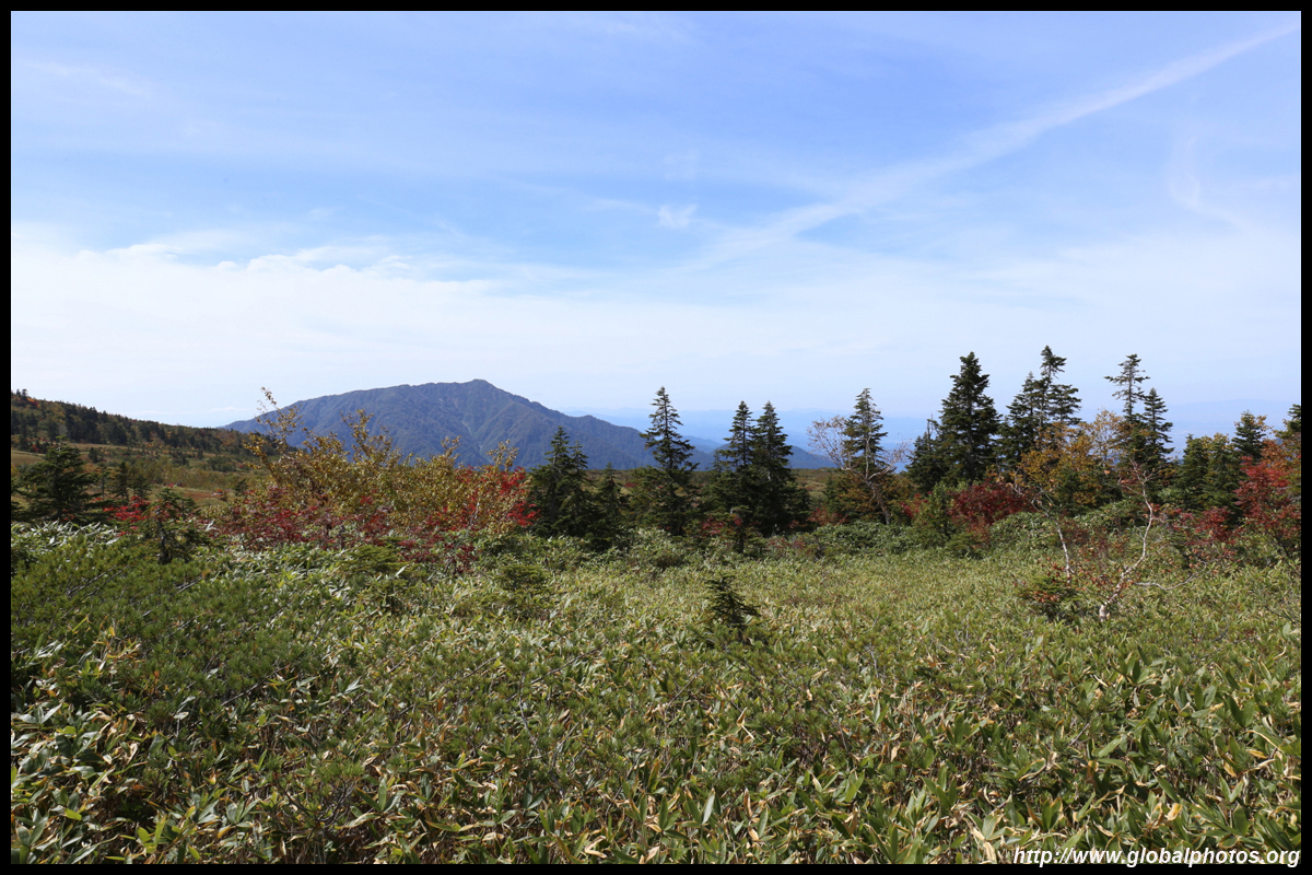
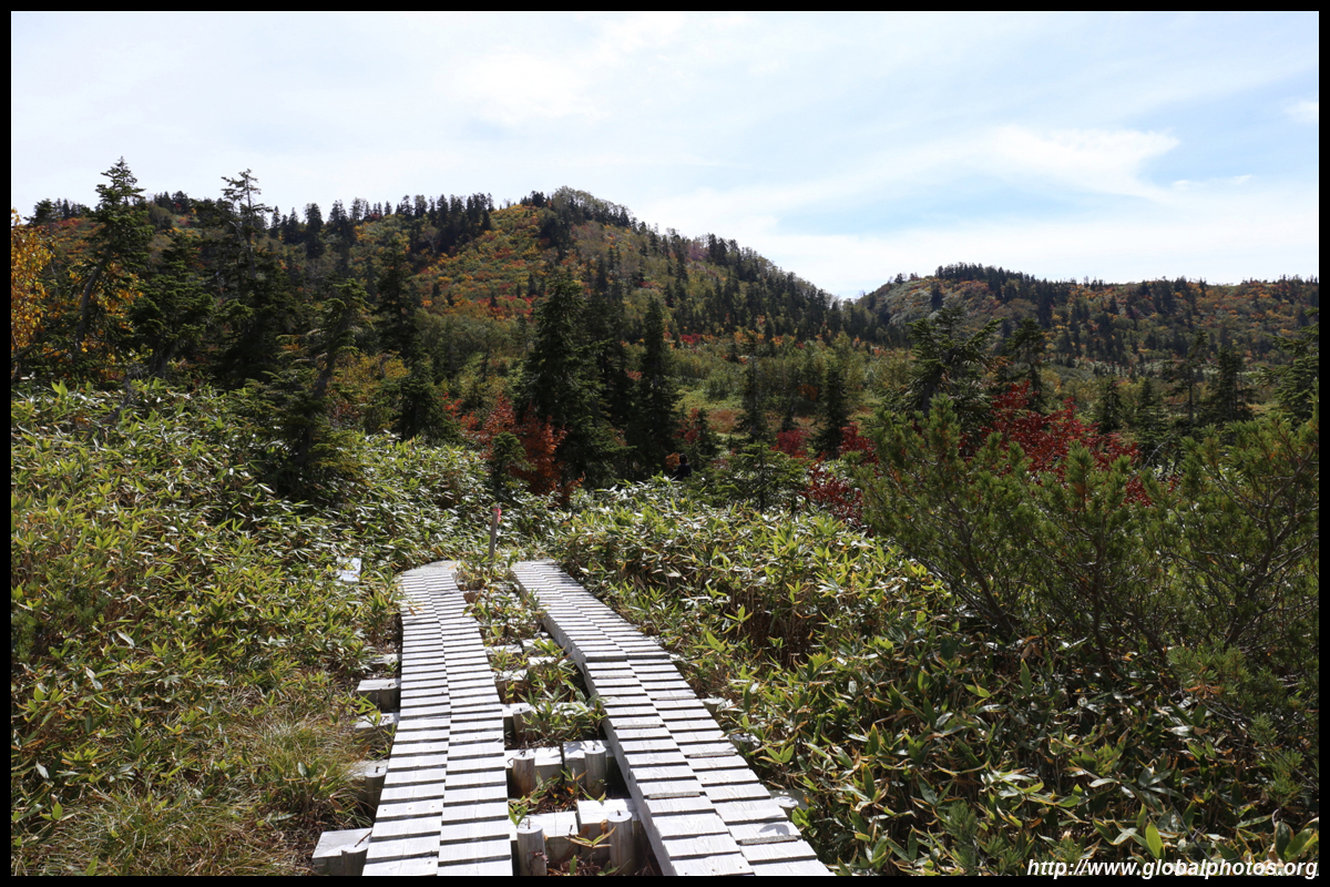
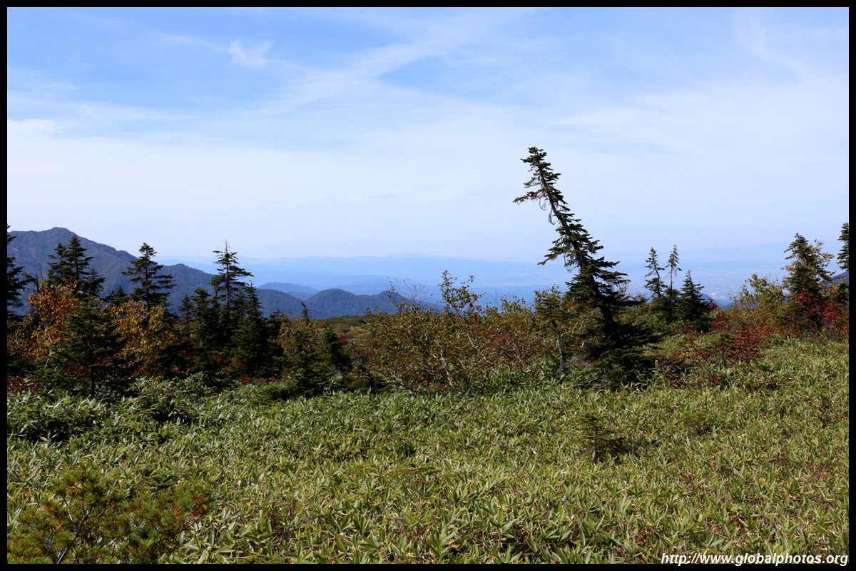
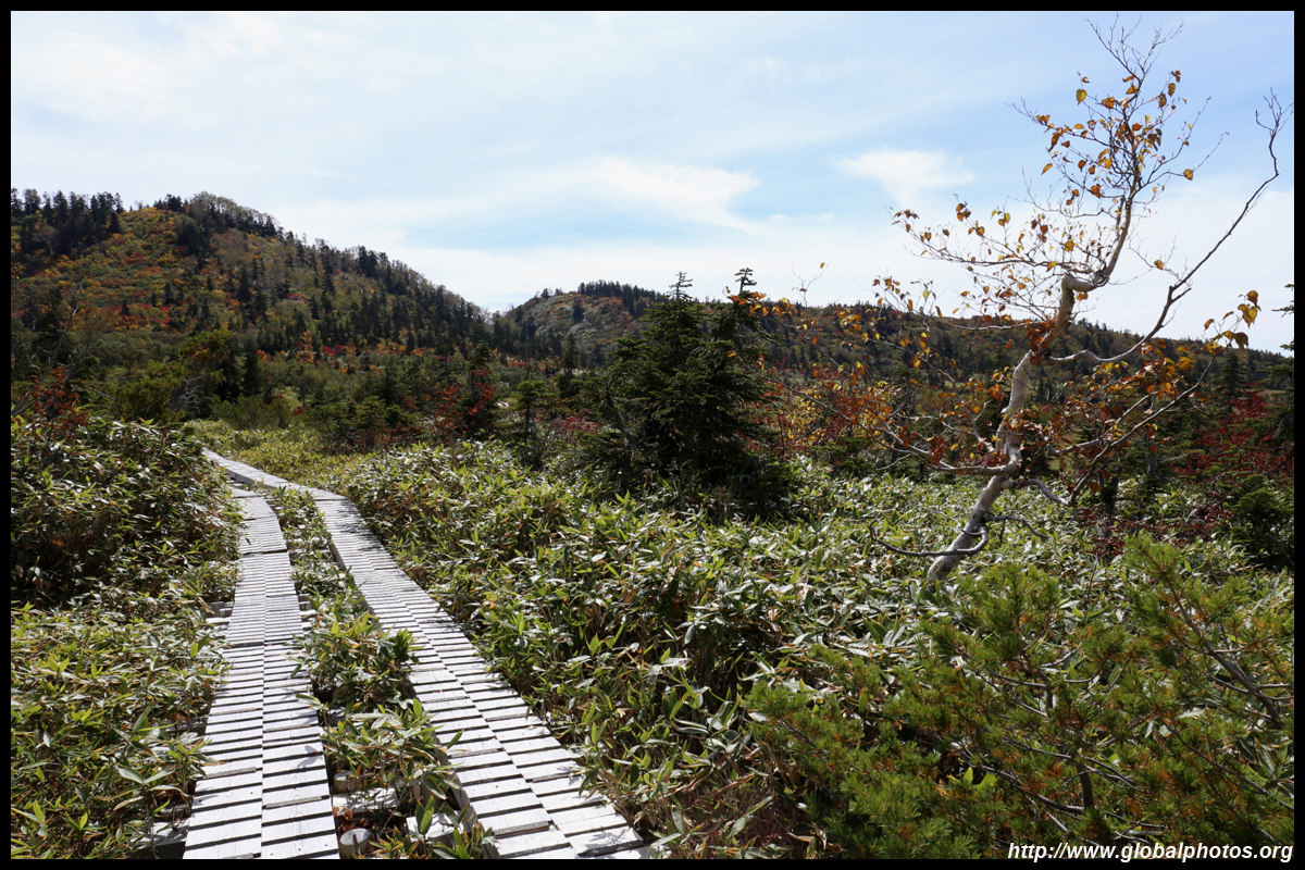
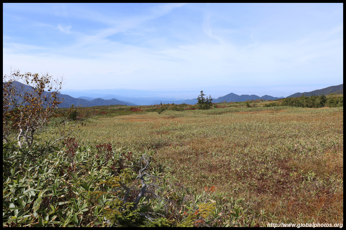
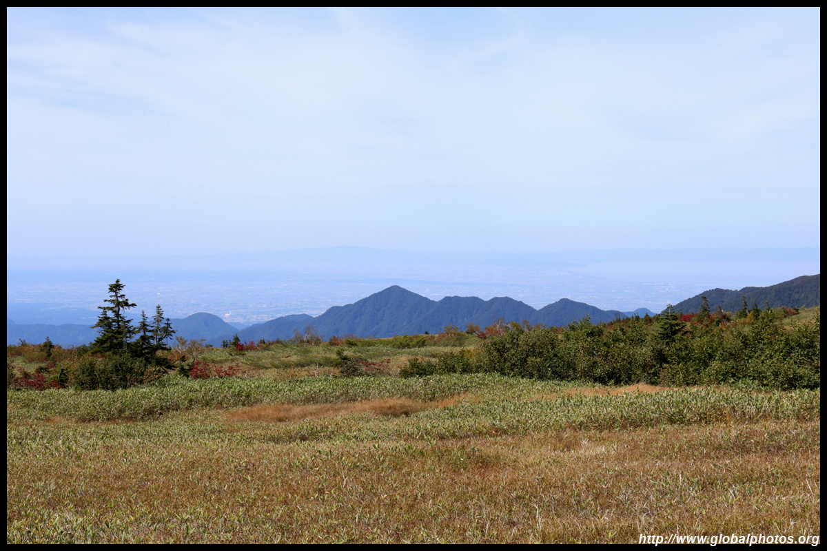
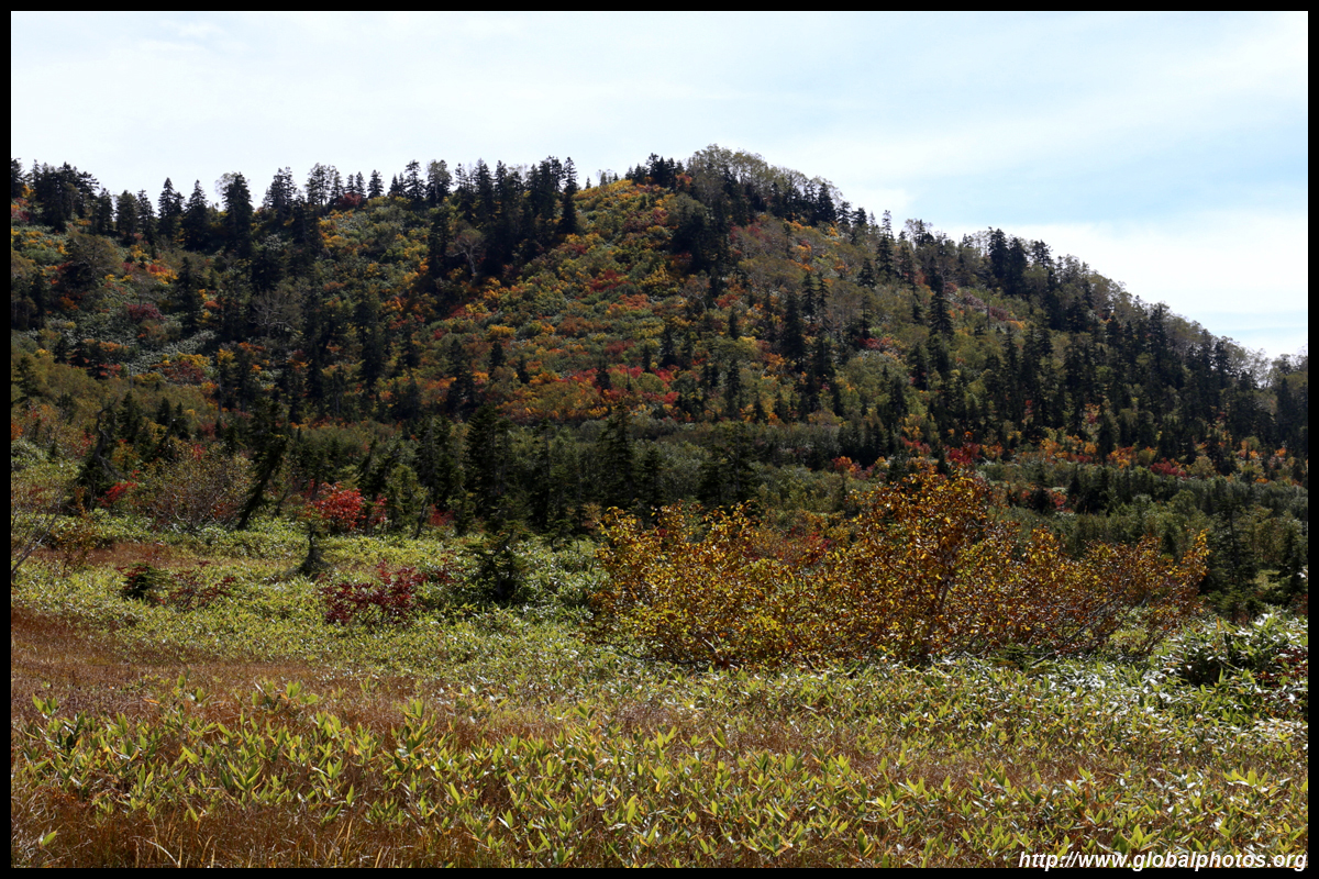
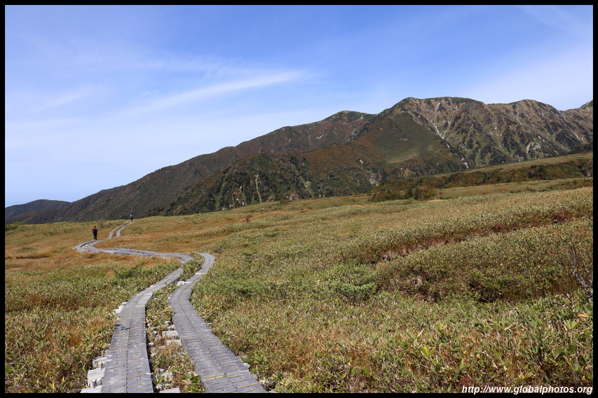
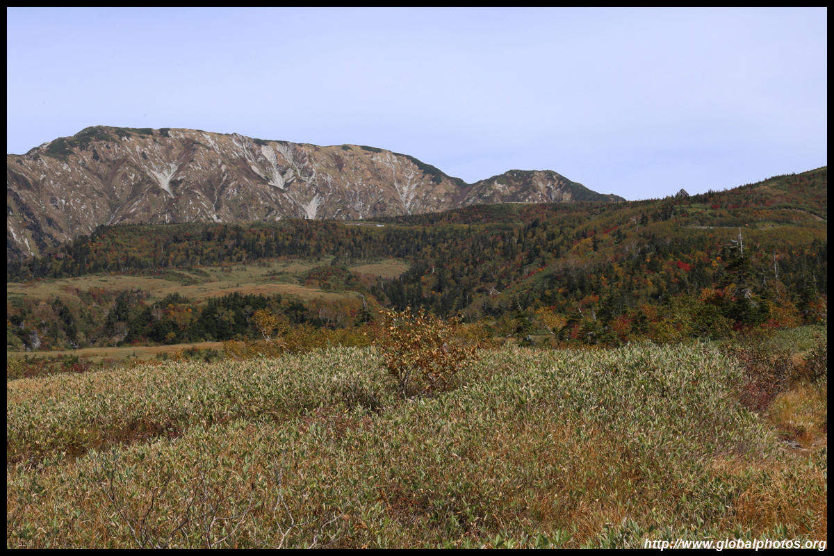
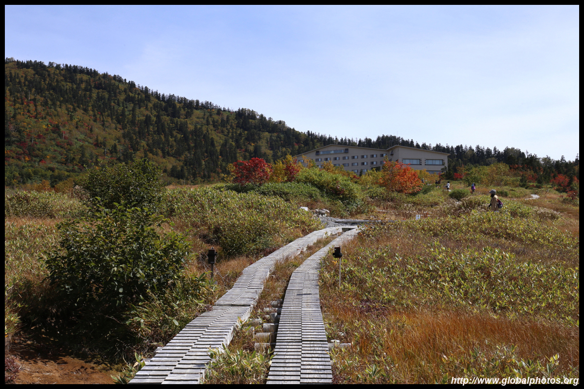
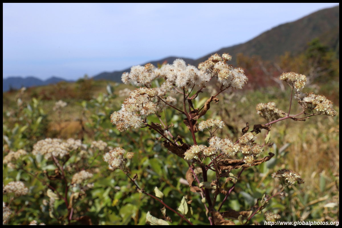
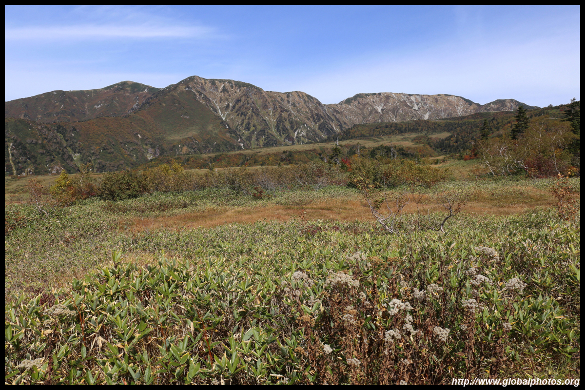
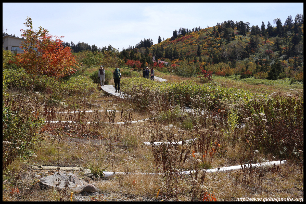
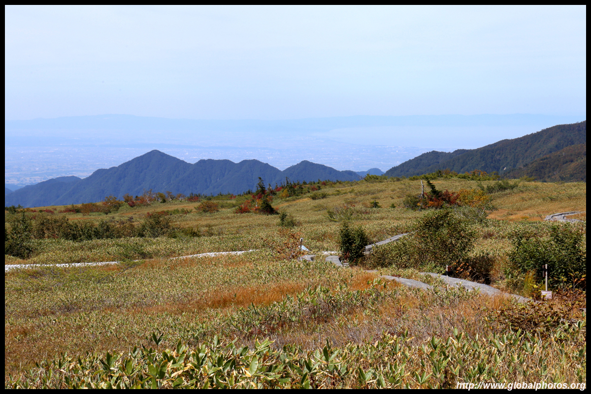
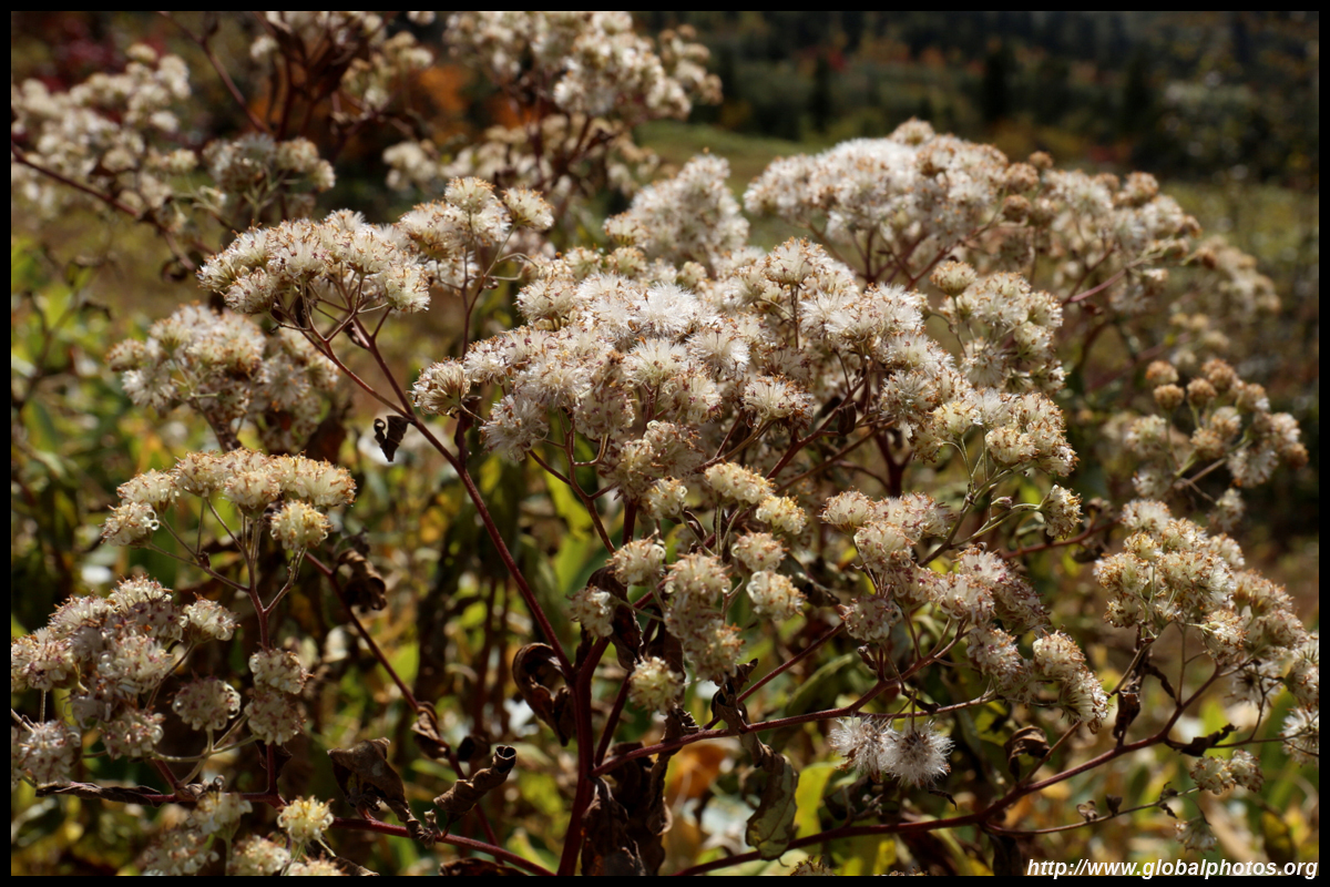
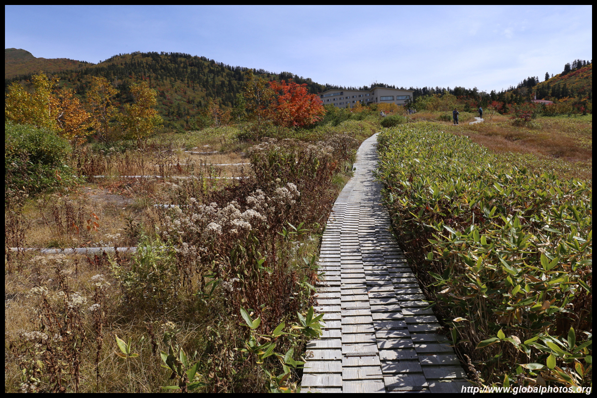
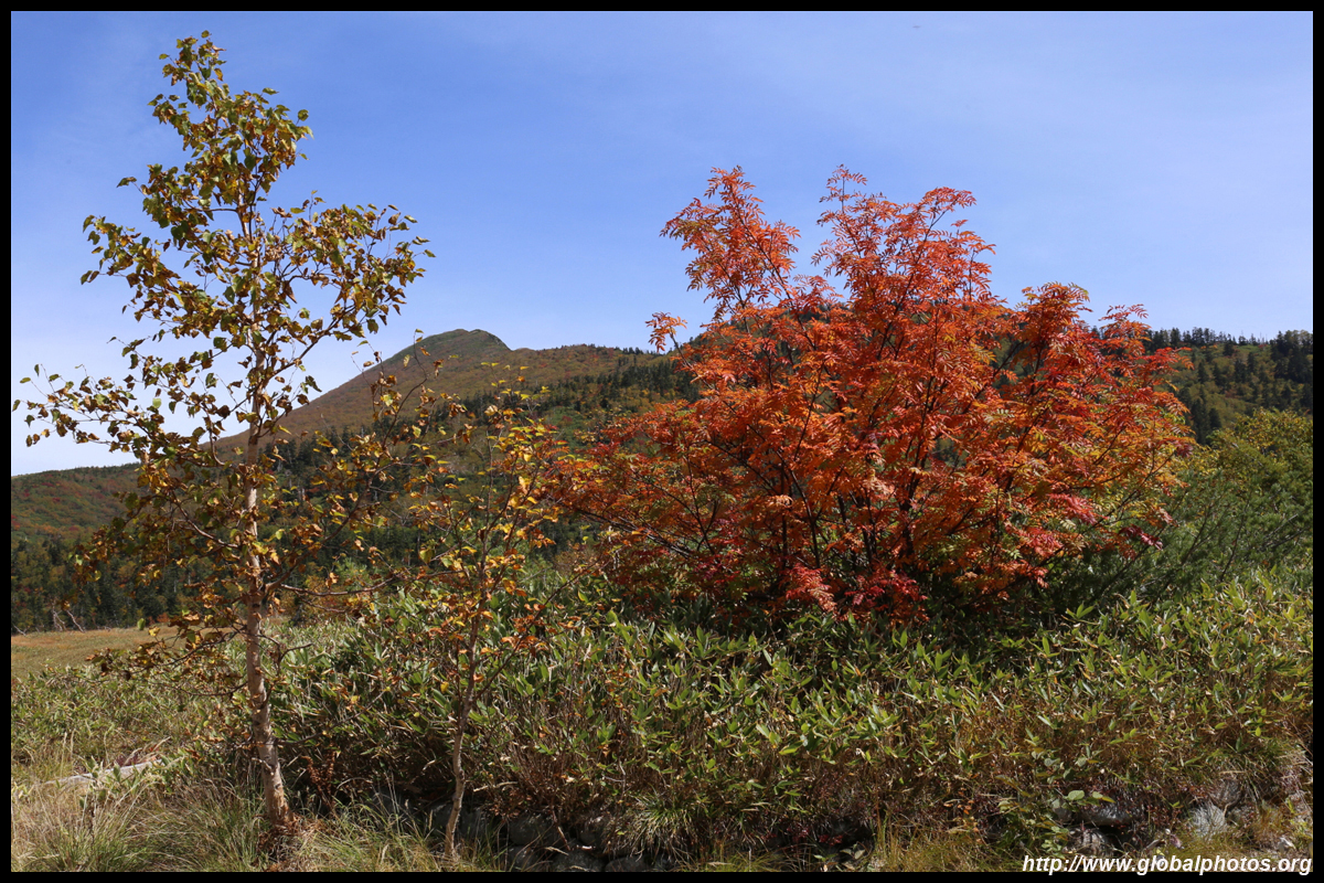
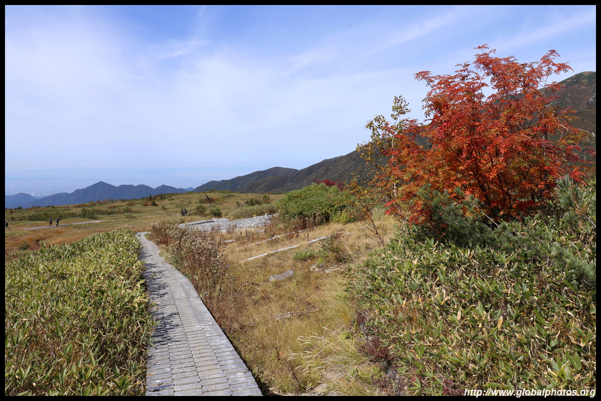
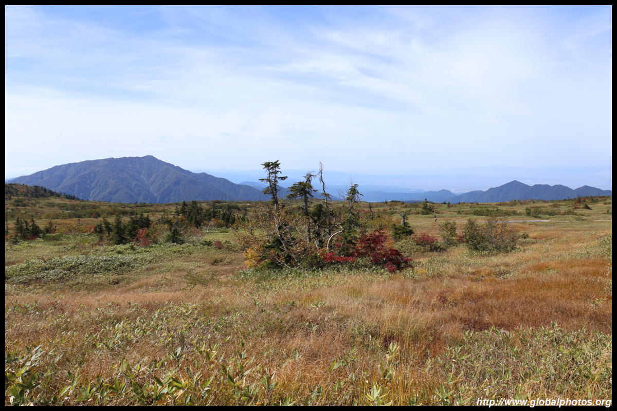
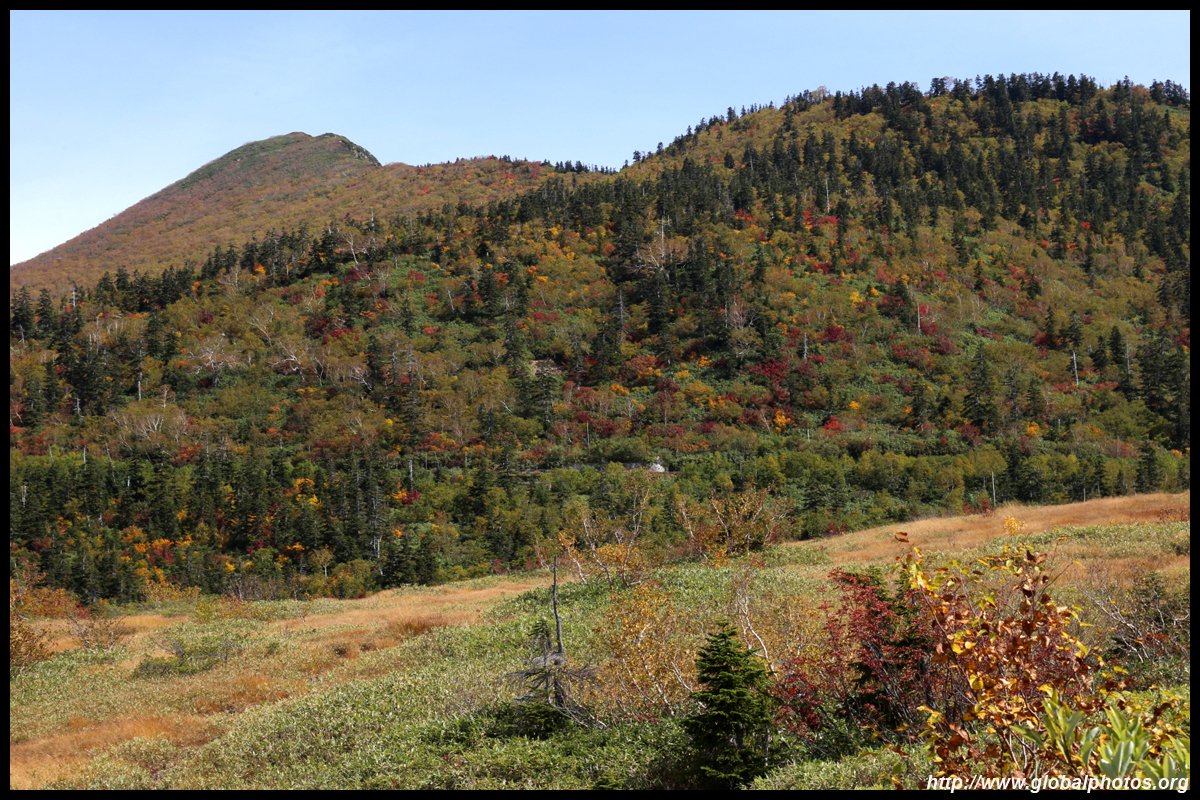
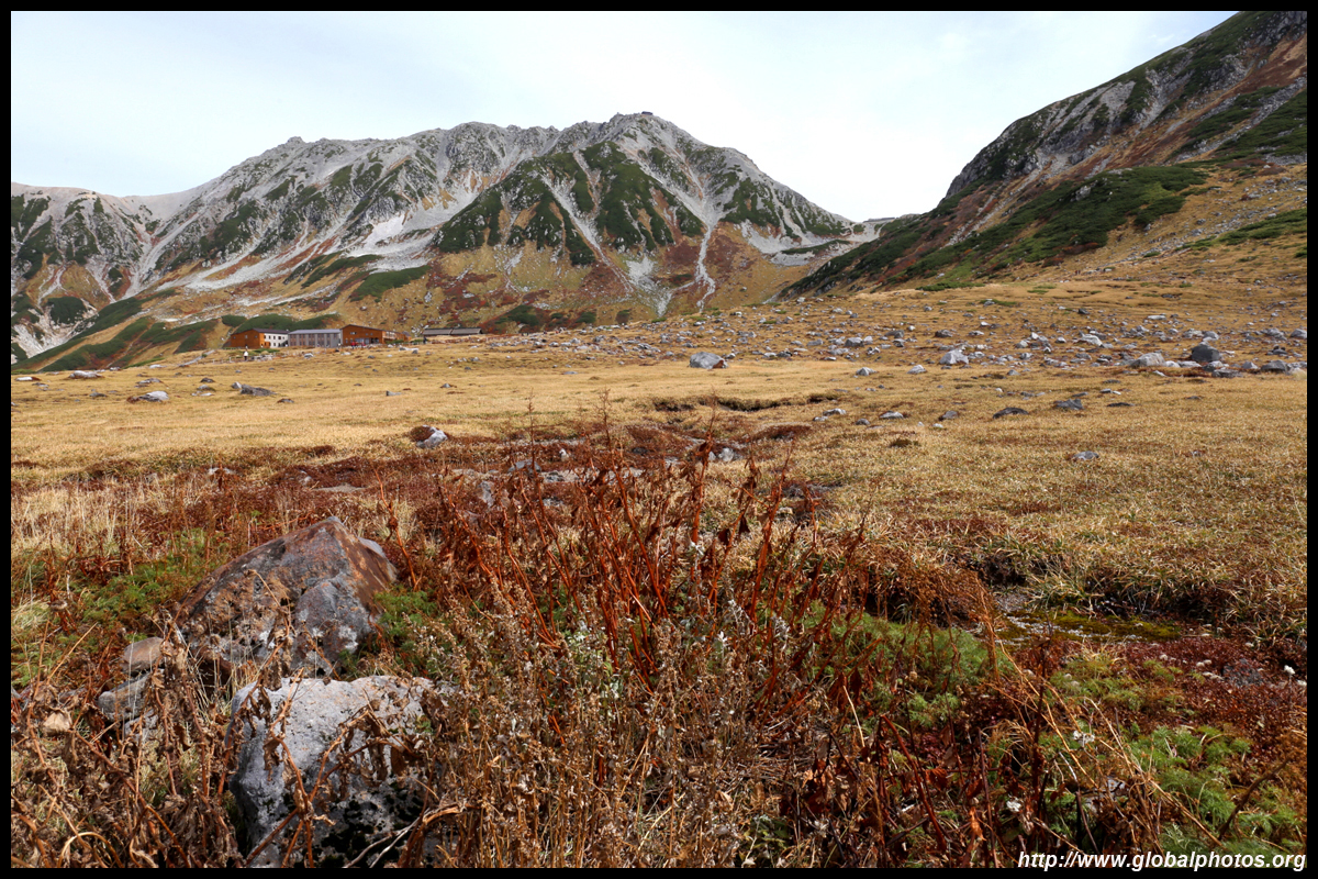
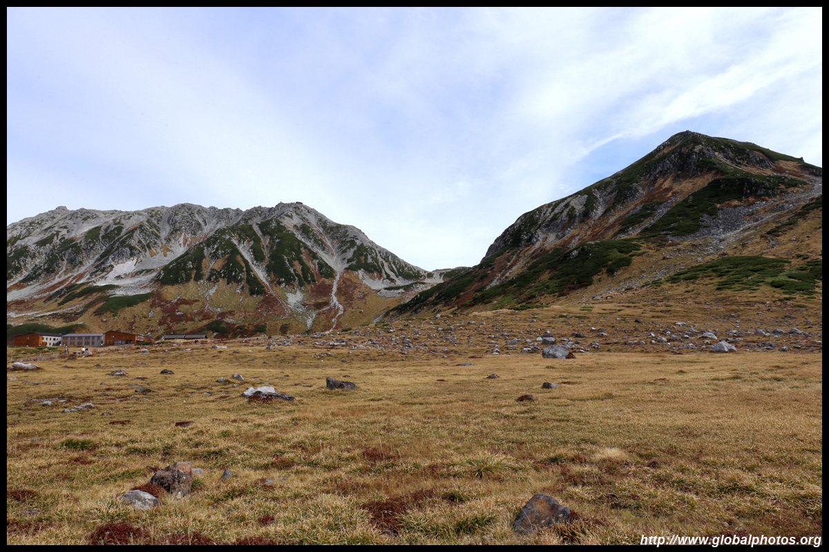
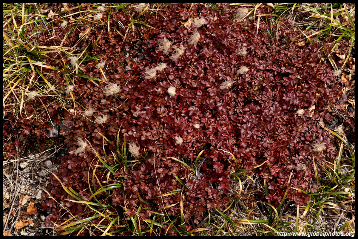
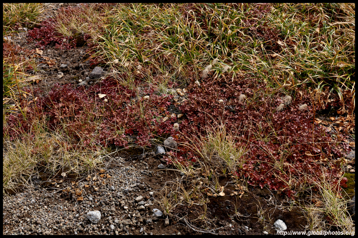
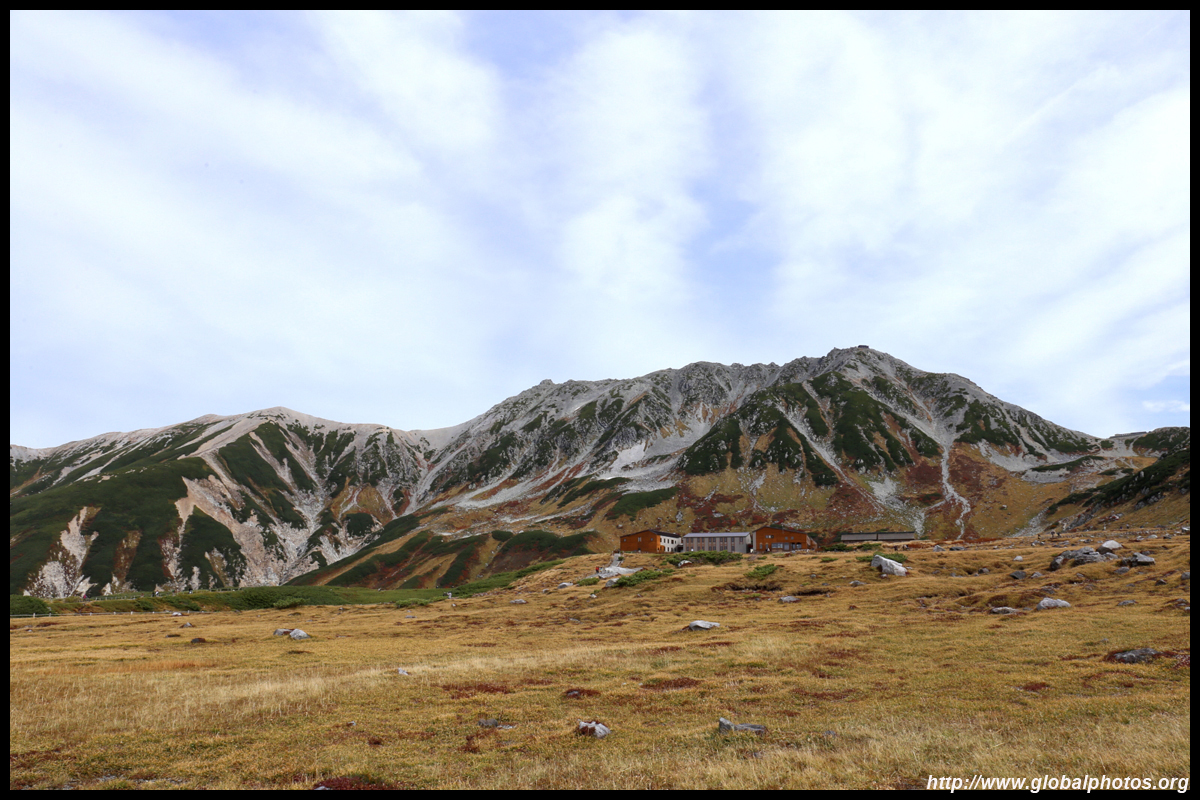
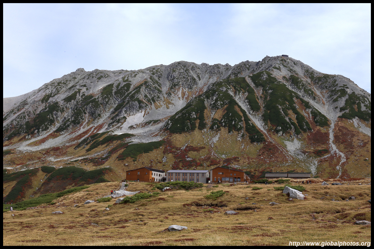
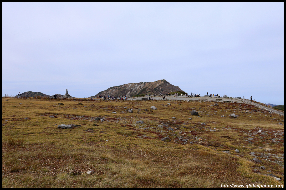
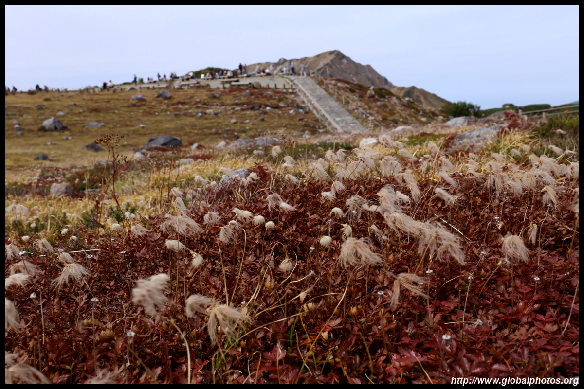
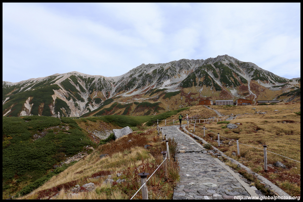
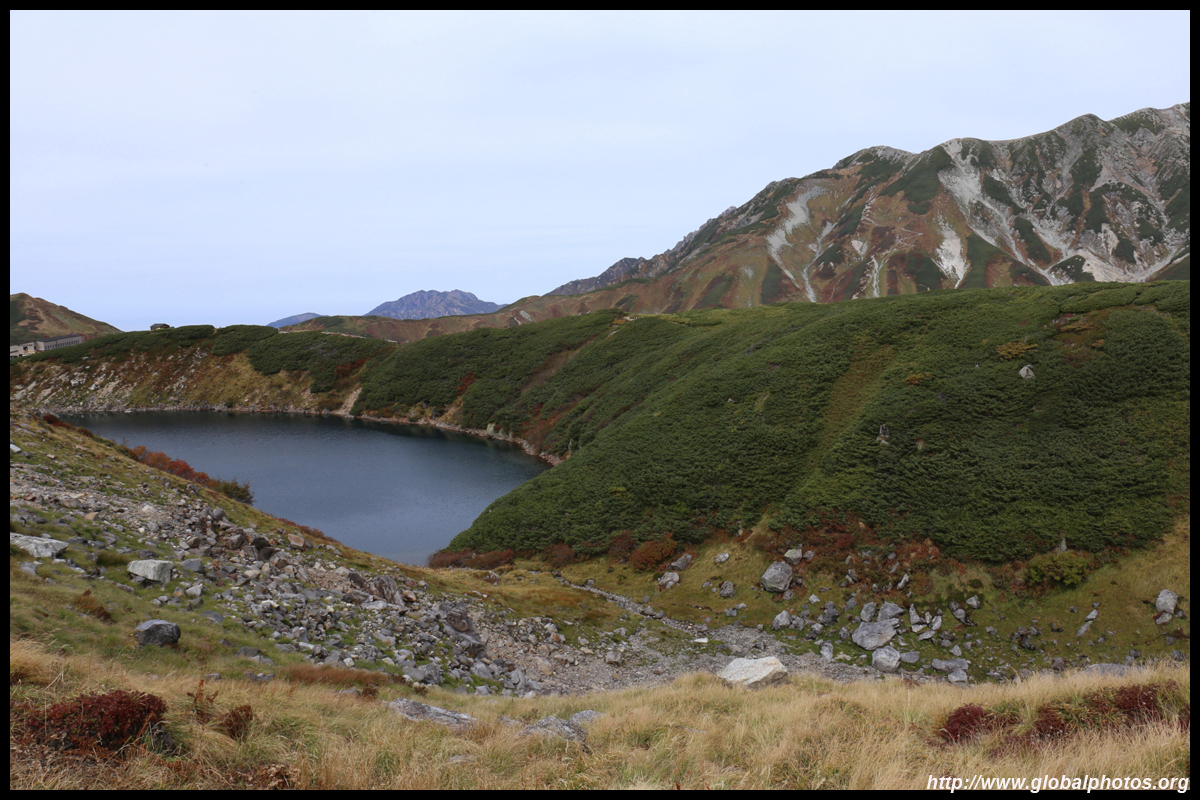
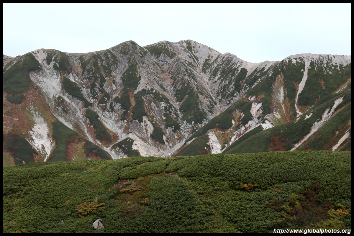
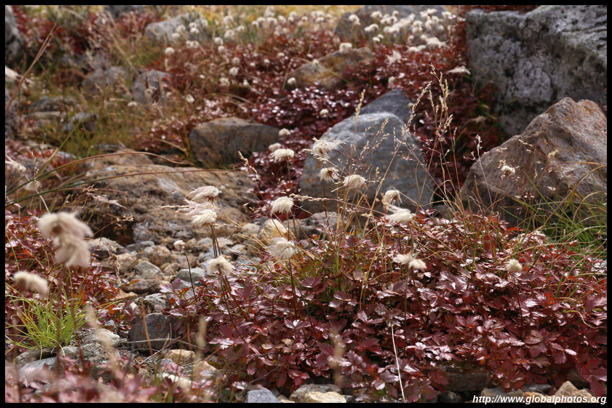
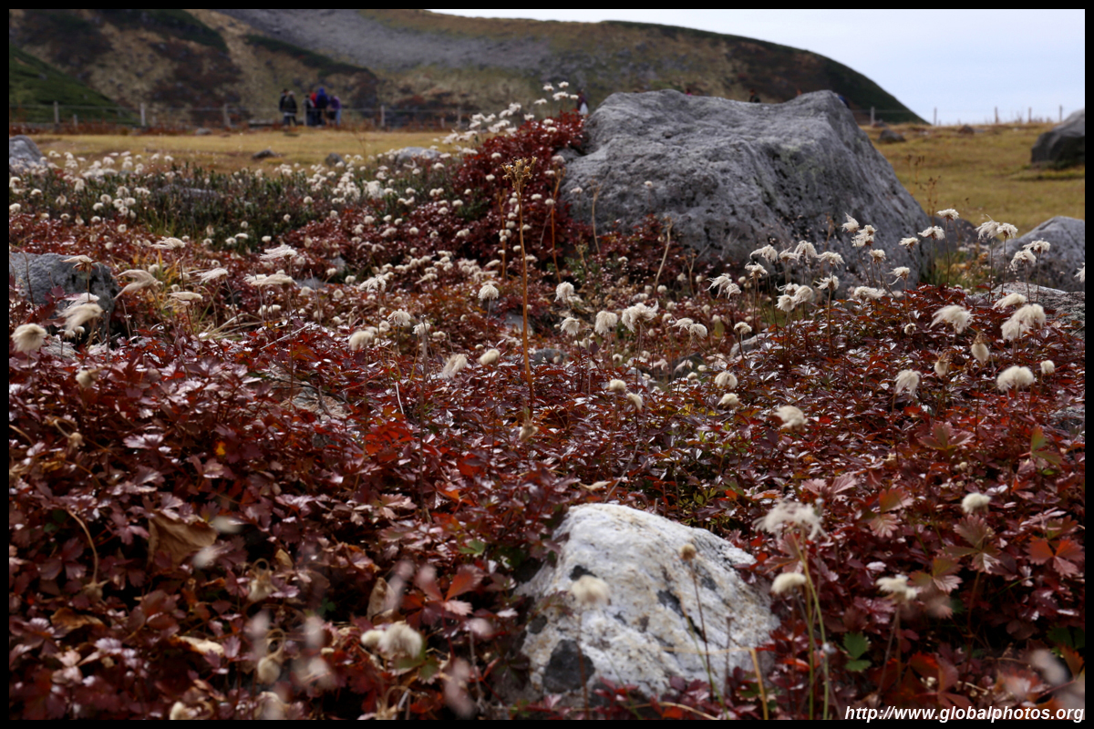
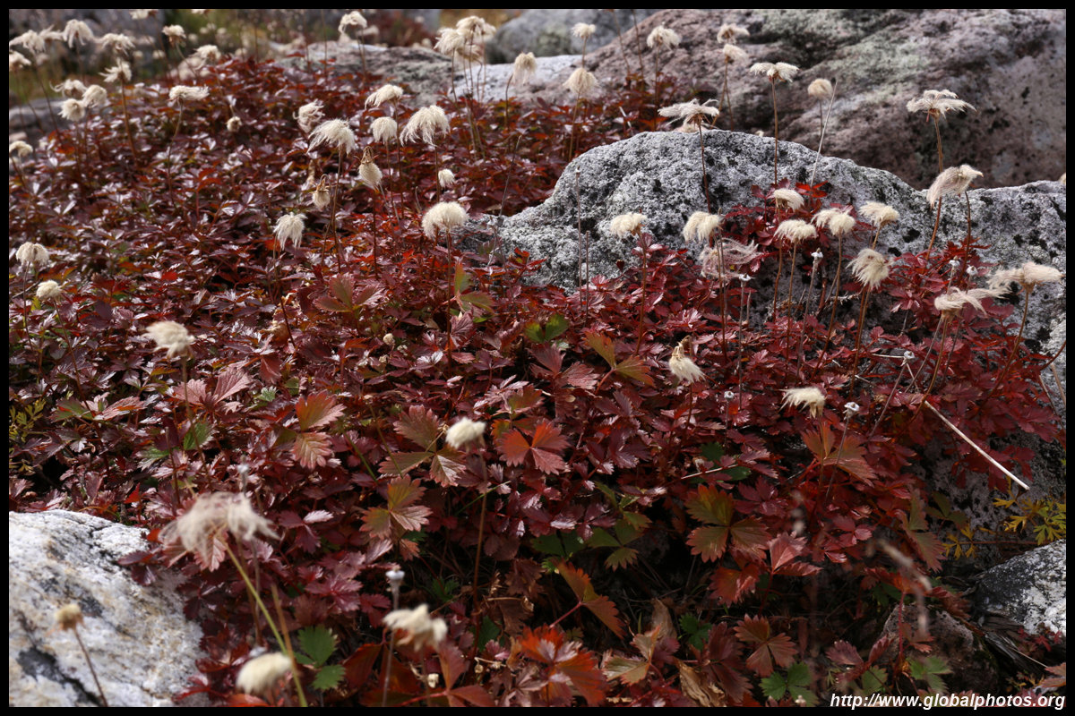
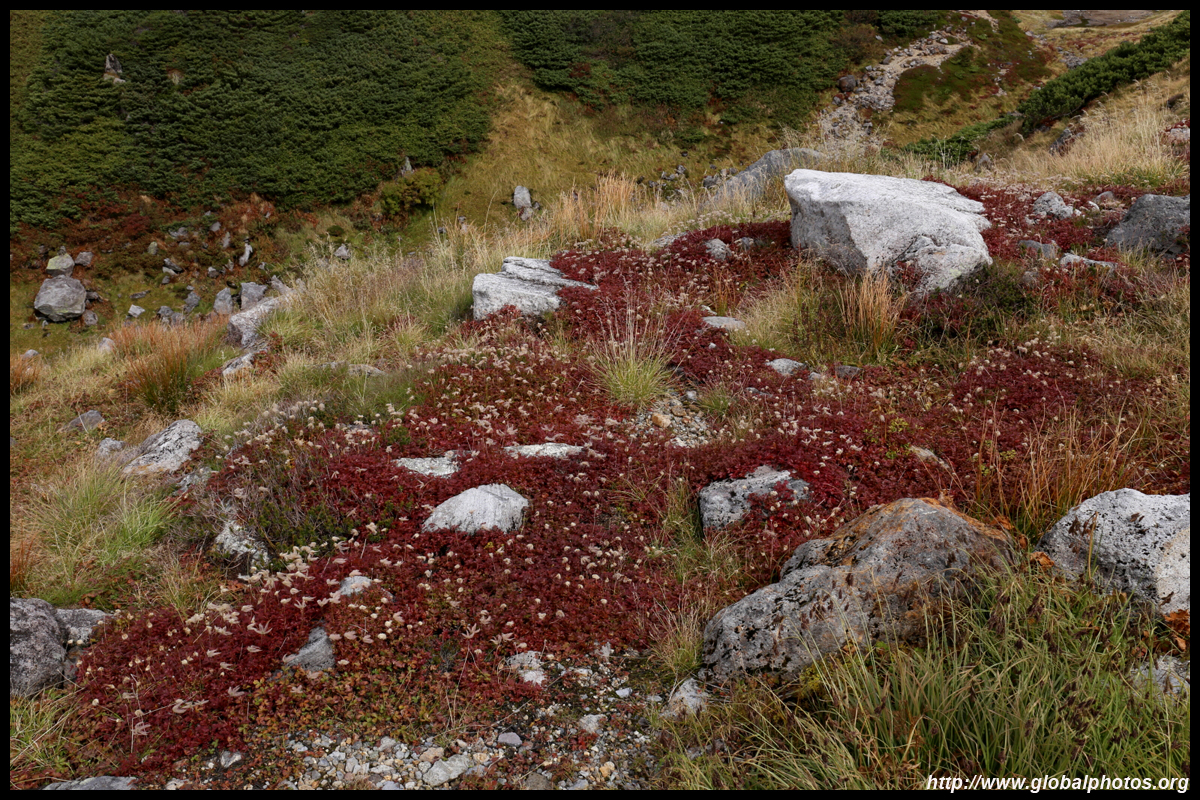
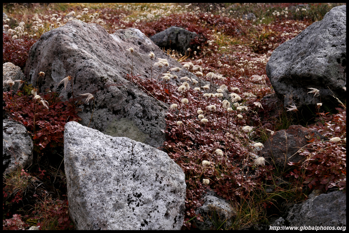
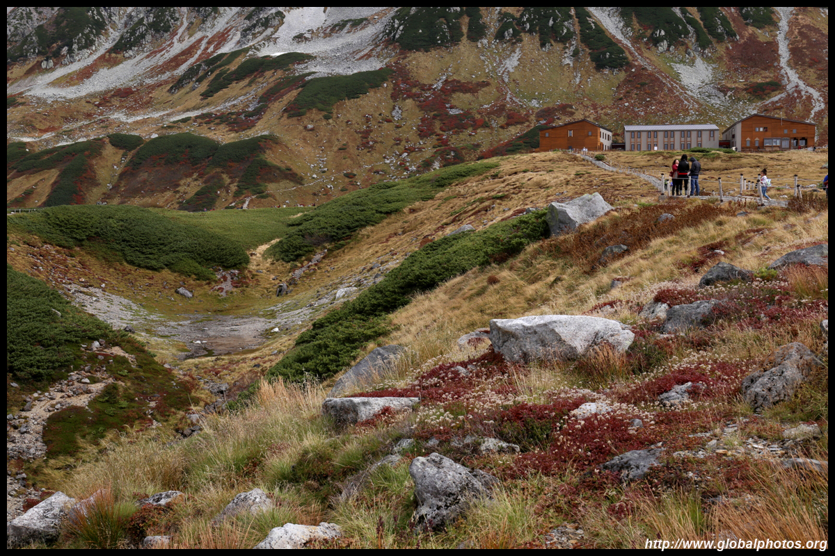
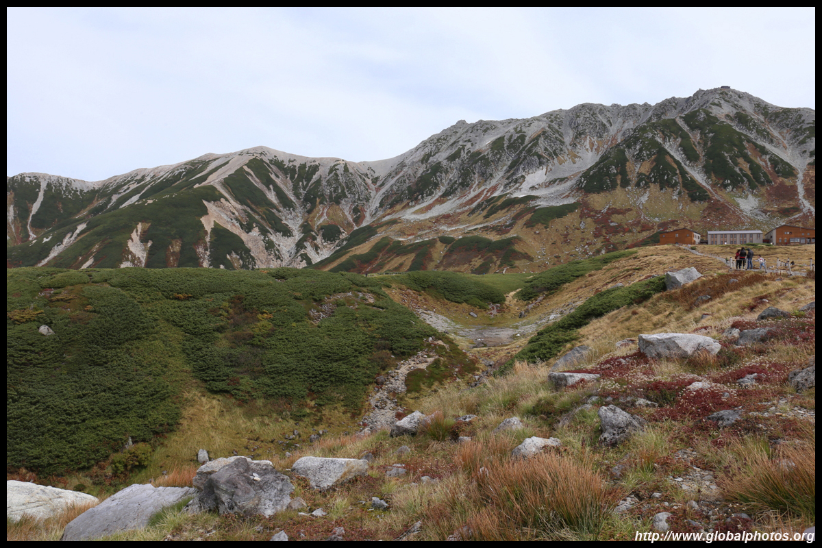
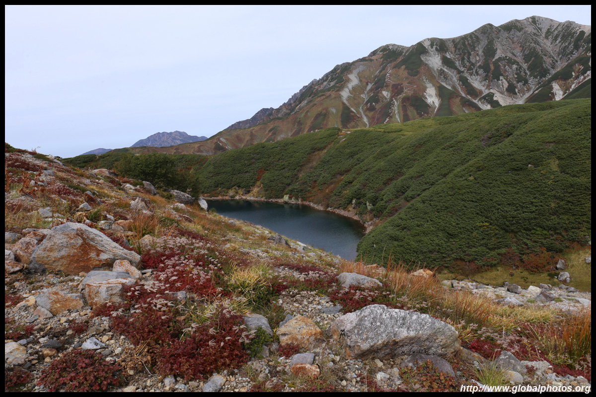
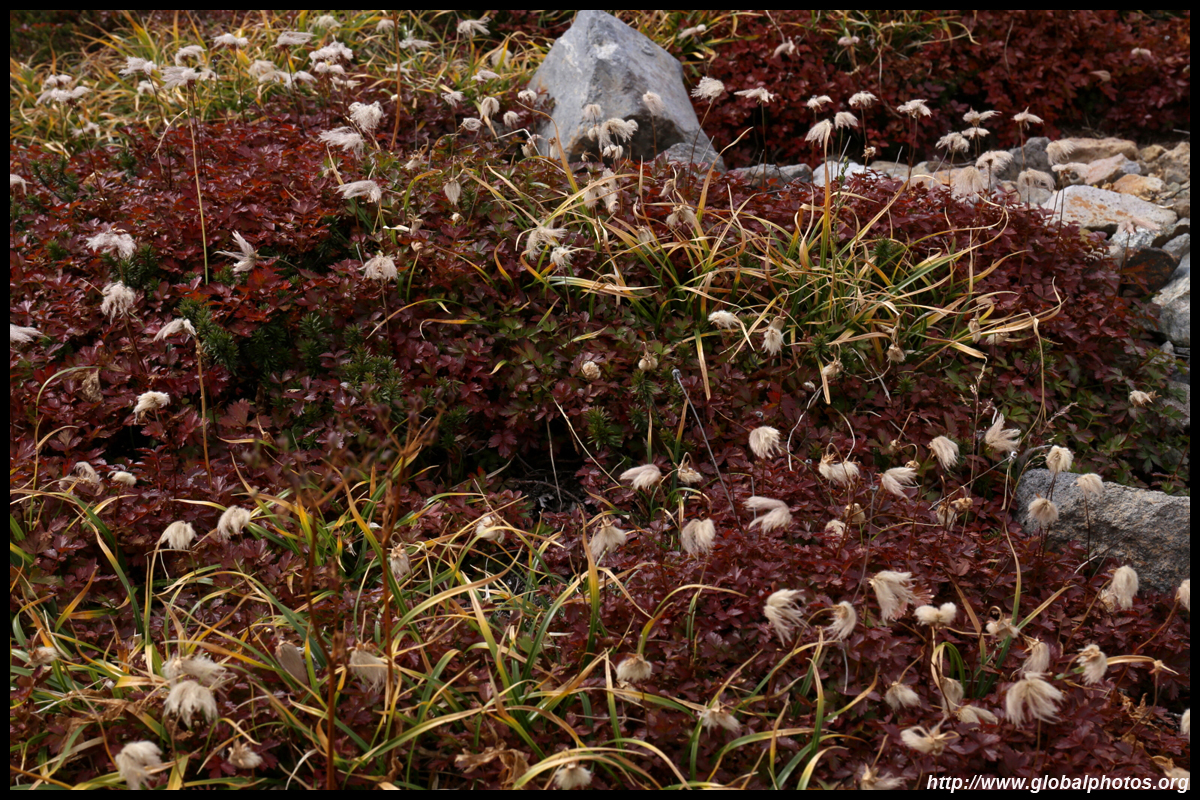
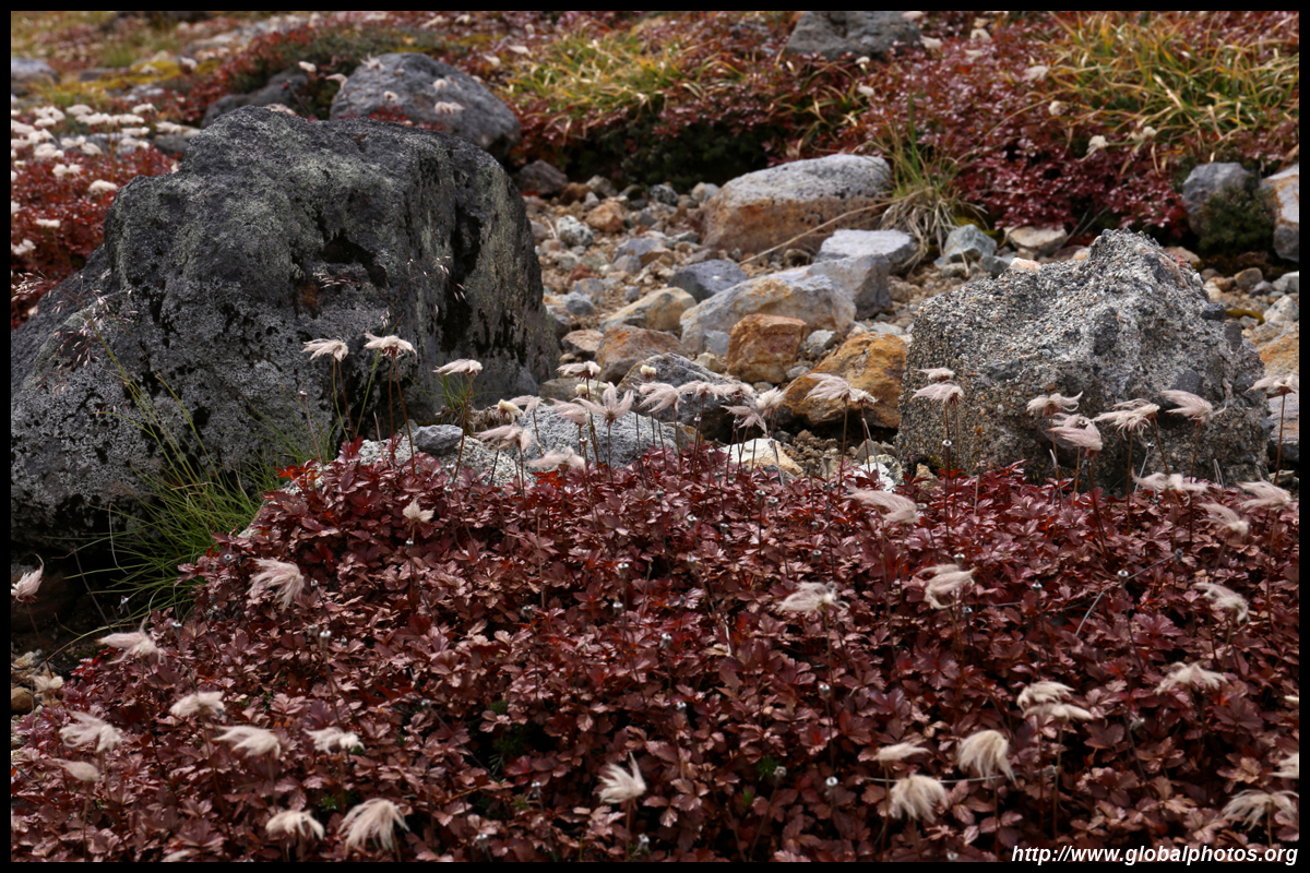
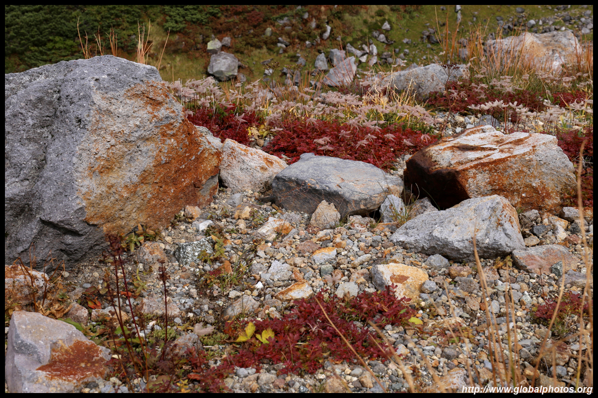
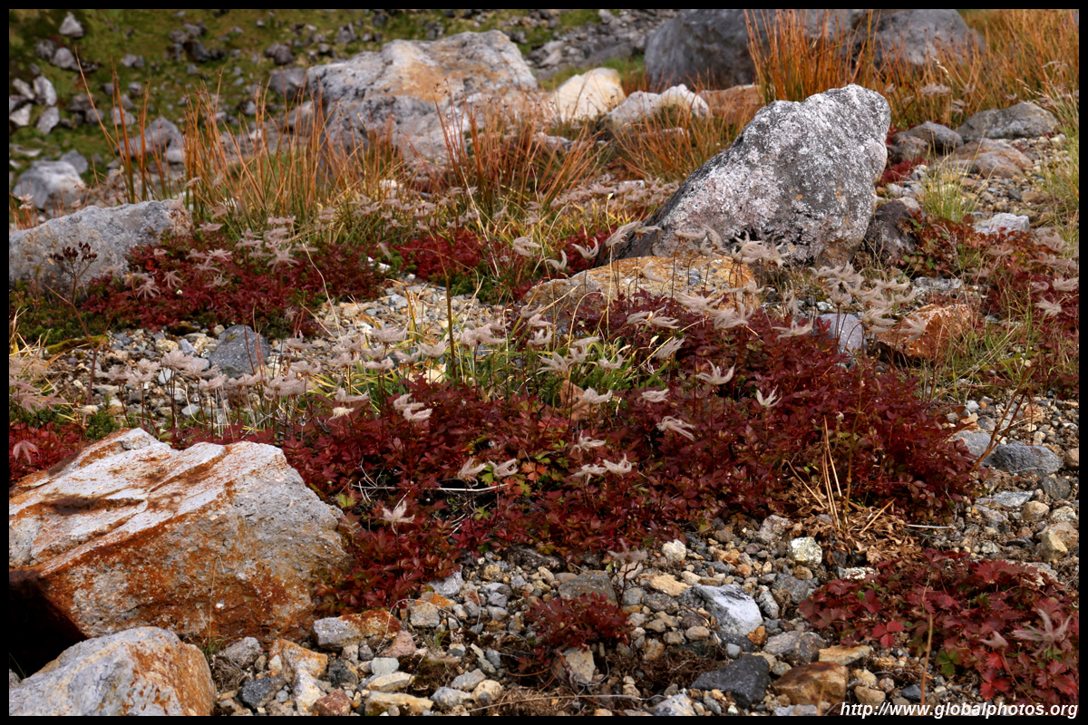
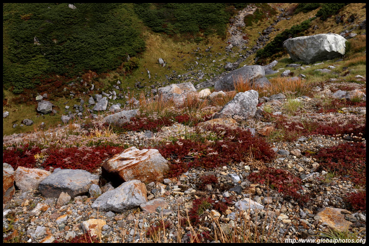
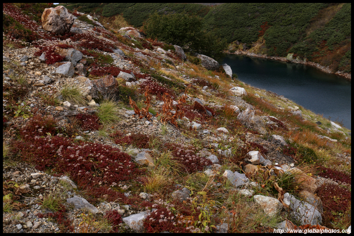
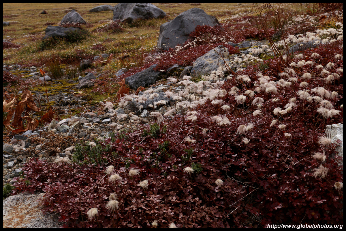
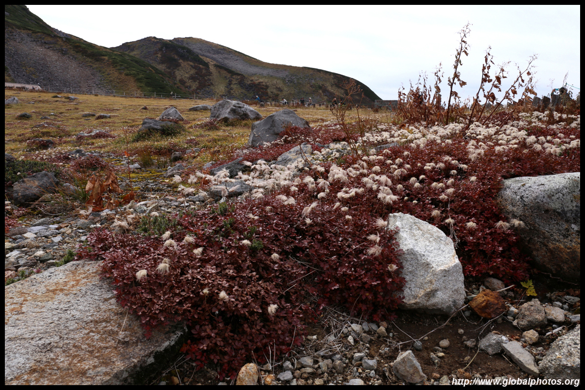
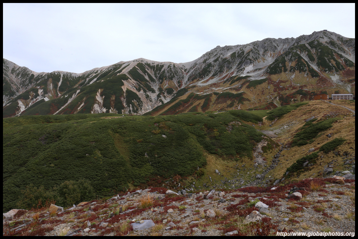
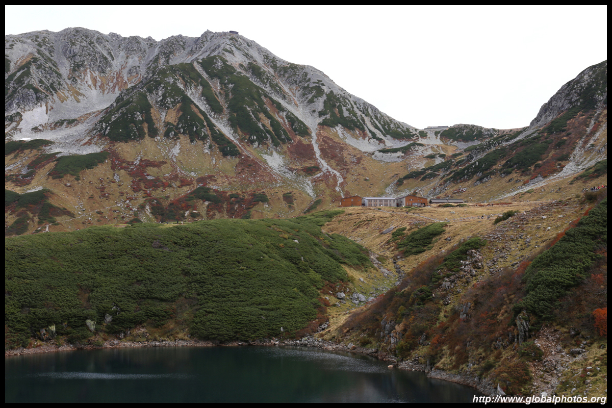
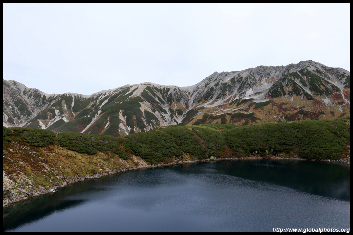
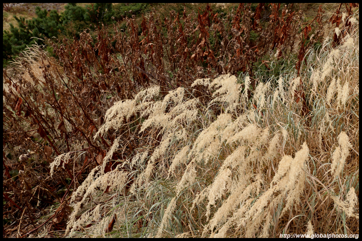
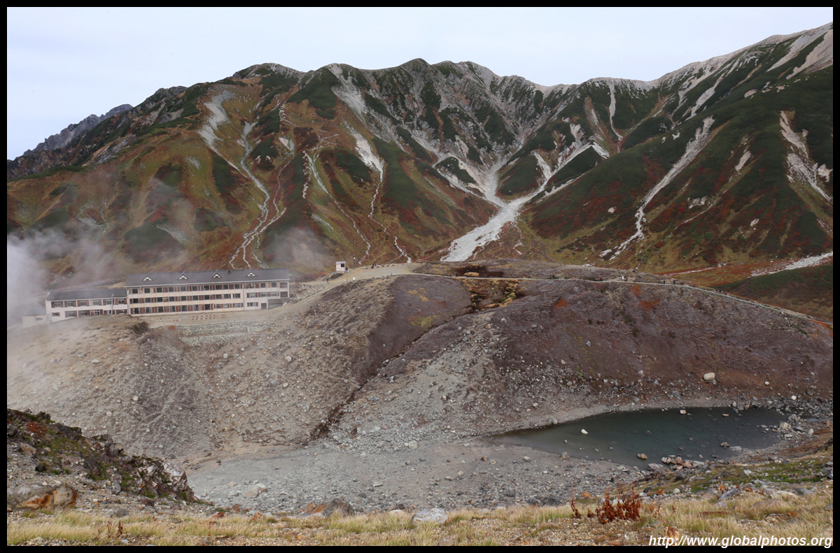
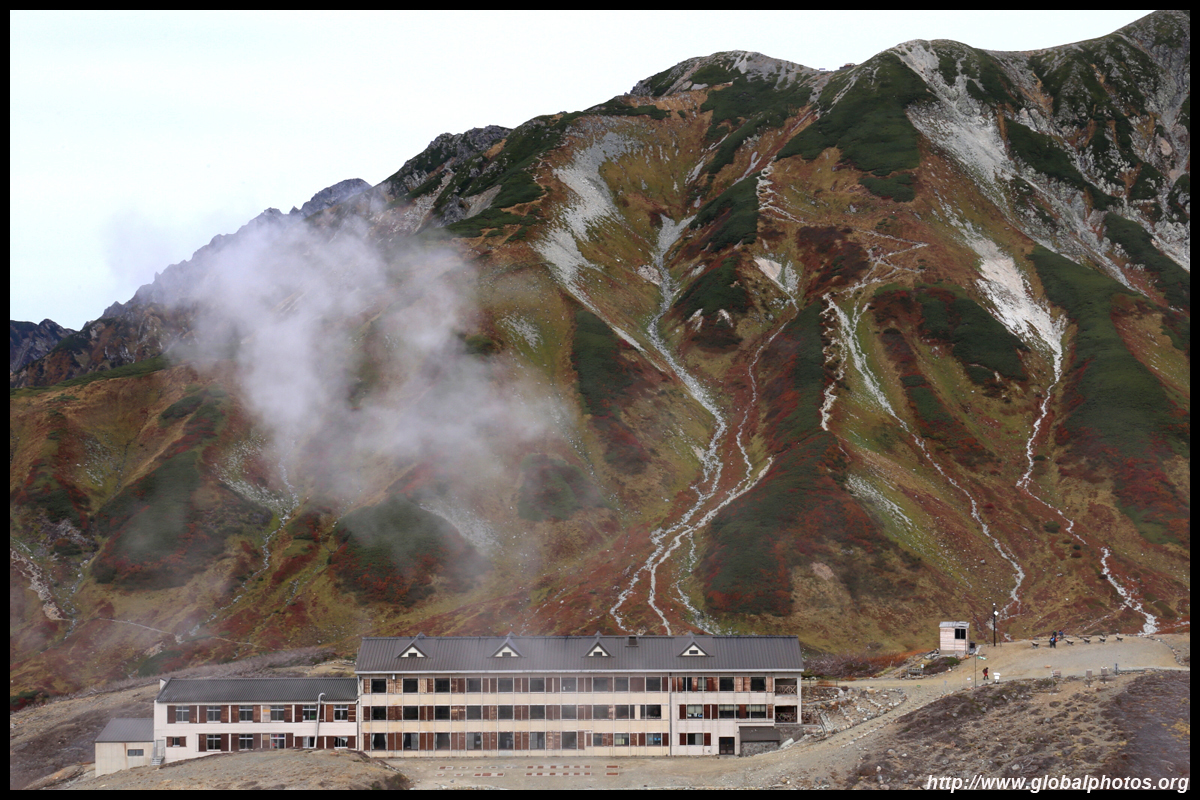
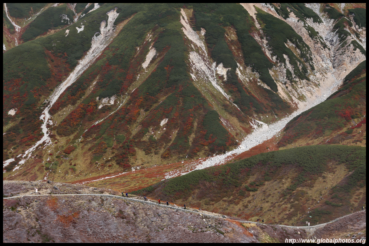
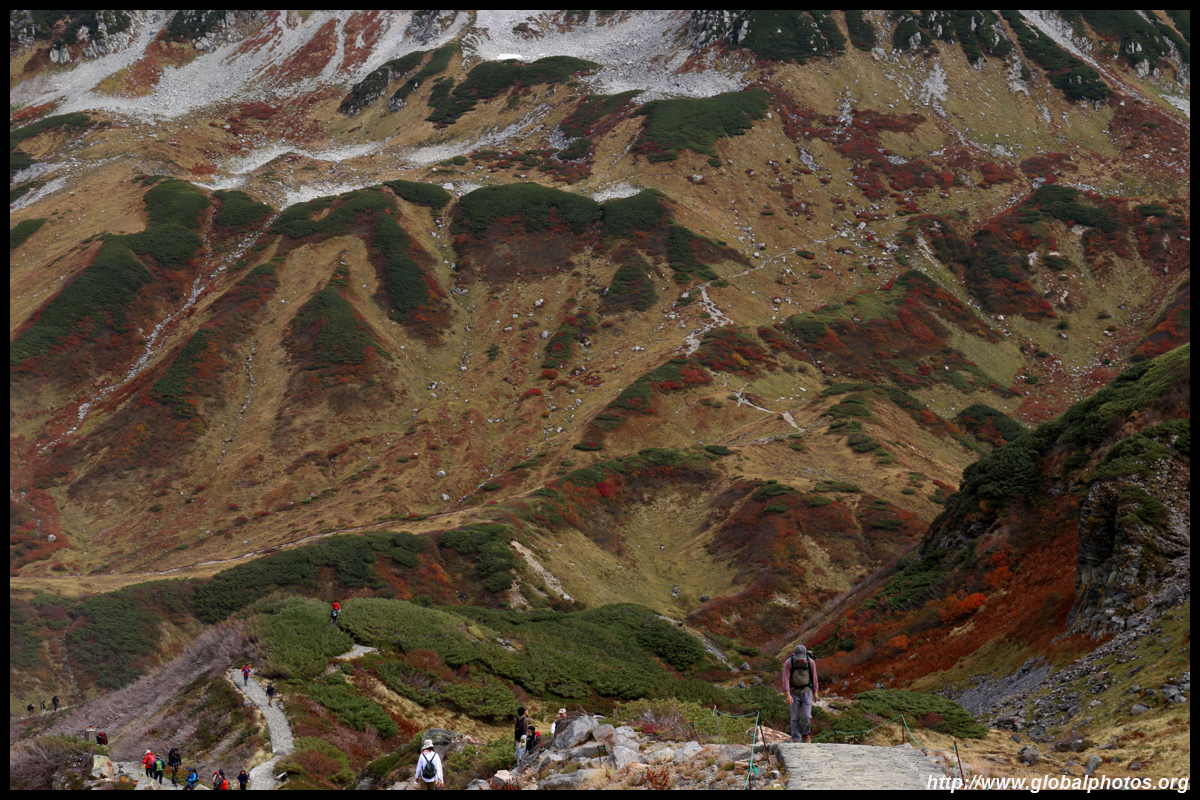
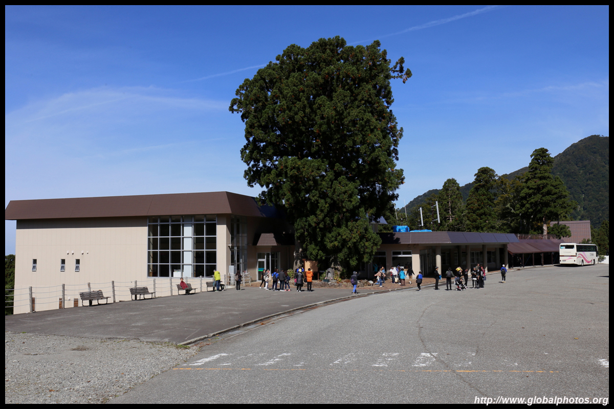
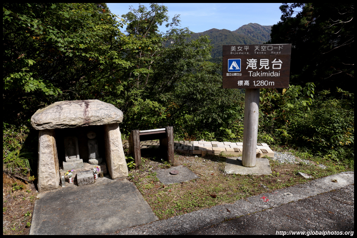
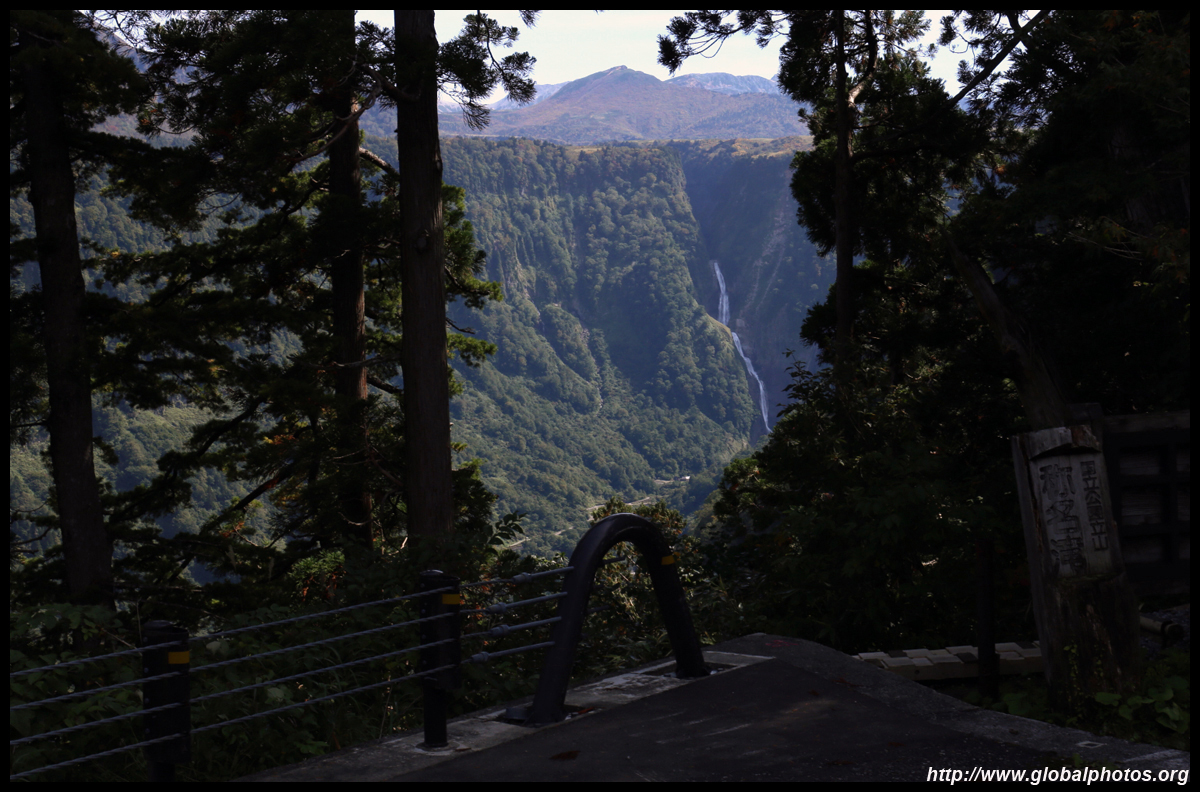
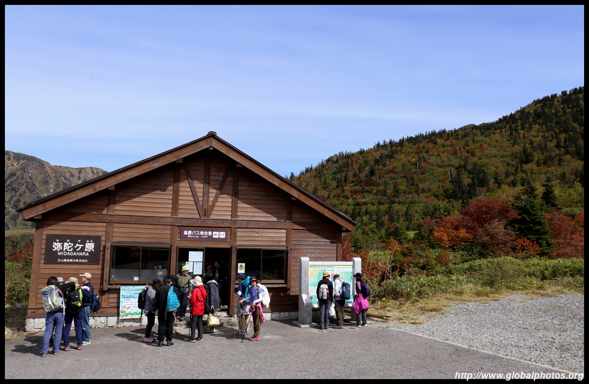
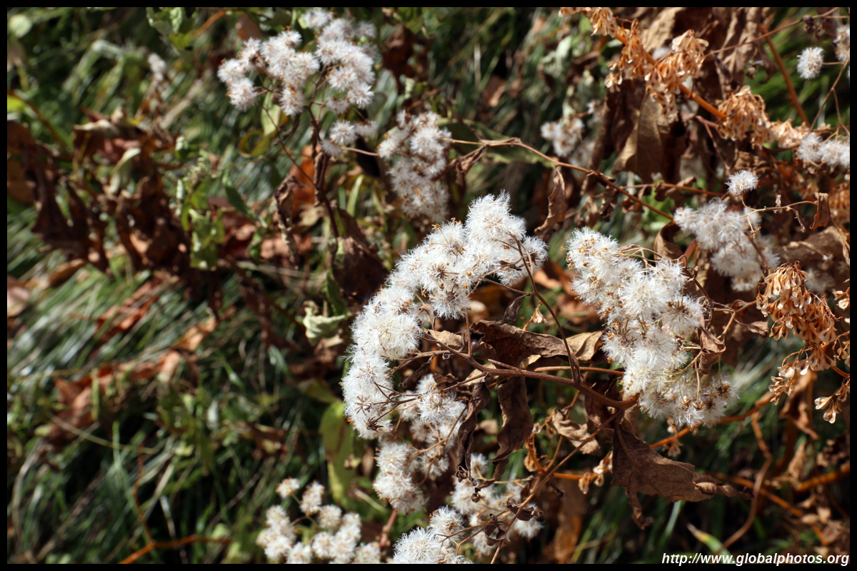
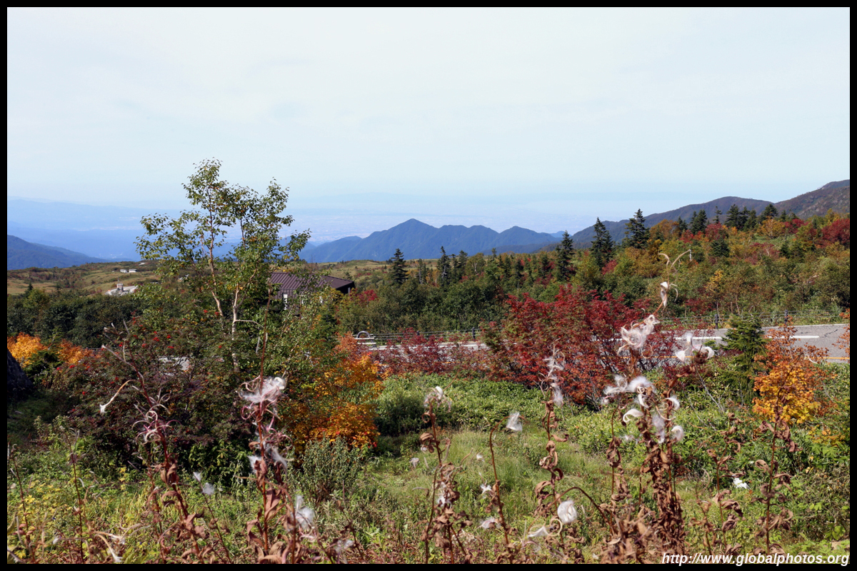
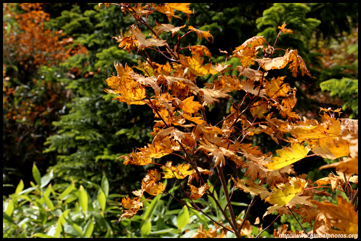
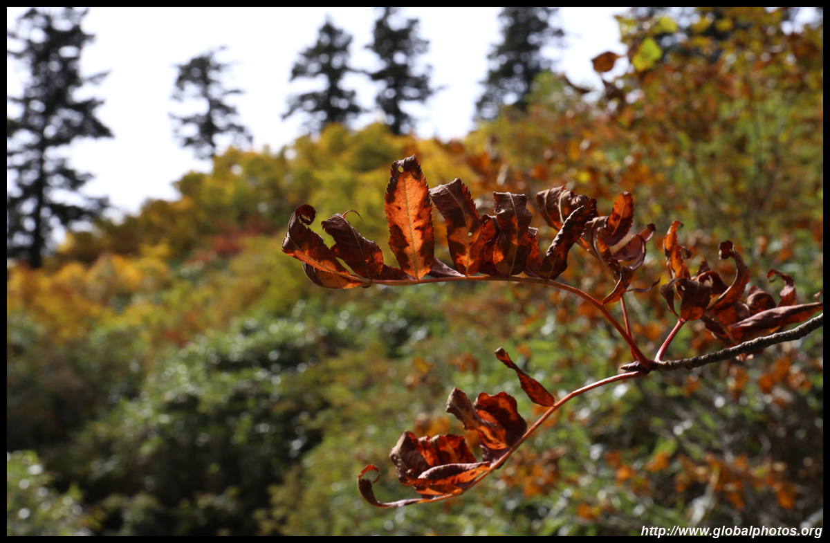
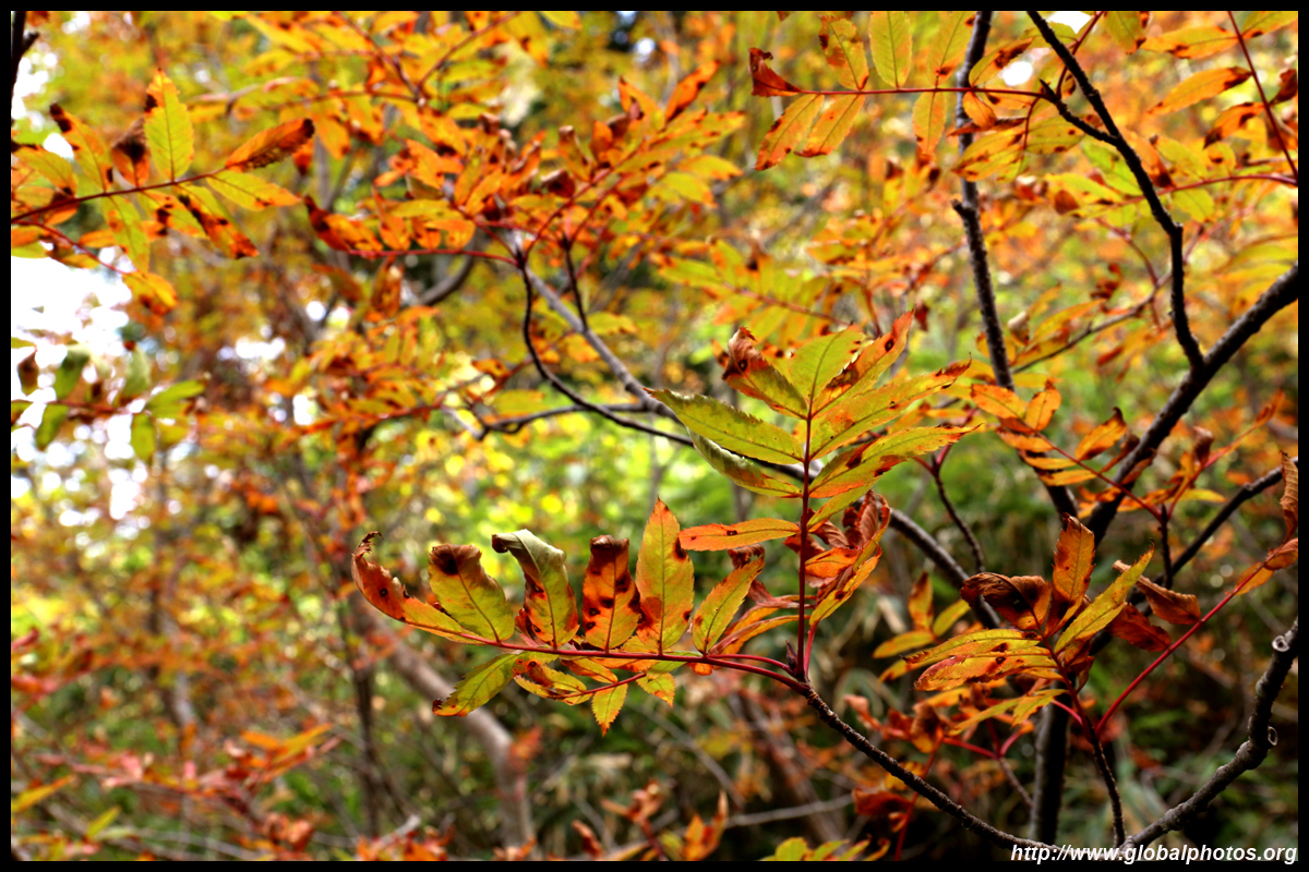
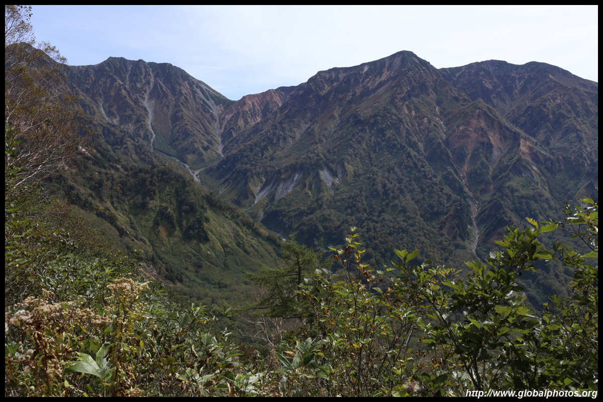
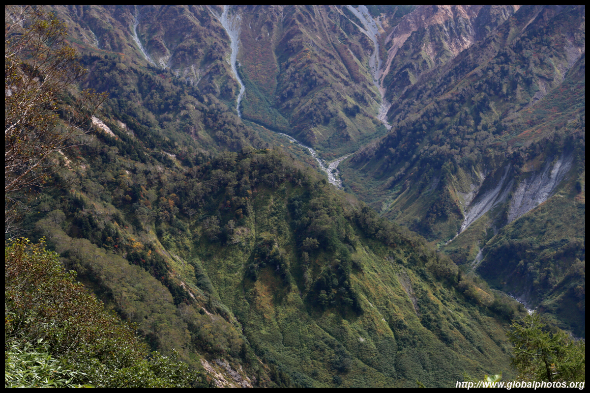
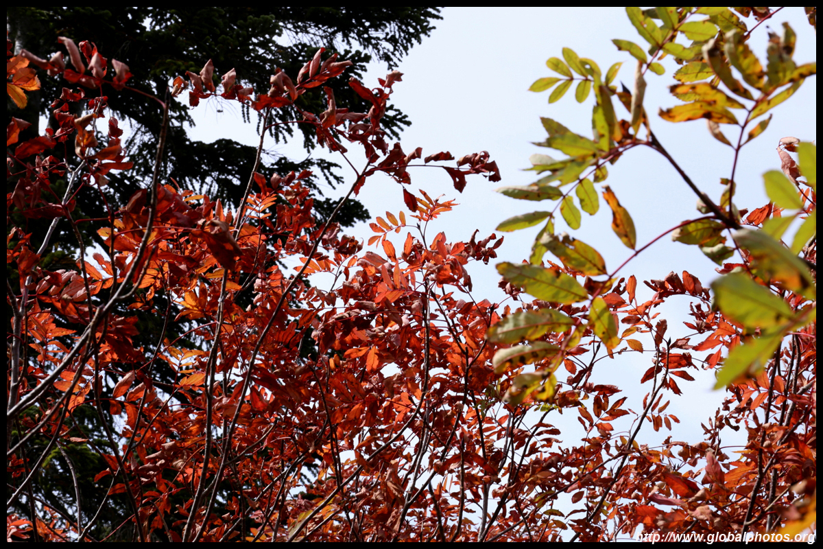
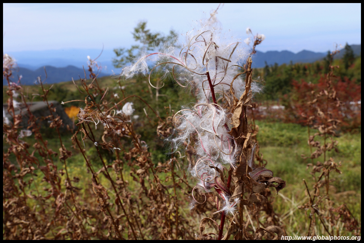
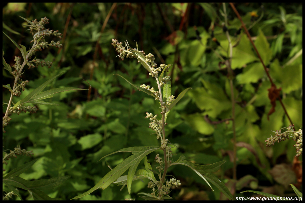
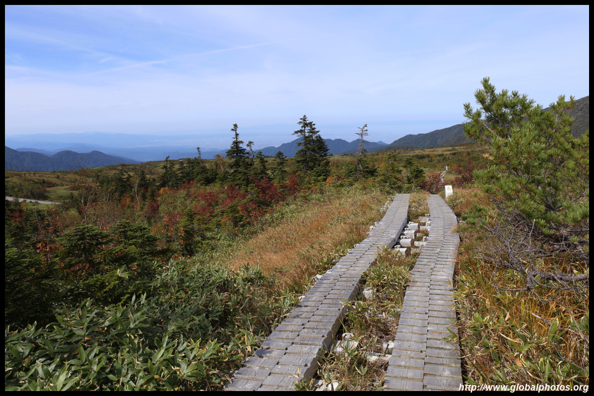
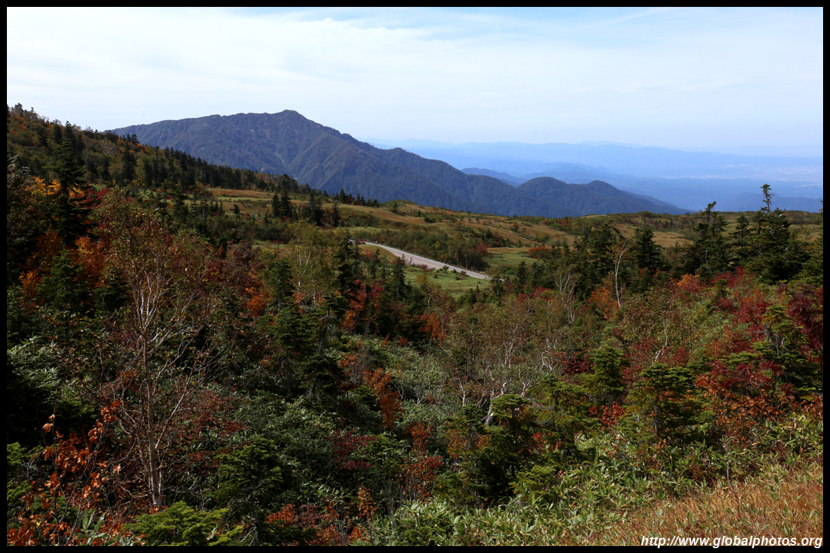
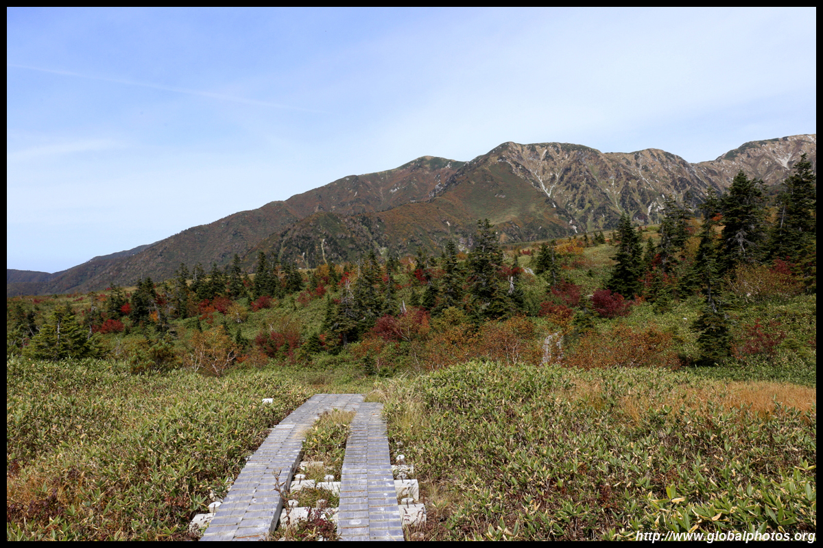
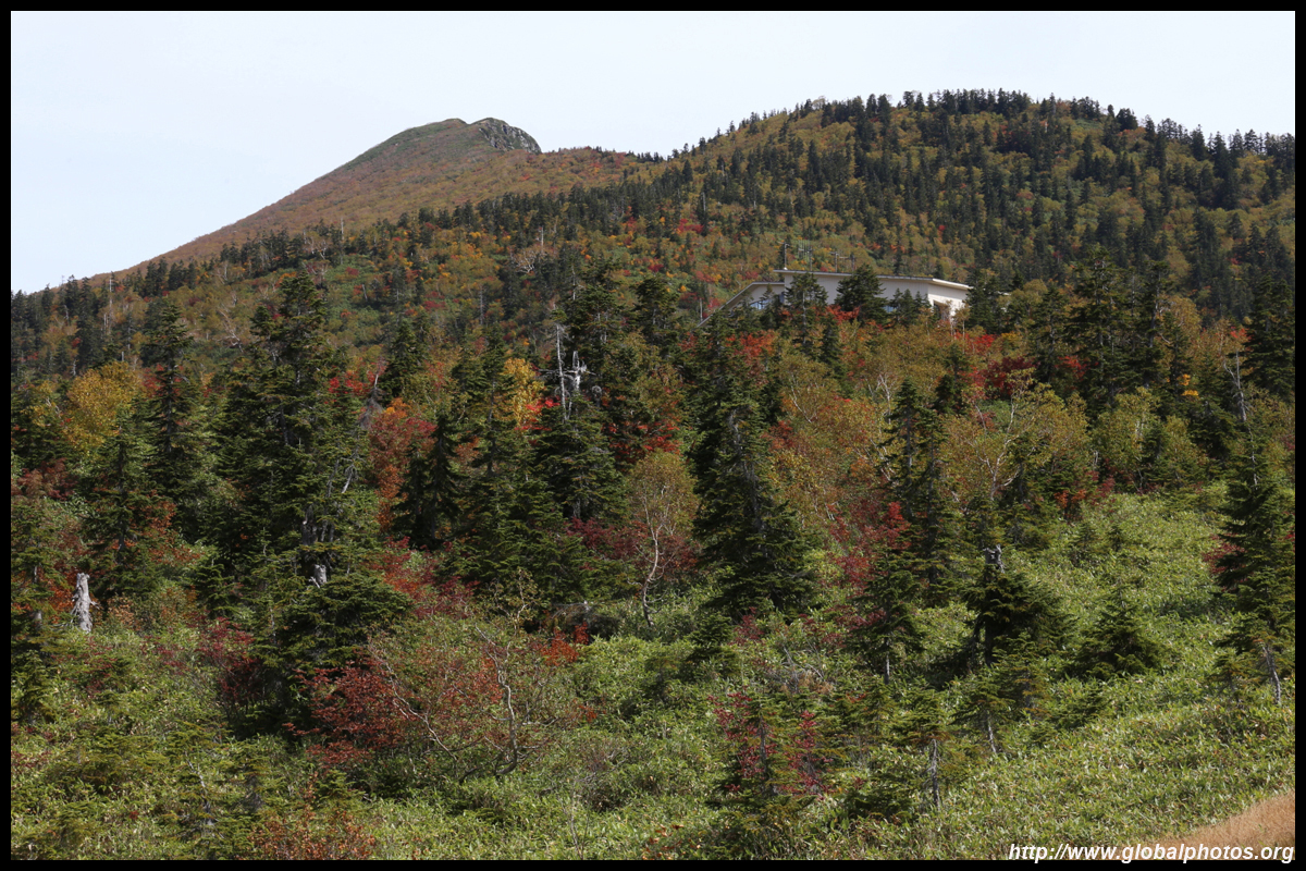
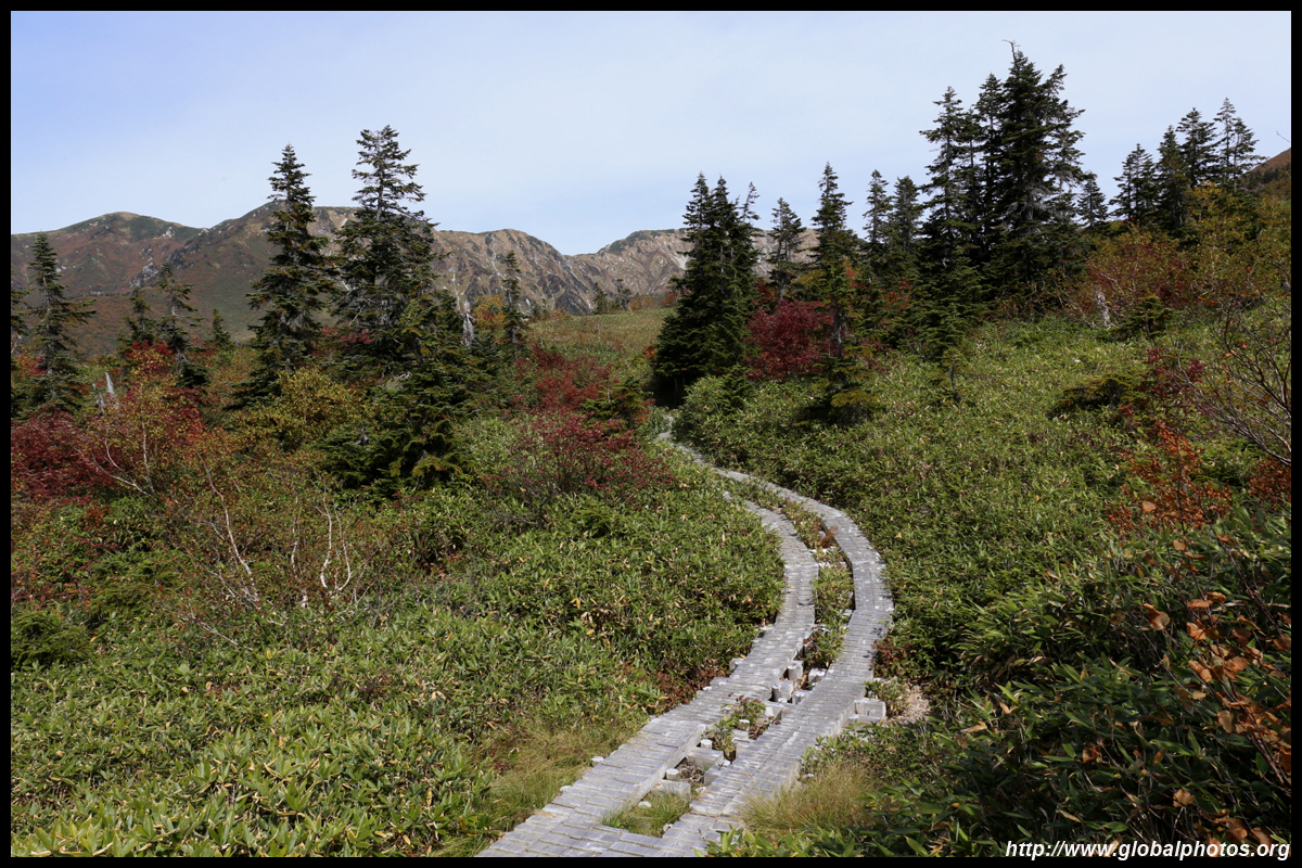
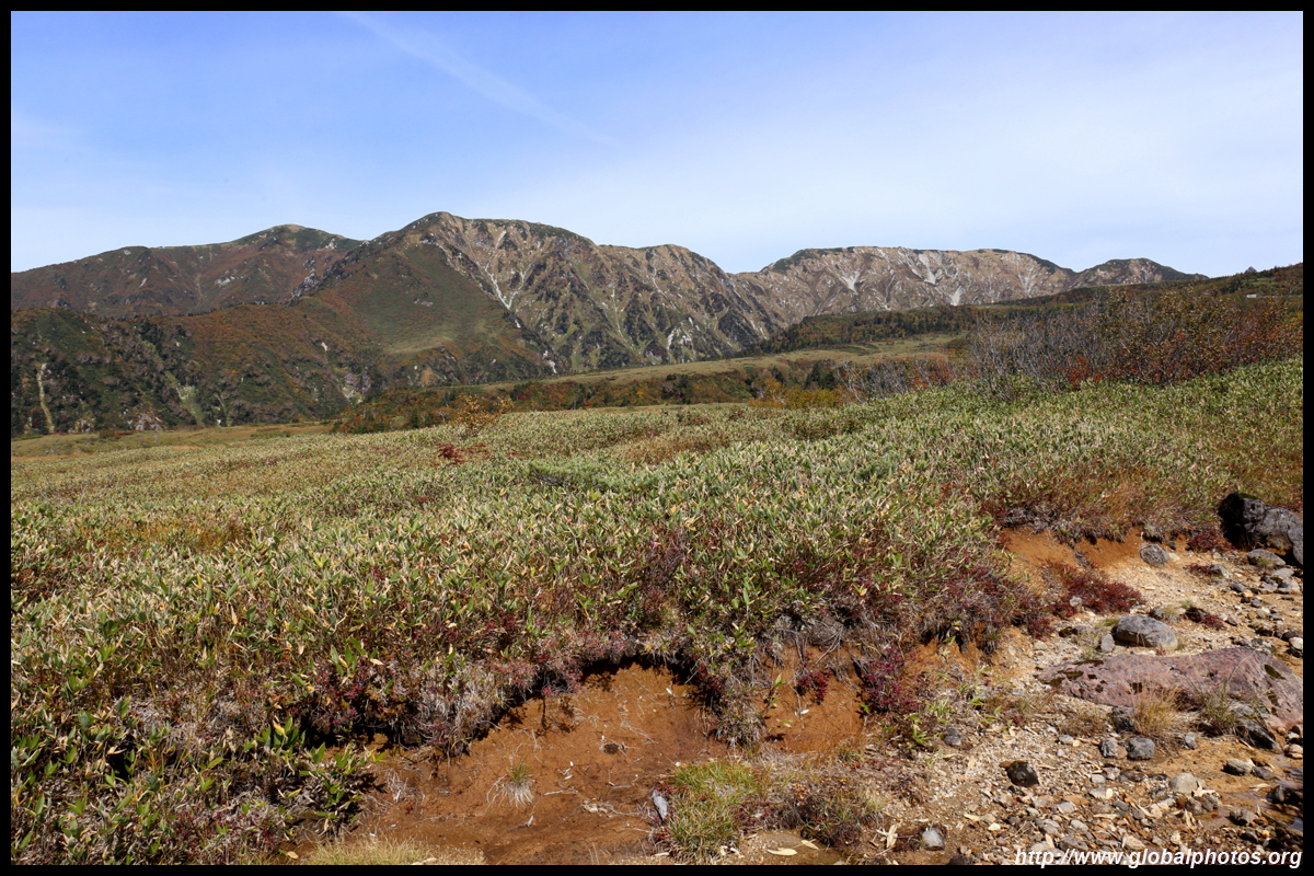
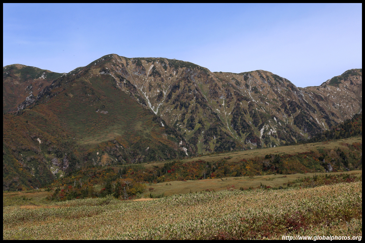
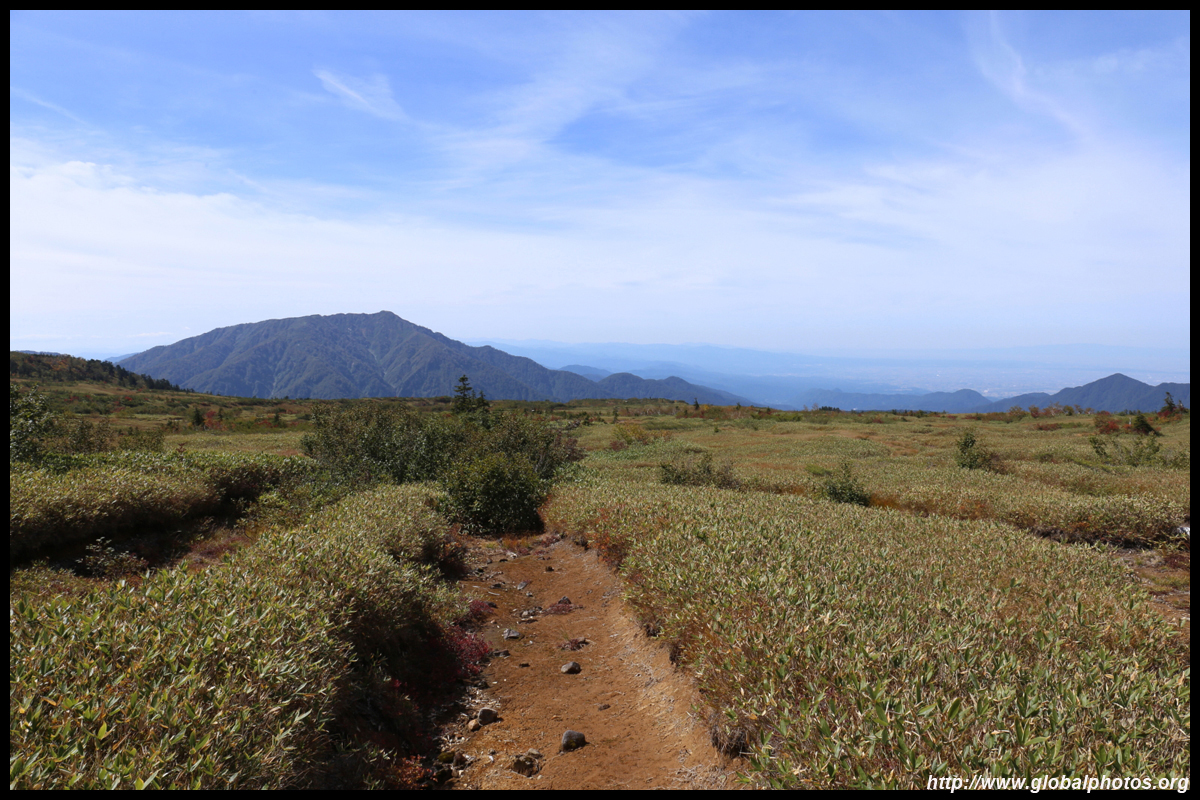
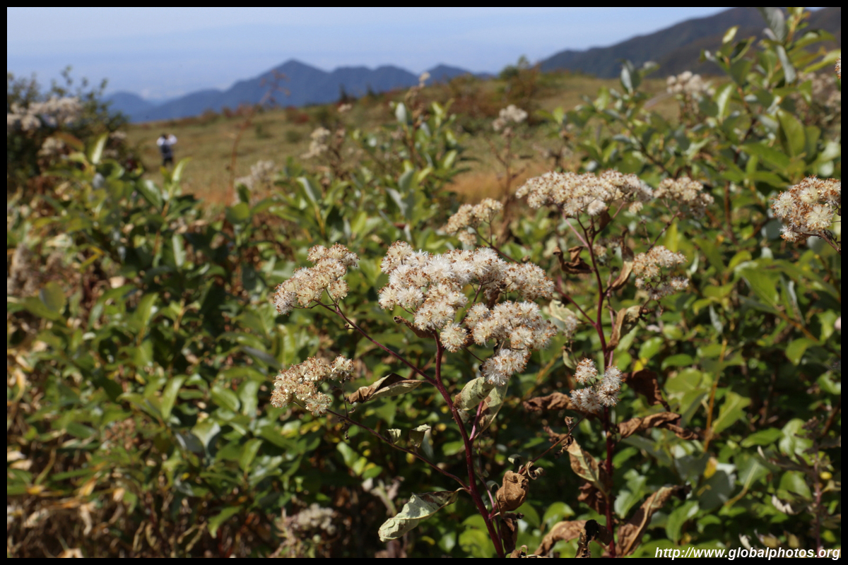
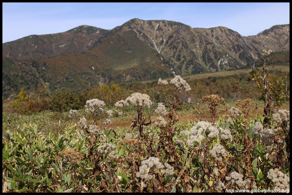
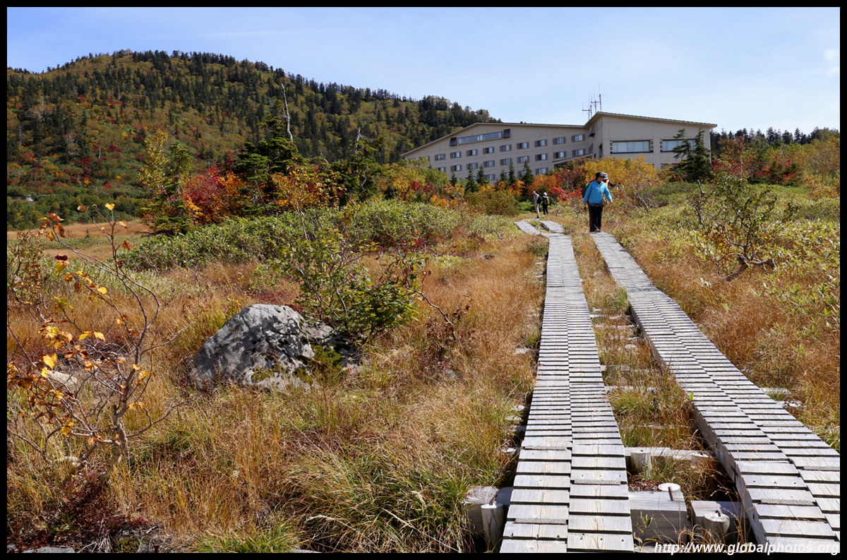
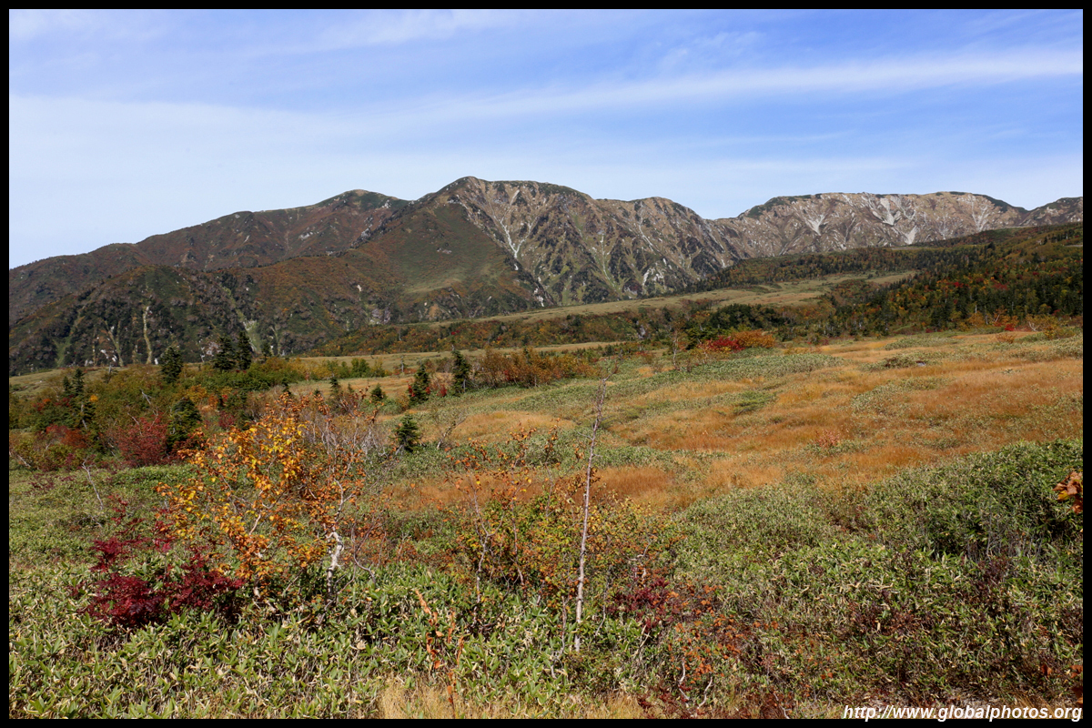
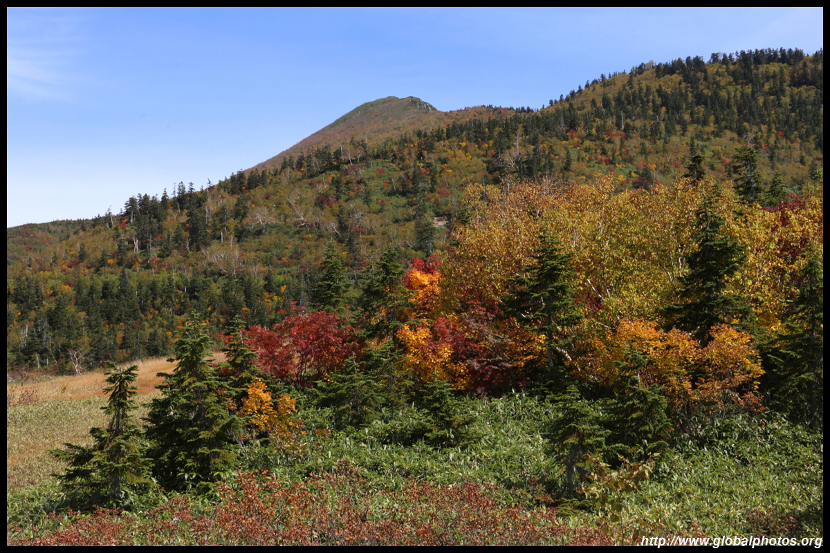
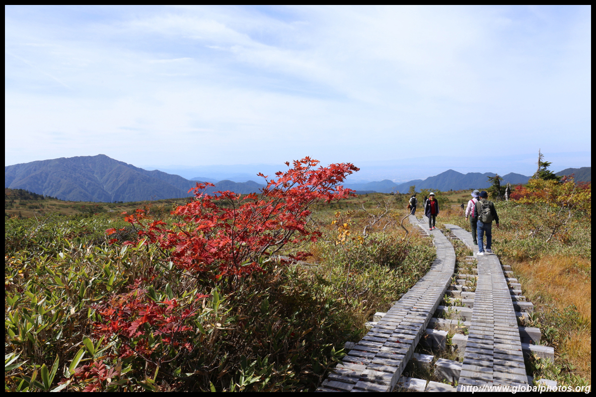
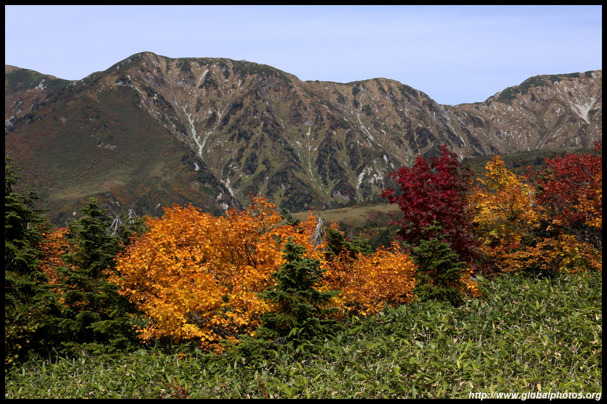
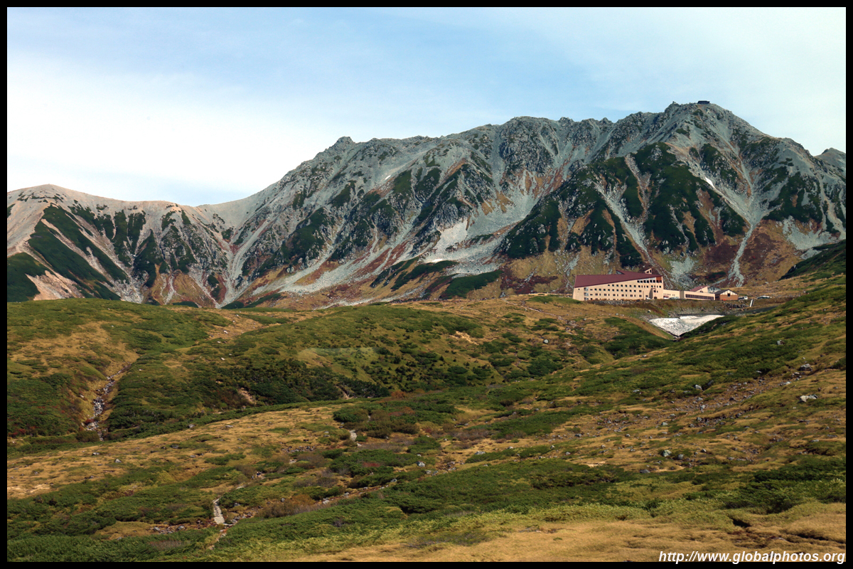
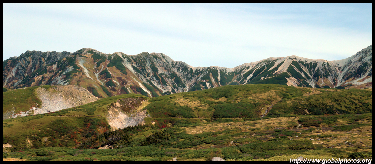
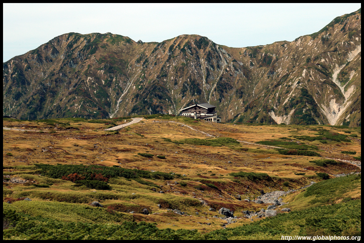
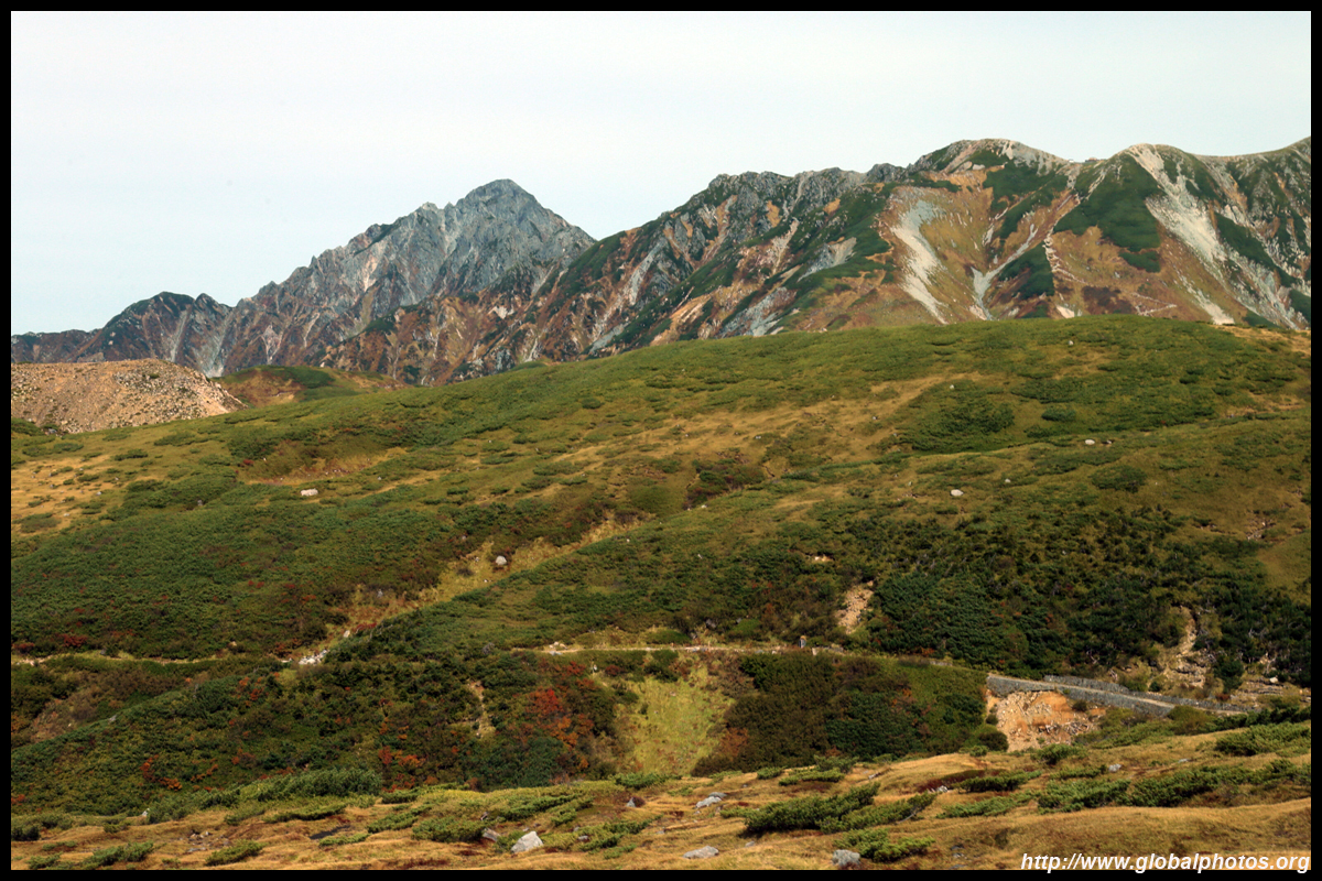
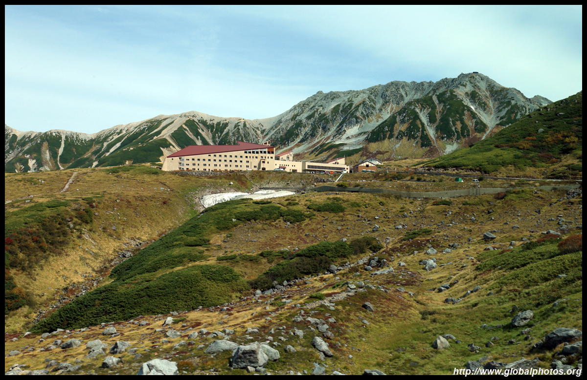
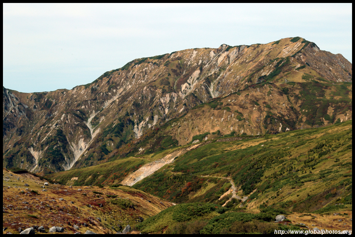
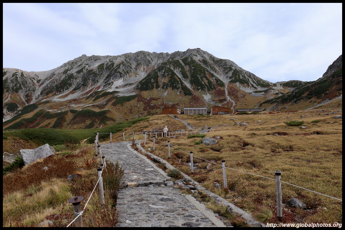
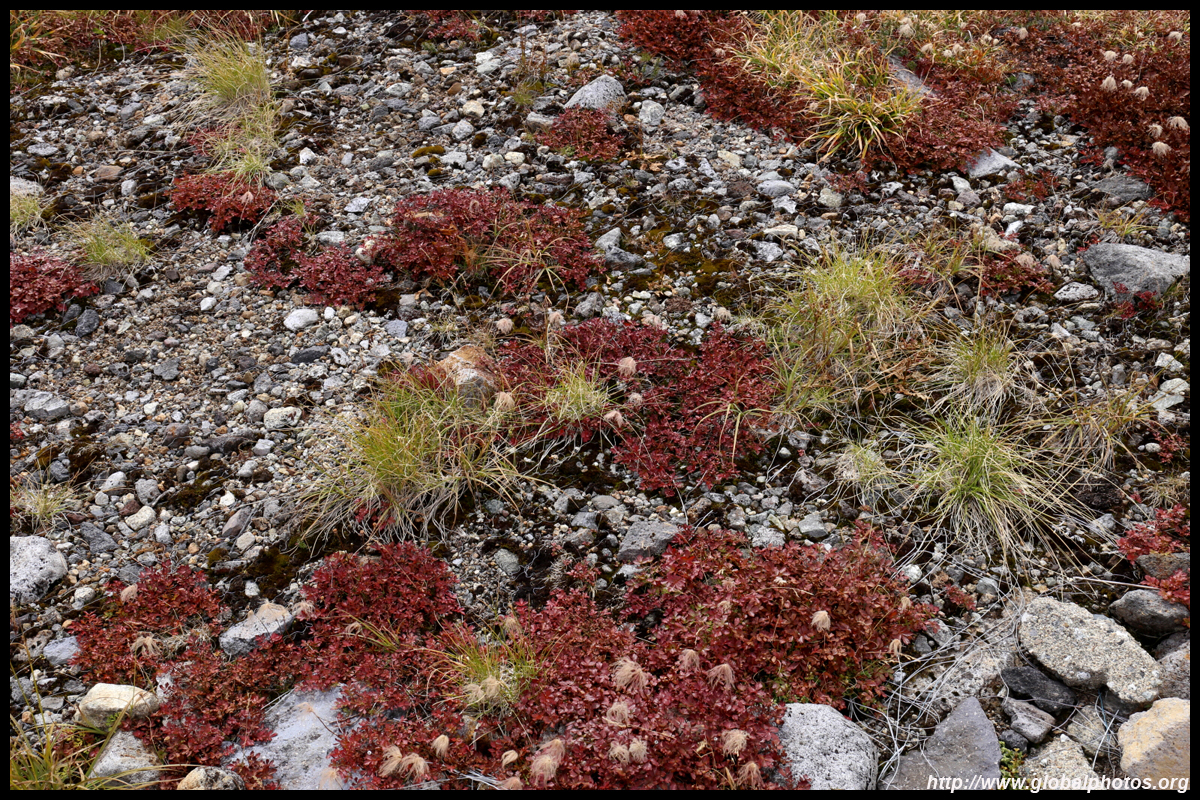
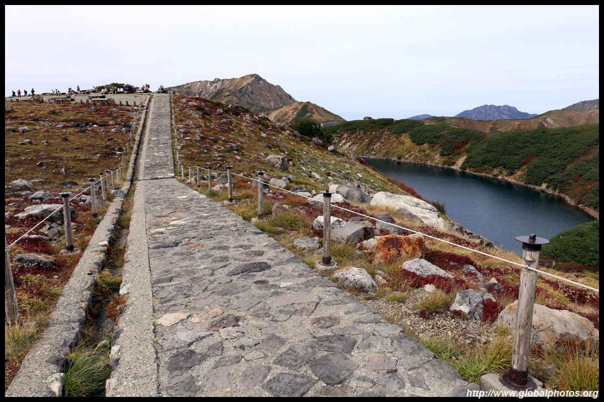
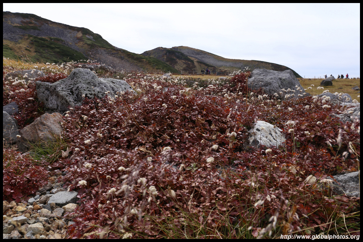
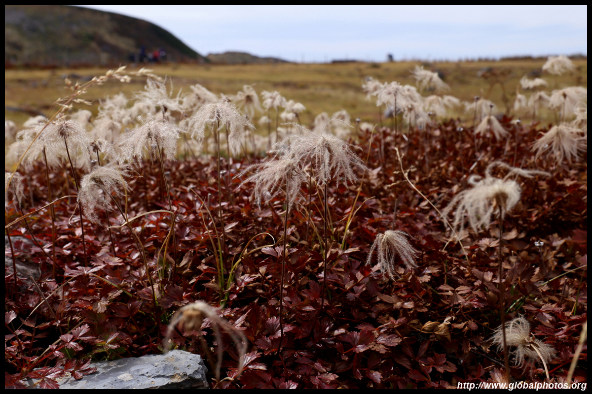
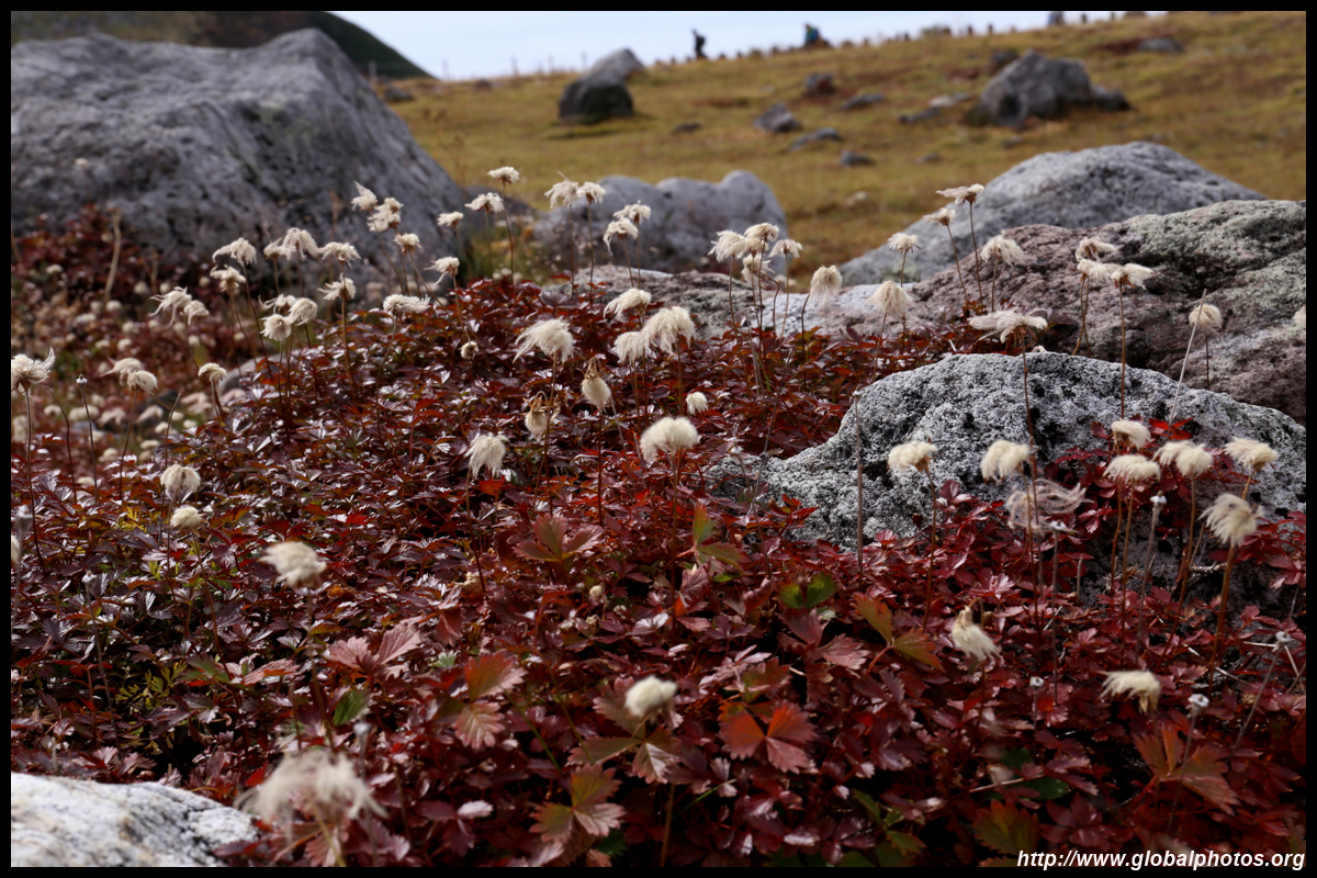
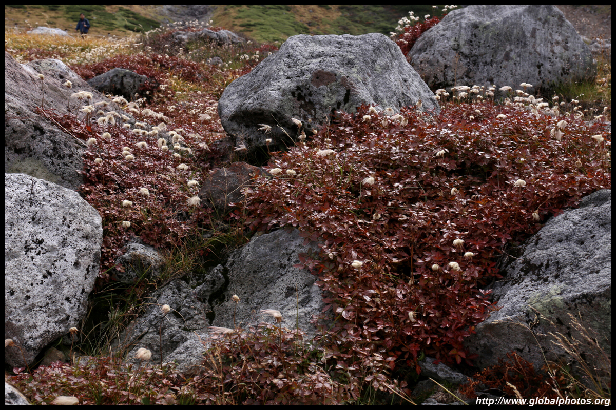
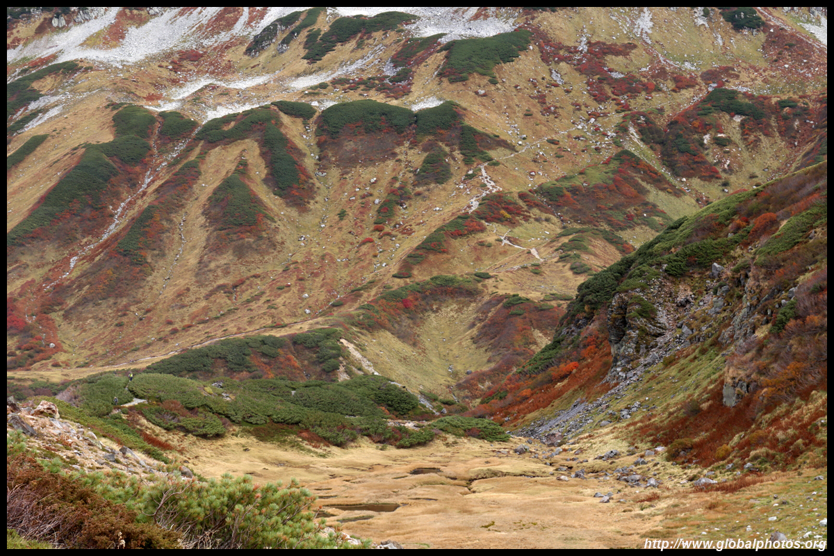
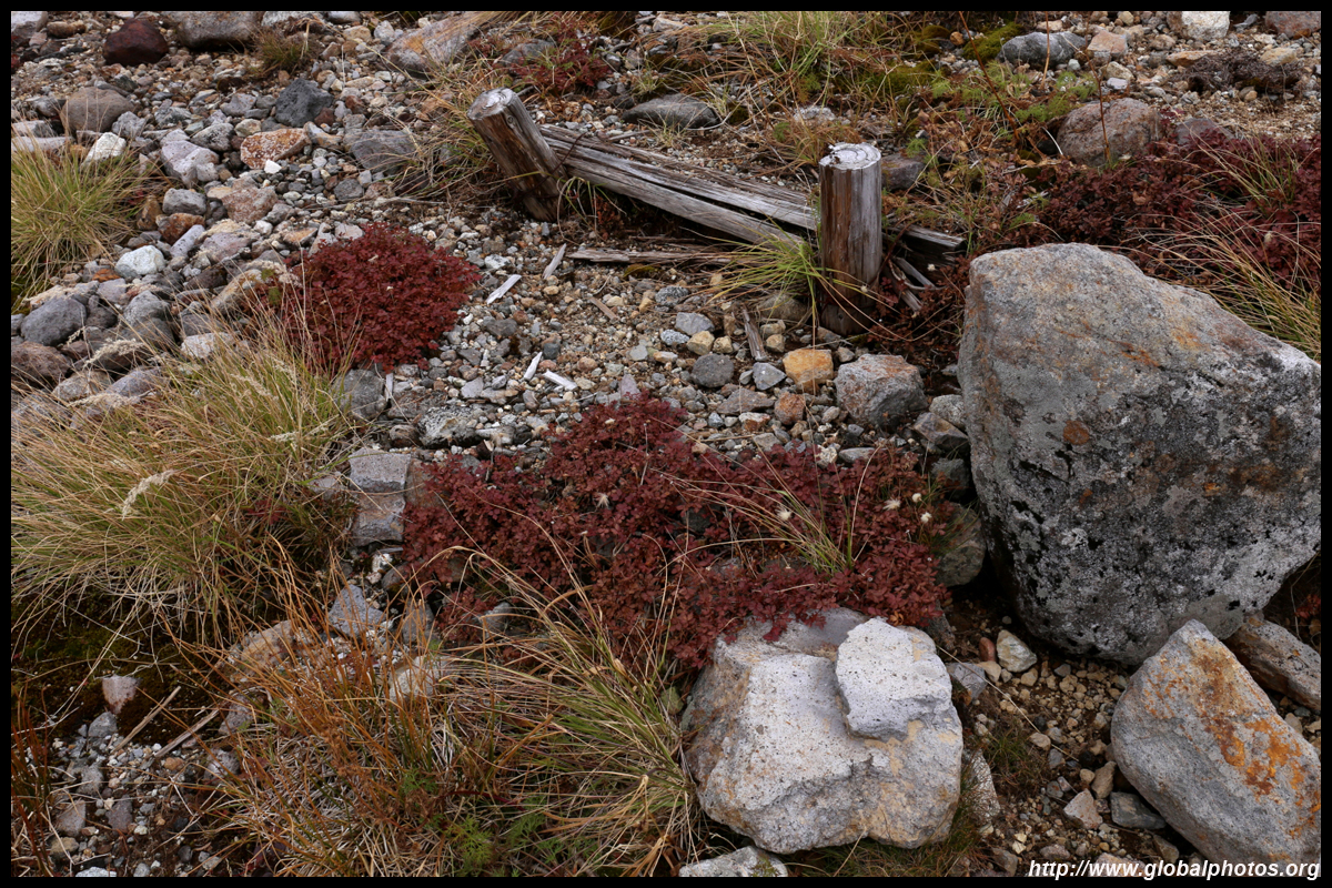
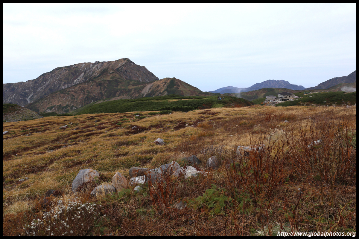
Get off the bus along the route at Midagahara, which is a major wetland area with many trails at 2000m above sea level. Foliage will appear here in September and October.
| |||
|
|
|
|
|
|
|
|
|
|
|
|
|
|
|
|
|
|
|
|
|
|
|
|
|
|
|
|
|
|
|
|
|
|
|
|
|
|
|
|
|
|
|
|
|
|
|
|
|
|
|
|
|
|
|
|
|
|
|
|
|
|
|
|
|
|
|
|
|
|
|
|
|
|
|
|
|
|
|
|
|
|
|
|
|
|
|
|
|
|
|
|
|
|
|
|
|
|
|
|
|
|
|
|
|
|
|

|
|
|
|
|
|
|
|
|
|
|
|
|
|
|
|
|
|
|
|

|
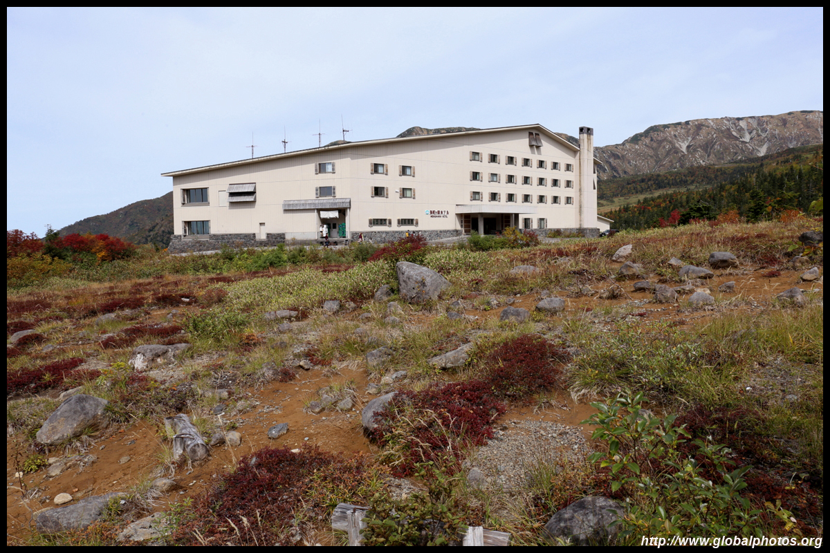
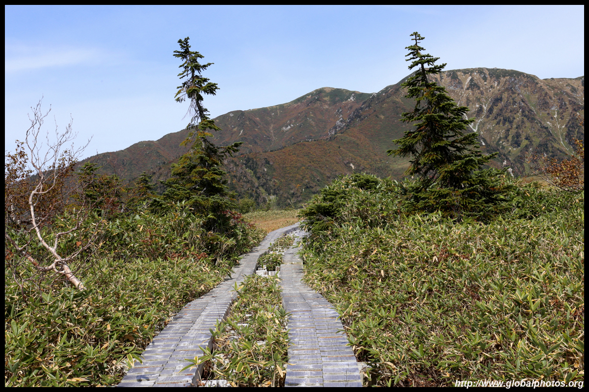
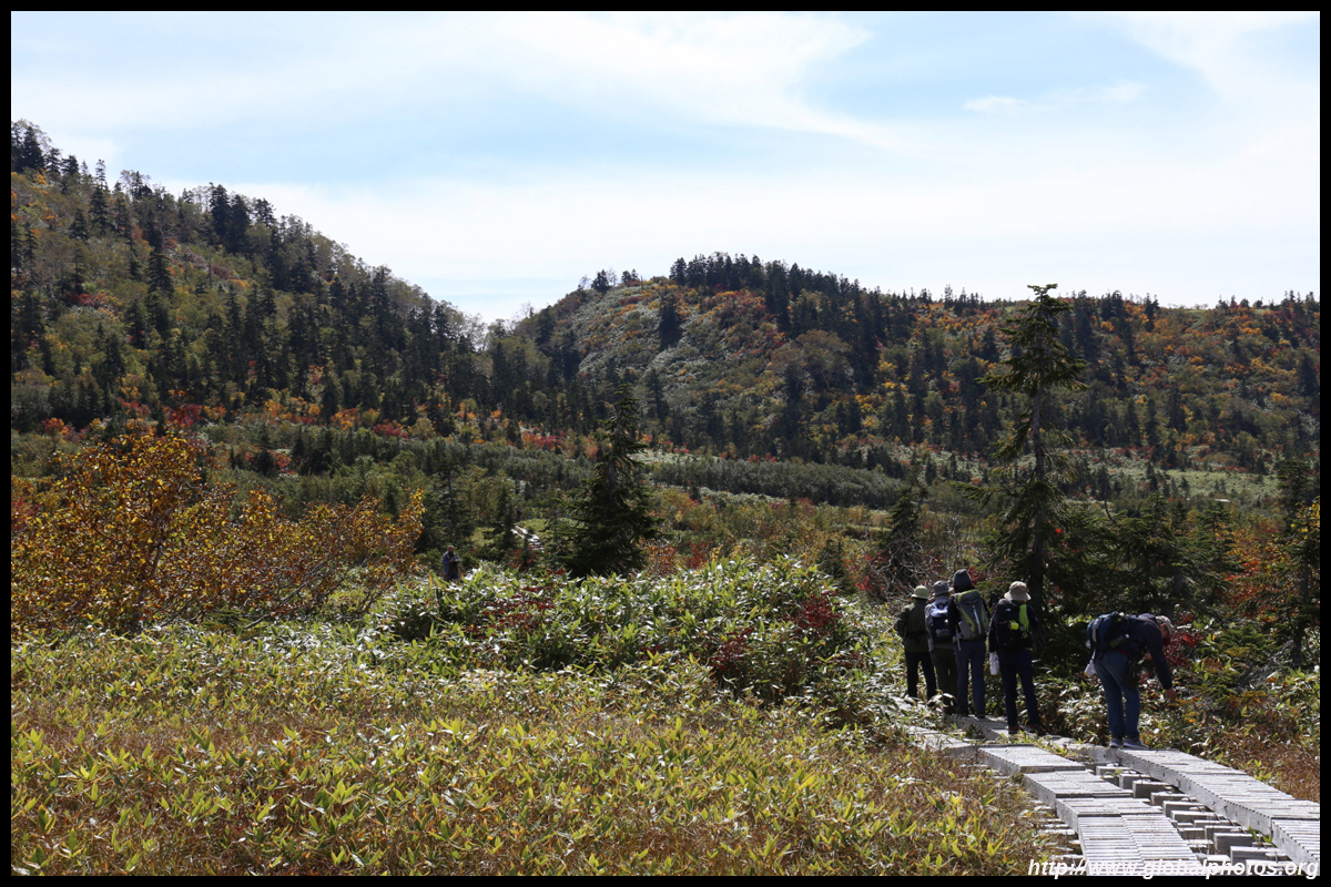
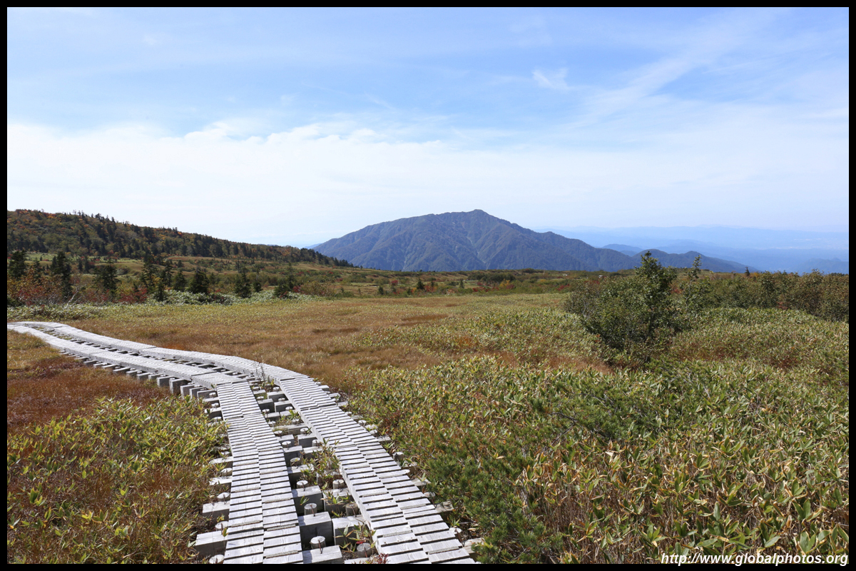
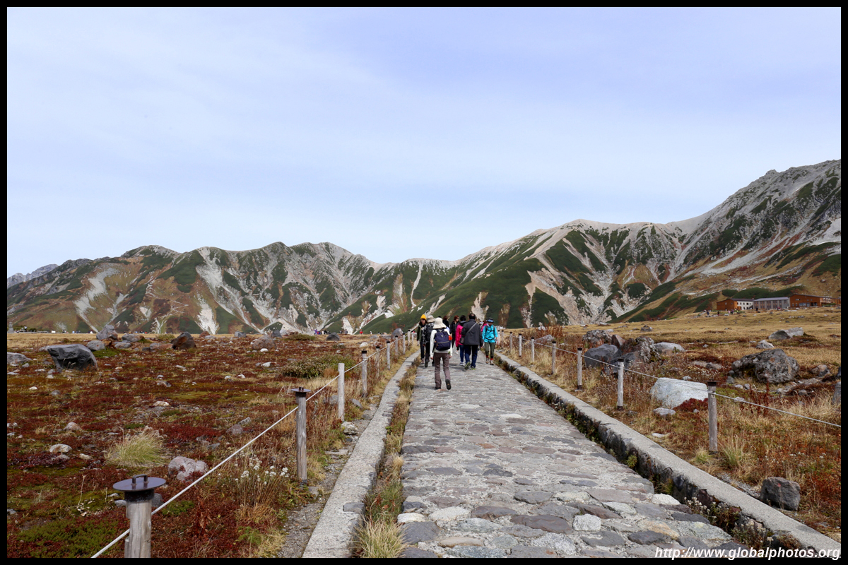
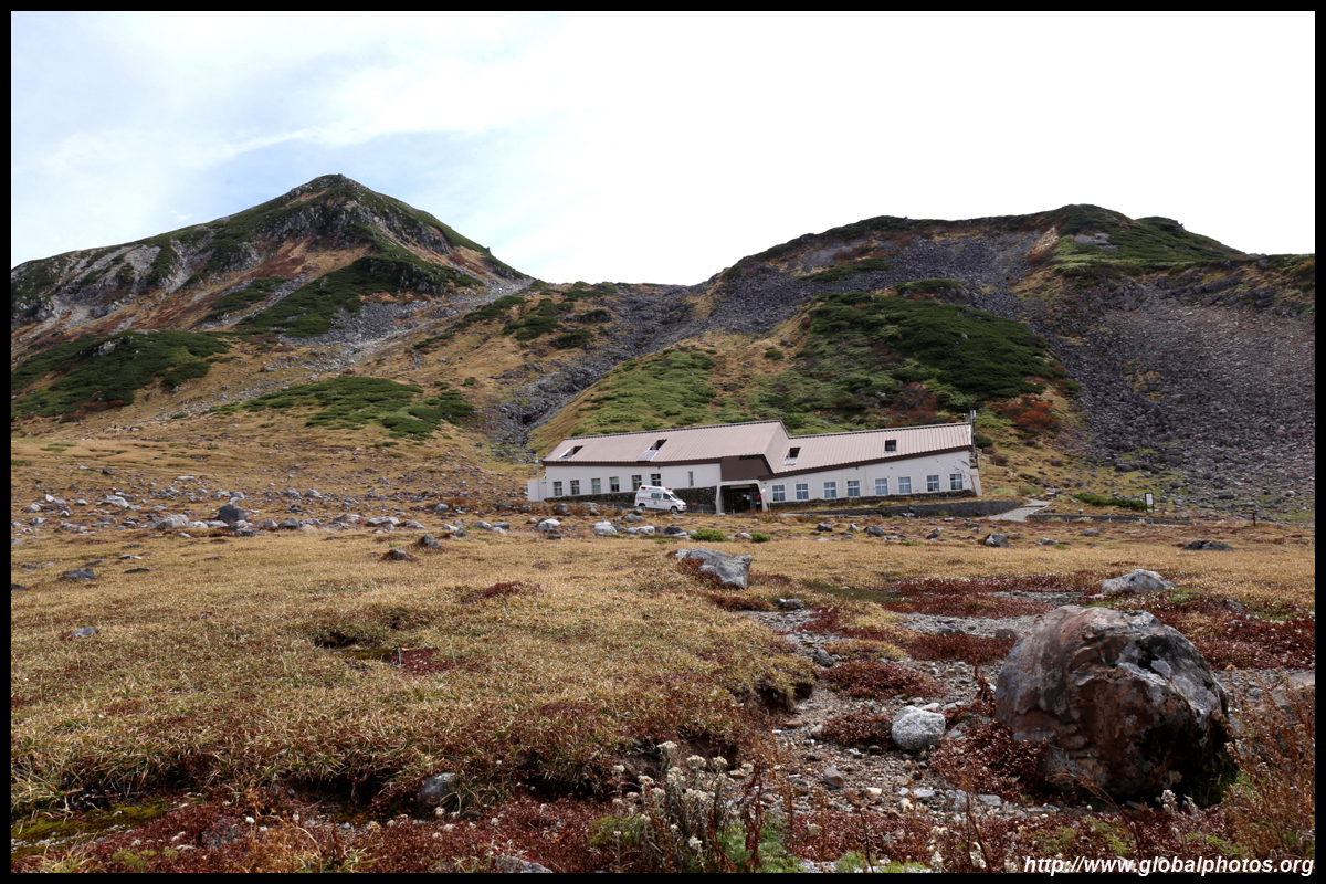
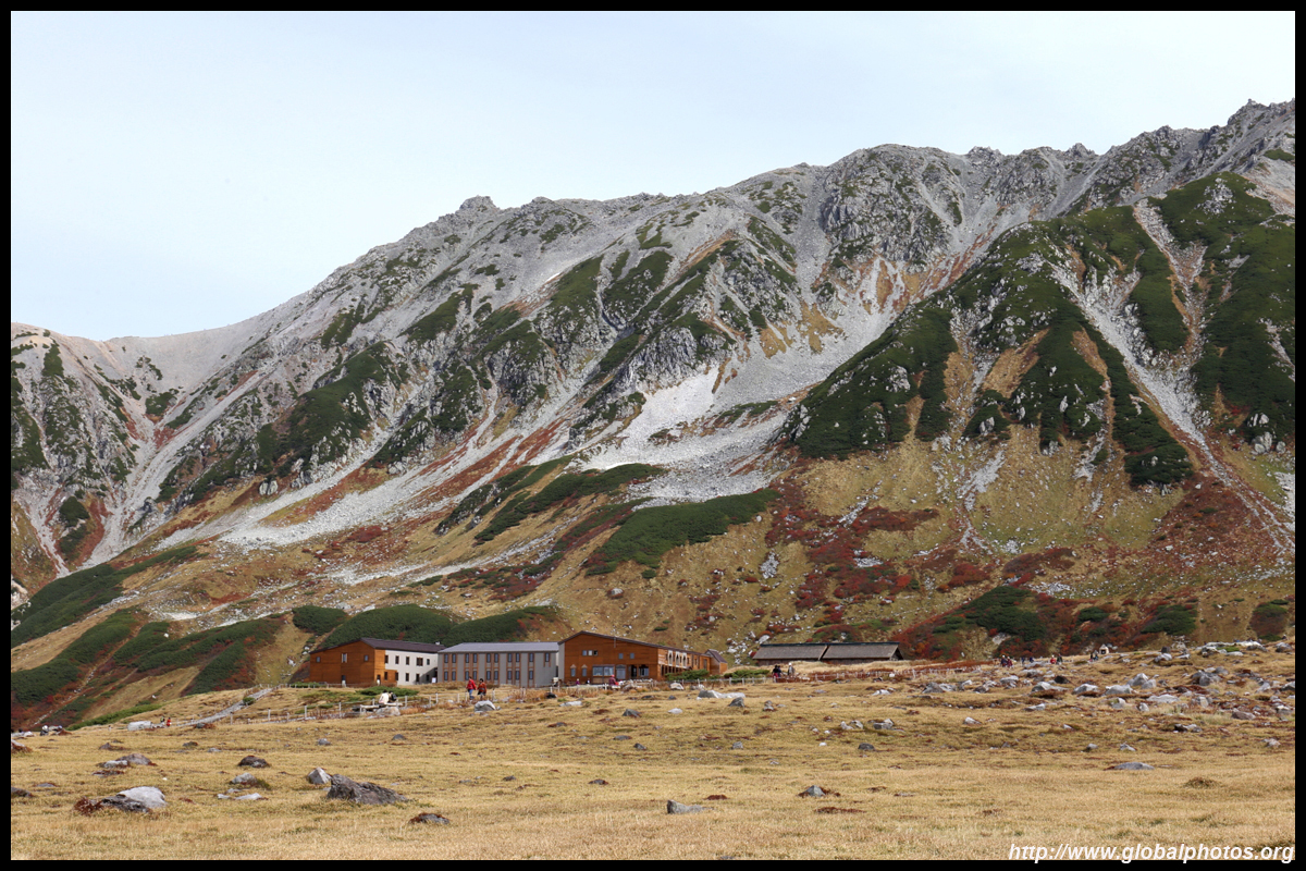
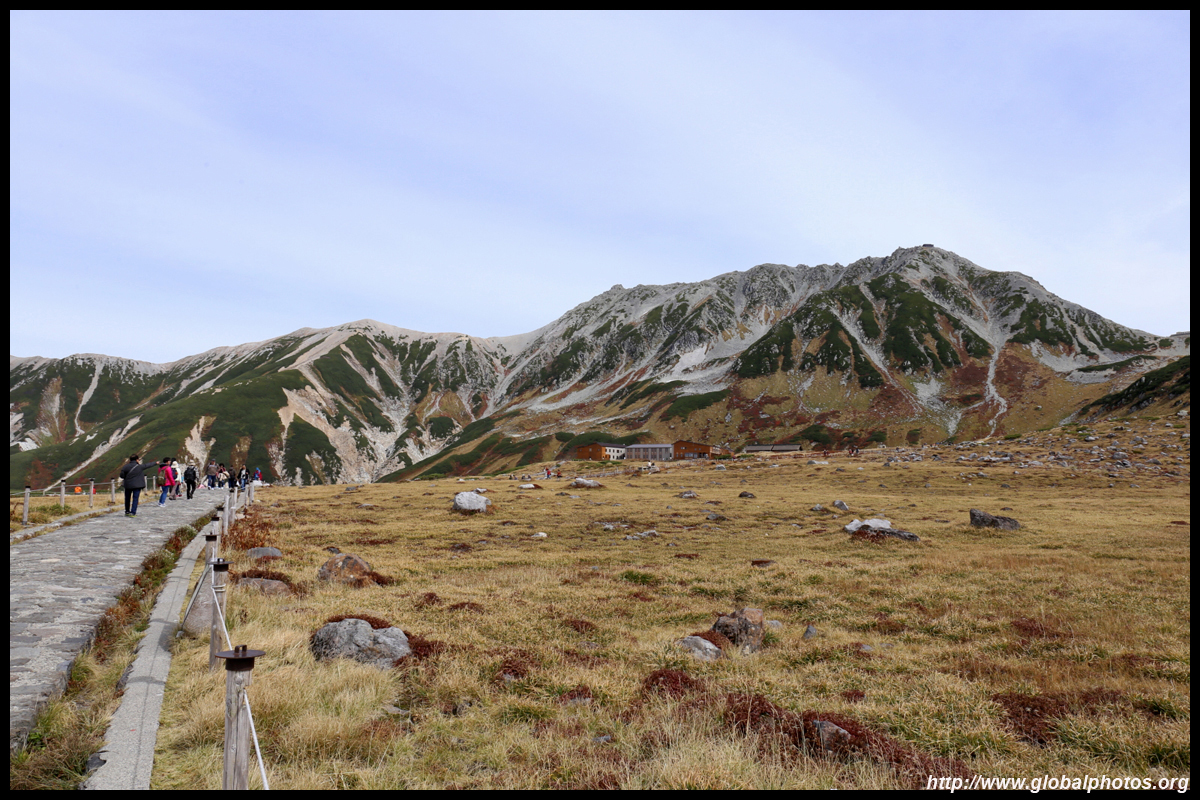
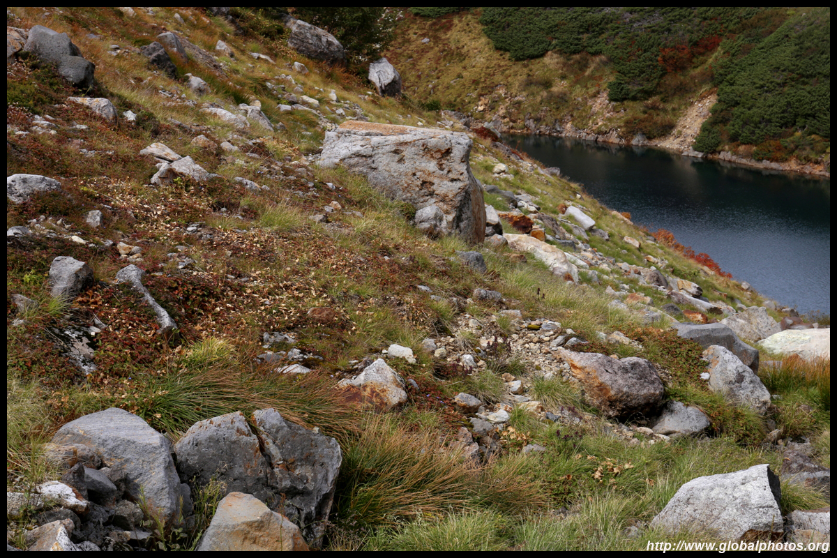
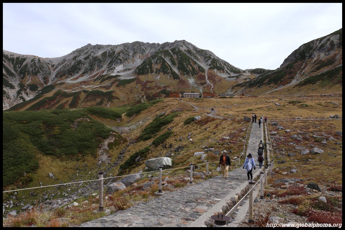
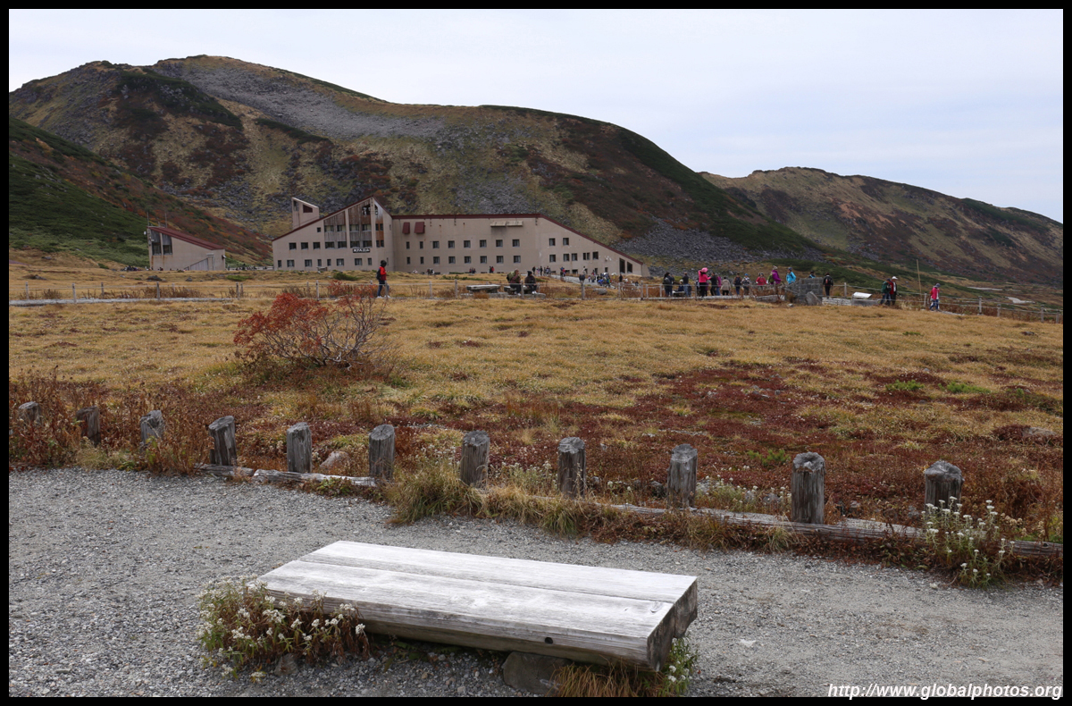
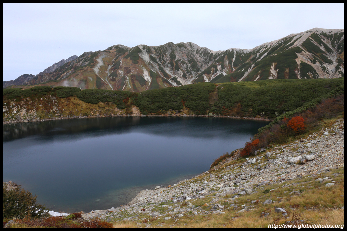
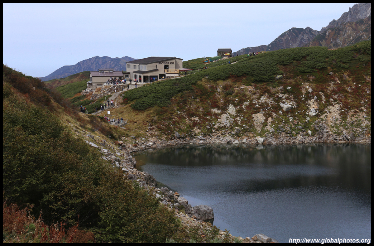
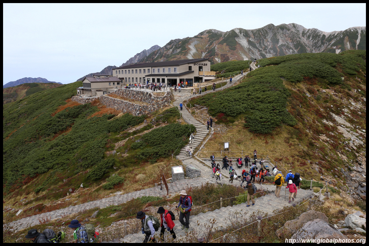
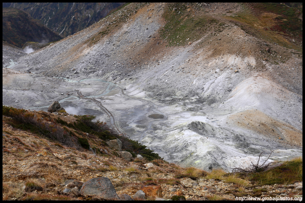
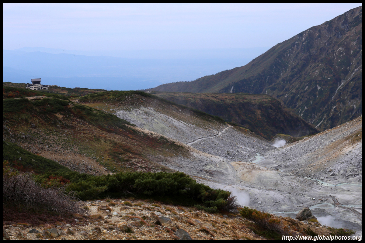
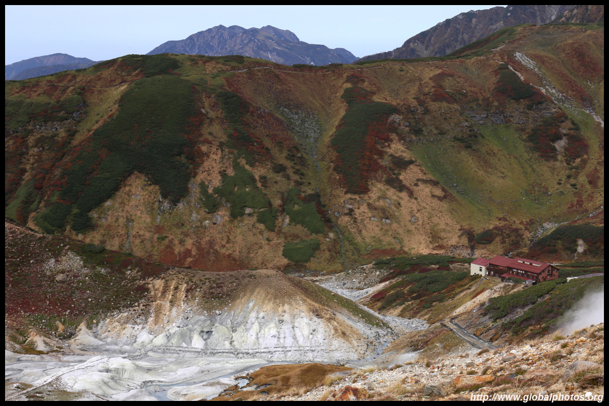
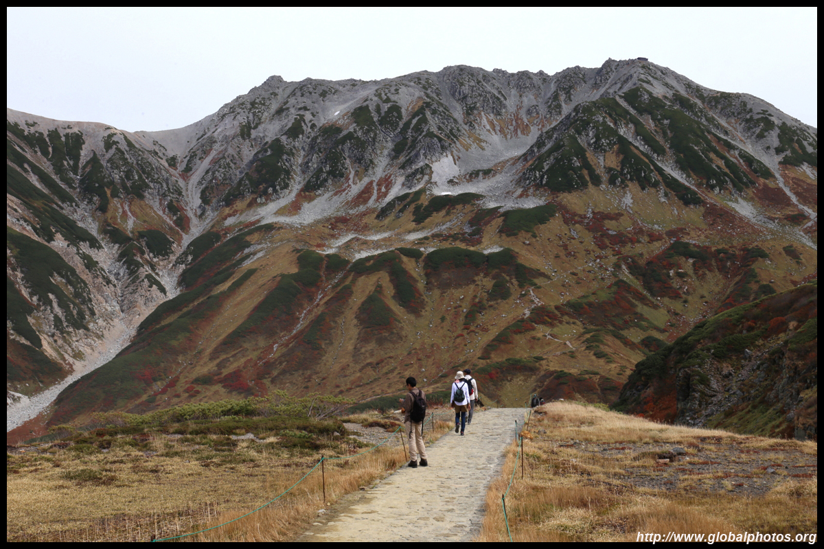
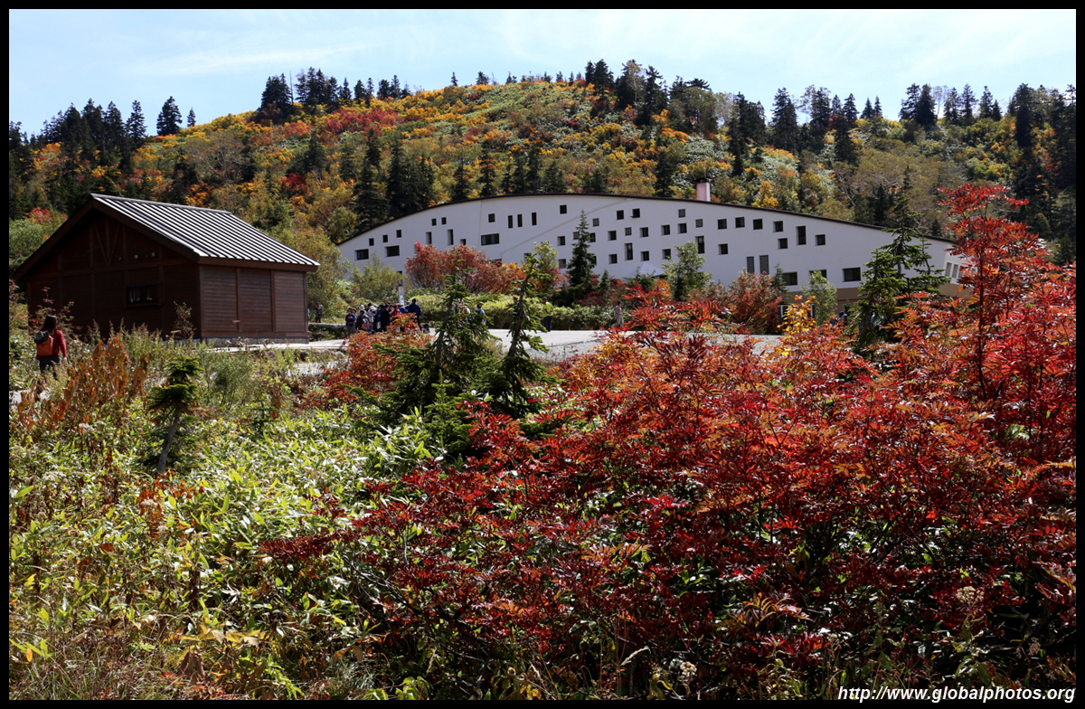
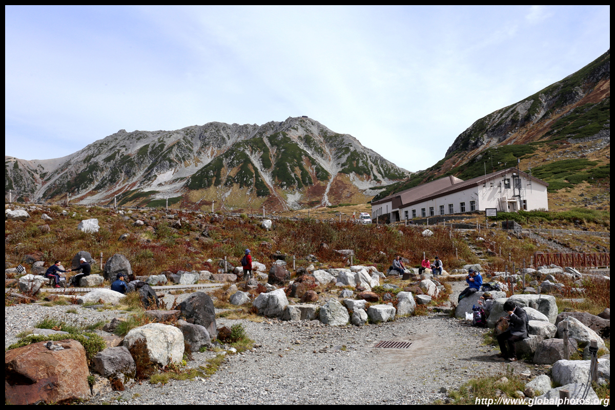
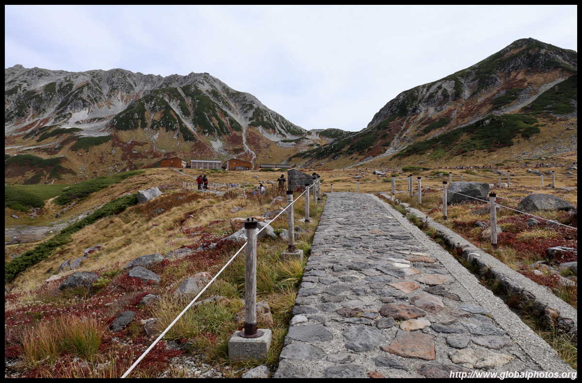
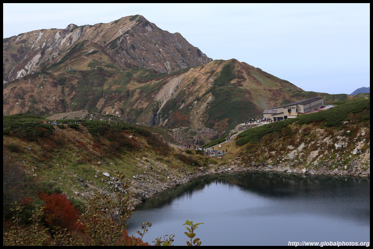
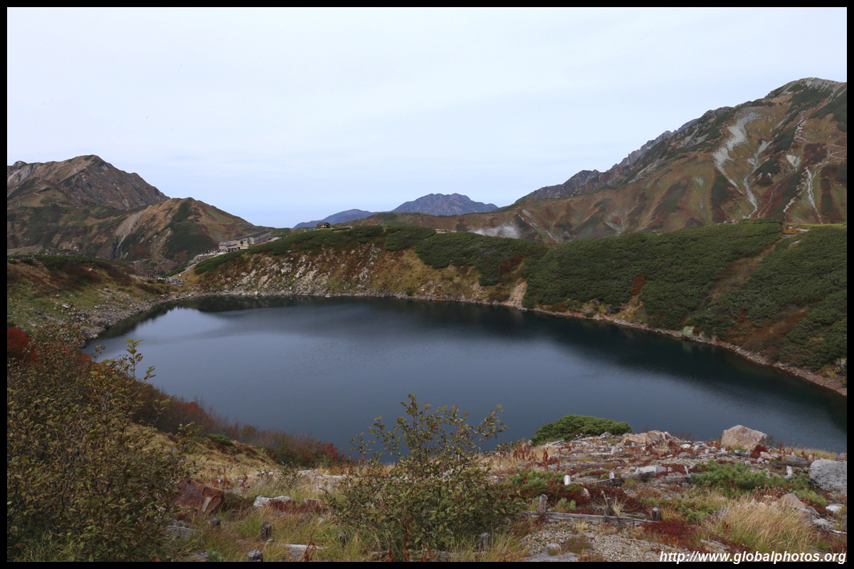
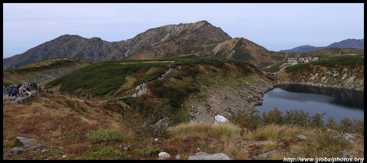
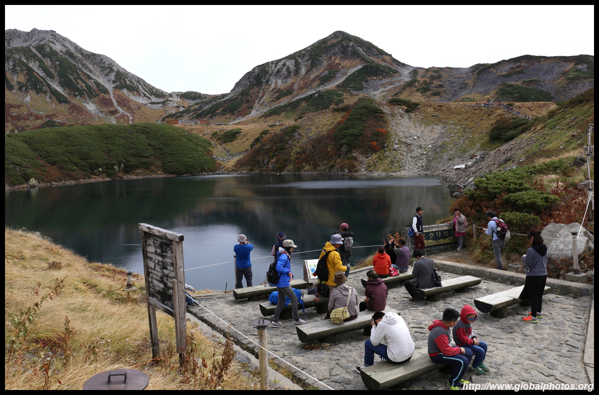
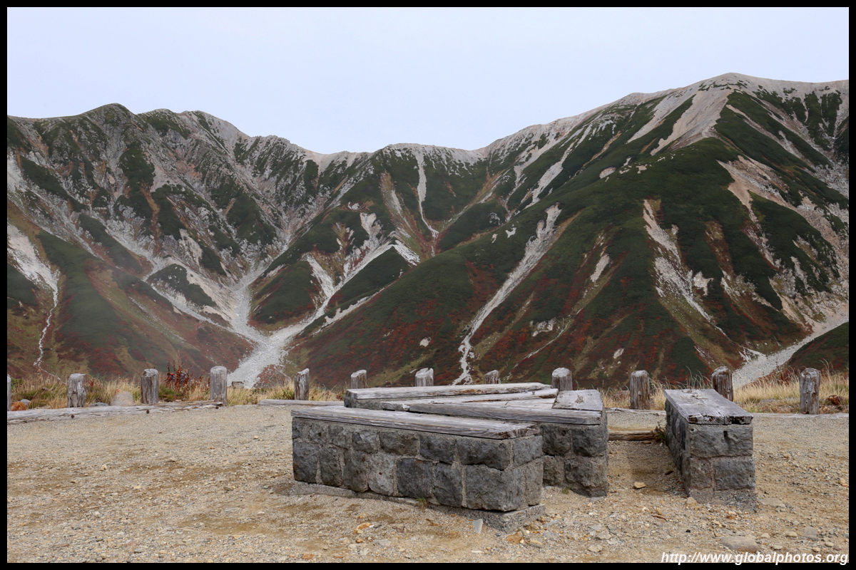
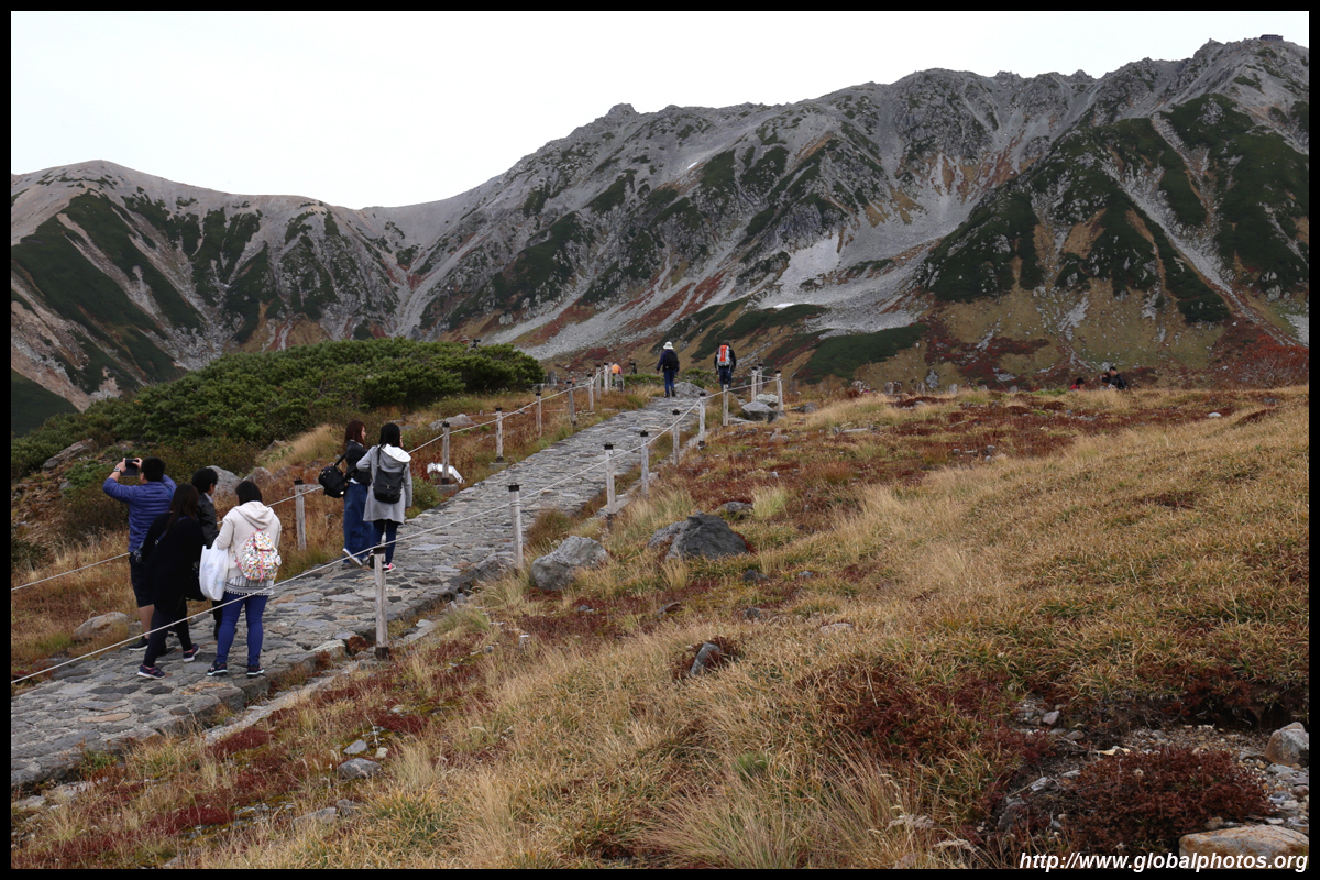
A major reason why the day will become quite rushed is because it takes quite some time to explore the trails around these 2 stops. For those starting on the Matsumoto side, make sure you don't overspend time at the dam and venture as quickly as you can to Murodo. You won't be able to cover everything on a day trip and there are no places to stay overnight, so pick and choose what you would like to see carefully.
| |||
|
|
|
|

|
|
|
|
|
|
|
|
|
|
|
|
|
|
|
|
|
|
|
|
|
|
|
|
|

|
|
|
|
|
|
|
|
|
|
|
|
|
|
|
|
|
|
|
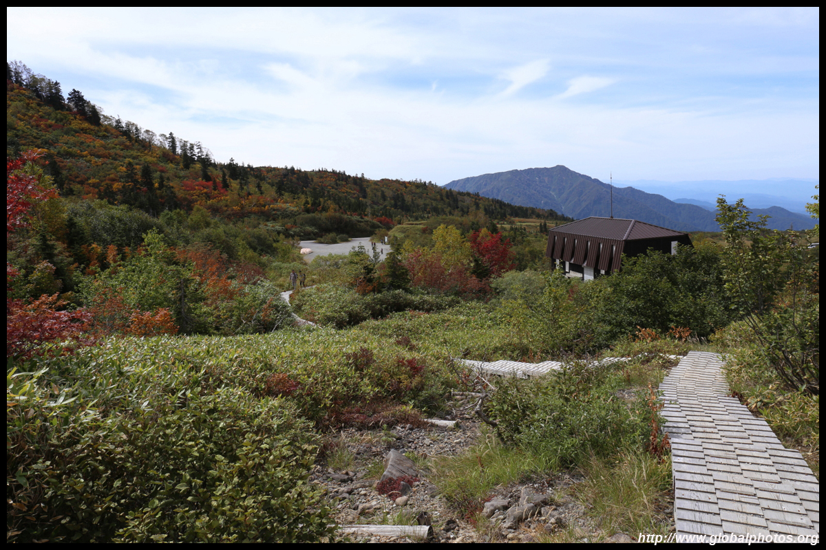
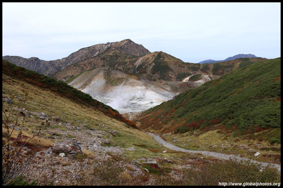
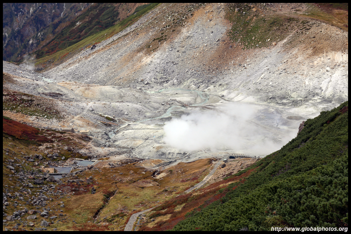
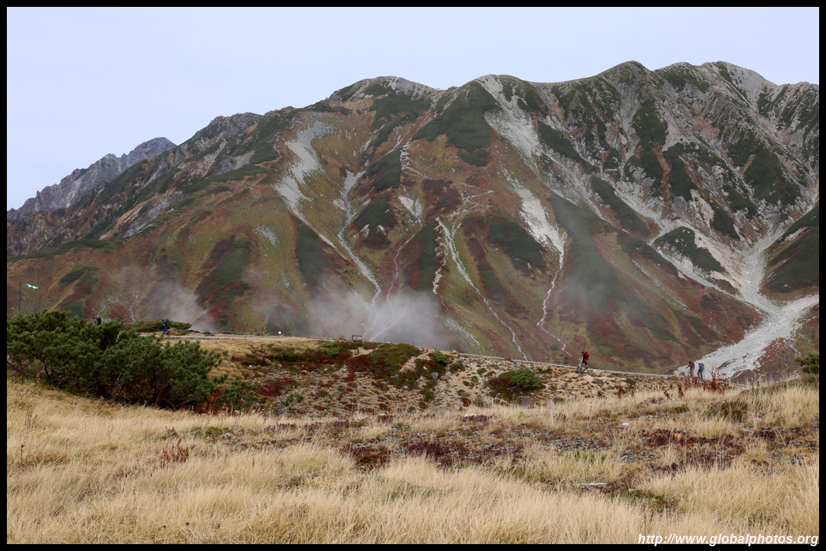
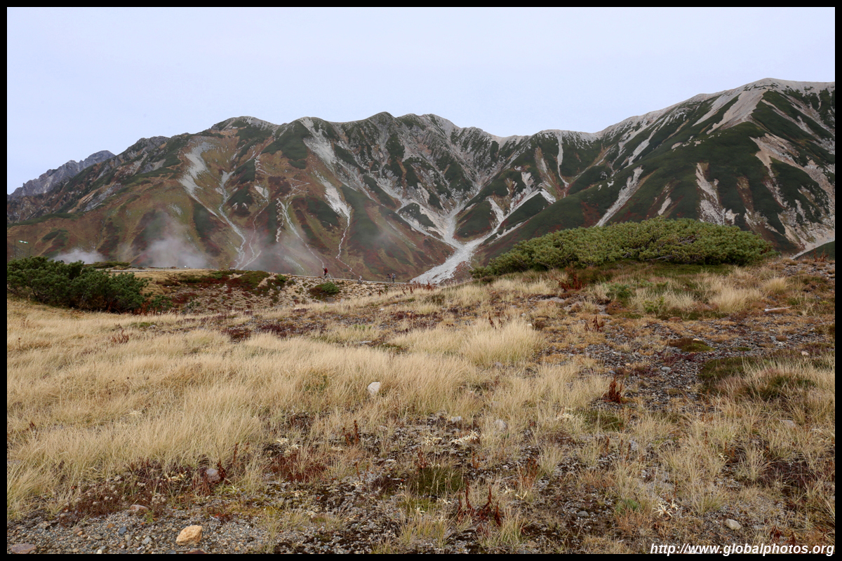
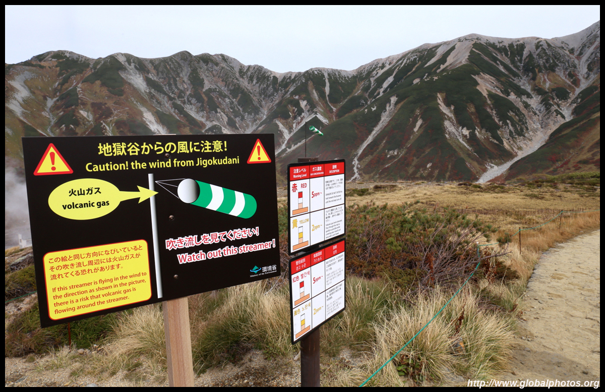
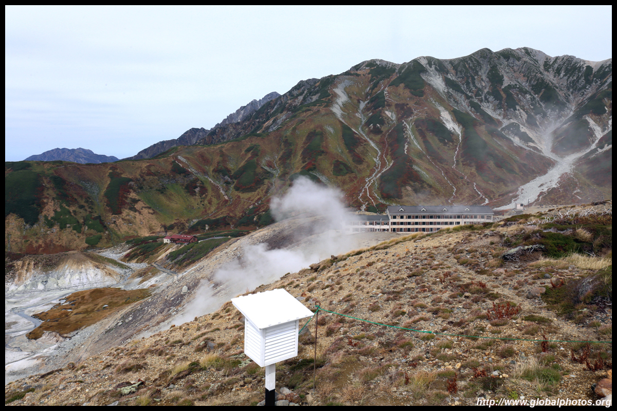
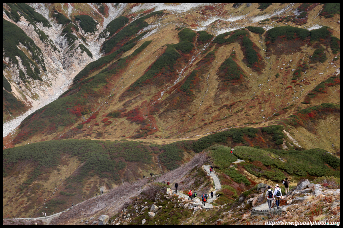
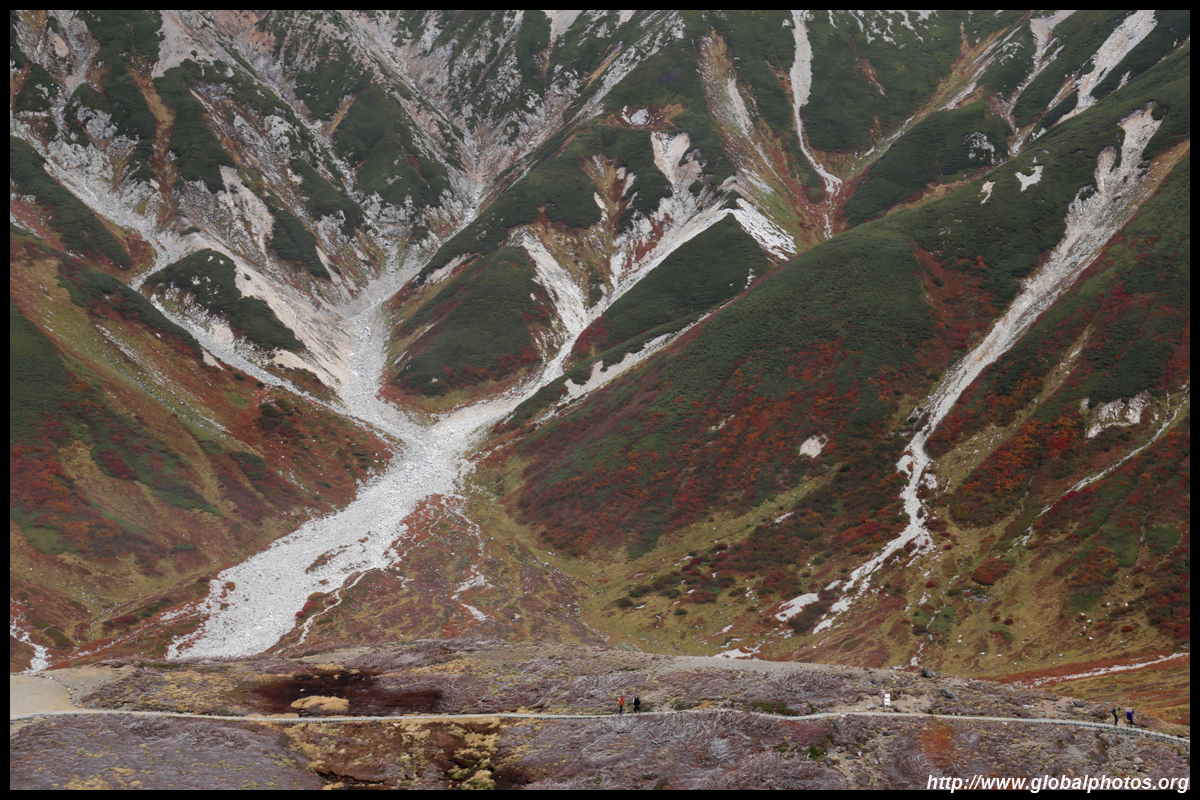
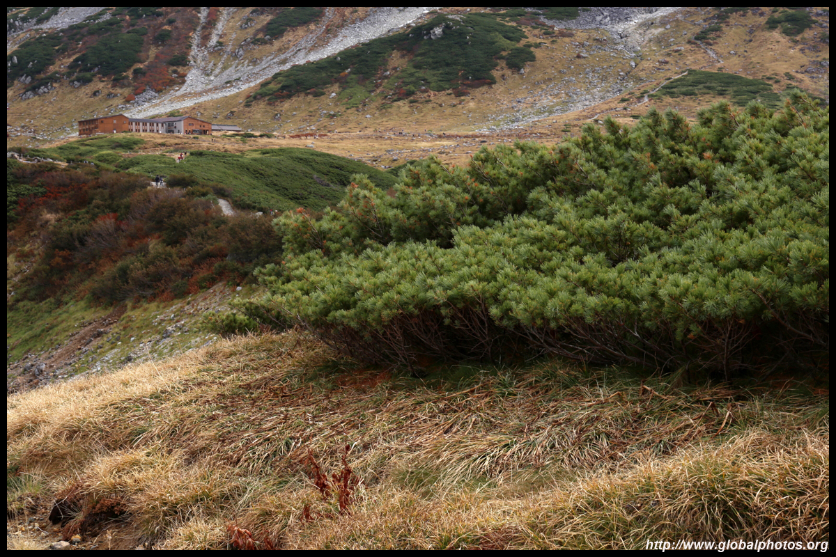
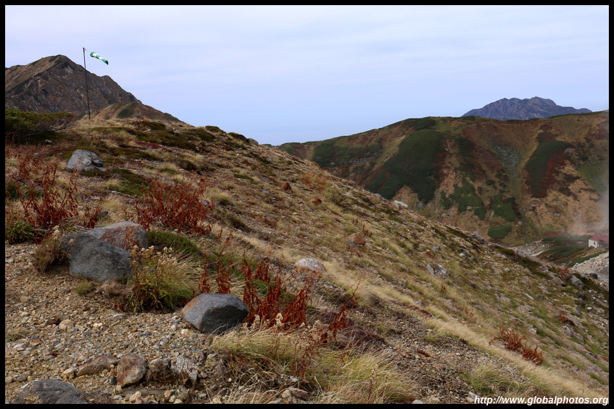
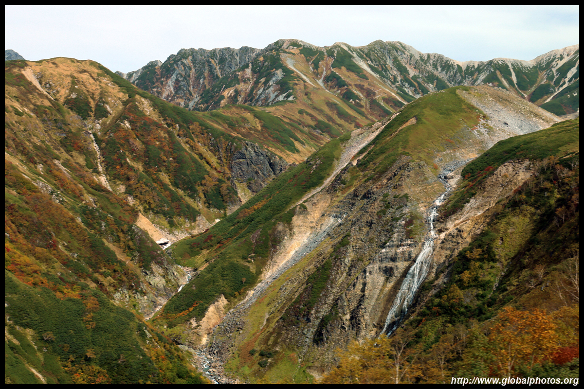
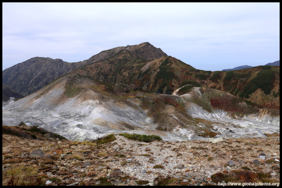
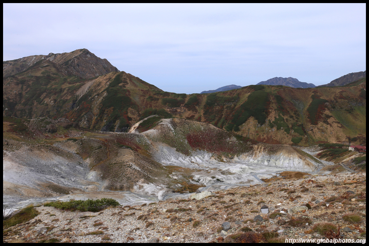
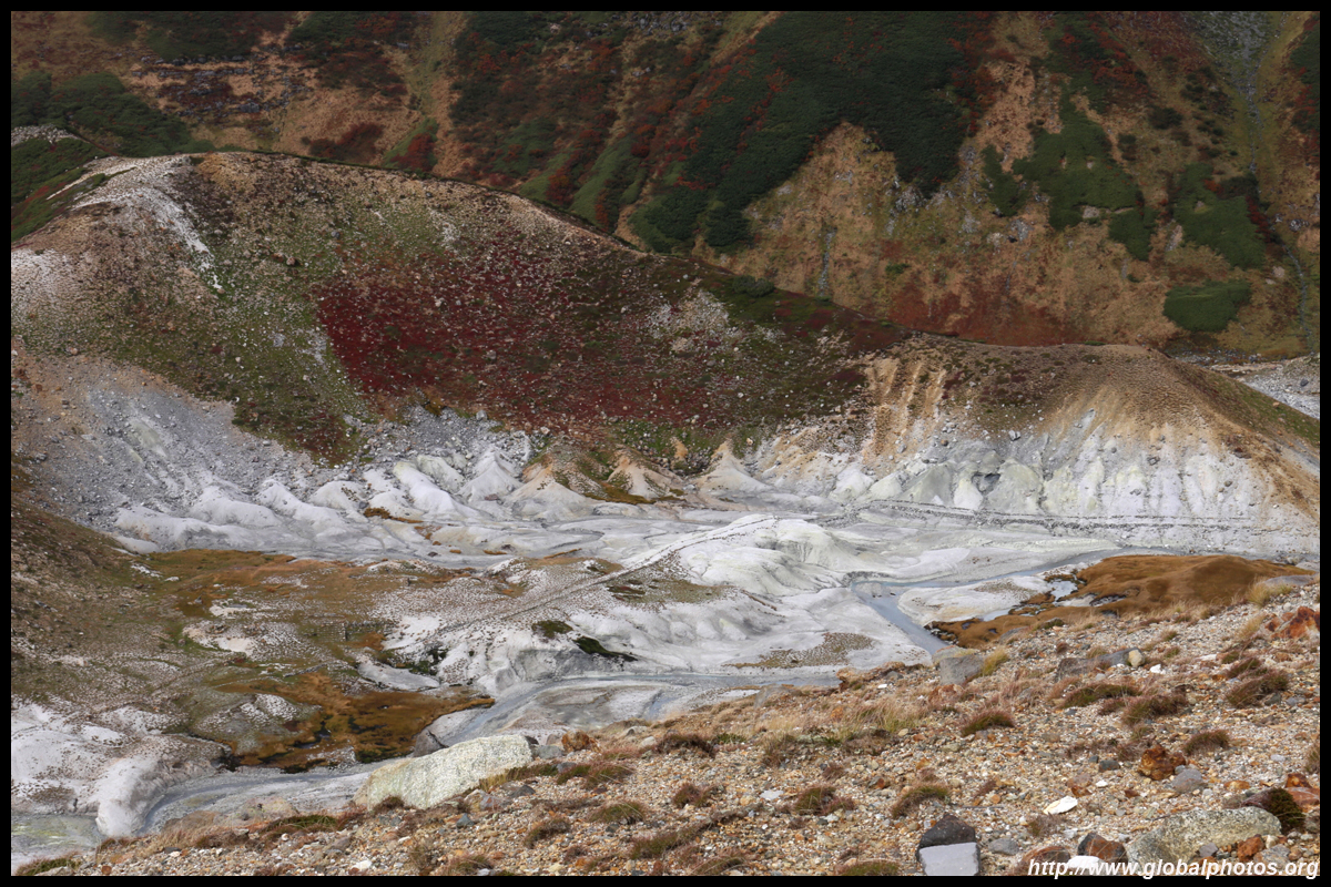
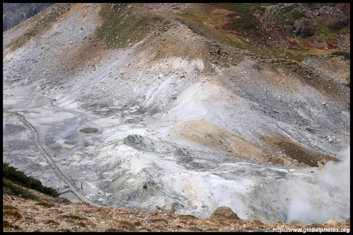
Parts of the area are still dangerous so follow the signs accordingly.
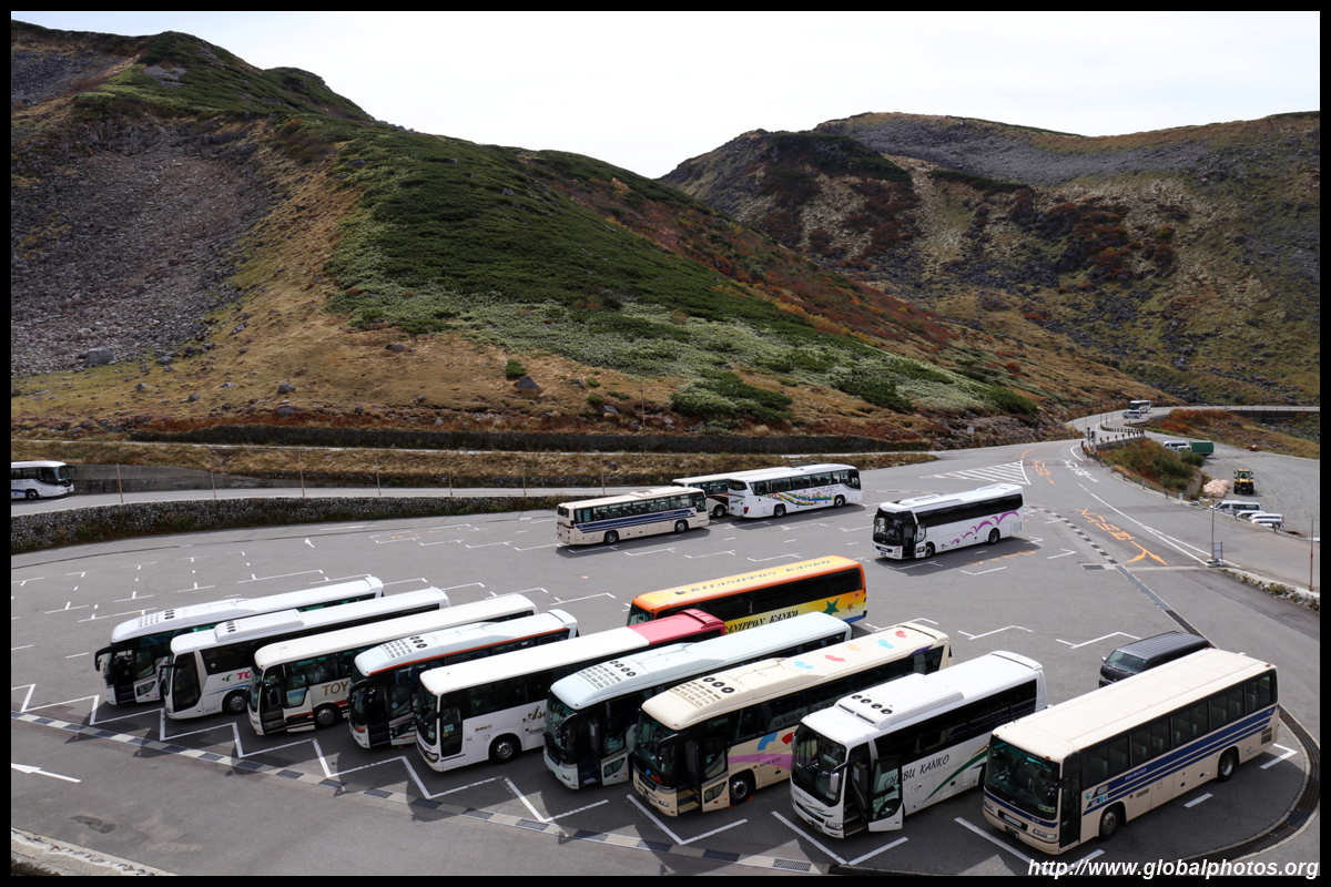
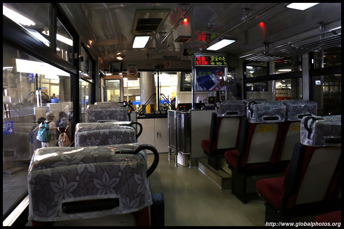
Back at the bus station, the next stage of the journey is a different bus through the mountain by tunnel.
| |||


Next Part | Chubu Countryside Photo Gallery